
Easy climbing tour up to Hohe Wand from Maiersdorf via the Bienengartenries (I+/II-) and descending via the Krumme Ries (I-)
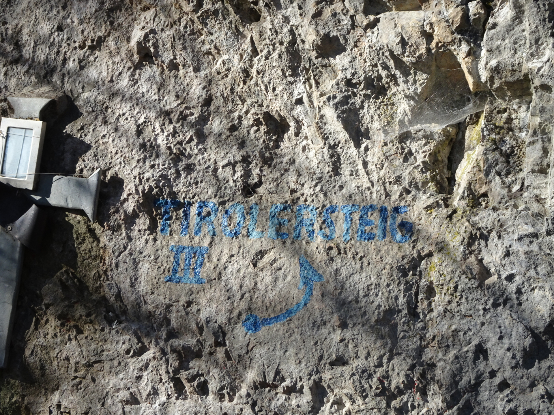
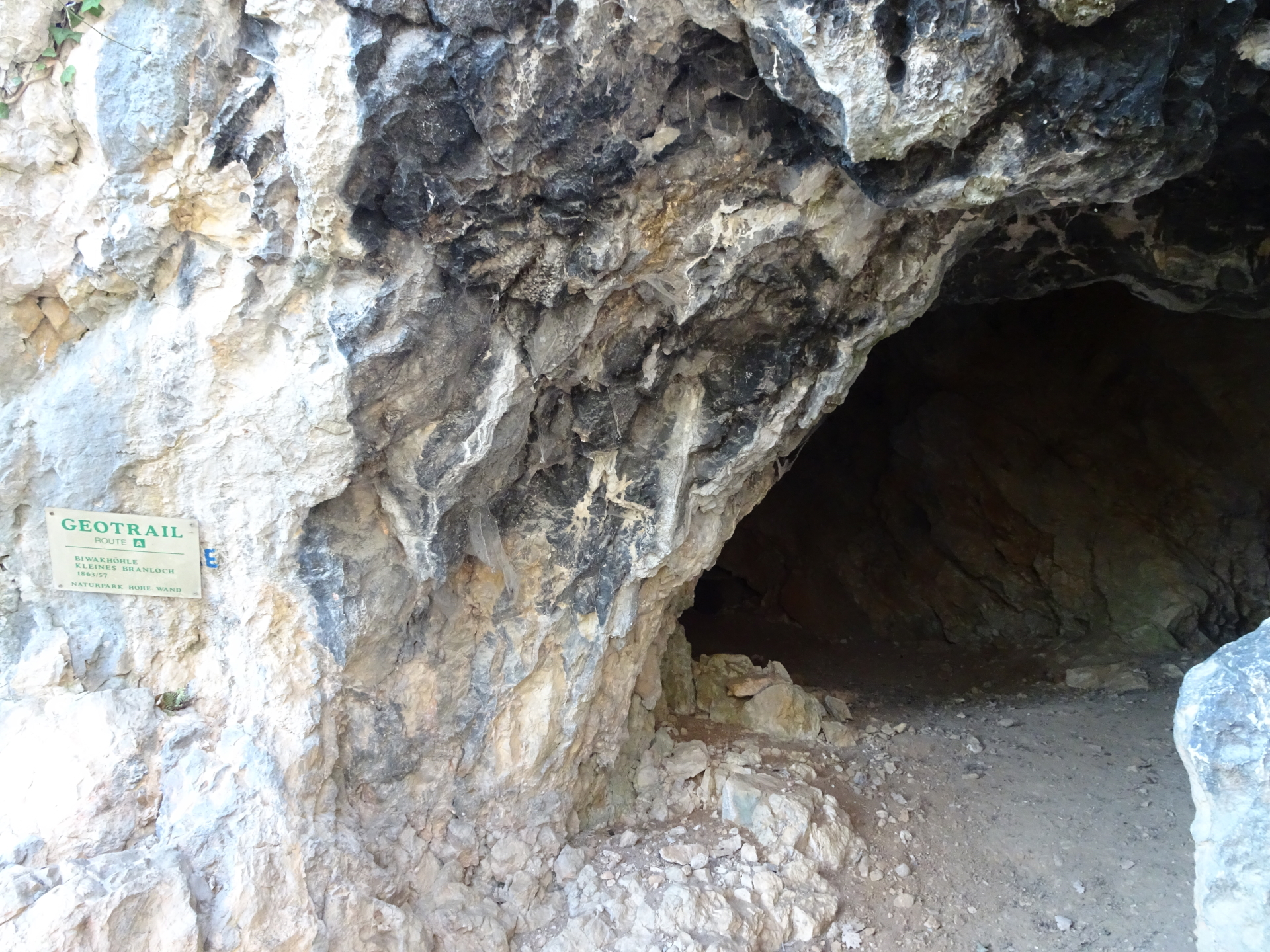
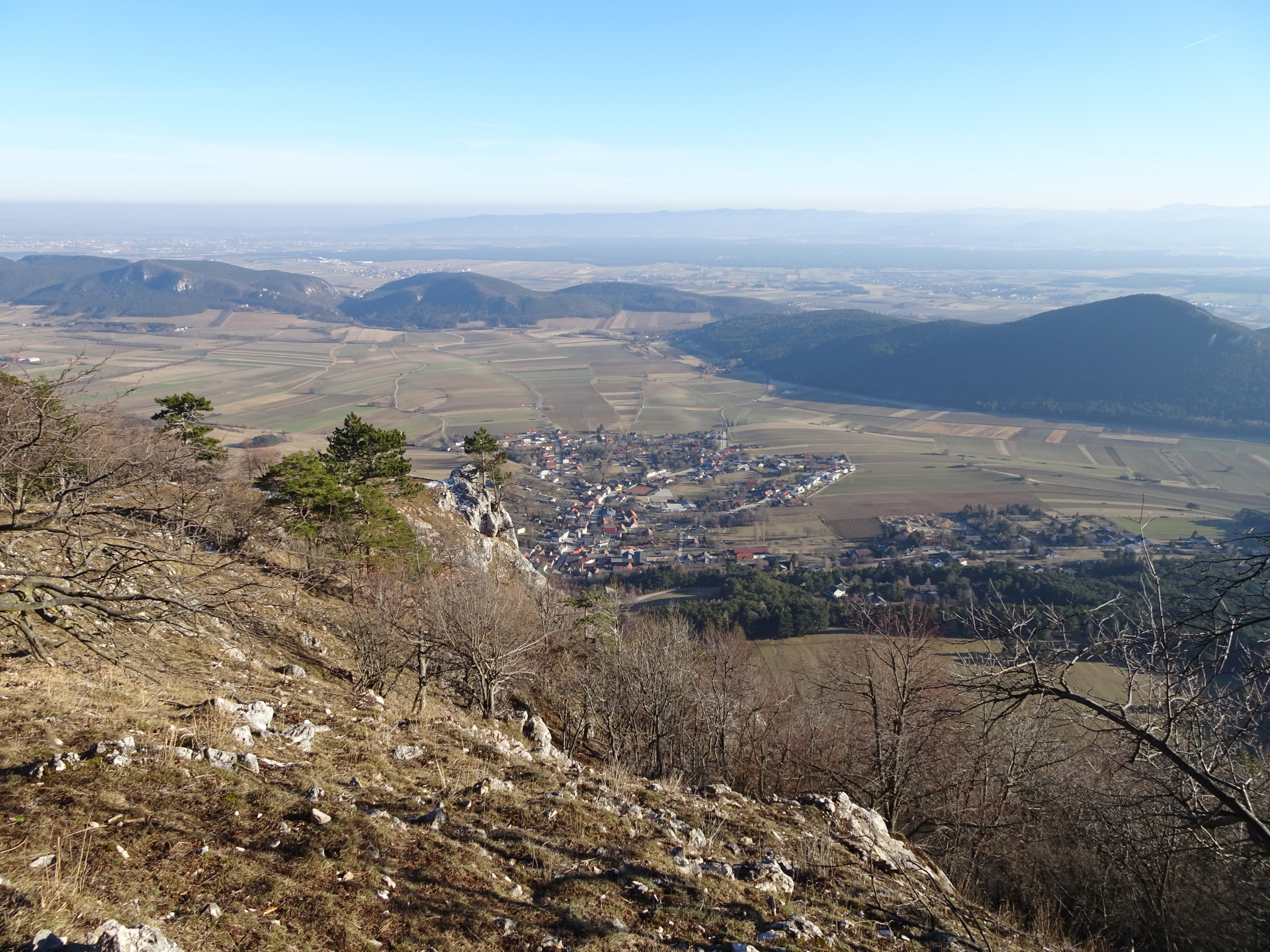
The tour starts at the parking Maiersdorf (GPS: 47.820161, 16.047764) and first follows the white-yellow-white marked trail towards the Maiersdorfer Weide (meadow). After crossing the meadow, the tour then follows a small, unmarked trail till reaching the blue marked Wandfußsteig (along the head-wall), passing by the Tirolersteig and a couple of caves. After a few meters, the tour then finally reaches the start of the Bienengartenries climbing route, which is in the lower part perfectly marked with many light-blue dots (the markings are getting worse in the upper part). At the end of the climbing passage, the route directly merges with the Frauenluckensteig which is followed up to the top. The route then follows the hiking trail towards Gasthof Luf which is designated for a well-deserved break. After the break, the route heads back a few meters towards the upper end of the Krumme Ries, allowing a stunning view over the entire area. The descent is then done by following the fairly easy Krumme Ries and then the Straßenbahnerweg which leads back to the Maiersdorfer Weide and further back to the parking.
Tour Description
Tour Description
| 00:00 | Start at the parking in Maiersdorf (GPS: 47.820161, 16.047764) and follow the white-yellow-white marked forest road northwestwards (starts opposite of the parking). |
| 00:05 | At the end of the forest, stay straight ahead and follow the trail through the Maiersdorfer Weide (meadow). |
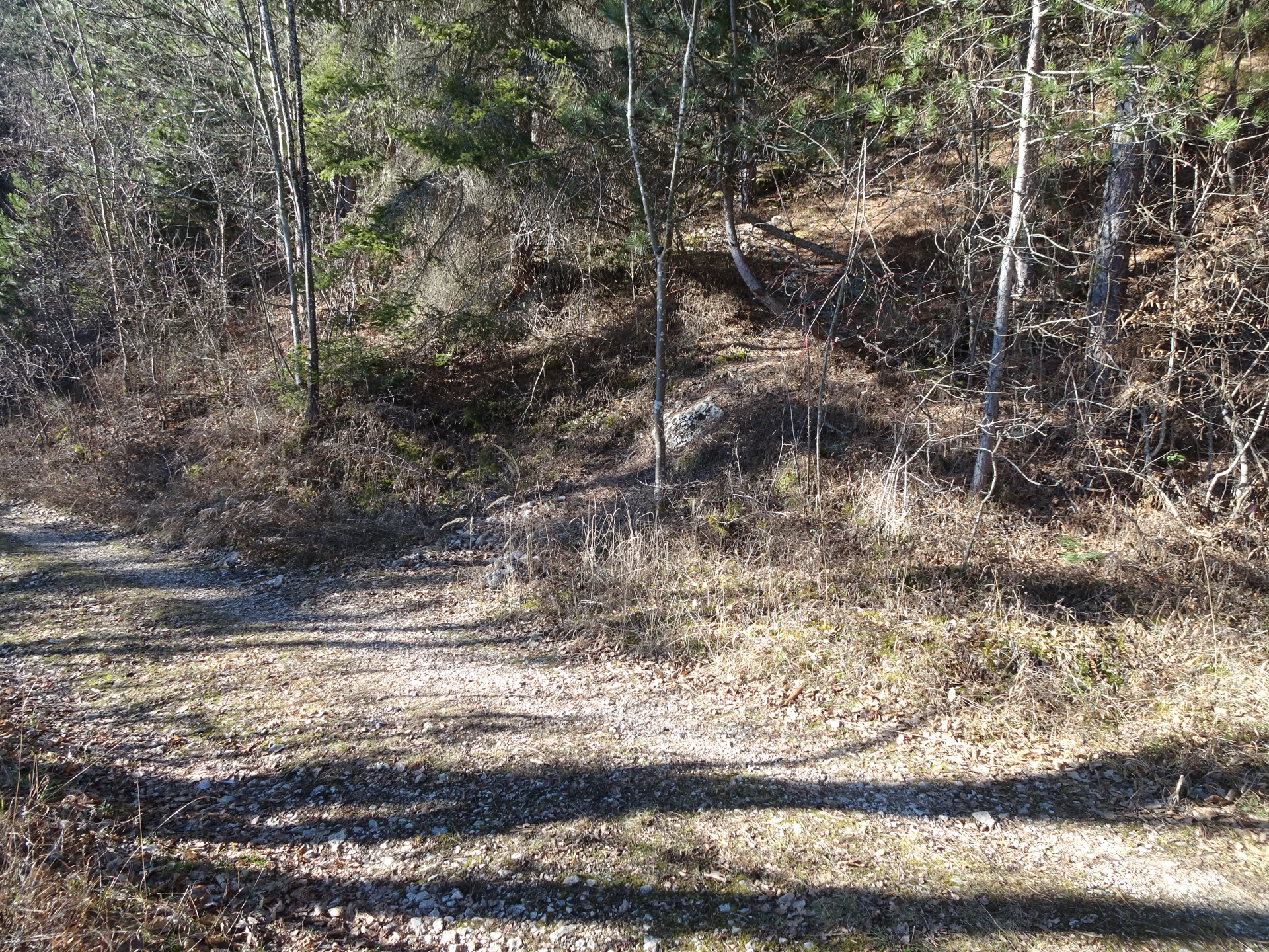
| 00:10 | At the end of the meadow, stay straight and follow the small trail into the forest. |
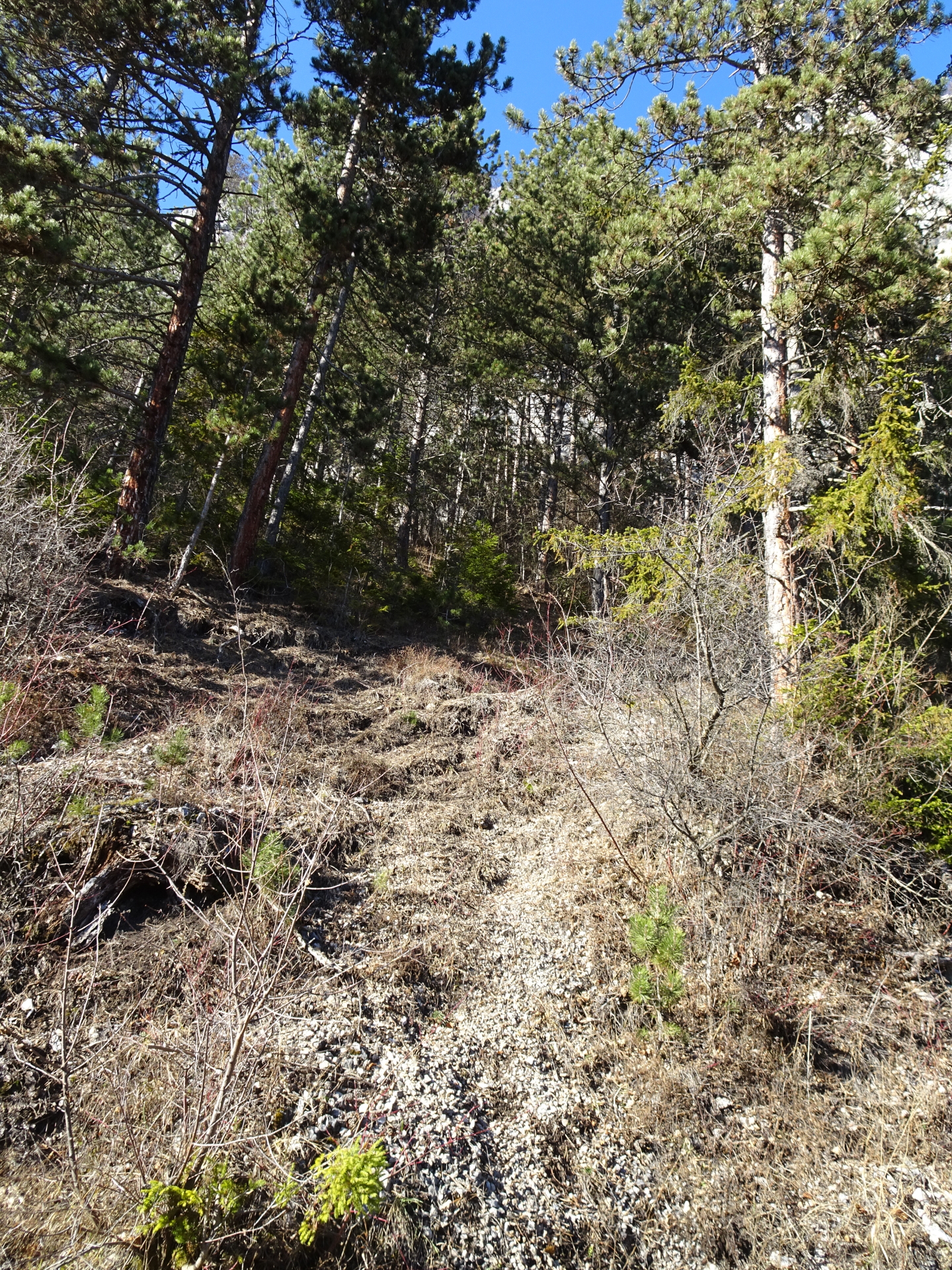
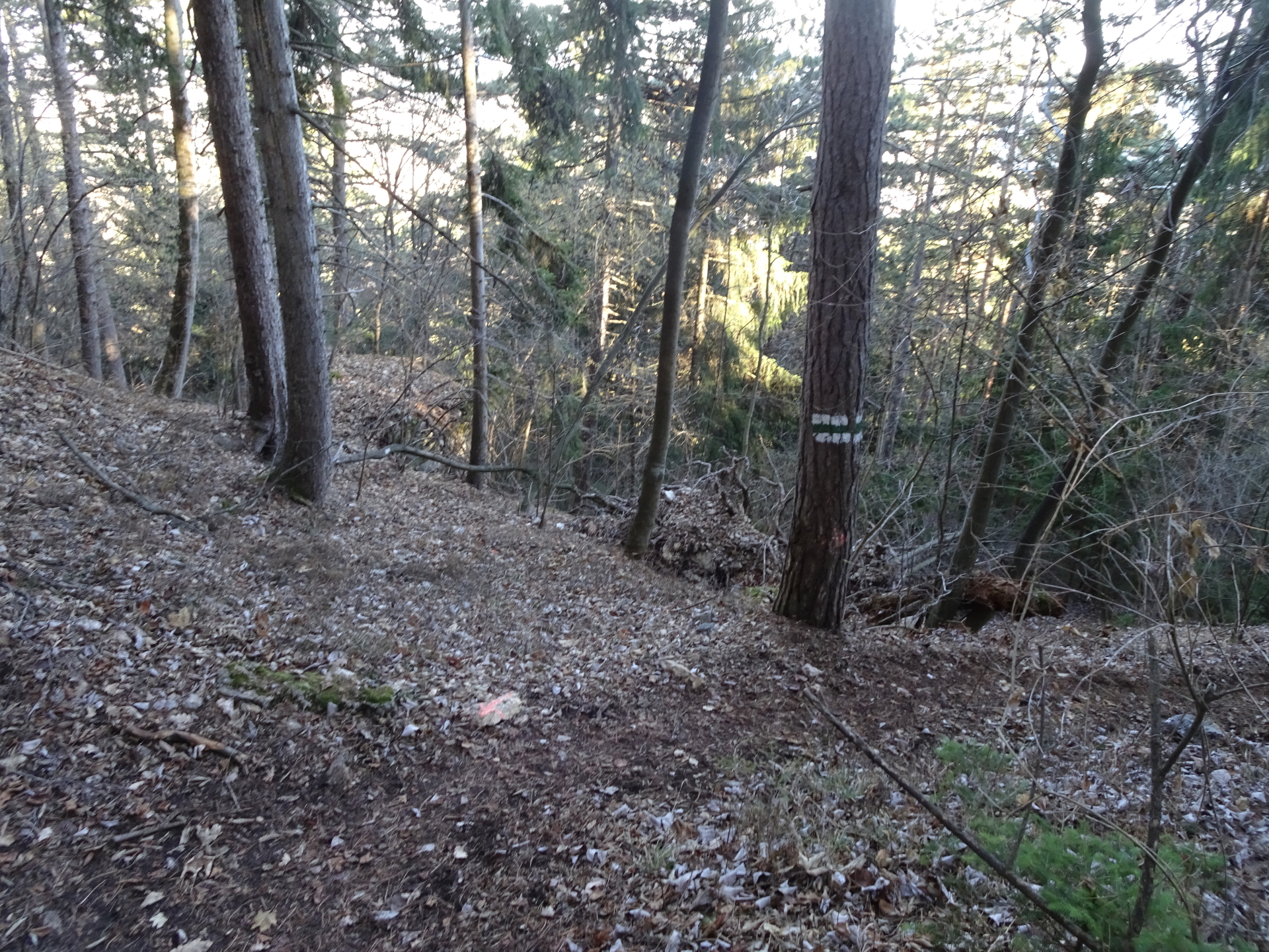
| 00:15 | Cross the forest street (2x) and continue following the small trail (barely visible) leading up to the Wandfußsteig. |
| 00:20 | Turn right at the crossing with Wandfußsteig and Tirolersteig and follow the blue marked trail along the wall. |
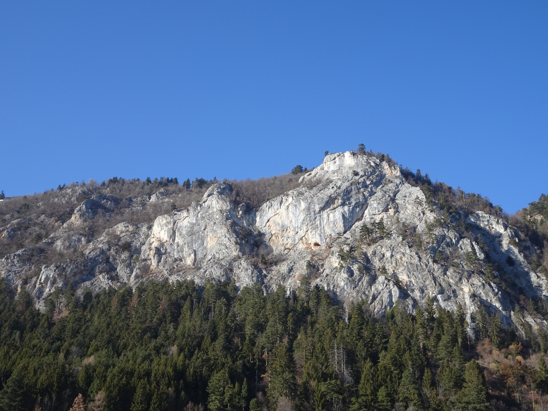
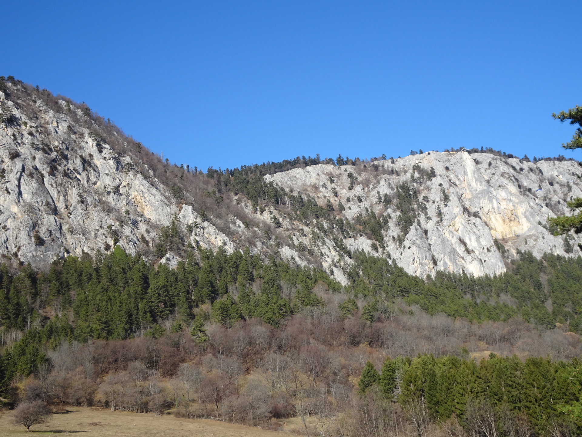
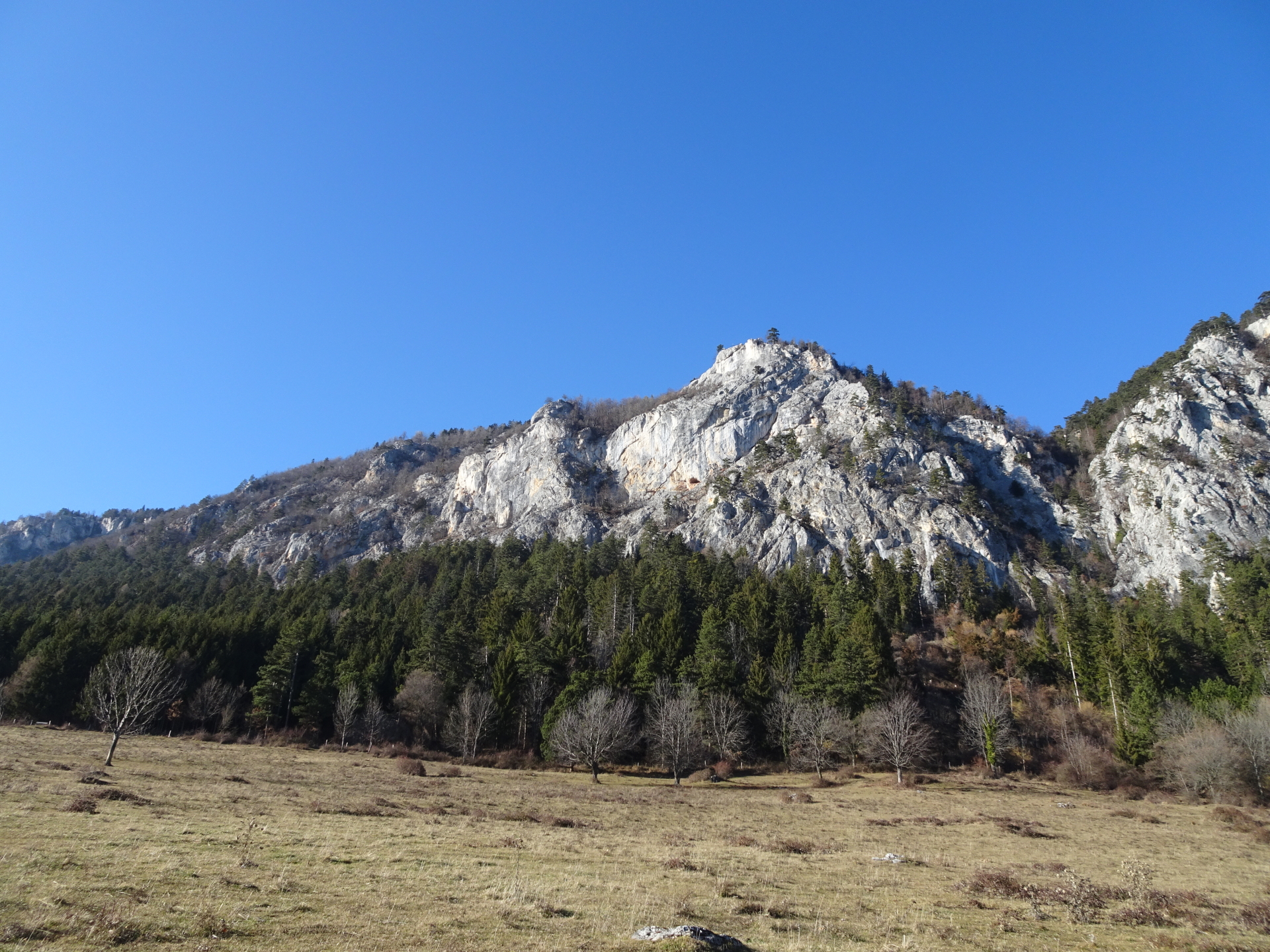
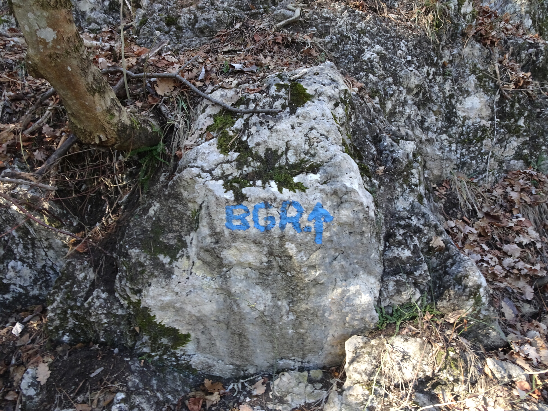
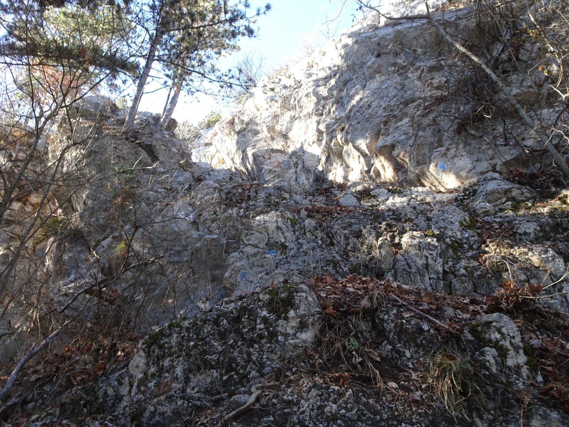
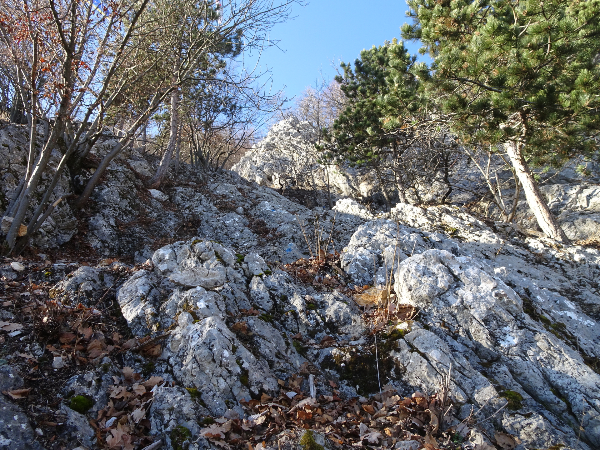
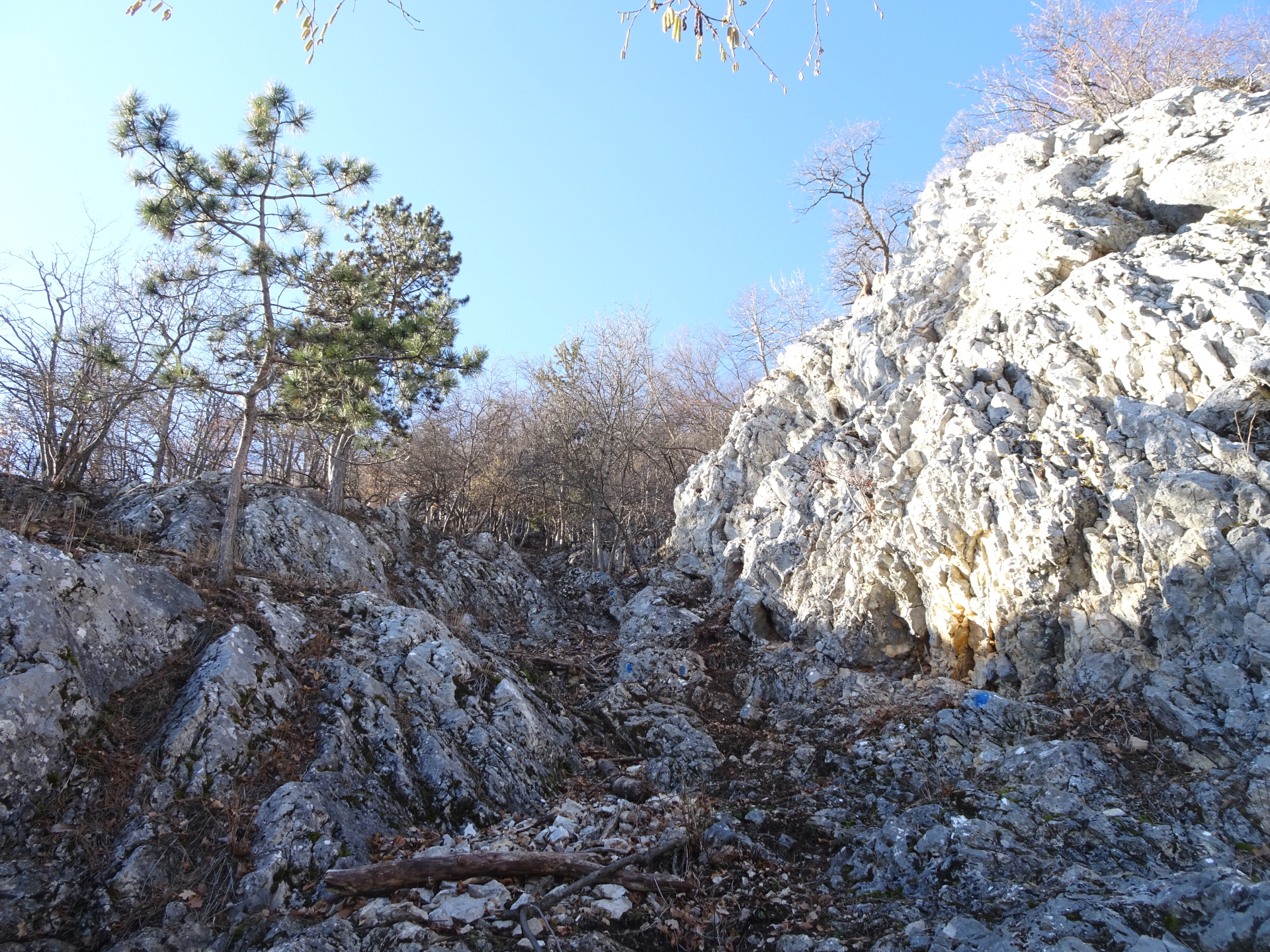
| 00:30 | Turn left into the blue marked Bienengartenries climbing route (see the letters BGR.) and climb up following the blue dots marking the route. |
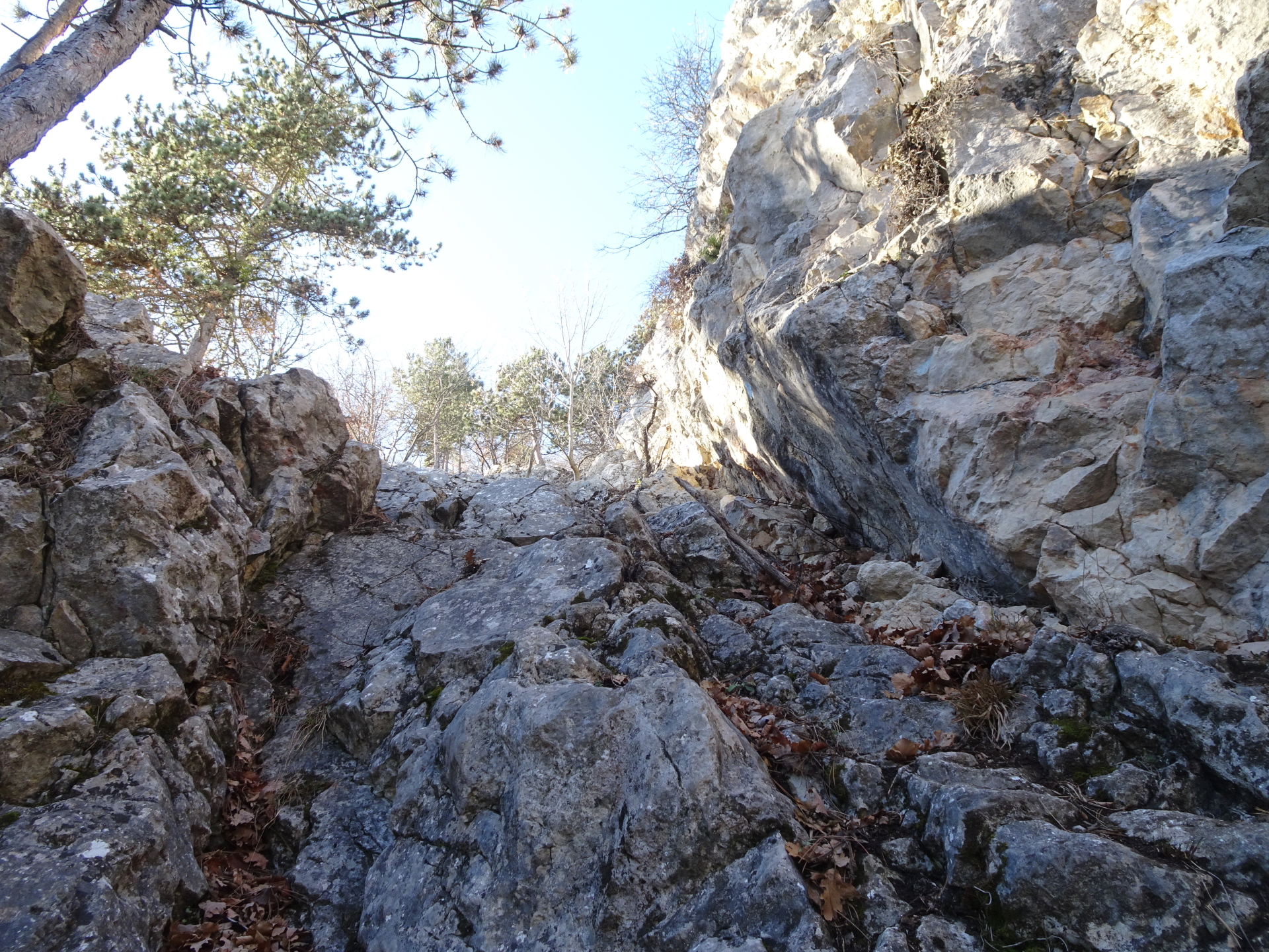
| 00:45 | At the crossing with S’versteckte Steigerl, turn right and keep following the blue dots. Please note that the markings are getting worse starting from here but the route is logically. |
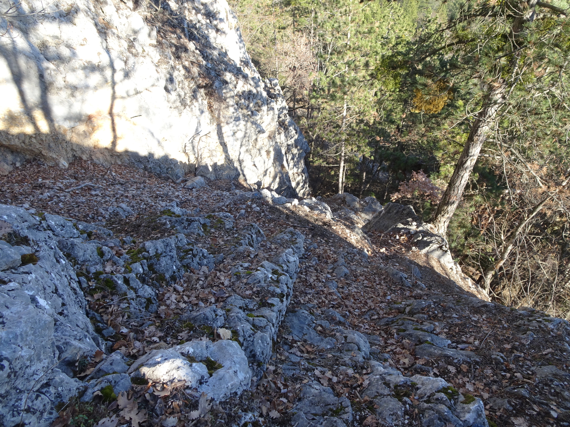
| 00:55 | At the crossing, keep left and continue above the Schaflucke or keep right which leads directly to Frauenlucke. |
| 01:05 | Follow the Frauenluckensteig upwards (north) towards Gasthof Postl. |
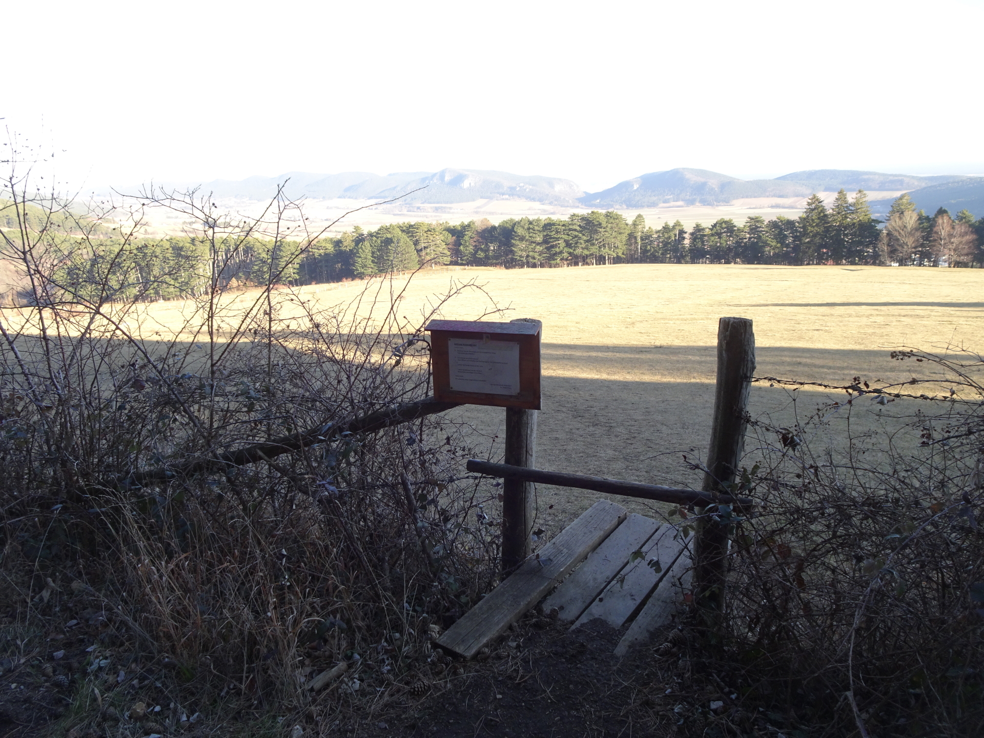
| 01:20 | At the clearing in front of Gasthof Postl, turn left and follow the hiking trail / forest road westwards. At the next crossing, turn left and then turn right into the hiking trail towards Gasthof Luf. |
| 01:35 | At the crossing, turn left and follow the trail which leads to Gasthof Luf. |
| 01:40 | At the crossing with Krumme Ries, keep right and follow the trail for a few meters to Gasthof Luf. |
| 01:45 | Well deserved break ( ) at Gasthof Luf. |
| 02:35 | Follow the trail back for a few meters towards the crossing with Krumme Ries. |
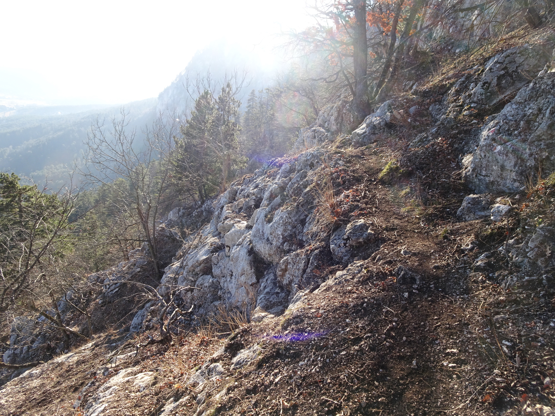
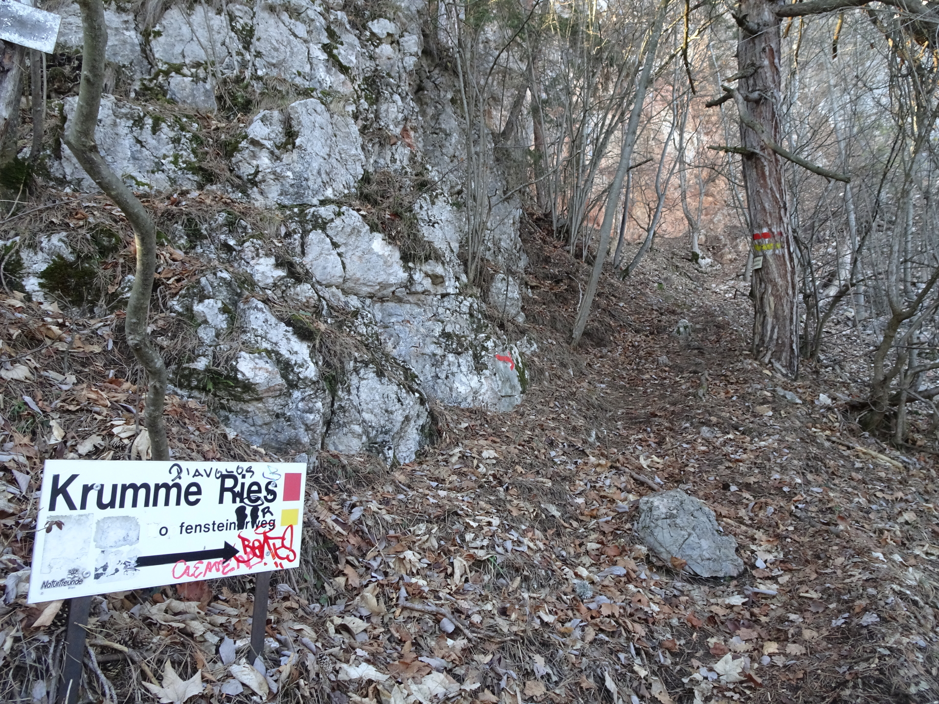
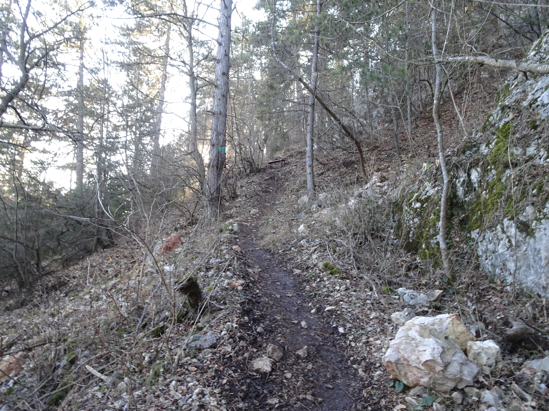
| 02:40 | At the crossing, turn right in to the Krumme Ries (see signpost!) and follow the trail marked with red dots. |
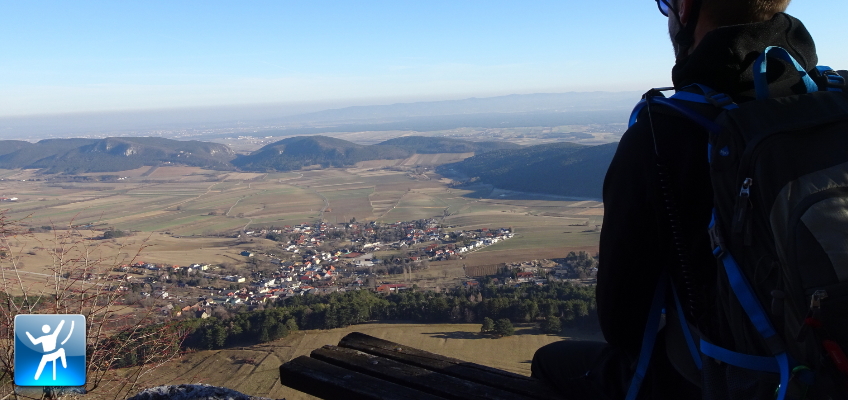
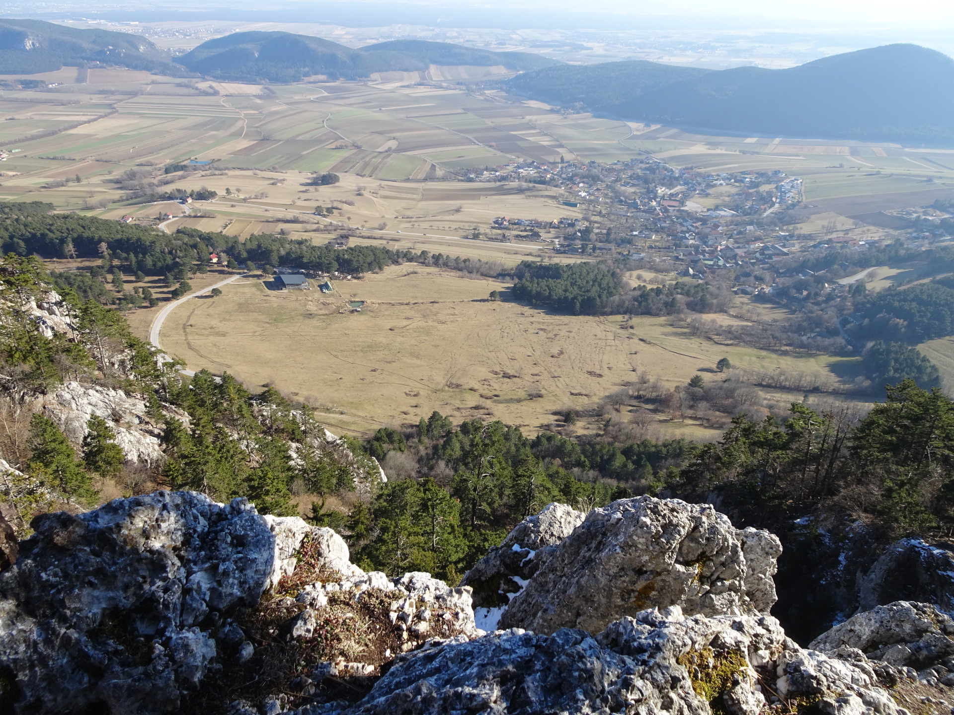
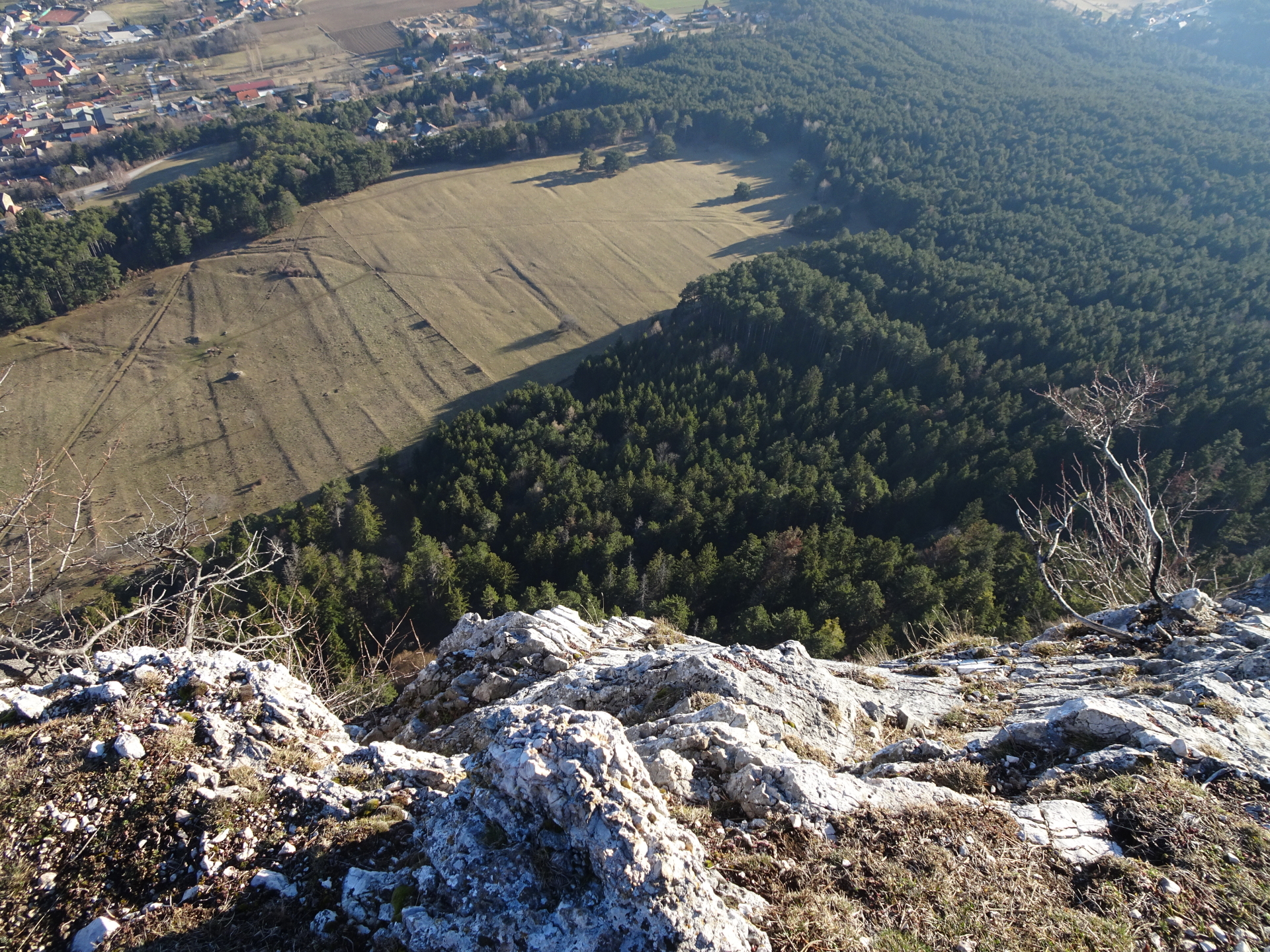
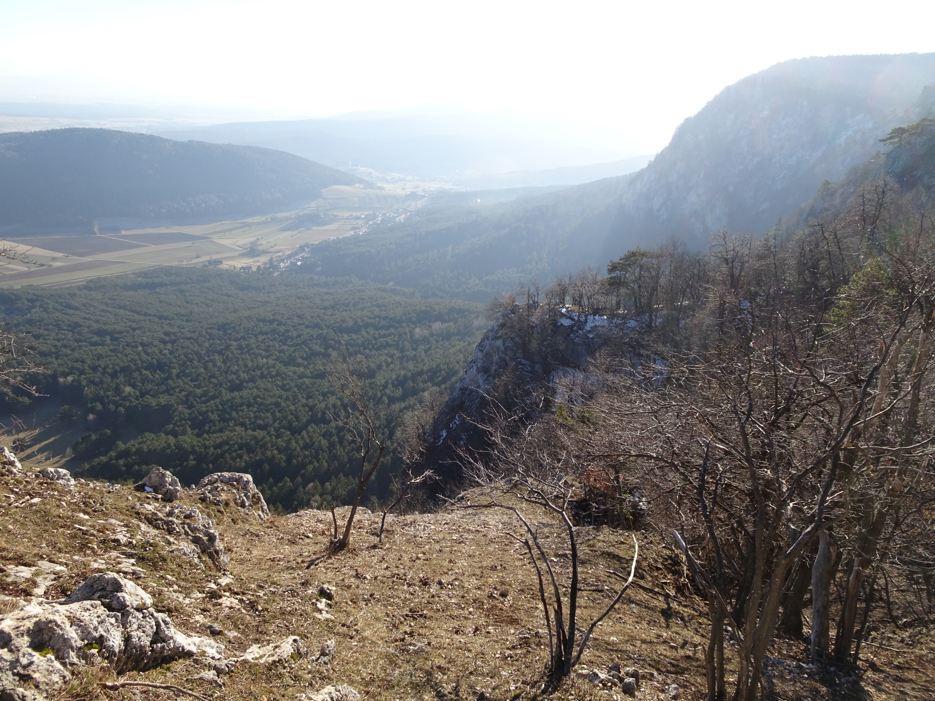
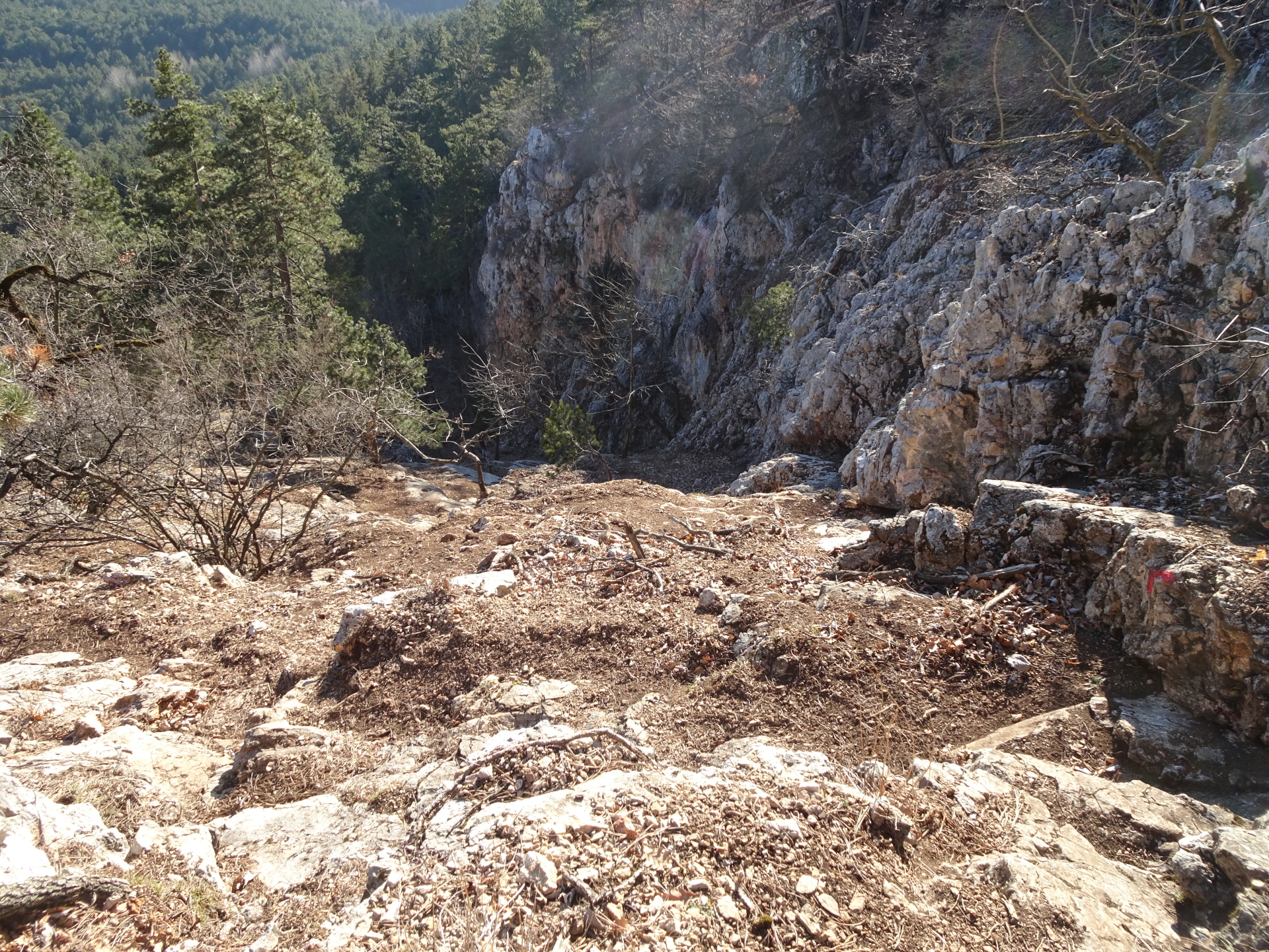
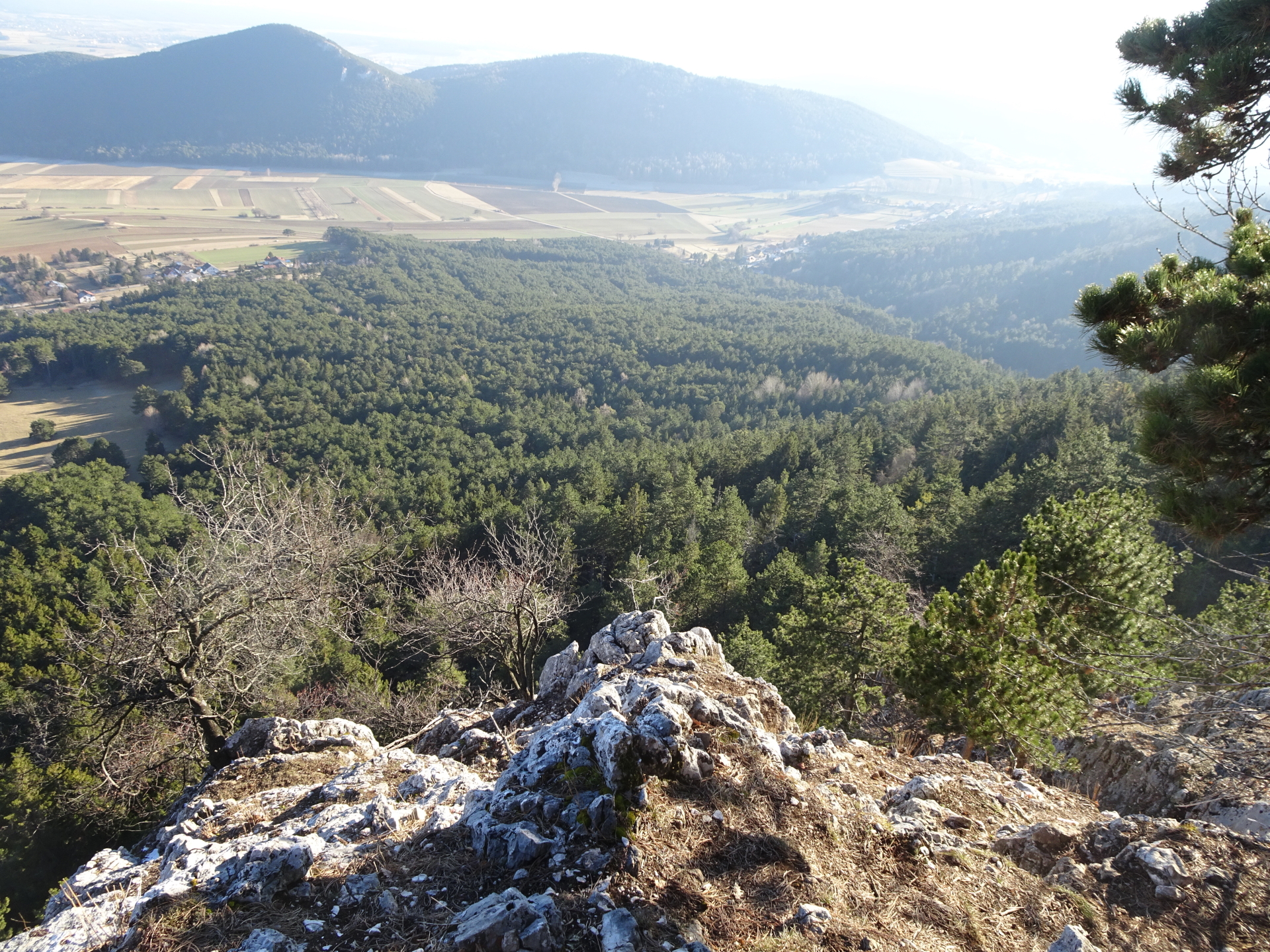
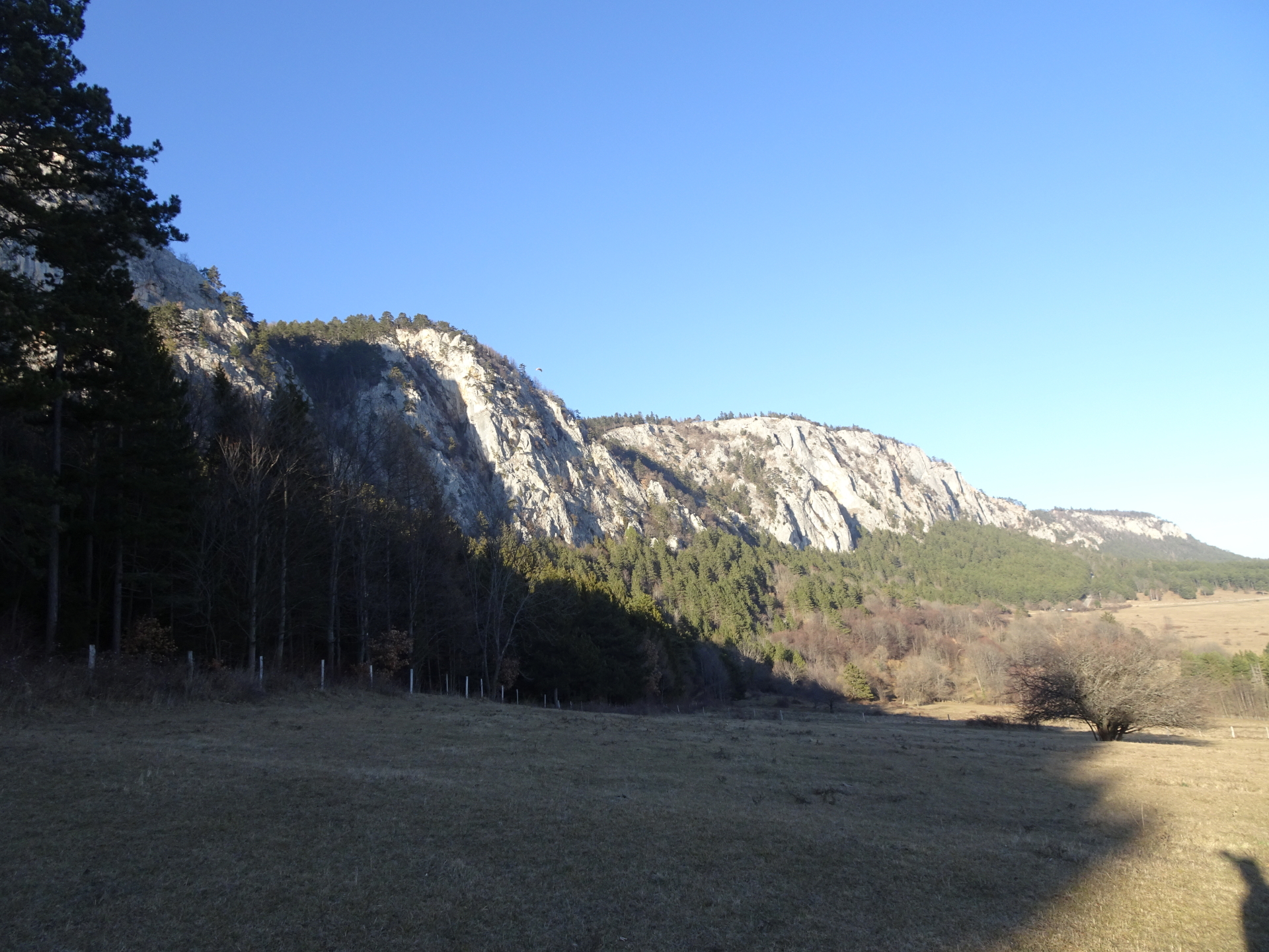
| 02:45 | Enjoy the impressive scenic view from Maiersdorfer Rast. |
| 02:47 | Turn sharp right and follow the red dots marking the route of Krumme Ries. |
| 02:55 | Enjoy the impressive scenic view from the bench on the rock of Krumme Ries. Continue descending following the red dot marked trail. |
| 03:05 | Turn left and follow the white-green-white marked Straßenbahnerweg hiking trail eastwards (down). |
| 03:07 | Turn right and continue descending on the white-green-white marked trail. |
| 03:10 | Cross the forest street and continue descending on the white-green-white marked trail. |
| 03:15 | Cross the meadow and follow the trail which leads back to the parking in Maiersdorf (same as used for the ascent). |
| 03:30 | Back at the parking, end of the tour. |
General Tour Data
| Area: | Wiener Alpen, Lower Austria, Austria | |
| Distance: | 5,8km | |
| Ascent: | 427m (1h 15min) | |
| Descent: | 428m (1h 05min) | |
| Highest Pt: | 949m | |
| Lowest Pt: | 522m | |
| Duration: | 2h 35min (without breaks) 3h 30min (with breaks) |
|
| Stop/Rest: |
Alpengasthof Postl (891m) Gasthaus Luf (932m) |
|
| Equipment: | Hiking shoes with good grip on rocks Helmet (mandatory) Backpack with standard hiking equipment Snacks and water Sun & Weather protection Camera |
| Download GPX | ||
| O | Tour at outdooractive.com |
At a glance
| Level | easy climbing |
| – UIAA Level (Climbing) | II- |
| Technique | |
| Shape / Fitness | |
| Experience | |
| Scenery | |
| Best time in the year | |
|
Jan
Feb
Mar
Apr
May
Jun
Jul
Aug
Sep
Oct
Nov
Dec
|
|


\"")
")
 and Überbrücklsteig (I+)\"")
, Steirerspur (C) & Springlessteig (A)")
Leave a Reply