
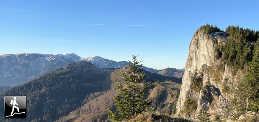
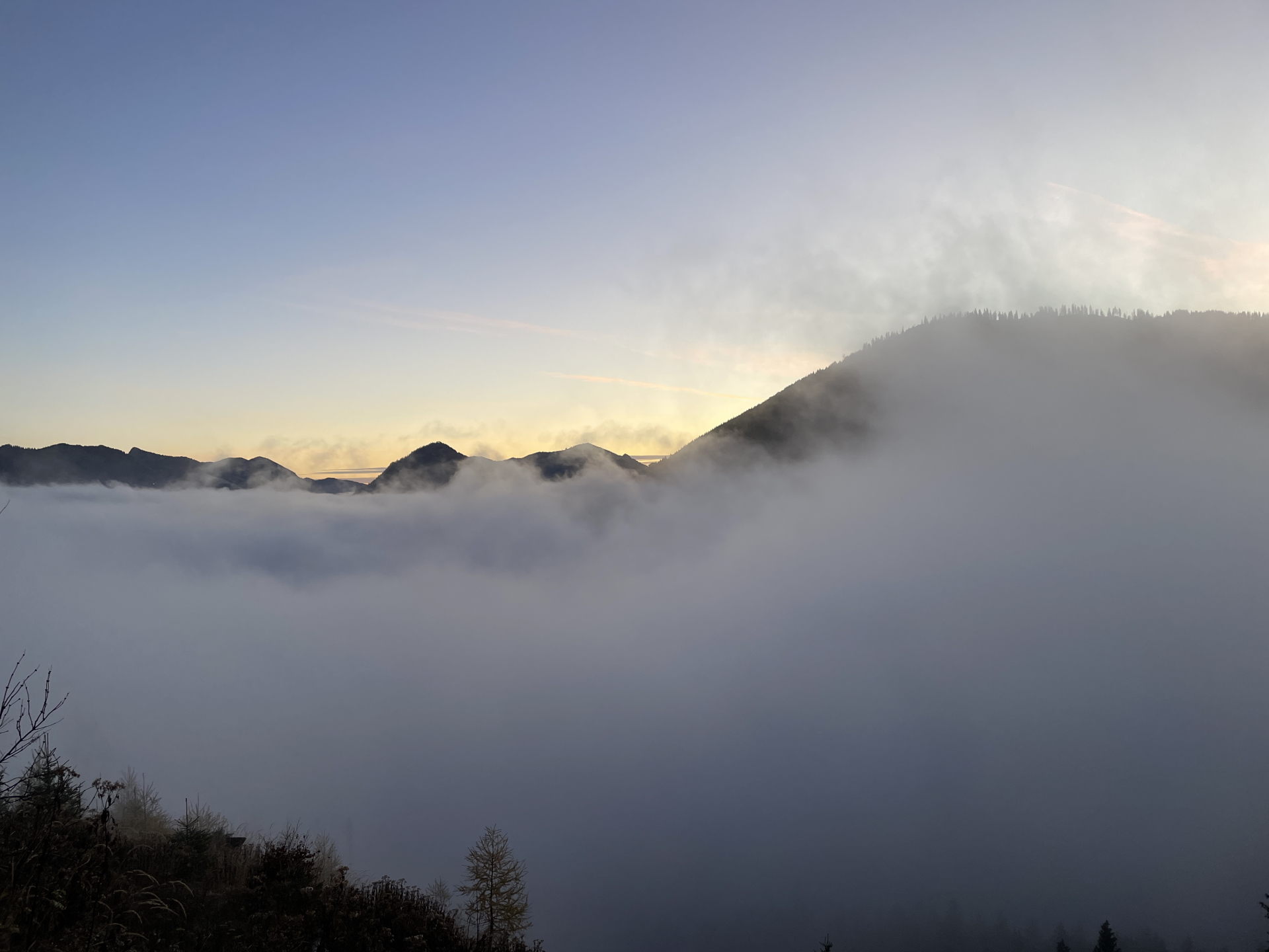
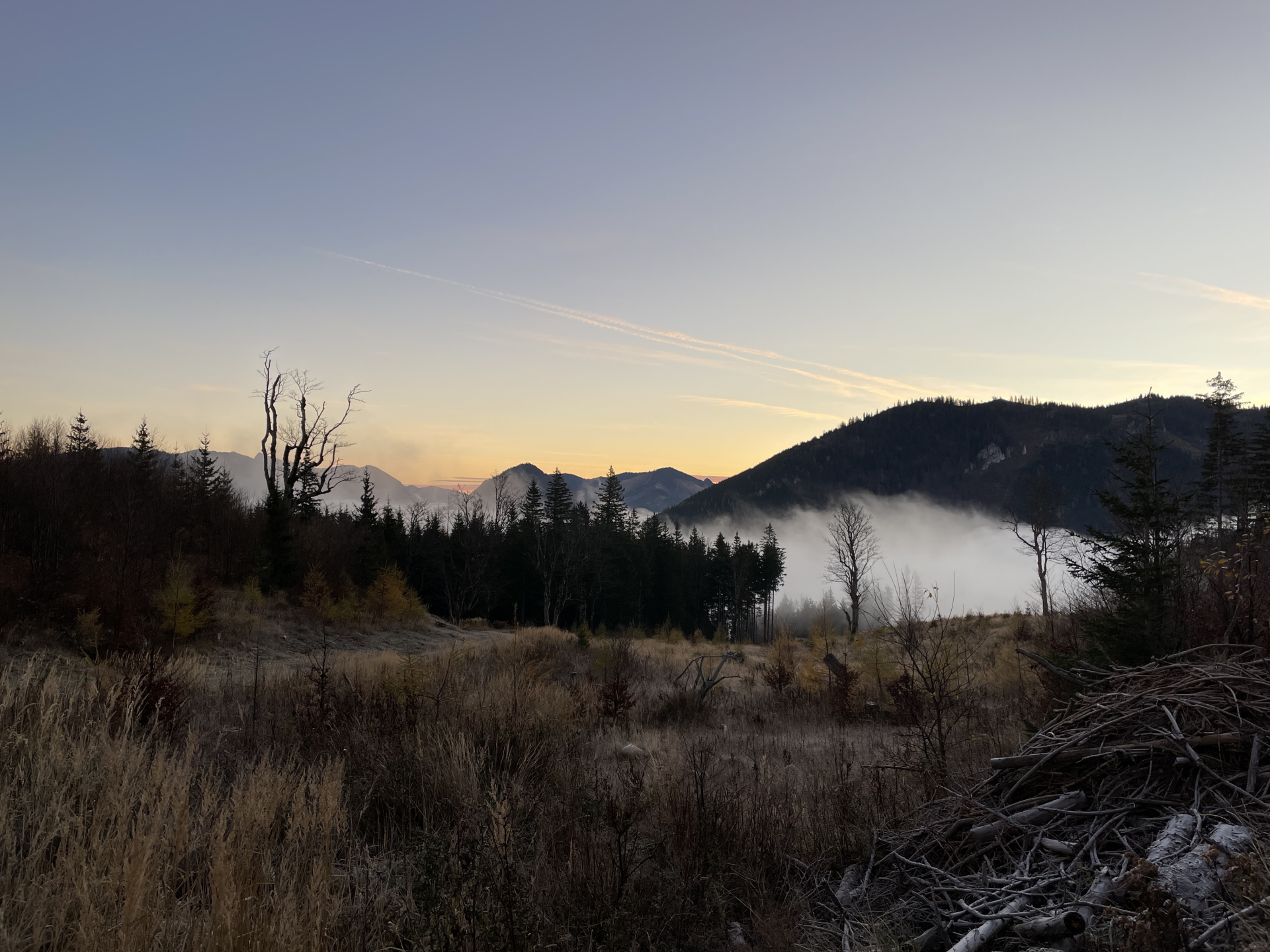
Promising tour up to Großer & Kleiner Proles, Kleiner & Großer Königskogel, the scenic Tonion and the Hohe Student starting from Frein an der Mürz
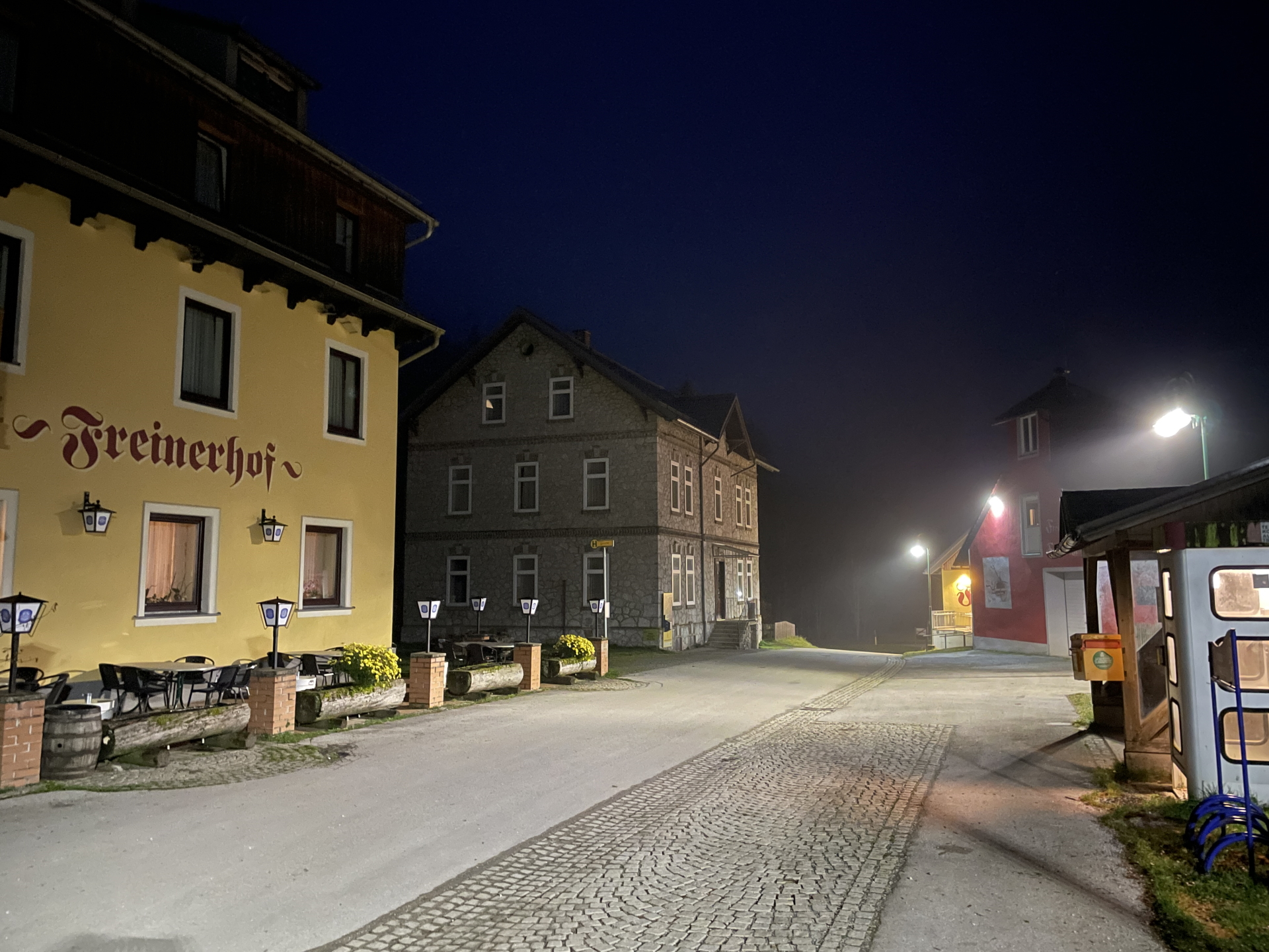
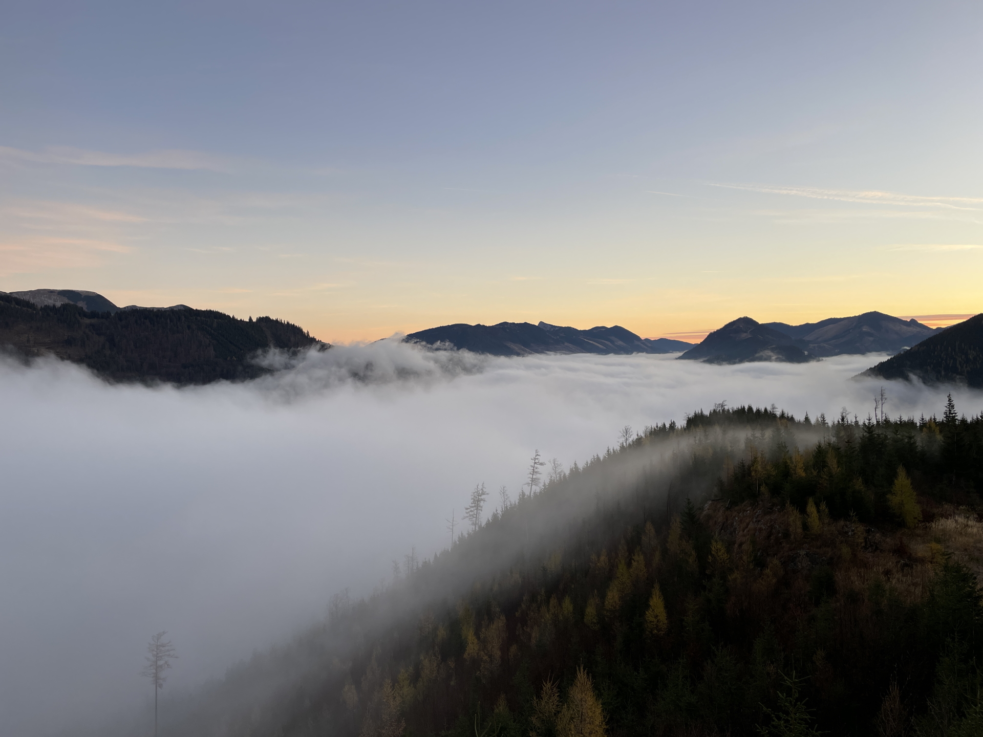
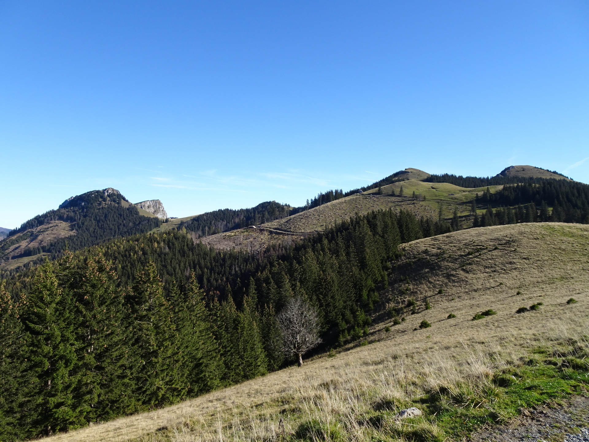
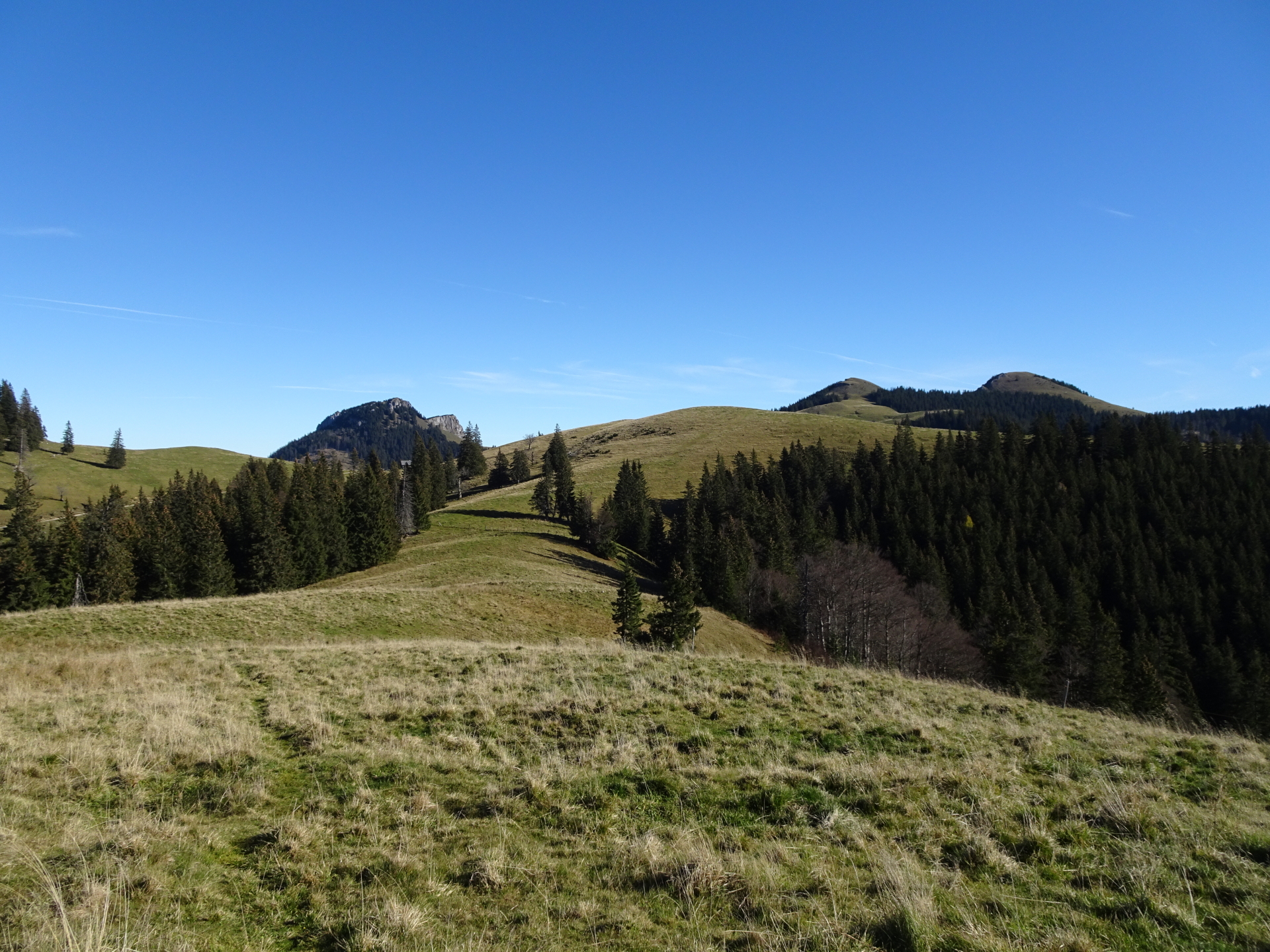
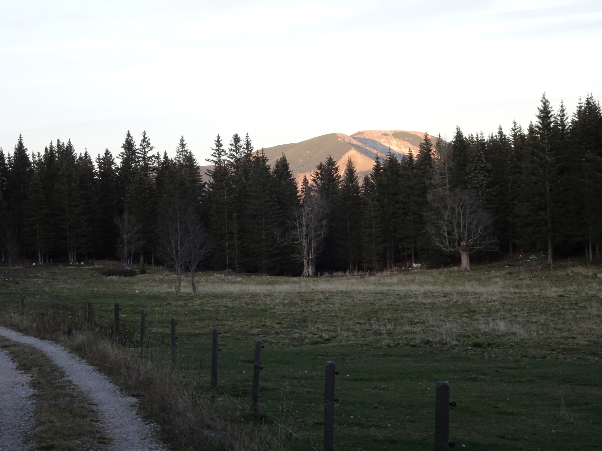
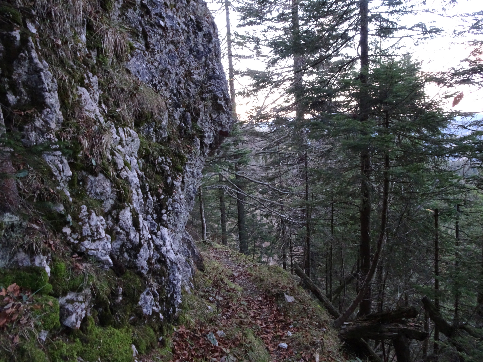
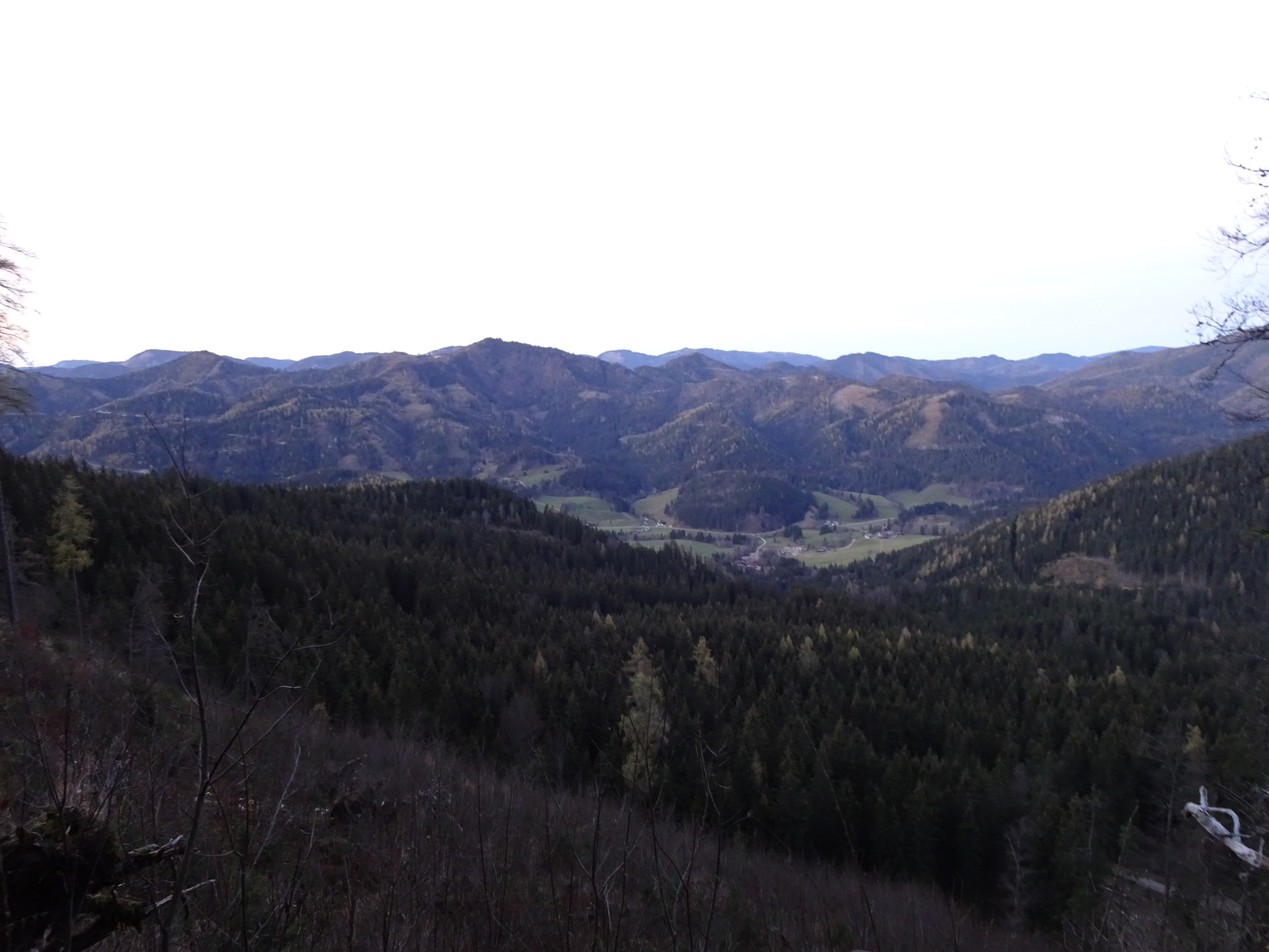
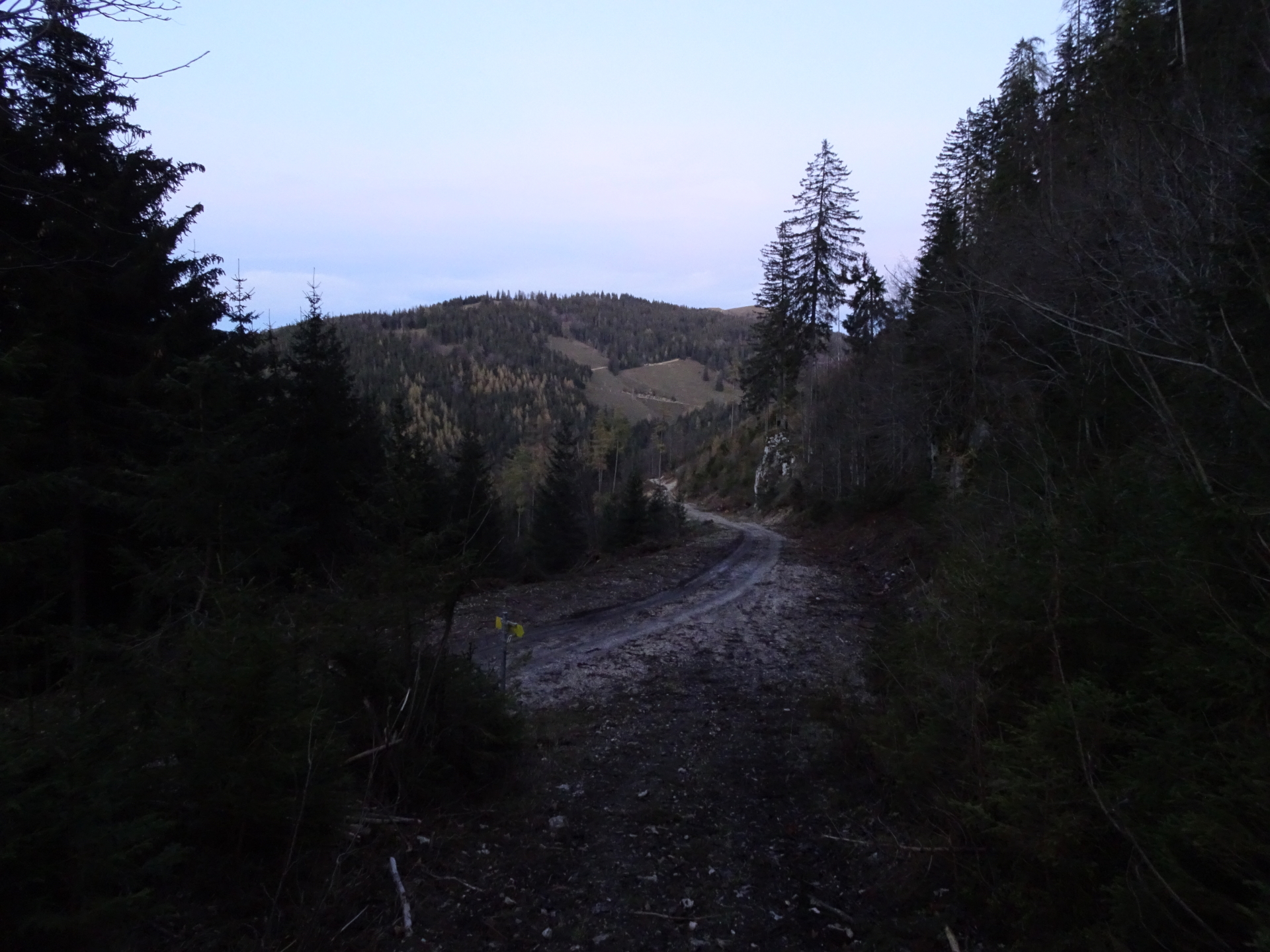
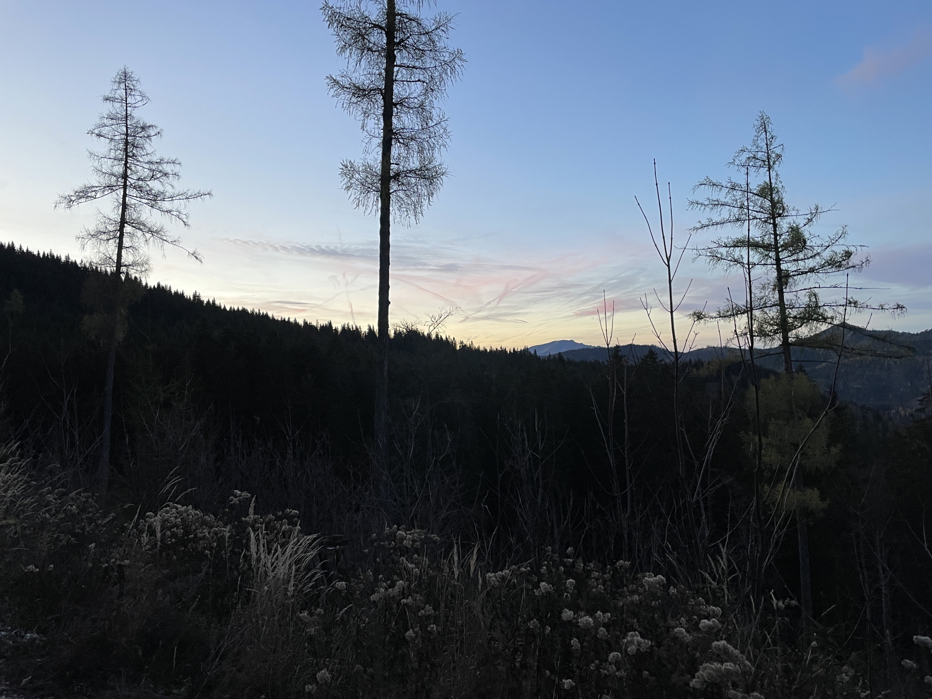
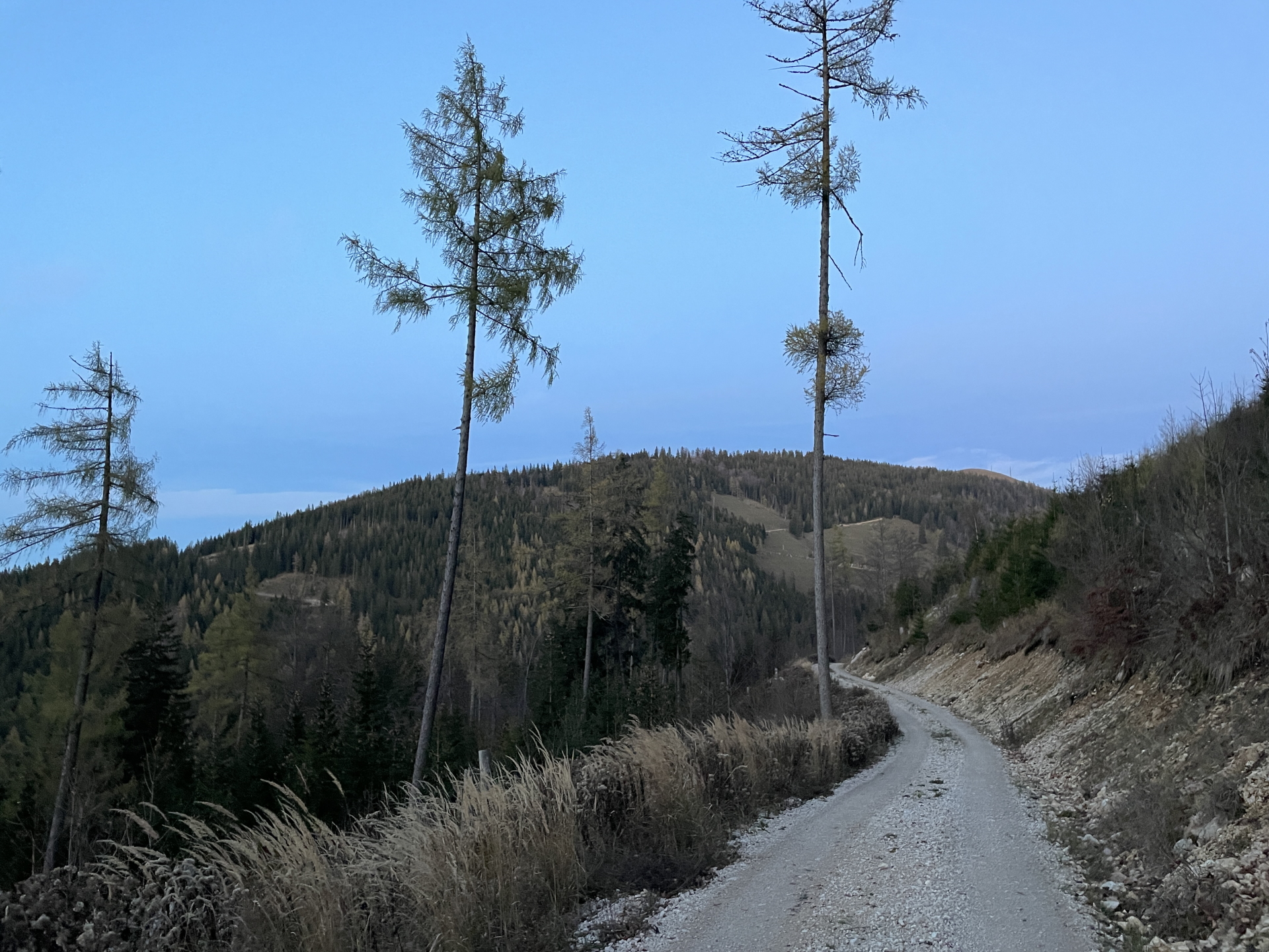
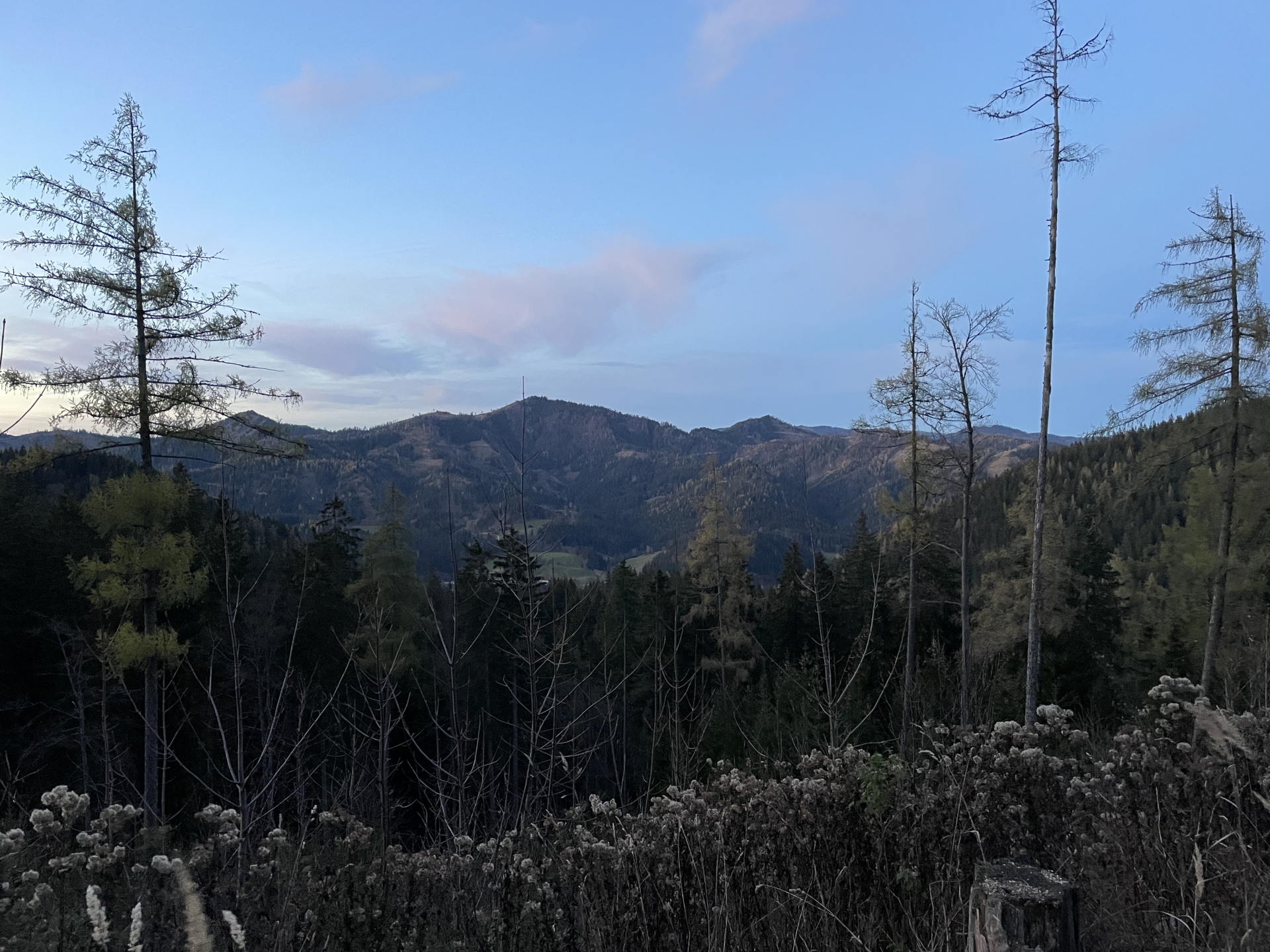
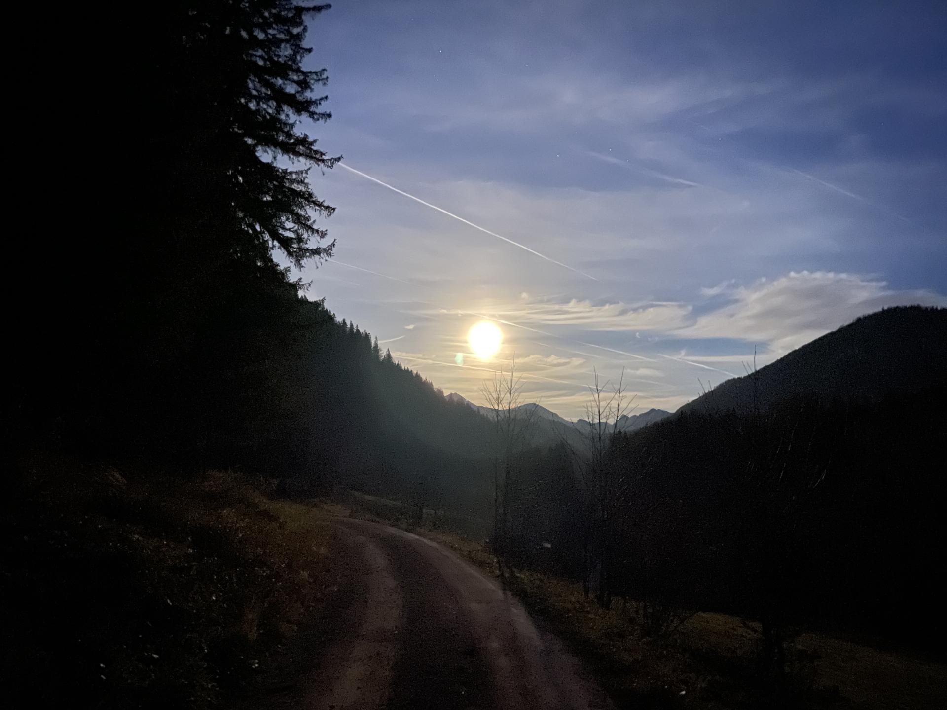
The tour starts at the parking in Frein an der Mürz (GPS: 47.742446, 15.484467) and first follow the main street southwards. The tour then turns into a forest road that winds up heading towards the Großer Proles. The last meters of the ascent are done via an unmarked and first hard-to-find trail that becomes better as it reaches the exposed ridge. The last meters towards the summit are done following a small and fairly exposed trail along the ridge (dangerous in wet or bad weather conditions!). After enjoying the amazing view from Großer Proles (1st summit), the tour continues following the trail westwards to the summit of the Kleiner Proles (2nd summit), offering yet another stunning view. The tour then descends back a few meters into the saddle and then follows traces of a trail southwards towards the visible Kleiner Königskogel. This part of the tour traverses a relatively steep flank and can be dangerous in wet or bad conditions. After crossing into the marked hiking trail, the tour then uses the direct ascent (leaves the hiking trail again) up to the Kleiner Königskogel (3rd summit) and from there via unmarked terrain up to the Großer Königskogel (4th summit, ascent from west is recommended). After enjoying yet another stunning view, the tour heads back towards Kleiner Königskogel but bypasses it at its left hand-side, back to the marked hiking trail. The tour then follows the hiking trail westwards towards the Dürrieglalm, passing by the Königsalm. At the Dürrieglalm, the tour turns left and follows the trail through the impressive meadows till reaching the Herrenboden. From there the tour continues westwards, following the marked trail up to Tonion (5th summit), allowing unique and impressive scenic views towards Hohe Veitsch and the surrounding alps. The tour then follows the trail back to Herrenboden and then turns left and follows the marked trail down into the Schöneben valley. From there the tour follows first the gravel road northeastwards and at the saddle, it finds its way (watch out for the “stone-man”) toward the steep (alpine) and unmarked trail up to Buchalpenboden. Following the forest road westwards and then the marked hiking trail leads up to the final summit, the Hohe Student (6th summit). The descent is done following the marked trail eastwards towards the Freinsattel. From there the tour follows the gravel road back towards Frein an der Mürz.
| 00:00 | Start at the parking in Frein an der Mürz (GPS: 47.742446, 15.484467) and follow the street southwards that leads towards the main street. |
| 00:05 | Keep right and follow the main street southwards for a we meters. |
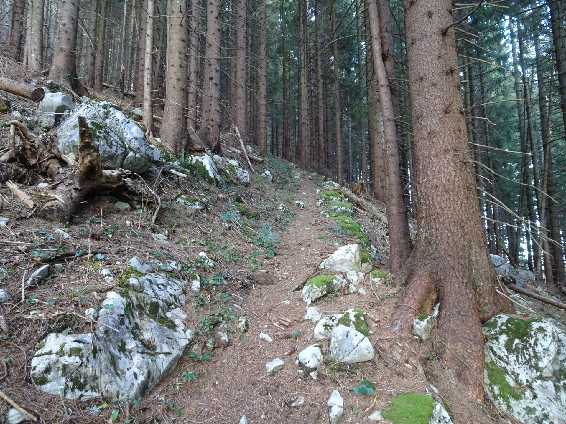
| 00:07 | A few meters after the bridge, at the first possibility, turn right into the forest road and follow the forest road upwards. |
| 00:20 | At the 3rd U-turn, turn left (do the U-turn) and continue following the forest road. |
| 00:50* | Short Detour: At the U-turn, keep straight and follow the small path up to to the hide. Enjoy the impressive view from there! |
| 00:55 | Go back and continue following the forest road upwards. |
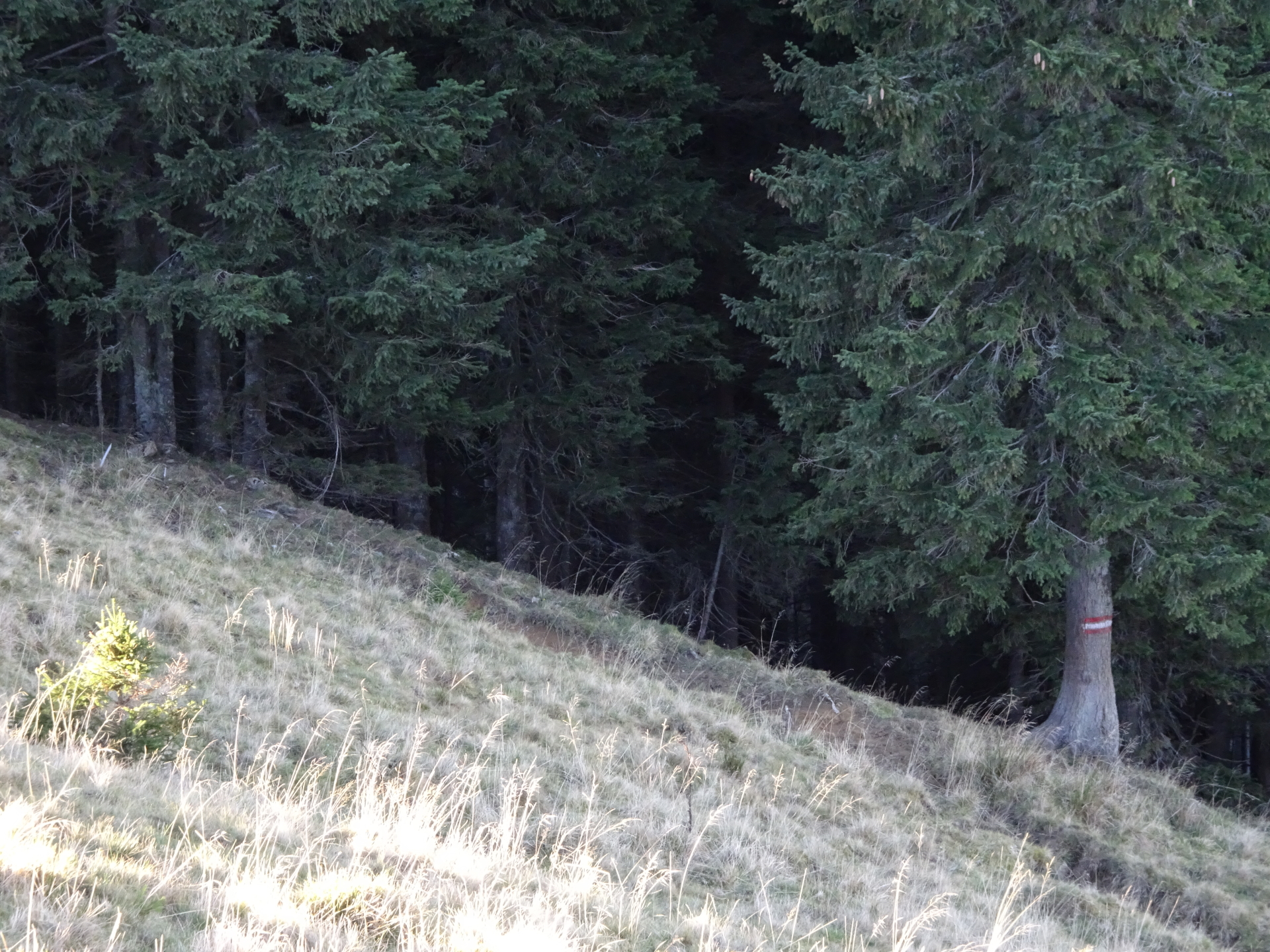
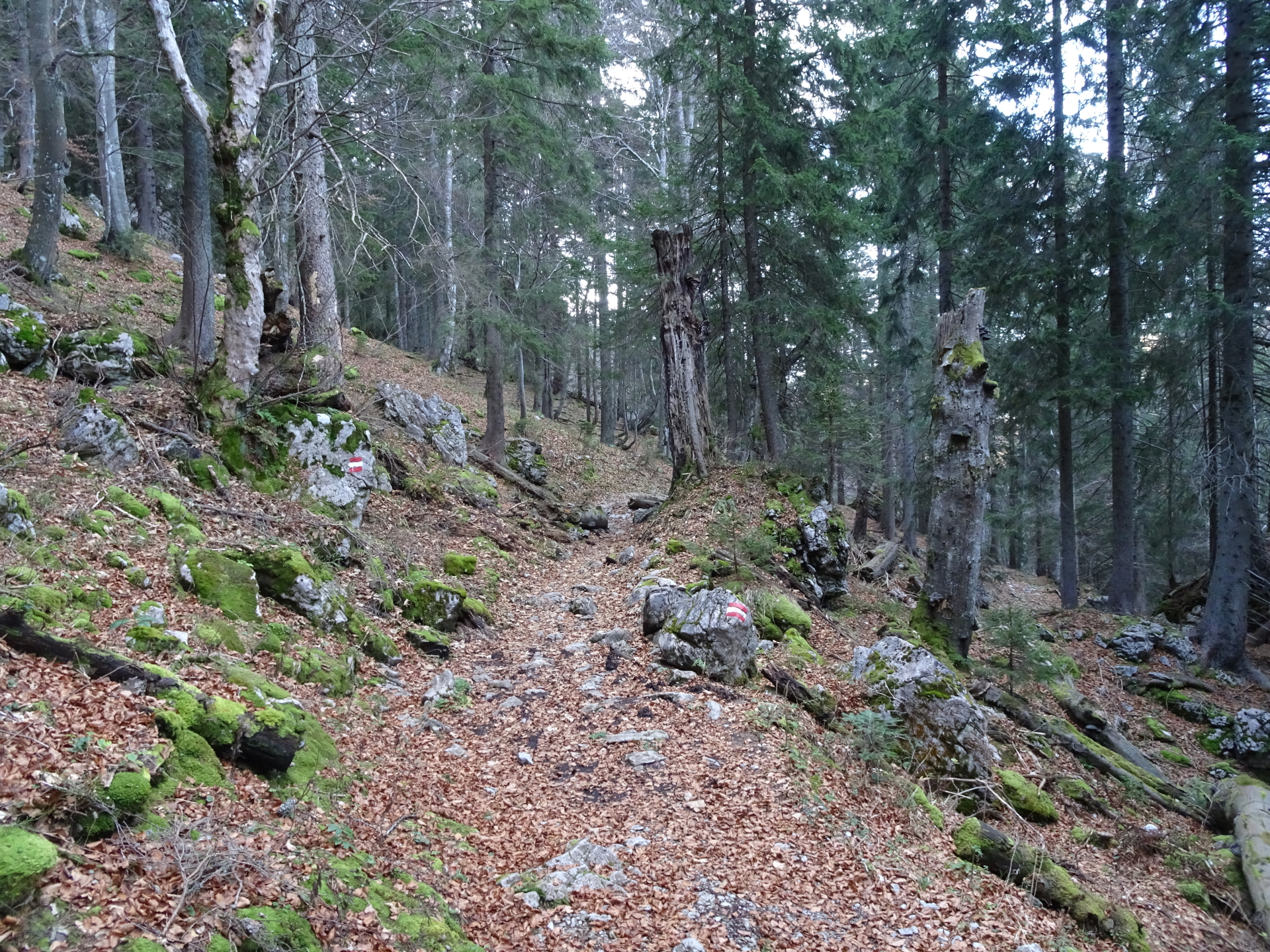
| 01:15 | Hard to find: Leave the forest road and turn left into the barely visible hiking trail. As orientation, use the single tree next to the street with moss on its left side. The trail is on the left hand-side of the tree! |
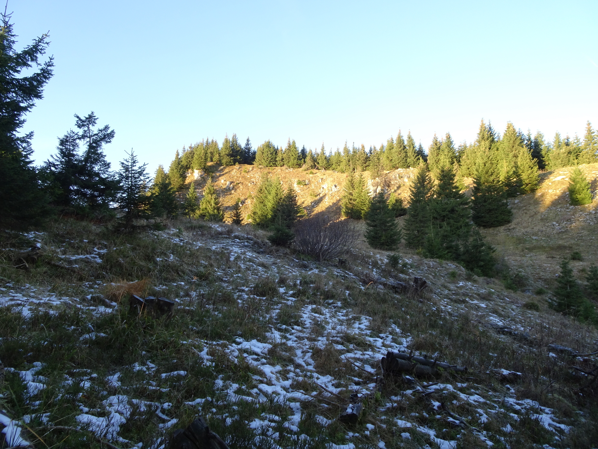
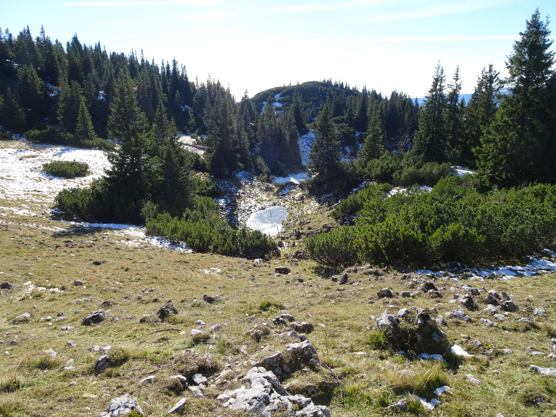
| 01:30 | At the saddle, turn right and follow the traces of a trail westwards into the forest. |
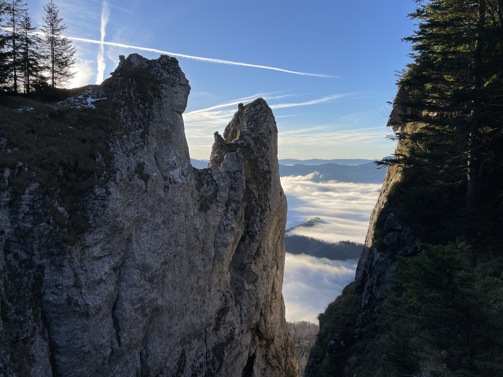
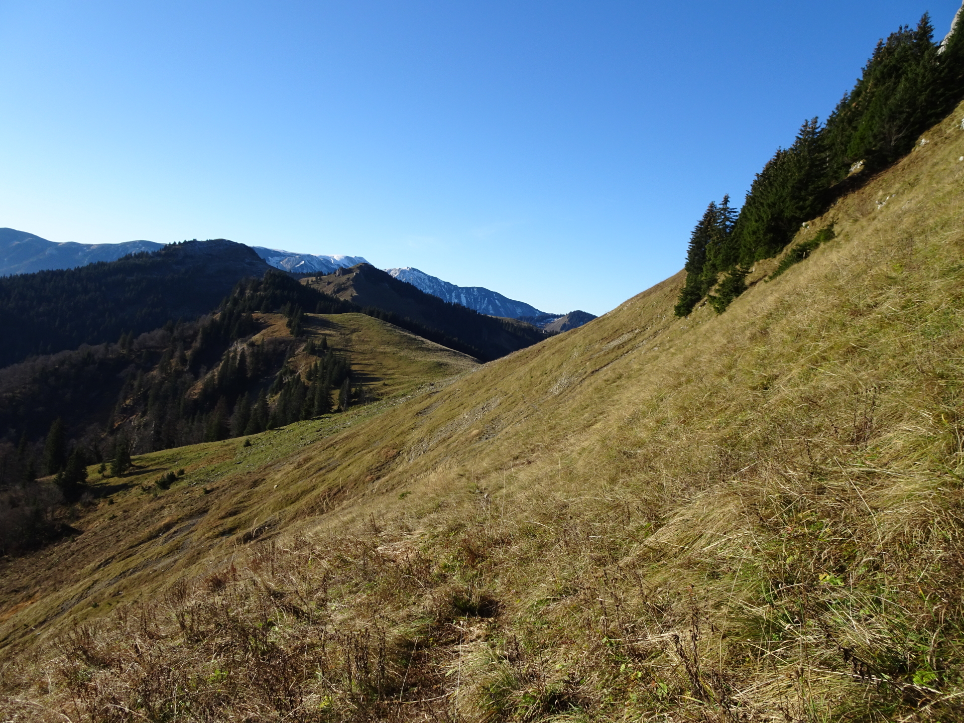
| 01:35 | Cross the meadow and then climb up towards the ridge. Follow then trail along the ridge southwards. |
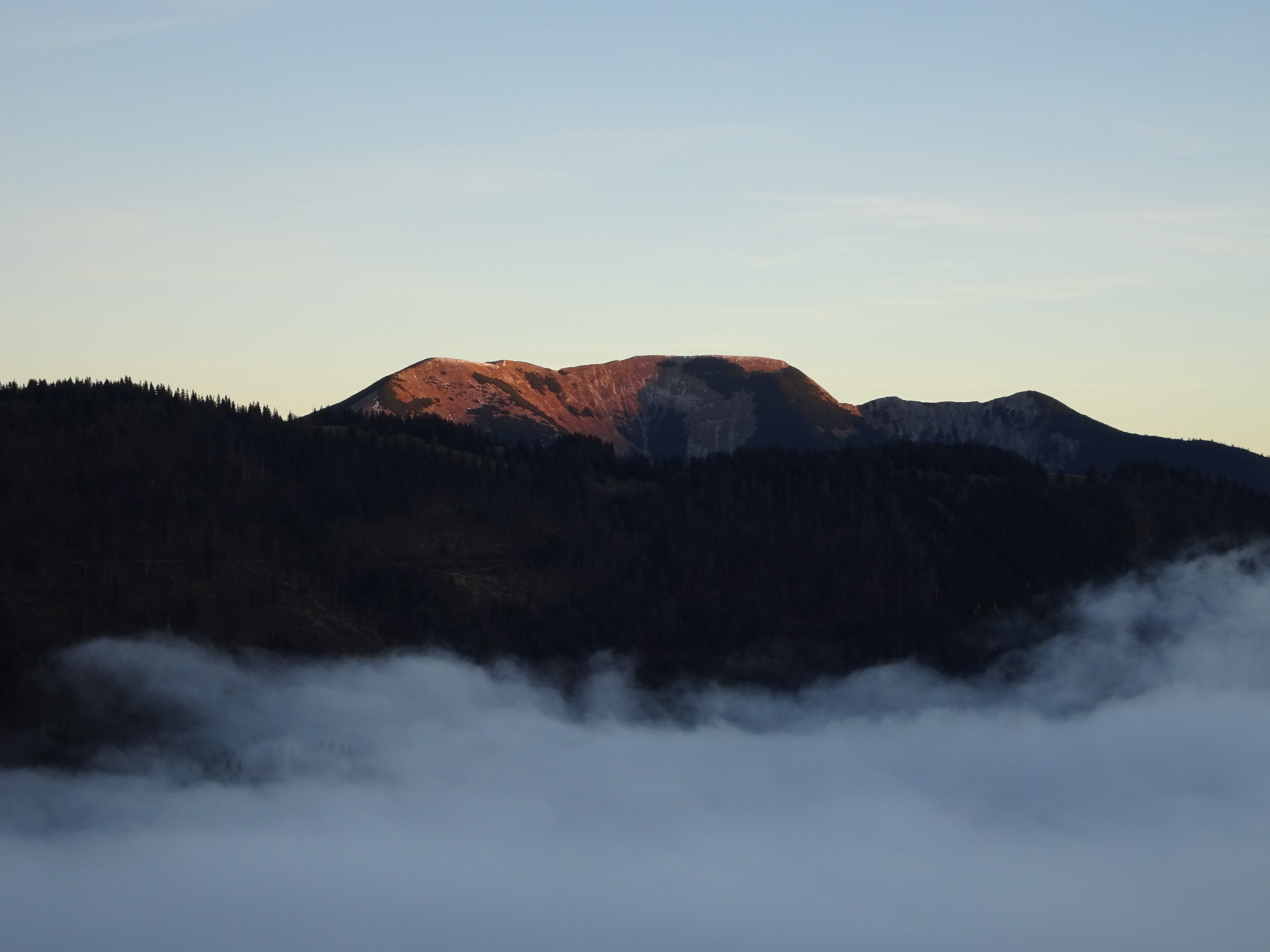
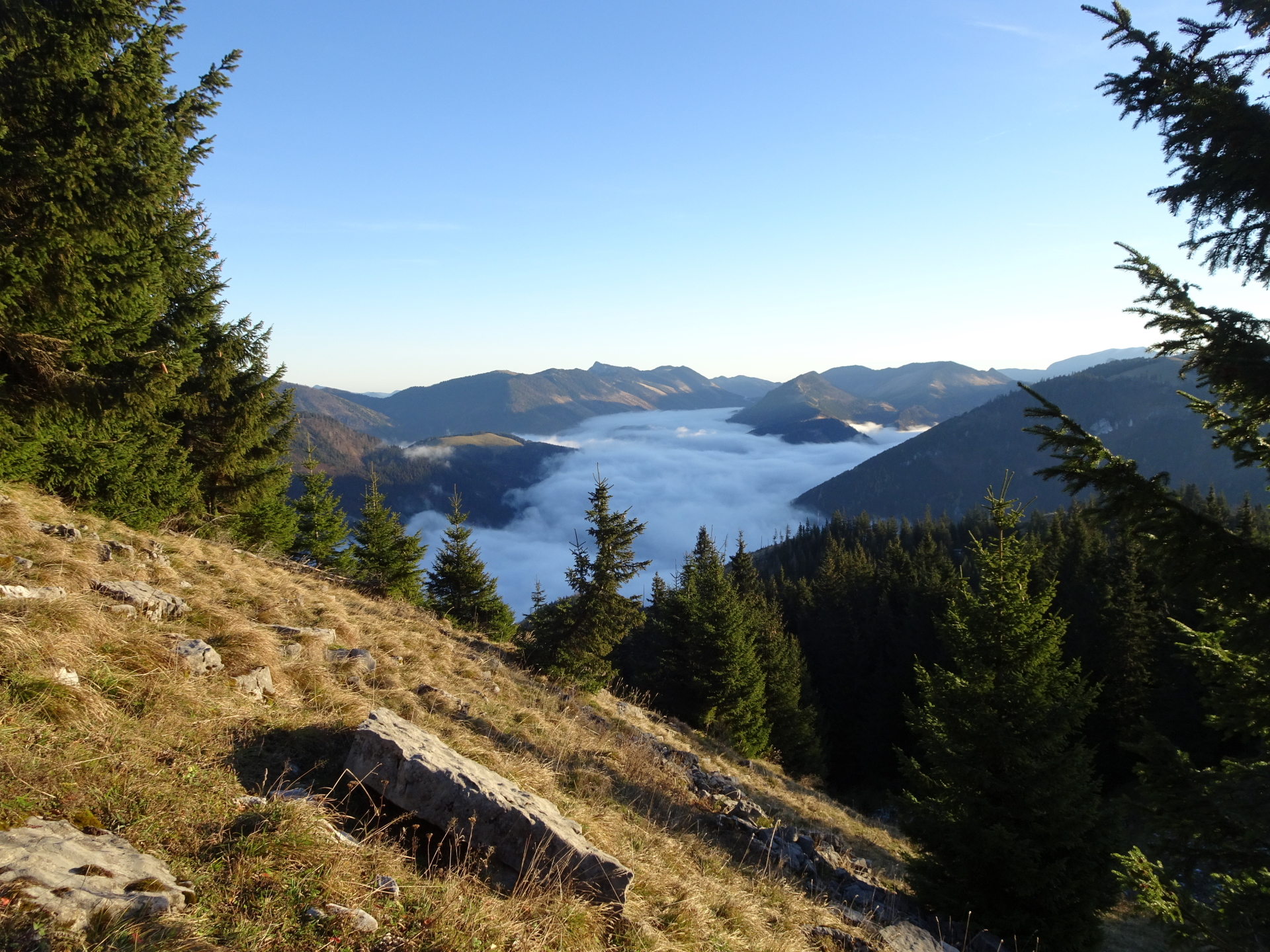
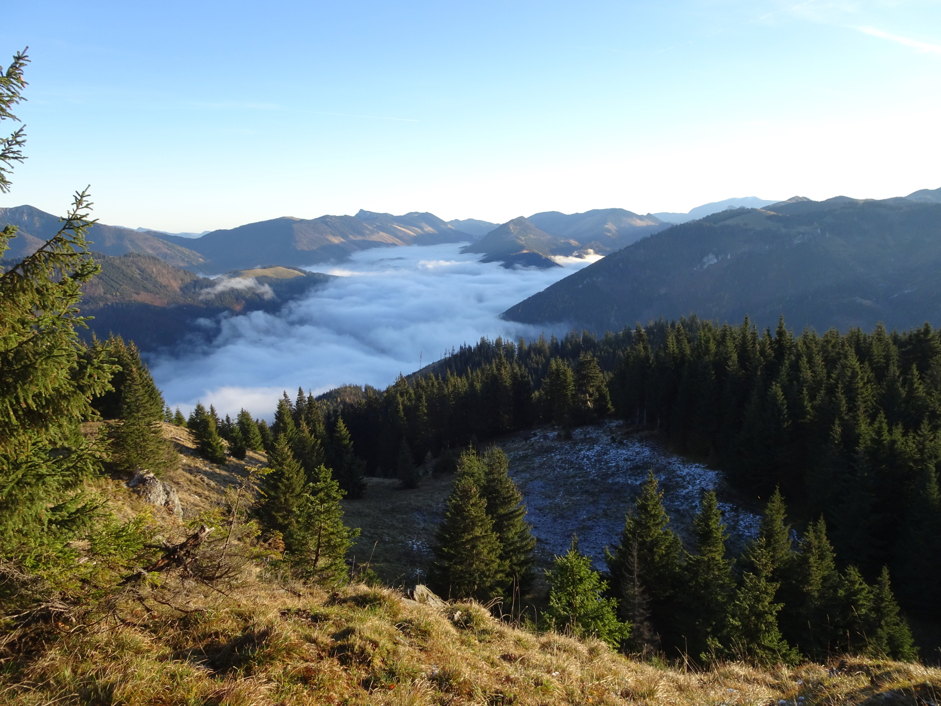
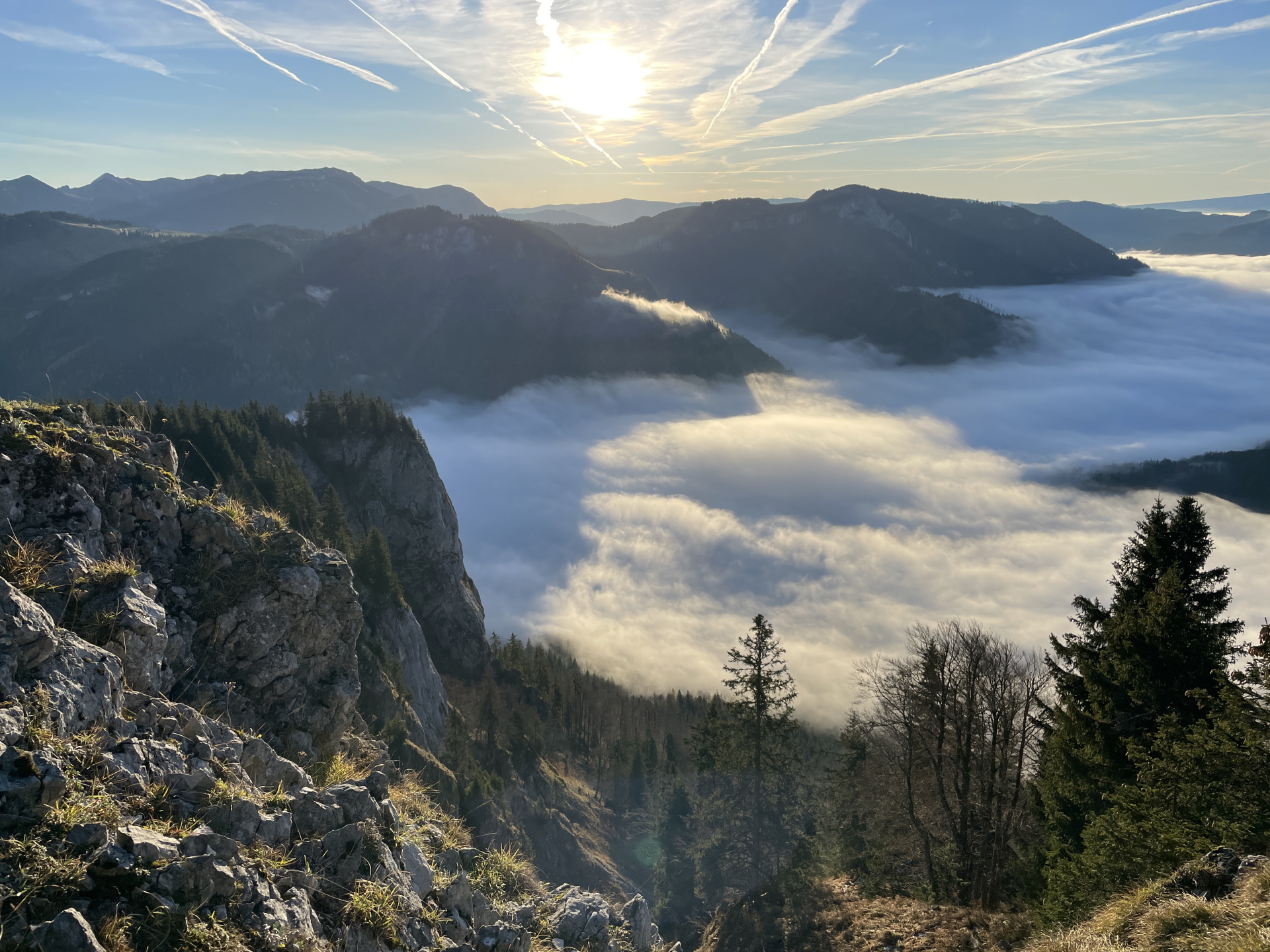
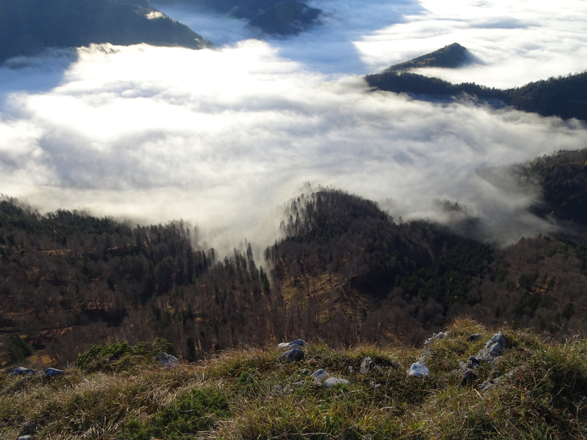
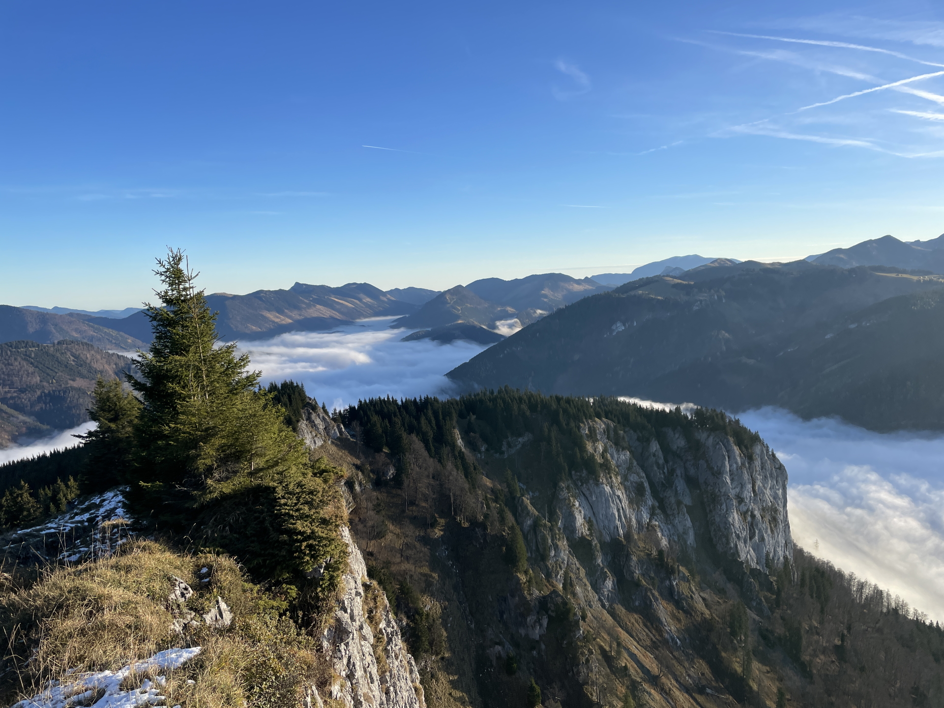
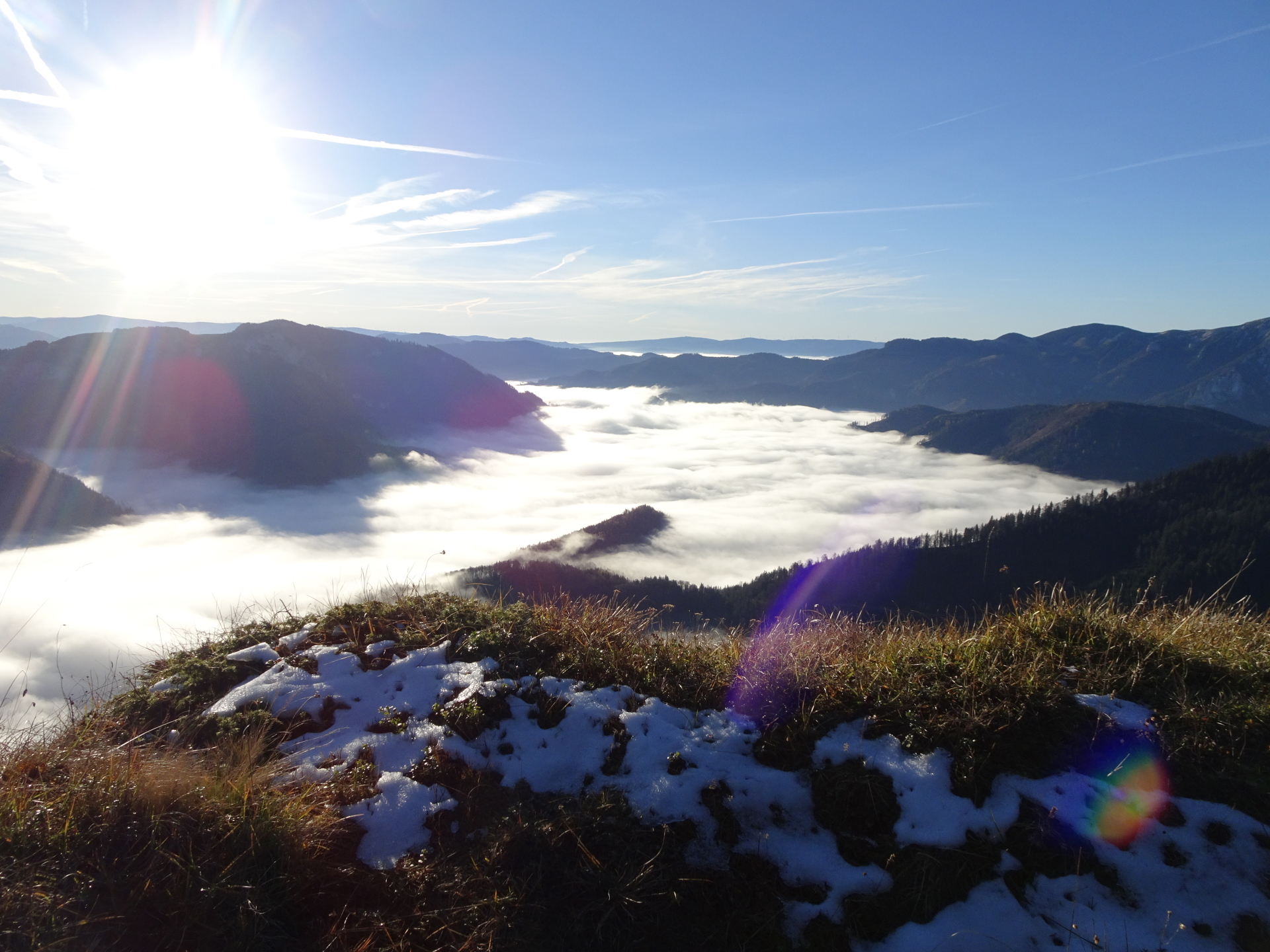
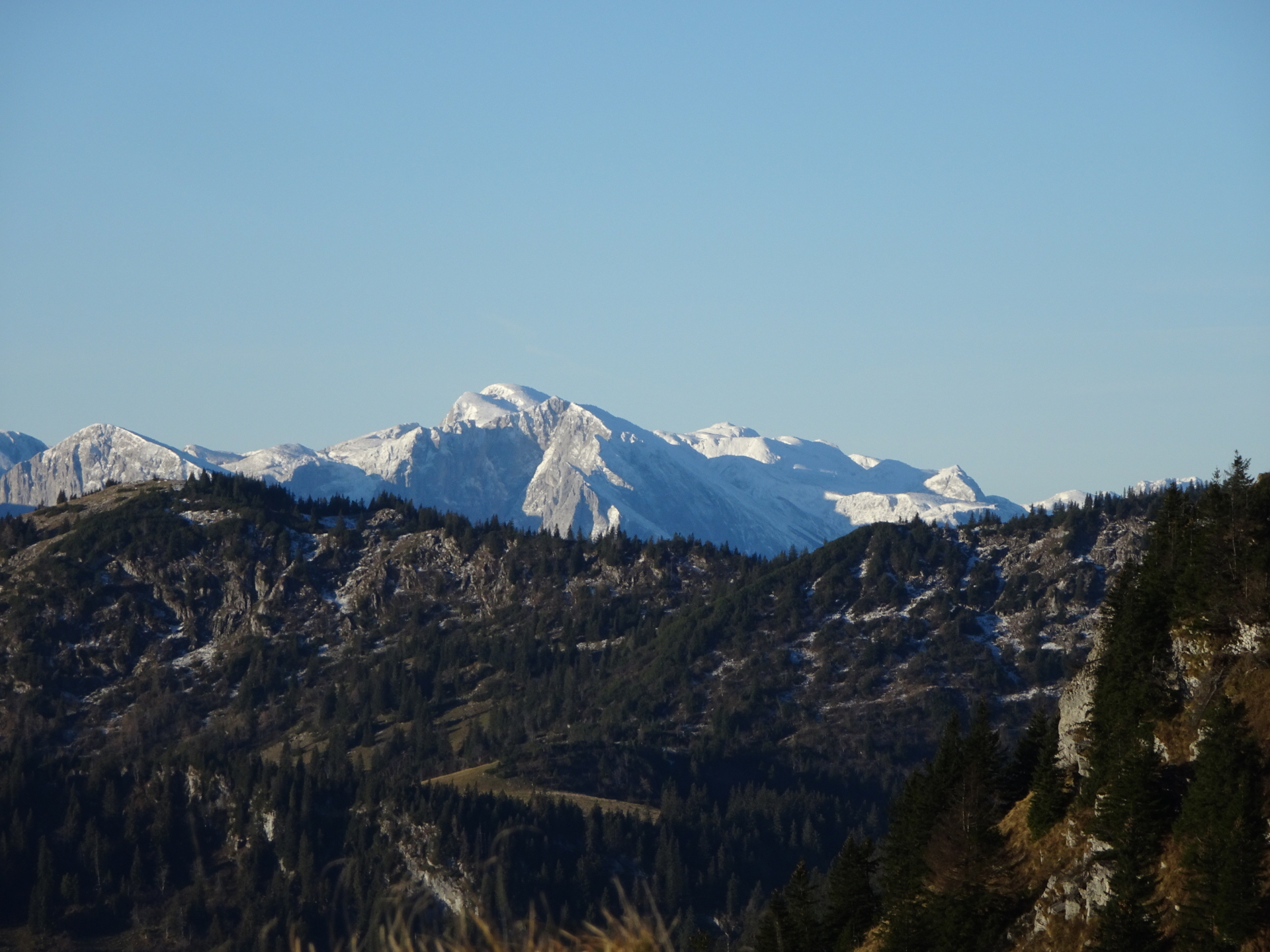
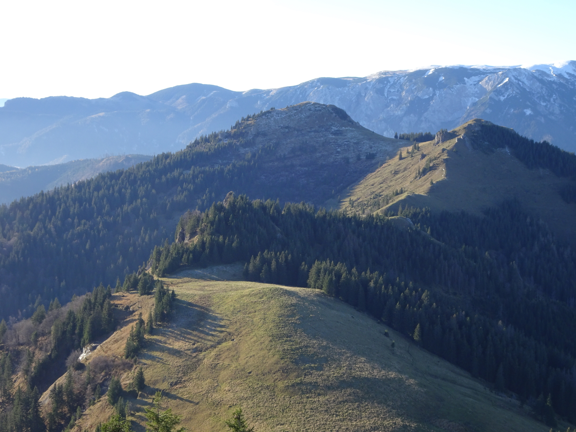
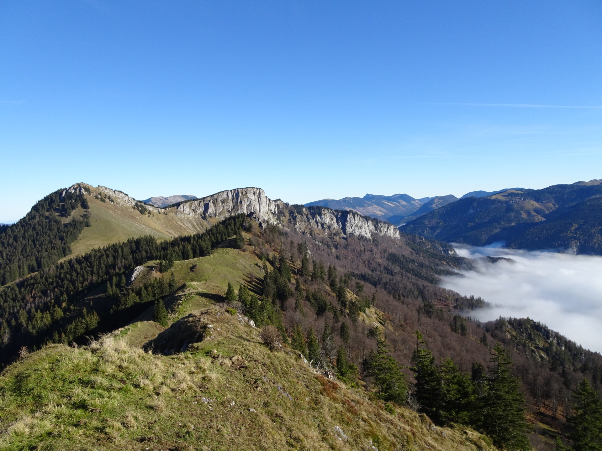
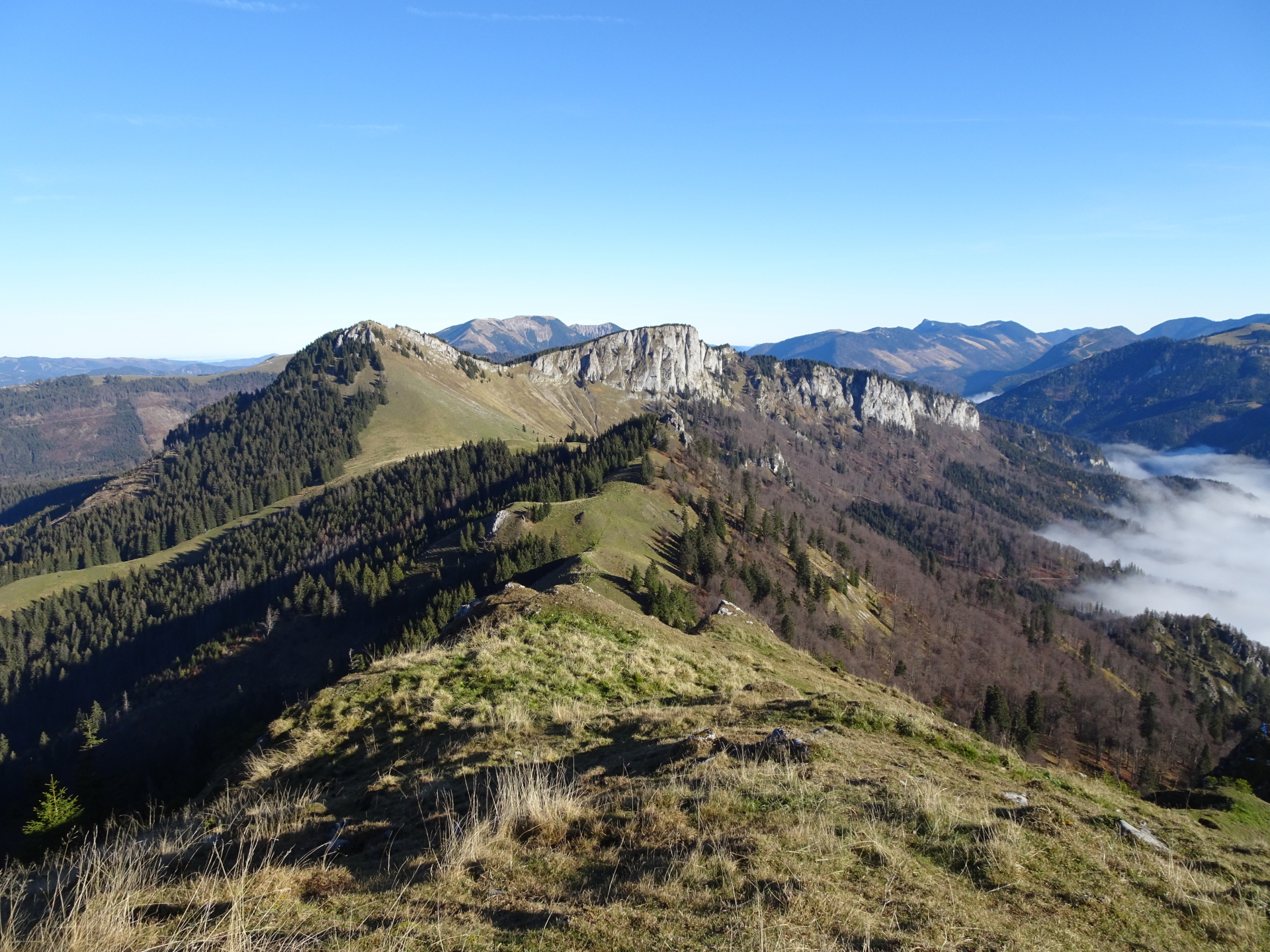
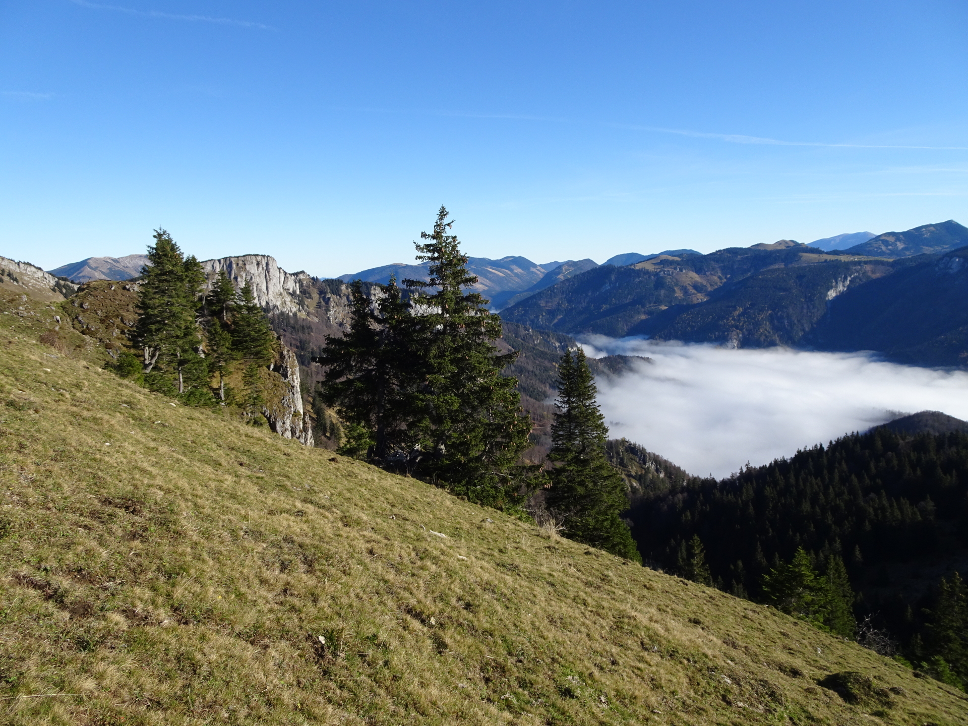
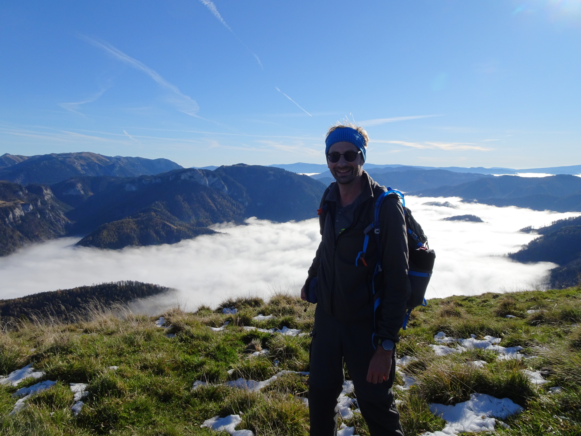
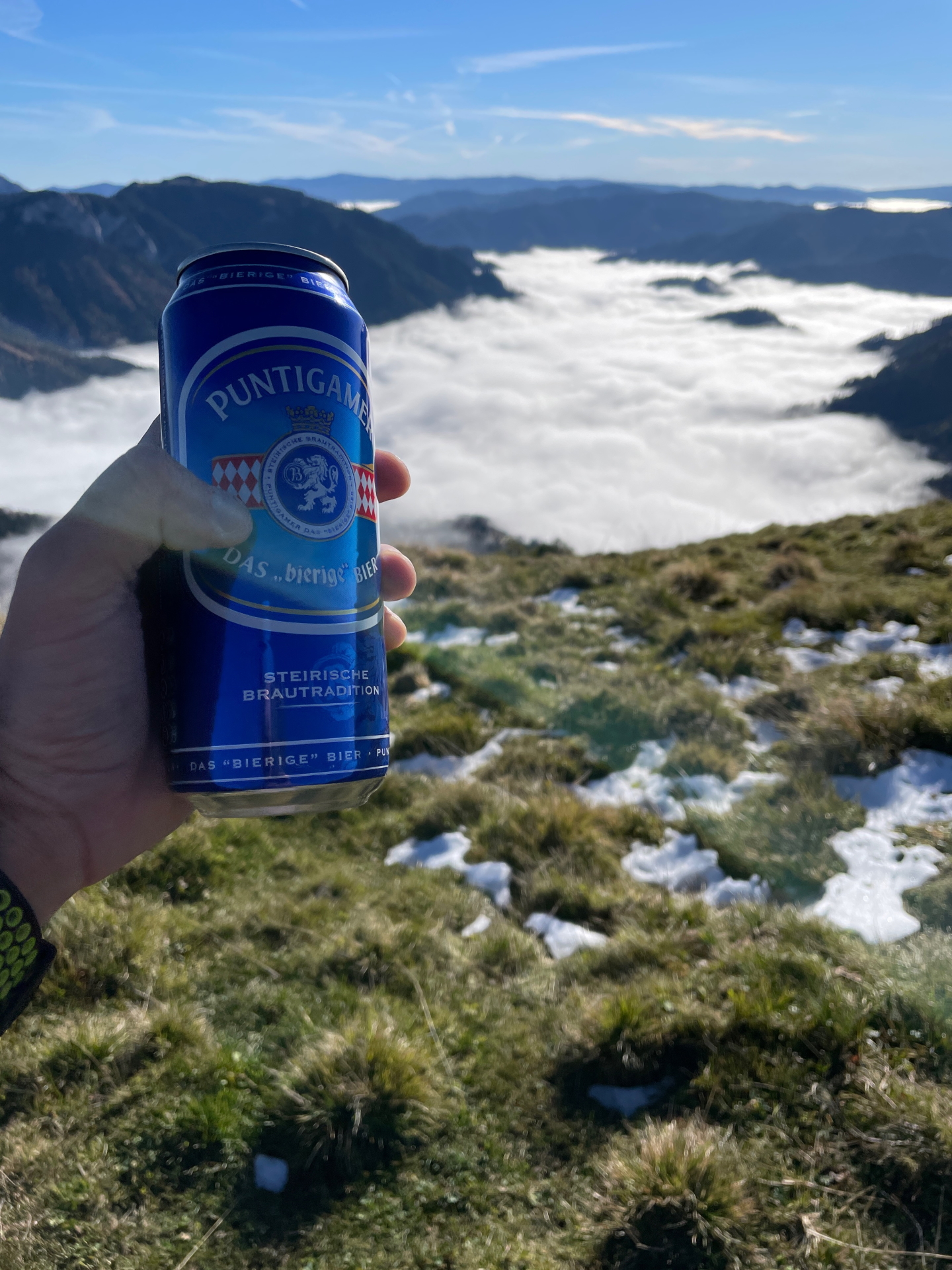
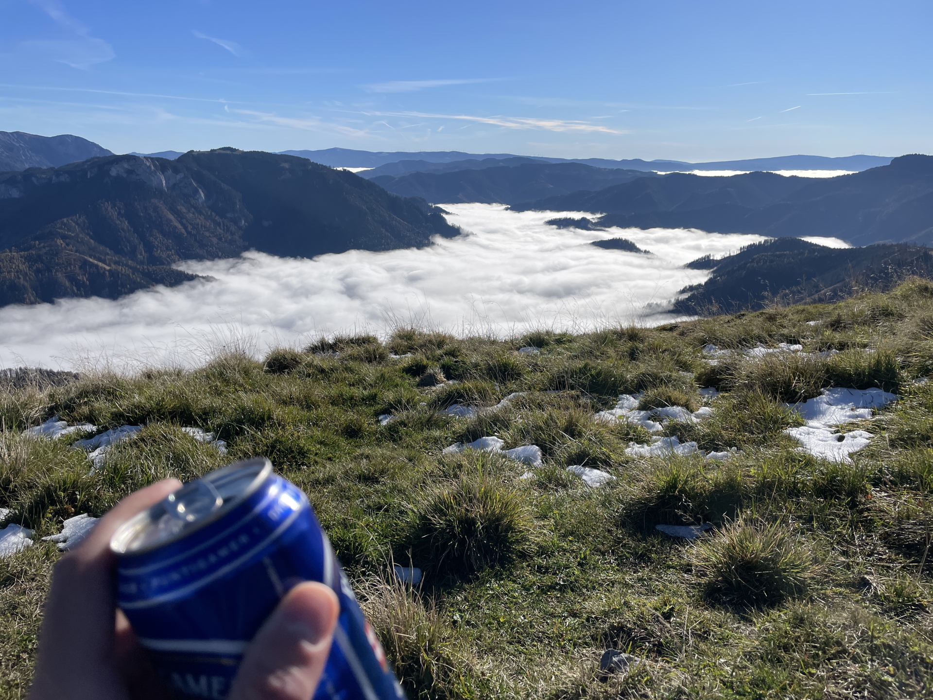
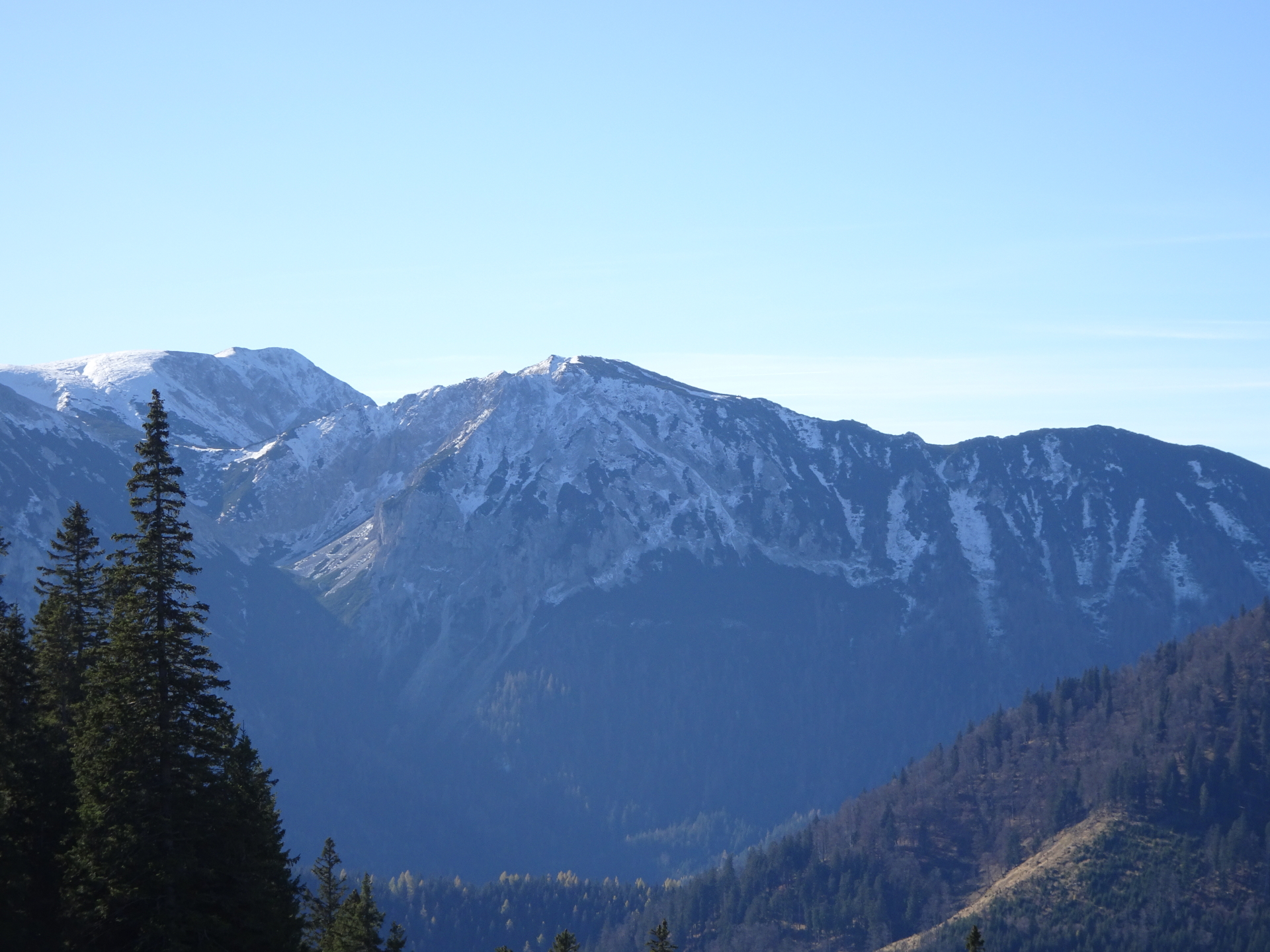
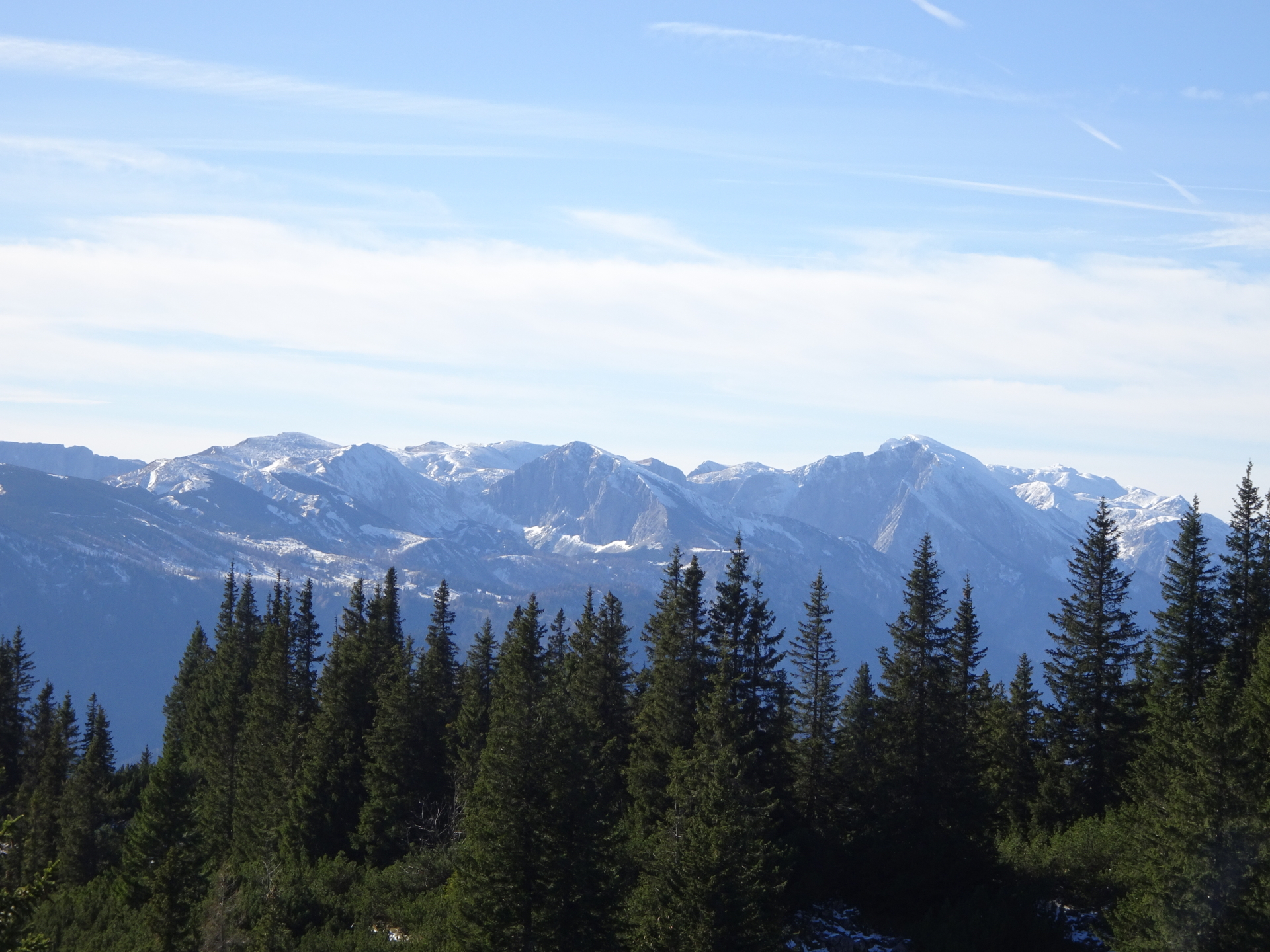
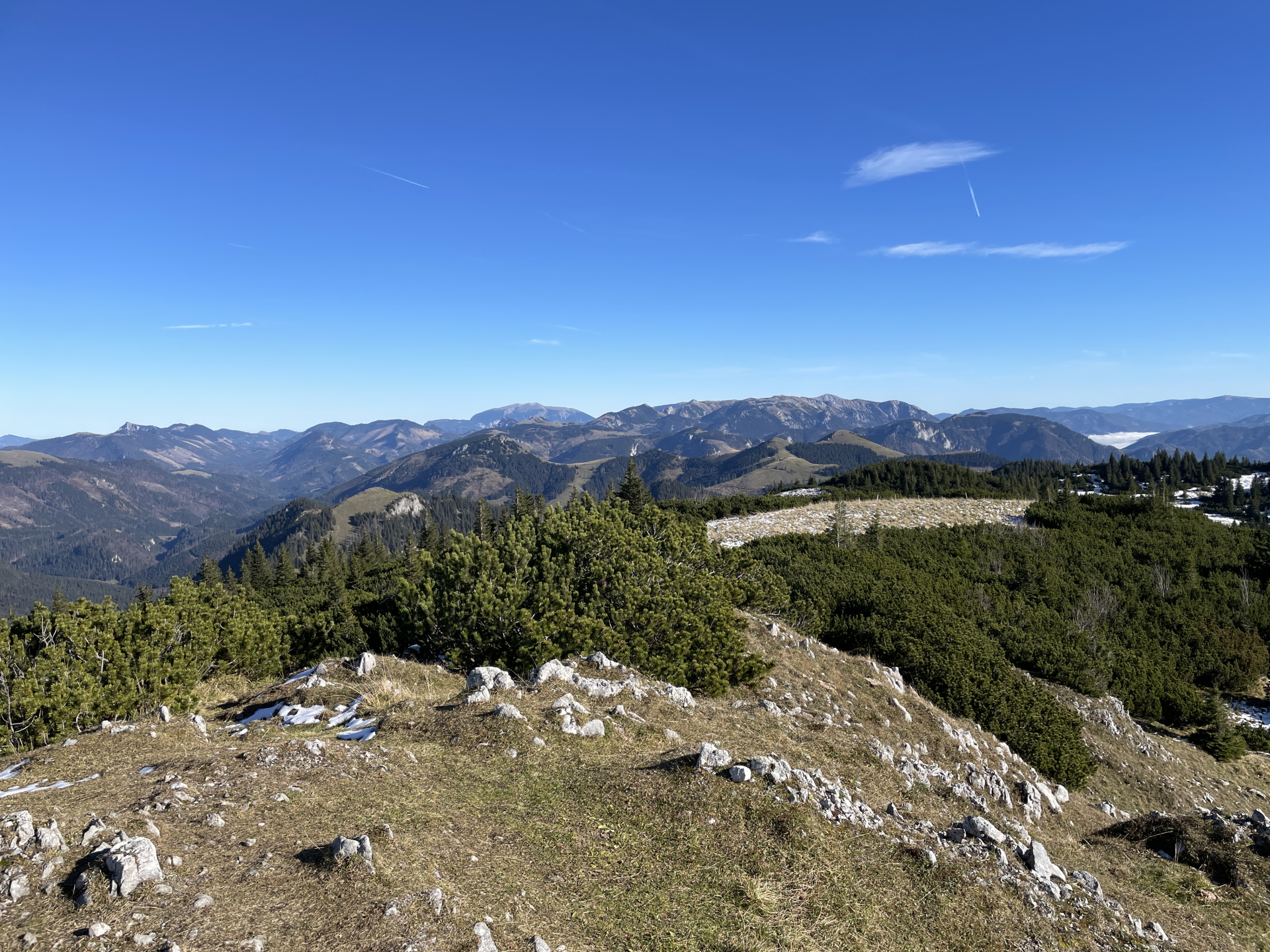
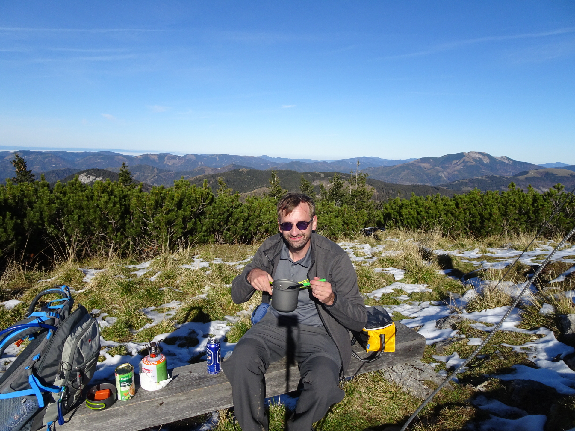
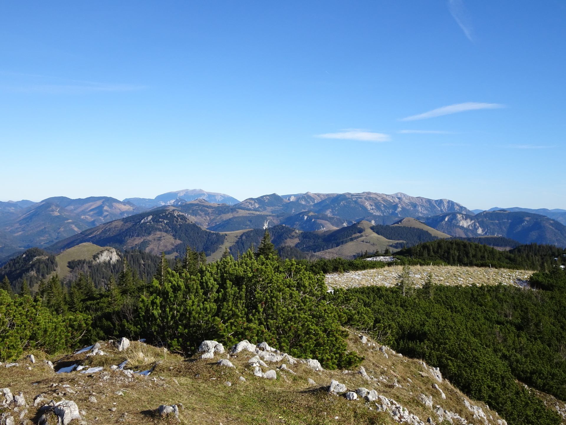
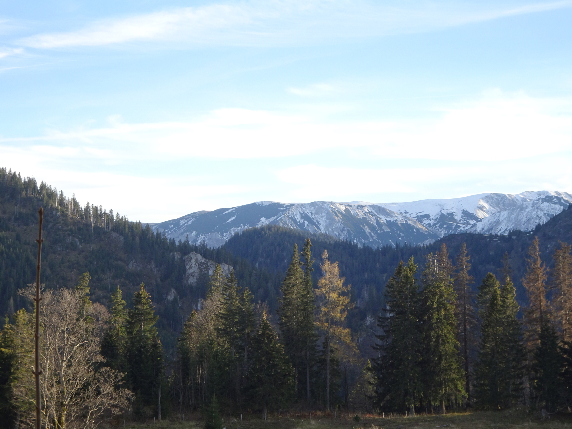
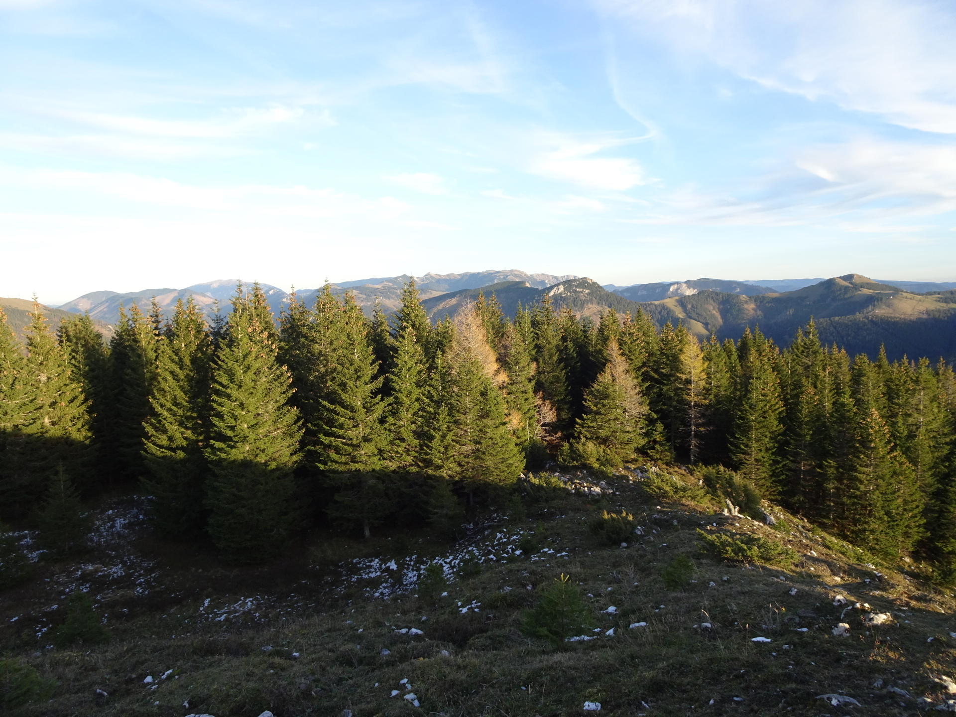
| 02:10 | Enjoy the impressive view from the summit of Großer Proles, best enjoyed with a self-brought refreshment (). |
| 02:15 | Continue following the hiking trail westwards, descending into a saddle. |
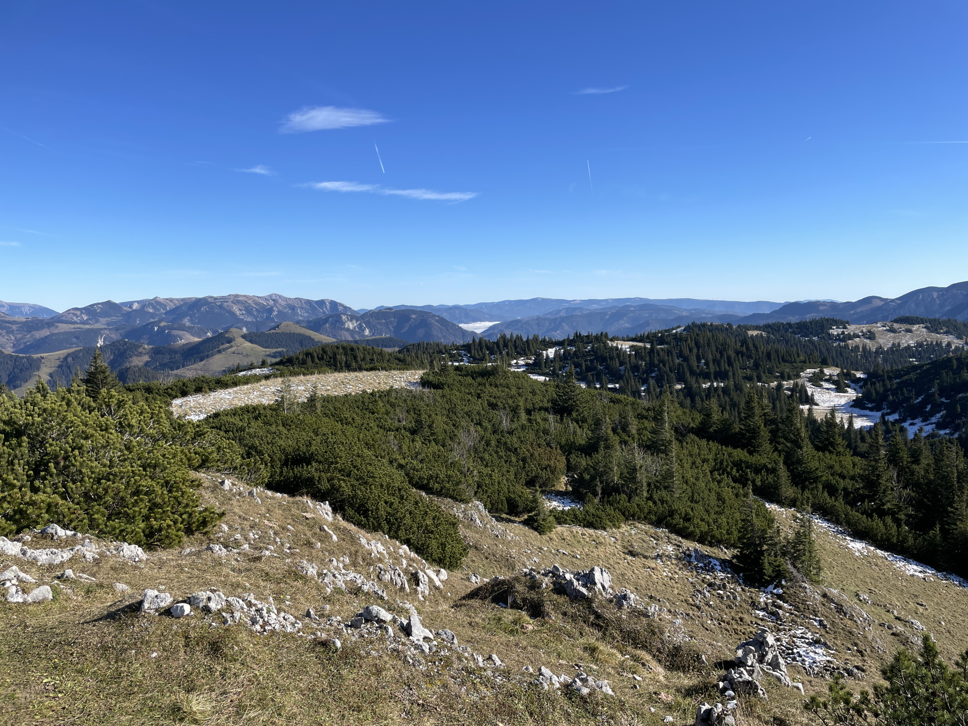
| 02:22* | Detour towards Kleiner Proles: At the crossing in the saddle, keep straight and continue following the traces of a trail that lead automatically up to the summit of Kleiner Proles. |
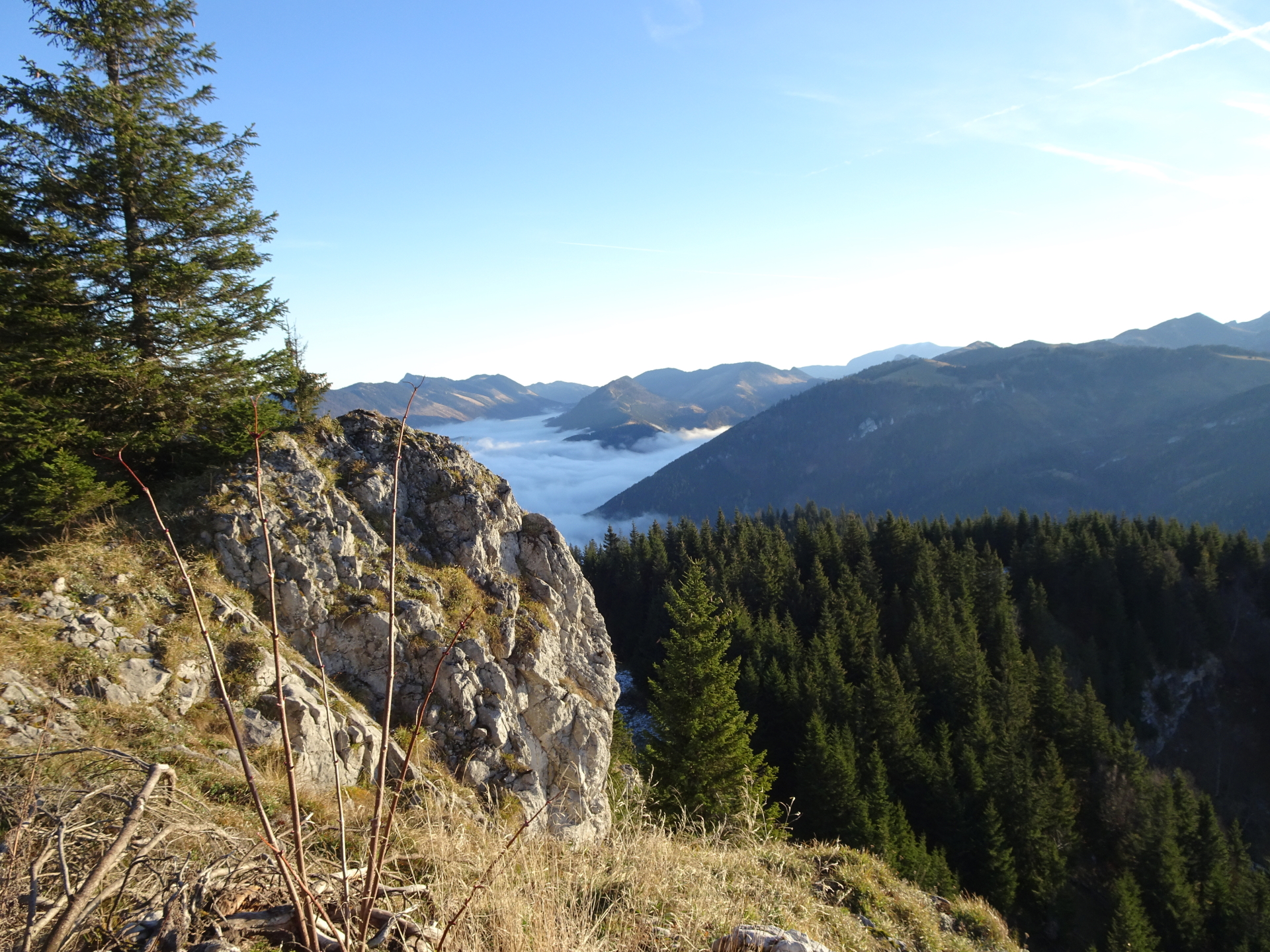
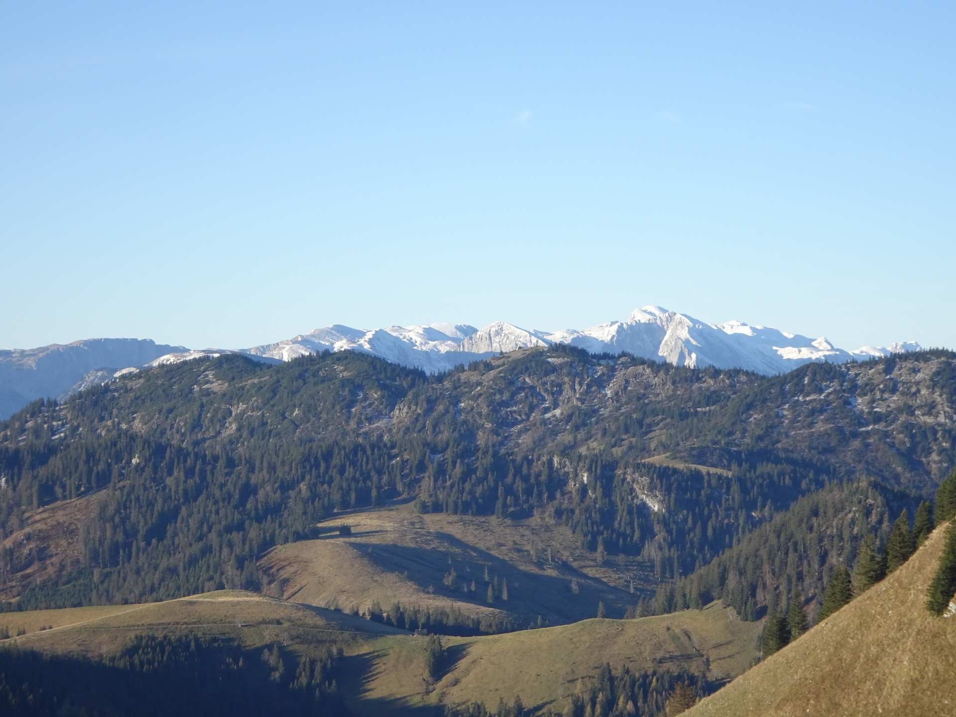
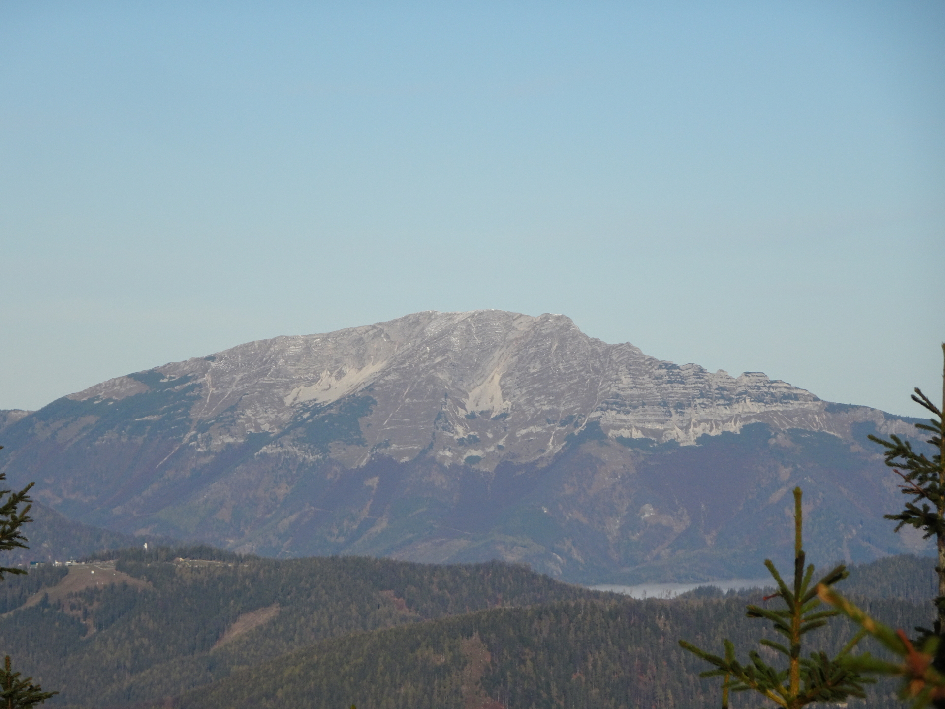
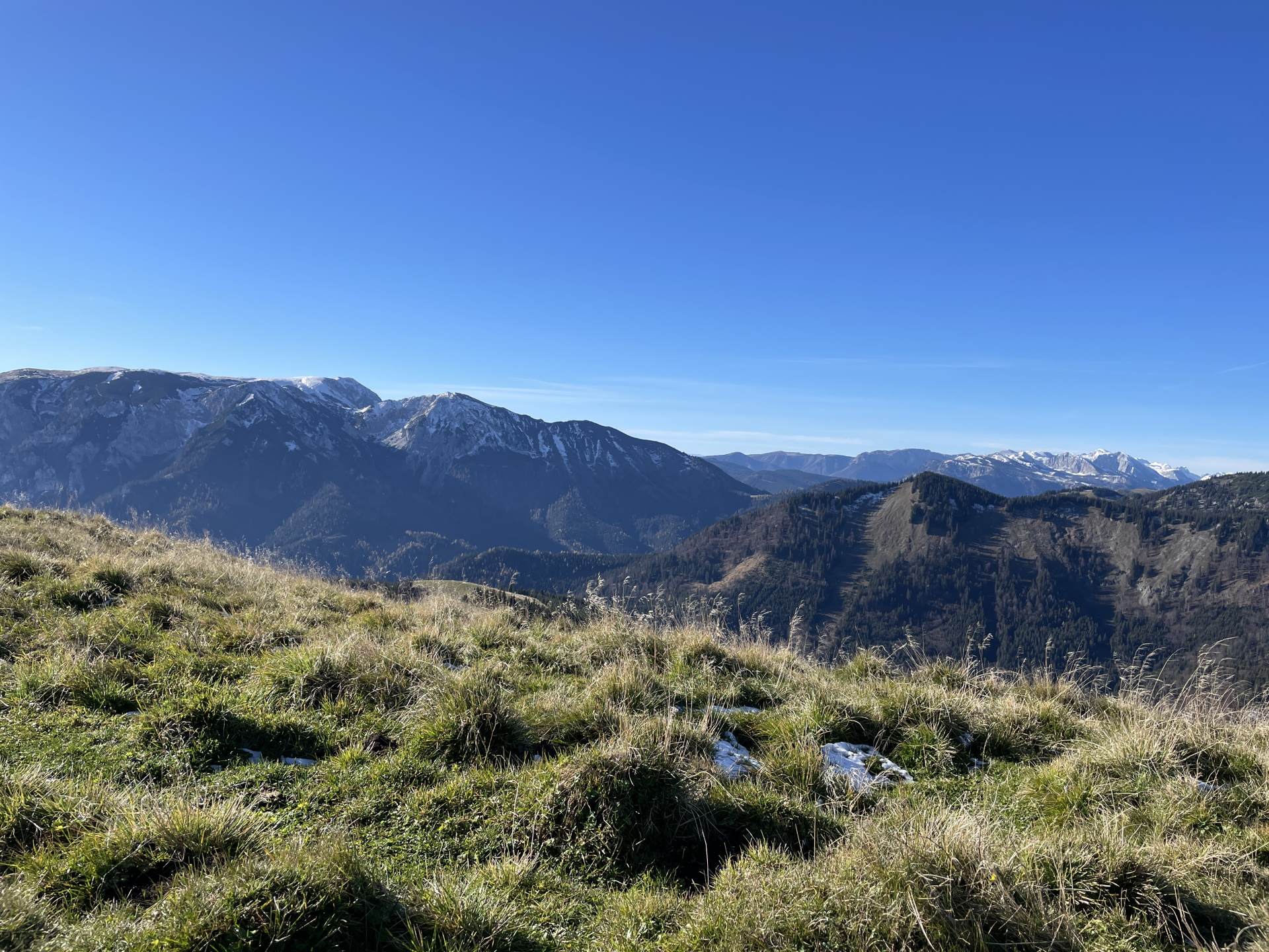
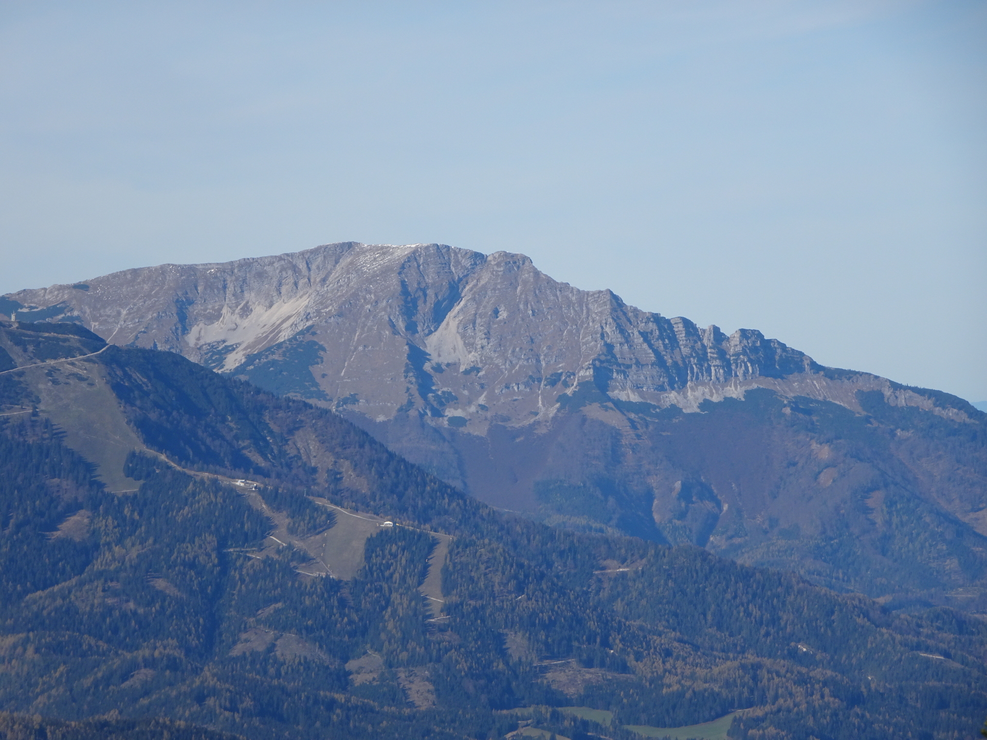
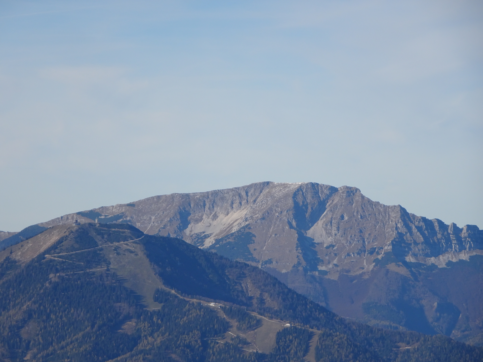
| 02:35* | Enjoy the view (towards Ötscher and Hohe Veitsch from the summit of Kleiner Proles. |
| 02:40* | Hike back into the saddle and the crossing there. |
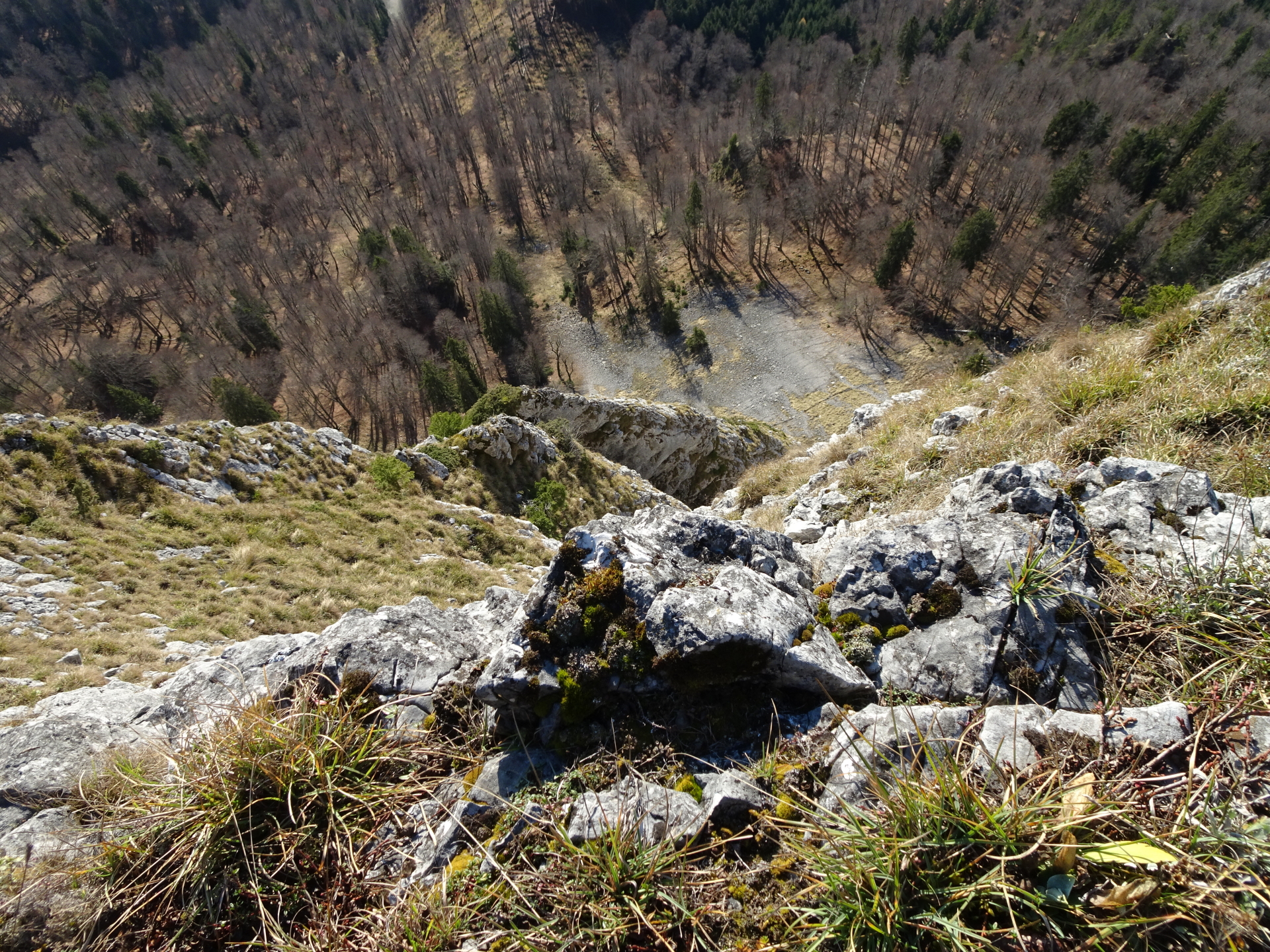
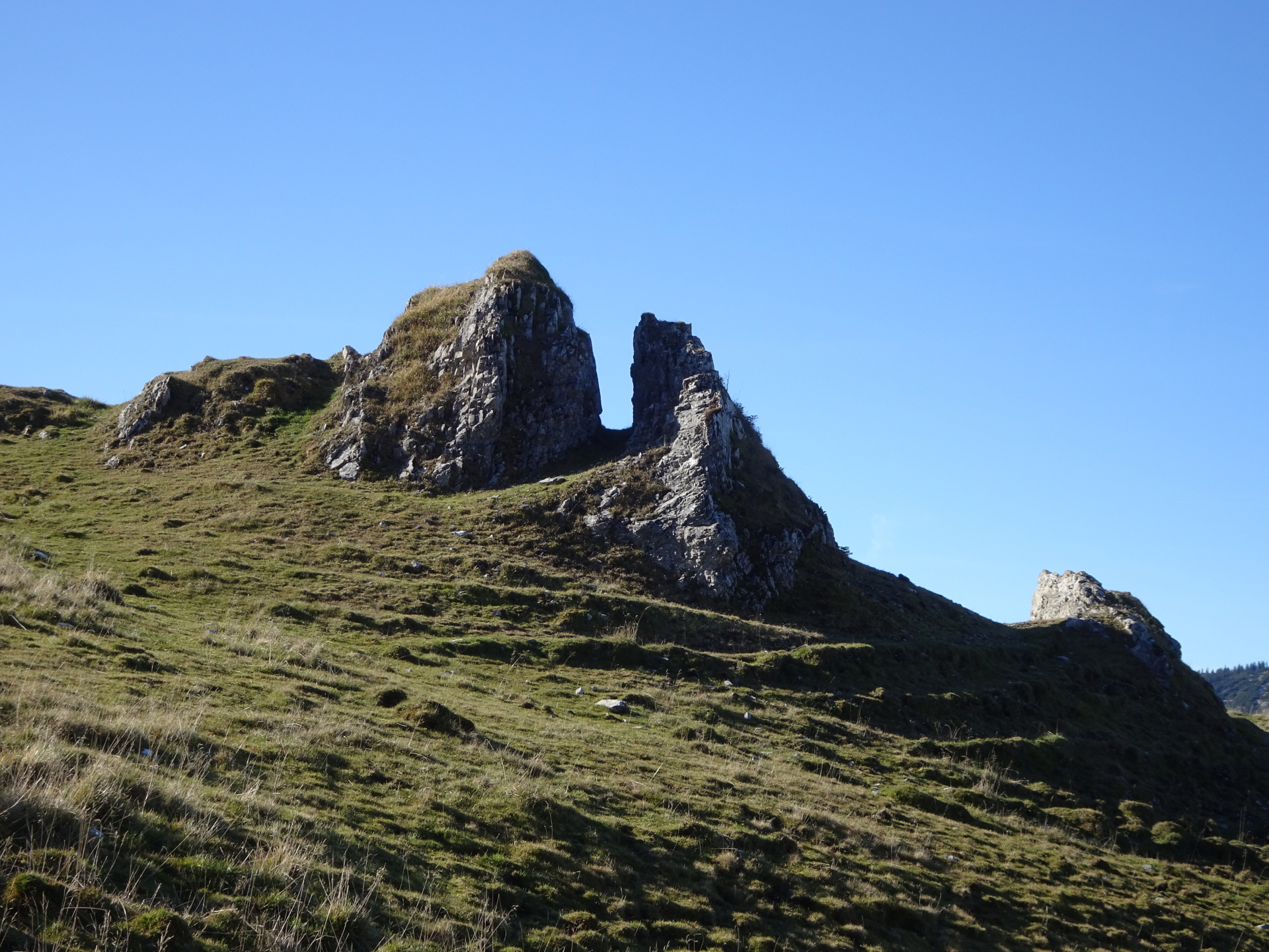
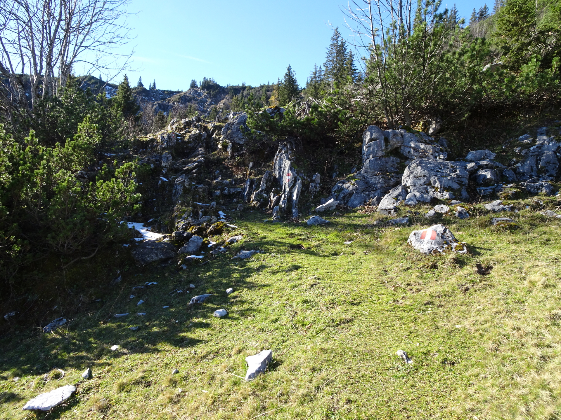
| 02:50 | At the crossing, turn right and climb through the chimney downwards. Then turn right and follow the traces of a trail that traverses underneath Kleiner Proles. |
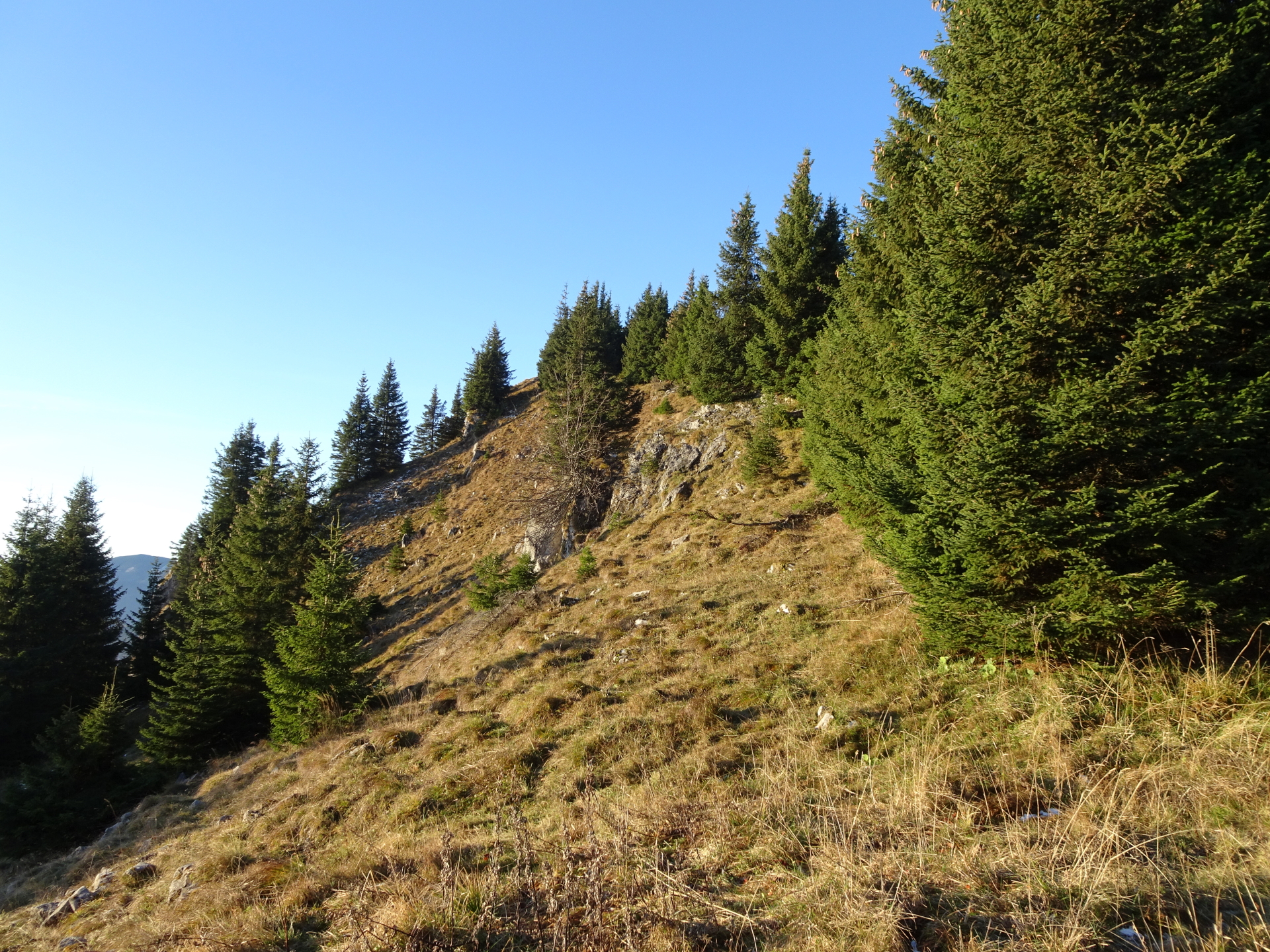
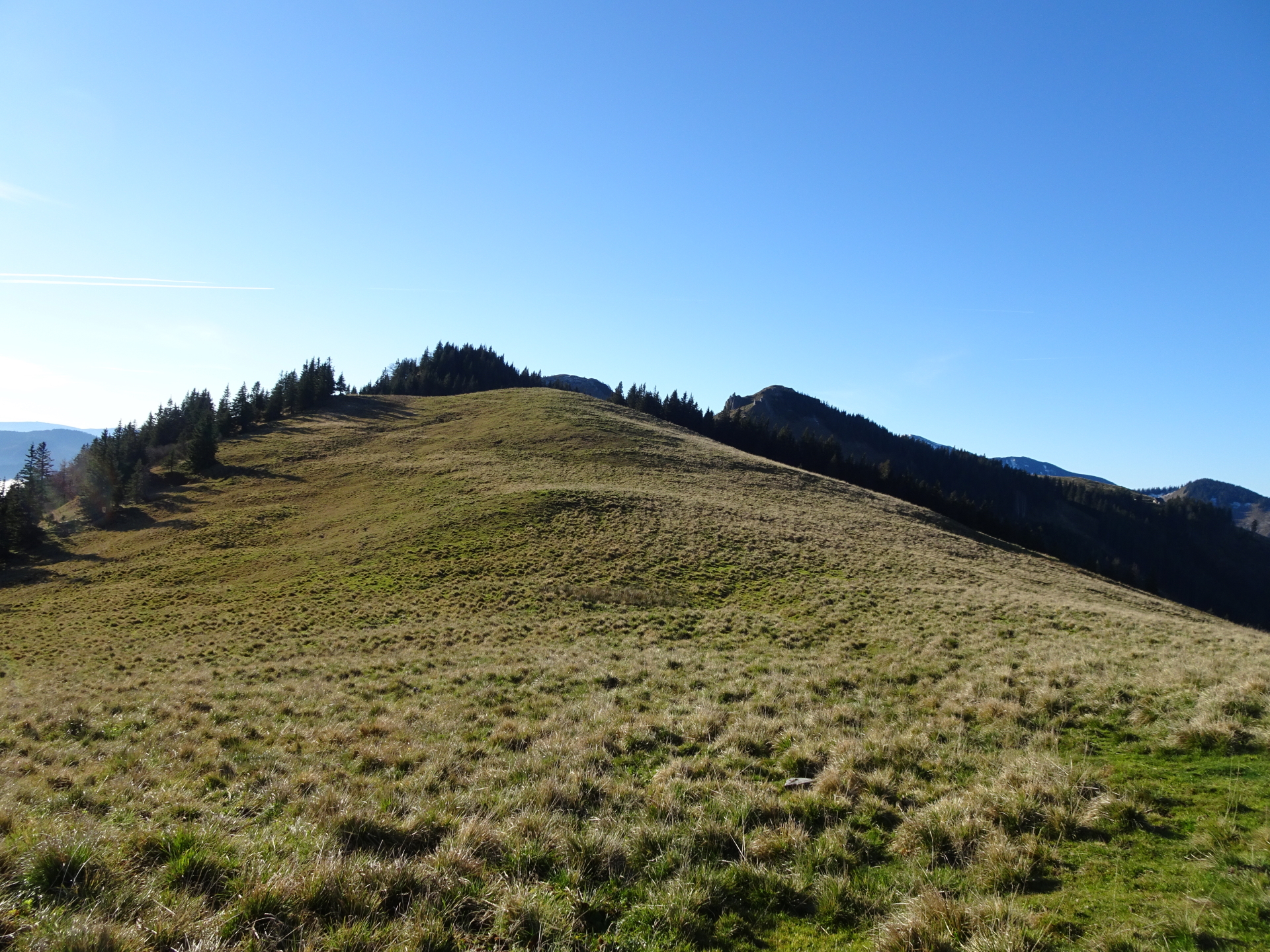
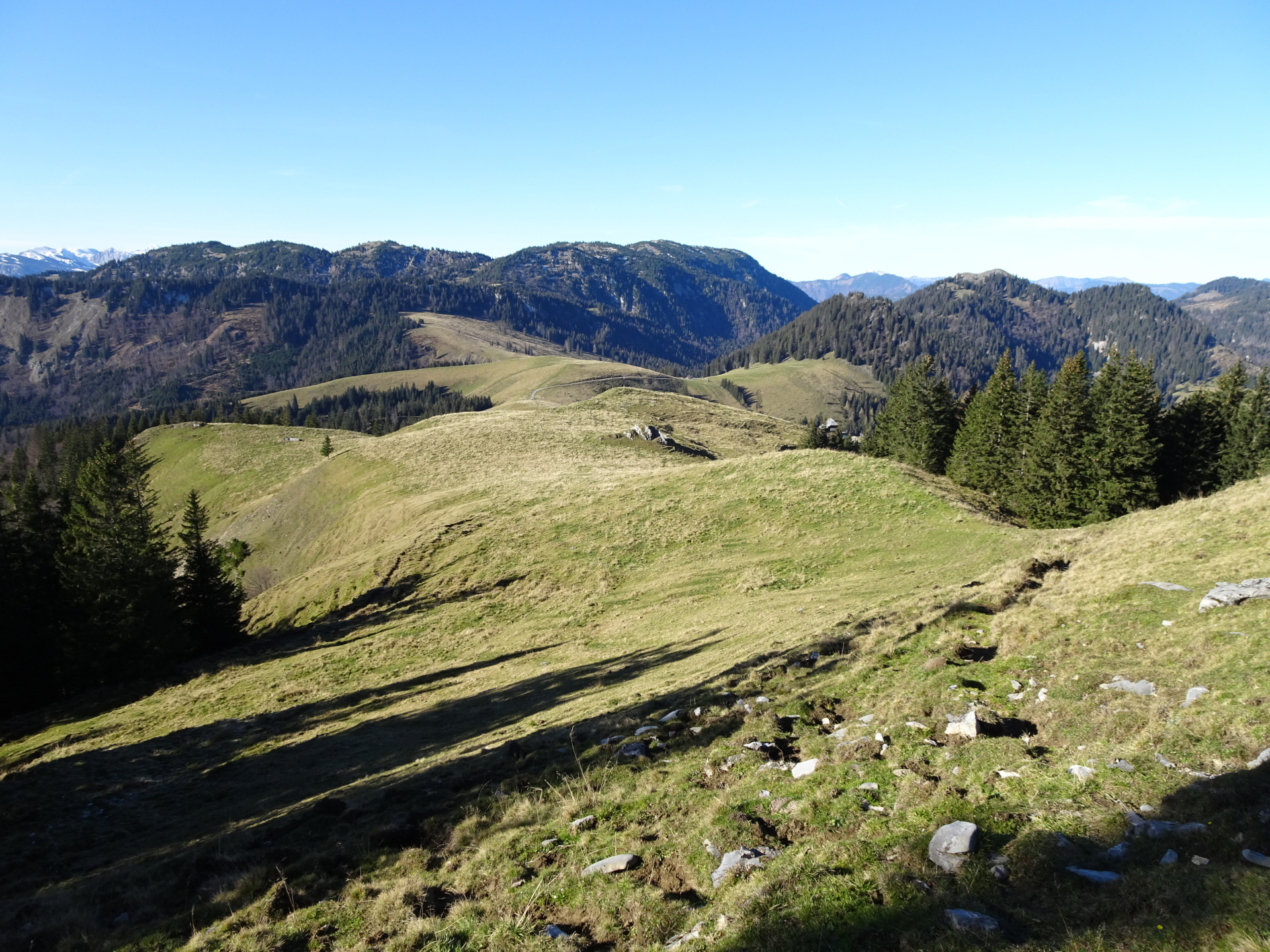
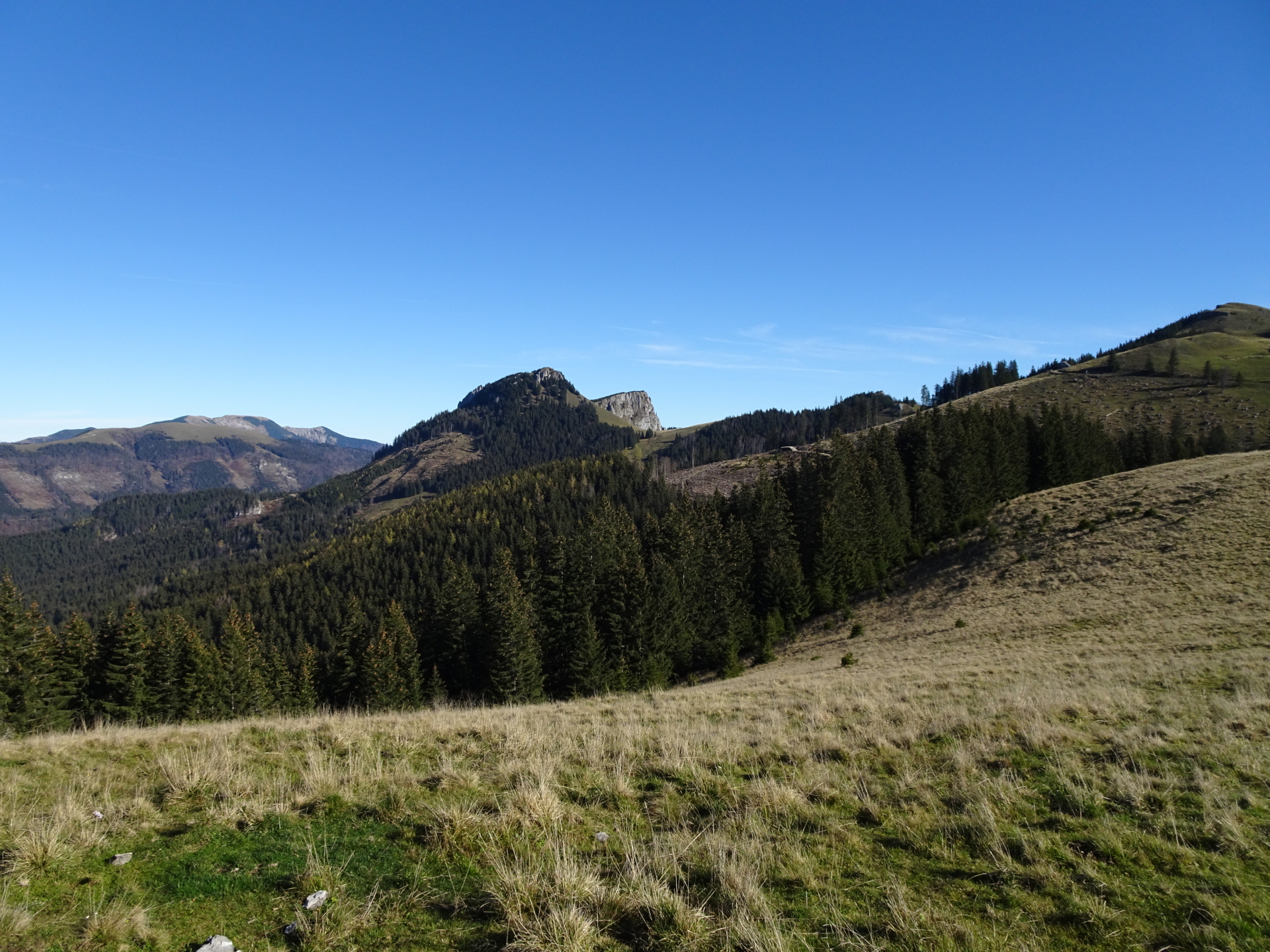
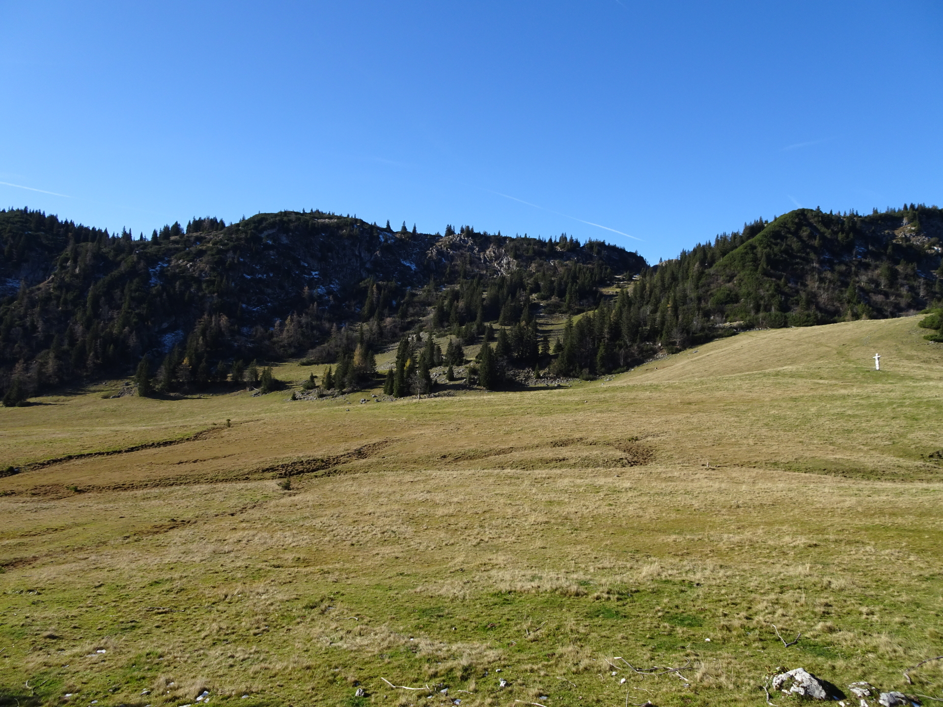
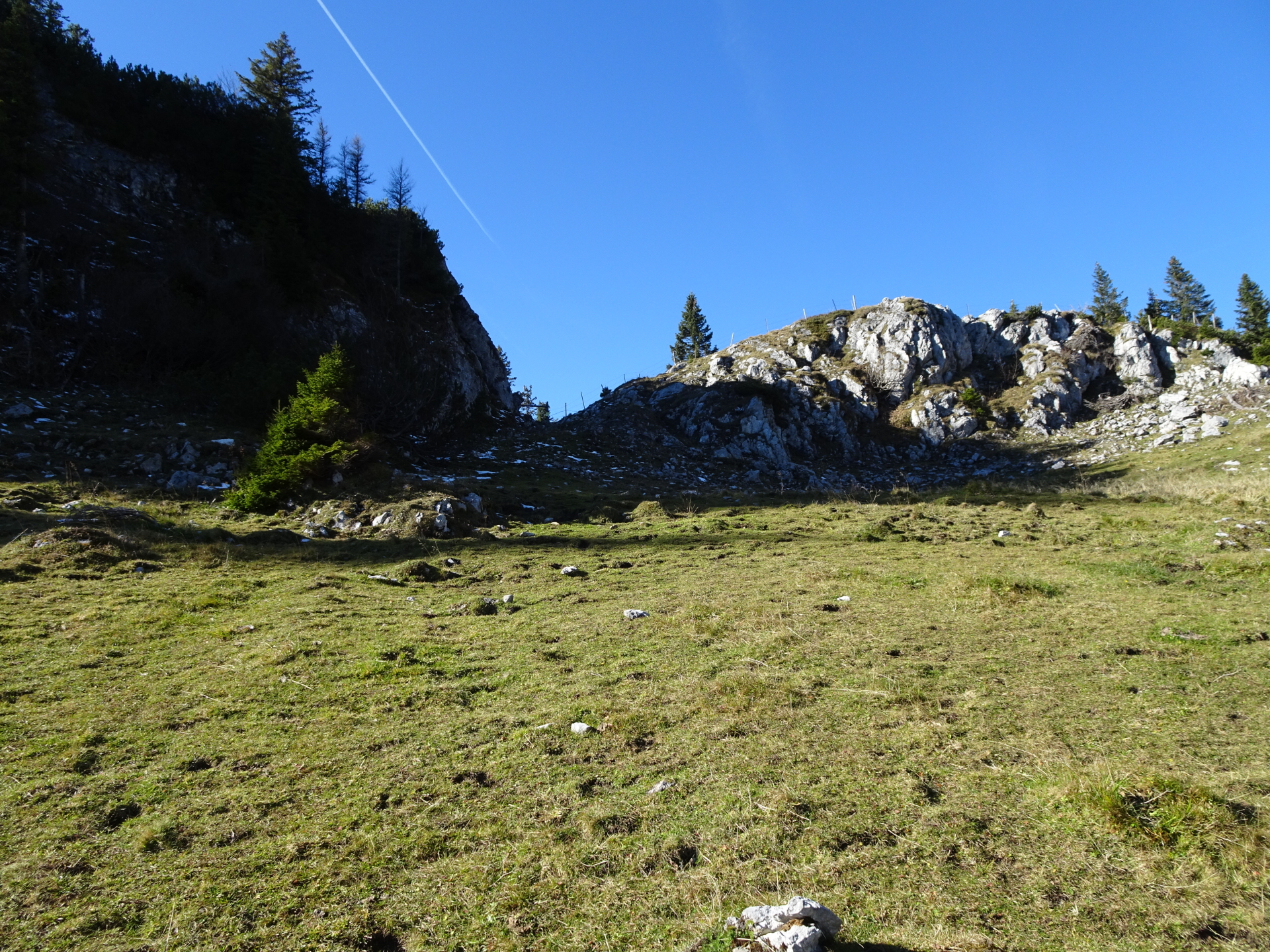
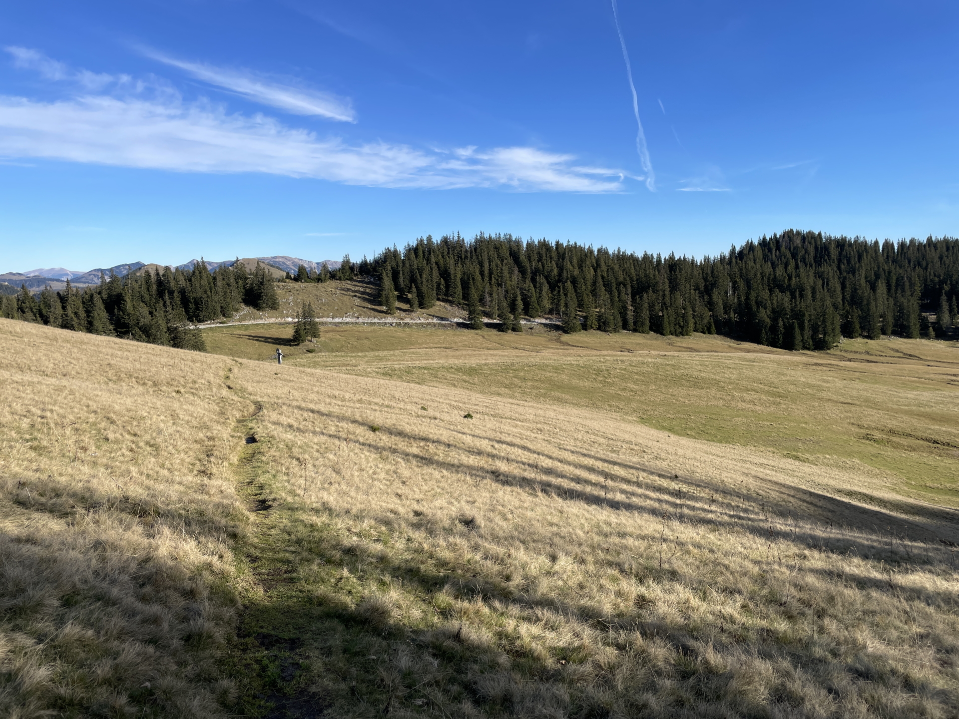
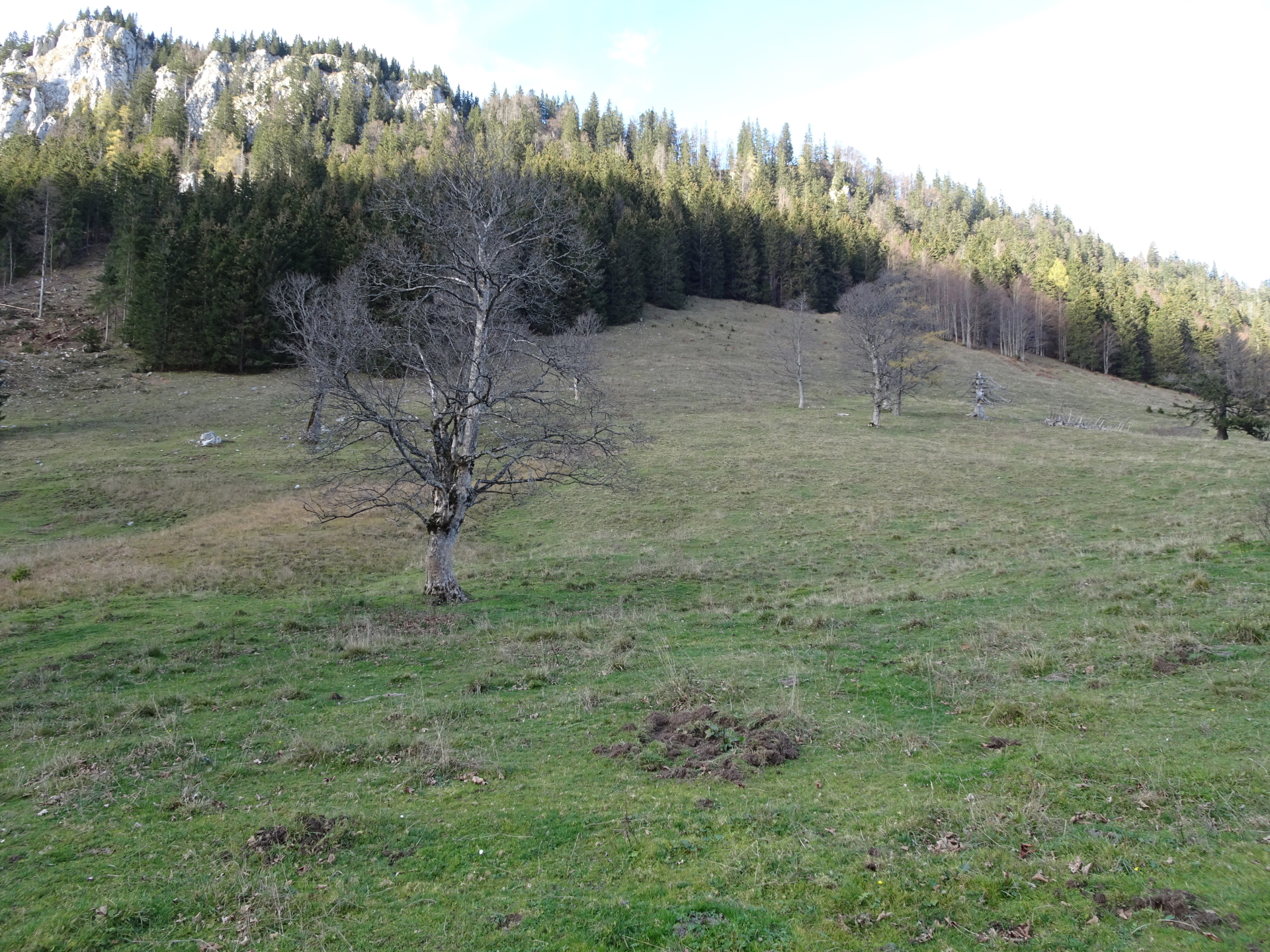
| 03:10 | At the mountain pasture, keep straight (southwards) and now follow the red-white-red marked hiking trail south. |
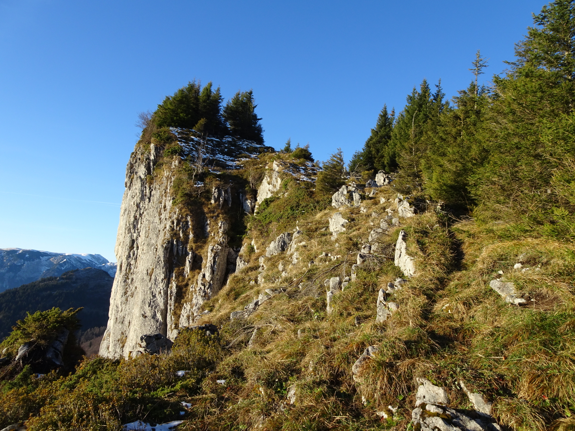
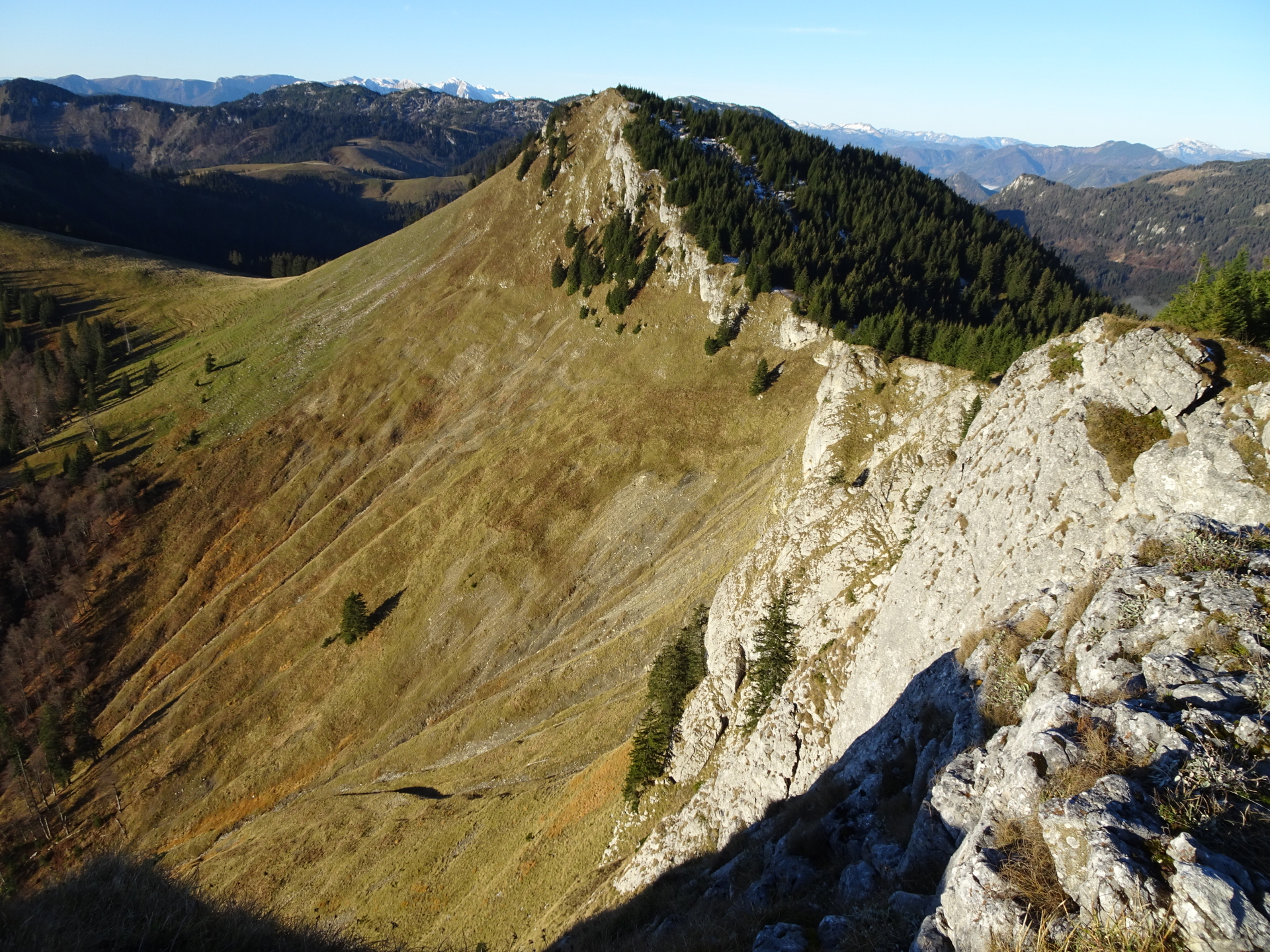
| 03:20 | At the crossing, keep straight and leave the marked hiking trail. Follow the traces of a trail along the ridge that leads on a direct way up to Kleiner Königskogel. |
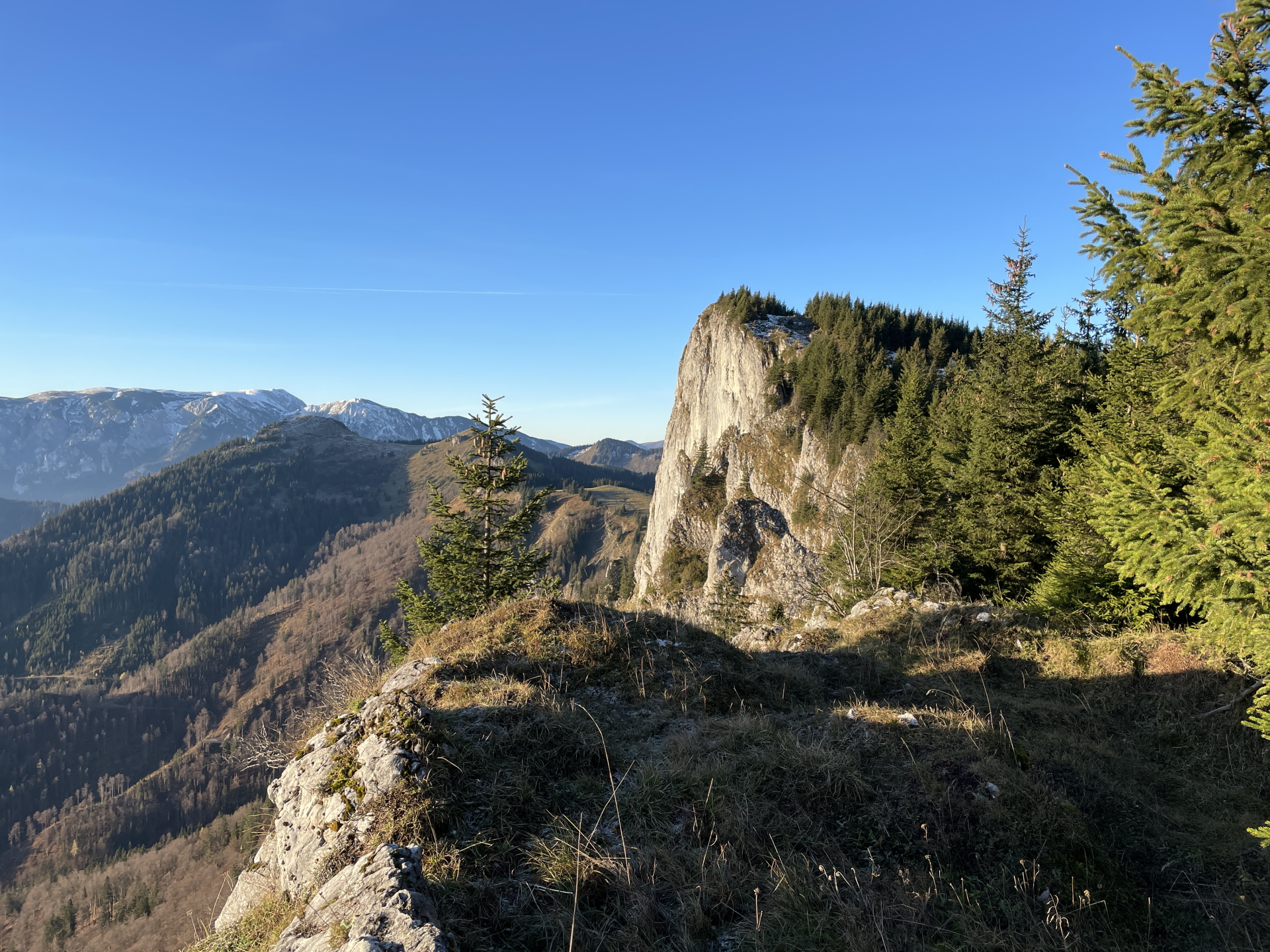
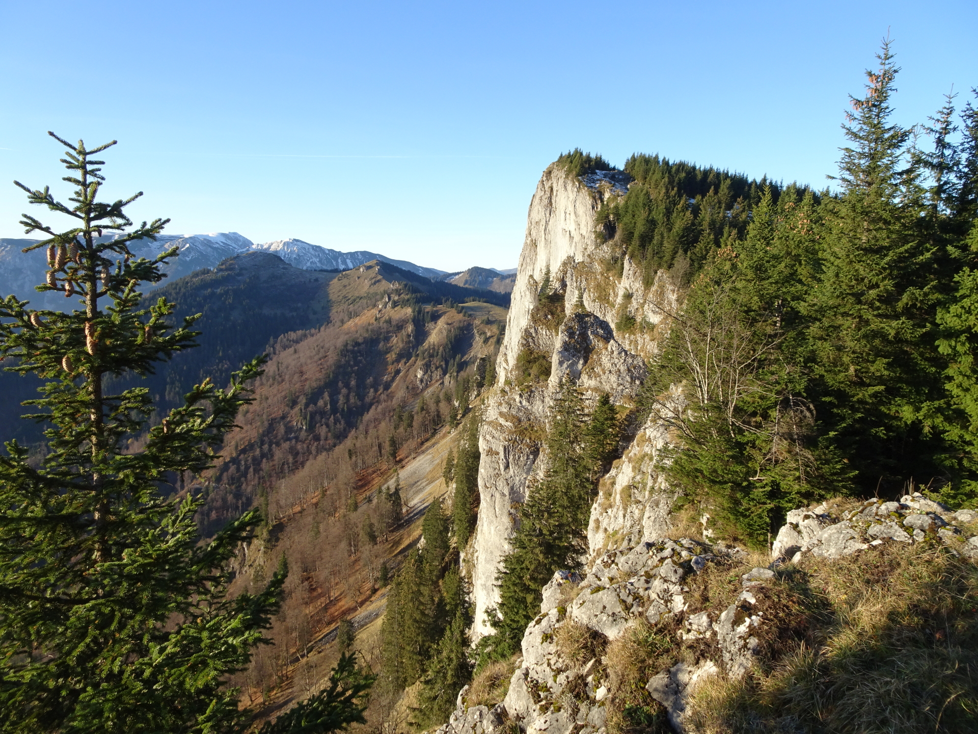
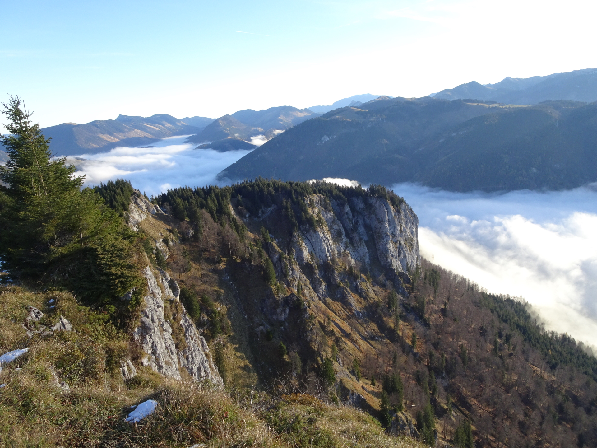
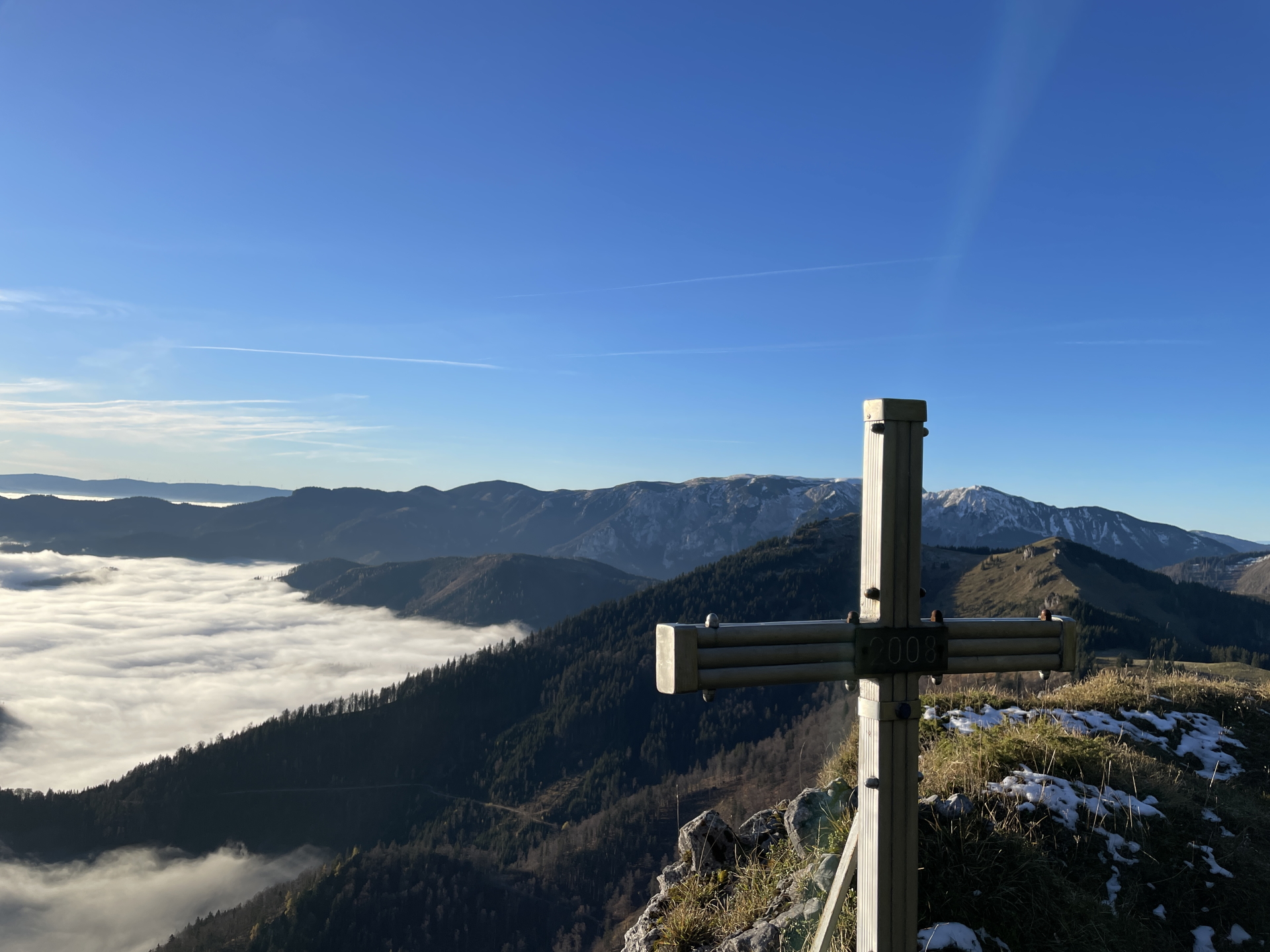
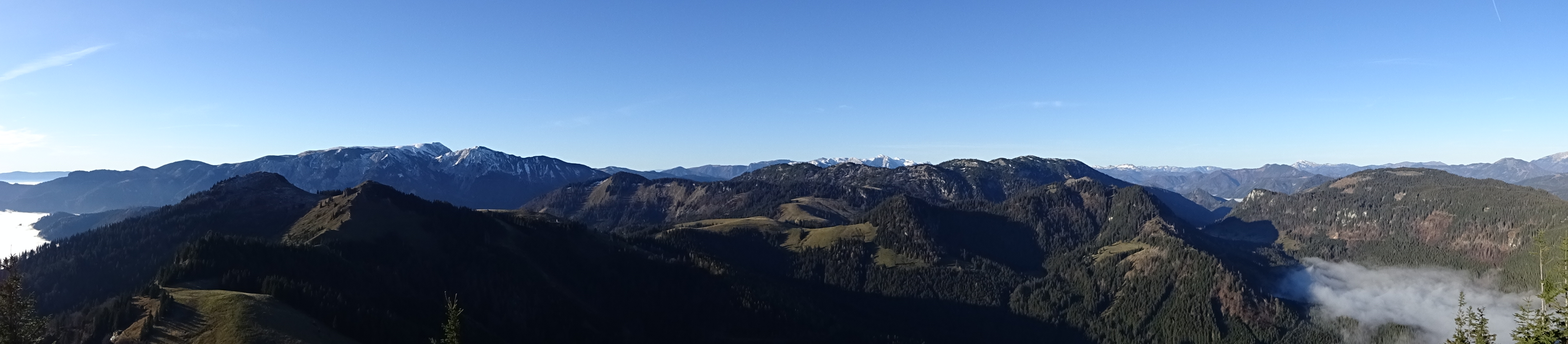
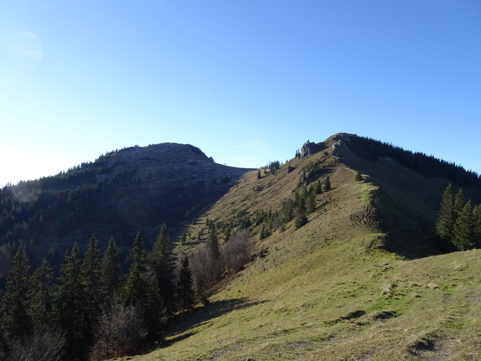
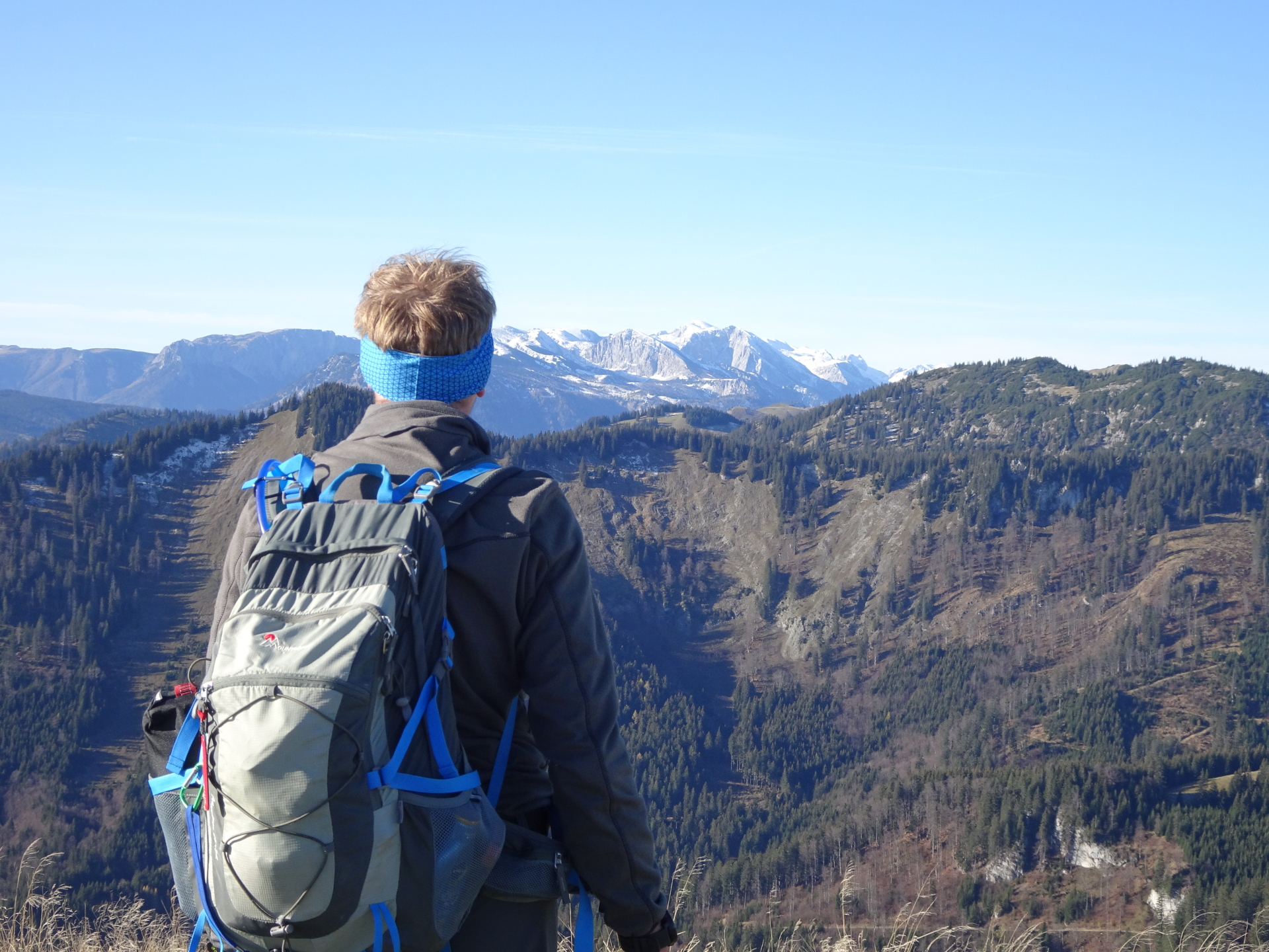
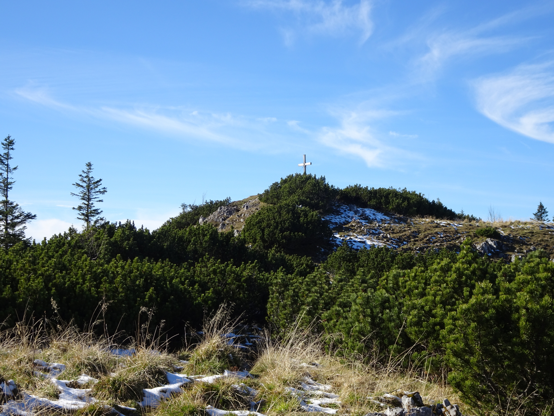
| 03:40# | Enjoy the view (towards Ötscher, Hohe Veitsch and Großer Proles) from the summit of Kleiner Königskogel. Find your way left down into the saddle, heading towards Großer Königskogel. |
| 03:45# | Find your way on unmarked terrain up to Großer Königskogel. The easiest ascent is done from its rear (first hike around it and then approach from west). |
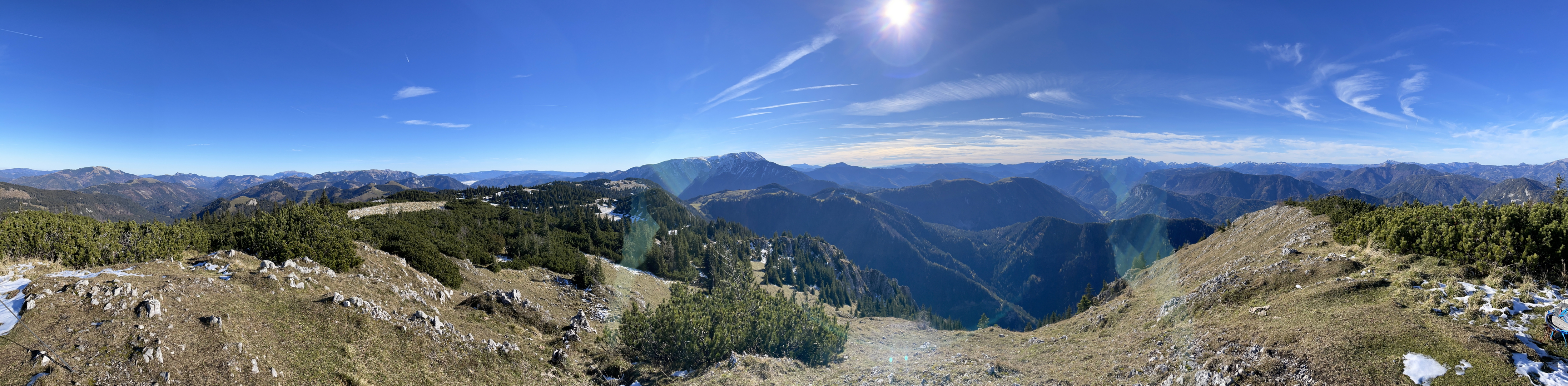
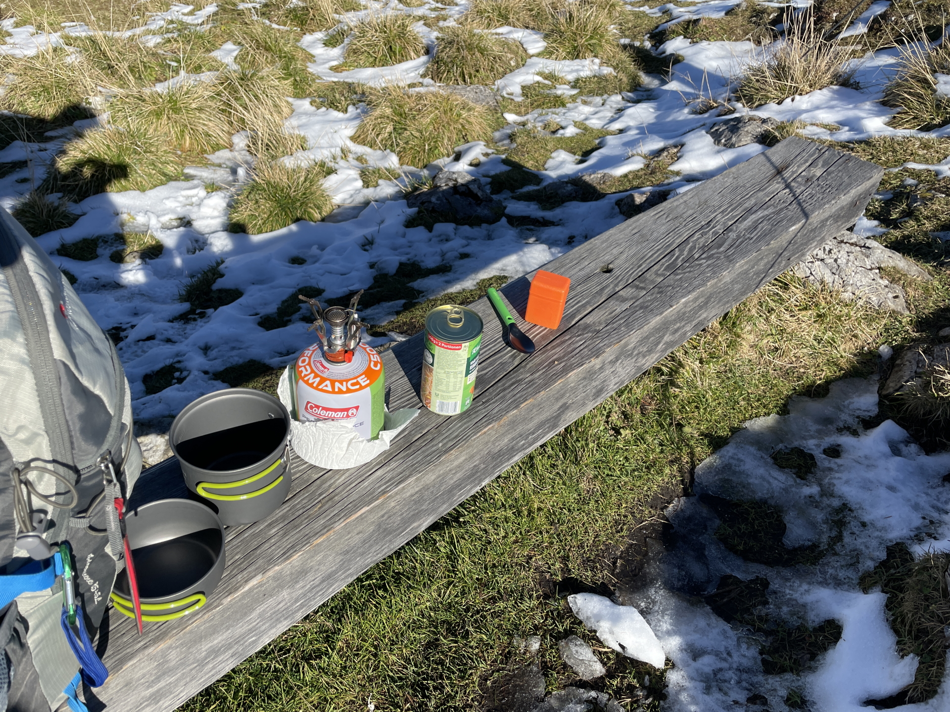
| 03:55# | Enjoy the impressive view from Großer Königskogel, best enjoyed with self-brought refreshments (). |
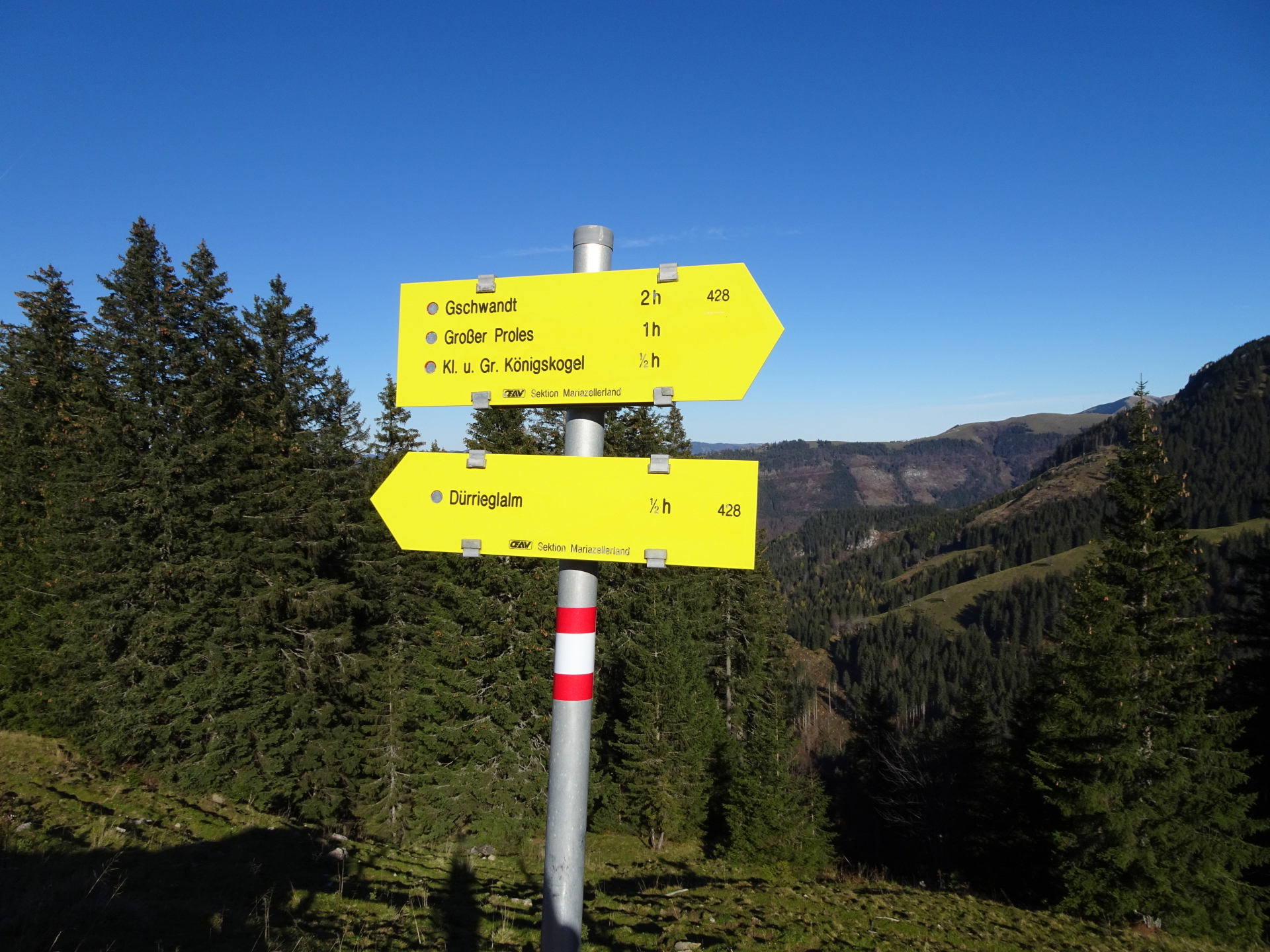
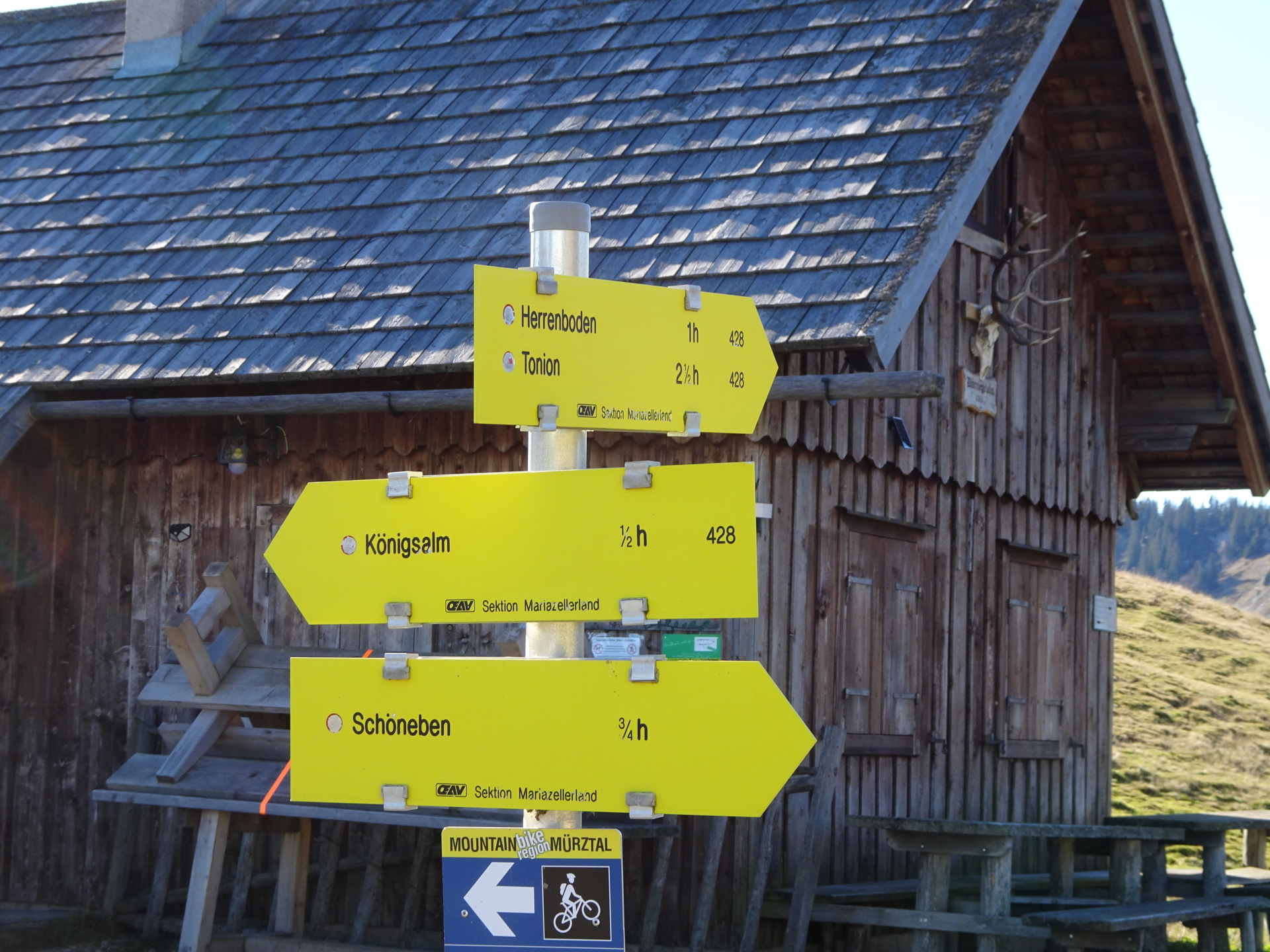
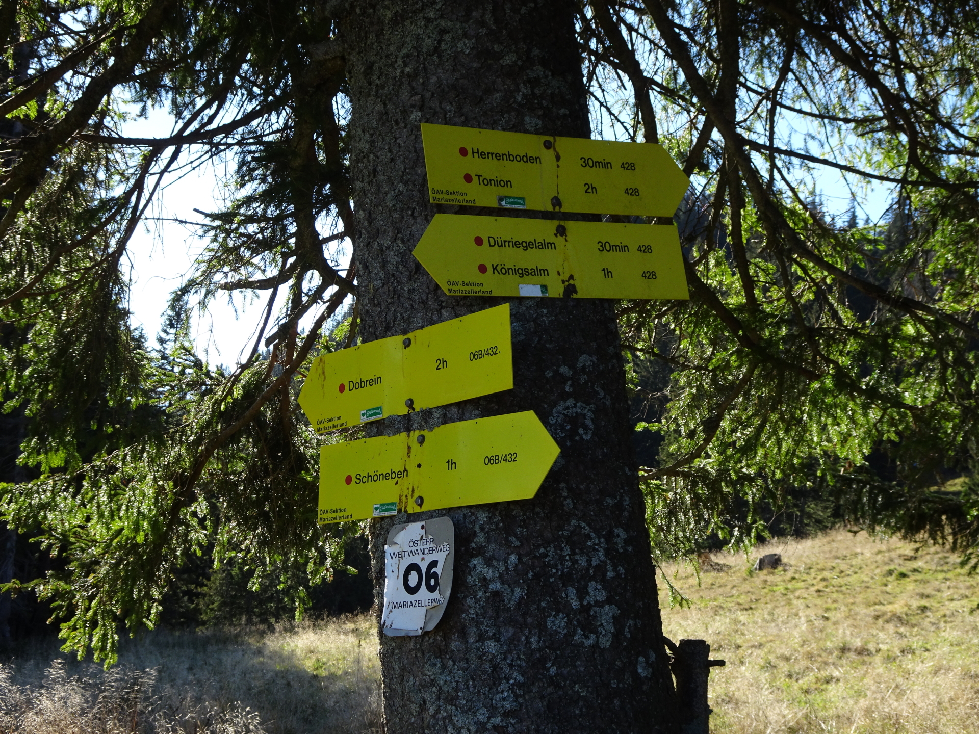
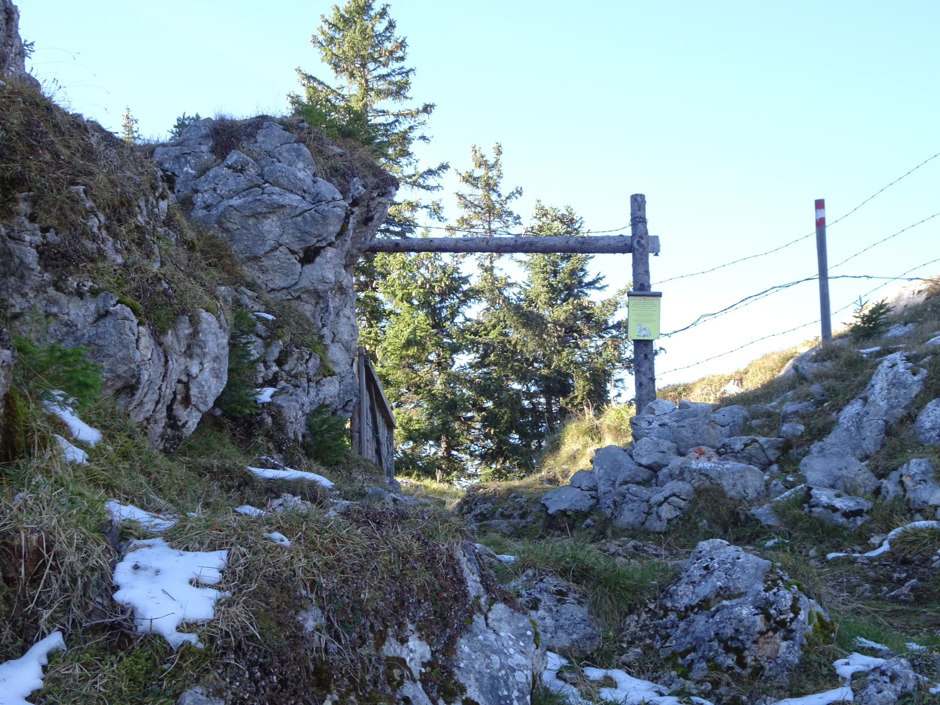
| 04:15# | Descend back into the saddle and then keep left (around Kleiner Königskogel) till reaching the hiking trail towards Dürrieglalm (see signposts). |
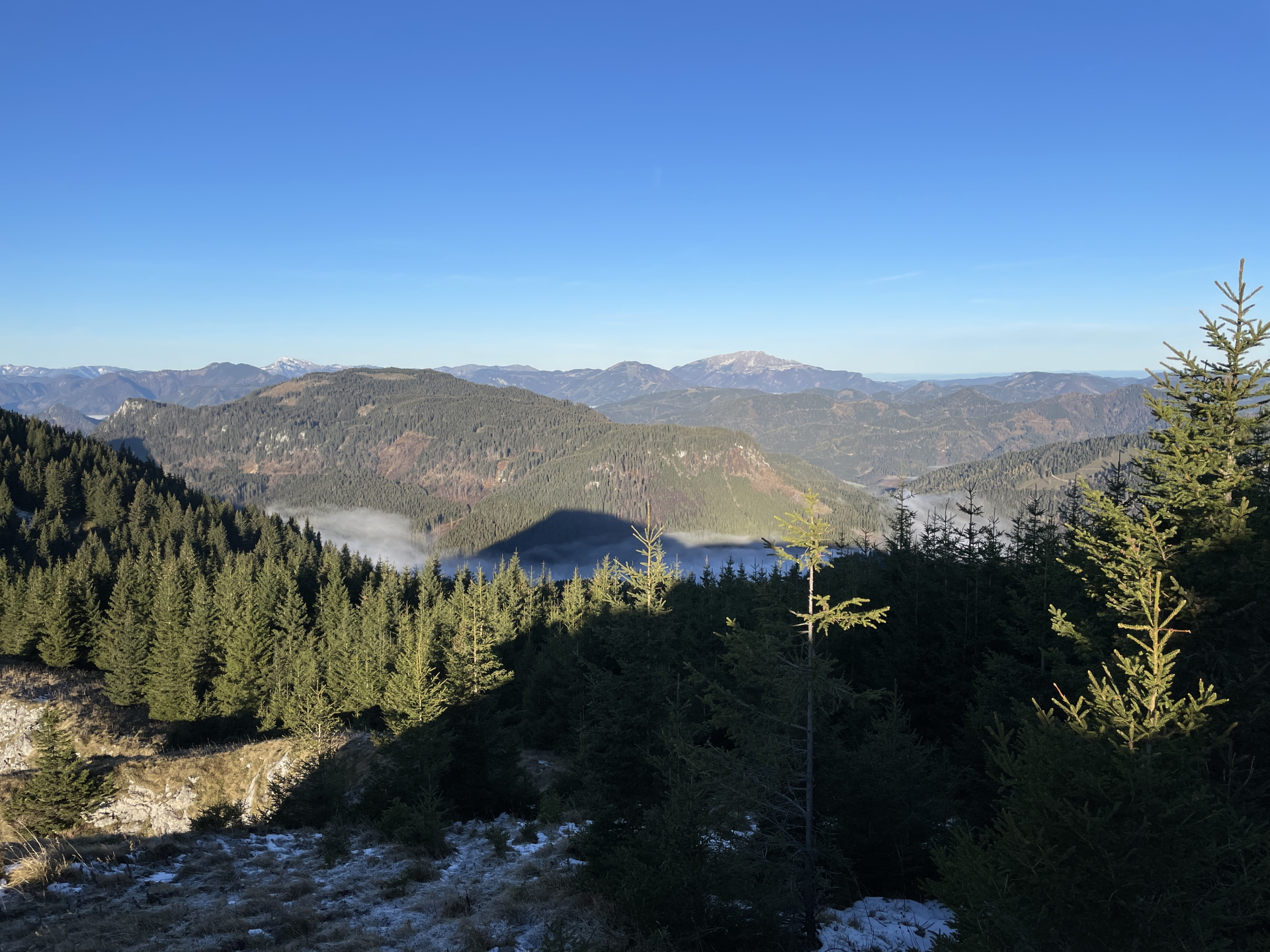
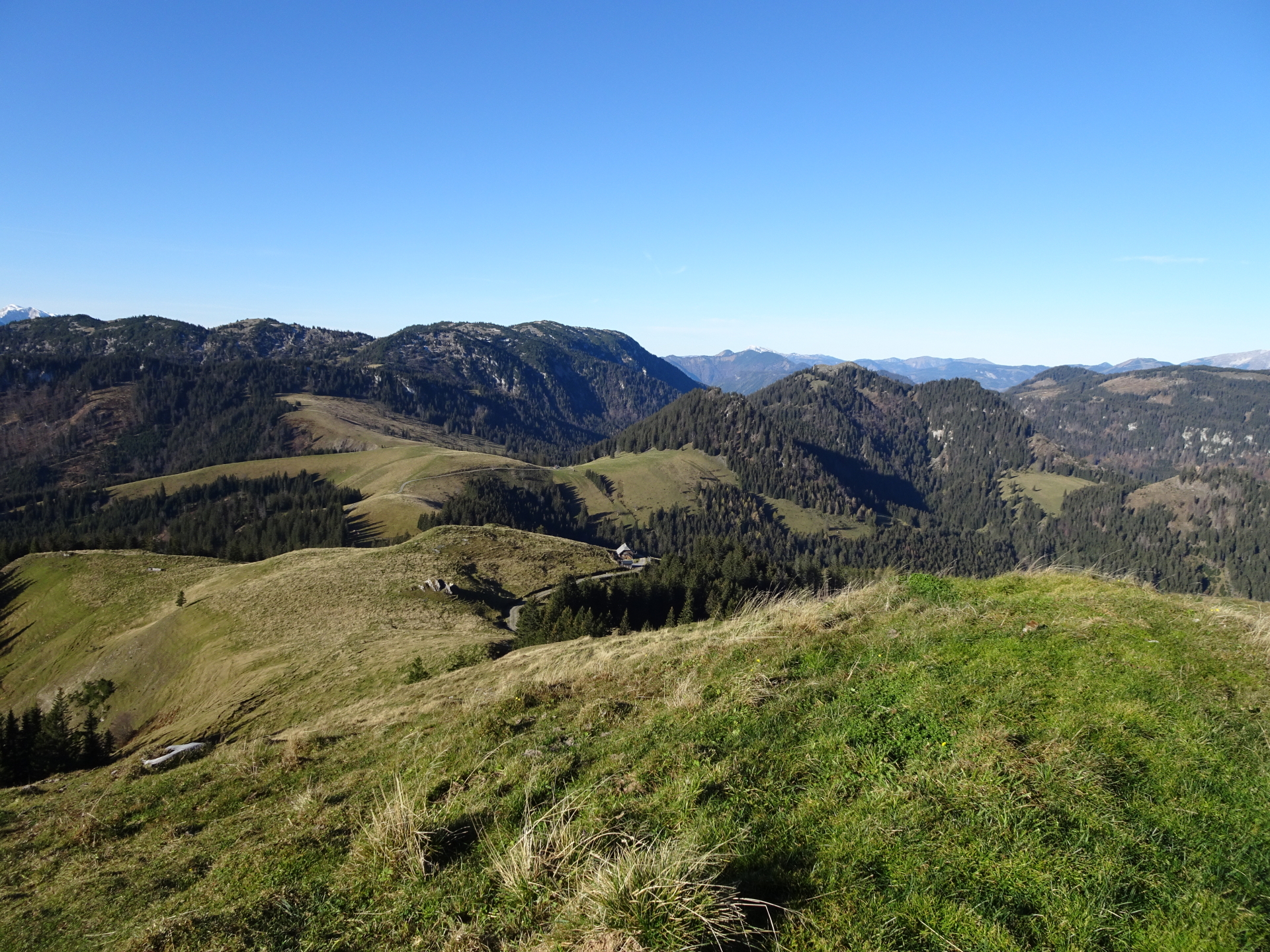
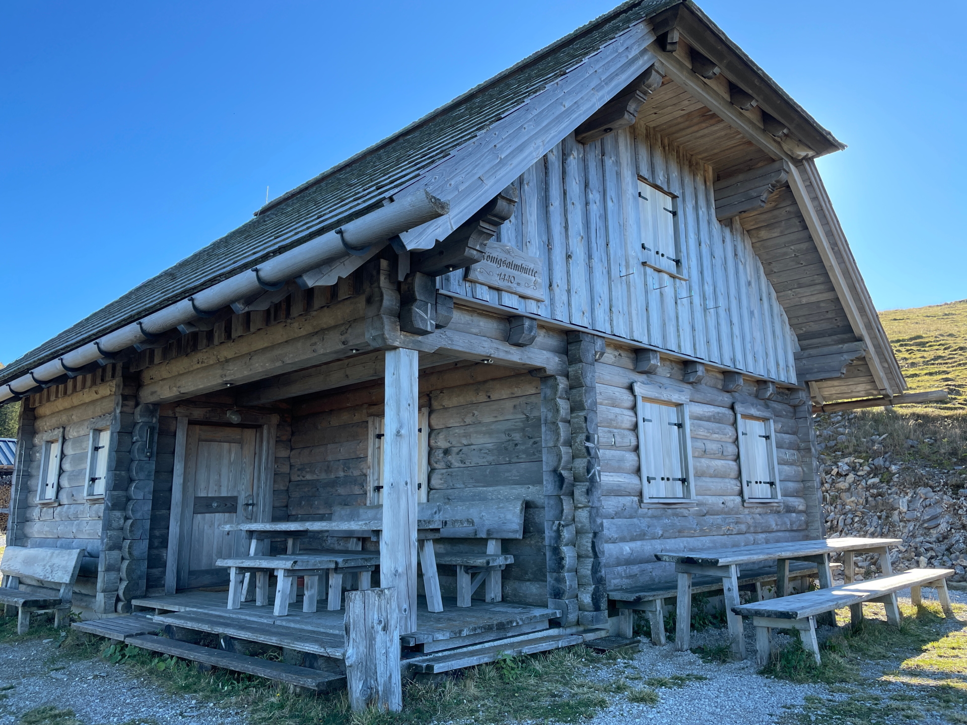
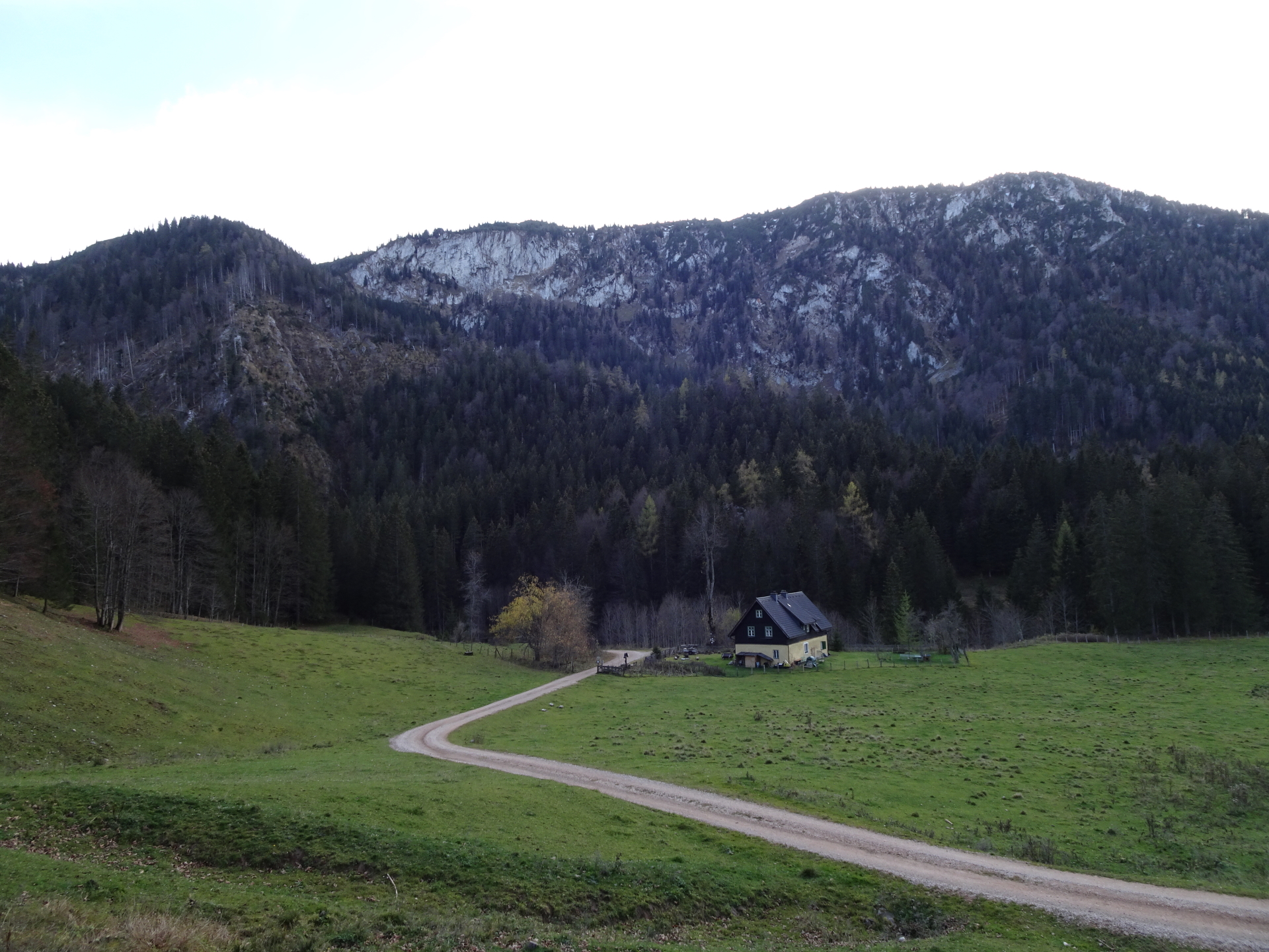
| 04:40 | Bypass Königsalm (you might want to consider a rest if open) and follow the marked hiking trail (mountain road) towards Dürriglalm. |
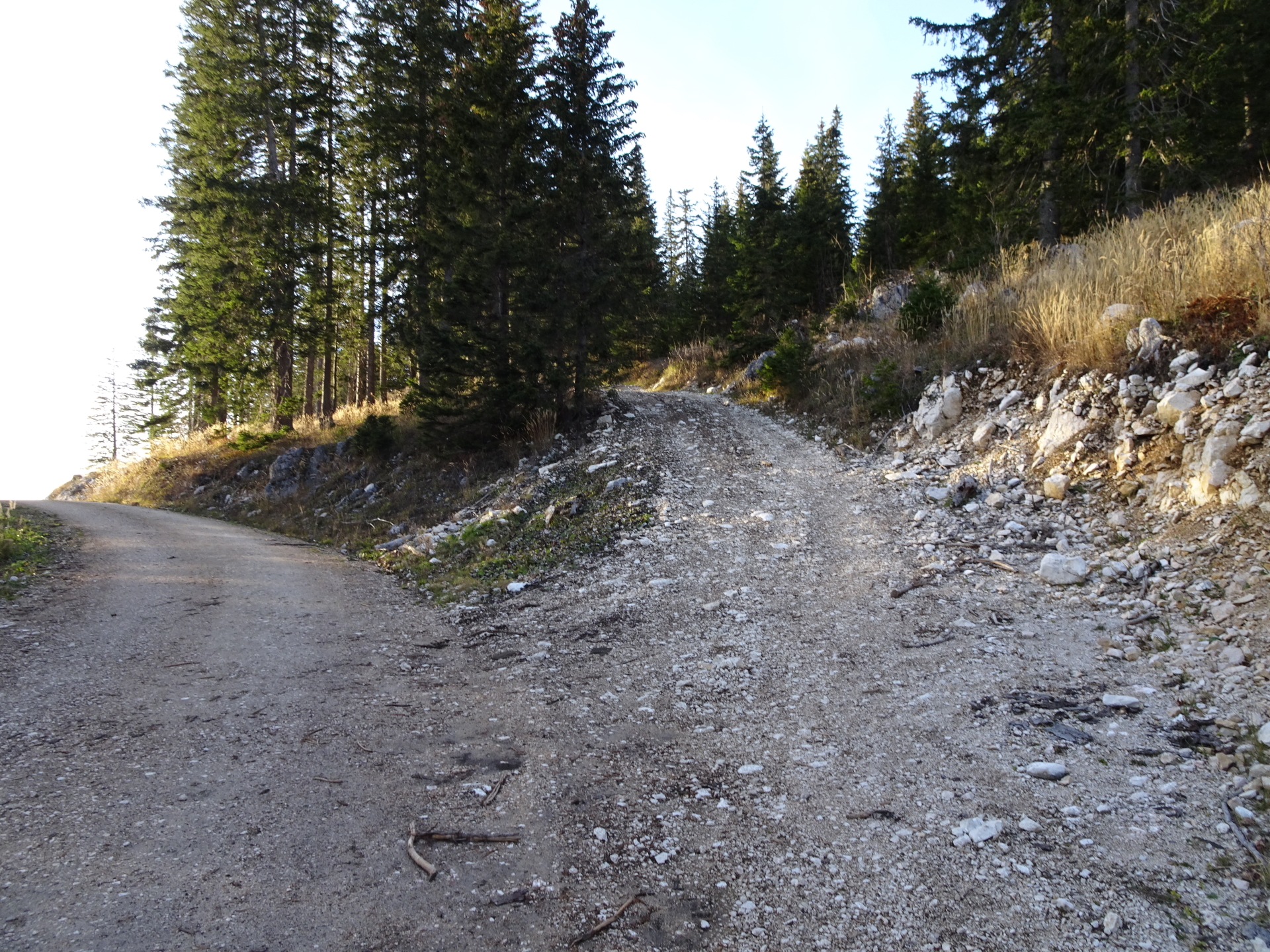
| 04:50 | At the crossing, keep right and continue following the marked hiking trail along the mountain road. |
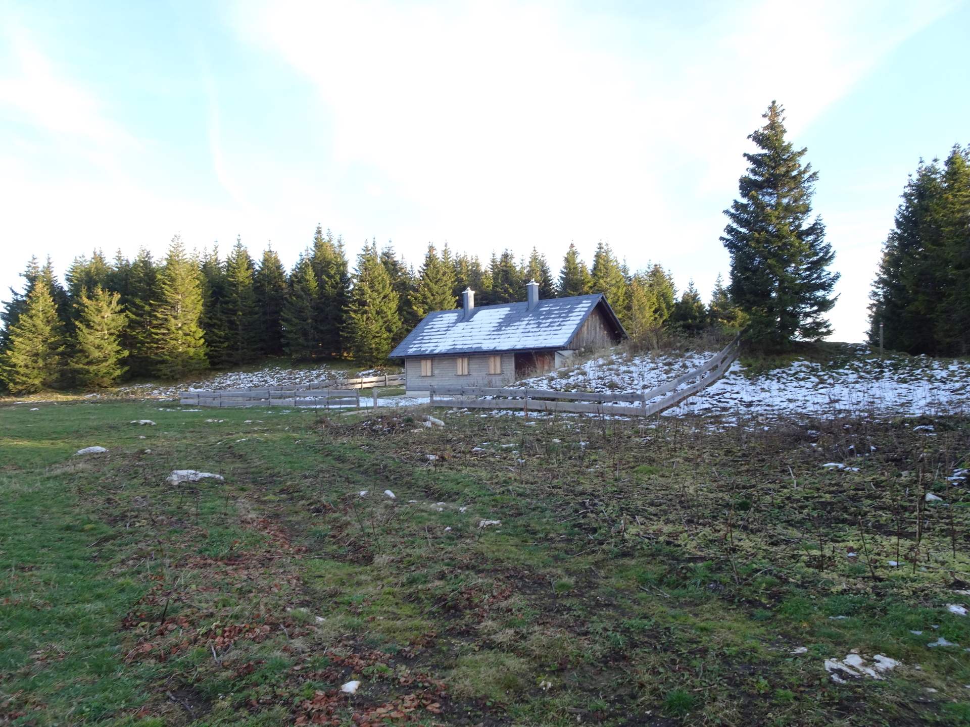
| 05:00 | Well deserved break ( ) at the Dürrieglalm. |
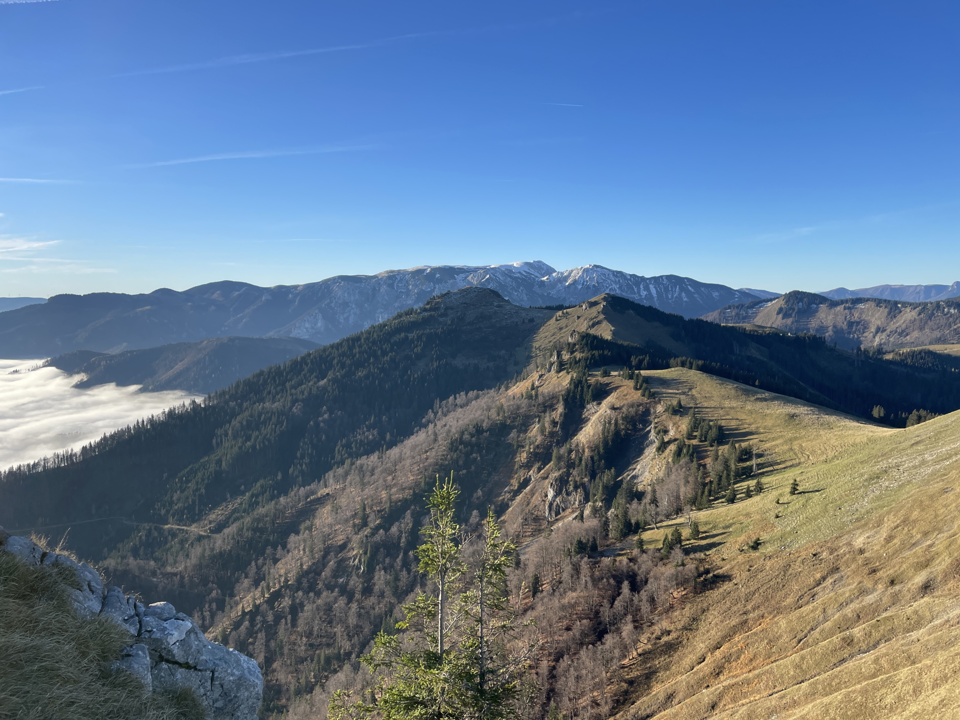
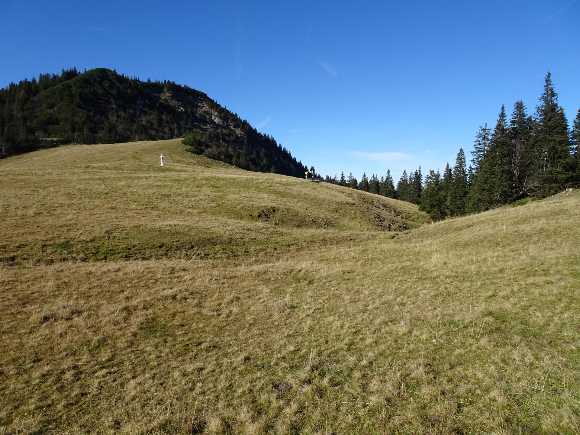
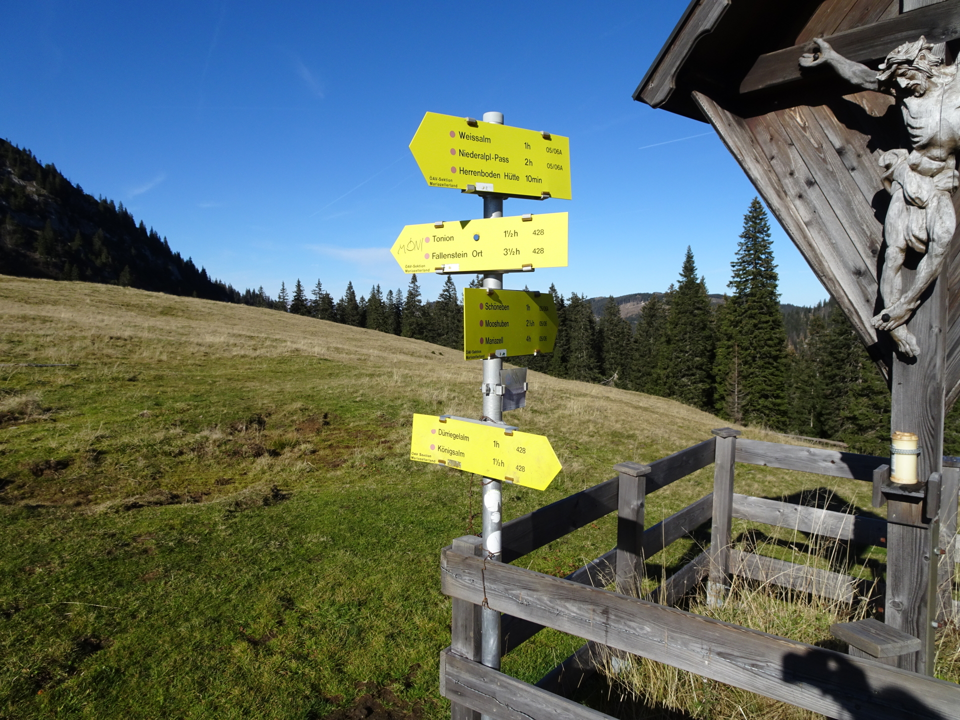
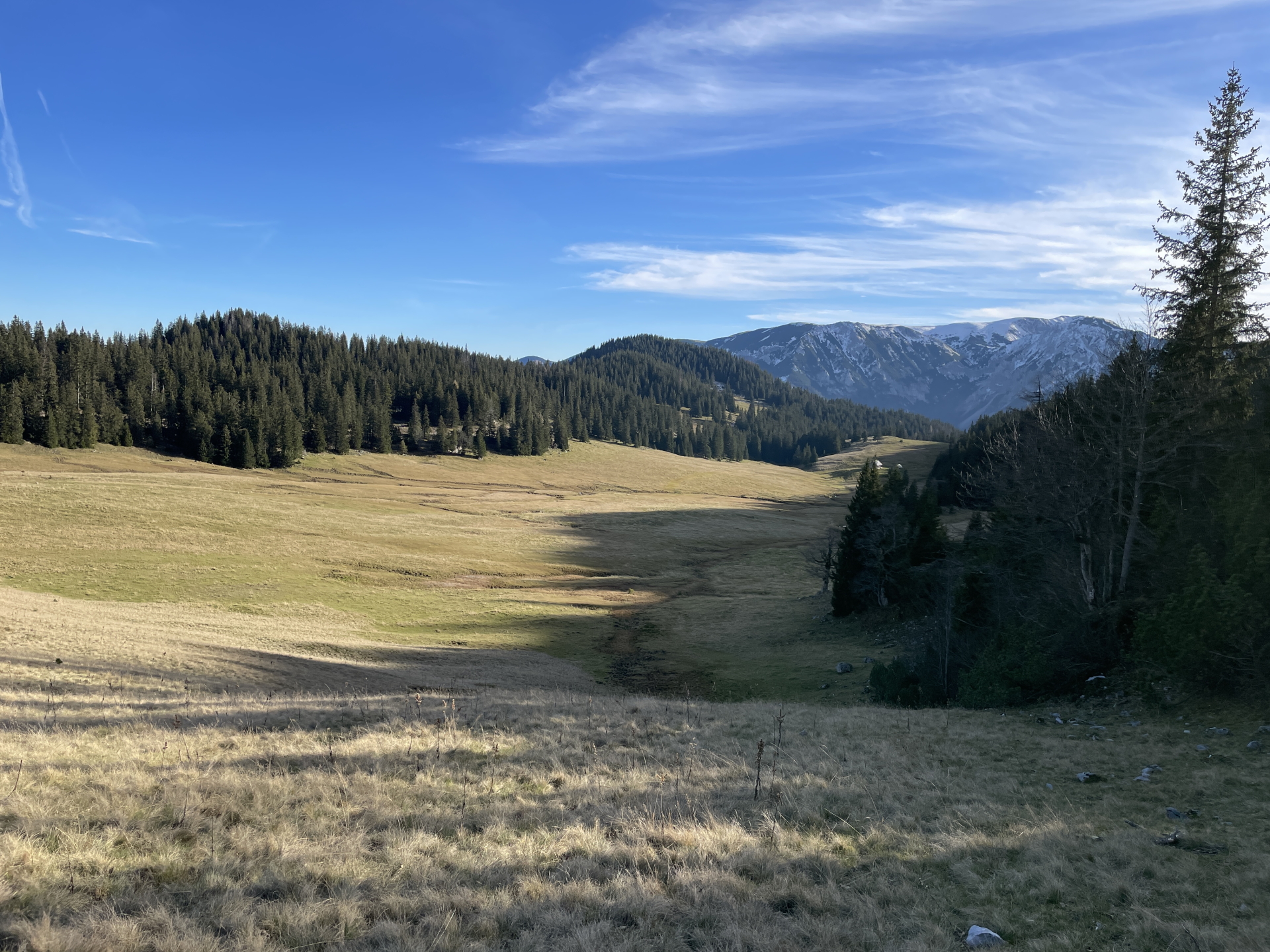
| 05:30 | Turn left and follow the marked trail southwestwards from Dürrieglalm towards Herrenboden/Tonion (see signposts). |
| 05:50 | At the crossing, keep straight (around the shrine) and continue following the marked trail upwards heading west towards Herrenboden/Tonion (see signposts). |
| 06:05 | At Herrenboden, follow the marked trail towards the visible shrine and crossing. |
| 06:10 | At the shrine/crossing, keep straight (heading westwards) and follow the marked trail towards Tonion (see signposts). |
| 06:30 | At the crossing, keep right, go through the gate and continue following the red-white-red marked trail. |
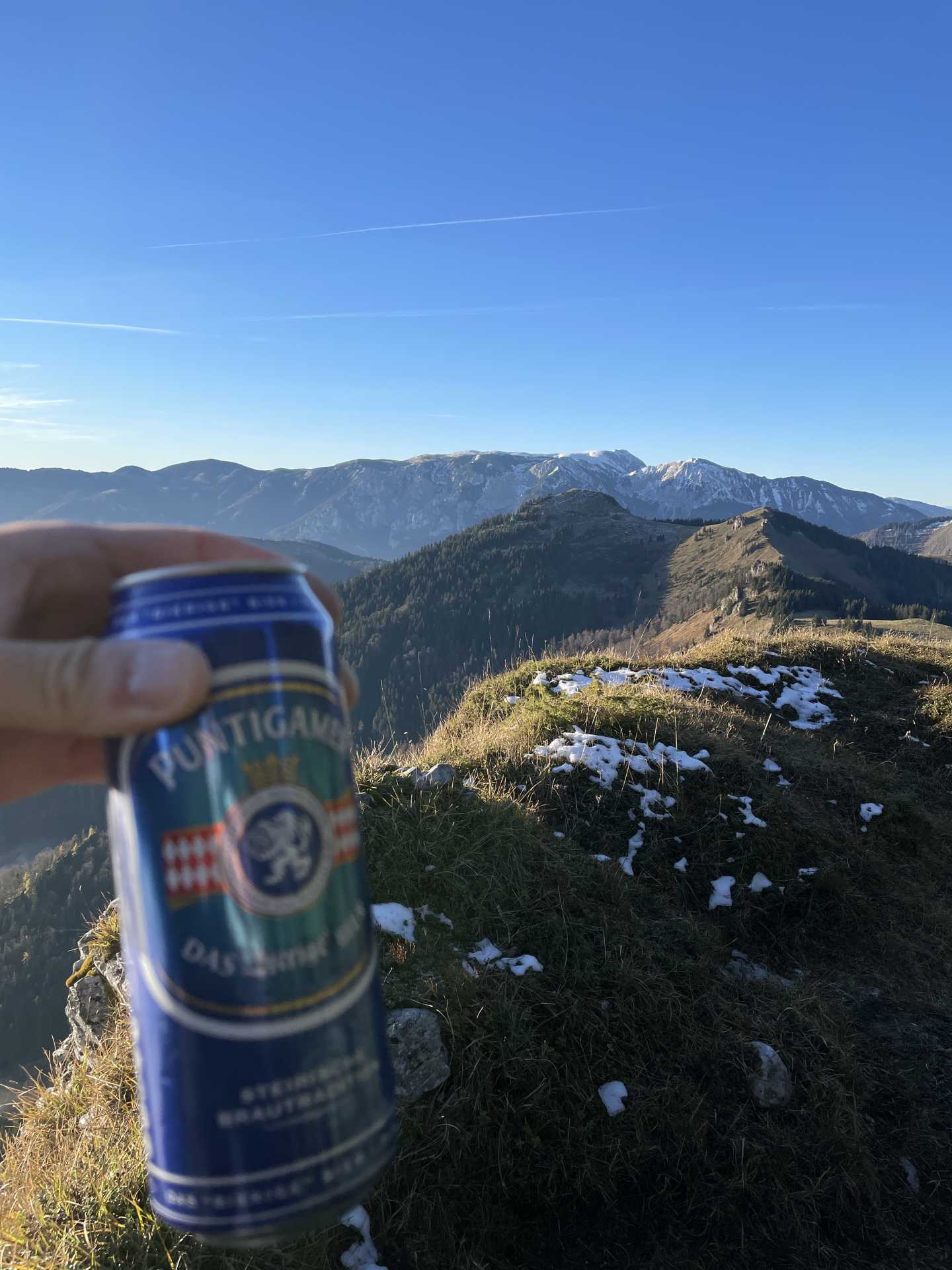
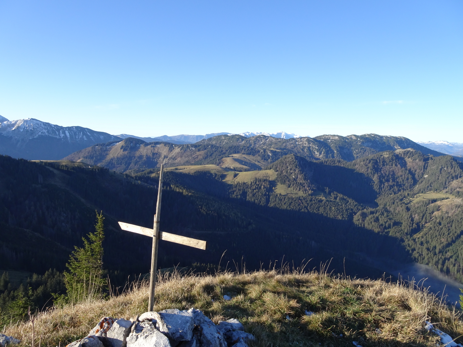
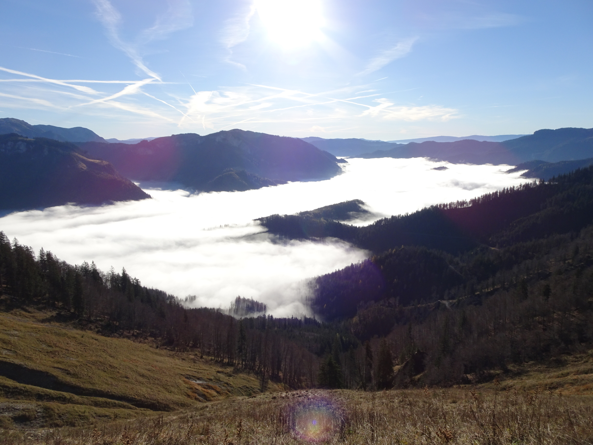
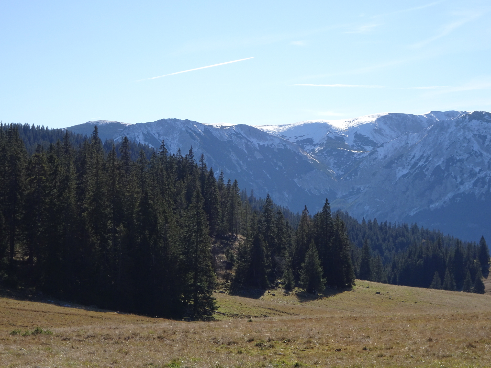
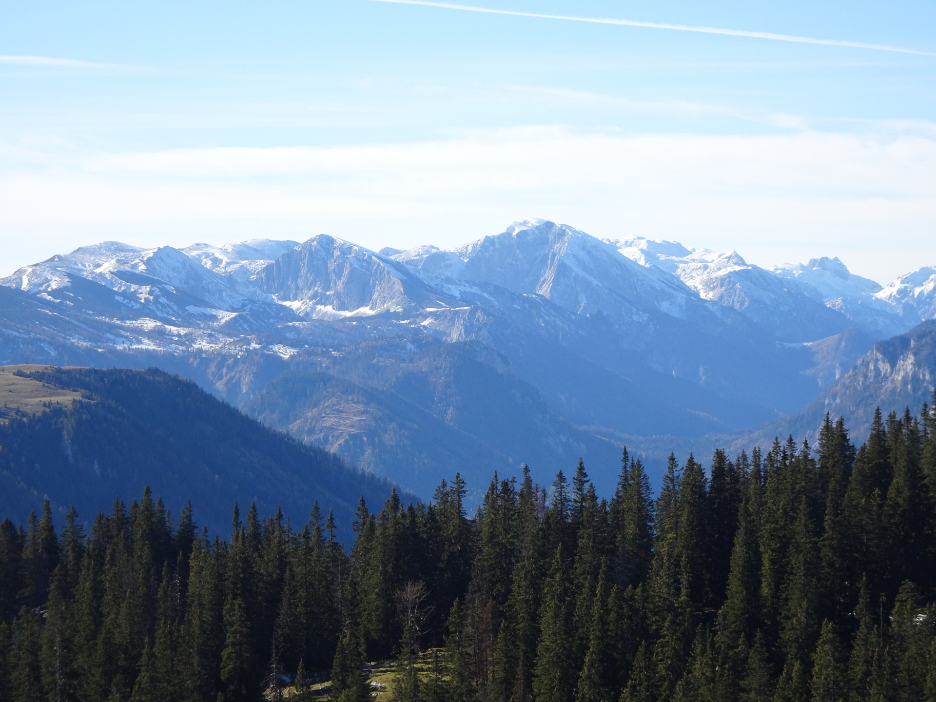
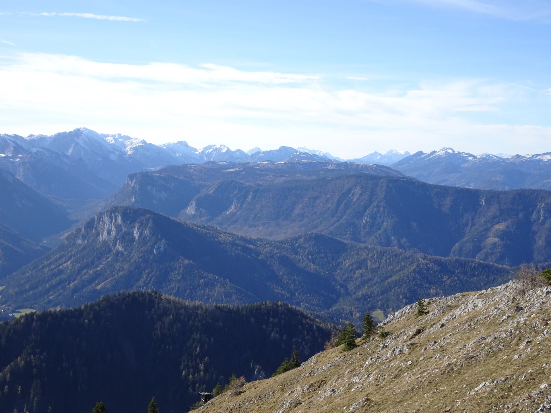
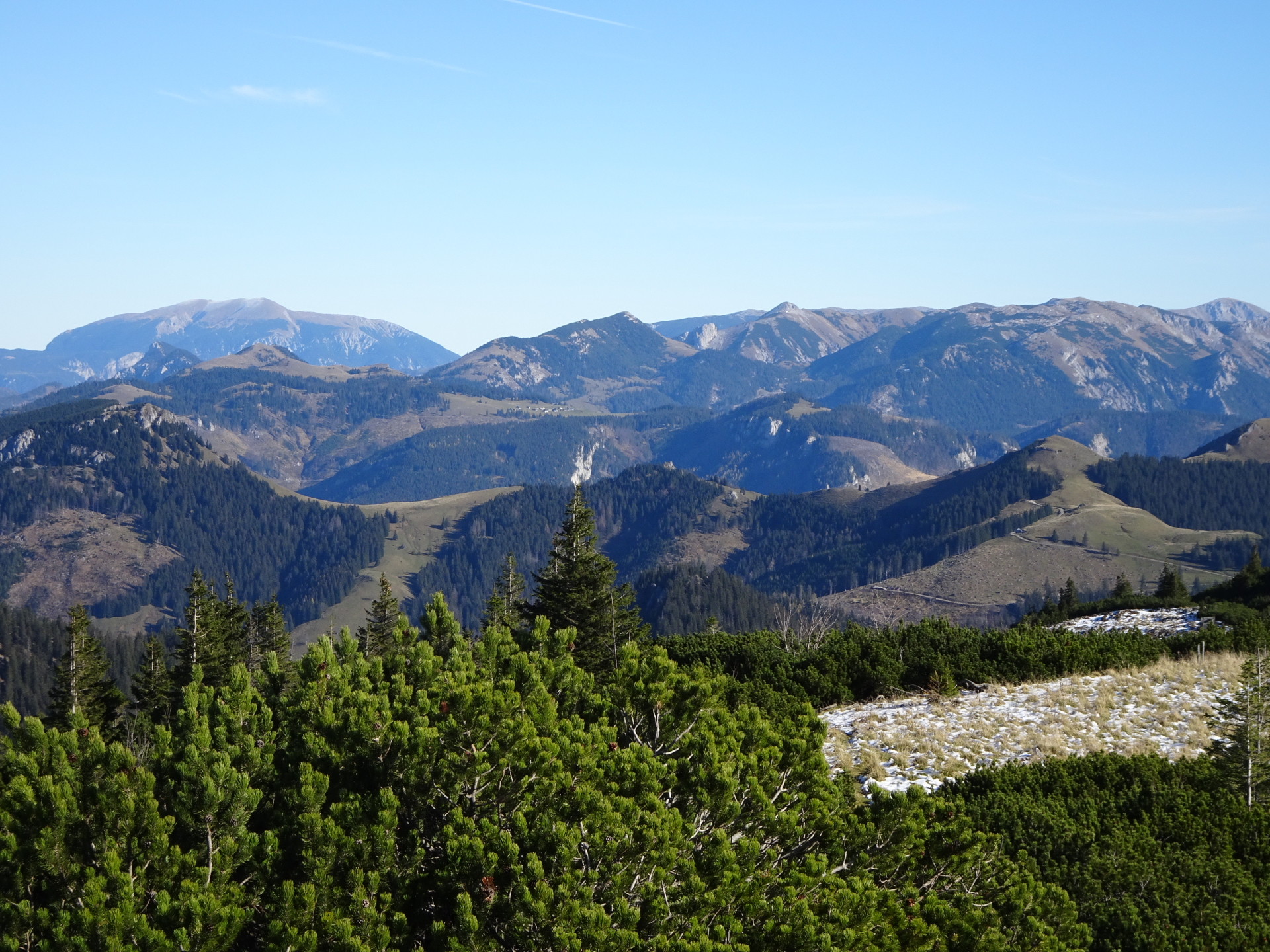
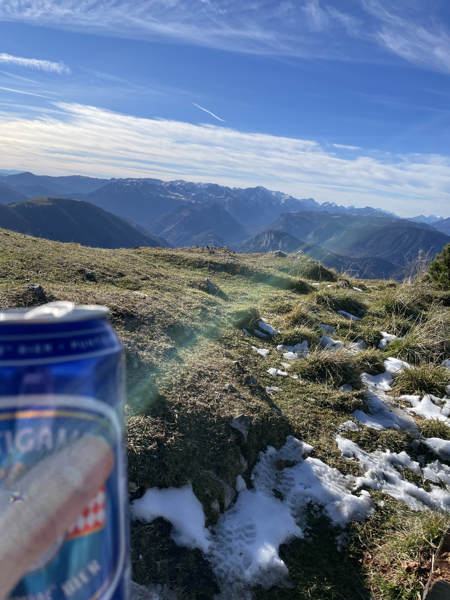
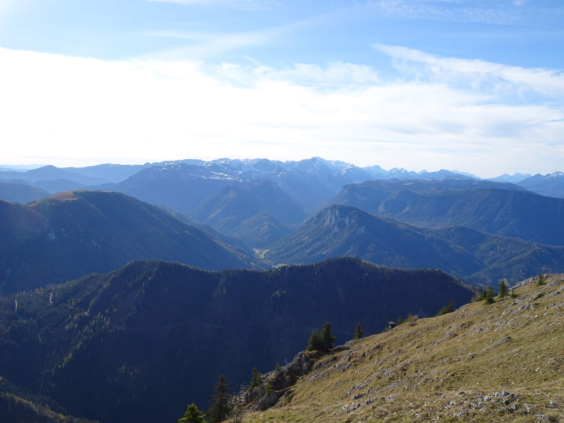
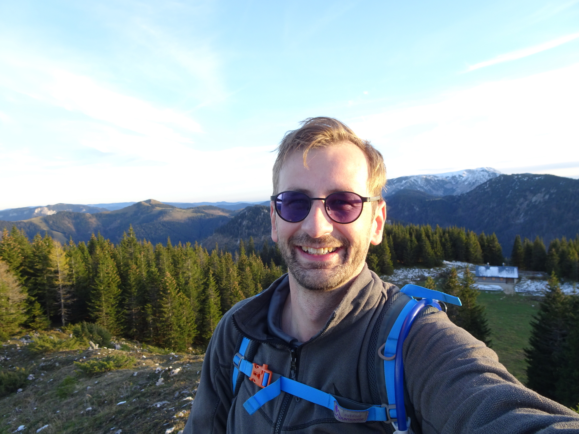
| 07:10 | Enjoy the very impressive scenic view from Tonion! Enjoy it with self-brought refreshments () at the rest area. |
| 07:30 | Descend back to Herrenboden on the same way as used for the ascent. |
| 08:20 | At the shrine/crossing at Herrenboden, turn left and follow the marked trail down towards Schöneben (see signposts). |
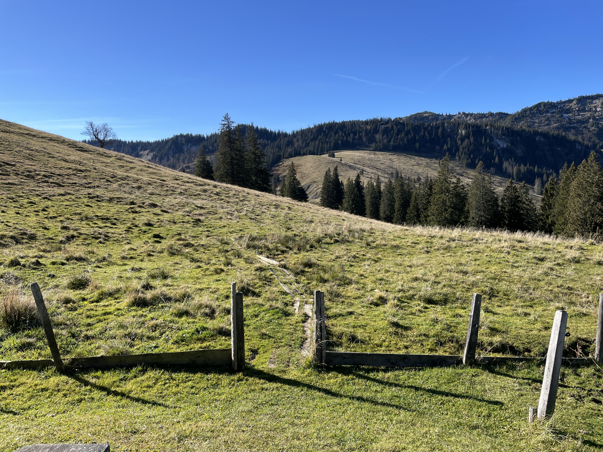
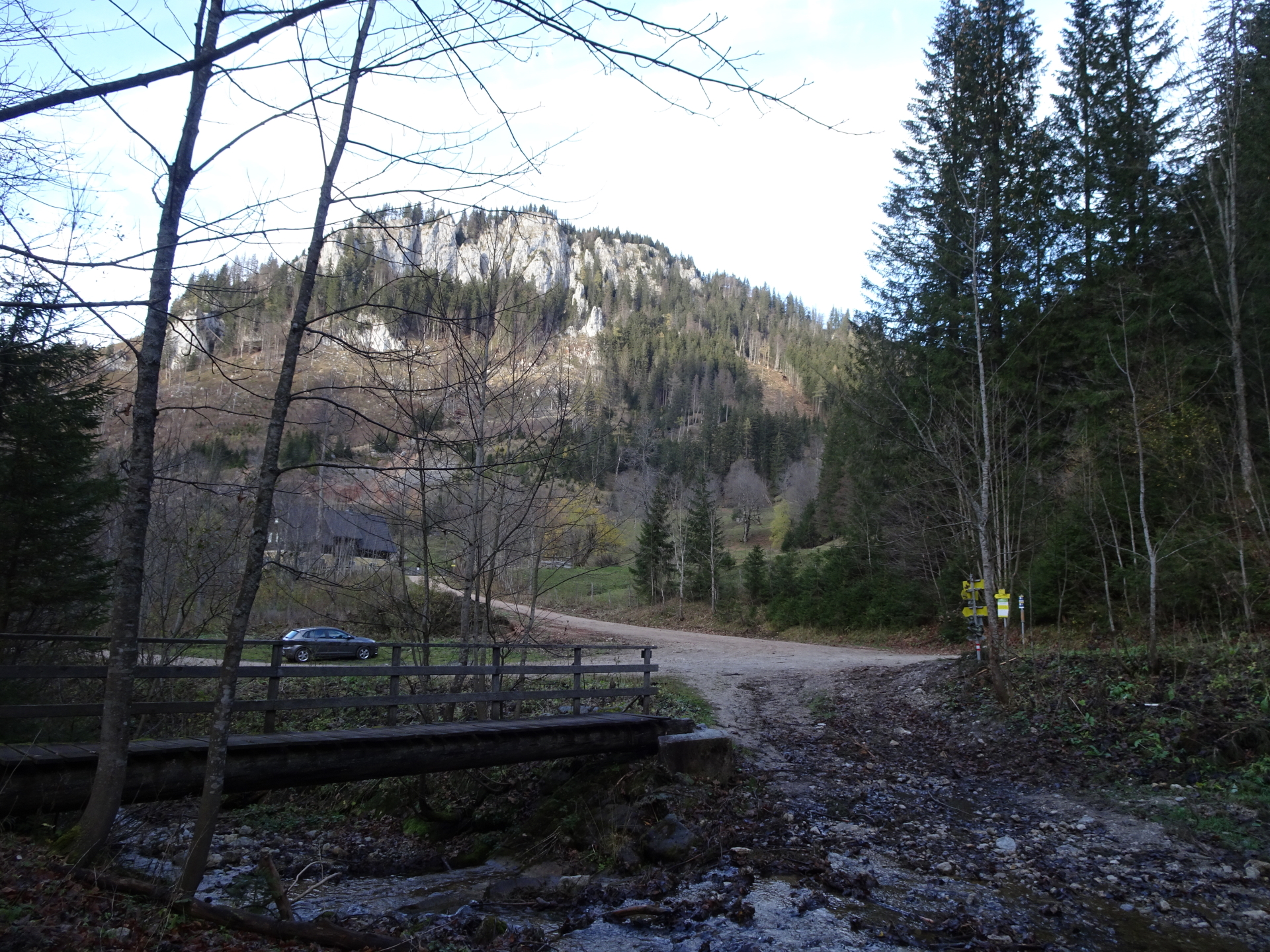
| 08:55 | At Schöneben, cross the river via the bridge and then keep right and follow the gravel road upwards. |
| 09:00 | Turn left into the hiking trail (shortcut the road) and follow the hiking trail upwards. |
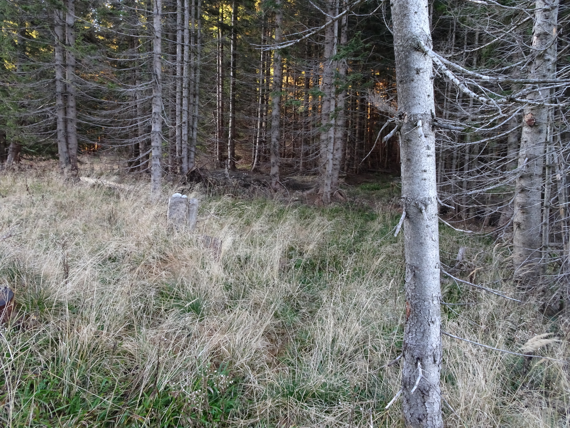
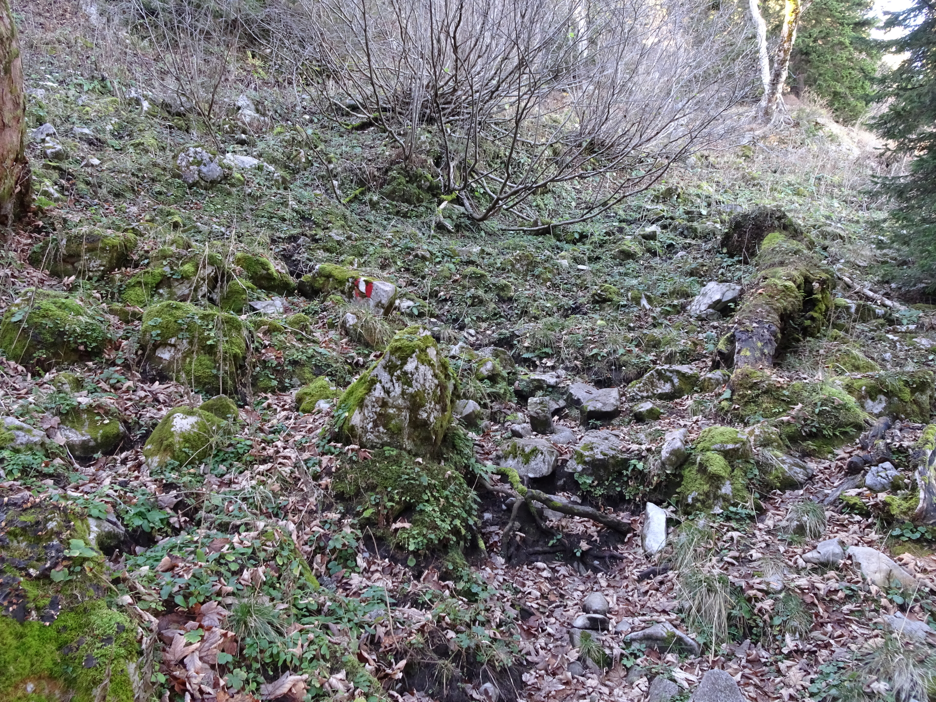
| 09:05 | At the top of the saddle, turn left (leave the road) and find your way up to the forest. Watch out for the “stone-men” (stacked stones) marking the way. |
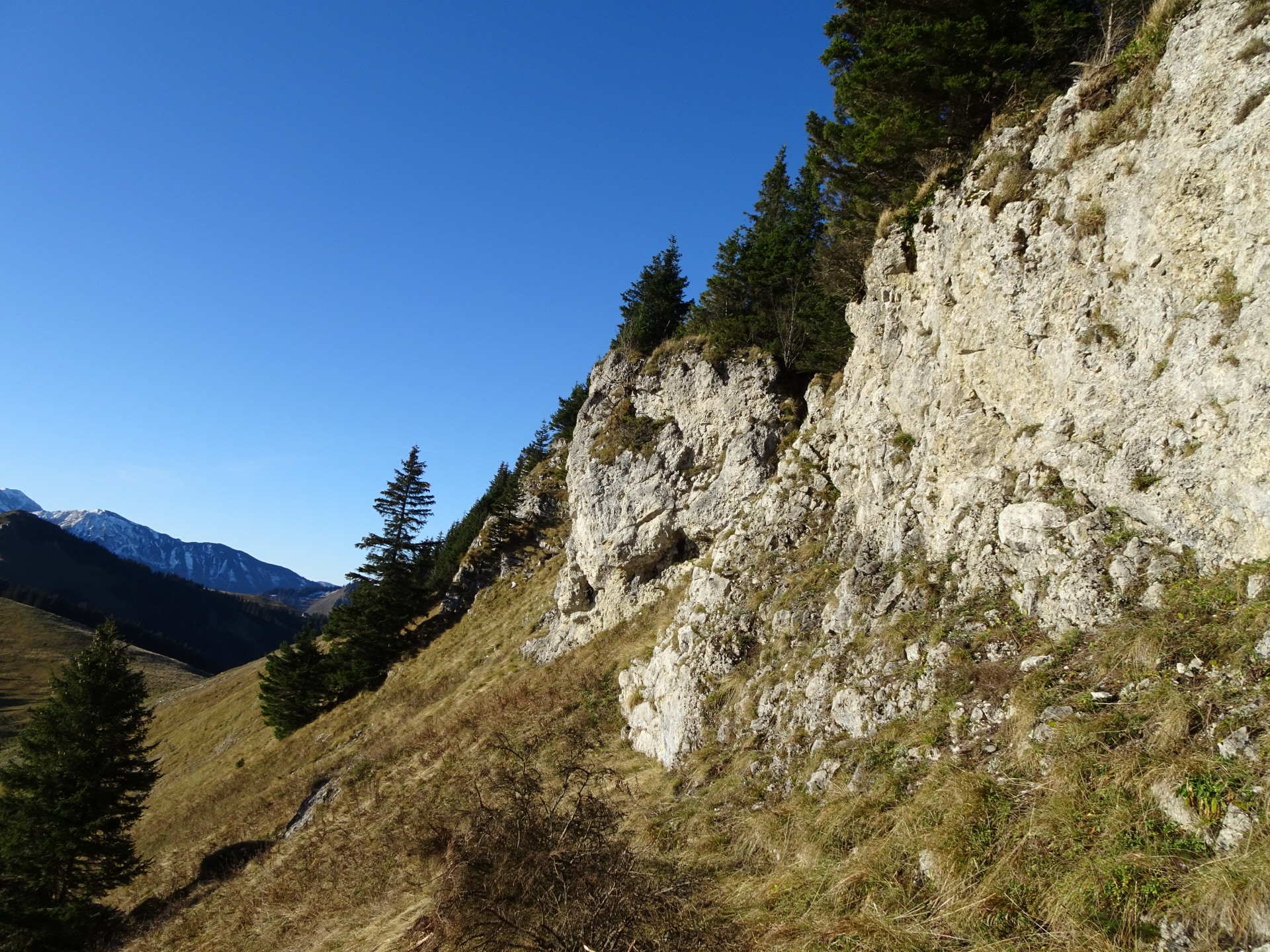
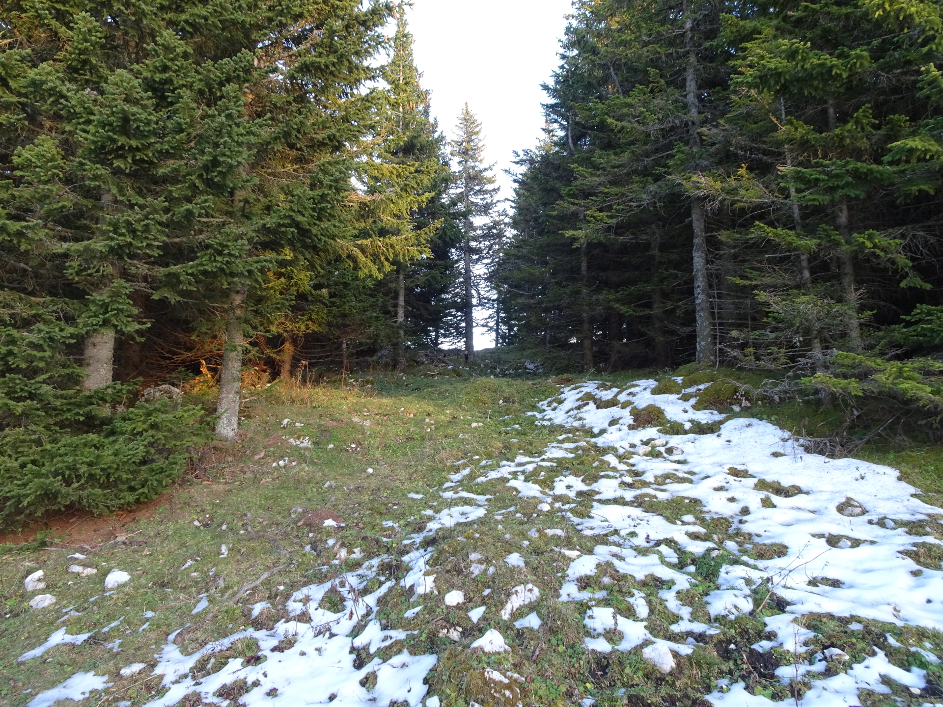
| 09:10 | Inside the forest, follow the unmarked but visible trail. The trail becomes more and more steep and slightly exposed before it ends at Buchalpenboden! |
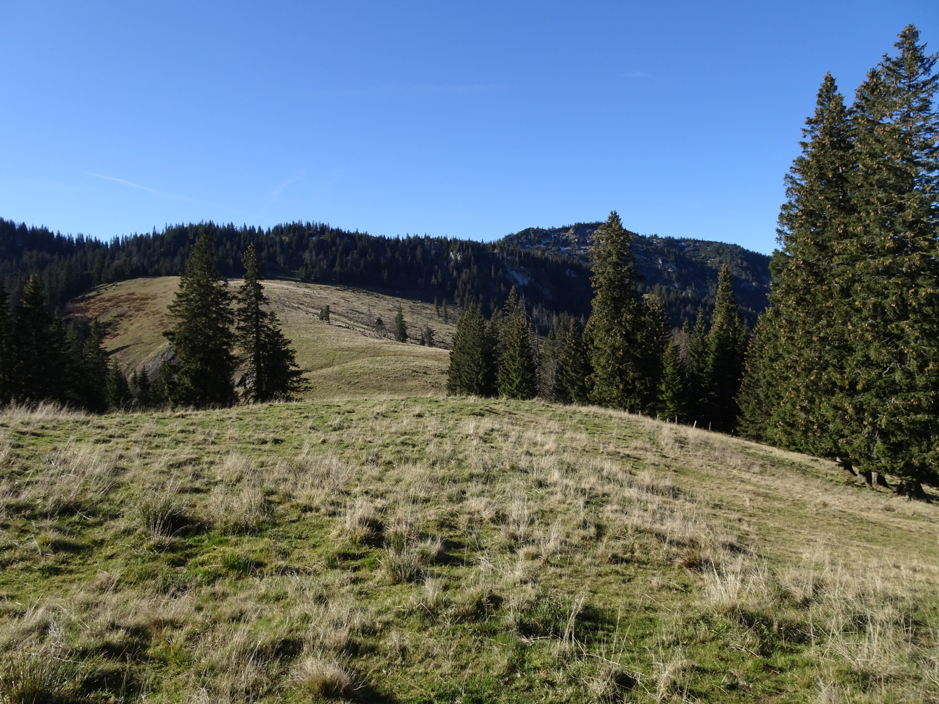
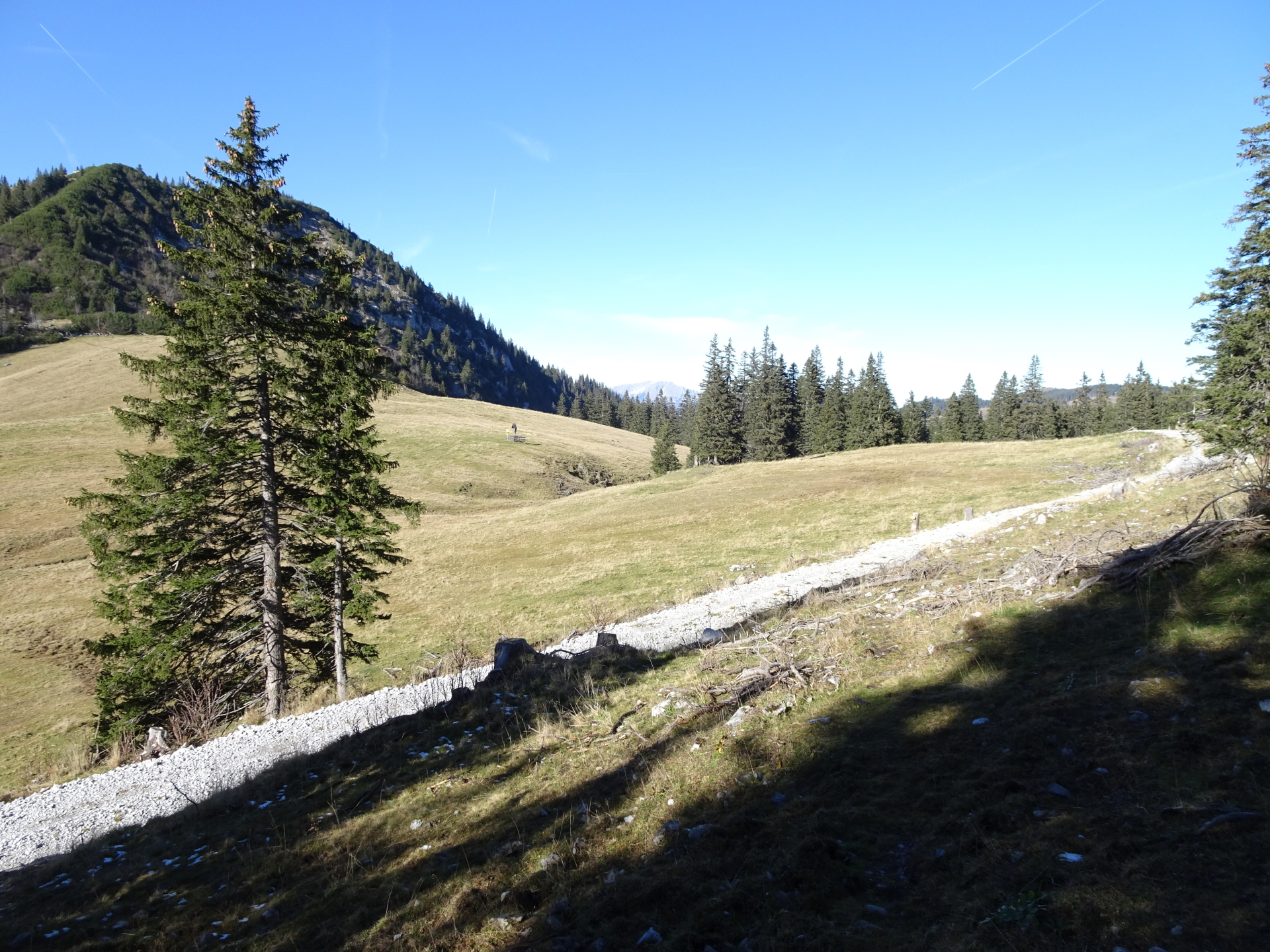
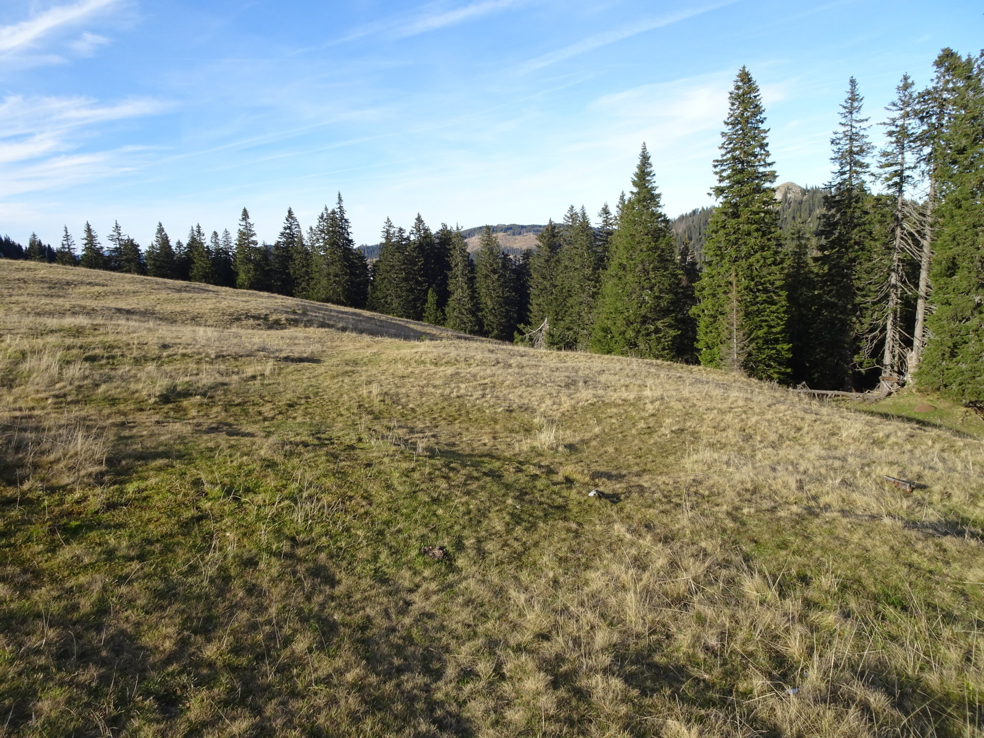
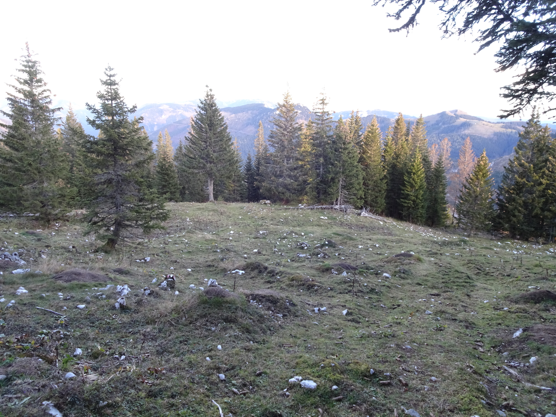
| 09:30 | Cross the meadow at Buchalpenboden. Orientate north towards the visible forest road! |
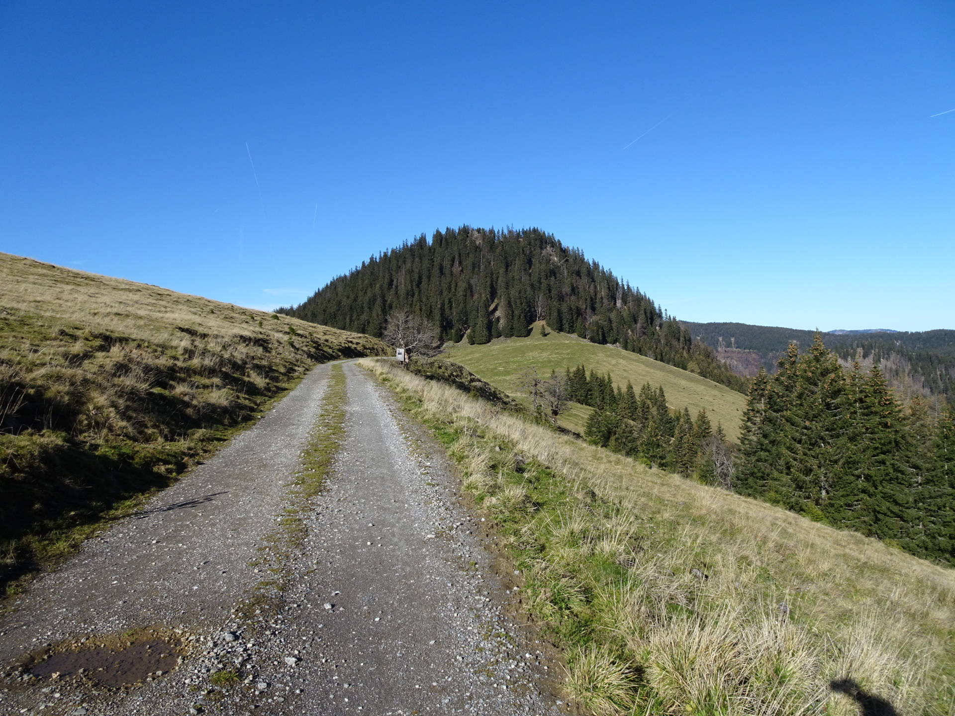
| 09:35 | Turn left and follow the forest road westwards. |
| 09:40 | At the crossing, keep straight and now turn into the hiking trail heading up towards Hohe Student. |
| 09:50 | Turn right, bypass the hut and turn left at the hut. Follow the traces of a trail which lead up directly to the summit of Hohe Student. |
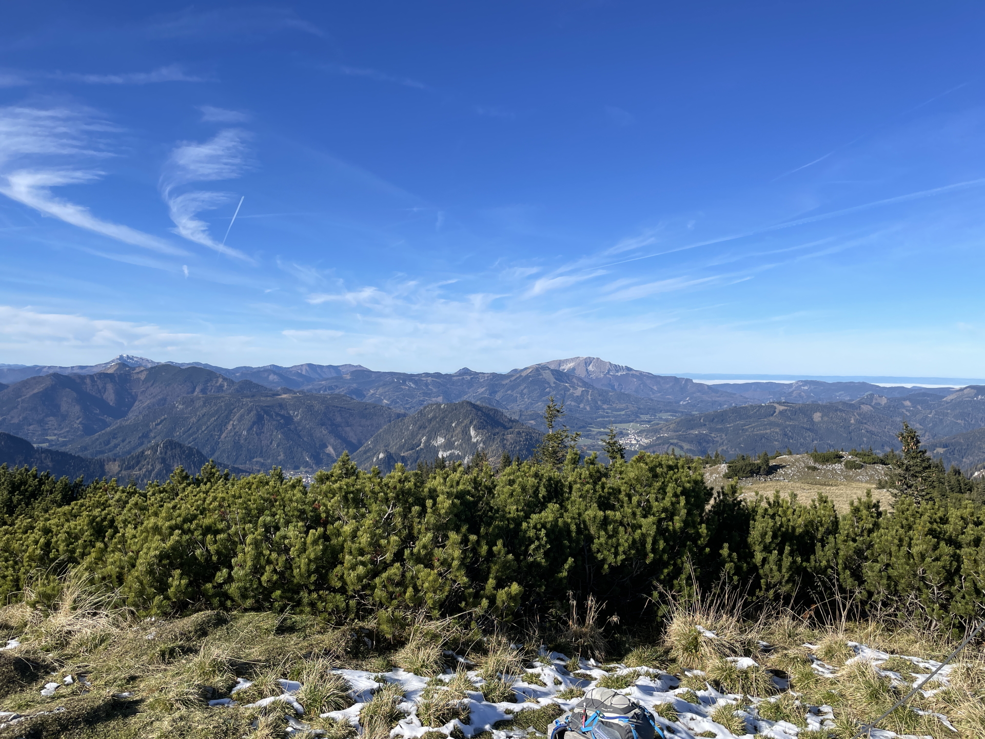
| 09:55 | Enjoy the view from the last summit at Hohe Student, again best enjoyed with a self-brought refreshment (). |
| 10:00 | Hike back towards the hut and then around the hut. Follow the (first hard to find) marked hiking trail behind the hut (keep slightly left) westwards. |
| 10:20 | Turn left and follow the gravel road northwestwards towards Oberes Halltal (see signposts). |
| 10:35 | Descend now on the relatively steep trail downwards. Please note that the route of the trail slightly deviates from the GPS map (real trail is a bit more west than on the map). |
| 10:50 | Turn right and follow the gravel road eastwards. |
| 11:00 | At the crossing, turn right and follow the gravel road eastwards. |
| 11:02 | At the crossing, keep straight and continue following the gravel road eastwards directly towards Frein an der Mürz. Optionally, you can also turn right and then left and follow the marked Oberfreinweg hiking trail. |
| 11:20 | At the crossing, turn sharp right (U-turn) and follow the forest road downwards. |
| 11:40 | At the crossing, keep straight into the marked hiking trail and follow the Oberfreinweg back to the parking. |
| 11:55 | Back to the parking, end of the tour. |
| Area: | Mürzsteger Alps, Hochsteiermark, Austria | |
| Distance: | 35km | |
| Ascent: | 1966m (3h 15min) | |
| Descent: | 1986m (2h 45min) | |
| Highest Pt: | 1699m | |
| Lowest Pt: | 859m | |
| Duration: | 10h 40min (without breaks) 12h 00min (with breaks) |
|
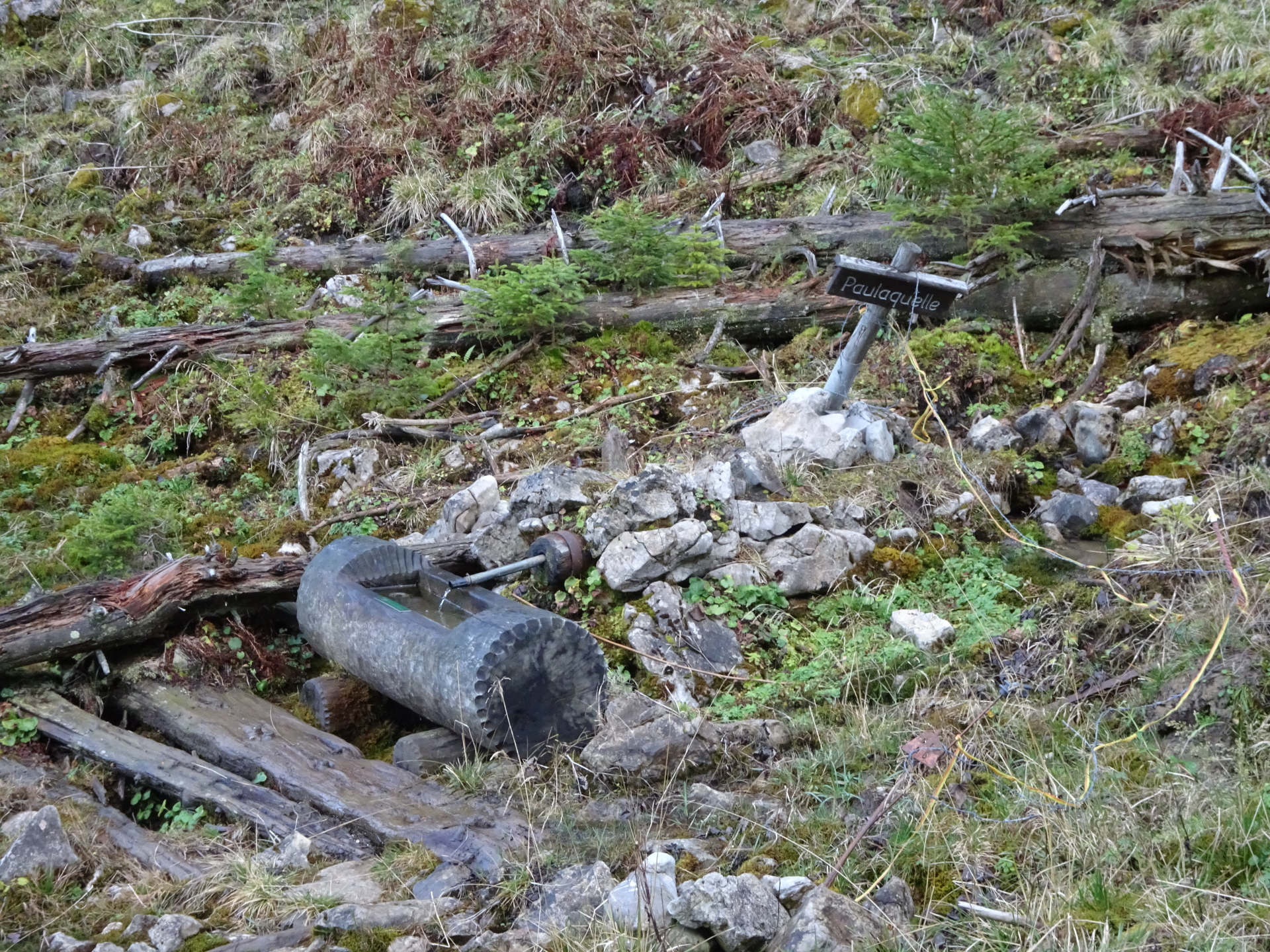
| Stop/Rest: | Königsalm (1440m) [not always serviced!] Dürrieglalm (1353m) [not always serviced] Herrenboden (1419m) [not always serviced] Freinerhof (865m) | |
| Equipment: | Hiking shoes with good grip (on rock) Backpack with standard hiking equipment Food/snacks and plenty of water 4x Gipfelbier () Sun & Weather protection Camera GPS strongly advised! |
| Download GPX | ||
| O | Tour at outdooractive.com |
At a glance
| Level | difficult |
| – UIAA Level (Climbing) | I- |
| Technique | |
| Shape / Fitness | |
| Experience | |
| Scenery | |
| Best time in the year | |
|
Jan
Feb
Mar
Apr
May
Jun
Jul
Aug
Sep
Oct
Nov
Dec
|
|
You will get points for:
- Großer Proles: 3 points
- Großer Königskogel: 3 points°
- Tonion: 3 points
- Hohe Student: 3 points
° checkpoint not reachable via hiking trail!


\"")

: Mönichkirchen / Hochwechsel\"")
Leave a Reply