
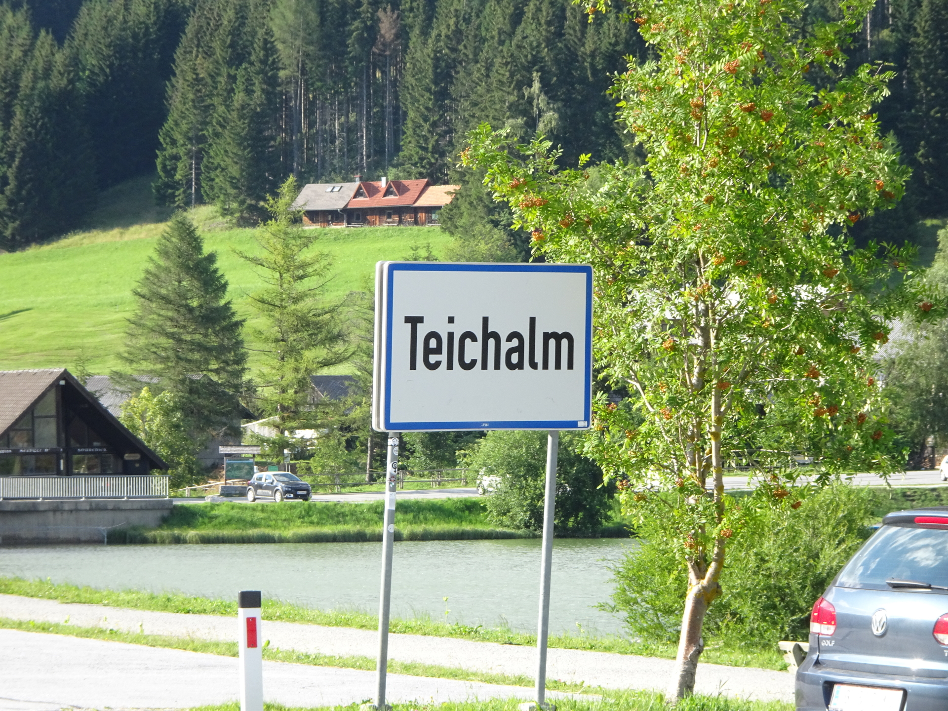
Scenic tour up to Heulantsch, Stoahandhütte, Raabursprung, Osser, Buchkogel, and Gerlerkogel starting from Teichalm
This long but exciting tour starts at Teichalm and visits several highlights of the Almenland area. First the tour leads up to Heulantsch providing a scenic view towards the Teichalm lake. The tour then continues eastwards towards the Stoahandhütte. After a well-deserved break, the tour then follow the route southwards to the Schwoabauerkreuz. From there, an optional detour leads towards the Raabursprung which is the source of the river Raab. Back at Schwoabauerkreuz, the tour then follows the trail westwards and leads up to the summit of Osser. From there, during the descend, another detour is done southwards to hike up to the summit of Buchkogel. The tour then leads back northwestwards but detours again to hike up the last summit: the Gerlerkogel. From there the tour descends northwards back to the Teichalm.
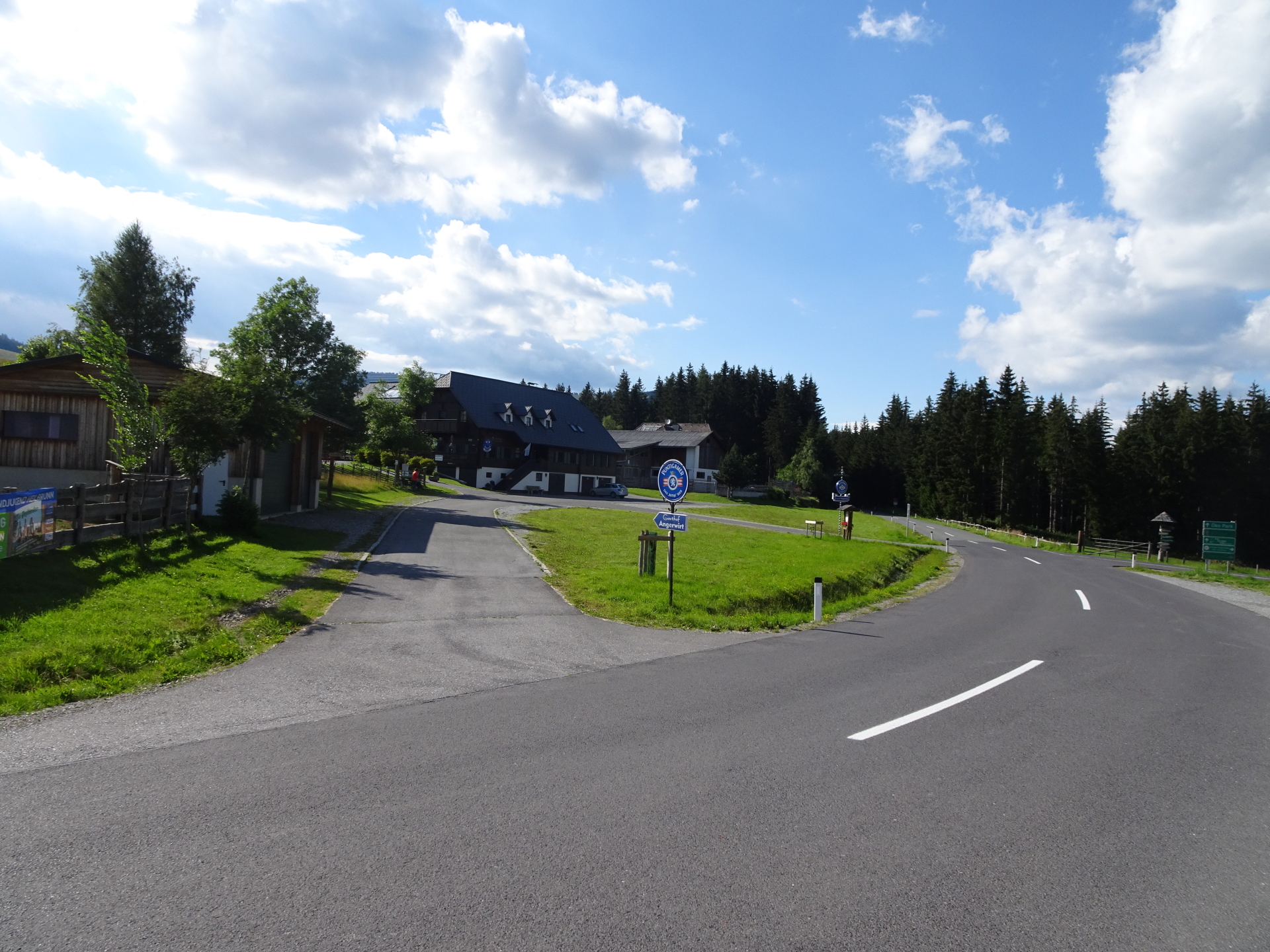
| 00:00 | Start at one of the parking lots Teichalm (e.g. GPS: 47.352564, 15.467049) and follow the road northwards (around the hotel). |
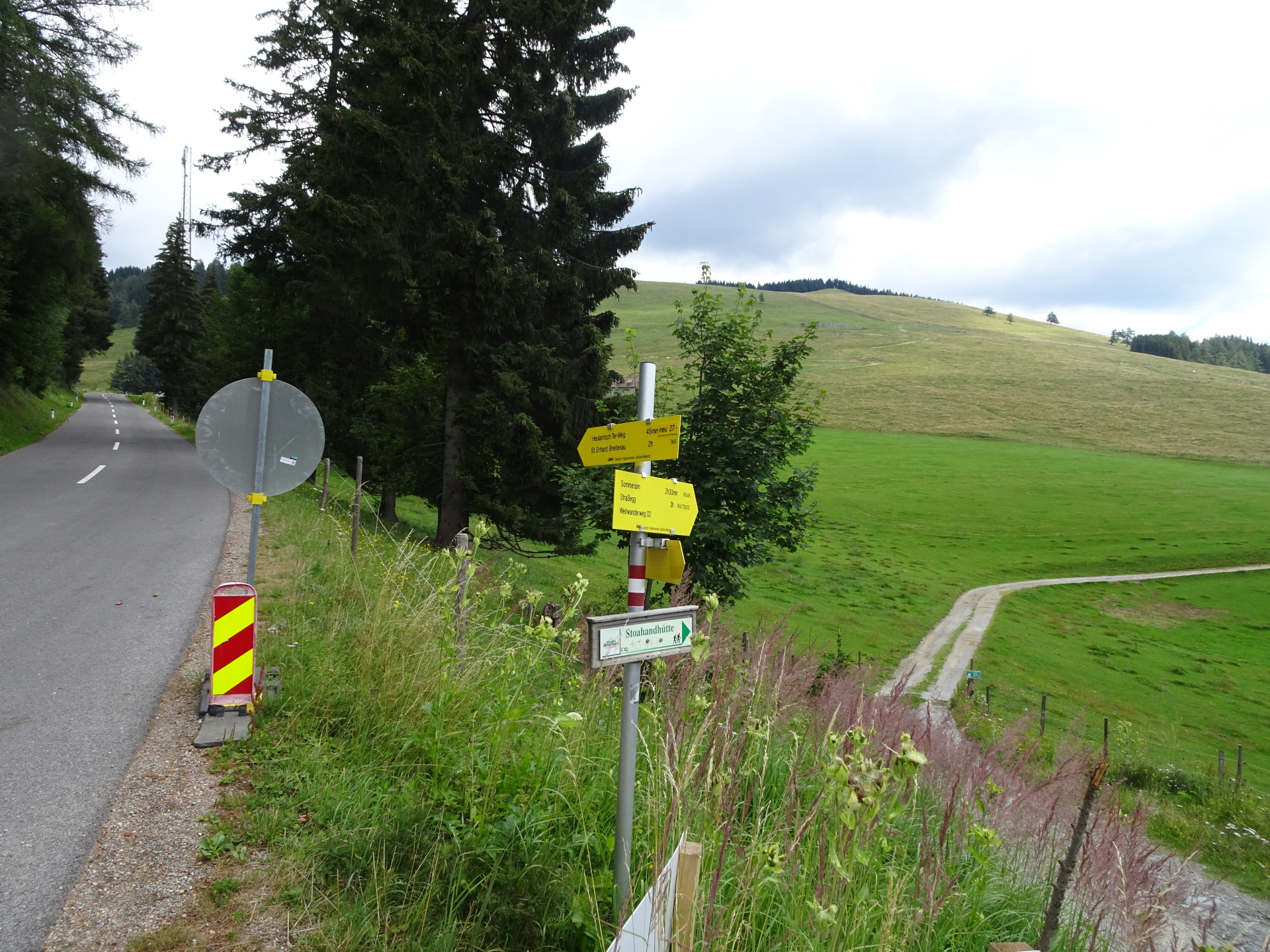
| 00:05 | Continue following the road towards Heulantsch 7er-Weg (see yellow signpost). |
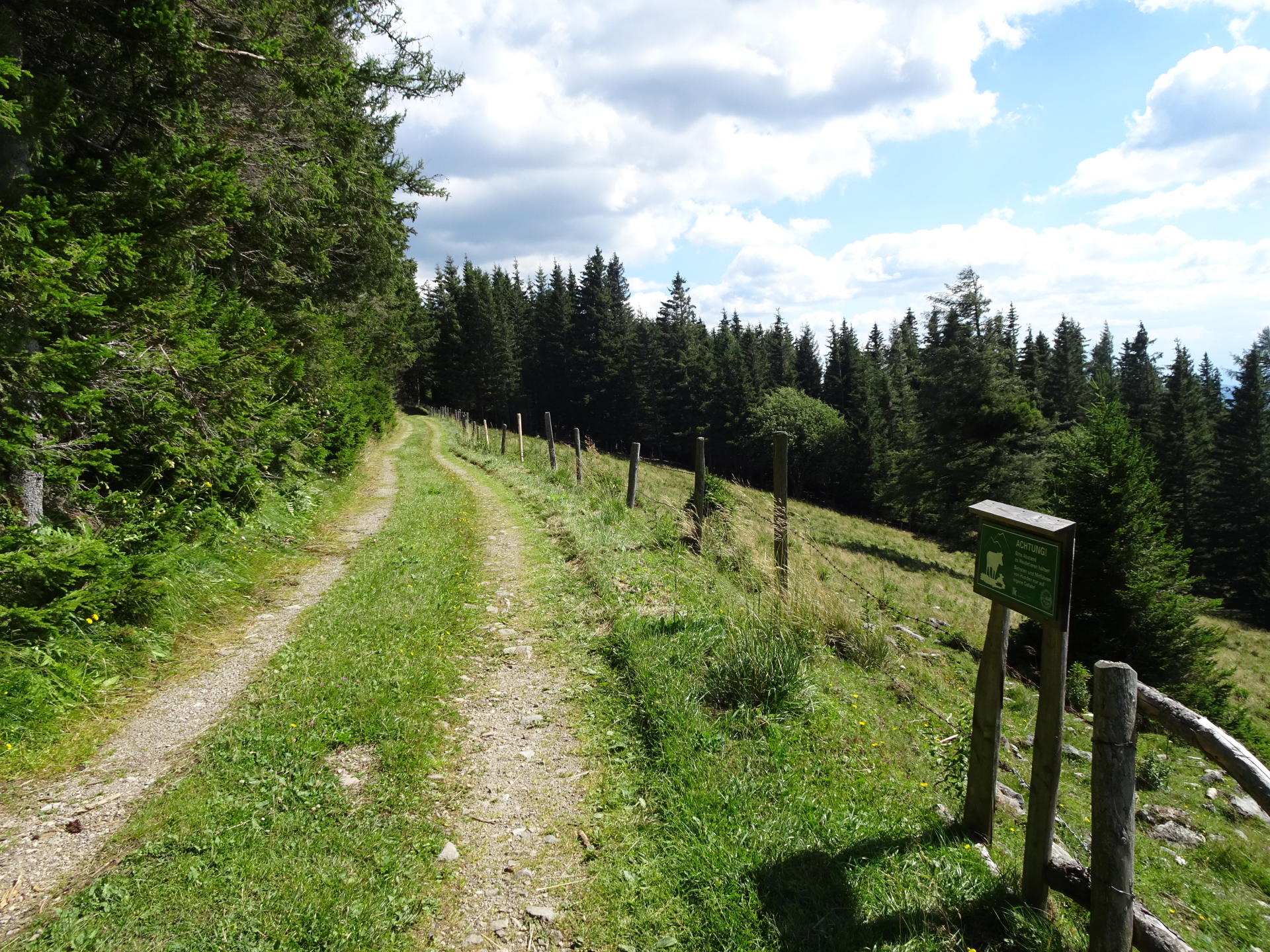
| 00:10 | Turn right into the trail 7 towards Stoahandhütte / Heulantsch (pass the gate and stay on the red-white-red marked trail). |
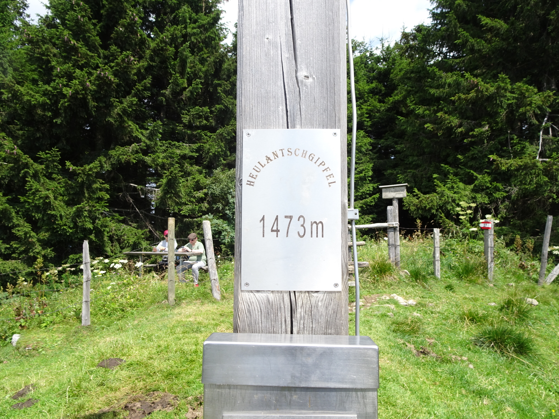
| 00:25 | Turn right and follow the small trail towards the already visible summit cross of Heulantsch. |
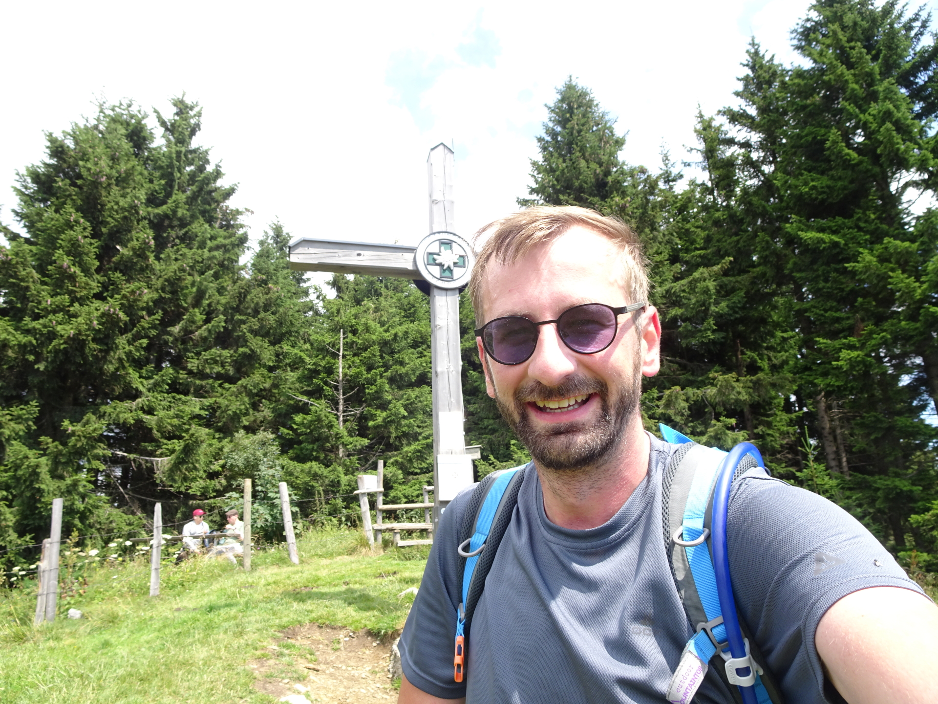
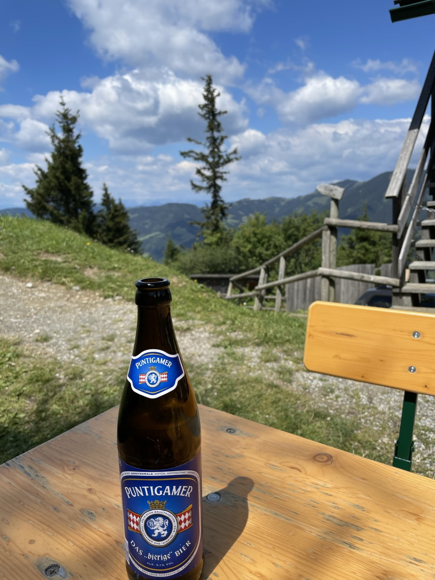
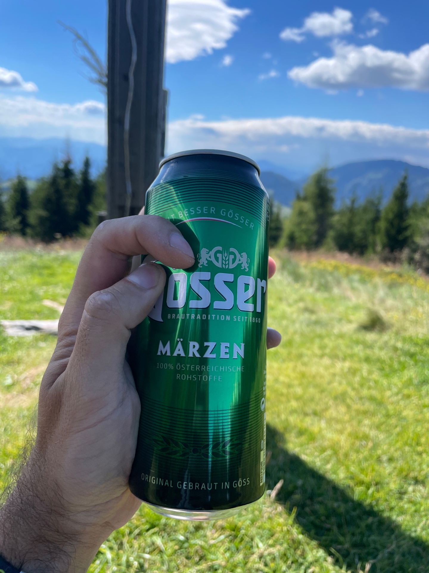
| 00:30 | Enjoy the awesome view from the summit of Heulantsch. Best enjoyed with a self-brought refreshment (). |
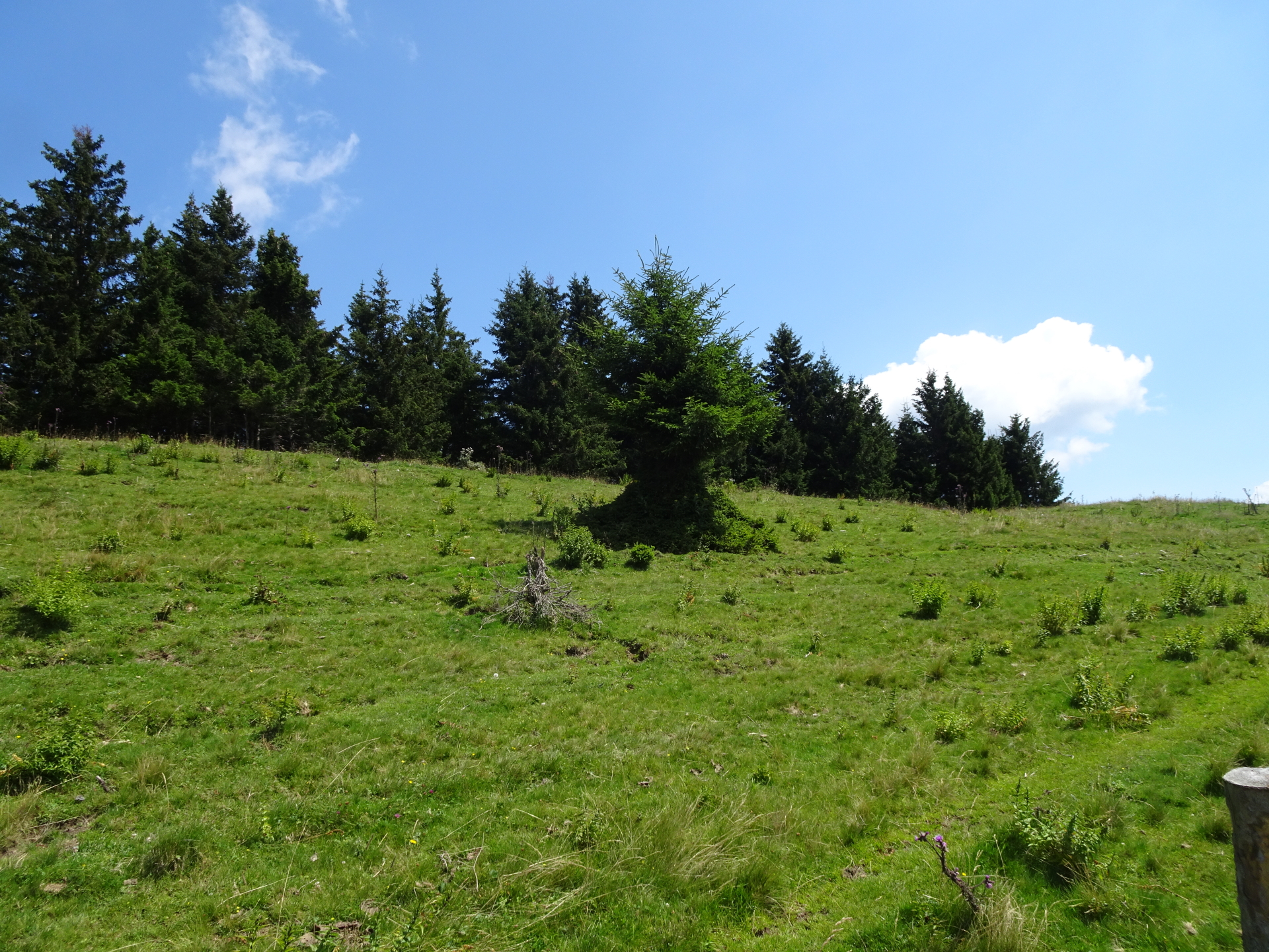
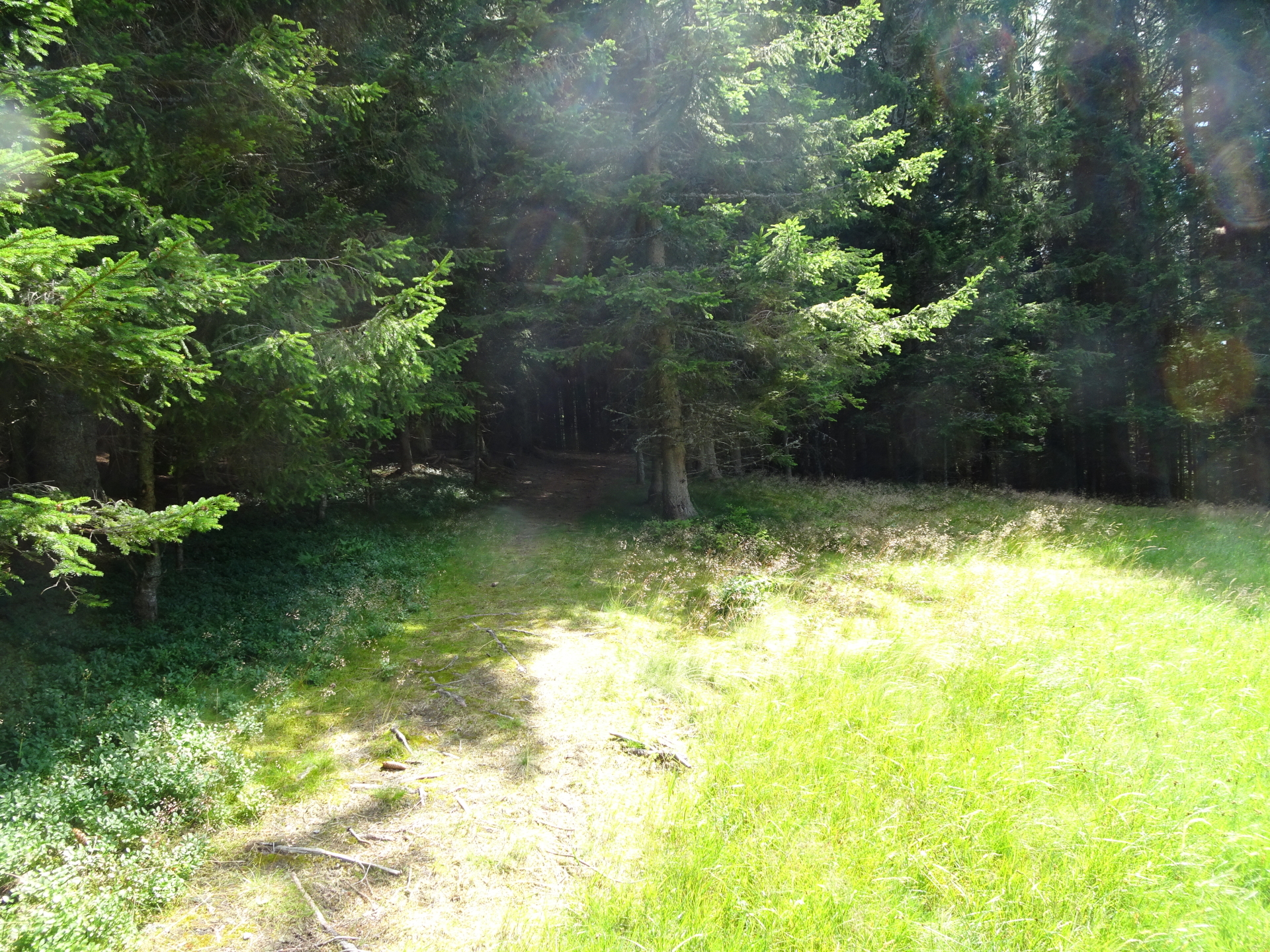
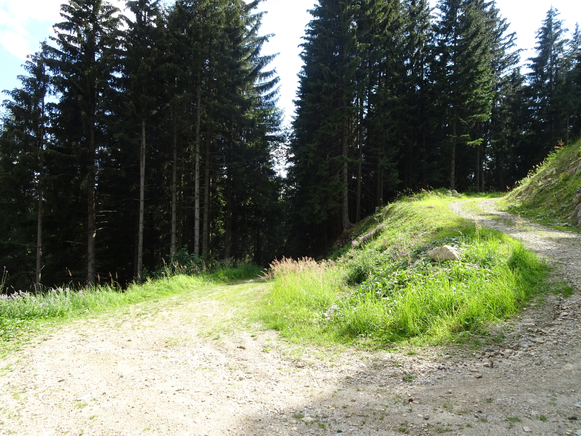
| 00:35 | Continue following the trail 27 eastwards through the forest. |
| 00:45 | Keep left and follow the red-white-red marked trail towards Stoahandhütte. |
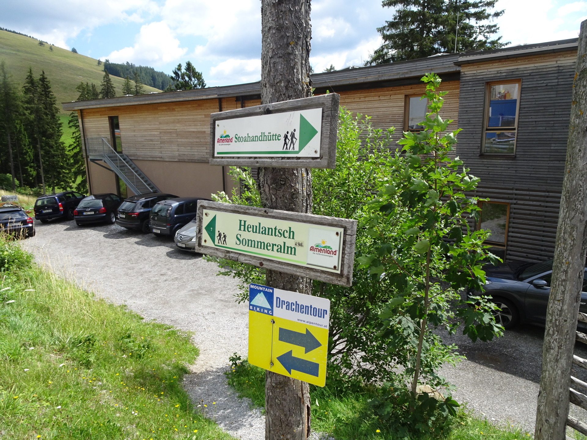
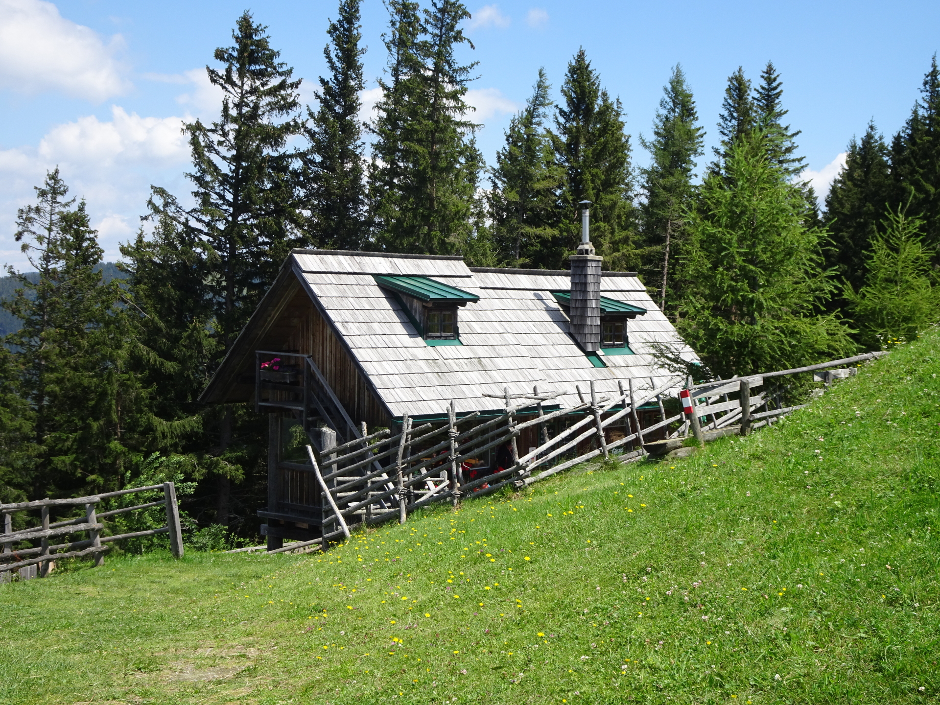
| 01:05 | At the crossing, keep straight and continue following the trail eastwards for a few more meters heading towards the visible existence (flag, Puntigamer sign) of Stoahandhütte. |
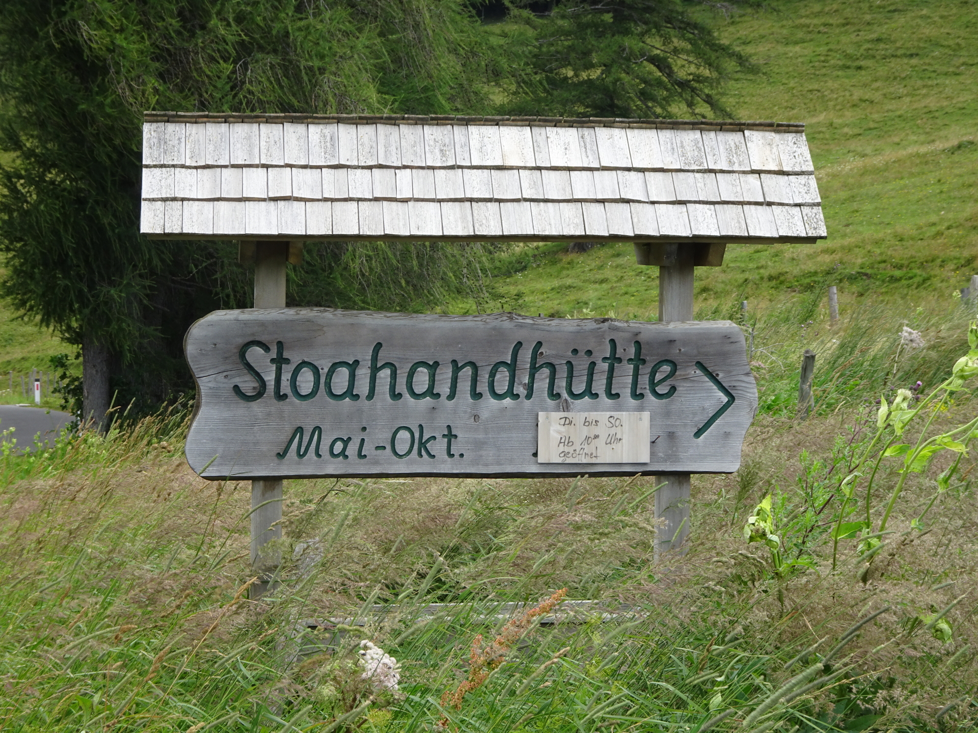
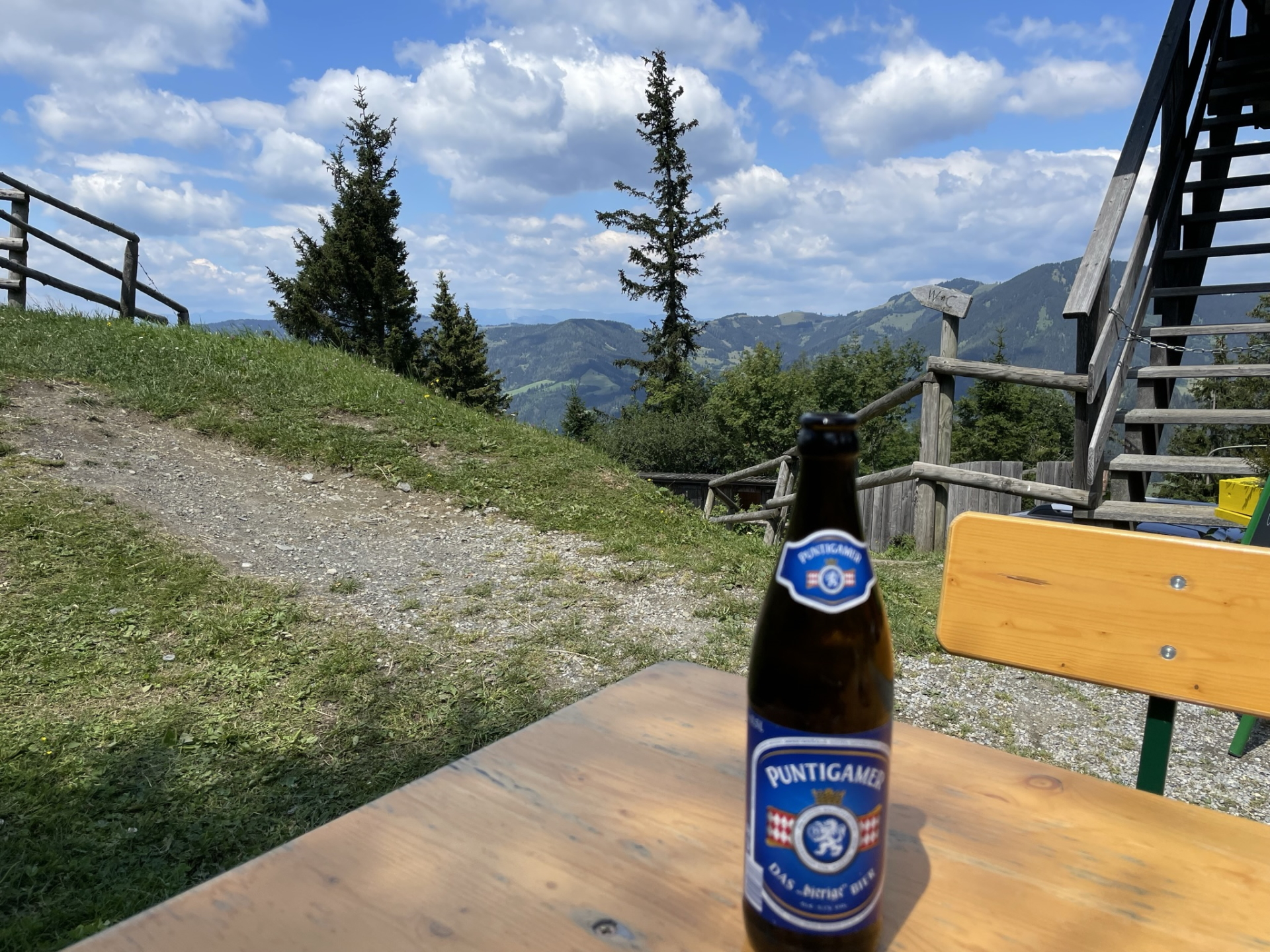
| 01:10 | Turn left and enter the Stoahandhütte. Enjoy well-deserved refreshments ( ). Tip: The “Brettljause” is a very good choice! |
| 01:55 | Head back to the crossing before (01:05). |
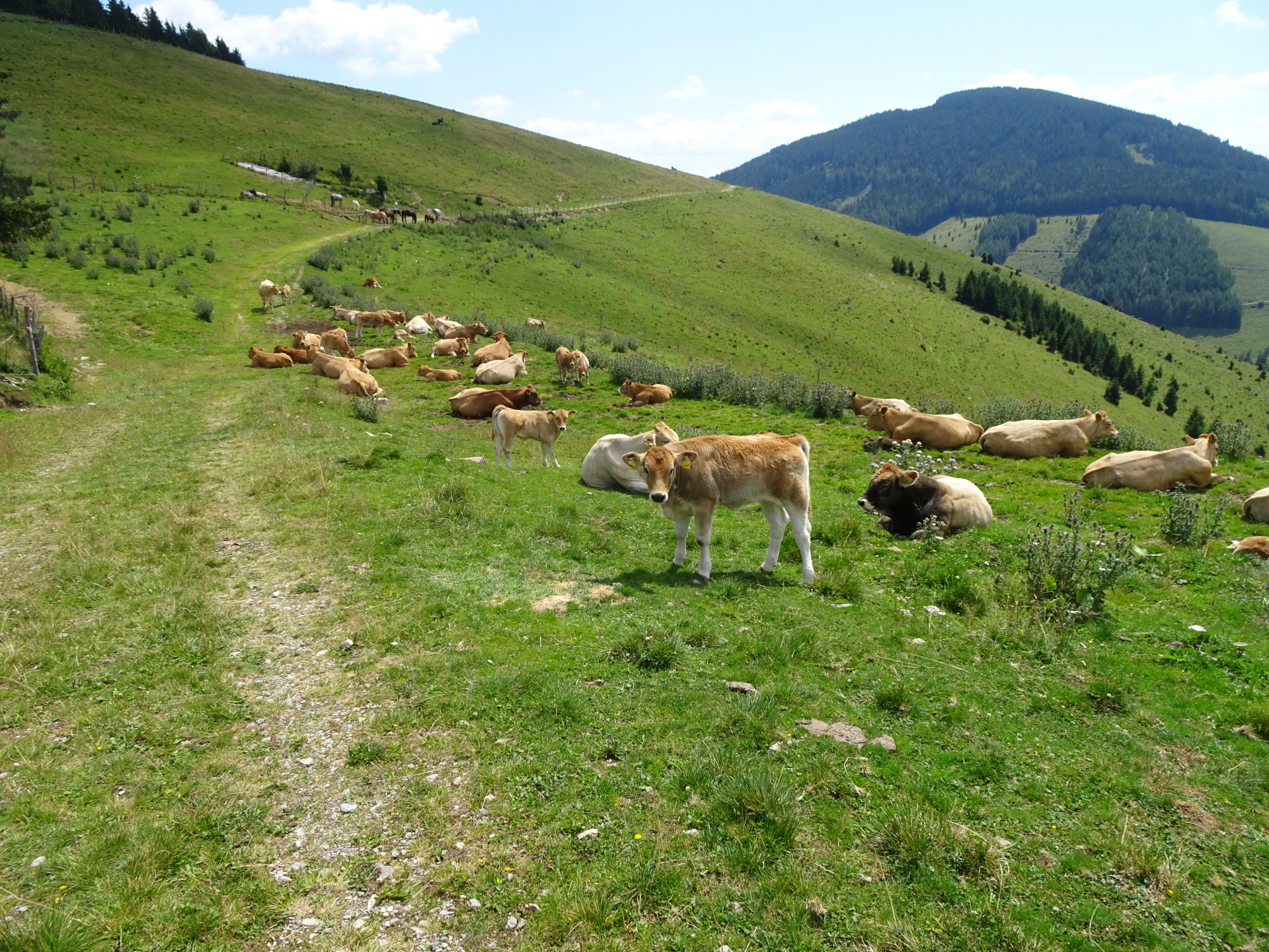
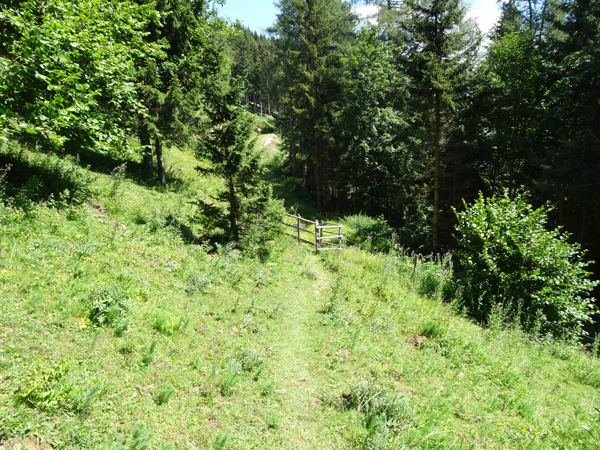
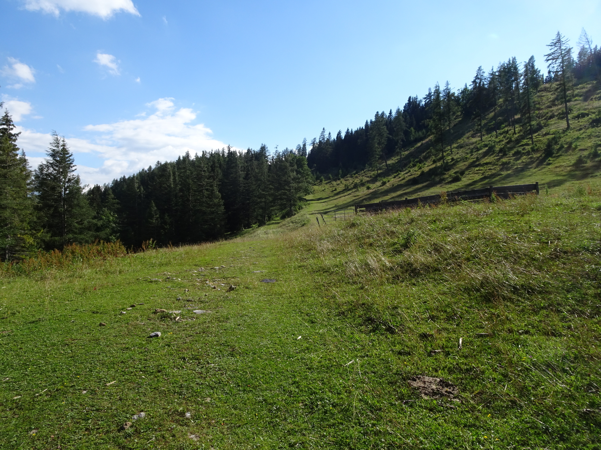
| 02:00 | At the crossing, turn left and descend through the mountain pasture towards the forest. Follow the red-white-red marked trail southwards. |
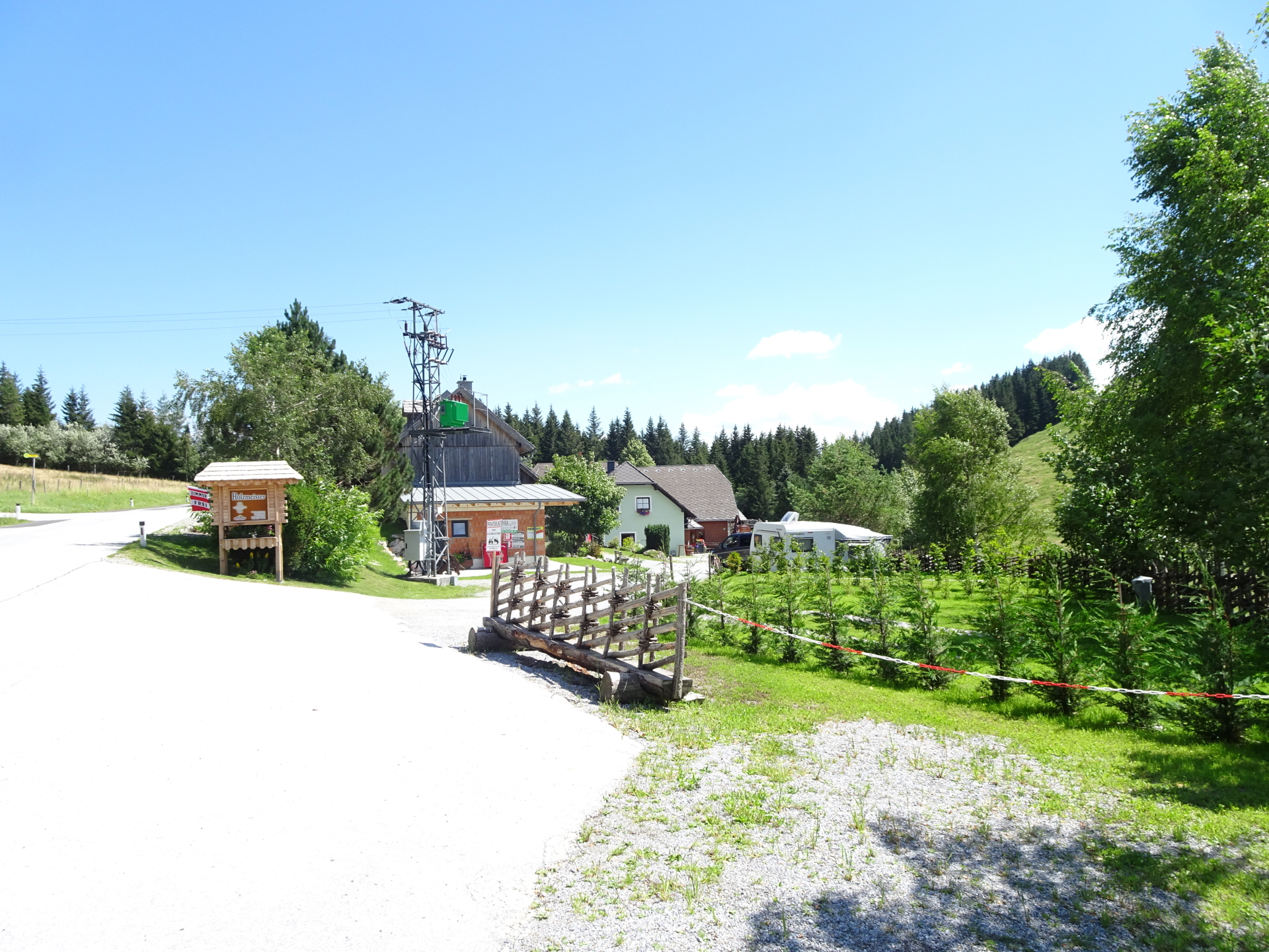
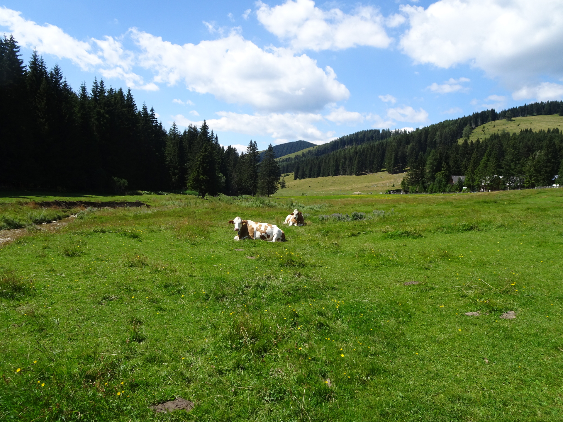
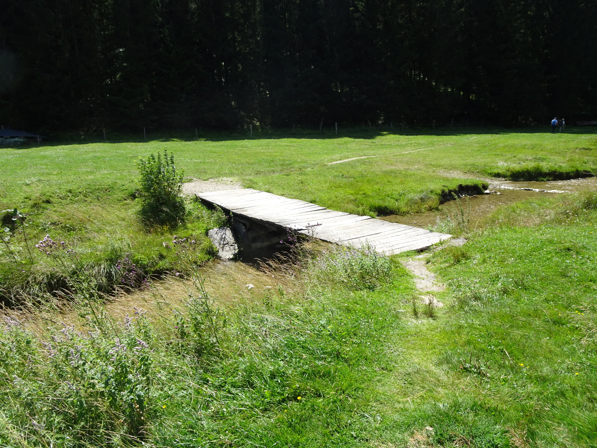
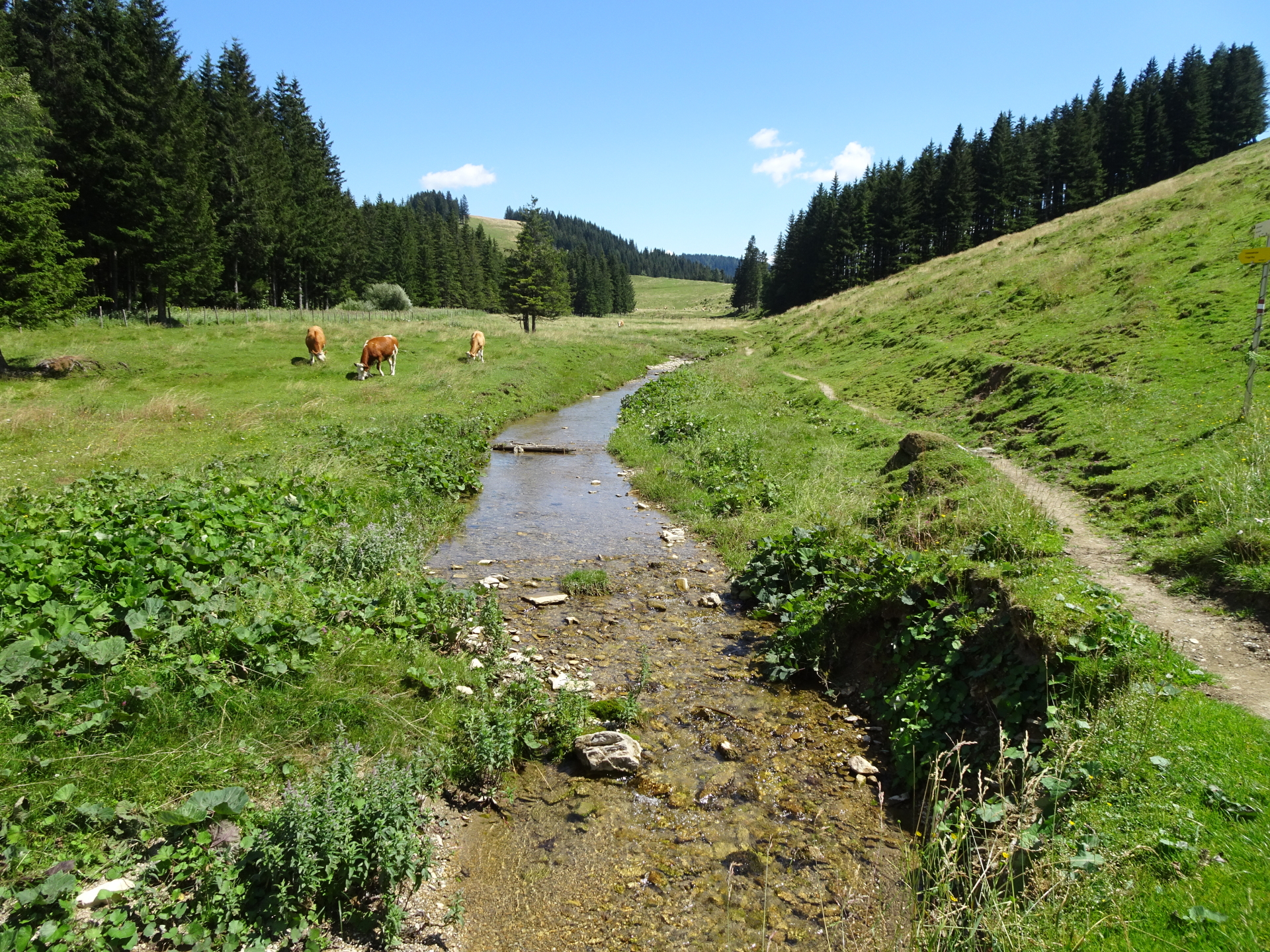
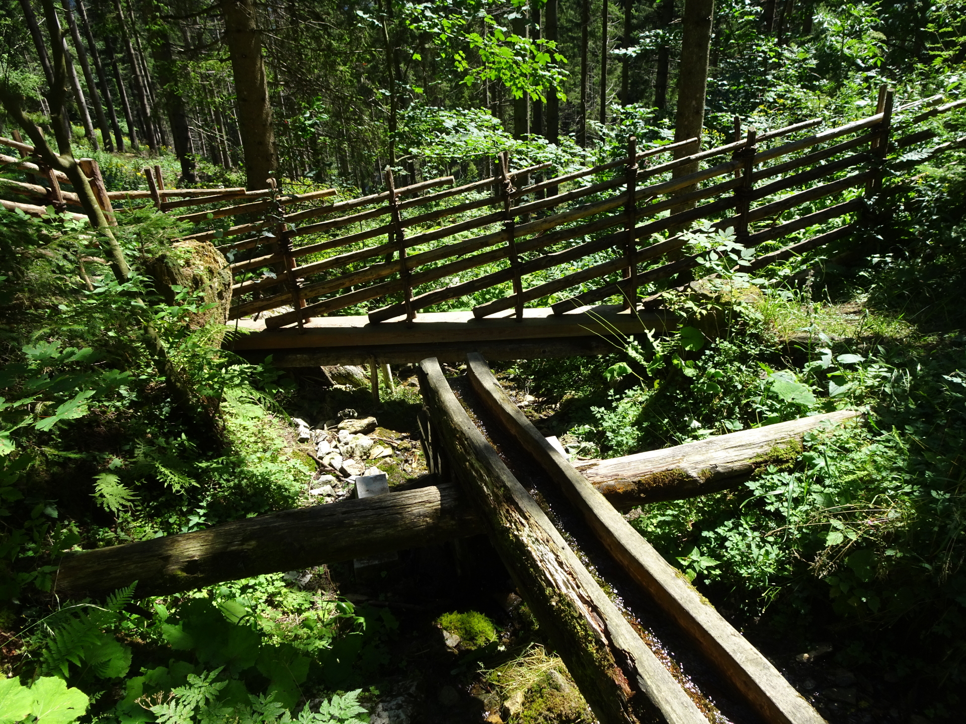
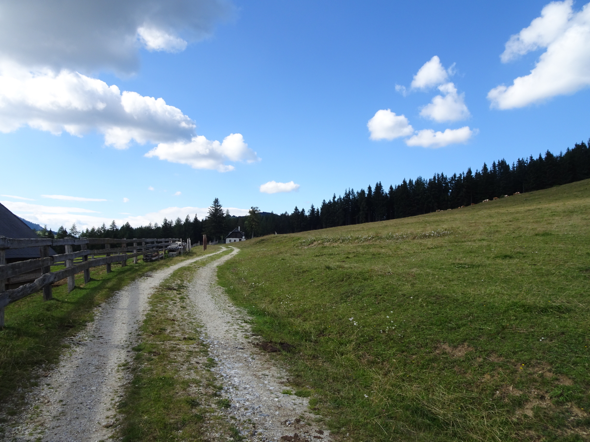
| 02:05 | Cross the street and continue following the hiking trail southwards bypassing the Gasthaus Holzmeister. Cross the bridge and keep left after the bridge, following the river eastwards. |
| 02:15* | Optional detour: At the Schwoabauerkreuz, keep straight (watch out for the sticks with the red marking!!!) and follow the trail eastwards down heading towards Raabursprung. |
| 02:25* | At the crossing, keep left (!) and then watch out for the turn right after a few meters. Stay on the red-white-red marked trail descending directly to Raabursprung. |
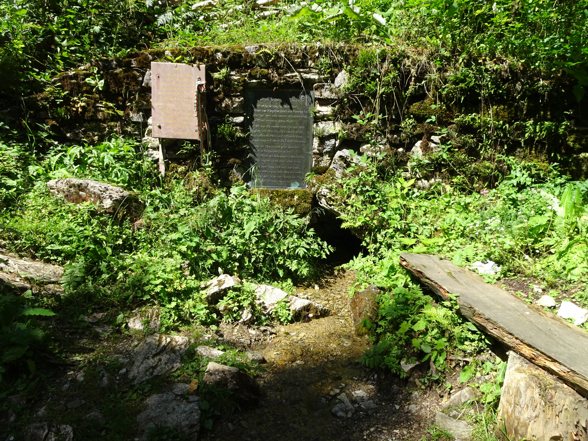
| 02:30* | Enjoy the water wheel at the Raabursprung source. A perfect place to cool off a bit on a hot day. |
| 02:35* | Head back to the Schwoabauerkreuz using the same trail up. |
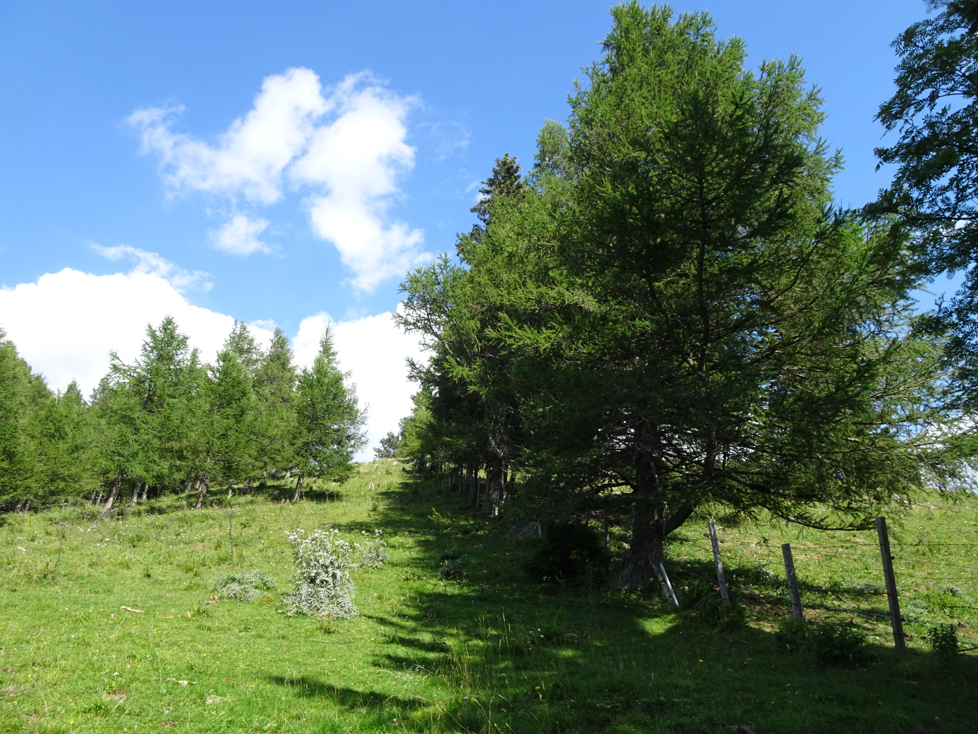
| 02:50* | End of detour: At the Schwoabauerkreuz follow the red-white-red marked trail 45 westwards towards Össer. |
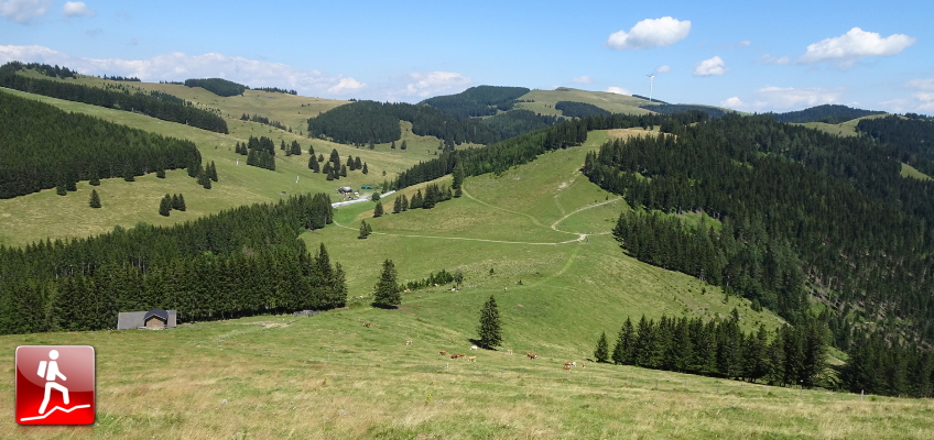
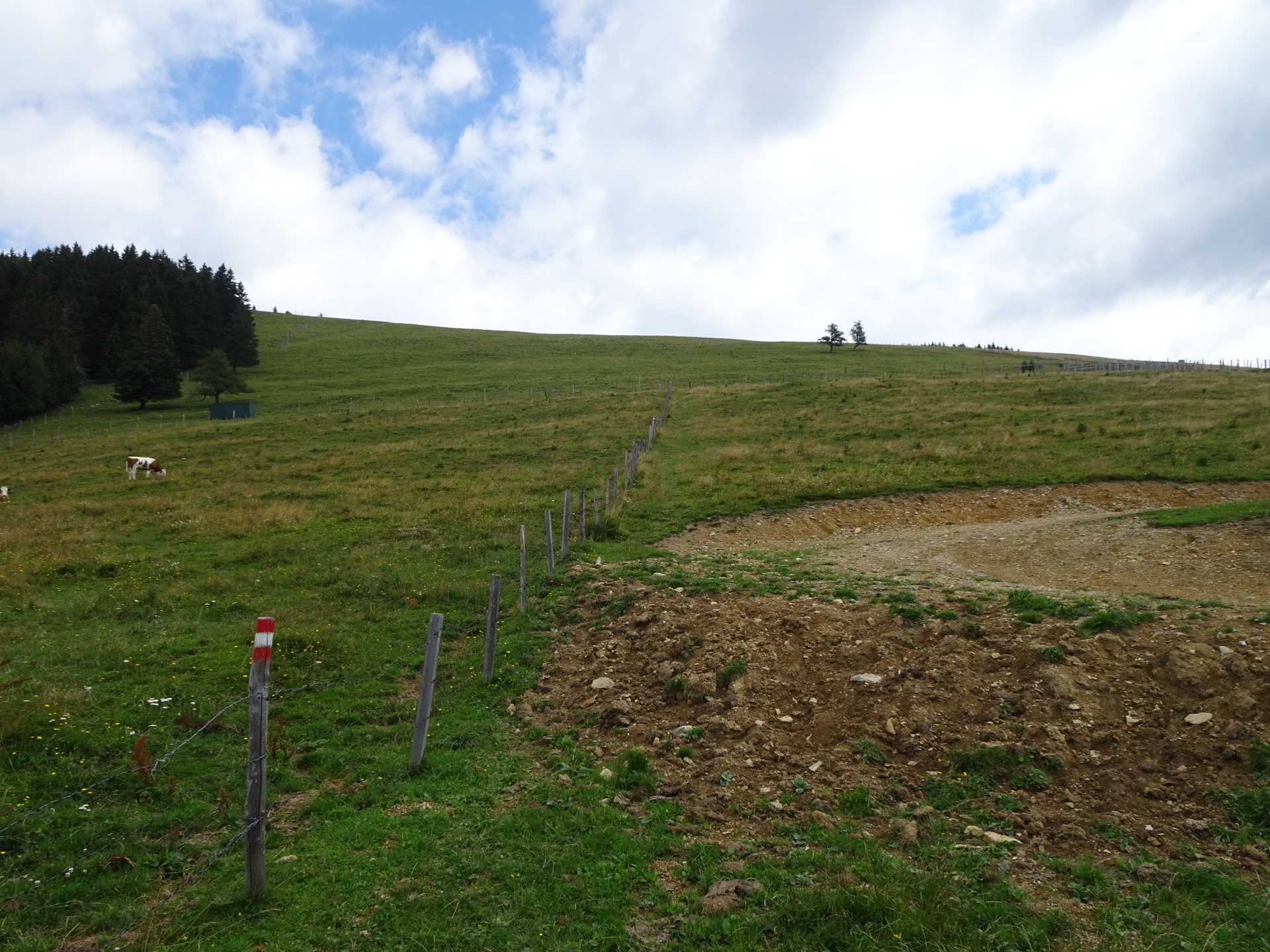
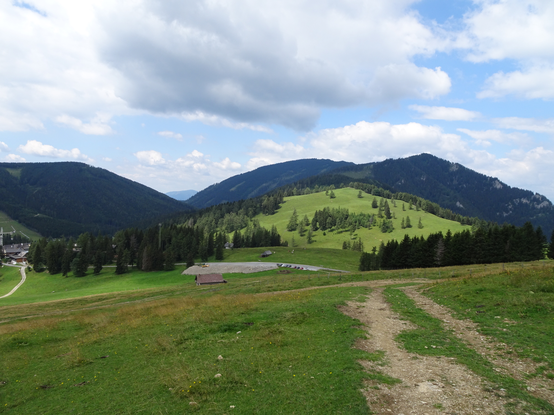
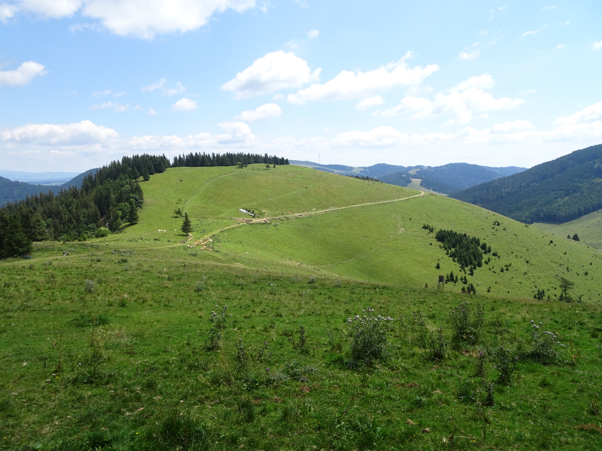
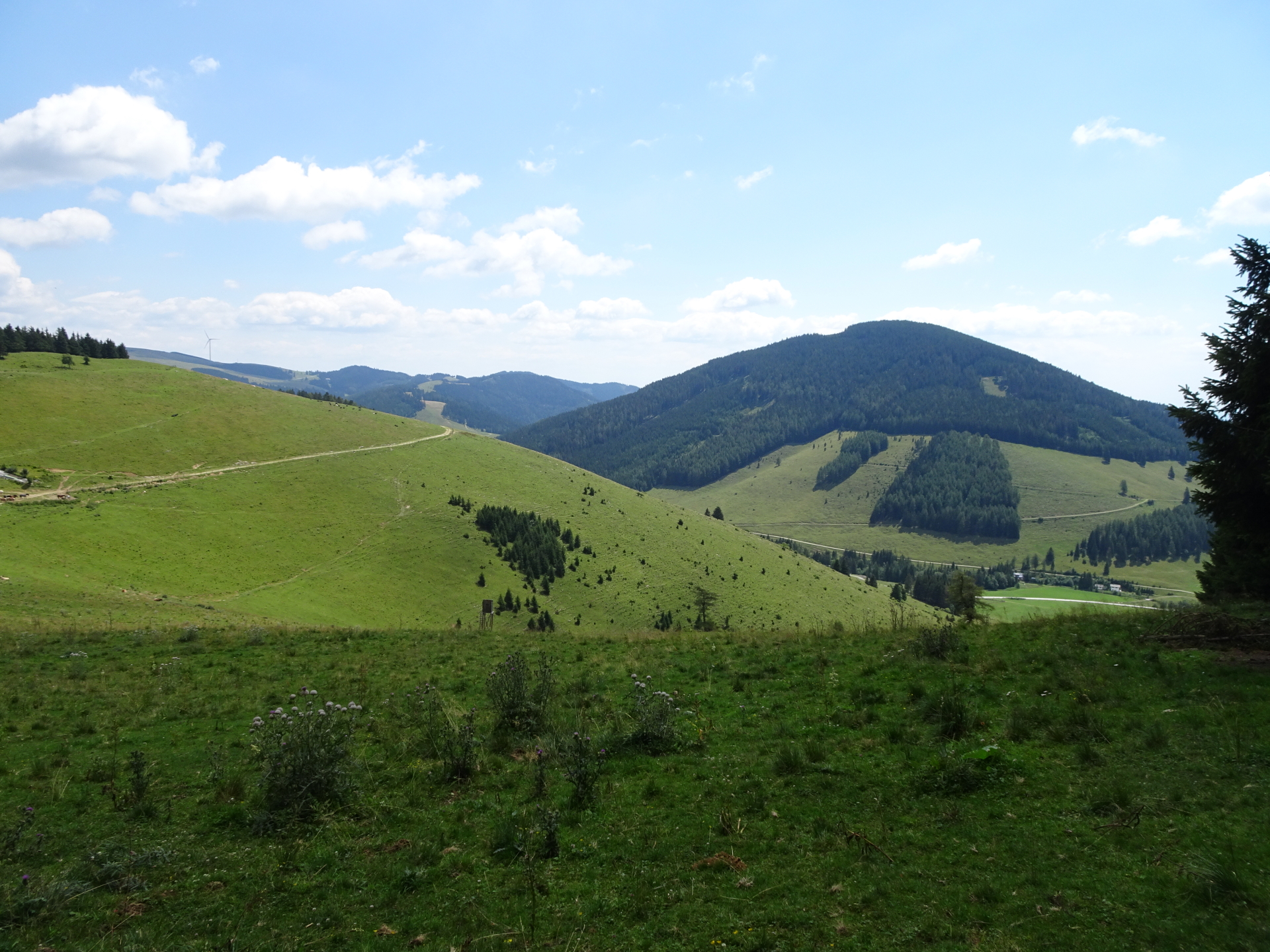
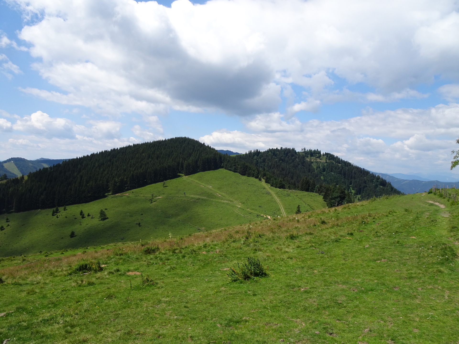
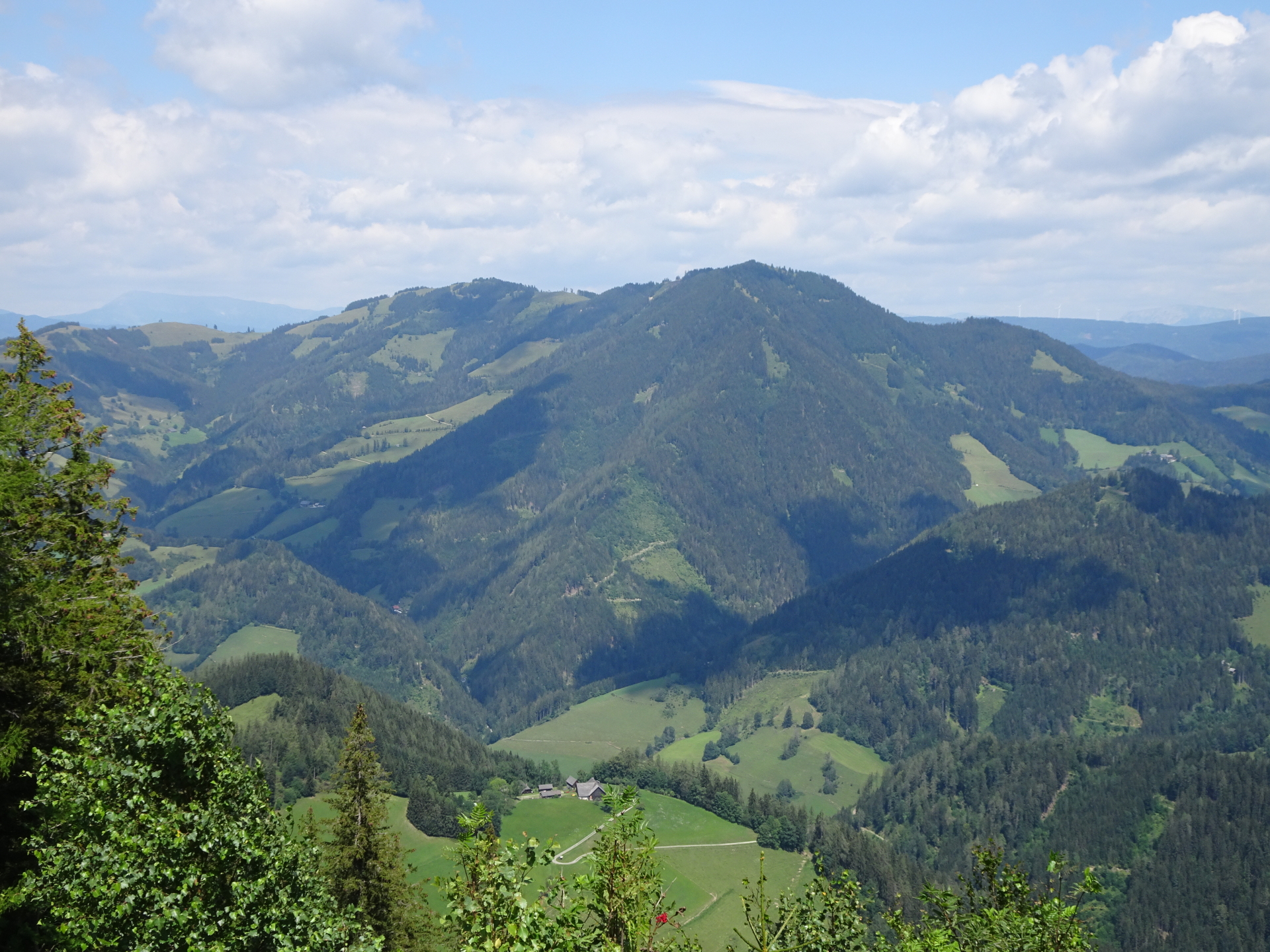
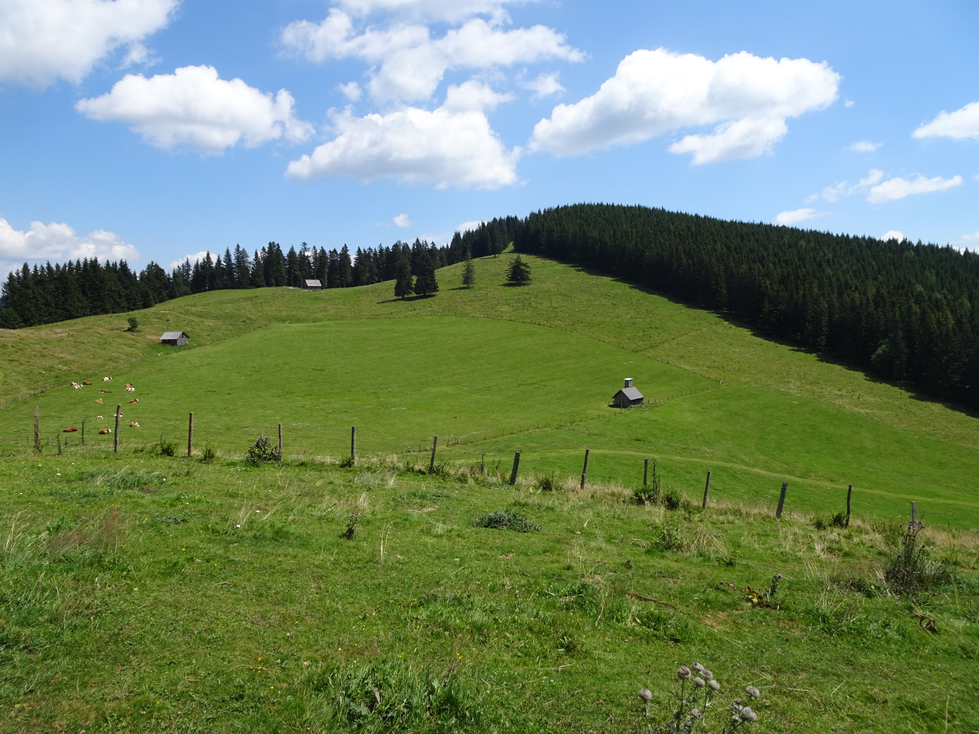
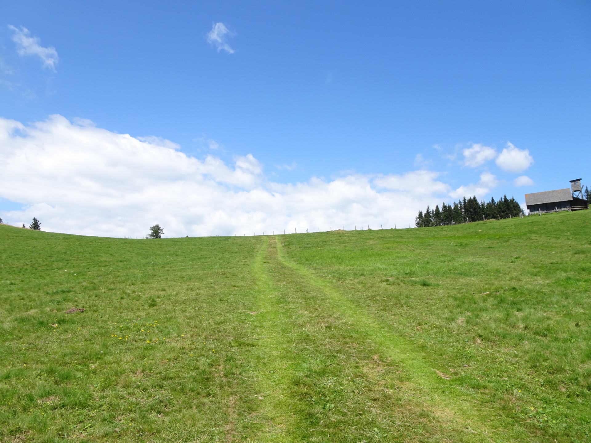
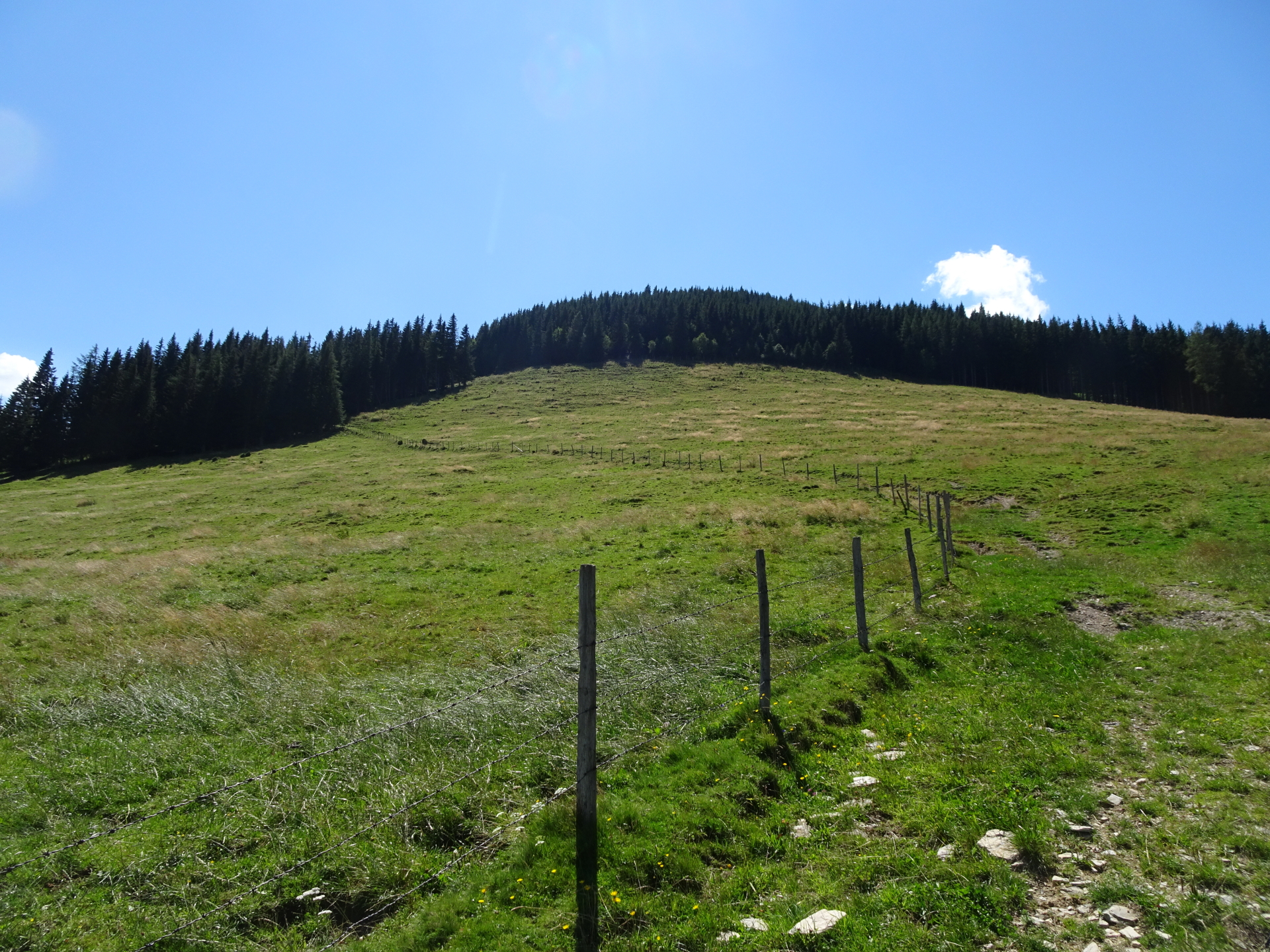
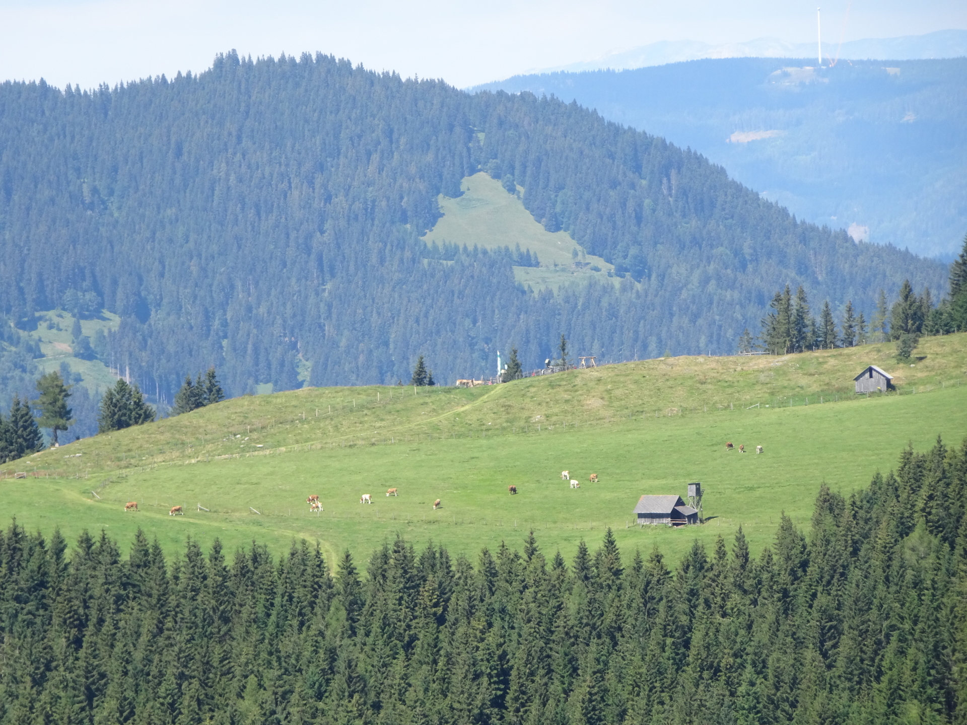
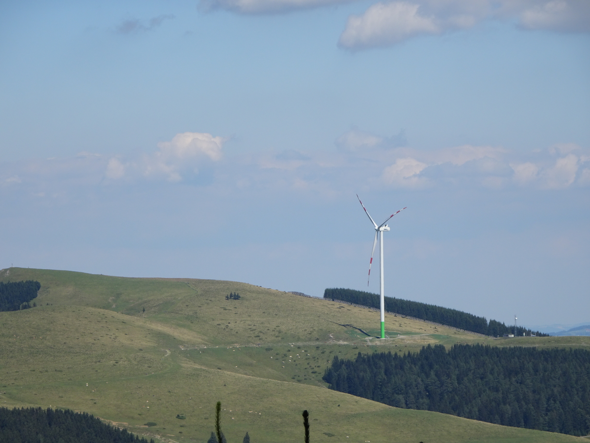
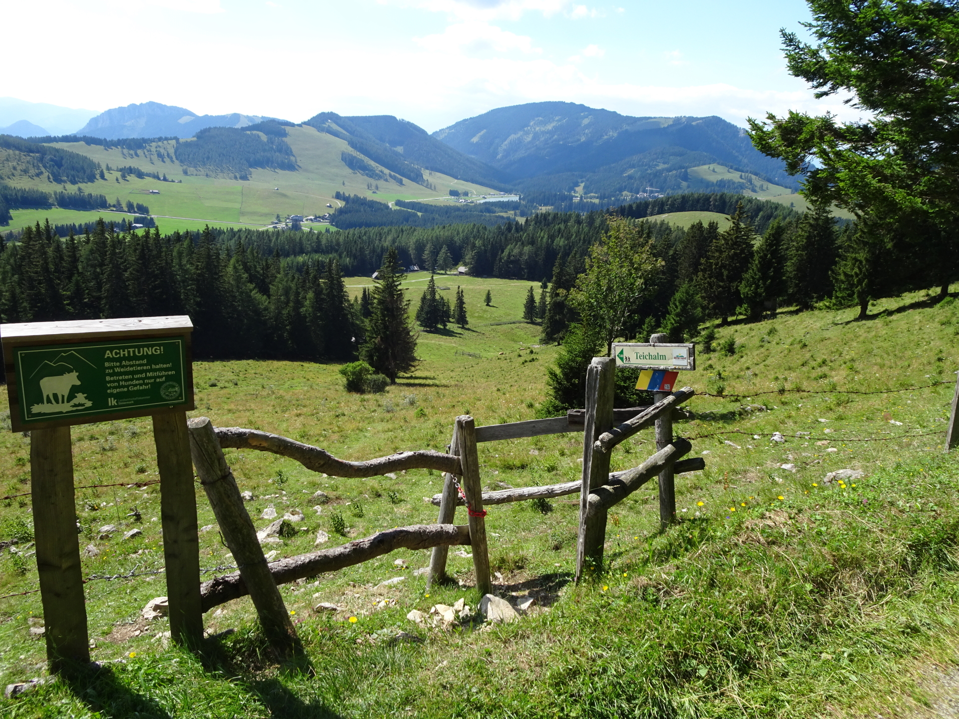
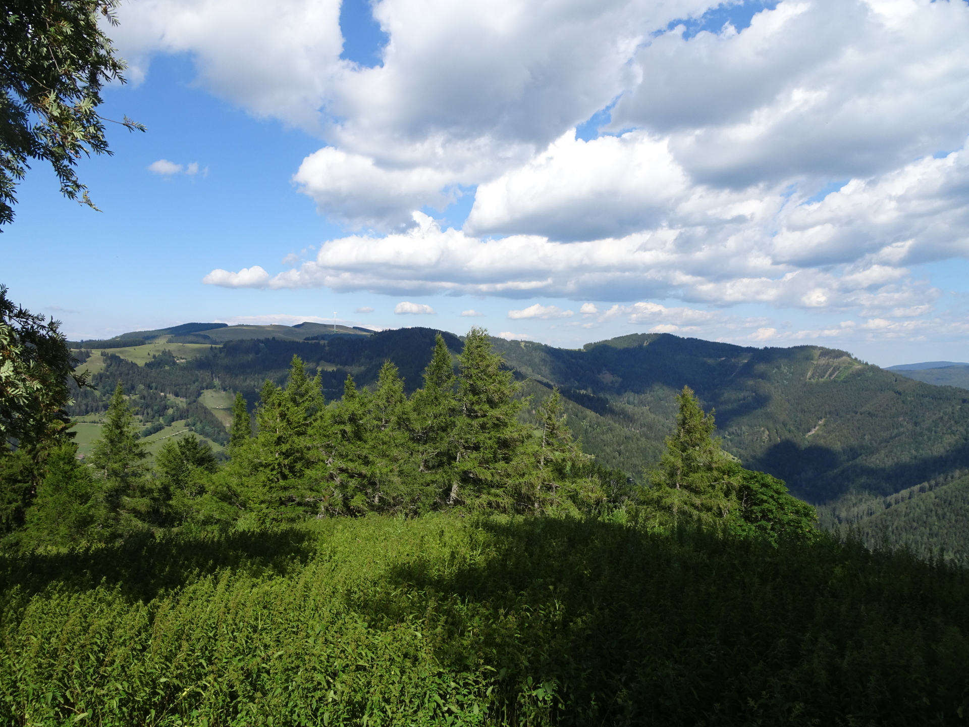
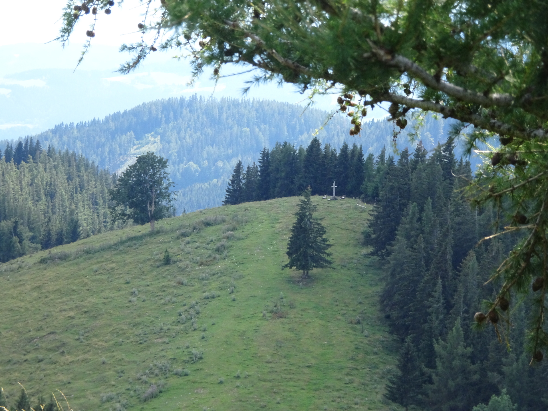
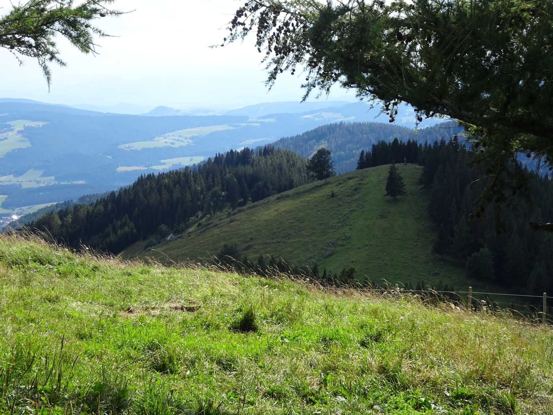
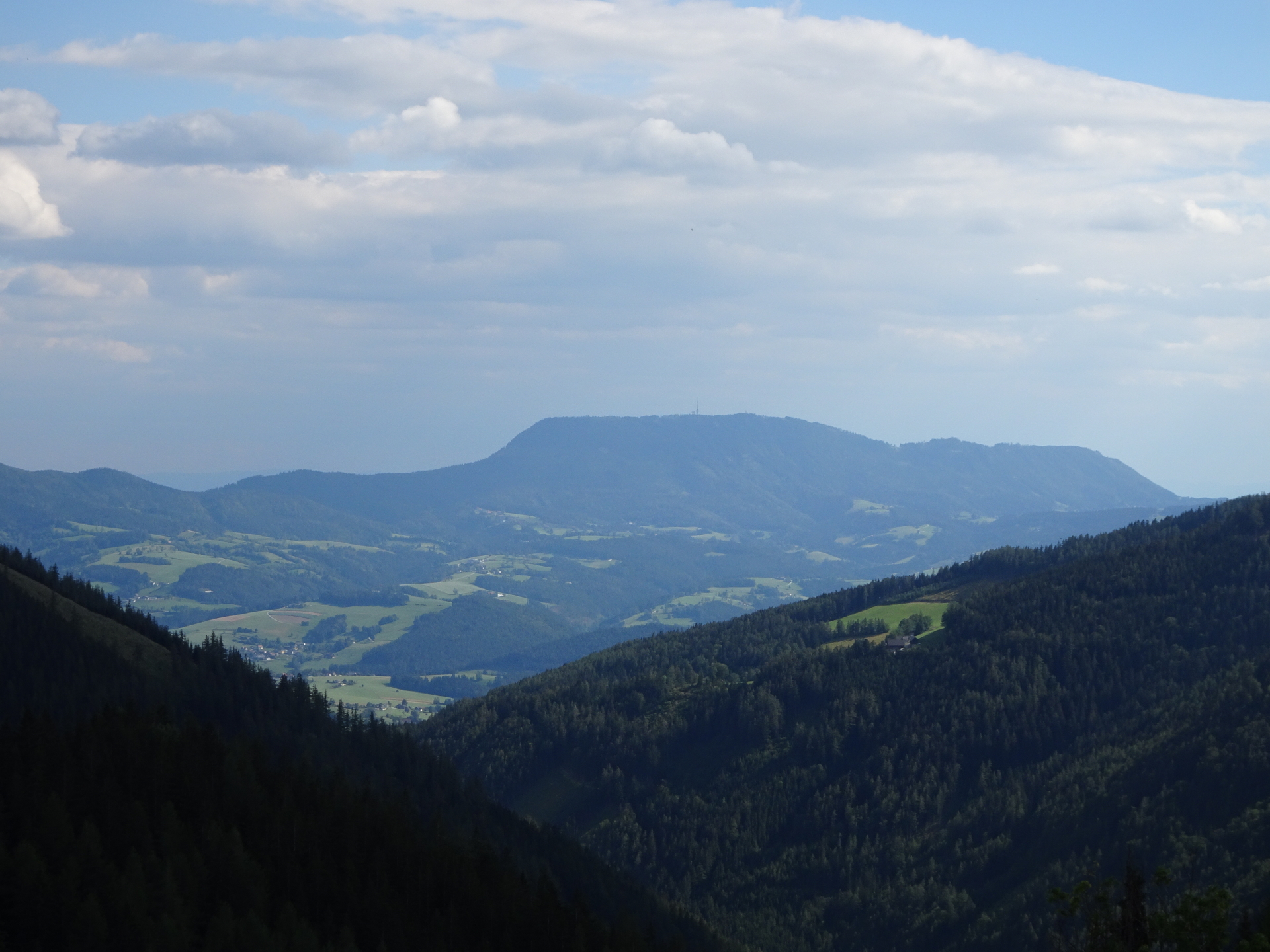
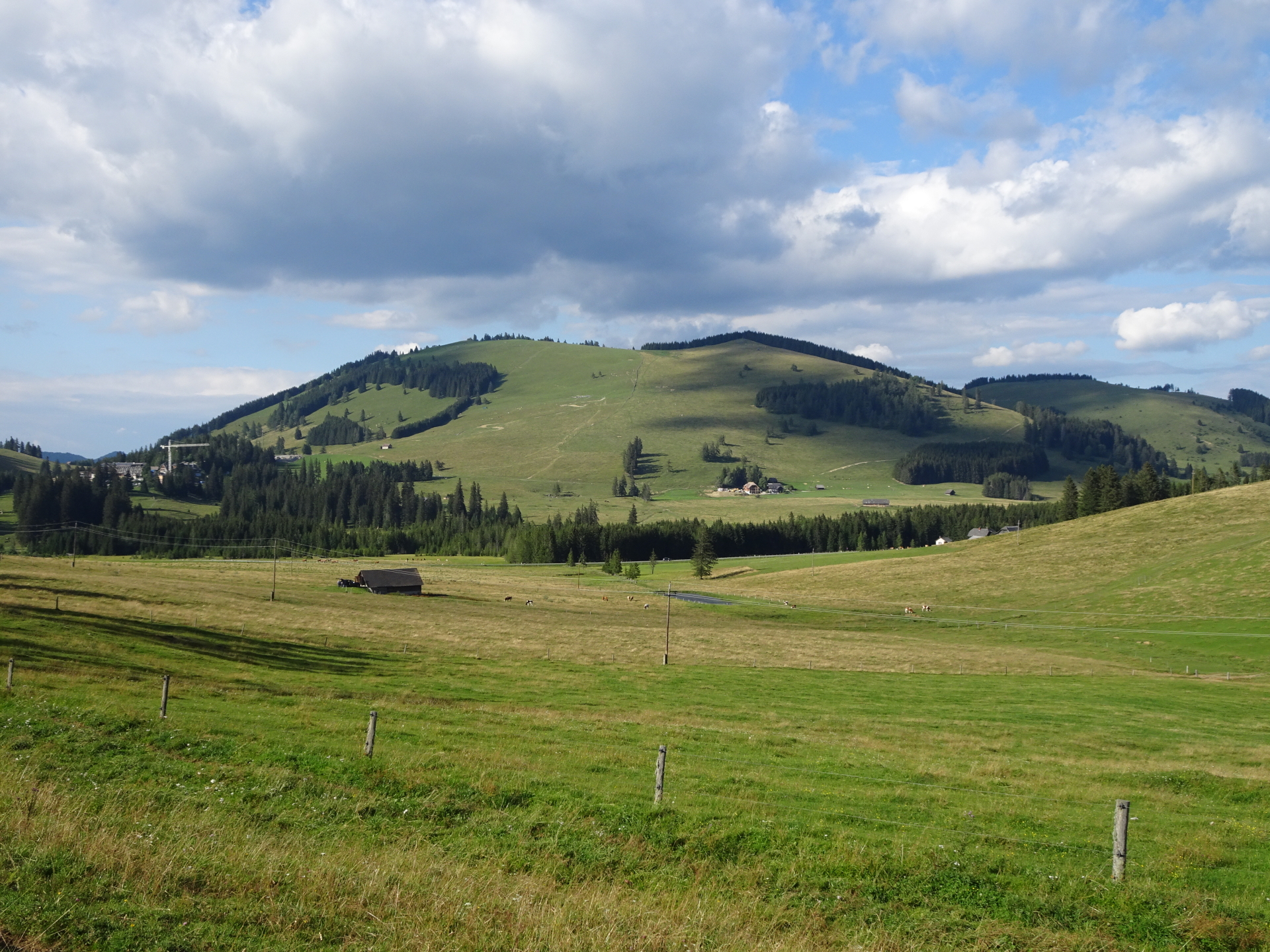
| 02:55 | Ascend the steep meadow with rarely markings heading towards the forest. Just before entering the forest (again well red-white-red marked trail), turn around and enjoy the scenic view over the area (view of title picture). Continue following the trail through the forest towards the summit of Össer. |
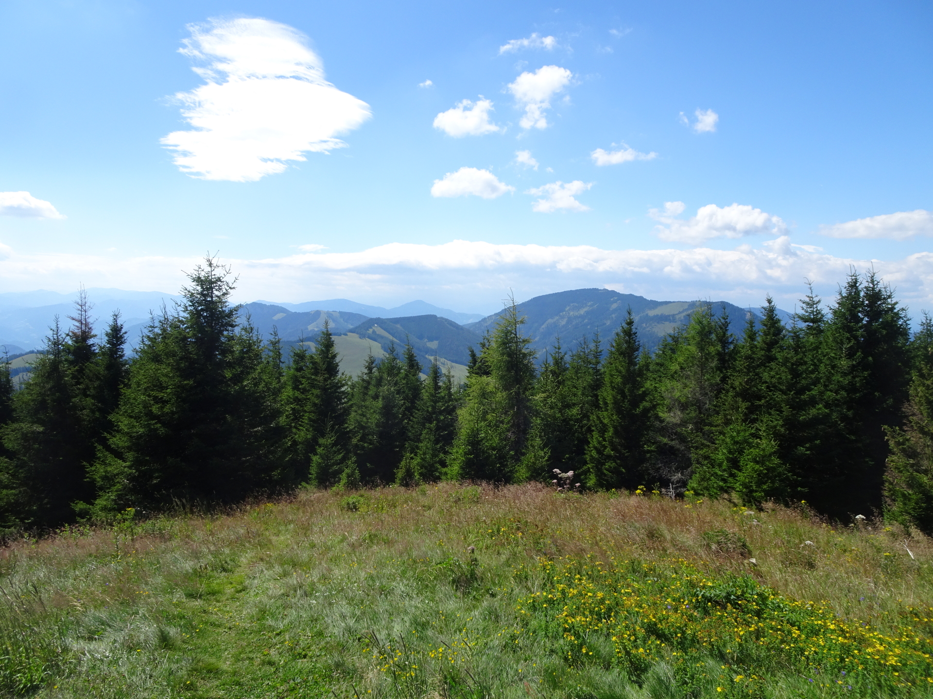
| 03:20 | Enjoy the view from Össer. Best enjoyed again with a self-brought refreshment (). |
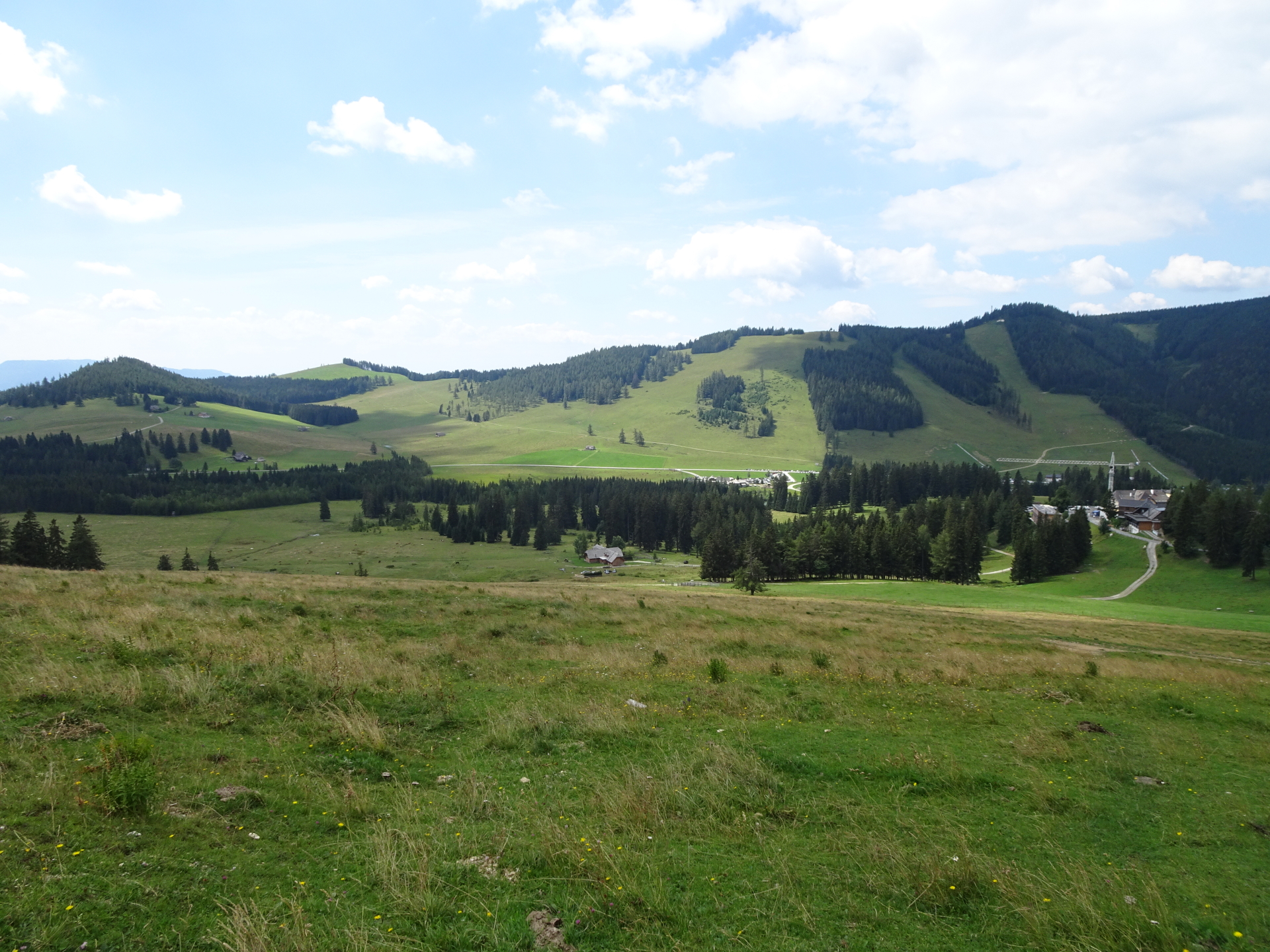
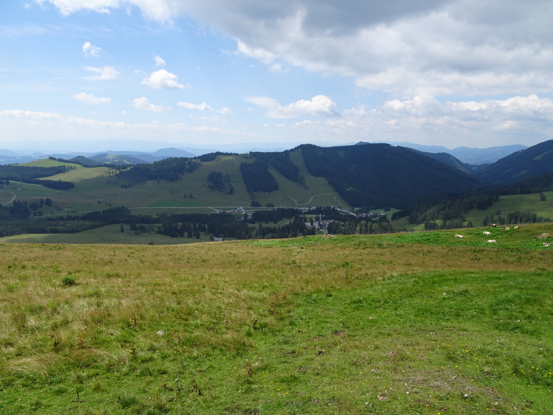
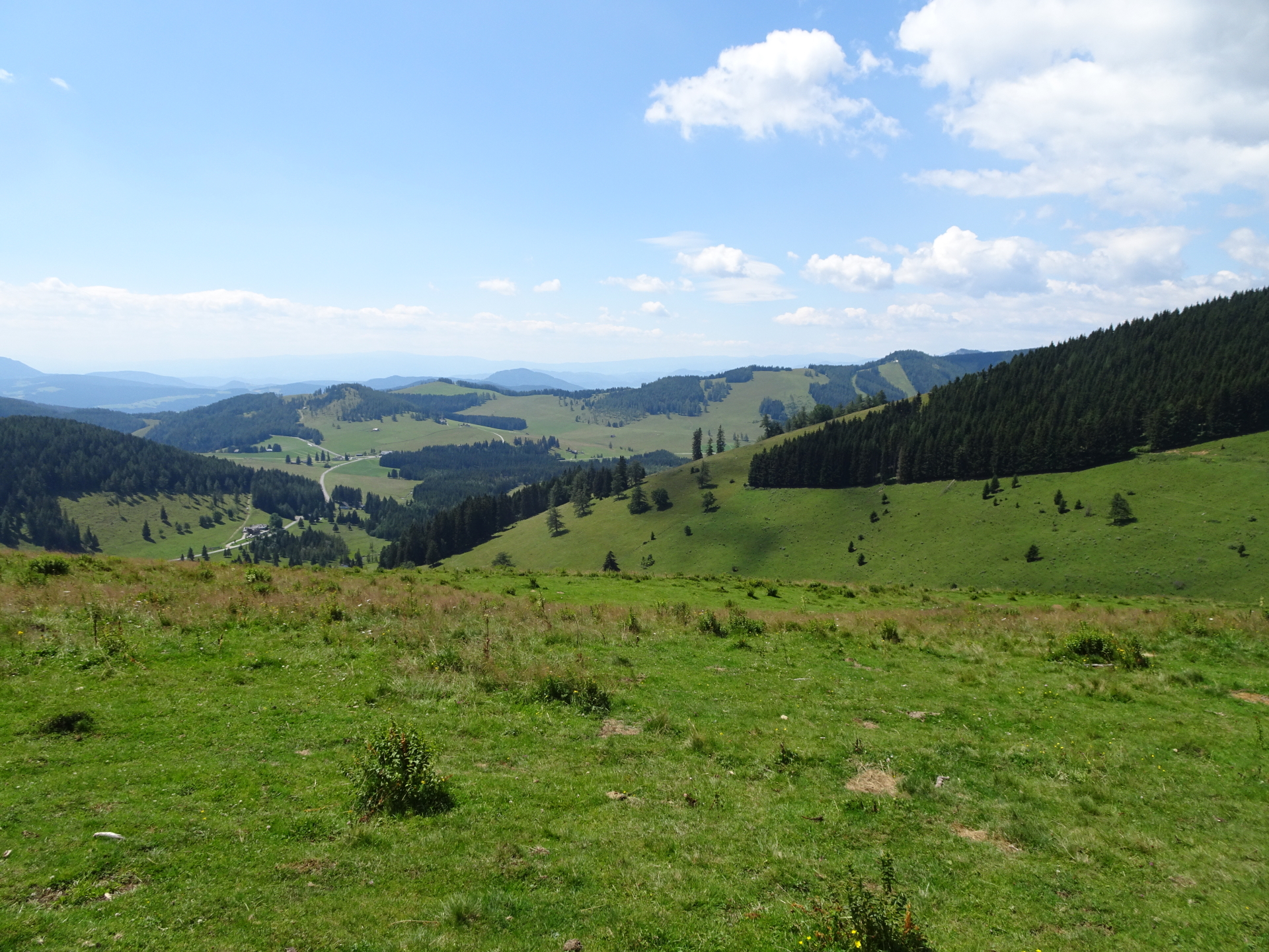
| 03:30 | Continue following the trail and descend back towards the valley through the forest. |
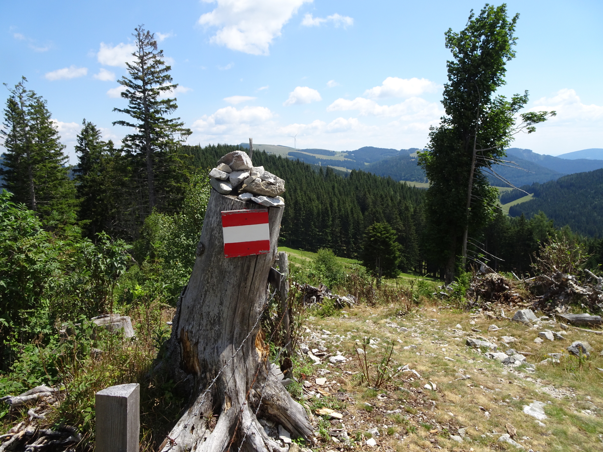
| 03:35 | Badly marked part: At the crossing with the forest streets, turn left but take the lower(!) of the two forest road. After a few meters, turn right into the now again red-white-red marked trail. |
| 03:40~ | Detour: At the crossing, turn left into the gravel road and leave the marked trail which heads back directly to the Teichalm (you might want to follow this trail if you consider aborting the tour here!). |
| 03:50~ | At the crossing, keep right and continue following the forest road. |
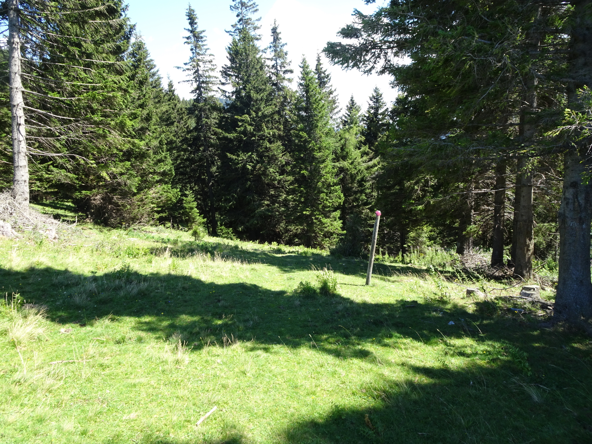
| 03:55~ | At the clearing, leave the forest road and keep right and turn into the unmarked but visible path. |
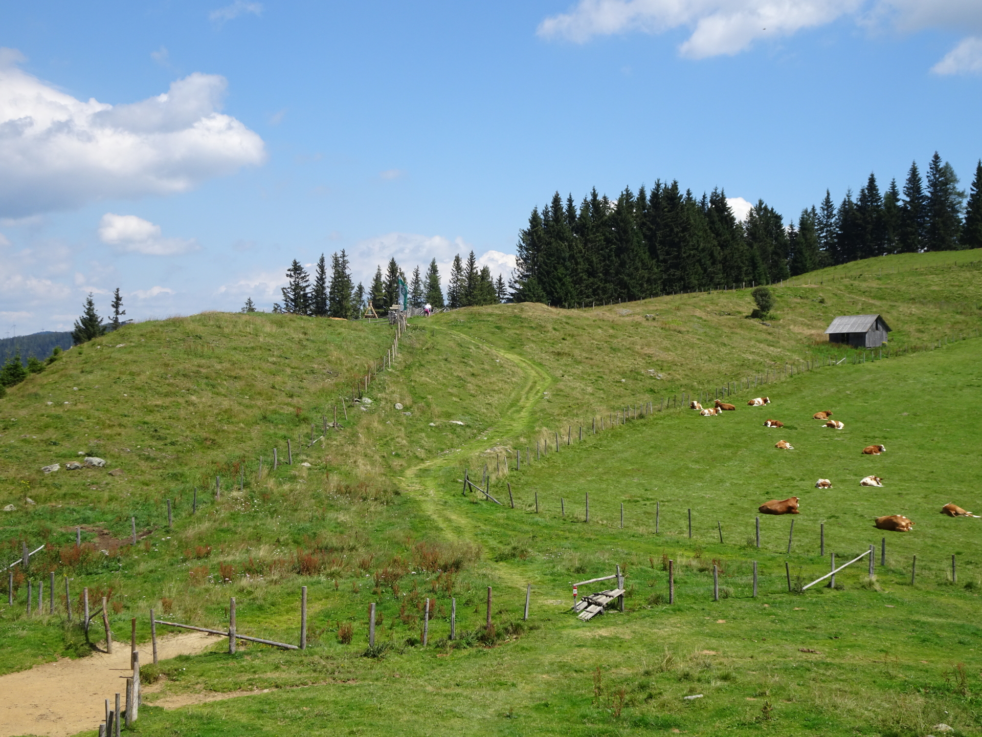
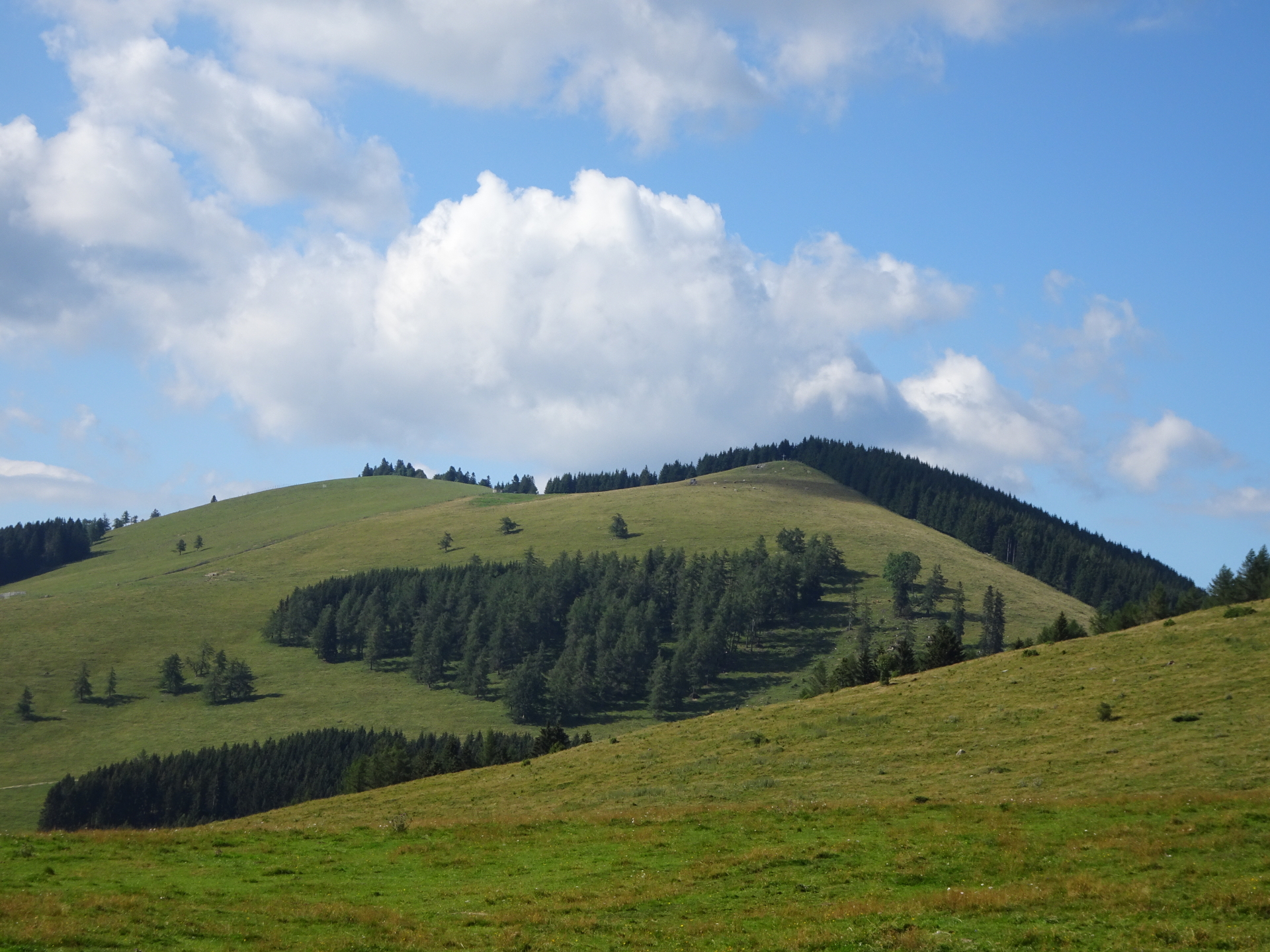
| 04:05~ | At the crossing, keep straight and cross the clearing. Keep left however and watch out for unmarked trails southwards that head up to Buchkogel. Do not follow the road as it will lead you to the summit cross which is offset (many meters away) of the SummitLynx check-point! |
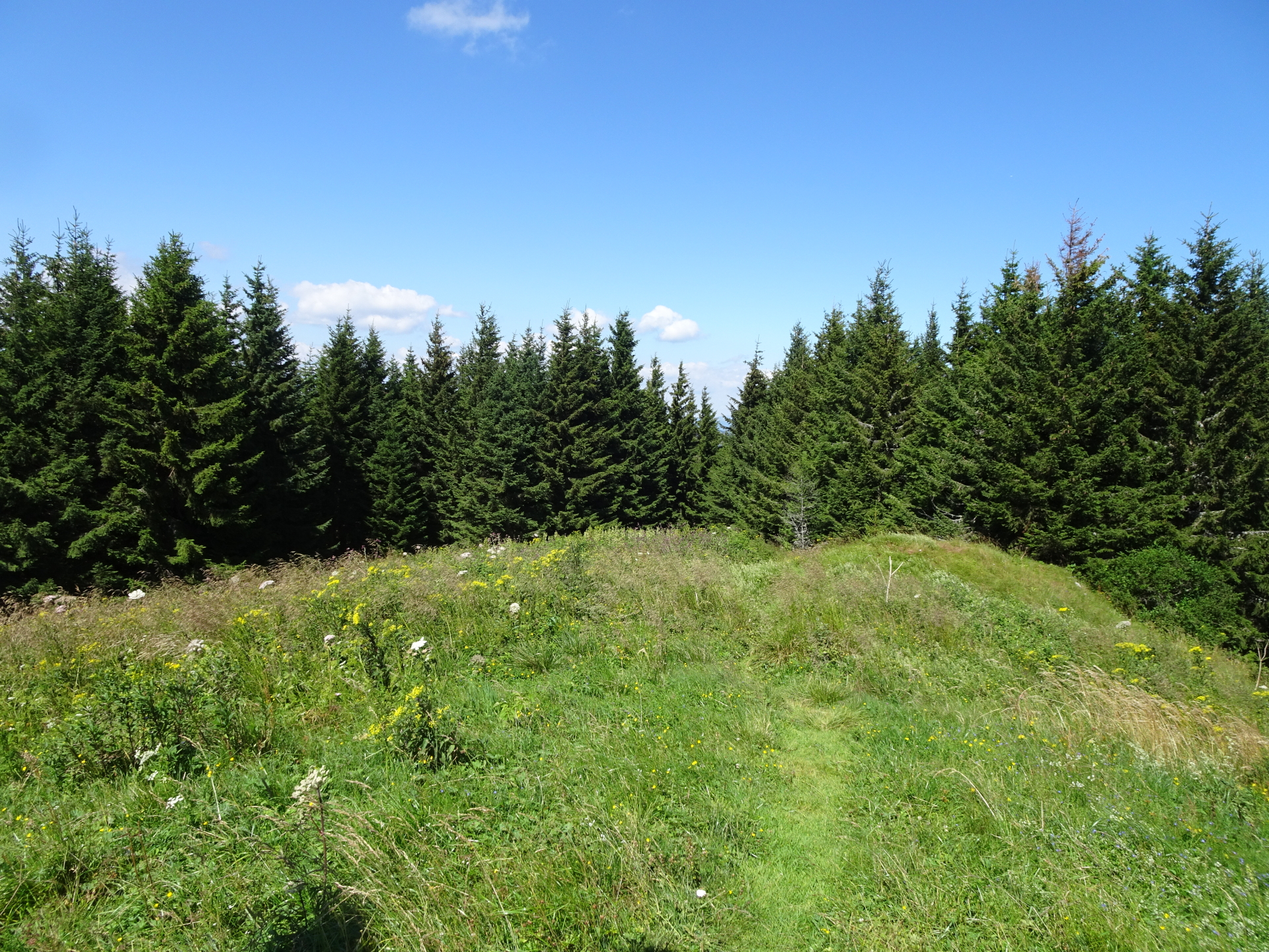
| 04:15~ | Enjoy the (limited) view from Buchkogel, don’t forget to claim your points at SummitLynx and have a rest (). |
| 04:25~ | Head back to the crossing at the clearing. |
| 04:30~ | Turn left and follow the red-white-red marked trail 753 towards Teichalm. |
| 05:10# | Detour: At the street, turn left and follow the street southwards. If you turn right, the street will head back directly to the parking. |
| 05:20# | Turn right into the red-white-red marked trail towards Gerlerkreuz / Rechberg (see signposts). |
| 05:30# | At the crossing, keep left and continue following the trail towards the mountain pasture. |
| 05:31# | Turn right and find you way up to the summit of Gerlerkogel through the mountain pasture. |
| 05:35# | Enjoy the view from the summit of Gerlerkogel. Obviously best enjoyed with a last self-brought refreshment (). |
| 05:40# | Descend back to the crossing, head back into the forest and then turn left into the red-white-red marked trail heading northwards back to Teichalm. |
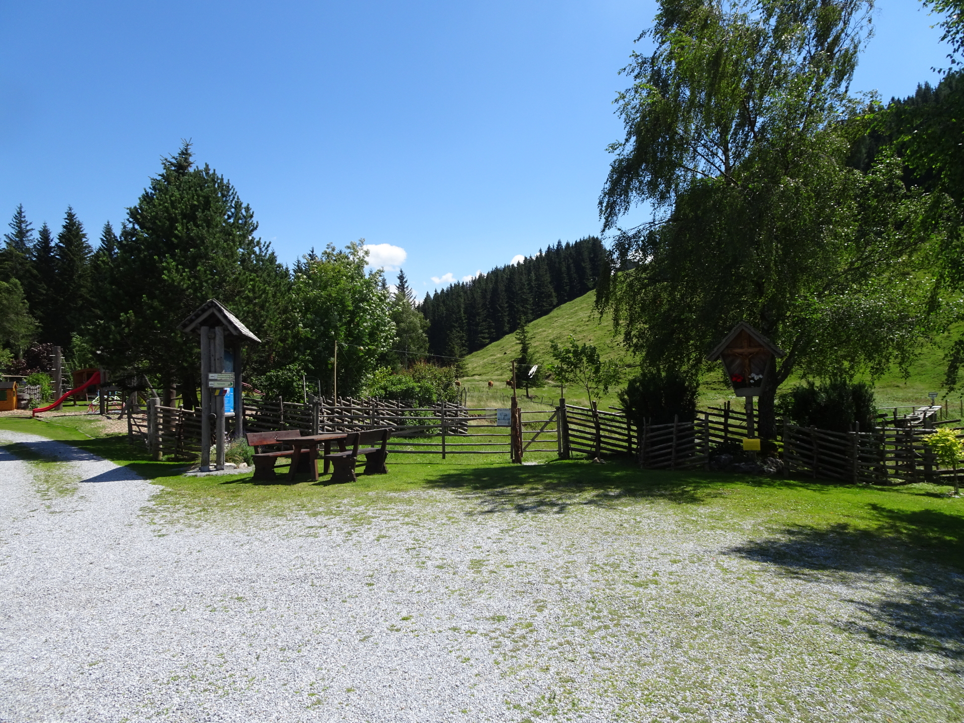
| 06:05° | Detour: Follow the street next to the lake for a few meters and then turn left into the parking area after the ski lift. Follow the trail heading directly to Almerlebnispark Teichalm. |
| 06:10° | Bypass Almerlebnispark Teichalm and then keep right, crossing the bridge over the river. After the bridge, turn sharply right and follow the gravel road back to Teichalm. |
| 06:20° | Well-deserved break ( ) at Gasthaus Teichwirt. |
| 07:20 | Keep left and follow the marked hiking trail up to the hotel. |
| 07:30 | Back at the parking, end of the tour. |
General Tour Data
| Area: | Grazer Bergland, Styria, Austria | |
| Distance: | 23km | |
| Ascent: | 1192m (1h 40min) | |
| Descent: | 1193m (1h 30min) | |
| Highest Pt: | 1548m | |
| Lowest Pt: | 1082m | |
| Duration: | 5h 15min (without breaks) 7h 30min (with breaks) Tour can be individually shortened by bypassing the detours! |
|
| Stop/Rest: |
Stoahandhütte (1326m) Gasthaus Holzmeister (1223m) Almgasthaus Angerwirt (1196m) Gerlerkogelhütte (1234m) Teichwirt (1175m) |
|
| Equipment: | Comfortable hiking shoes Backpack with standard hiking equipment Snacks and plenty of water 3-4x “Gipfelbier” () Sun & Weather protection Camera GPS recommended! |
| Download GPX | ||
| O | Tour at outdooractive.com |
At a glance
| Level | moderate |
| Technique | |
| Shape / Fitness | |
| Experience | |
| Scenery | |
| Best time in the year | |
|
Jan
Feb
Mar
Apr
May
Jun
Jul
Aug
Sep
Oct
Nov
Dec
|
|
You will get points for:
- Heulantsch: 2 points
- Stoahandhütte: 1 point
- Schwoabauerkreuz: 1 point
- Raabursprung: 2 points (Detour *)
- Osser: 2 points
- Buchkogel: 2 points (Detour ~)
- Gerlerkogel: 1 point (Detour #)
- Almerlebnispark Teichalm: 1 point (Detour °)


\"")
: Mönichkirchen / Hochwechsel\"")
Leave a Reply