
Stage 2c of the Alpannonia® long distance trail from Mönichkirchen up to Hochwechsel (reverse direction)
| The Alpannonia® long distance trail combines in up to 7 stages a tour from the eastern alps in Austria towards the “pannonian lowlands” in Hungary. The entire trail is 125 km long and 3.800 meters in ascent. It is normally done in 7 days, starting in Fischbach (AT) and ending in Köszeg (HU). For more information visit www.alpannonia.at. |
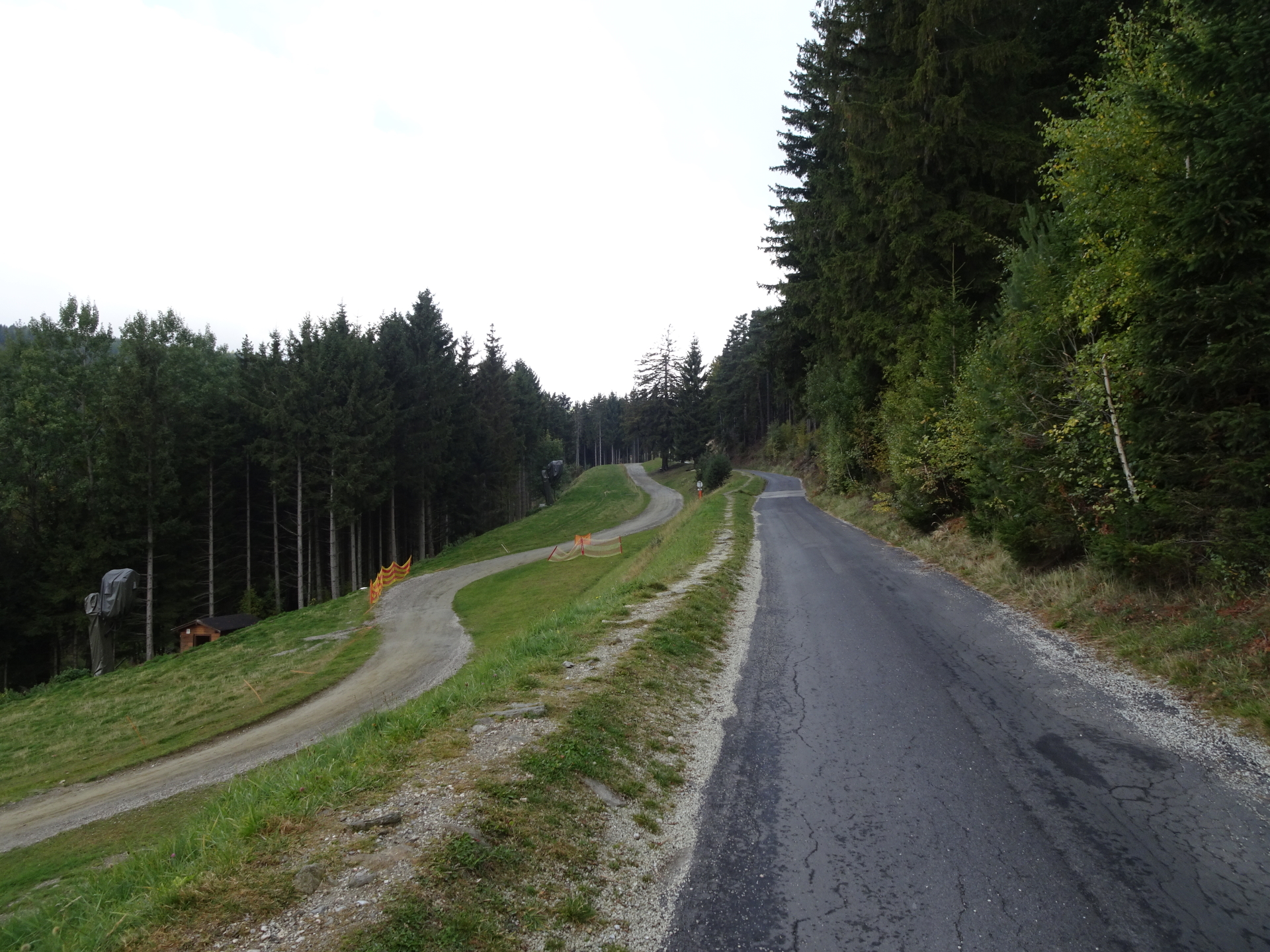
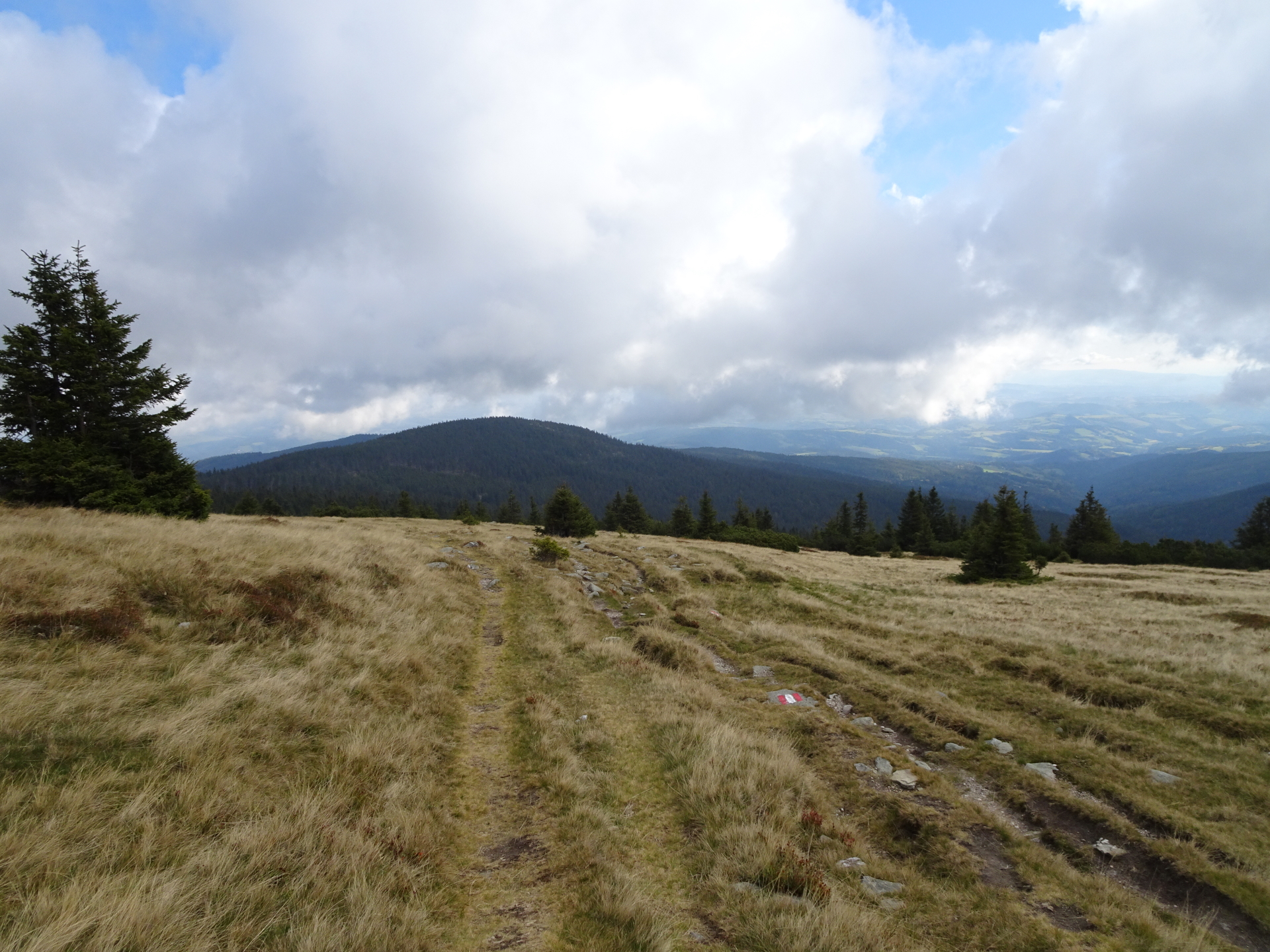
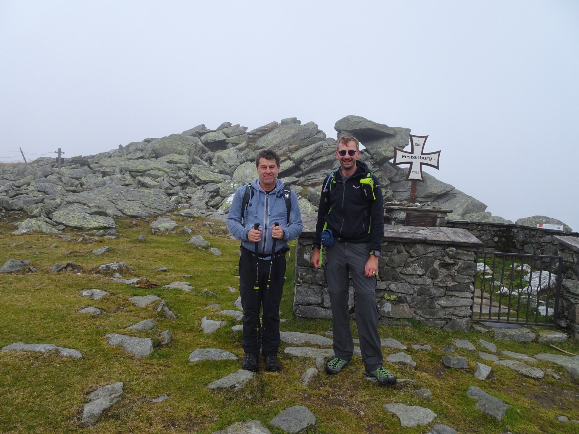
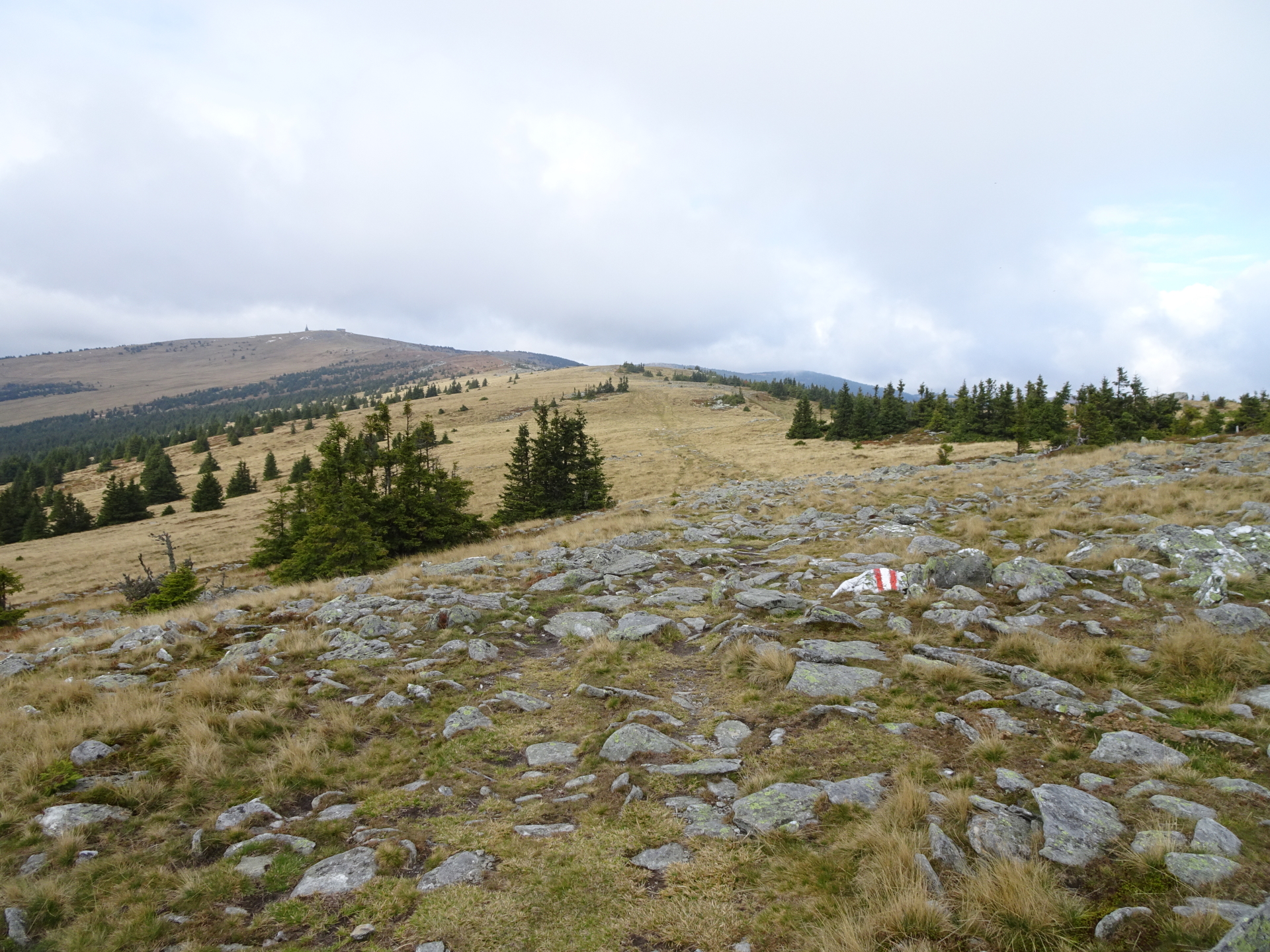
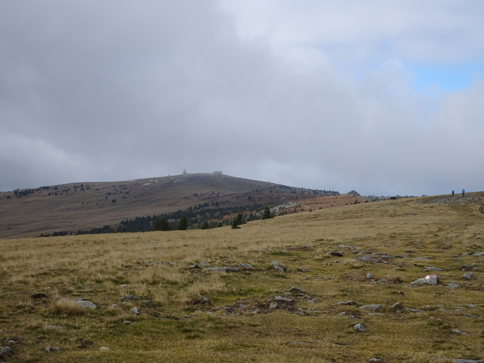
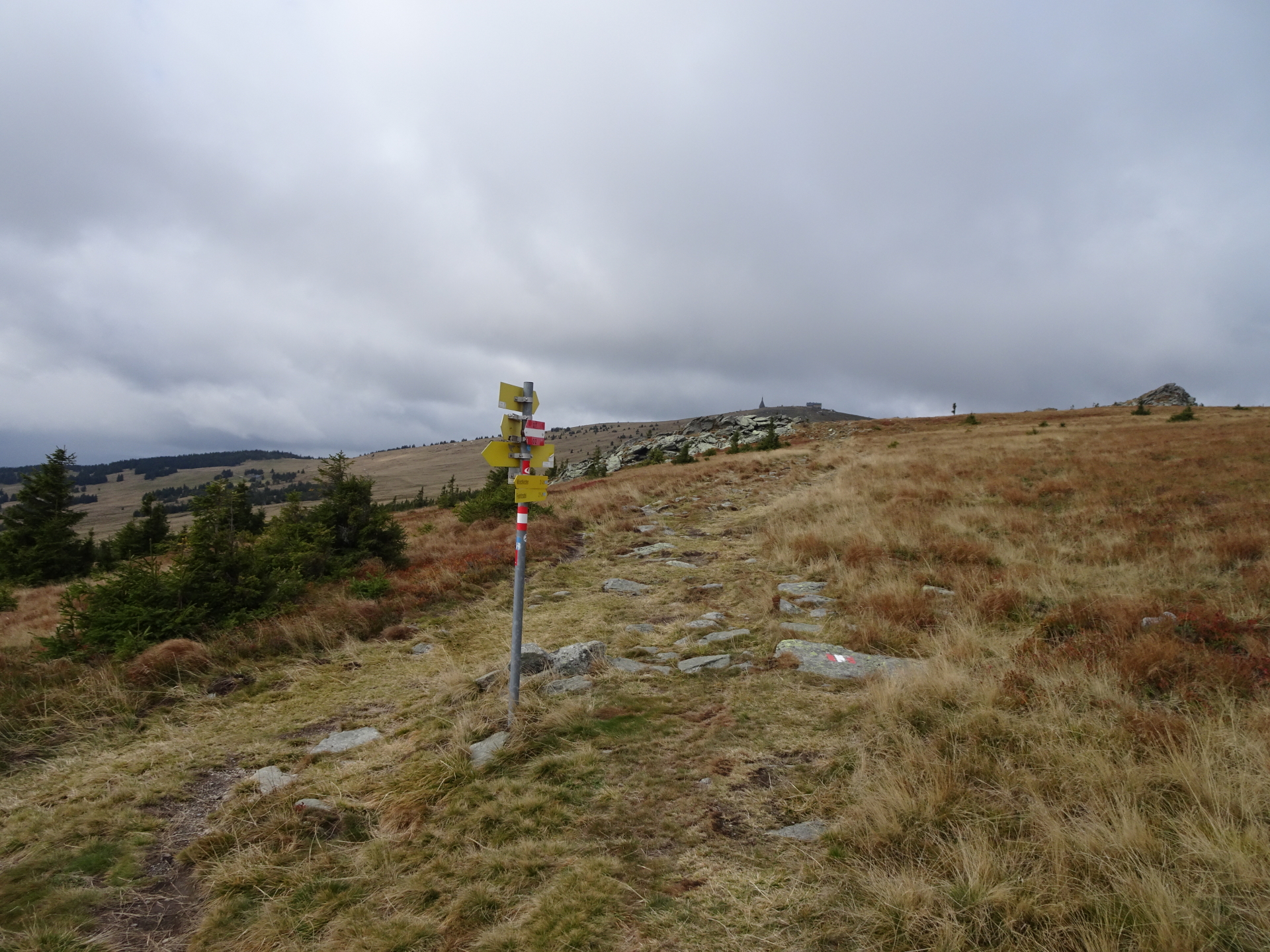
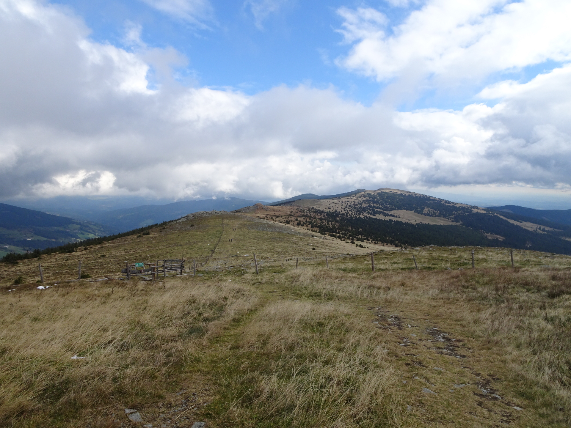
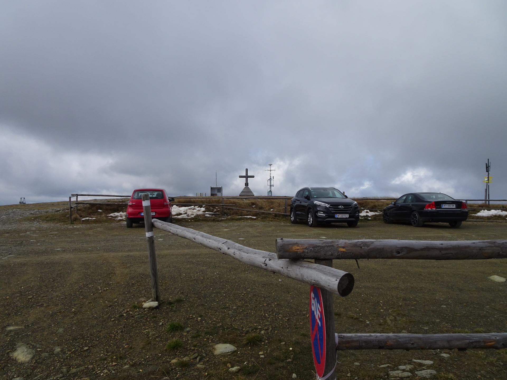
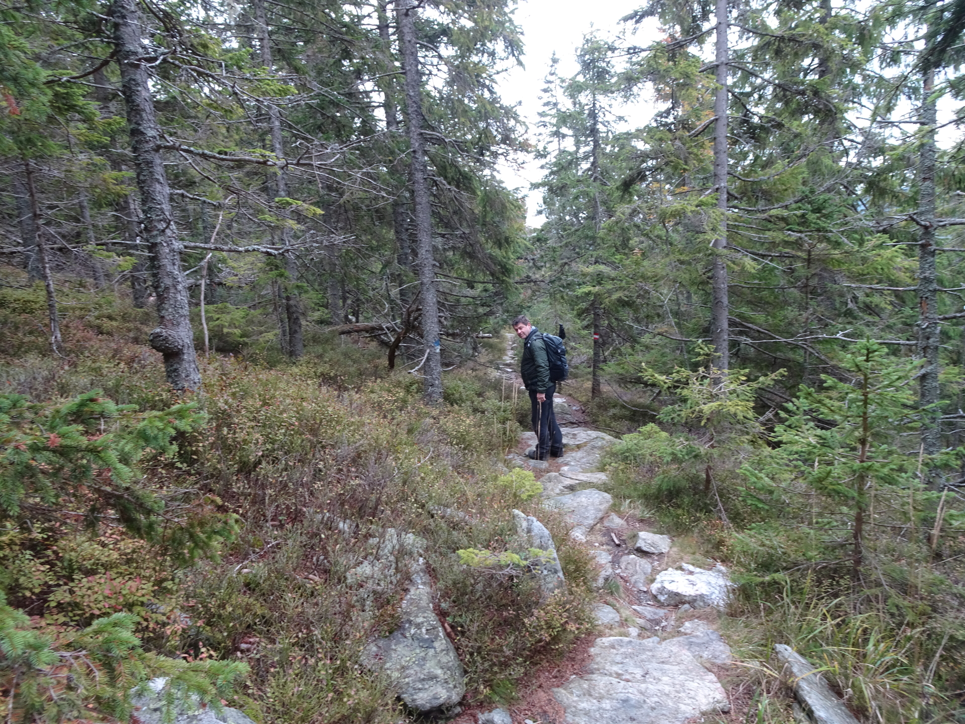
The tour starts at the parking of the ski resort Mönichkirchen (valley station) and follows the marked trail using streets, trails and paths westwards to the summit of Hochwechsel. The tour first ascends towards Mönichkirchner Schwaig (mountain station of the ski-lift), and then follows the ski slope upwards (heading west) to the Hallerhaus. From there, the trail follows the Steinerne Stiege, a slightly steep hiking trail passing by the Stoa Alm next to the mountain station of Mariensee and leading towards Niederwechsel. The trail then continues up to the highest point, the Hochwechsel summit which ends the Alpannonia part of this trail. After a break at the Wetterkoglerhaus, the tour descends back towards Niederwechsel for a couple of meters but then turns left towards Vorauer Schwaig. From there, the tour follows the hiking path back to Mönichkirchen, first passing by the Studentenkreuz and then directly across the ski slope back to the valley station.
| 00:00 | Start at the parking of ski resort Mönichkirchen (GPS: 47.513336, 16.029120) and first follow the street westwards. |
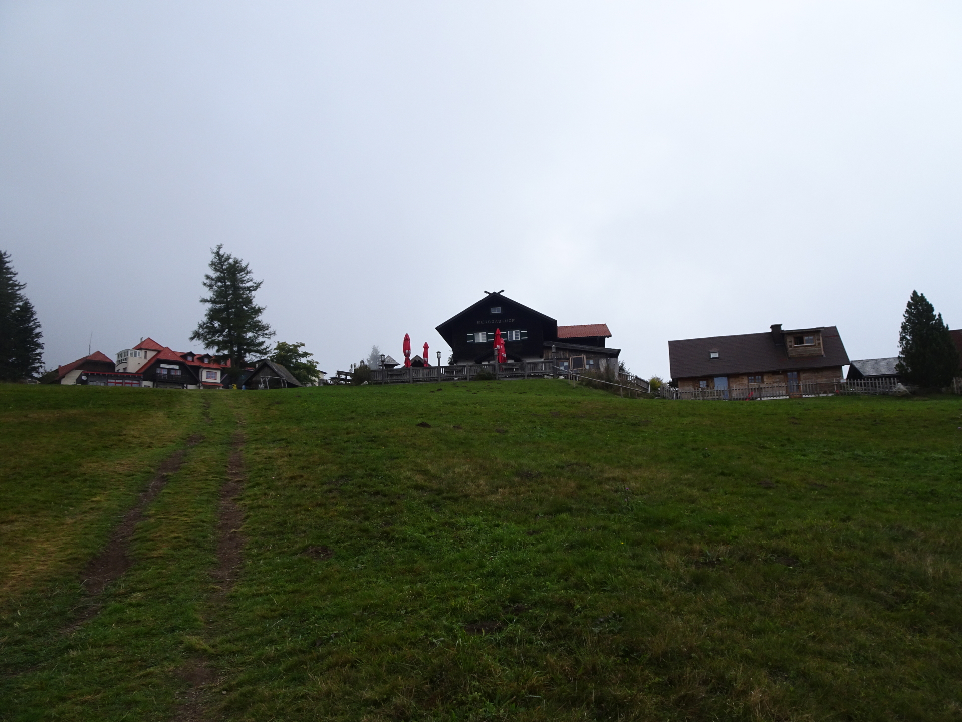
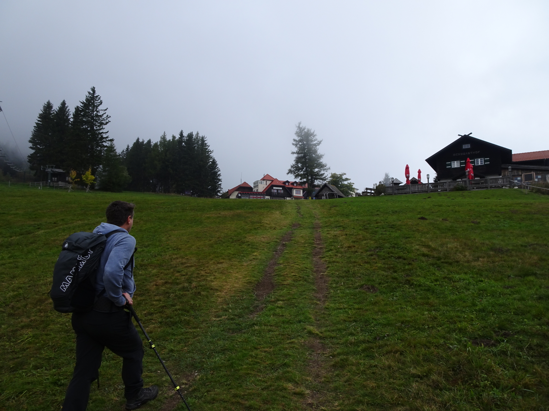
| 00:05 | At the crossing, leave the street and follow the hiking trail at the right hand-side just above the ski slope (see marks with the red Alpannonia® logo) leading towards Alpengasthof Enzian. |
| 00:30 | Turn left and follow the ski slope running on the right hand-side of the ski lift (again, follow the Alpannonia® signs), but keep on the left side of the right slope. |
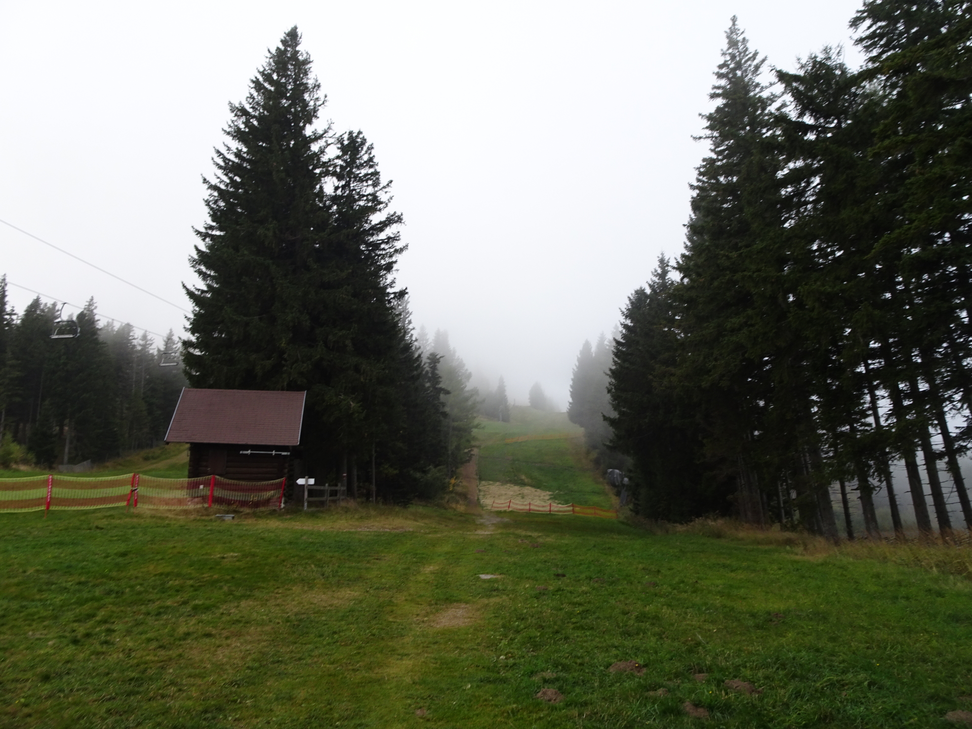
| 00:40 | At the crossing, keep straight ahead (slightly left) and follow the forest road westwards towards Hallerhaus. |
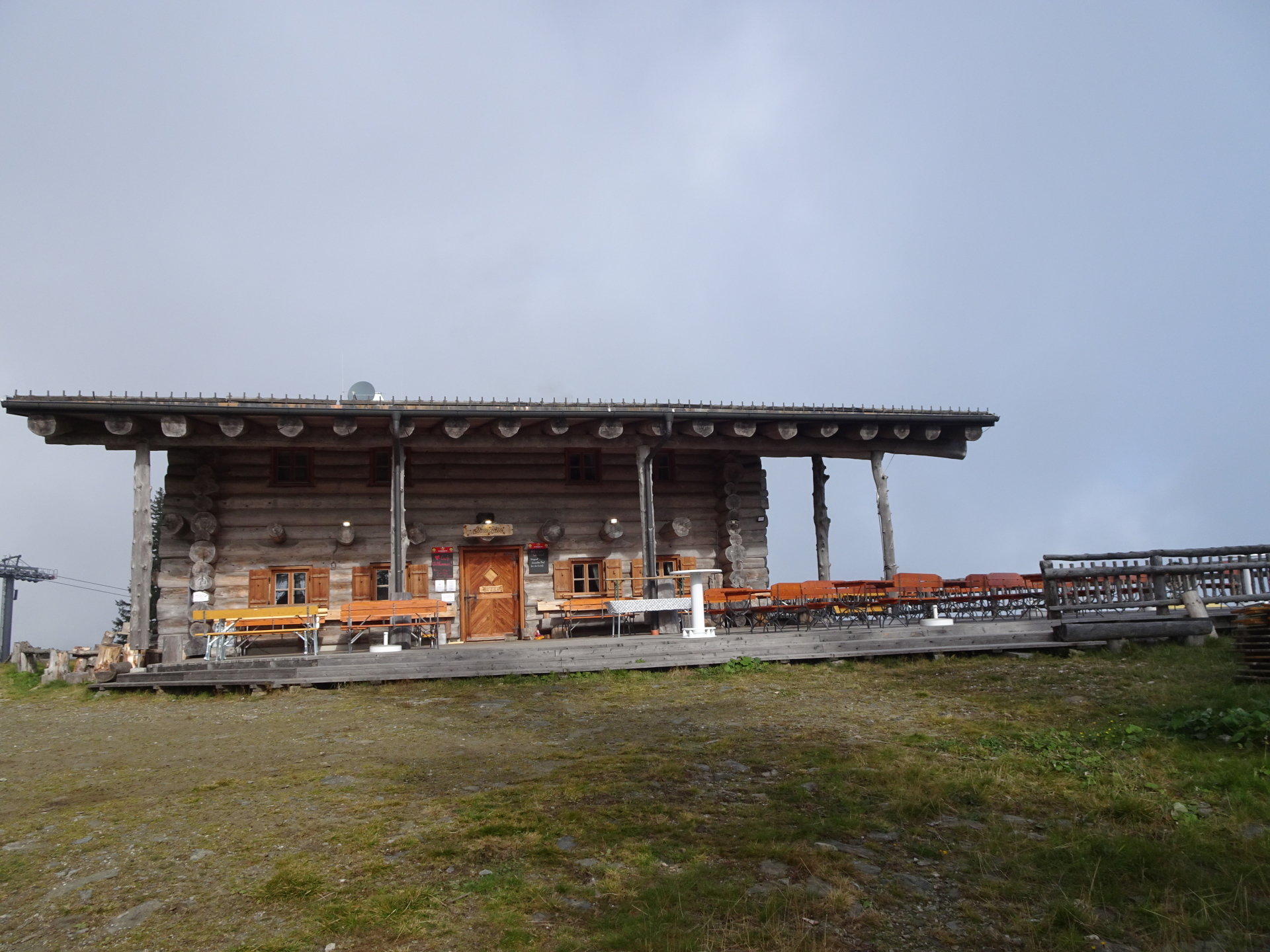
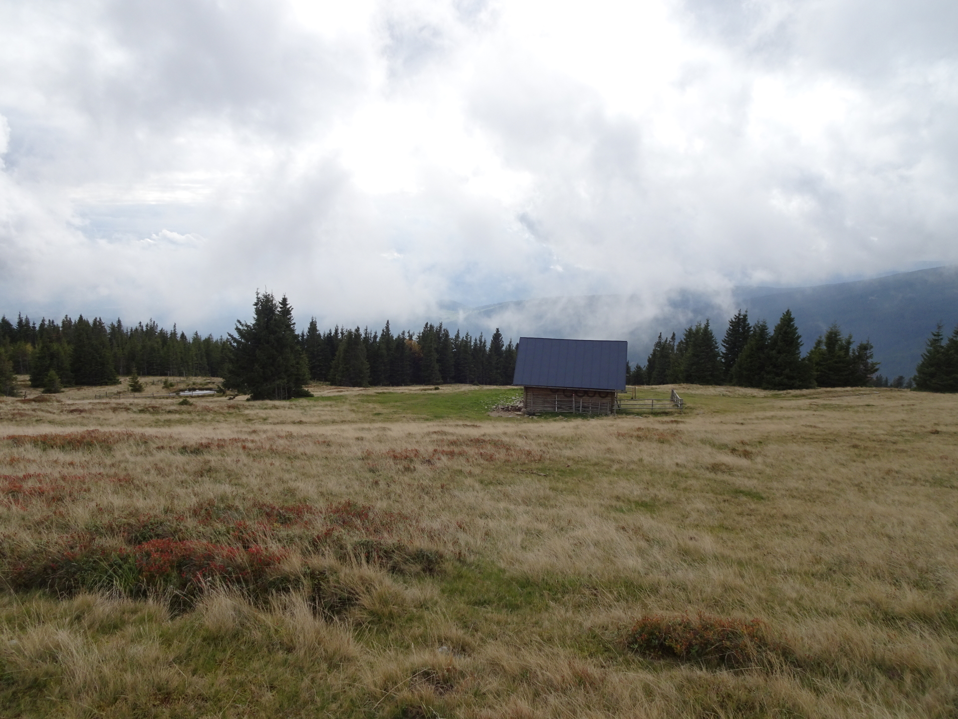
| 00:50 | Well deserved break () at Hallerhaus. |
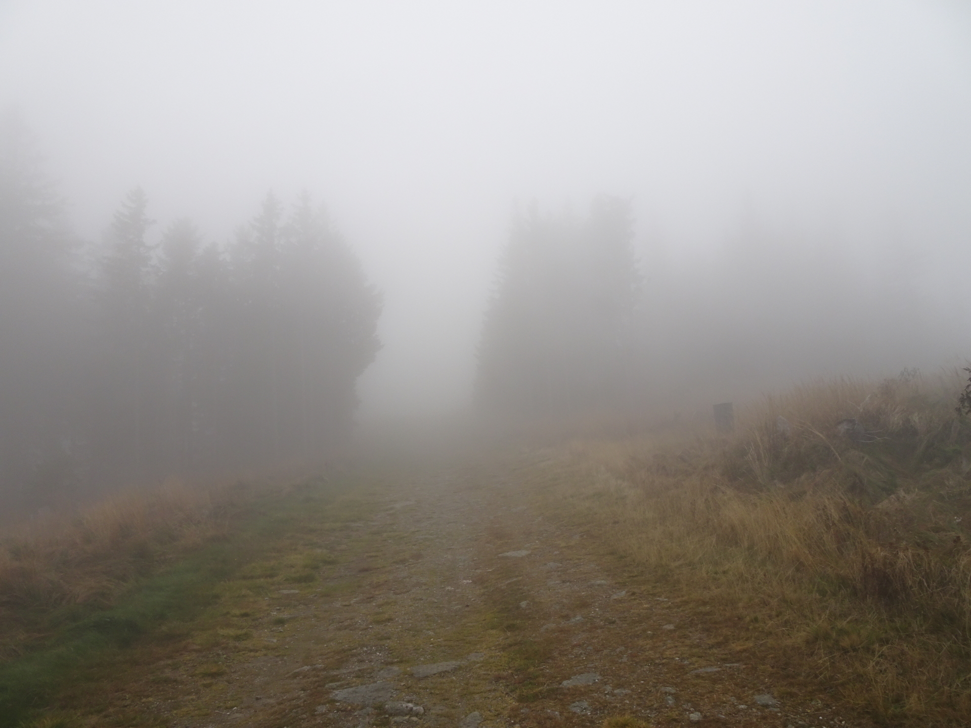
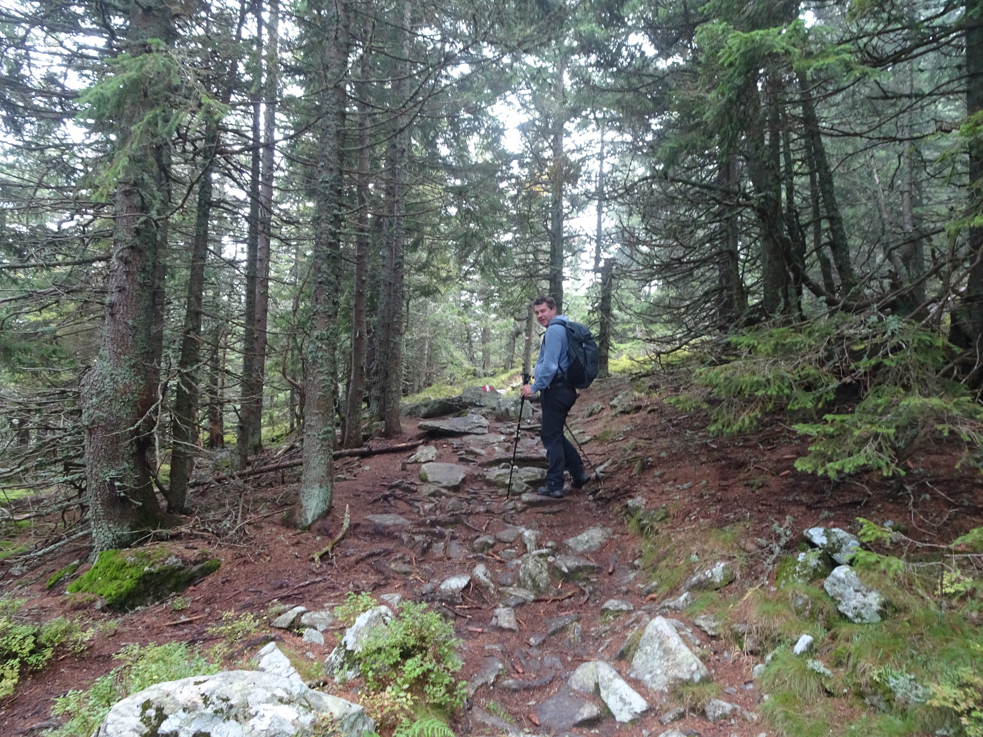
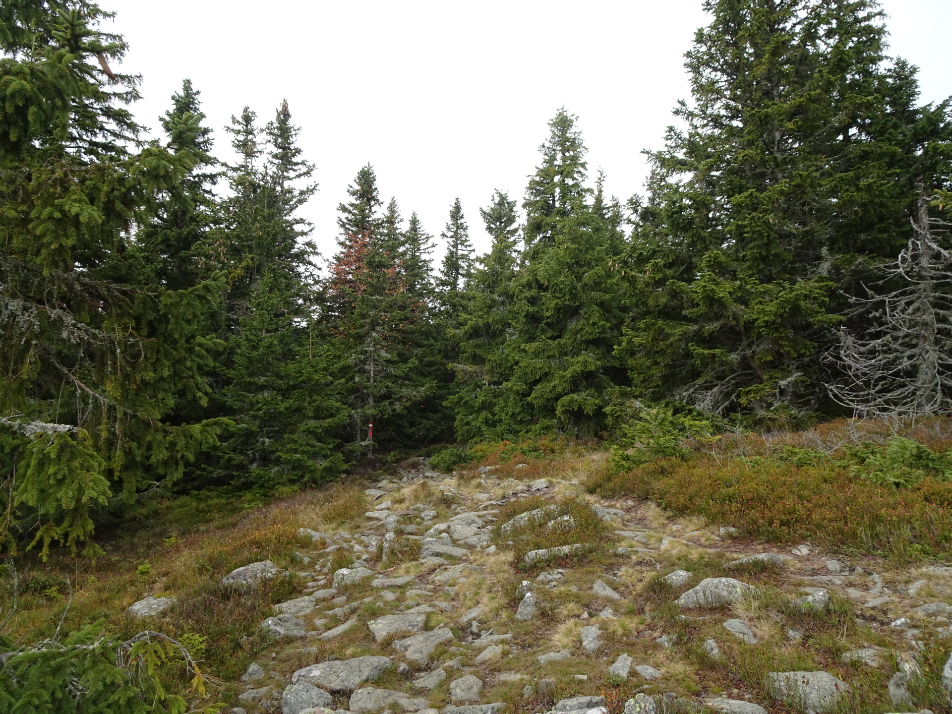
| 01:10 | Follow the trail southwestwards the Hallerhaus through the forest (westwards). See the Alpannonia® marking! |
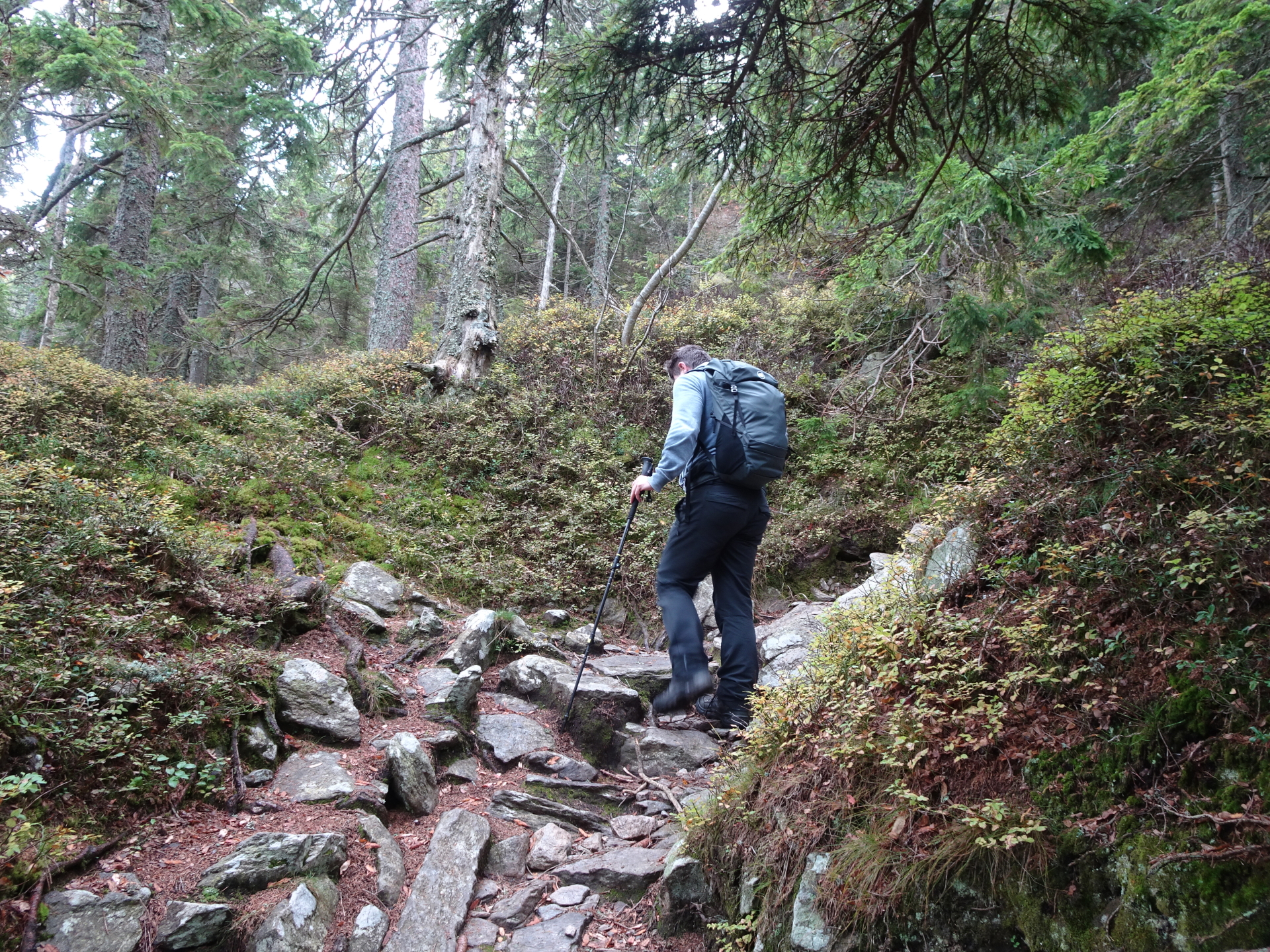
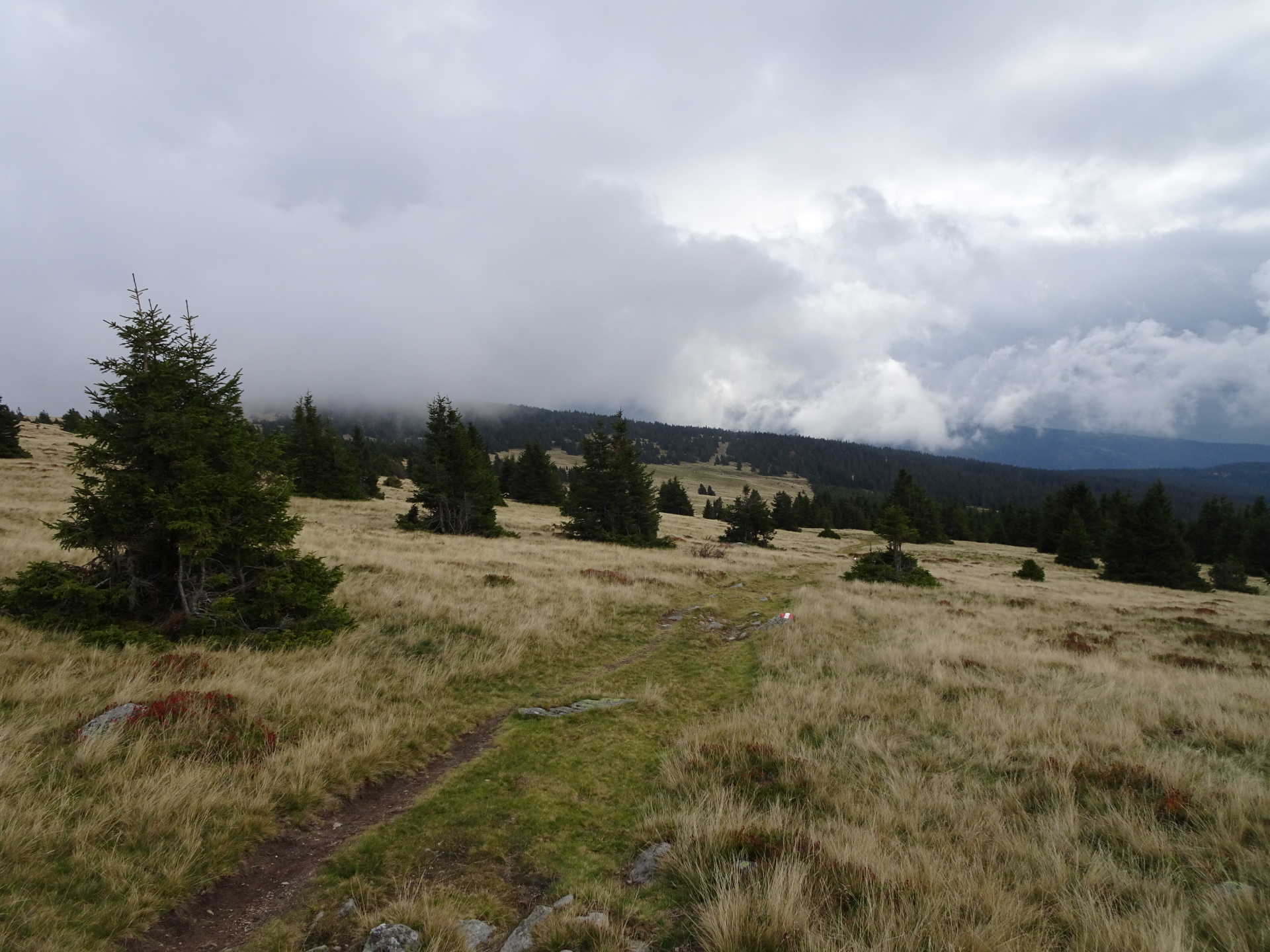
| 01:20 | Pass by the Stoa Alm and turn left into the small trail upwards (the steep Steinerne Stiege). |
| 01:50 | Stay straight ahead and cross the forest street. Keep following the Alpannoniareg; markings upwards to Niederwechsel. |
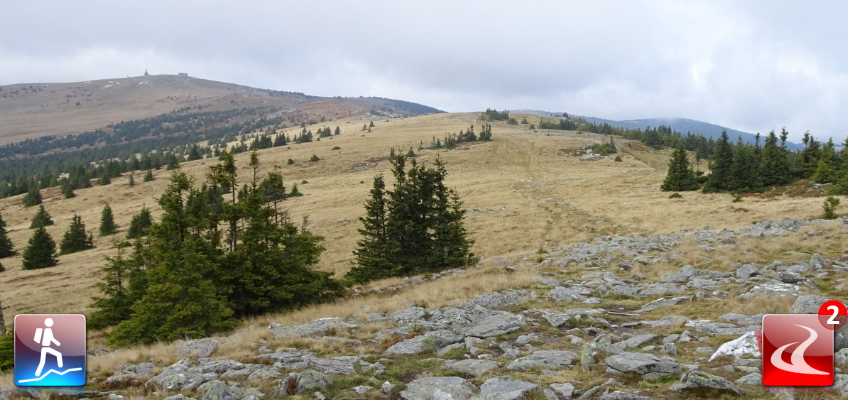
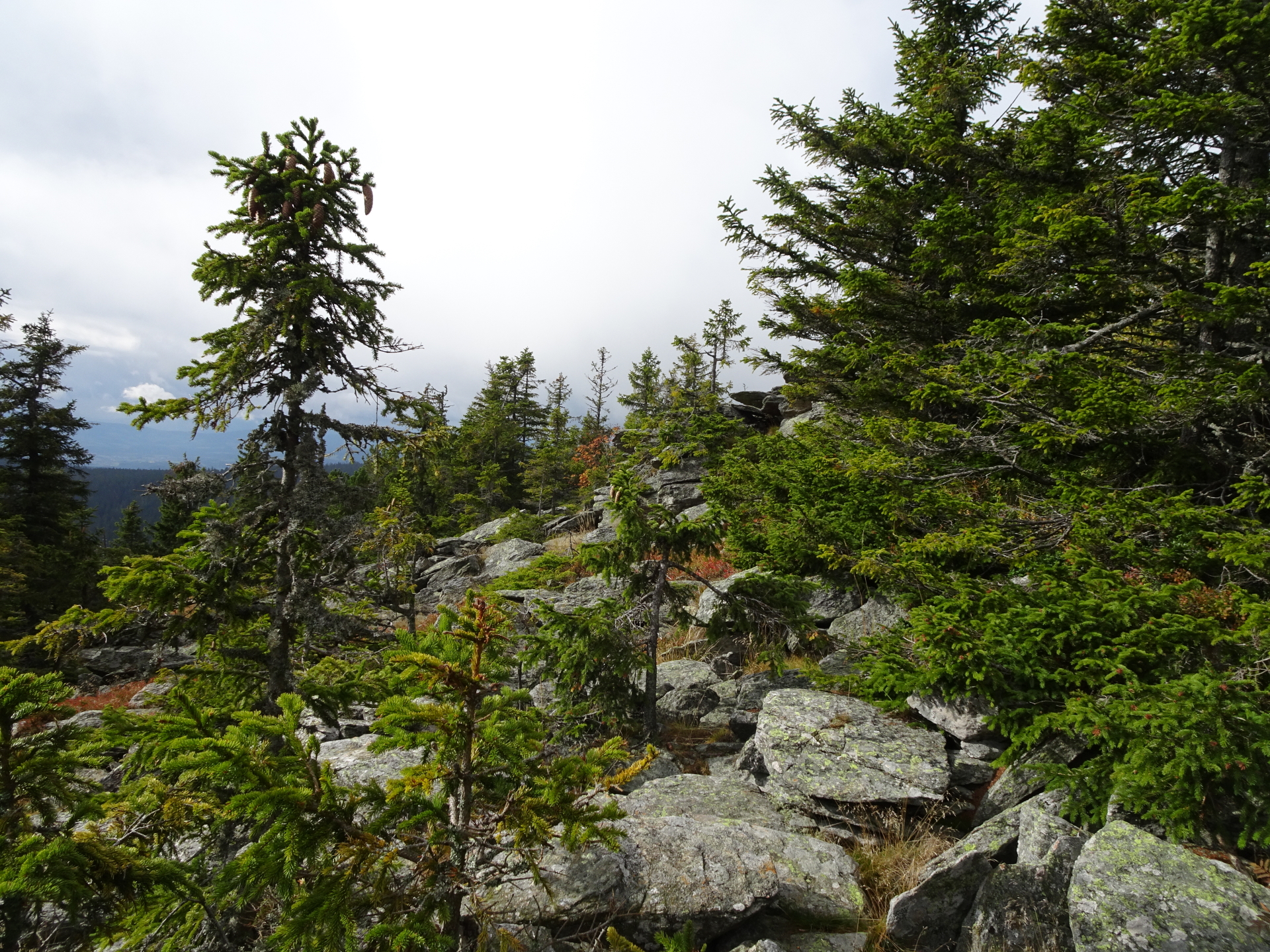
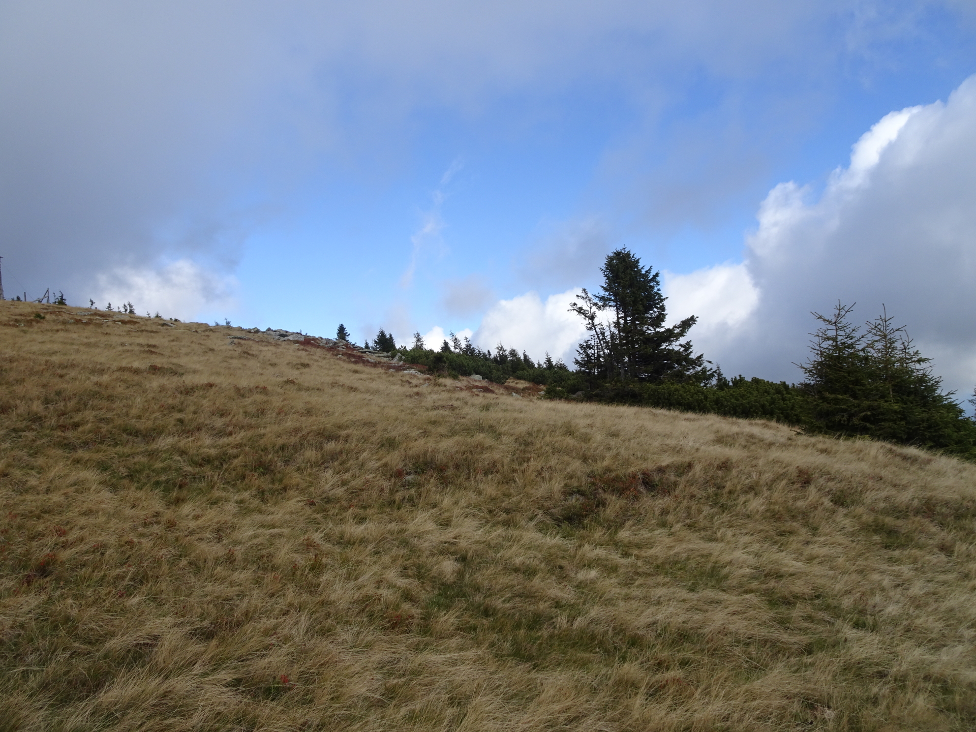
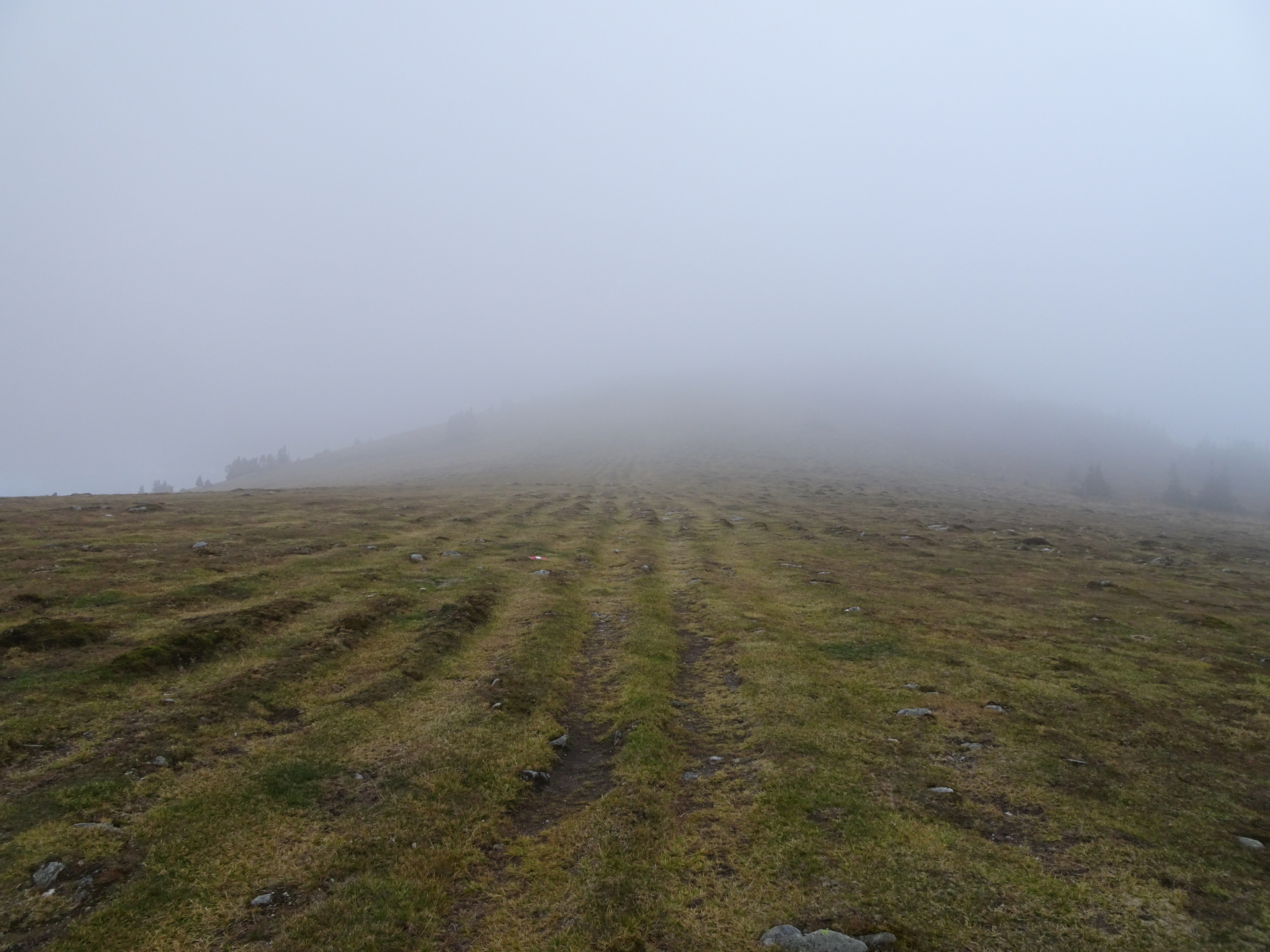
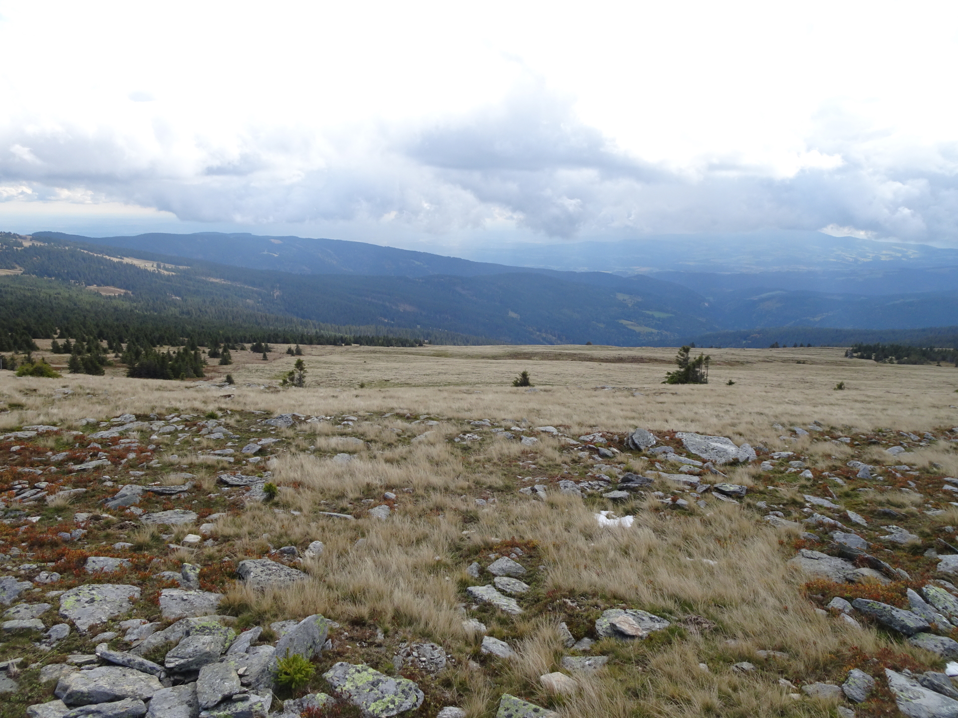
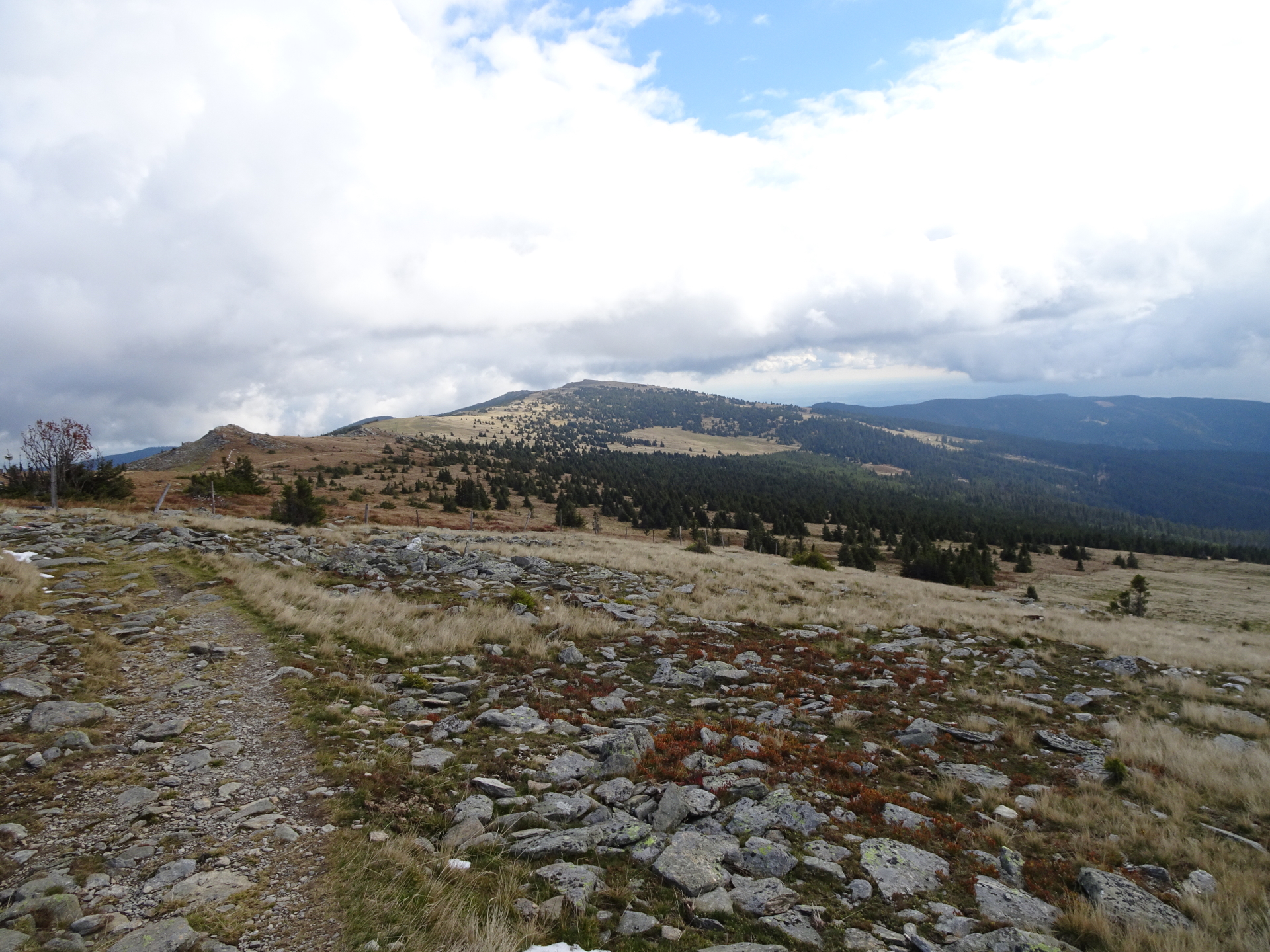
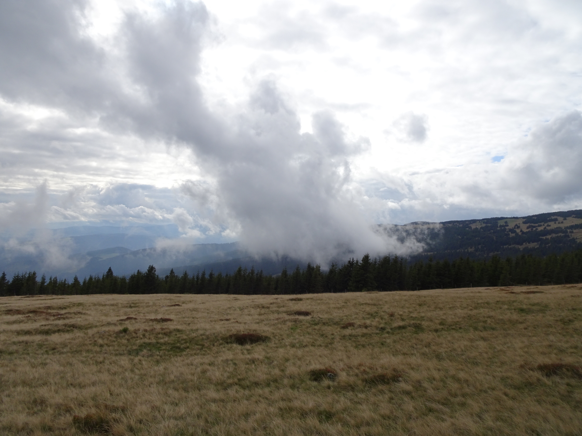
| 02:10 | Enjoy the view from Niederwechsel (best enjoyed with a self-brought refreshment ). Continue following the red-white-red marked trail westwards up to Hochwechsel. |
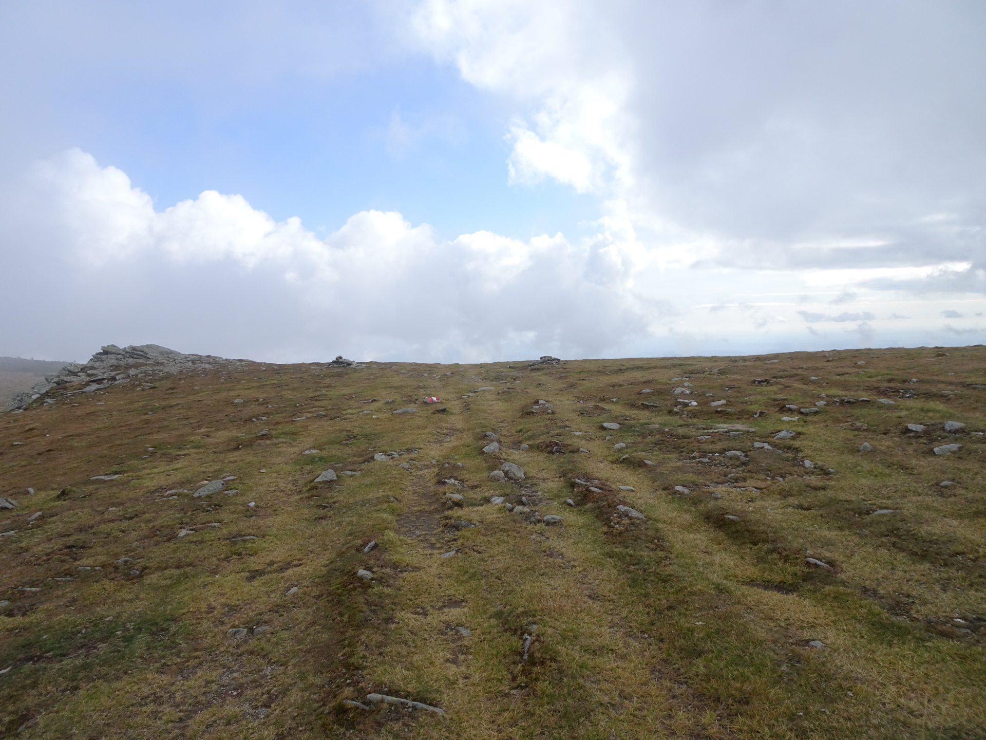
| 02:40 | At the crossing, stay straight ahead and follow the red-white-red marked trail up to Hochwechsel. |
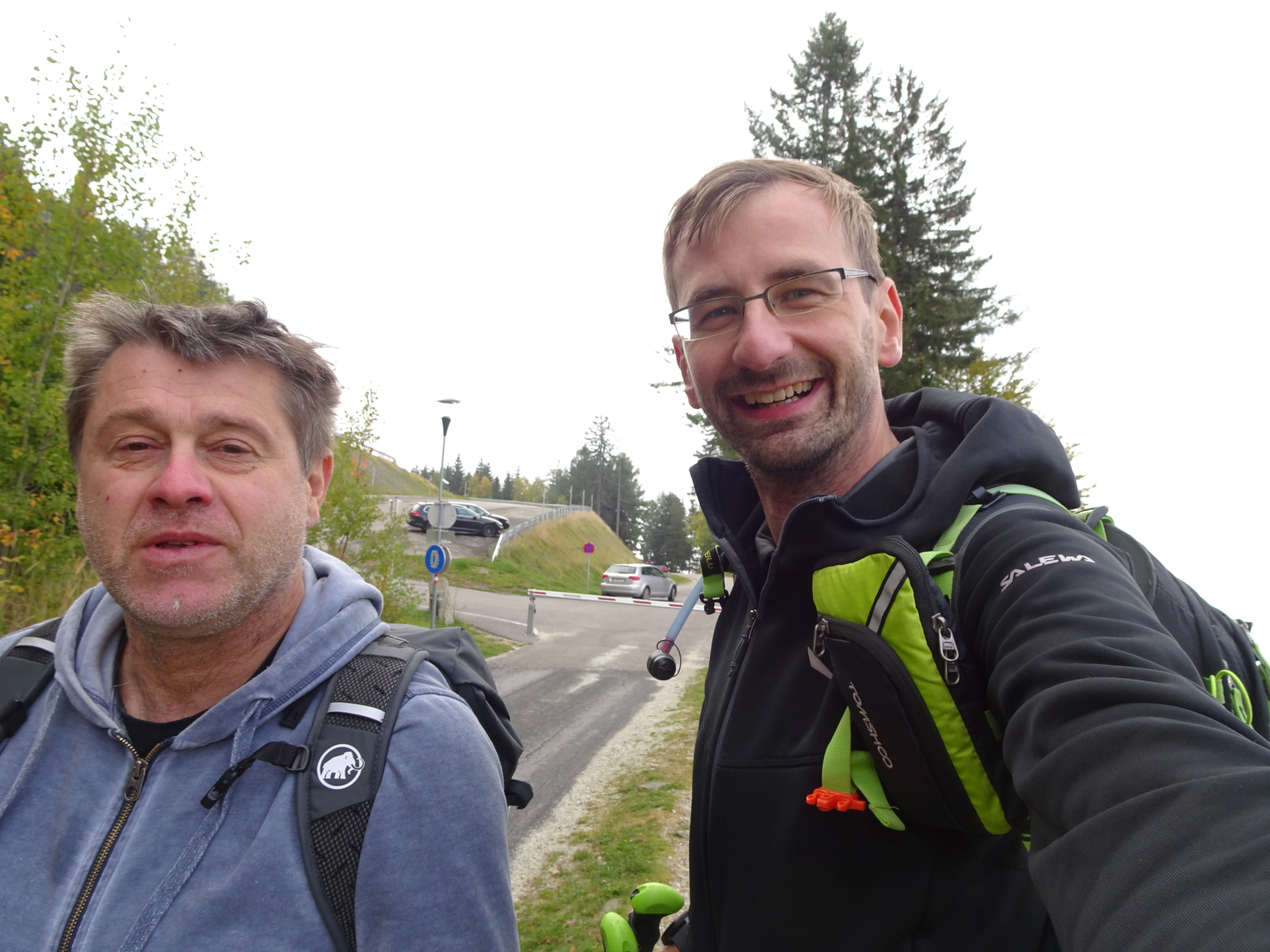
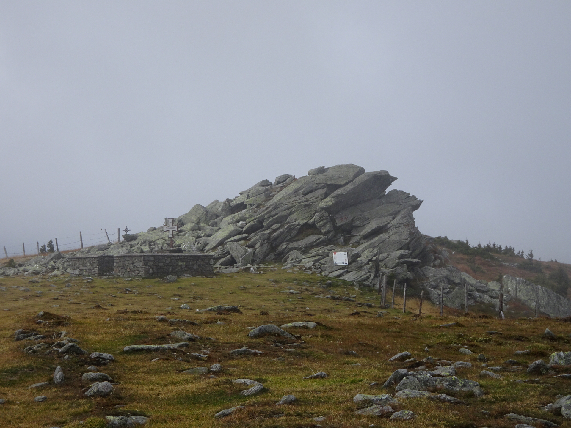
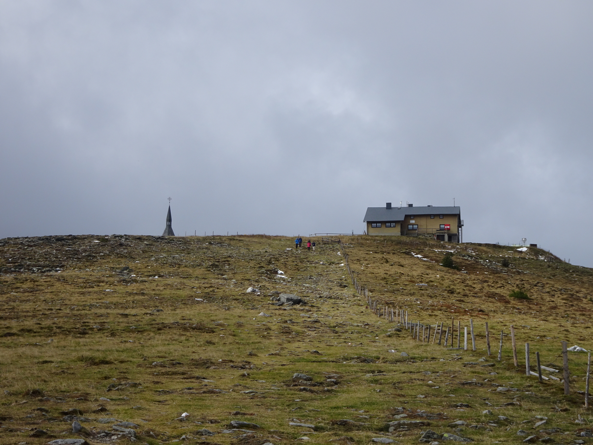
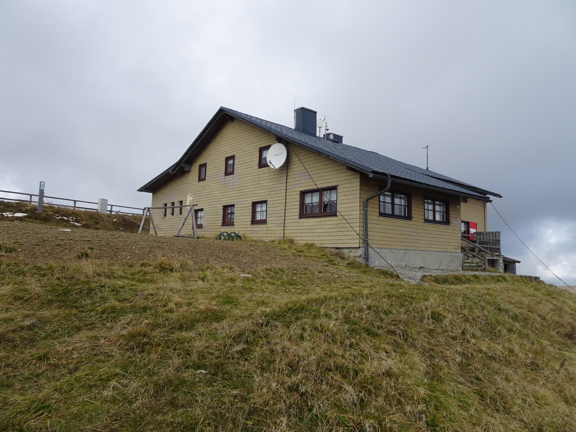
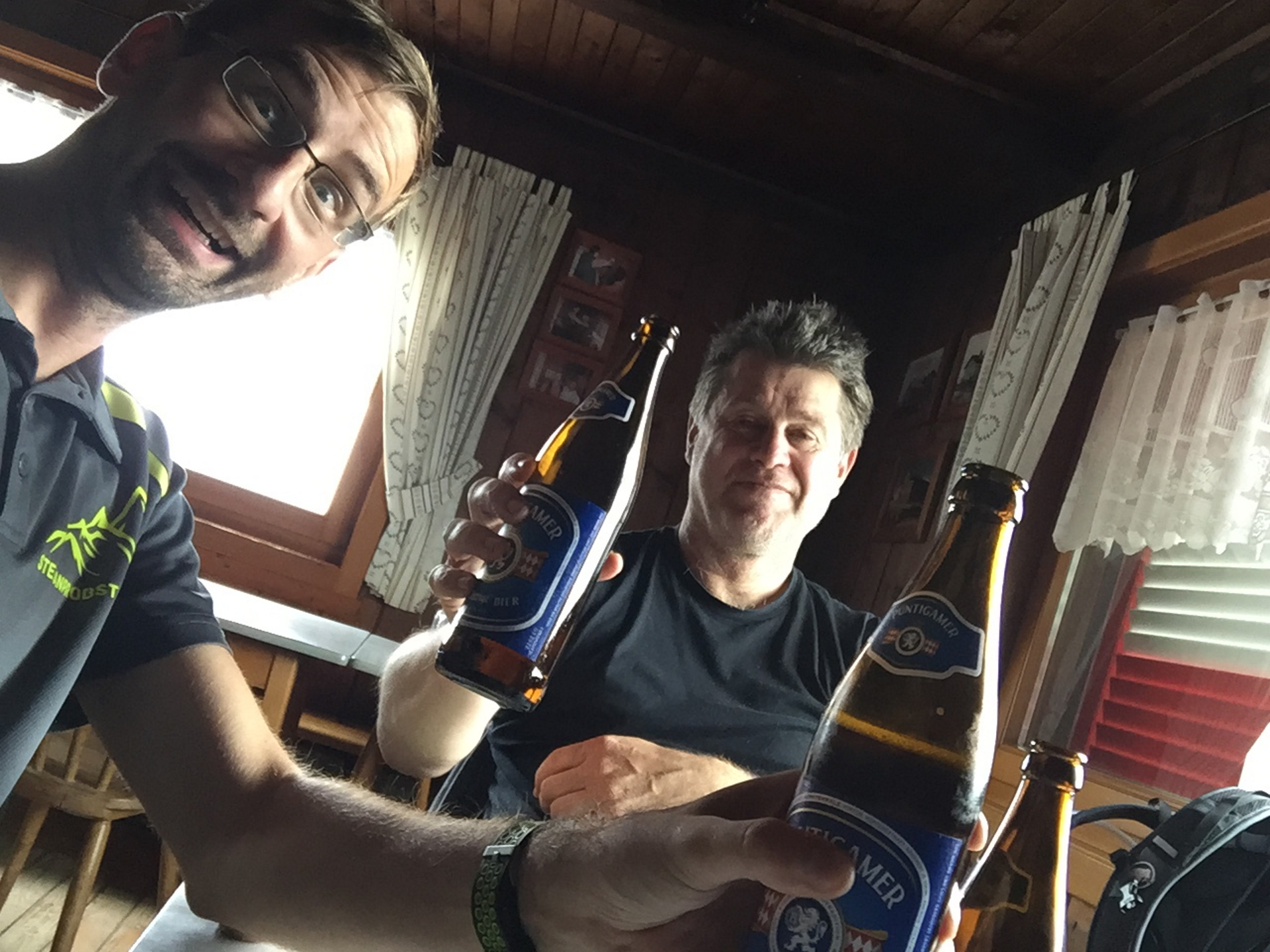
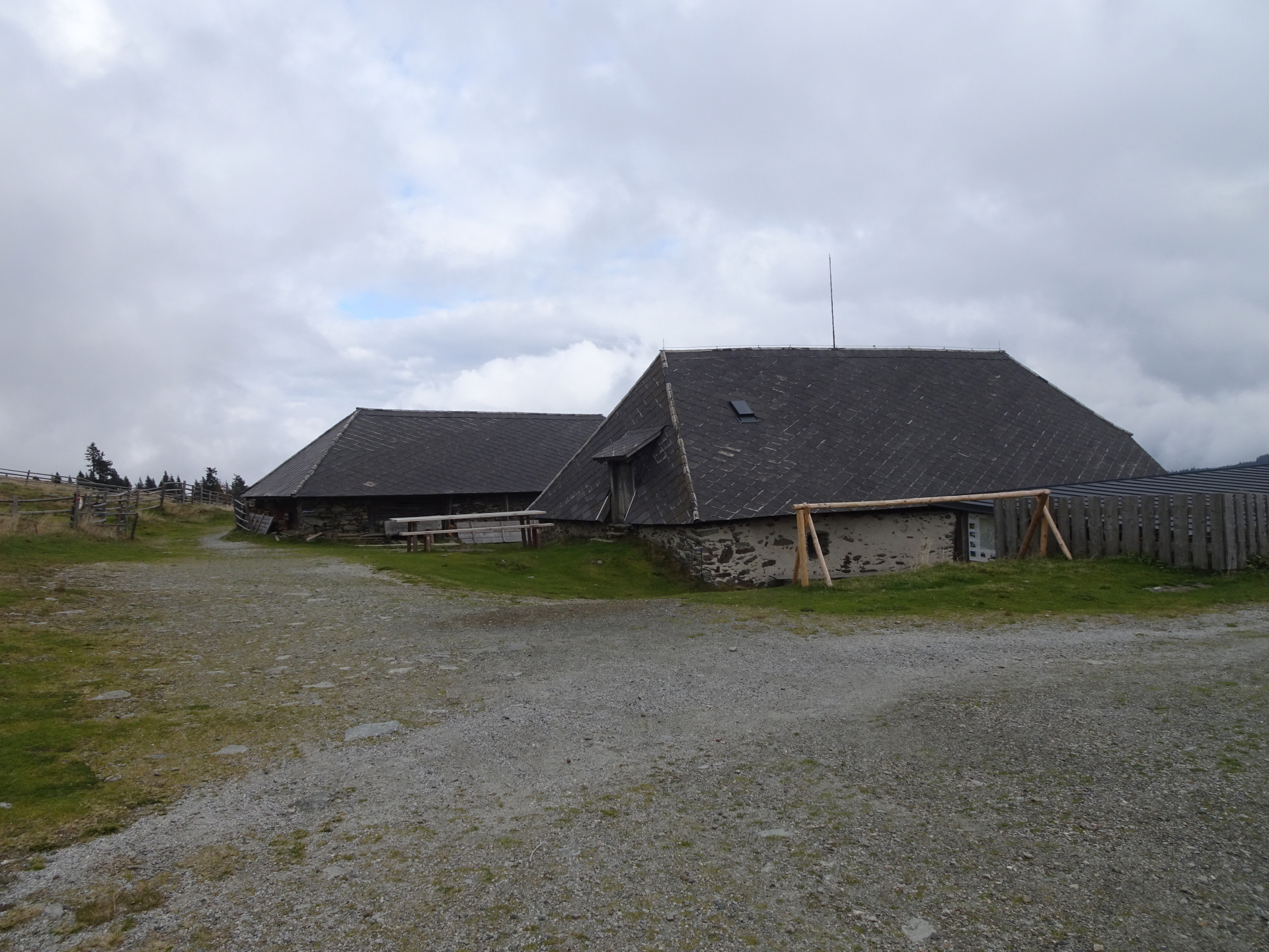
| 03:00 | Well deserved break ( ) at Wetterkoglerhaus. Celebrate the completeness of this part of Alpannonia® (have another ). |
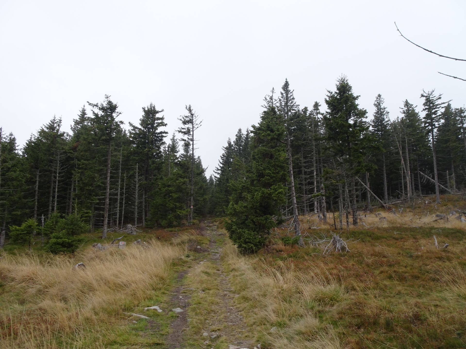
| 03:40 | Hike back towards Niederwechsel following the same trail like the ascent. |
| 03:55 | At the crossing, turn right and follow the trail downwards to Vorauer Schwaig. |
| 04:30 | Pass by the Vorauer Schwaig (if open, consider having another refreshment) and continue following the marked trail eastwards towards Studentenkreuz. |
| 04:50 | At the crossing, turn right and follow the small marked trail towards Studentenkreuz. |
| 05:10 | At the crossing, keep straight ahead (not towards Hallerhaus) and follow small marked trail through the forest towards Studentenkreuz. |
| 05:20 | At the crossing, turn right into the small trail towards Studentenkreuz. |
| 05:40 | At the Studentenkreuz (U-turn), keep straight ahead and follow the small marked trail towards Mönichkirchen. |
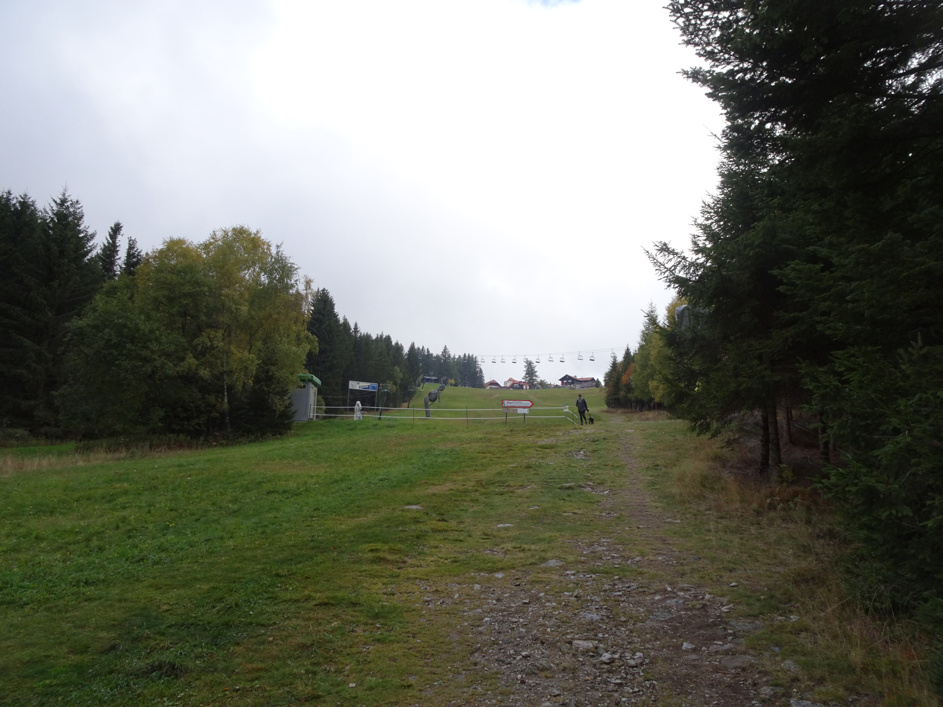
| 05:50 | At the crossing, keep left and follow the trail along the ski slope back to the parking of Mönichkirchen. |
| 06:05 | Back at the parking of Mönichkirchen. End of the tour. |
At a glance
| Level | easy-moderate |
| Technique | |
| Shape / Fitness | |
| Experience | |
| Scenery | |
| Best time in the year | |
|
Jan
Feb
Mar
Apr
May
Jun
Jul
Aug
Sep
Oct
Nov
Dec
|
|
General Tour Data
| Area: | Hochwechsel, Lower Austria/Styria, Austria | |
| Distance: | 21km | |
| Ascent: | 759m (2h 15min) | |
| Descent: | 759m (2h 30min) | |
| Highest Pt: | 1743m | |
| Lowest Pt: | 1026m | |
| Duration: | 5h 05min (without breaks) 6h 05min (with breaks) |
|
| Stop/Rest: | Mönichkirchner Schwaig (1230m) Alpengasthof Enzian (1200m) Hallerhaus (1350m) Stoa Alm (1422m) Wetterkoglerhaus (1743m) Vorauer Schwaig (1505m) Flo und Co (1004m) |
|
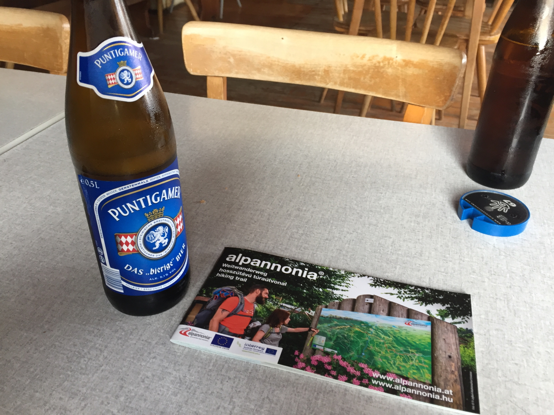
| Equipment: | Hiking shoes Backpack with standard hiking equipment Snacks and water 1x Gipfelbier () Sun & Weather protection Camera |
| Download GPX | ||
| O | Tour at outdooractive.com |


\"")

Leave a Reply