

Long but promising hike up to the Große Scheibe starting at Spital am Semmering via the Kampalpe
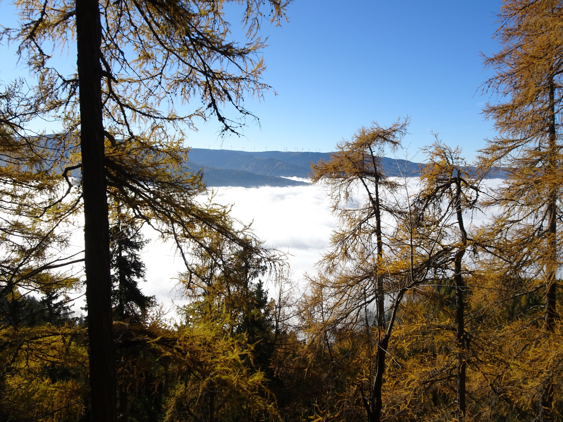
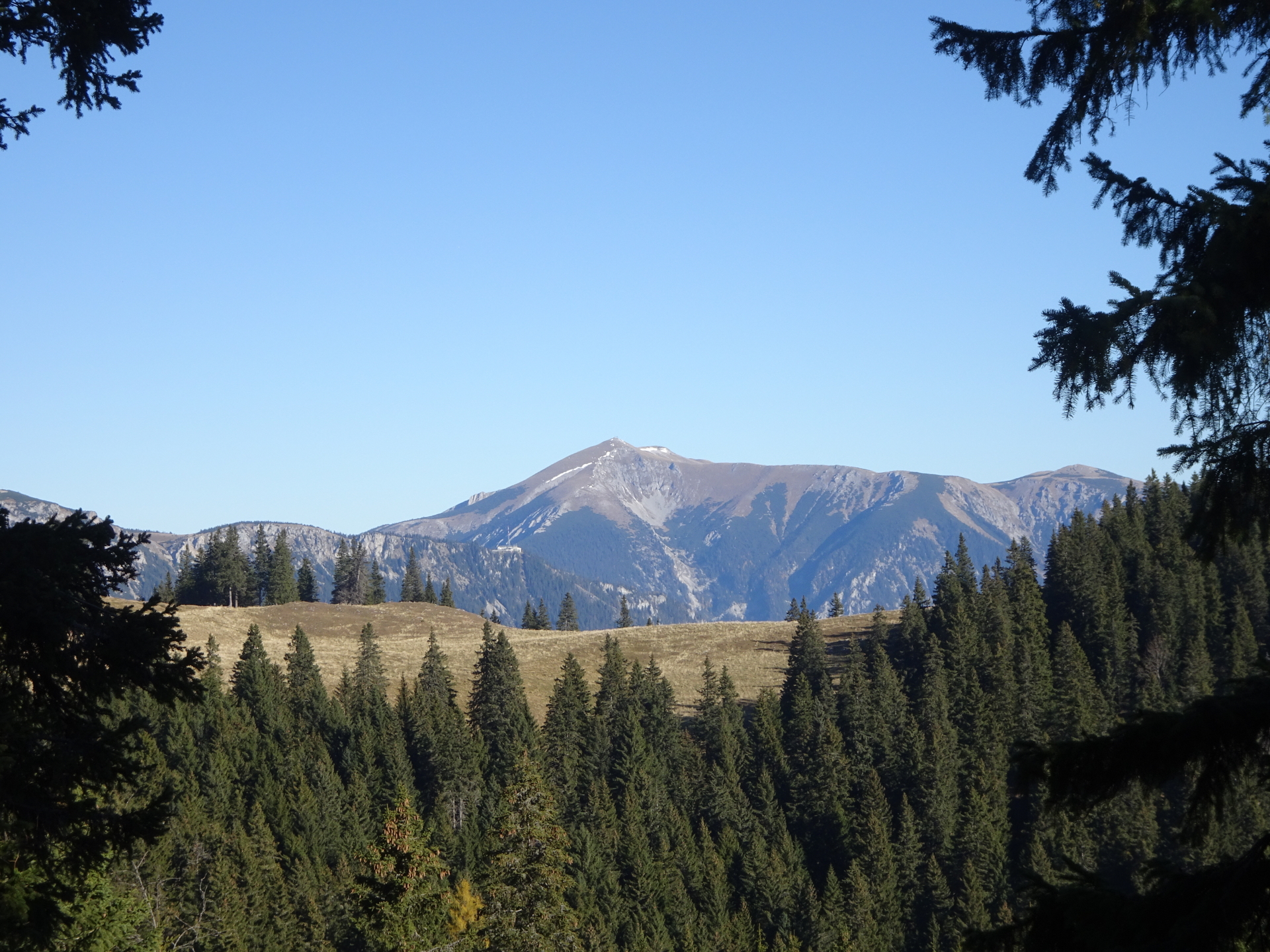
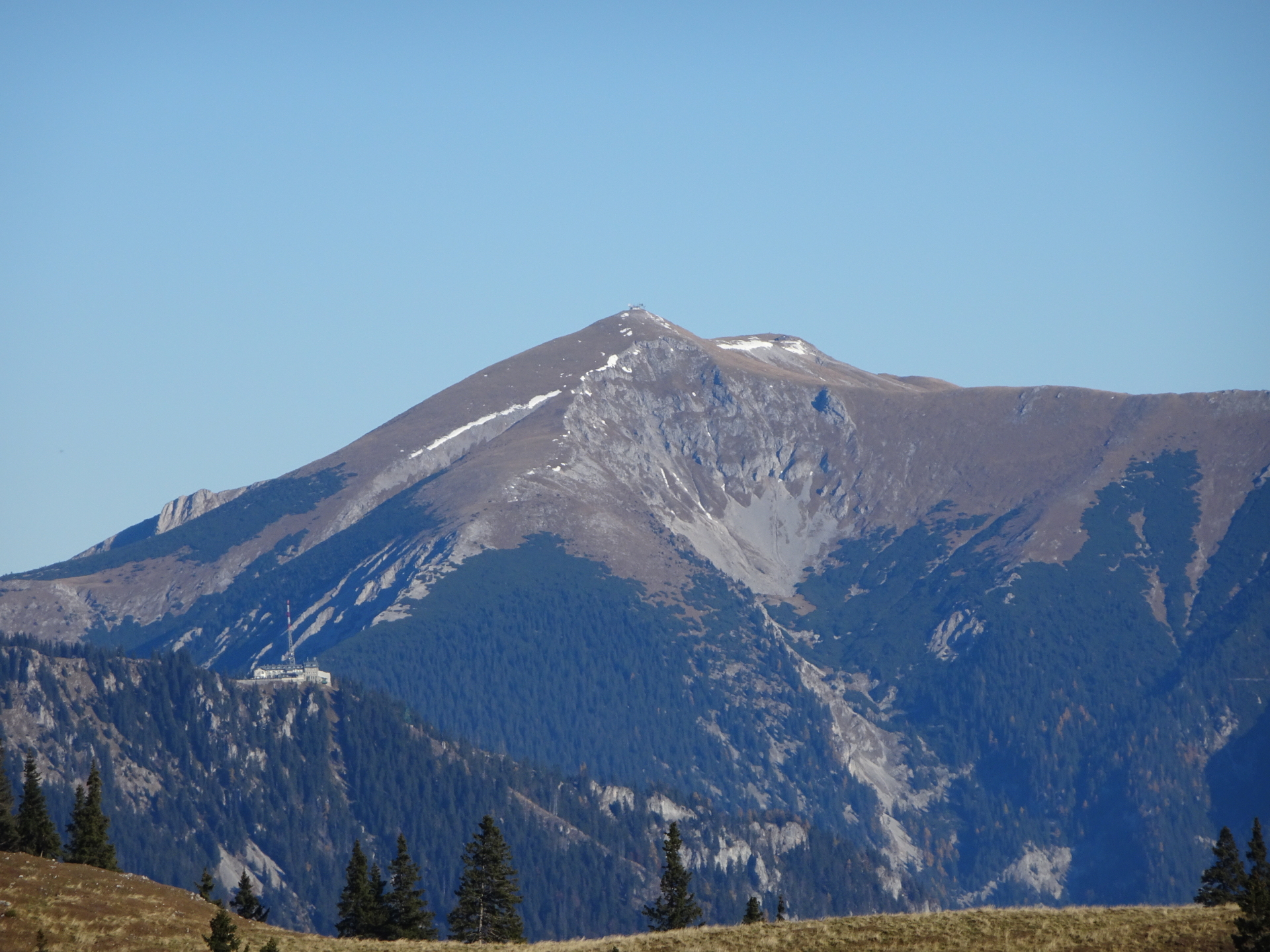
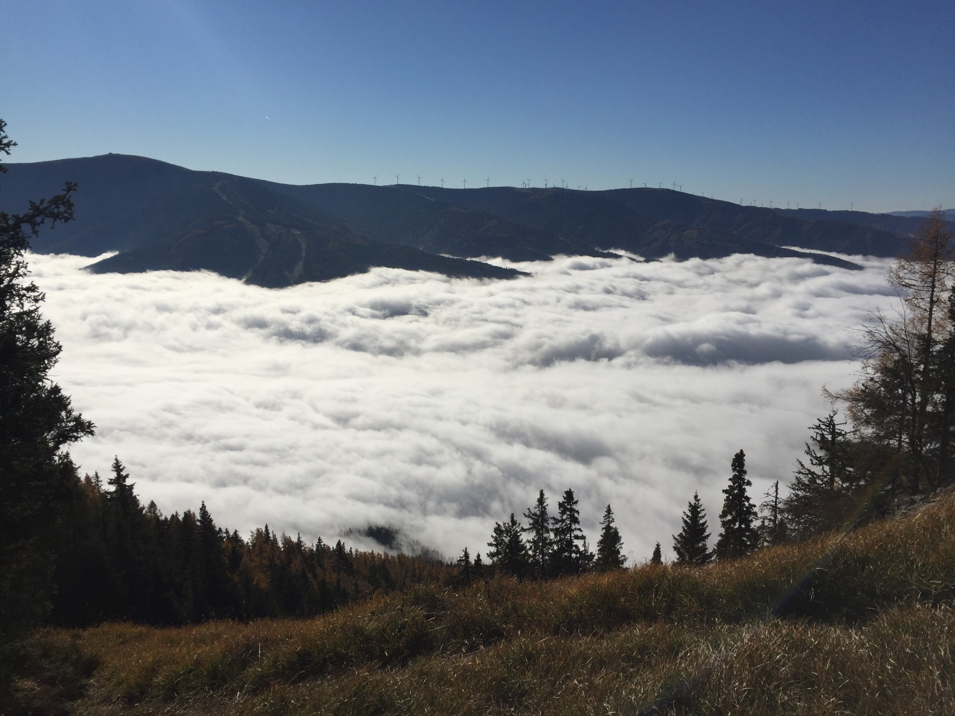
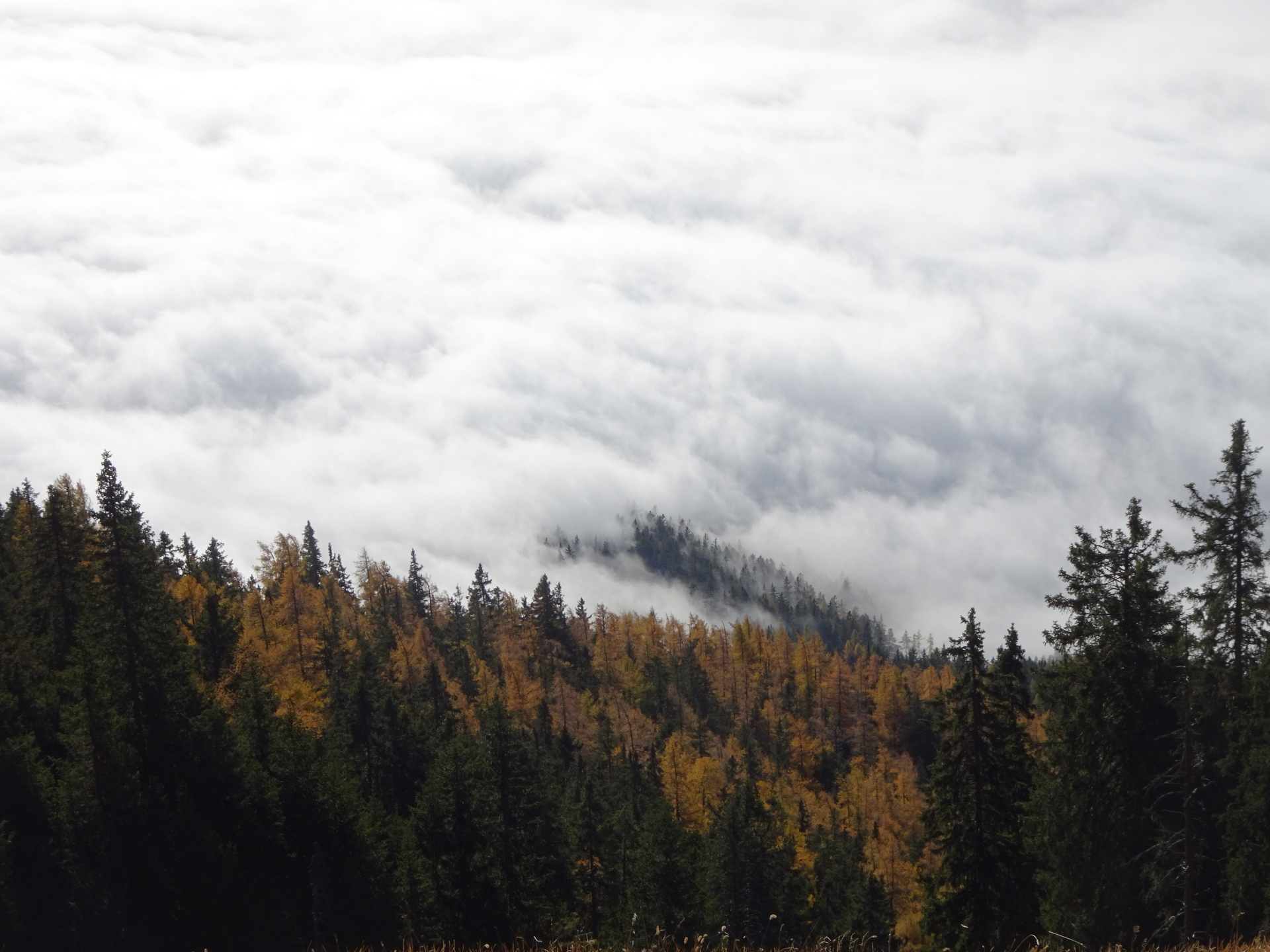
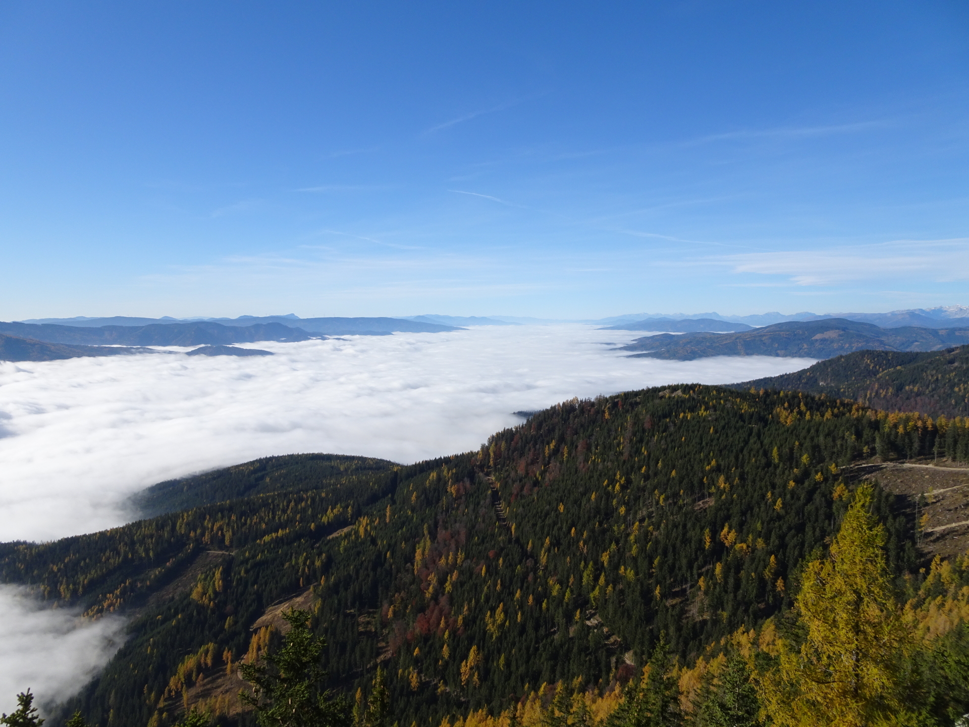
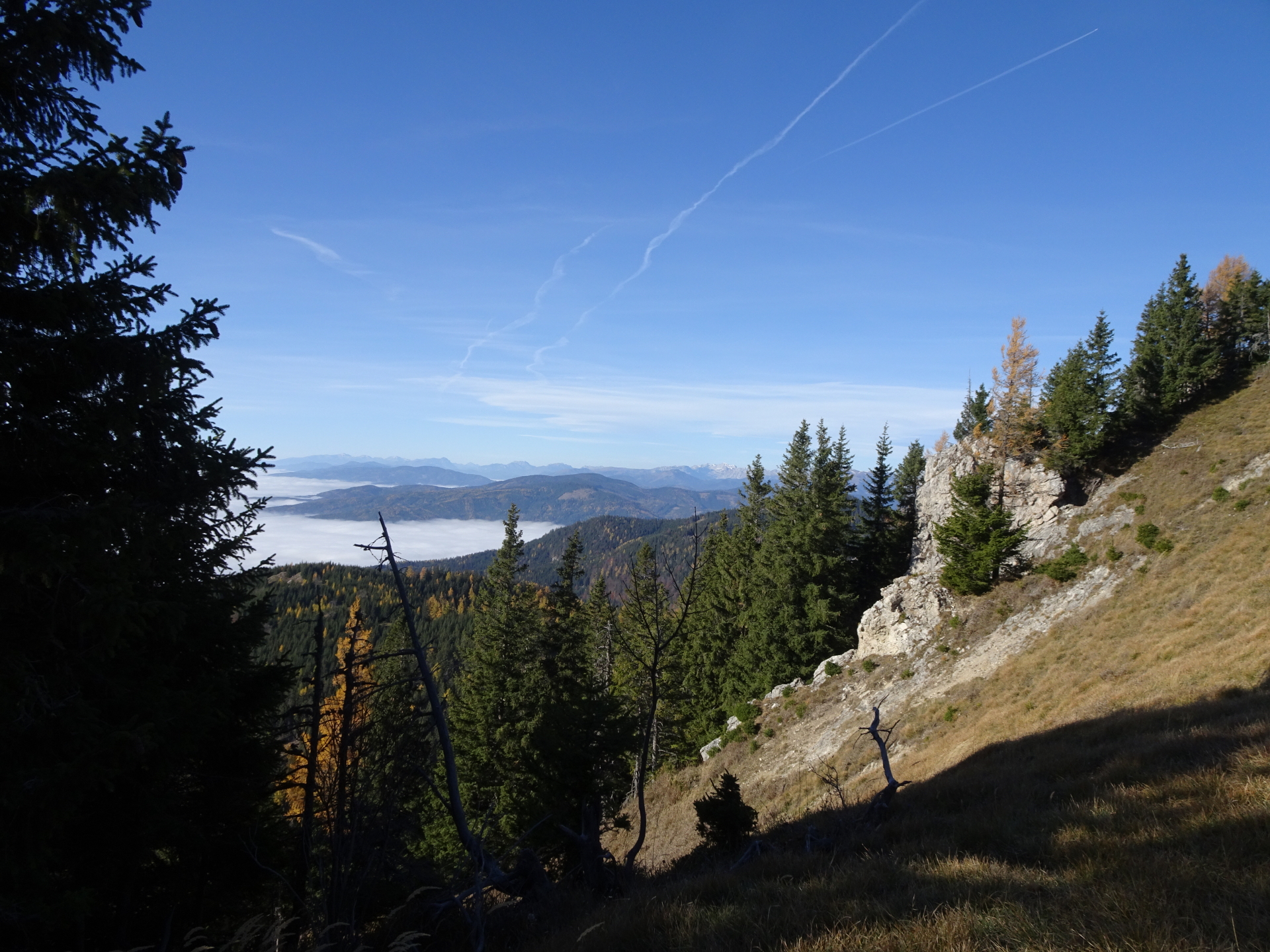
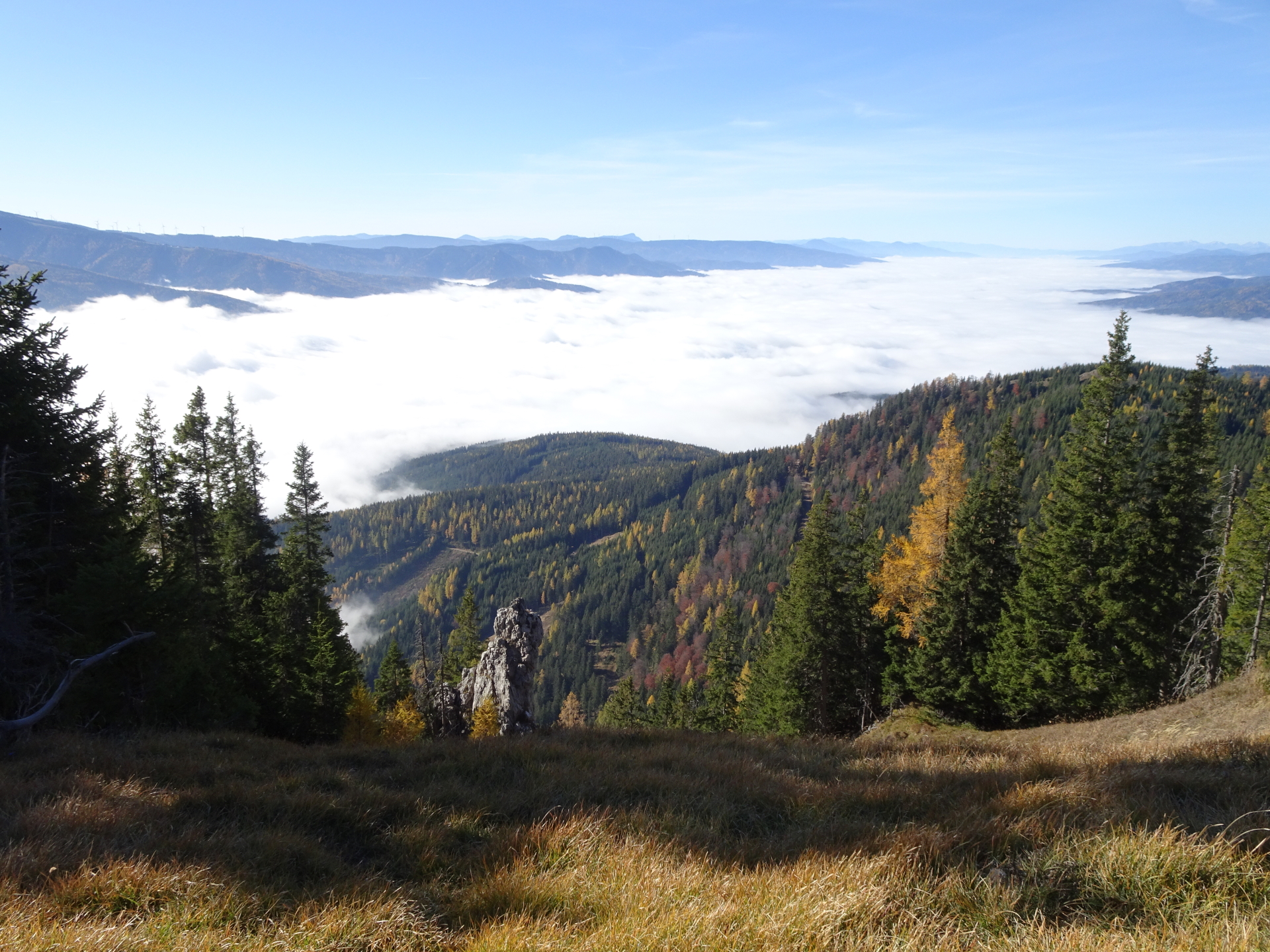
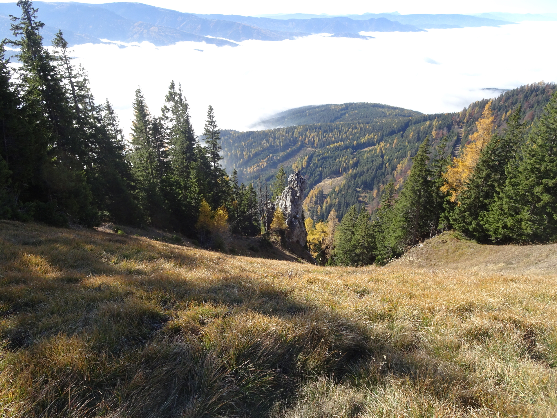
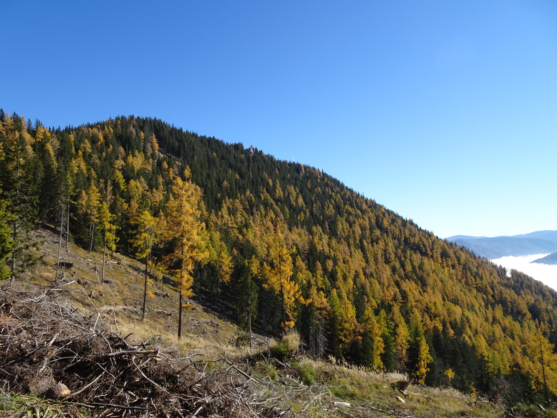
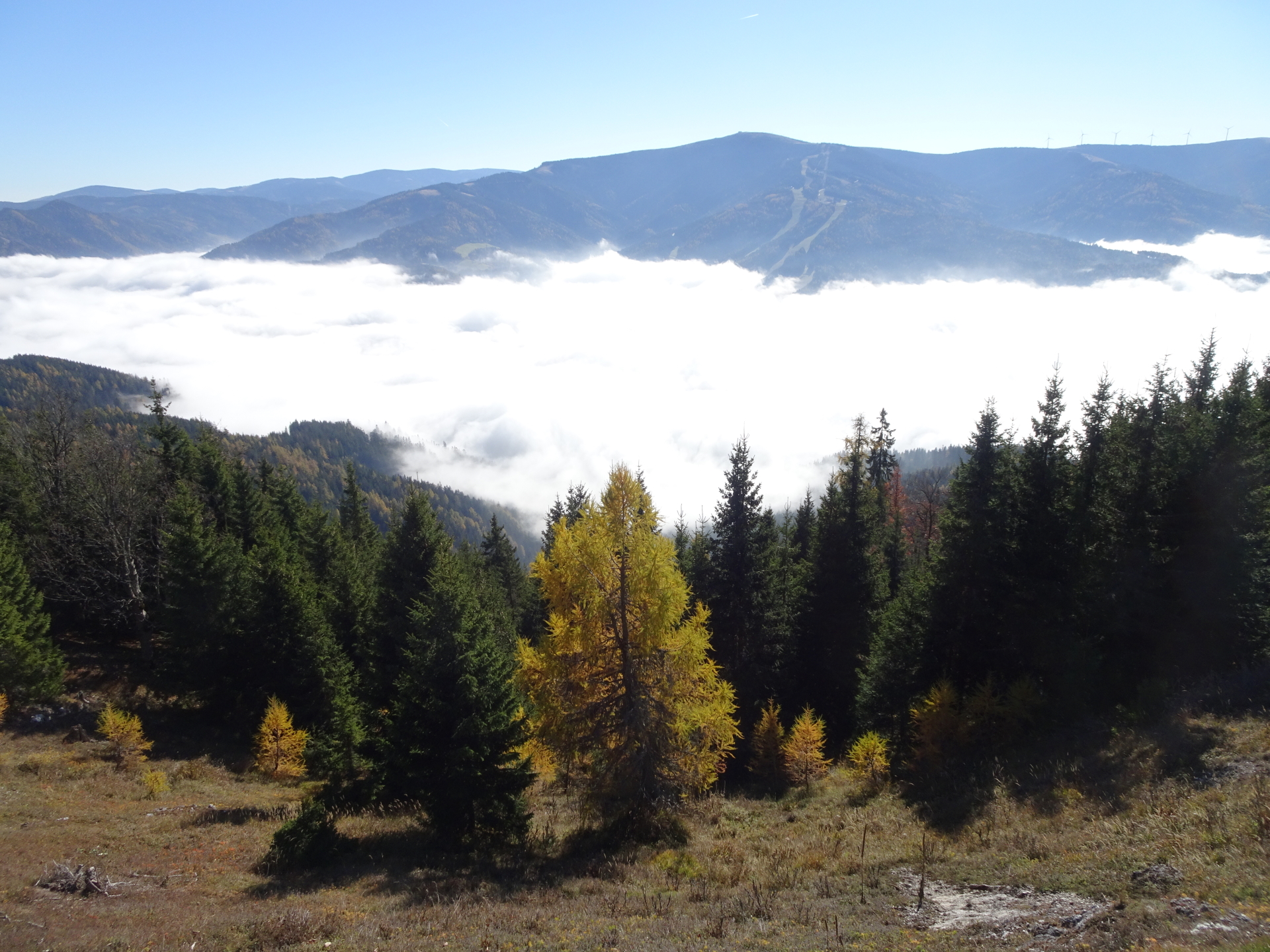
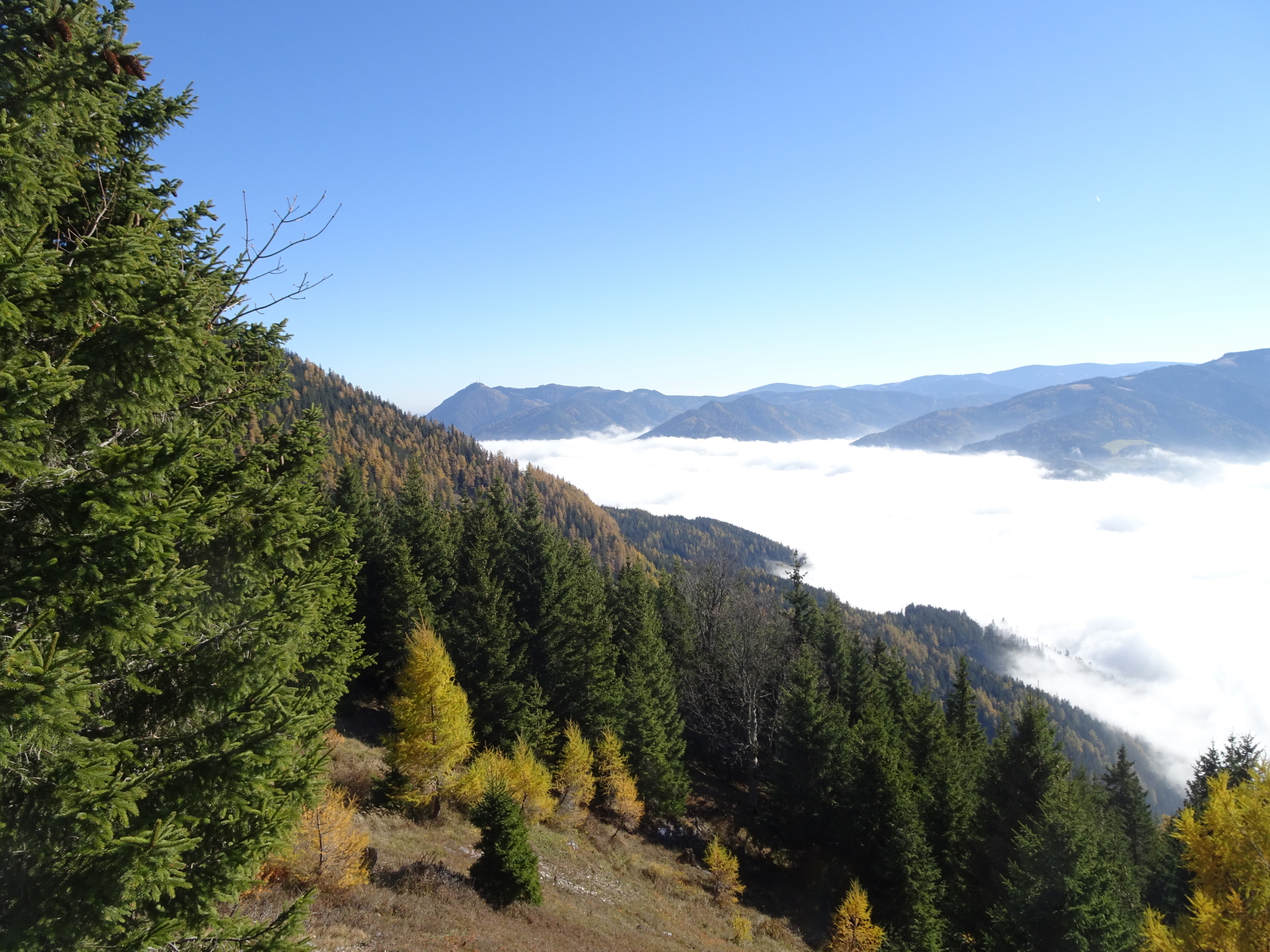
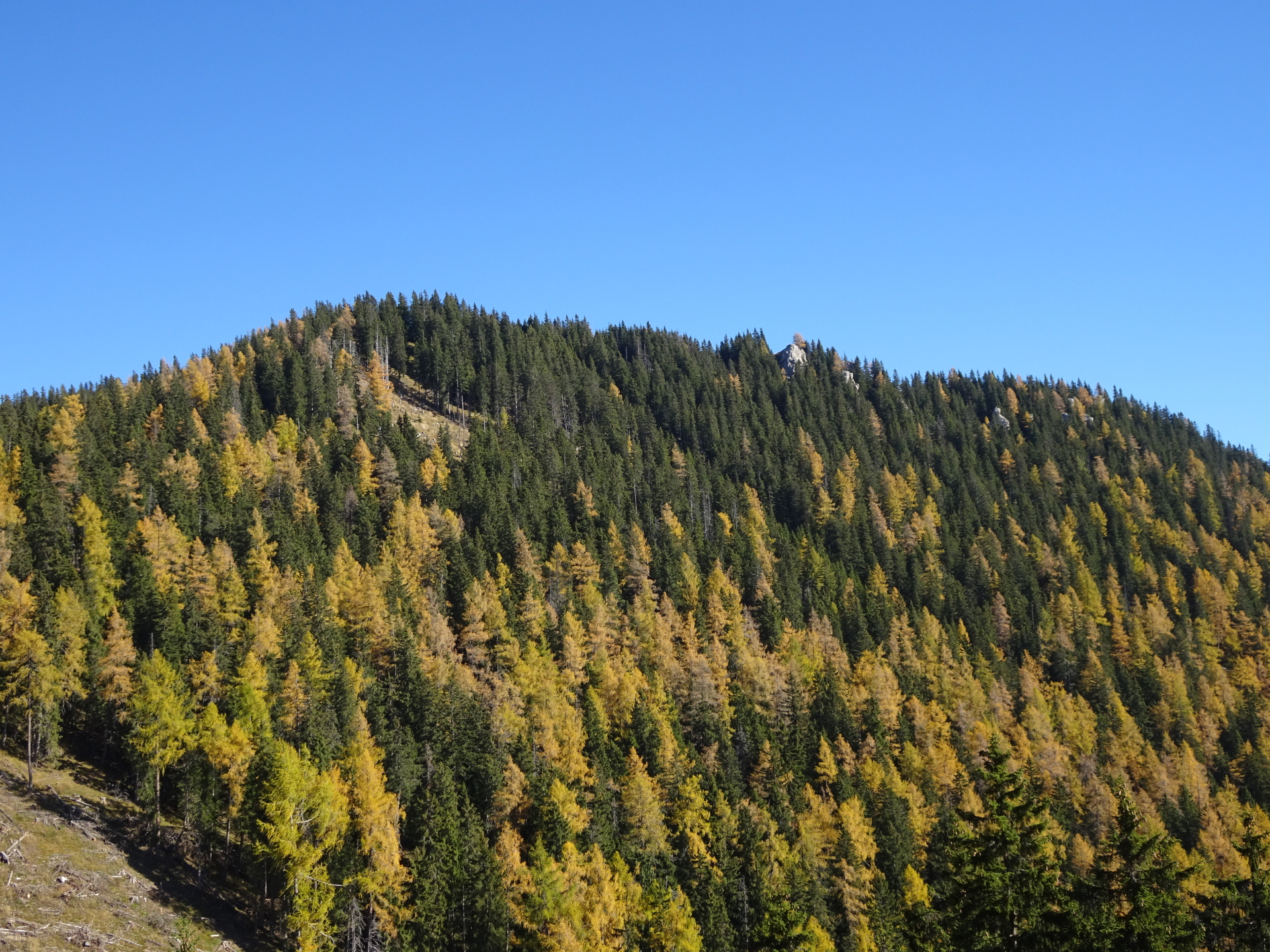
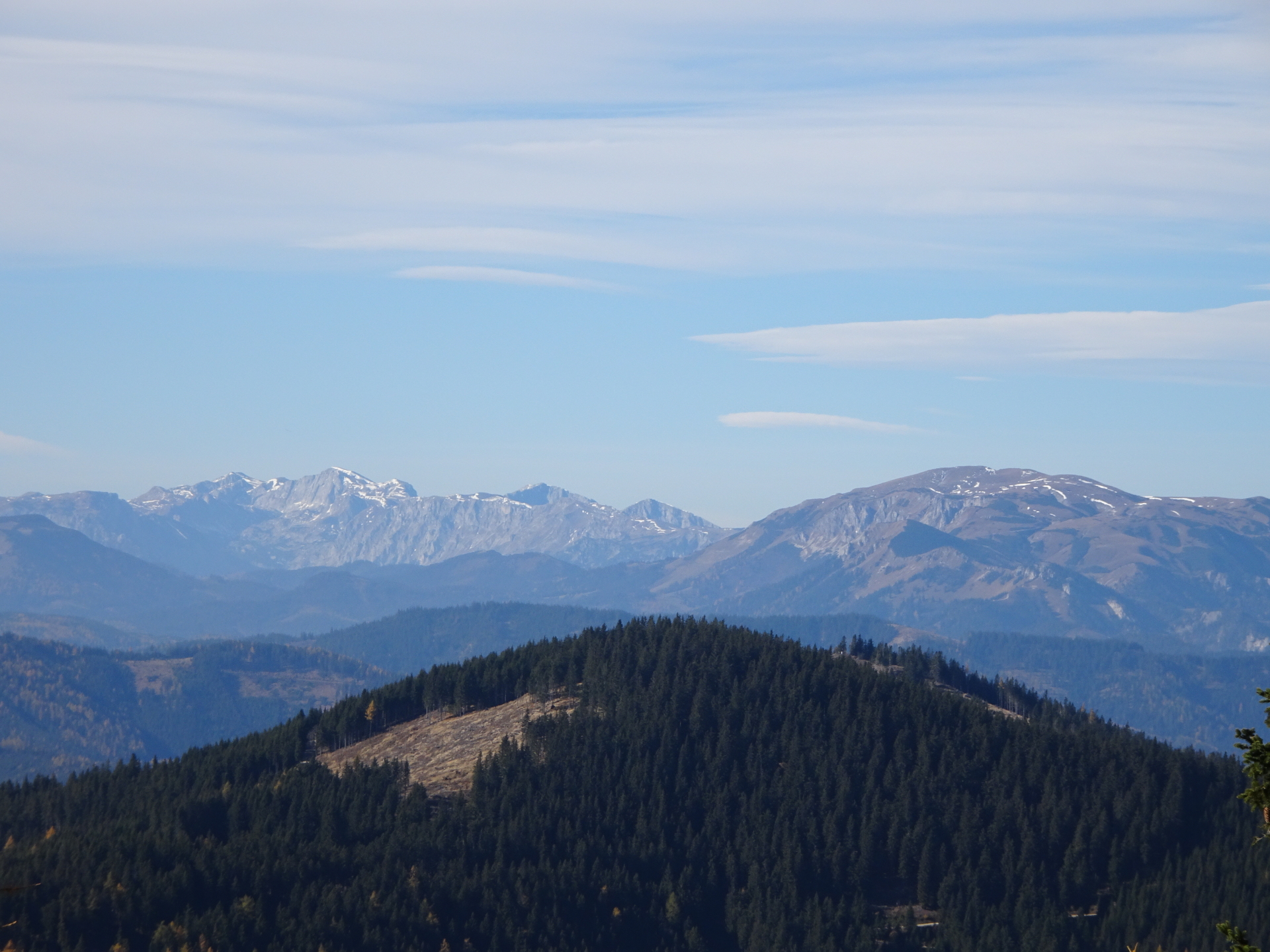
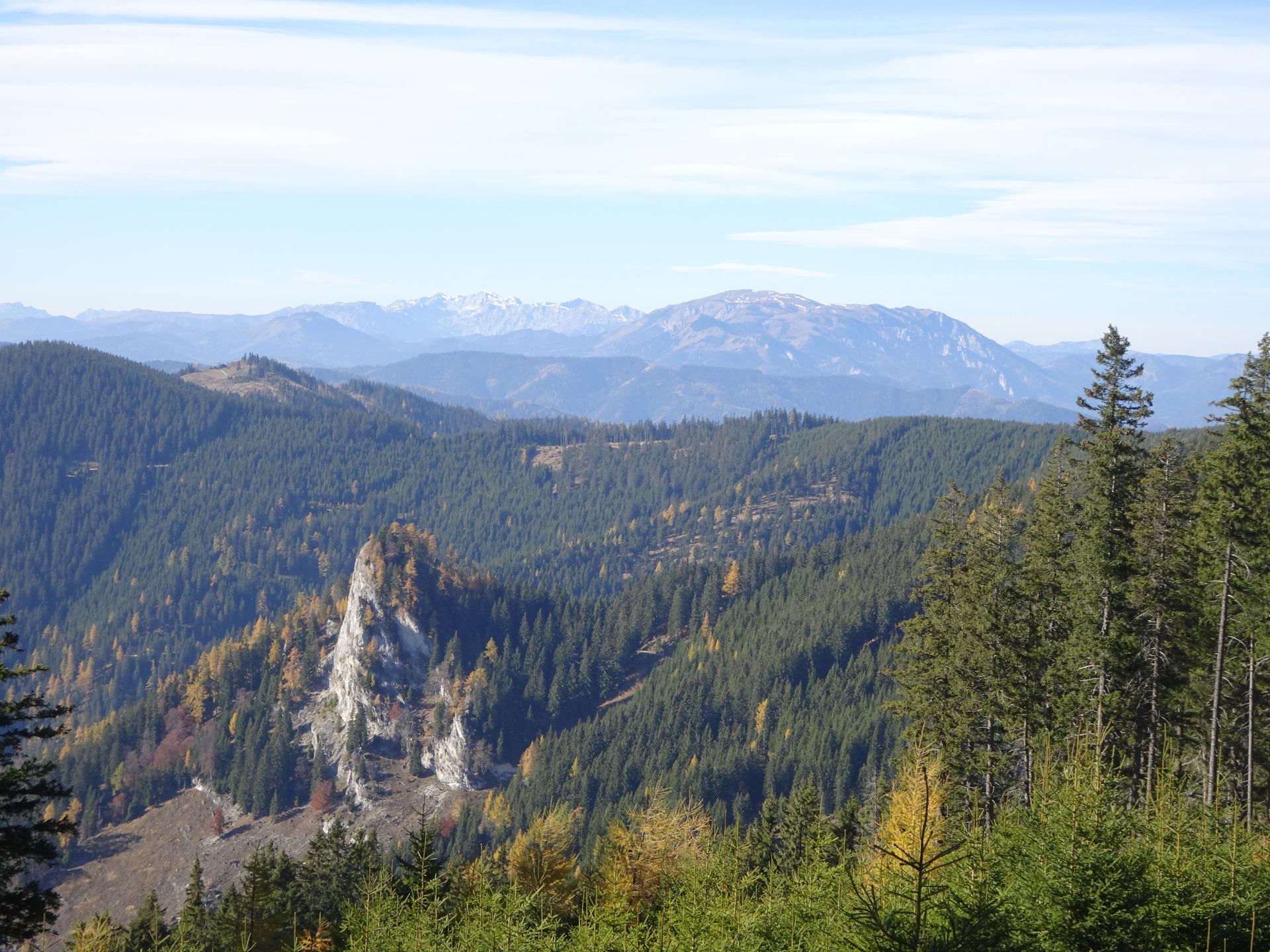
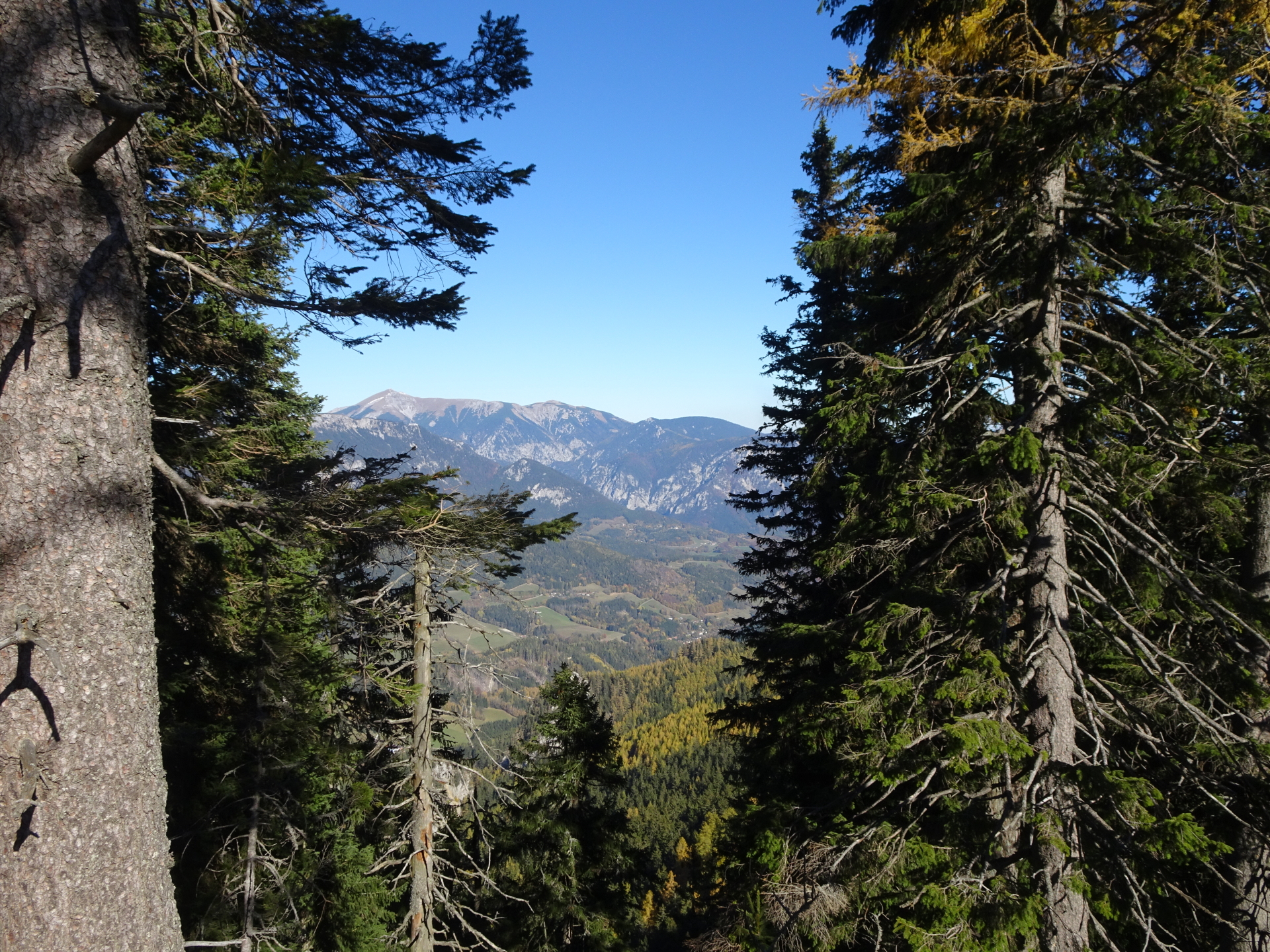
This tour starts at the bus station Spital am Semmering – Gemeindeamt and first follows the Schüttgraben upwards which leads into the Probststeig used for ascending towards the Kampalpe allowing an amazing view over the entire area. At the Kampalm, a detour is done towards Baumkogel, which once again allows an impressive scenic view towards the Stuhleck. After the detour, the trail leads via the Tratenkogel towards the real goal, namely the Große Scheibe, again offering a scenic view towards the Rax and Schneealpe. The tour then descends via the Scheibenweg back to Mürzzuschlag.
Tour Description
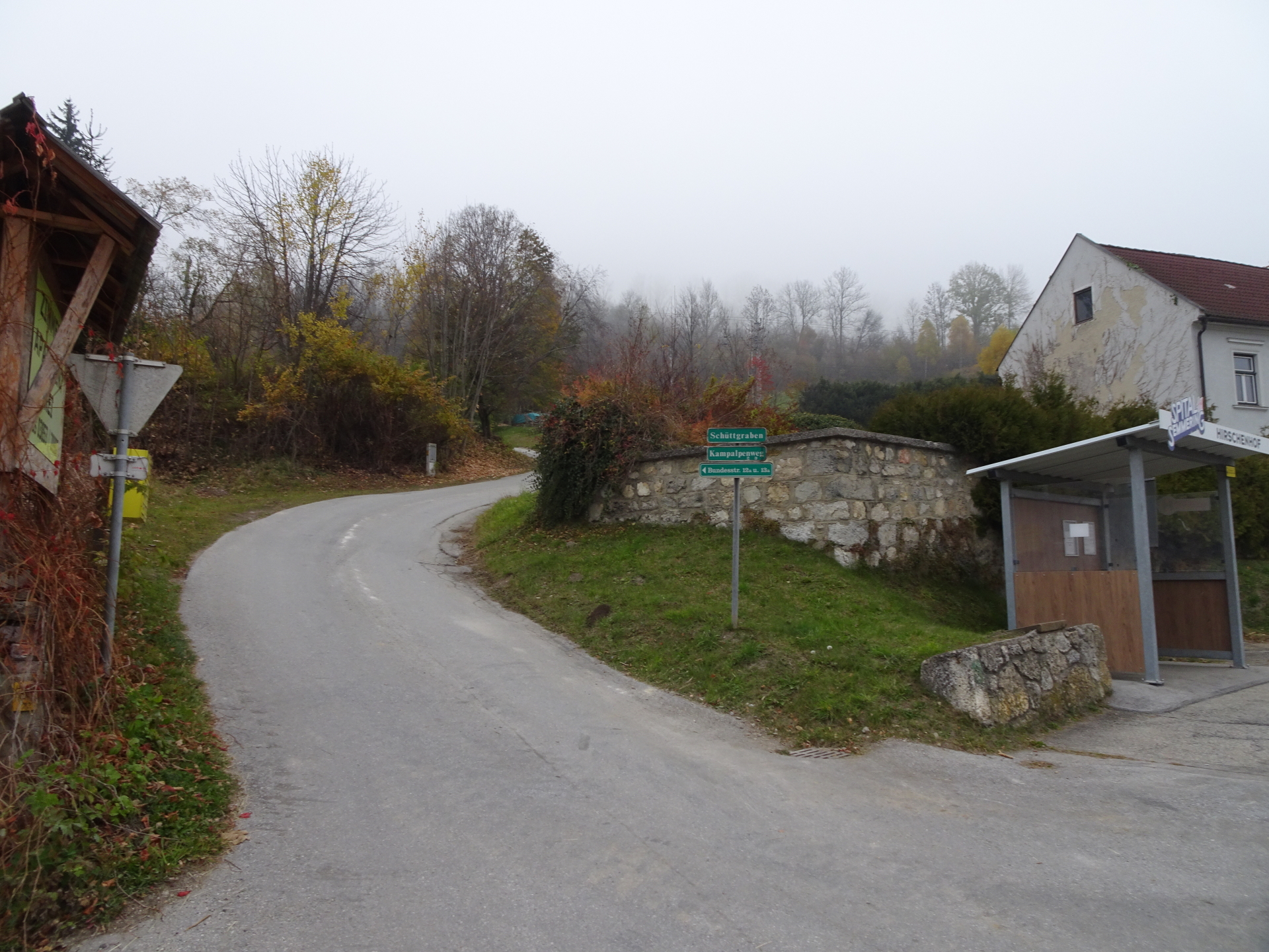
| 00:00 | Start at the bus station Spital am Semmering – Gemeindeamt (GPS: 47.616141, 15.754813) and follow the road Schüttgrabenweg northwards. |
| 00:02 | At the crossing, stay straight ahead and stay on the Schüttgrabenweg (do not turn into the Kampalpenweg! |
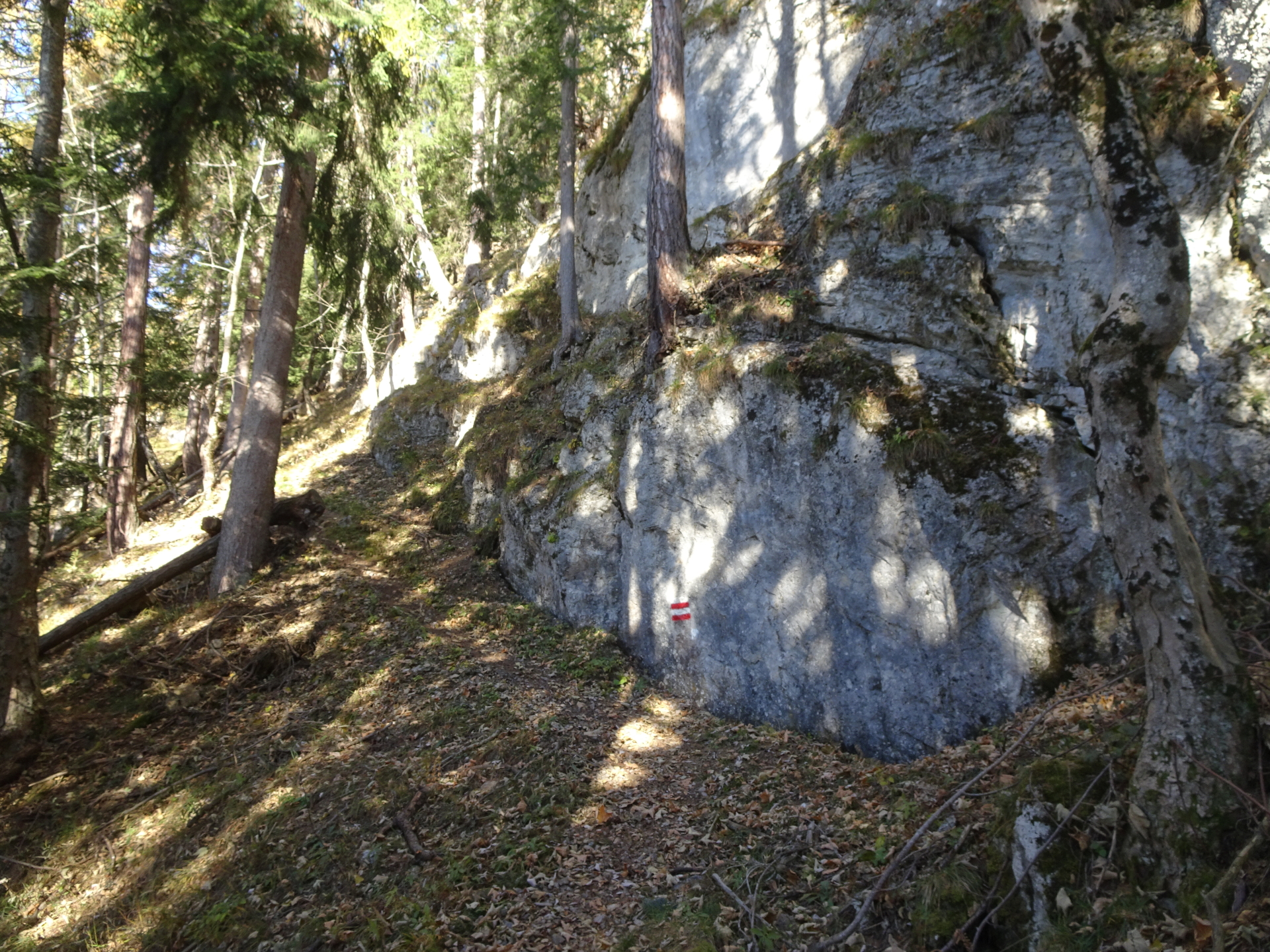
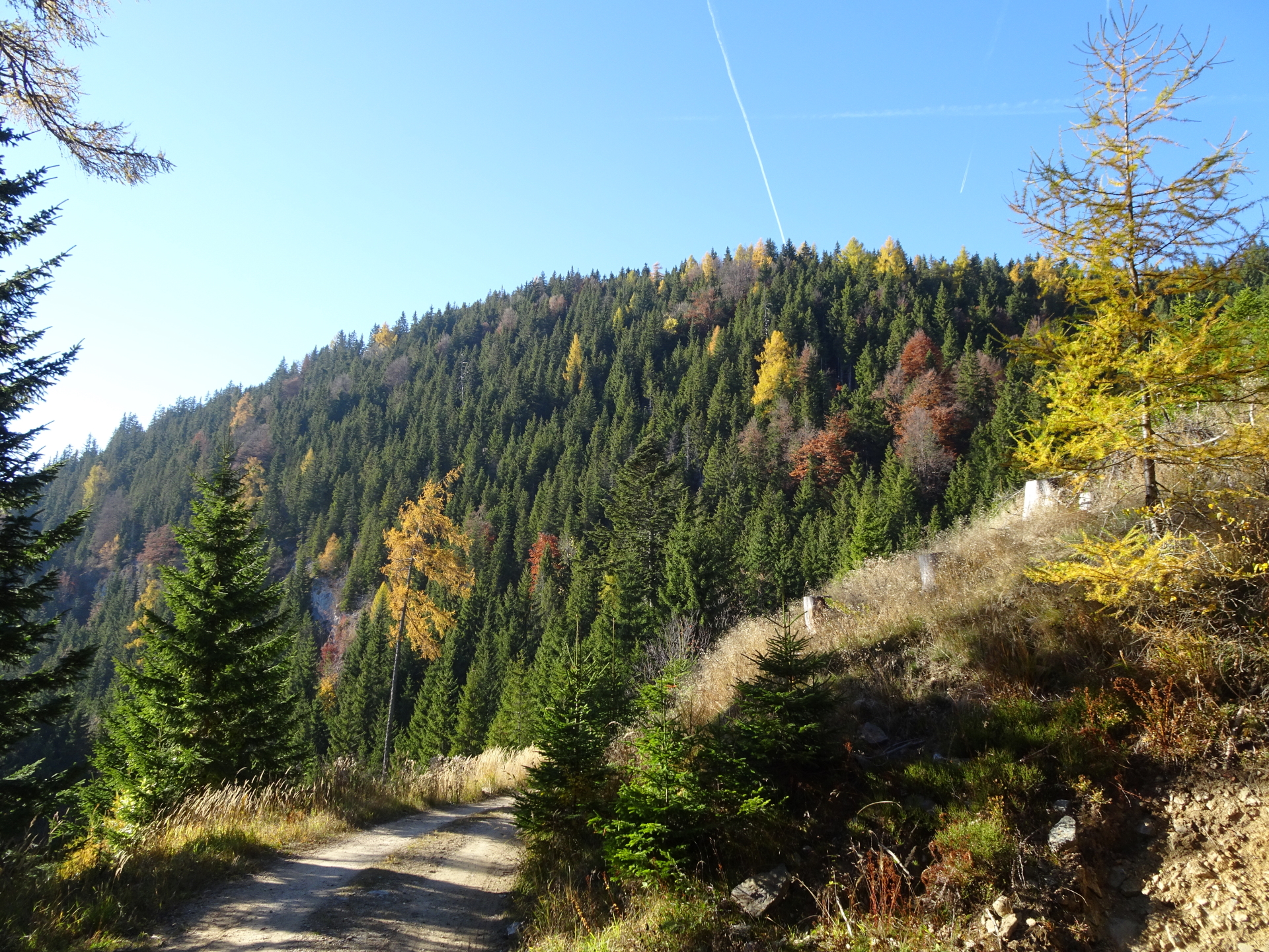
| 00:03 | Turn right into the red-white-red marked trail towards Kampalpe Follow the markings and the signpost. |
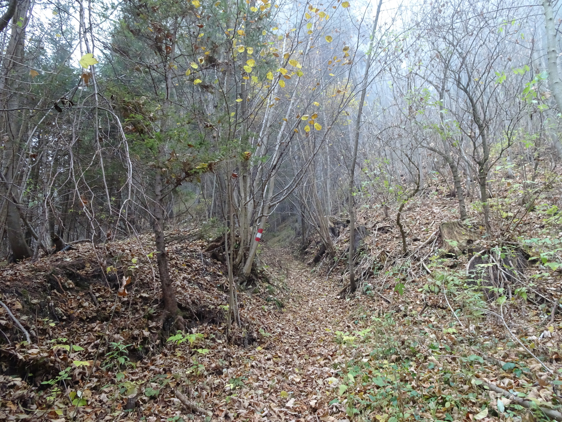
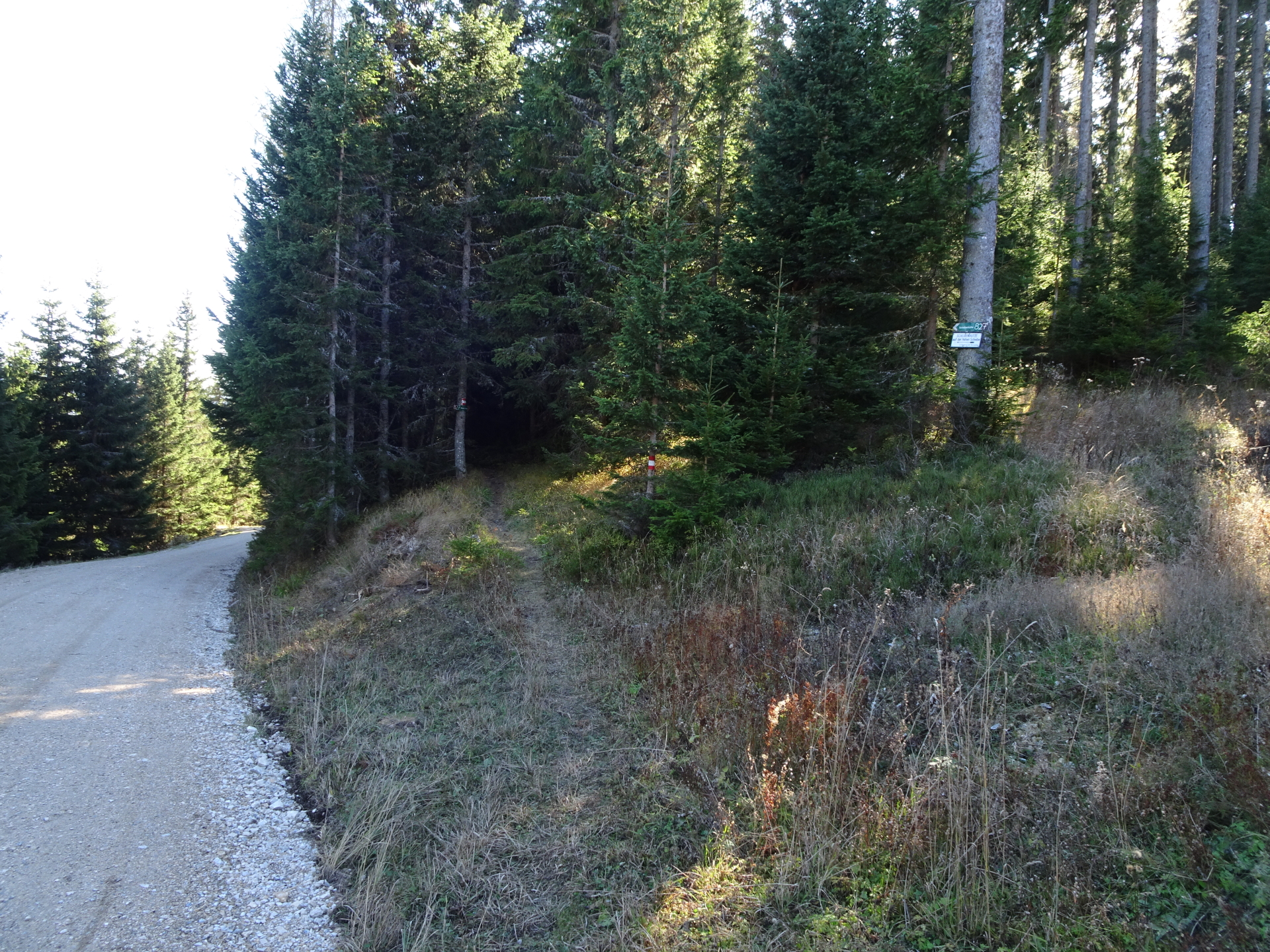
| 00:30 | At the crossing, cross the street and stay straight ahead. Turn into the small red-white-red marked trail upwards into the forest towards Kampalpe (see markings and signpost!). |
| 00:40 | Keep slightly left/straight and follow the marked trail towards Kampalpe. |
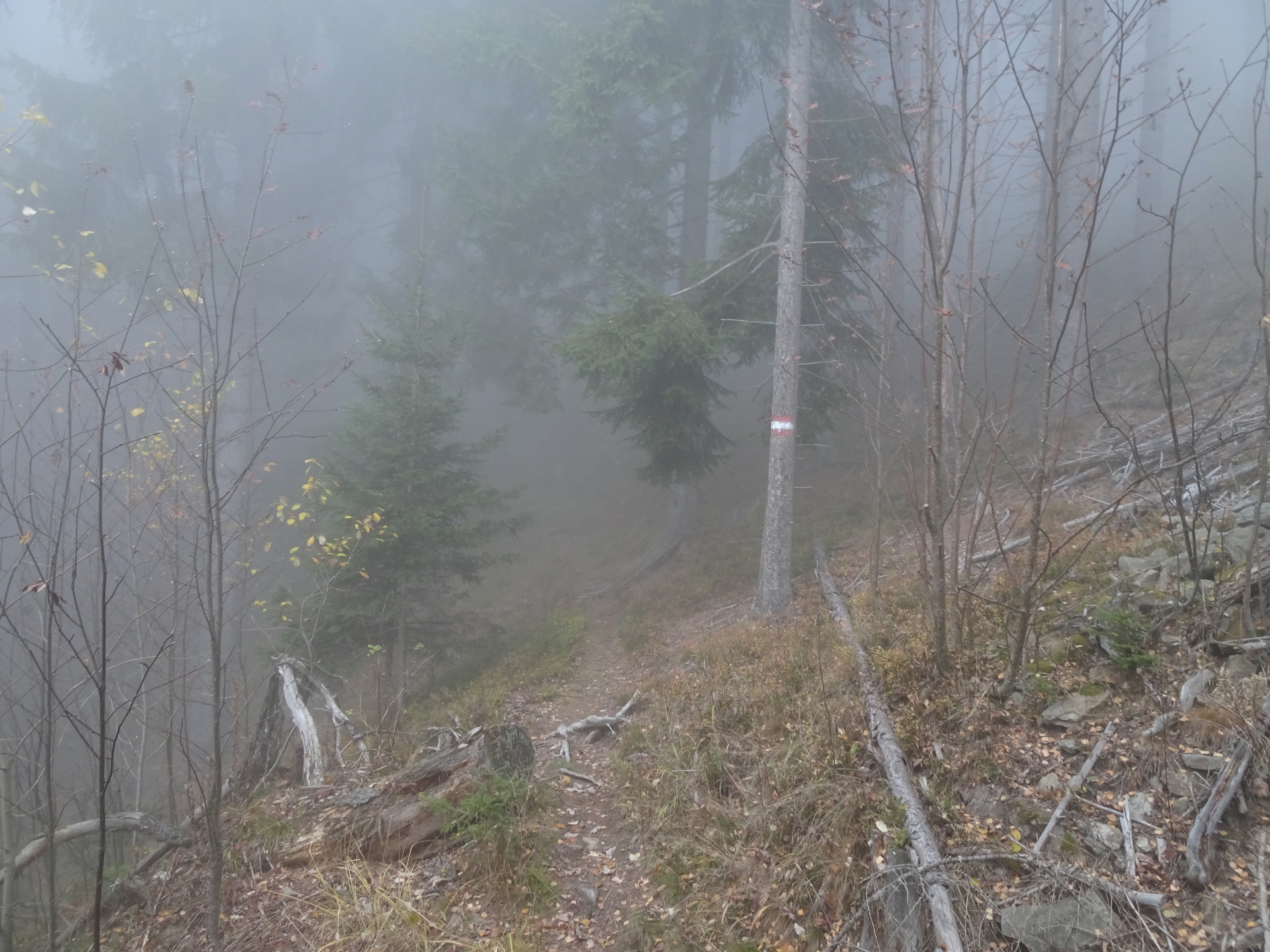
| 00:50 | Turn right into the Probststeig trail and follow this trail up towards Kampalpe. |
| 01:30 | At the end of Probststeig, turn left and follow the trail towards the summit of Kampalpe. |
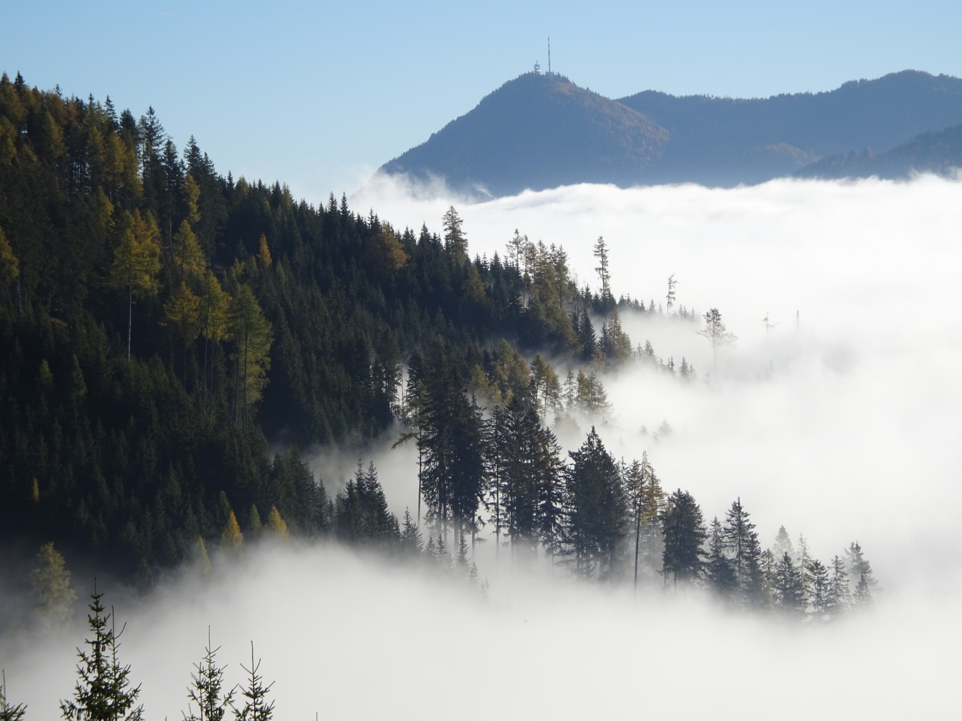
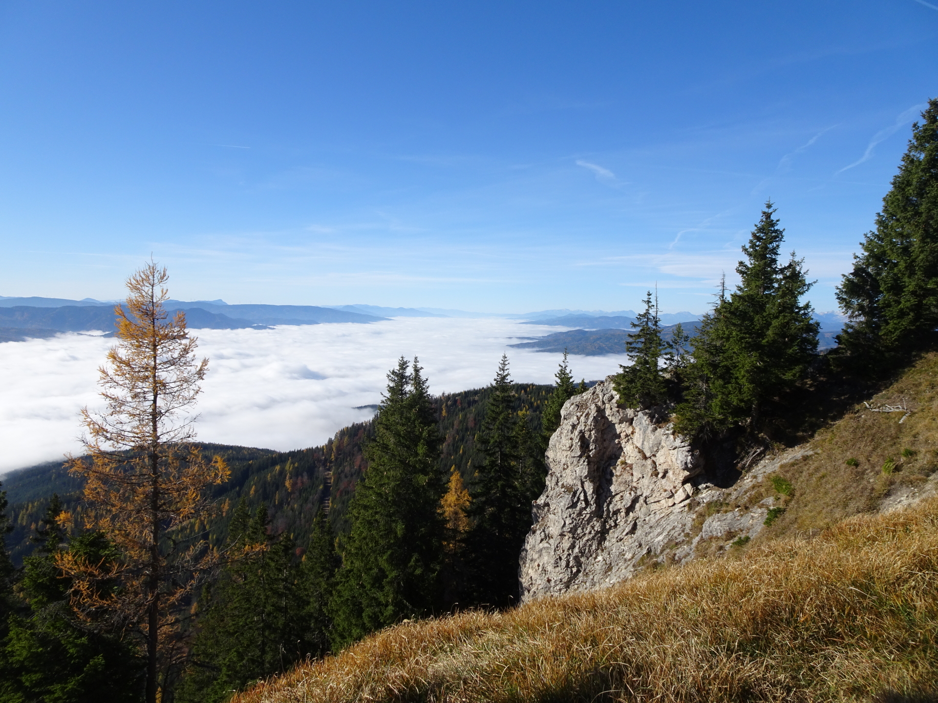
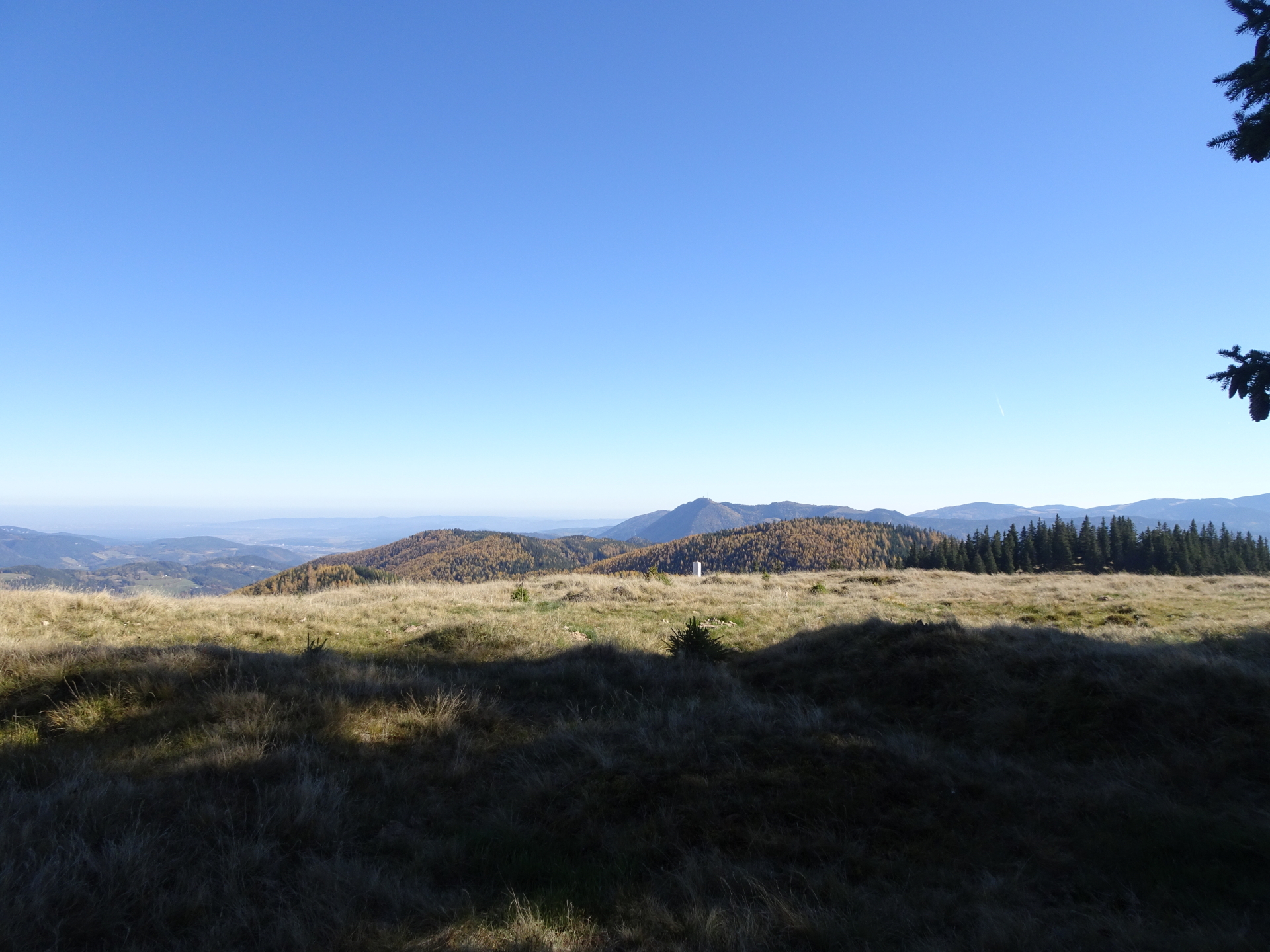
| 01:40 | Enjoy the impressive scenic view from Kampalpe summit cross. Indeed best enjoyed with a self-brought refreshment (). |
| 01:50 | Continue following the trail westwards to the real (but unspectacular) summit of Kampalpe. |
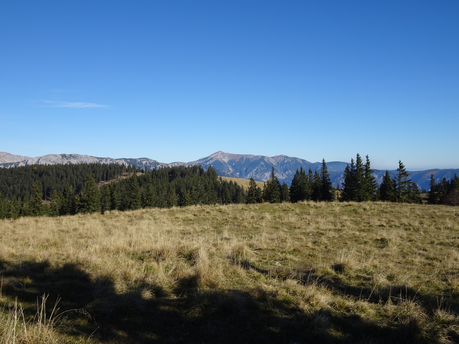
| 02:00 | Turn slightly left onto the rock at the real summit of Kampalpe. Enjoy the view form there towards Stuhleck. Continue on the trail heading westwards. |
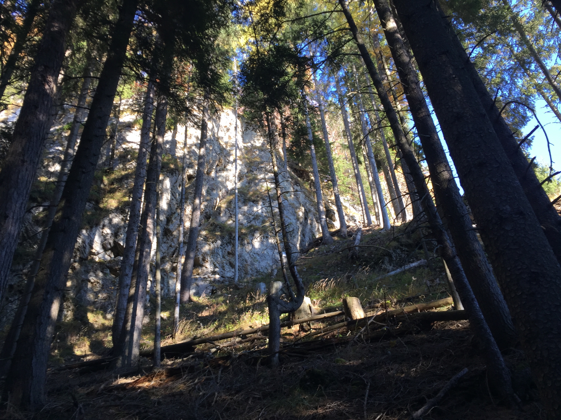
| 02:05 | Detour: Keep straight ahead and descend via the marked but steep trail towards Spital am Semmering über Saurücken. |
| 02:10 | Cross the forest road and continue following the red-white-red marked trail downwards. |
| 02:15 | Turn left into the forest road and continue following it downwards. |
| 02:20 | At the crossing, turn right and follow the trail upwards towards the clearing. |
| 02:21 | At the clearing, keep left and follow the trail upwards. When the trail end, find your way through the bushes to the Baumkogel summit with its bench and scenic view towards Stuhleck. |
| 02:25 | Well deserved break at the summit of Baumkogel. Sit down at the bench and enjoy the view (best enjoyed with a self-brought ). |
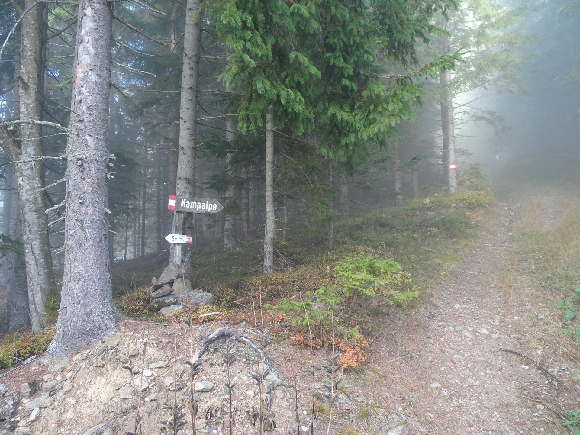
| 02:35 | Follow the same way back towards the crossing with Kampalpe where the detour started. |
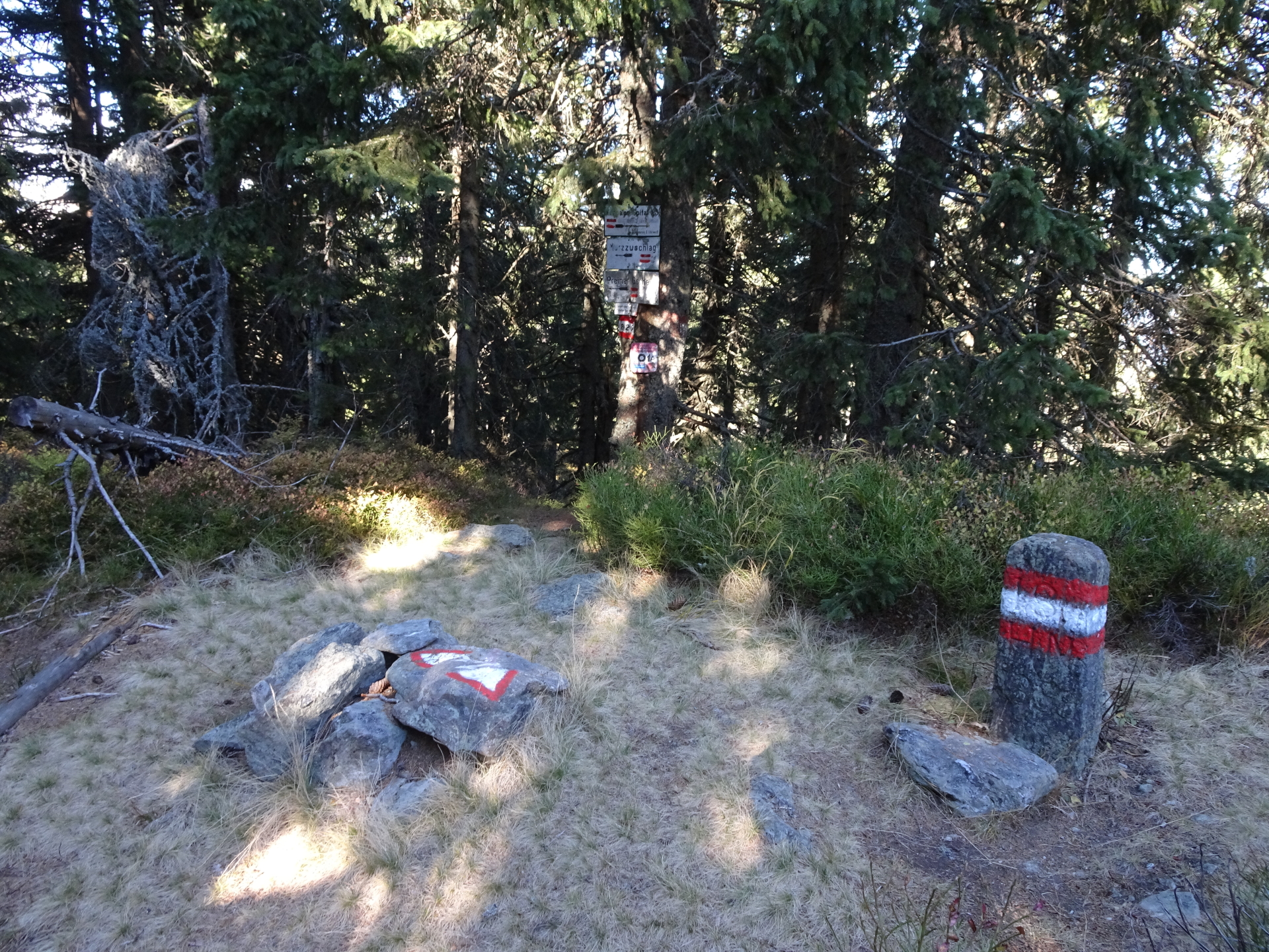
| 03:00 | At the crossing (where the detour started), turn left and follow the trail northeastwards along the mountain pasture towards Windmantel and further towards Tratenkogel. |
| 03:30 | At the crossing, stay straight (2x) and follow the marked trail up to Tratenkogel. |
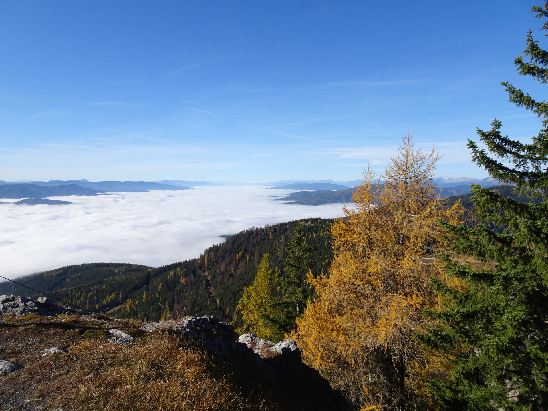
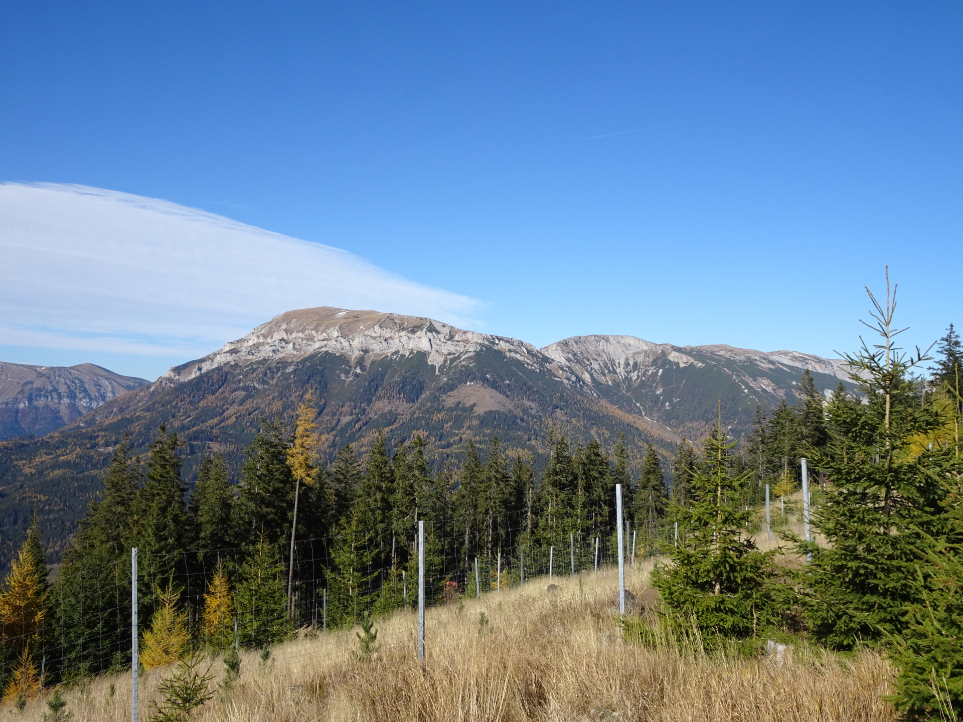
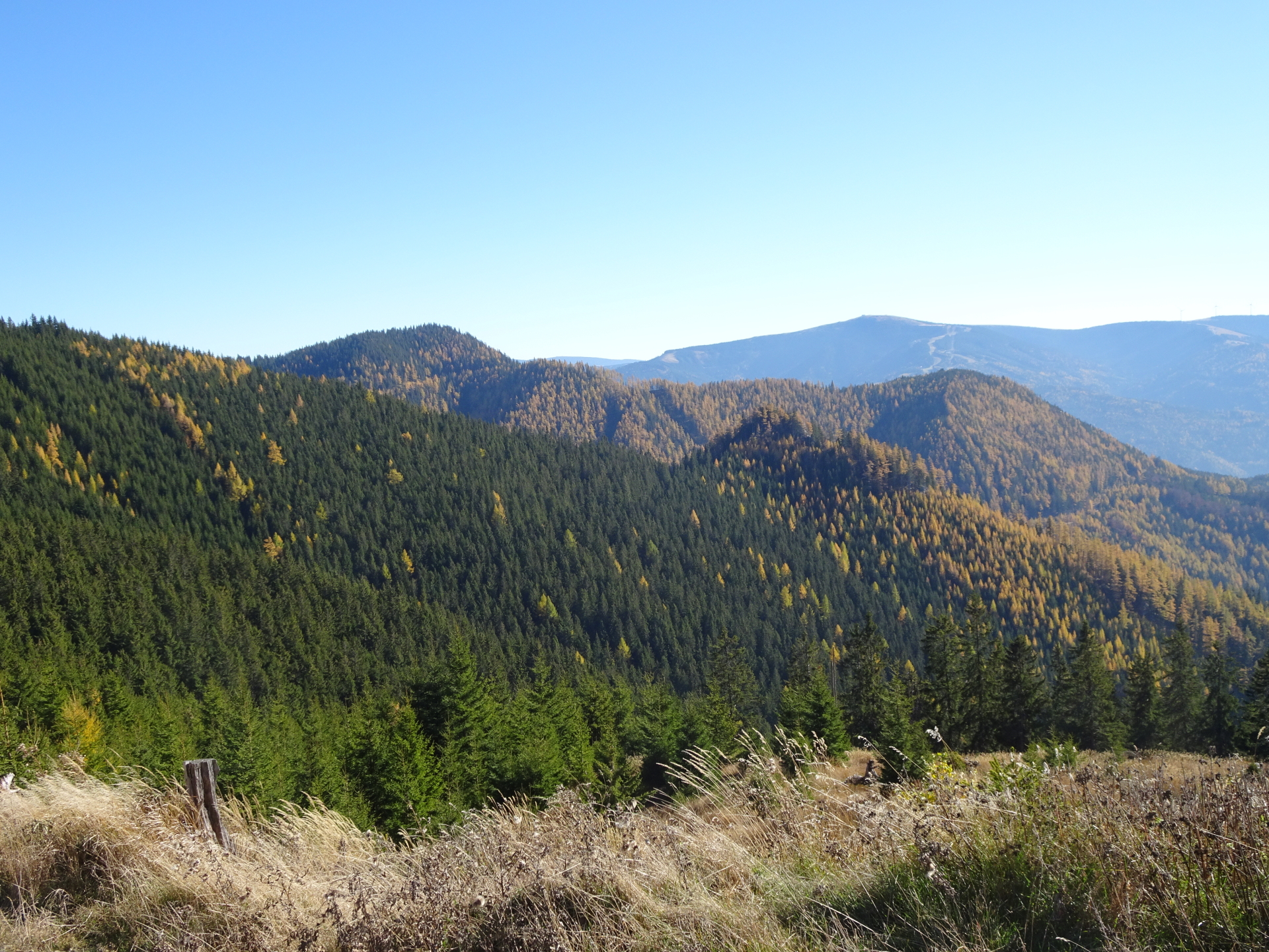
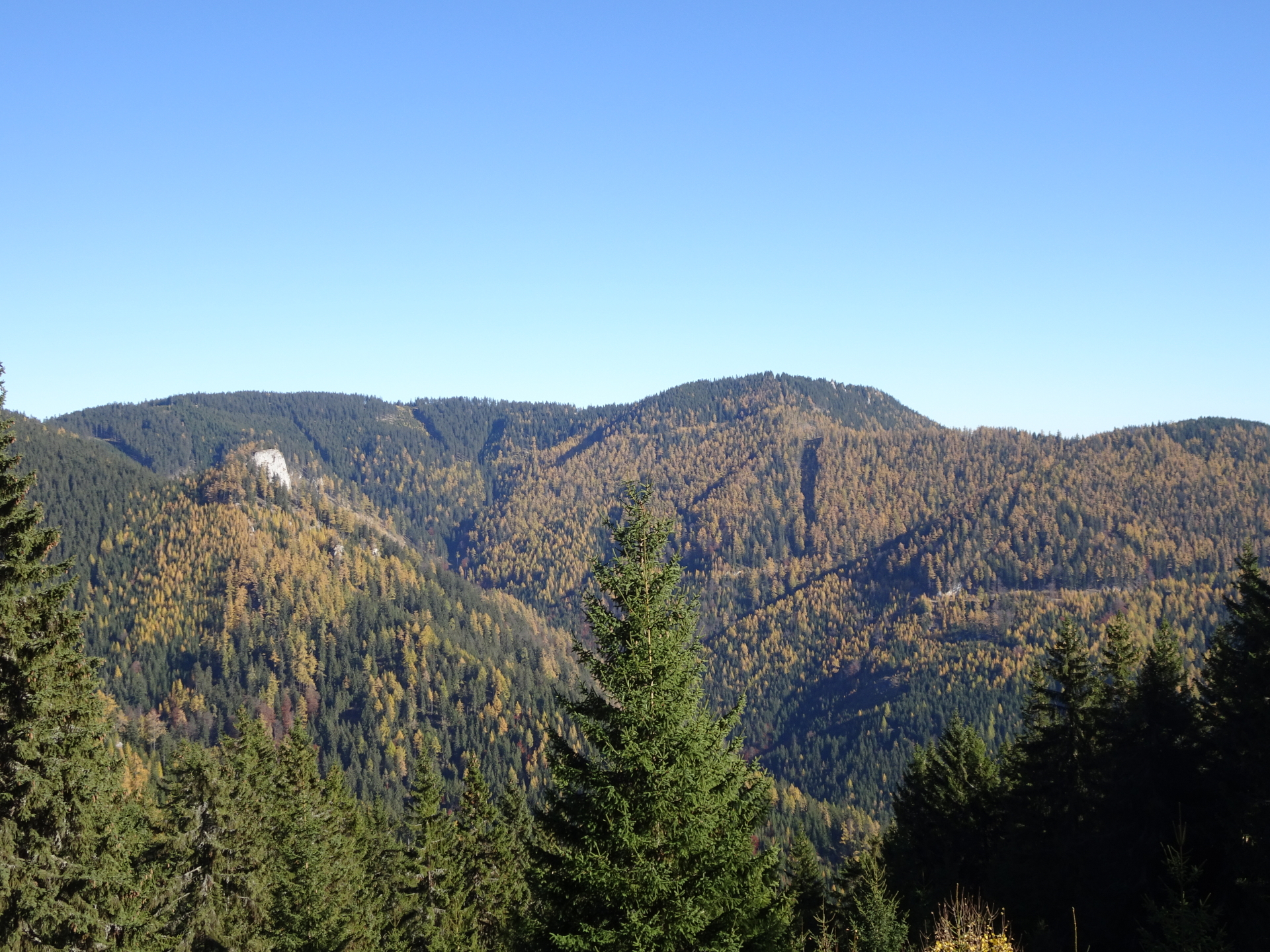
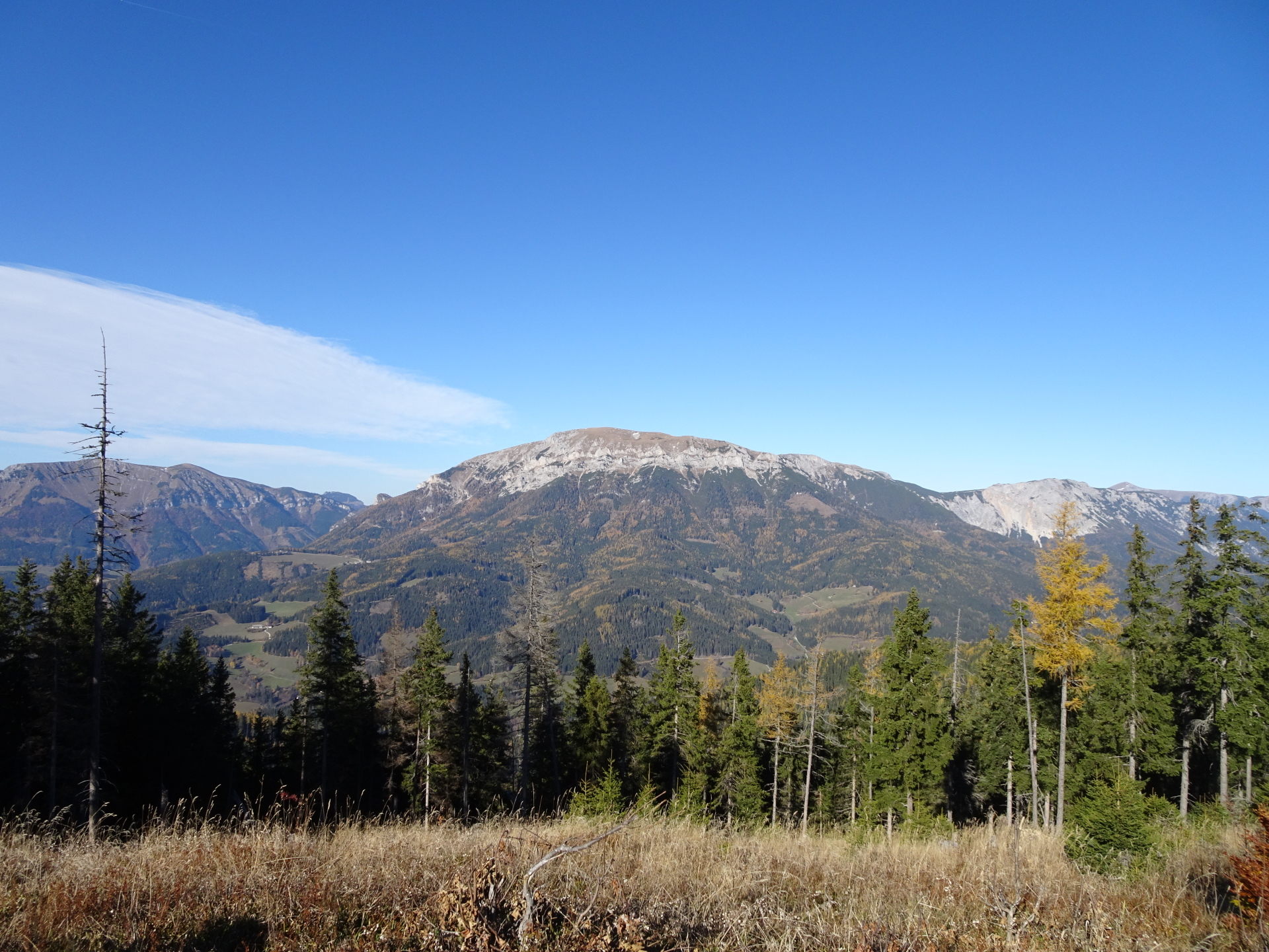
| 03:50 | Keep straight ahead at Tratenkogel and descend following the trail westwards (you might consider a small detour towards the right hand-side at the clearing to gasp a great view towards Rax!). |
| 04:25 | At the saddle, turn left and then keep immediately right (follow the red-white-red marked trail above the forest street) towards Beeralpl. |
| 04:35 | At the Beeralpl, turn right and follow the marked trail towards Große Scheibe. |
| 04:45 | At the crossing (here you will descent!), keep straight and follow the trail westwards towards Große Scheibe. |
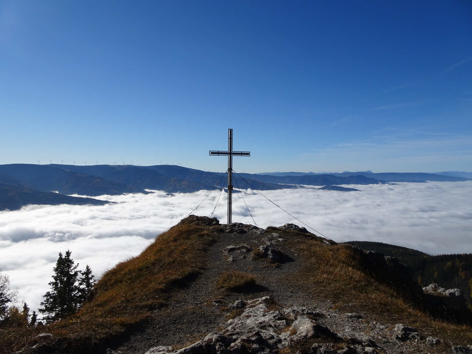
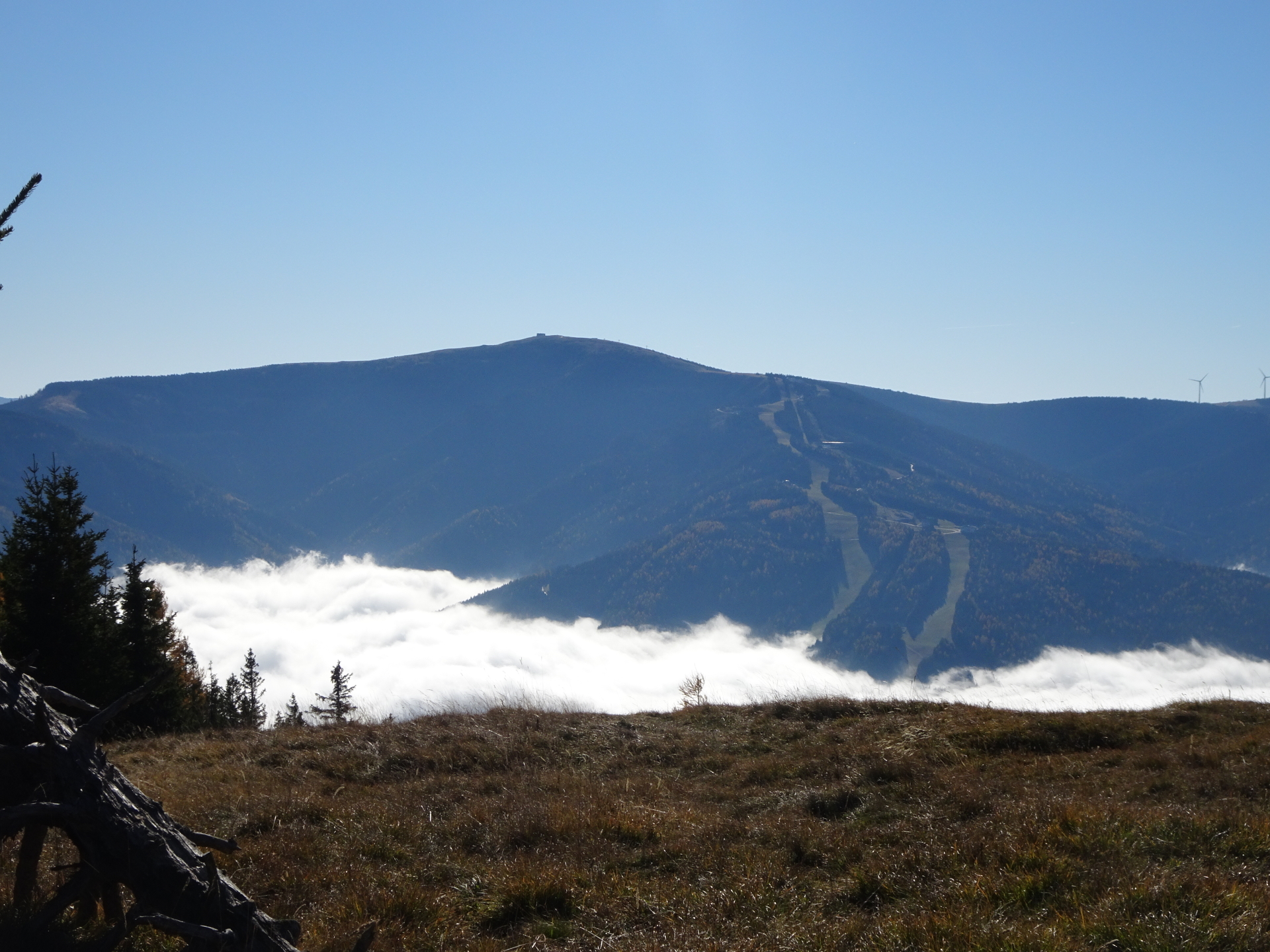
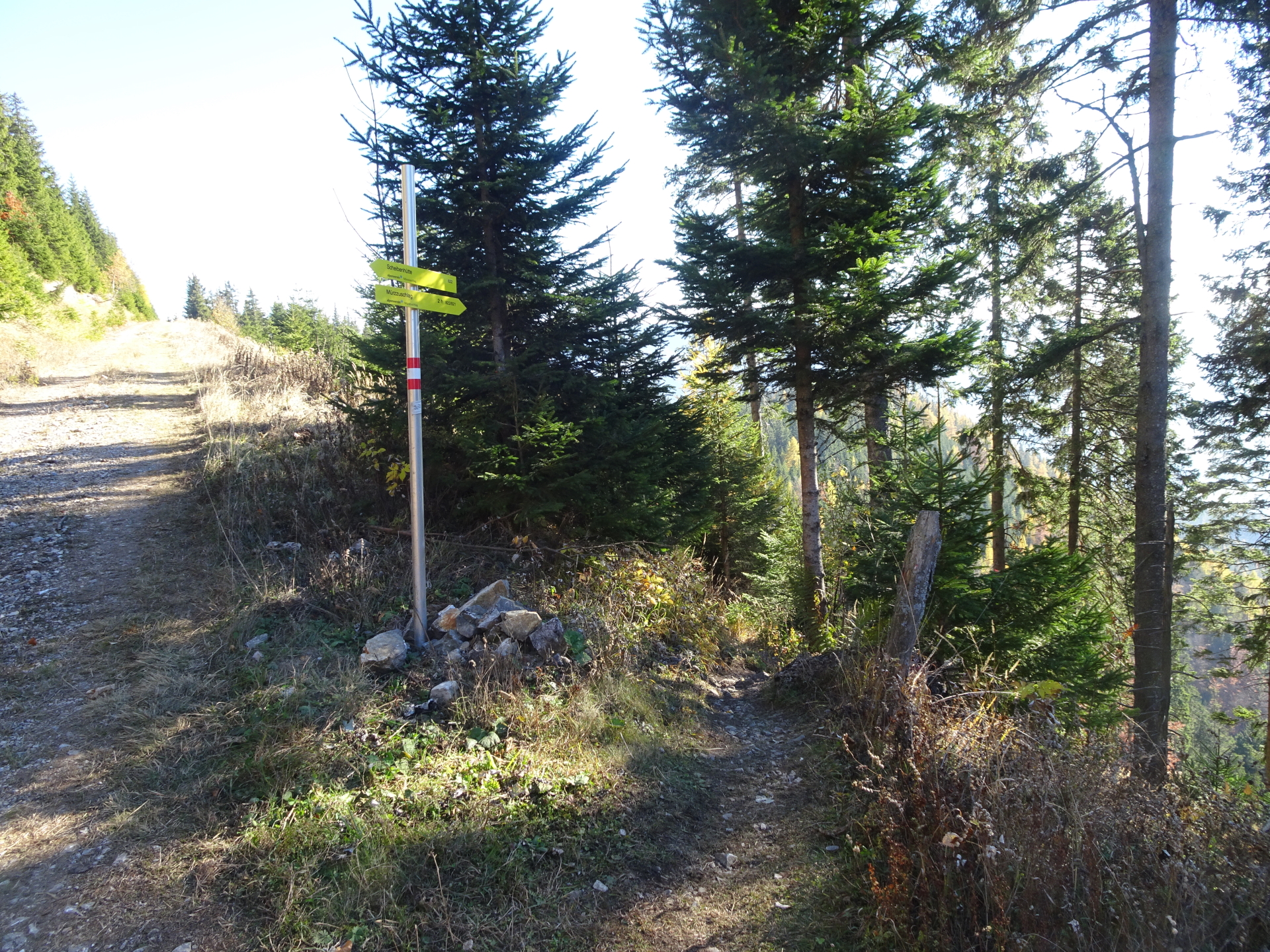
| 04:55 | Pass by the Scheibenhütte for the moment and hike up towards the summit cross. Enjoy the impressive scenic view from there towards Rax and Schneealpe. Then turn back towards Scheibenhütte. |
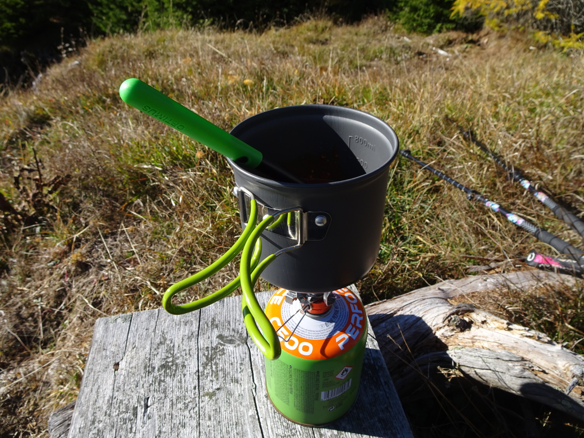
| 05:00 | Well deserved break ( ) at the Scheibenhütte. |
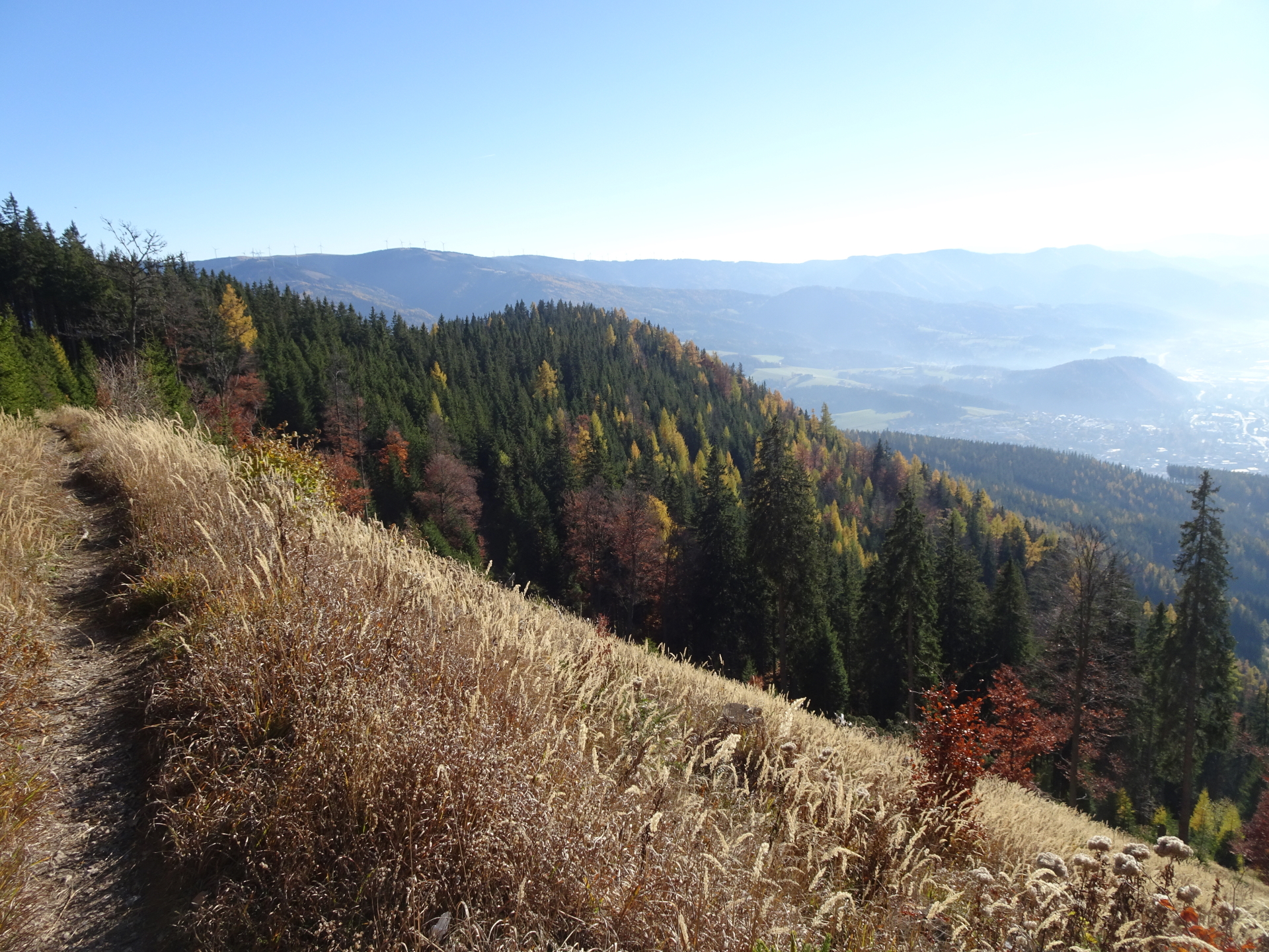
| 05:20 | Hike back eastwards towards the crossing. |
| 05:25 | Keep straight ahead at the first crossing but then turn right (downwards) at the next crossing. |
| 05:30 | Turn right into the trail downwards towards Mürzzuschlag. |
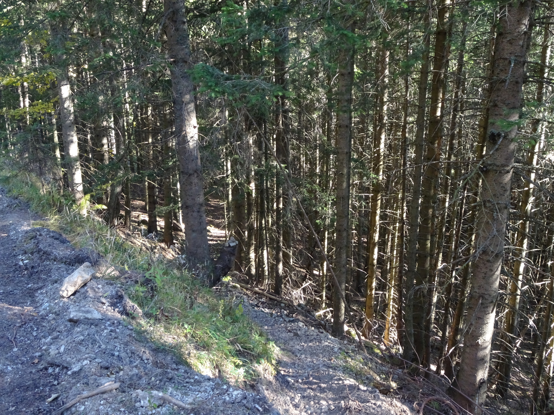
| 05:40 | At the crossing, keep straight ahead (sightly left) and further follow the marked trail downwards. |
| 06:00 | At the crossing, keep straight first but then turn left into the marked trail downwards. |
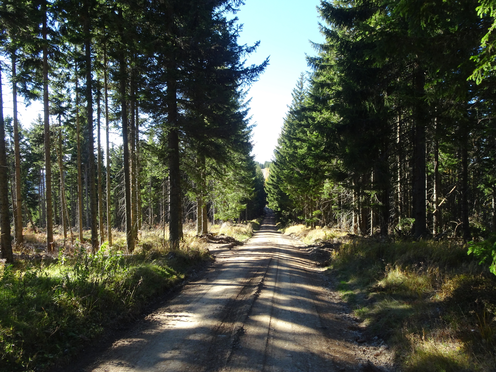
| 06:10 | Keep straight ahead two times (crossing forest roads) and keep on the red-white-red marked trail towards Mürzzuschlag. |
| 06:20 | Keep straight ahead and follow the trail downwards to the city of Mürzzuschlag. |
| 06:25 | Follow the street southwards towards the train station of Mürzzuschlag. |
| 06:35 | Arrive at the train station Mürzzuschlag. End of the tour. |
The car can be parked at the train station of the Mürzzuschlag. The bus line 187 can be used to get from Mürzzuschlag to the starting point Spital am Semmering – Gemeindeamt.
General Tour Data
| Area: | Rax/Schneeberg Group, Styria, Austria | |
| Distance: | 19km | |
| Ascent: | 1287m (3h 00min) | |
| Descent: | 1384m (2h 40min) | |
| Highest Pt: | 1565m | |
| Lowest Pt: | 678m | |
| Duration: | 6h 00min (without breaks) 6h 35min (with breaks) |
|
| Stop/Rest: | Scheibenhütte (1473m) | |
| Equipment: | Backpack with standard hiking equipment Snacks and enough water 1-2 Gipfelbier () Sun & Weather protection Camera GPS recommended |
| Download GPX | ||
| O | Tour at outdooractive.com |
At a glance
| Level | moderate-difficult |
| Technique | |
| Shape / Fitness | |
| Experience | |
| Scenery | |
| Best time in the year | |
|
Jan
Feb
Mar
Apr
May
Jun
Jul
Aug
Sep
Oct
Nov
Dec
|
|


\"")

Leave a Reply