
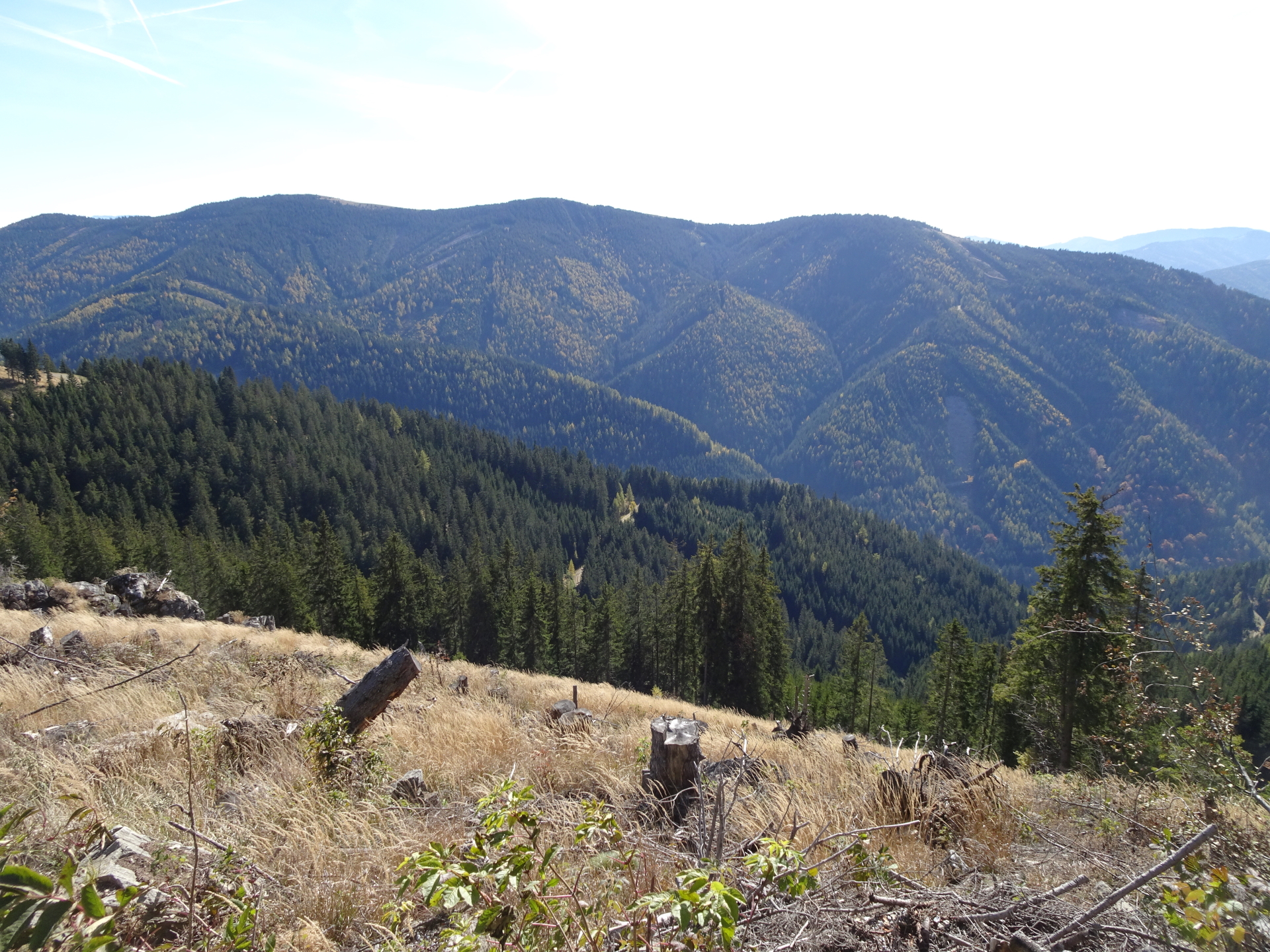
Long but promising hike in the Geinalpe area, covering the summits of Mugel, Rosseck, and Hochanger
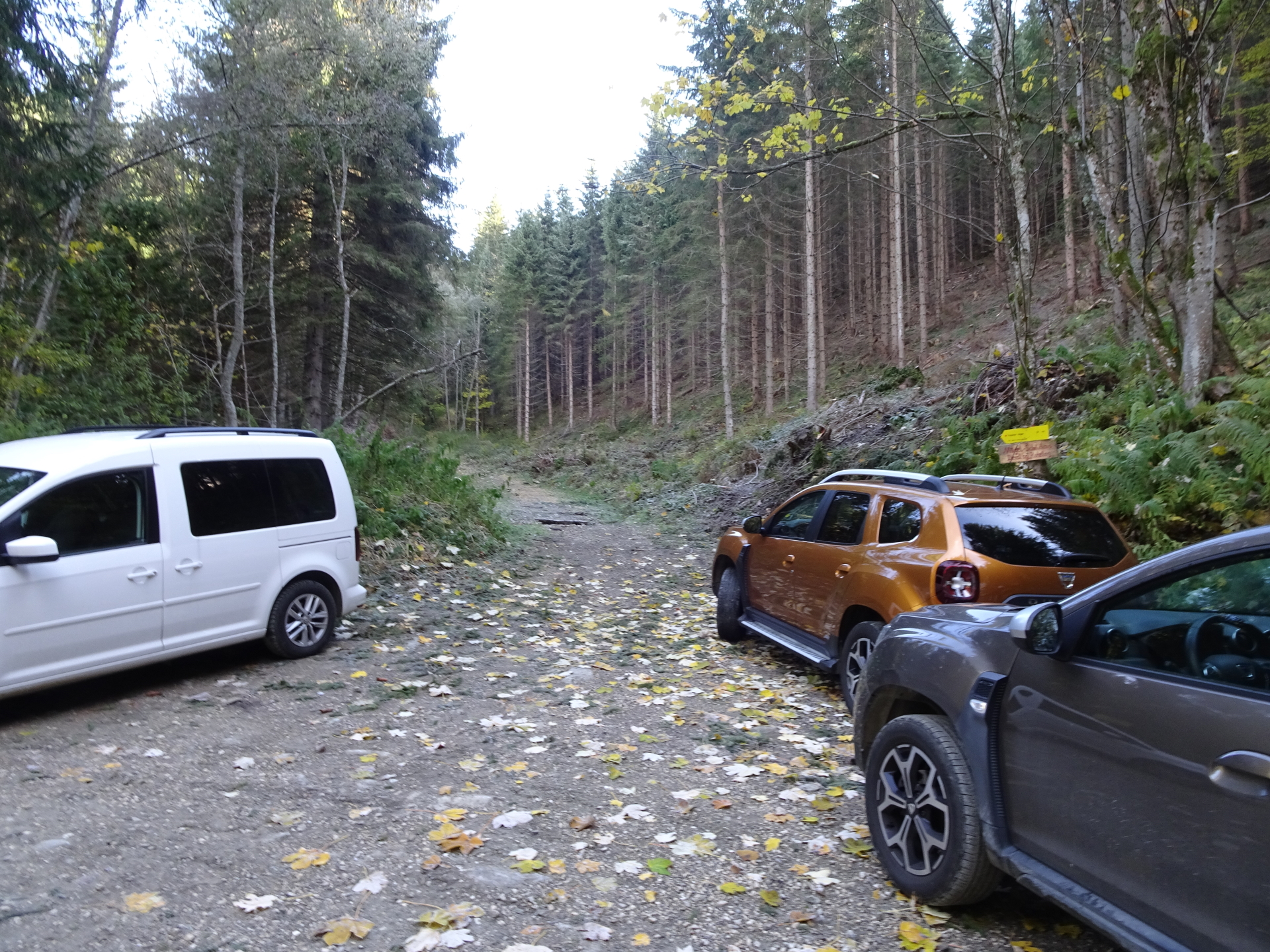
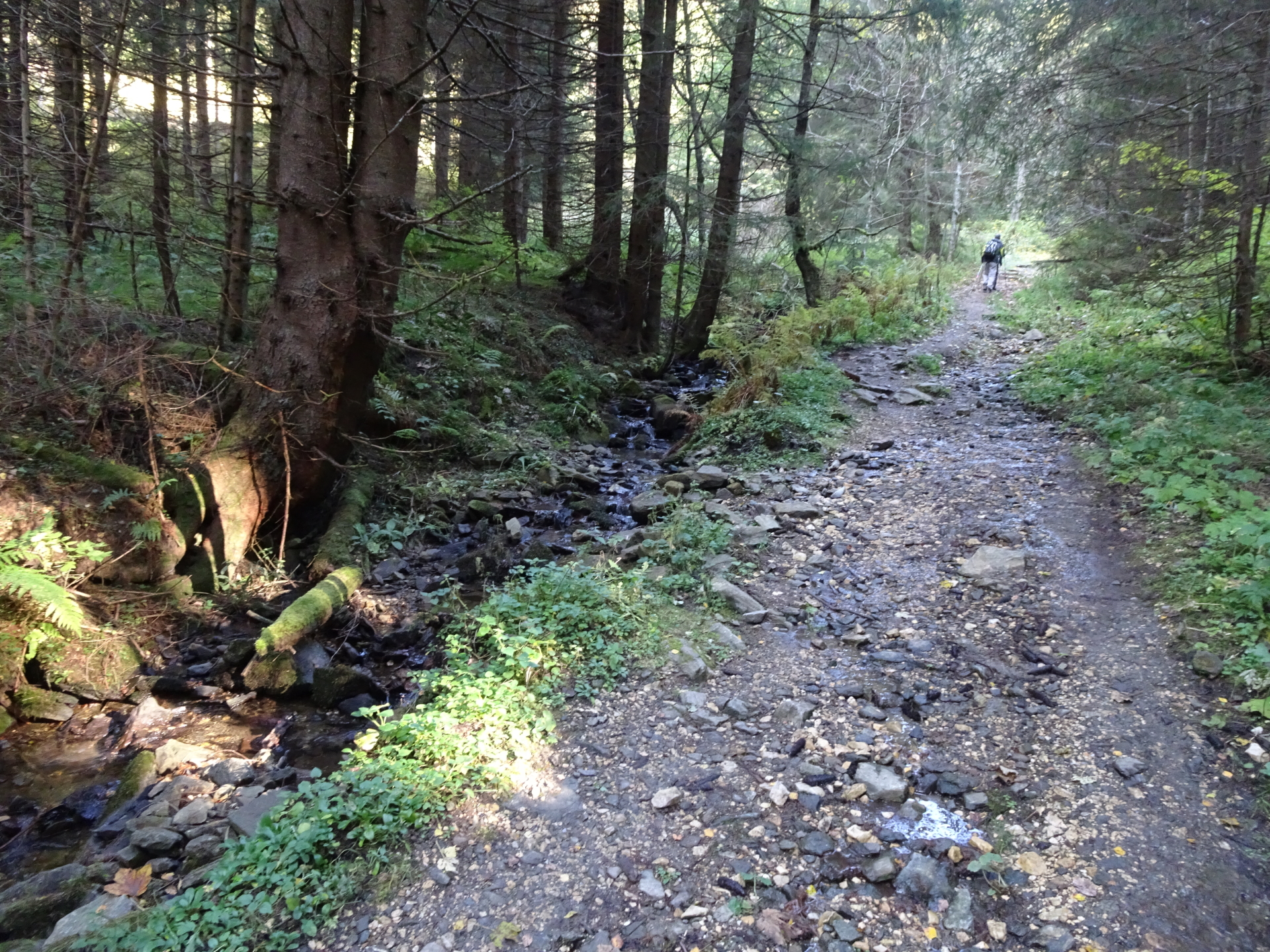
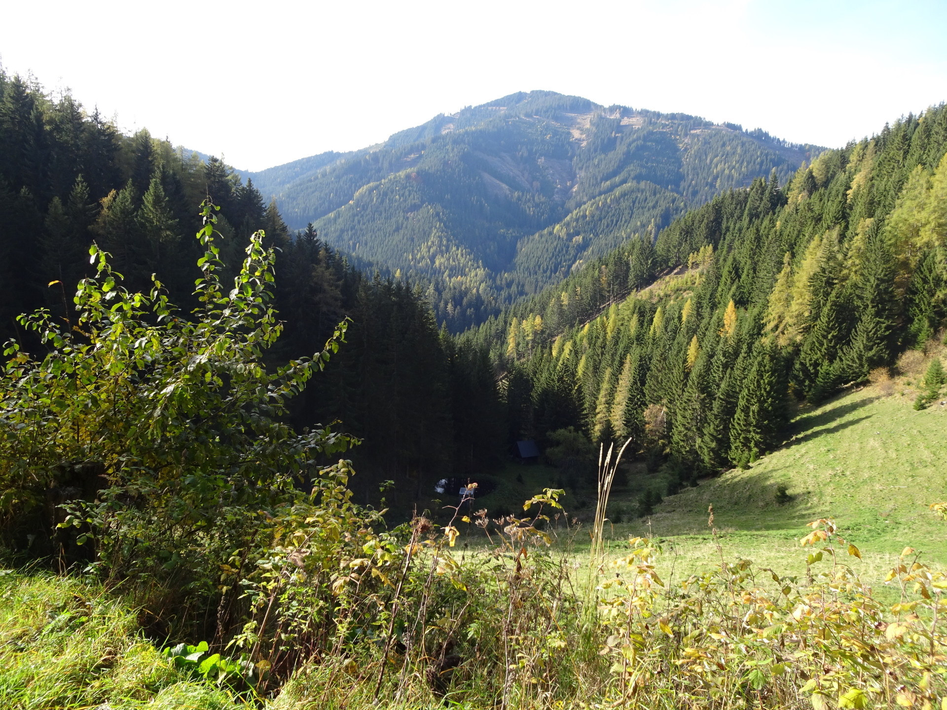
This tour starts at the parking of Klein-Gößgraben, located at the end of a gravel road south east of Leoben and ascends the summit of Mugel from the south. The tour first leads towards Trasattel and then follows a steep trail northwards up towards the summit of Mugel. After a deserved break at the Mugelschutzhaus, the tour then follow the trail eastwards via a beautiful saddle towards the second summit: the Rosseck. The tour then descends via trails and unmarked forest roads back into the valley (Utschgraben) and then ascents again via the Utschmoaralm and the Eisenpaß towards the third summit: the Hochanger which allows an amazing view towards Hochschwab in the north and Hochlantsch in the east. The tour then follows back the forest road towards Eisenpaß, the Utschgraben and then directly via the Trasattel back to the parking.
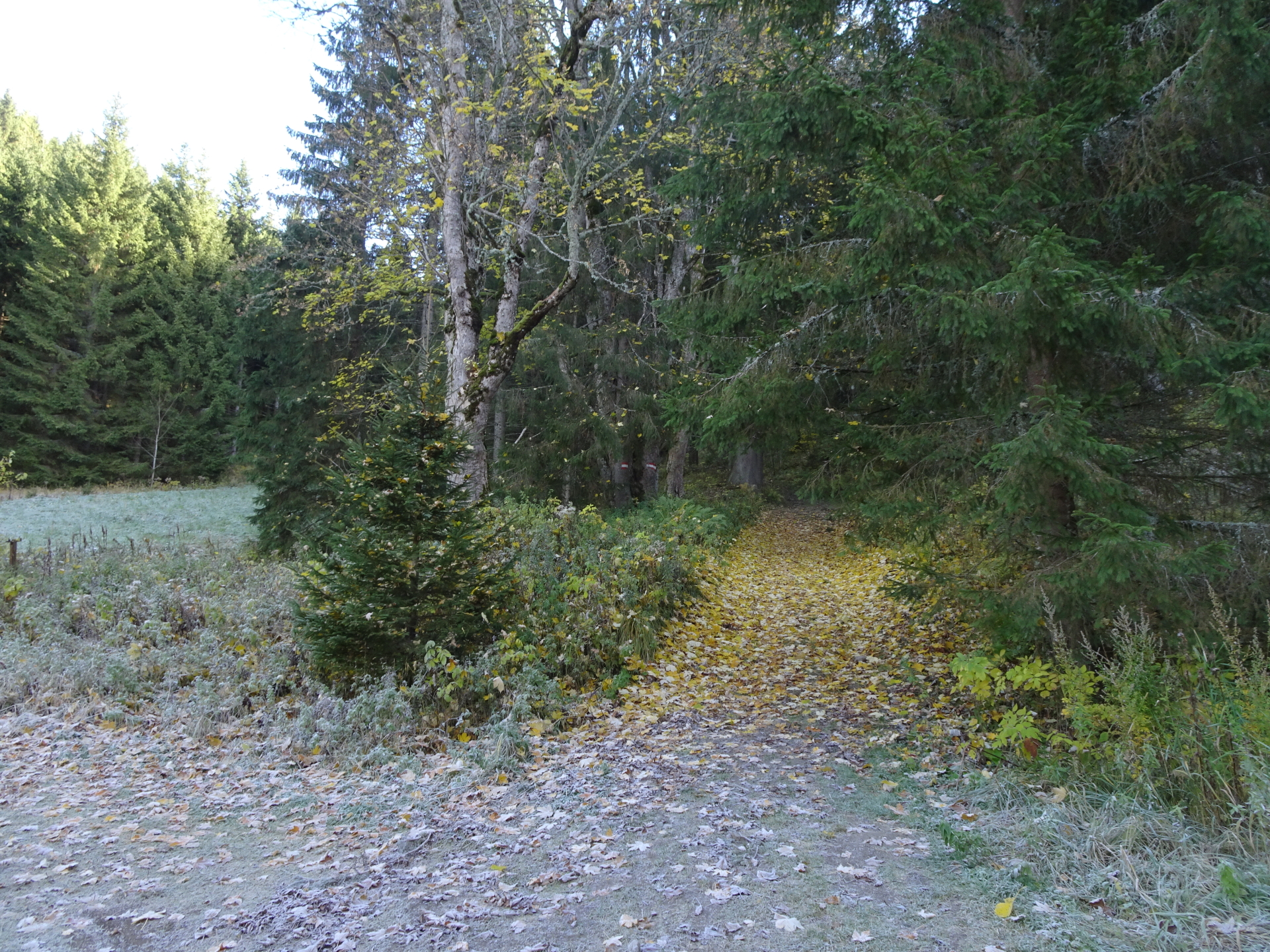
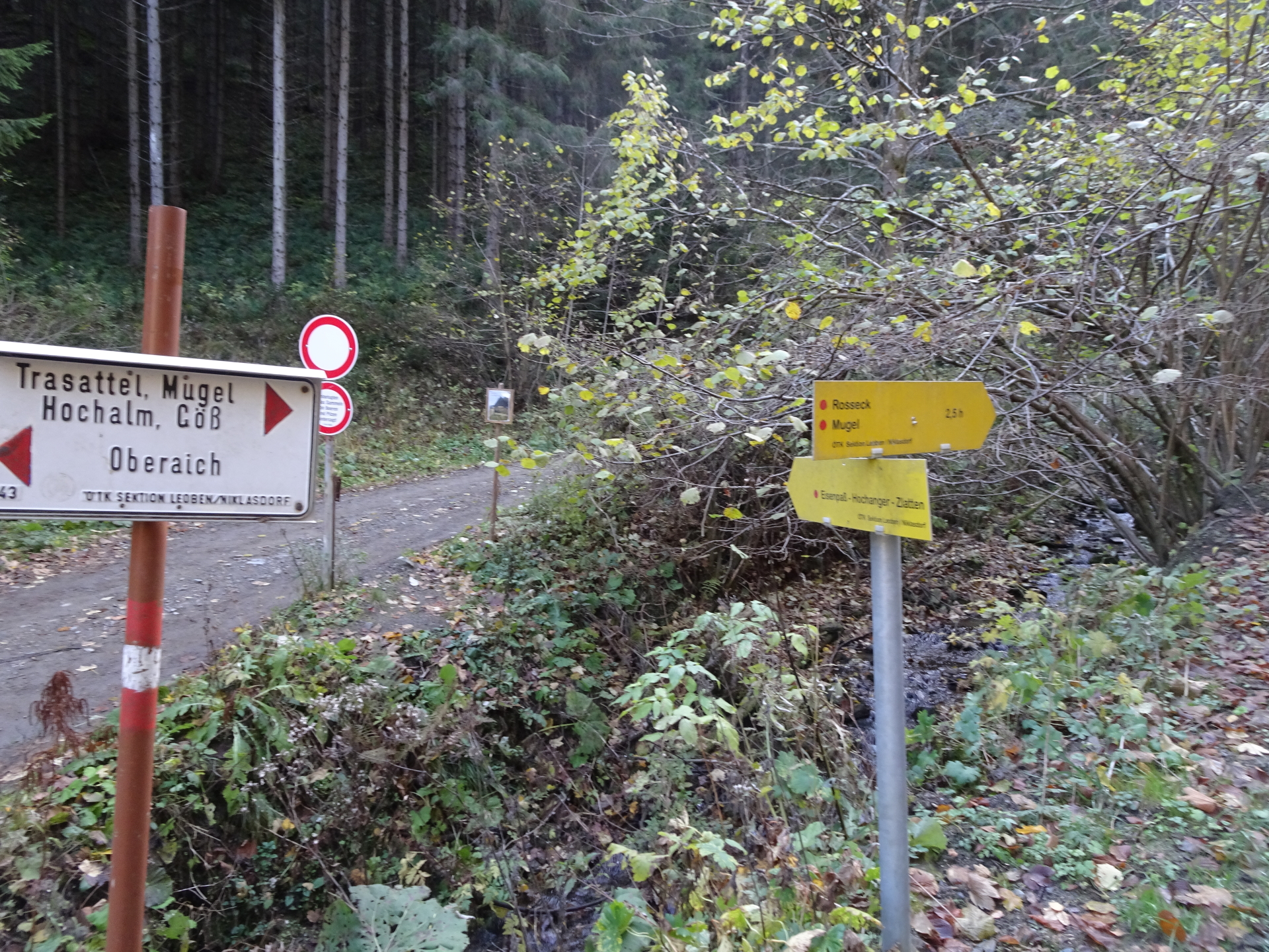
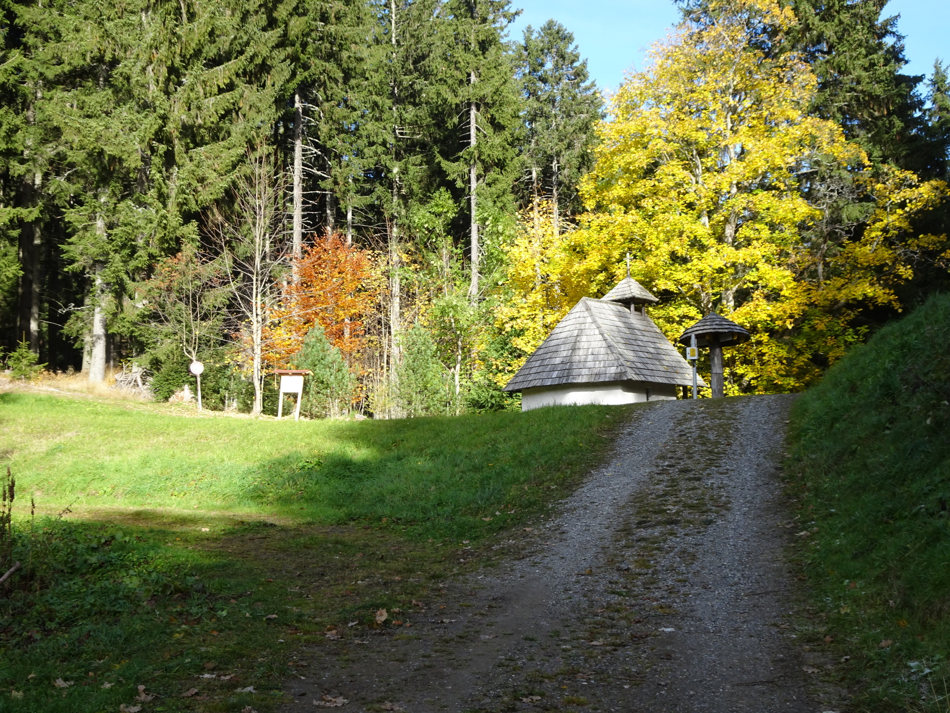
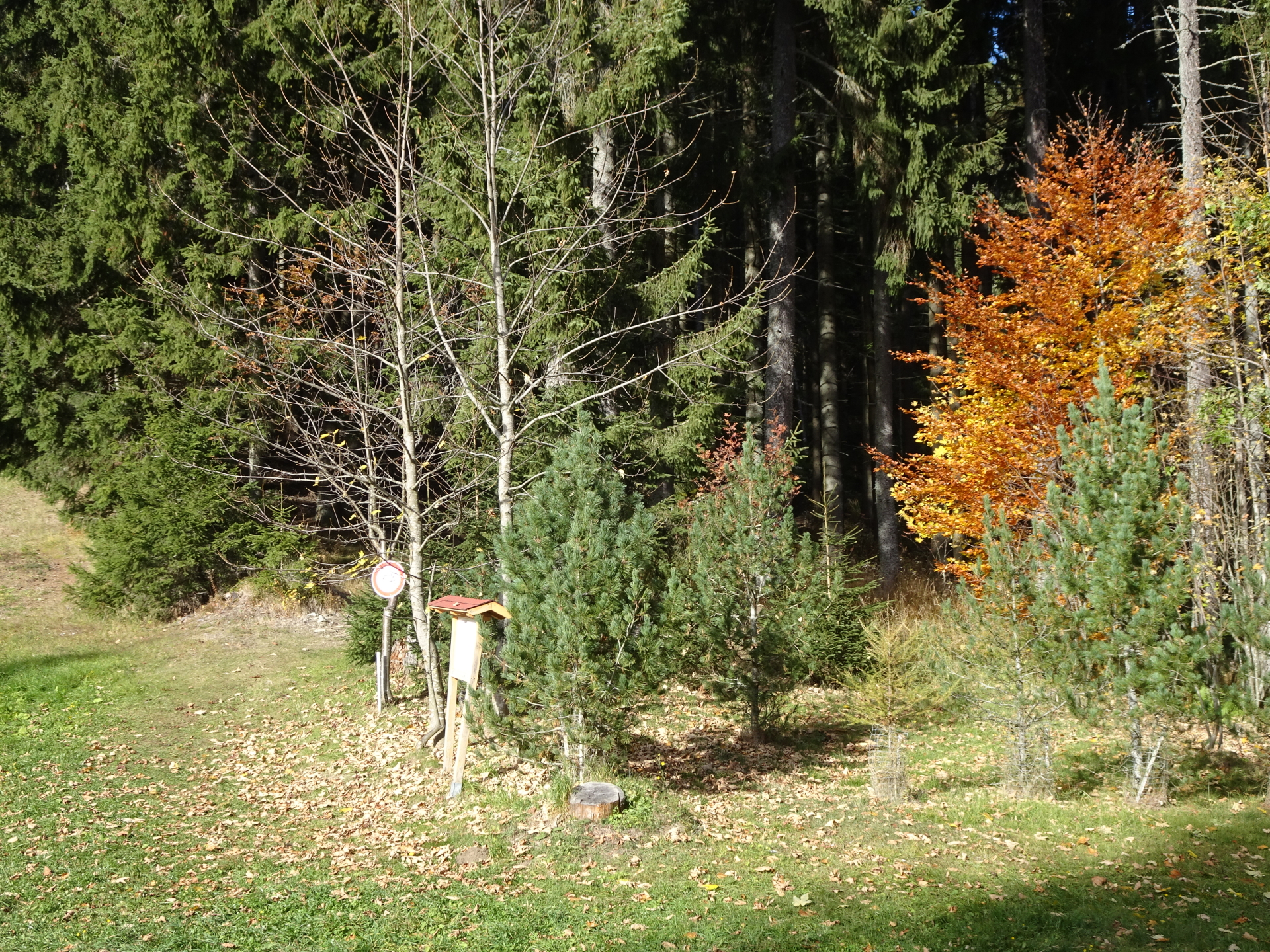
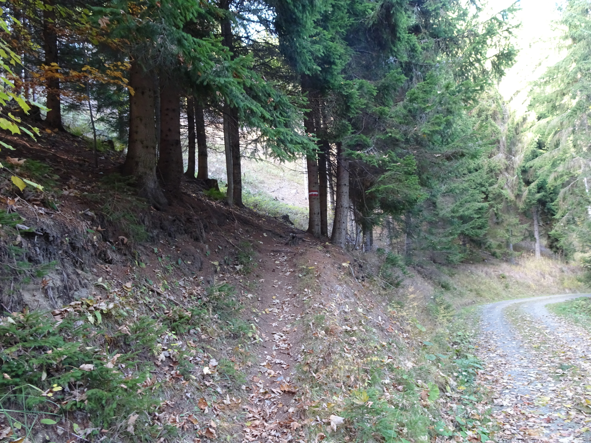
| 00:00 | Start at the parking Klein-Gößgraben (GPS: 47.346093, 15.193405) and follow the hiking trail northeastwards towards Trasattel / Mugel. |
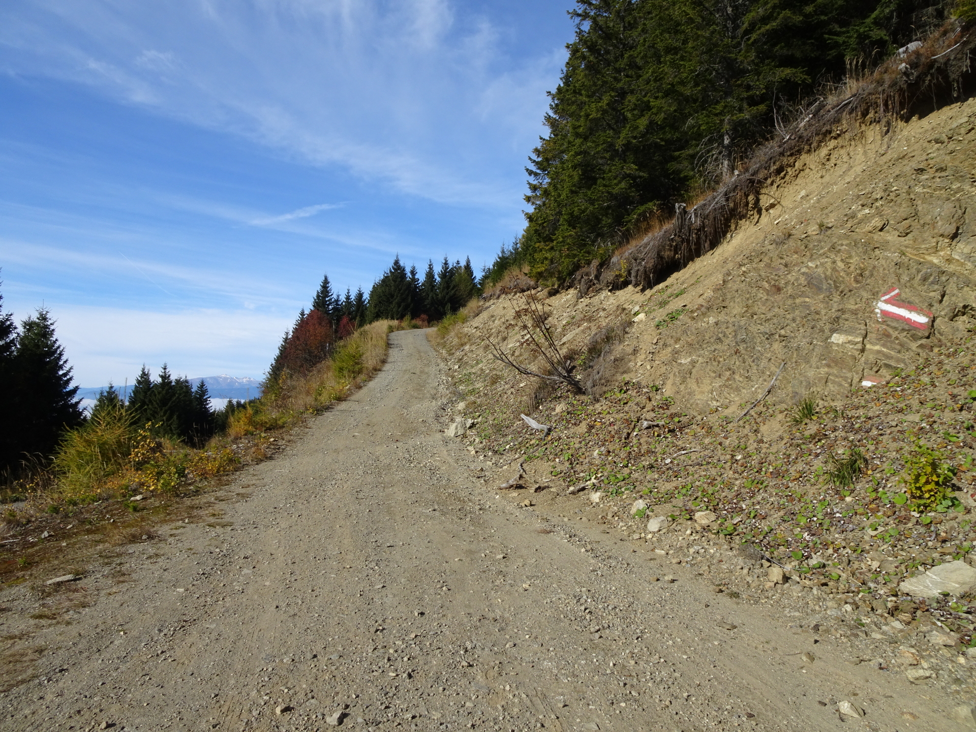
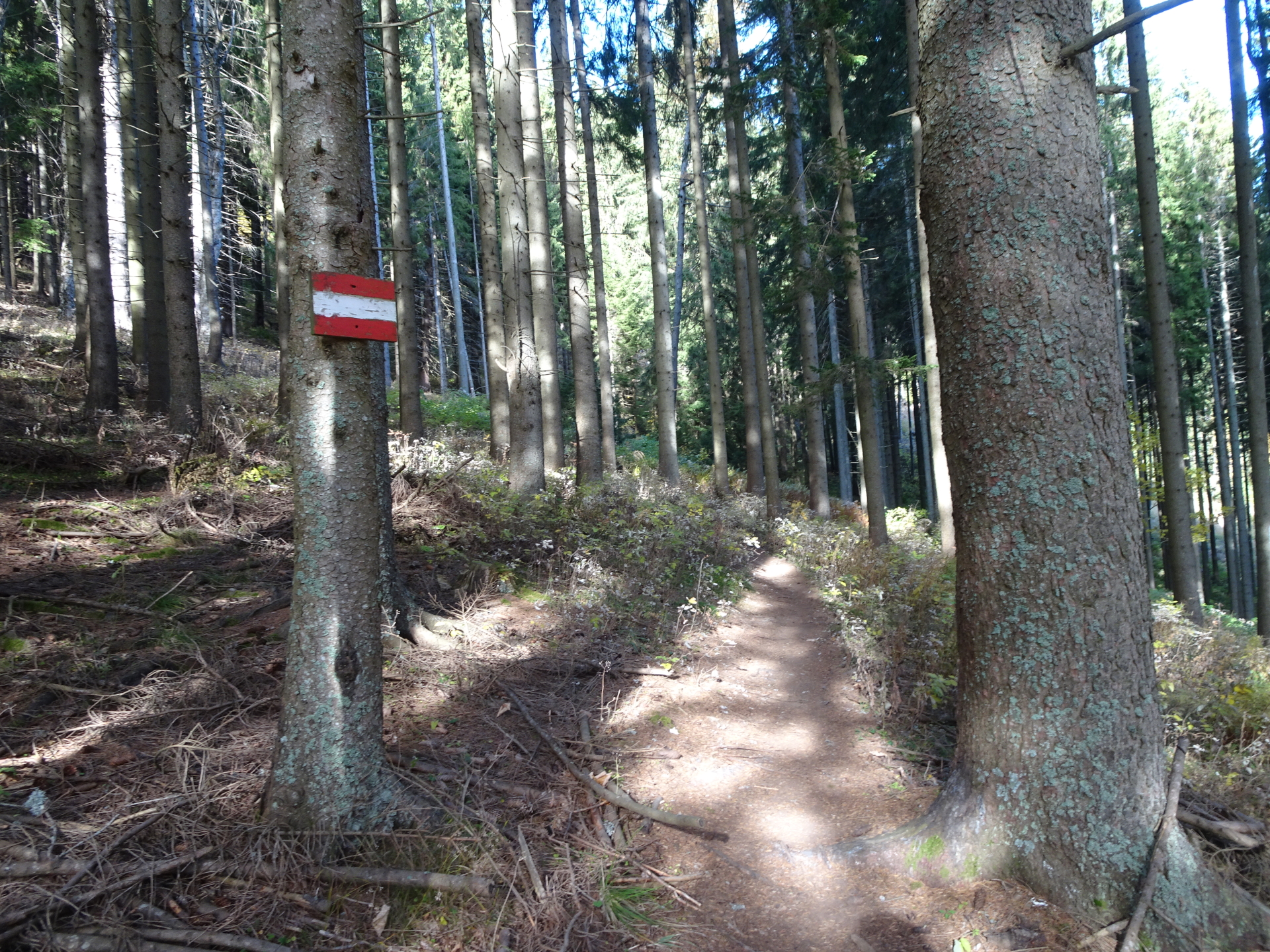
| 00:10 | At the crossing, stay straight ahead and continue following the red-white-red marked trail upwards. |
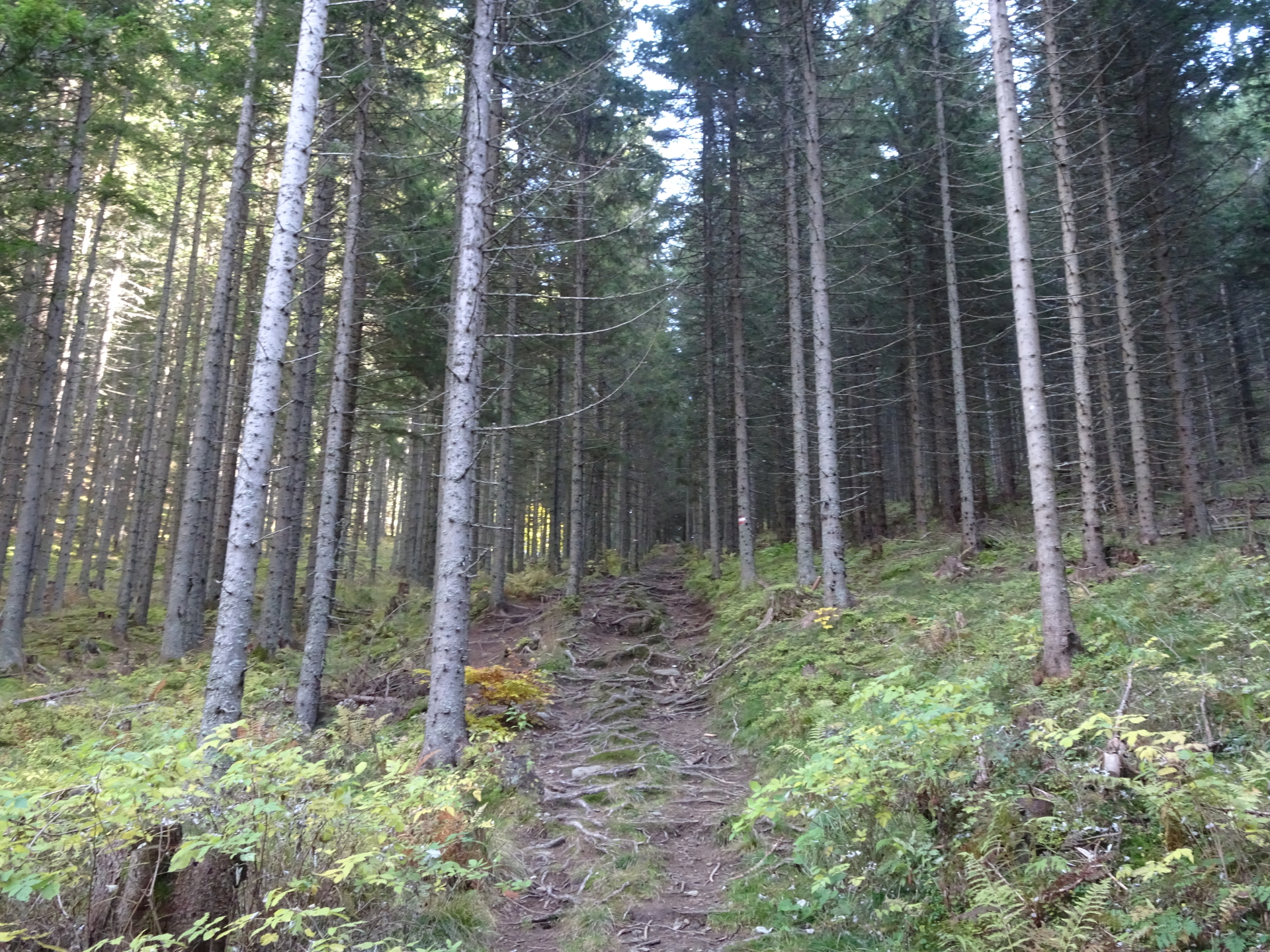
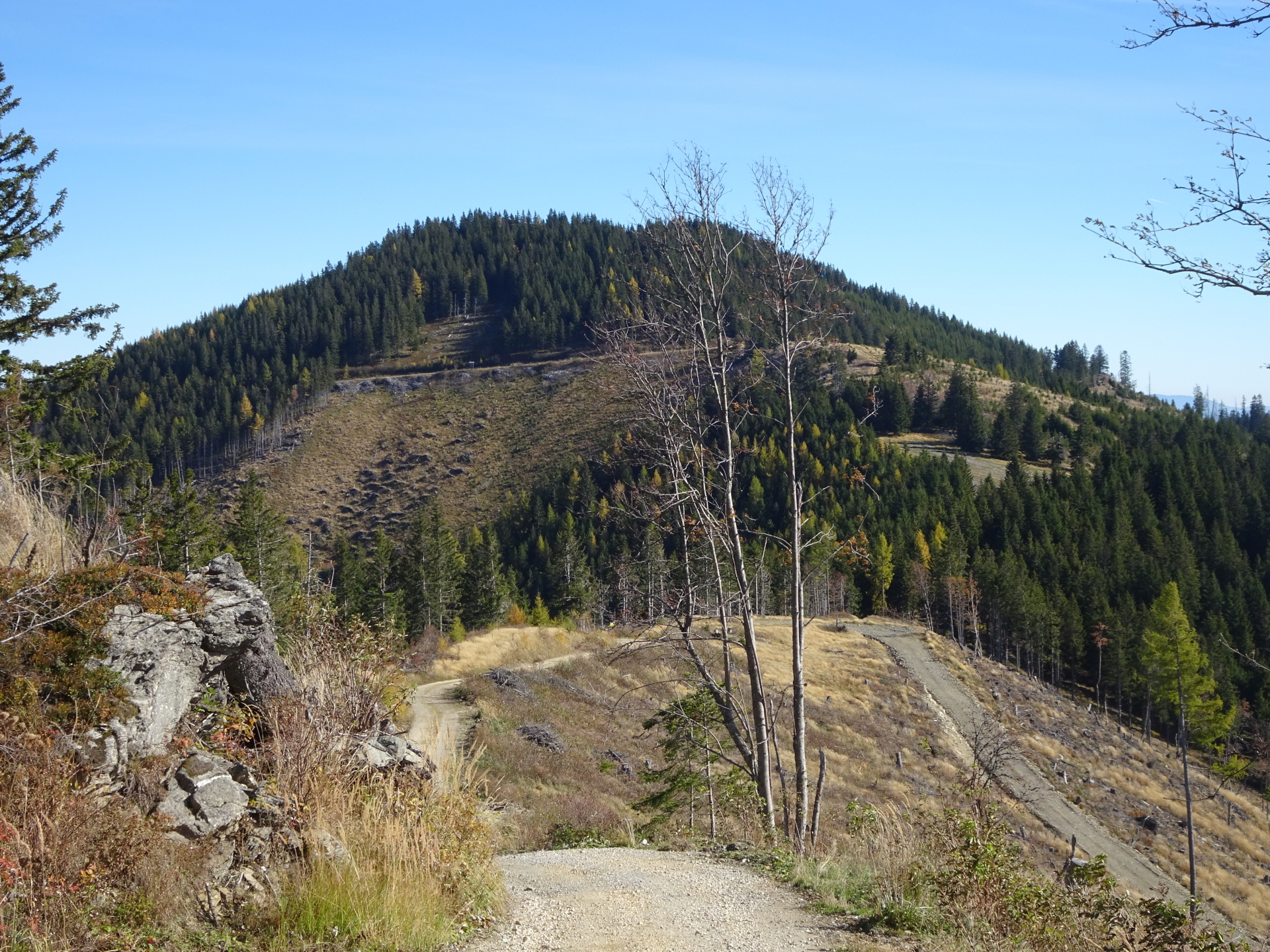
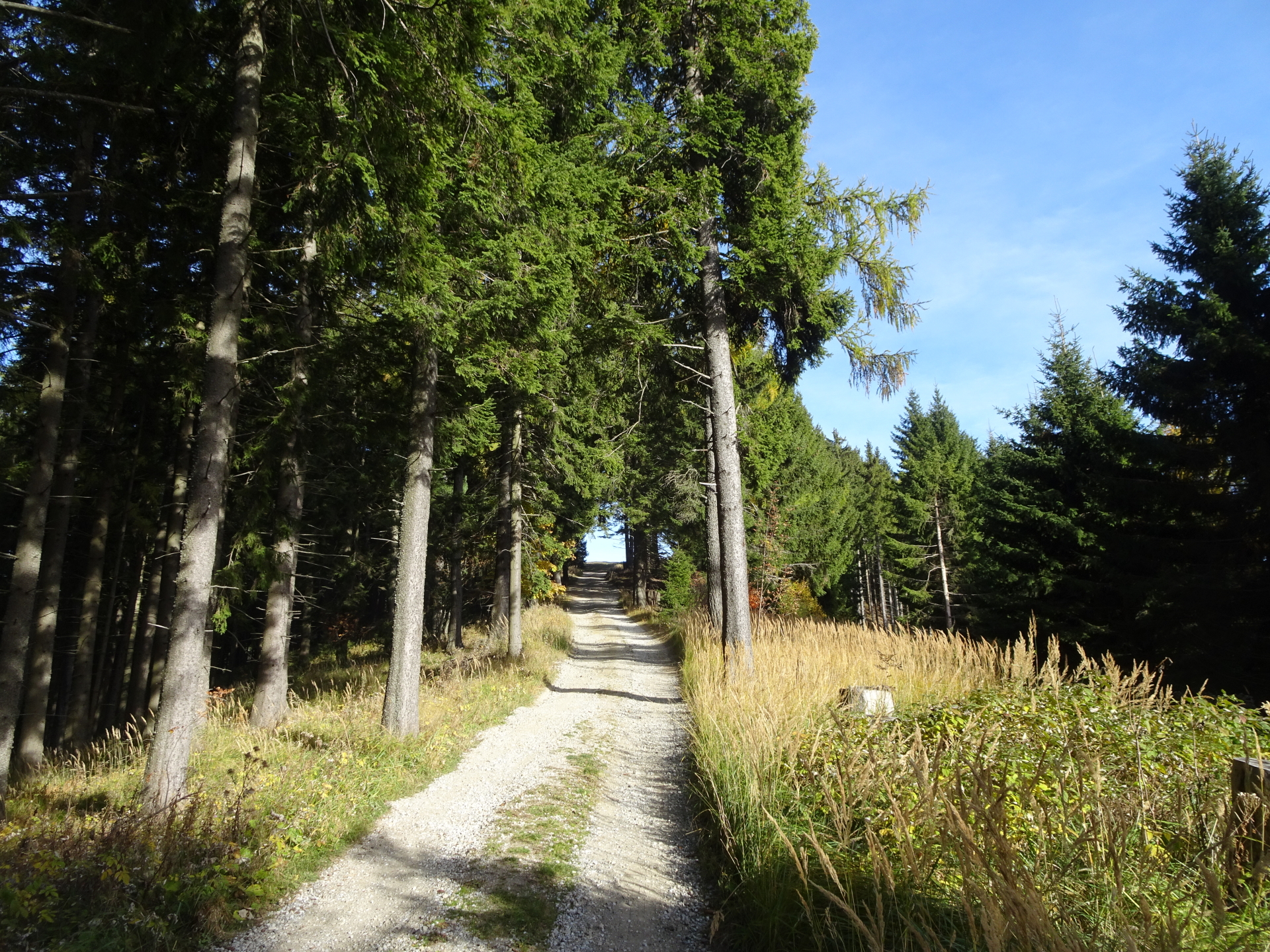
| 00:20 | At the Trasattel, turn left and follow the small and steep trail towards Mugel (see signpost) along the forest aisle upwards. |
| 00:35 | Turn left and follow the upper road towards Mugel (see red-white-red marked arrow). |
| 00:45 | Turn right and follow the trail upwards. |
| 00:50 | At the crossing Silberbrunnsatteli, turn left and follow the trail westwards towards Mugel. |
| 00:52 | Keep left and follow the road up towards Mugel. |
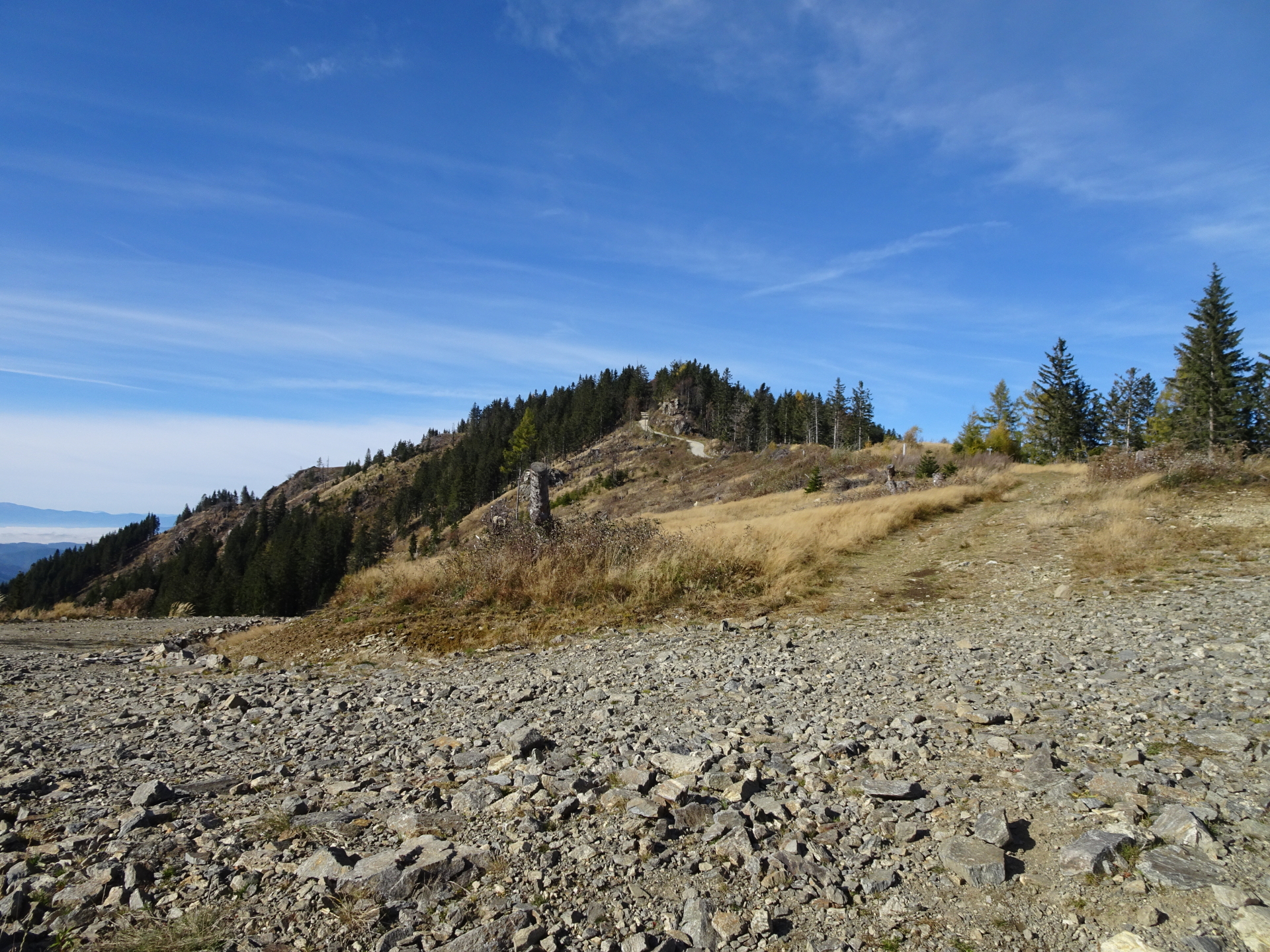
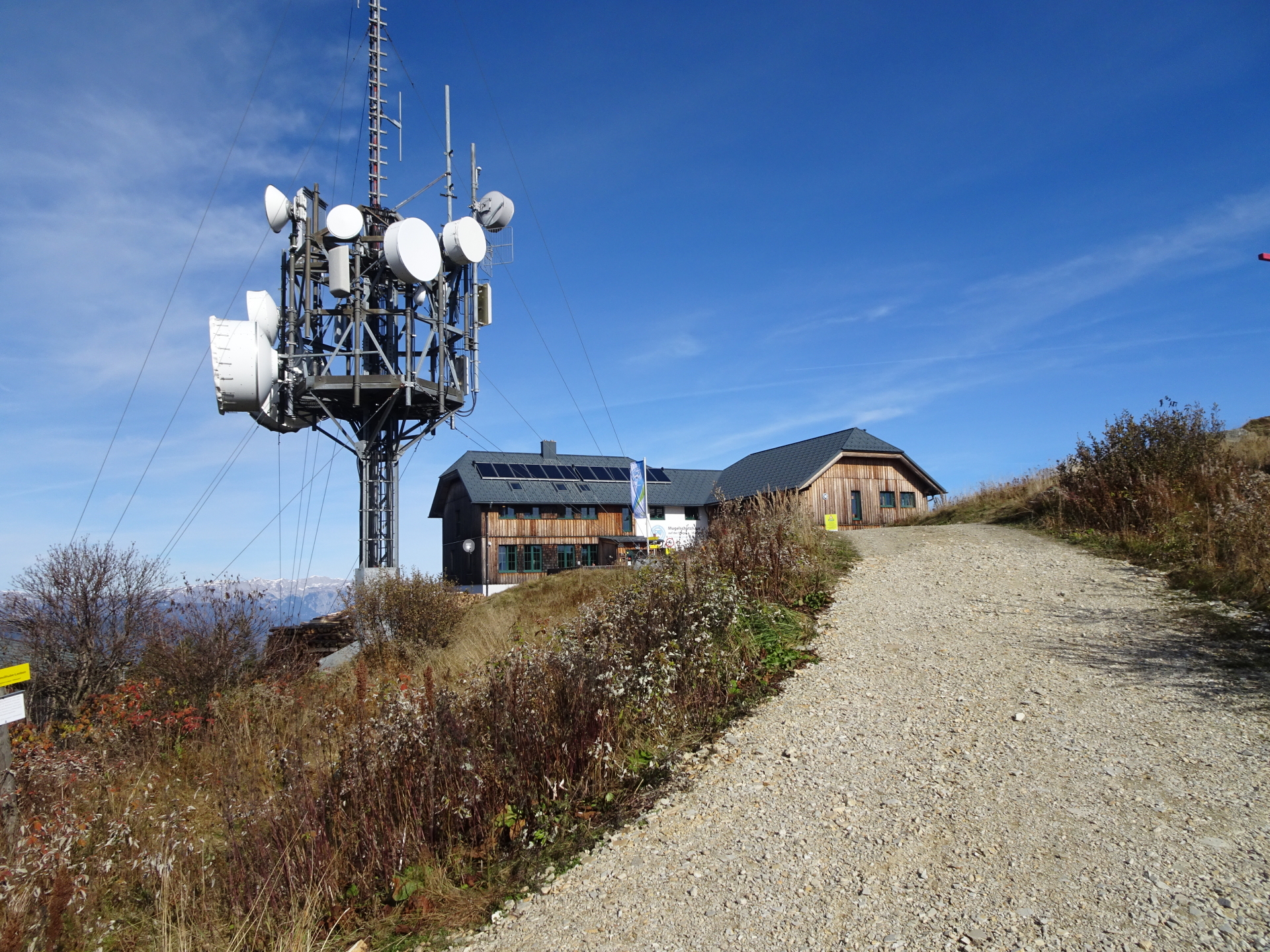
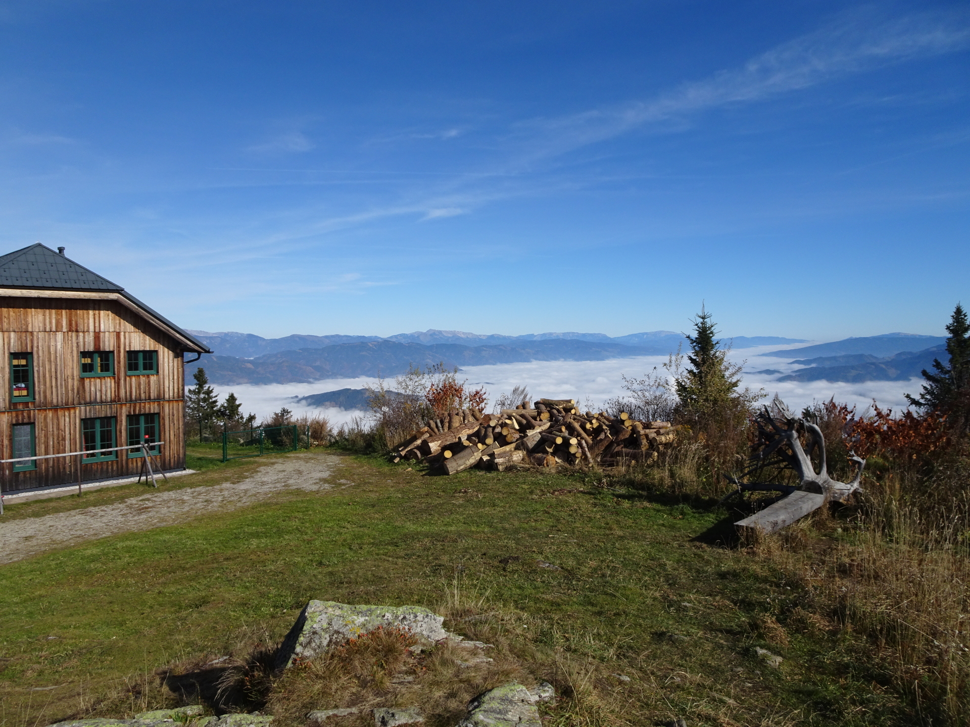
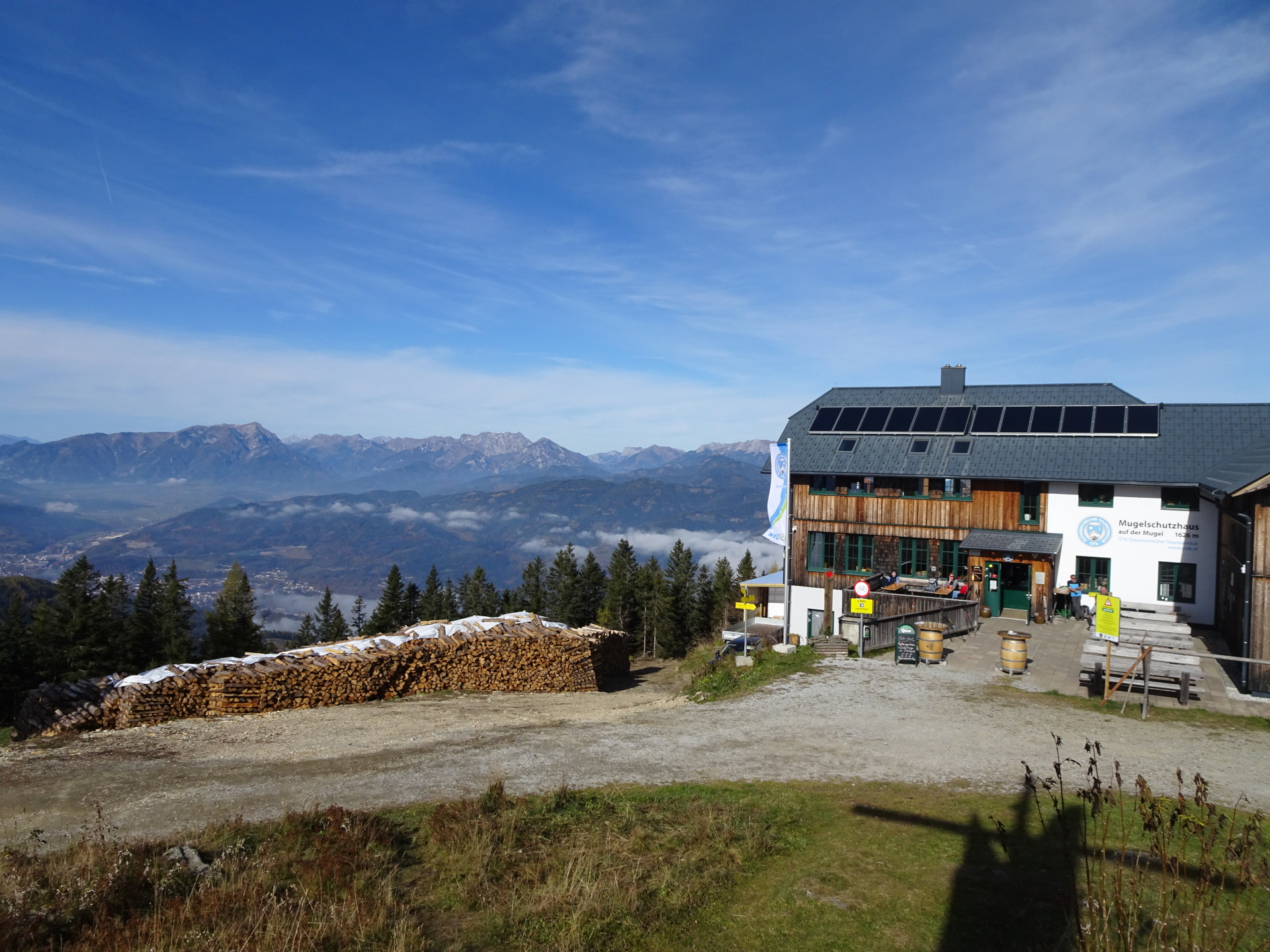
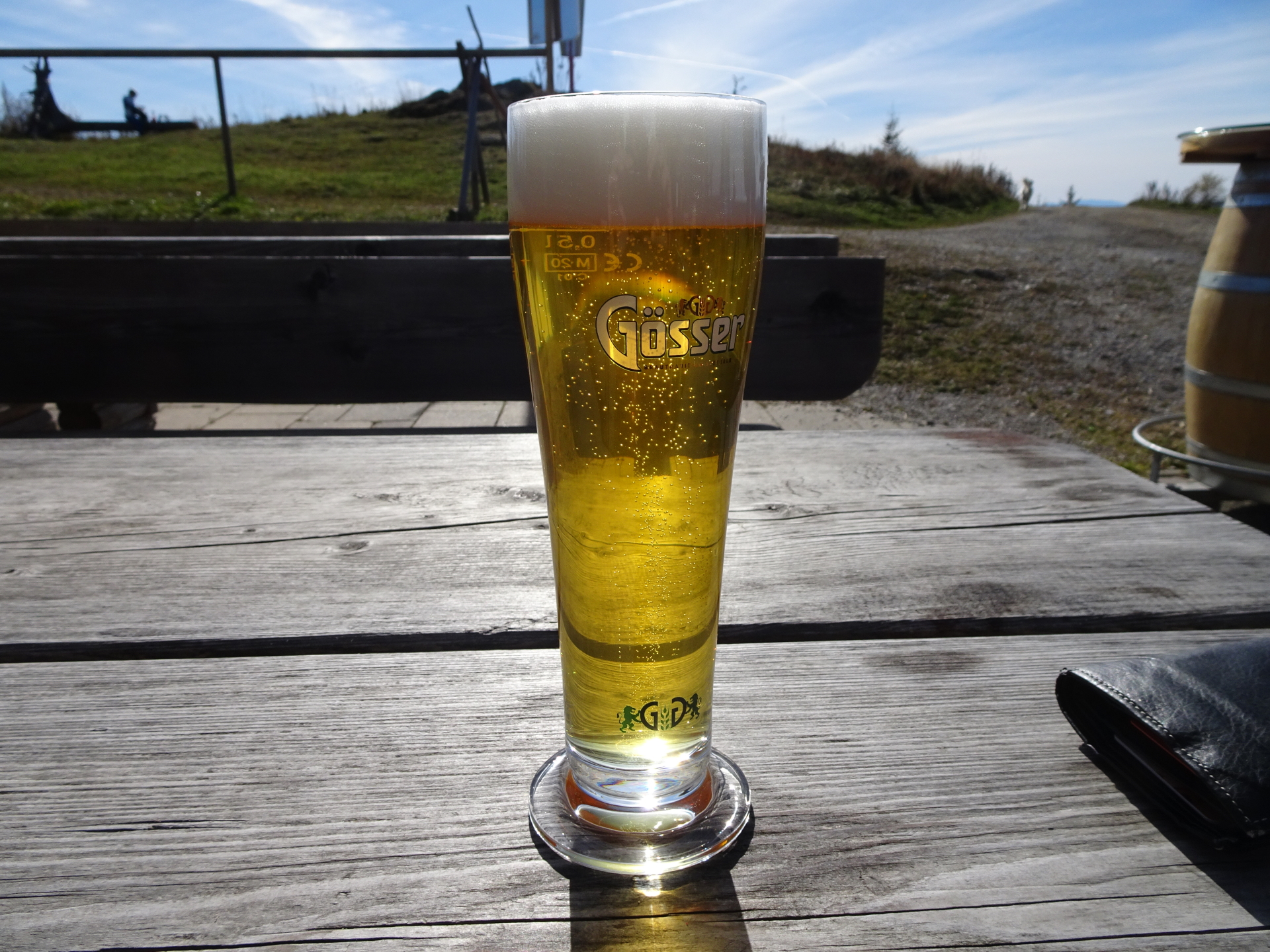
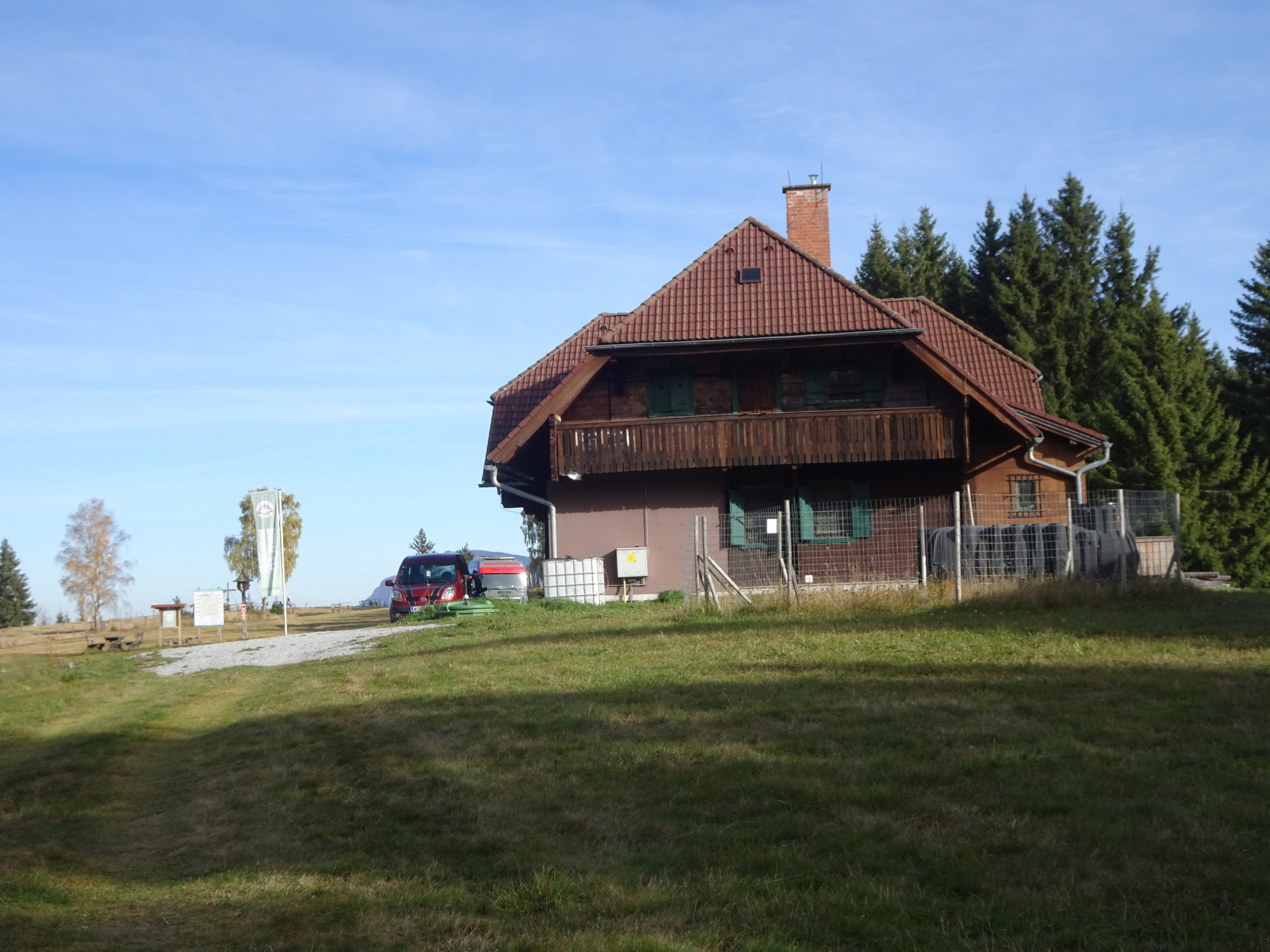
| 01:00 | Well deserved break ( ) at the Mugelschutzhaus at the summit of Mugel. |
| 01:30 | Follow the same road back towards Silberbrunnsattel. |
| 01:45 | At the crossing Silberbrunnsattel, keep straight ahead and follow the trail up to Rosseck. |
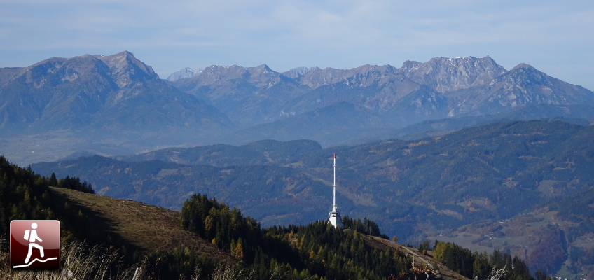
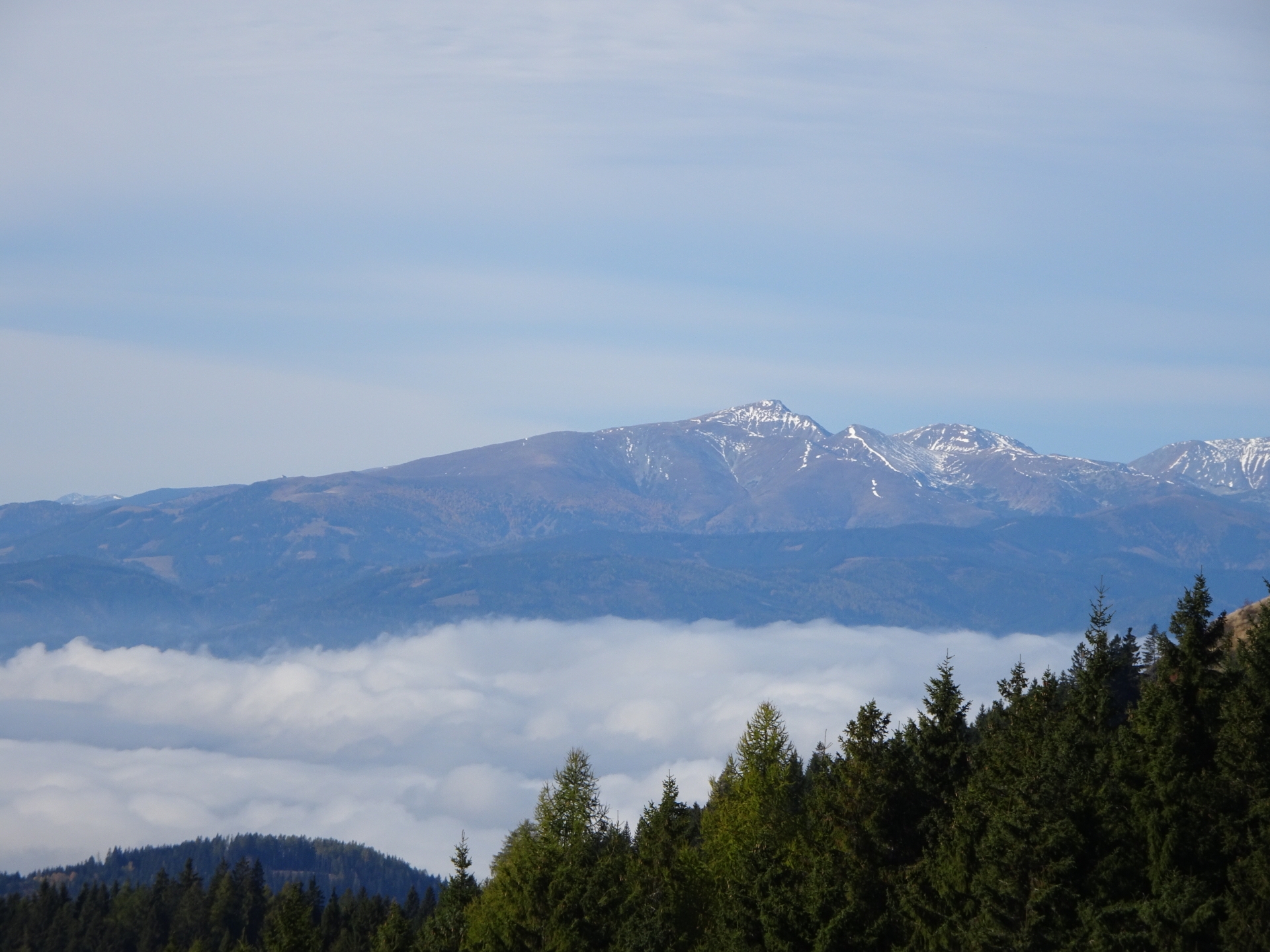
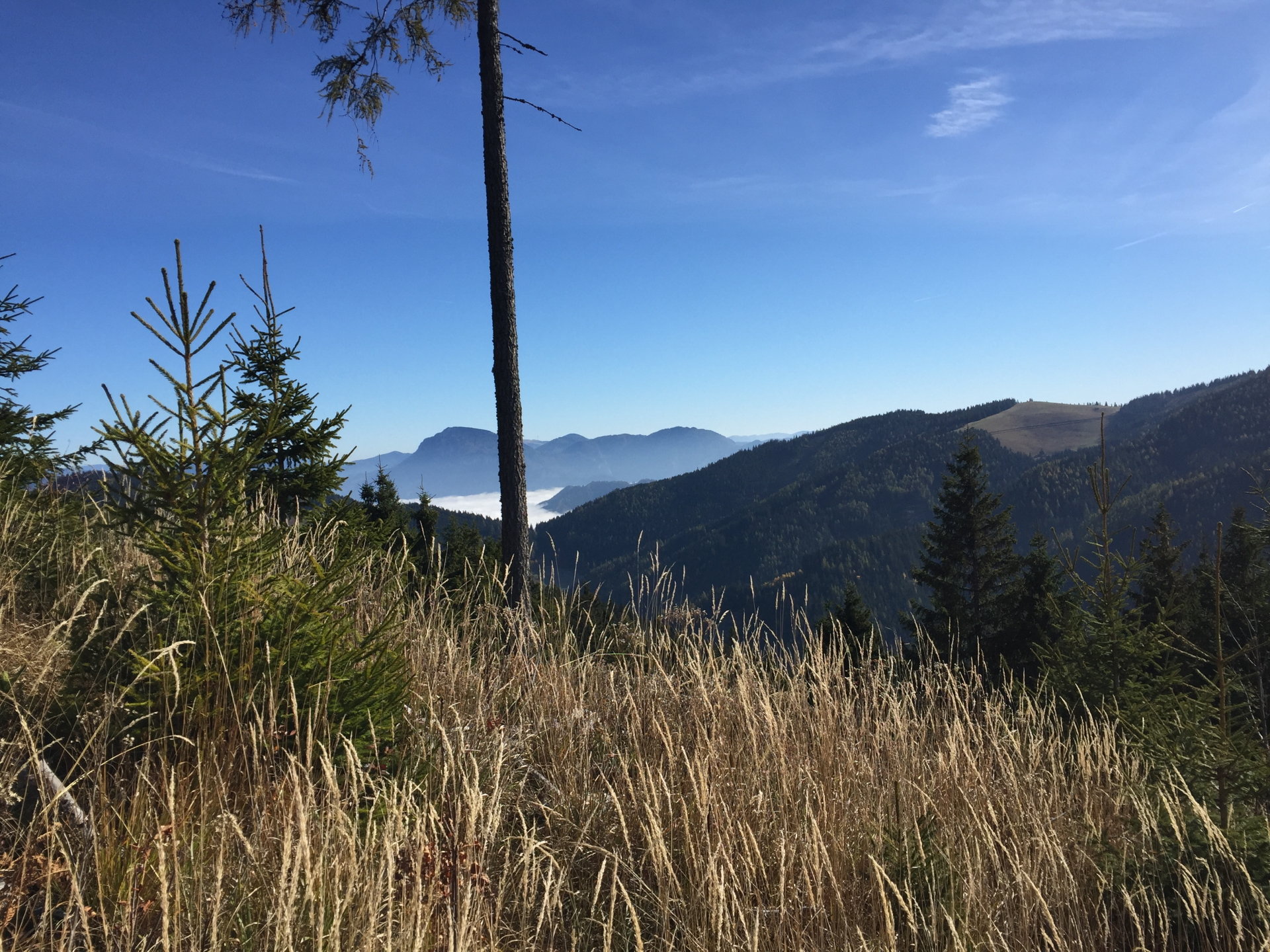
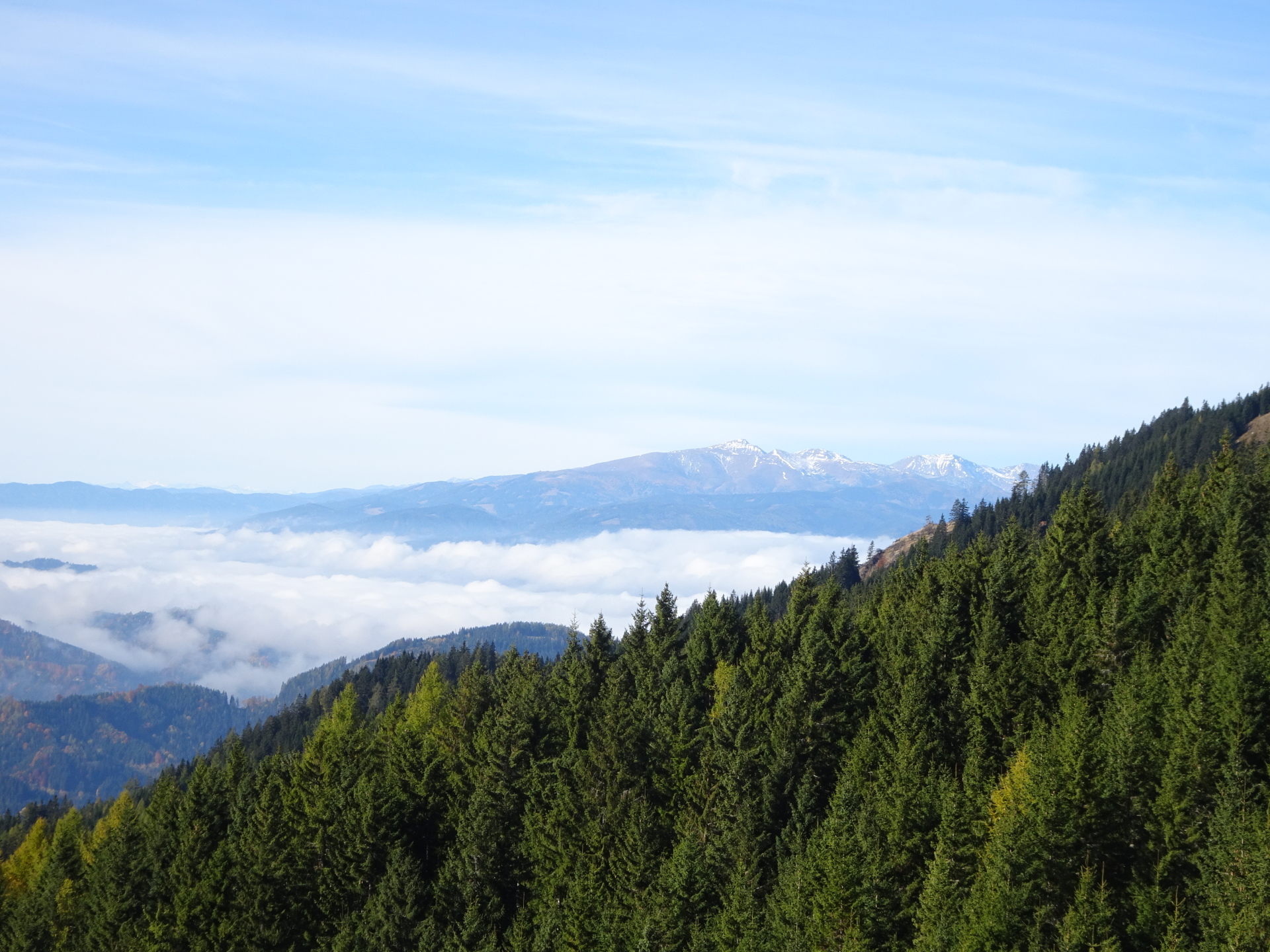
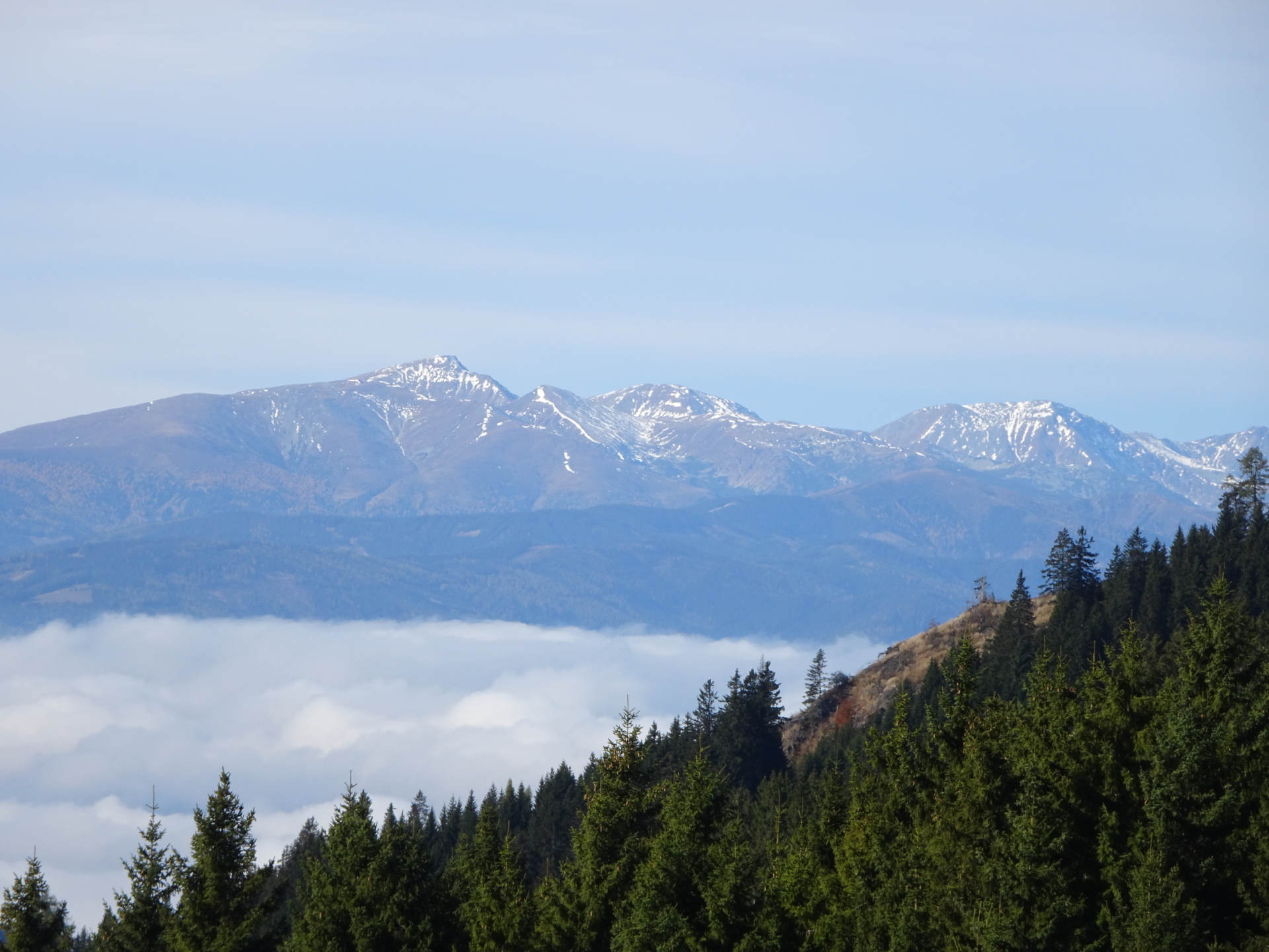
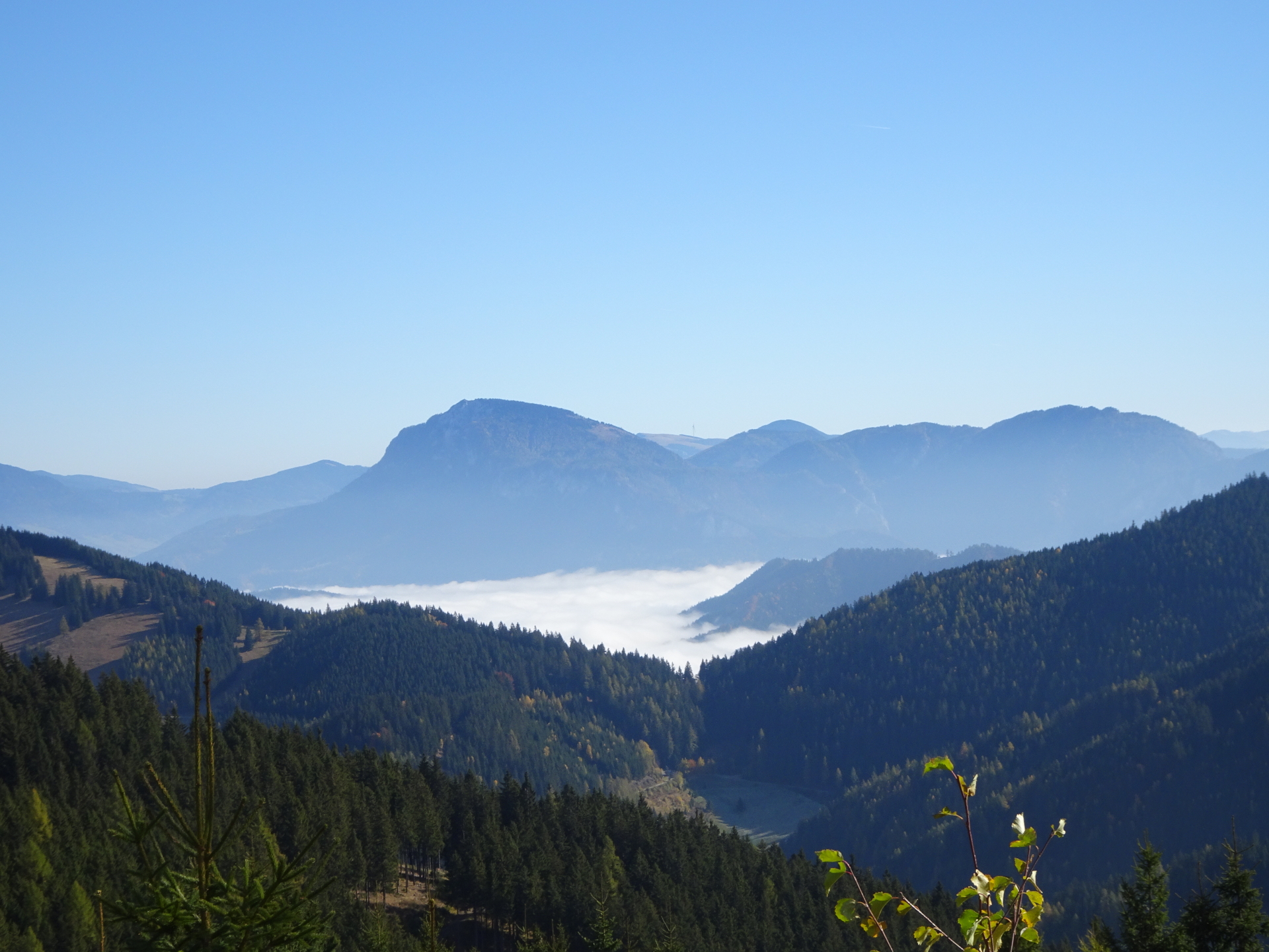
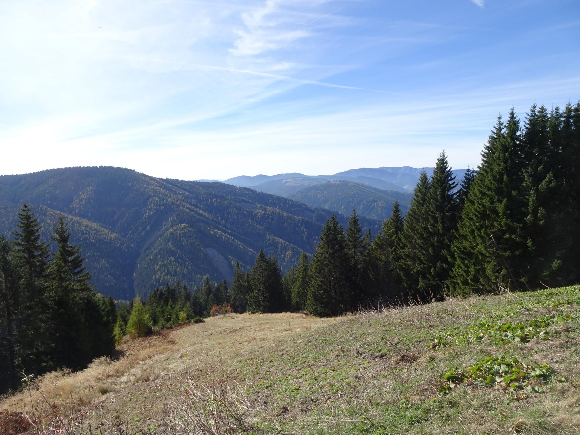
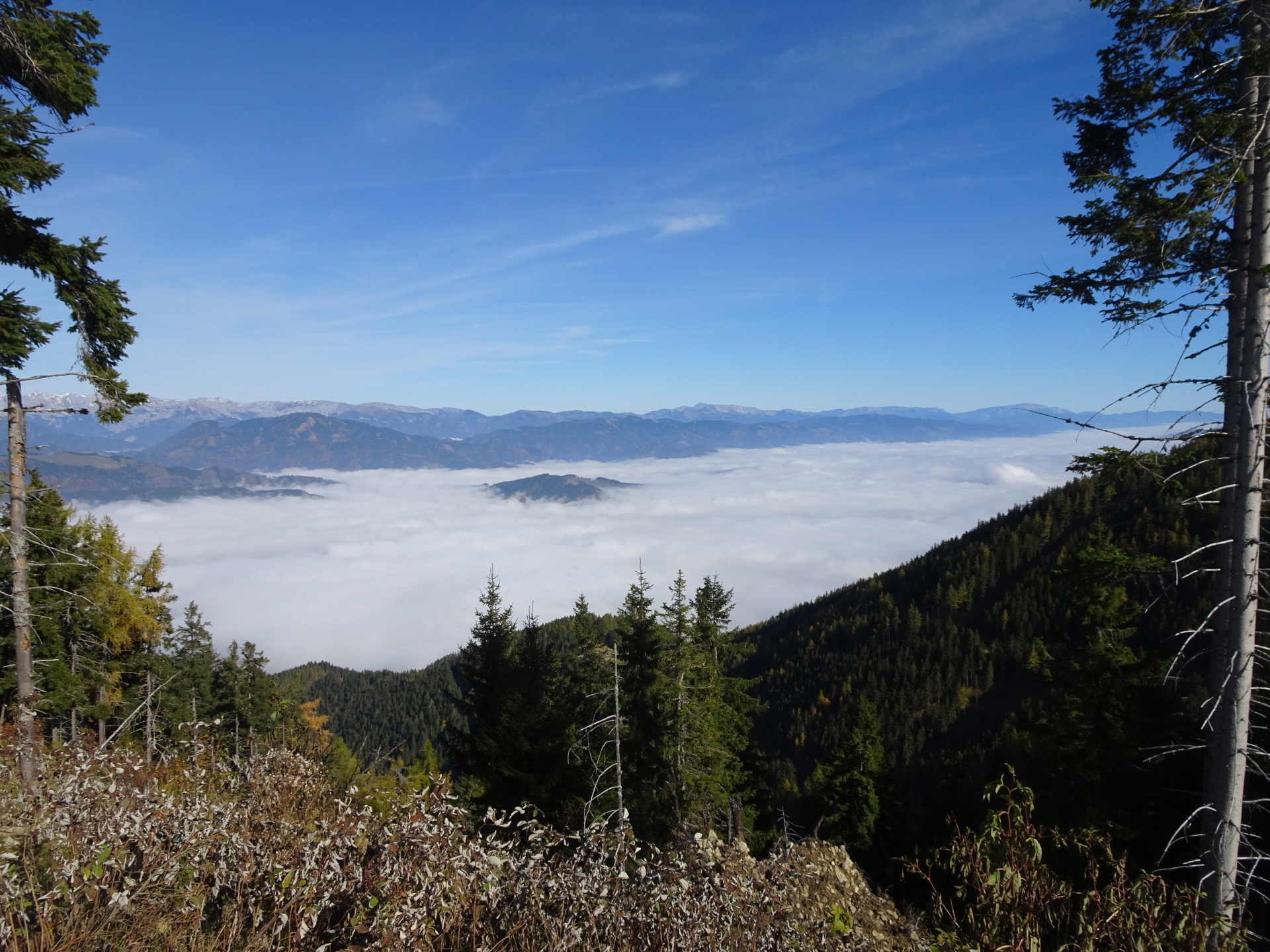
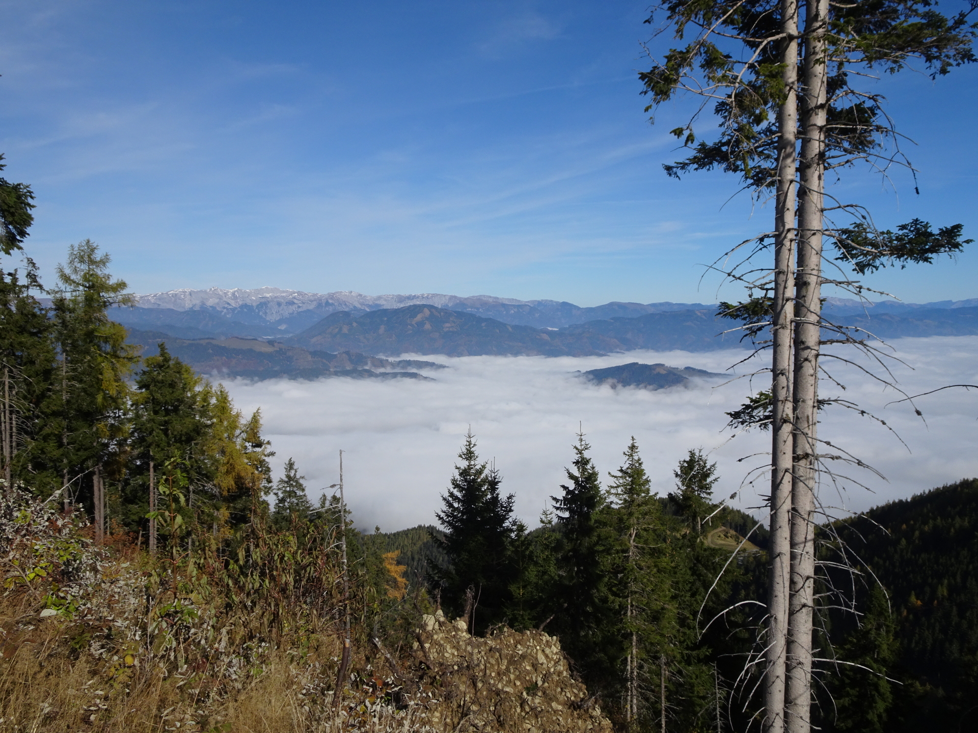
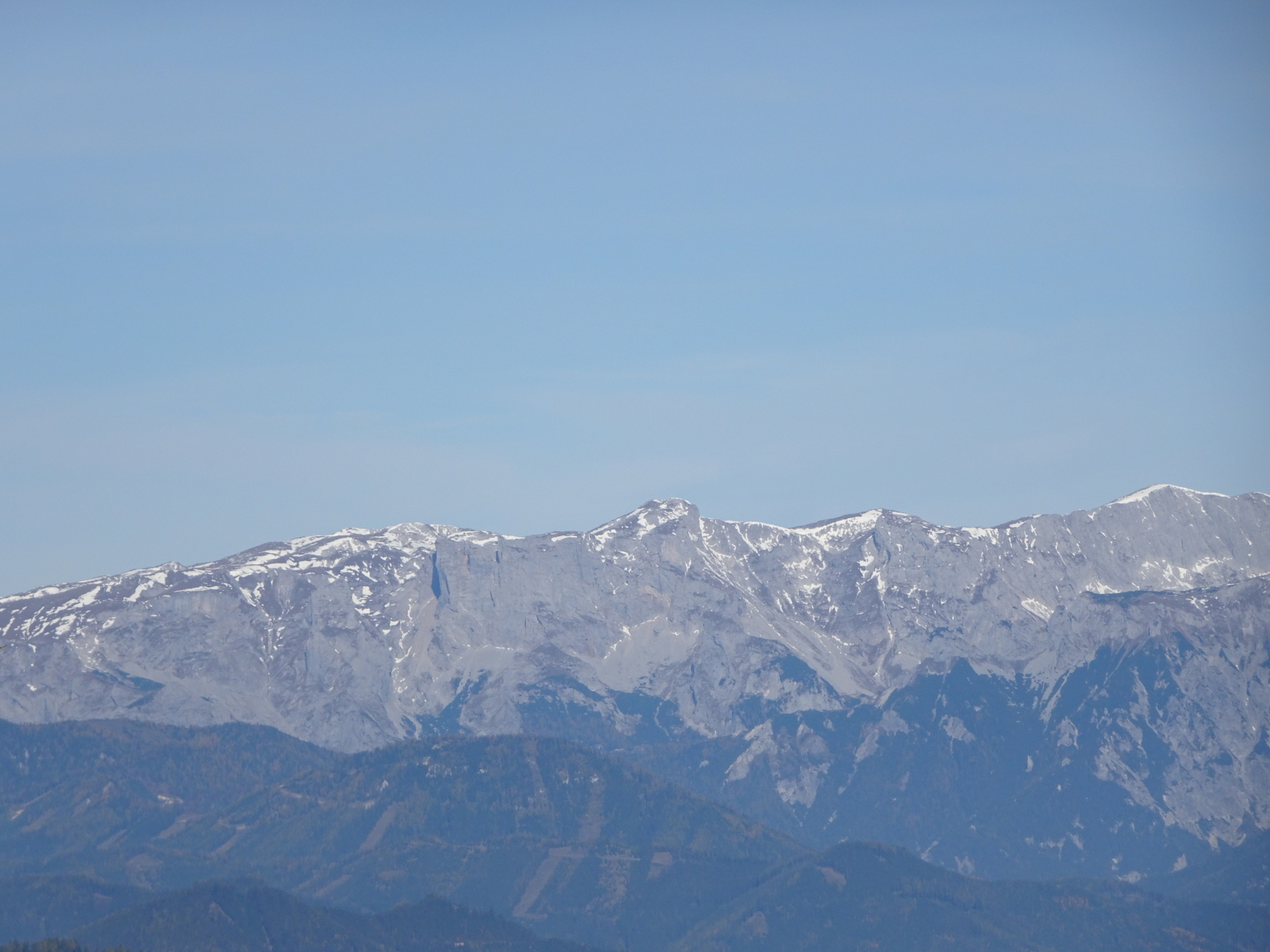
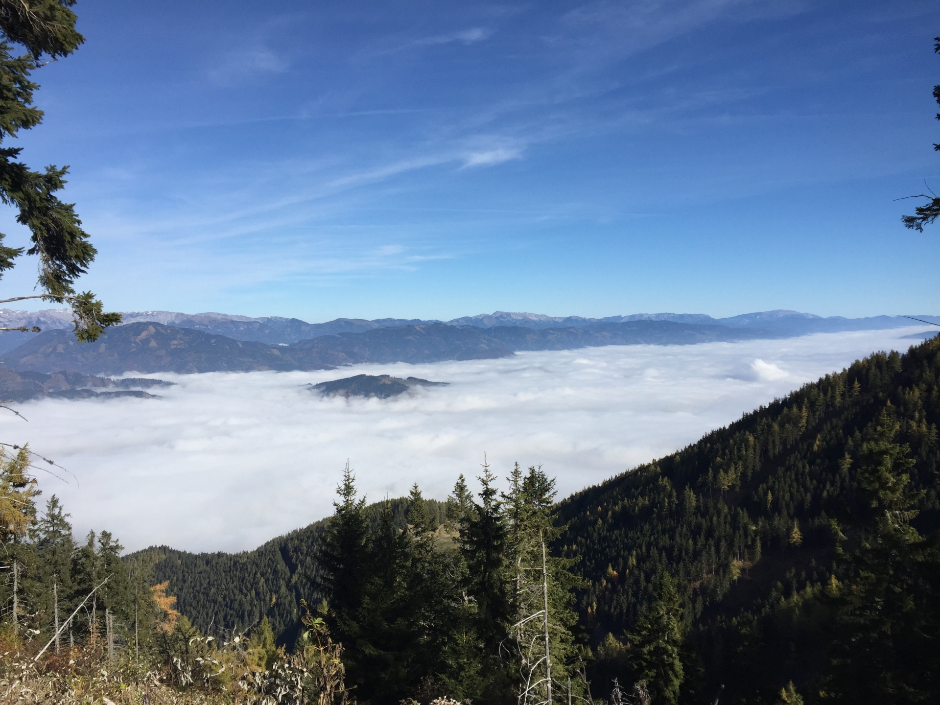
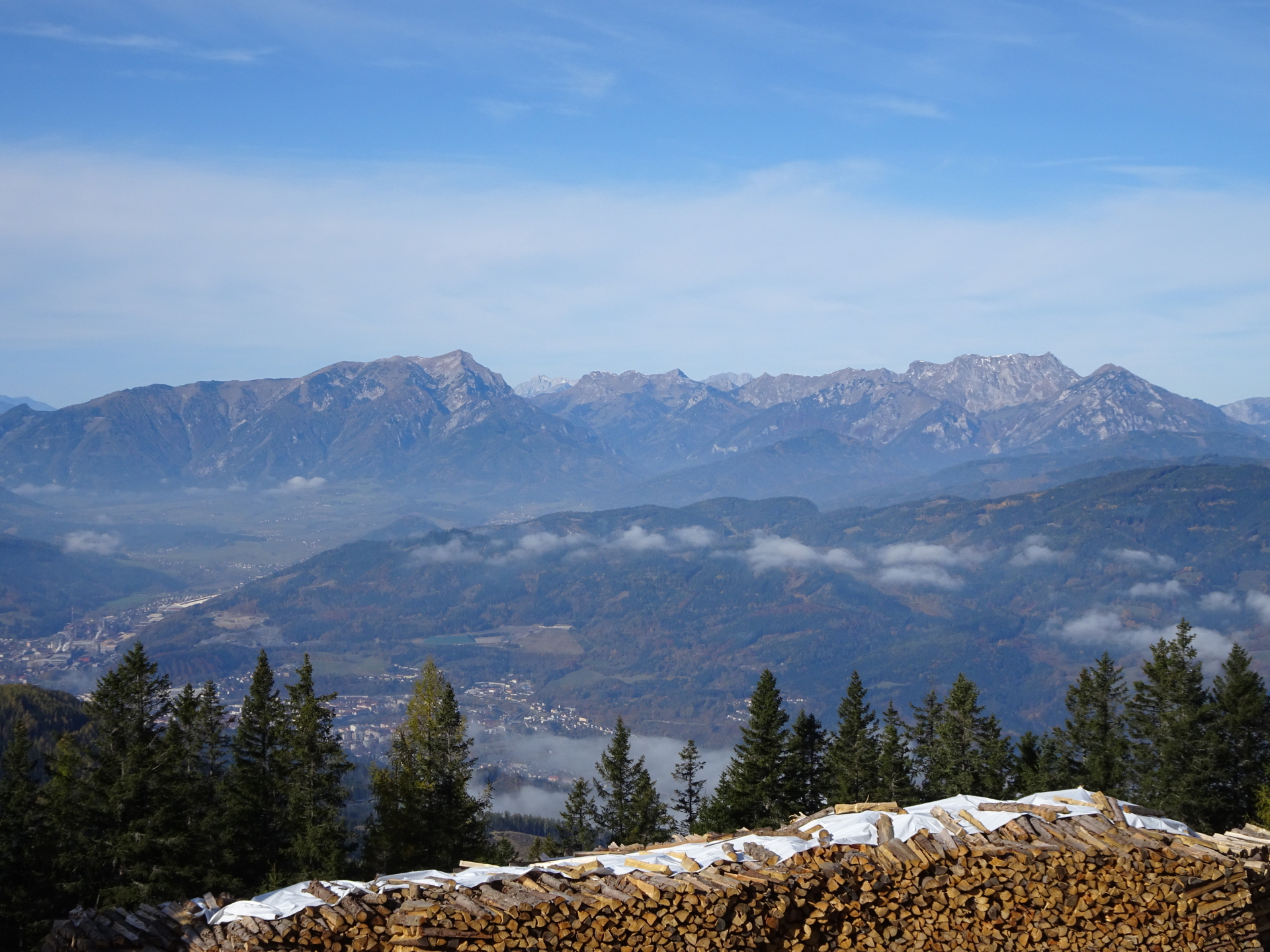
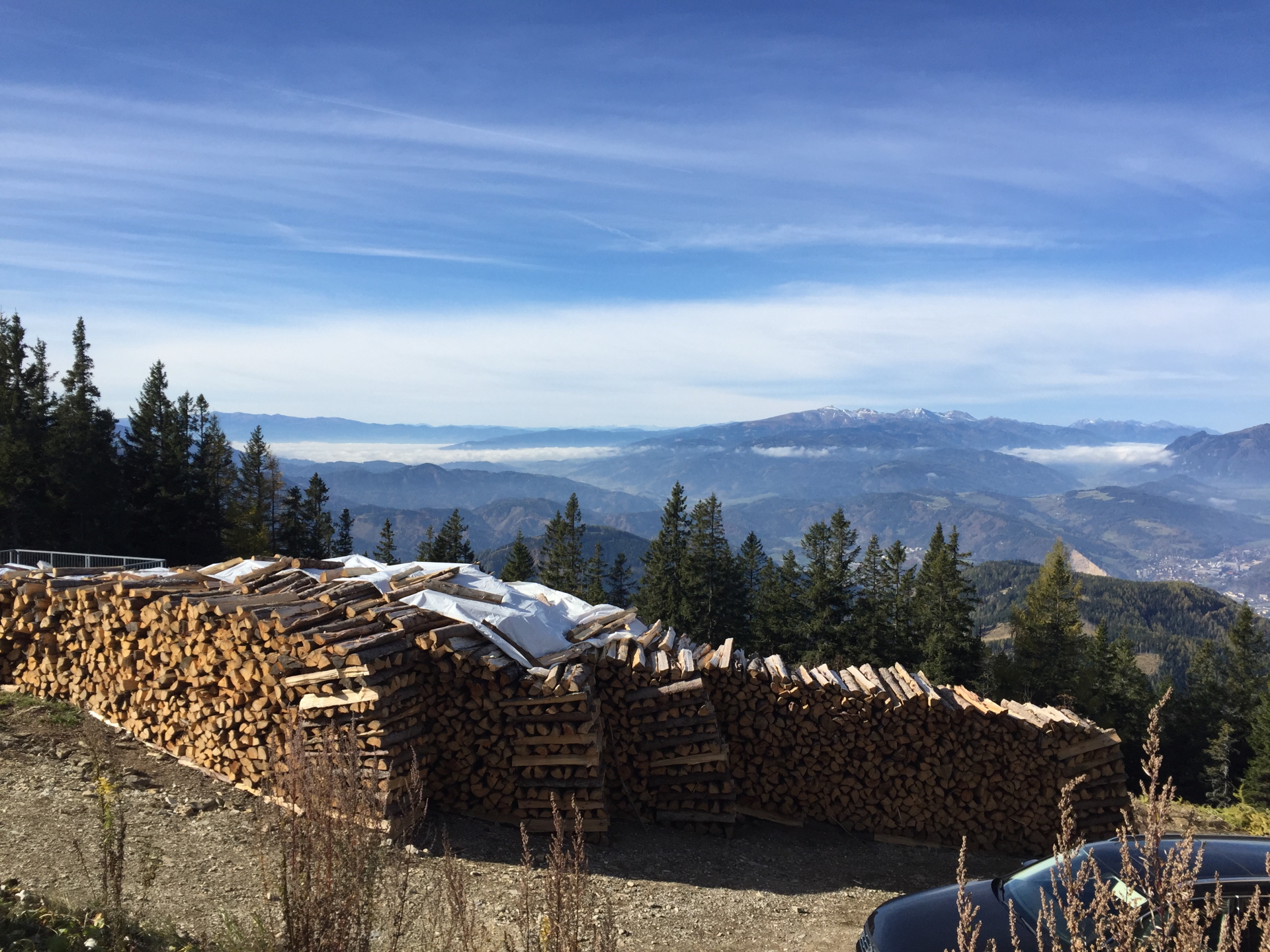
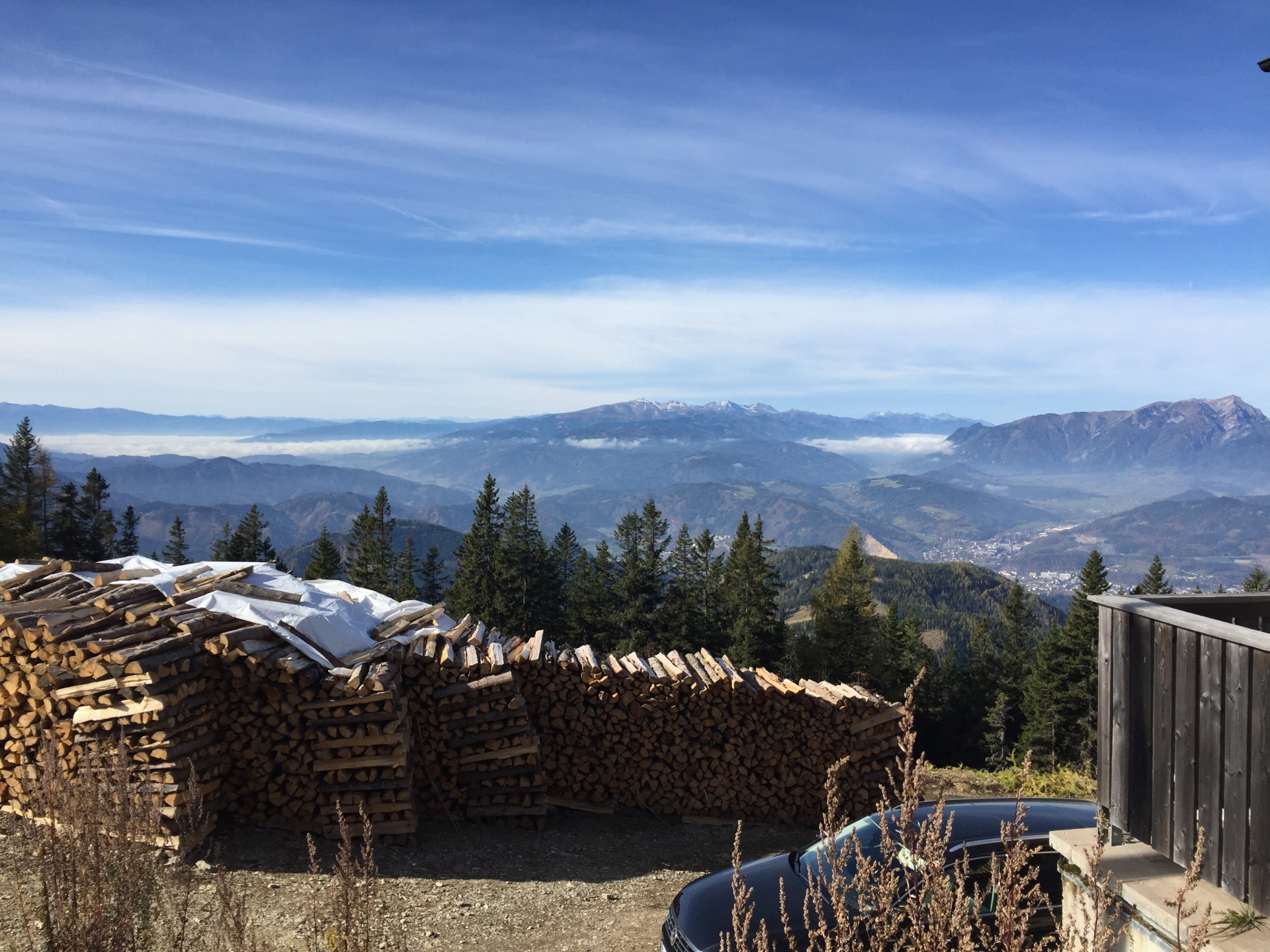
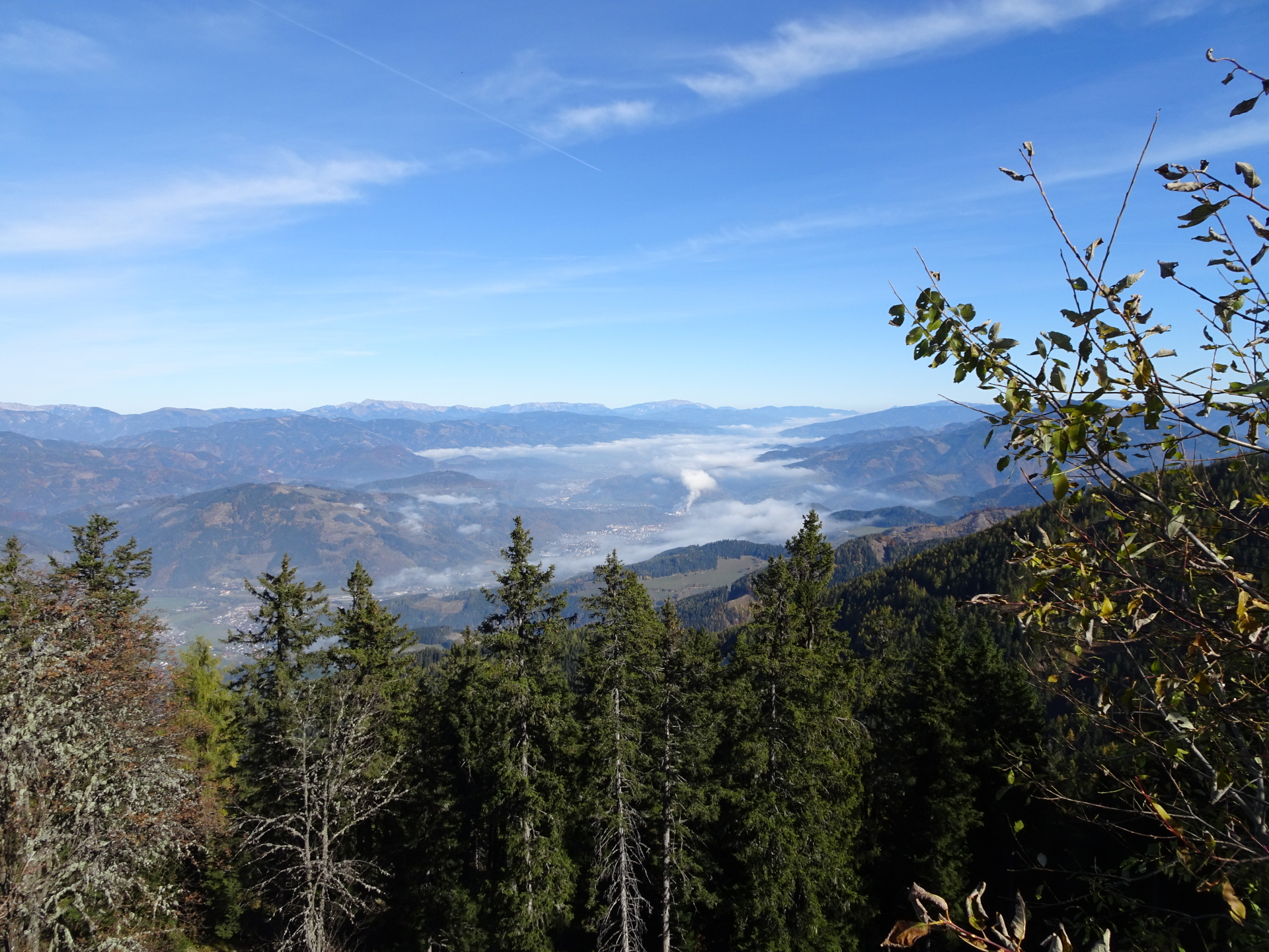
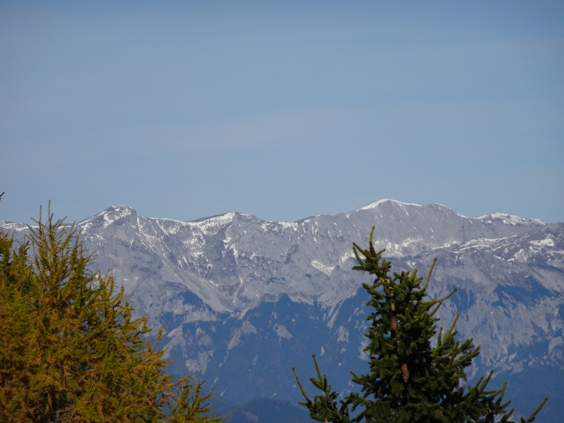
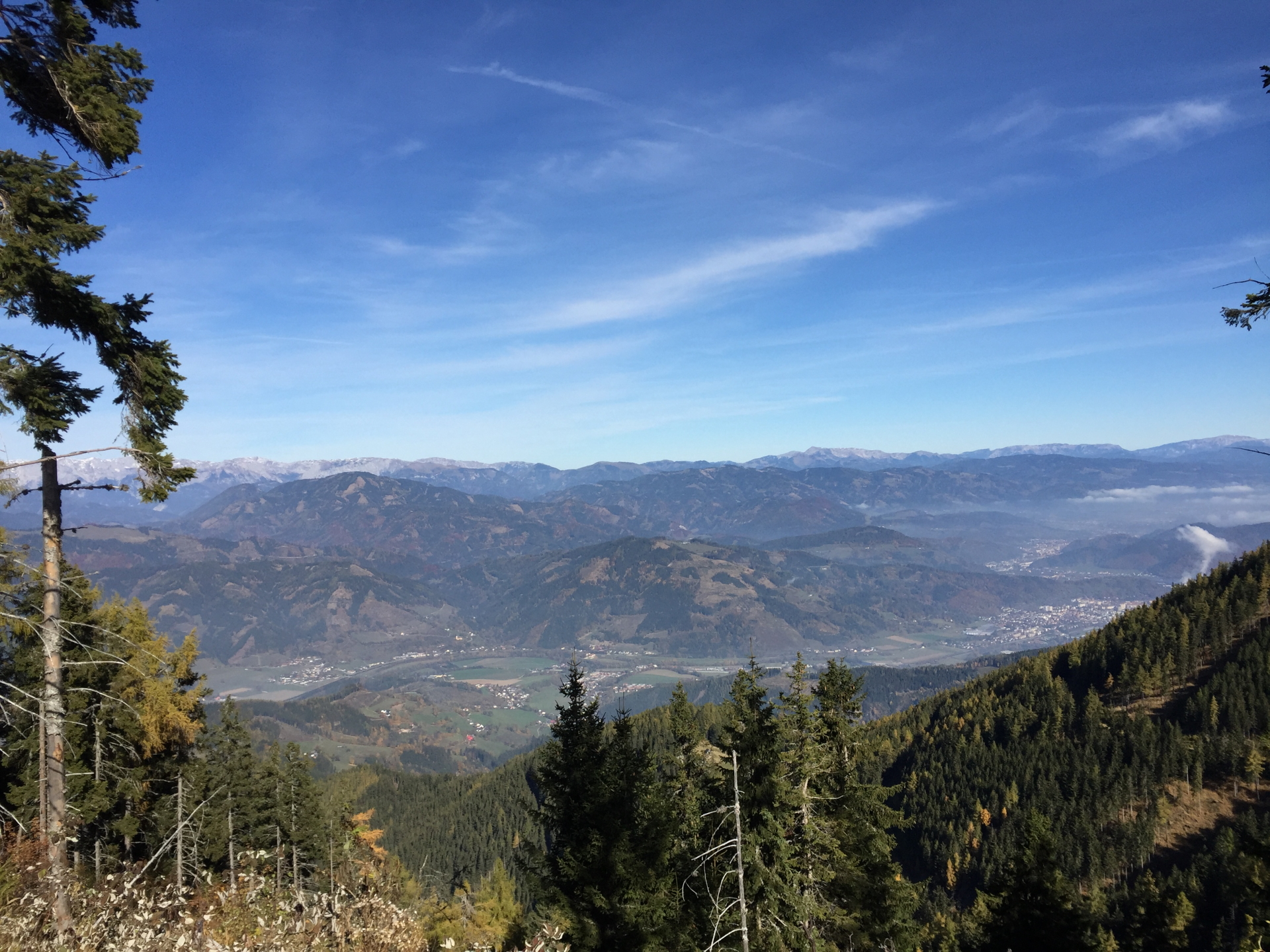
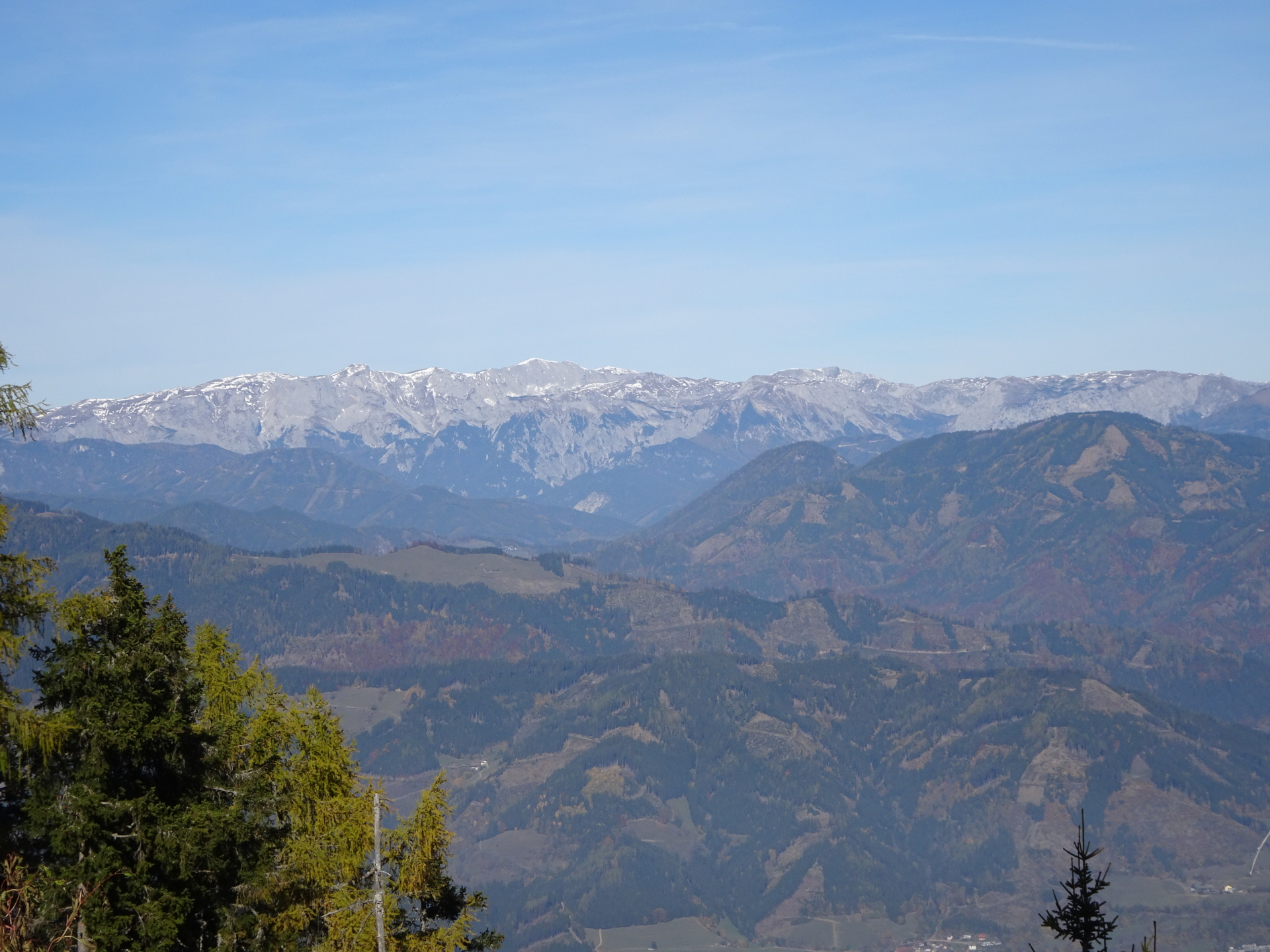
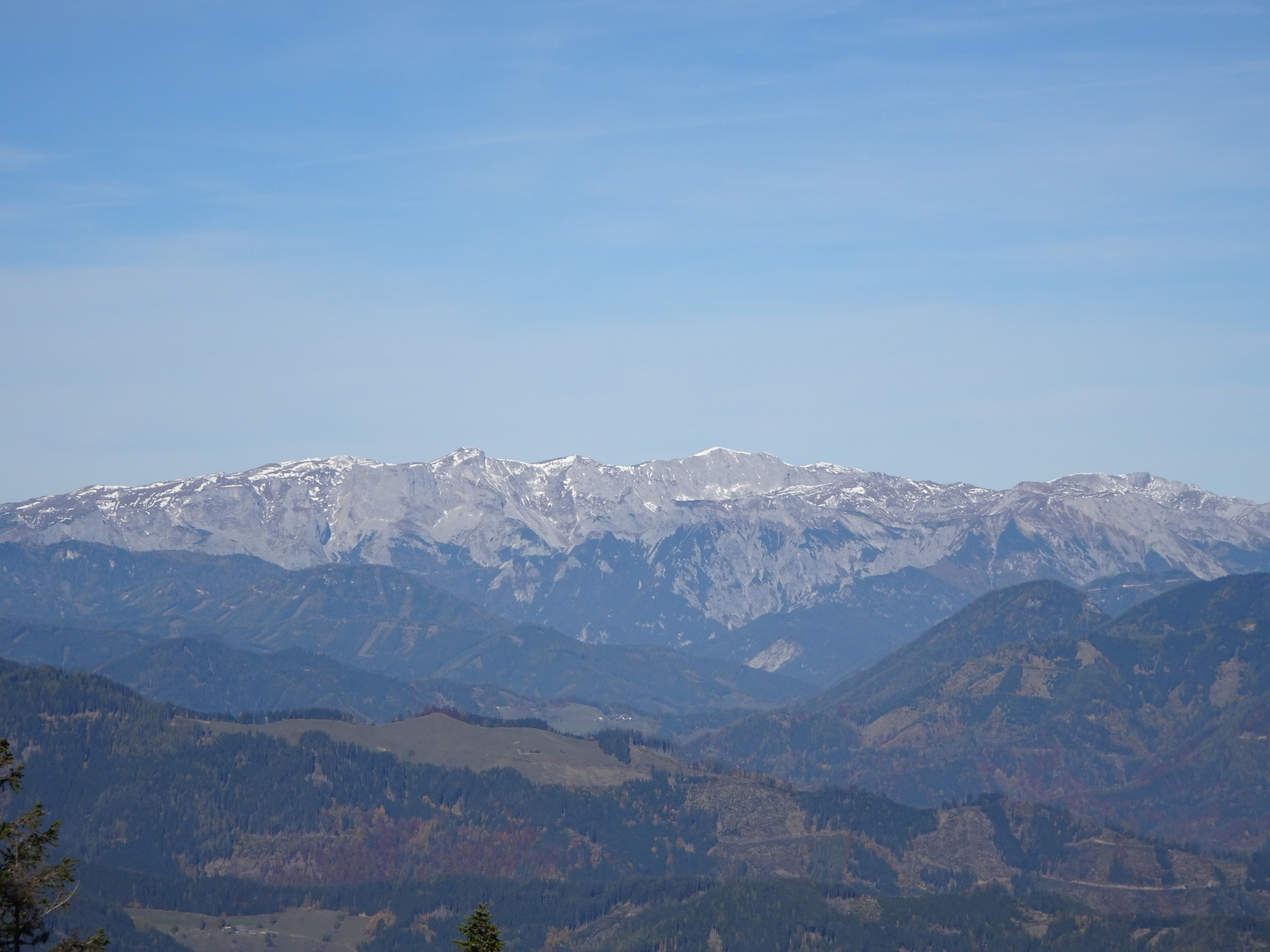
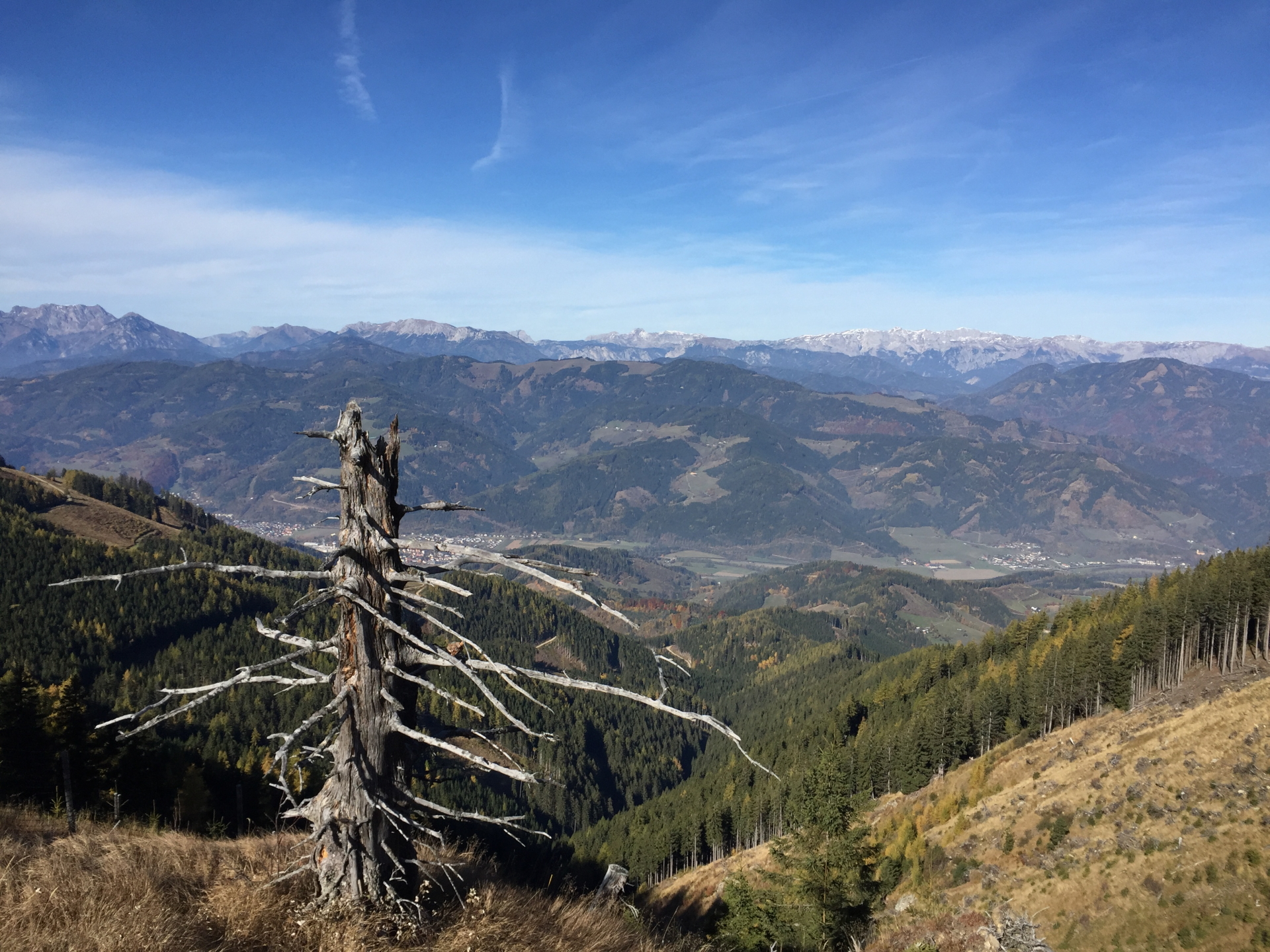
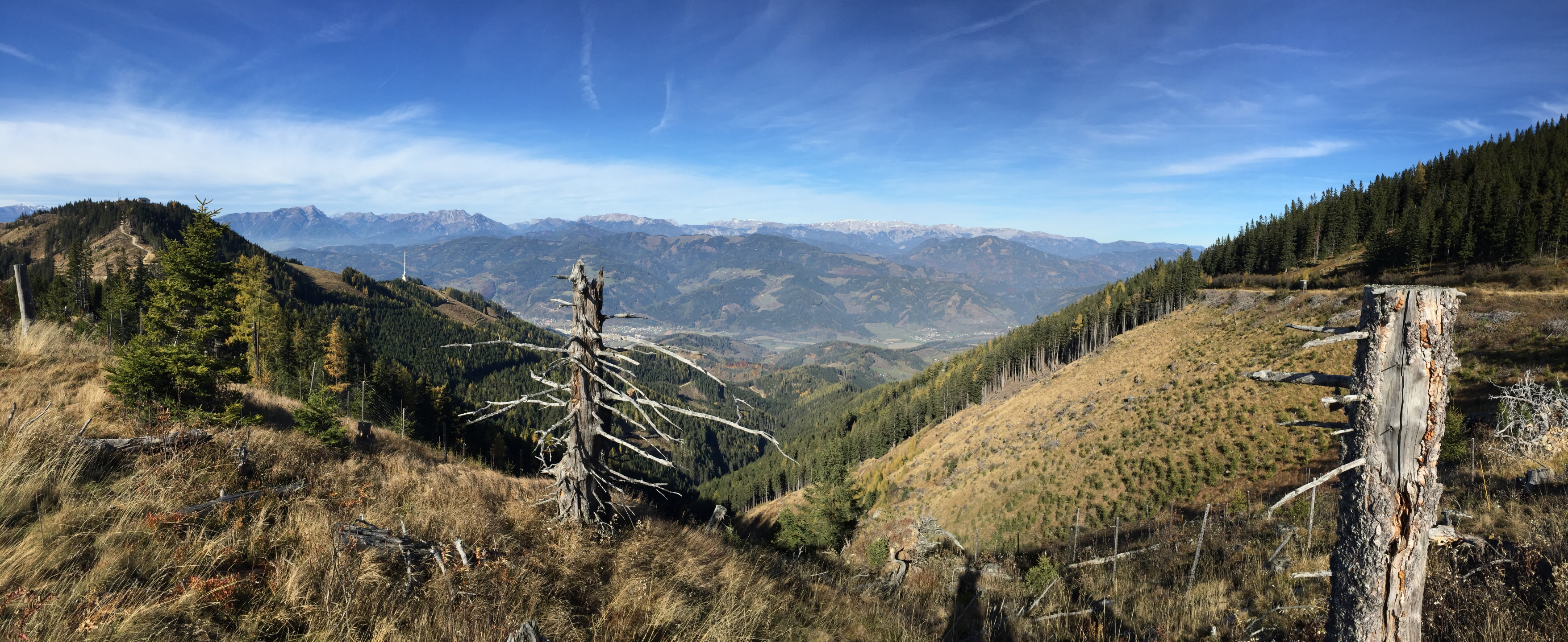
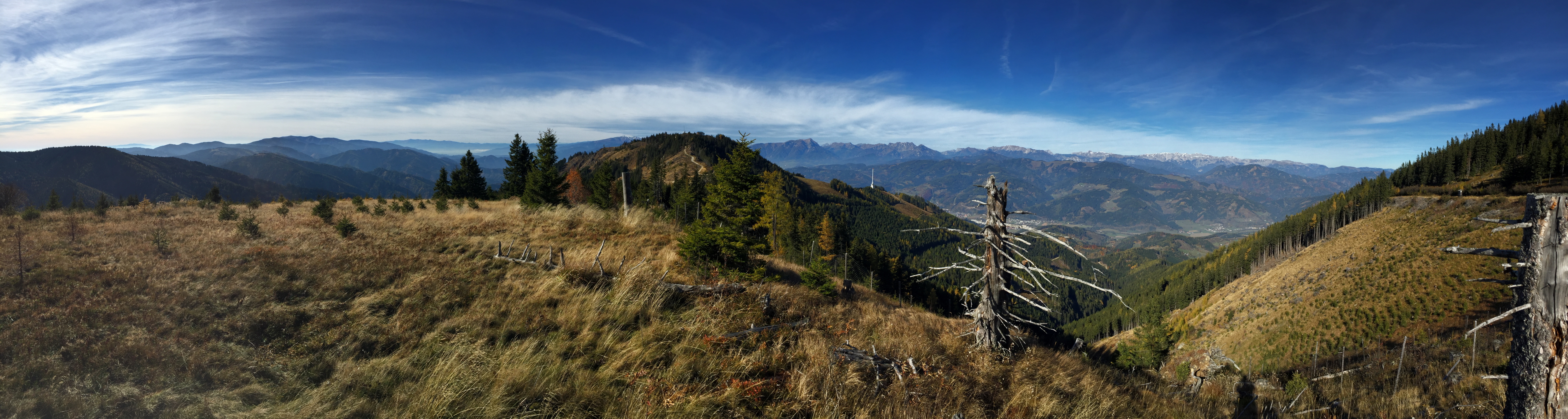
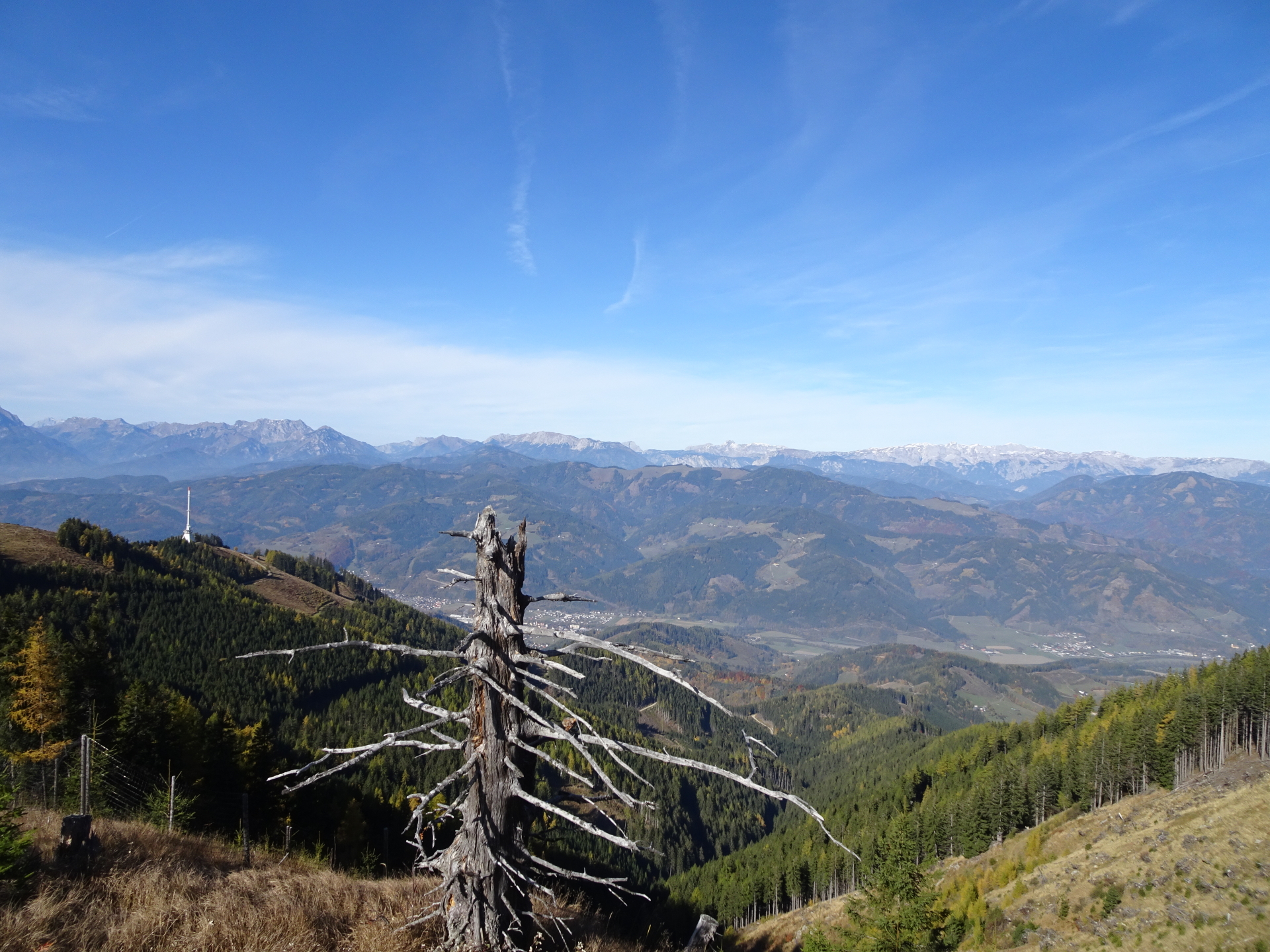
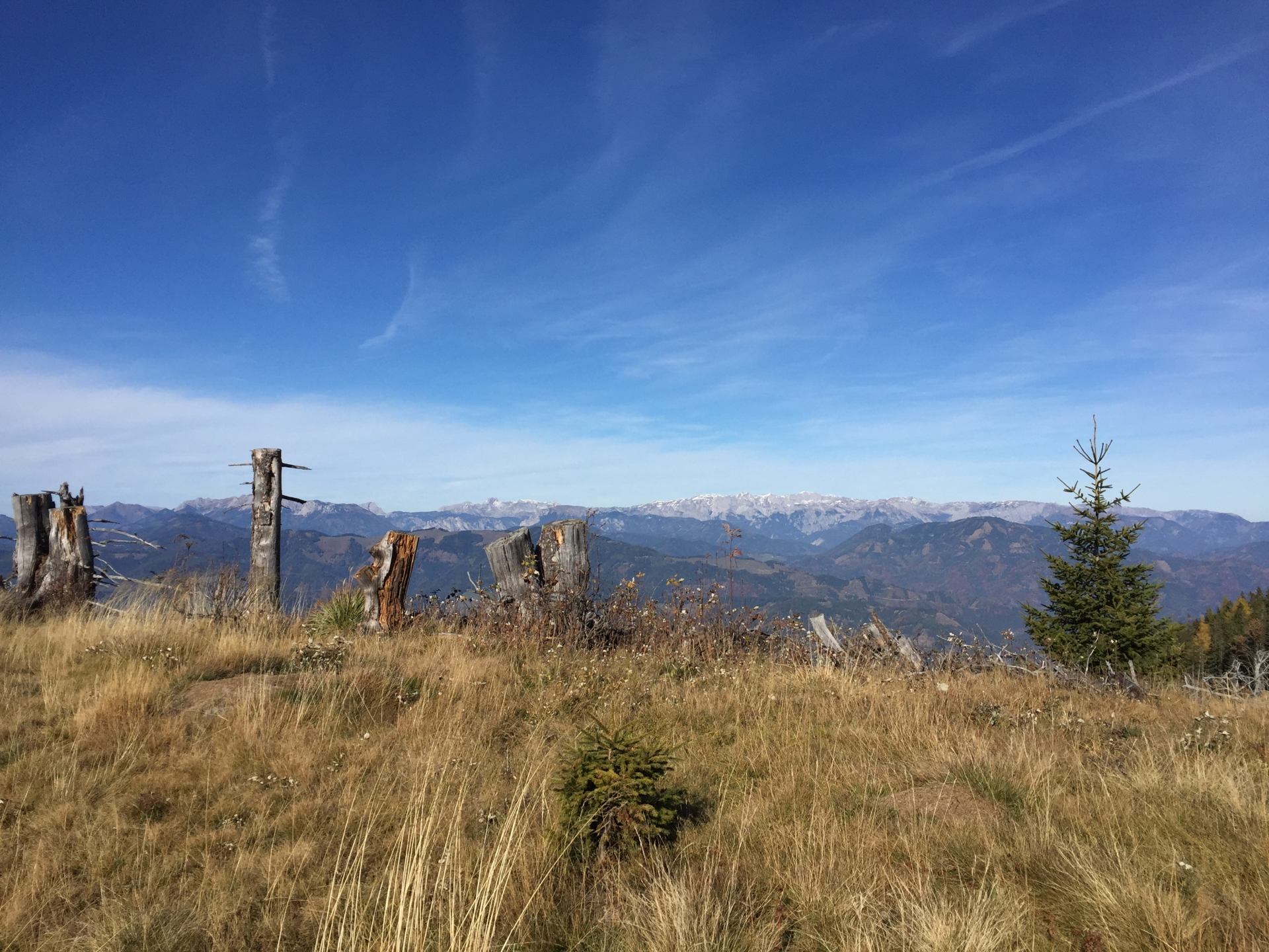
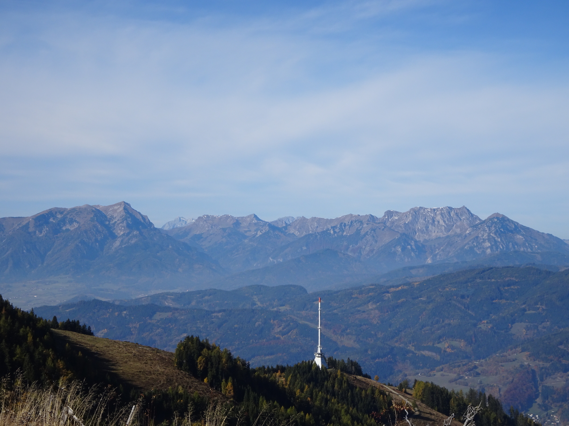
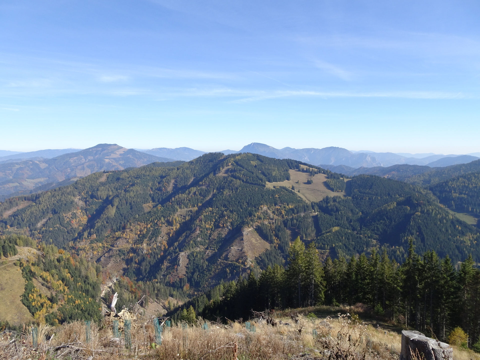
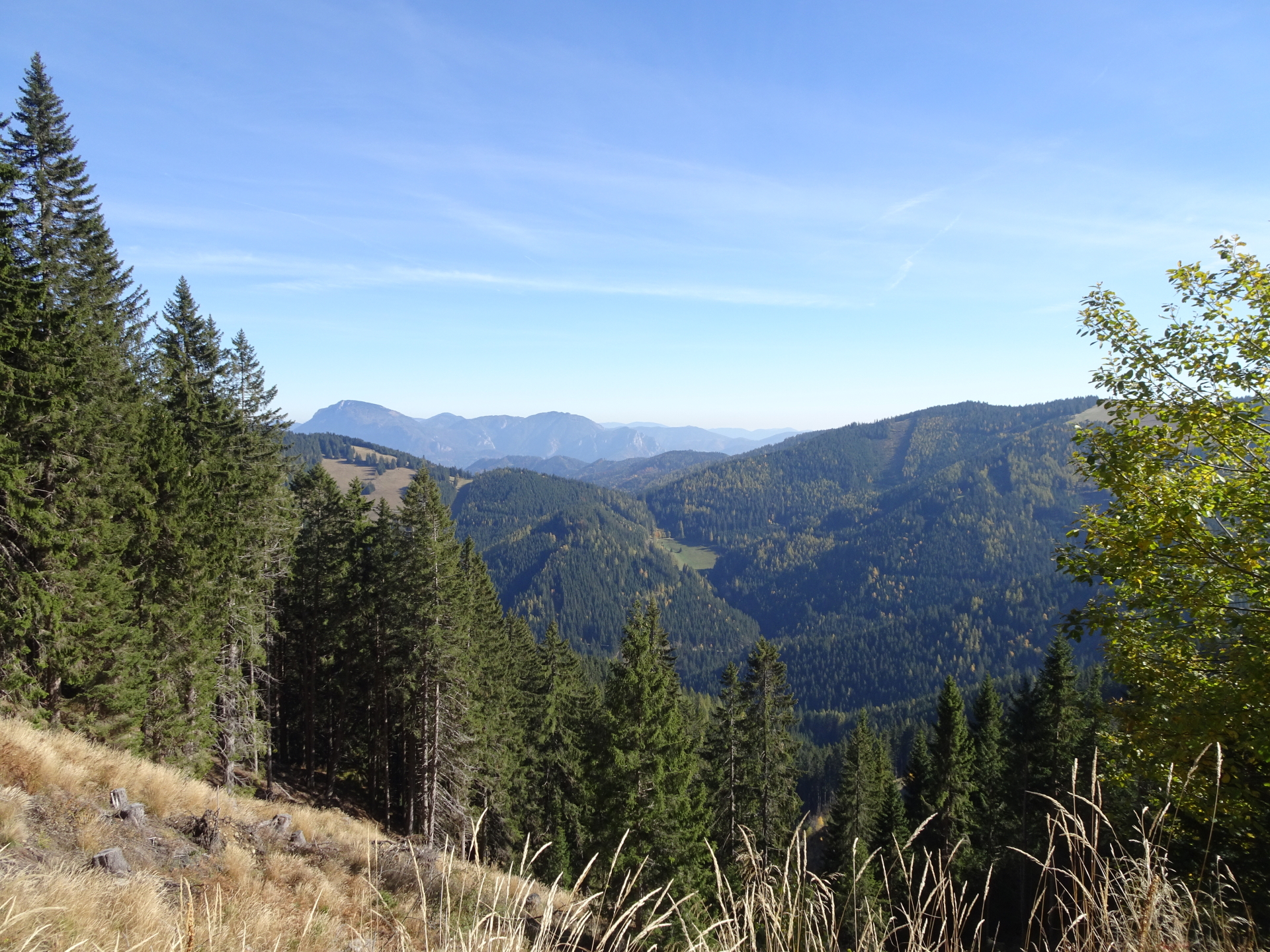
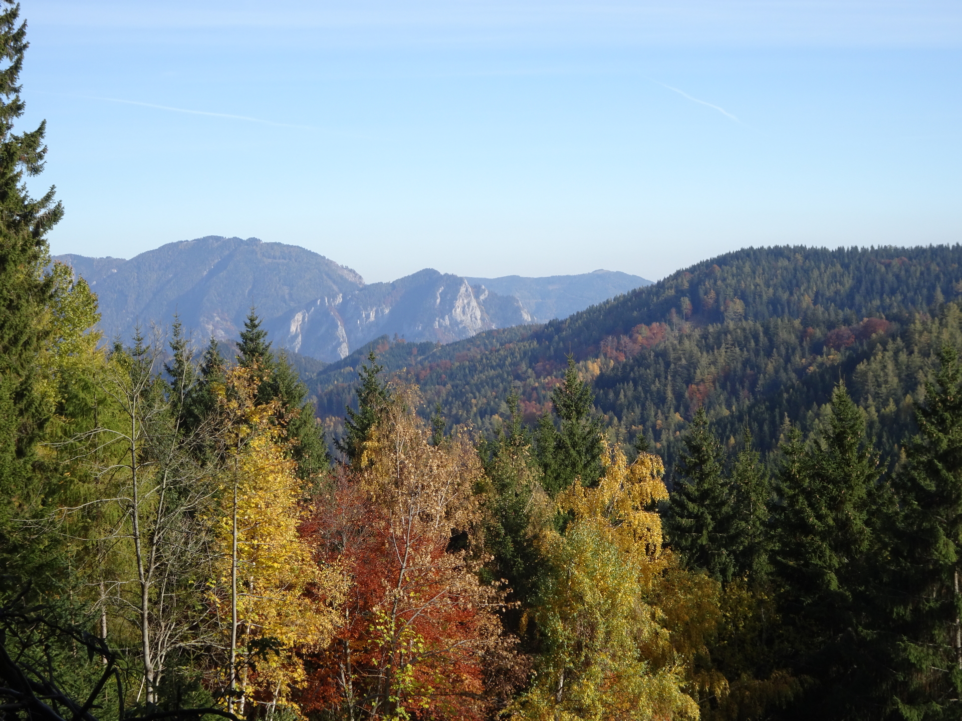
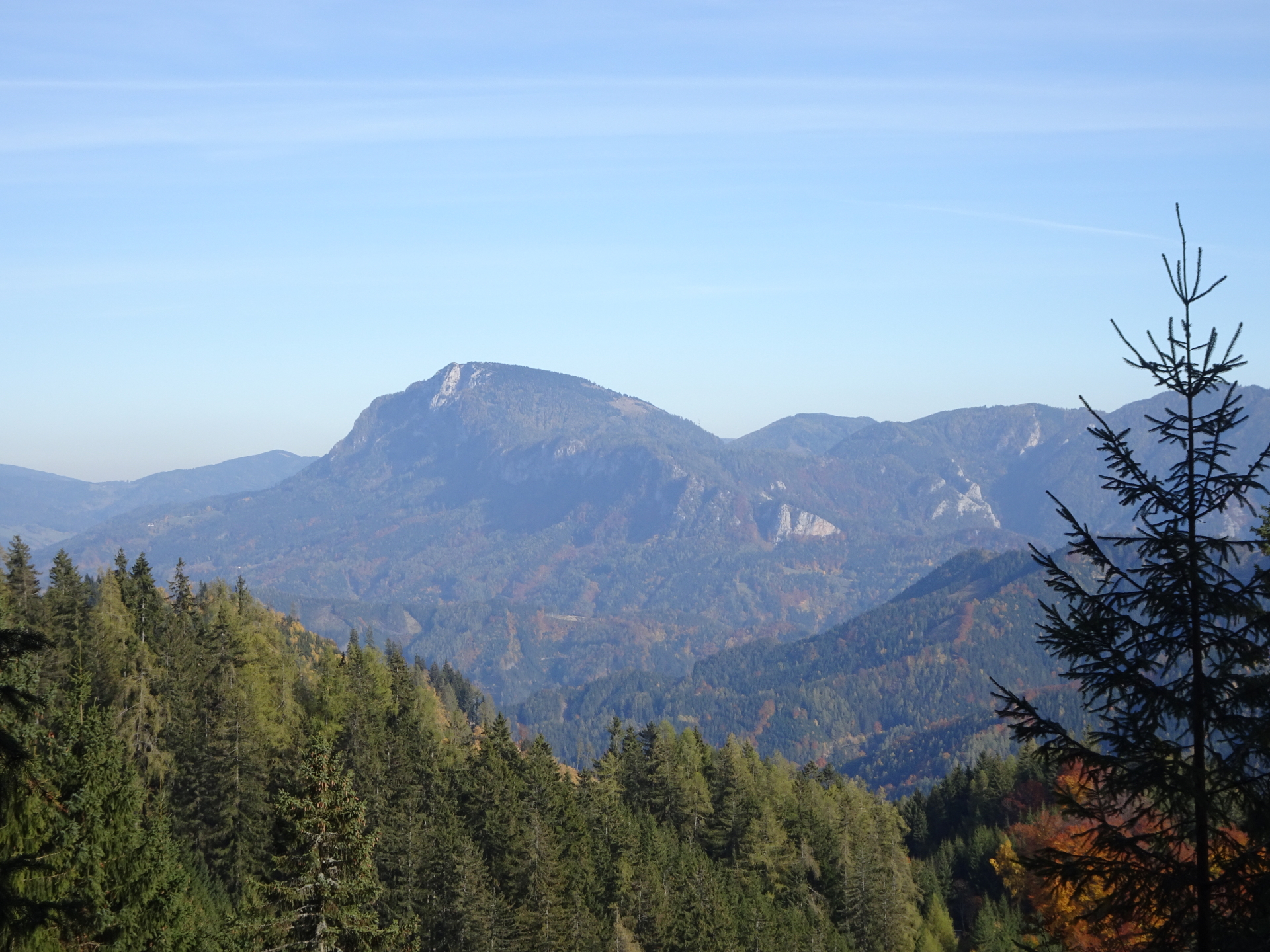
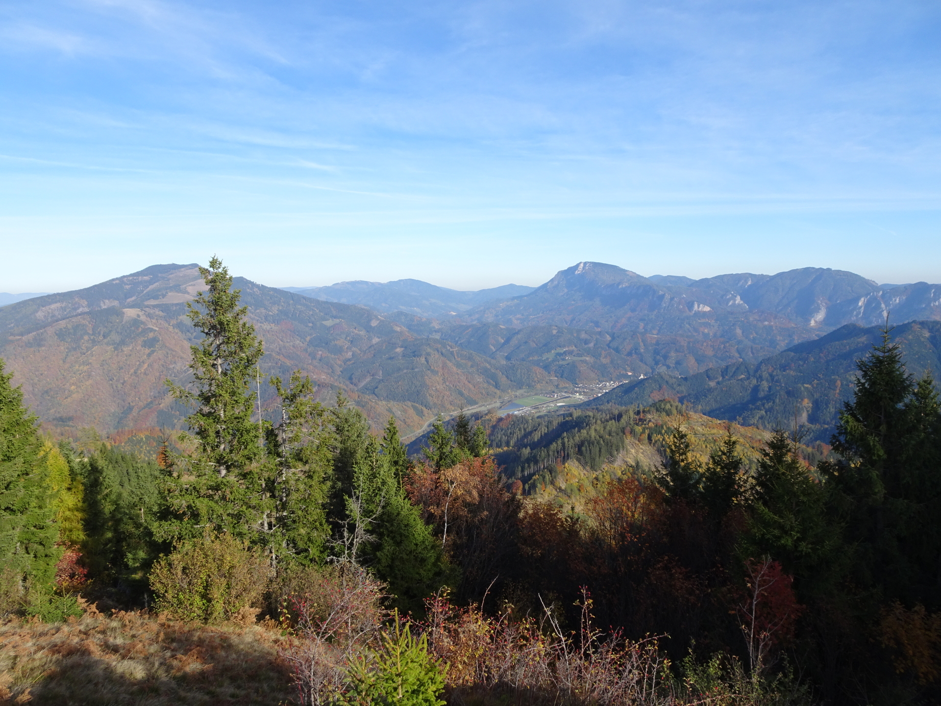
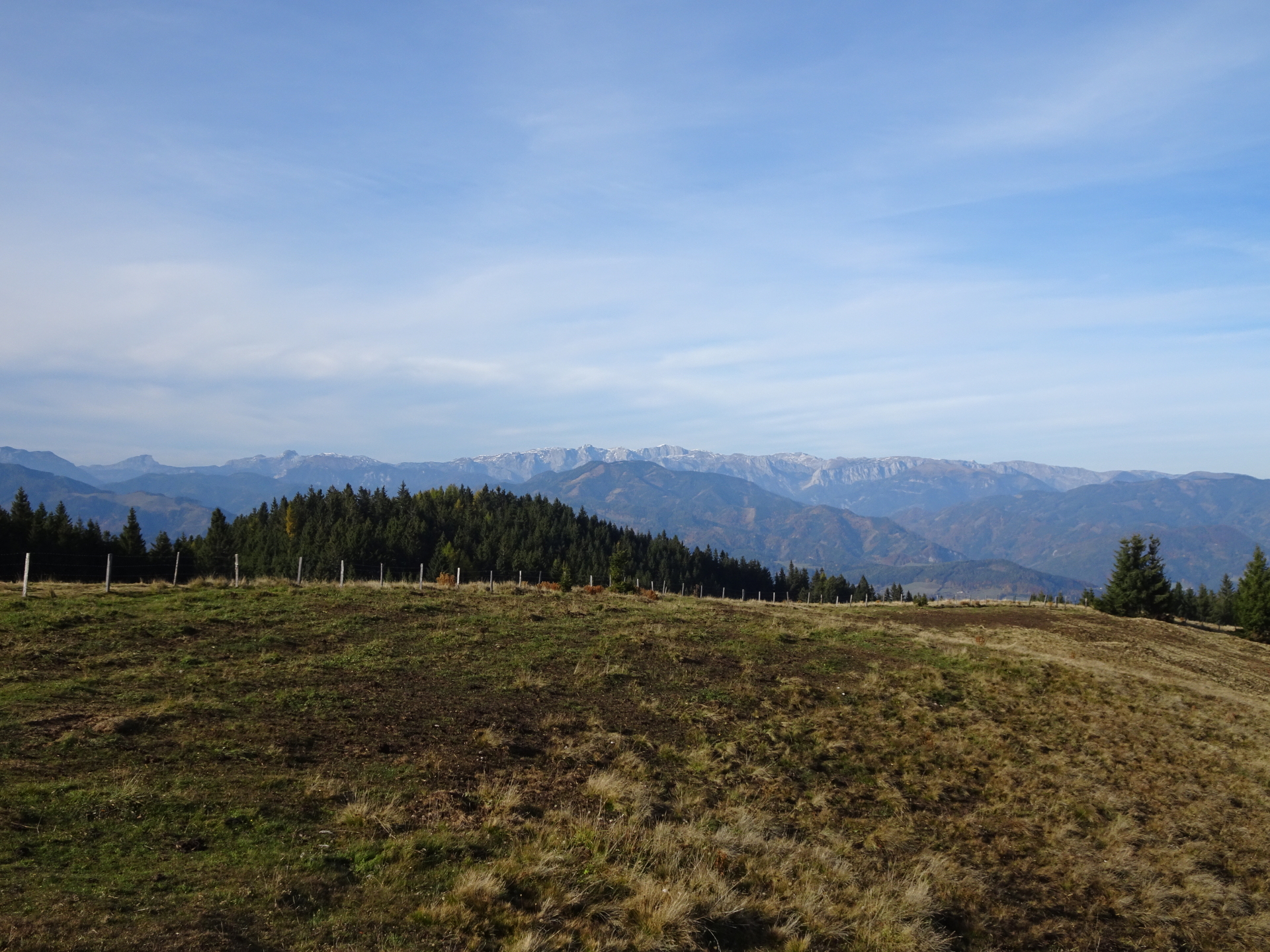
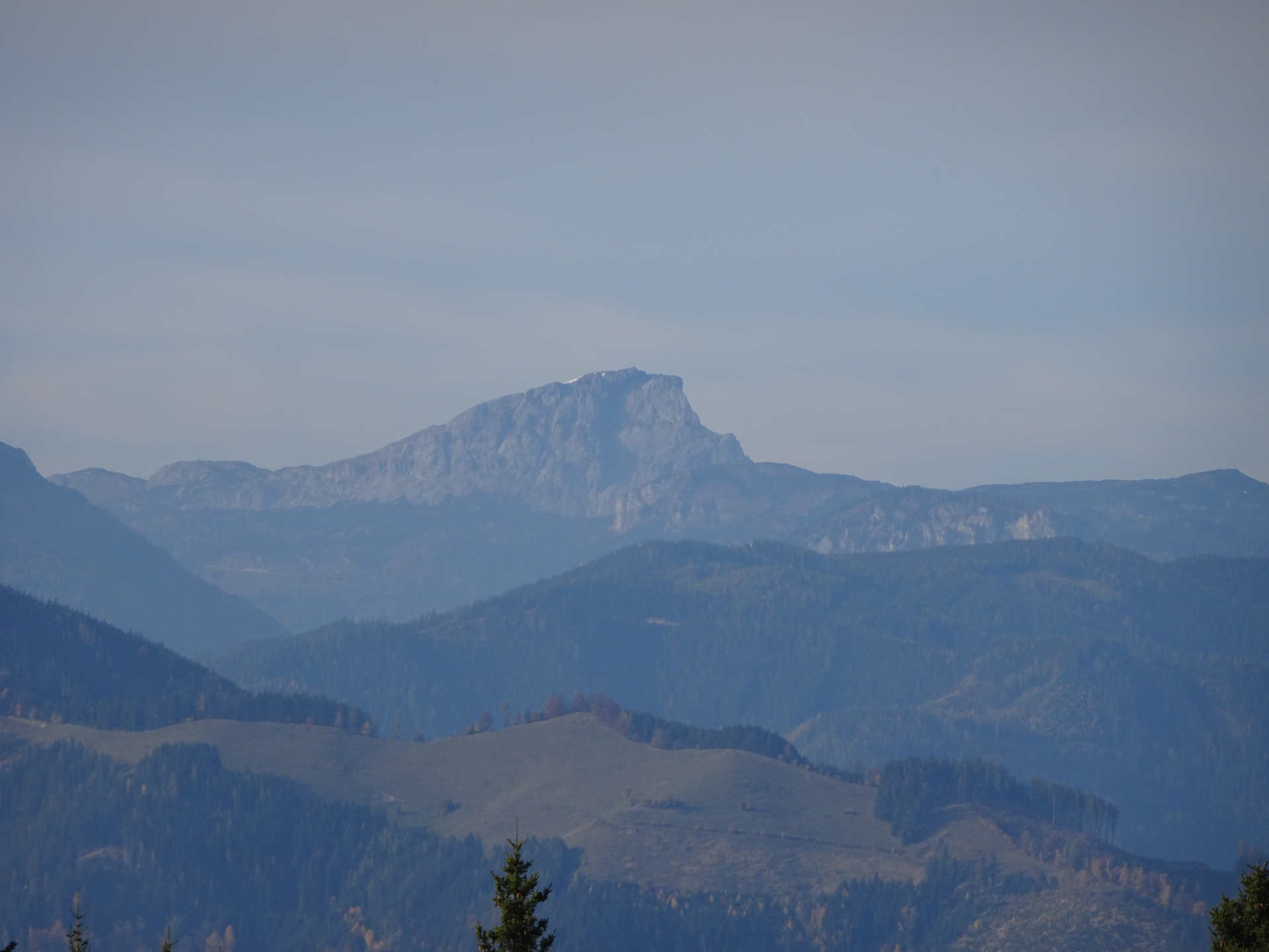
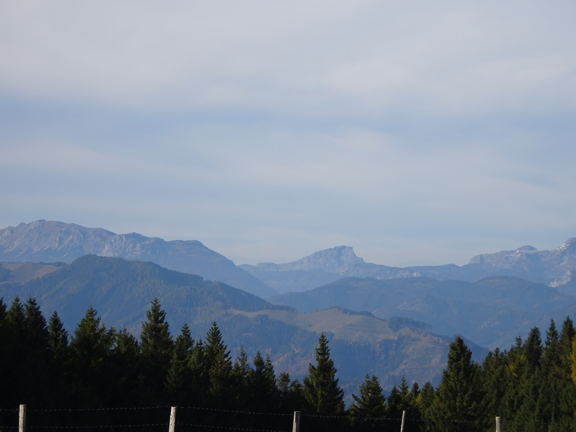
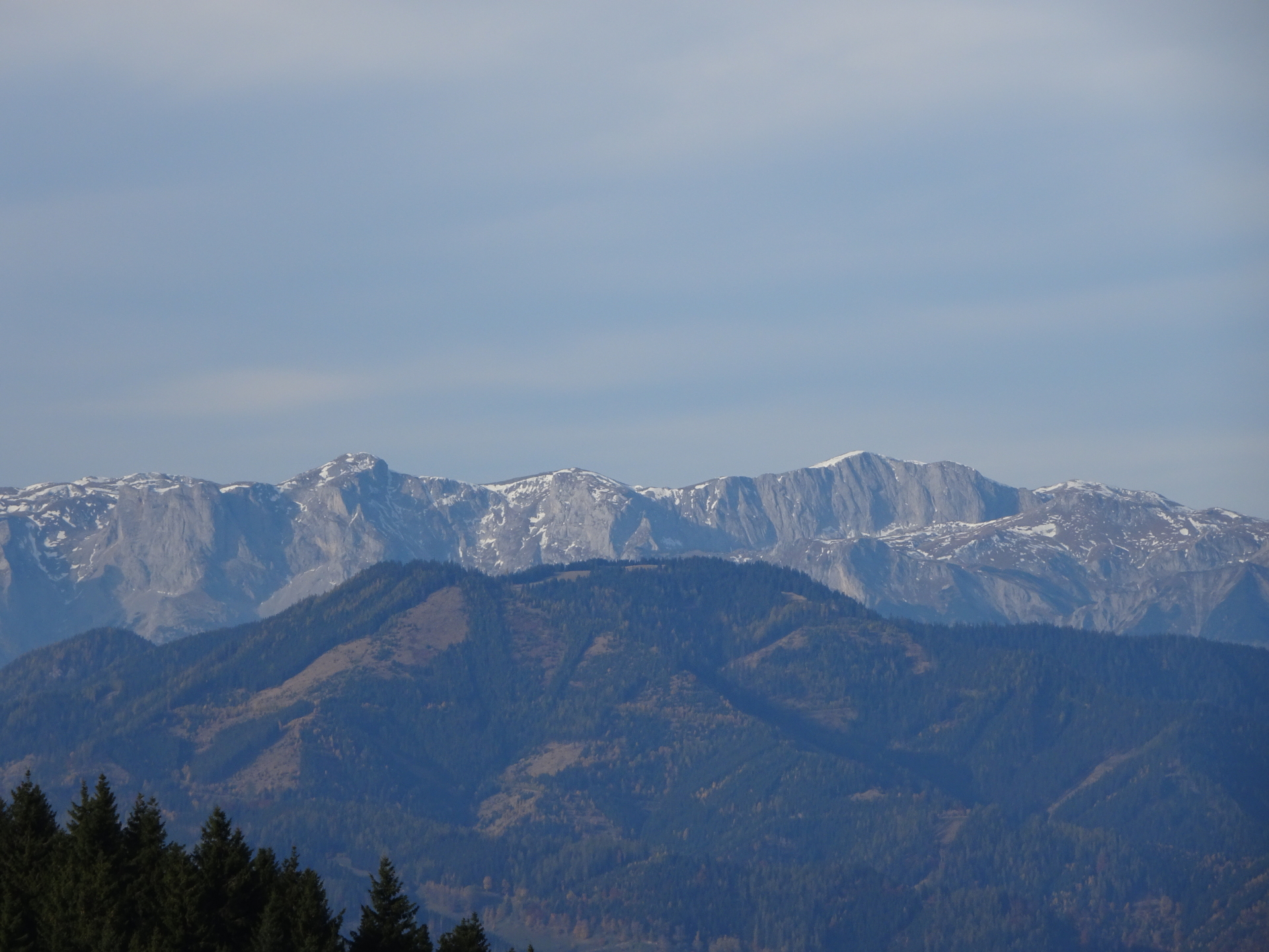
| 01:55 | Enjoy the amazing scenic surround view from the trail towards Hochschwab and continue following the trail eastwards (cross the street and keep on the marked trail). |
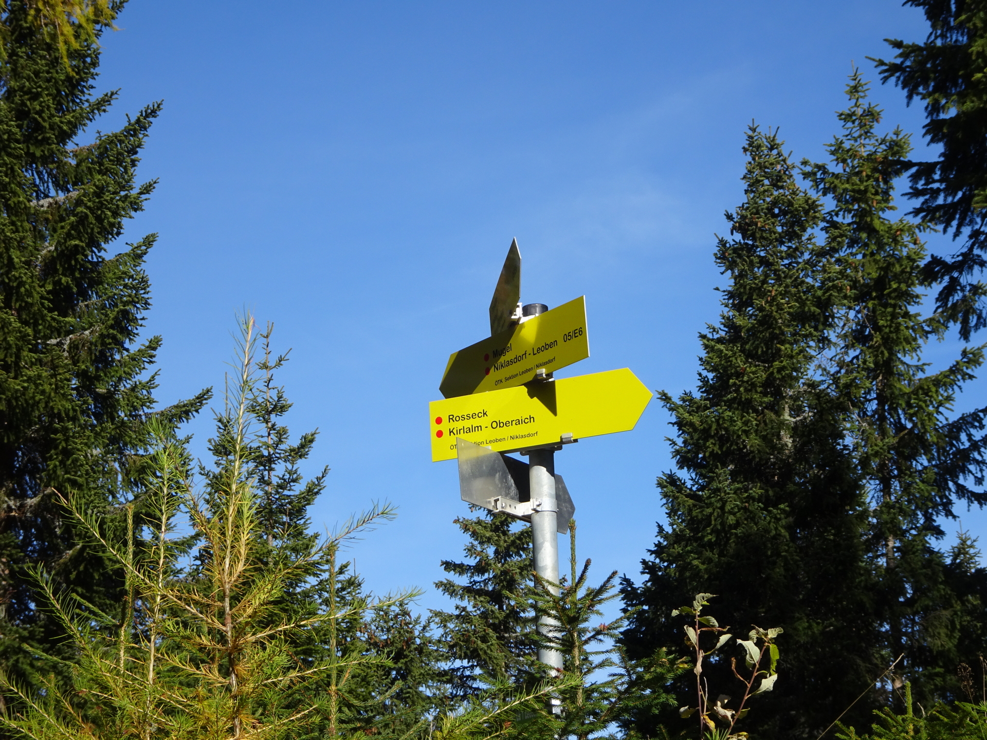
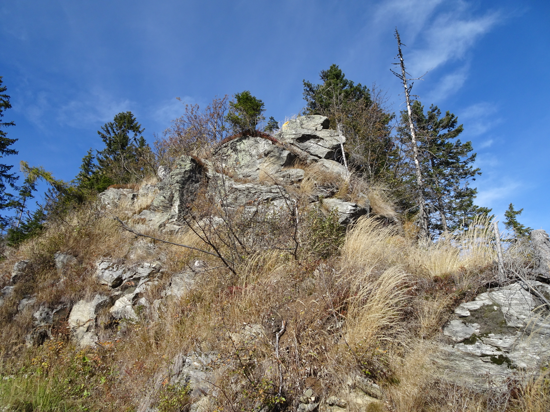
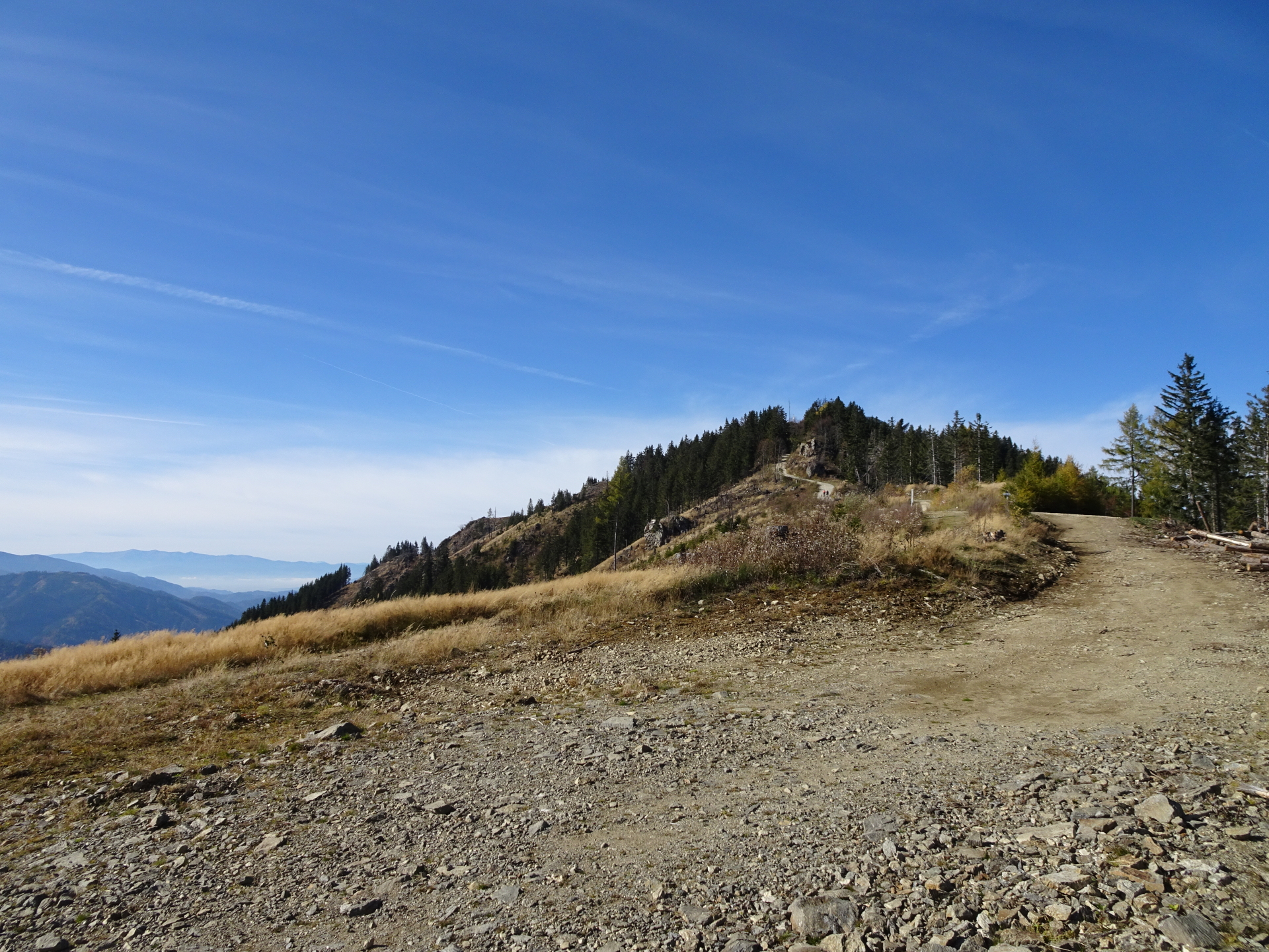
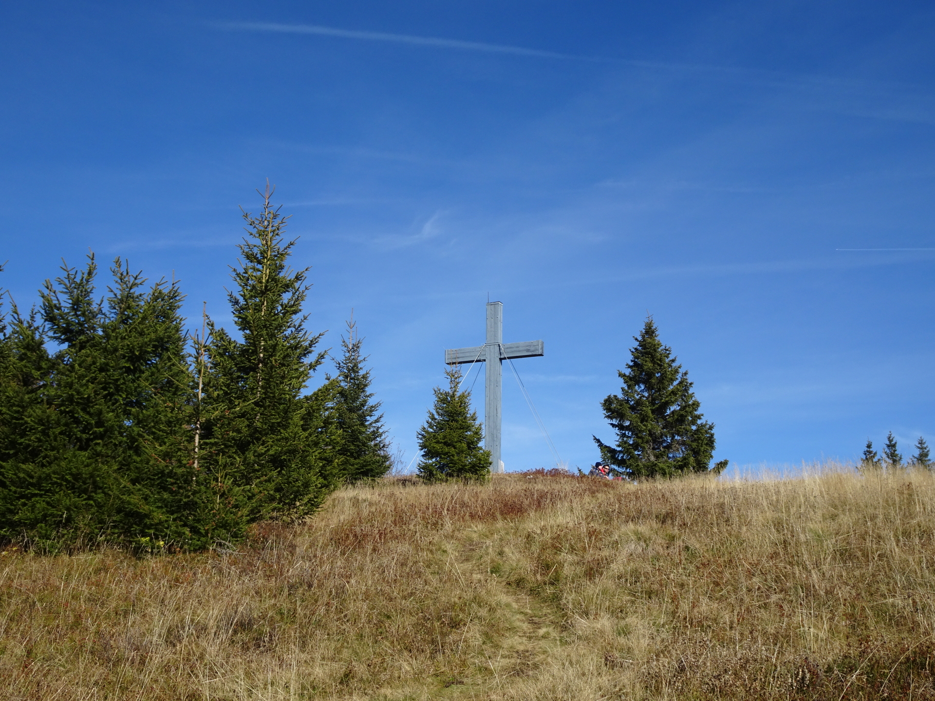
| 02:05 | Pass by the summit cross of Rosseck and descend via the trail southeastwards. |
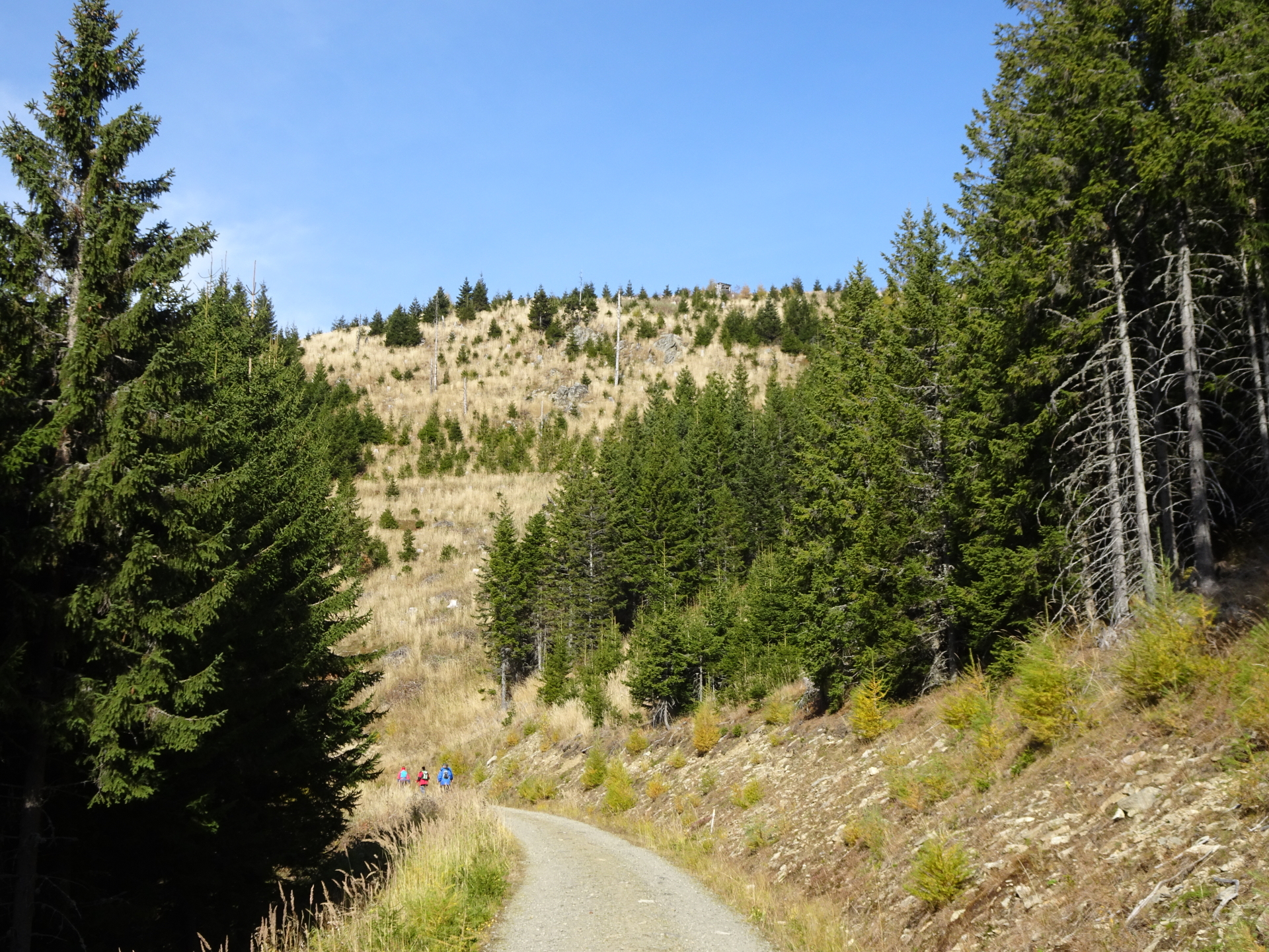
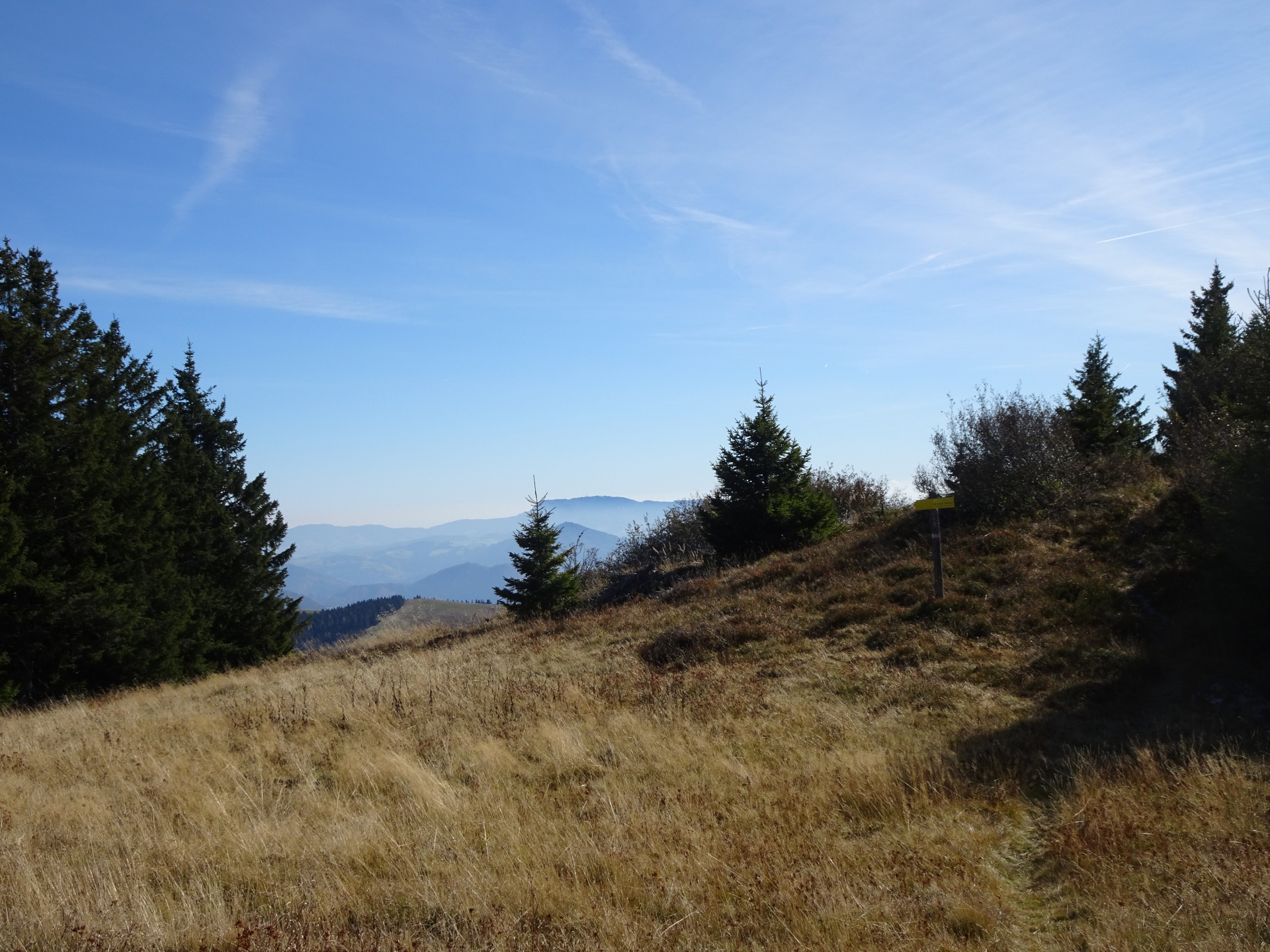
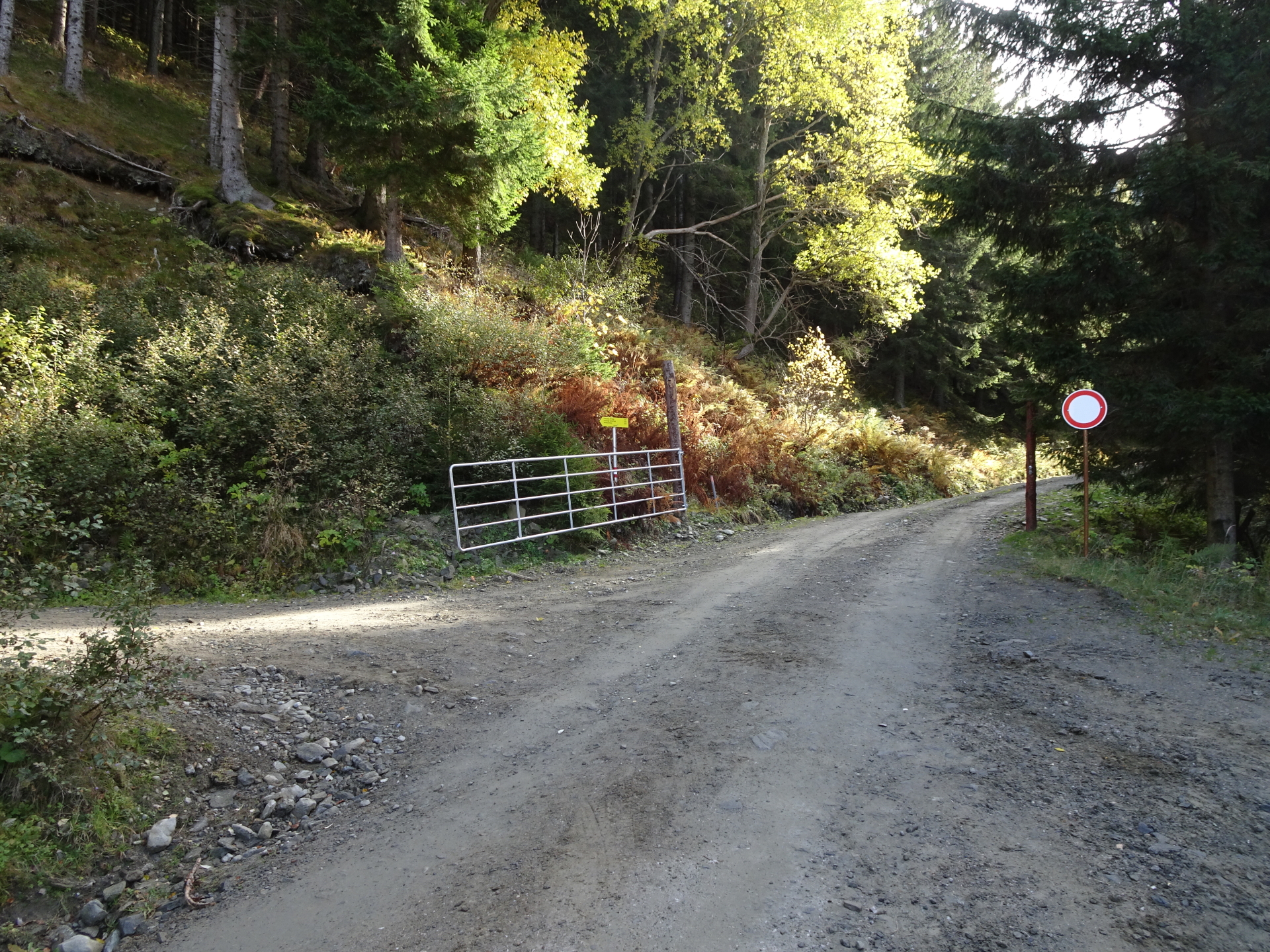
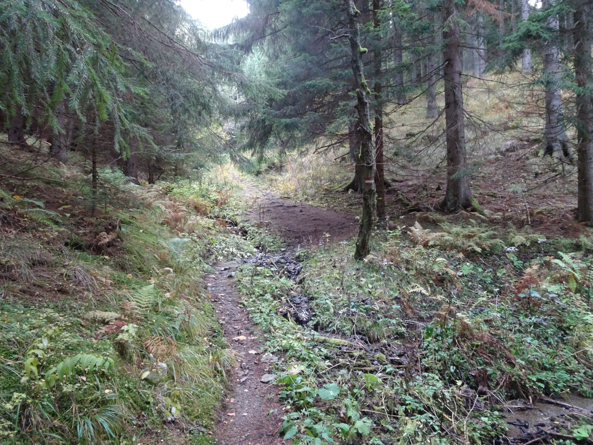
| 02:10 | Cross through the meadow to the visible road (via an invisible trail) straight ahead, do not follow the road on the left hand-side! You are now leaving the marked trail but follow a forest road back into the valley. Ignore the red-white-red markings on the left trail and follow the lower forest road southwards! |
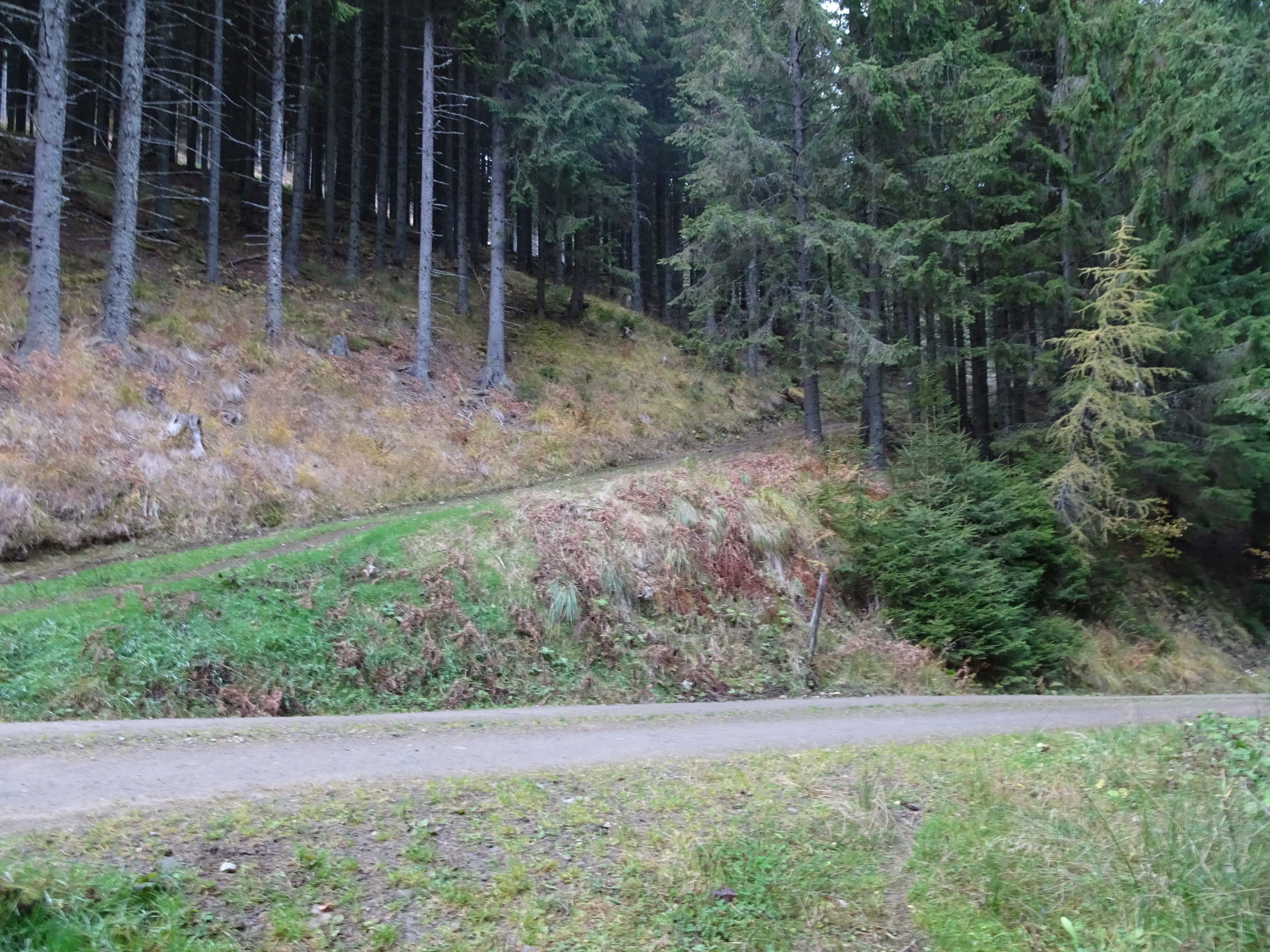
| 02:50 | Turn right at the U-turn and follow the forest road downwards (south). |
| 02:55 | At the crossing, turn right and follow the road southwards. |
| 03:15 | At the U-turn, turn right and follow the forest street southwards. |
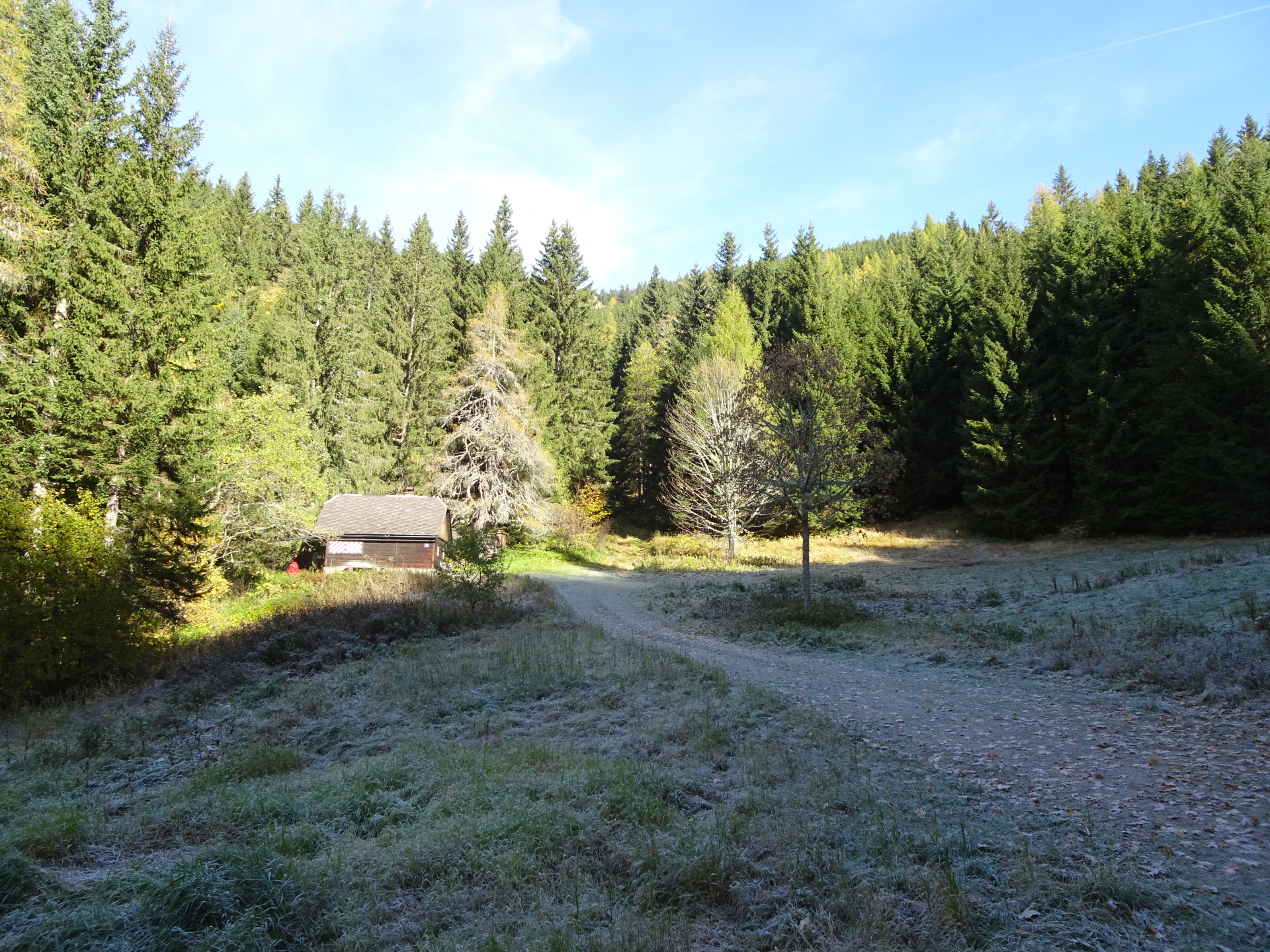
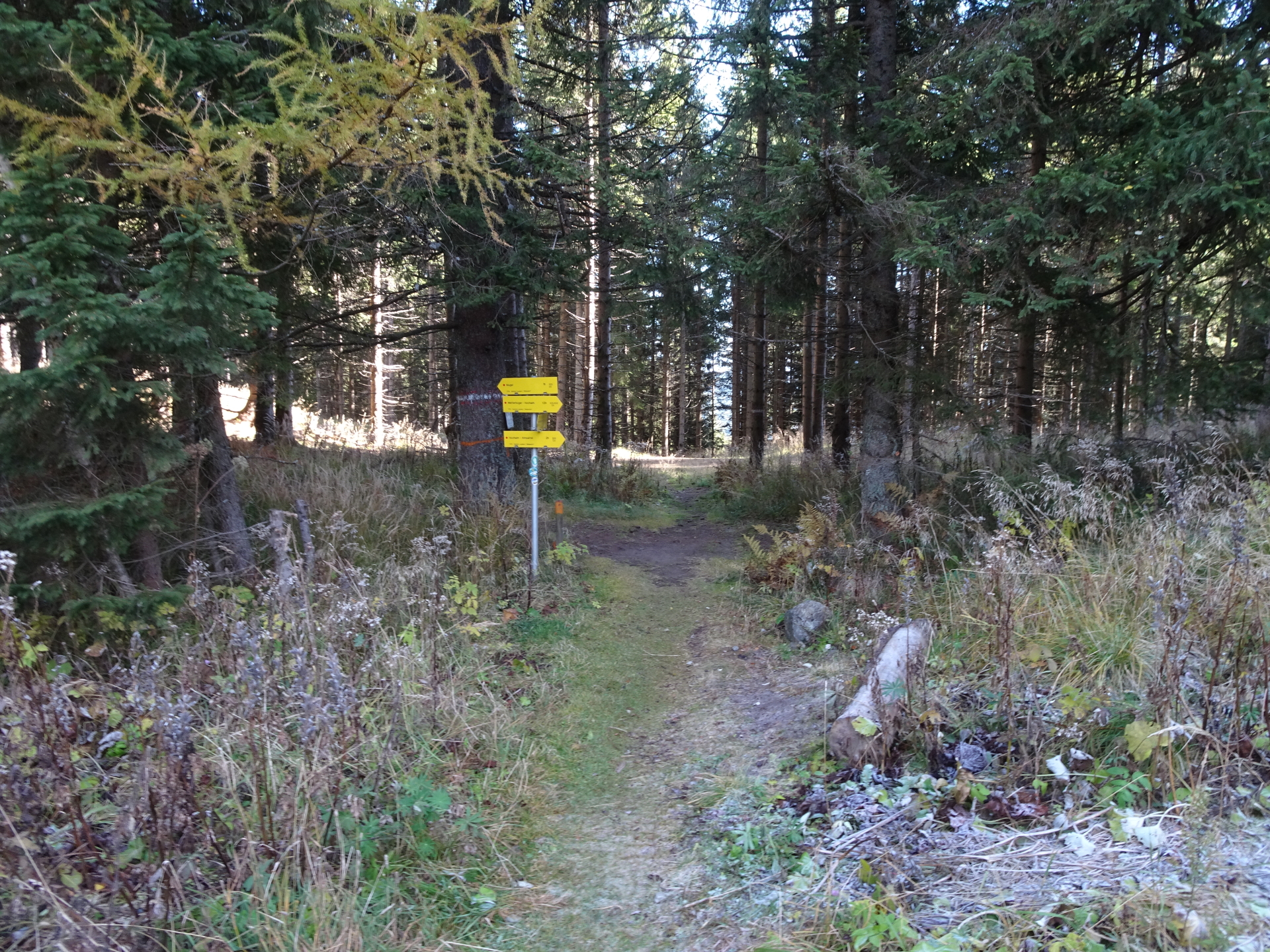
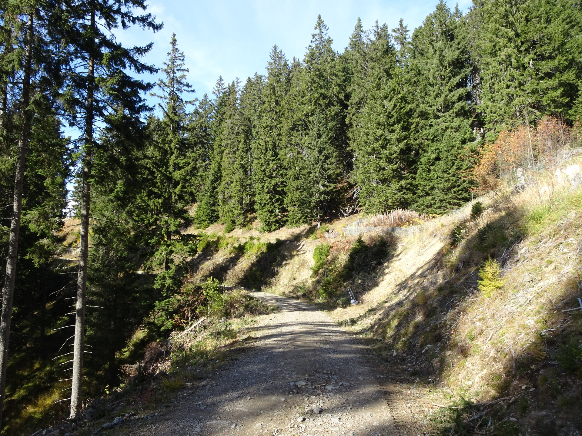
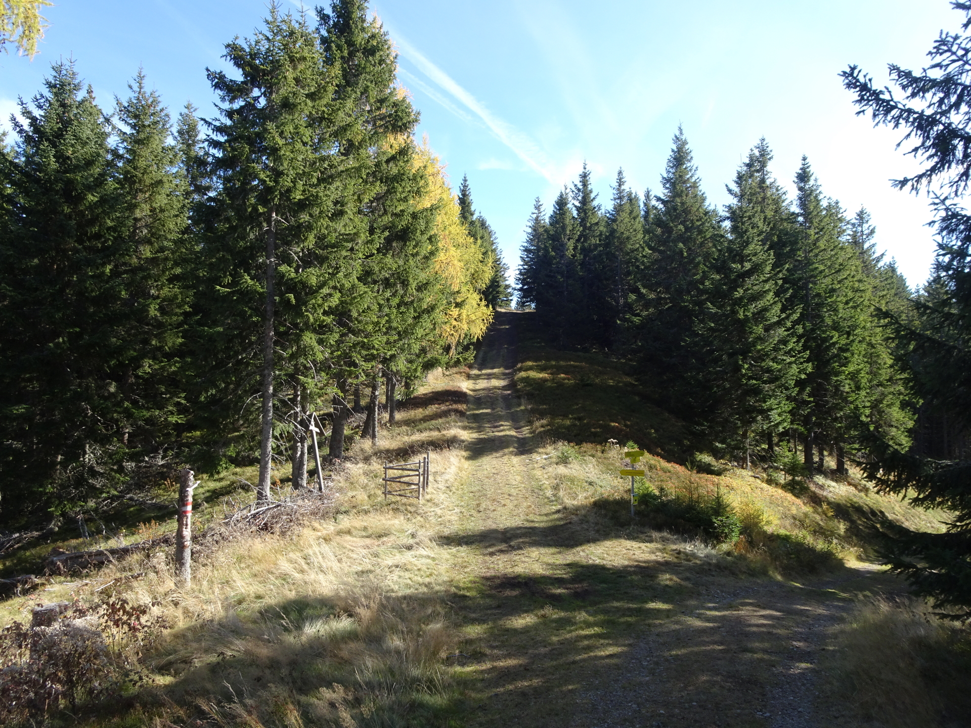
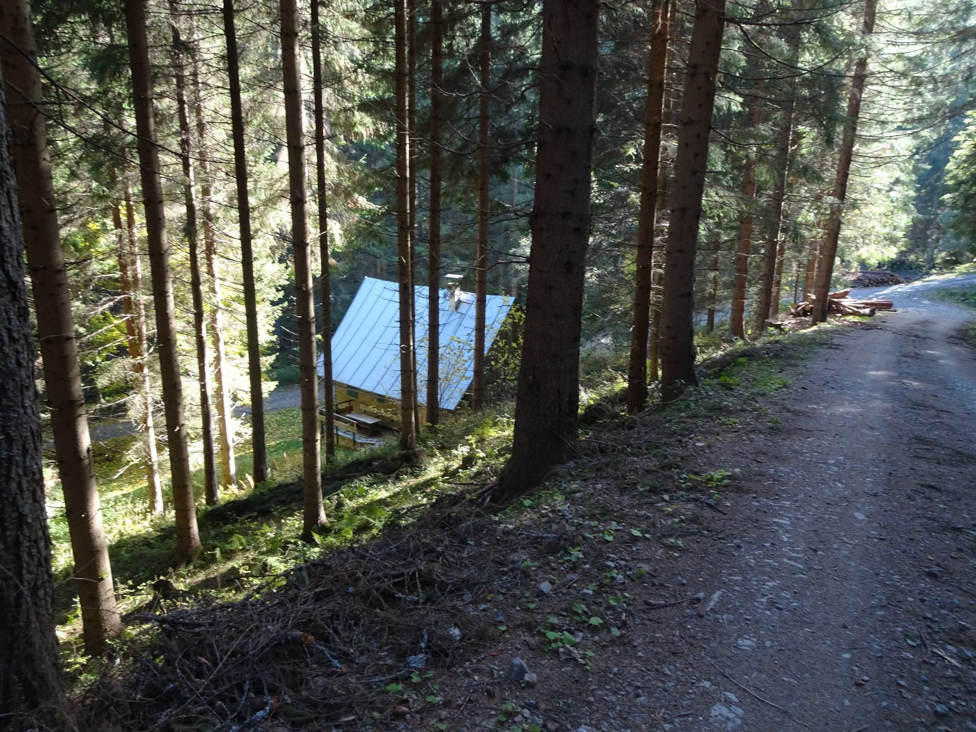
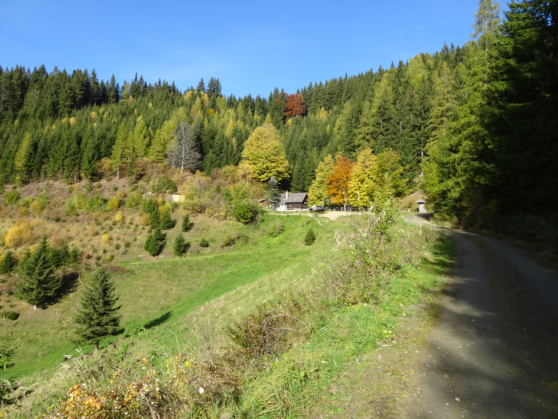
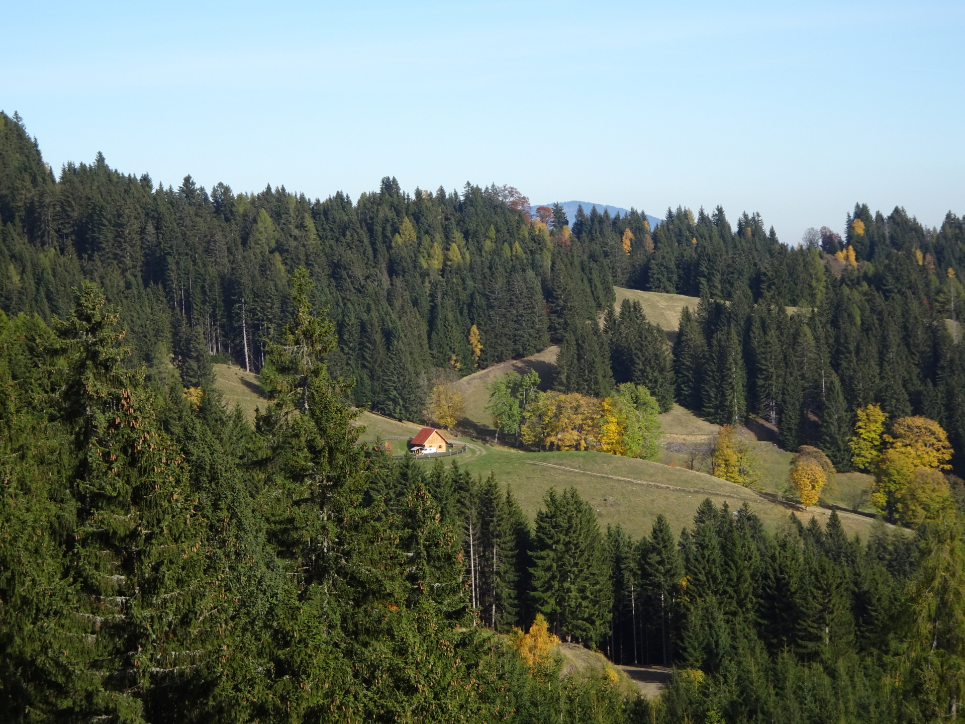
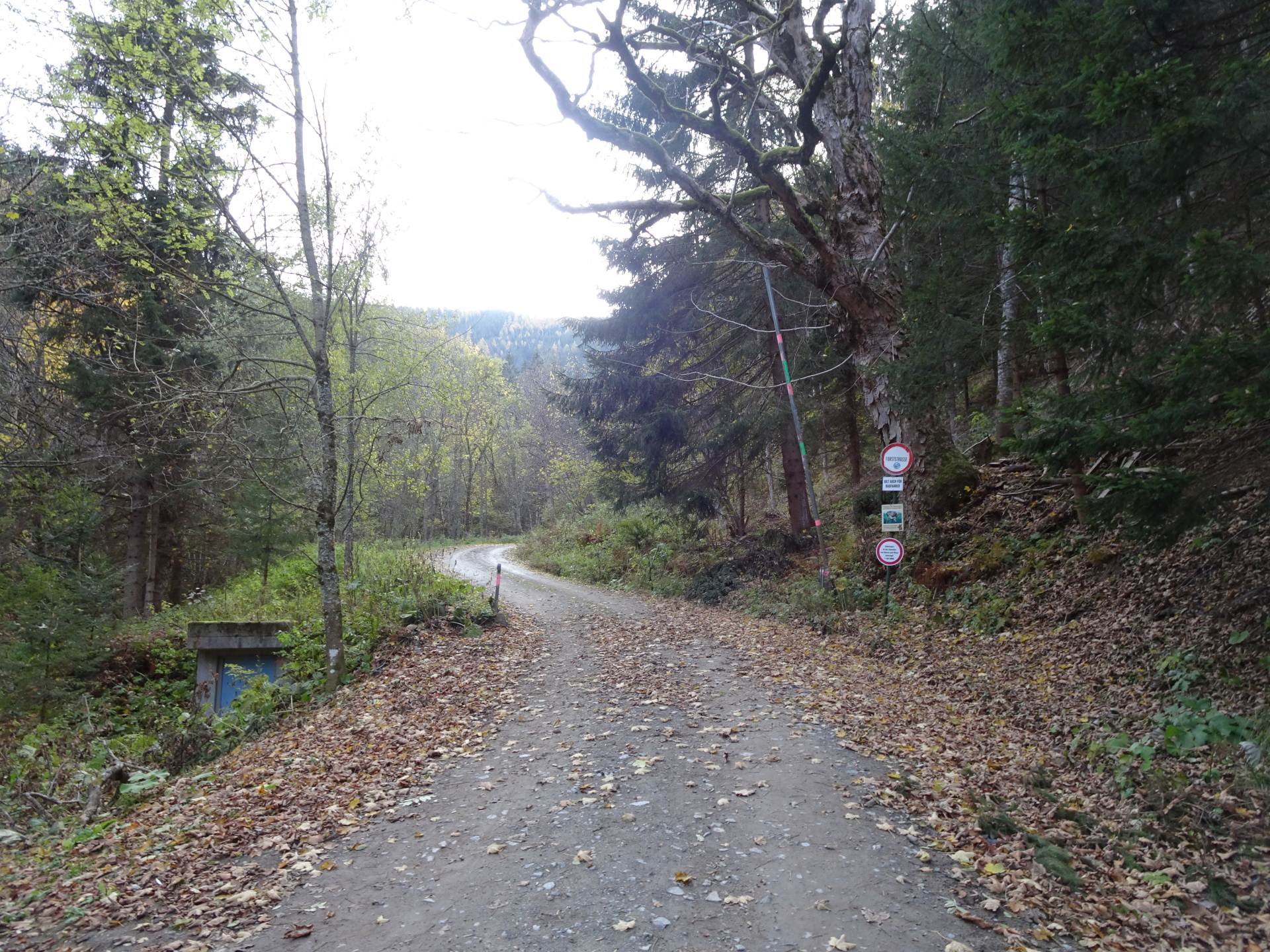
| 03:20 | At the crossing (with the Wirtalm house), turn left and follow the trail towards Utschgraben. |
| 03:30 | At the crossing before the parking Utschgraben, turn right, walk over the bridge and follow up the forest road. |
| 03:45 | At the Utschmoaralm, turn right and follow the forest road southwards (U-turn). |
| 03:50 | Turn sharp left (U-turn) towards Hochanger. |
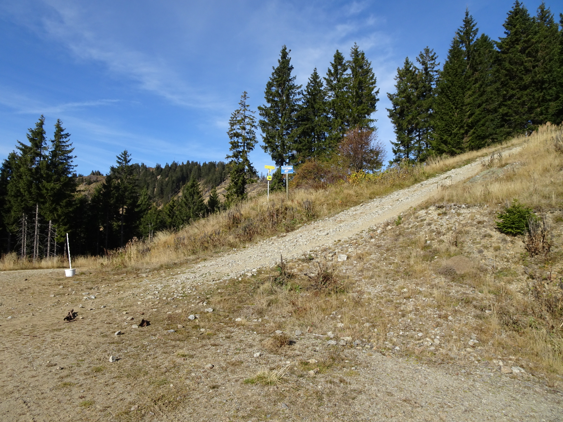
| 03:55 | At the Eisenpass, turn left and follow the red-white-red marked trail up to Hochanger. |
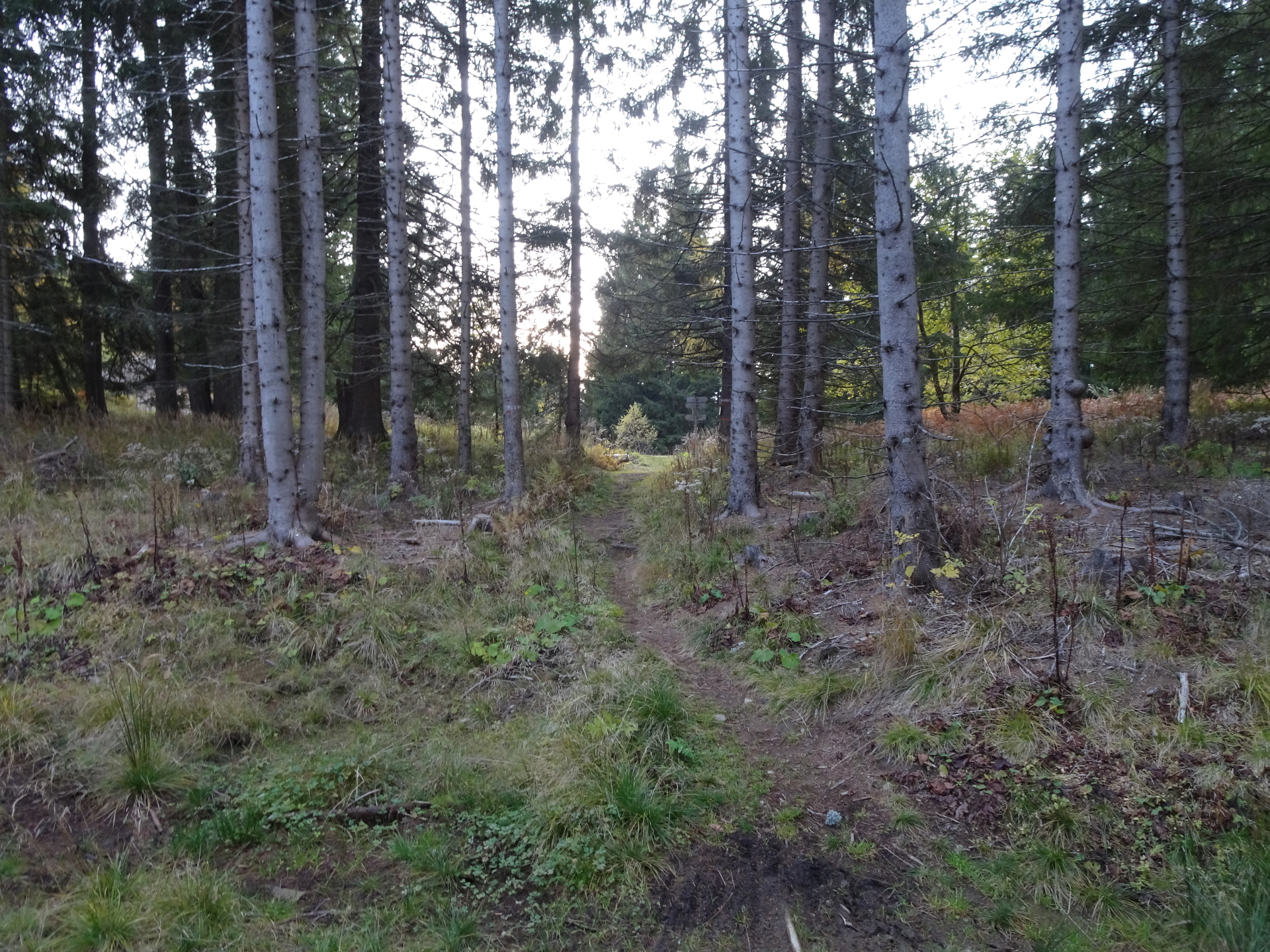
| 04:05 | At the crossing, keep left and follow the red-white-red marked trail towards Hochanger. |
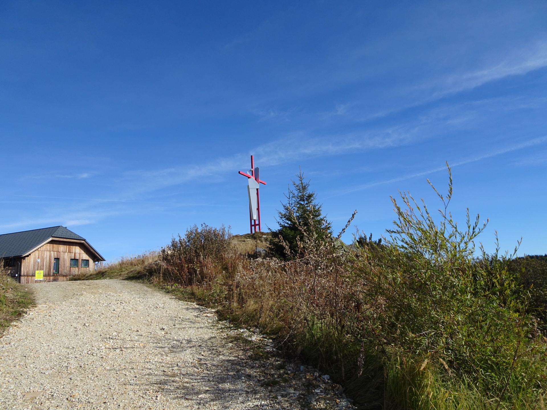
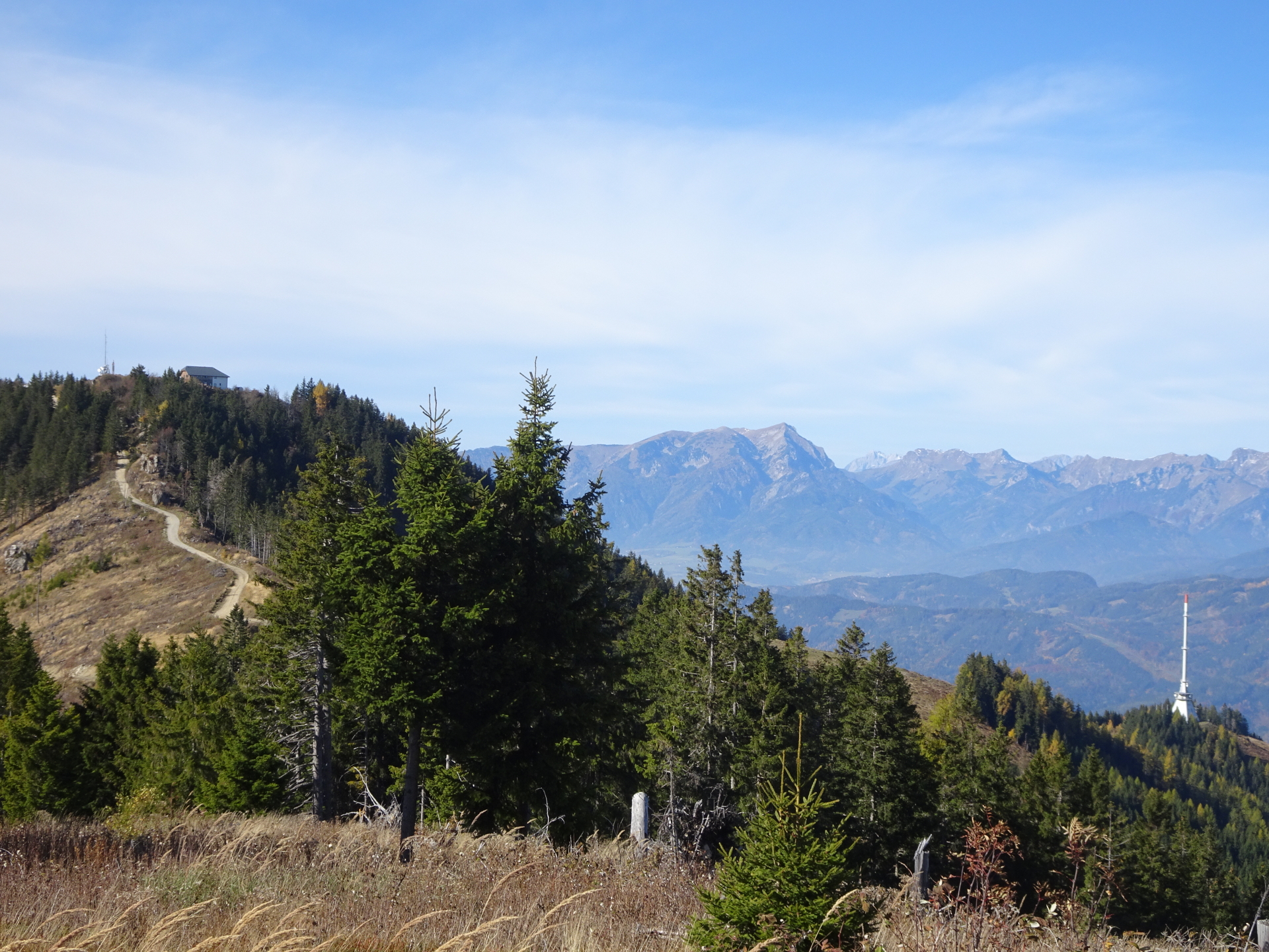
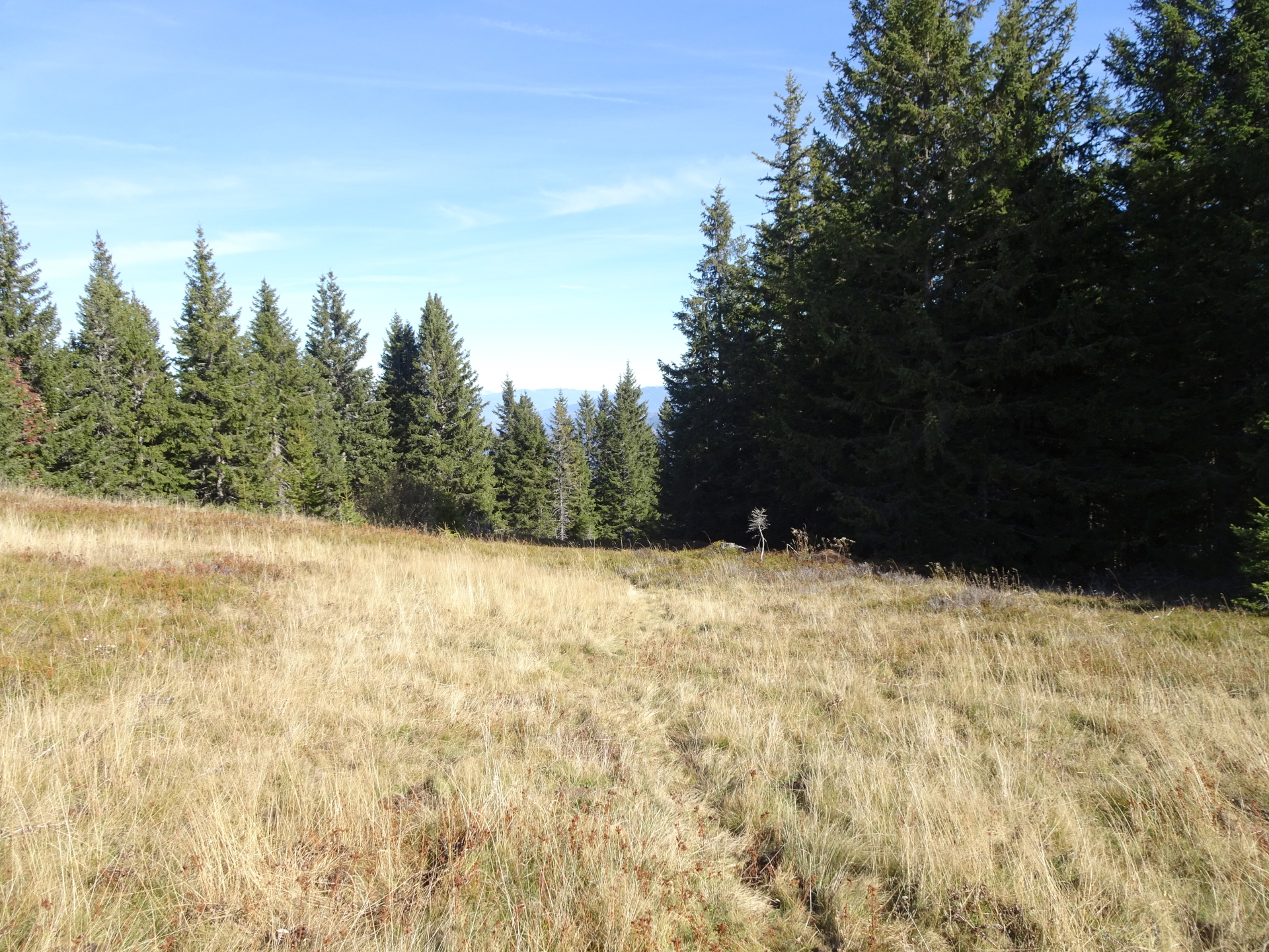
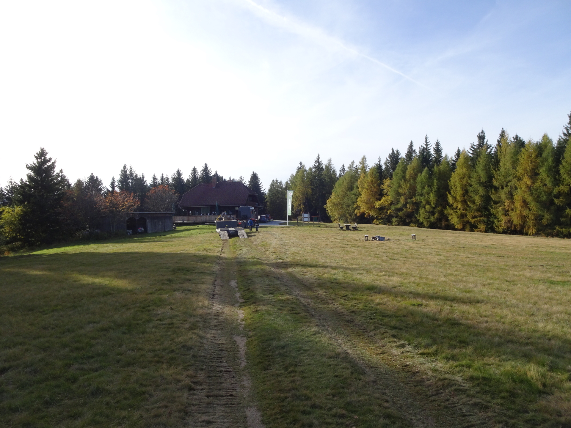
| 04:25 | Pass by (for the moment) the Hochangerschutzhaus and follow the trail through the alpine pasture straight ahead towards the summit cross of Hochanger. |
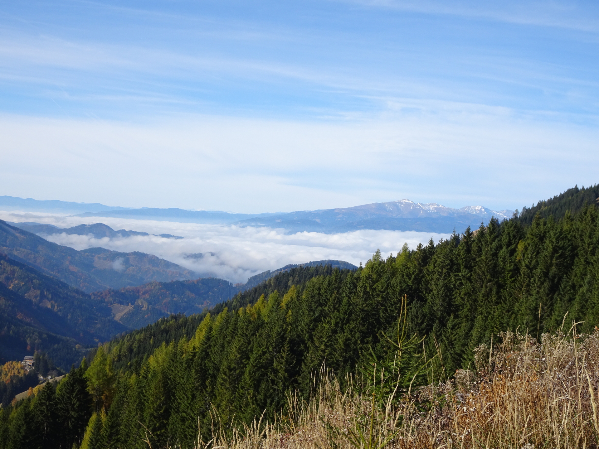
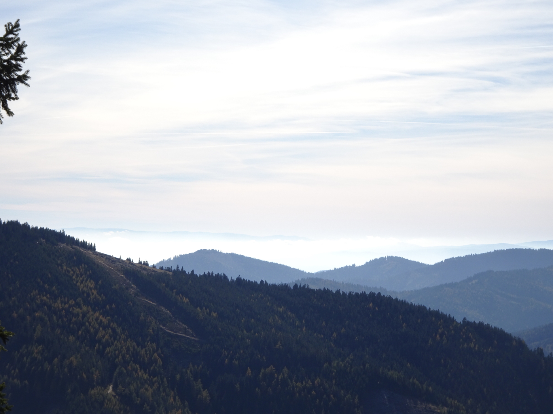
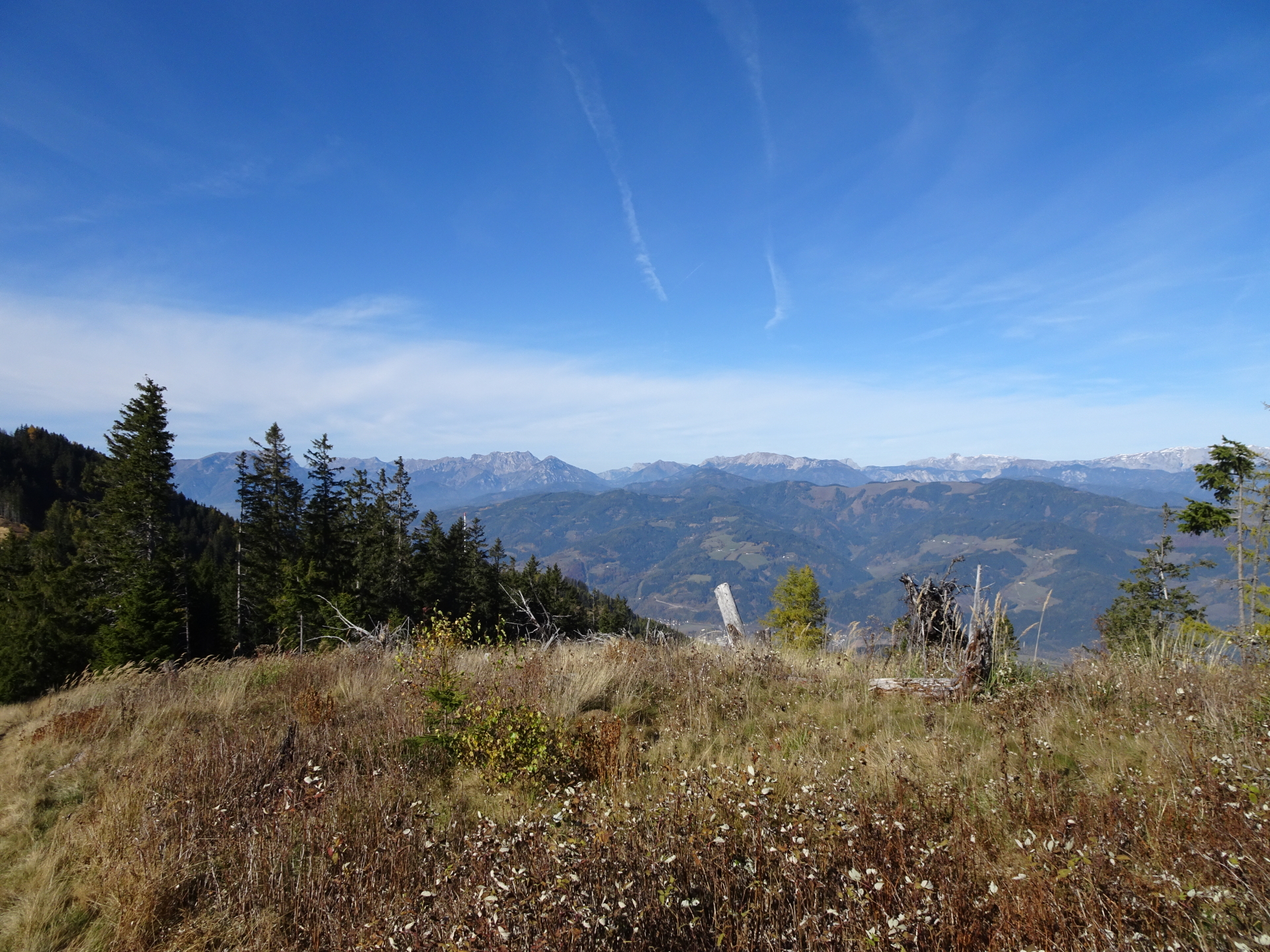
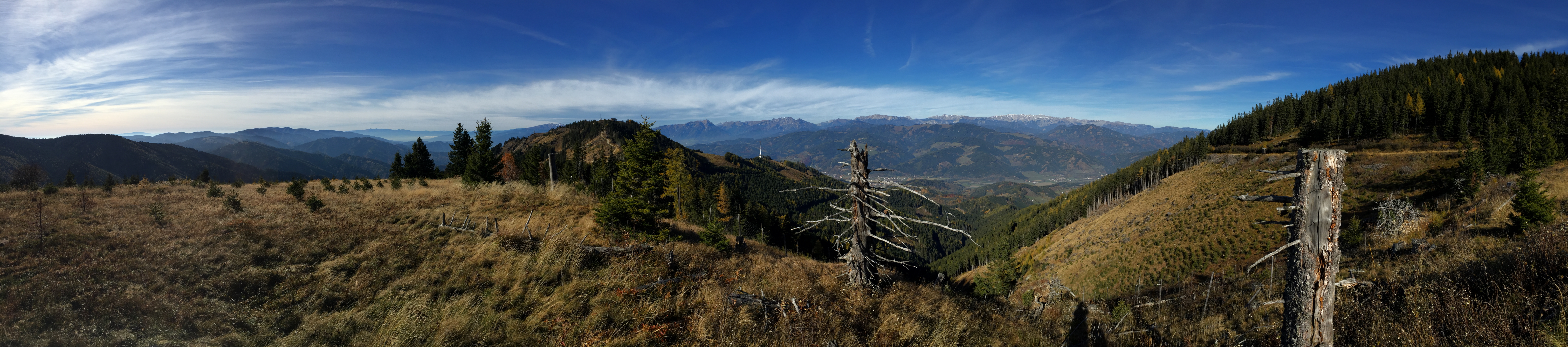
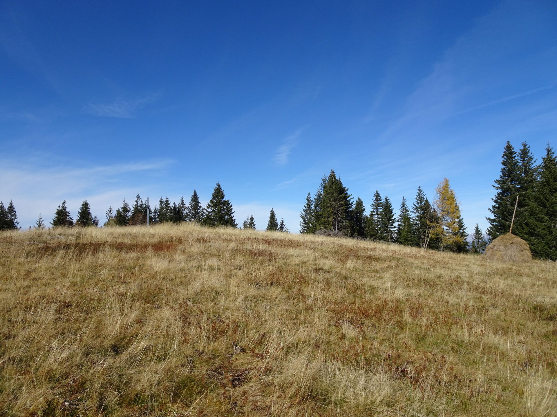
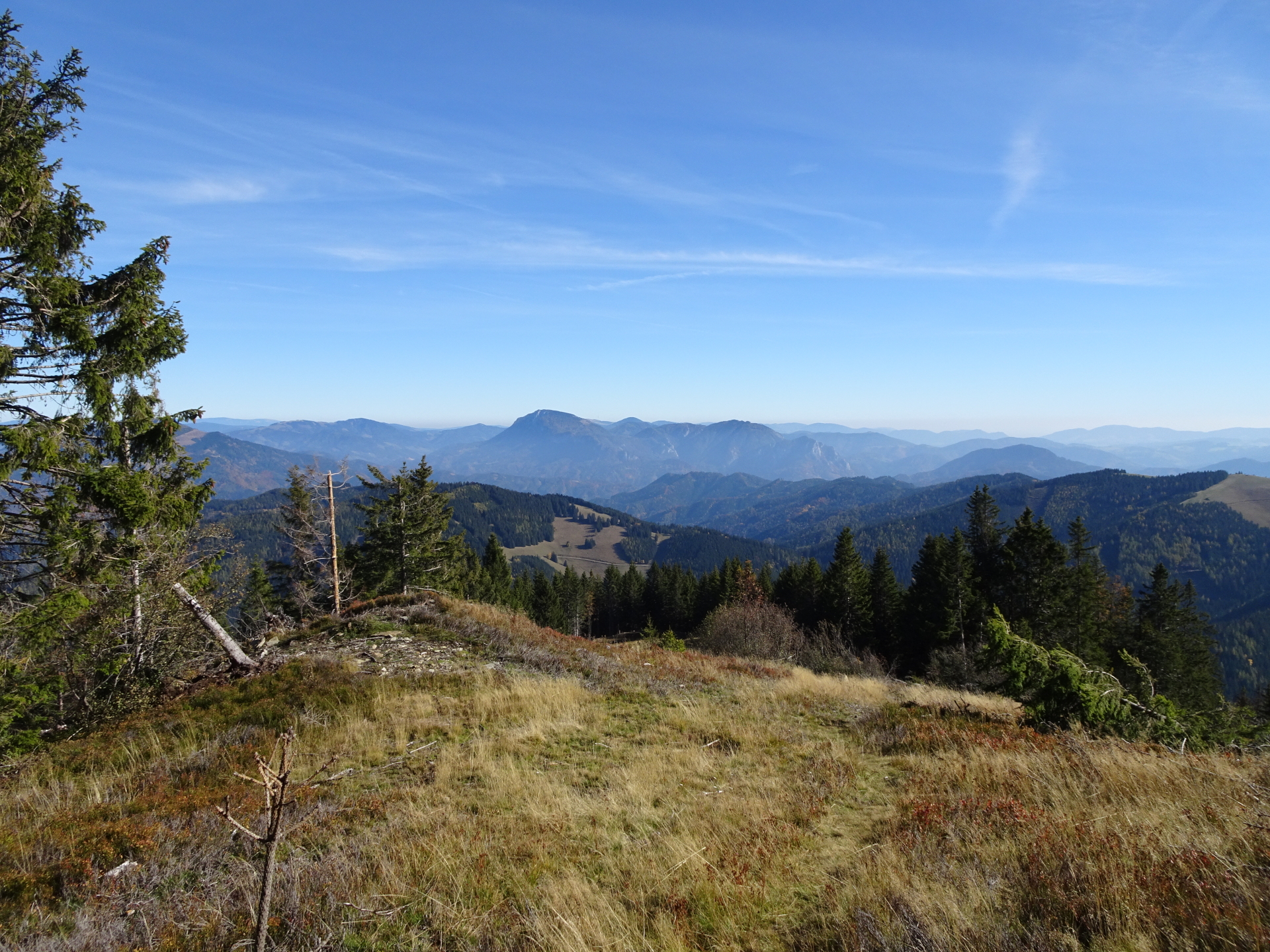
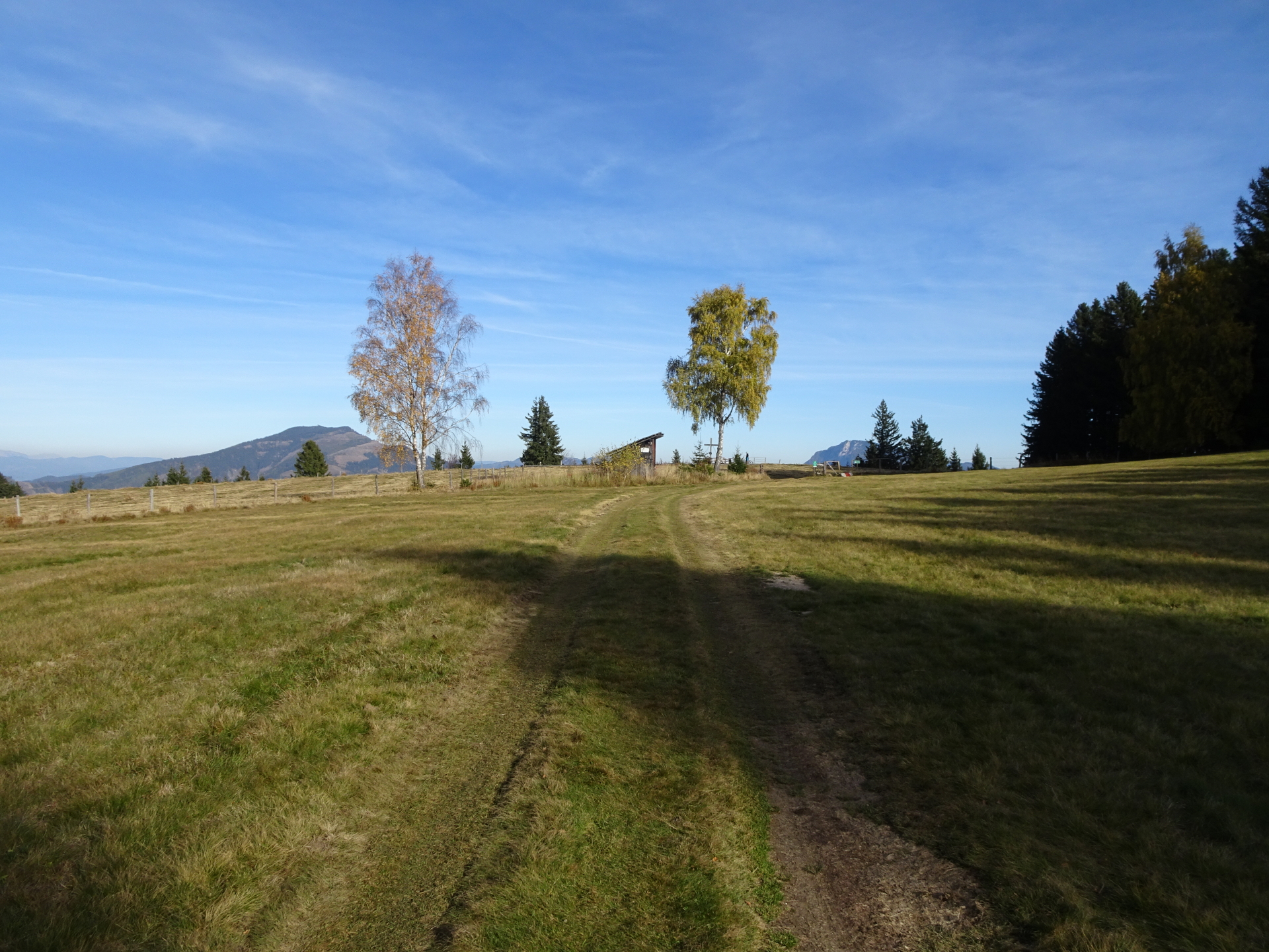
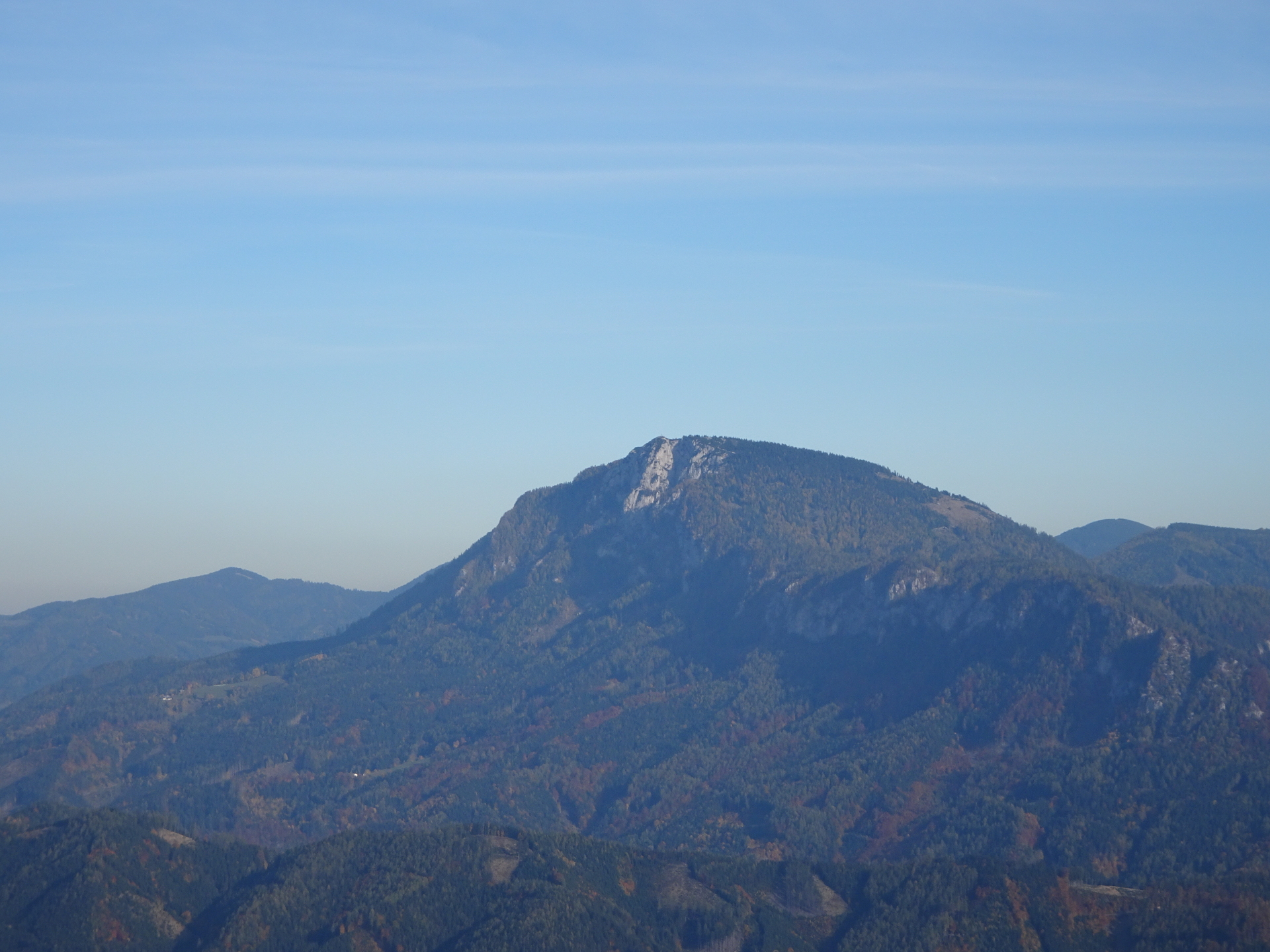
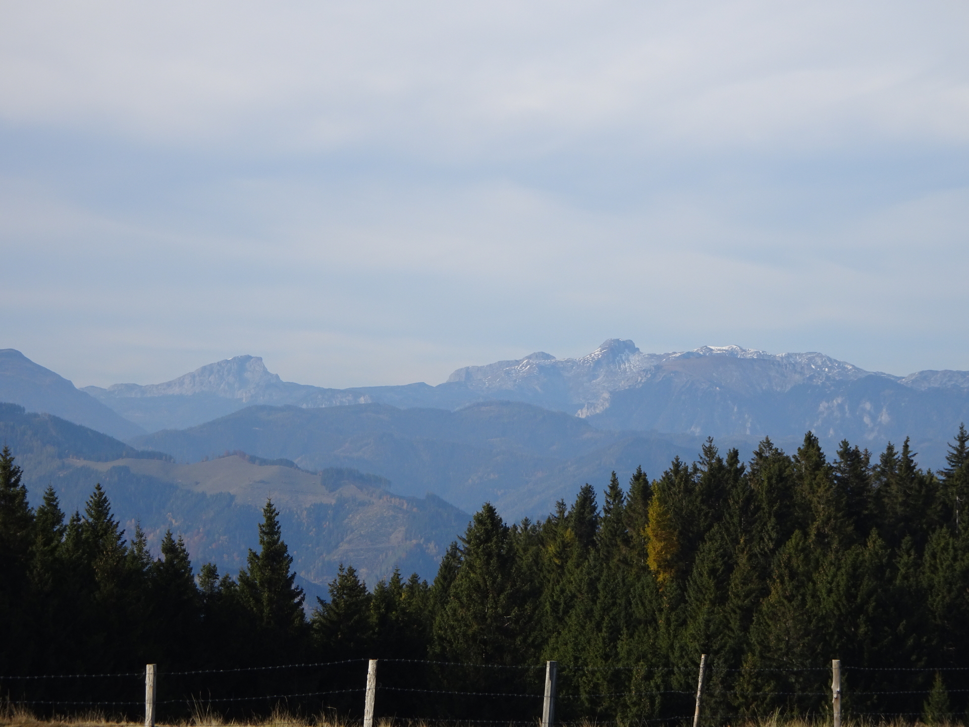
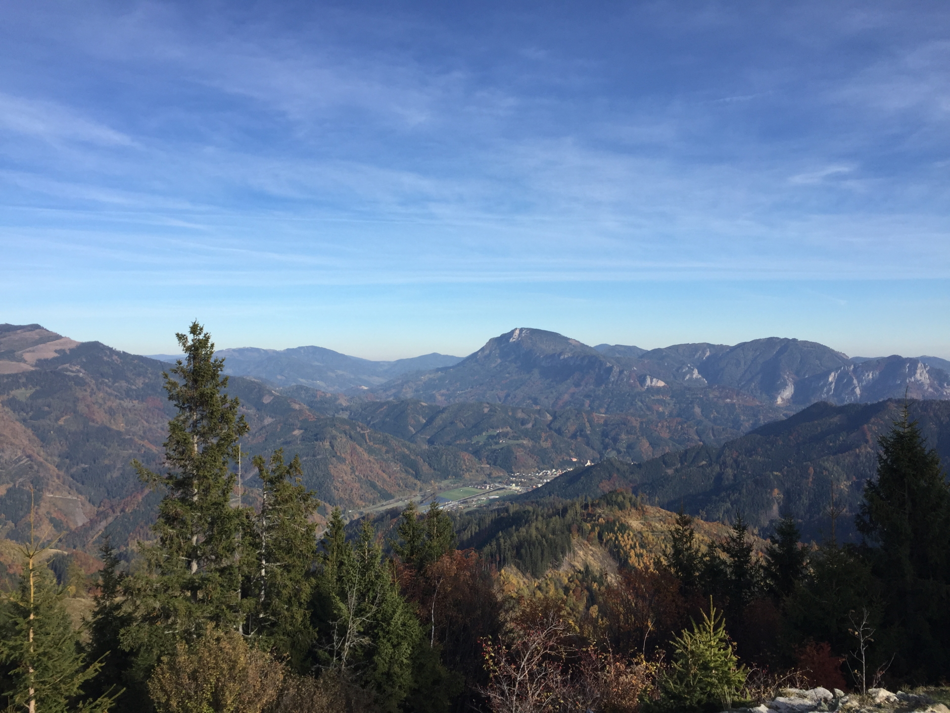
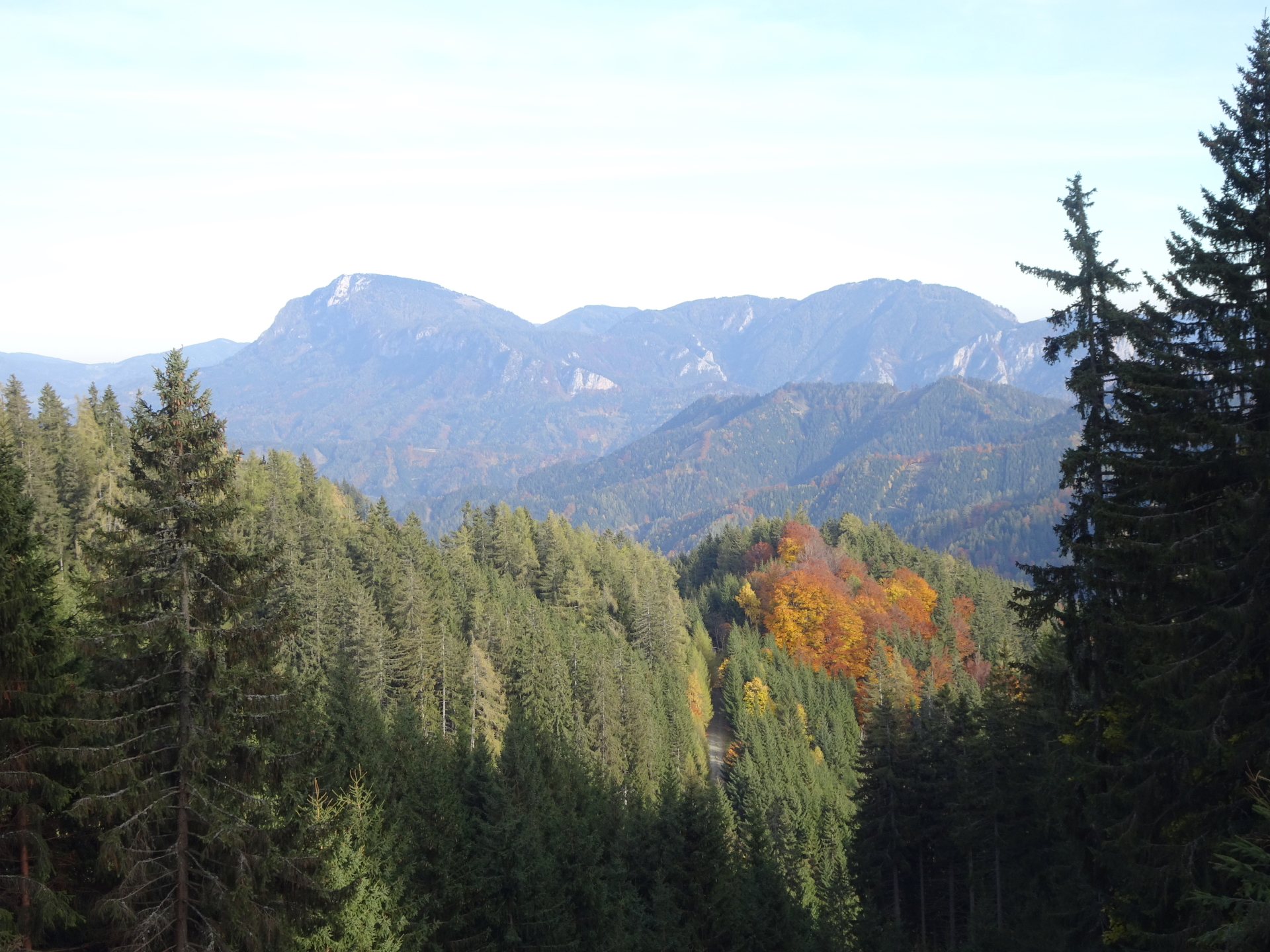
| 04:30 | Enjoy the impressive scenic view from Hochanger. You see the Hochschwab on your left (north) and the Hochlantsch in front of you (east). Hike back towards Hochangerschutzhaus. |
| 04:35 | Well deserved break ( ) at the Hochangerschutzhaus. |
| 05:00 | Follow back the same route like the ascent towards Eisenpass till the crossing at the parking of Utschgraben. |
| 05:50 | At the crossing before the parking of Utschgraben, turn left (U-turn) and follow back the road towards Wirtalm. |
| 05:55 | Keep straight ahead at Wirtalm and follow back the red-white-red marked road towards Trasattel. |
| 06:15 | At the crossing, keep straight ahead (sightly left) and turn into the red-white-red marked trail. |
| 06:30 | At the crossing, first turn right but then keep left and follow the forst road steep upwards (doing an U-turn after a few meters). |
| 06:35 | At the Trasattel descend back to the parking using the same route as the ascent. |
| 07:00 | Back at the parking, end of the tour. |
| Area: | Gleinalpe, Styria, Austria | |
| Distance: | 26km | |
| Ascent: | 1320m (2h 55min) | |
| Descent: | 1322m (2h 45min) | |
| Highest Pt: | 1664m | |
| Lowest Pt: | 976m | |
| Duration: | 6h 00min (without breaks) 7h 00min (with breaks) |
|
| Stop/Rest: | Mugelschutzhaus (1626m) Schutzhaus Hochanger (1312m) |
|
| Equipment: | Backpack with standard hiking equipment Snacks and enough water Sun & Weather protection Camera GPS recommended |
| Download GPX | ||
| O | Tour at outdooractive.com |
At a glance
| Level | moderate-difficult |
| Technique | |
| Shape / Fitness | |
| Experience | |
| Scenery | |
| Best time in the year | |
|
Jan
Feb
Mar
Apr
May
Jun
Jul
Aug
Sep
Oct
Nov
Dec
|
|


\"")

Leave a Reply