
Climb up the Rax from Kaiserbrunn via the Camillo-Kronich-Steig (A) and descend via the Gsolhirnsteig
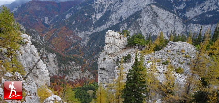
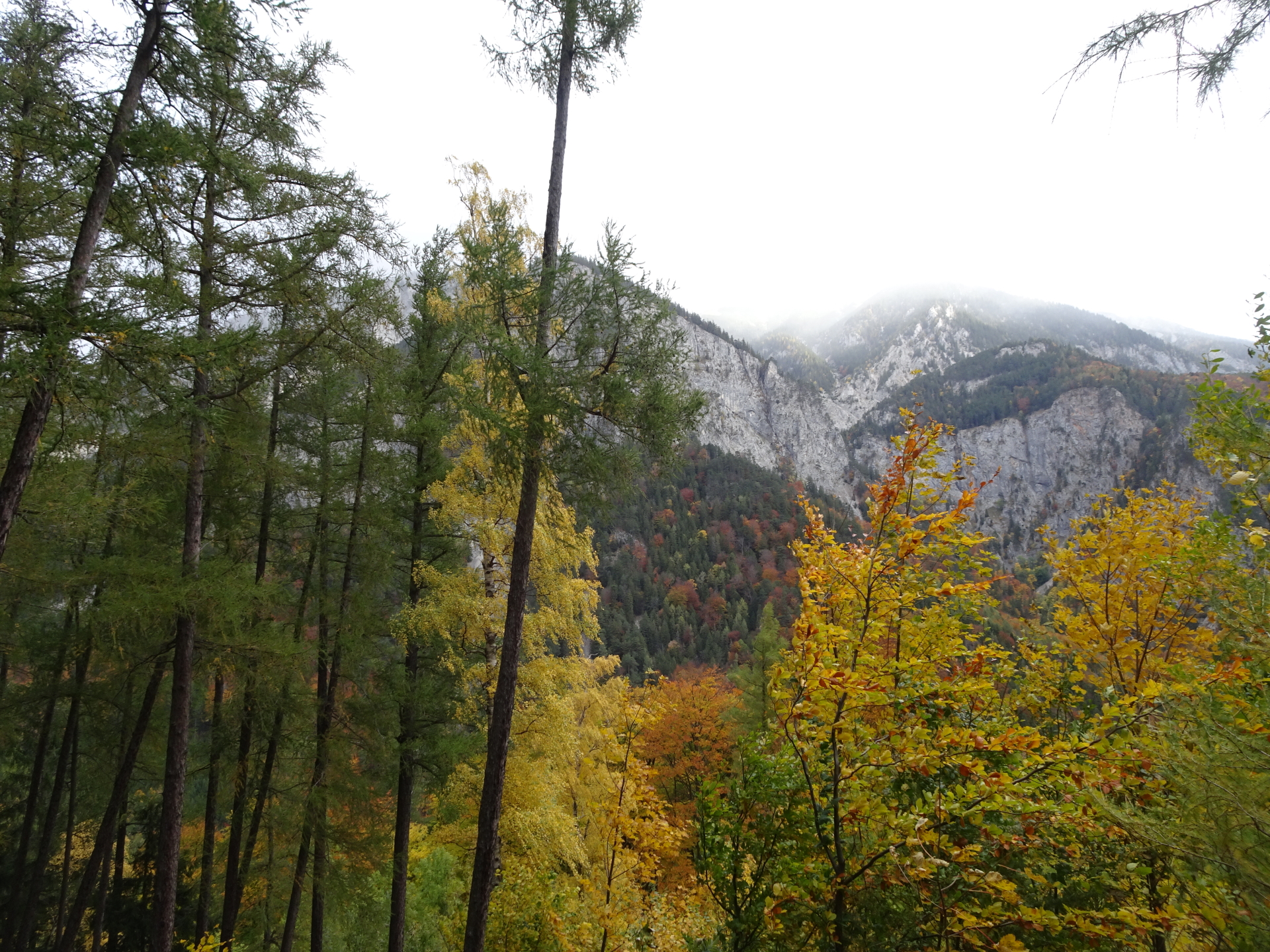
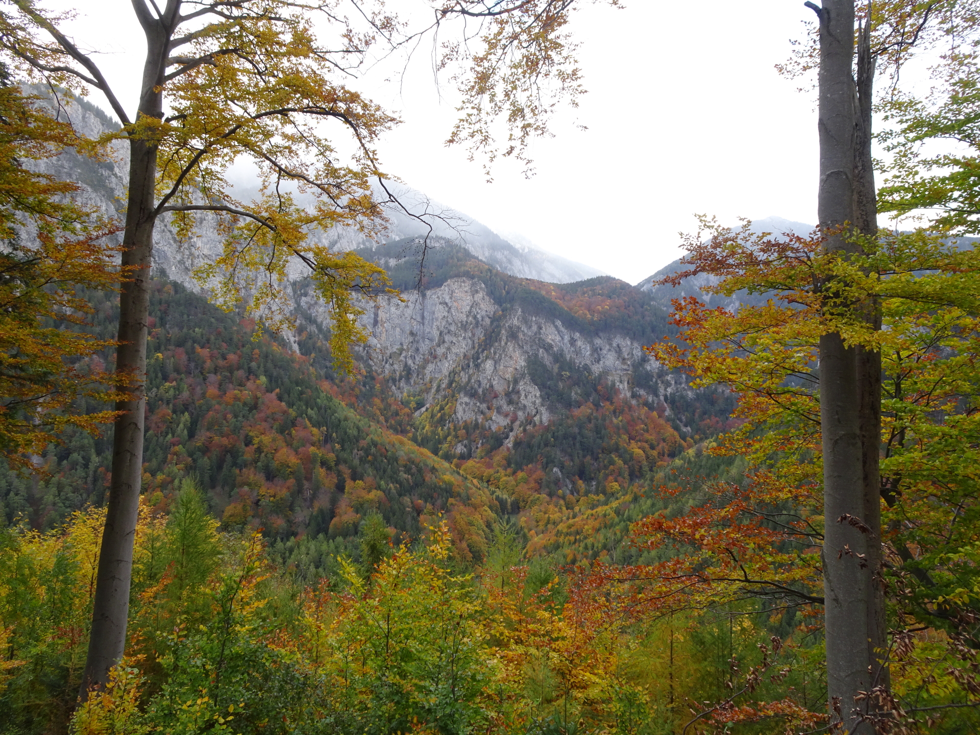
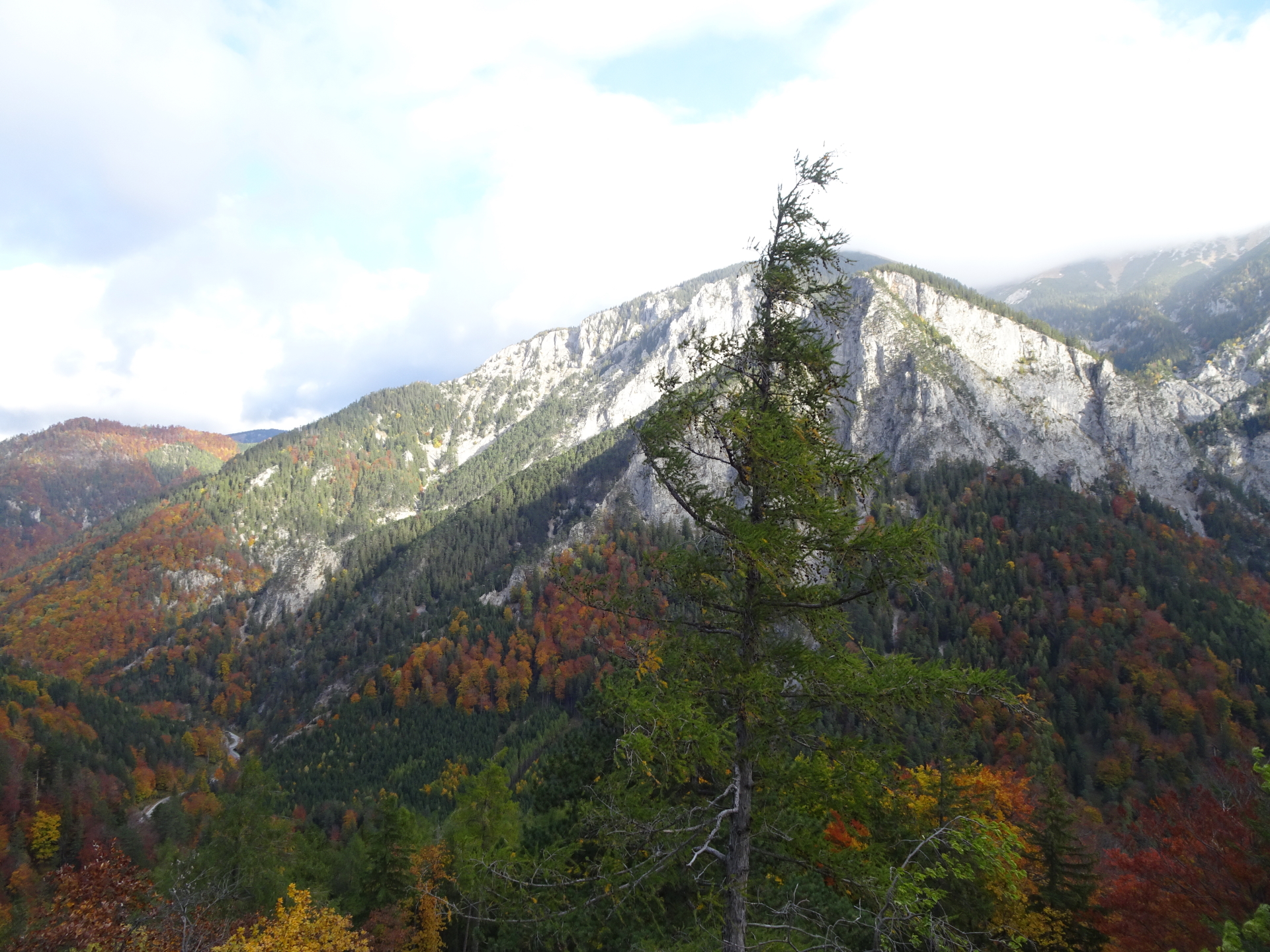
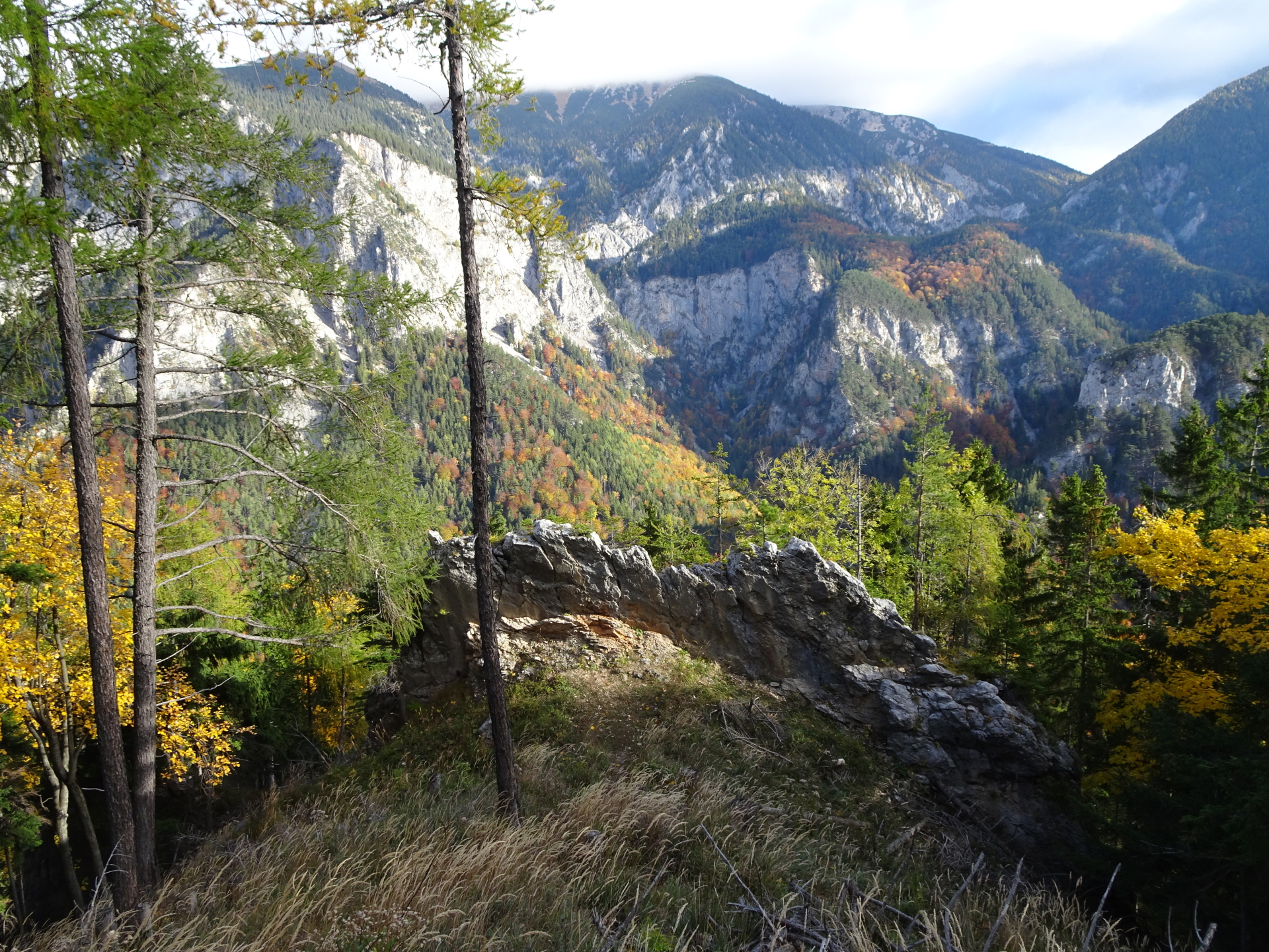
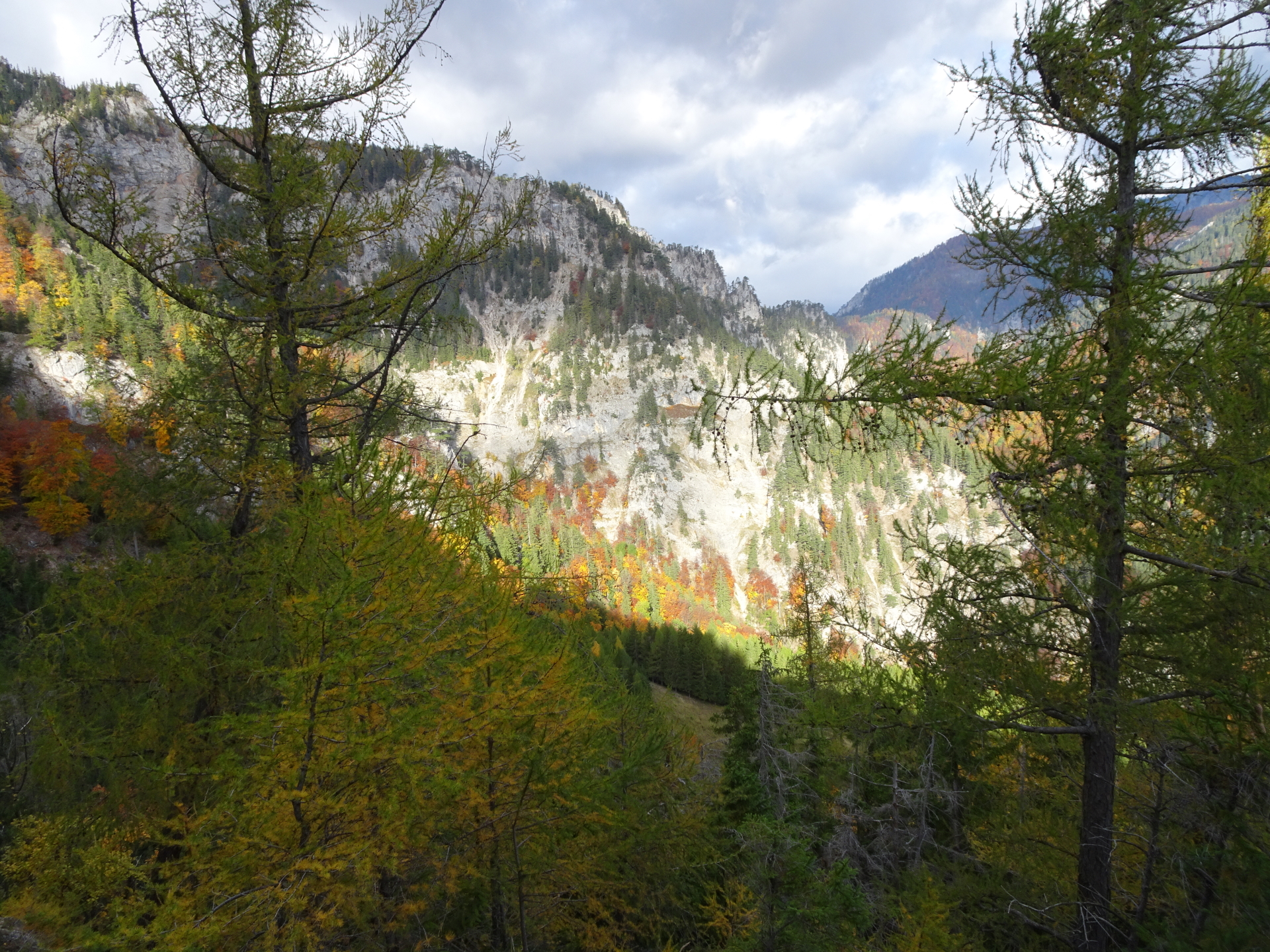
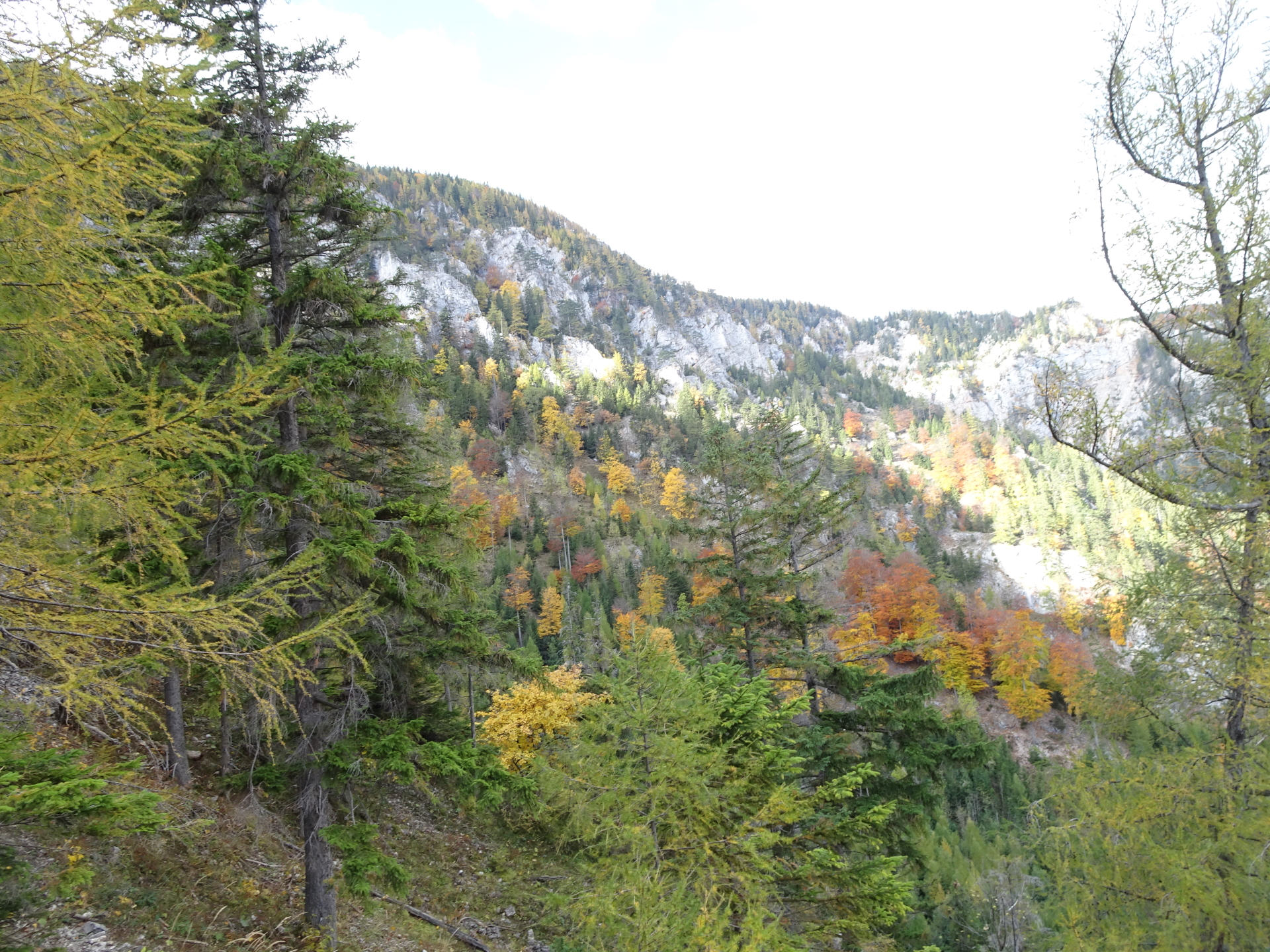
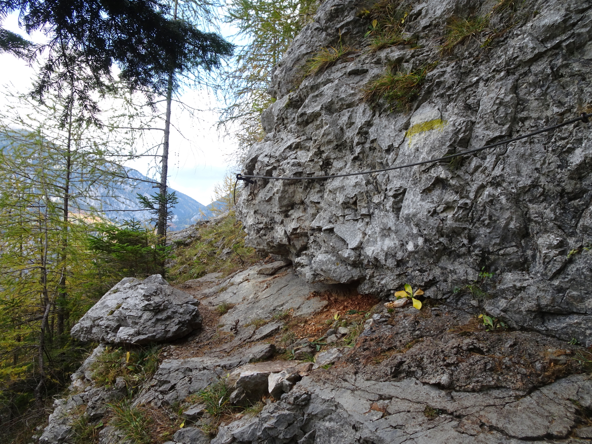
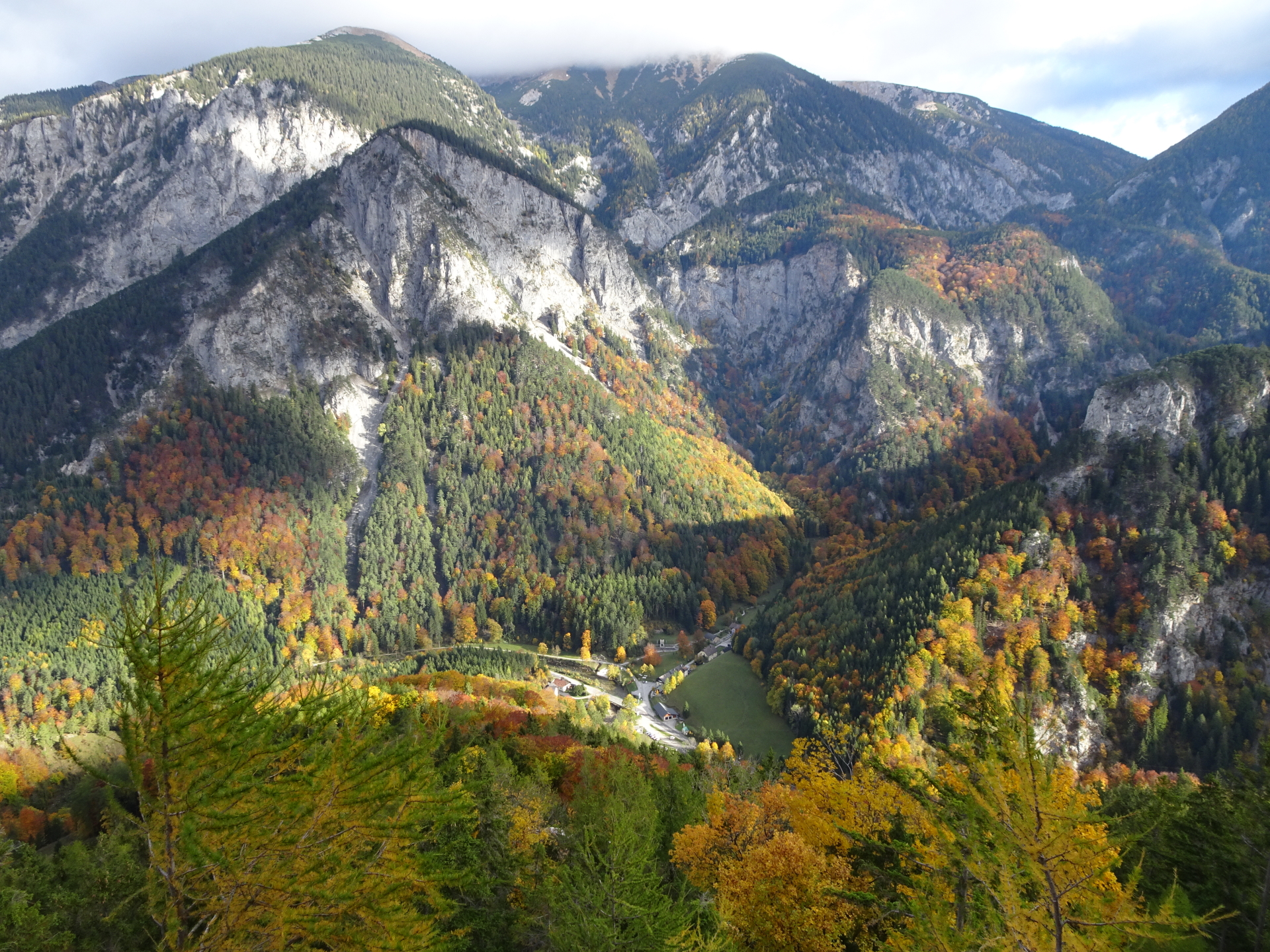
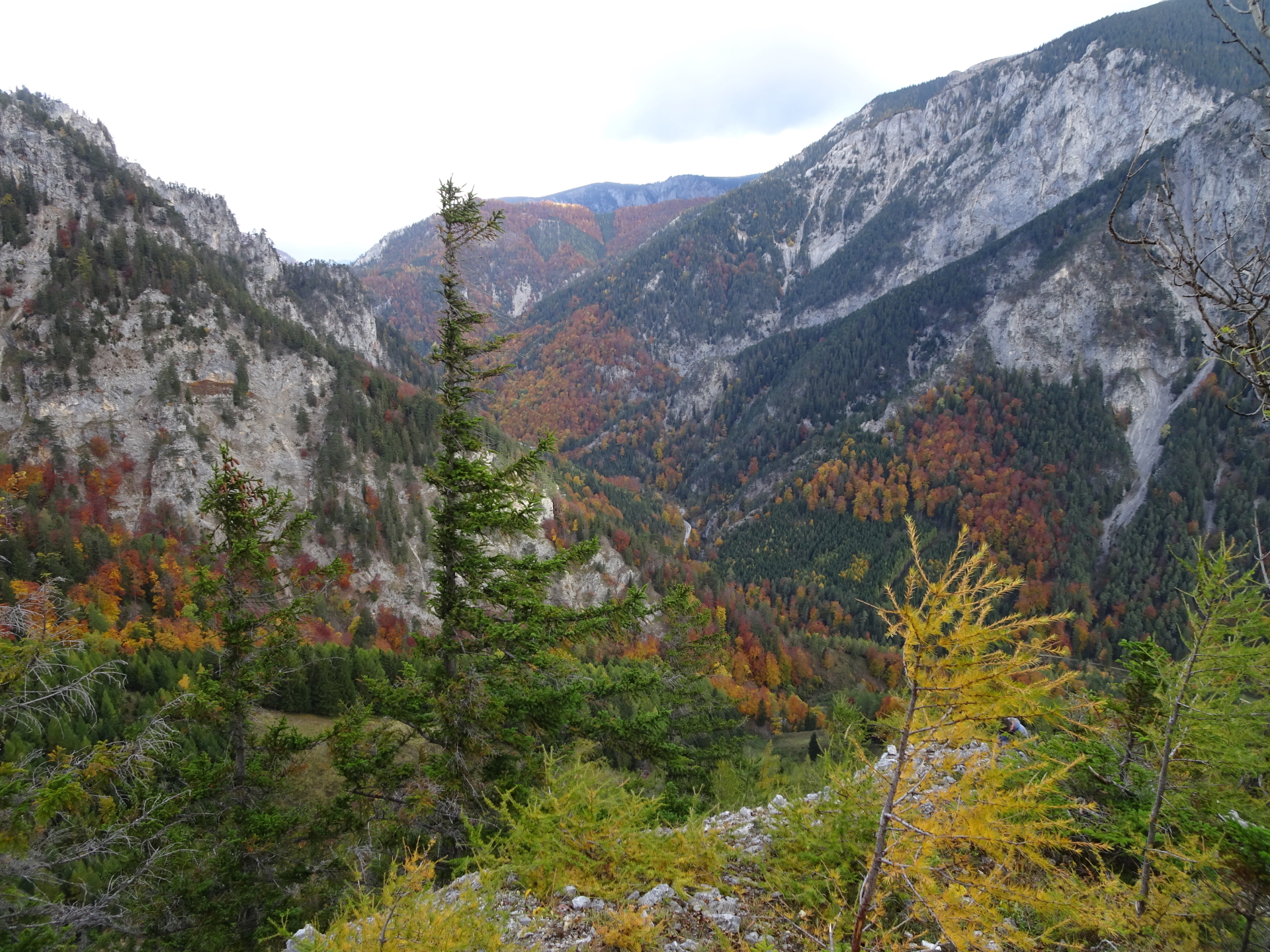
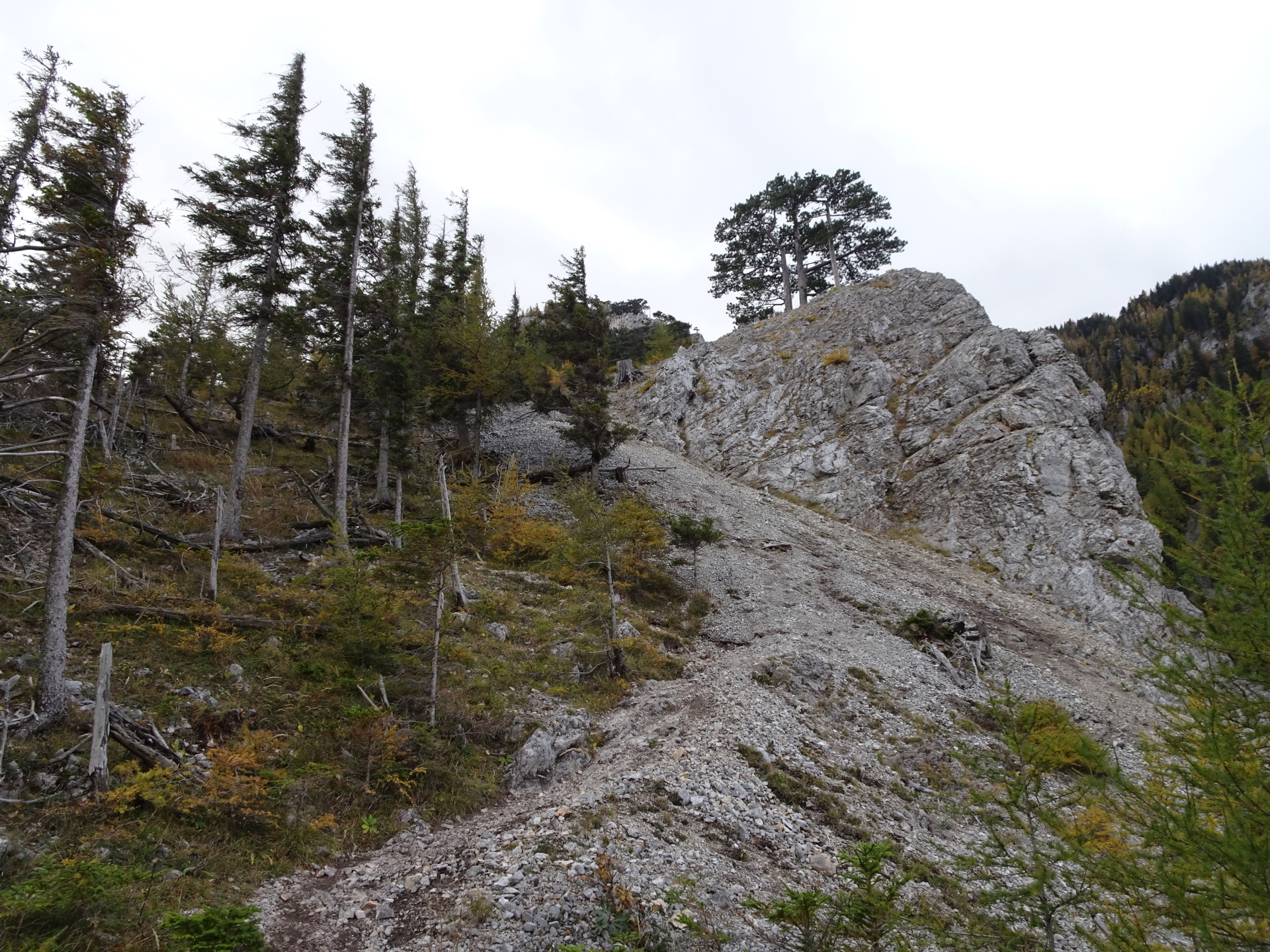
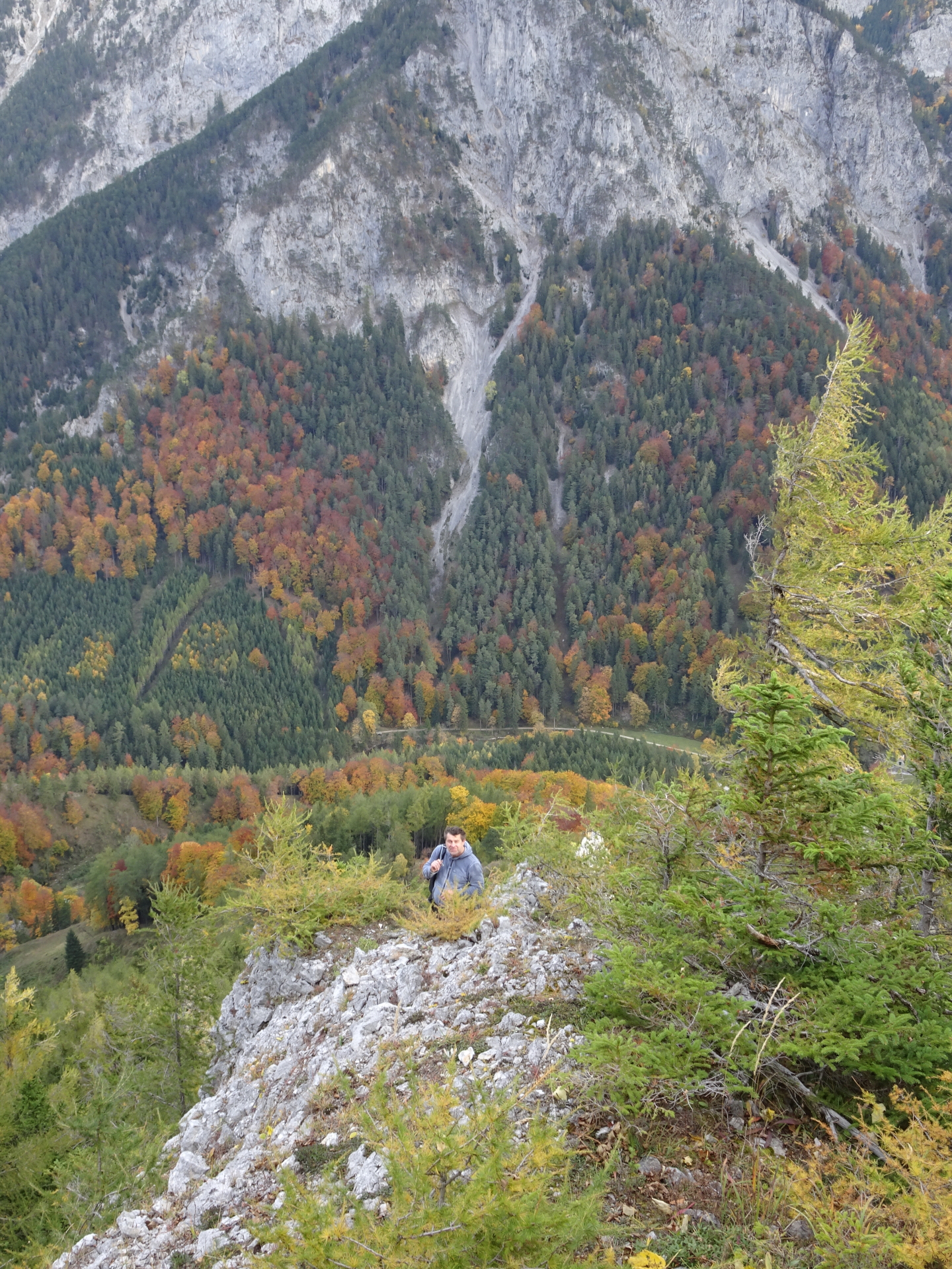
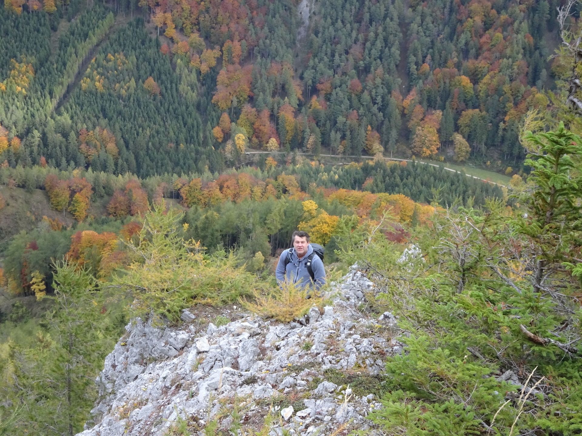
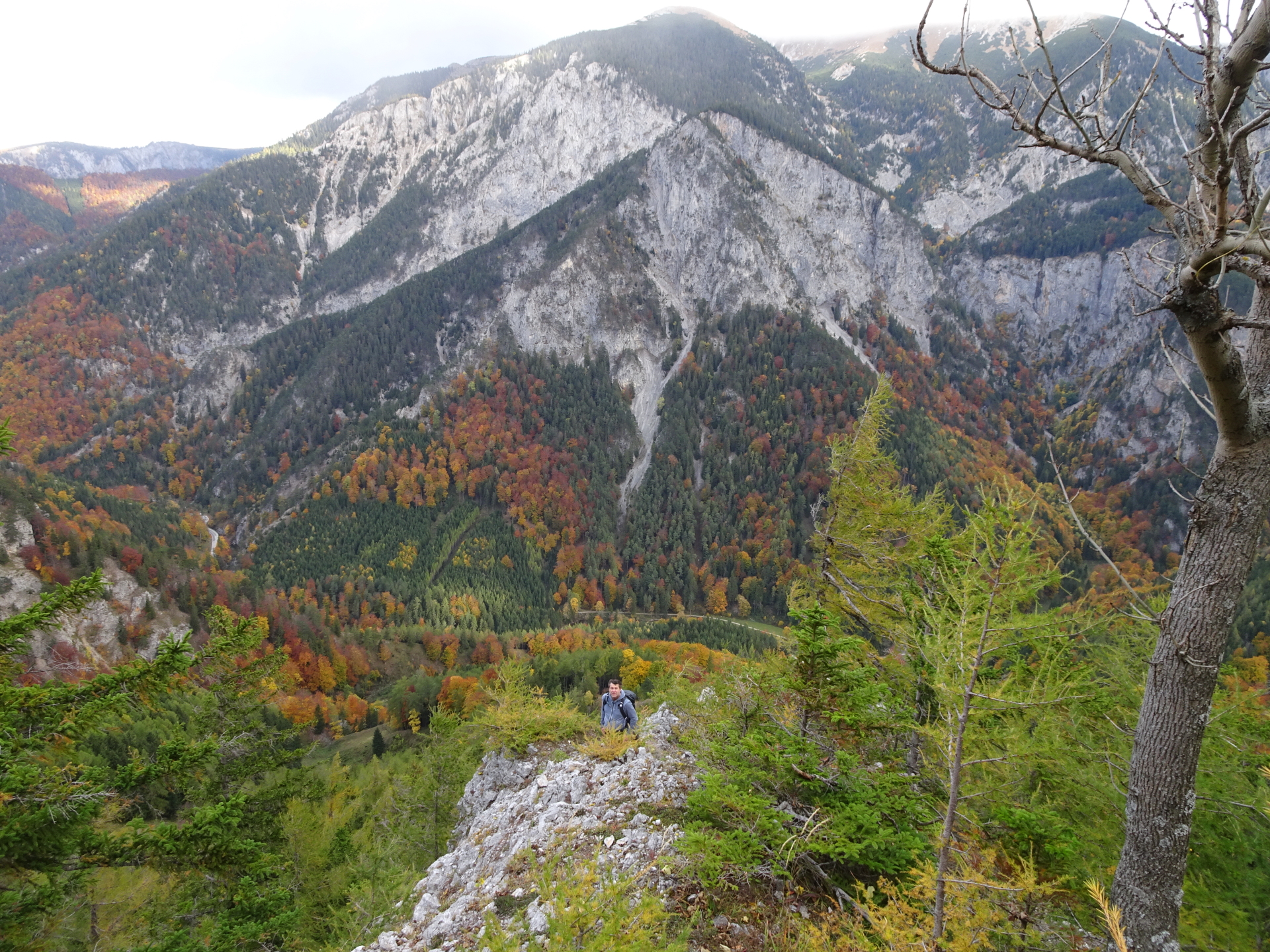
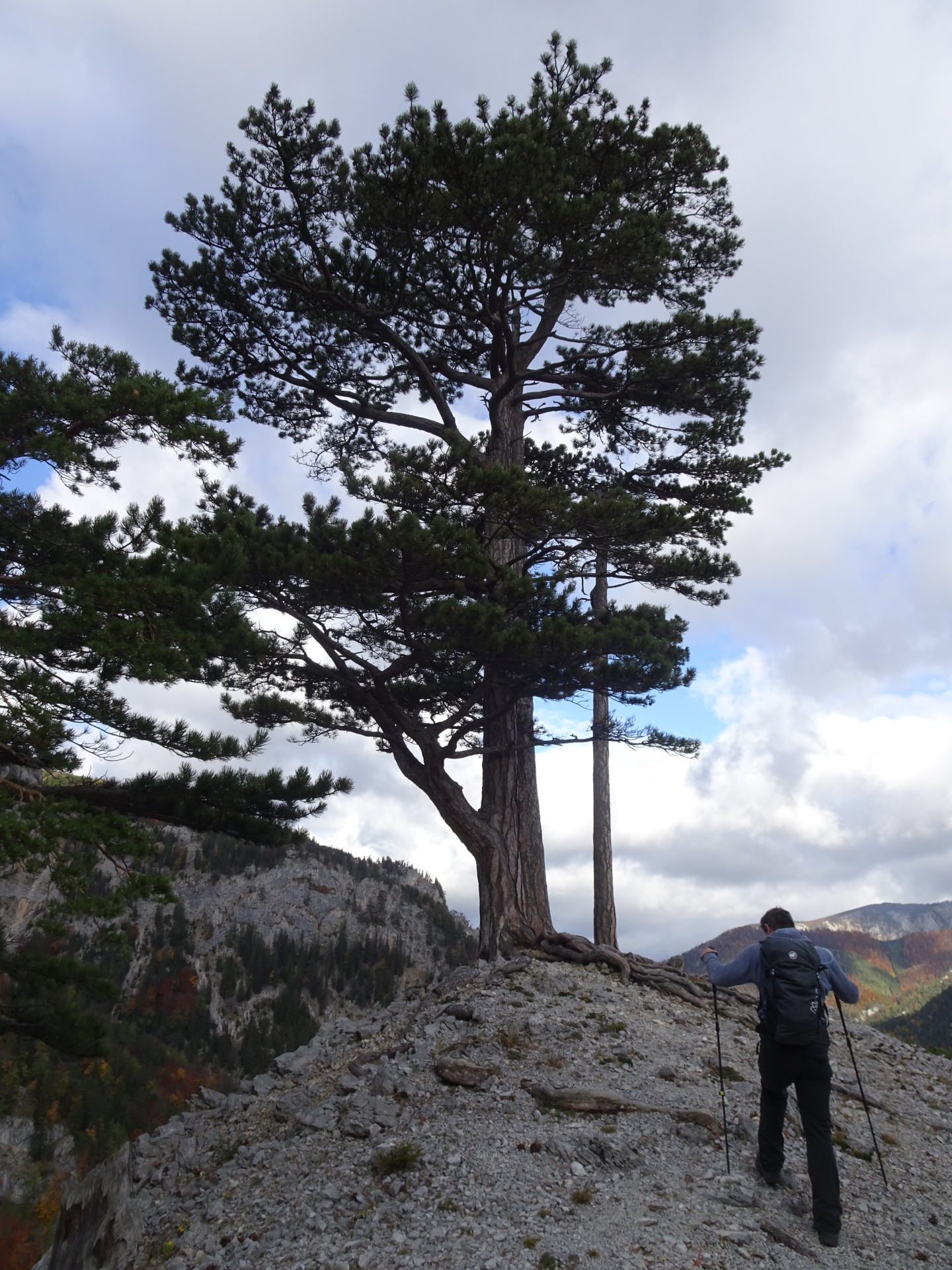
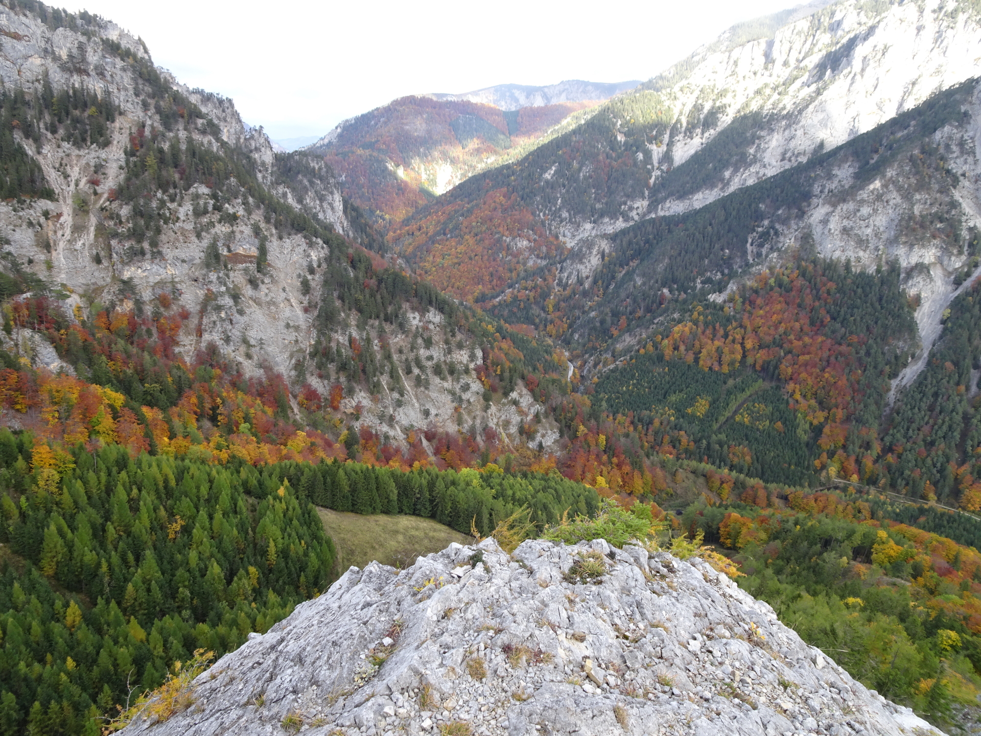
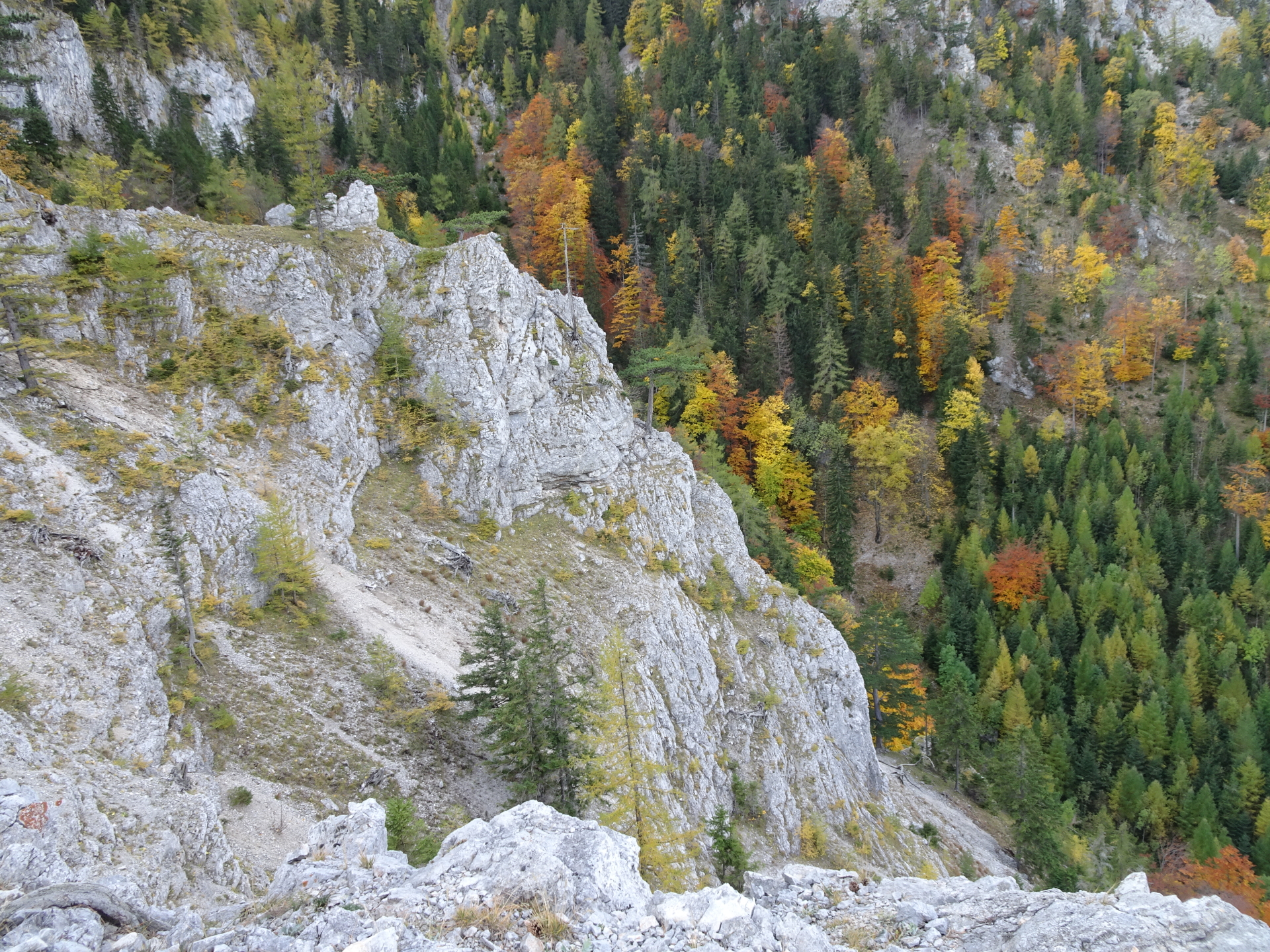
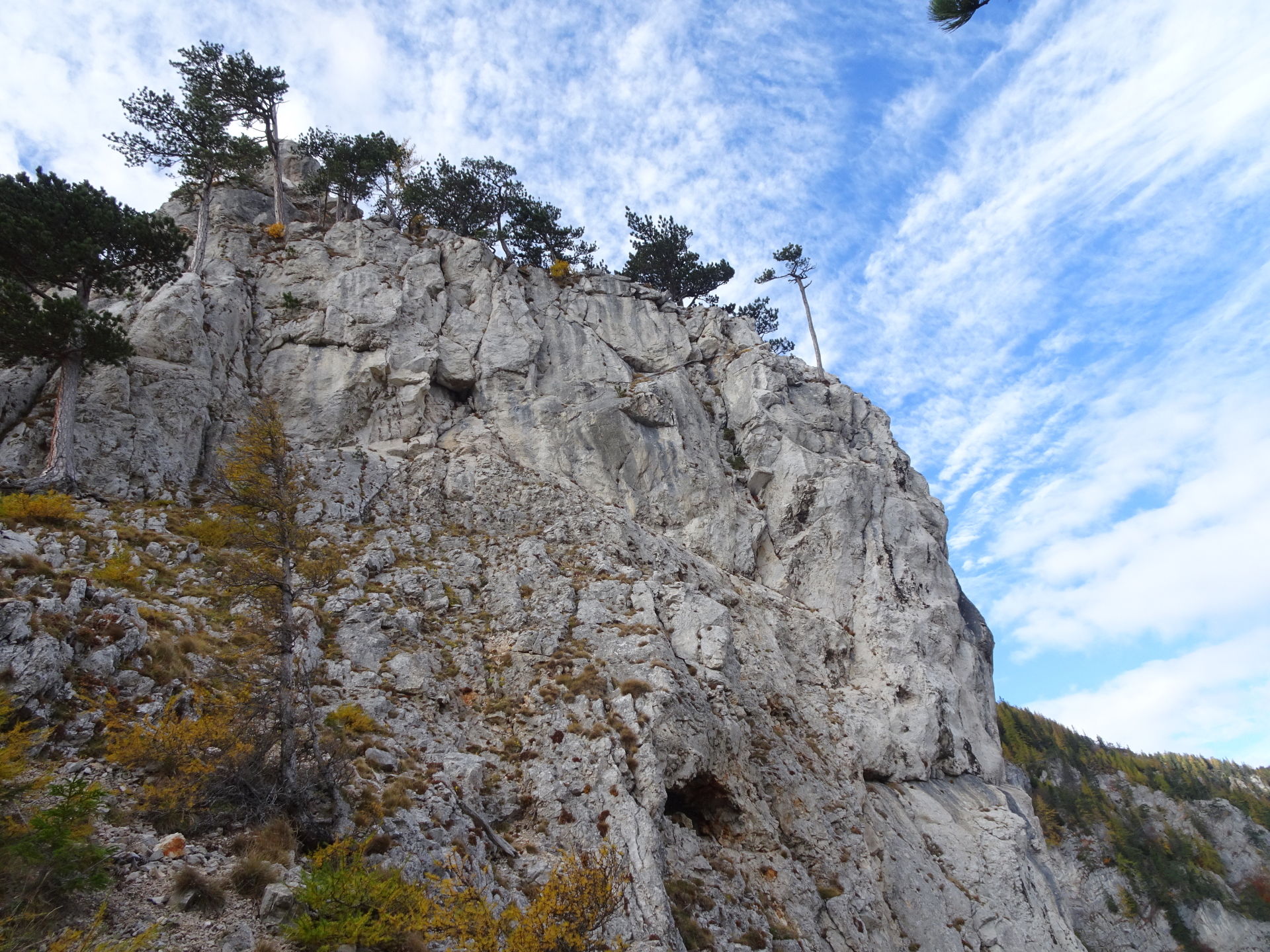
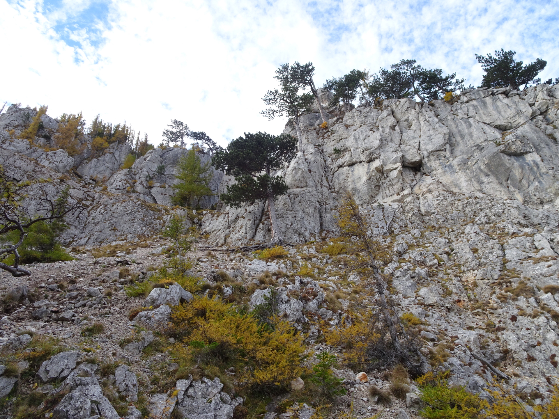
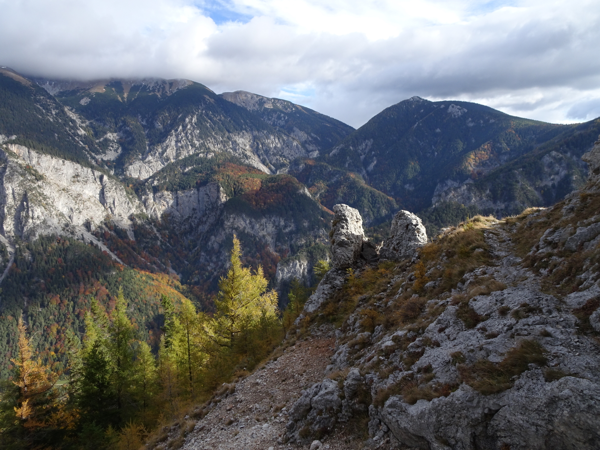
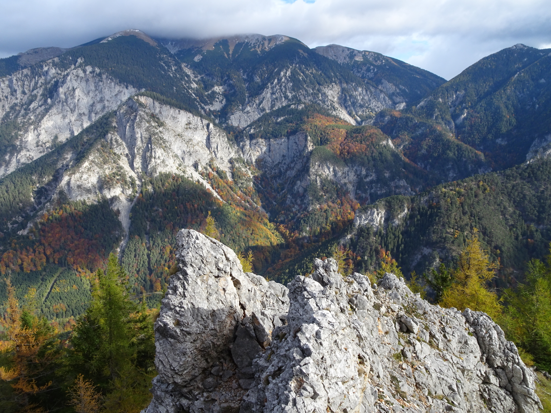
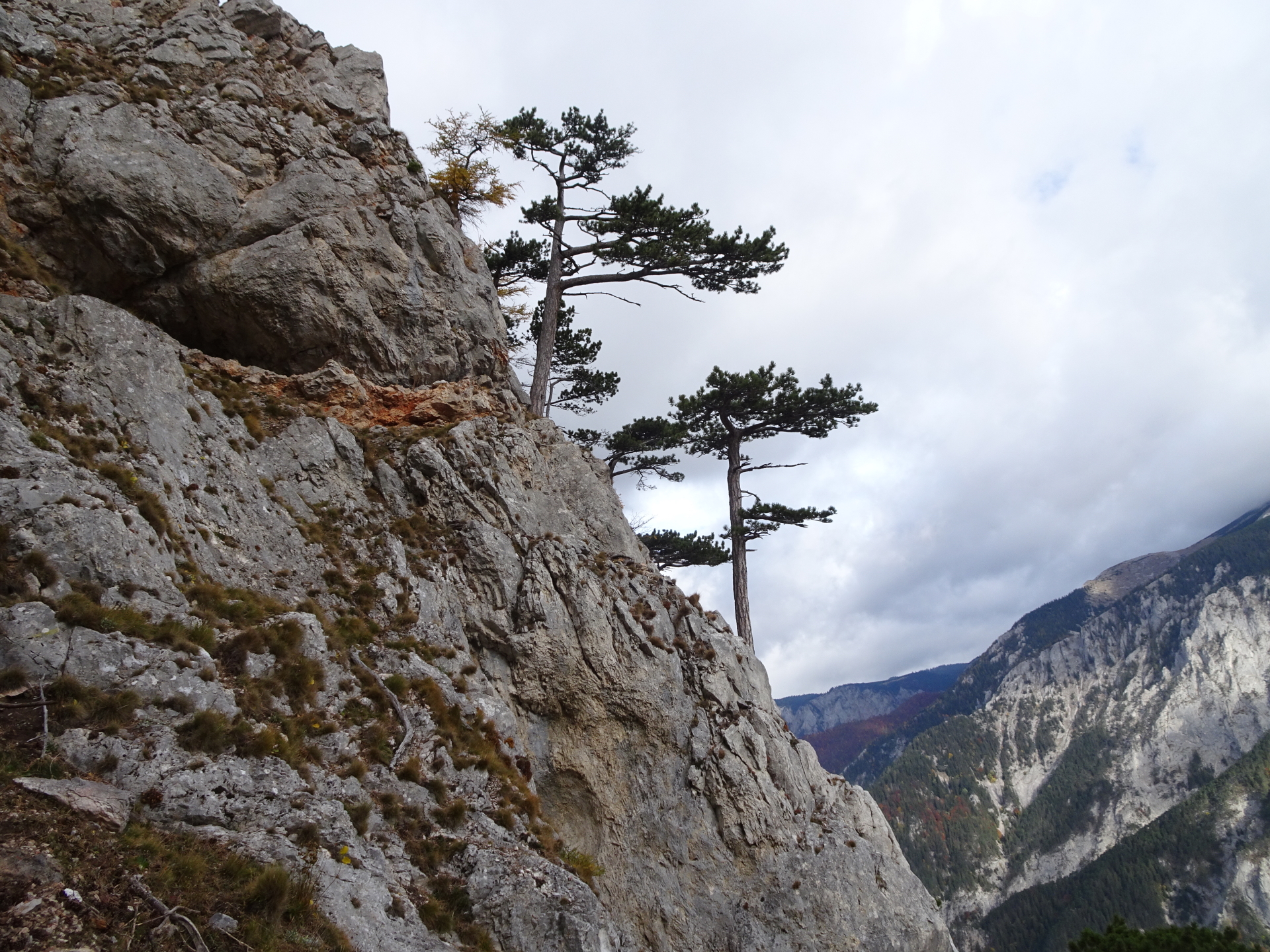
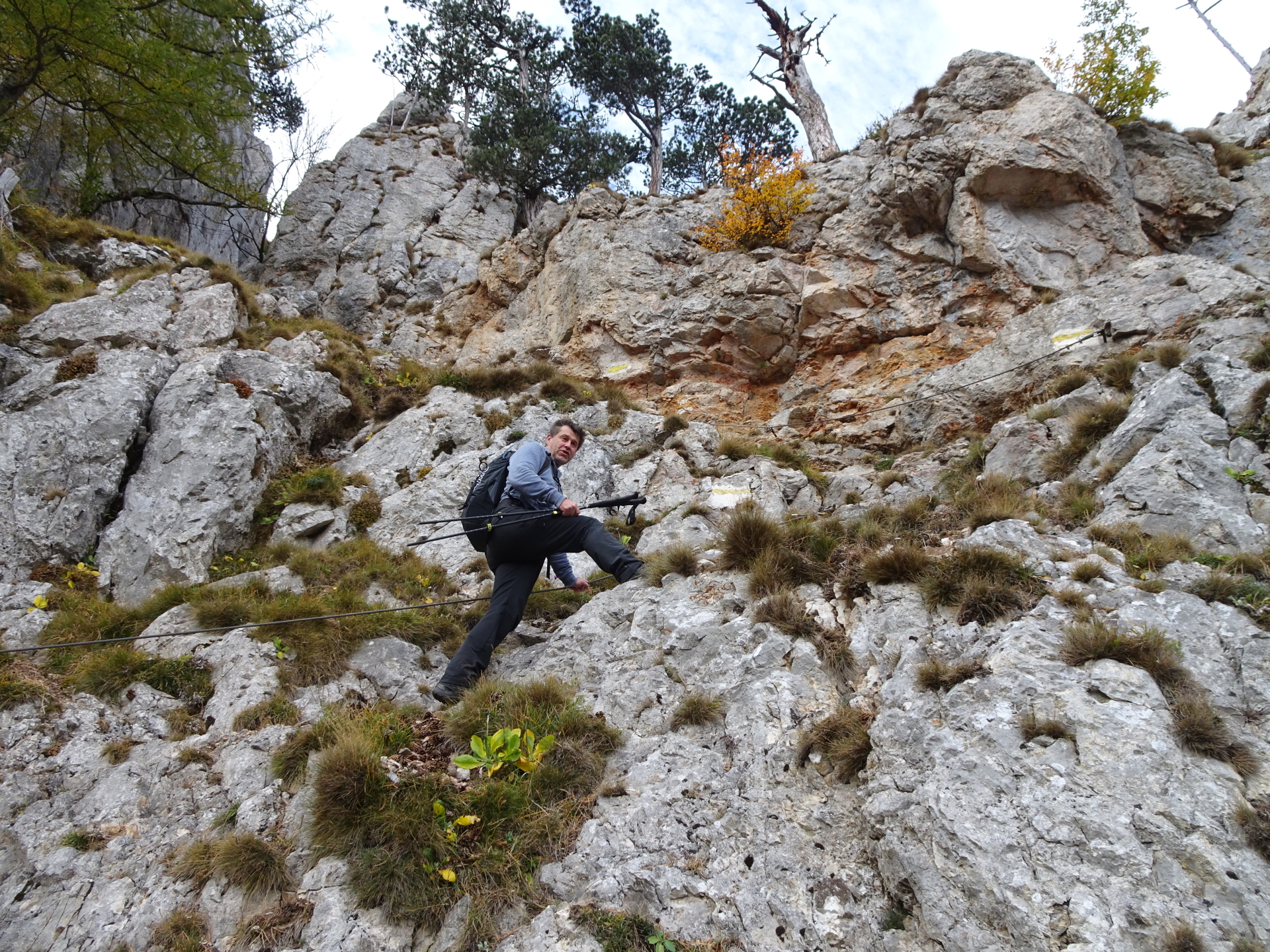
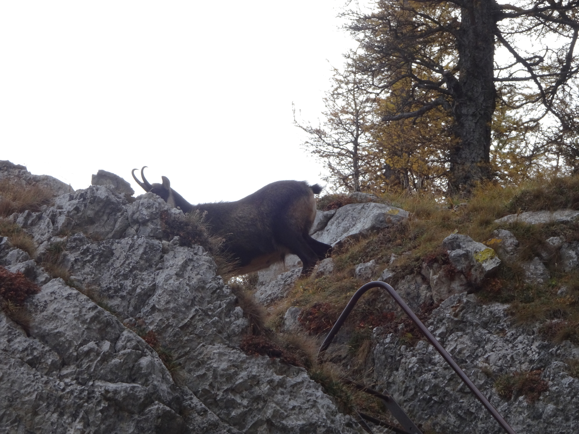
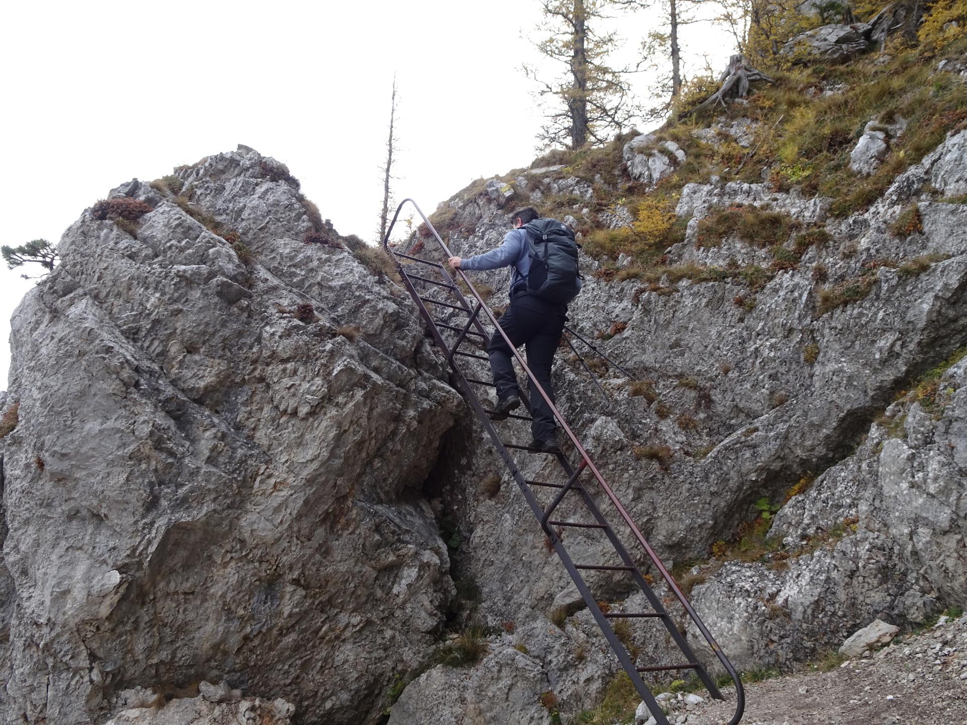
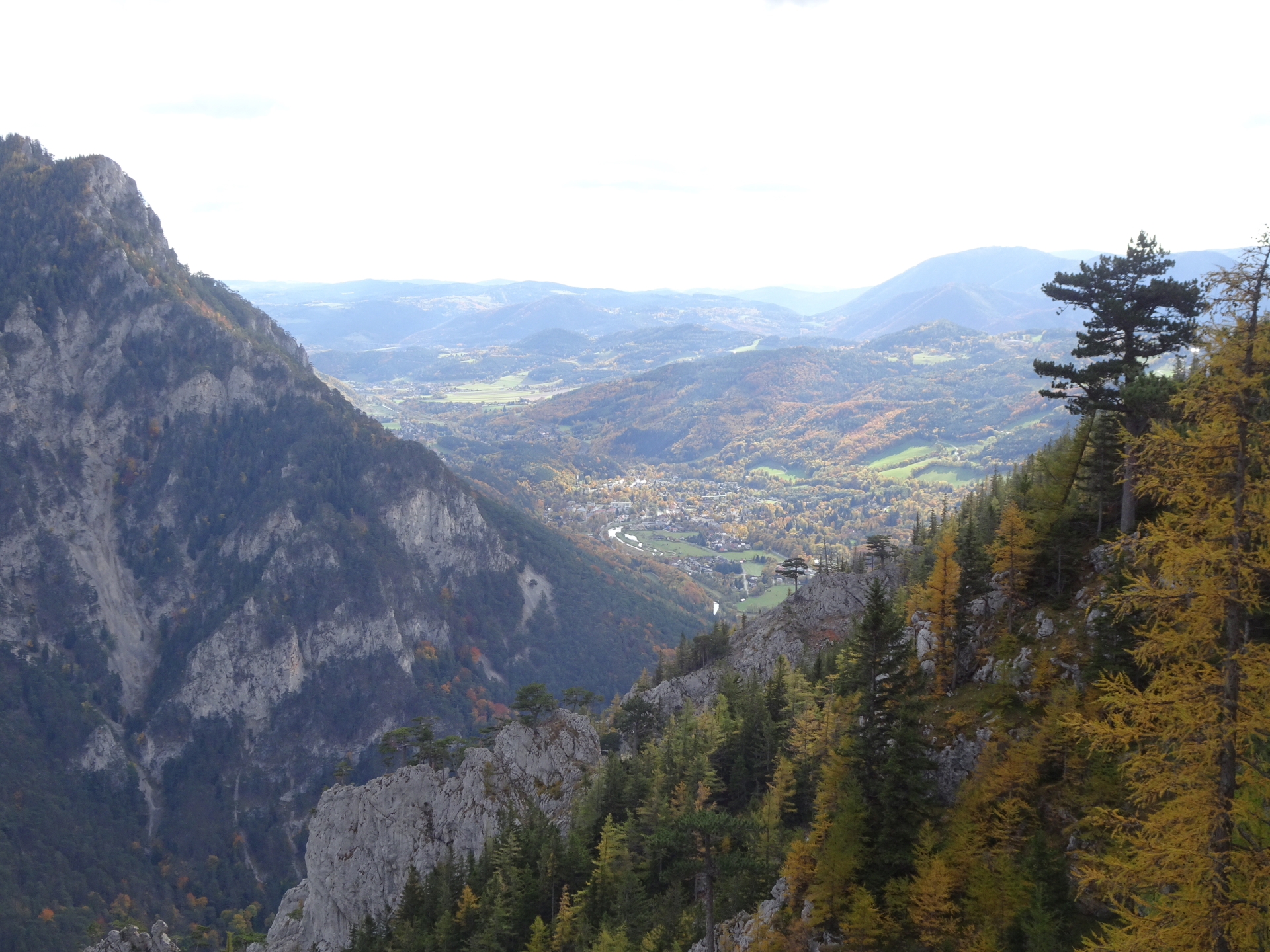
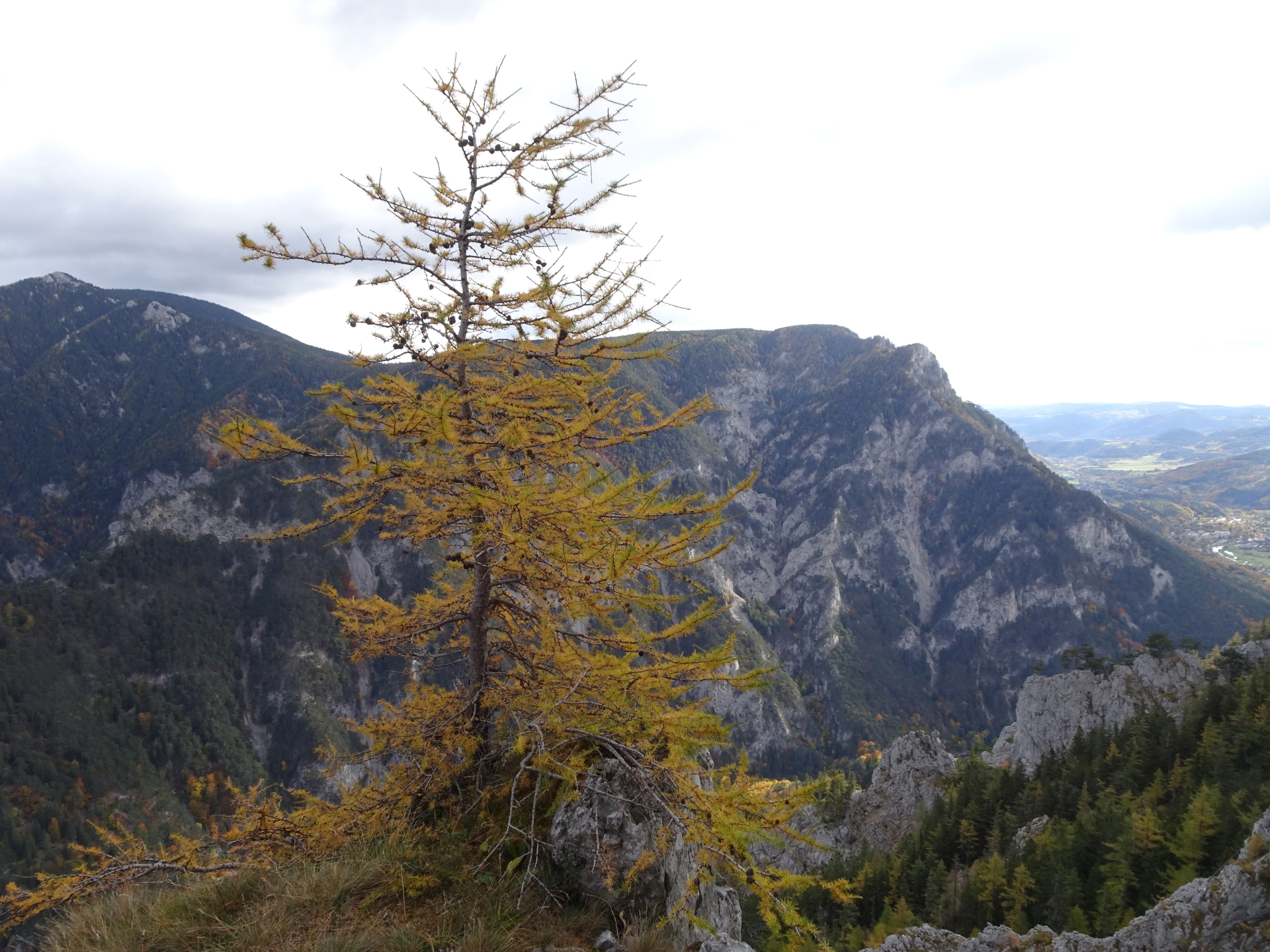
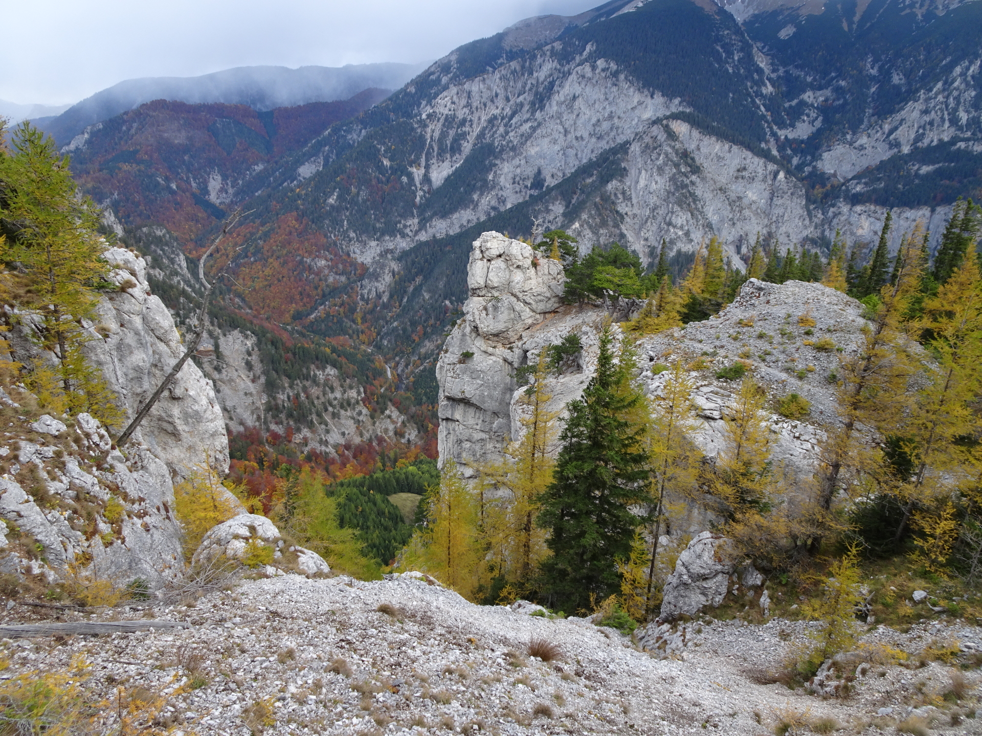
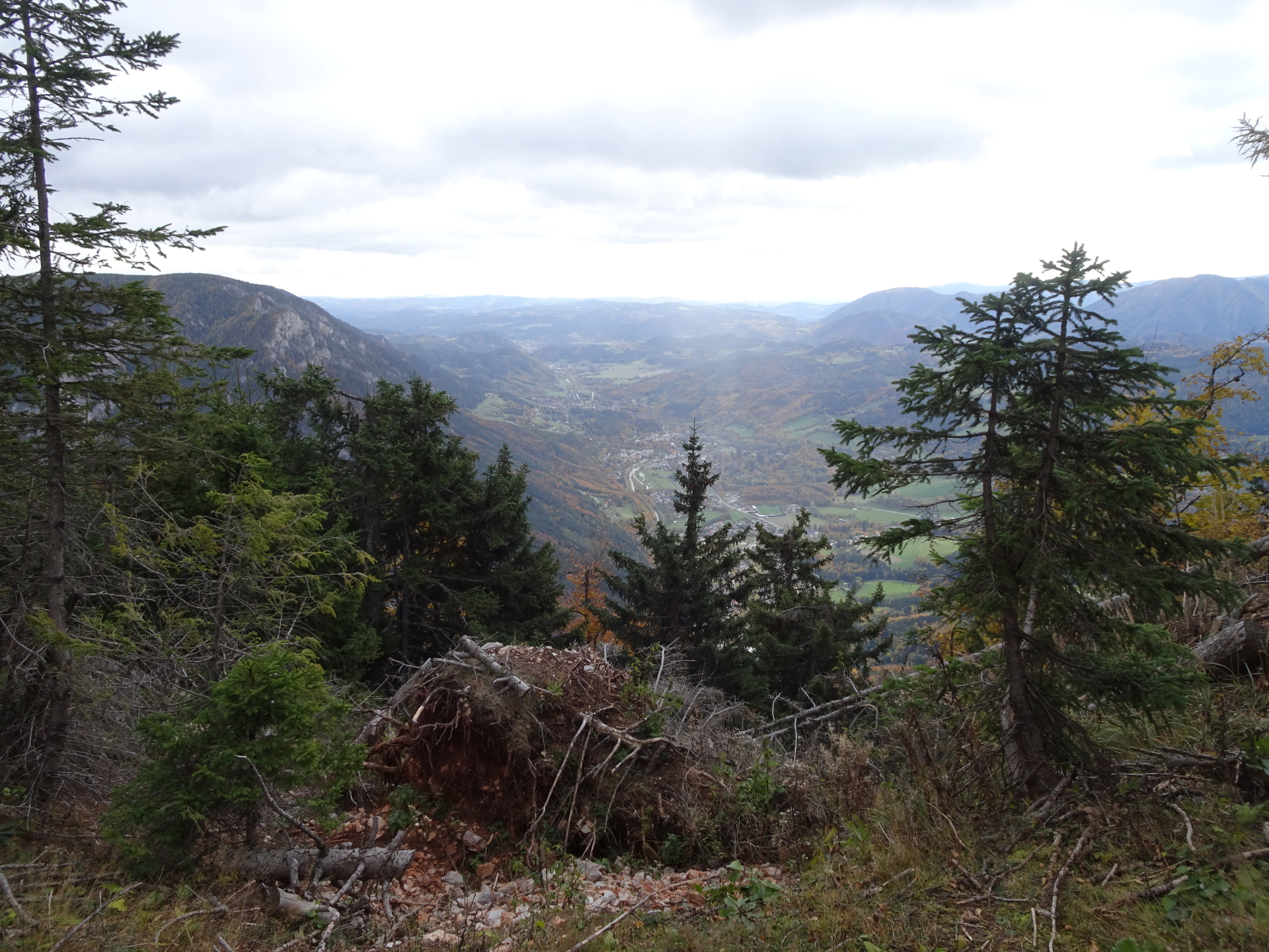
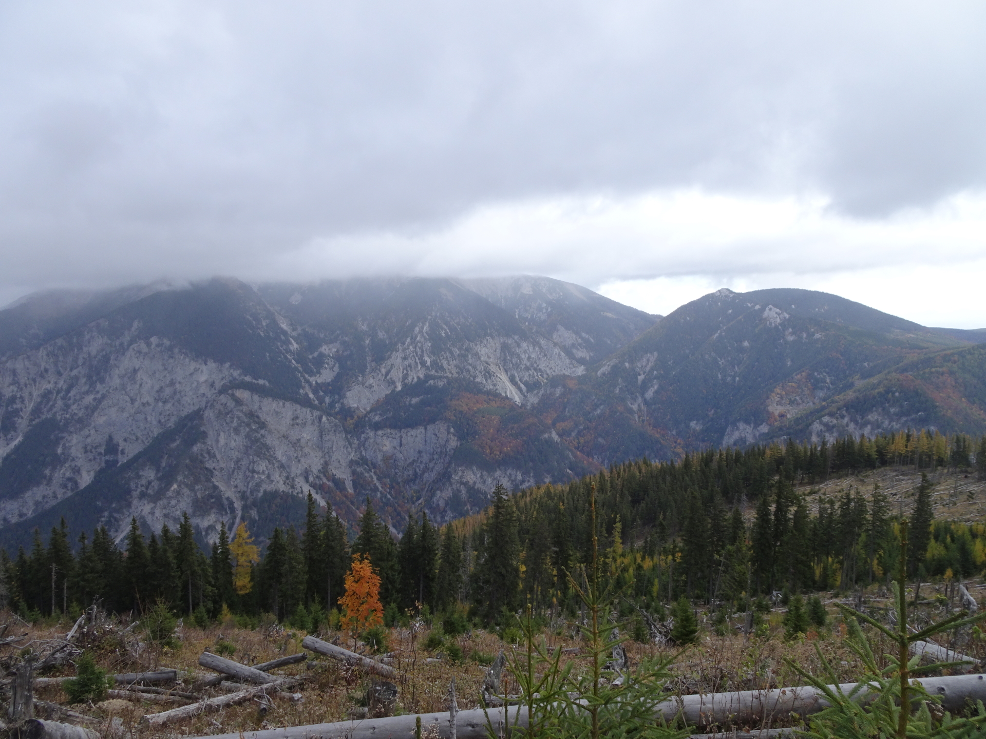
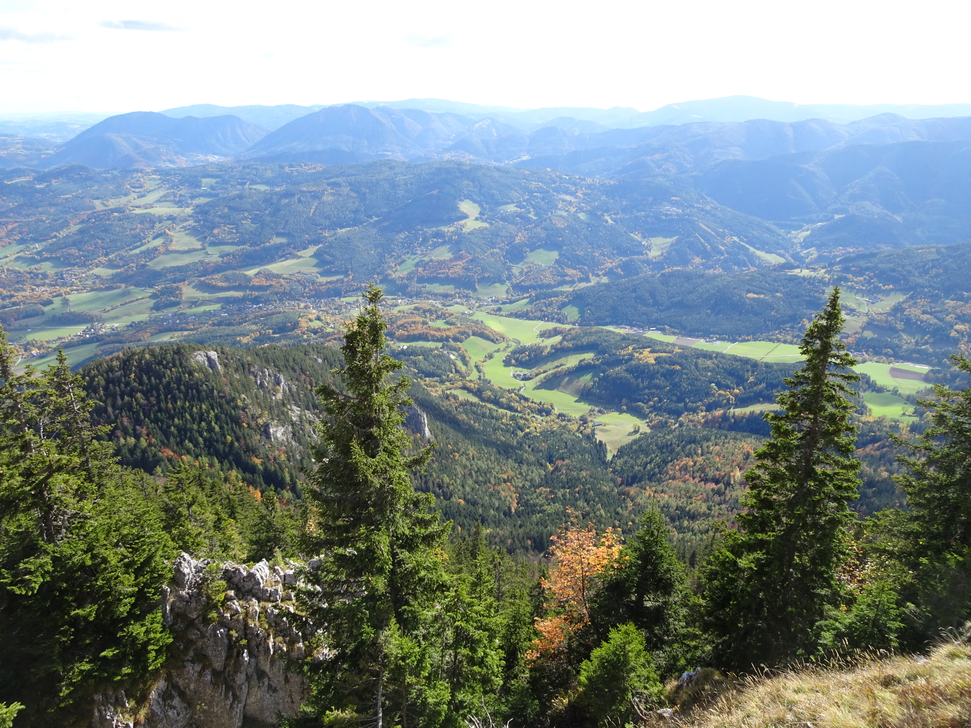
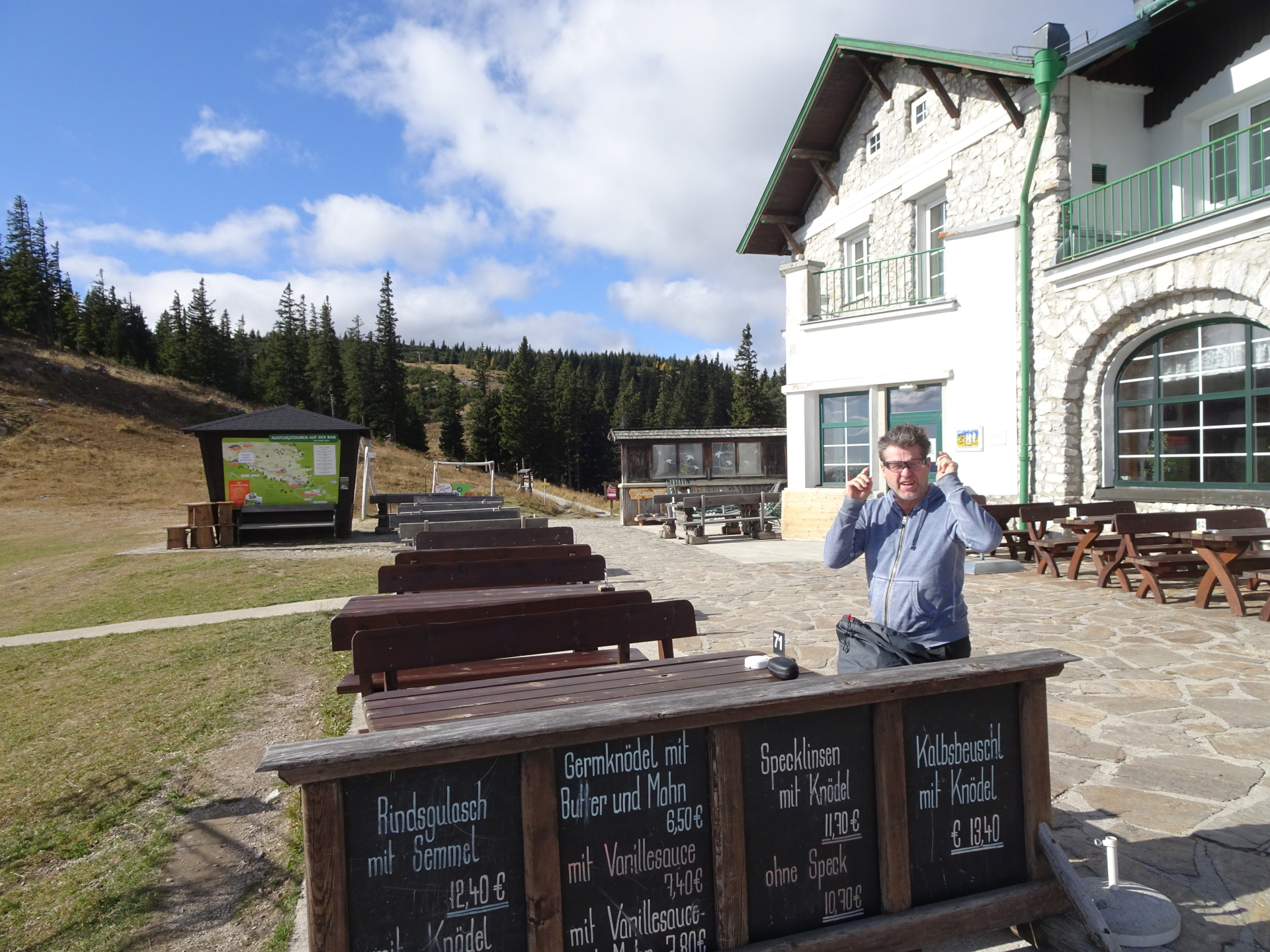
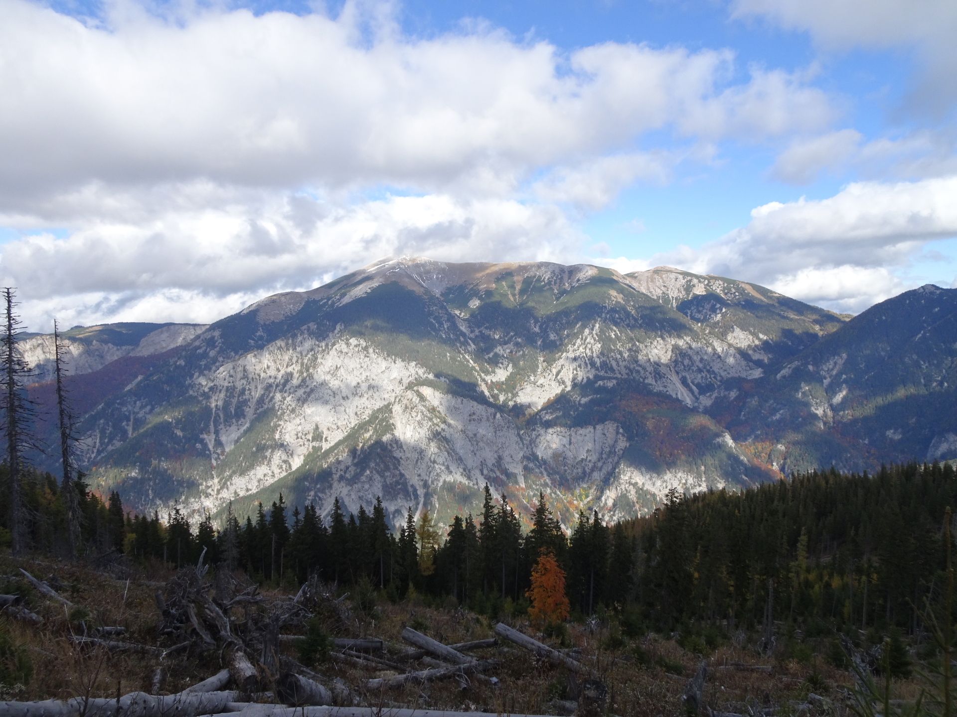
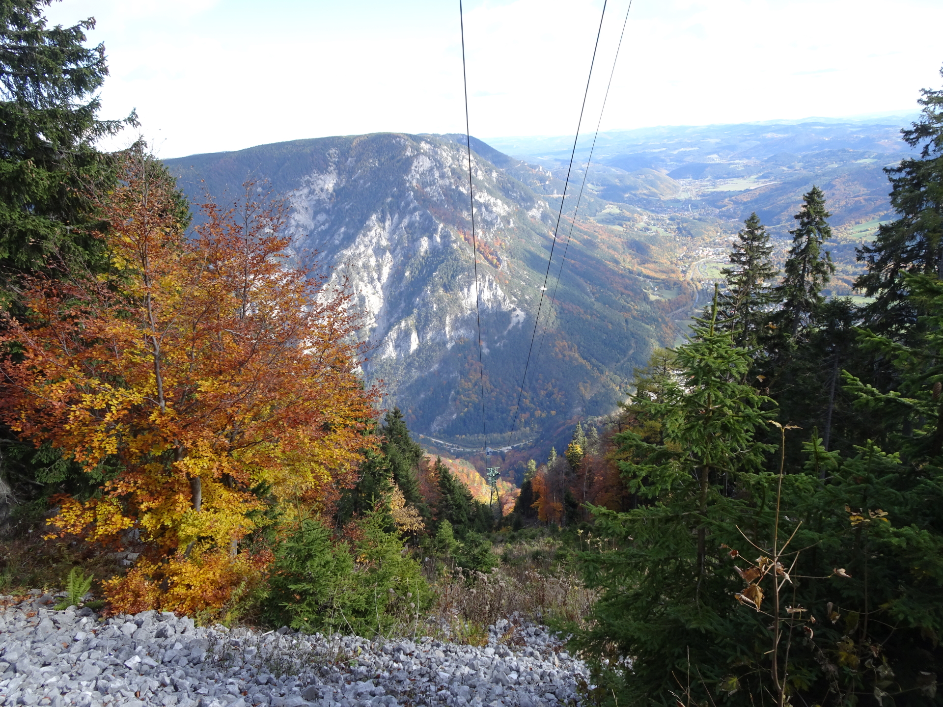
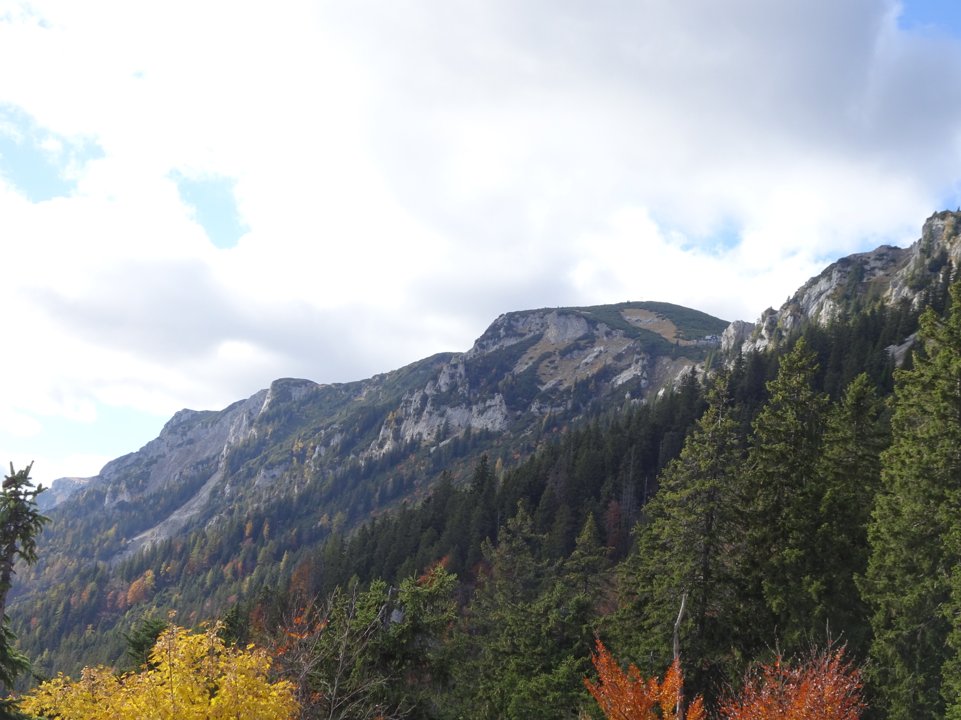
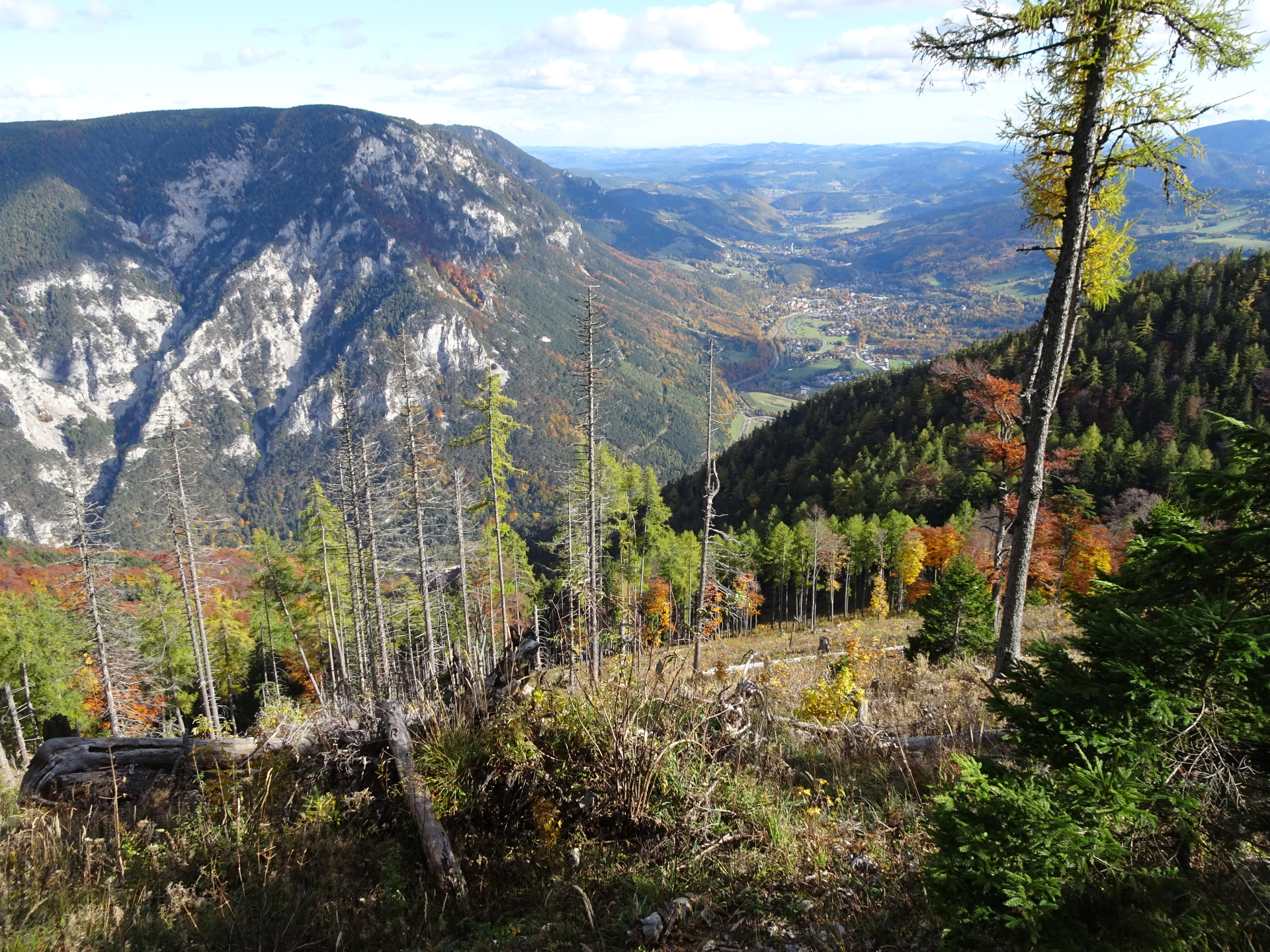
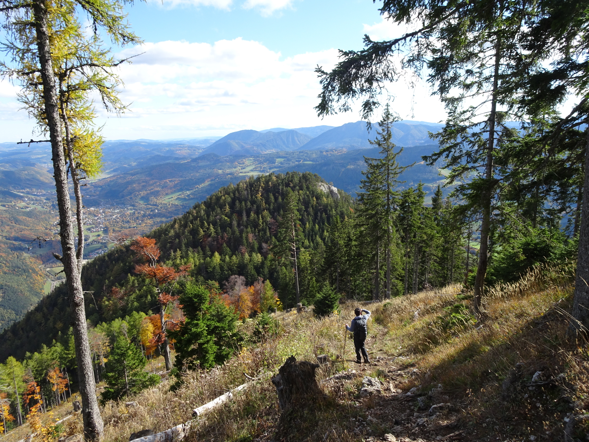
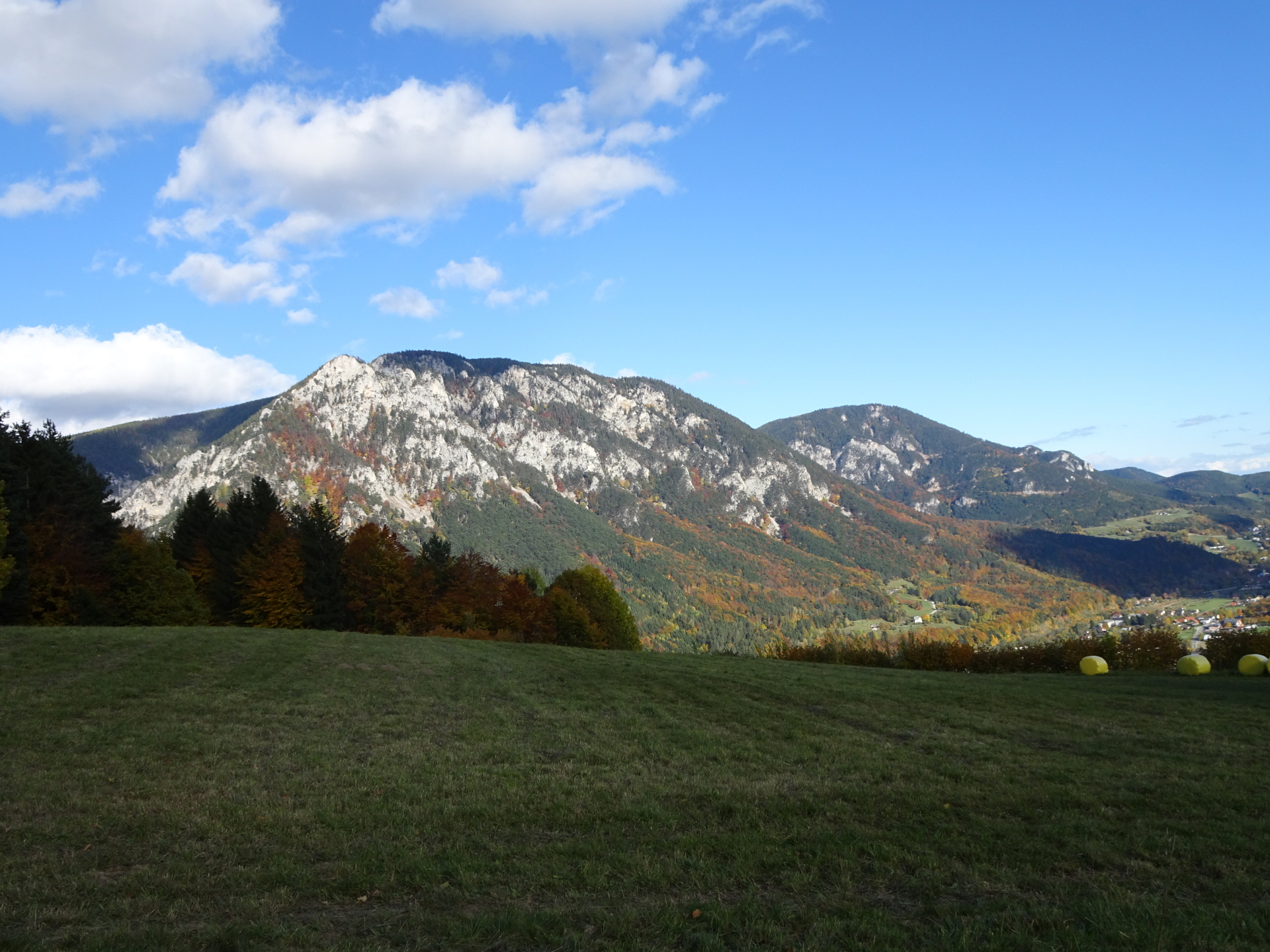
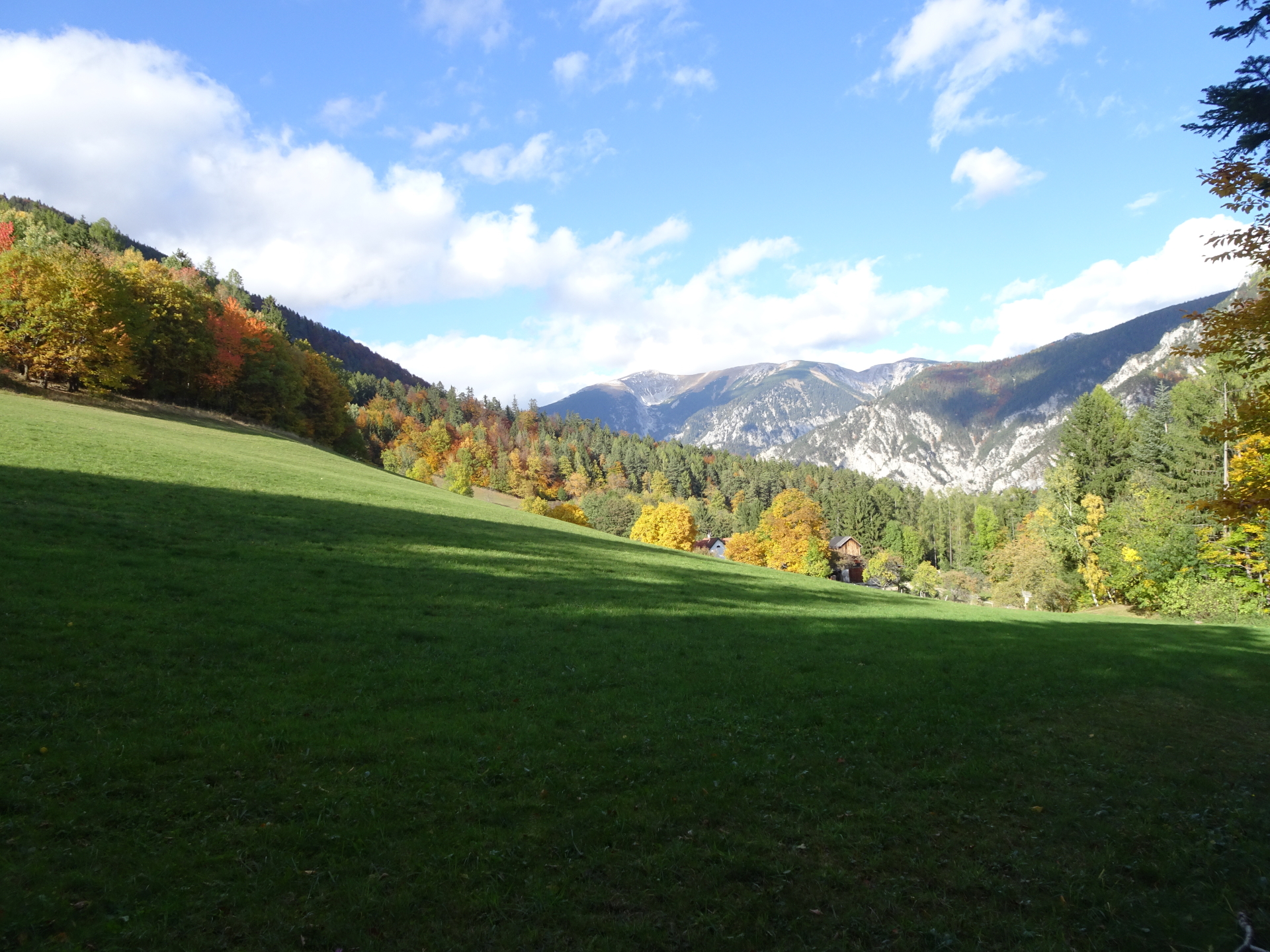
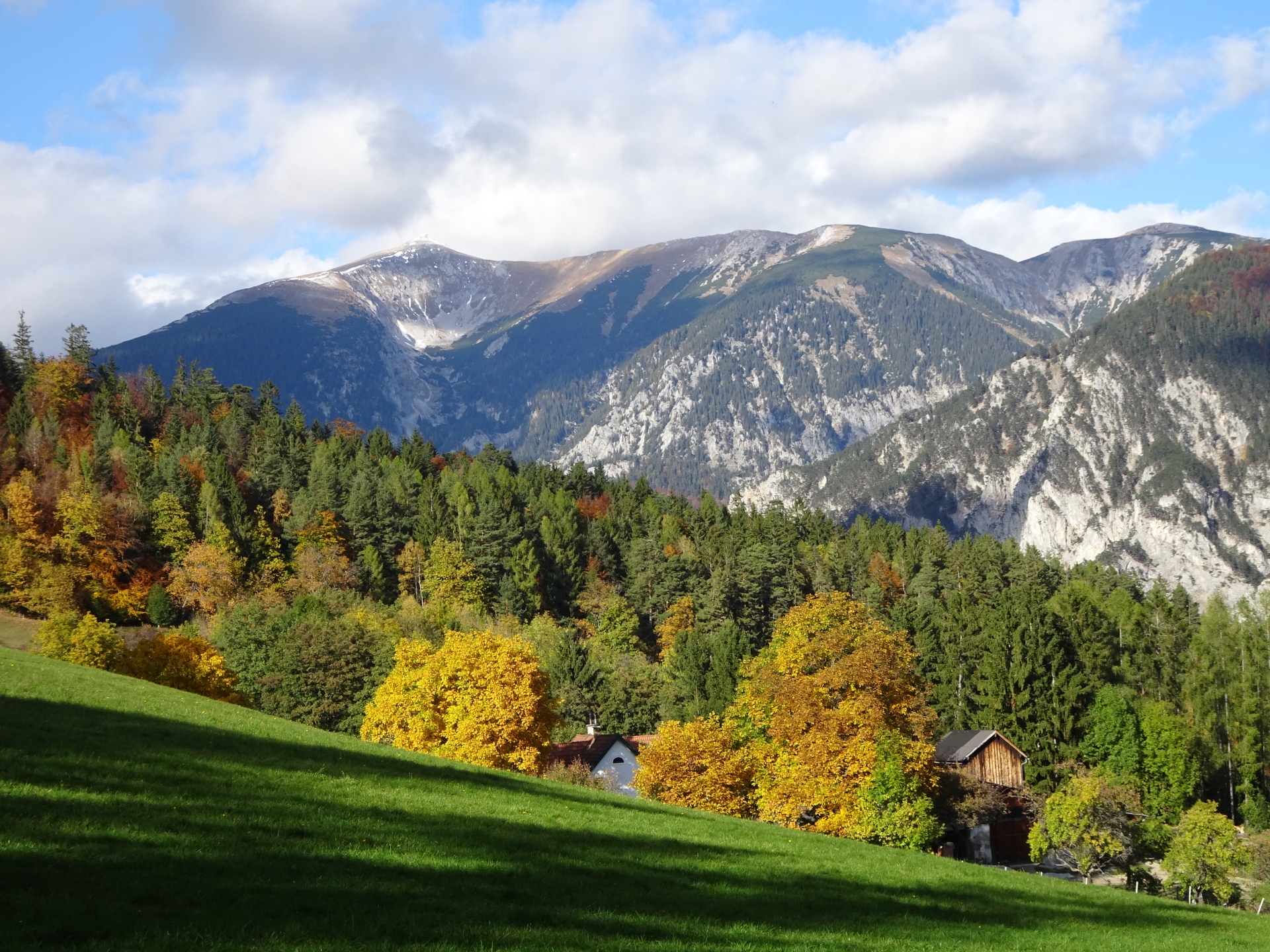
This tour starts from the beautiful village Kaiserbrunn and hikes up to the Rax via the Brandschneide using the very easy Via Ferrata Camillo-Kronich-Steig (Cat. A). Although the via ferrata is easy, the tour is fairly long but offers extremely promising views towards Schneeberg and the entire area. The trail directly leads towards the mountain station of the cable car and the Berggasthof nearby serving delicious food and refreshments. After a well-deserved break, the tour descends along the cable car via the Gsolhirnsteig back to the valley station of the cable car.
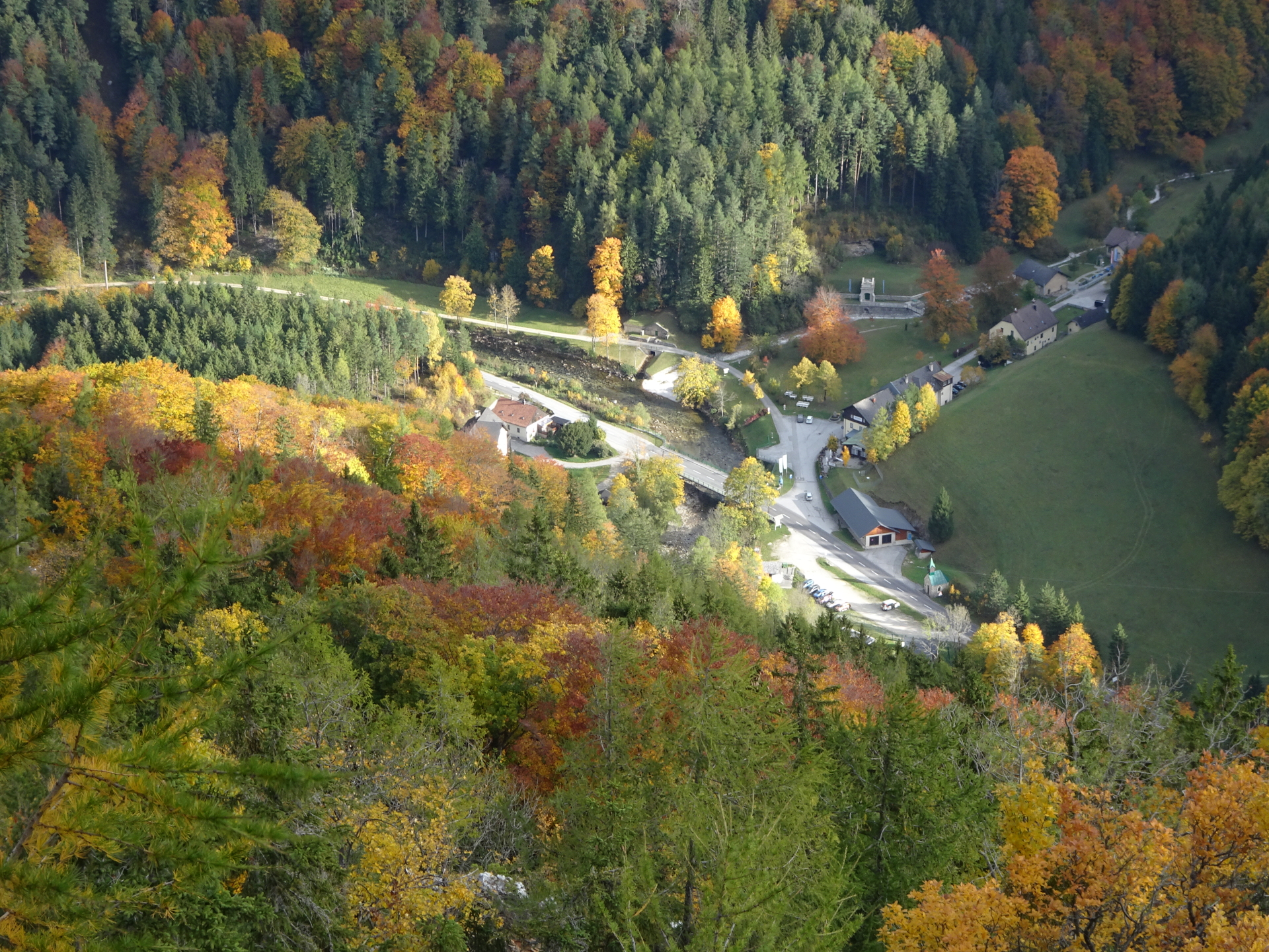
The car can be parked at the valley station of the Rax cable car in Hirschwang. The bus line 1746 can be used to get from Hirschwang to Kaiserbrunn.
Tour Description
| 00:00 | Start at the bus stop Kaiserbrunn (GPS: 47.734222, 15.791929) and follow the street northwards for a few meters crossing the bridge. |
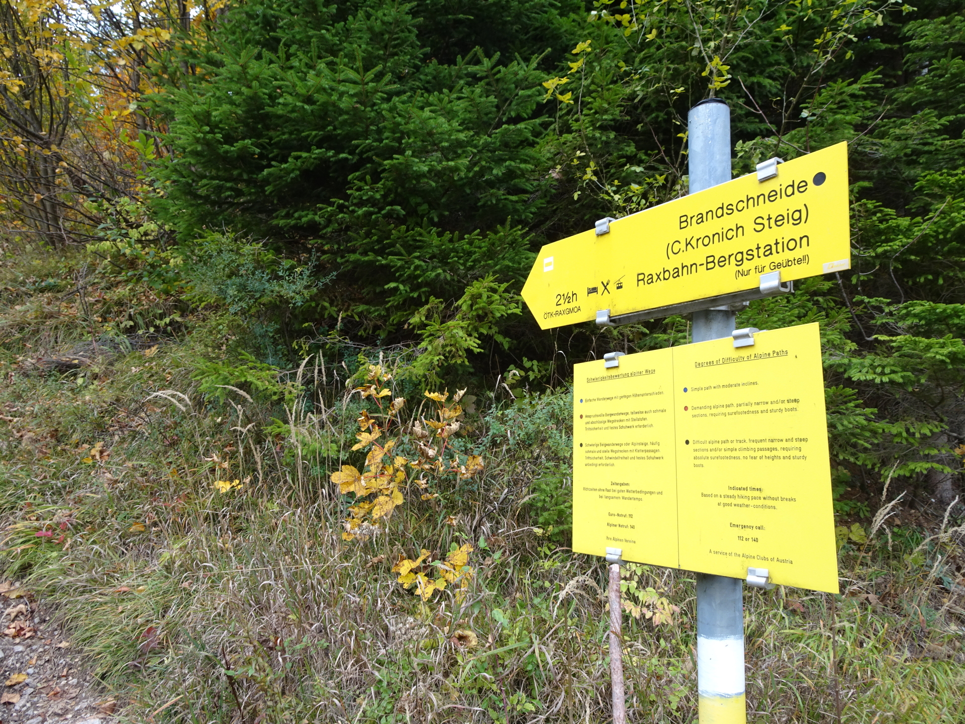
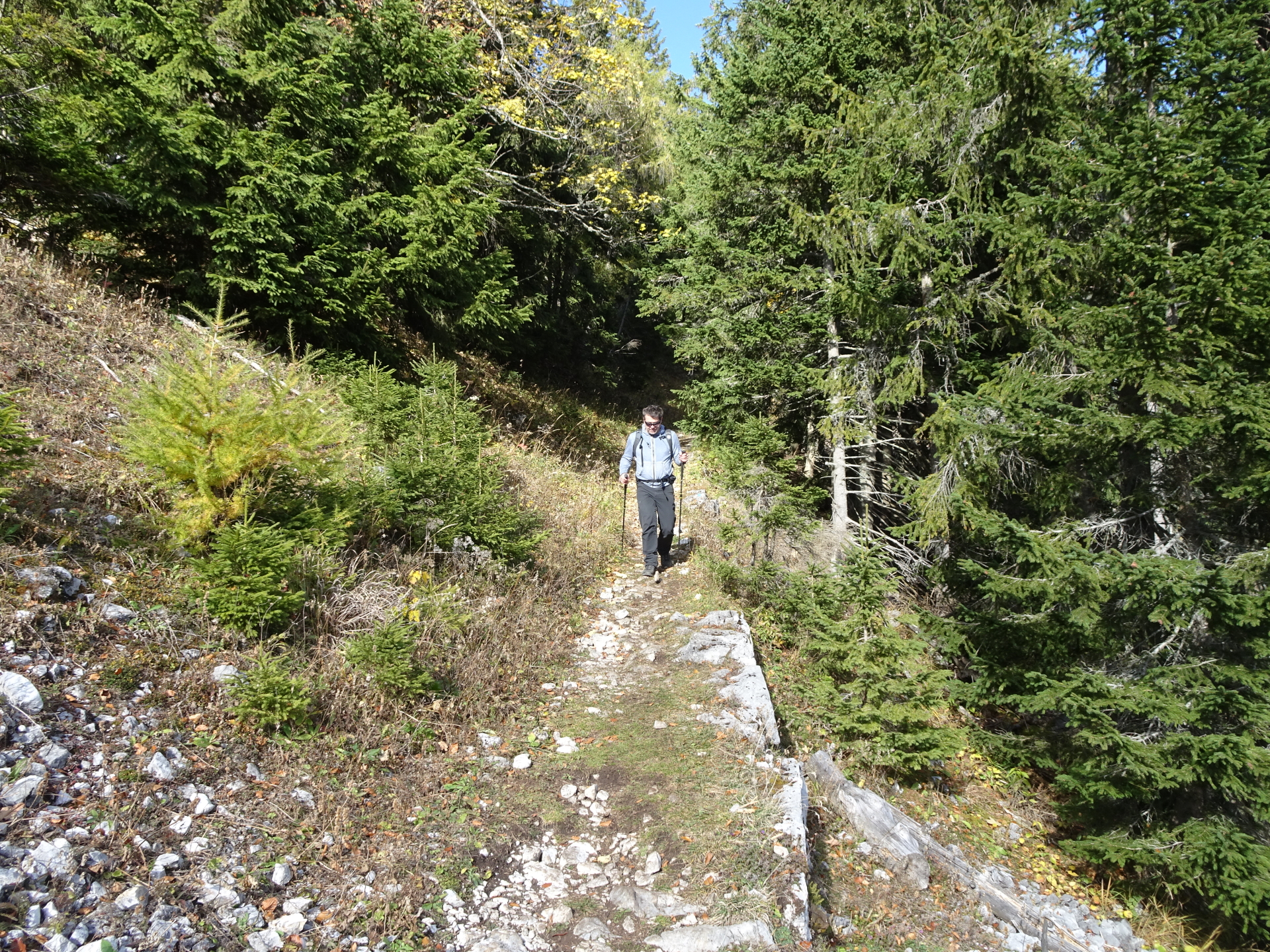
| 00:02 | Turn left into the C.Kronich Steig trail towards Brandschneide (see signposts, follow the white-yellow-white marked trail). |
| 00:05 | Keep left and follow the white-yellow-white marked trail. Keep always straight ahead but enjoy the amazing view from the trail. |
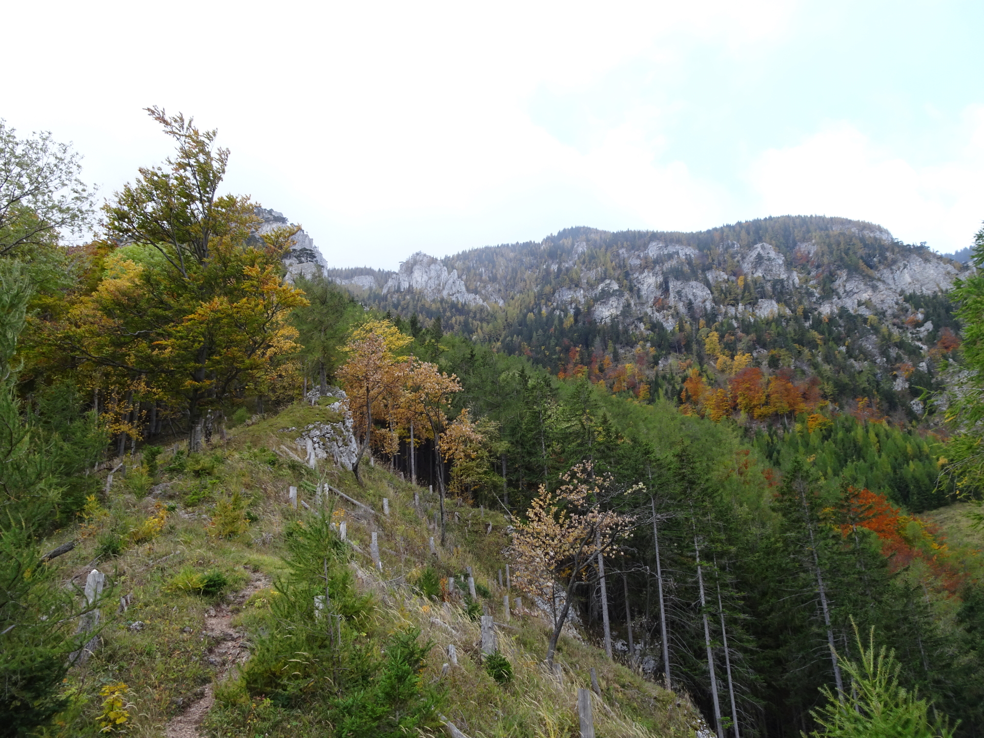
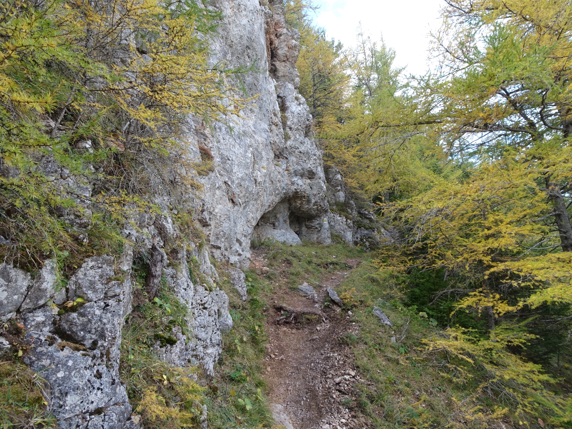
| 01:15 | Climb up the very easy Via Ferrata and keep following the white-yellow-white marked trail. |
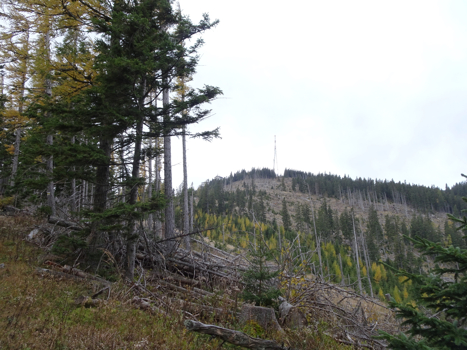
| 02:00 | At the crossing, turn right and follow the blue-marked trail up towards Bergstation (mountain station). |
| 02:05 | Keep left and continue following the blue-marked trail up to Bergstation. |
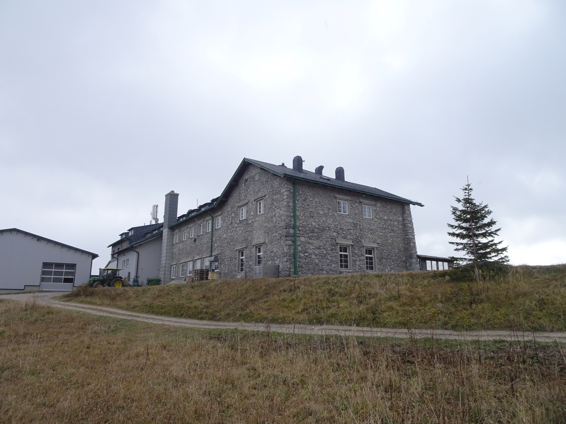
| 02:10 | Turn left and follow the mountain road towards Bergstation and the Berggasthof nearby. |
| 02:15 | Well deserved break ( ) at the Berggasthof. |
| 03:15 | Follow the same blue-marked trail back heading towards Brandschneide (after the Berggasthof, keep right and descend back the same way like the ascent). |
| 03:20 | Turn right and follow the same blue-marked trail back as used for the ascent. |
| 03:30 | At the crossing, turn right this time and use the Gsolhirnsteig trail descending towards Hirschwang. |
| 03:40 | At the crossing, turn left and follow the marked Gsolhirnsteig trail. |
| 04:05 | Turn left and follow the marked trail downwards. |
| 04:30 | Turn left into the forest street and follow the forest street eastwards. |
| 04:35 | Pass by the Knappenhof on its left hand-side and continue following the trail southeastwards. |
| 04:40 | At the crossing, turn left and follow the forest street northeastwards. |
| 04:45 | Turn right into the trail and follow the marked trail eastwards. Cross the street several times but follow the marked trail. |
| 04:50 | Turn left and descend via the forest road towards Hirschwang. |
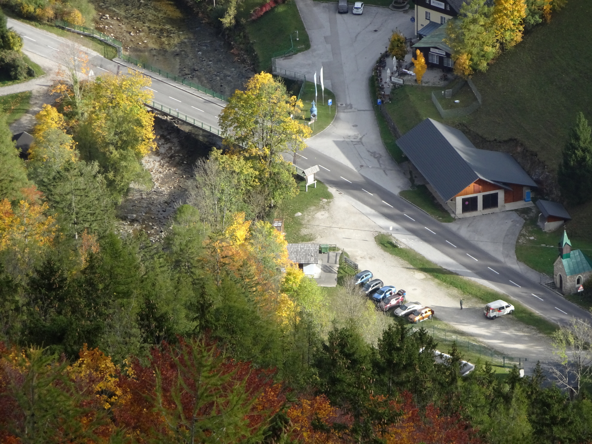
| 05:00 | Keep right, pass by the little church and hike over the bridge towards the main street. |
| 05:05 | Turn left and follow the main street which leads directly towards the valley station. |
| 05:15 | Back at the parking of the Rax cable car. End of the tour. |
General Tour Data
| Area: | Rax/Schneeberg Group, Lower Austria, Austria | |
| Distance: | 10.6km | |
| Ascent: | 1036m (2h 15min) | |
| Descent: | 1041m (1h 50min) | |
| Highest Pt: | 1547m | |
| Lowest Pt: | 497m | |
| Duration: | 4h 15min (without breaks) 5h 15min (with breaks) |
|
| Stop/Rest: | Berggasthof Rax (1545m) | |
| Equipment: | Backpack with standard hiking equipment Snacks and enough water Sun & Weather protection Camera |
| Download GPX | ||
| O | Tour at outdooractive.com |
At a glance
| Level | moderate |
| – Via Ferrata Category | A |
| Technique | |
| Shape / Fitness | |
| Experience | |
| Scenery | |
| Best time in the year | |
|
Jan
Feb
Mar
Apr
May
Jun
Jul
Aug
Sep
Oct
Nov
Dec
|
|


\"")

Leave a Reply