
Hike along the Schwarza from Hirschwang to Kaiserbrunn via the Wasserleitungsweg
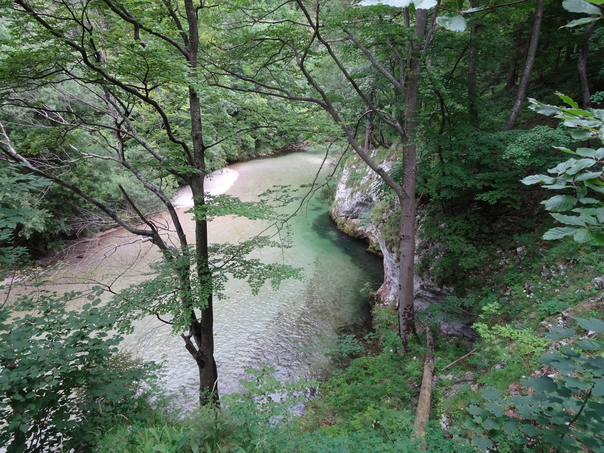
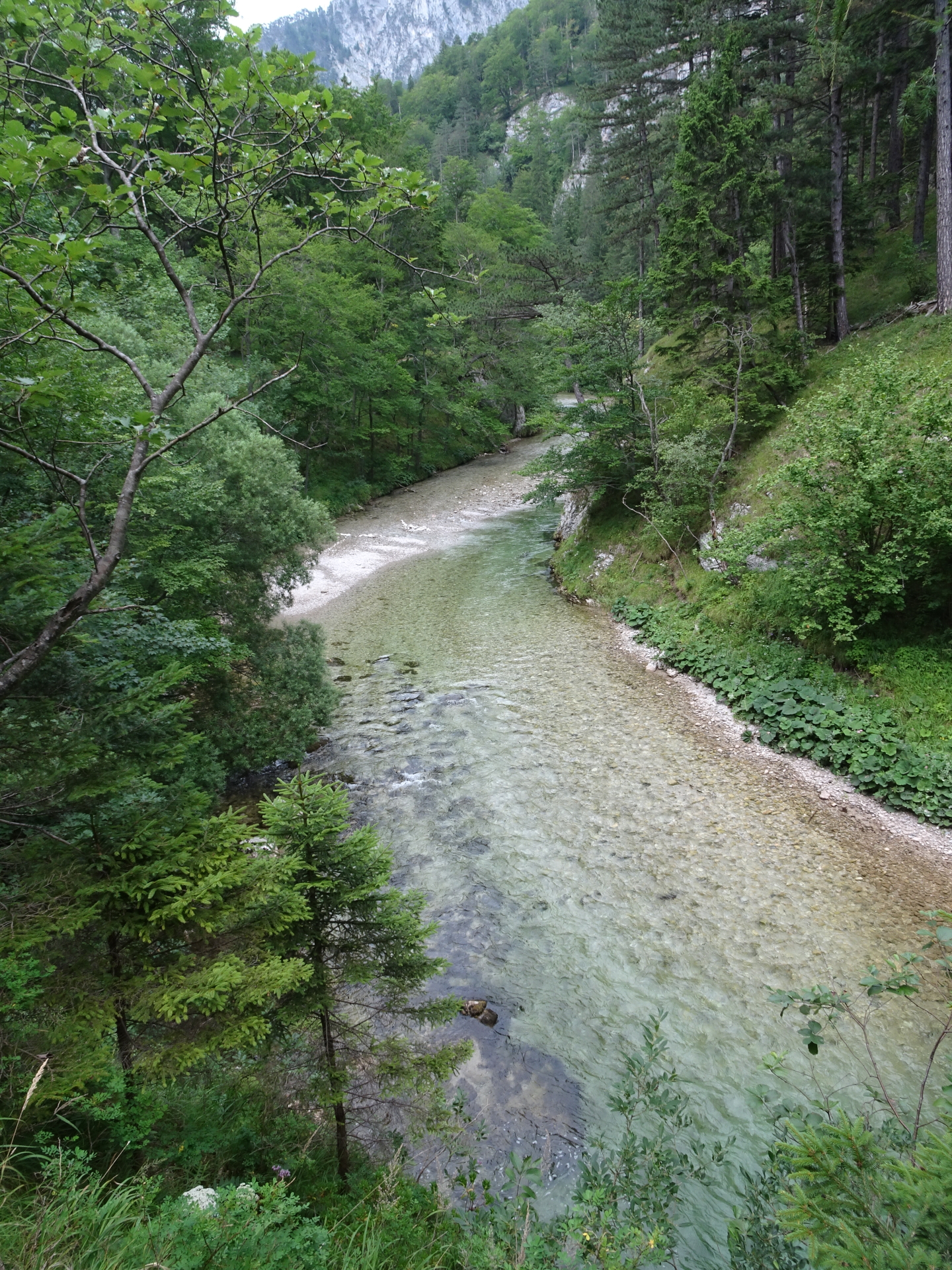
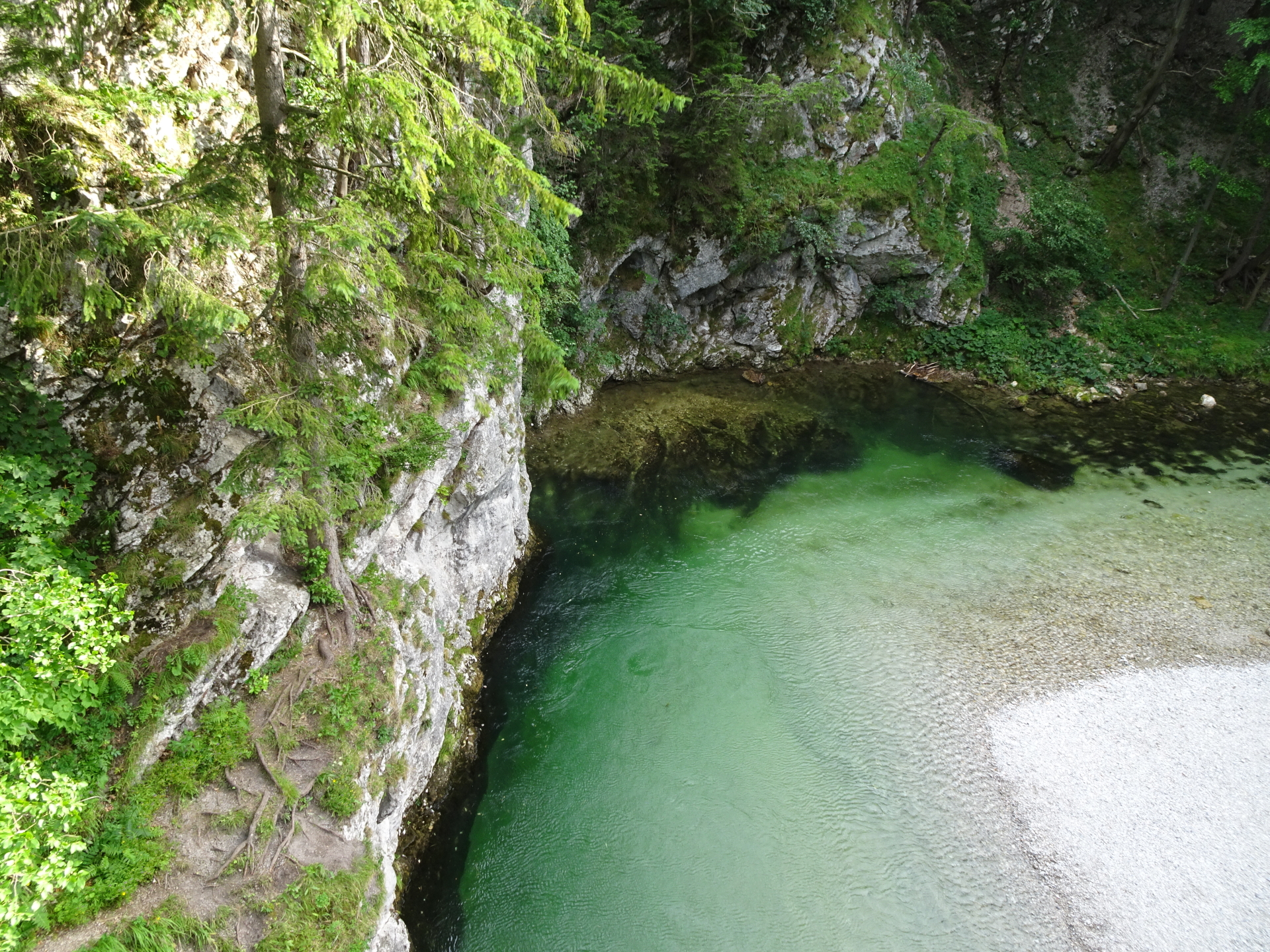
This tour starts at Hirschwang and leads along the beautiful Schwarza river, along the water supply pipeline of Vienna. The tour leads till Kaiserbrunn and the water supply museum. After a well-deserved refreshment in Kaiserbrunn, the same trail is used to hike back to the parking.
A bus is operating between Hirschwang and Kaiserbrunn and can be optionally used for traveling back.
Tour Description
| 00:00 | Start at the parking lot Hirschwang an der Rax / Wasserleitungsweg (GPS: 47.711032, 15.805839). First, follow the street northwards towards the valley station of the cable car. |
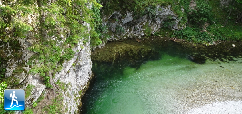
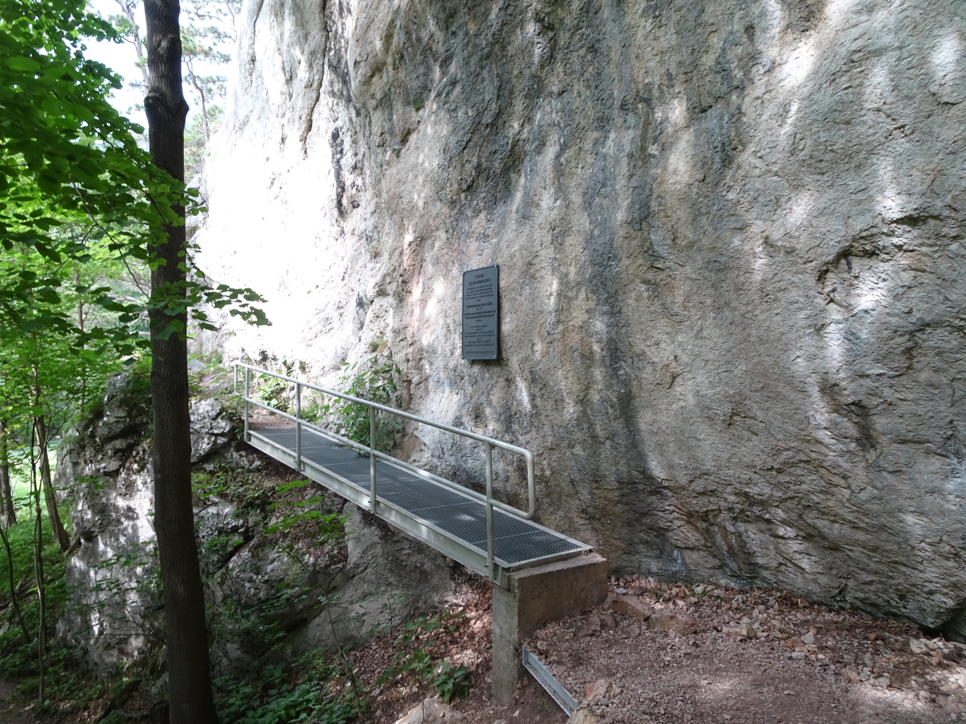
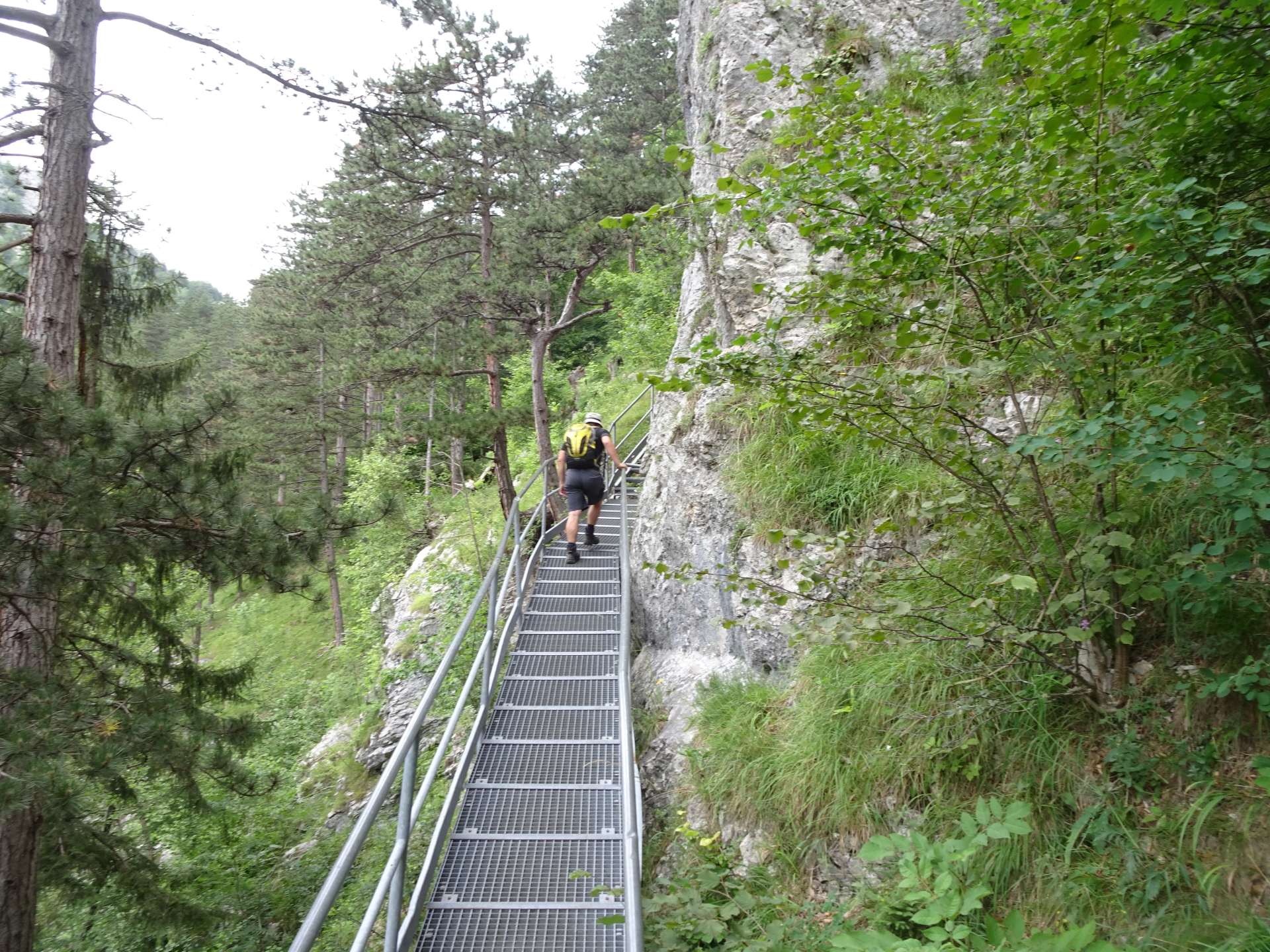
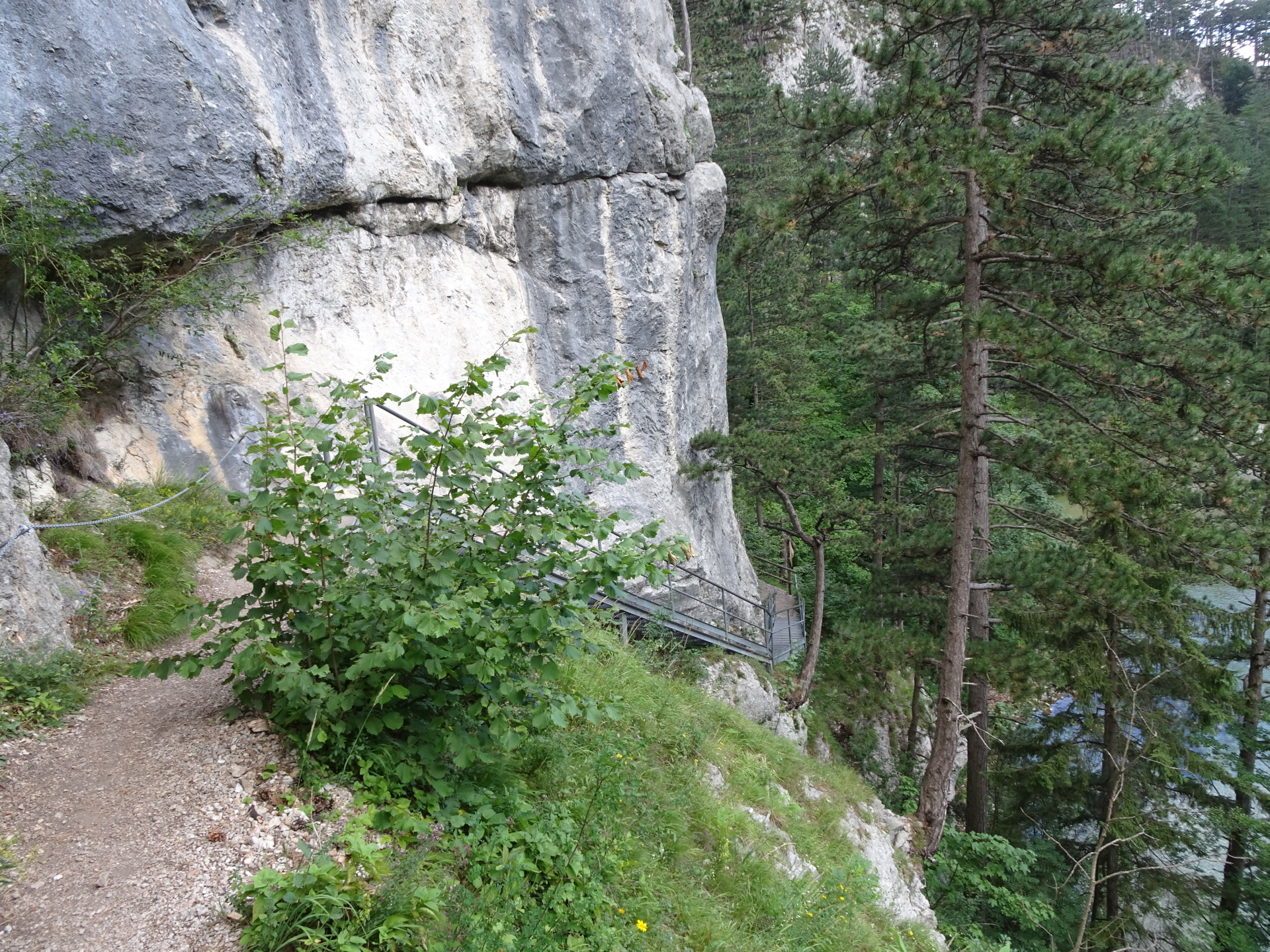
| 00:02 | Before the bridge, turn right and follow the 1 Wiener Wasserleitungsweg trail (start with wooden bridge) along the Schwarza river. |
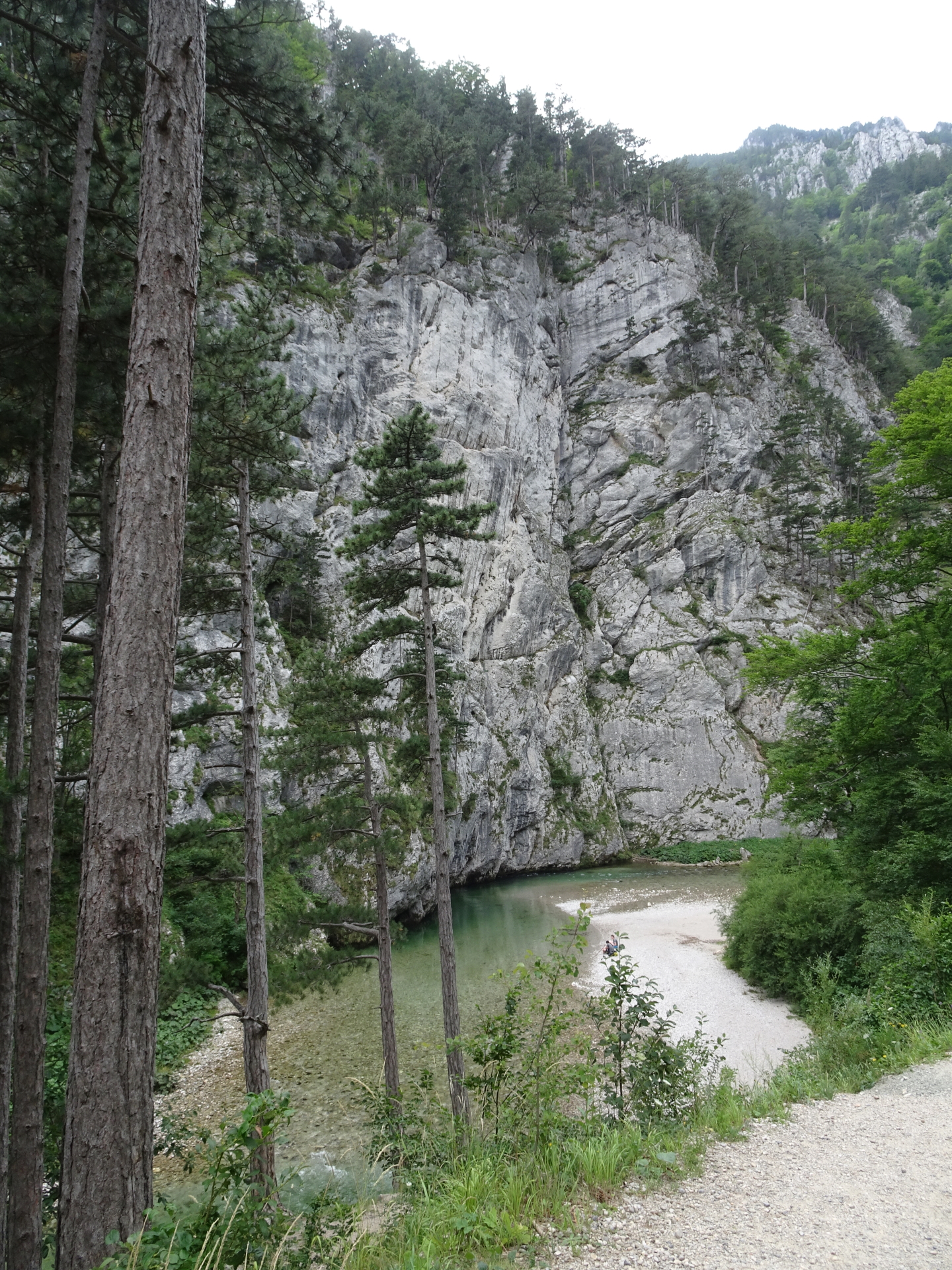
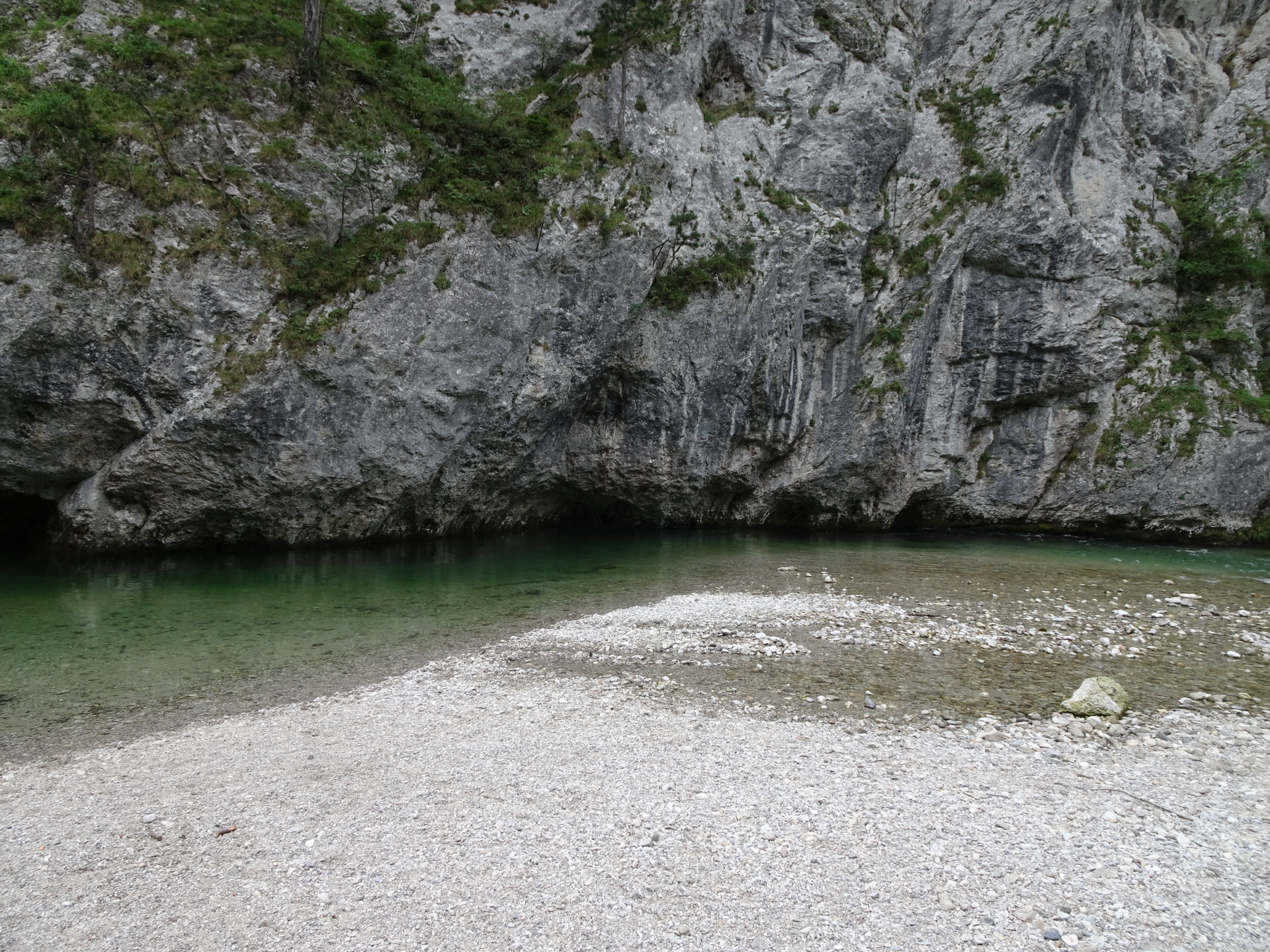
| 00:20 | Enjoy the impressive view from the viewpoint and then turn right and descend still following the trail along Schwarza. |
| 00:30 | Cross the street and follow the trail on its opposite side. |
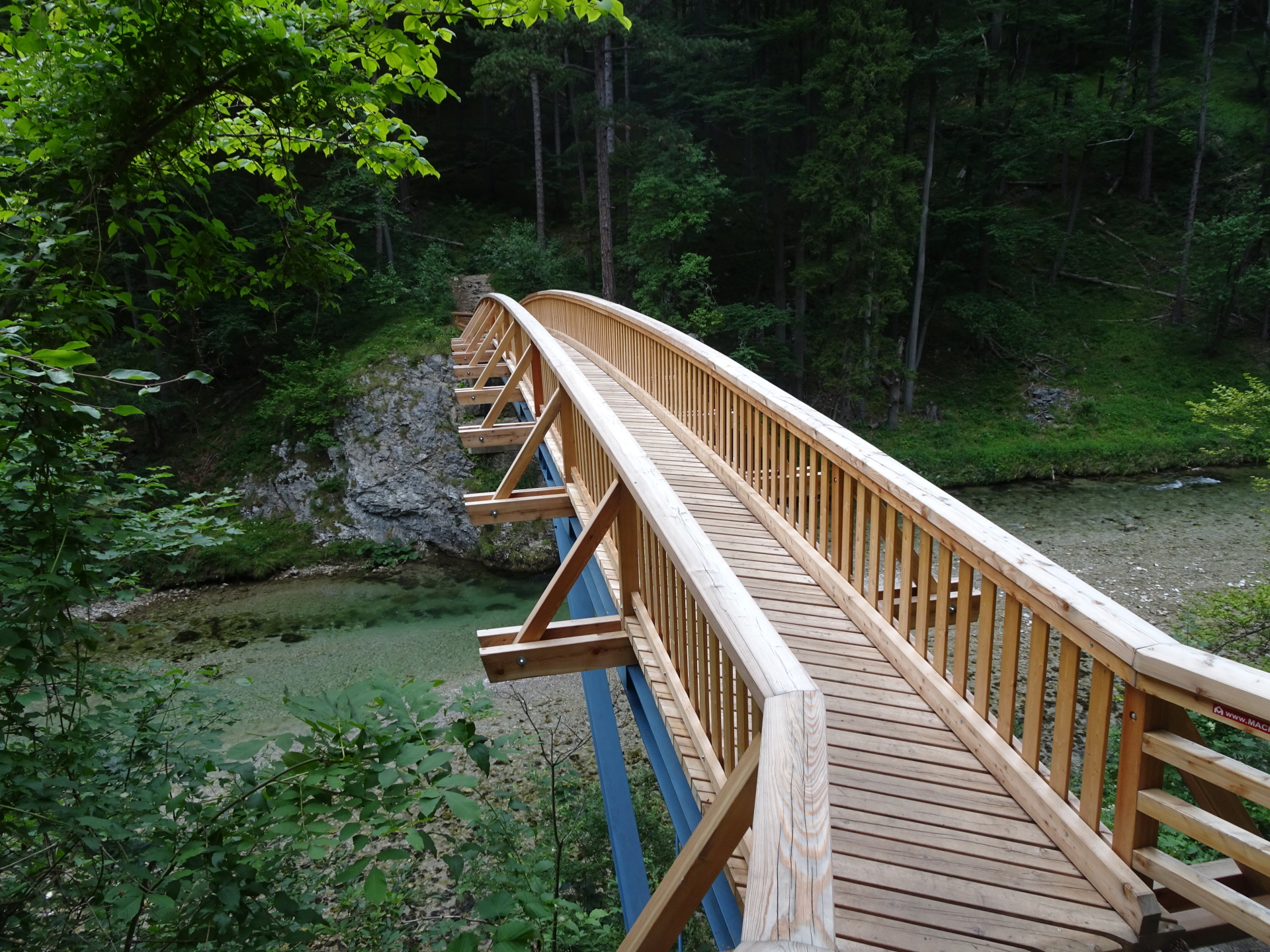
| 00:35 | Cross the river using the new bridge. |
| 00:45 | Turn left and follow the street for a couple of meters. After its corner, turn right into the trail again. |
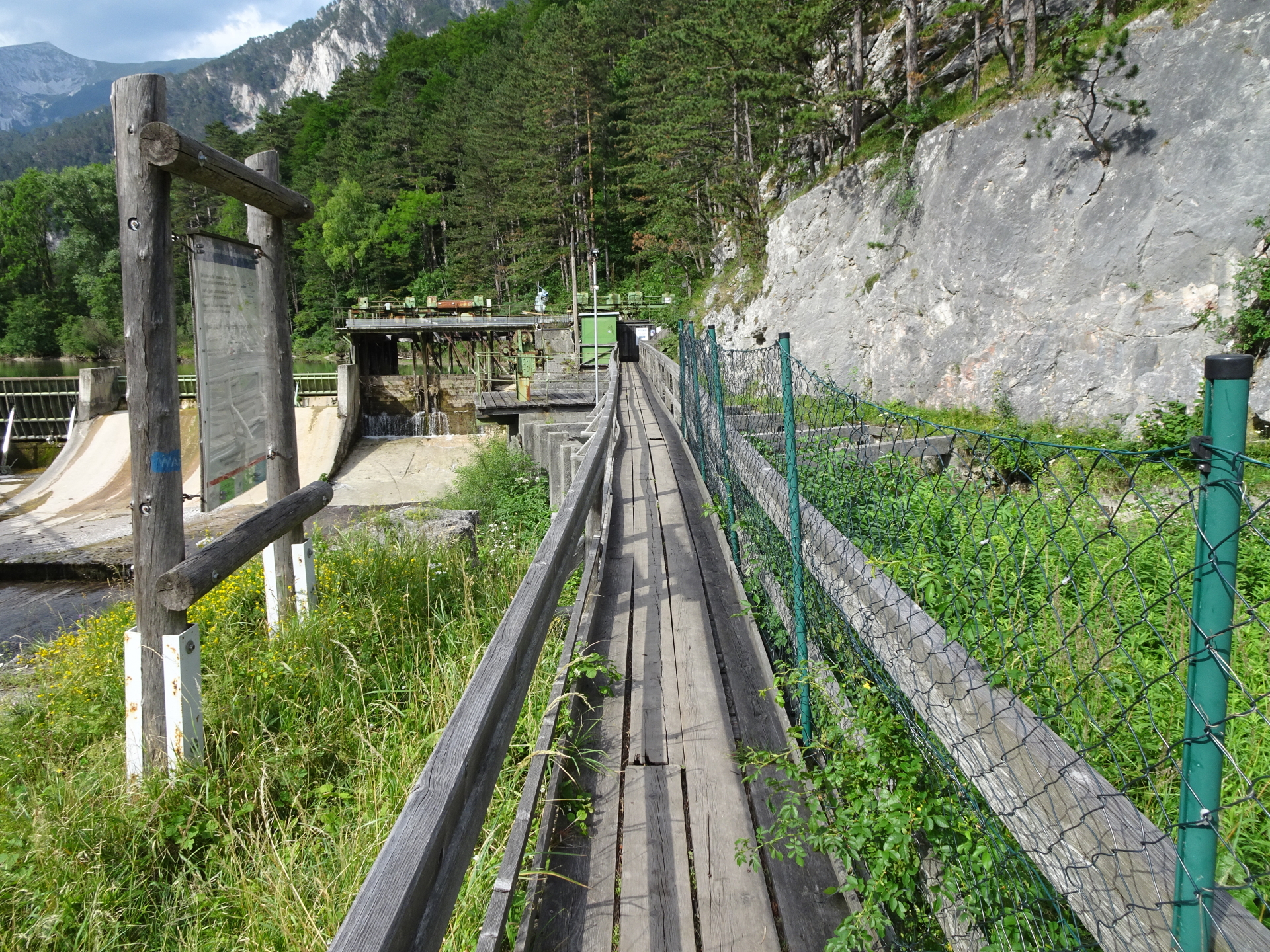
| 01:00 | Follow the street northwestwards for a couple of meters (cross the bridge). Then keep left and use the trail on the street’s left hand-side. |
| 01:05 | At Kaiserbrunn, turn right and follow the small street eastwards to the museum. |
| 01:10 | You might want to visit the museum or the am Wasserwerk restaurant ( ). |
| 02:00 | Use the same route back to the parking. |
| 03:00 | Back at the parking, end of the tour. |
At a glance
| Level | easy |
| Technique | |
| Shape / Fitness | |
| Experience | |
| Scenery | |
| Best time in the year | |
|
Jan
Feb
Mar
Apr
May
Jun
Jul
Aug
Sep
Oct
Nov
Dec
|
|
General Tour Data
| Area: | Rax/Schneeberg Group, Lower Austria, Austria | |
| Distance: | 8km | |
| Ascent: | 285m (1h 00min) | |
| Descent: | 285m (1h 00min) | |
| Highest Pt: | 558m | |
| Lowest Pt: | 503m | |
| Duration: | 2h 00min (without breaks) 3h 00min (with breaks) |
|
| Stop/Rest: | Am Wasserwerk (526m) | |
| Equipment: | Hiking shoes Backpack with standard hiking equipment Snacks and enough water Sun & Weather protection Camera |
| Download GPX | ||
| O | Tour at outdooractive.com |


\"")

Leave a Reply