| 00:00 |
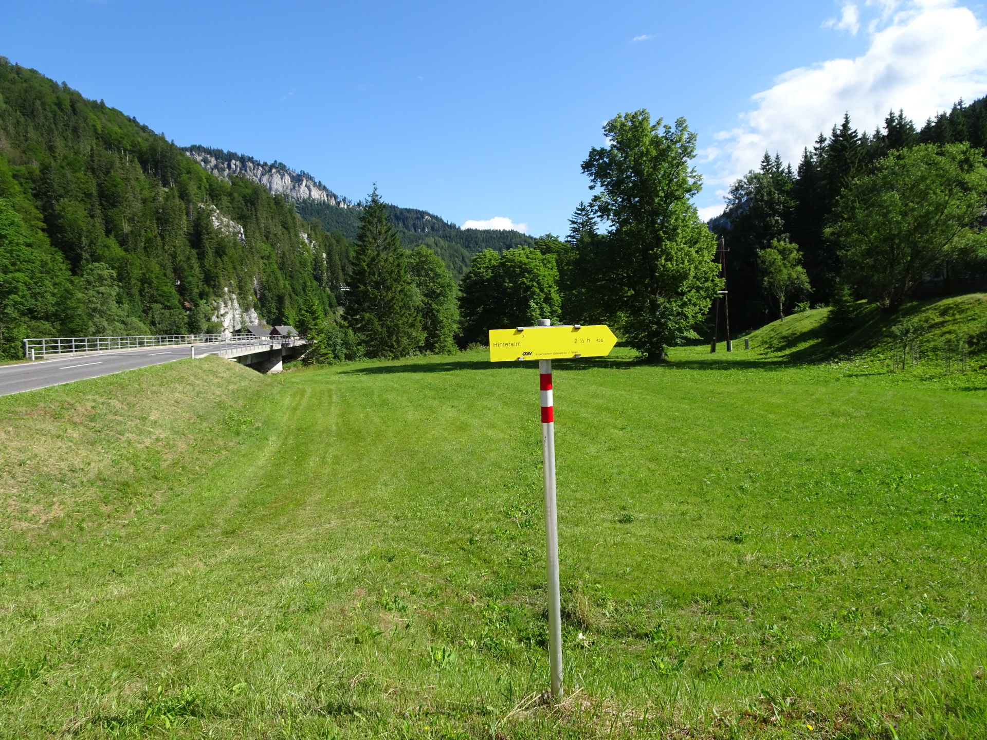
Start at the parking lot north of Mürzsteg (GPS: 47.706758, 15.476206) and follow the road northwards for a couple of meters (cross the bridge). |
| 00:02 |
Turn left into the forest road and follow the forest road eastwards. |
| 00:04 |
At the crossing, keep straight ahead (slightly right) and continue following the (unmarked!) forest road eastwards. |
| 00:50 |
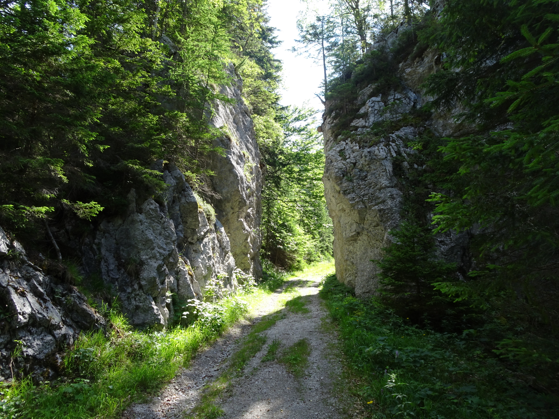
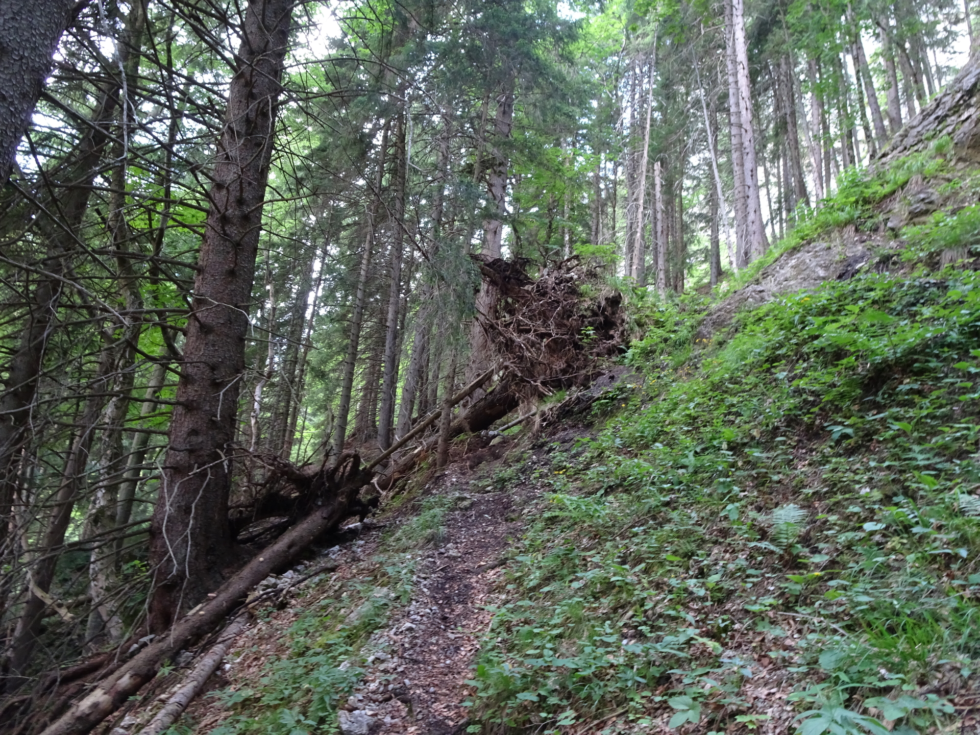
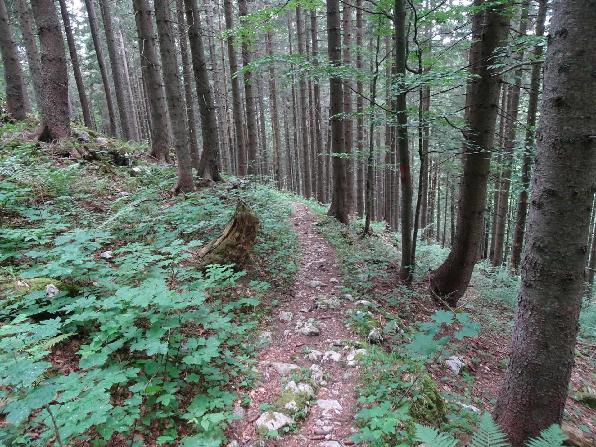
At the end of the forest road, keep straight ahead and follow the Teufelsbadstubensteig (not marked but visible) trail upwards. |
| 01:15 |
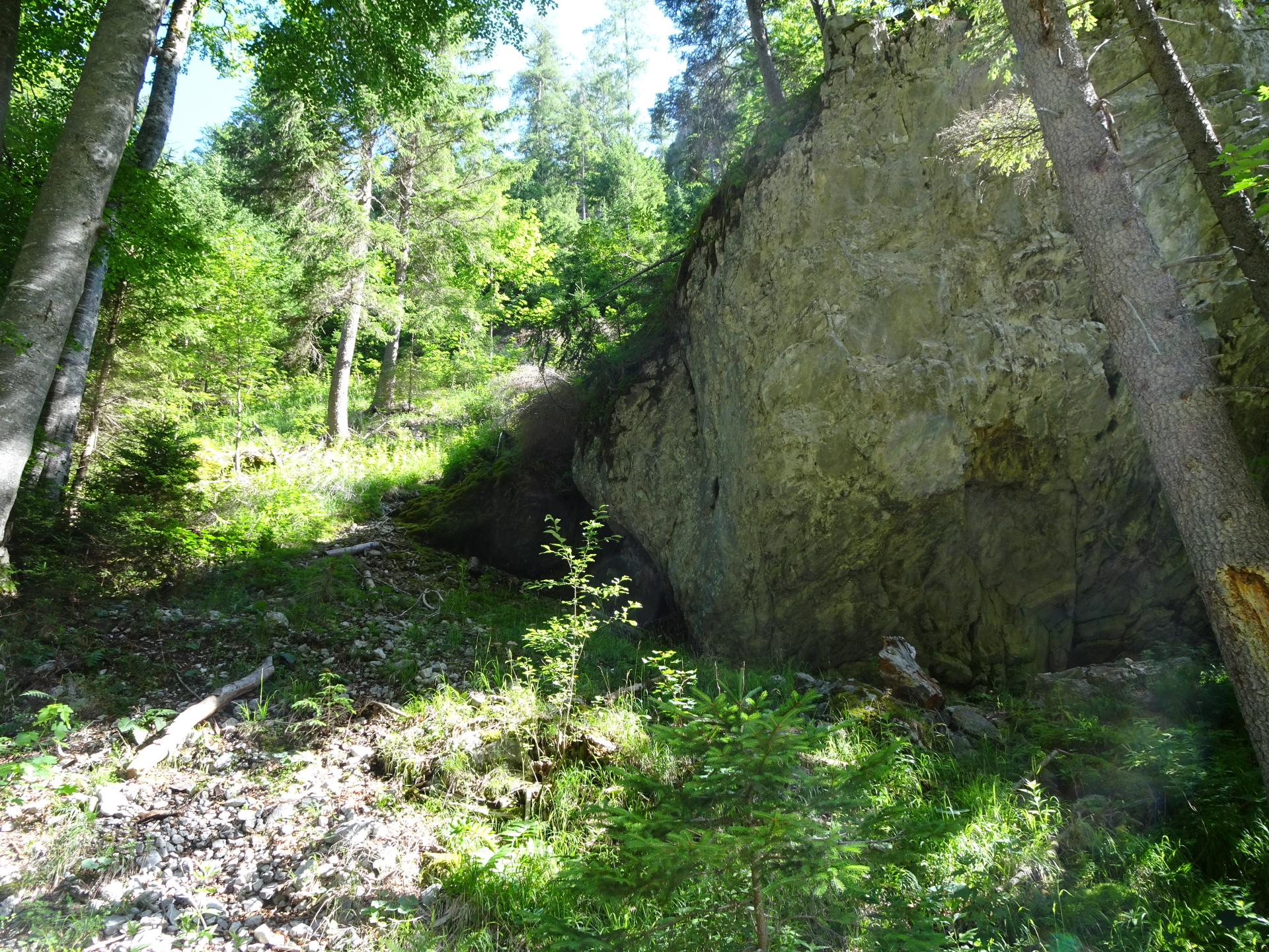
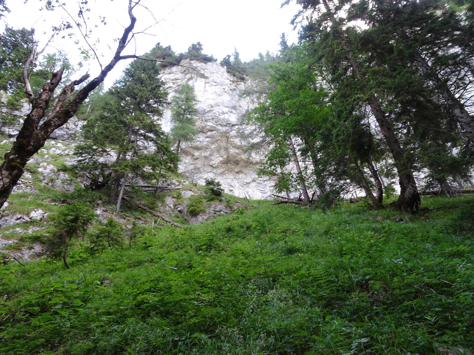
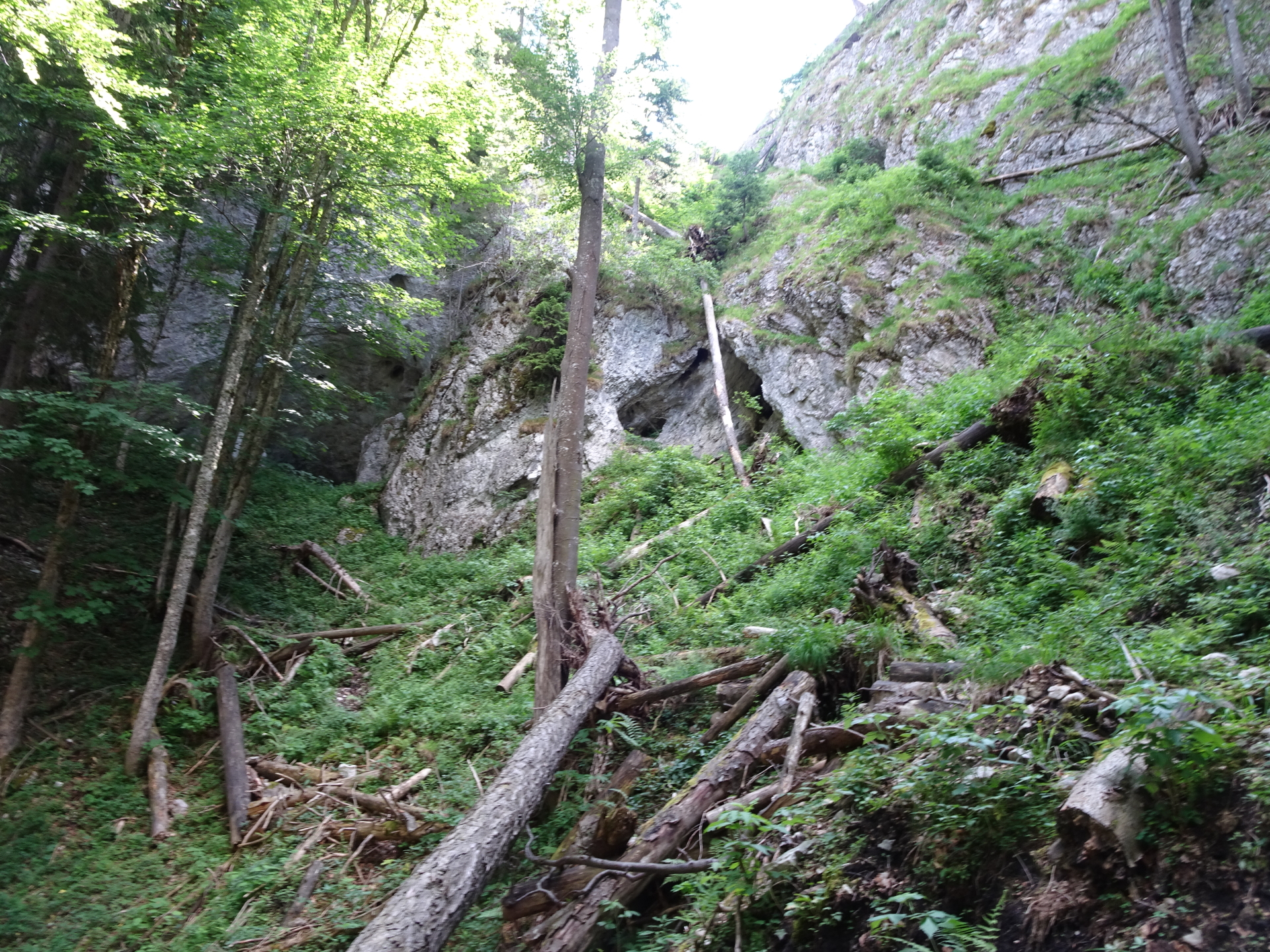
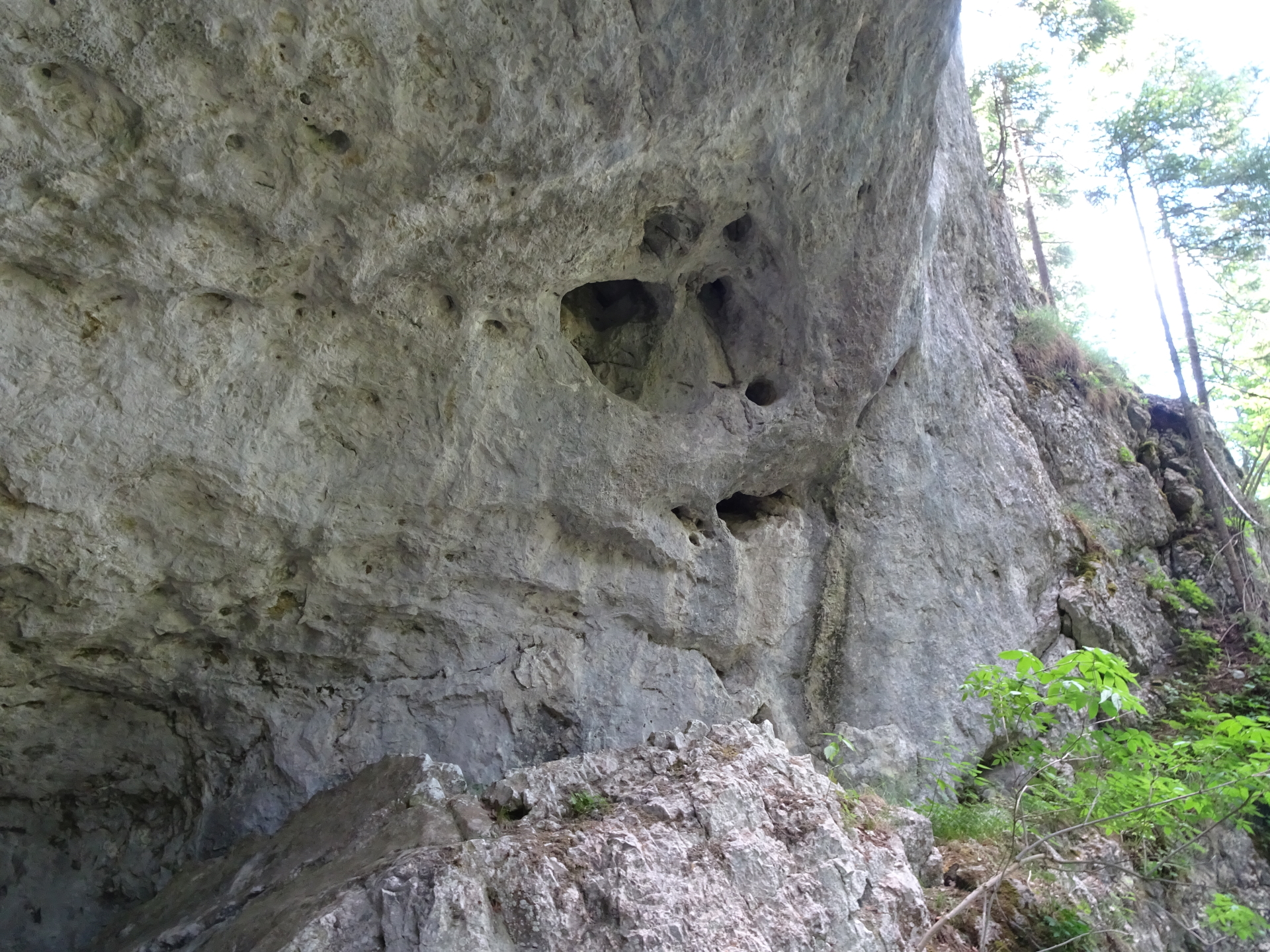
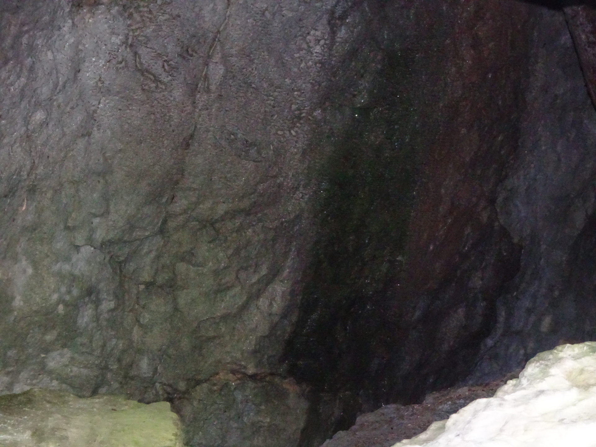
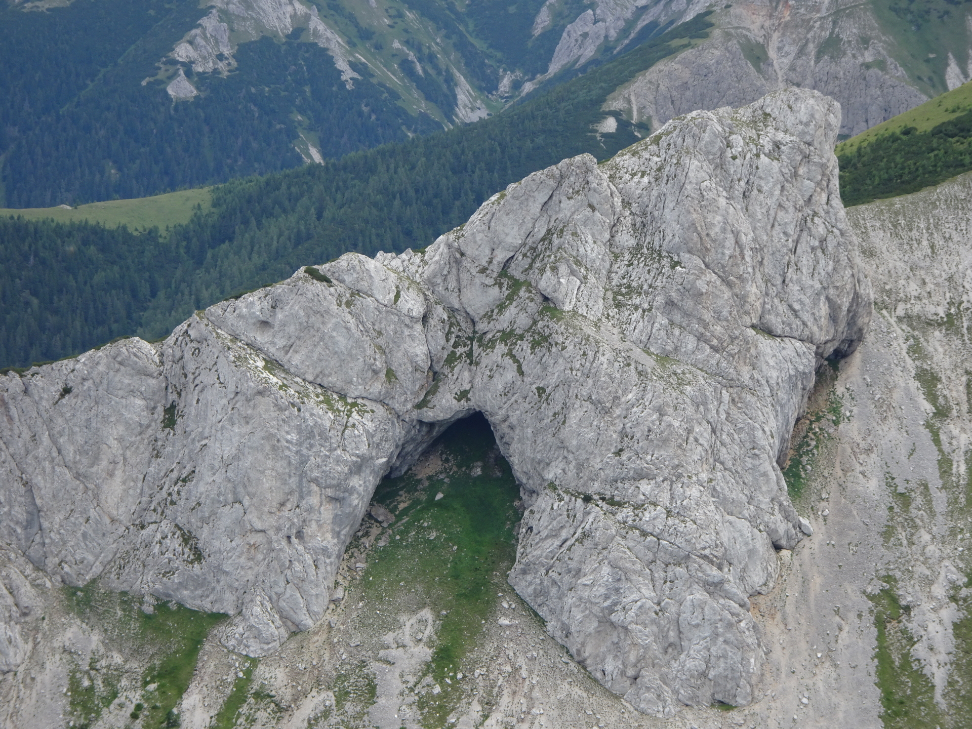
Pass by the Teufelsbadstube / Höllgrabenhöhle cave and continue ascending via the trail. |
| 01:25 |
Turn left into the bigger trail / forest road. |
| 01:30 |
At the crossing Hinterer Haselboden, keep slightly right and follow the forest road northwards. |
| 01:40 |
Pass by the Durchfall (water cave) and follow the forest road northwestwards. |
| 01:55 |
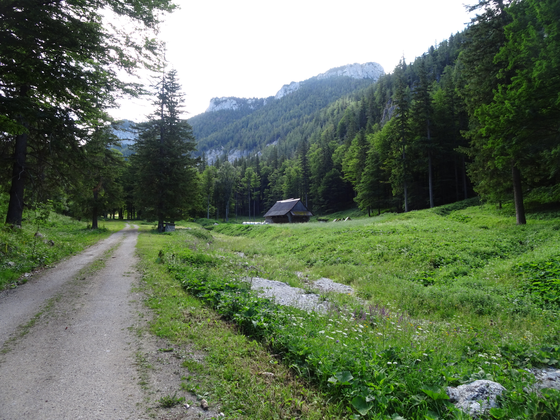
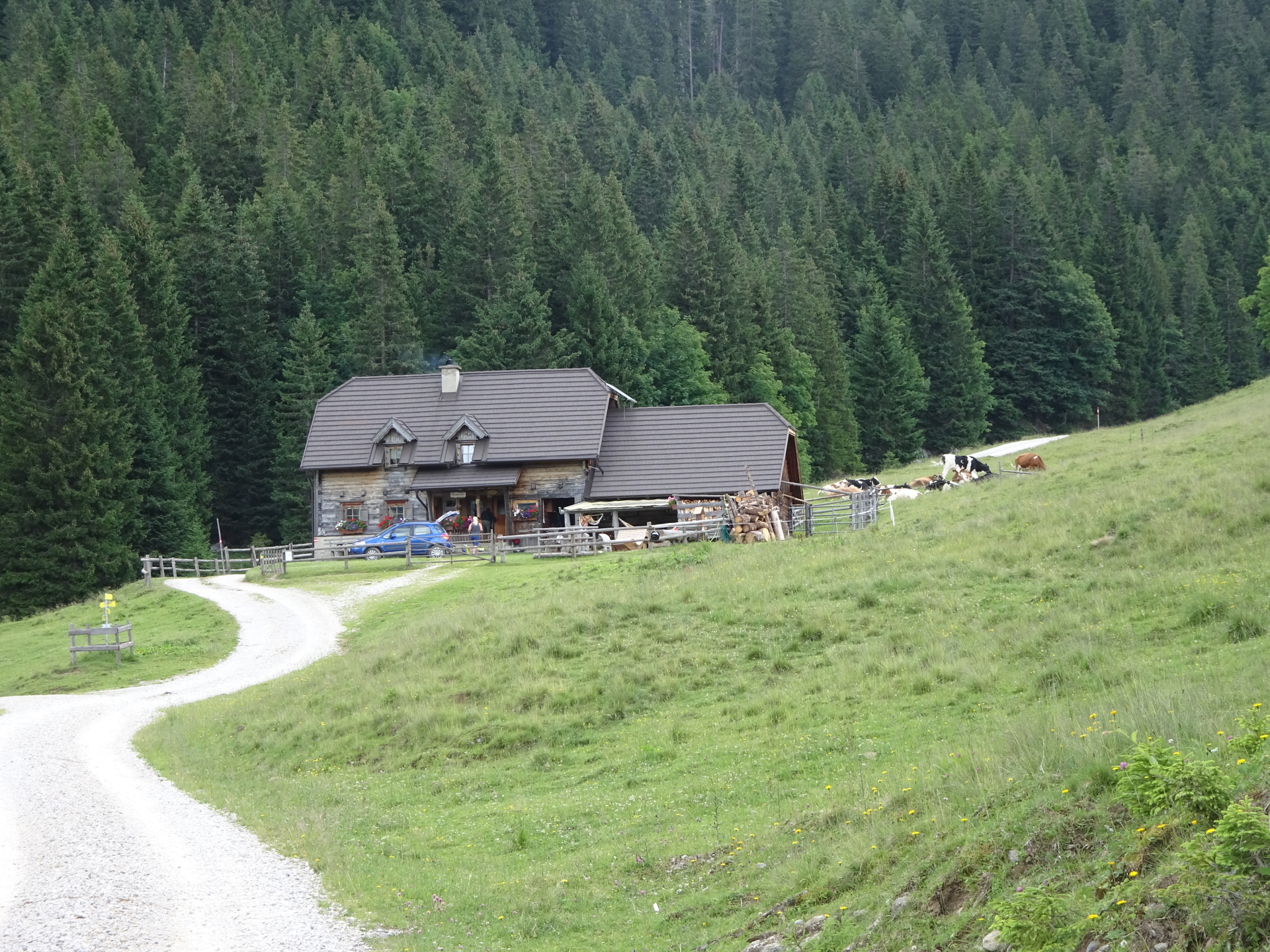
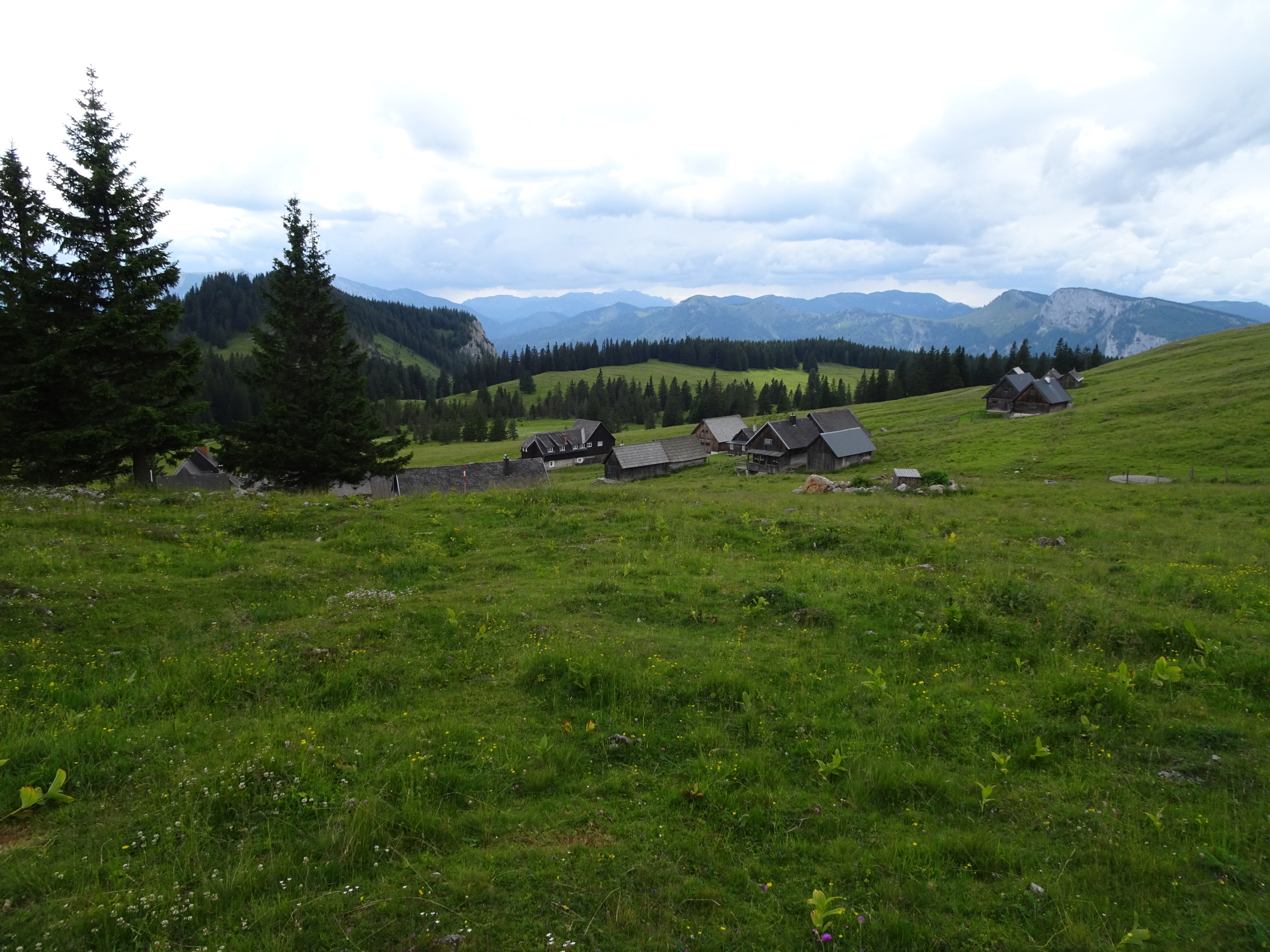
At the crossing, keep right and then follow the forest road towards Bodenalm (always keep straight ahead). |
| 02:00 |
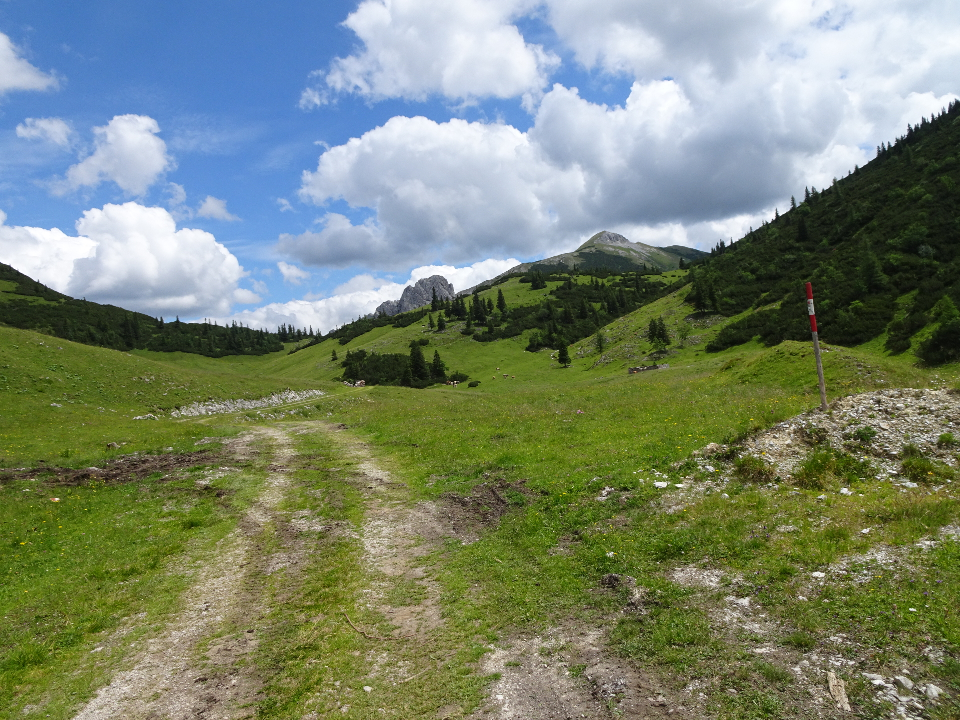
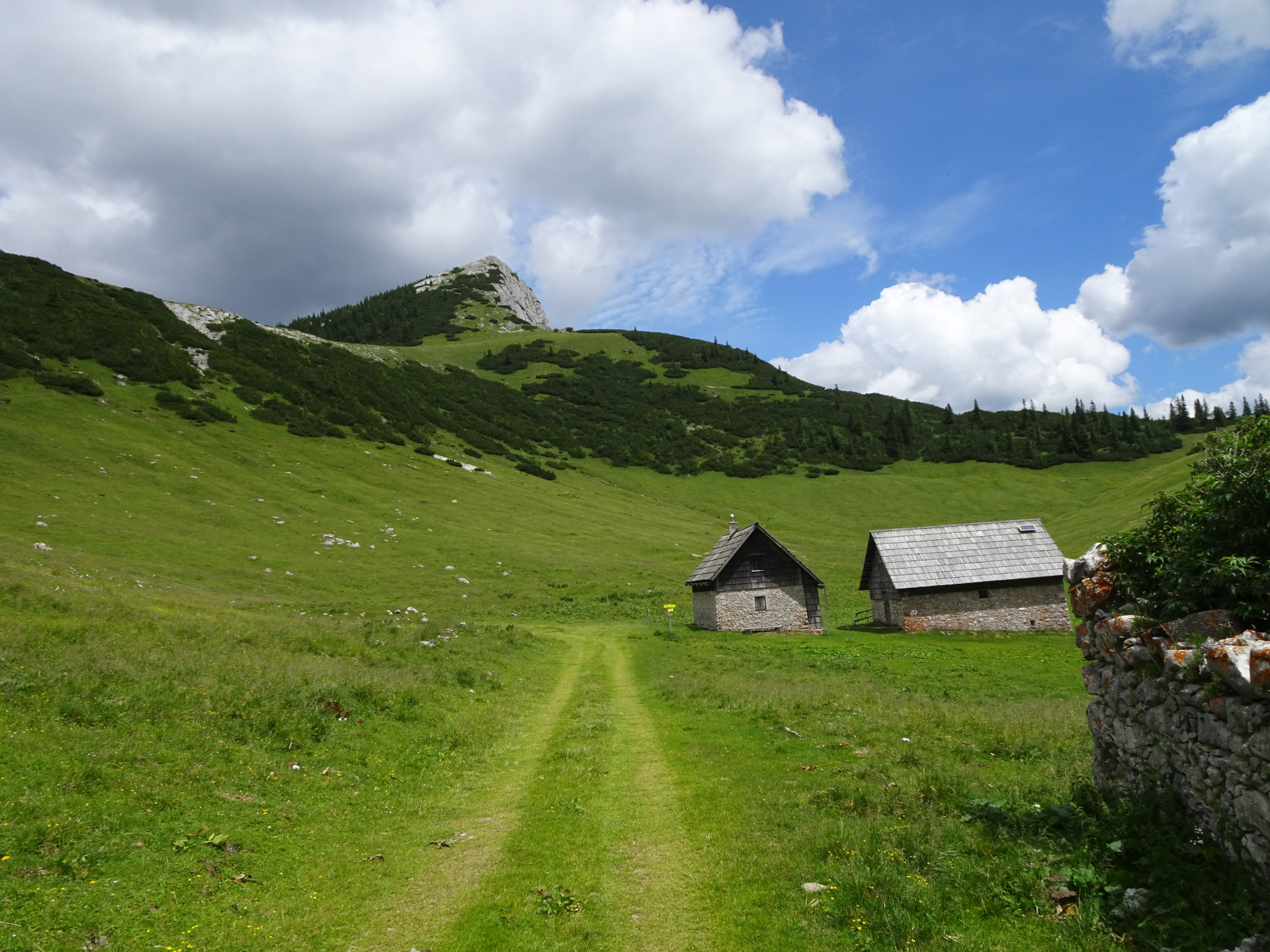
Pass by the Bodenalm (keep right at the crossing) and follow the red-white-red marked trail eastwards to Großbodenalm. |
| 02:50 |
At the Großbodenalm furn right and follow the trail upwards to the Griesleitensattel. |
| 03:00 |
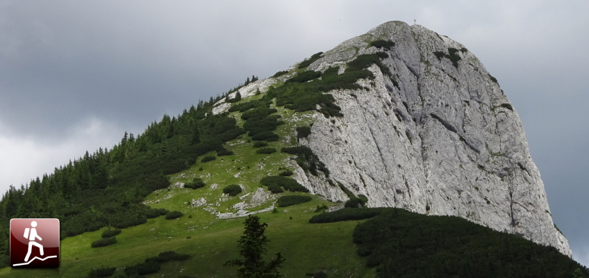
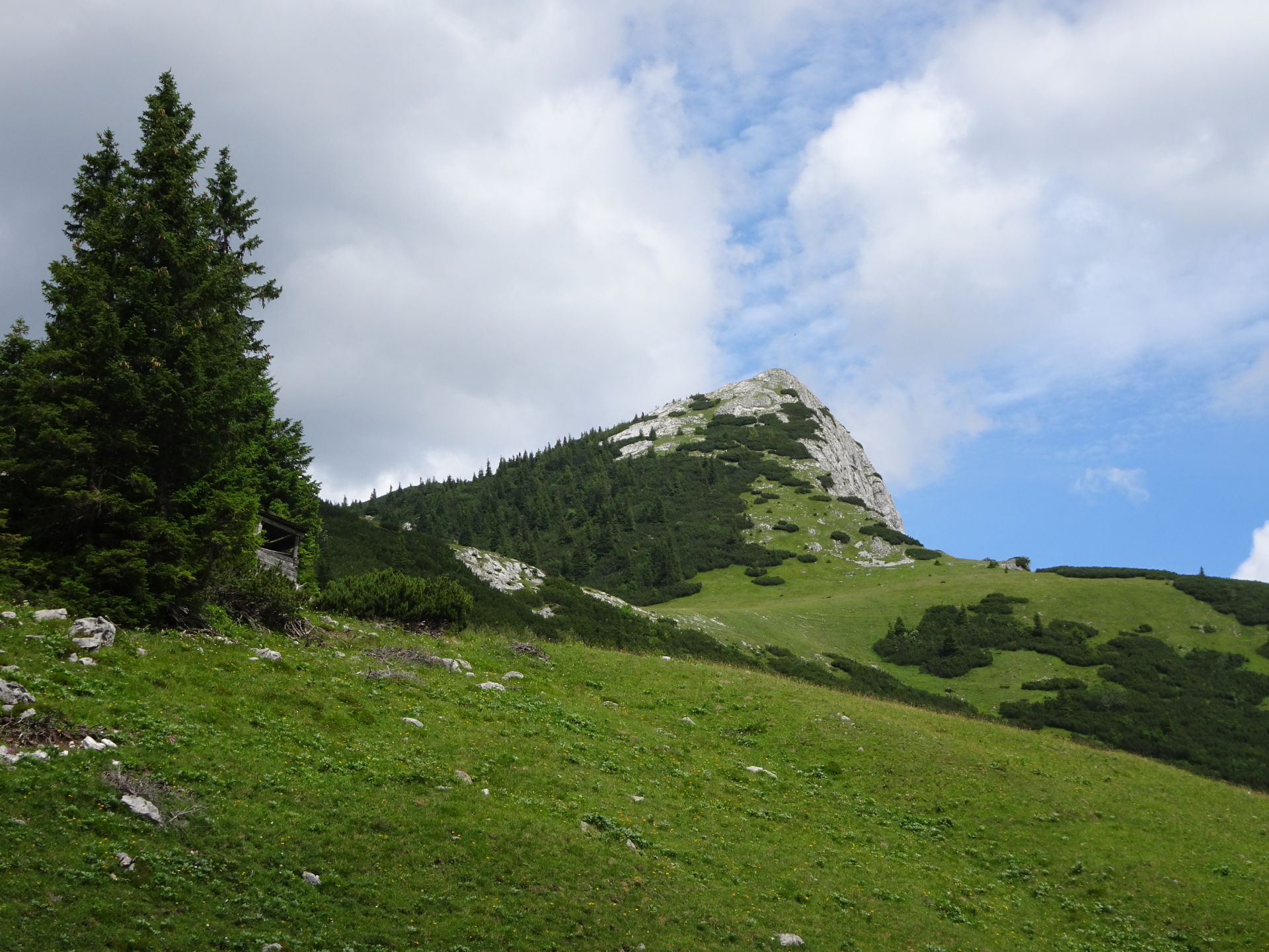
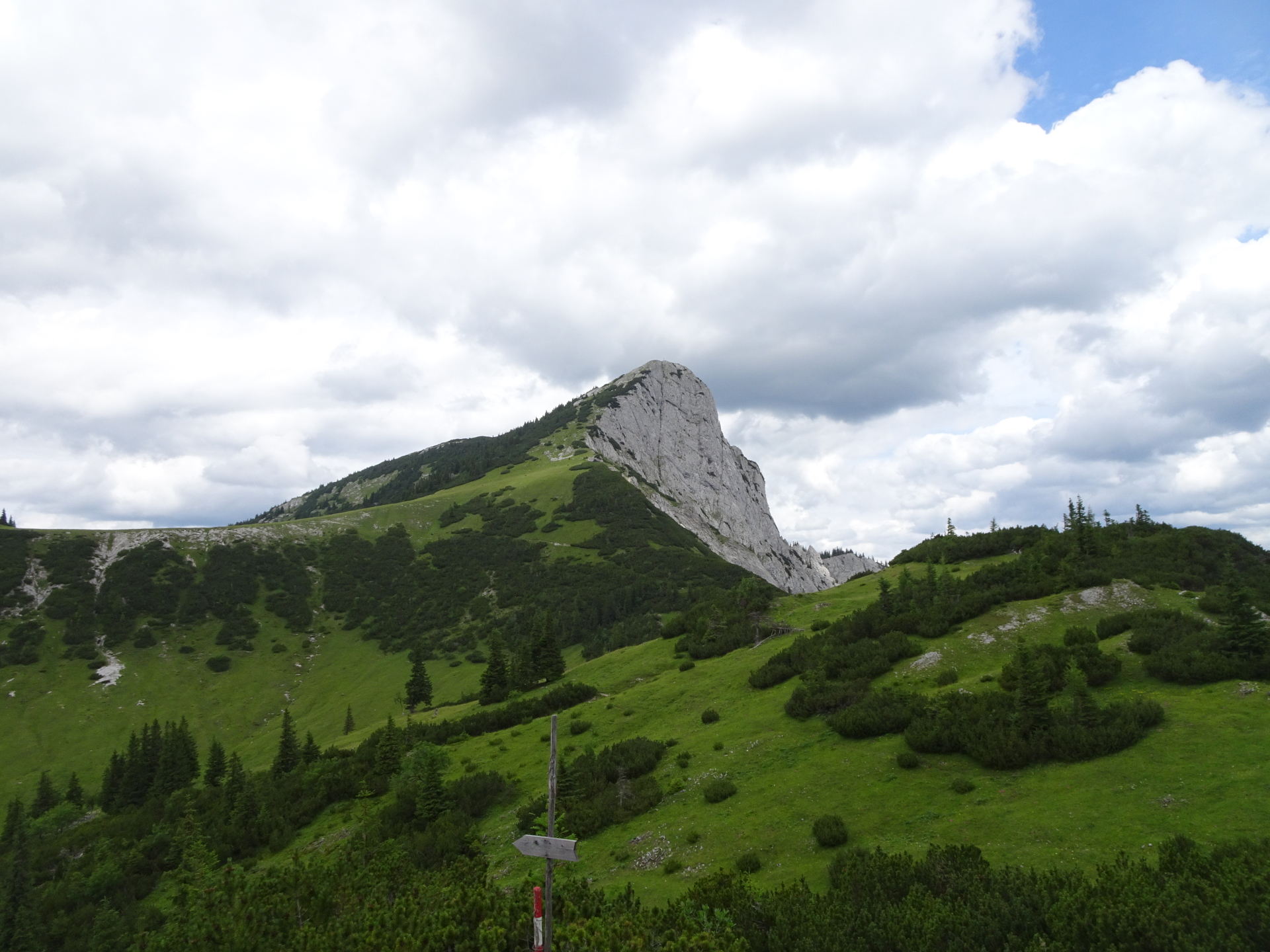
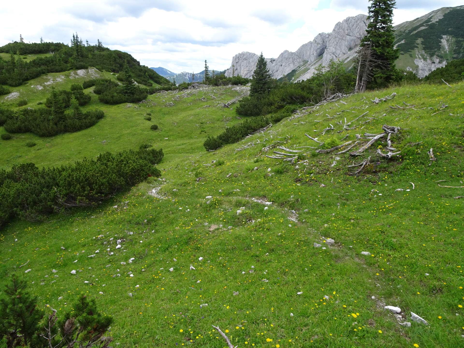
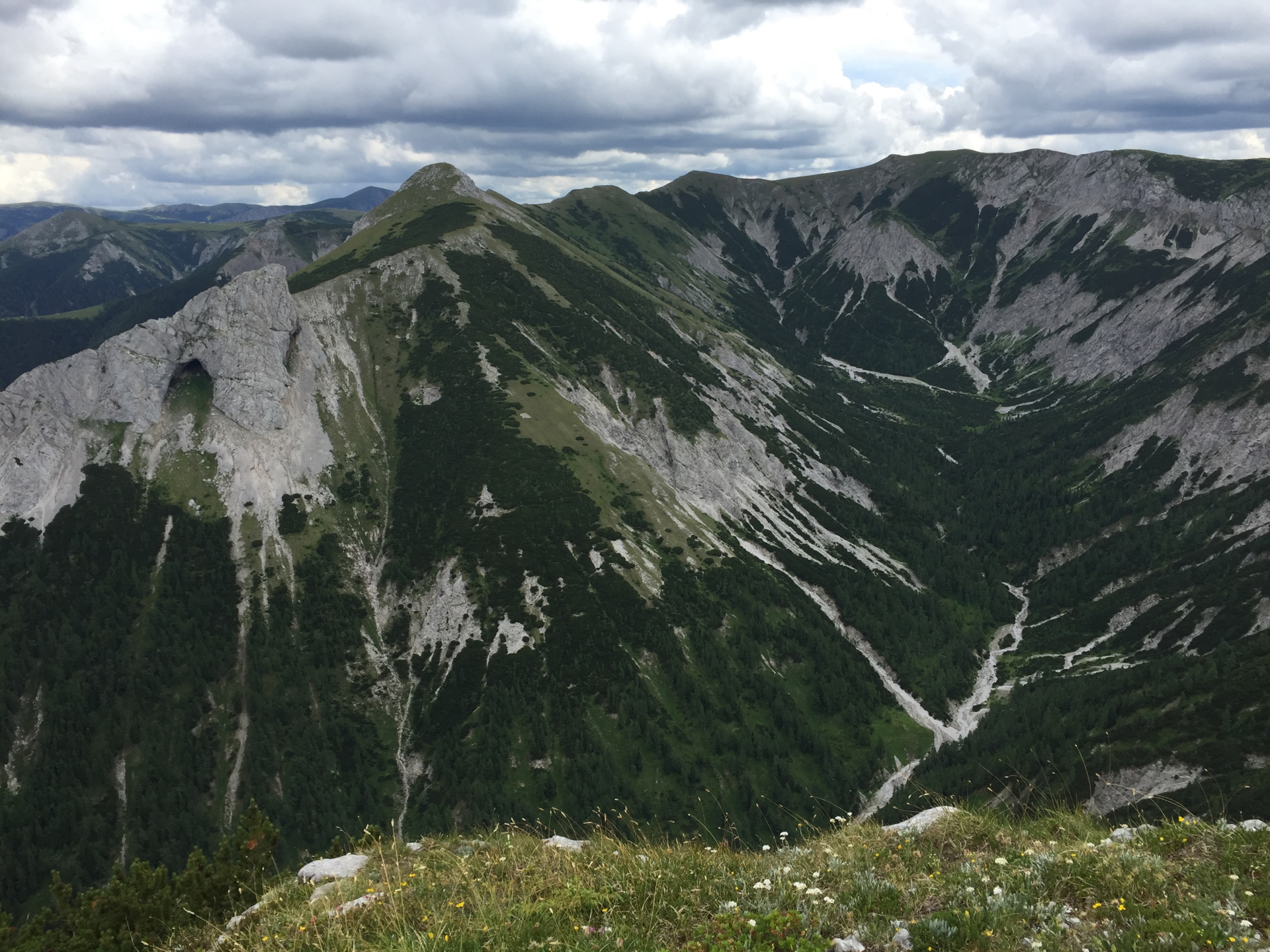
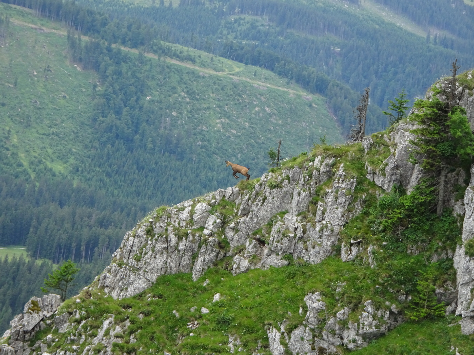
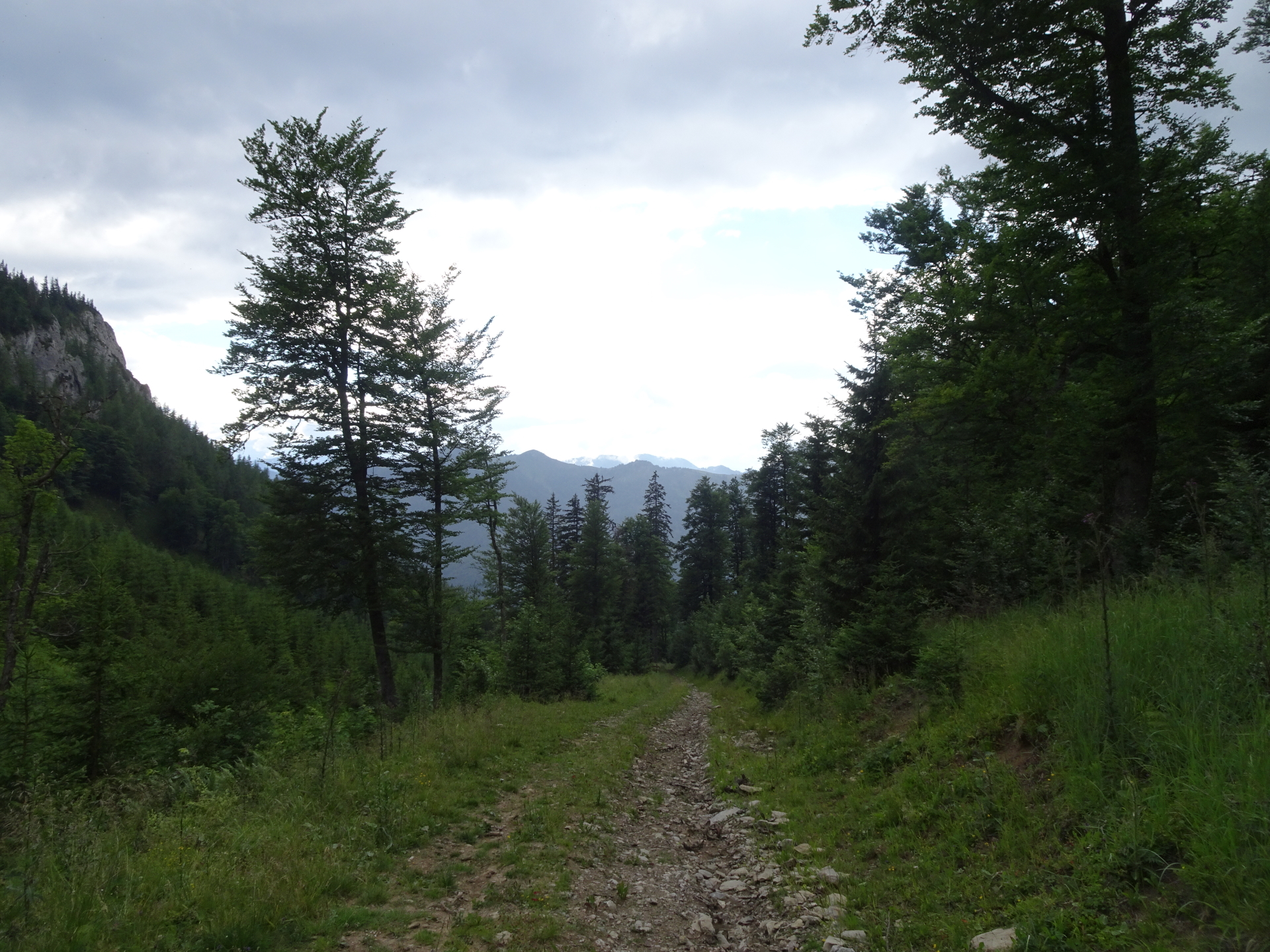
Turn left and follow the trail along the ridge via Griesleitensattel up to Donnerwand.
From here on, the trail is not always visible. Some orientation skills are required but the summit is always visible. |
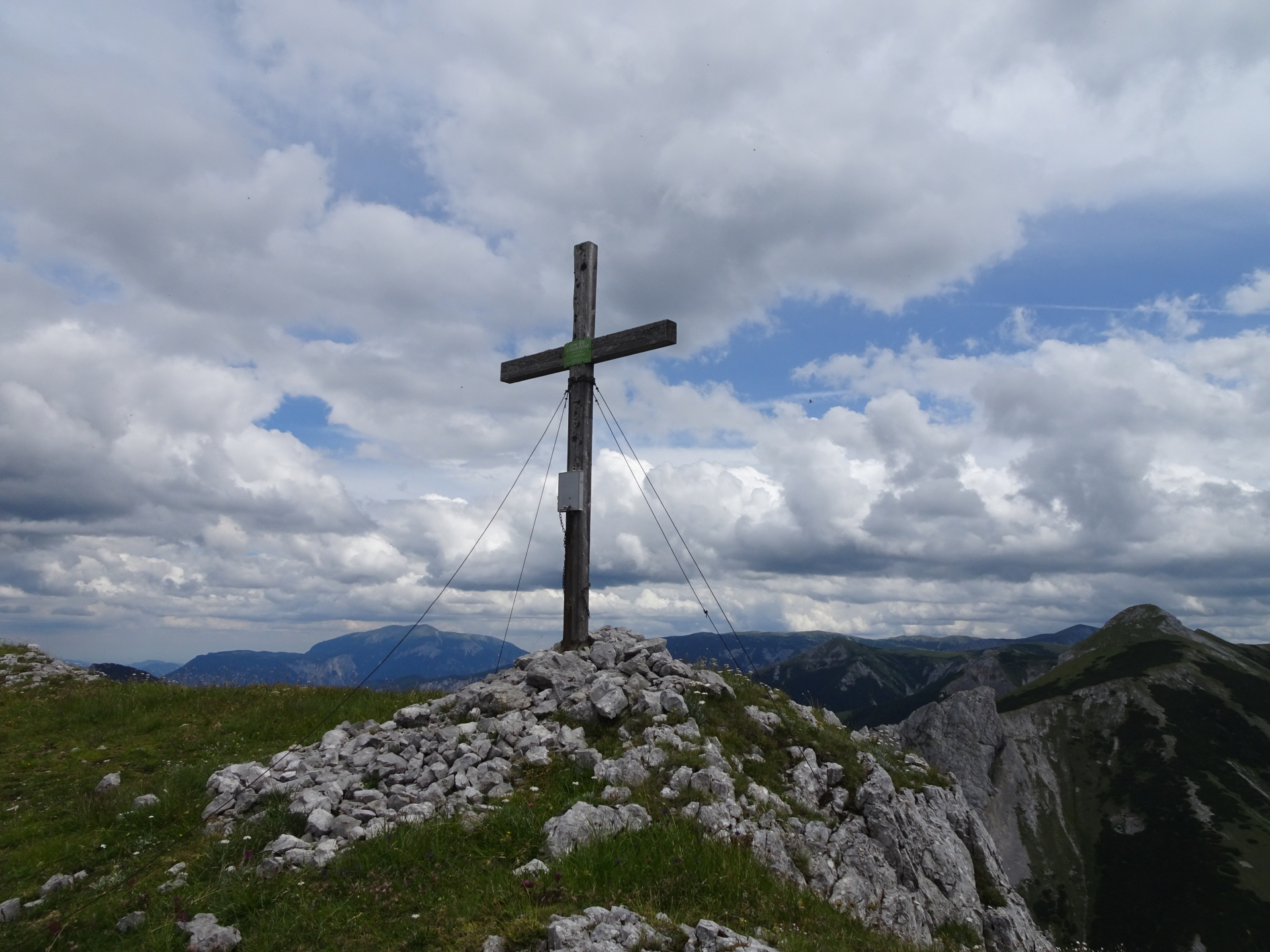
| 03:45 |
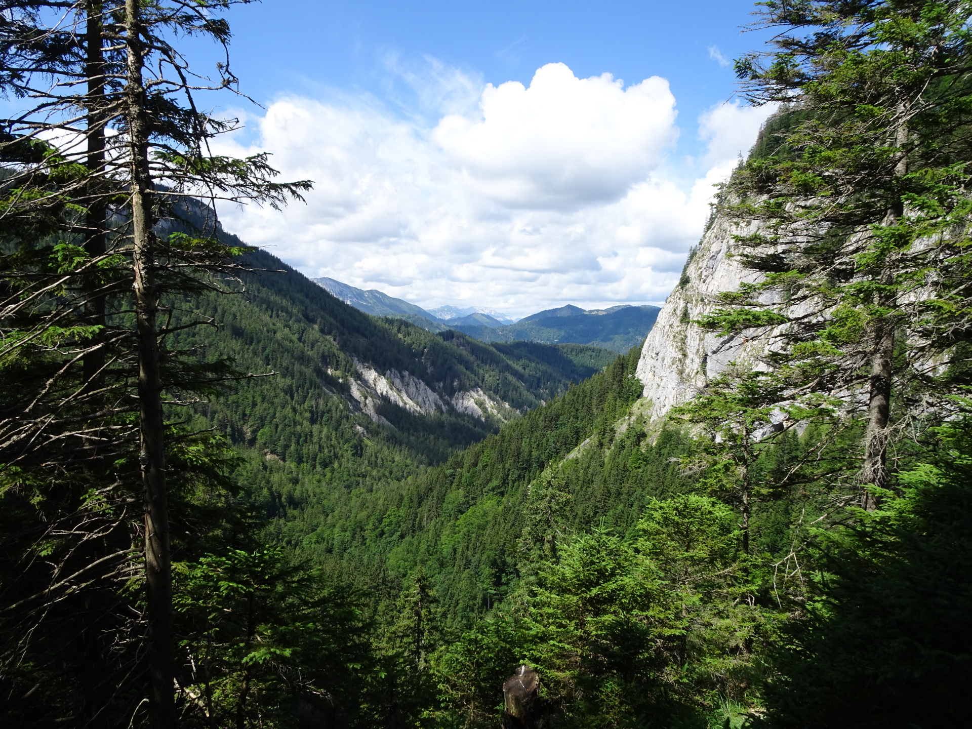
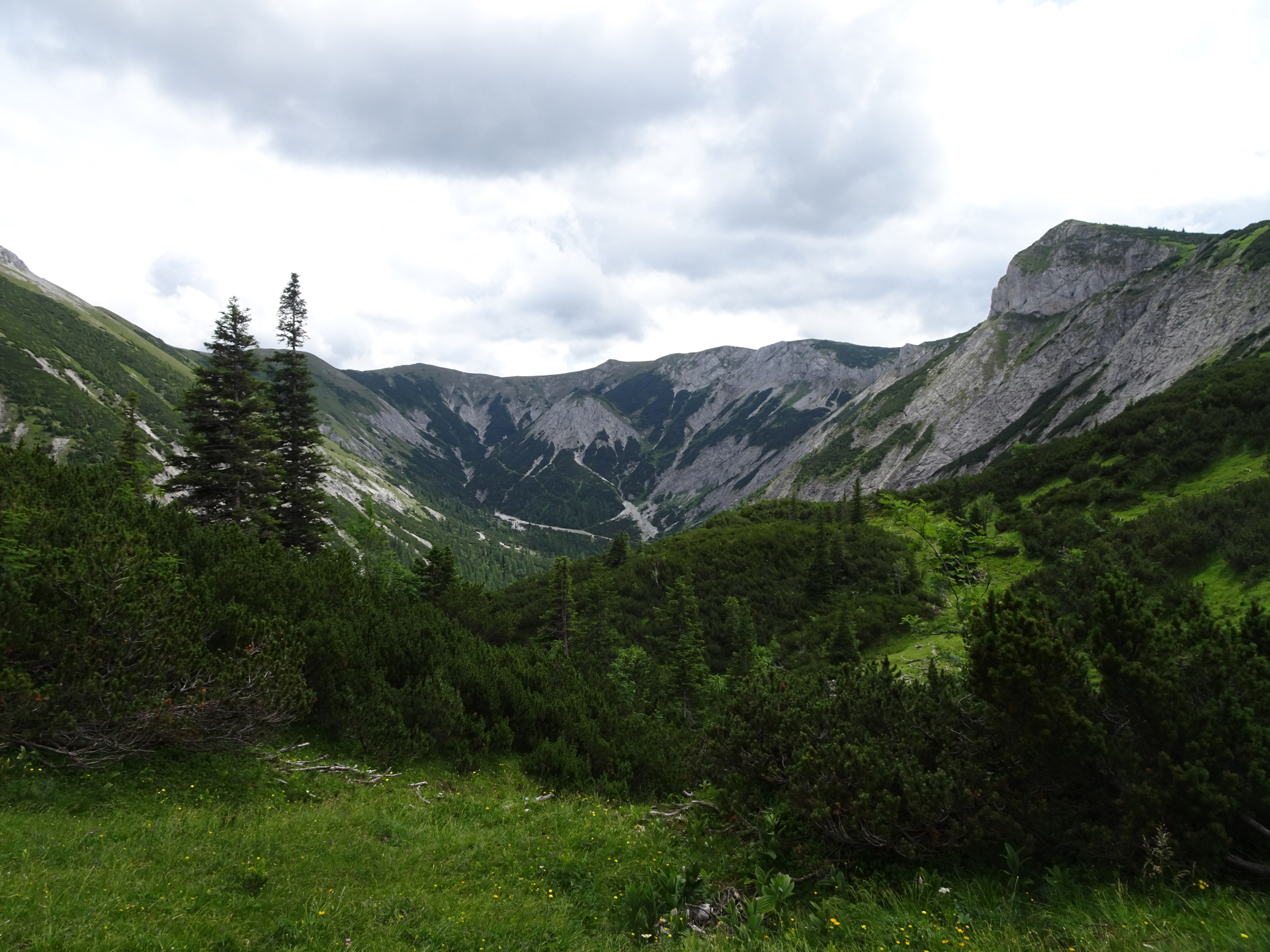
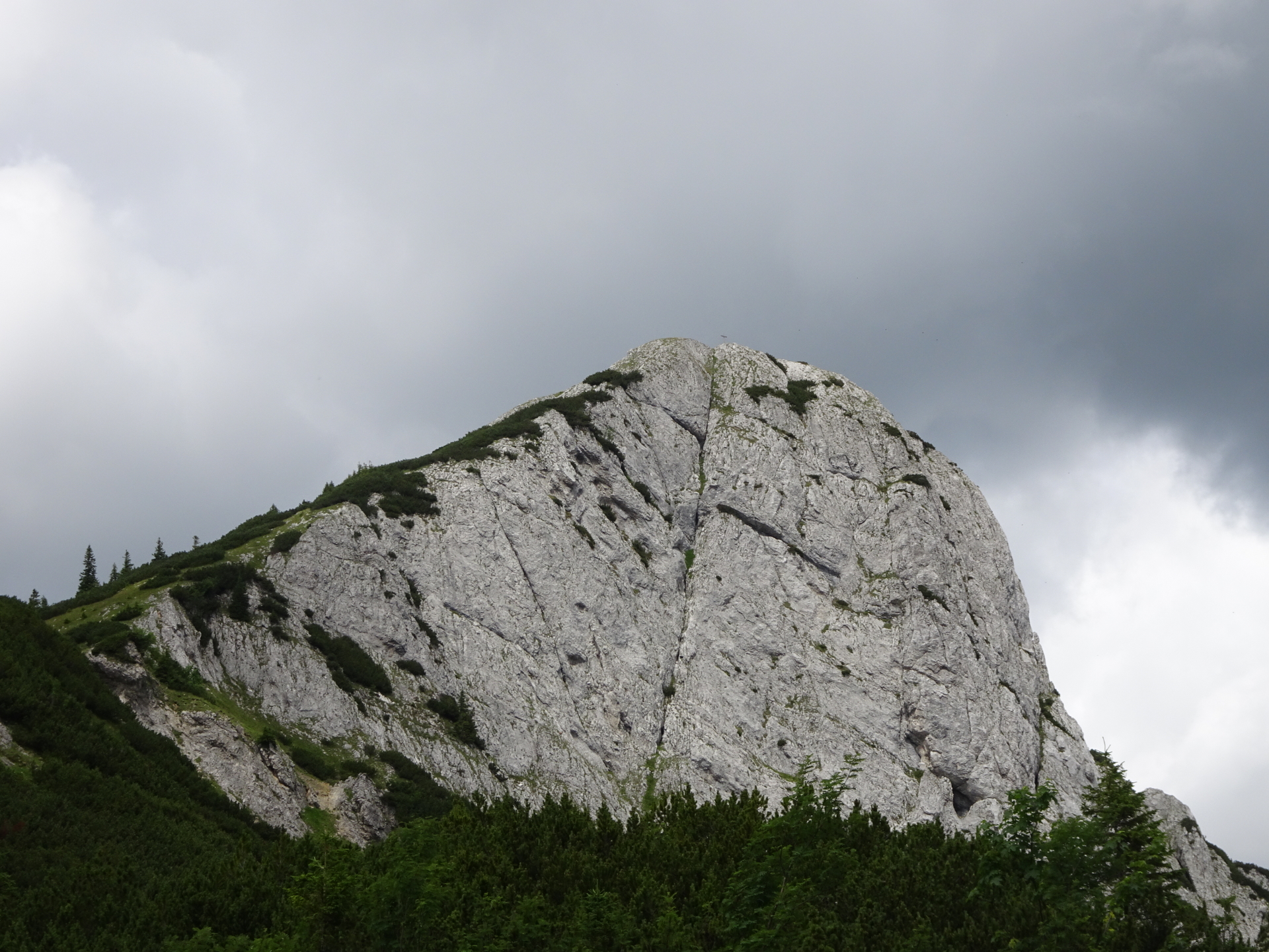
Enjoy the amazing and impressive view from the top of Donnerwand (best enjoyed with a self-brought refreshment ). |
| 04:10 |
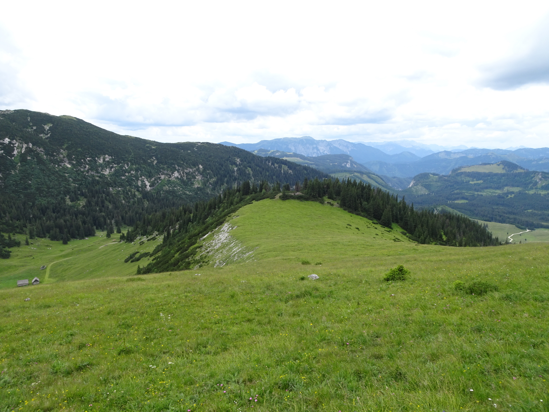
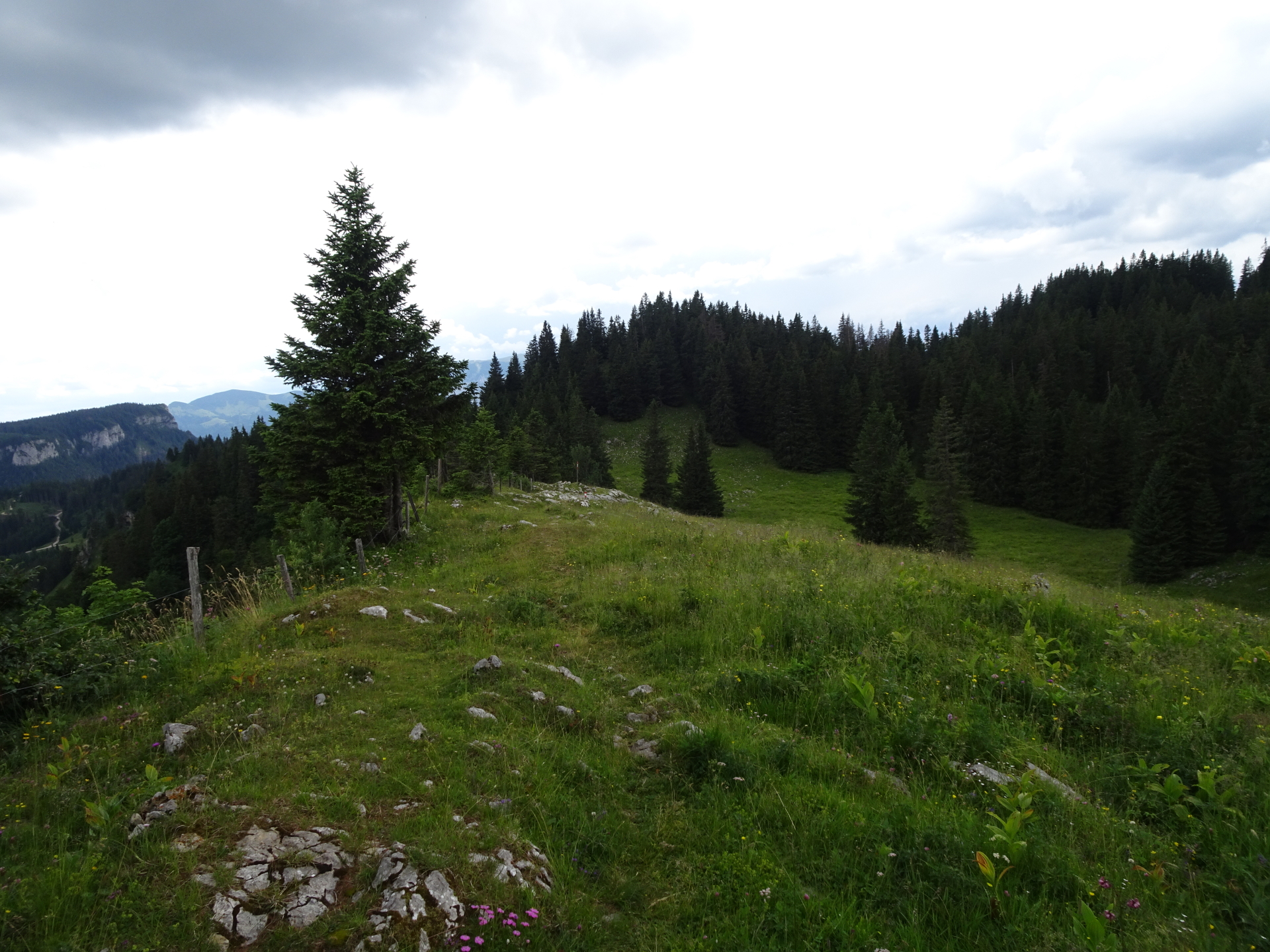
Follow the trail along the ridge westwards to Kleines Waxenegg. The trail is still not marked, some orientation skills are required!
Attention! While hiking through the bushes, we spotted several times crossed vipers. Make sure they hear you (they will flee away) and pay attention where you put your feet! |
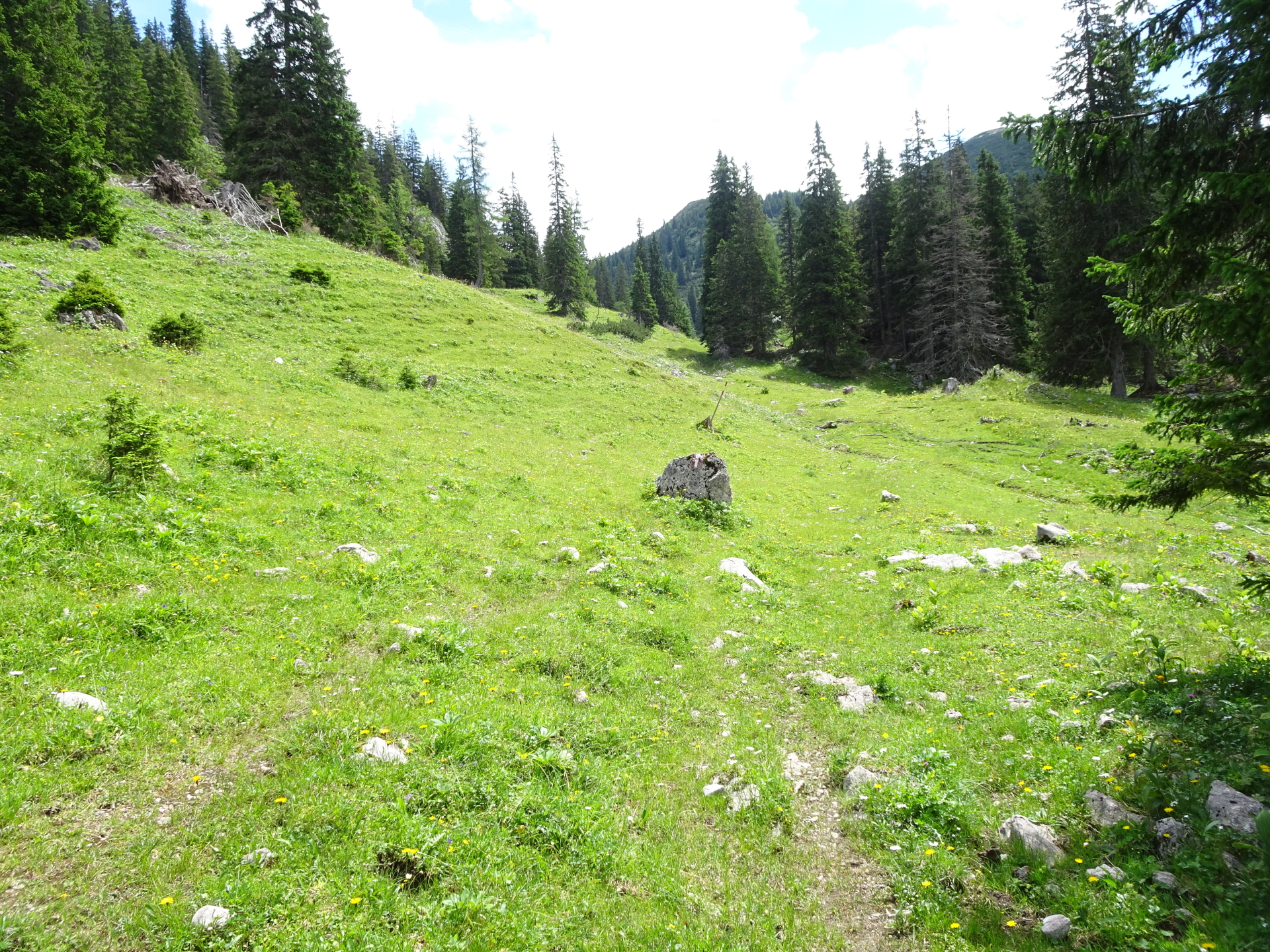
| 04:50 |
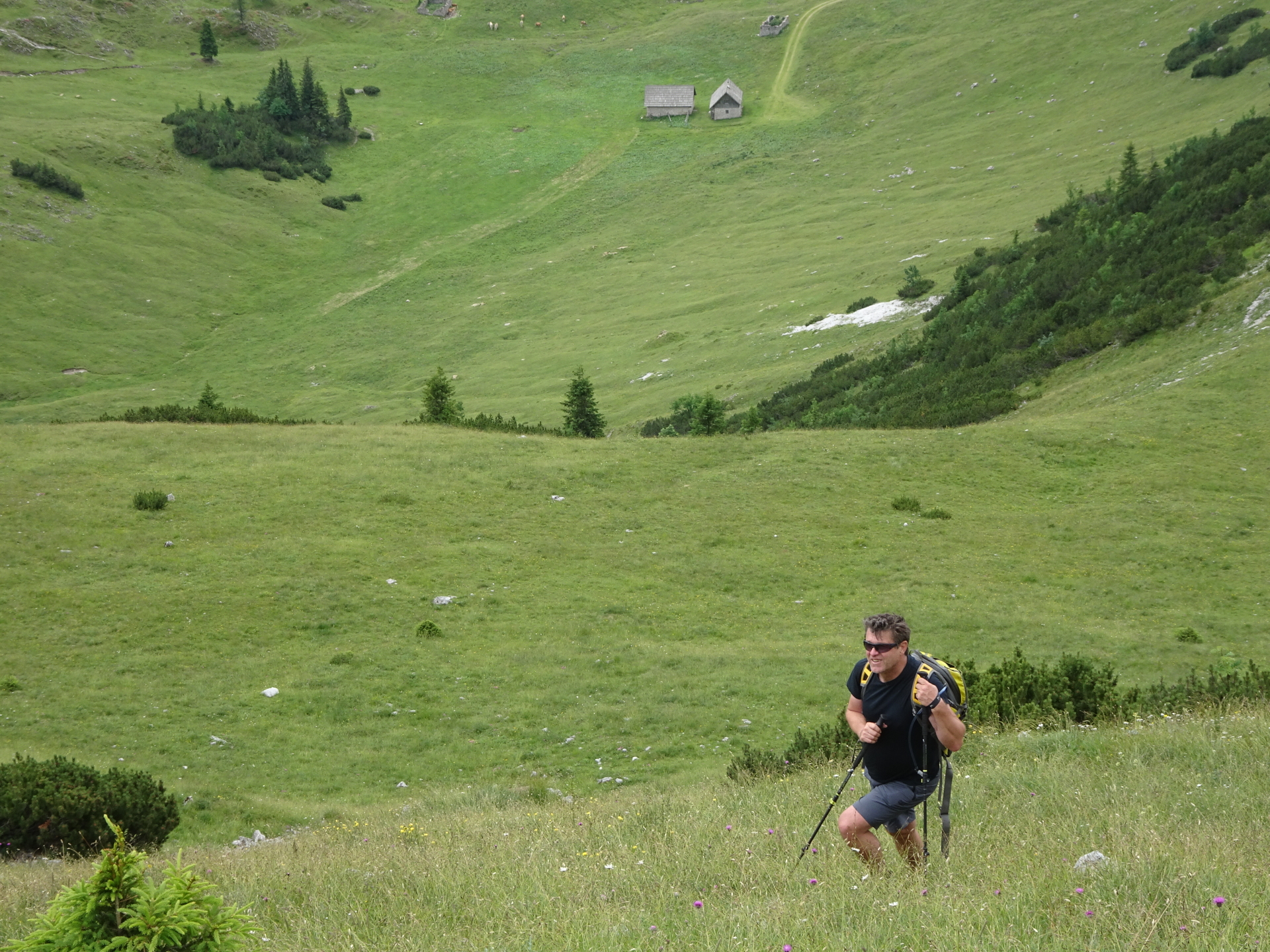
Descend through the meadow towards the visible forest road. |
| 05:00 |
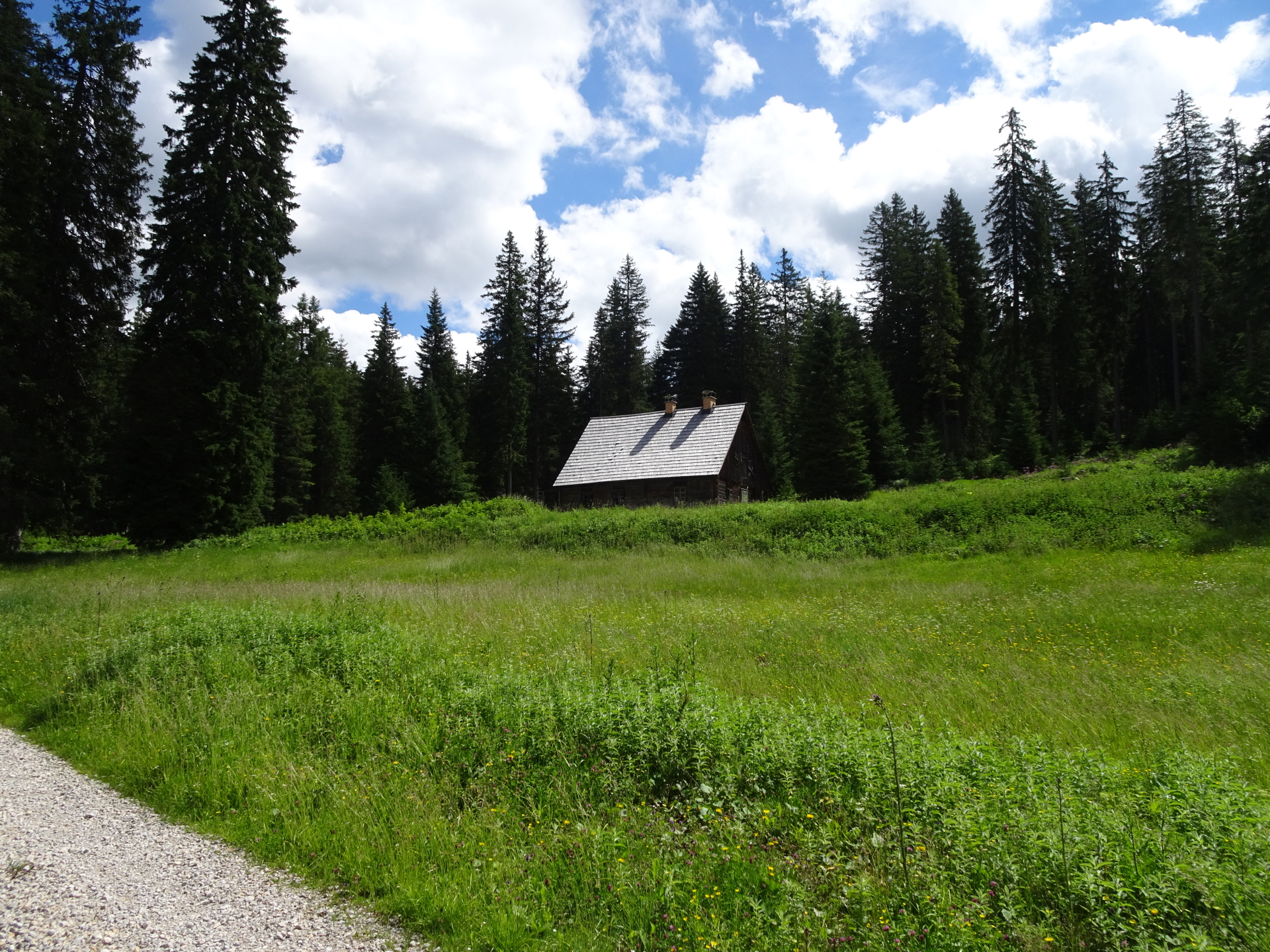
Follow the forest road northwestwards towards the Waxenegghütte. |
| 05:15 |
Well deserved break ( ) at the Waxenegghütte. |
| 05:45 |
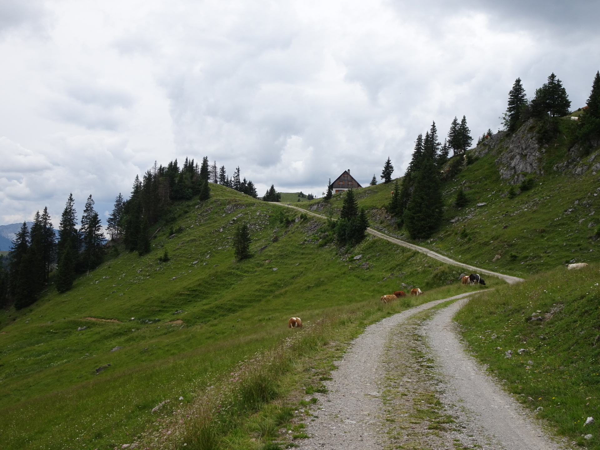
Follow the red-white-red marked trail westwards ascending and bypassing . |
| 06:40 |
Well deserved break ( ) at Ochsenhalterhütte.
Insider tip: Order the Brettljause! |
| 07:10 |
Follow the street southwards and then turn right after a few meters (after the Neuberger Hütte. Then follow the trail westwards. |
| 07:15 |
At the crossing, keep right and continue following the trail downwards. |
| 07:30 |
Turn left into the small trail (shortcut of the forest road) and follow the trail downwards. You will shortcut the road several times. |
| 08:00 |
Follow the street westwards which brings you automatically back to the parking. |
| 08:30 |
Back at the parking, end of the tour. |


\"")

Leave a Reply