
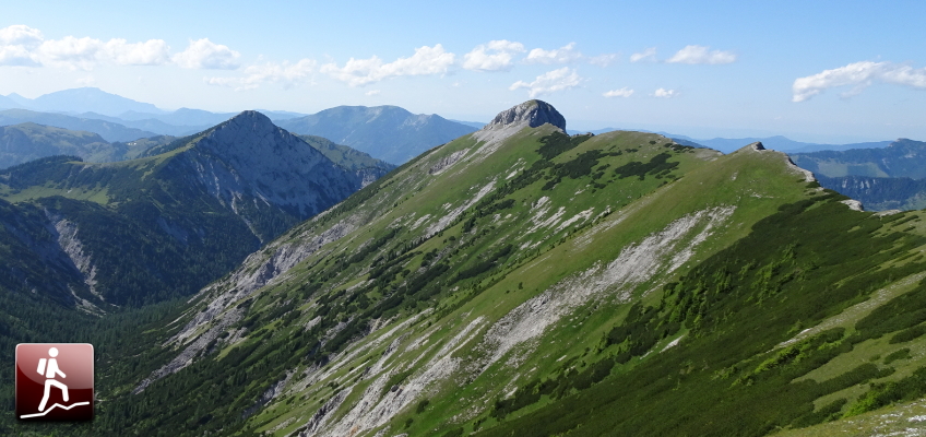
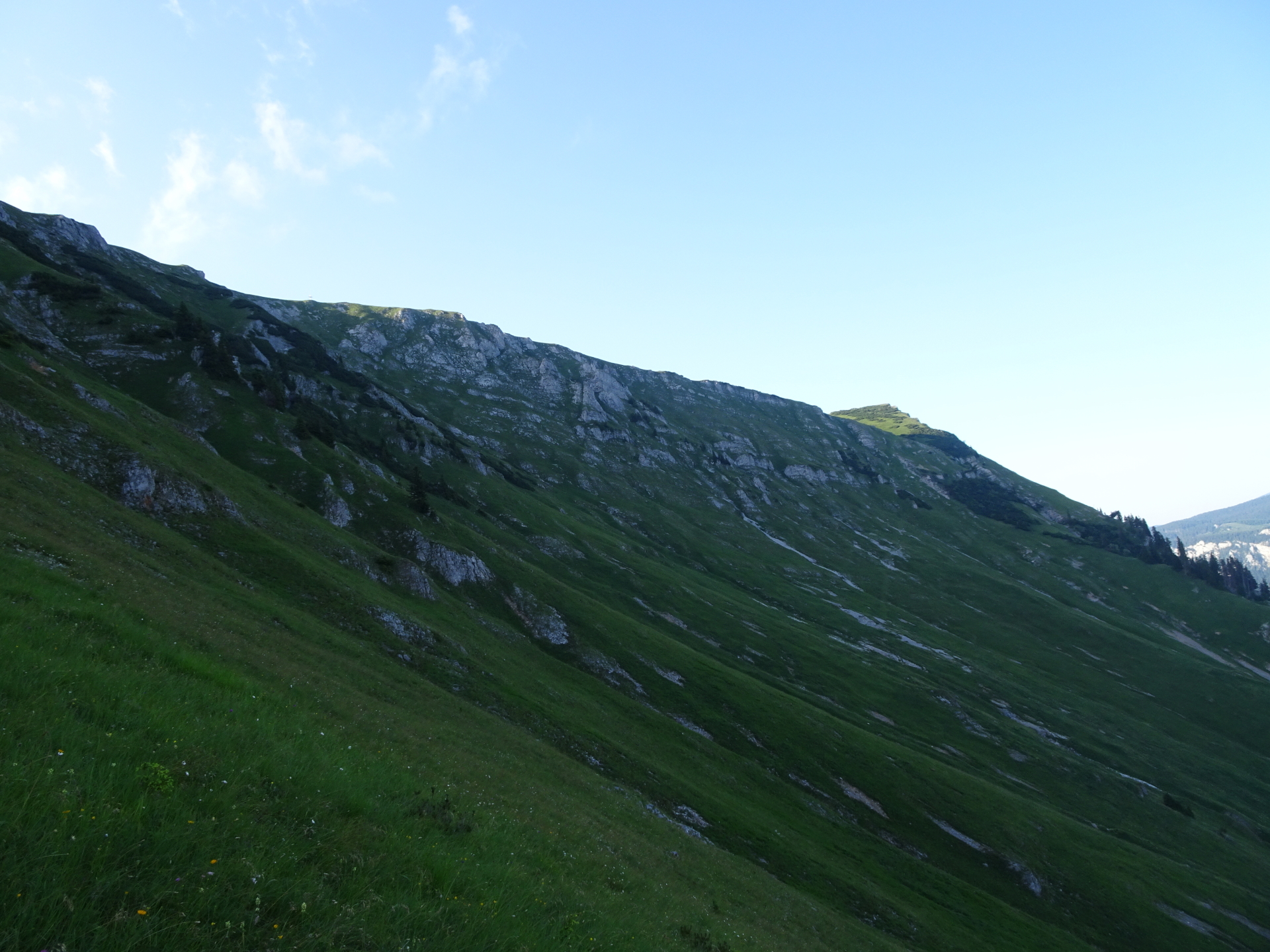
Promising hiking tour up to Schneealpe / Windberg and the Kleine Mitterbergwand via the Lohm- & Blarergaben
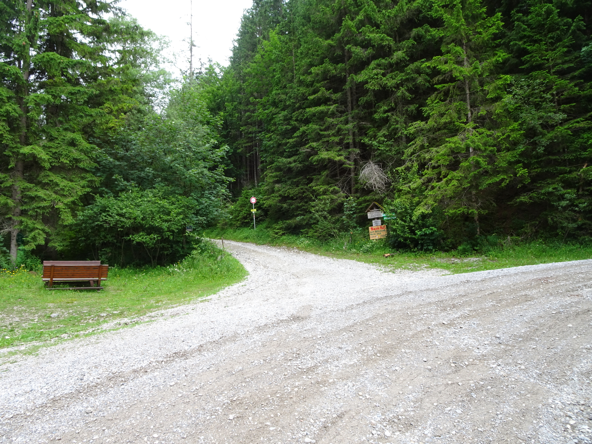
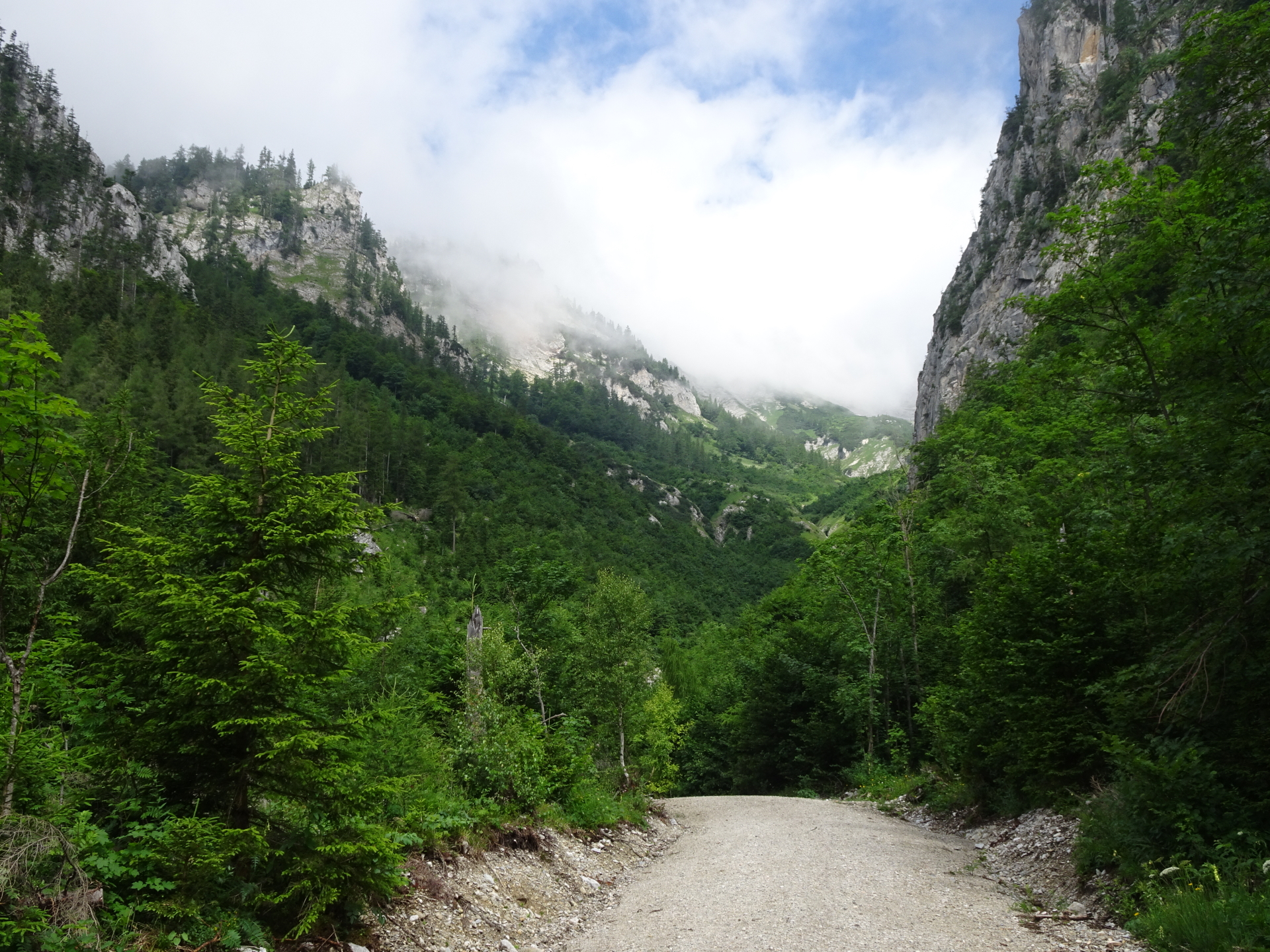
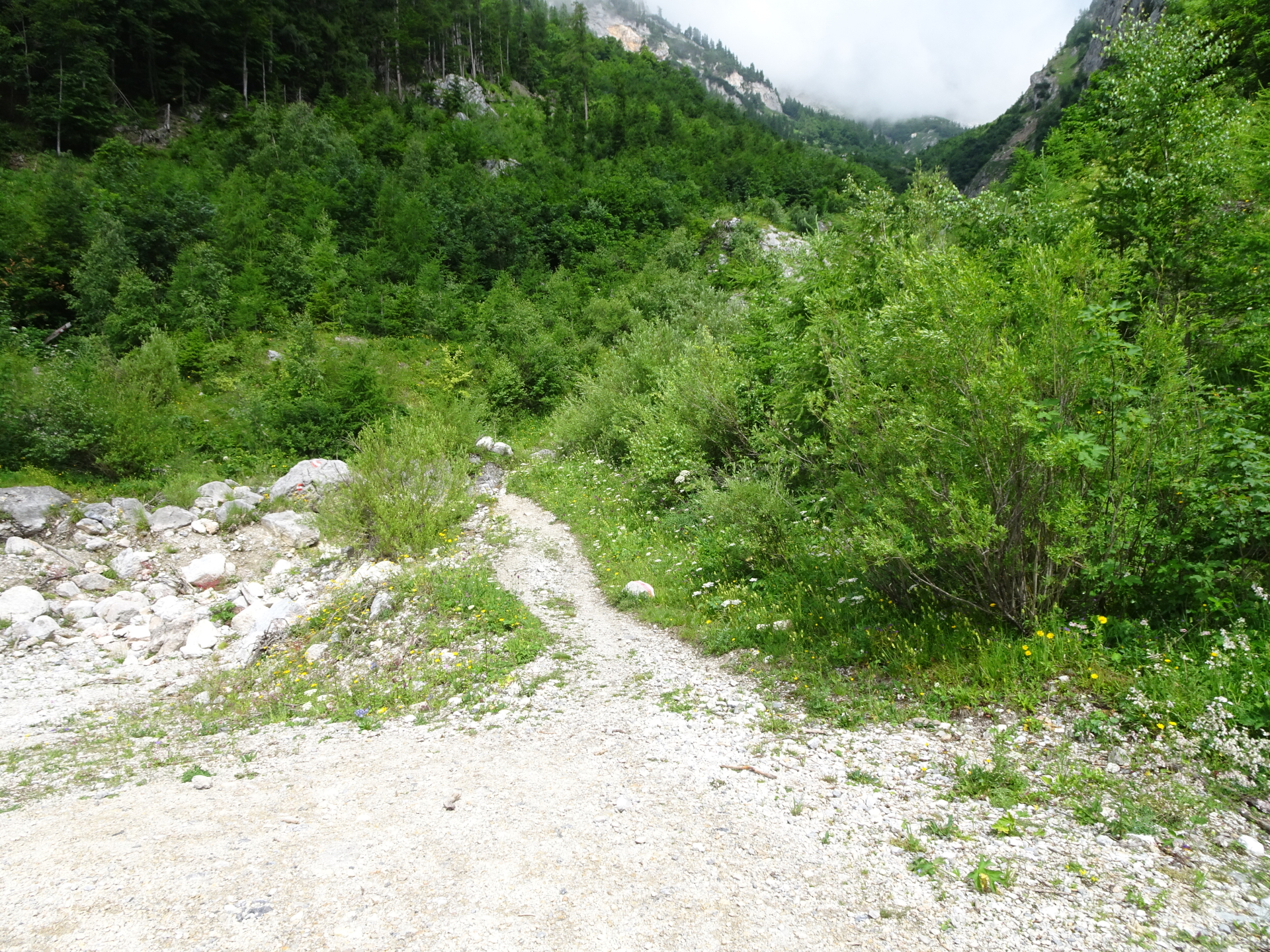
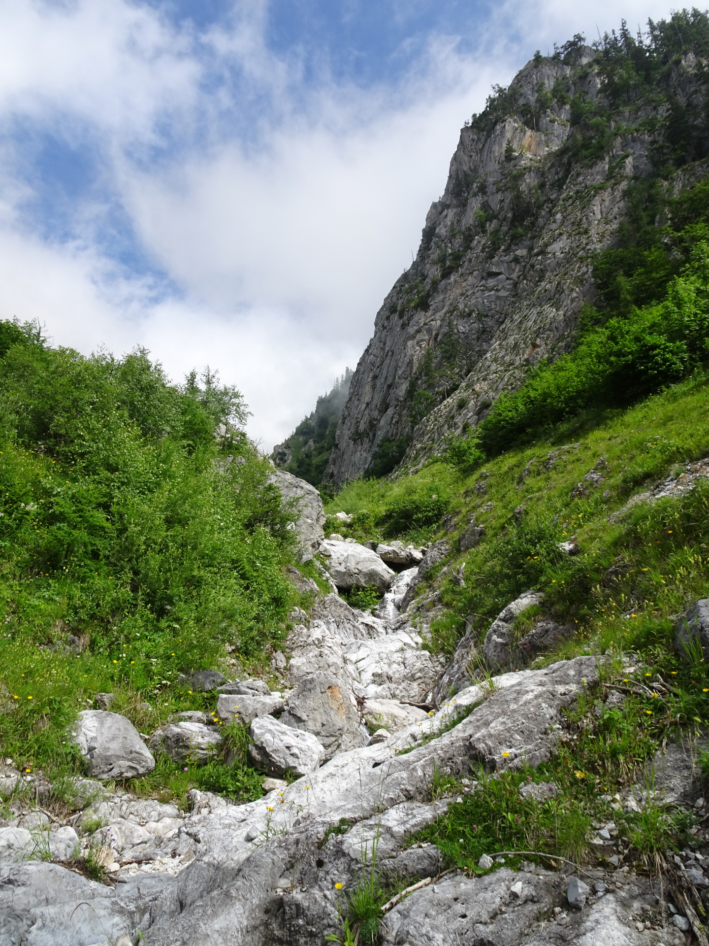
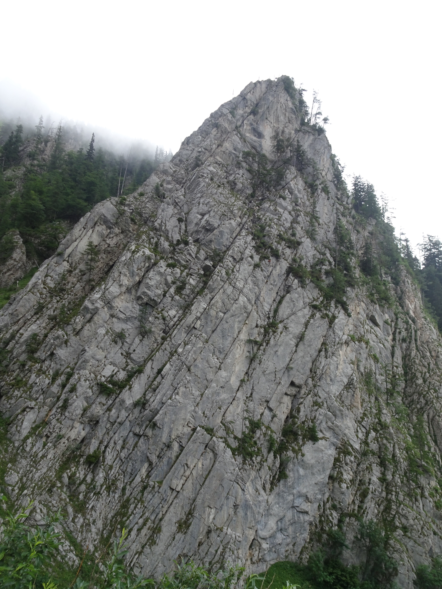
The tour starts at the parking Altenberg / Lohmgraben (GPS: 47.687273, 15.628529) and first follows the forest road upwards along the Lohmgraben. The tour then turns left and follows the trail up through Blarergraben towards the Schneealpenhaus. After a well-deserved break, the tour crosses the plateau and leads up to Windberg which is the highest point of the Schneealpe plateau and thus provides a promising surround view on the entire area. Before descending, a small detour is done towards Kleine Mitterbergwand which provides another amazing view towards the impressive Donnerwand and back to Windberg. The tour then continues eastwards the plateau towards Lurgbauerhütte. After a final refreshment, the descent is done via the Lohmstein, passing by the Lohmsteinhöhle (cave) towards the Lohmgraben and finally back to the parking.
| 00:00 | Start at the parking lot Altenberg / Lohmgraben (GPS: 47.687273, 15.628529) and follow the red-white-red marked forest road northwards (straight ahead). |
| 00:20 | At the crossing (U-turn of street), keep straight ahead (right hand-side) and turn into the trail (follow red-white-red markings). |
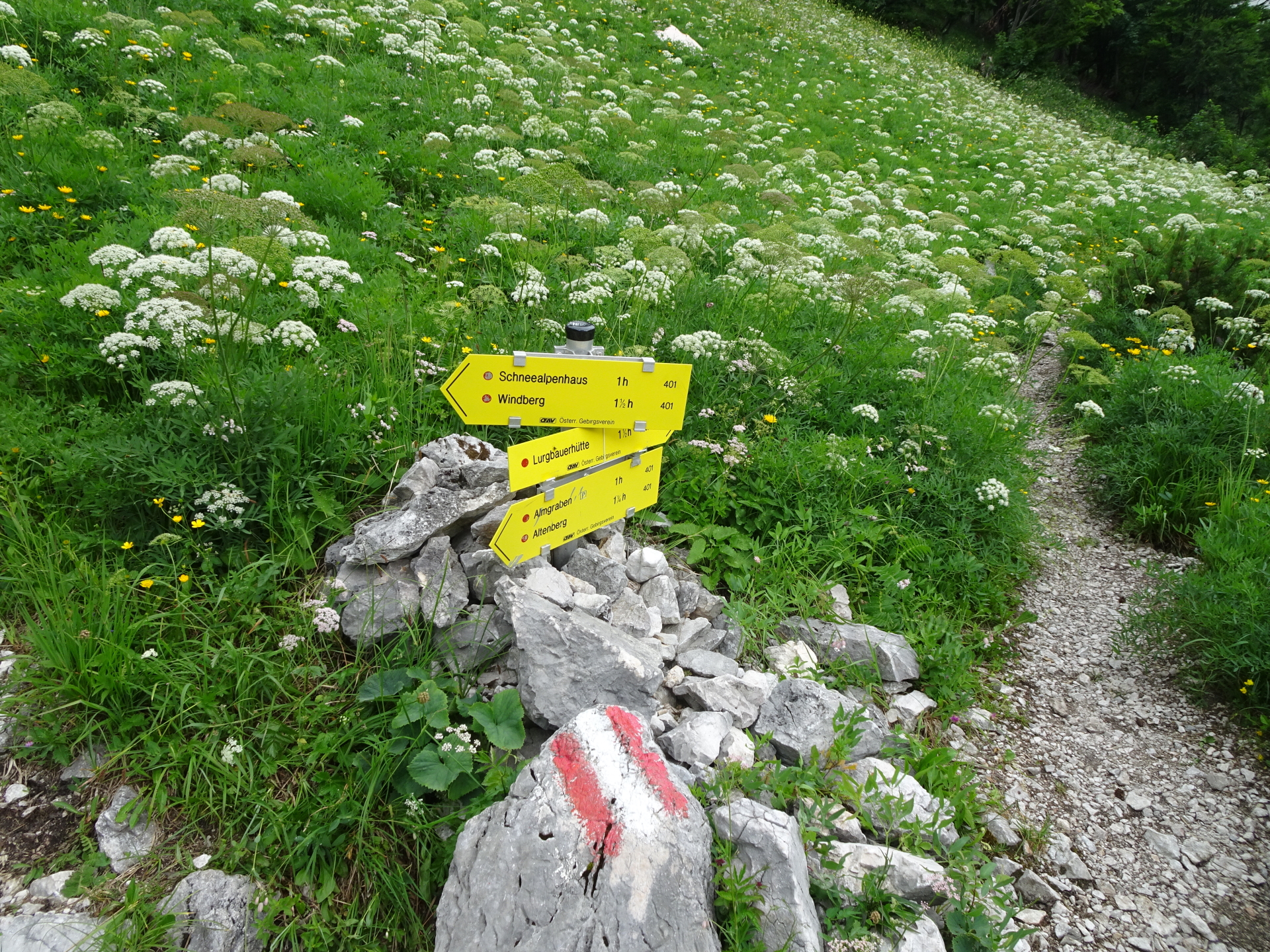
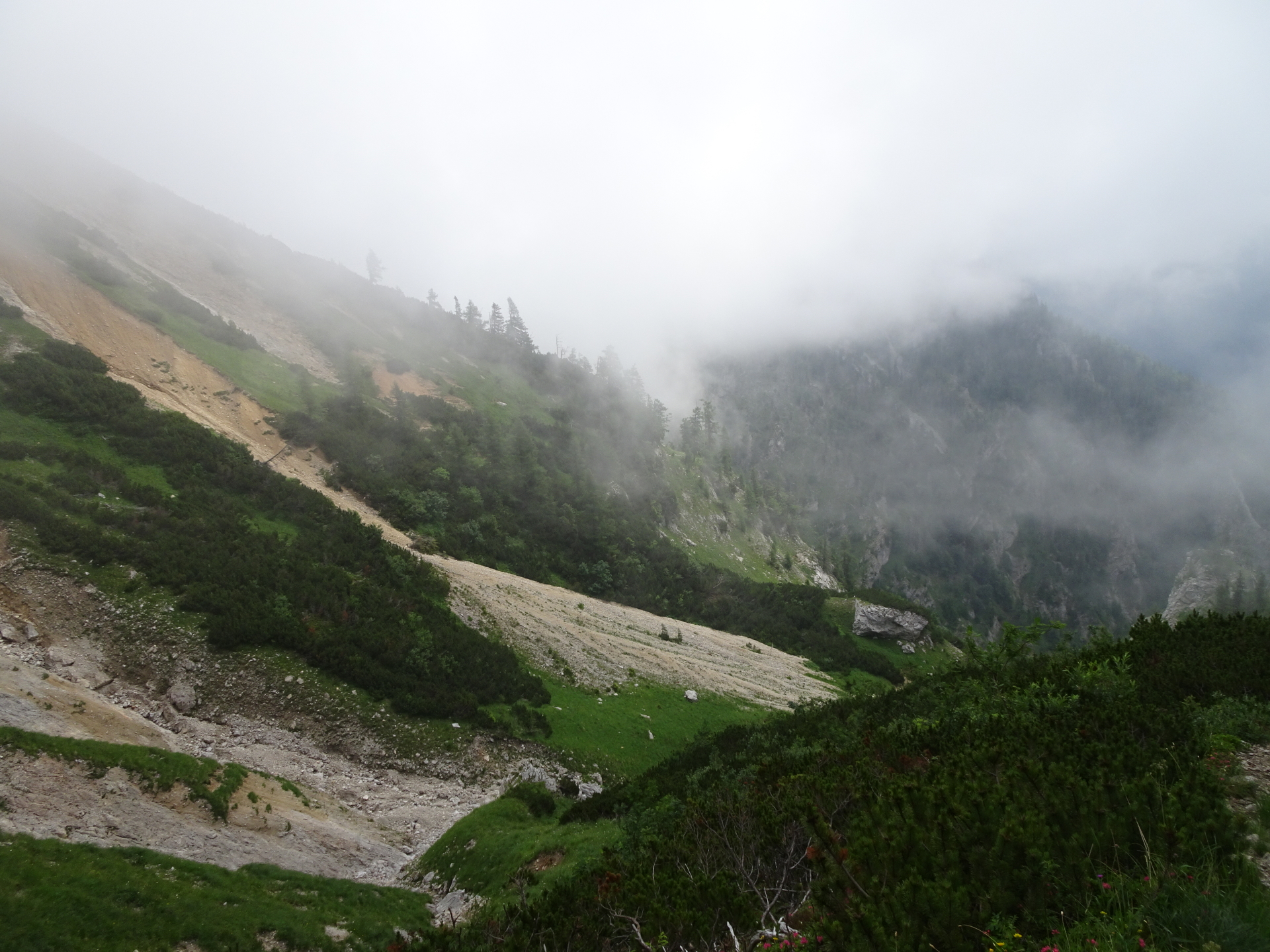
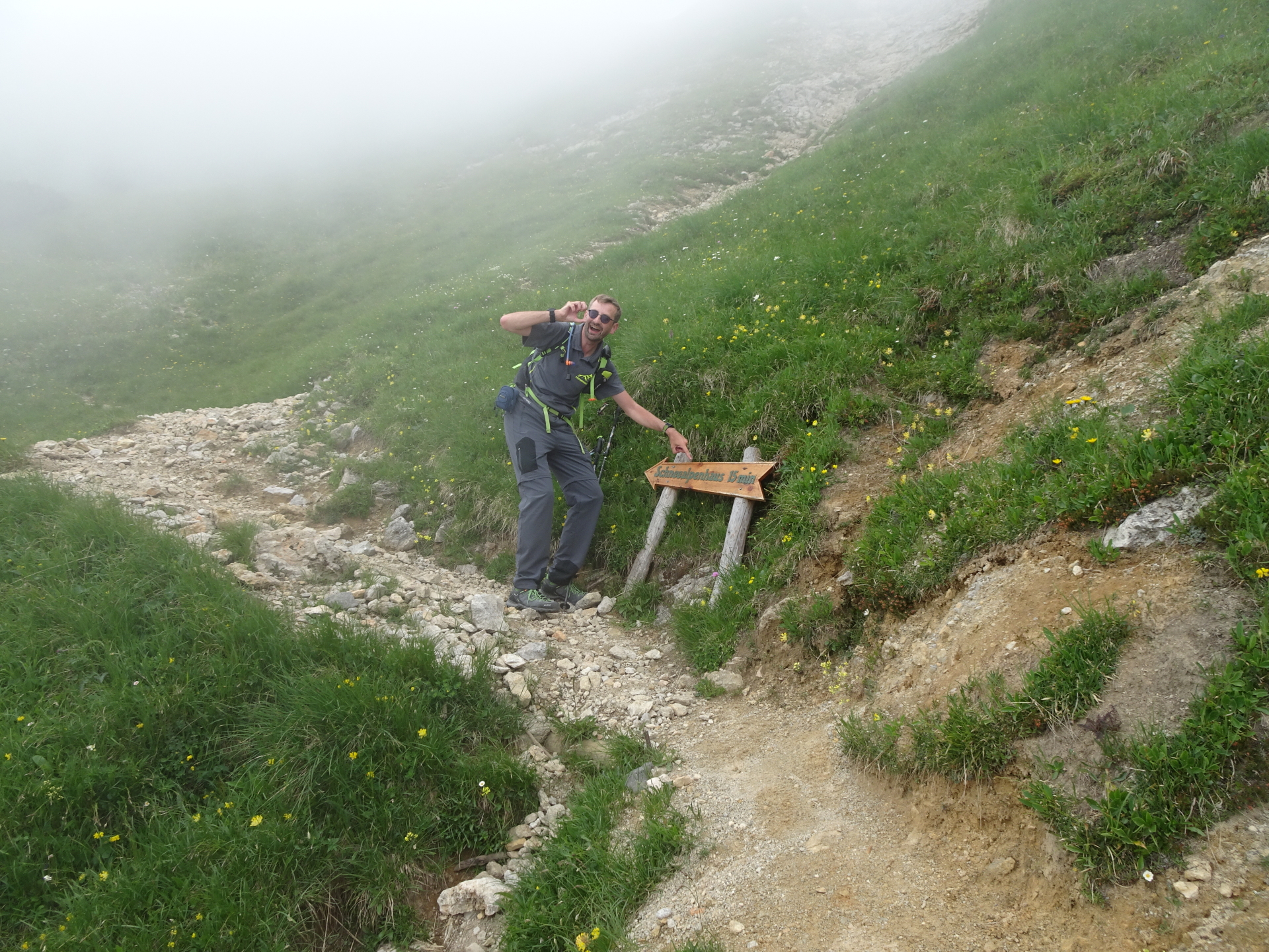
| 00:50 | At the crossing, turn left and follow the (steep) trail up towards Schneealpenhaus (see signpost). |
| 01:10 | Climb up the iron ladder and continue following the trail. |
| 01:30 | Pass by the water well (drinkable). |
| 01:35 | At the crossing, turn left and follow the trail towards Schneealpenhaus. |
| 01:50 | At the crossing, turn left towards Schneealpenhaus. |
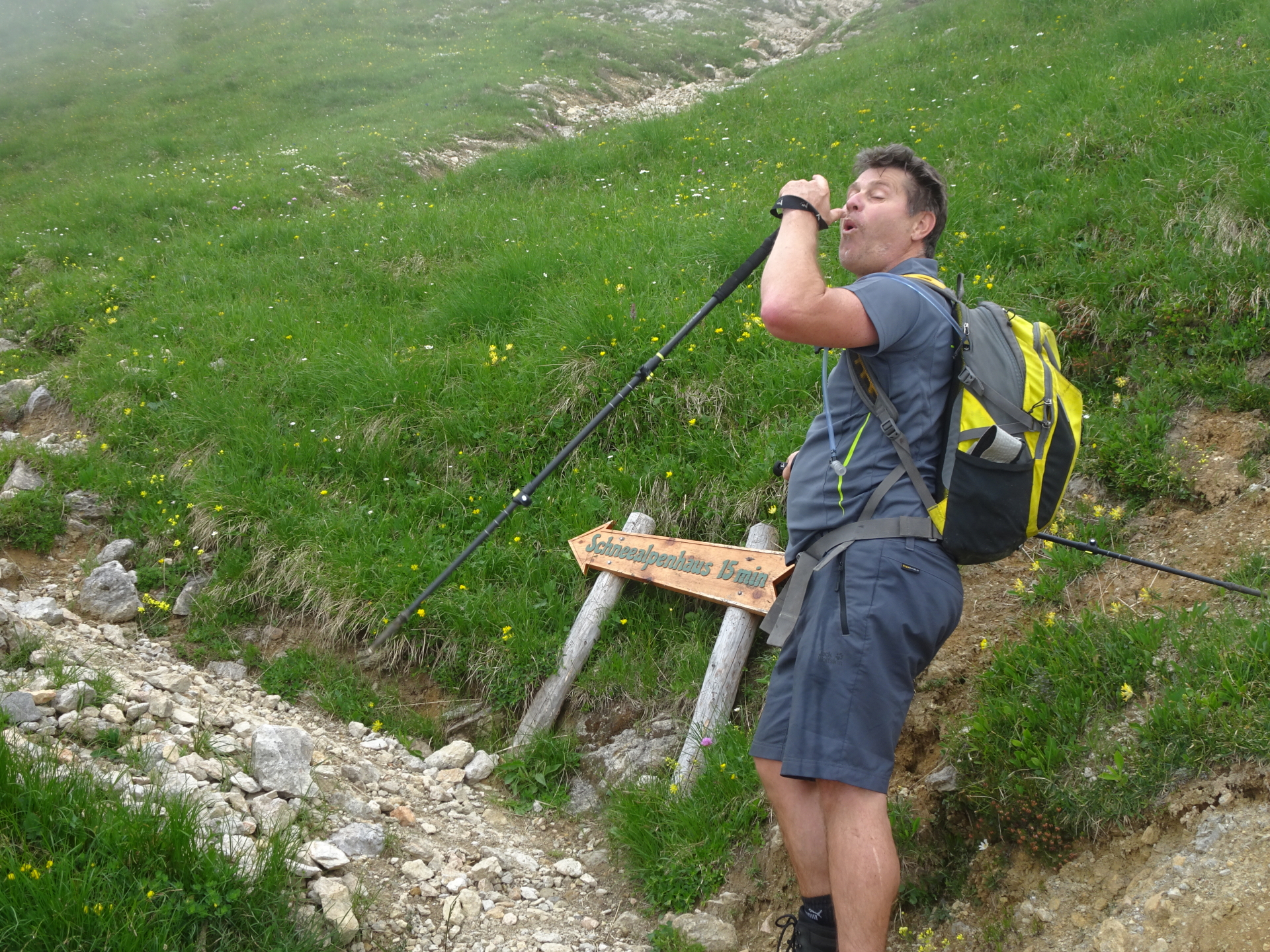
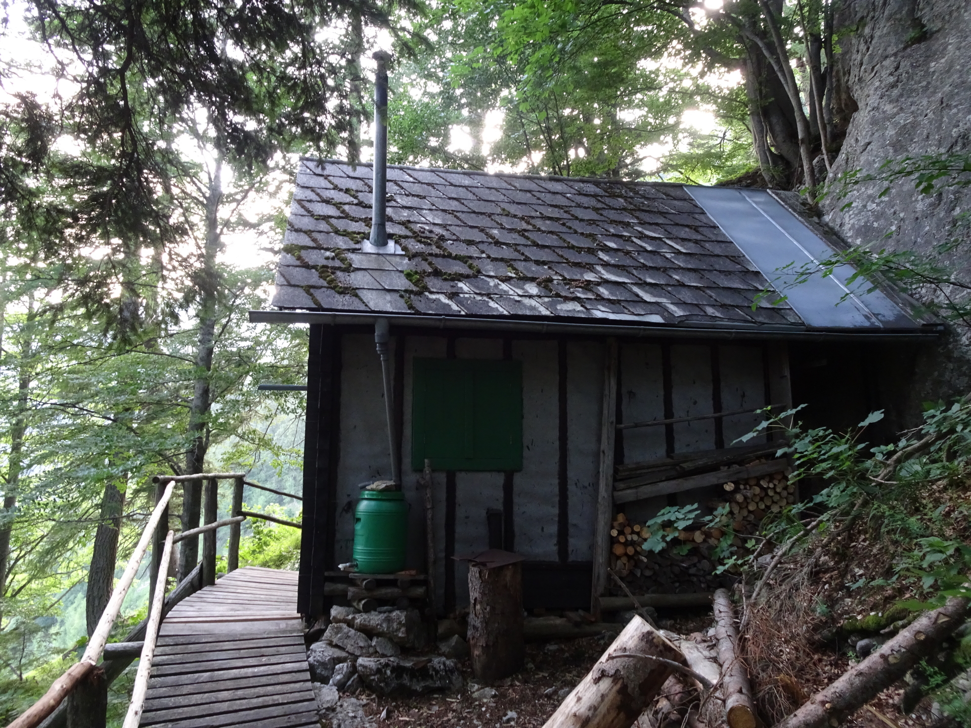
| 01:55 | Well deserved break ( ) at Schneealpenhaus. |
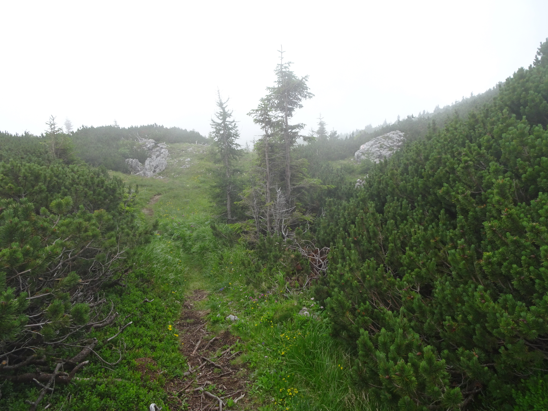
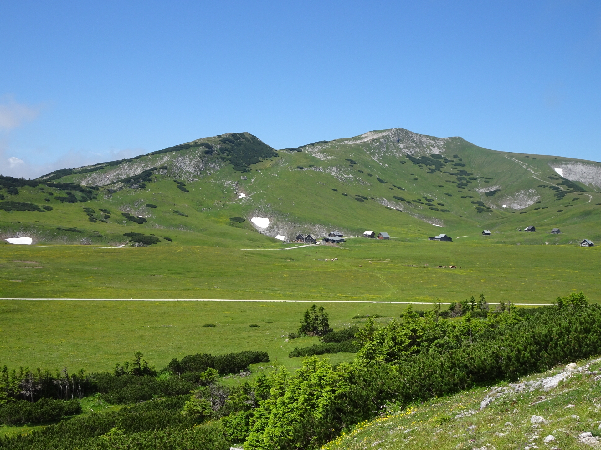
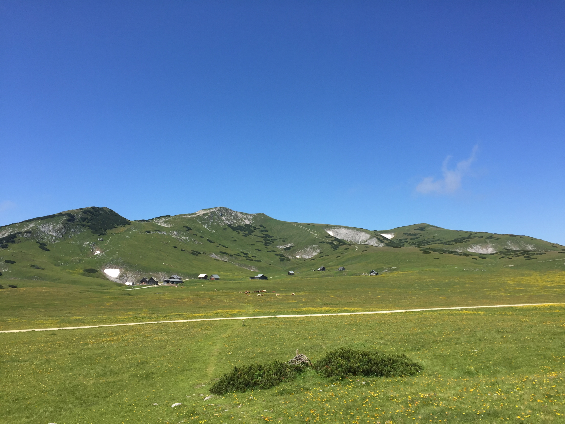
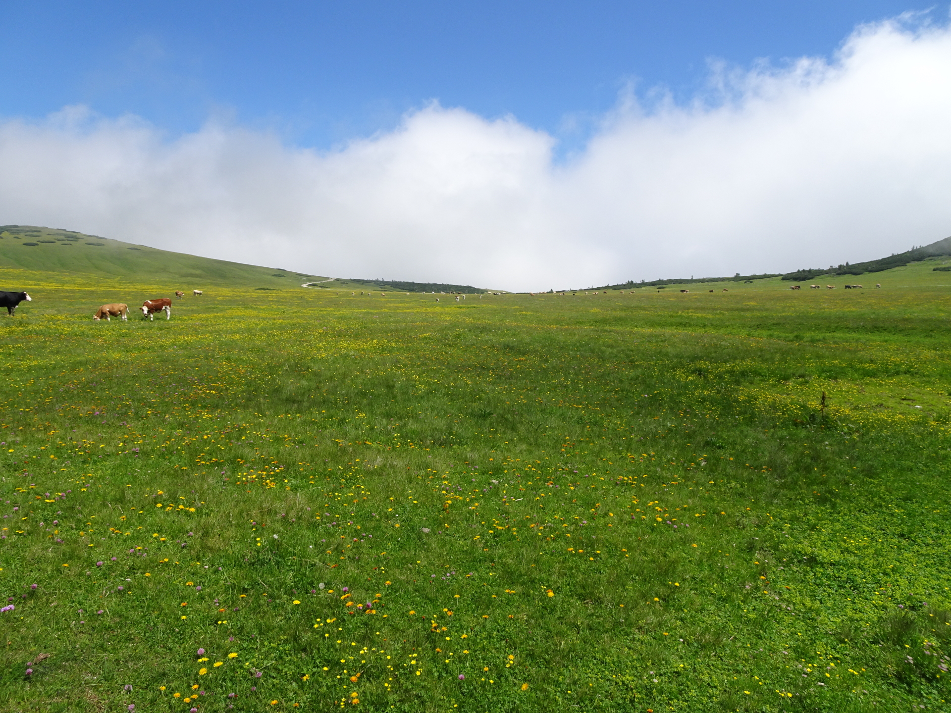
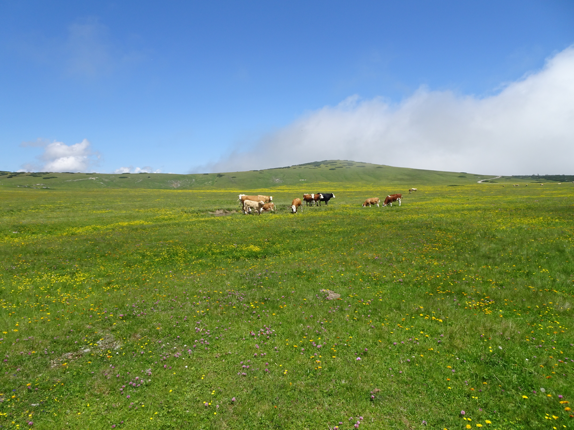
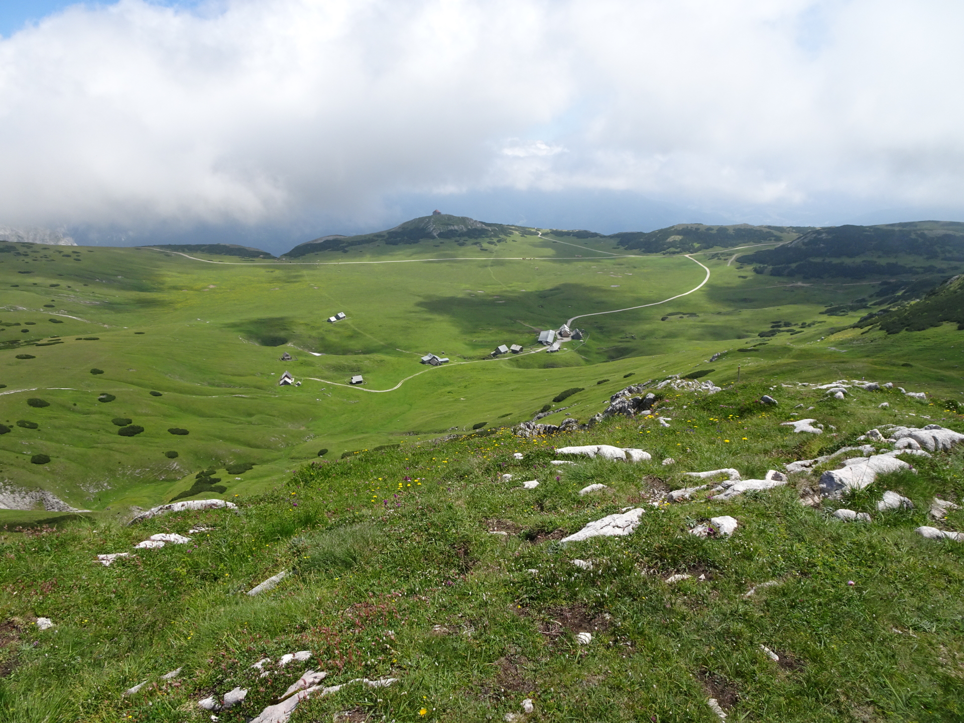
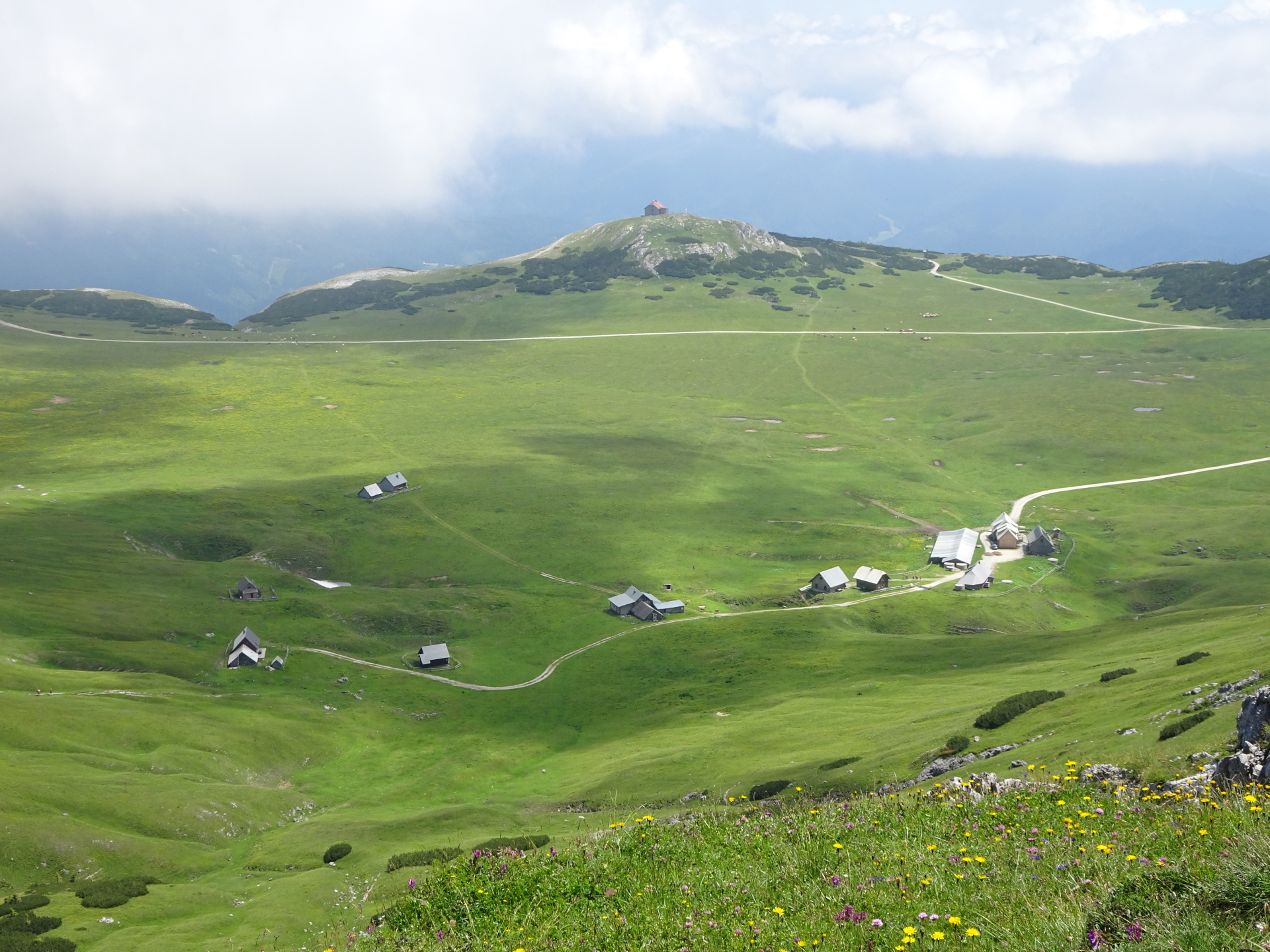
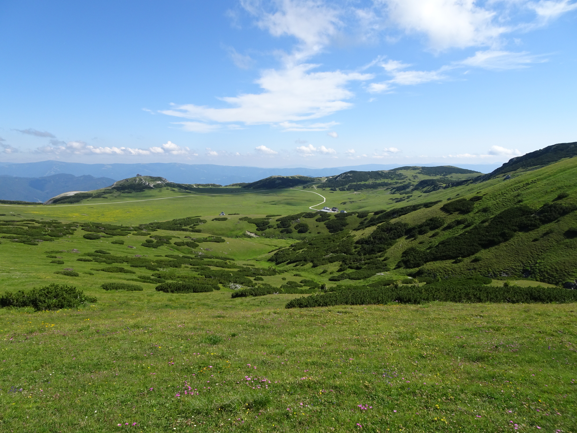
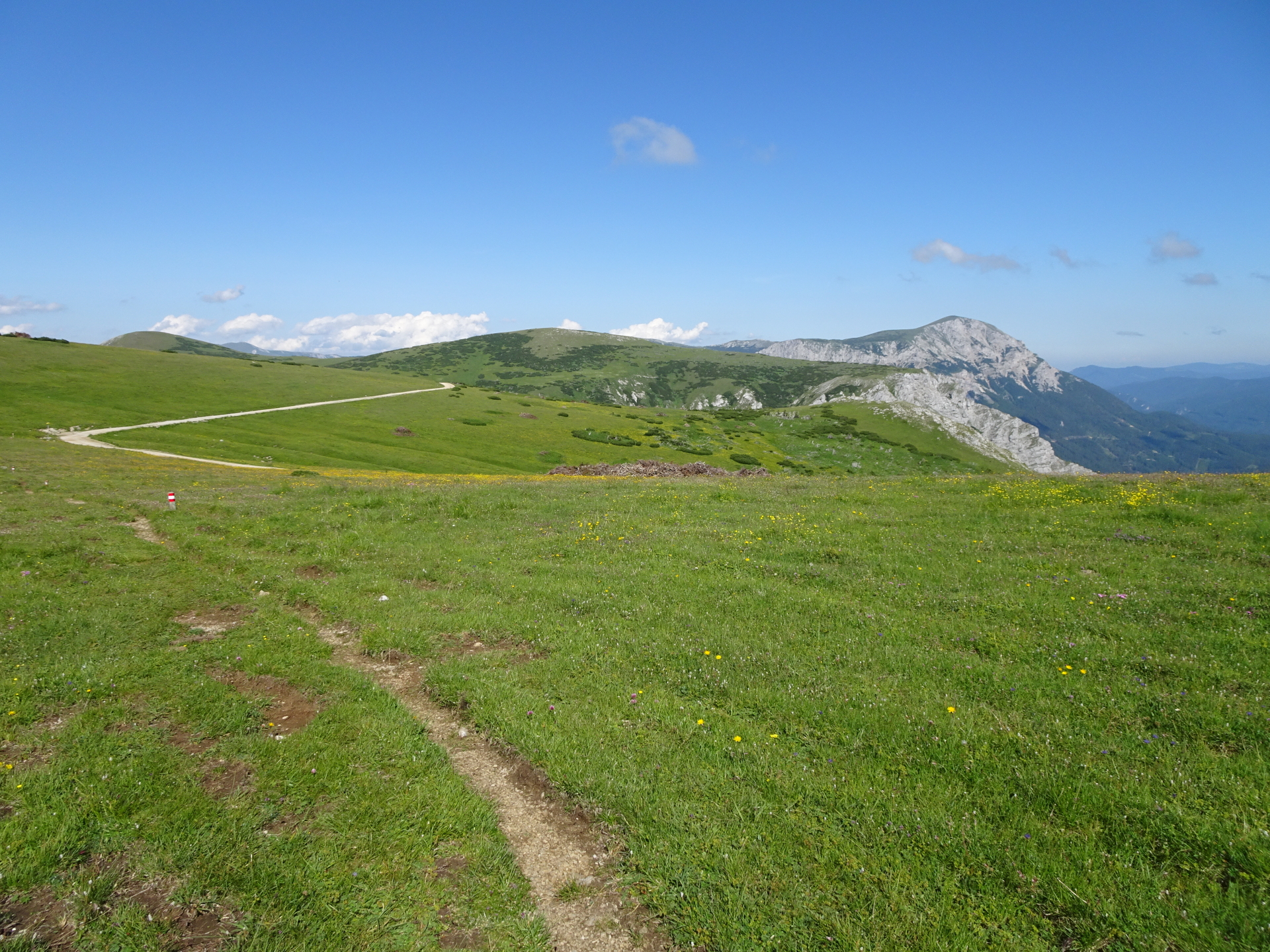
| 03:00 | Follow the trail southwestwards (and then keep right) around the Schauerkogel and cross the plateau towards Michlbauerhütte (towards the visible huts). |
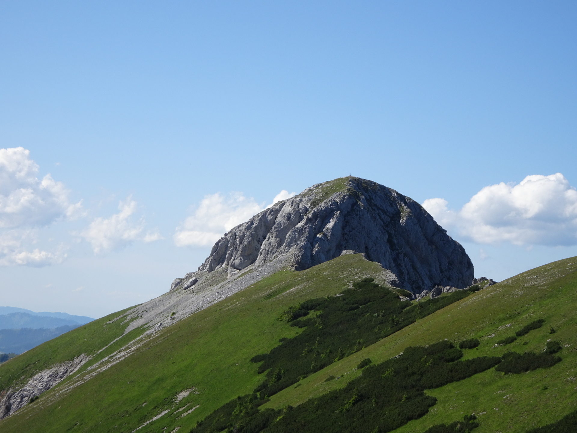
| 03:15 | Pass by the Michlbauerhütte (optionally you can consider another refreshment here), and turn left into the trail behind the hut towards the peak of Windberg. |
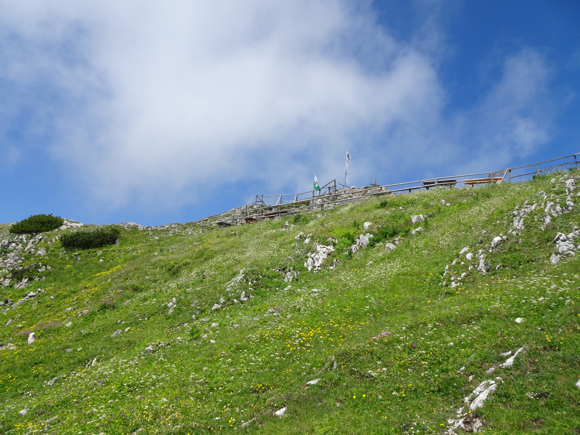
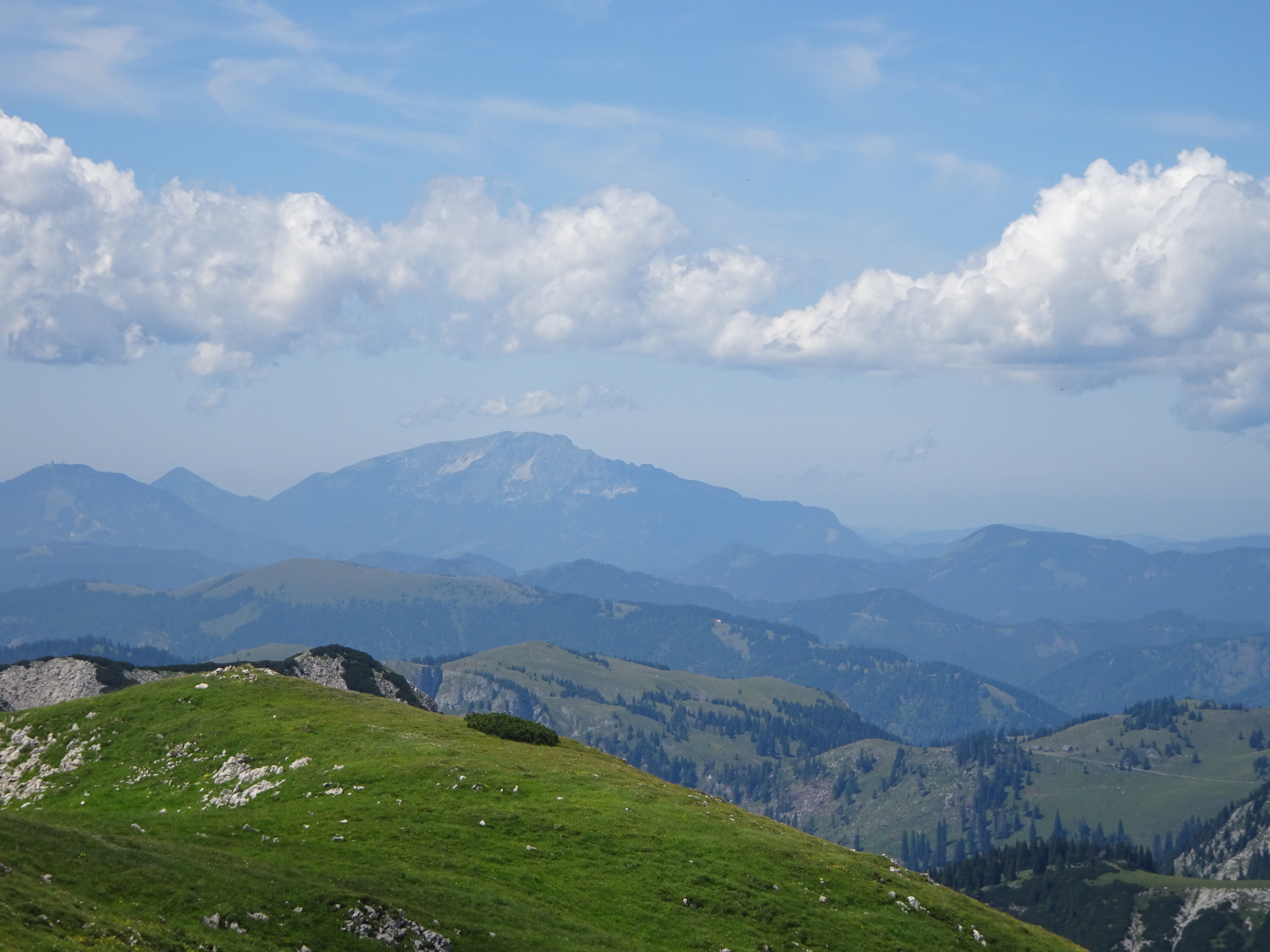
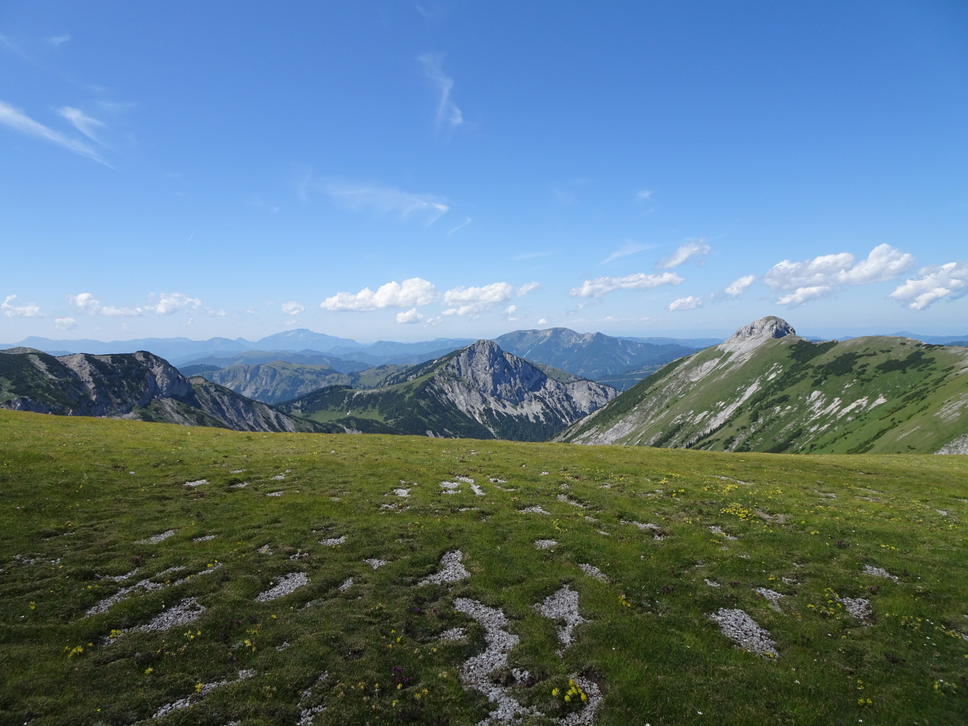
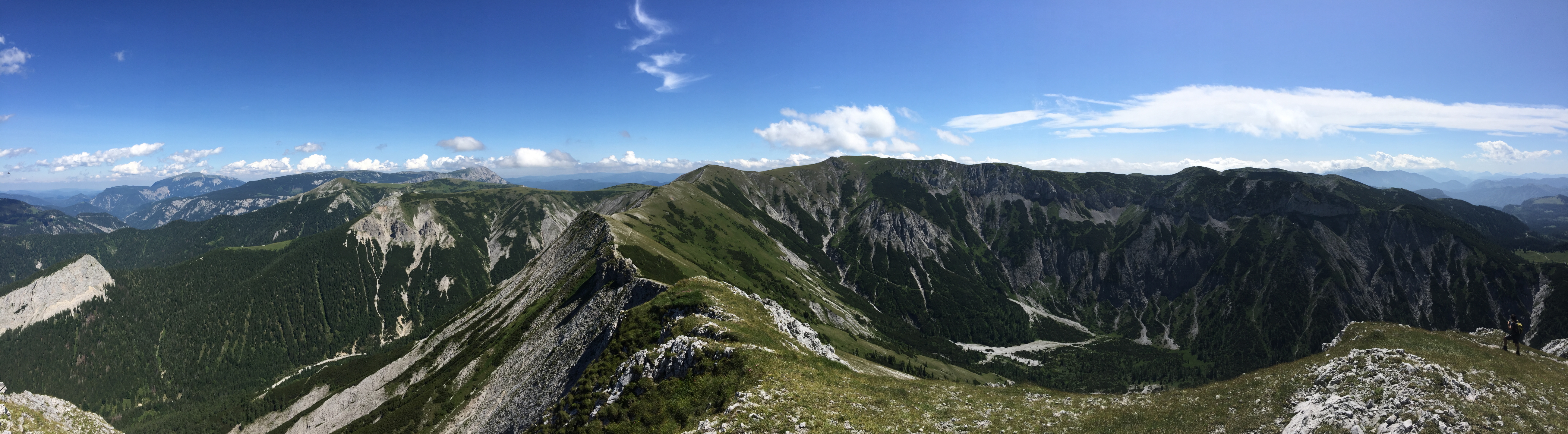
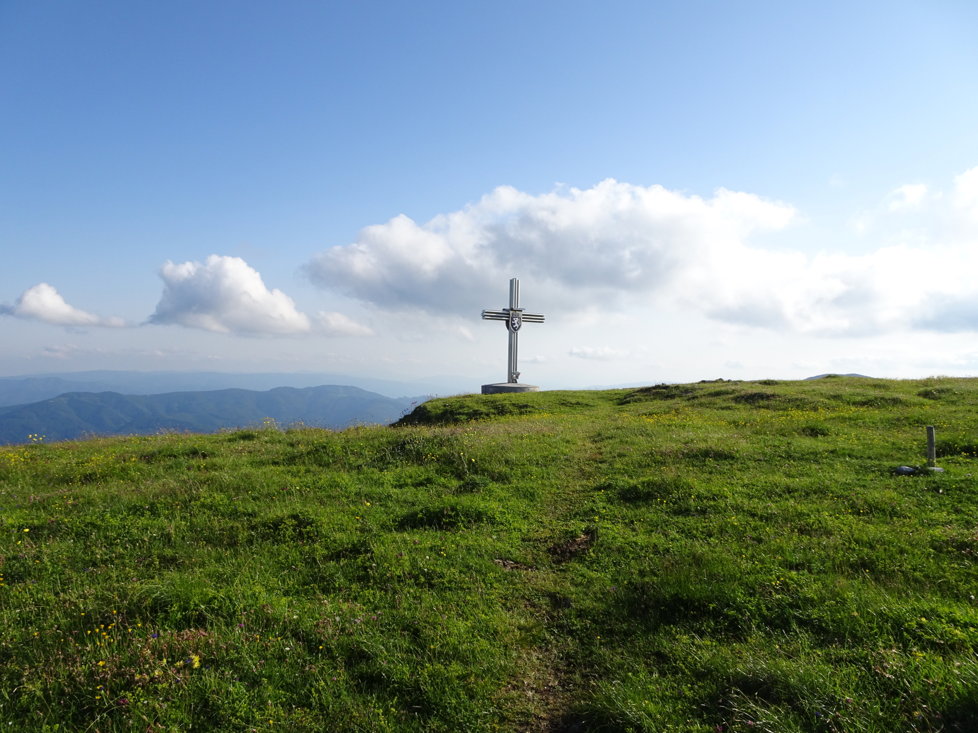
| 03:35 | Enjoy the amazing surround view from Windberg (highest peak of Schneealpe). The view is best enjoyed with self-brought refreshments (). |
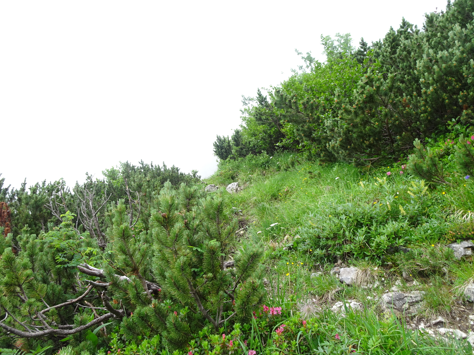
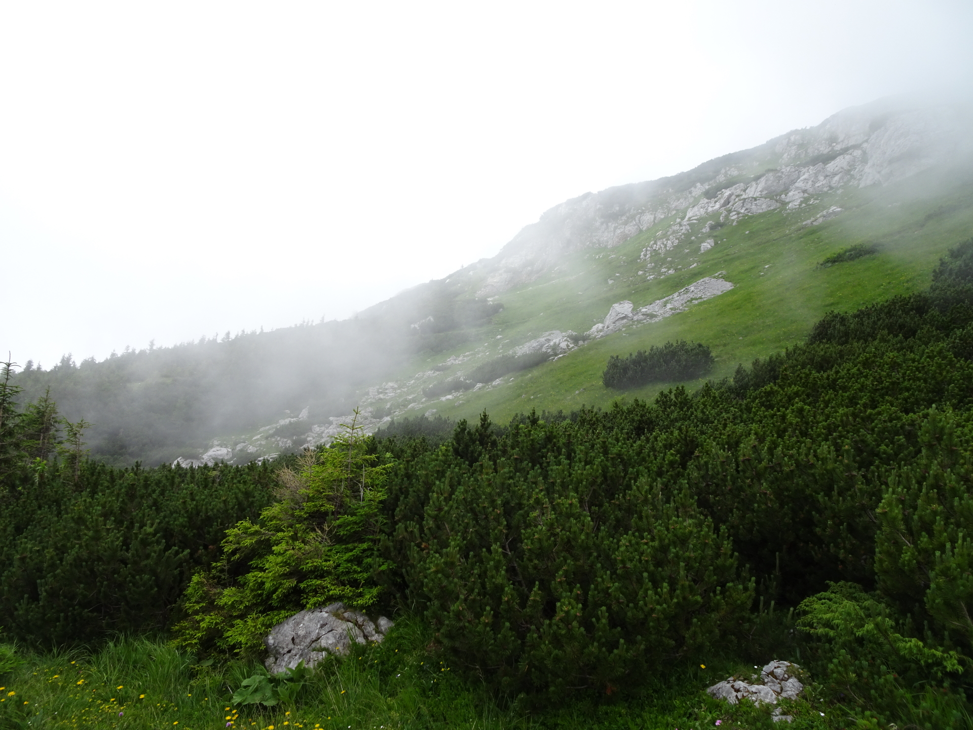
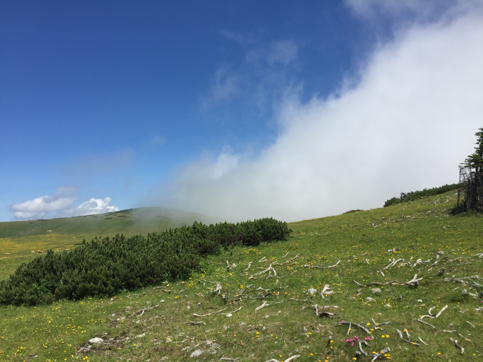
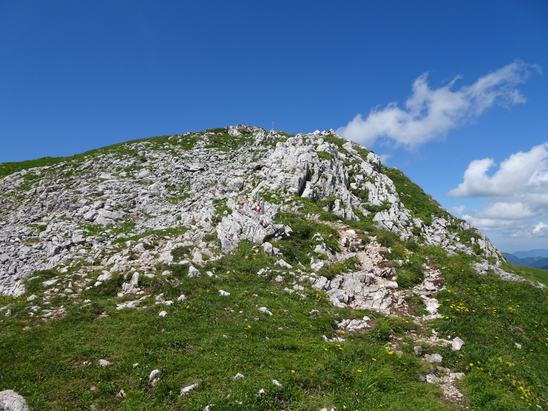
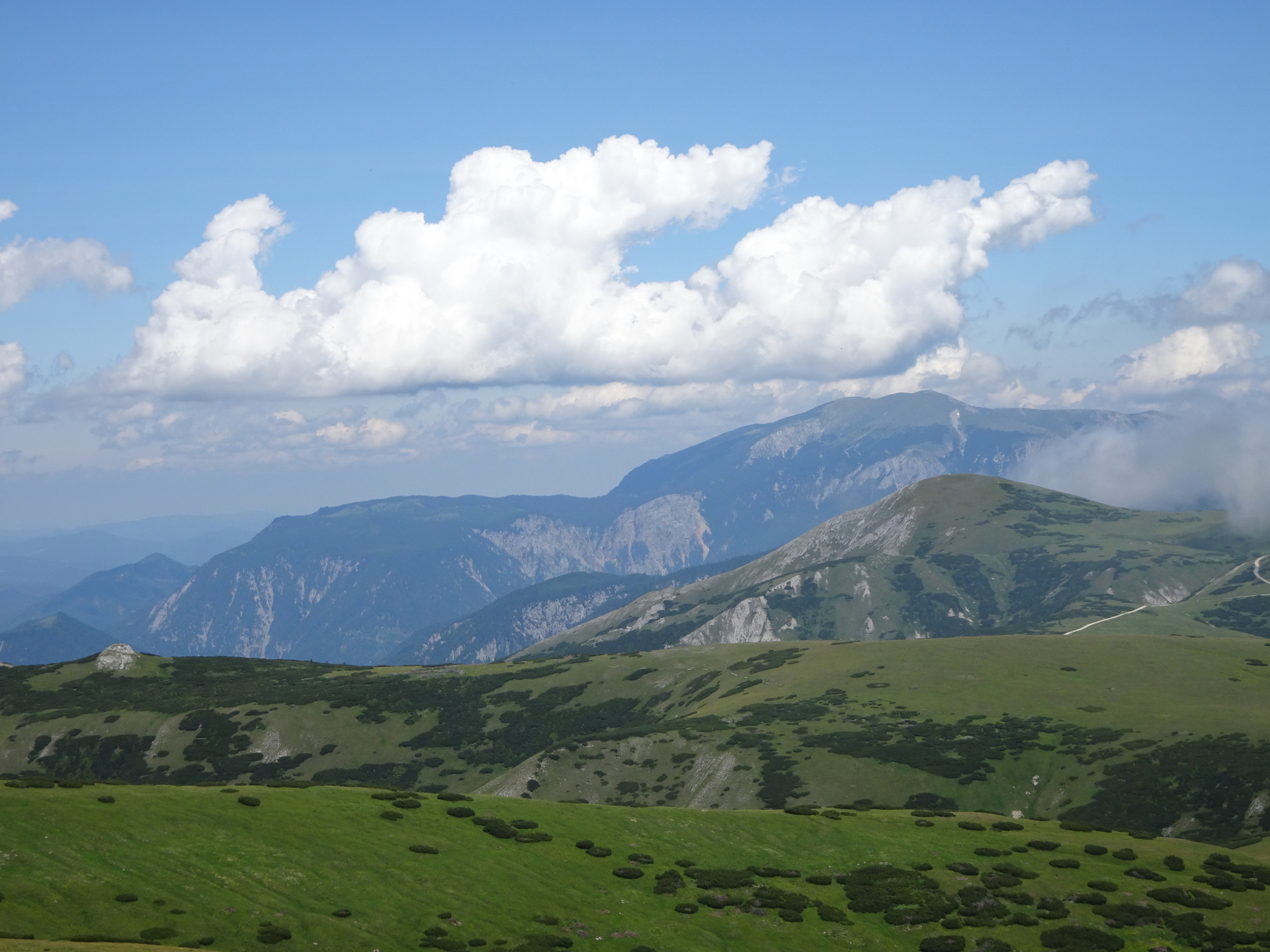
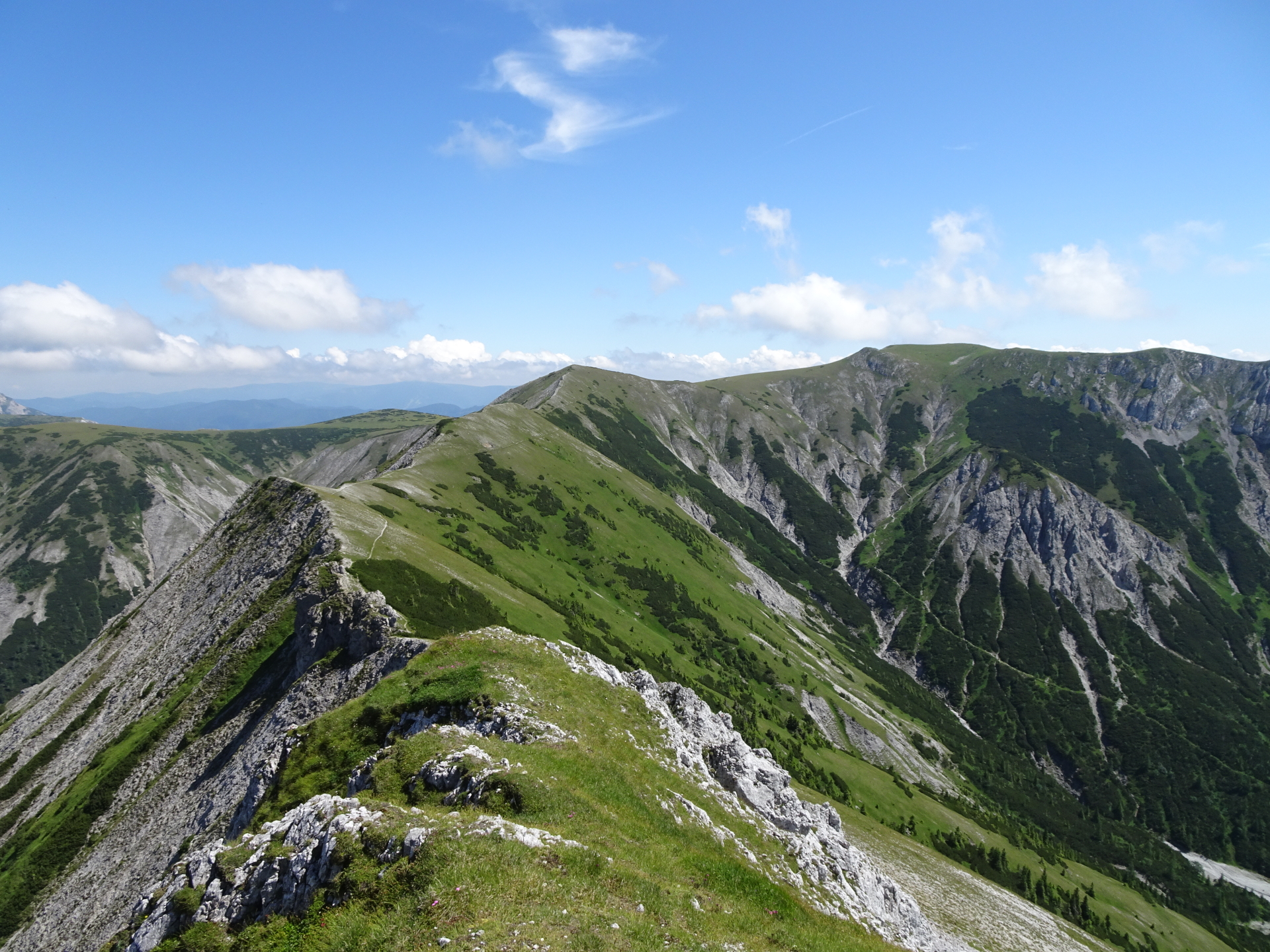
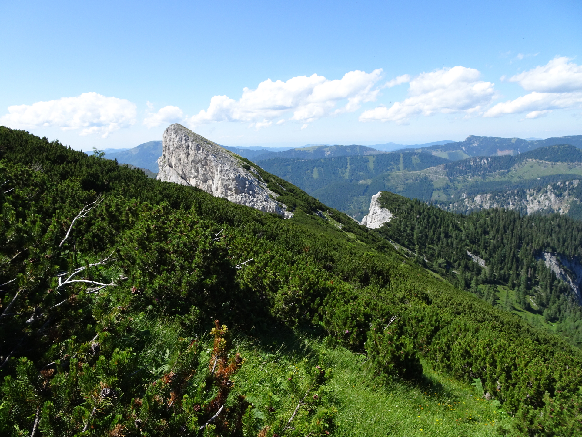
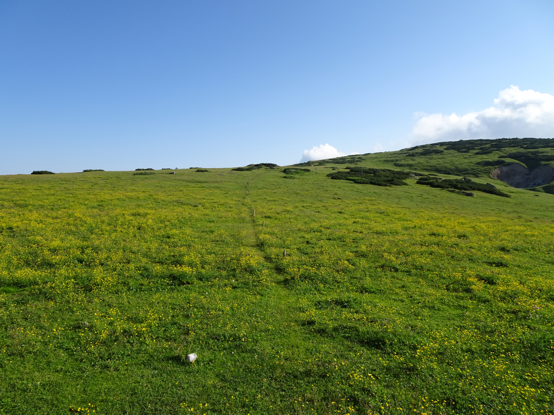
| 04:15 | Follow the trail northwestwards towards and then along the visible ridge that leads to Kleine Mitterbergwand. |
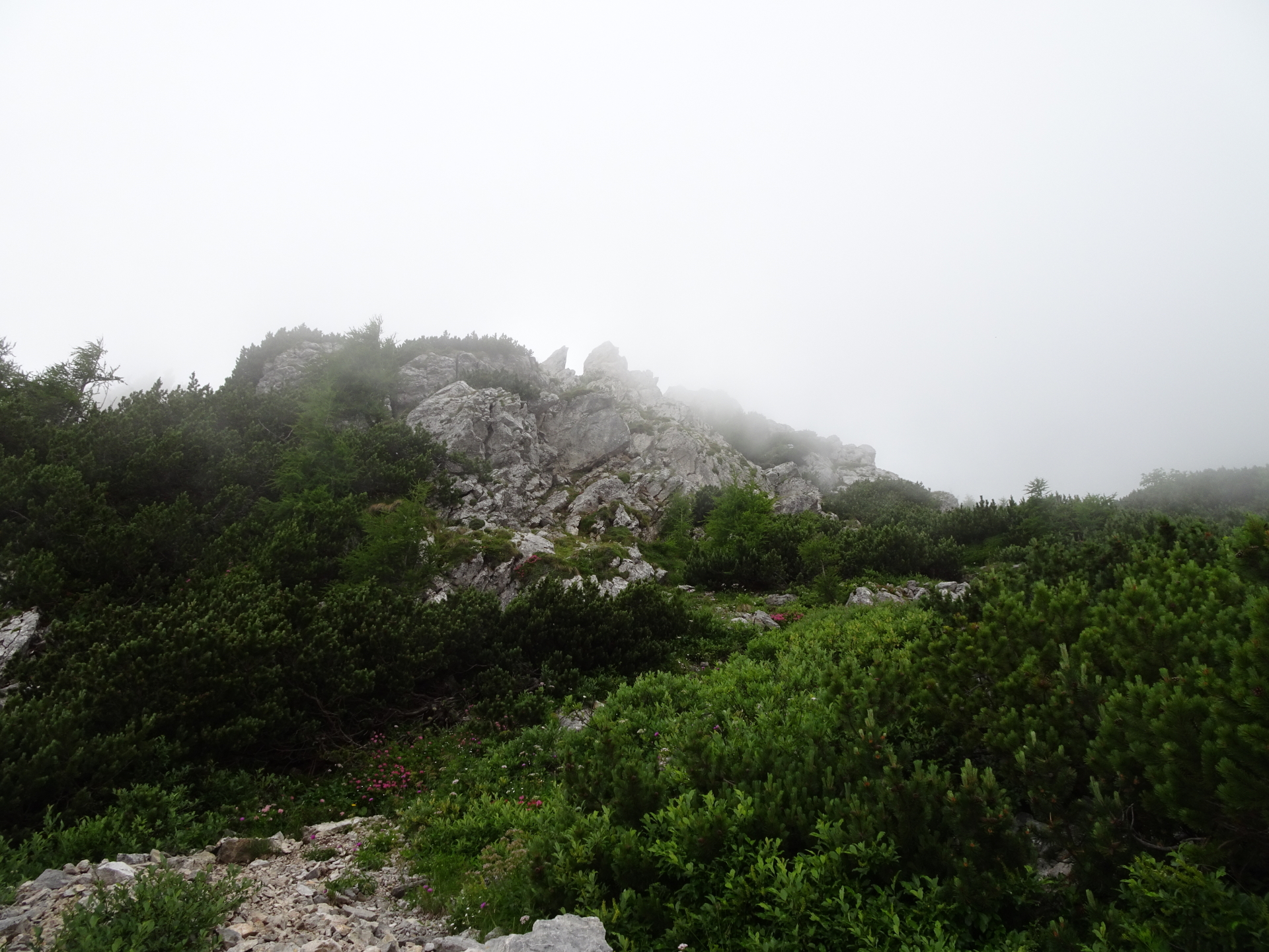
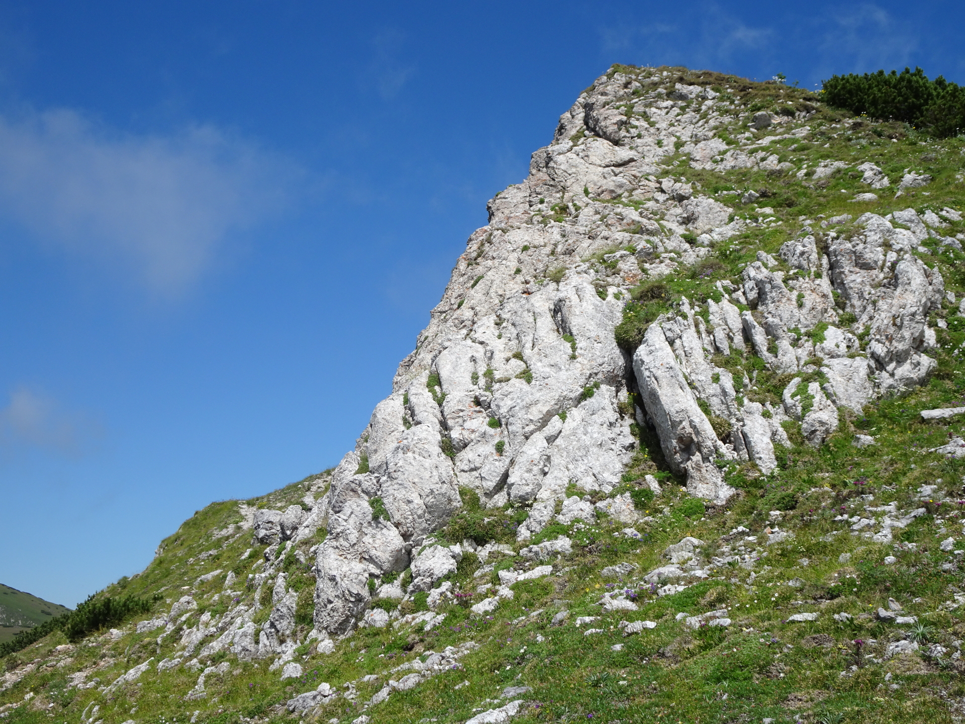
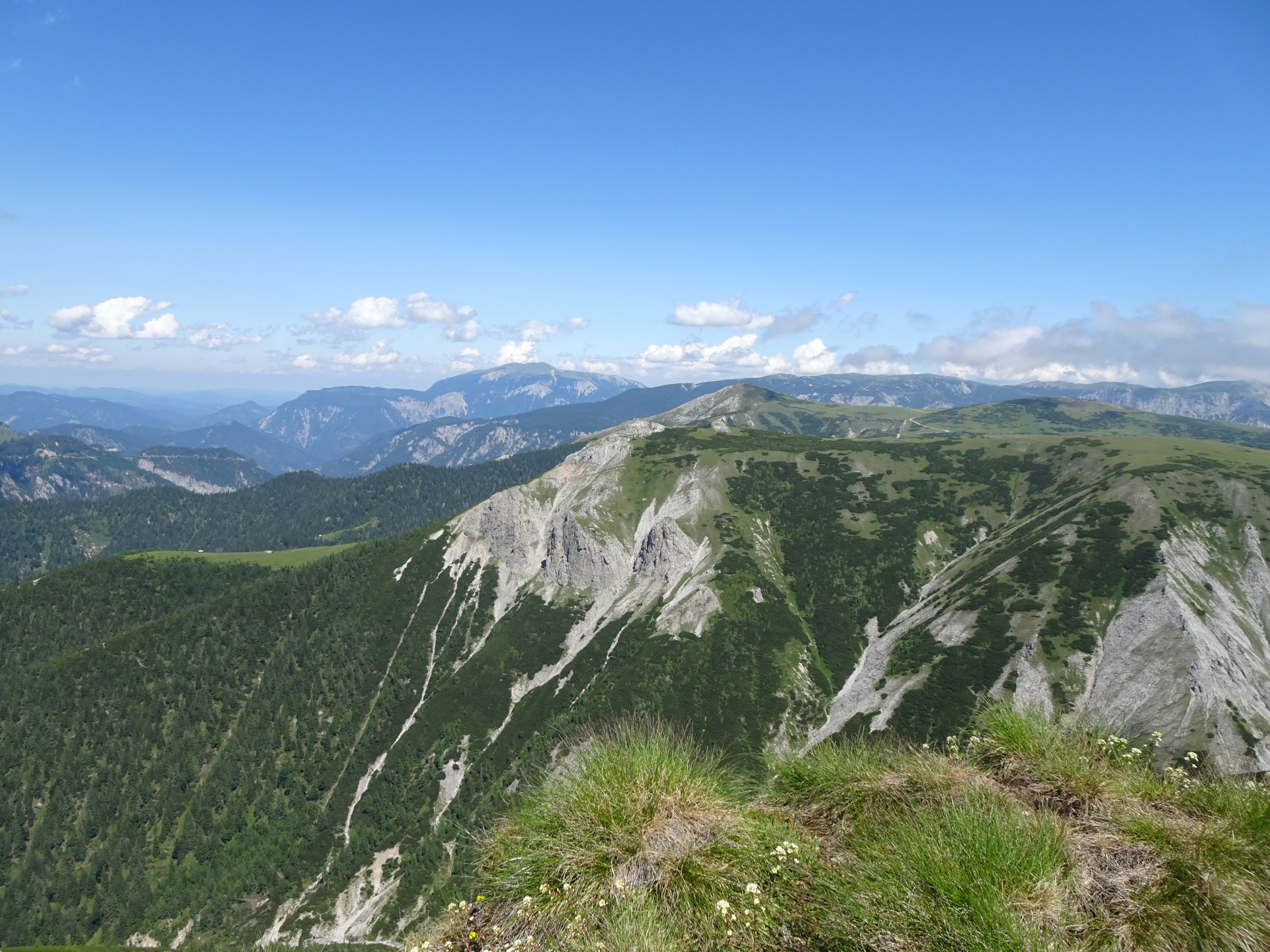
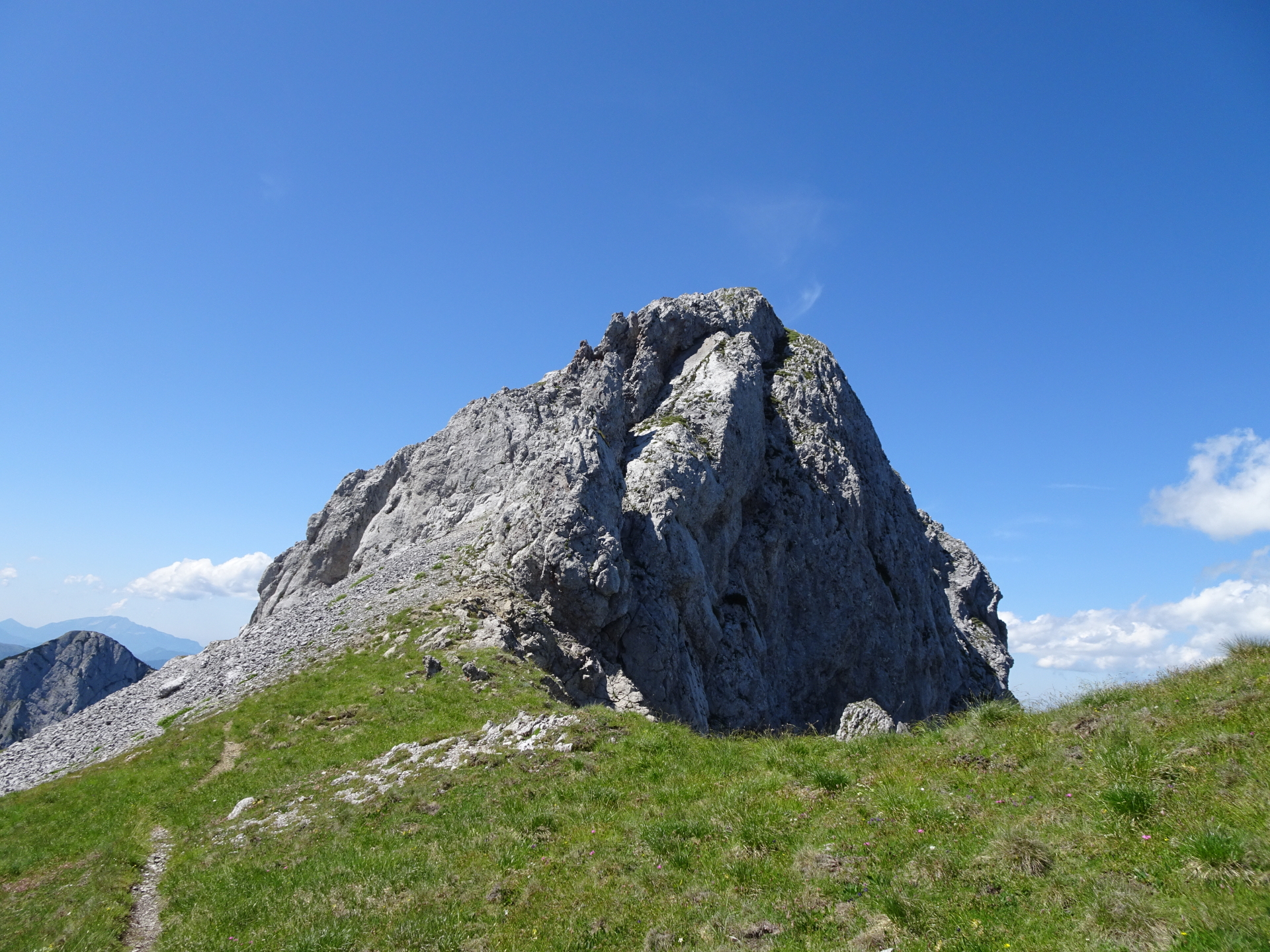
| 04:50 | Pass by the Kleine Mitterbergwand on its left hand-side and descent it from the back. |
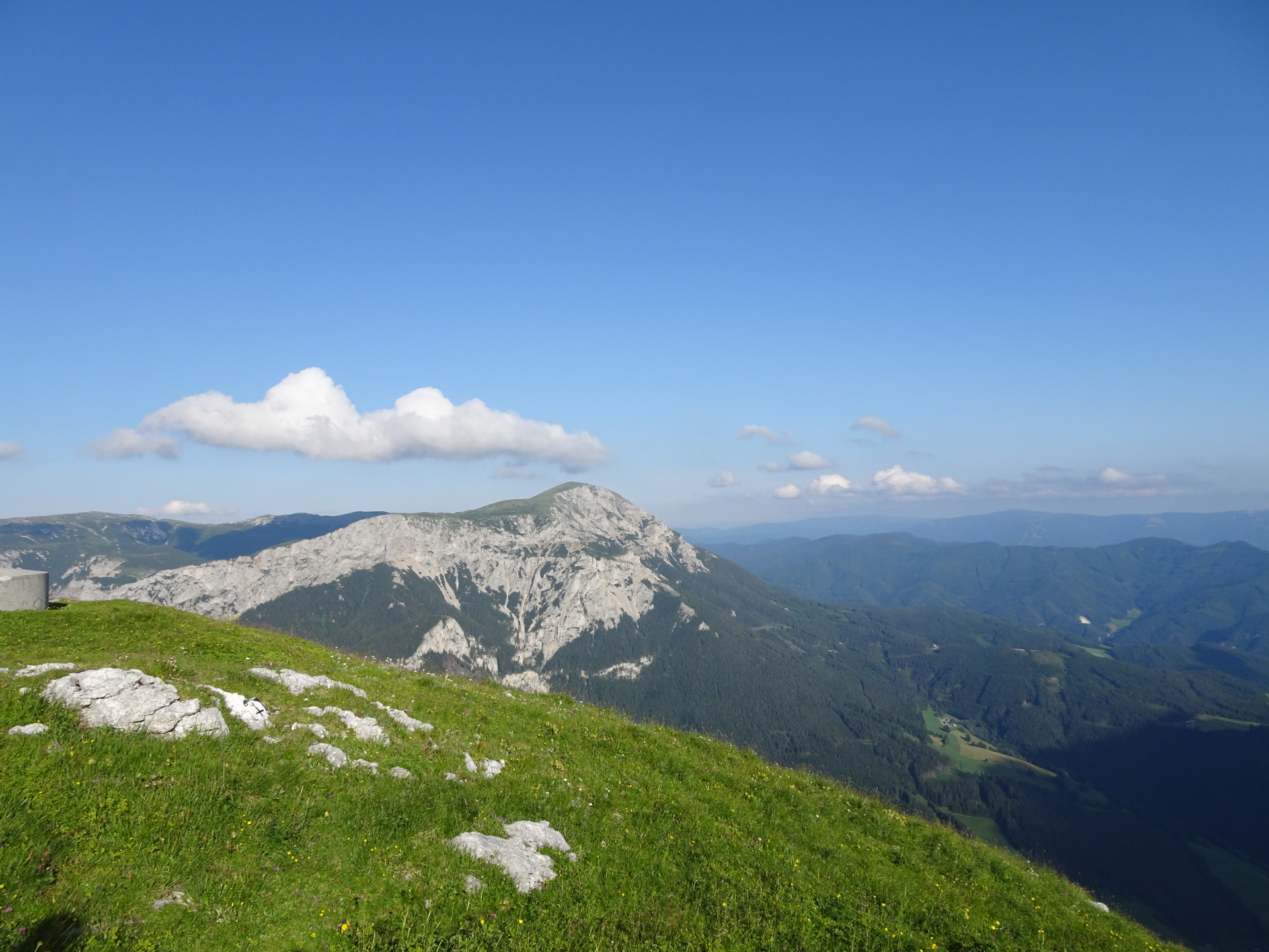
| 04:55 | Enjoy the promising view from Kleine Mitterbergwand, especially towards the impressive Donnerwand (best enjoyed with a self-brought refreshment ). |
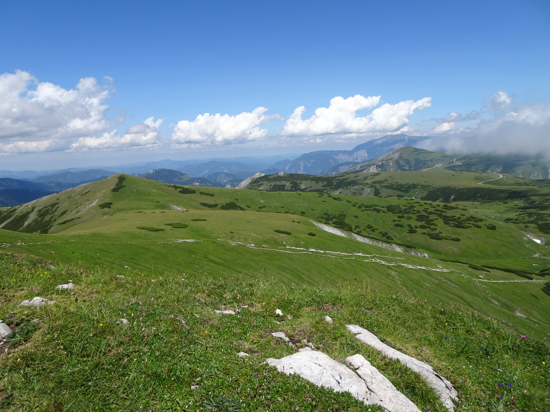
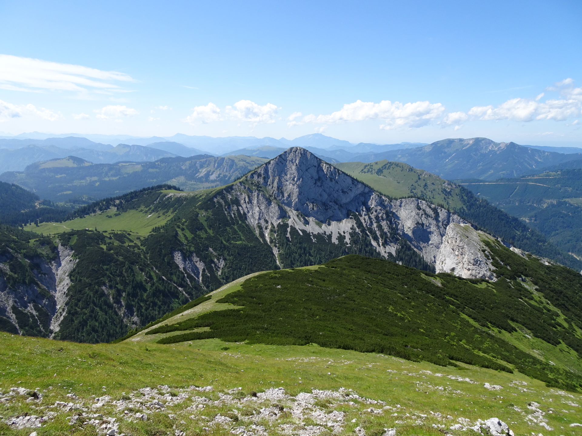
| 05:10 | Descend from Mitterbergwand and follow the trail along the ridge back in the direction of Windberg. |
| 05:45 | At the crossing (before Windberg, turn left and descend via the meadow towards the visible trail. |
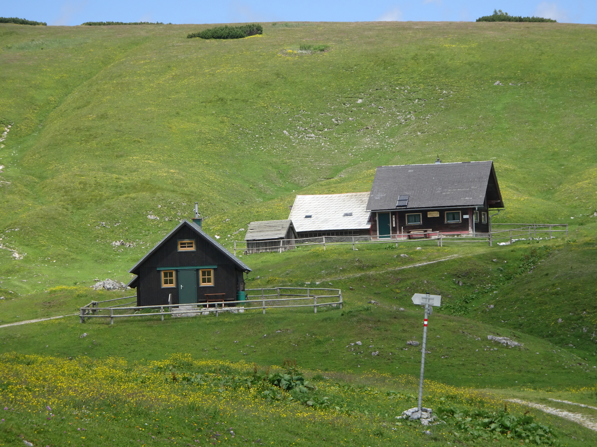
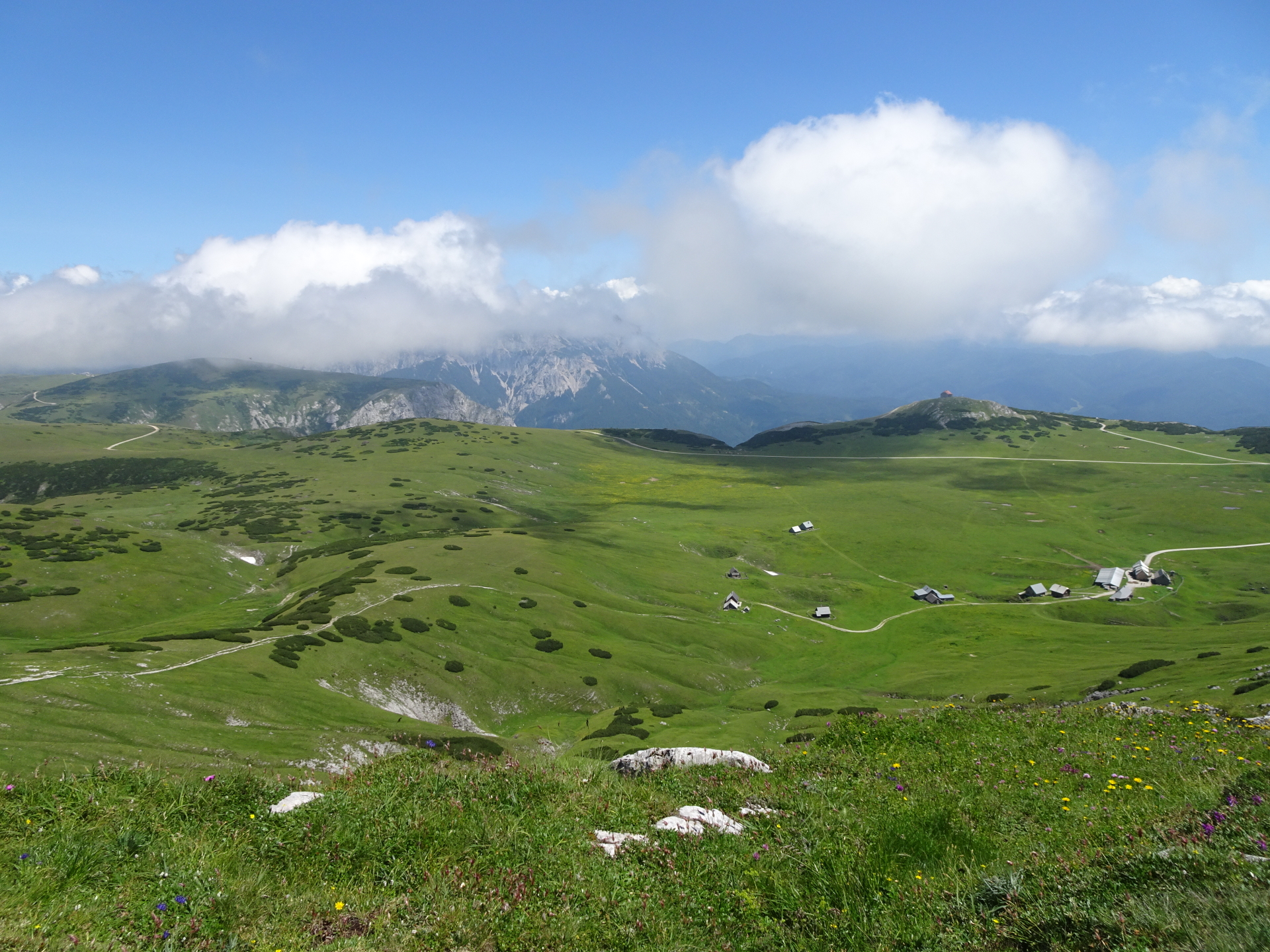
| 06:00 | Turn left into the trail and follow the trail (and later the gravel road) towards Lurgbauerhütte. |
| 06:30 | Well deserved break and refreshment for the descent at Lurgbauerhütte ( ). |
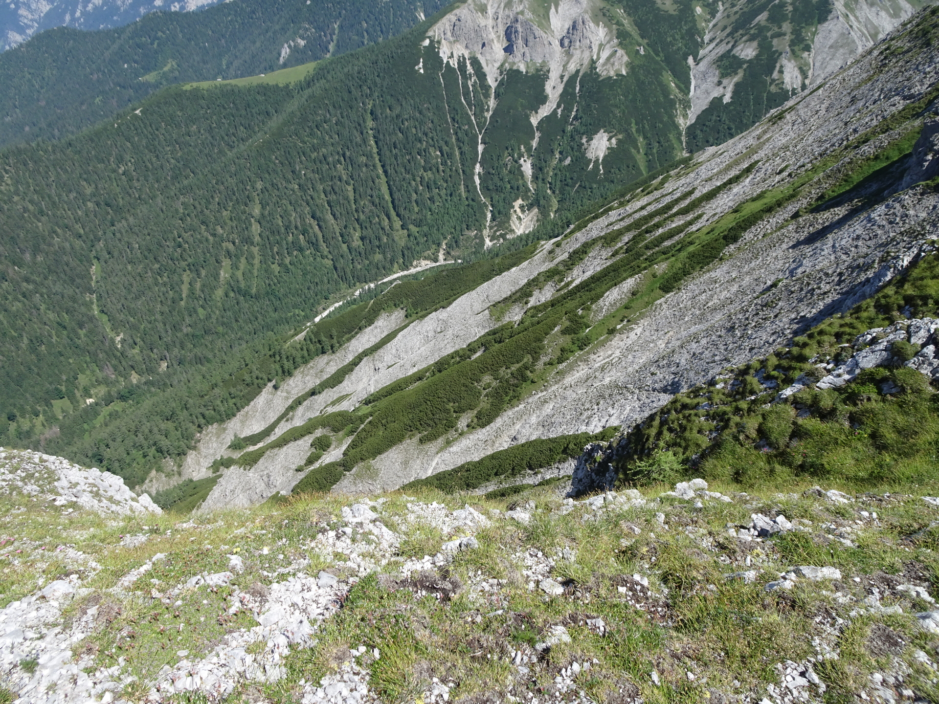
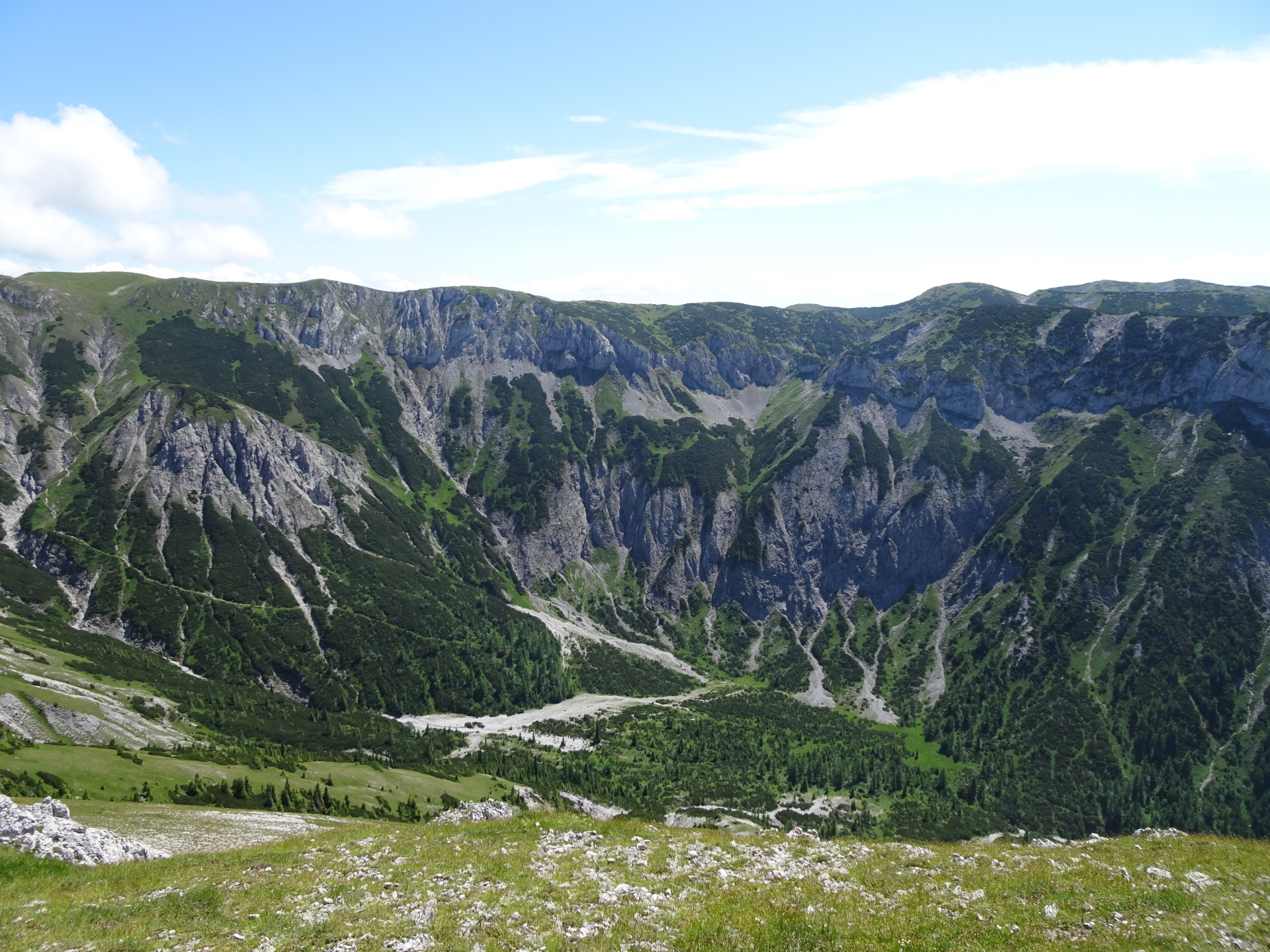
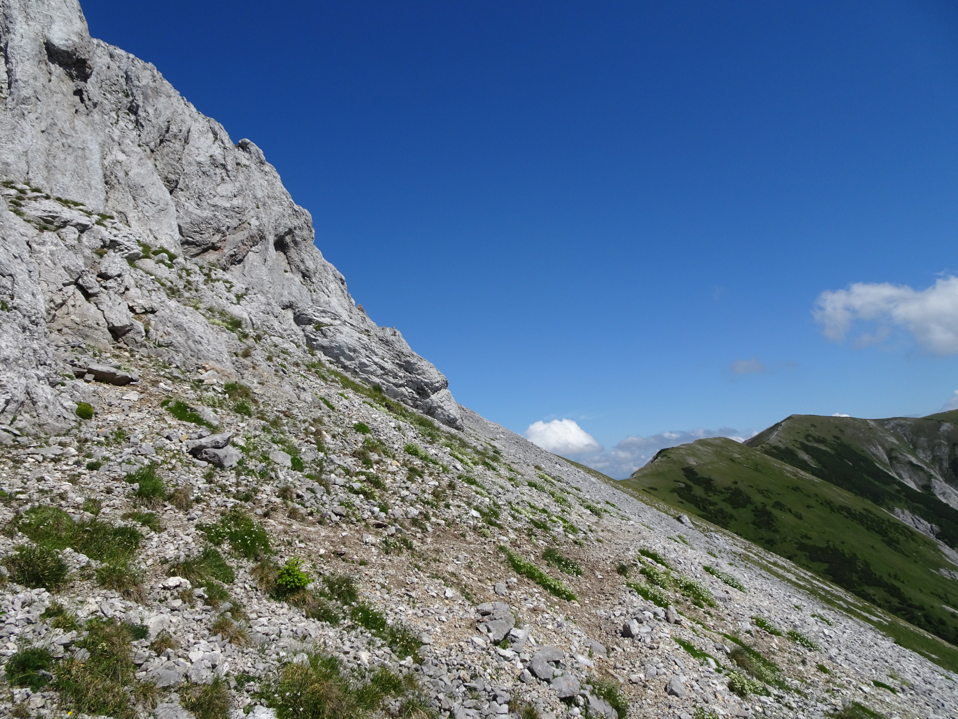
| 07:00 | Follow the path southwards towards Schauerstein (summit cross) and continue on the trail along the ridge southwards till reaching Lohmstein (end of the plateau). |
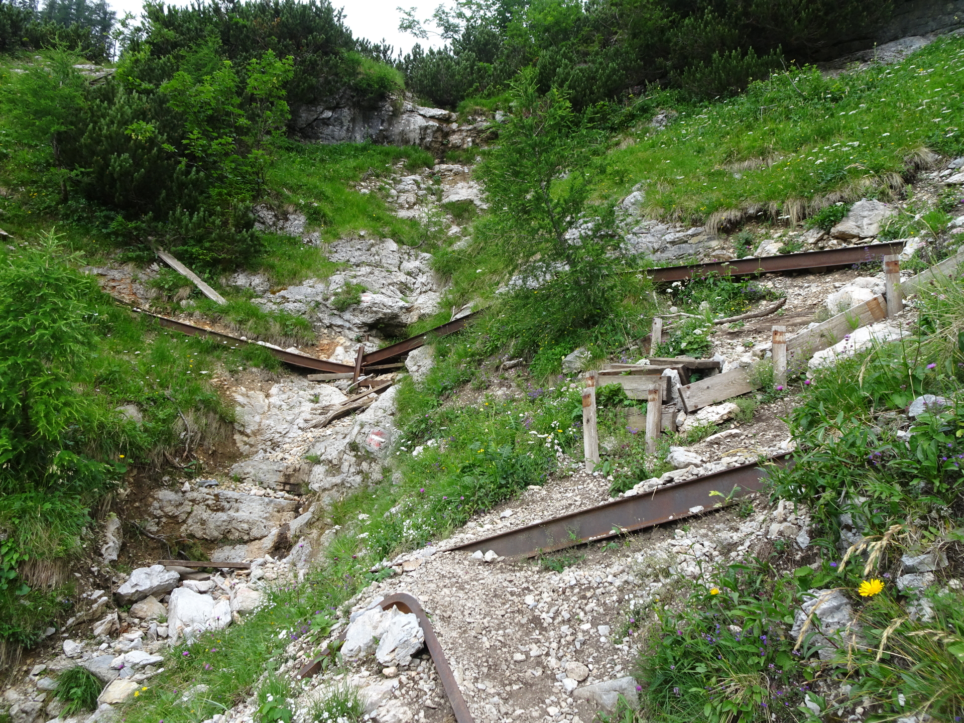
| 07:20 | Turn left and follow the (steep) trail downwards from Lohmstein ( The trail is baldy marked and requires some basic orientation skills). |
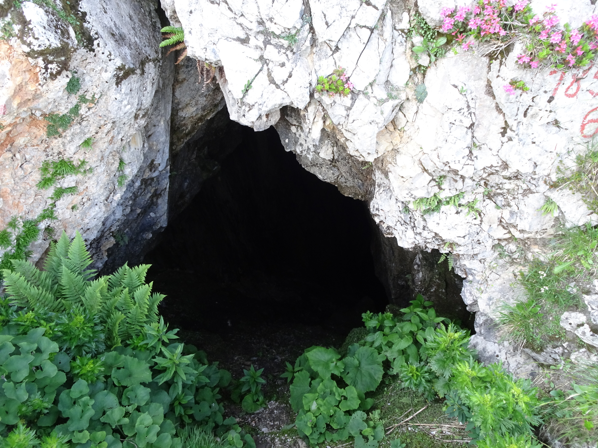
| 07:25 | Pass by the Lohmsteinhöhle (cave) and continue descending via the trail. |
| 07:50 | Pass by the mountain hut by turning left and then right again and continue following the trail downwards. |
| 08:05 | Cross the street and continue descending via the trail. |
| 08:10 | Turn right into the forest street, follow it for a few meters and before the clearing, turn left again and follow the small trail downwards! ( Pay attention, the trail can be easily missed!). |
| 08:20 | Turn right into the street and follow the street downwards (first a U-turn, then keep right!). The street will automatically bring you back to the parking. |
| 08:40 | Back at the parking, end of the tour. |
| Area: | Mürzsteger Alps, Styria, Austria | |
| Distance: | 18km | |
| Ascent: | 1285m (3h 30min) | |
| Descent: | 1288m (3h 00min) | |
| Highest Pt: | 1903m | |
| Lowest Pt: | 918m | |
| Duration: | 6h 15min (without breaks) 8h 40min (with breaks) |
|
| Stop/Rest: | Schneealpenhaus (1788m) Lurgbauerhütte (1764m) |
|
| Equipment: | Hiking shoes with good grip Backpack with standard hiking equipment Food/snacks and plenty of water 2x “Gipfelbier” () Sun & Weather protection Camera |
| Download GPX | ||
| O | Tour at outdooractive.com |
At a glance
| Level | moderate – difficult |
| Technique | |
| Shape / Fitness | |
| Experience | |
| Scenery | |
| Best time in the year | |
|
Jan
Feb
Mar
Apr
May
Jun
Jul
Aug
Sep
Oct
Nov
Dec
|
|


\"")

Leave a Reply