

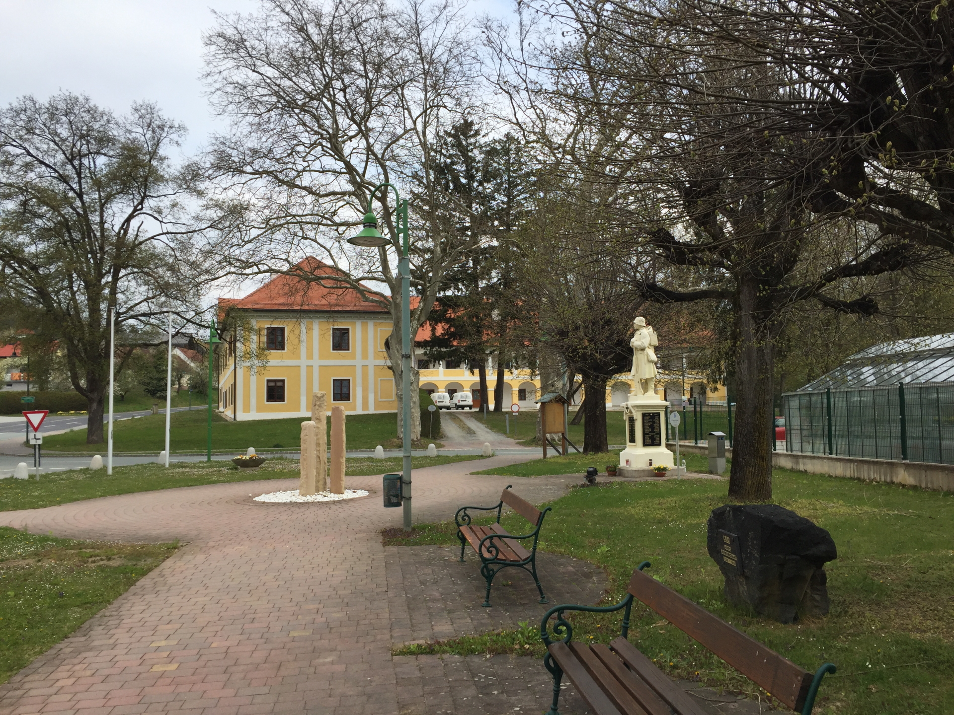
Hike up the the castle of Bernstein from the castle of Jormannsdorf
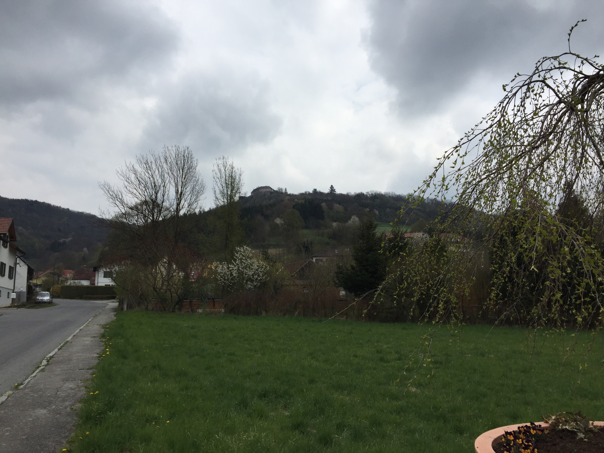
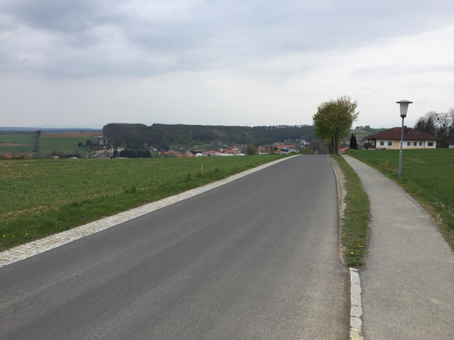
This fairly easy tour starts at the castle of Jormannsdorf (GPS: 47.347794, 16.222086) and first follows the Schulerweg towards Oberschützen. The tour then heads north between Mariasdorf and Willersdorf towards Tauchen, partly via unmarked routes through the forest. The tour then follows the trail towards Rettenbach and finally ascends via the Eulenweg towards Bernstein. After passing by the castle, the tour leads back towards Jormannsdorf via Bergwerk and Neustift bei Schleining.
Tour Description
| 00:00 | Start at the castle Jormannsdorf (GPS: 47.347794, 16.222086). Follow the Schulerweg (bypass the fire brigade) towards Oberschützen. |
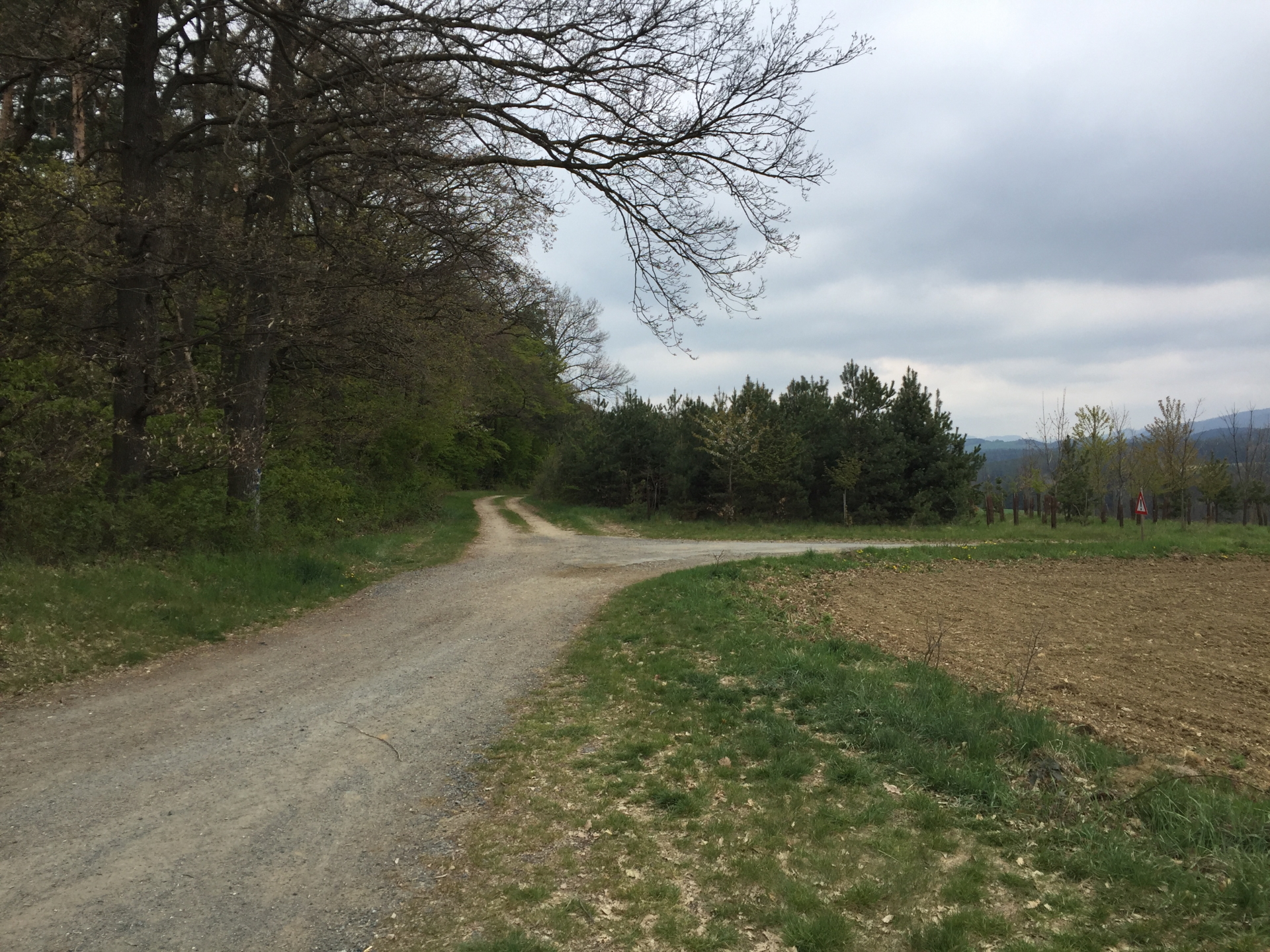
| 00:10 | At the crossing, turn right, cross the street and continue on the gravel road bypassing the football ground (towards Mariasdorf). |
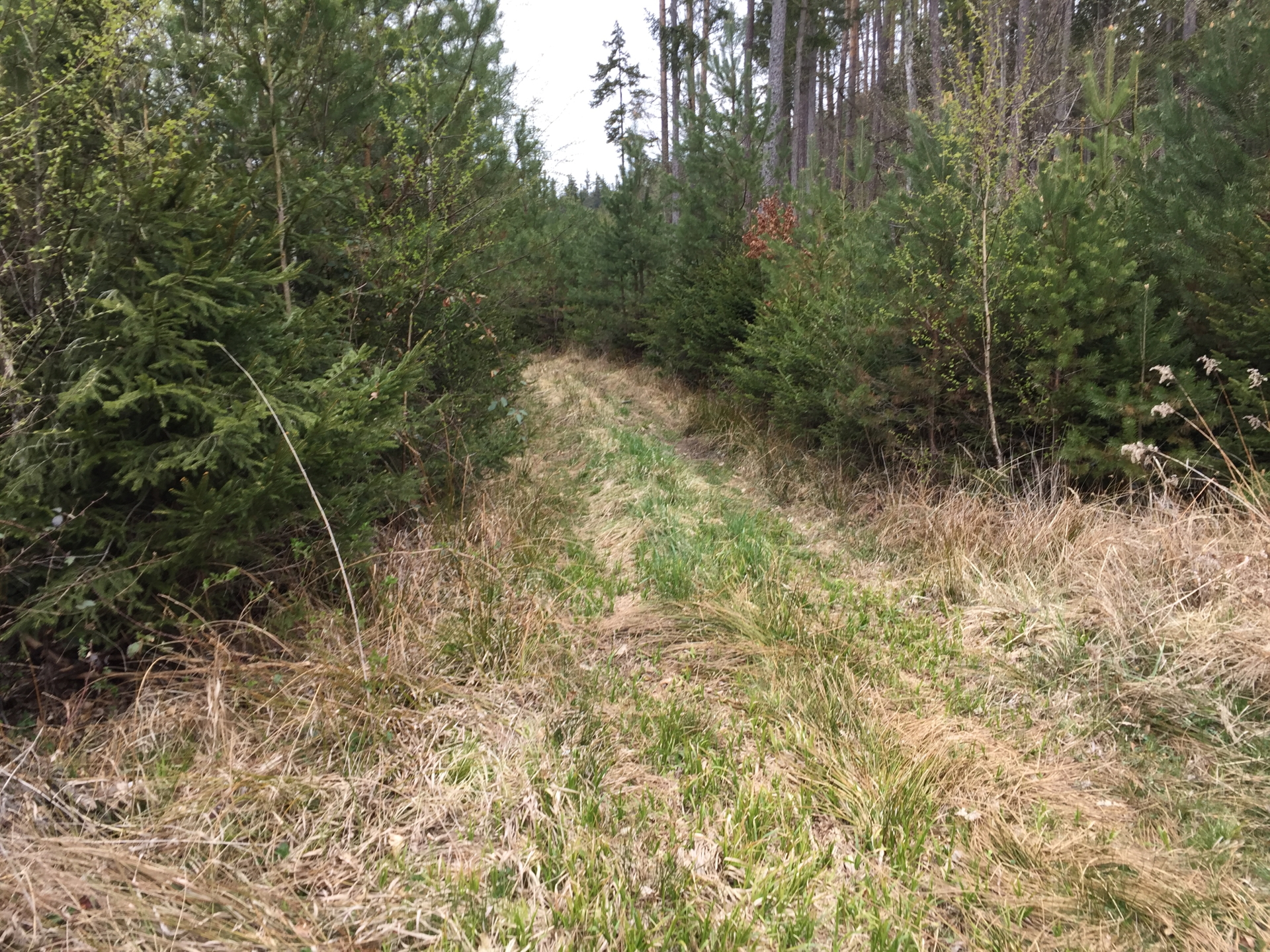
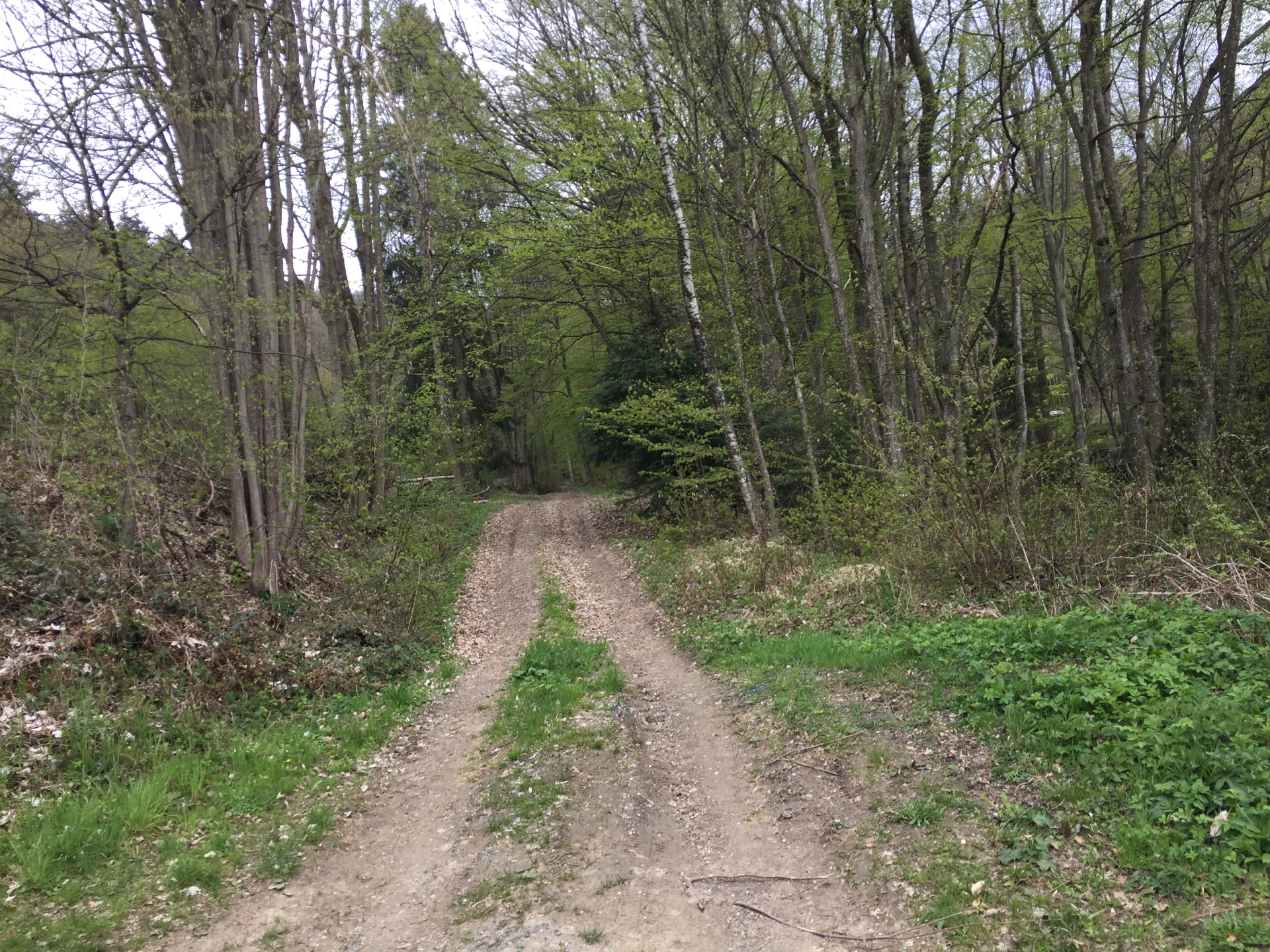
| 00:30 | At the crossing, keep straight ahead and follow the trail into the forest. |
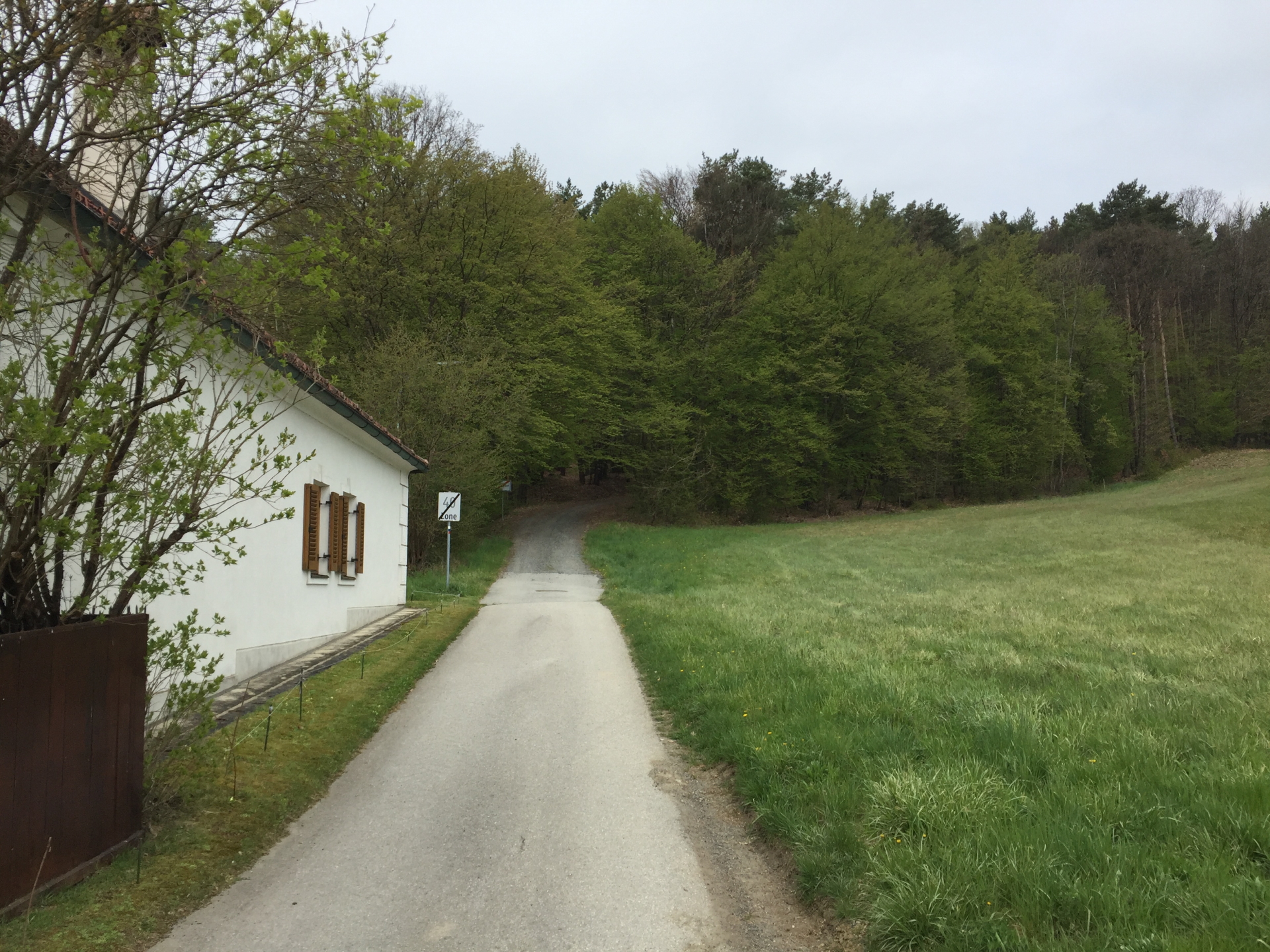
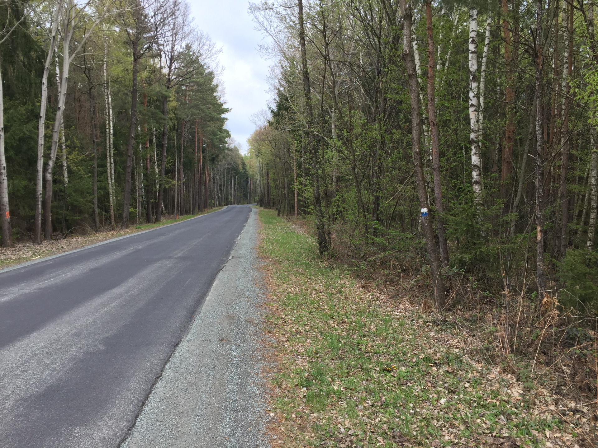
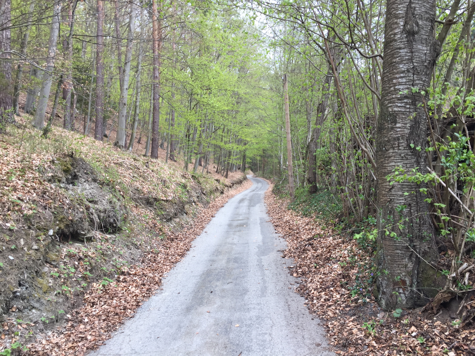
| 00:40 | Follow the street north and either turn right into the forest trail (becomes unmarked!, GPS required!) or stay on the street and turn right at the next crossing! (If you stay on the street, turn right at the next crossing, follow the street for several meters and then turn right again into the forest when seeing the marked trail.) |
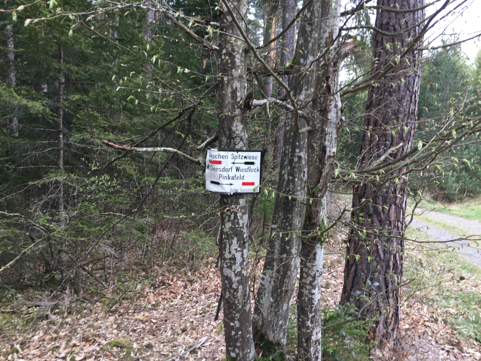
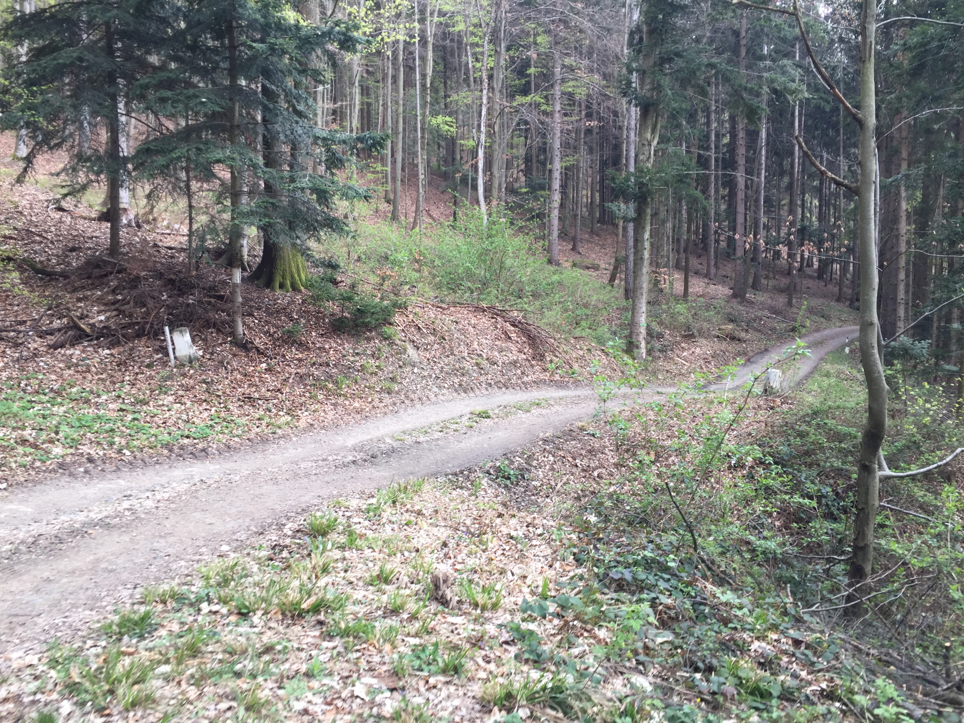
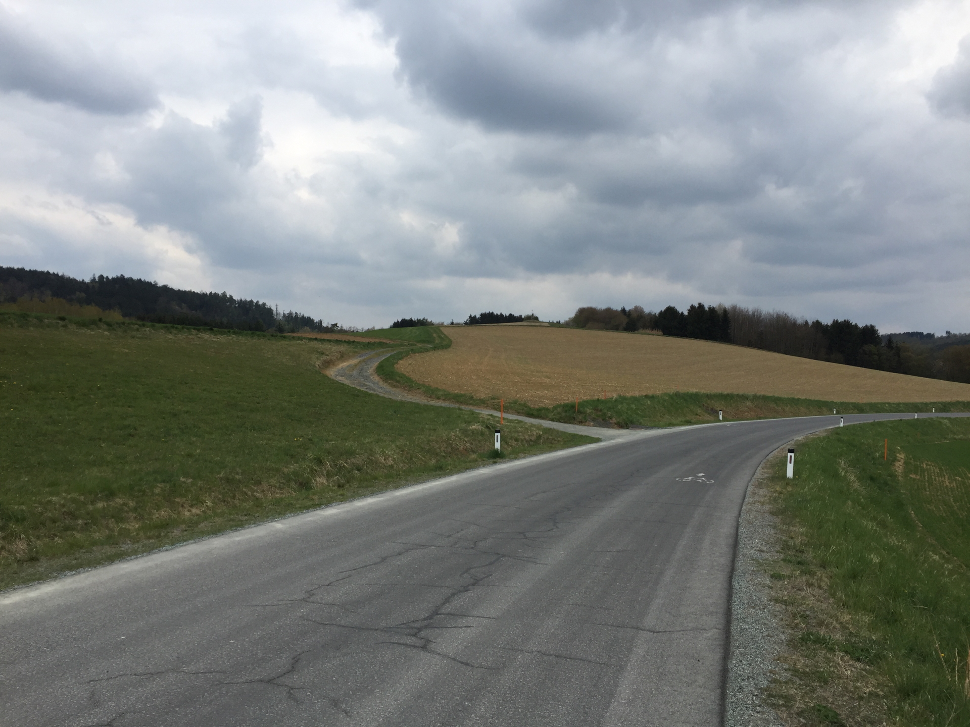
| 01:15 | At the crossing, follow the red trail towards Tauchen / Spitzwiese. |
| 01:30 | At the crossing, turn slightly right (not sharp right!) and follow the trail towards Tauchen. |
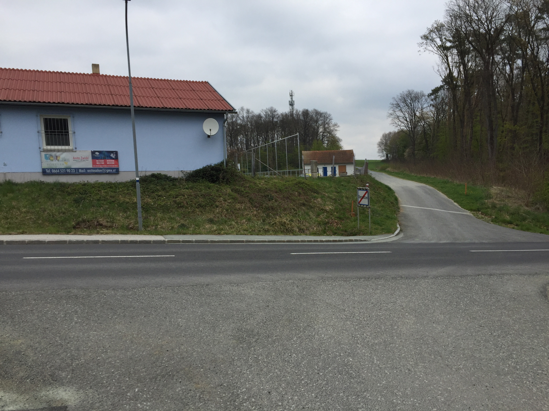
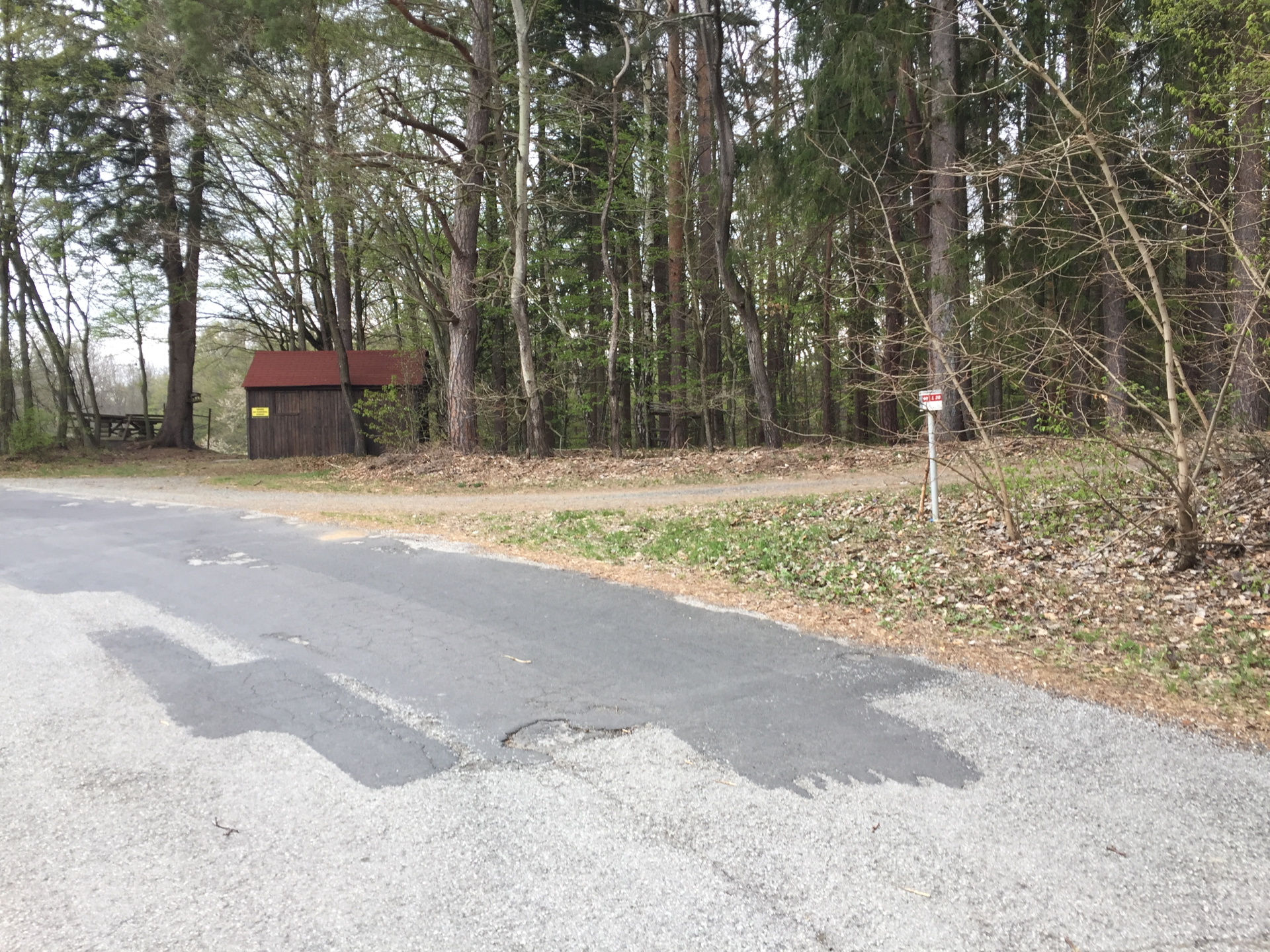
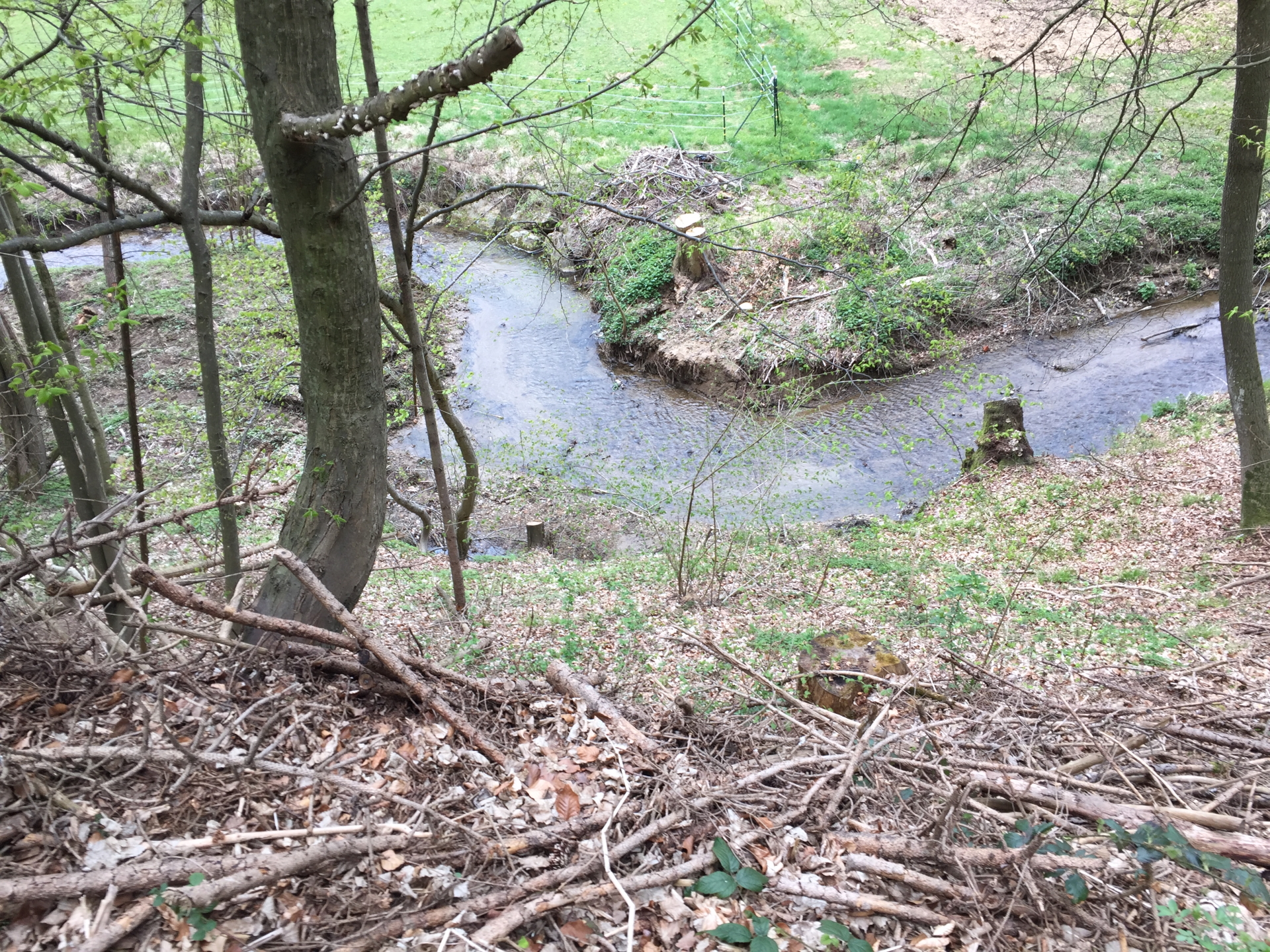
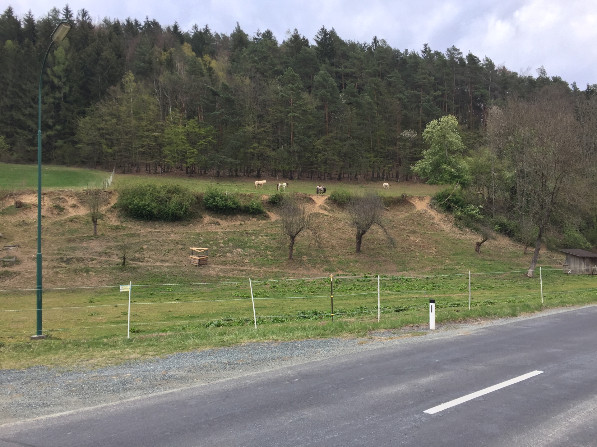
| 01:45 | Keep right and take the trail towards the village of Tauchen. Then turn left and follow the street for a few meters till reaching the company premises. |
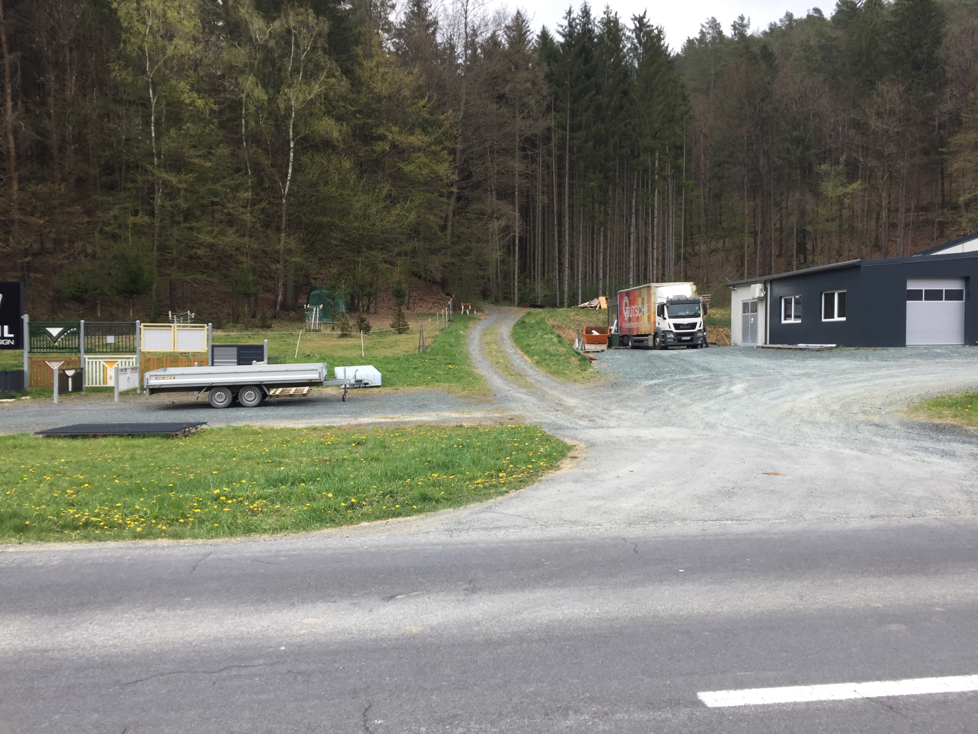
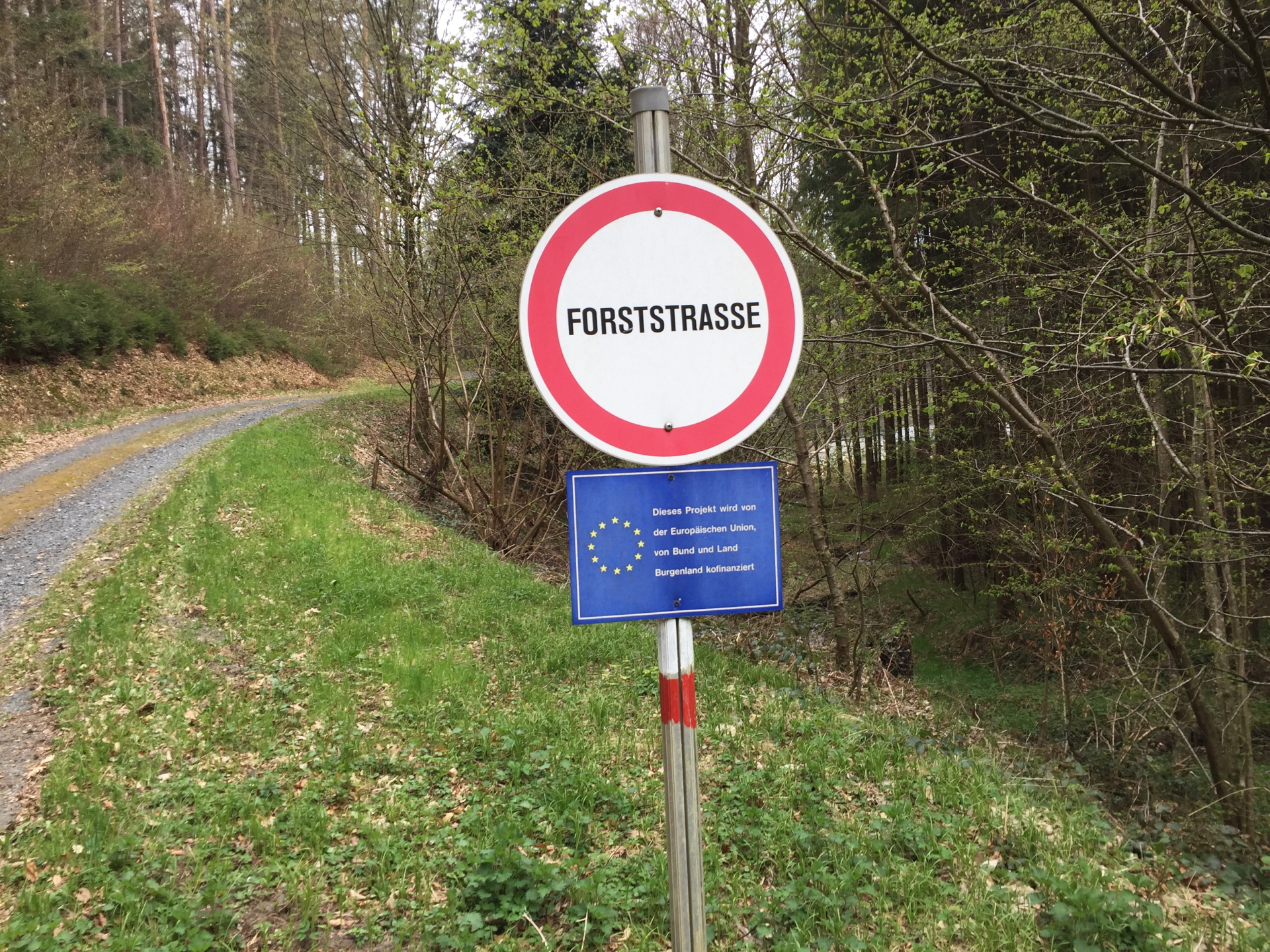
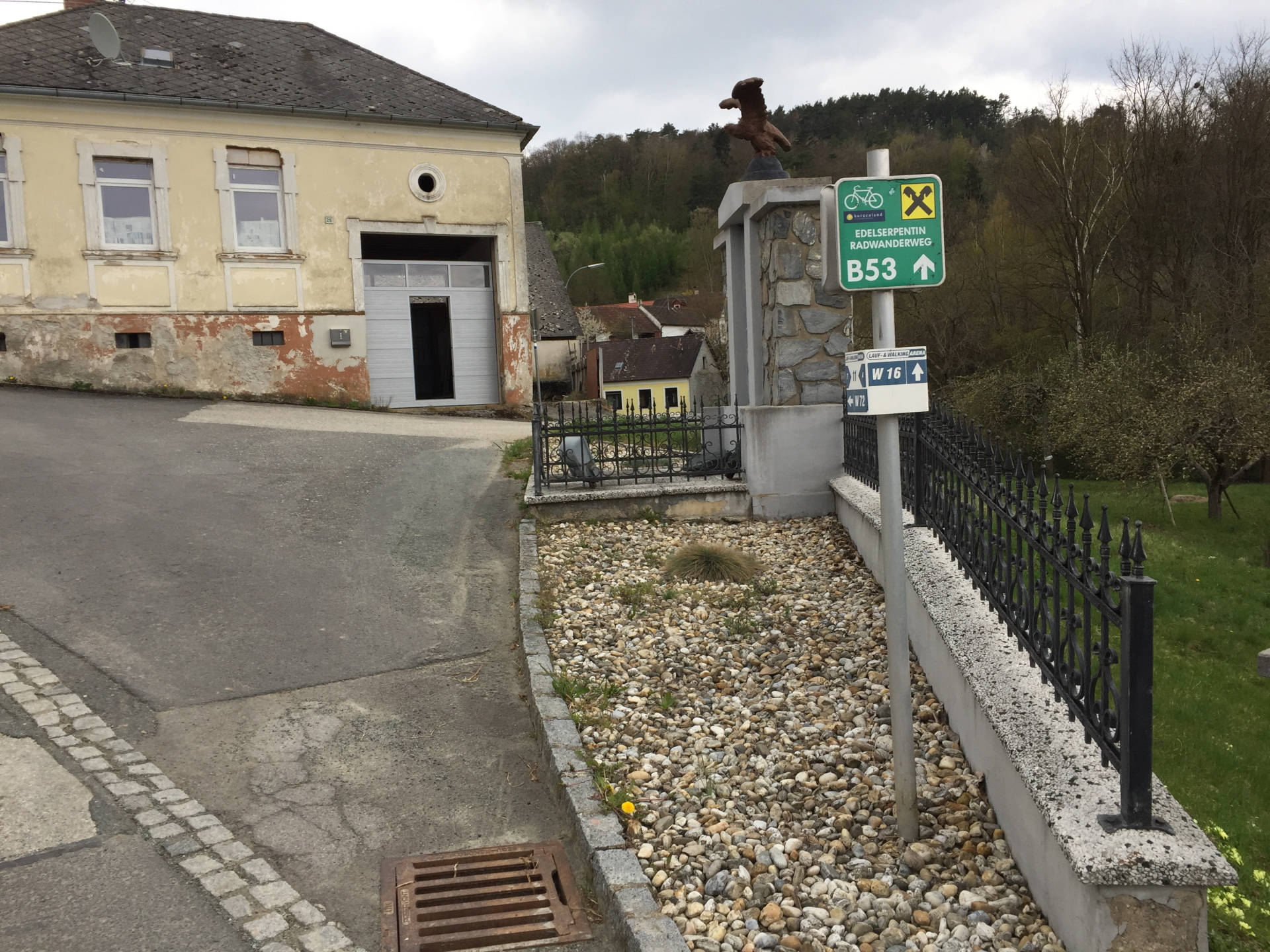
| 02:00 | At the big garage (company premises), turn right and follow the gravel road upwards into the forest. Stay on the white-red marked trail (keep right). |
| 02:15 | Optional detour: Turn left and follow the steep trail upwards to Weidenhöhe. Alternatively, you can stay on the trail and then follow the street leading towards Rettenbach. |
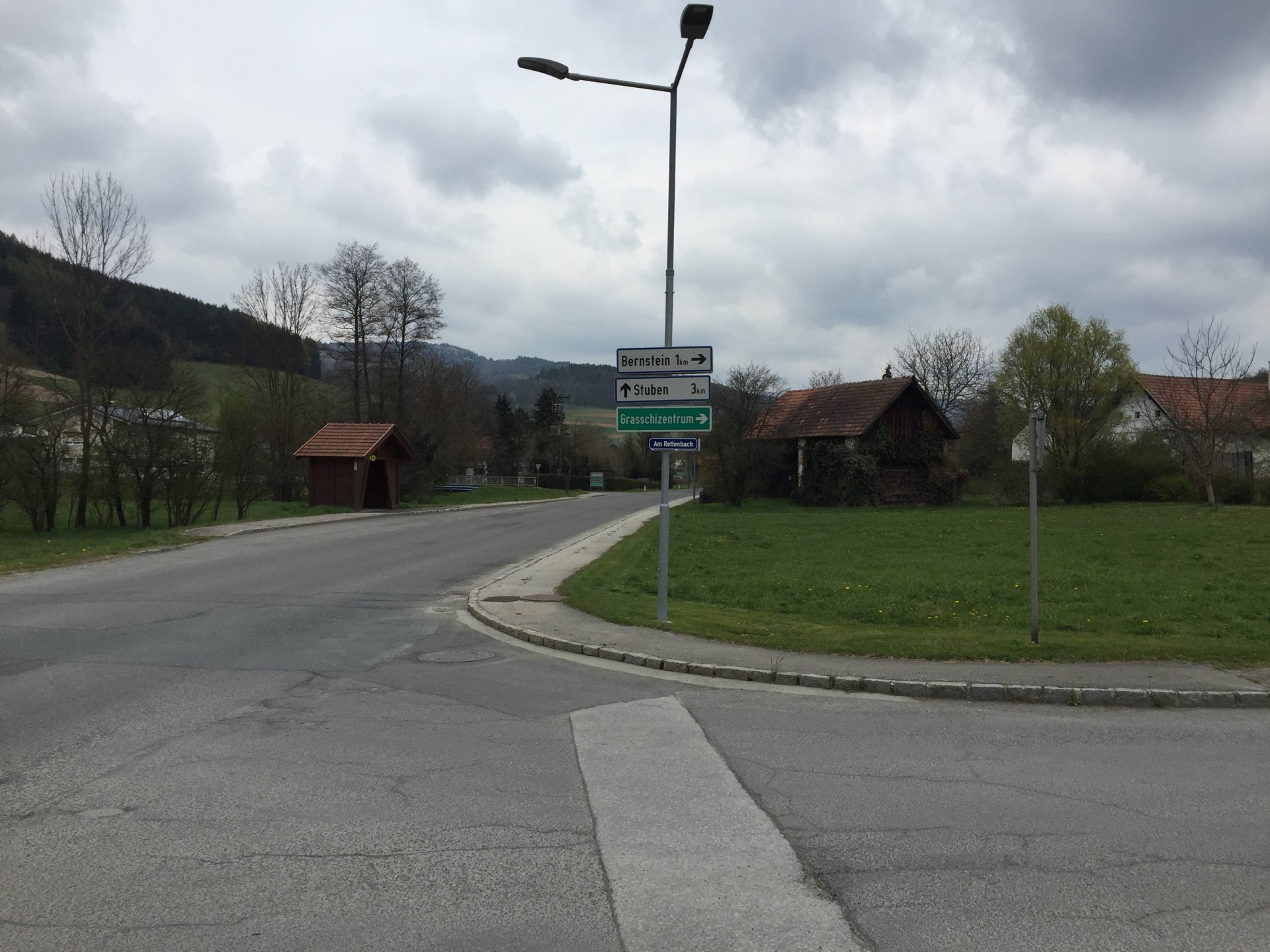
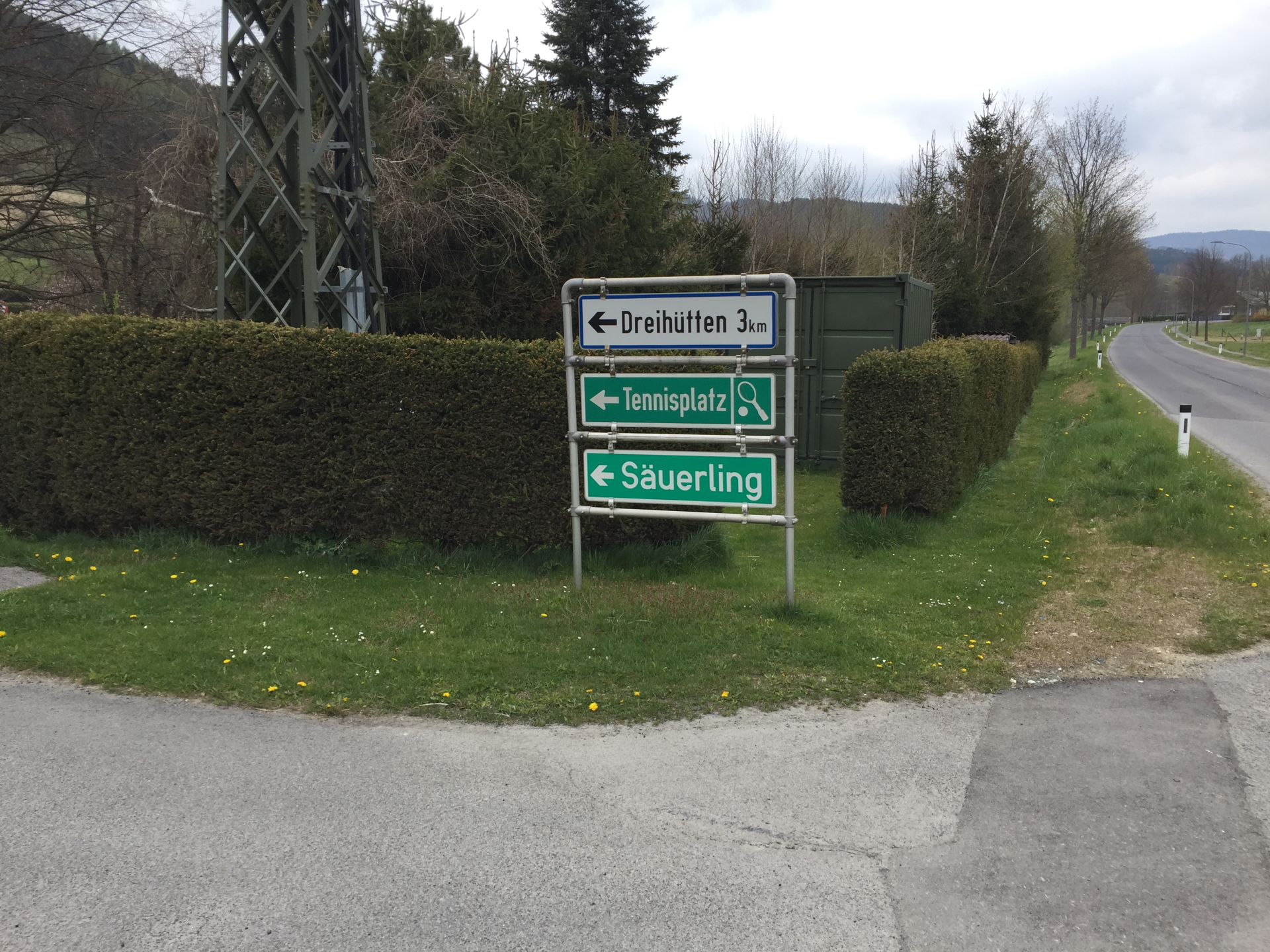
| 02:45 | Turn left and follow the main street towards Rettenbach. Instead of following the signposts towards Bernstein, stay straight ahead (direction Stuben) and then turn left into Säuerling. |
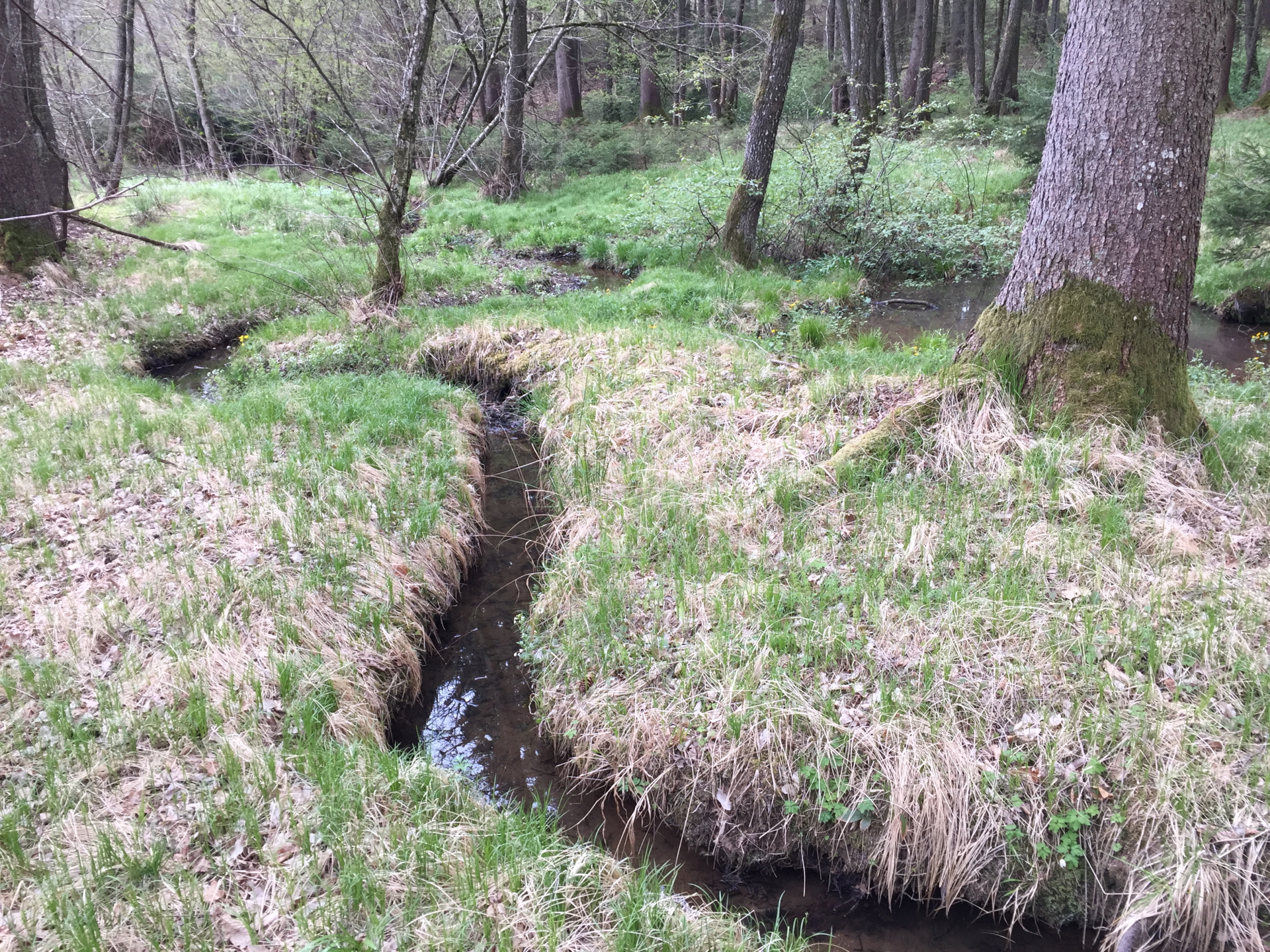
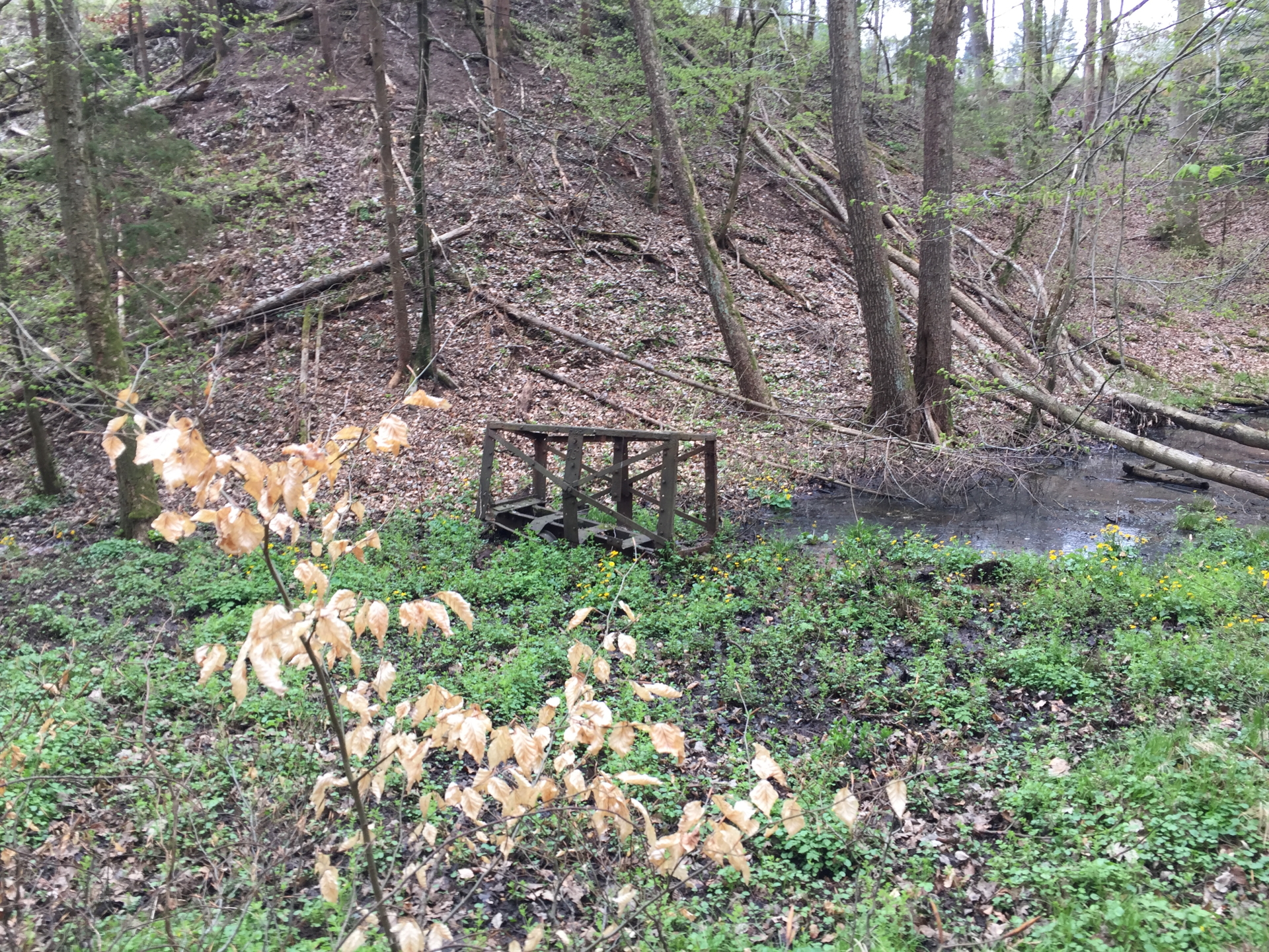
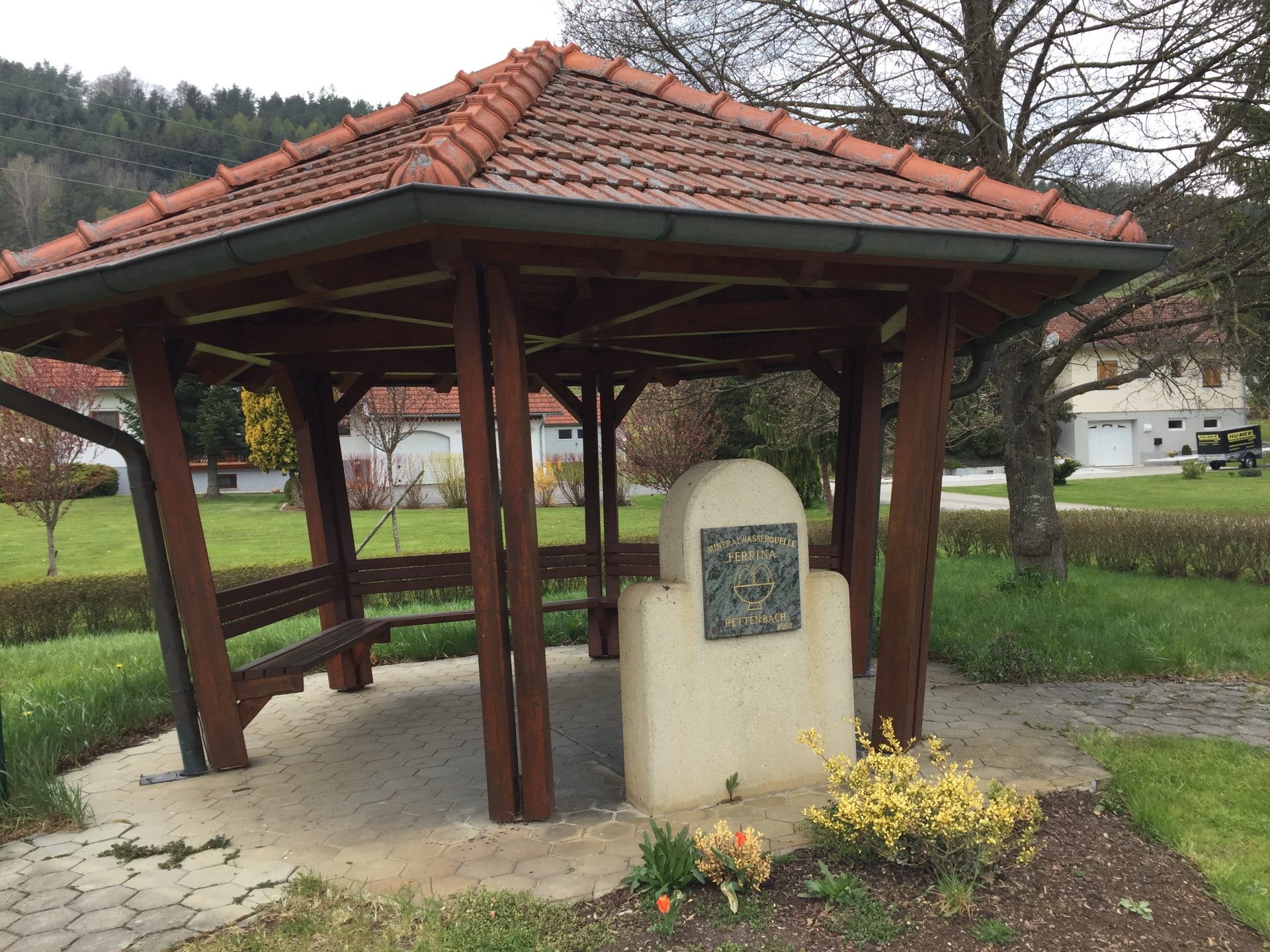
| 02:50 | Turn left and follow the small street towards Säuerling (spring of Rettenbach, sour healing water). The street will turn back into the main street. |
| 02:55 | Follow the main street north till reaching the crossing with Eulenweg. |
| 03:05 | Turn right and follow the Eulenweg upwards. |
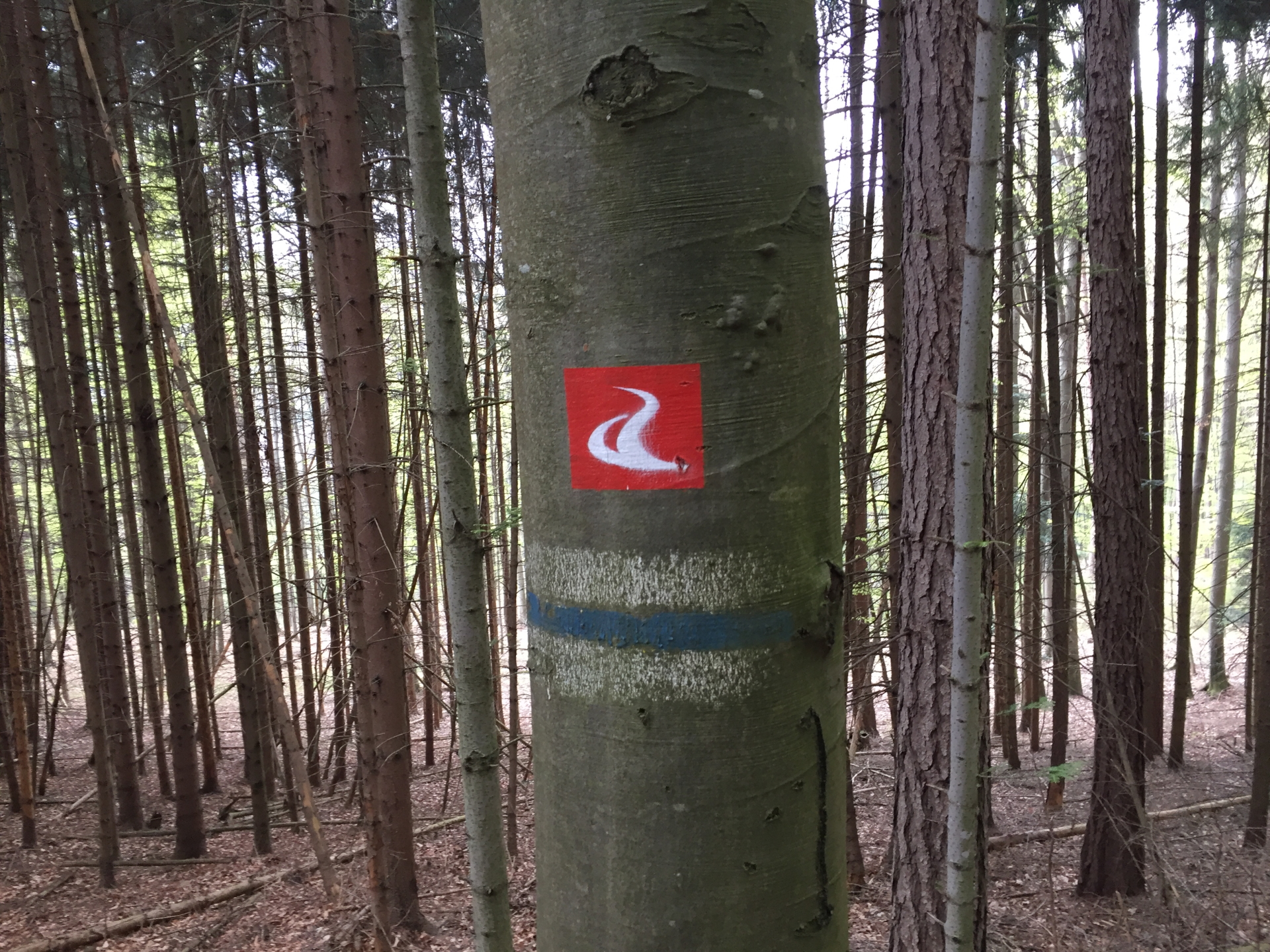
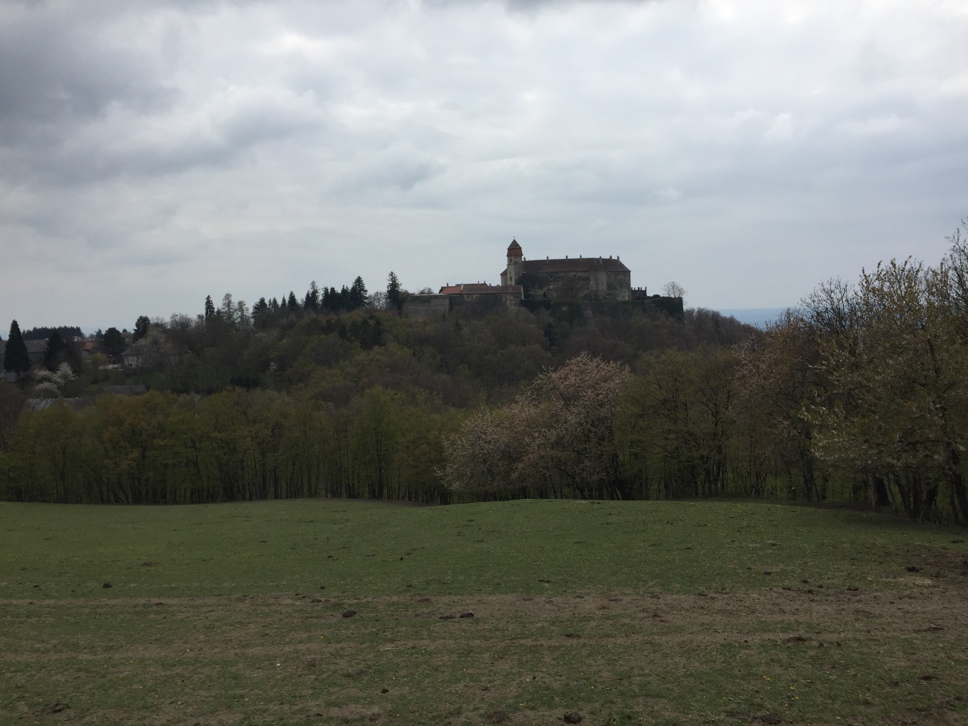
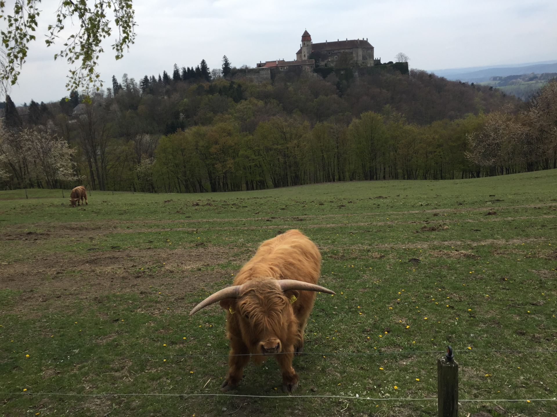
| 03:30 | At the crossing, turn right and follow the Alpannonia route till Bernstein (follow the red markings with the alpannonia logo). |
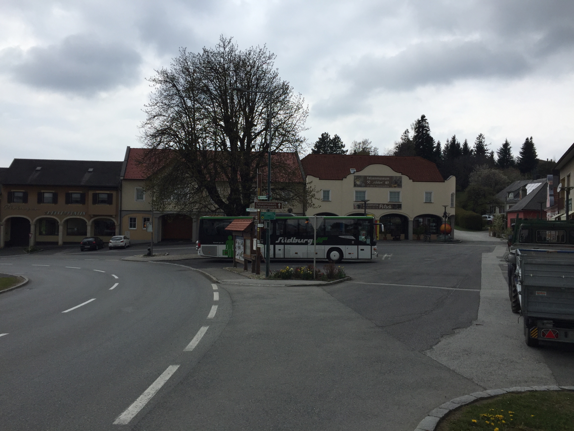
| 03:55 | At the main square of Bernstein, either follow the main road downwards (turn right and then left towards the cemetery) or follow the markings towards Planetenwanderweg. |
| 03:57 | Pass by the cemetery (on its left hand-side) and follow the road (“Steinwandweg”). |
| 04:10 | Turn left at the crossing (do not go back to the main road) and follow the gravel road south. |
| 04:35 | In Grodnau, do not walk into the center but stay straight two times. Follow the second main street fro a couple of meters. |
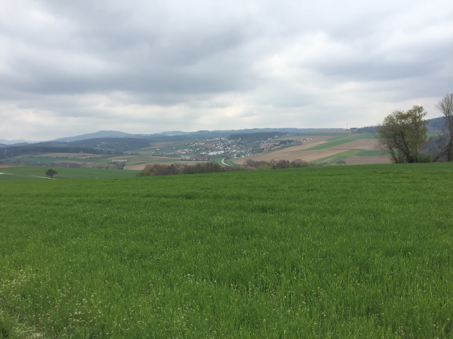
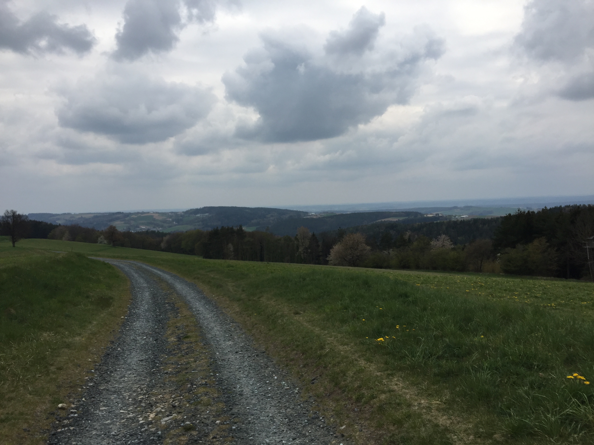
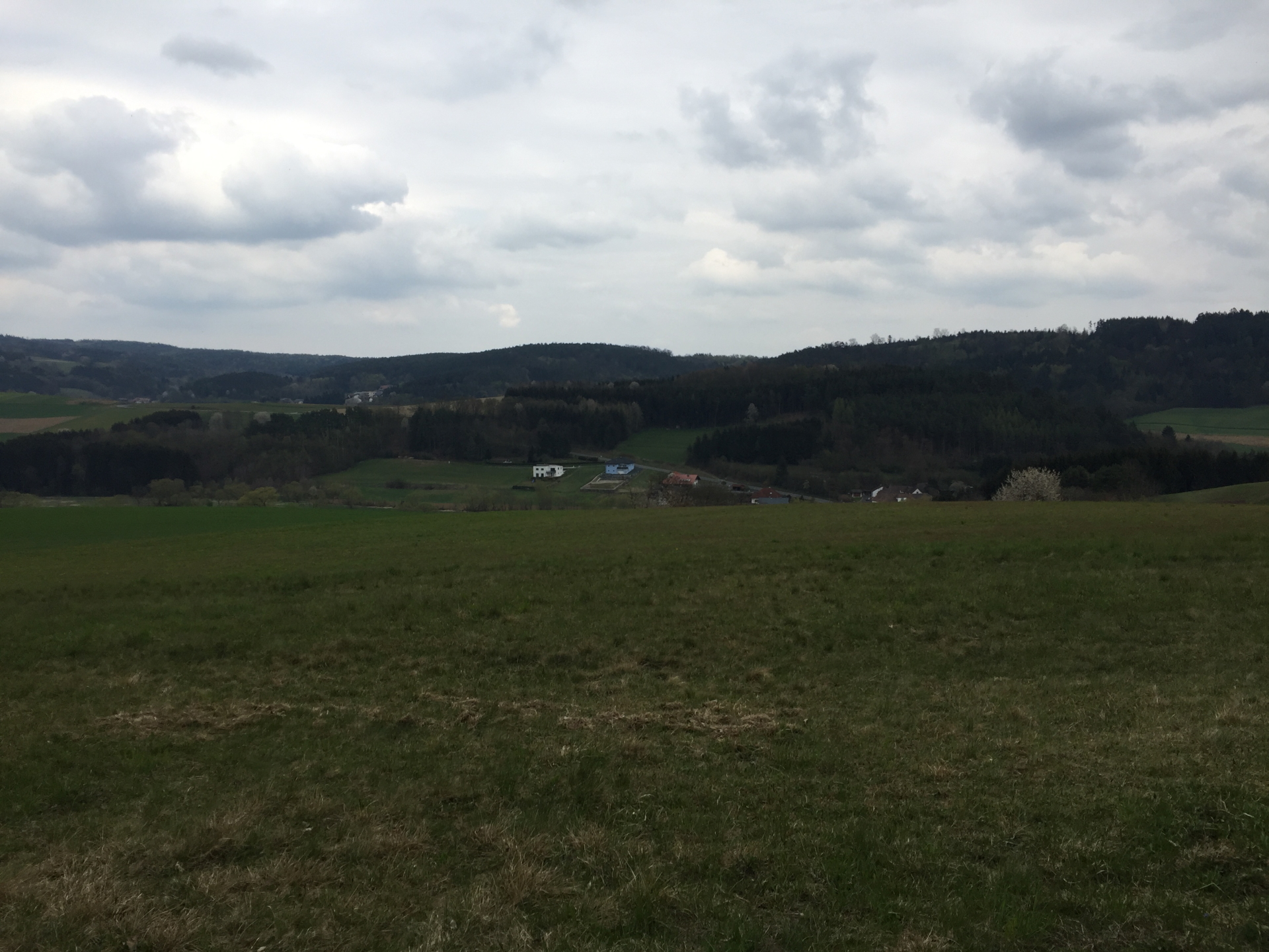
| 04:45 | At the crossing, turn left and follow the gravel road towards Bergwerk via a vista point. |
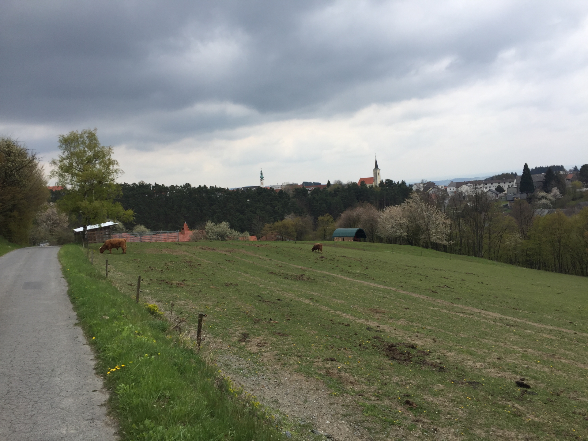
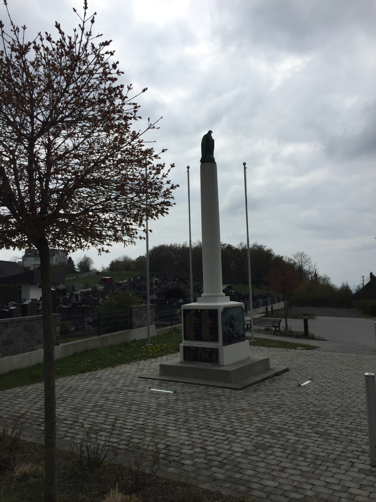
| 05:00 | Follow the main street through Bergwerk till reaching the war memorial. |
| 05:10 | At the war memorial, turn right and follow the small street downwards. |
| 05:10 | At the war memorial, turn right and follow the small street downwards and then (steep) upwards. |
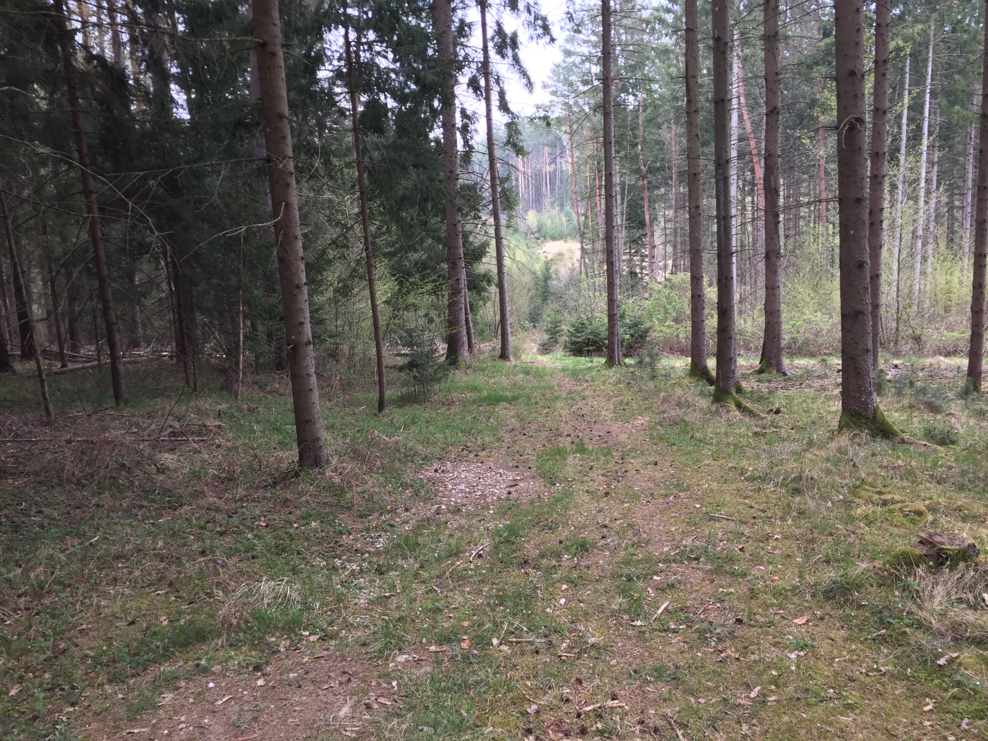
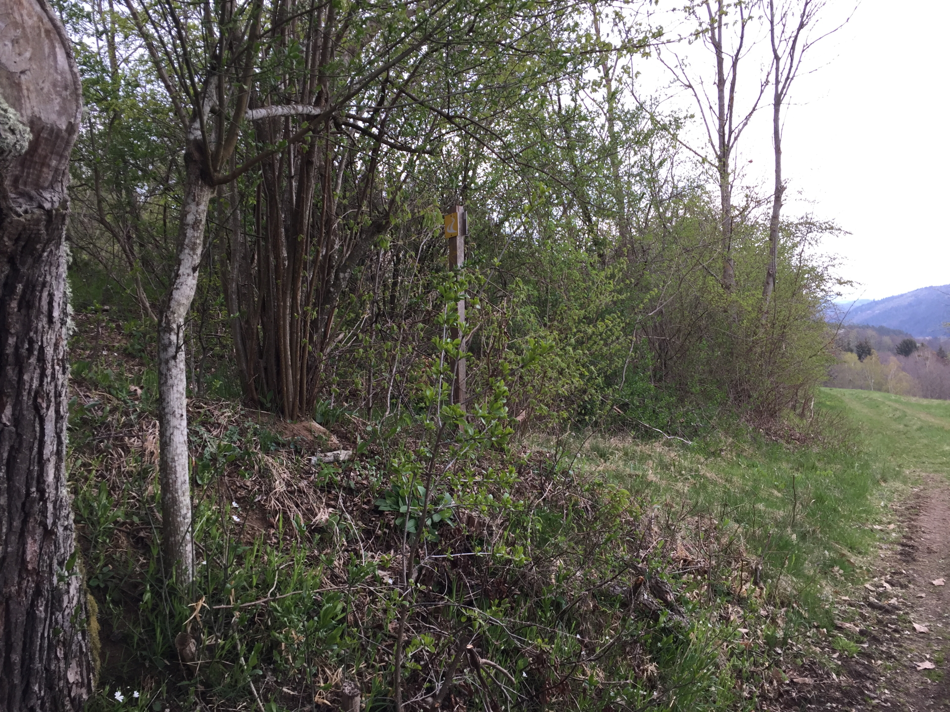
| 05:12 | When reaching the plateau, turn left (look out for the yellow Alpannonia sign!) and follow the small trail upwards. |
| 05:20 | At the crossing, turn left and follow the trail towards Neustift (stay on the yellow Alpannonia trail). |
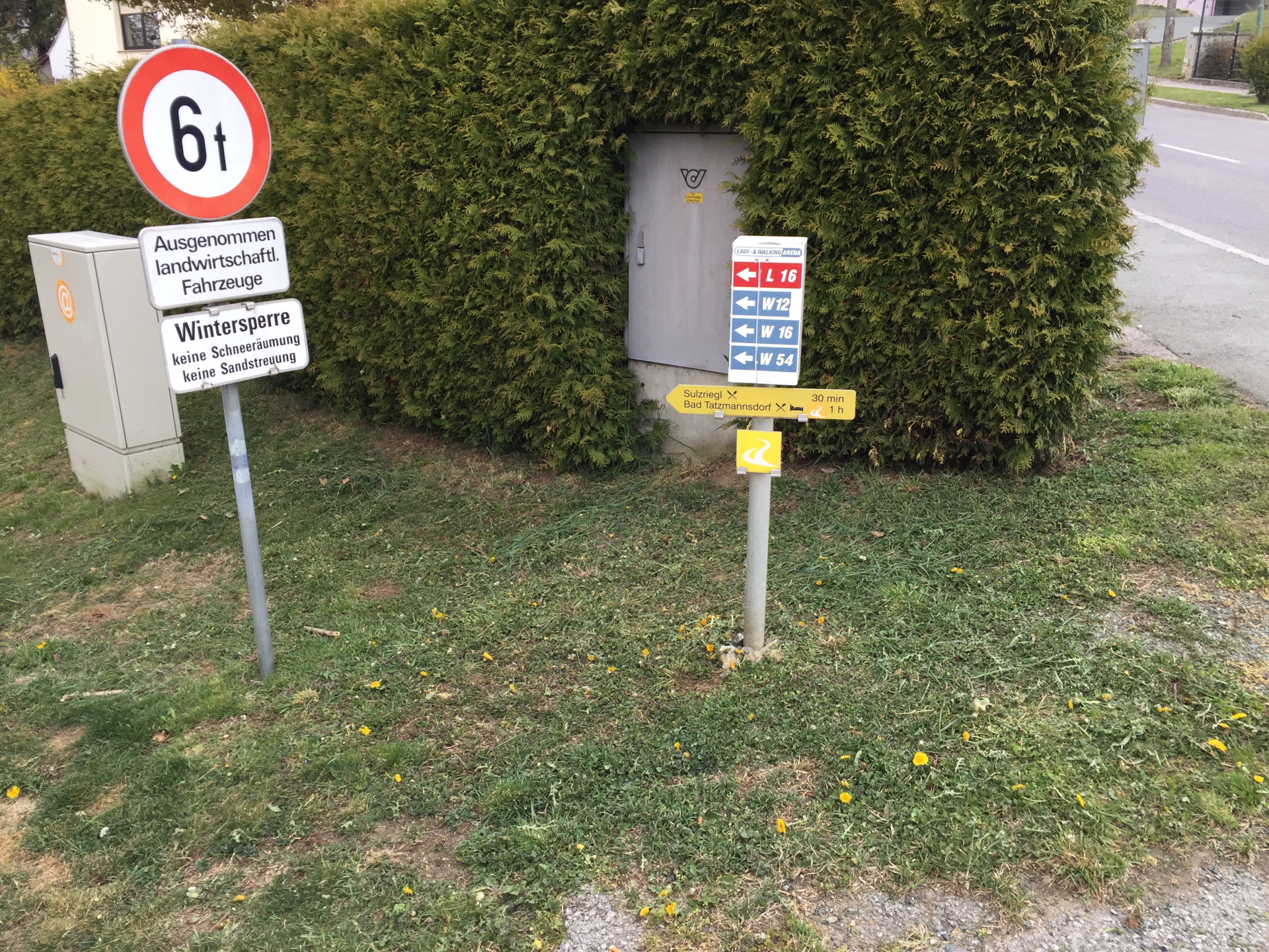
| 05:30 | Walk around the artificial lake in Neustift, cross the main road and continue on the trail towards Sulzriegel / Bad-Tatzmannsdorf. |
| 05:35 | Keep right and follow the trail back to Sulzriegel. |
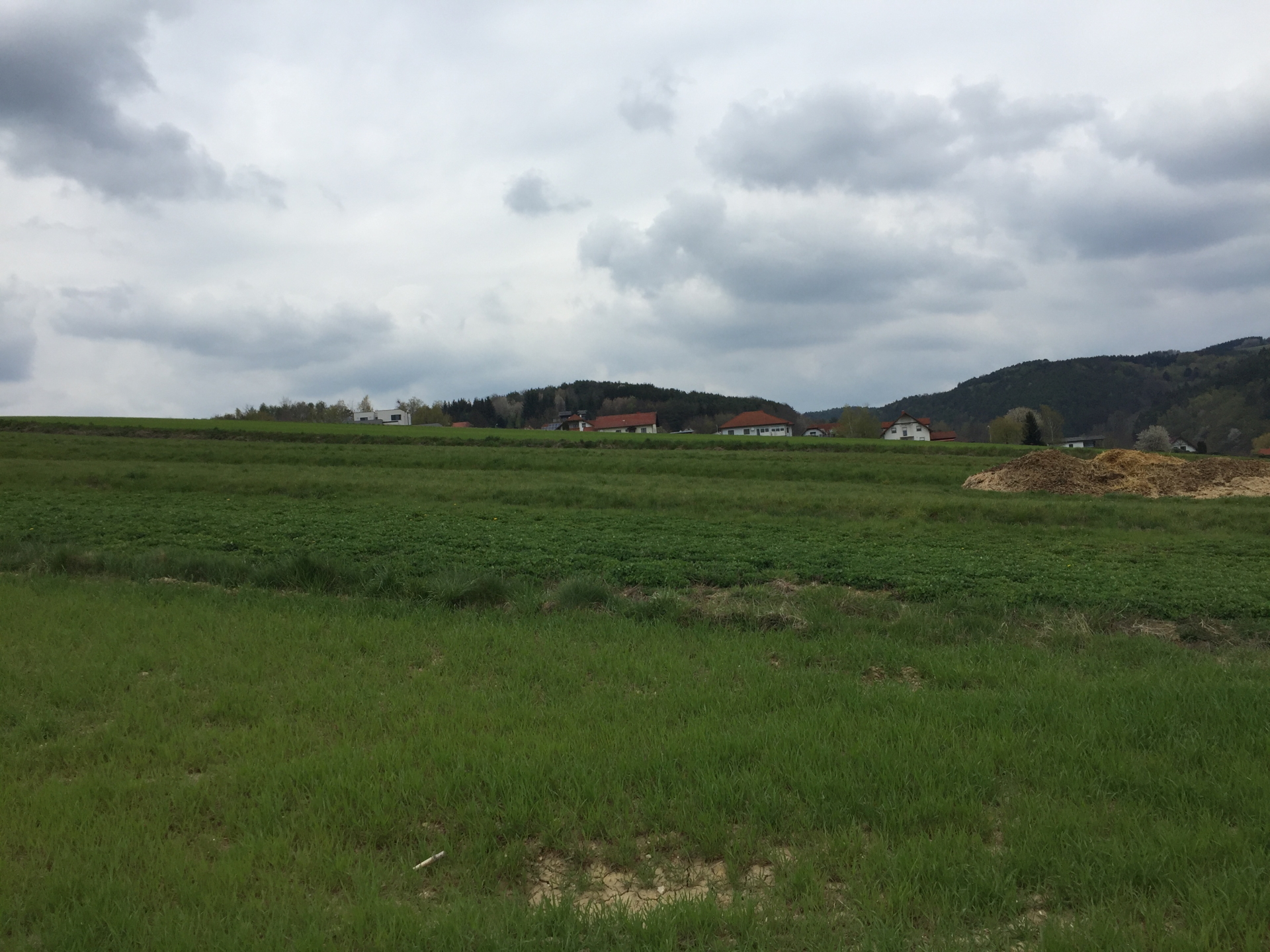
| 05:50 | In Sulzriegel, at the crossing, keep right and follow the street downwards which leads back to the castle of Jormannsdorf. |
| 05:55 | Back to the castle of Jormannsdorf, end of the tour. |
General Tour Data
| Area: | Südburgenland, Burgenland, Austria | |
| Distance: | 27km | |
| Ascent: | 600m (2h 45min) | |
| Descent: | 600m (2h 30min) | |
| Highest Pt: | 633m | |
| Lowest Pt: | 351m | |
| Duration: | 5h 55min (without breaks) 6h 55min (with breaks) |
|
| Stop/Rest: | Gasthaus Treiber (Jormannsdorf, 335m) Gasthof Heanzenhof (Bernstein, 609m) Gasthof Pannonia (Bernstein, 609m) Gasthof Seidl (Bergwerk, 370m) Gasthof Koller (Neustift, 480m) Gasthaus zur Tenne (Sulzriegel, 400m) |
|
| Equipment: | Backpack with standard hiking equipment Food, snacks and enough water Sun & Weather protection Camera |
| Download GPX | ||
| O | Tour at outdooractive.com |
At a glance
| Level | easy |
| Technique | |
| Shape / Fitness | |
| Experience | |
| Scenery | |
| Best time in the year | |
|
Jan
Feb
Mar
Apr
May
Jun
Jul
Aug
Sep
Oct
Nov
Dec
|
|


\"")

Leave a Reply