
Easy but promising tour through the “Willersdorfer Schlucht” to “Dreiländereck”
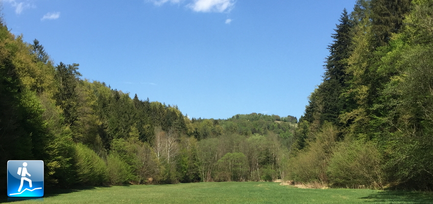
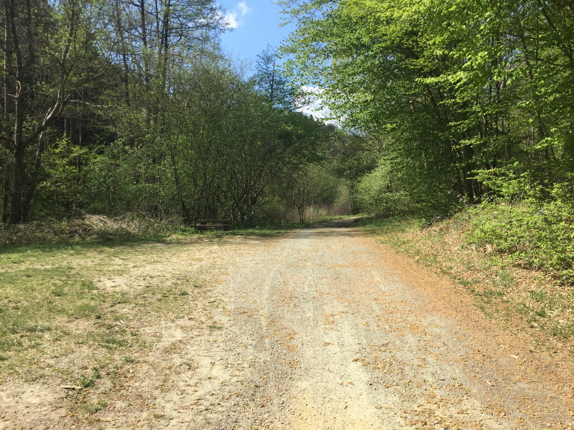
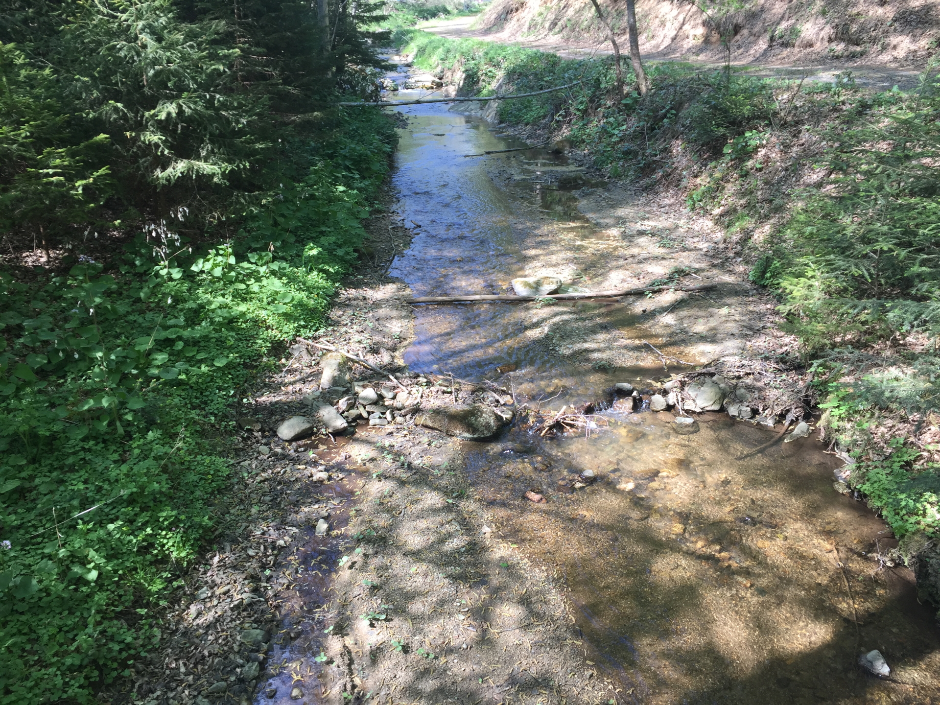
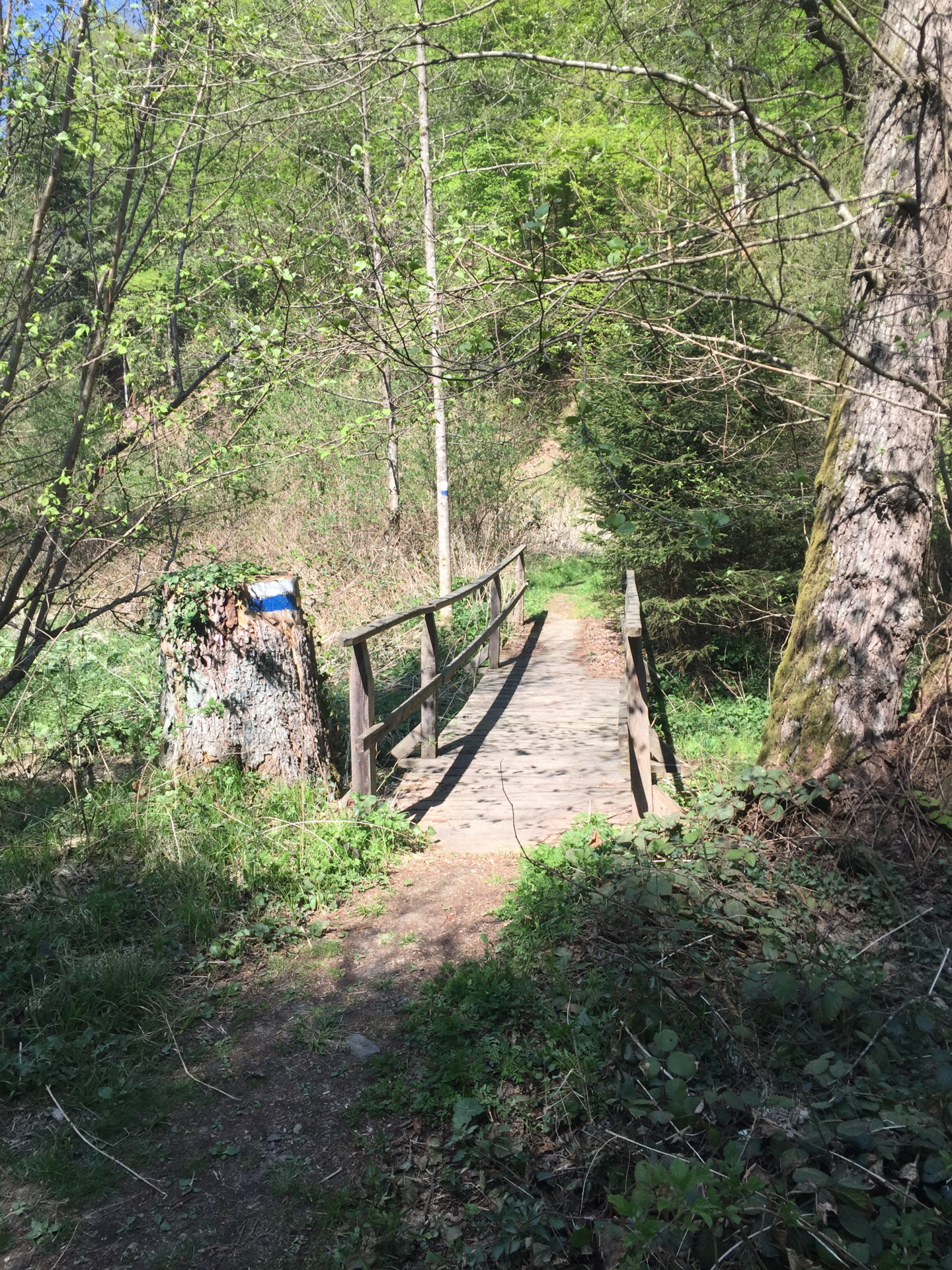
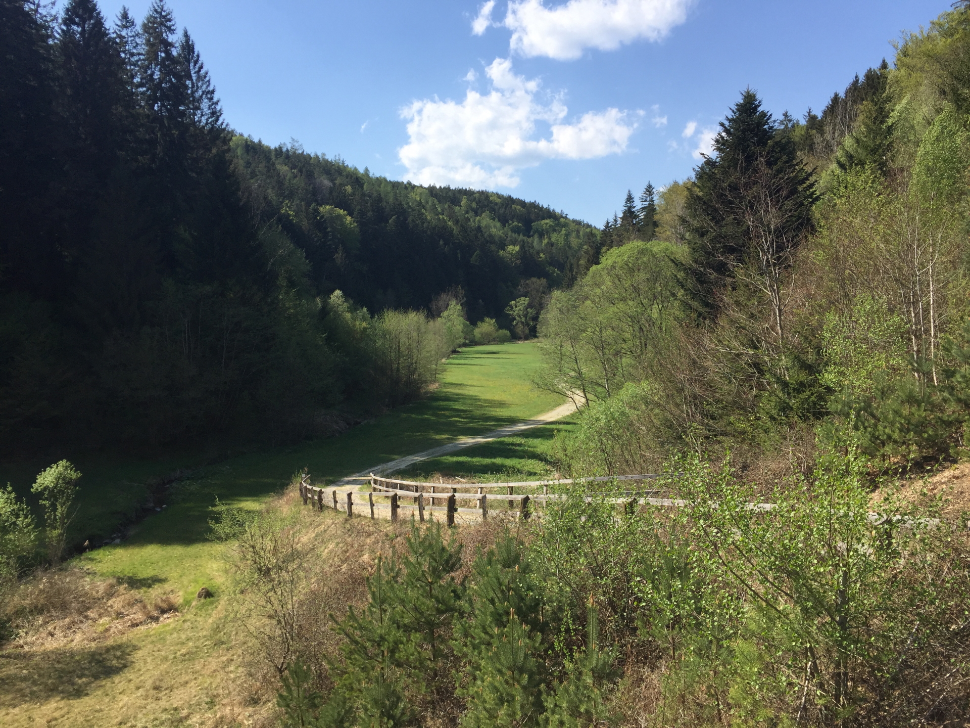
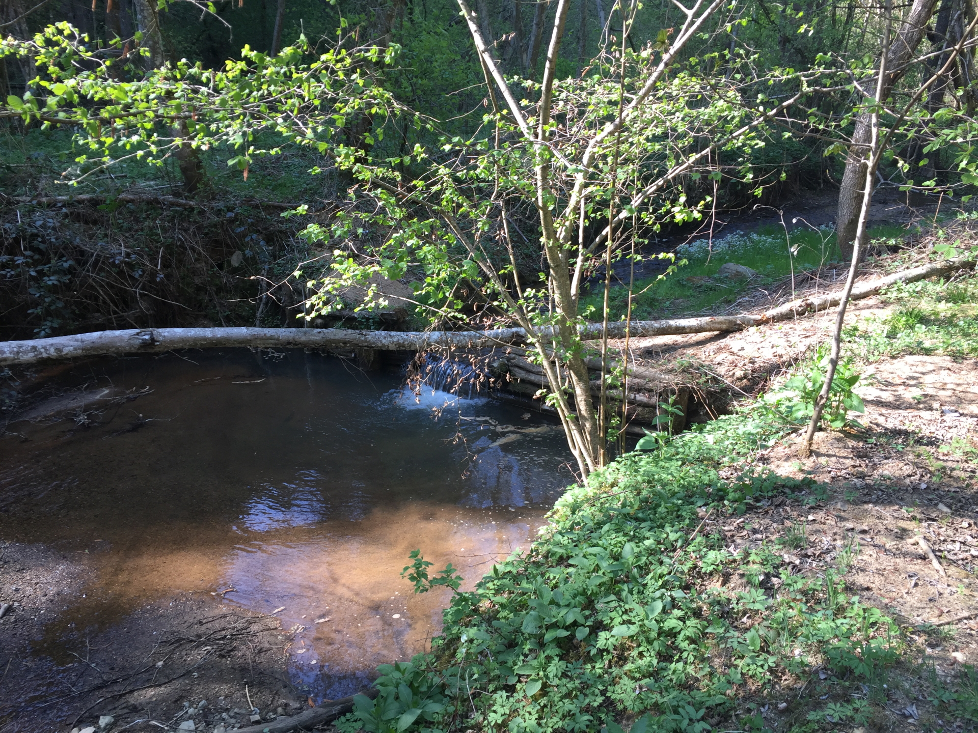
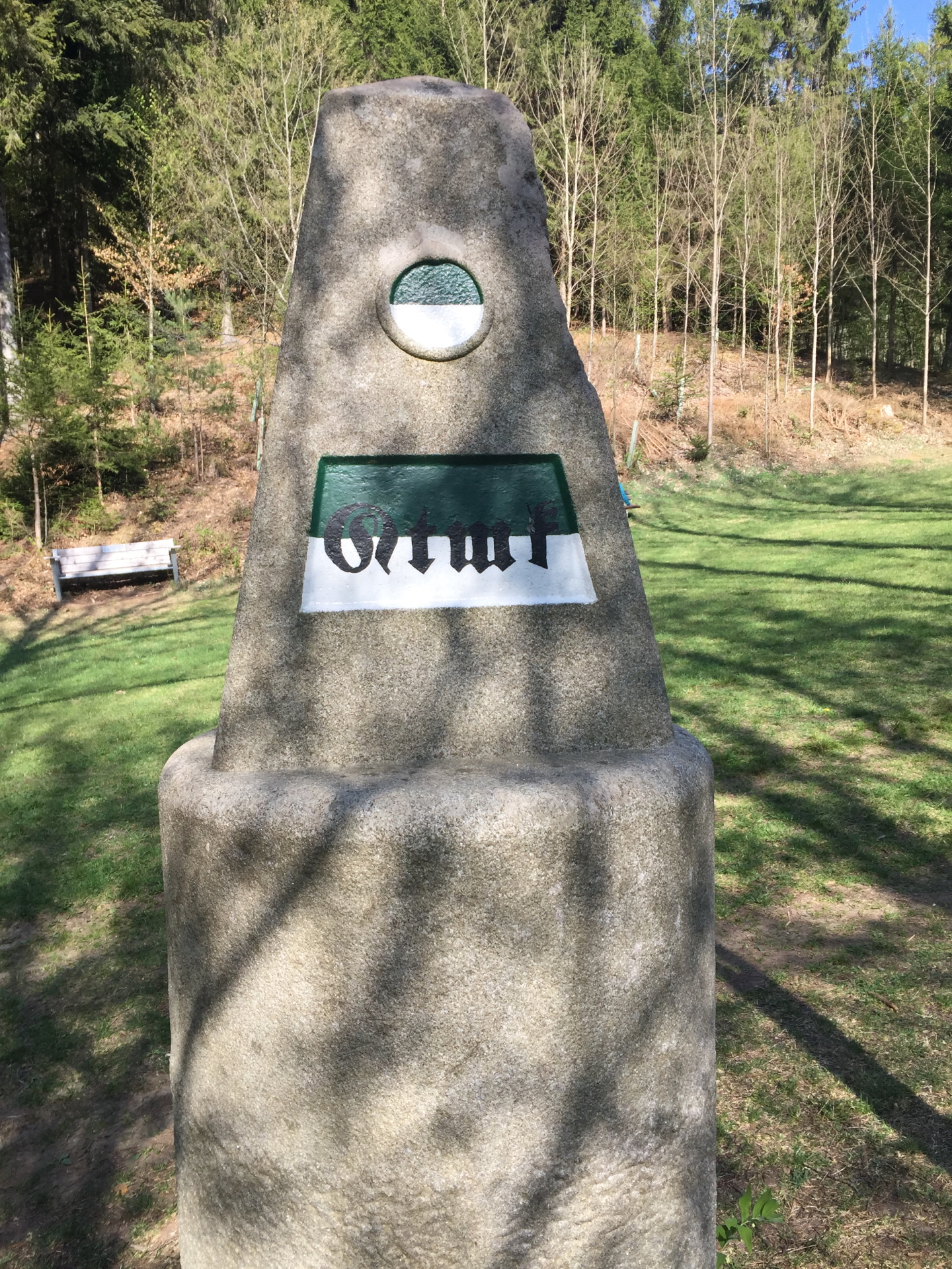
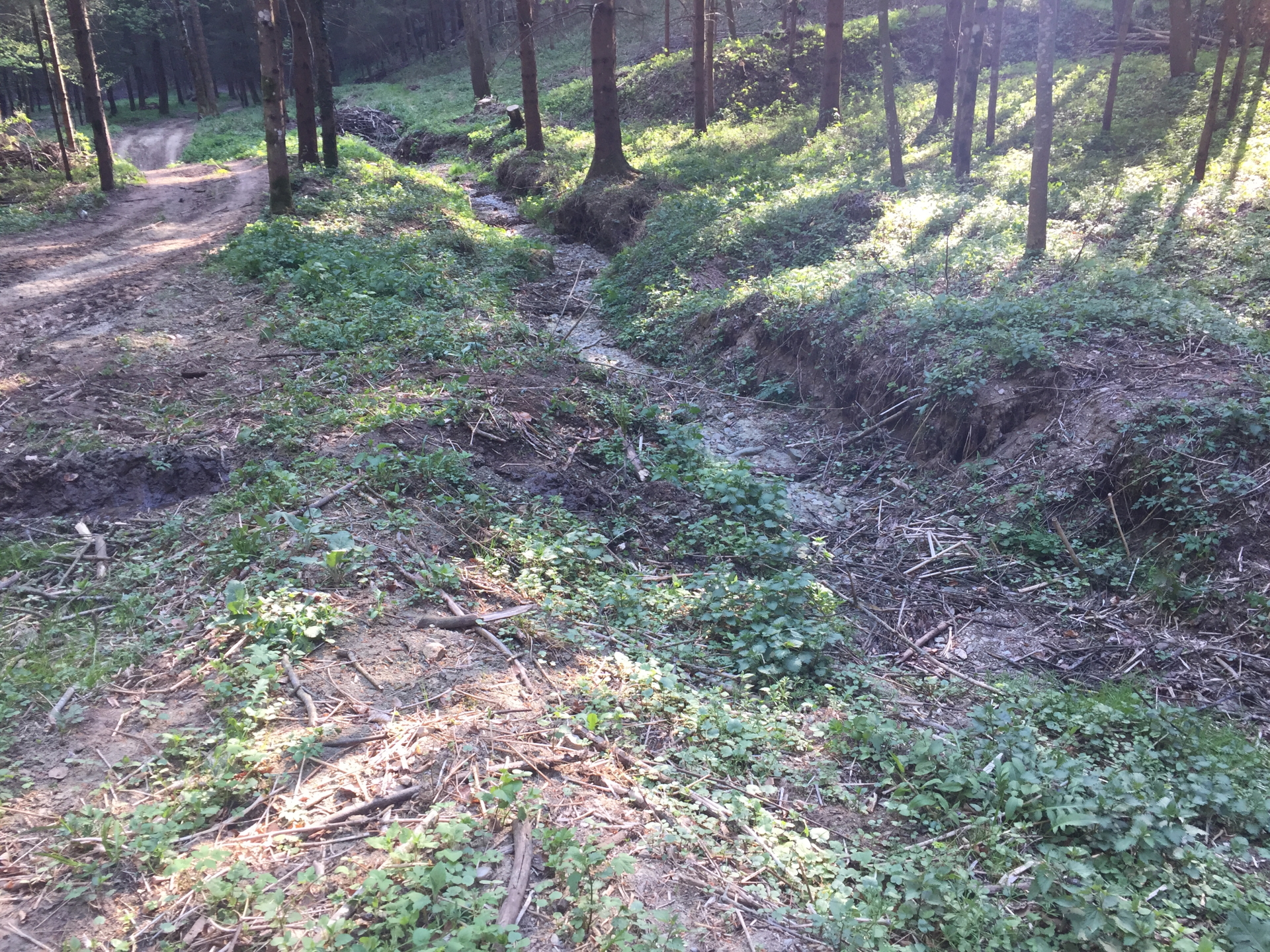
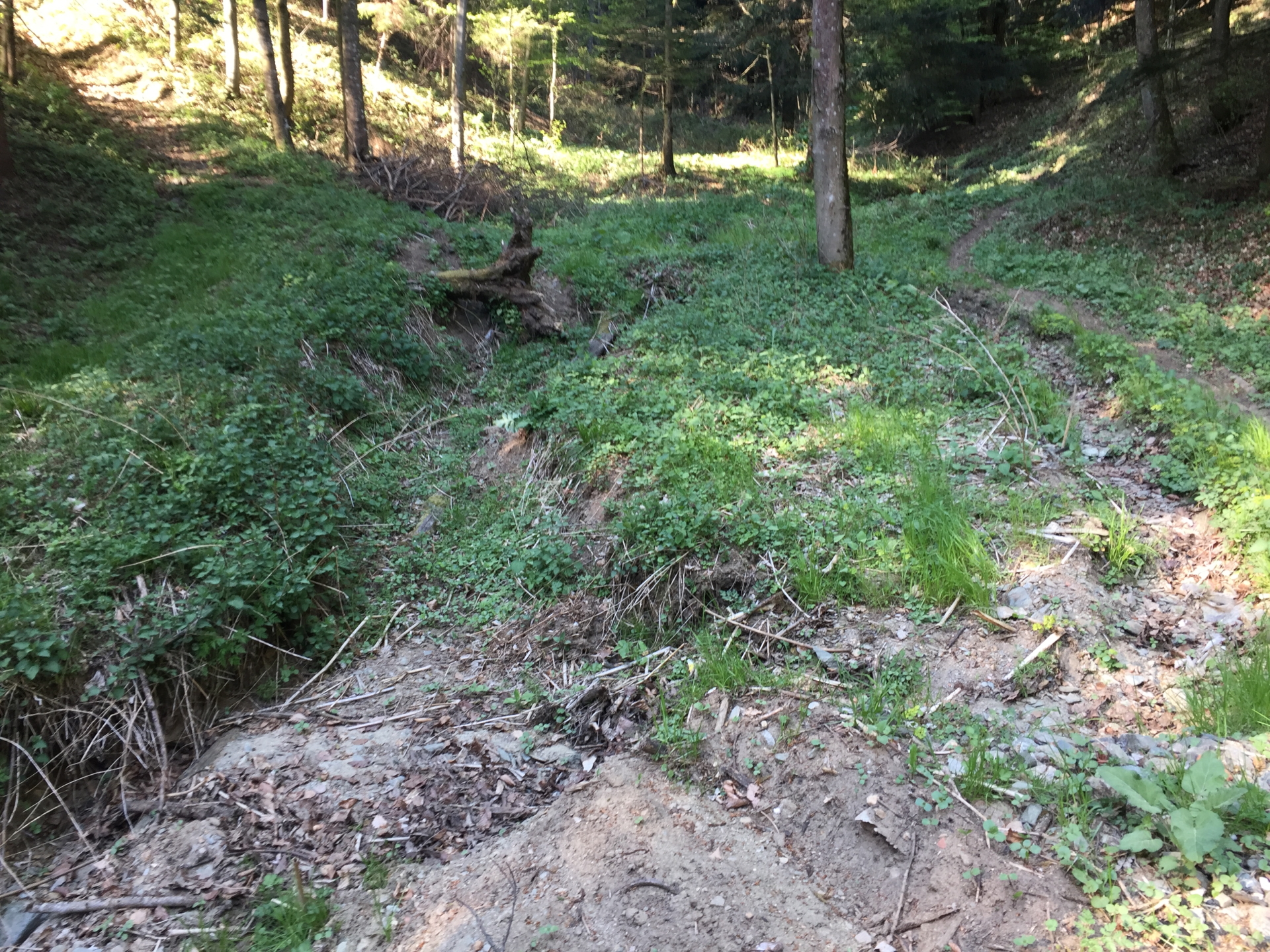
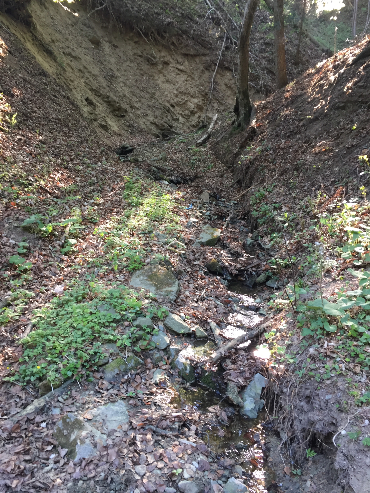
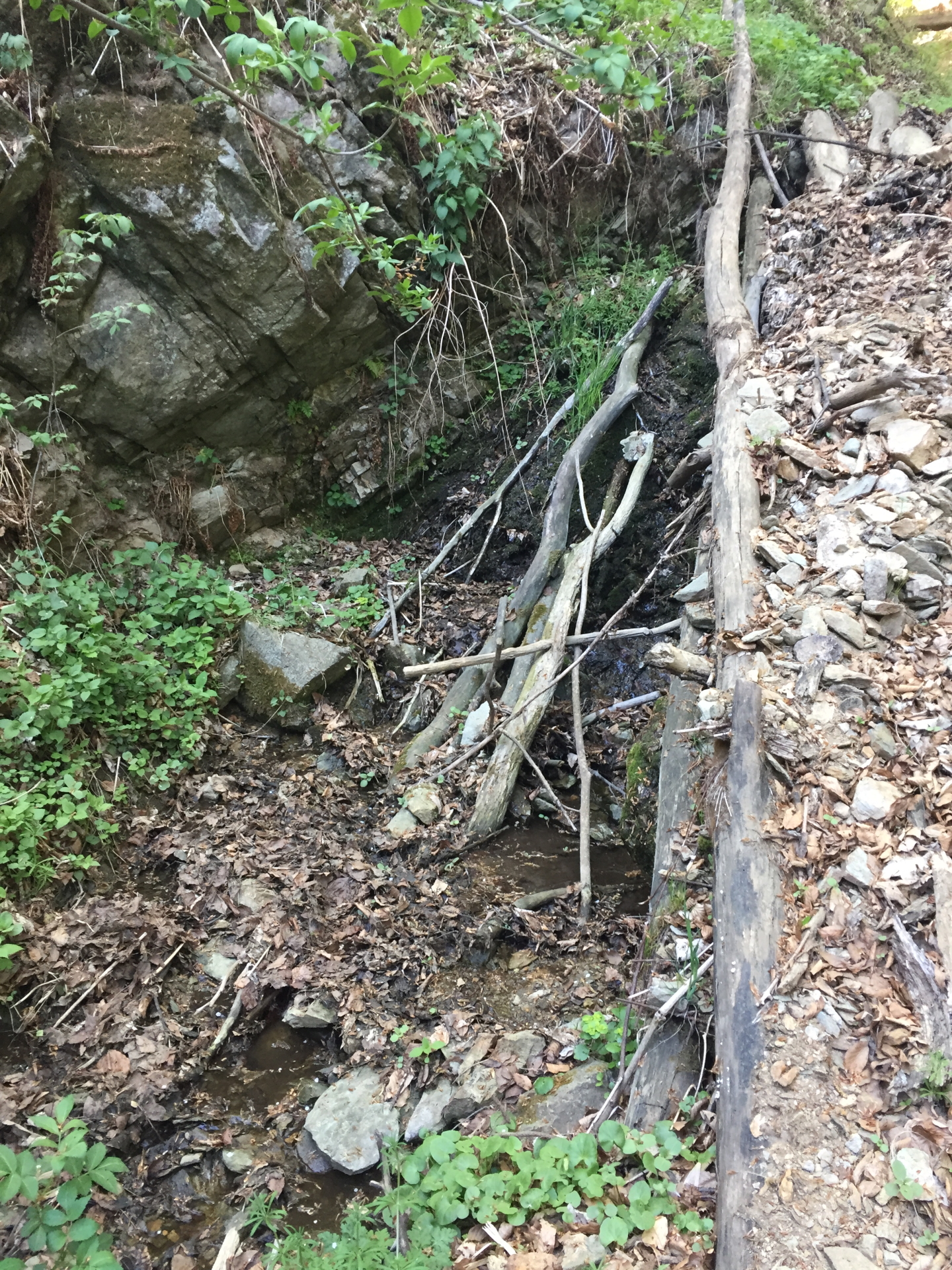
The tour starts at the parking in Willersdorf (GPS: 47.372264, 16.194752), and first follows the paved street next to the Willersbach (river) to the entrance of the Willersdorfer Schlucht. The paved street becomes a gravel road which is followed north. In the gorge the trail crosses several time the river, either via bridges or easy fords. The tour finally ends at the border of three Austrian provinces, namely Burgenland, Steiermark, and Niederösterreich.
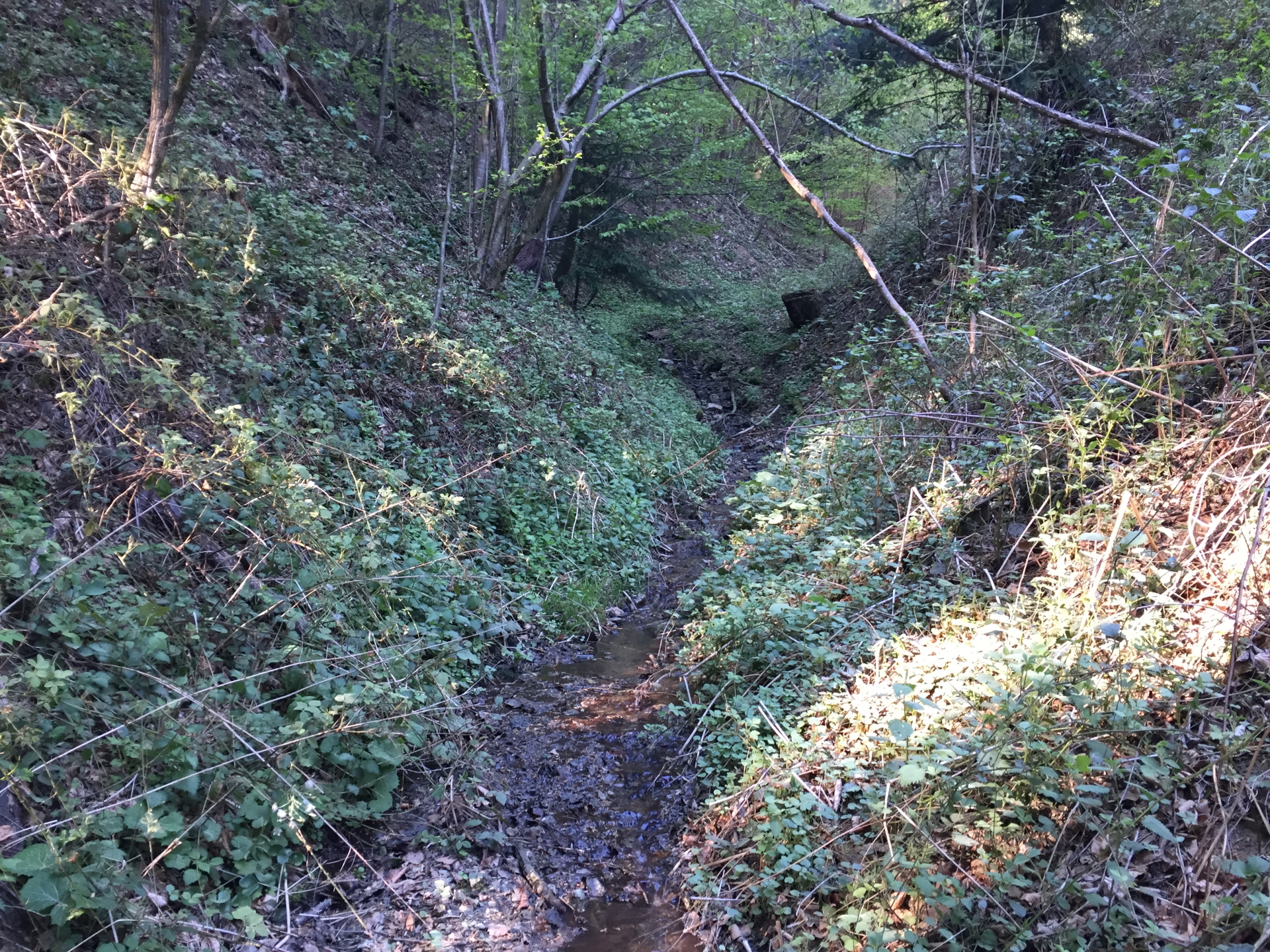
Tip: The tour can be extended by following the trail north towards Gschaidt (Niederösterreich) where the source of Willersbach (not easy to find or access) is located.
This tour is also perfectly suitable for a mountain bike tour!
Tour Description
| 00:00 | Start at the parking Willersdorf (GPS: 47.372264, 16.194752) and follow the street upwards along the river |
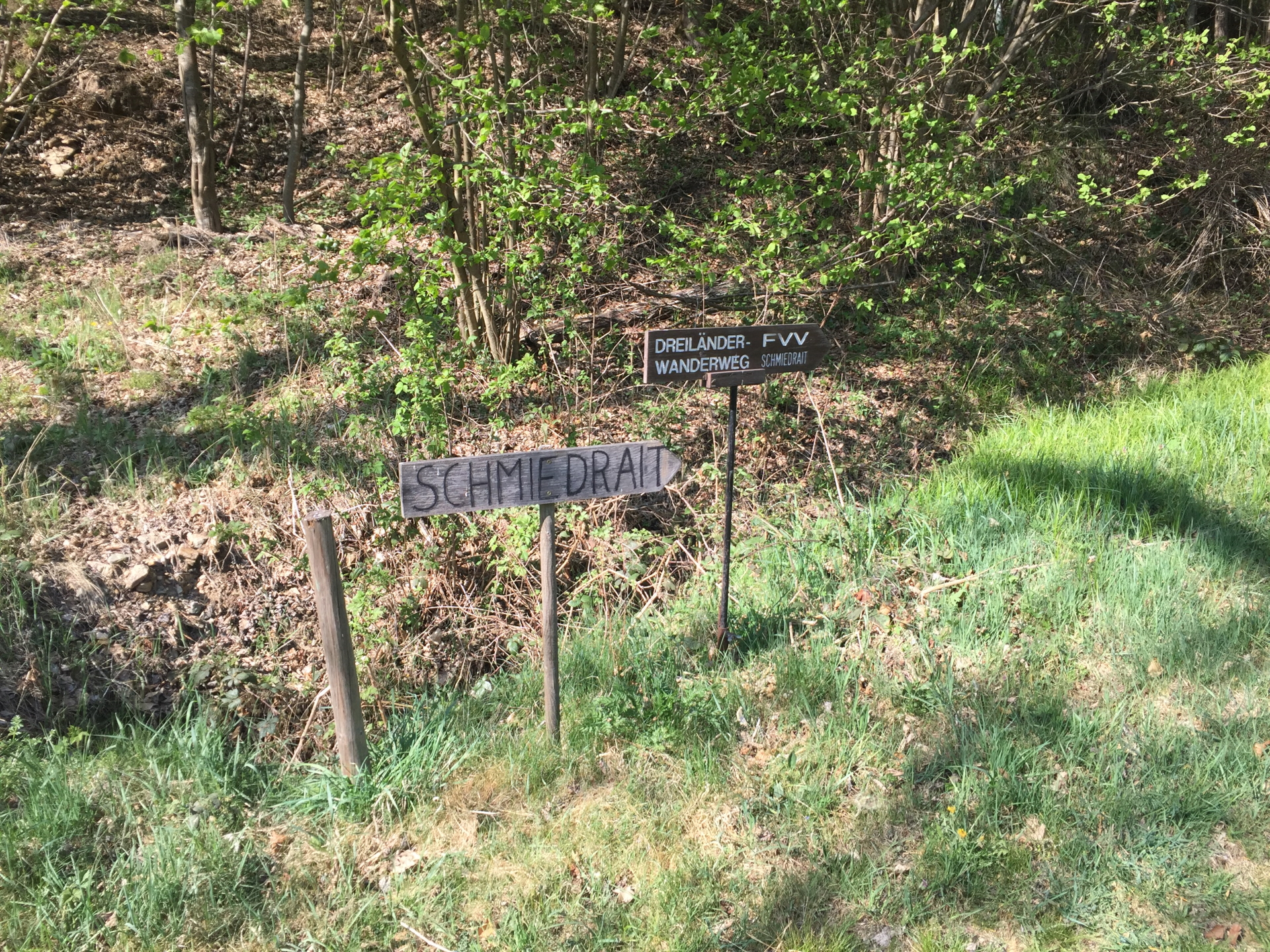
| 00:10 | The paved street becomes a closed gravel forest road. Follow the road north. |
| 00:15 | Entrance of the Willersdorfer Schlucht. |
| 00:20 | Turn into the small trail via the bridge and follow the trail. It crosses several times the river. |
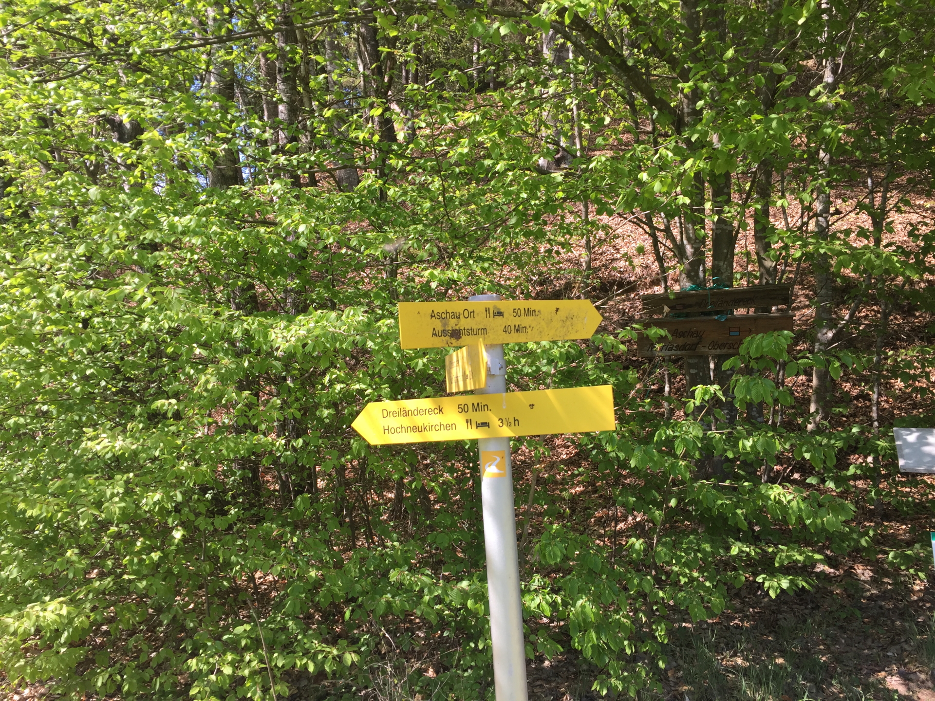
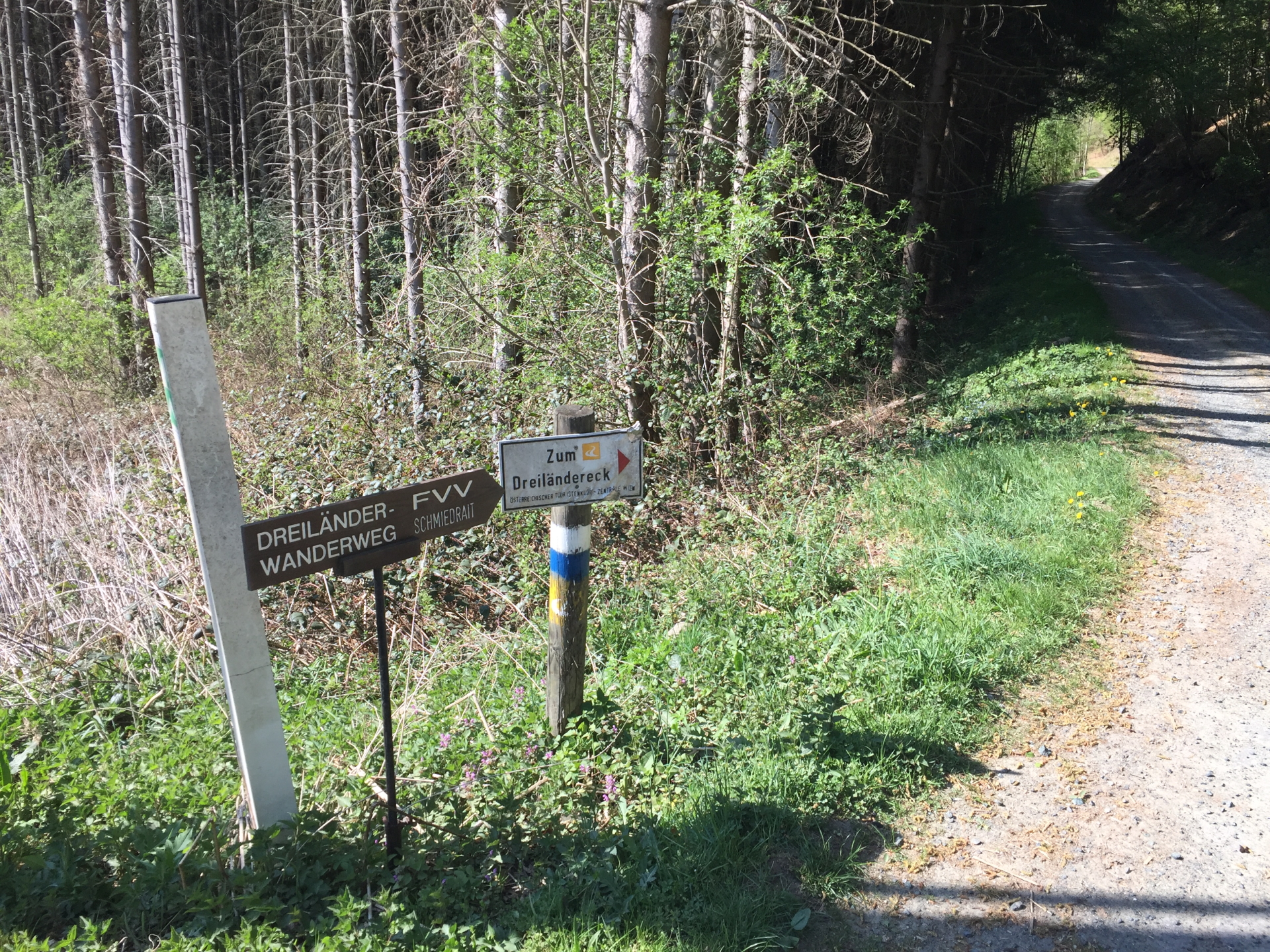
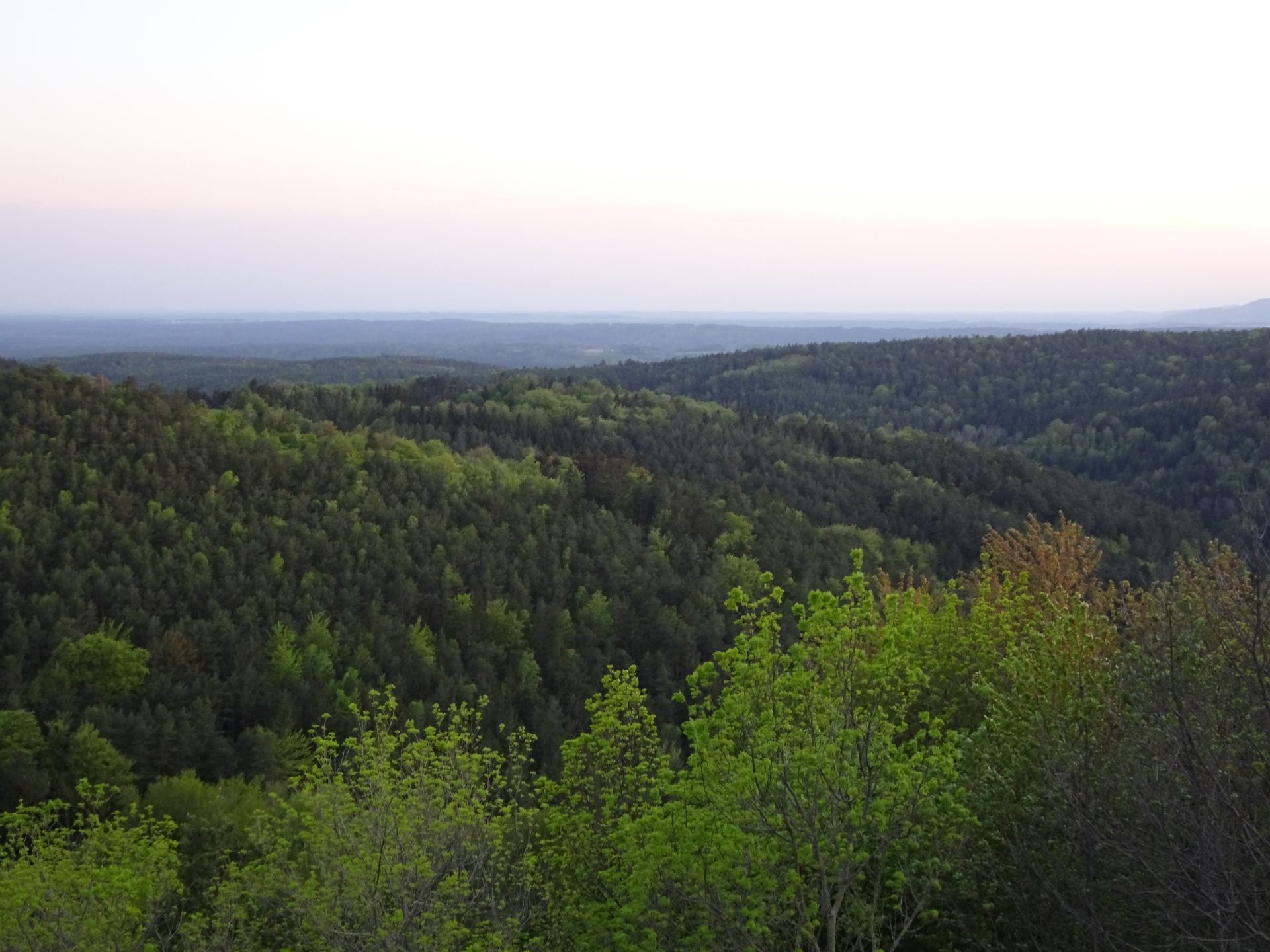
| 00:35 | At the crossing, stay straight towards Dreiländereck. You can optional detour to the view platform (“Aussichtsturm”) by turning right. This will be a worth detour of 1,5h. |
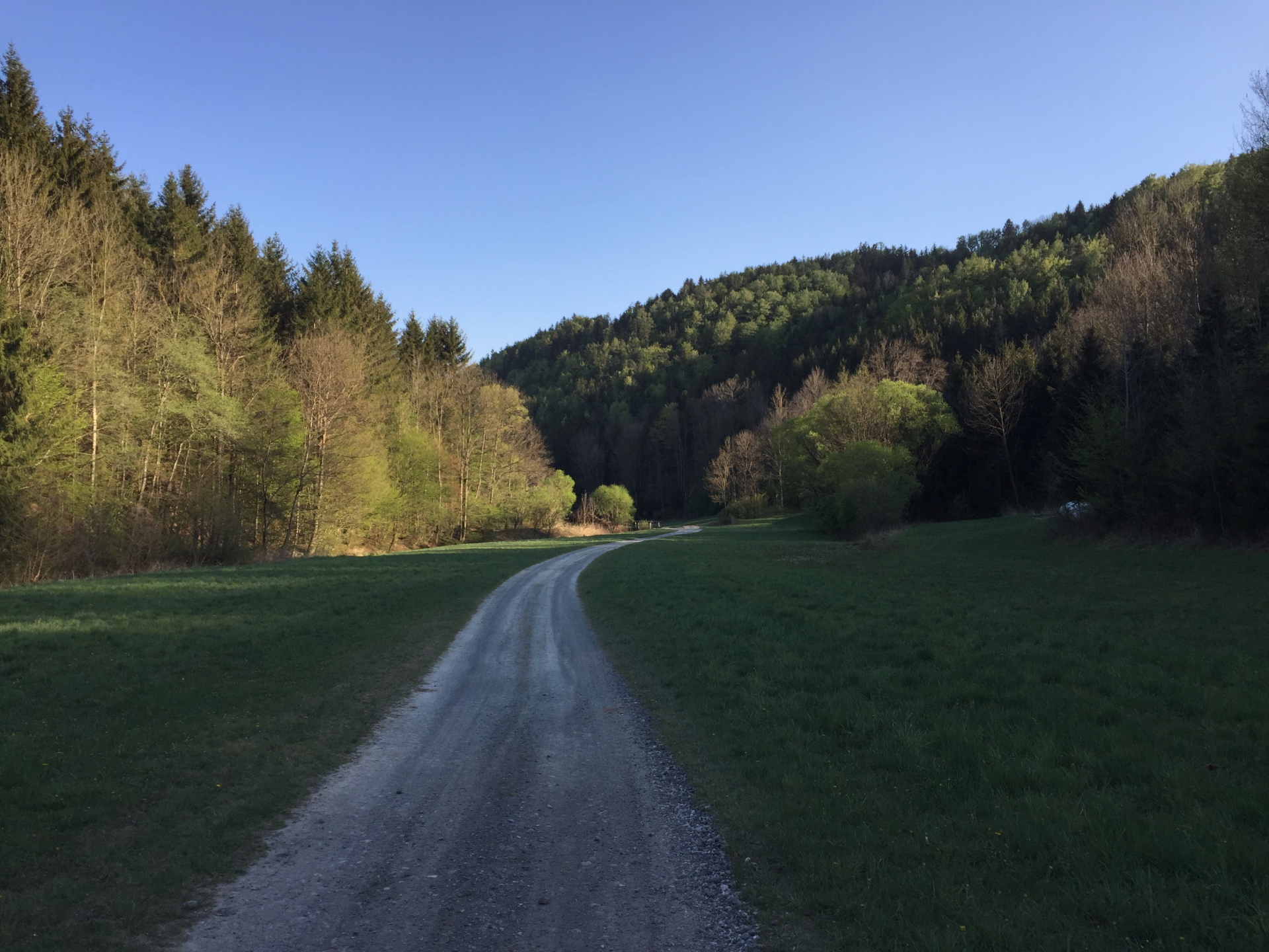
| 01:00 | Follow the paved street north (straight ahead). |
| 01:05 | At the u-turn, stay straight and follow the forest road towards Dreiländereck. |
| 01:30 | Well-deserved break () at the Dreiländereck. (Bring your own food!) |
| 02:00 | Follow the same route backwards. *Detour towards Gschaidt, see below! |
| 03:15 | Back at the parking in Willersdorf, end of the tour. |
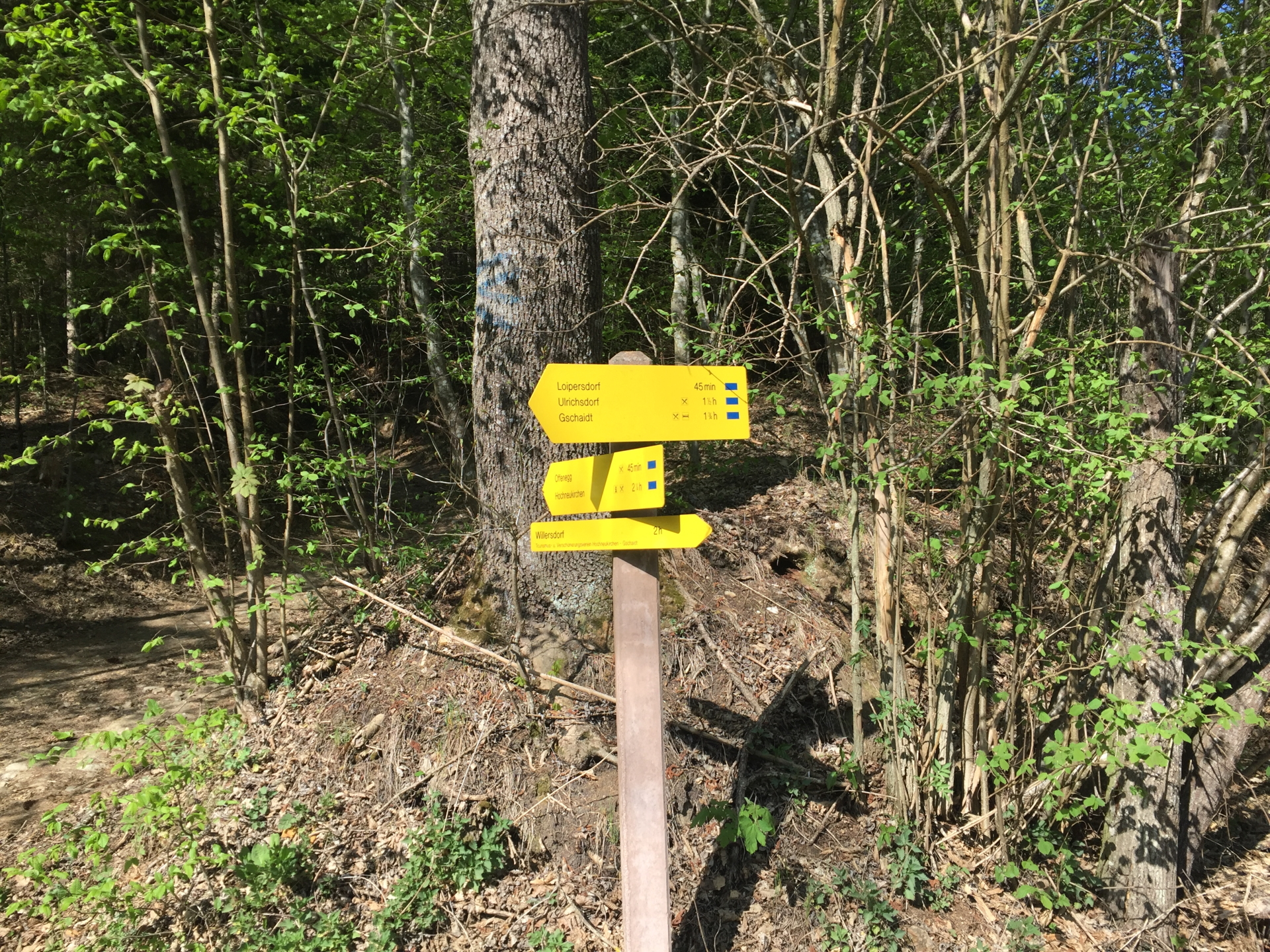
| *02:00 | Continue north on the trail towards Gschaid. |
| *02:05 | Stay right and follow the forest road. |
| *02:30 | Follow the paved street through Loipersdorf but turn right at the upper end of the village into the forest road. |
| *02:31 | Keep left and follow the forest road north-wards. |
| *02:45 | Turn left downwards the small trail which crosses the Willersbach once again. At the crossing, there is a small trail on the right hand side which goes along the river towards it source. The trail will end and you need to walk through the river itself. |
| *03:15 | Turn around in Gschaidt and follow the forest road downwards. |
| *03:30 | Follow the same route backwards to Dreiländereck and further on towards the parking. |
| *04:45 | Arrive at the parking, end of the tour. |
At a glance
| Level | easy |
| Technique | |
| Shape / Fitness | |
| Experience | |
| Scenery | |
| Best time in the year | |
|
Jan
Feb
Mar
Apr
May
Jun
Jul
Aug
Sep
Oct
Nov
Dec
|
|
General Tour Data
| Area: | Willersdorf, Burgenland, Austria | |
| Distance: | 14km | 24km to Gschaidt | |
| Ascent: | 120m (1h 10min) | 435m (2h 05 min) | |
| Descent: | 120m (1h 00min) | 435m (1h 50 min) | |
| Highest Pt: | 544m | 774m | |
| Lowest Pt: | 426m | 426m | |
| Duration: | 2h 45min | 4h 15min (without breaks) 3h 15min | 4h 45min (with breaks) |
|
| Stop/Rest: | None (bring your own food!) | |
| Equipment: | Backpack with standard hiking equipment Snacks, Food and plenty of water Sun & Weather protection Camera |
| Download GPX | ||
| O | Tour at outdooractive.com | |
| O | Long Tour at outdooractive.com |
Tour Diary
| Last tour: | 2020-04-25 15:00 | ||
| Weather: | Sunny, clear | ||
| Participants: | Stefan | ||
| Activity: | Suunto | ||


\"")

Leave a Reply