
![]()
Promising tour from the “Teichalm” through the “Bärenschützklamm” via the “Hochlantsch”
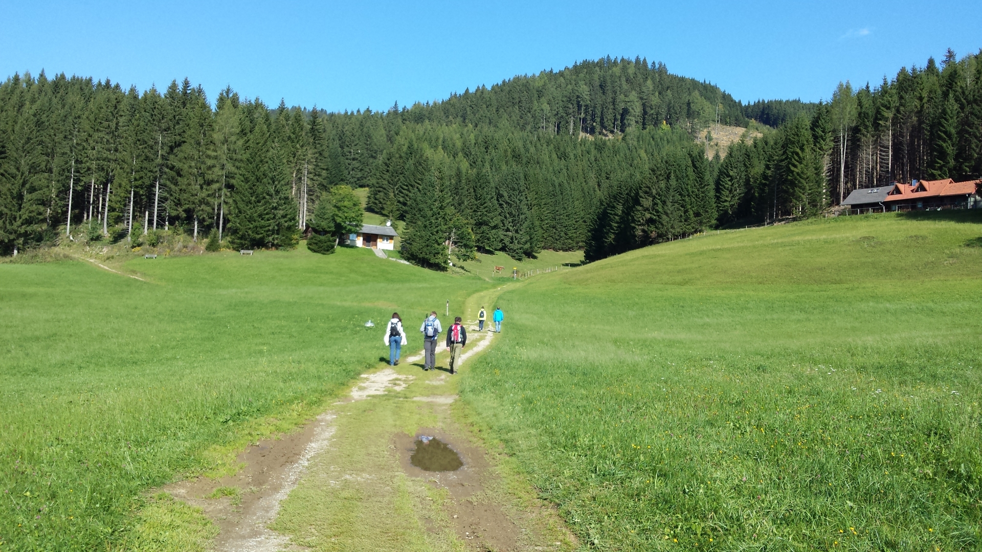
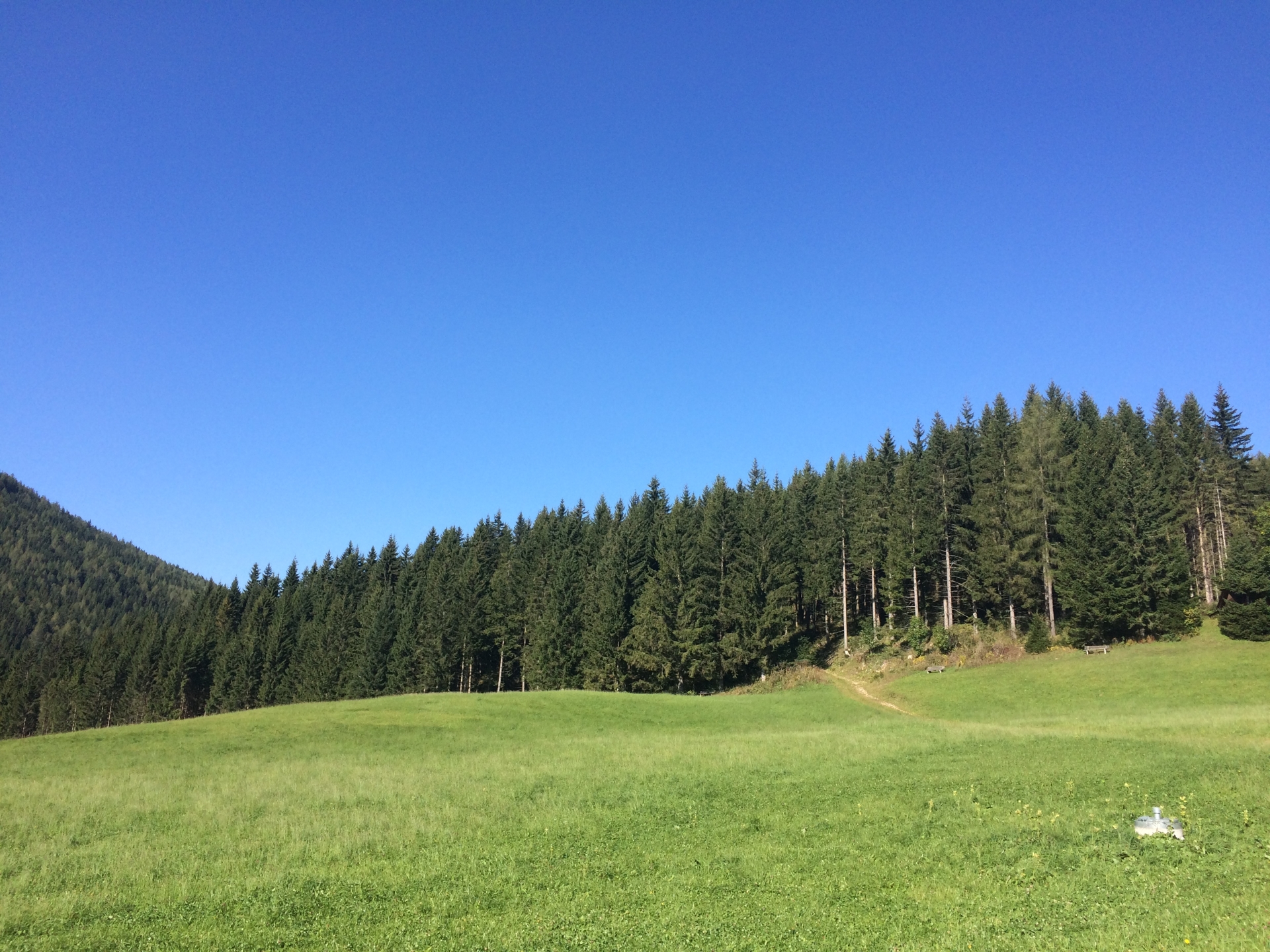
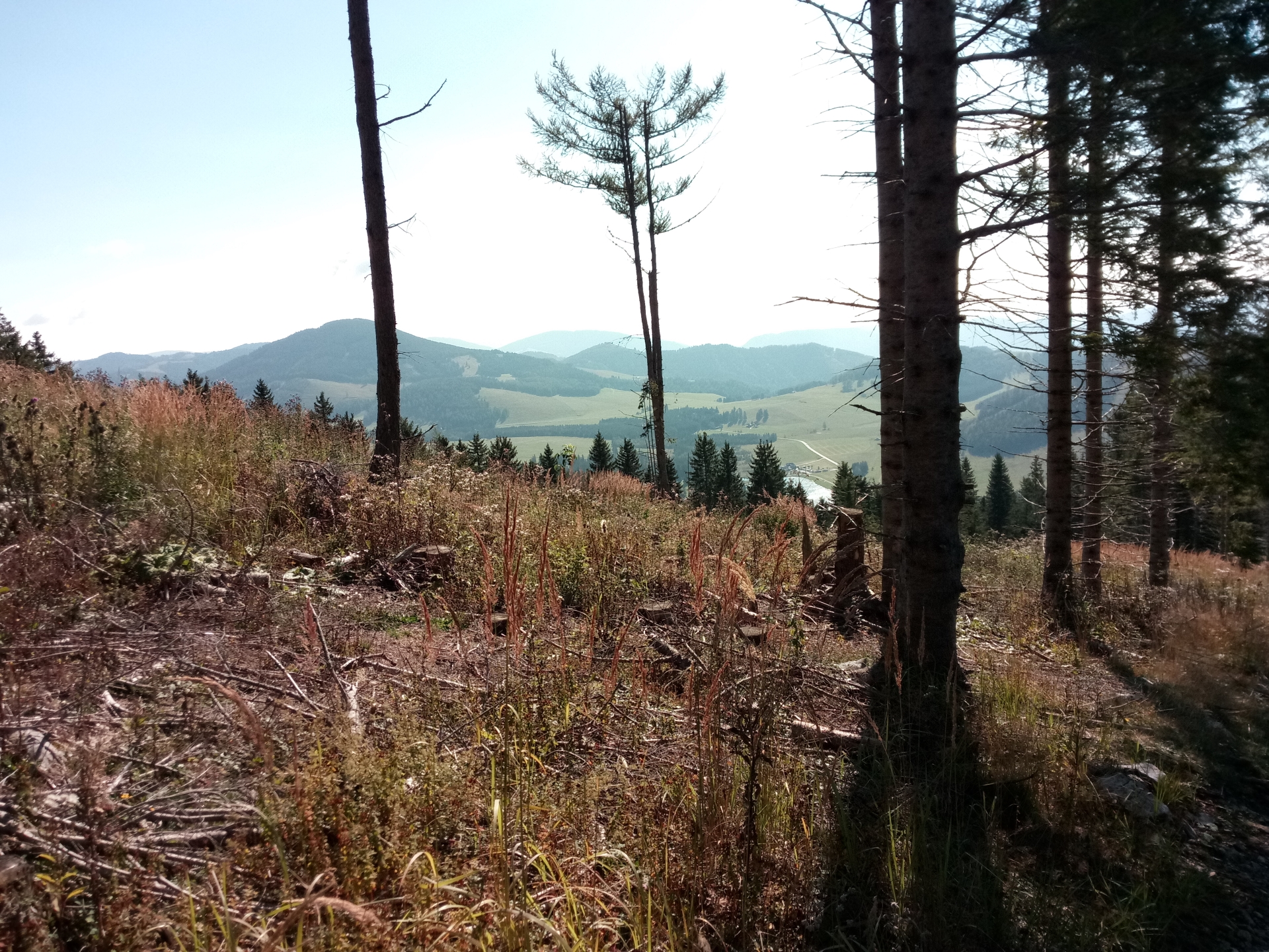
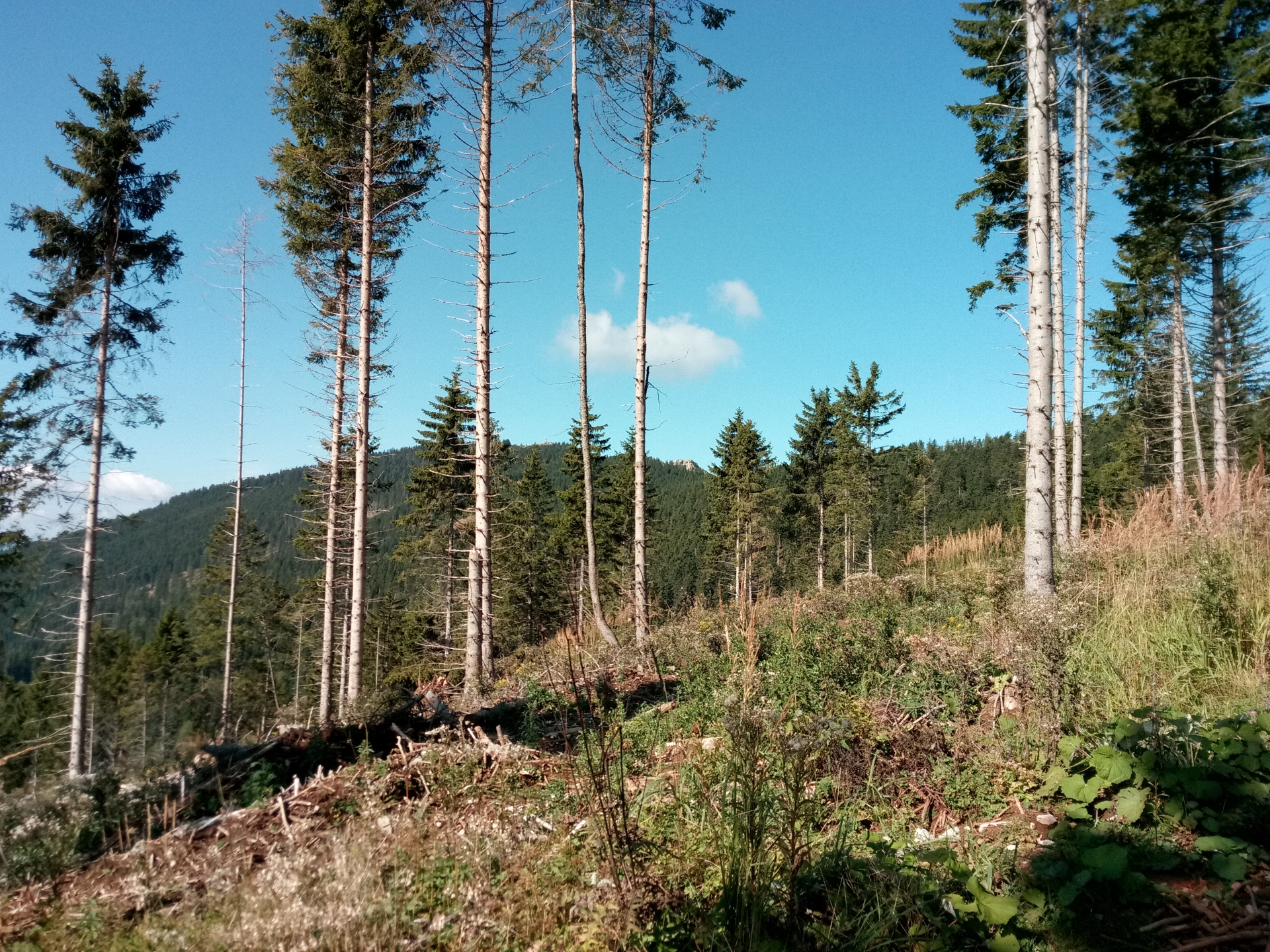
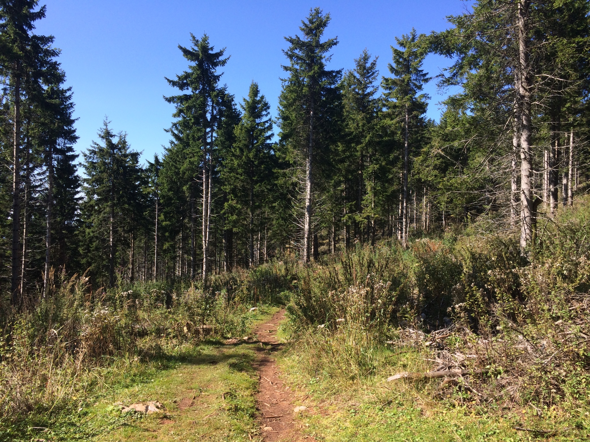
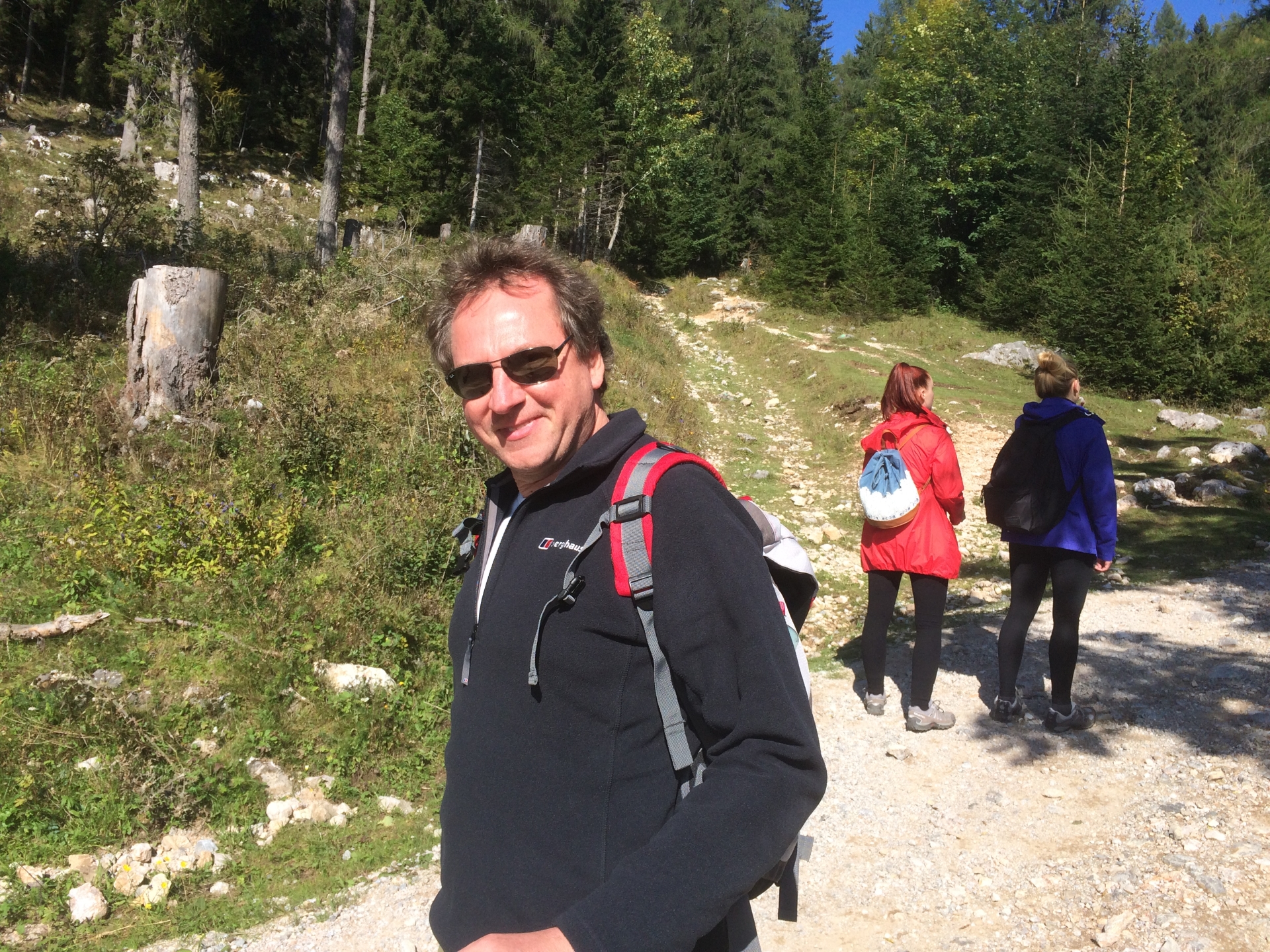
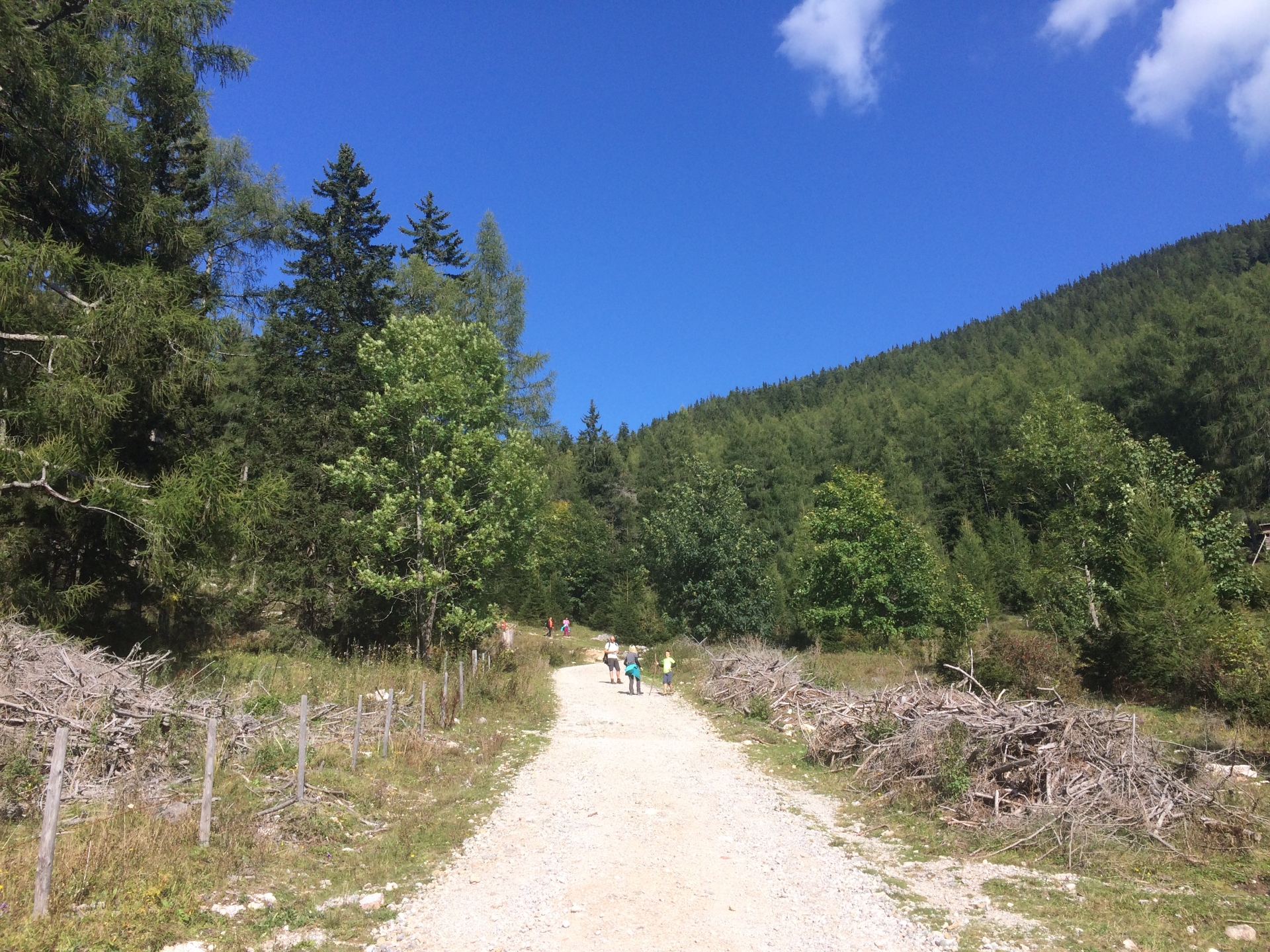
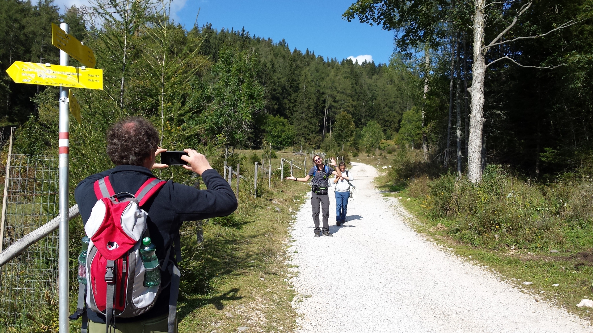
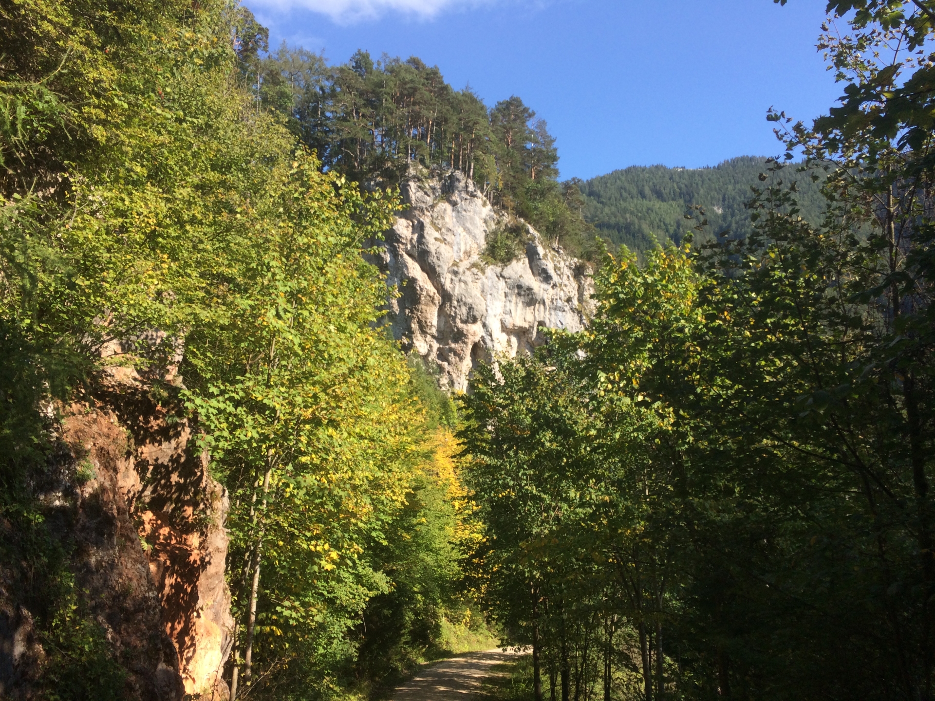
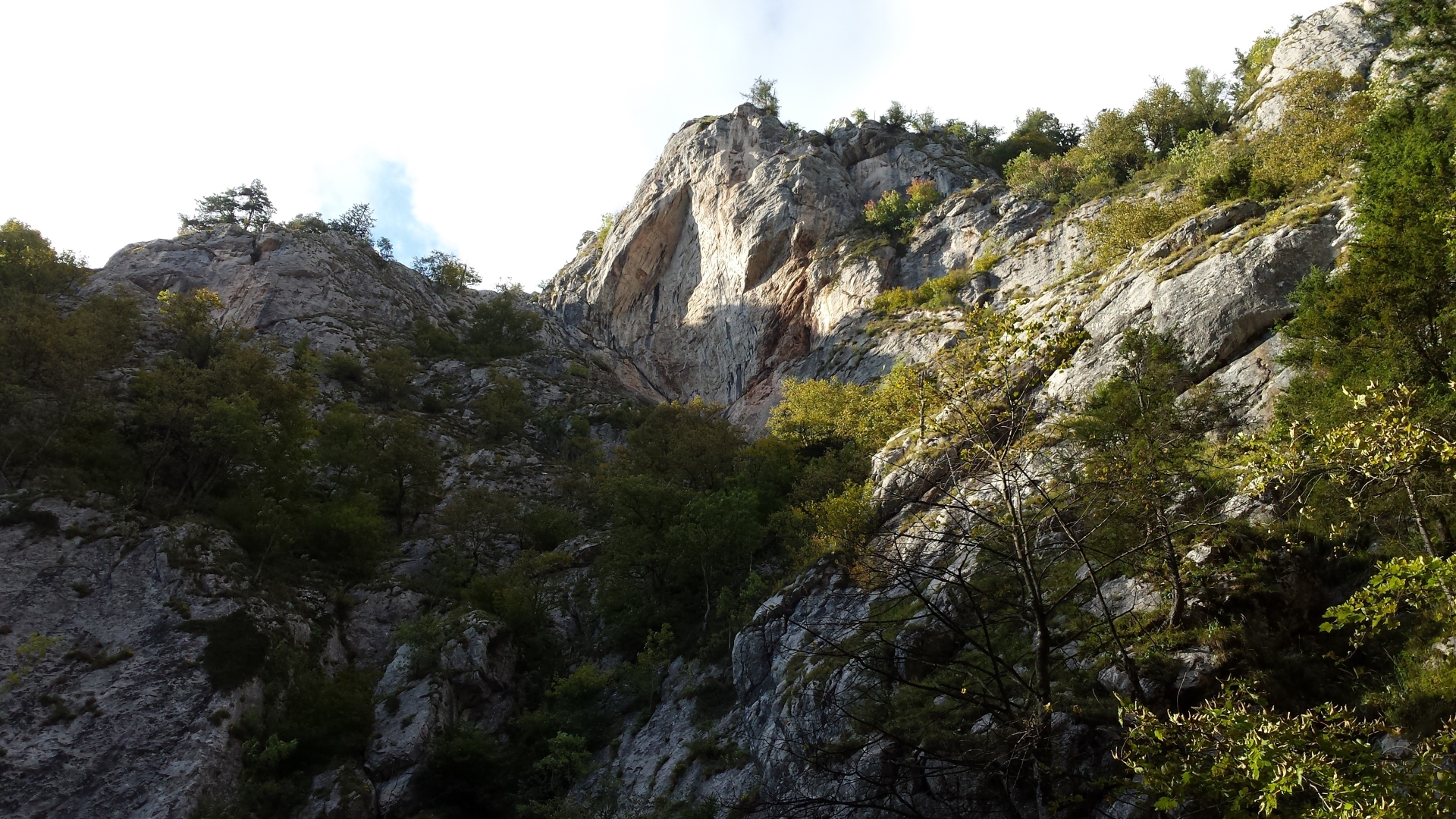
The tour starts at the “Teichalm” opposite to the Teichalm lake. Hiking along mountain pastures and through woods, the tour leads to the highest peak of the Grazer Bergland: the “Hochlantsch”. The route continues on the “Prügelweg” which ends at the lowest point of the tour: the entrance to the “Bärenschützklamm”. After hiking through this awesome gorge, the route leads towards a gravel road which returns back to the Teichalm.
Tour Description
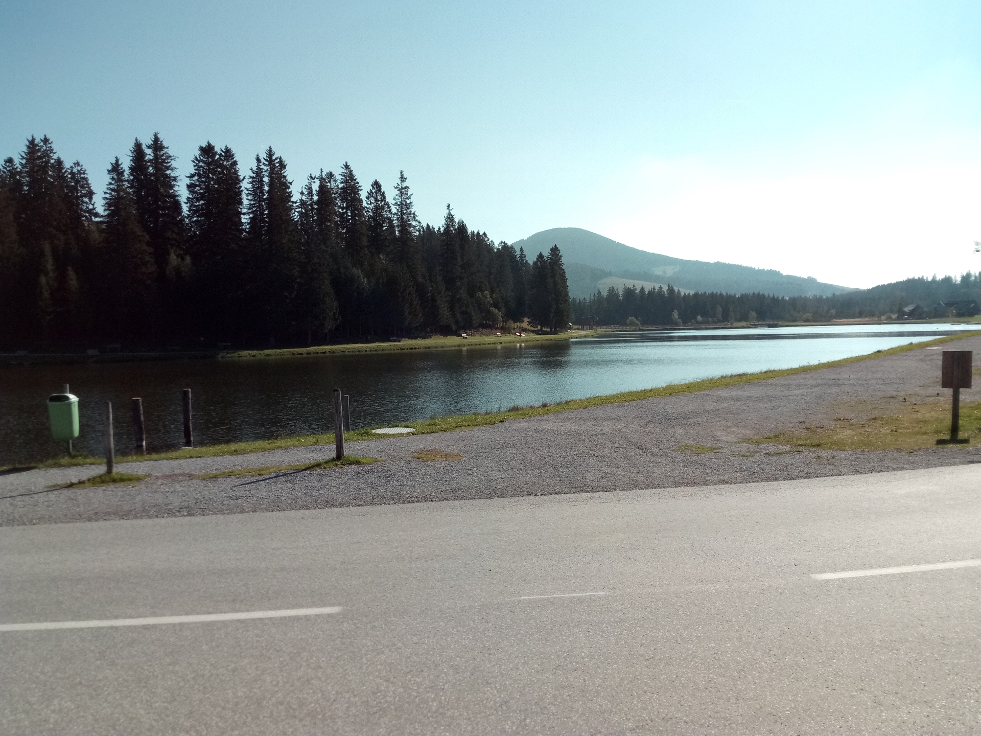
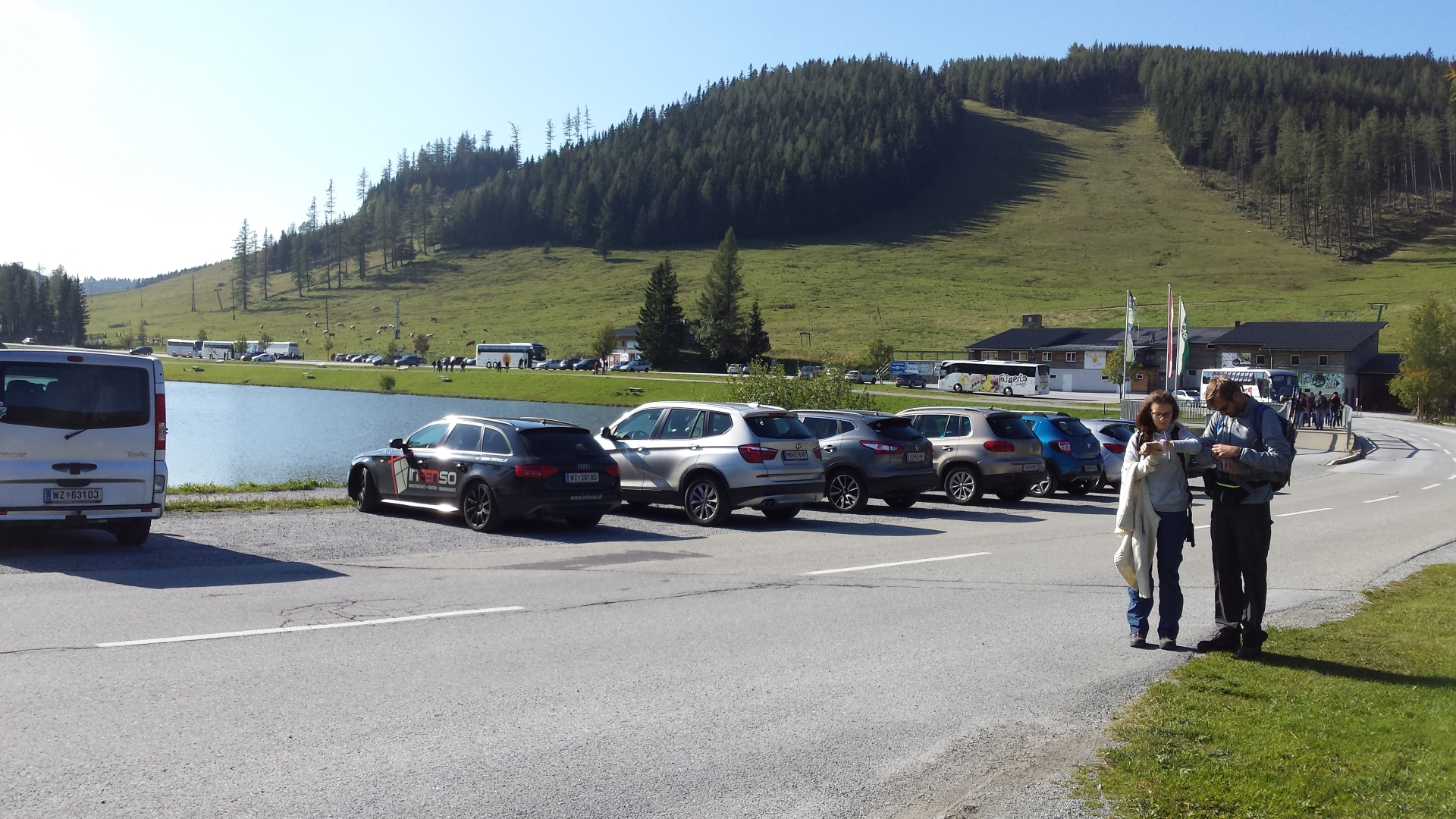
| 00:00 | Parking at the parking lot Teichalm. |
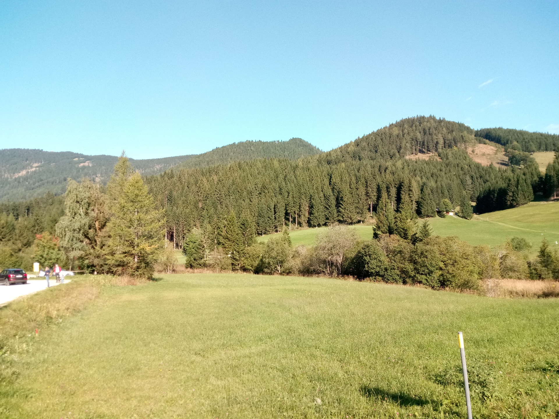
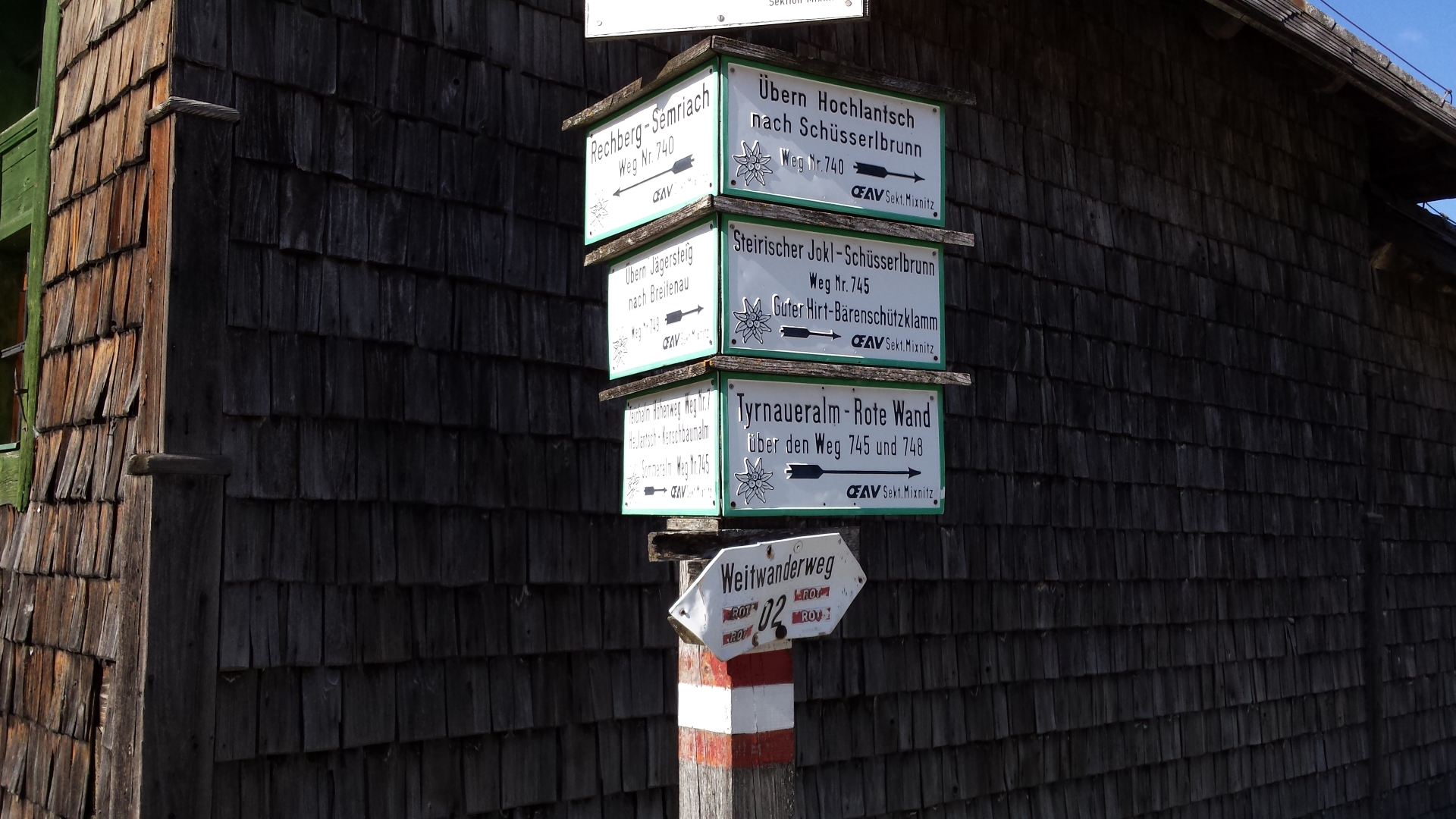
| 00:01 | Follow the trail (#740) towards Hochlantsch. |
| 00:05 | Follow the small trail towards the left leading to Hochlantsch. |
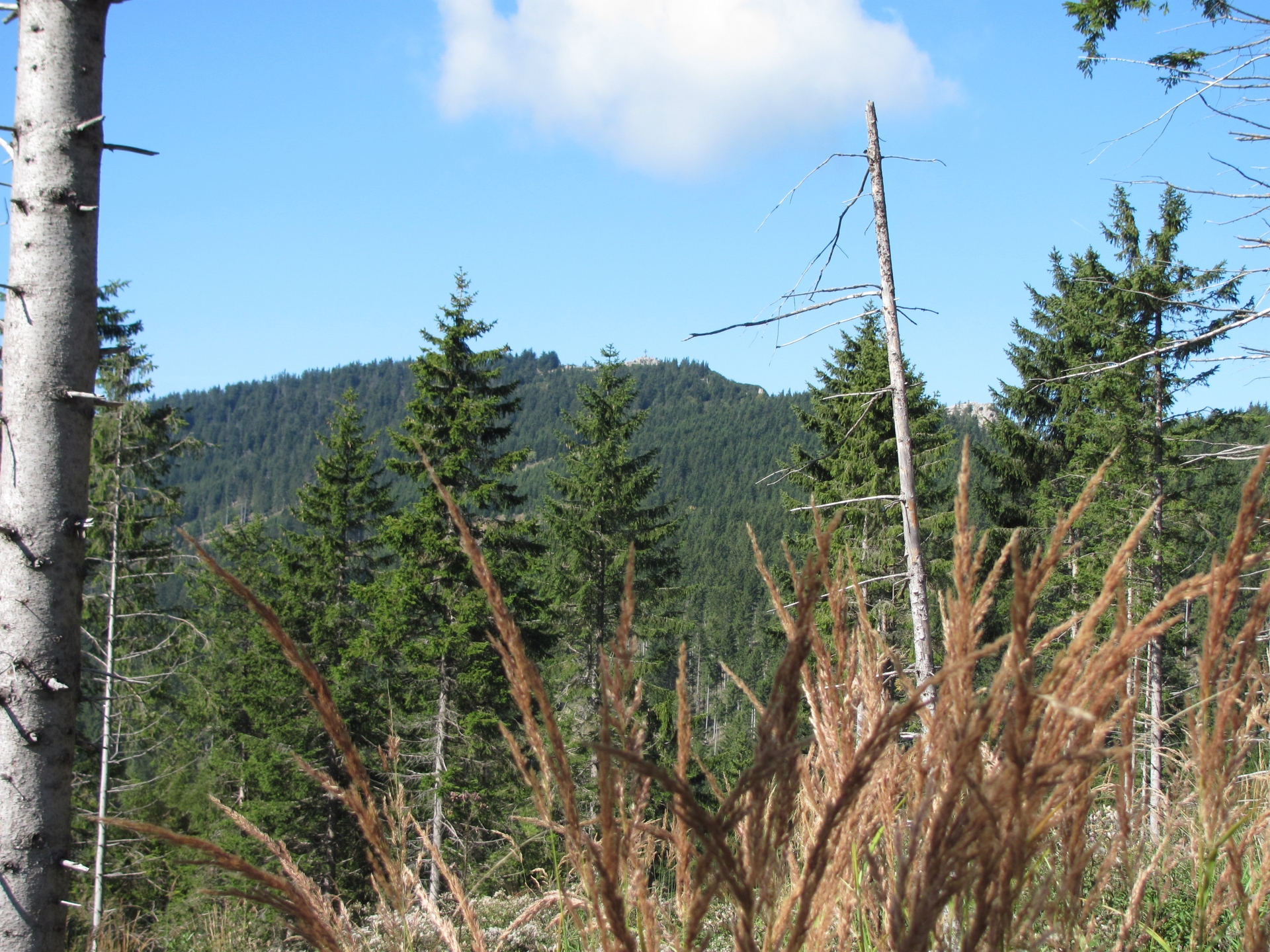
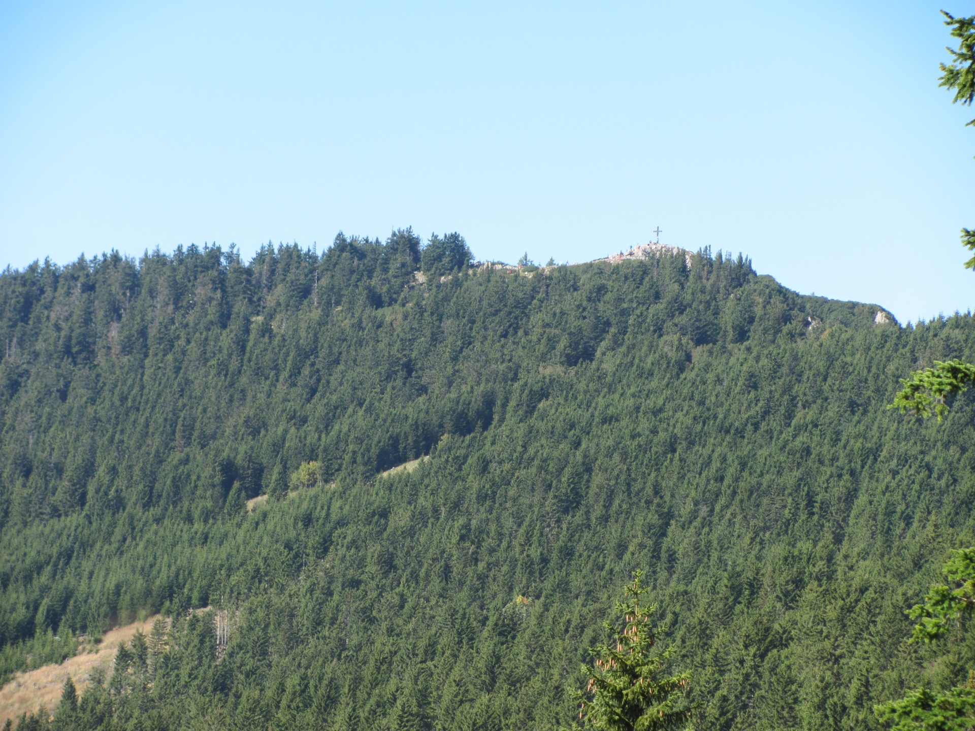
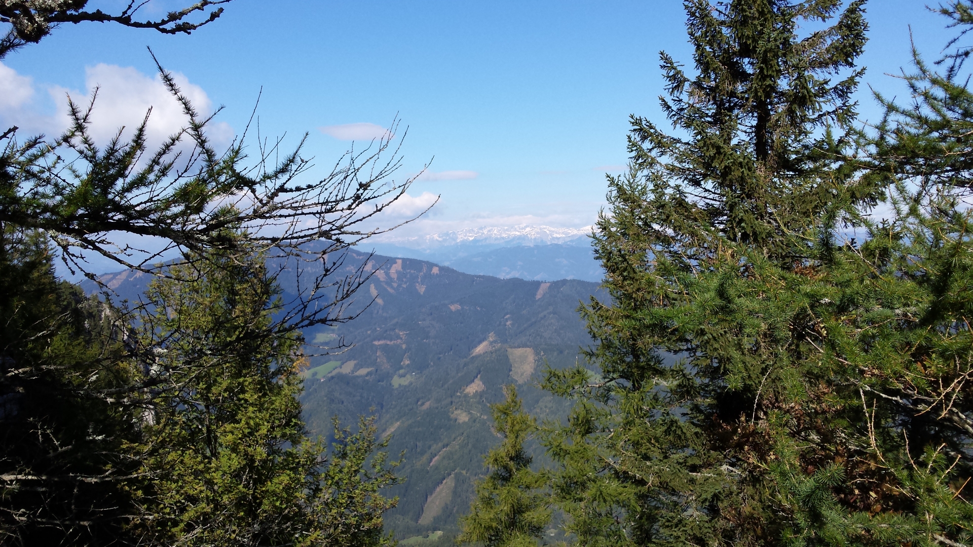
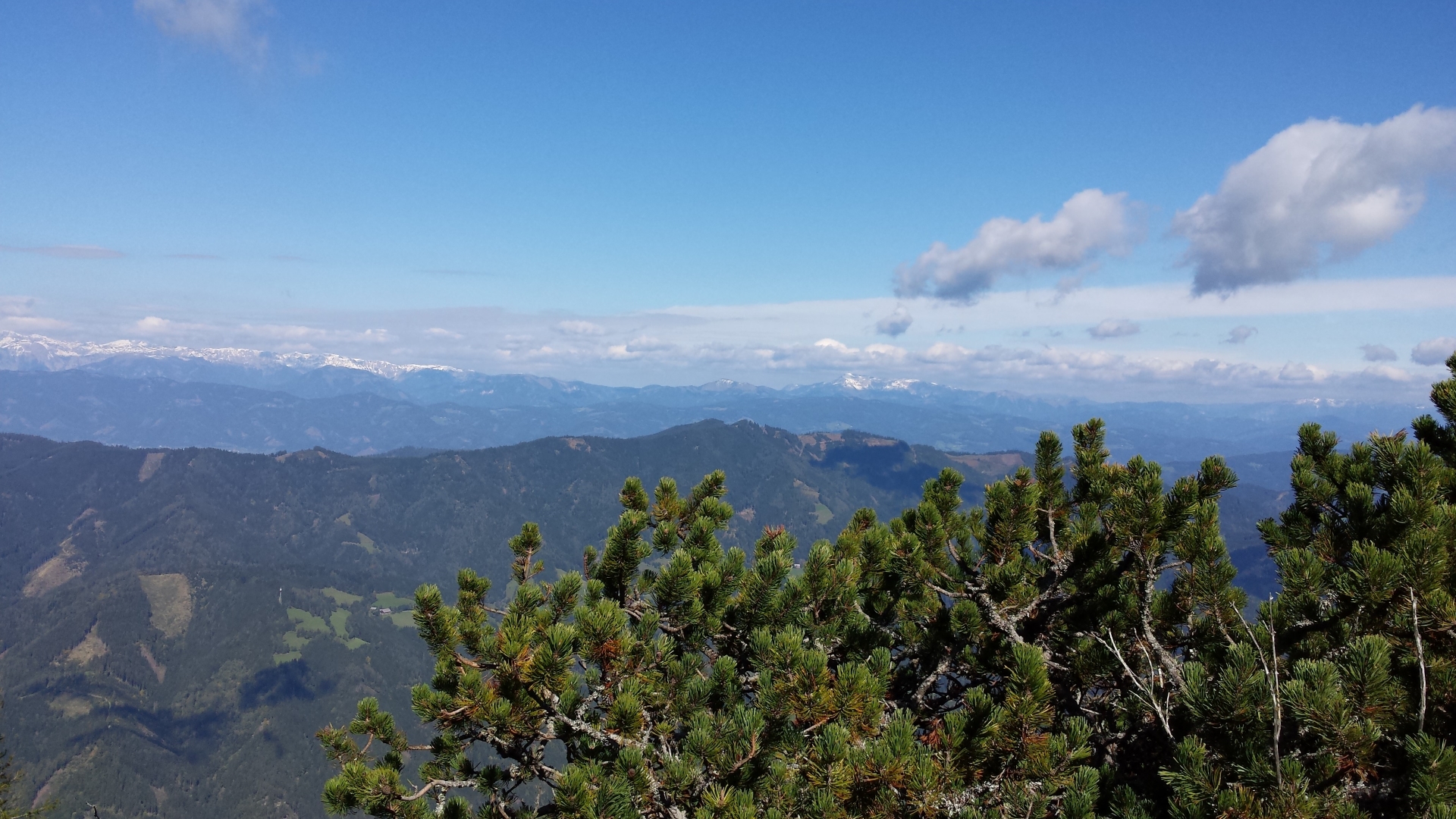
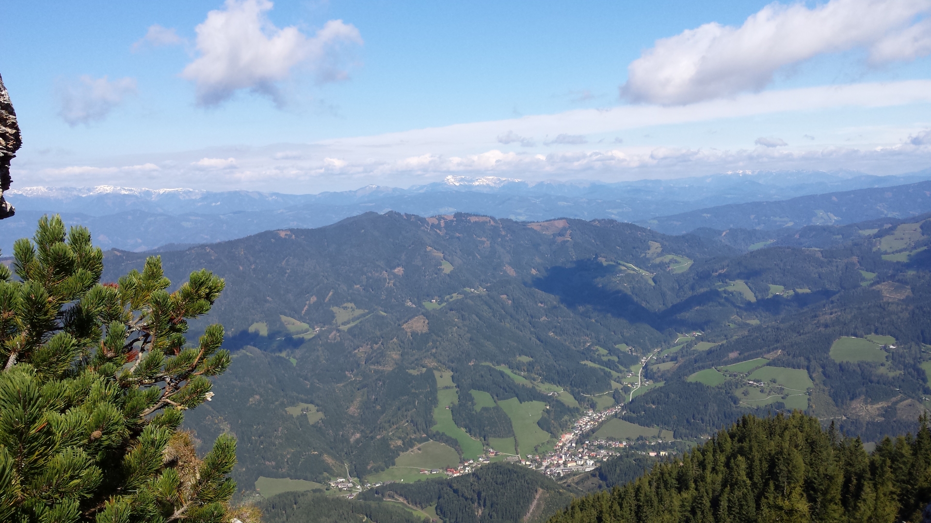
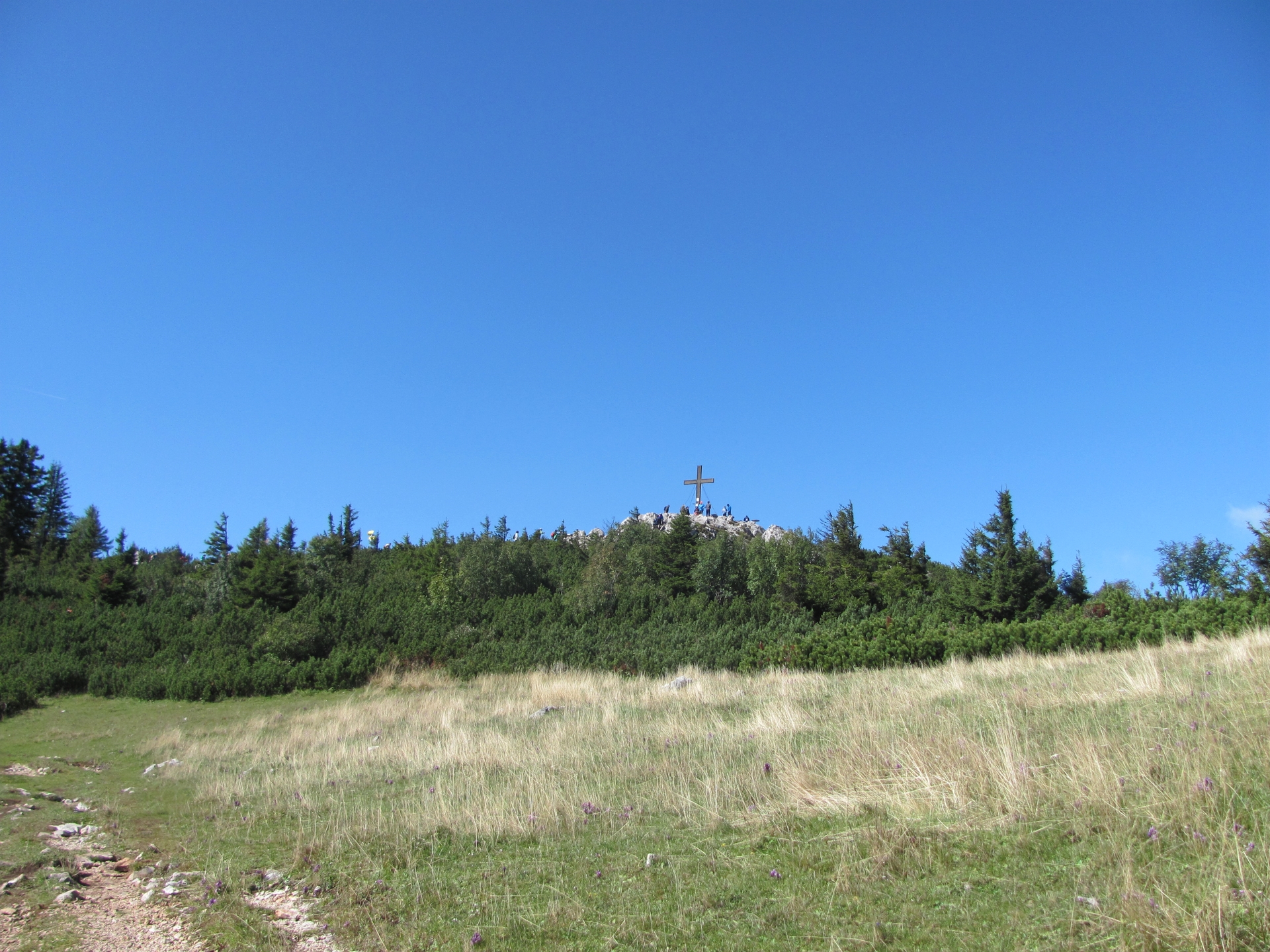
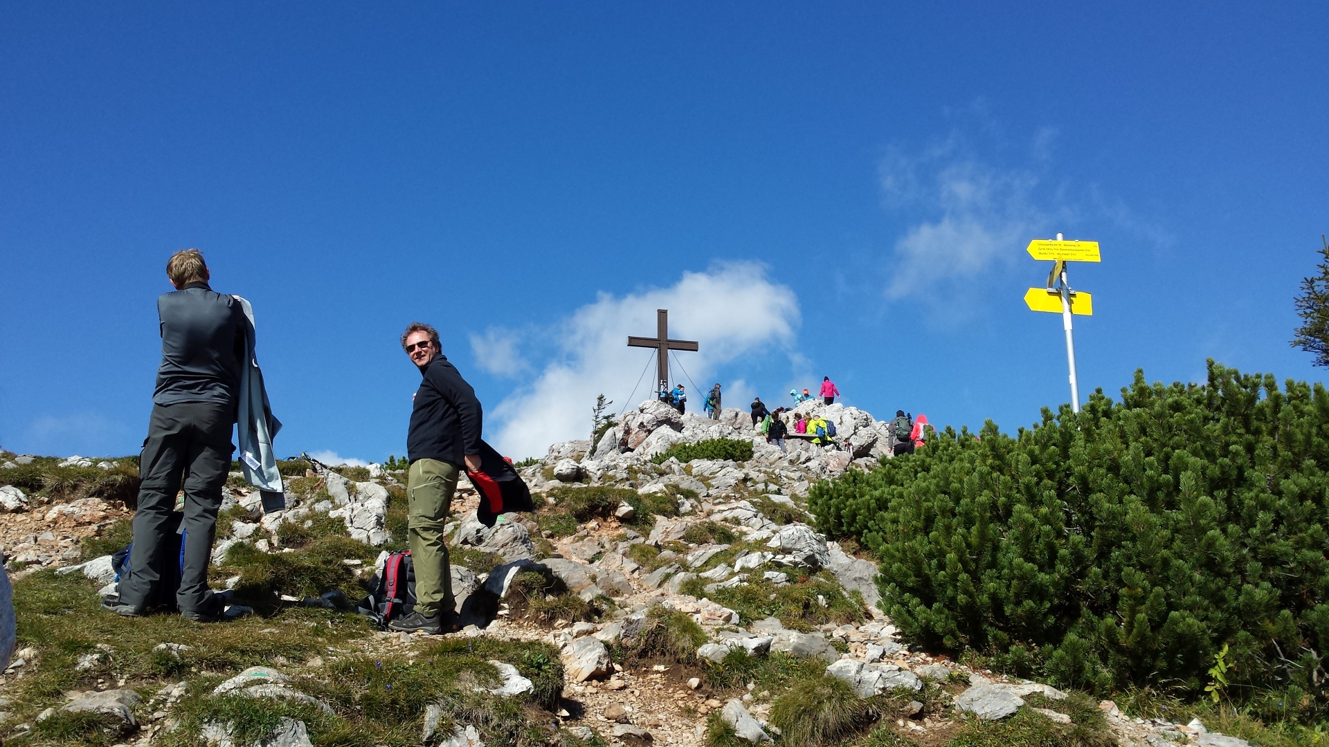
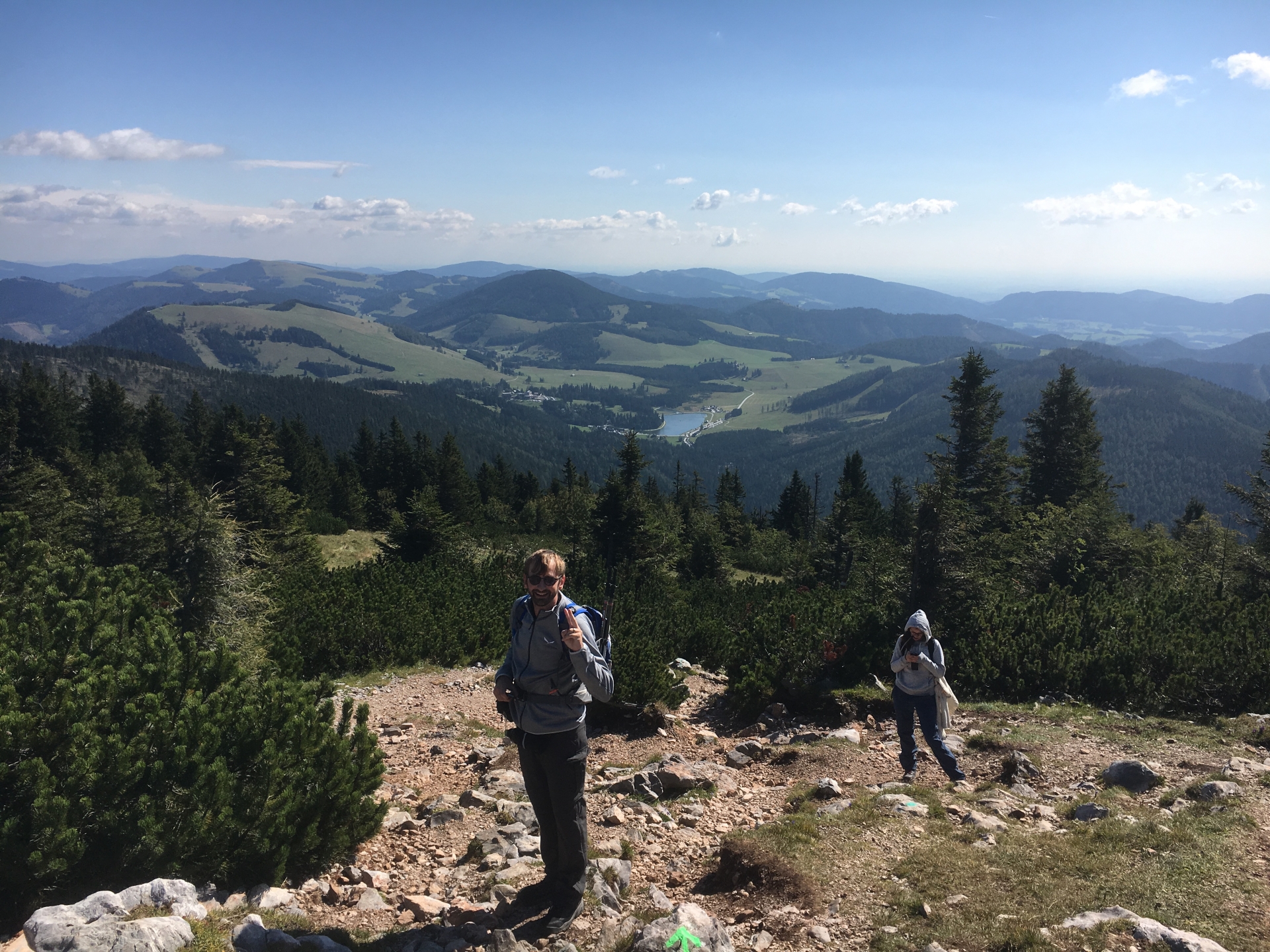
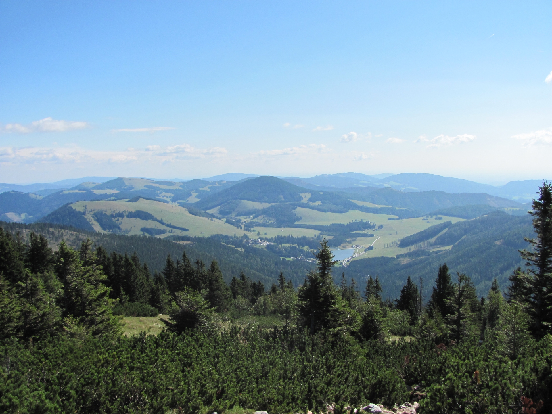
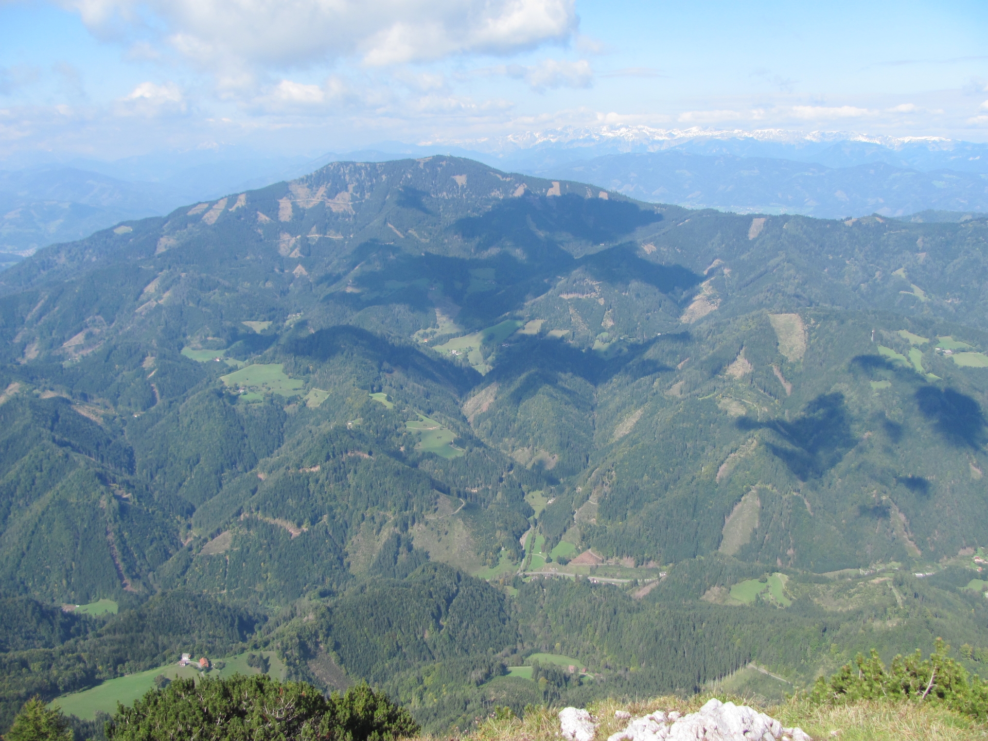
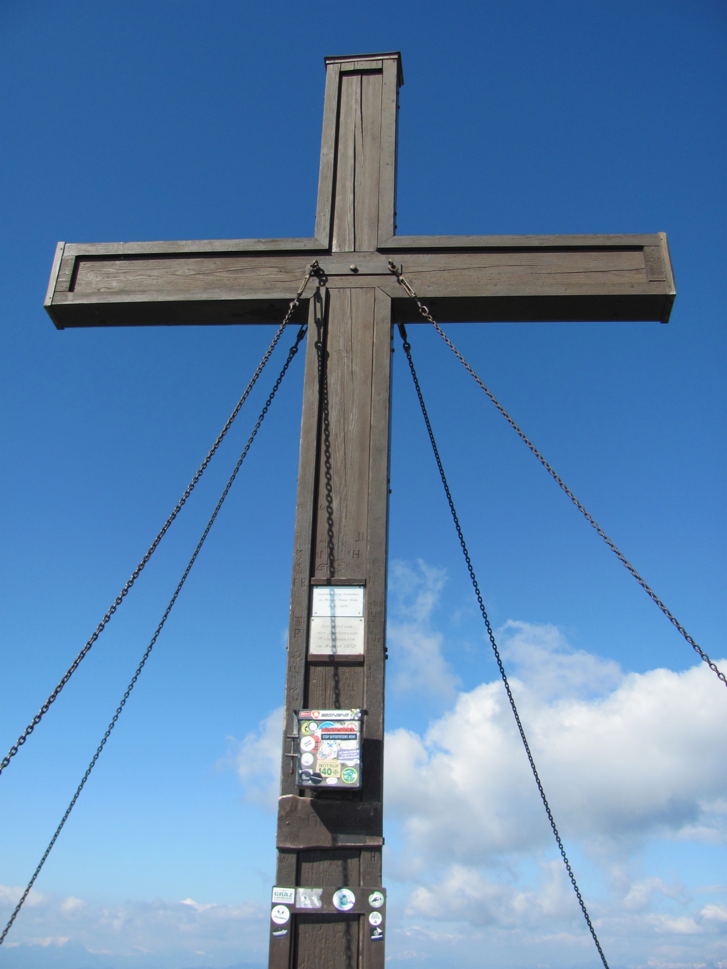
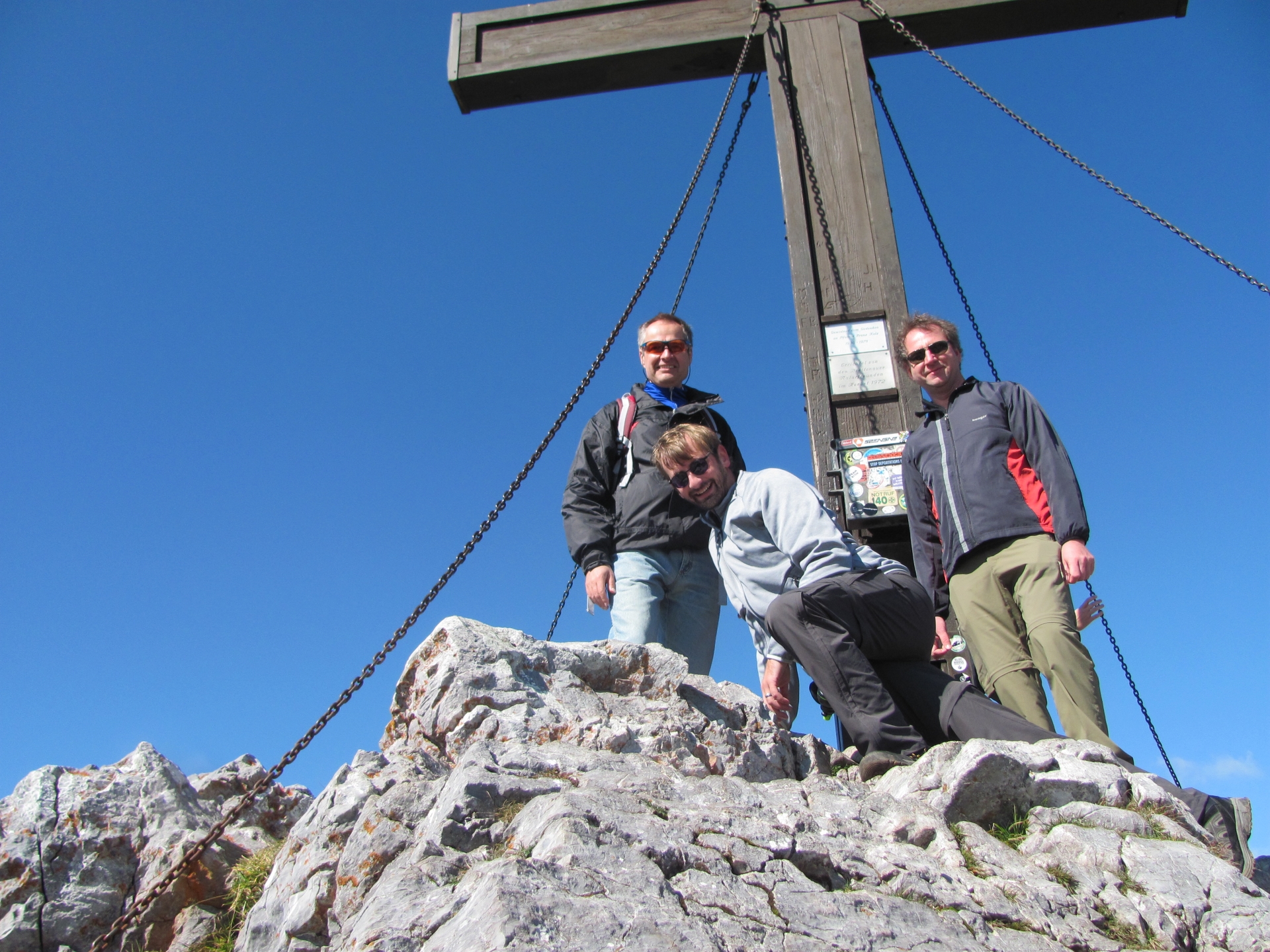
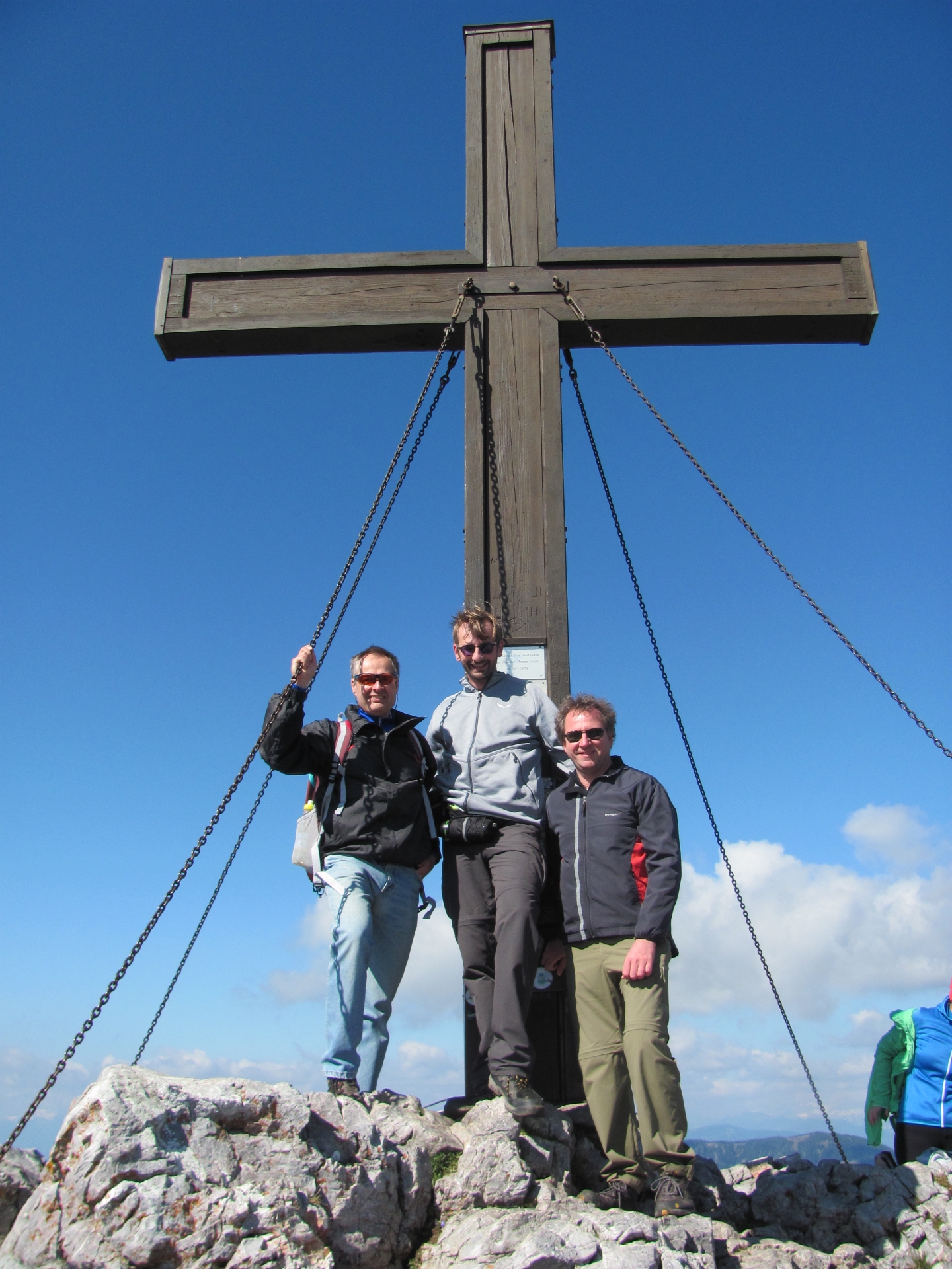
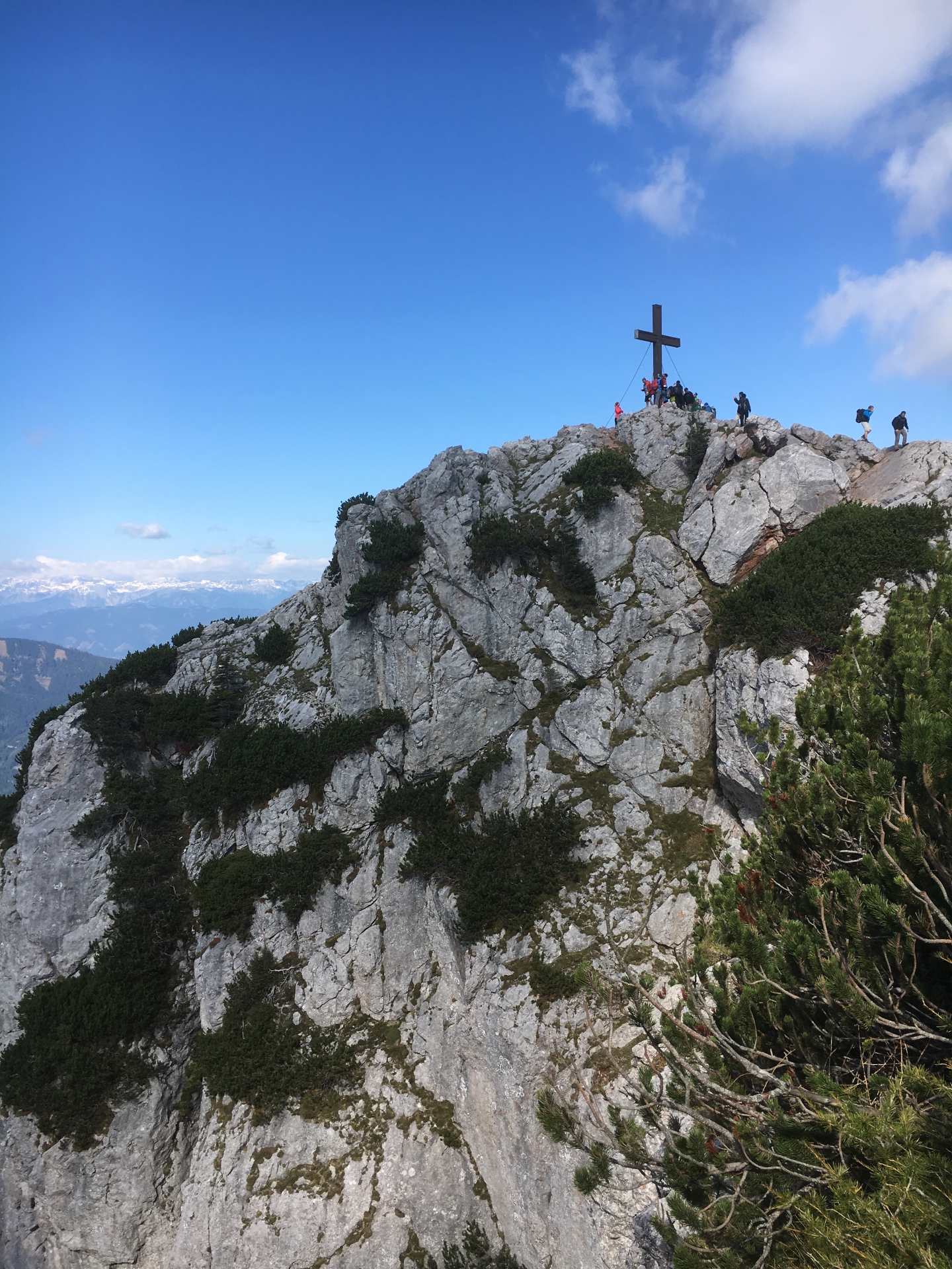
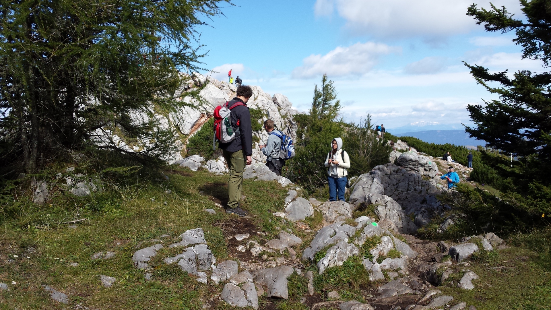
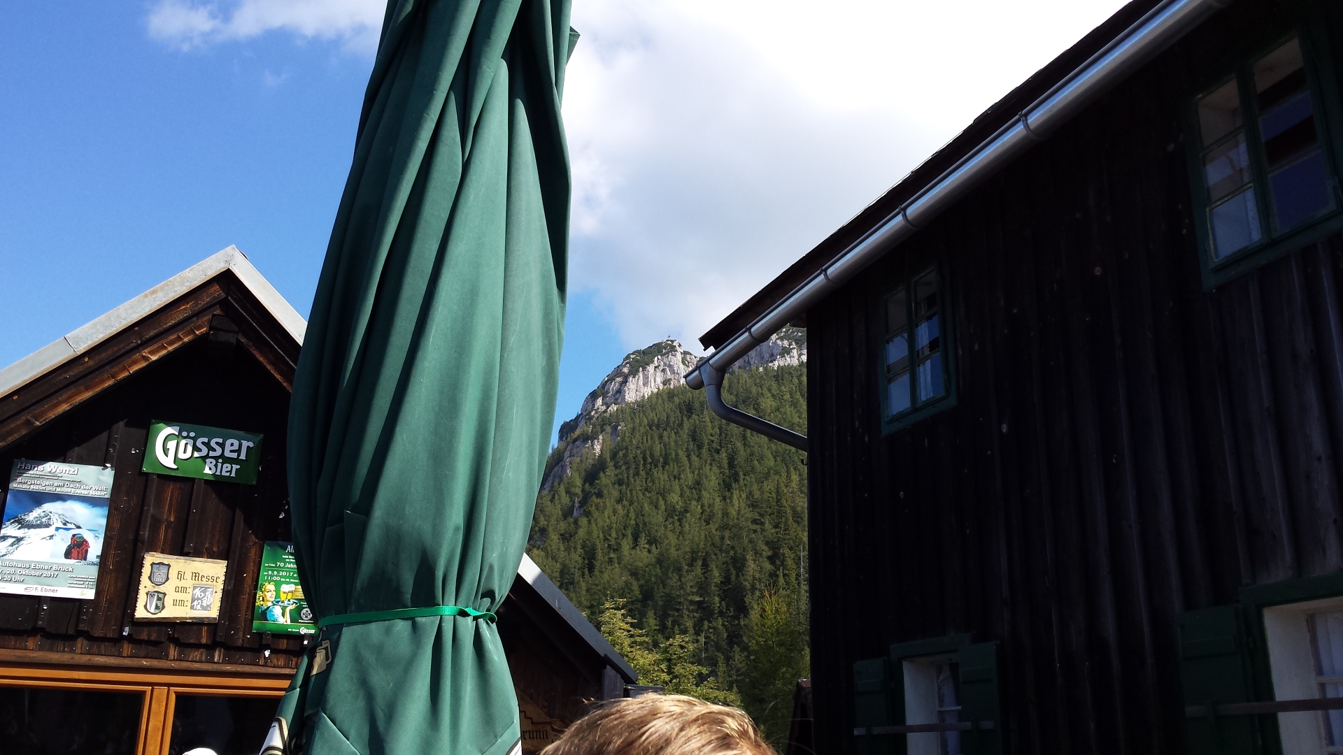
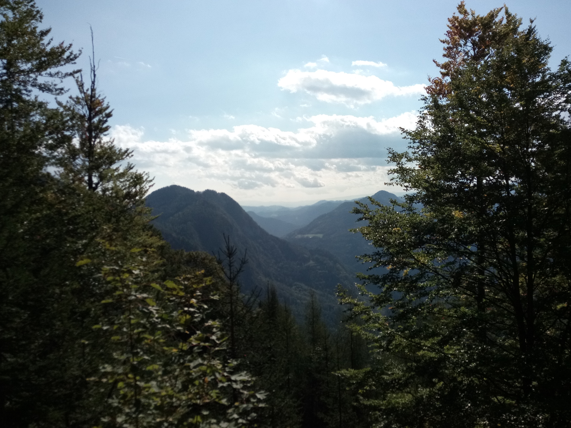
| 01:40 | Arrive at the highest point of the tour: the Hochlantsch (1720m). Enjoy the view during a short break at the peak (also a good time to enjoy your brought ). |
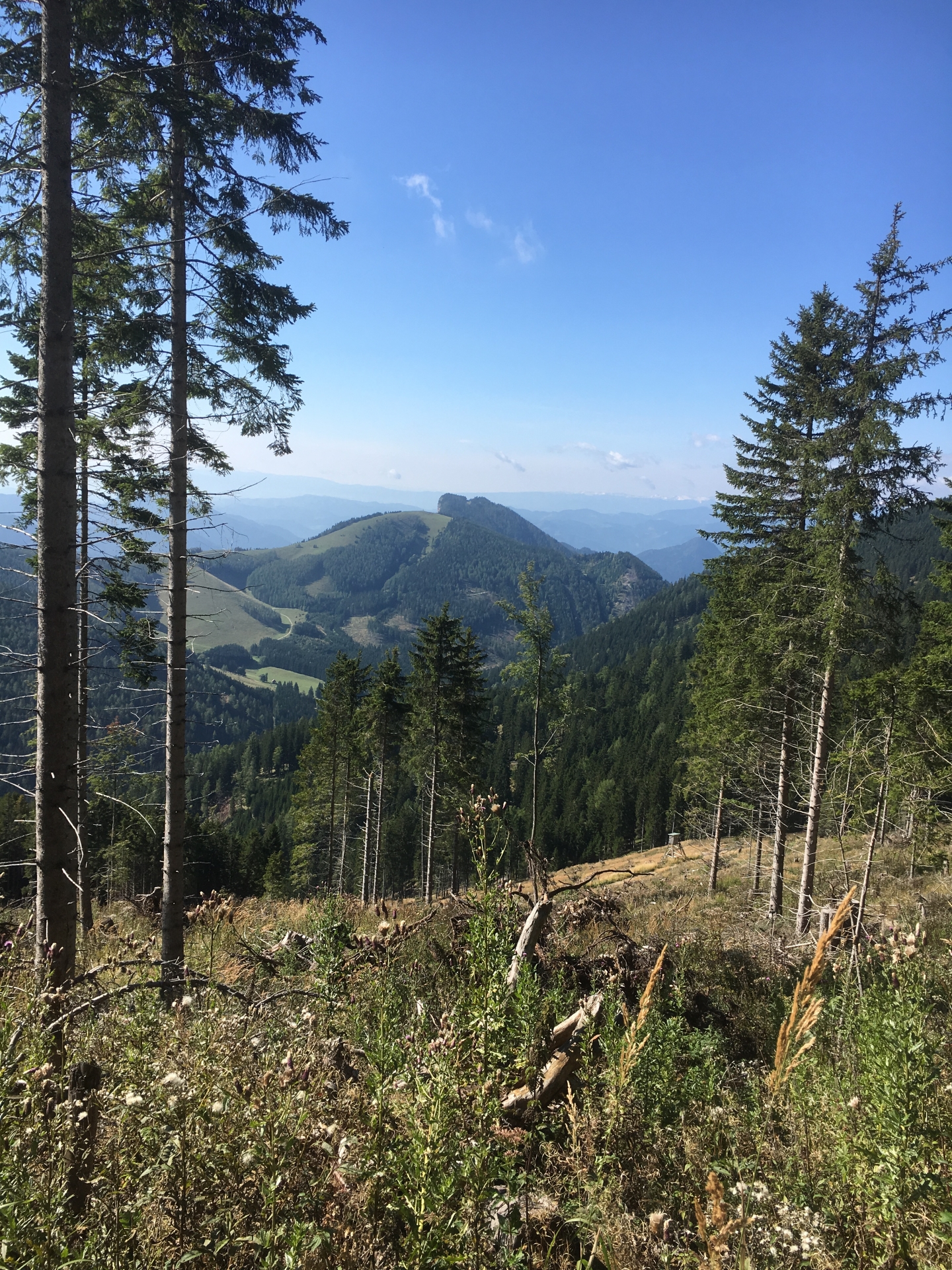
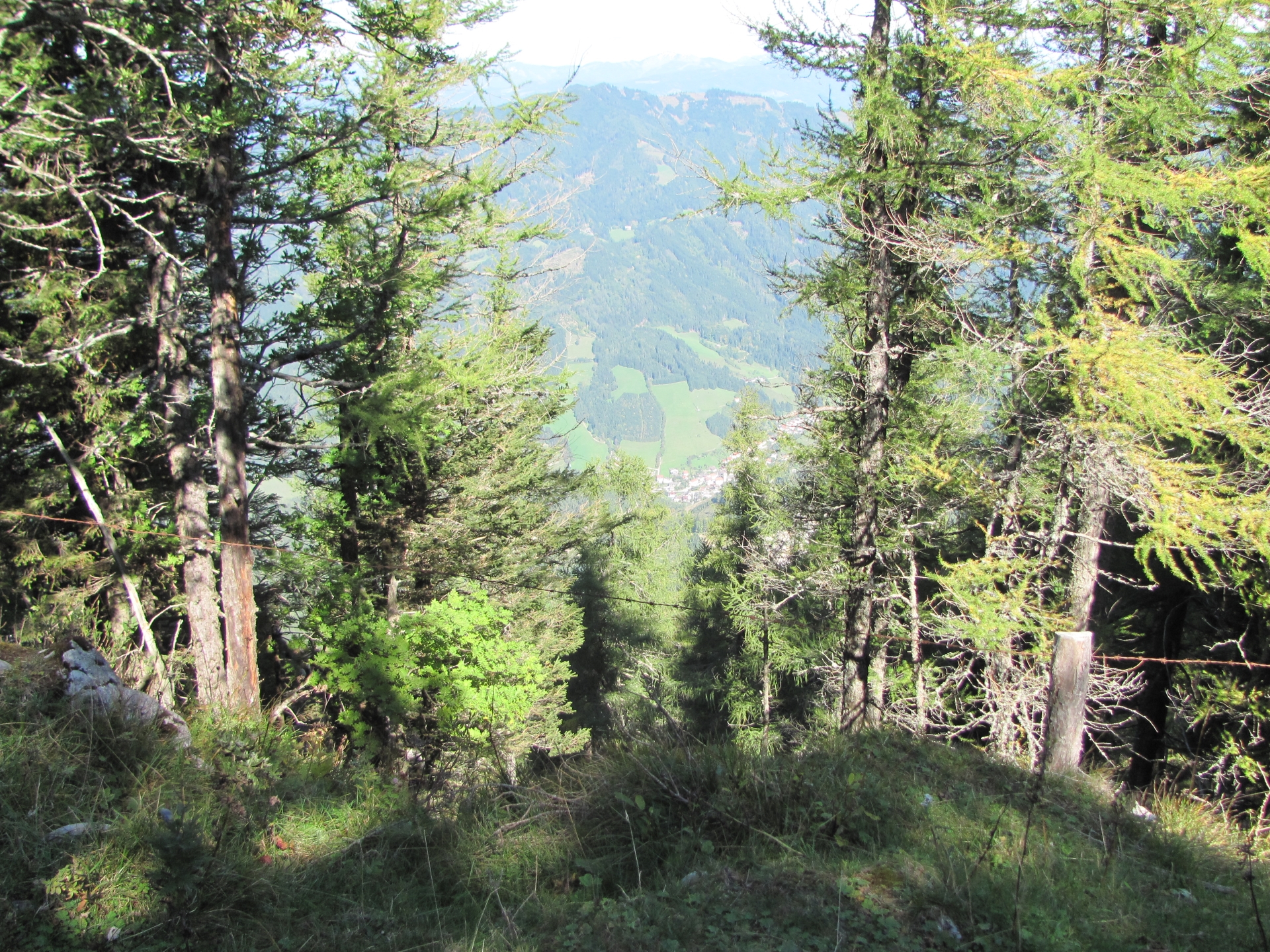
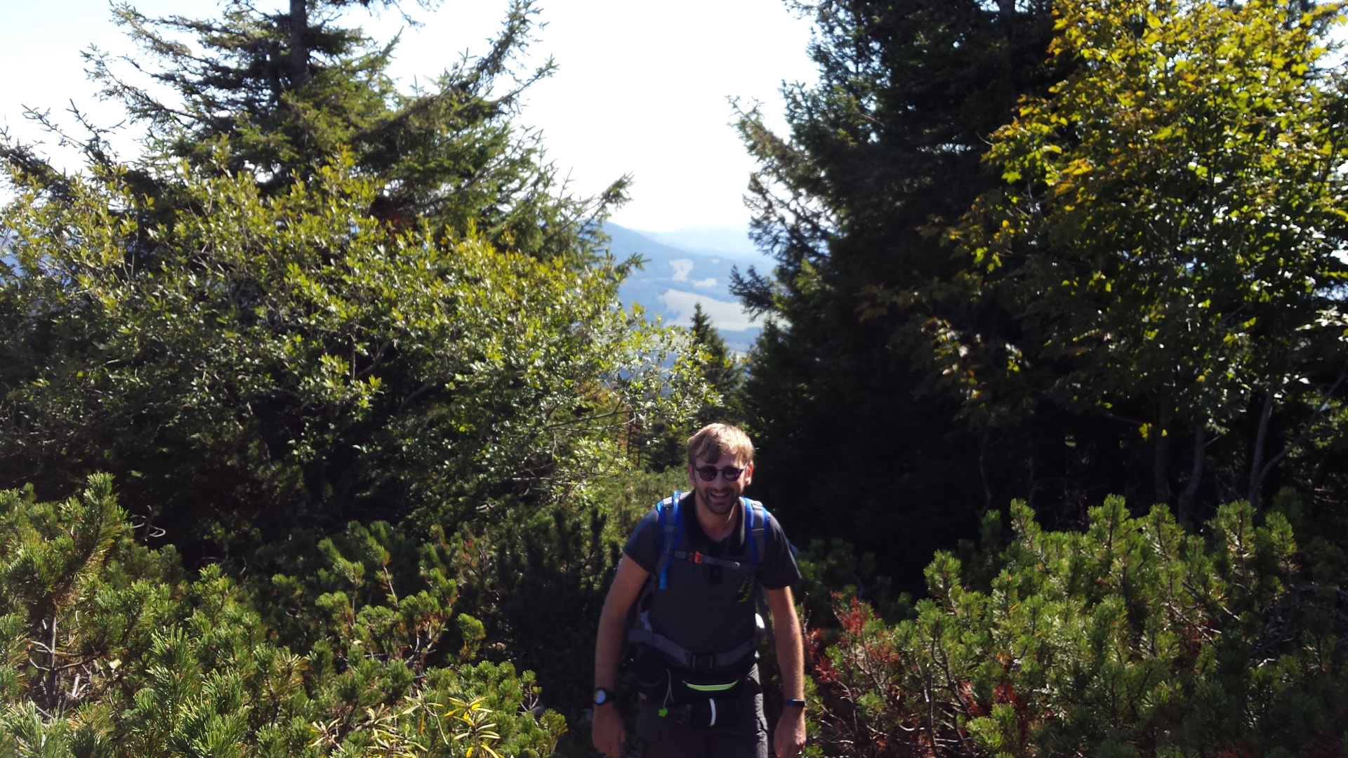
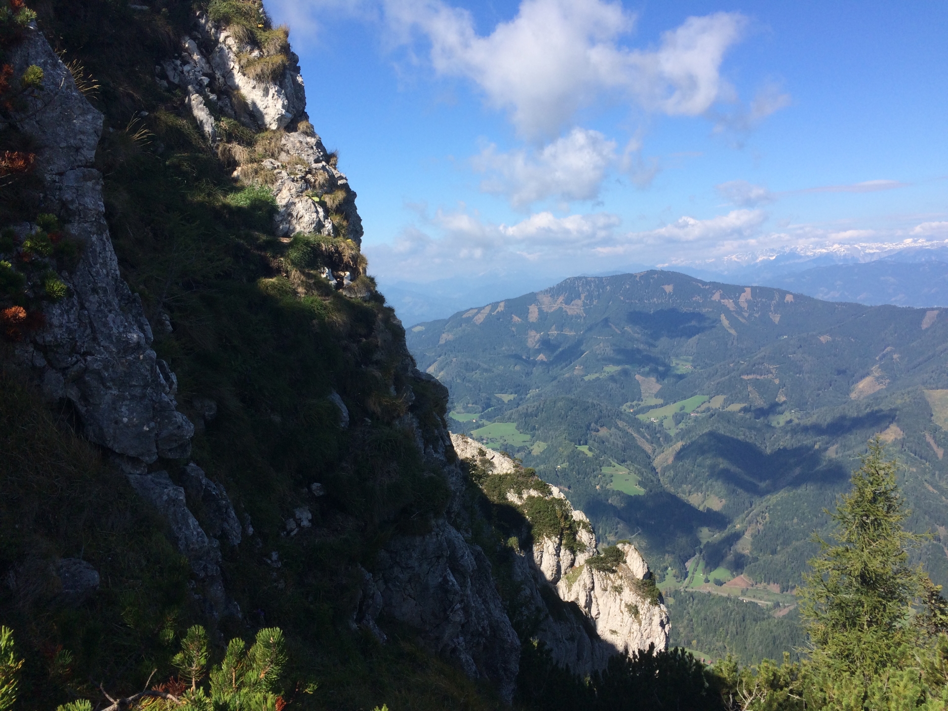
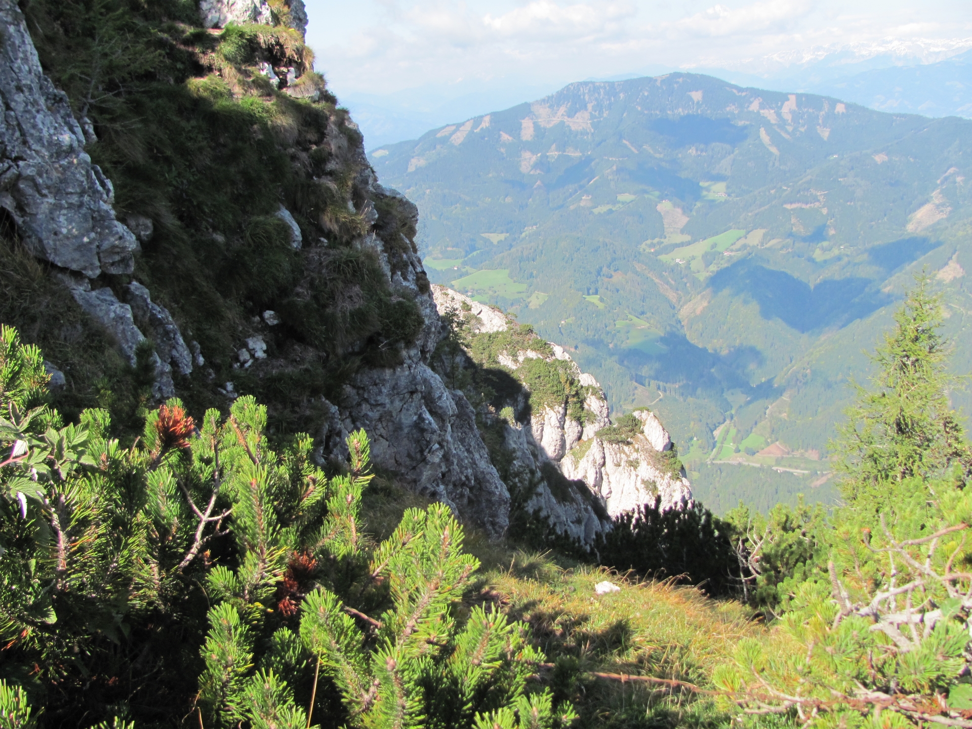
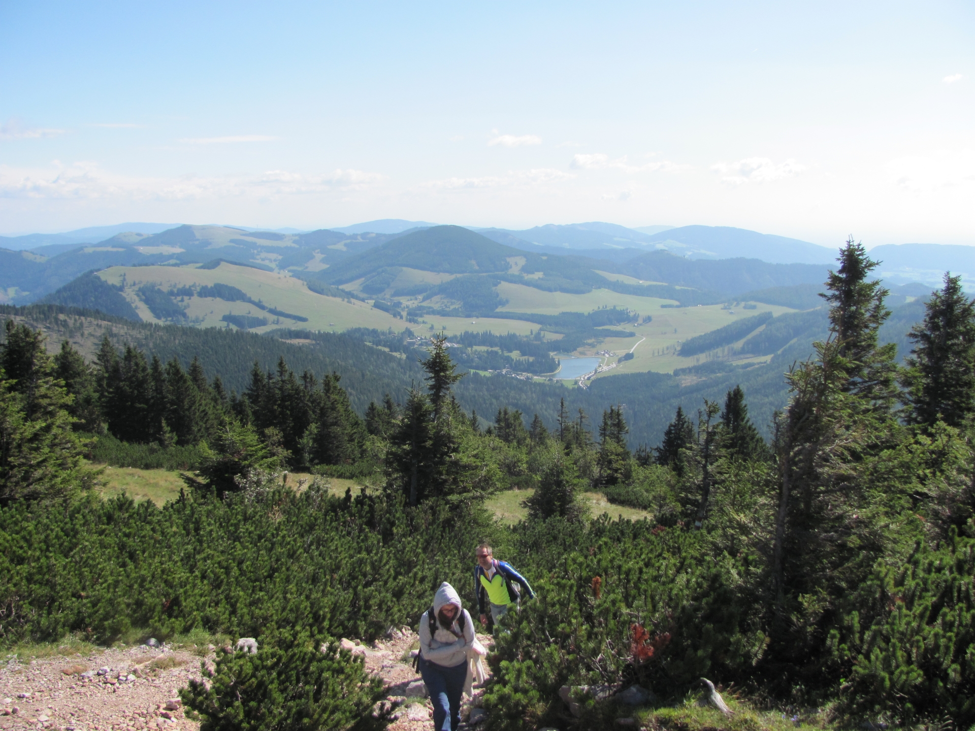
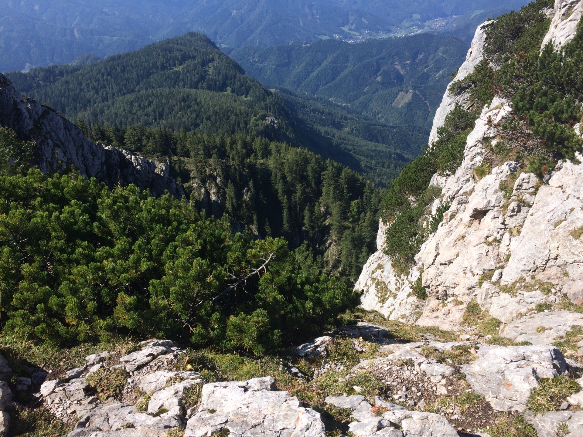
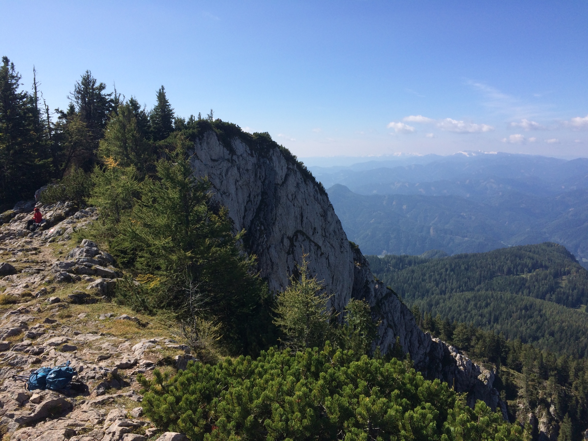
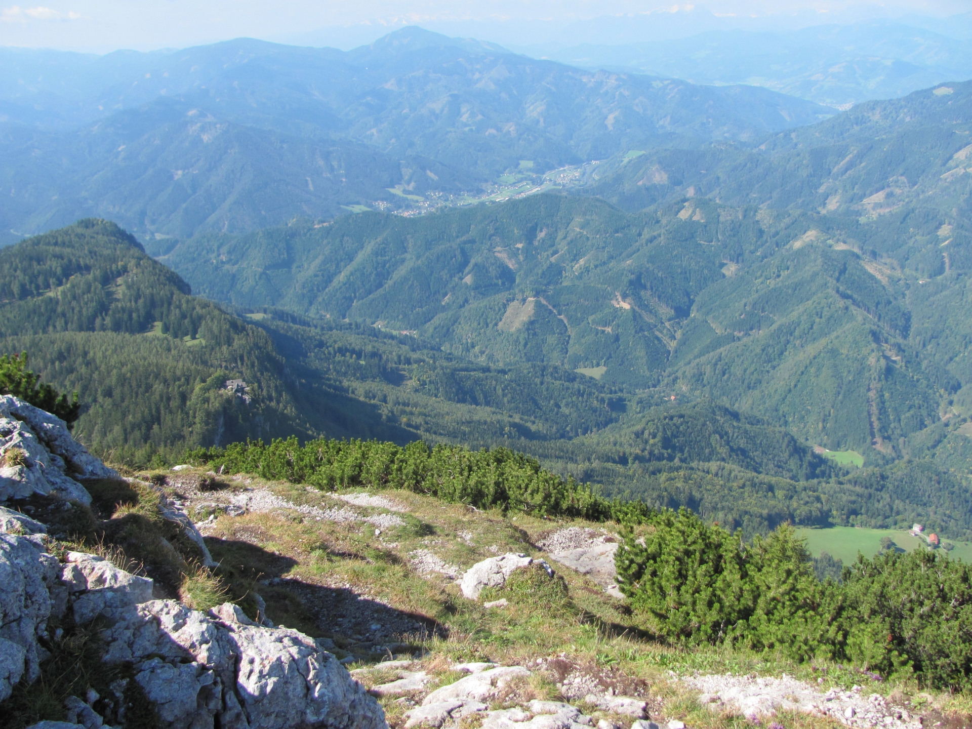
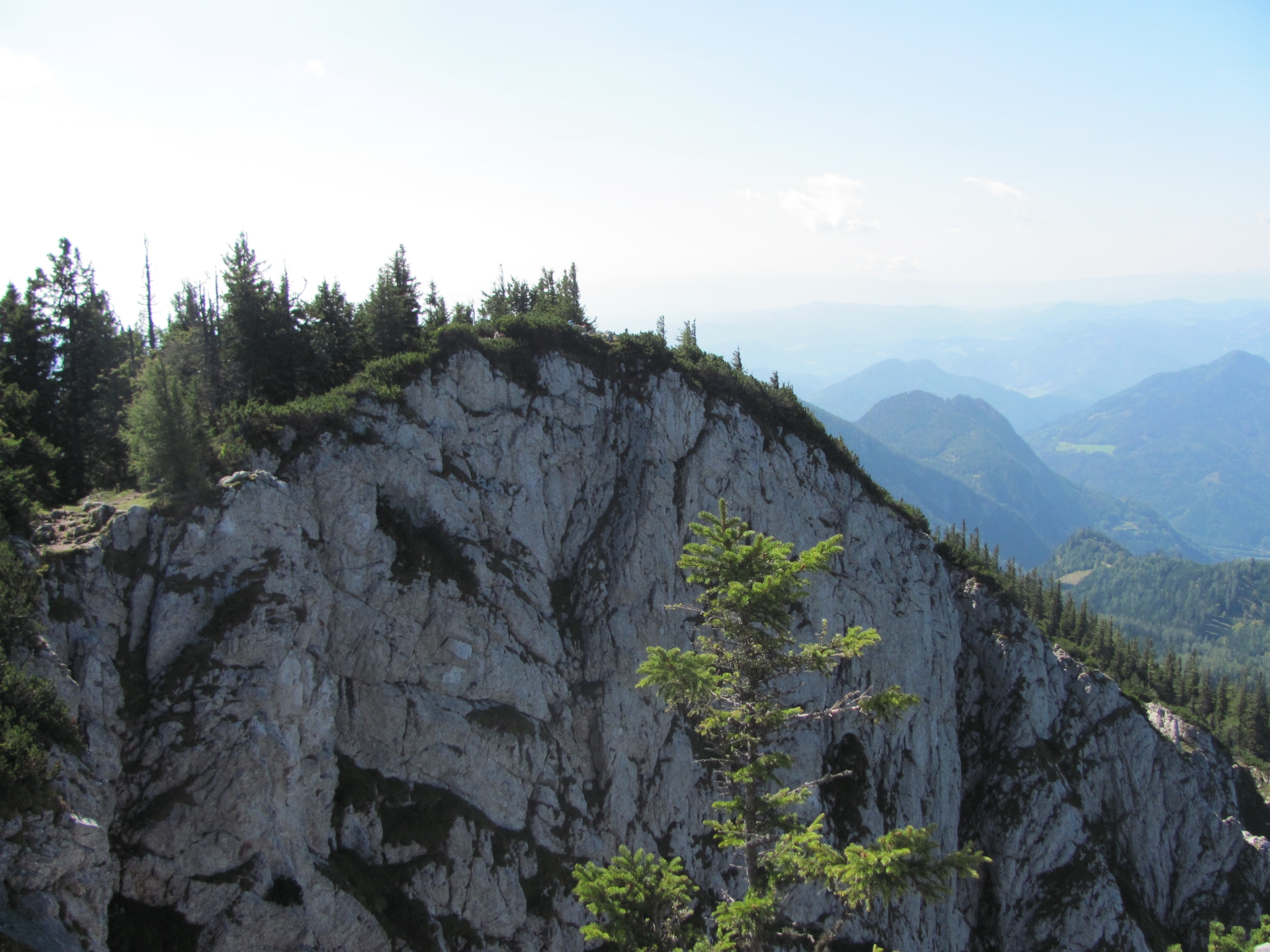
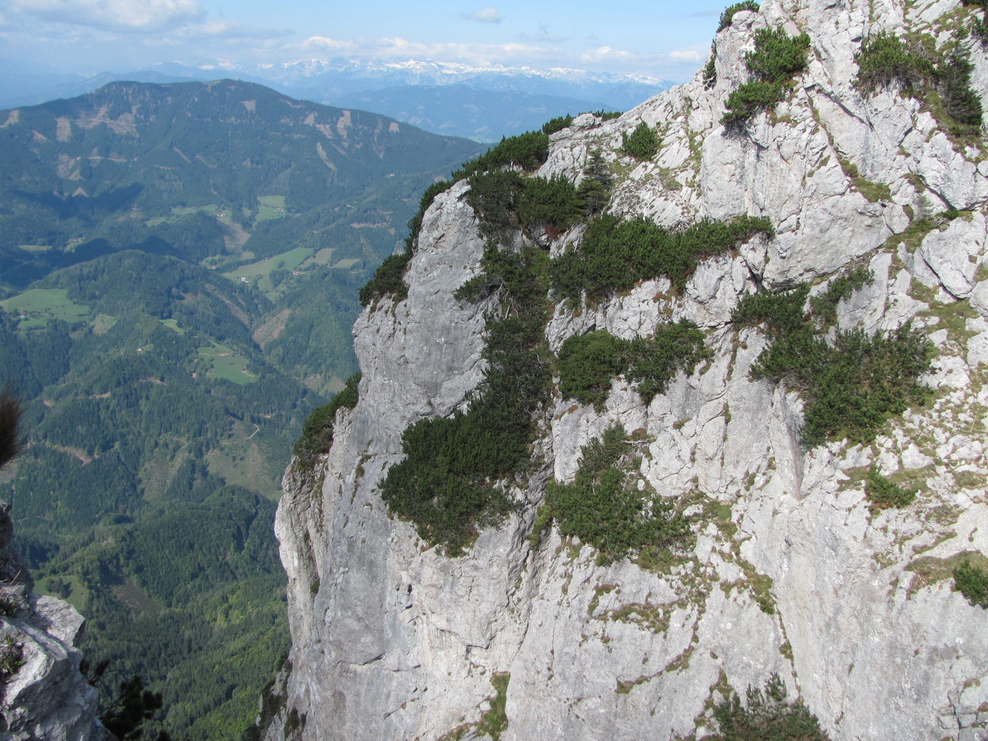
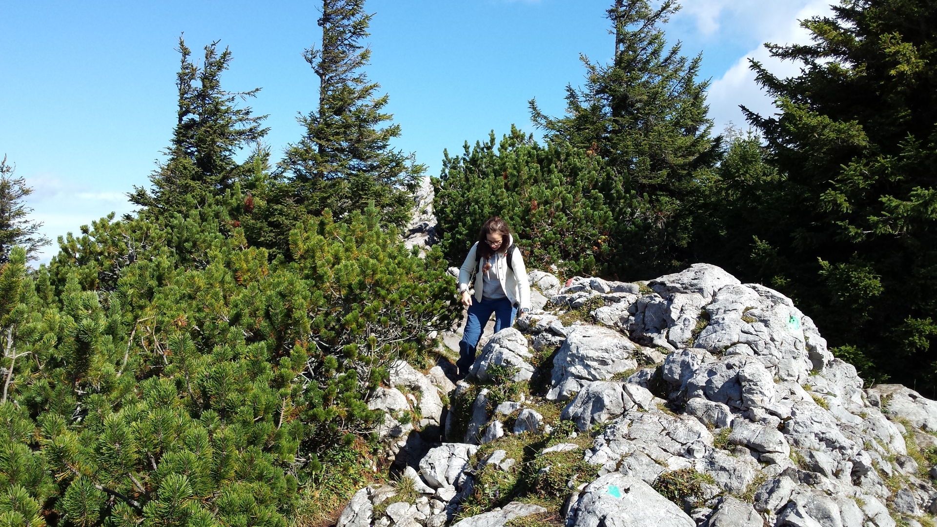
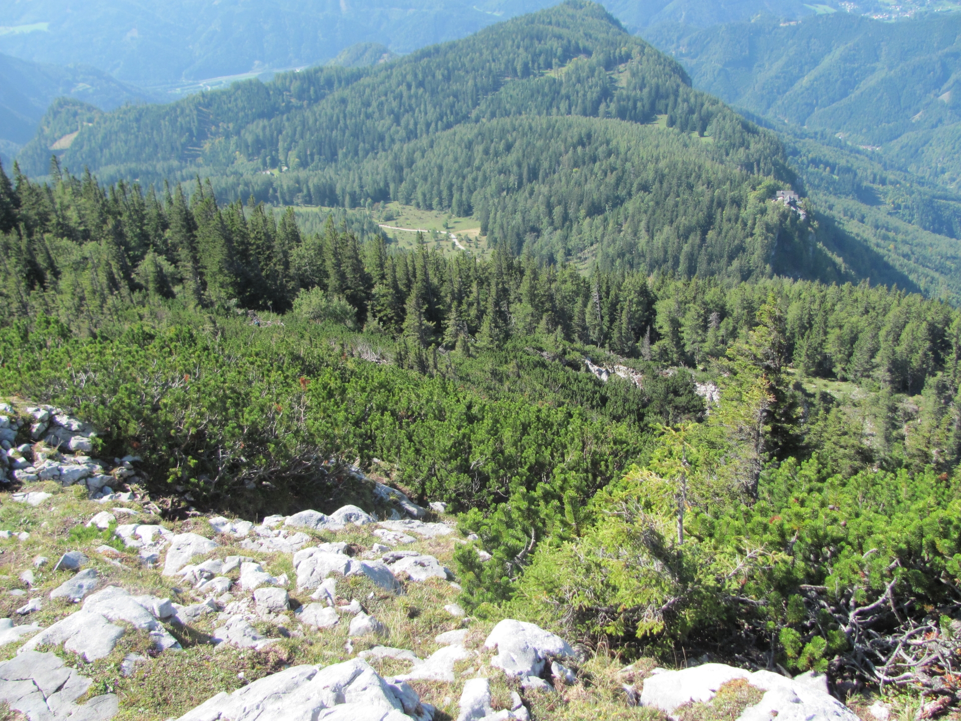
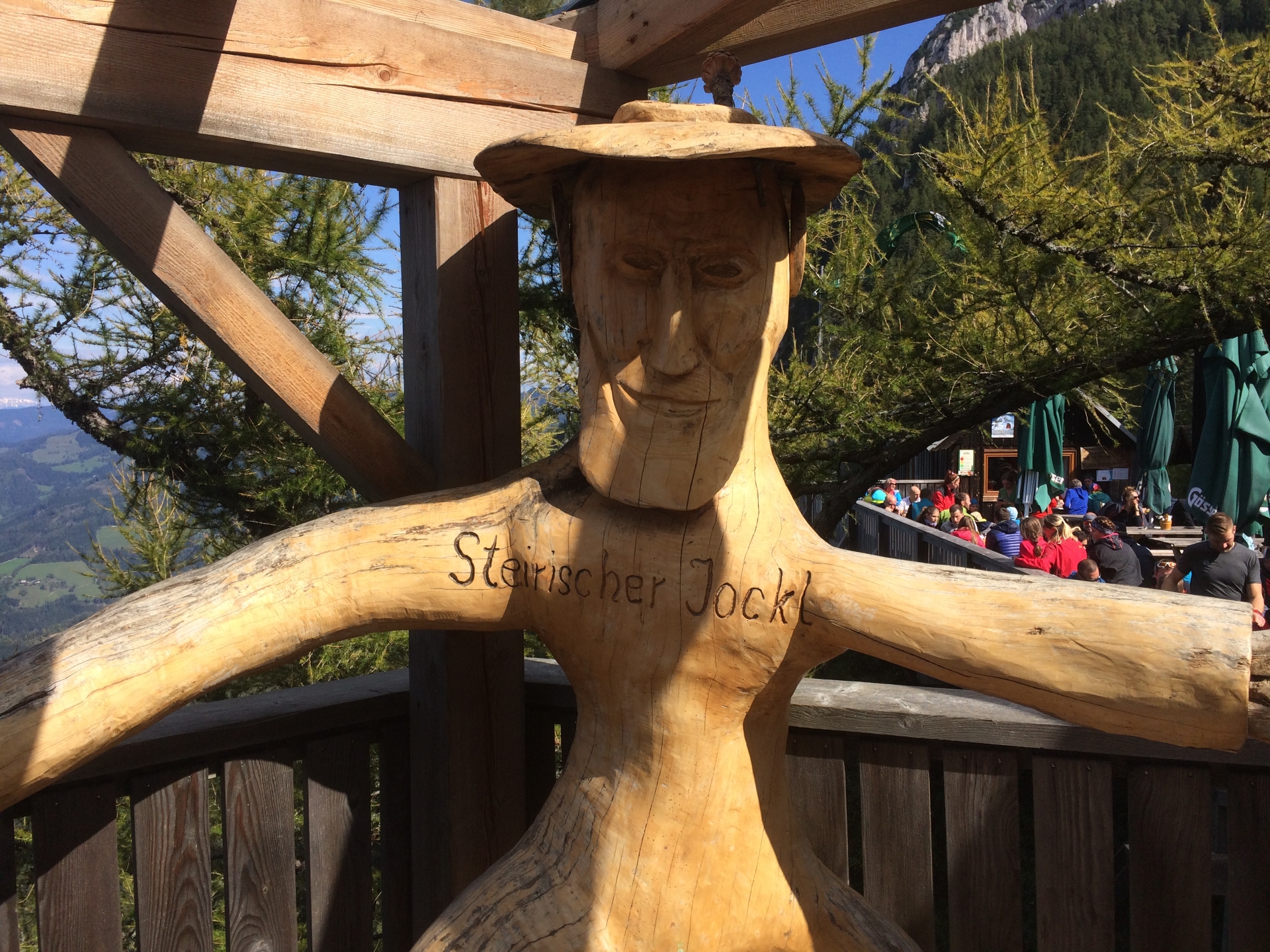
| 02:00 | Continue the tour by following the trail along the cliff towards the “Steirischer Jokl“. |
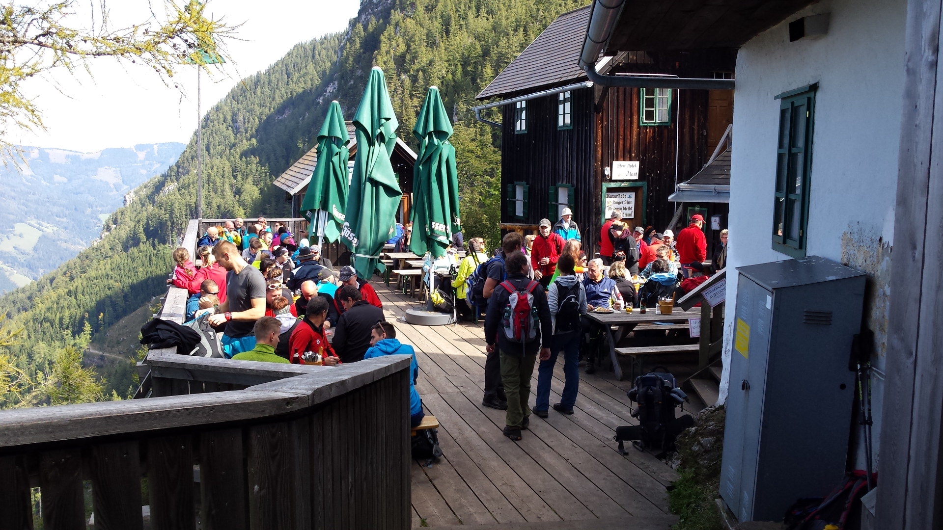
| 03:00 | Well-deserved break at the Steirischer Jokl (enjoy the good food and awesome view). |
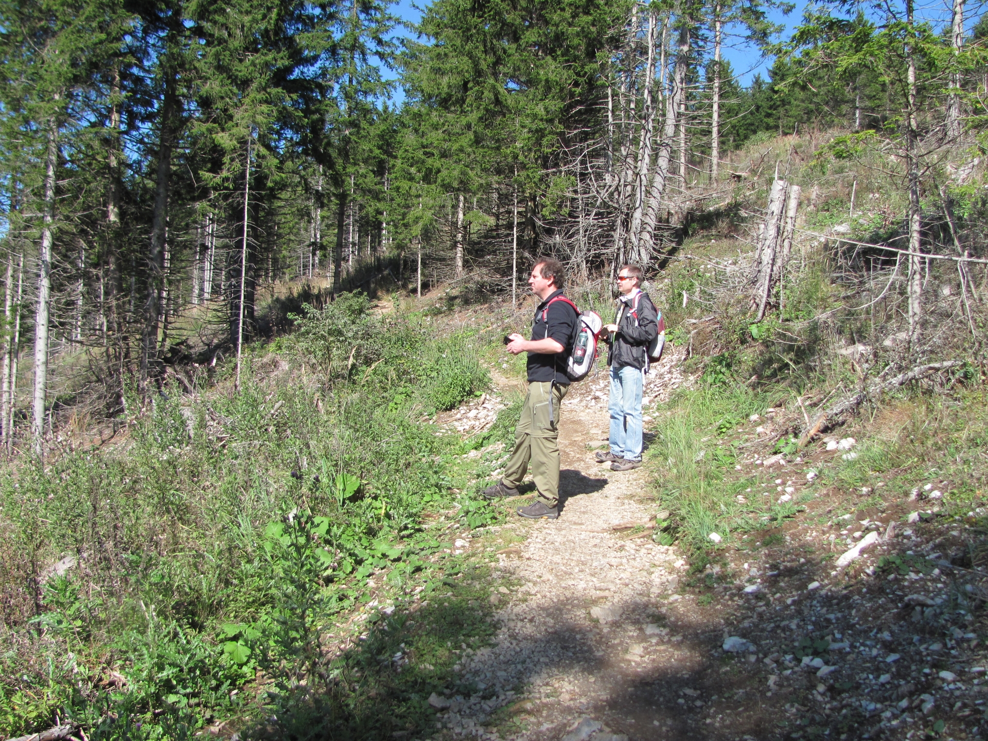
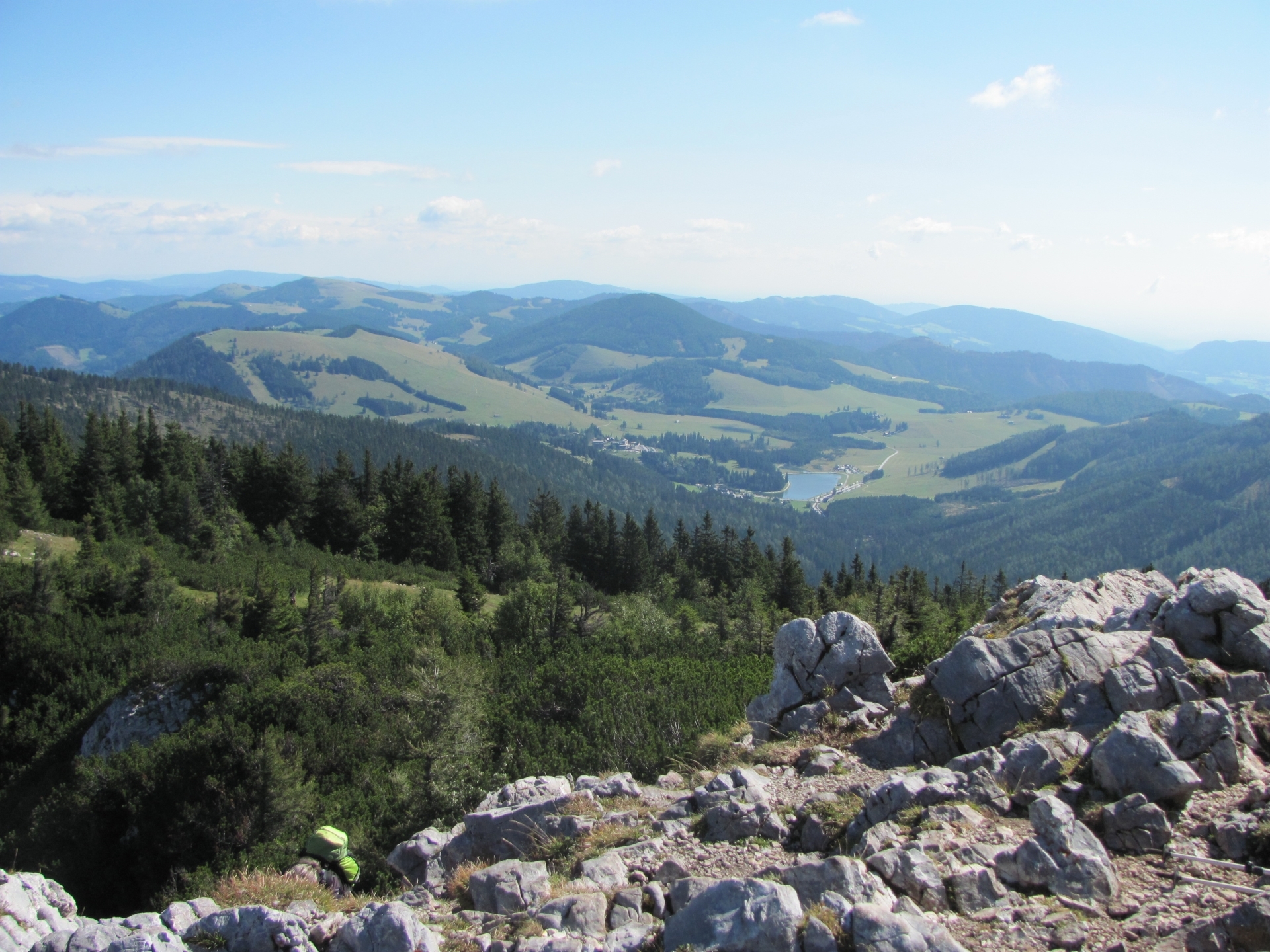
| 04:15 | Follow the trail downwards to the Guter Hirte. |
| 04:40 | Pass by the Guter Hirte and follow the Prügelweg. |
| 05:25 | Walk through the mountain pasture and follow the Prügelweg. |
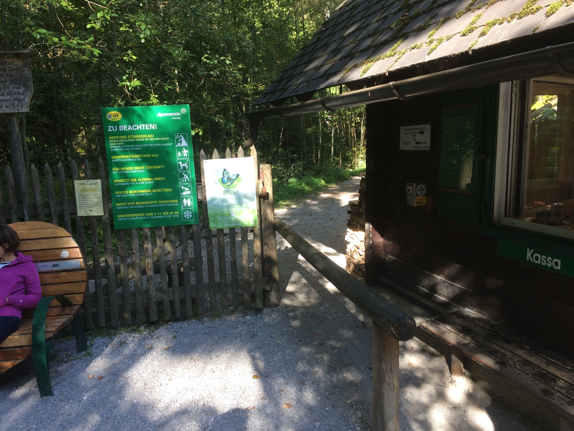
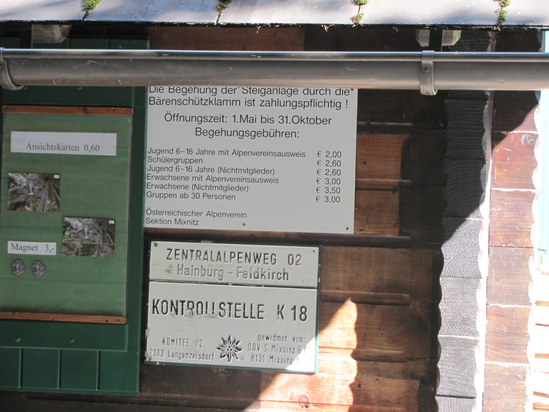
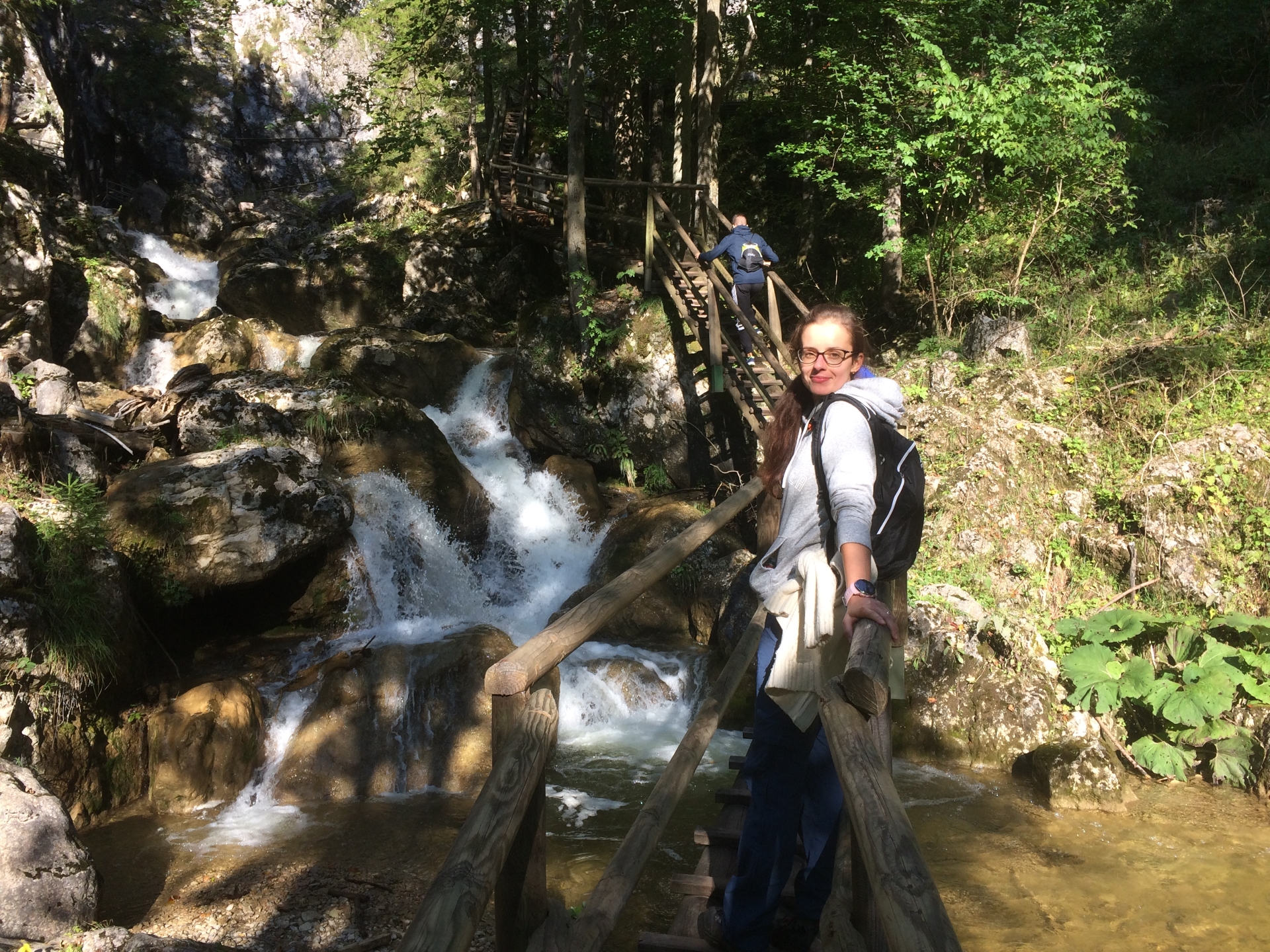
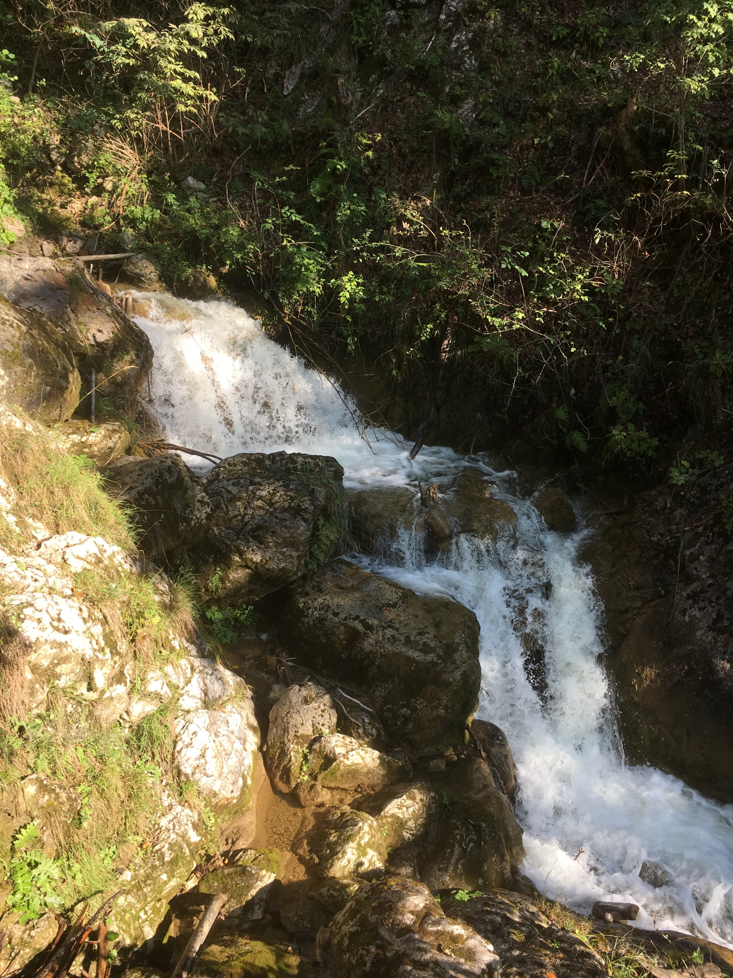
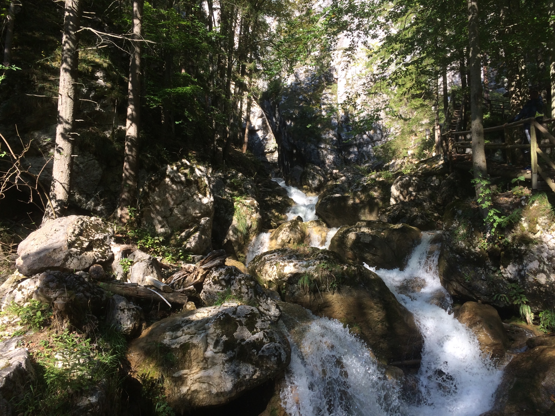
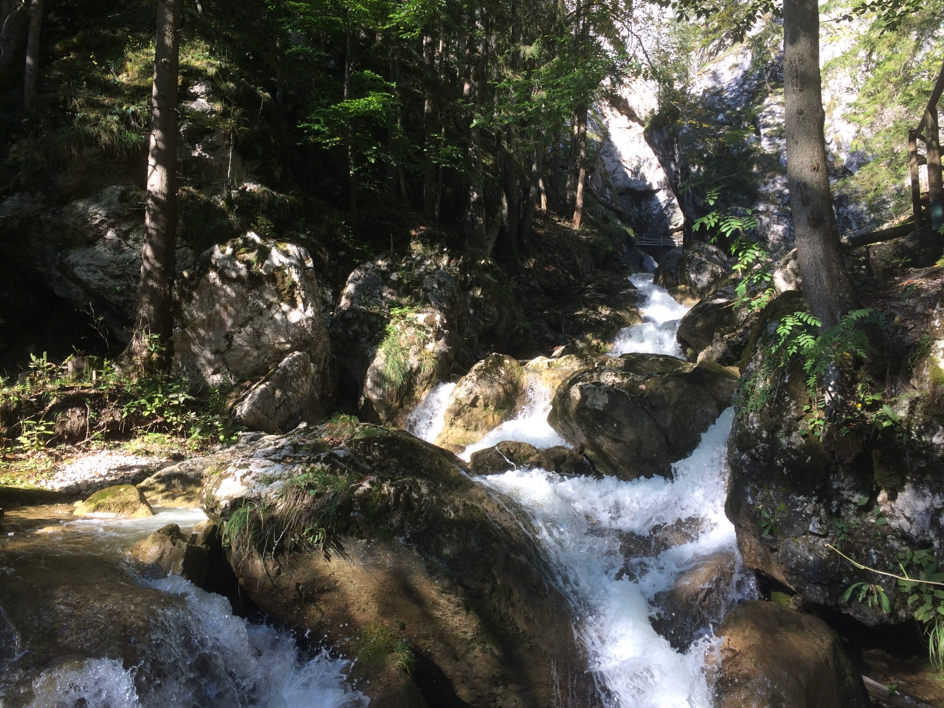
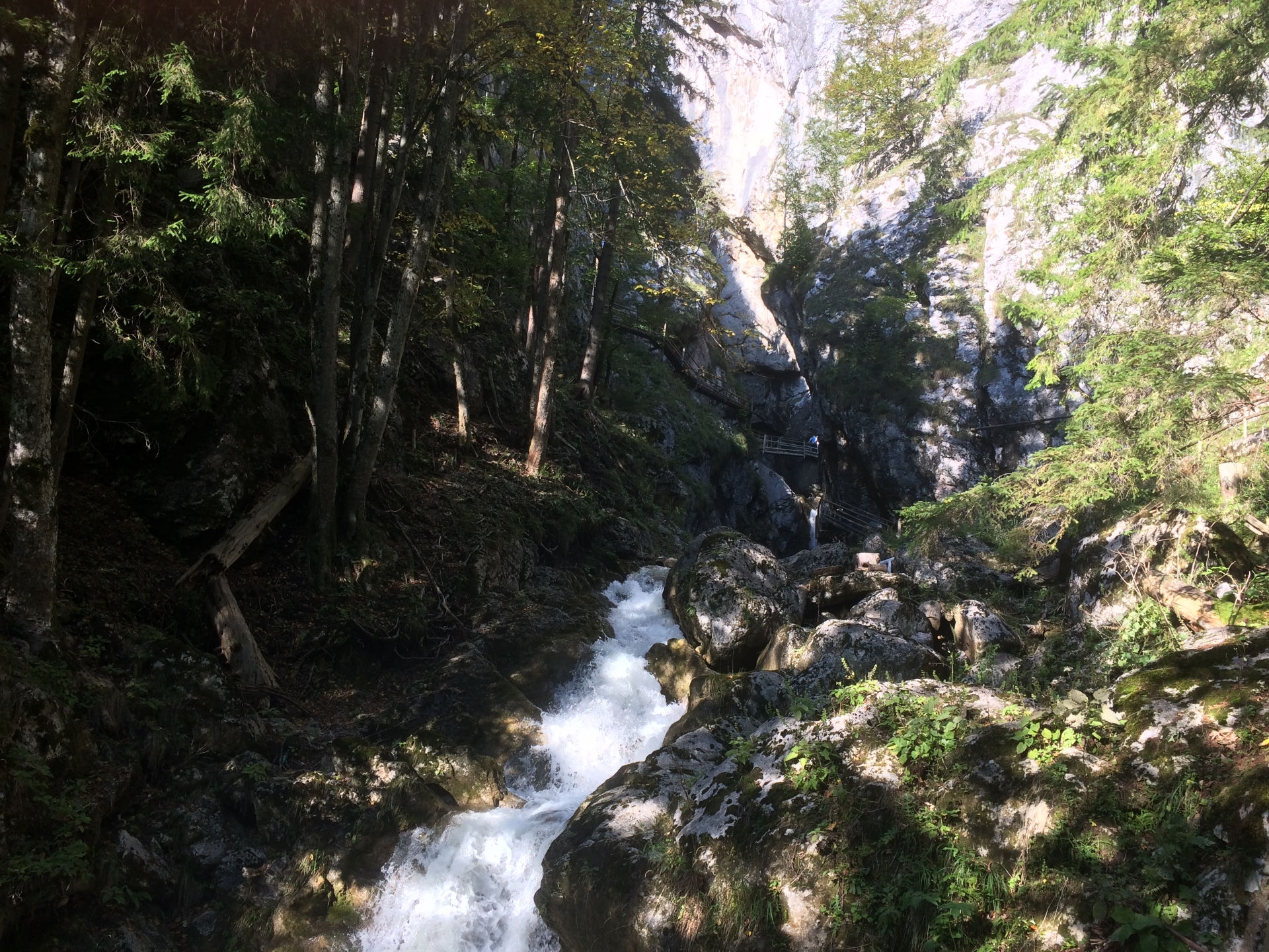
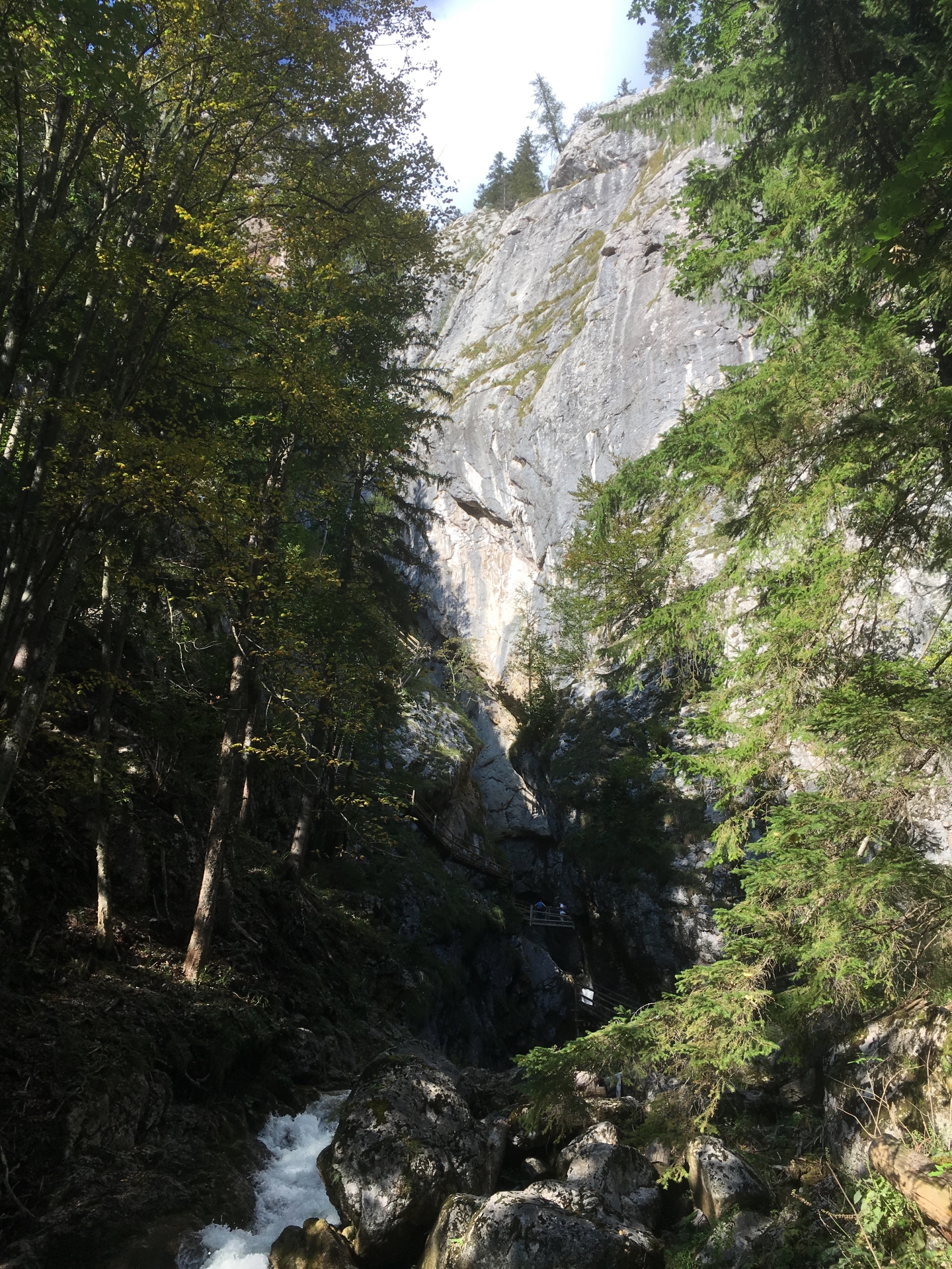
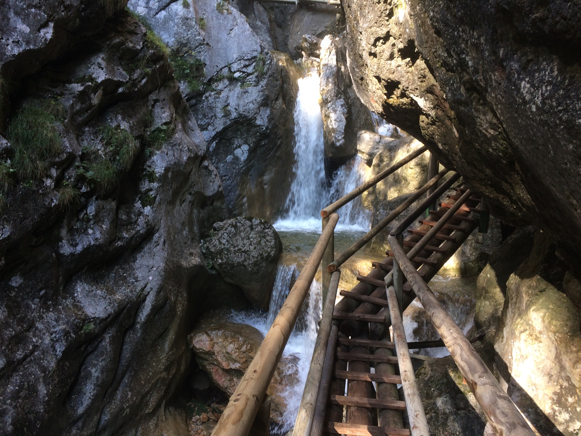
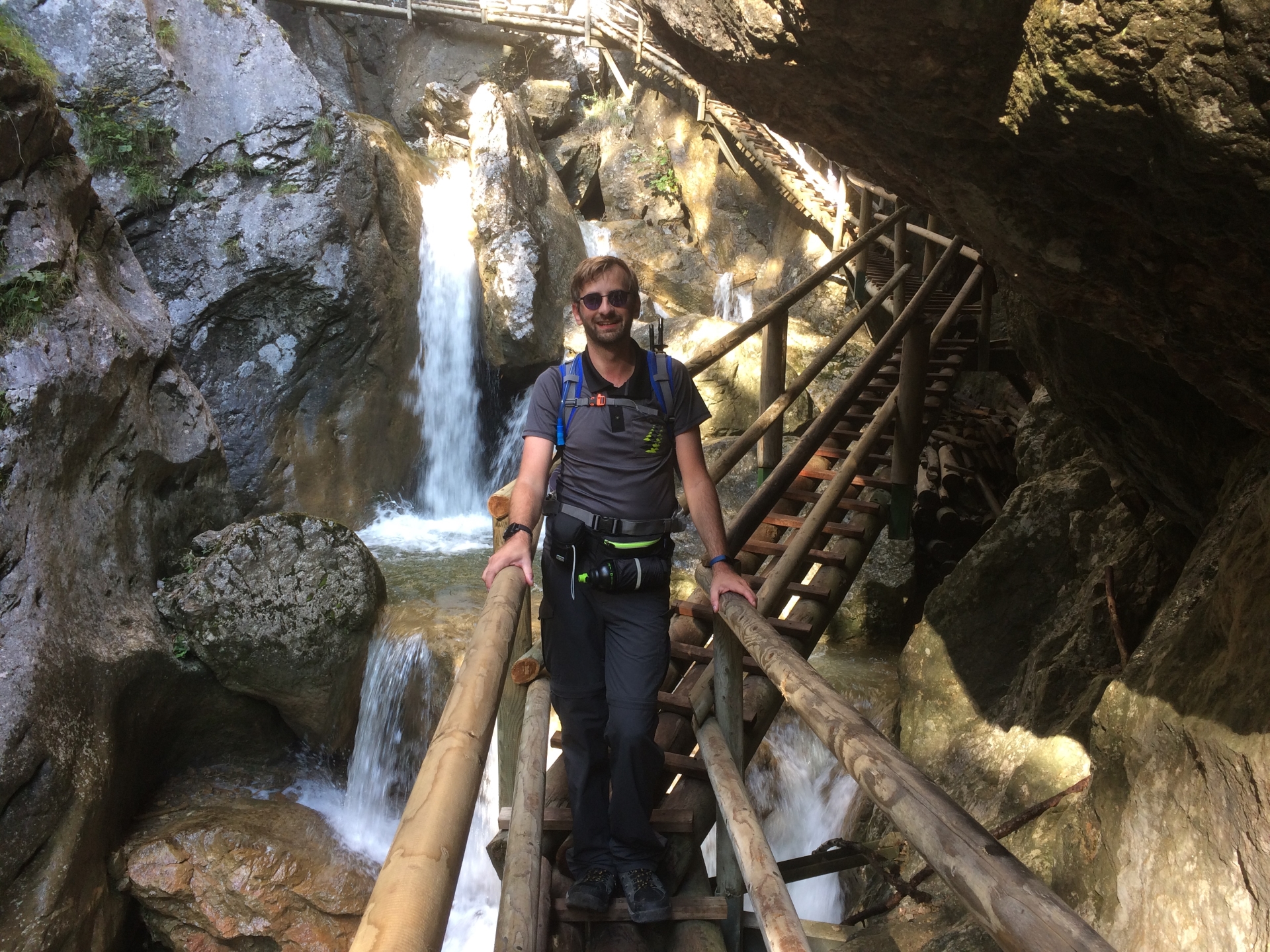
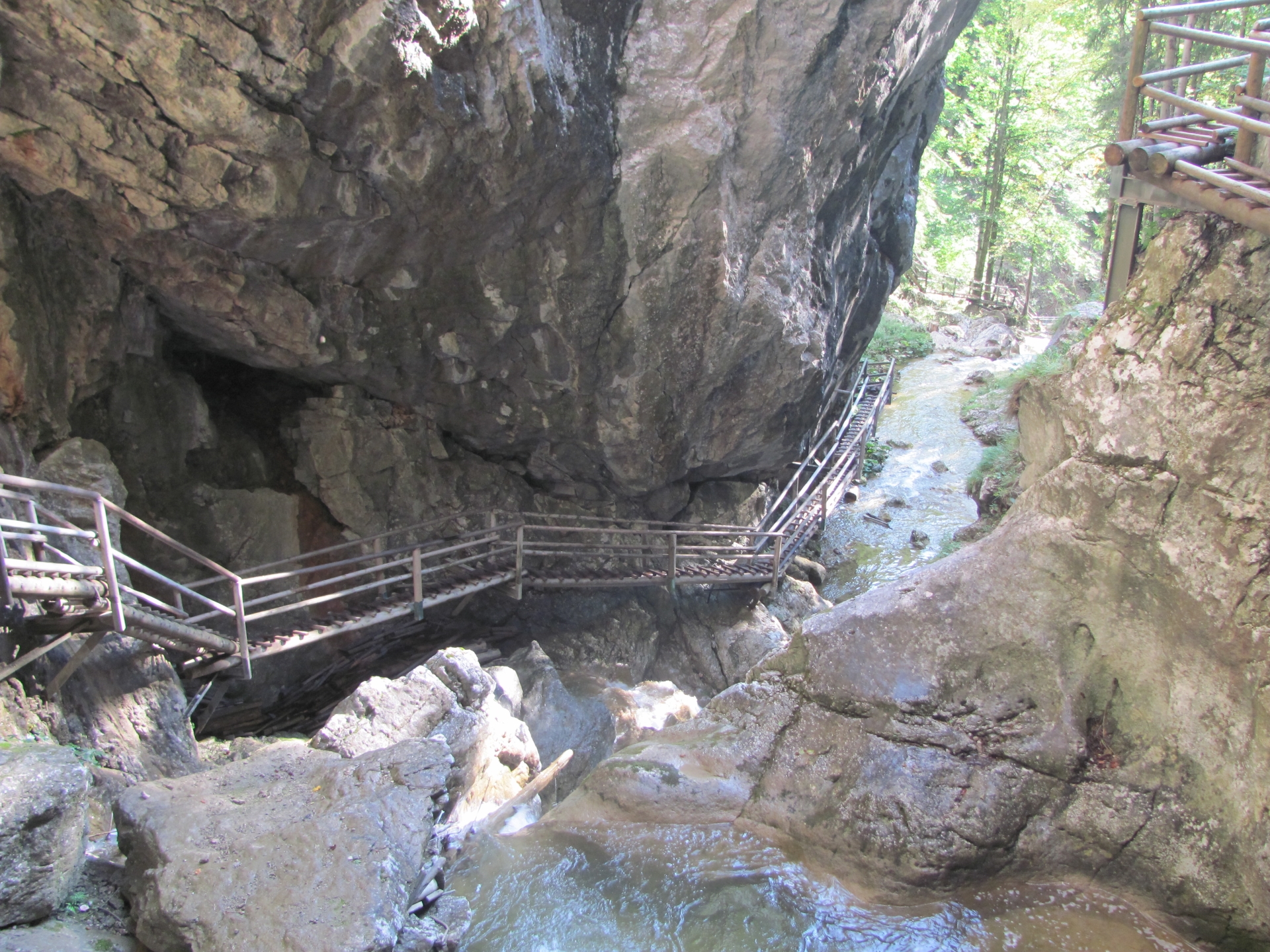
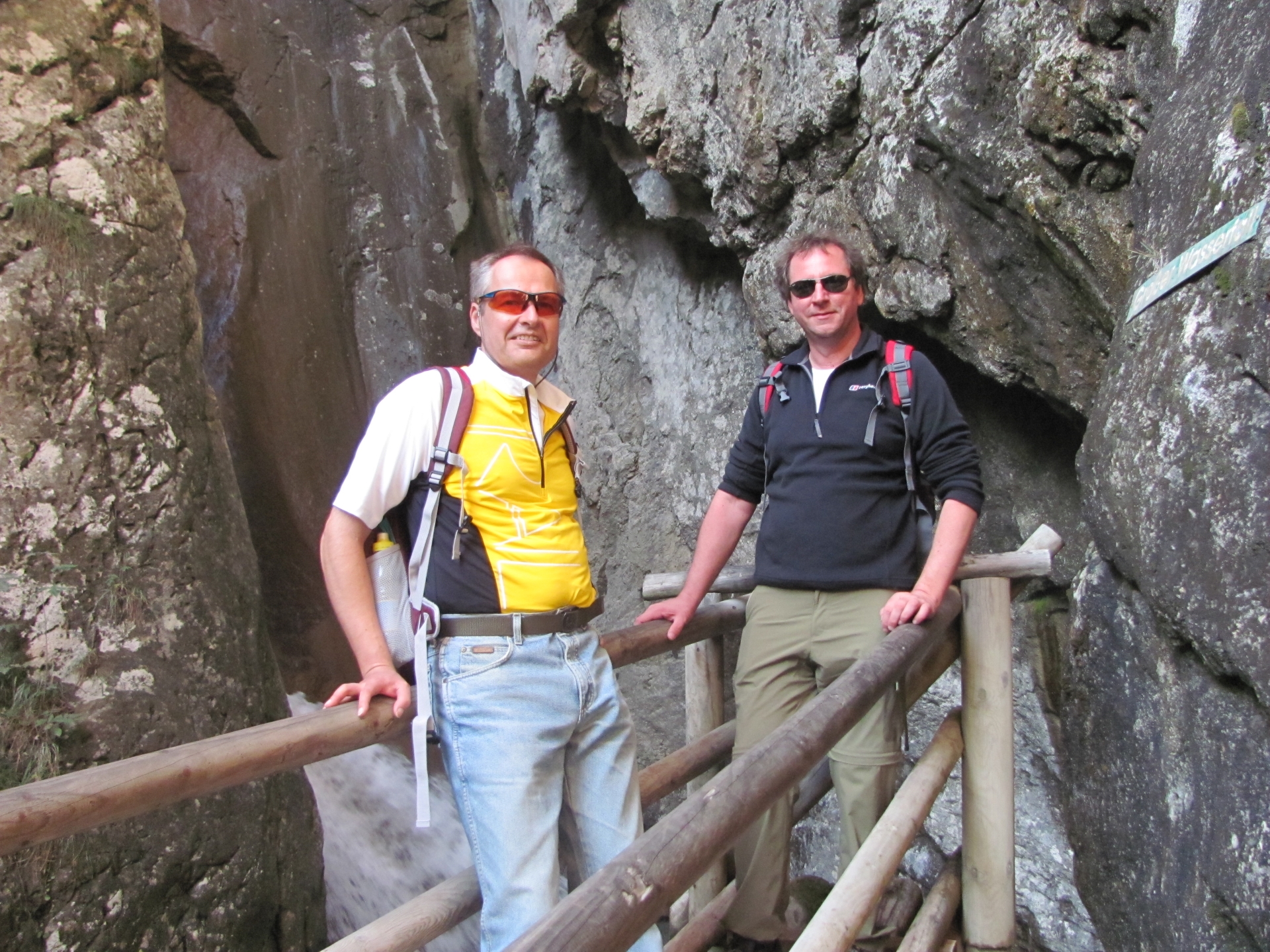
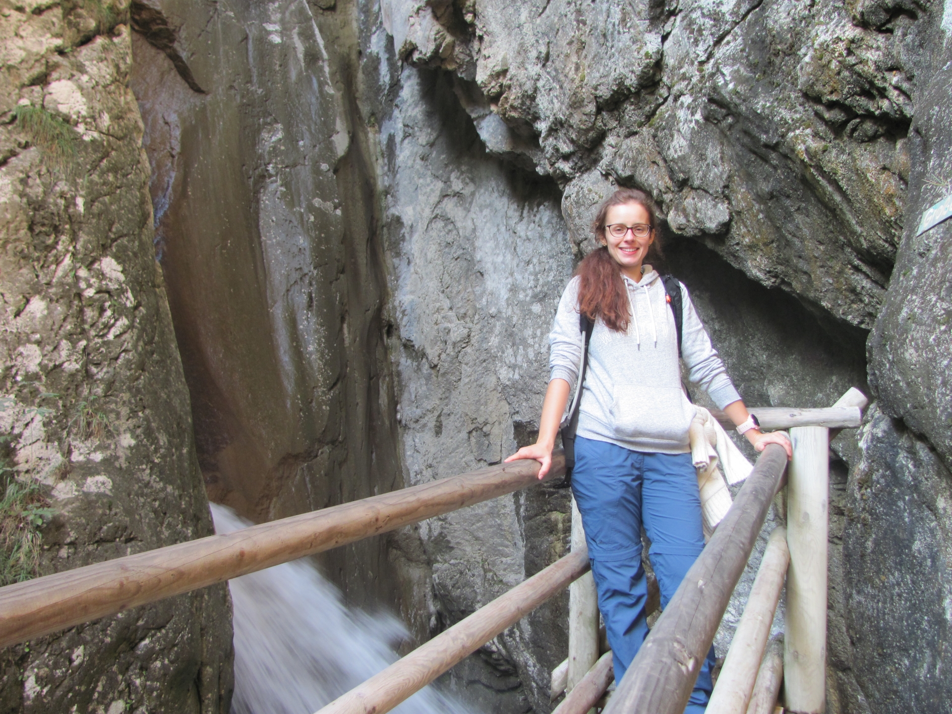
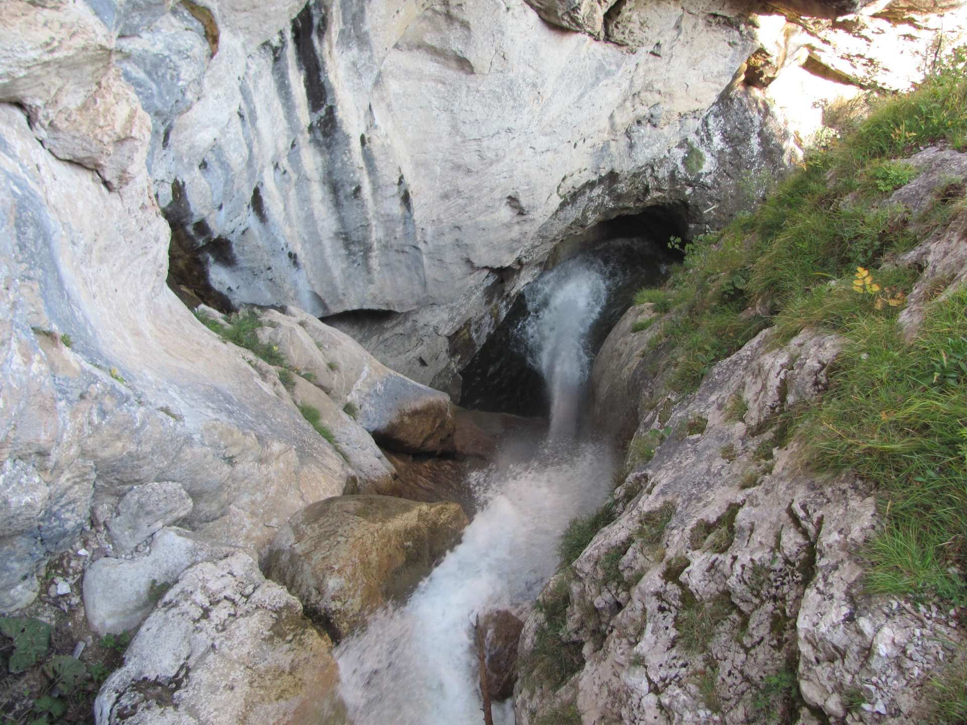
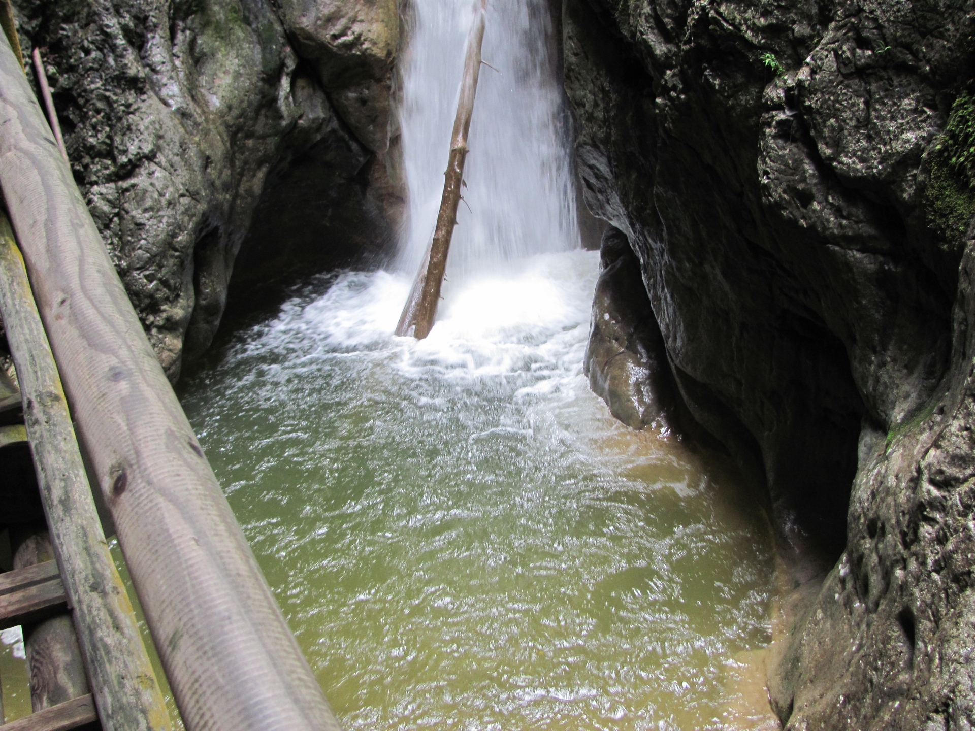
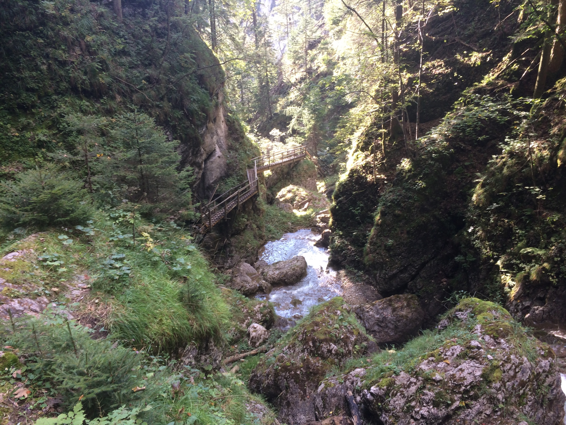
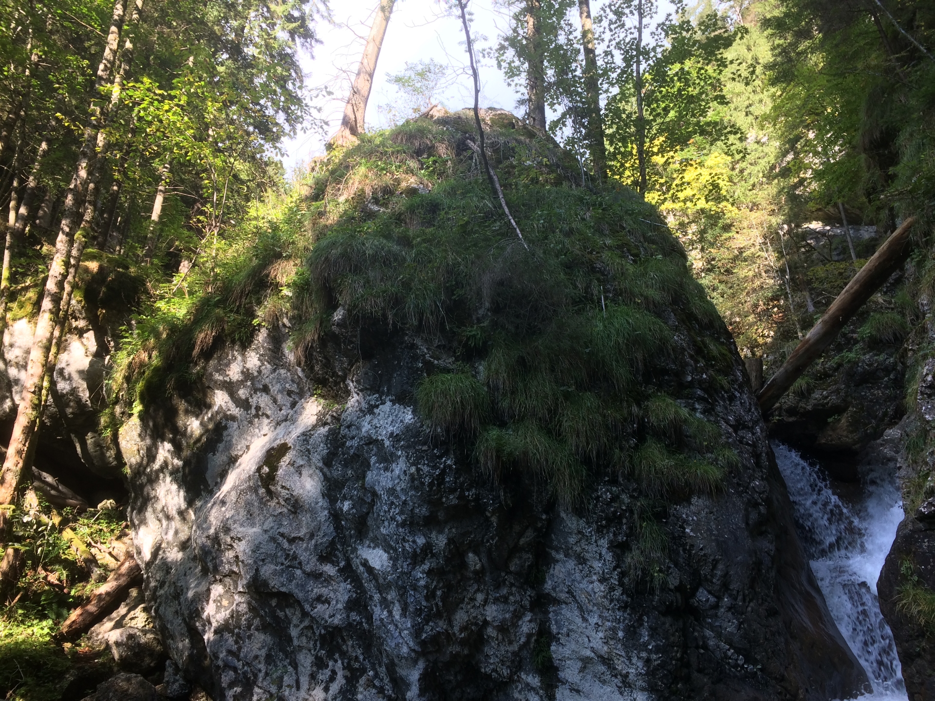
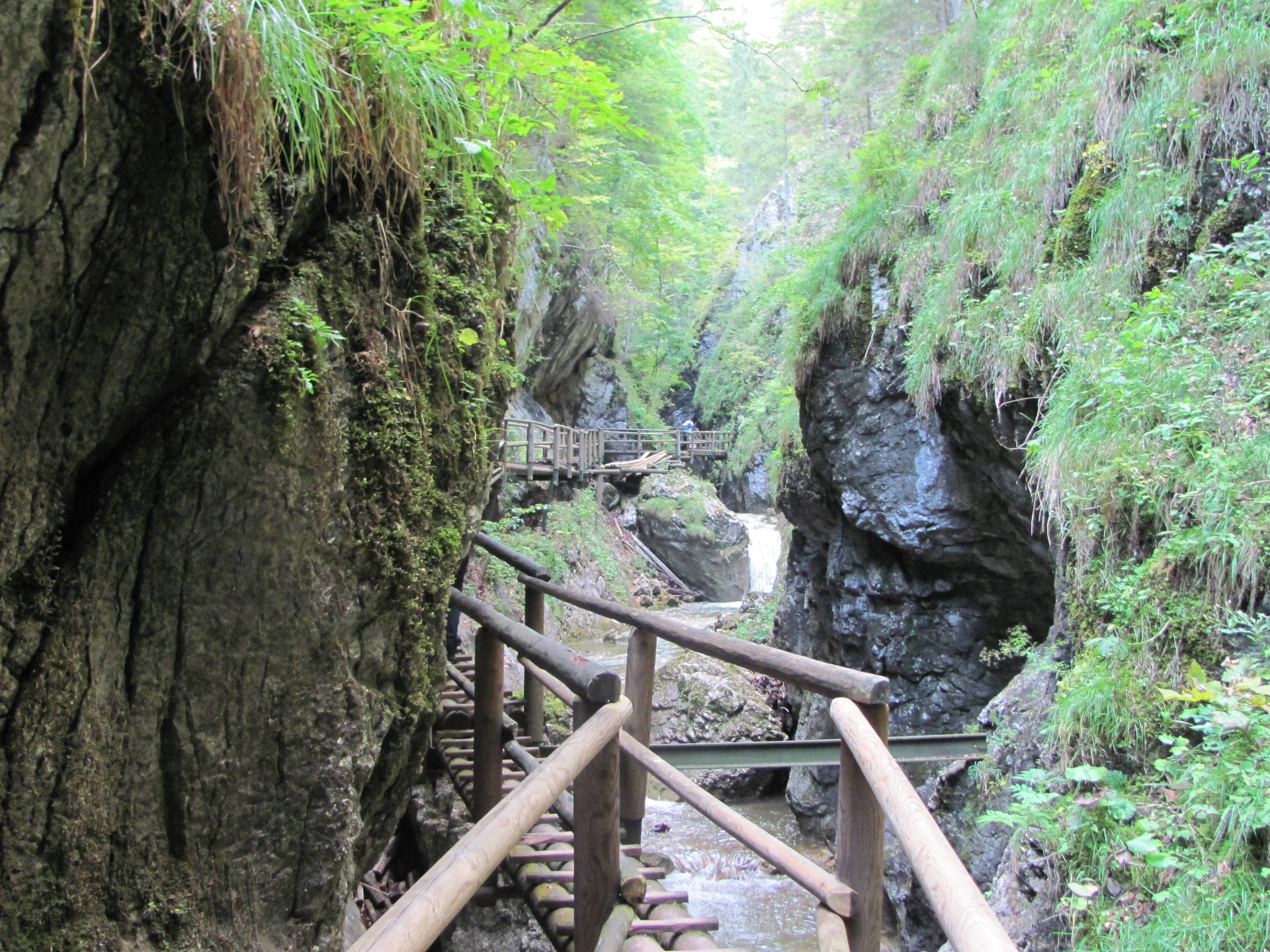
| 05:40 | Arrive at the entrance of the Bärenschützklamm. An entrance fee must be paid. Follow the trail through the gorge. |
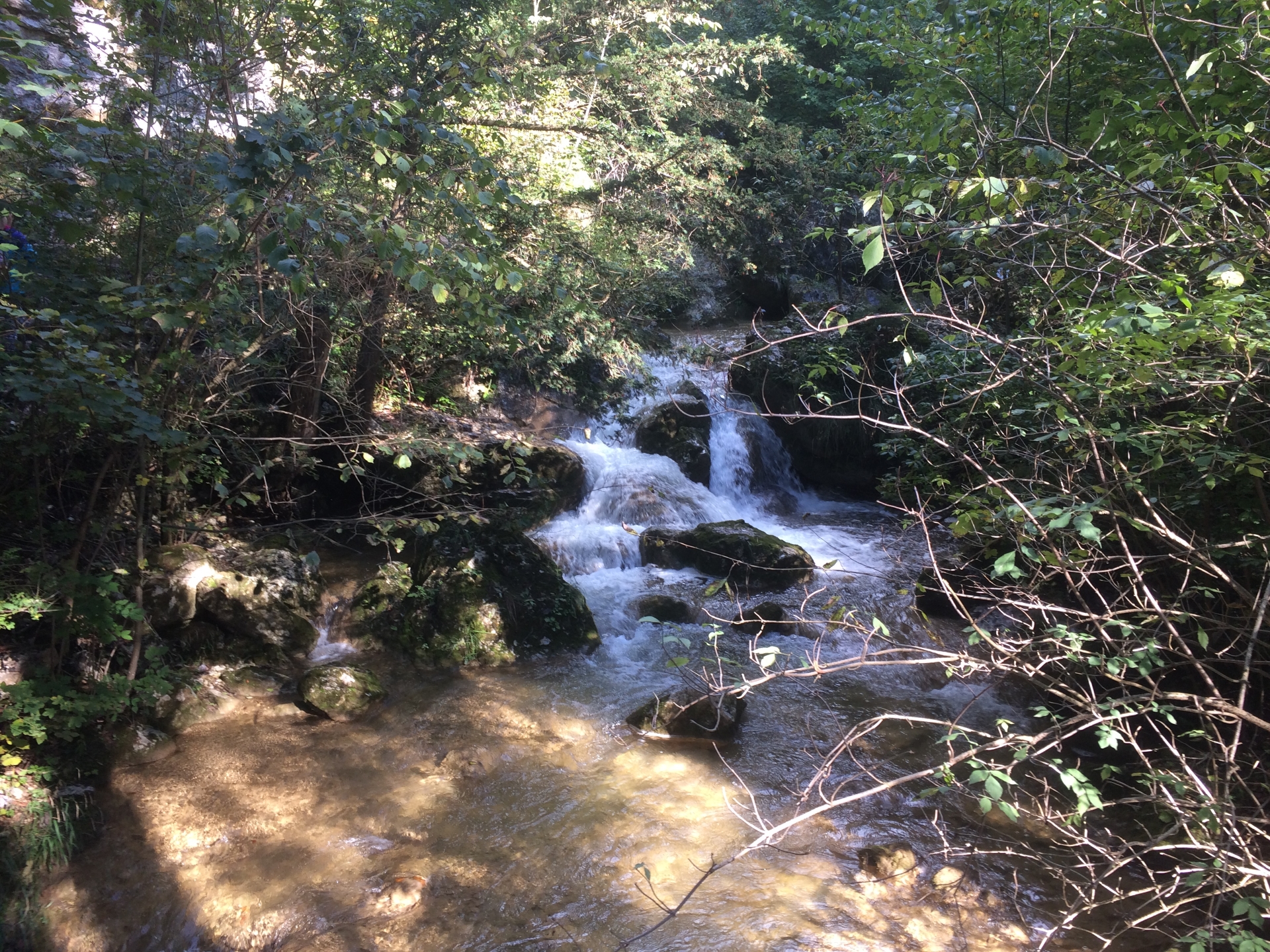
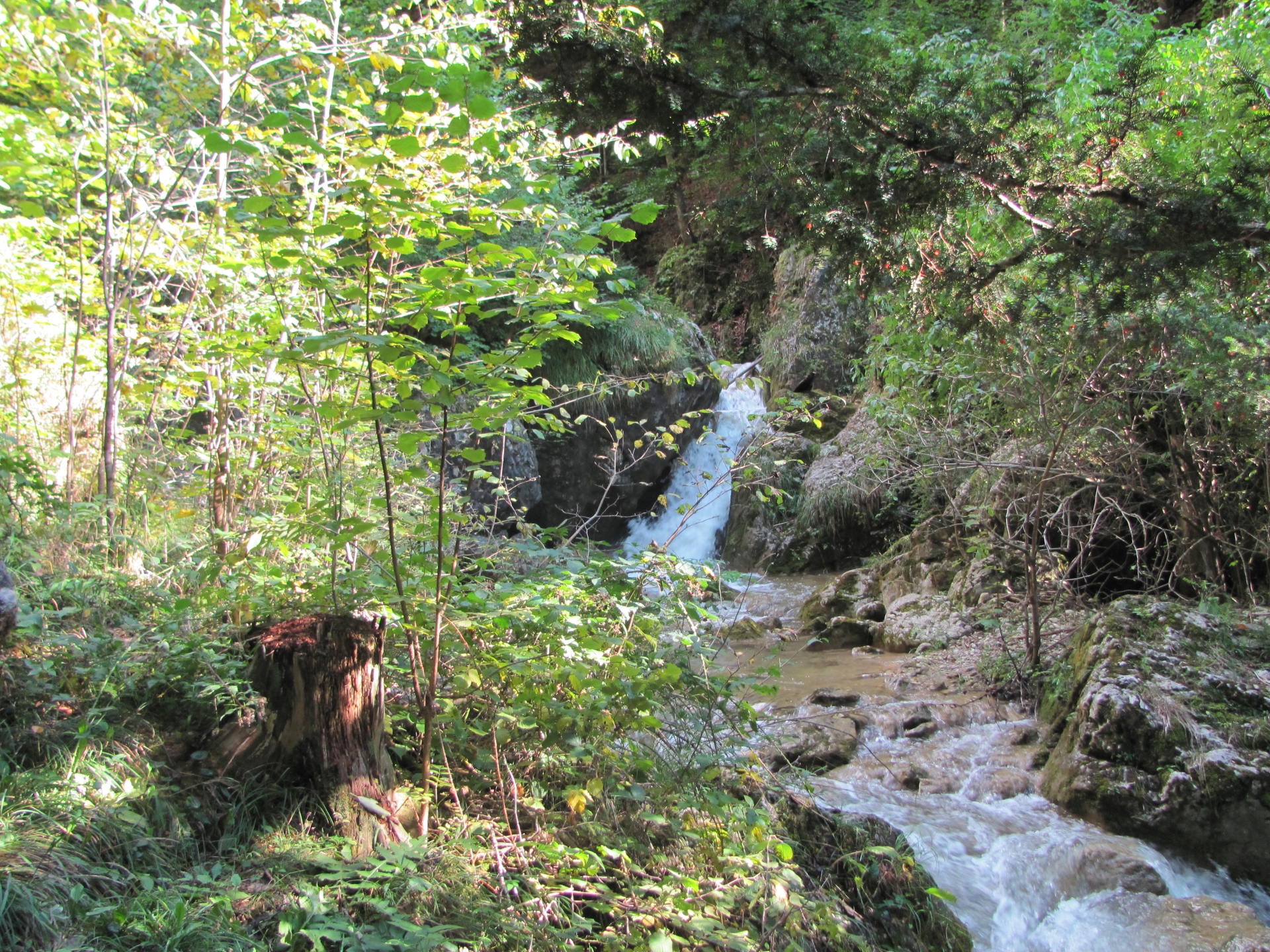
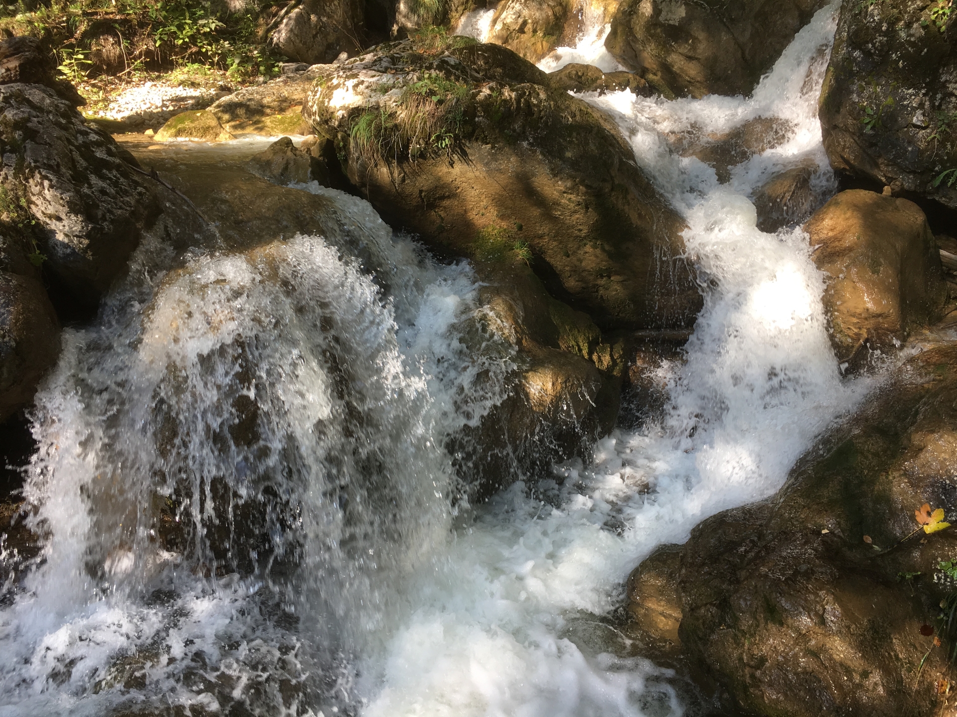
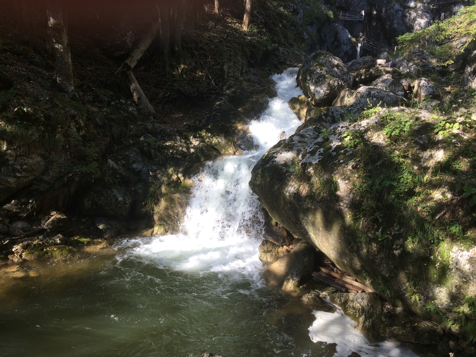
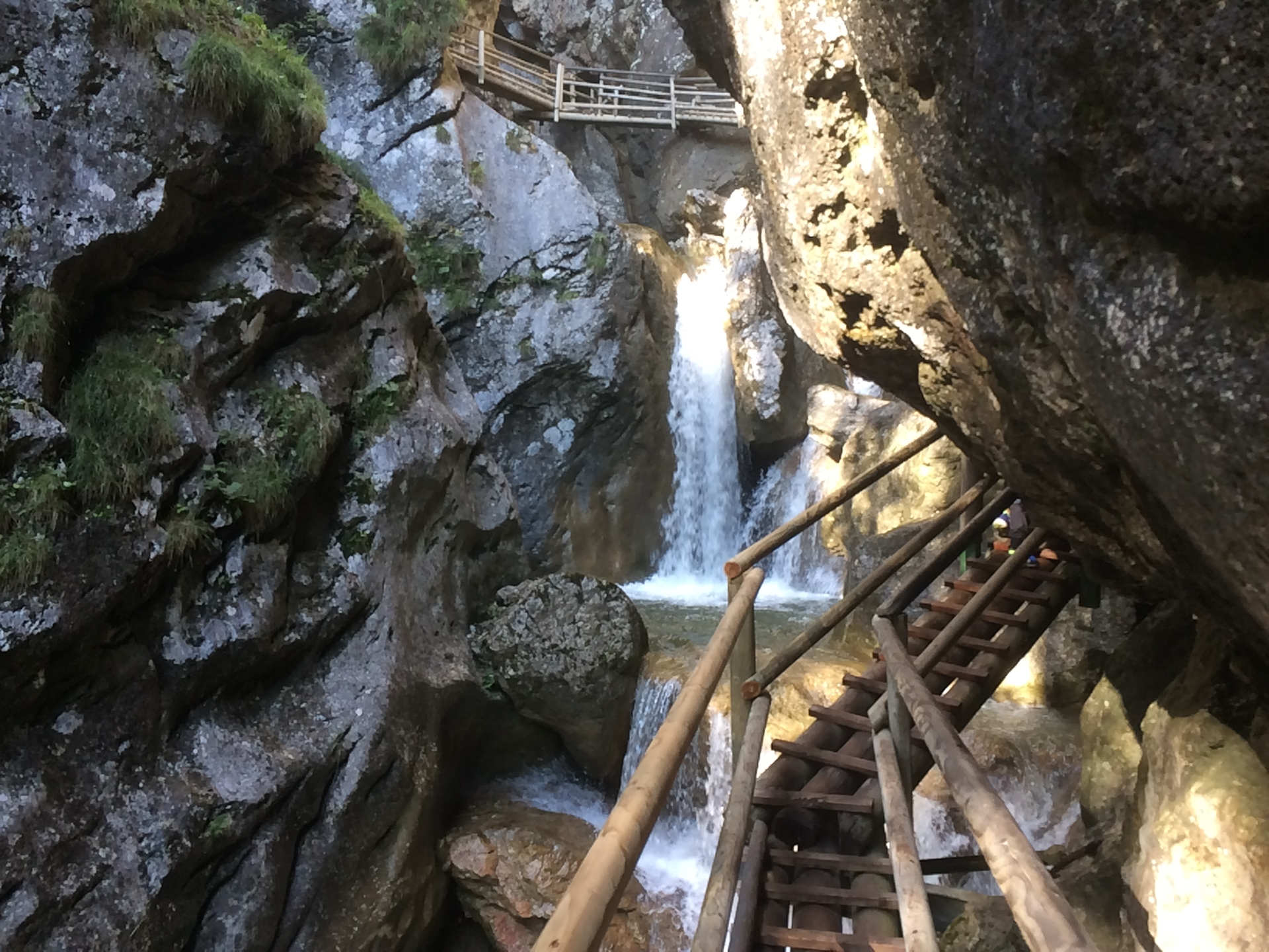
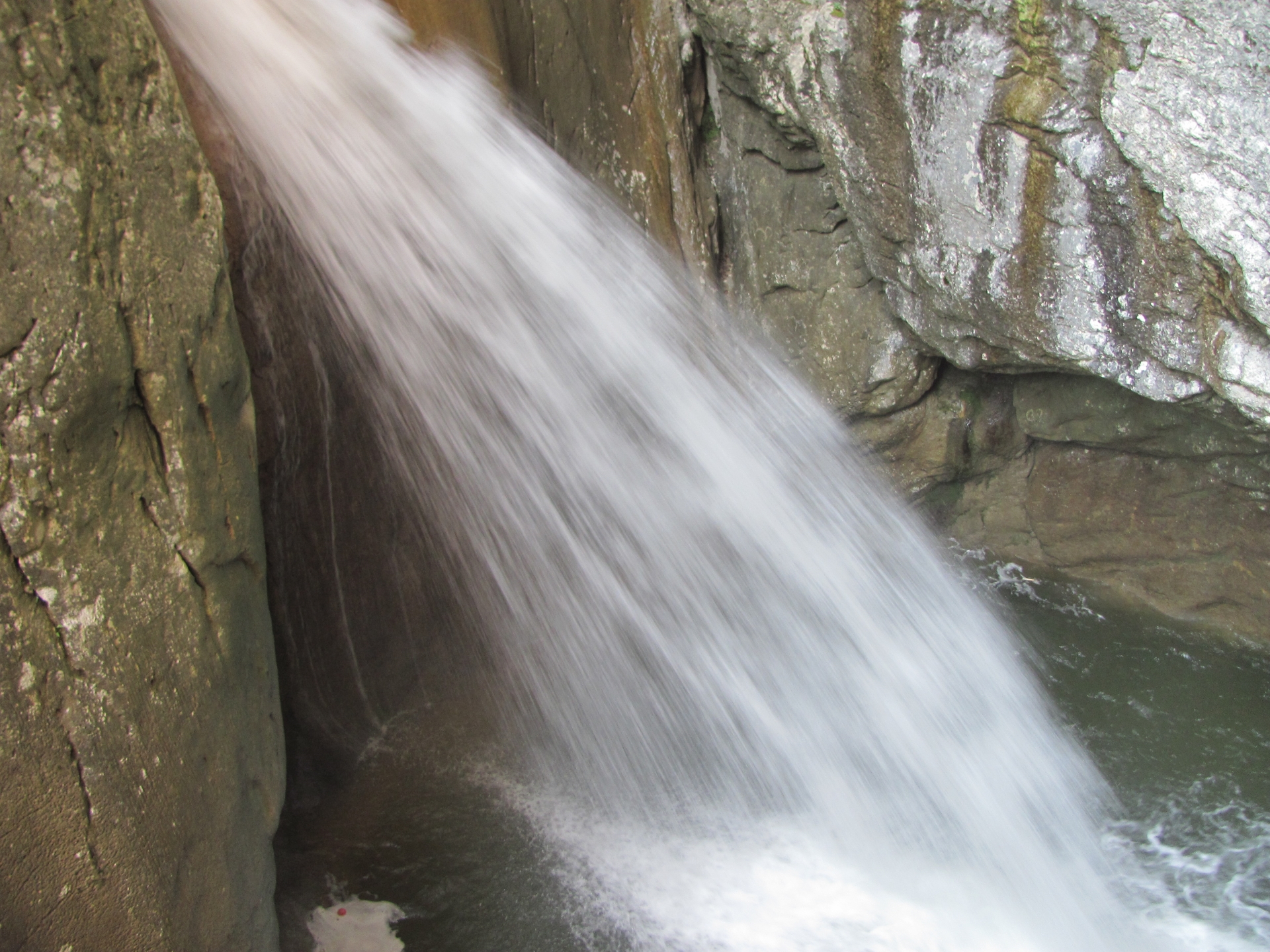
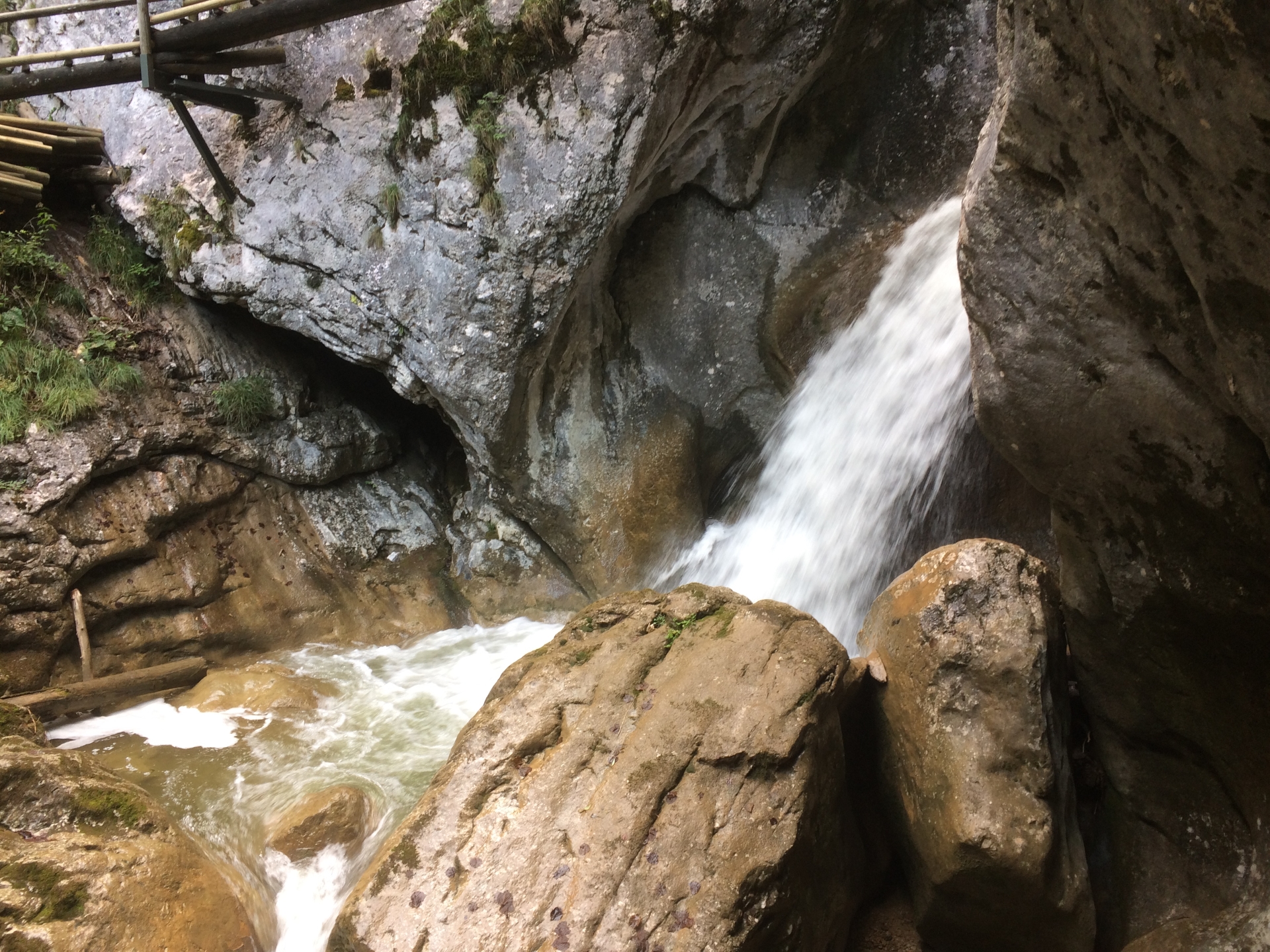
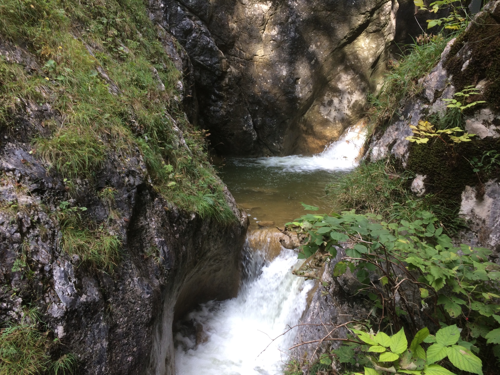
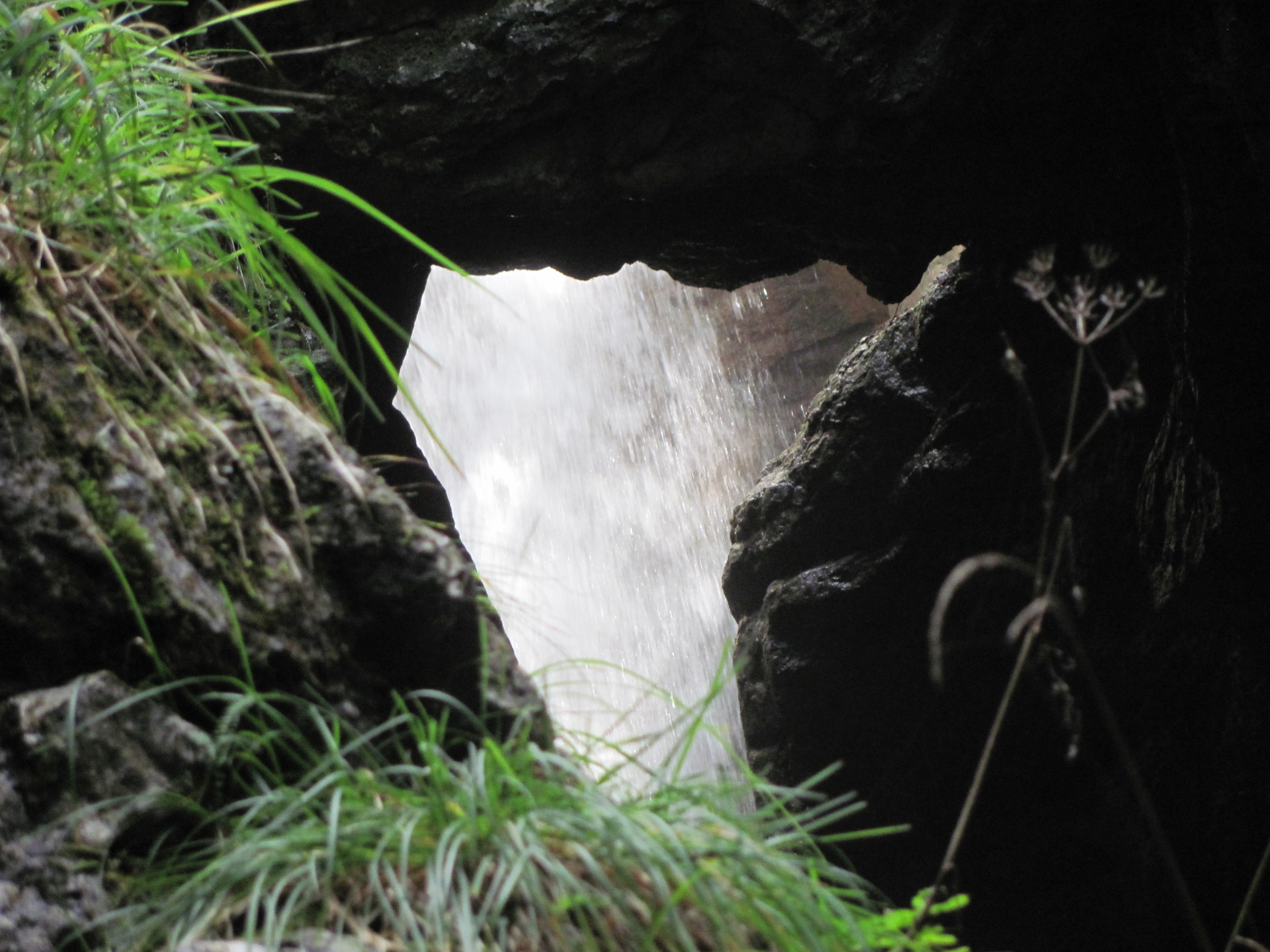
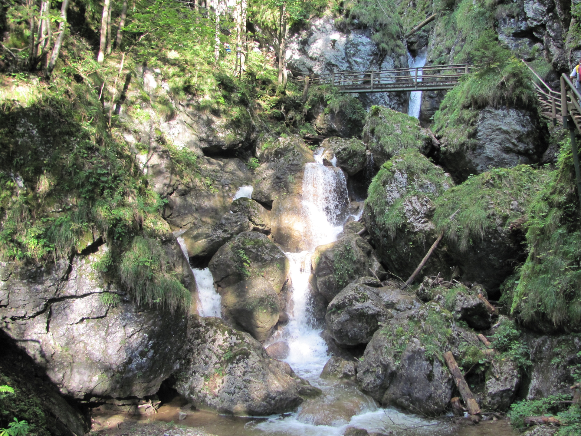
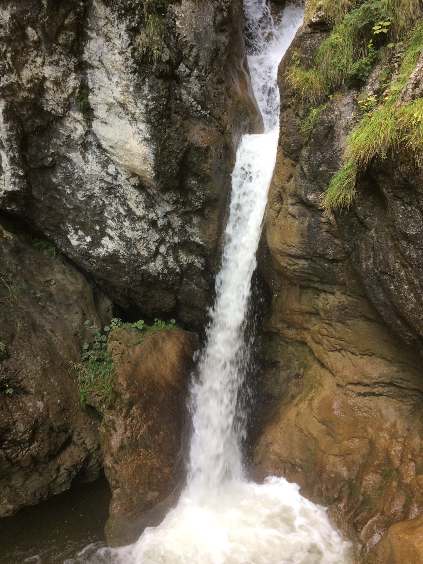
| 06:00 | Enjoy the various waterfalls in the Bärenschützklamm. |
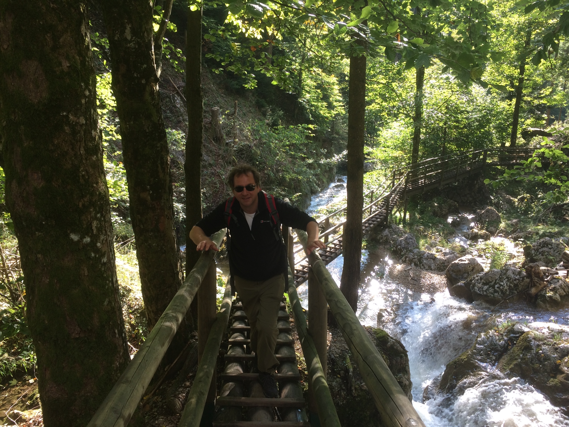
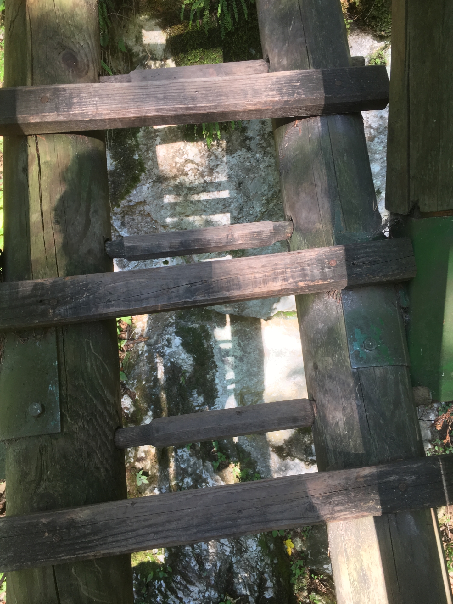
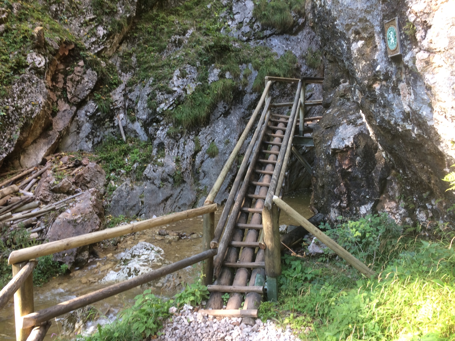
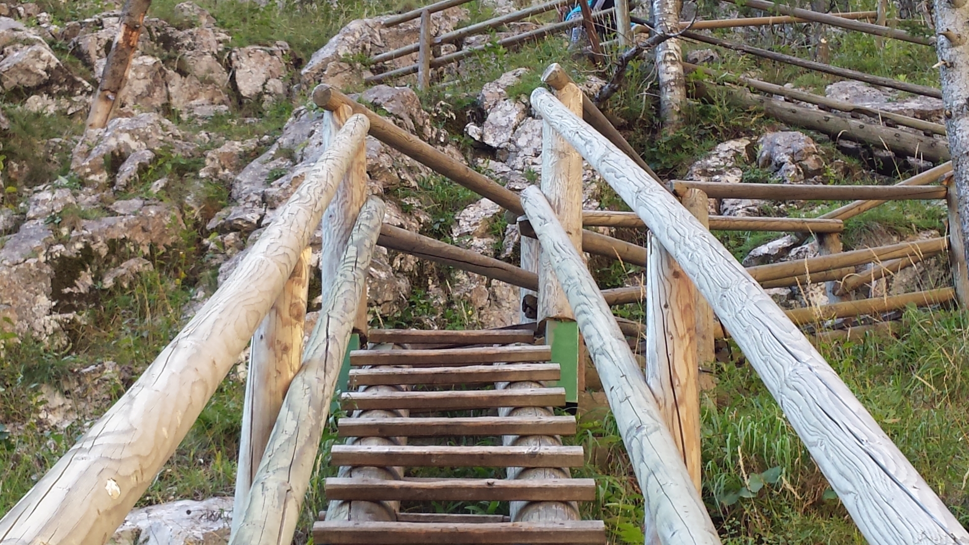
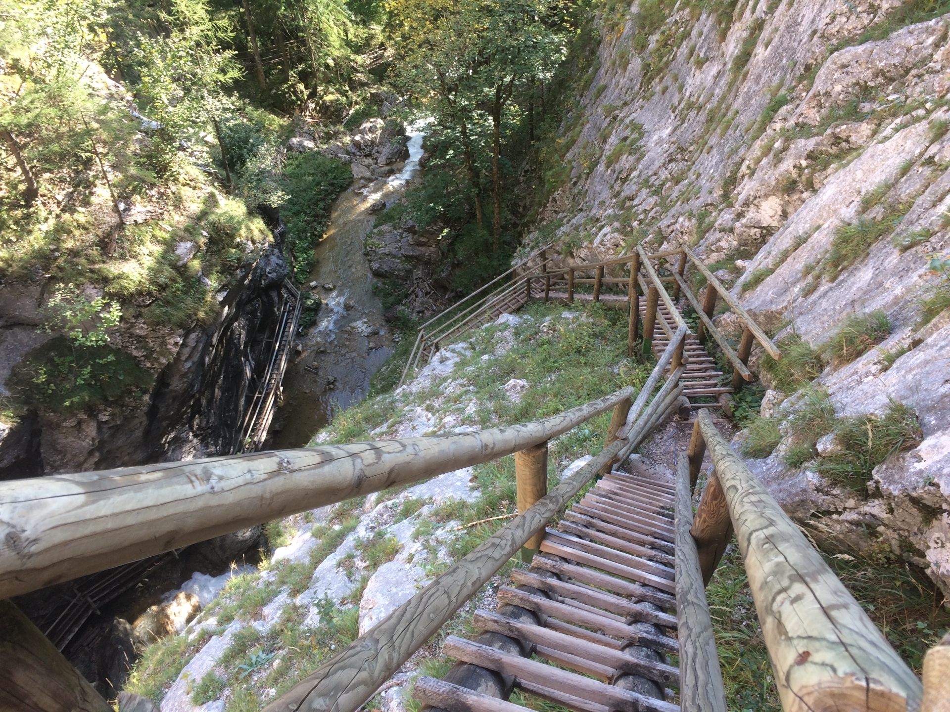
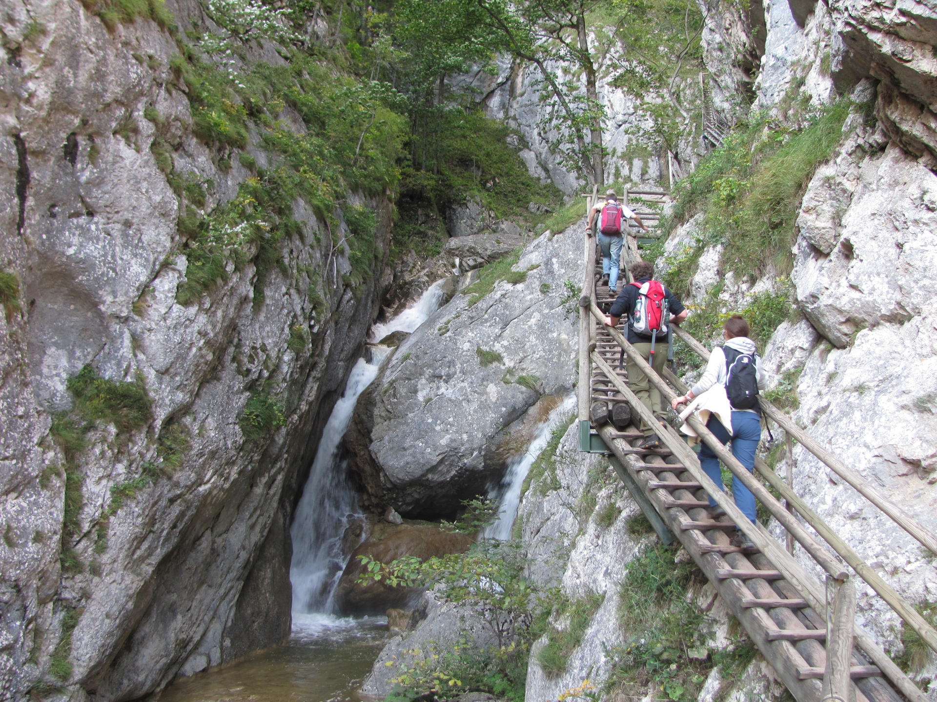
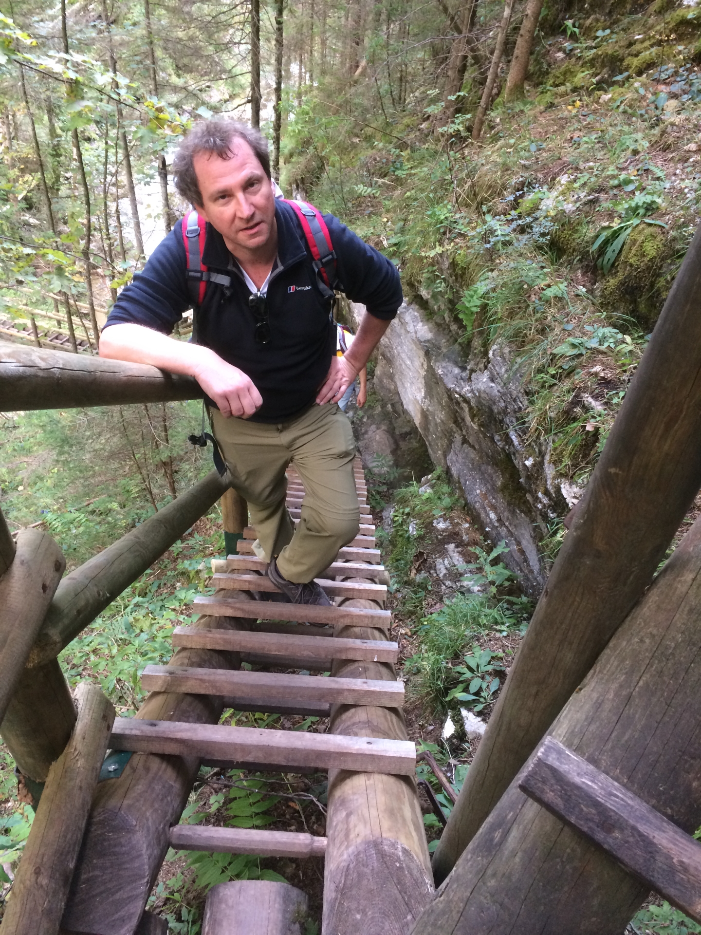
| 06:45 | Mount the steep trail using wooden ladders towards the exit of the Bärenschützklamm. |
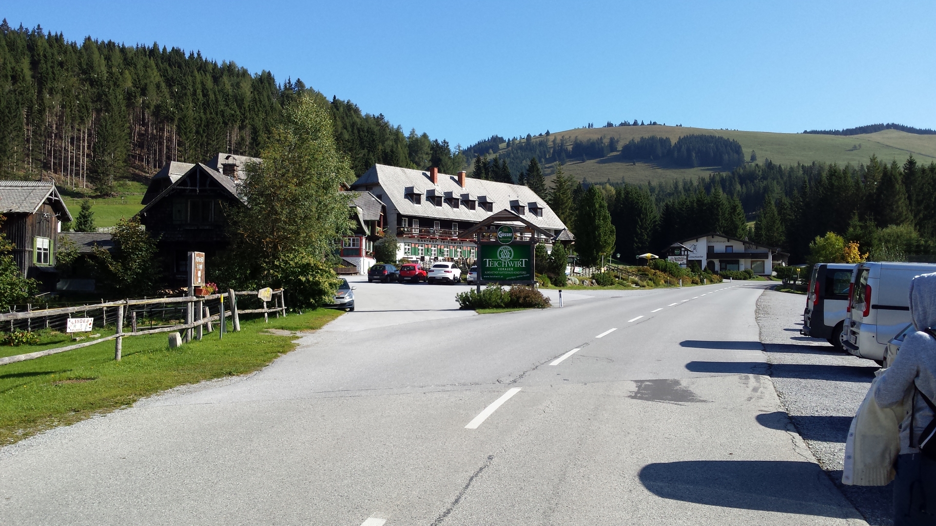
| 07:00 | Well-deserved break at the Guter Hirte (). |
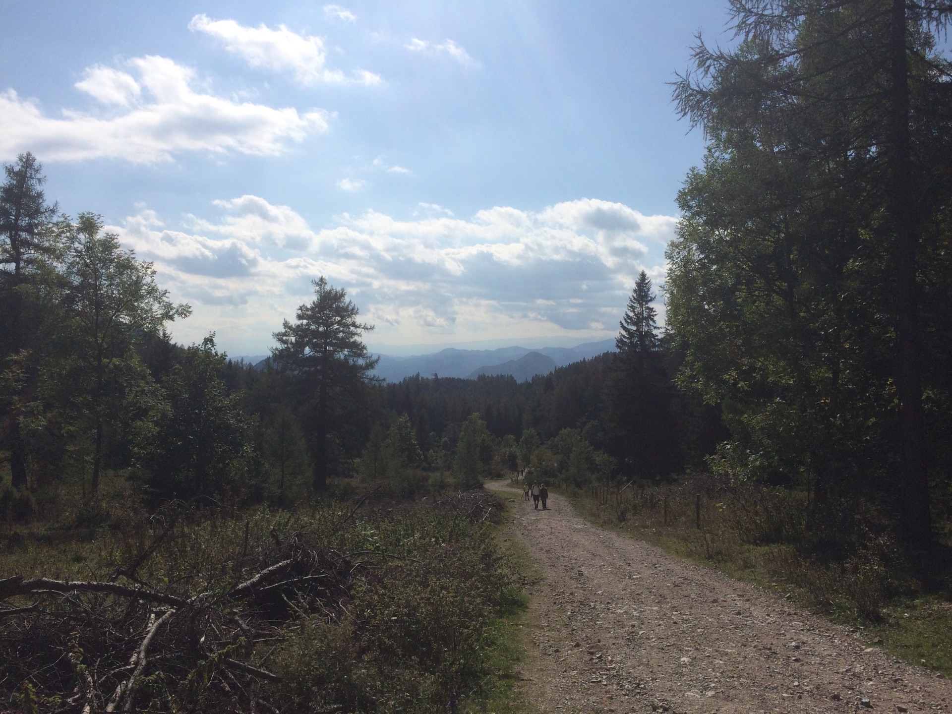
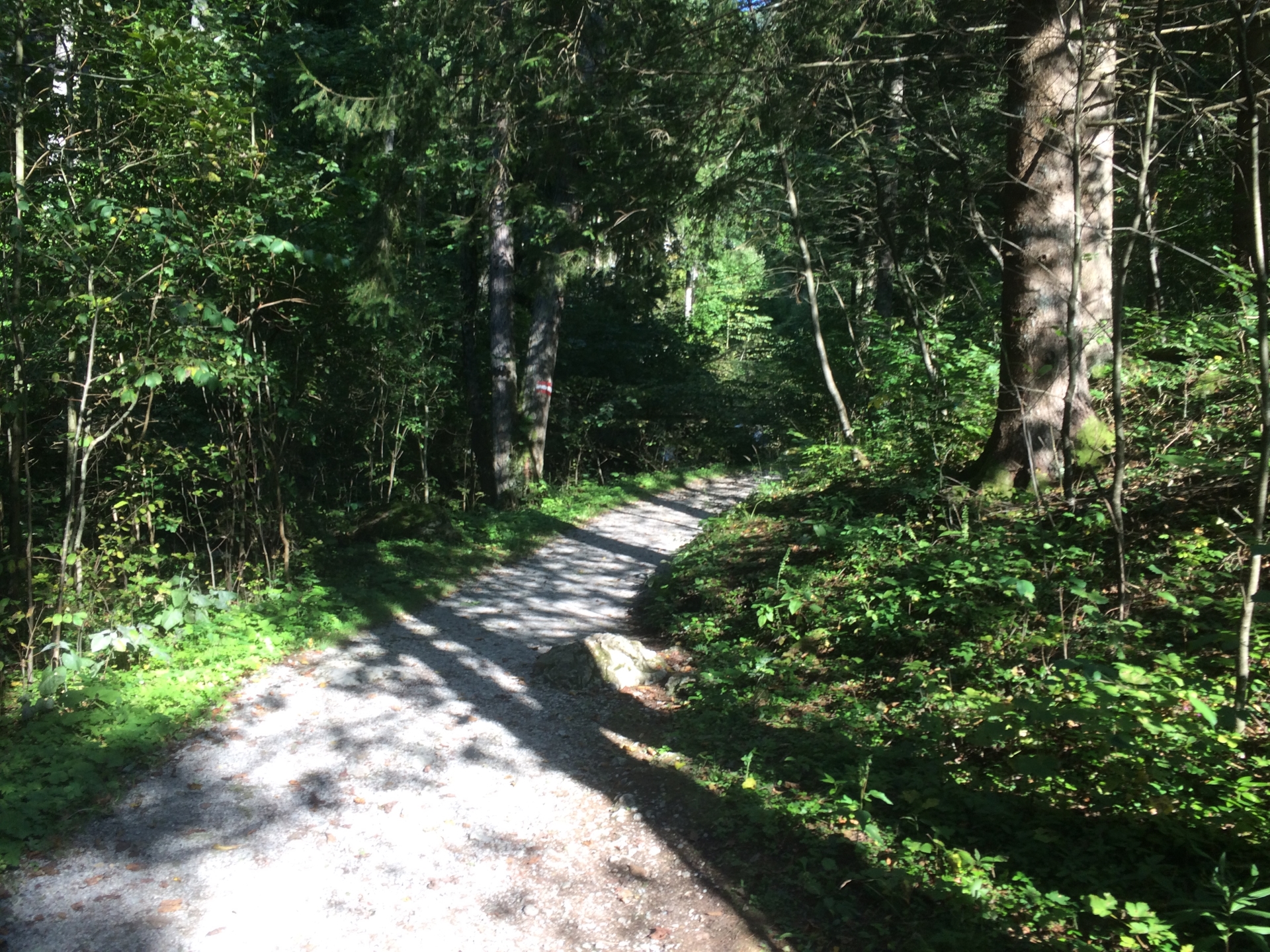
| 07:45 | Follow the gravel road heading towards the Teichalm. |
| 08:00 | Follow the Zechneroarweg heading towards the Teichalm. |
| 08:40 | Take the Vorauerweg heading towards the Teichalm. |
| 08:50 | Relax and recap @ Teichwirt (). |
At a glance
| Level | easy-moderate |
| Technique | |
| Shape / Fitness | |
| Experience | |
| Scenery | |
| Best time in the year | |
|
Jan
Feb
Mar
Apr
May
Jun
Jul
Aug
Sep
Oct
Nov
Dec
|
|
General Tour Data
| Area: | Grazer Bergland, Styria, Austria | |
| Distance: | 18km | |
| Ascent: | 1099m (3h 32min) | |
| Descent: | 1077m (2h 10min) | |
| Highest Pt: | 1720m | |
| Lowest Pt: | 772m | |
| Duration: | 6h 45min (without breaks) 8h 50min (with breaks) |
|
| Stop/Rest: | Steirischer Jokl (1398m) Guter Hirte (1209m) Gasthof Teichwirt (1196m) |
|
| Equipment: | Backpack with standard hiking equipment Snacks and plenty of water Sun & Weather protection Camera |
| Download GPX | ||
| O | Tour at outdooractive.com |
Tour Diary
| Last tour: | 2017-09-23 10:00 | ||
| Weather: | Sunny | ||
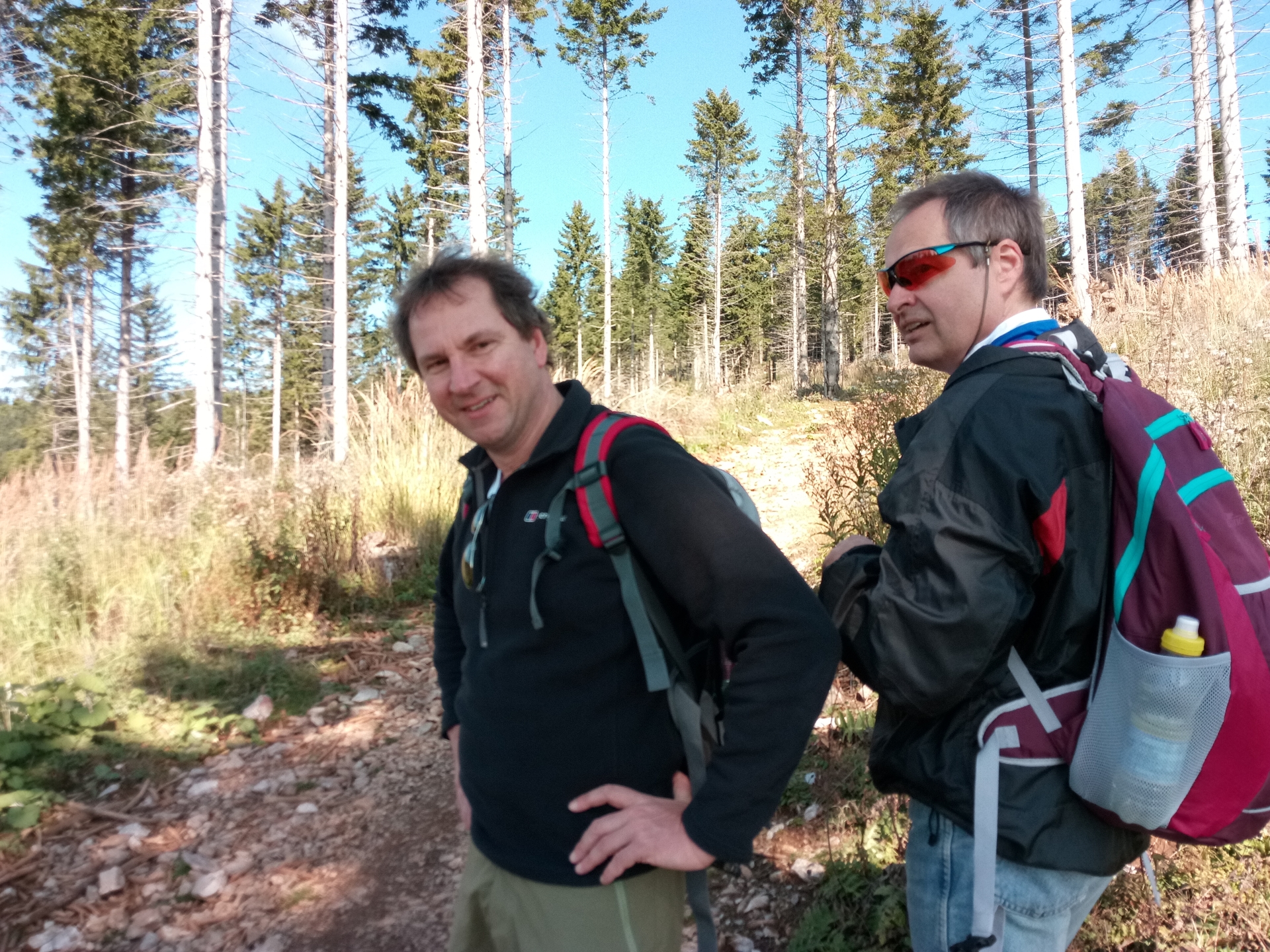
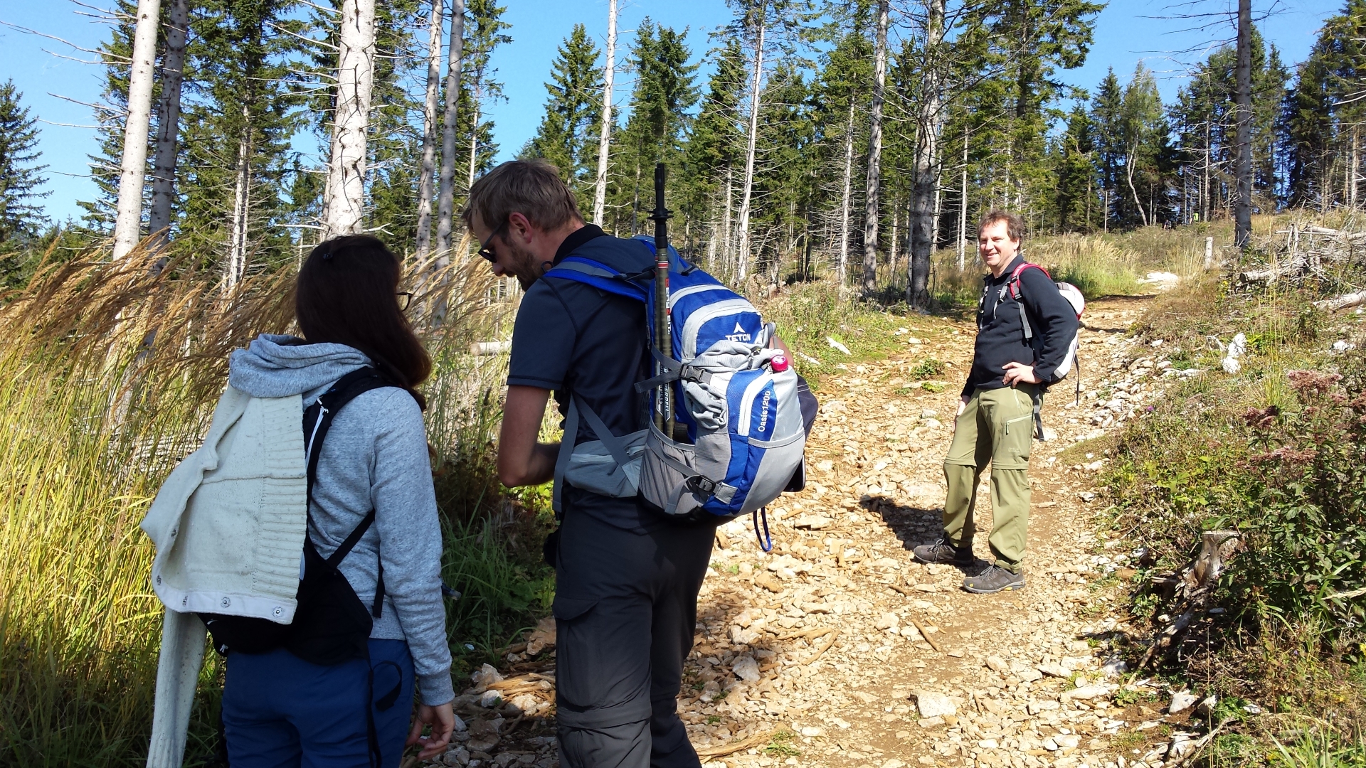
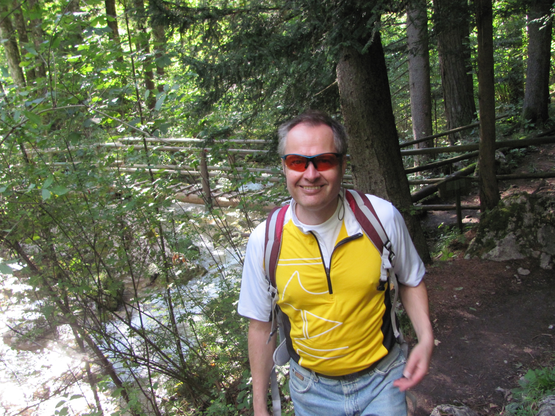
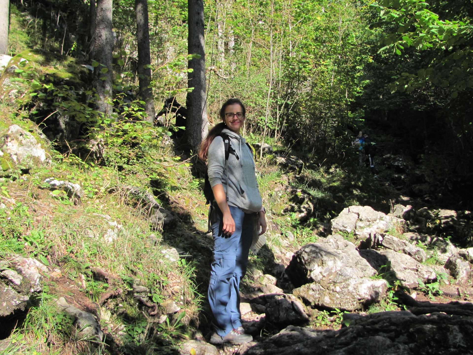
| Participants: | Stefan, Debora, Hannes, Herbert | ||
| Activity: | Suunto | ||


\"")

Leave a Reply