
Promising alpine tour to Hohe Veitsch via Wildkamm (I) starting from the Niederalpl saddle
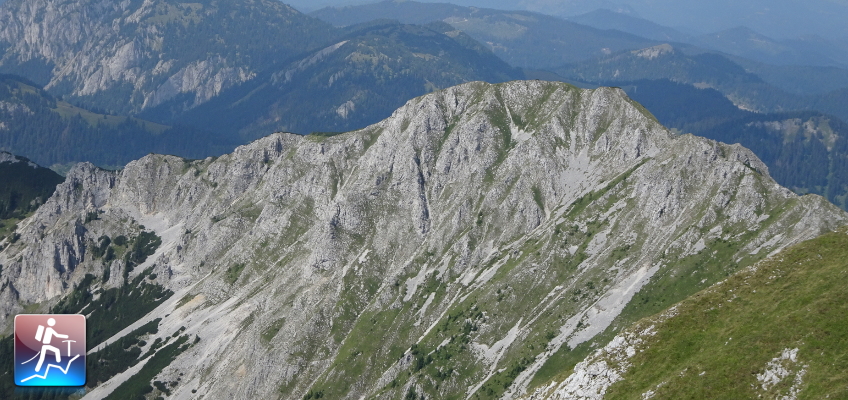
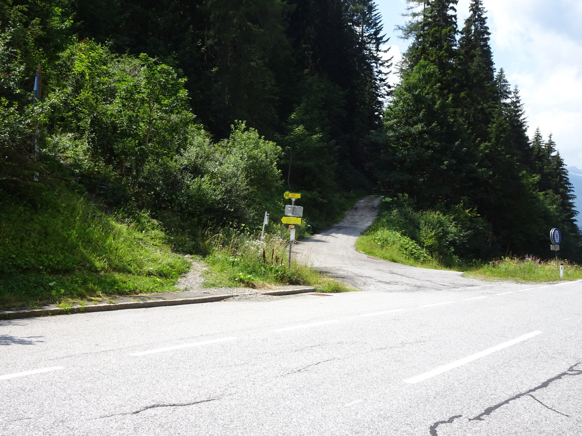
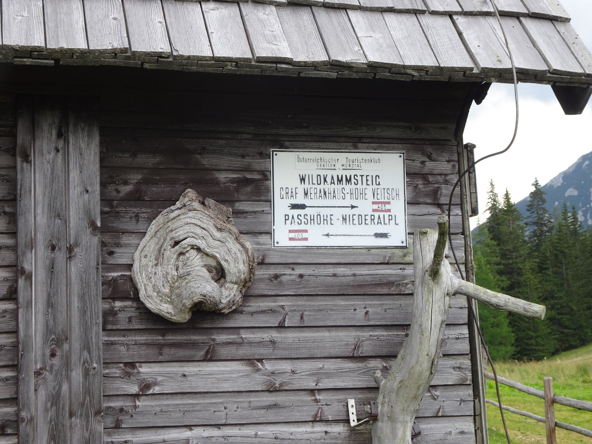
The tour starts at the parking of the saddle of Niederalpl (GPS: 47.680846, 15.376559) and first follows the trail southwards (opposite the street) towards Sohlenalm / Hohe Veitsch (see yellow signpost). At the Sohlenalm, then tour then follows the now unmarked path (orientation skills necessary!) through the meadow up towards the visible Wildkamm. The tour first bypasses the Kleiner Wildkamm and then follows the ridge directly up to the Großer Wildkamm. After reaching the Großer Wildkamm, the tour becomes alpine and descends using the fairly exposed ridge down into the Gingatzwiese. After some climbing (mostly I) in descent, the tour then makes its way through the bushes till finally reaching trail 405 up to the summit of Hohe Veitsch. After enjoying the impressive view from the summit, the tour continues descending southwards towards the Graf Meran Haus, offering a perfect place for lunch and refreshments. The tour then takes the easy trail around the summit northeastwards back to the Gingatzwiese. This time, the tour follows the trail 405 towards Niederalpl which leads automatically back to the parking.
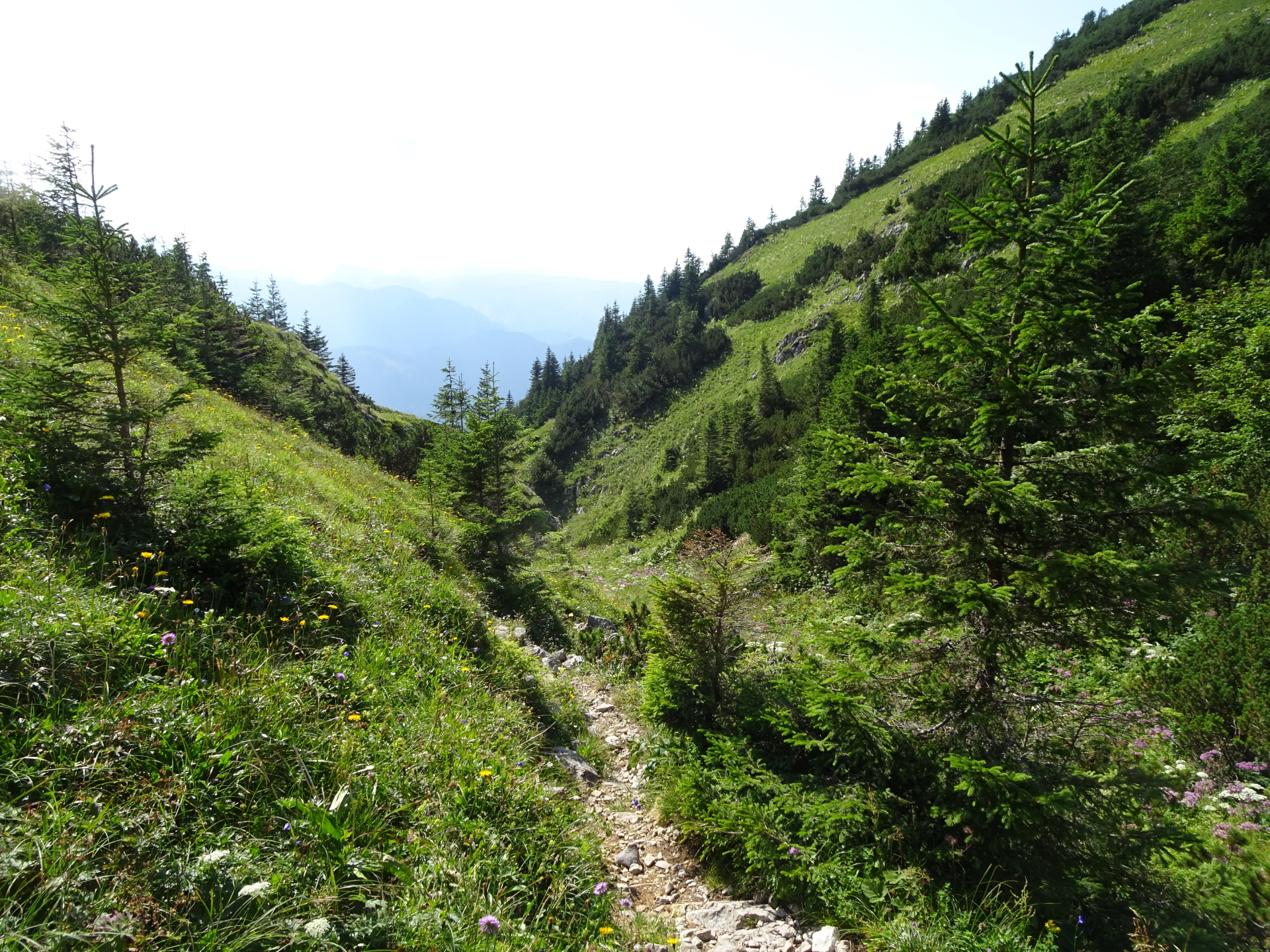
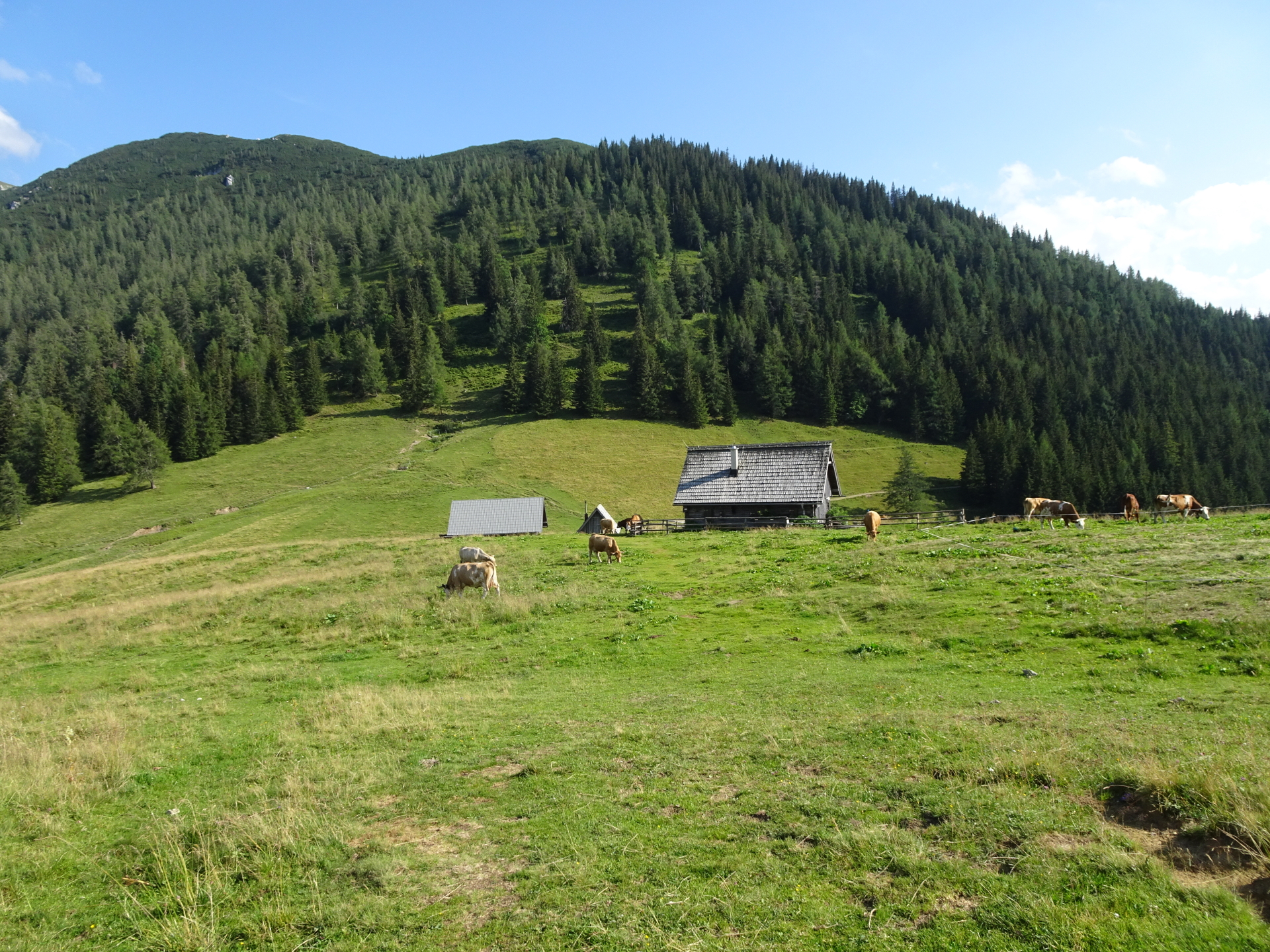
| 00:00 | Start at the parking lot Niederalpl saddle (GPS: 47.680846, 15.376559) and follow the trail opposite and at the end of the parking towards Sohlenalm (see yellow signposts). |
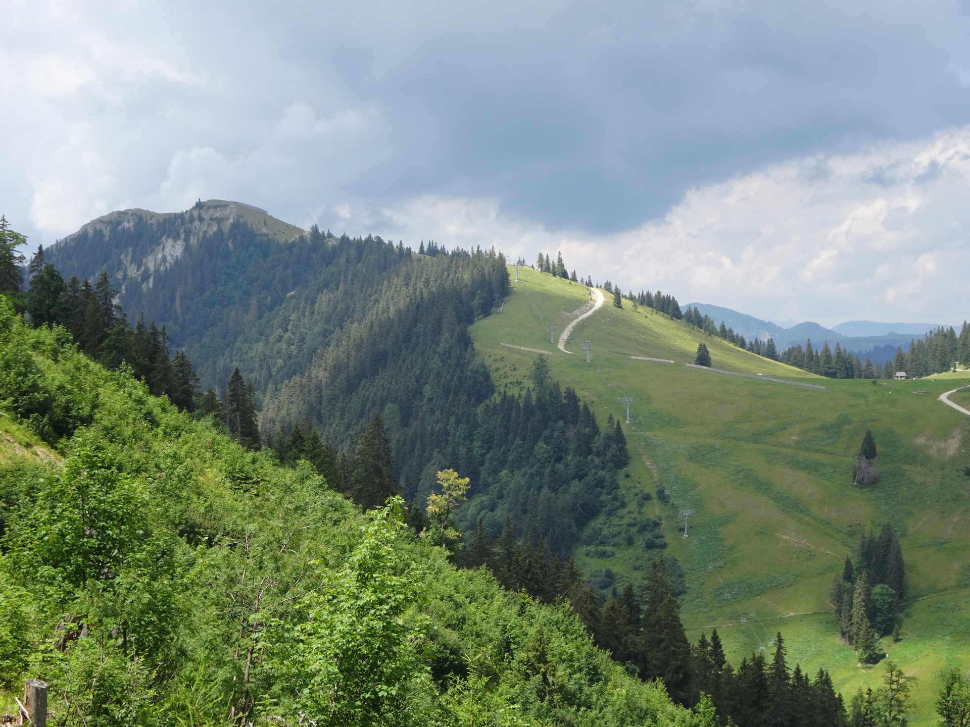
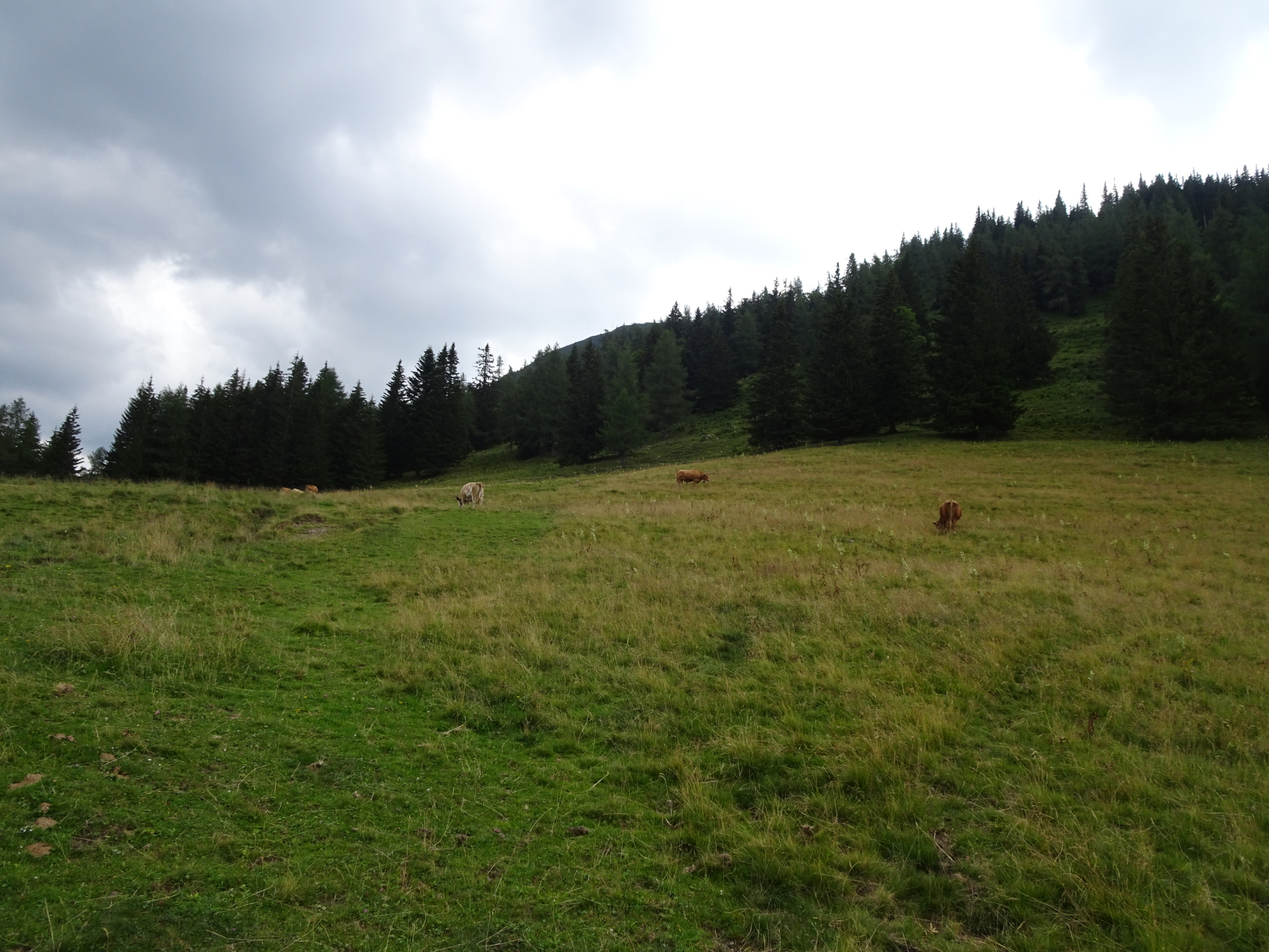
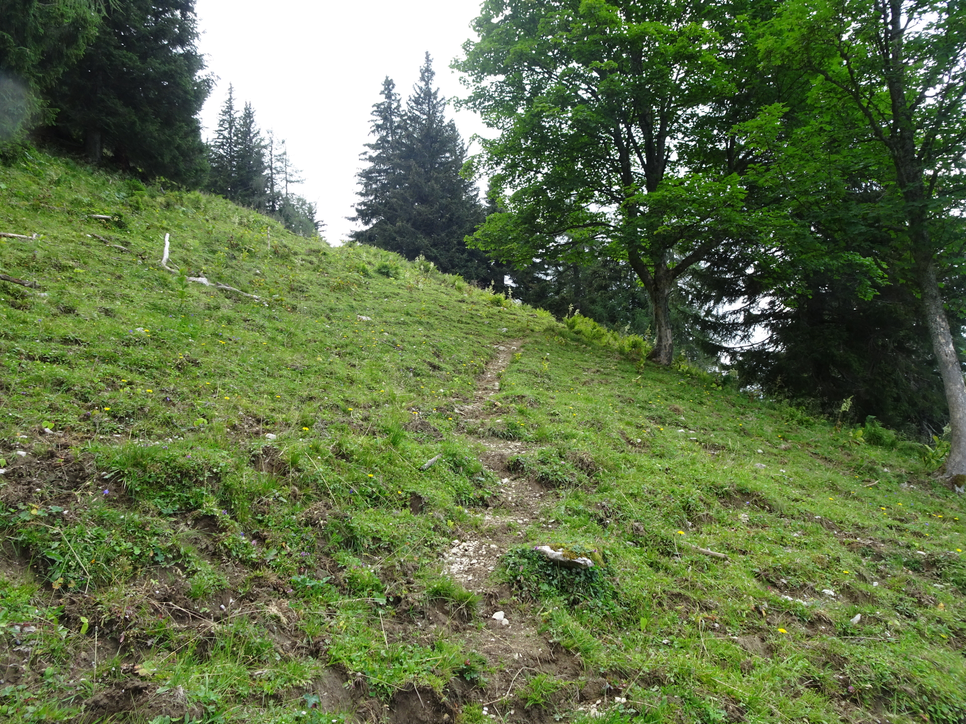
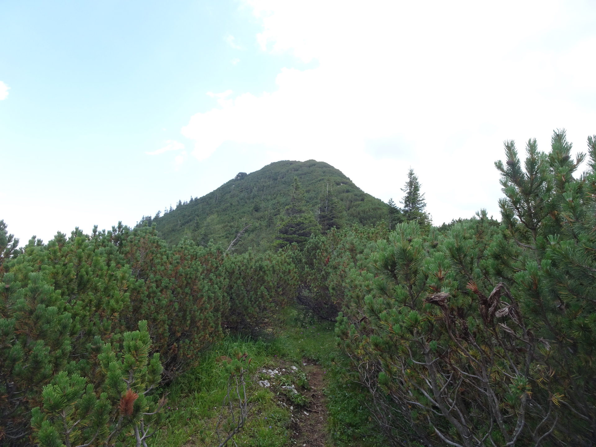
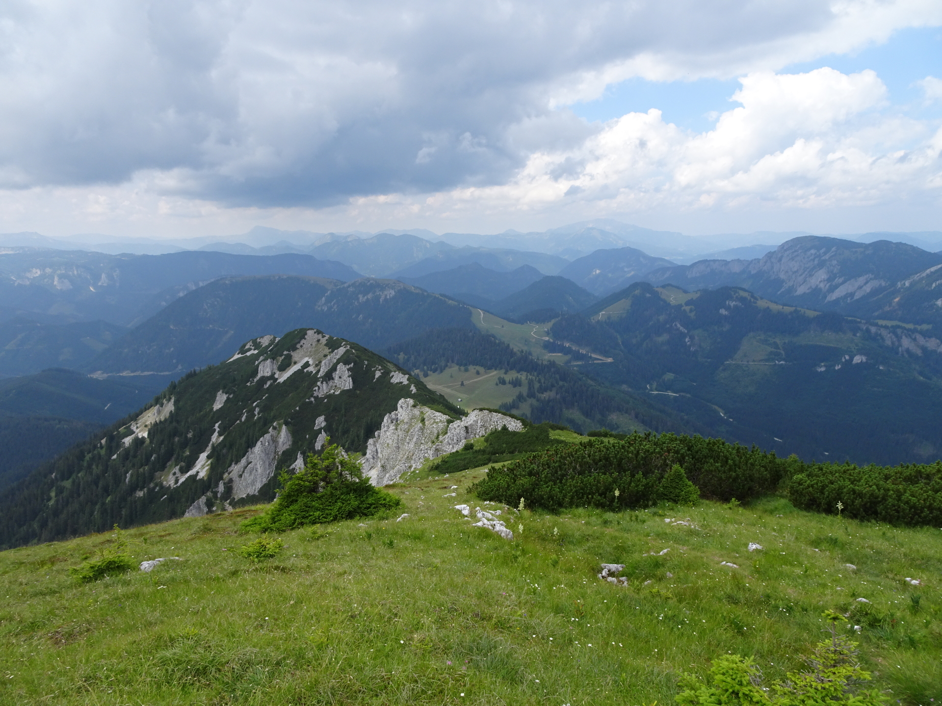
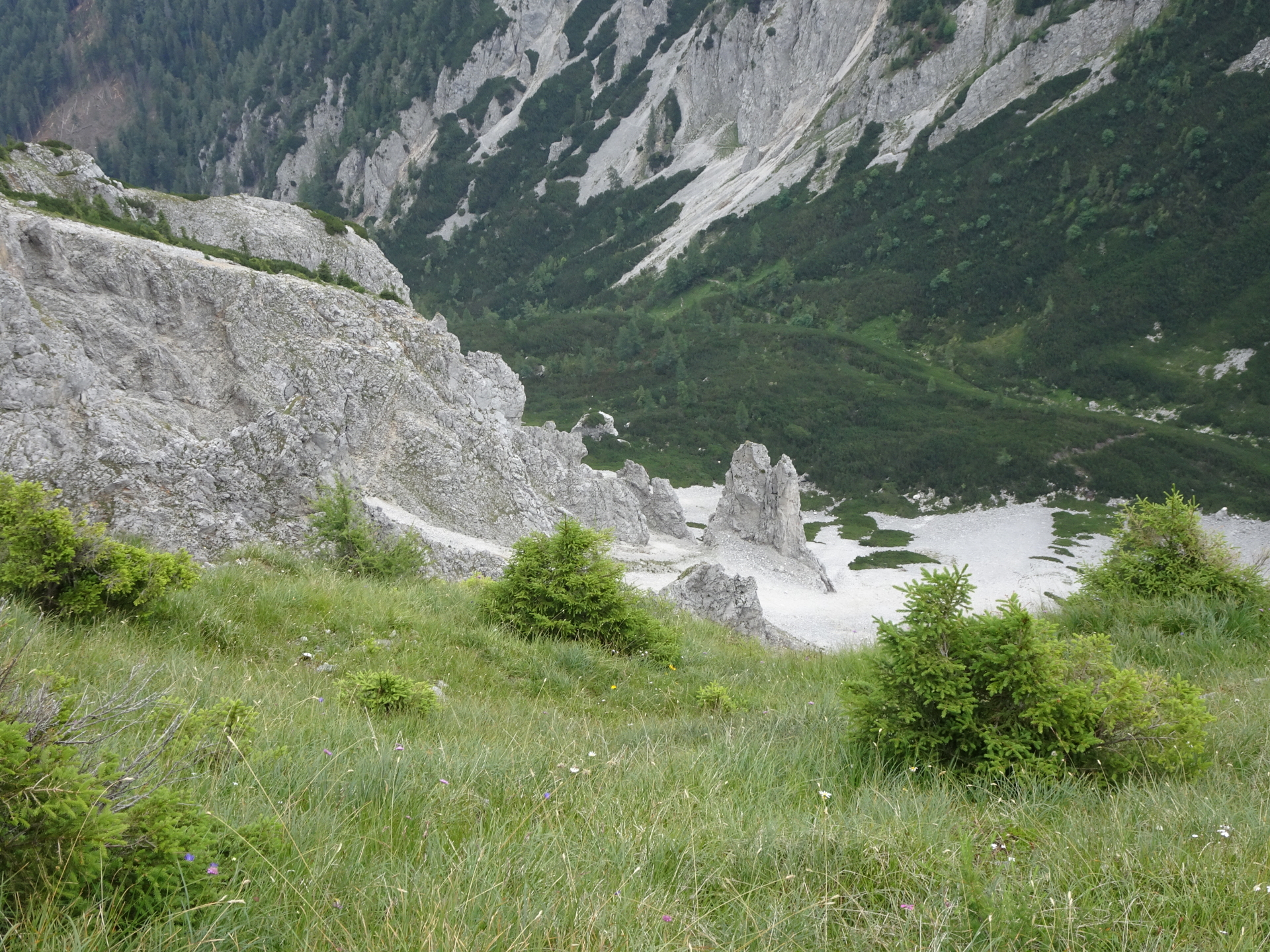
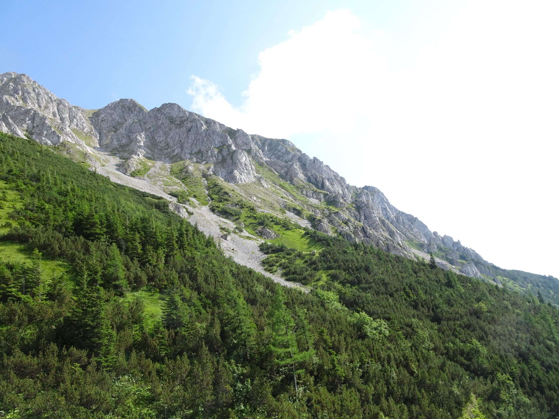
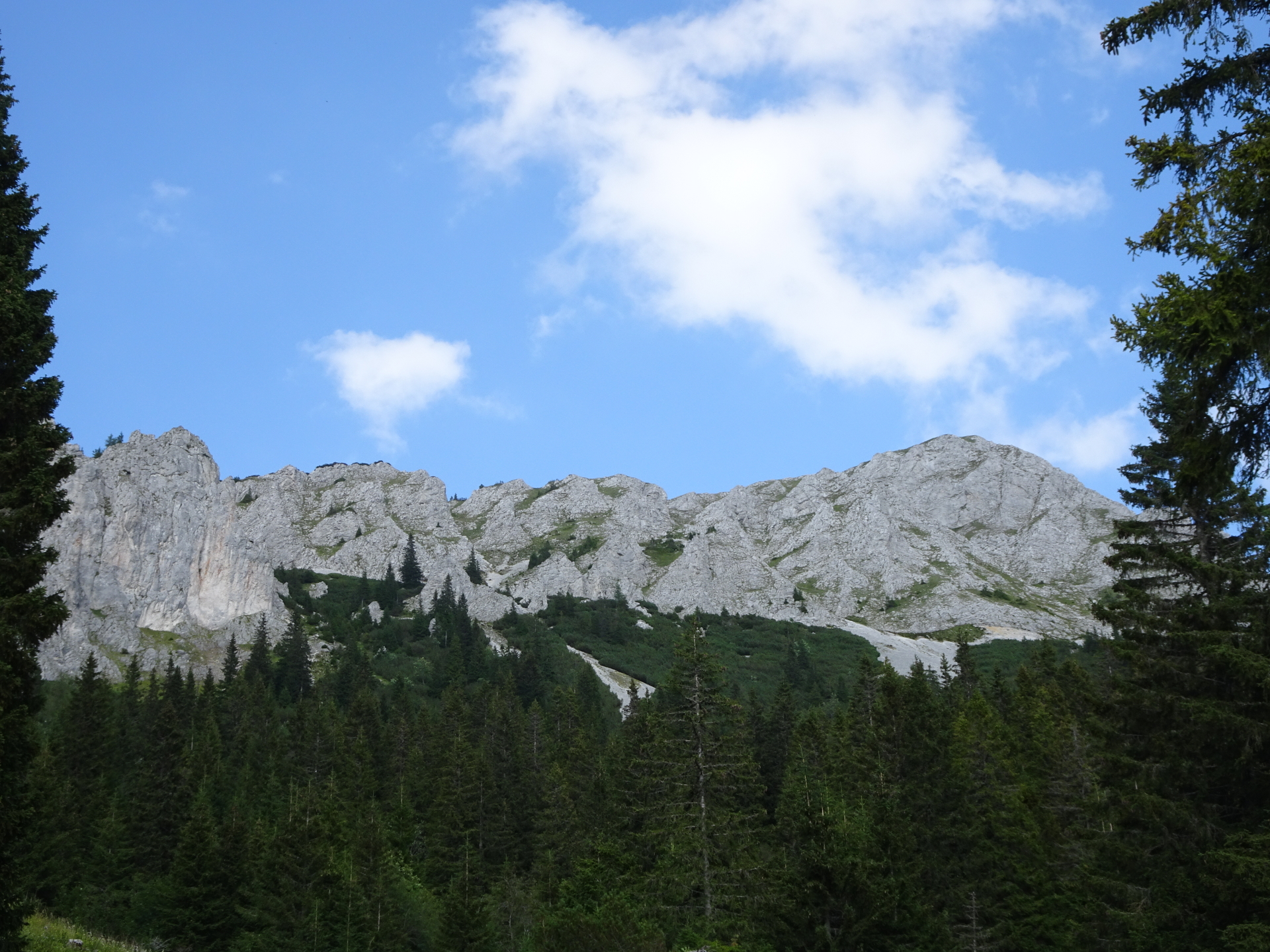
| 00:35 | At the crossing at Sohlenalm, keep straight and bypass the hut. Keep left after the hut and leave the marked trail. Find your way through the meadow (orientate on the visible ascent to Wildkamm) till finding again the trail (visible but not marked!). Follow the trail upwards. |
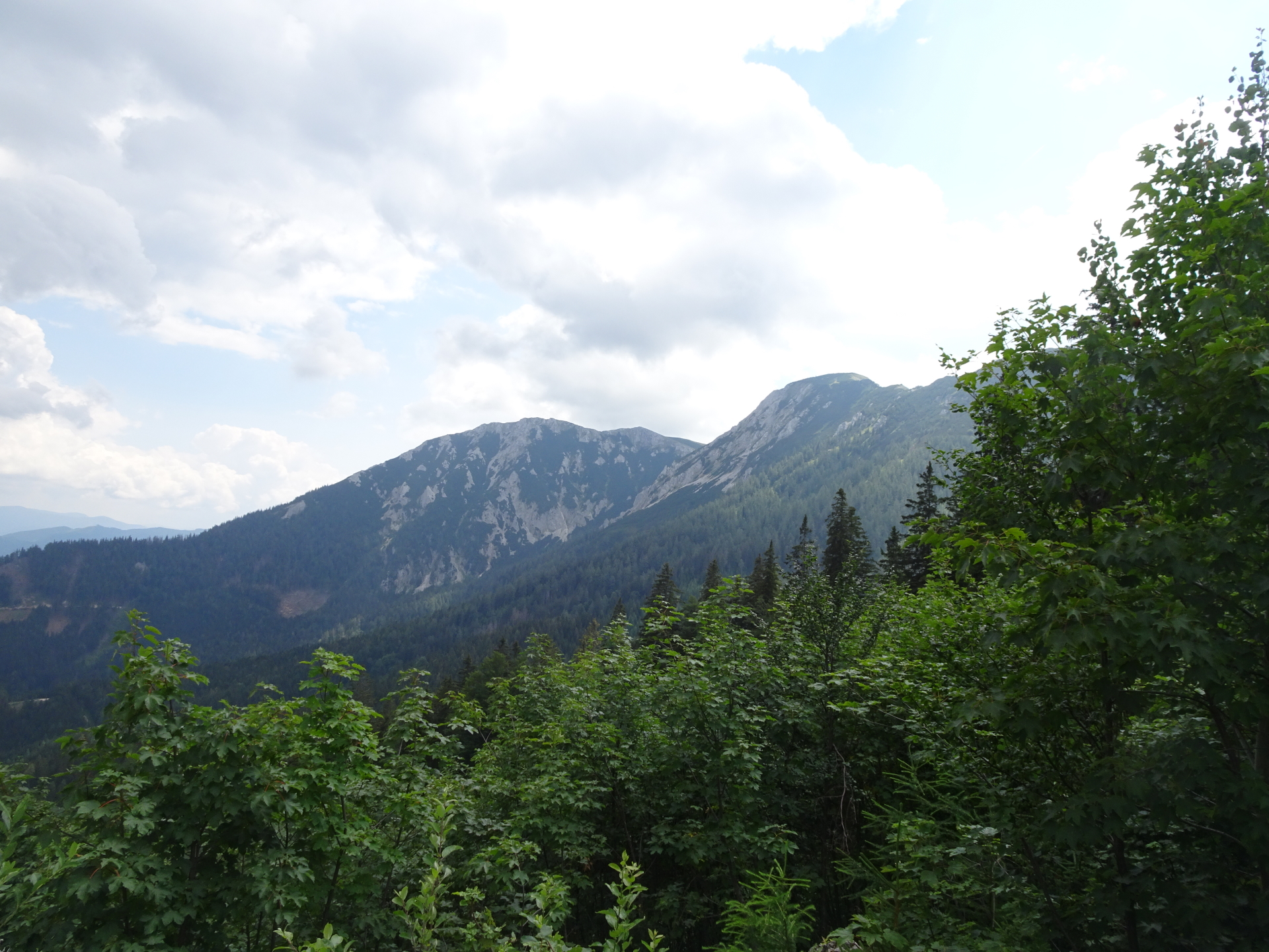
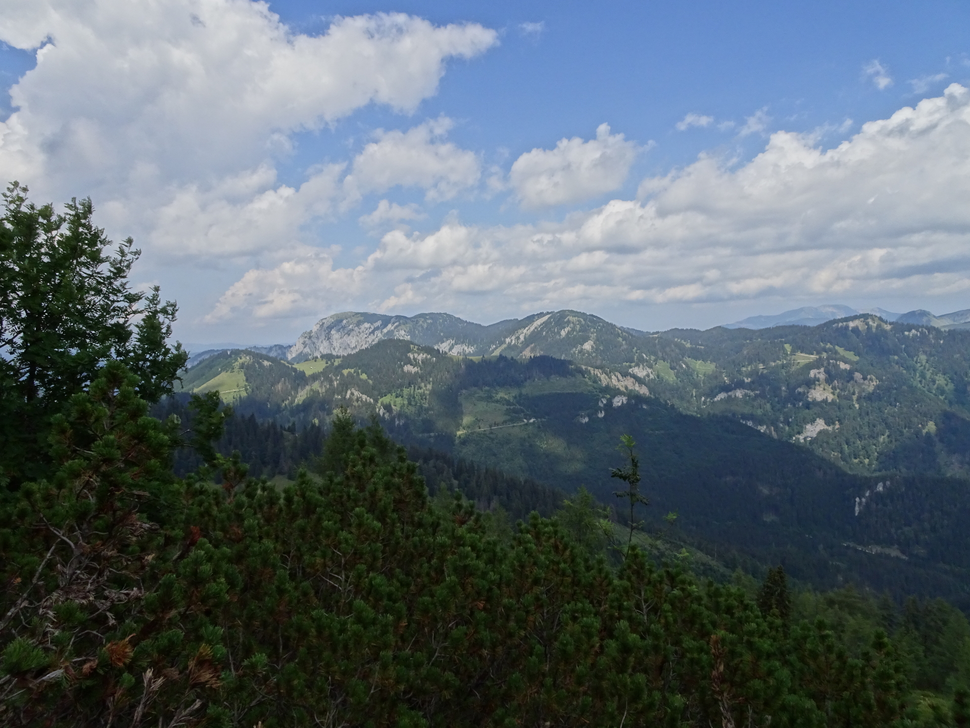
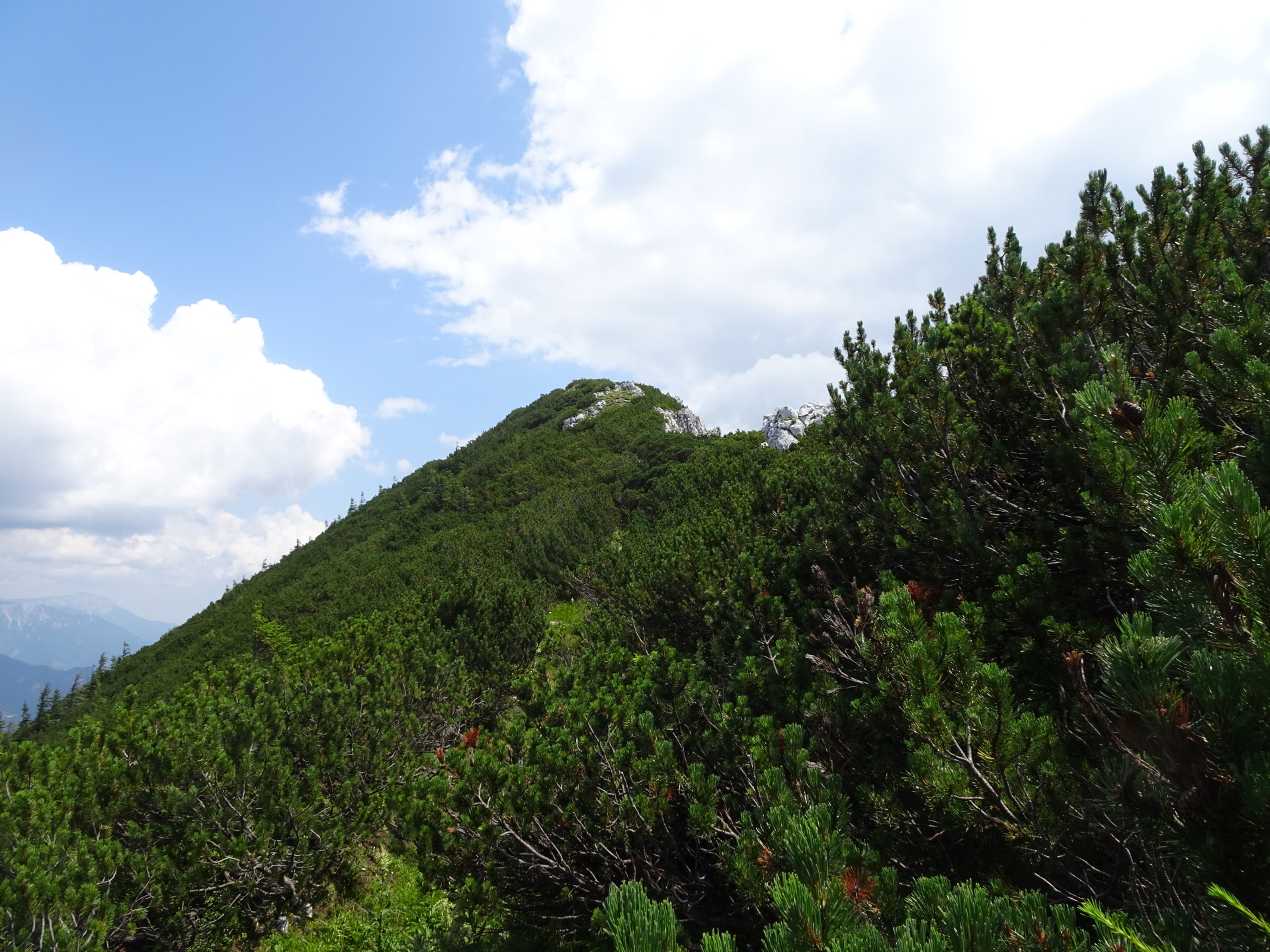
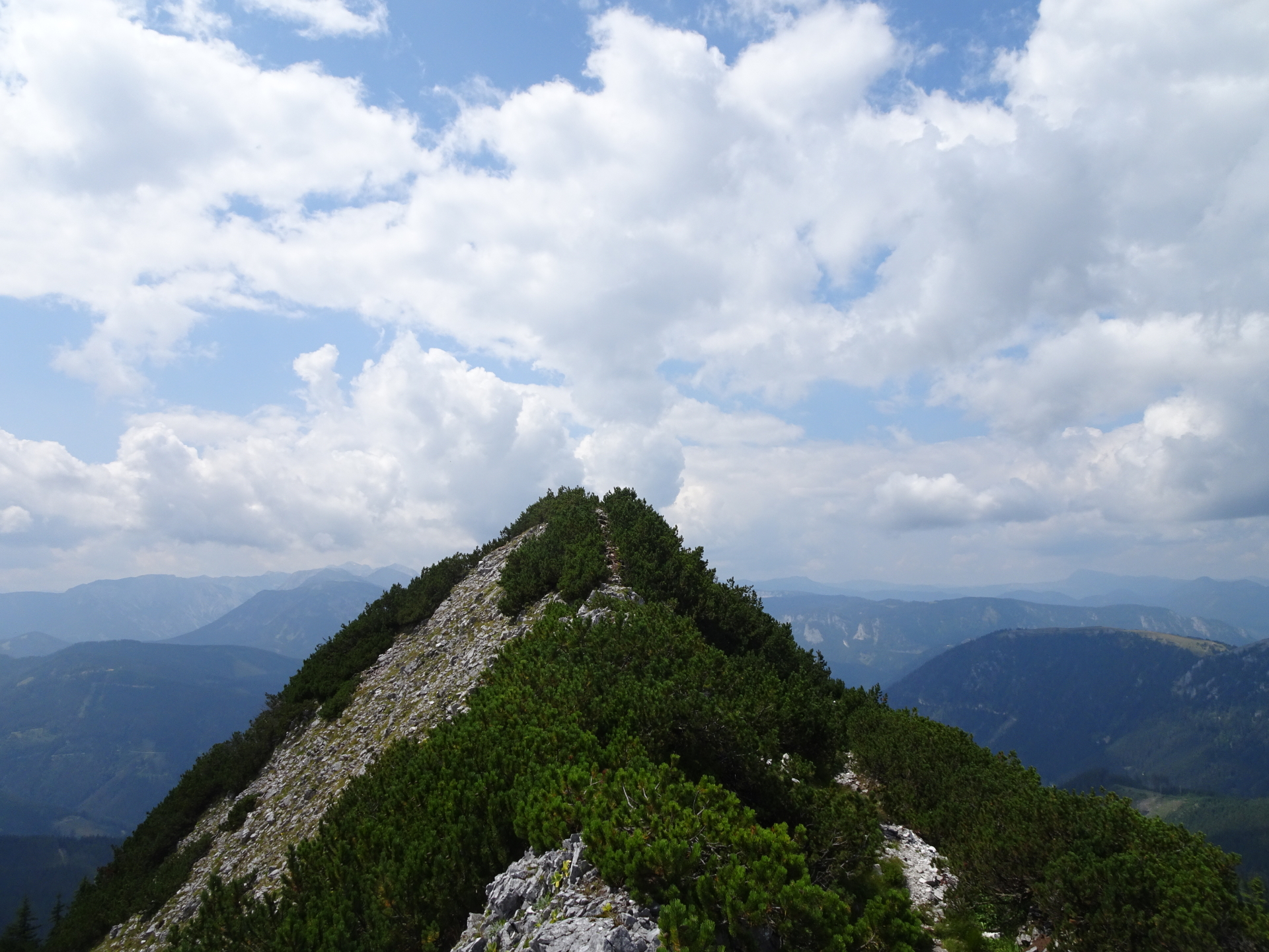
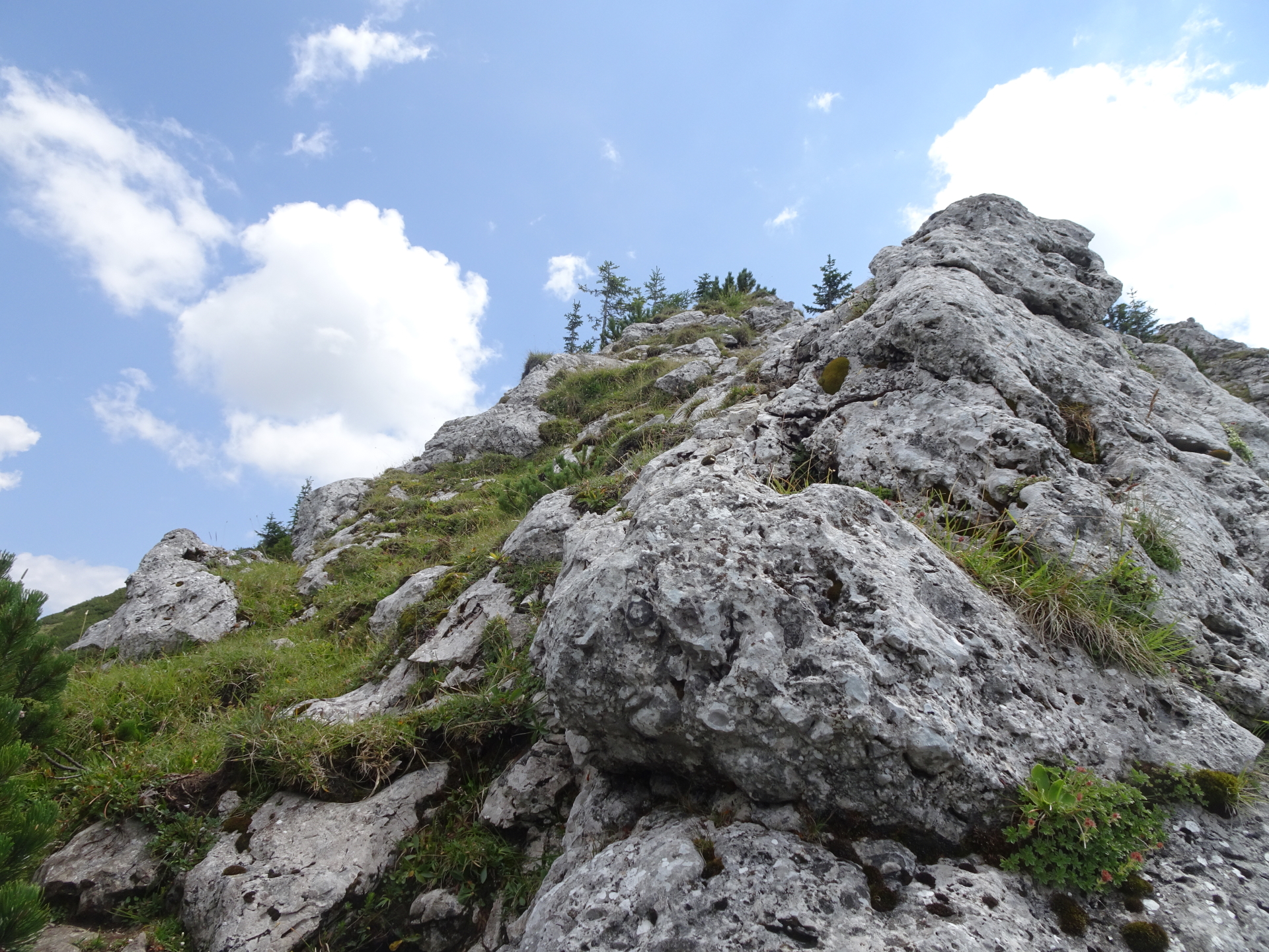
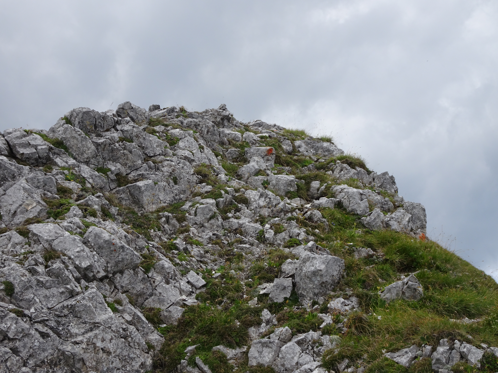
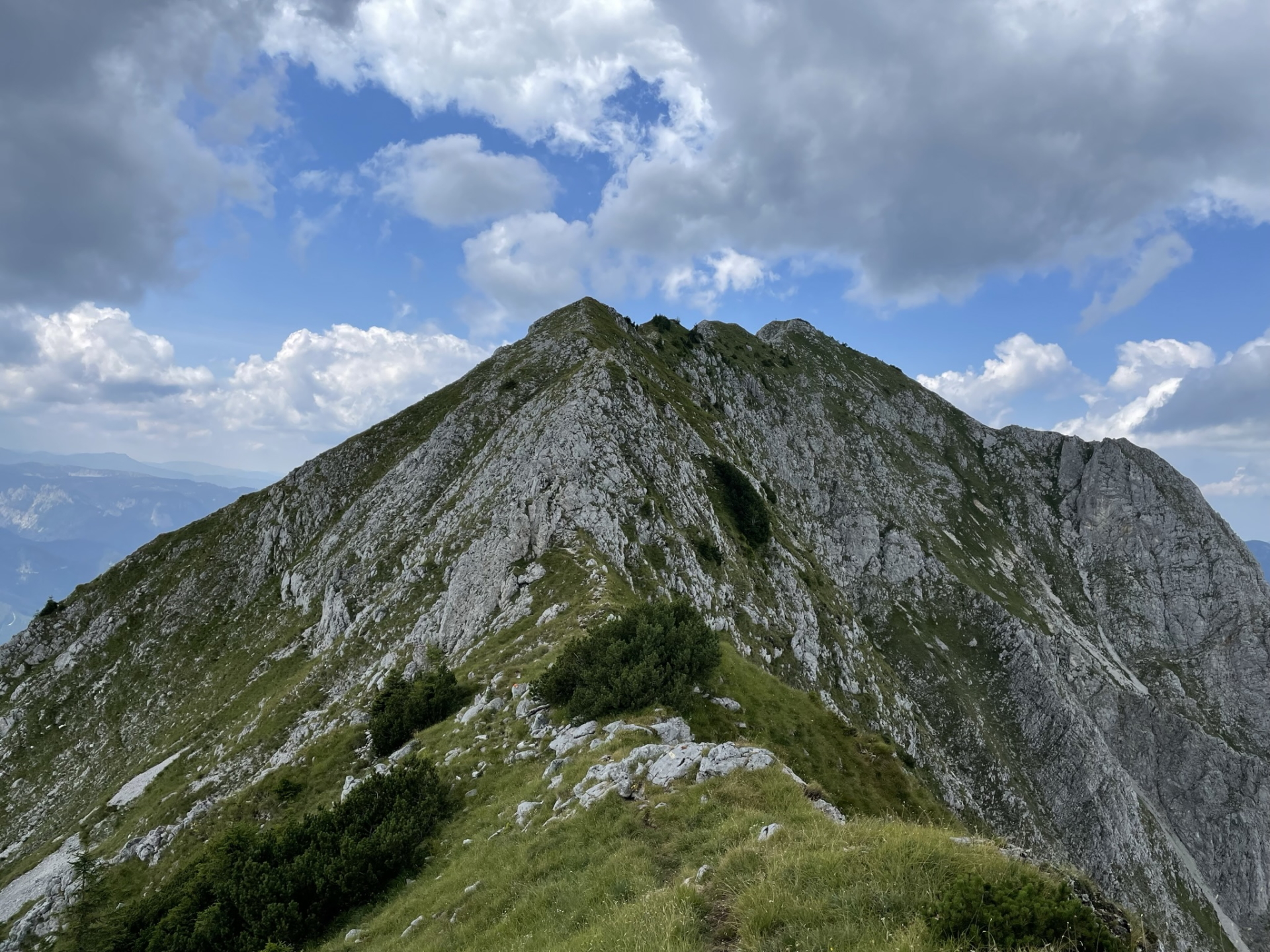
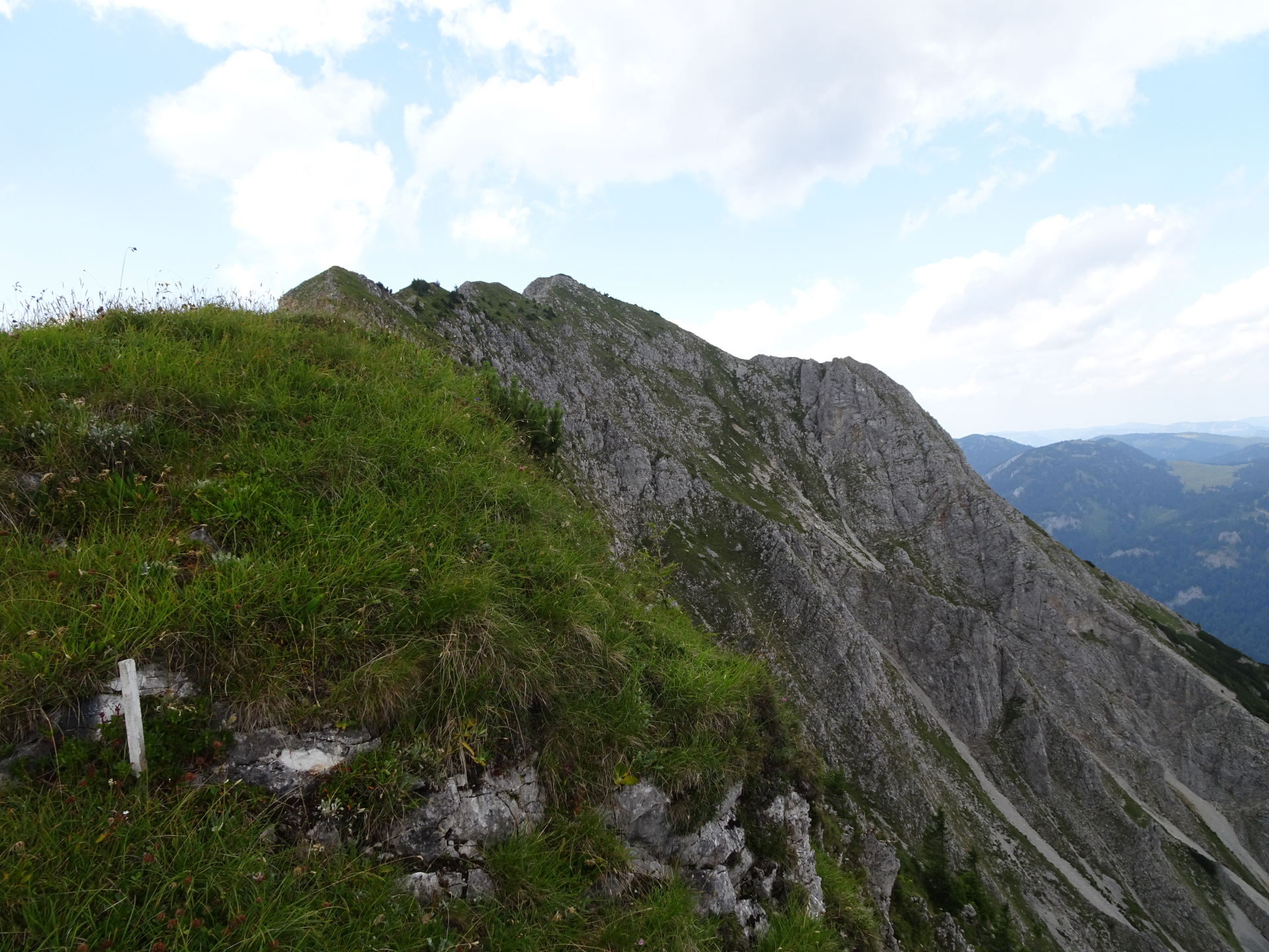
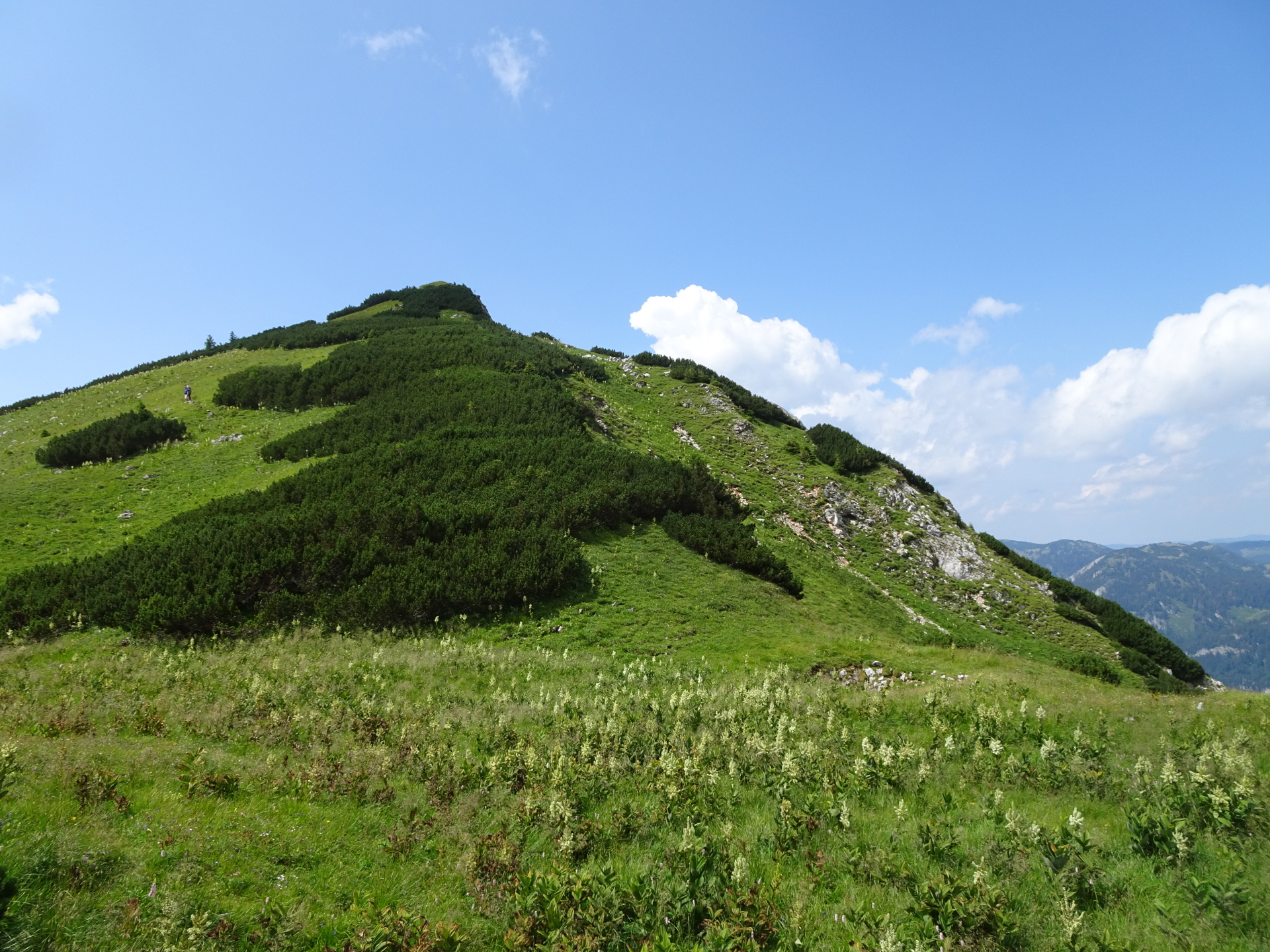
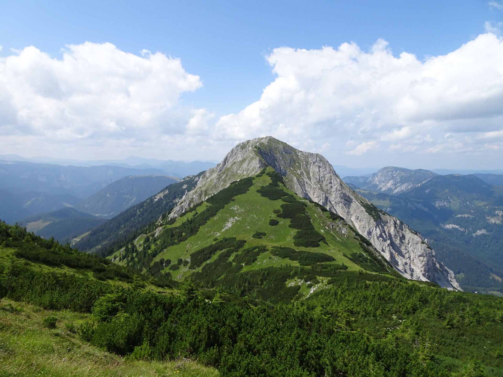
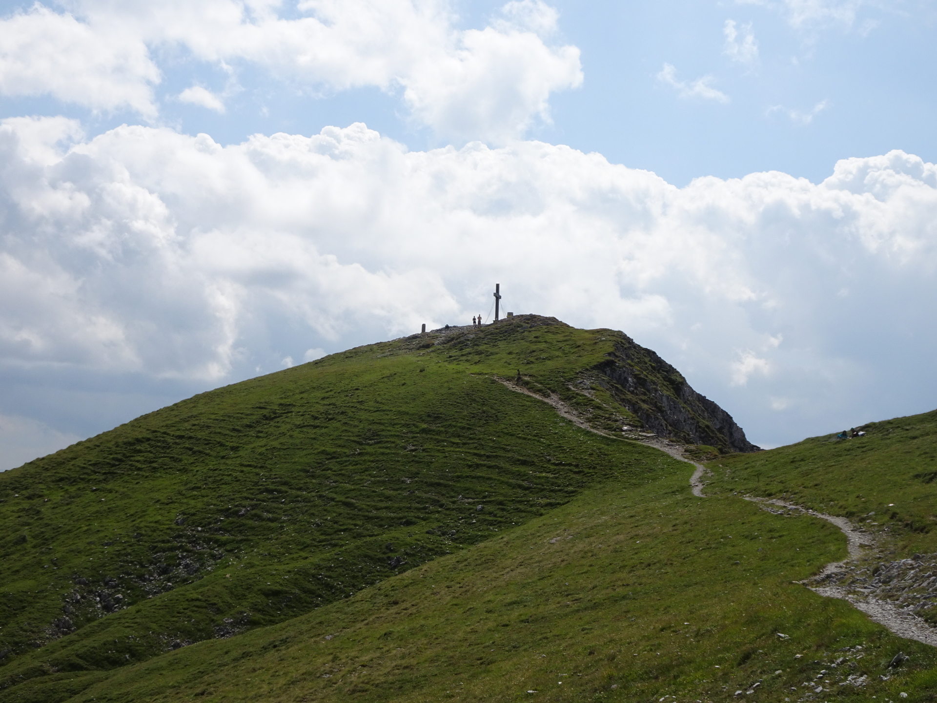
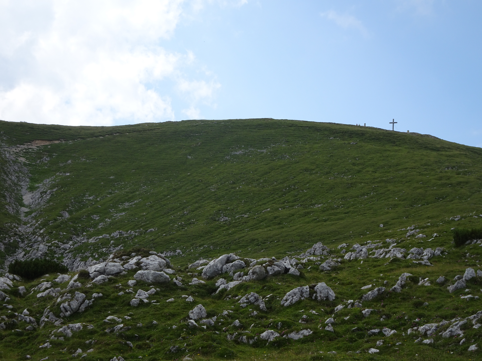
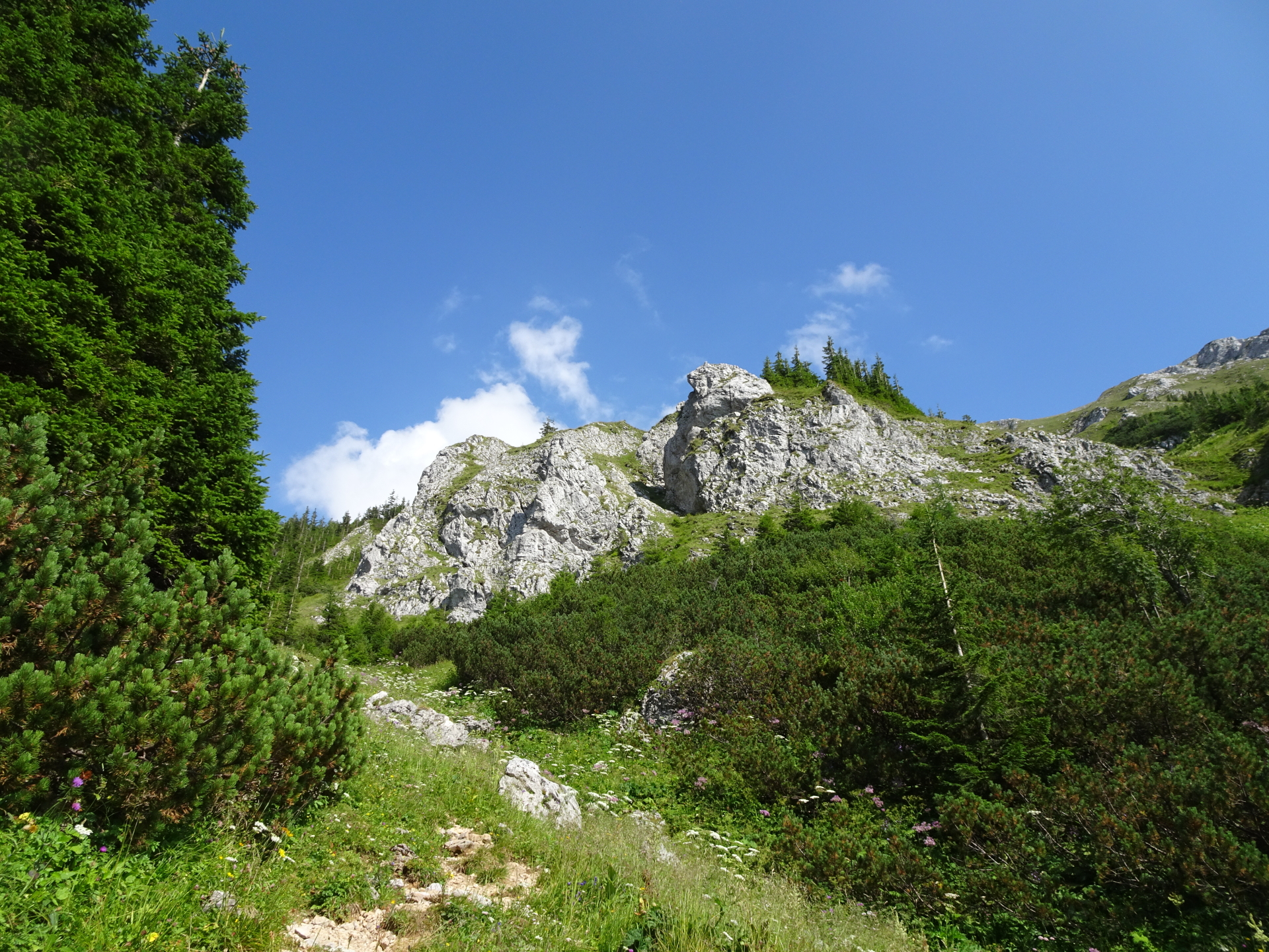
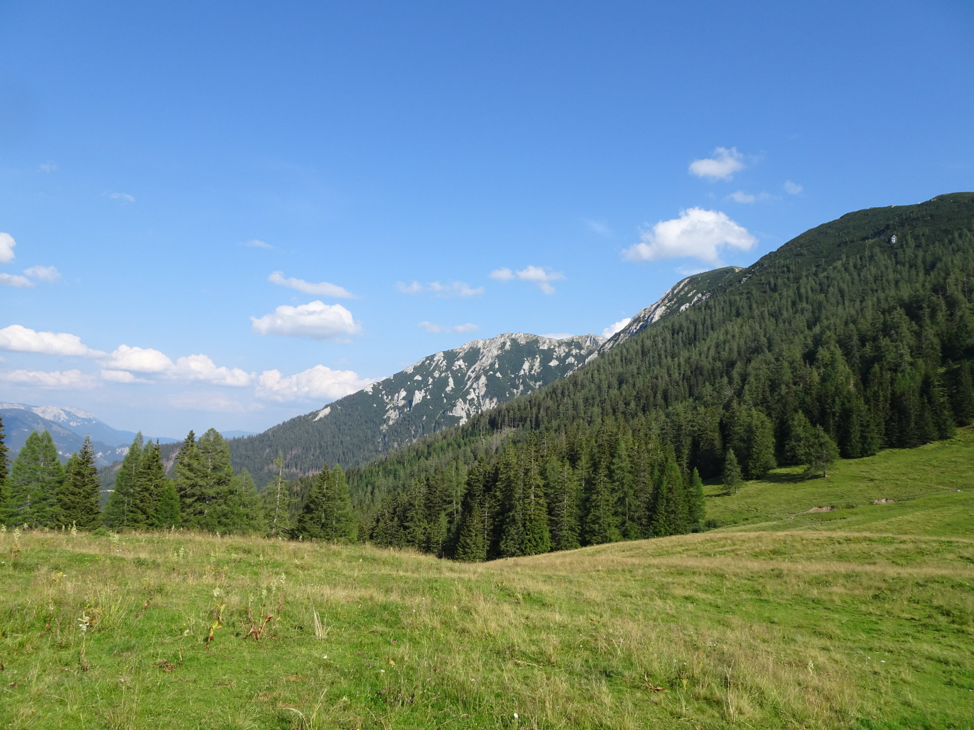
| 01:25 | Enjoy the view from Kleiner Wildkamm and continue following the trail up to Großer Wildkamm. |
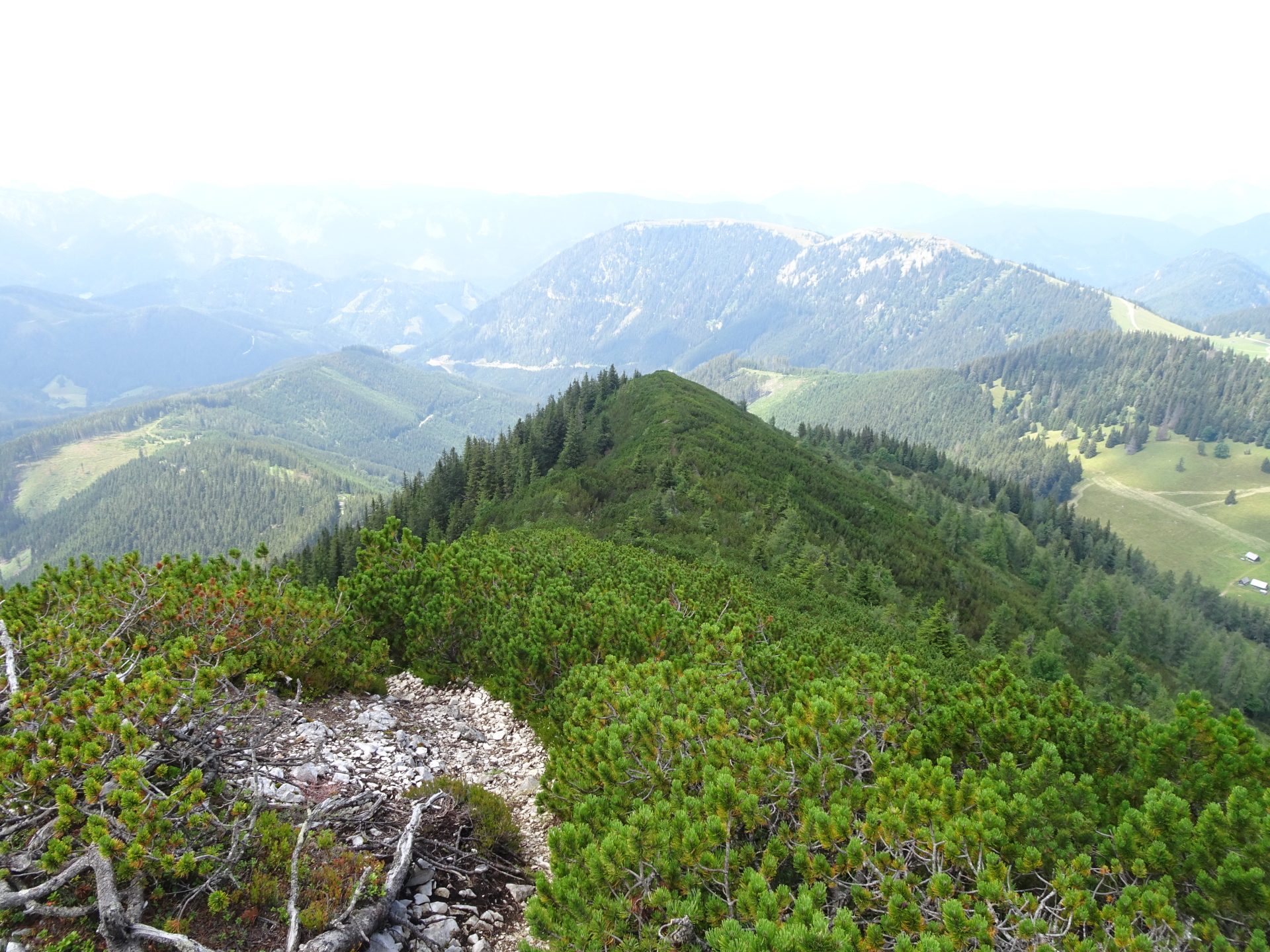
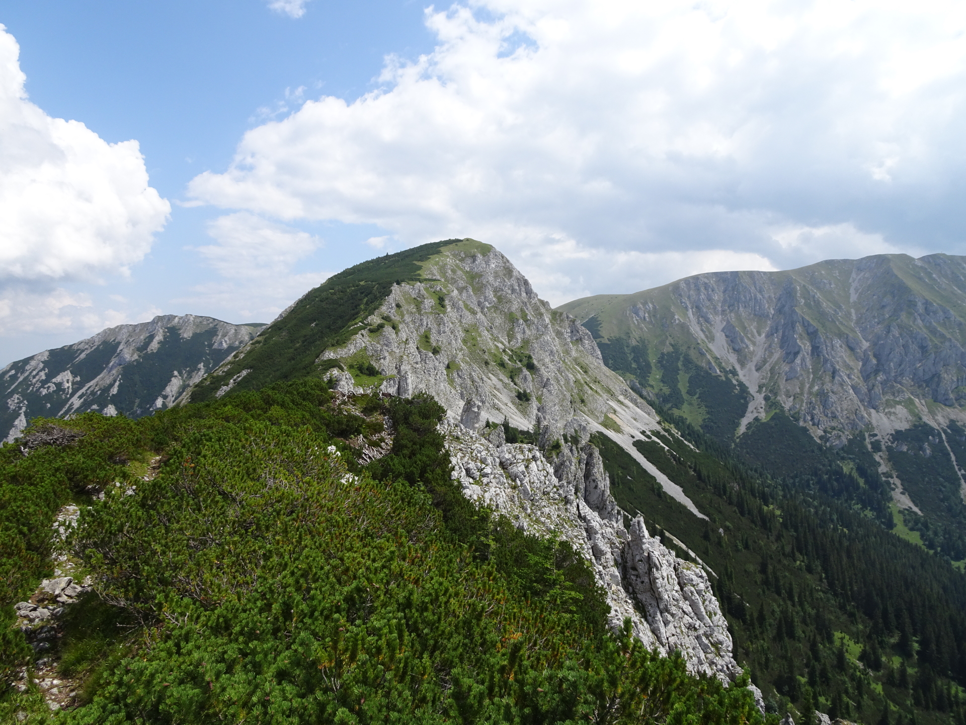
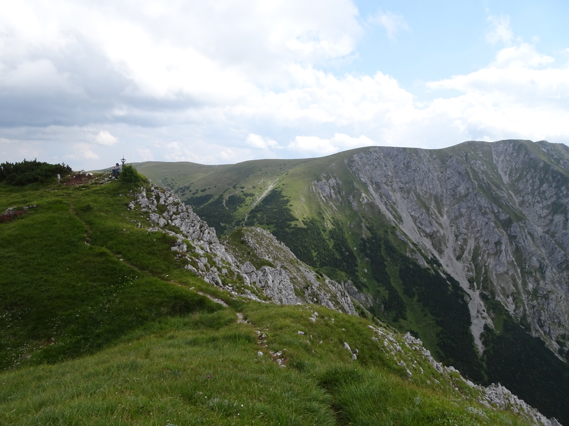
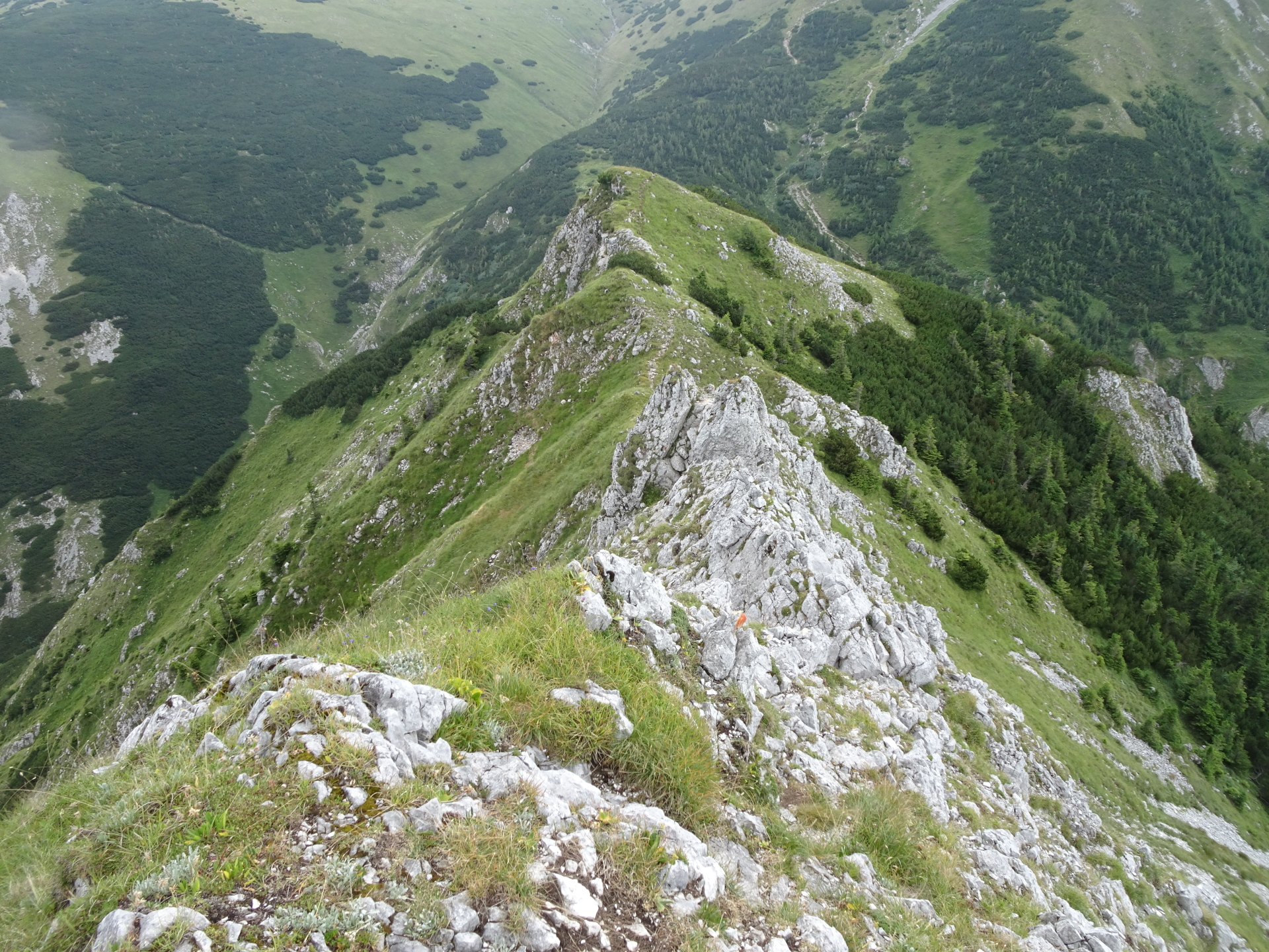
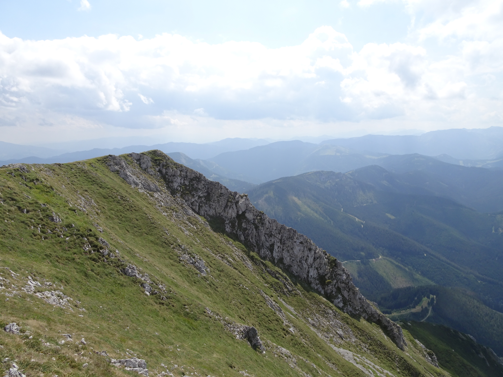
| 01:50 | Enjoy the view from Großer Wildkamm and take a small break to prepare for the crux of the tour. |
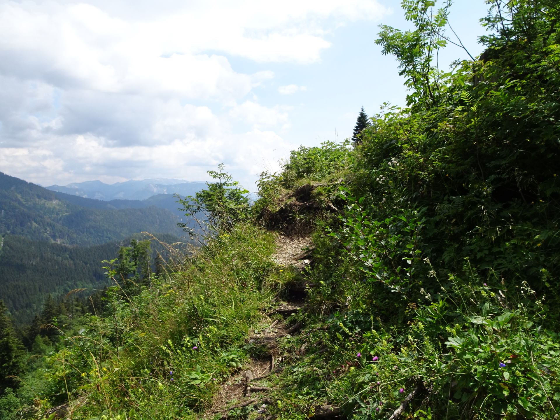
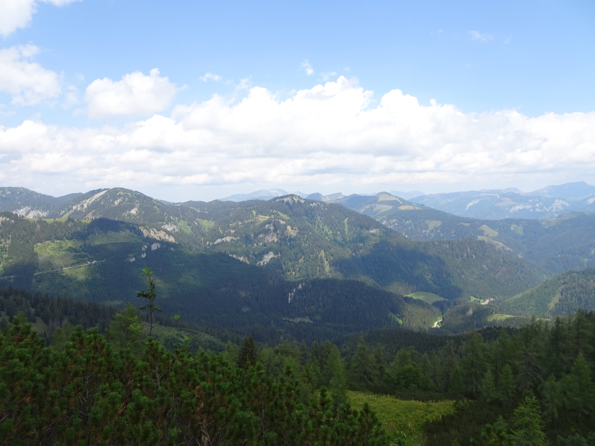
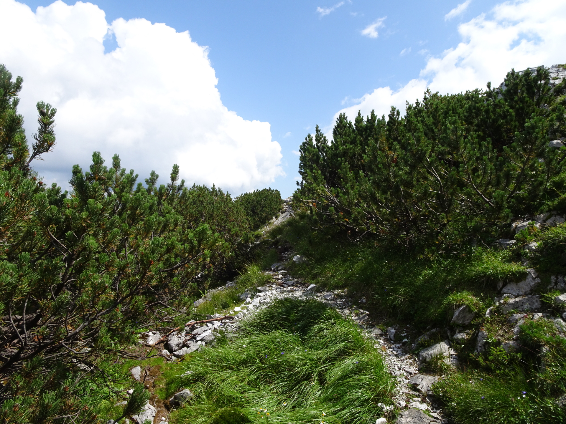
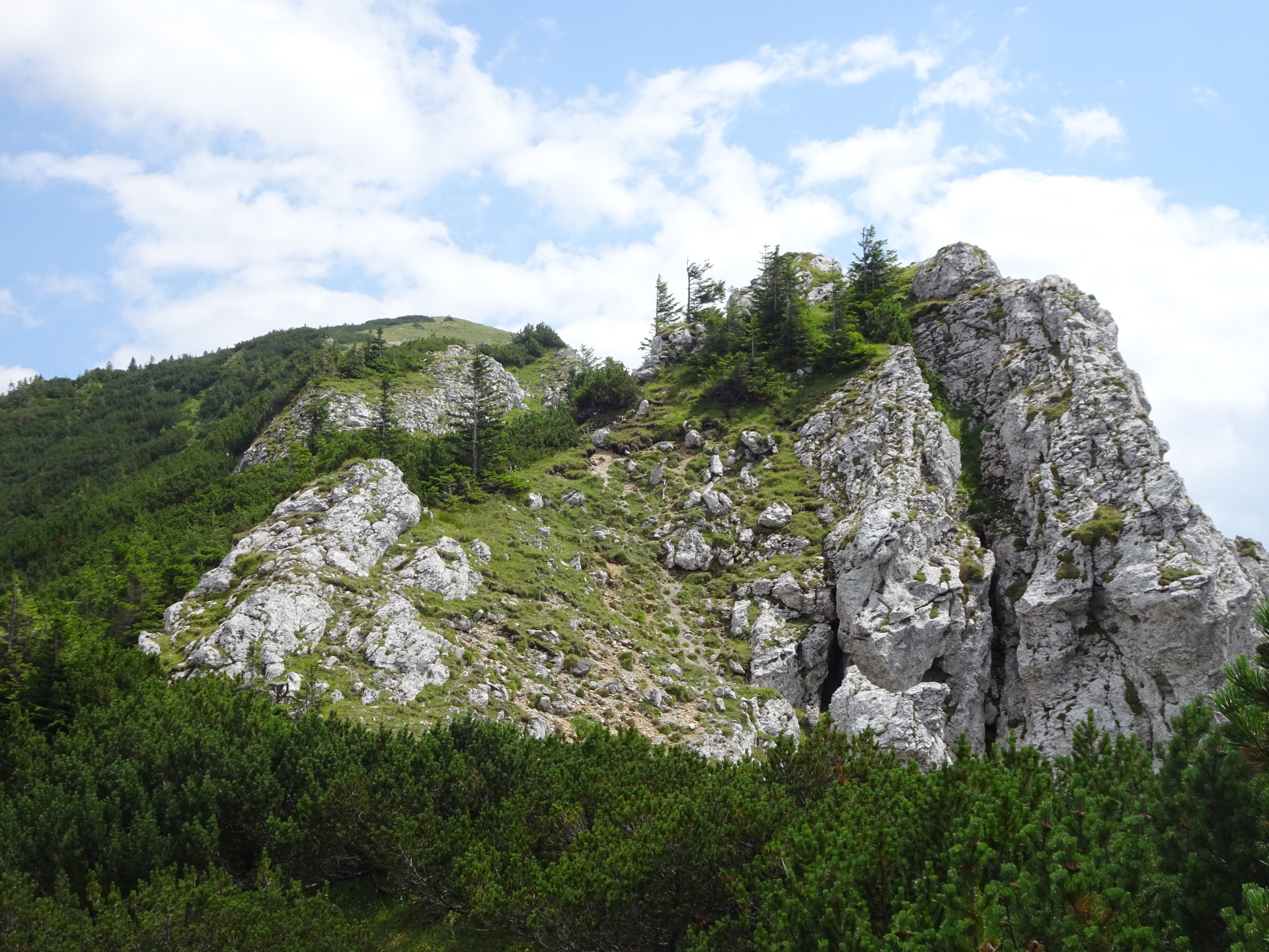
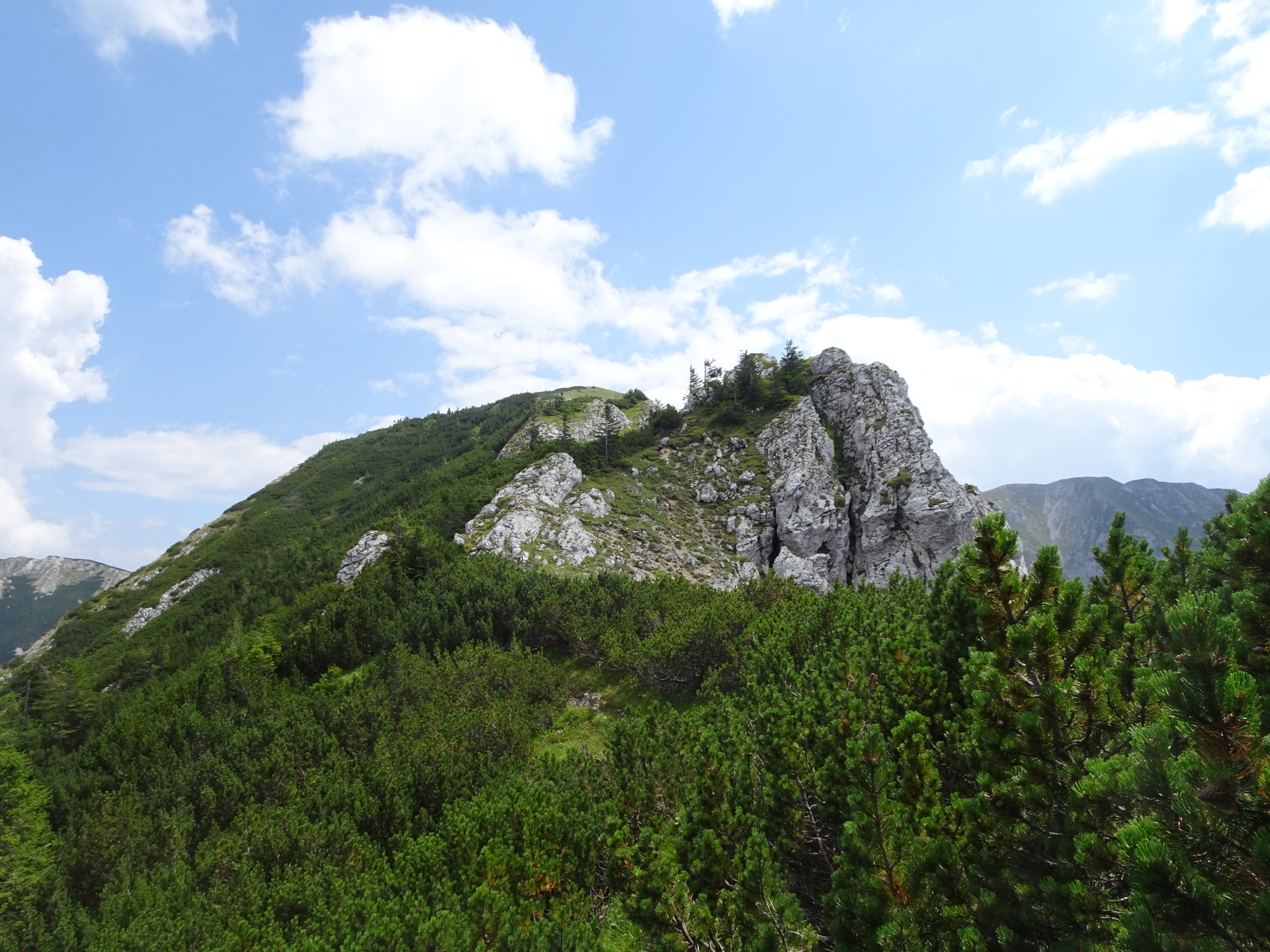
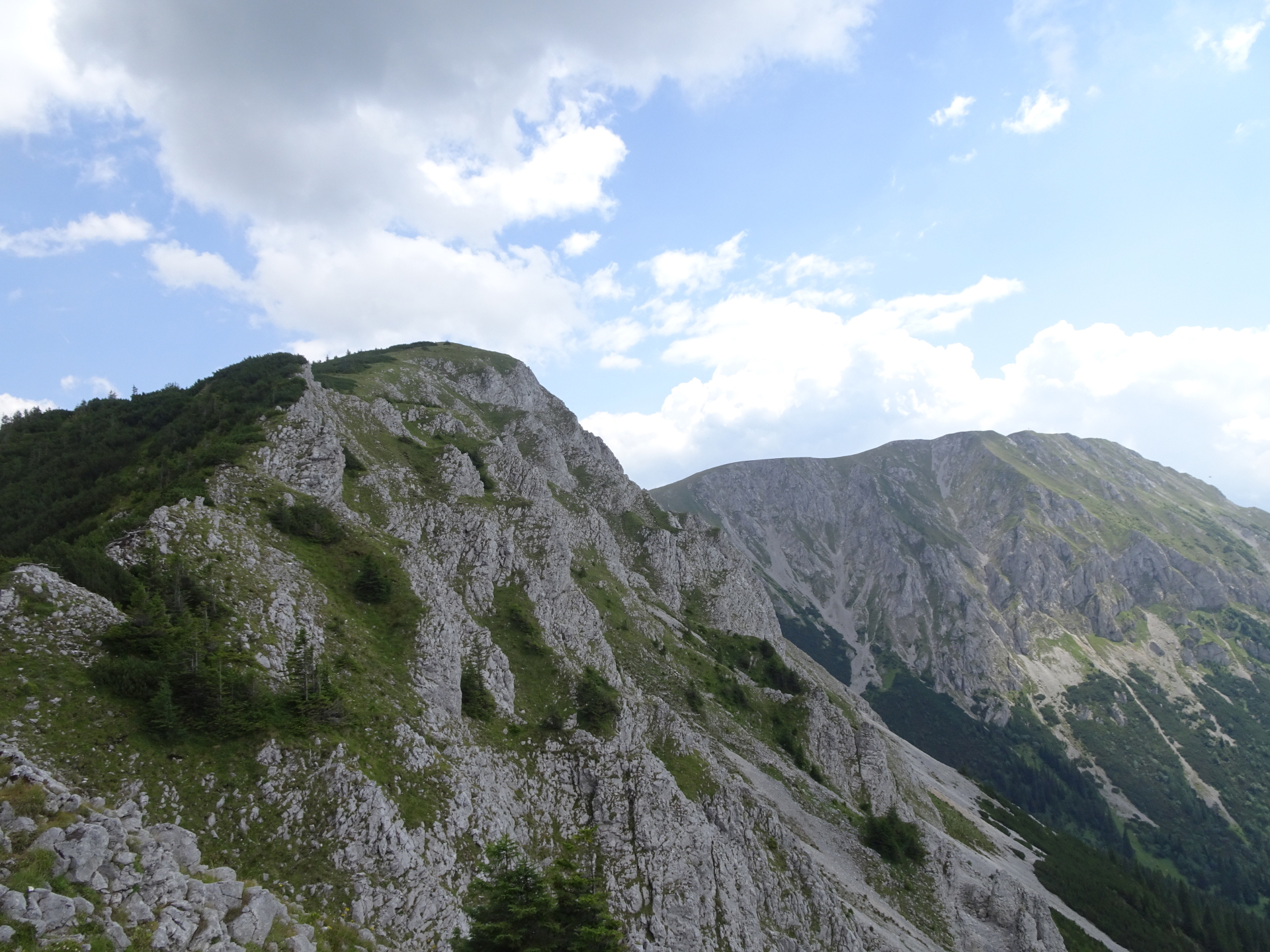
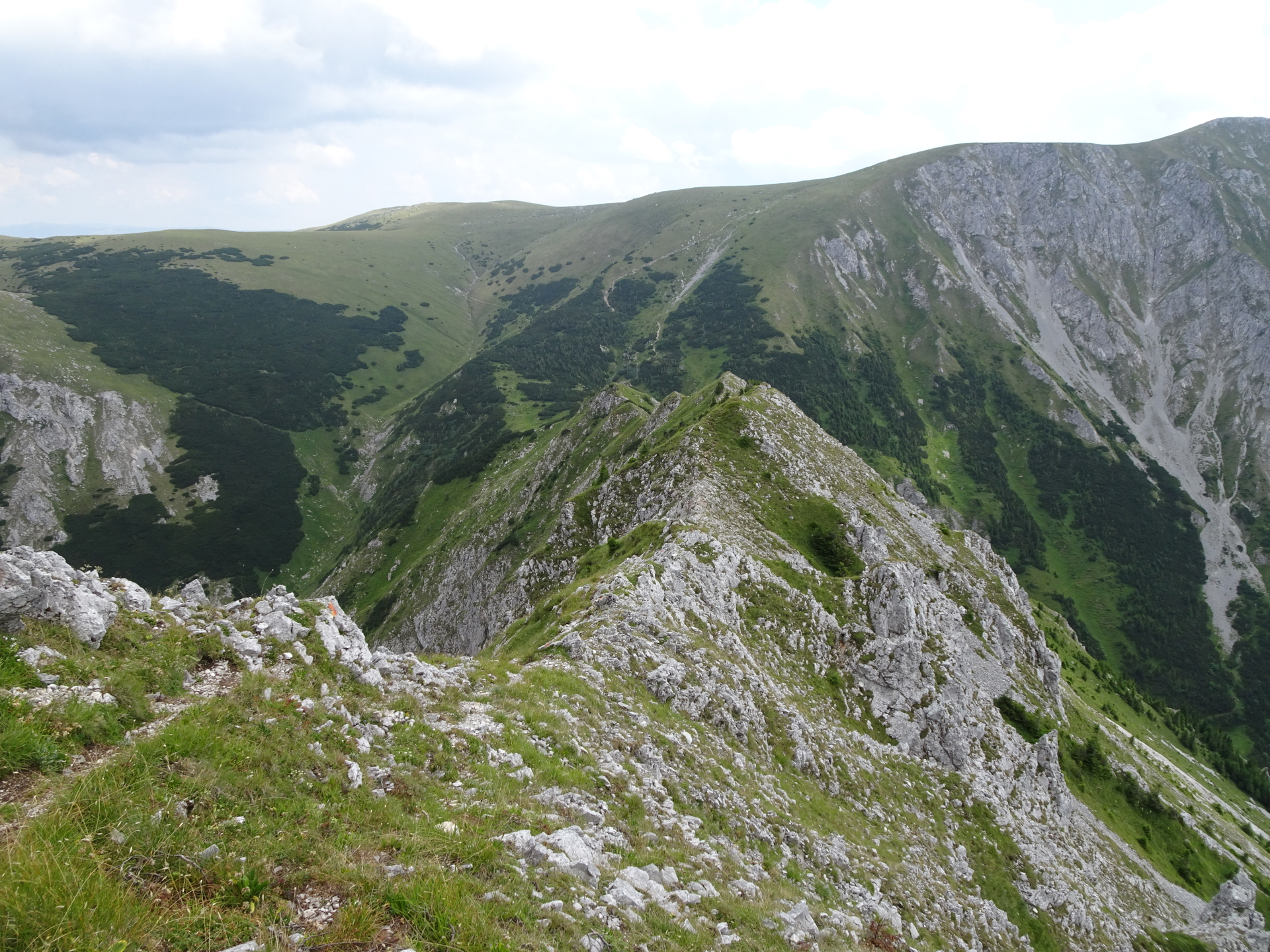
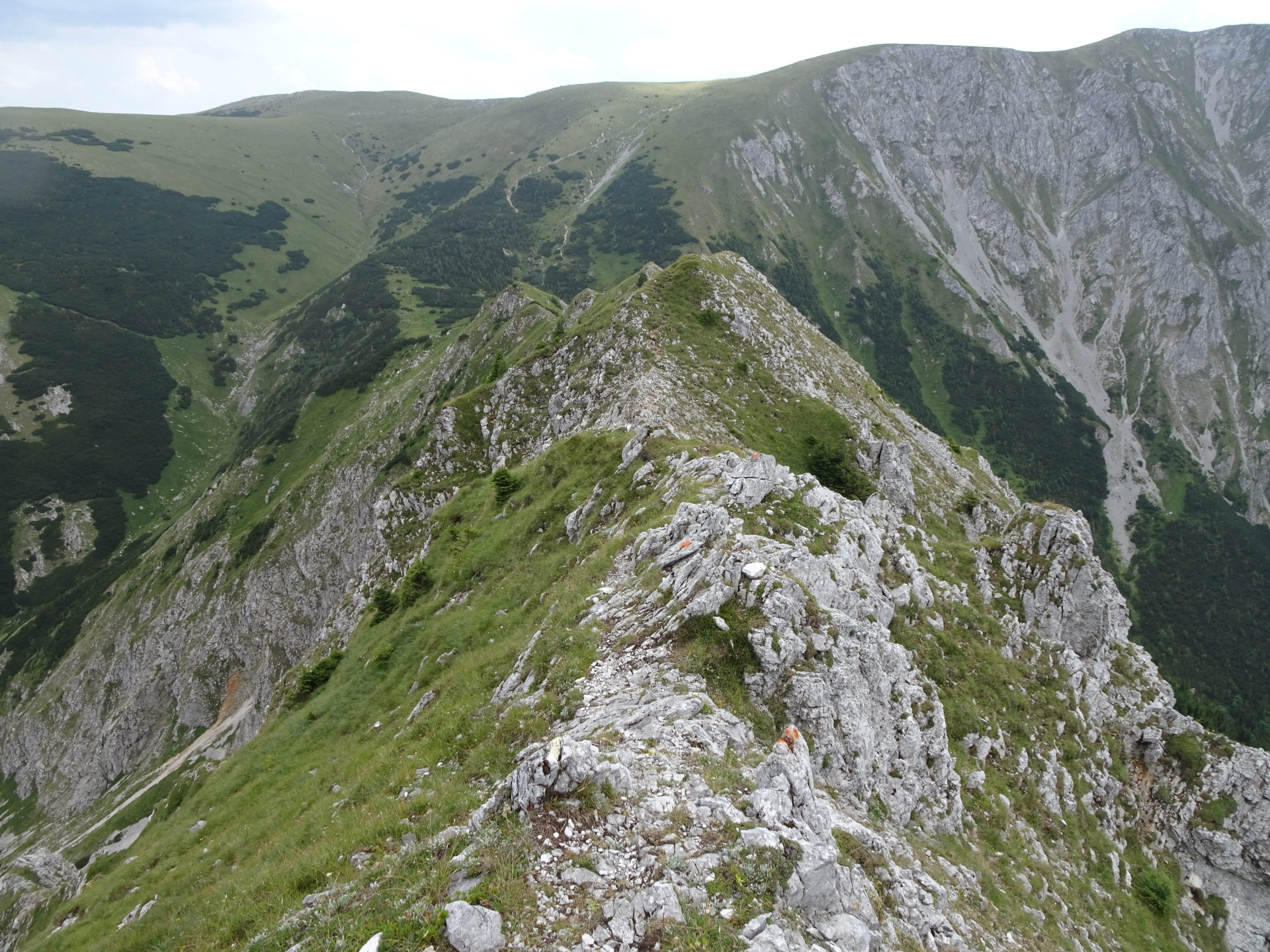
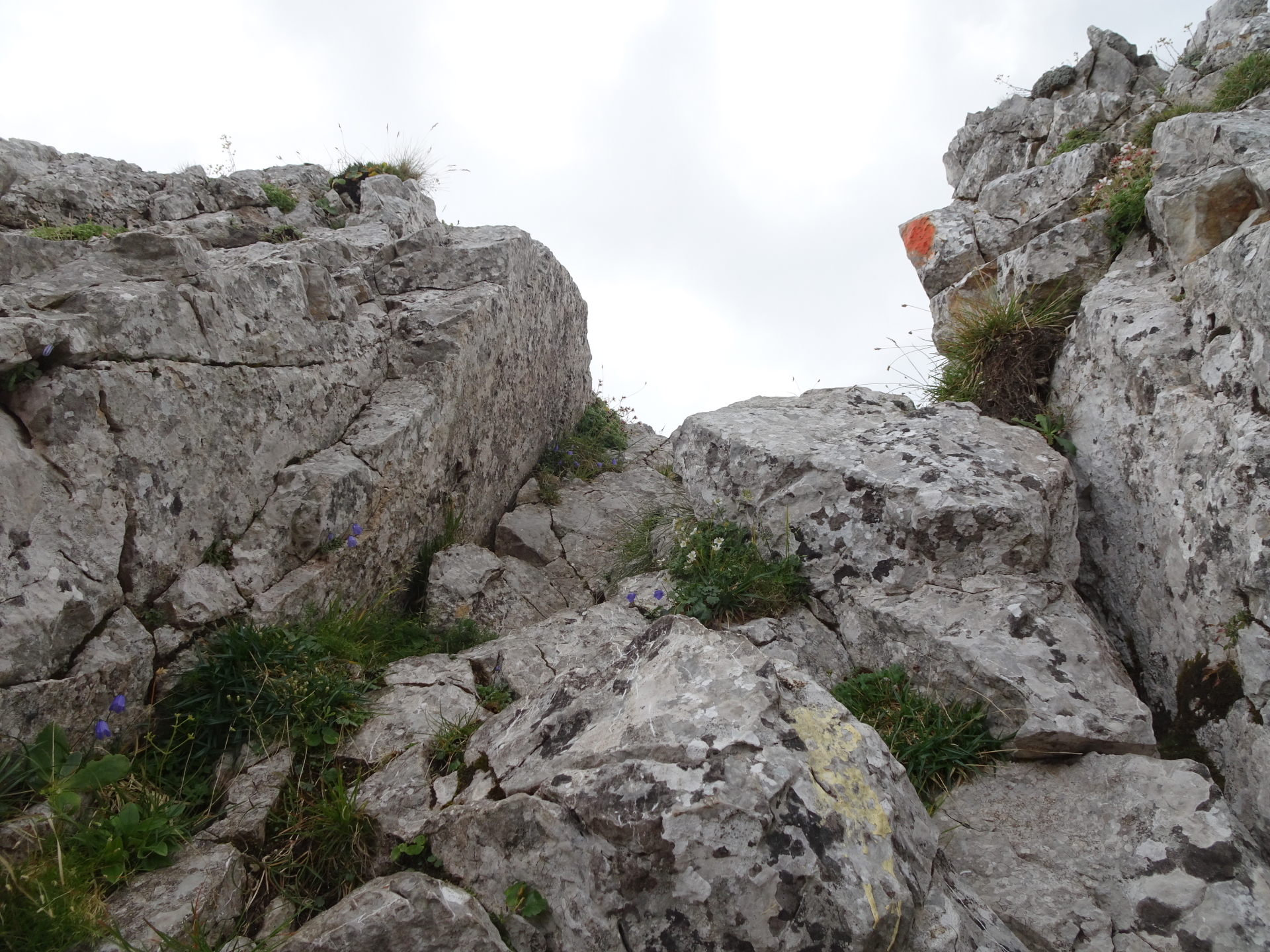
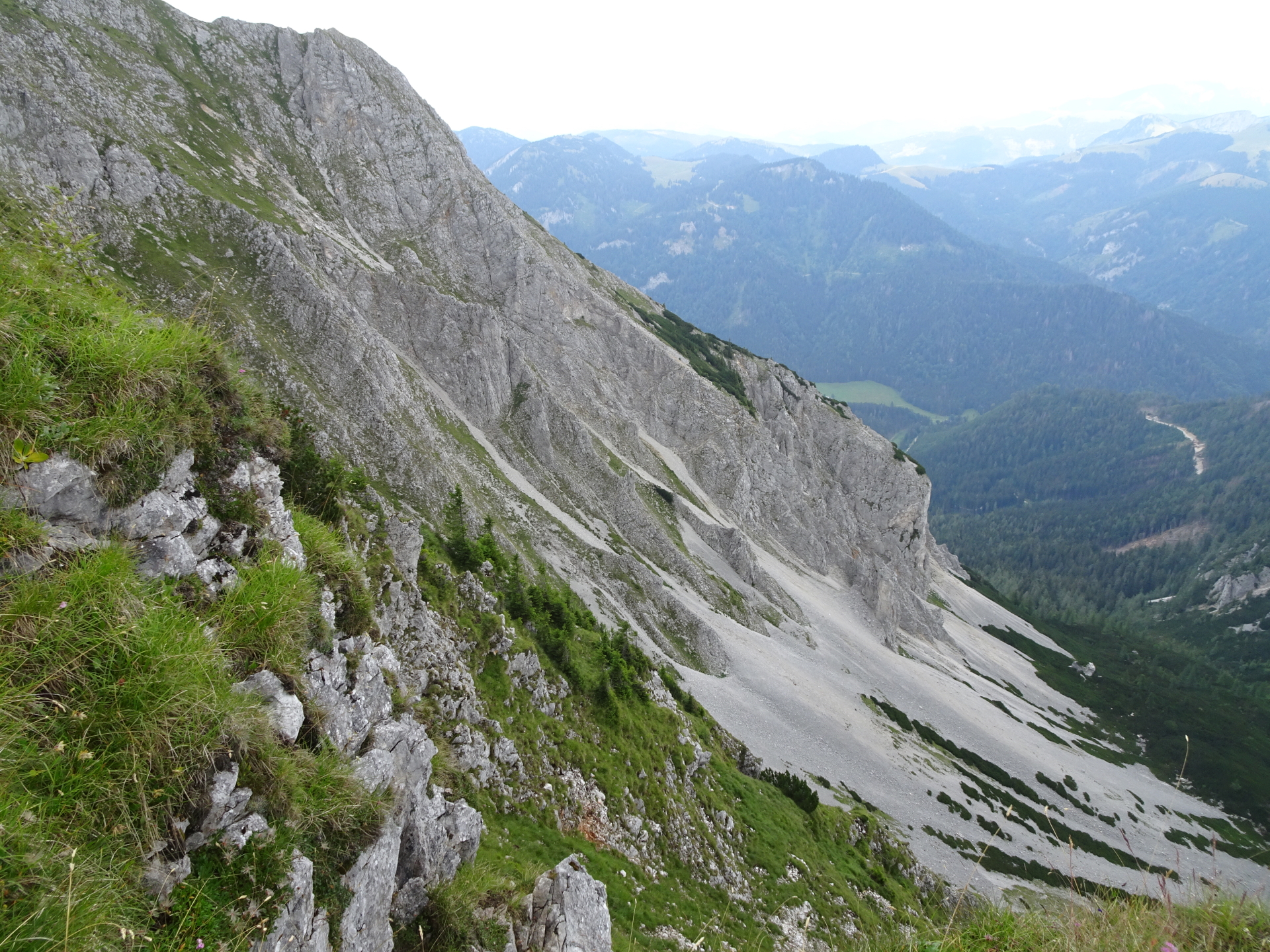
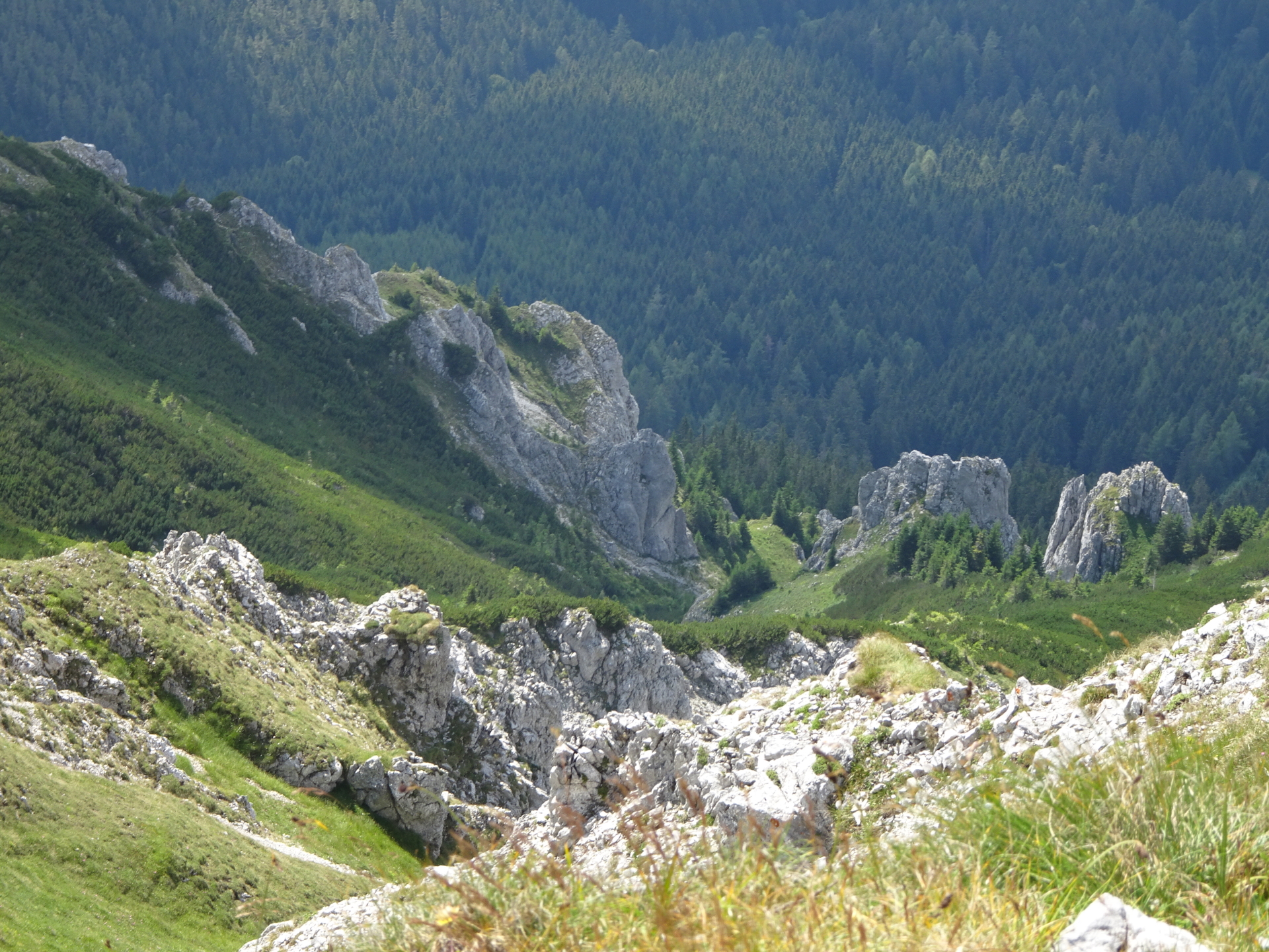
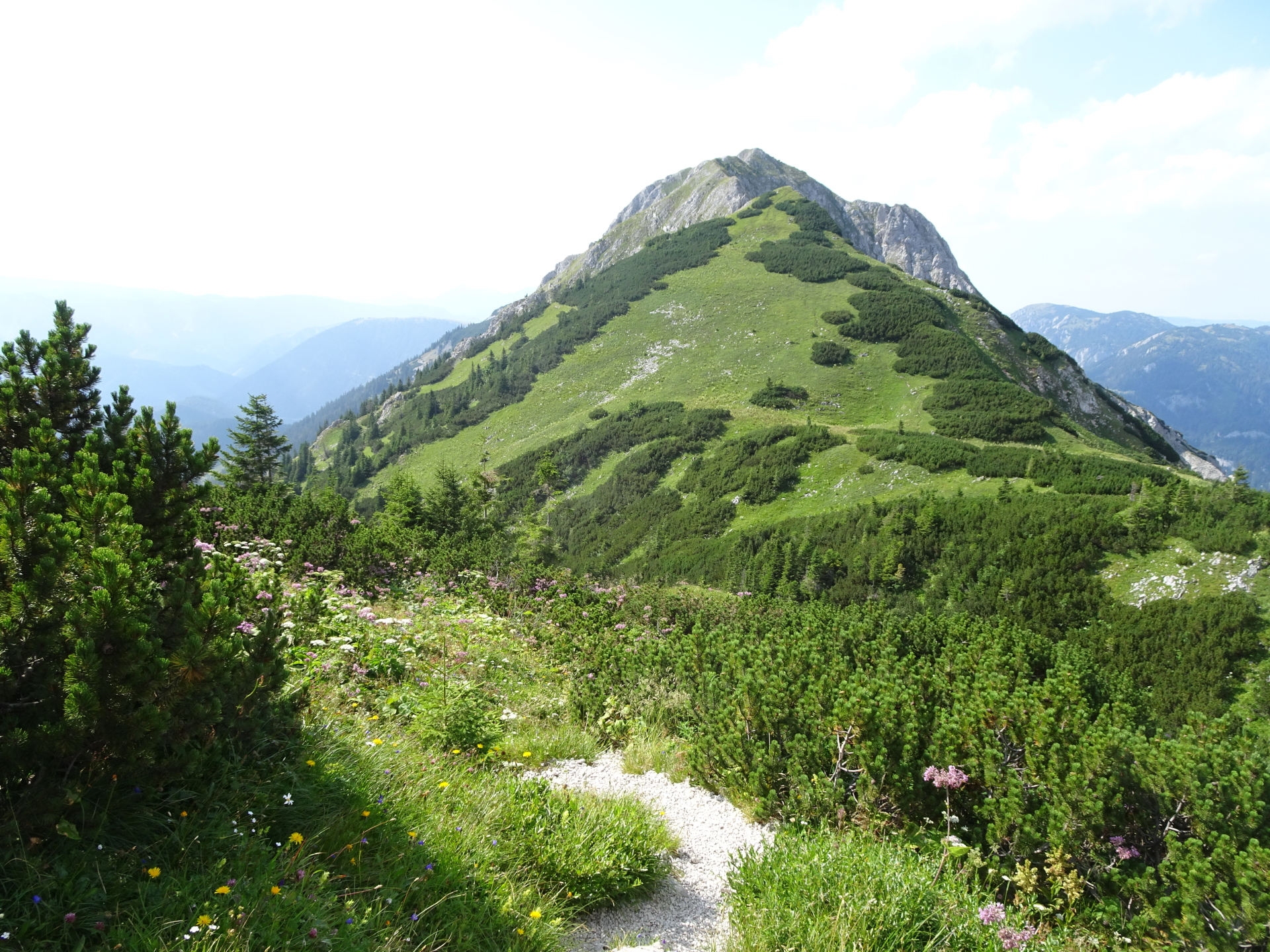
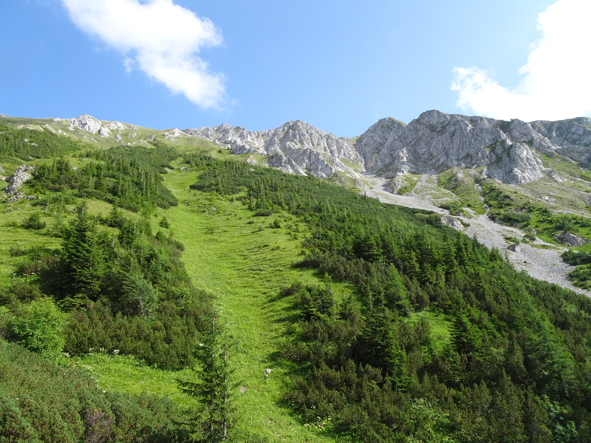
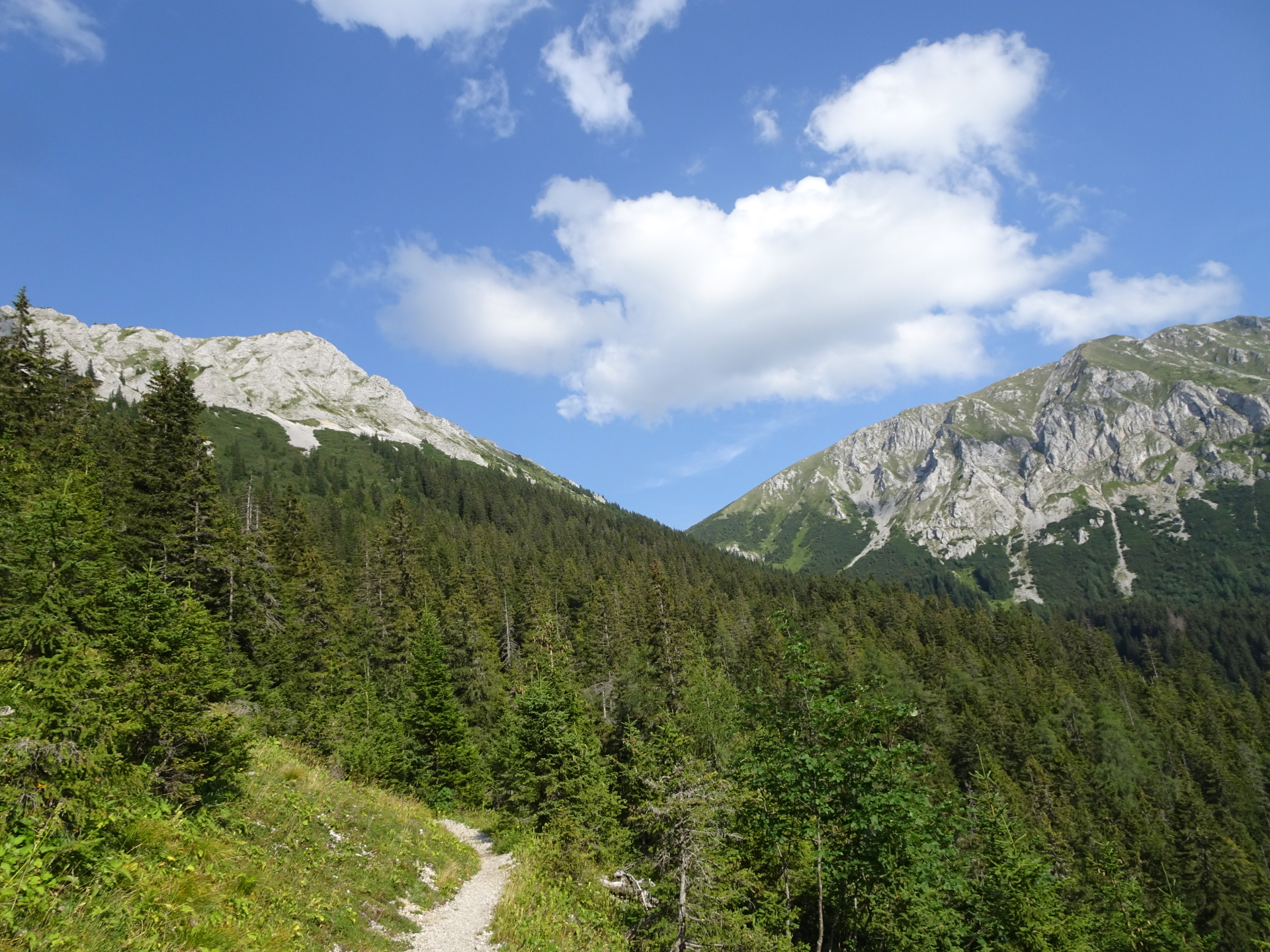
| 01:55 | Follow the exposed trail along the ridge and descend (some climbing parts in UIAA I) down to the Gingatzwiese. |
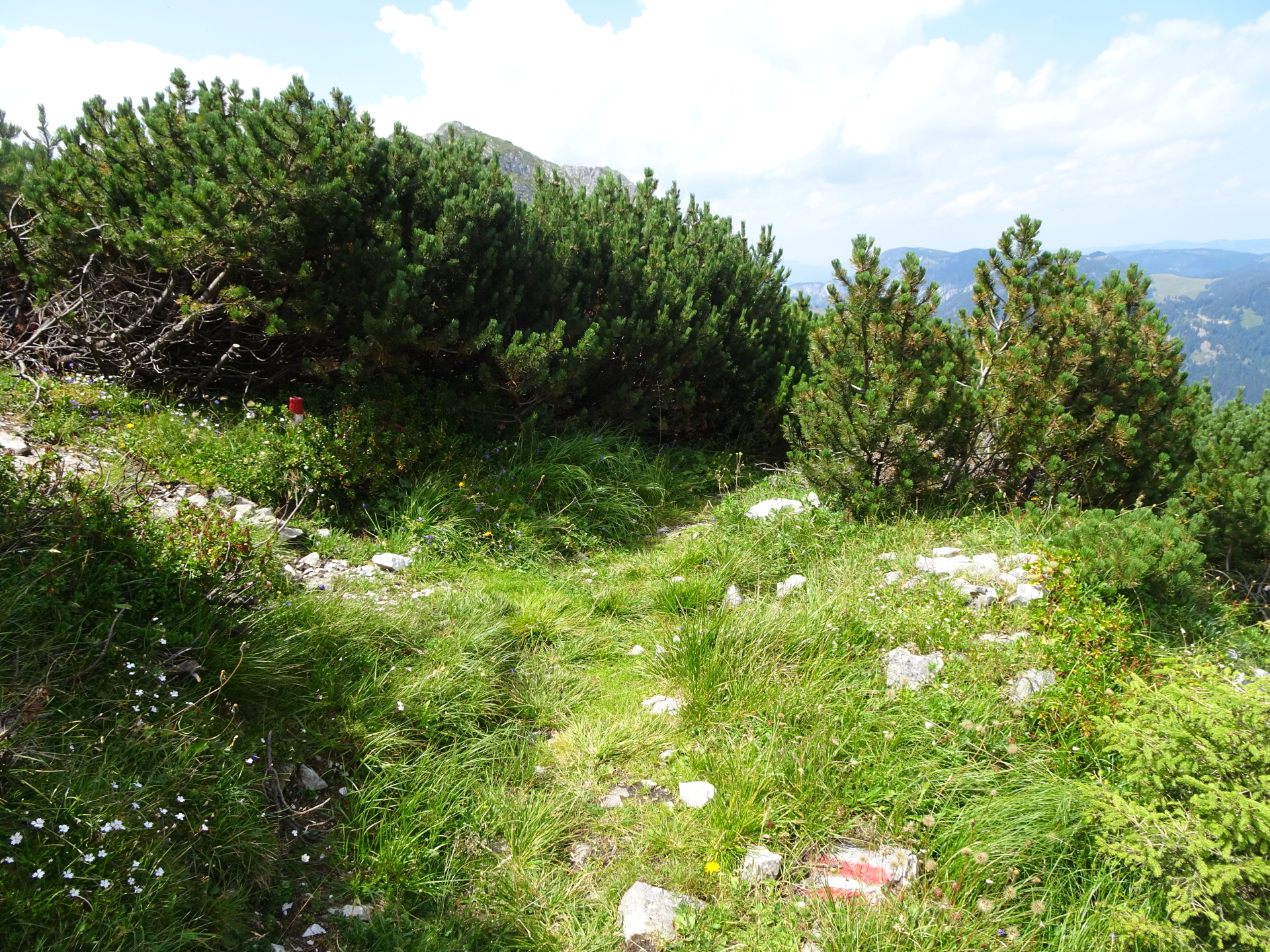
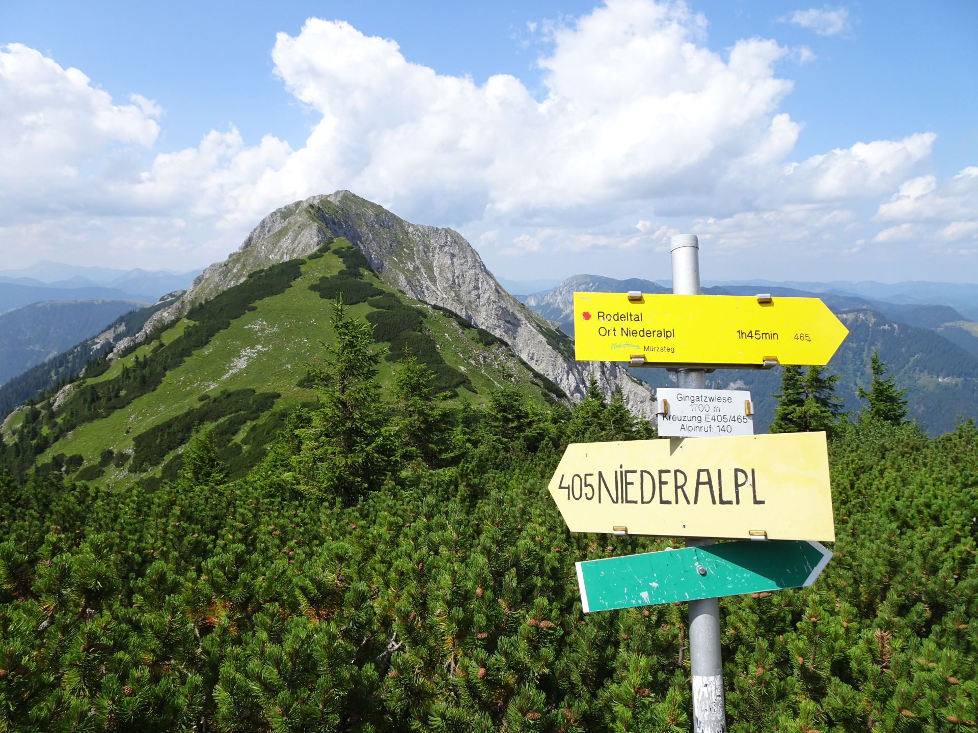
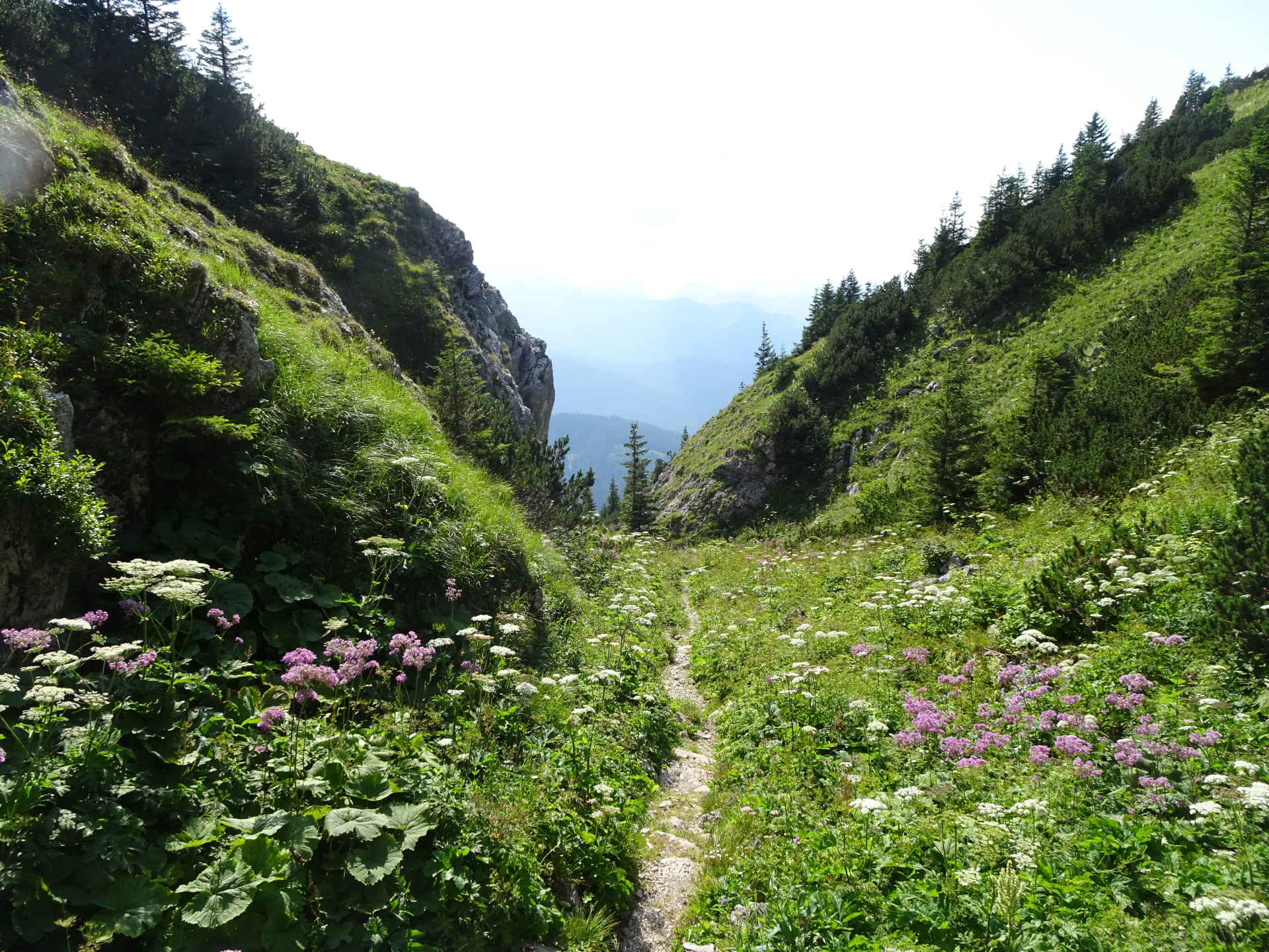
| 02:23 | At the crossing (inside the mountain pine field), turn right and follow the now marked trail towards the next crossing. |
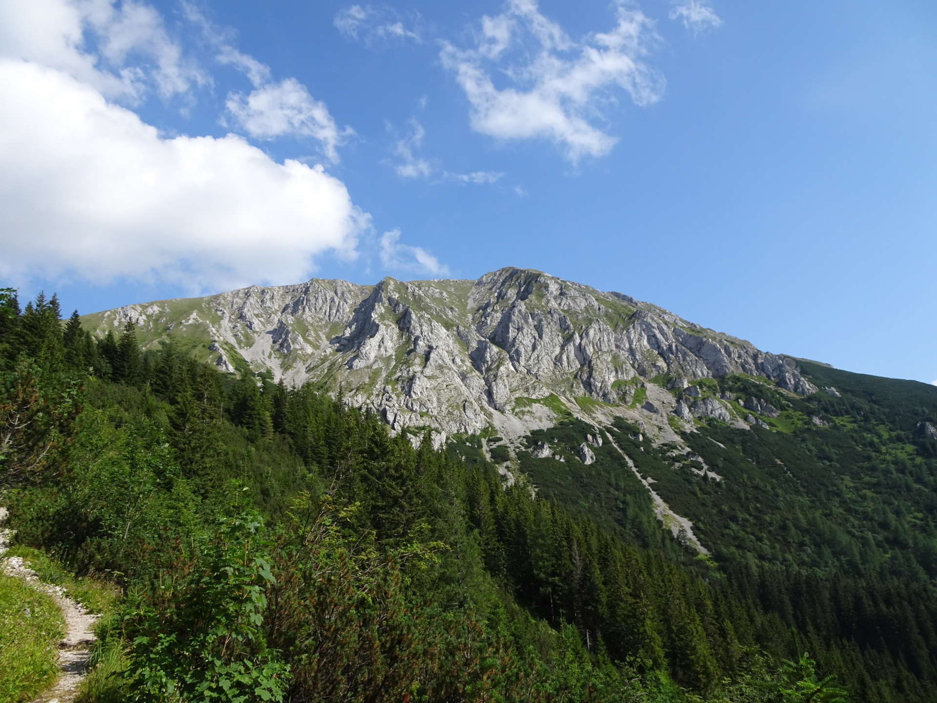
| 02:25 | At the crossing, turn left and follow the trail 405 up to the summit of Hohe Veitsch. |
| 02:35 | At the crossing, keep right and take the direct way up to the summit of Hohe Veitsch. |
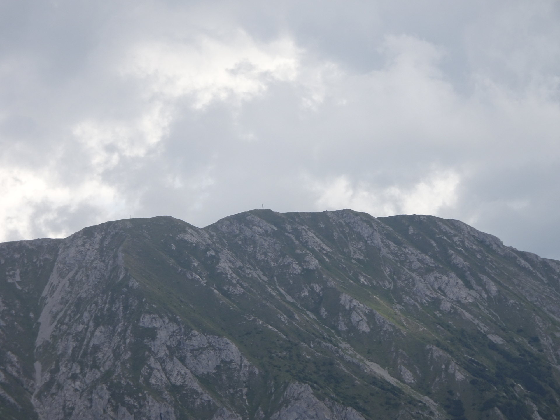
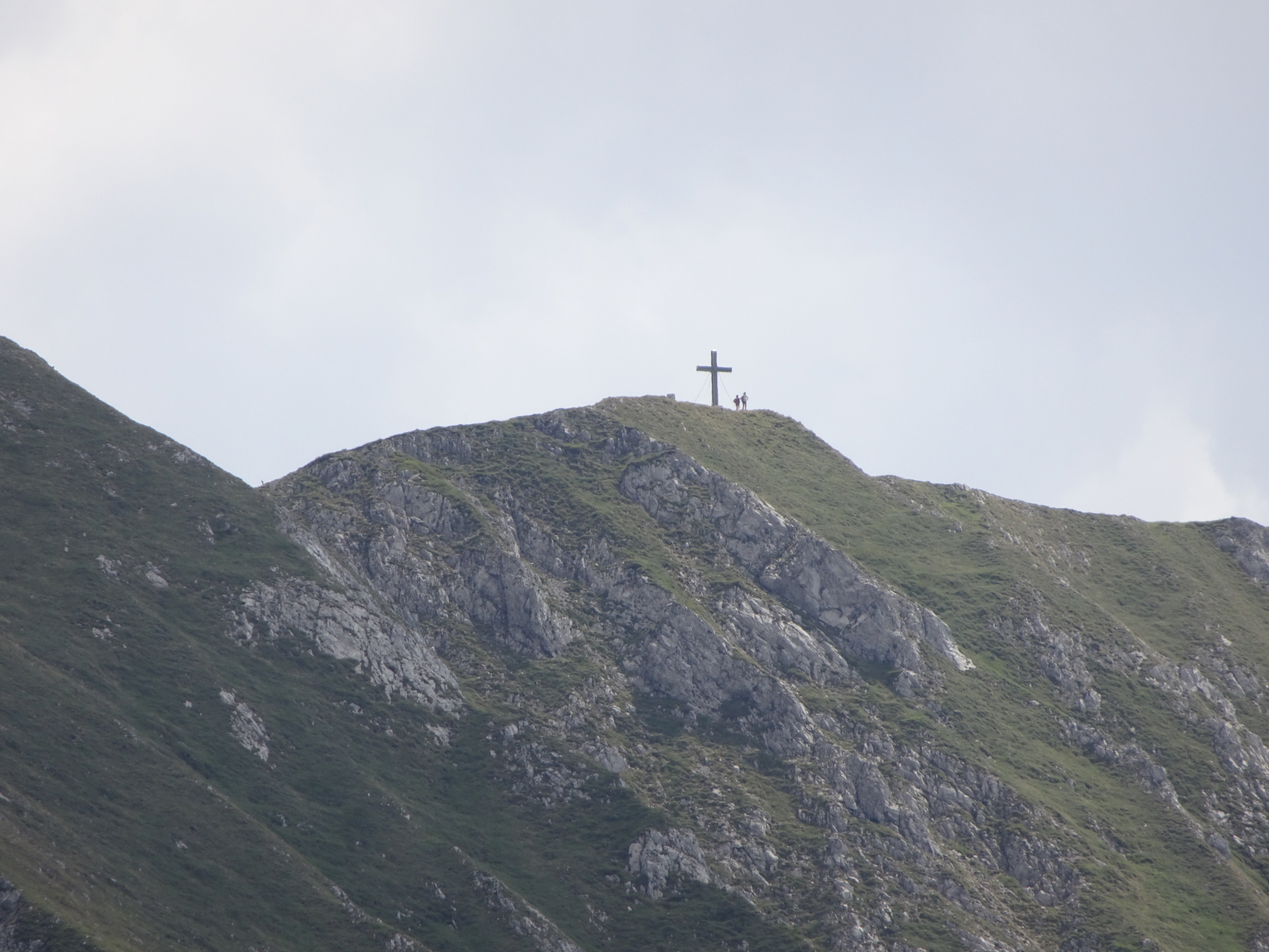
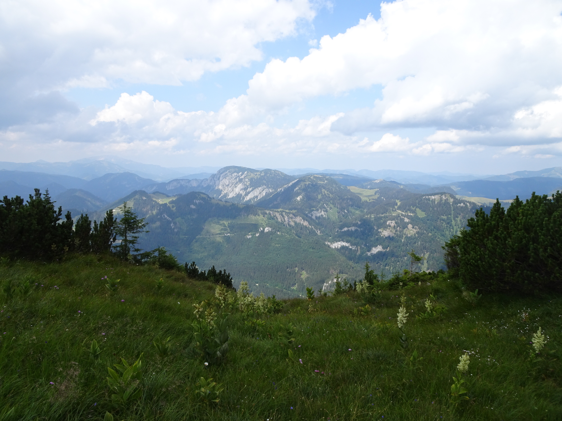
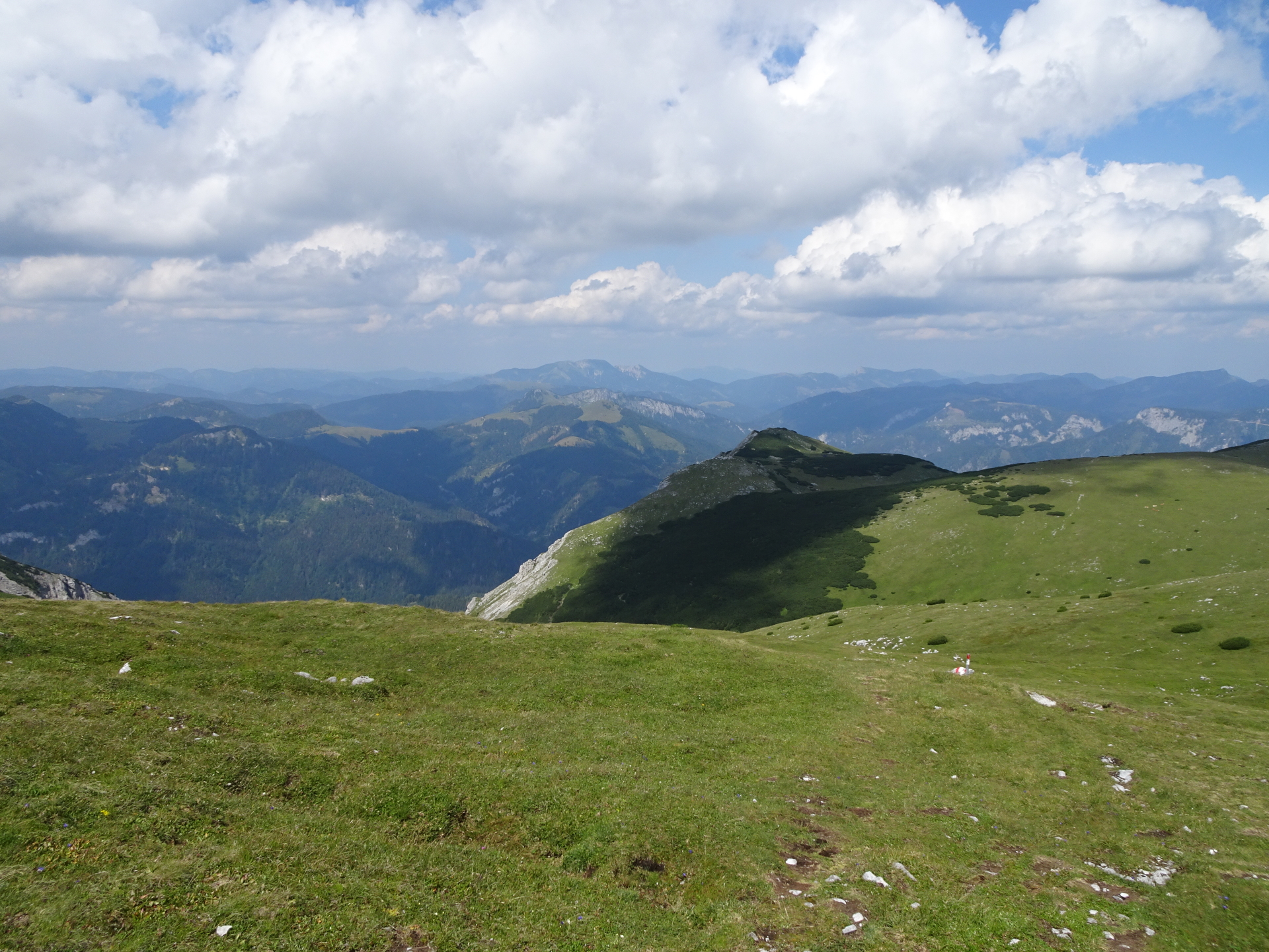
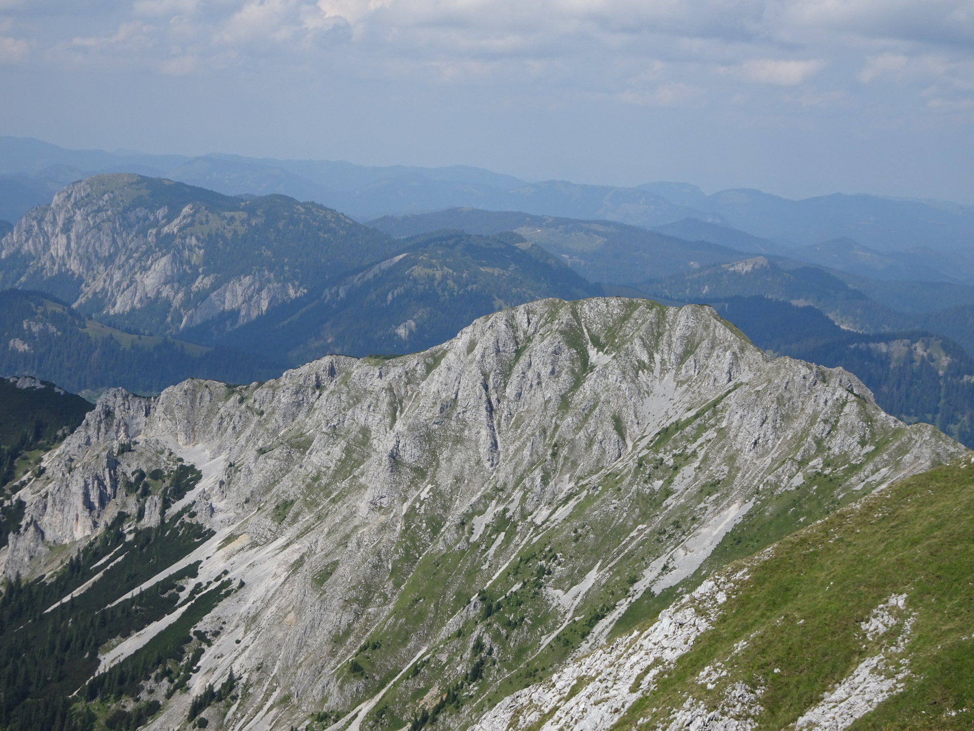
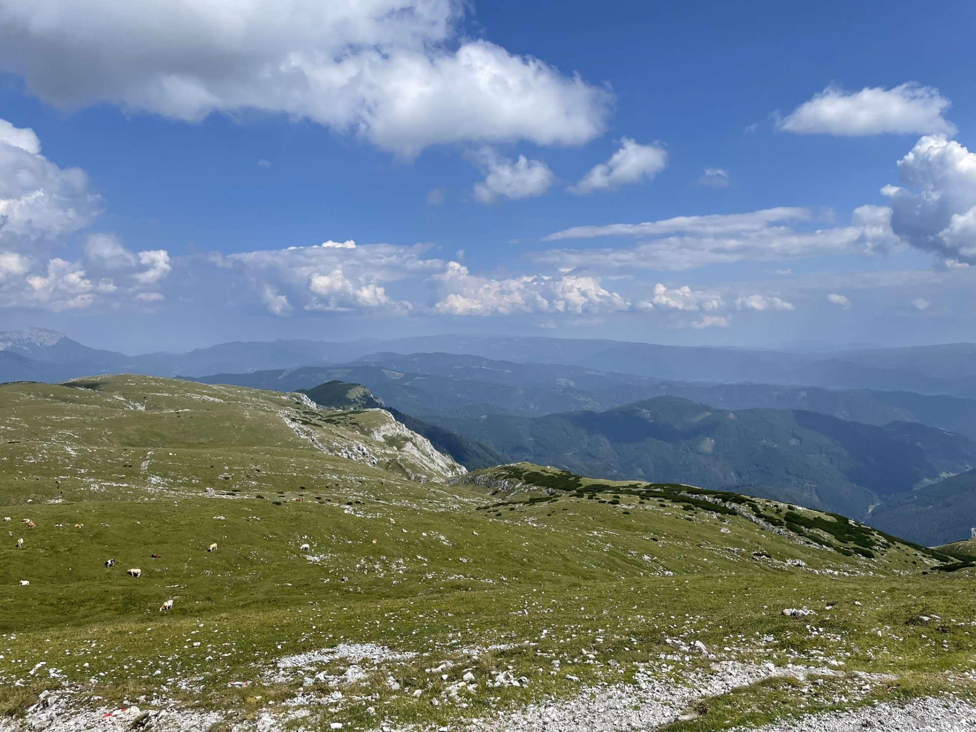
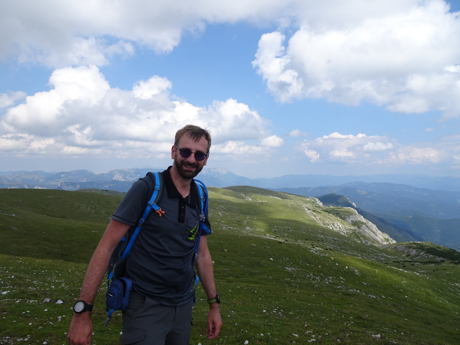
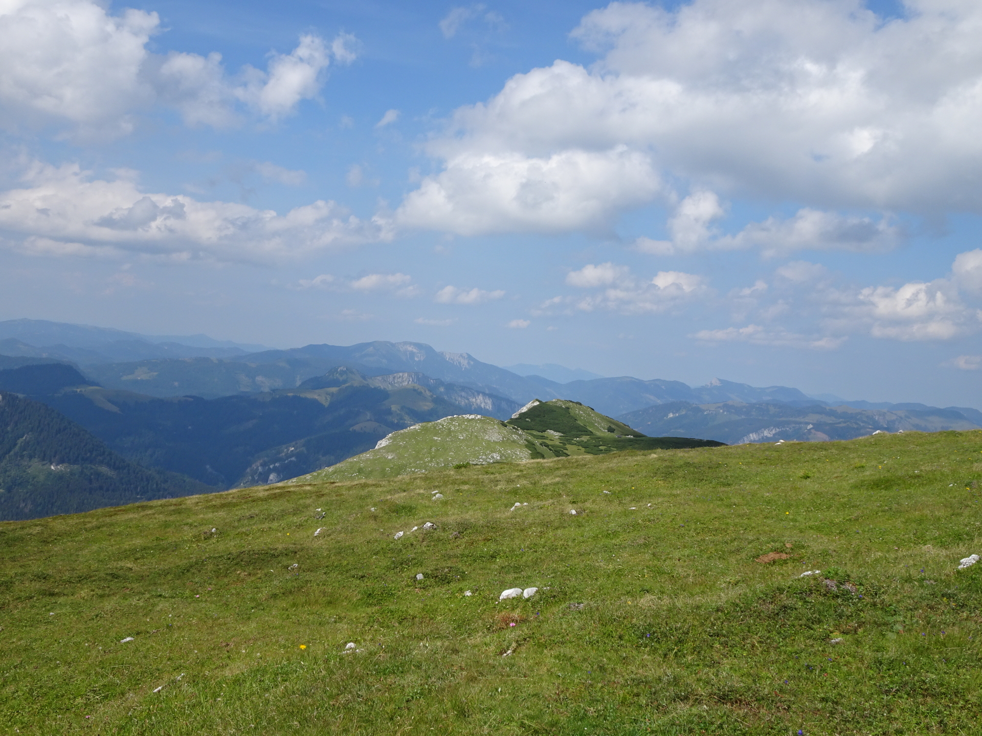
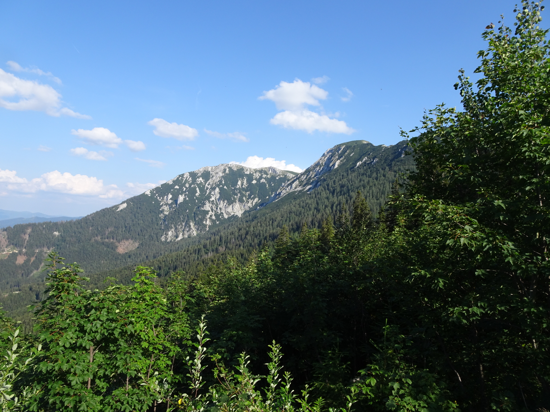
| 02:45 | Enjoy the impressive and scenic view from Hohe Veitsch. Look back and analyse the route through the impressive Wildkamm. |
| 02:55 | Continue following the trail southwards descending towards Graf Meran Haus. |
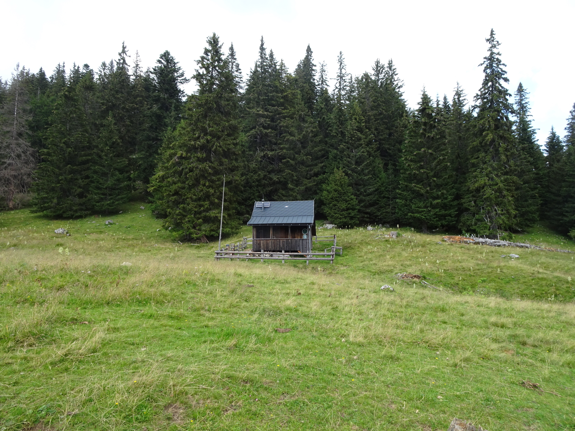
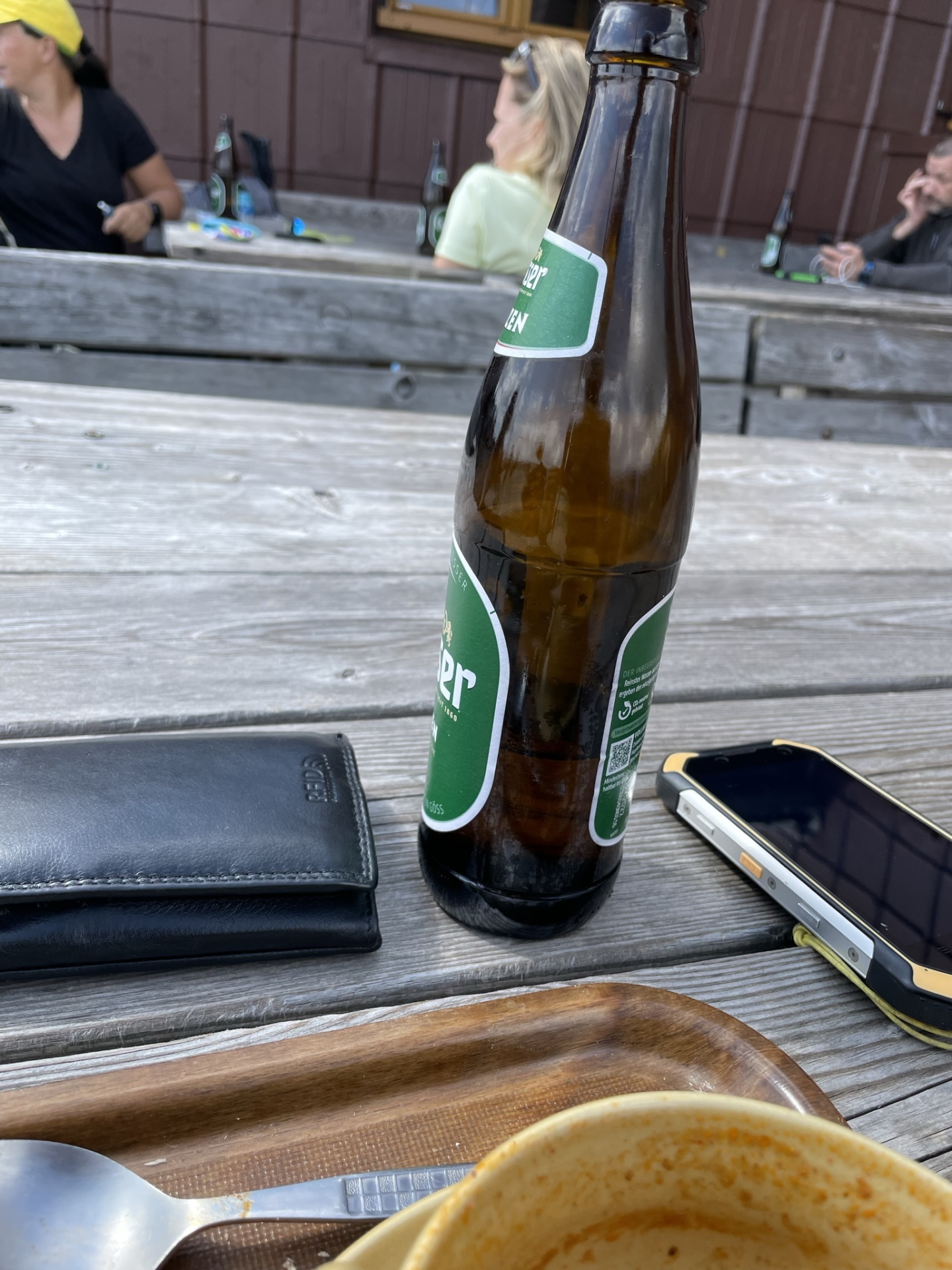
| 03:05 | Well deserved break ( ) at Graf Meran Haus. |
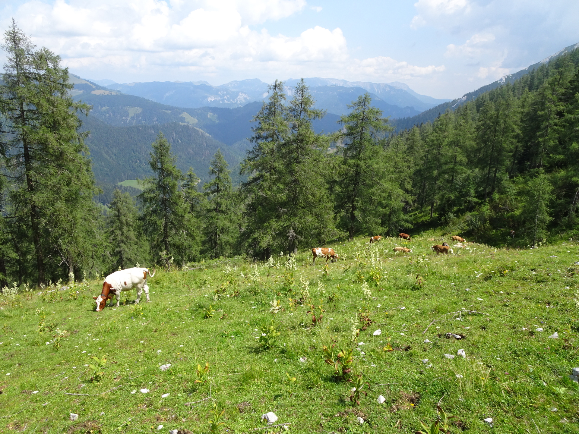
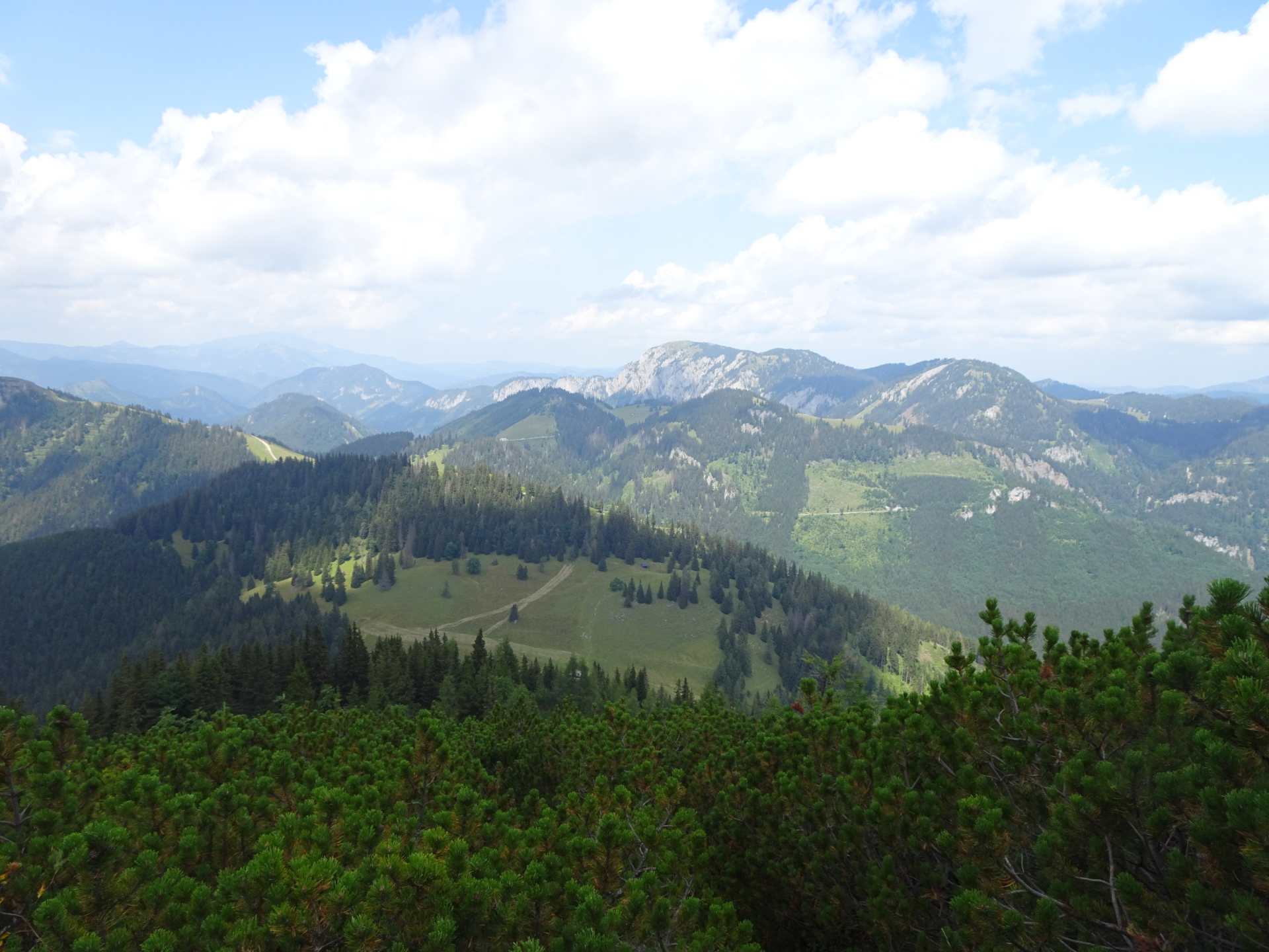
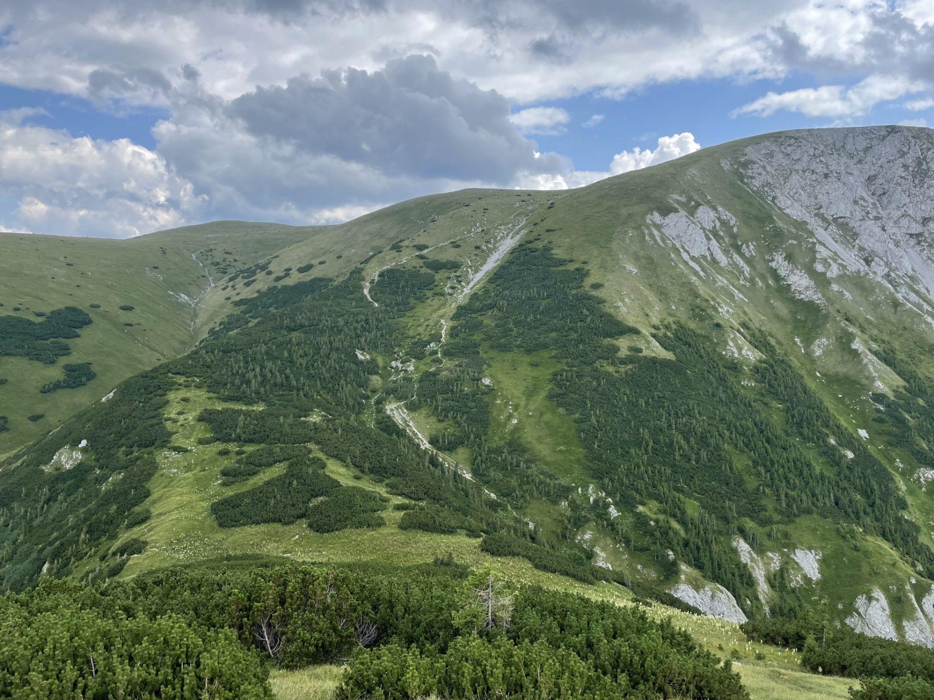
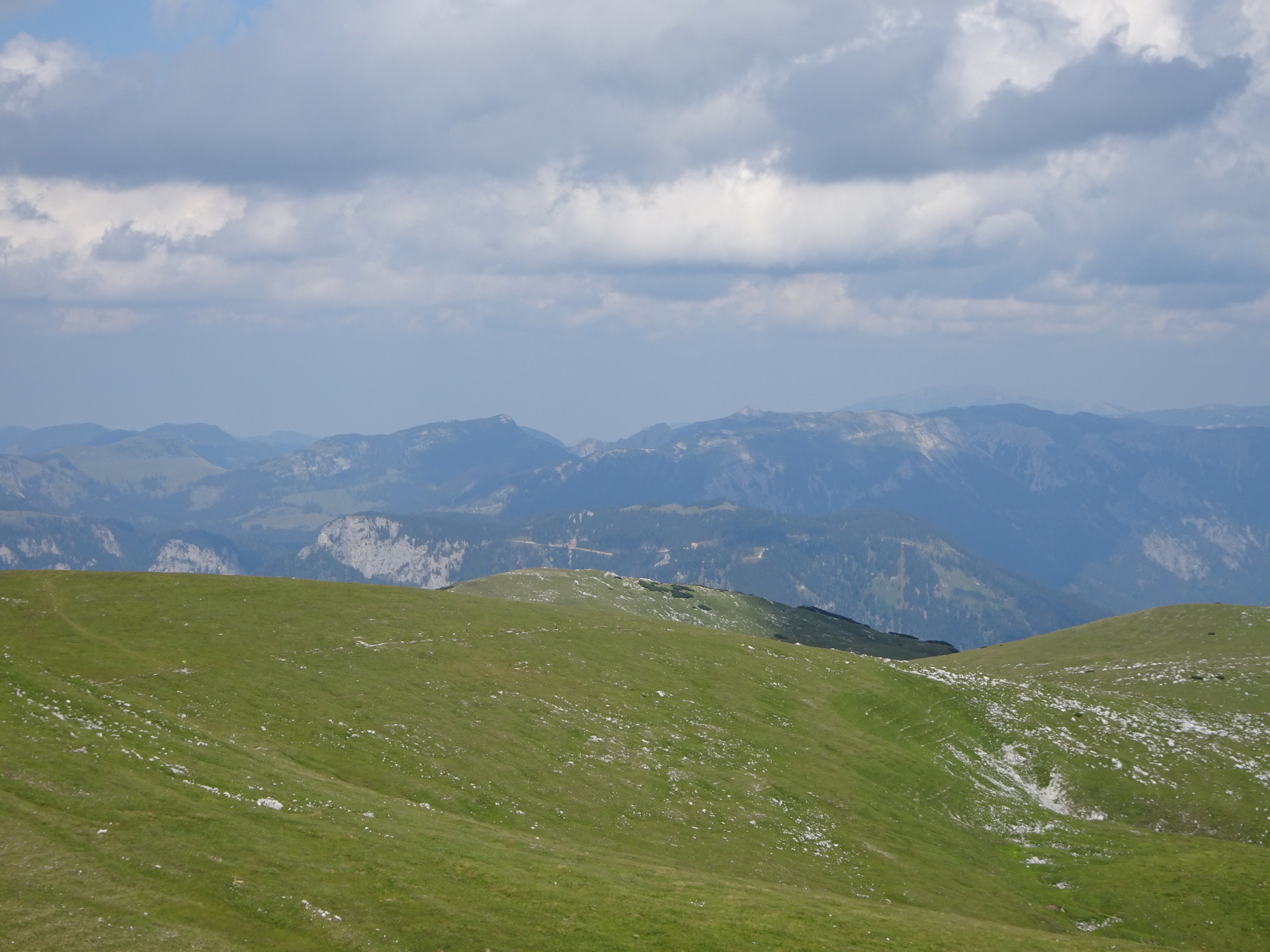
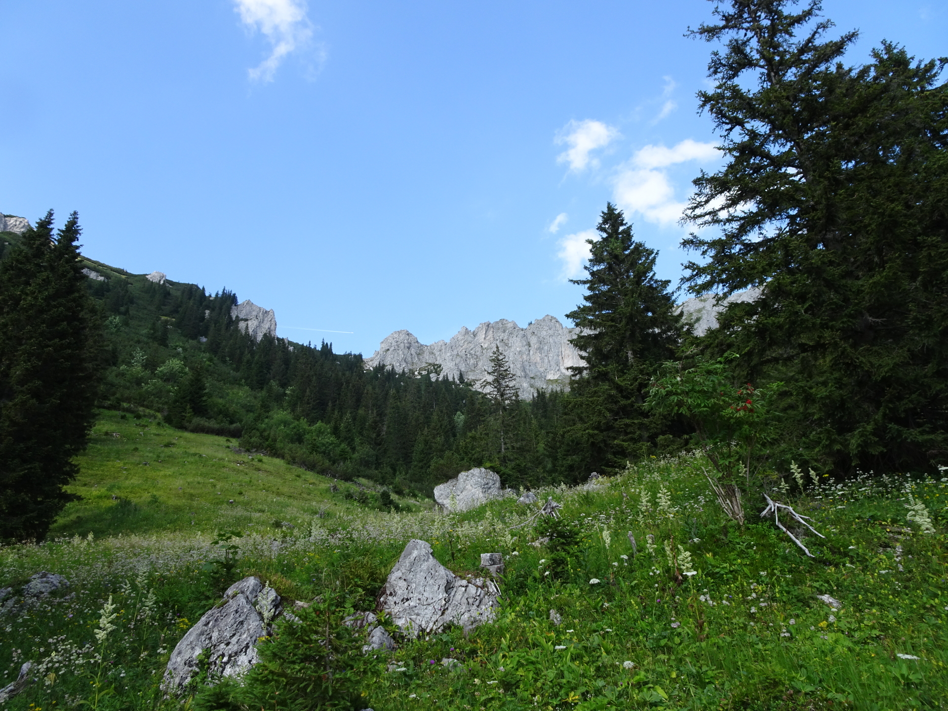
| 03:40 | Take the trail 405 on the east around the hut and head back northeastwards towards Gingatzwiese bypassing the summit this time. |
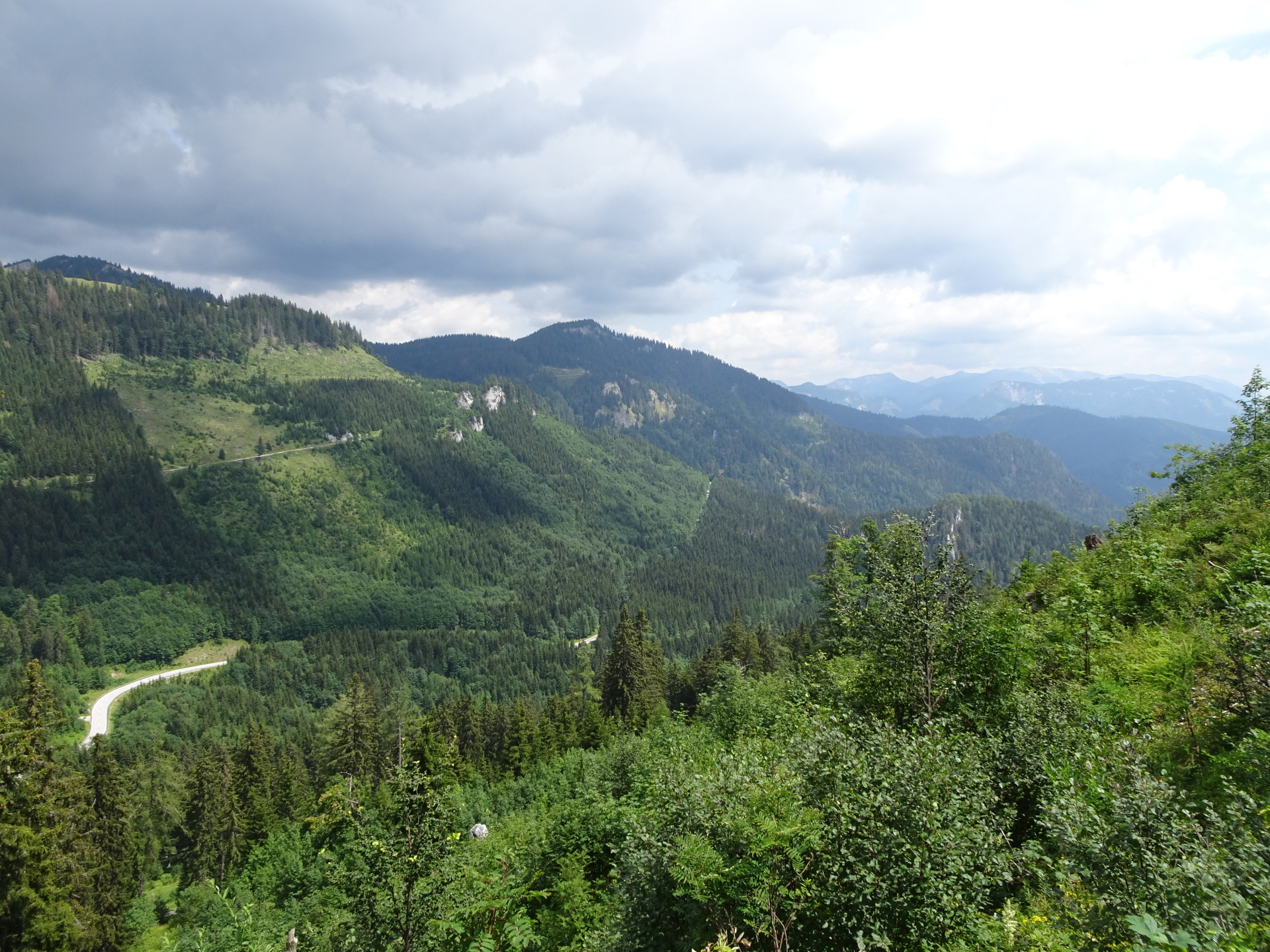
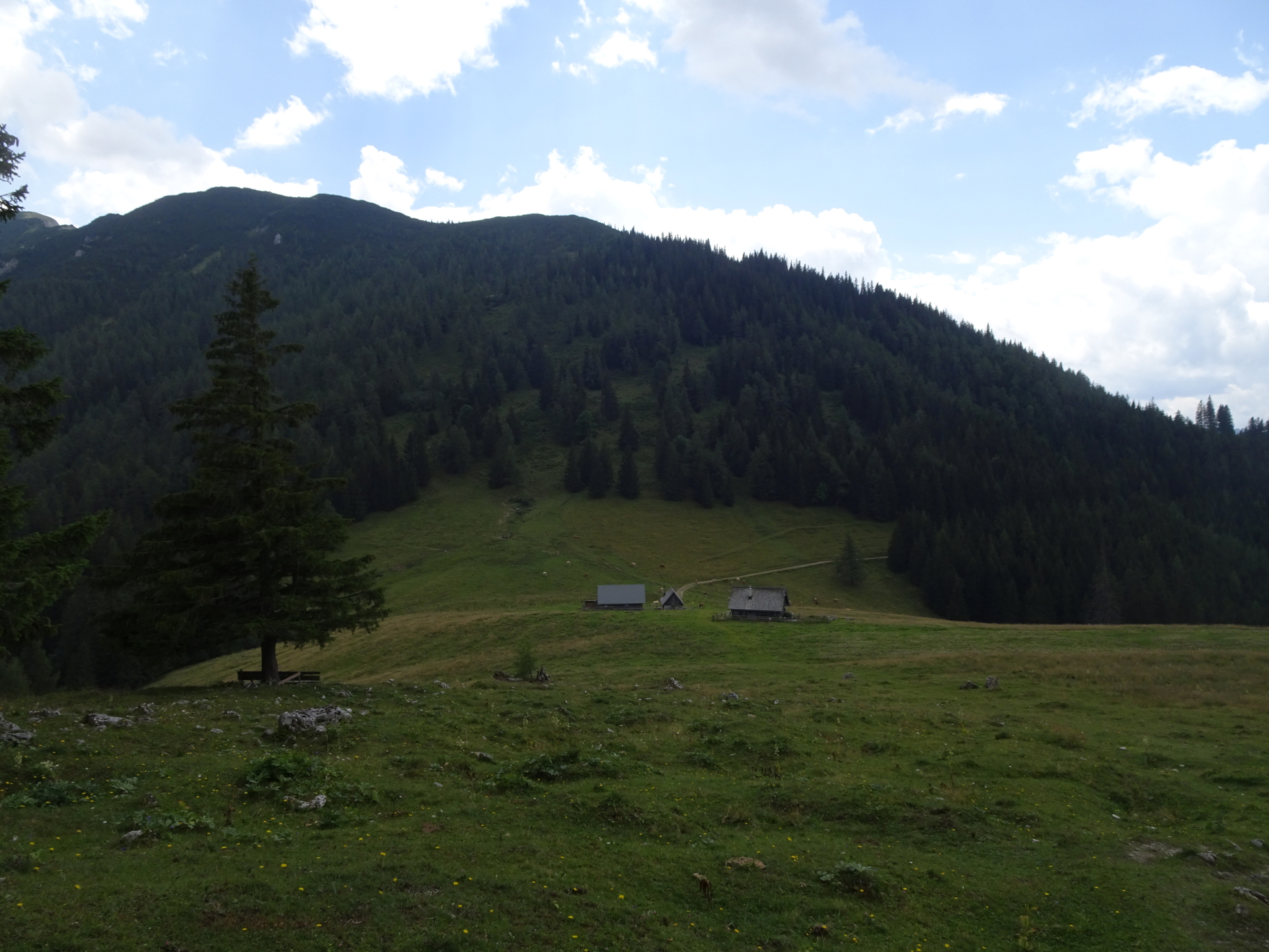
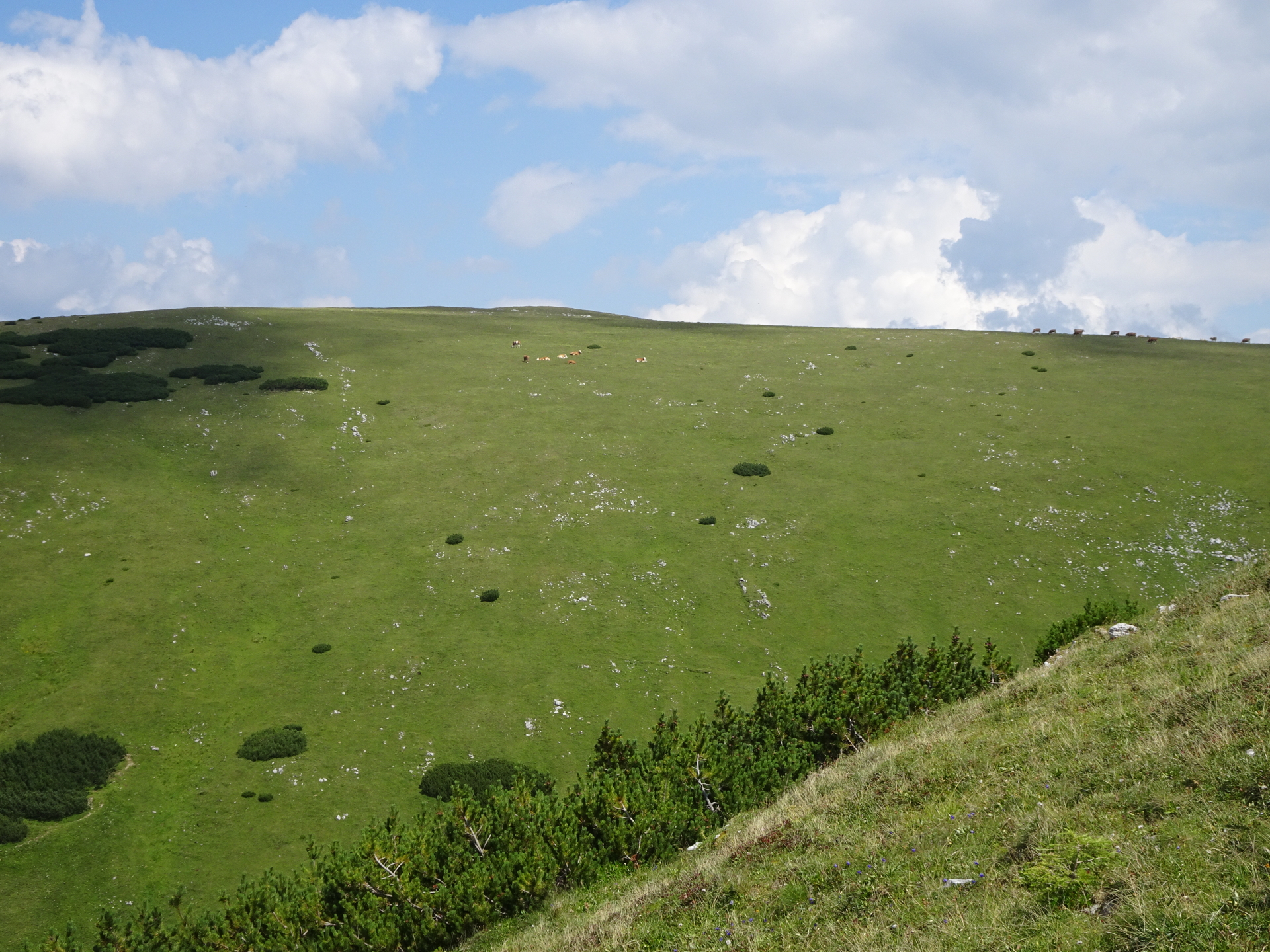
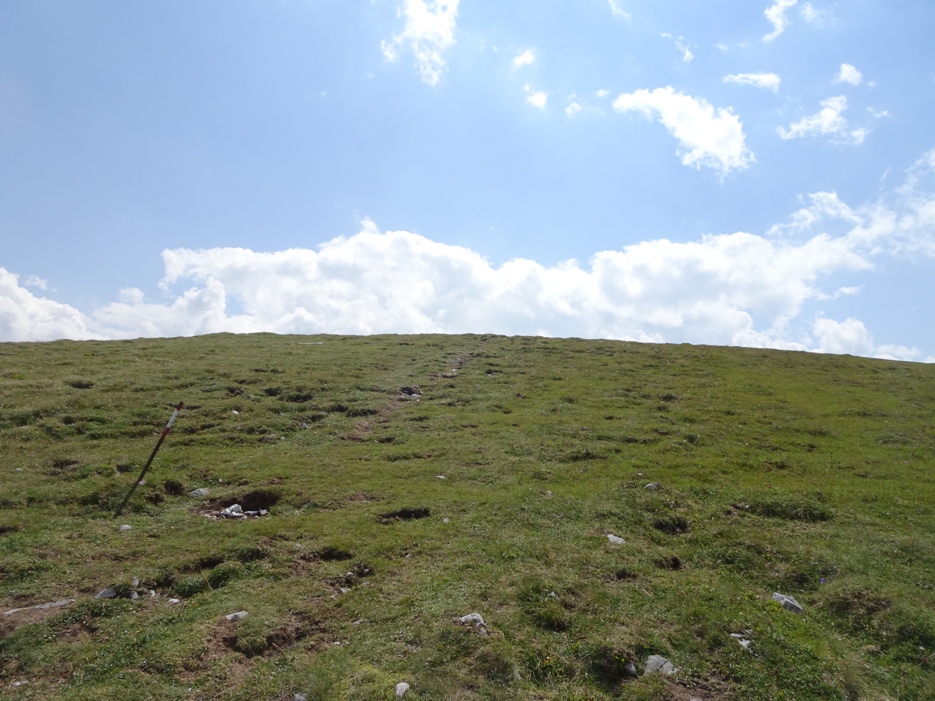
| 04:10 | At the crossing Gingatzwiese, keep left and follow the trail 405 back to Niederalpl (see signpost). Enjoy the scenic and fairly easy route back to Sohlenalm. |
| 05:15 | At the Sohlenalm, take the same route back to the parking like used for the ascent. |
| 05:40 | Back at the parking Niederalpl saddle, end of the tour. |
At a glance
| Level | easy-moderate alpine |
| – UIAA Level (Climbing) | I |
| Technique | |
| Shape / Fitness | |
| Experience | |
| Scenery | |
| Best time in the year | |
|
Jan
Feb
Mar
Apr
May
Jun
Jul
Aug
Sep
Oct
Nov
Dec
|
|
| Area: | Mürzsteger Alps, Hochsteiermark, Austria | |
| Distance: | 14km | |
| Ascent: | 1064m (1h 35min) | |
| Descent: | 1047m (1h 15min) | |
| Highest Pt: | 1981m | |
| Lowest Pt: | 1218m | |
| Duration: | 5h 05min (without breaks) 5h 40min (with breaks) |
|
| Stop/Rest: | Graf Meran Haus (1837m) | |
| Equipment: | Hiking shoes with good grip (on rock) Backpack with standard hiking equipment Food/snacks and plenty of water Sun & Weather protection Camera GPS recommended! |
| Download GPX Download GPX (reverse direction, EASIER!) |
||
| O | Tour at outdooractive.com |


, Fuchsloch (II-) & Reißtalersteig (A/B)\"")
Leave a Reply