
Climb Hochlantsch via the scenic Jägersteig (UIAA I) and descend to the beautiful Teichalm
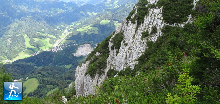
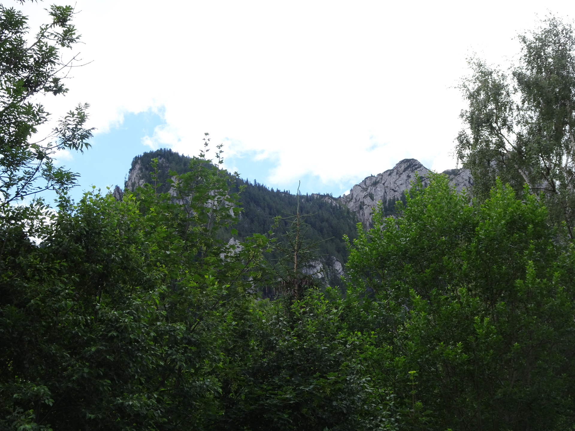
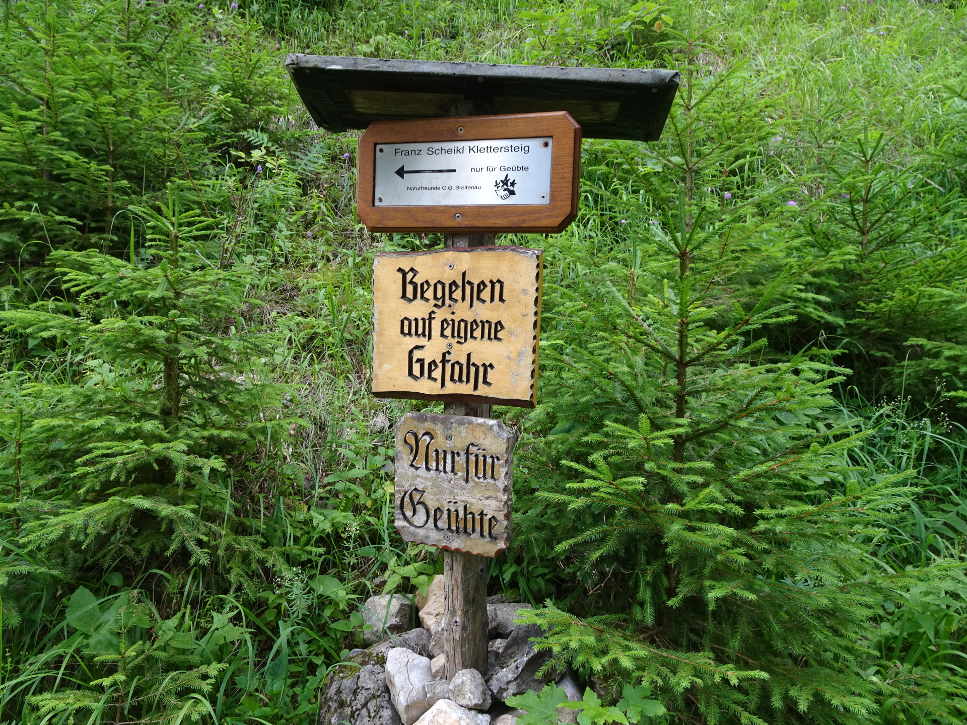
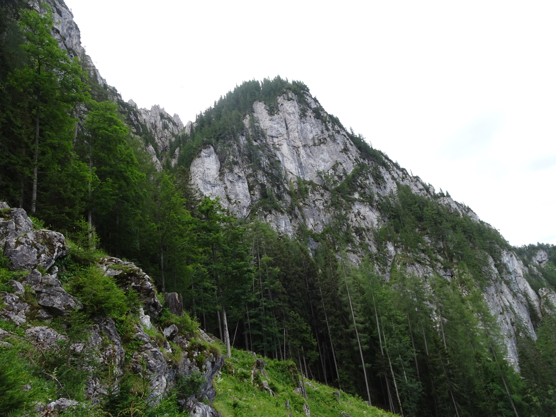
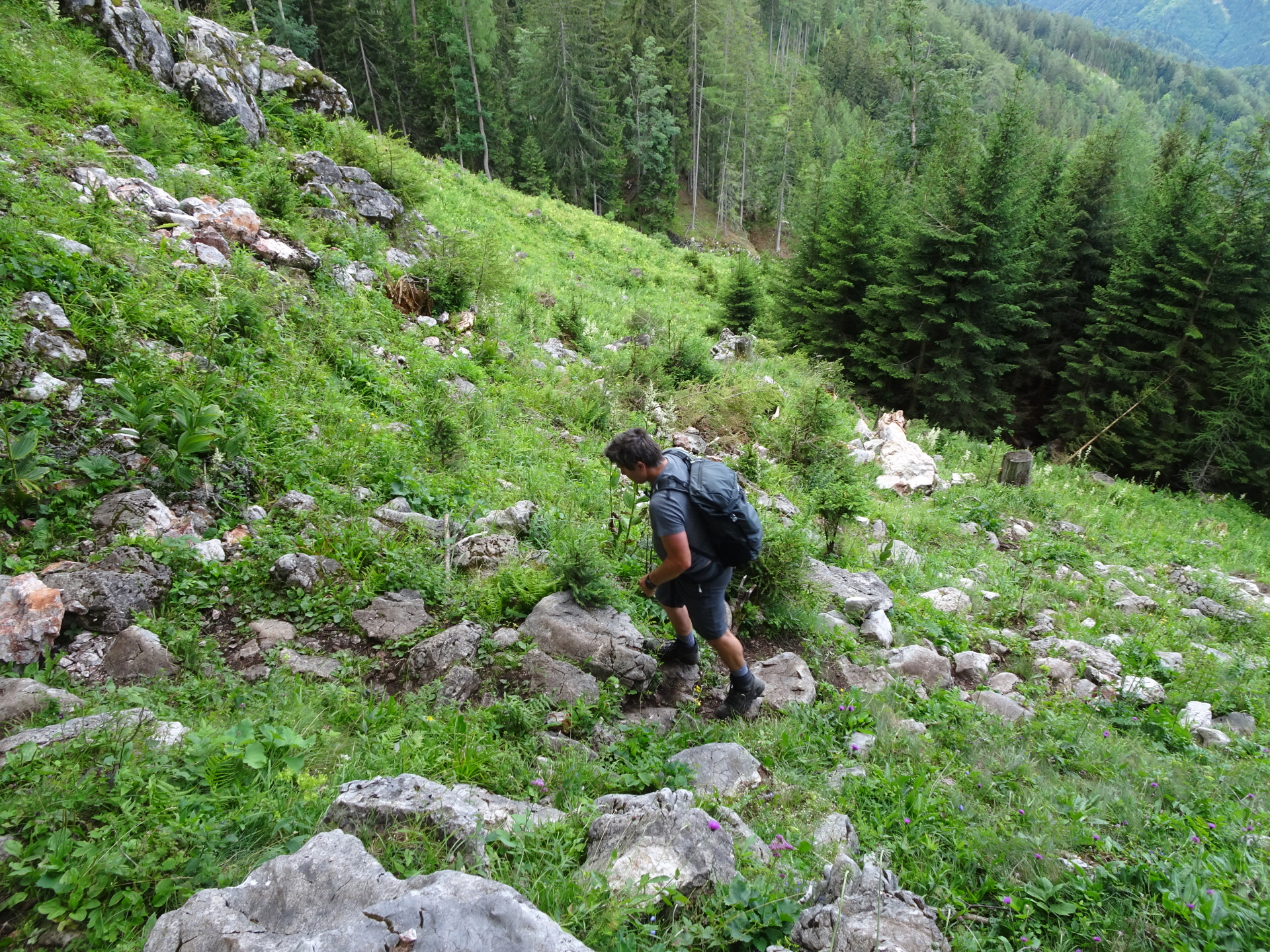
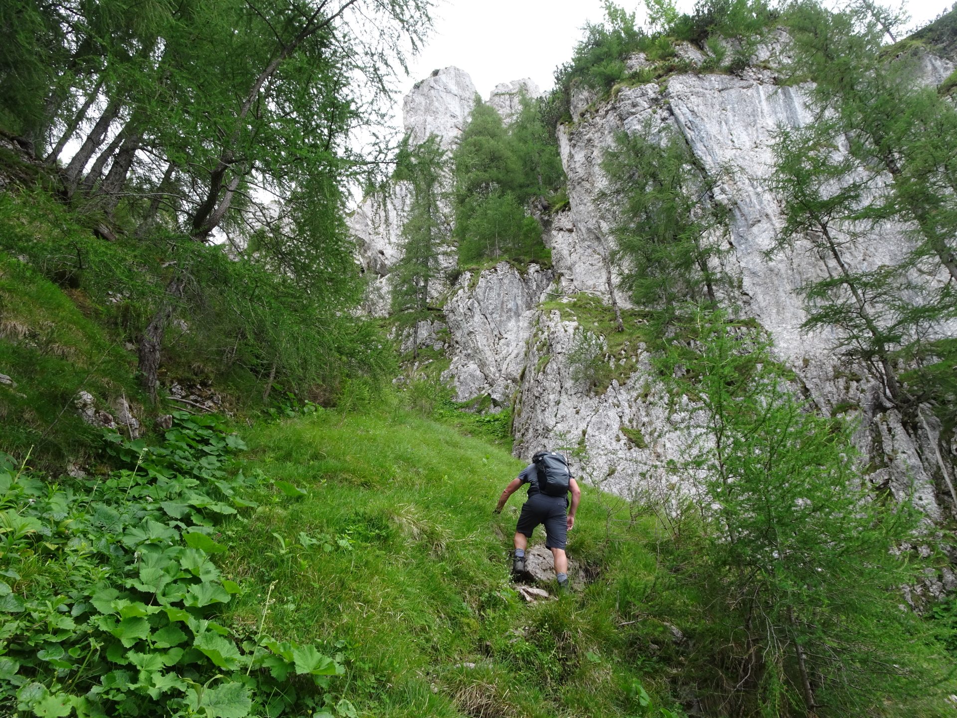
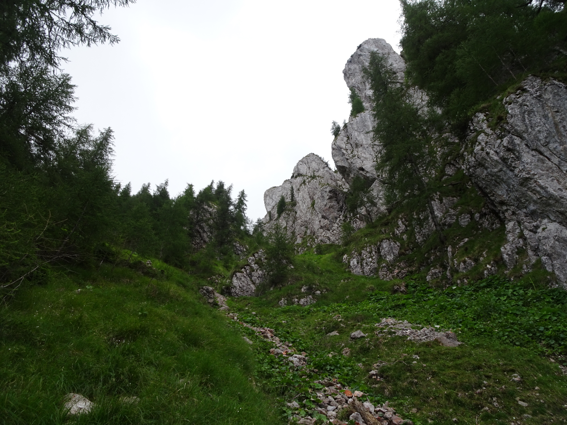
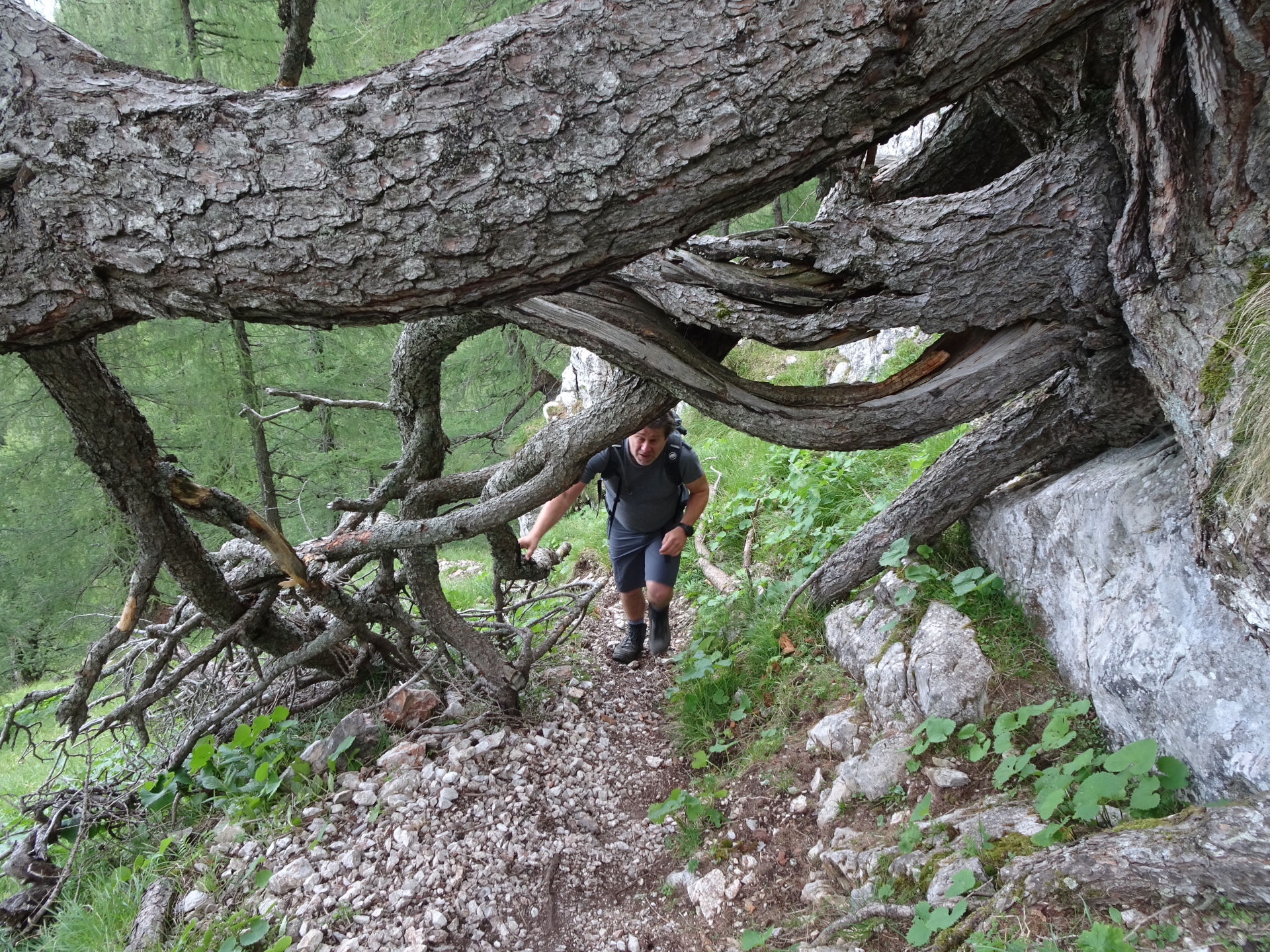
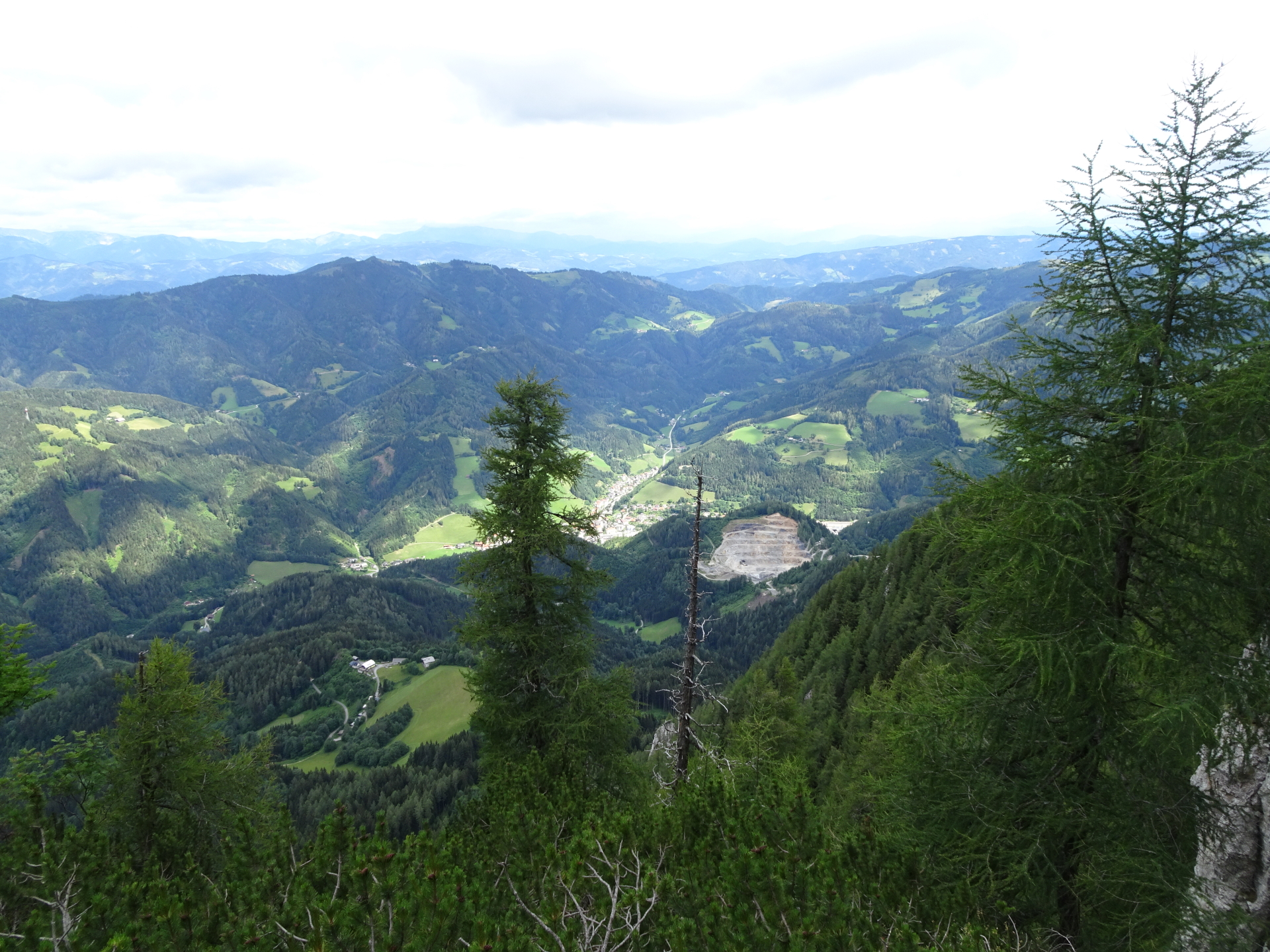
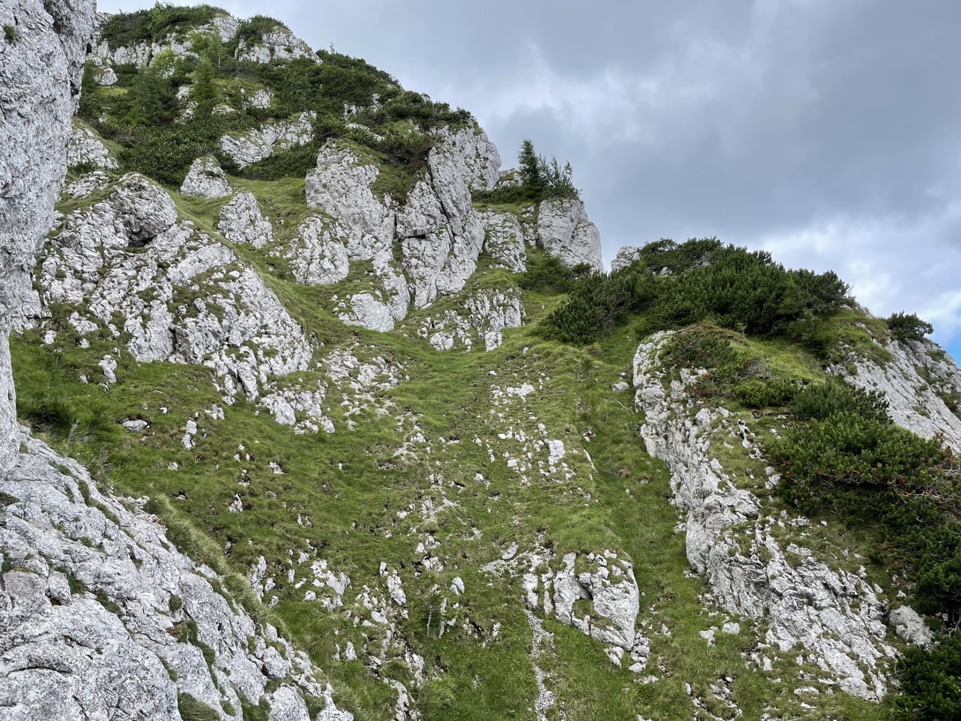
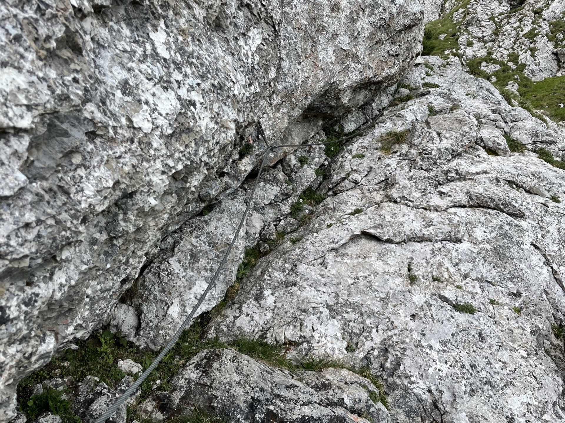
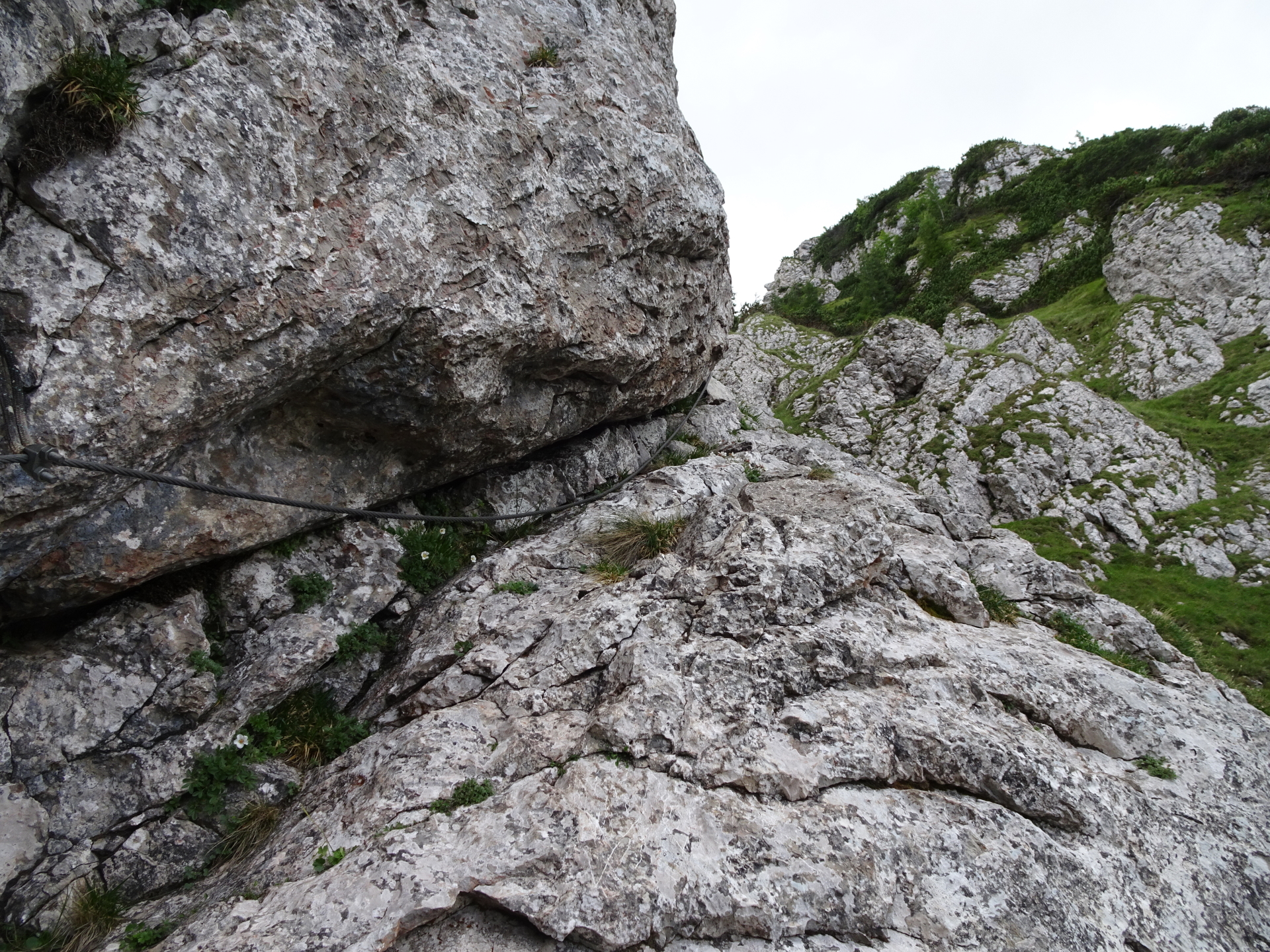
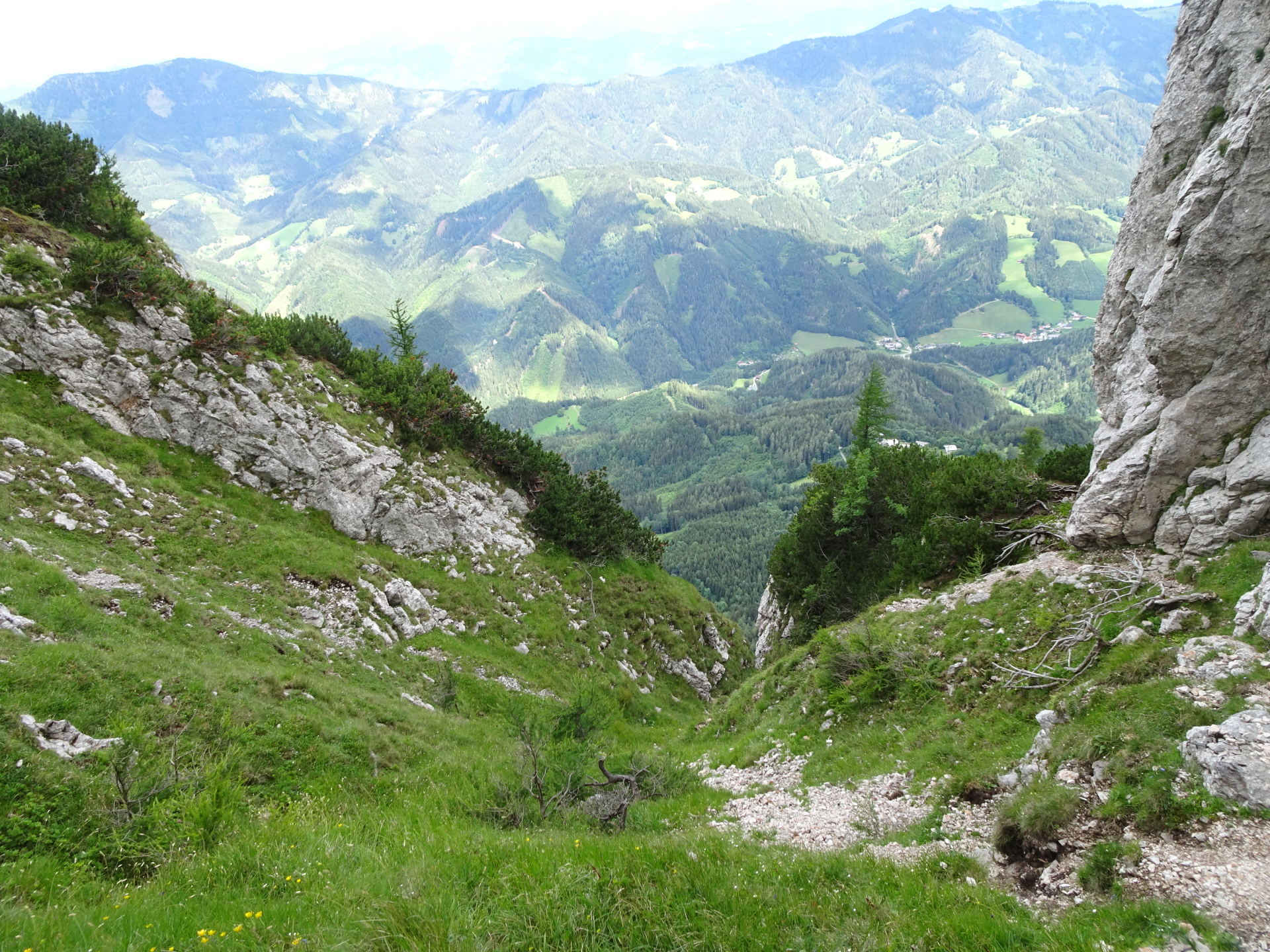
The scenic Jägersteig is an interesting alternative to the sometimes crowded Franz-Scheikl Via Ferrata and ends directly at the summit of Hochlantsch. This tour is an alpine tour and requires climbing skills (UIAA I, I+), a sure foot but rewards with impressive views.
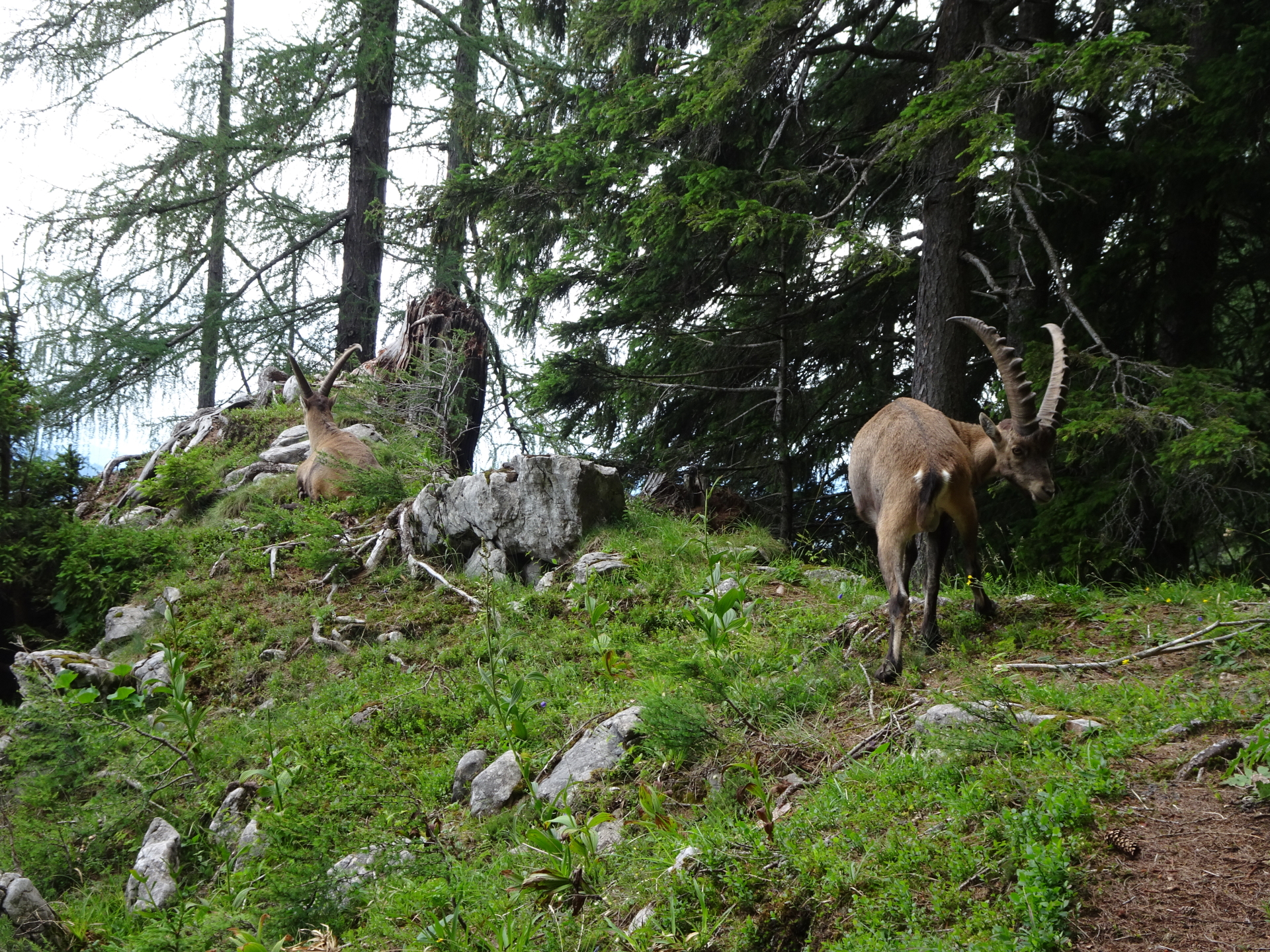
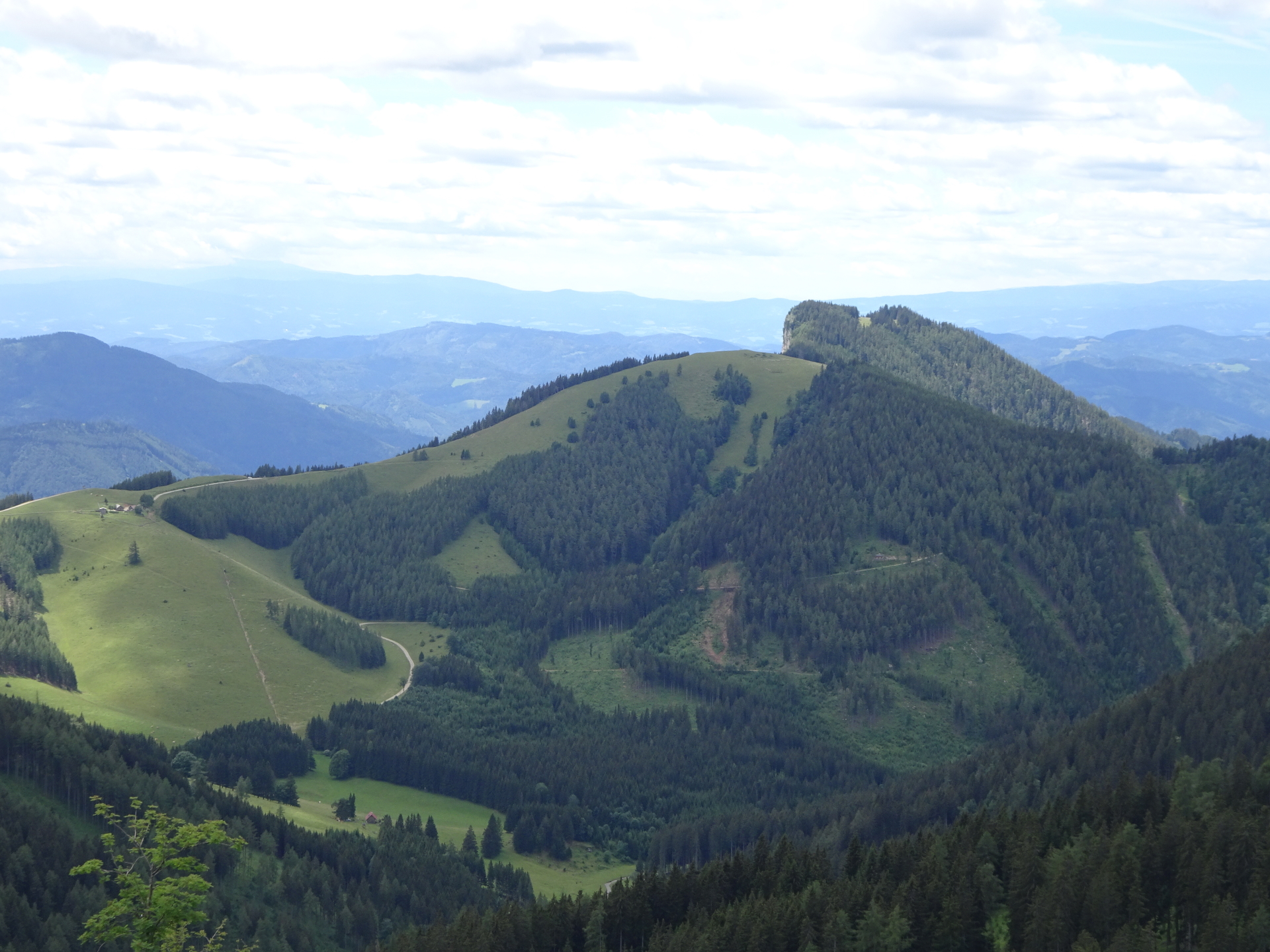
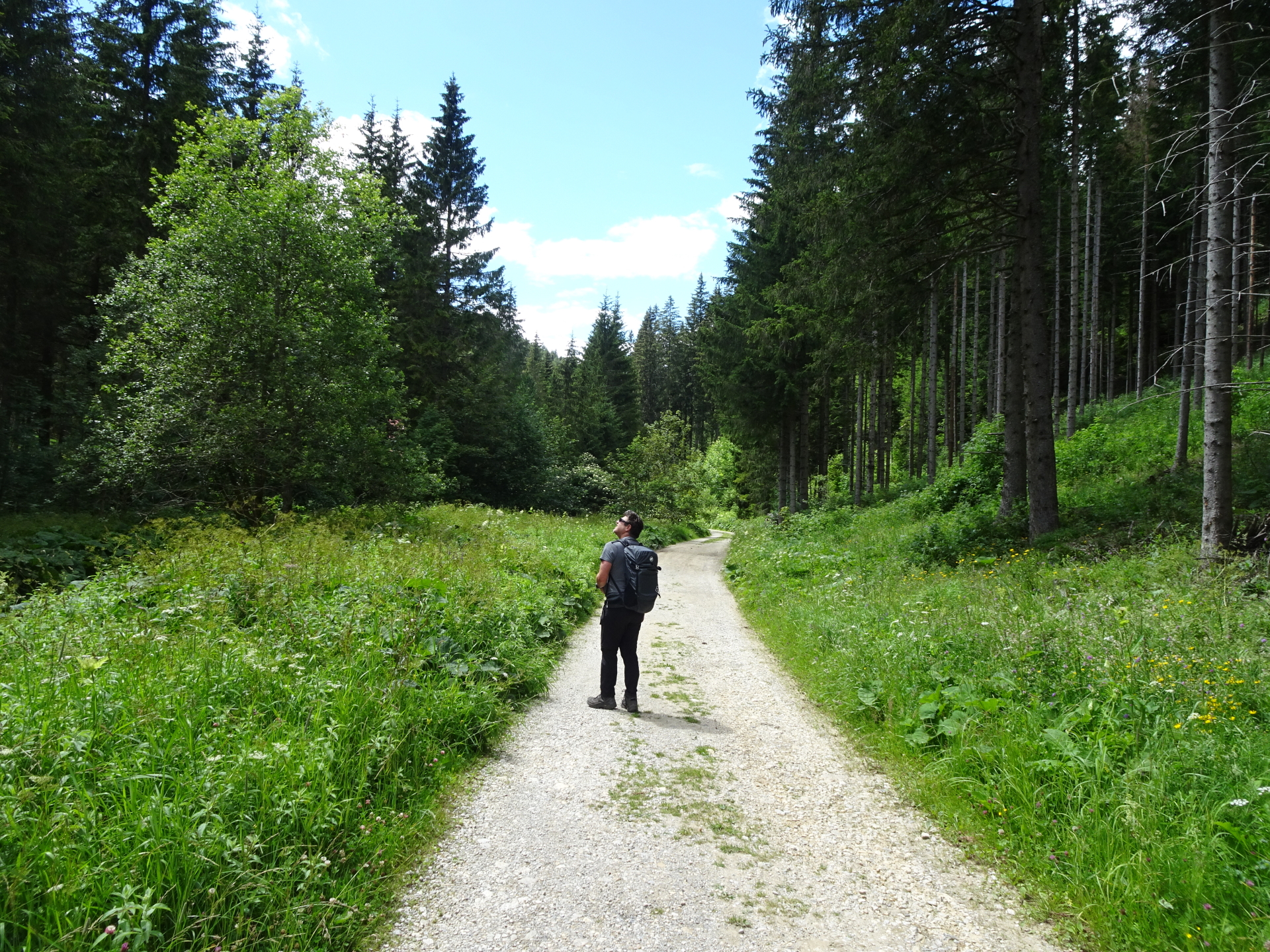
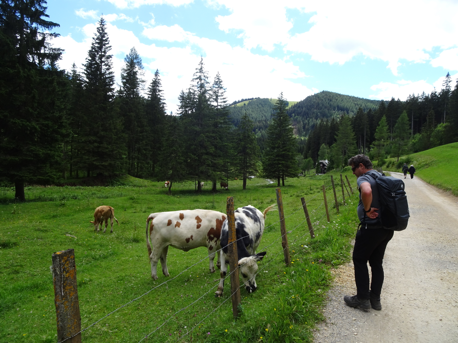
The tour starts at the parking at Wöllingergraben Weg 20, 8614 St. Jakob bei Mixnitz (GPS: 47.374226, 15.422393) and first follows the trail heading towards the start of the Franz-Scheikl Via Ferrata. Shortly before the start of the Via Ferrata, the tour turns into the Jägersteig. The trail is not marked but always visible and therefore requires some basic orientation skills. After reaching the summit and enjoying the scenic view, the tour follows the normal hiking route downwards to Teichalm, allowing for a well-deserved lunch break. The tour then follows the forest road westwards towards the Steirischer Jokl. After a second, well-deserved break, the tour then follows the trail back to the parking via Schüsselbrunn.
| 00:00 | Start at the parking lot Wöllingergraben Weg (GPS: 47.374226, 15.422393) and follow the trail towards Hochlantsch. |
| 00:20 | At the crossing, turn left towards the Franz-Scheikl-Steig. |
| 00:25 | The trail leads into a forest street. Turn left and follow the forest street for a few meters. |
| 00:27 | Turn right following the Naturfreunde Klettersteig signpost. |
| 00:30 | Cross the forest street again and follow the trail towards the Franz-Scheikl Klettersteig. |
| 01:00 | After passing an old wooden hut, at the plateau before the via ferrata, turn left (between the cut tree!) into the Jägersteig. |
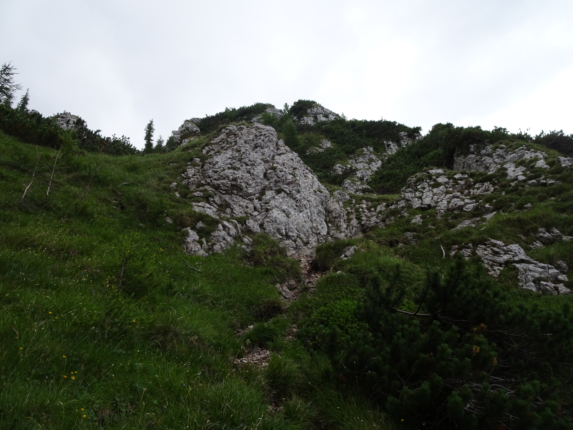
| 01:10 | At the barely visible crossing, keep right and follow the trail up along the rocks. |
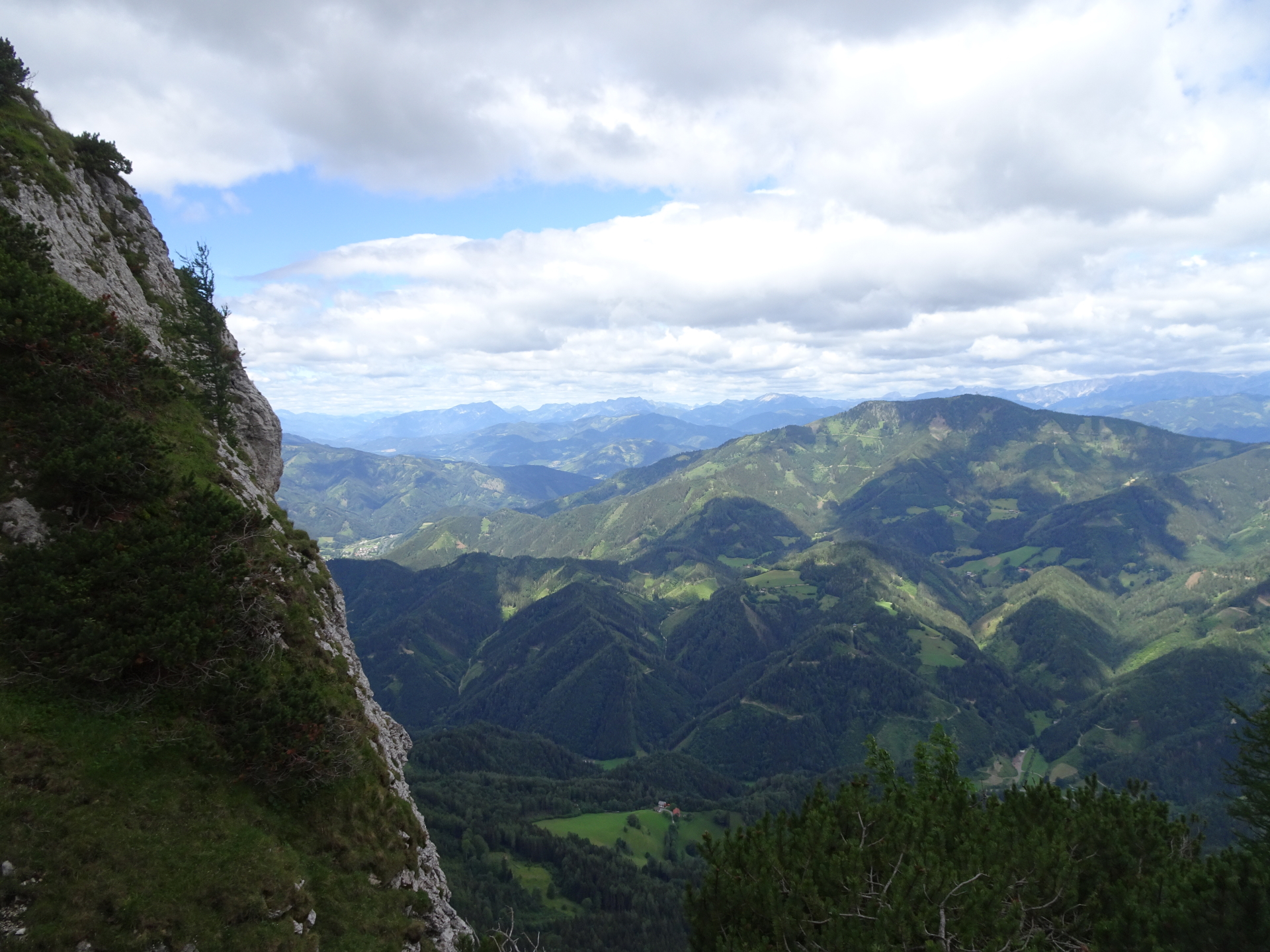
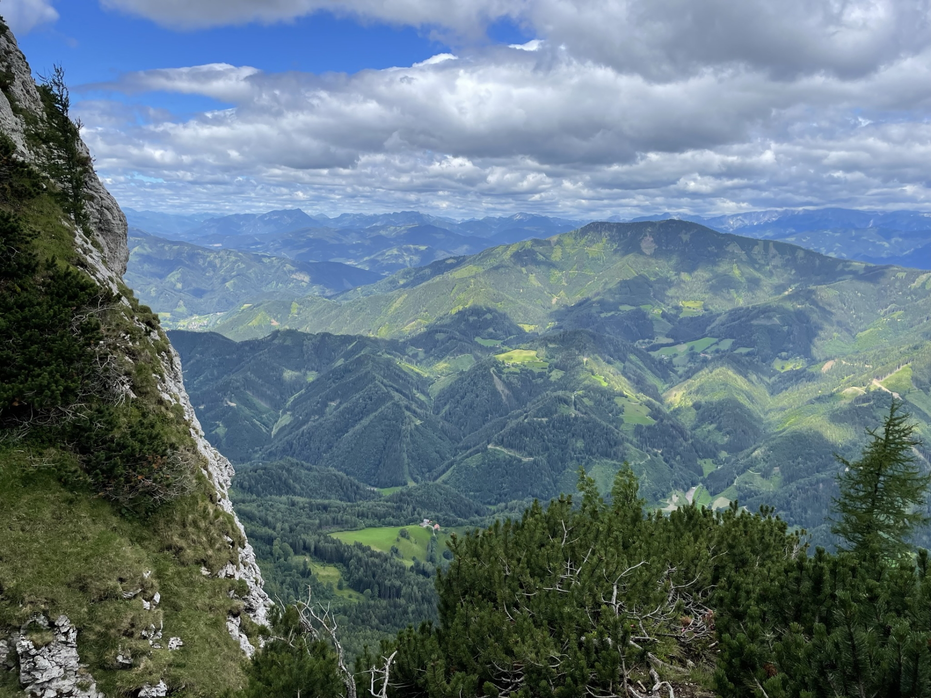
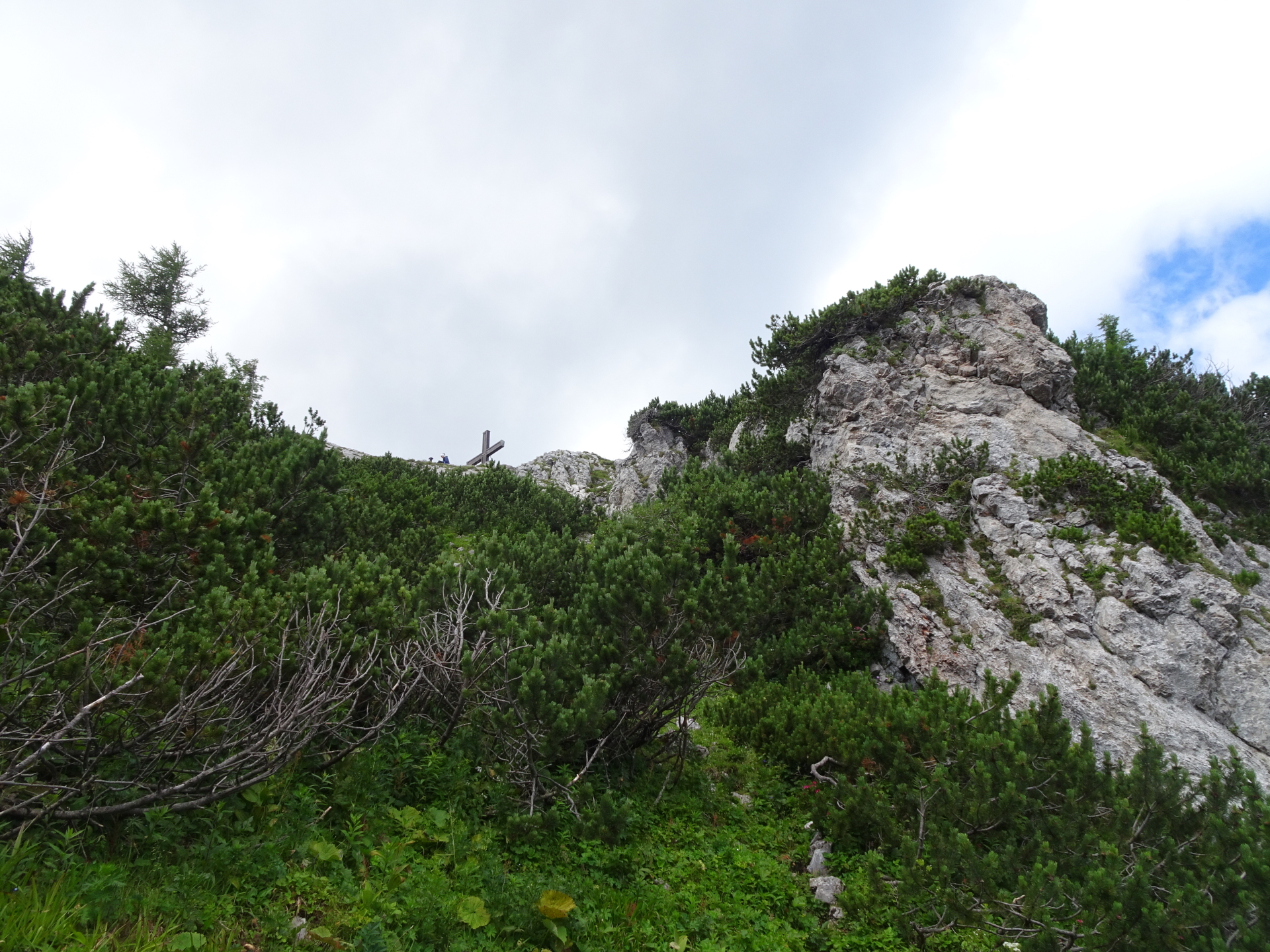
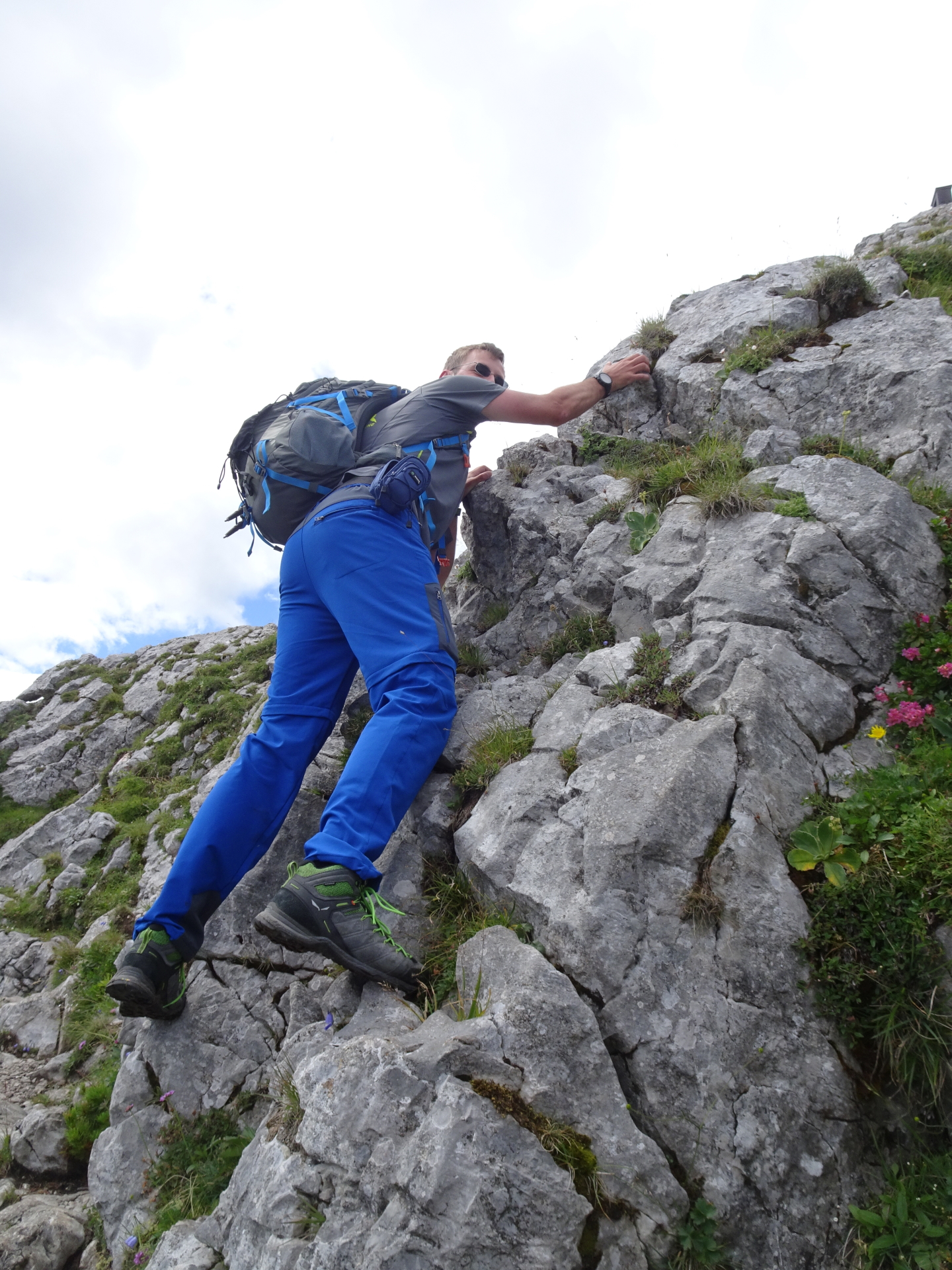
| 01:25 | Turn right and climb up the rocks. The visible path heading left is having a dead-end! Now follow again the visible trail with some climbing and/or cable-protected parts till reaching the summit. |
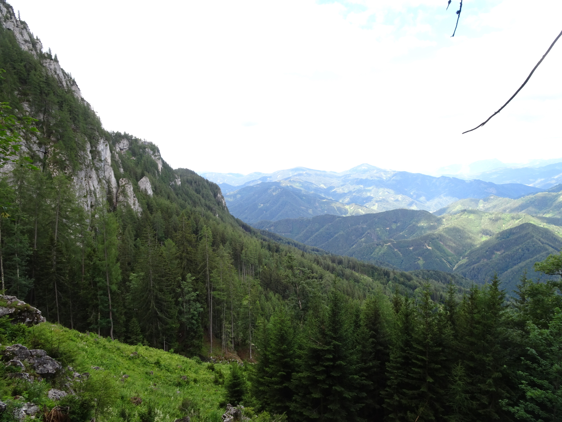
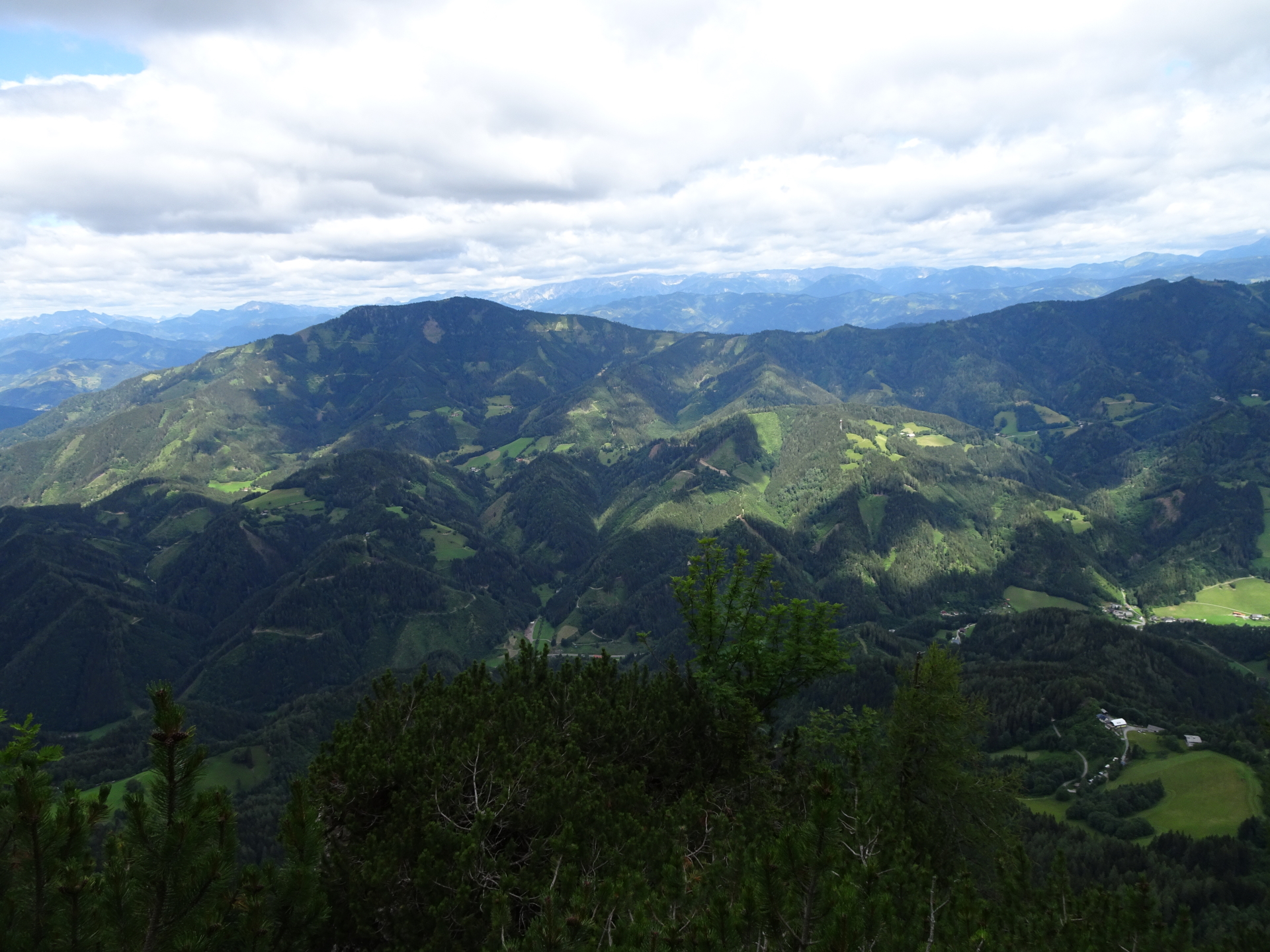
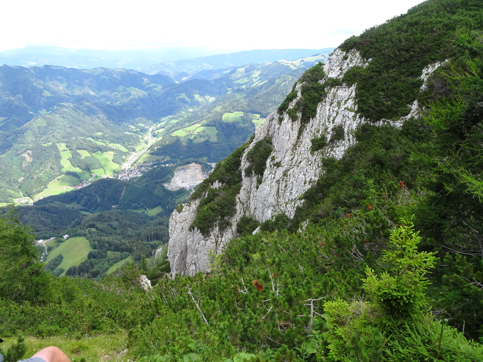
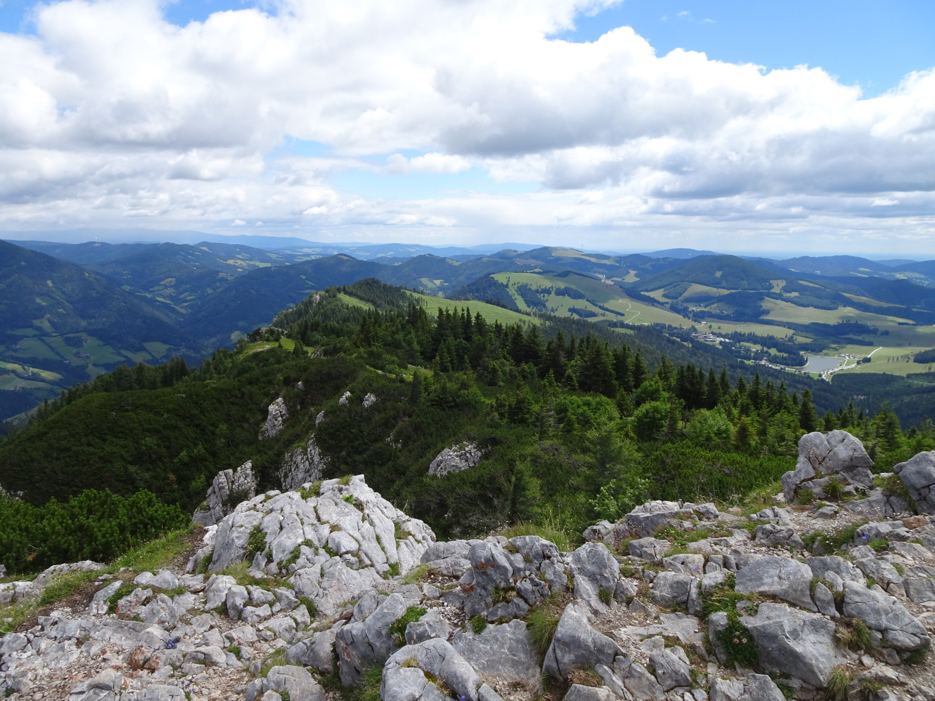
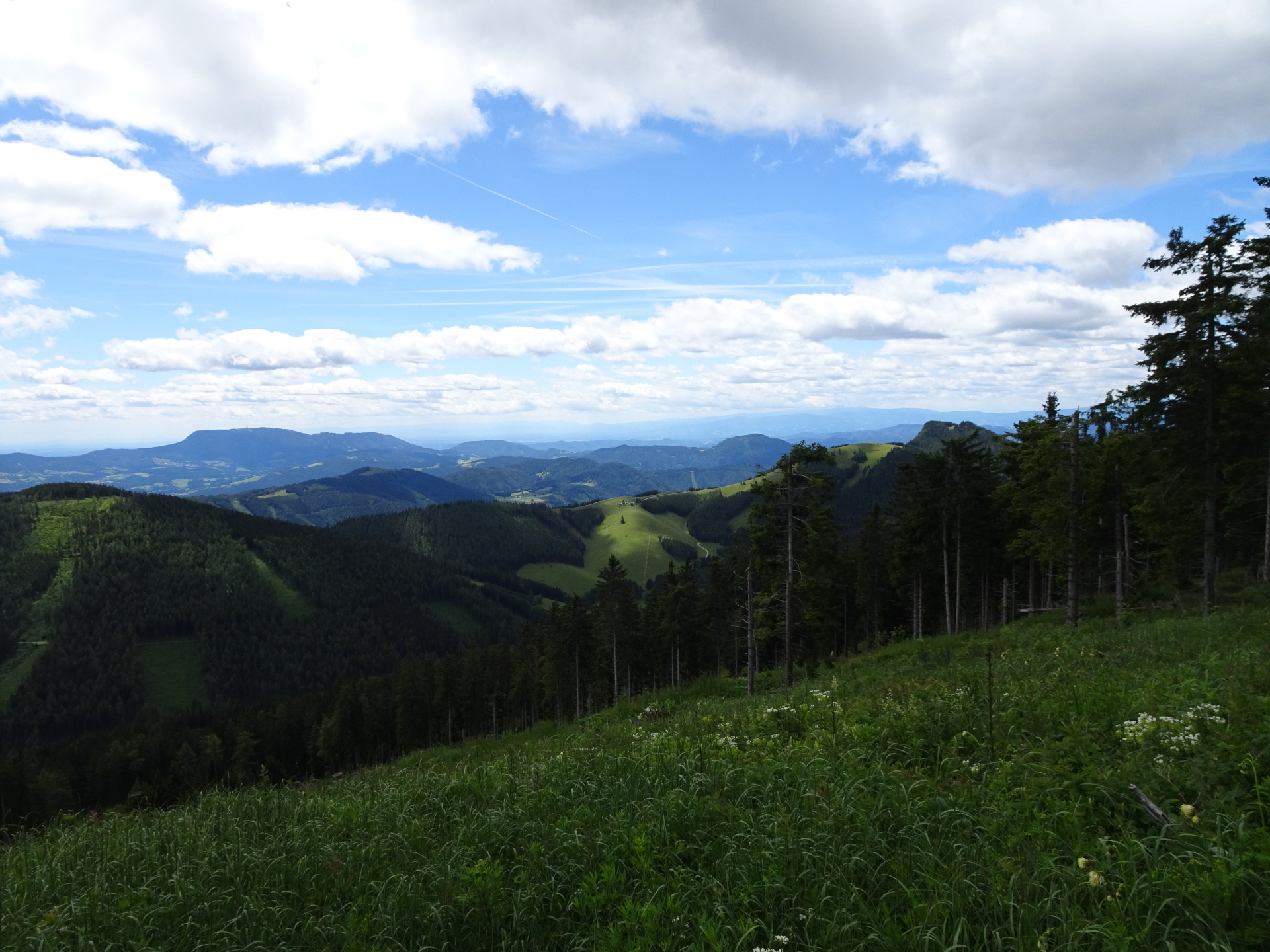
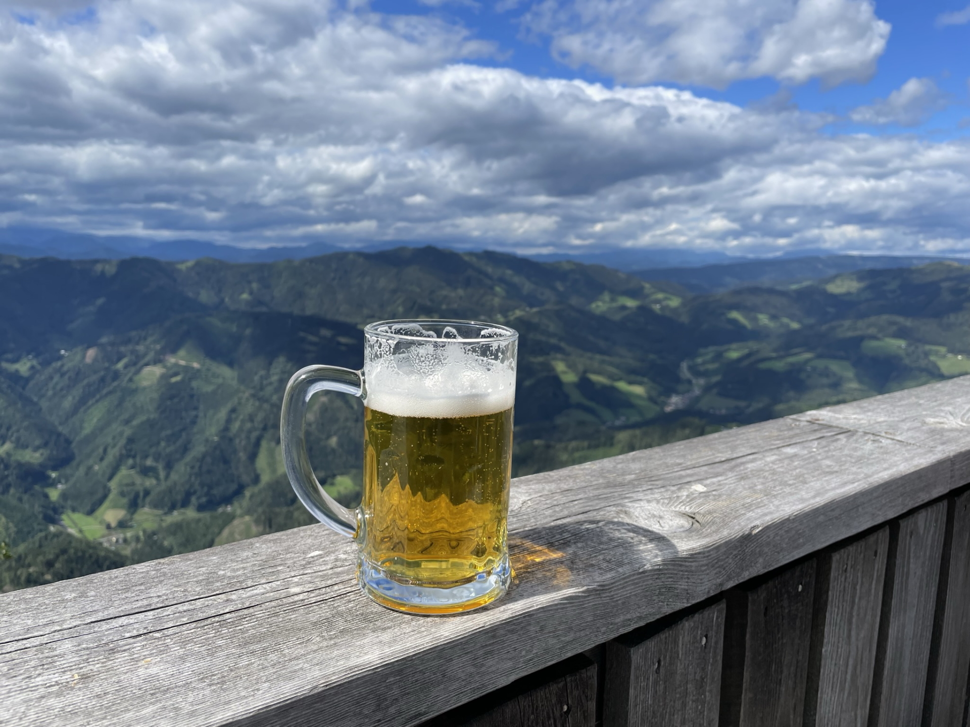
| 02:00 | Enjoy the awesome panorama view at the summit of Hochlantsch with a self brought drink (). |
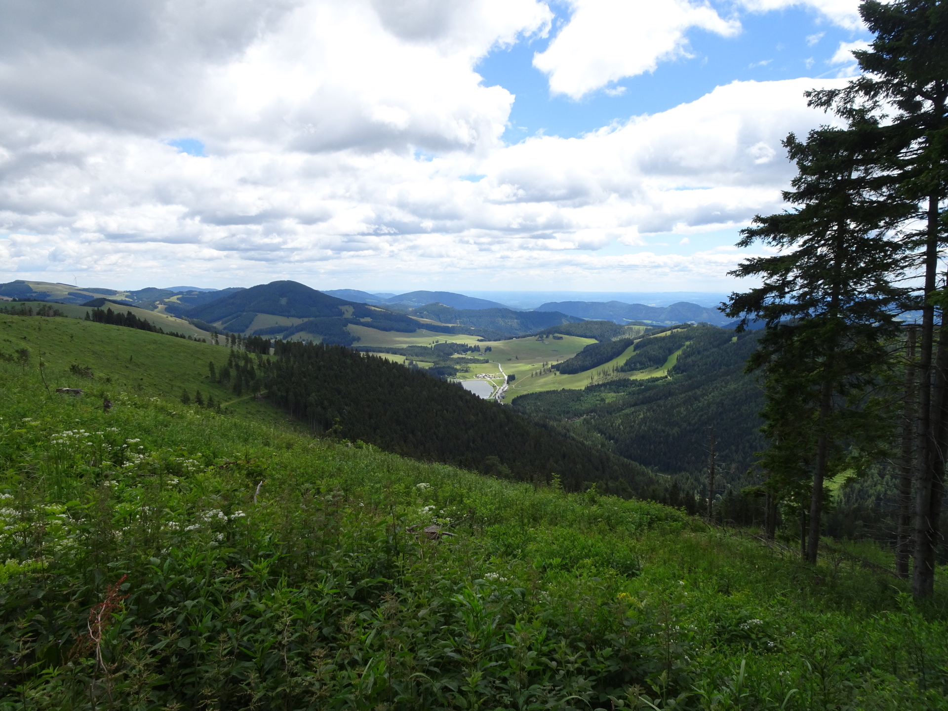
| 02:25 | Follow the trail eastwards towards Teichalm (see signposts). |
| 02:35 | At the crossing, keep right and continue following the marked trail down to Teichalm. |
| 03:25 | Well deserved break ( ) at Teichalmwirt. |
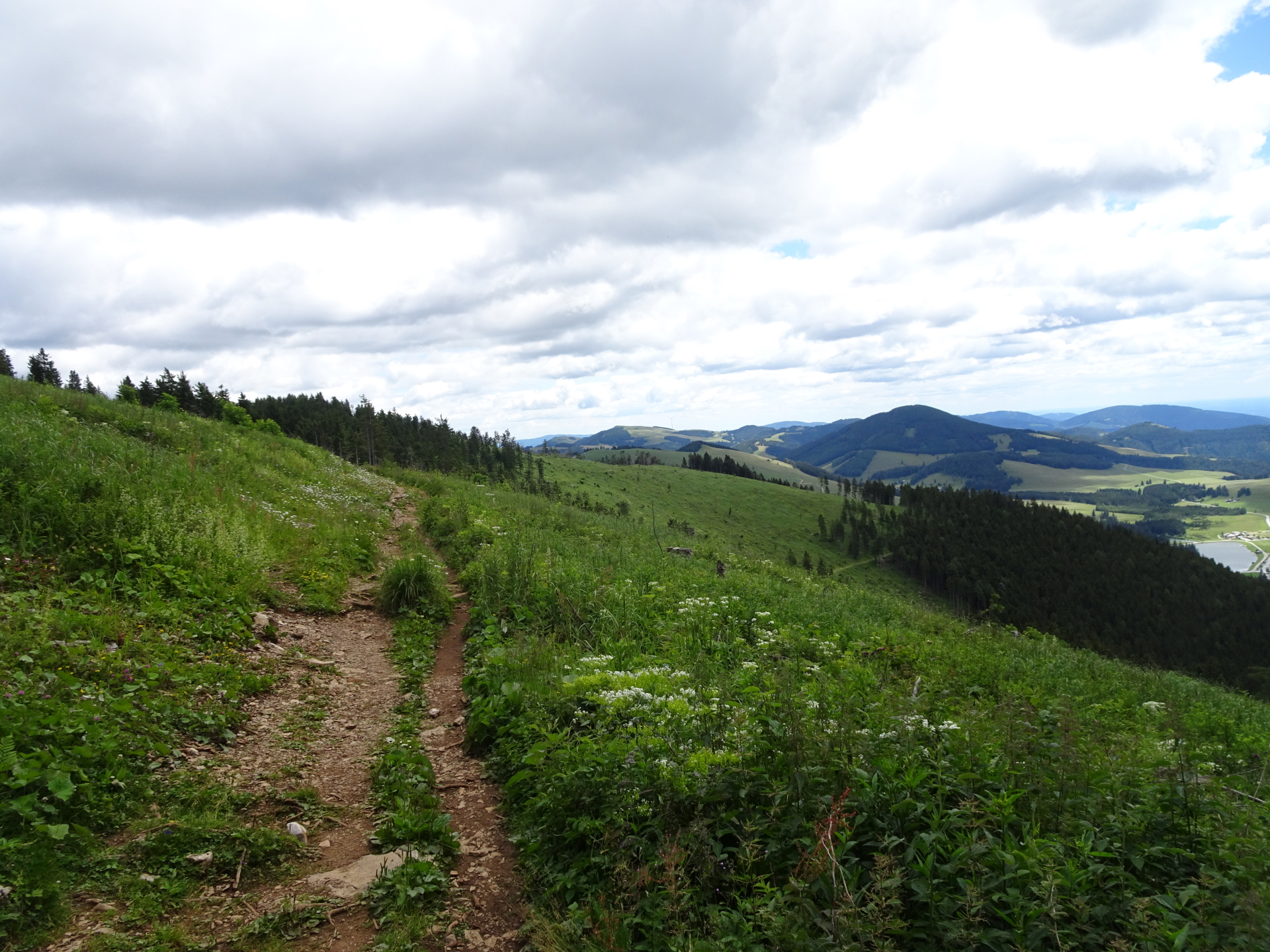
| 04:45 | Hike back a few meters around the Teichalmwirt but then turn left into the Vorauerweg (702) towards Guter Hirte (see signposts). |
| 05:30 | At the crossing, keep right and follow trail 745 towards Steirischer Jokl / Guter Hirte. |
| 05:45 | At the crossing, keep right and follow the trail 3 towards Steirischer Jokl. |
| 05:50 | At the crossing, keep straight and follow the forest road up (north) heading directly to Steirischer Jokl. |
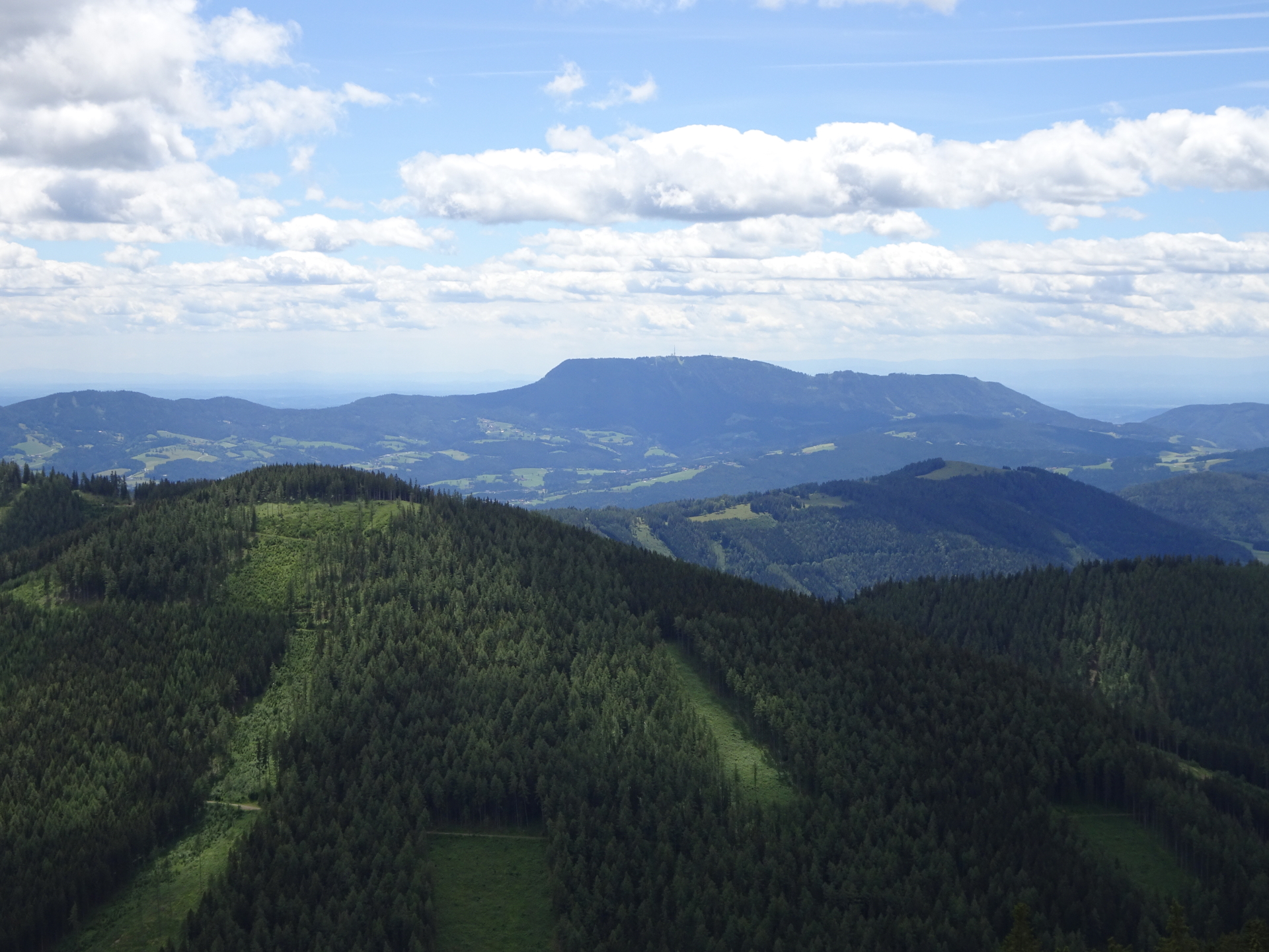
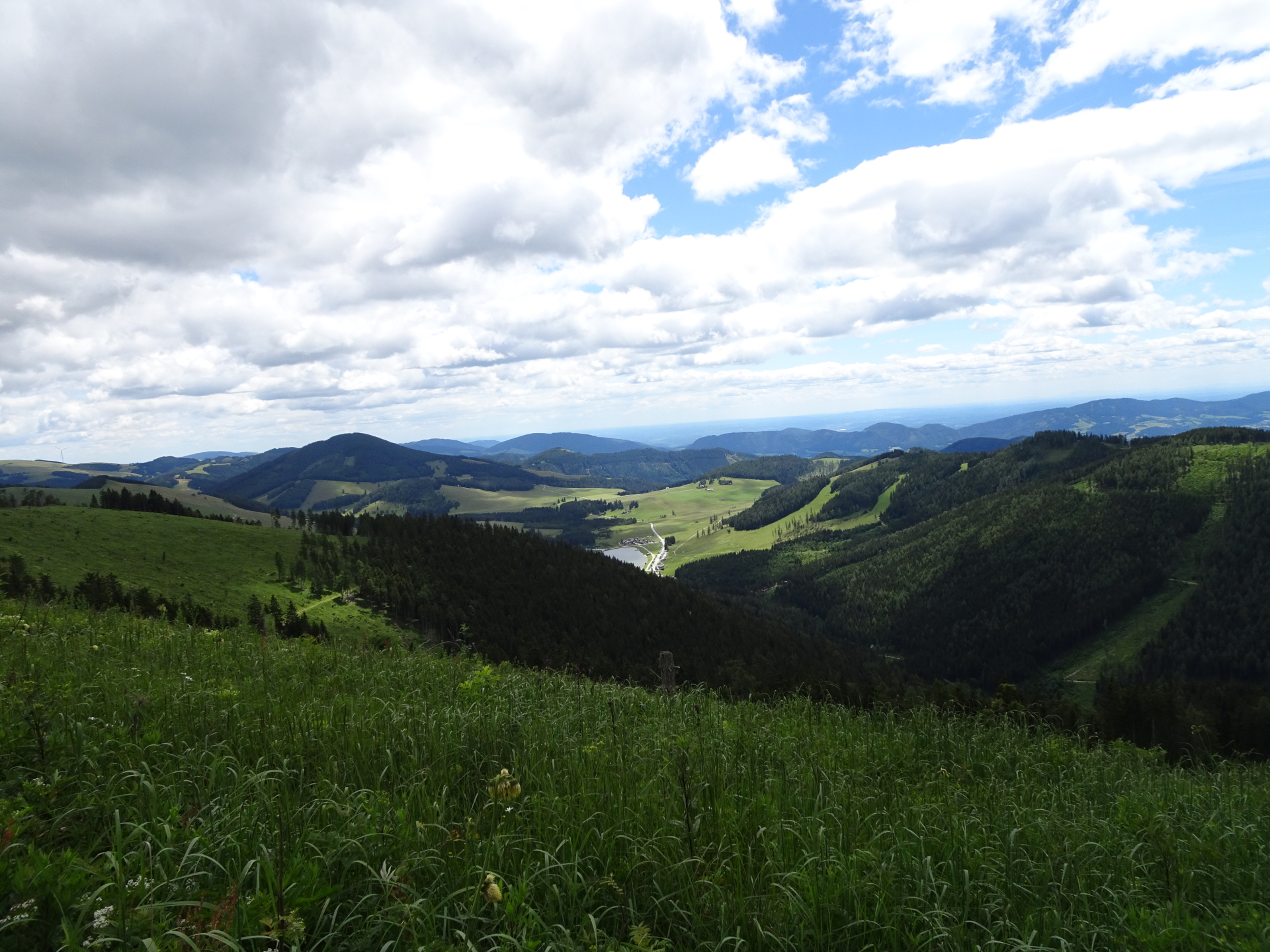
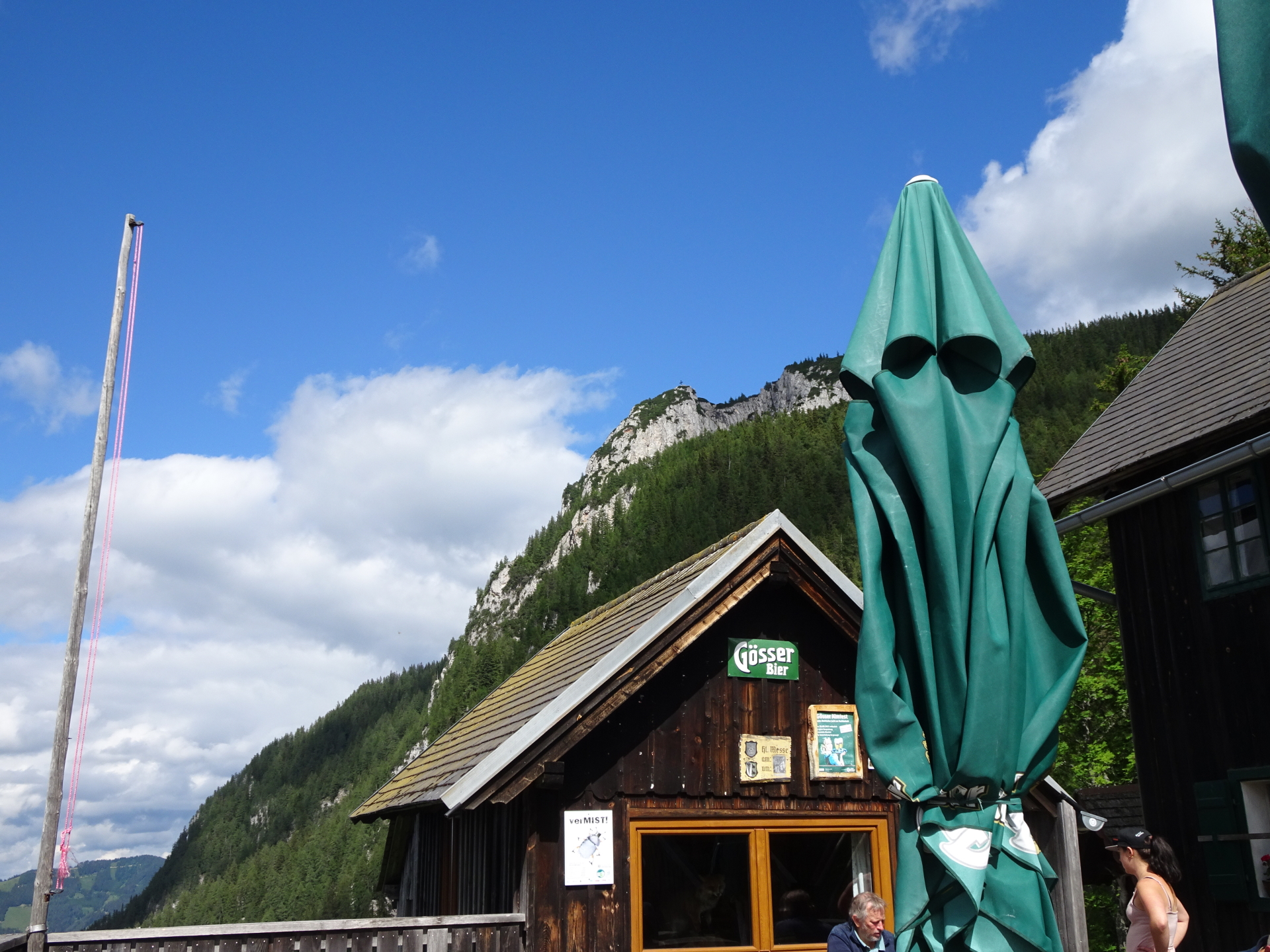
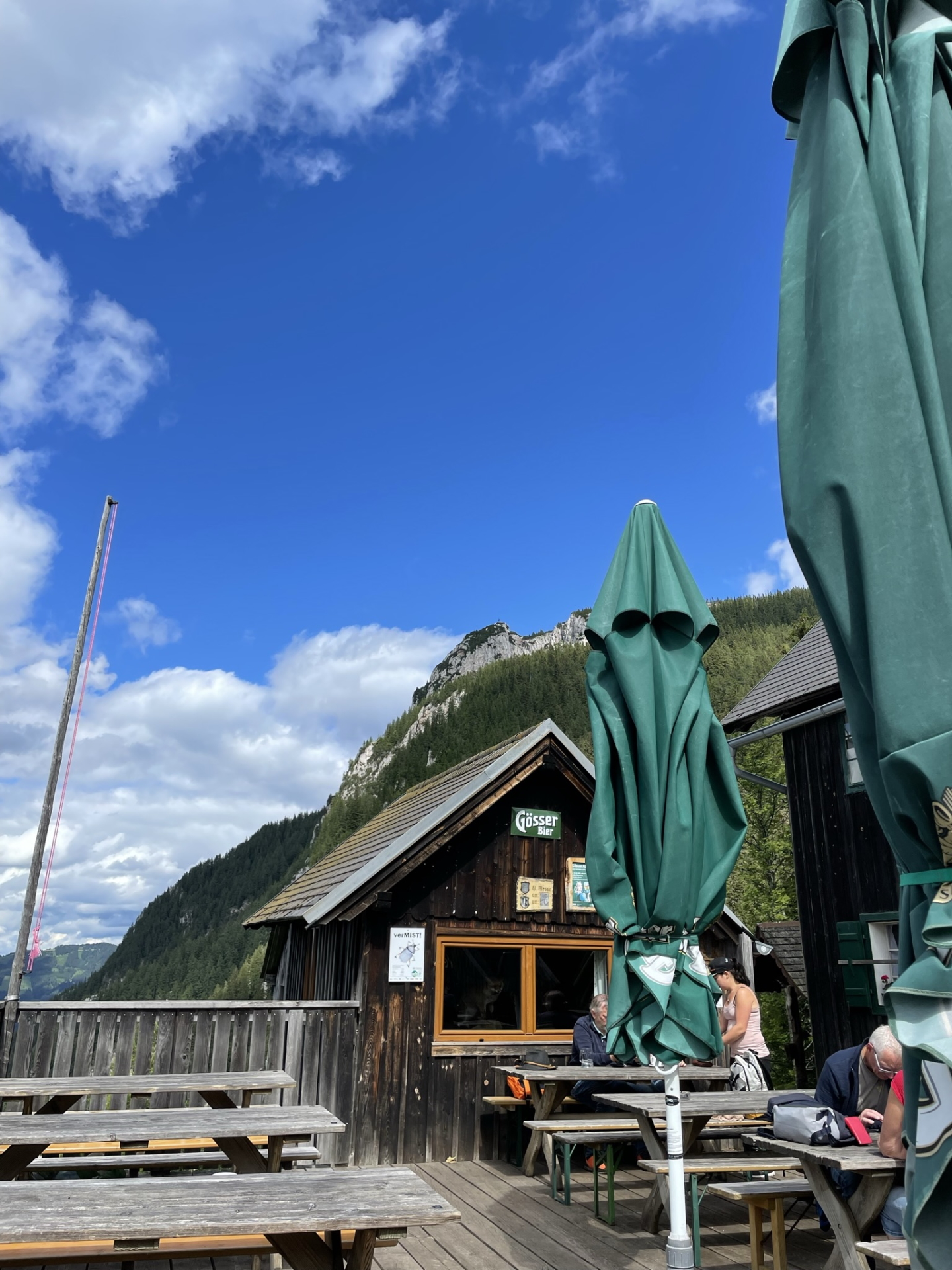
| 06:05 | Well deserved break () at Steirischer Jokl. Enjoy the stunning view from the terrace towards Hochlantsch and the surrounding area. |
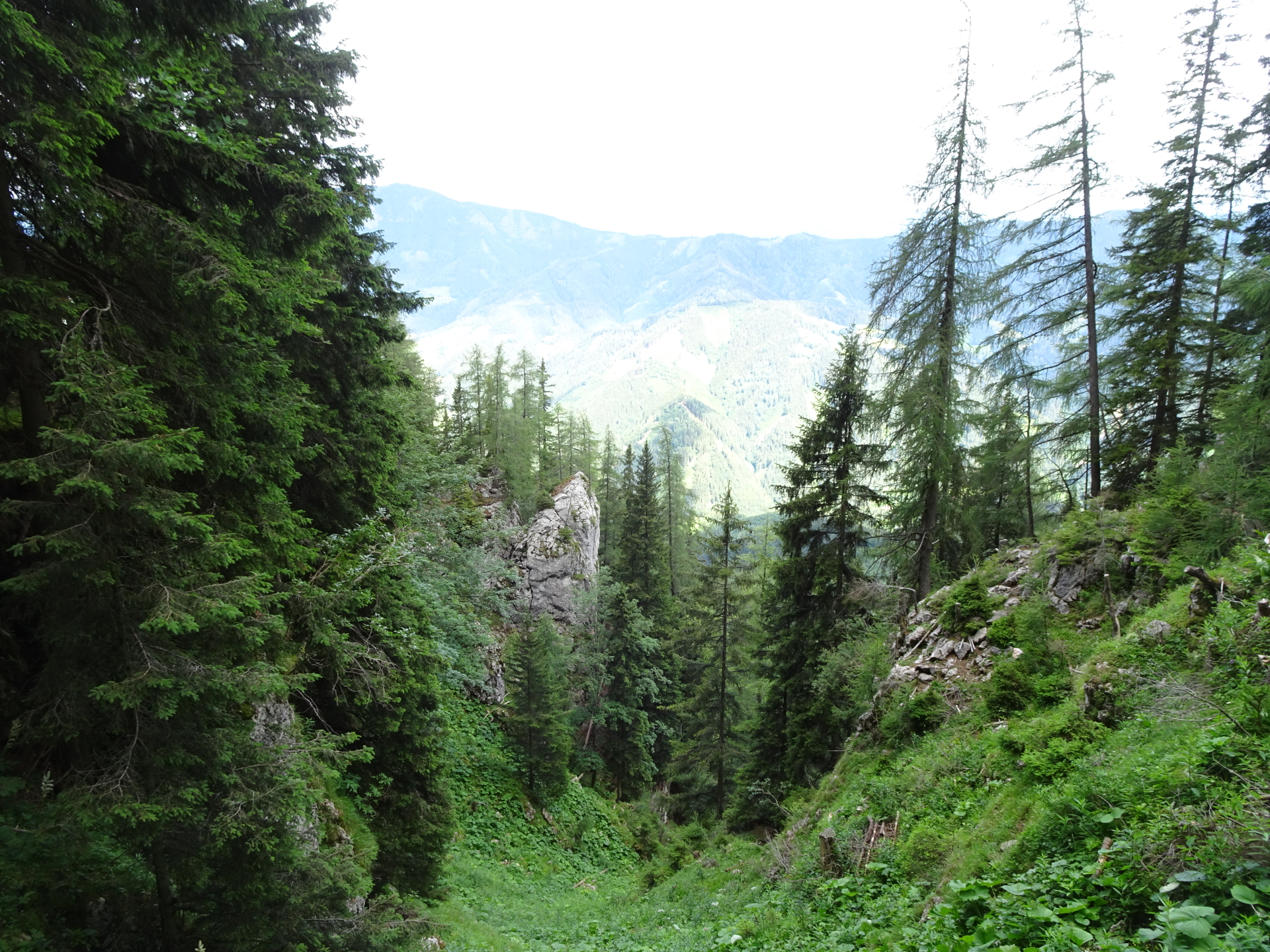
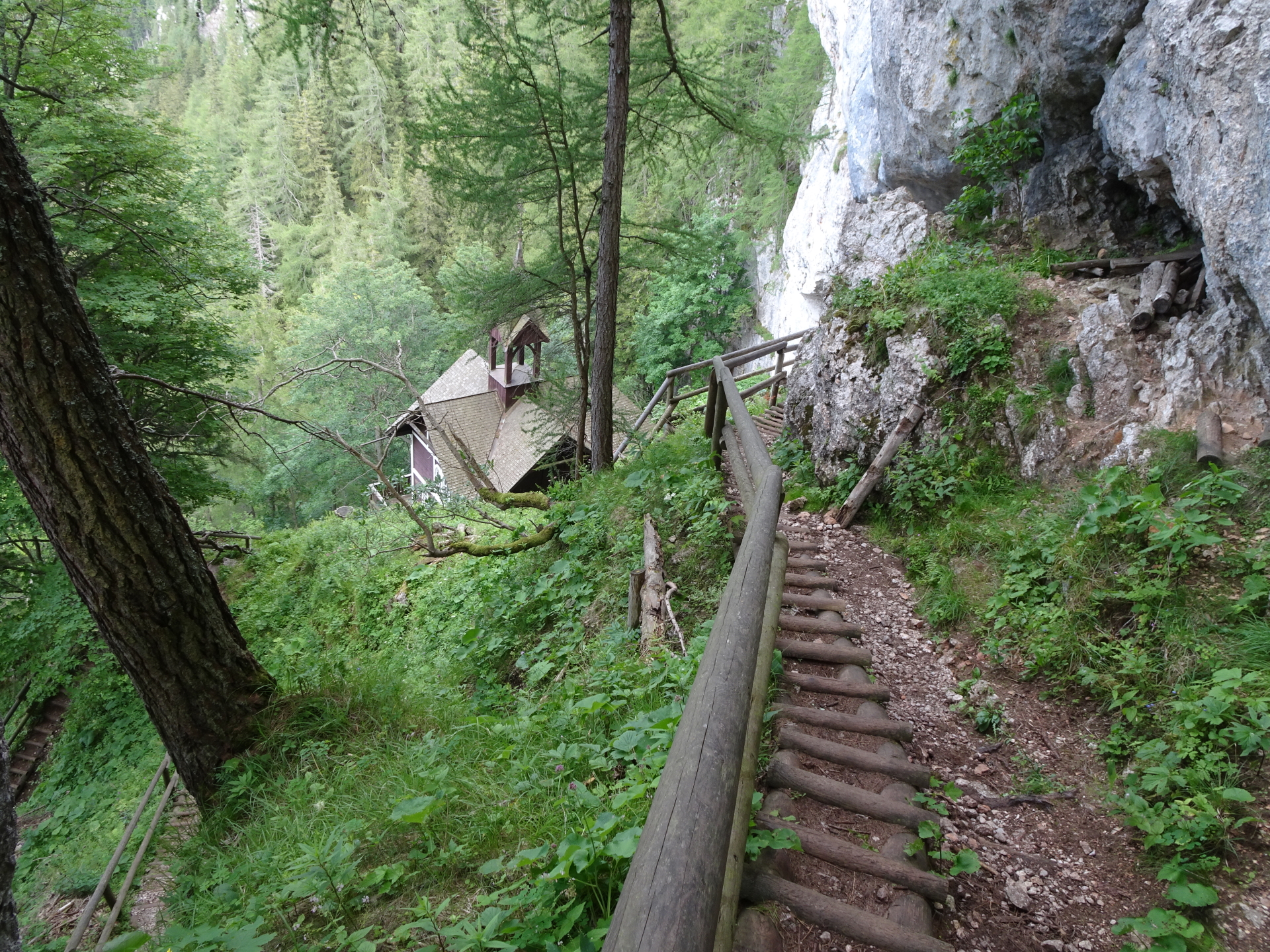
| 07:20 | Follow the trail north starting at the end of the terrace down towards Schüsselbrunn (see signposts). |
| 07:30 | Take a look at the Schüsselbrunn church and then continue following the trail downwards. |
| 07:45 | Cross the forest street and stay on the marked hiking trail downwards. |
| 07:50 | Cross again the forest street and stay on the marked hiking trail downwards. |
| 07:55 | At the crossing, keep straight and now follow the same route back to the parking as used for the ascent. |
| 08:05 | Back at the parking, end of the tour. |
At a glance
| Level | easy – alpine! |
| – UIAA Level (Climbing) | I |
| – Via Ferrata Category | A |
| Technique | |
| Shape / Fitness | |
| Experience | |
| Scenery | |
| Best time in the year | |
|
Jan
Feb
Mar
Apr
May
Jun
Jul
Aug
Sep
Oct
Nov
Dec
|
|
General Tour Data
| Area: | Grazer Bergland, Styria, Austria | |
| Distance: | 17km | |
| Ascent: | 1036m | |
| Descent: | 1036m (1h 45min) | |
| Highest Pt: | 1720m | |
| Lowest Pt: | 990m | |
| Duration: | 5h 05min (without breaks) 8h 05min (with breaks) |
|
| Stop/Rest: |
Teichwirt (1175m) Steirischer Jokl (1398m) Guter Hirte (1209m) |
|
| Equipment: | Hiking shoes with good grip (on rock) Backpack with standard hiking equipment Snacks and plenty of water 1x “Gipfelbier” () Sun & Weather protection Camera GPS recommended |
| Download GPX | ||
| O | Tour at outdooractive.com |


, Fuchsloch (II-) & Reißtalersteig (A/B)\"")
Leave a Reply