| 00:00 |
Start at the parking Weiz/Göttelsberg (GPS: 47.211985, 15.597152) and follow the street westwards (away from the village) for a few meters. |
| 00:02 |
Turn right into the forest road and follow the forest road northwards. |
| 00:10 |
Turn left into the street and follow the street westwards. |
| 00:15 |
At the crossing, turn right and follow the street up heading to Zattach (see signposts). |
| 00:20 |
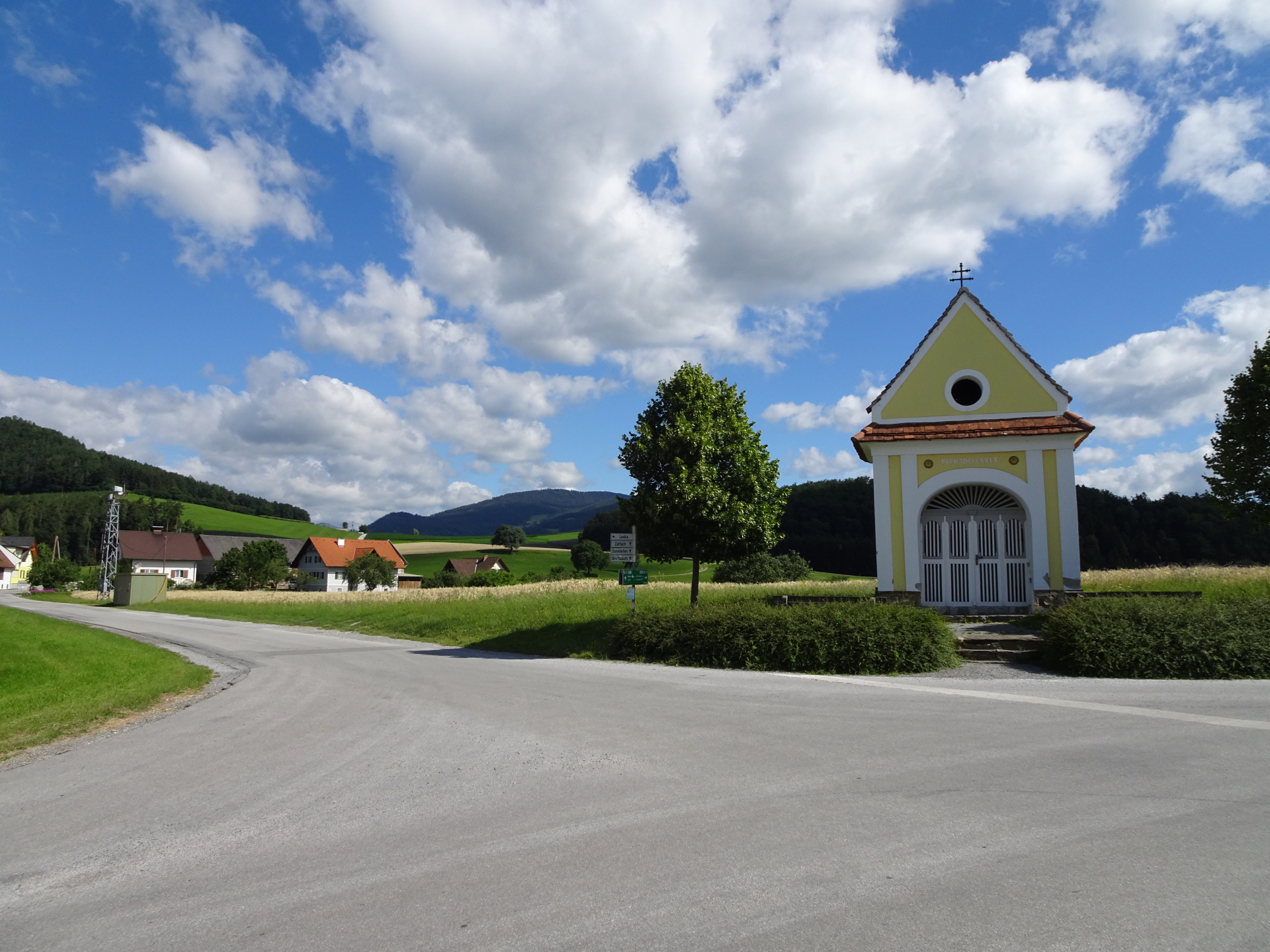
At the crossing, turn left into the Zattachweg and follow the street through the village of Zattach. |
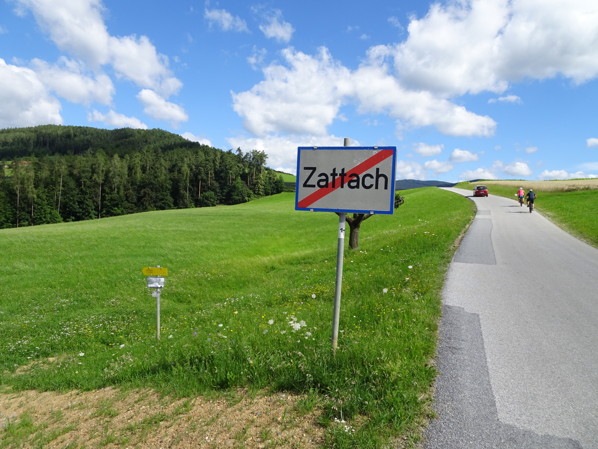
| 00:30 |
At the village border of Zattach, do not turn into the hiking trail but stay on the street northwards for some few more meters. |
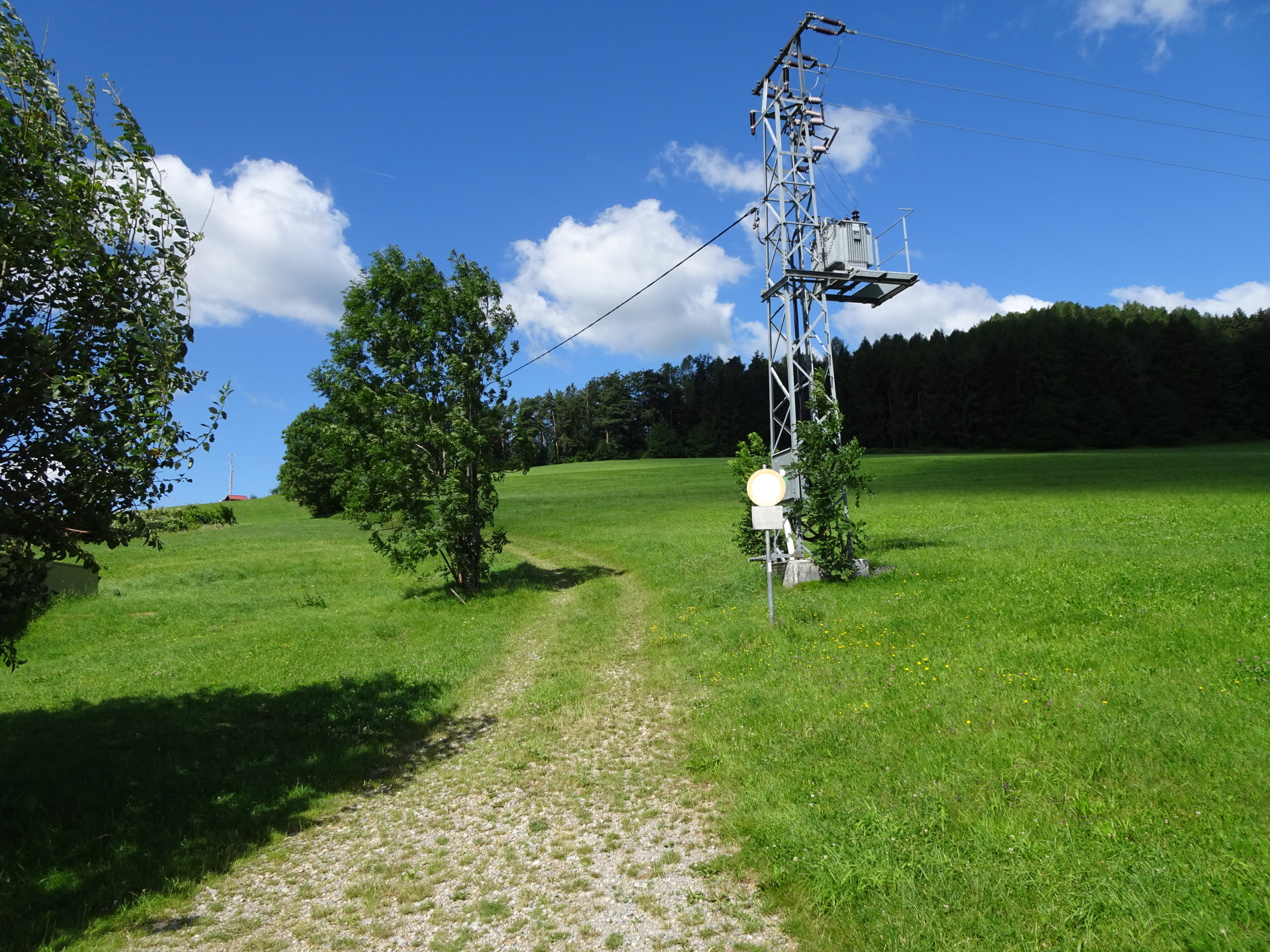
| 00:32 |
Turn left into the trail next to the electrical tower and follow the trail up to the forest. |
| 00:35 |
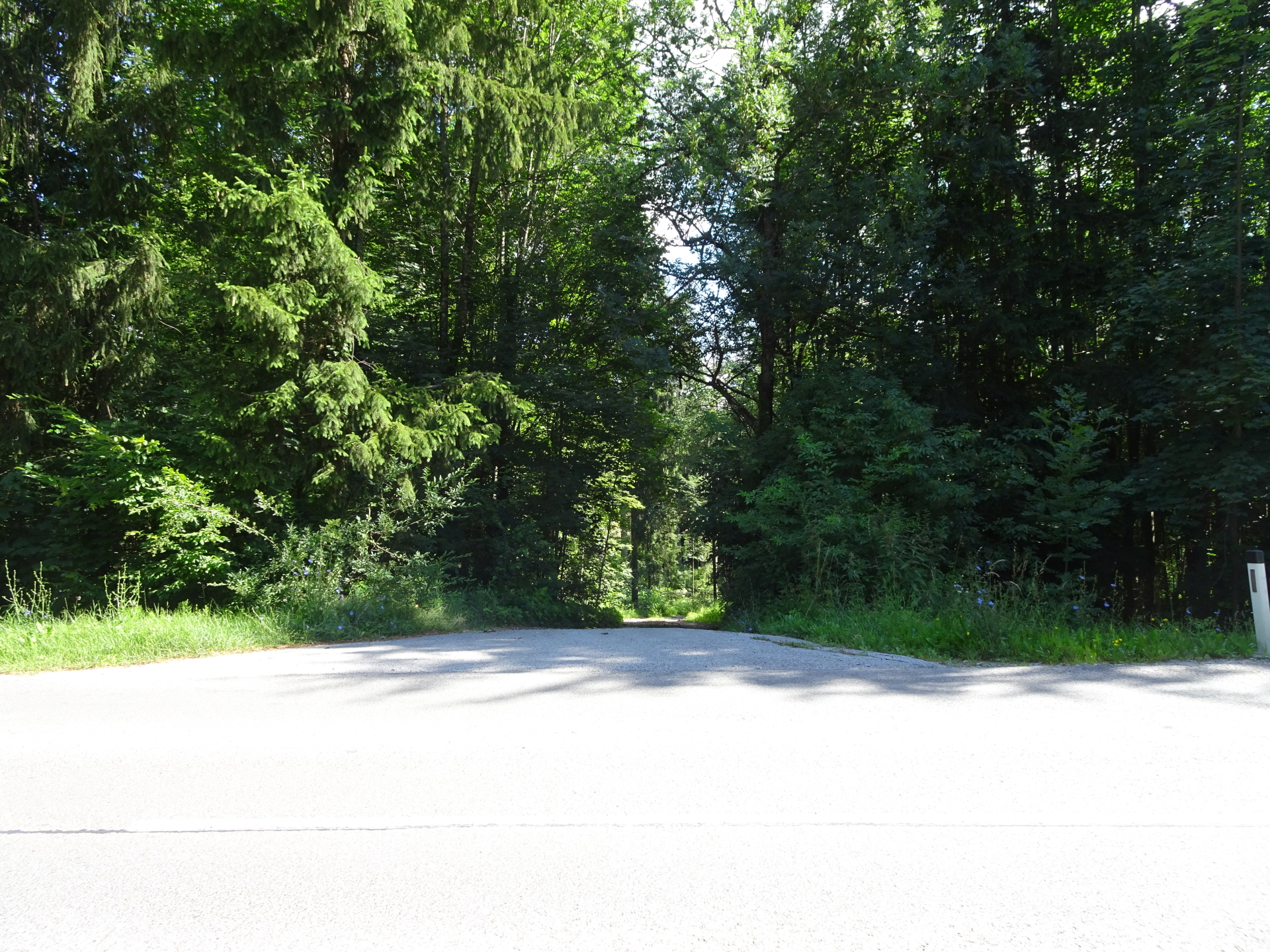
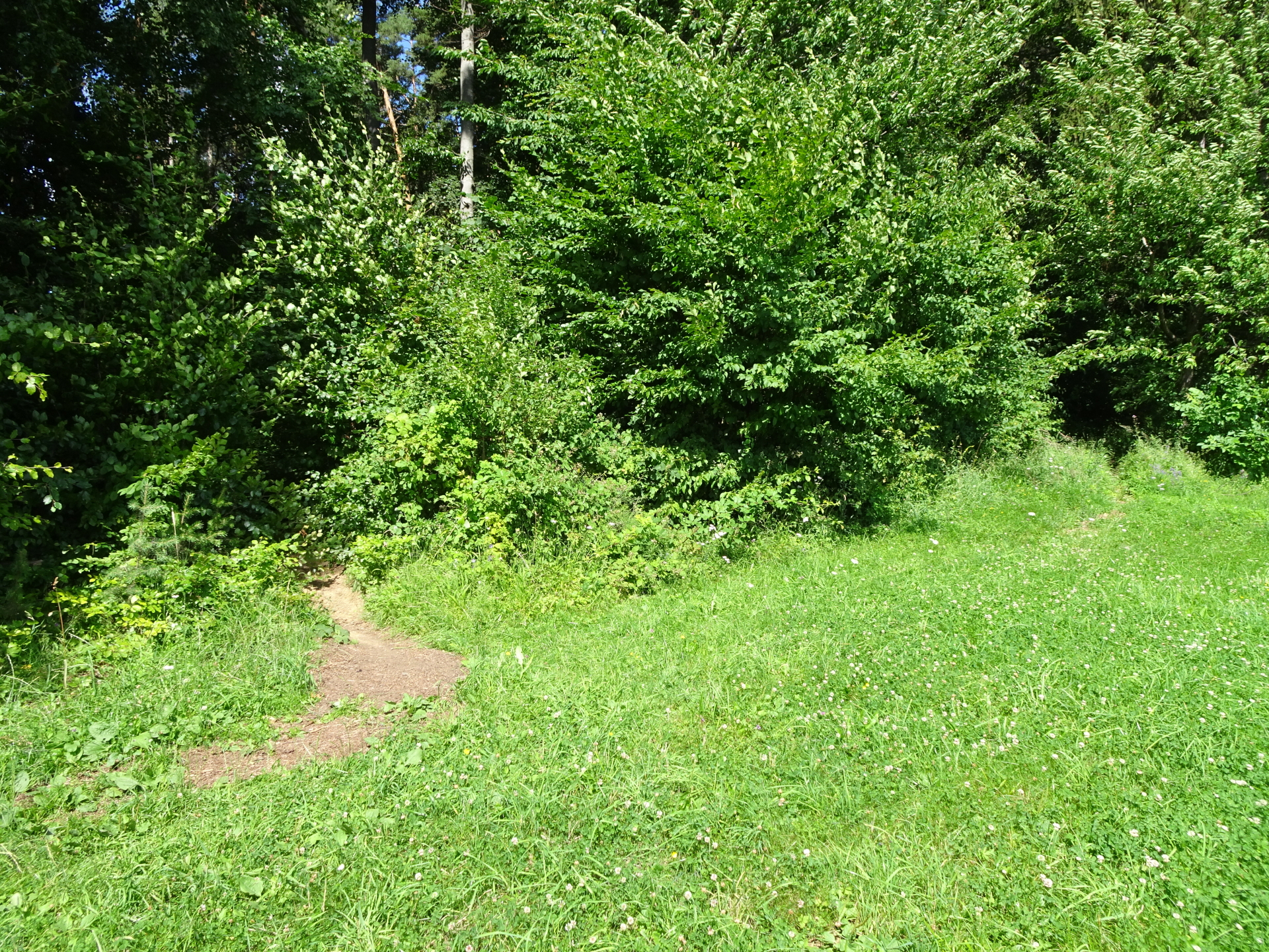
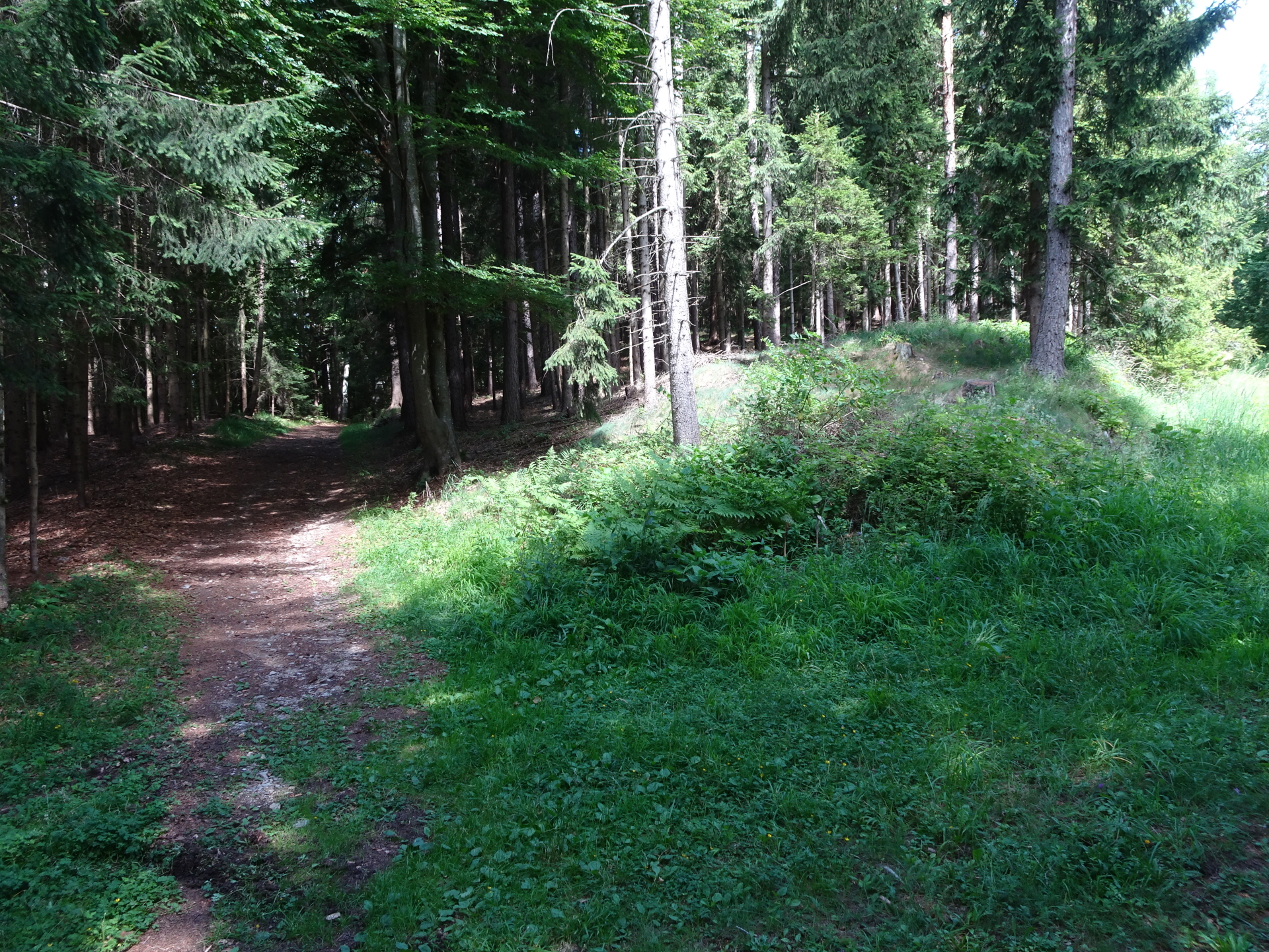
Take the first trail through the hedge and then follow the trail northwestwards. |
| 01:10 |
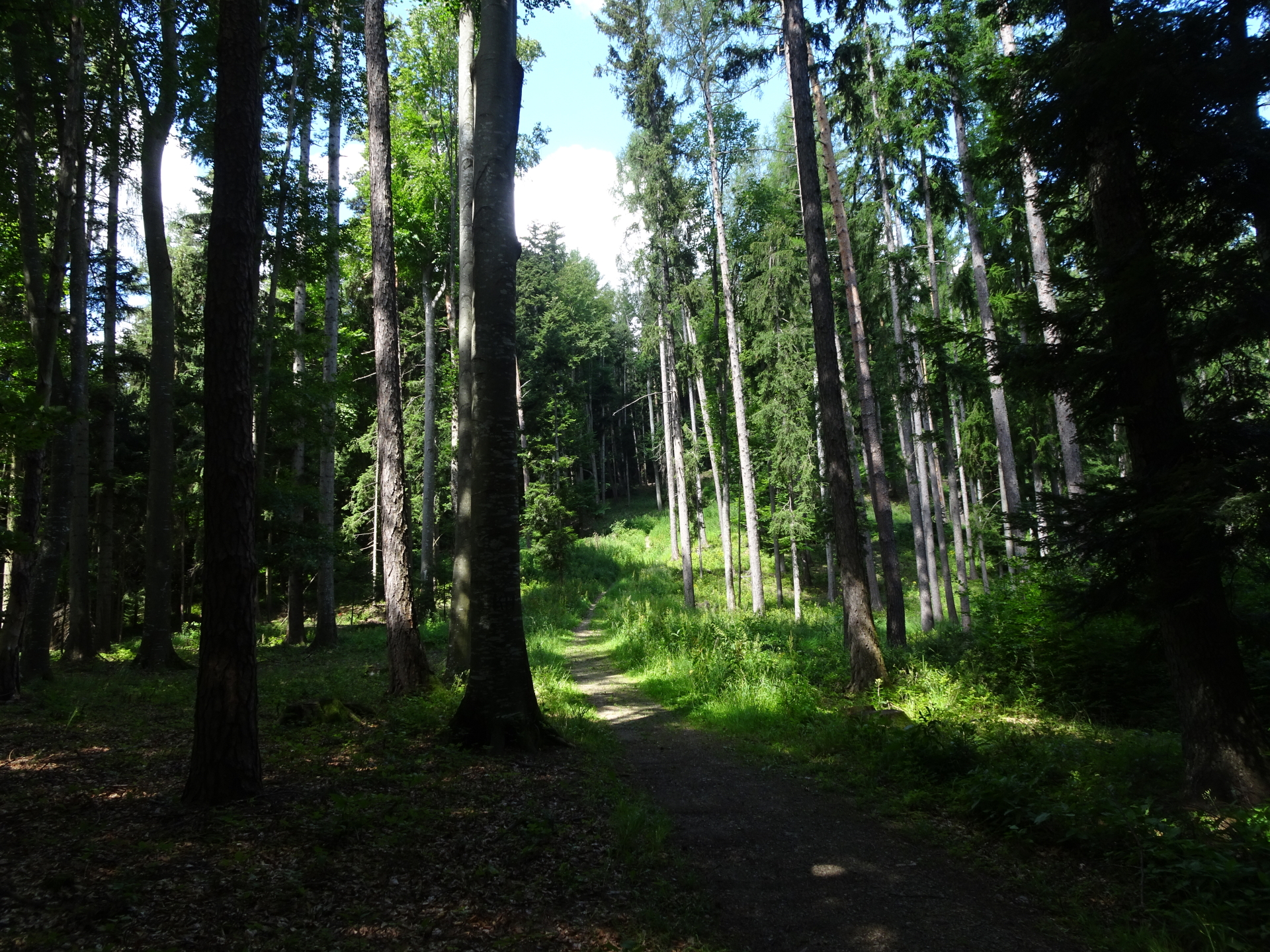
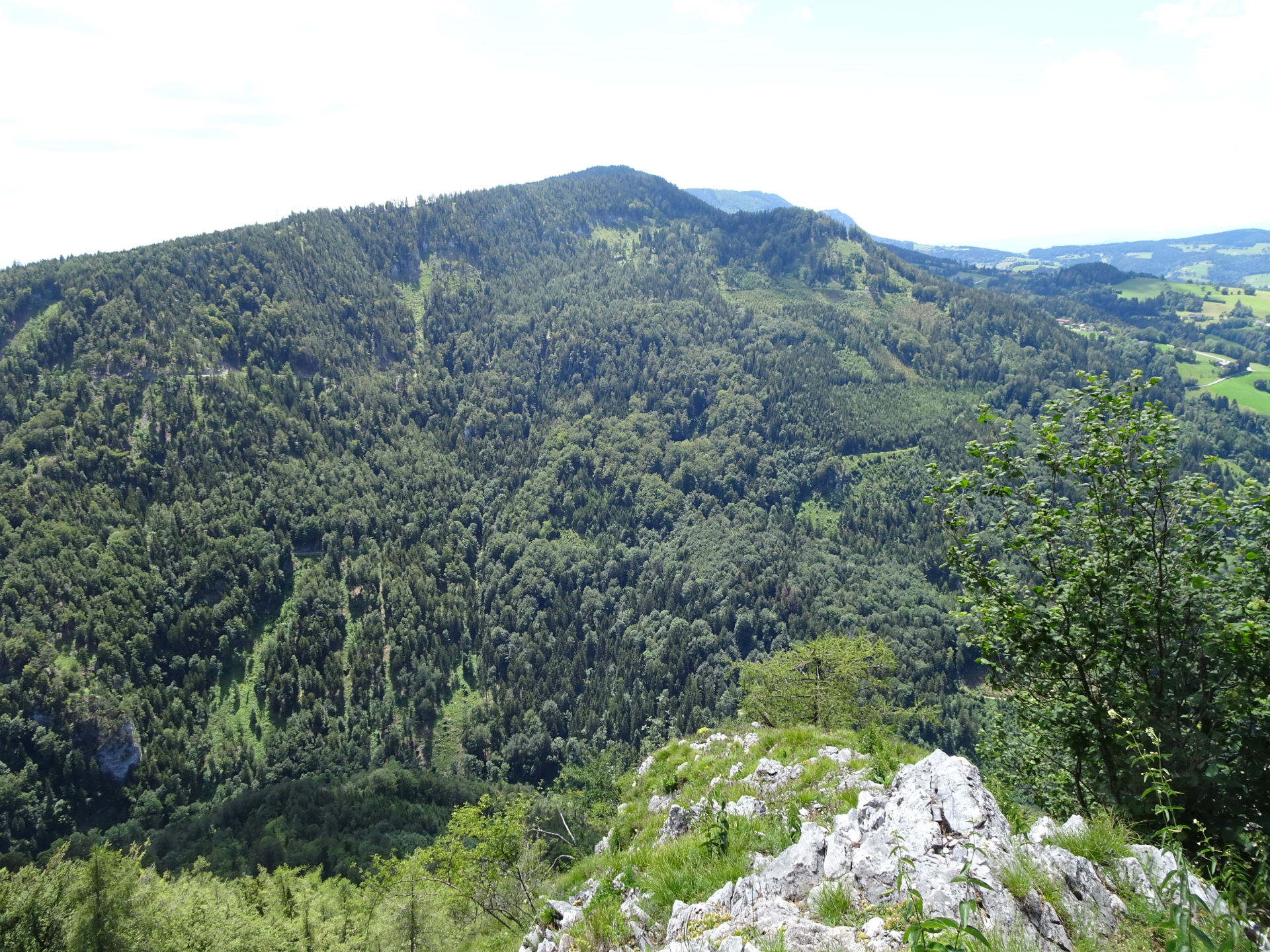
At the Hochwoarta Kreuz, keep left and continue following the trail upwards. The trail now gets disperse but leads logical up to Stroß. |
| 01:25 |
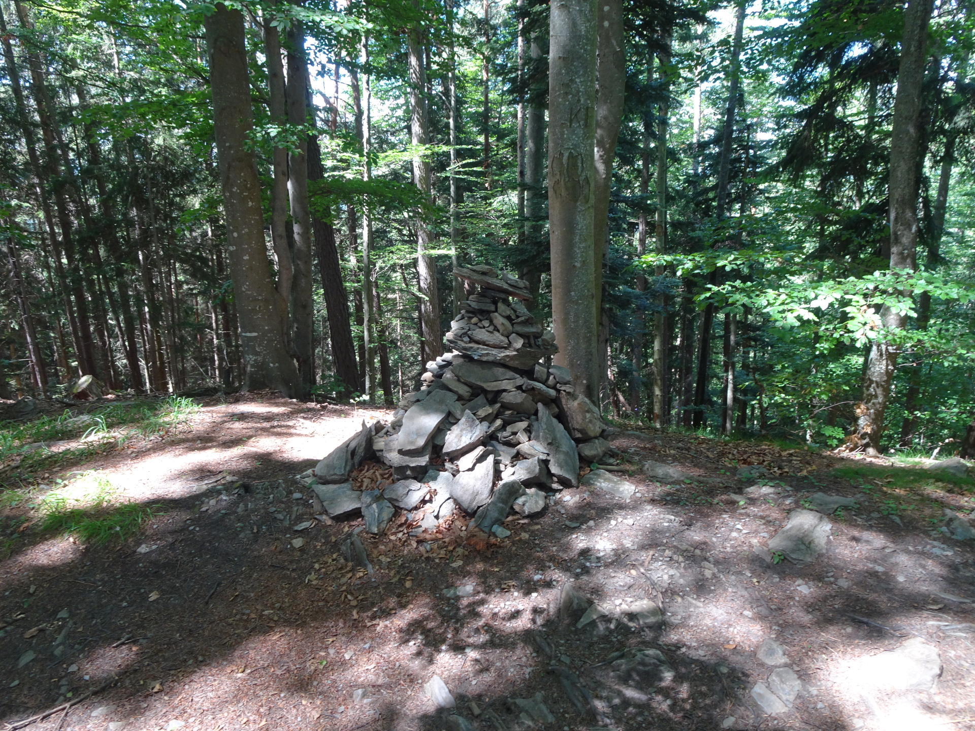
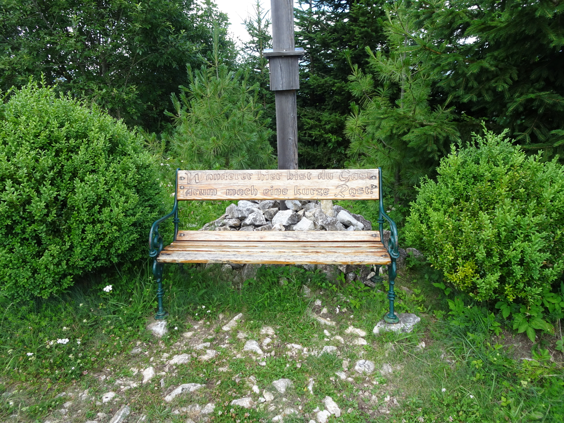
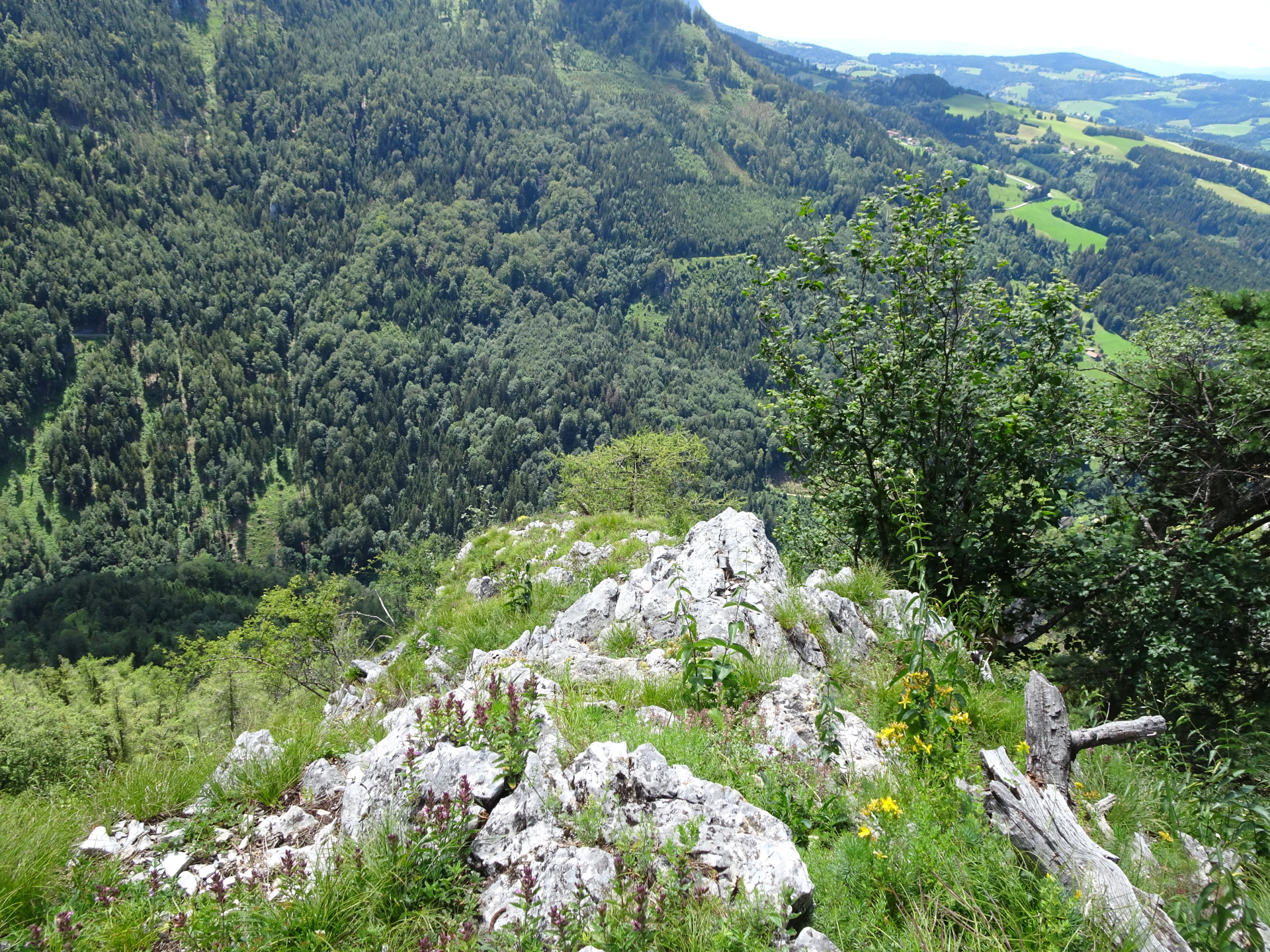
Bypass the summit of Stroß, marked with a stone pyramid. Continue following the trail for a few more meters to access the summit cross and the rest area. |
| 01:30 |
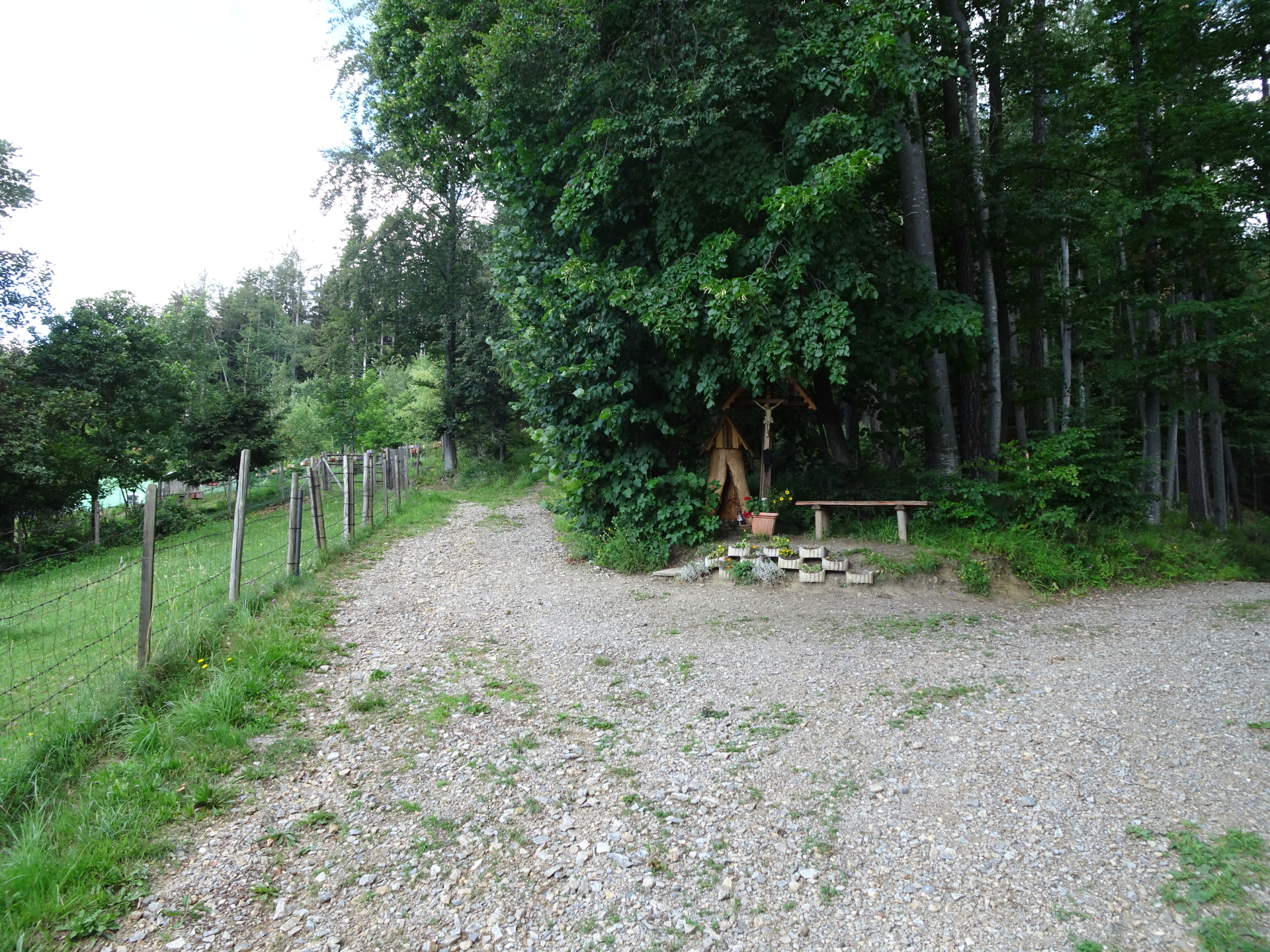
Short break at the rest area of Strosskreuz. Best enjoyed with a self-brought refreshment (). |
| 01:40 |
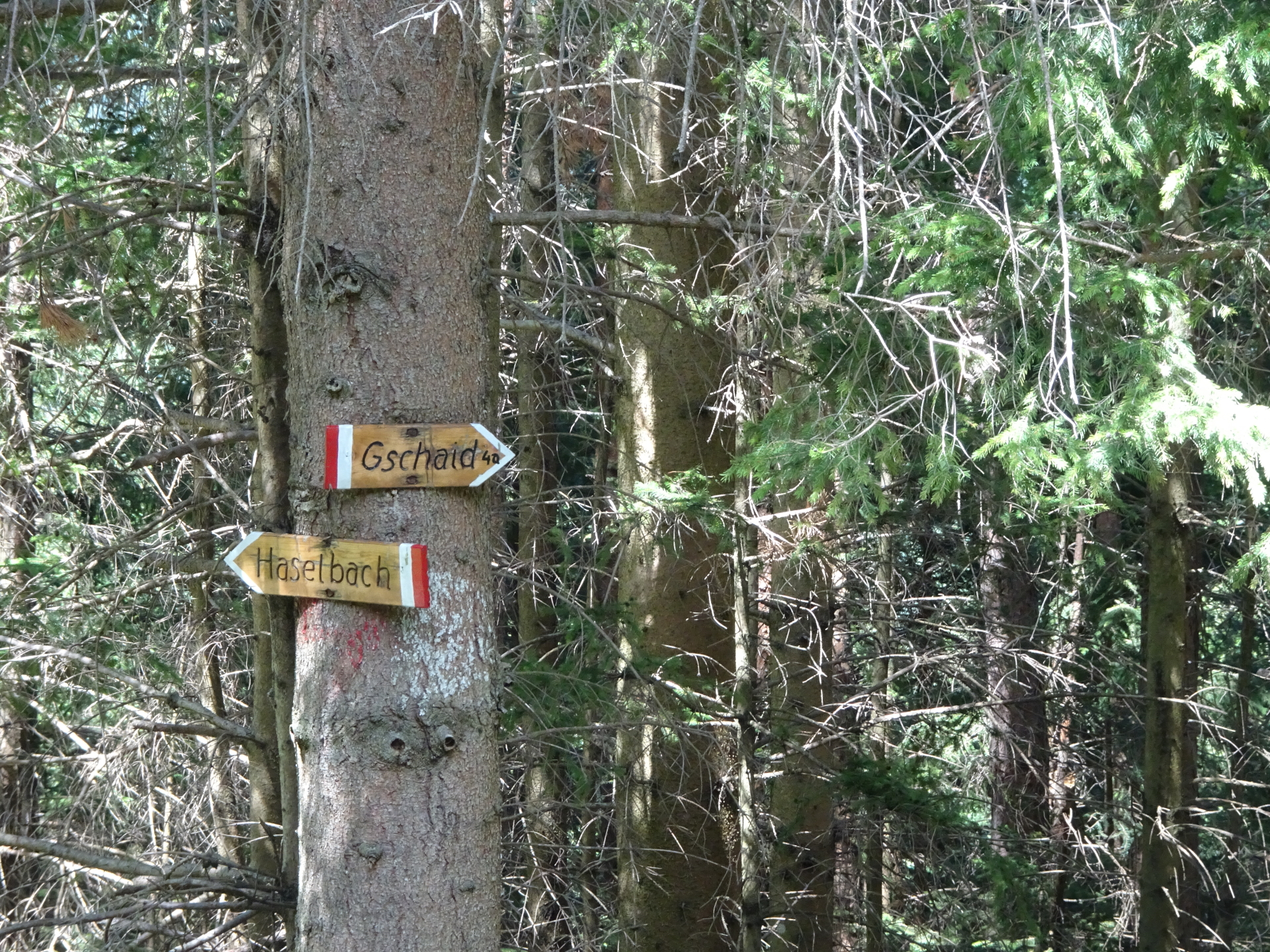
Continue following the now red-white-red marked trail northwards heading towards Gschaid. |
| 01:45 |
At the crossing, turn right and follow the red-white-red marked trail 4a towards Gschaid (see signposts). |
| 01:50 |
Turn right into the street and follow the street into the village of Gschaid. |
| 01:55 |
At the crossing, keep left and follow the street towards Wachtkreuz (see signpost). Keep on the marked hiking trail towards Wachthaussattel and the Wachtkreuz. |
| 02:15 |
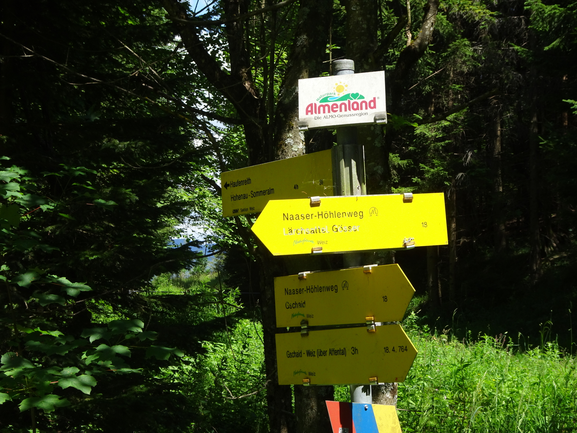
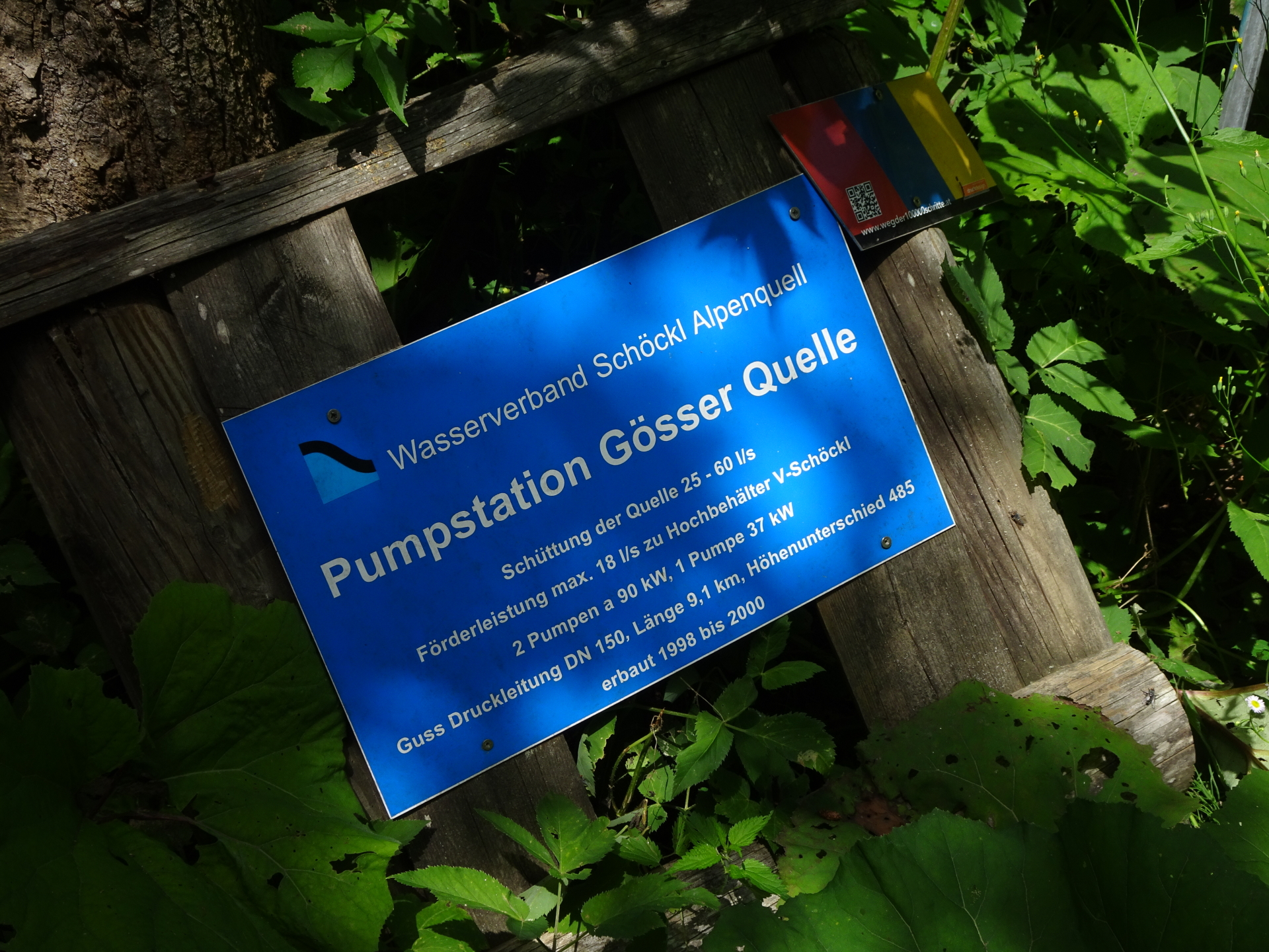
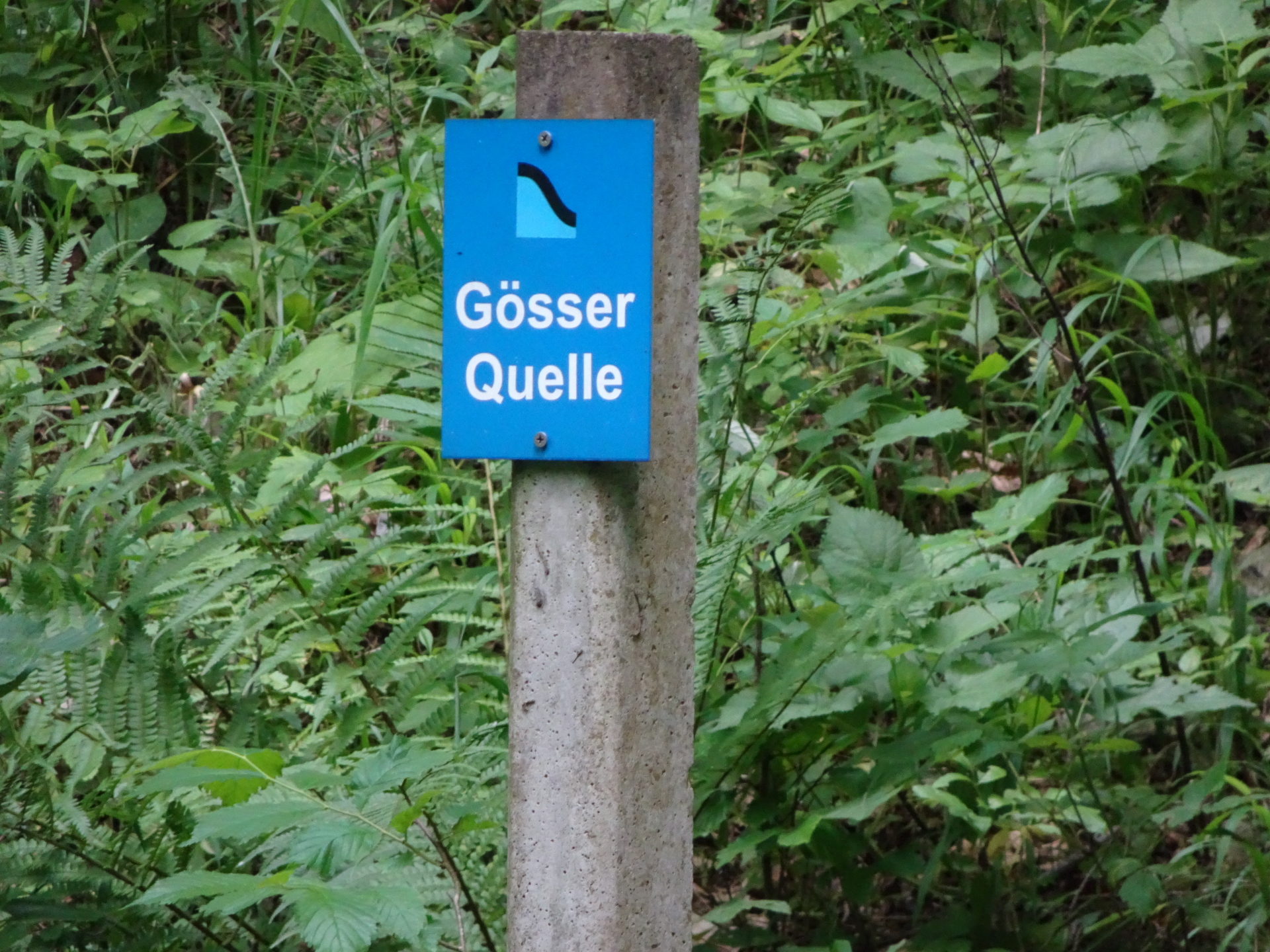
At the crossing, turn left and follow the trail towards Lärchsattel / Gösser (see signpost). |
| 02:25* |
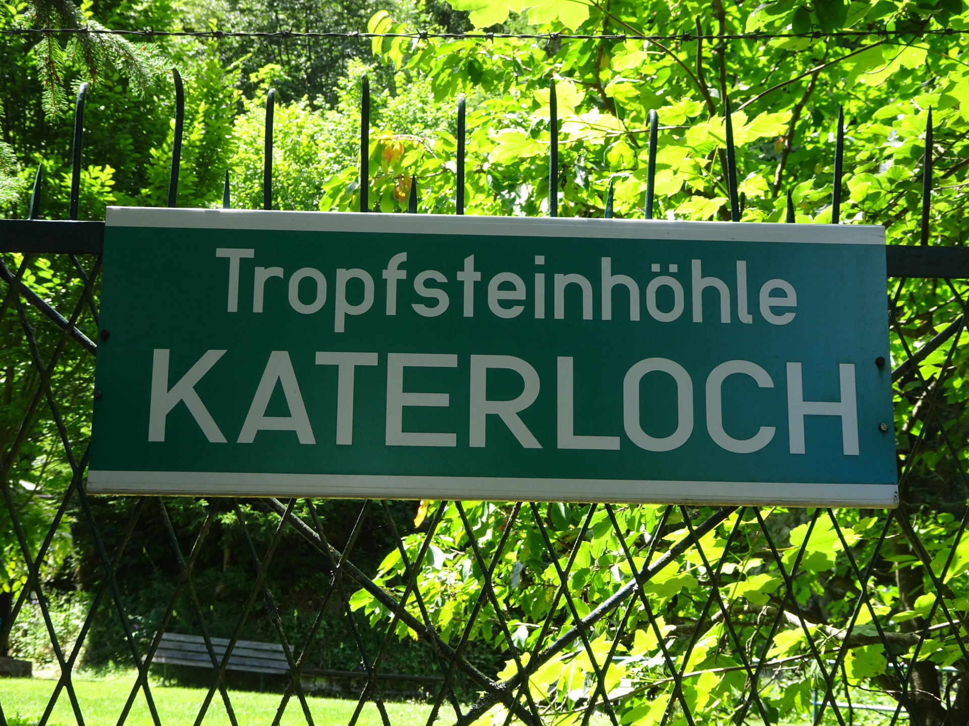
Potential detour: At the Lärchsattel, turn left and follow the trail down towards Katerloch. |
| 02:30* |
Turn right at the parking and follow the street up towards the entrance of Katerloch (stalactite cave). |
| 02:35* |
Do the 2h tour through the impressive stalactite cave of Katerloch. After the tour, take the same way back to Lärchsattel.
The 2h tour is not reflected in the timings here. |
| 02:50 |
At Lärchsattel, follow the trail 18 westwards towards Gösser. |
| 02:55 |
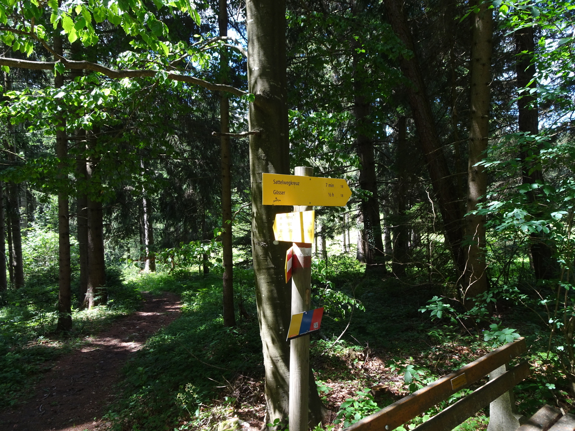
Enjoy the nice rest area at Sattelwegkreuz, obviously best enjoyed with a self-brought refreshment (). |
| 03:15 |
Follow the marked route 18 towards Gösser (see signpost). |
| 03:30 |
At the crossing, keep straight and follow the trail south (do not turn yet into the trail towards Gösserwand). |
| 03:35 |
At the crossing, now turn right into trail 18b towards Gösserwand (see yellow signposts). |
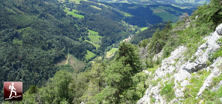
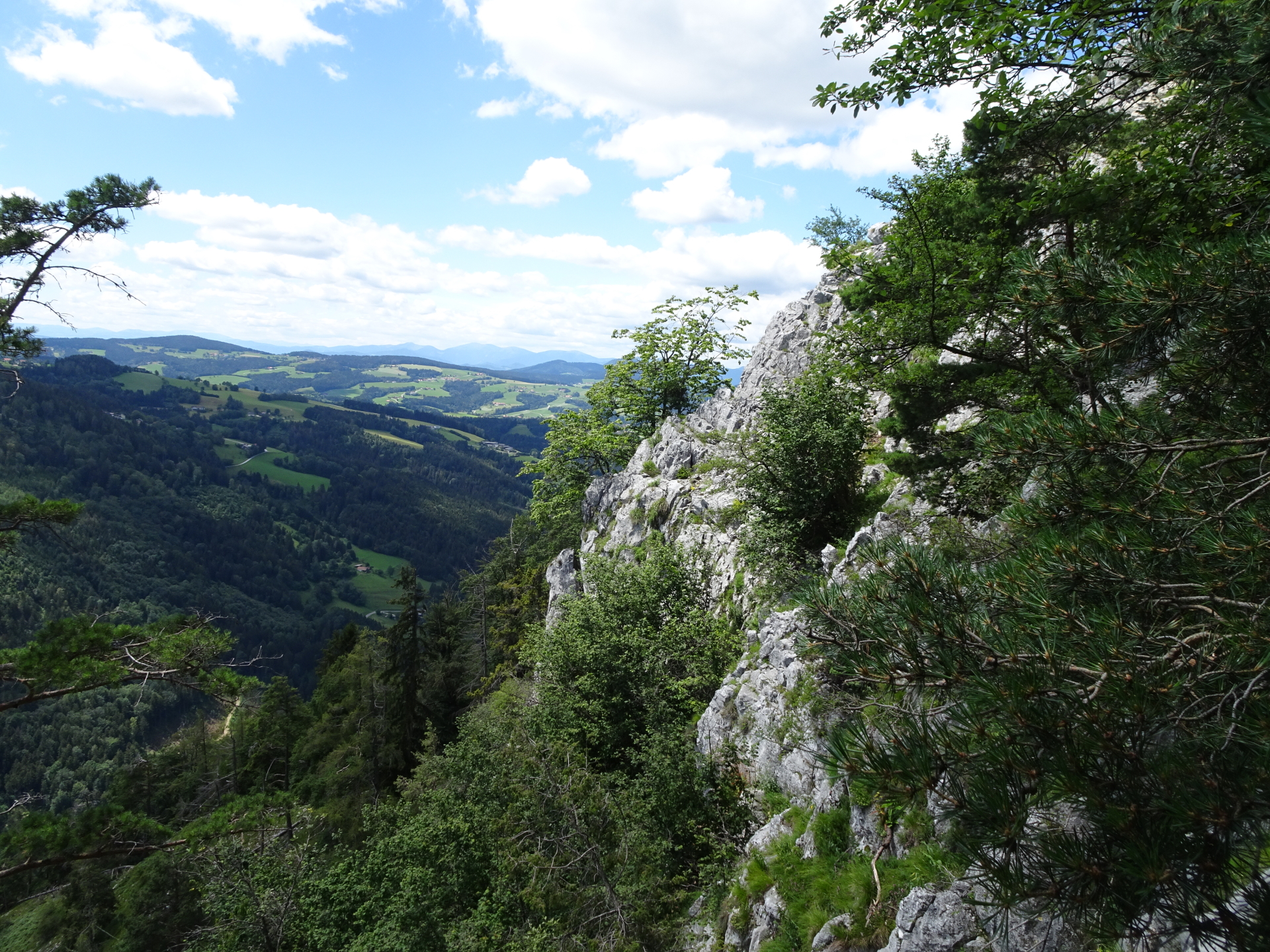
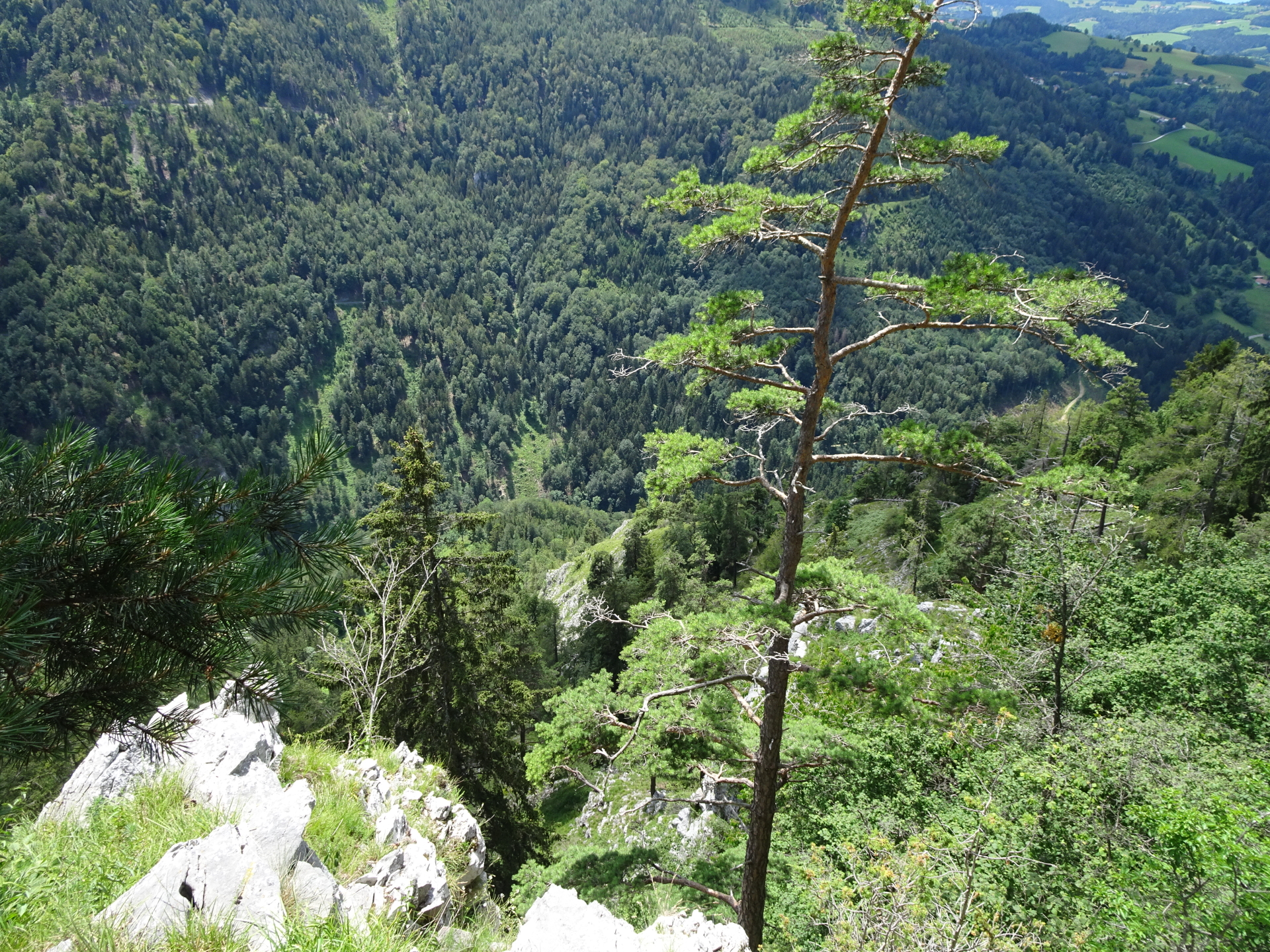
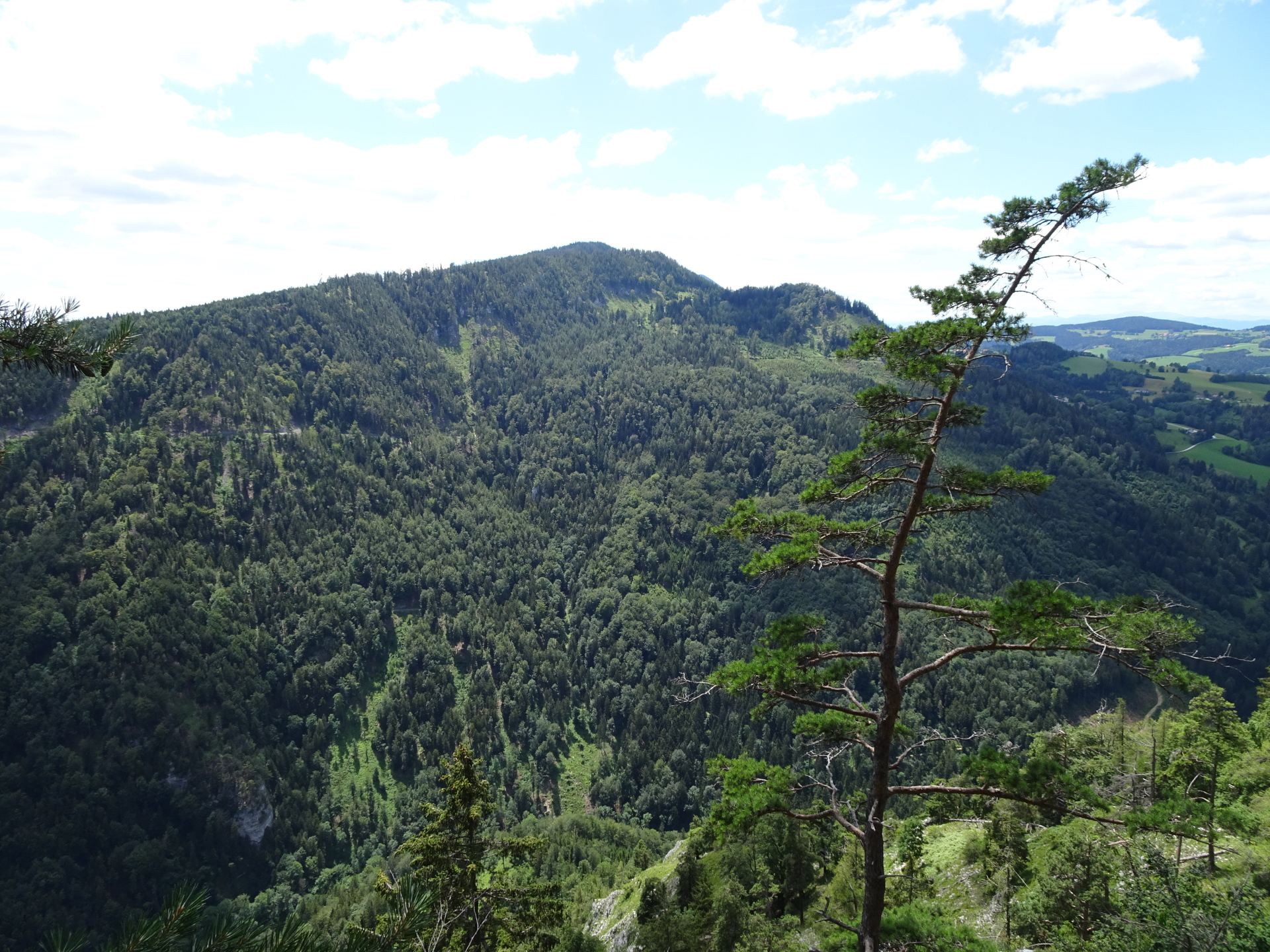
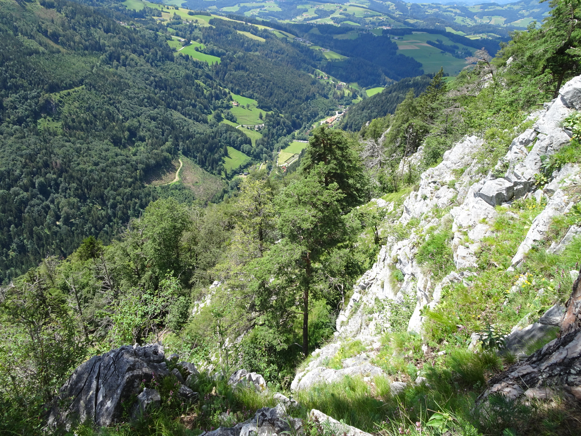
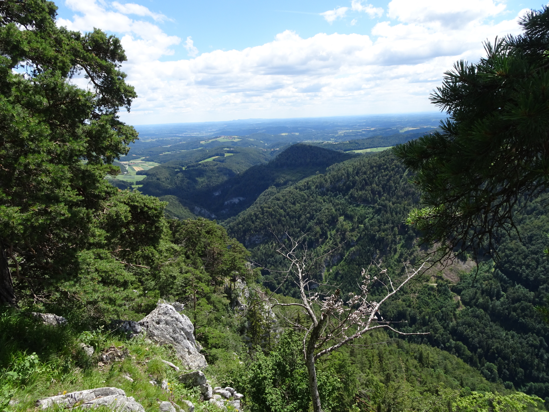
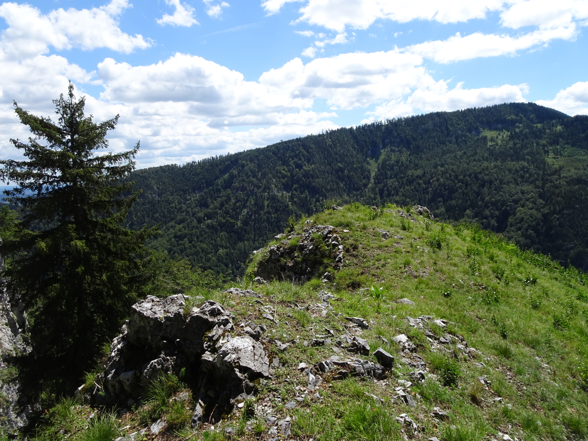
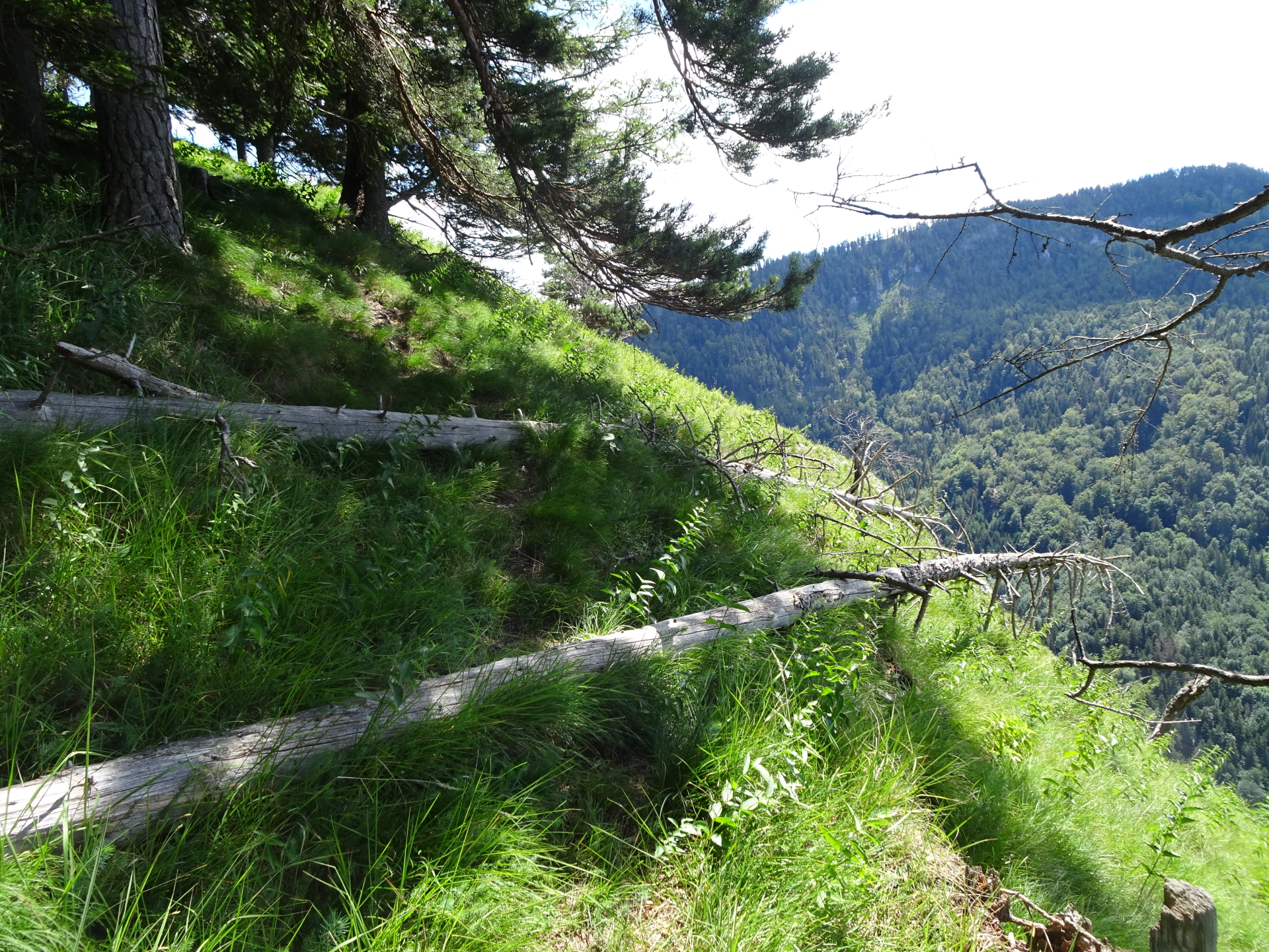
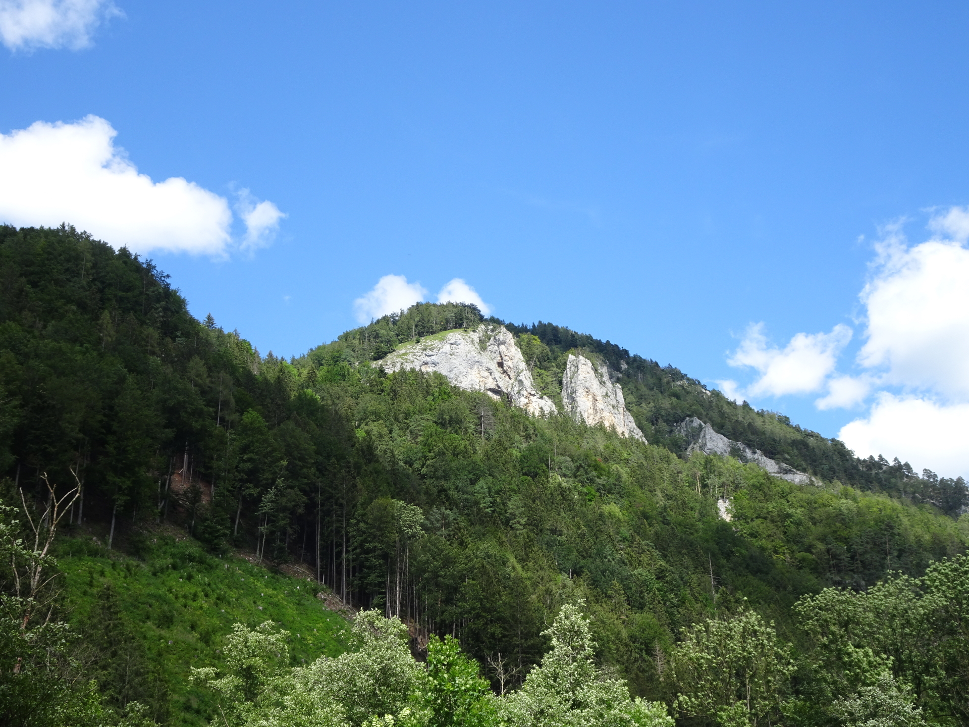
| 03:50 |
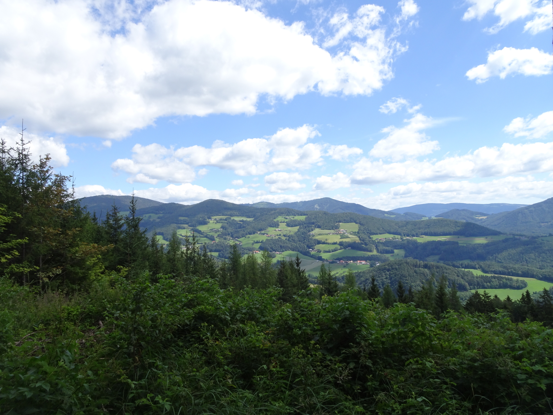
Enjoy the impressive view from Gösserwand (there are several narrow access paths from the trail), obviously best enjoyed with a self-brought refreshment (). |
| 04:20 |
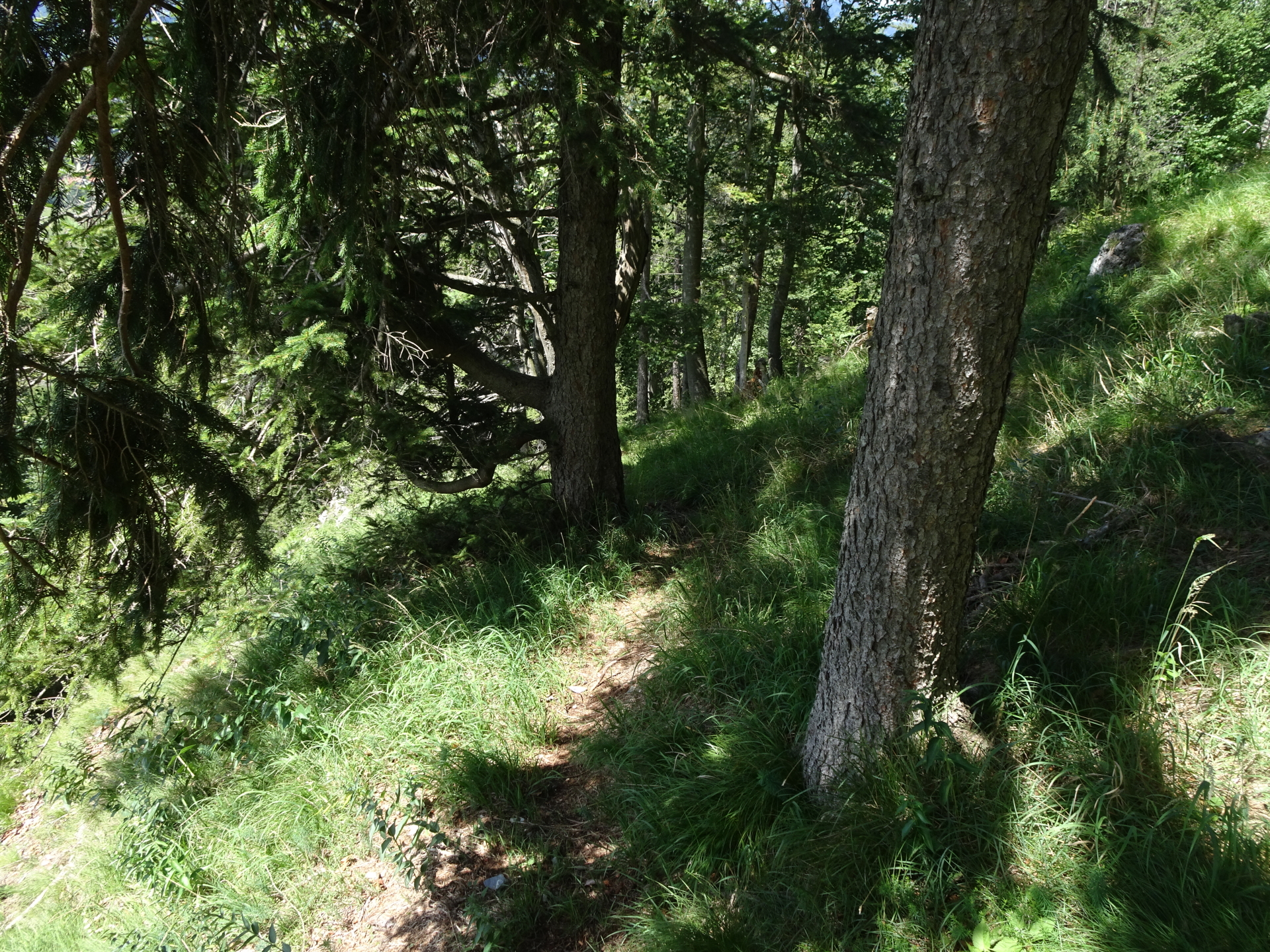
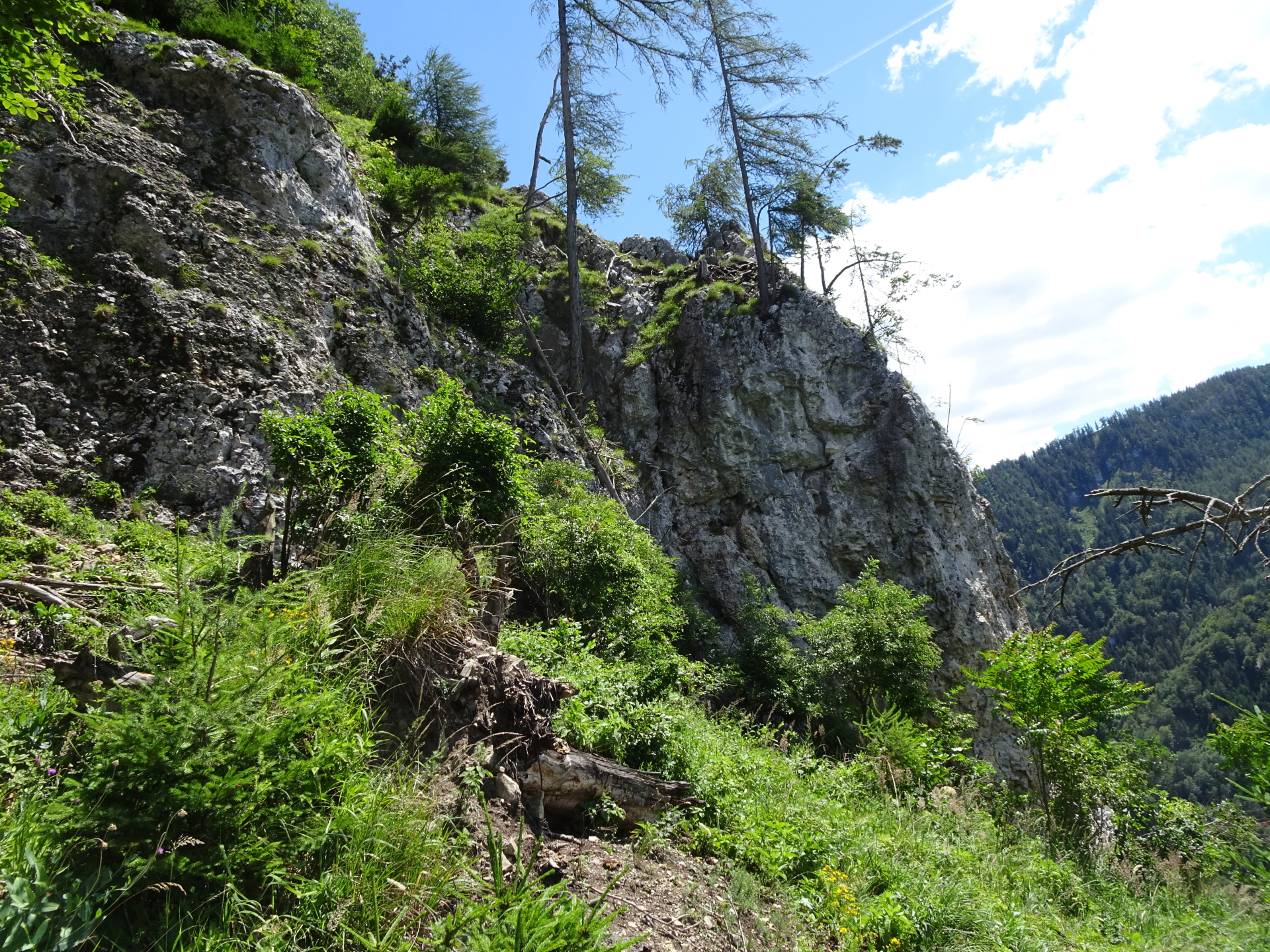
Continue following the red-marked trail till reaching the next crossing. |
| 04:22 |
Stay left and follow the small trail that is barely marked with red dots along the ridge. The trail is now becoming steep, unmarked and requies a good sense of orientation! |
| 04:30 |
Either turn right and follow the forest road and then descend in serpentins, or shortcut once again by following the steep trail downwards. |
| 04:40 |
Turn right and follow the forest road downwards. At the next crossing, turn left and continue following the forest road till reaching the street. |
| 05:00 |
U-turn into the street and follow the street northeastwards for a few meters till reaching a clearing. |
| 05:05 |
U-turn into the trail towards Arzberg. |
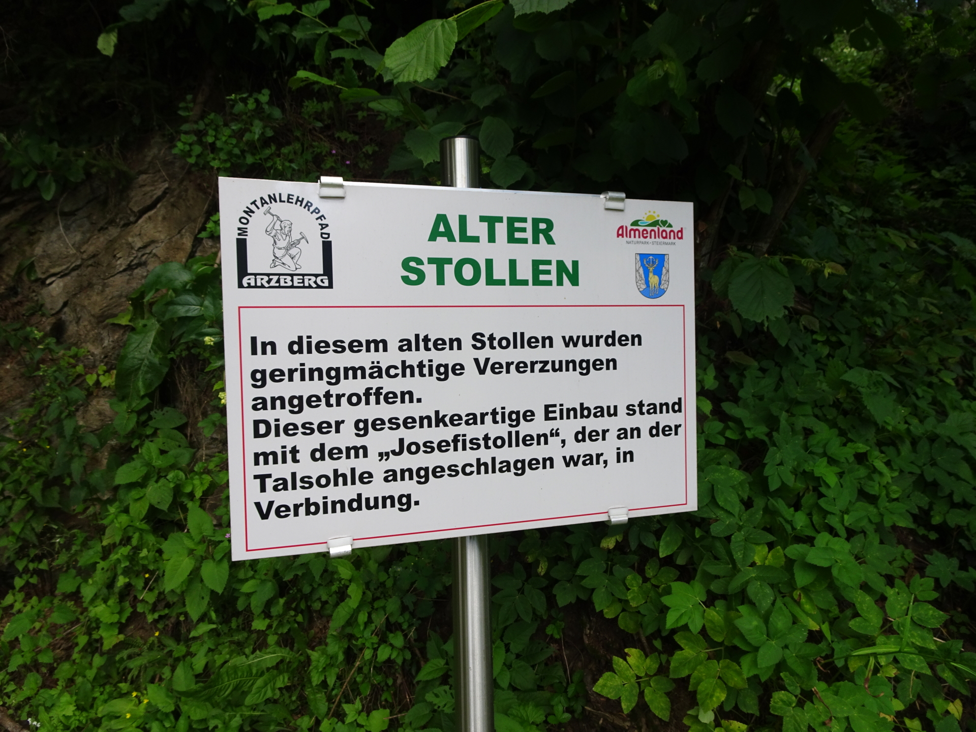
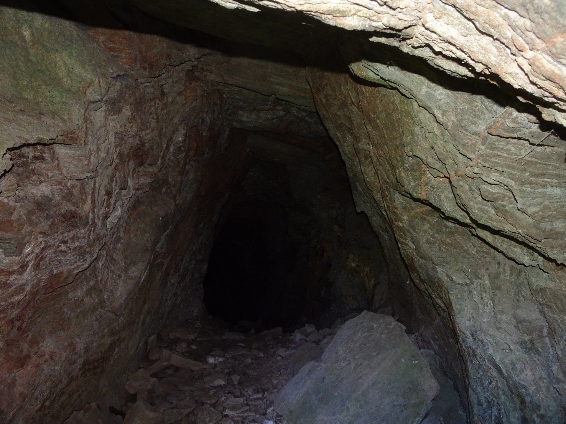
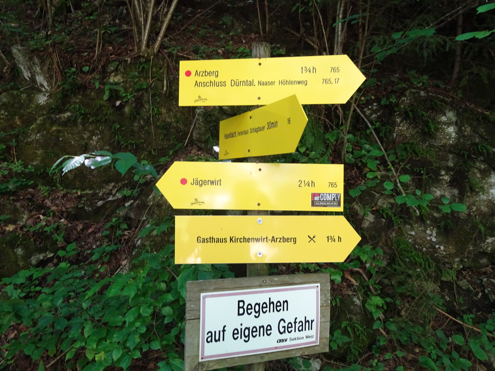
| 05:15 |
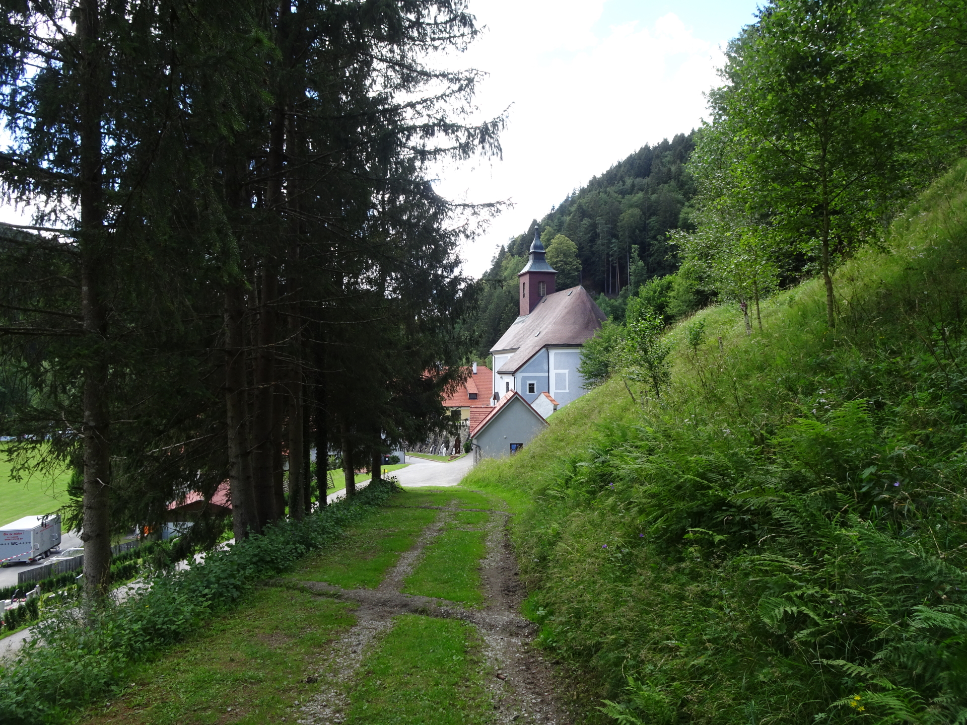
At the mine, u-turn into the street towards the church of Arzberg. |
| 05:16 |
Well deserved break ( ) at Gasthof Kirchenwirt. |
| 06:15 |
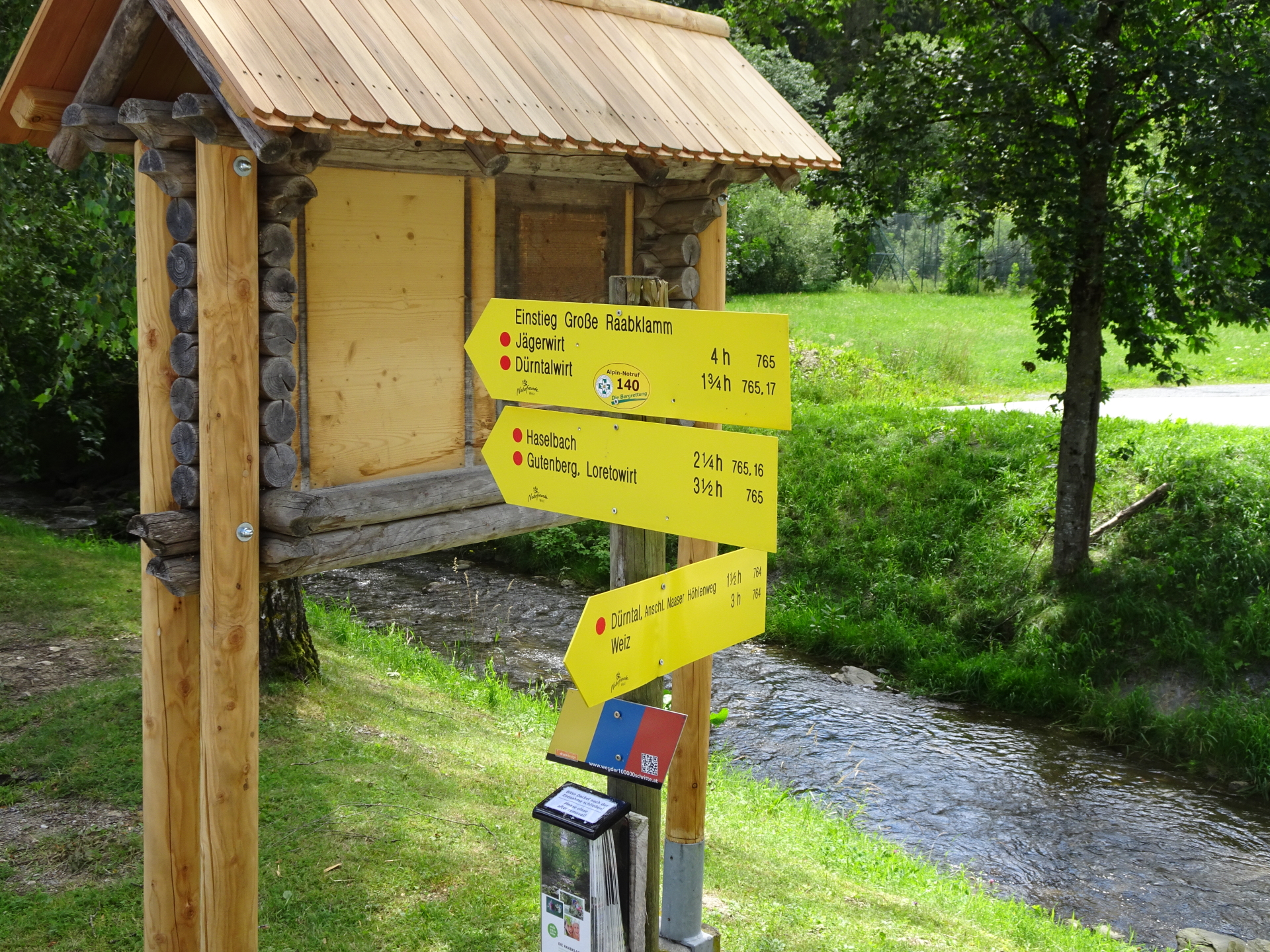
Turn right and follow the trail around the parking and the sports area into the Raabklamm (see signposts). |
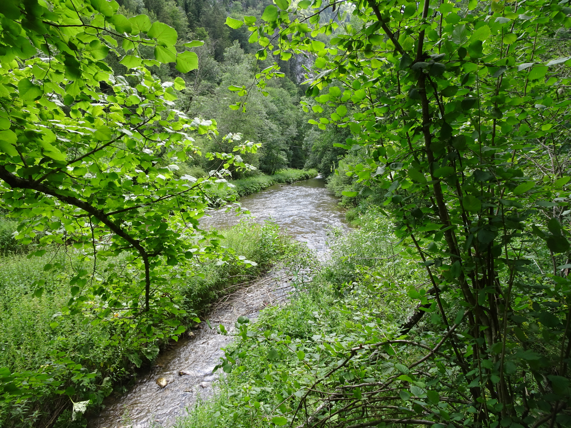
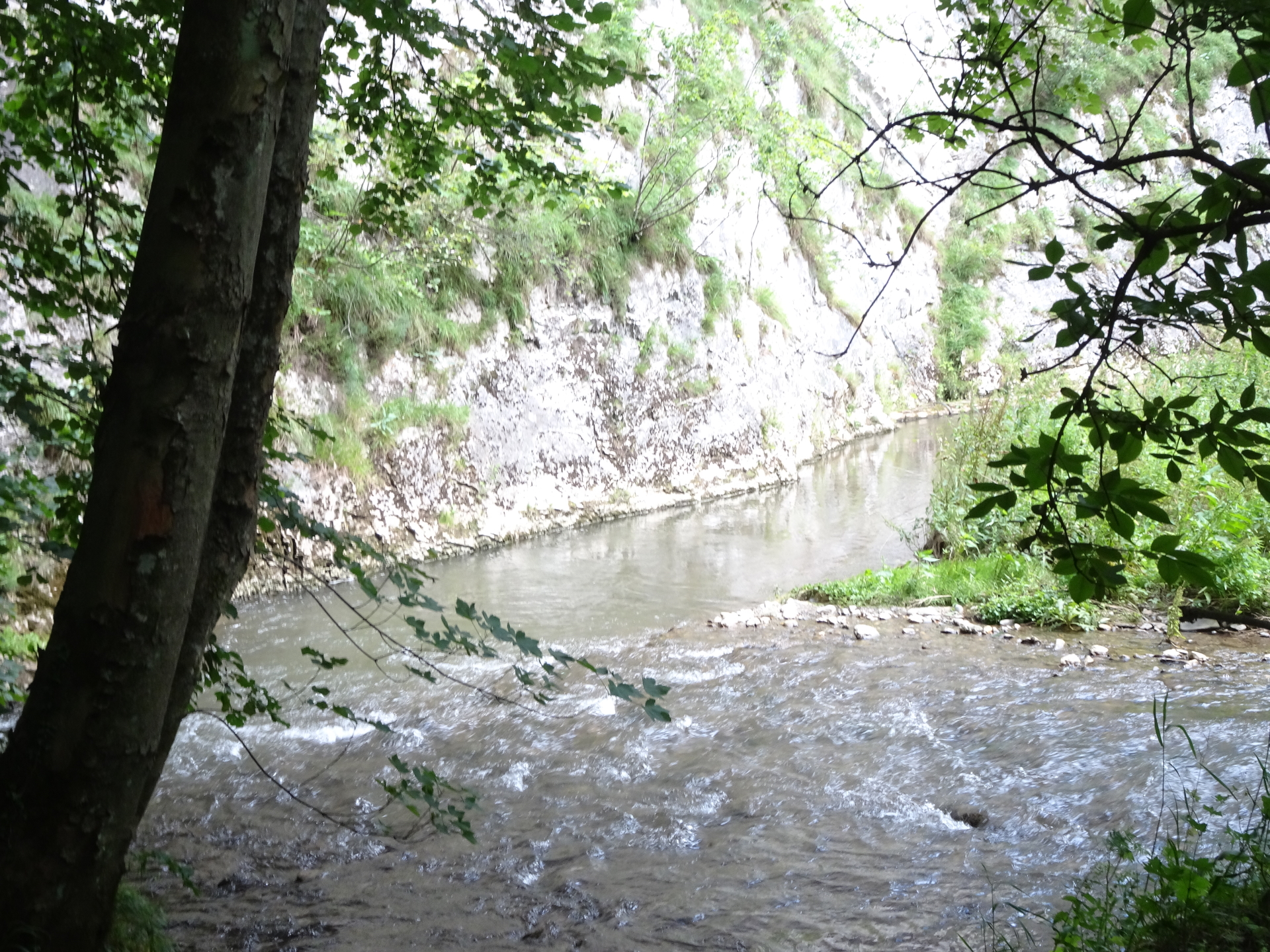
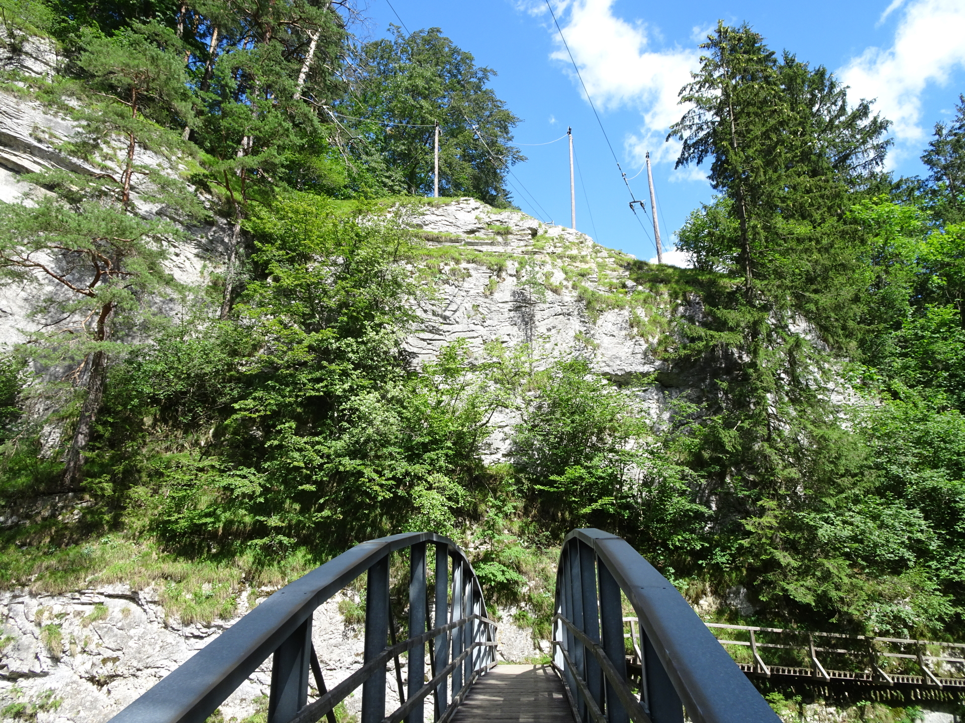
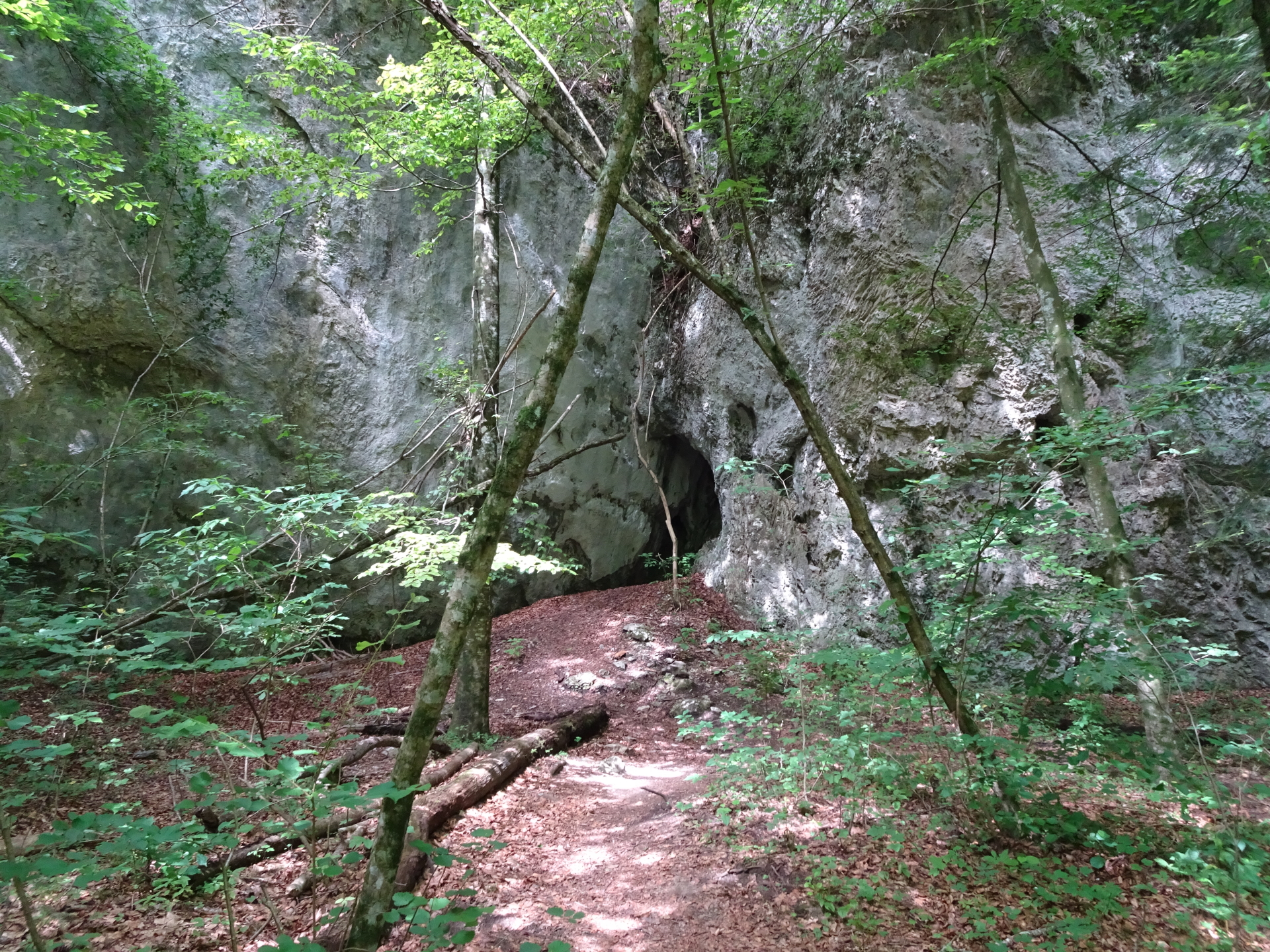
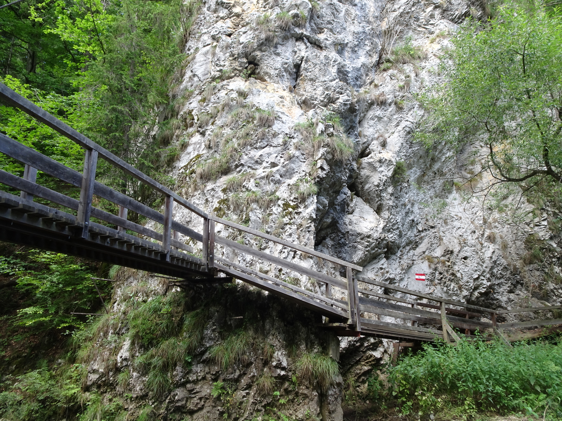
| 07:20 |
Short break at the center of Raabklamm (here you can claim your SummitLynx stamp). |
| 07:25 |
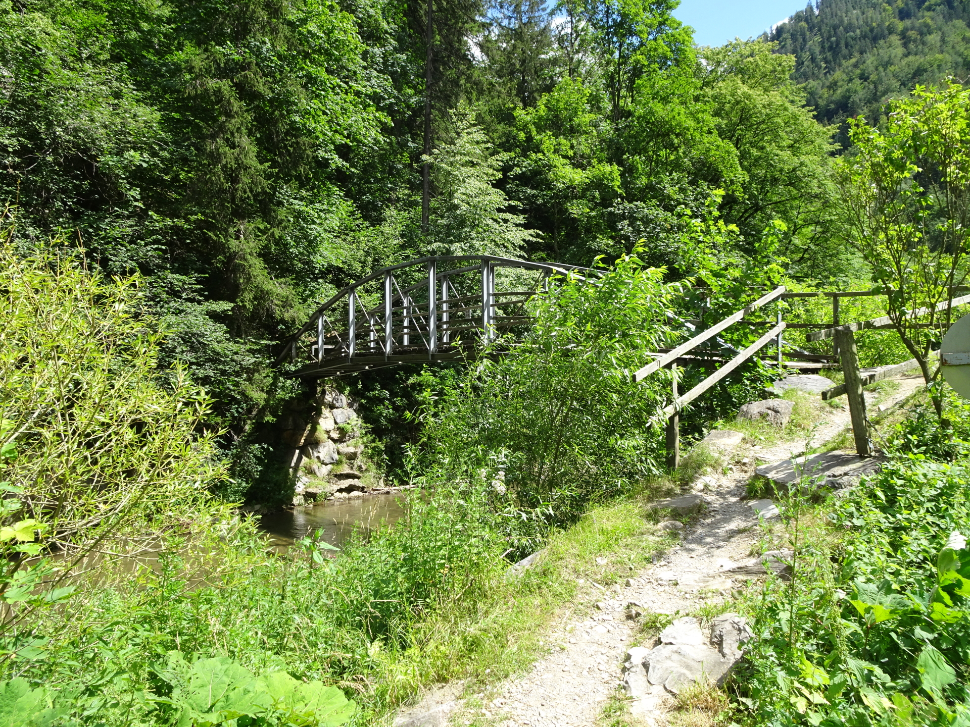
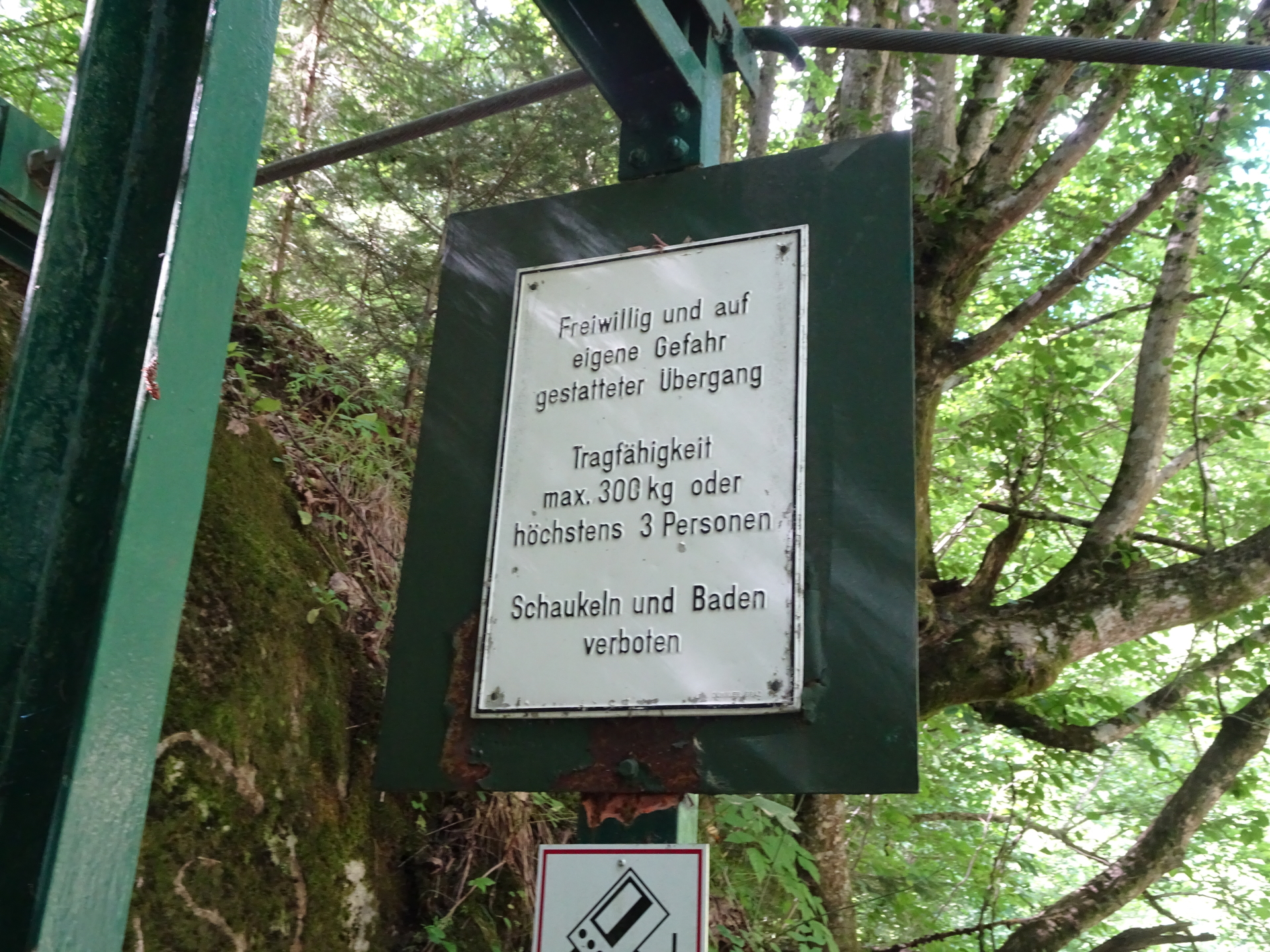
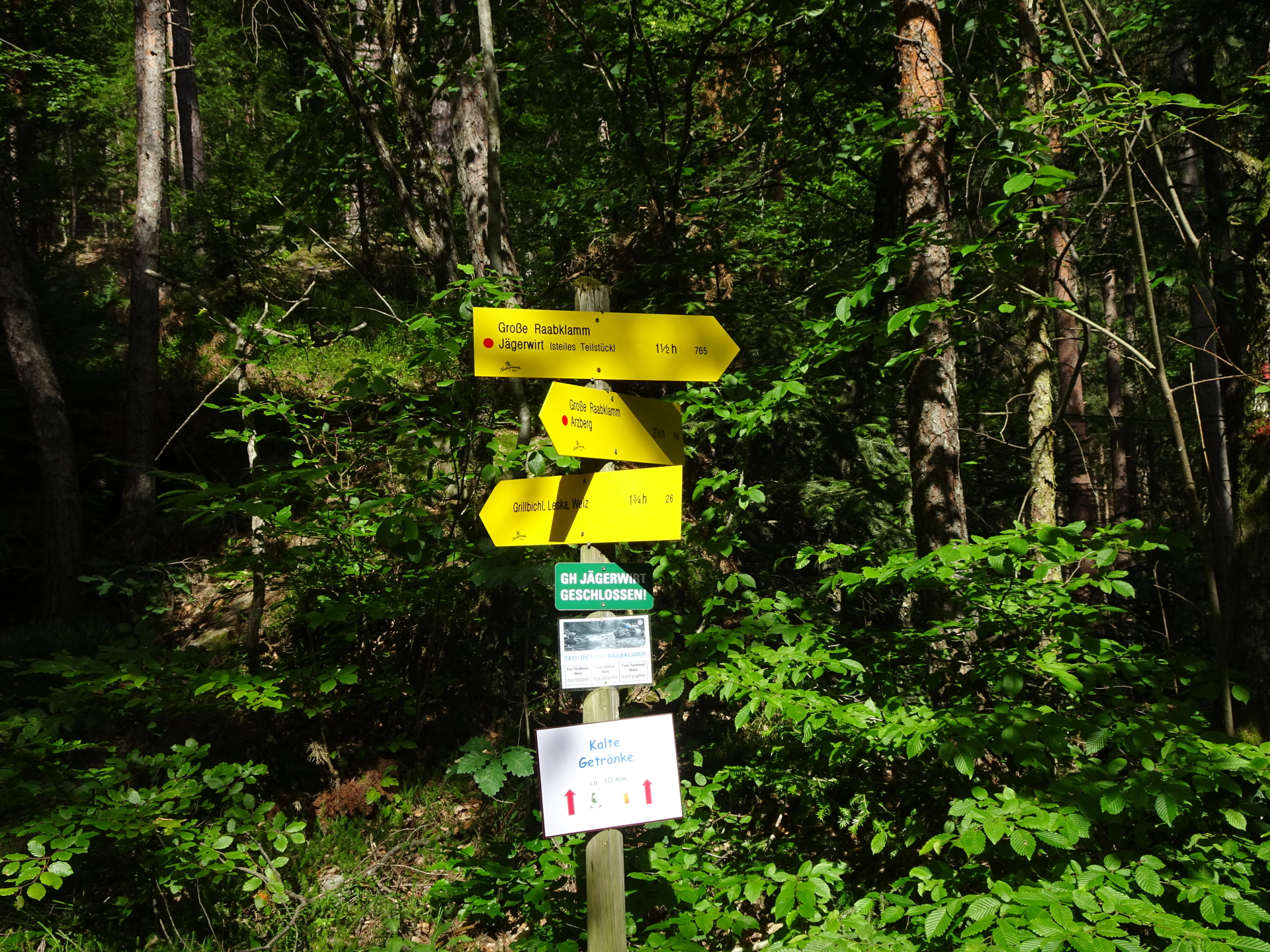
Continue following the trail southwards towards Jägerwirt (see signposts, do not cross the bridge!). |
| 07:55 |
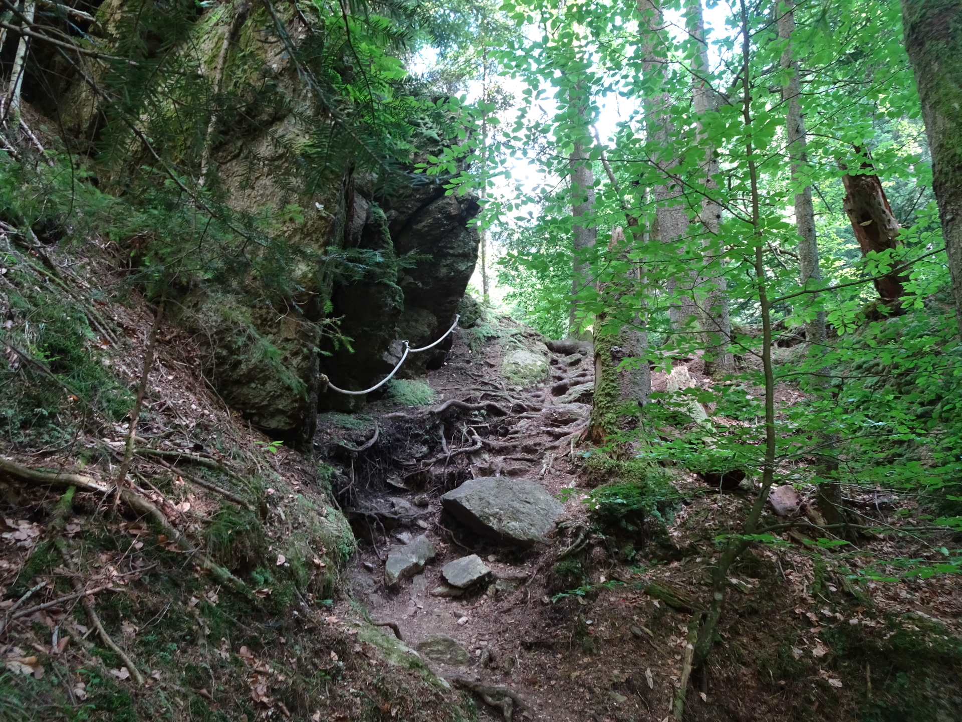
At the crossing, keep left for the steep descent or right for an easy but longer descent. |
| 08:25 |
At the crossing, keep left and follow the trail towards Jägerwirt. |
| 08:40 |
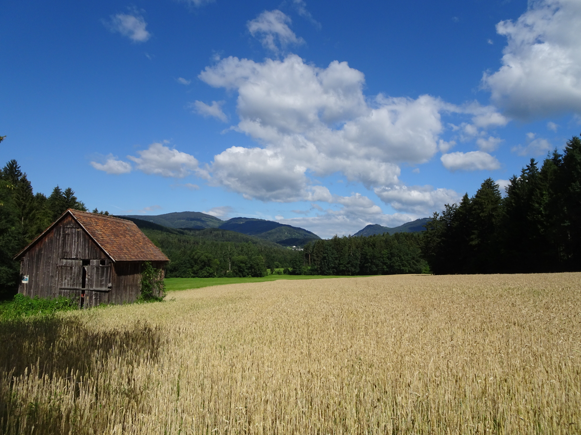
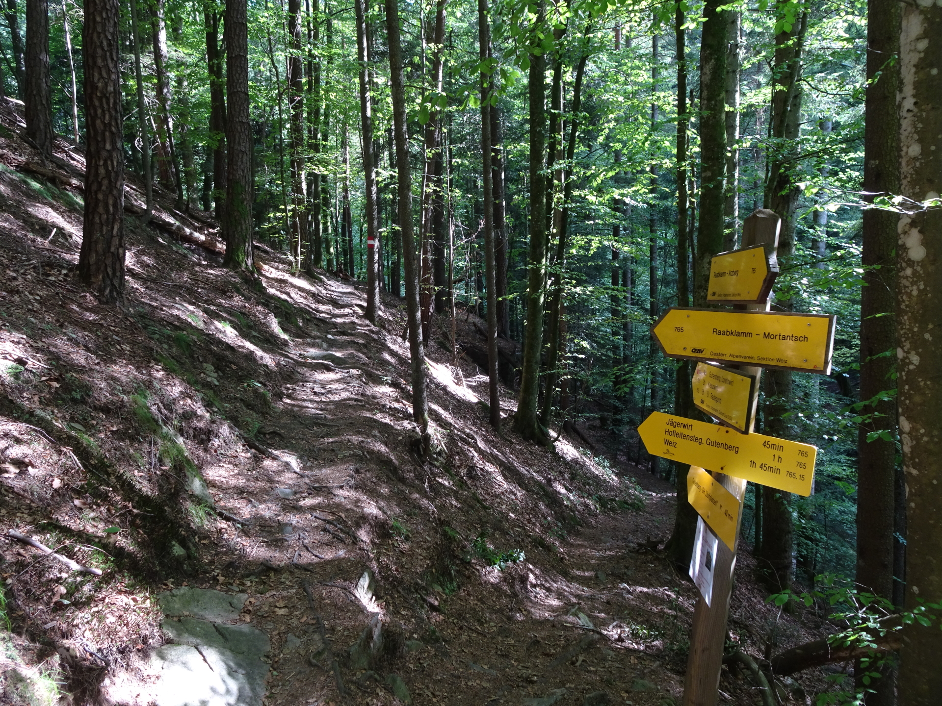
At the crossing, keep straight (slightly left) towards Mortantsch and leave the Raabklamm. |
| 08:45 |
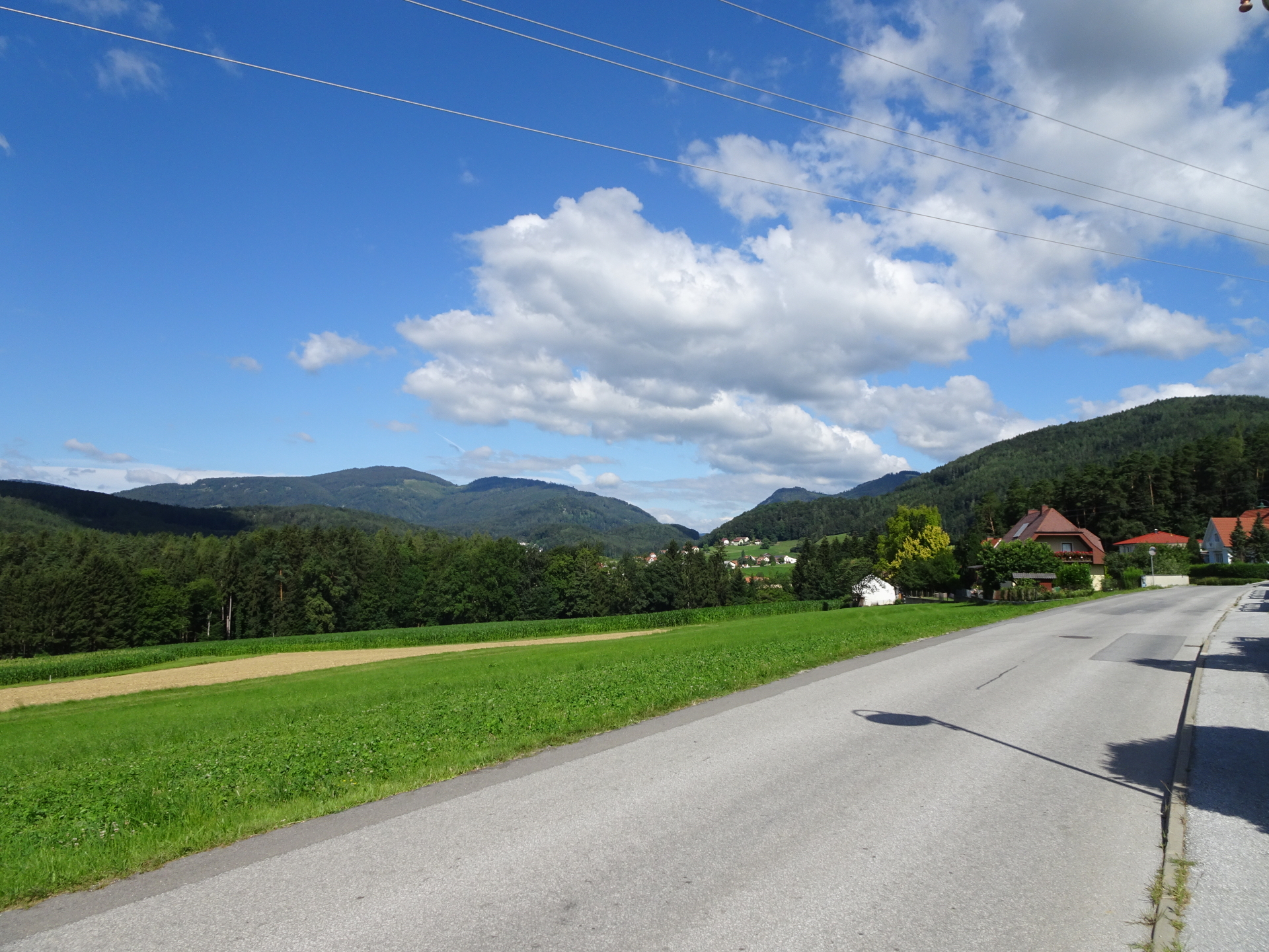
Turn left and follow the street Kohlerweg into Mortantsch. |
| 08:50 |
At the crossing, turn left into the Jaklweg (marked trail 15) and follow this street that brings you back to the parking. |
| 09:00 |
At the crossing, turn right and continue following the Jaklweg (marked trail 15) back to the parking. |
| 09:05 |
Cross the main street and follow the street eastwards back to the parking which appears after a few meters. End of the tour. |


, Kronich Eisenweg (C/D) and descending via Törlweg\"")
 & Gustav-Jahn-Steig (B) and descending via cable car\"")
 & Bärenlochsteig (B) and descending via Kaisersteig\"")
 and descending via Fadensteig (A/I-)\"")
Leave a Reply