
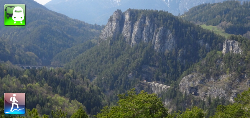
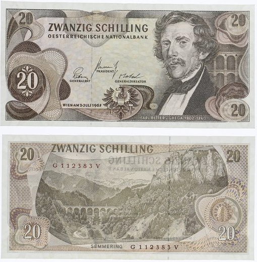
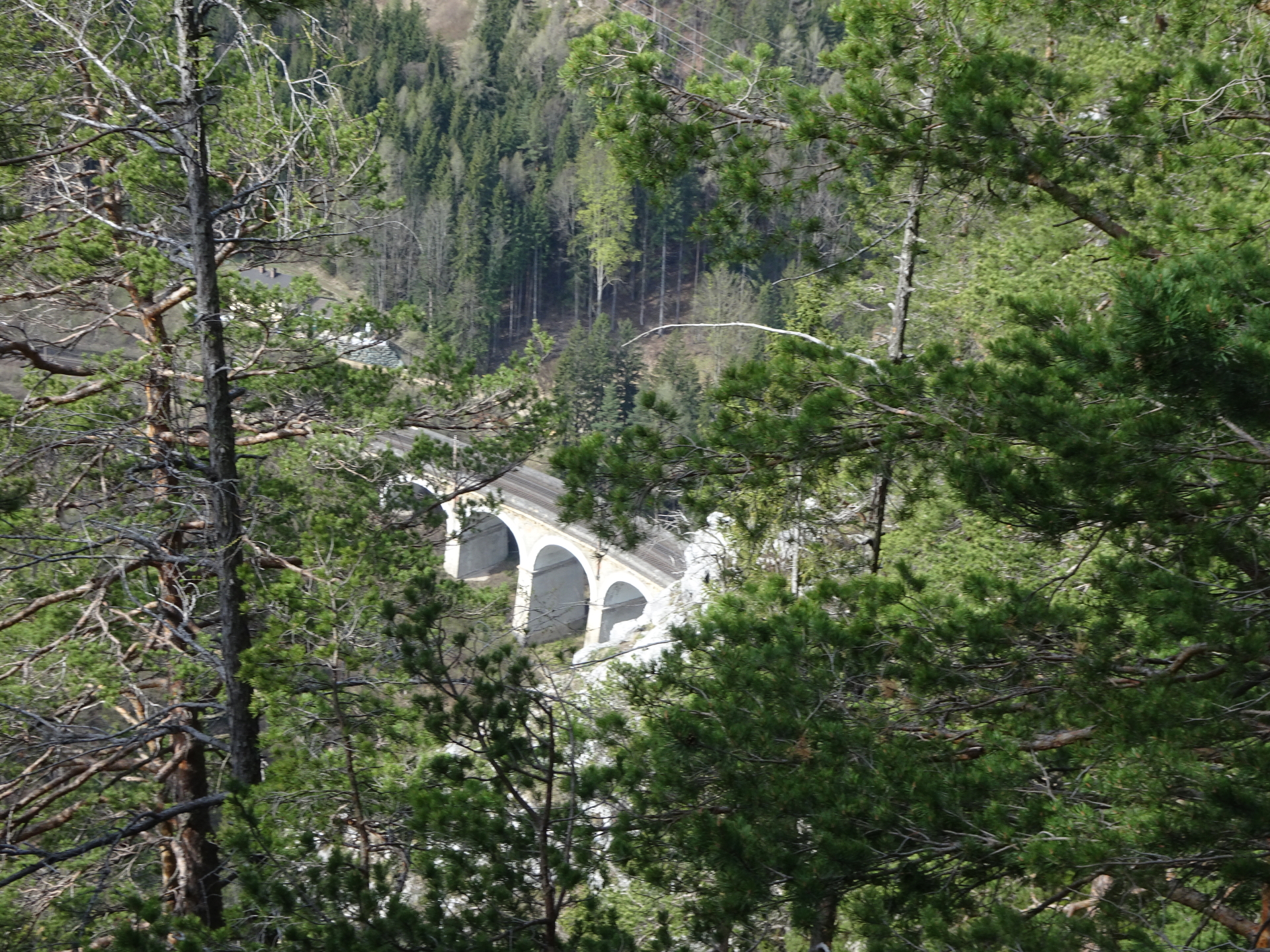
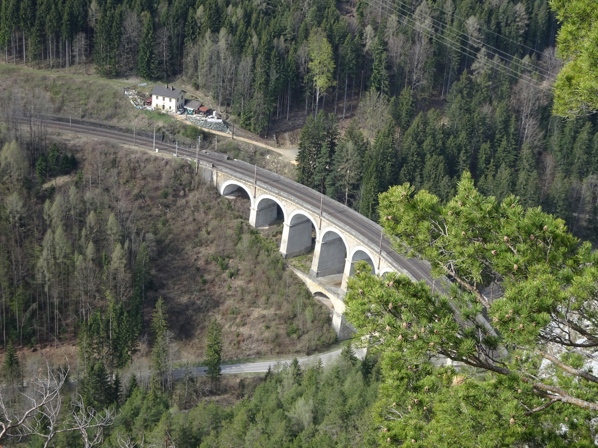
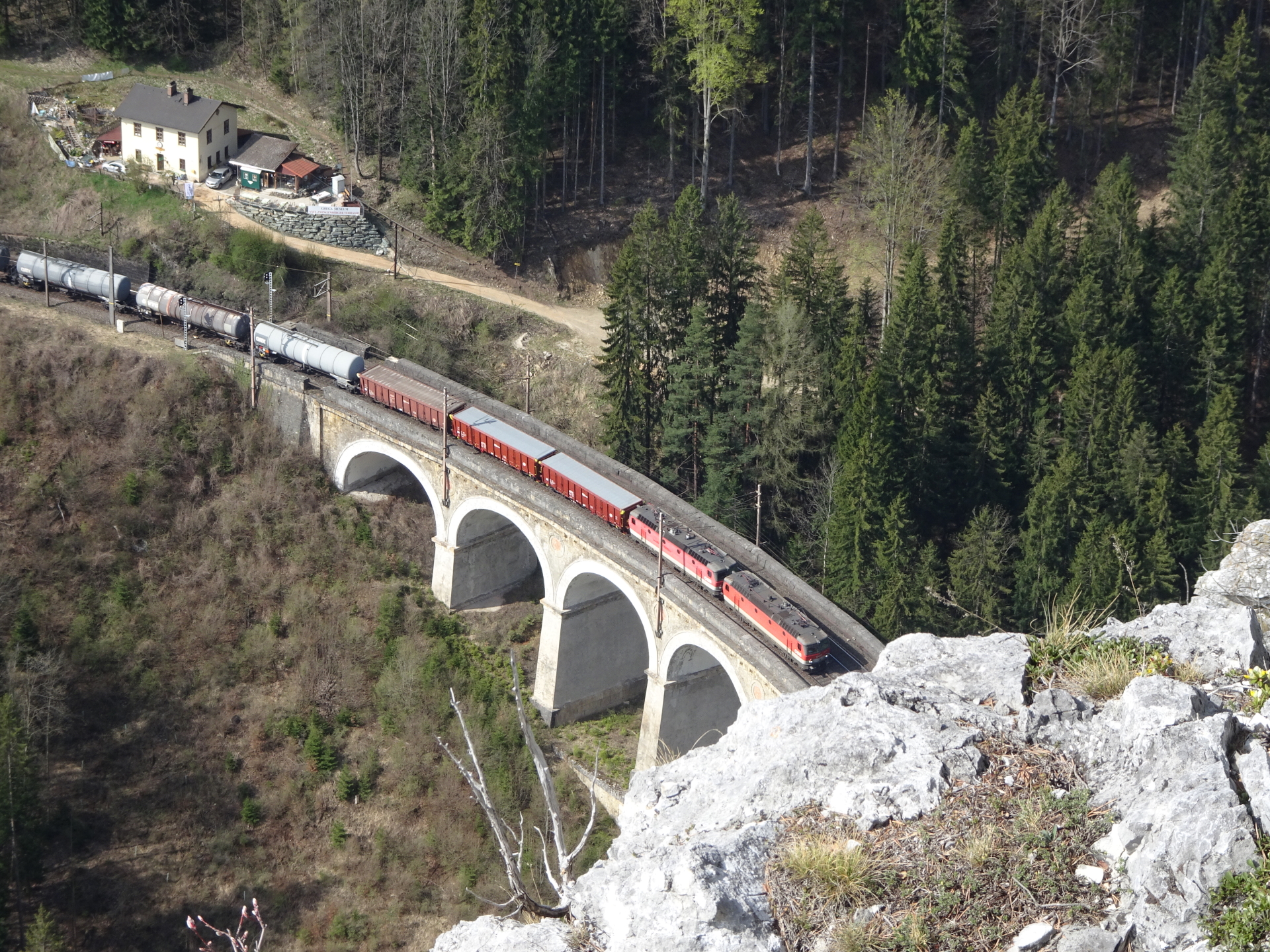
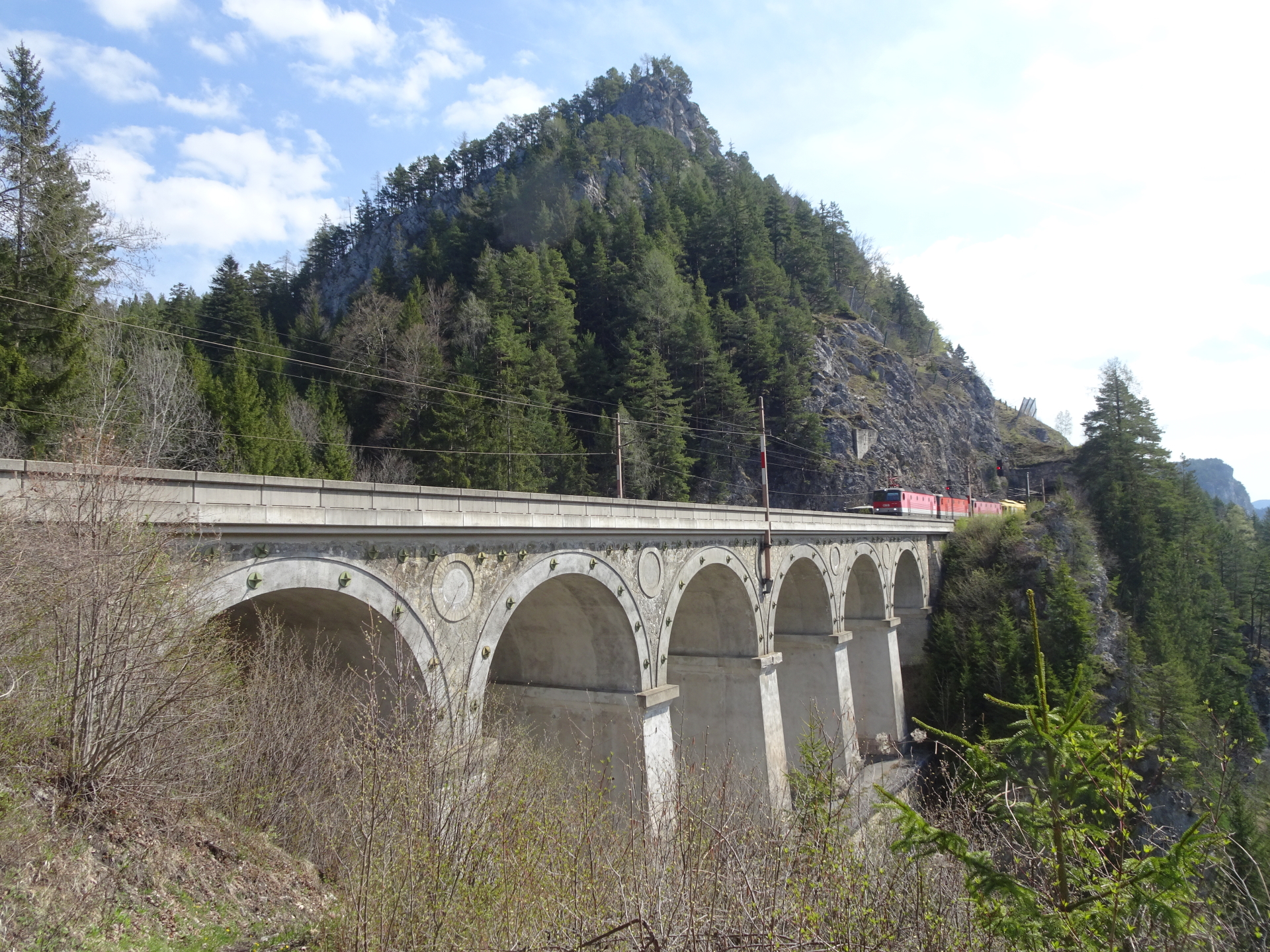
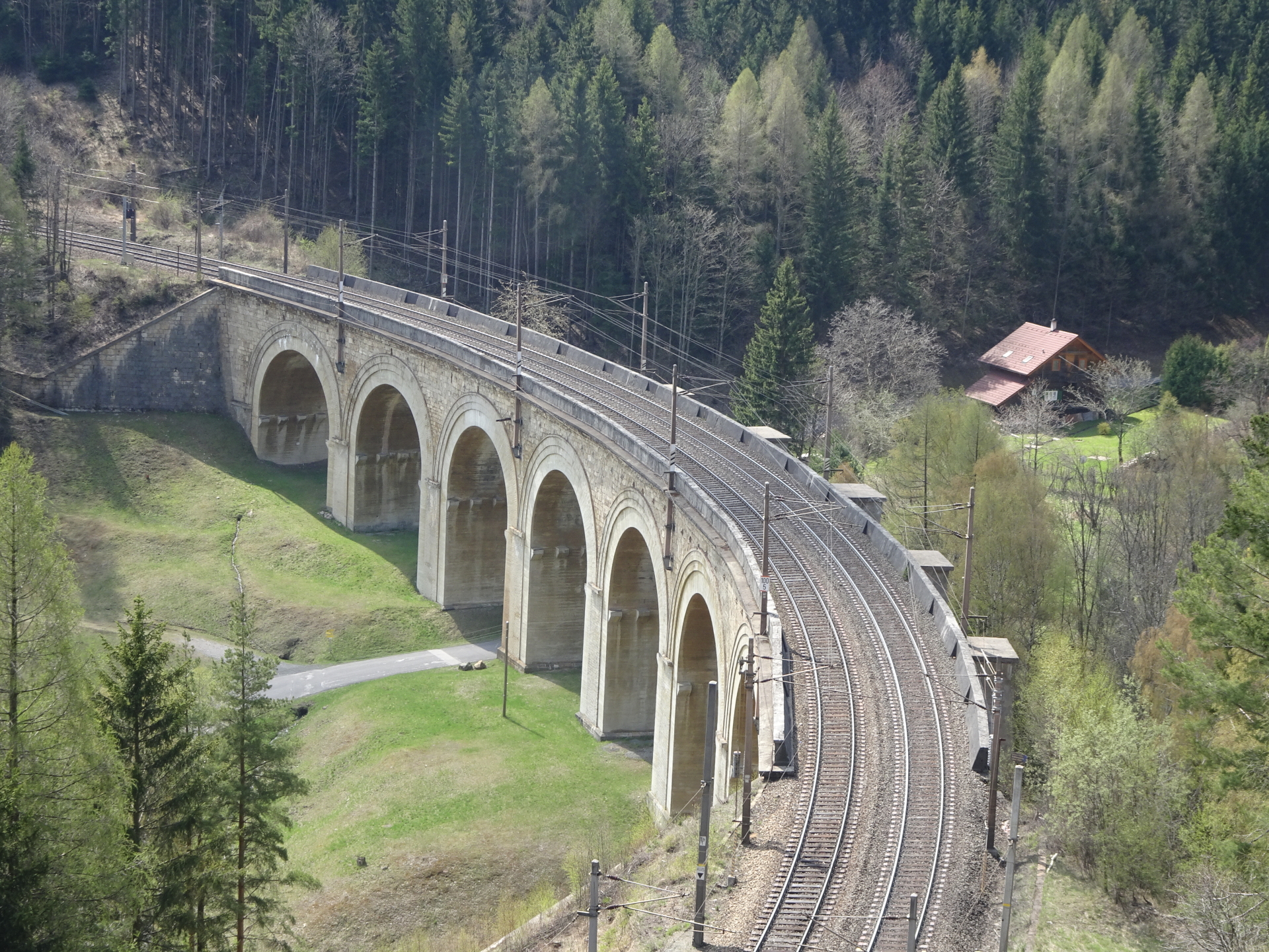
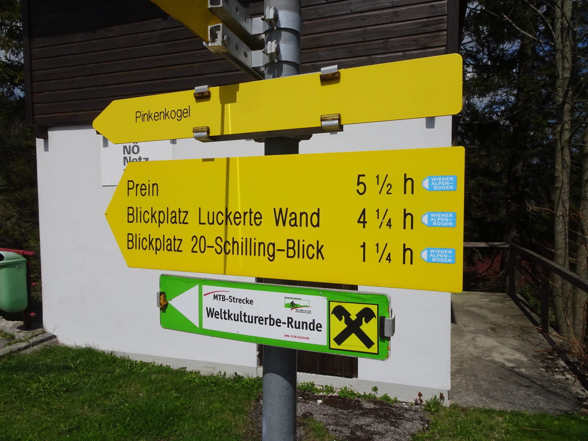
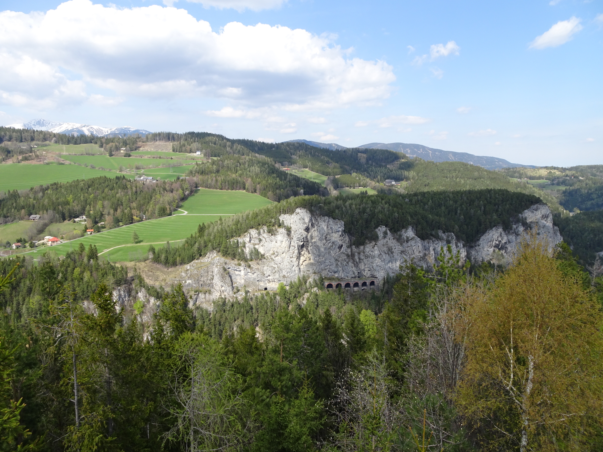
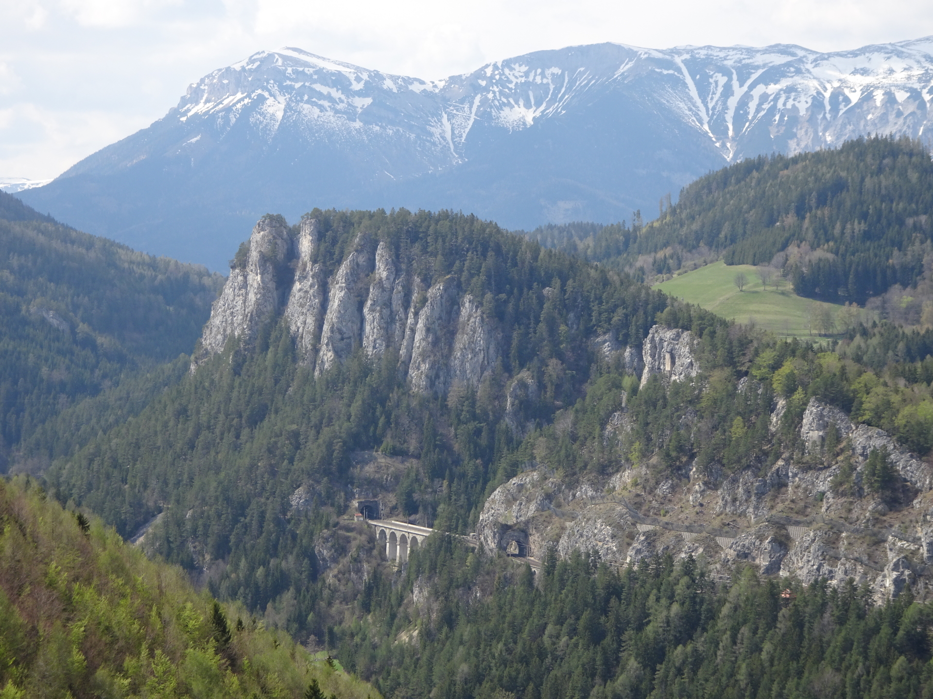
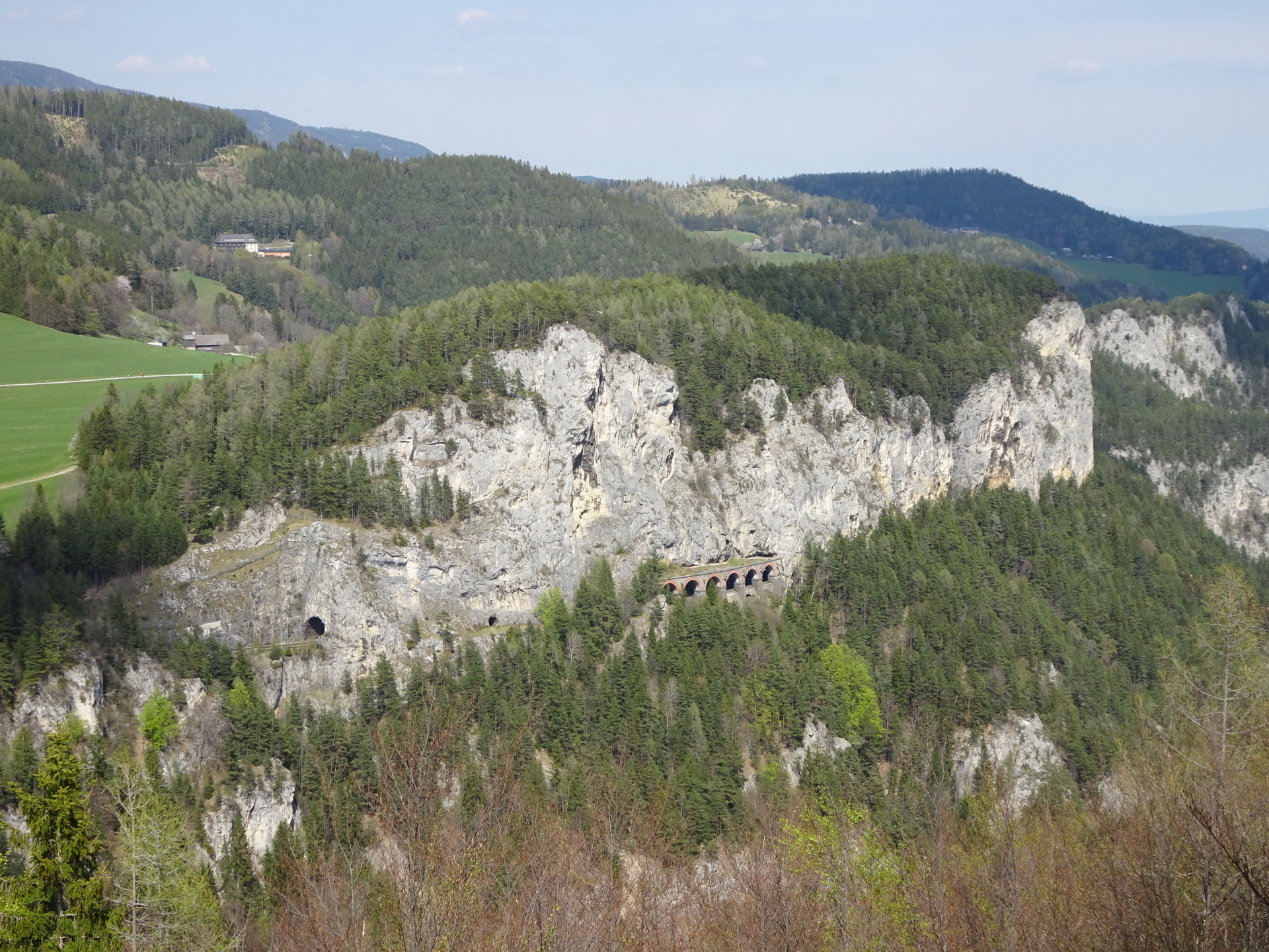
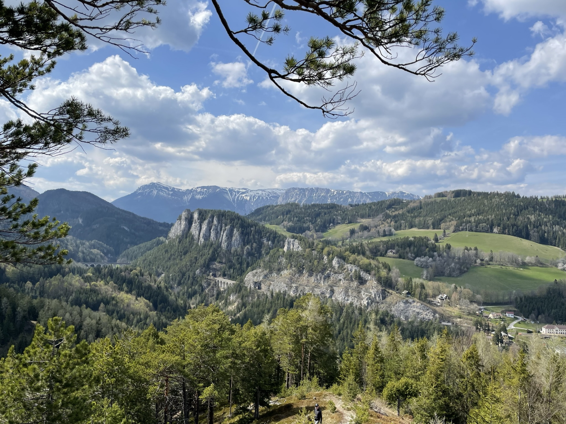
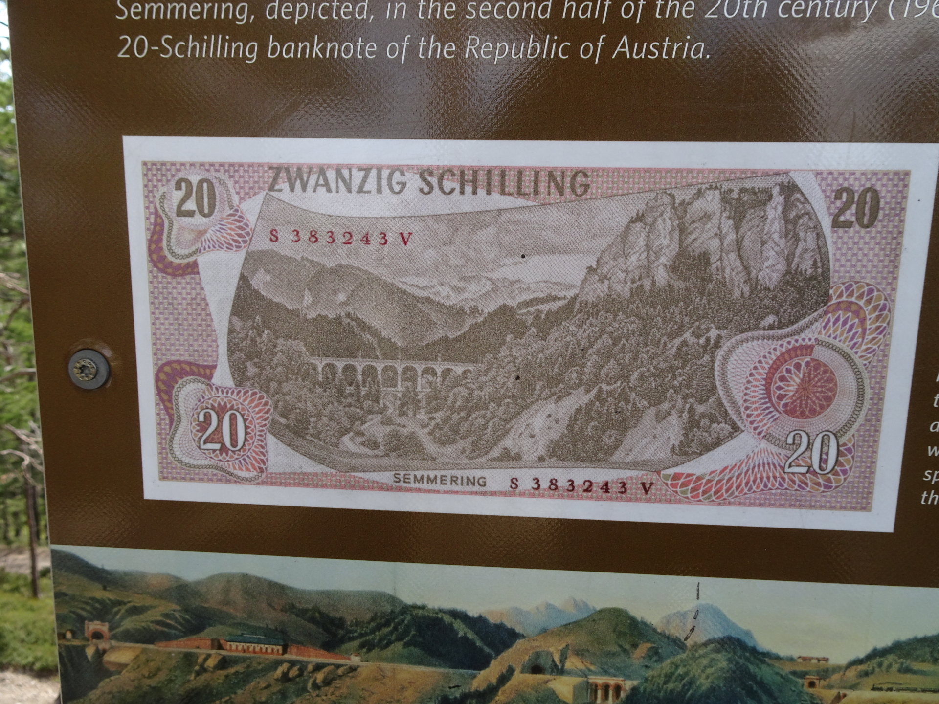
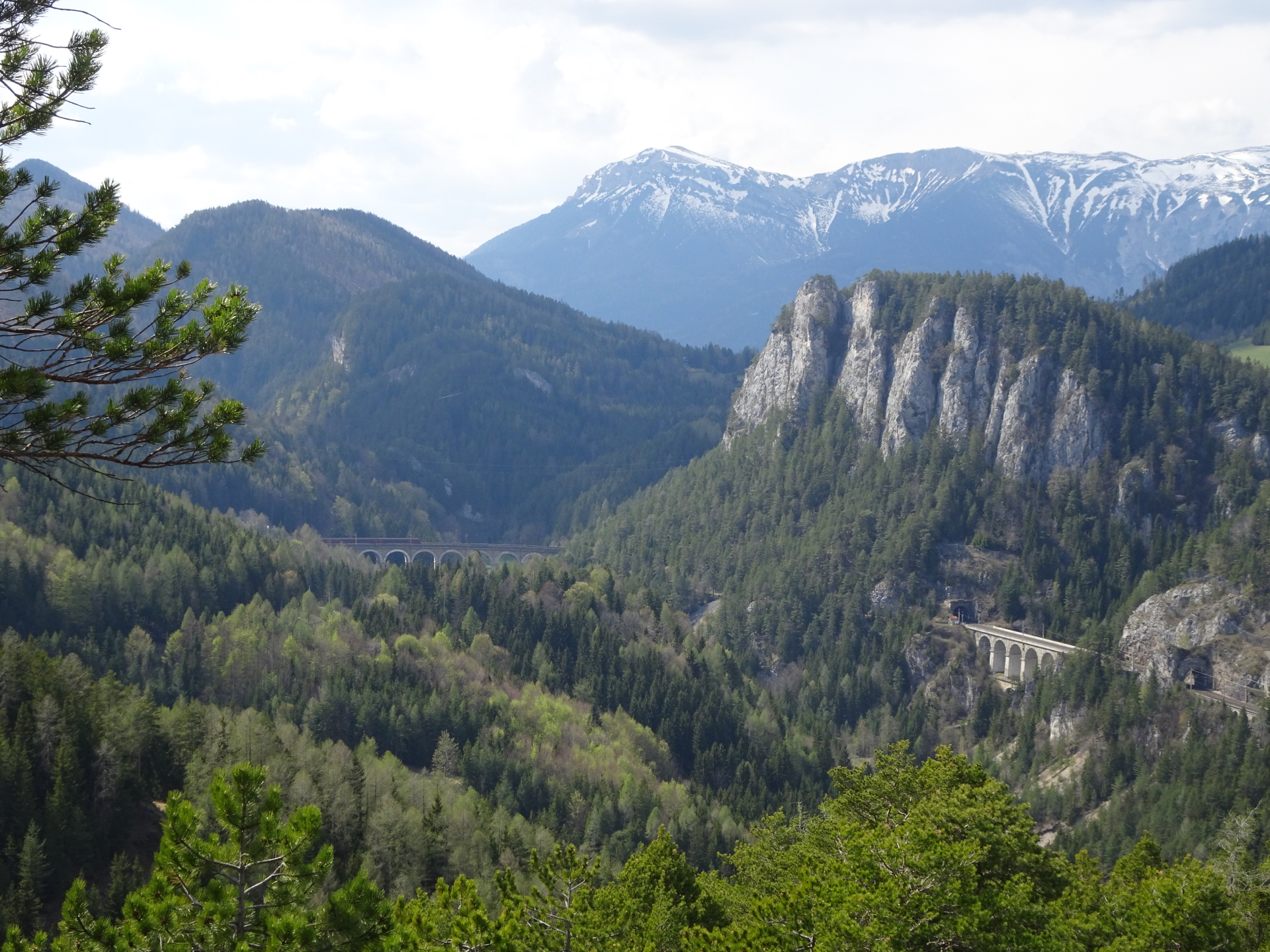
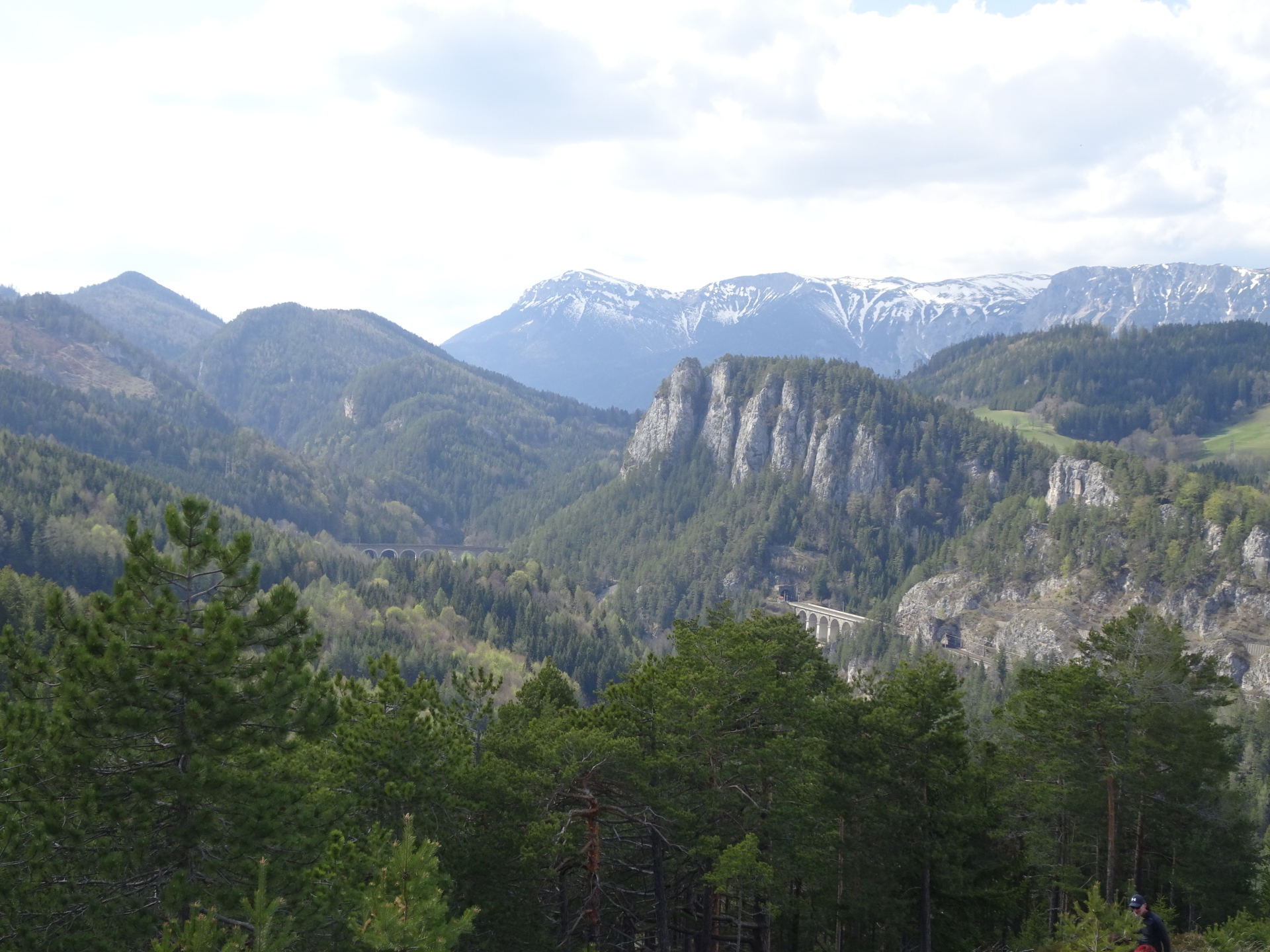
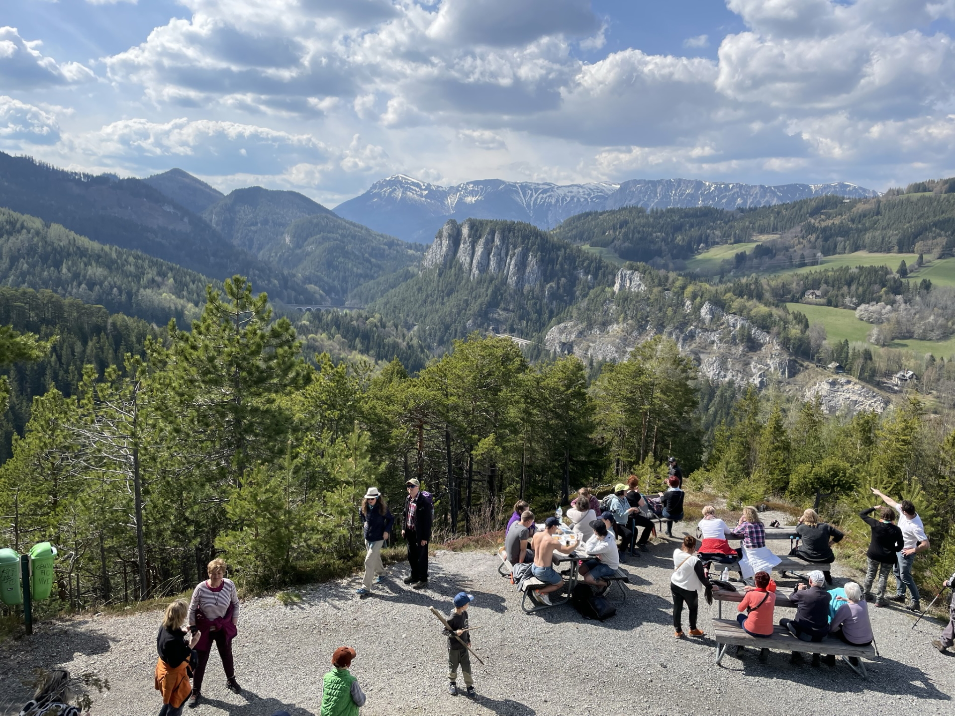
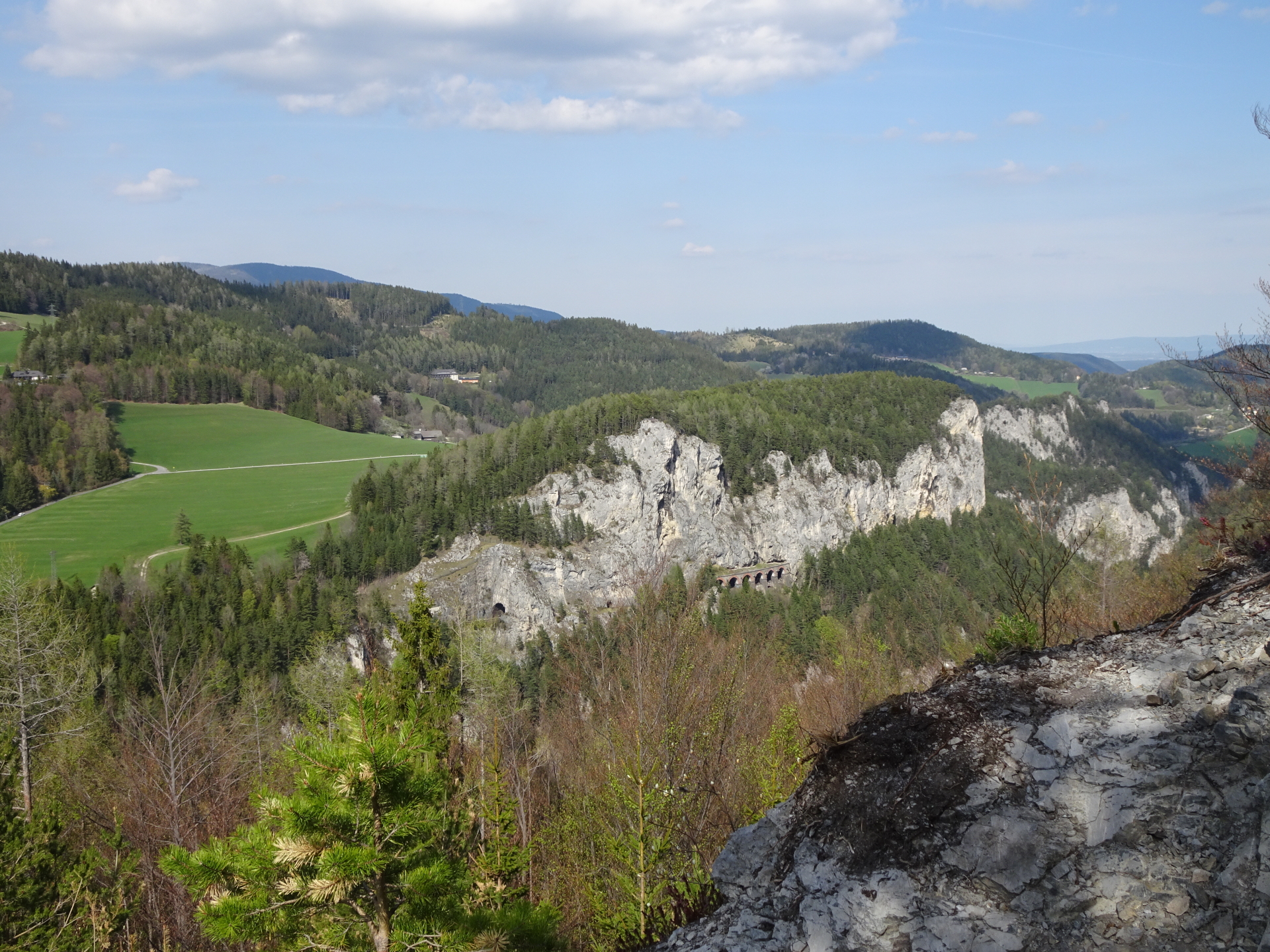
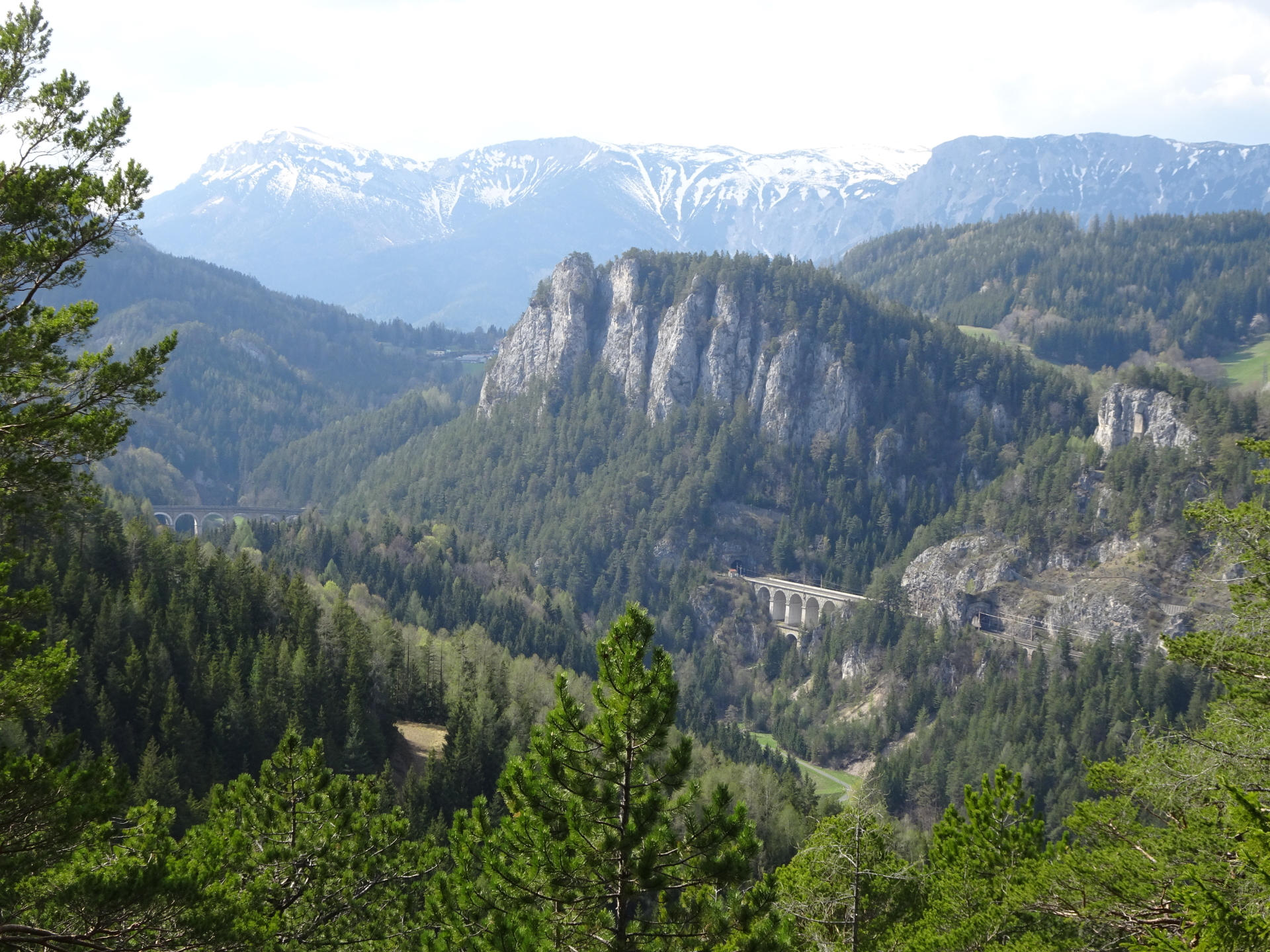
Hike towards the historic and iconic “20 Schilling Blick” and see the viaduct that made it on the rear of the 20 Schilling bill
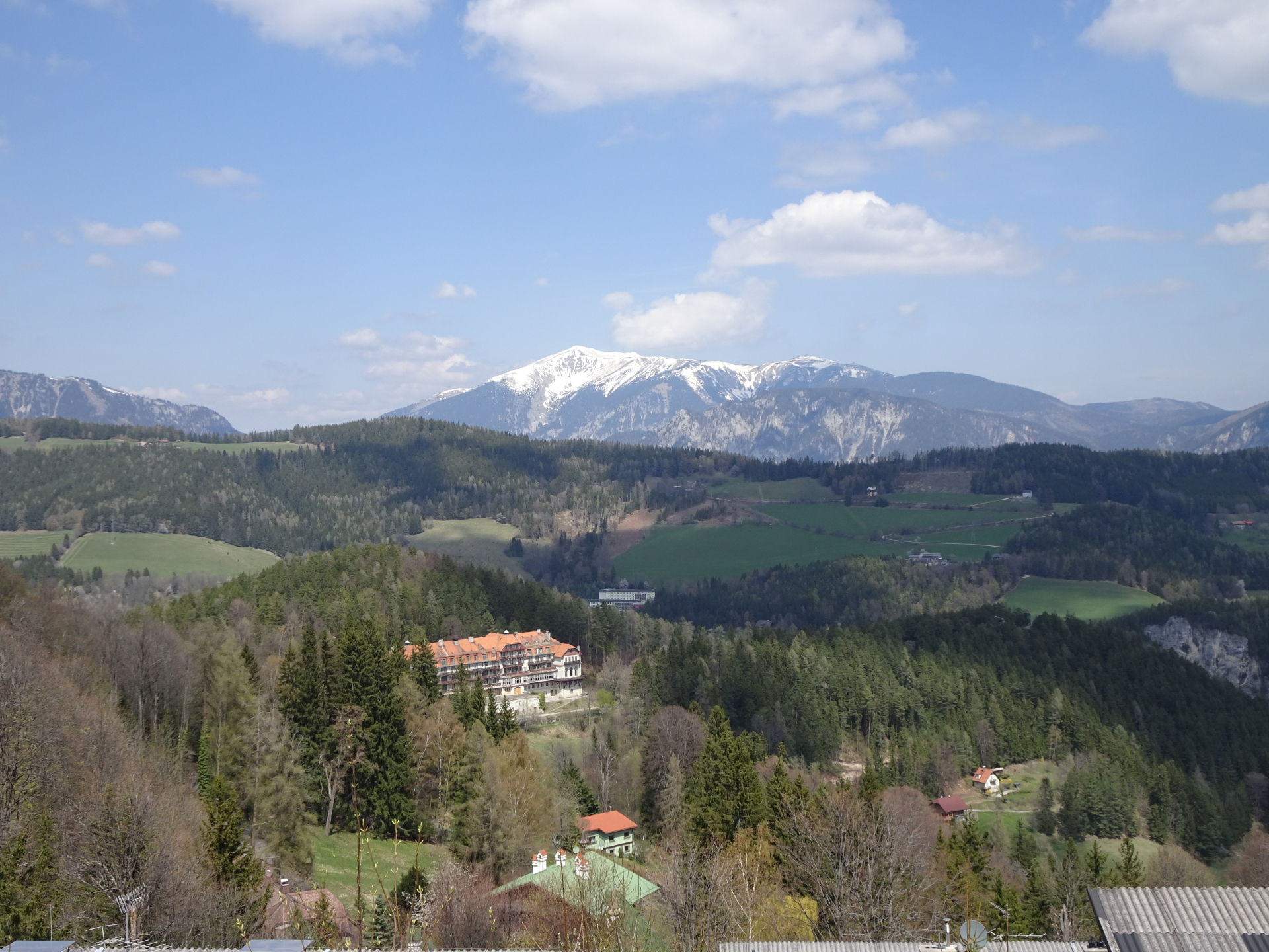
The tour starts at the train station Breitenstein and first follows the street up eastwards. The tour then follows the Pfeffer-Steig which leads up to the Pollerosfenster. Following the small trail along the ridge finally leads to the viewpoint of Polleroswand, allowing a stunning scenic view towards the Rax, but also is exactly above the Kalte Rinne and its viaduct. The tour then descends again via the Pfeffer-Steig. After crossing the railway track (below the bridge), the tour then follows the trail on the left along the railway track towards the Kalte Rinne viaduct. The tour constantly continues following the impressive railway track till the Unterer Andlitzgraben, and then follows a forest road towards the golf court of Semmering. Following the Meiereiweg, the tour then leads towards the village of Semmering. After a deserved break at one of the restaurants in this village, the tour follows back the trail along the railway track towards the iconic 20 Schilling Blick. Before, the tour detours towards the Doppelreiter Aussichtswarte viewing platform, allowing an impressive surround view over the area and the railway track. The tour then follows the trail towards the 20 Schilling Blick view point, the highlight of the tour. This scenic view made it in 1968 on the 20 Schilling bill that was printed and used in Austria till 1989. The tour finally descends back to Breitenstein, back to the train station.
Tour Description
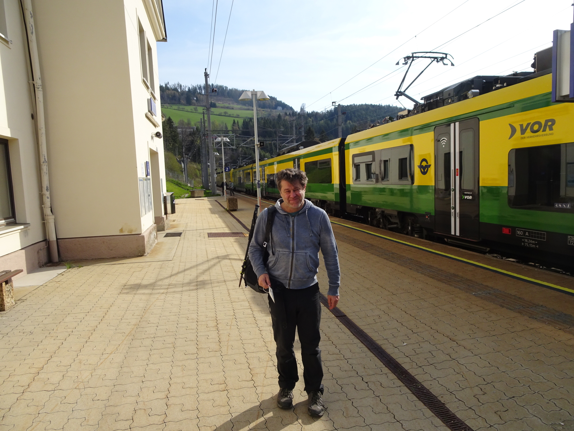
| 00:00 | Start at the train station Breitenstein (GPS: 47.660000, 15.819895) and first follow the street upwards (north). |
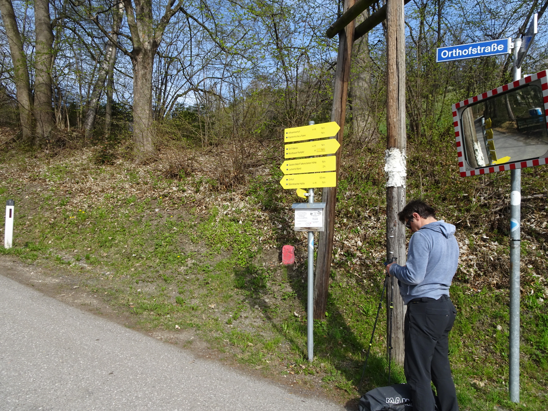
| 00:02 | Turn left and follow the Orthofstraße street. |
| 00:10 | At the crossing, turn left into the forest trail and leave the street. |
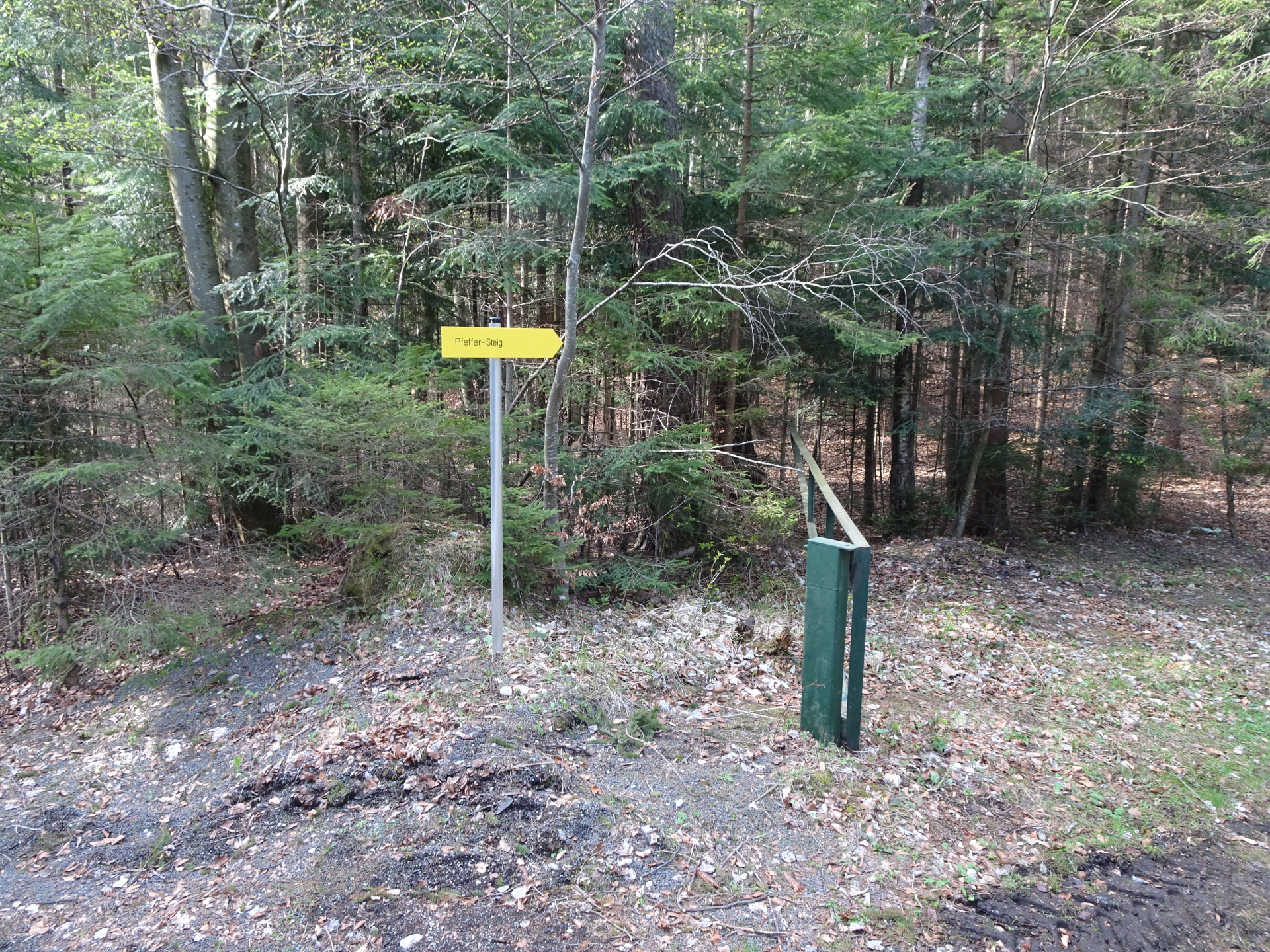
| 00:15 | At the crossing, keep straight (descent is done here on the way back) and follow the upper part of the Pfeffer-Steig. |
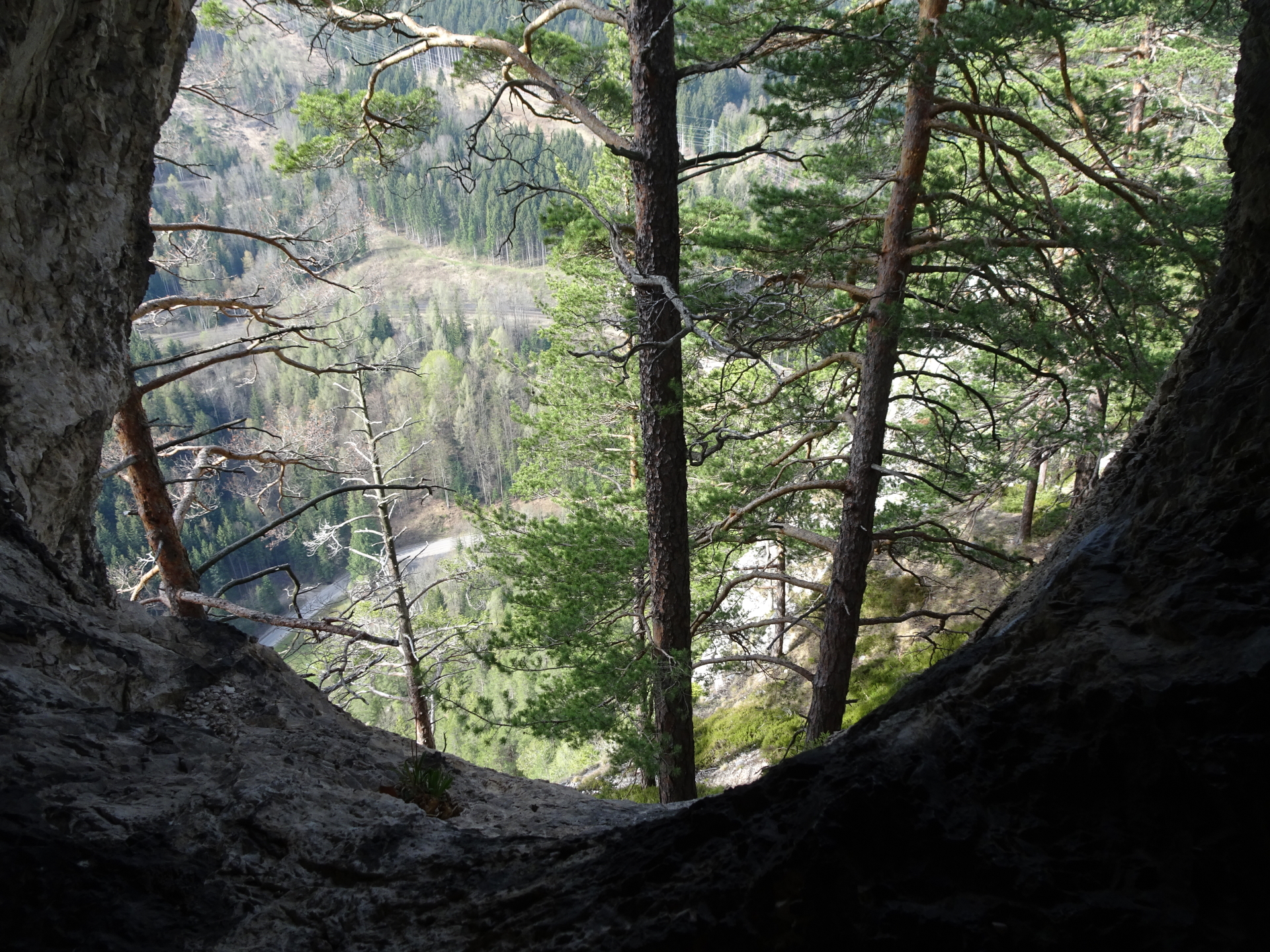
| 00:25 | At the crossing, do a U-turn and then keep left and follow the trail up towards the Pollerosfenster. |
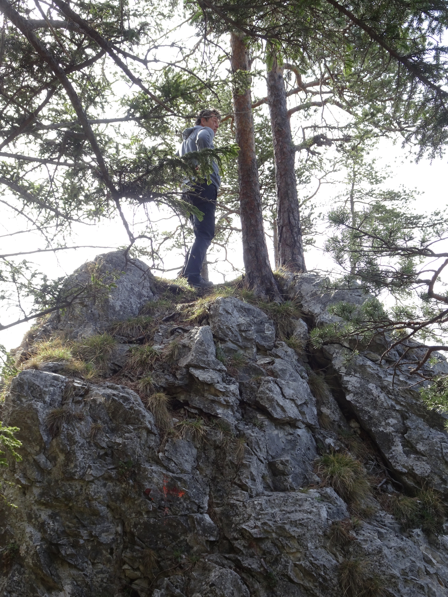
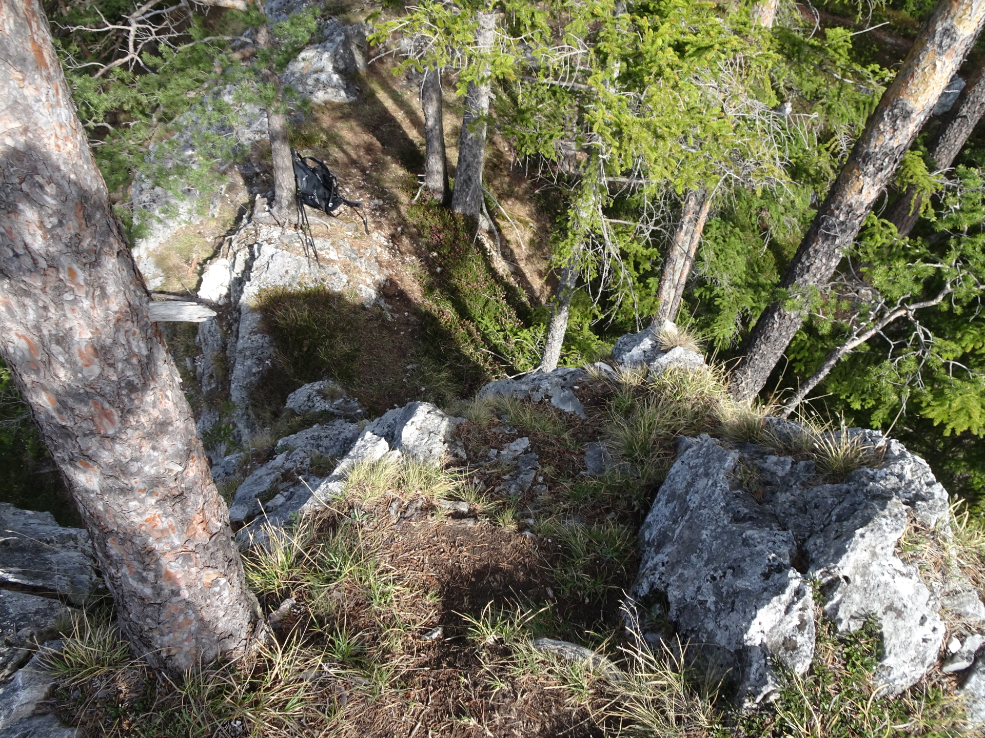
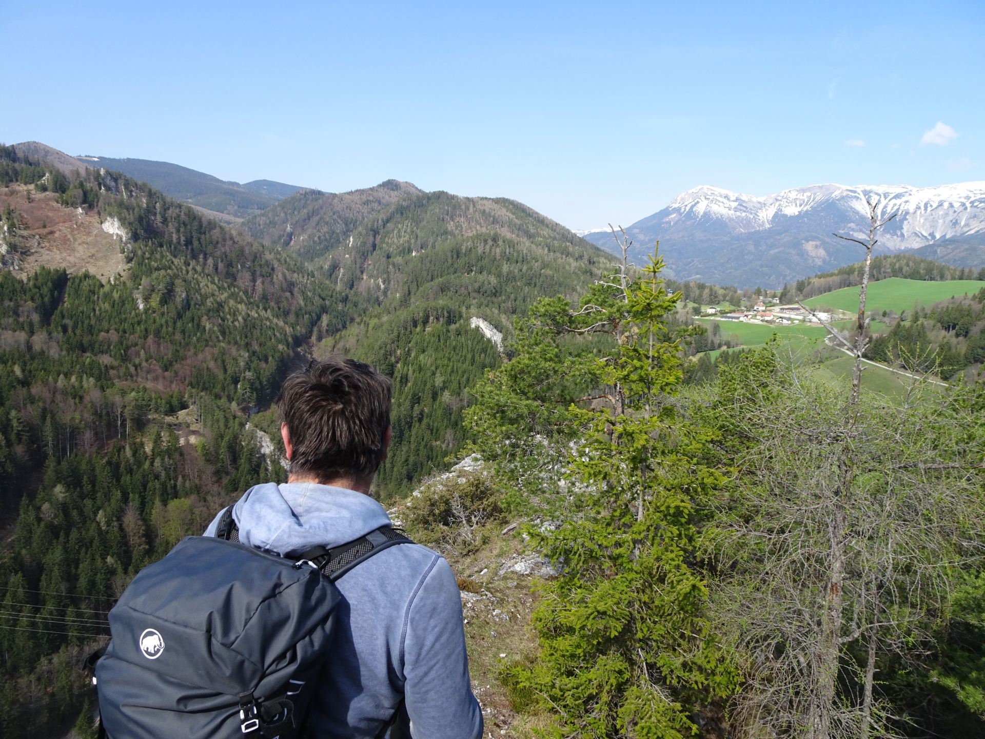
| 00:35 | Enjoy the view from the Pollerosfenster. Foot-sure people can explore a bit the area and climb on one of the rocks to get an impressive view. |
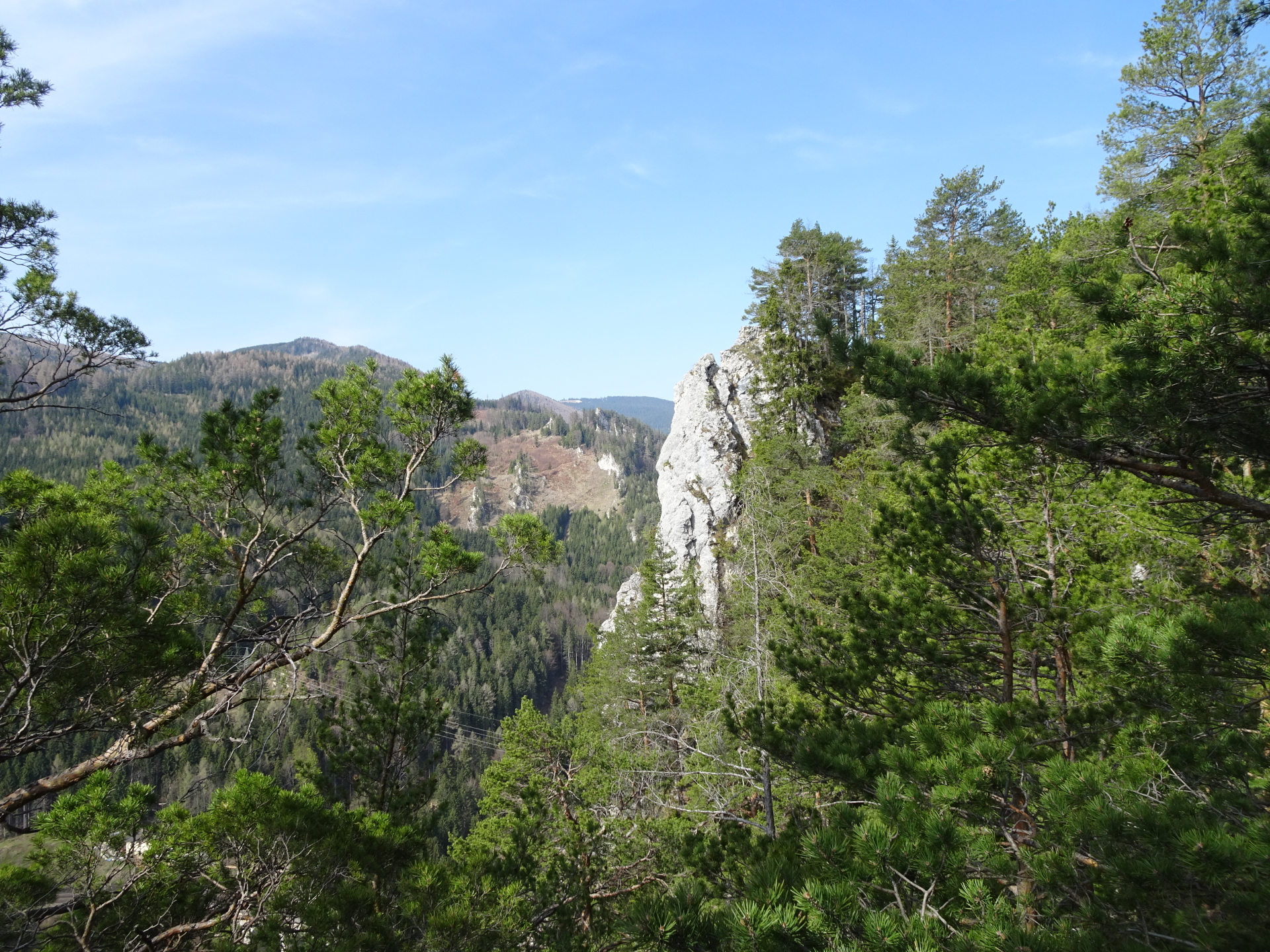
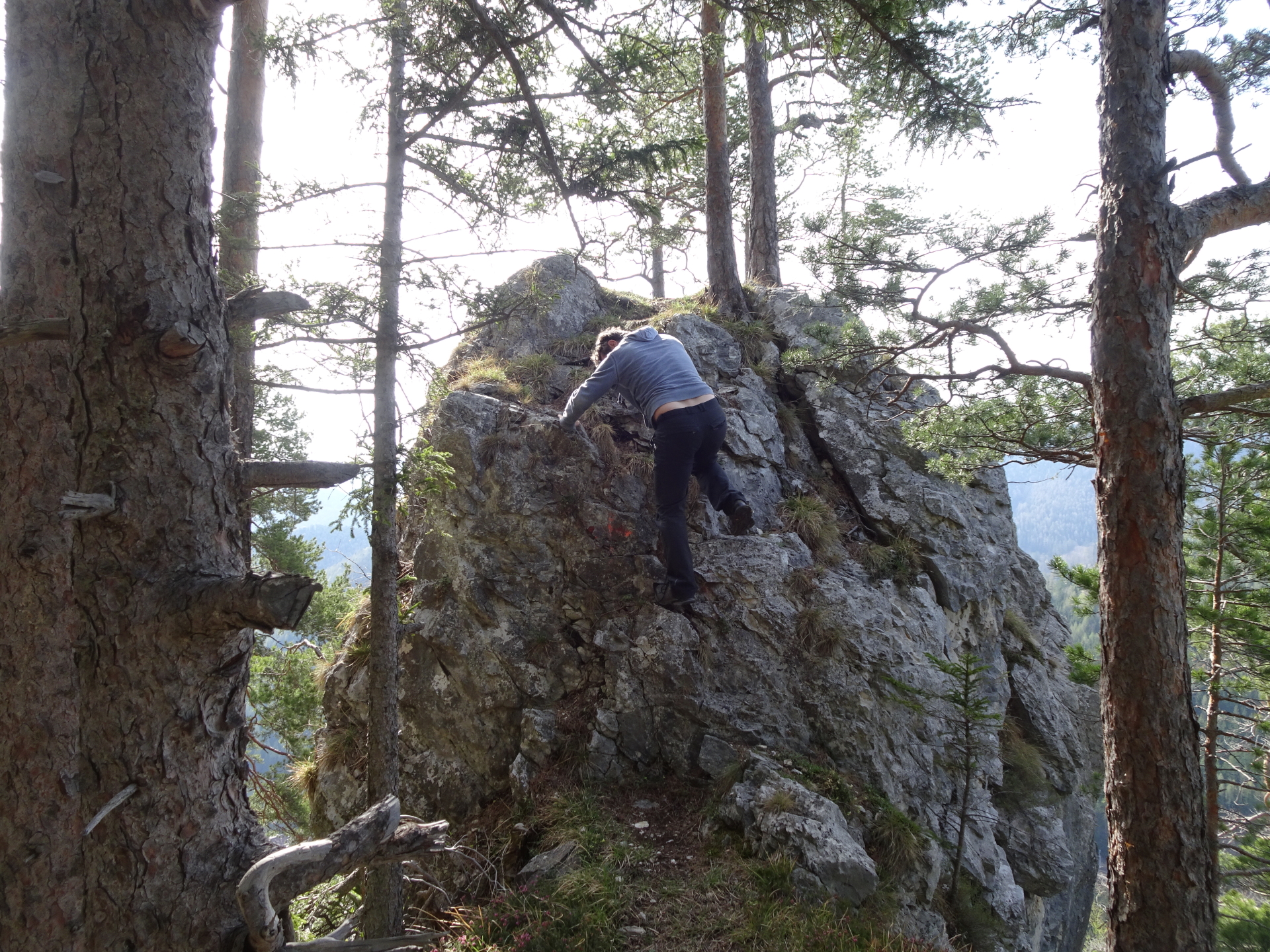
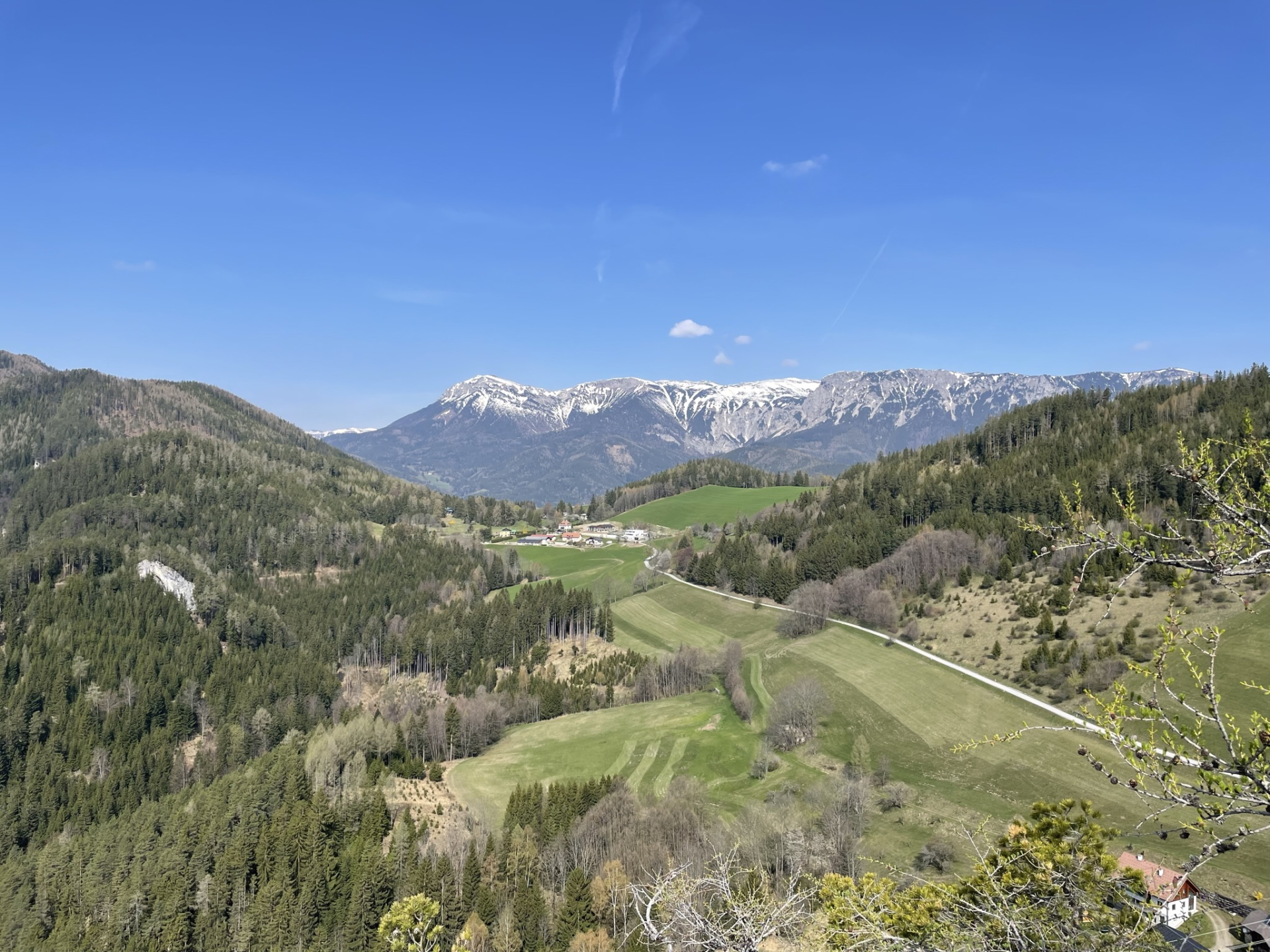
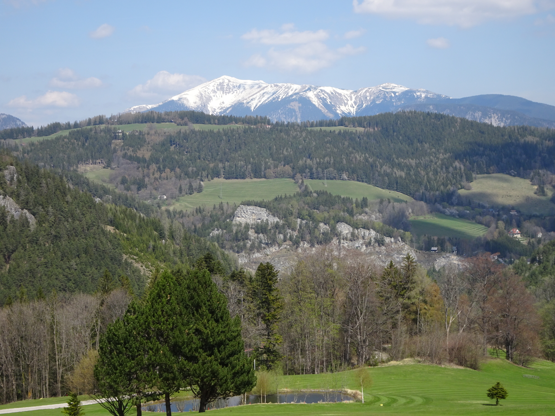
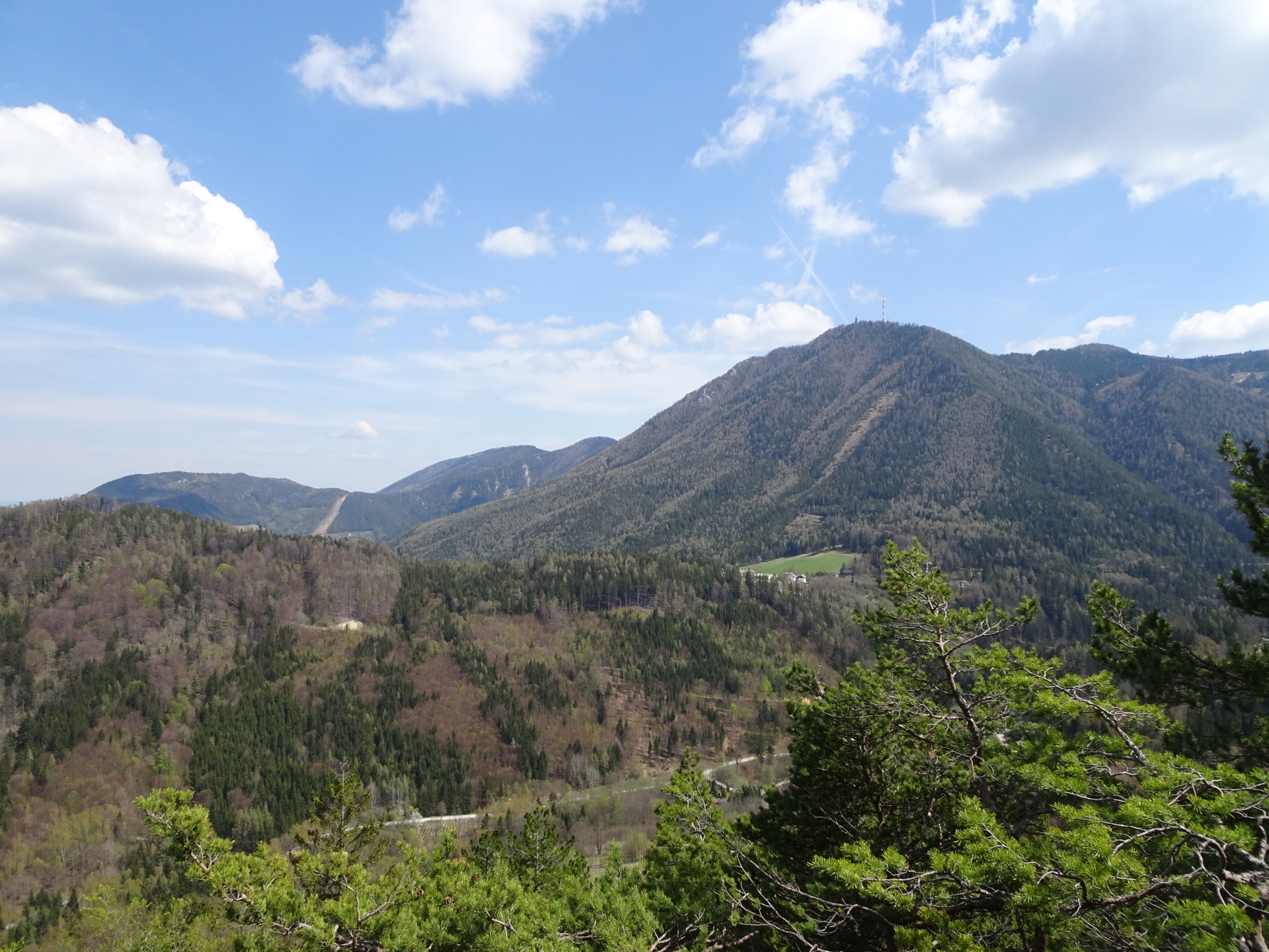
| 00:36 | Turn right and follow the trail along the ridge towards Polleroswand. Although not difficult, the tour goes along the ridge and requires a sure foot! |
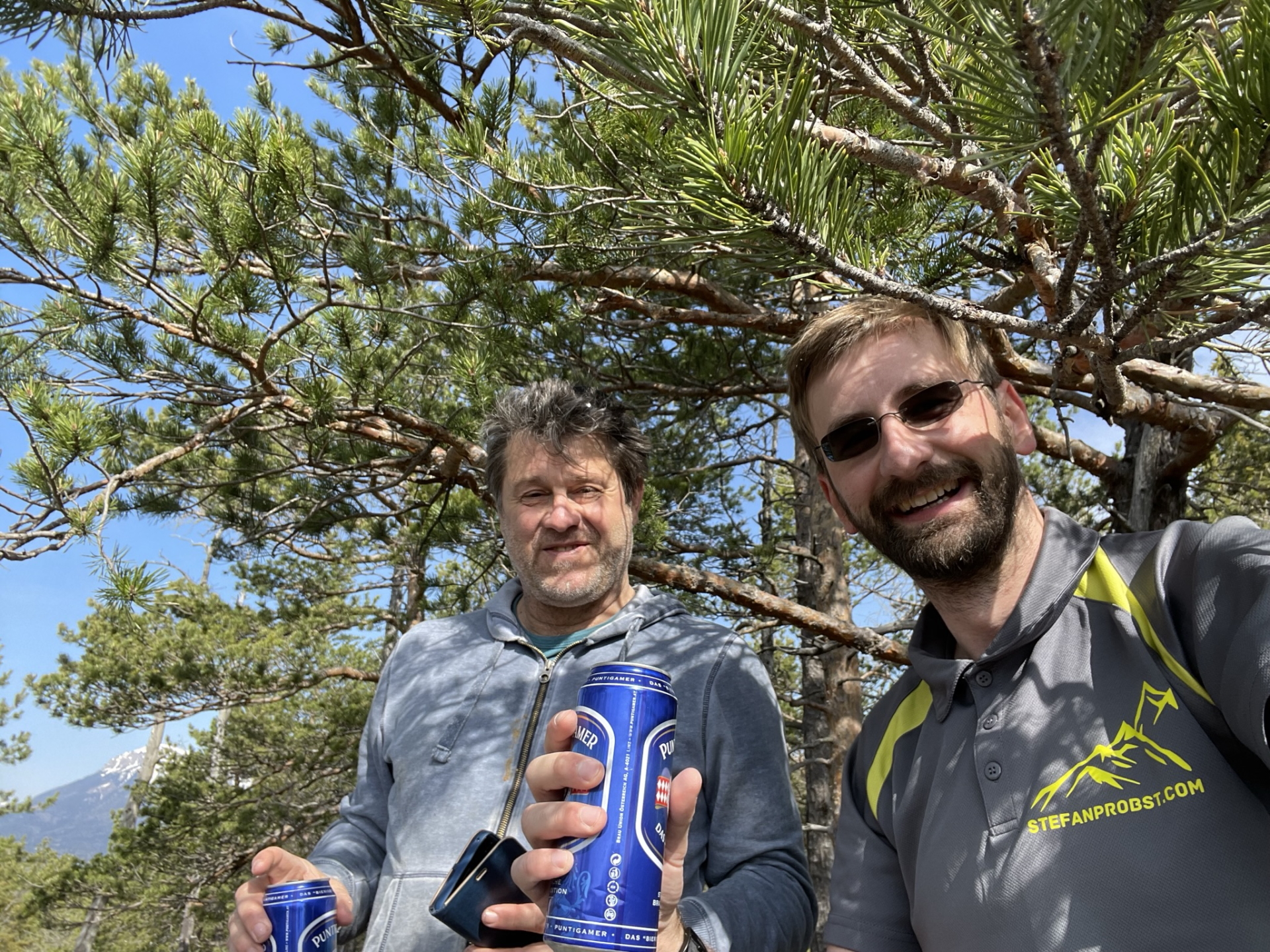
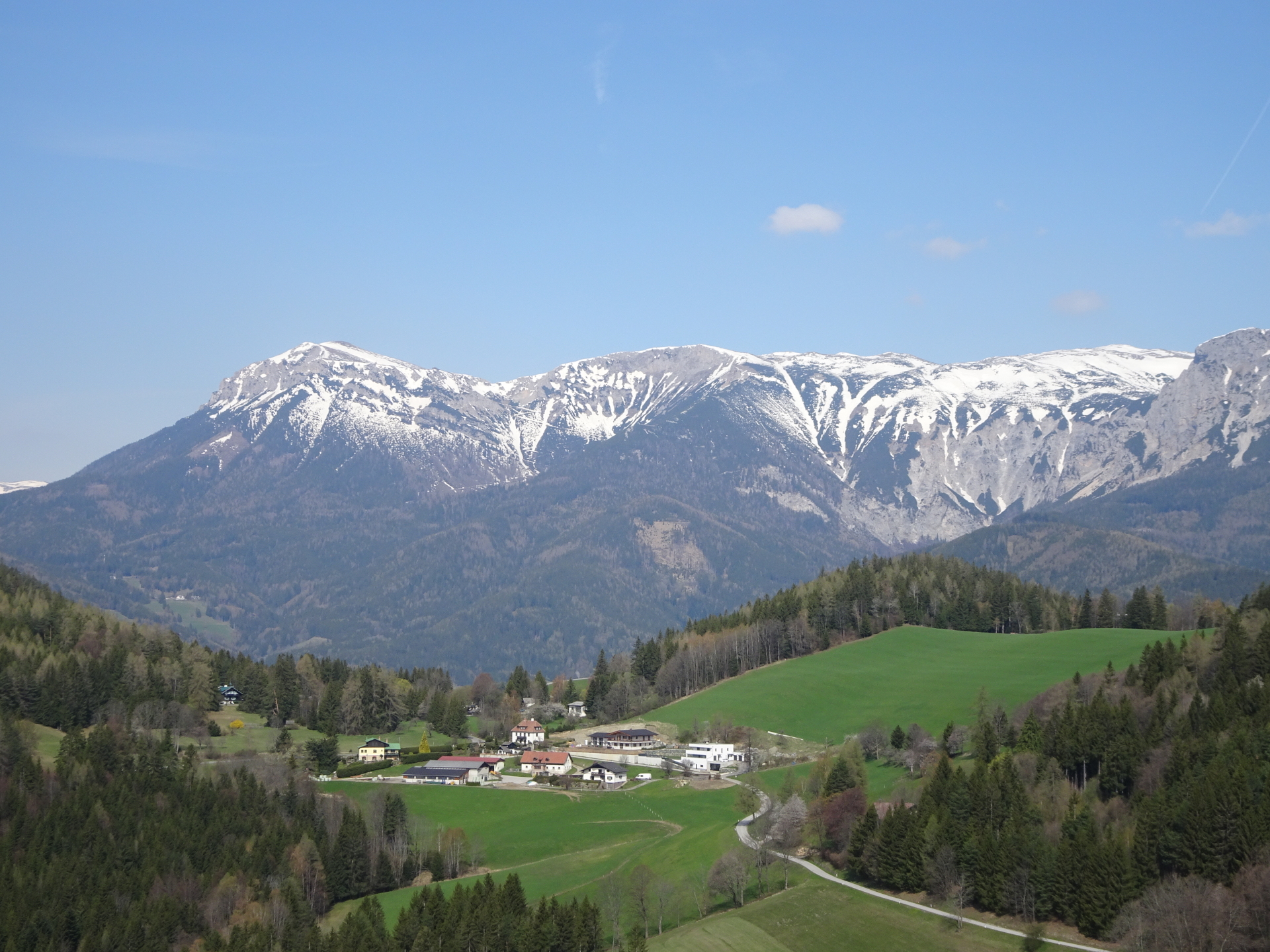
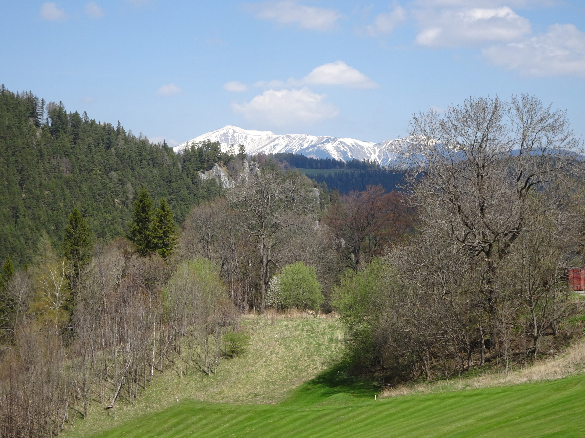
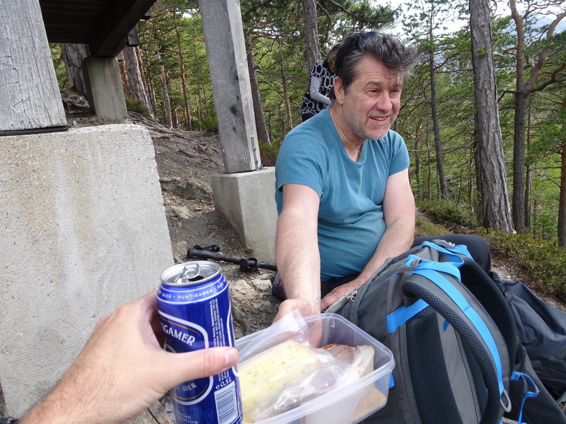
| 00:50 | Enjoy the view towards Rax and Semmering from Polleroswand, best enjoyed with a self-brought refreshment (). |
| 01:15 | Descend via the trail northwards back to the Pfeffer-Seig. |
| 01:25 | At the crossing, turn right and continue following the Pfeffer-Steig (same as for the ascent). |
| 01:30 | At the crossing, turn right this time and descend via the Pfeffer-Steig. |
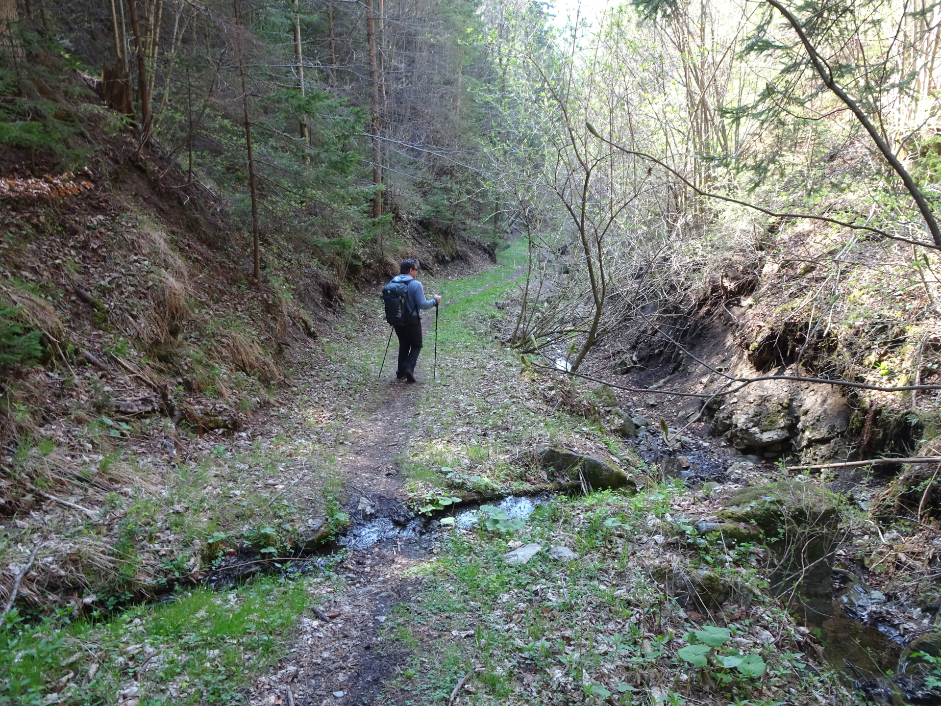
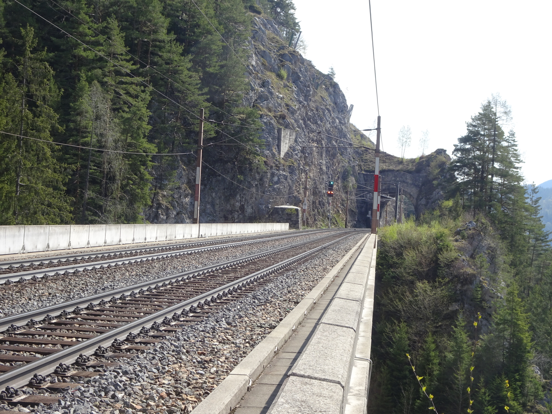
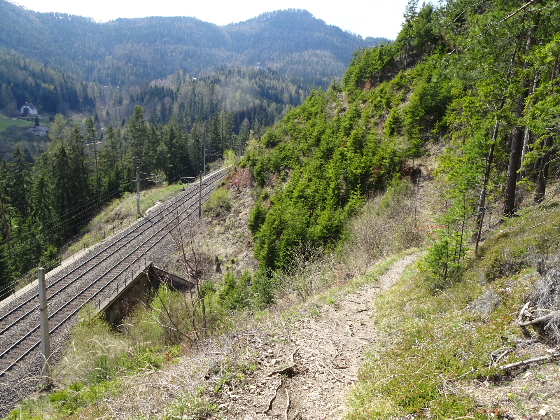
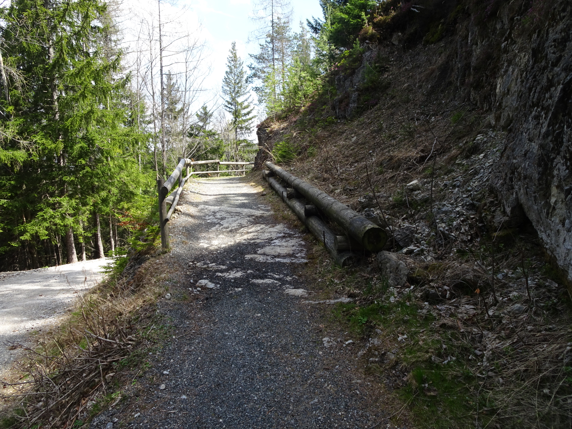
| 01:40 | Right after the railway bridge, turn right and follow the small trail up and then along to the railway track. |
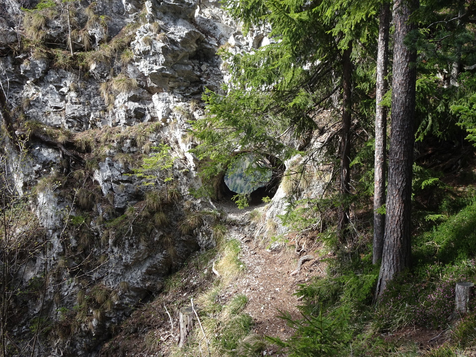
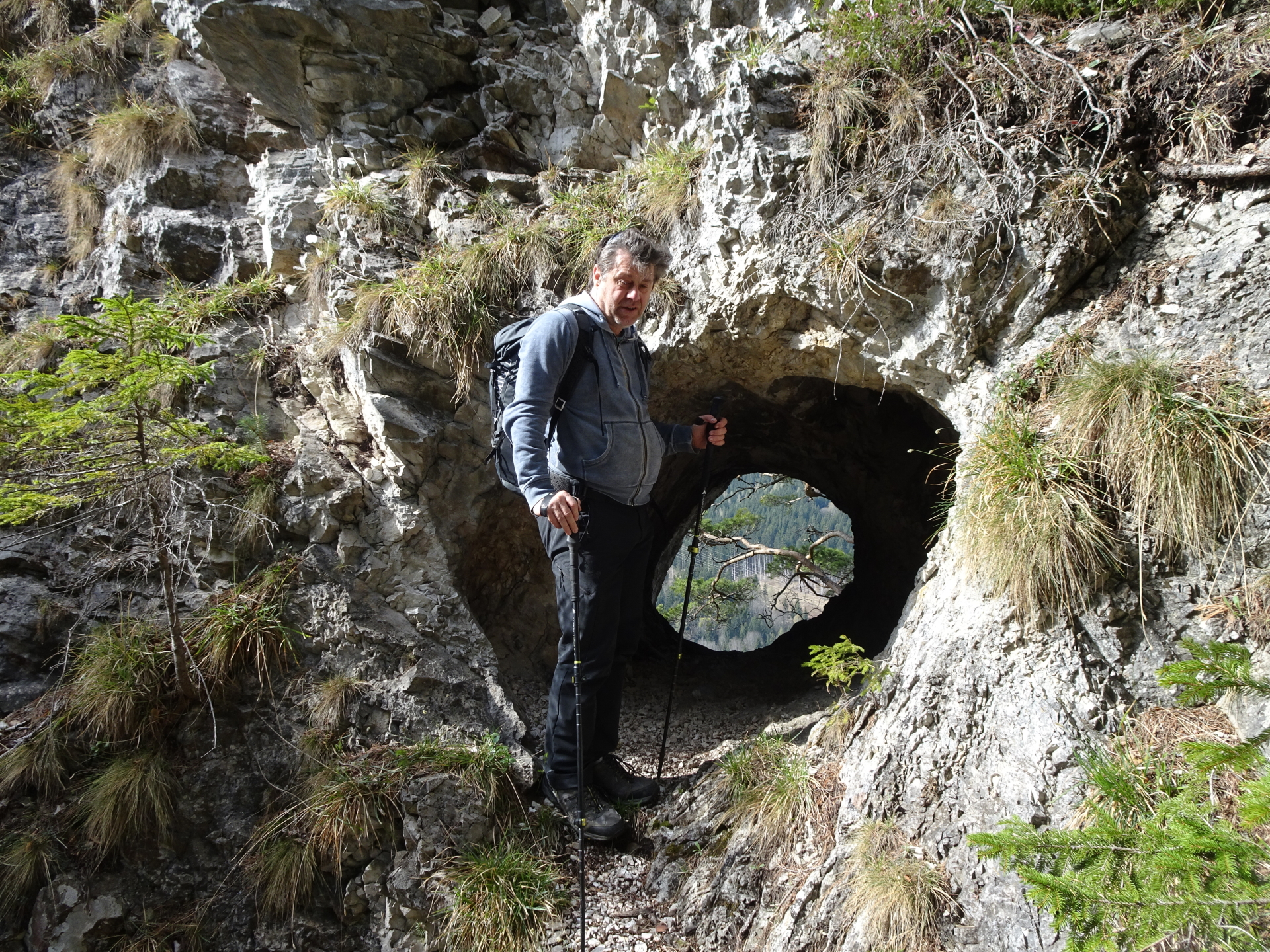
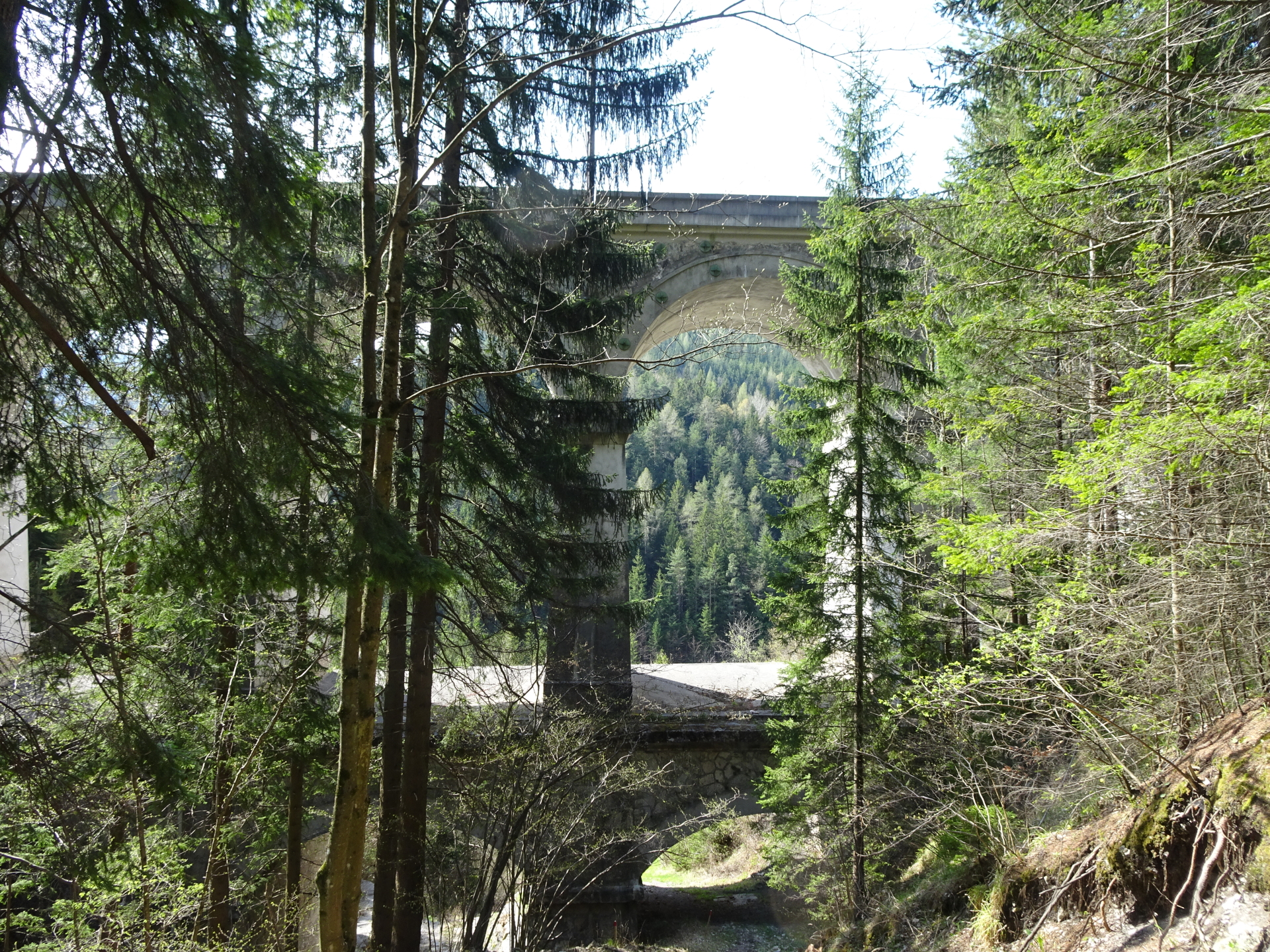
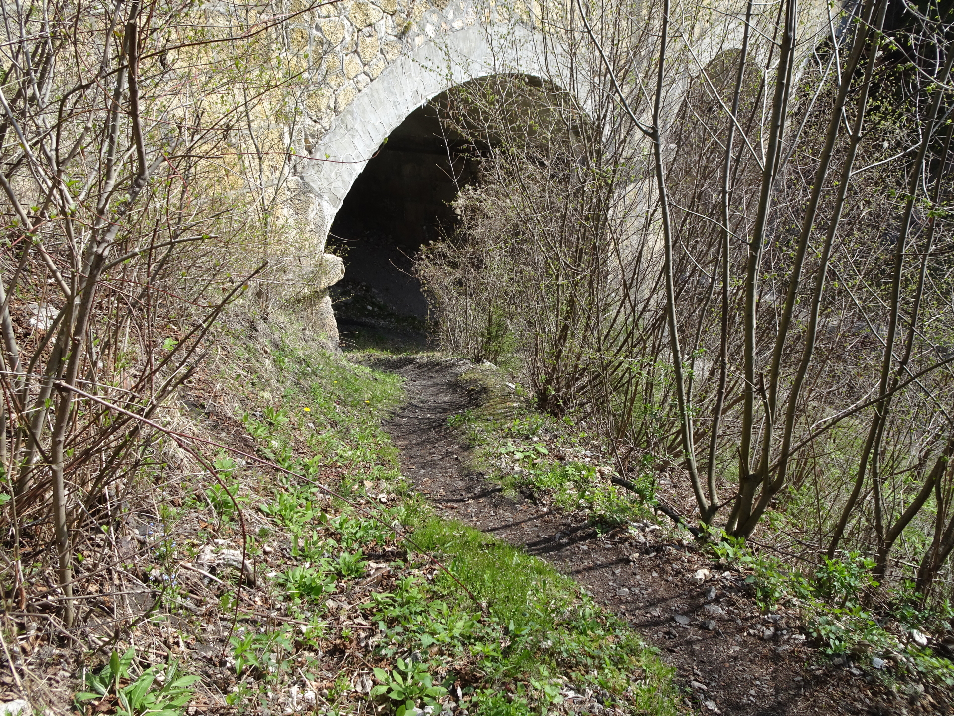
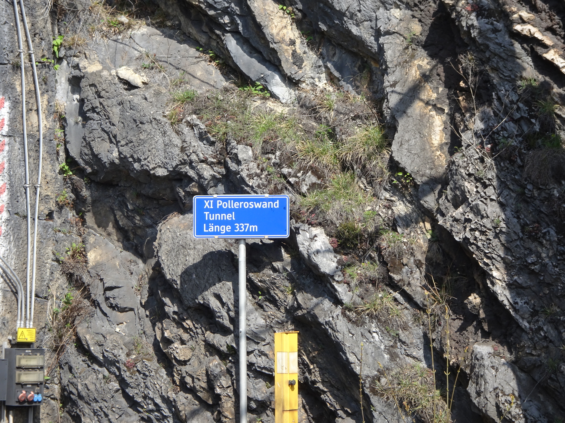
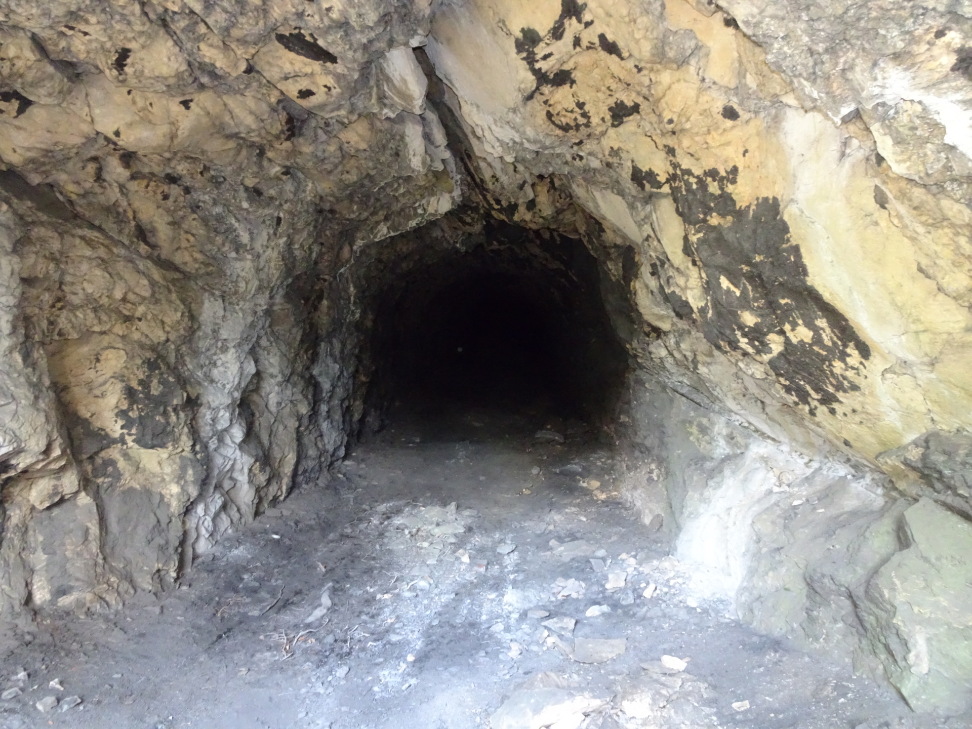
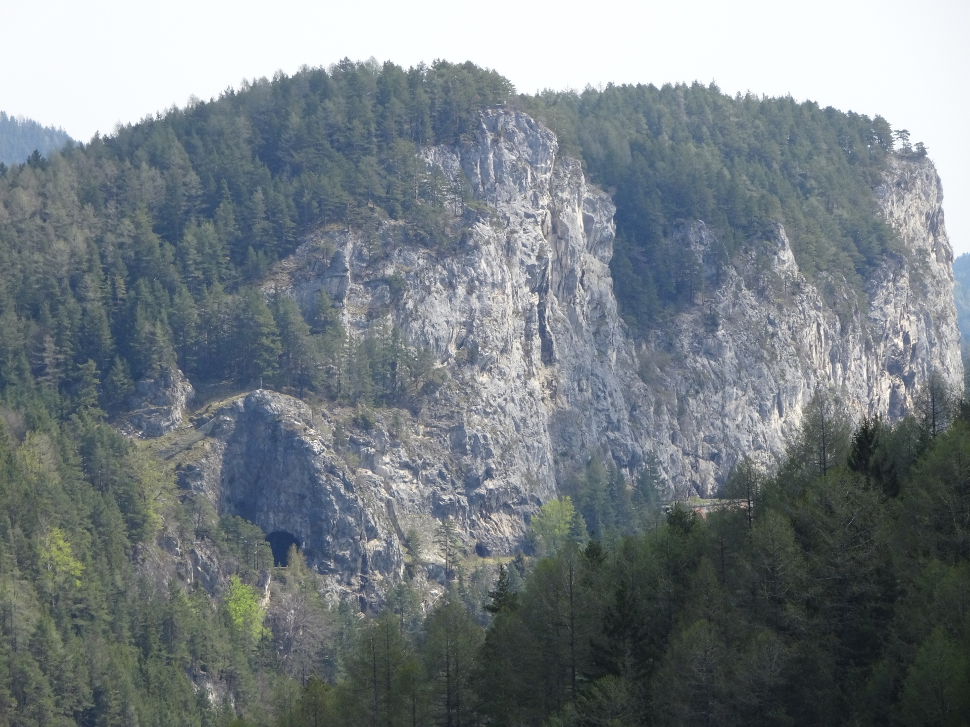
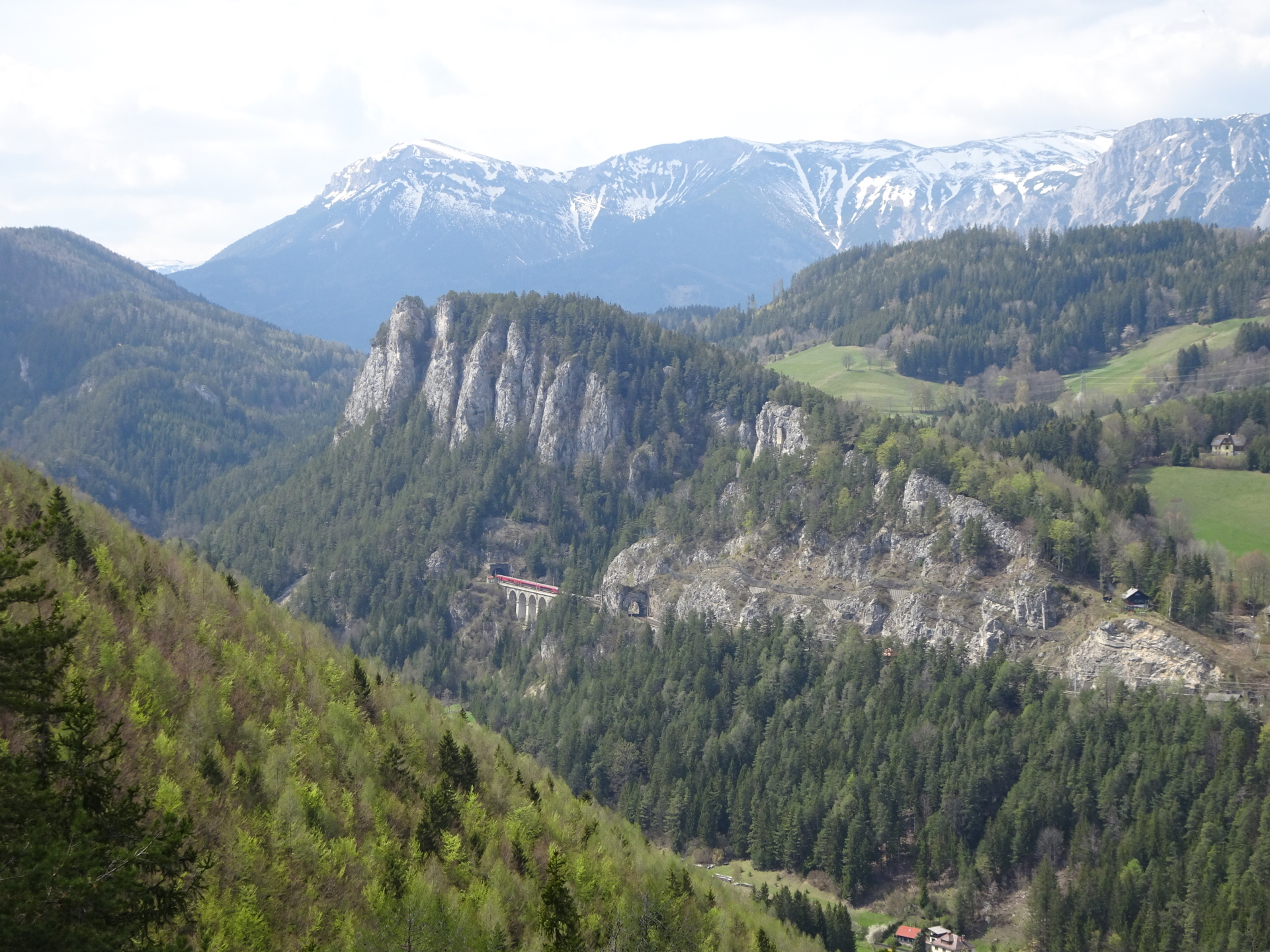
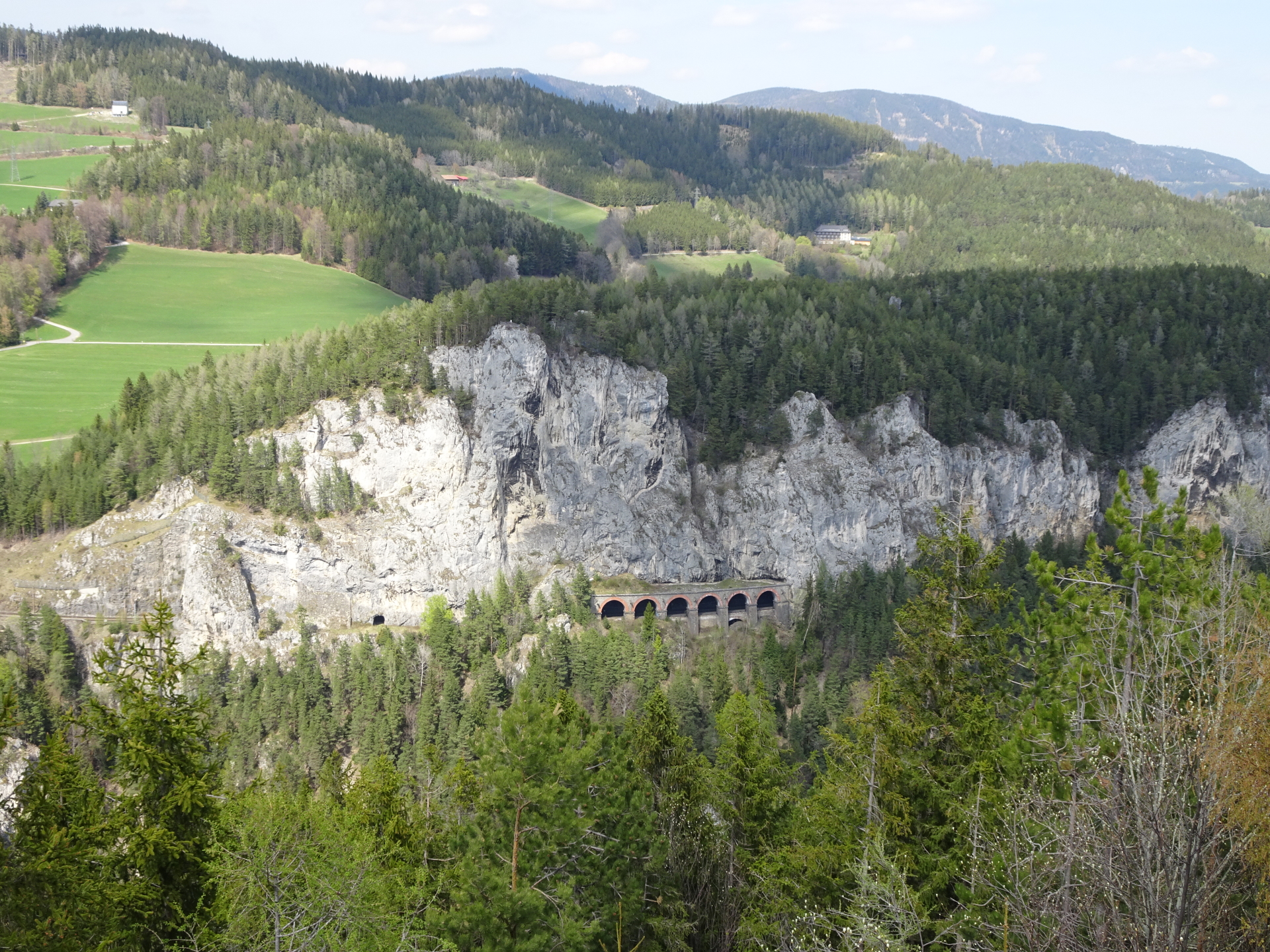
| 01:50 | Explore the tunnel towards the railway track and then turn left, following the trail downwards towards the Kalte Rinne viaduct. |
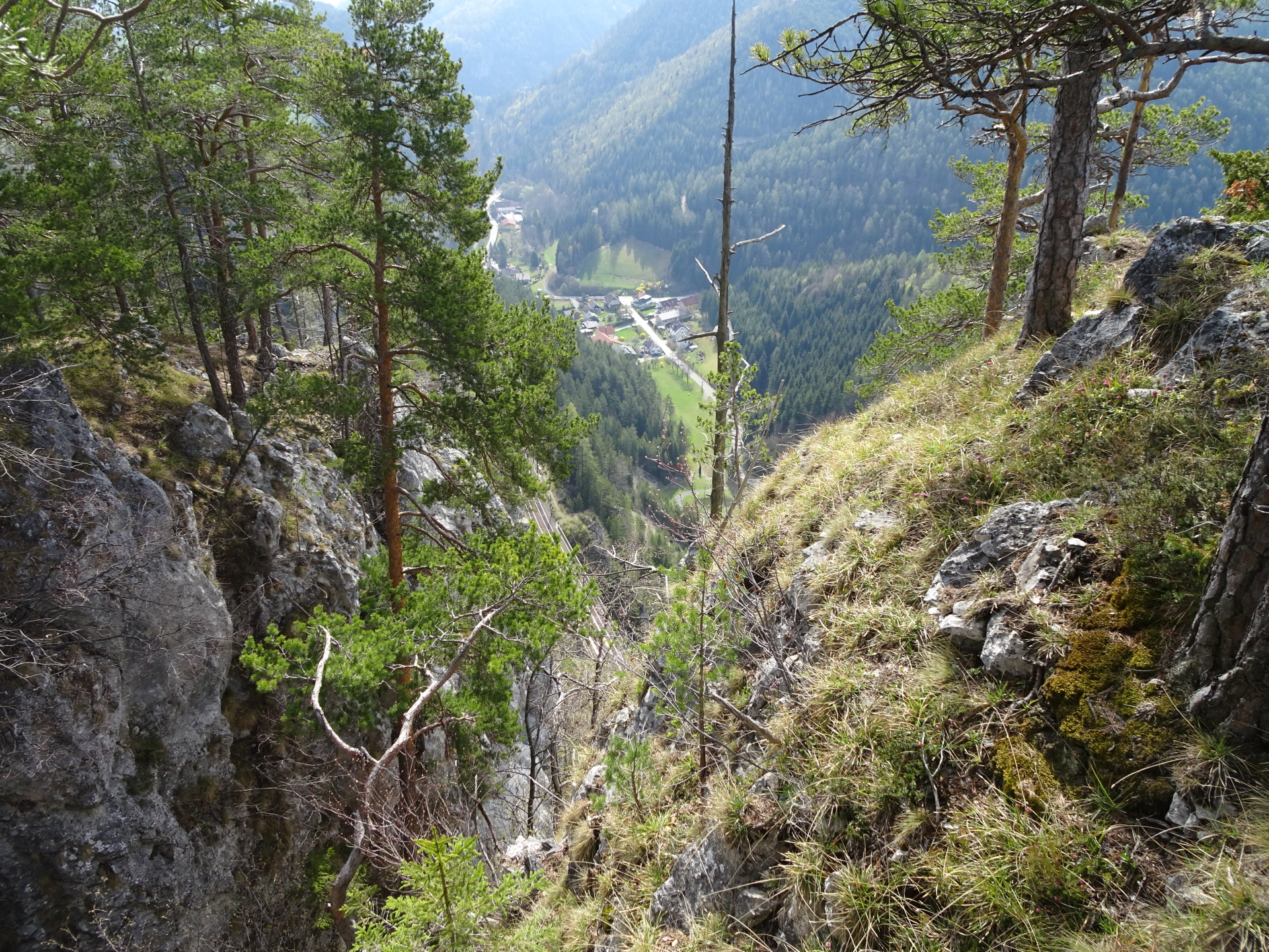
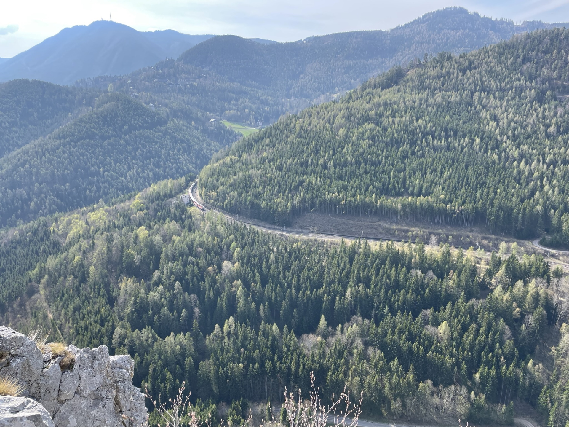
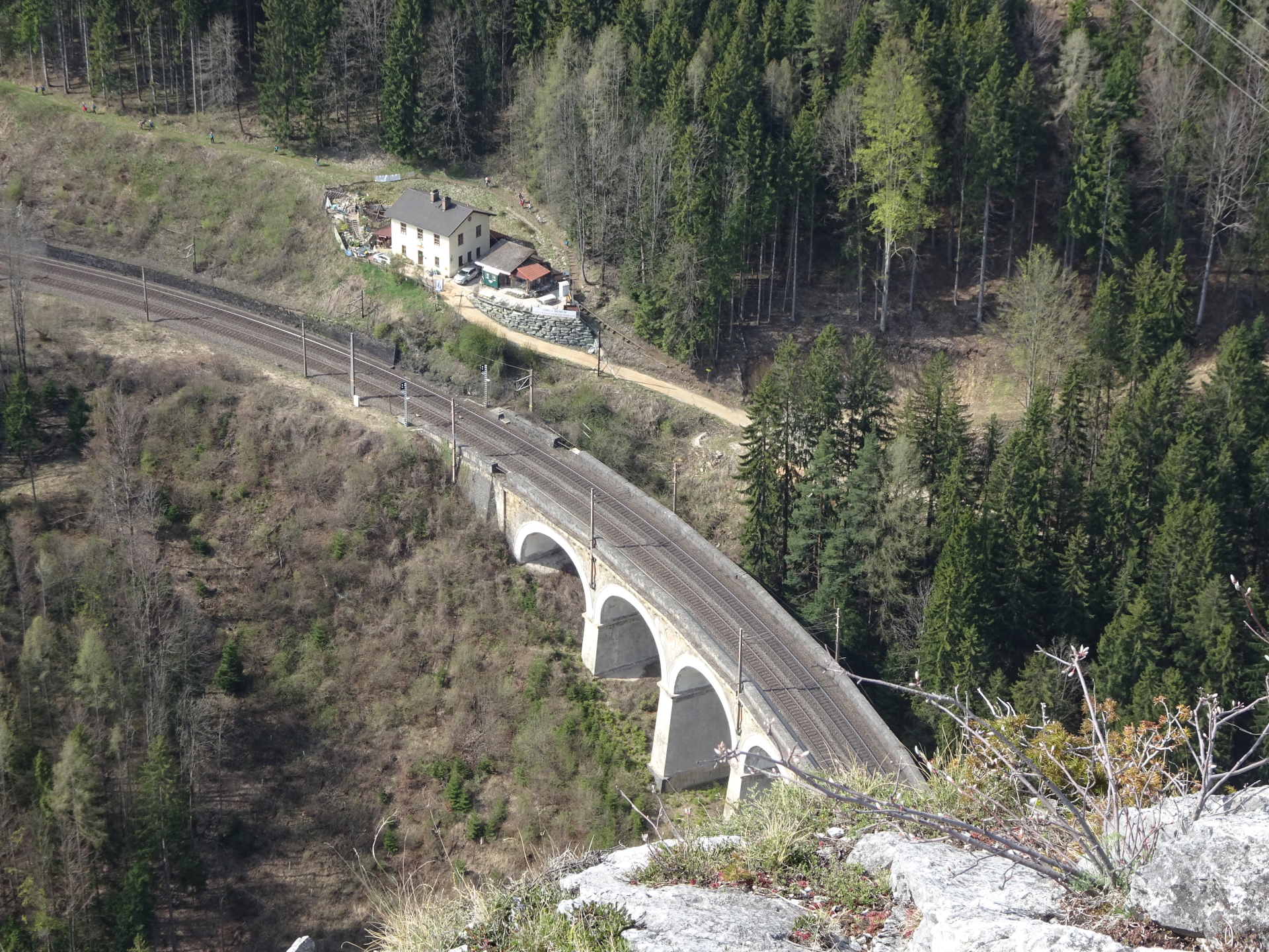
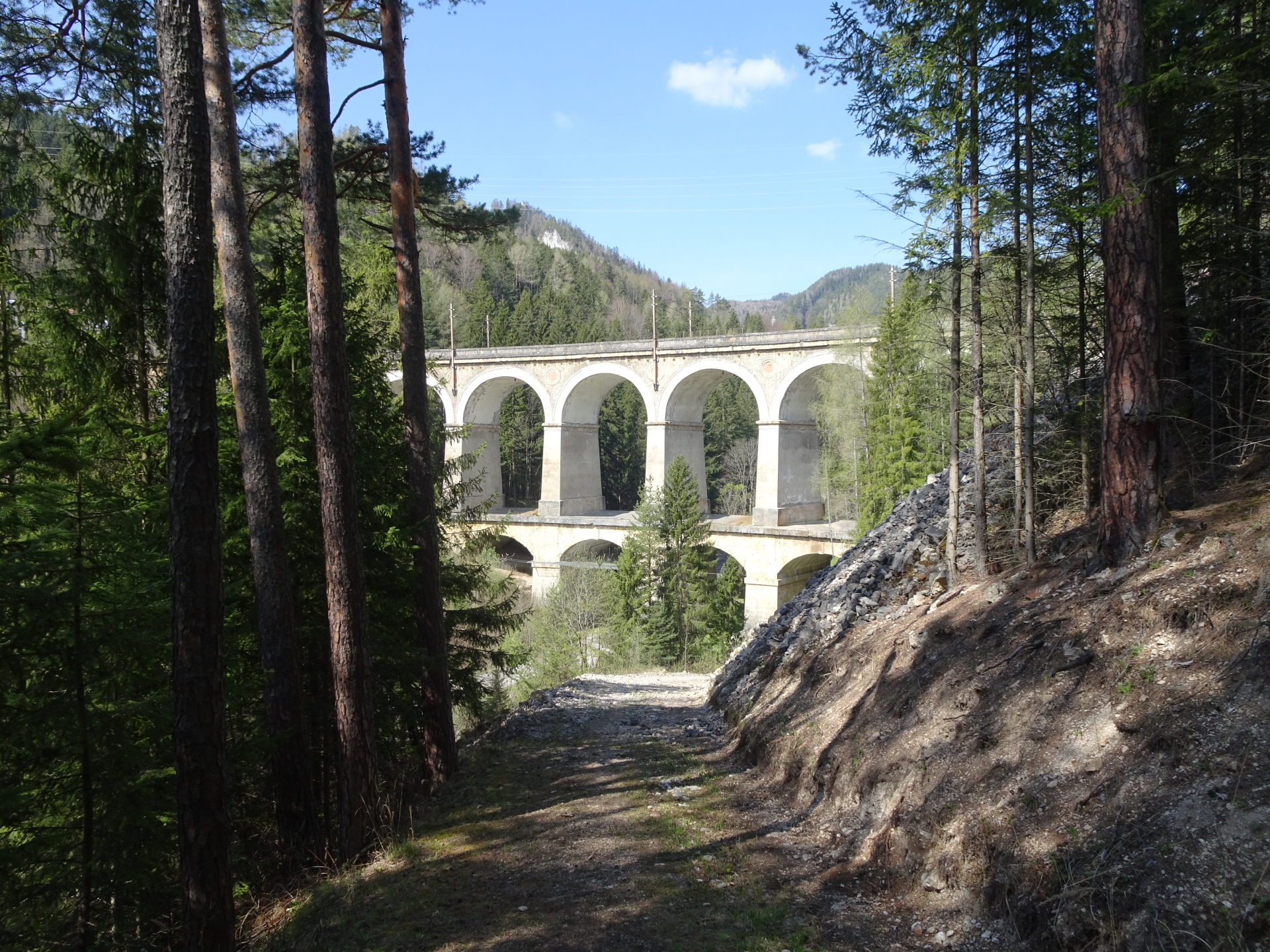
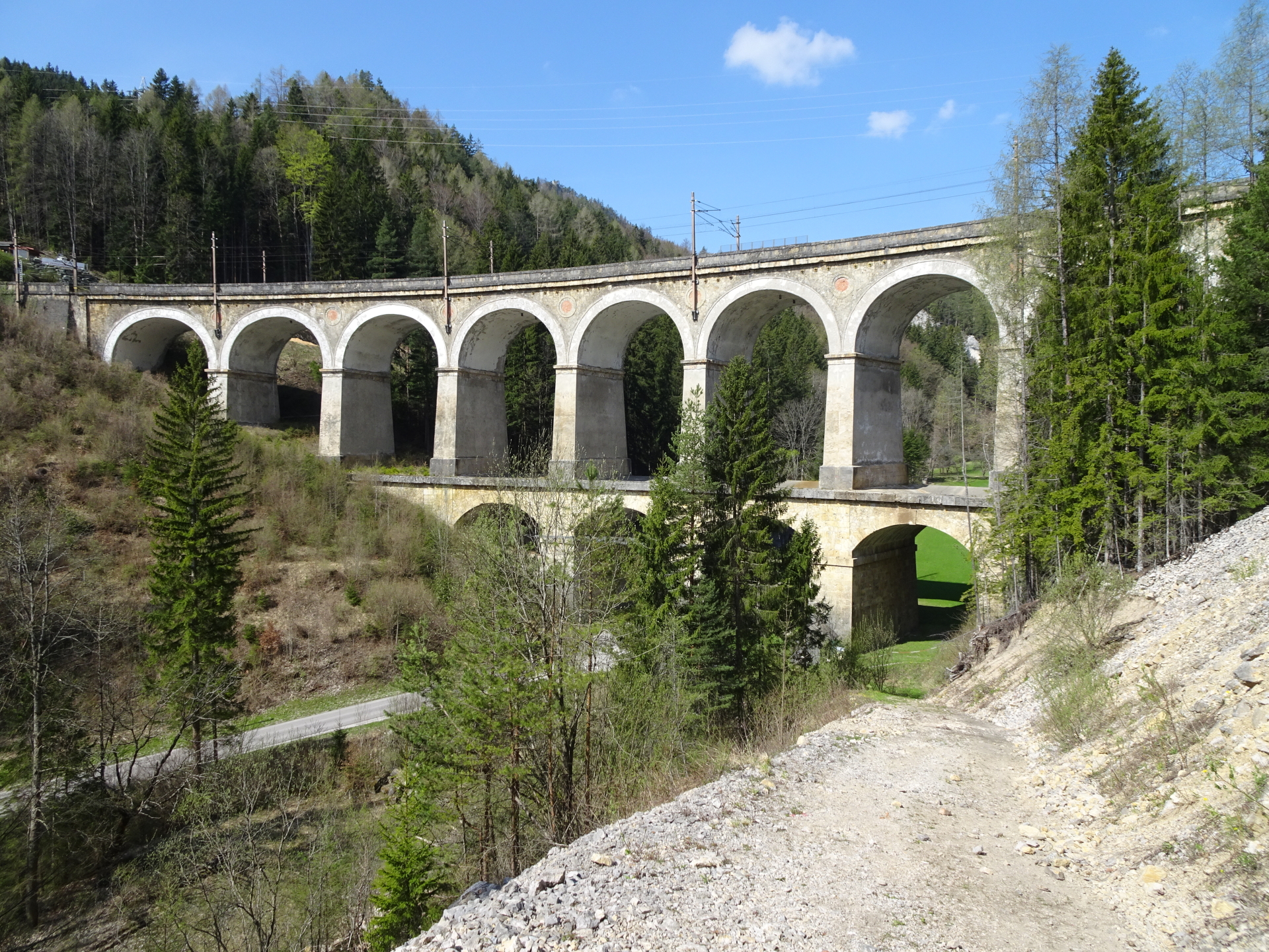
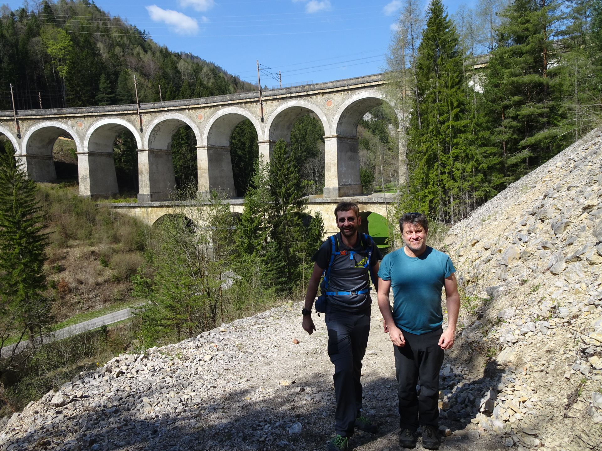
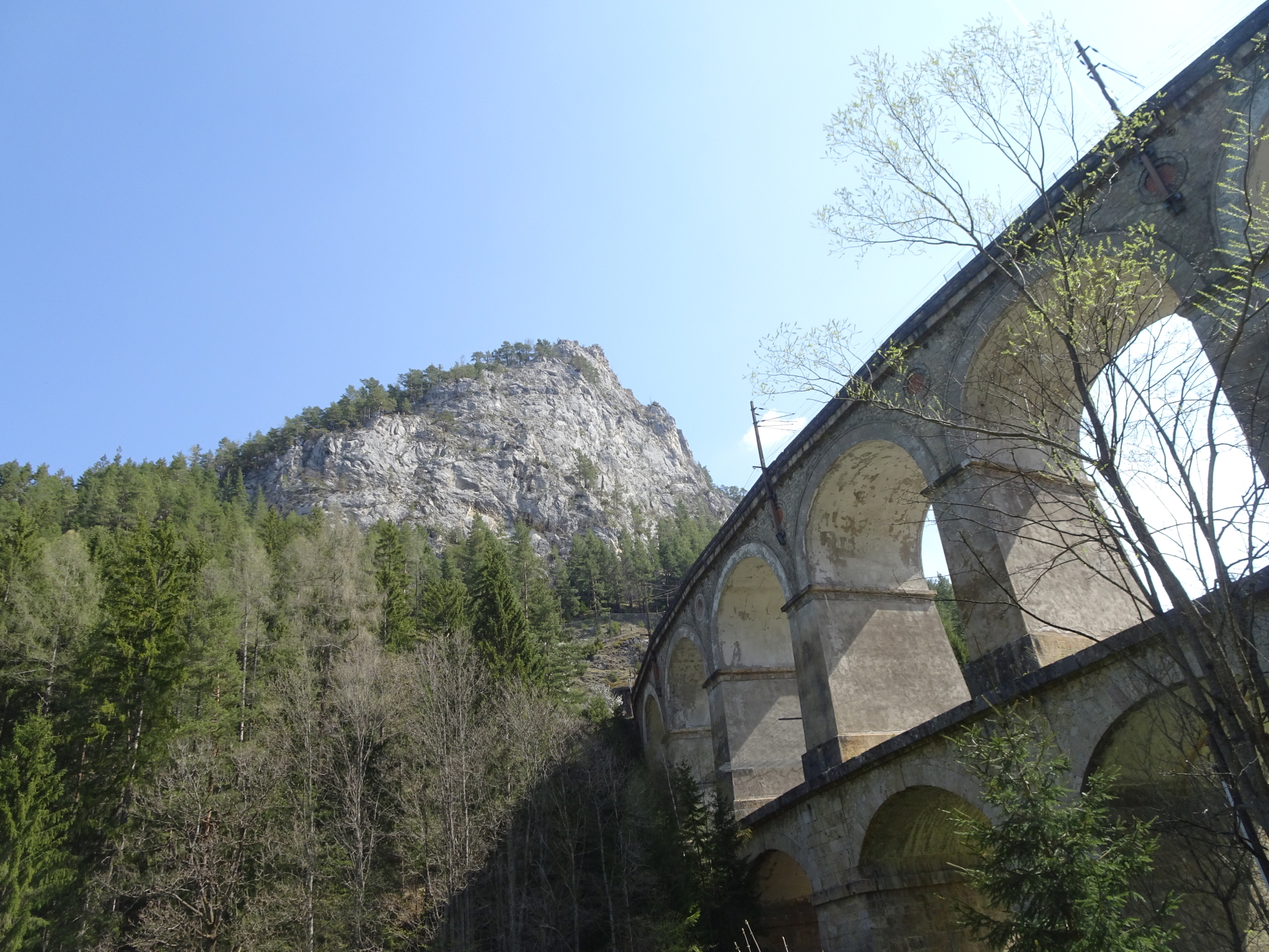
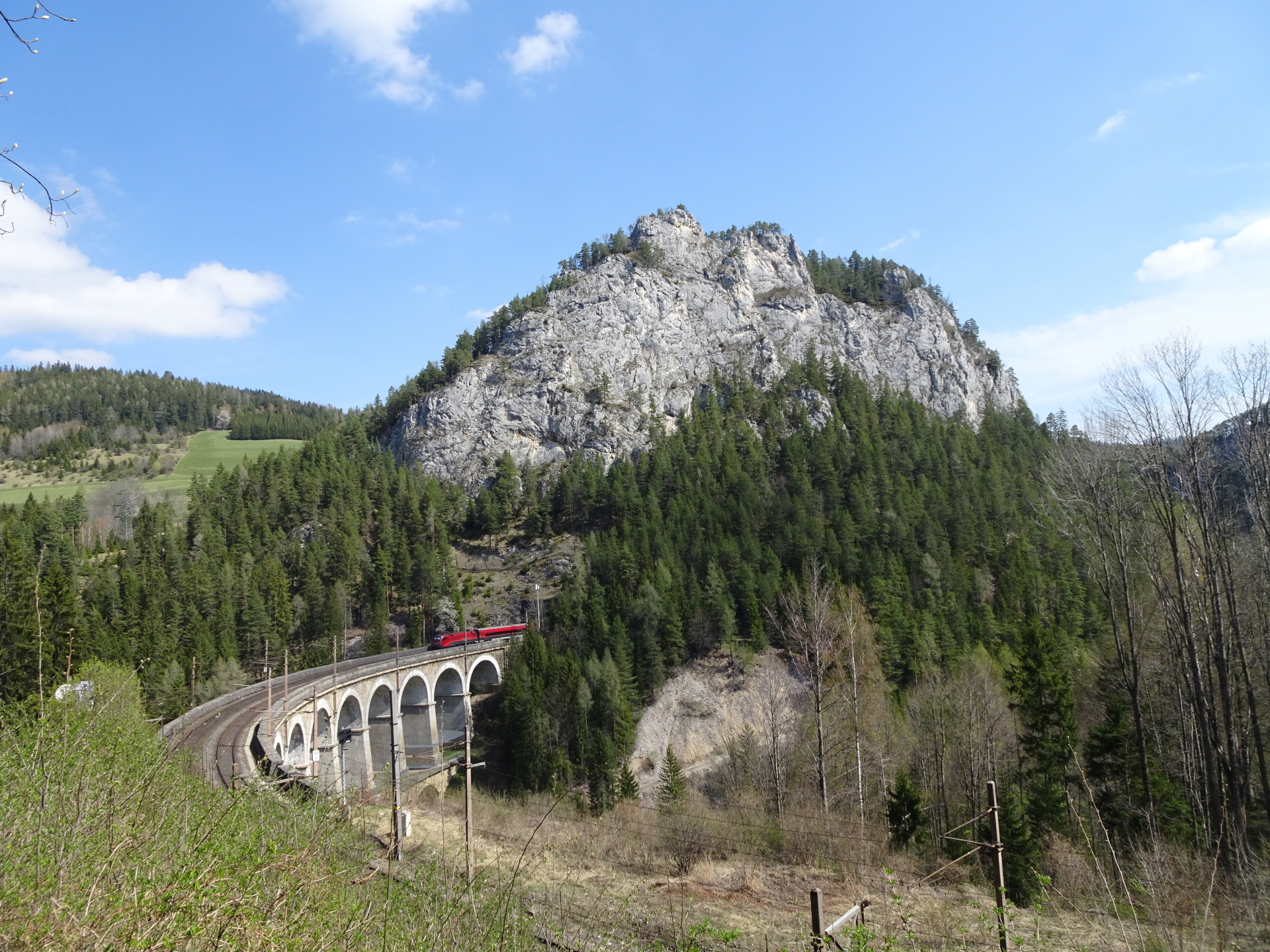
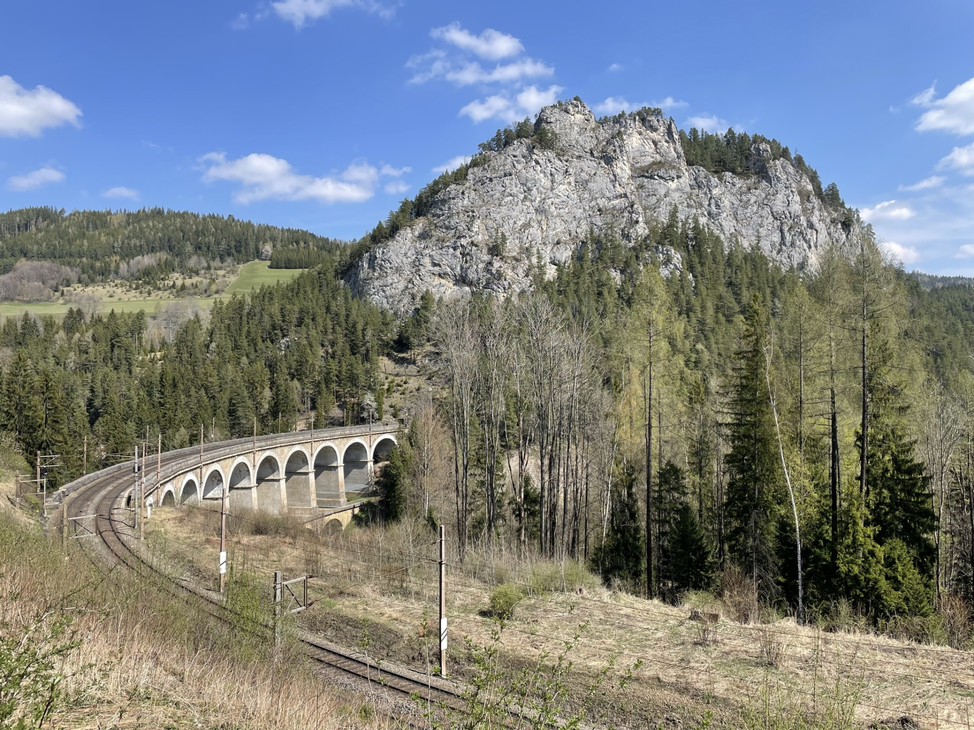
| 01:55 | Walk through beneath the impressive Kalte Rinne viaduct and follow the street eastwards for a few meters. |
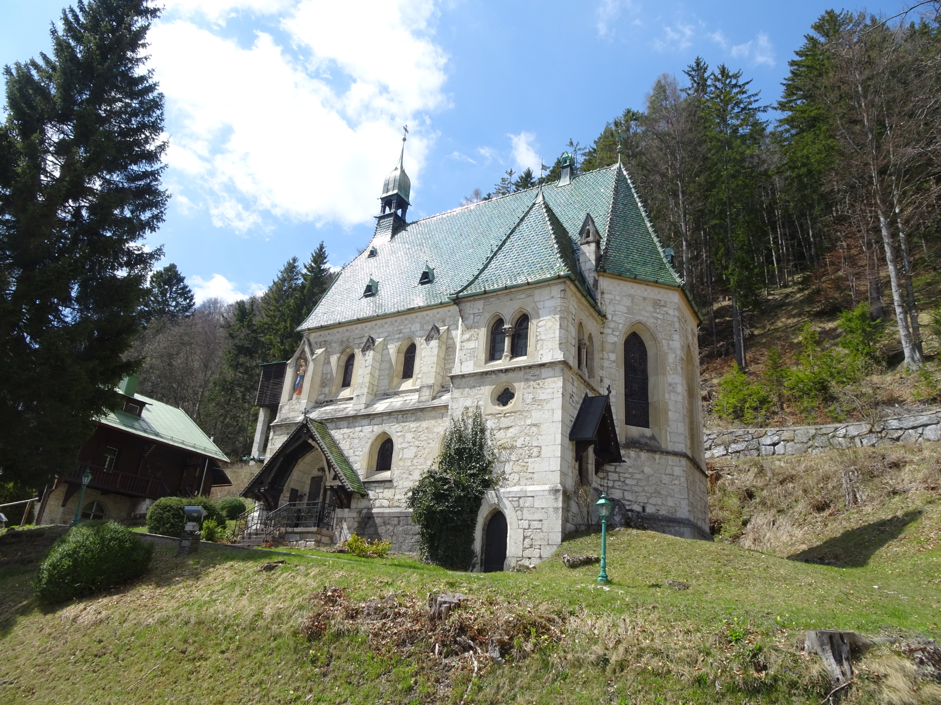
| 02:00 | Turn sharp left and follow the hiking trail upwards to the Ghega museum. |
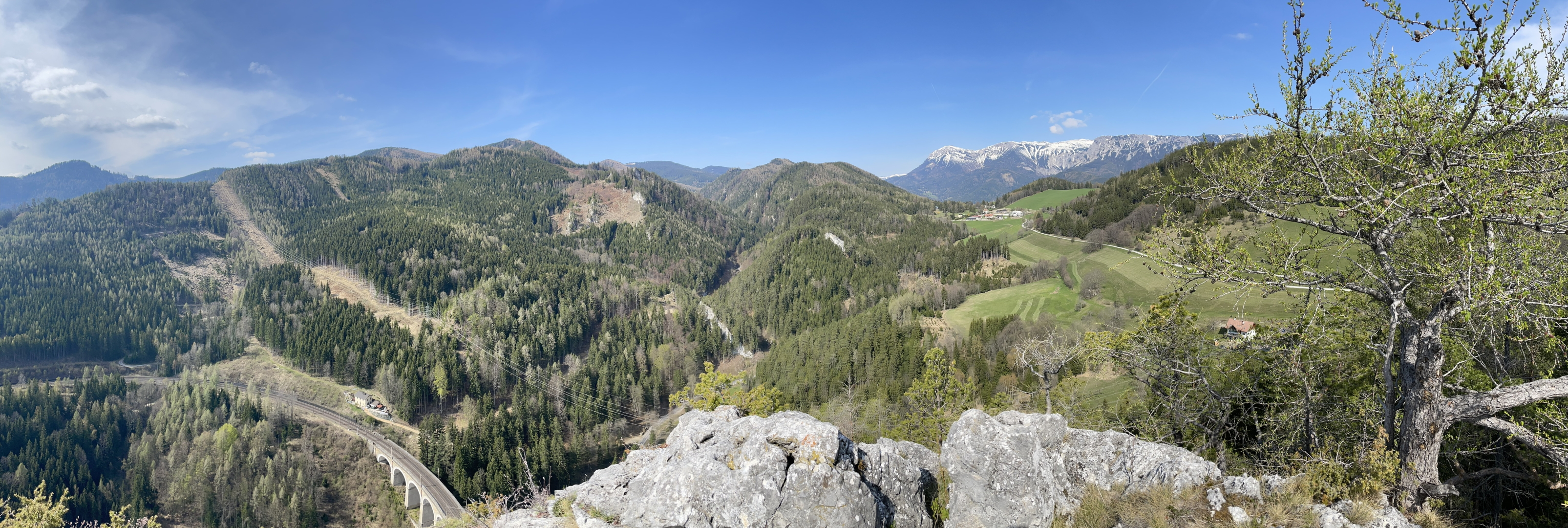
| 02:10 | Enjoy the awesome scenic view from Kalte Rinne viaduct photo point (look back) and then continue following the trail along the railway track. |
| 02:20 | At the crossing, keep straight and follow the Schwaigstraße for a few meters. Keep left at the next crossing which leads back to the trail along the railway track. |
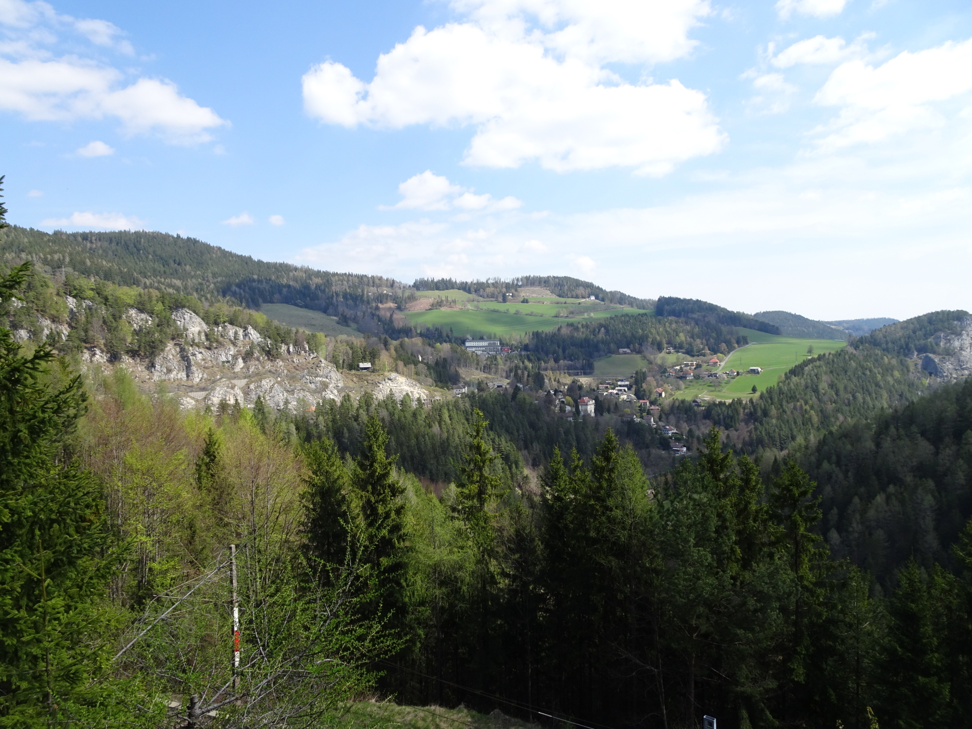
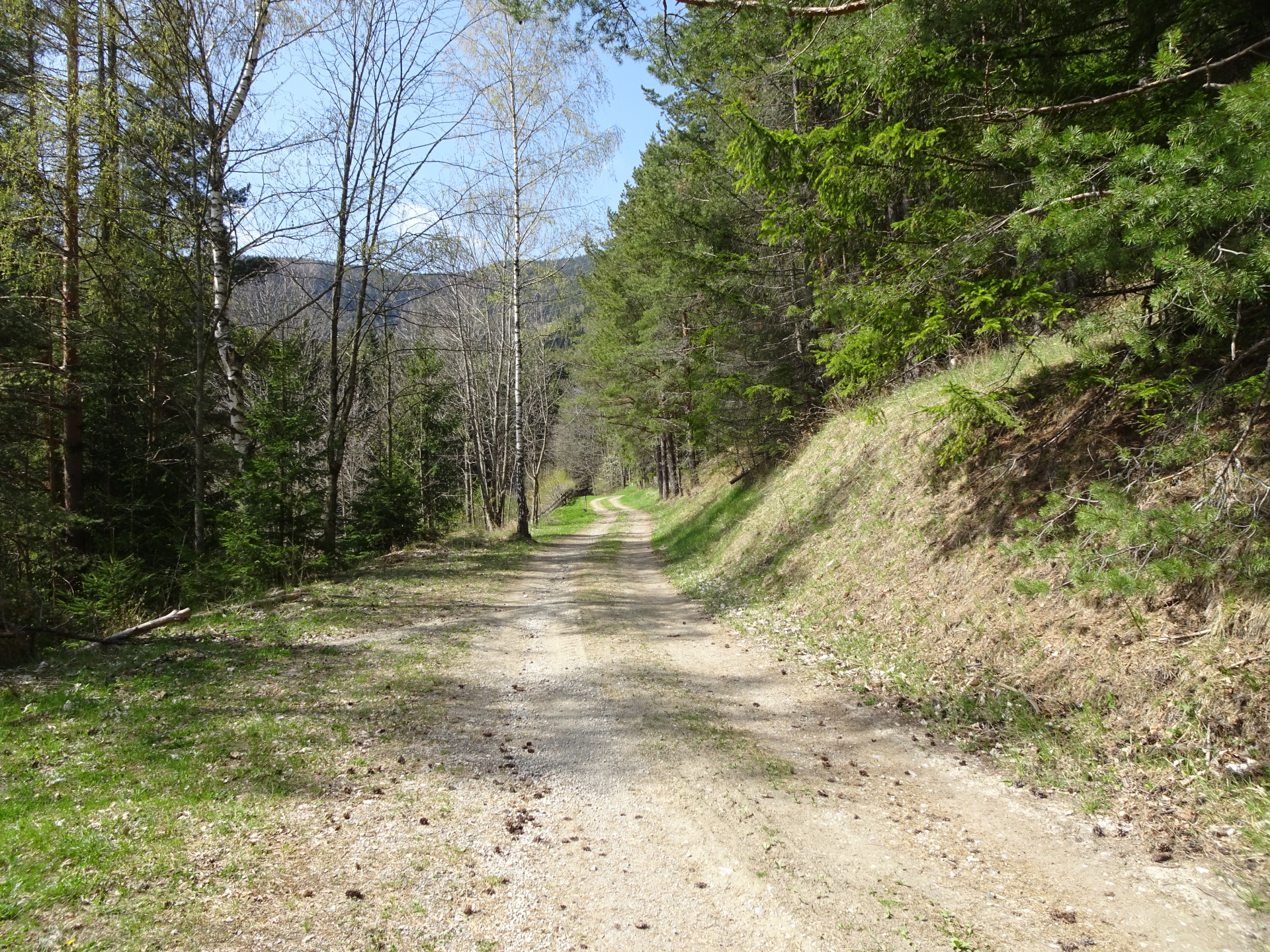
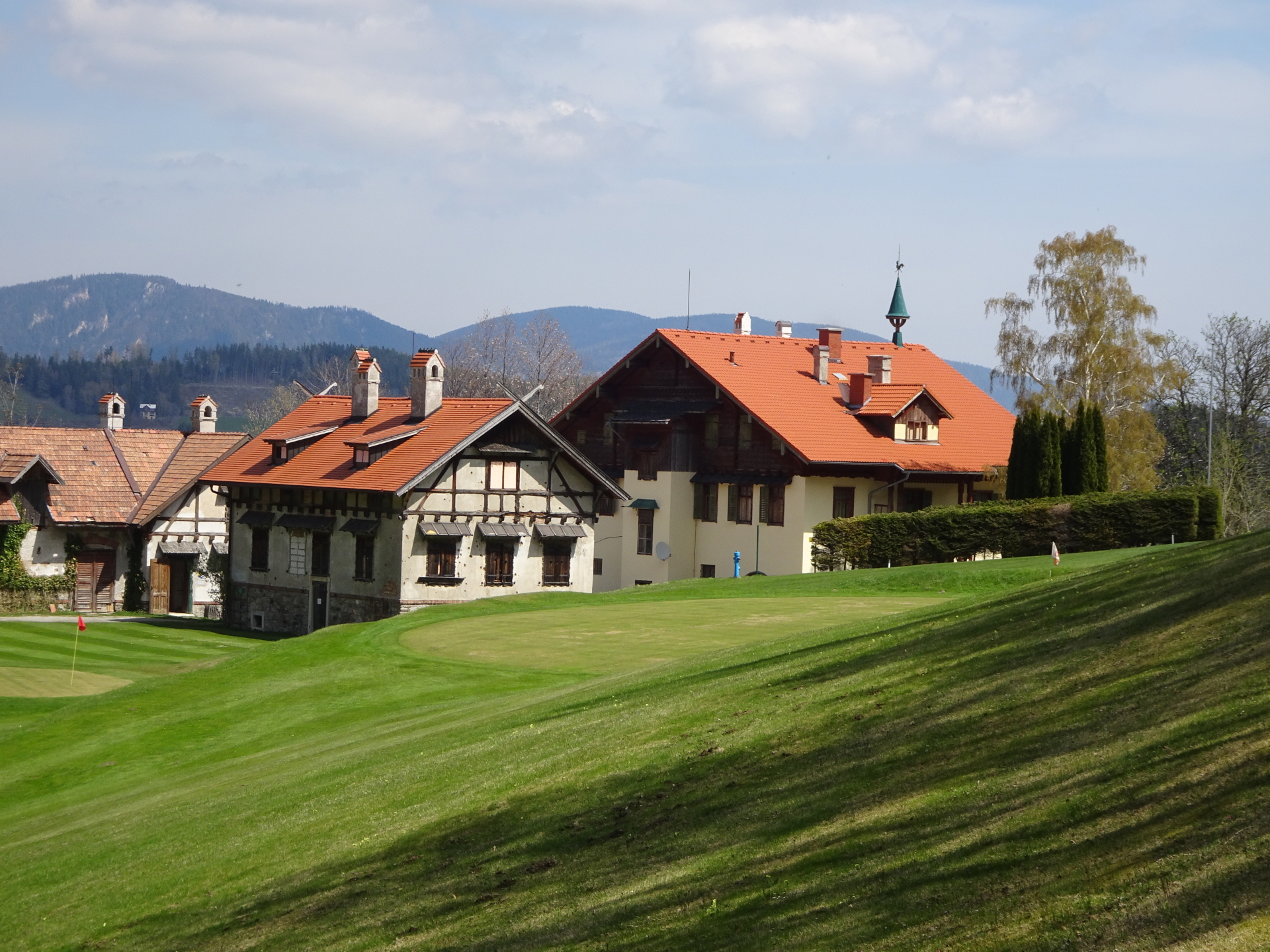
| 02:40 | At the Unterer Adlitzgraben, follow the forest street on your right hand-side towards the golf court. |
| 03:05 | At the golf court, follow the marked trail Meiereiweg heading towards Semmering. |
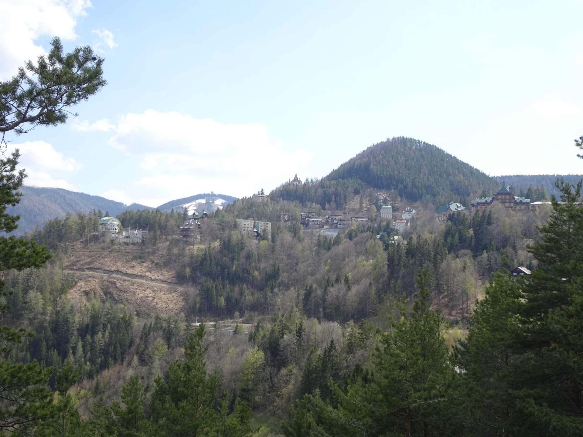
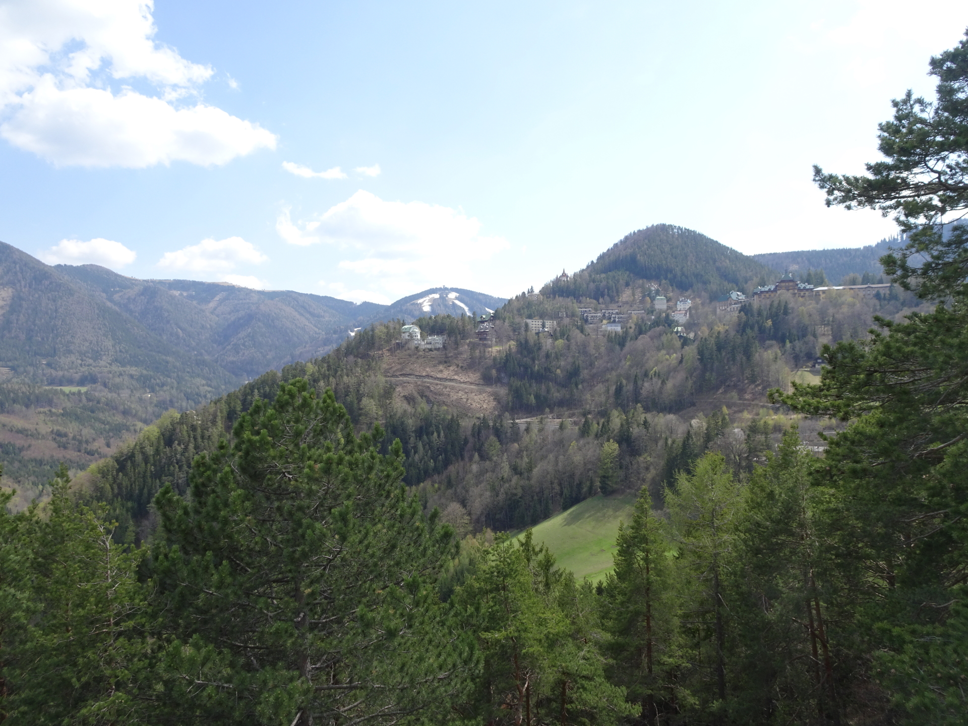
| 03:32 | At the village of Semmering, turn right and then follow the upper street westwards and then southwards. |
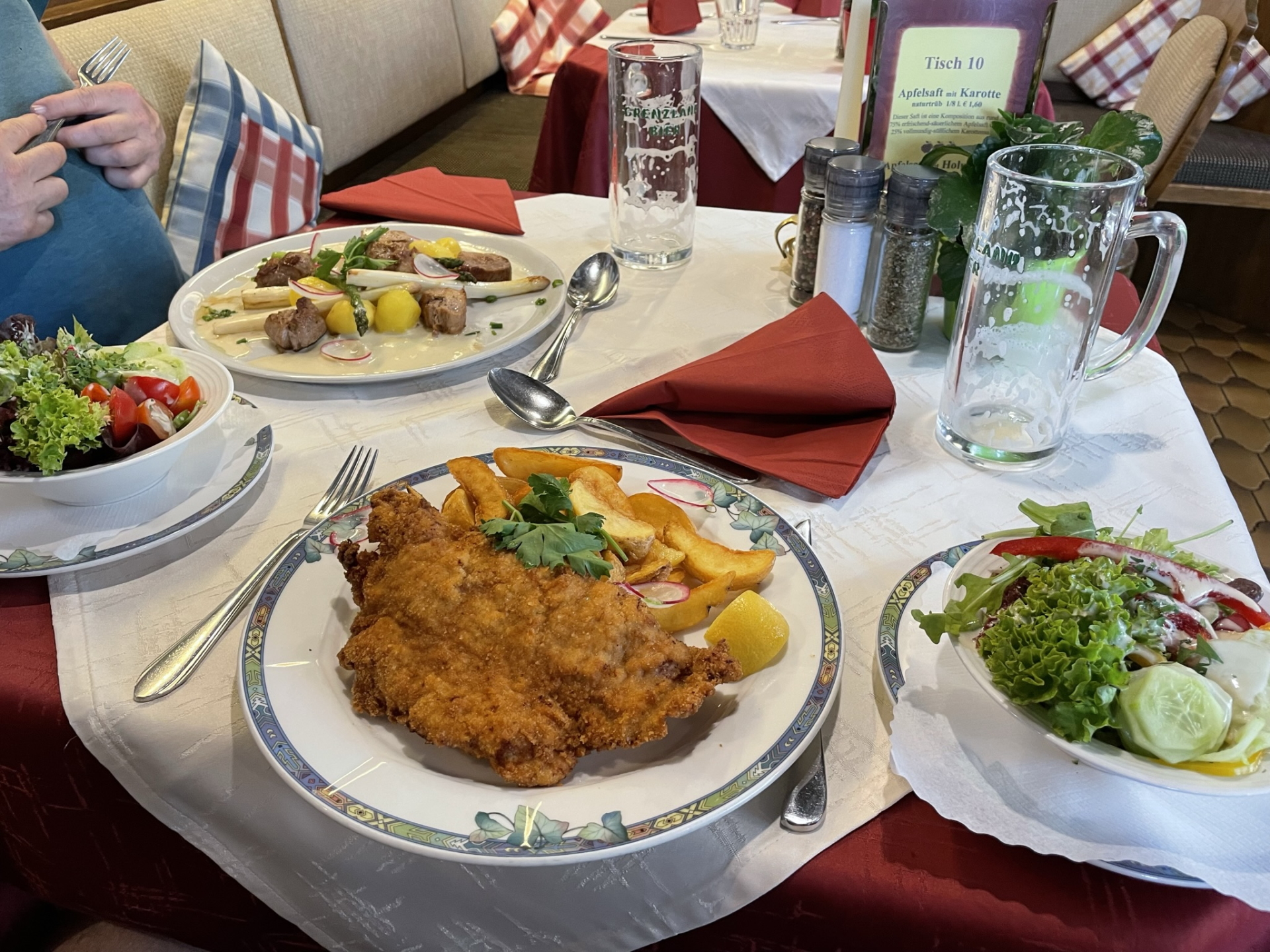
| 03:50 | Well-deserved break ( ) at Restaurant Sonnblick. |
| 04:50 | Follow the street back till the church. |
| 05:05 | At the church, turn right and follow the street downwards. |
| 05:10 | At the street’s u-turn, keep straight ahead and turn into the trail (leave the street). Keep left at the next crossing. |
| 05:20 | *Detour: Turn left and follow the trail up towards the Ranzinger Wand viewpoint. Hike back and continue following the street. |
| 05:25 | Turn left into the street and follow the street upwards. |
| 05:30 | Turn right and follow the one-way street westwards. |
| 05:37 | Turn right into the trail and follow the trail downwards through a sculpture park. |
| 05:40 | At the end of the sculpture park, turn right and then turn left the next street. |
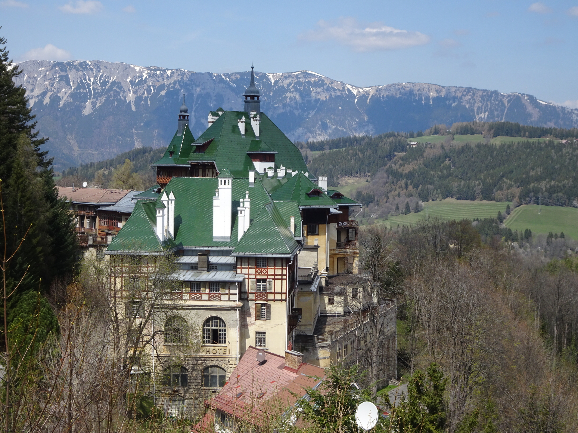
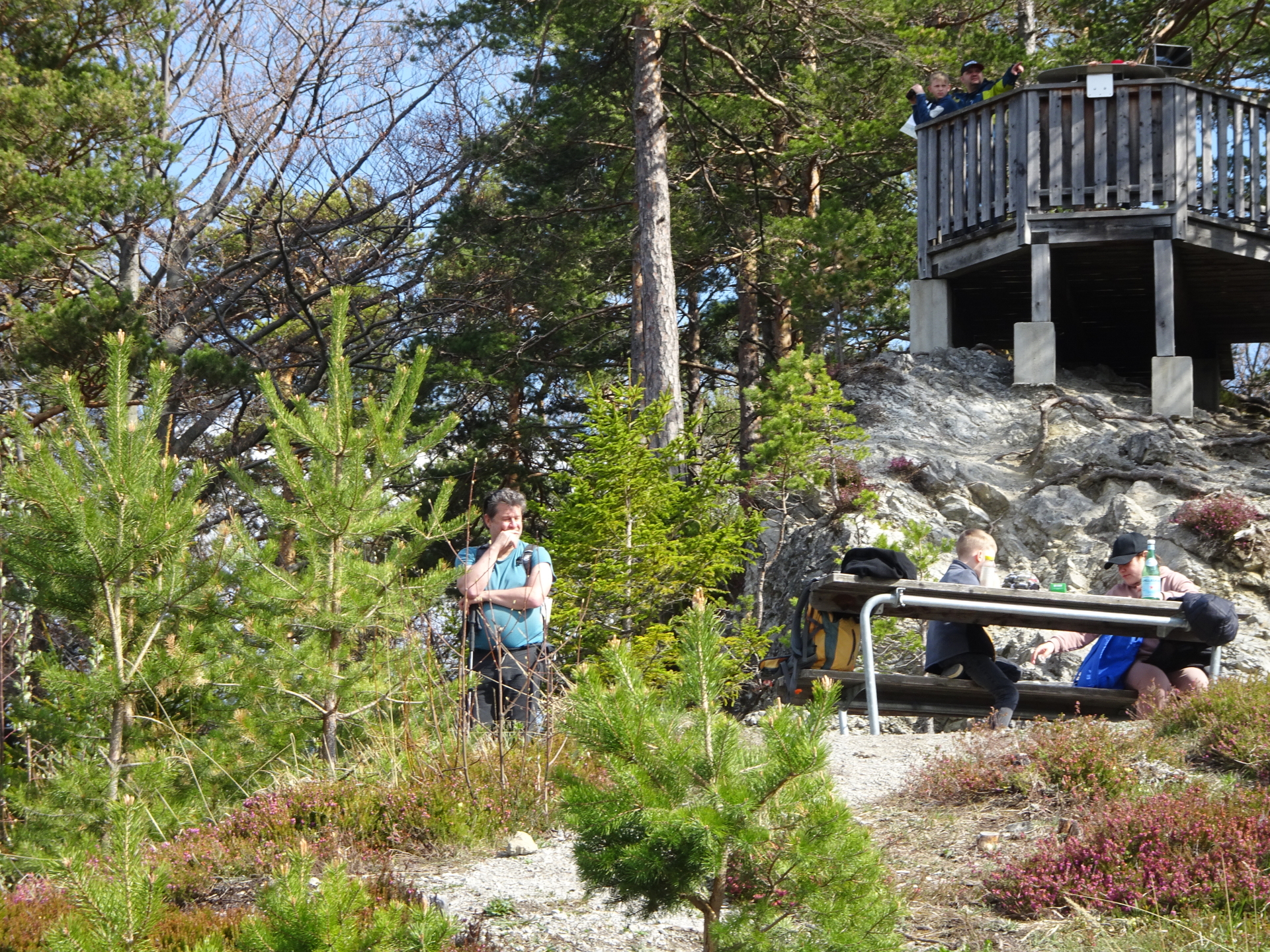
| 05:45 | At the crossing, turn right and hike around the abandoned big building. Do not follow the signposts towards 20 Schilling Blick but keep straight ahead towards Doppelreiter Aussichtswarte. |
| 05:55 | Climb up the Doppelreiter Aussichtswarte viewing platform and enjoy the impressive scenic view. Then descend northeastwards and turn left, following the trail towards 20 Schilling Blick. |
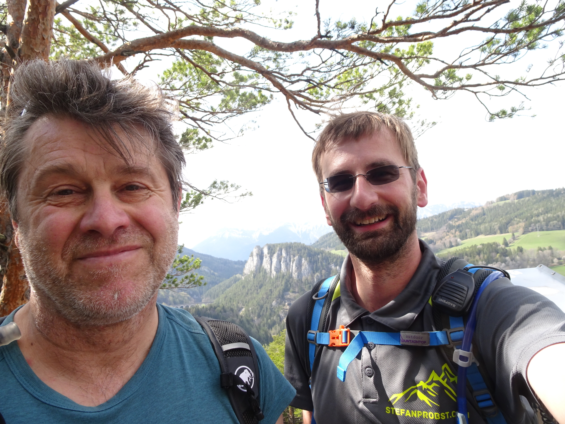
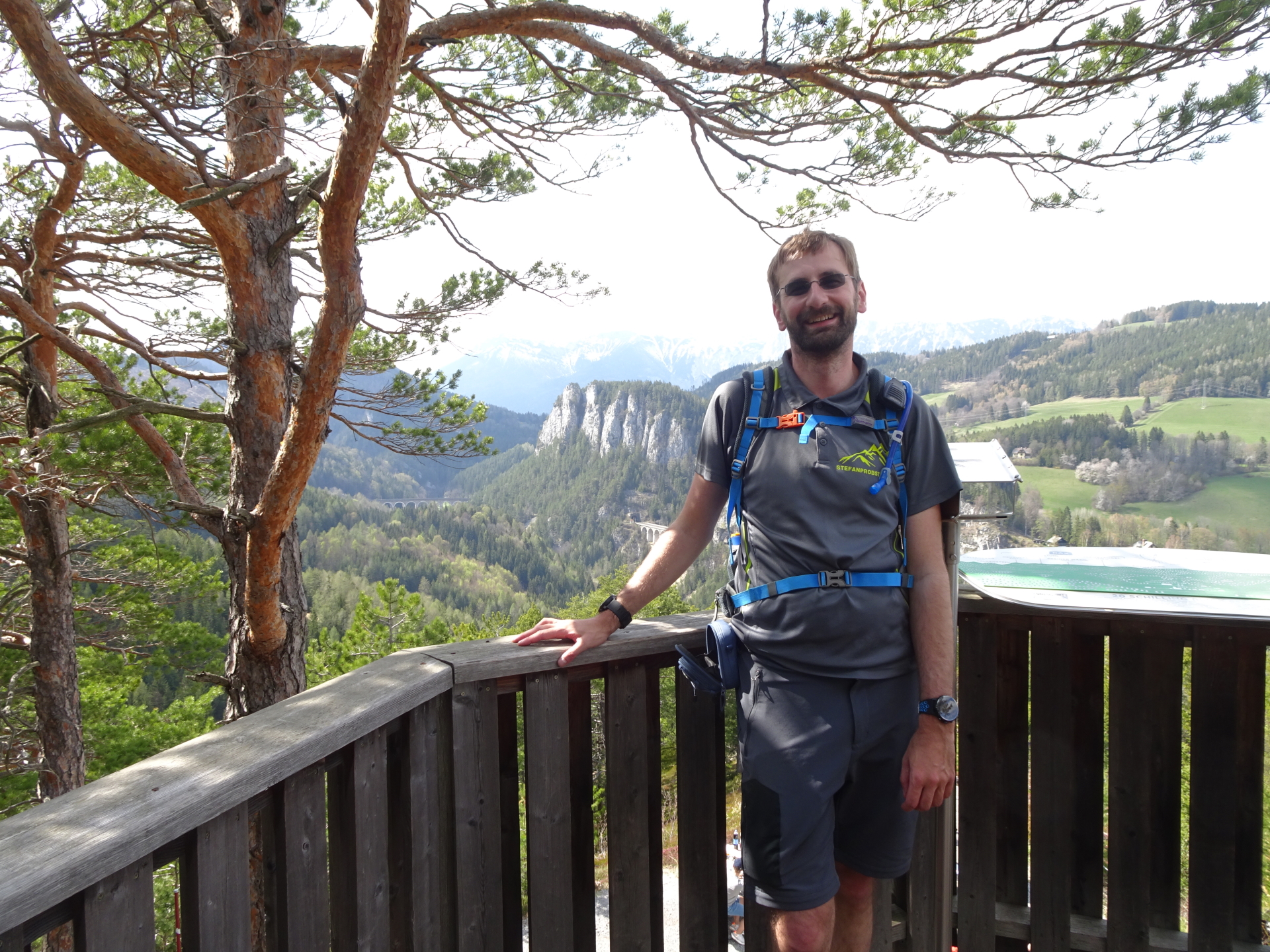
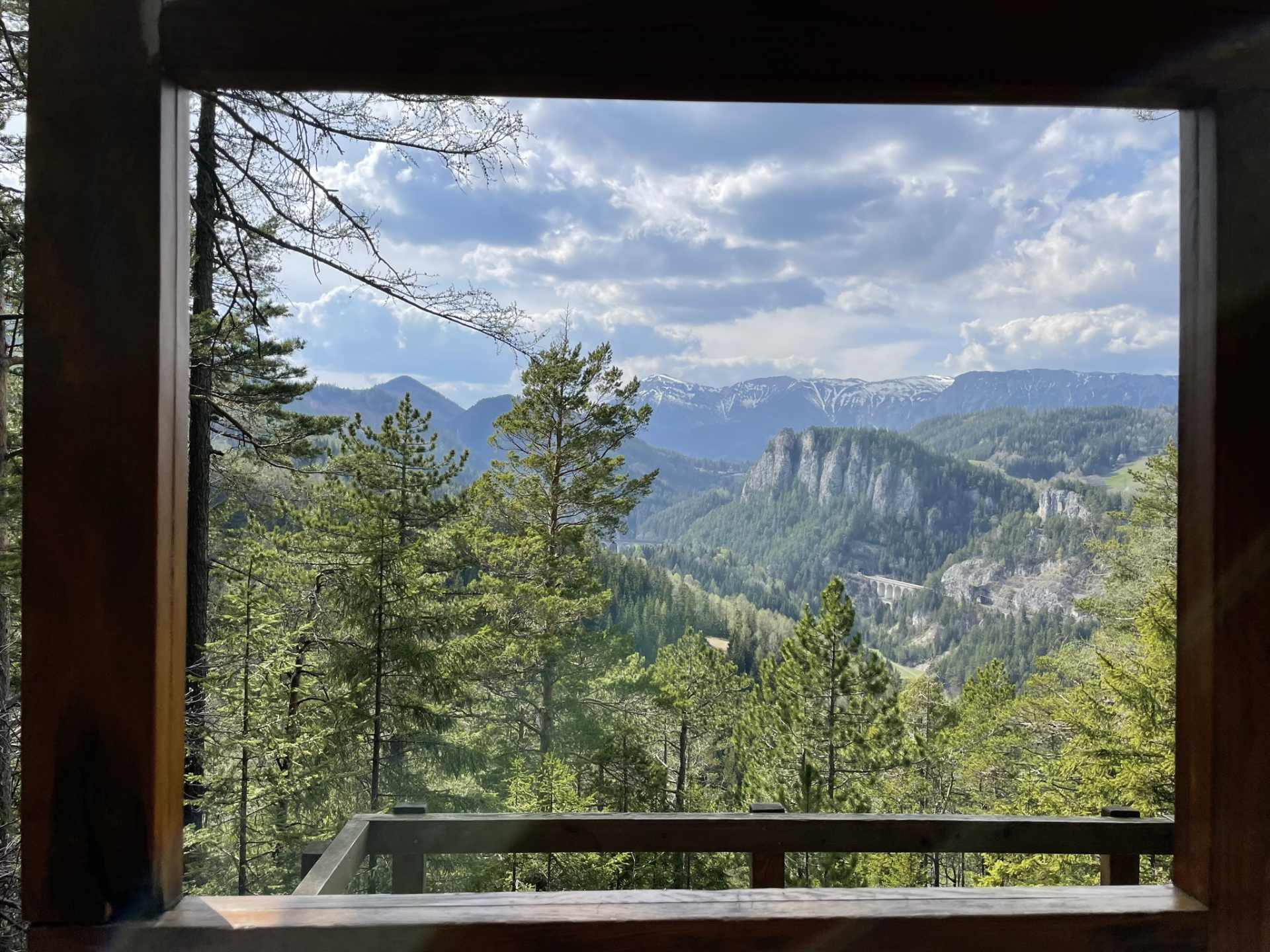
| 06:10 | Enjoy the impressive view from the iconic 20 Schilling Blick, obviously best enjoyed with self-brought refreshments (). |
| 06:50 | Follow the trail west-southwards and keep right at the crossings. |
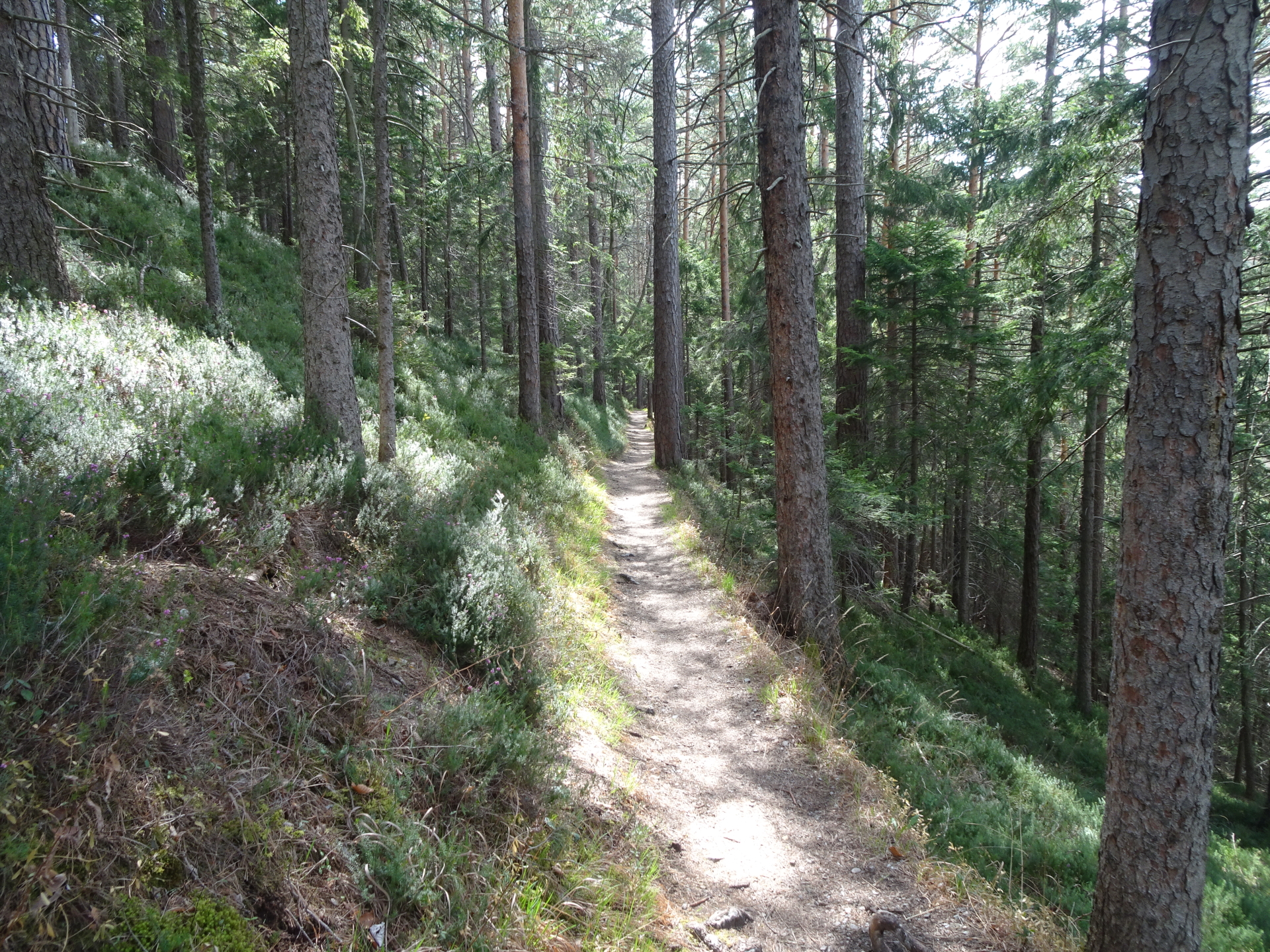
| 07:05 | At the crossing, do not follow the forest street but turn right and follow the trail through the forest downwards back to Breitenstein. Keep on the green marked trail towards Spiestal / Breitenstein that automatically leads back to the valley. |
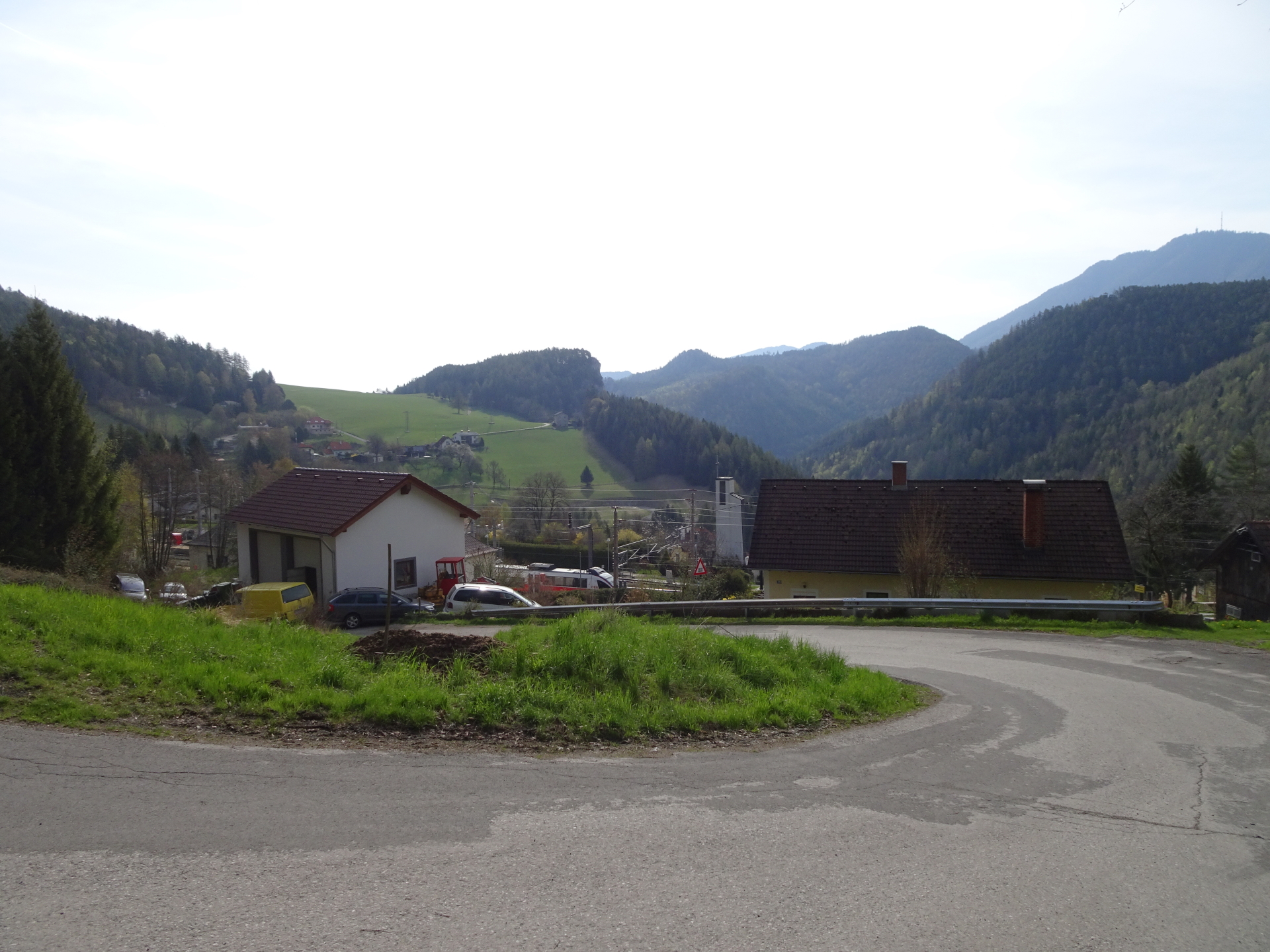
| 07:20 | In the valley of Breitenstein, first turn right, follow the main street and then turn left crossing the river. Immediately turn left again into the small hiking trail upwards towards the train station. |
| 07:35 | Back at the train station Breitenstein, end of the tour. |
Please note that the trail towards Pollereswand (between the Polleresefenster and the Pollereswand is along the ridge and thus slightly exposed. Thus, a sure foot and not being afraid of heights is required. The tour can be shortened by descending via the Pfeffer-Steig omitting the Pollereswand
General Tour Data
| Area: | Wiener Alpen, Lower Austria, Austria | |
| Distance: | 17km | |
| Ascent: | 640m (2h 25min) | |
| Descent: | 620m (2h 00min) | |
| Highest Pt: | 1024m | |
| Lowest Pt: | 711m | |
| Duration: | 5h 30min (without breaks) 7h 35min (with breaks) |
|
| Stop/Rest: | Ghega-Museum (827m) Restaurant Sonnblick (1009m) Restaurant Löffler (1009m) |
|
| Equipment: | Comfortable hiking shoes with good grip (on rock) Backpack with standard hiking equipment Snacks and plenty of water 2x Gipfelbier () Sun & Weather protection Camera |
| Download GPX | ||
| O | Tour at outdooractive.com |
At a glance
| Level | easy – moderate |
| Technique | |
| Shape / Fitness | |
| Experience | |
| Scenery | |
| Best time in the year | |
|
Jan
Feb
Mar
Apr
May
Jun
Jul
Aug
Sep
Oct
Nov
Dec
|
|


: Mönichkirchen / Semmering\"")

, Kronich Eisenweg (C/D) and descending via Törlweg\"")
Leave a Reply