
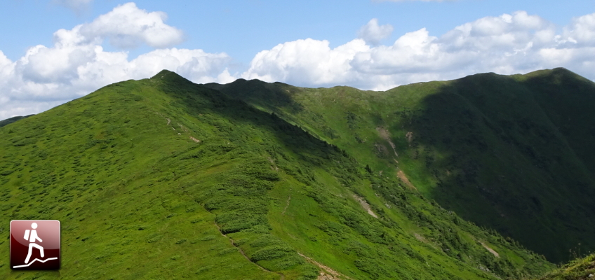
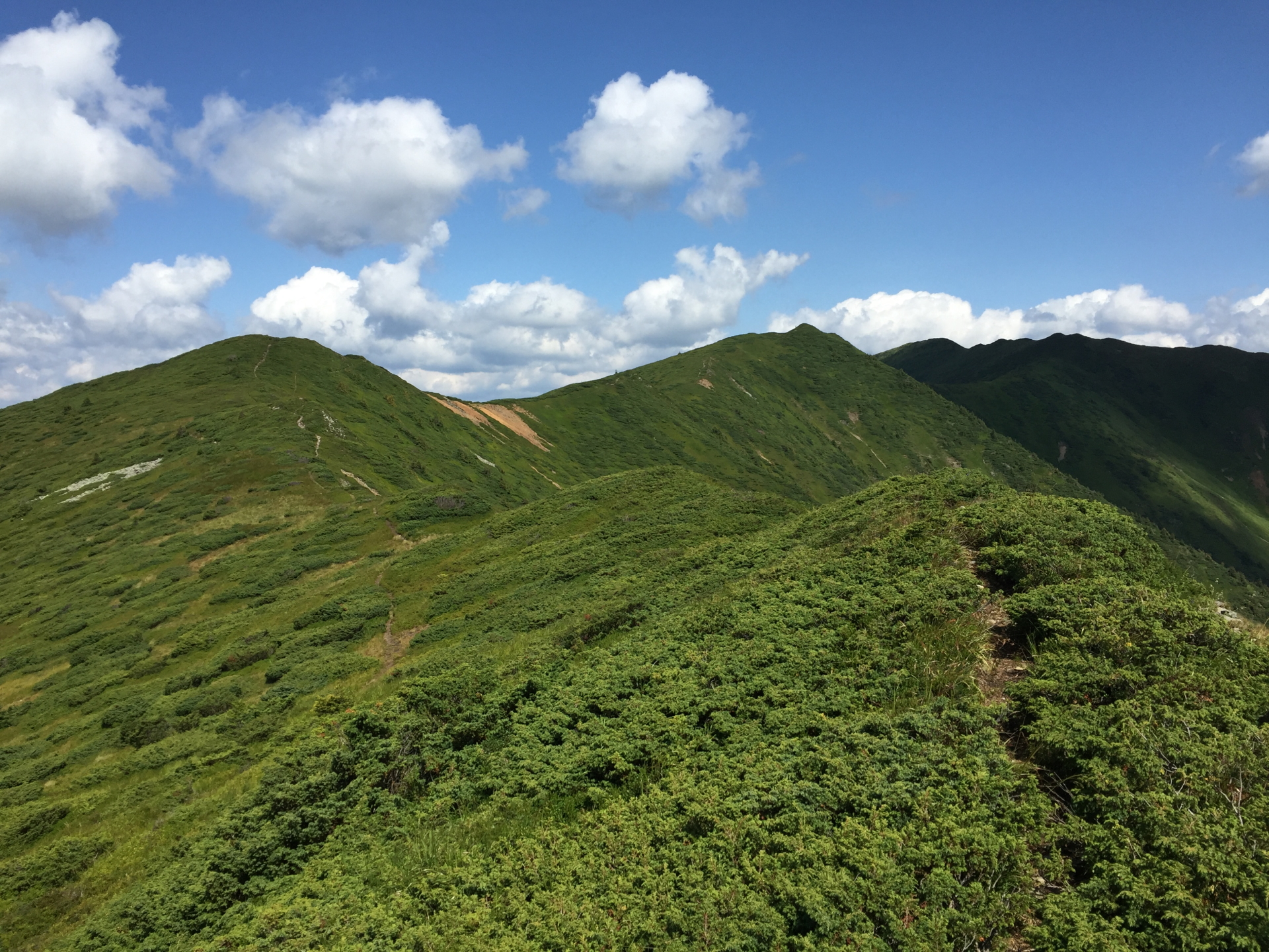
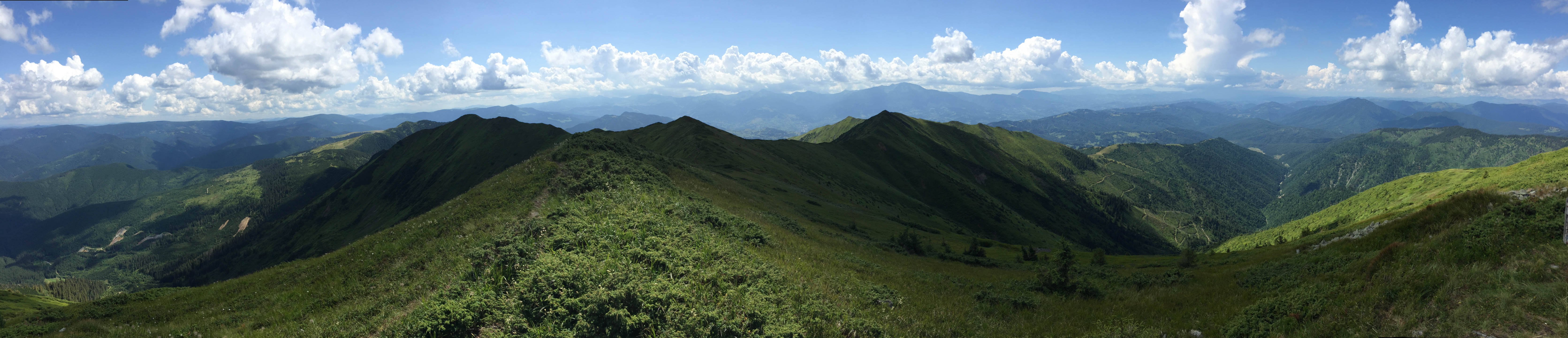
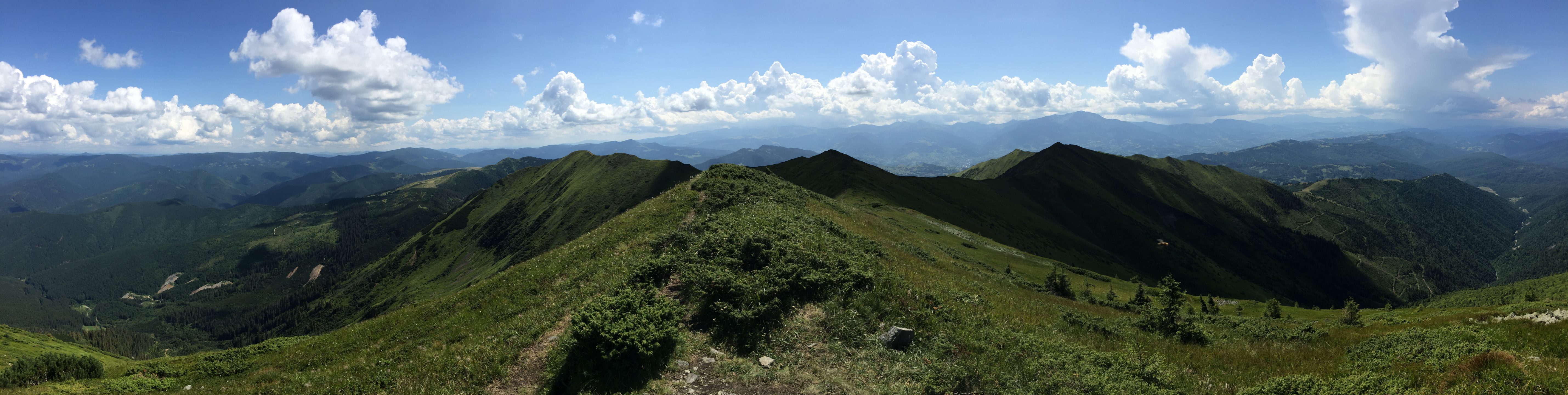
Long but very promising tour up to mount Toroioaga with its amazing panorama view over the Eastern Carpathians
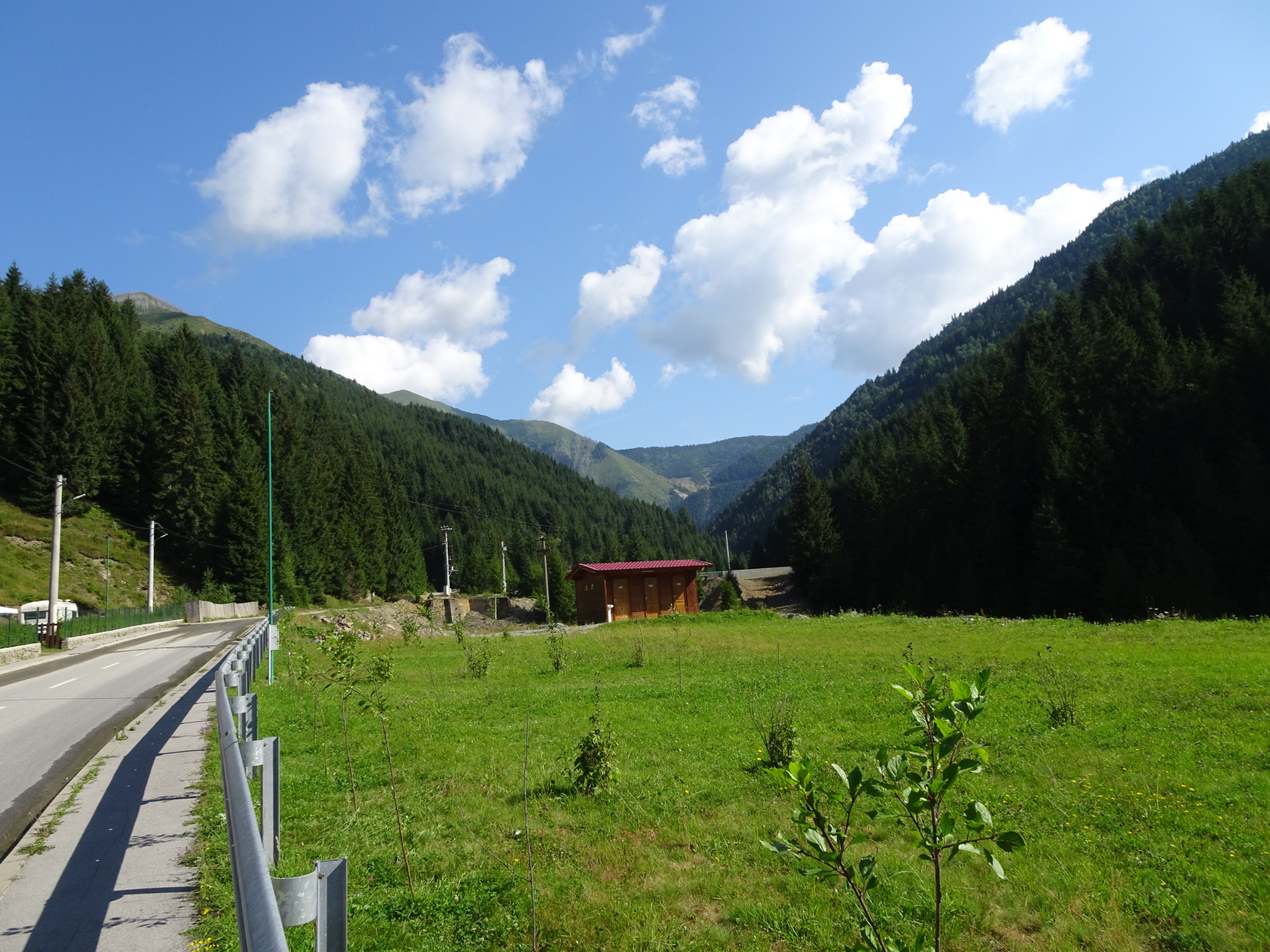
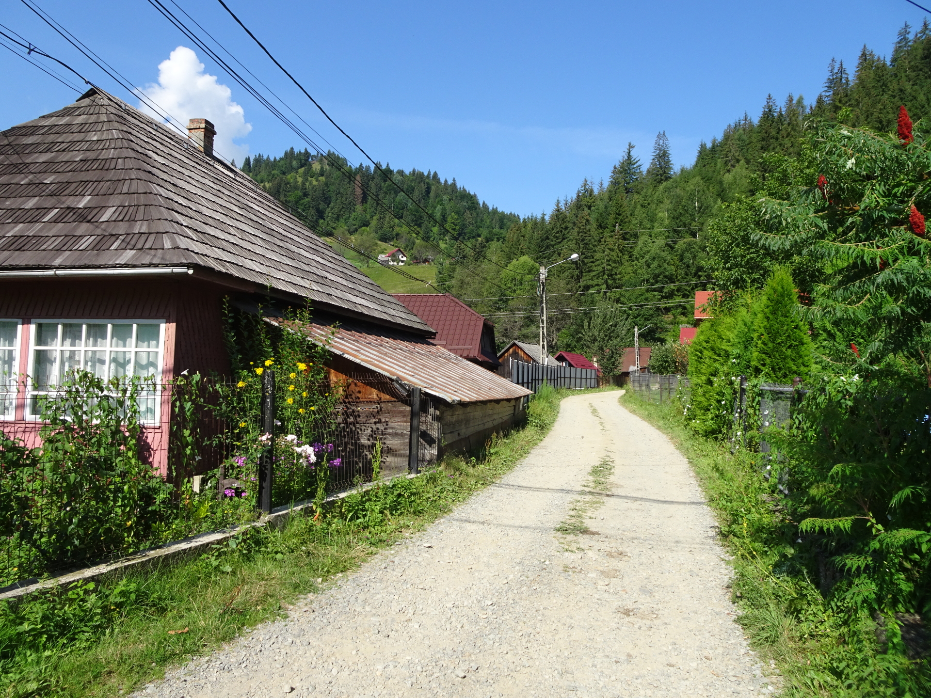
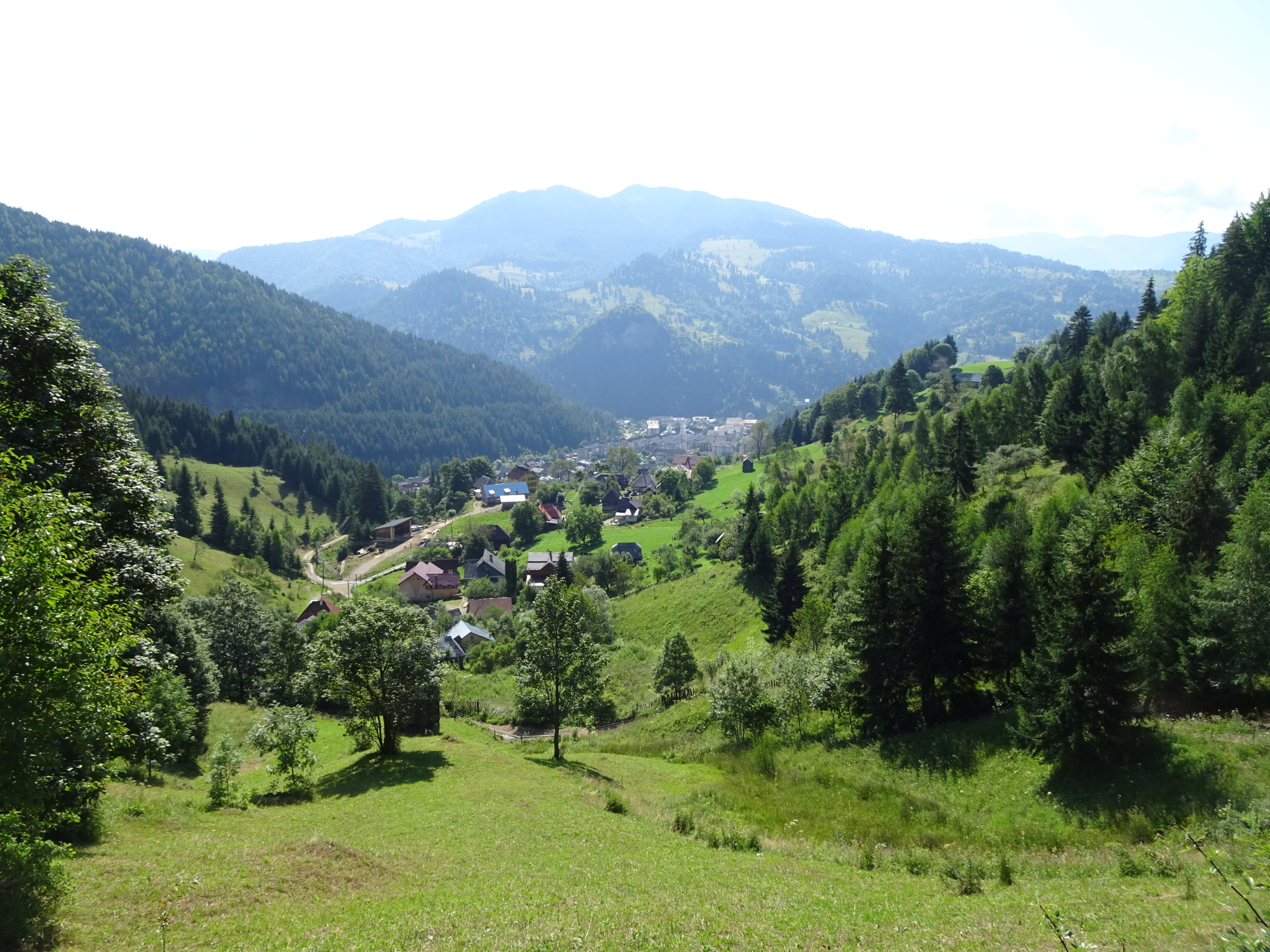
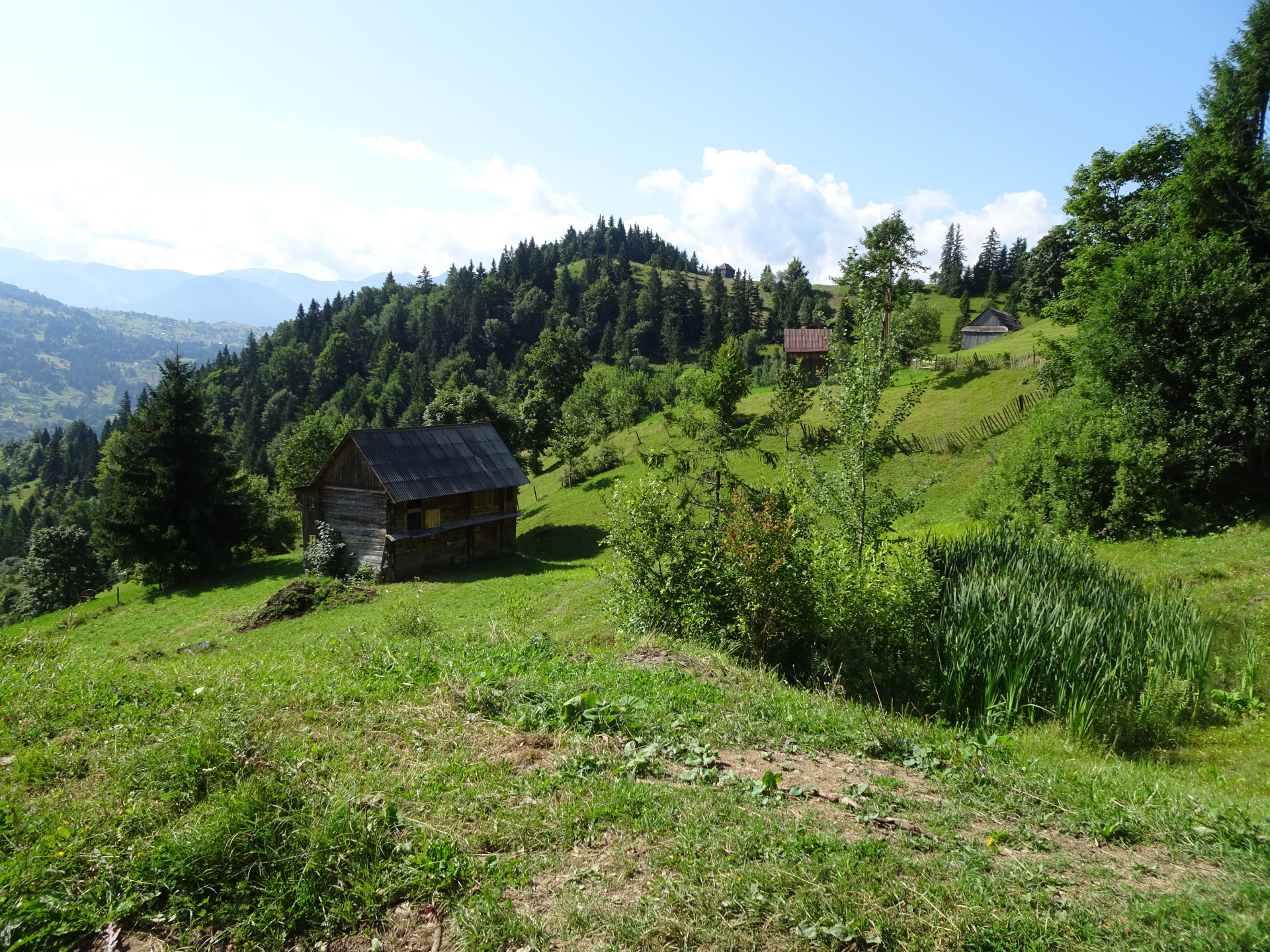
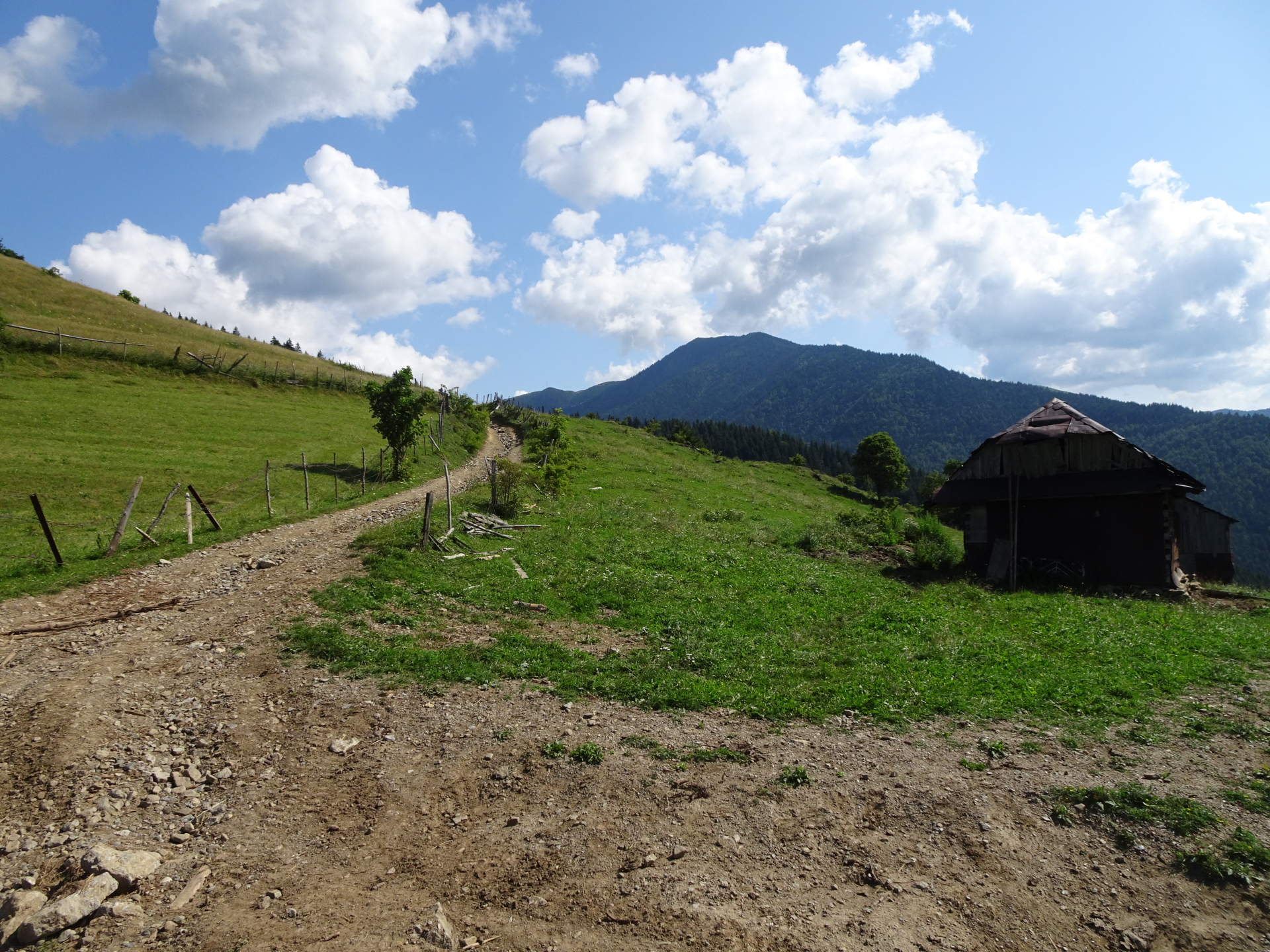
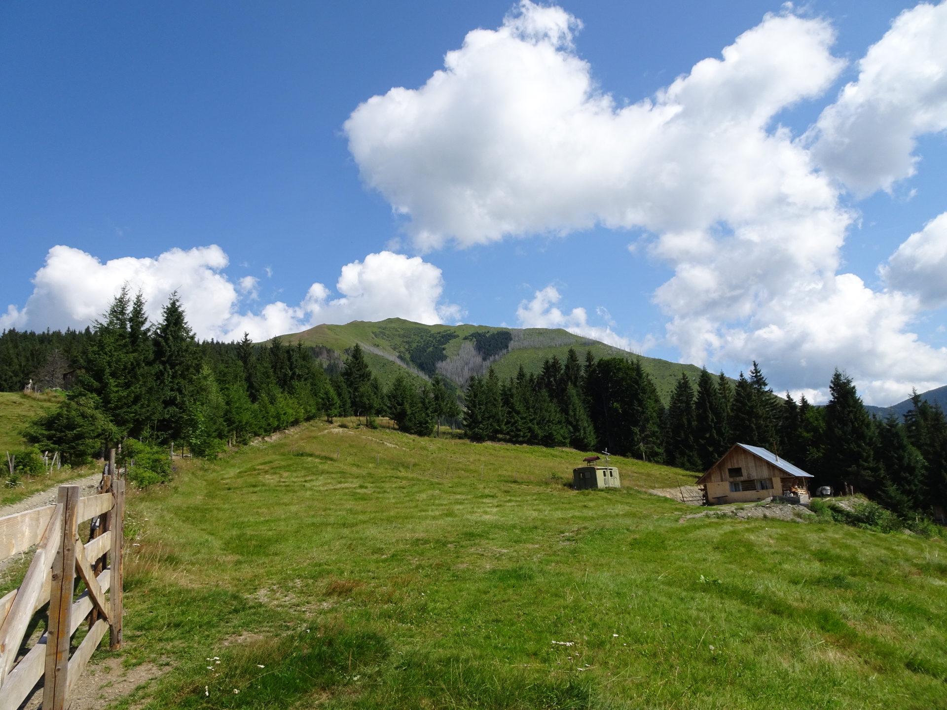
The tour starts in Băile Borșa (you need to find a parking, optionally you can park for a small fee at camping borșa) and first follows the dirt road Strada Filonului (first road eastwards south of the camping / parking) which leads into a trail northwards through the forest and then through the mountain pasture. The ascent becomes fairly steep at the mountain pasture but follows a trail along the ridge towards Murgu and then leads into a marked hiking trail. The tour turns left and follows the hiking trail, again on the ridge, directly towards Vârful Toroioaga (1930 m). The descent is following the marked hiking route eastwards till reaching the Refugiul Montan Lucaciasa. From there, the route descends via the forest road, bypassing an abandoned (but accessible) mine. The tour further follows the road and finally descends steeply towards an active mine (you need to hike through the mining area!) from where following the street (beware of the trucks & traffic) leads back to the parking.
| 00:00 | Start at the parking lot camping borșa (GPS: 47.693901, 24.721475). Follow the street southwards for a couple of meters. |
| 00:10 | Turn right at the first possibility into the street Strada Filonului and follow this gravel road. |
| 00:20 | Keep straight ahead and follow the steep dirt road upwards. |
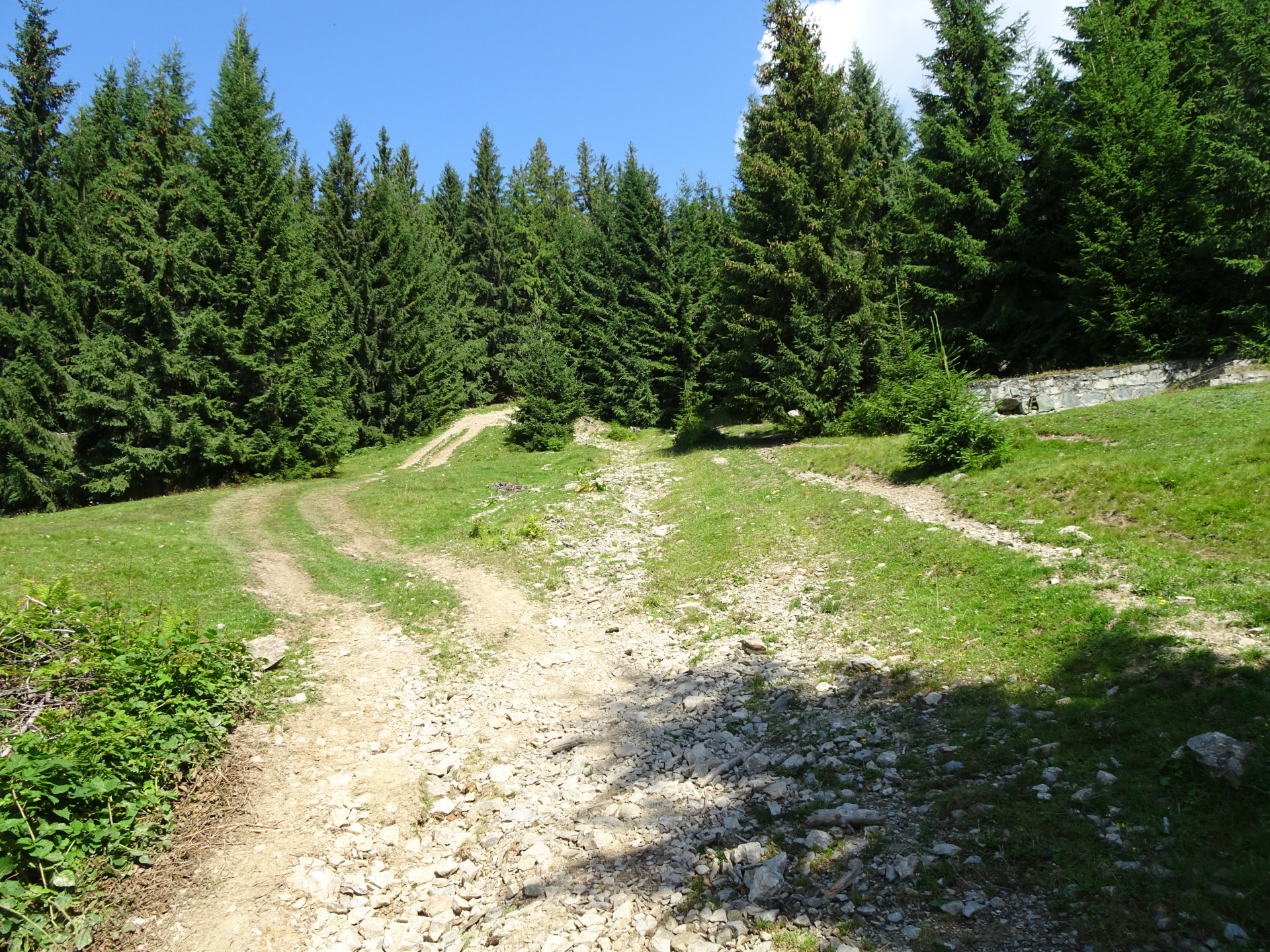
| 00:40 | At the crossing, turn right and follow the gravel road northwestwards. |
| 00:41 | Use the various shortcuts (or follow the gravel road) northwards. Pay attention while using the gravel road as it is a popular offroad vehicle tour. |
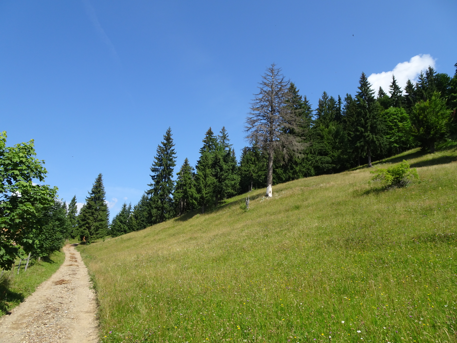
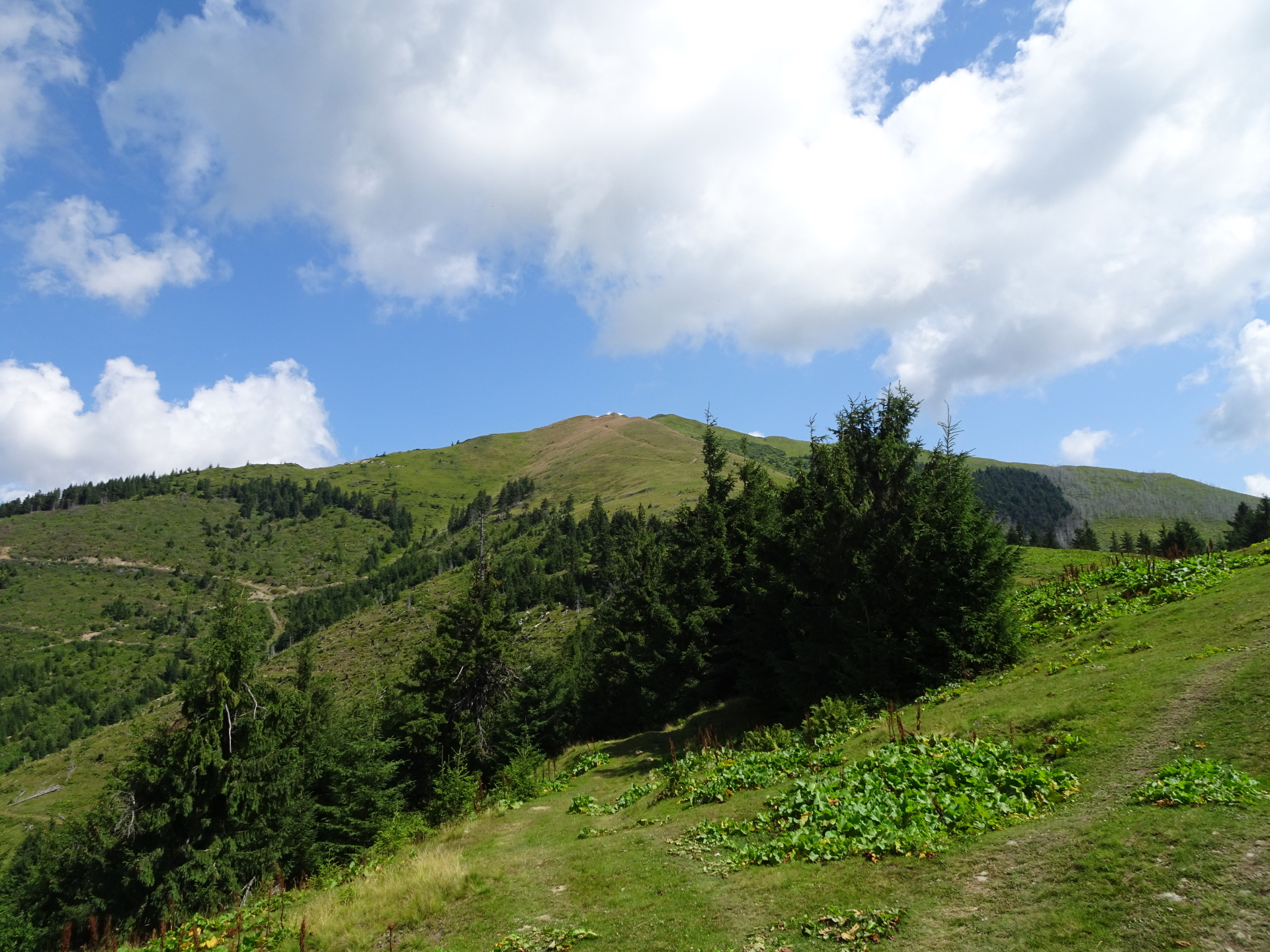
| 01:35 | At the end of the gravel road, follow the steep trail upwards (through the alpine meadows). |
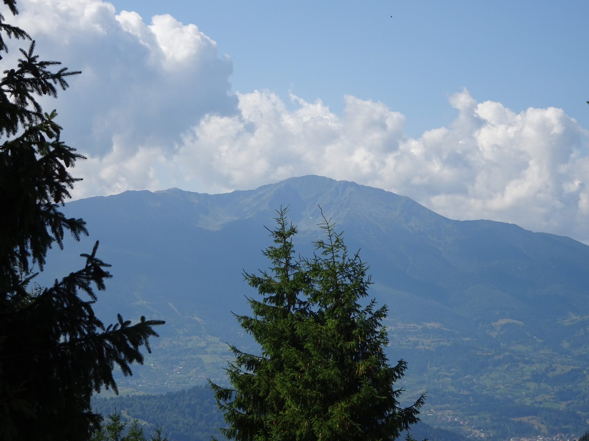
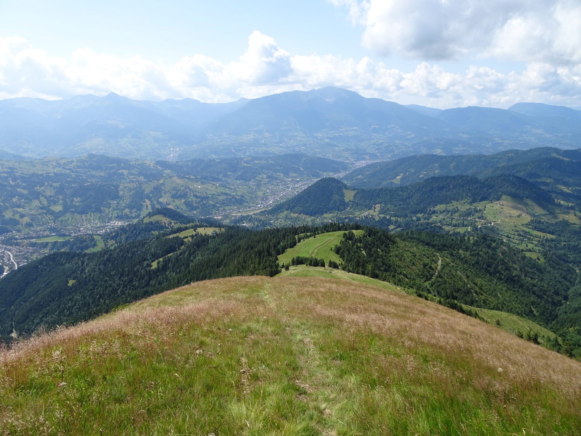
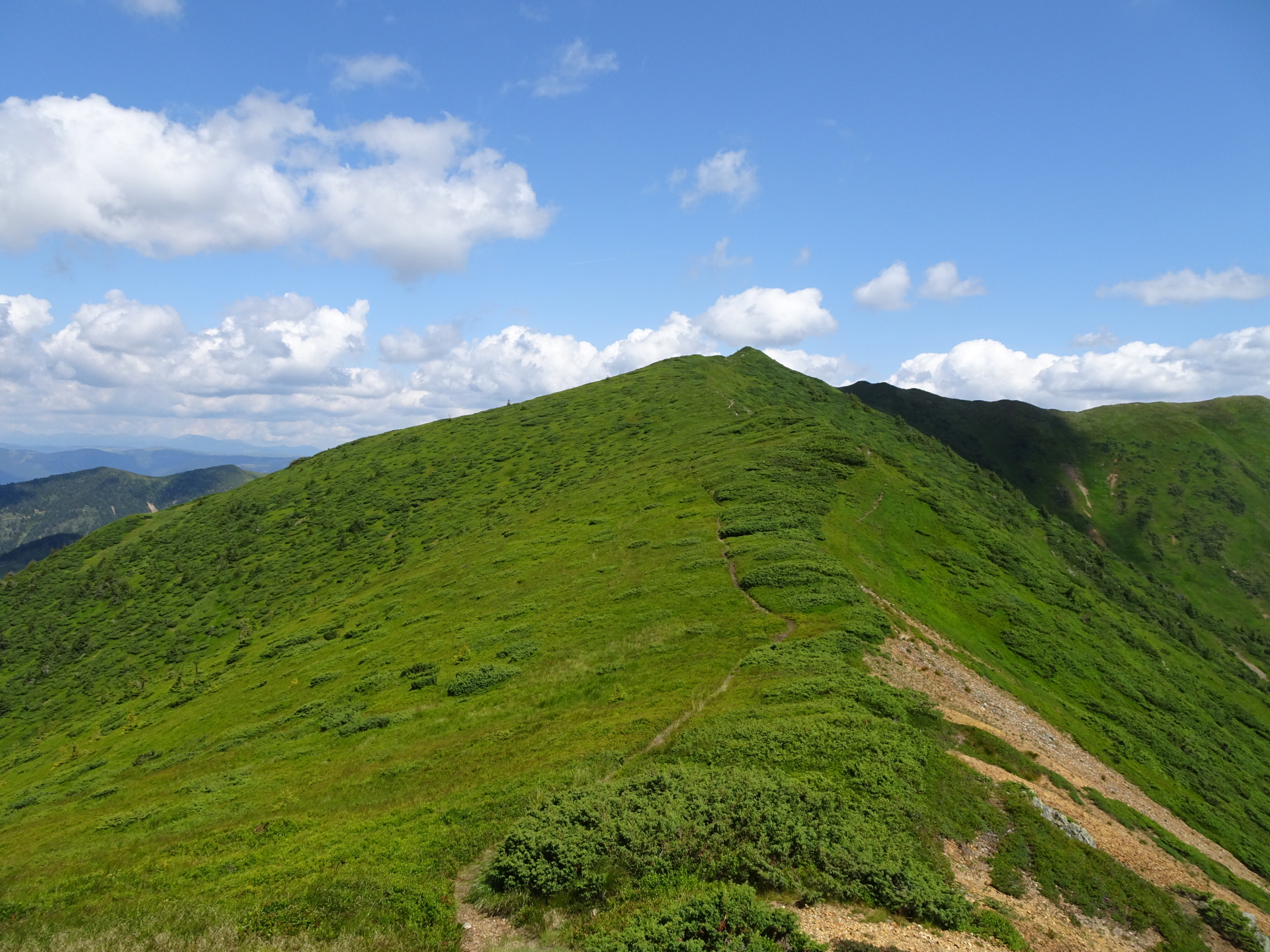
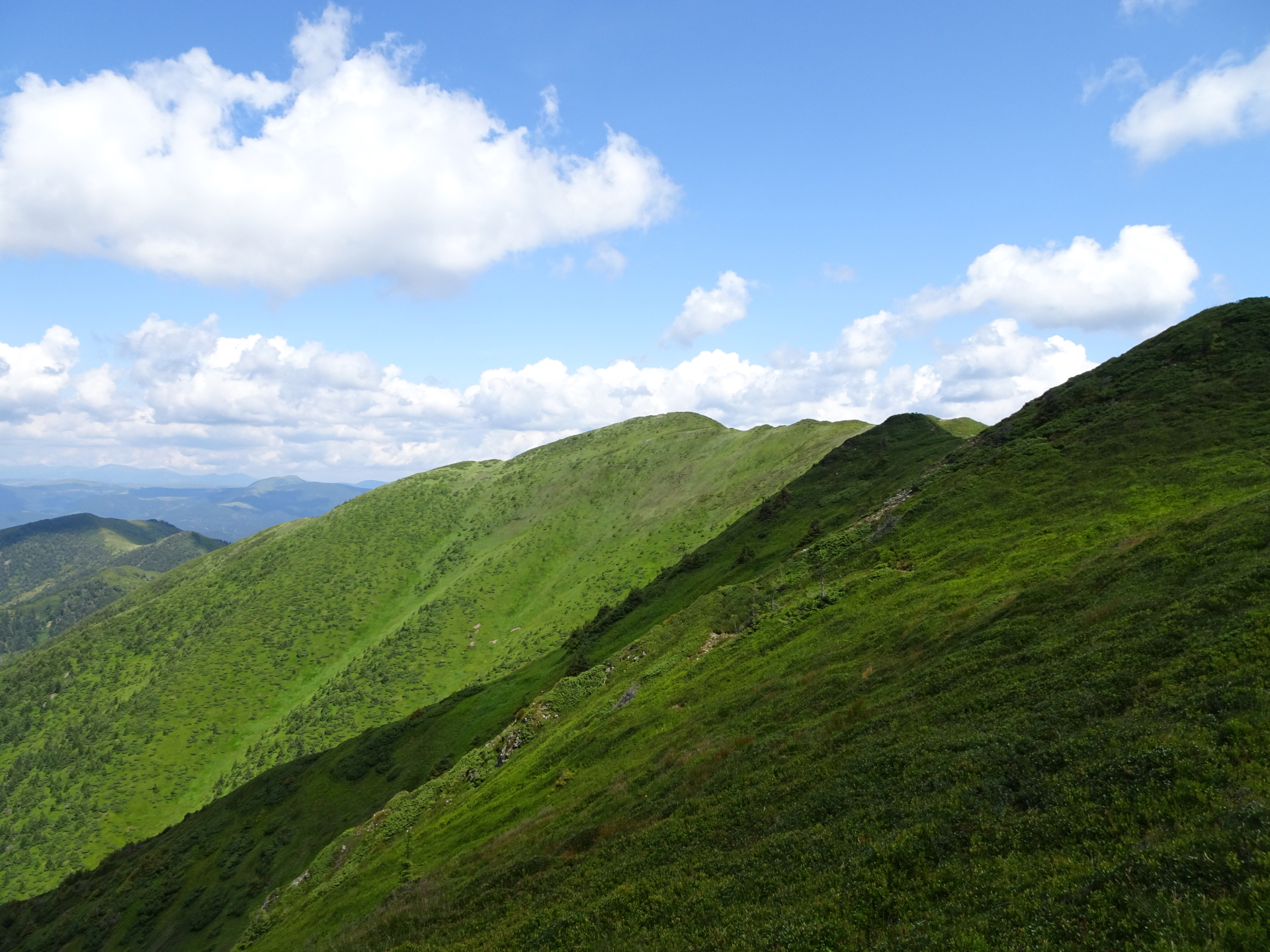
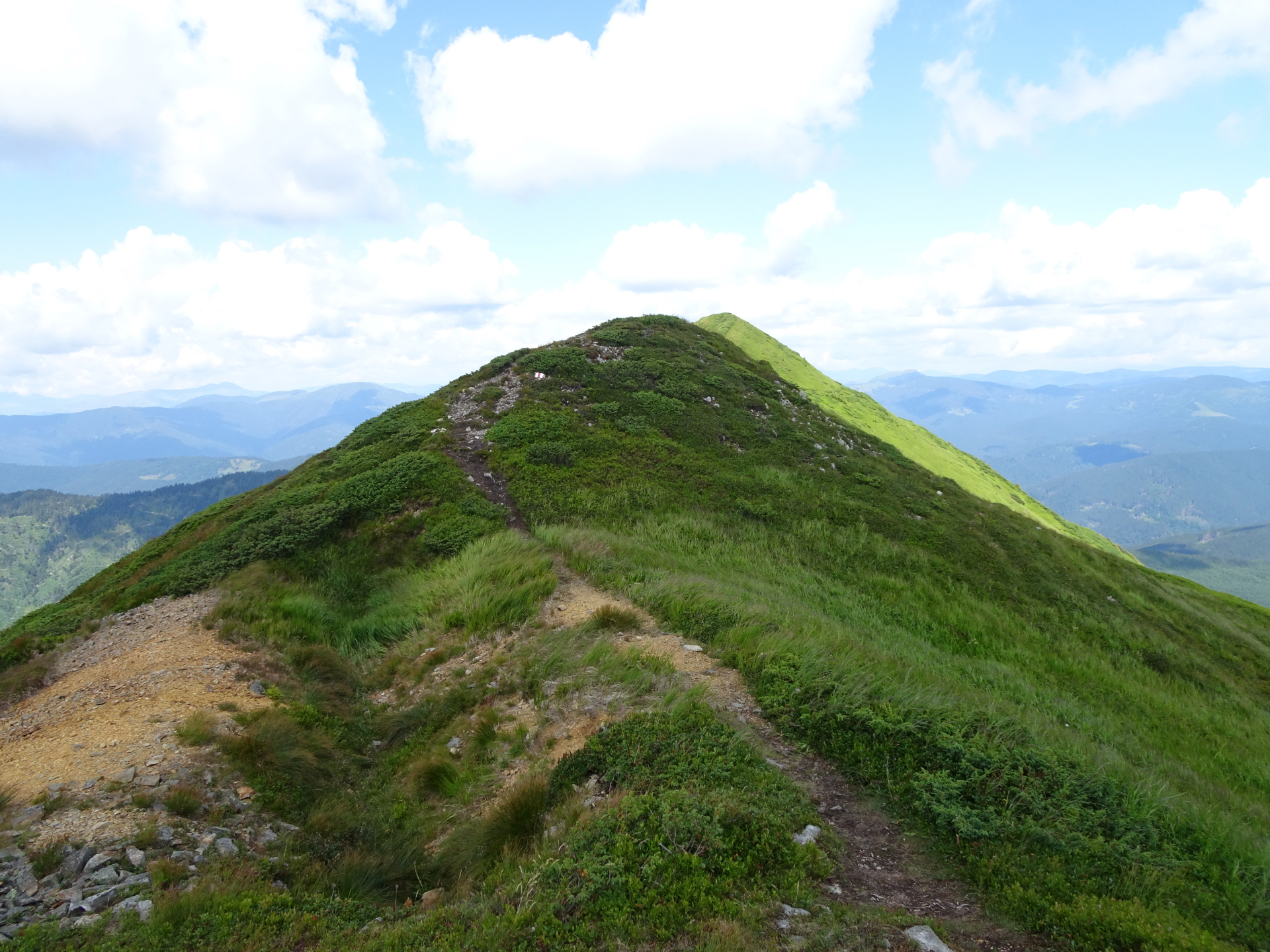
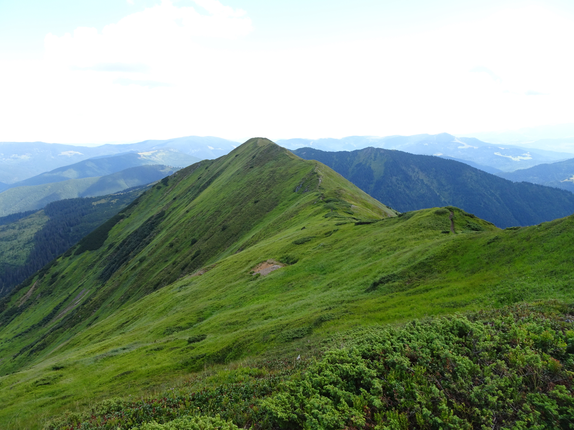
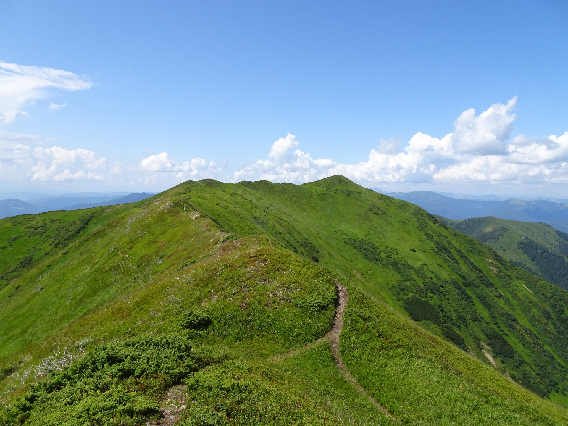
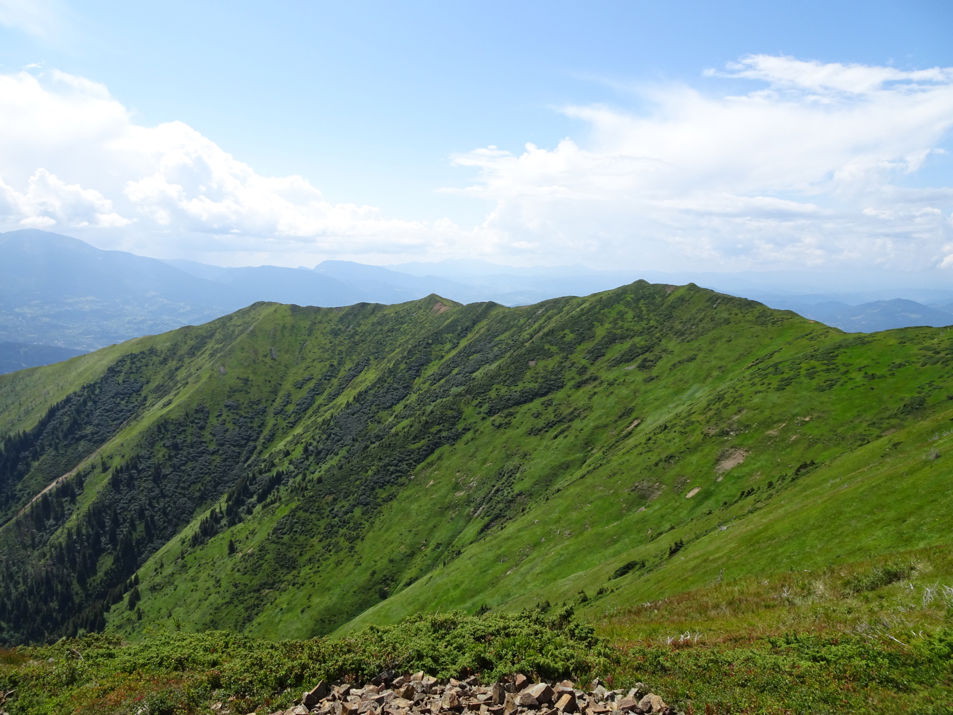
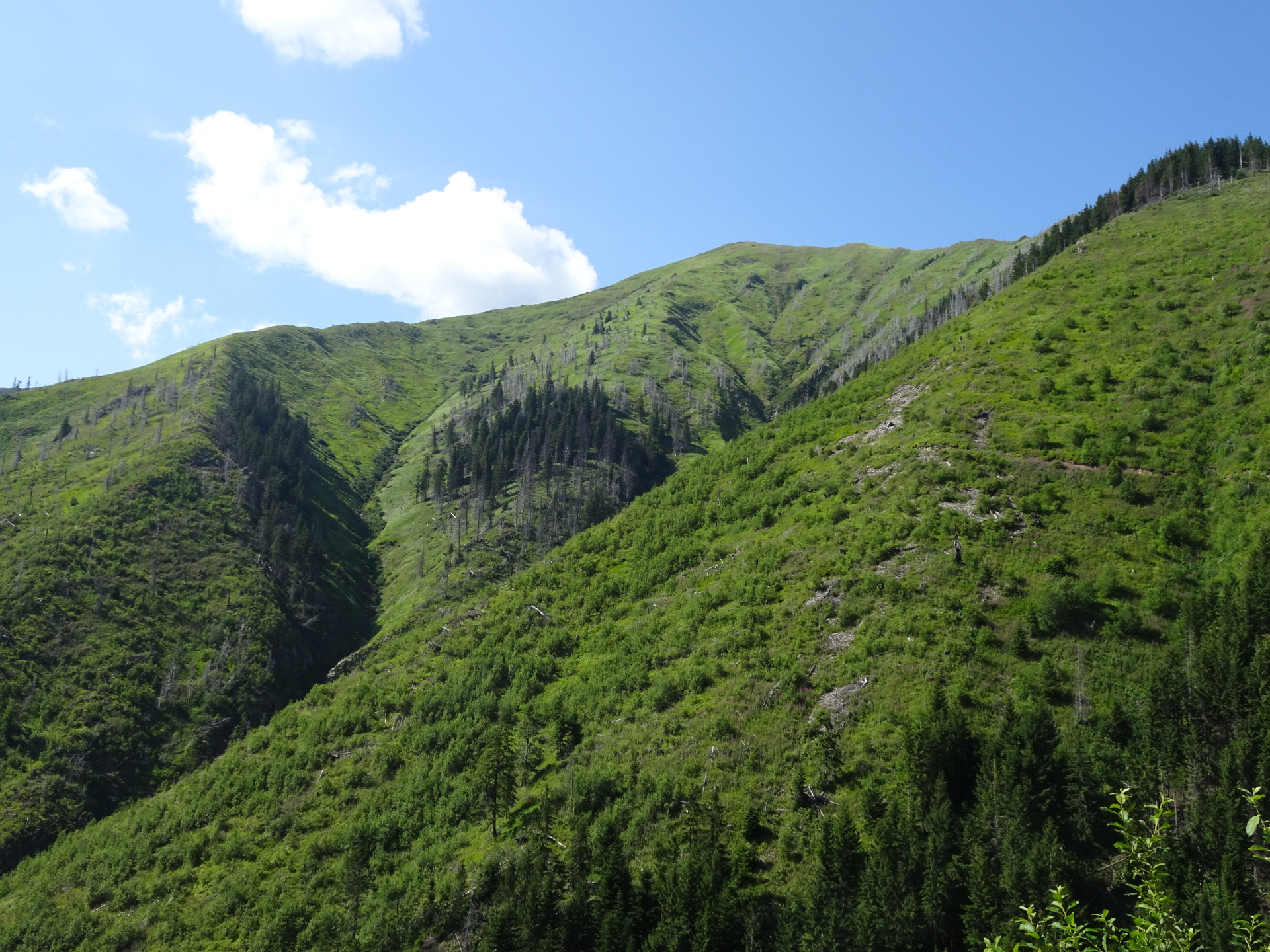
| 02:25 | Enjoy the amazing panoramic view from the first peak Murgu and continue following the trail northwards. |
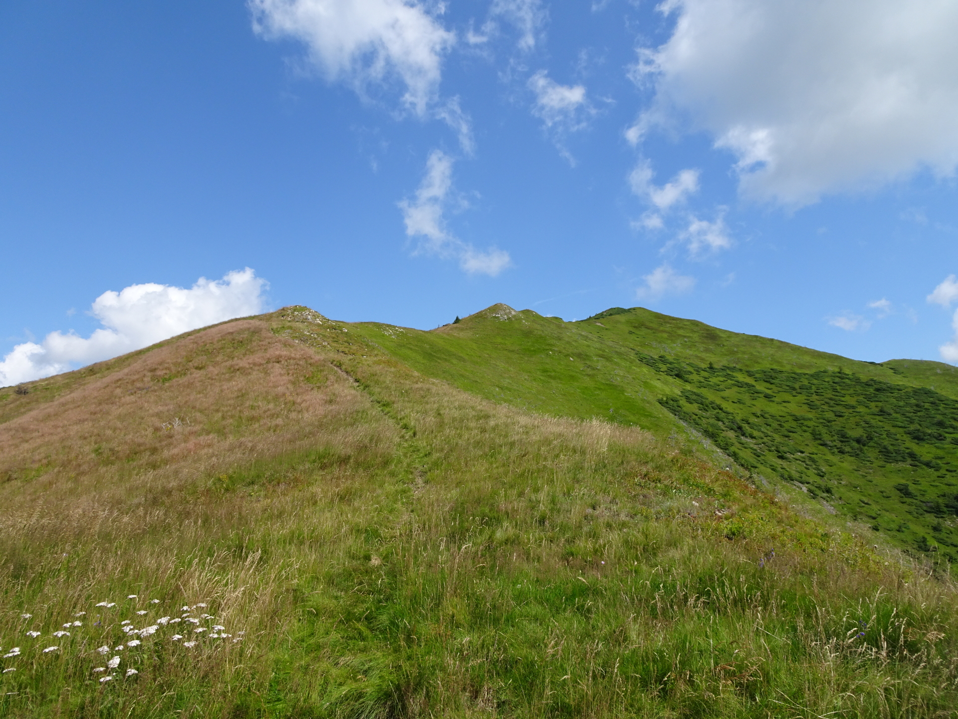
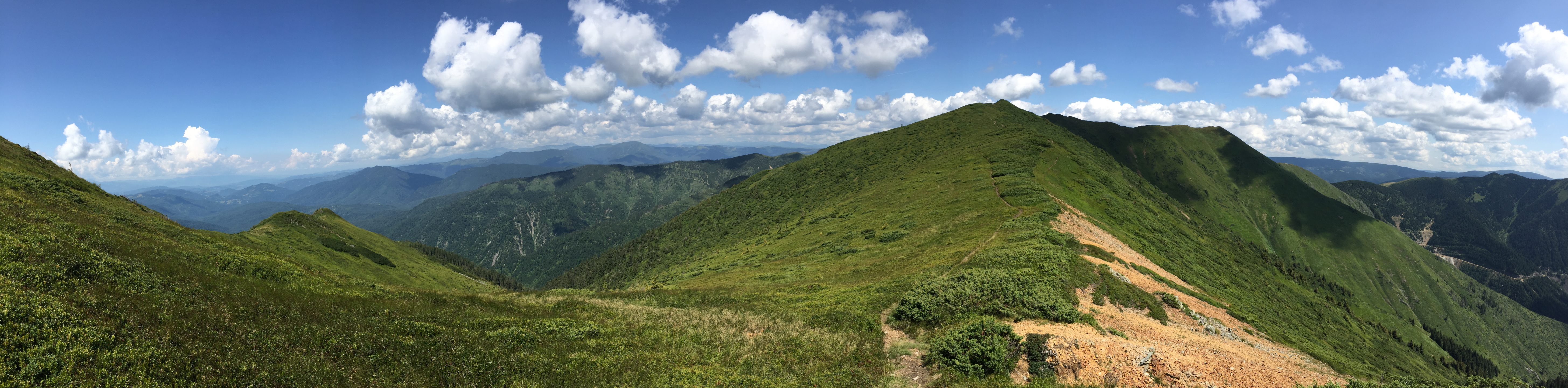
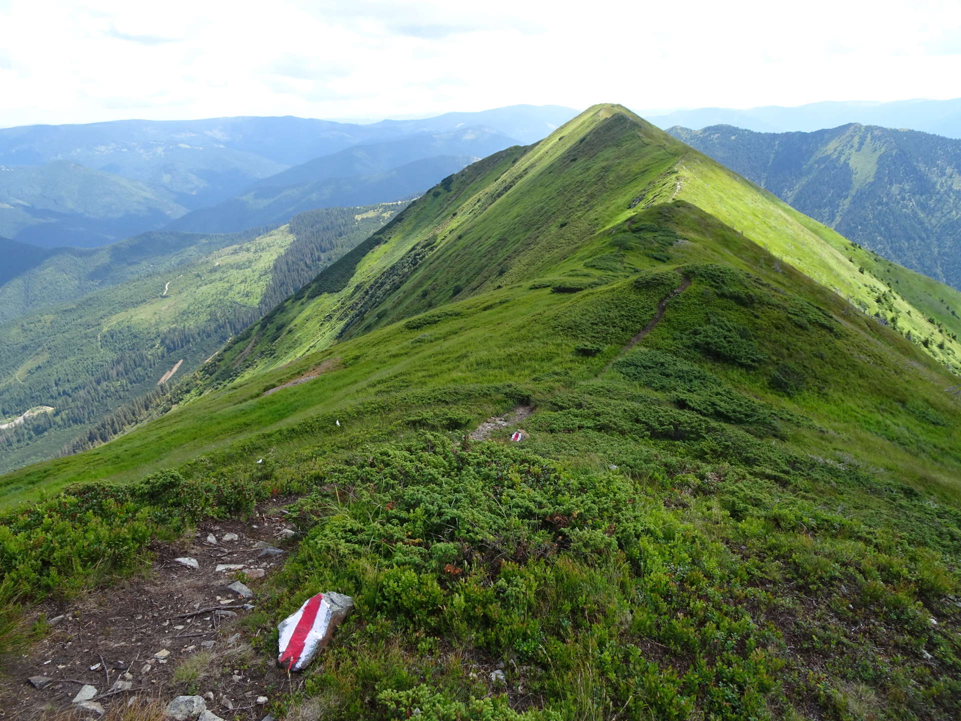
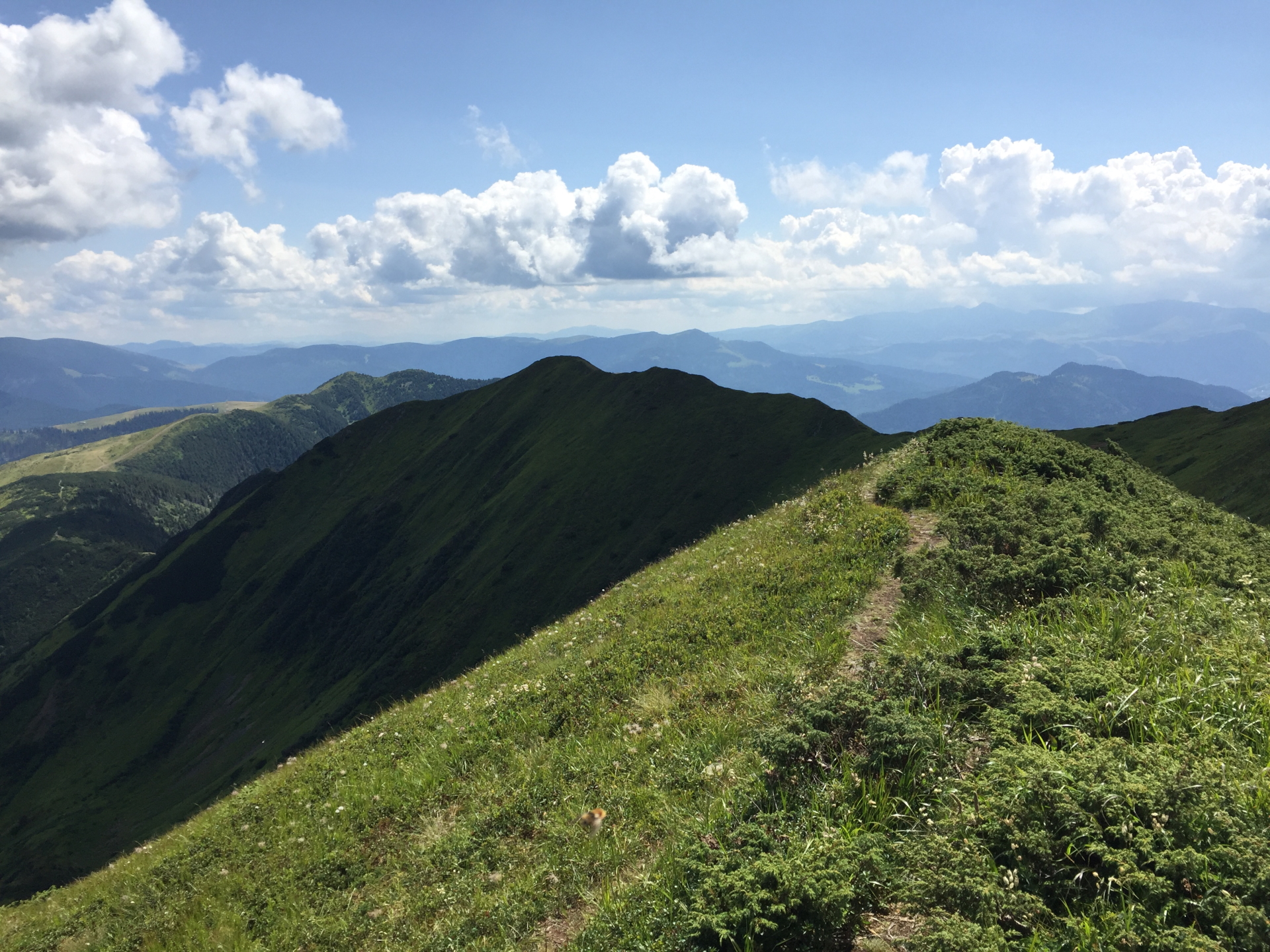
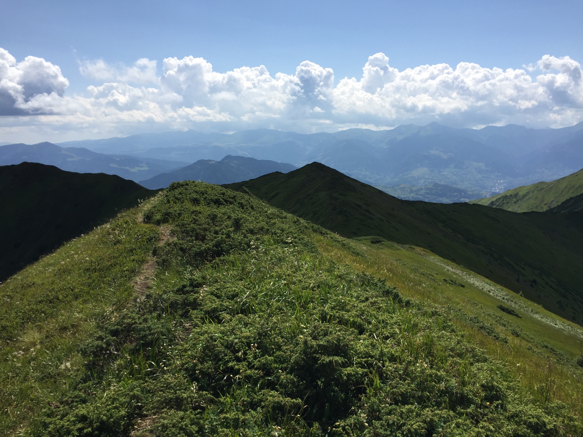
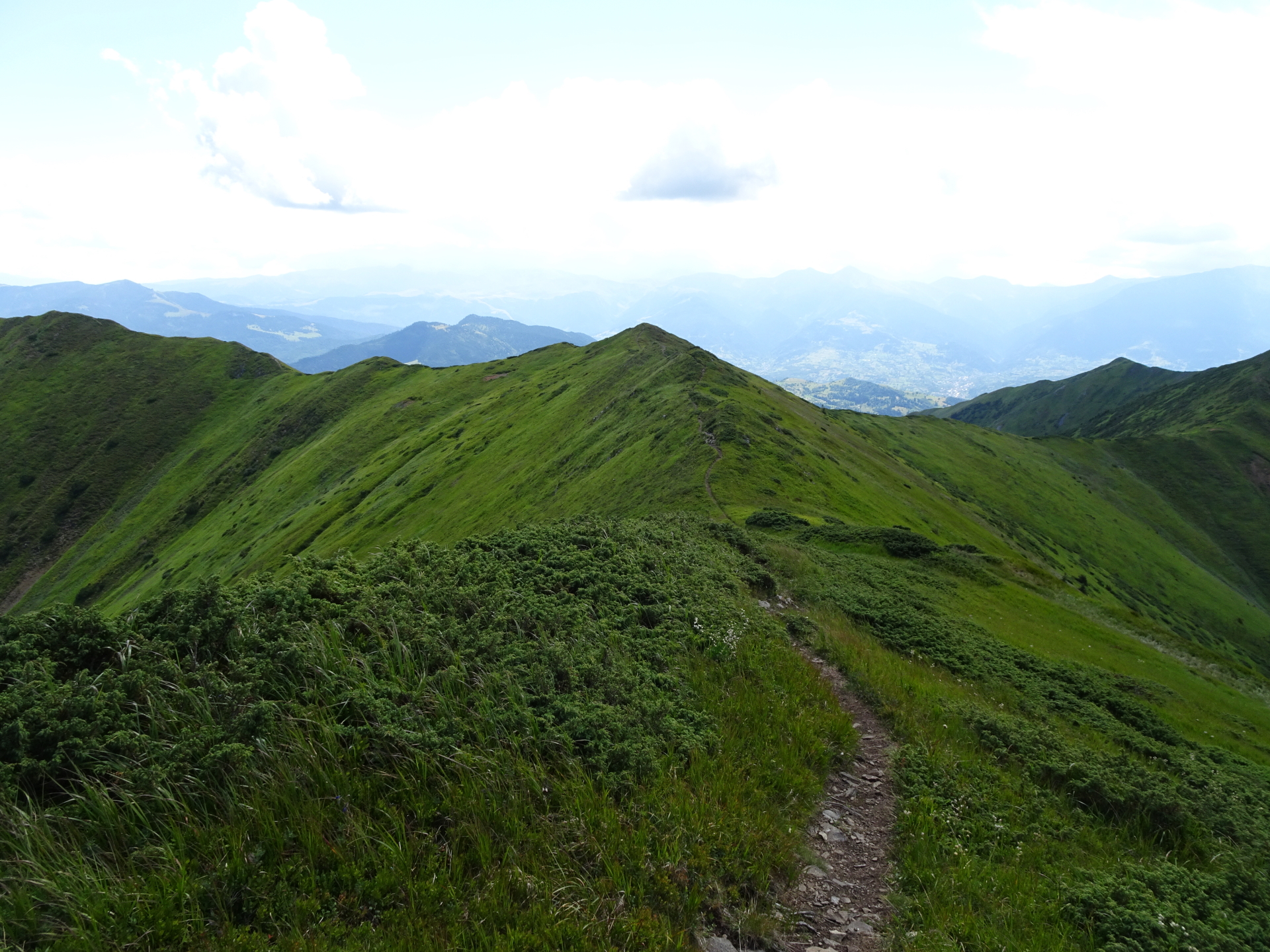
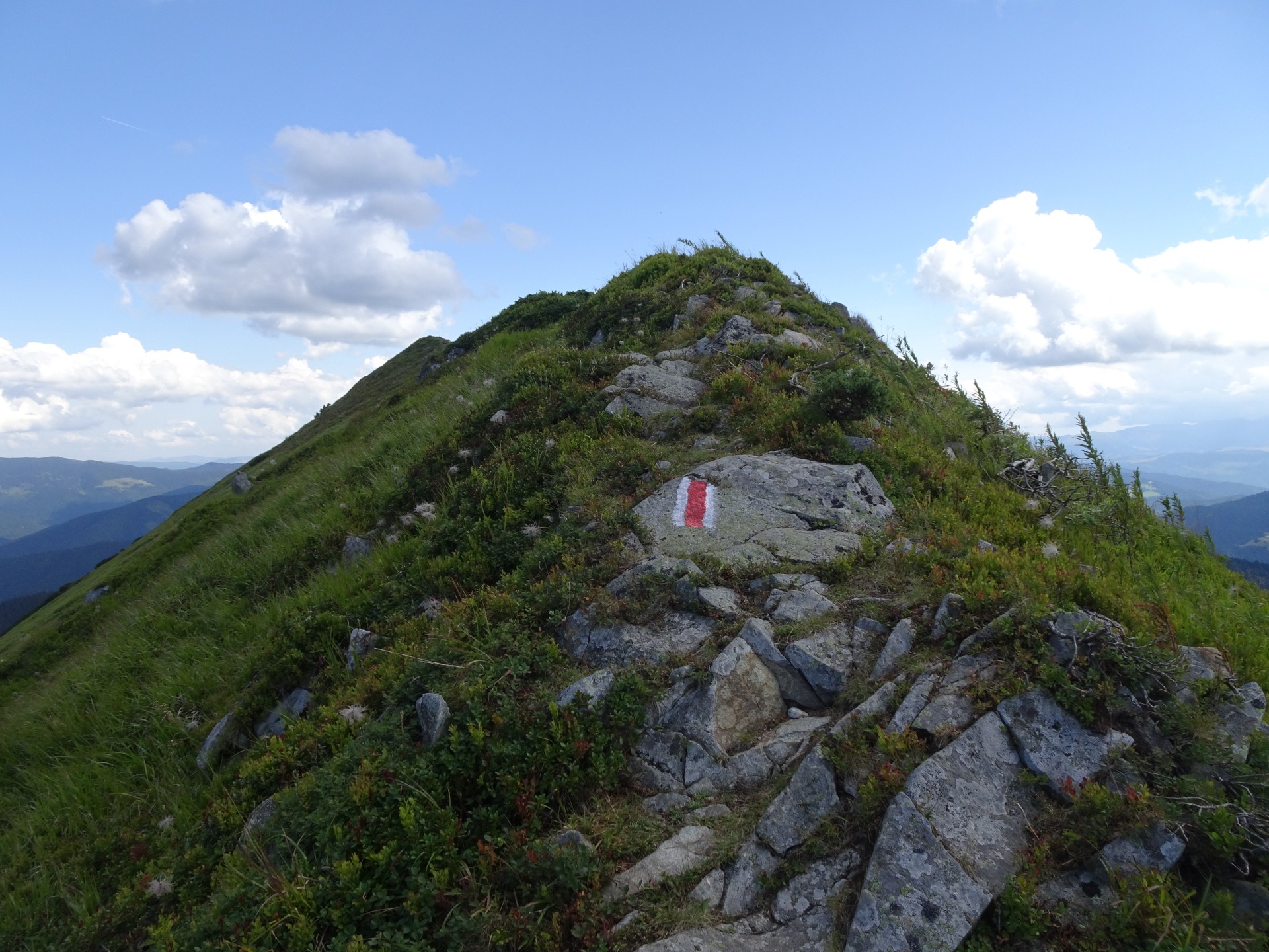
| 02:40 | At the crossing, turn left and follow the white-red-white marked trail towards Vârful Toroioaga. |
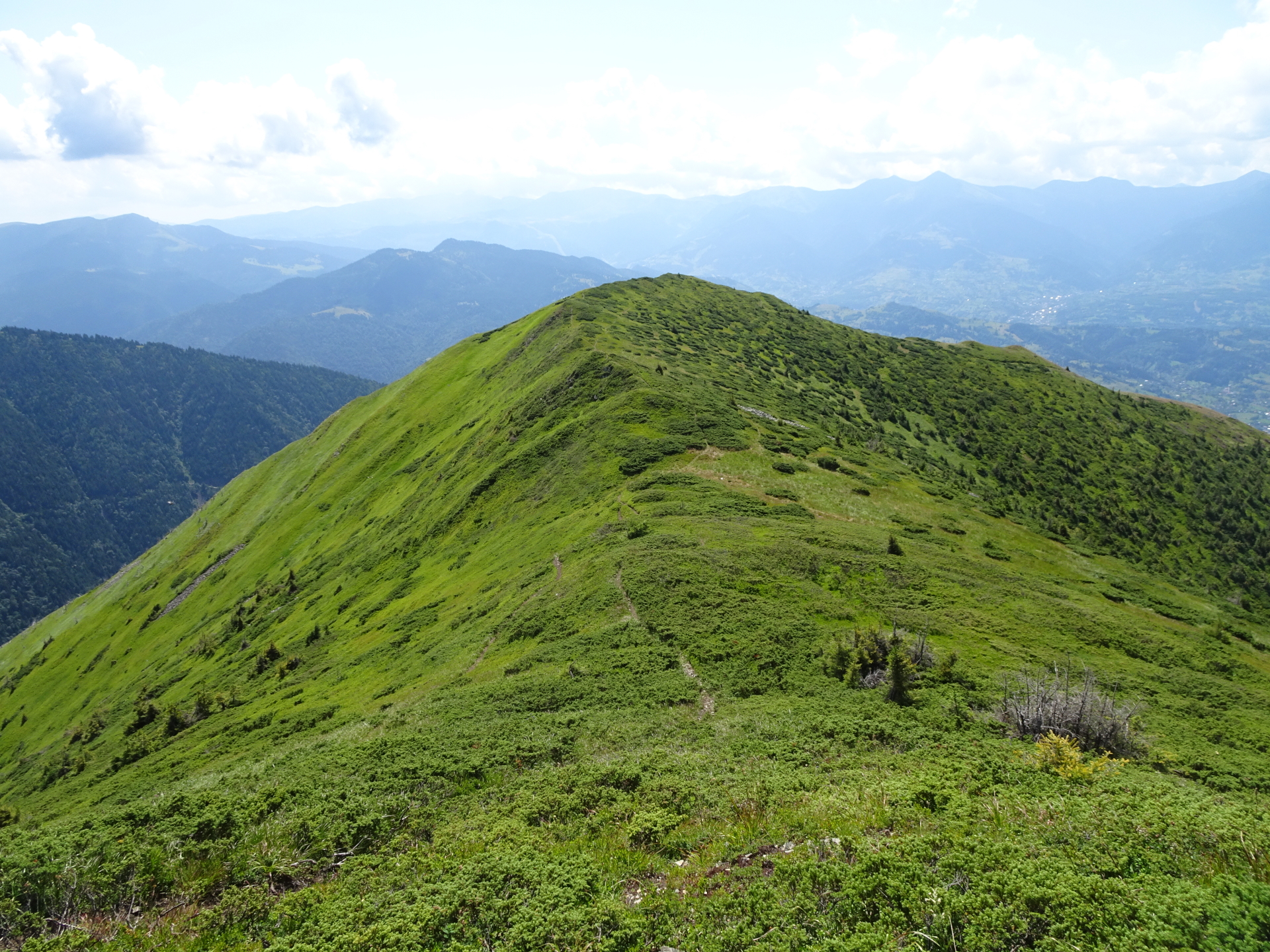
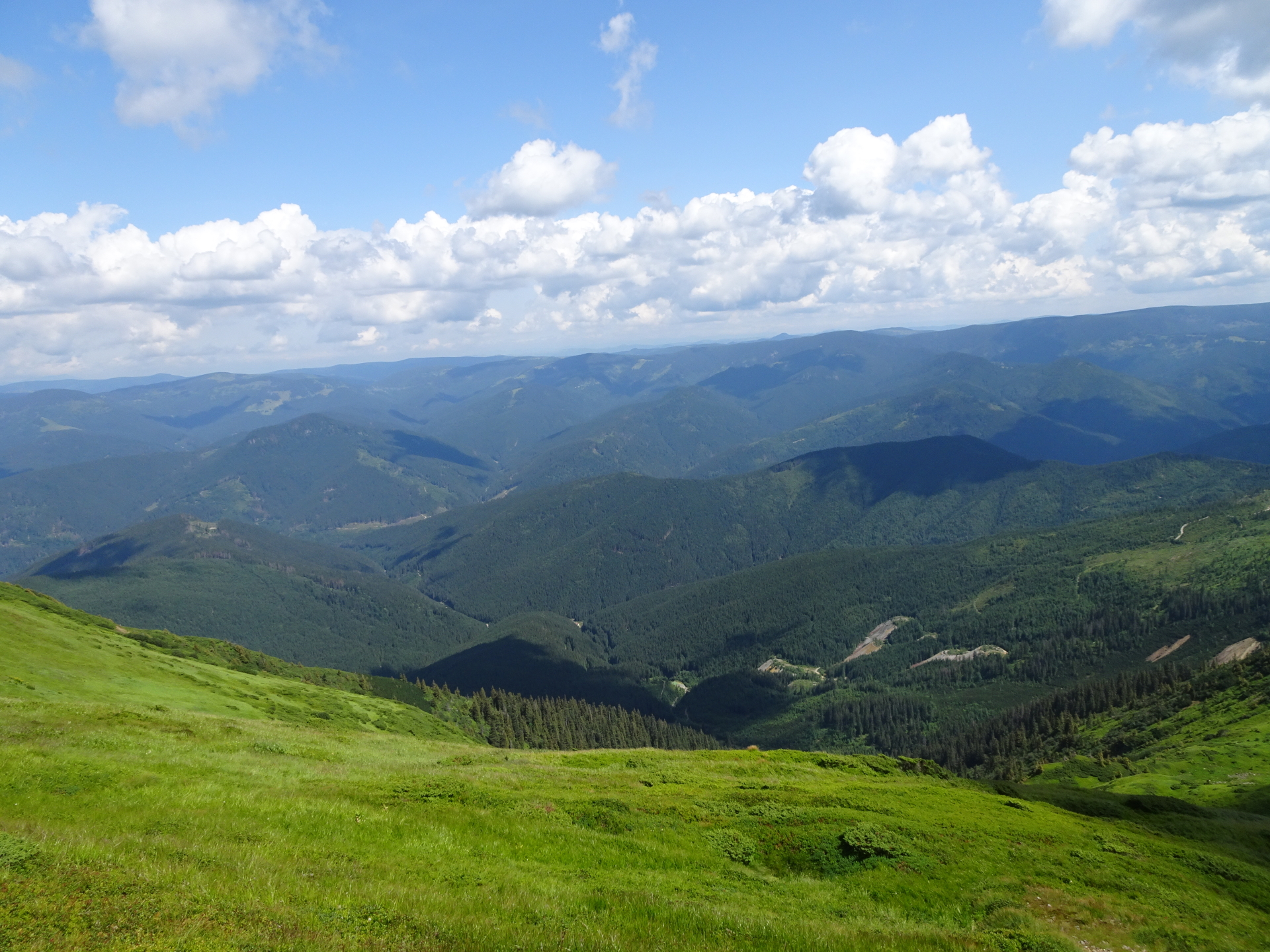
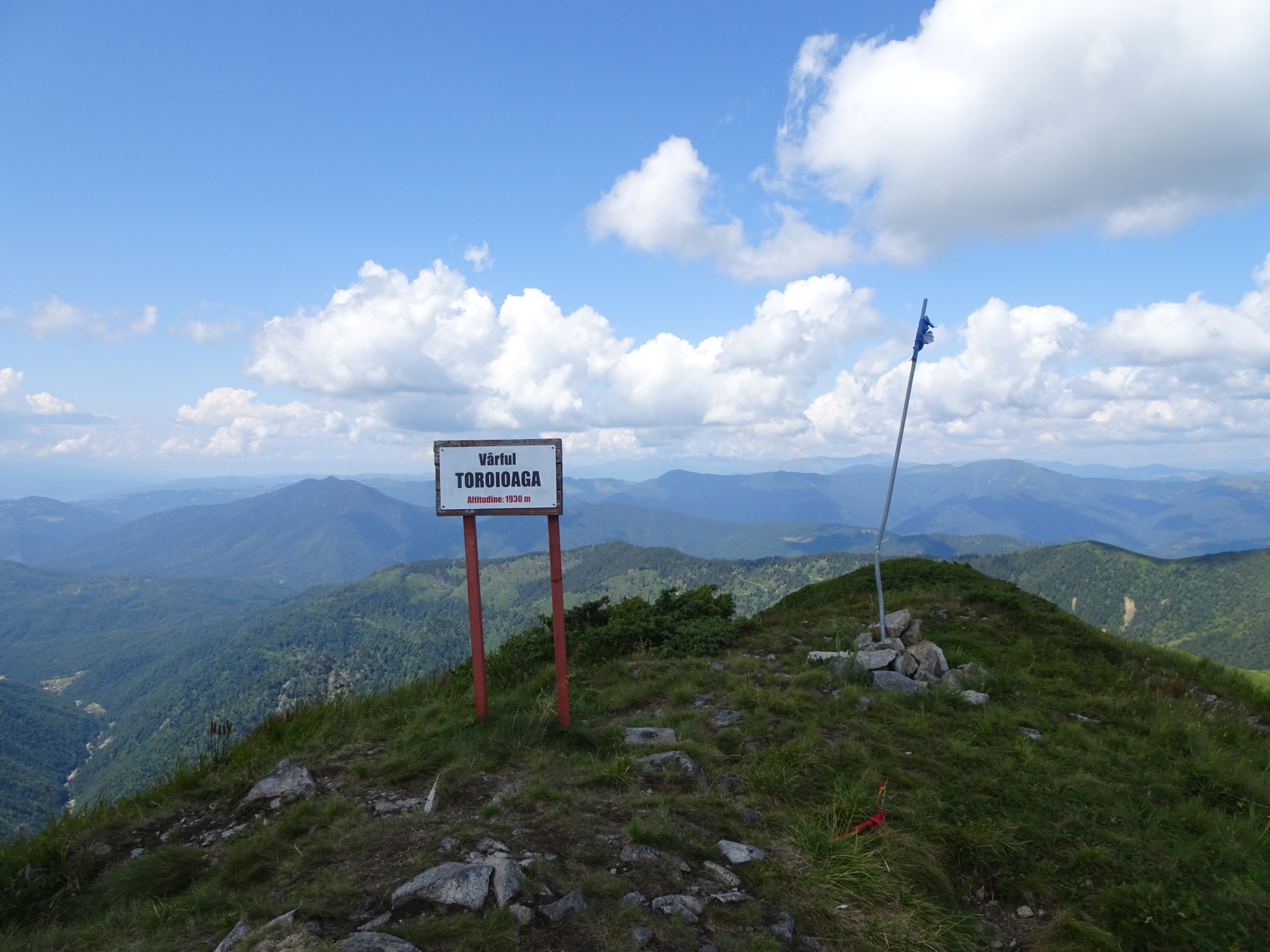
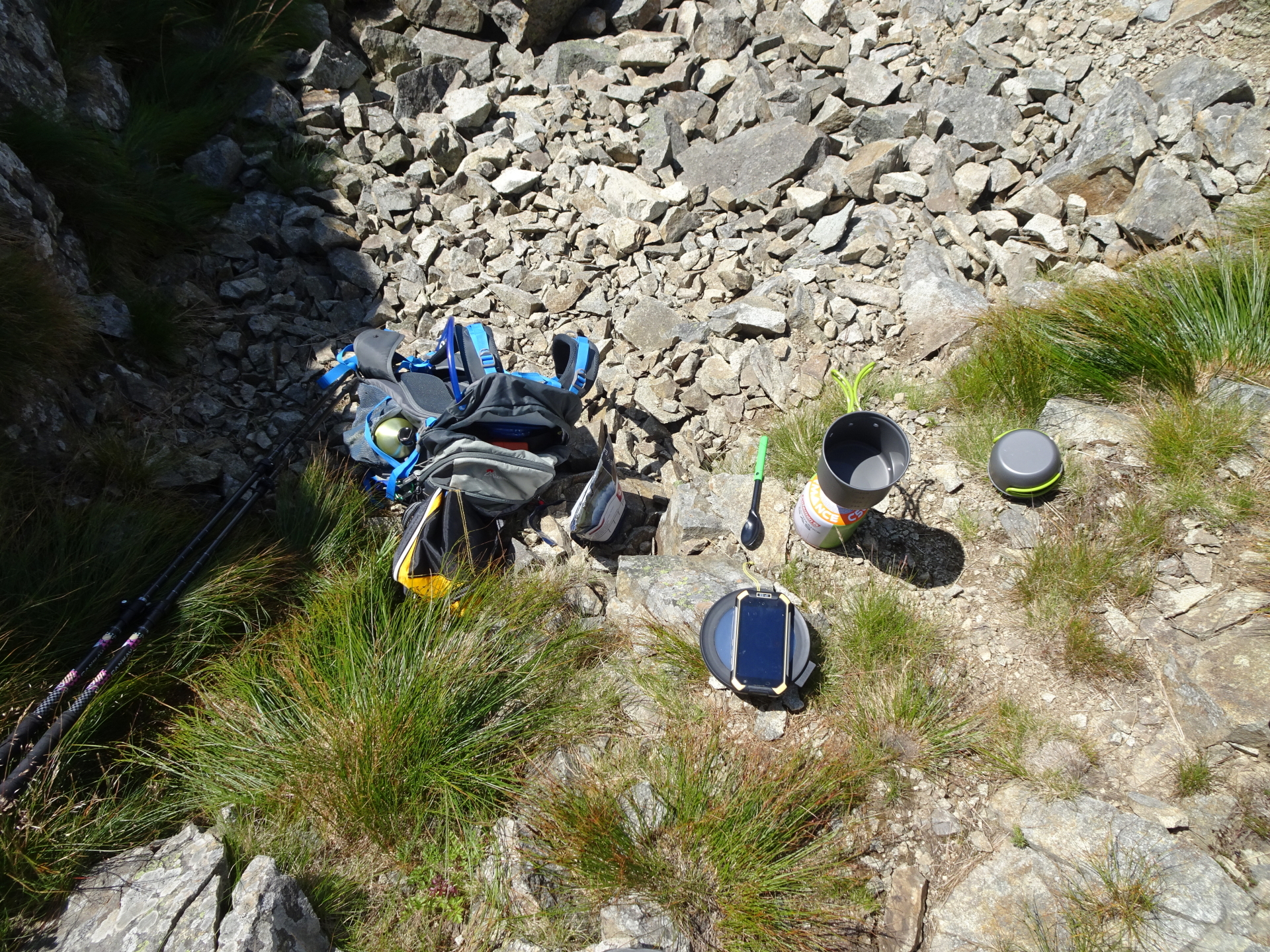
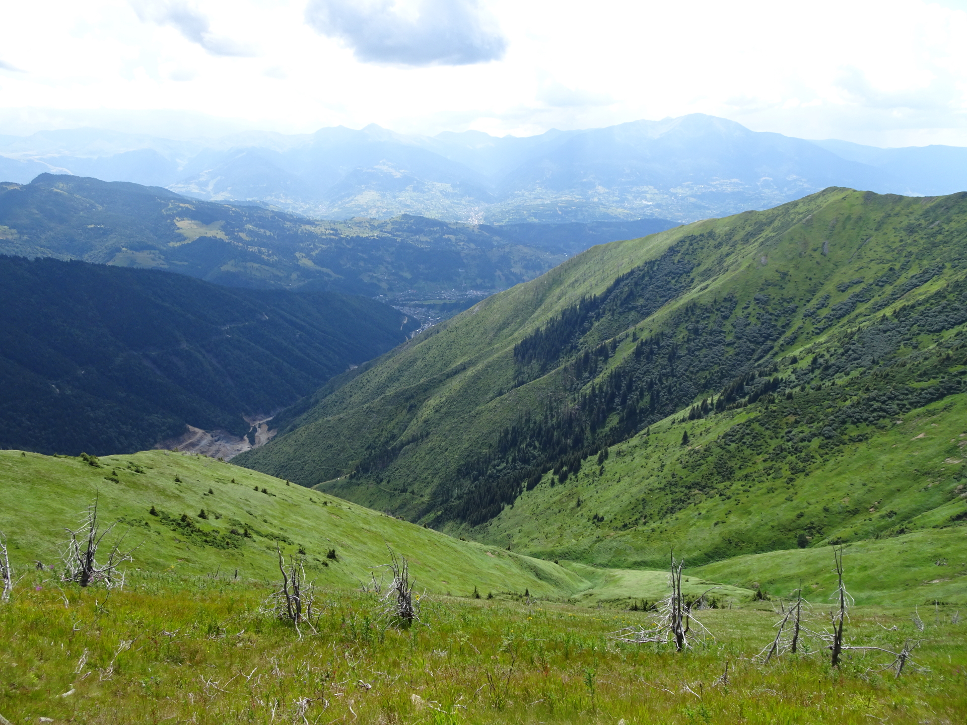
| 02:45 | Enjoy the impressive scenic and panoramic view from Vârful Toroioaga. Best enjoyed with self-brought lunch and refreshments ( ). |
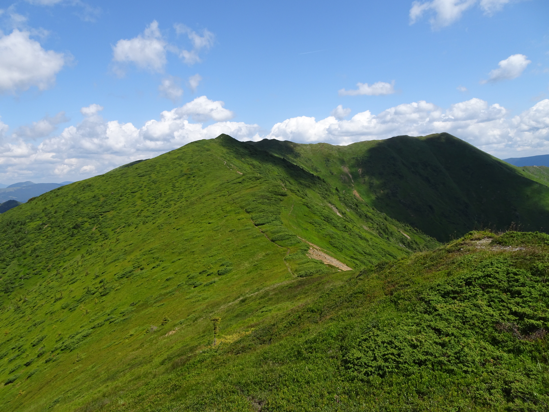
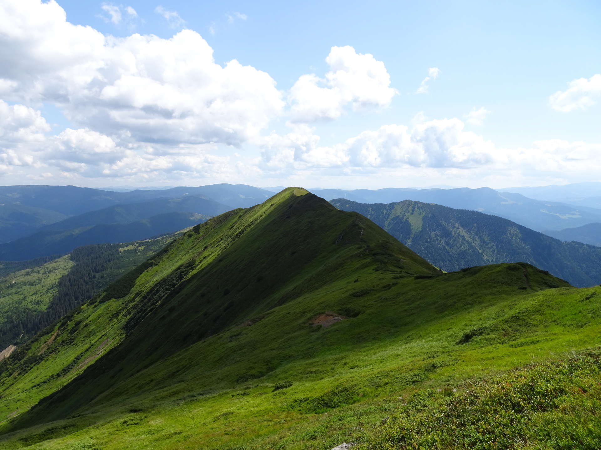
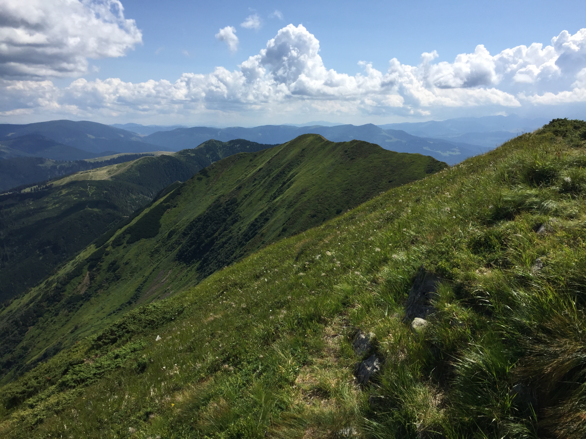
| 03:00 | Follow the trail back to the crossing, this time stay on the white-red-white marked trail (keep left at the crossing). |
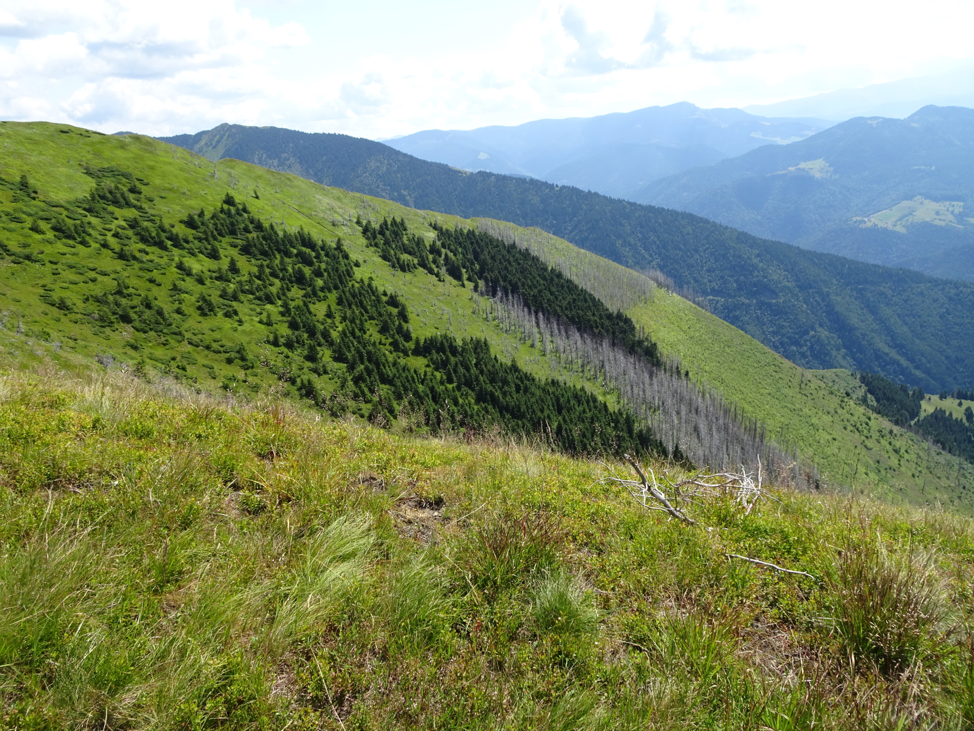
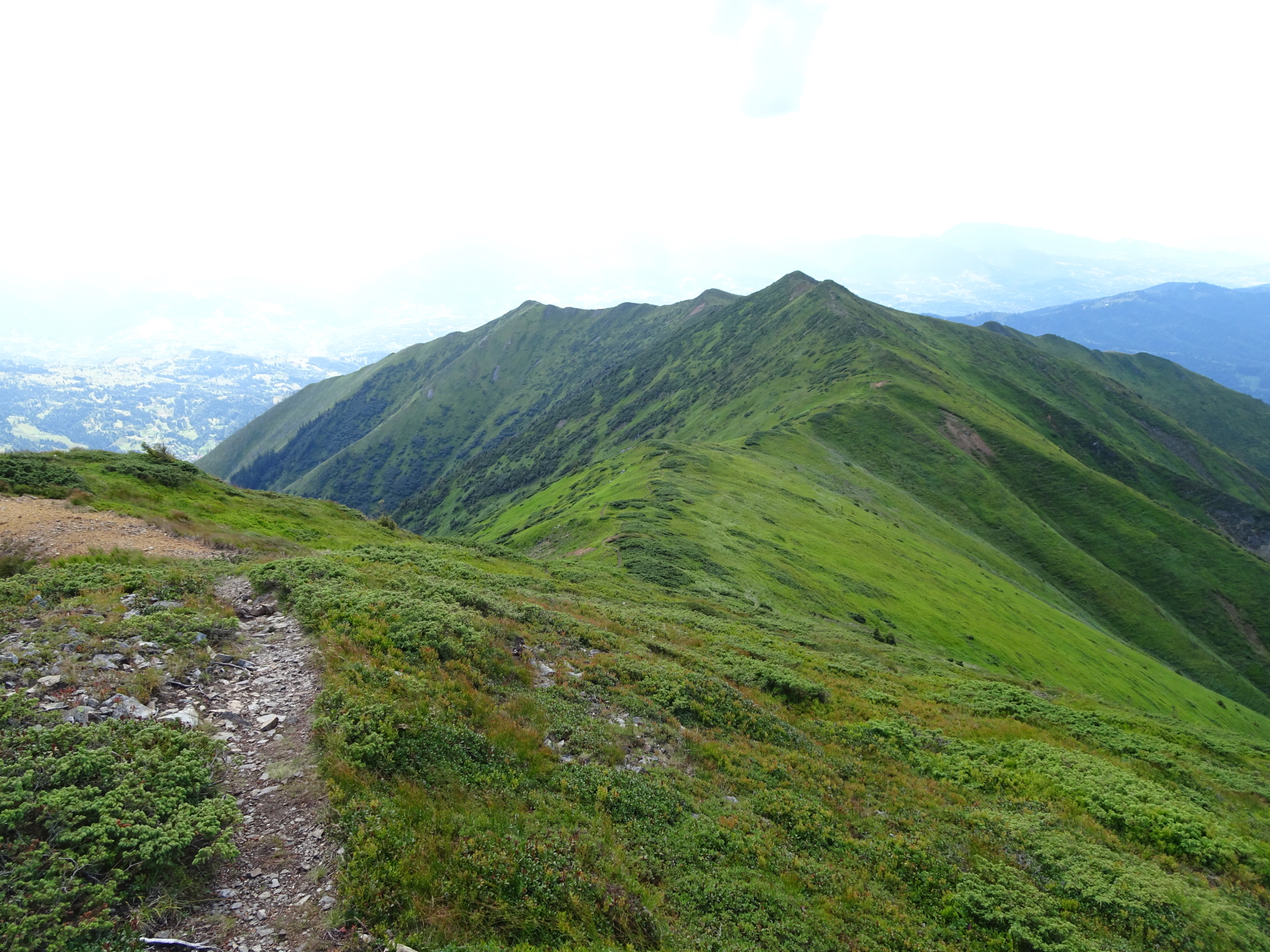
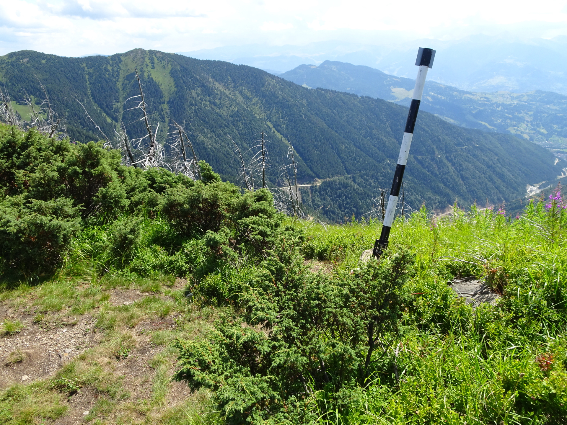
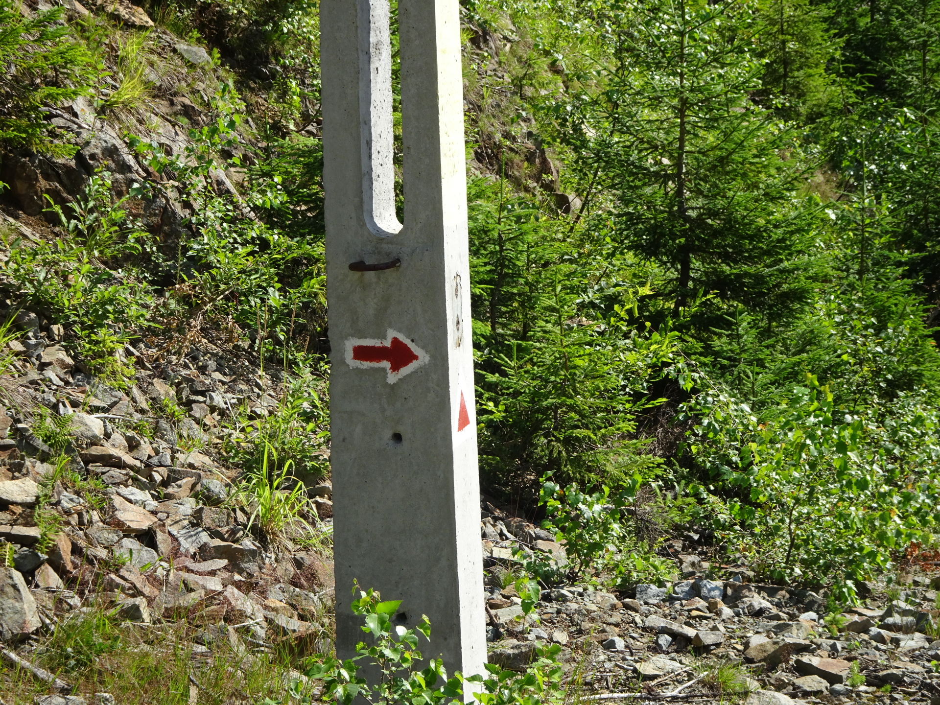
| 03:30 | At the end of the ridge, turn right and follow the trail downwards. The trail is visible marked with white and black colored poles. |
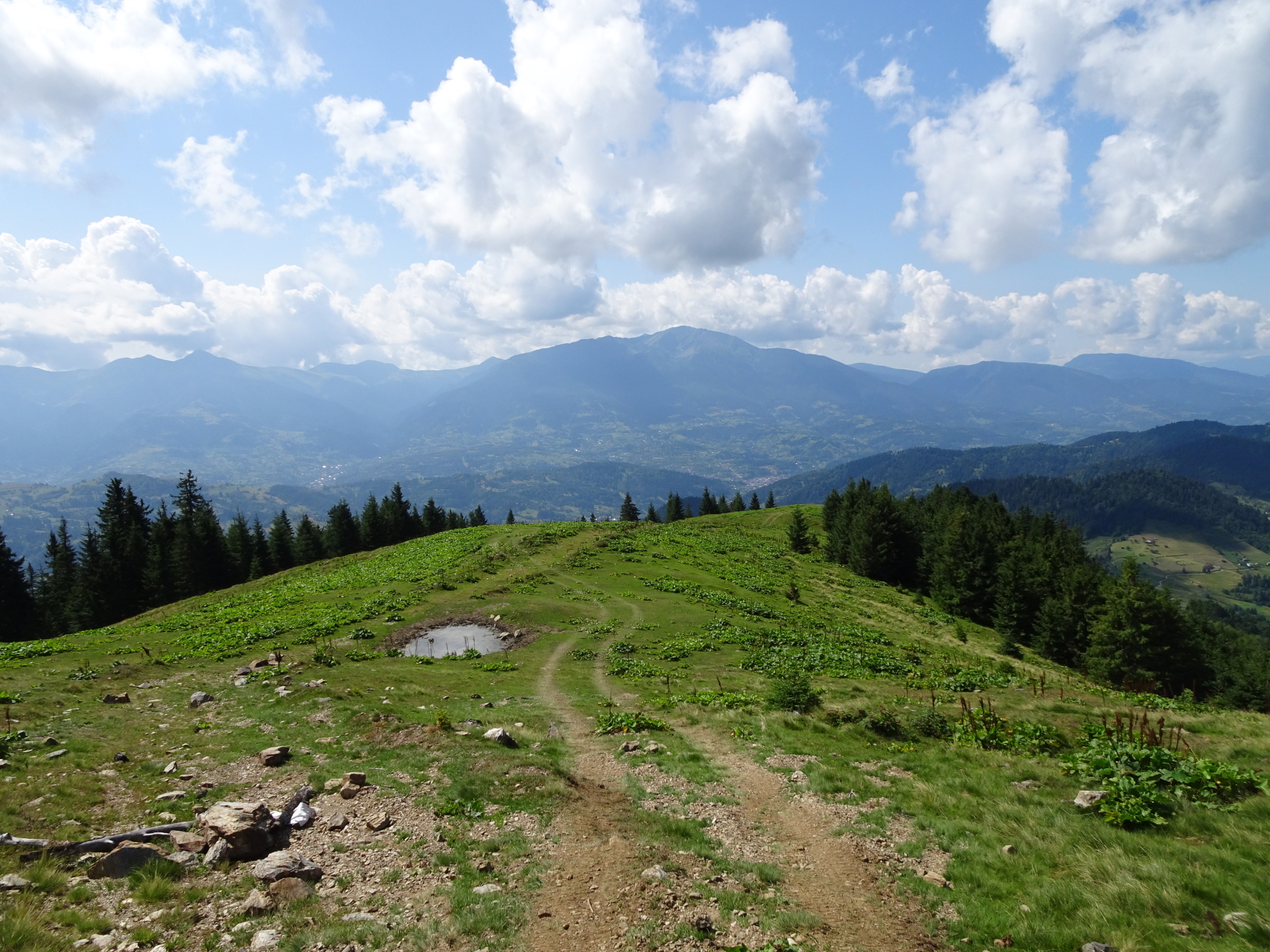
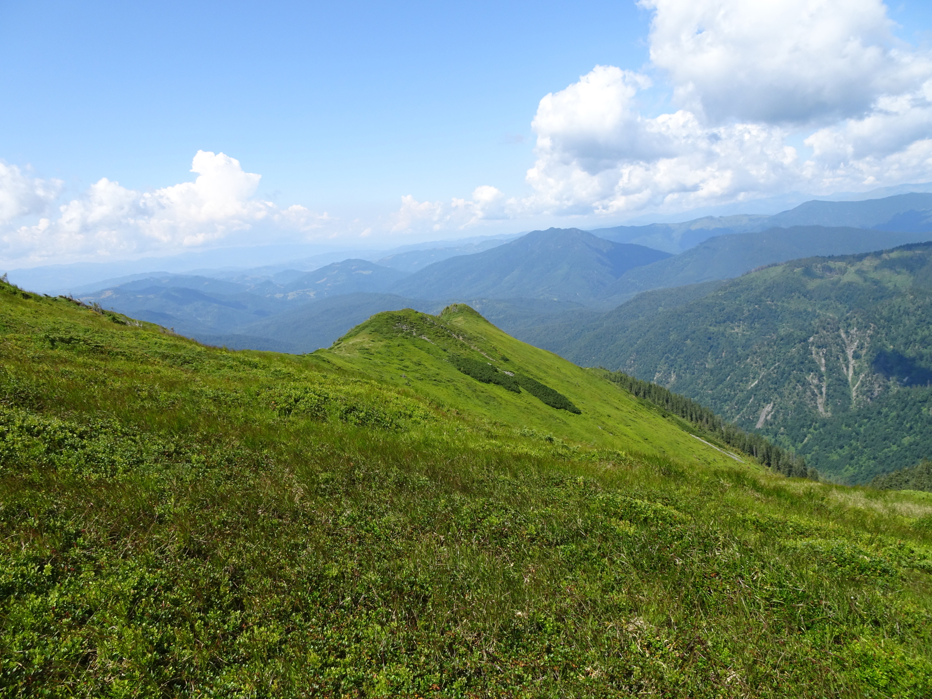
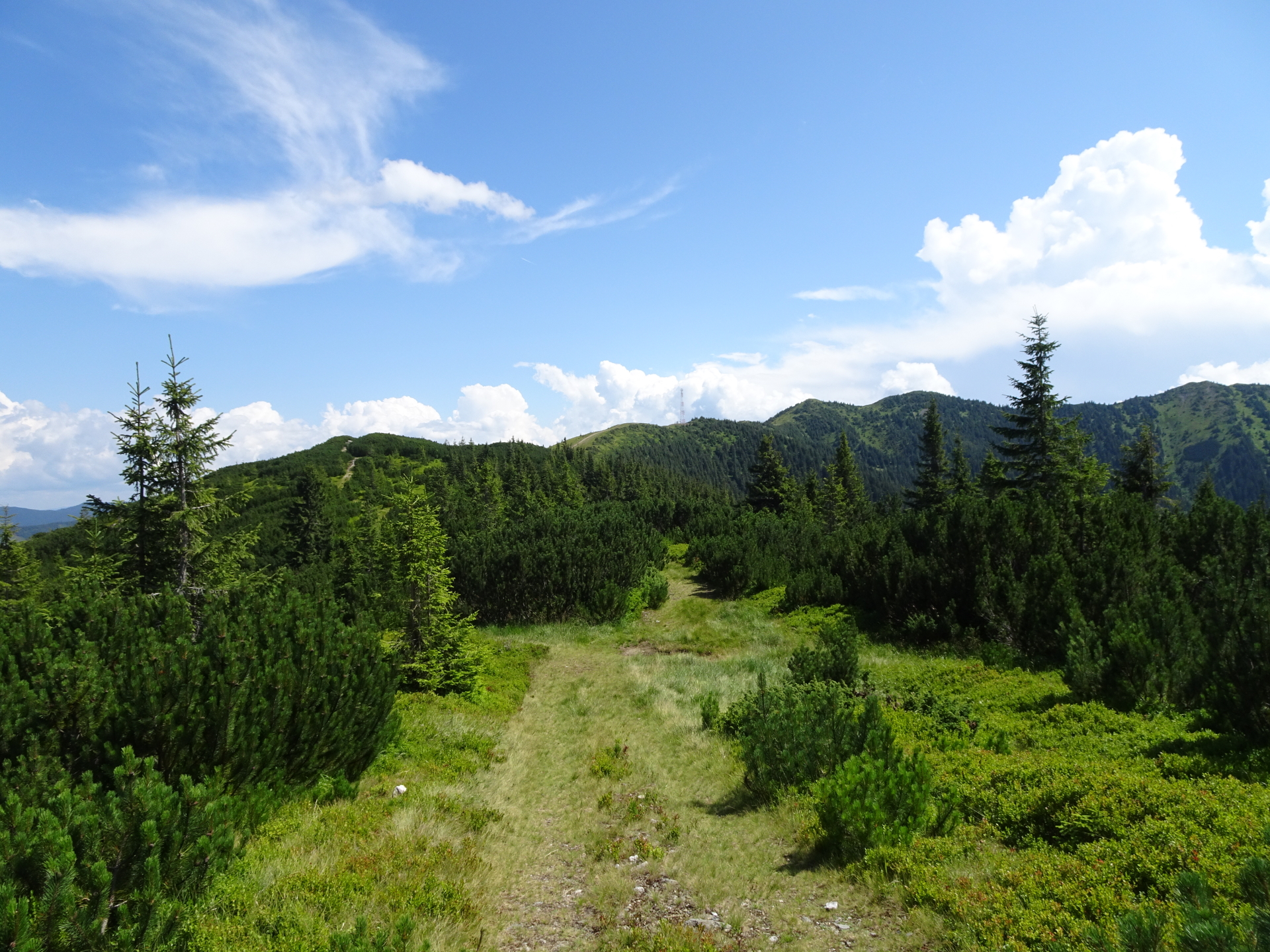
| 03:45 | Follow the forest road westwards (turn right into the forest road which is ending there anyway). |
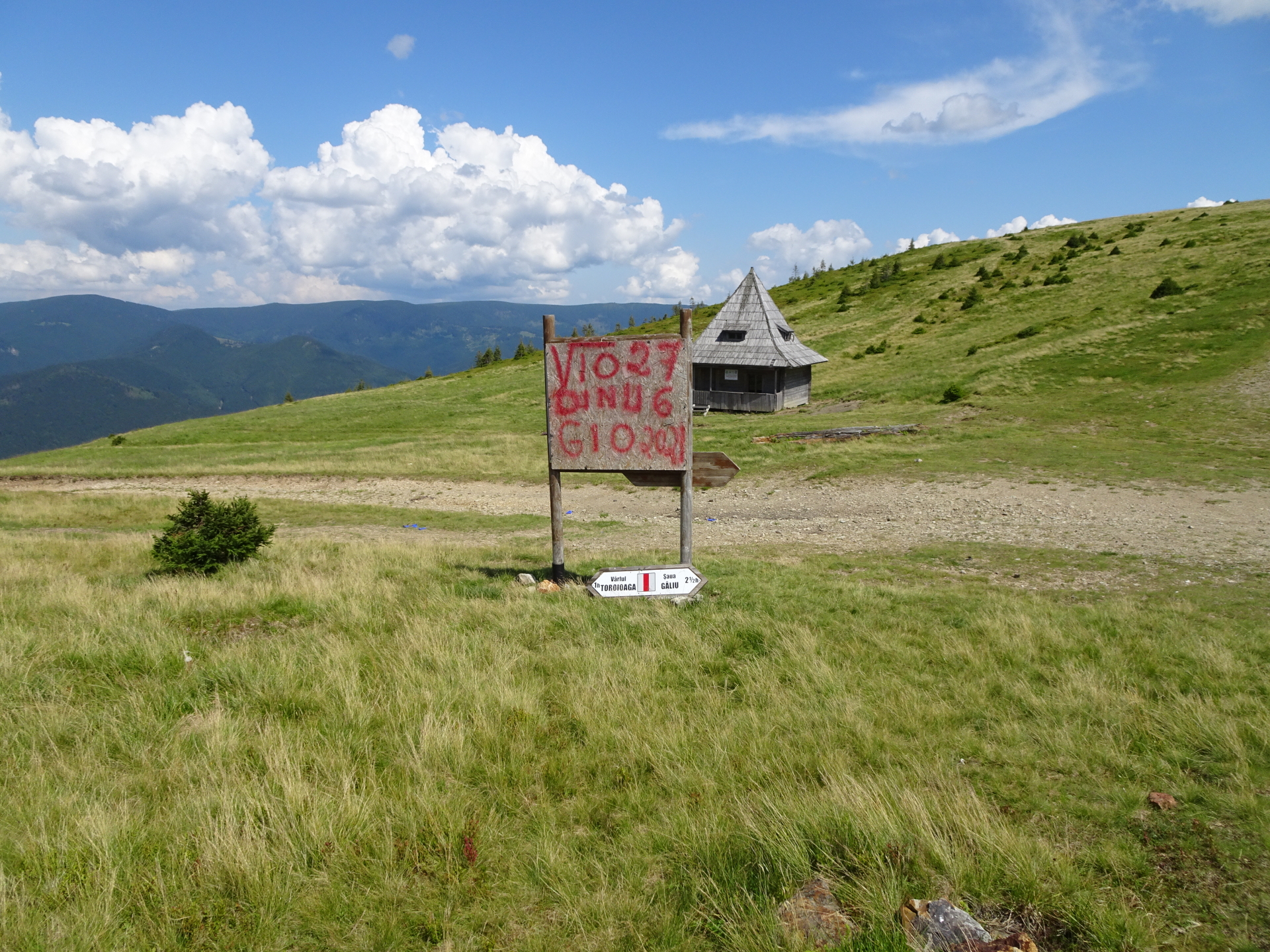
| 04:00 | At the crossing with the Refugiul Montan Lucaciasa, turn right and follow the gravel road southwestwards. |
| 04:15 | At the crossing (small lake on the left hand-side), turn left and follow the gravel road towards the mining area. |
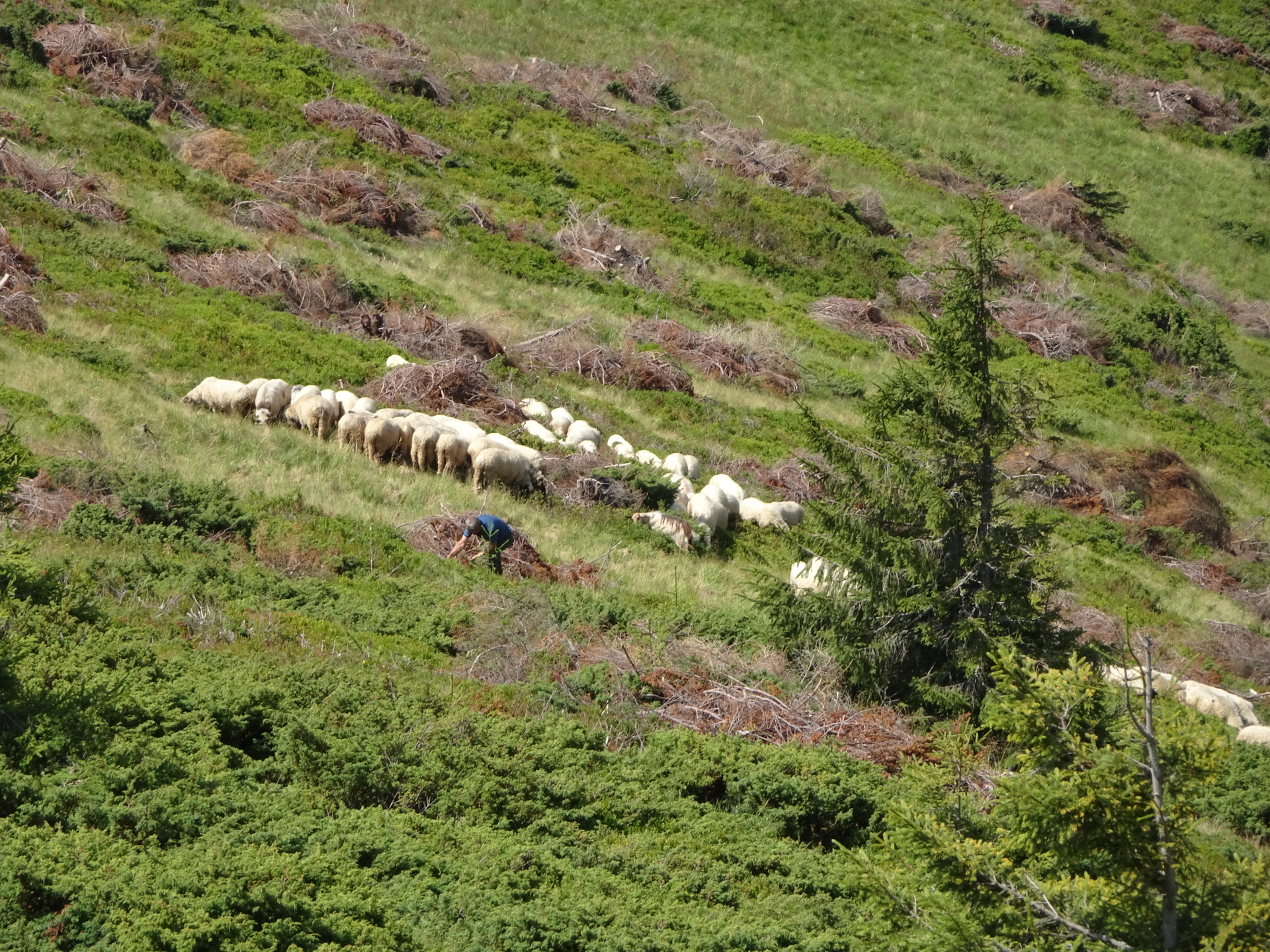
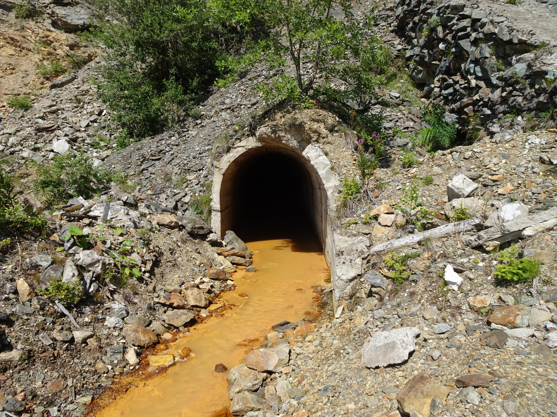
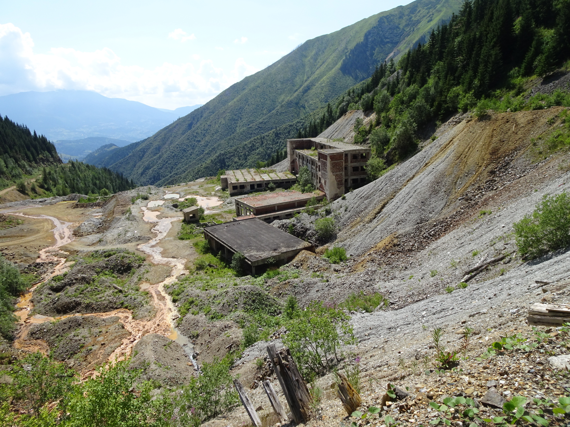
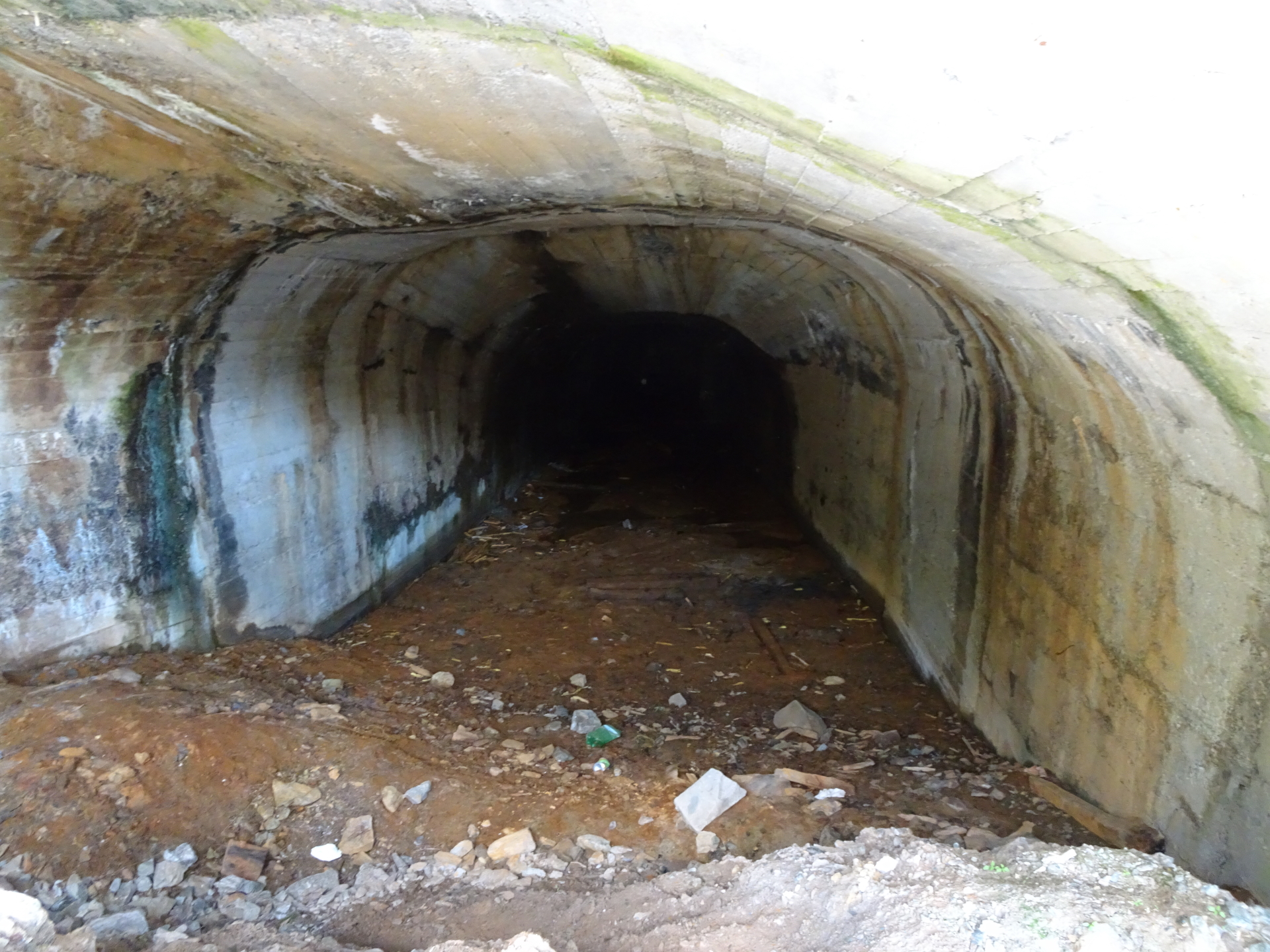
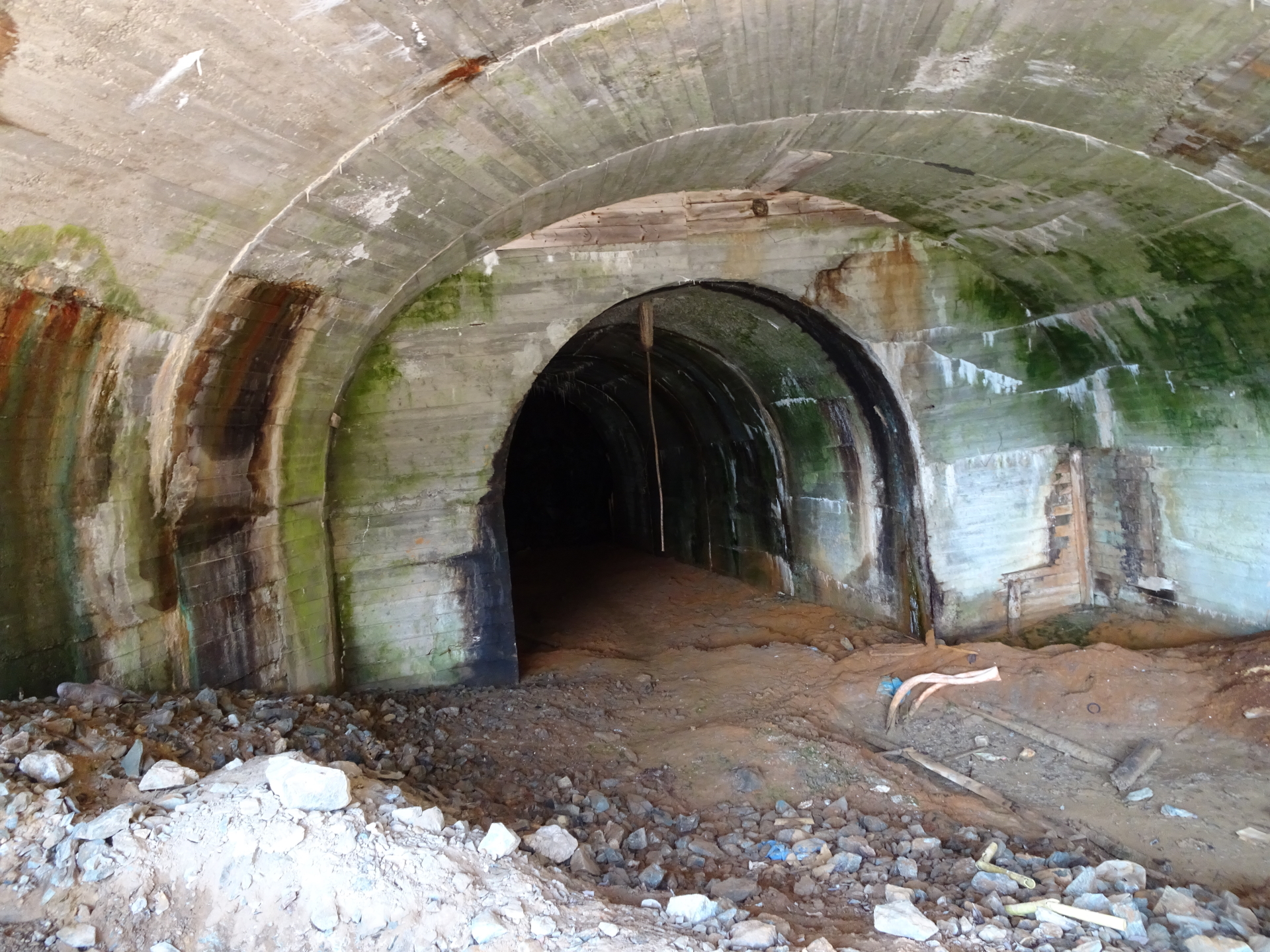
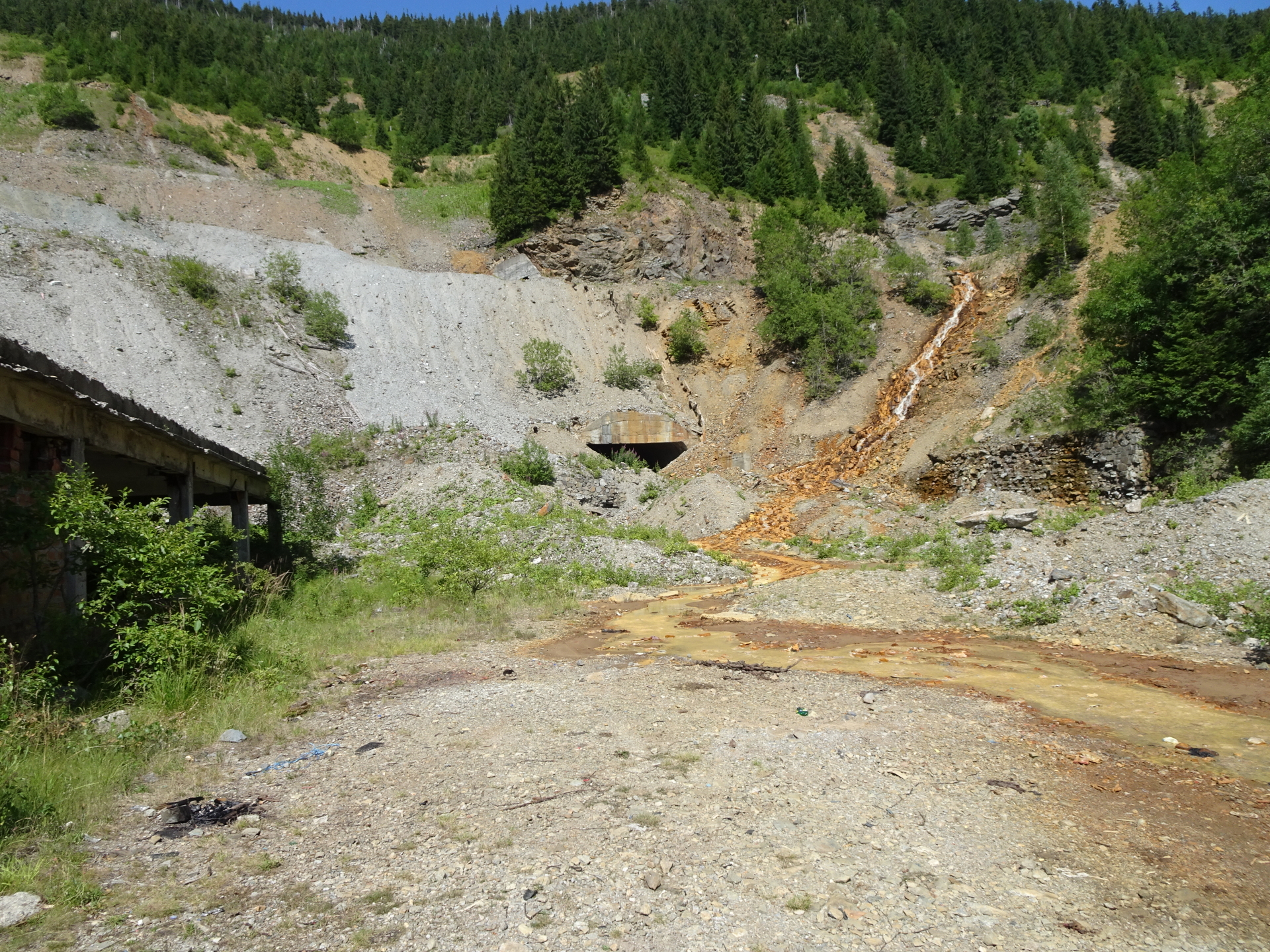
| 04:35 | Interesting sightseeing at the abandoned mining area. The various tunnels and shafts are still accessible but take care of a lot of broken glass and the dilapidated buildings. |
| 04:55 | Continue following the street downwards. |
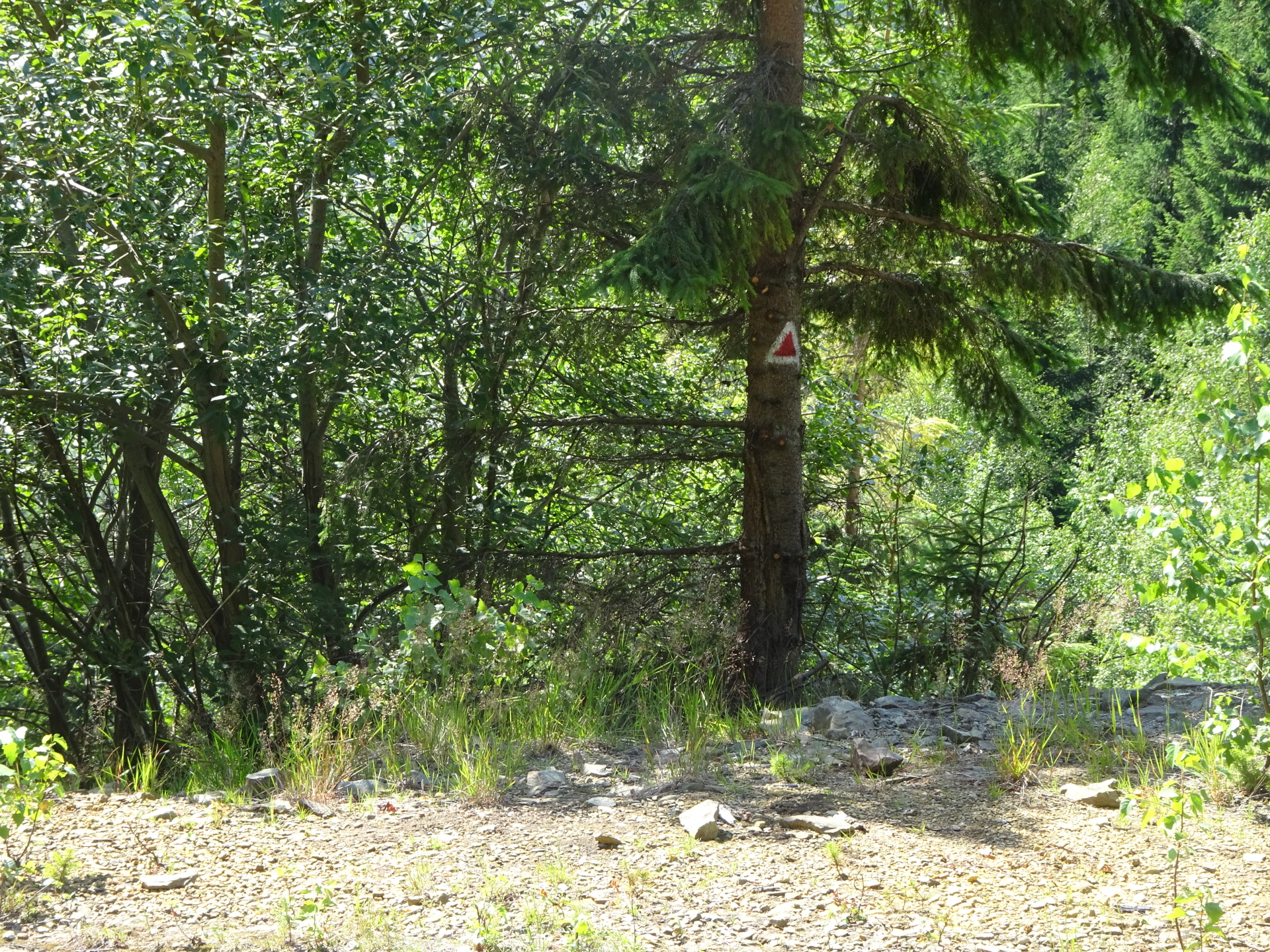
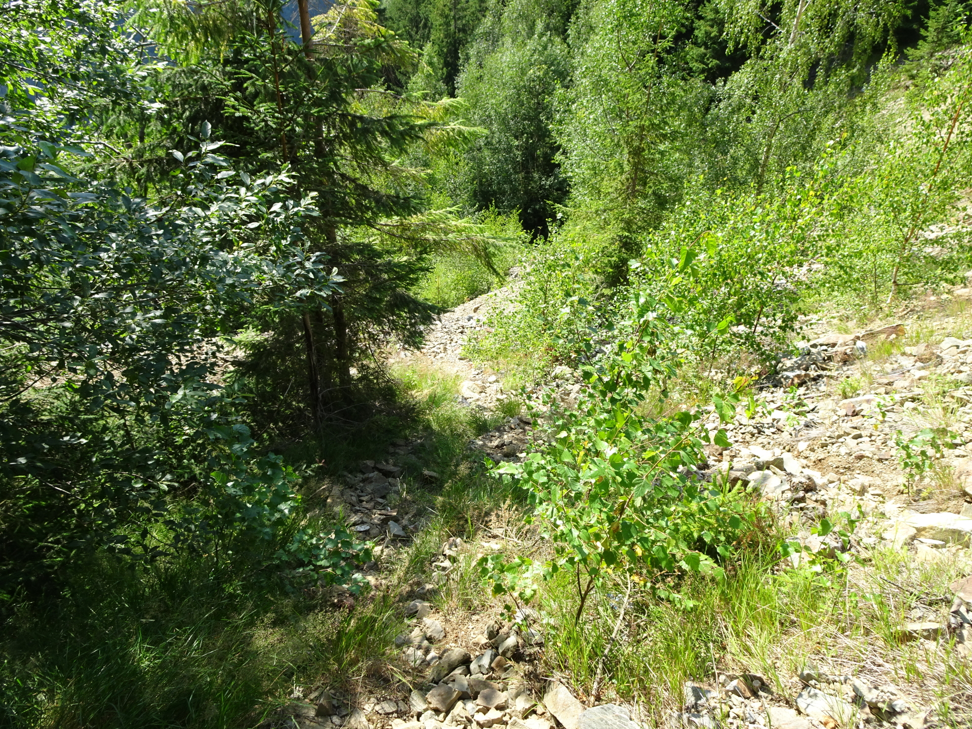
| 05:10 | Warning, can be easily overlooked: Turn right and follow the steep but trail (marked with a red triangle) downwards. |
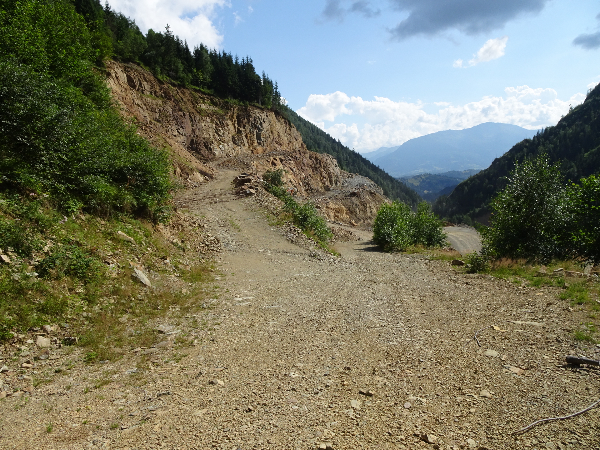
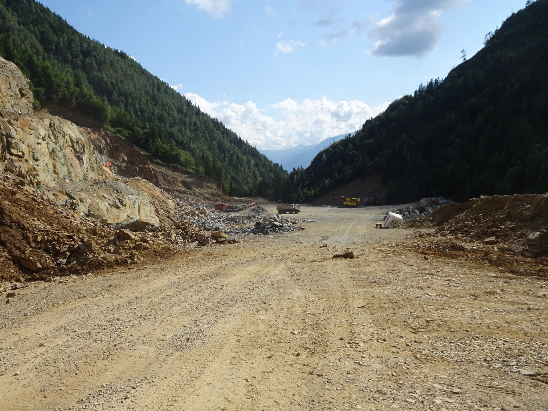
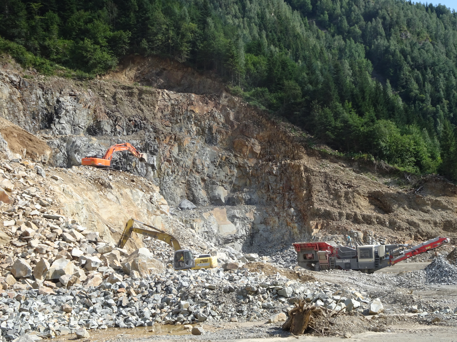
| 05:20 | Turn into the road and follow the road through the surface mining area downwards. Follow the road next to the river, it will bring you automatically back to the parking. Pay attention to active mining activities, the involved heavy traffic and dust! |
| 06:00 | Back at the parking, end of the tour. |
At a glance
| Level | moderate – difficult |
| Technique | |
| Shape / Fitness | |
| Experience | |
| Scenery | |
| Best time in the year | |
|
Jan
Feb
Mar
Apr
May
Jun
Jul
Aug
Sep
Oct
Nov
Dec
|
|
| Area: | Maramureș mountains, Eastern Carpathians, Romania | |
| Distance: | 17km | |
| Ascent: | 1113m (2h 50min) | |
| Descent: | 1113m (2h 35min) | |
| Highest Pt: | 1927m | |
| Lowest Pt: | 828m | |
| Duration: | 5h 45min (without breaks) 6h 00min (with breaks) |
|
| Stop/Rest: | None! (bring your own food!) | |
| Equipment: | Hiking shoes Backpack with standard hiking equipment Food and plenty of water 1x Gipfelbier Sun & Weather protection Camera GPS recommended |
| Download GPX | ||
| O | Tour at outdooractive.com |
Tour Diary
2021-08-10 09:15
| Weather: | Sunny with some clouds | |
| Participants: | Stefan | |
| Activity: | Strava (1/3) Strava (2/3) [Ascent] Strava (3/3) [Descent] |
|
| Garmin |


")
")
")

Leave a Reply