
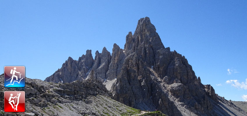
Extremely promising Via Ferrata combination up to Paternkofel via Gamsscharte/De-Luca Innerkofler (B/C) and the Schartenweg/Sentiero delle Forcelle (A/B)
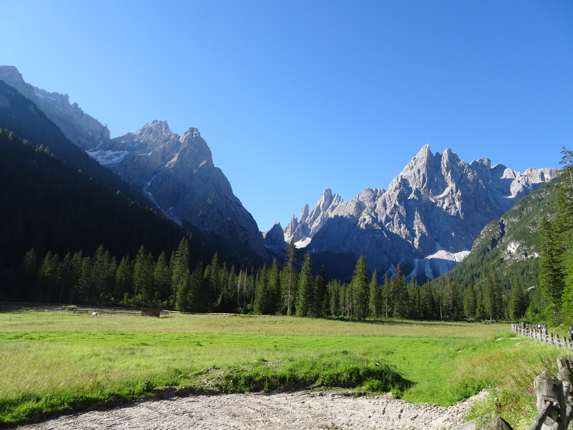
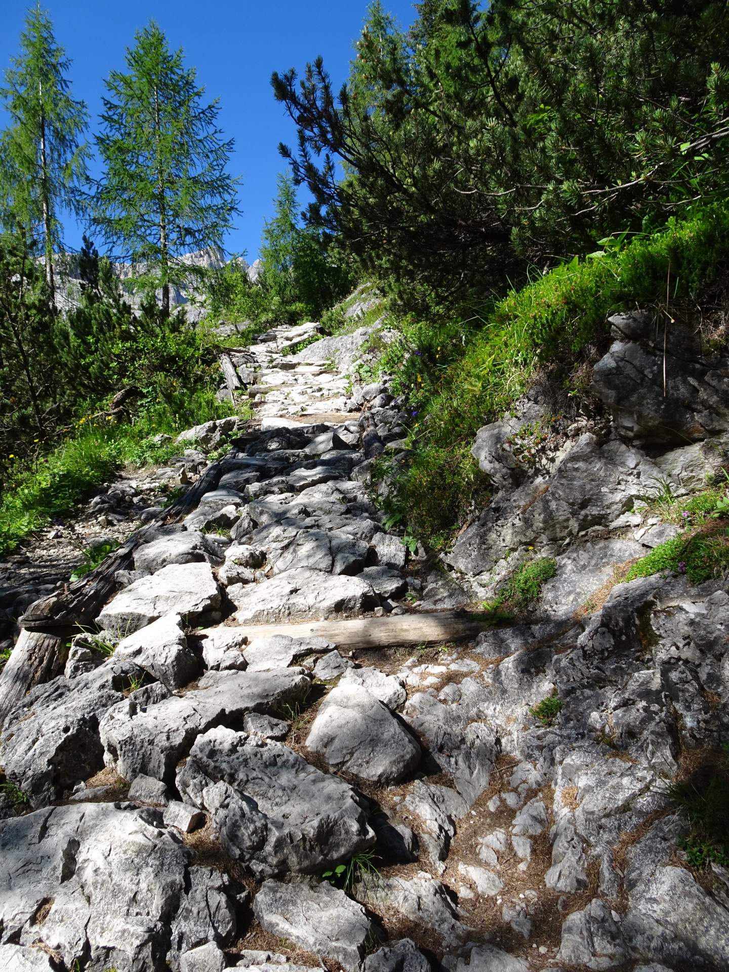
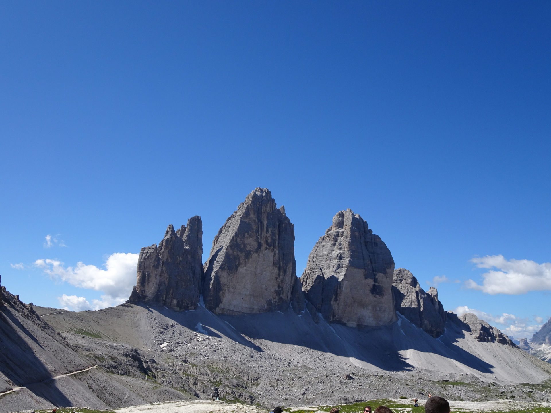
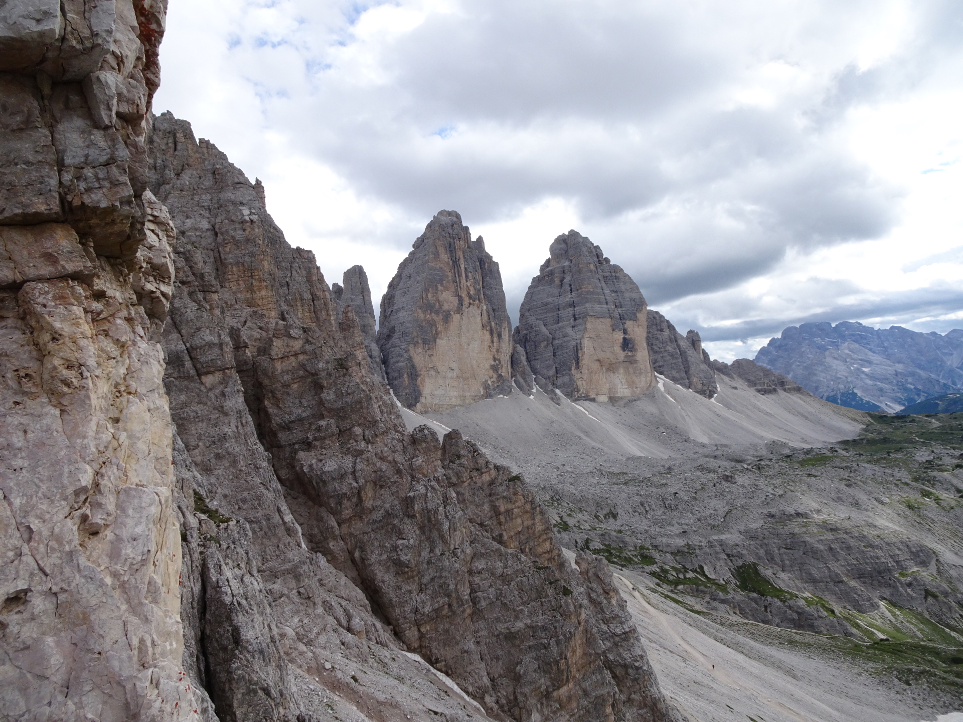
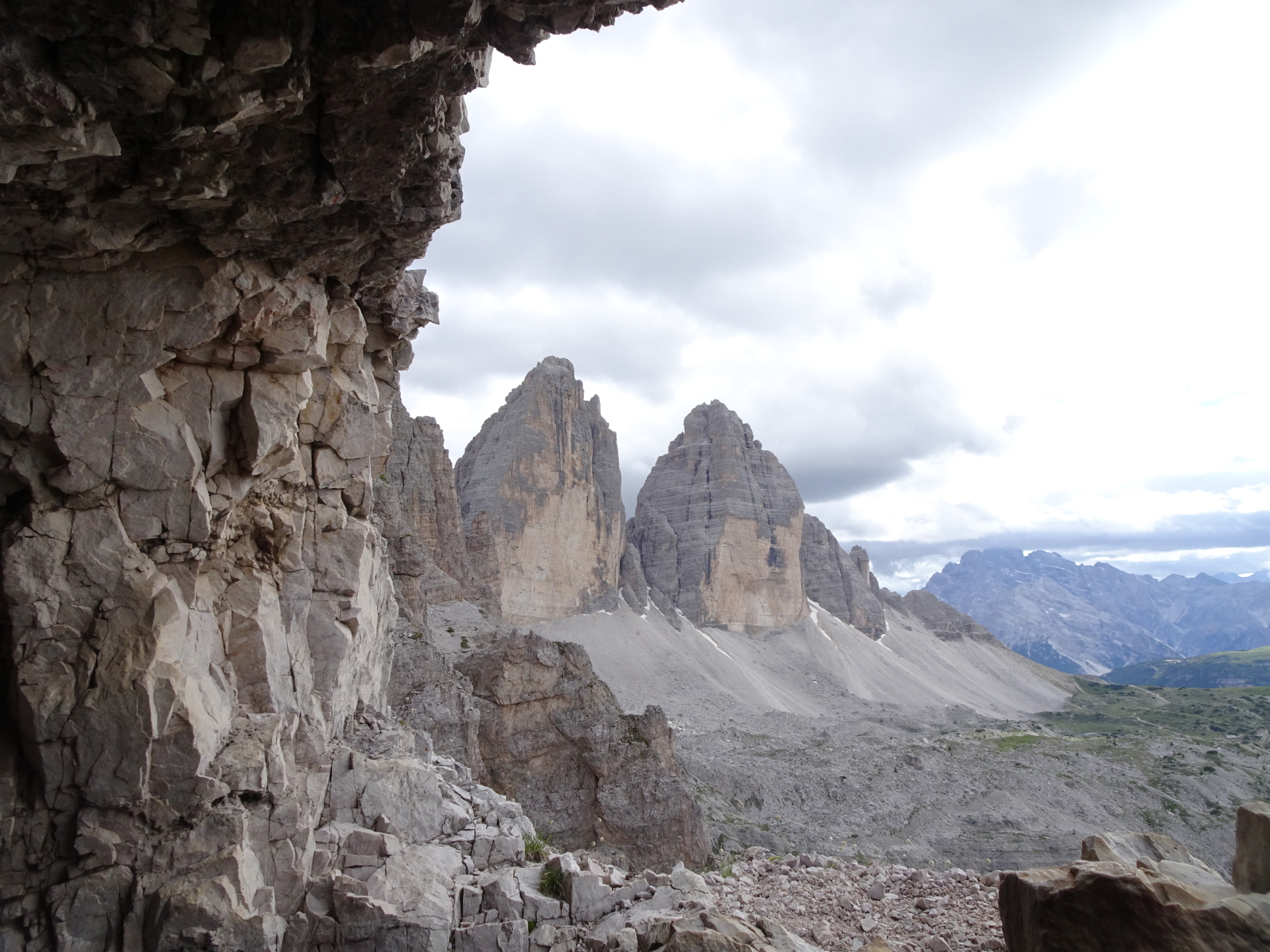
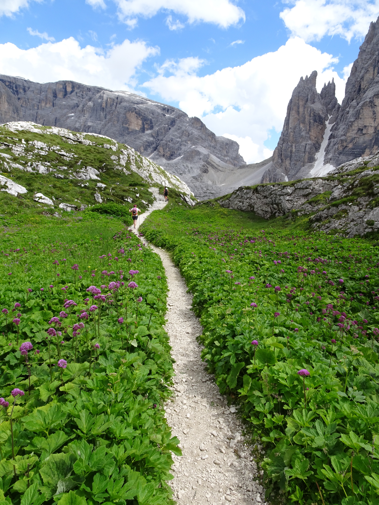
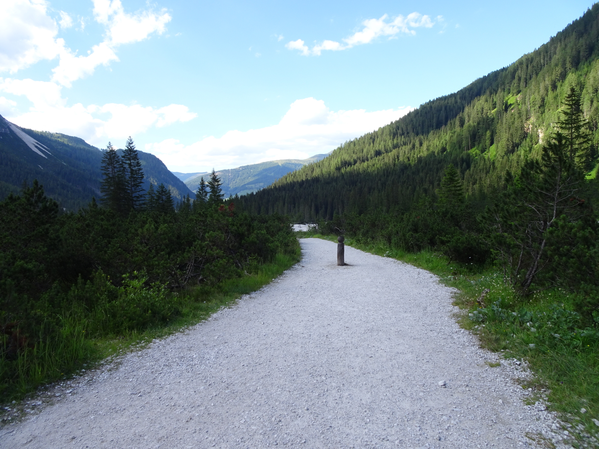
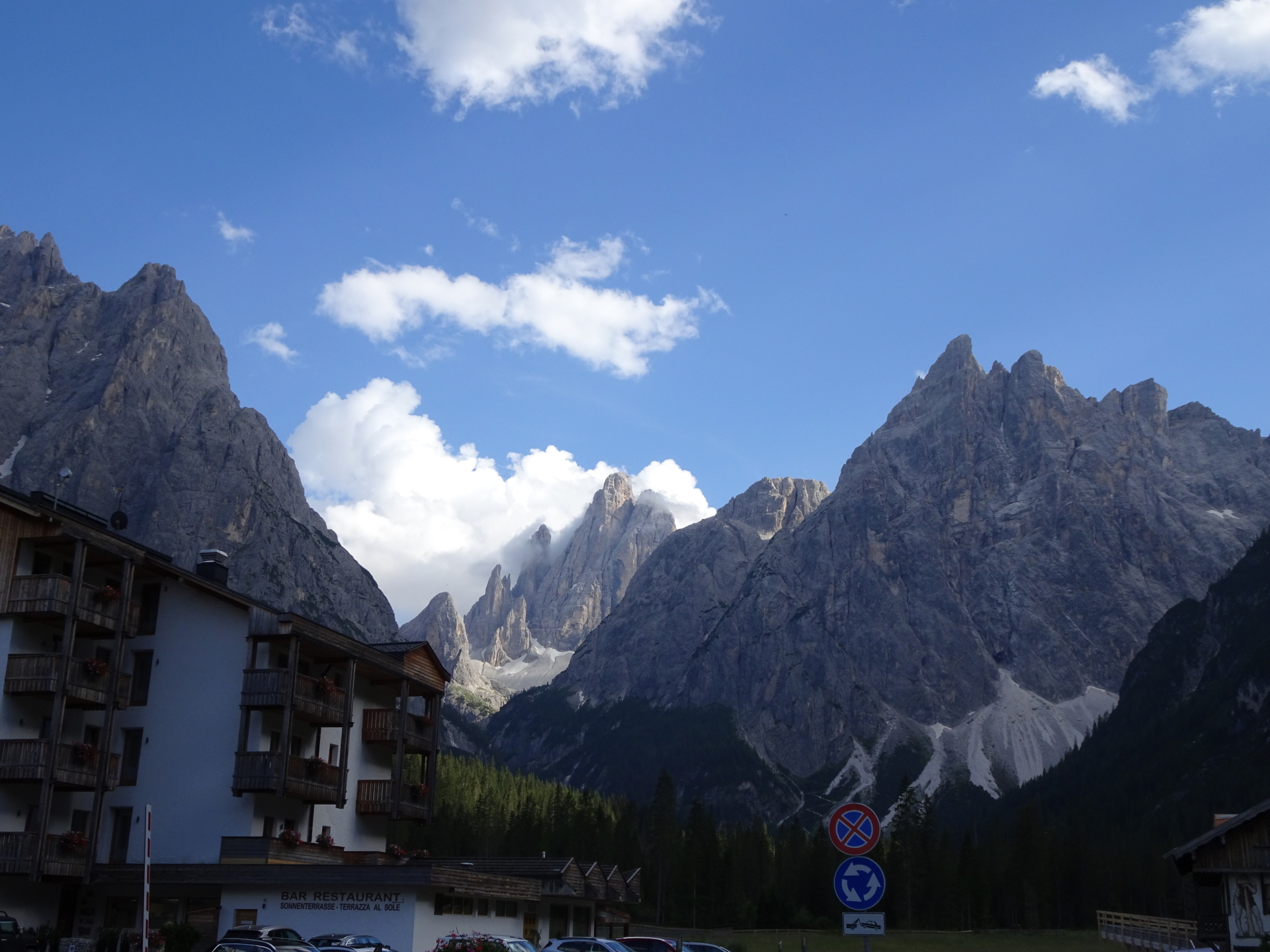
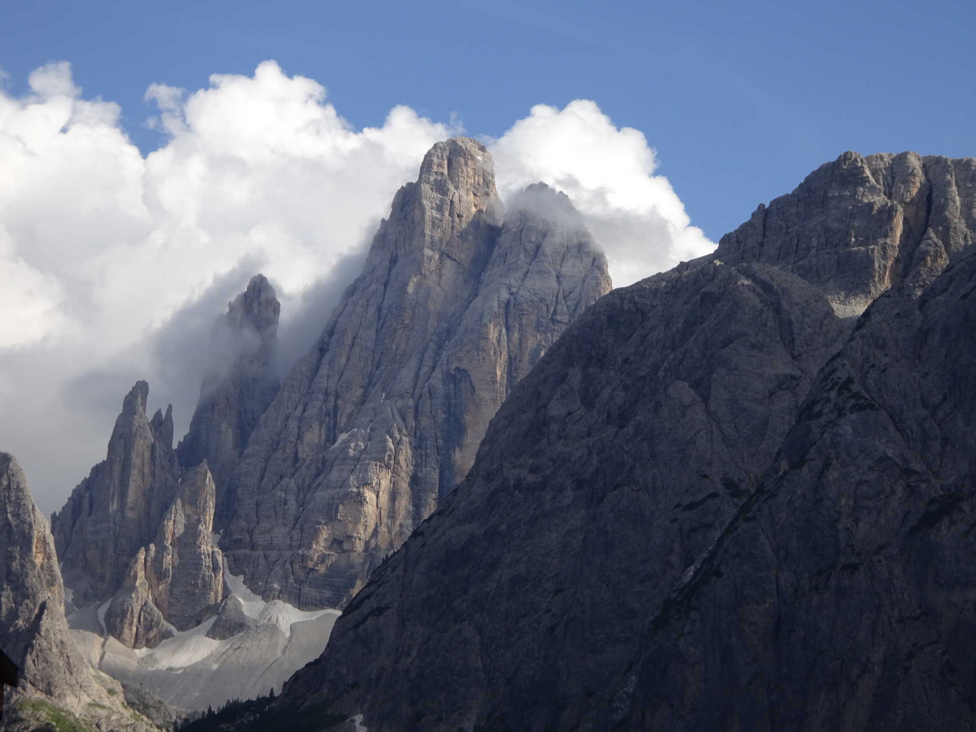
This very long but extremely promising tour starts at the parking Fischleintal in Sexten (GPS: 46.666623, 12.354144). The tour first leads towards the Talschlusshütte through the very romantic Fischleintal and then up towards the Dreizinnenhütte (Rifugio A. Locatelli) through the amazing (but sometime steep) Altsteintal. After a short and refreshing break, the tour follows the small trail at the ridge towards the entrance of the tunnels at the Gamsscharte which then becomes a via ferrata that leads up to the peak of Paternkofel. After enjoying the stunning view (unique view towards the iconig Tre Cime di Lavaredo, the tour descents back to the crossing between the Gamsscharte/De-Luca Innerkofler and the Schartenweg/Sentiero delle Forcelle. Turn right here and follow the Schartenweg towards the Büllelejochhütte/Rifugio Pian di Cengia and then continue on the trail towards the Zsigmondy-Comici Hütte/Rifugio Zsigmondy-Comici. Now the trail descents continuously back towards the Fischleintal. After a final break featuring refreshments at the Talschlusshütte, follow the trail back towards the parking.
| 00:00 | Start at the parking lot Fischleintal (GPS: 46.666623, 12.354144). Pass by the Fischleinbodenhütte hut (south). |
| 00:05 | Follow the gravel road towards the Talschlusshütte/Rifugio Fondo Valle next to the river bed. |
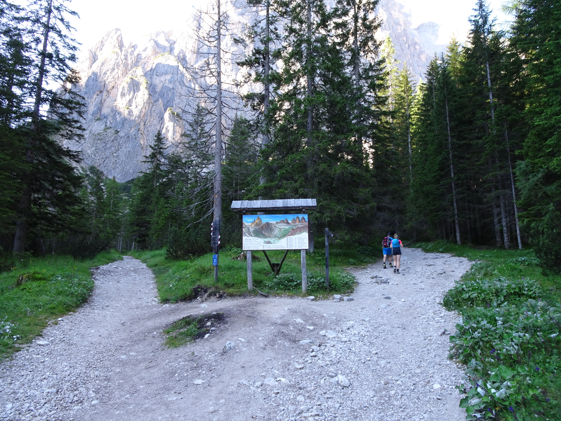
| 00:25 | Pass by the Talschlusshütte/Rifugio Fondo Valle and follow the trail rightwards. |
| 00:30 | At the crossing (signpost), follow the trail on the right handside. |
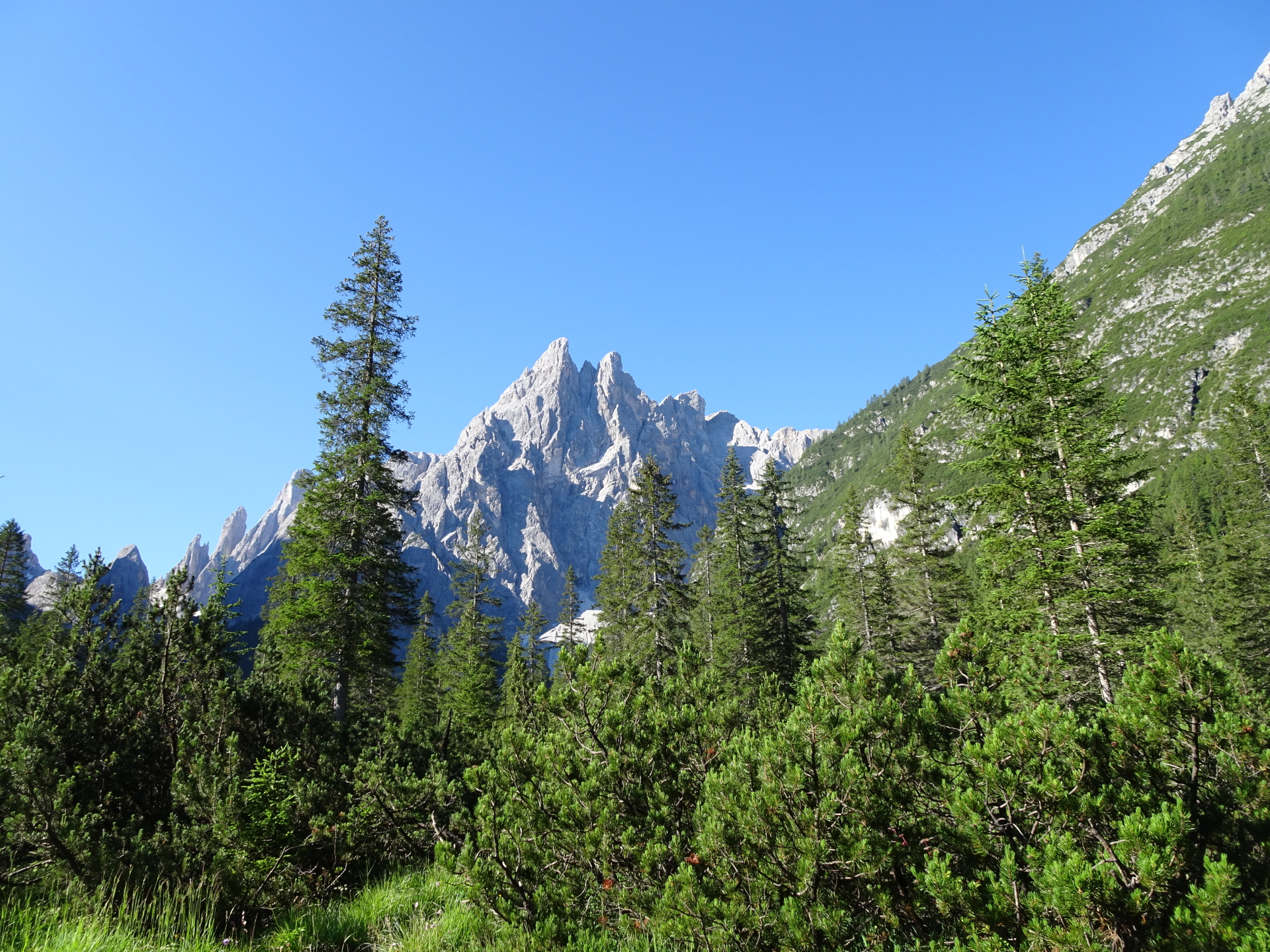
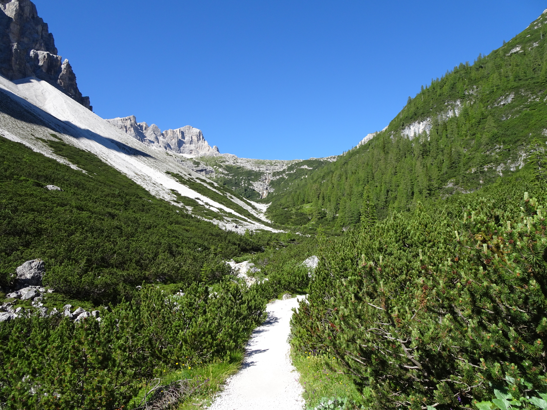
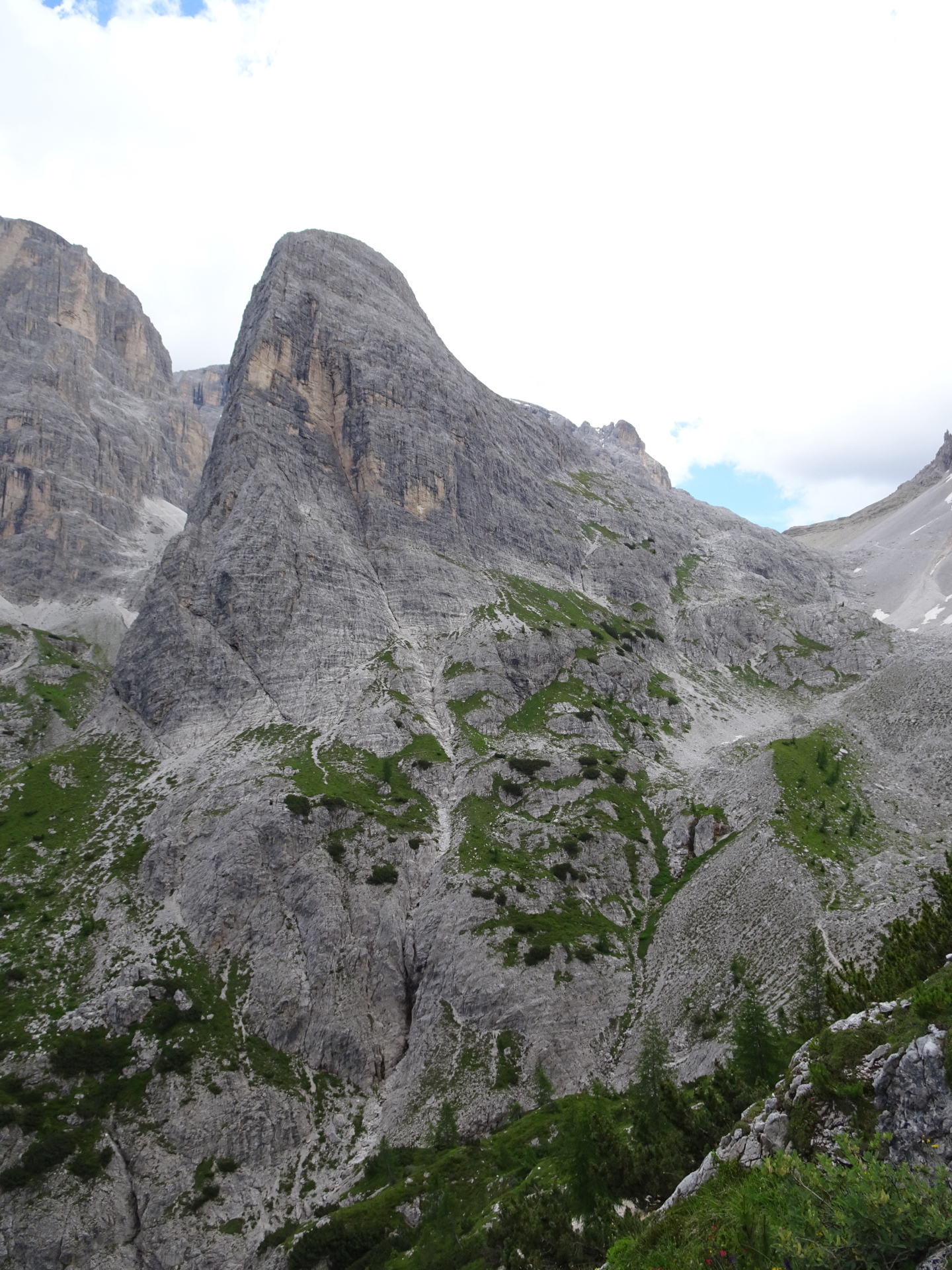
| 01:15 | Short break in the Altsteintal, next to the river. Enjoy the view. |
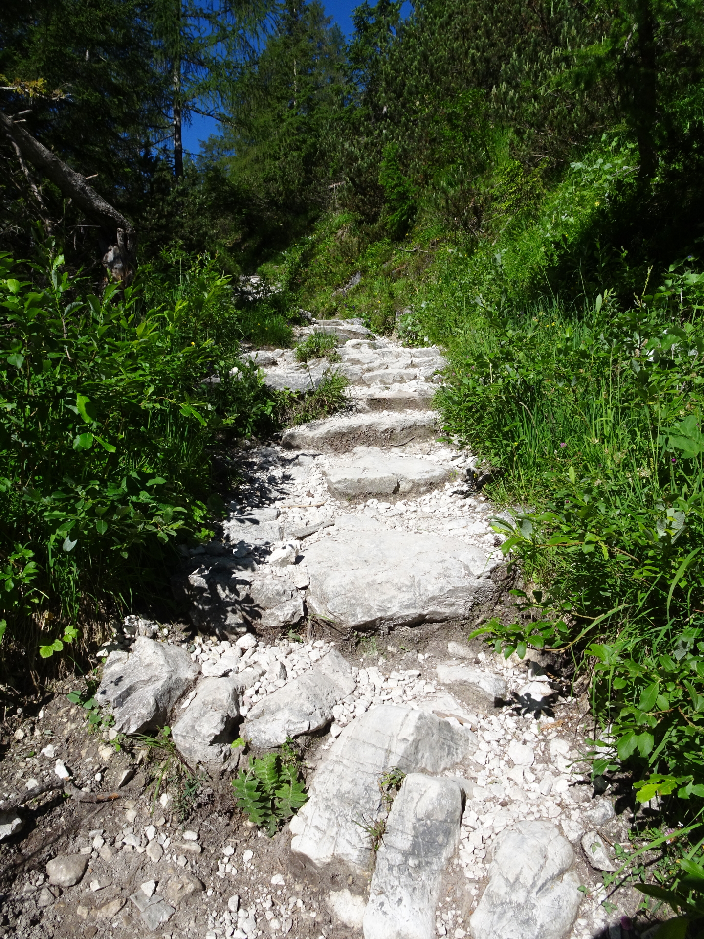
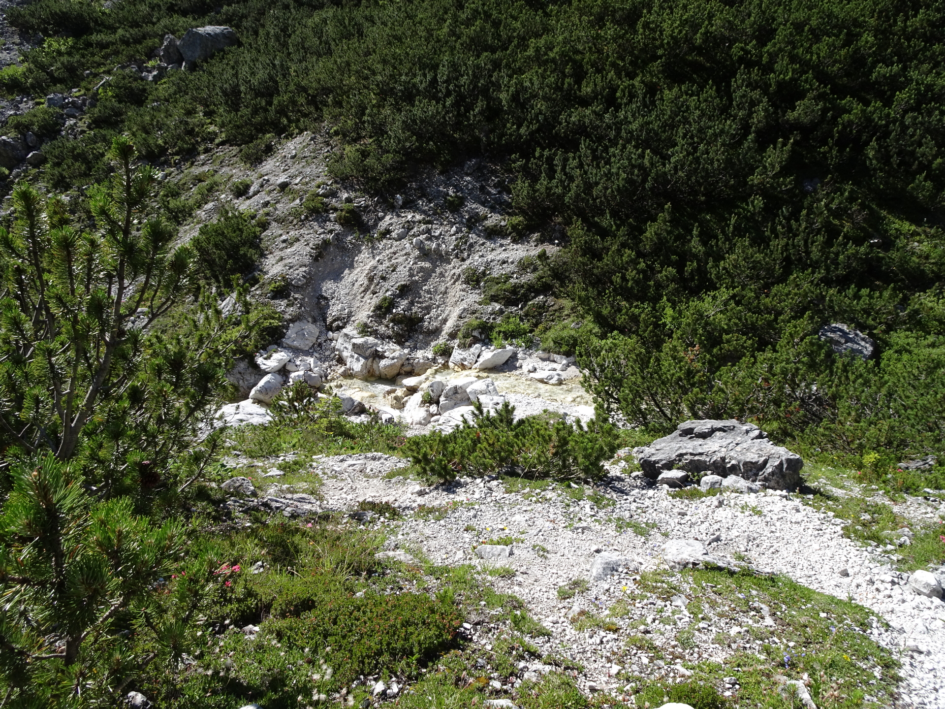
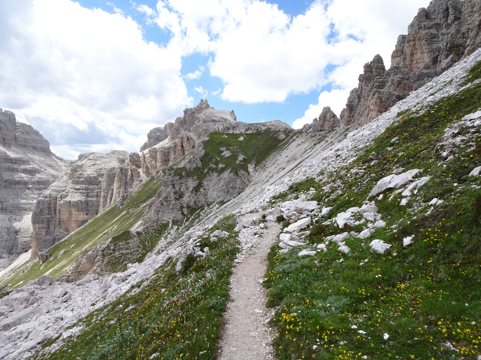
| 01:45 | Pass by the source (possible refill for water), stay straight at the crossing and continue on the trail. |
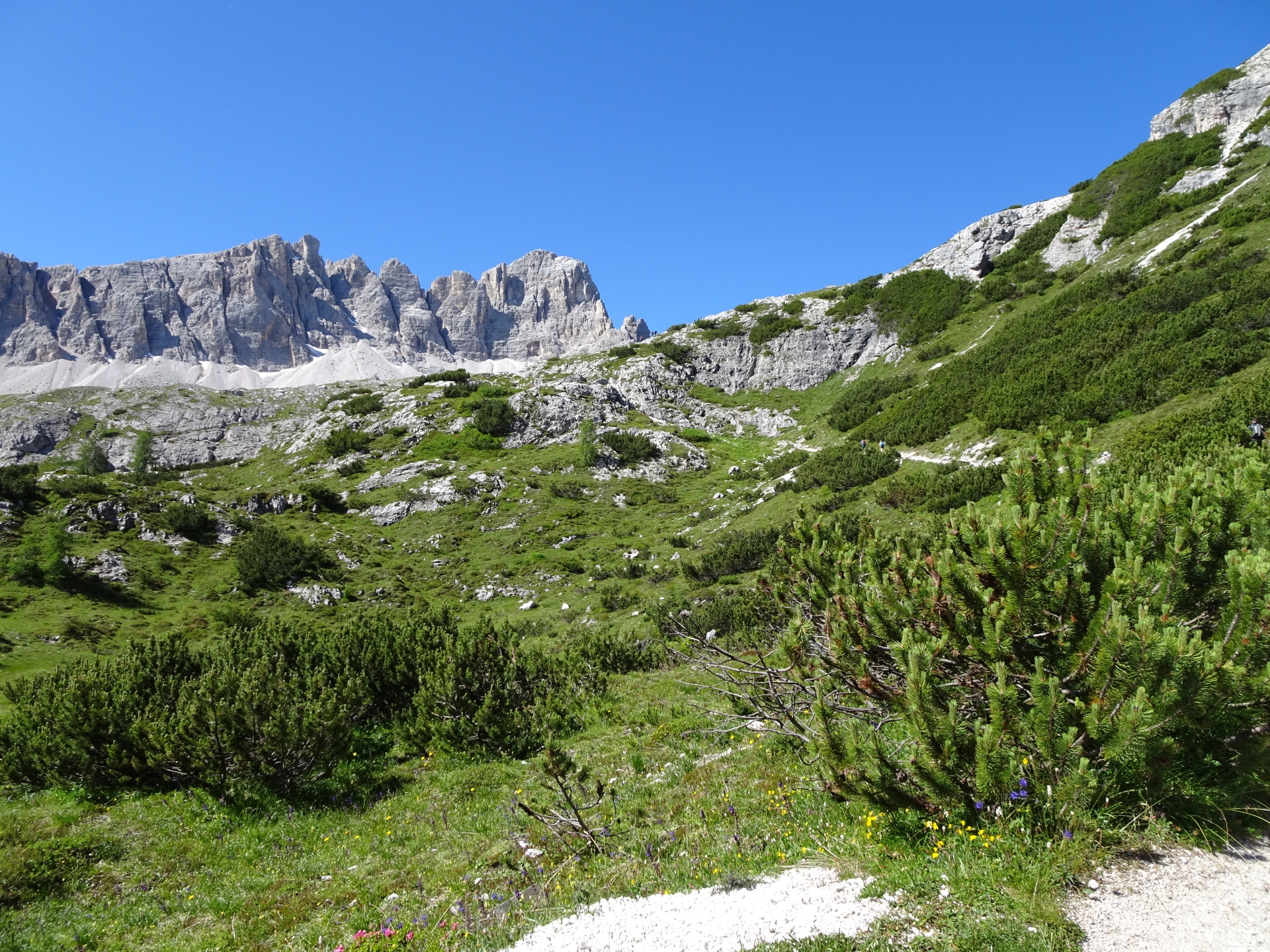
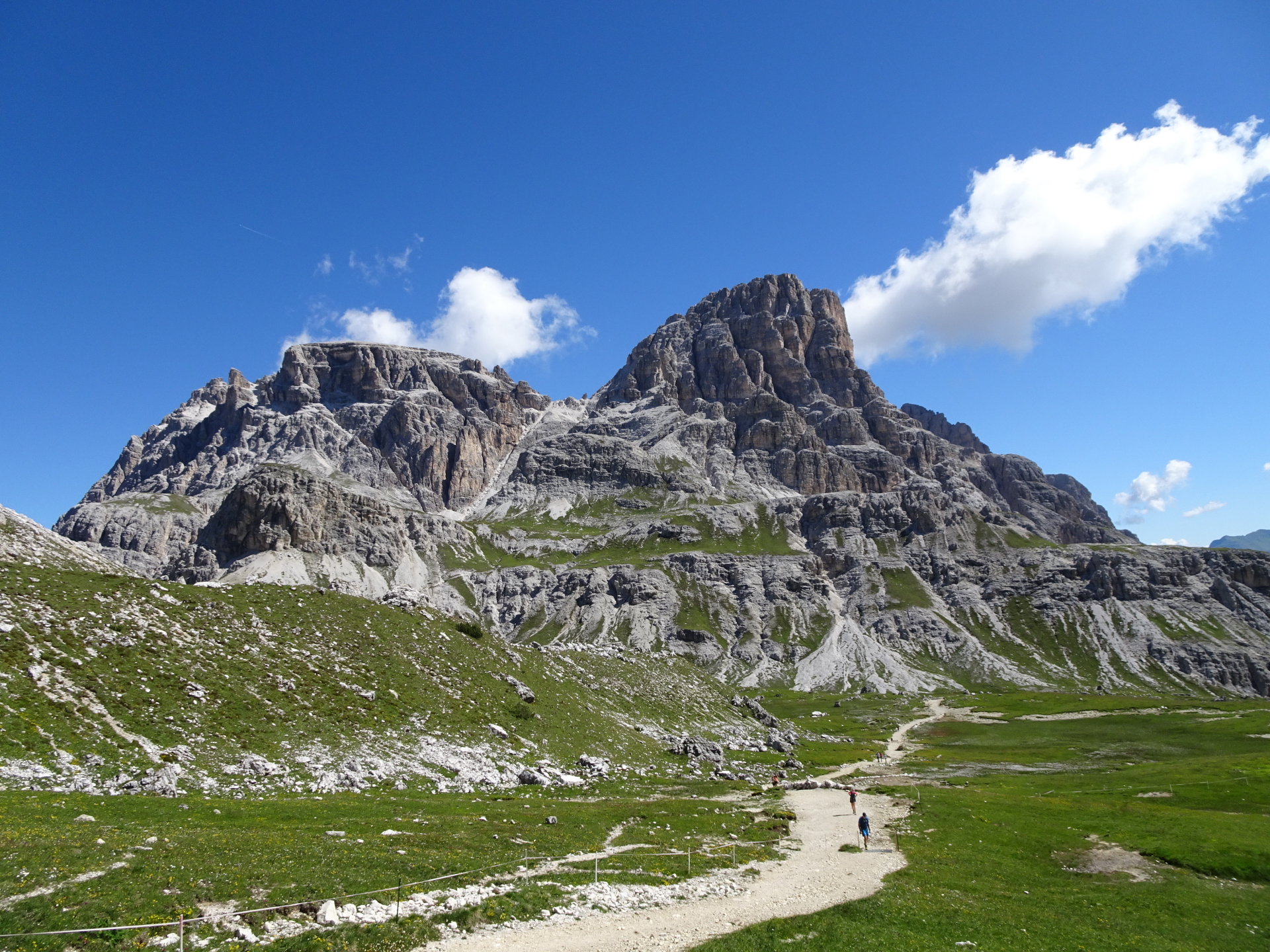
| 02:15 | Pass by the beautiful Lago dei Piani lakes. Stay straight to reach the Dreizinnenhütte. |
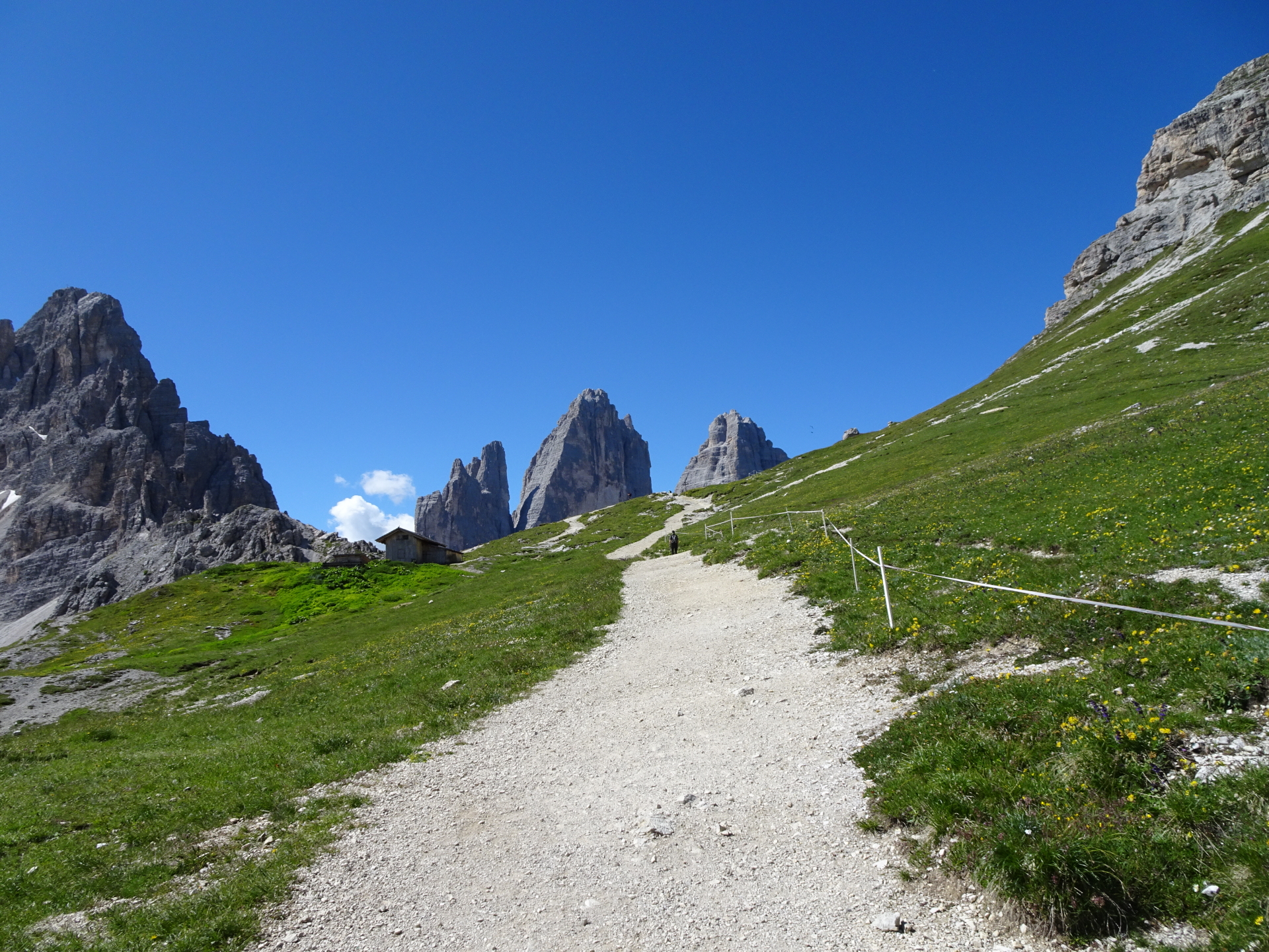
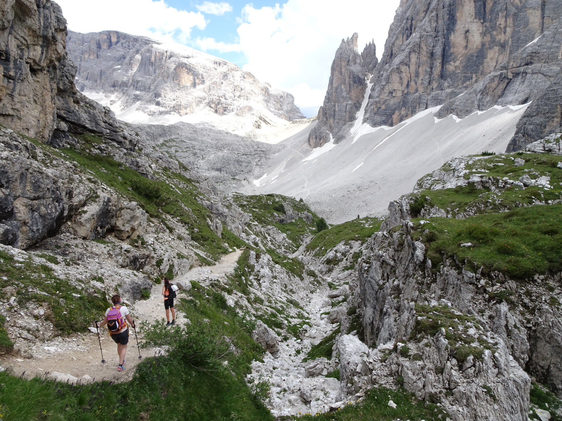
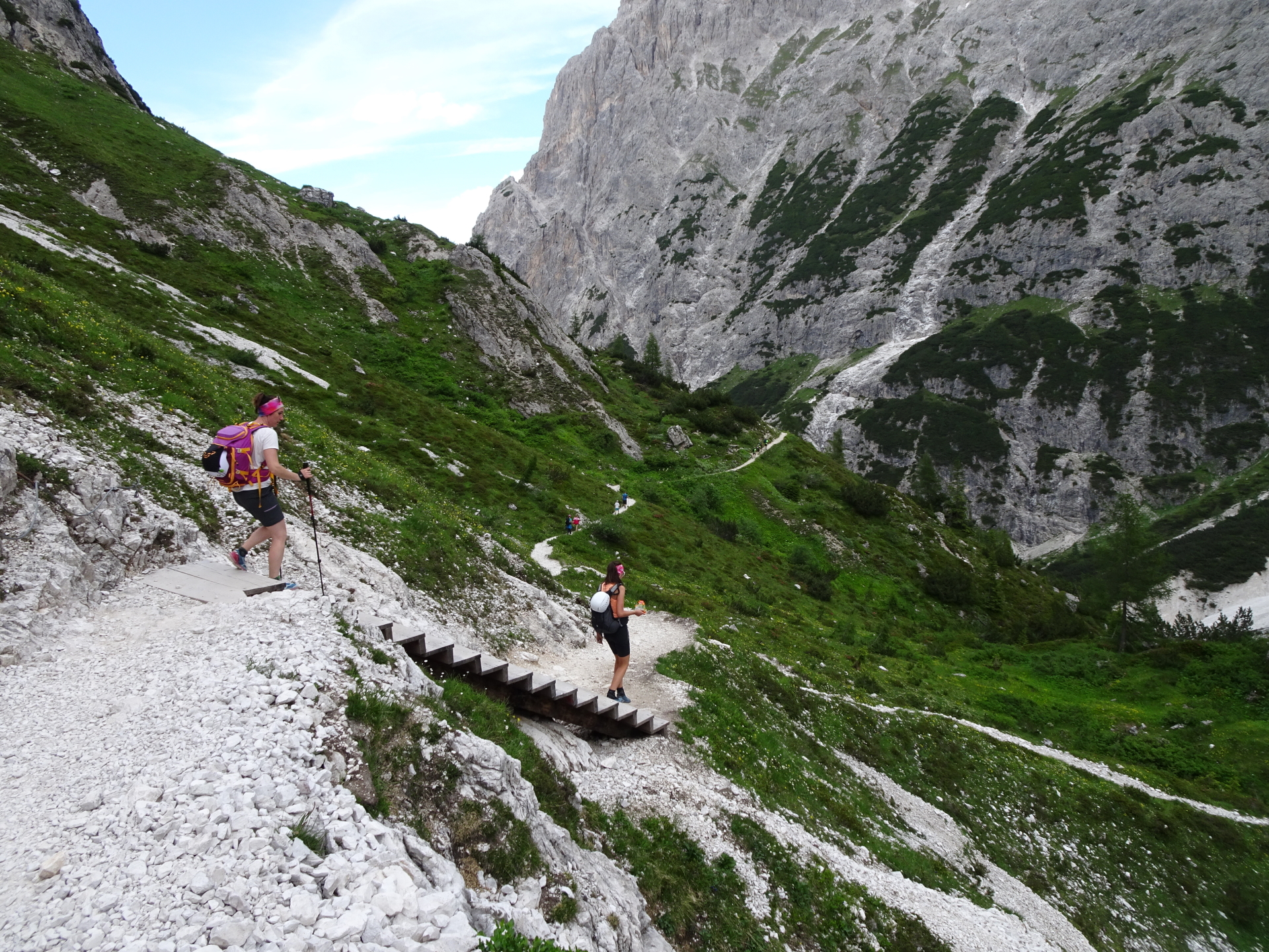
| 02:25 | Short break at the Dreizinnenhütte/Rifugio Antonio Locatelli. Ideal place to put on your via ferrata set (“Klettersteigset”). |
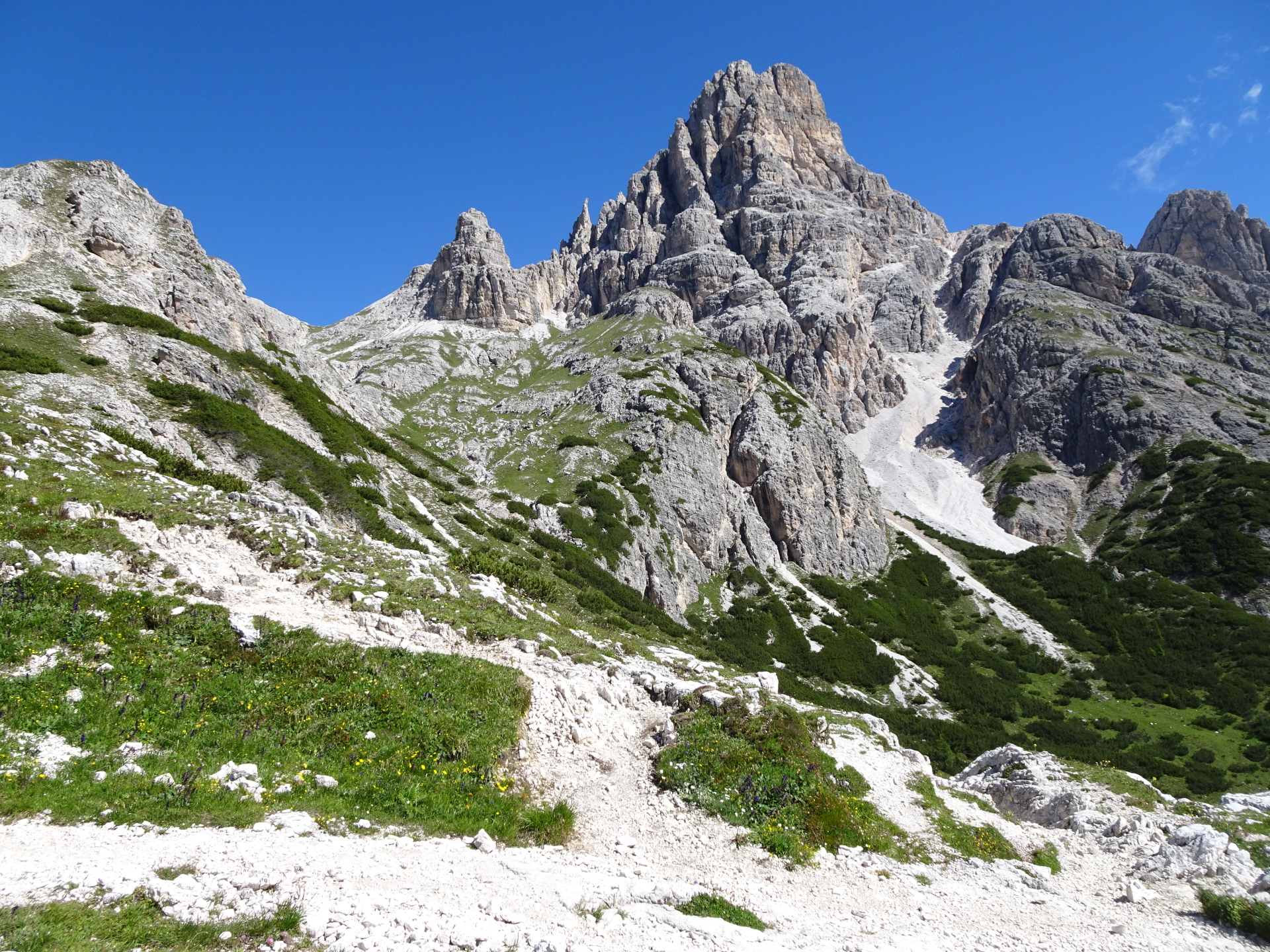
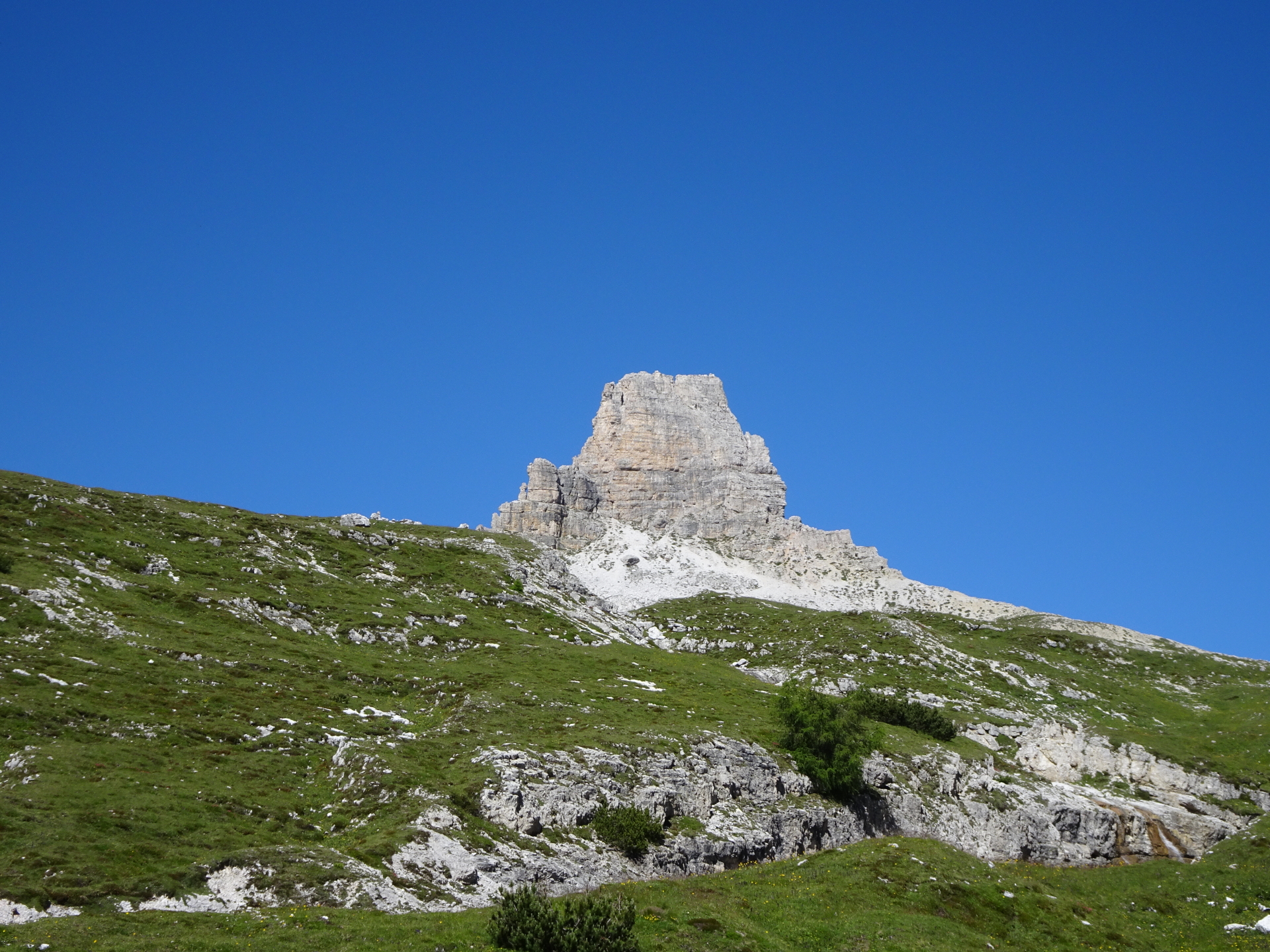
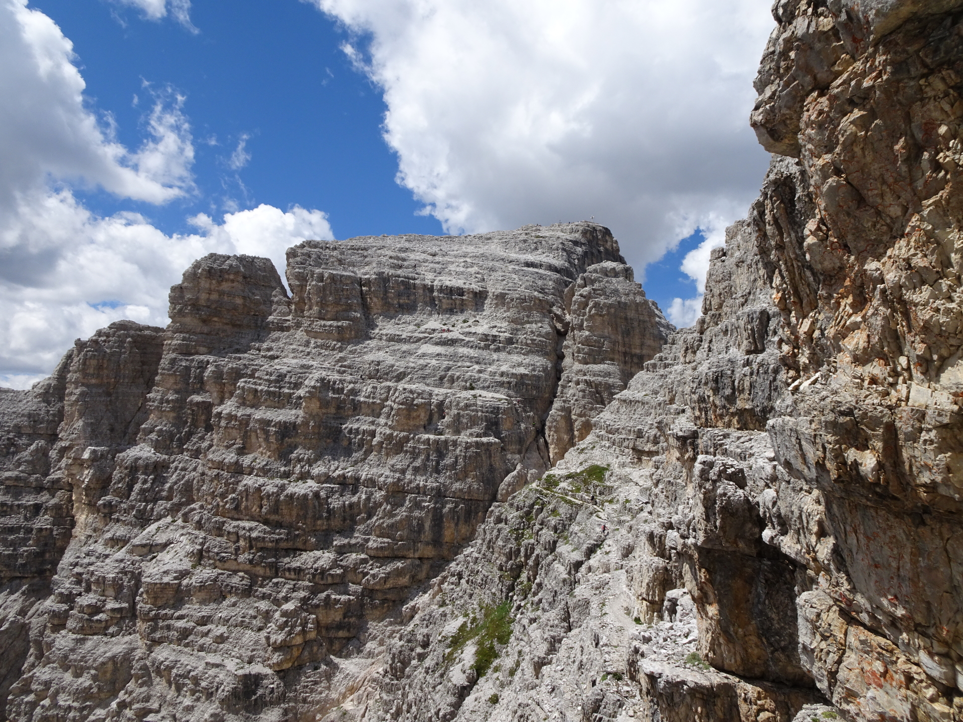
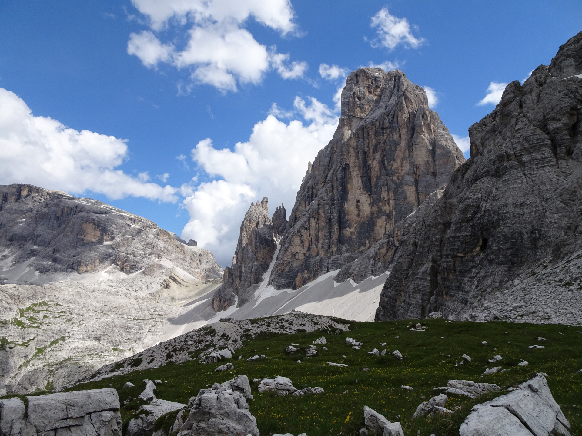
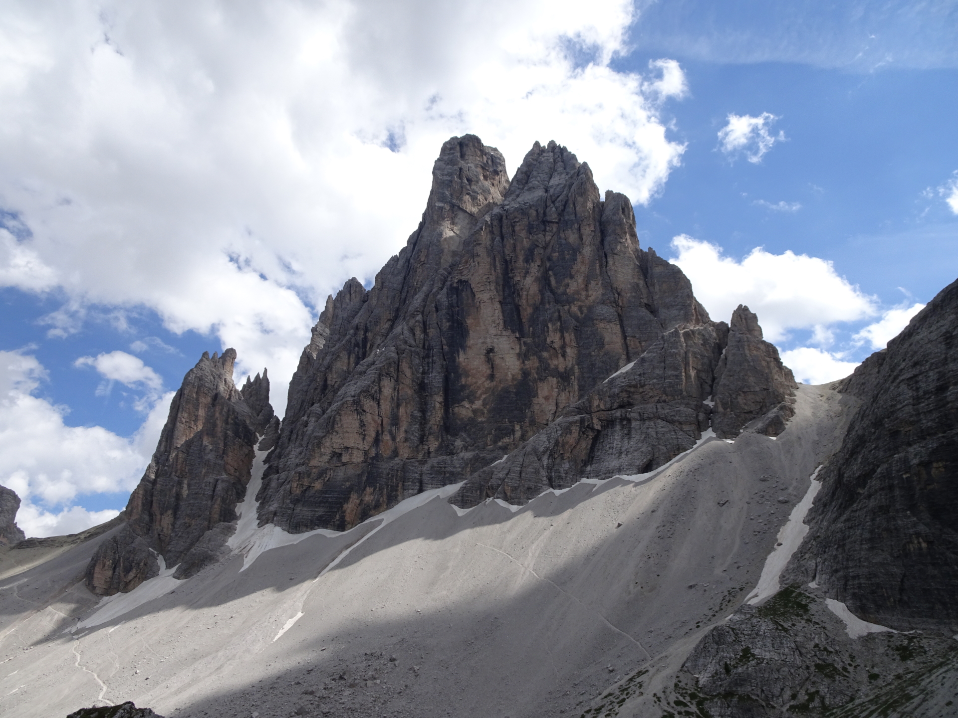
| 02:35 | Bypass the small church and follow the most left path on the ridge towards Paterkofel, bypassing the markant Frankfurter Würstel/Monolite della Salsiccia. |
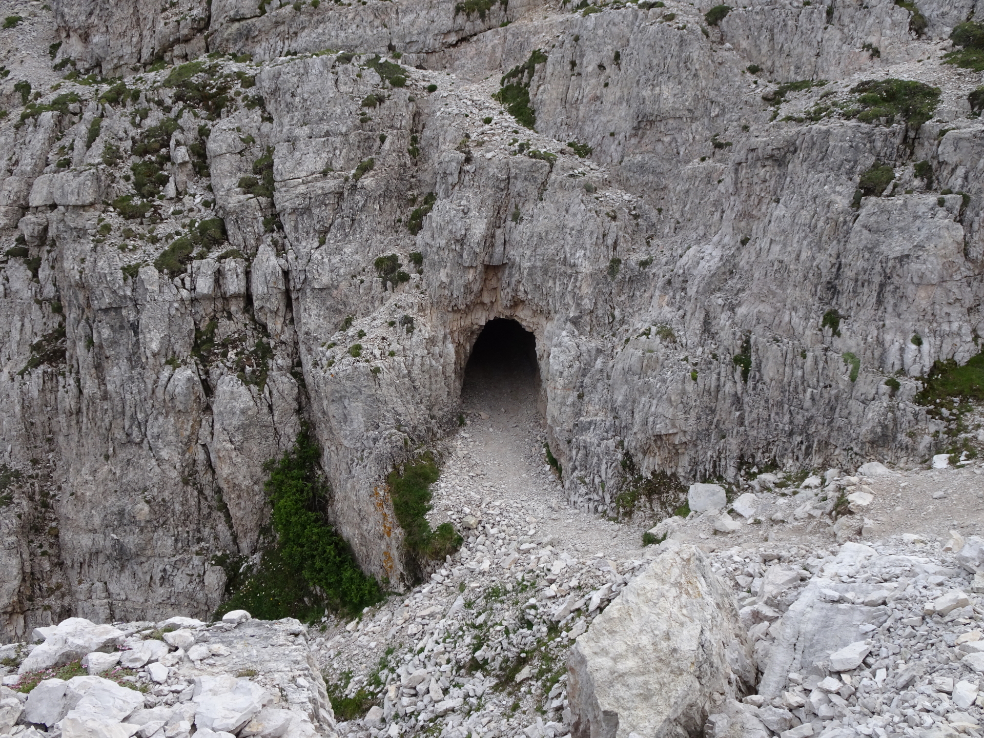
| 02:40 | At the crossing, stay straight (follow the path) towards the tunnels of the on the Pattern Gallery. |
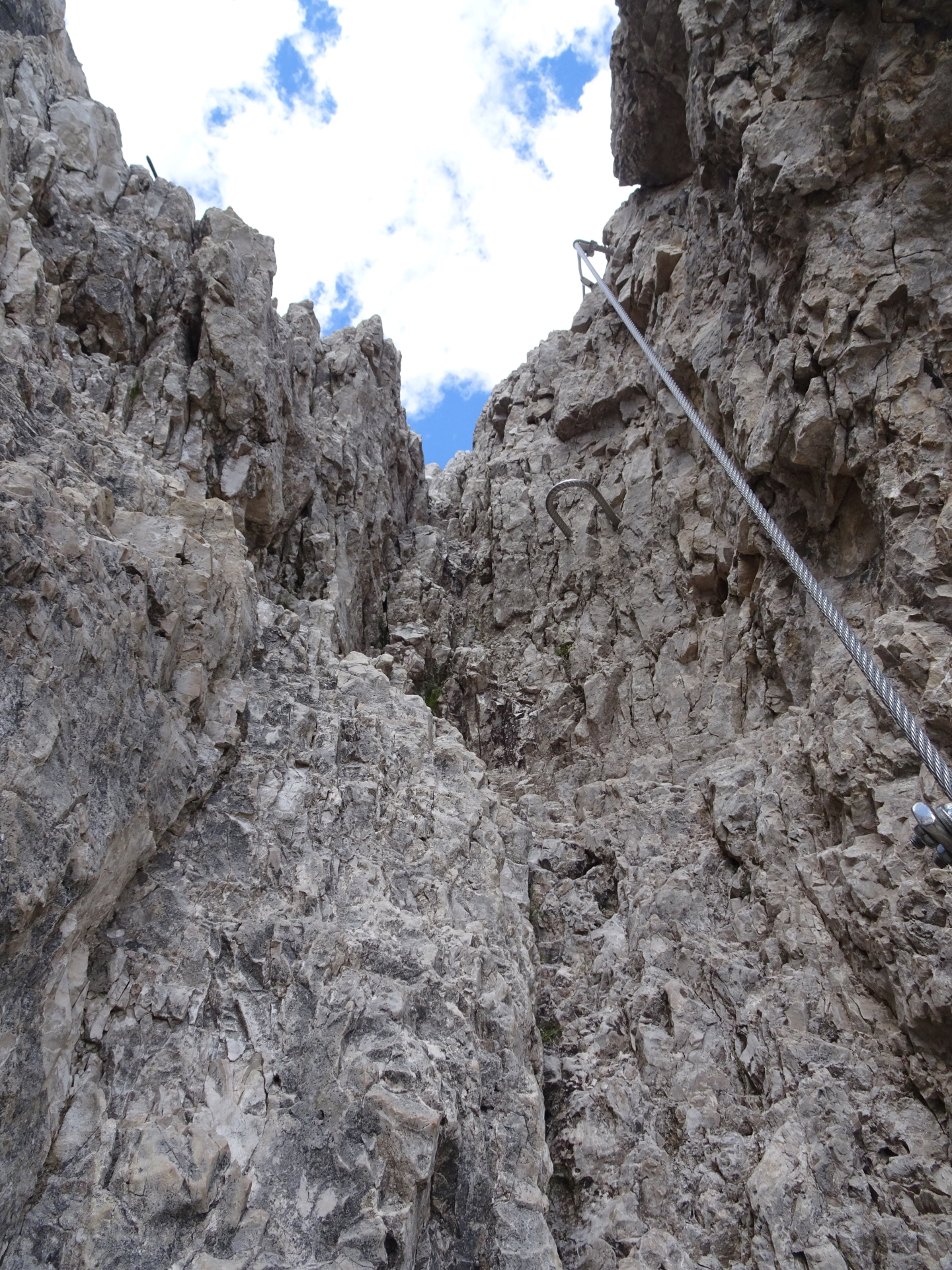
| 02:50 | Climb through the partly steep and absolutely dark tunnels (headlamp required!). |
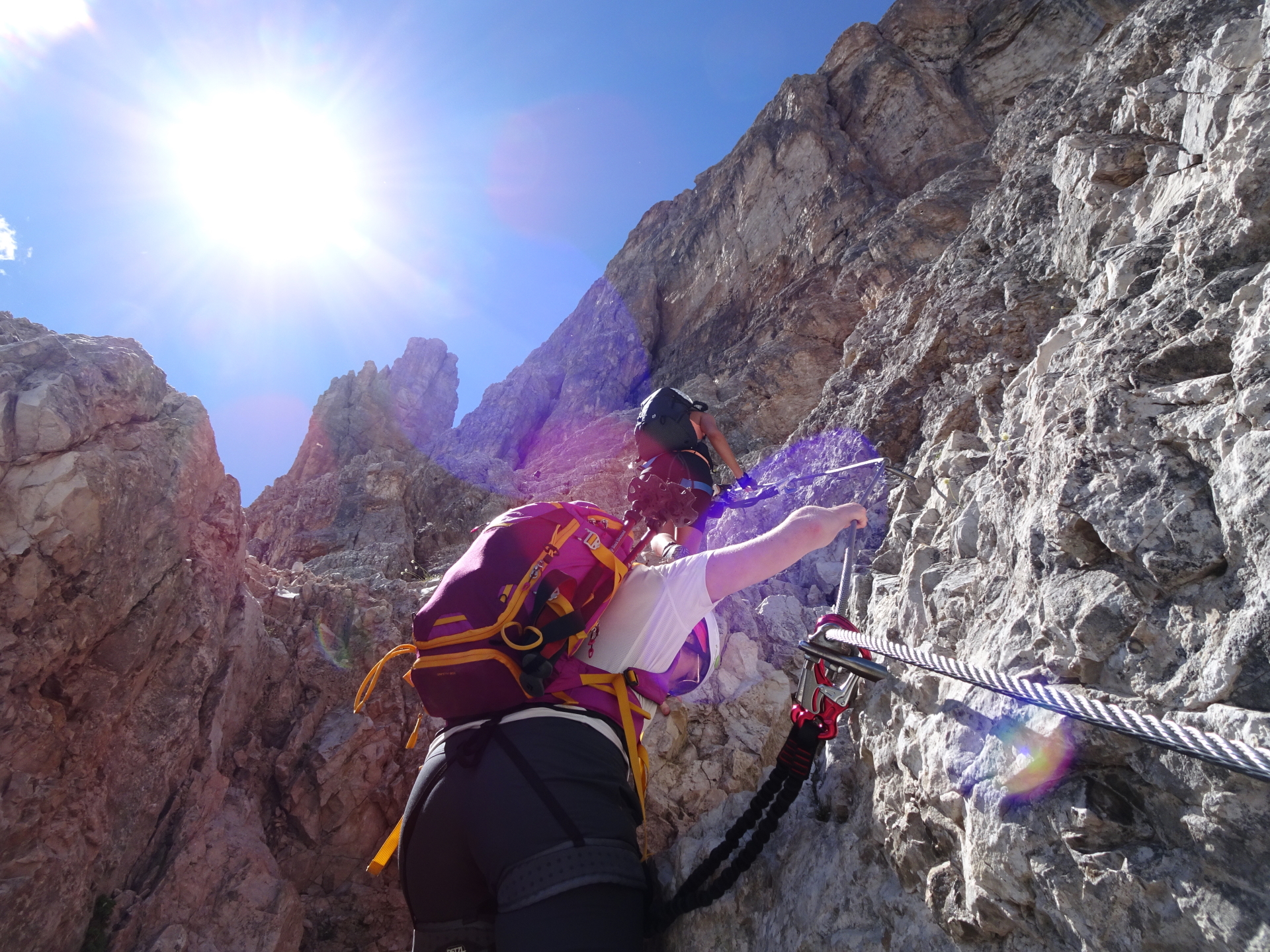
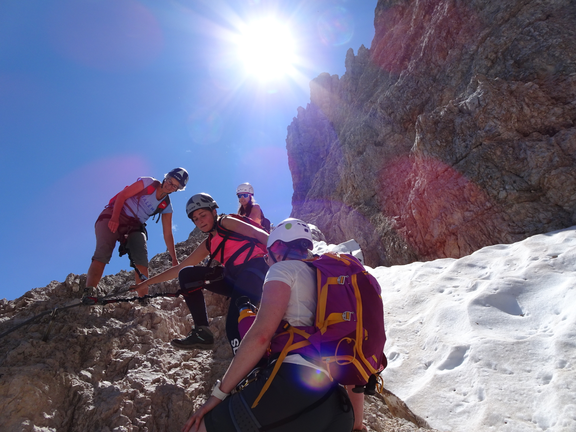
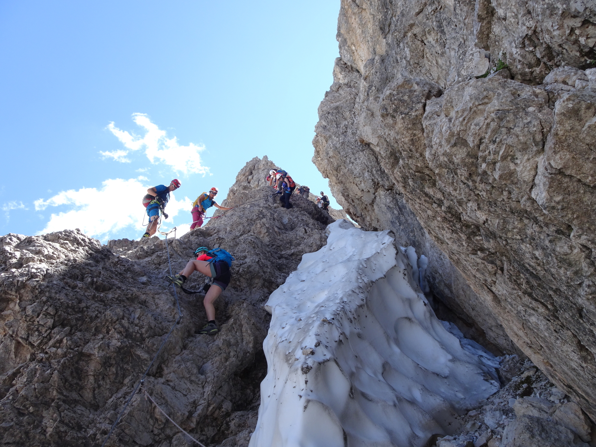
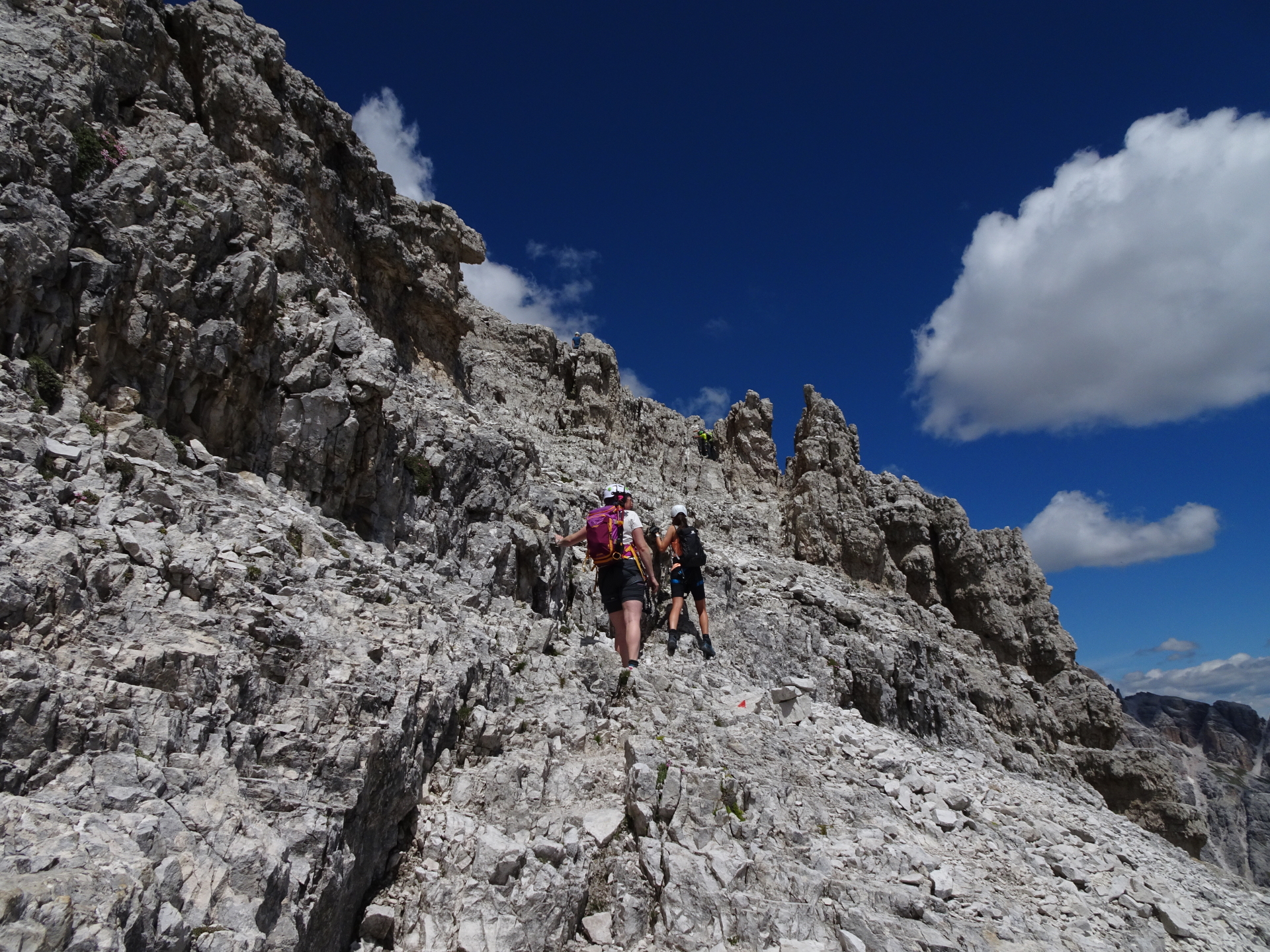
| 03:05 | Start of the via ferrata. Follow the via ferrata upwards. |
| 03:45 | Turn right at the crossing towards the to of Paternkofel. It first starts with an exposed traverse, then follow the markings (keep right) since the ascent and descent are slightly separated to avoid queues. |
| 04:00 | The last meters towards the peak must be climbed (UIAA I). Follow the marked trail upwards. |
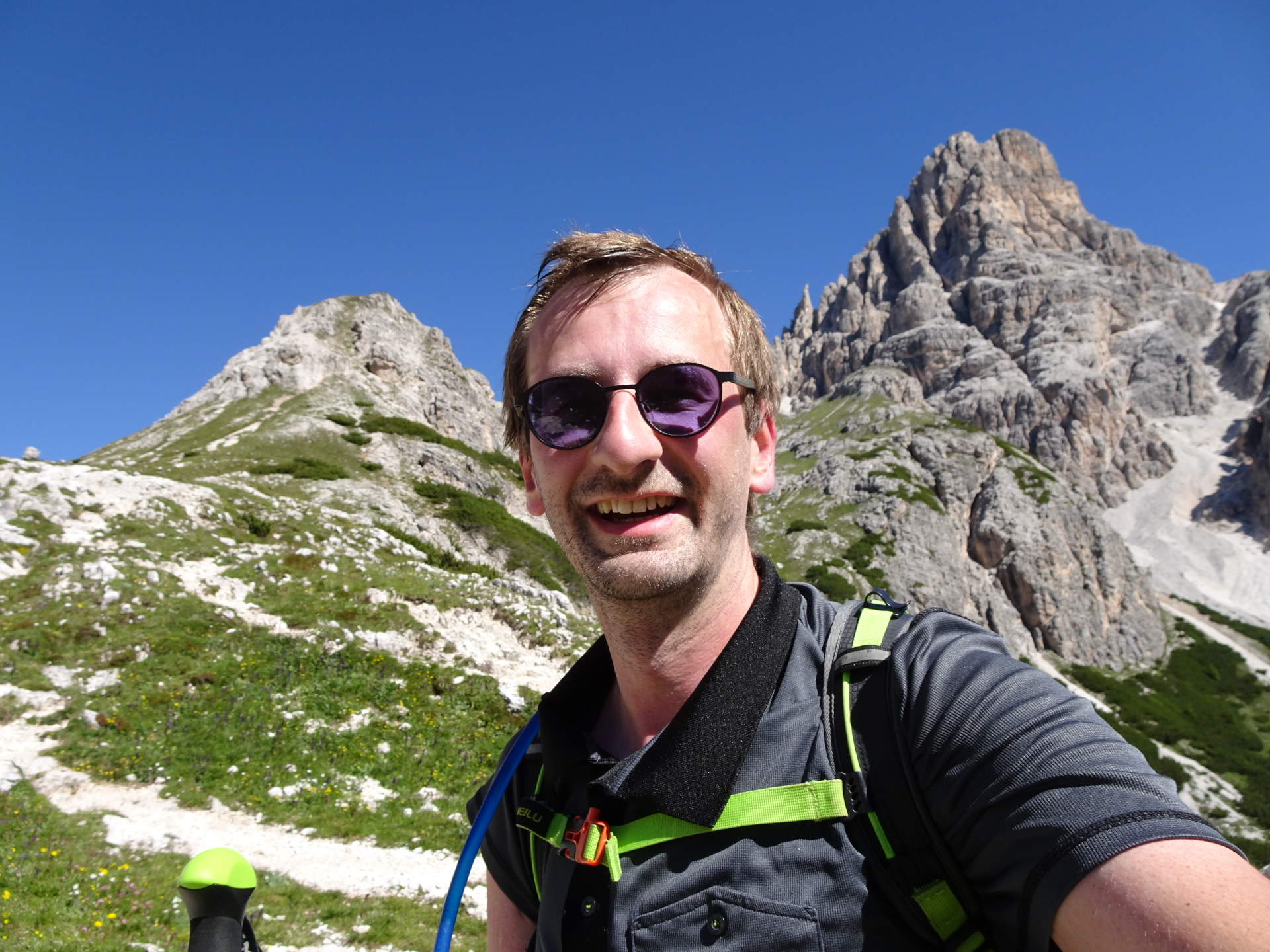
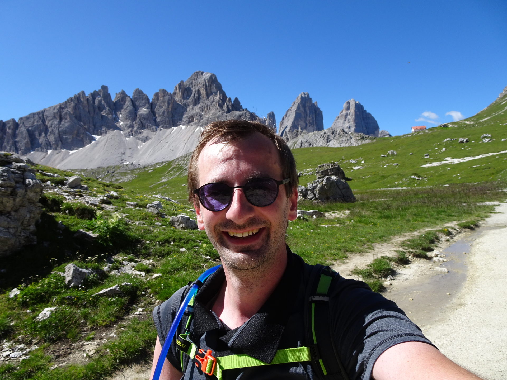
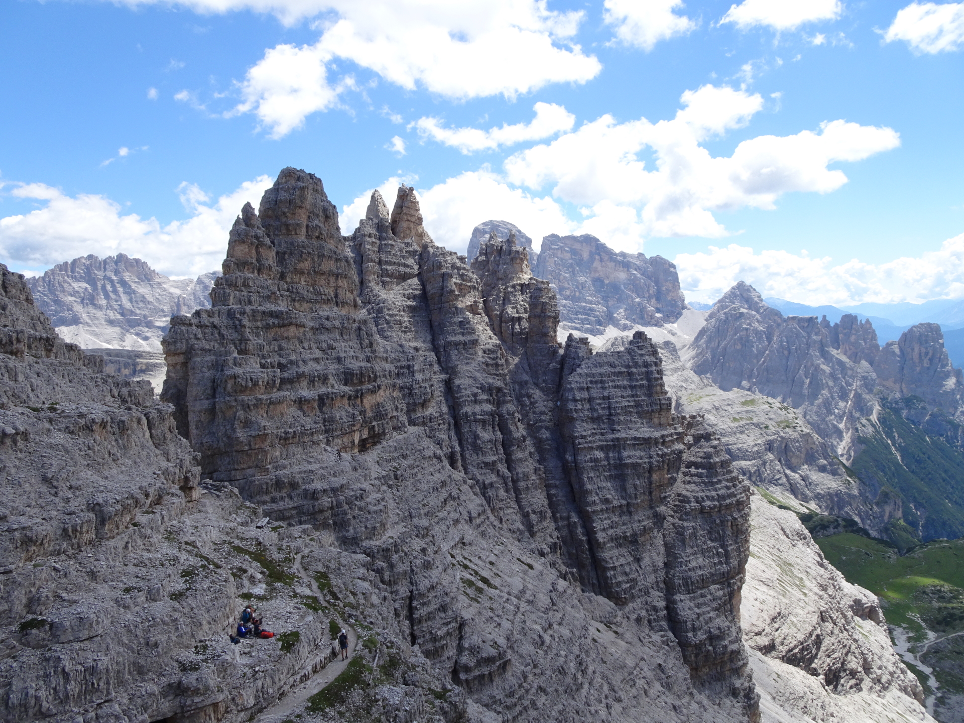
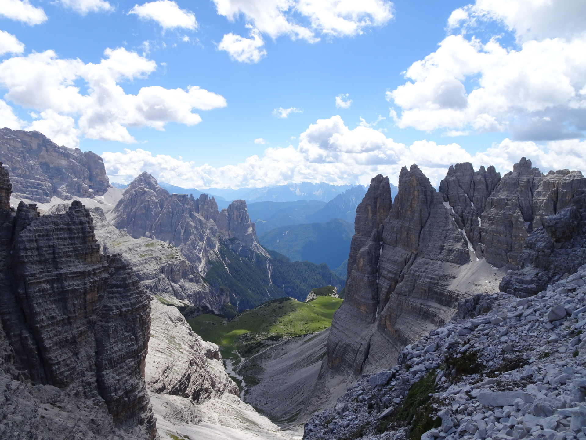
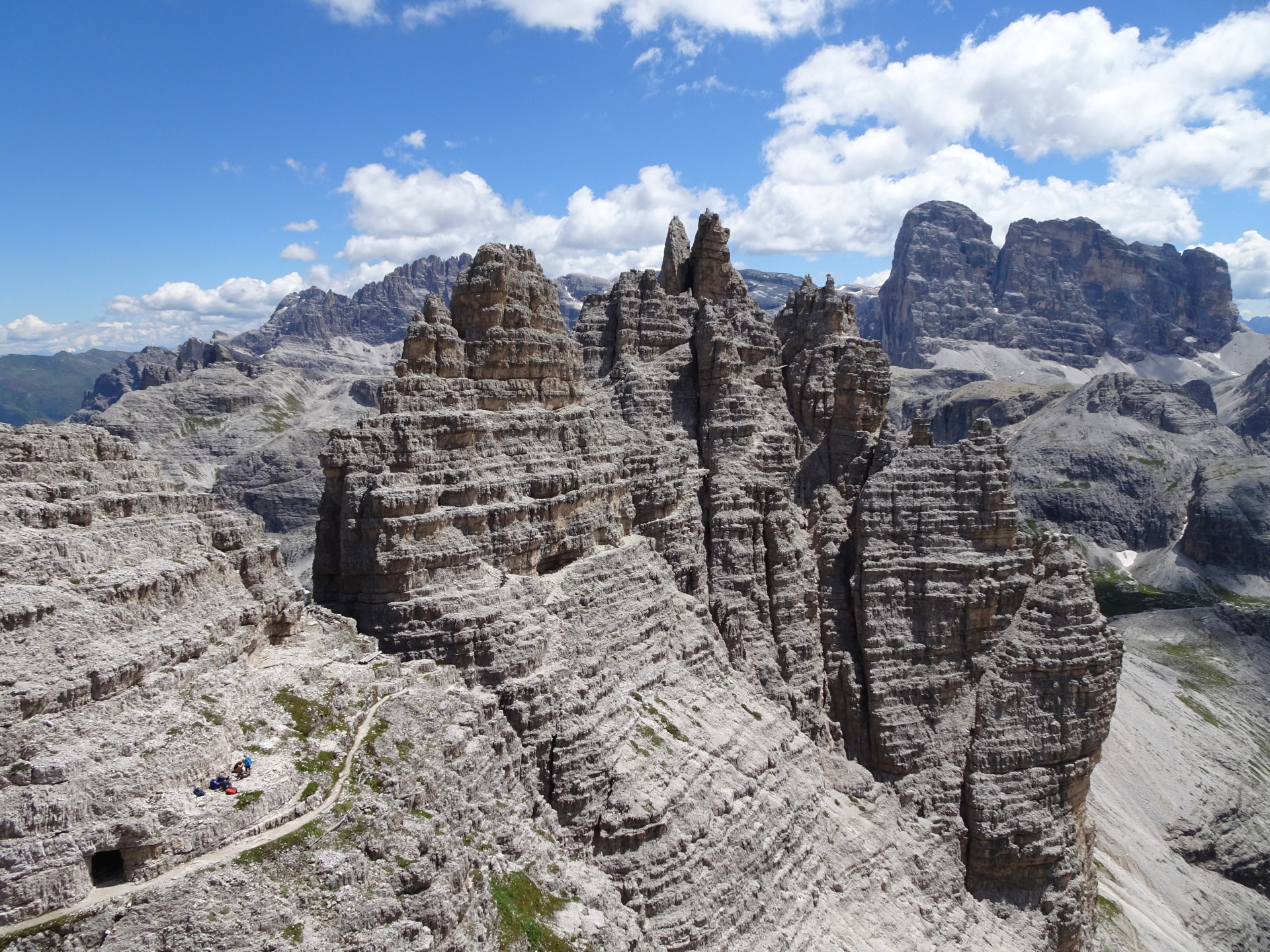
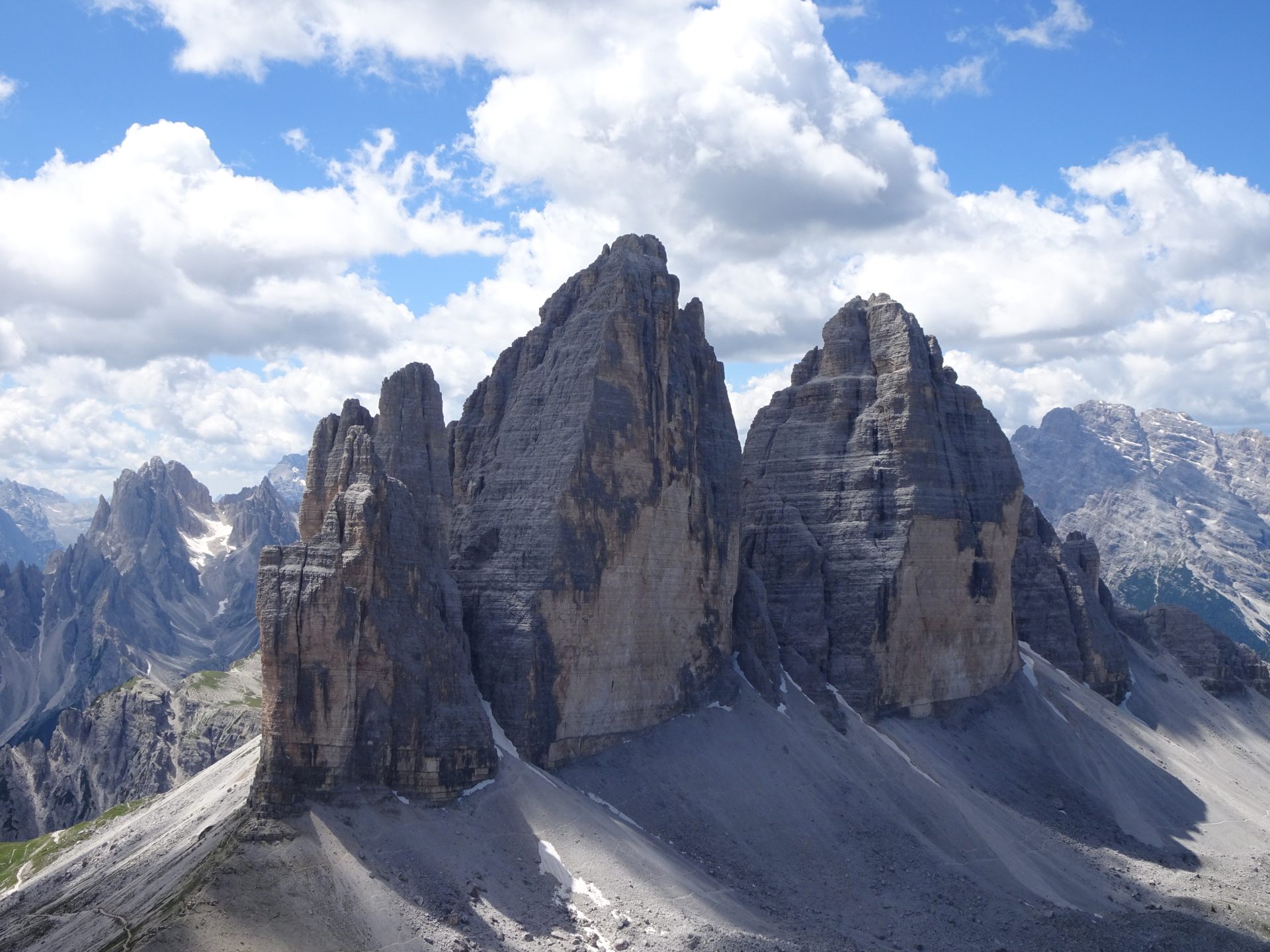
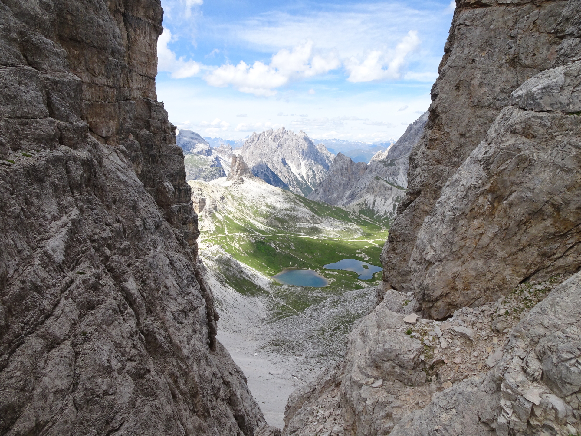
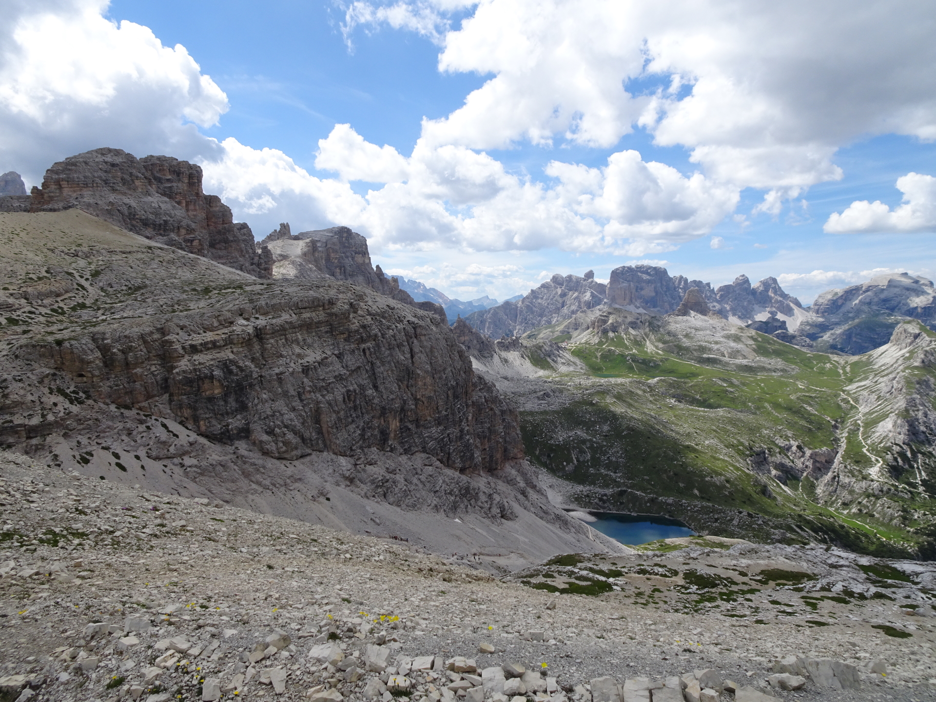
| 04:10 | Short break at the peak of Paternkofel (2744m). A perfect place to enjoy the amazing surrounding view (best with a self-brought refreshment ). |
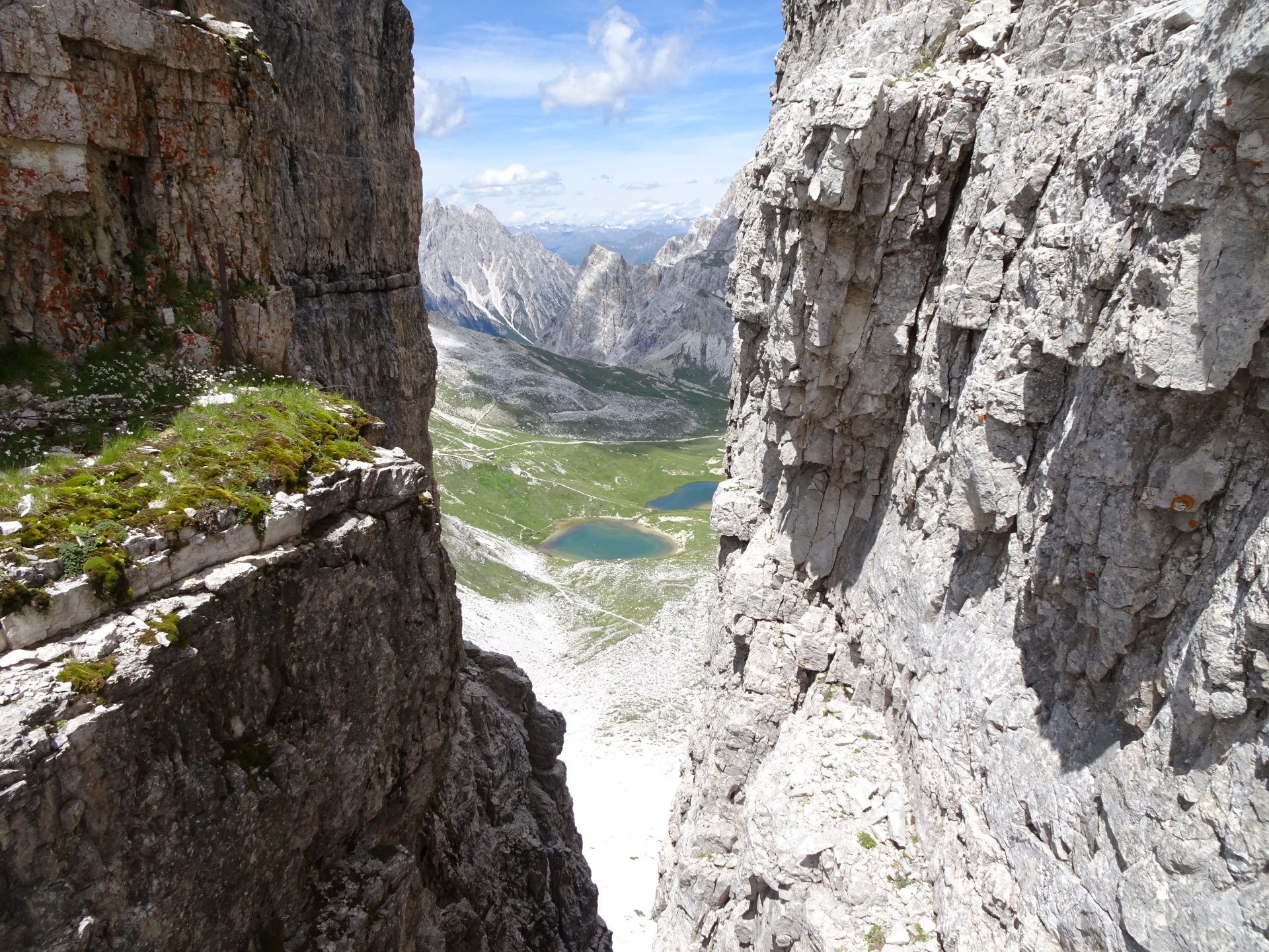
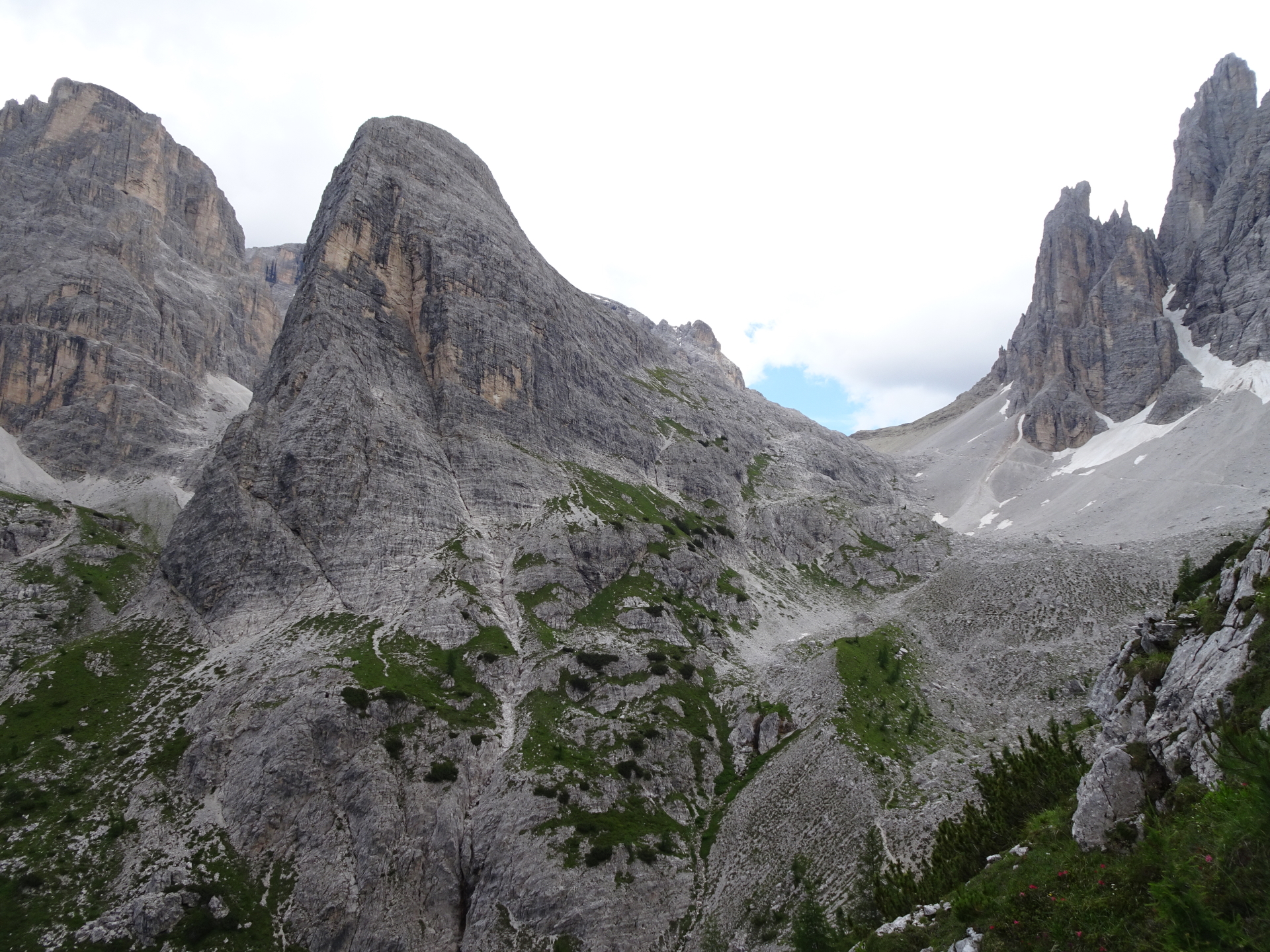
| 04:35 | Descent the same way back towards the crossing between Gamsscharte/Paternkofel/Schartenweg. Follow the right route at the via ferrata to avoid queues! |
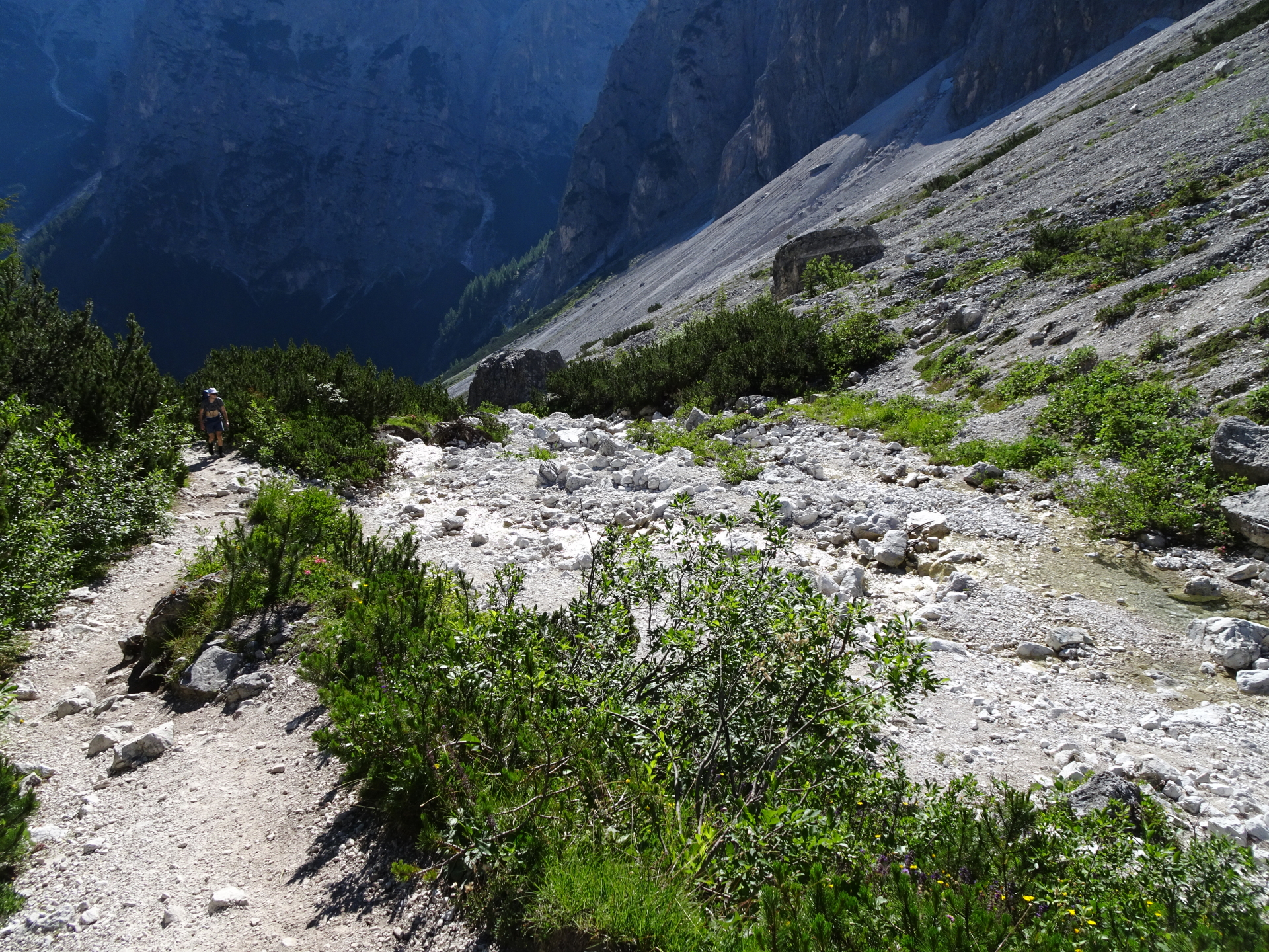
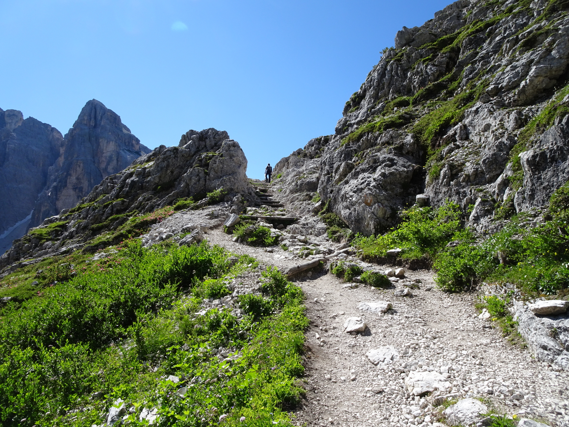
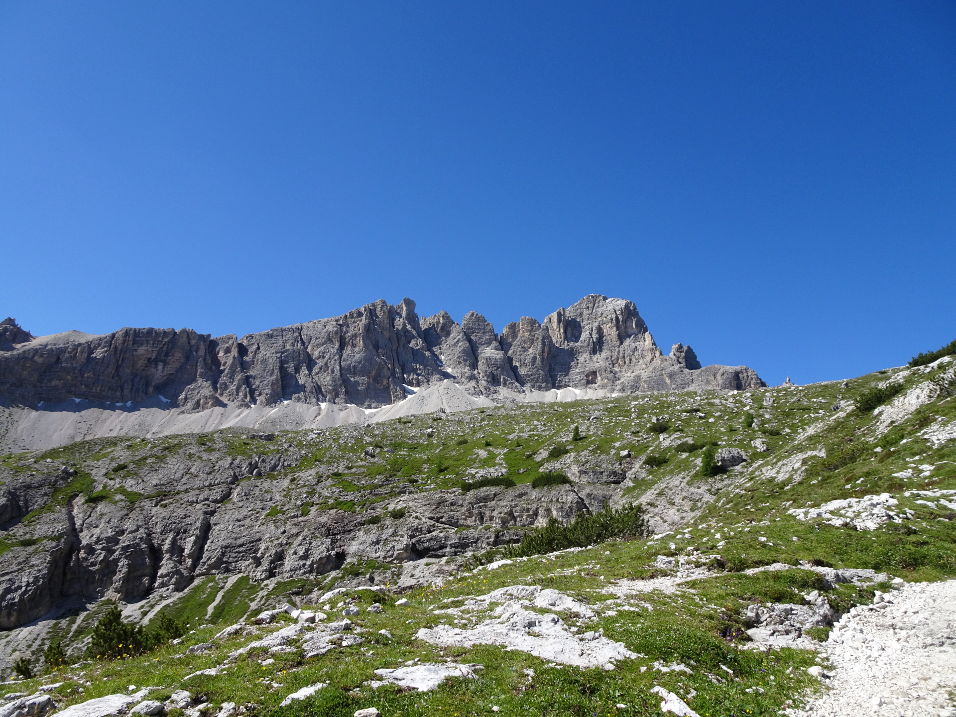
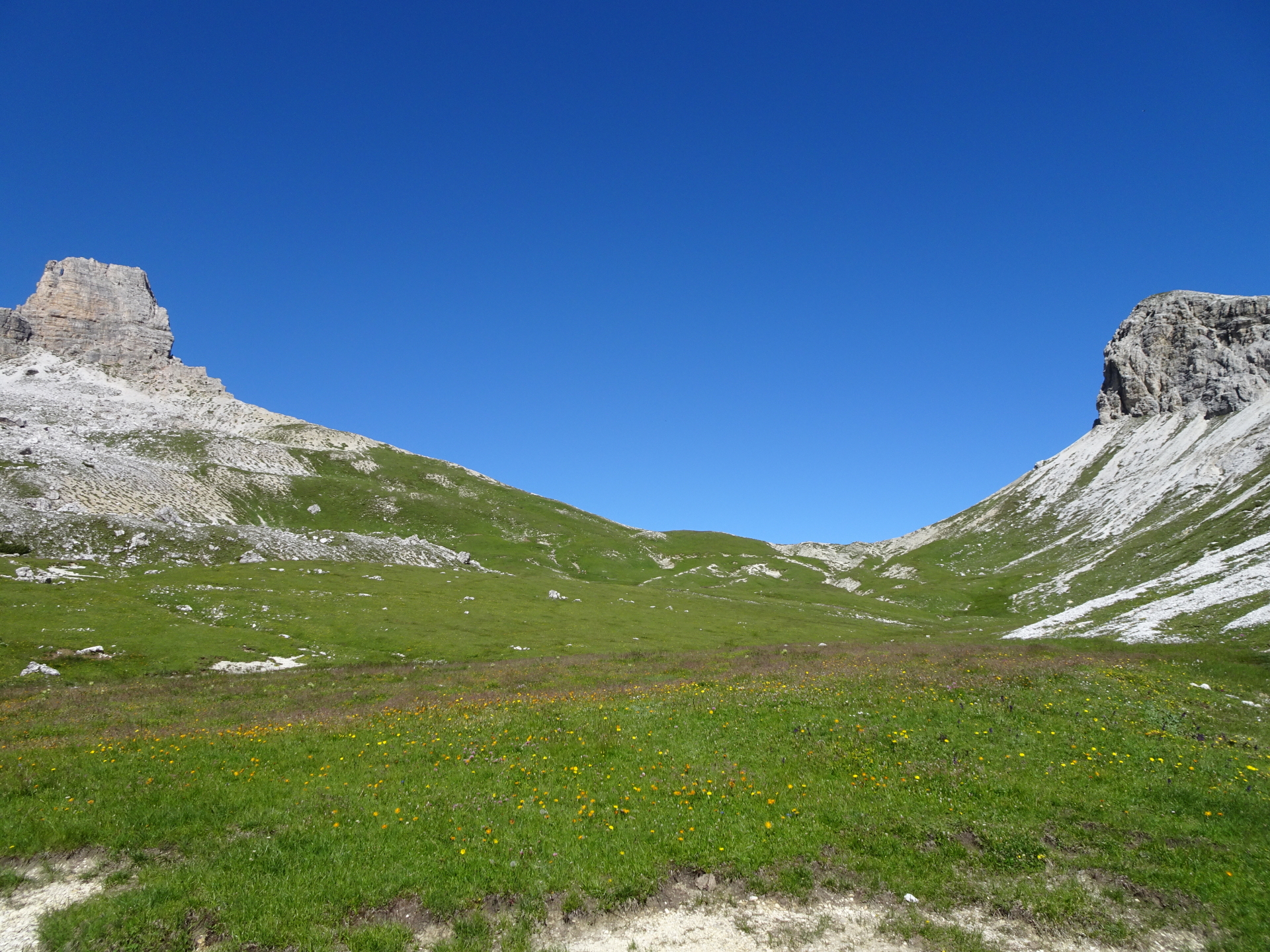
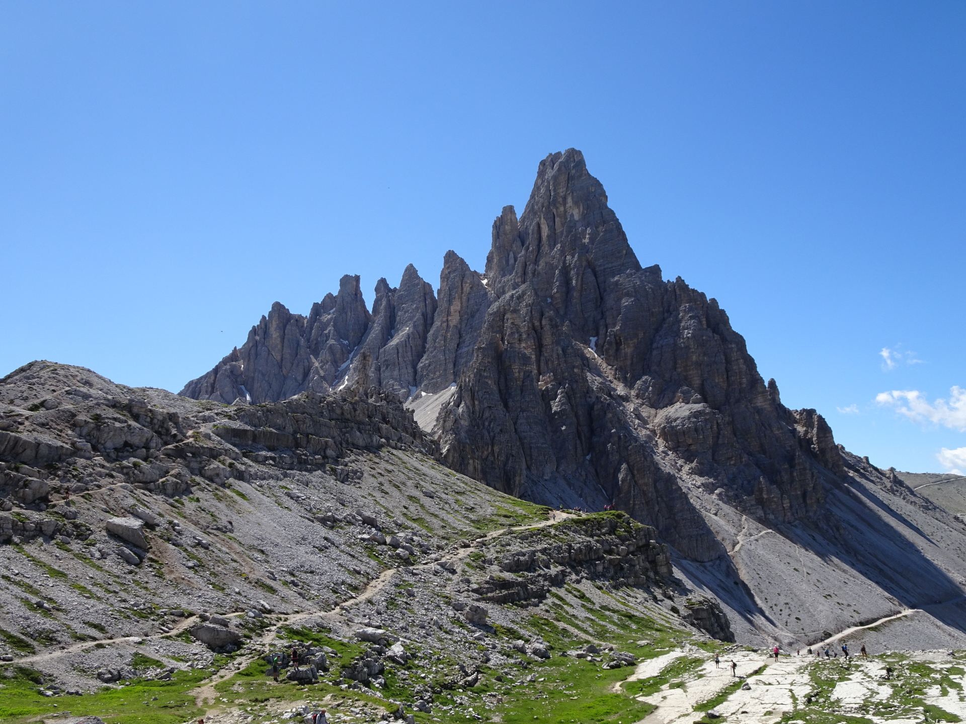
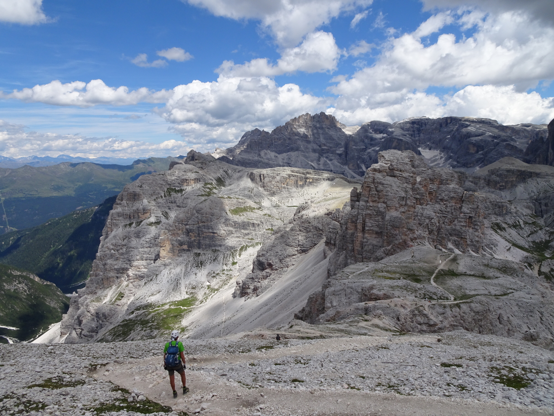
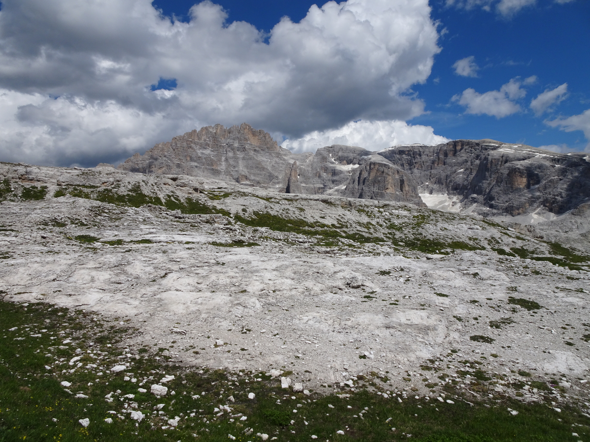
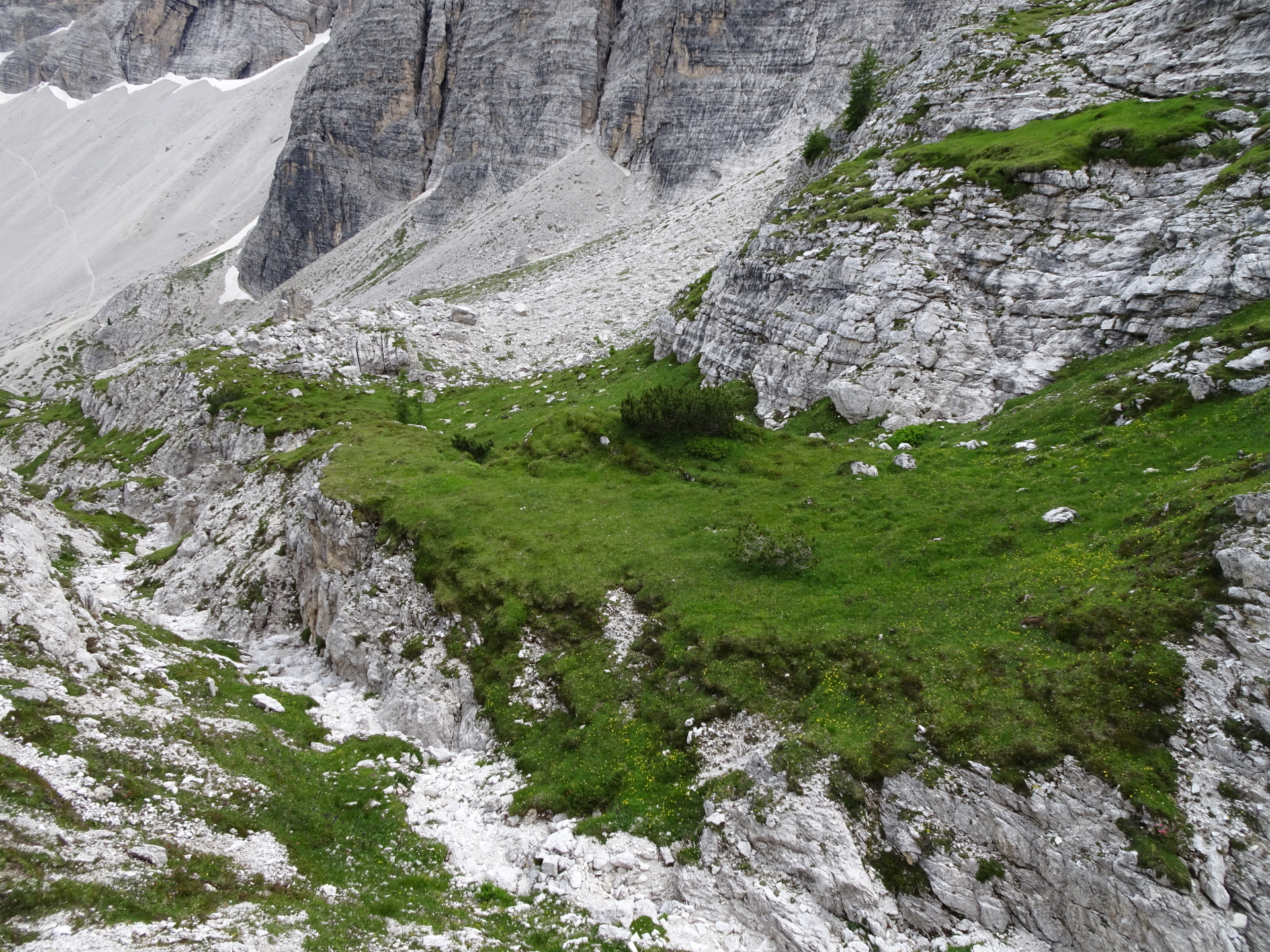
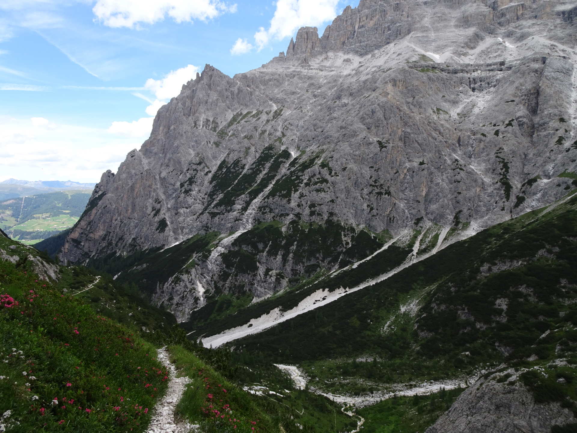
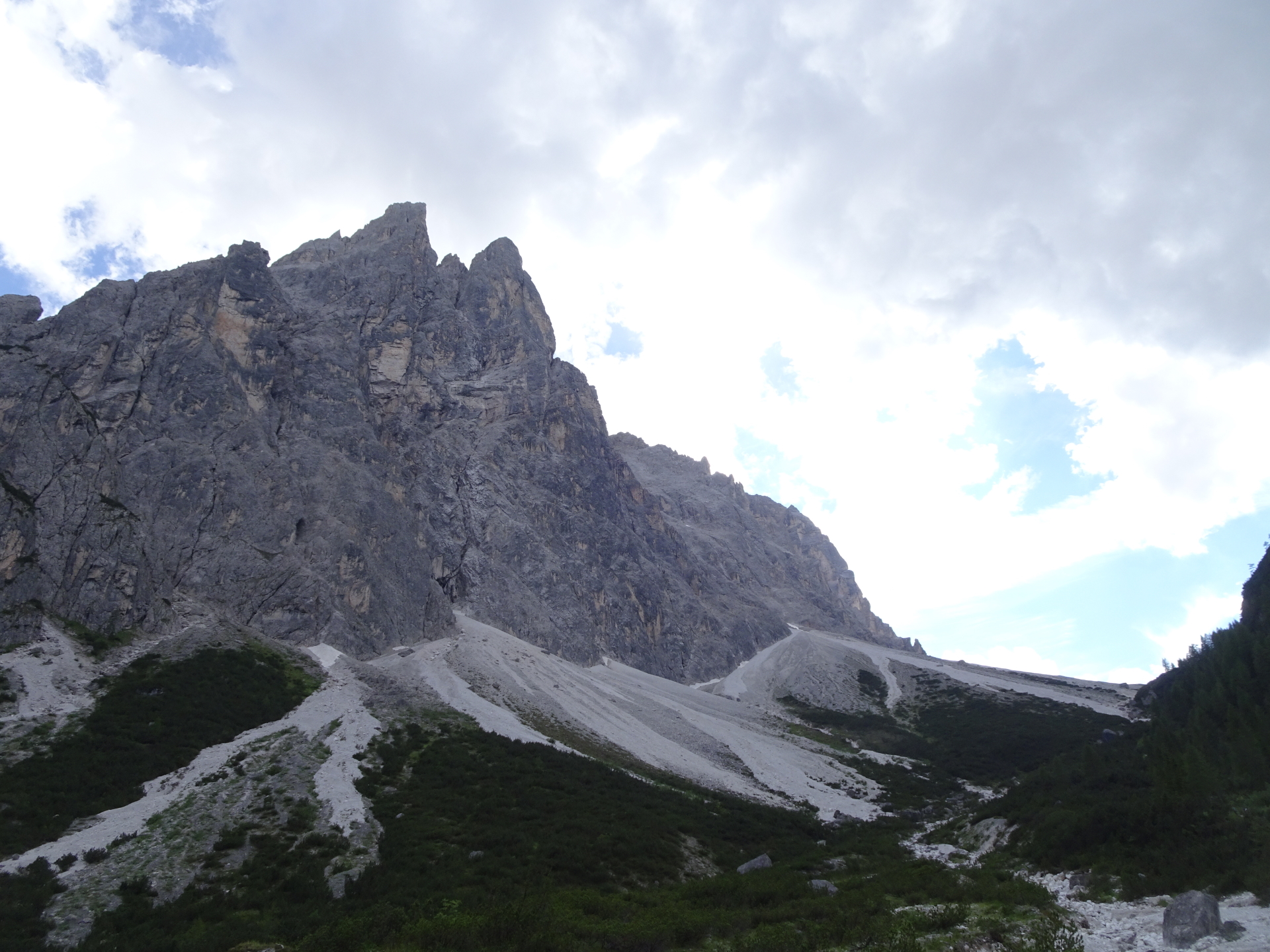
| 05:00 | At the crossing, turn right and follow the very promising Schartenweg/Sentiero delle Forcelle trail (Via Ferrata Cat. A/B). Enjoy the views provided during the hike! |
| 06:00 | Keep always straight and follow the Schartenweg/Sentiero delle Forcelle. |
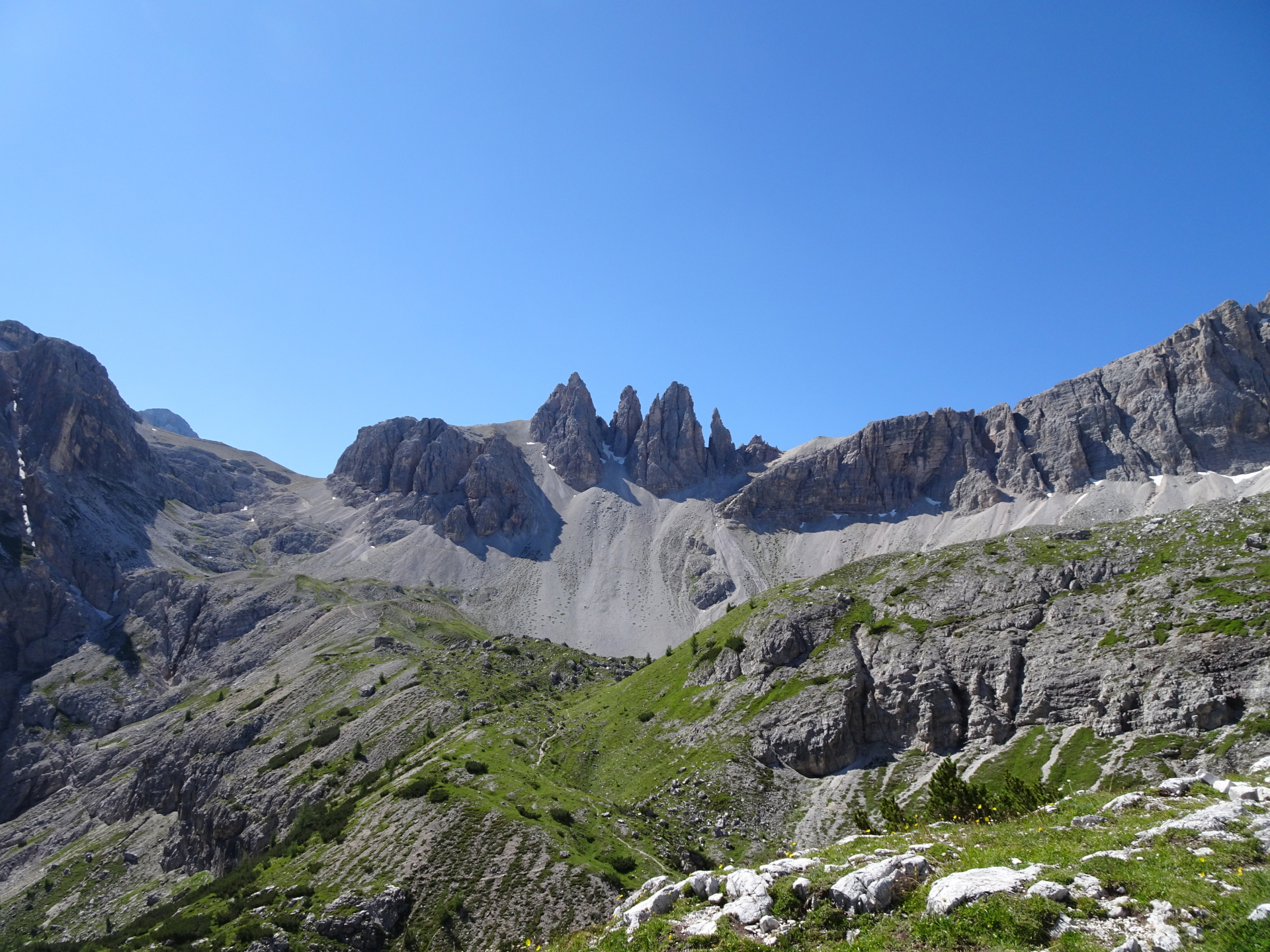
| 06:20 | Follow the trail upwards on the left hand-side towards the Büllelejochhütte/Rifugio Plan di Cengia. |
| 06:25 | At the crossing, stay straight (light leftwards) and follow the trail upwards. |
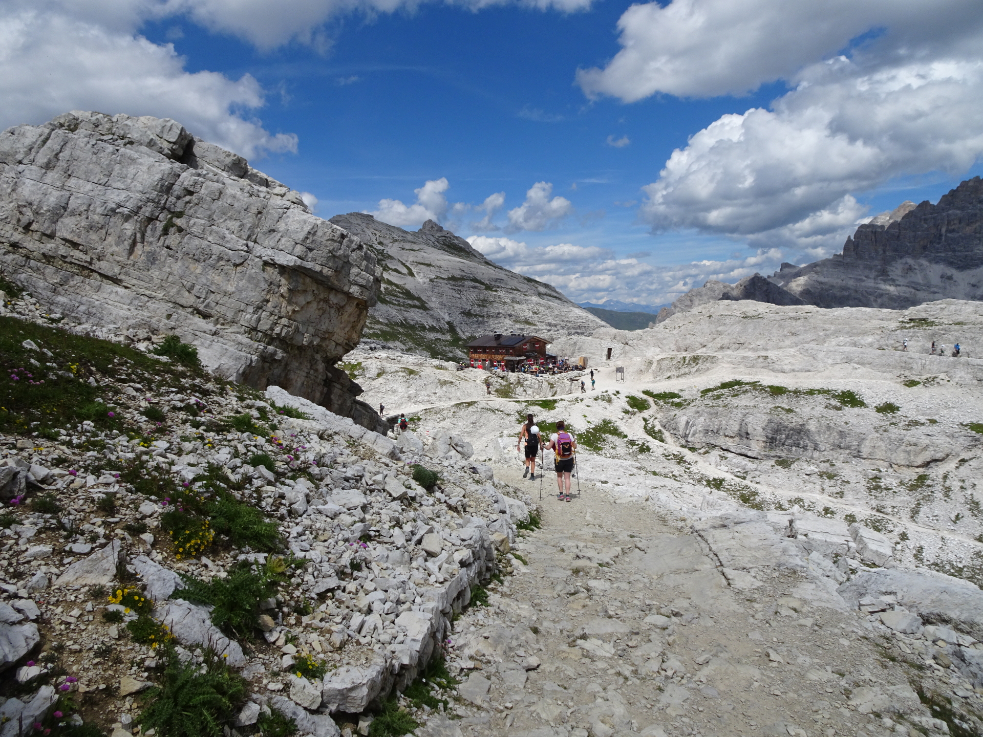
| 06:35 | Well deserved break ( ) at the Büllelejochhütte/Rifugio Plan di Cengia. |
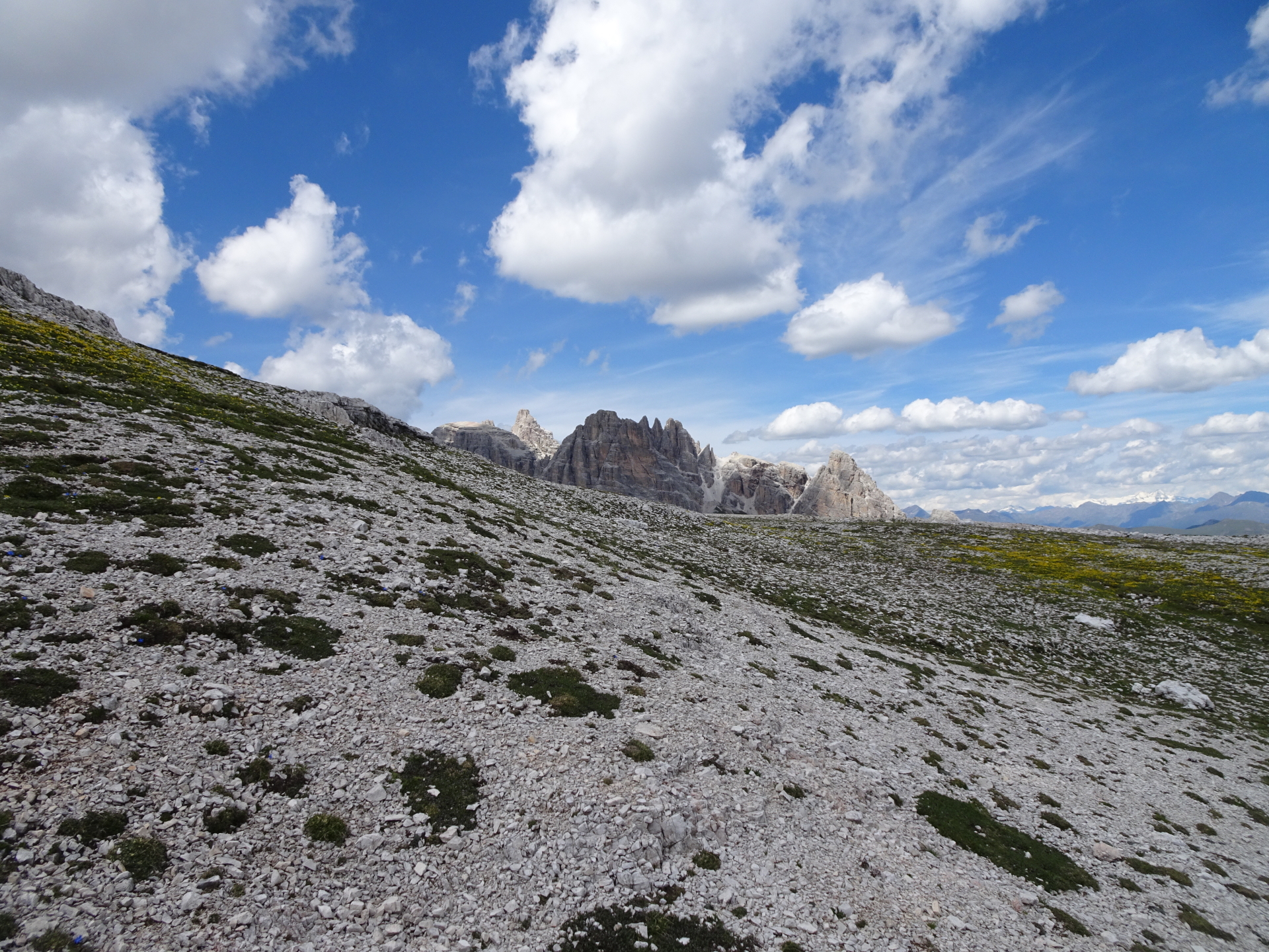
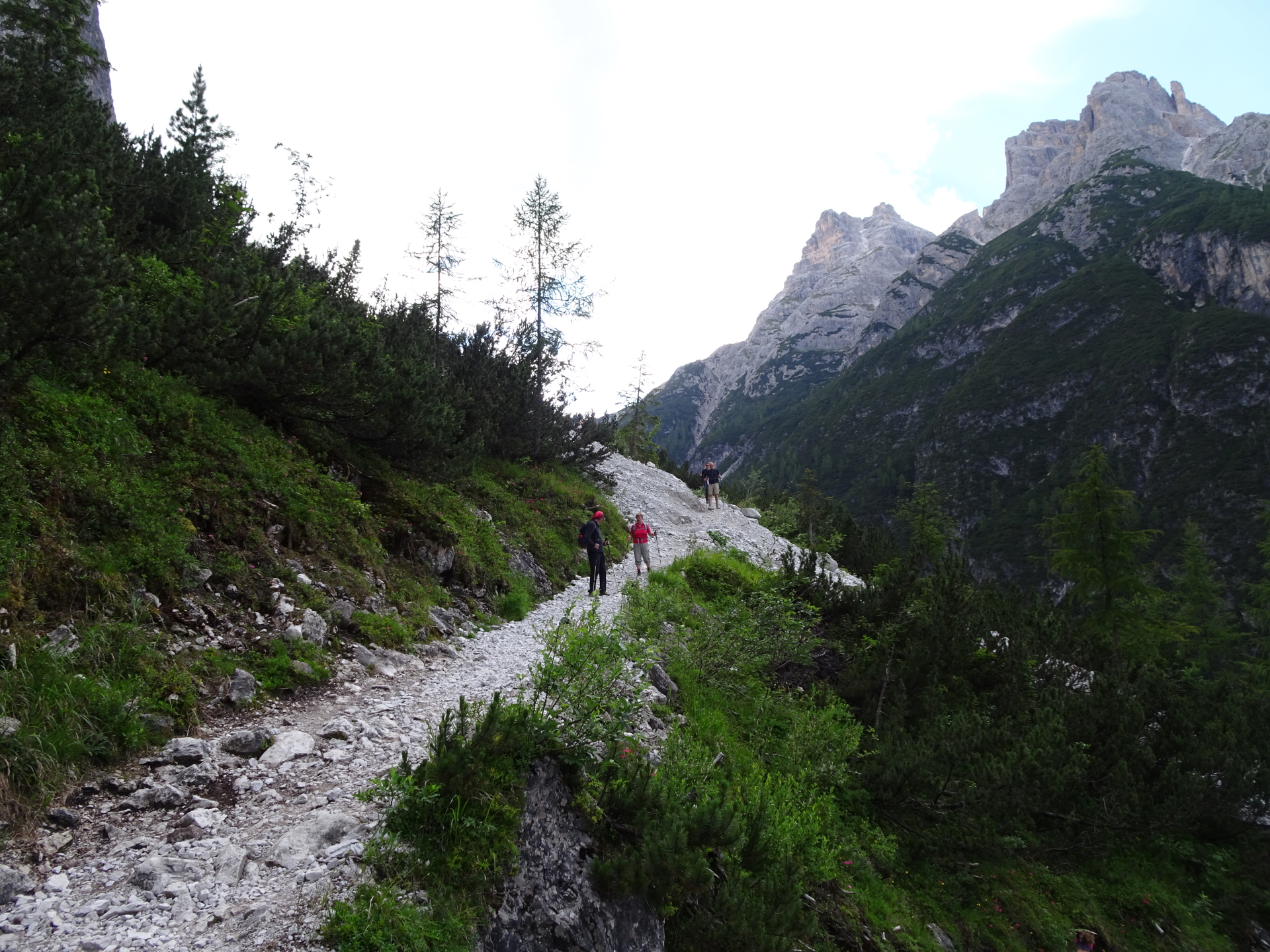
| 07:35 | Continue on the trail from the Büllelejochhütte/Rifugio Plan di Cengia, following the left trail upwards and follow the trail (stay straight). |
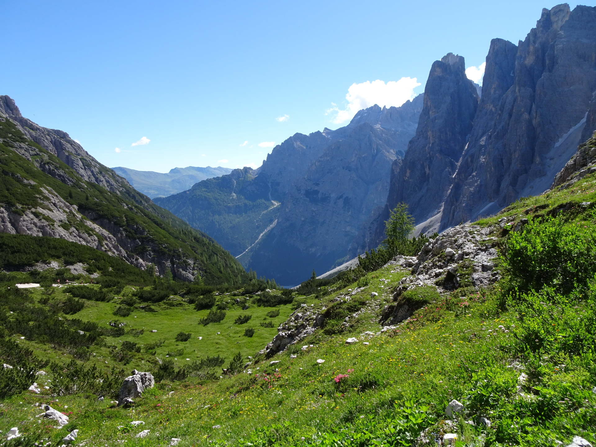
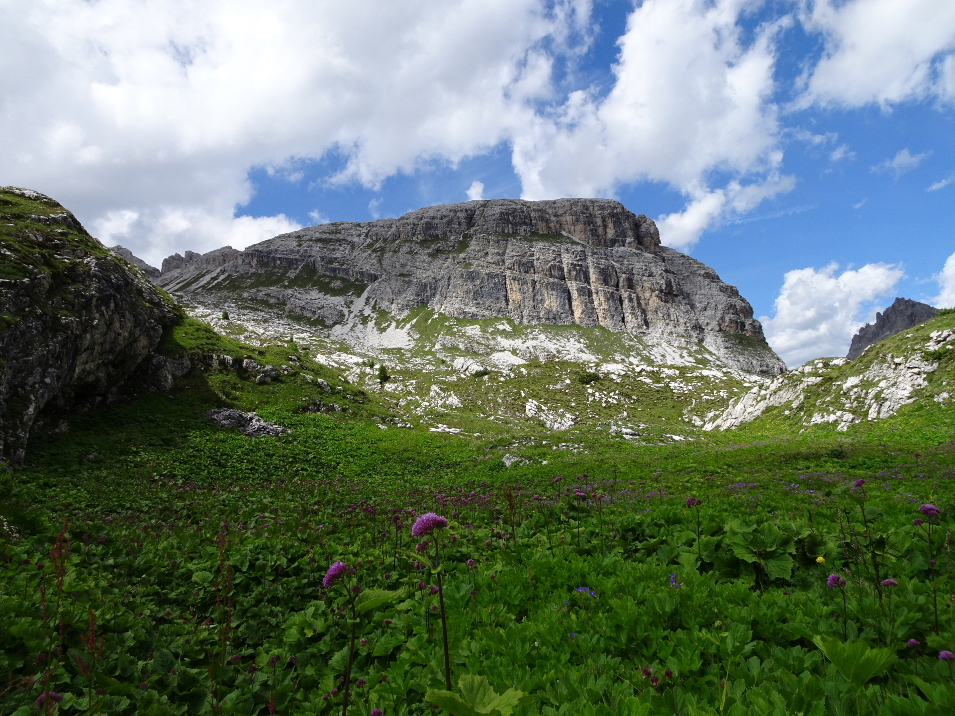
| 08:15 | Short break at the Zsigmondy-Comici Hütte/Rifugio Zsigmondy-Comici (icon icon=icon-beer size=15px]). Enjoy the view towards an amazing mountain pasture. |
| 08:30 | Continue on the trail (keep straight) back downwards to the valley. |
| 08:45 | At the crossing, stay straight (keep left) and follow the trail downwards. |
| 09:15 | At the crossing, keep right this time and follow the trail further downwards. |
| 09:30 | Well deserved break ( ) at the Talschlusshütte/Rifugio Fondo Valle. |
| 10:30 | Follow the trail / gravel road back to the parking. |
| 11:00 | Back at the parking / end of the tour. |
At a glance
| Level | easy-moderate – alpine! |
| – UIAA Level (Climbing) | I |
| – Via Ferrata Category | B/C |
| Technique | |
| Shape / Fitness | |
| Experience | |
| Scenery | |
| Best time in the year | |
|
Jan
Feb
Mar
Apr
May
Jun
Jul
Aug
Sep
Oct
Nov
Dec
|
|
General Tour Data
| Area: | Dolomiti, South-Tyrol, Italy | |
| Distance: | 19.5km | |
| Ascent: | 1452m (4h 30min) | |
| Descent: | 1452m (3h 10min) | |
| Highest Pt: | 2744m | |
| Lowest Pt: | 1452m | |
| Duration: | 8h 45min (without breaks) 11h 00min (with breaks) |
|
| Stop/Rest: | Talschlusshütte/ Rifugio Fondo Valle (1548m) Dreizinnenhütte/ Rifugio Antonio Locatelli (2438m) Büllelejochhütte/ Rifugio Pian Di Cengia (2528m) Zsigmondy-Comici Hütte/ Rifugio Zsigmondy-Comici (2224m) Fischleinbodenhütte/ Rifugio Piano Fiscalino (1452m) |
|
| Equipment: | Via ferrata set incl. helmet Headlamp!!! Backpack with standard hiking equipment Solid hiking shoes with good grip Snacks and plenty of water 1x Gipfelbier Sun & Weather protection Camera |
|
| Topo/Map: | Paternkofel (B/C) |
| Download GPX | ||
| O | Tour at outdooractive.com |


\" (Italy)")
\" (Italy)")
")
")
Leave a Reply