
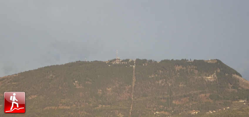
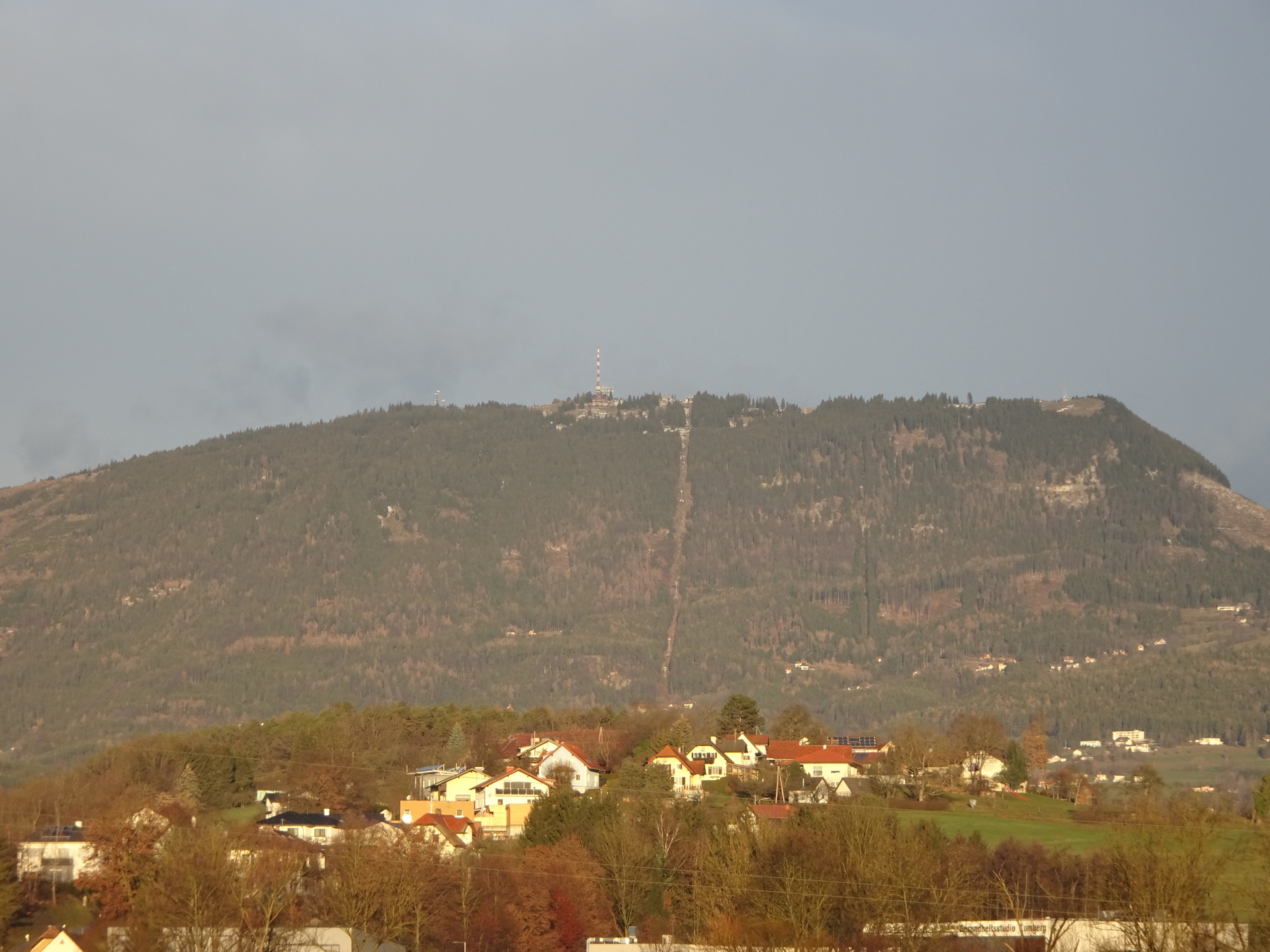
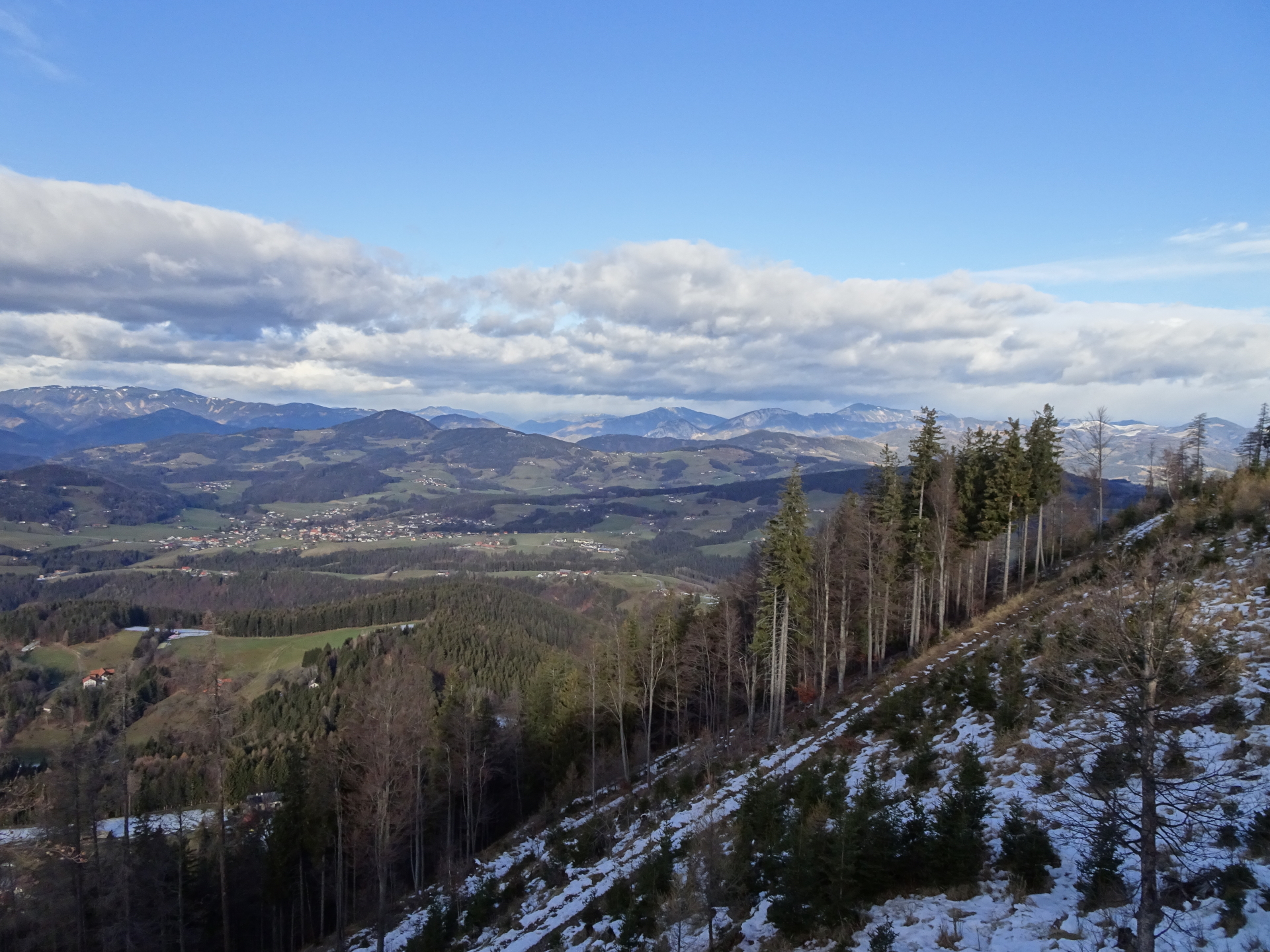
Promising tour up to Schöckl, traversing from Niederer Schöckl to Schöcklkopf starting from St. Radegund
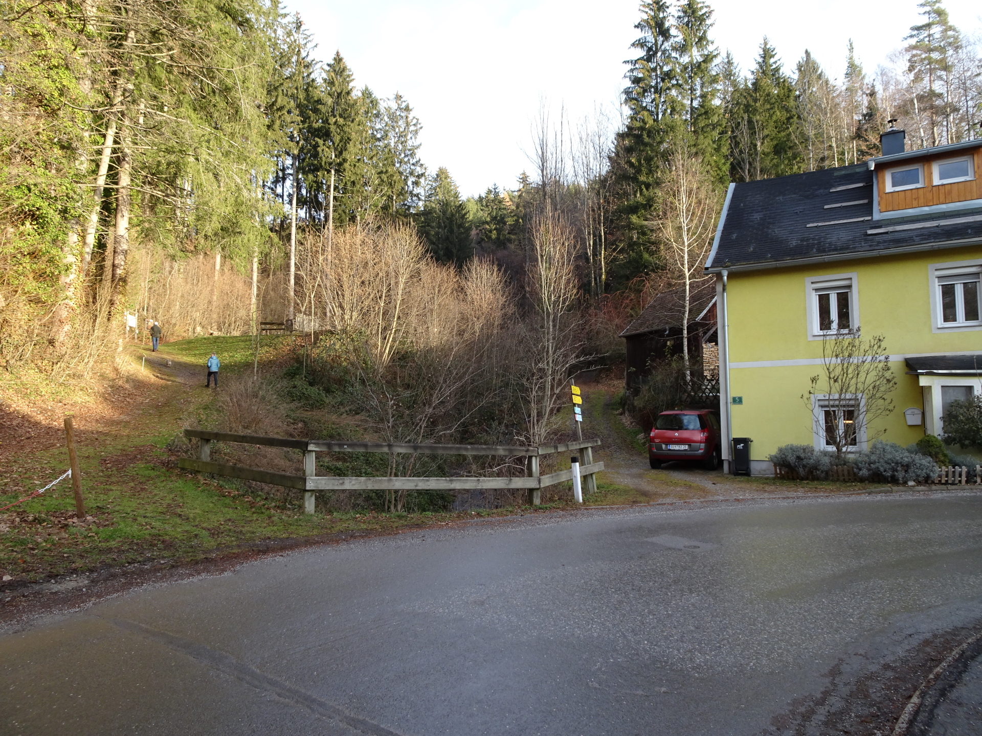
The tour starts at the parking in the village of St. Radegund (GPS: 47.182837, 15.489628) and first follows a few meter the Quellenweg / Hubertus-Runde trail. After an optional detour to the Durchschlupf cave, the tour then continues following the Quellenweg (water source trail) northwards till reaching the Desire Quelle. The tour then shortcuts through an unmarked trail to the official hiking trail that leads up to Schöckl. Depending on the direction (the following describes the traverse from west to east), the tour then turns left at the street crossing and follows the trail towards Johann-Waller-Hütte. Leaving the marked trail at Schöneben, the tour then follows forest roads till reaching the Johann-Waller-Hütte. After a short break, the tour continues southwestwards and follows the Niederschöcklweg westwards. The tour then ascends up to Niederschöckl, along a ridge but relatively easy and never steep. After reaching the summit of Niederer Schöckl, the tour then descends the saddle and ascends again towards the summit of Schöckl. After a well-deserved break at one of the many huts next to the cable car and sender, the tour continues following the trail eastwards towards Schöcklkopf. The tour then descends via the steep Niko-Steig (UIAA I-) and then follows the marked trail back to St. Radegund.
| 00:00 | Start at the parking in St. Radegund (GPS: 47.182837, 15.489628) and first follow the street northwards for a few meters. |
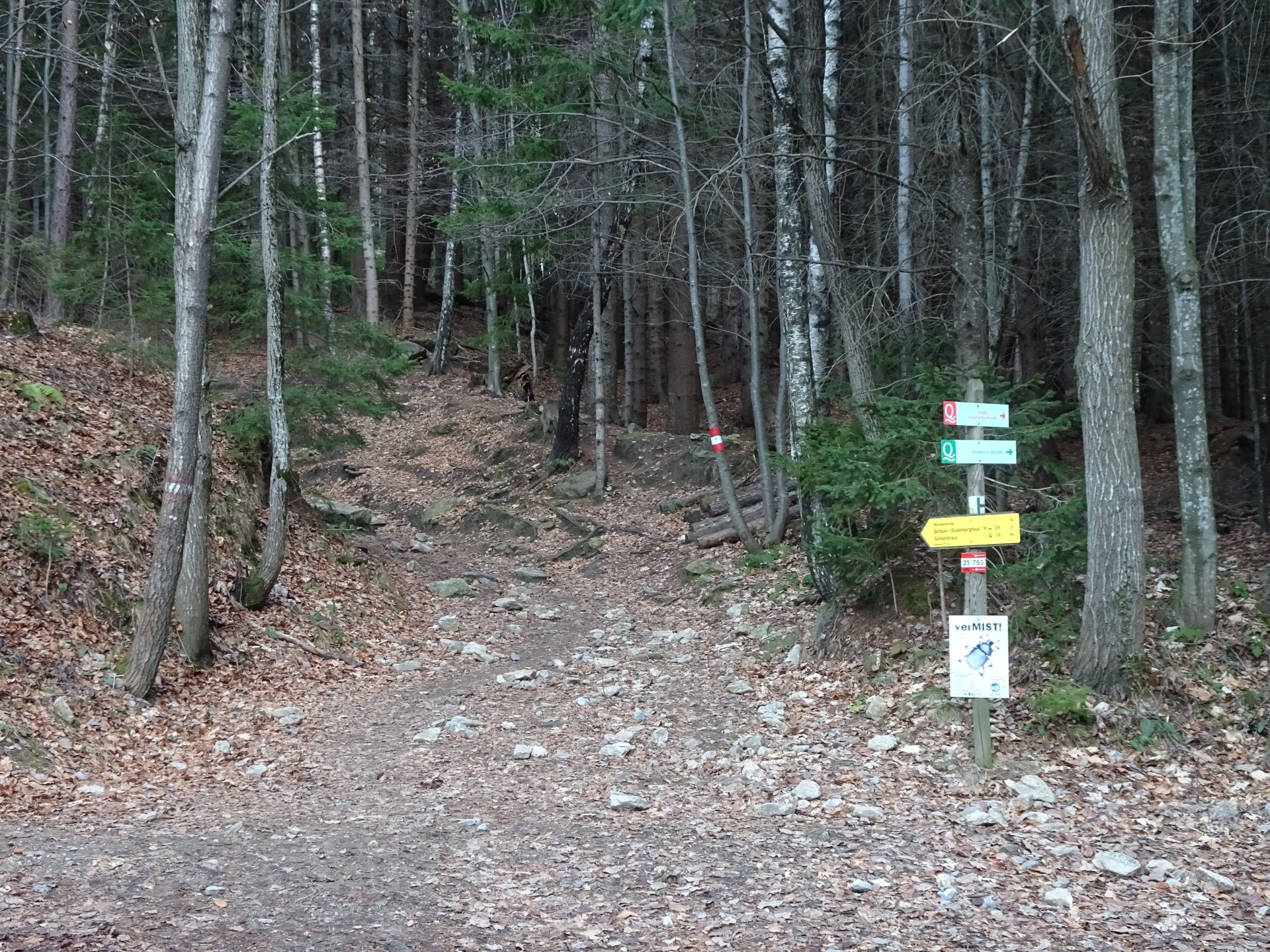
| 00:02 | At the street’s U-turn, turn left after the bridge and follow the marked Hubertus-Runde trail (marked with a “Q”) northwards (see signposts). |
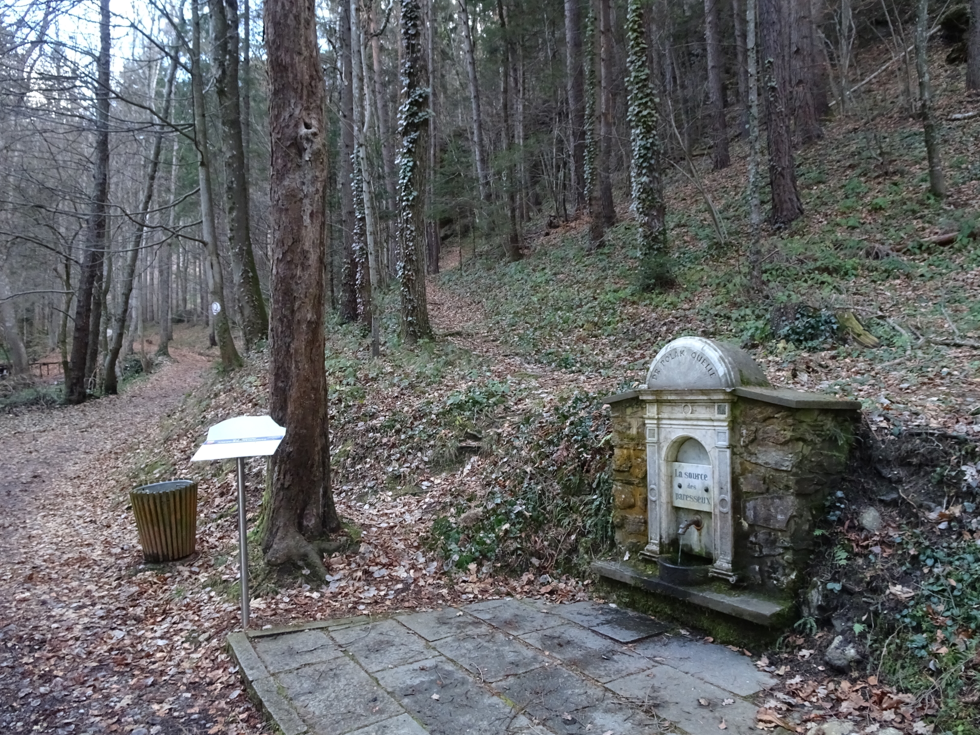
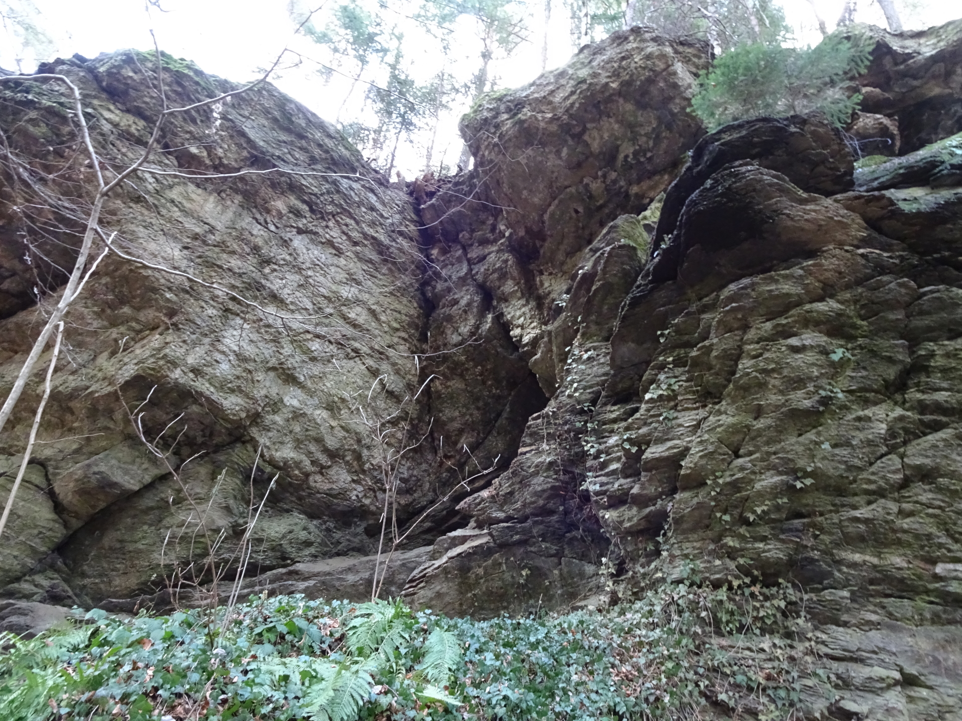
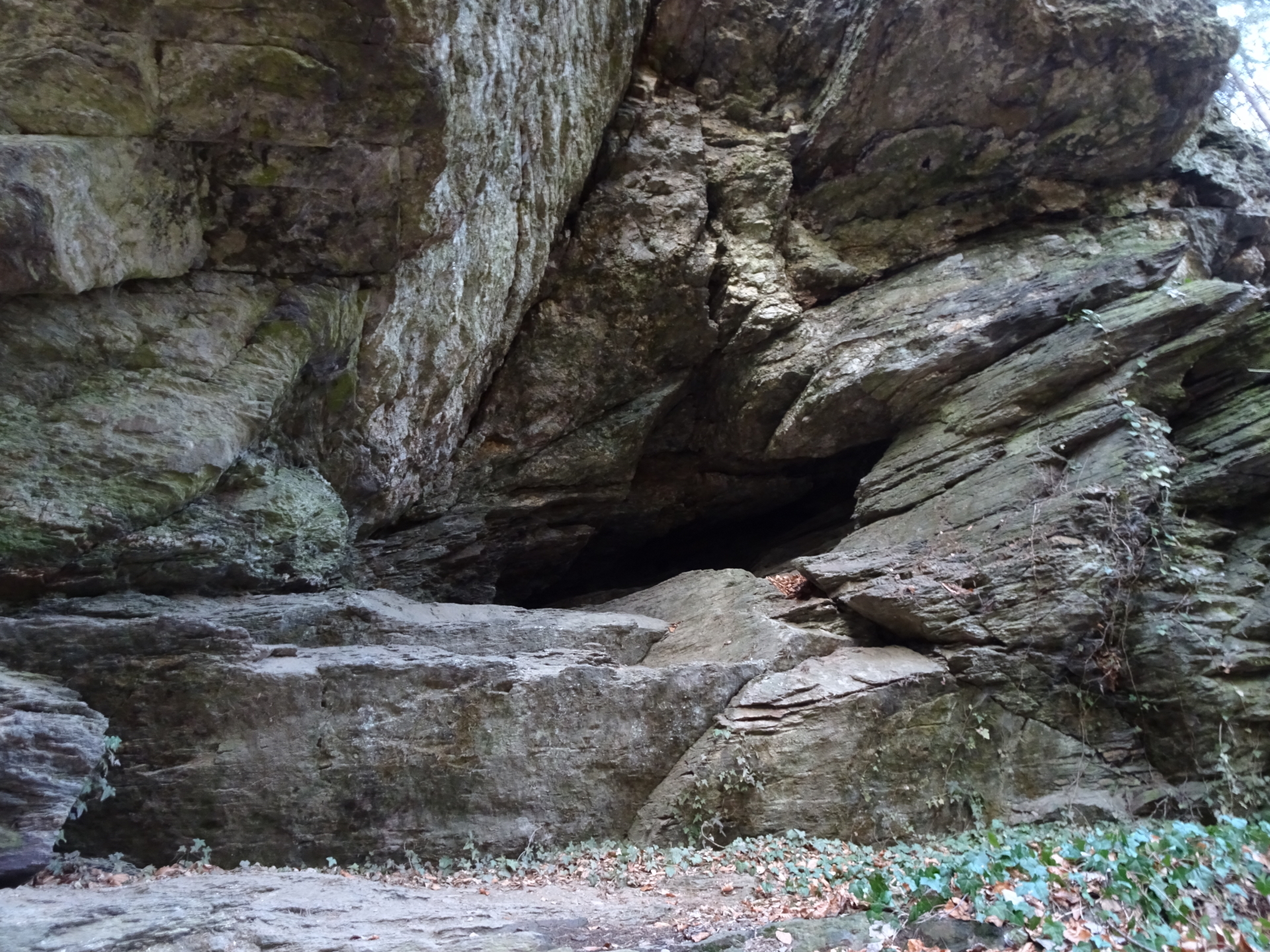
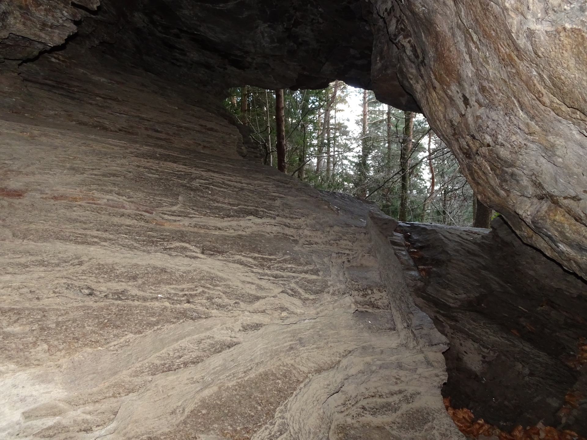
| 00:04* | Optional detour: Follow the trail behind the Dr. Polak source, leading up to the Durchschlupf cave. |
| 00:05* | Explore the Durchschlupf cave. You can climb through it (UIAA I-) and descend relatively easy at its back. Follow the traces of a trail back to the main hiking trail. |
| 00:10 | At the wooden shower, follow the upper forest road (the “Q”-trail will lead into a dead-end). |
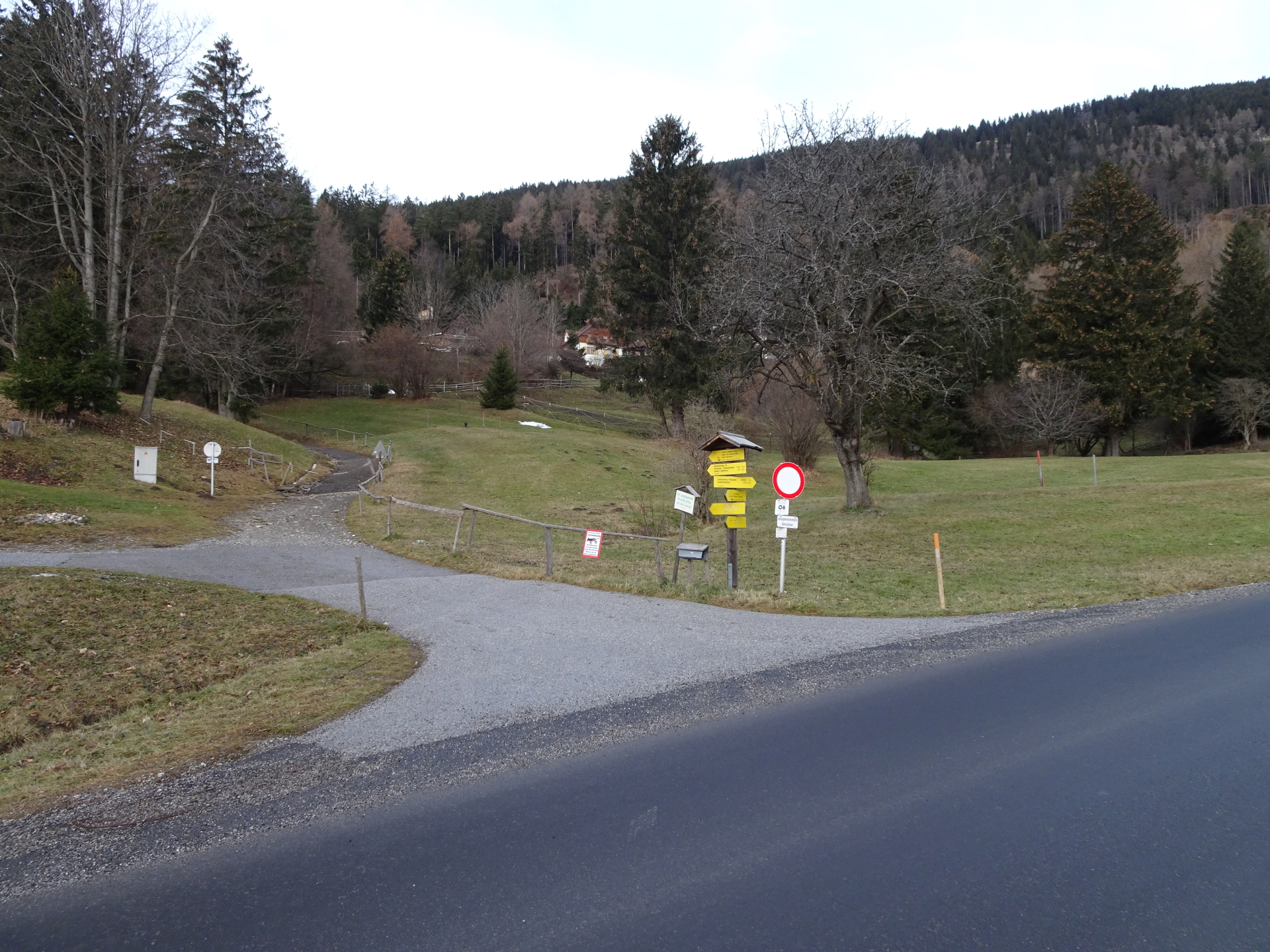
| 00:12 | At the crossing, turn left and follow the trail westwards. |
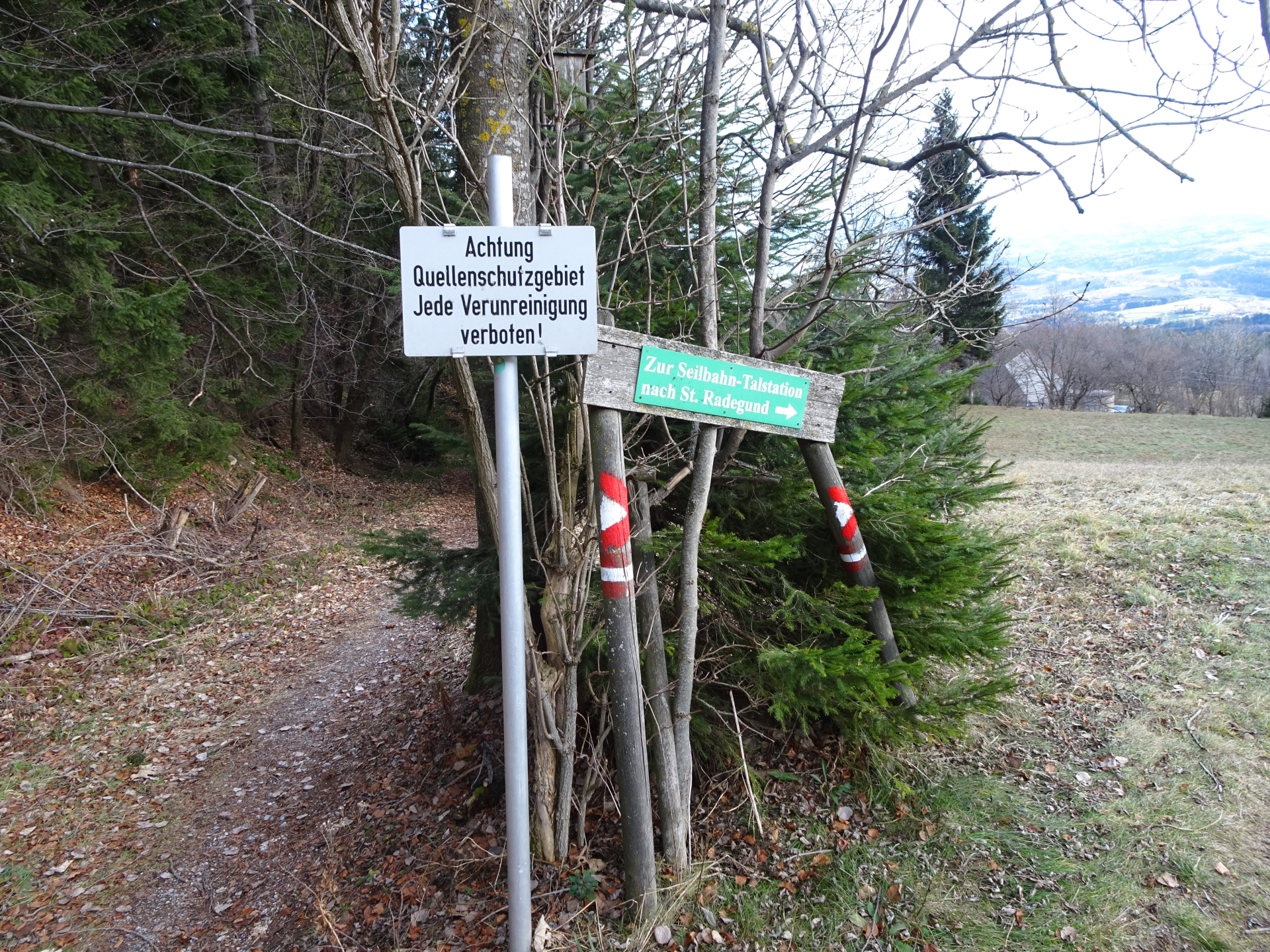
| 00:15 | At the Desire source, leave the forest road and follow the traces of a trail behind the source up, leading back to the hiking trail up to Schöckl (you cross first a forest road, continue heading up till turning right into the second forest road). |
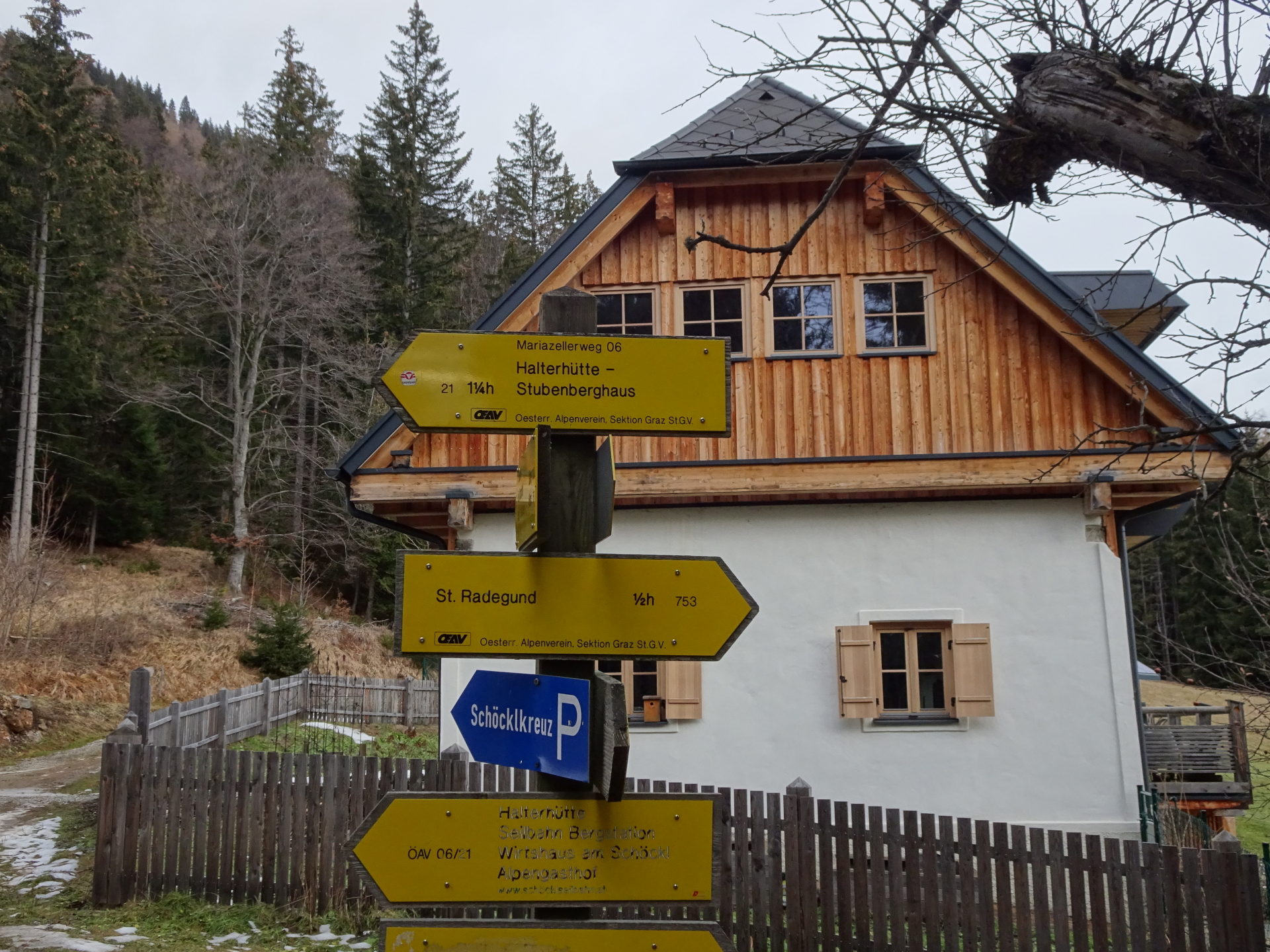
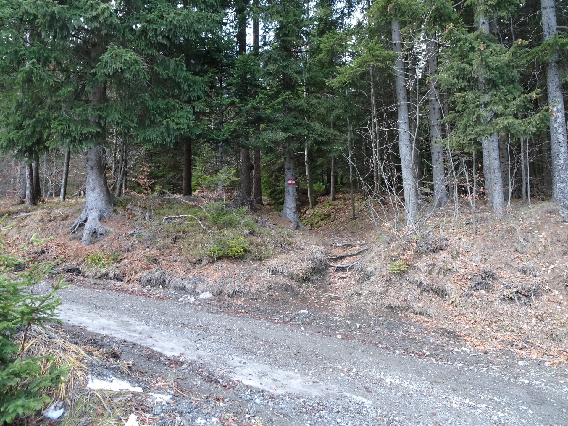
| 00:20 | Turn right into the second forest road and follow the now red marked hiking trail 21 northwestwards, passing by the water reservoir. |
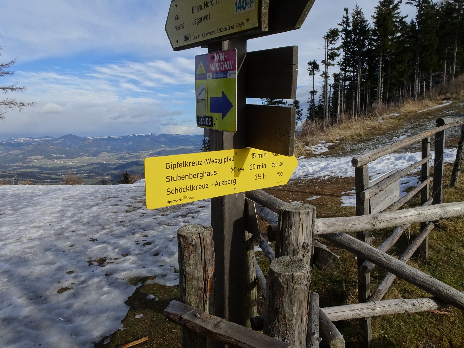
| 00:22 | At the crossing, continue following the red marked trail 21 towards Schöckl / Stubenberghaus (see signposts). The trail will then will follow the street upwards. |
| 00:25 | At the crossing, turn left and follow the red-white-red marked trail 21 towards Stubenberghaus / Johann-Waller-Hütte (see signposts). |
| 00:40 | At the crossing, keep straight and follow the trail towards Stubenberghaus. |
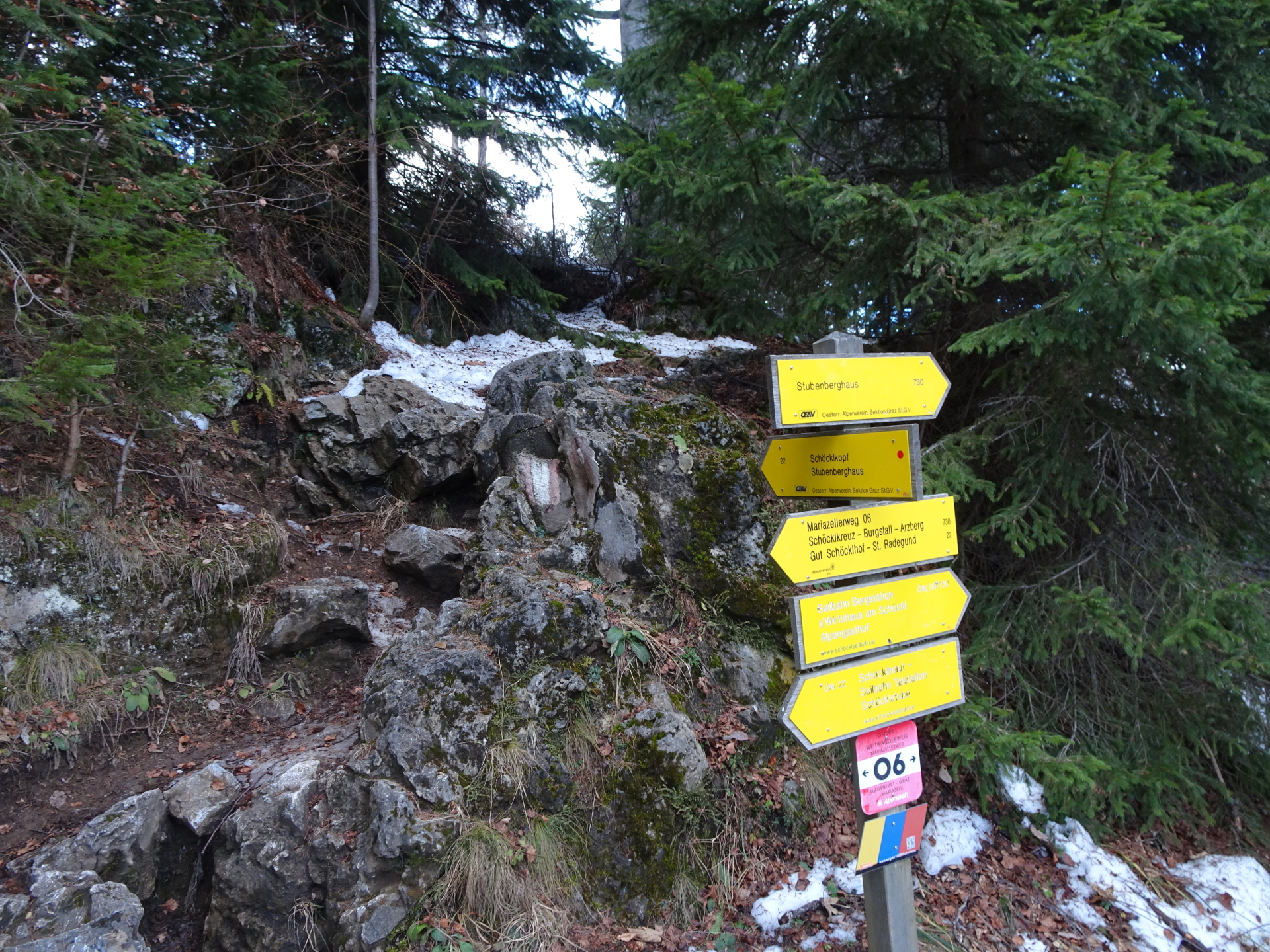
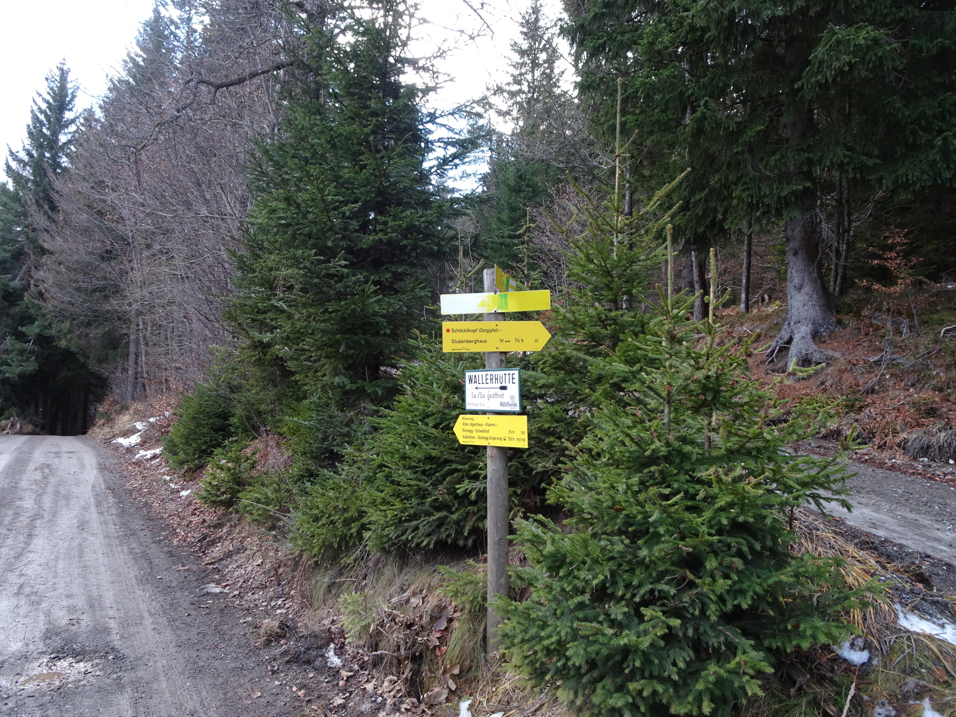
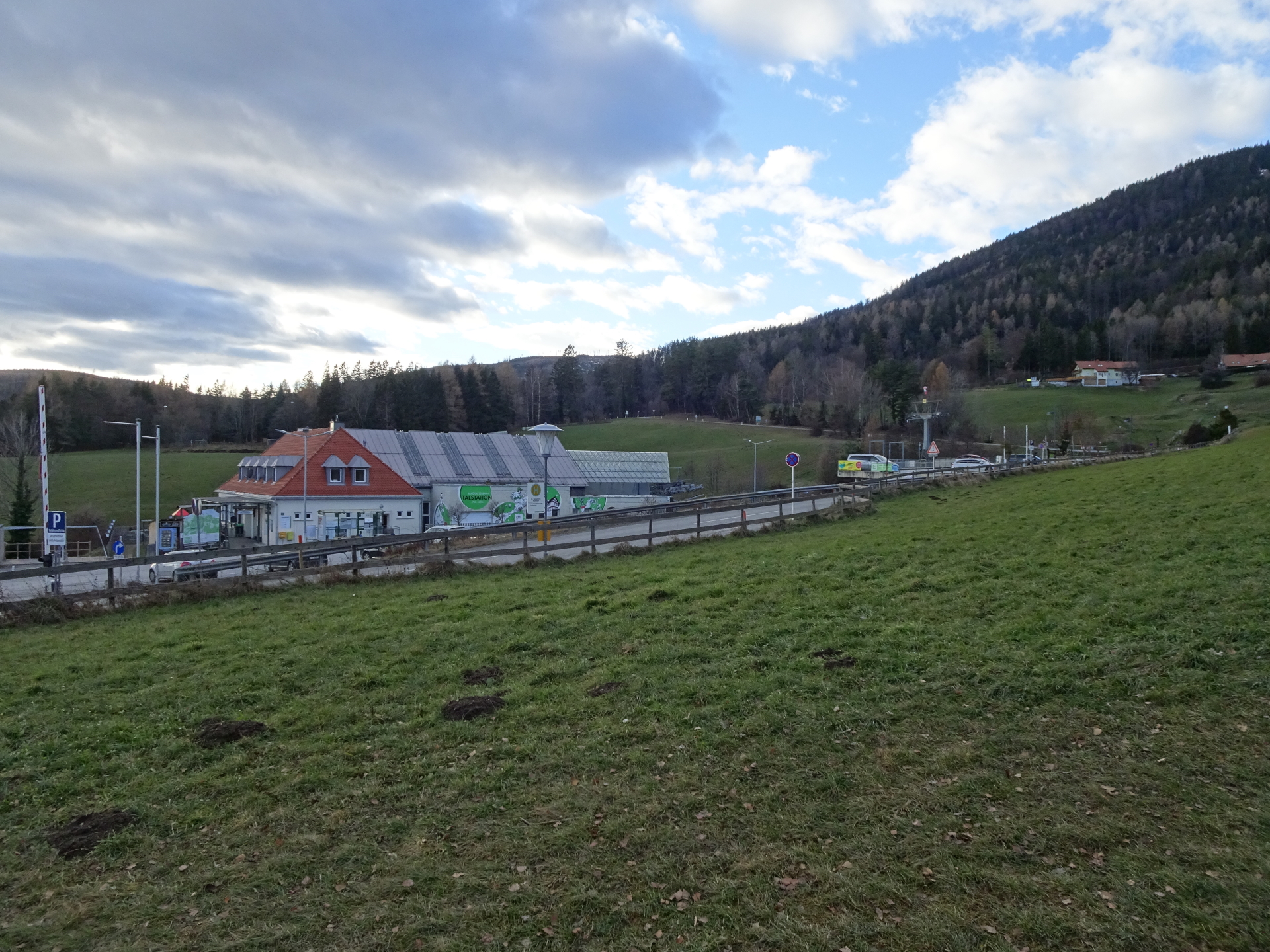
| 00:50 | Cross the street and continue following the red-white-red marked trail 06 up to Stubenberghaus. Optionally, you can take the slightly longer but more comfortable way following the road towards Wallerhütte. |
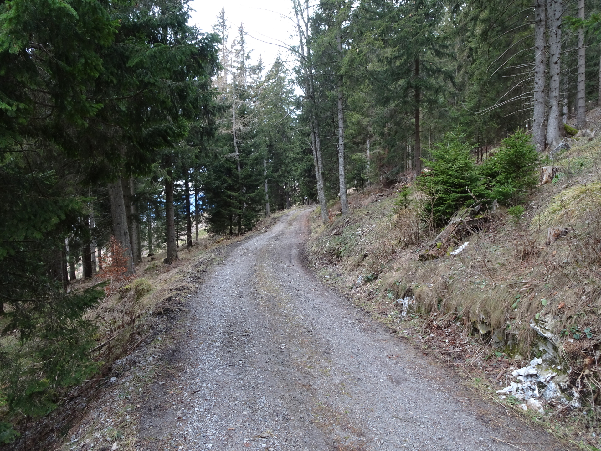
| 01:00 | At the crossing with the forest road, turn sharp left (U-turn) and leave the marked trail. Now follow the forest road westwards heading towards Wallerhütte (unmarked!). |
| 01:10 | At the crossing, turn left and take the lower forest road, descending down towards Wallerhütte. |
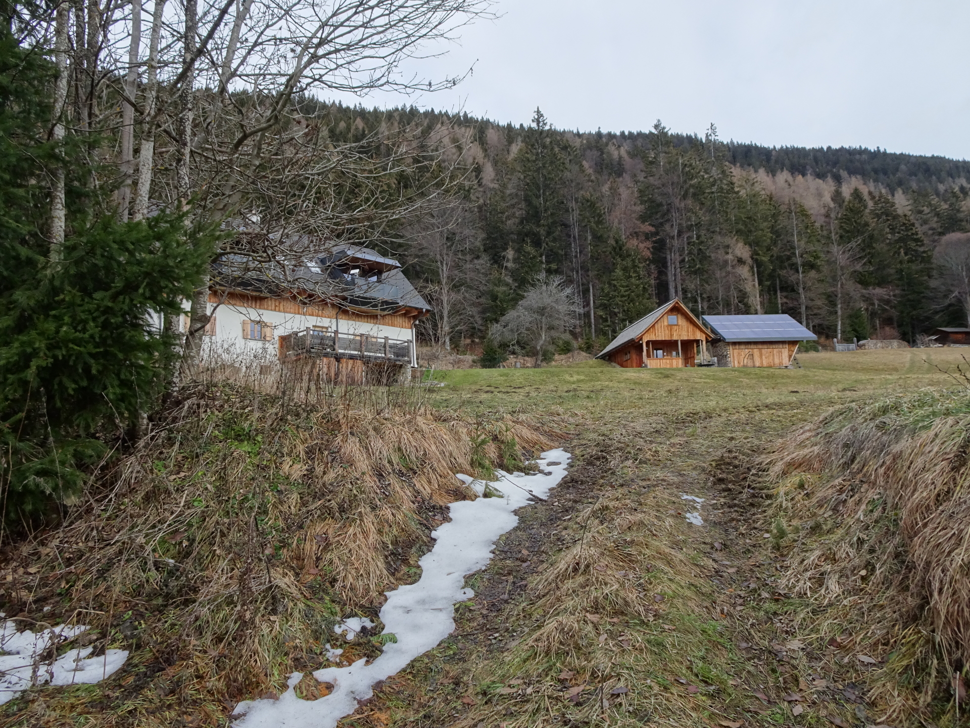
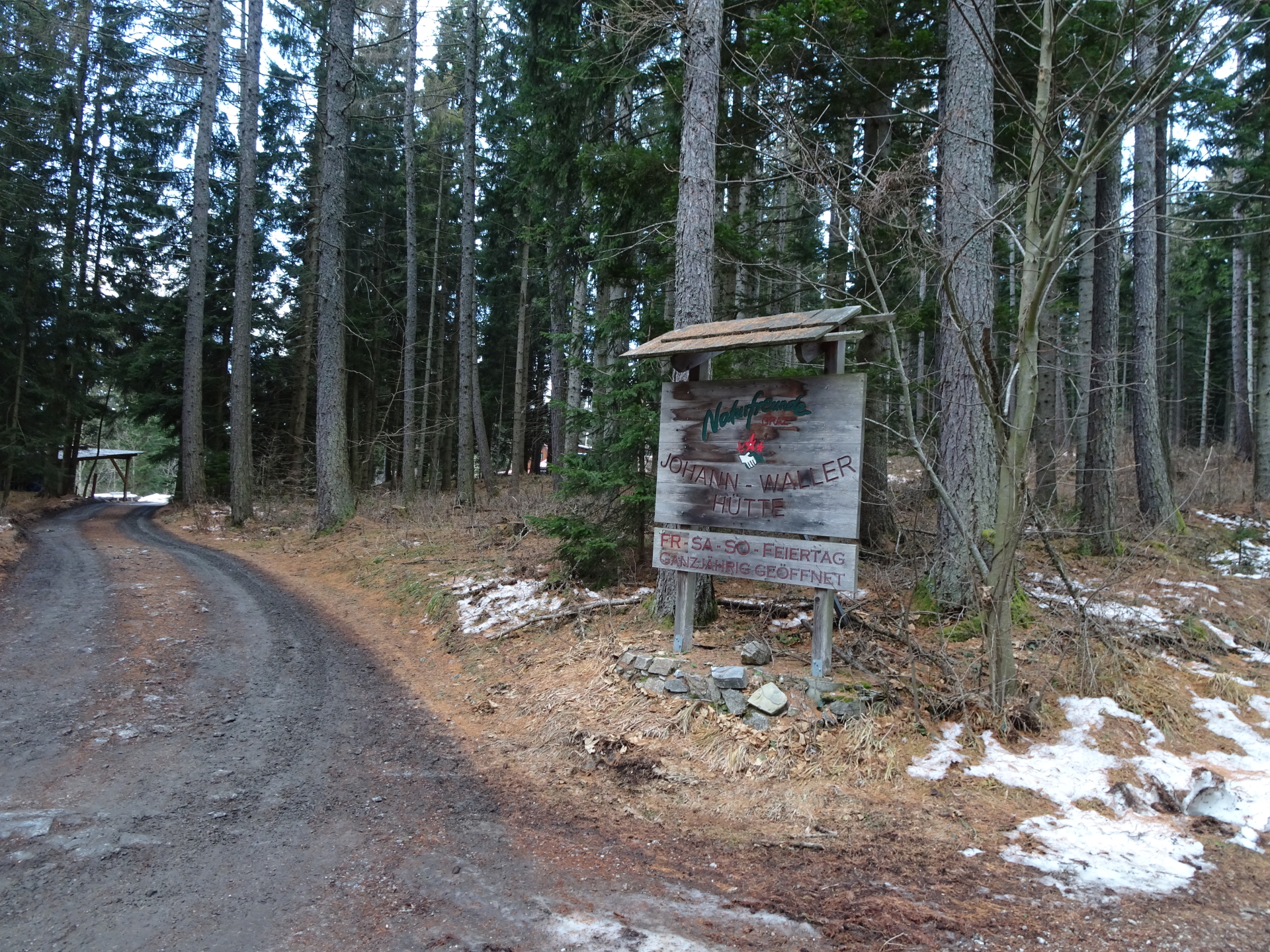
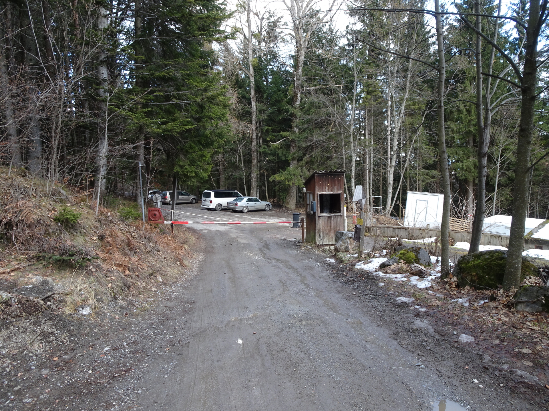
| 01:15 | Keep right and then cross the toll-road. Follow the drive-way to Wallerhütte. |
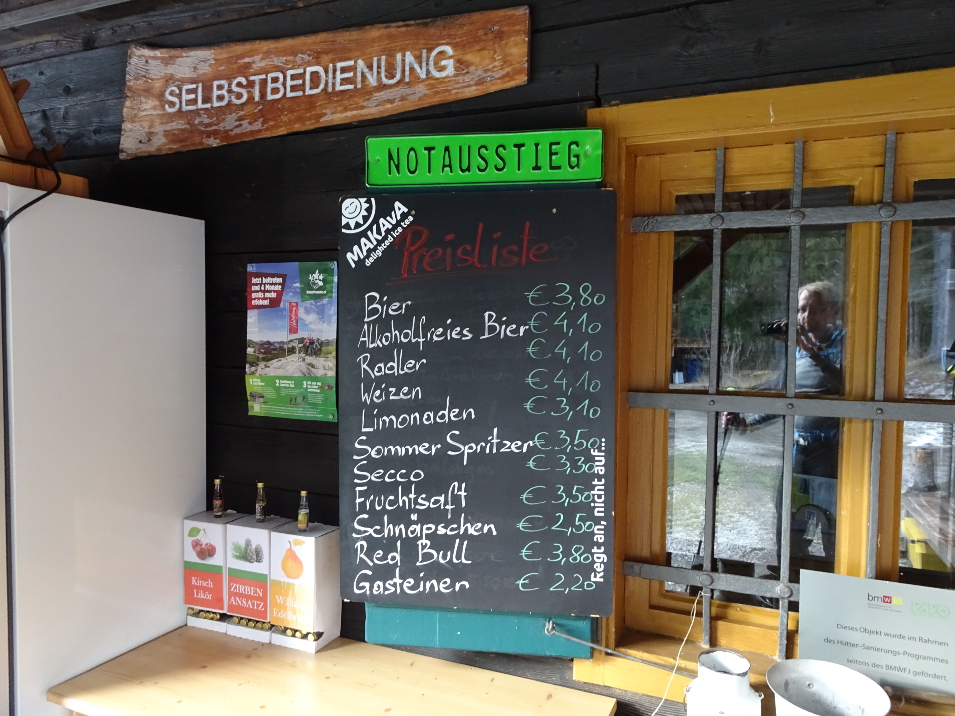
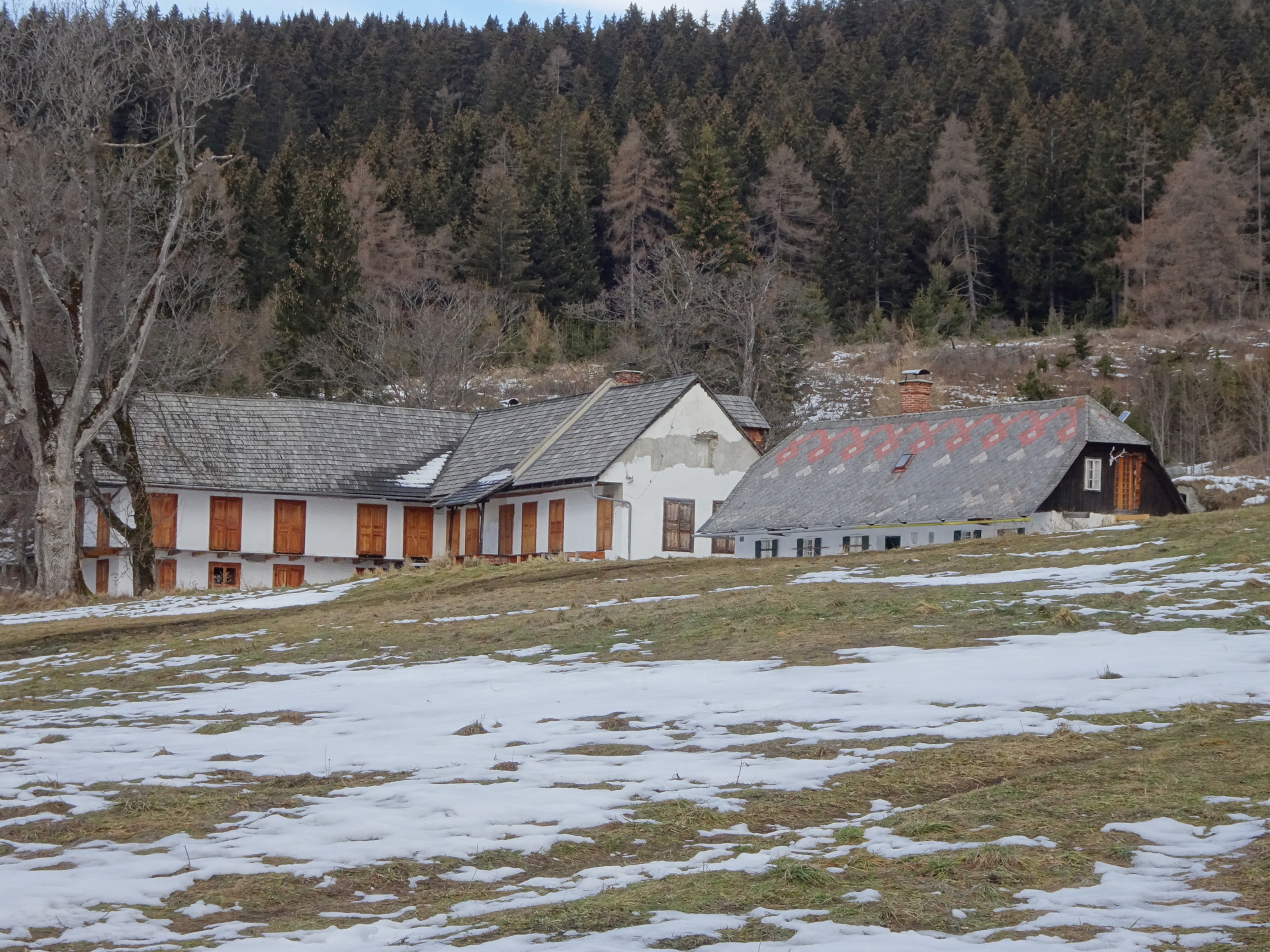
| 01:16 | Well deserved break () at Wallerhütte Hint: The hut also offers a self-service bar with various refreshments which is open the entire year! |
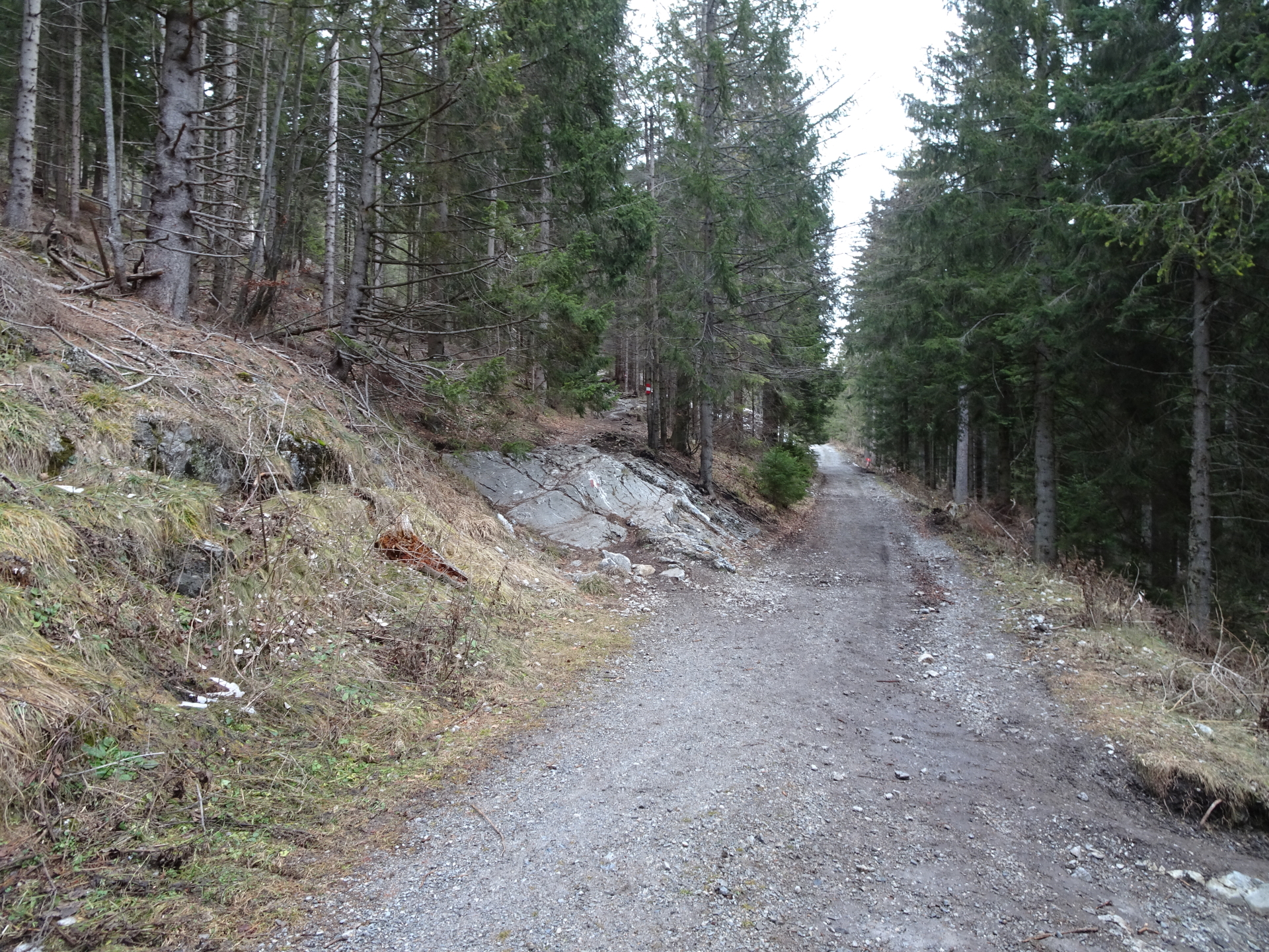
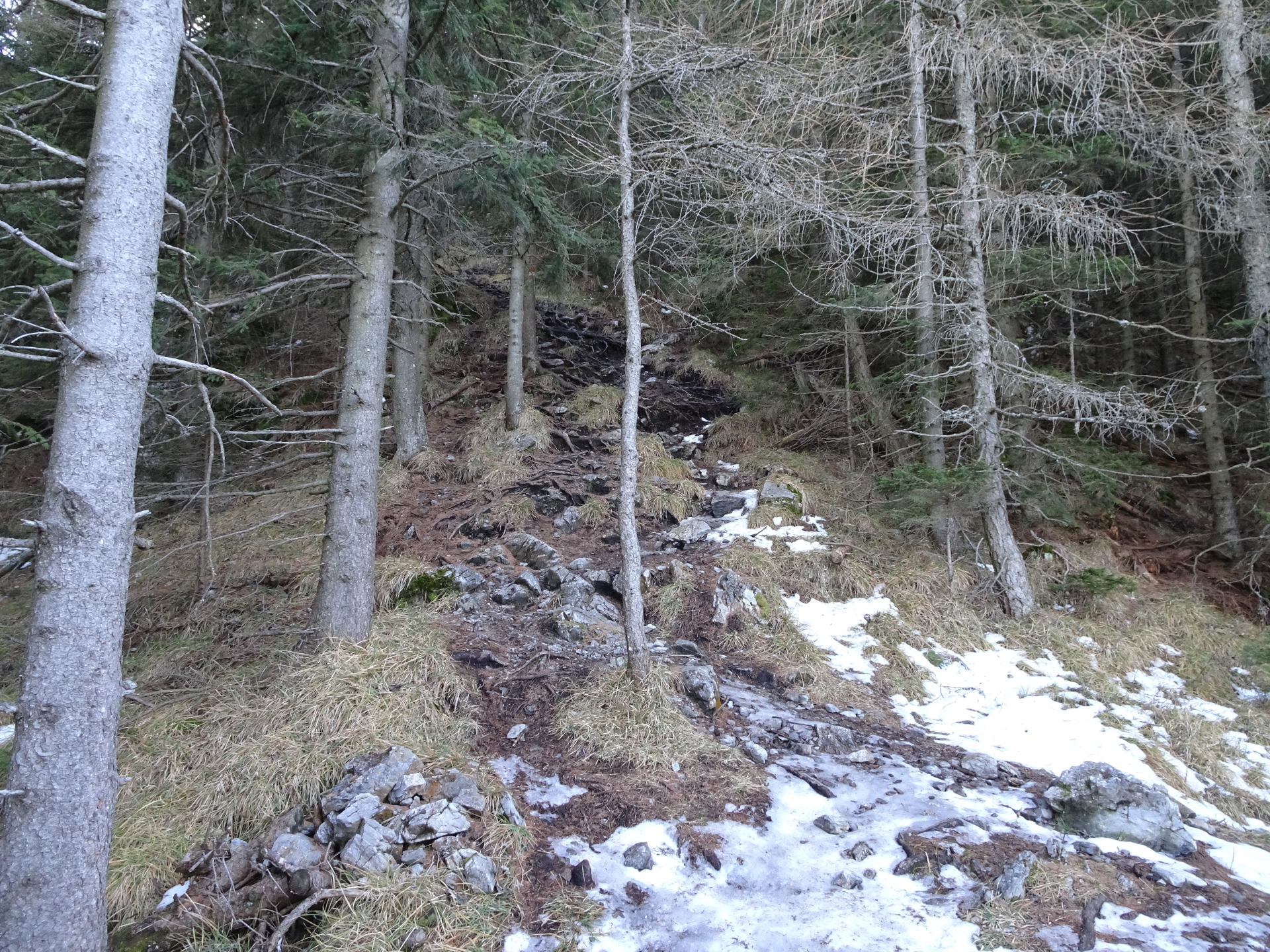
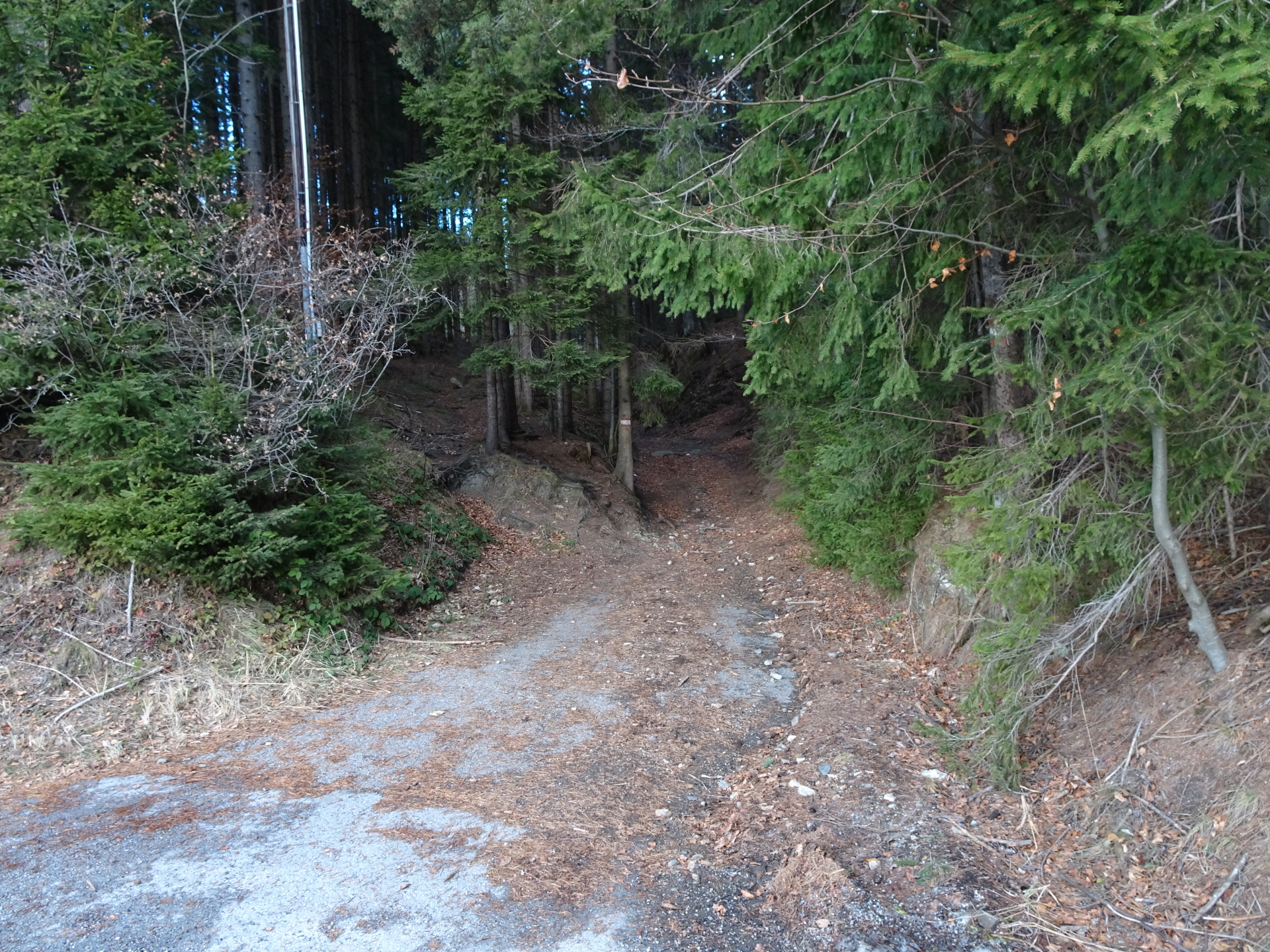
| 01:30 | Continue following the red-white-red marked trail southwestwards, descending through the forest. |
| 01:33 | Keep left and follow the forest road downwards. Bypass the alpine pasture and the located house. |
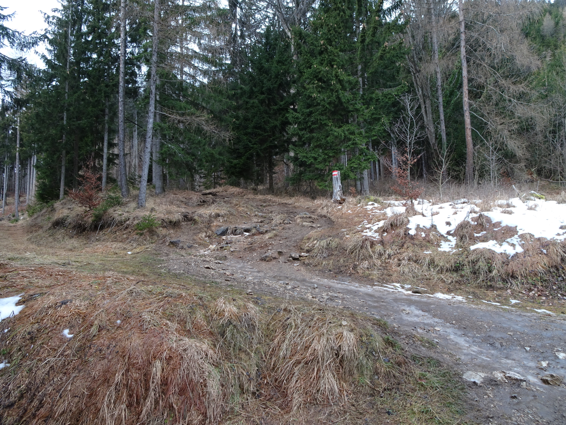
| 01:40 | At the crossing, turn right and follow the Niederschöcklweg trail 767 towards Theißlwirt (see signpost). |
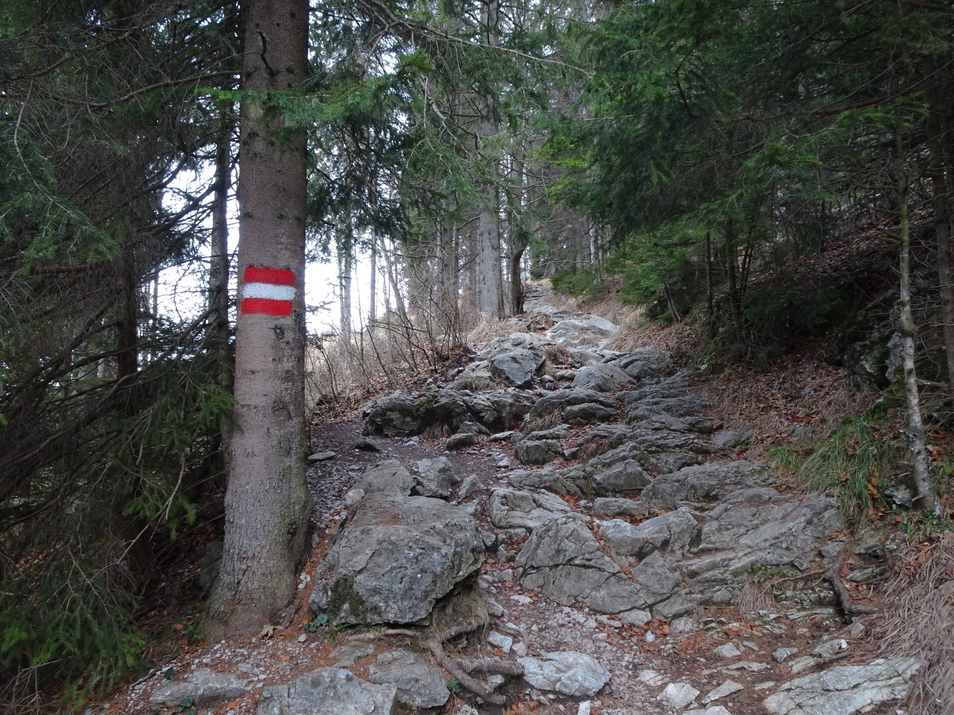
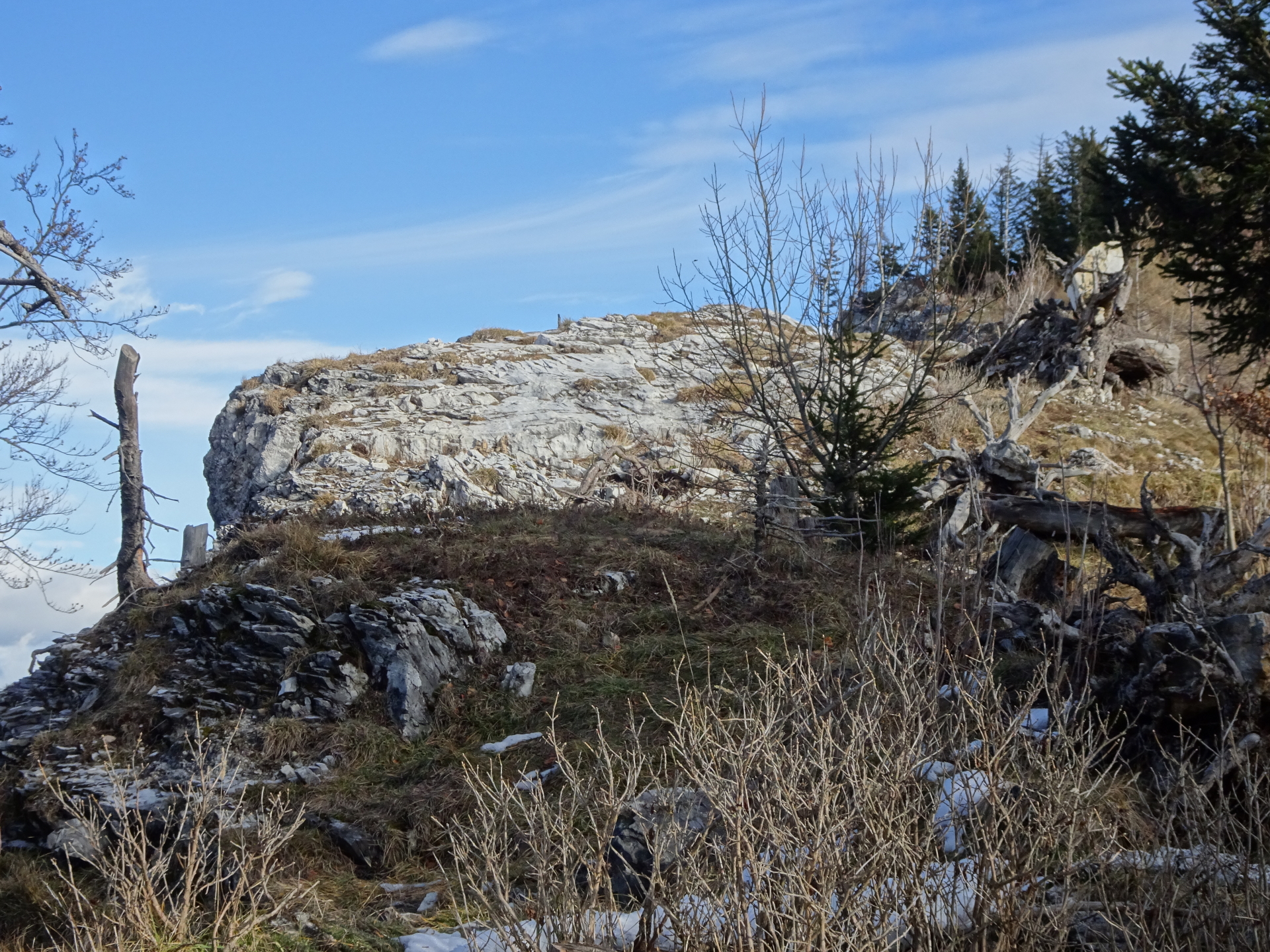
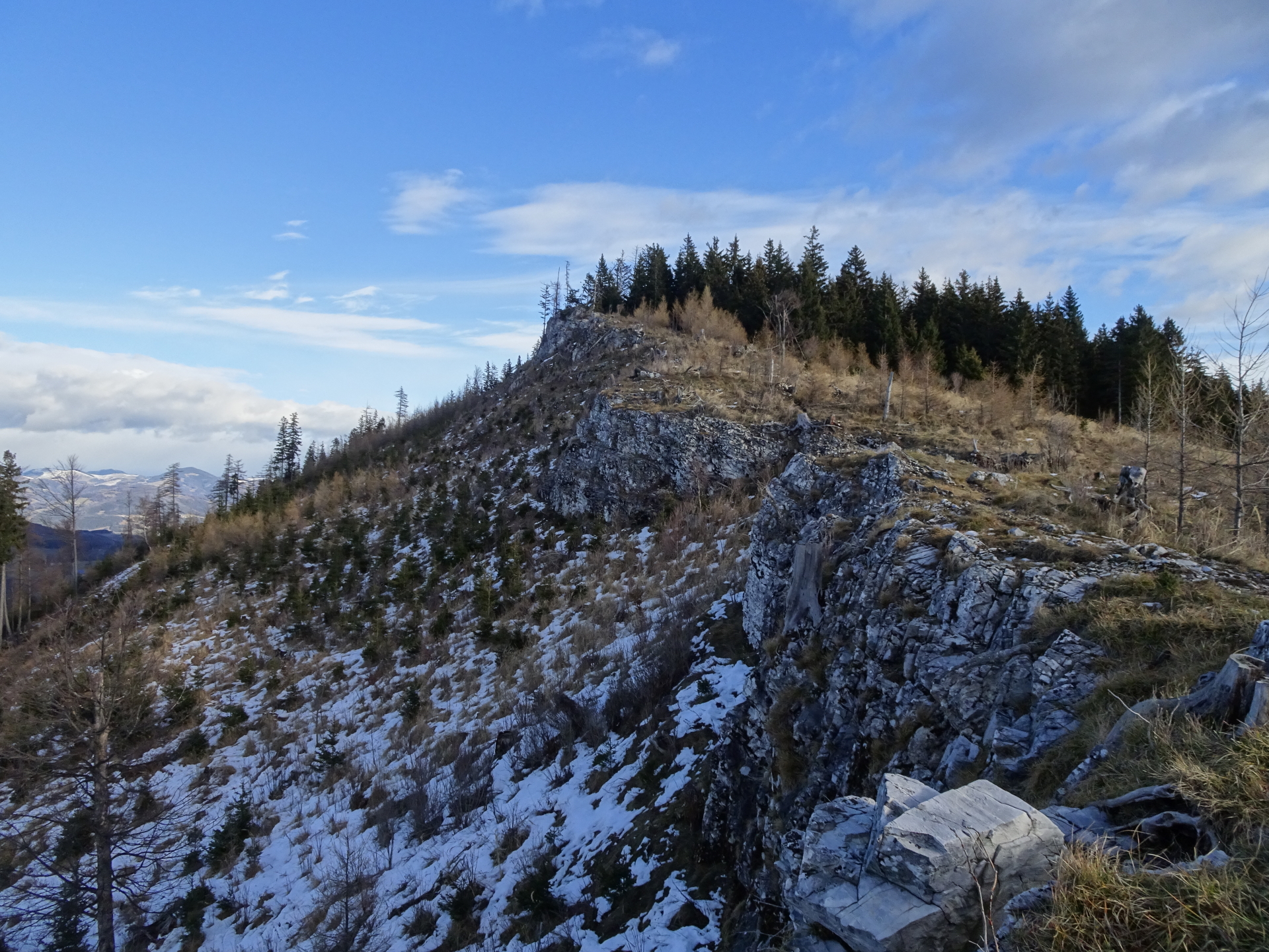
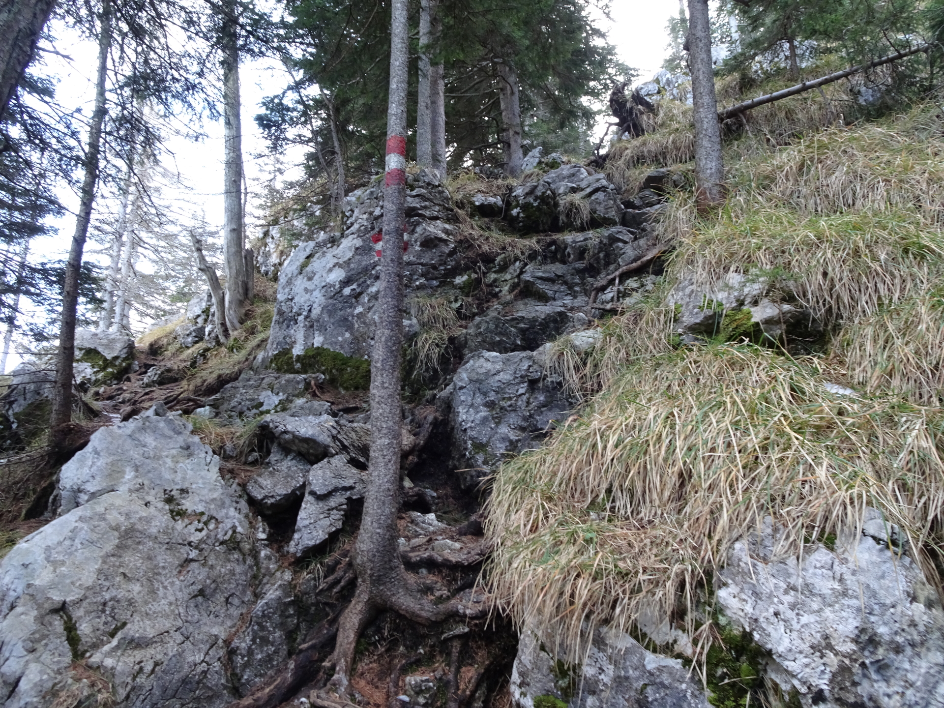
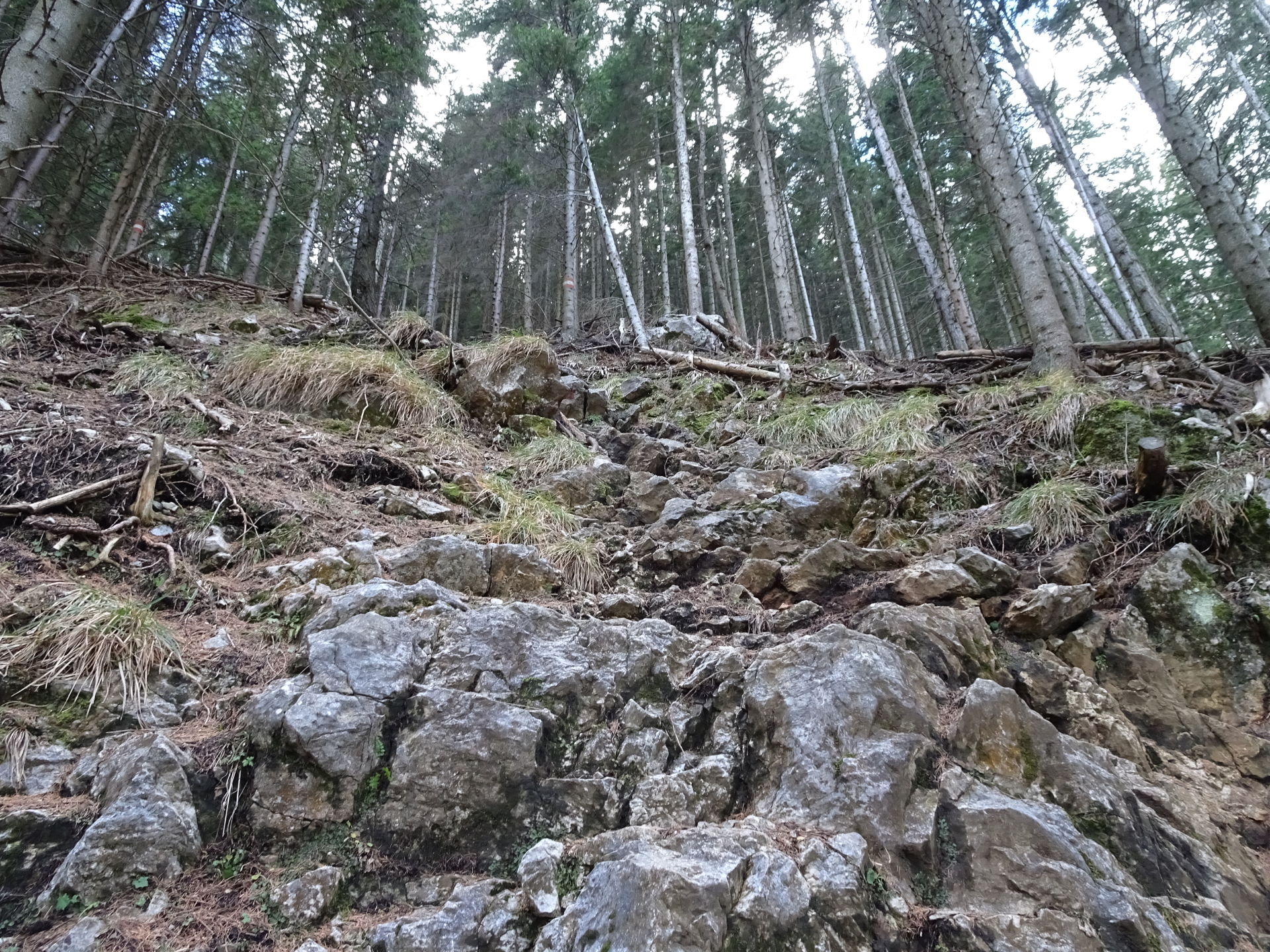
| 01:55 | At the end of the forest road, continue following the trail and then turn right. Follow the trail up north leading towards Niederer Schöckl. |
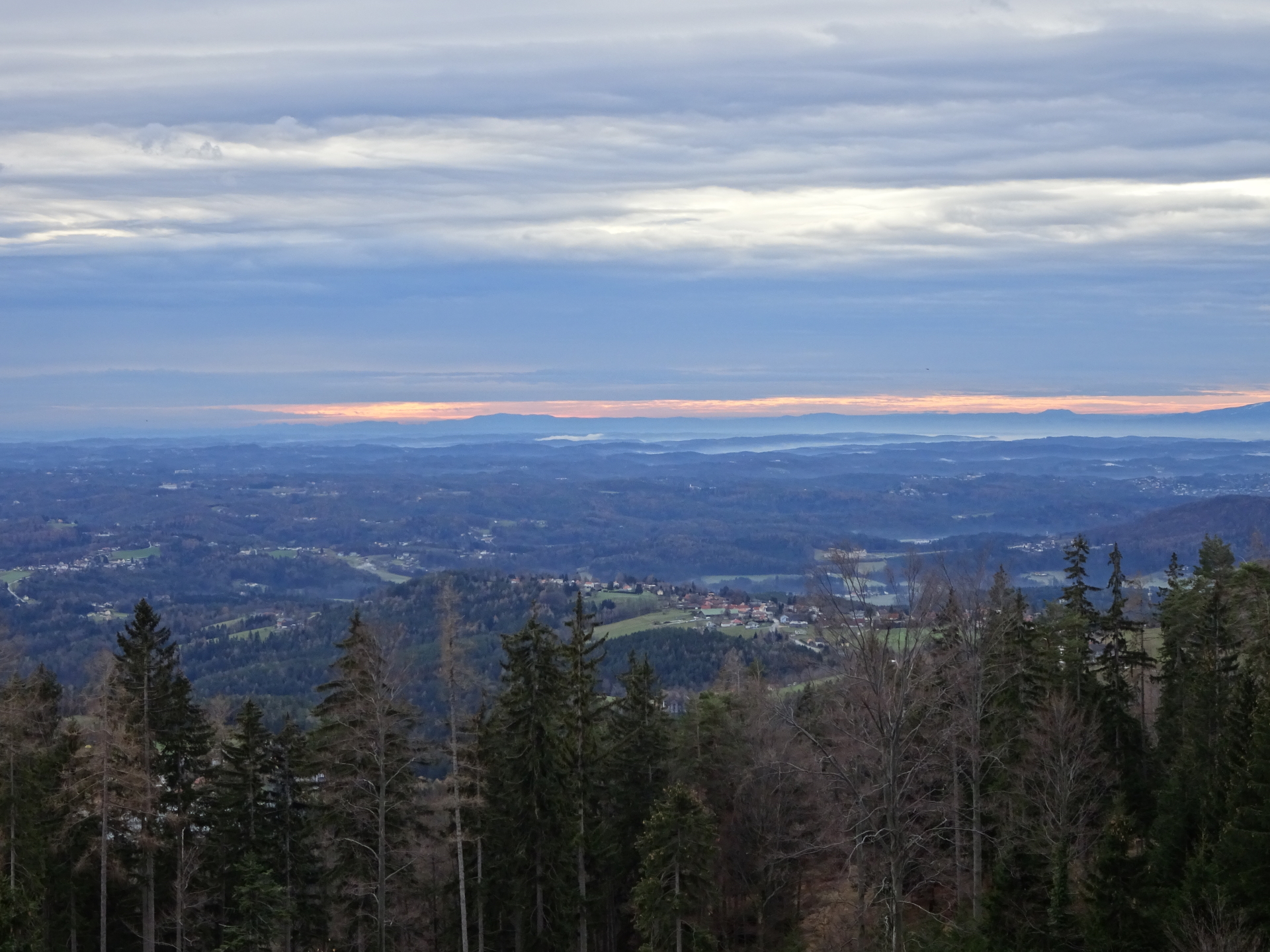
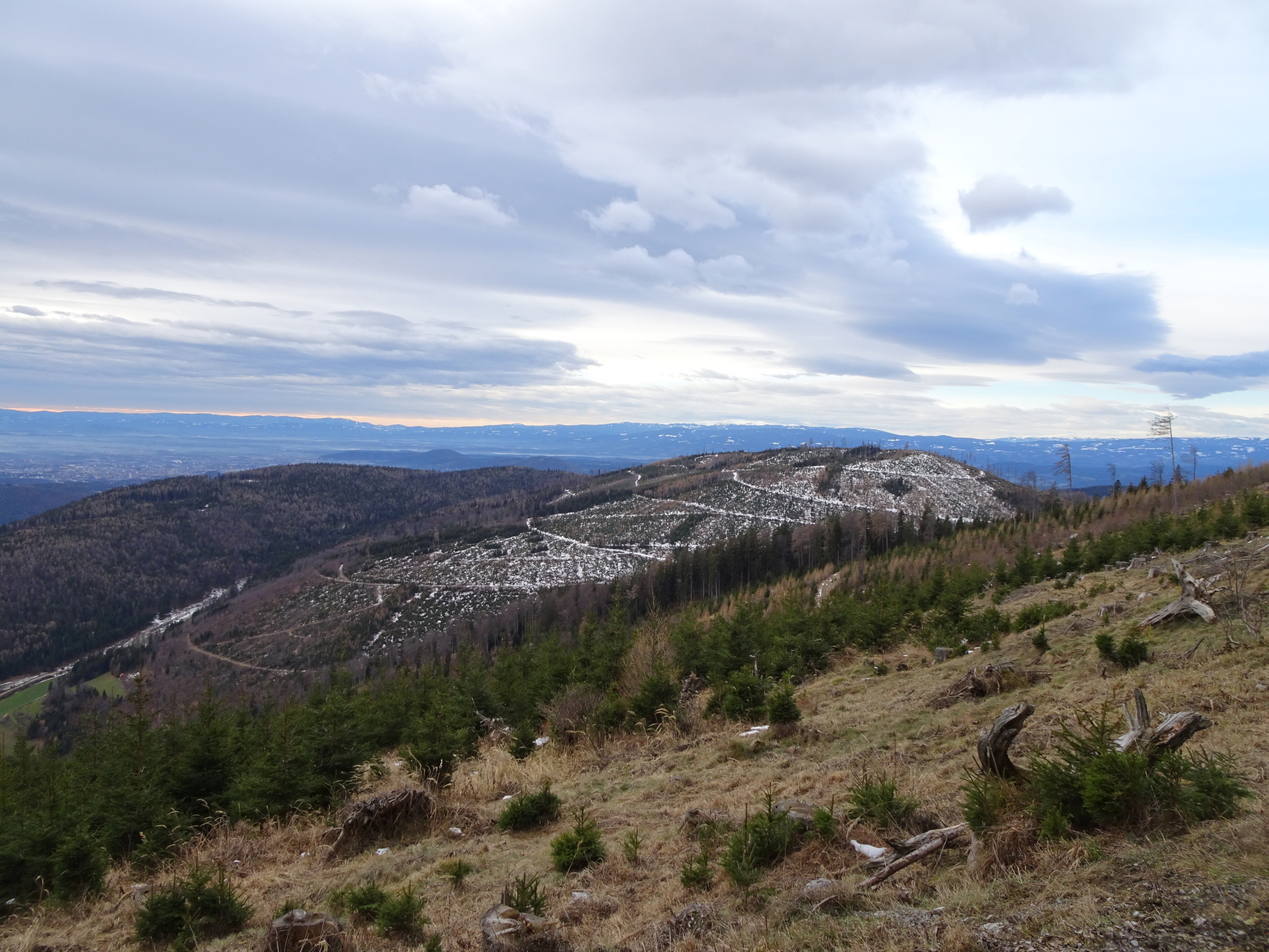
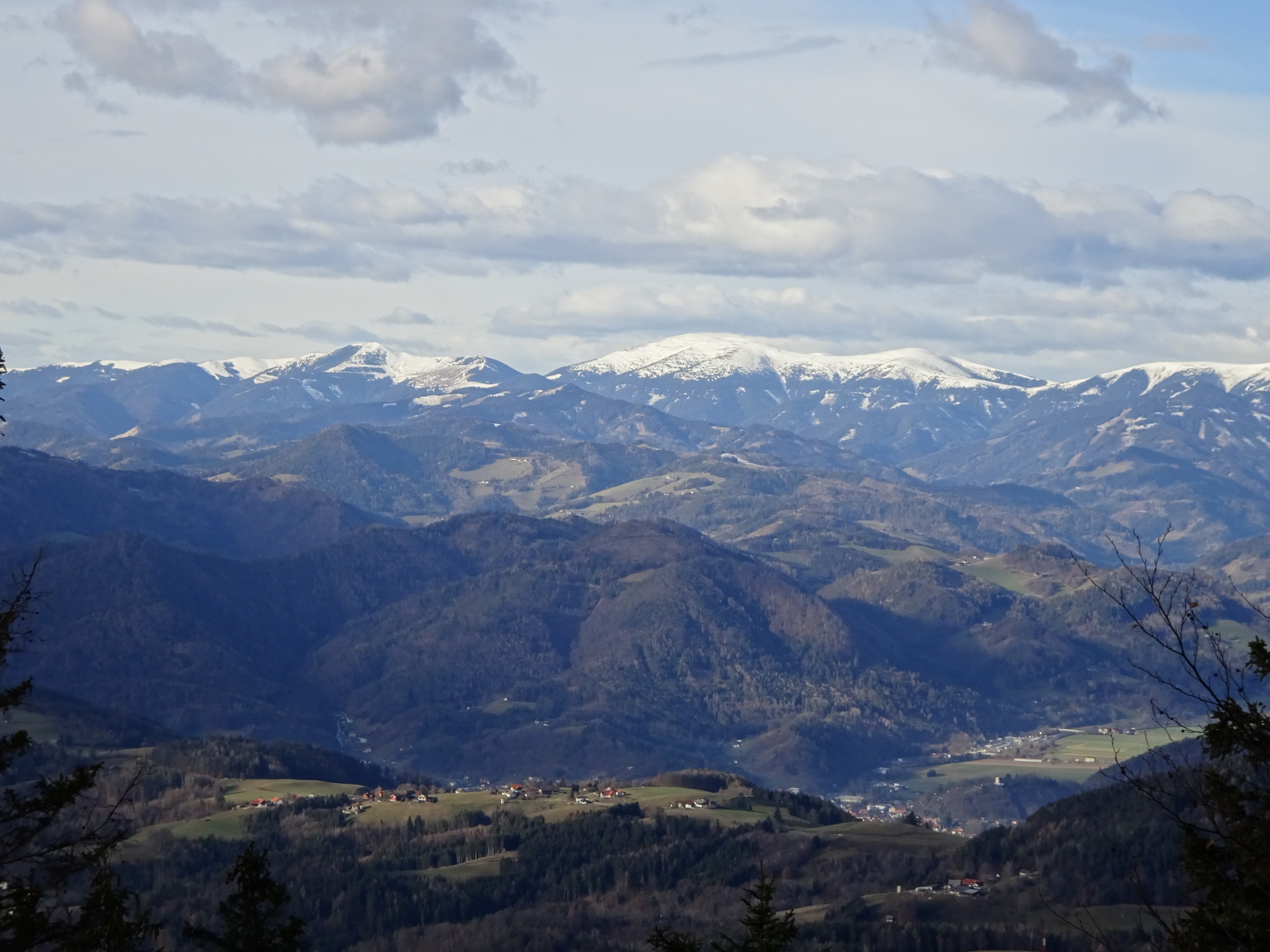
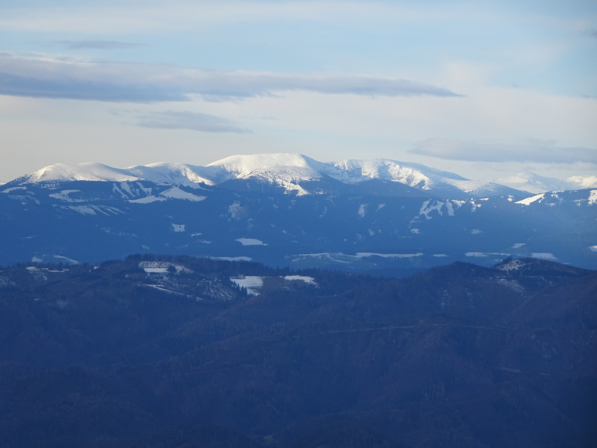
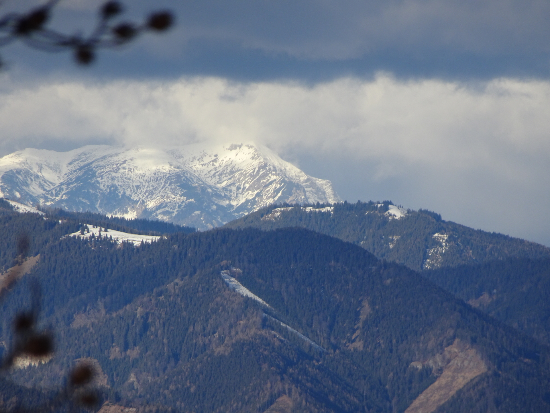
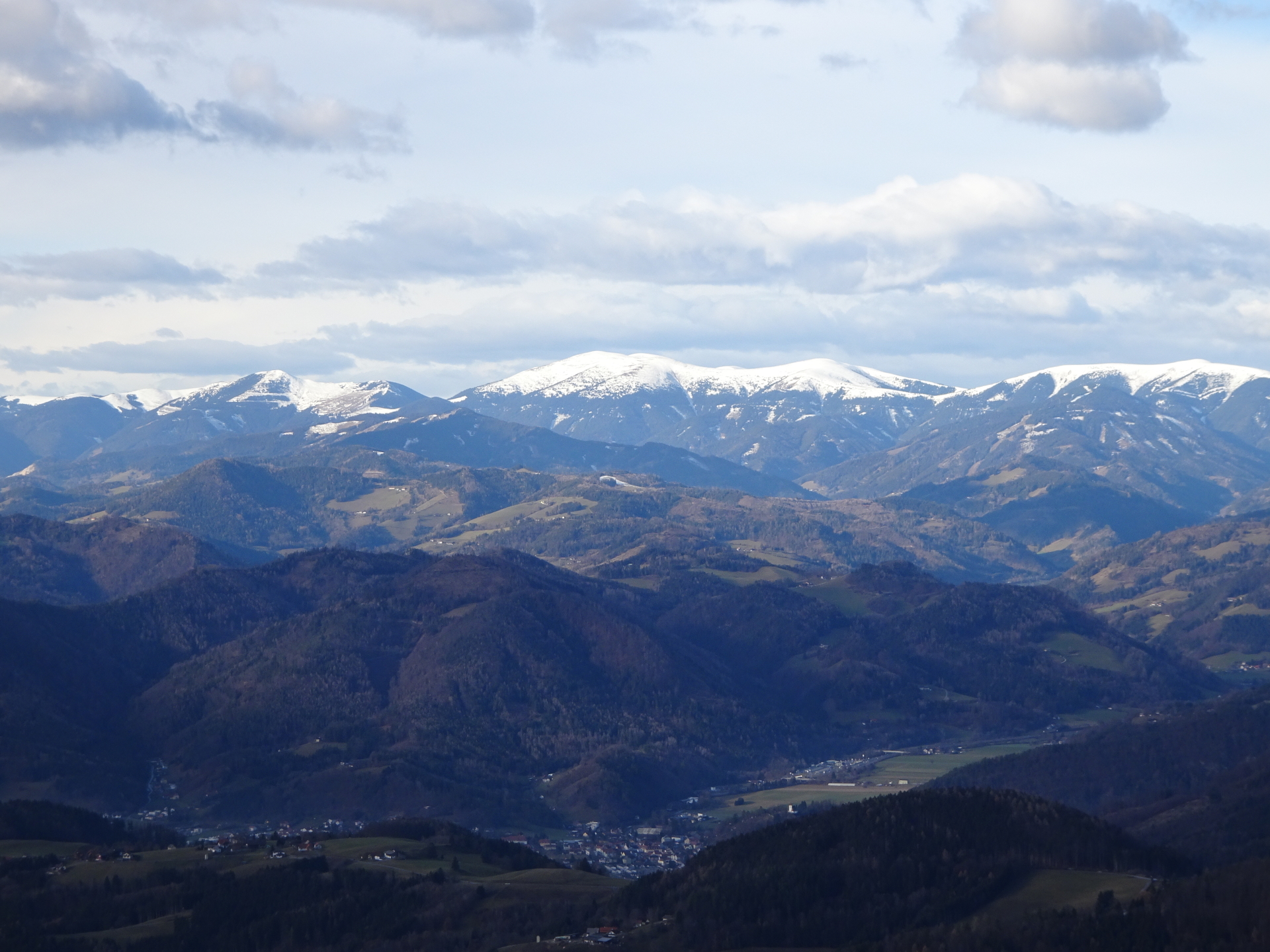
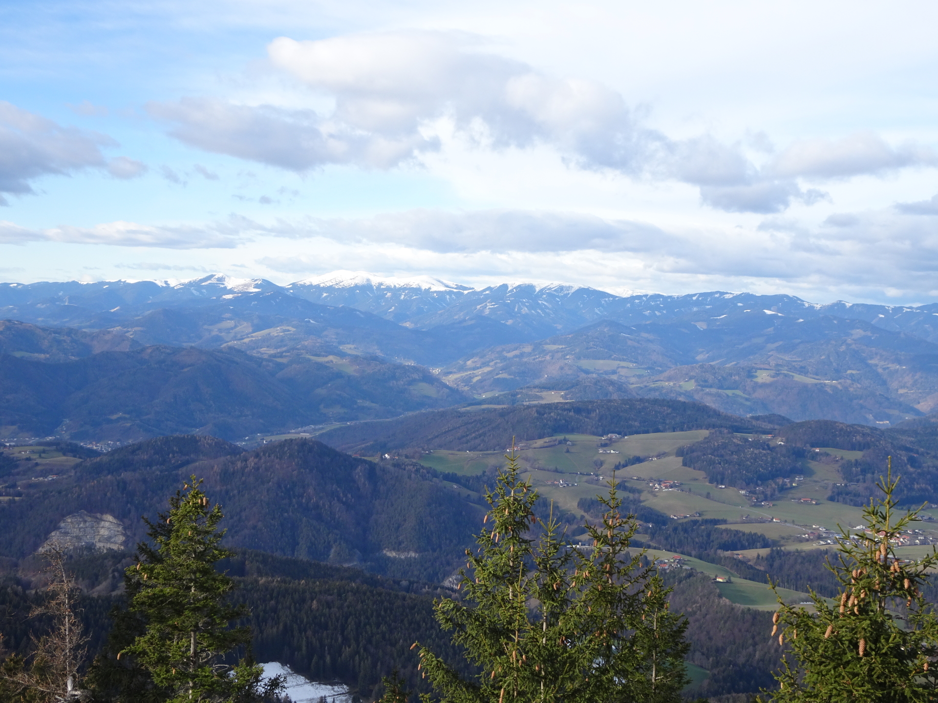
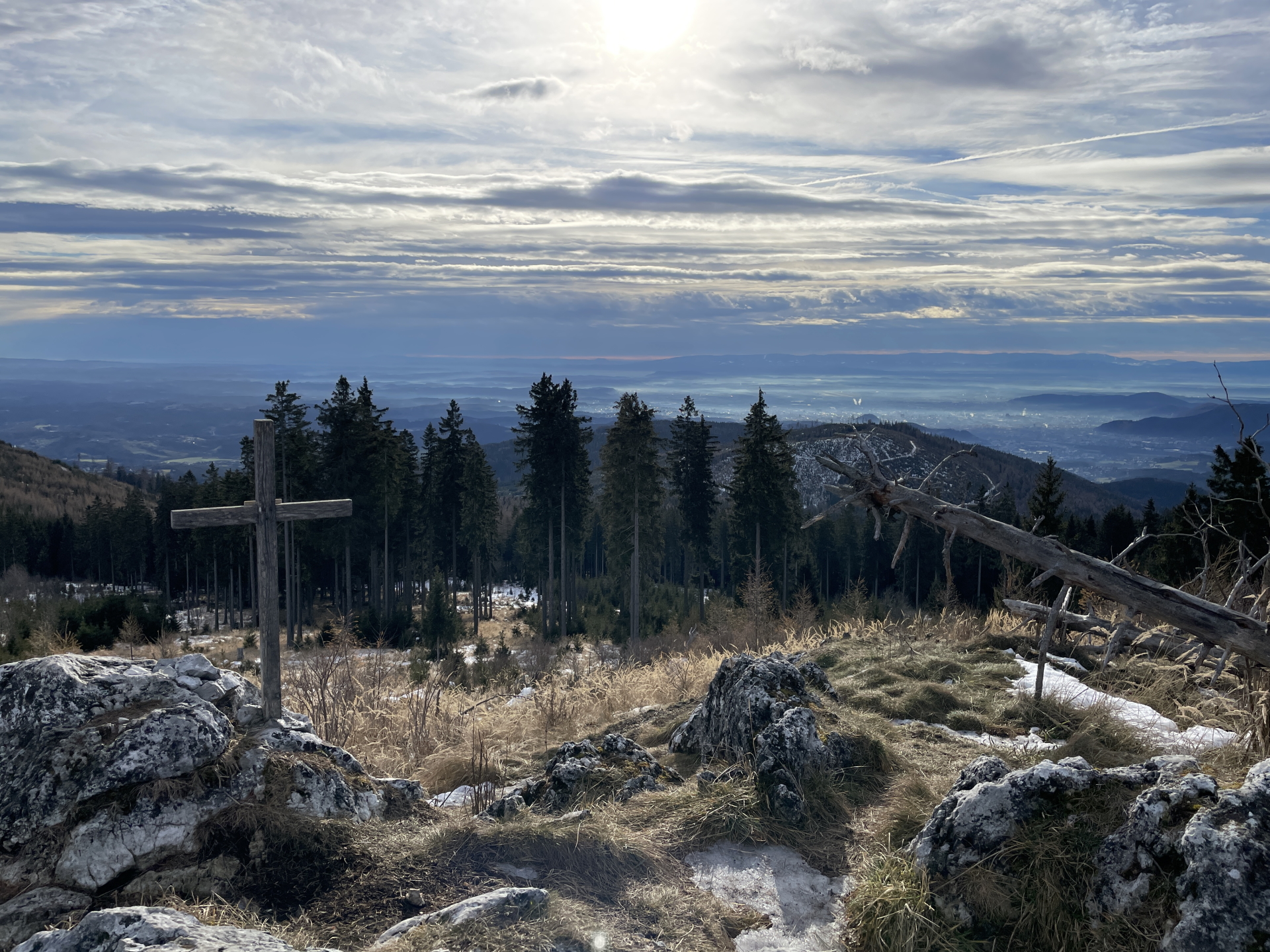
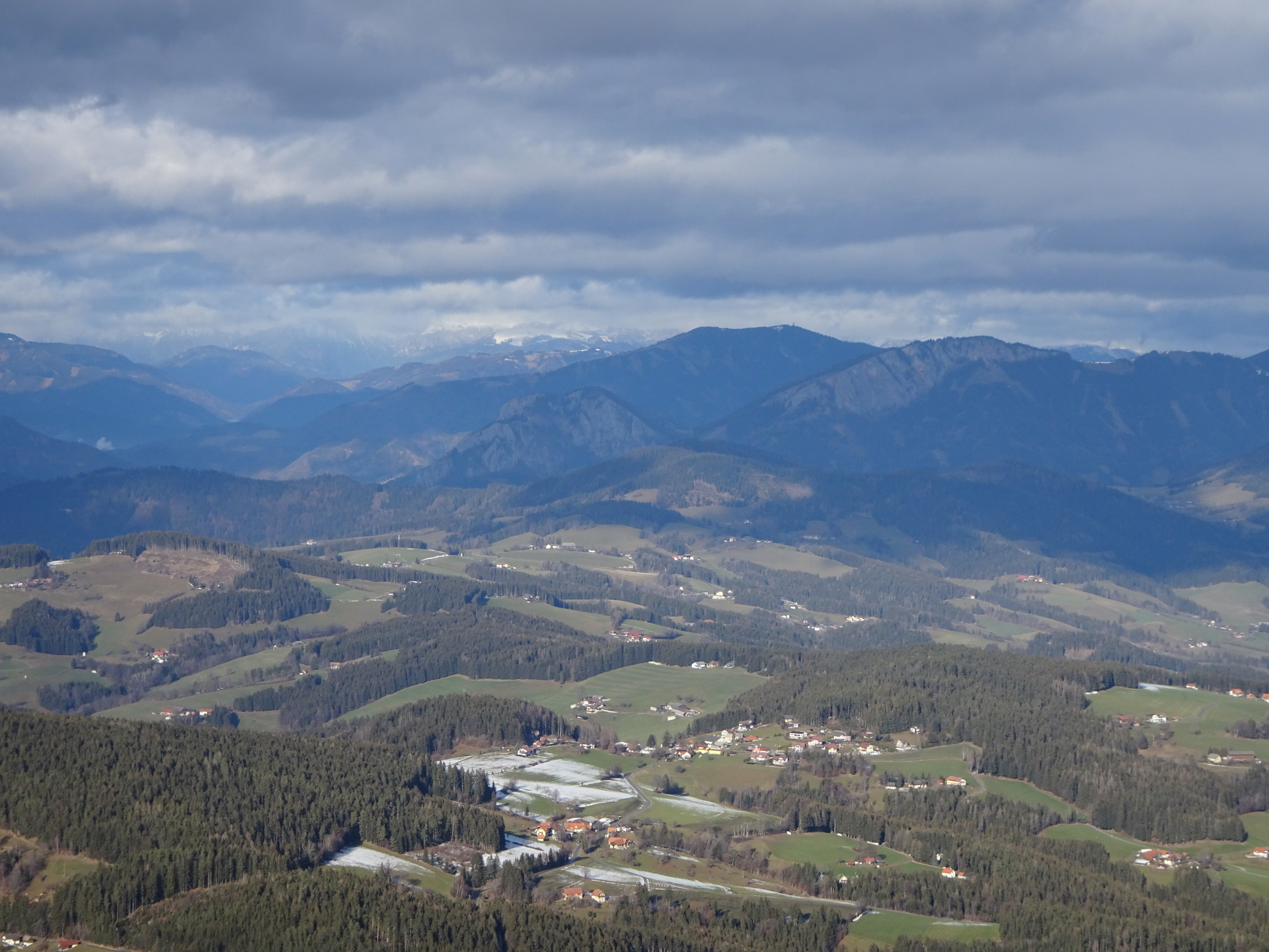
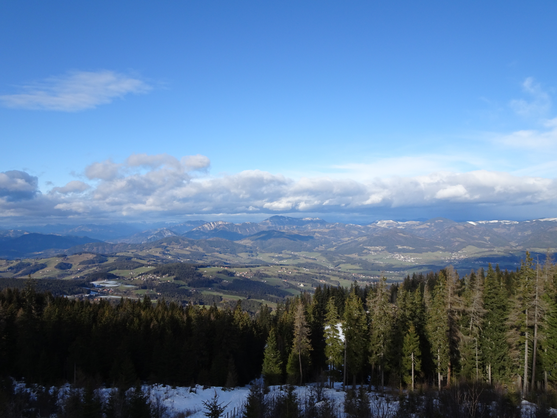
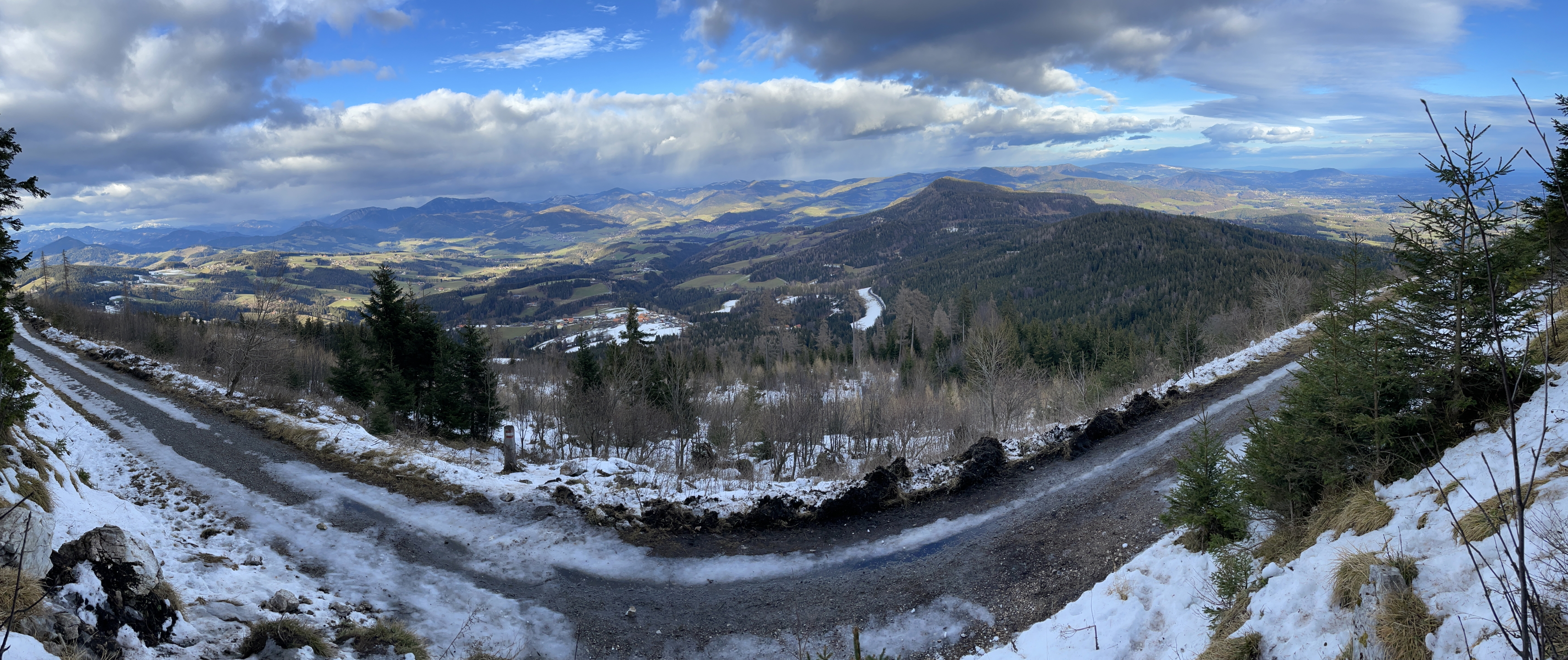
| 02:40 | Enjoy the view from Niederer Schöckl (best enjoyed with a self-brought refreshment (). |
| 02:45 | Continue following the trail eastwards descending into the saddle and then ascend on the other side towards the summit of Schöck. |
| 02:50 | At the crossing (at the saddle), keep straight and ascend on the other side of the saddle towards the summit of Schöckl. |
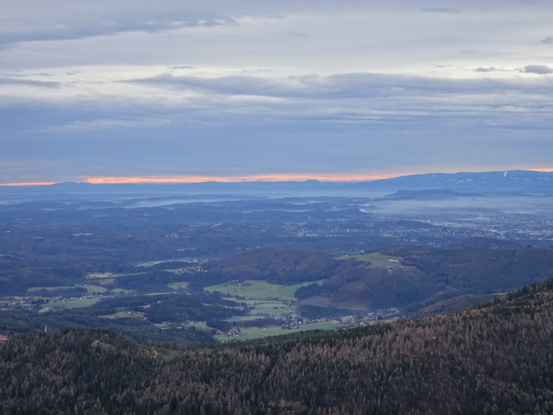
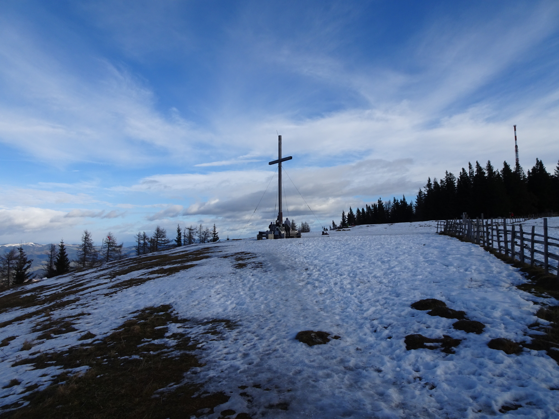
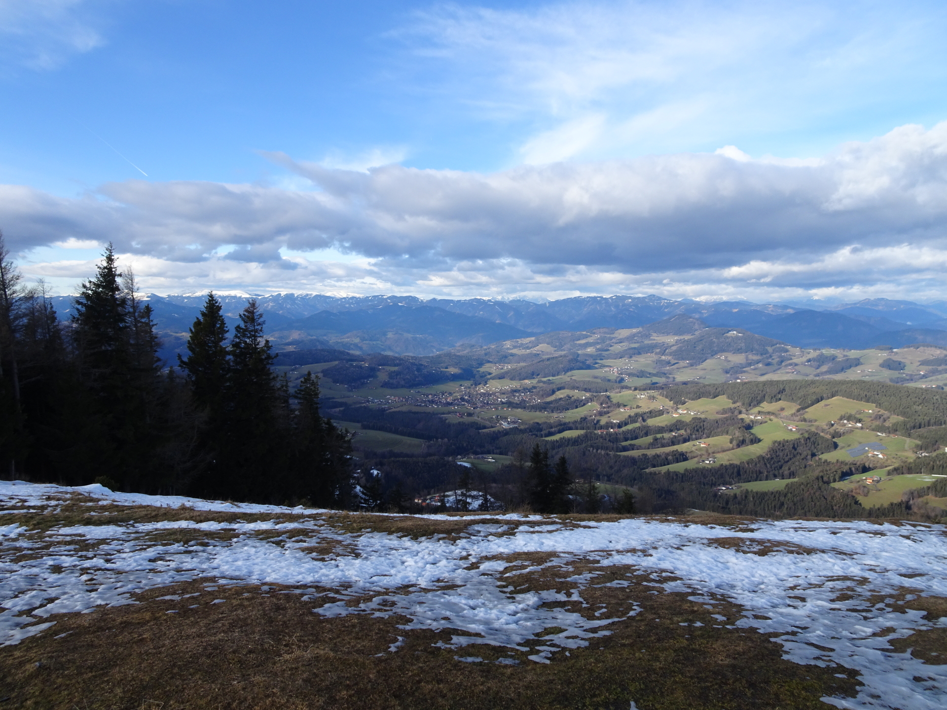
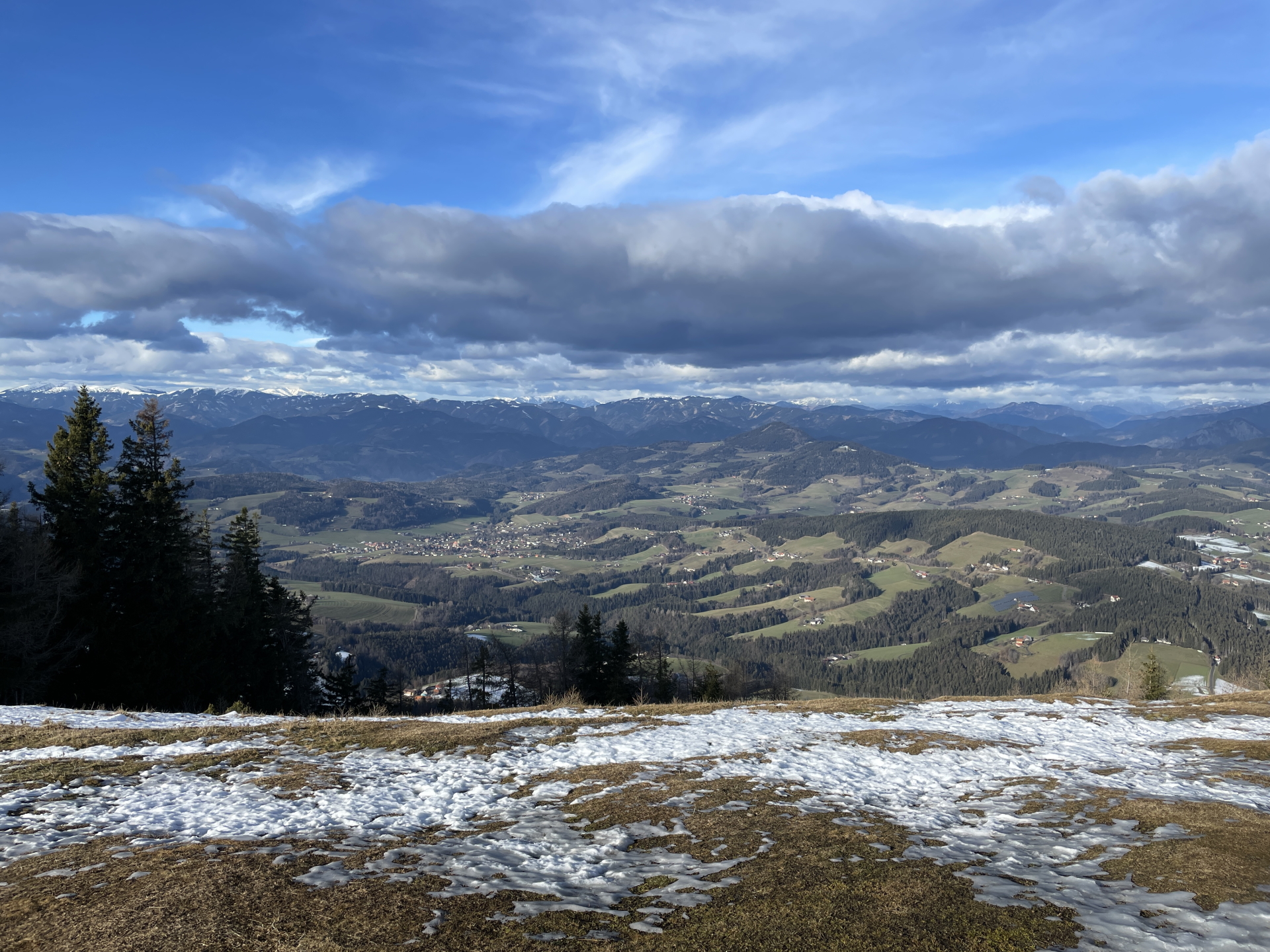
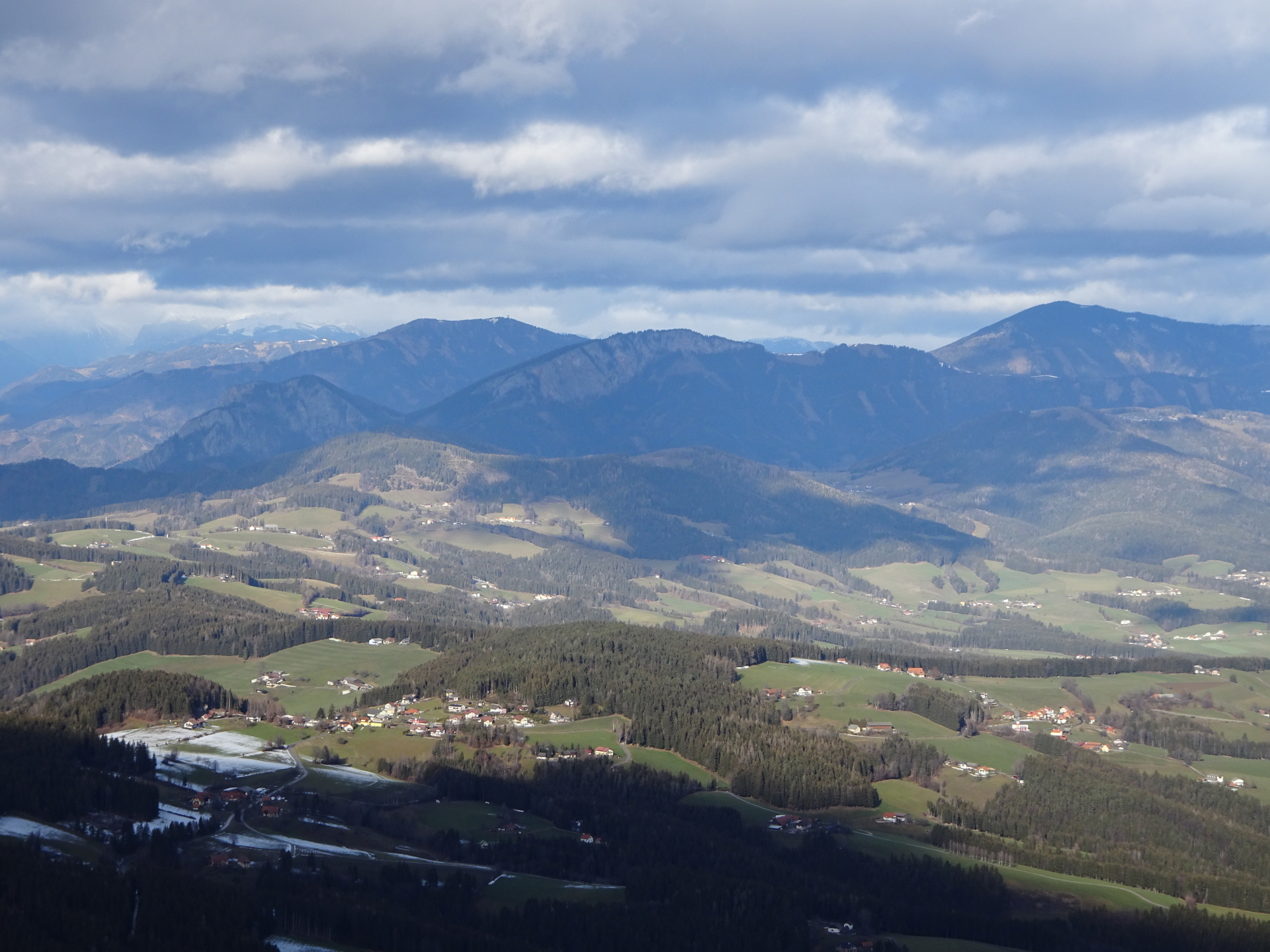
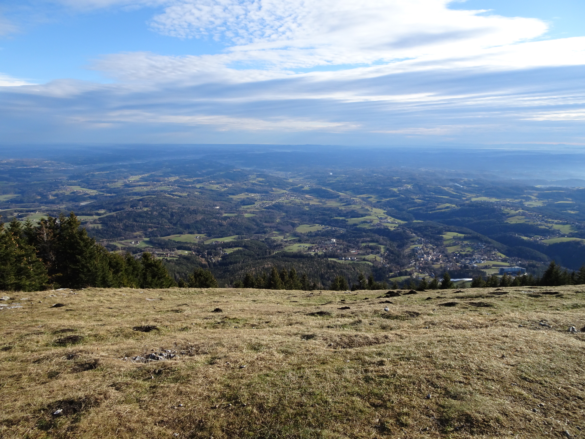
| 03:05 | Enjoy the impressive view from the summit cross of Schöckl. |
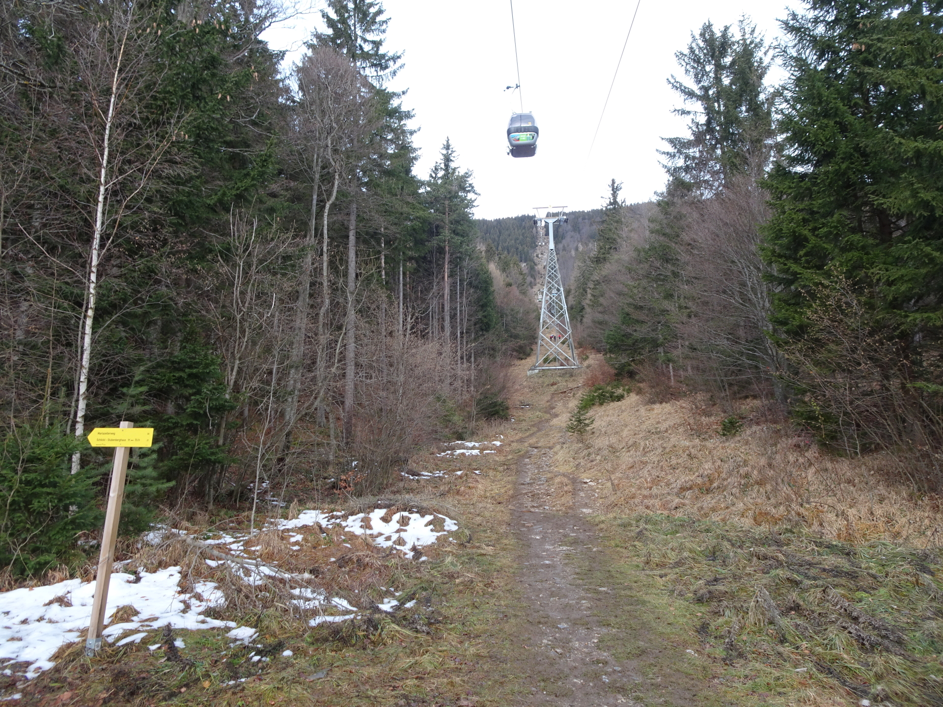
| 03:10 | Follow the trail on the plateau eastwards towards the mountain station of the cable car and the restaurants nearby. |
| 03:20 | Well deserved break ( ) at the Alpengasthof. |
| 04:20 | Continue following the forest road eastwards around the mountain station. |
| 04:25 | Keep right and follow the trail towards the visible little church (Johanneskapelle) and then further to the Schöcklkopf (behind the antenna). |
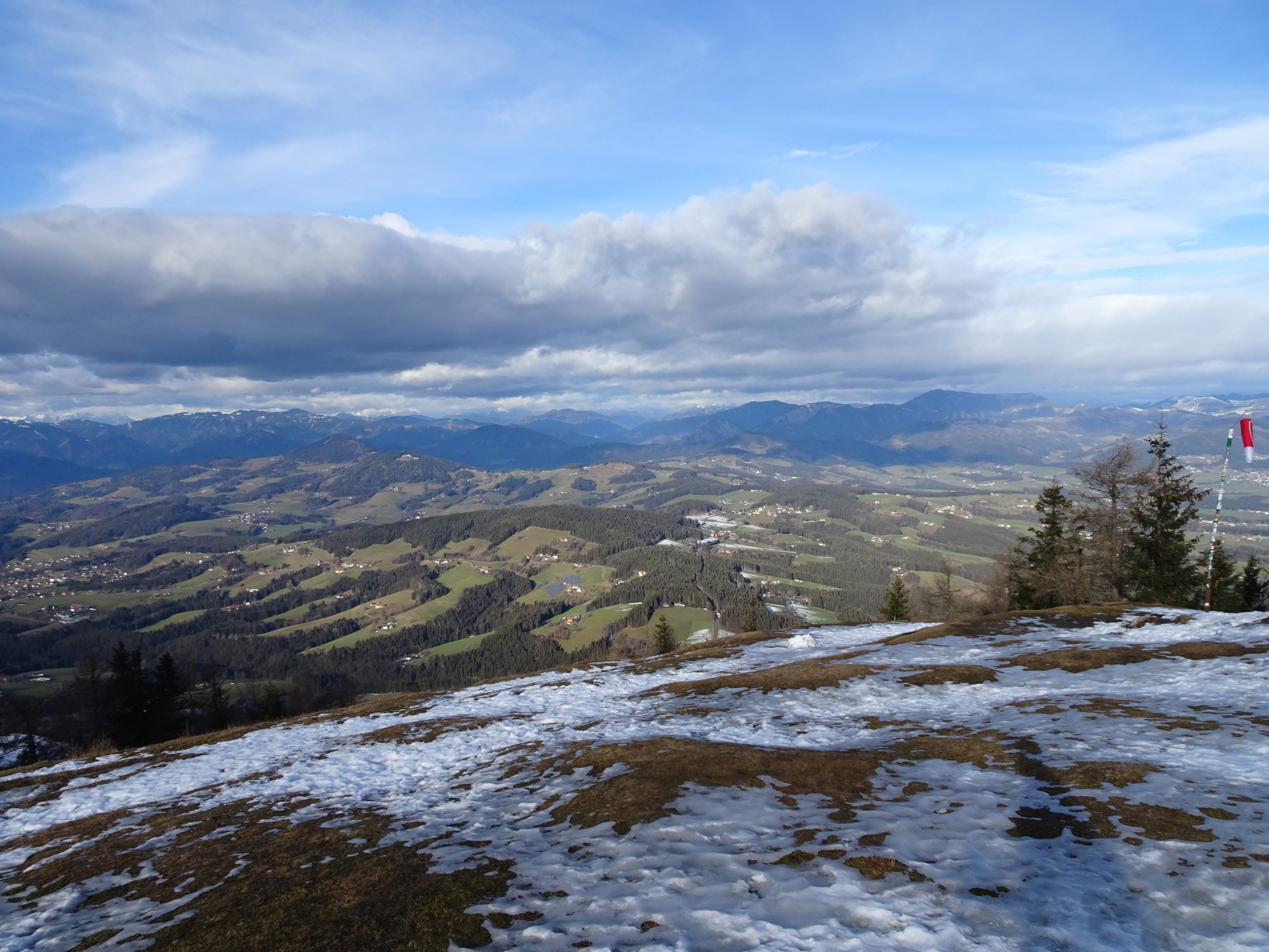
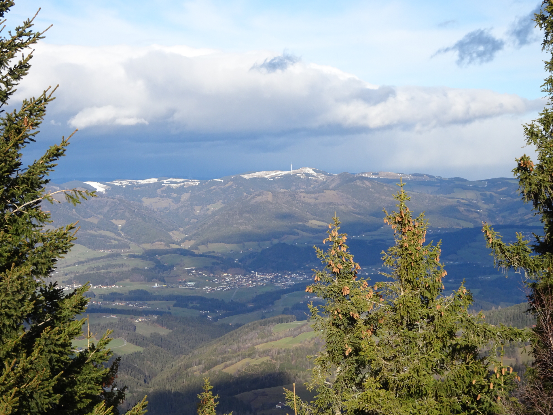
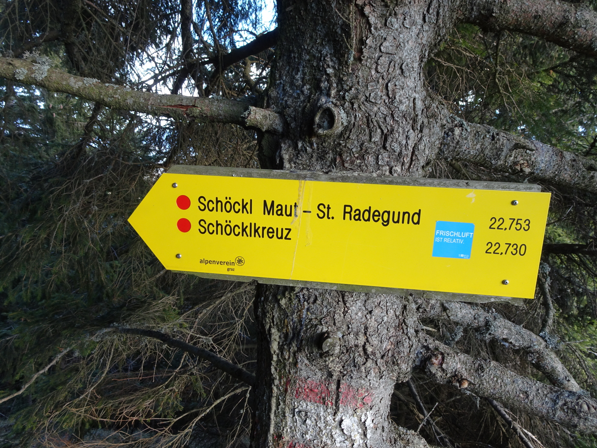
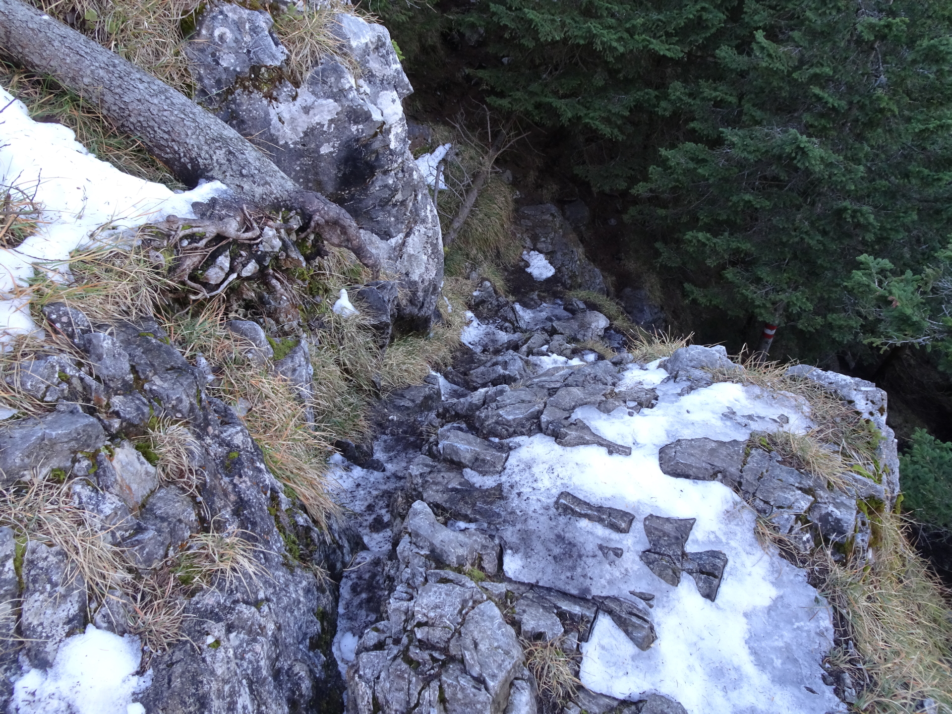
| 04:40 | Enjoy the impressive view from Schöcklkopf and then follow the marked trail westwards (a bit below the summit) towards Schöckl Maut – St. Radegund (see signpost). The trail now descends relatively steep and requires basic climbing skills (UIAA I-). |
| 05:10 | Cross the forest road and continue following the red-white-red marked trail. |
| 05:15 | At the crossing, turn right and follow the trail 06 towards Gut Schöcklhof – St. Radegund (see signposts). |
| 05:20 | At the crossing, keep right and take the upper trail 22 heading towards St. Radegund. |
| 05:30 | At the crossing, keep straight and now follow trail 753 down towards St. Radegund. |
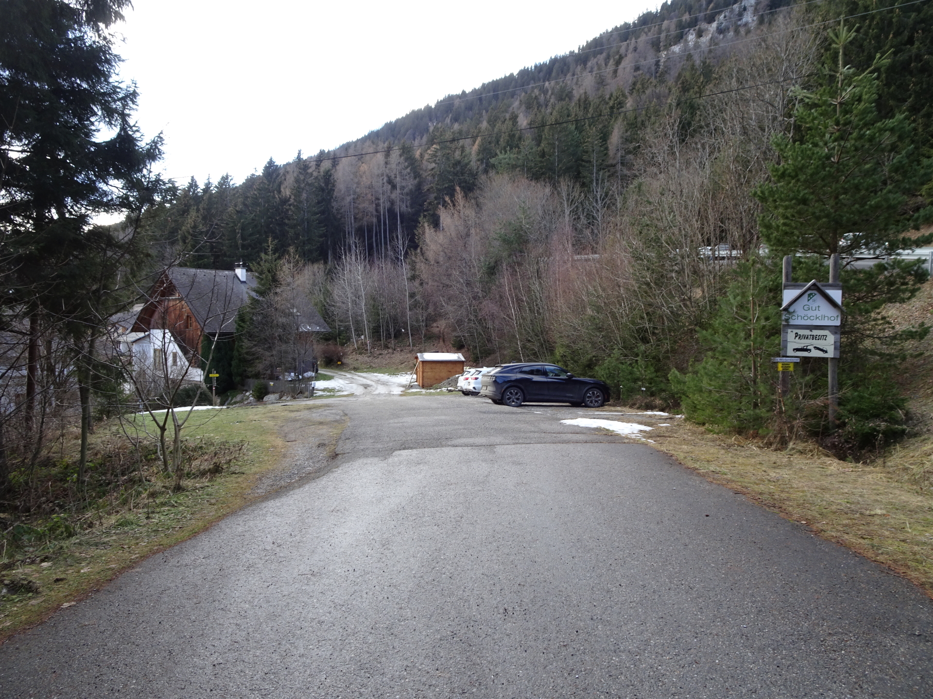
| 05:40 | Cross the street and turn into the driveway towards the Gut Schöcklhof hotel. Just before the hotel, turn left and then right and follow the trail down to St. Radegund (see signposts). |
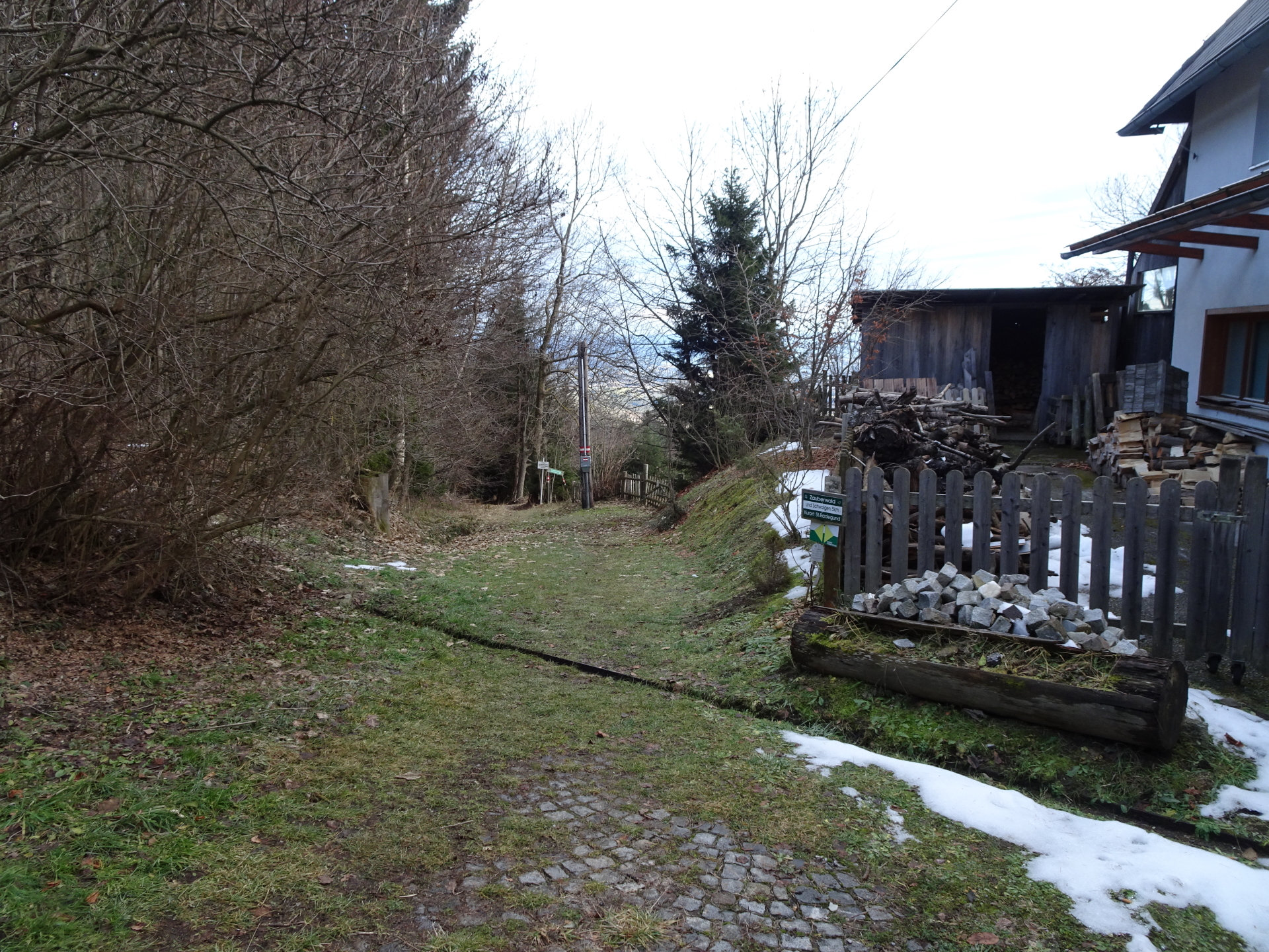
| 05:45 | Cross the street and continue following the trail down into the valley. |
| 05:50 | Now follow the street and then turn again into trail 21 that was used for the ascent. |
| 05:55 | On the same trail as used for the ascent, after the water reservoir, keep straight and continue following the red-white-red marked hiking trail back to St. Radegund. |
| 06:00 | In St. Radegund, keep left and follow the red-white-red marked hiking trail which leads automatically back to the parking. |
| 06:05 | Back at the parking, end of the tour. |
The Niko-Steig can be bypassed using the forest road starting from Schöckl but will also bypass Schöcklkopf.
| Area: | Grazer Bergland, Styria, Austria | |
| Distance: | 17km | |
| Ascent: | 977m (2h 00min) | |
| Descent: | 954m (1h 20min) | |
| Highest Pt: | 1445m | |
| Lowest Pt: | 728m | |
| Duration: | 4h 45min (without breaks) 6h 05min (with breaks) |
|
| Stop/Rest: |
Johann Waller Hütte (1170m) Stubenberghaus (1445m) Alpengasthof am Schöckl (1445m) |
|
| Equipment: | (Warm) Hiking shoes Shoe chains (“Grödel”) in winter Backpack with standard hiking equipment Snacks and water 1x Gipfelbier Sun & Weather protection GPS recommended Camera |
| Download GPX (from west to east) | ||
| Download GPX (from east to west, easier!) | ||
| O | Tour at outdooractive.com (west to east) | Tour at outdooractive.com (east to west) |
At a glance
| Level | moderate |
| Technique | |
| Shape / Fitness | |
| Experience | |
| Scenery | |
| Best time in the year | |
|
Jan
Feb
Mar
Apr
May
Jun
Jul
Aug
Sep
Oct
Nov
Dec
|
|


Leave a Reply