
Hike up twice the Kulm, starting from Stubenbergsee and then from Puch bei Weiz
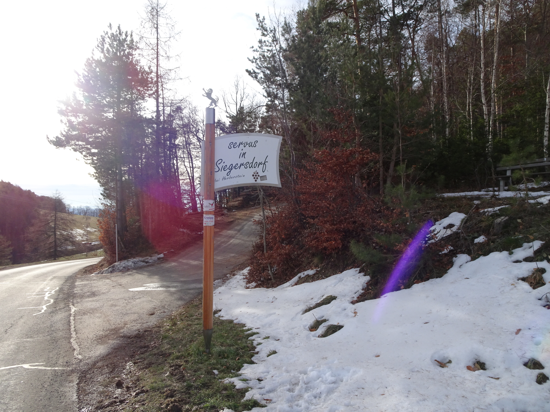
The tour starts at the parking Stubenbergsee (GPS: 47.236040, 15.796151) and first follows the red-white-red marked trail up towards Kulm. At Auerberg, the tour then follows the street southwards towards Siegersdorf and then ascends the Kulm the first time from southeast. The tour then follows the trail southwestwards towards the Ackerwirt and further in the direction of Puch bei Weiz before ascending the Kulm the second time (from southwest). The tour then follows the trail northwards and bypasses the famous Schnitzelwirt. After a well-deserved break, the tour follows the trail via the Kögerlkreuz and descends back to Stubenbergsee.
Tour Description
| 00:00 | Start at the parking Stubenbergsee (GPS: 47.236040, 15.796151) and follow the red-white-red marked hiking trail upwards (turns left immediately). Follow the marked trail above the street through the field which then turns right and leads up to Gasthaus Windhaber. |
| 00:15 | Turn right into the street, follow it for a few meter and then turn left and continue following the marked trail upwards (through the forest). |
| 00:20 | Turn into the street, pass by Gasthaus Windhaber and continue following the street upwards (keep straight ahead, leave the marked trail and stay on the street). |
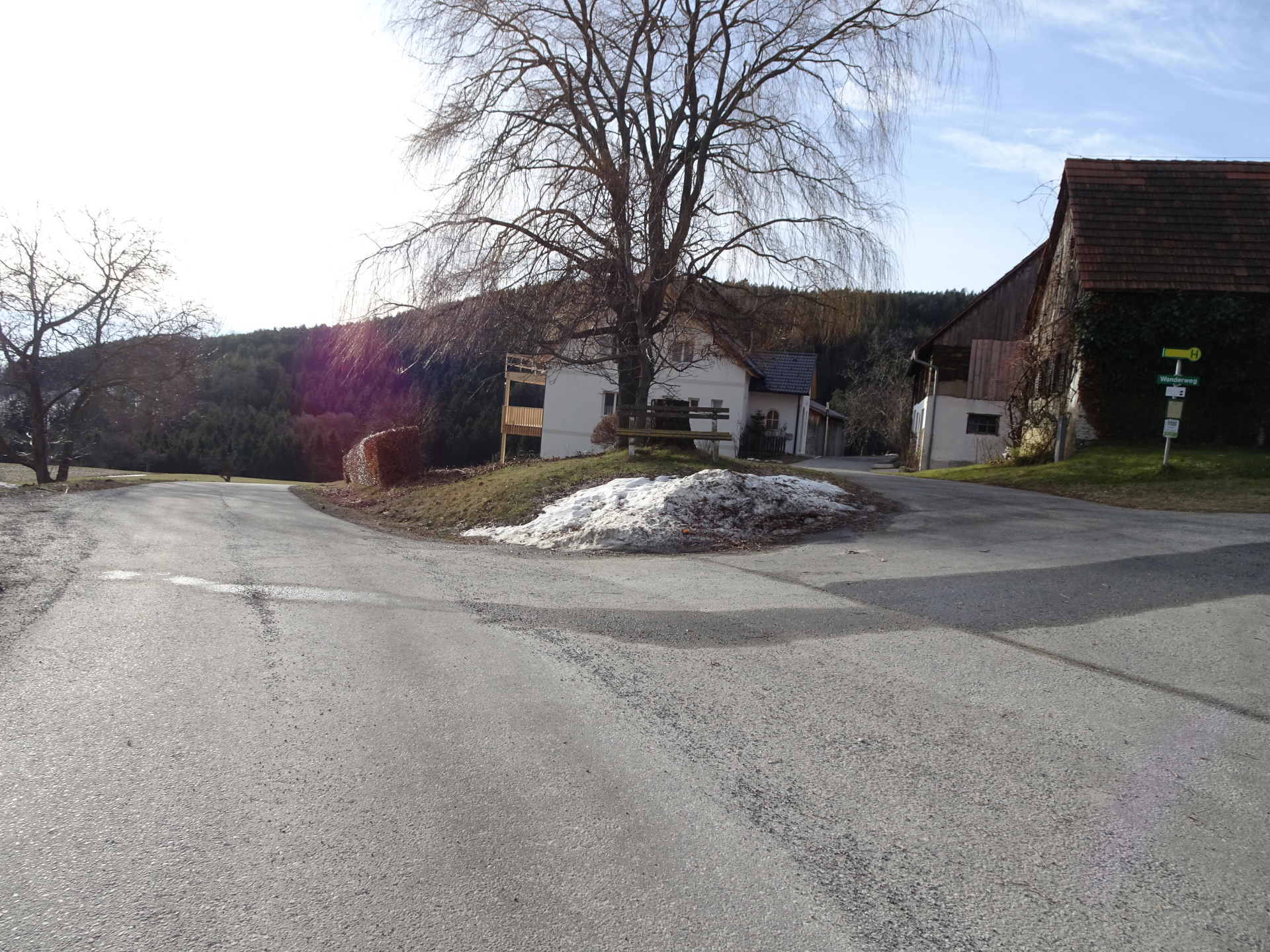
| 00:55 | At the crossing Steinerweg, turn right and follow the road towards the houses. You will see then markings directing towards Kulm. |
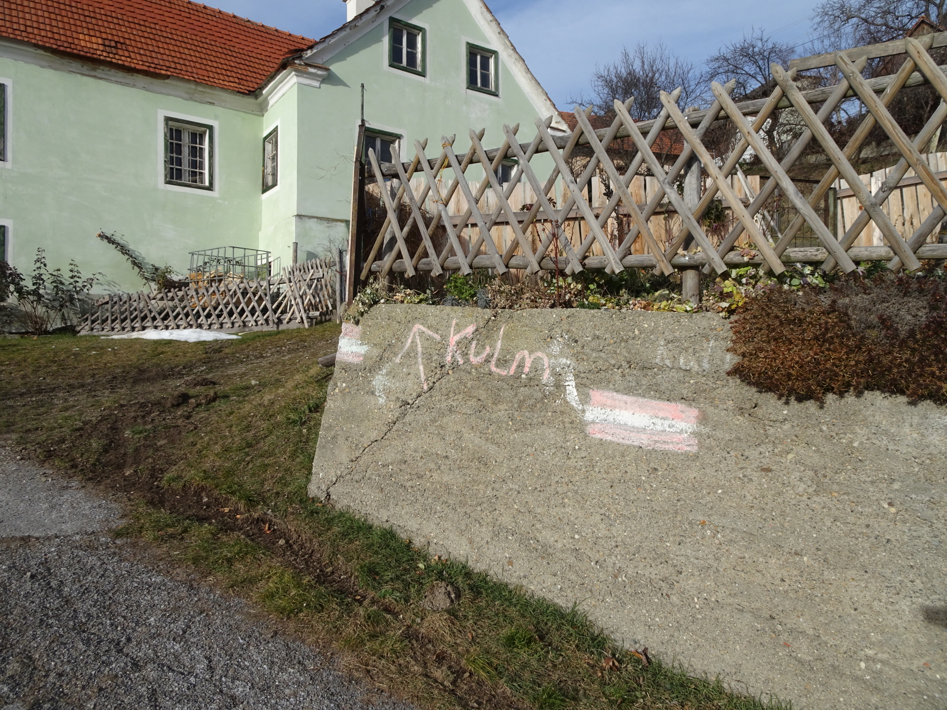
| 00:57 | At the end of the road (before the house), turn right and follow now the markings directing towards Kulm, passing by the farm and the houses. |
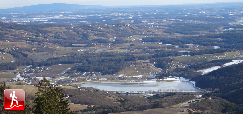
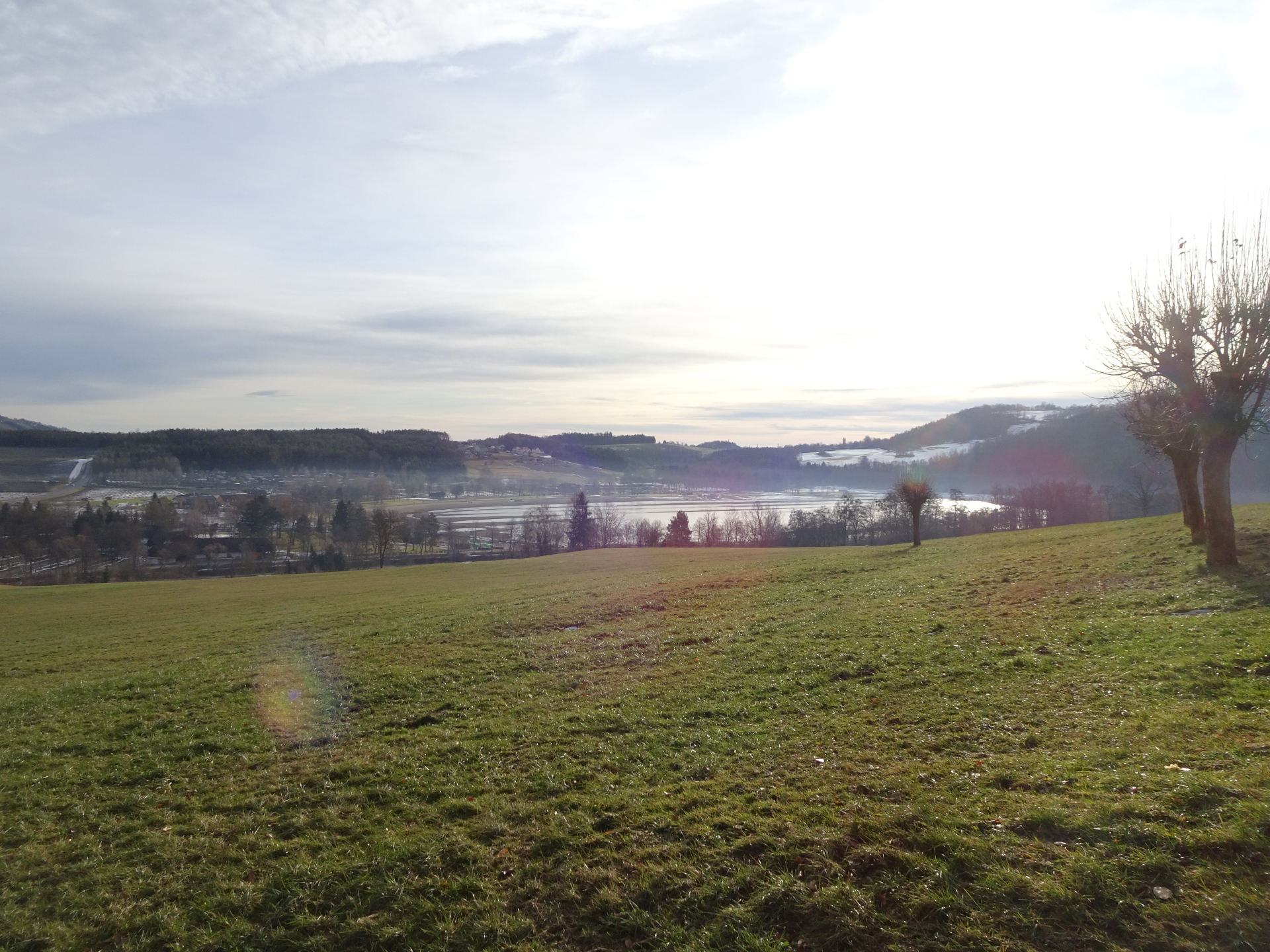
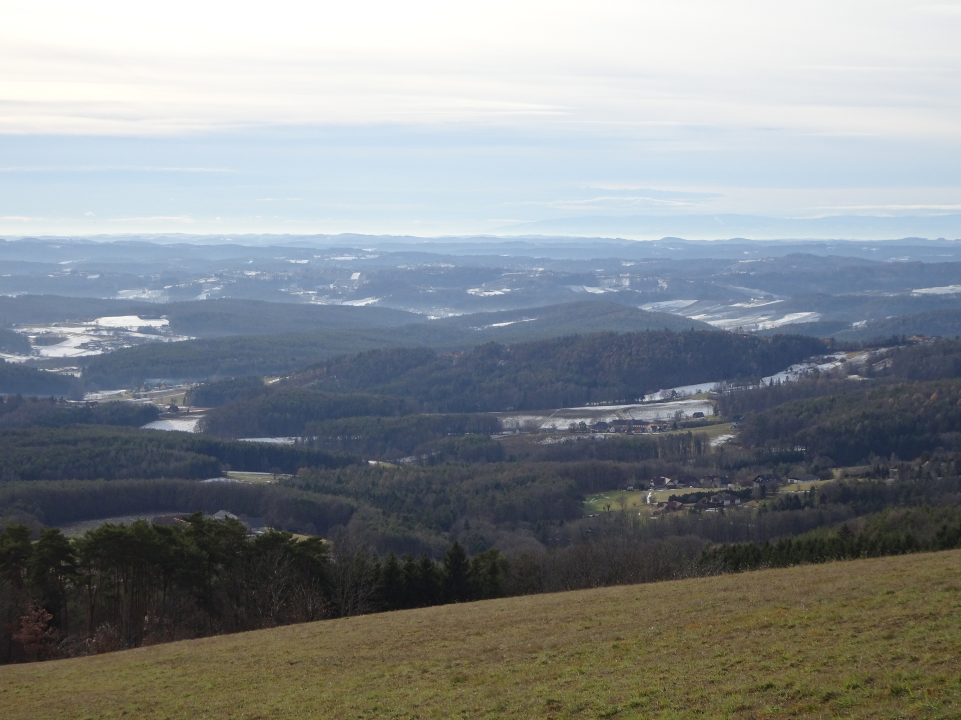
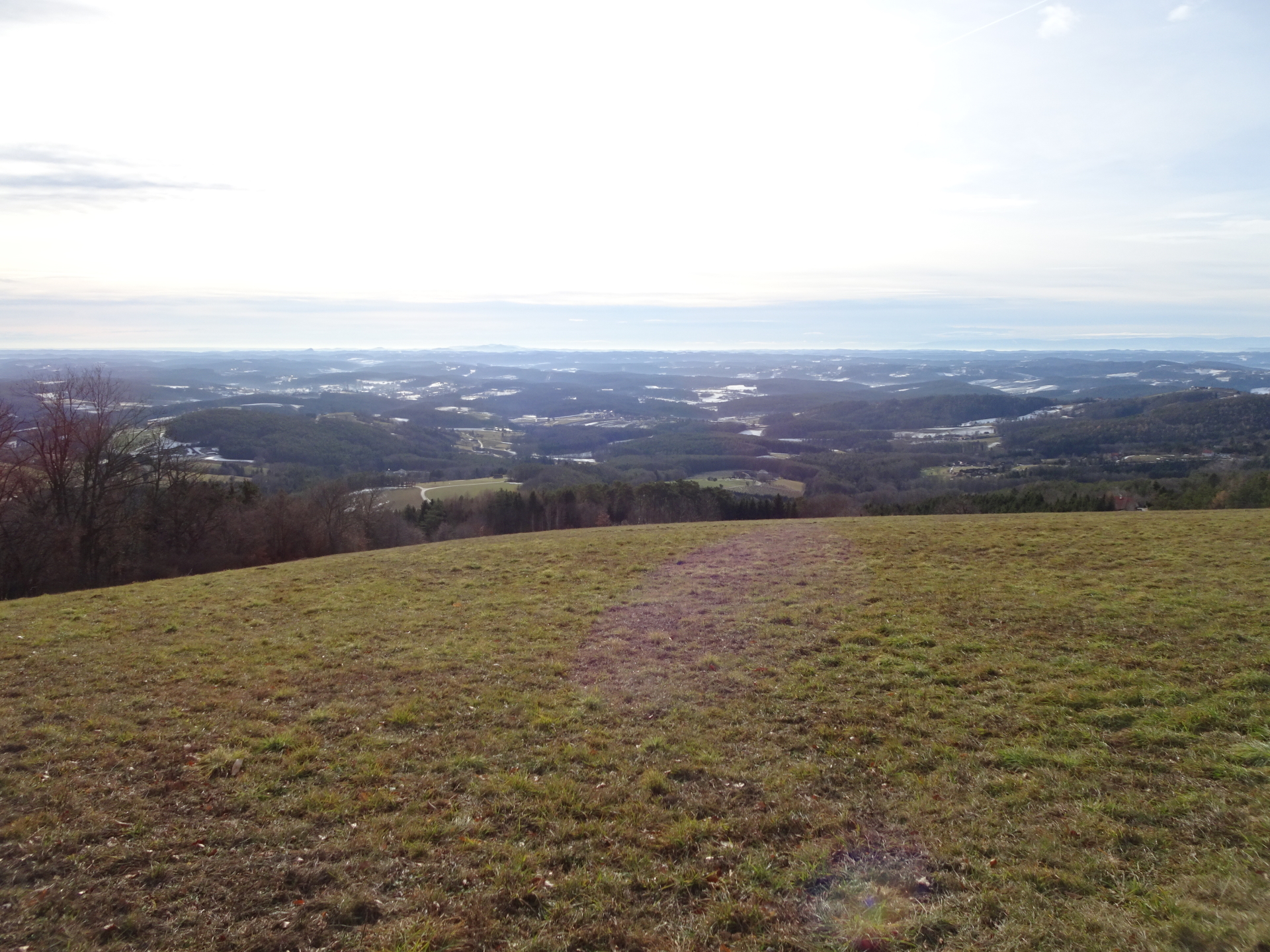
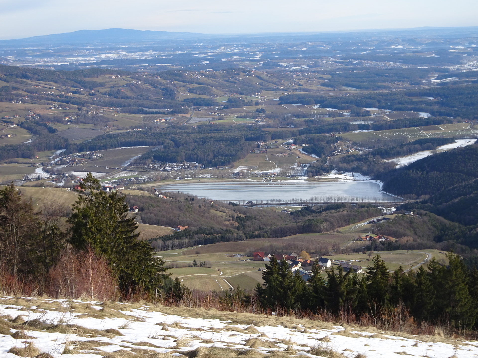
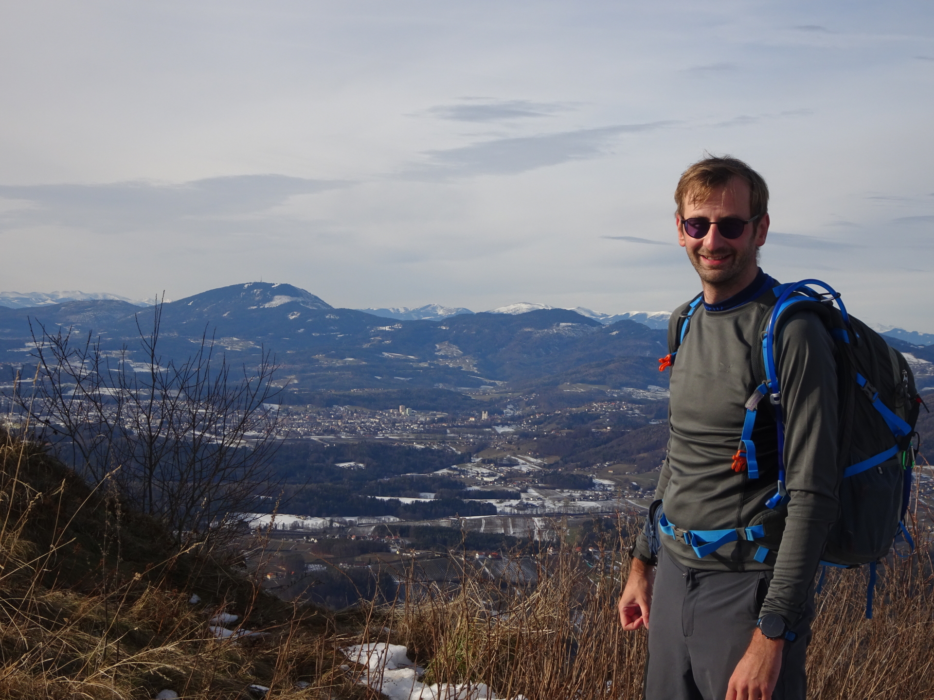
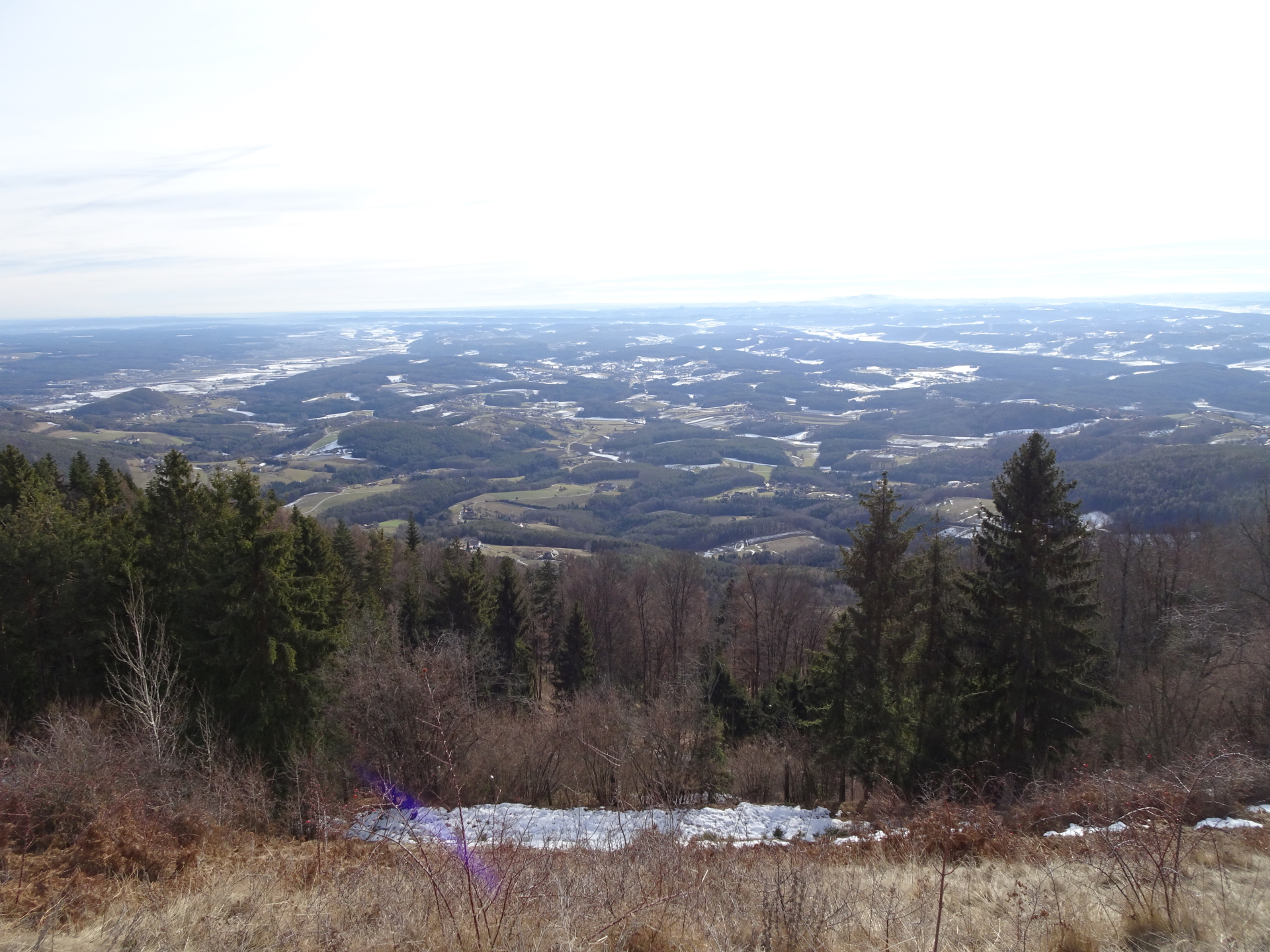
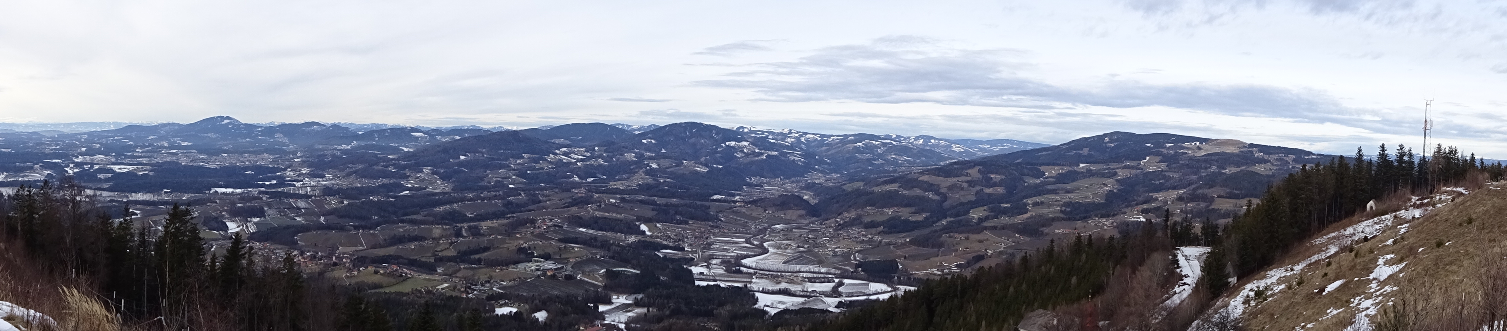
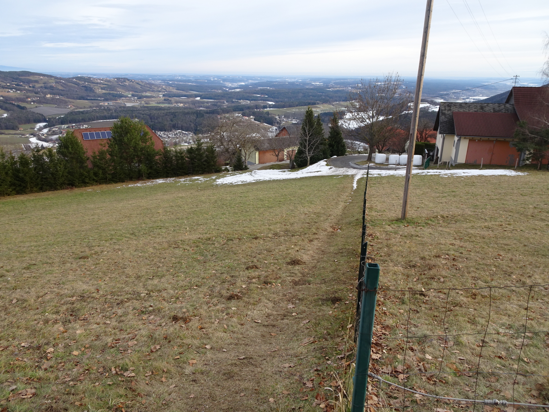
| 01:05 | Enjoy the view from the clearing and continue following the marked trail towards Kulm. |
| 01:15 | Cross the street and continue following the marked trail through the forest up to Kulm. |
| 01:30 | At the crossing, keep slightly left and follow the upper trail up to Kulm. |
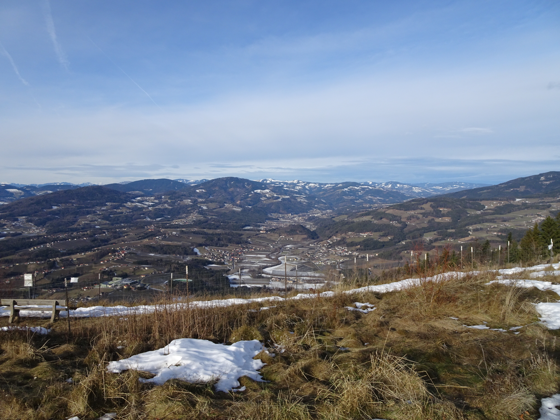
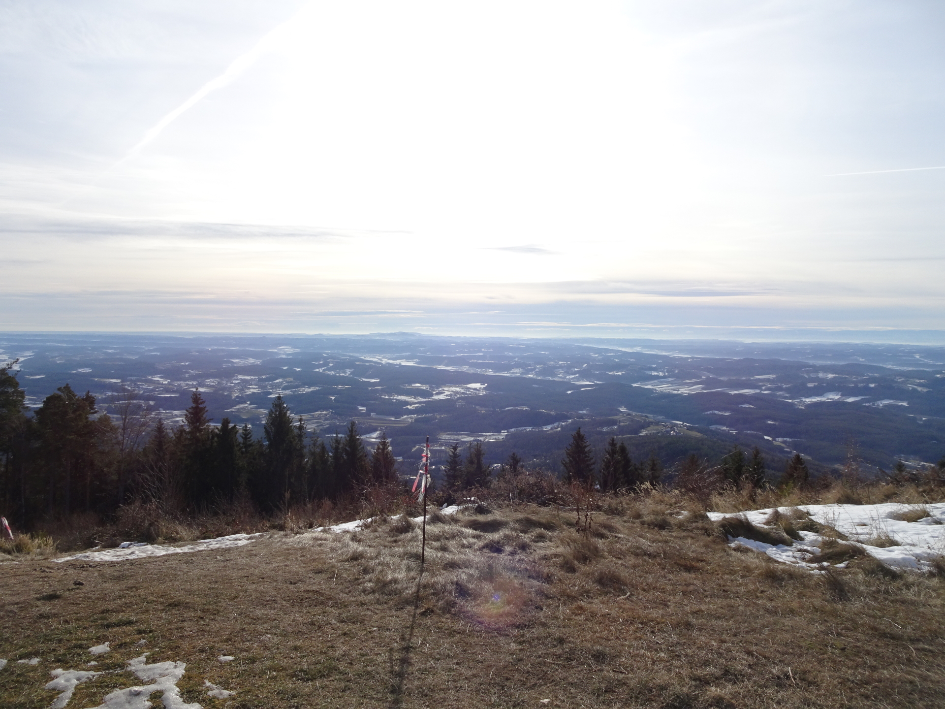
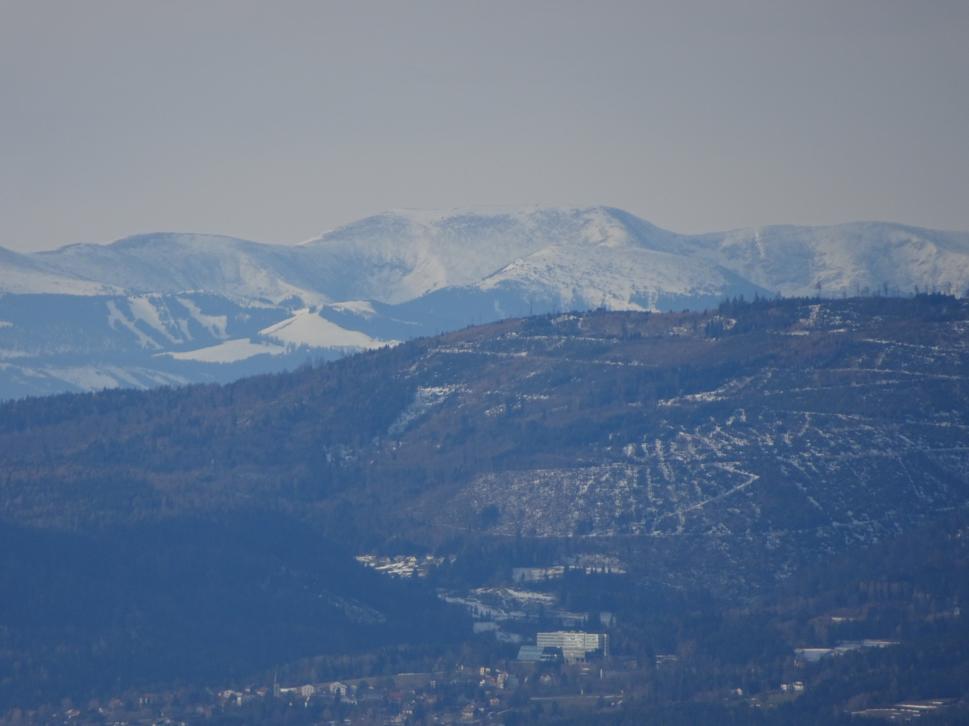
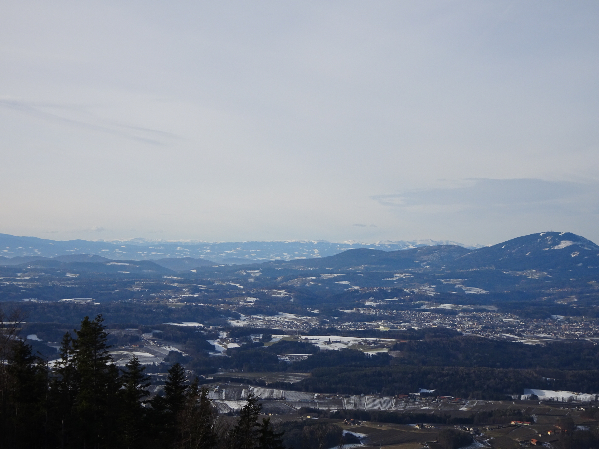
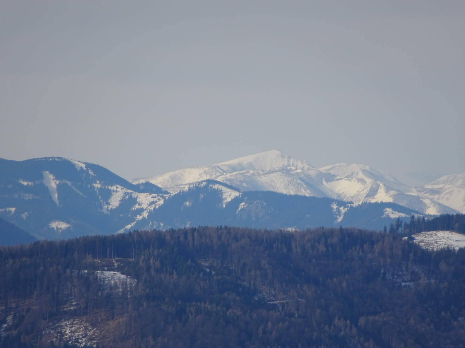
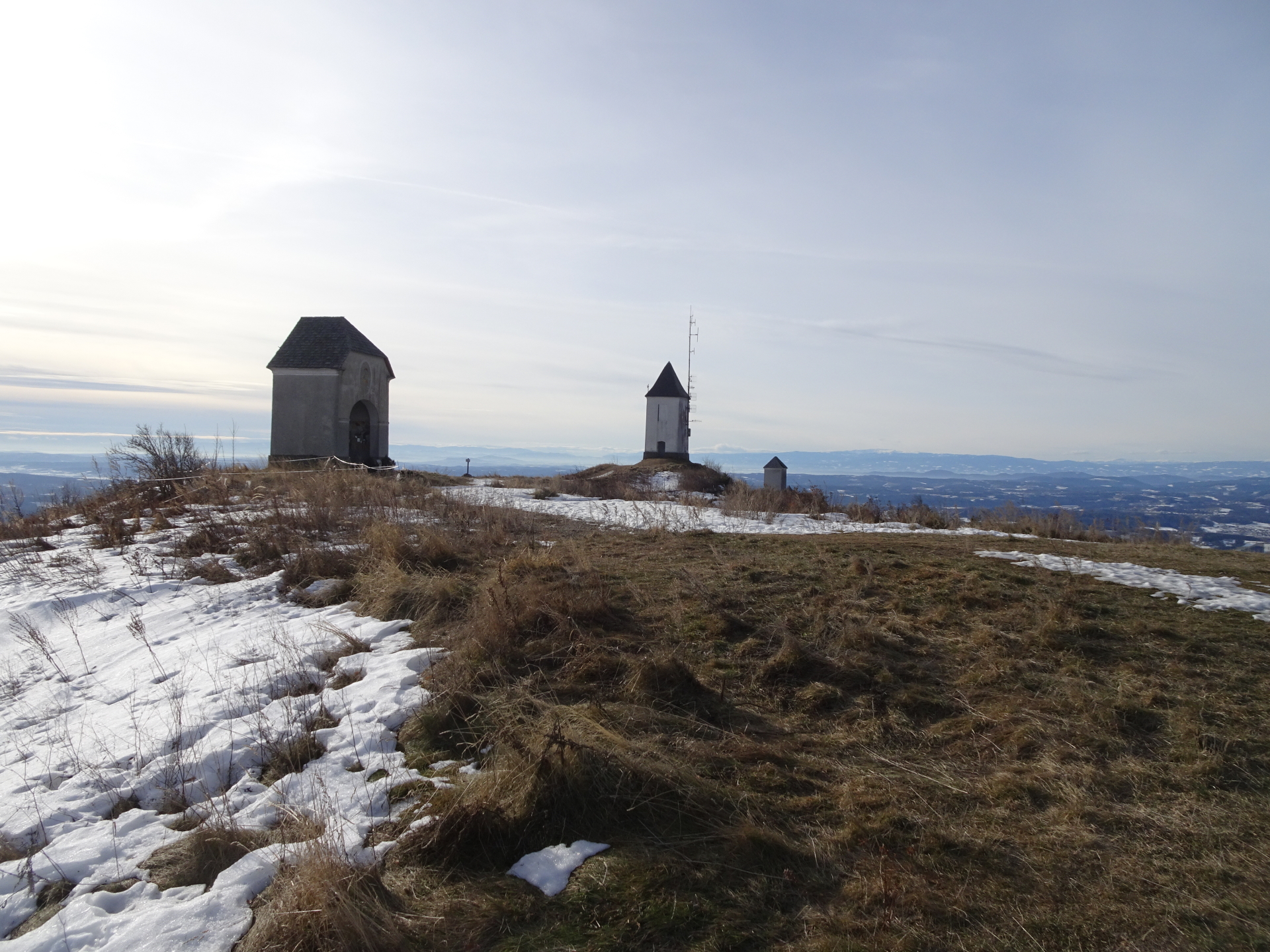
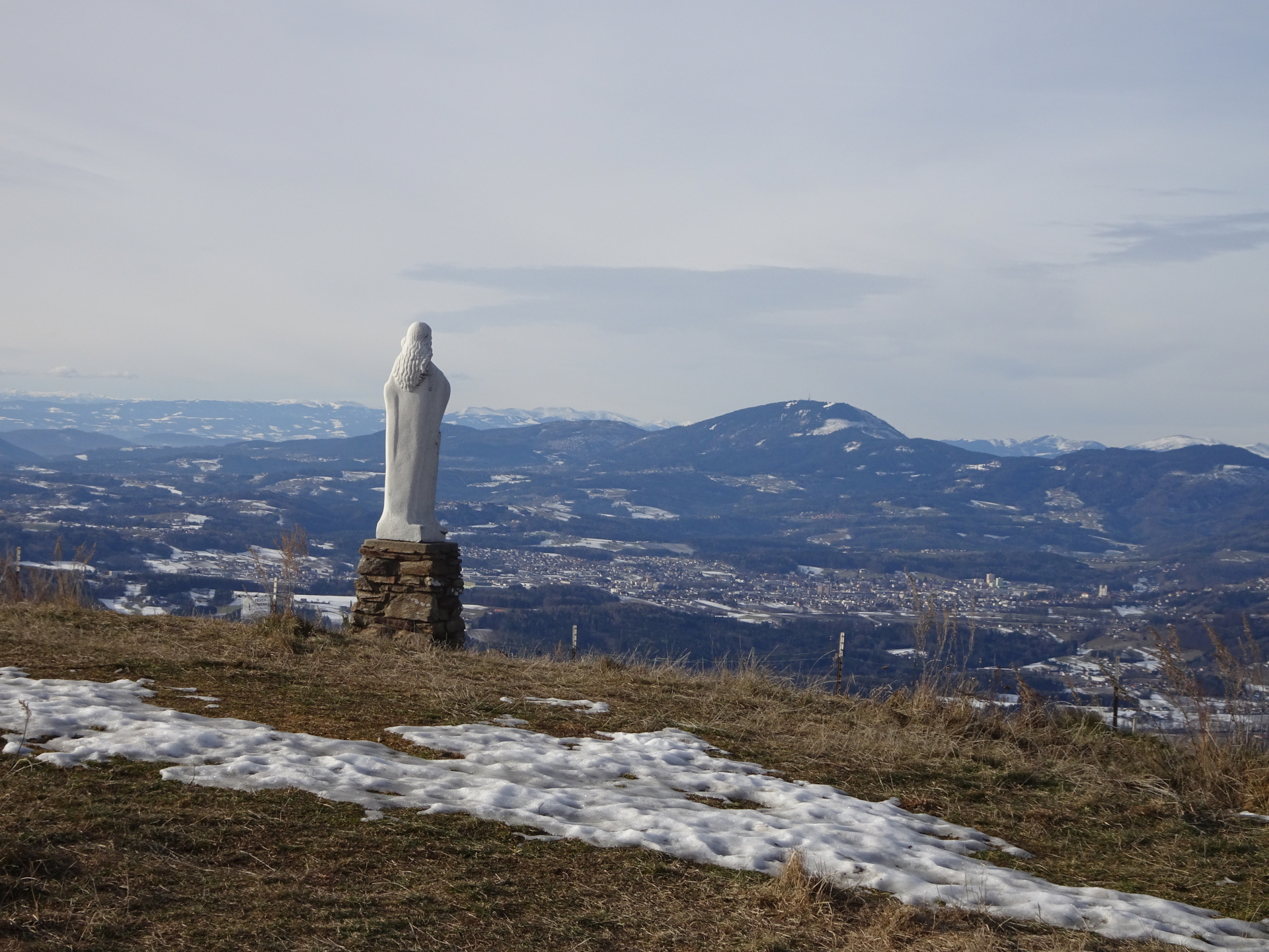
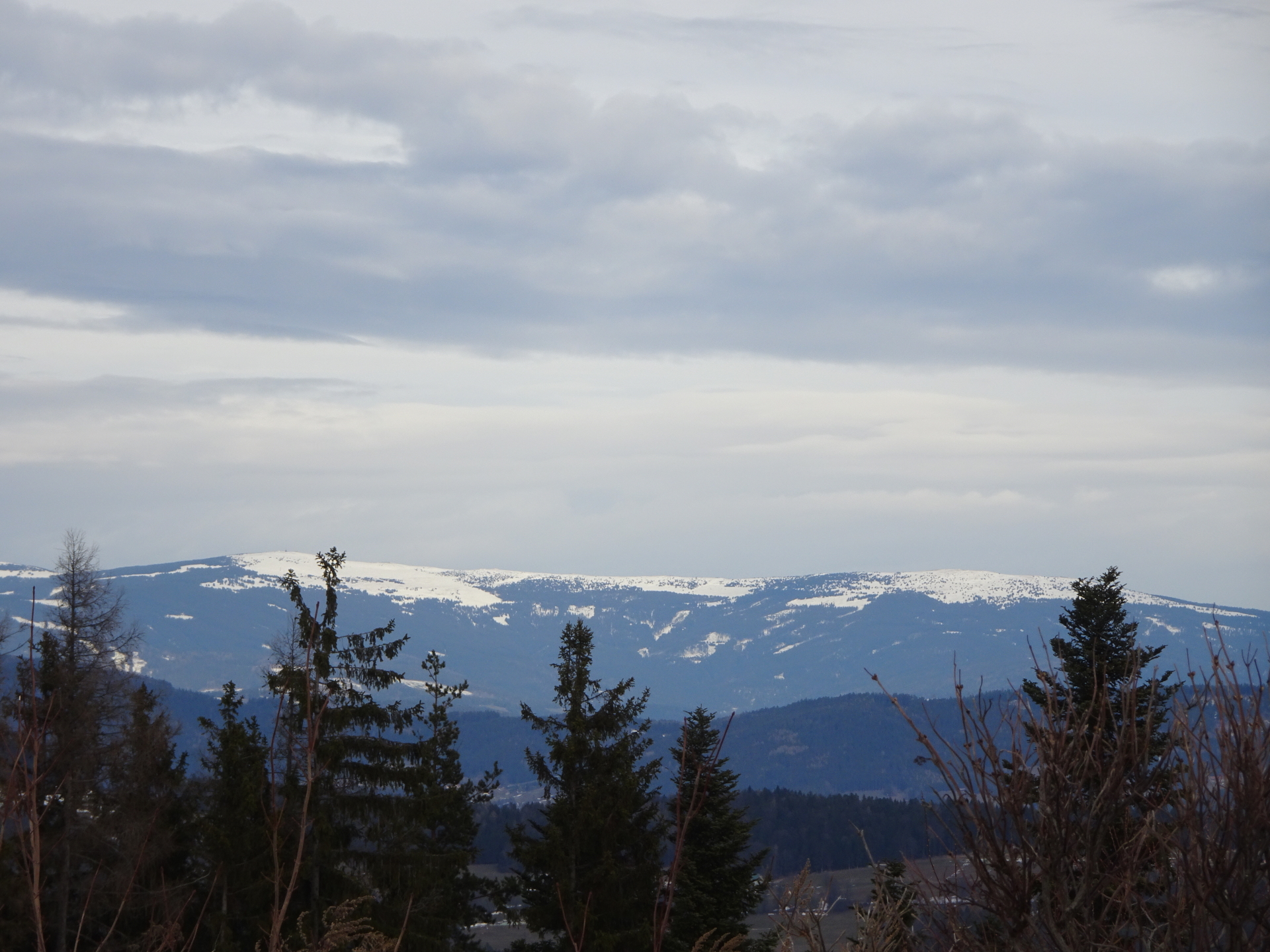
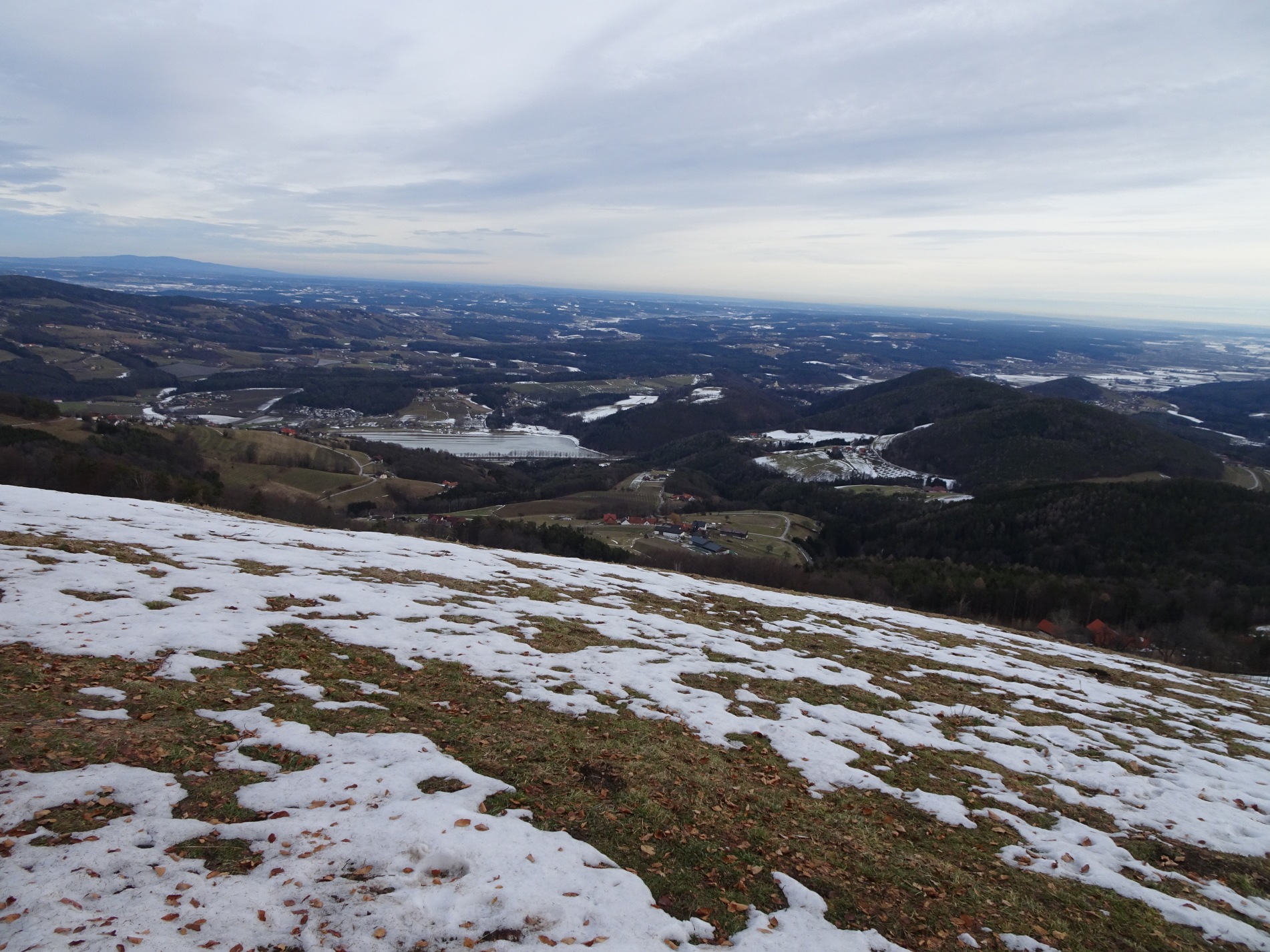
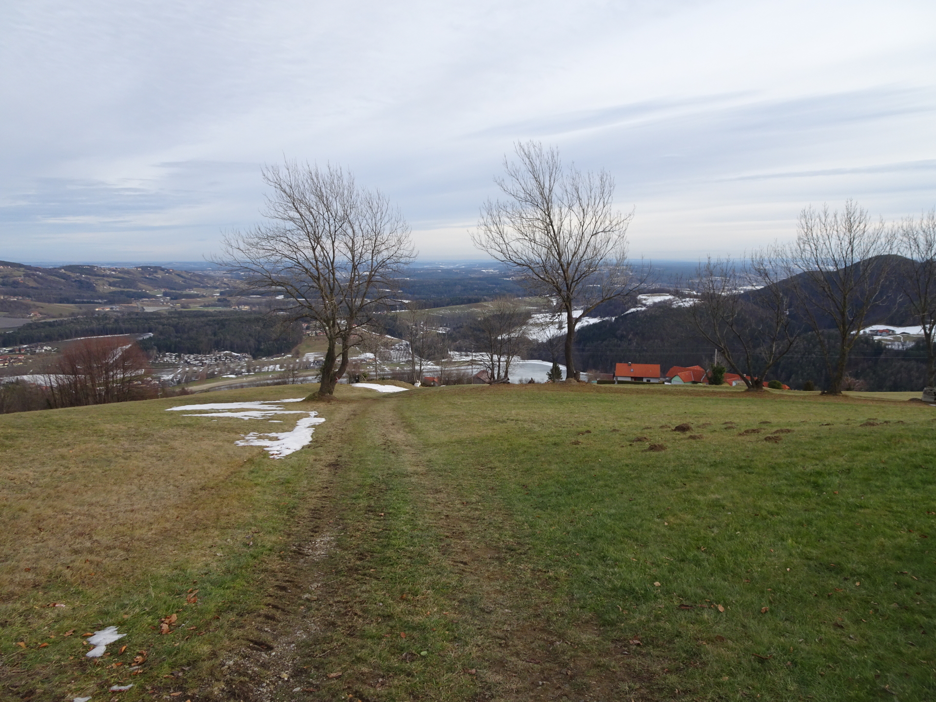
| 01:35 | Enjoy the view from Kulm summit. View is best enjoyed with a self-brought refreshment (). |
| 01:50 | Follow the trail (turn left from the ascent) westwards (first through a gate and then on the trail). |
| 02:00 | At the crossing, do a U-turn and follow the trail eastwards through the forest. |
| 02:05 | At the crossing, do another U-turn and follow the forest road downwards. |
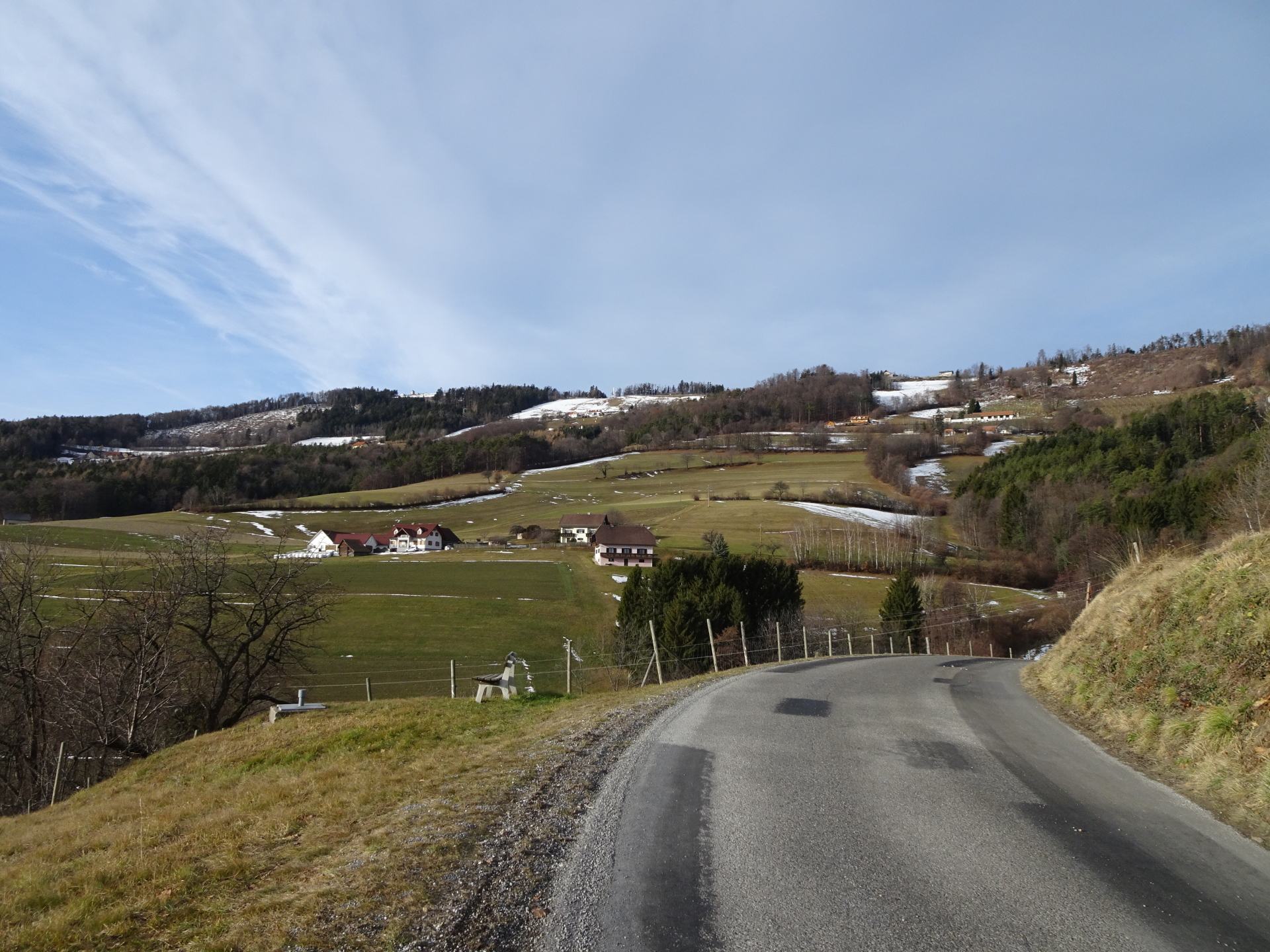
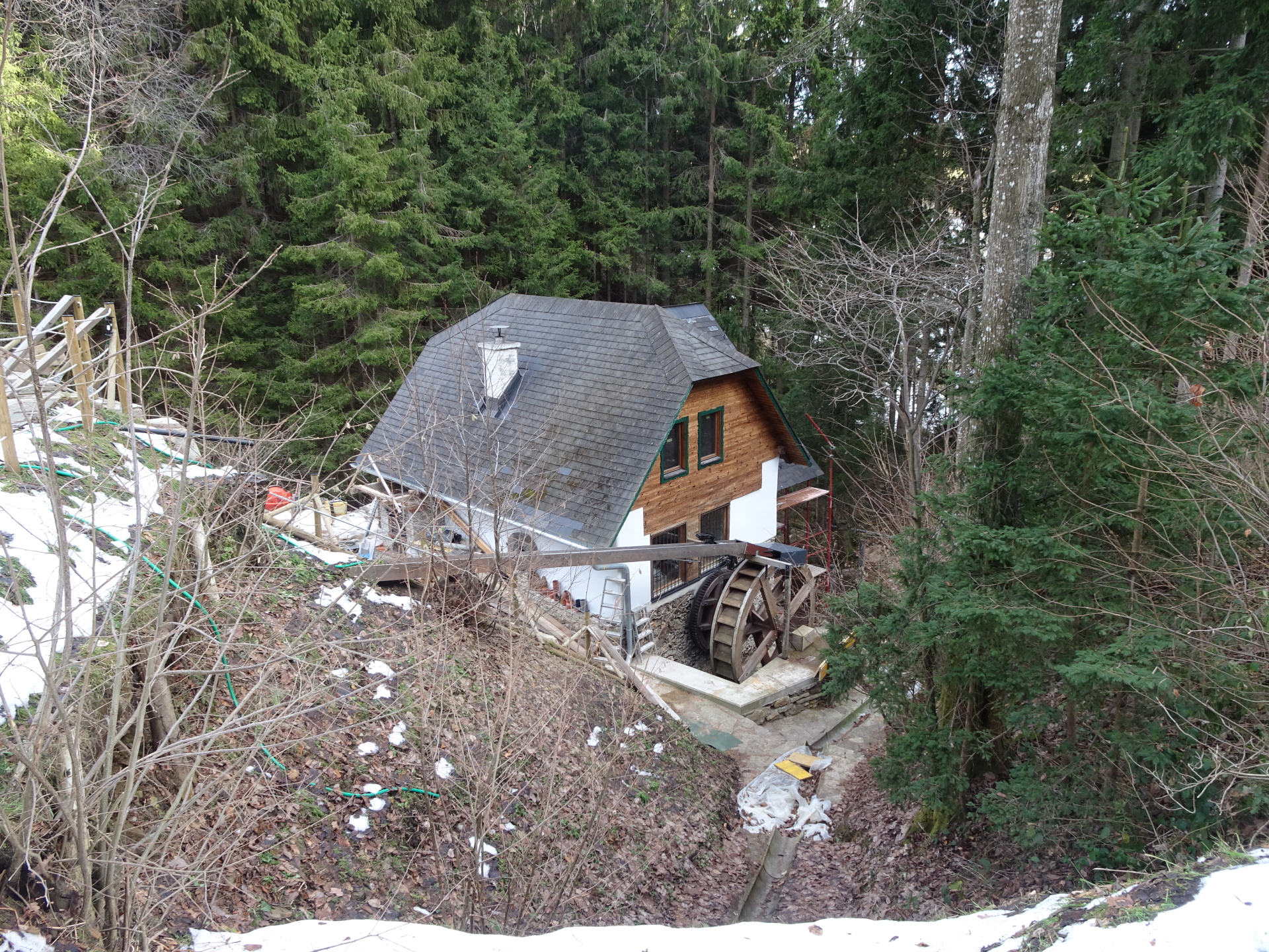
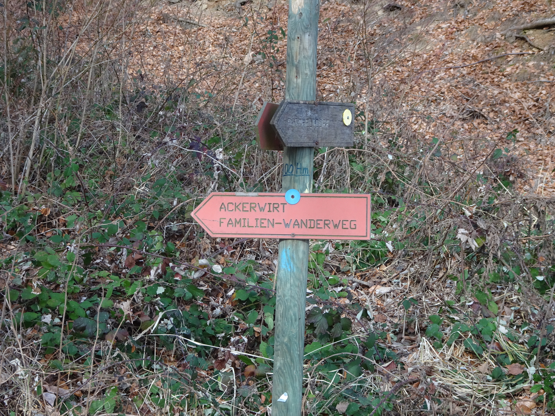
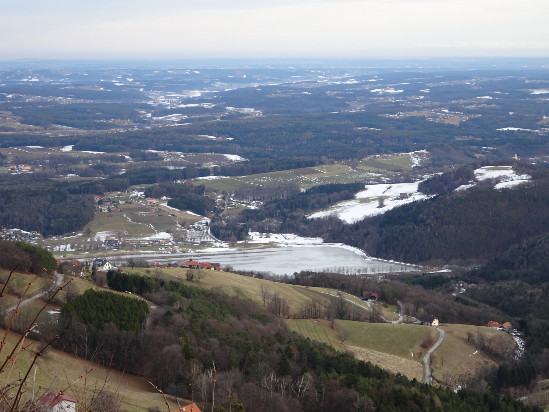
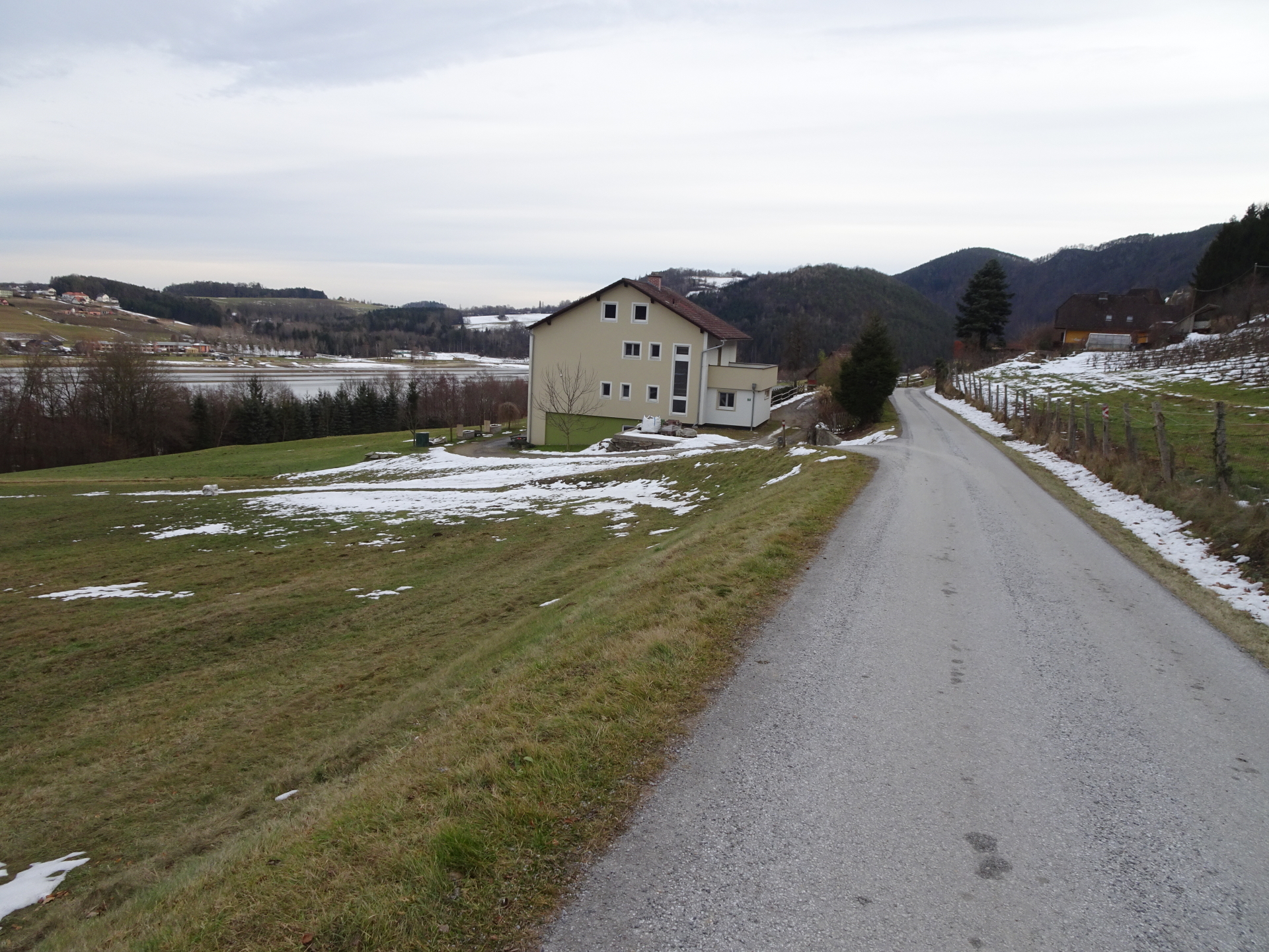
| 02:10 | Pass by the water reservoir and ten turn left following the trail downwards through the fields to Ackerwirt. |
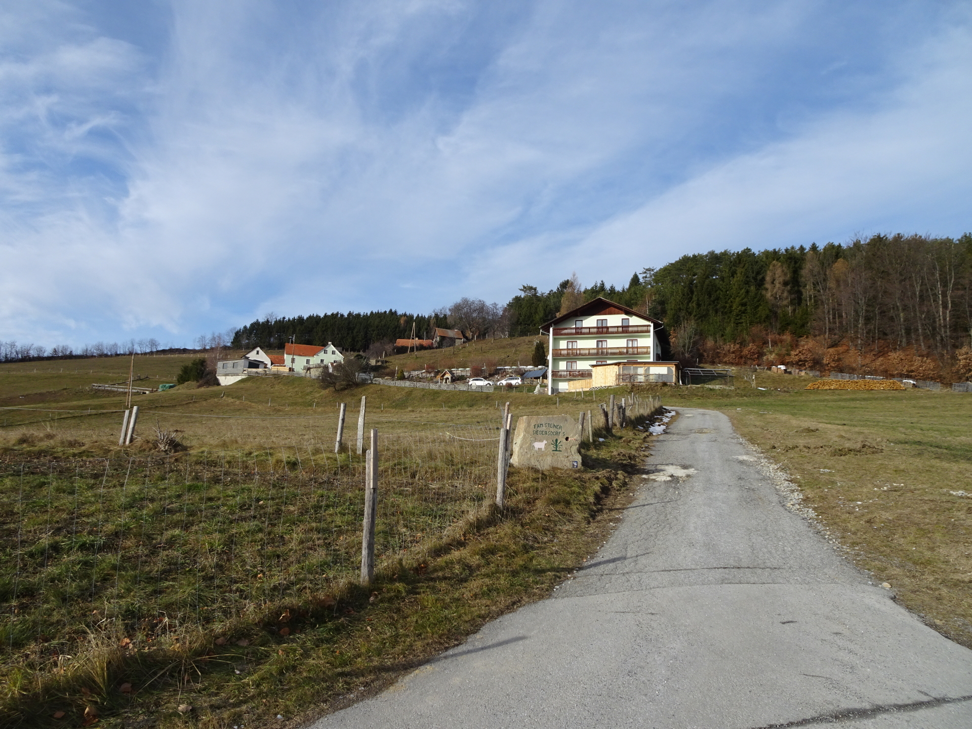
| 02:15 | Keep straight ahead by crossing the street and then turn right at the next street which leads directly to Ackerwirt. |
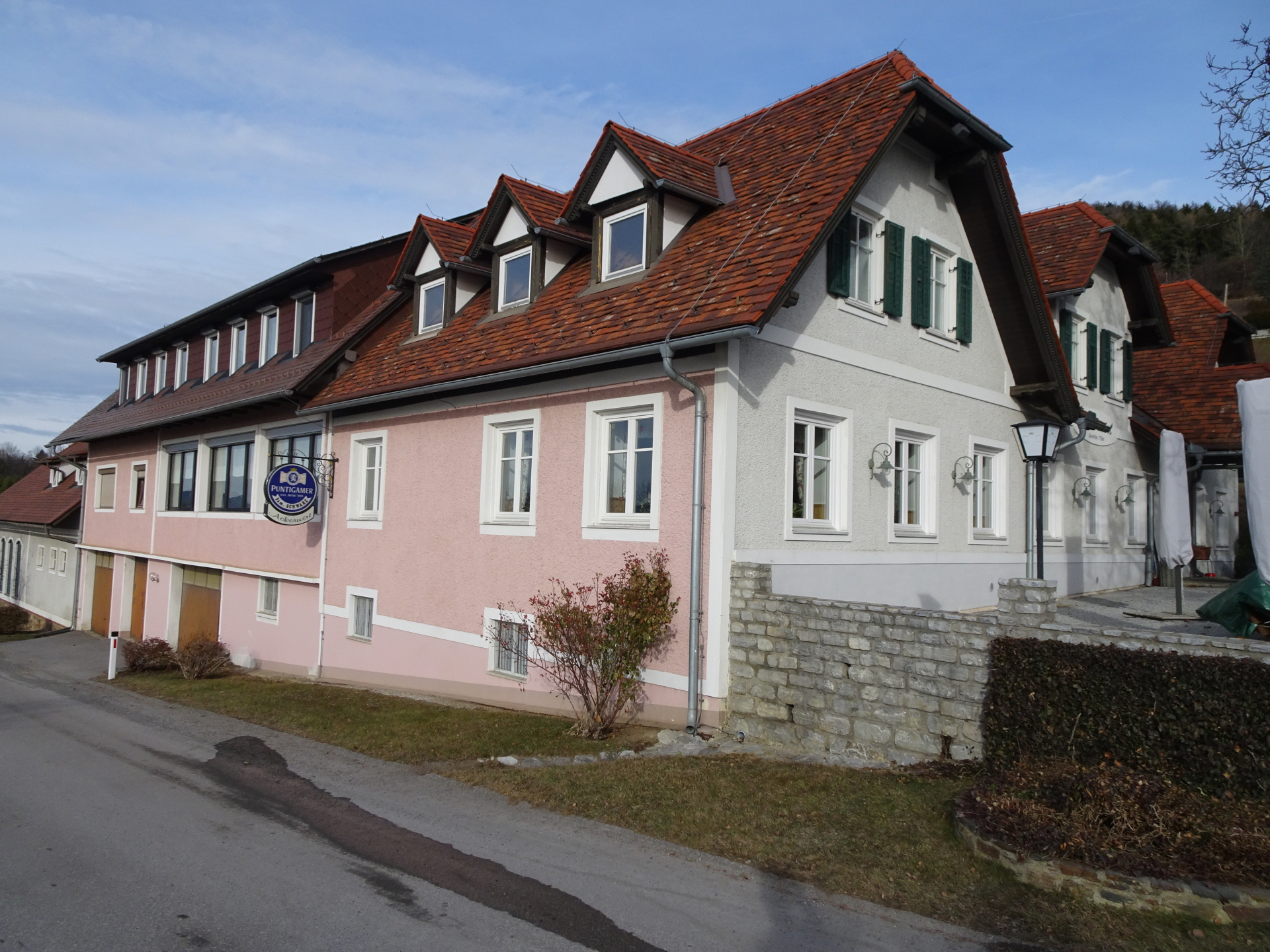
| 02:20 | Well deserved break ( ) at Ackerwirt (I recommend here a small dish and the main course then later at Schnitzelwirt). |
| 02:40 | Follow the main street around Ackerwirt westwards. |
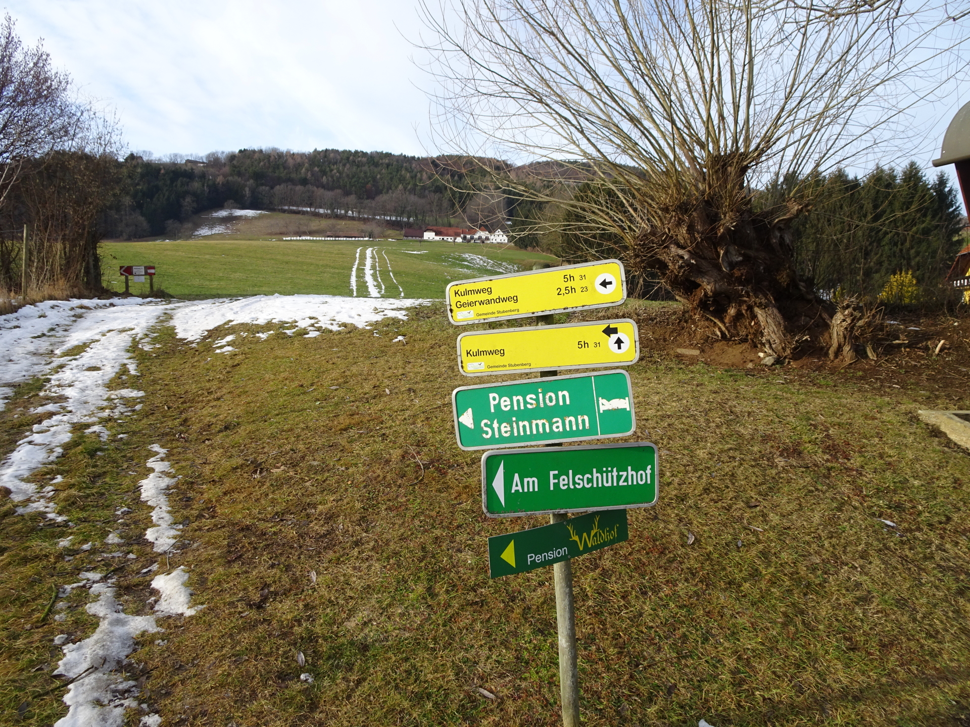
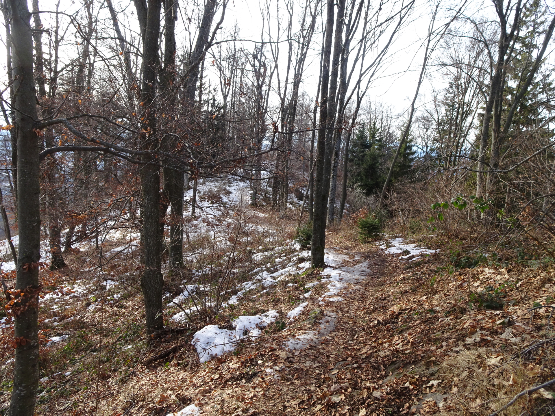
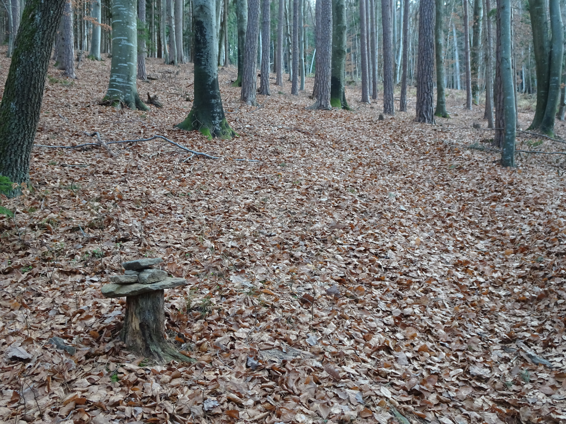
| 02:50 | Turn right and follow the unmarked trail (Horstl-Steig) eastwards. The trail can be found by following the “stone-mans” (stone piles). The trail will automatically lead back to the top of Kulm, crossing several times forest roads. |
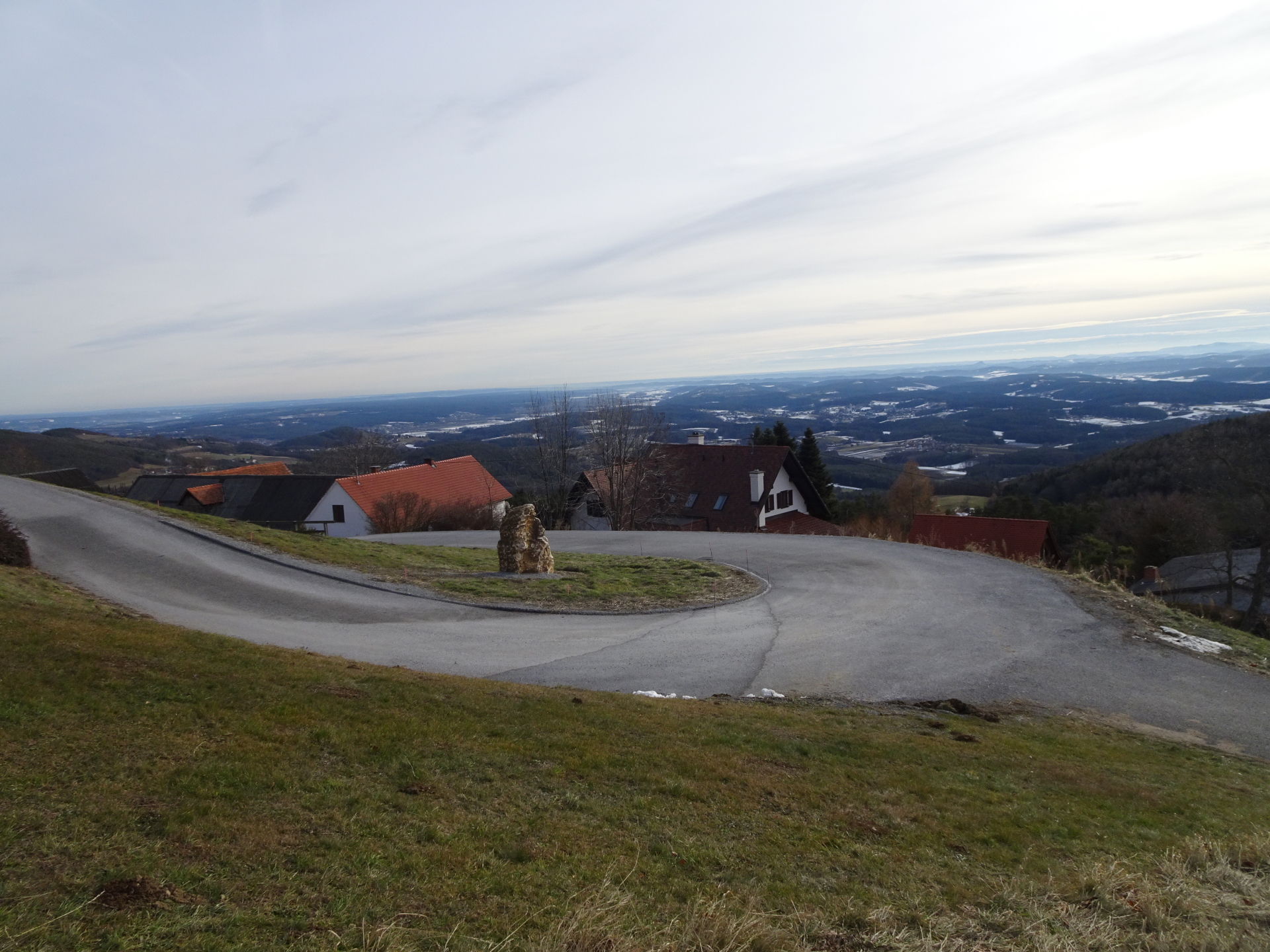
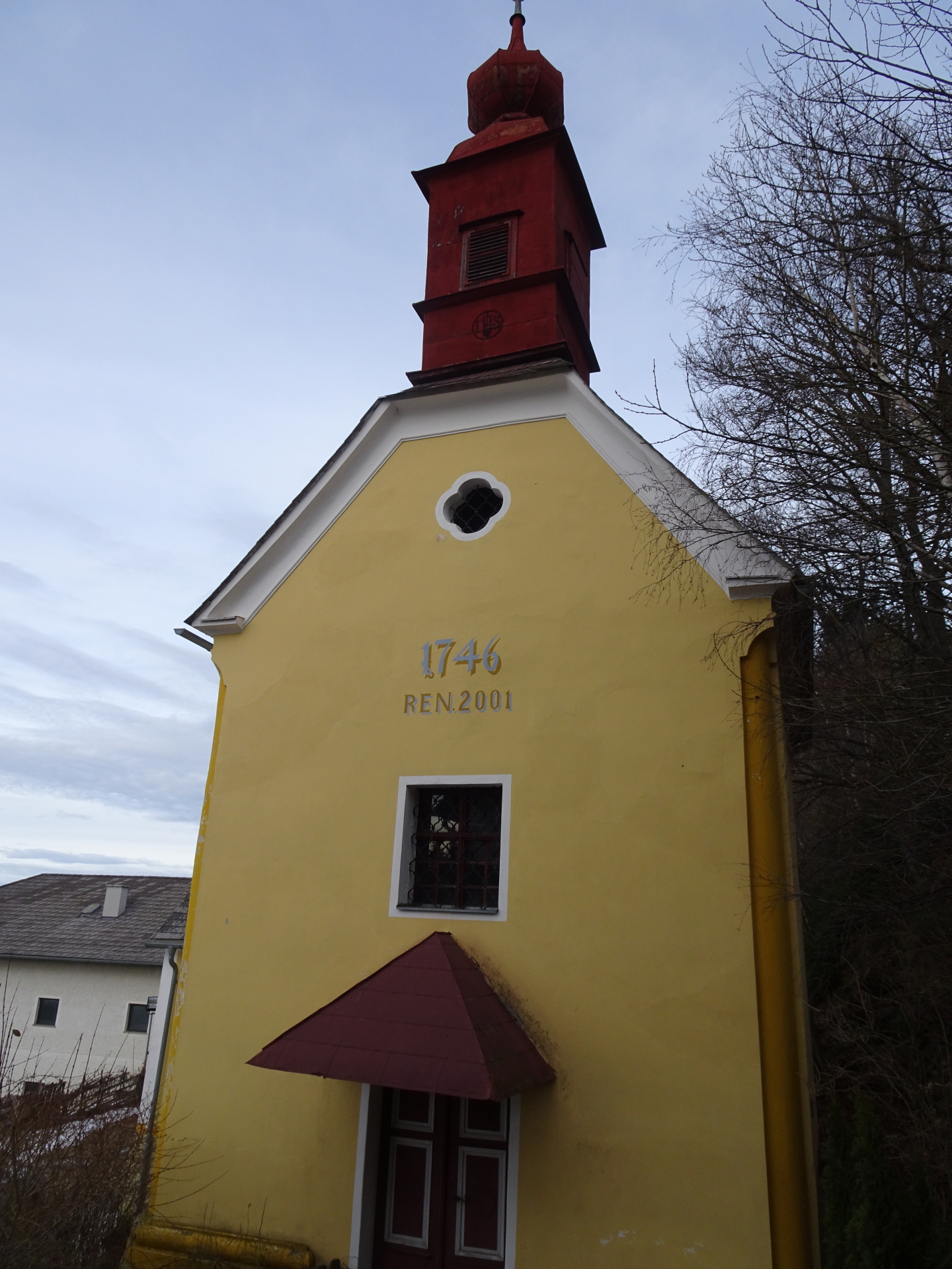
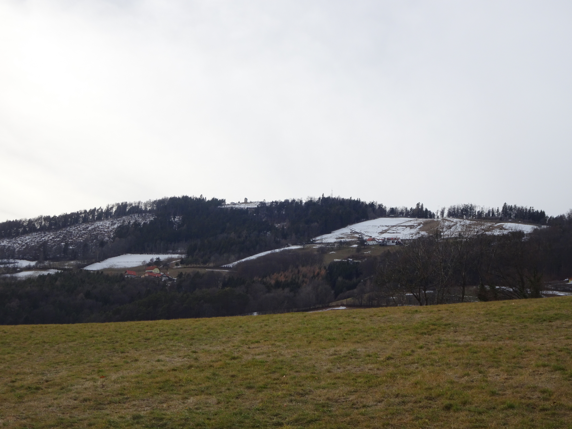
| 03:25 | Enjoy the view from Kulm the 2nd time. Now continue following the round-trail north which then leads towards the visible Mariabrunn church. |
| 03:35 | Do a U-turn at the church and follow the street towards Schnitzelwirt. |
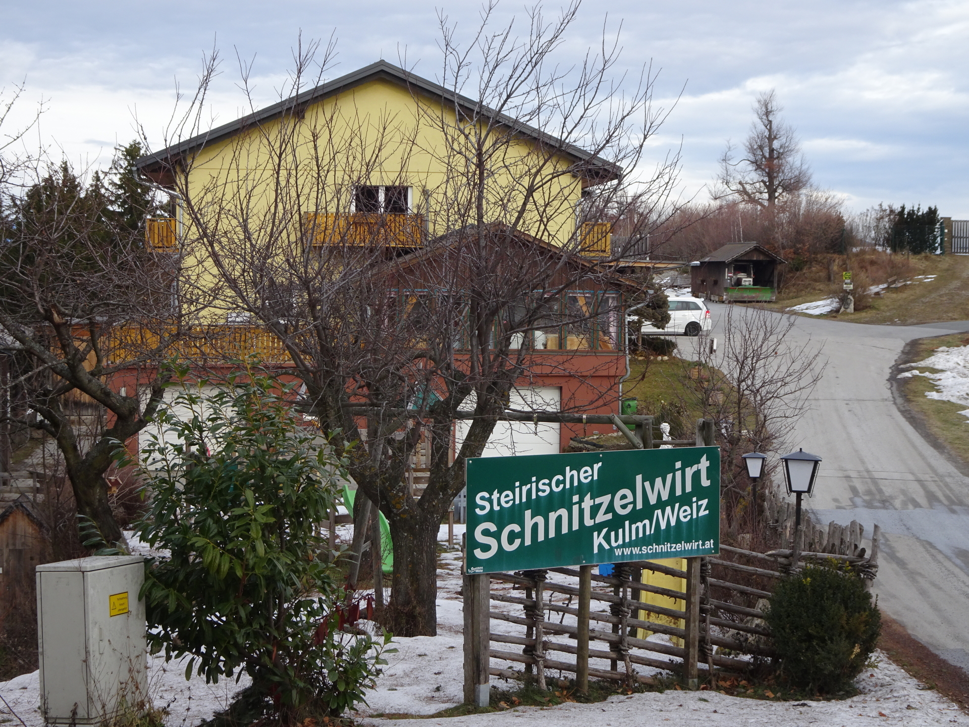
| 03:50 | Well deserved break ( ) at Schnitzelwirt. |
| 04:30 | Follow the red-white-red marked trail through the parking of Schnitzelwirt towards the Kögerlkreuz. |
| 04:40 | At the Kögerlkreuz, turn right and descend via the trail towards Stubenbergsee. |
| 04:50 | At the crossing, first turn right and then turn left at continue following the trail back to Stubenbergsee. |
| 04:55 | At crossing, turn left, follow the street for a few meters and then turn right and follow the marked trail along the houses back to Gasthof Windhaber. |
| 05:05 | Pass by Gasthof Windhaber and follow back the same track towards the parking as used for the ascent. |
| 05:30 | Back at the parking, end of the tour. |
General Tour Data
| Area: | Eastern Styrian mountains, Styria, Austria | |
| Distance: | 15km | |
| Ascent: | 944m (2h 10min) | |
| Descent: | 944m (1h 50min) | |
| Highest Pt: | 975m | |
| Lowest Pt: | 389m | |
| Duration: | 4h 30min (without breaks) 5h 30min (with breaks) |
|
| Stop/Rest: |
Ackerwirt (715m) Schnitzelwirt (882m) |
|
| Equipment: | (Warm) Hiking shoes Shoe chains (“Grödeln”) in winter Backpack with standard hiking equipment Snacks and water Sun & Weather protection GPS advised Camera |
| Download GPX | ||
| O | Tour at outdooractive.com |
At a glance
| Level | moderate |
| Technique | |
| Shape / Fitness | |
| Experience | |
| Scenery | |
| Best time in the year | |
|
Jan
Feb
Mar
Apr
May
Jun
Jul
Aug
Sep
Oct
Nov
Dec
|
|


Leave a Reply