
Speed climb the Rax through the Höllental via the Alpenvereinssteig (B) and descend via the Wachthüttelkamm.
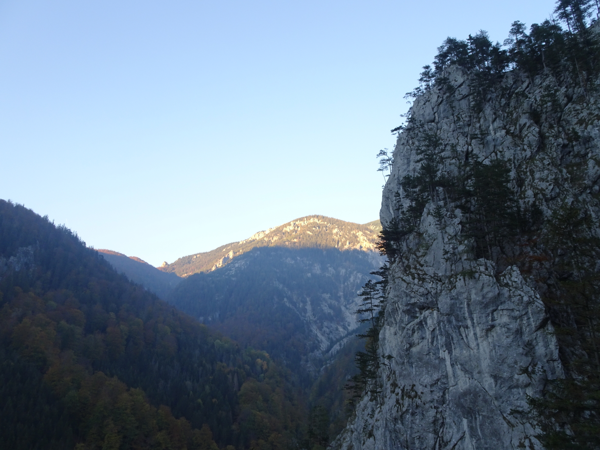
This tour leads through the beautiful Höllental and climb up the Rax via the famous Alpenvereinssteig (aka AV-Steig) Via Ferrata. The descent is done via another (easy) Via Ferrata at the east of Höllental, namely the Wachthüttelkamm. Due to the fact that both Via Ferratas are fairly simple, the tour qualifies for a speed climb.
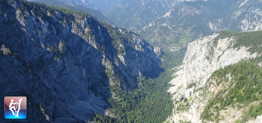
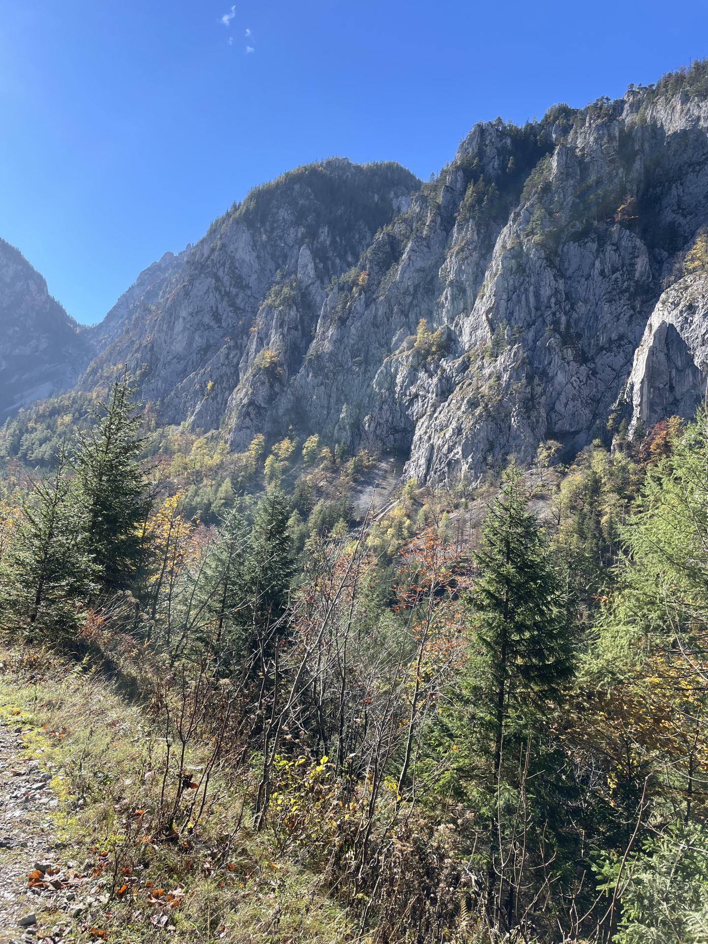
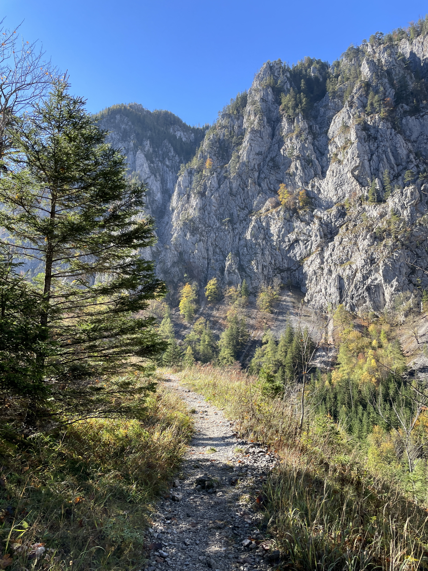
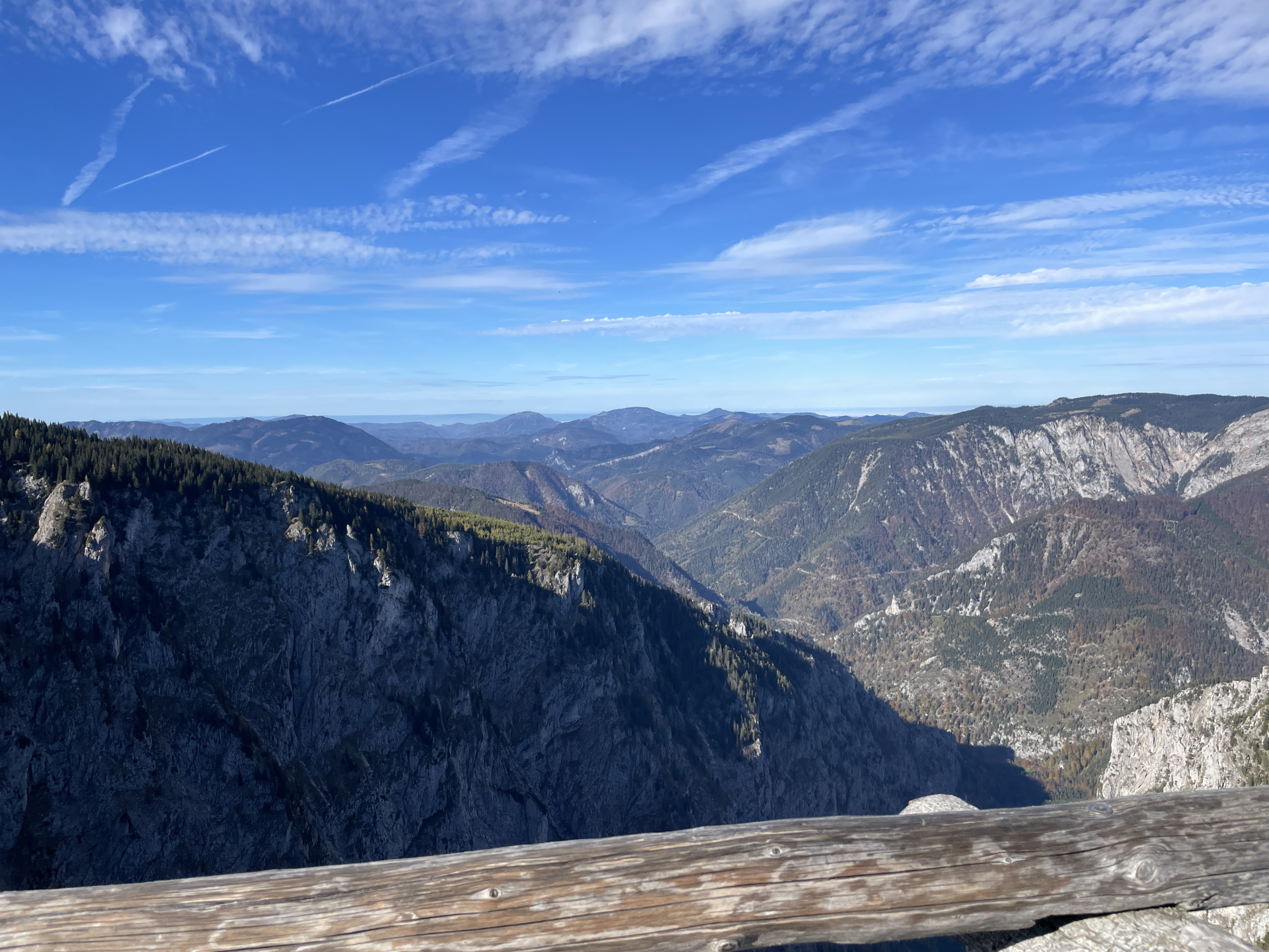
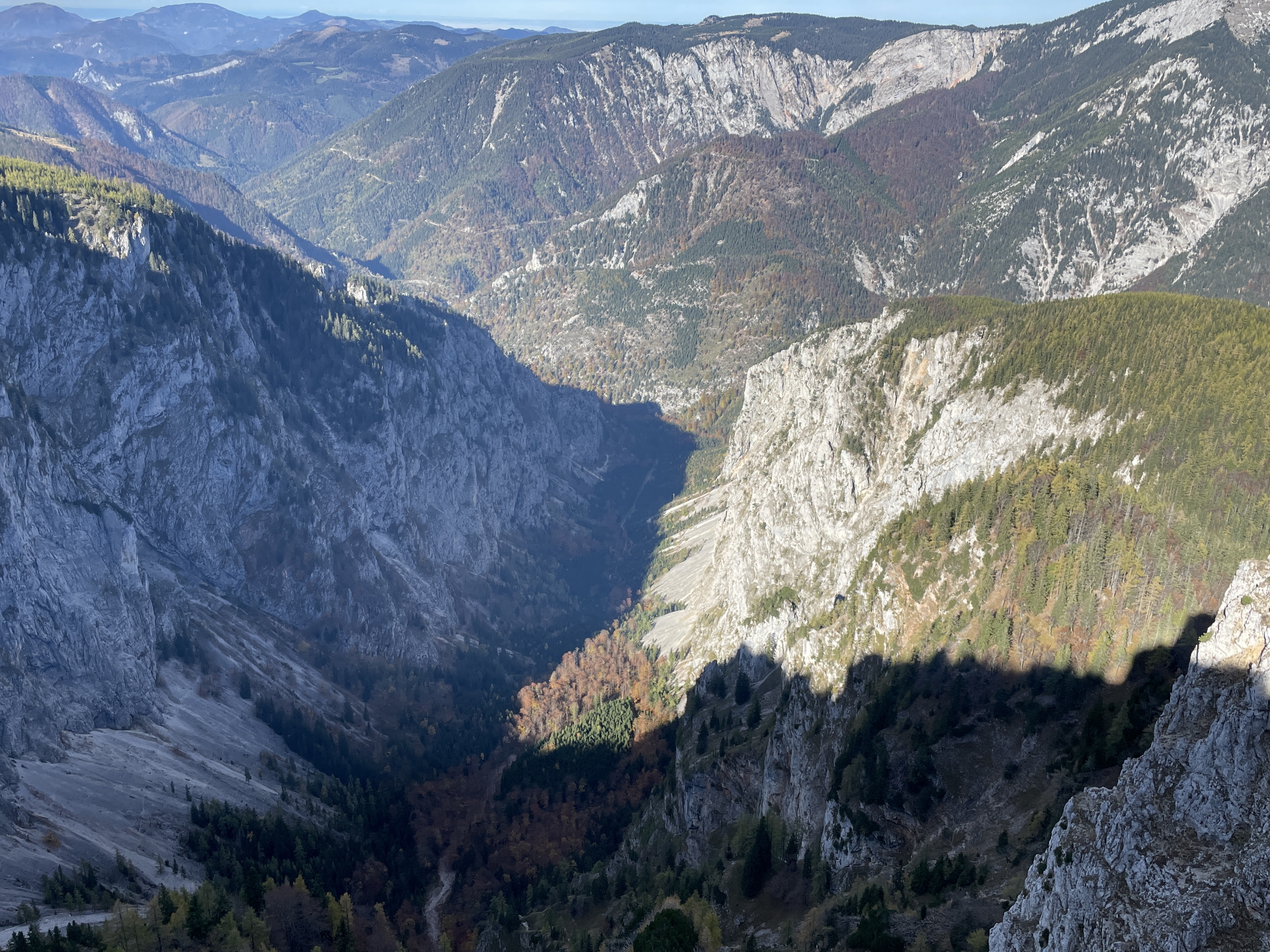
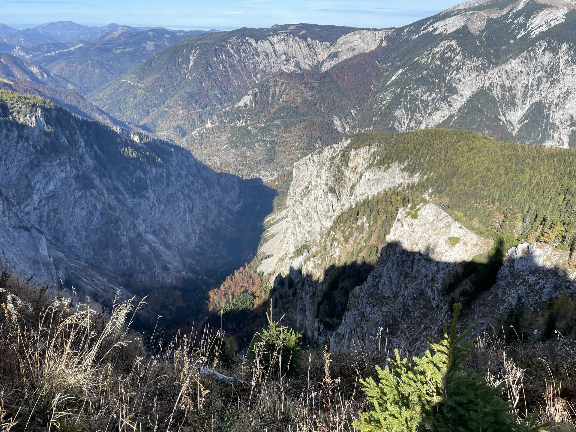
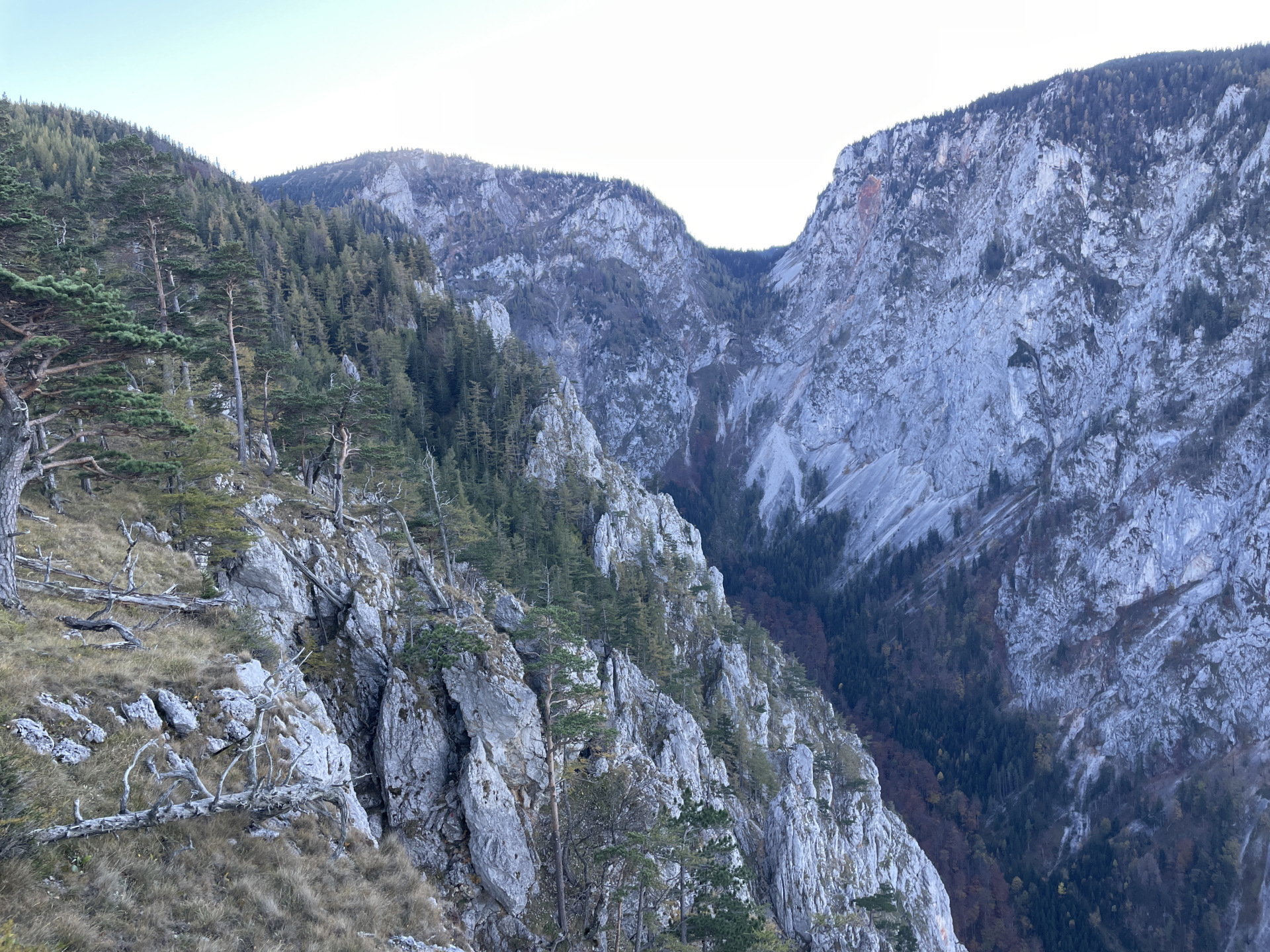
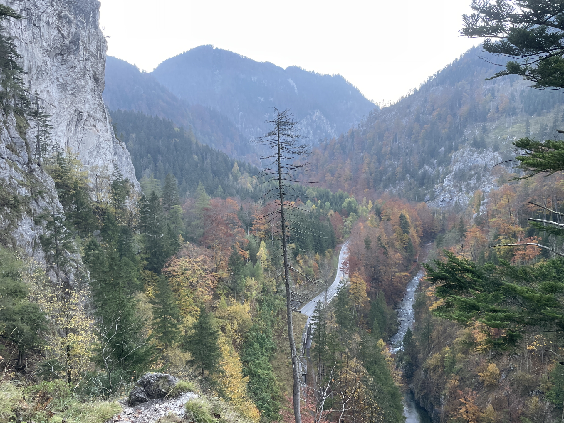
The tour starts at the small parking in front of the tunnel at the Höllental (GPS: 47.746355, 15.763405) where a small trail leads towards the Schönbrunnerstiege. Following a long hiking trail through the Höllental finally takes you to the crossing of Teufelsbadstubensteig (used later for the descent) and straight ahead the Alpenvereinssteig. After ascending the Alpenvereinssteig up to the Höllentalaussicht, the tour then continues towards the mountain station of the cable car with its good restaurant. After a well deserved break, the tour goes back but this time uses the Wachthüttelkamm to descend back to the Höllental.
| 00:00 | Start at the parking lot Höllental (before the tunnel, GPS: 47.746355, 15.763405). The trail starts opposite of the parking lot. |
| 00:01 | Follow the trail parallel to the street (keep right 2x). |
| 00:06 | Ascent the Schönbrunnerstiege (iron stairs). |
| 00:08 | Follow the blue route through the Höllental. |
| 00:27 | Keep straight ahead at the crossing towards Hoyossteig. |
| 00:30 | Keep straight ahead at the crossing towards Teufelsbadstubensteig (follow signposts towards Alpenvereinssteig). |
| 00:35 | Keep straight ahead / slightly left at the crossing towards Gaislochsteig (follow blue markings towards Alpenvereinssteig). |
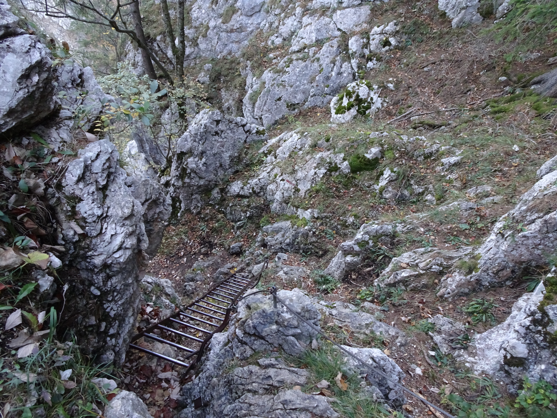
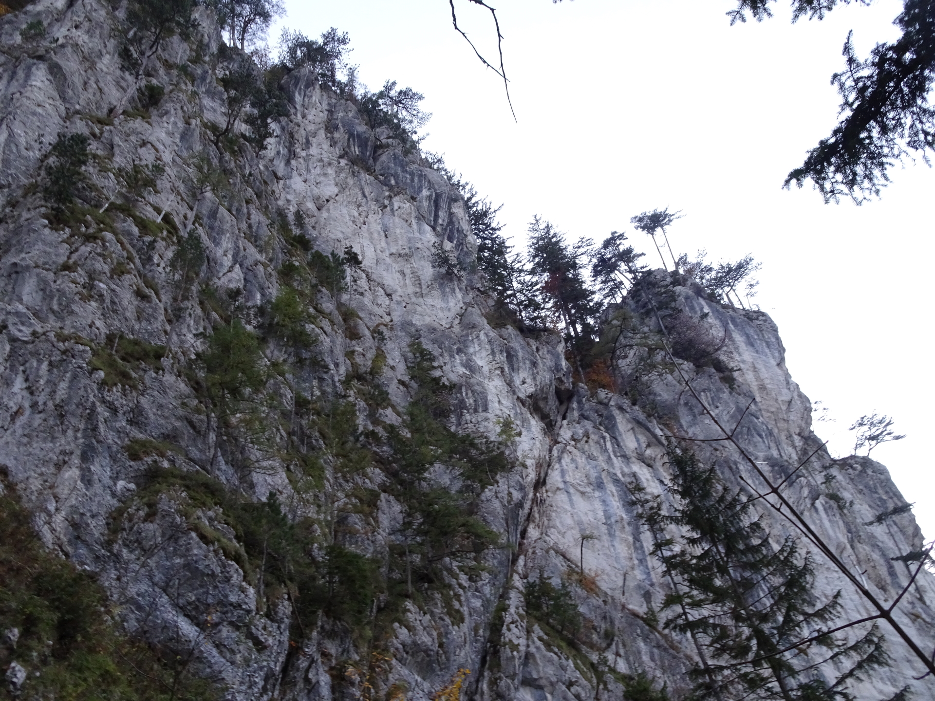
| 00:40 | Climb up the long iron ladder which is also the start of the Alpenvereinssteig Via Ferrata. Follow the trail upwards. |
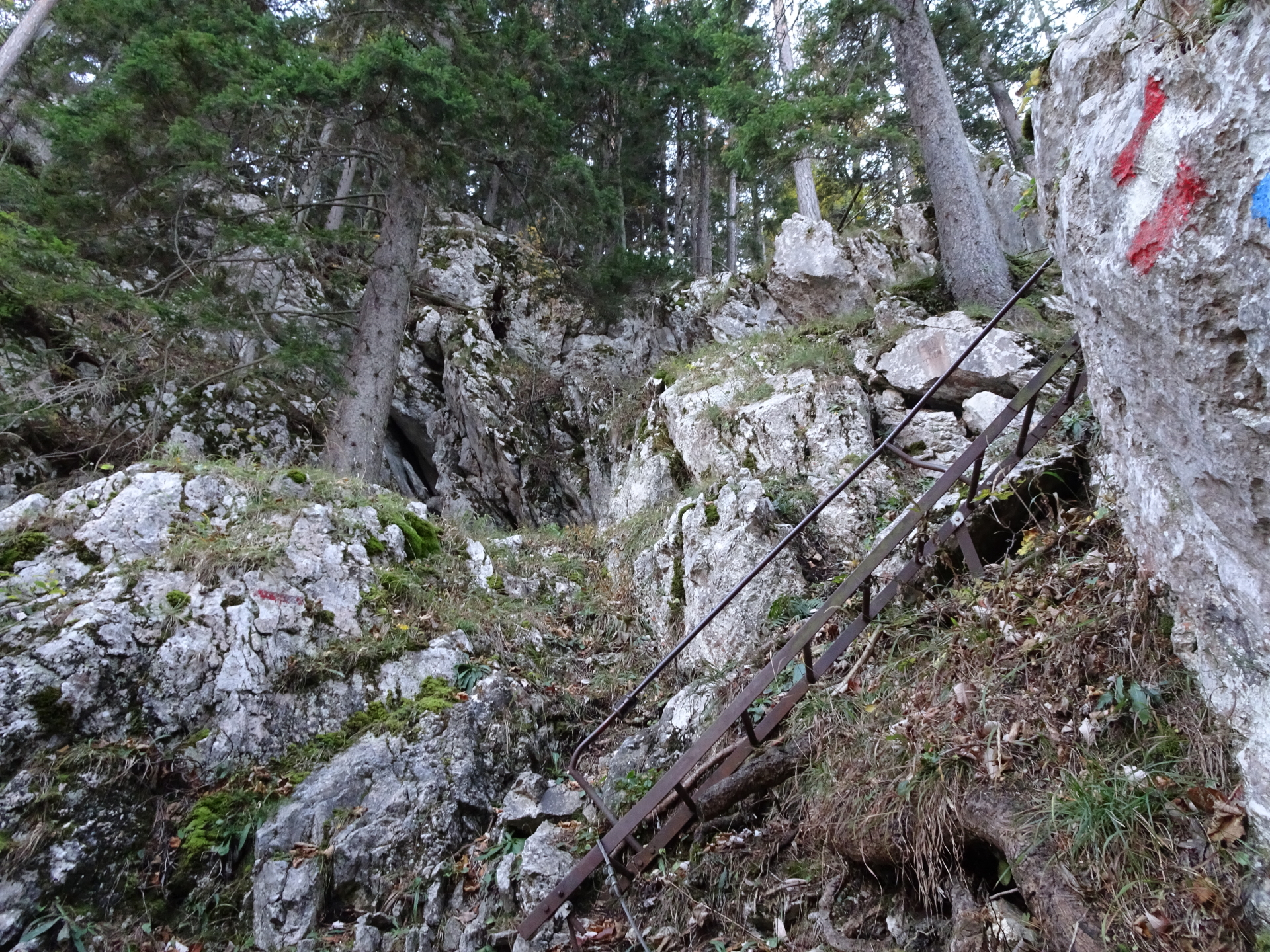
| 01:25 | At the crossing, turn left and climb up the iron ladder (upper part of Alpenvereinssteig). Follow the trail upwards. |
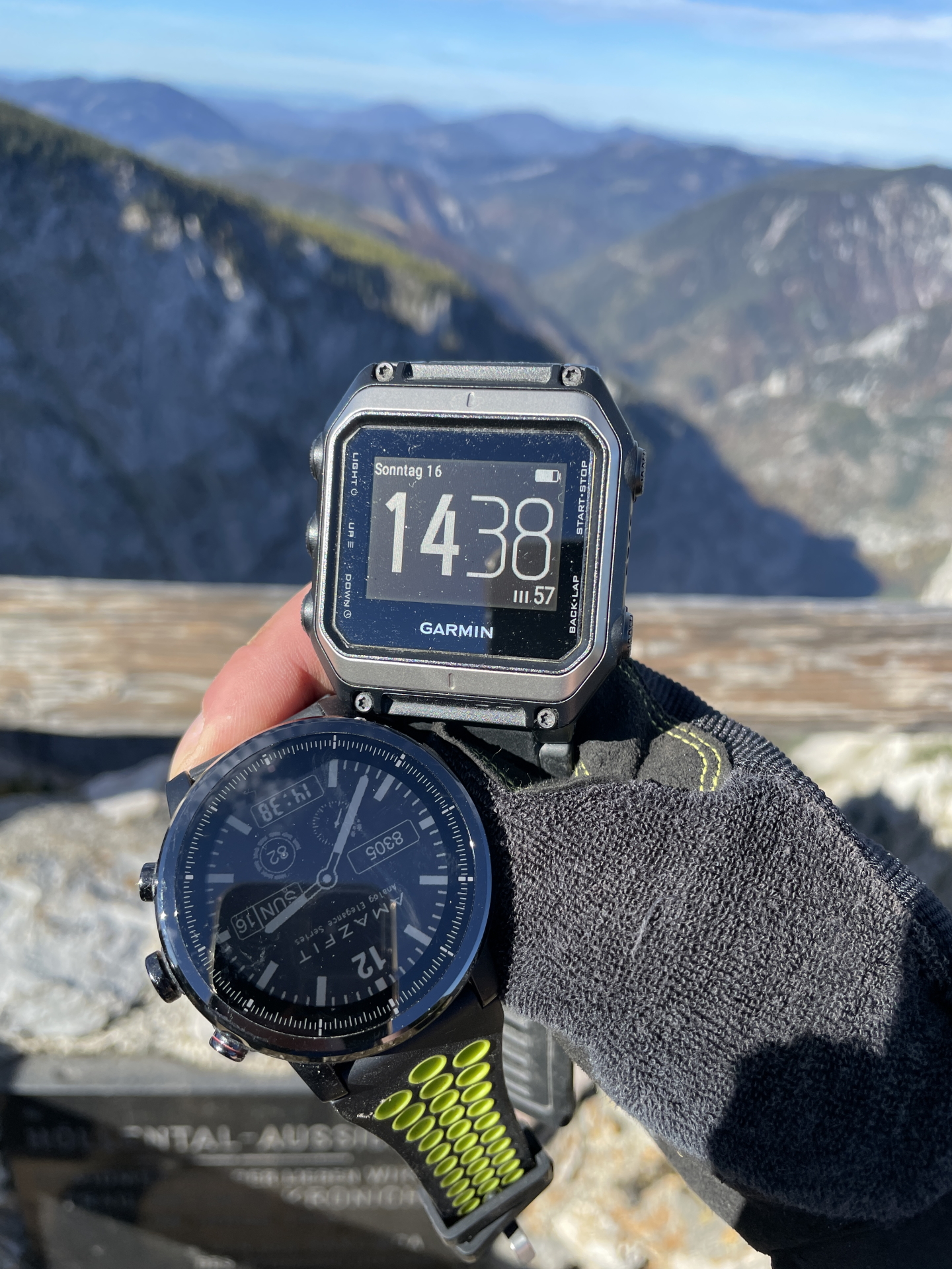
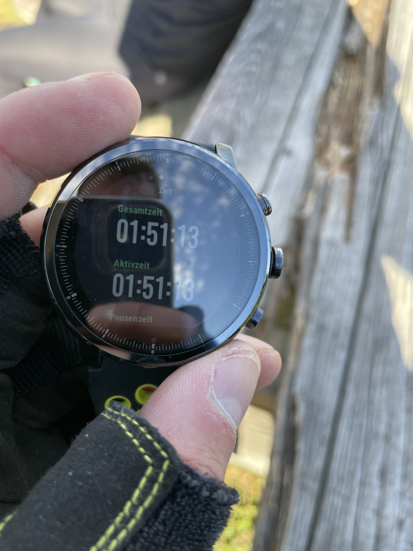
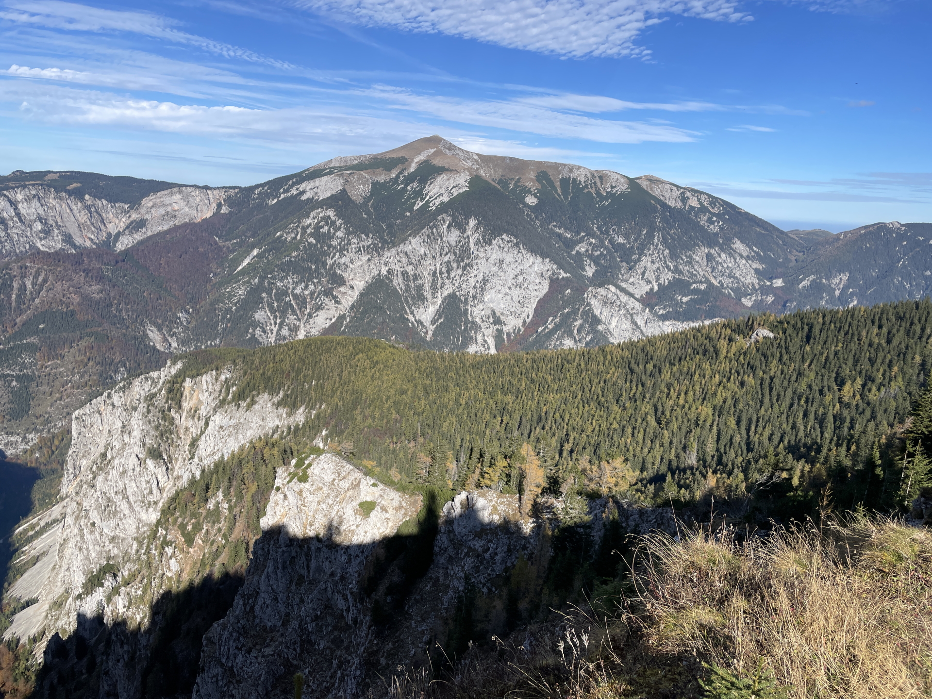
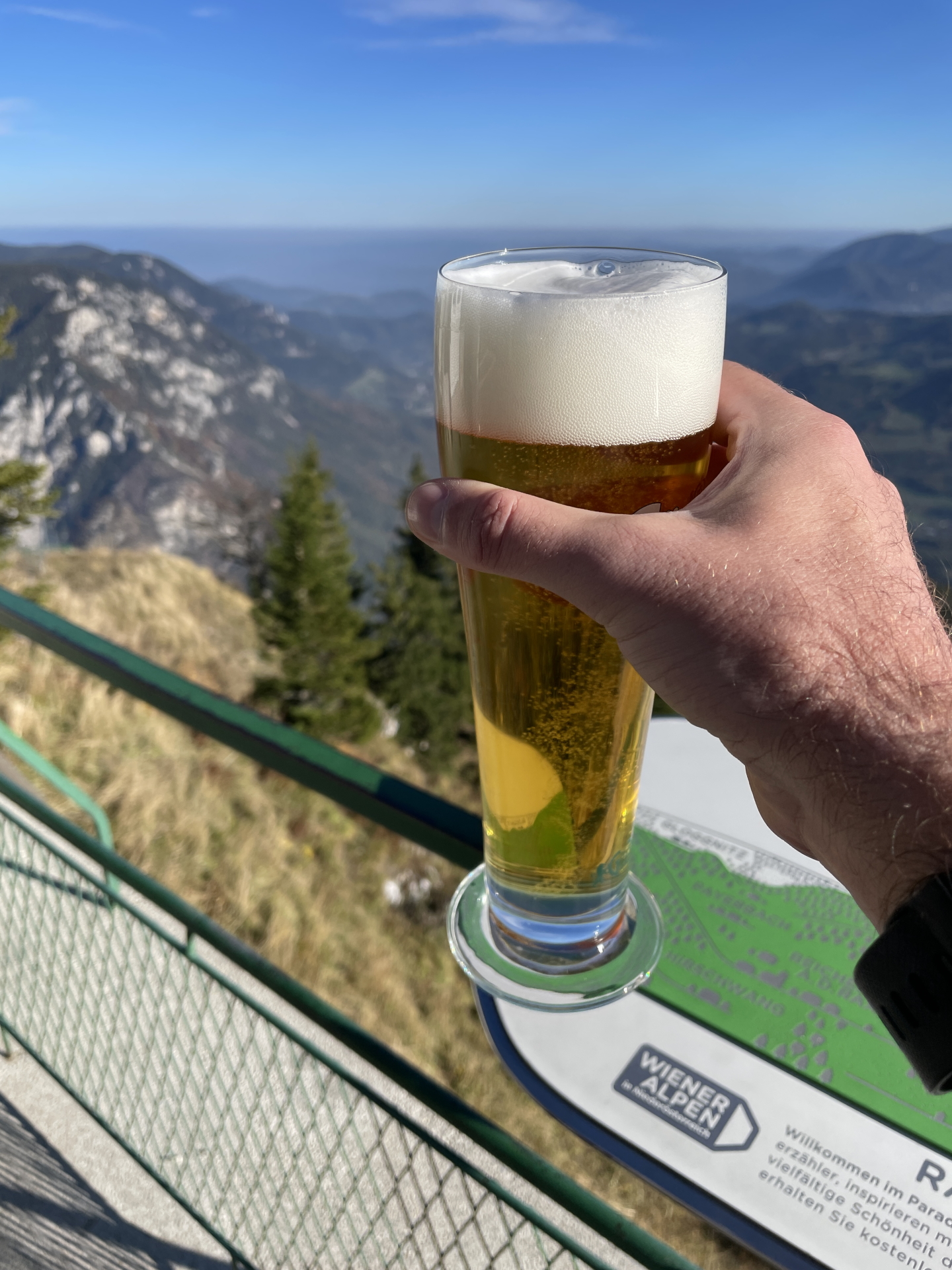
| 01:51 | Enjoy the view from Höllentalaussicht (end of Alpenvereinssteig). Best enjoyed with a self-brought refreshment (). |
| 02:00 | Follow the hiking trail southwards – first through the bushes and then towards the gravel road. |
| 02:15 | At the crossing of Schwaigriegelsattel, keep straight and follow the gravel road southwards towards Ottohaus. |
| 02:20 | Pass by Ottohaus and follow the trail for a few meters towards the viewing platform at the Benesch memorial. Enjoy the amazing view from the platform. |
| 02:25 | Hike back and either celebrate at Ottohaus ( – unfortunately in my case it was crowded with no seats and a long queue) or continue walking back towards Schwaigriegelstattel and then turn right and follow the gravel road towards the Alpengasthof Bergstation. |
| 02:30* | Detour to Alpengasthof Bergstation: At the Schwaigriegelsattel, turn right and follow the gravel road till reaching the Alpengasthof Bergstation. |
| 02:45* | Detour: Well deserved break ( ) at the Alpengasthof Bergstation. |
| 03:10* | Detour: Hike back to Schwaigriegelstattel. |
| 03:30* | End of Detour: At the crossing of Schwaigriegelsattel turn sharp right (or if coming from Ottohaus, keep straight (slightly right)) and follow the trail towards Wachthüttelkamm. |
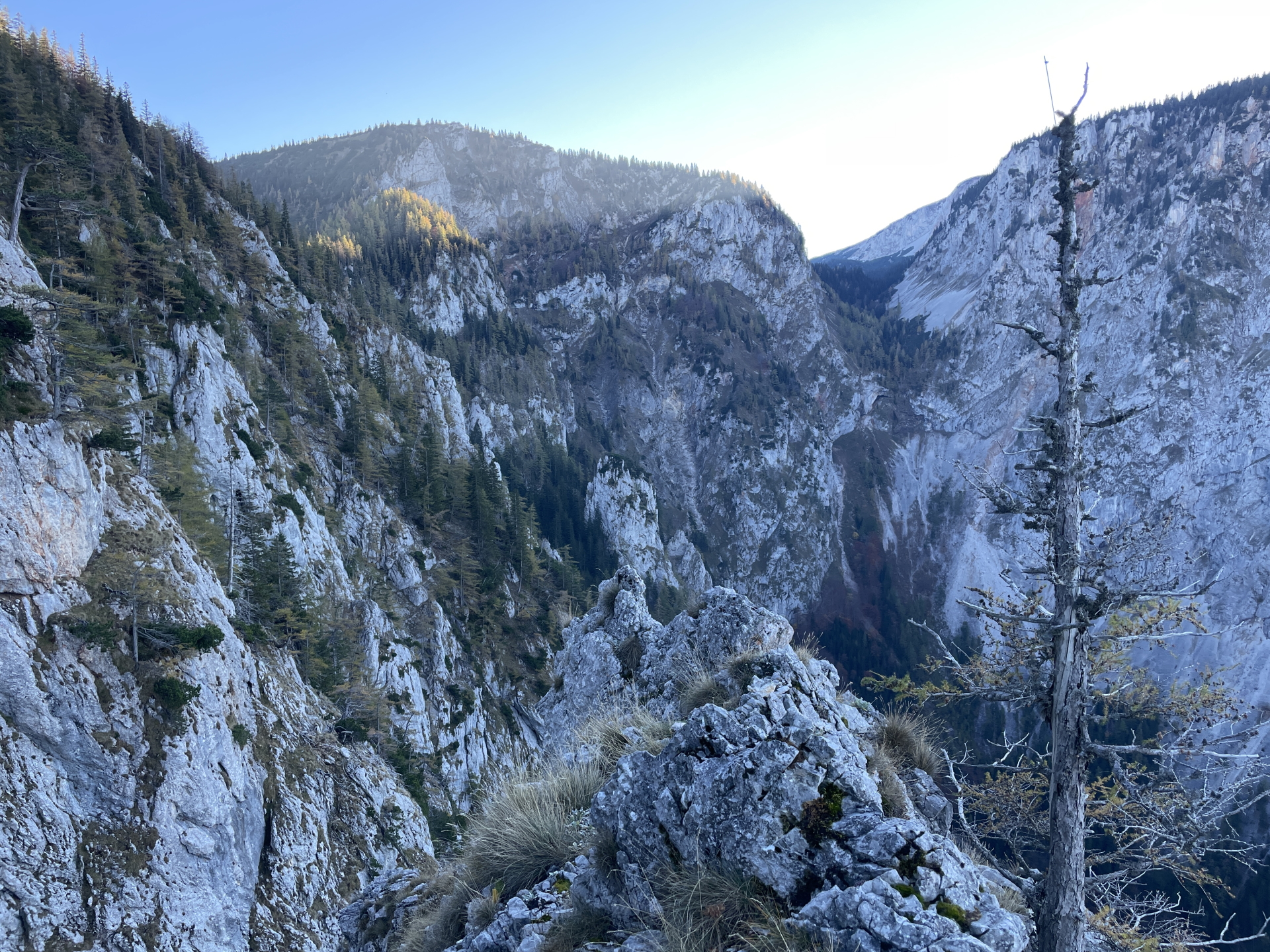
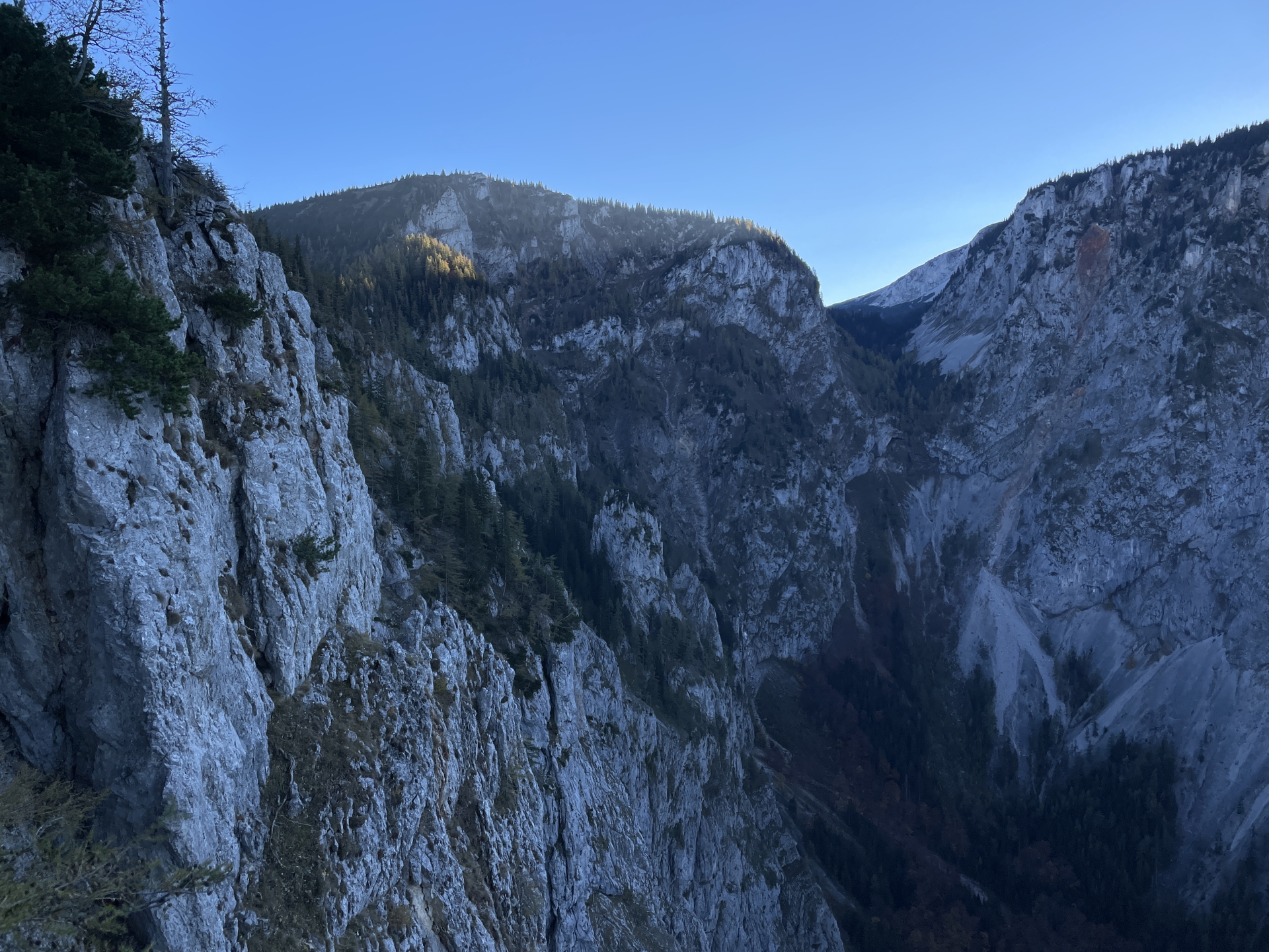
| 04:00 | At the crossing, keep left and continue following the red-marked Wachthüttelkamm trail downwards. |
| 04:10 | At the crossing with Teufelsbadstubensteig, keep right and continue following the marked trail downwards. The trail becomes more steep and turns into an easy via ferrata (A). |
| 05:05 | At the crossing, turn right and follow the trail down to the parking. |
| 05:10 | Back at the parking, end of the tour. |
At a glance
| Level | easy-moderate |
| – Via Ferrata Category | B |
| Technique | |
| Shape / Fitness | |
| Experience | |
| Scenery | |
| Best time in the year | |
|
Jan
Feb
Mar
Apr
May
Jun
Jul
Aug
Sep
Oct
Nov
Dec
|
|
General Tour Data
| Area: | Rax/Schneeberg Group, Lower Austria, Austria | |
| Distance: | 17km | |
| Ascent: | 1189m (1h 51min) | |
| Descent: | 1201m (1h 20min) | |
| Highest Pt: | 1623m | |
| Lowest Pt: | 563m | |
| Duration: | 4h 30min (without breaks) 5h 10min (with breaks) |
|
| Stop/Rest: | Ottohaus (1644m) Berggasthof Rax (1545m) |
|
| Equipment: | Via ferrata set incl. helmet Backpack with standard hiking equipment Enough water 1x “Gipfelbier” () Sun & Weather protection Camera |
|
| Topo/Map: | Alpenvereinssteig (B) |
| Download GPX |


 Via Ferrata: “Rax via AV-Steig (B) & Teufelsbadstubensteig (B)”")
 & descending via Wachthüttelkamm\"")
, Gustav-Jahn Steig (B) & AV-Steig (B)”")
Leave a Reply