
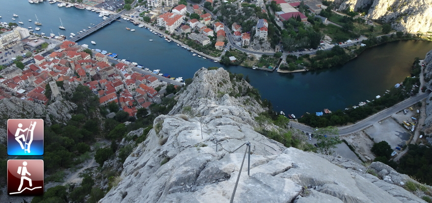
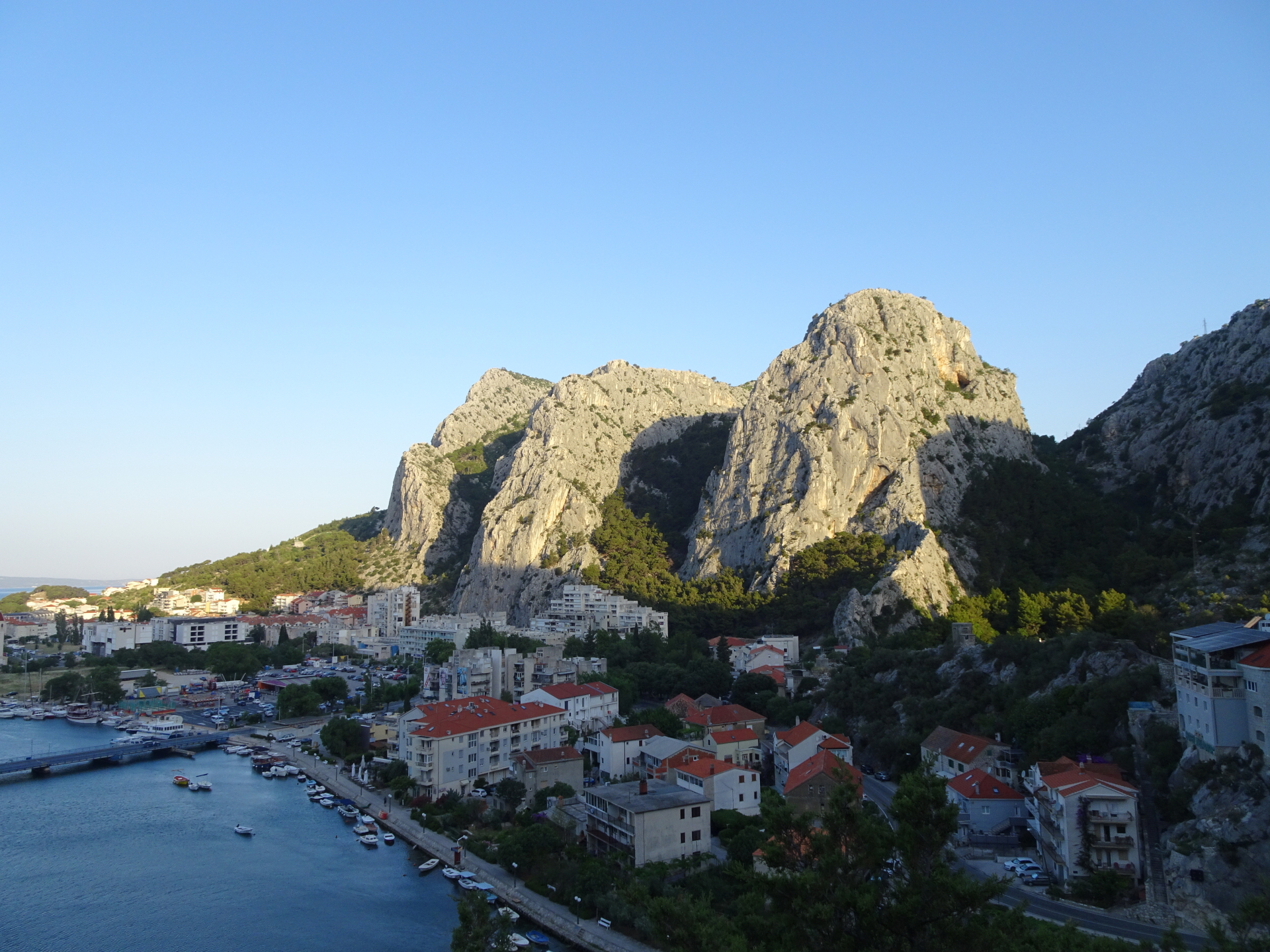
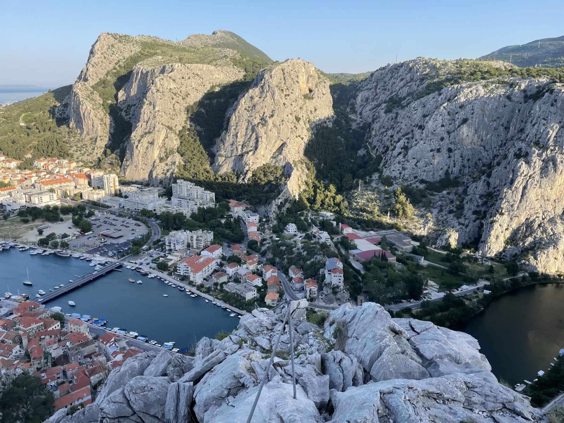
Climb up to Kula – the highest point in Omiška-Dinara – using the Via Ferrata Fortica
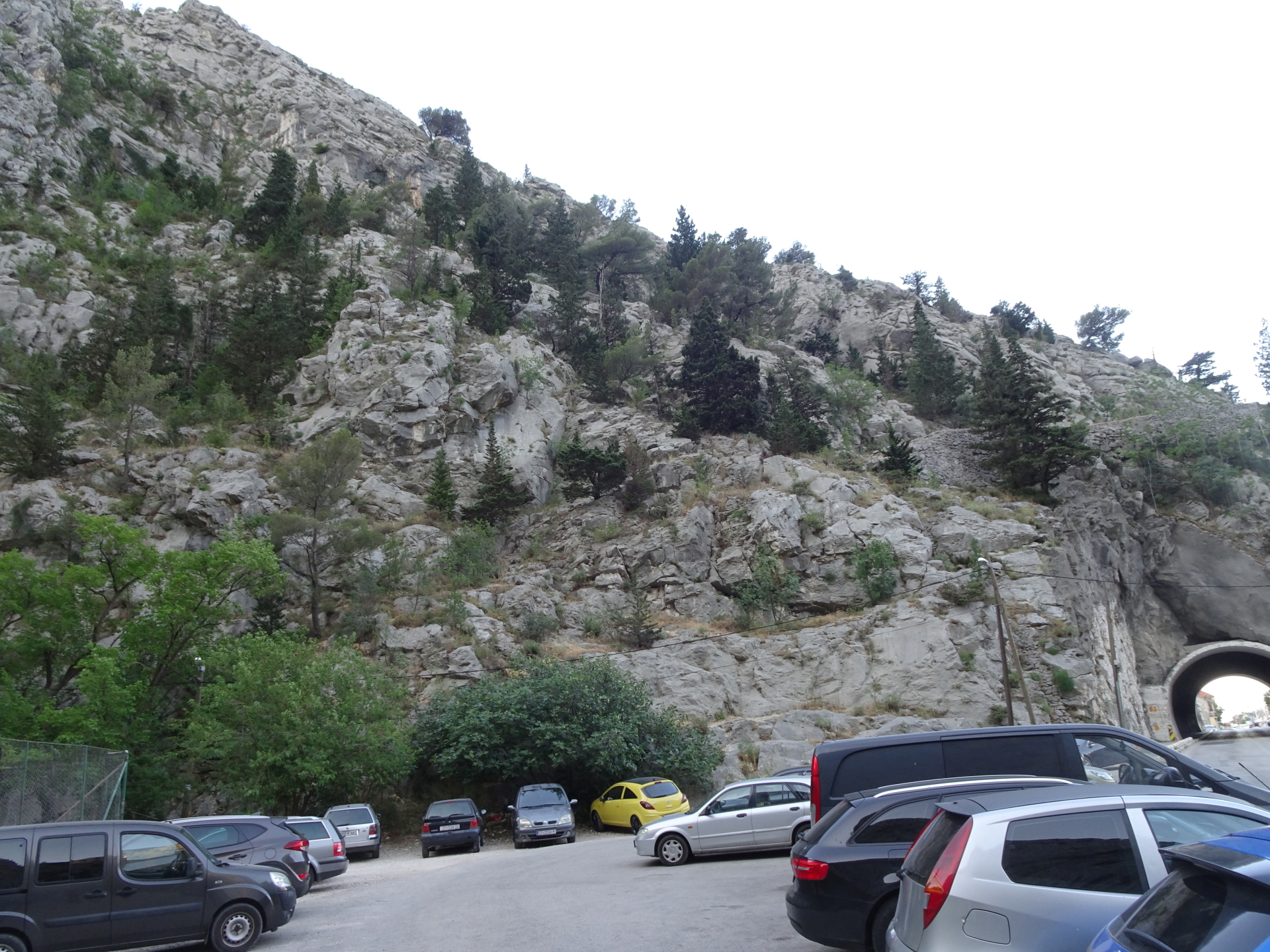
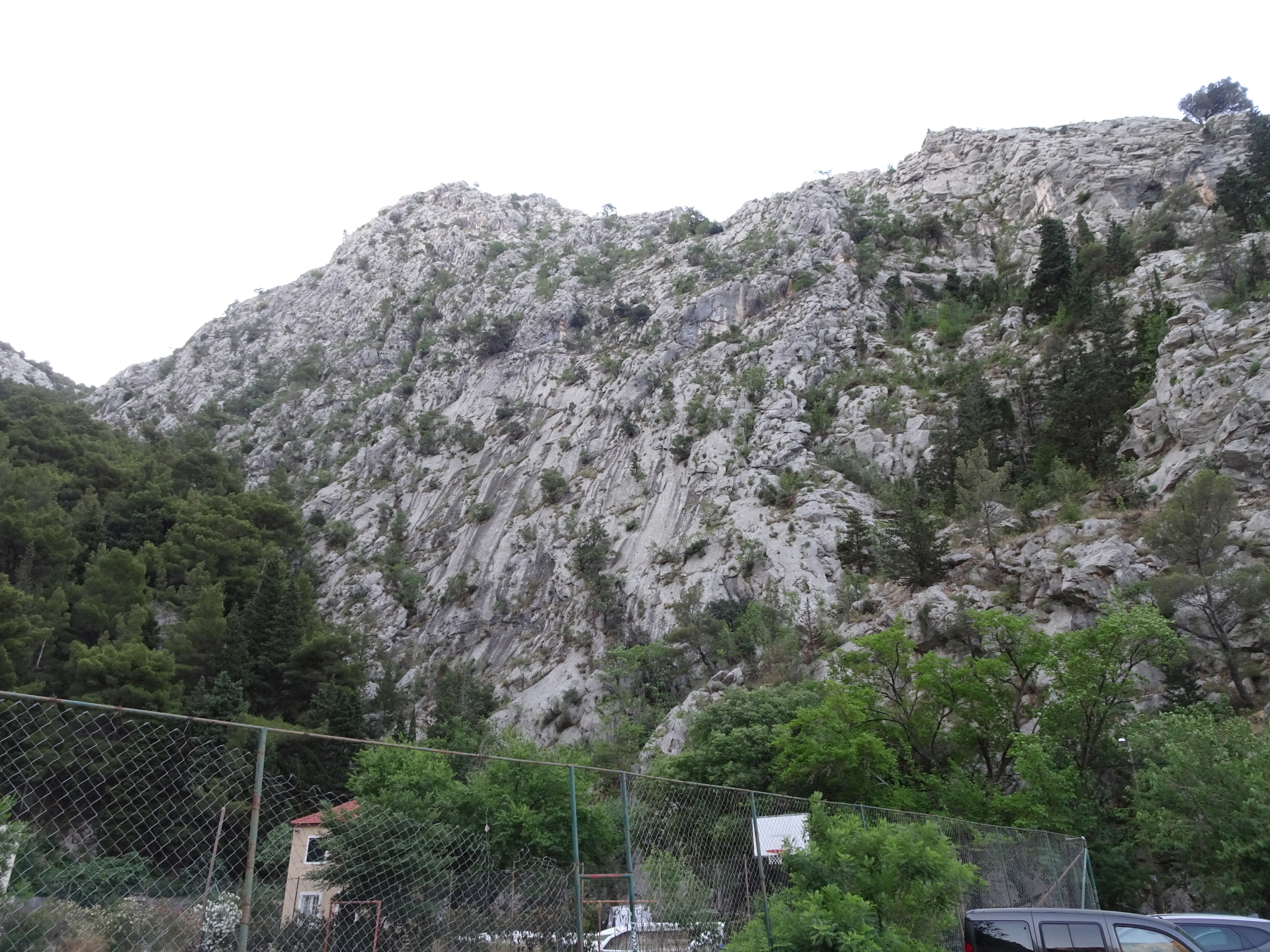
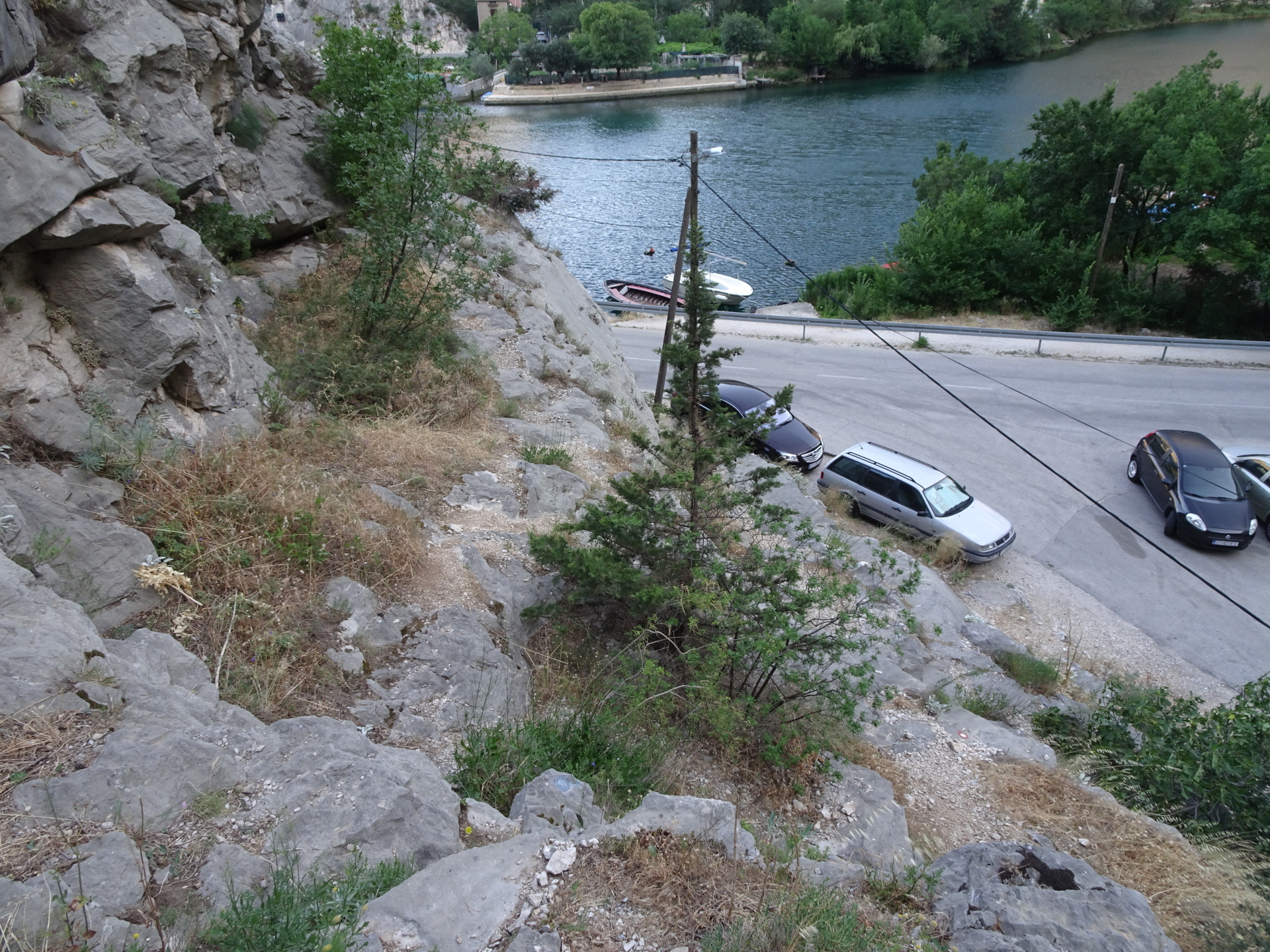
This tour starts at the parking in Omiš behind the tunnel (GPS: 43.446772, 16.694631) and first follows the hard-to find trail (removed markings!) up to the top of the tunnel and then towards the start of the Via Ferrata Fortica. The tour then follows the realtive easy but beautiful ferrata up which ends at the fortress Starigrad. The tour then continues following the marked hiking trail southeastwards towards Kula. When descending, a detour through unmarked but accessible terrain up to Strazina is recommended, allowing a stunning surround view on the seaside. The descent is then following the trail Sklonište Imber Stupine southeastwards and then descends back southwards towards Borak and Omiš.
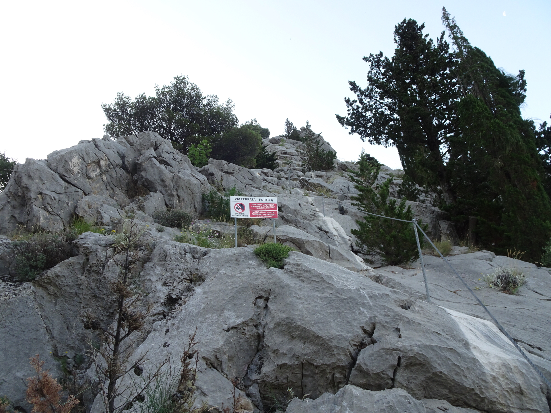
Please note that a via ferrata set is required to be allowed to access the Via Ferrata!
Please note that this tour is very exposed to sun and there are no serviced huts on the way! Make sure you have proper sun protection and plenty of water with you and try to start early in hot summer months.
Tour Description
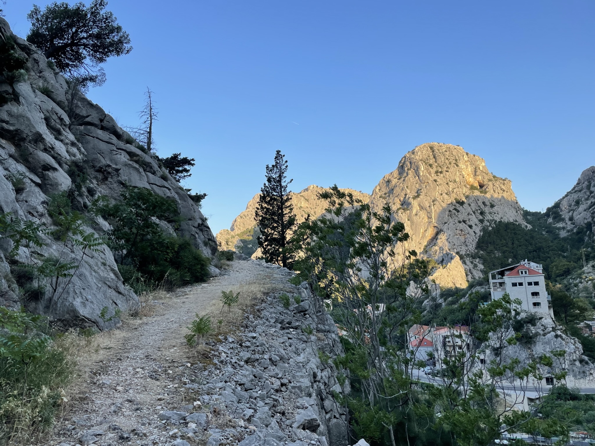
| 00:00 | Start at the parking lot behind the tunnel of Omiš (GPS: 43.446772, 16.694631) and try to find the hiking trail up to the tunnel (at the end of the parking keep a bit left and then try to find the over-painted old markings). |
| 00:05 | Climb up following the old markings above the tunnel. |
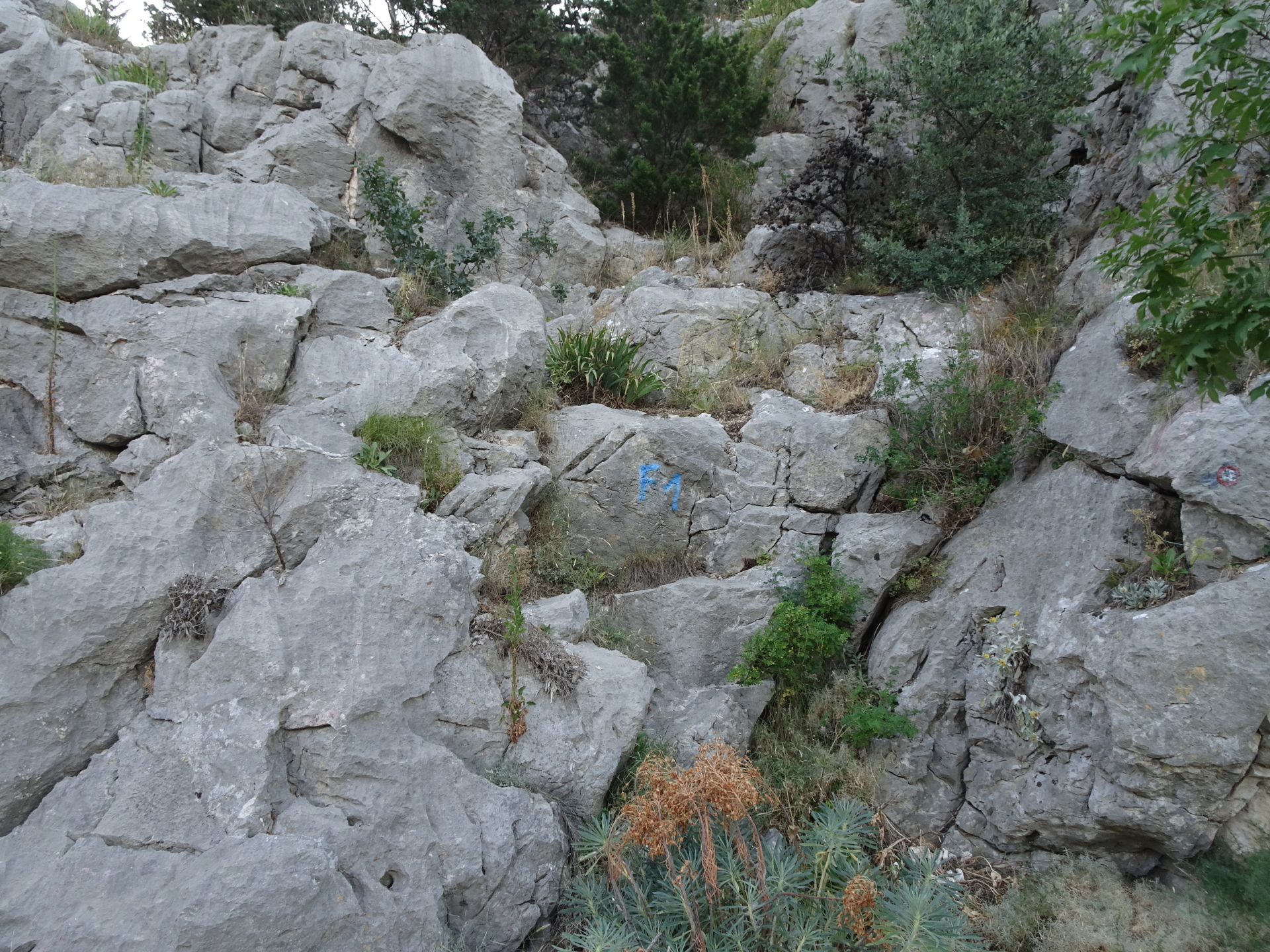
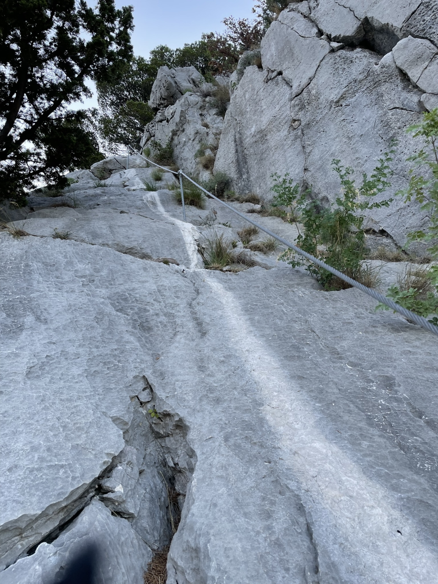
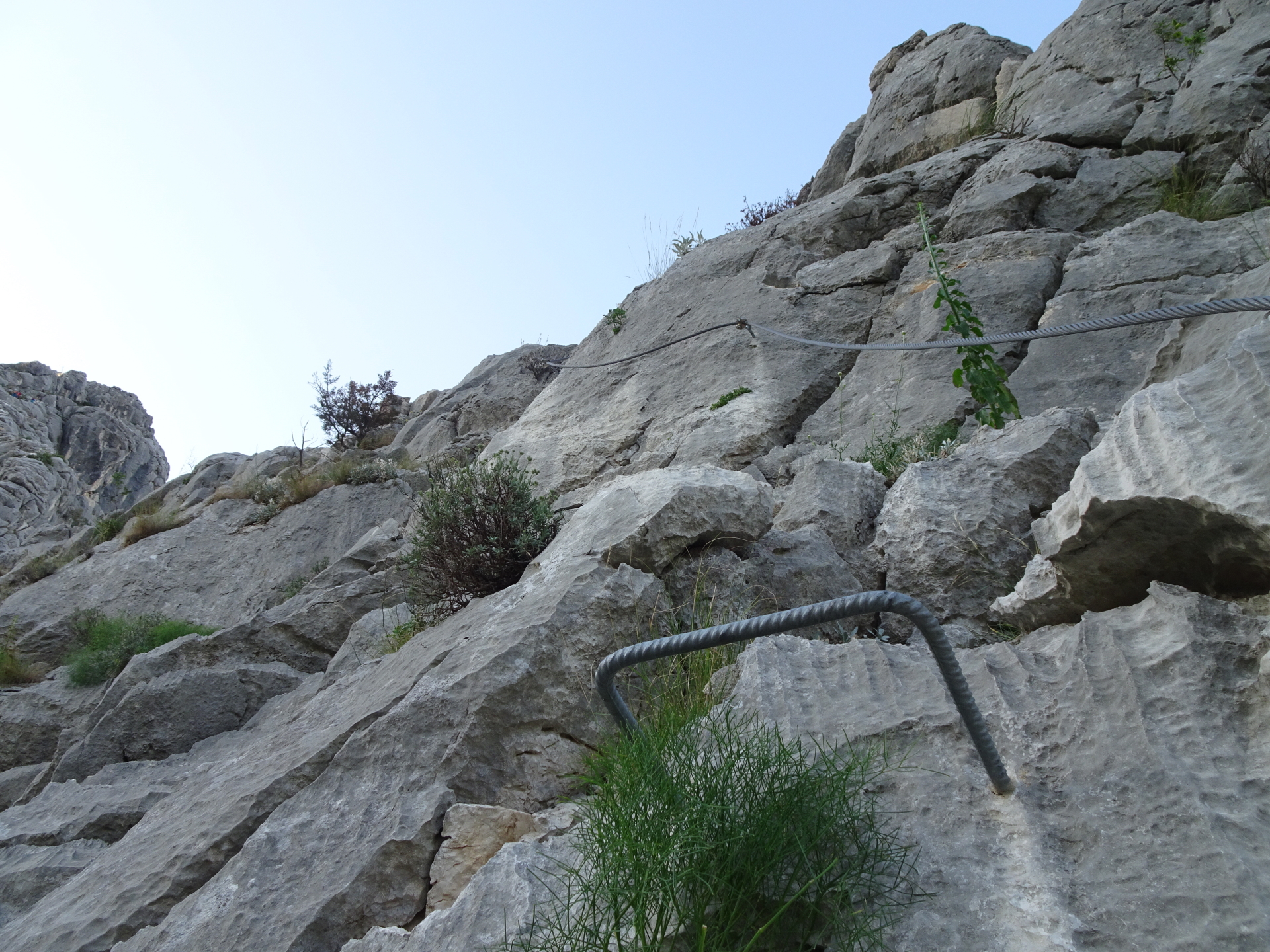
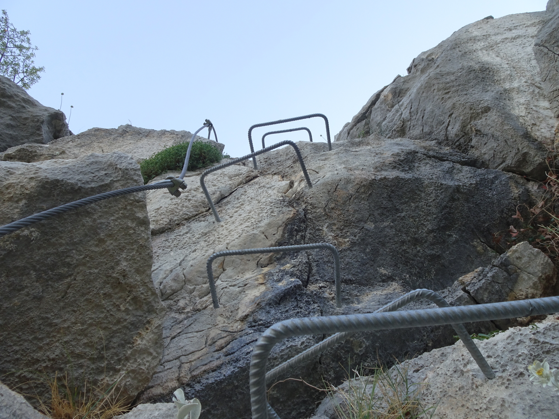
| 00:10 | Watch out for the blue markings (arrow and F1) on the ground which mark the crossing towards the entrance of the Via Ferrata. Put on your Via Ferrata set here, then turn left and climb up (UIAA I) till reaching the iron cable which marks the start of the Via Ferrata. |
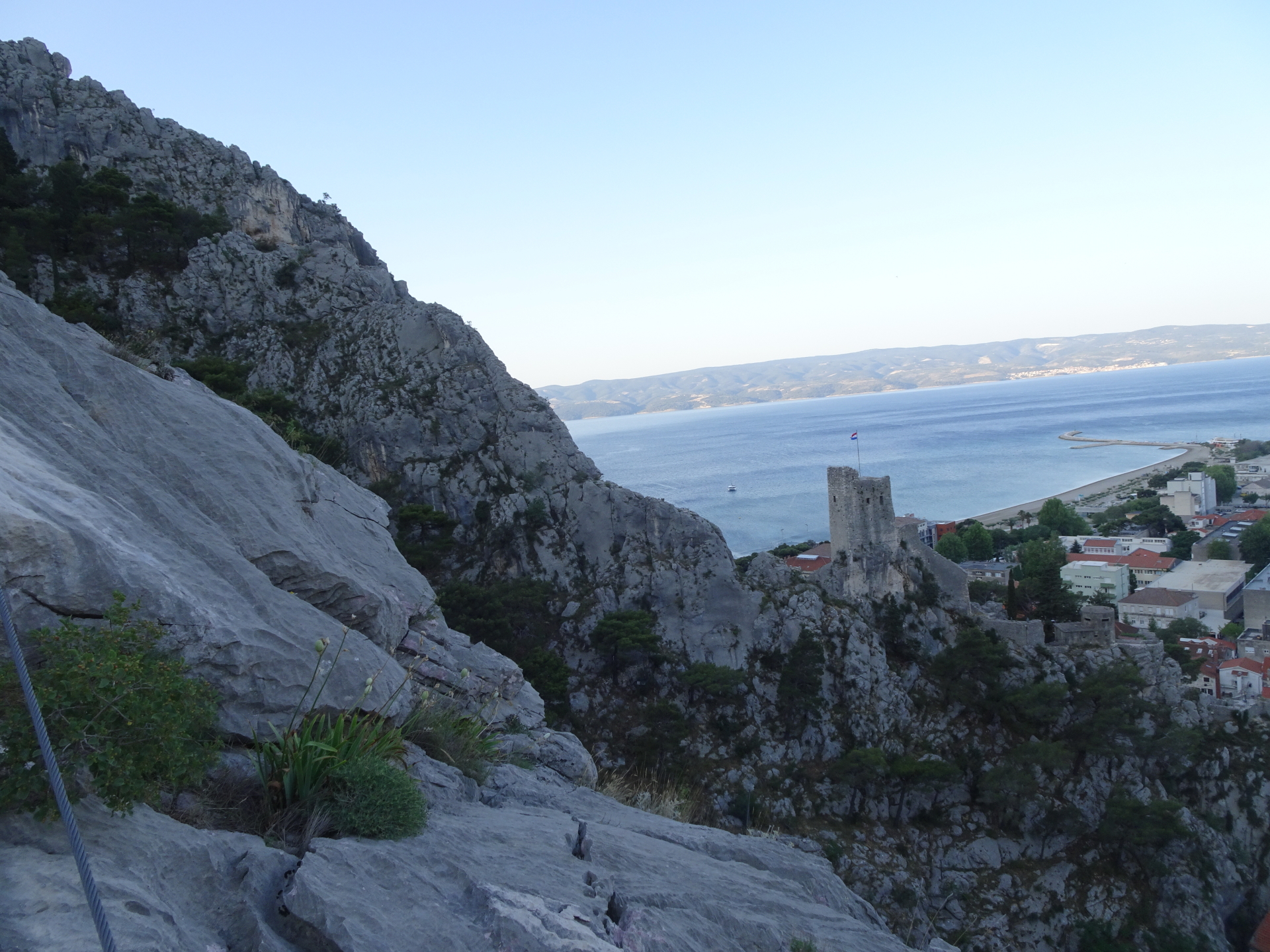
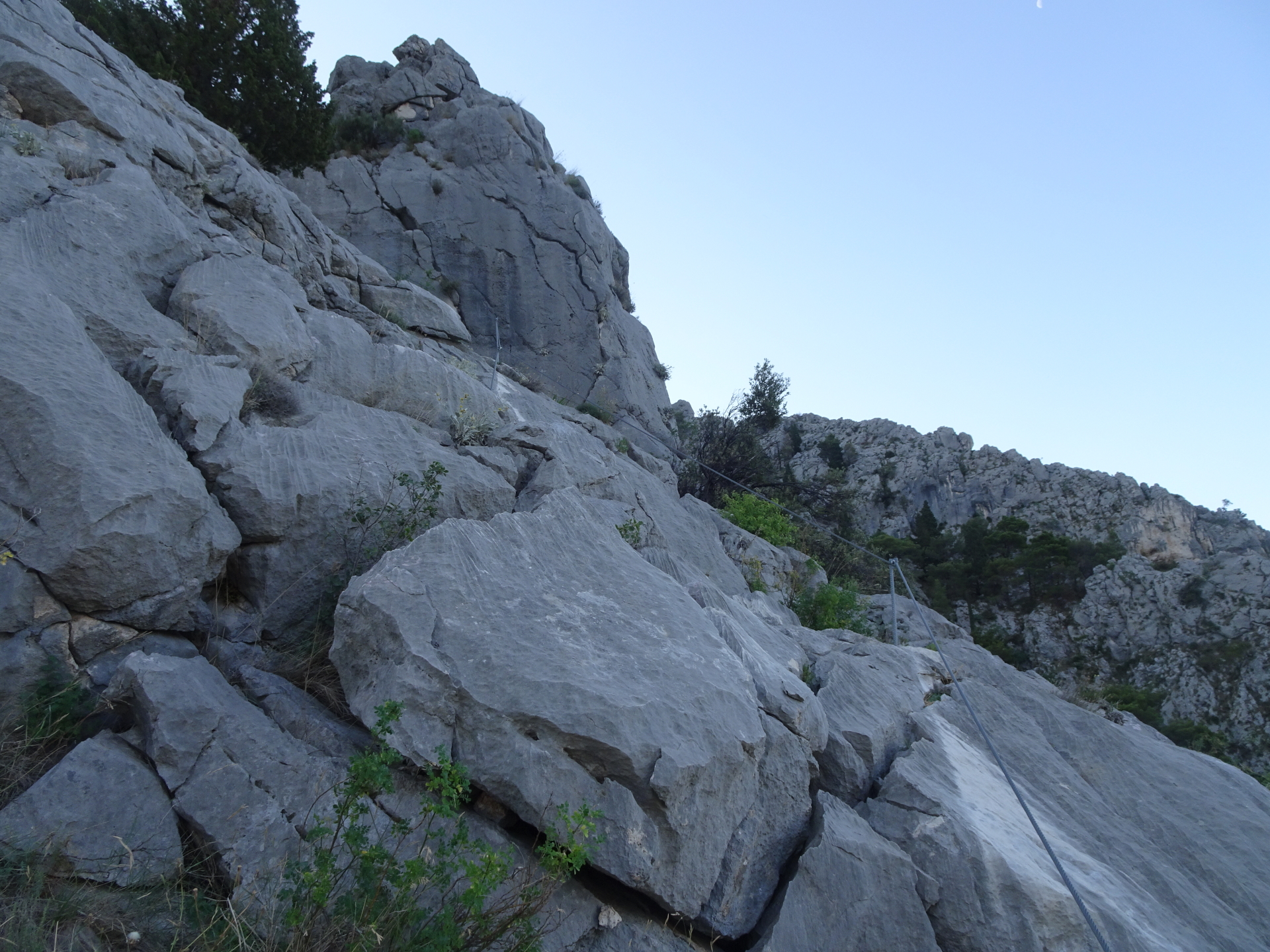
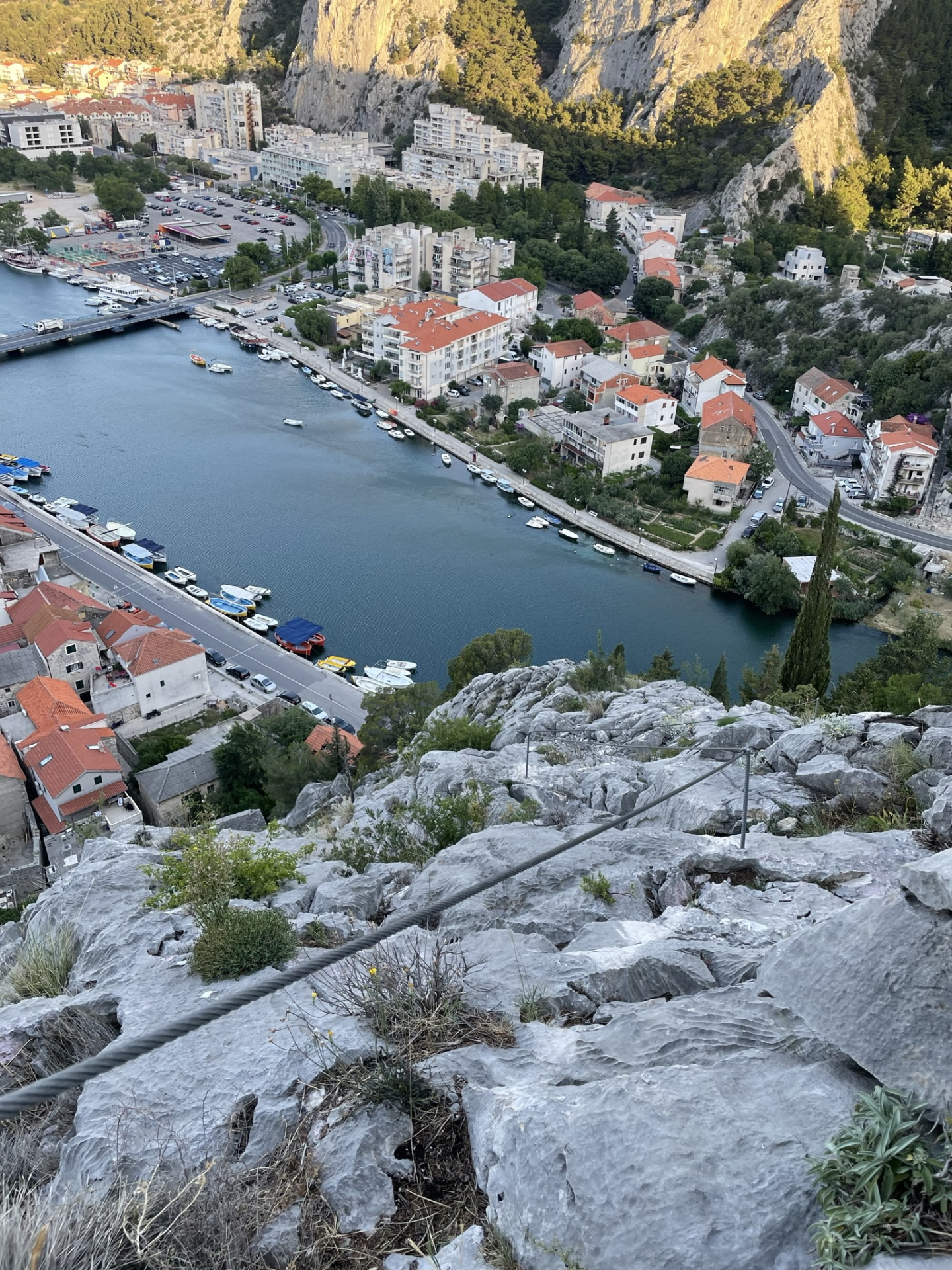
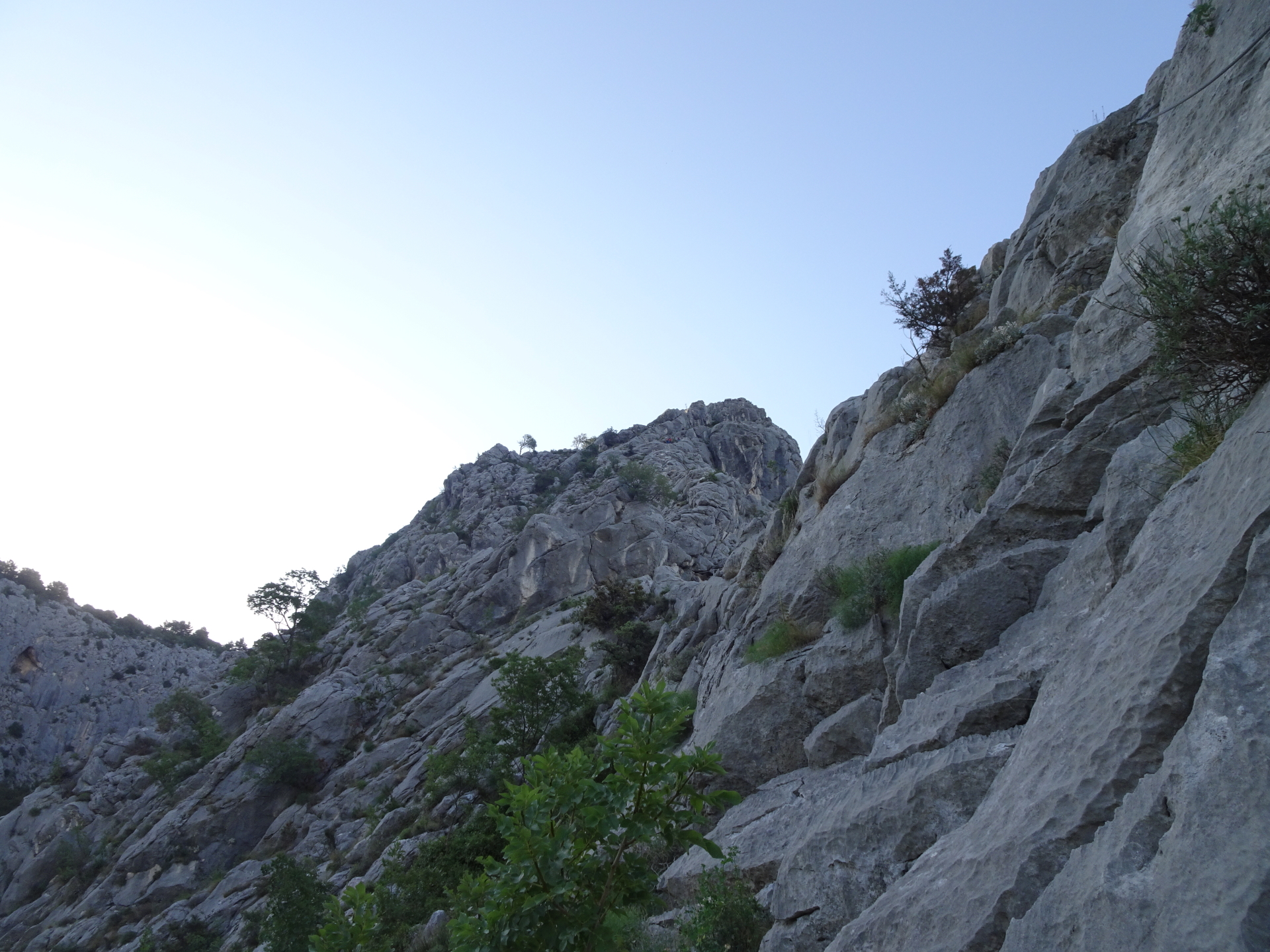
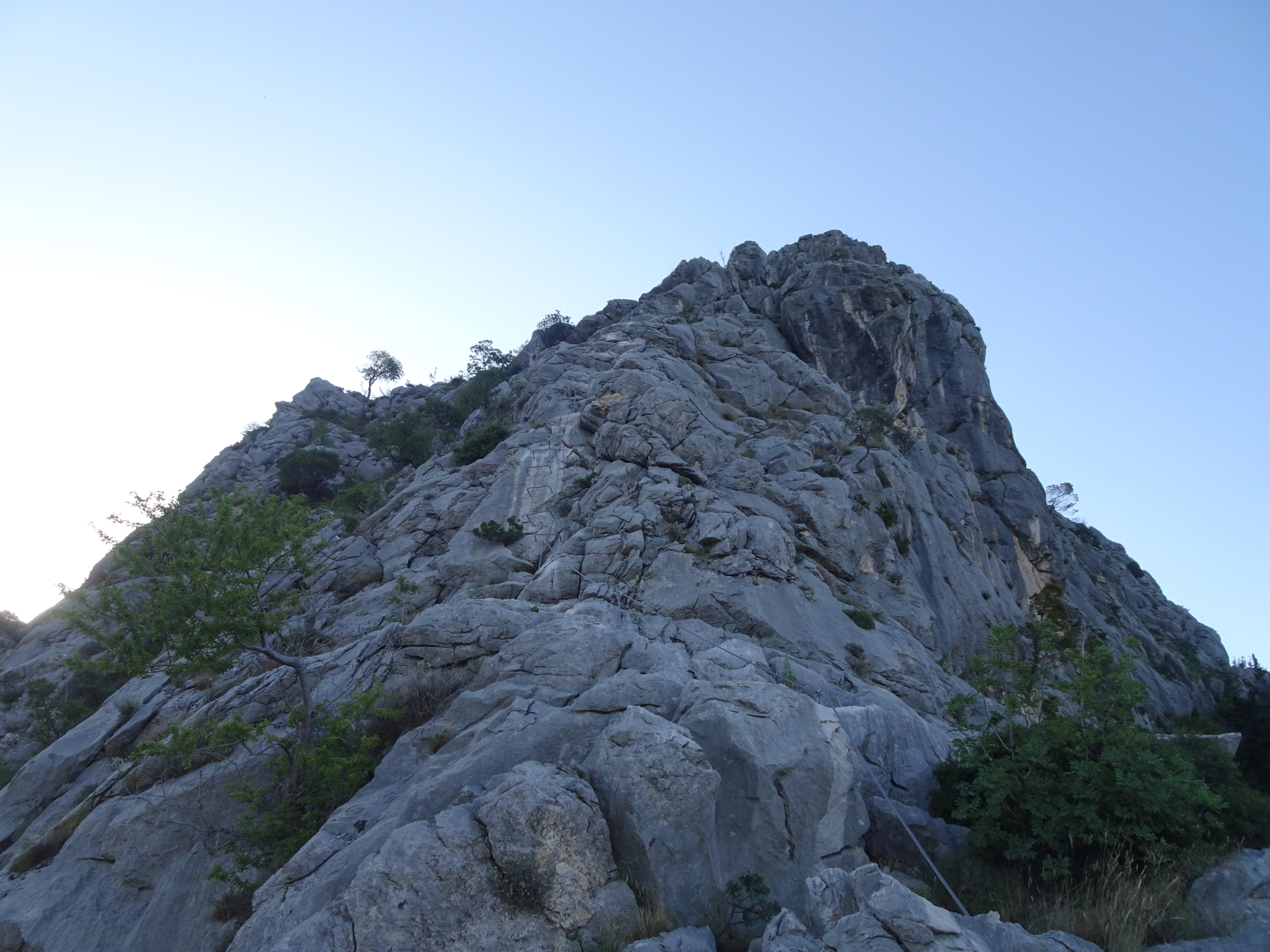
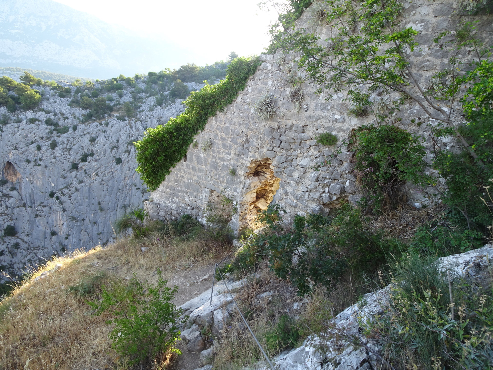
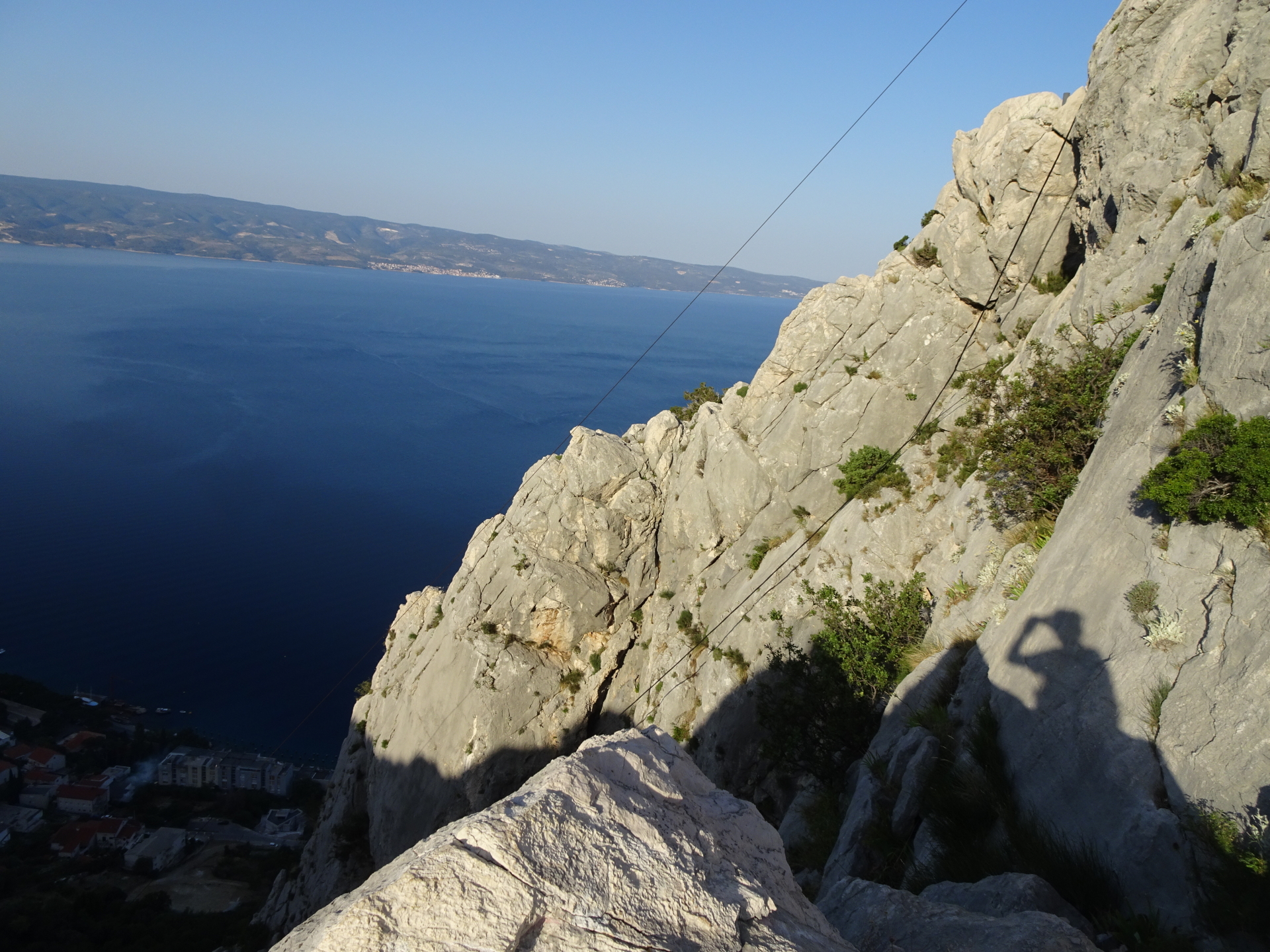
| 00:15 | Follow the Via Ferrata Fortica up towards the fortress Starigrad. |
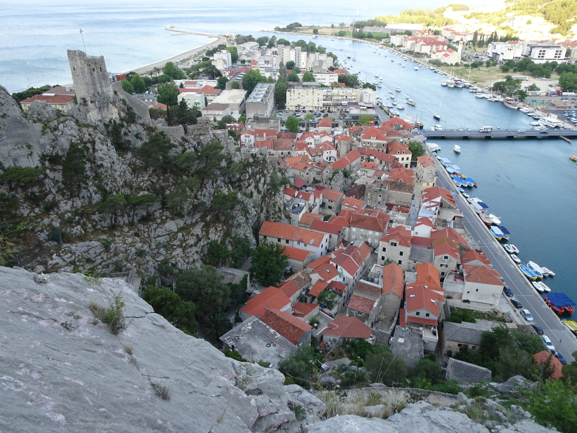
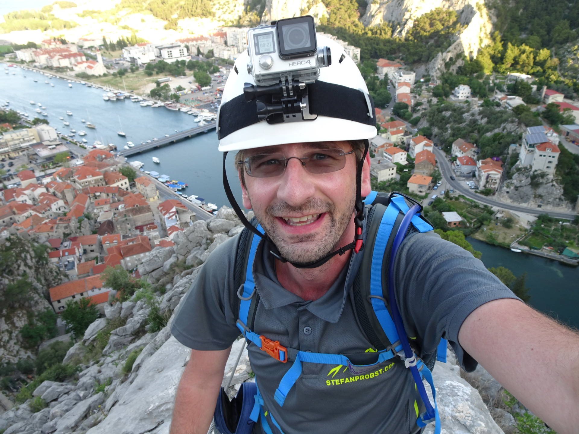
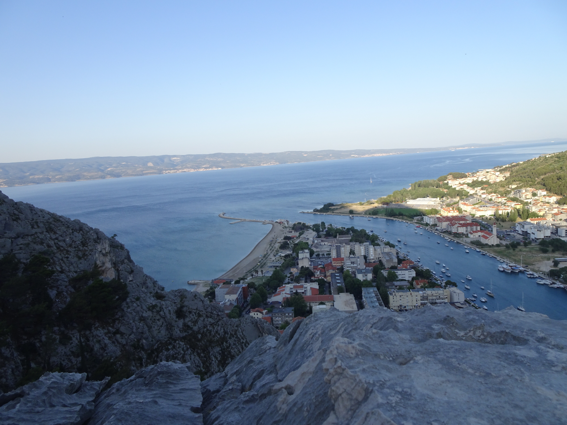
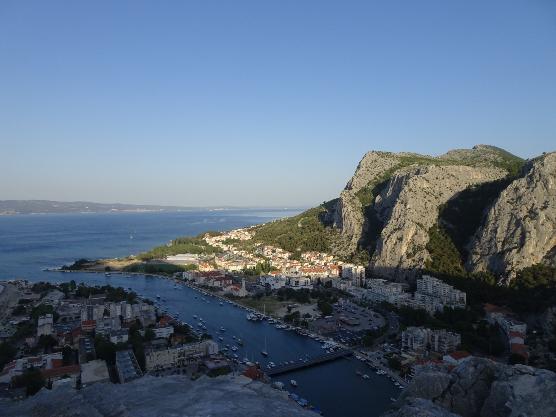
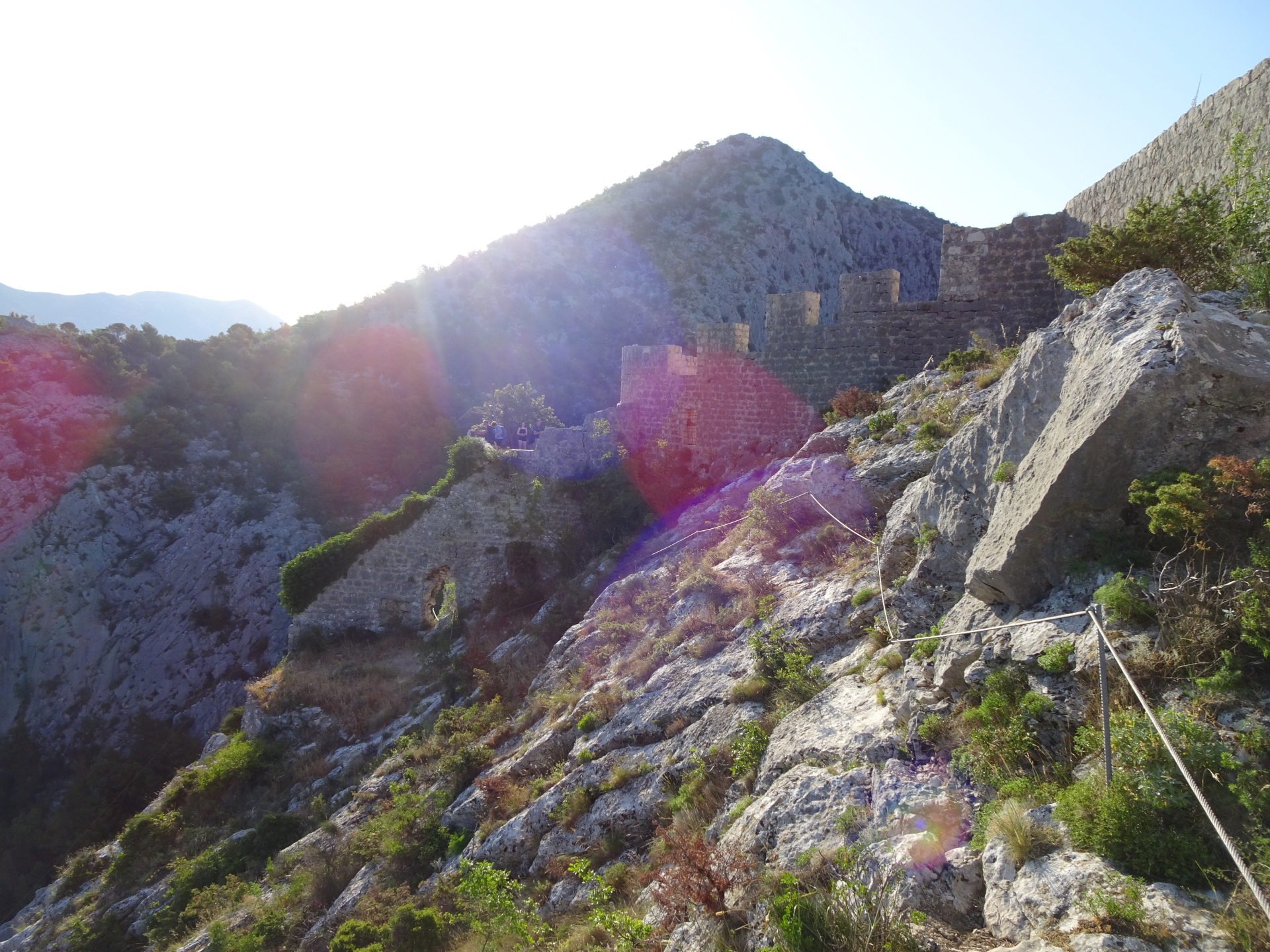
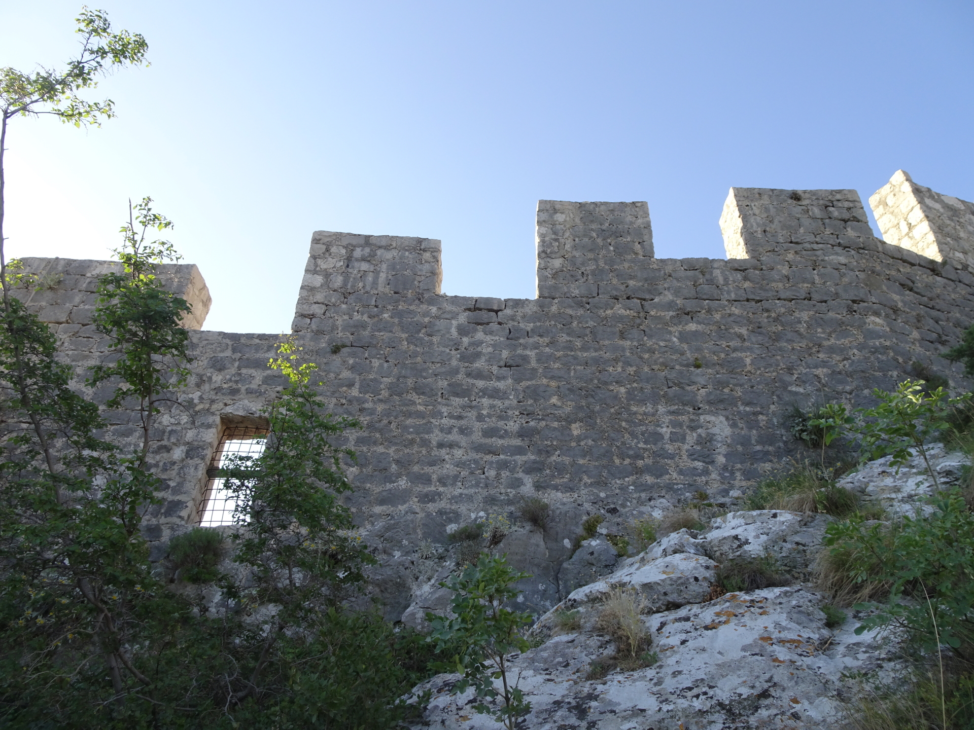
| 01:00 | Climb through the hole in the wall and follow the trail towards the court of the fortress. Put off your Via Ferrata set and enjoy the amazing view from the fortress. |
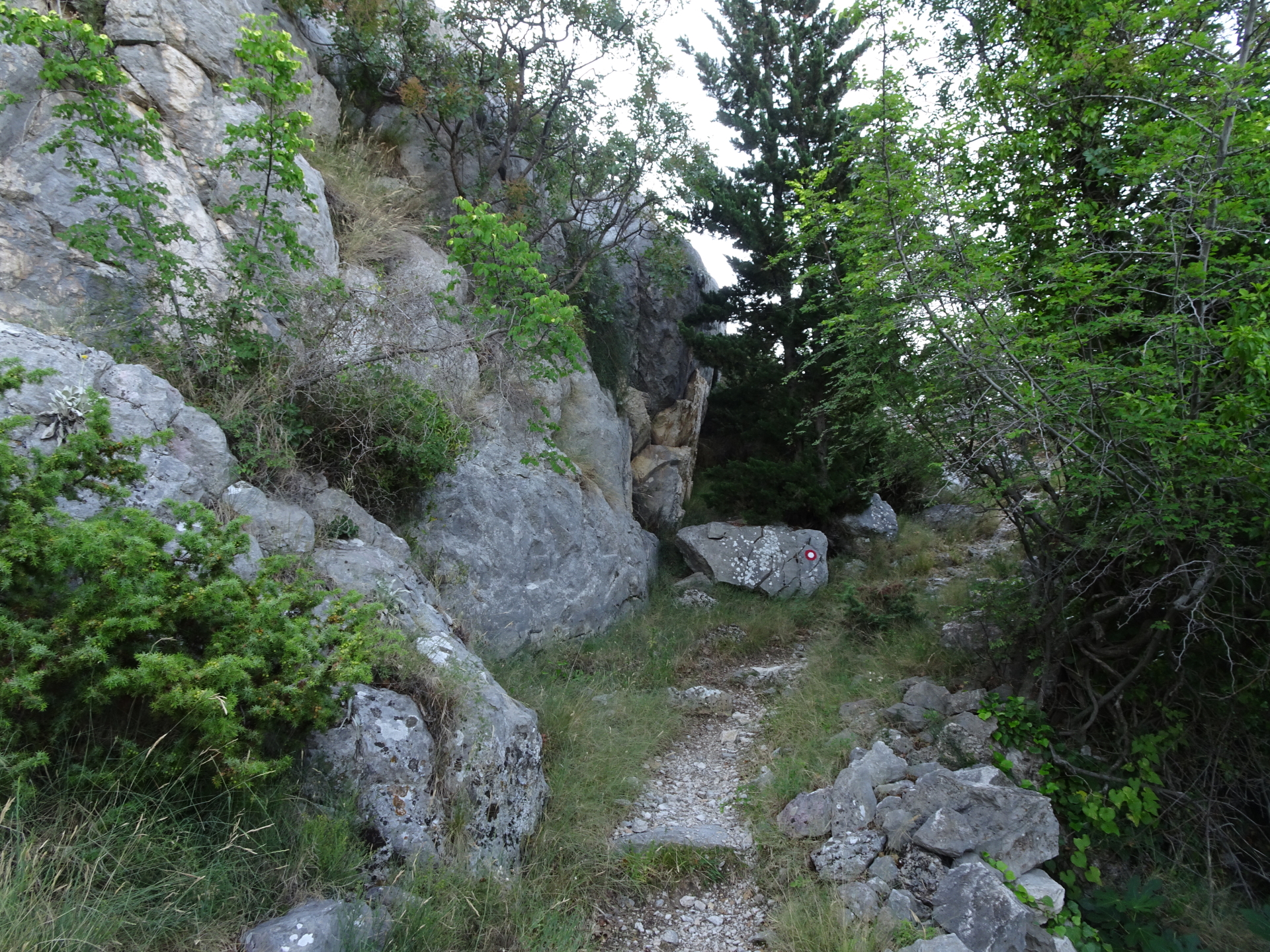
| 01:15 | Follow the marked trail eastwards (path marked with red letters “easy” on the ground). |
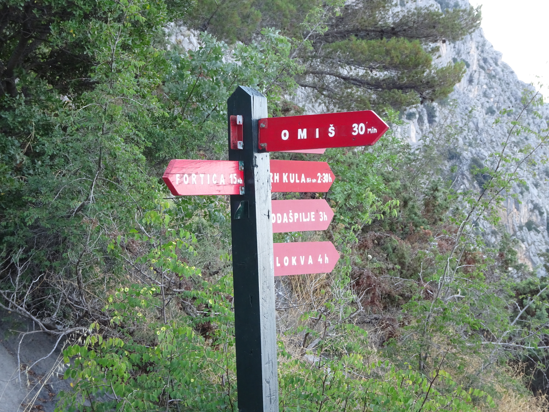
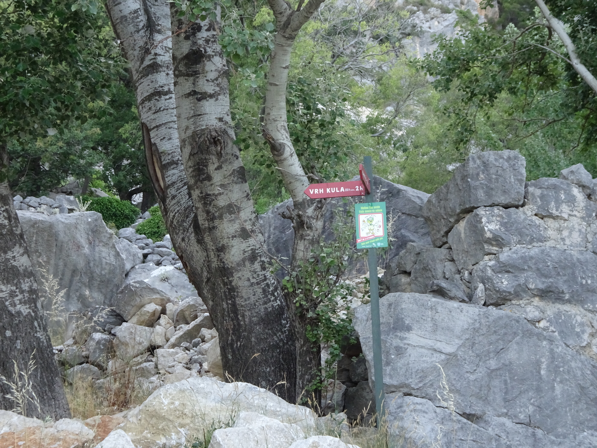
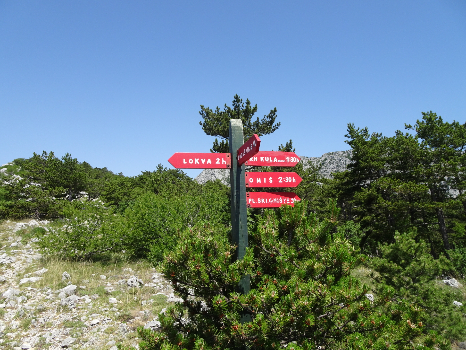
| 01:25 | At the crossing, keep straight and follow the trail towards Kula (see red signpost). |
| 01:45 | At the crossting, keep left and continue following the trail towards Kula. |
| 01:50 | At the crossing, keep right and follow the marked trail towards Kula. |
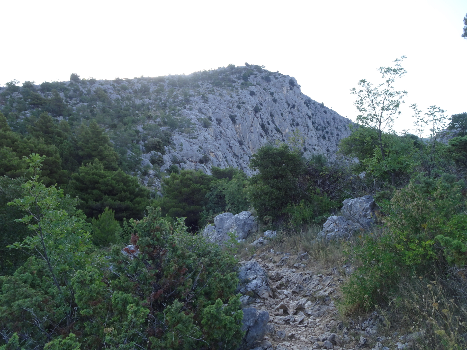
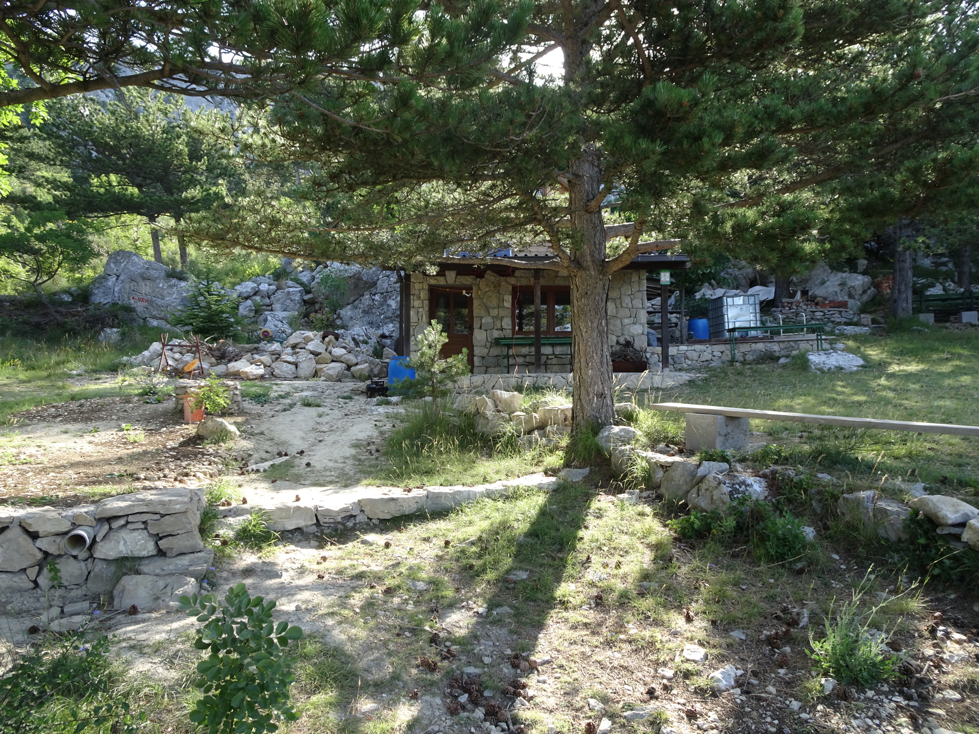
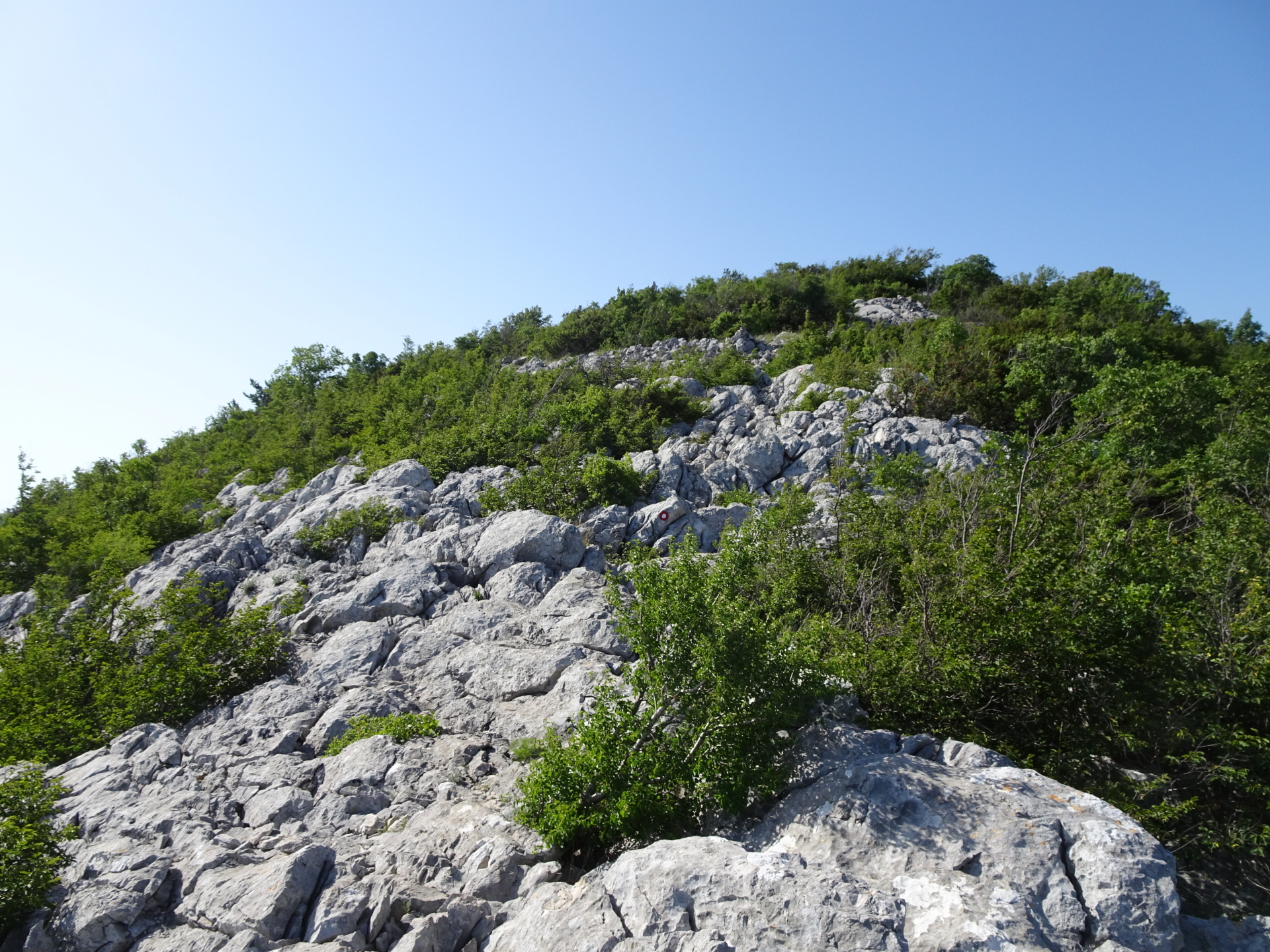
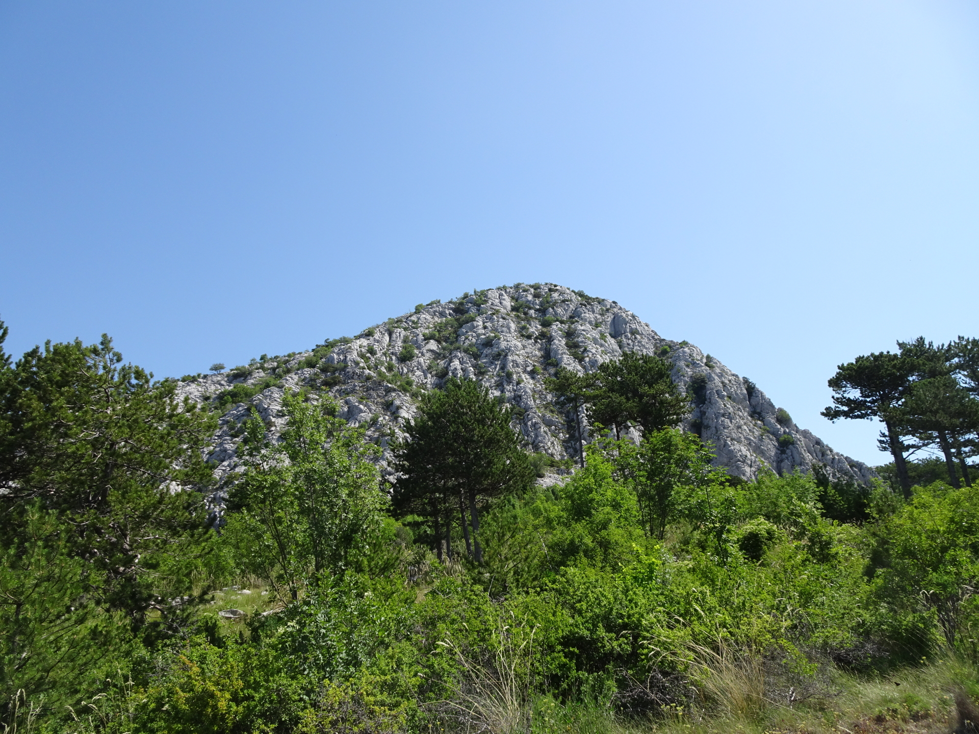
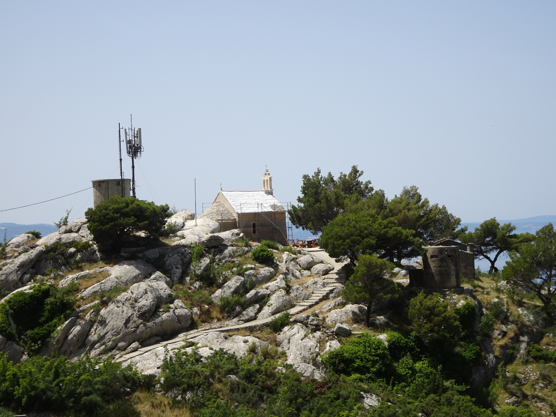
| 02:20 | At the crossing in front of the hut, turn left, bypass the hut and then follow the marked trail up to Kula. |
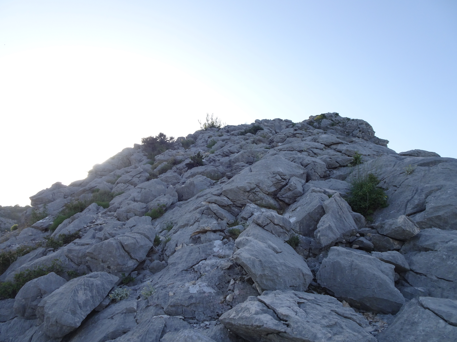
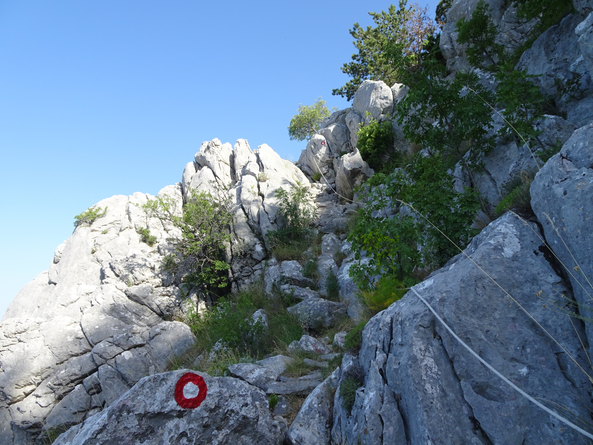
| 02:25 | Climb up the steepest part of the trail up to Kula, protected via fixed ropes. Then continue following the marked trail. |
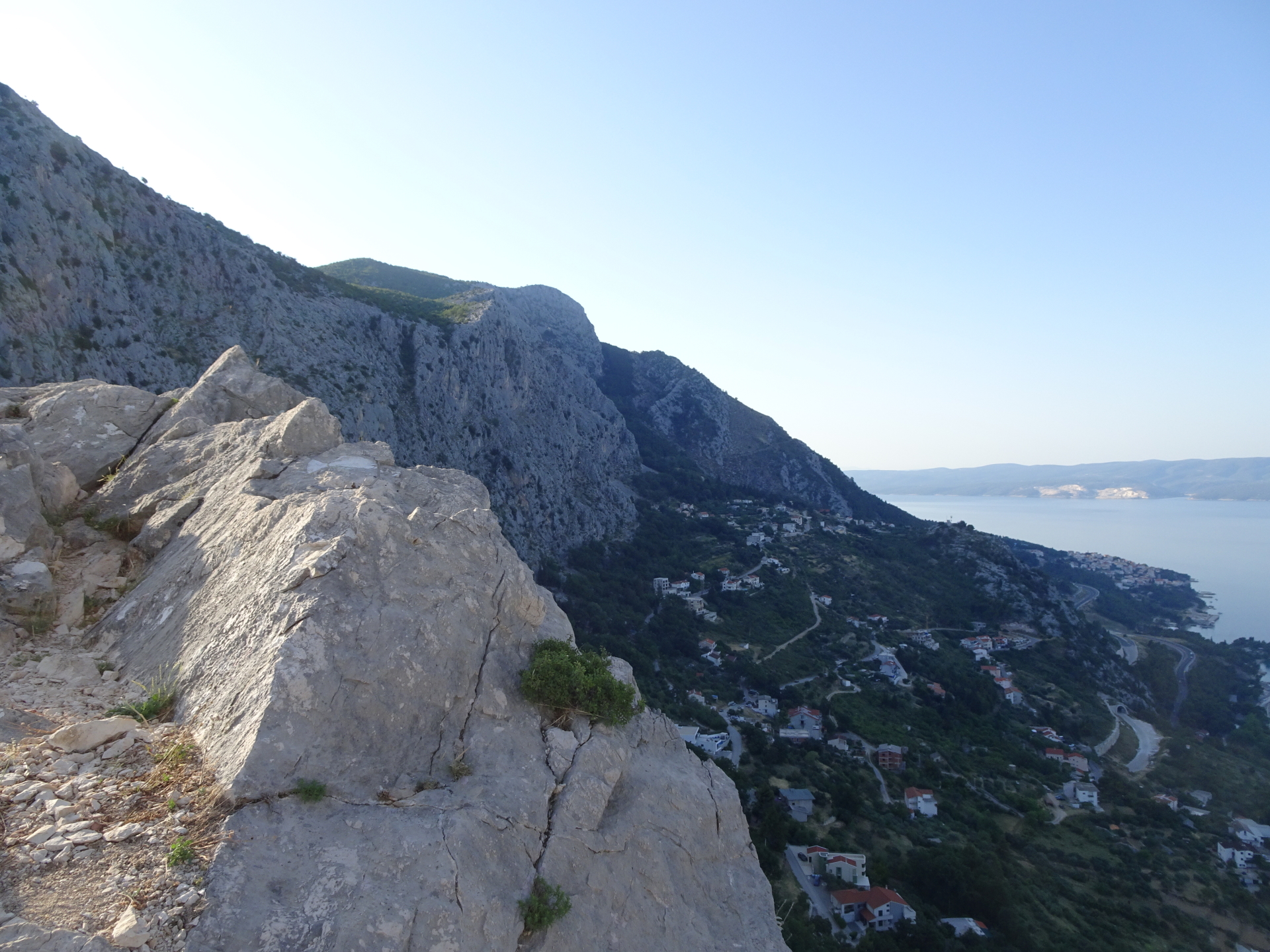
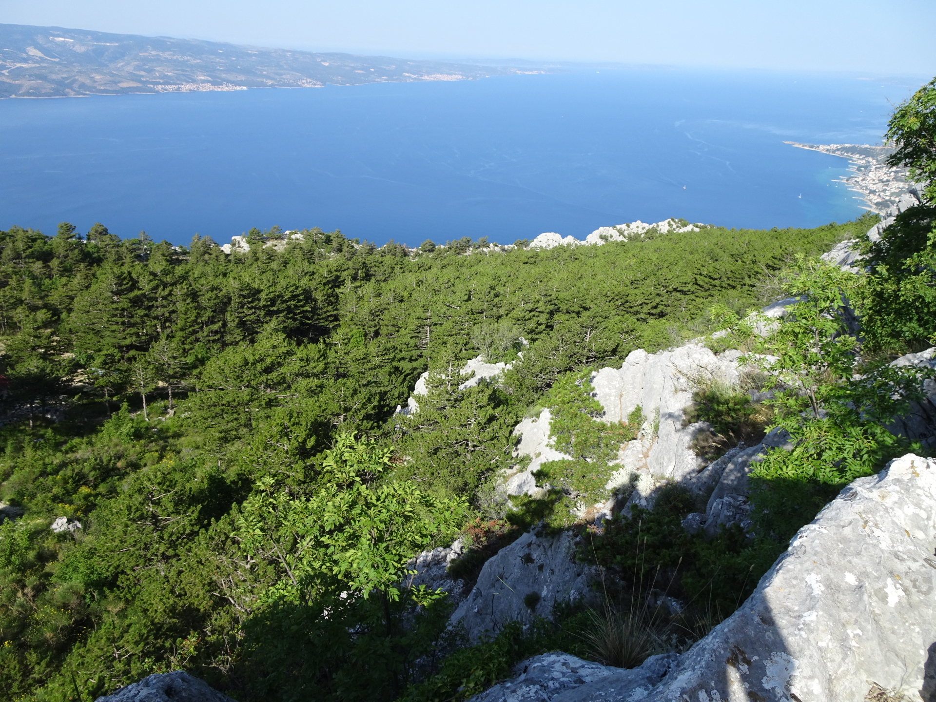
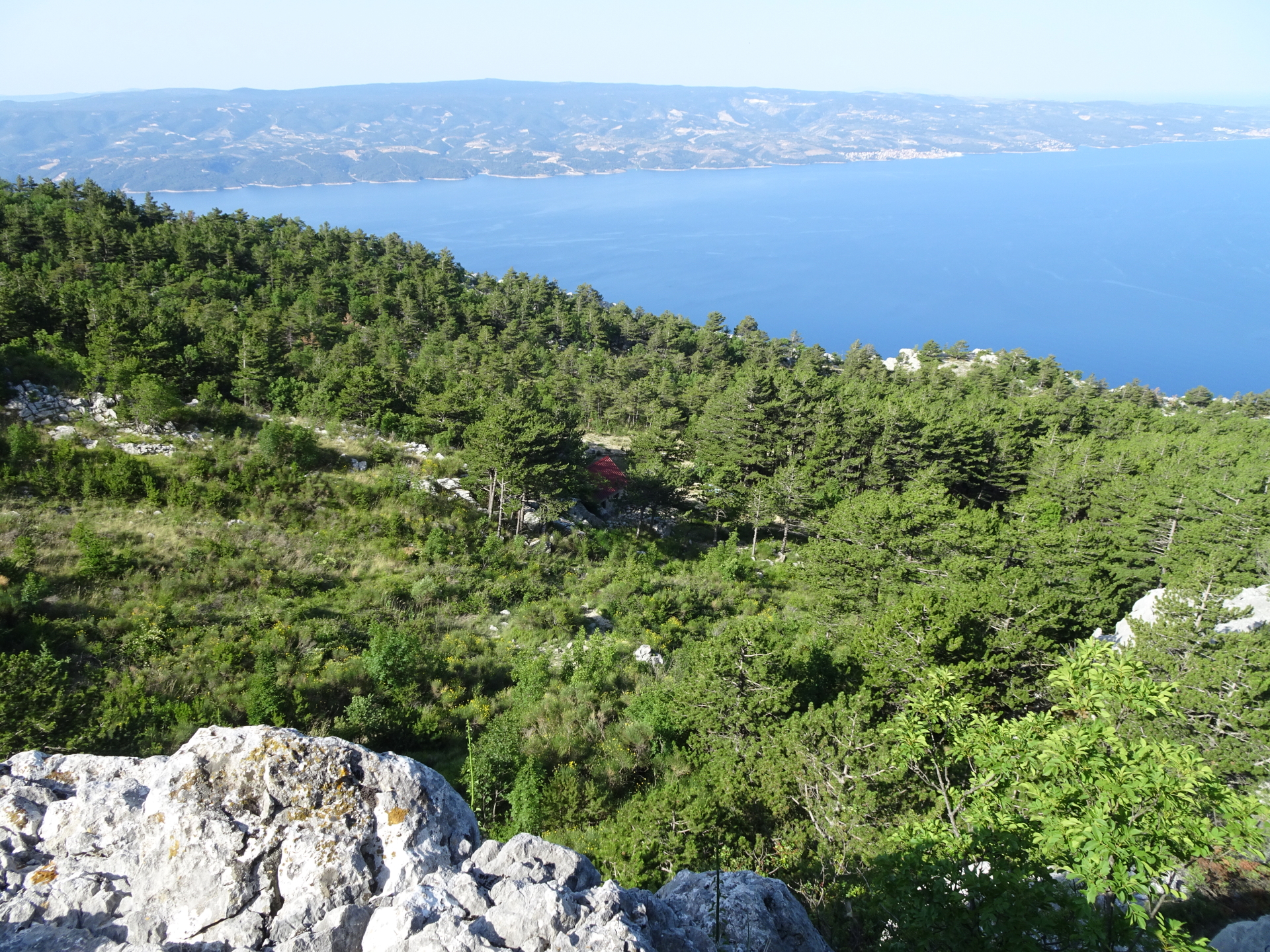
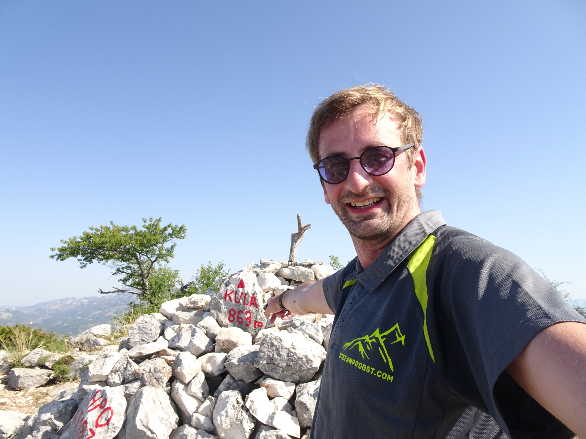
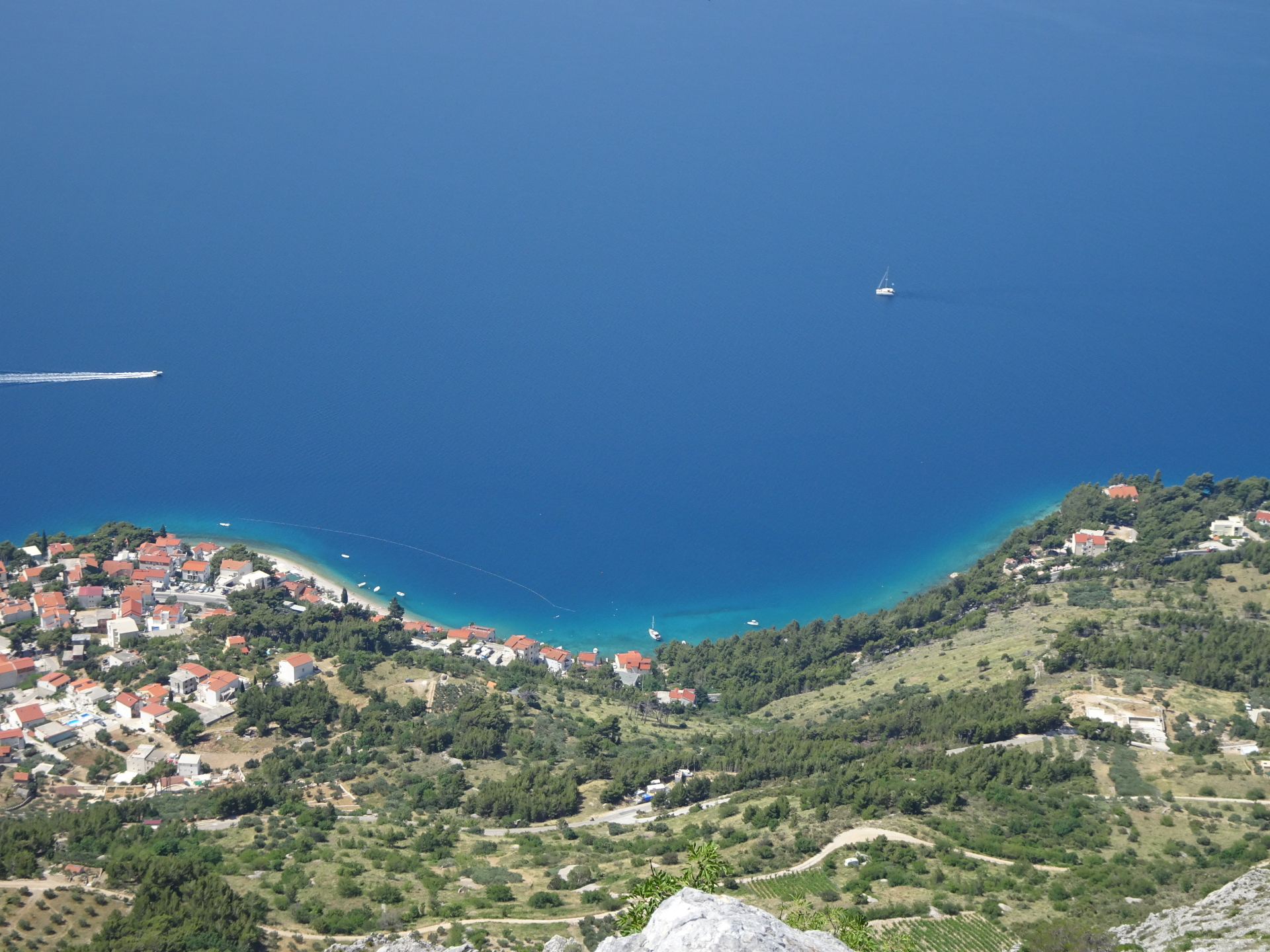
| 02:50 | Enjoy the view at the top of Kula with a self-brought but very well-deserved . |
| 03:05 | Follow the same trail back as used for the ascent. |
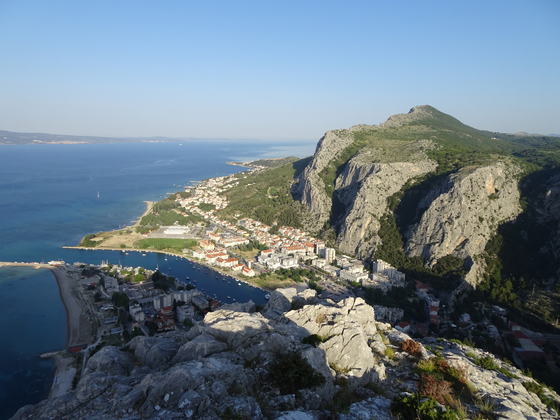
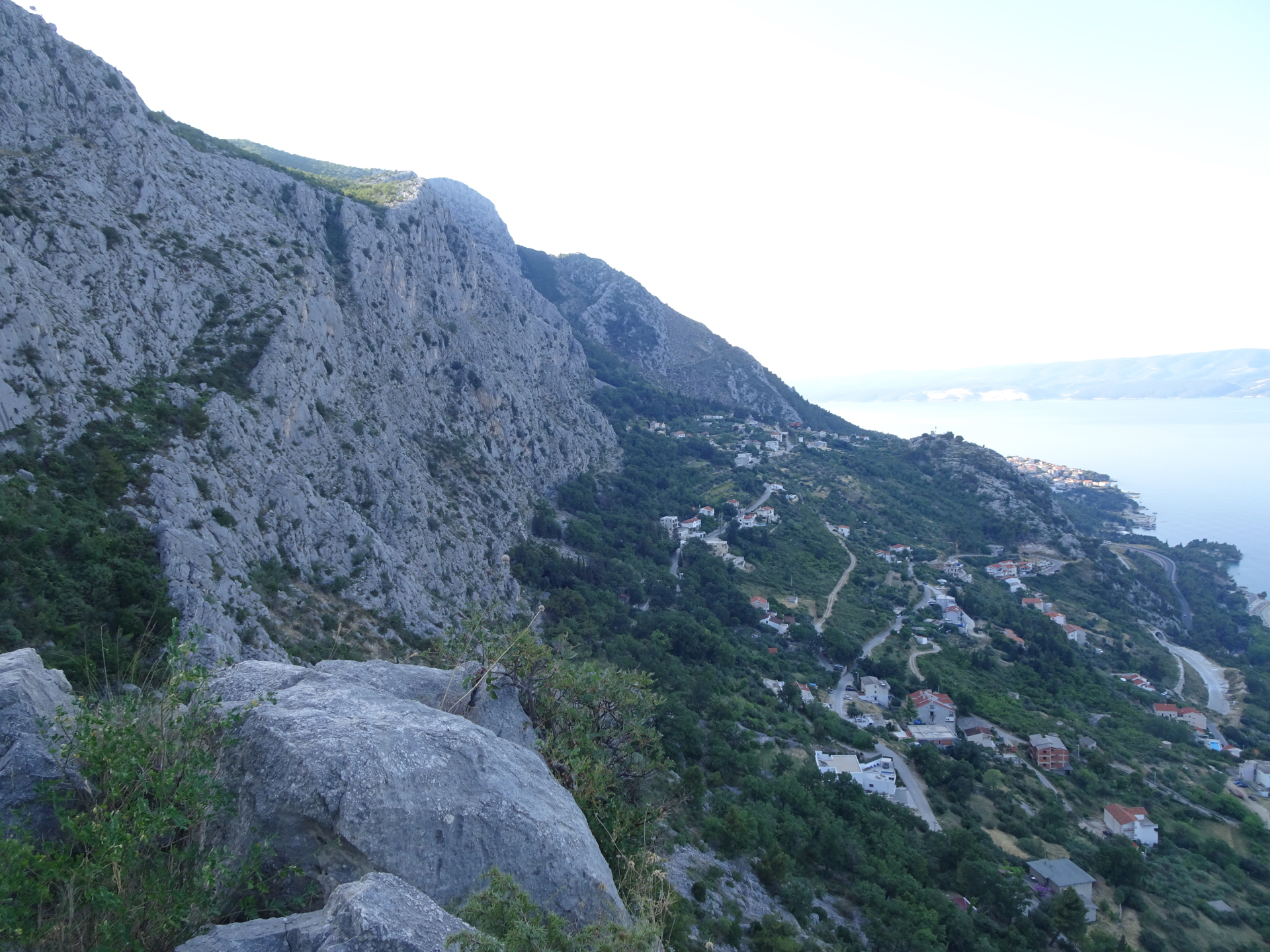
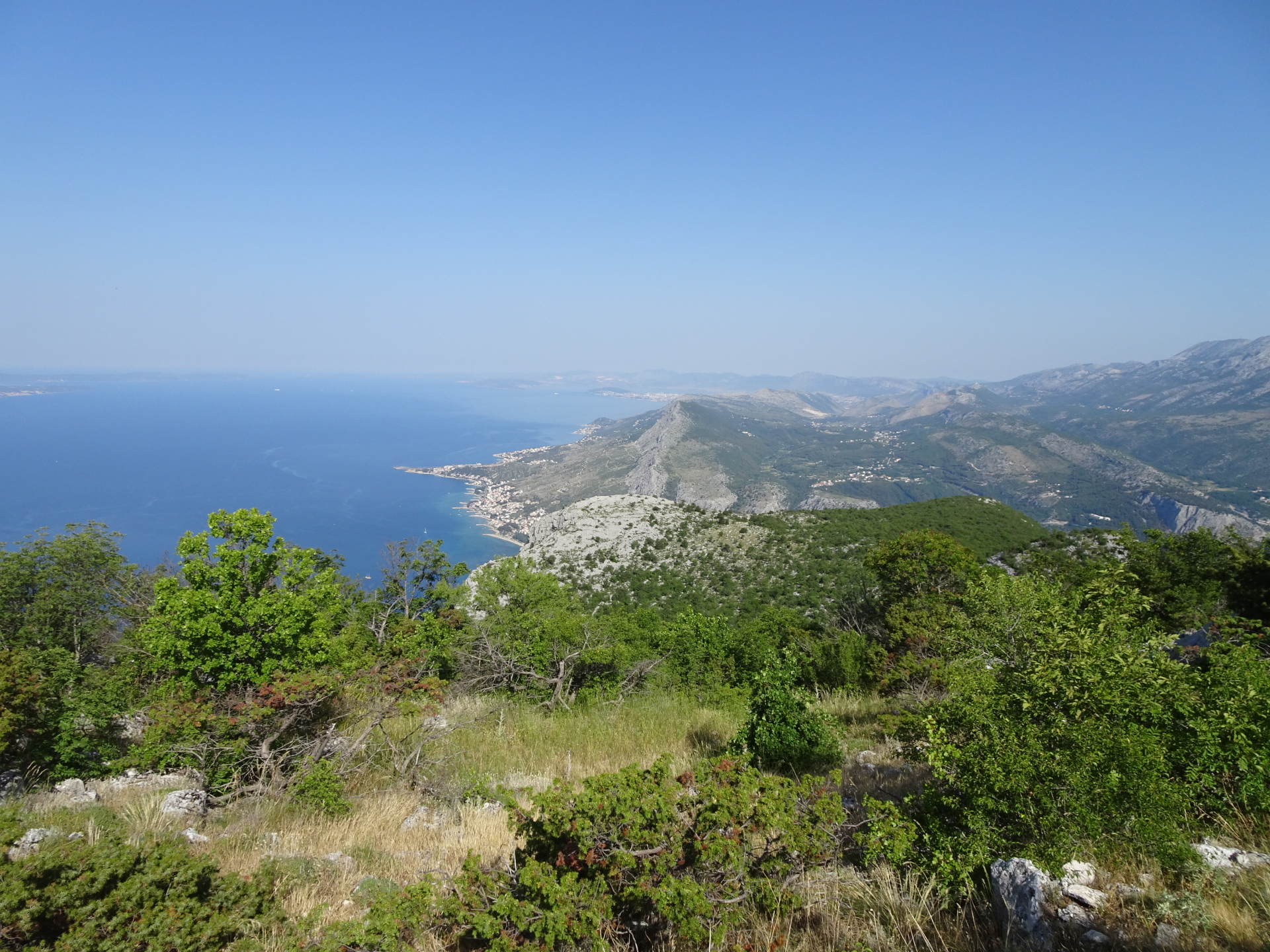
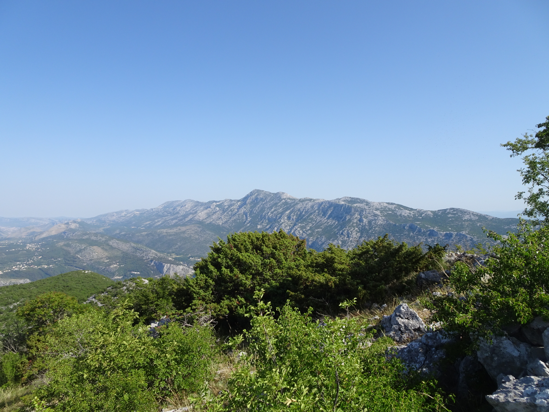
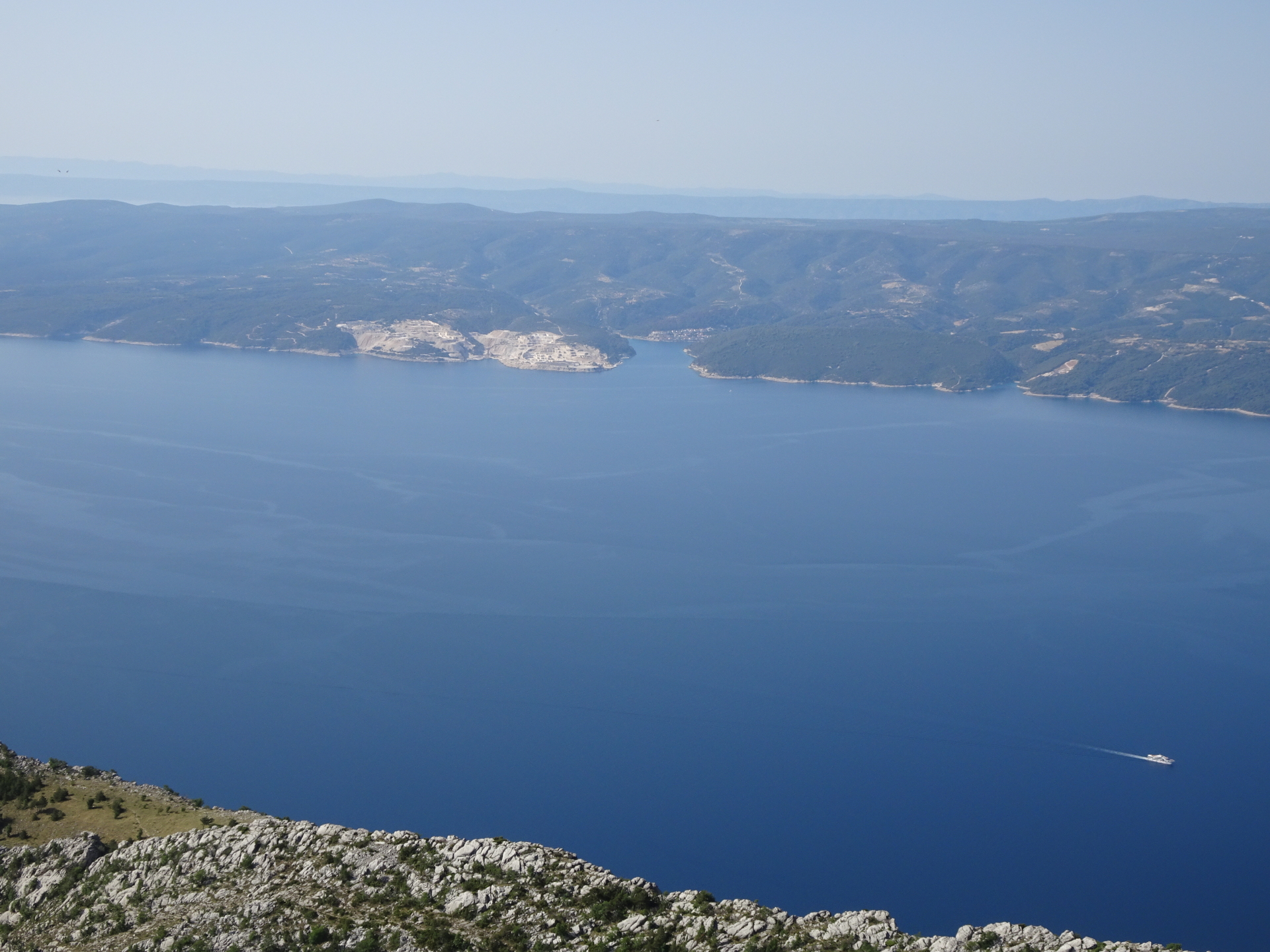
| 03:25* | [Recommended detour] Before descending via the steep part, turn right and follow the non-marked but visible trail towards the stone-fields and the visible peak of Strazina. |
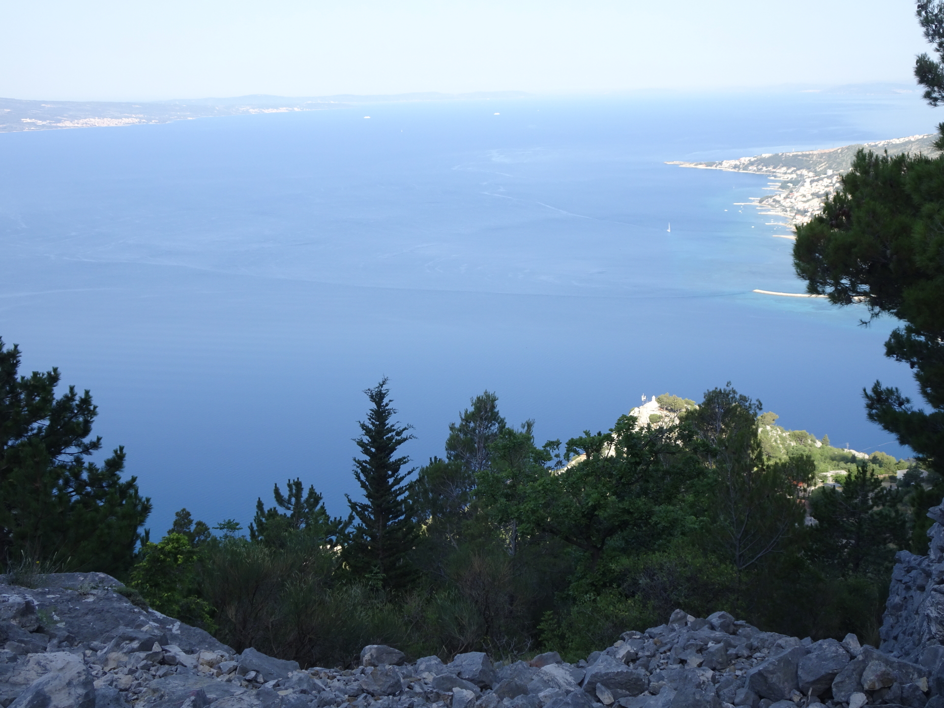
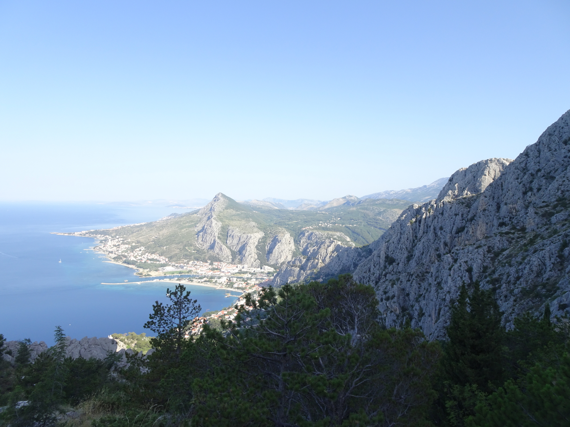
| 03:45* | [Recommended detour] Enjoy the amazing surround view towards the seaside from Strazina. Obviously best enjoyed with a self-brought refreshment (). |
| 04:05* | [Recommended detour] Hike via the stone field back to the trail and then descend the steep part back to the crossing in front of the building. |
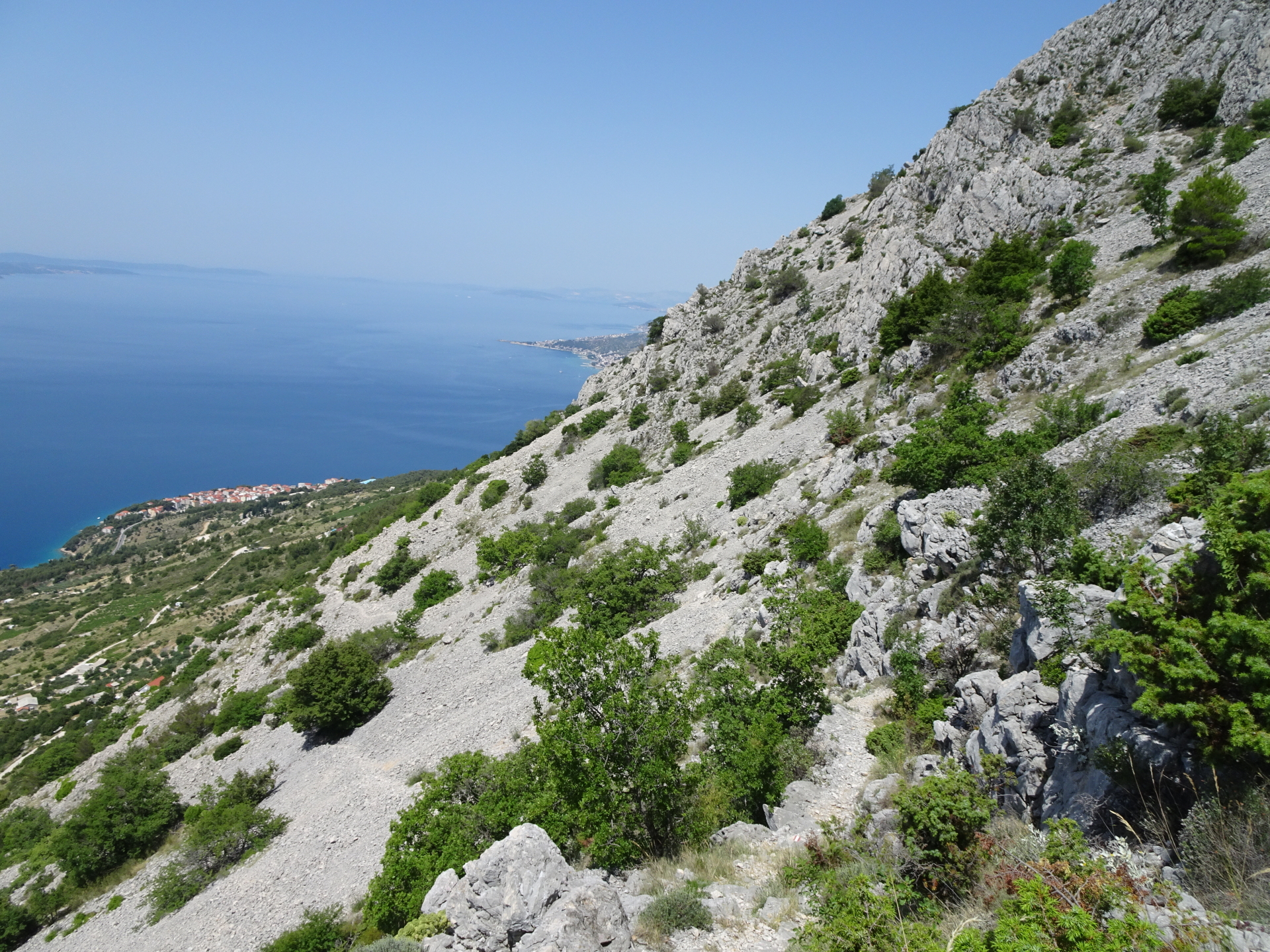
| 04:25 | Turn left and follow the marked hiking route Sklonište Imber Stupine eastwards. |
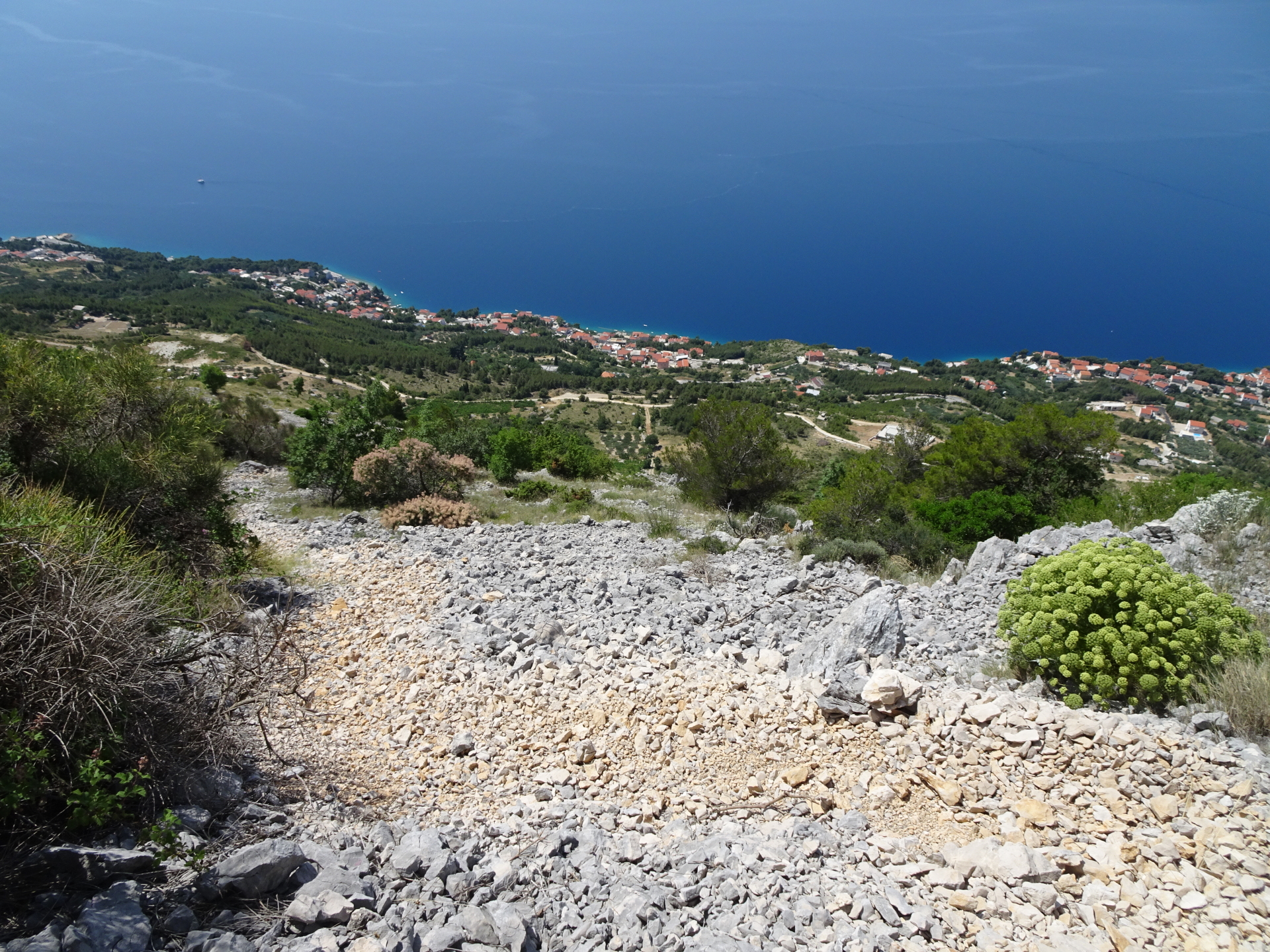
| 04:50 | At the crossing, turn right and descend following the trail through the scree field. |
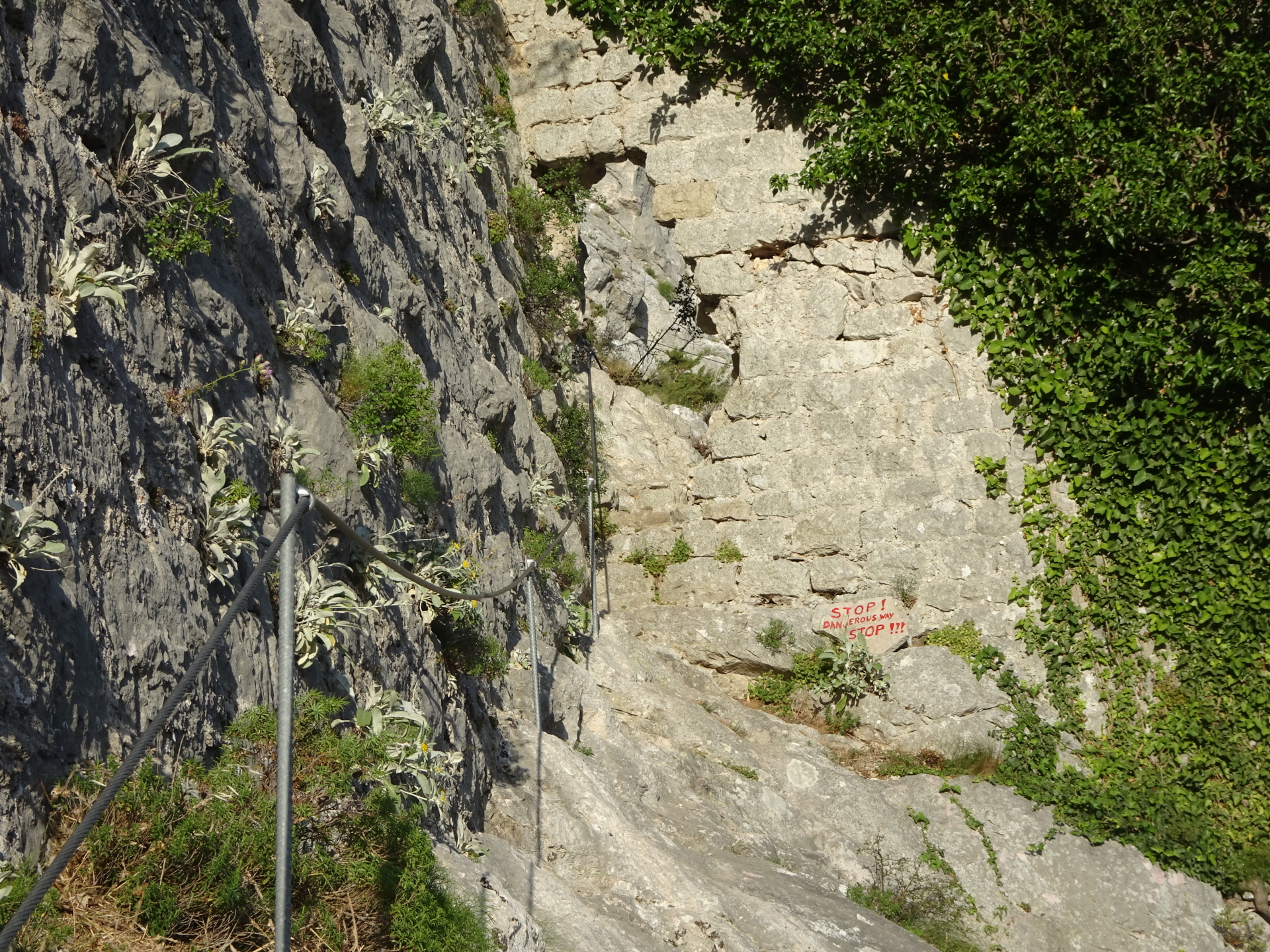
| 04:55 | Pay attention to not overlook the crossing. Turn right and follow the marked trail westwards (can be easily overlooked!) The logical visible trail (straight ahead) will become steep and difficult! |
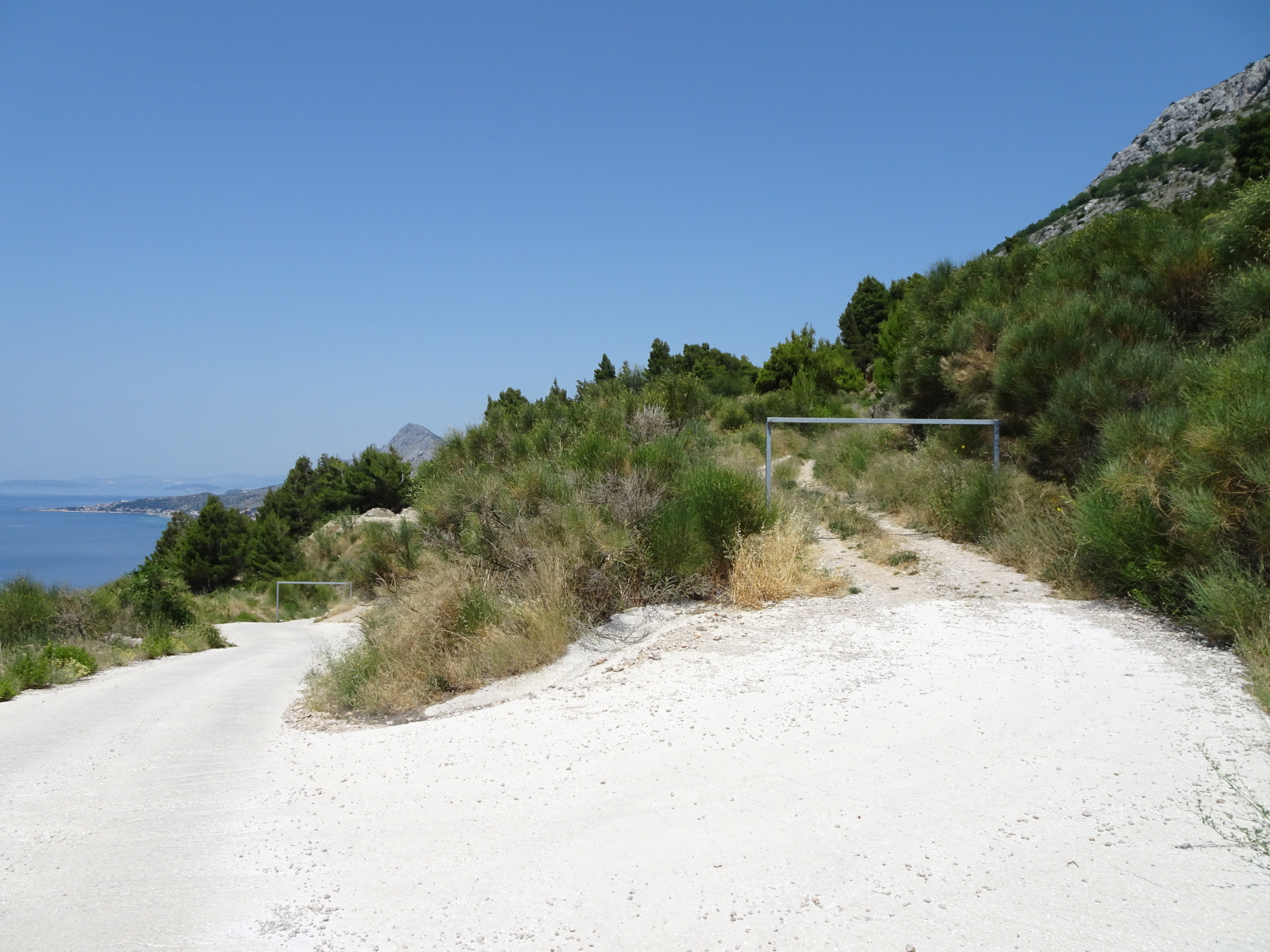
| 05:30 | Pass by the house and follow the street eastwards which u-turns after a few meters. Then continue following the street down westwards. |
| 05:45 | Turn left and follow the upper gravel road. |
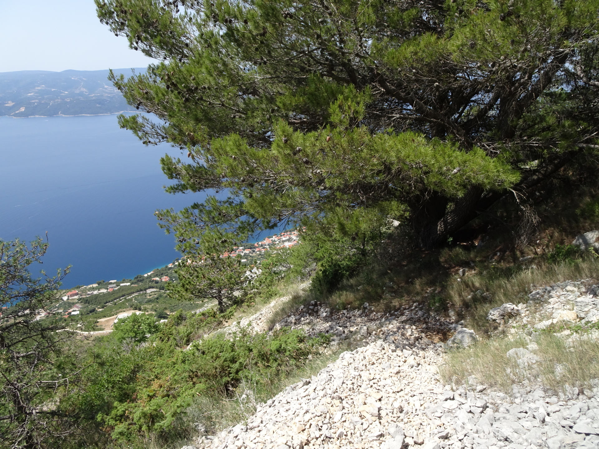
| 05:50 | At the street’s U-turn, stay straight and follow the hiking trail through the forest. |
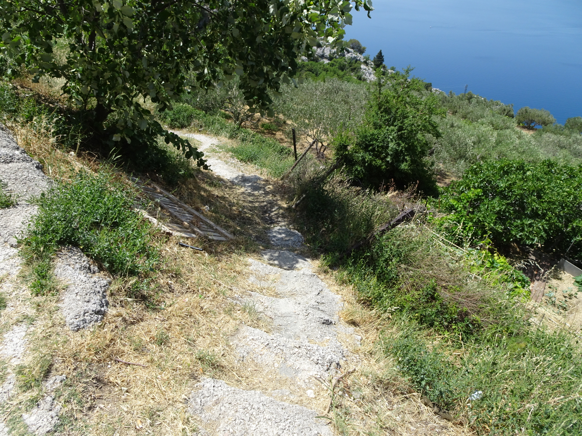
| 06:10 | Keep straight and follow the trail up to Borak (through apparent yards). |
| 06:15 | Turn left and follow the small trail downwards through the yards. |
| 06:25 | Follow the street up for a few meters and then at tue U-turn keep straight and follow the trail. |
| 06:30 | Turn left and follow the marked hiking trail back to Omiš. |
| 06:40 | Turn right and descend via the stairs to the pedestrian area of Omiš. Turn right and follow the trail through the city of Omiš. |
| 06:45 | Turn right and follow the trail towards and through the tunnel back to the parking. |
| 06:50 | Back at the parking, end of the tour. |
General Tour Data
| Area: | Omiška-Dinara, Croatia | |
| Distance: | 16km | |
| Ascent: | 1216m (3h 05min) | |
| Descent: | 1204m (2h 45min) | |
| Highest Pt: | 863m | |
| Lowest Pt: | 0m | |
| Duration: | 6h 15min (without breaks) 6h 50min (with breaks) |
|
| Stop/Rest: | None! | |
| Equipment: | Via ferrata set incl. helmet Hiking shoes with good grip (on rock) Backpack with standard hiking equipment Snacks and plenty(!) of water 2x “Gipfelbier” () Sun & Weather protection Camera GPS strongly recommended! |
| Download GPX | ||
| O | Tour at outdooractive.com |
At a glance
| Level | moderate-difficult |
| – Via Ferrata Category | B |
| Technique | |
| Shape / Fitness | |
| Experience | |
| Scenery | |
| Best time in the year | |
|
Jan
Feb
Mar
Apr
May
Jun
Jul
Aug
Sep
Oct
Nov
Dec
|
|


\" (Croatia)")
")
\" (Italy)")
\"")
Lauren Marsh
Is a tour required or can I do the via ferrata self-guided.
Thanks!
Stefan Probst
I did it self-guided. I heard that the ferrata is maintained by a local company, thus they are not happy if you do not do it without their guide but I’ve also seen a lot people doing it without a tour. I just made sure I did not do it while there was an official tour (their schedule is online).