
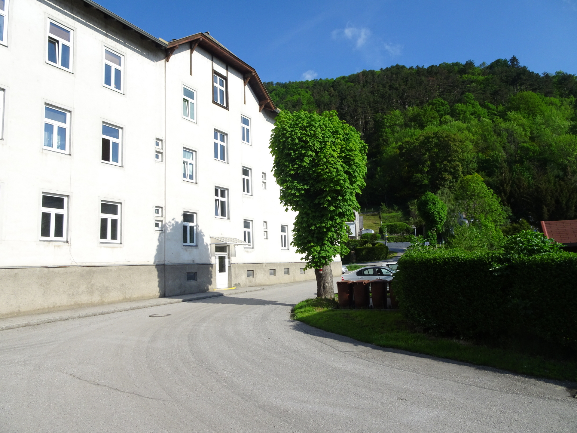
Scenic route starting from the train station of Gloggnitz towards the train station of Payerbach
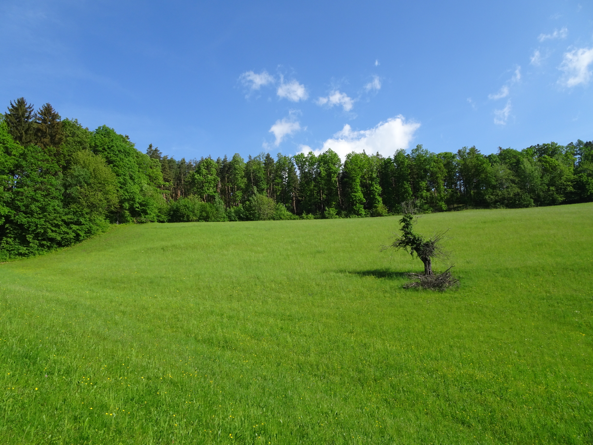
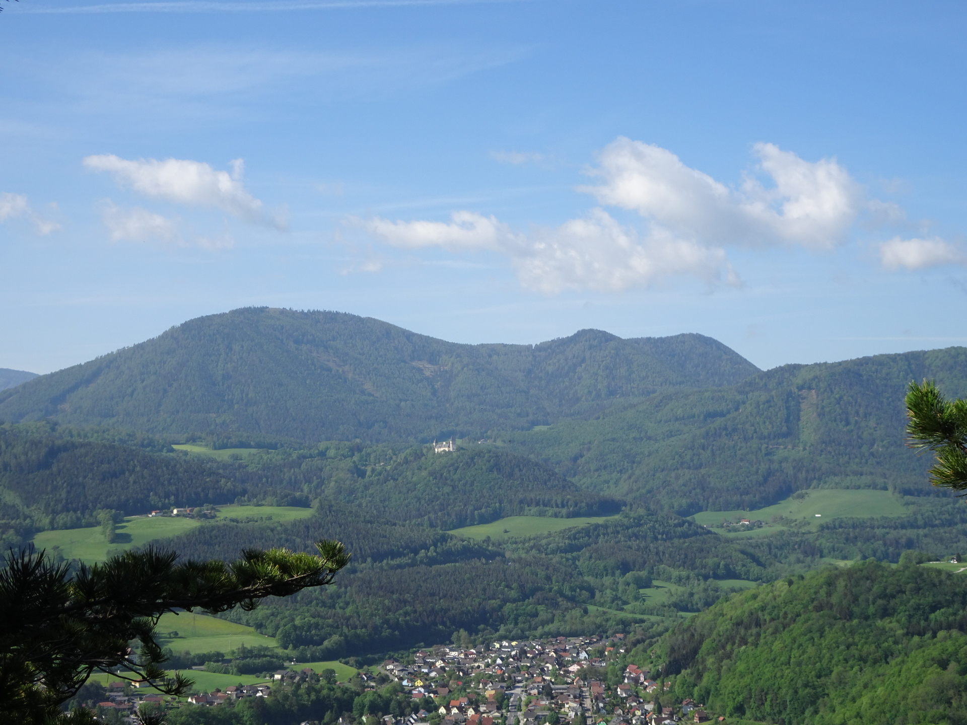
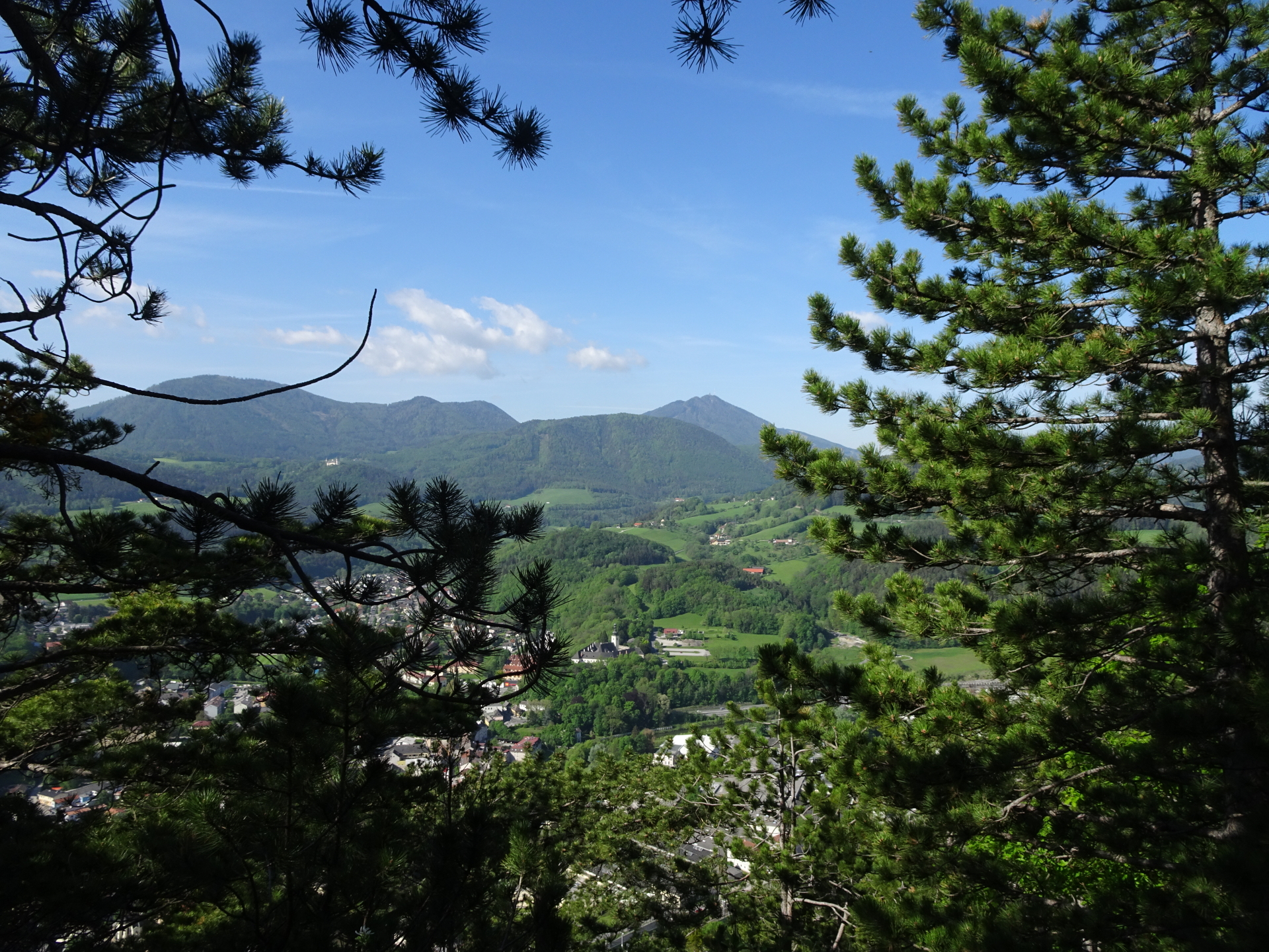
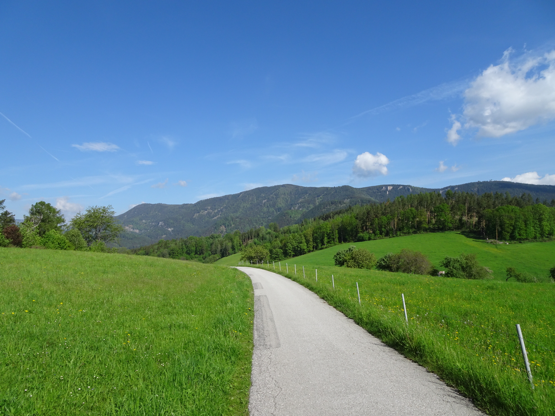
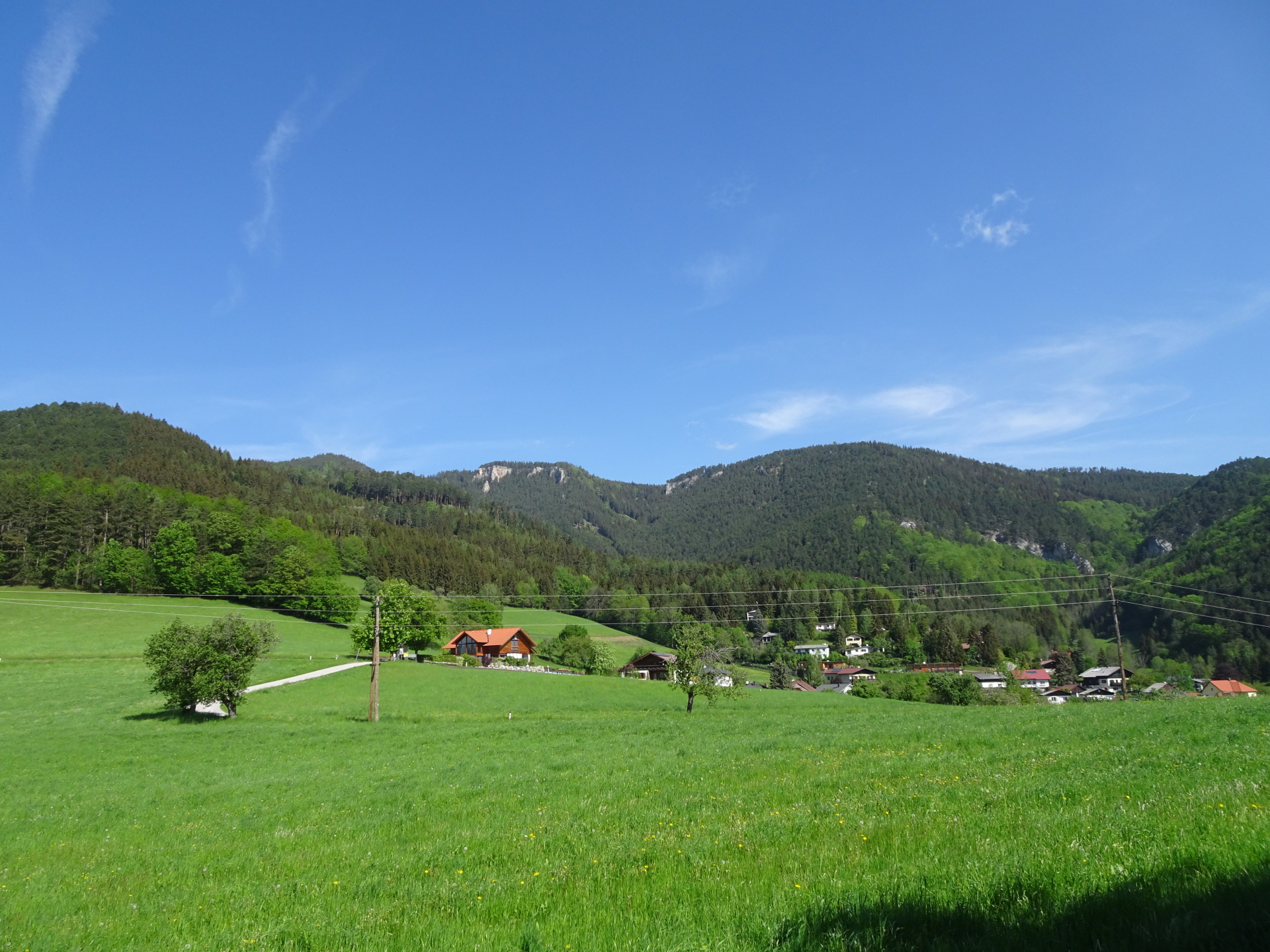
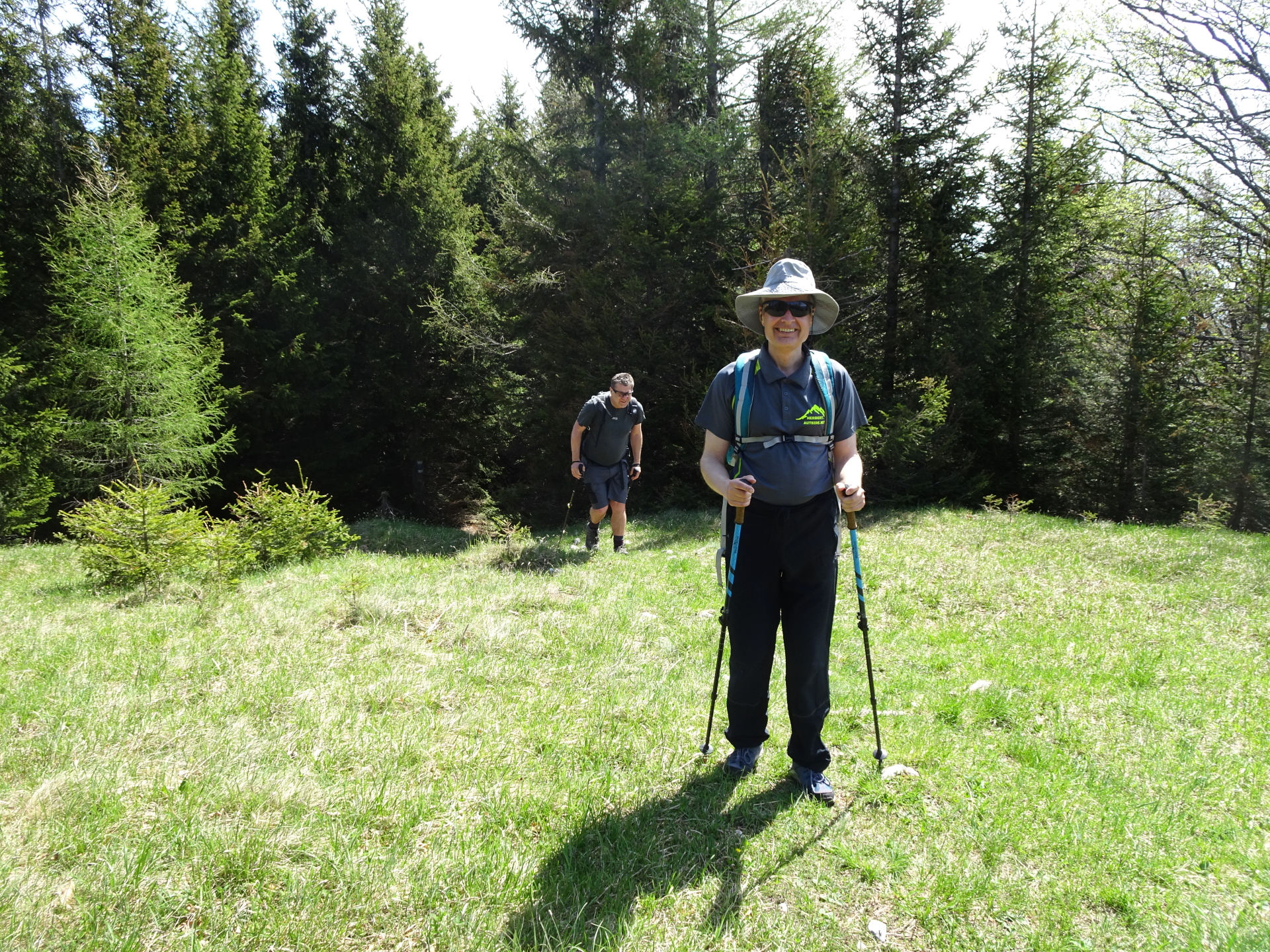
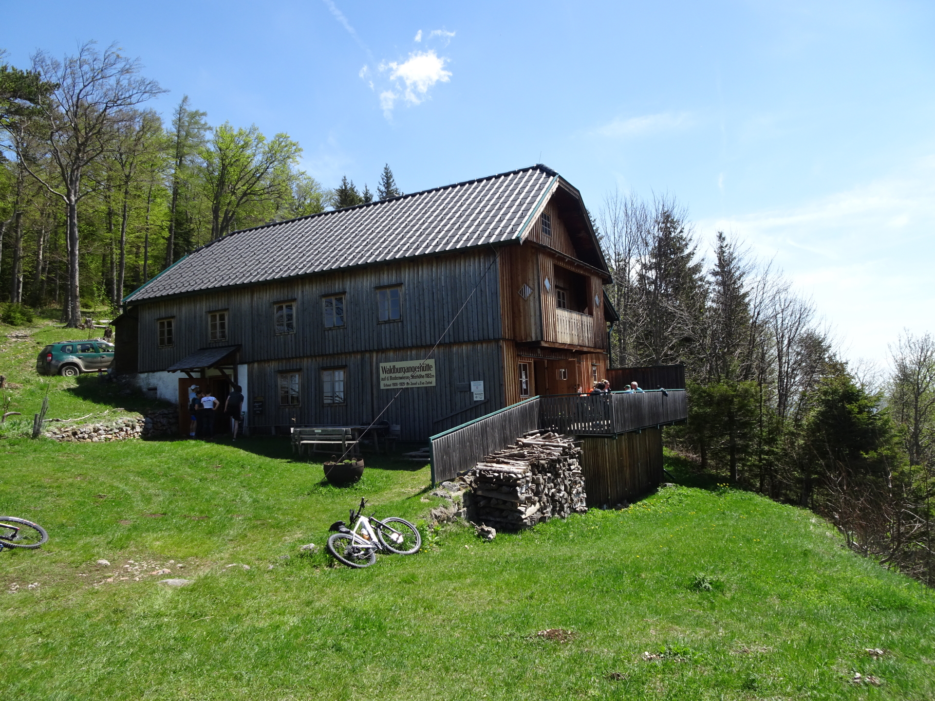
The tour starts at the train station Gloggnitz and first follows the street up eastwards. The tour then follows a nice trail up to Silbersberg, allowing impressive views towards the Otter, Sonnwendstein and Semmering. The tour then continues northwards till reaching the village of Prigglitz and then follows a trail up towards the Schwarzenberg Aussicht. After a well deserved break at the Waldburgangerhütte, the tour follows a trail westwards which then becomes unmarked but leads up to the highest point, namely the Saurüssel, allowing a stunning view towards Schneeberg. The tour then follows unmarked forest roads northwards till reaching the Lackaboden and finally descends via the Lackabodengraben and Eng back to the train station of Payerbach.
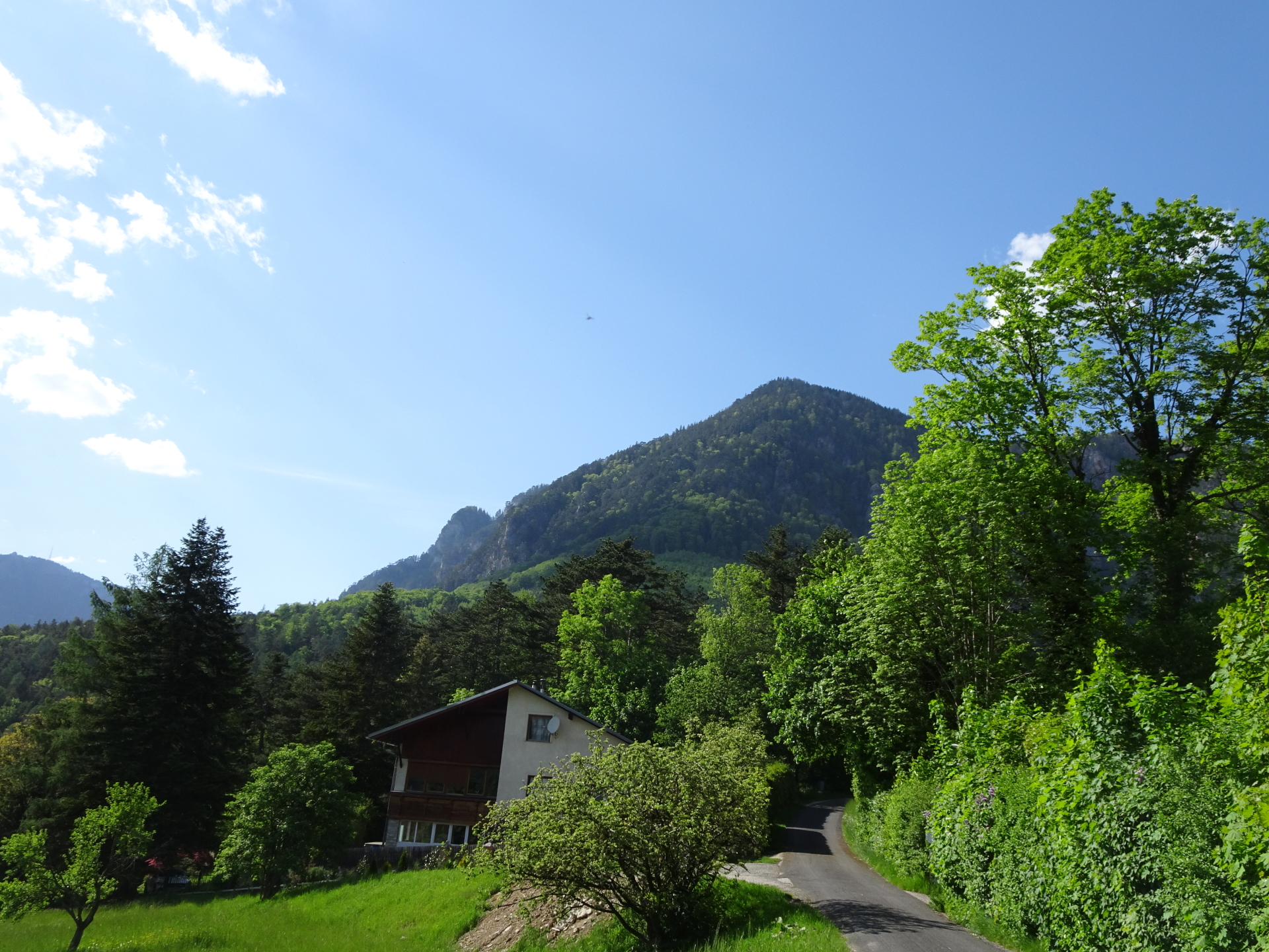
| 00:00 | Start at the train station Gloggnitz (GPS: 47.677230, 15.945125), go through the tunnel below the tracks northwards and first follow the Arenstenigasse street upwards (north). |
| 00:03 | Turn right and follow the Untere Silbersbergstraße eastwards for a few meters. |
| 00:05 | Turn left and follow the red-marked trail 834 up towards Silbersberg. |
| 00:20 | At the crossing before the wall of the house, turn left and follow the blue marked trail westwards. |
| 00:25 | At the crossing, keep straight and follow the blue marked trail towards Silbersberg. |
| 00:55 | Turn left into the street and follow the street northwestwards. |
| 01:00 | At the crossing, turn right and follow the street (green markings) northwards. |
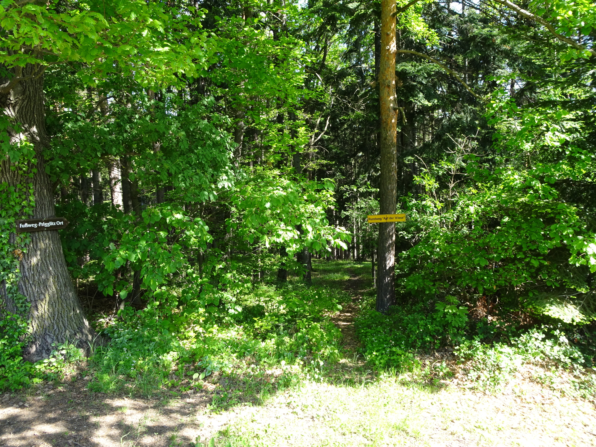
| 01:10 | Turn right into the trail through the forest towards Prigglitz Ort (see wooden signpost). |
| 01:15 | After crossing the bridge, keep straight and head towards the street. Follow the street northwards. |
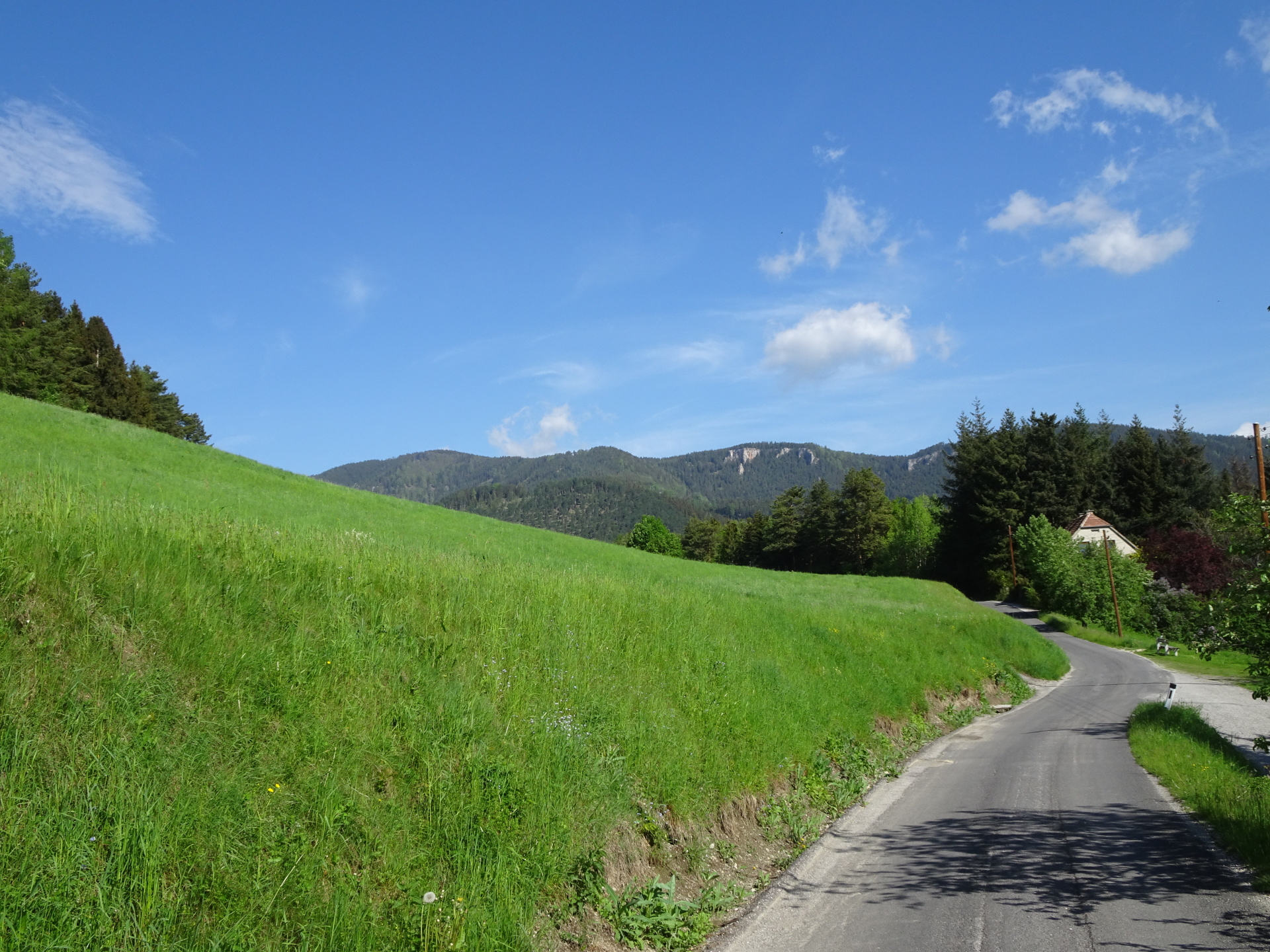
| 01:25 | At the crossing, turn right and follow the street down towards the center of Prigglitz. |
| 01:30 | At the crossing, turn left and follow the blue marked trail northwestwards. |
| 01:40 | Keep right and stay on the blue marked trail. |
| 01:55 | At the crossing, keep right and continue following the blue marked trail. |
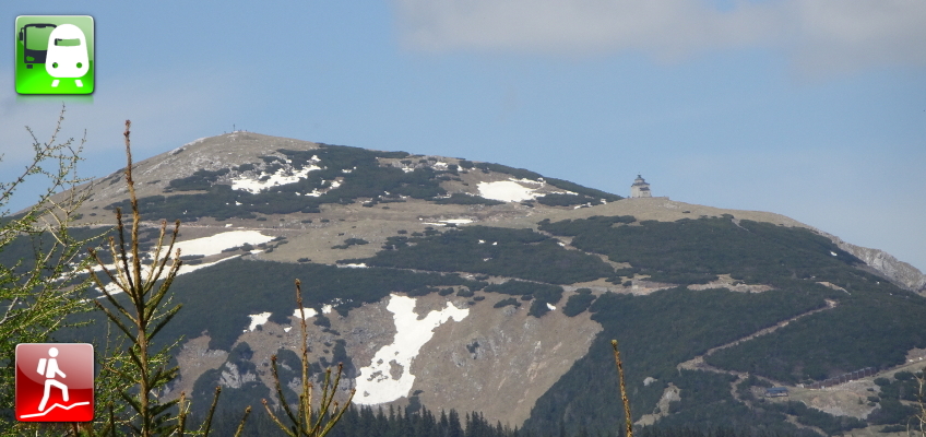
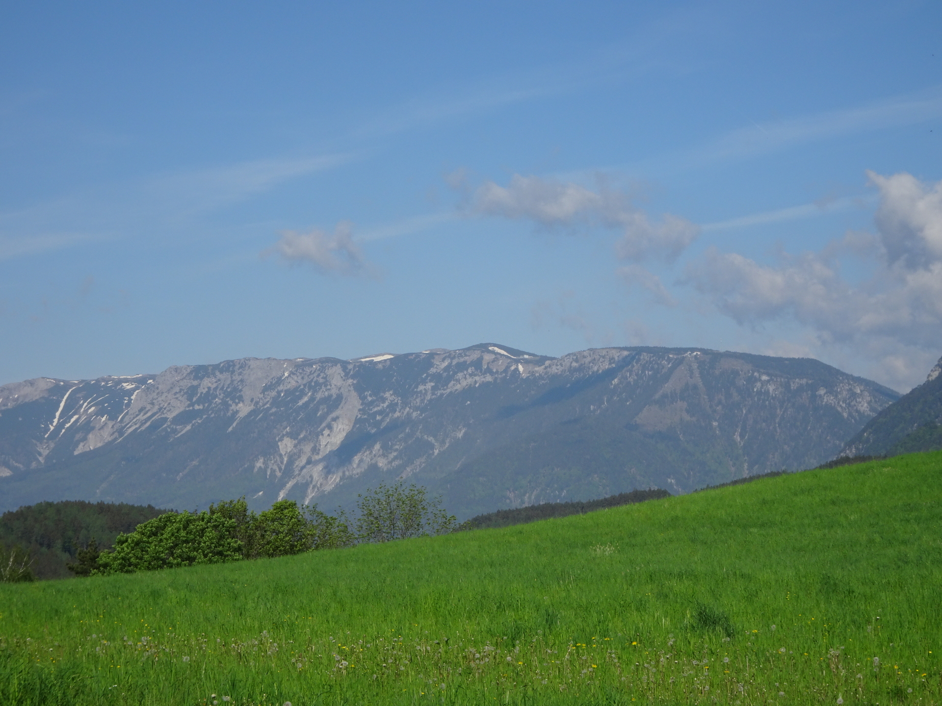
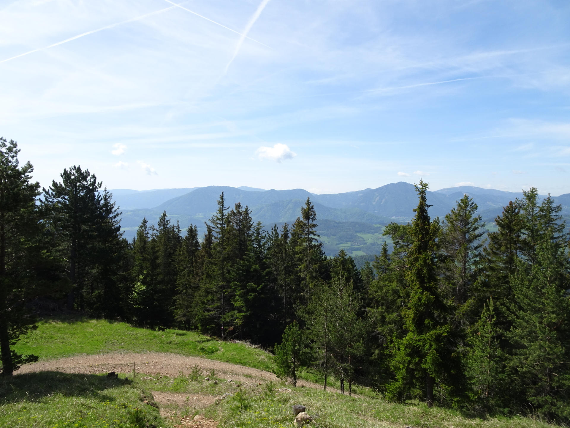
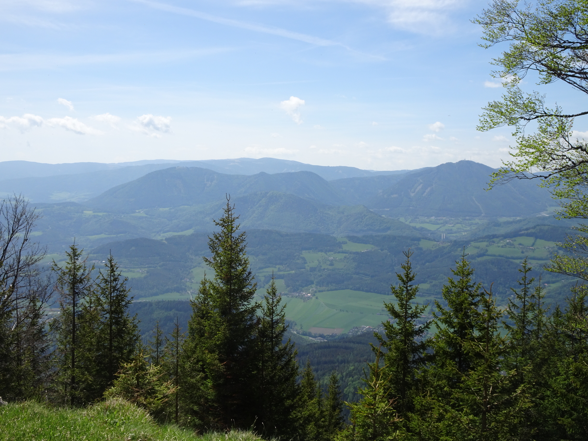
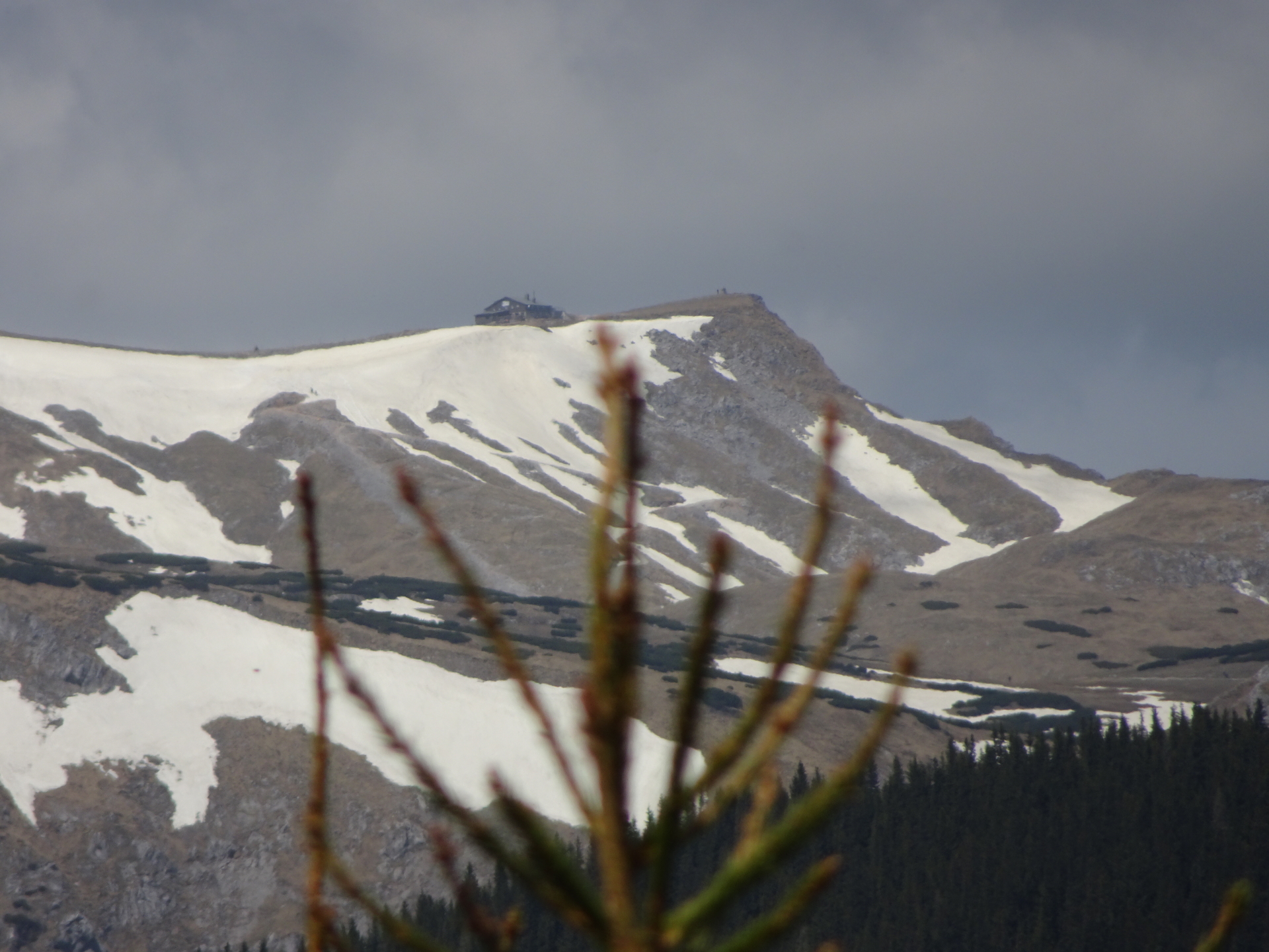
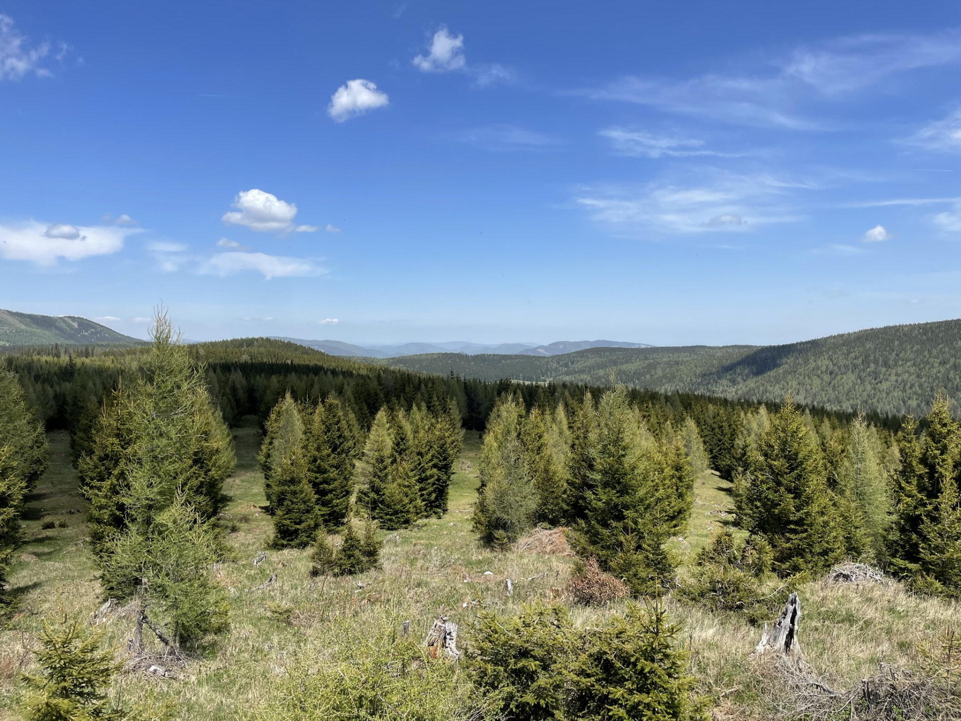
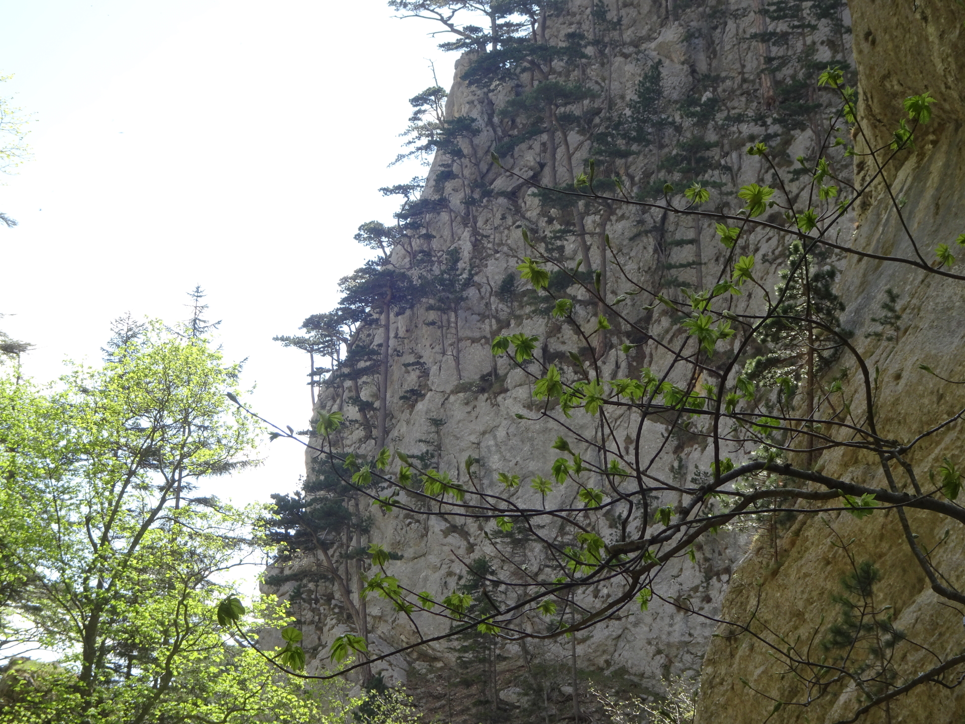
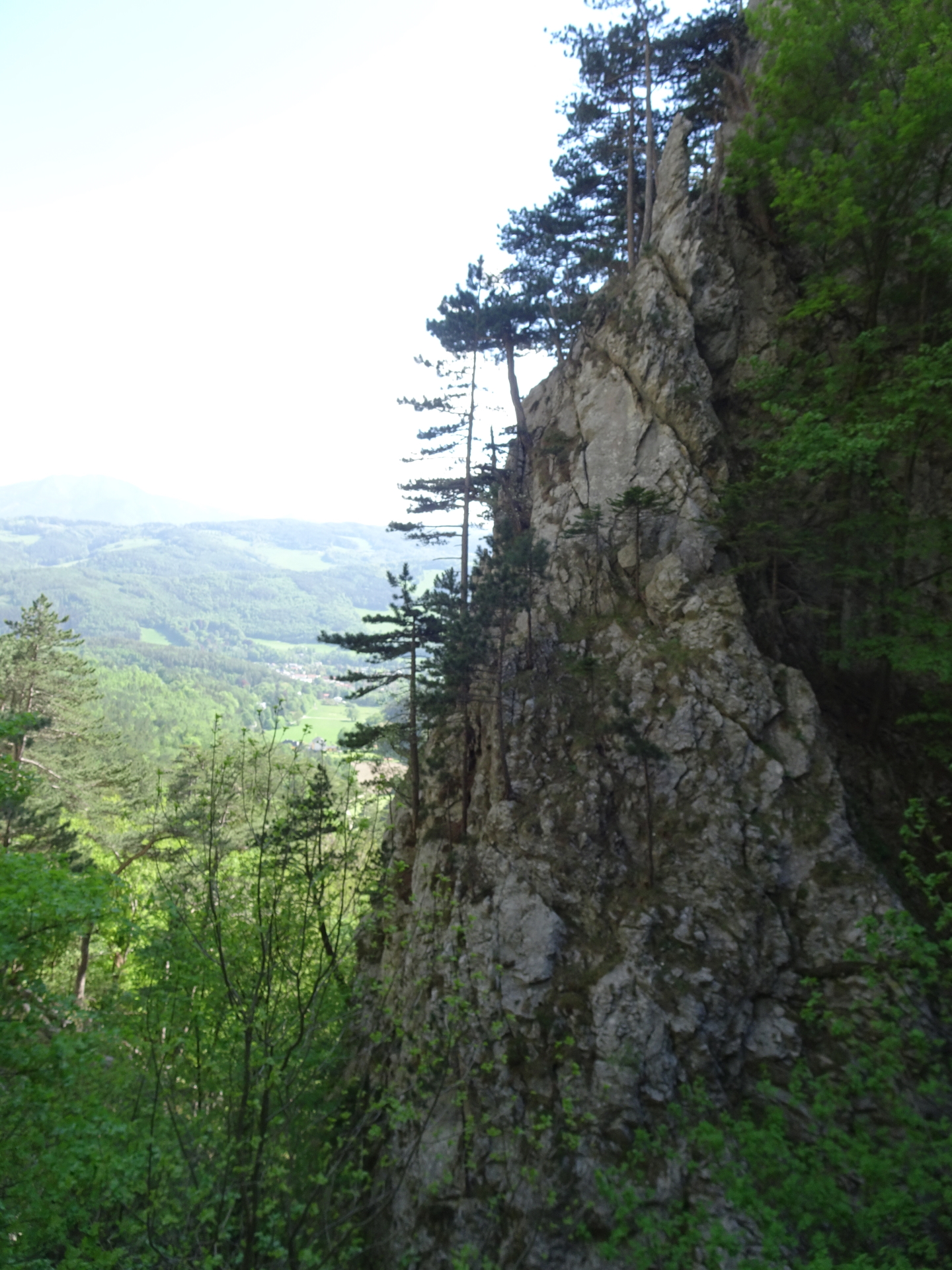
| 02:45 | Enjoy the scenic view towards Semmering, Sonnwendstein and the Otter from the Schwarzenberg Aussicht. |
| 02:50 | Continue following the blue marked trail westwards descending towards the Waldburgangerhütte. |
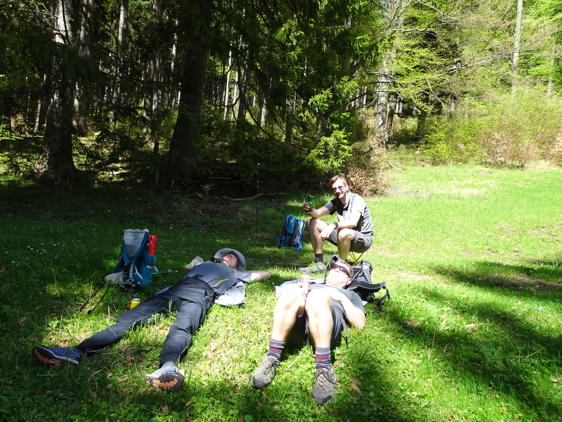
| 03:05 | Well deserved break ( ) at the Waldburgangerhütte. |
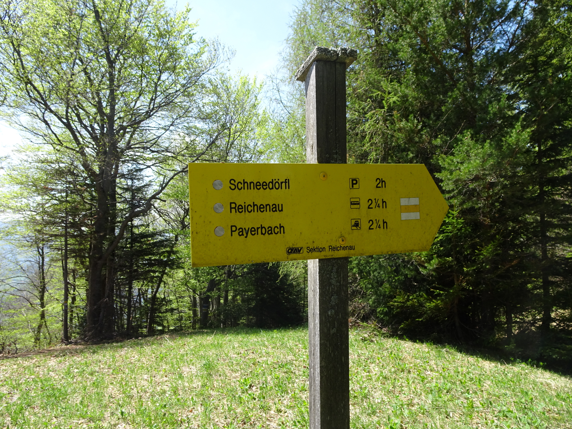
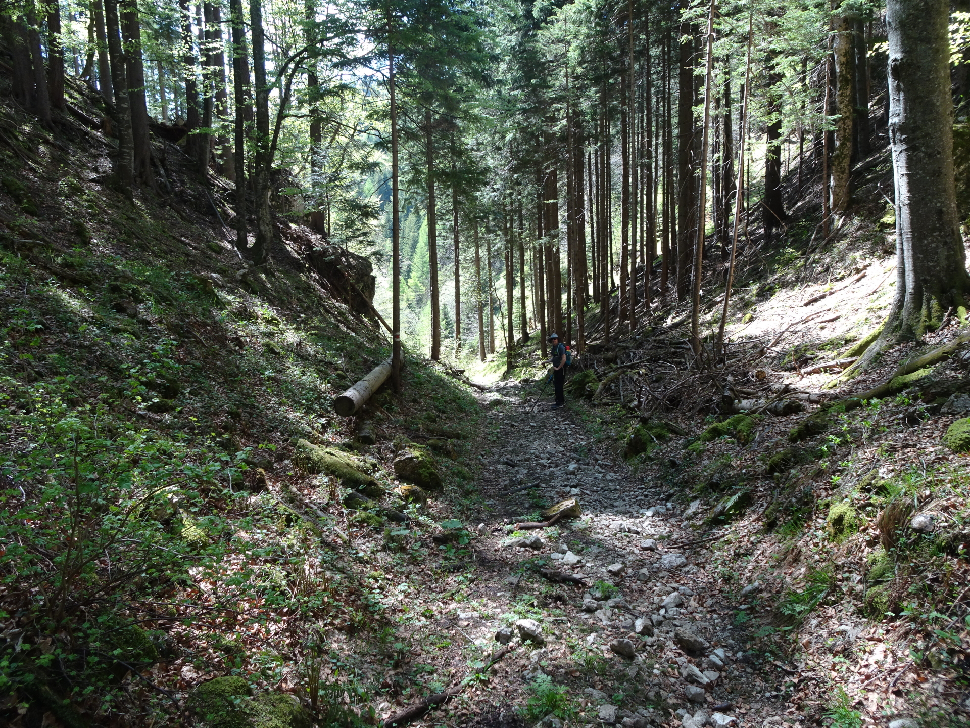
| 04:00 | Follow the yellow marked trail westwards towards Schneedörfl (see signpost, do not descent towards Payerbach!). |
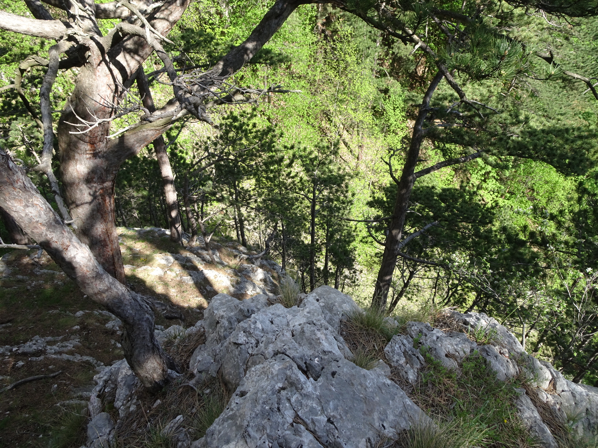
| 04:25 | At the clearing, turn right and follow the forest road up northwards (leave the marked trail!). At the next crossing, keep left and continue following the forest road northwestwards. |
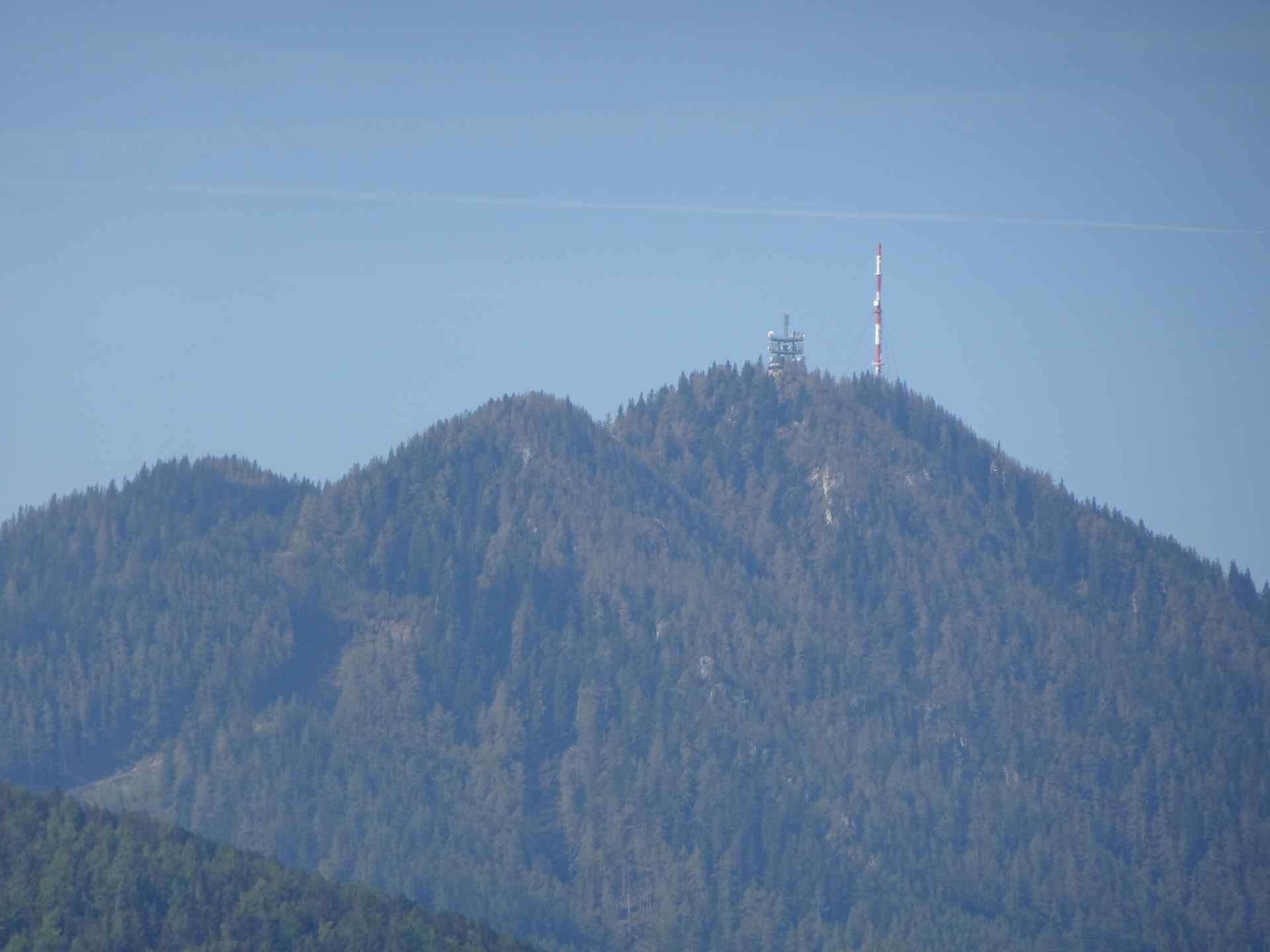
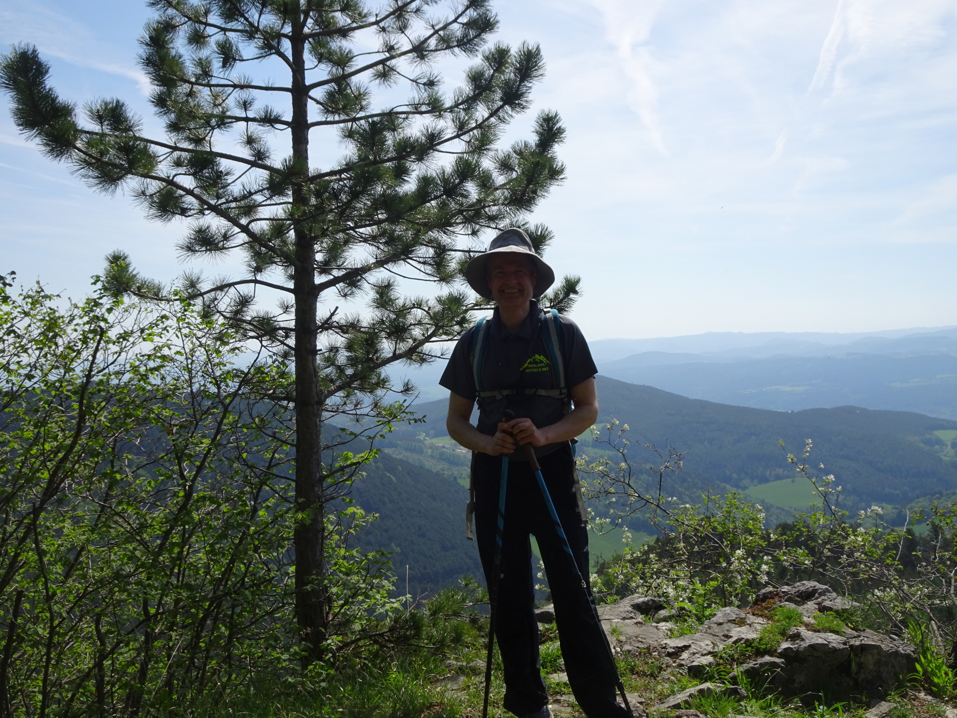
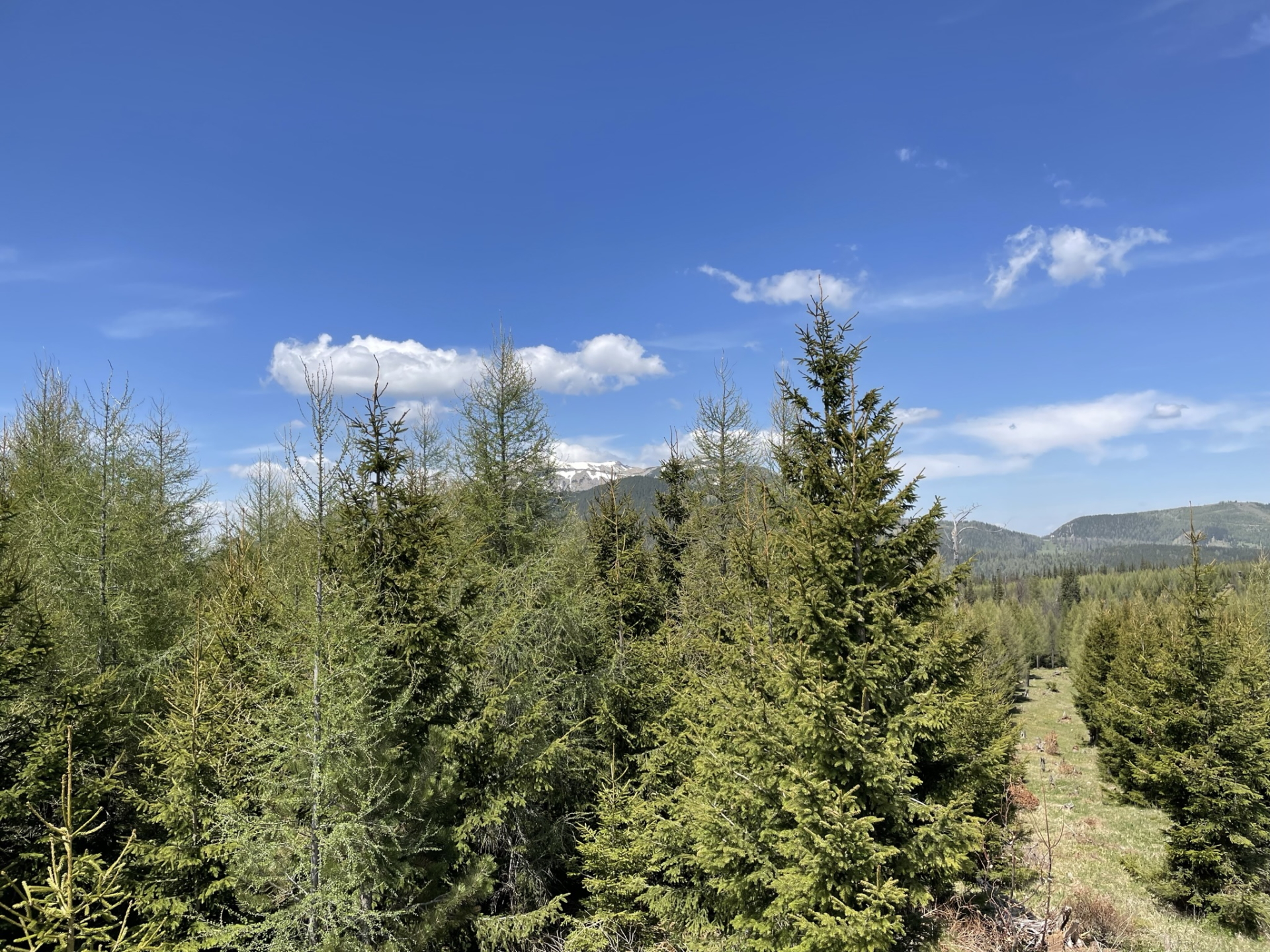
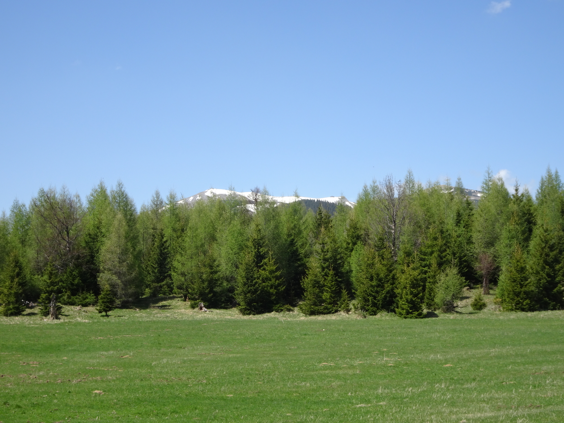
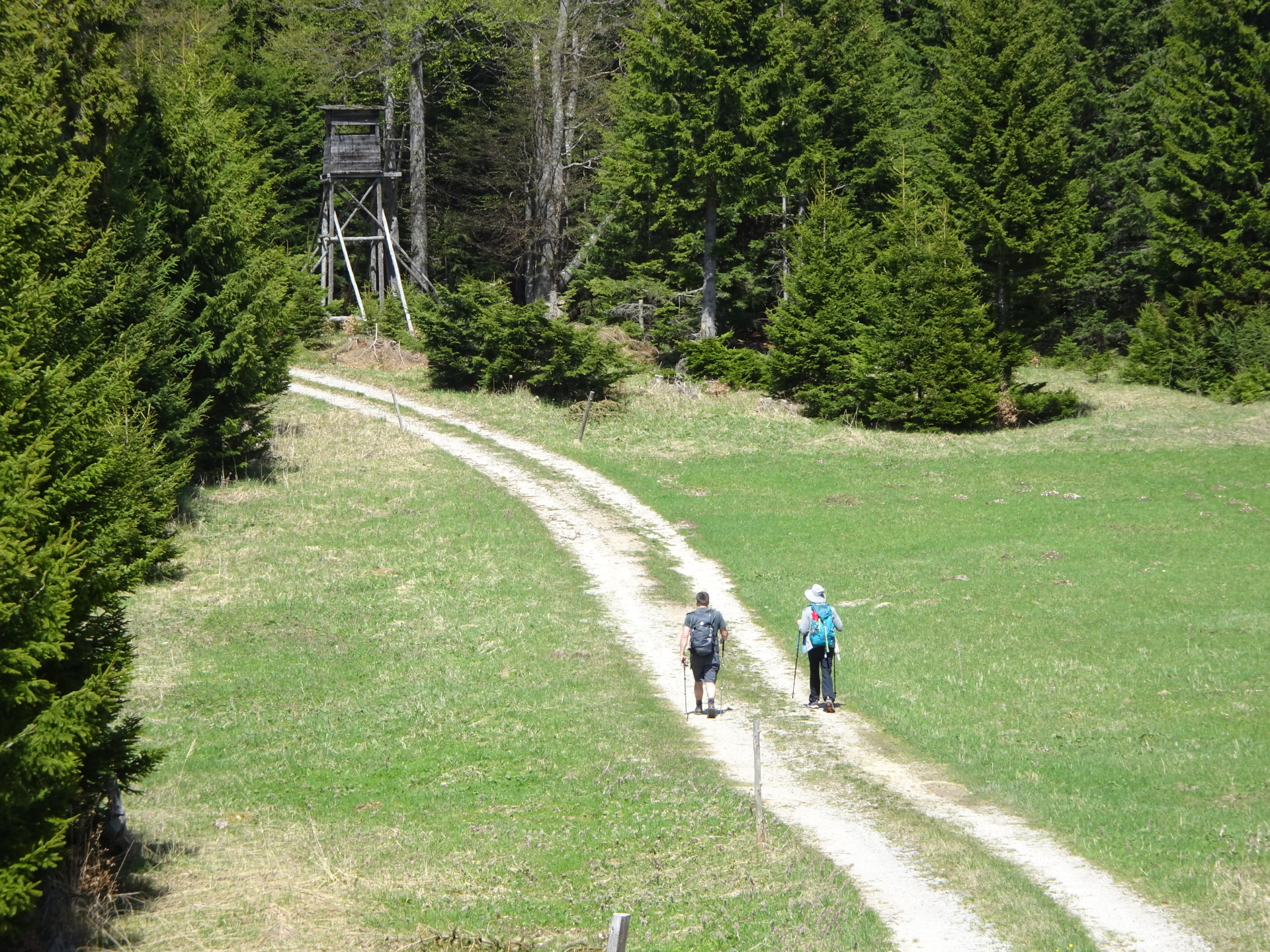
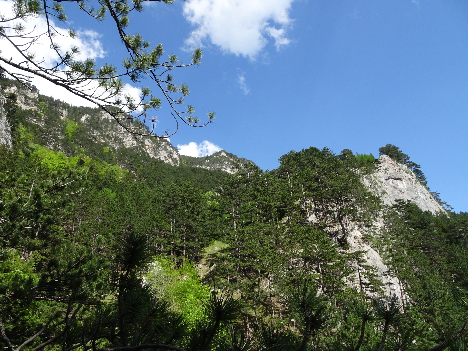
| 04:30 | At the next clearing, turn left and find your way up to Saurüssel. The visible hunting plateau is marking the top of Saurüssel. |
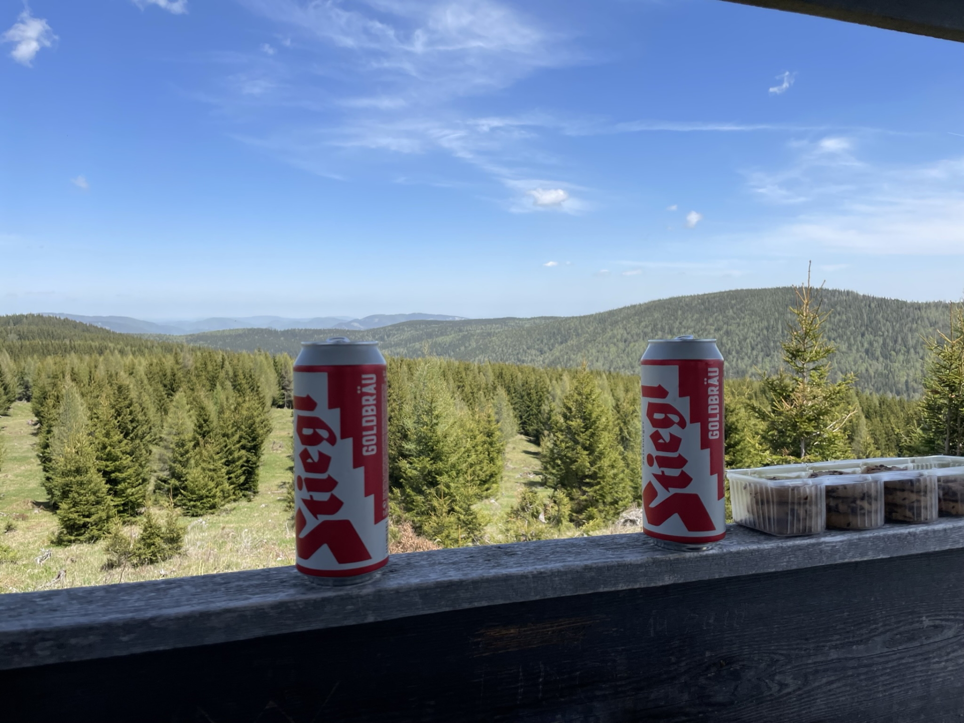
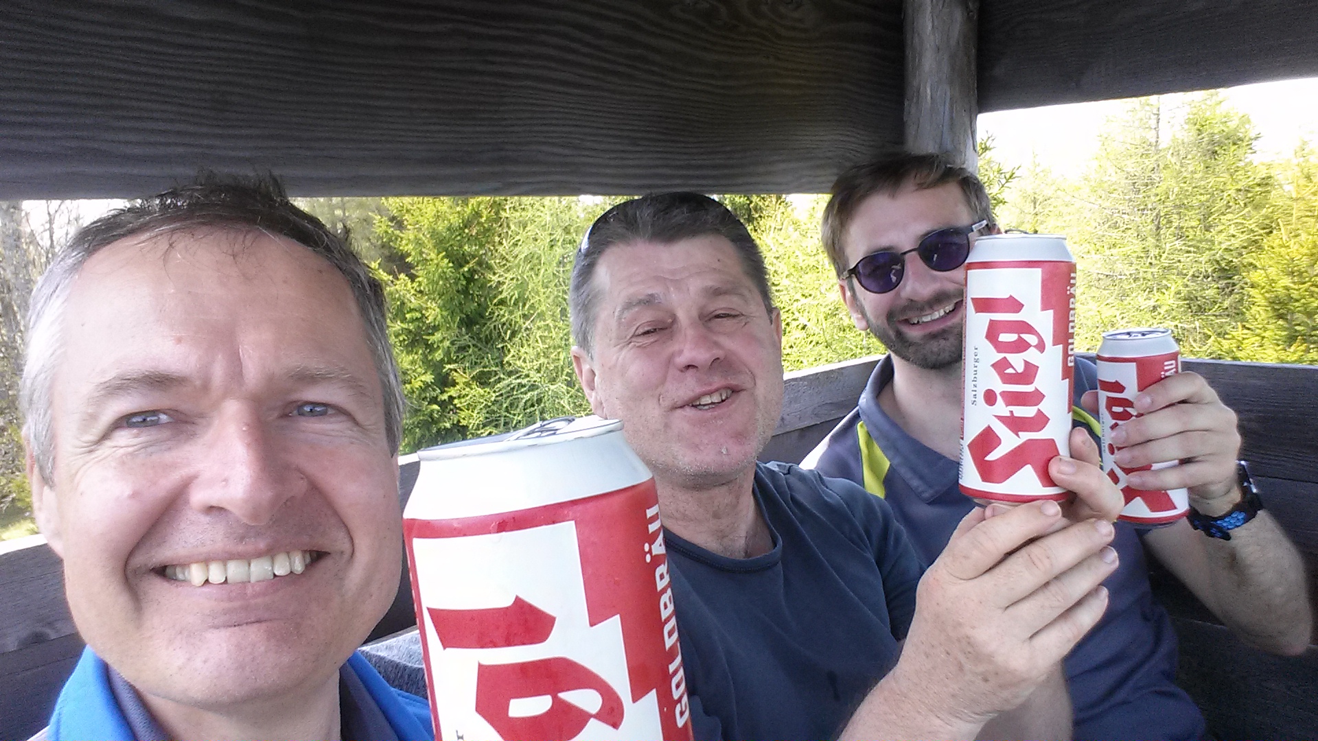
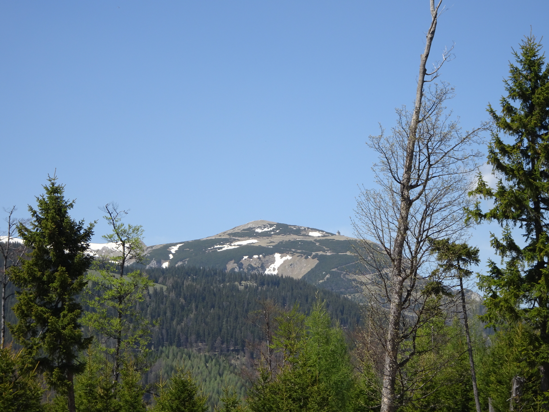
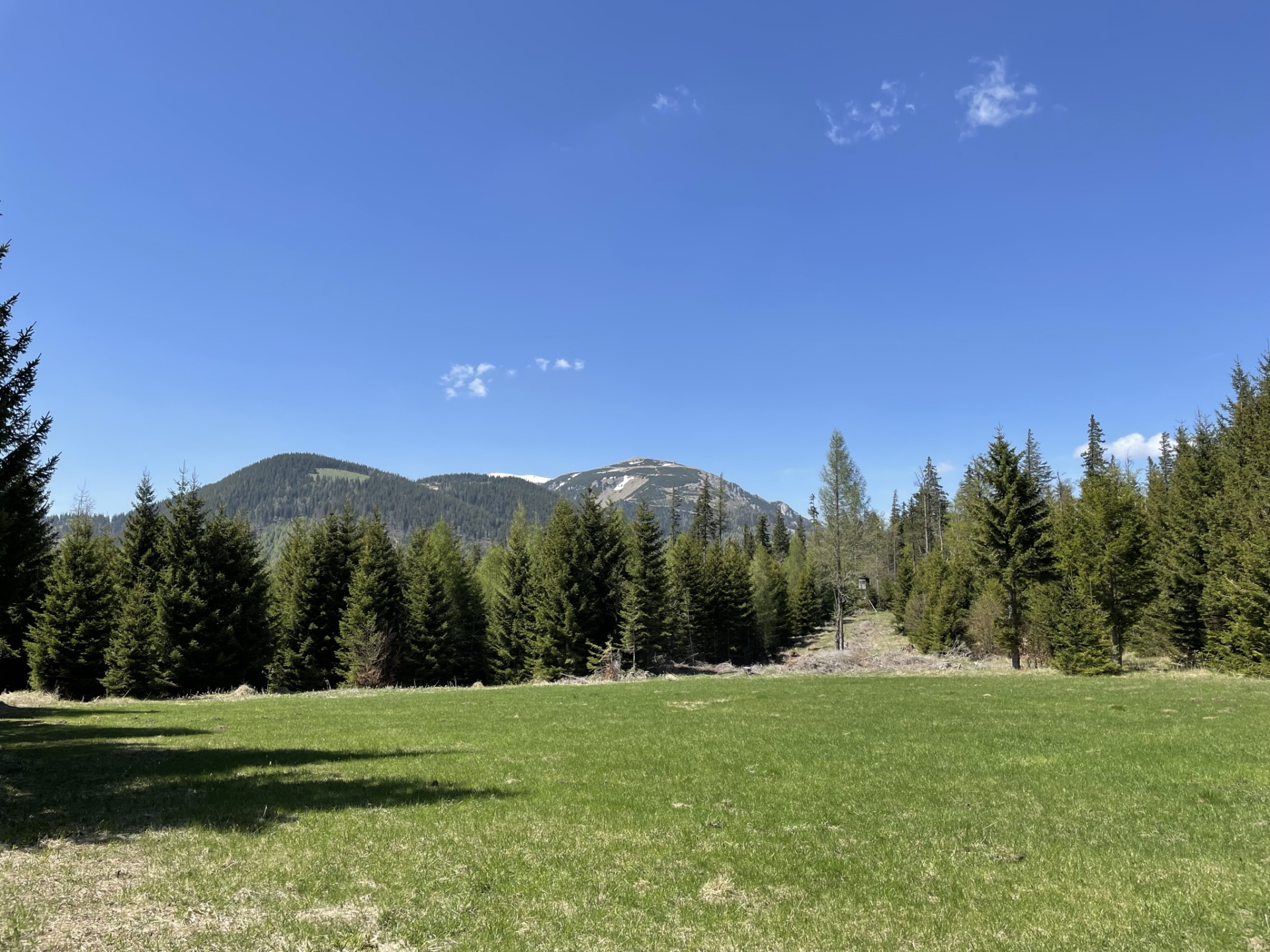
| 04:35 | Enjoy the view towards Schneeberg from Saurüssel. Best enjoyed with a self-brought refreshment (). |
| 05:15 | Head back towards the forest street. Turn left and continue following the forest road northwards. |
| 05:50 | At the crossing, turn left and follow the forest road northwards. |
| 05:55 | At the crossing, turn right and follow the forest road northwards. |
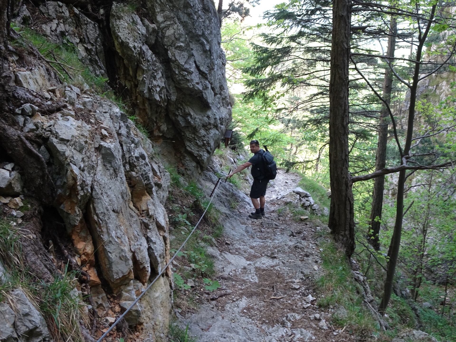
| 06:05 | Turn sharp left and follow the blue marked trail westwards. |
| 06:10 | At the crossing, turn left and continue following the blue marked trail downwards. |
| 06:20 | At the clearing, turn left and follow the trail downwards. |
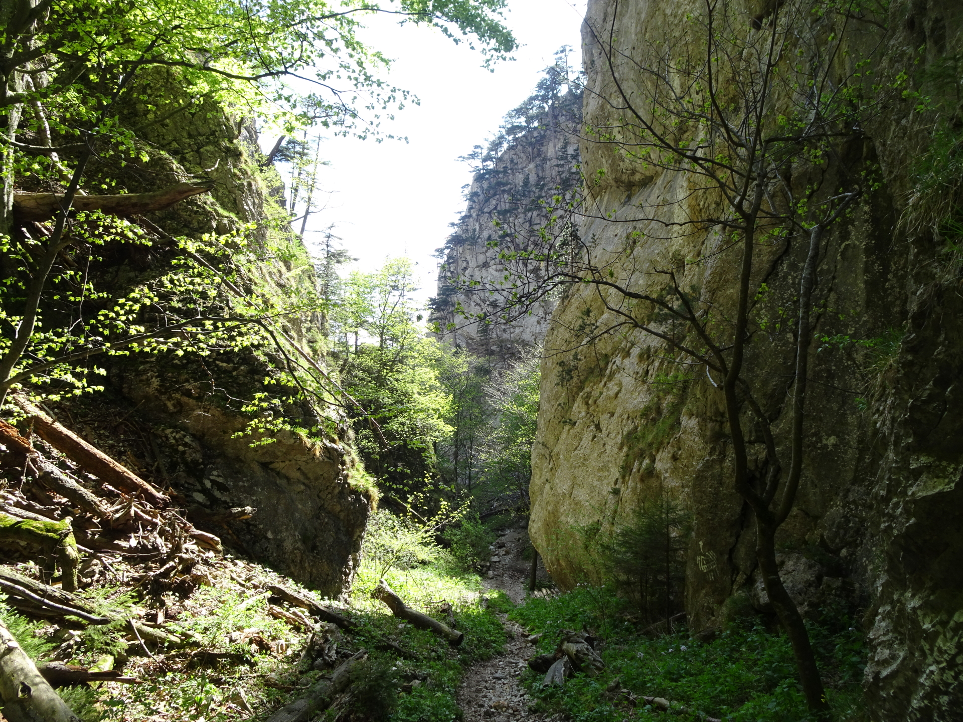
| 06:25 | Keep slightly left and follow the red marked trail downwards through the Lackerbodengraben. |
| 06:50 | Keep left and follow the red-marked trail downwards through the Eng. |
| 07:40 | Follow the red marked Schneedörflstraße street towards Payerbach. |
| 07:50 | Turn right into the red-marked trail that leads towards the train station of Payerbach. |
| 08:00 | At the train station of Payerbach, end of the tour. |
| Area: | Wiener Alpen, Lower Austria, Austria | |
| Distance: | 23km | |
| Ascent: | 1194m (2h 50min) | |
| Descent: | 1129m (3h 10min) | |
| Highest Pt: | 1340m | |
| Lowest Pt: | 437m | |
| Duration: | 6h 30min (without breaks) 8h 00min (with breaks) |
|
| Stop/Rest: | Waldburgangerhütte (1182m) | |
| Equipment: | Comfortable hiking shoes Backpack with standard hiking equipment Snacks and plenty of water 1x Gipfelbier () Sun & Weather protection Camera GPS recommended! |
| Download GPX | ||
| O | Tour at outdooractive.com |
At a glance
| Level | moderate |
| Technique | |
| Shape / Fitness | |
| Experience | |
| Scenery | |
| Best time in the year | |
|
Jan
Feb
Mar
Apr
May
Jun
Jul
Aug
Sep
Oct
Nov
Dec
|
|


Leave a Reply