
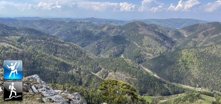
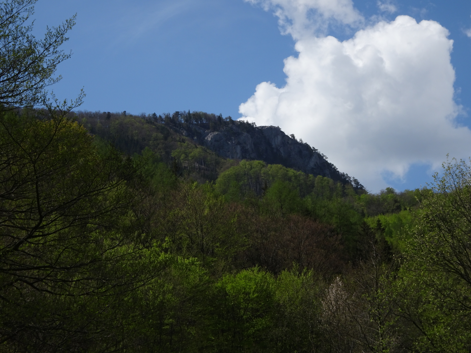
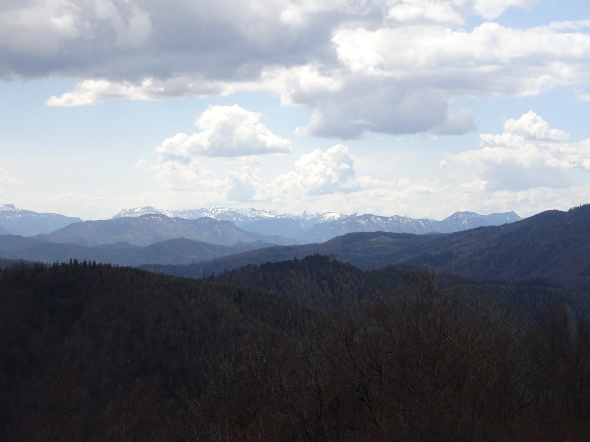
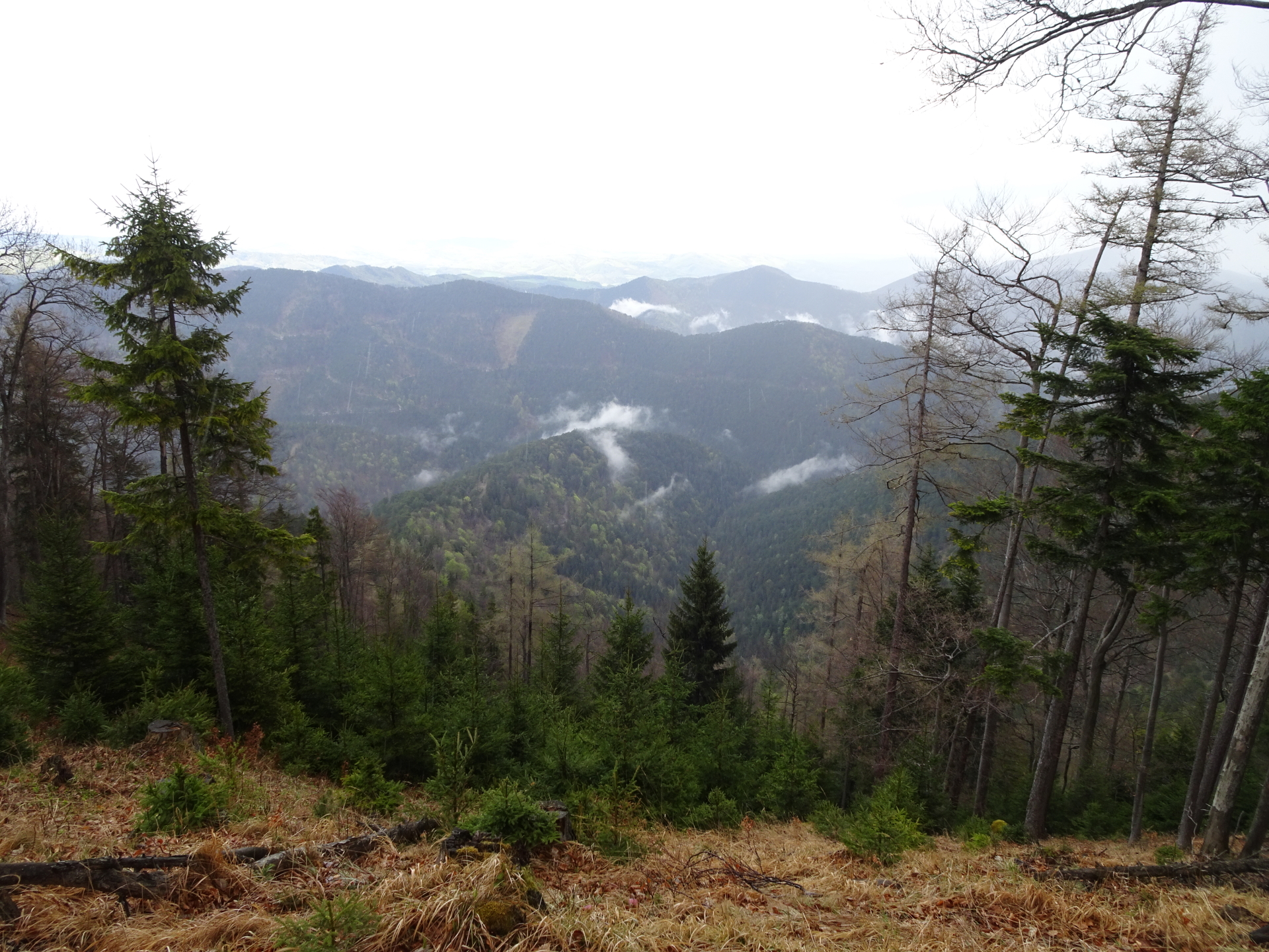
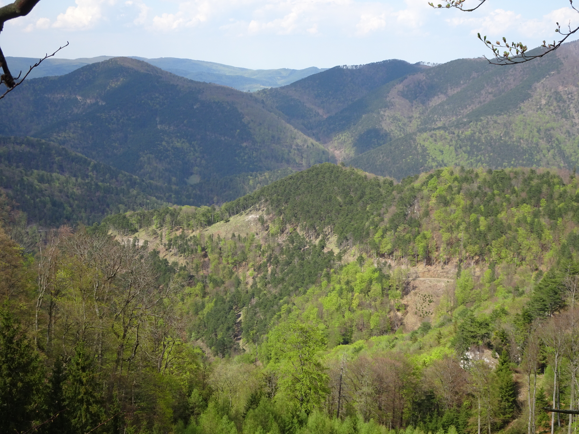
Hike up to Kieneck and then via an easy climbing route (Ninegrat, UIAA I) towards the impressive Gaisstein offering an impressive scenic view over the Gutensteiner Alps
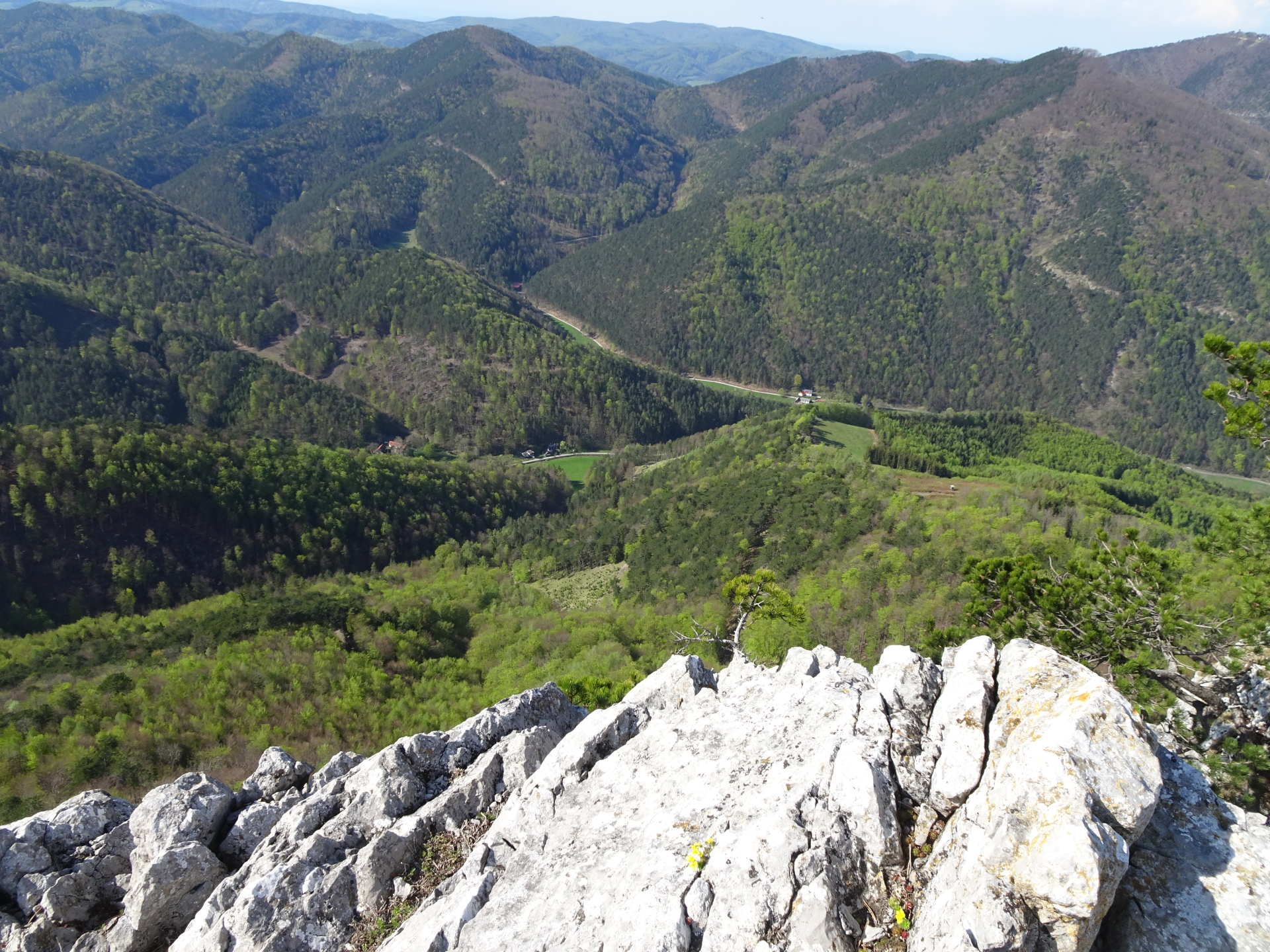
The tour starts at the parking Furth an der Triesting and first follows the Further Straße street (L4034) westwards. After 3km, the tour then turns left into the Staffgraben which first is a paved road but then becomes a gravel road. At the end of Staffgraben, the tour then ascends (partly steep) up to Weißriegel and then Kieneck. After a well deserved break at the Enzianhütte, the tour follows the hiking trail eastwards along the ridge towards the Almeskogel, then the Geißruck and then further eastwards. A few meters before the Atzsattel, the tour takes the barely visible trail on the left towards the start of Ninegrat, a relatively easy climbing route (UIAA I) that offers promising views towards the Gutenstenier Alps. After mastering this climbing route, the tour then descends towards the Atzsattel and continues eastwards till reaching a forest road. The tour then does not follow the markings anymore but stays on the forest road which leads towards Gaisstein. After crossing the mountain pasture, the tour follows the relatively steep ascent up to the summit of Gaisstein, which offers maybe the most scenic view over the Gutensteiner Alps. The tour then uses the trail back to the mountain pasture and then turns left and follows the gravel road eastwards which flows into the marked hiking trail back to Furth an der Tiesting.
Tour Description
| 00:00 | Start at the parking Furth an der Triesting (GPS: 47.973343, 15.972475) and first follow the street L4034 westwards for 3 kilometers. |
| 00:30 | Turn left into the Staffgraben and follow the white-red-white marked route towards Kieneck (see signpost!). |
| 00:50 | At the crossing, stay right and follow the paved road which soon becomes a gravel road. Stay on the white-red-white marked route. |
| 01:00 | Keep left and follow the white-red-white marked route (06A). |
| 01:15 | At the crossing, follow the signpost towards Kieneck and continue following the white-red-white marked route. The trail now becomes steep and ascends towards Kieneck. |
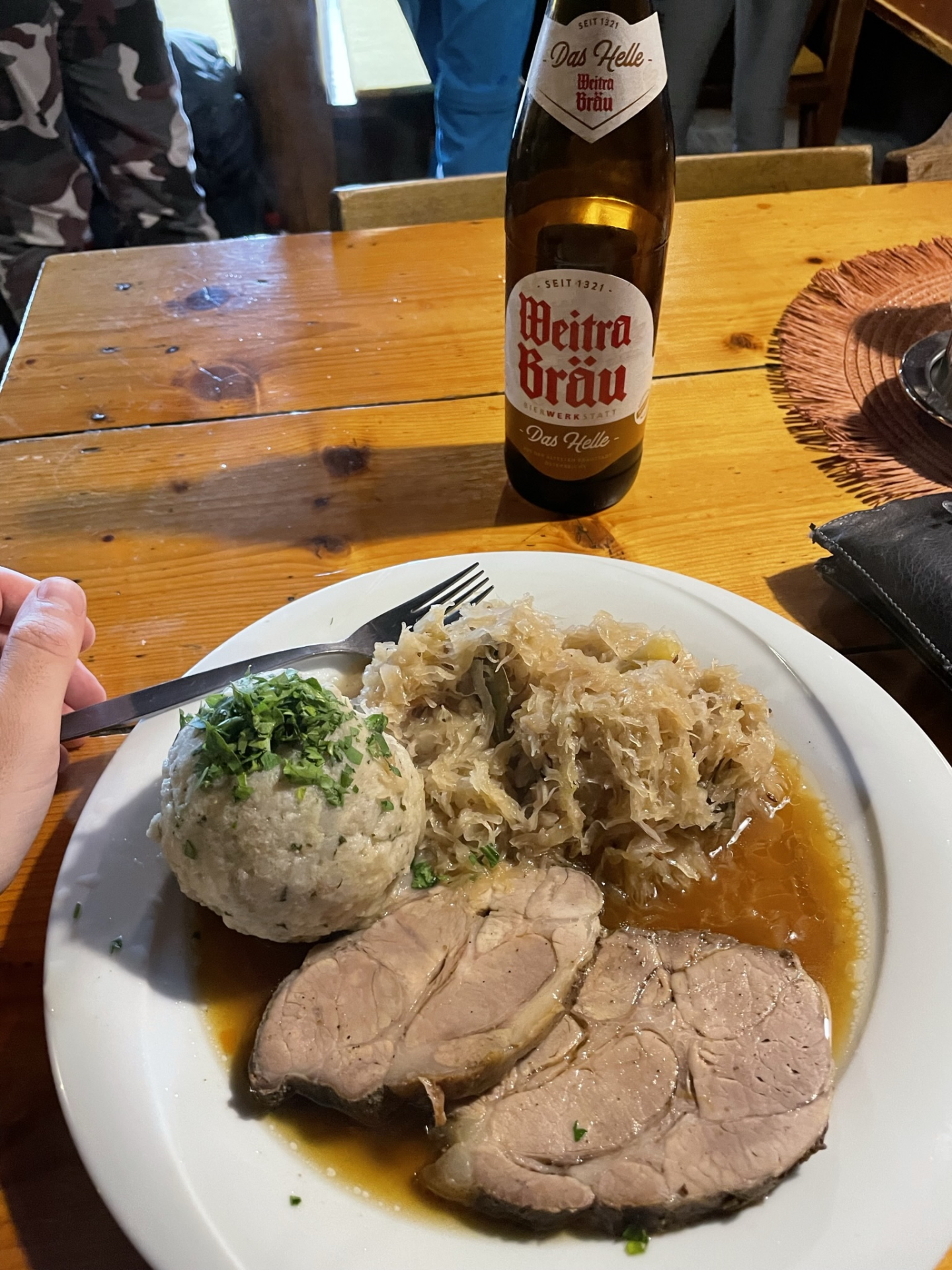
| 02:00 | Enjoy the view from Kieneck and have a well-deserved break at the Enzianhütte ( ). |
| 03:00 | Walk around (behind) the hut and continue following the white-red-white marked trail eastwards. |
| 03:15 | At the crossing, keep left and continue following the white-red-white marked trail up to Almeskogel. |
| 03:30 | Pass by the Almeskogel and continue following the trail eastwards. |
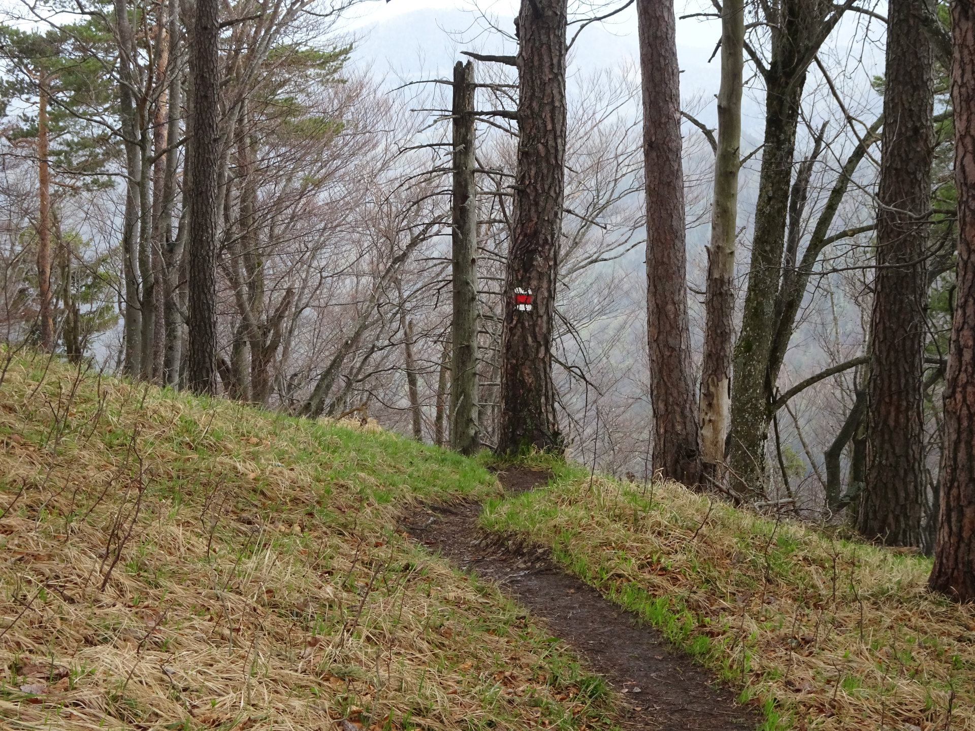
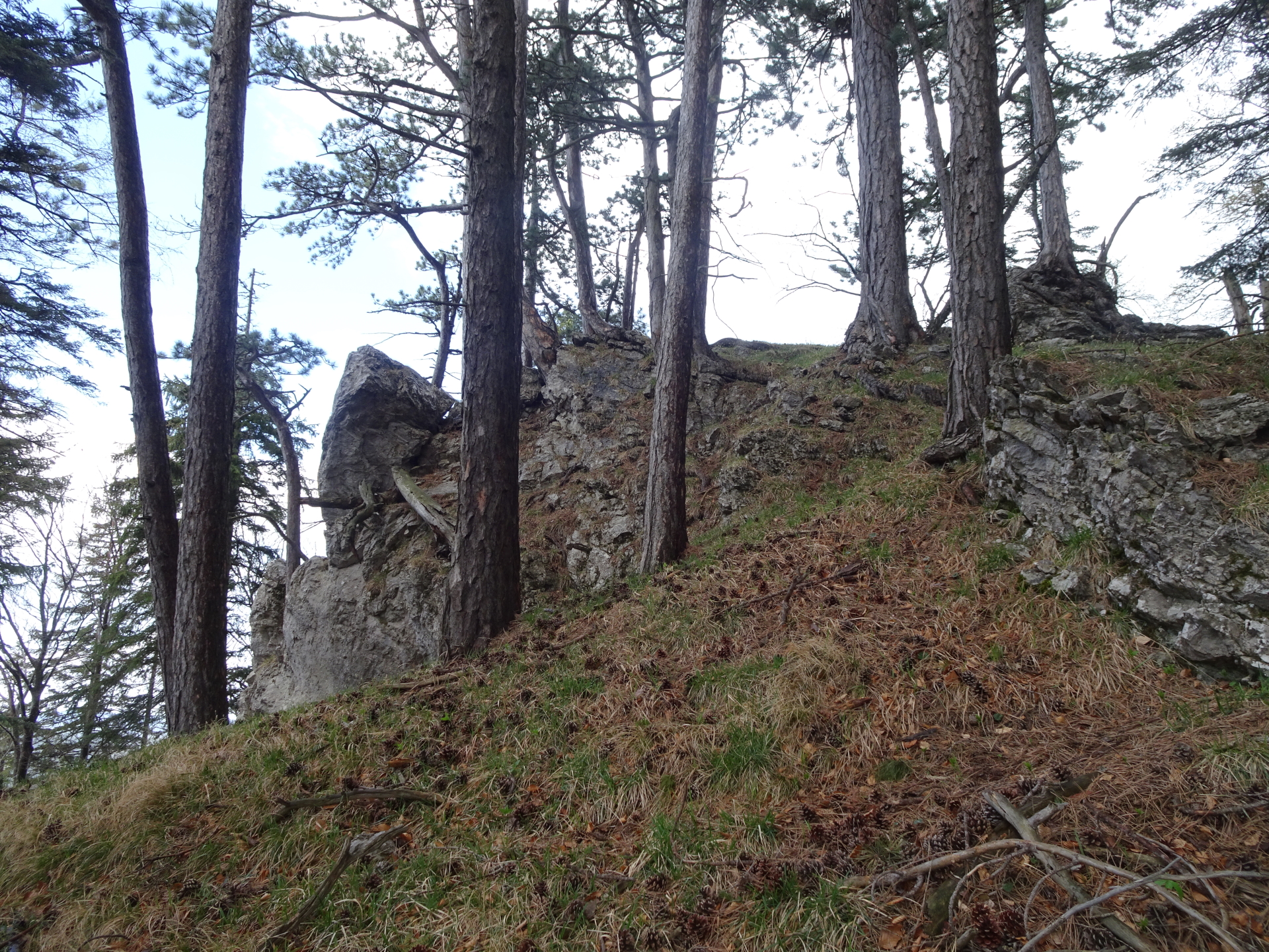
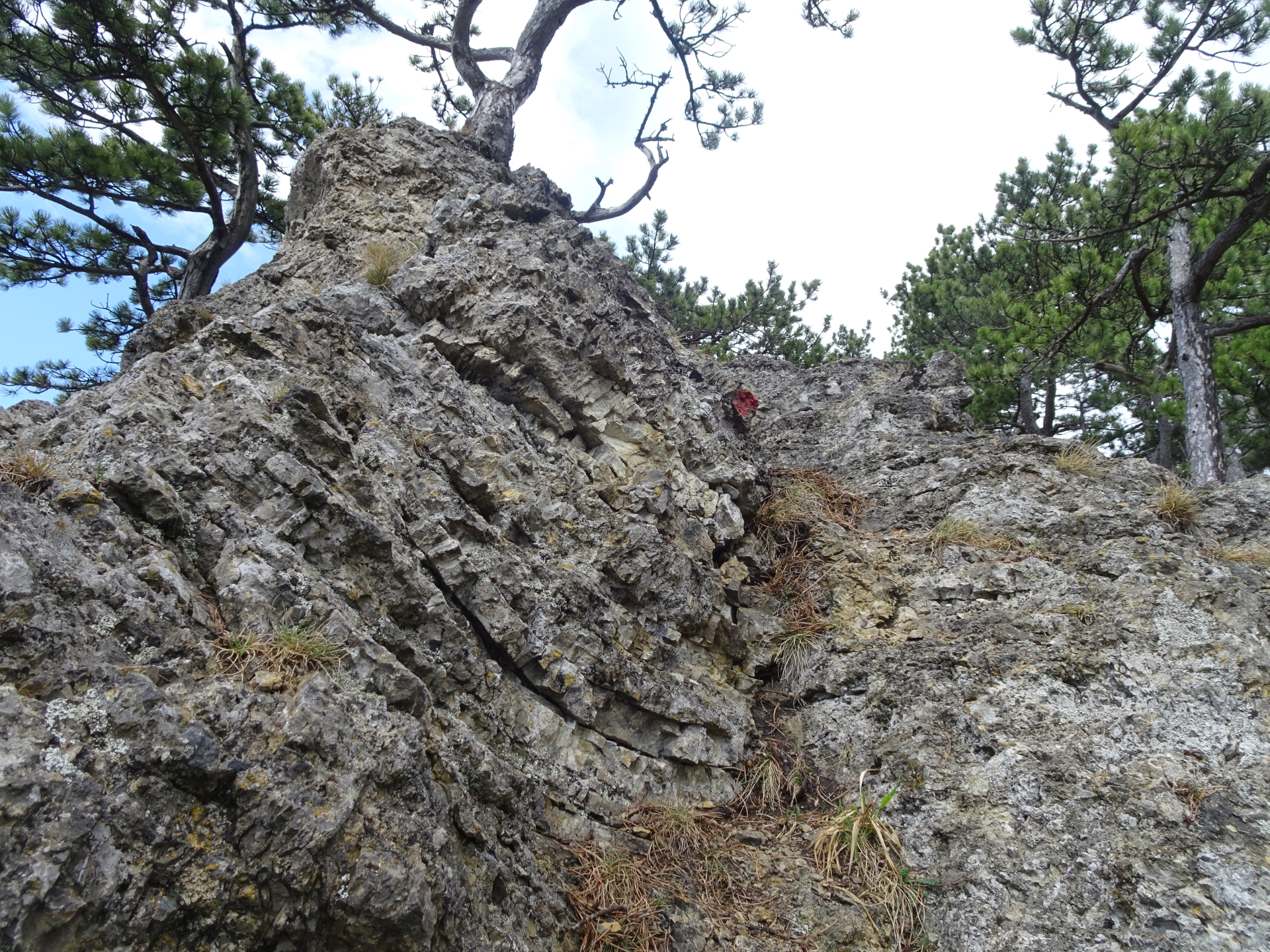
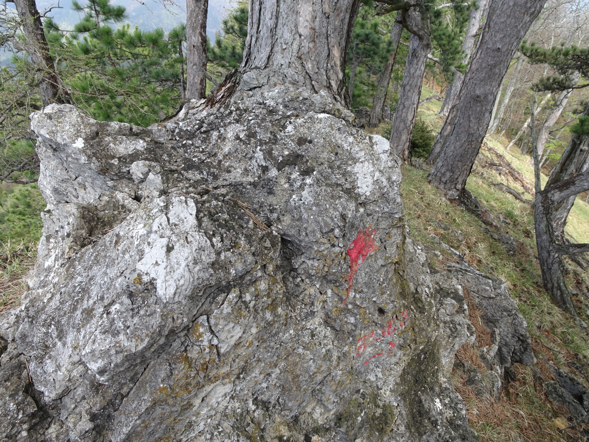
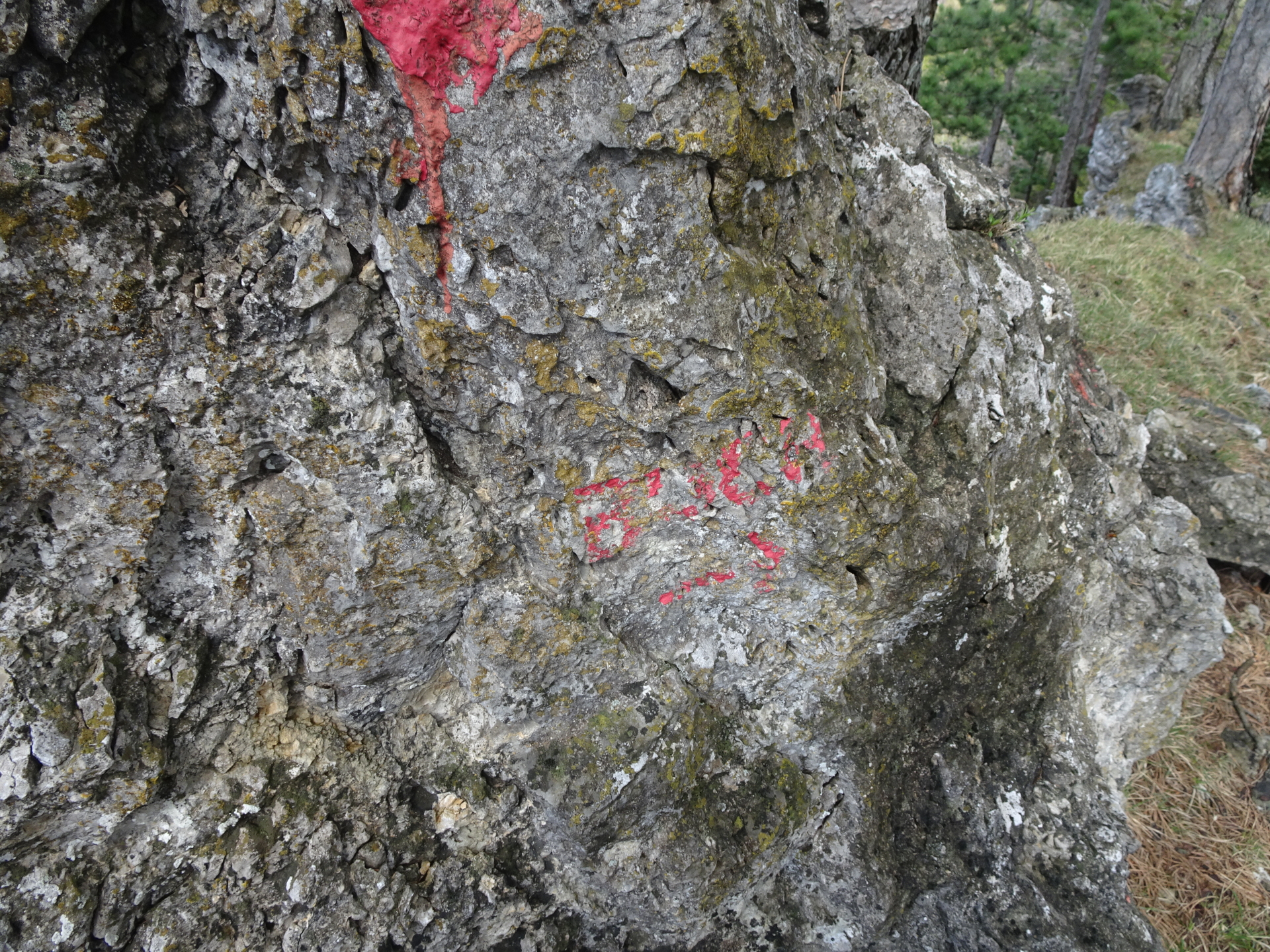
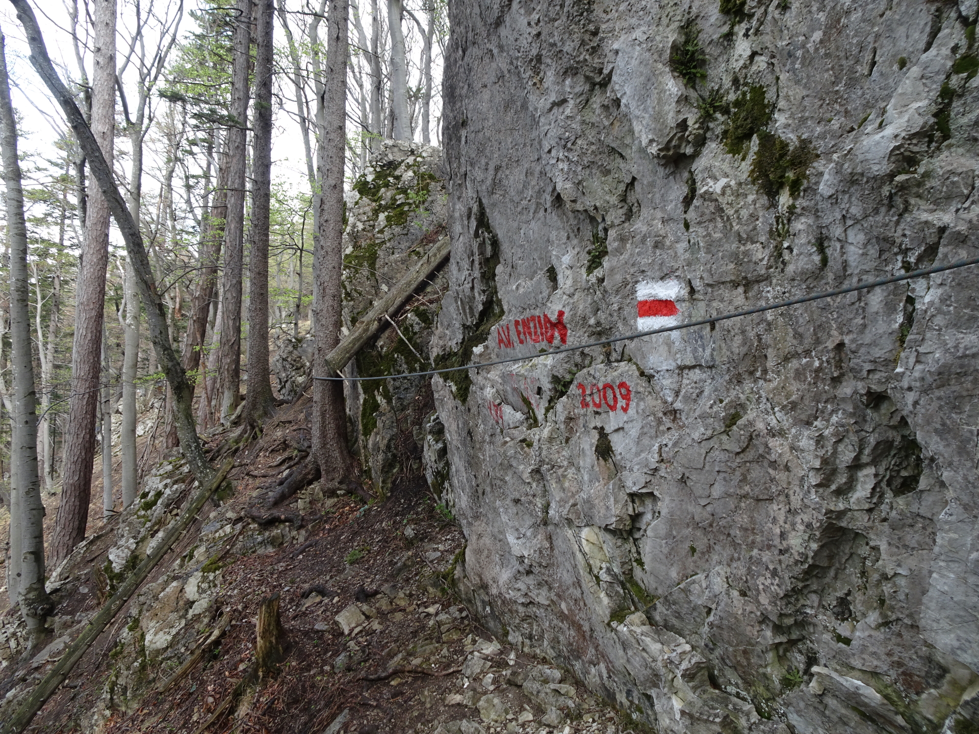
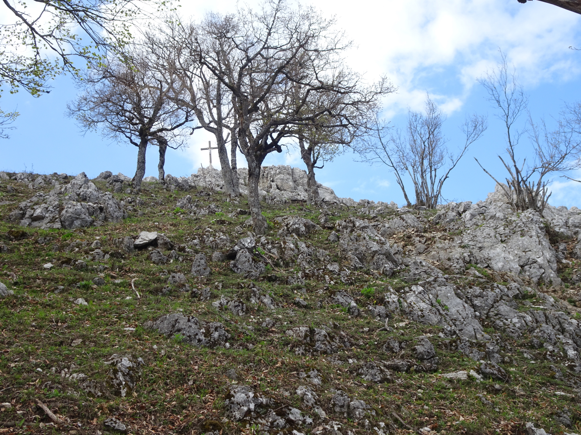
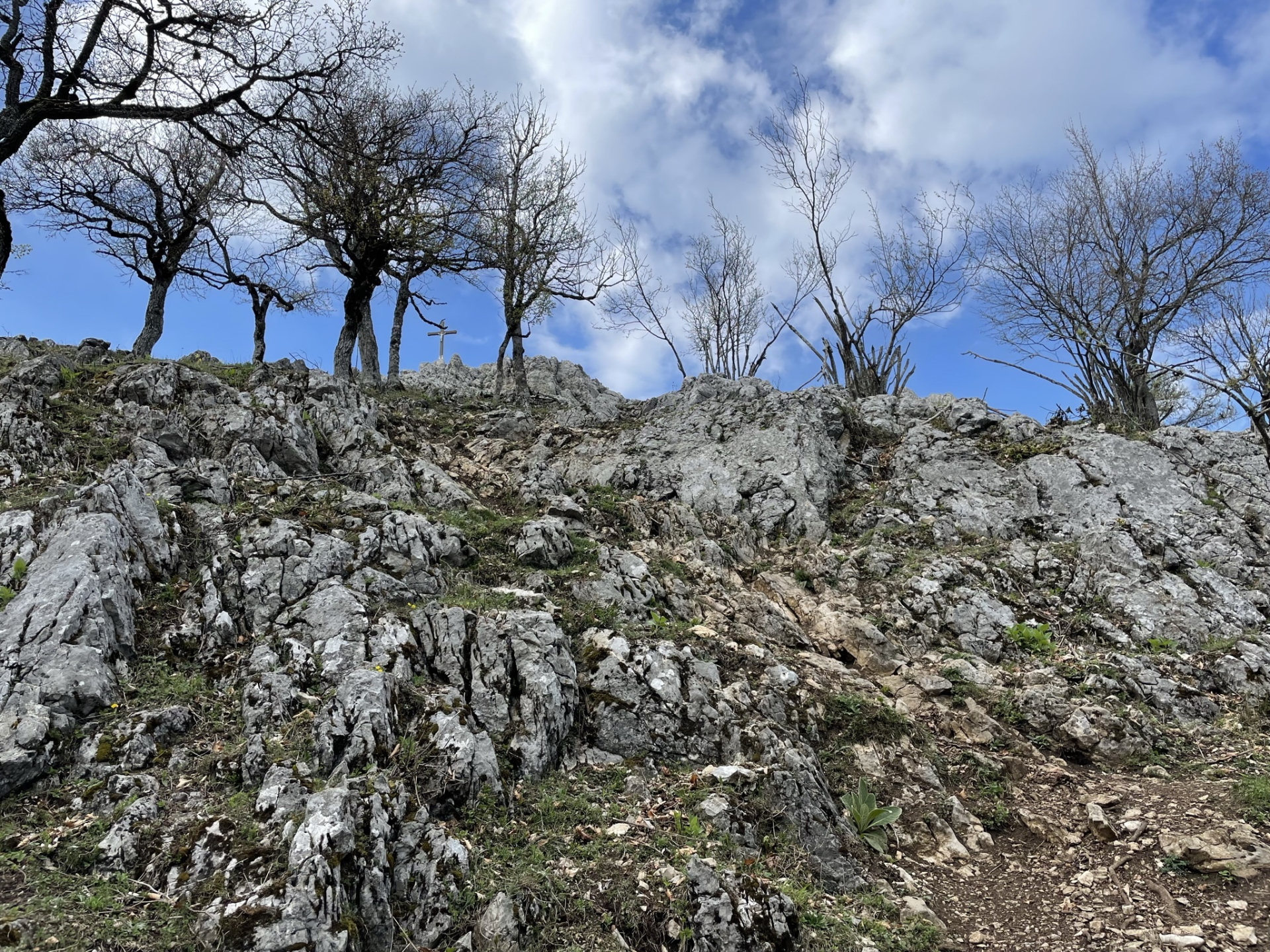
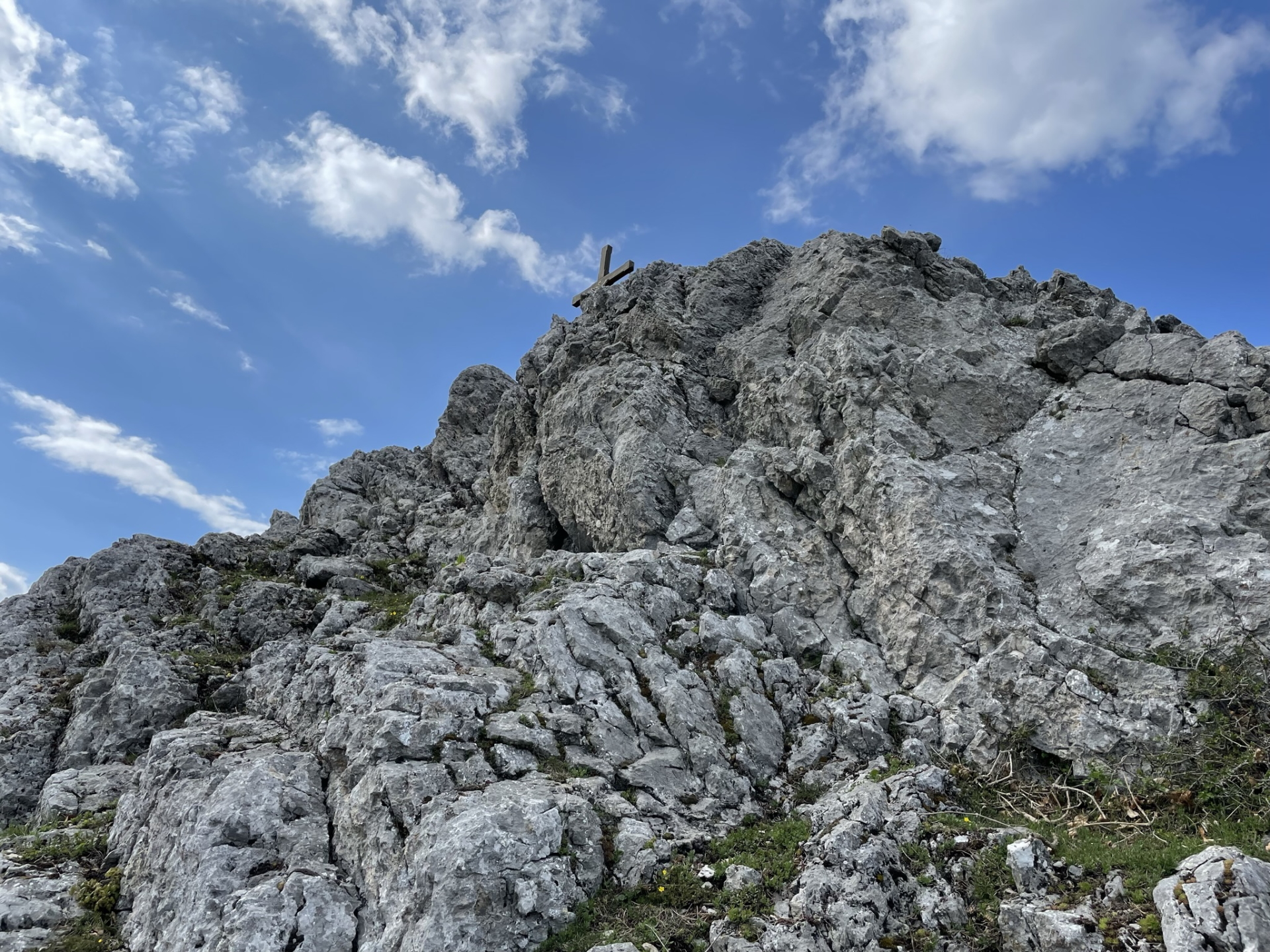
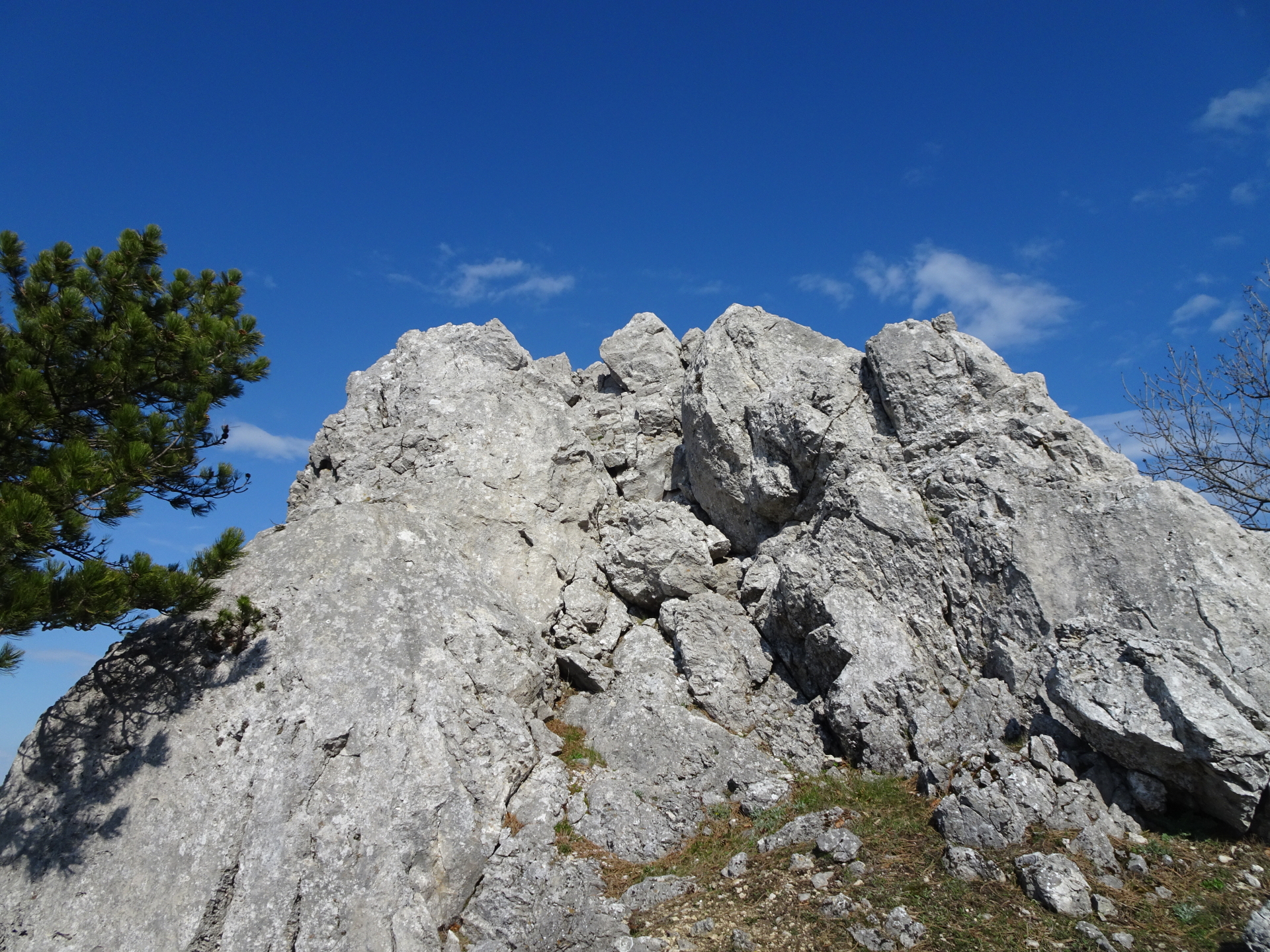
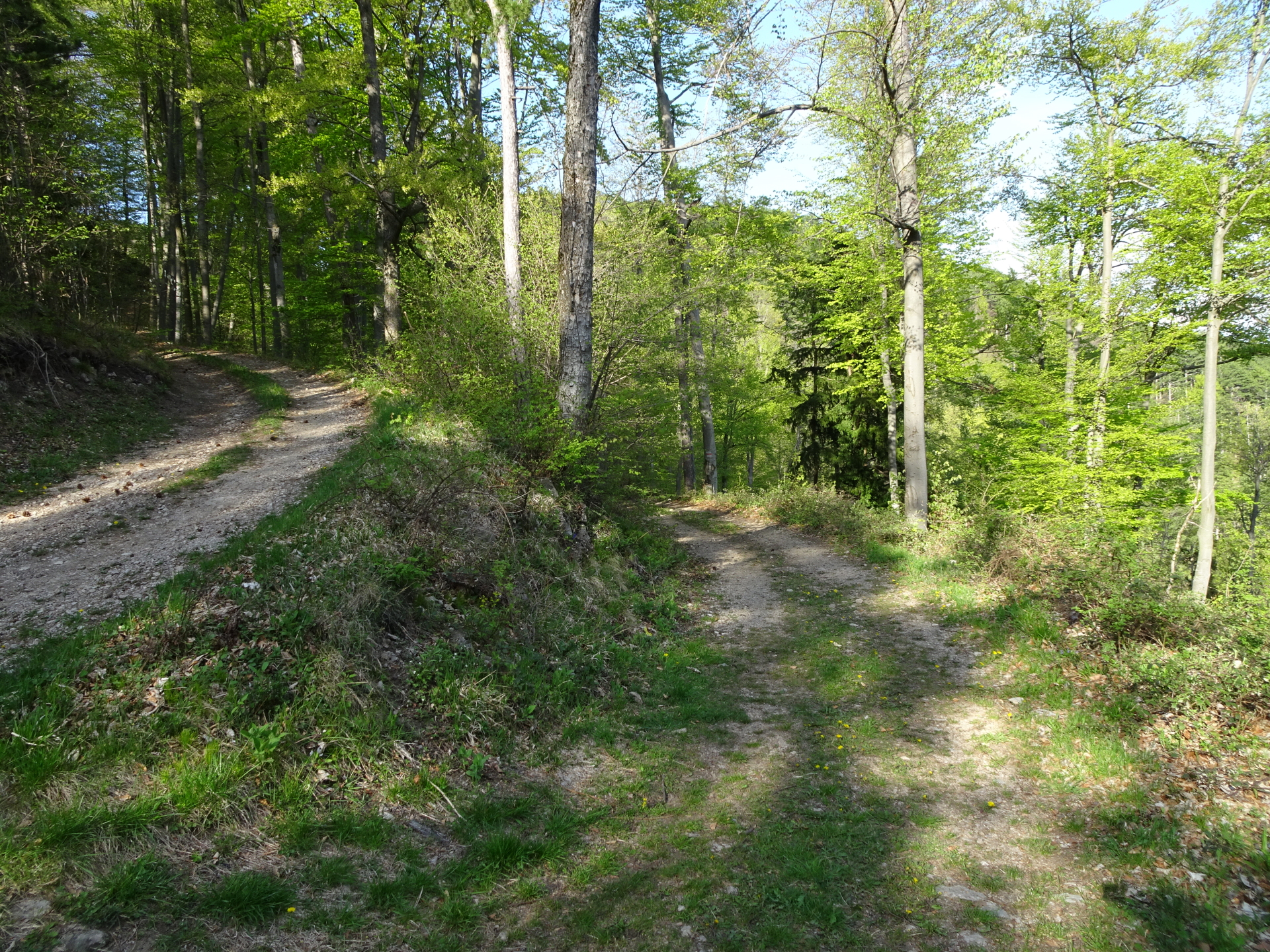
| 04:05 | Turn left into the barely visible and thus hard-to-find trail (see pictures for reference) towards Ninegrat (Optionally, you can stay on the hiking trail and bypass the climbing part). |
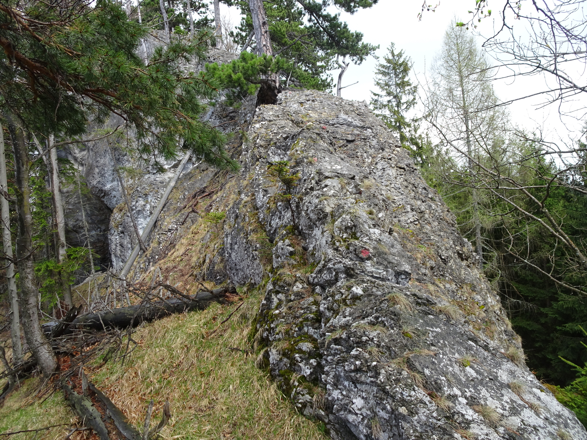
| 04:07 | Climb up Ninegrat by following the red dots. |
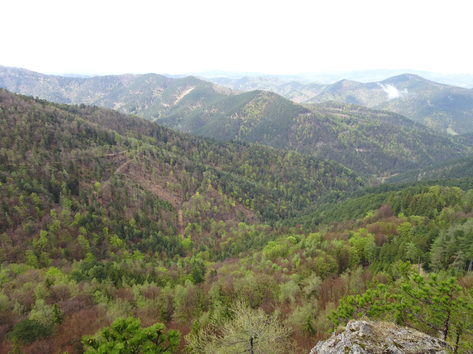
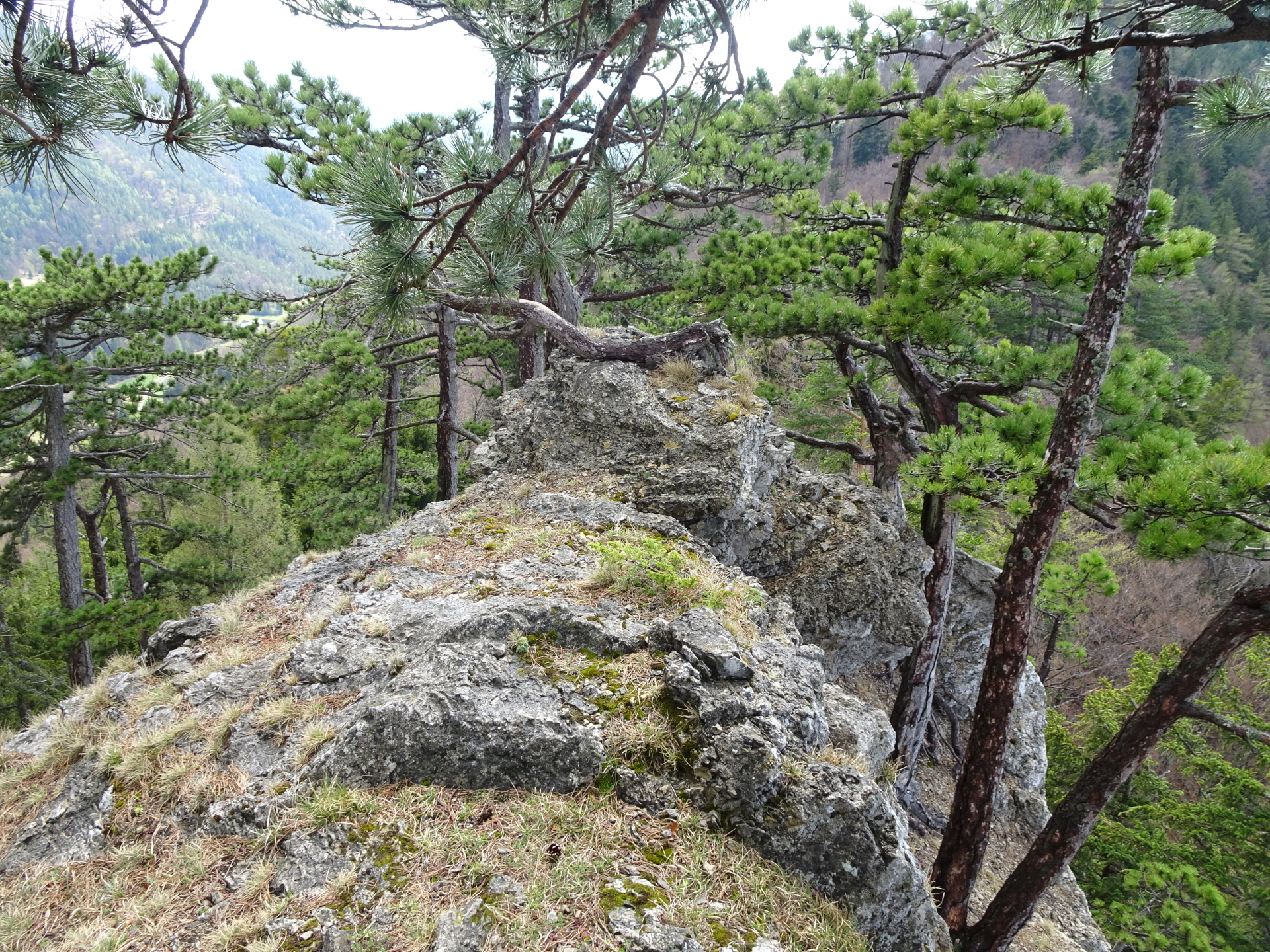
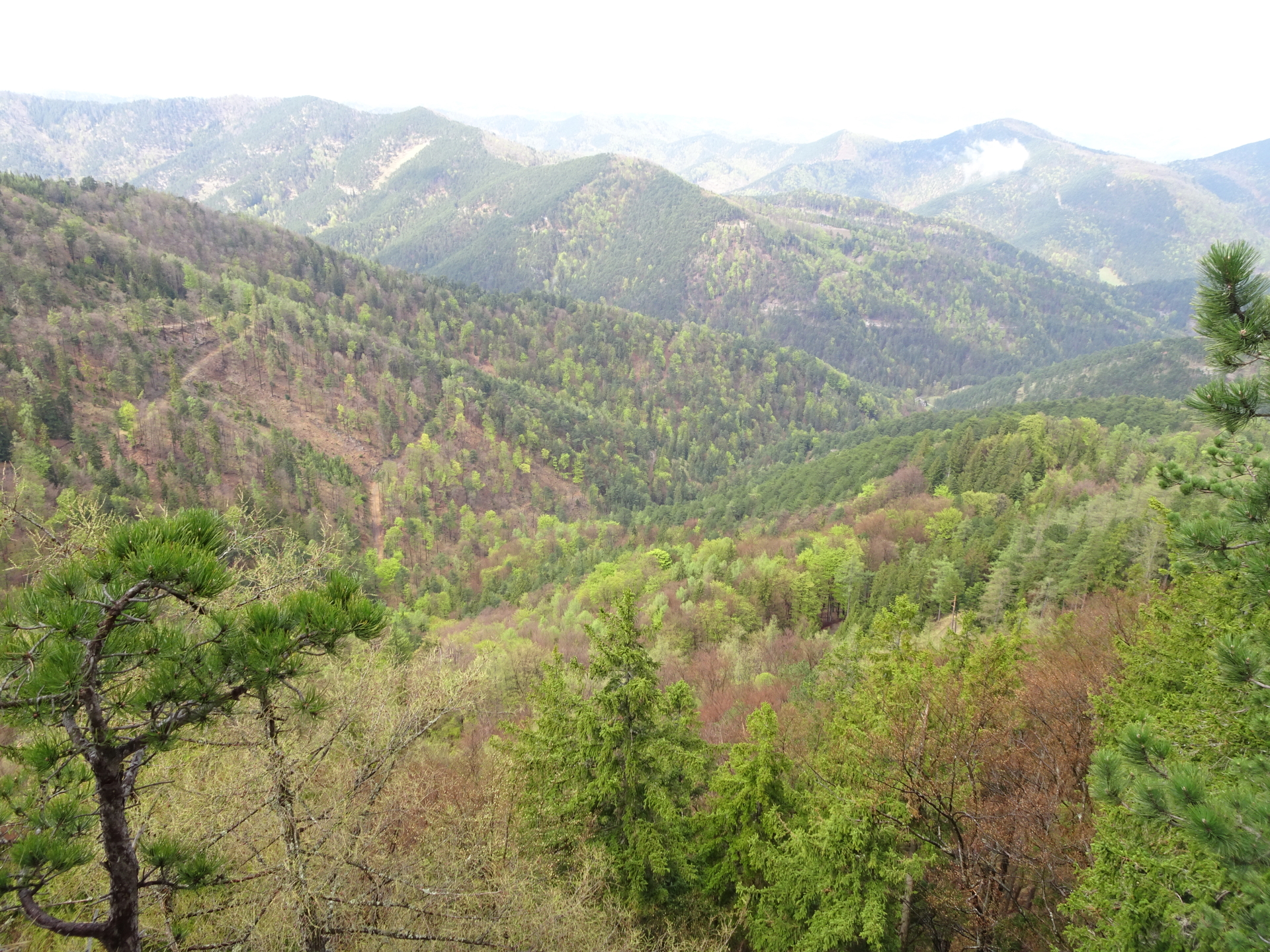
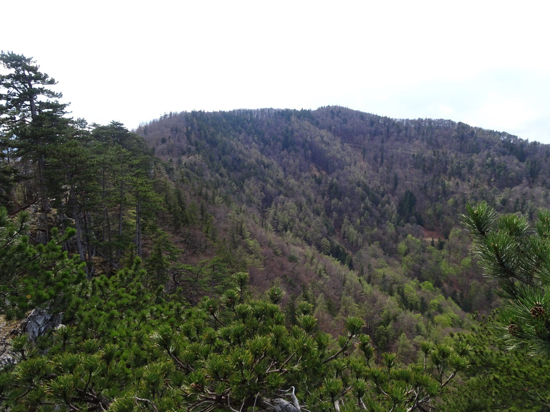
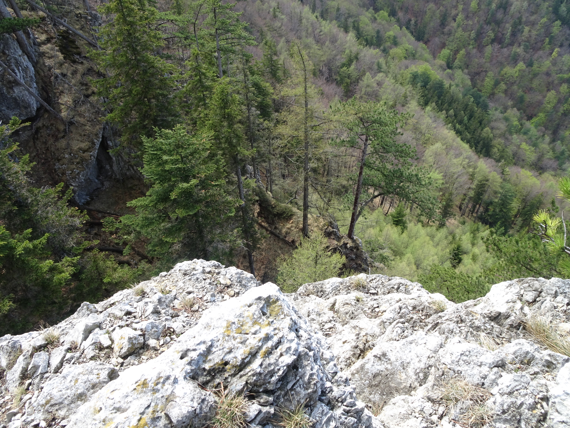
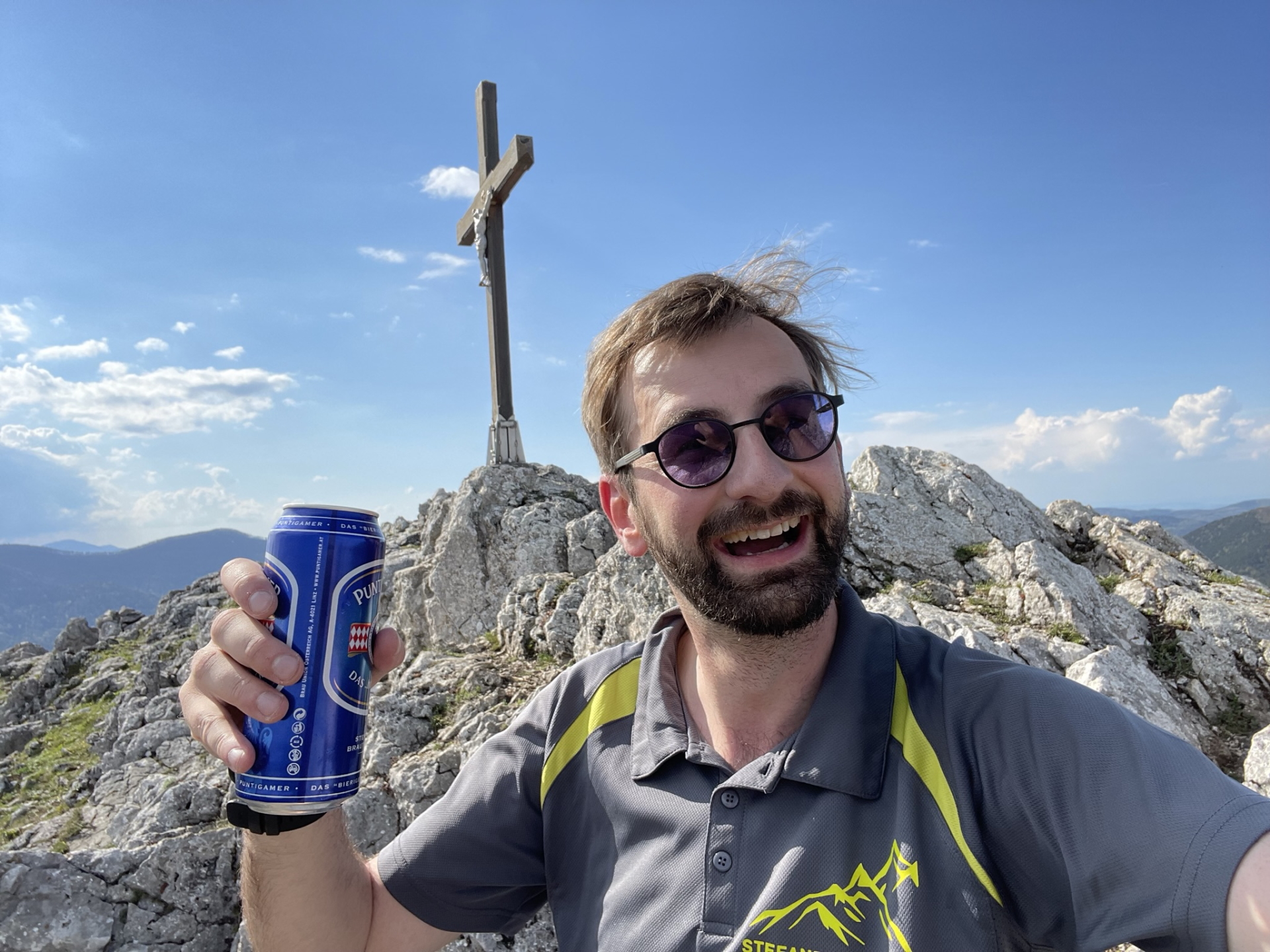
| 04:25 | Enjoy the view from the cliff at the end of Ninegrat, best enjoyed with a self-brought refreshment (). |
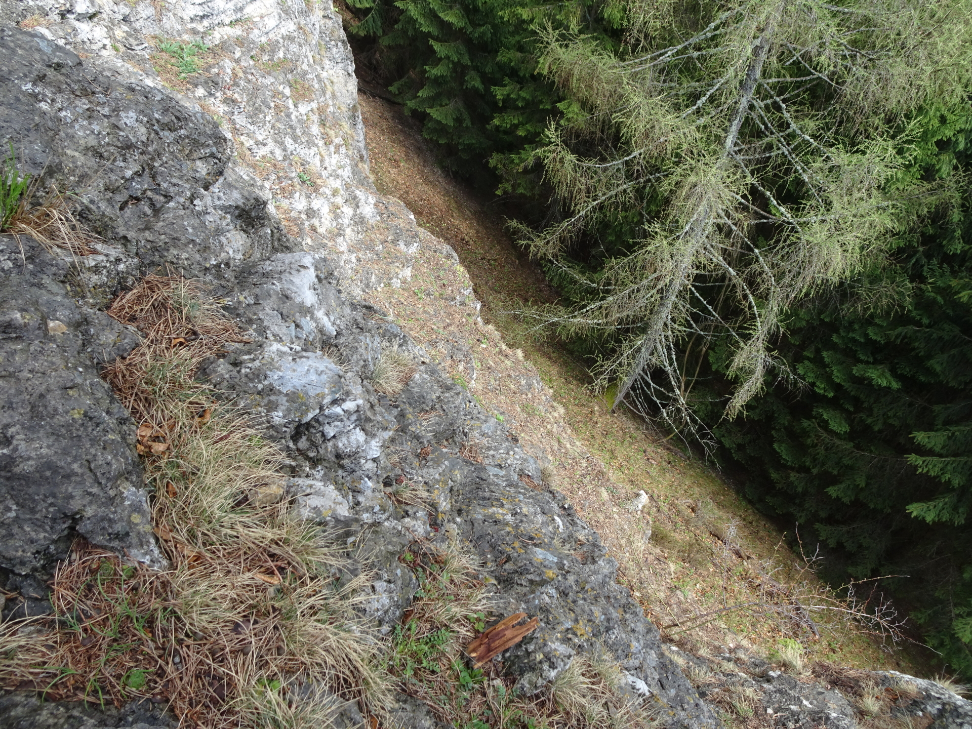
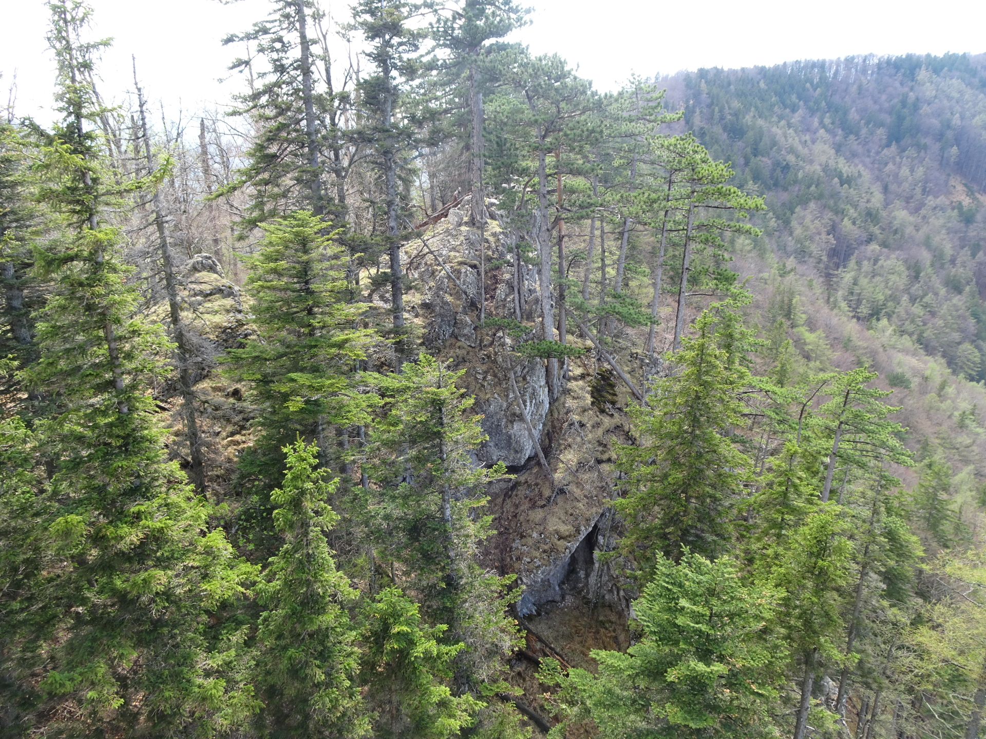
| 04:40 | Climb down the cliff and then find your way way downwards (south) till reaching again the white-red-white hiking trail. Turn left into the trail and follow it eastwards. |
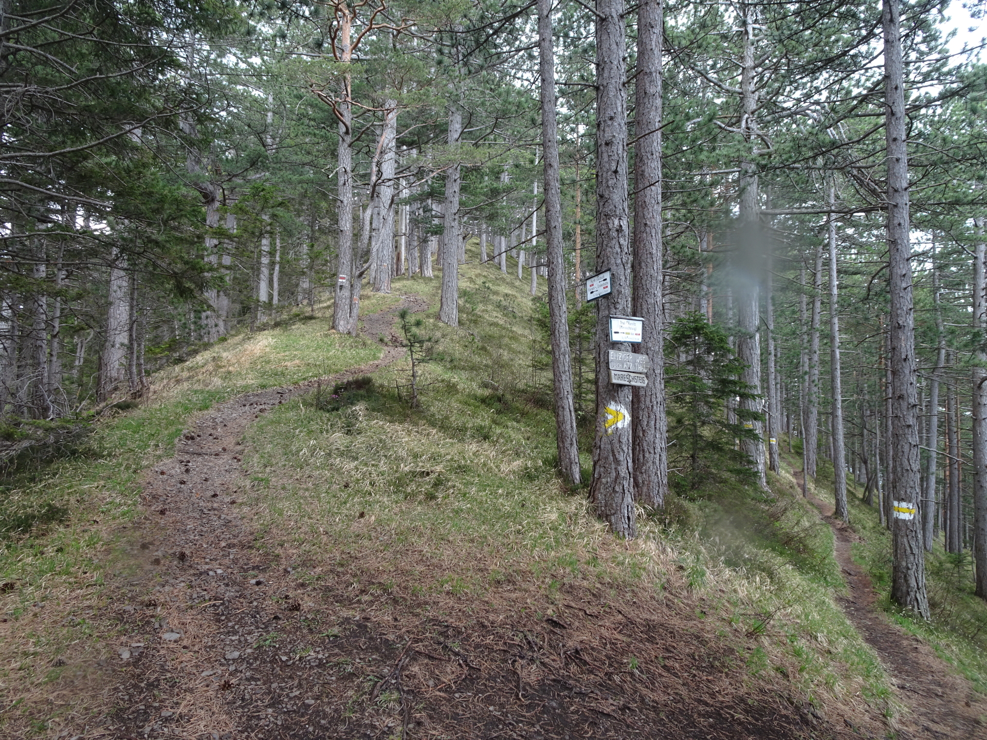
| 05:05 | Turn left into the forest road and follow it eastwards. |
| 05:06 | Do not follow the markings, keep left and stay on the forest road! |
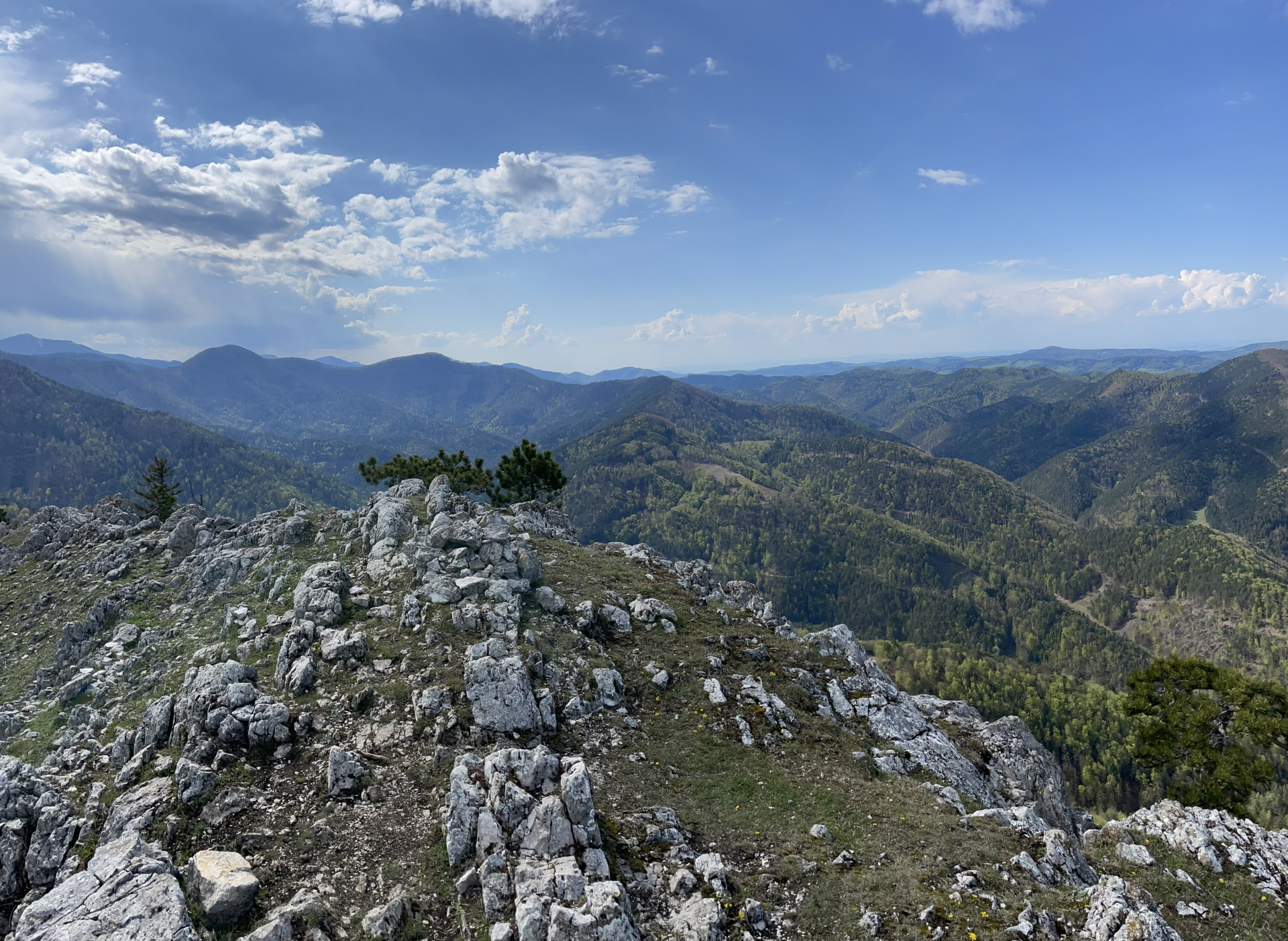
| 05:10 | Cross the mountain pasture and stay straight ahead. After the crossing with the gravel road, keep slightly right and follow the trail through the forest which leads up to Gaisstein. |
| 05:45 | Enjoy the amazing view from the summit of Gaisstein. Obviously best enjoyed with either a self-brought refreshment () or taking advantage of the Haasen-Bankerl bar. You might also consider walking along the ridge to even enjoy more the scenic view! |
| 06:30 | Use the same trail back to the mountain pasture like the ascent. |
| 06:40 | Turn left and follow the gravel road east downwards. |
| 06:50 | Now leave the road and follow the white-red-white marked trail again (turn right). |
| 07:15 | Keep right and continue following the white-red-white marked trail. |
| 07:20 | Turn left before the house and continue following the white-red-white marked trail downwards. |
| 07:30 | Back in Furth an der Triesting, end of the tour. |
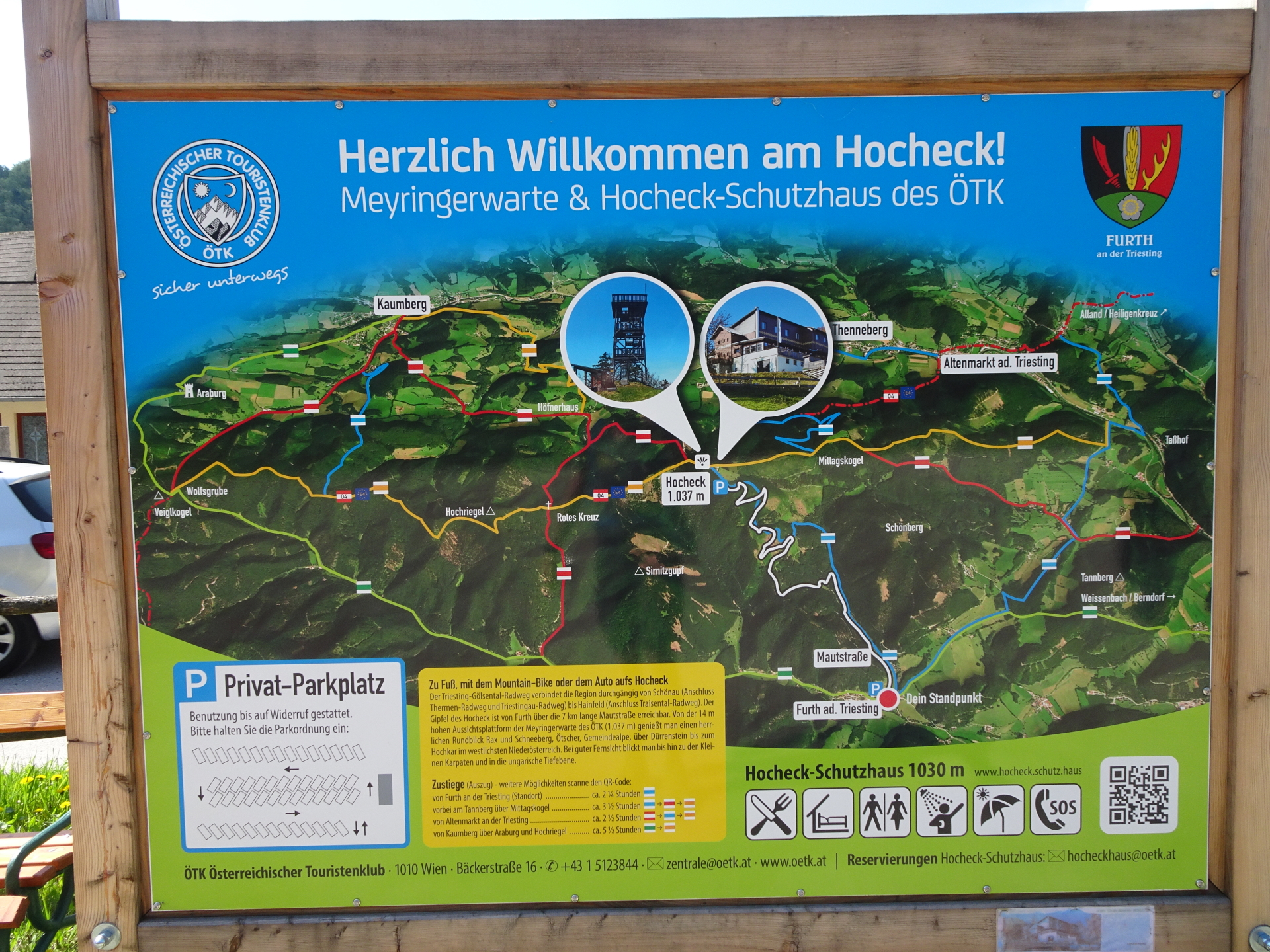
| Area: | Gutensteiner Alpen, Lower Austria, Austria | |
| Distance: | 22km | |
| Ascent: | 1163m (3h 25min) | |
| Descent: | 1128m (2h 35min) | |
| Highest Pt: | 1105m | |
| Lowest Pt: | 421m | |
| Duration: | 5h 30min (without breaks) 7h 30min (with breaks) |
|
| Stop/Rest: | Enzian Hütte (1107m) | |
| Equipment: | Solid hiking shoes with good grip (on rock) Backpack with standard hiking equipment Snacks and plenty of water 2x Gipfelbier () Sun & Weather protection Camera GPS recommended |
| Download GPX | ||
| O | Tour at outdooractive.com |
At a glance
| Level | difficult |
| – UIAA Level (Climbing) | I |
| Technique | |
| Shape / Fitness | |
| Experience | |
| Scenery | |
| Best time in the year | |
|
Jan
Feb
Mar
Apr
May
Jun
Jul
Aug
Sep
Oct
Nov
Dec
|
|


\"")
, Kronich Eisenweg (C/D) and descending via Törlweg\"")
Leave a Reply