
Climb the Messnerin, traverse towards the Pillsteiner Höhe, descend to the Hainzleralm, ascend back to Häuslalm and descend to Tragöß via Klammboden
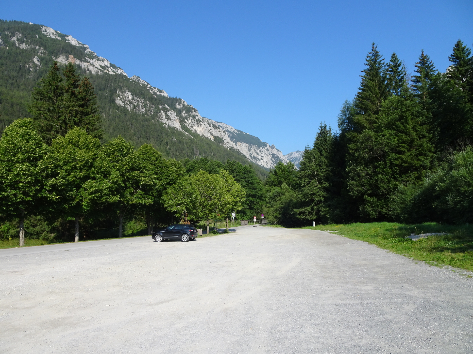
This tour starts at the parking Grüner See (GPS: 47.536725, 15.066805) and first follows the hiking trail towards the Grüner See. After hiking around the amazing lake, the tour ascents steeply through the forest to the begin of Kamplsteig. After enjoying an impressive view towards the lake from Kamplriedl, the tour then steeply ascends via a small trail and a short climbing passage (UIAA I-) towards the upper Kamplriedl, allowing yet another very impressive surround view. The tour then follows the Lahnenweg and then turns into the trail up to Messnerin with its various view points. After enjoying the impressive view from Messnerin, the tour descends on unmarked trails southwards and then keeps eastwards to the Pillsteiner Höhe. The tour then uses an unmarked and abandoned trail downwards to Hainzleralm (good orientation is needed, GPS recommended!) from where it ascends again via the Schafmauer towards the Häuslalm. The tour then follows the trail westwards and from the Sackwiesenalm southwards back to Tragöß via the Plotscherboden, then descending towards the Klammboden, and finally through the Klausen back to the parking.
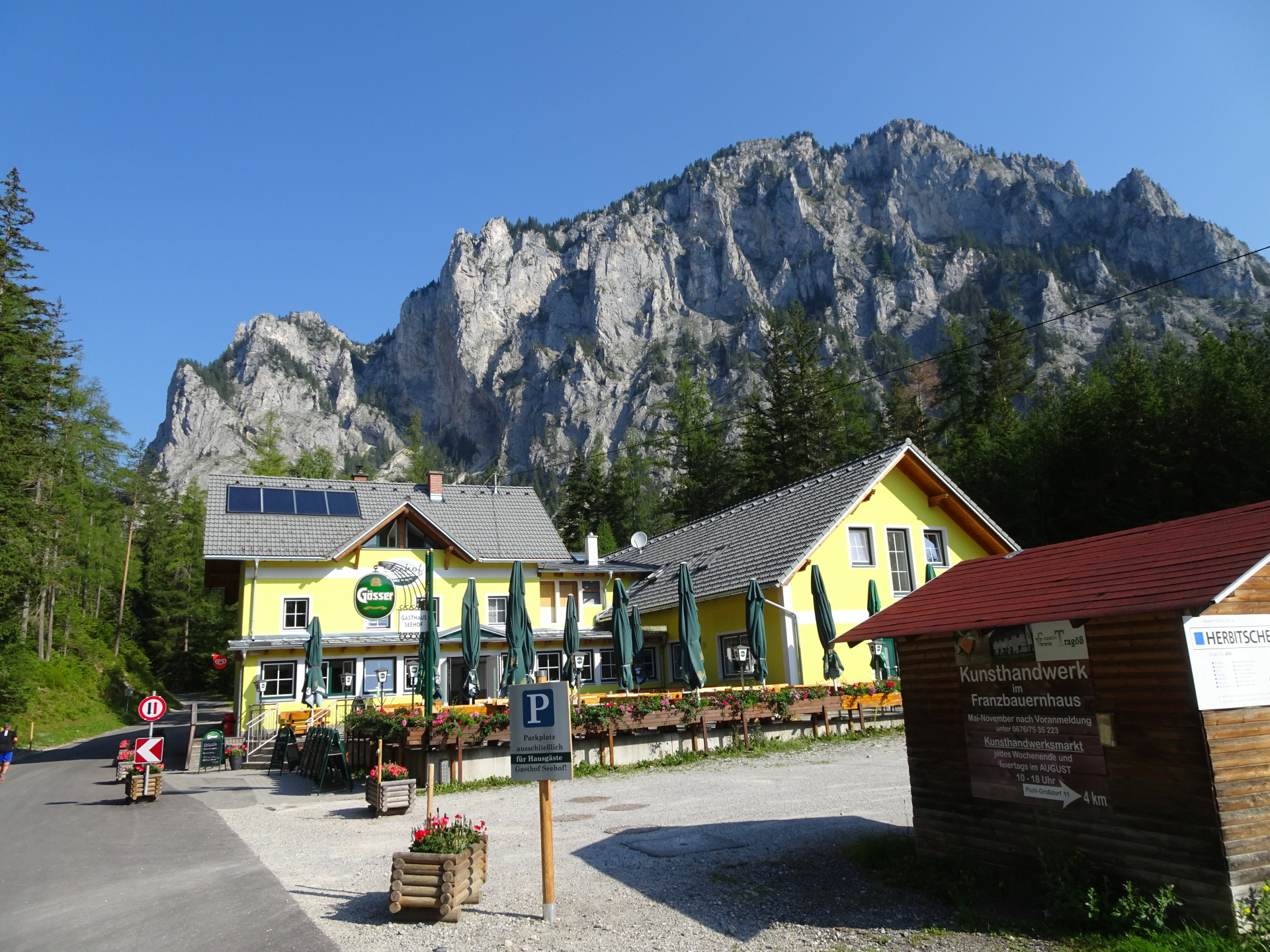
| 00:00 | Start at the parking lot Grüner See (GPS: 47.536725, 15.066805). Please note that a ticket is required (EUR 4,00). Follow the road north towards Grüner See. |
| 00:02 | Turn left into the hiking trail towards the Kreuzteich. |
| 00:06 | Enjoy the view from Kreuzteich and follow the small trail north around it. |
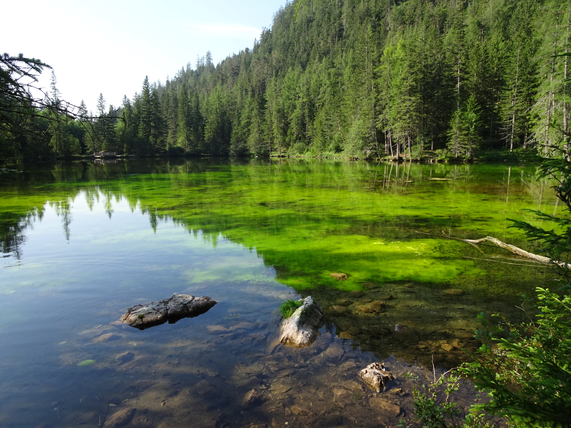
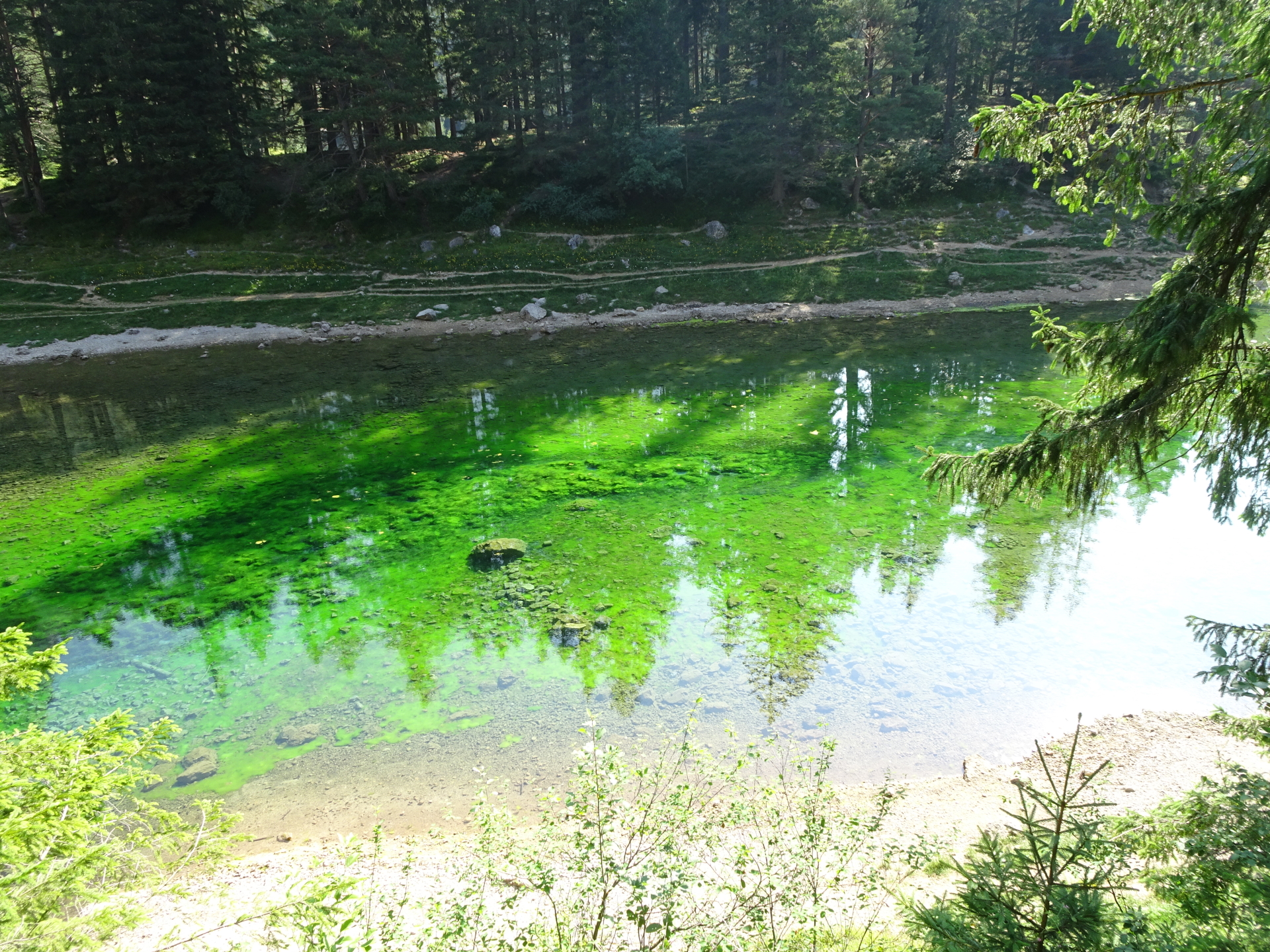
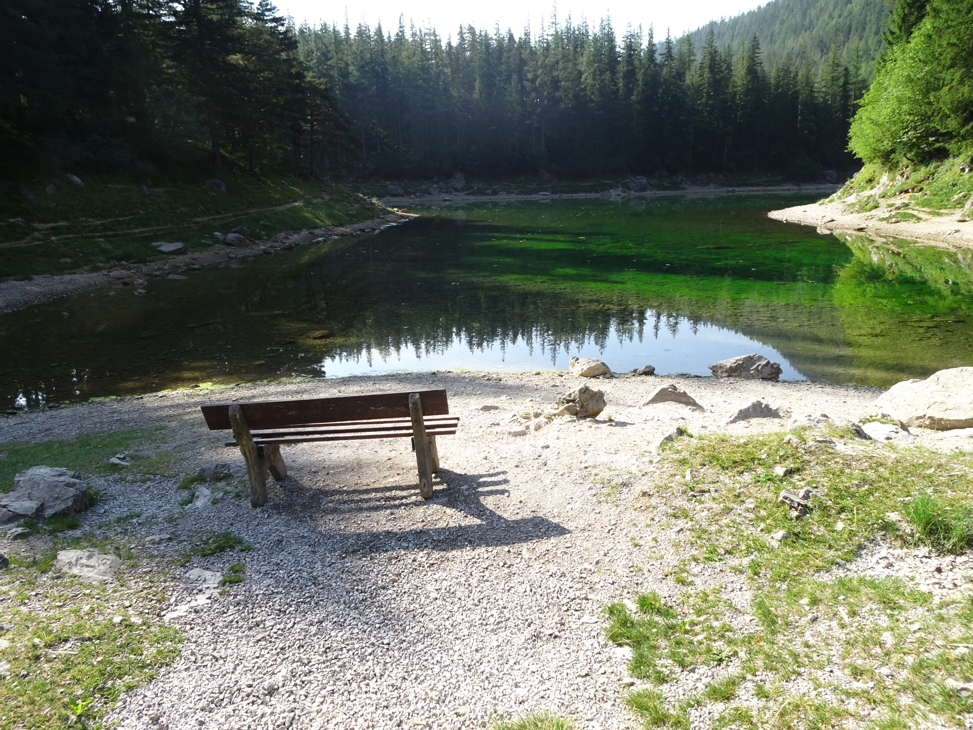
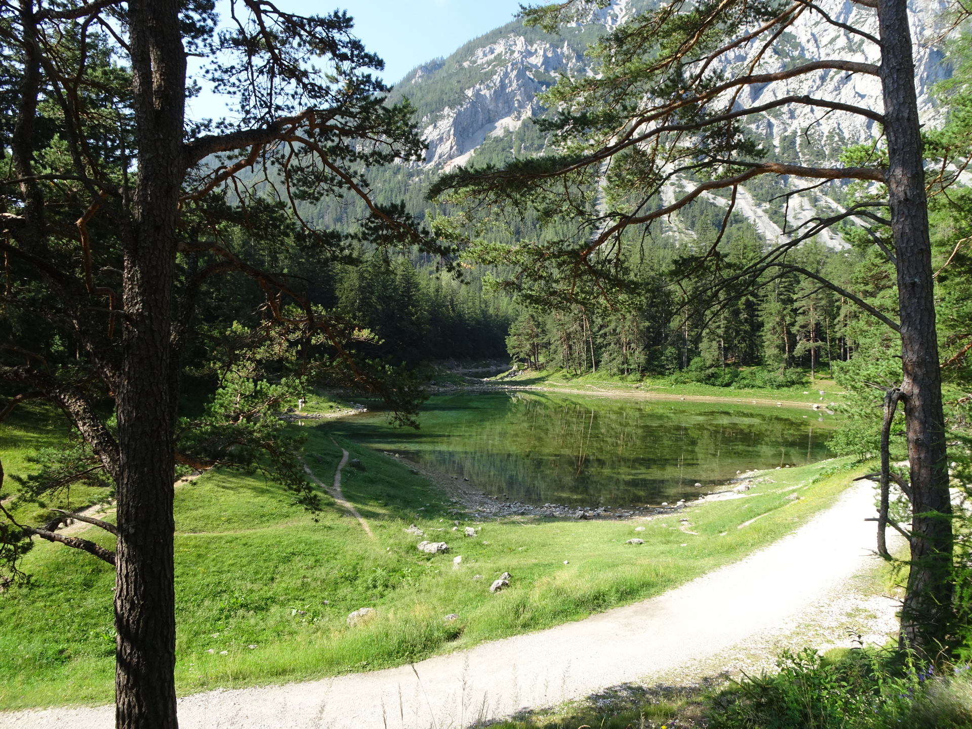
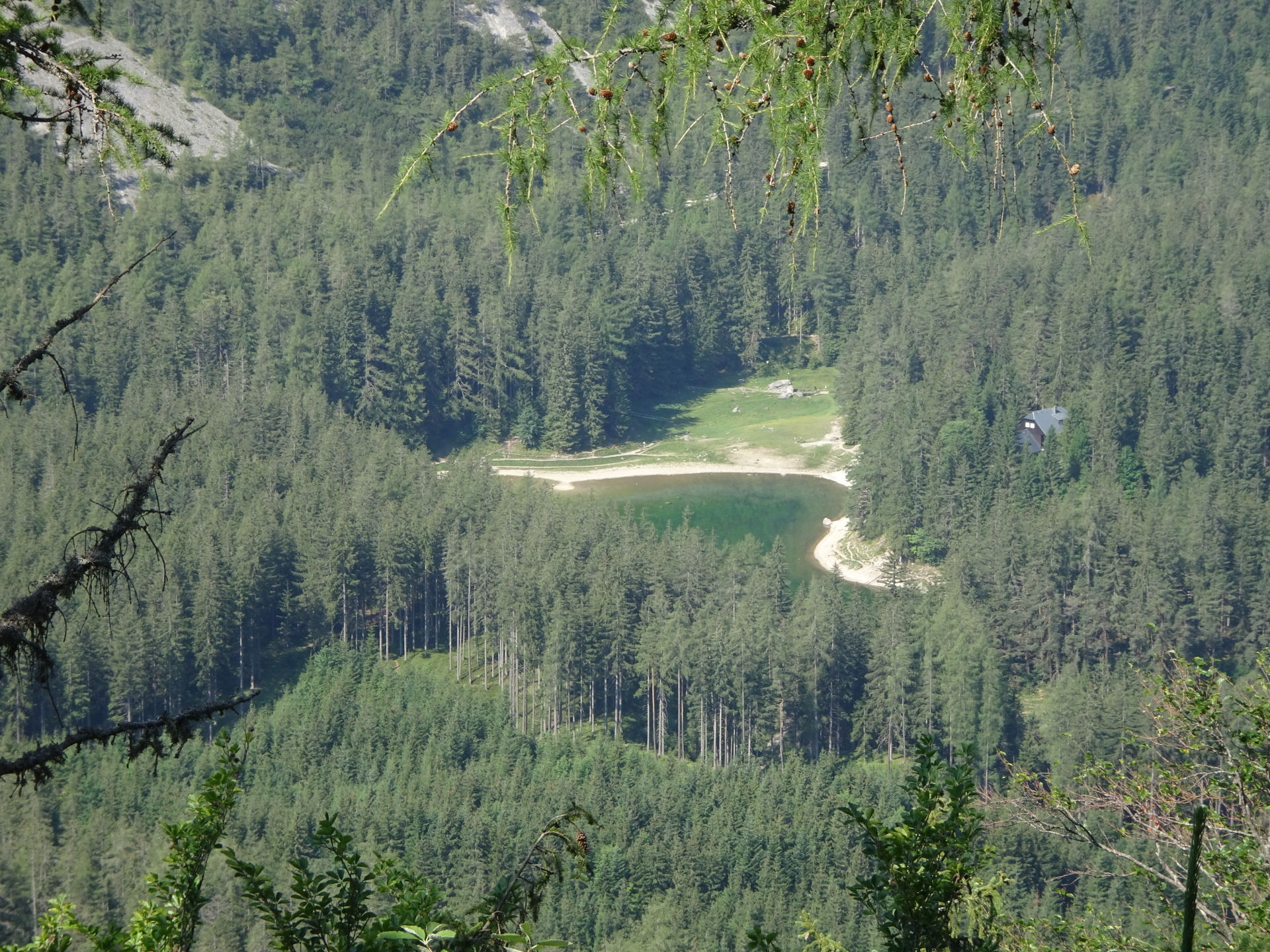
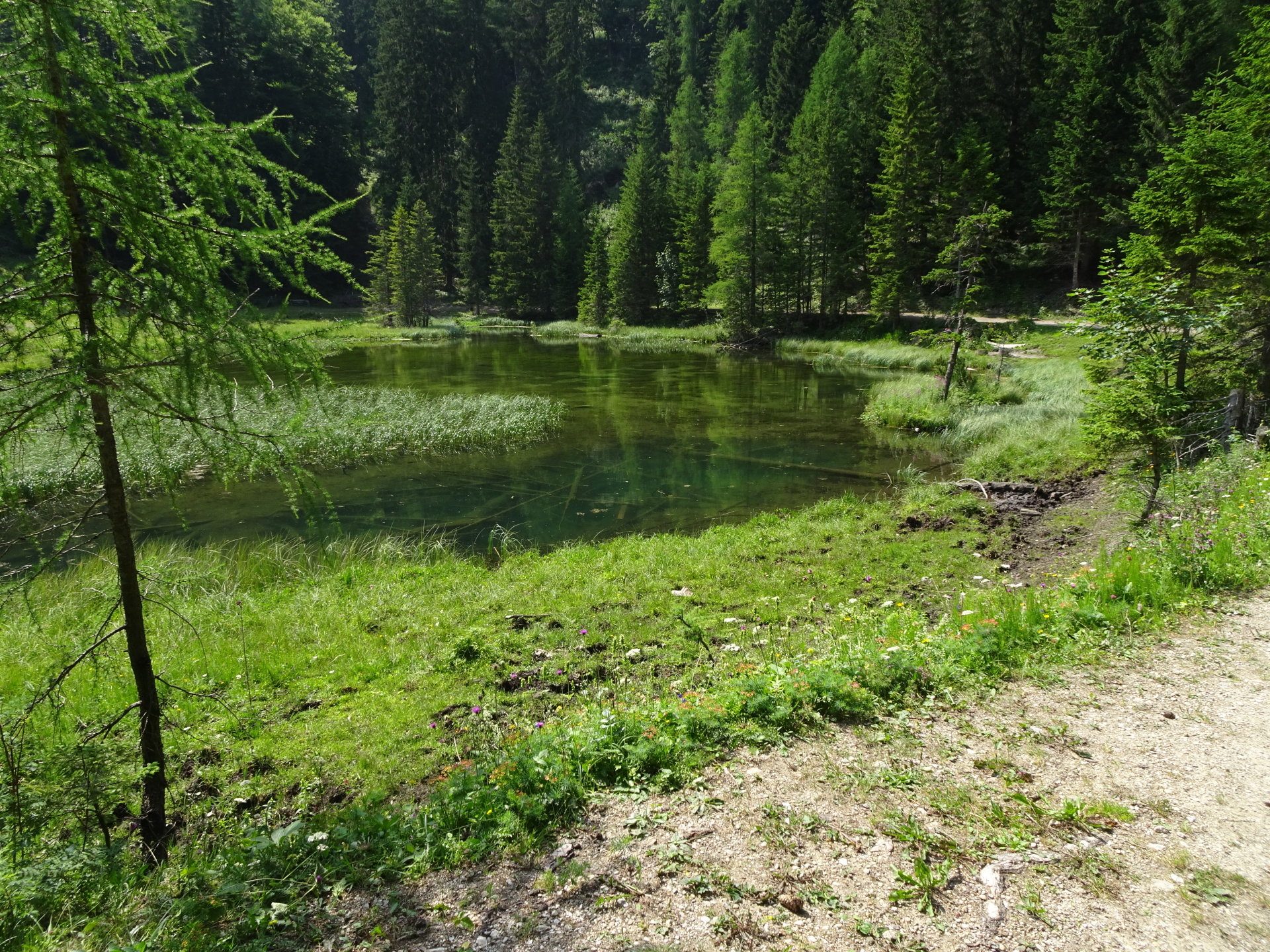
| 00:15 | Pass by the Gasthof Grüner See restaurant and keep right to access the Grüner See lake. Follow the trail around the lake and enjoy this beautiful nature jewel. |
| 00:30 | Cross directly to the upper gravel road and follow it for few meters eastwards. |
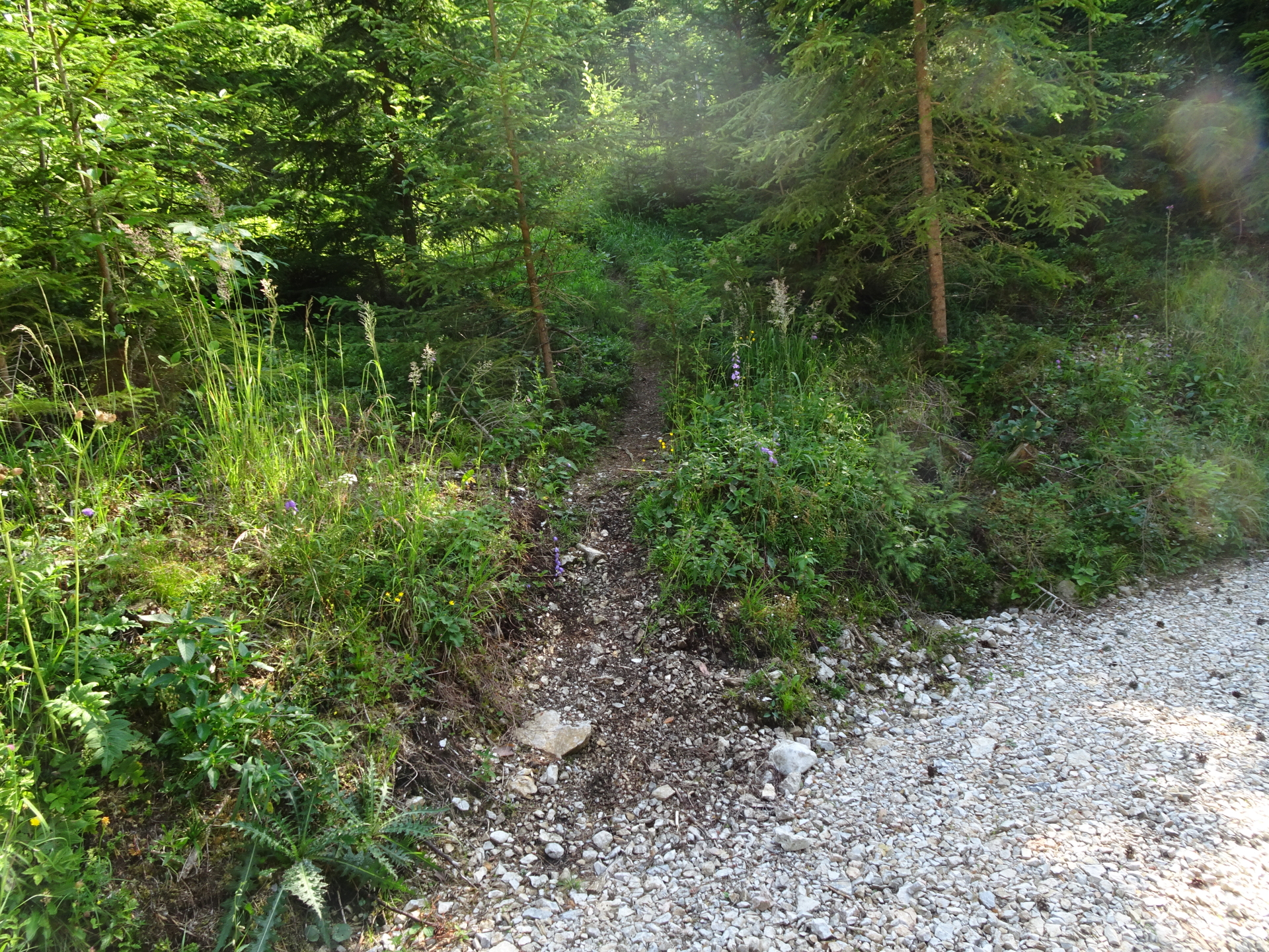
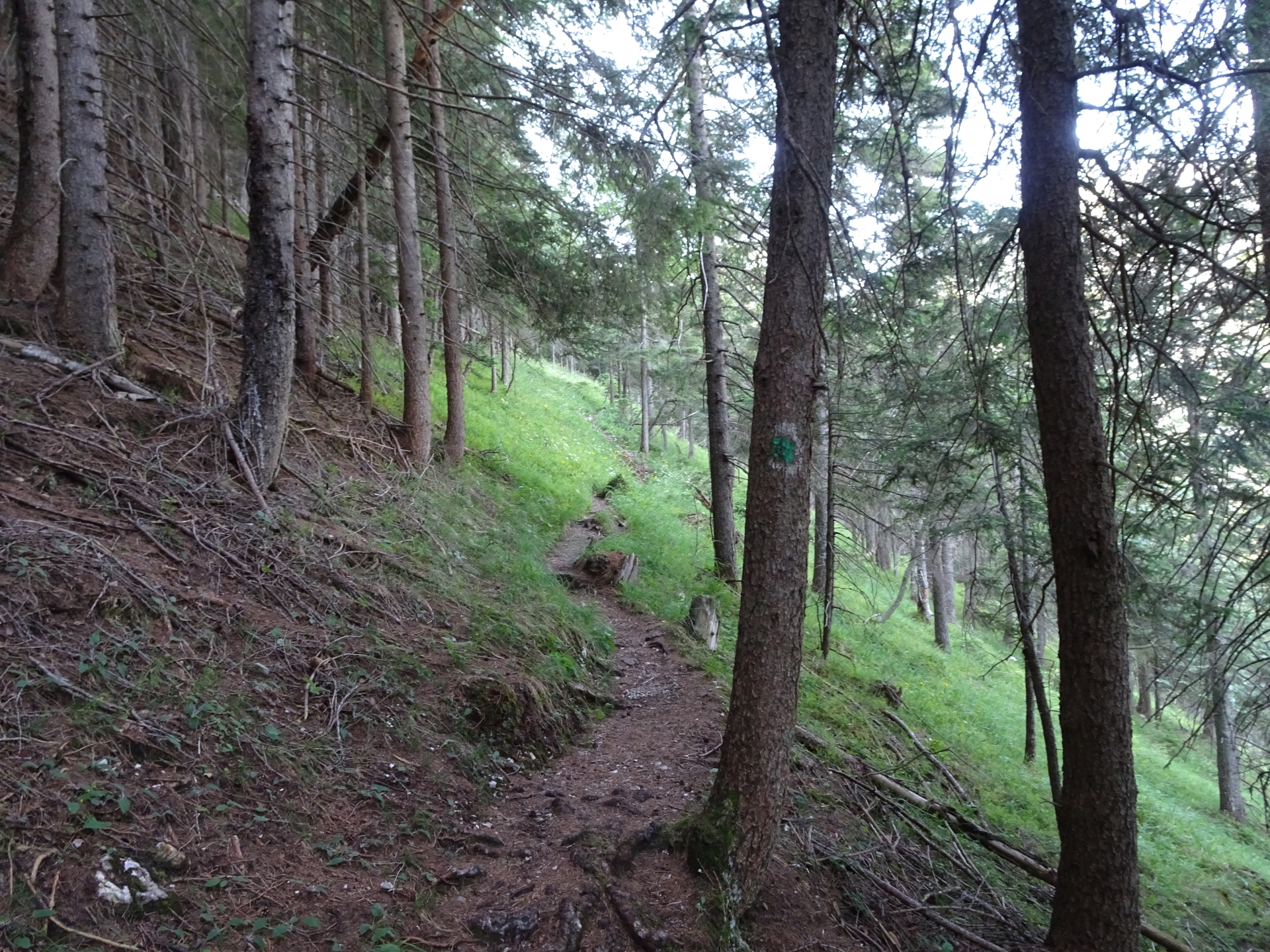
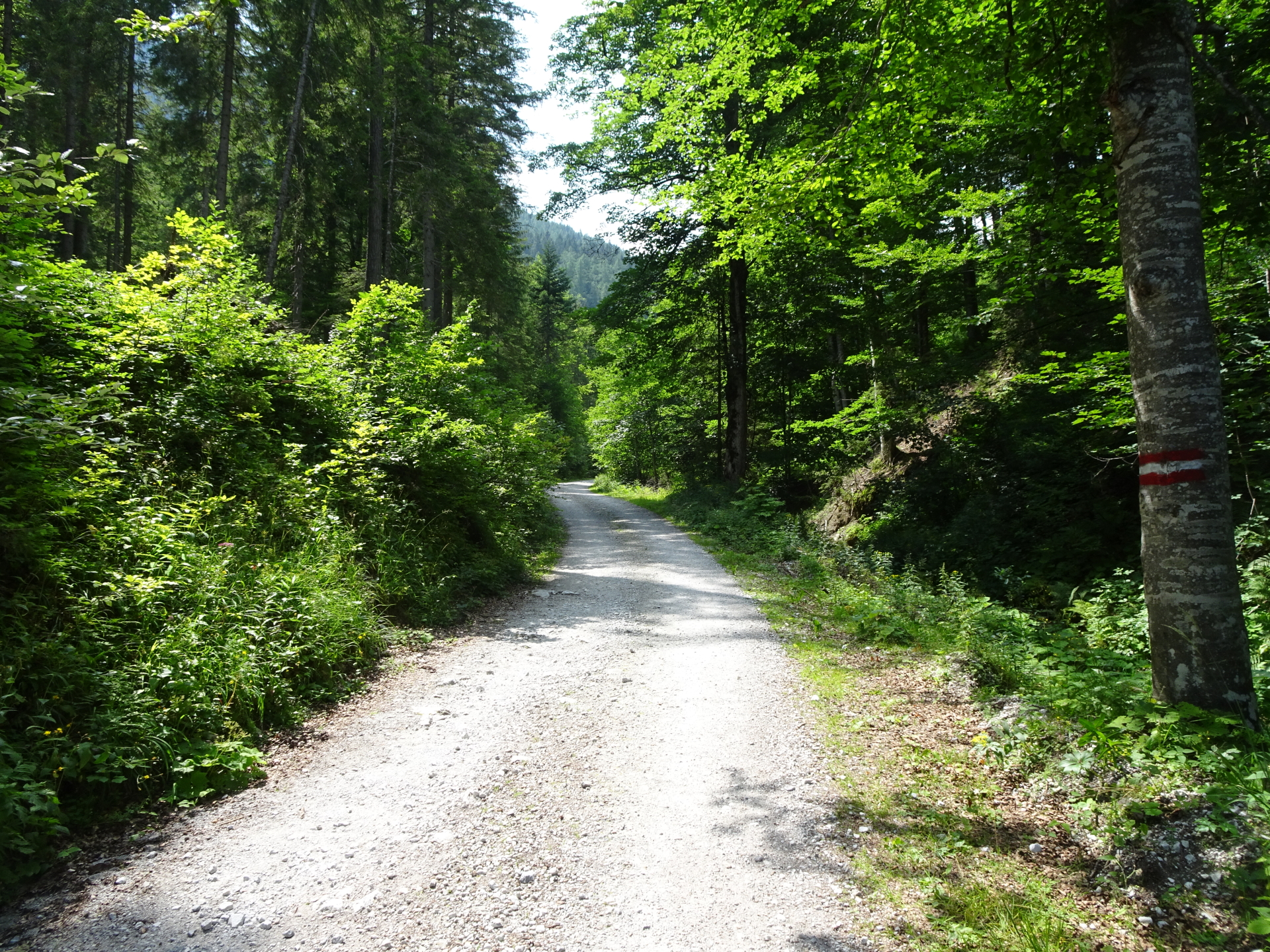
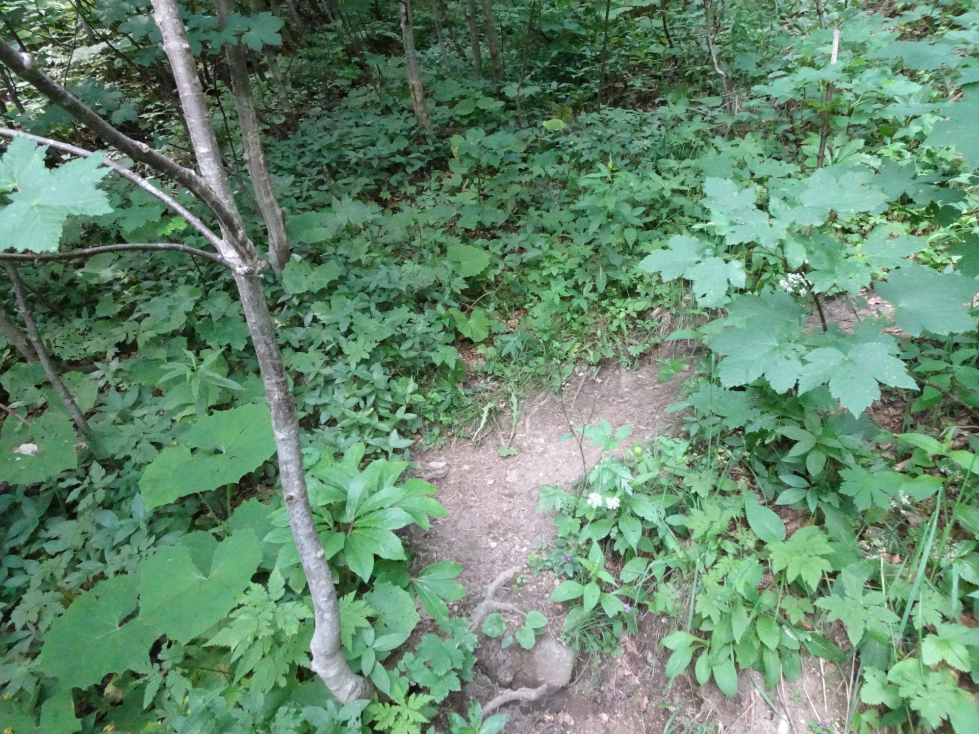
| 00:32 | Turn left in the barely visible small trail and follow the trail upwards through the forest. |
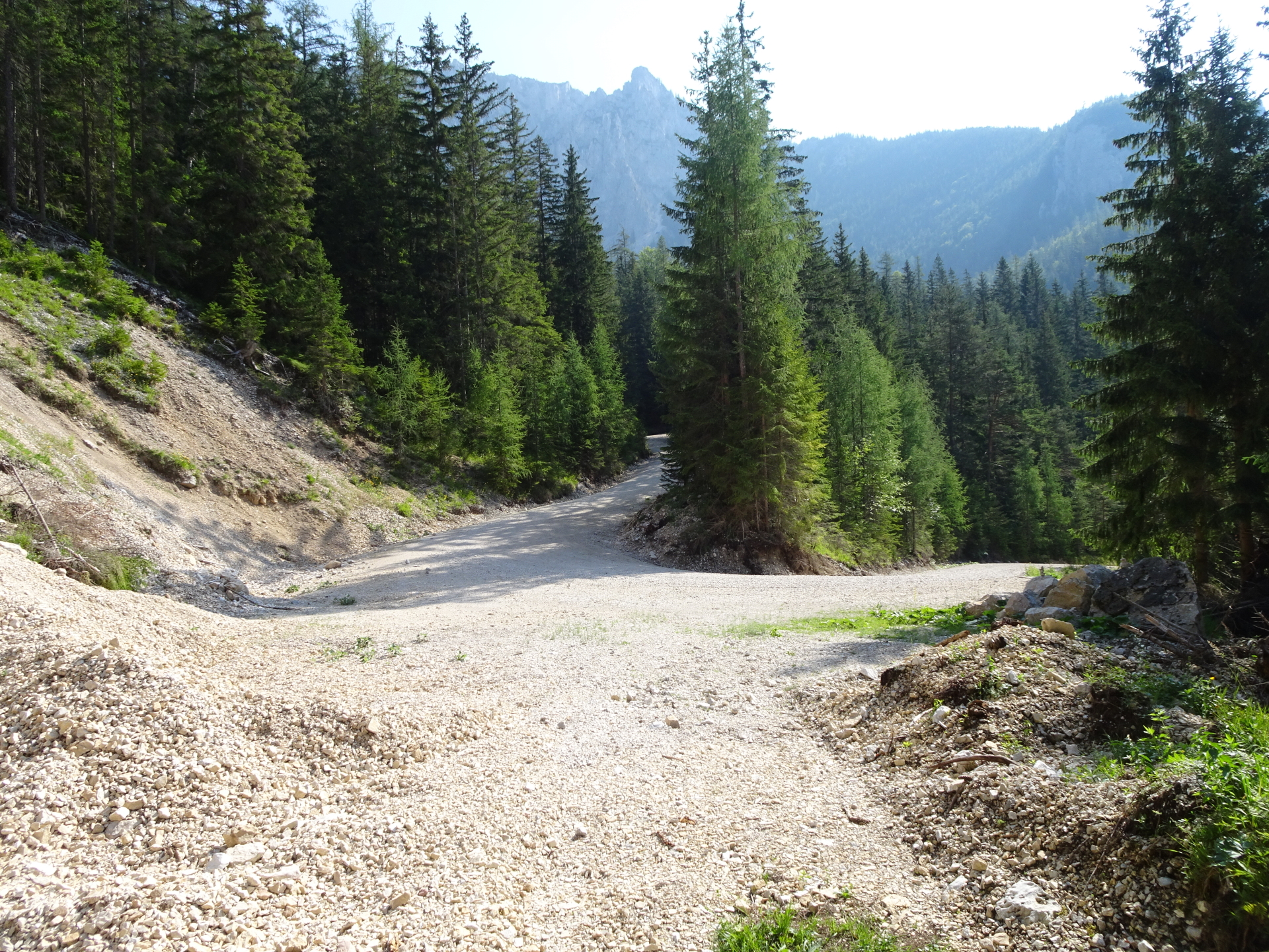
| 00:40 | Follow the forest road (keep left). |
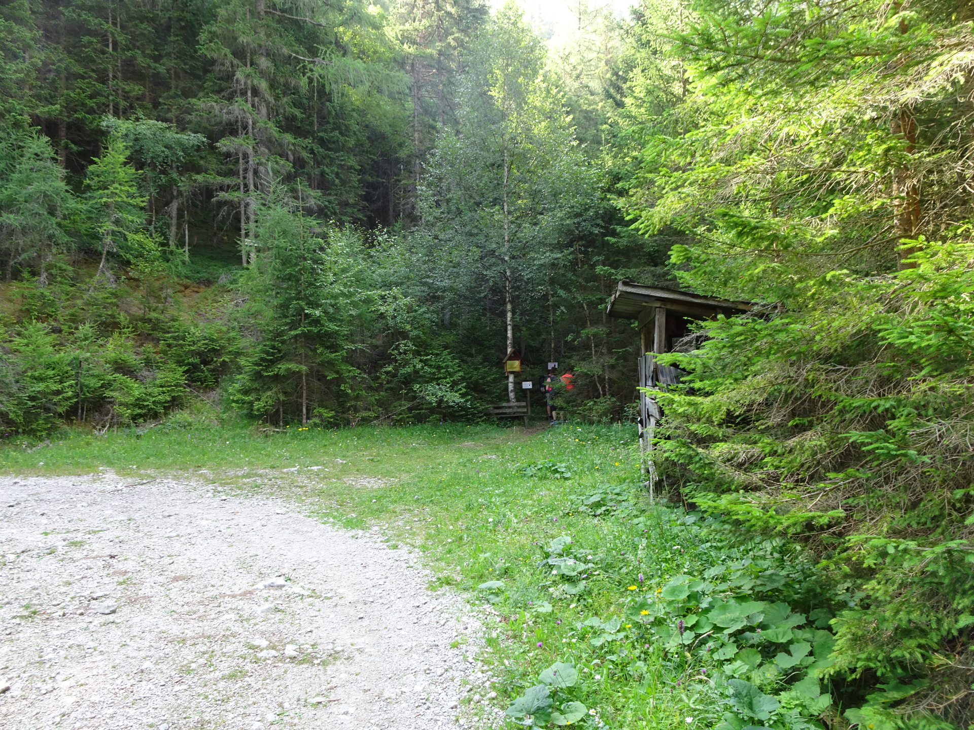
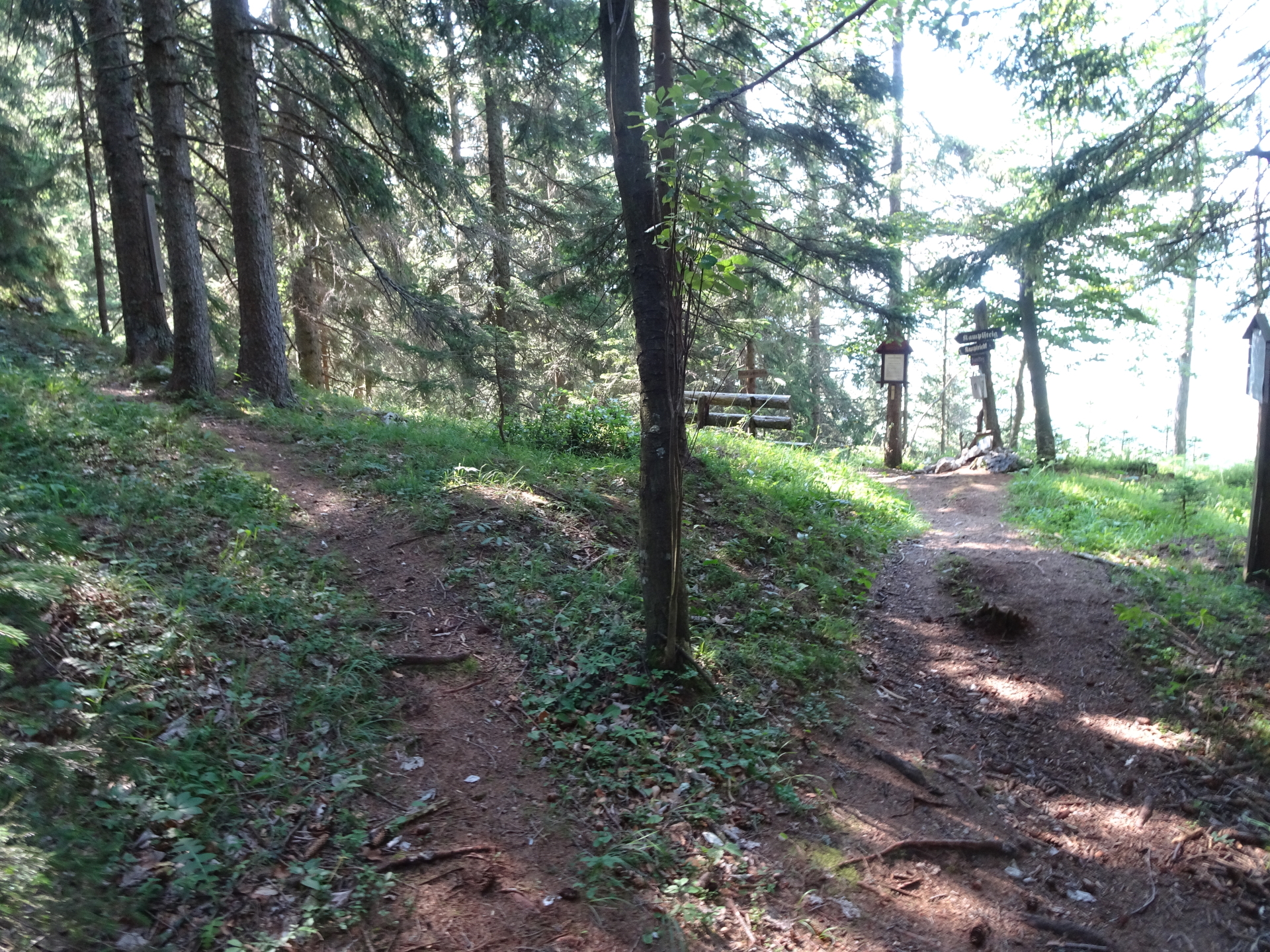
| 00:45 | At the U-turn, leave the forest road and follow the (hard to see) trail straight ahead. At the crossing after few meters, again, keep straight ahead and follow the trail upwards. |
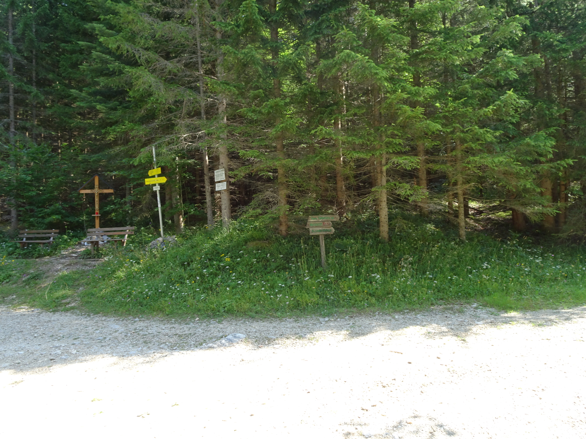
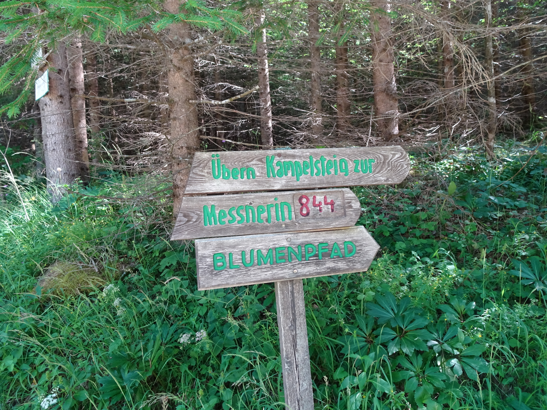
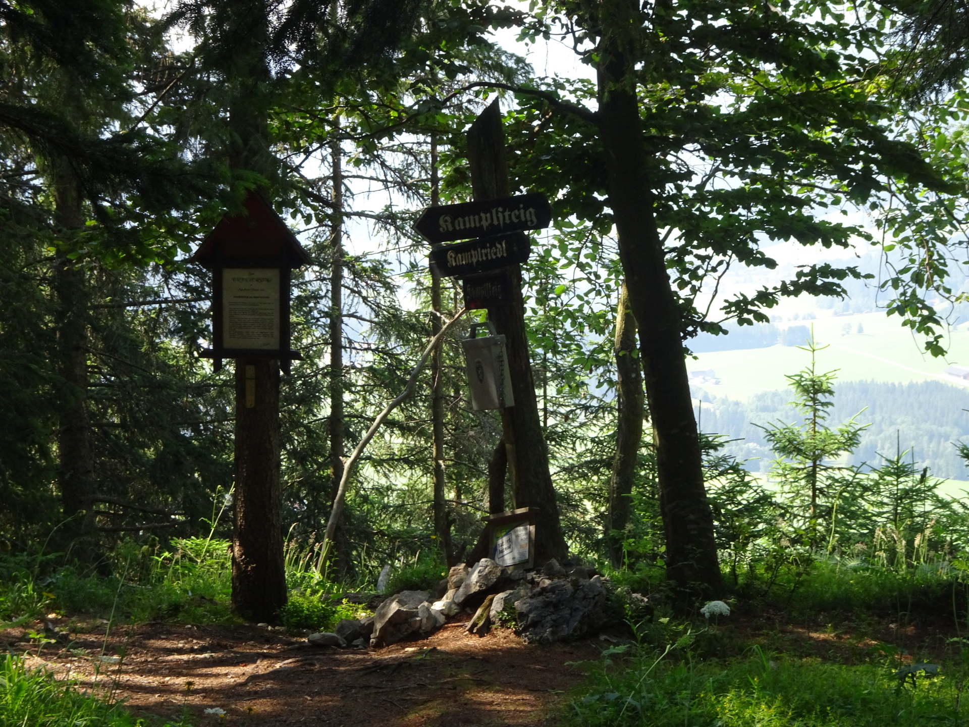
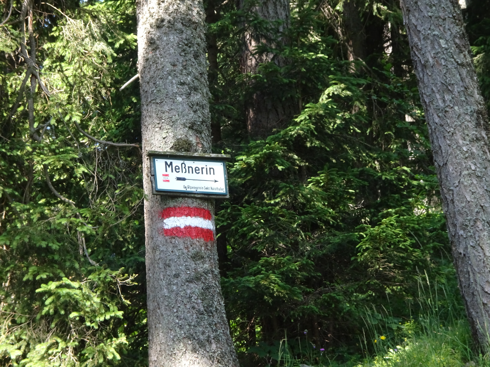
| 01:00 | At the Klammhöhe crossing, turn right and follow the street towards Messnerin über Kampelsteig (see signpost). |
| 01:01 | At the U-turn, keep straight ahead and turn into the small Kampelsteig (green markings). |
| 01:10 | At the crossing (Kamplriedl, first turn right and walk a few meters towards the impressive view point and rest area. Then walk back and ascend on the small trail opposite of the rest area (at the Kamplriedl, you would need to turn left). |
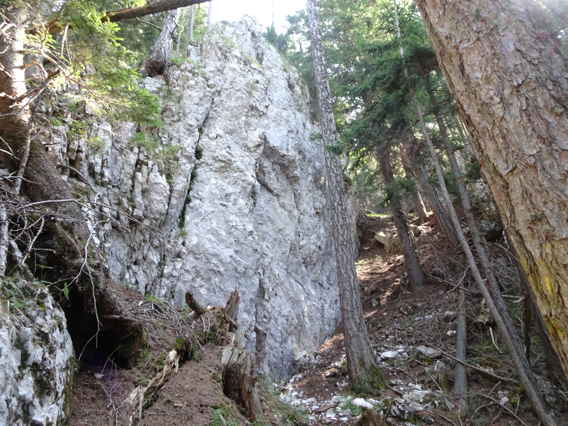
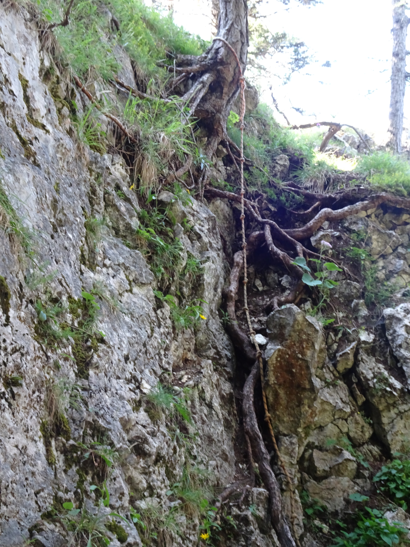
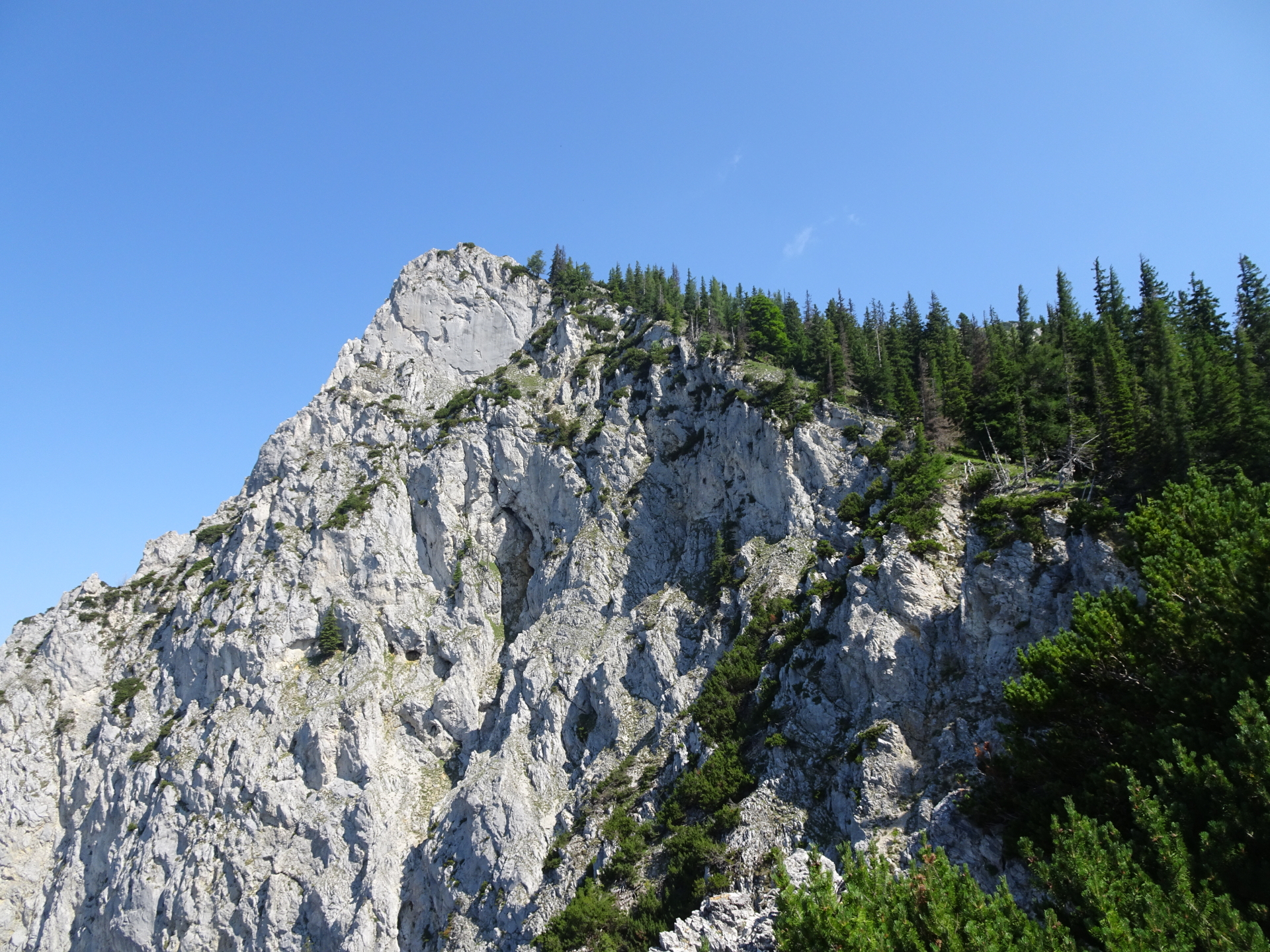
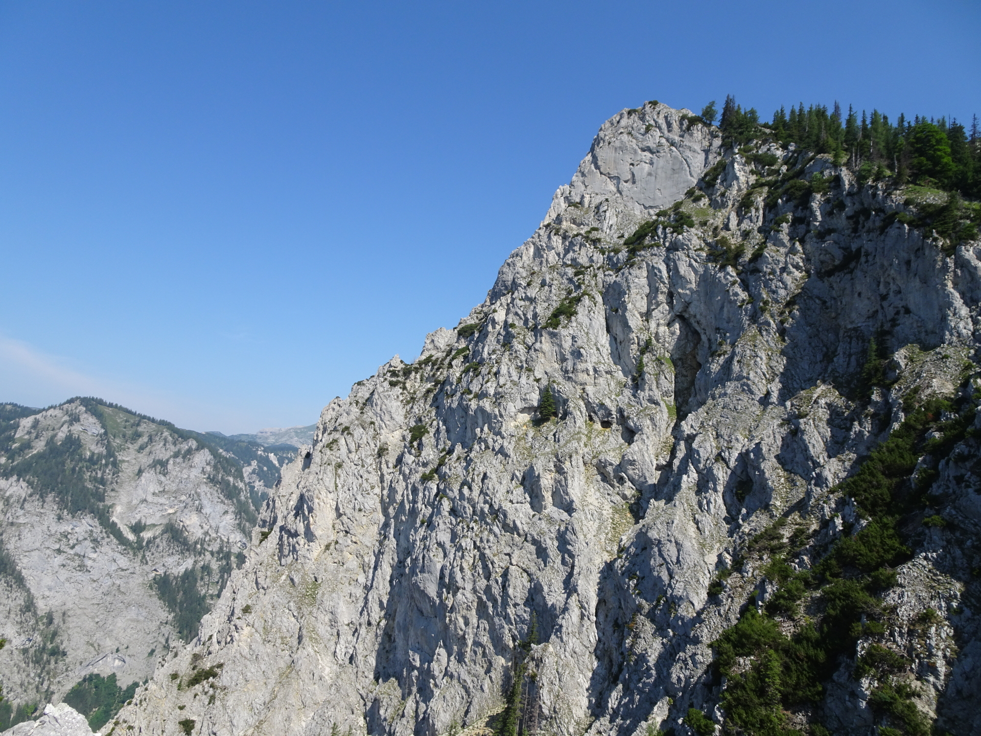
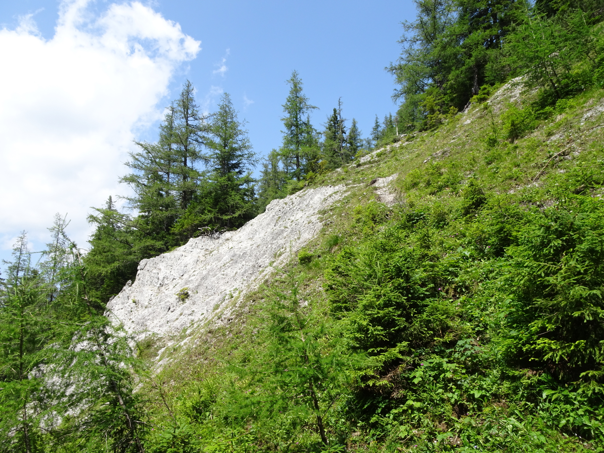
| 01:25 | Climb up the short passage (crux, UIAA I-), protected with a fixed rope. |
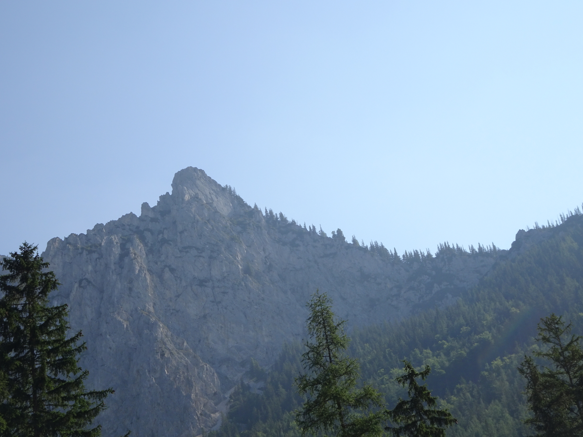
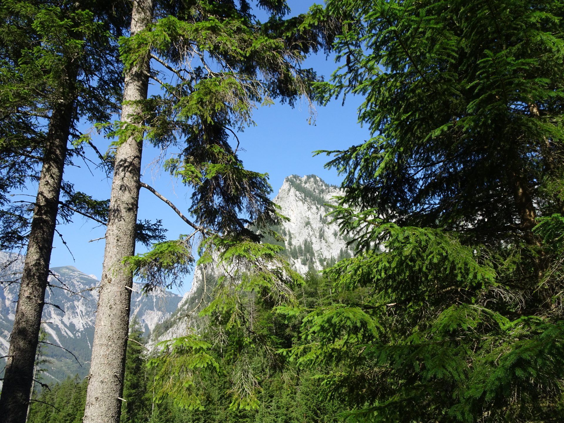
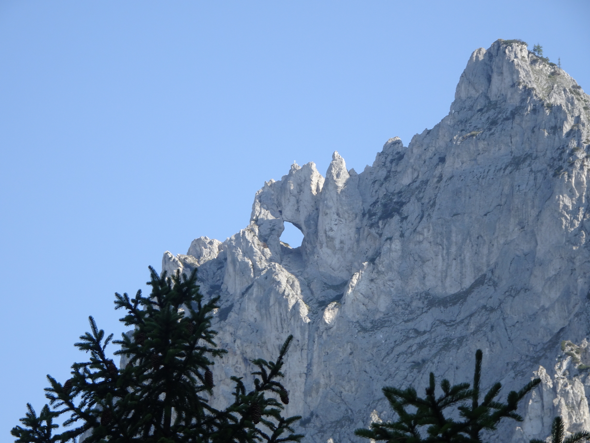
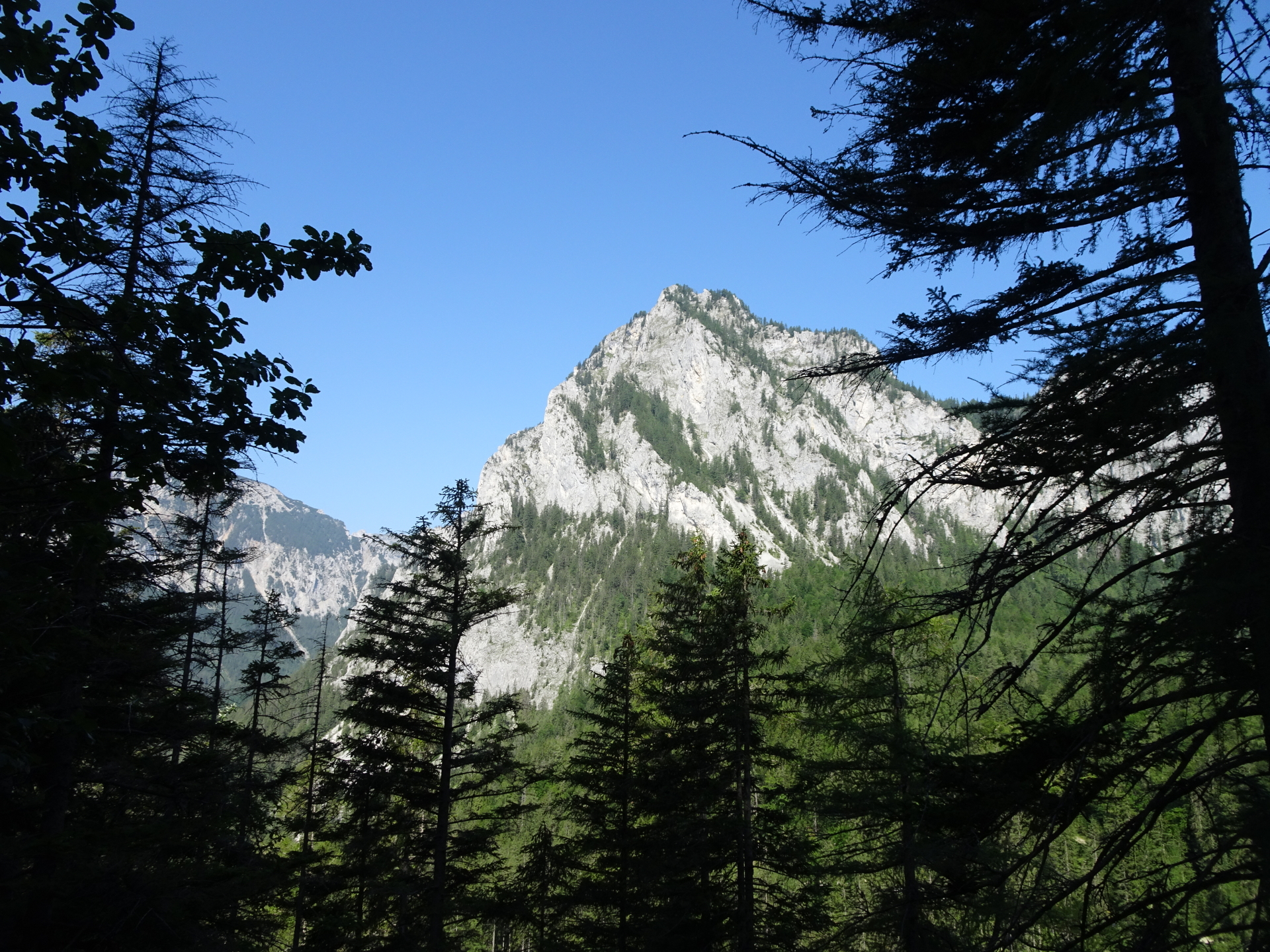
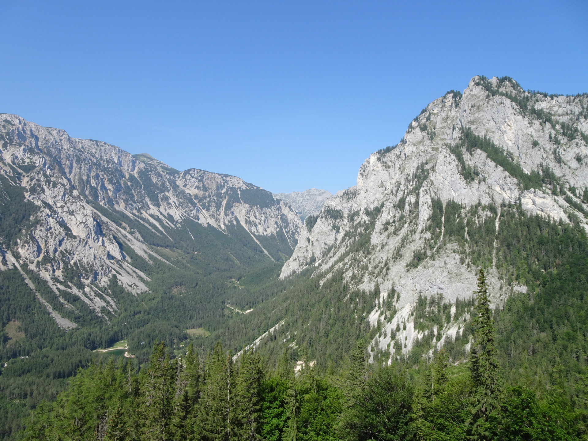
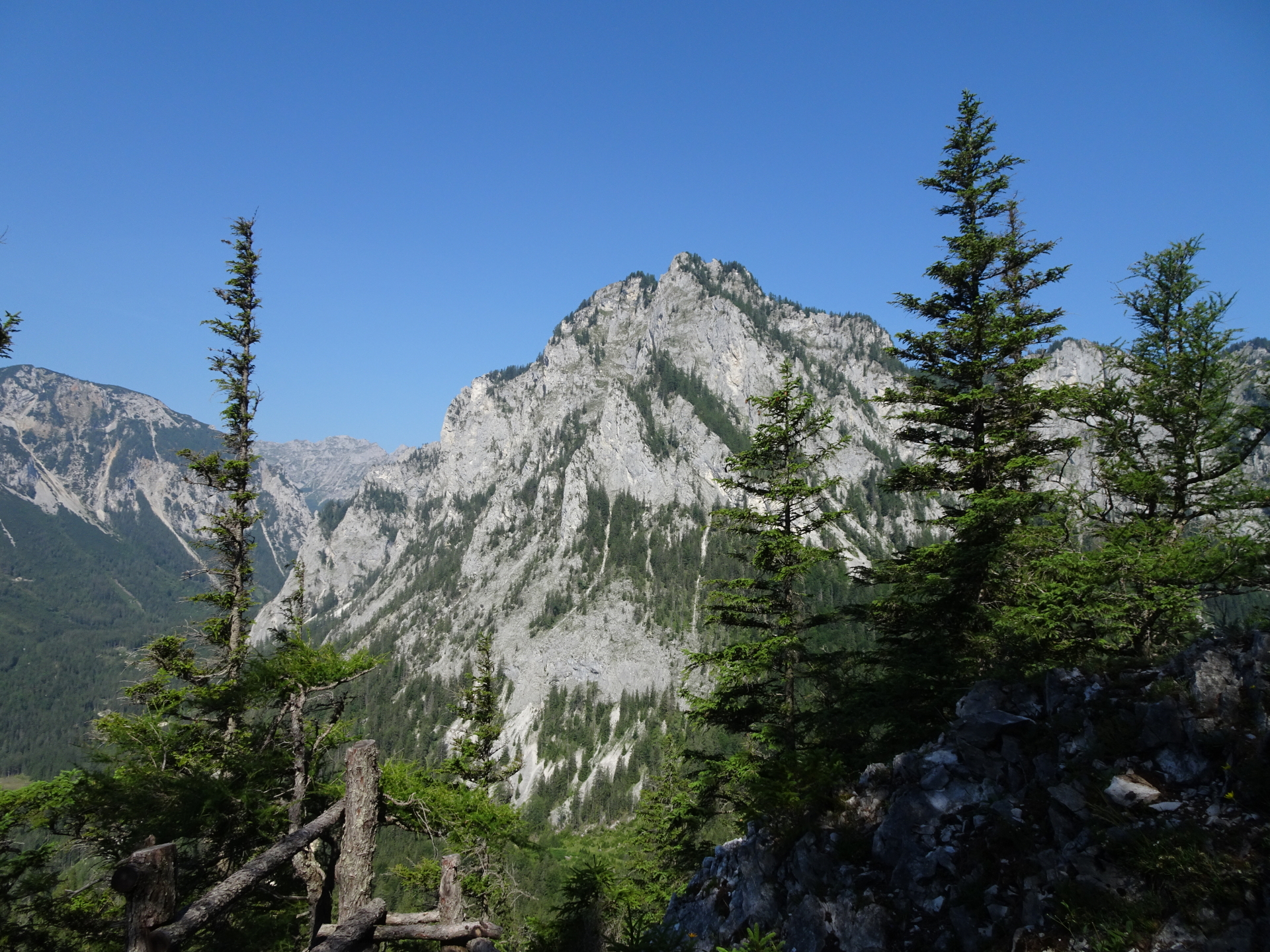
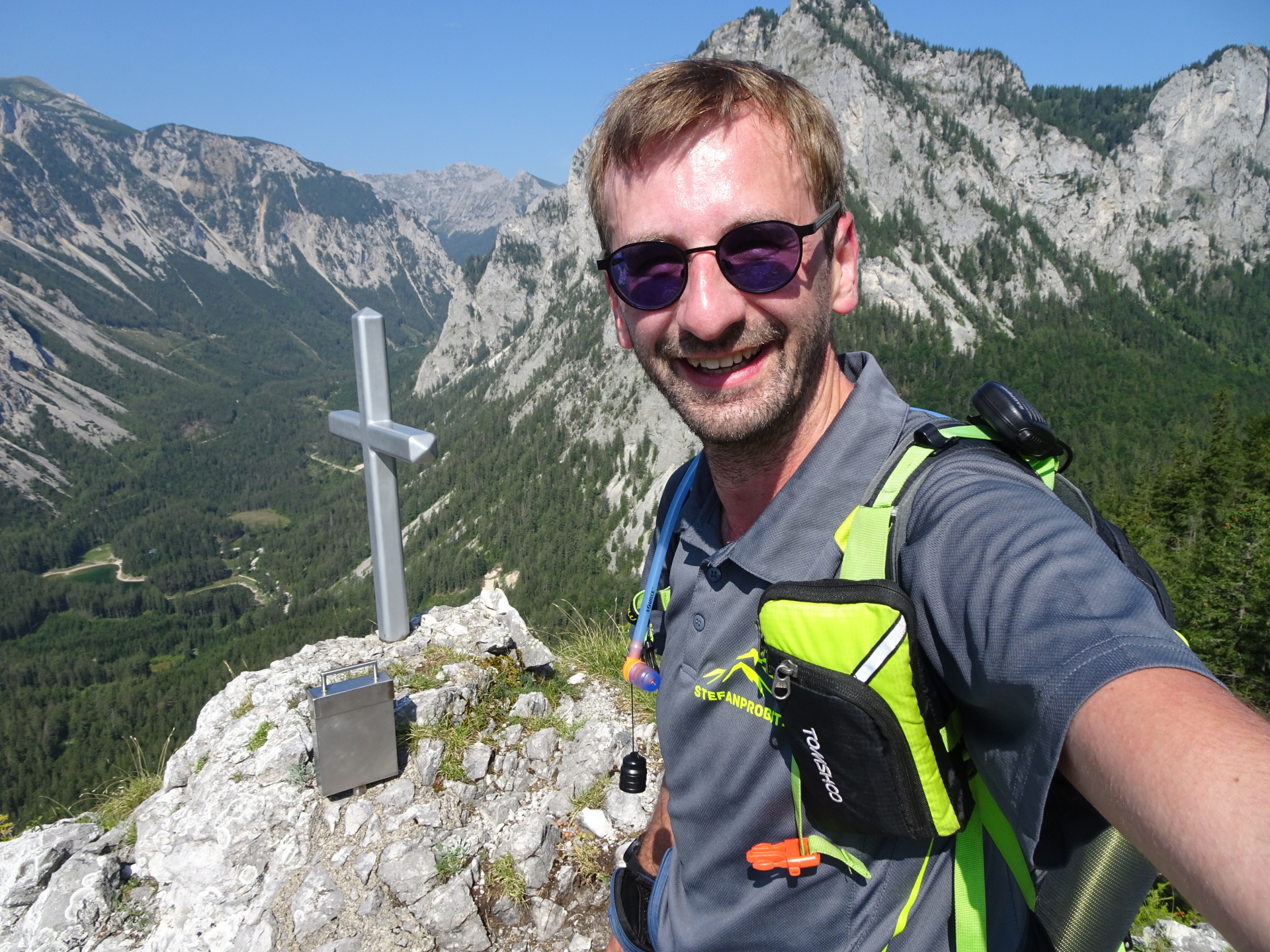
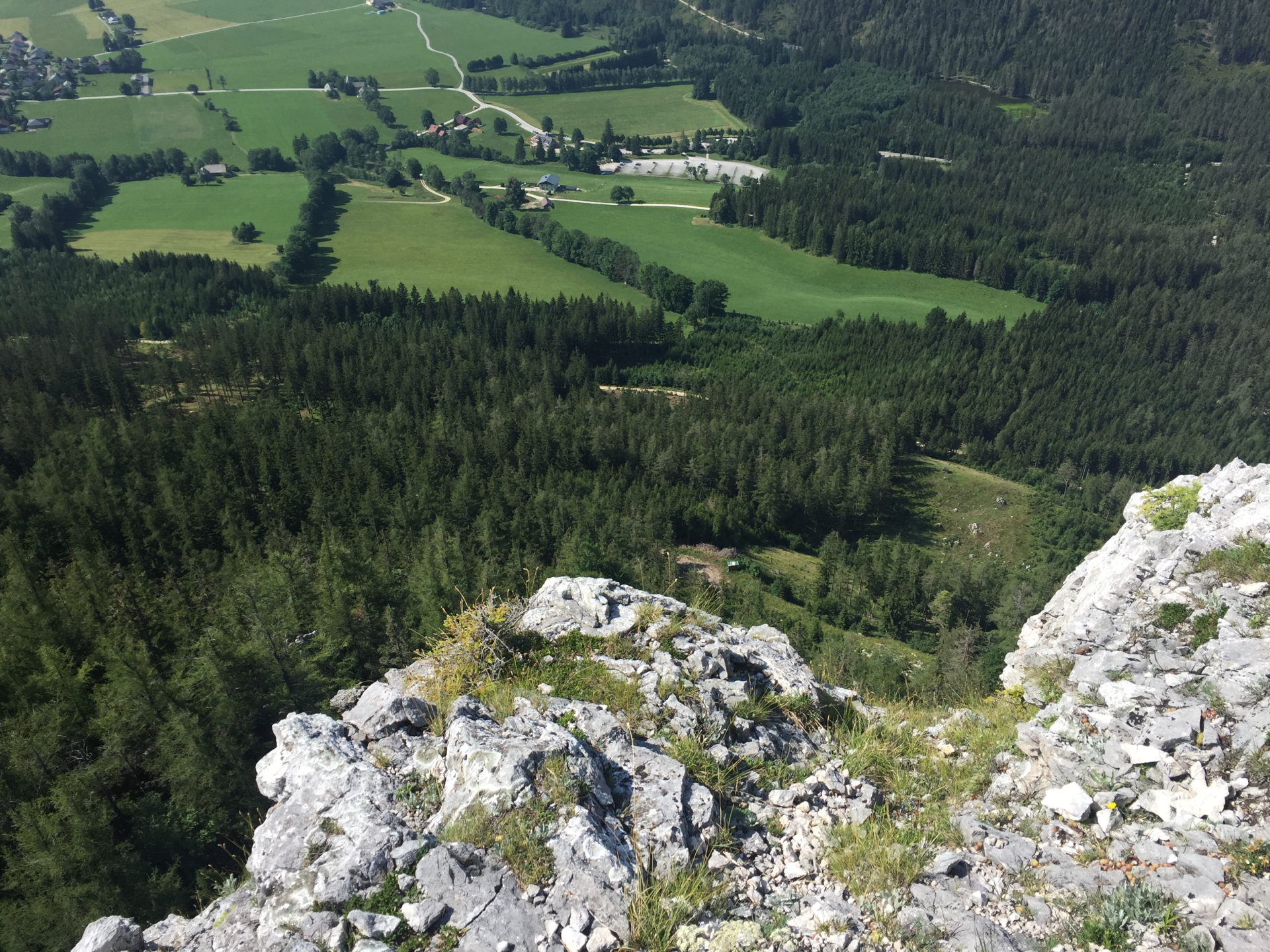
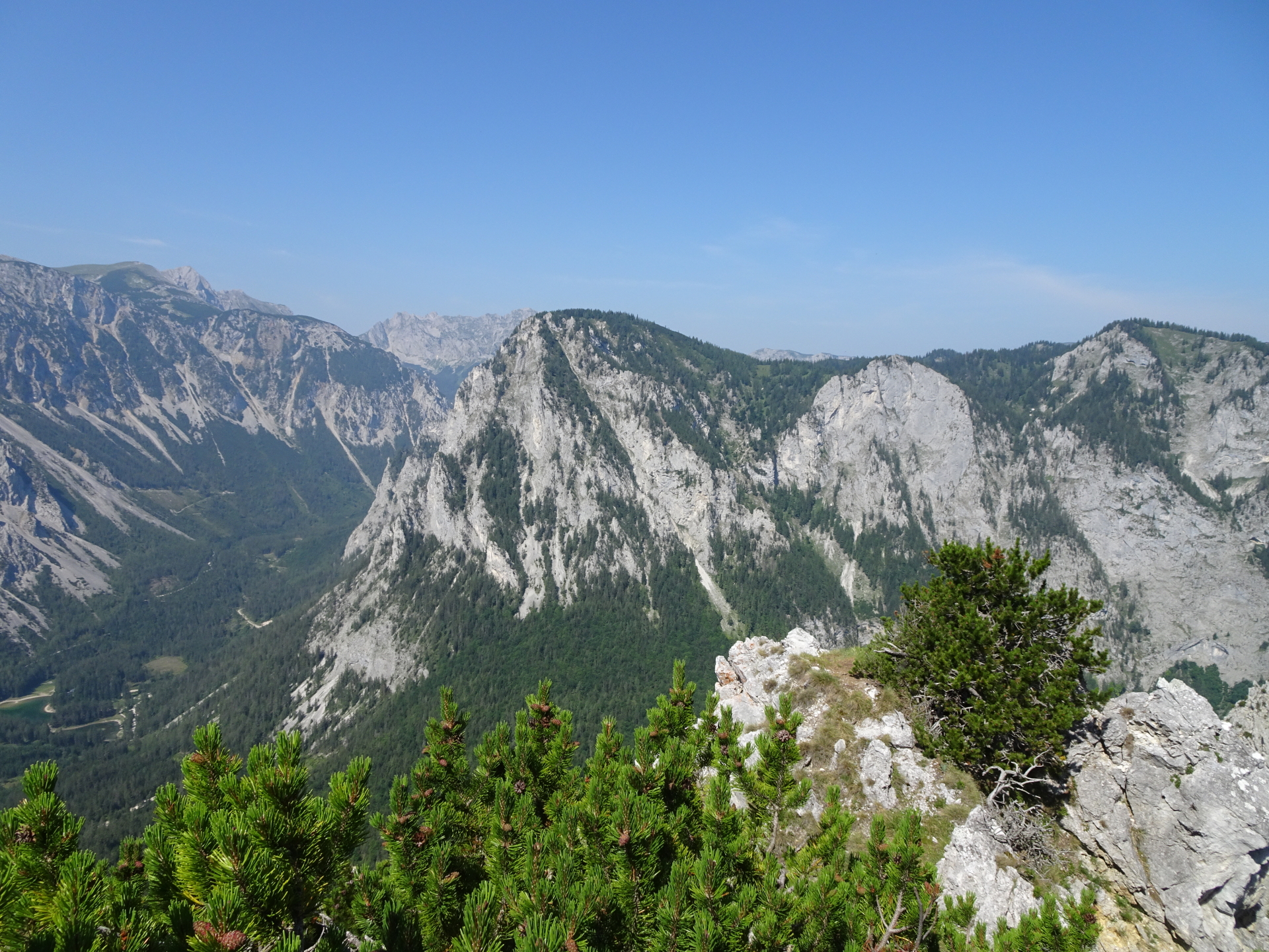
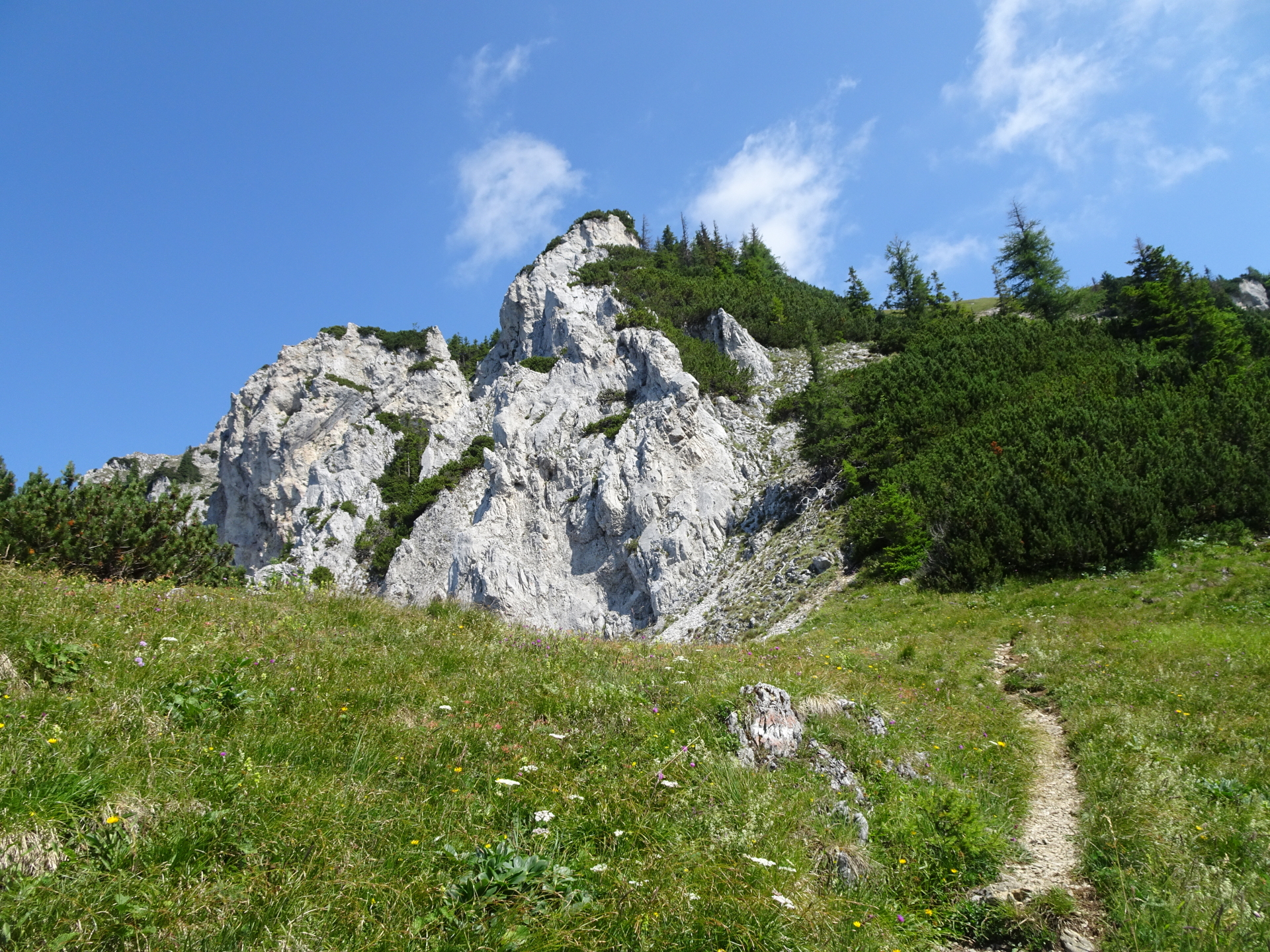
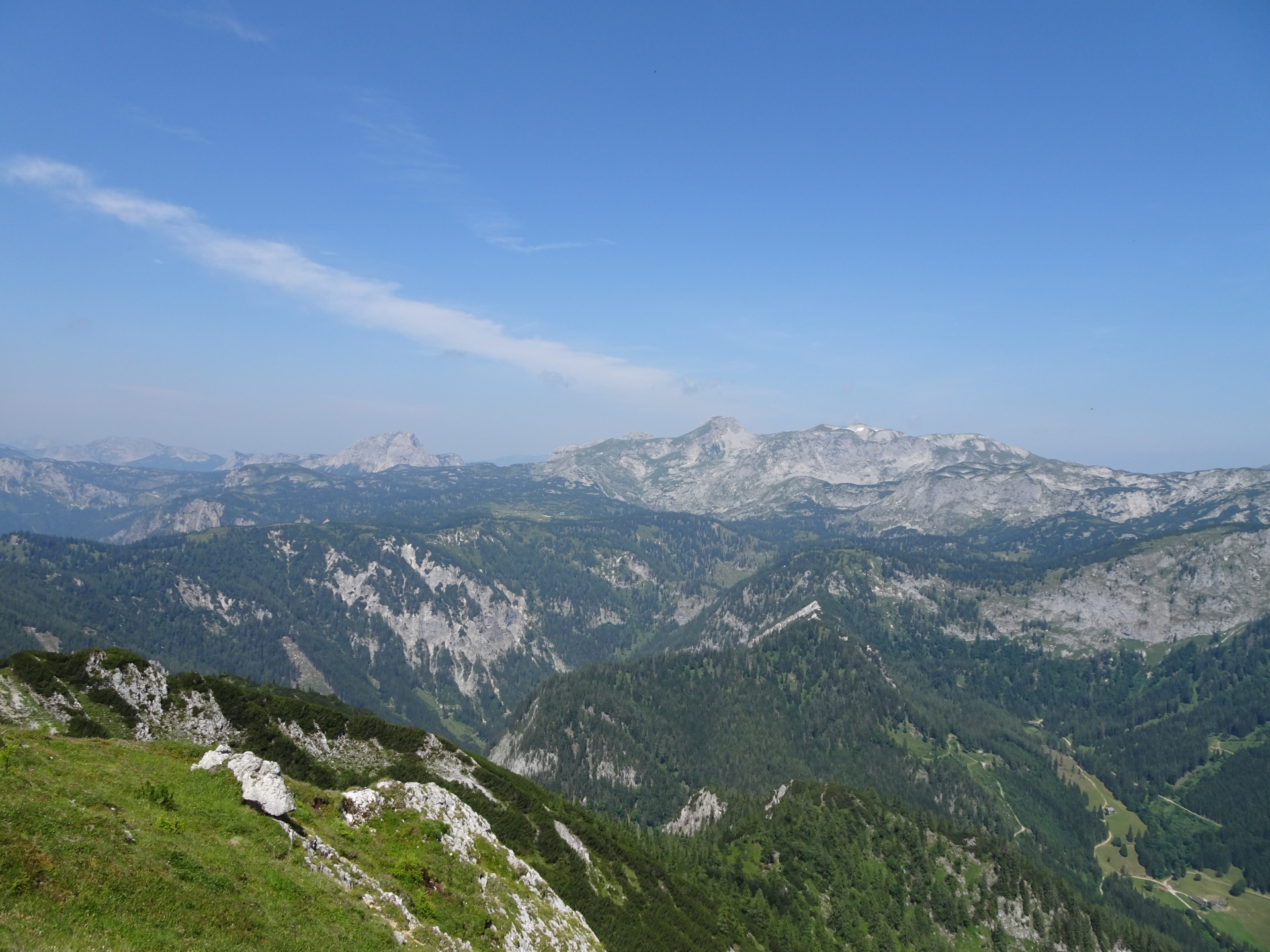
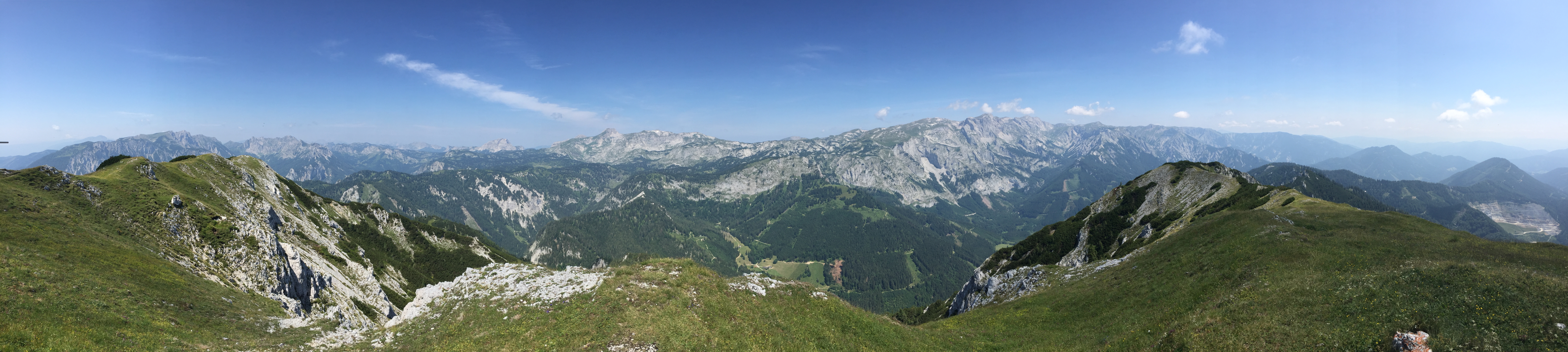
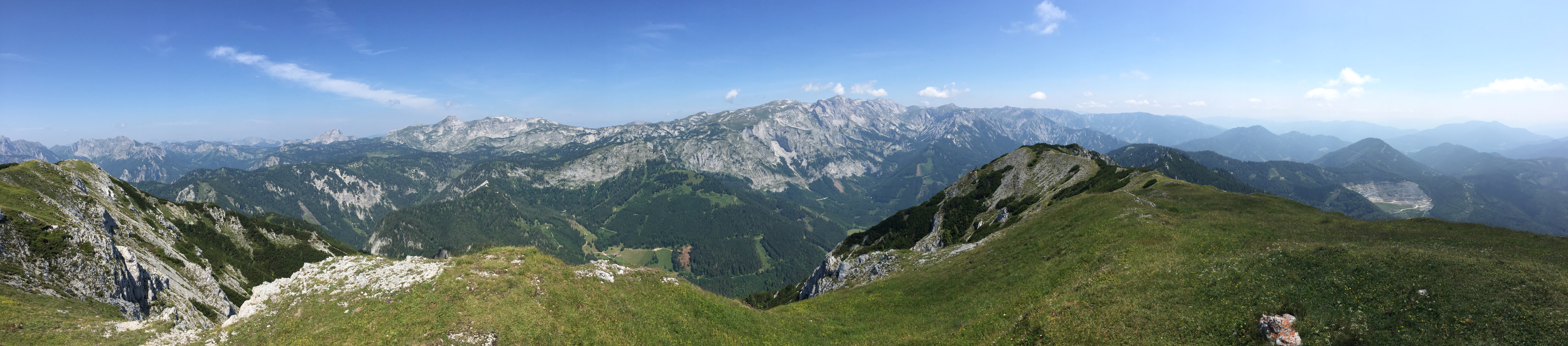
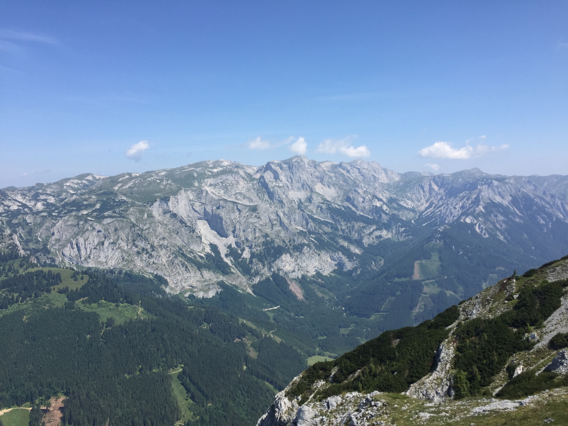
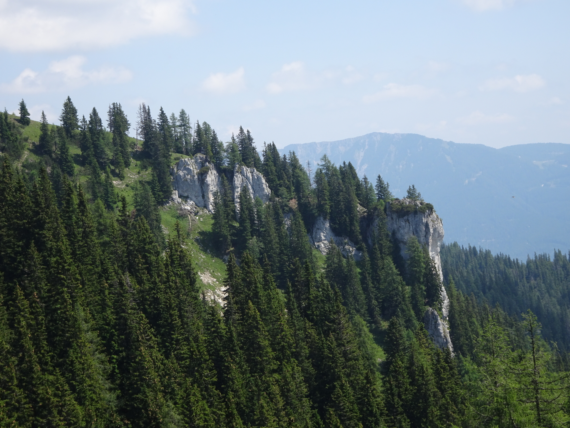
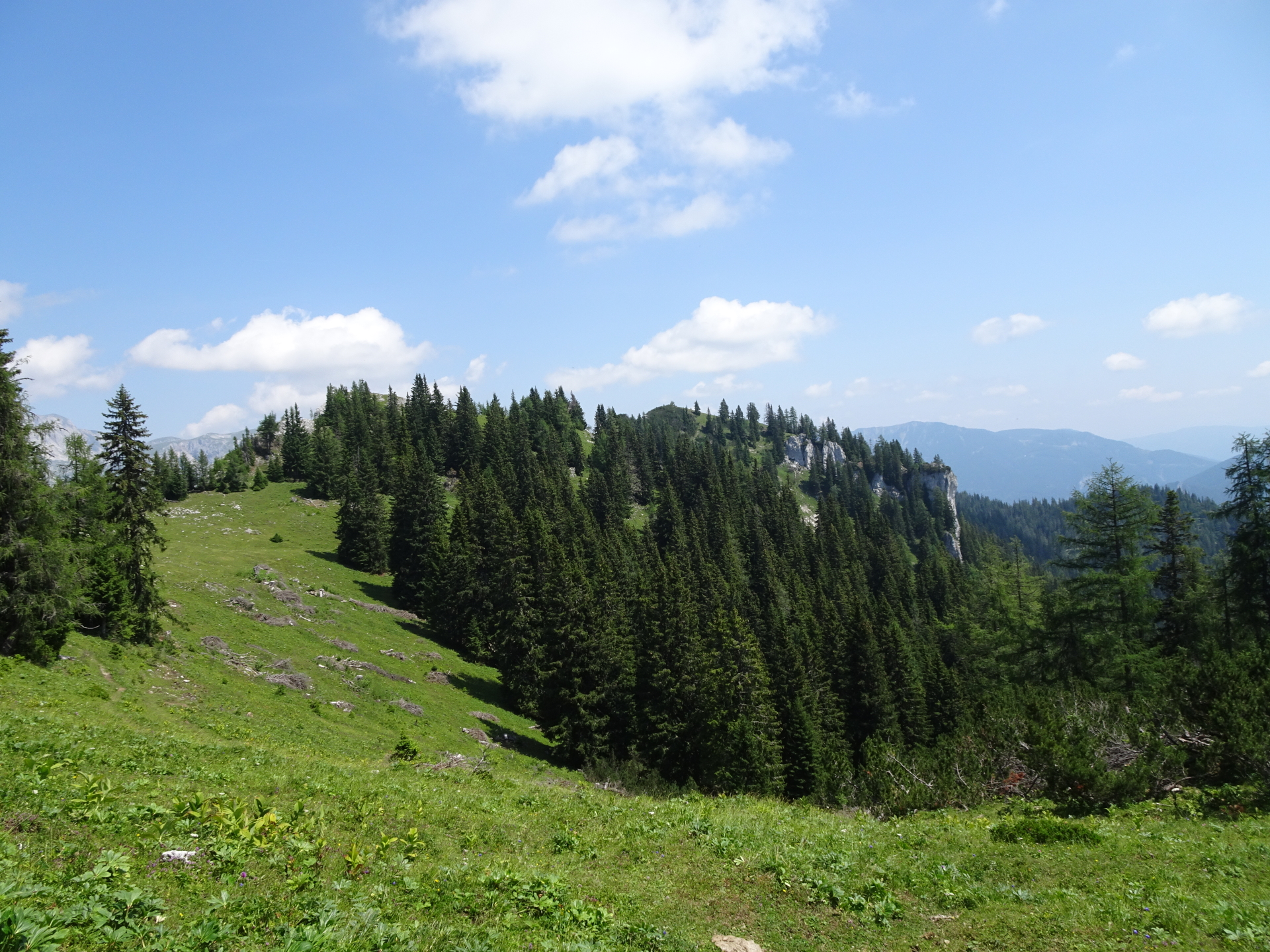
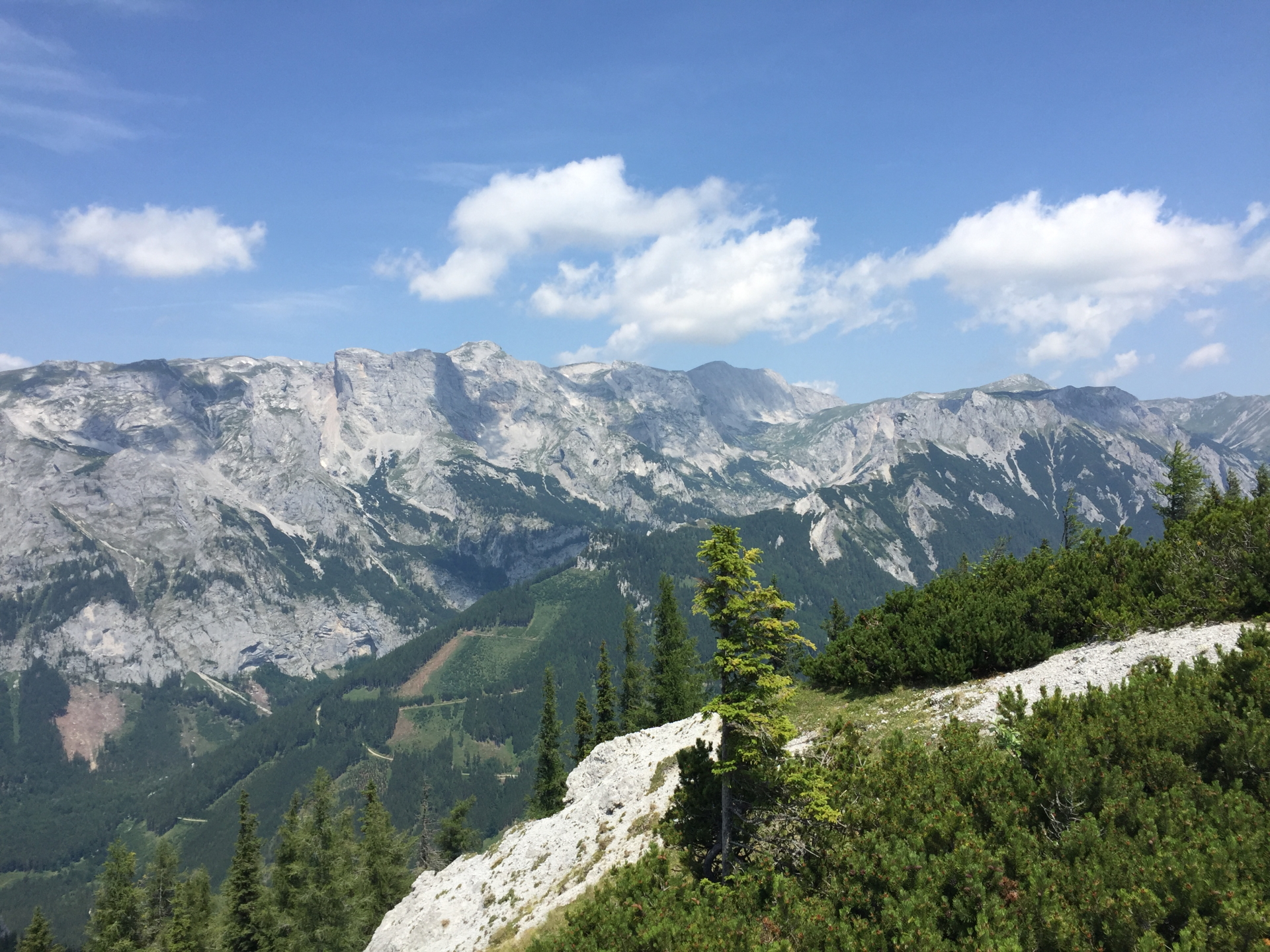
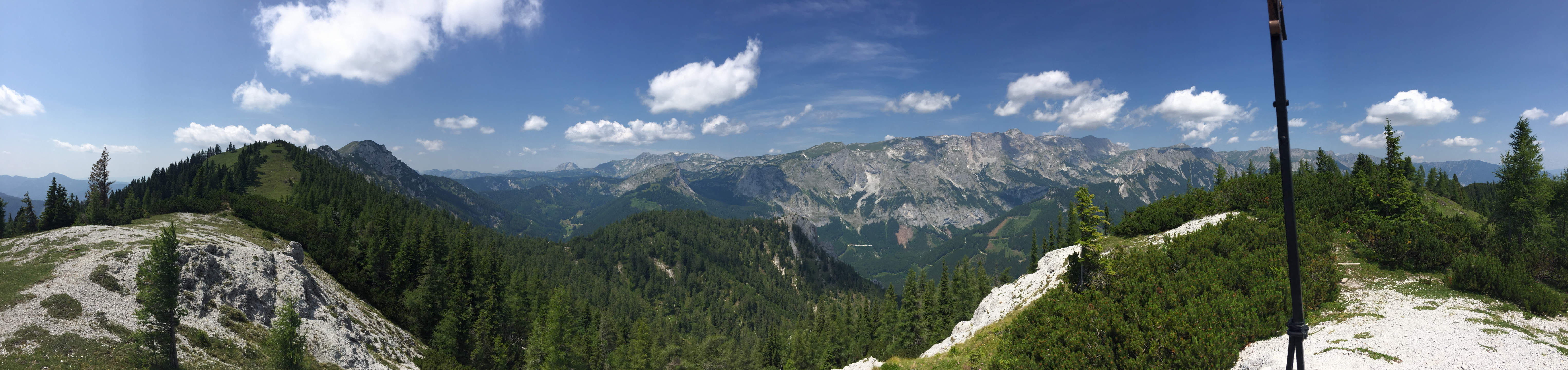
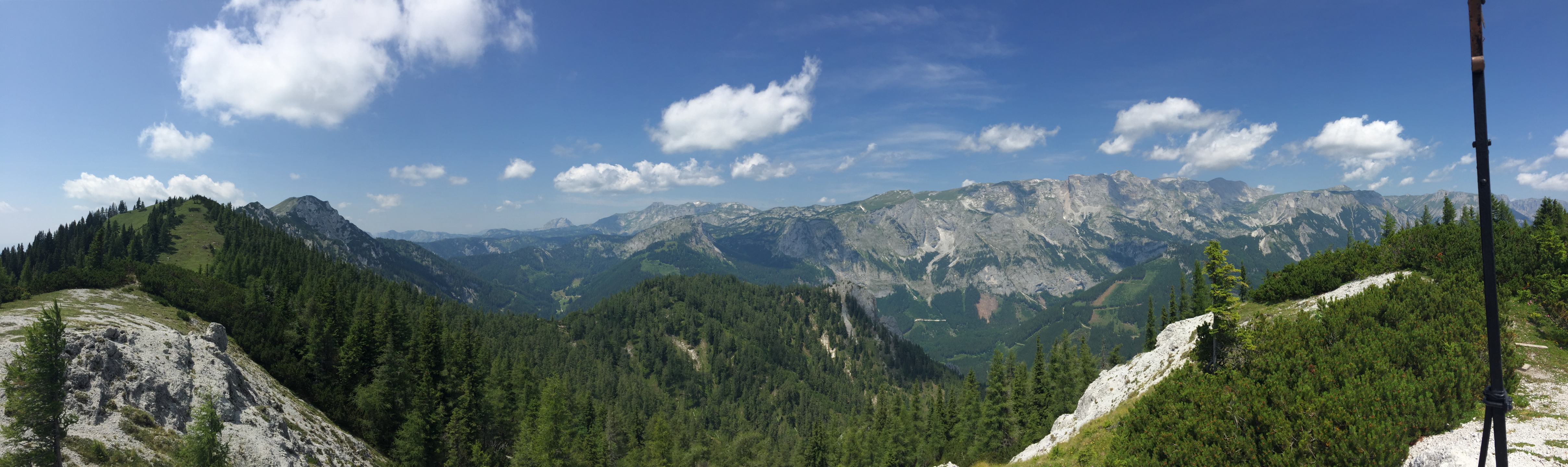
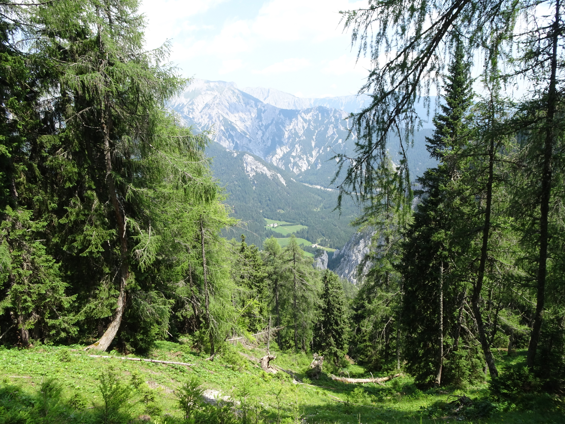
| 01:30 | Enjoy the impressive surround view from the upper Kamplriedl. Continue following the trail eastwards. |
| 01:40 | Turn into the forest road (keep left) and follow the Lahnerweg upwards. |
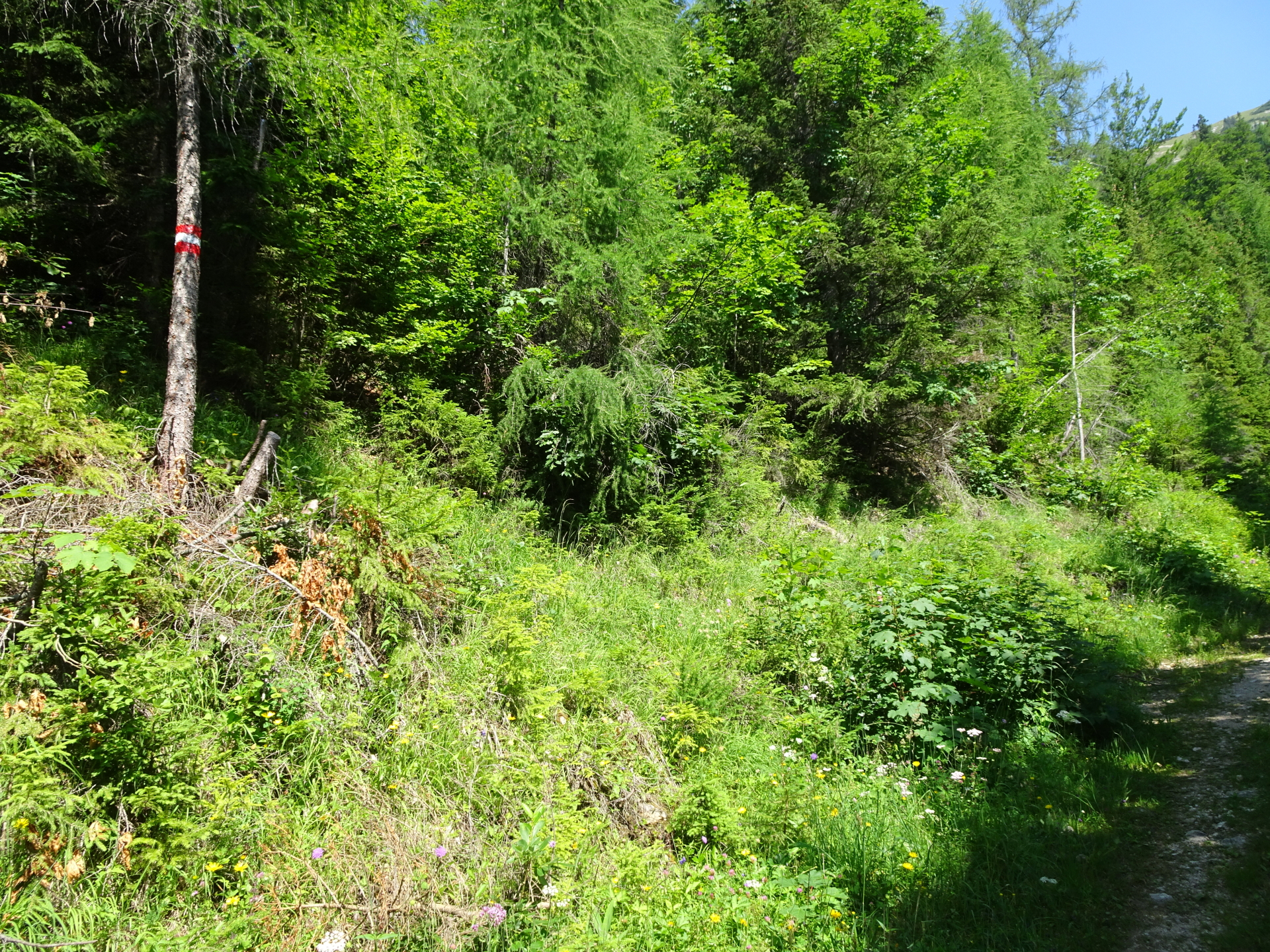
| 02:00 | Turn left into the red-white-red marked trail and follow this trail upwards towards Messnerin (you will cross the road several times). |
| 02:00 | Turn left into the red-white-red marked trail and follow this trail upwards towards Messnerin (you will cross the road several times). |
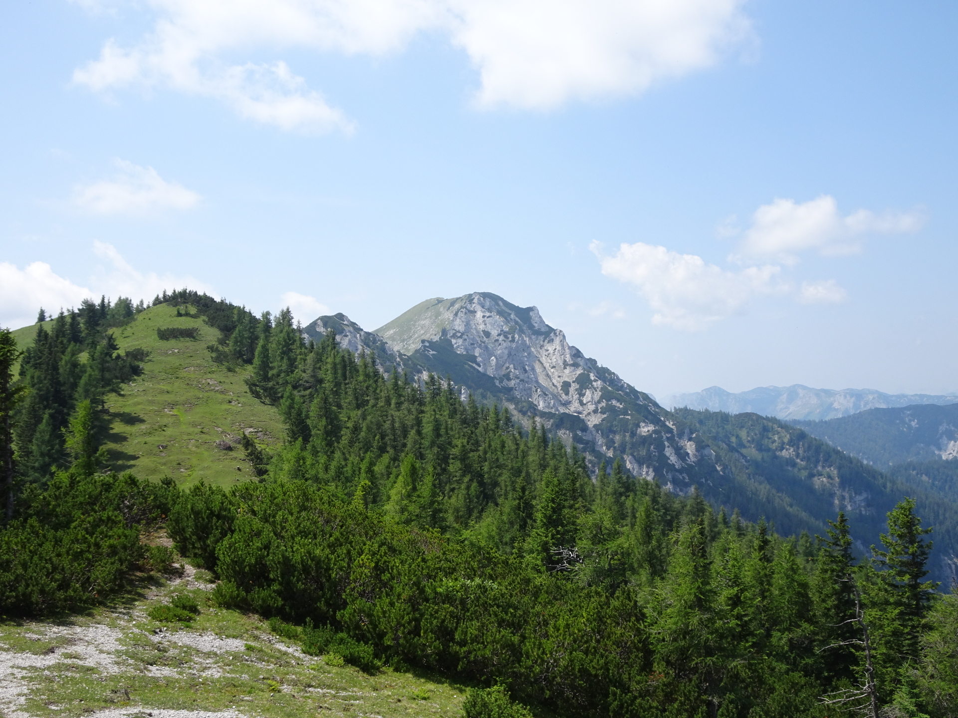
| 02:10 | You might consider turning left and hike up to the ridge for a nice view towards the Grüner See. |
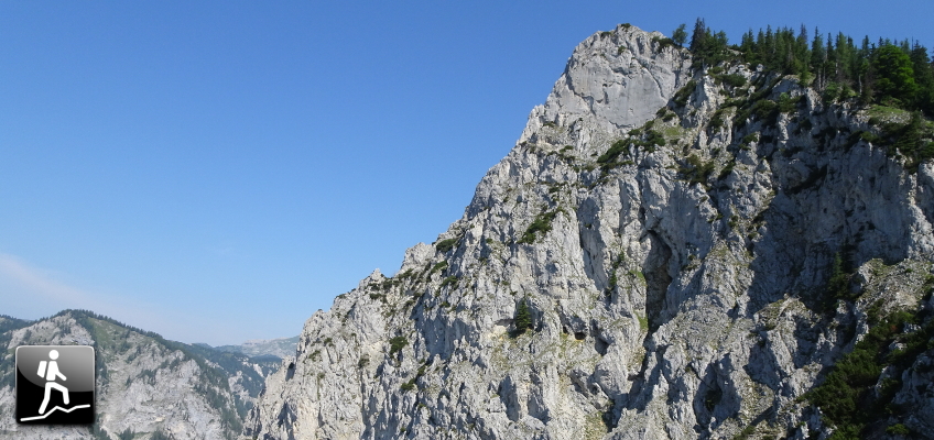
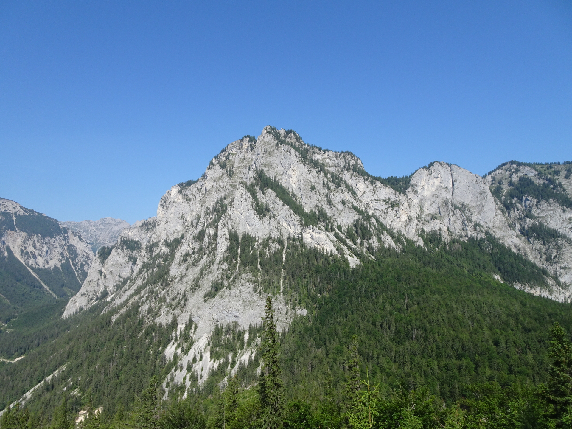
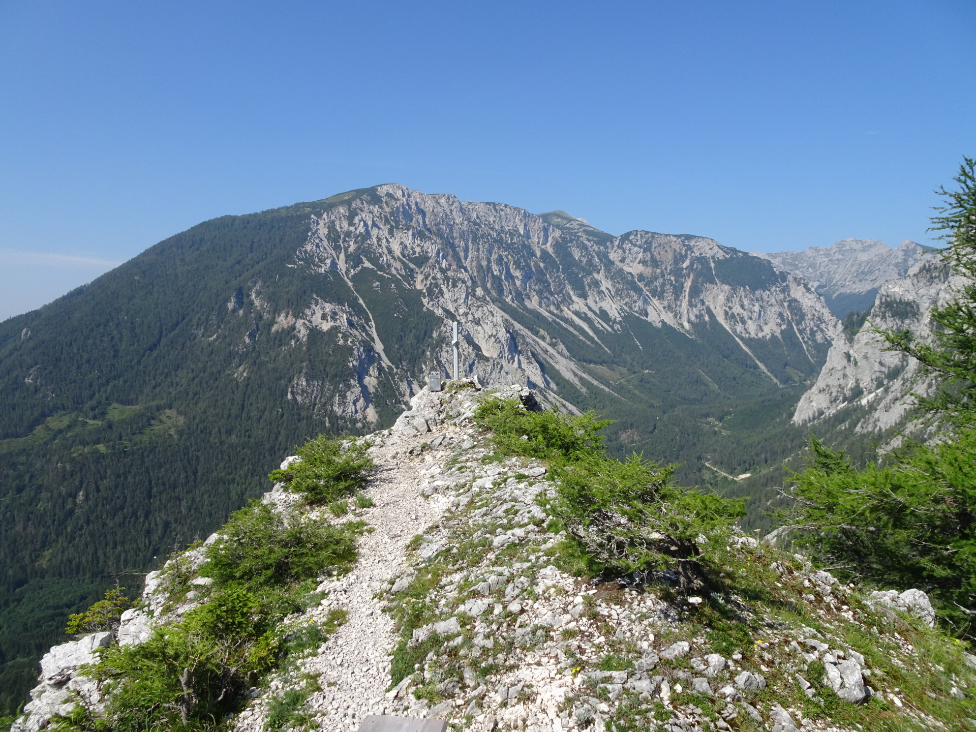
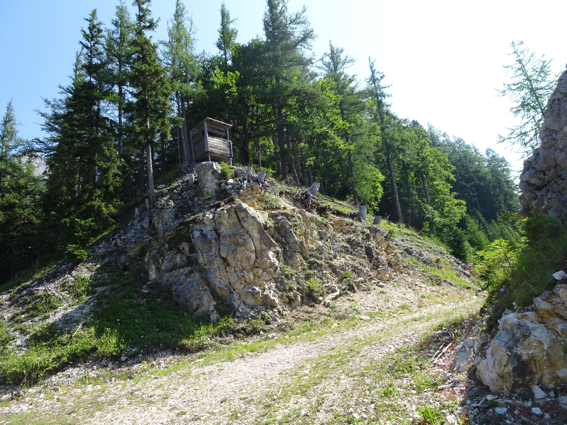
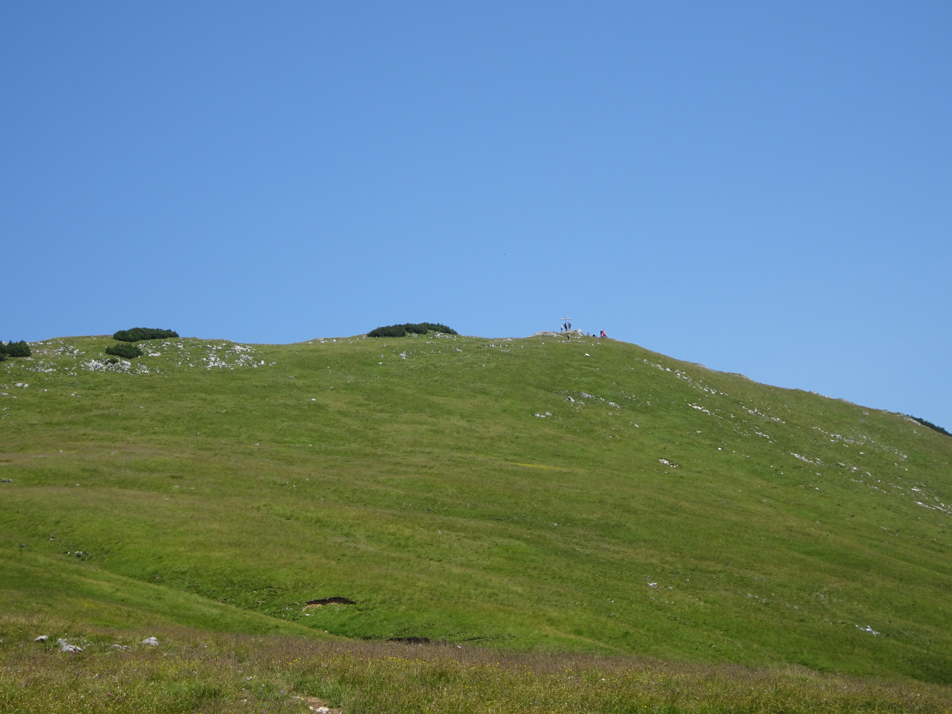
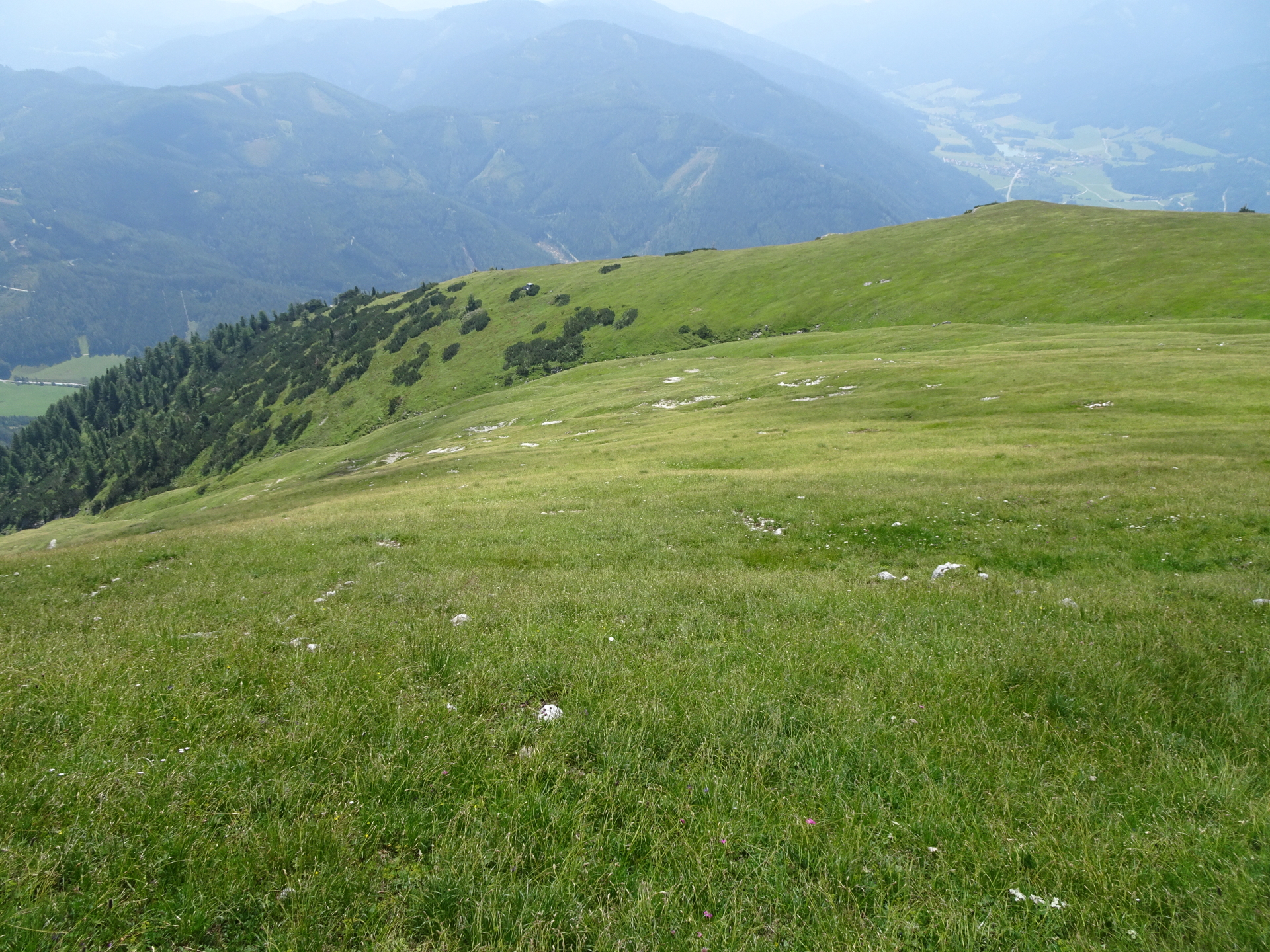
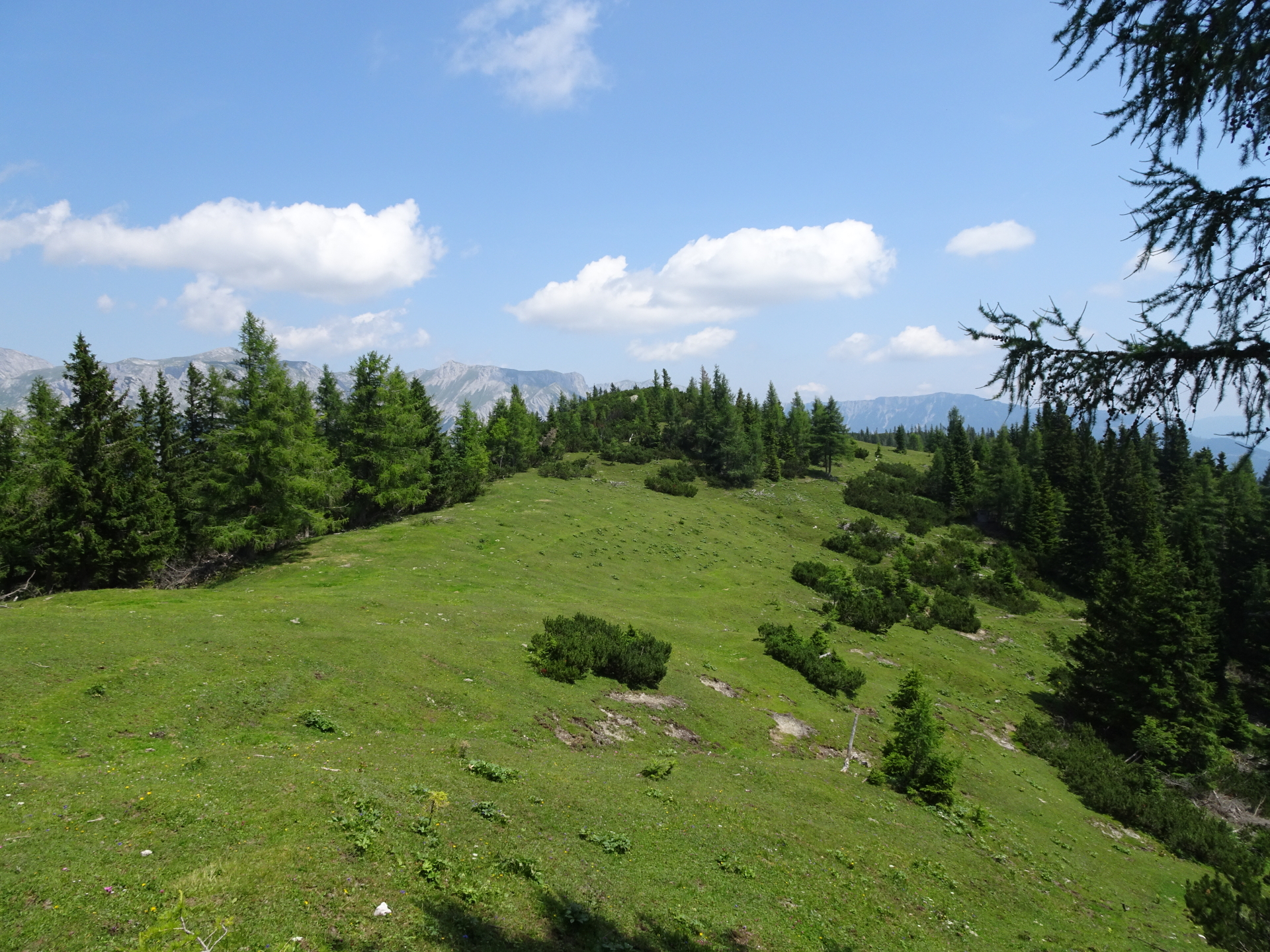
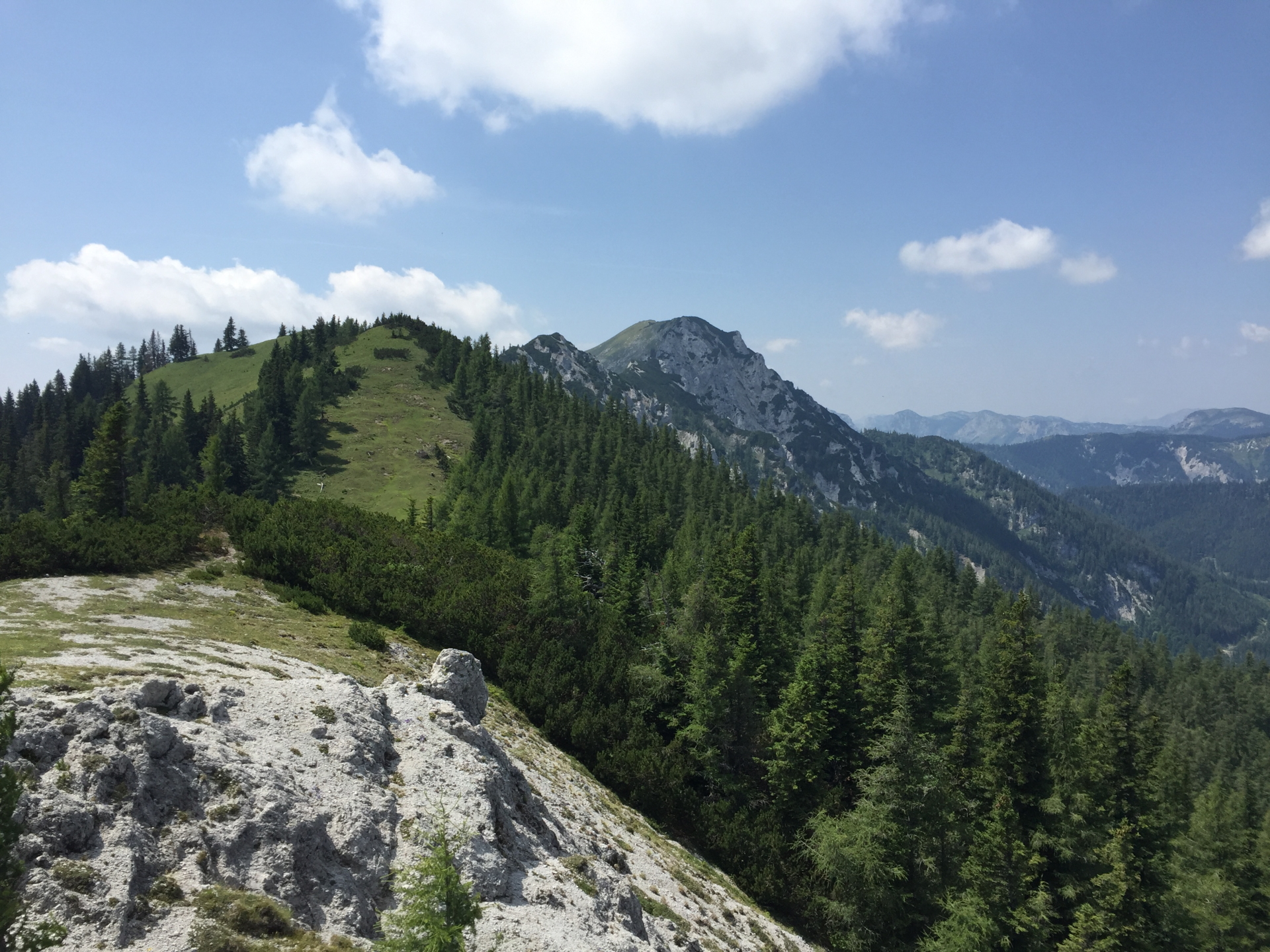
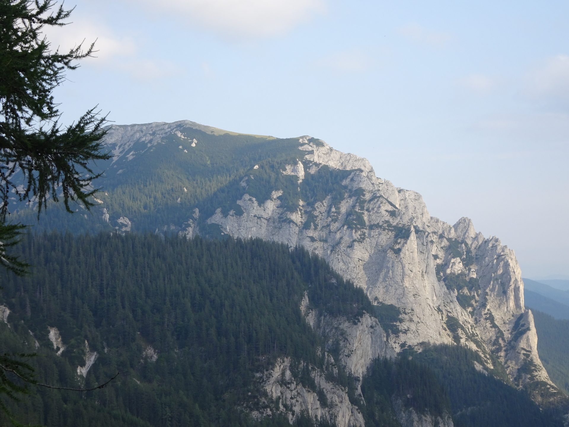
| 02:30 | Turn left and follow the trail towards the saddle, allowing impressive distance views. Continue following the trail which leads up to the Messnerin. |
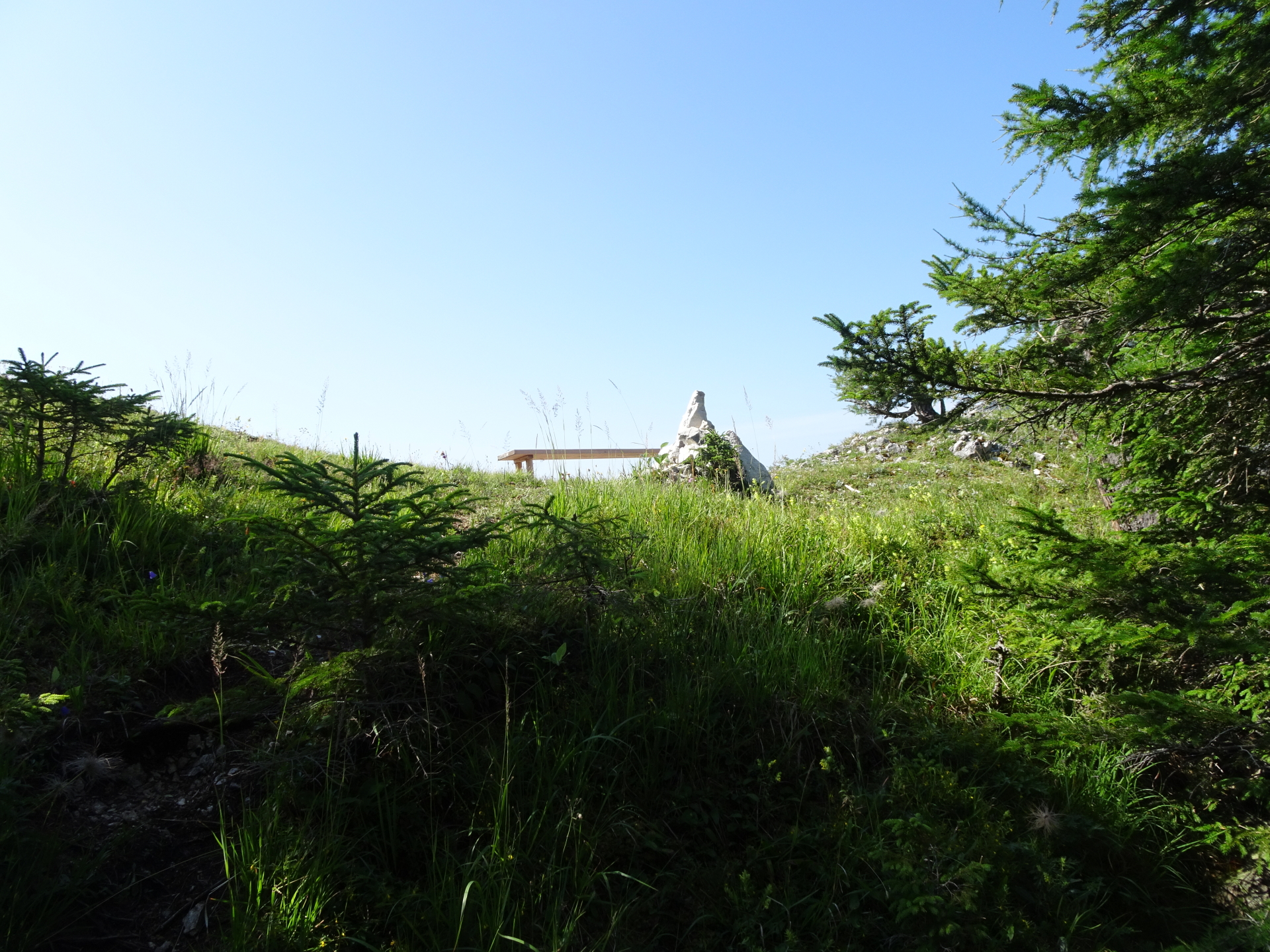
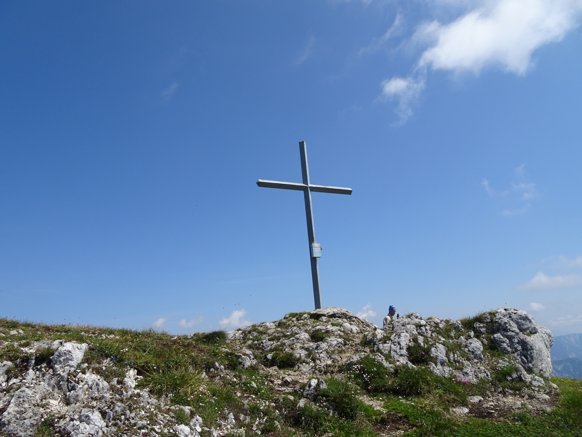
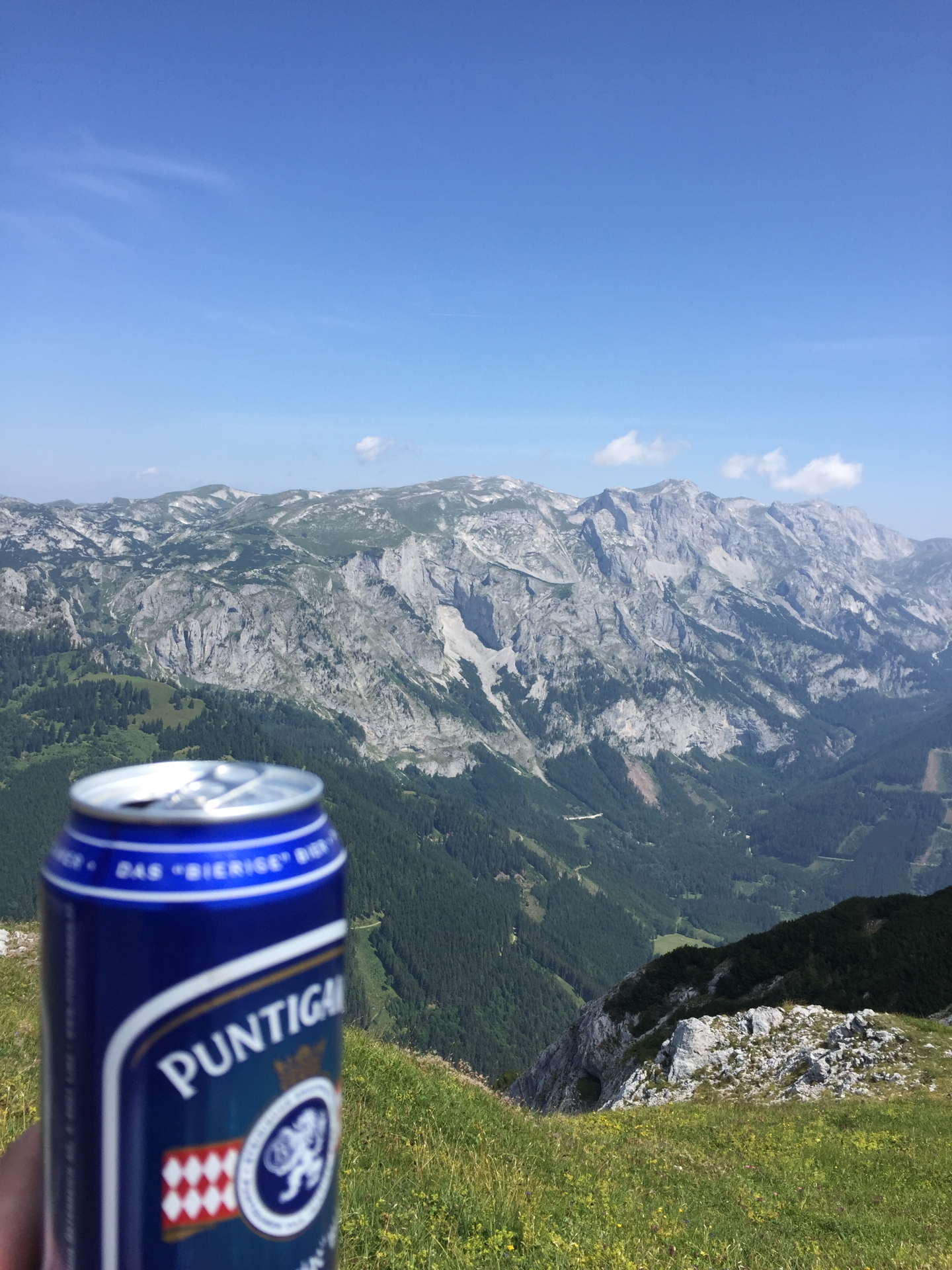
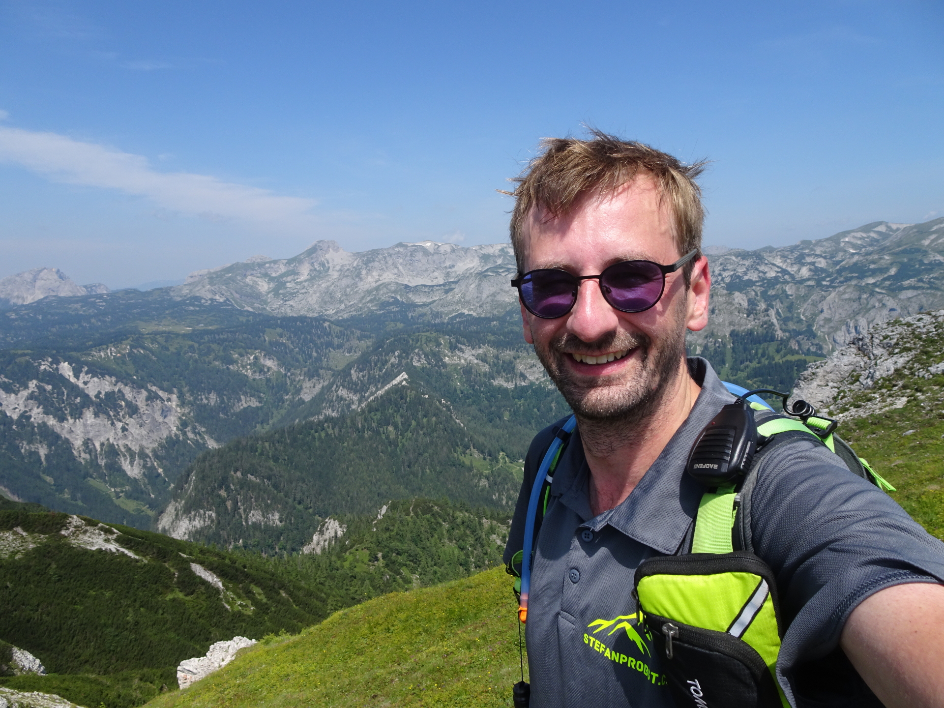
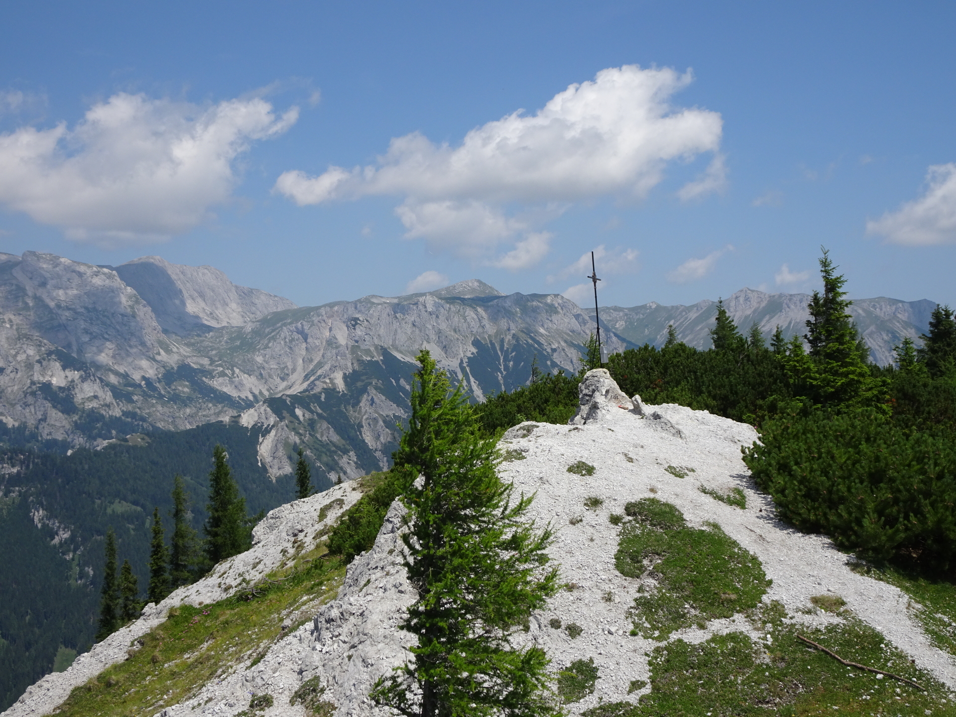
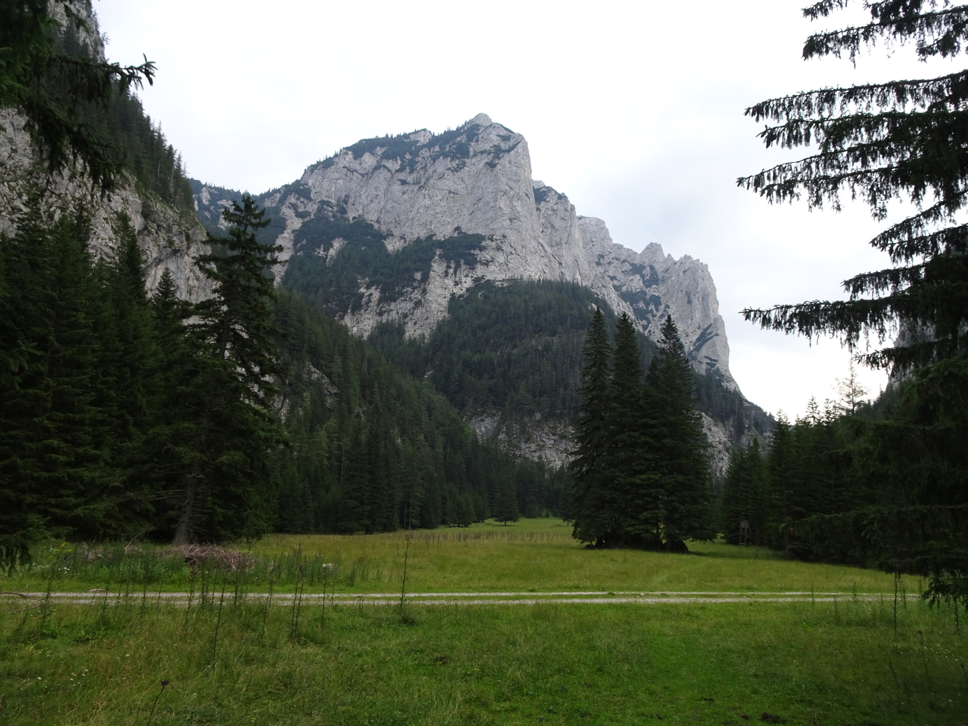
| 03:00 | Enjoy the amazing scenic view from Messnerin. Best enjoyed with a self-brought refreshment (). |
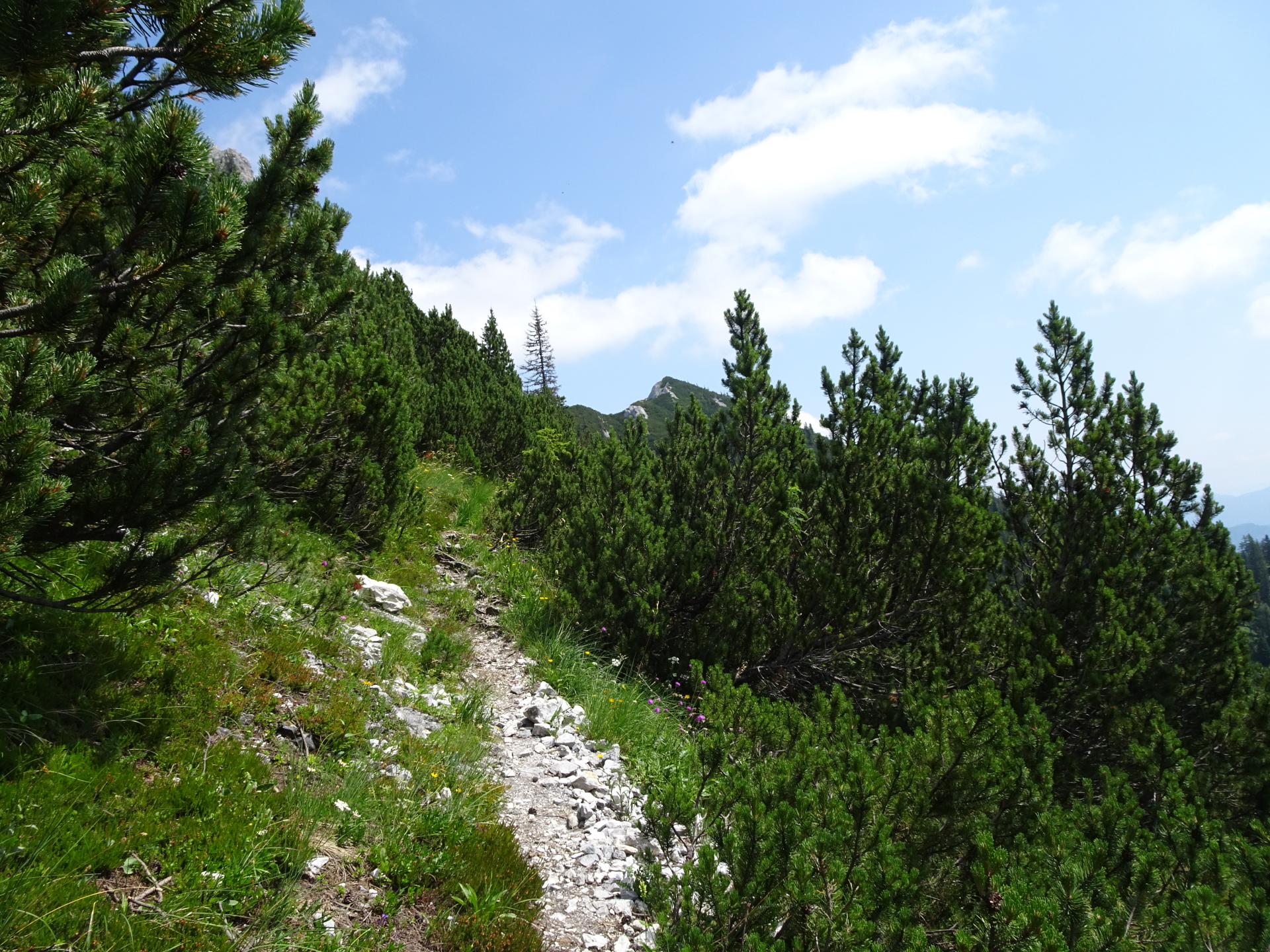
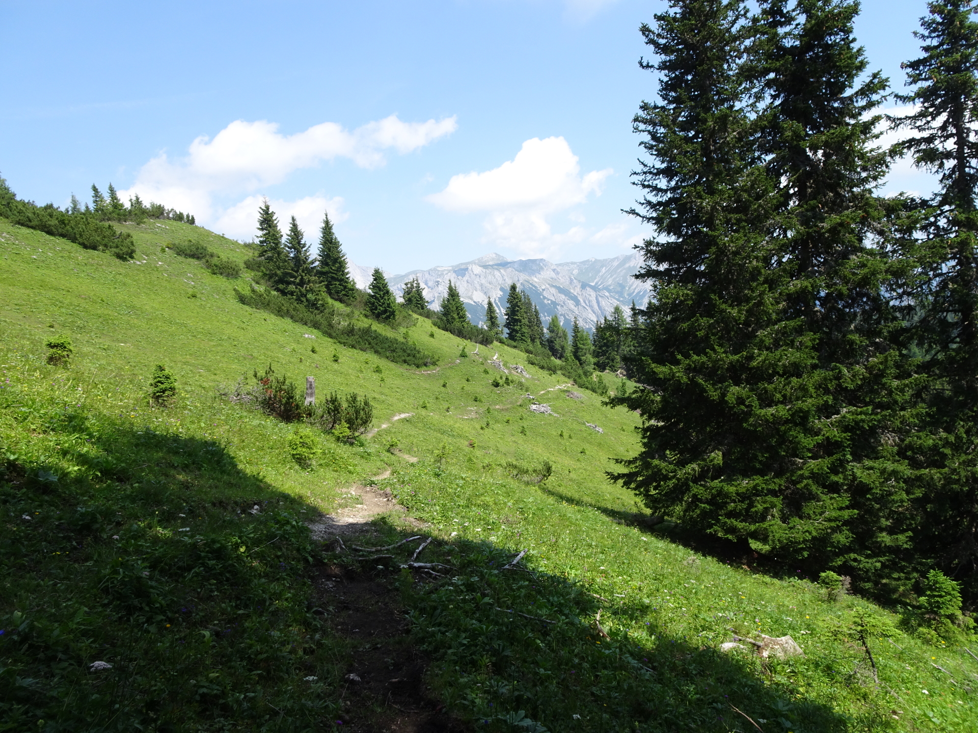
| 03:10 | Descend a few meters on the same way like the ascent and then turn left. Descend on unmarked trail through the meadow. The trail will become visible far east (look left), you need to find your way towards the trail. |
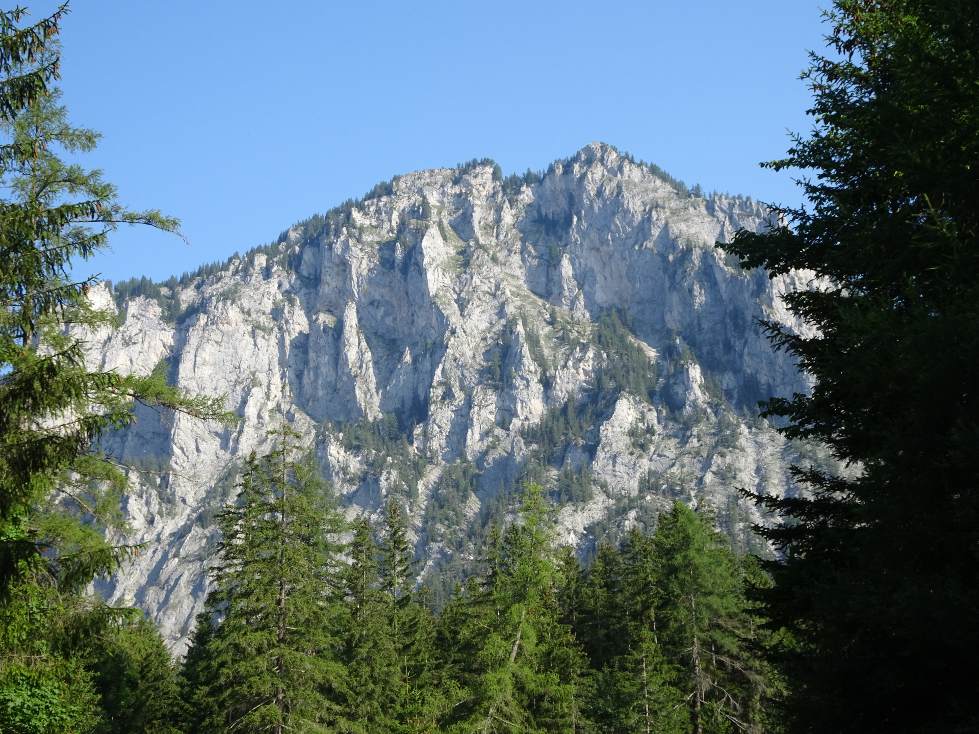
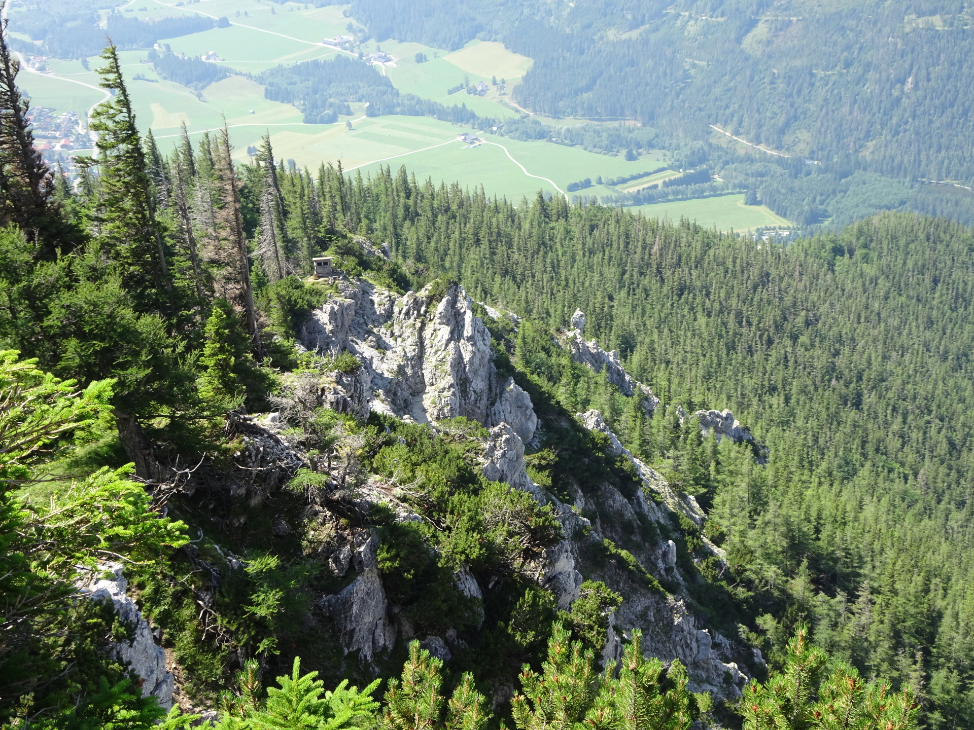
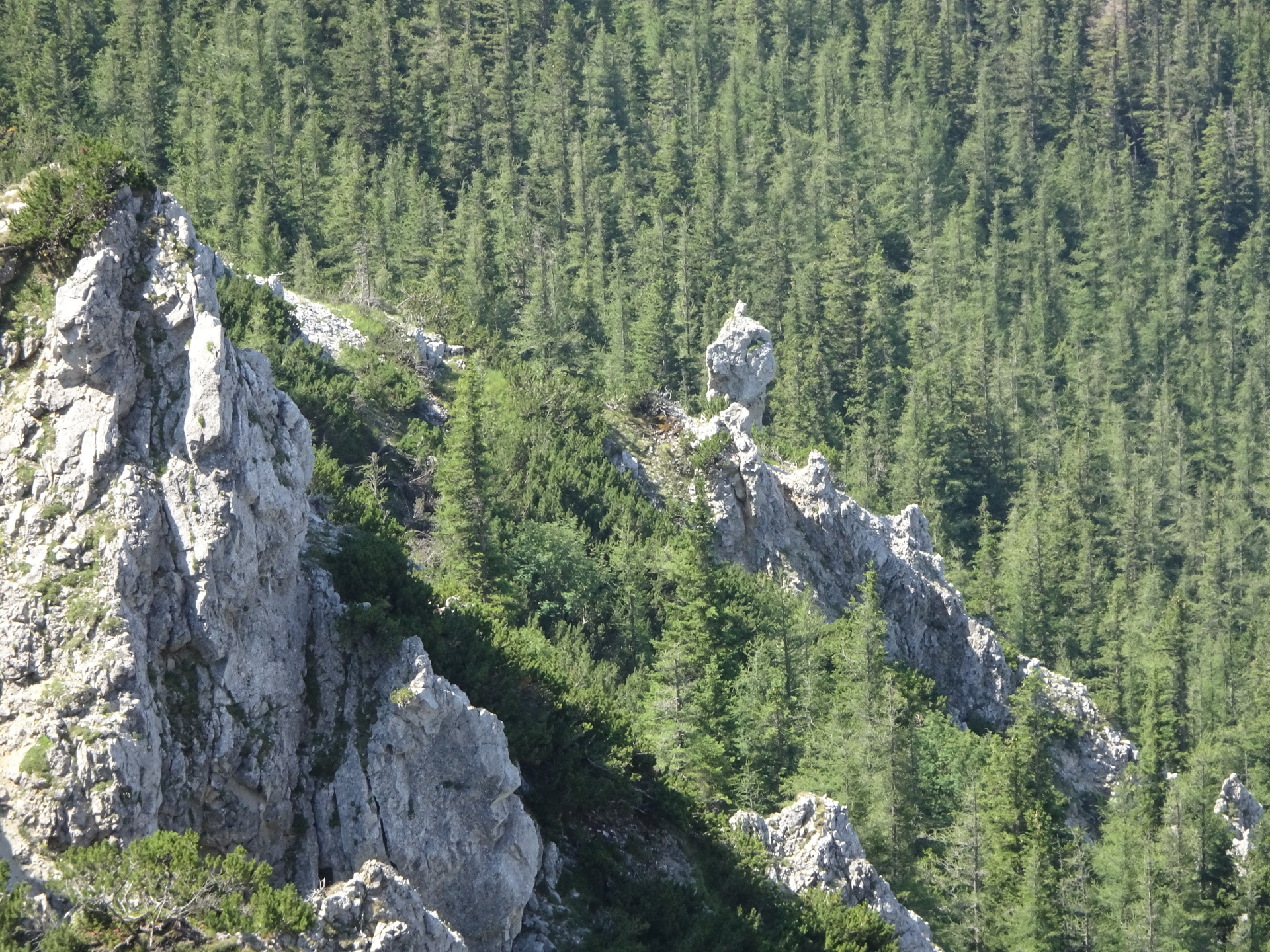
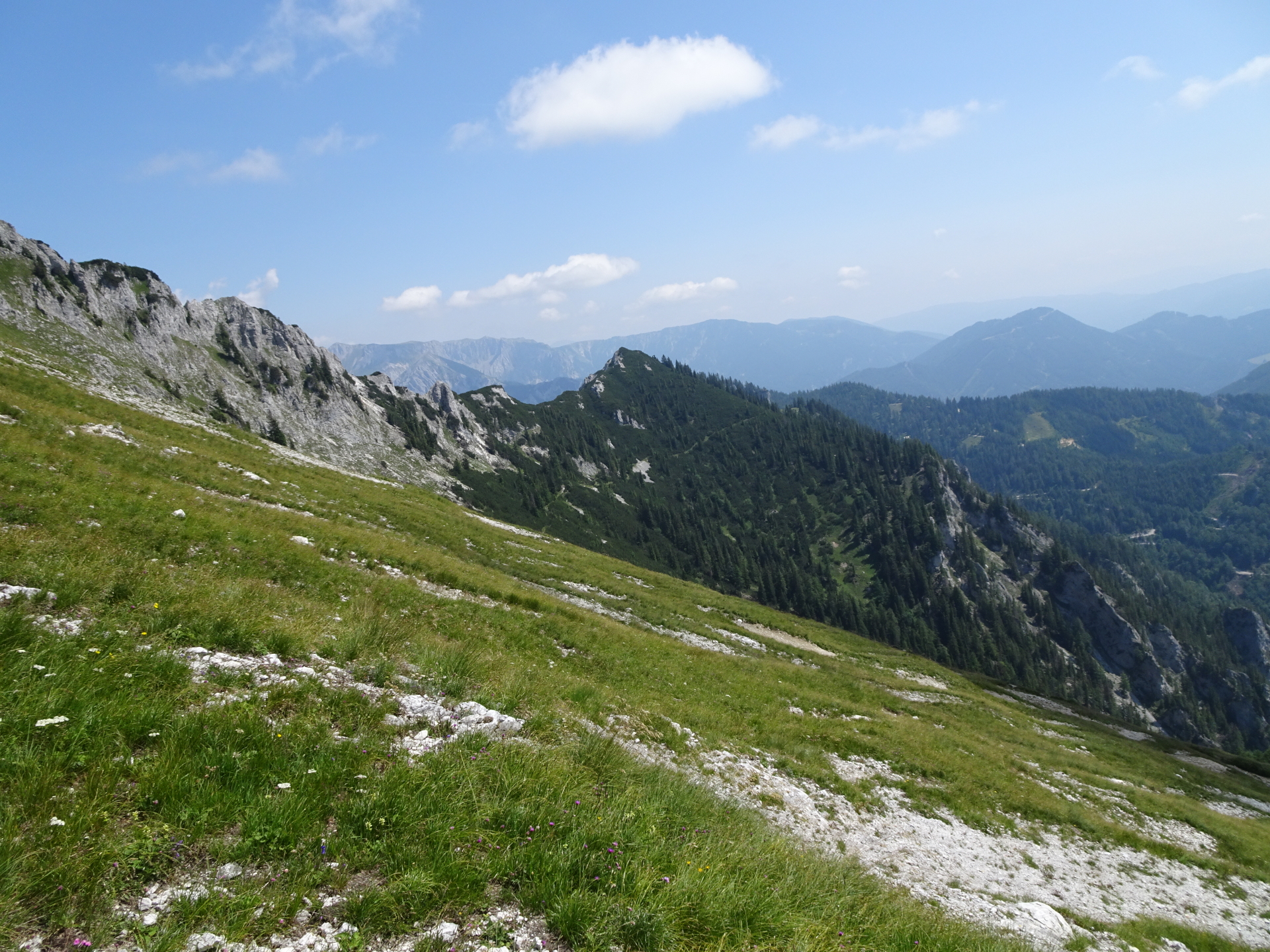
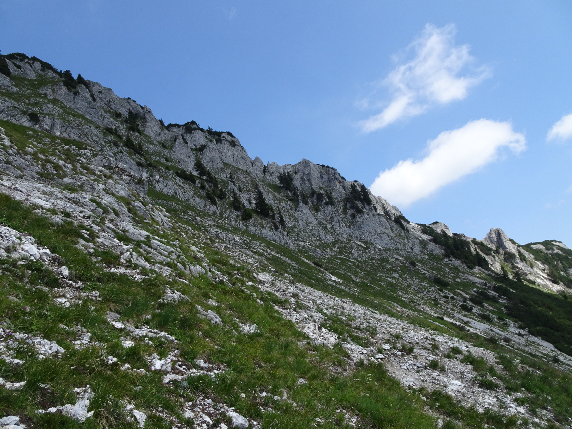
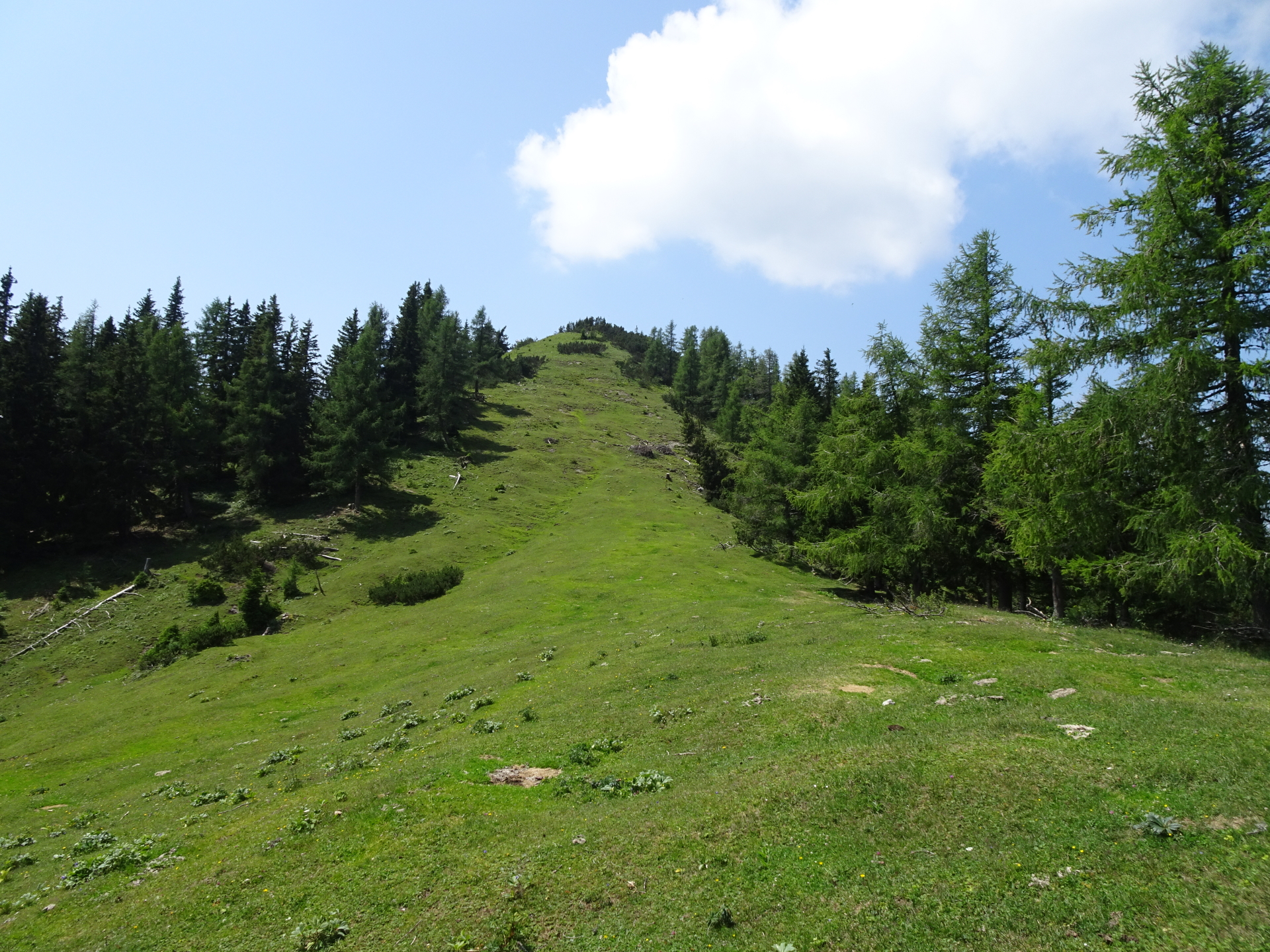
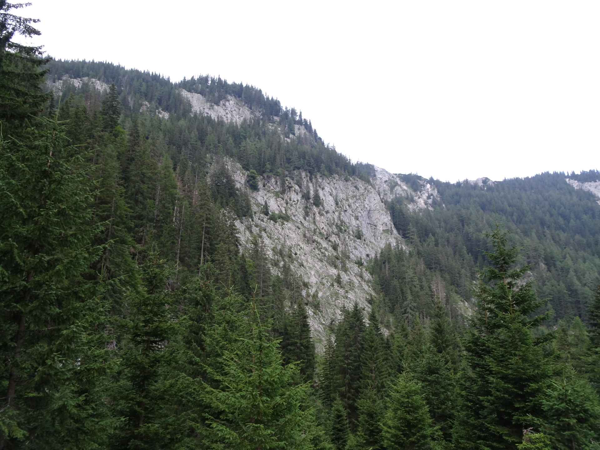
| 03:30 | Follow the trail eastwards towards Pillsteiner Höhe. |
| 04:05 | At the crossing, stay straight ahead and find your way to the top of Pillsteiner Höhe through the bushes. |
| 04:05 | At the crossing, stay straight ahead and find your way to the top of Pillsteiner Höhe through the bushes. |
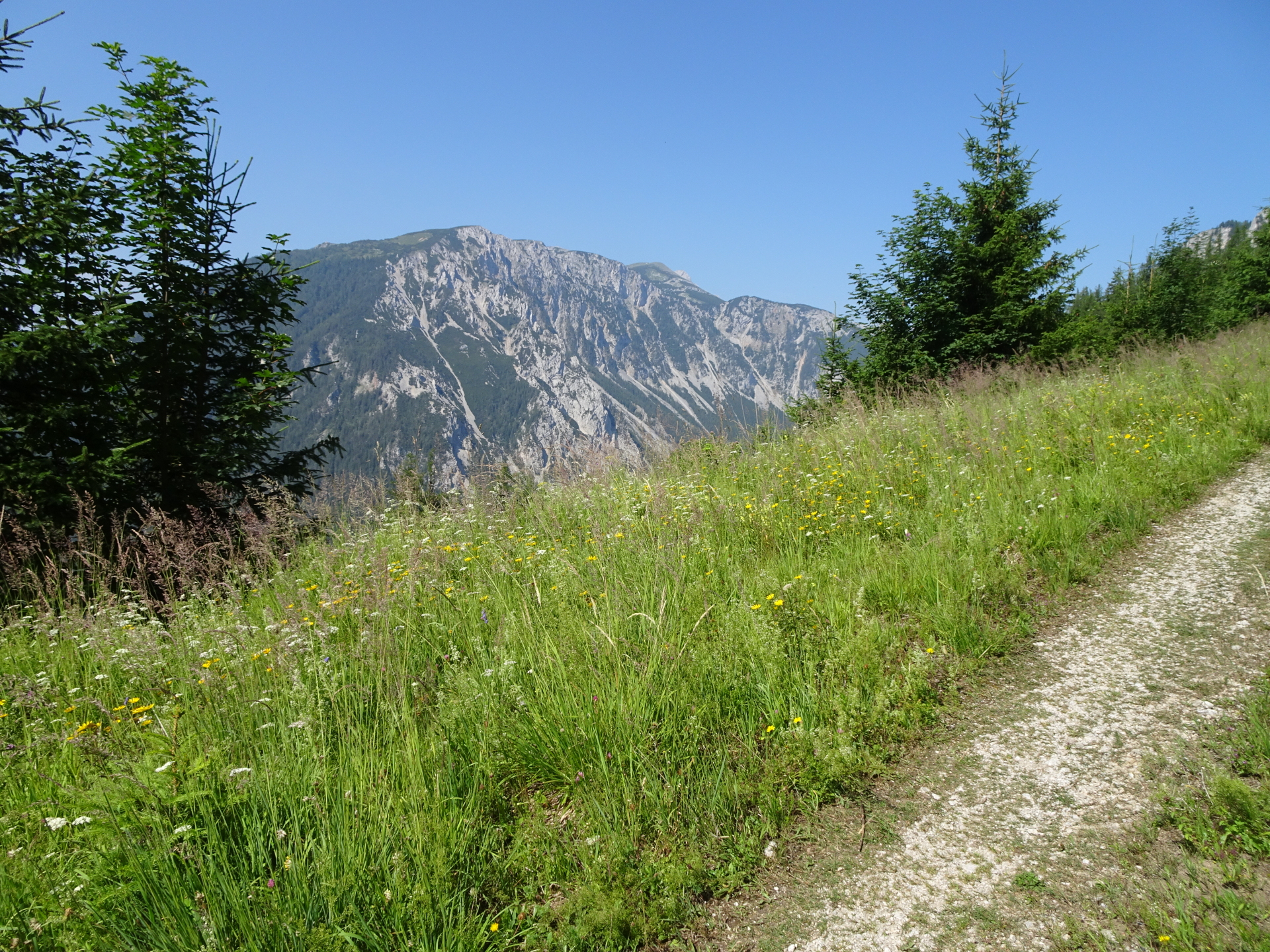
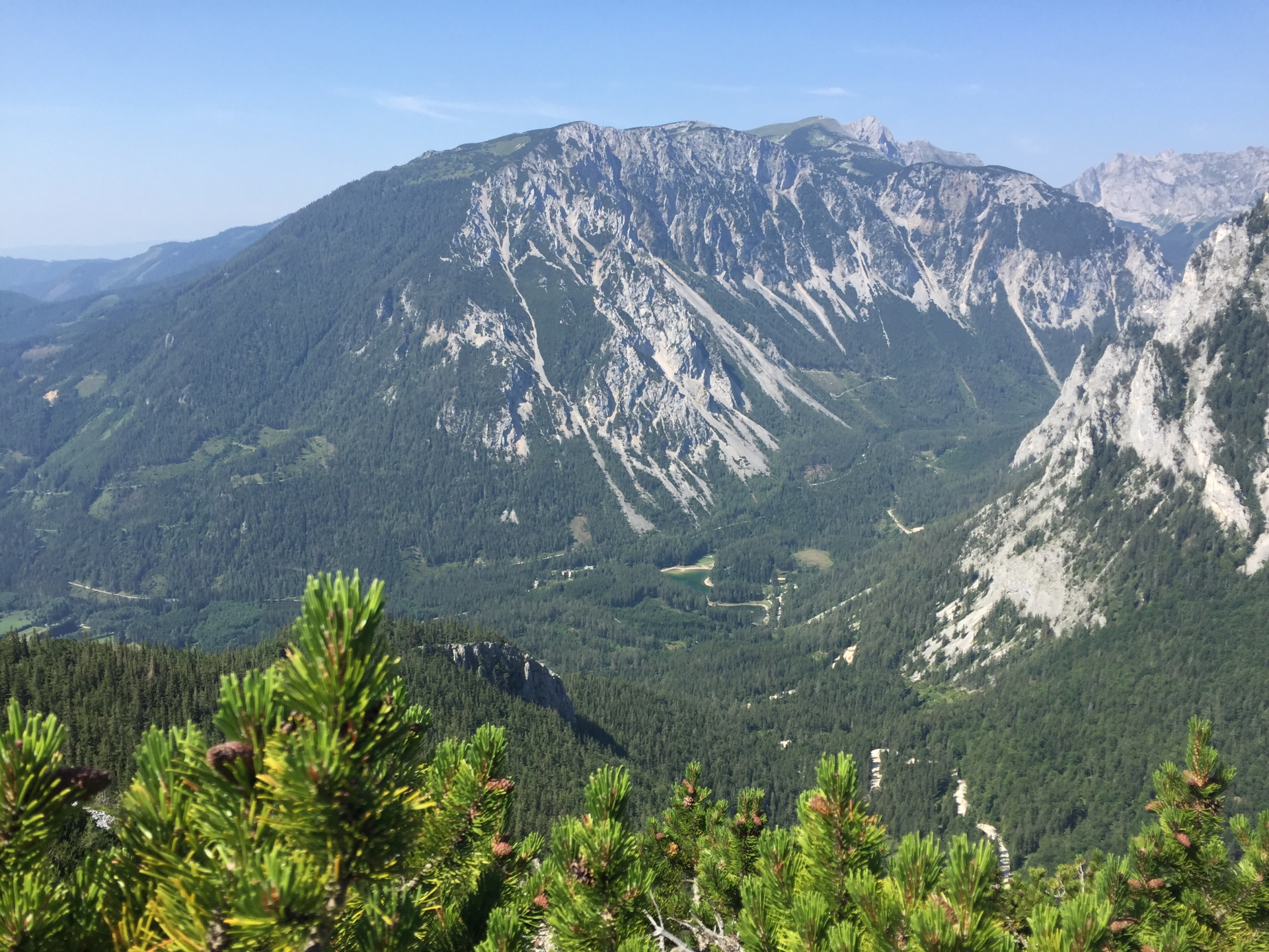
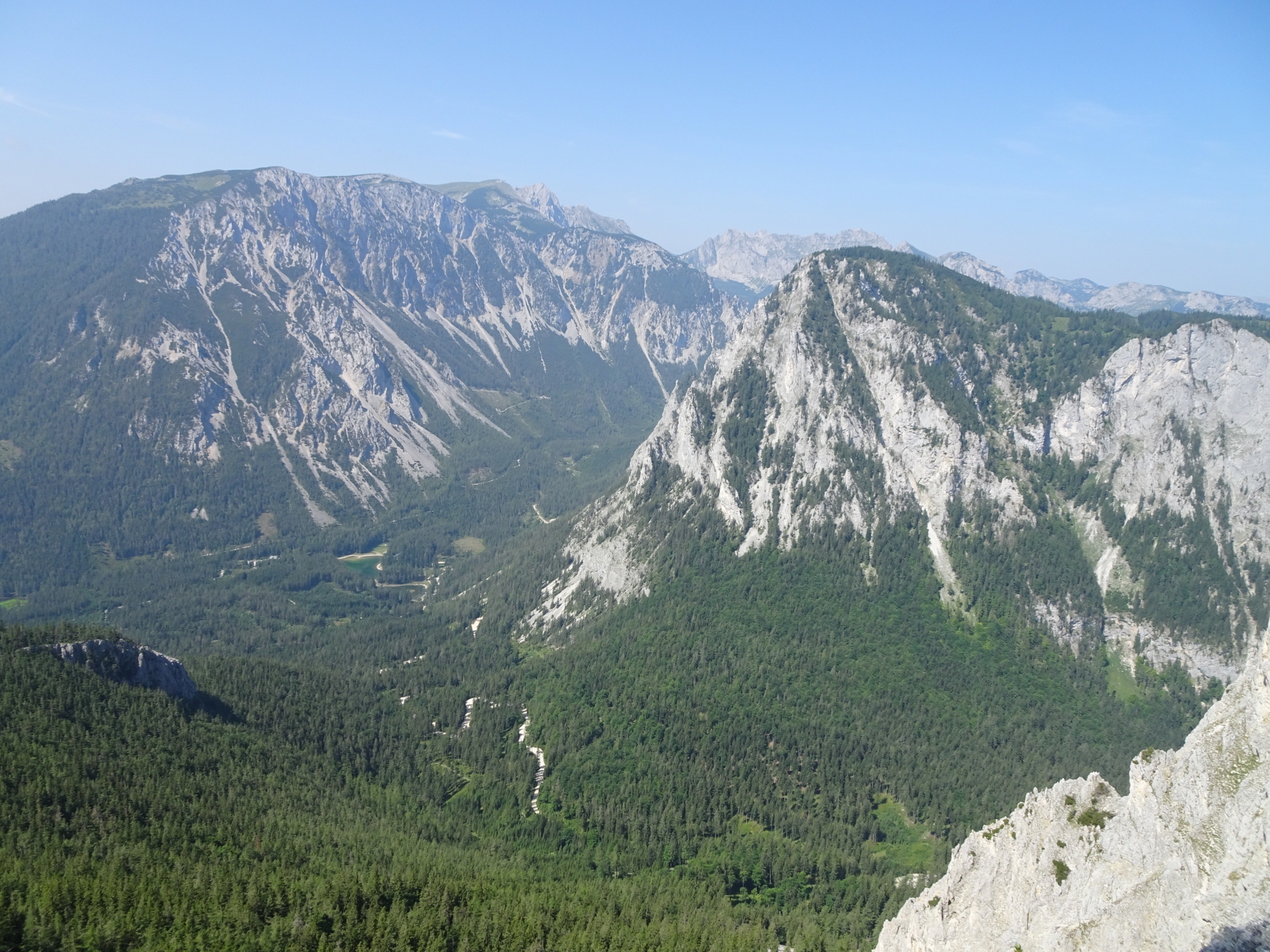
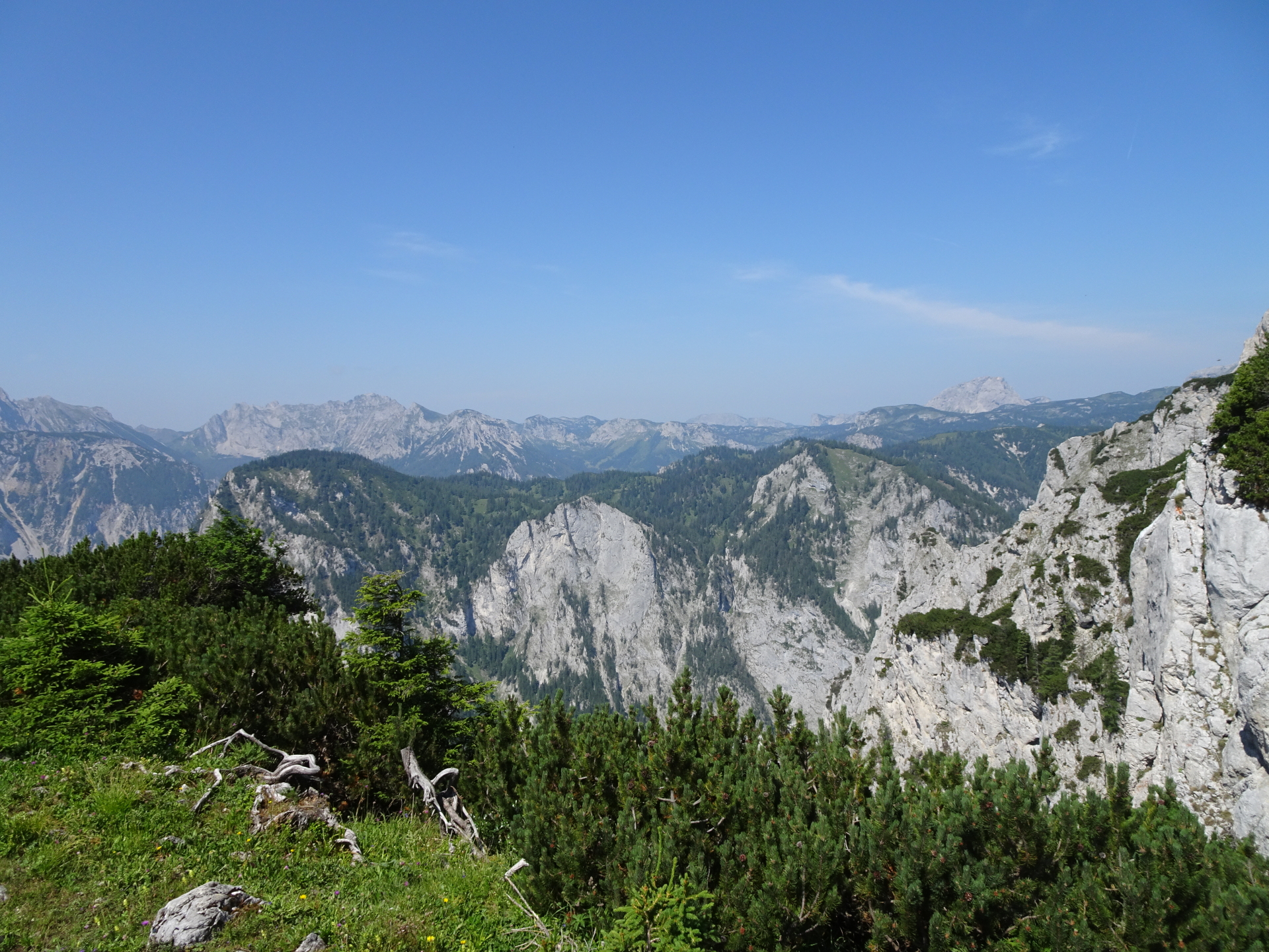
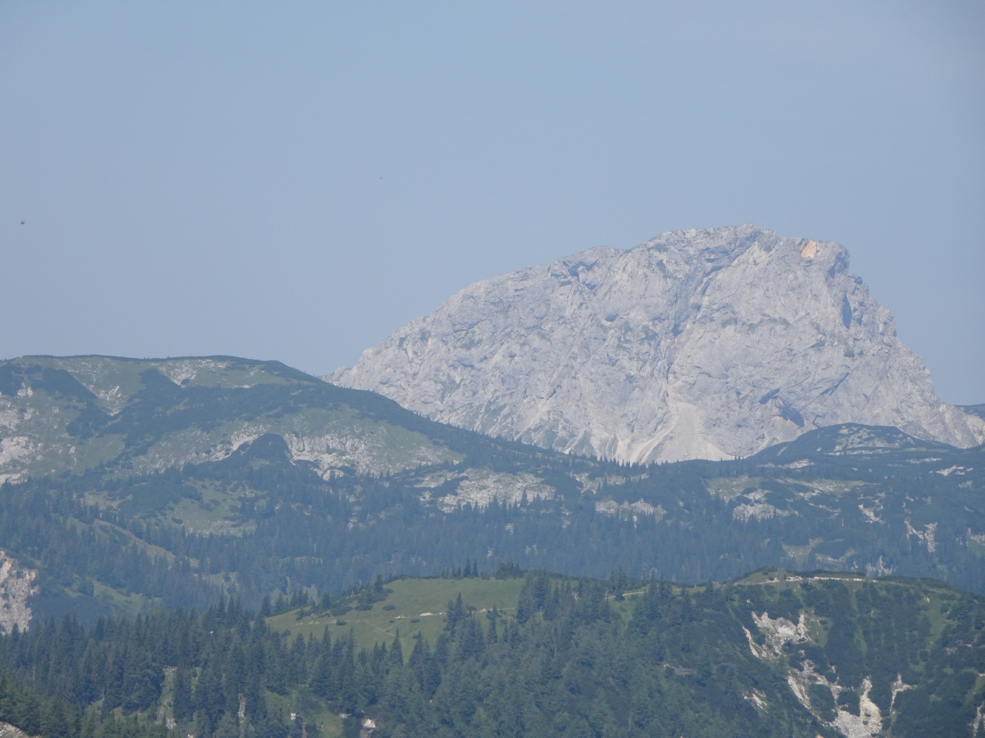
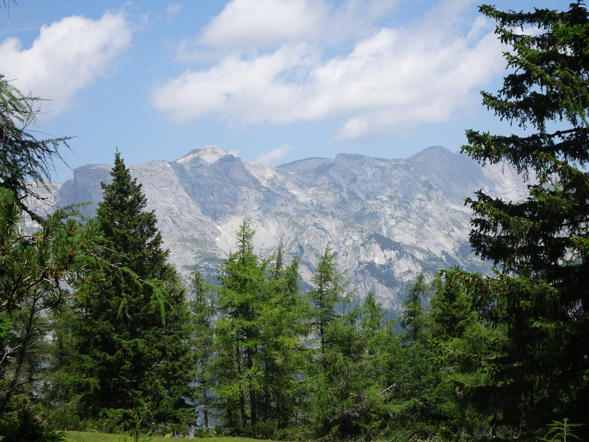
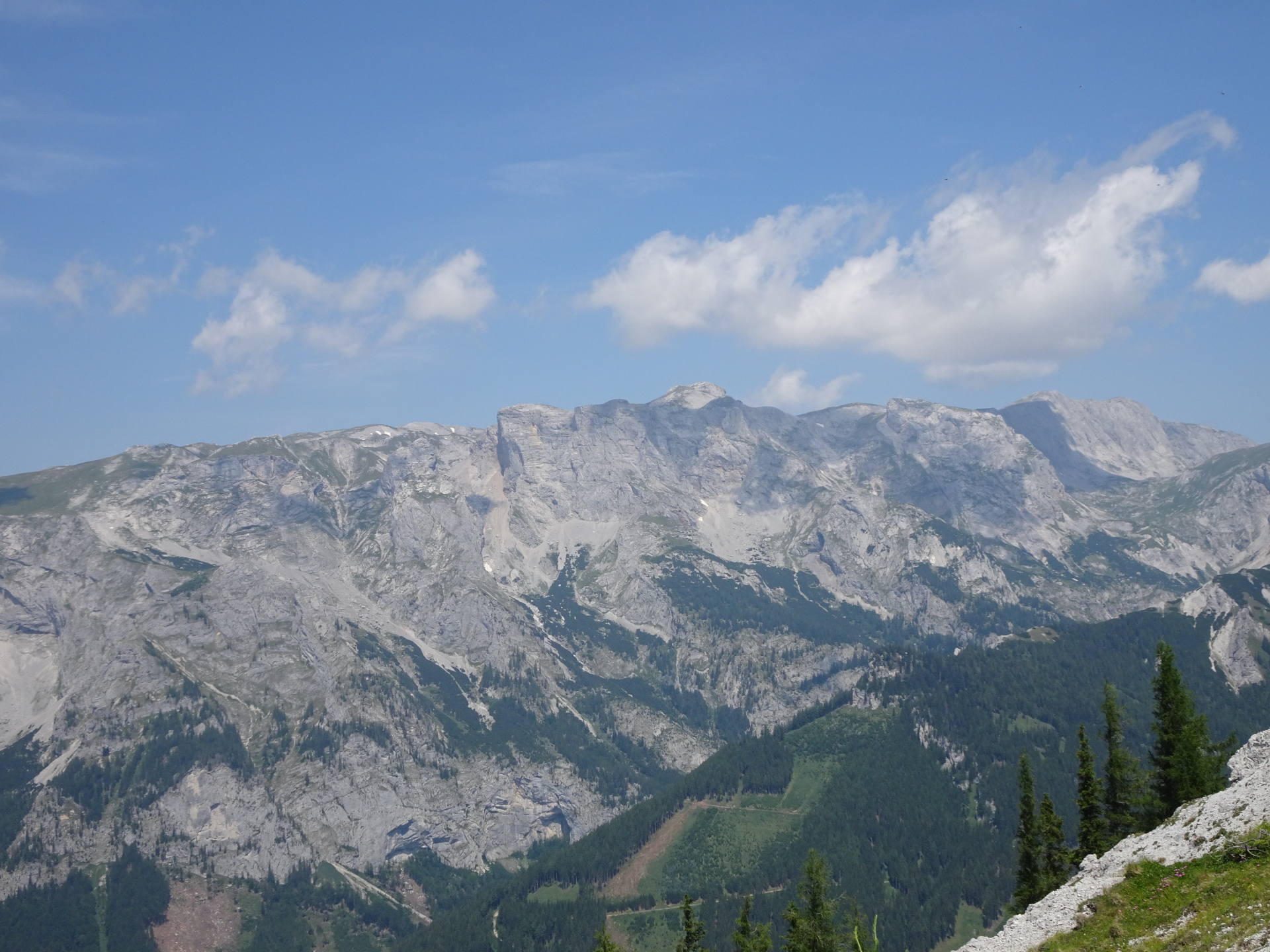
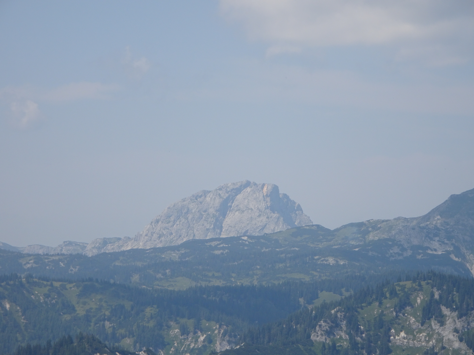
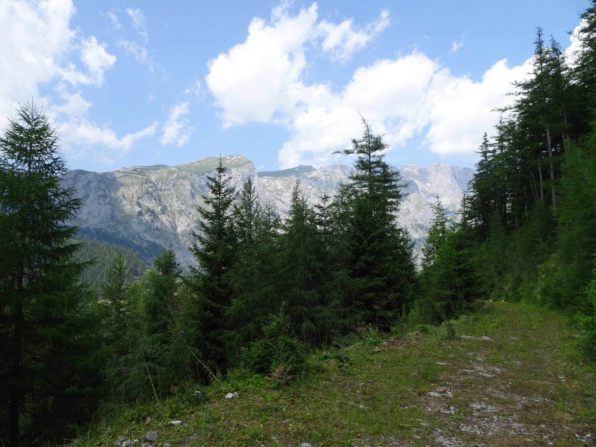
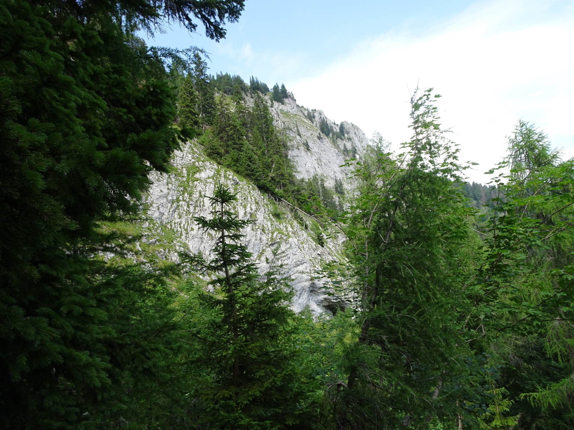
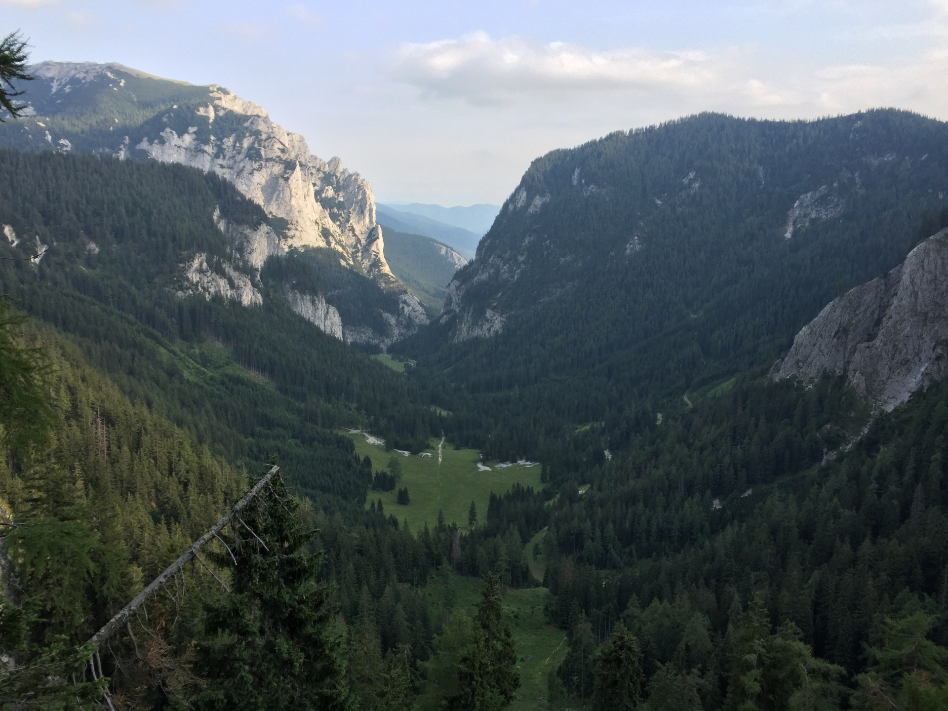
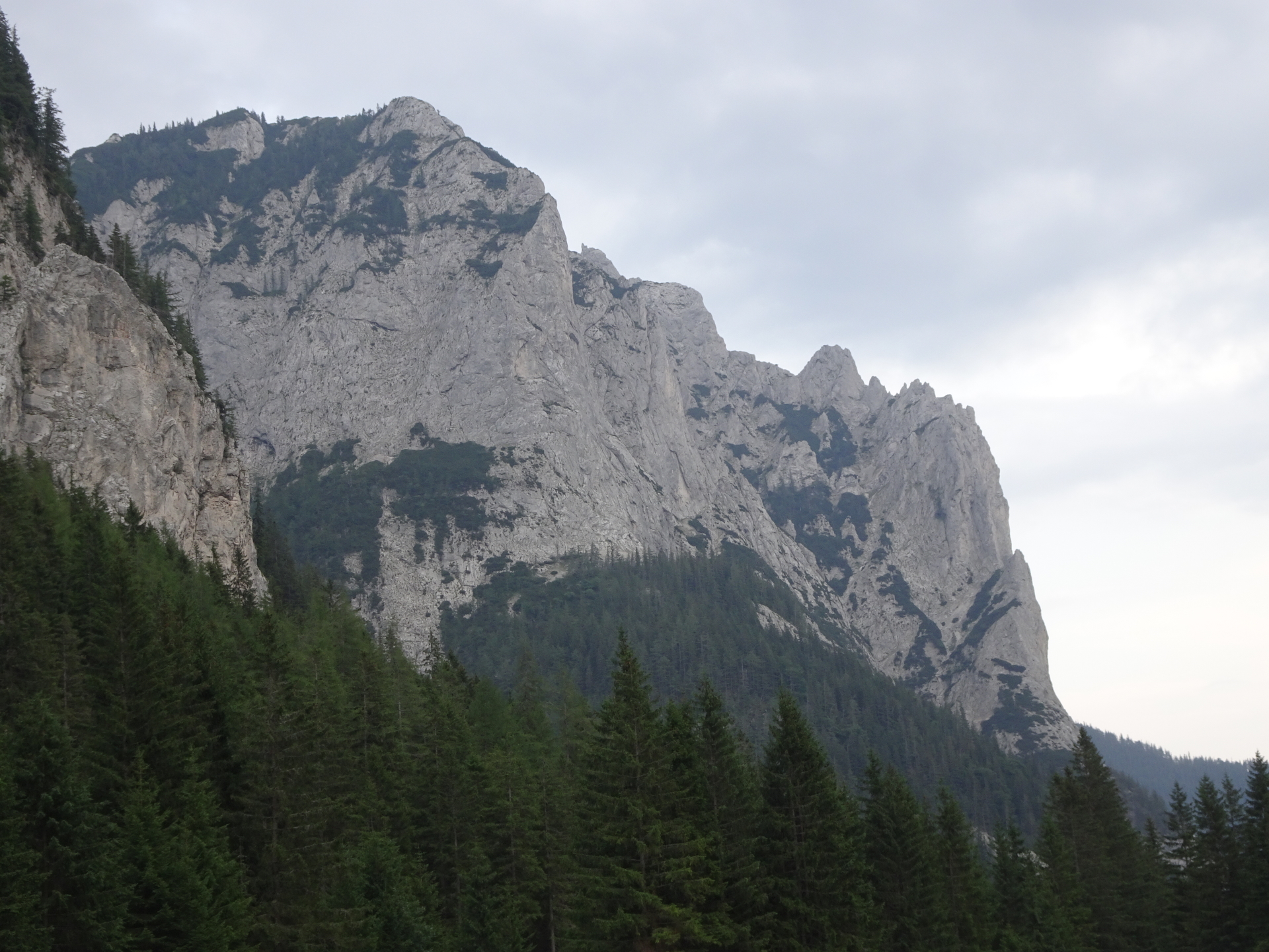
| 04:10 | Enjoy the impressive view towards Hochschwab from Pillsteiner Höhe. Best enjoyed with a self-brought refreshment (). |
| 04:15 | Walk back to the crossing at the saddle. |
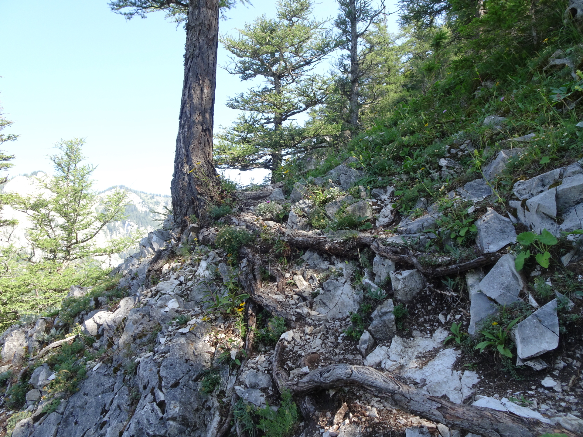
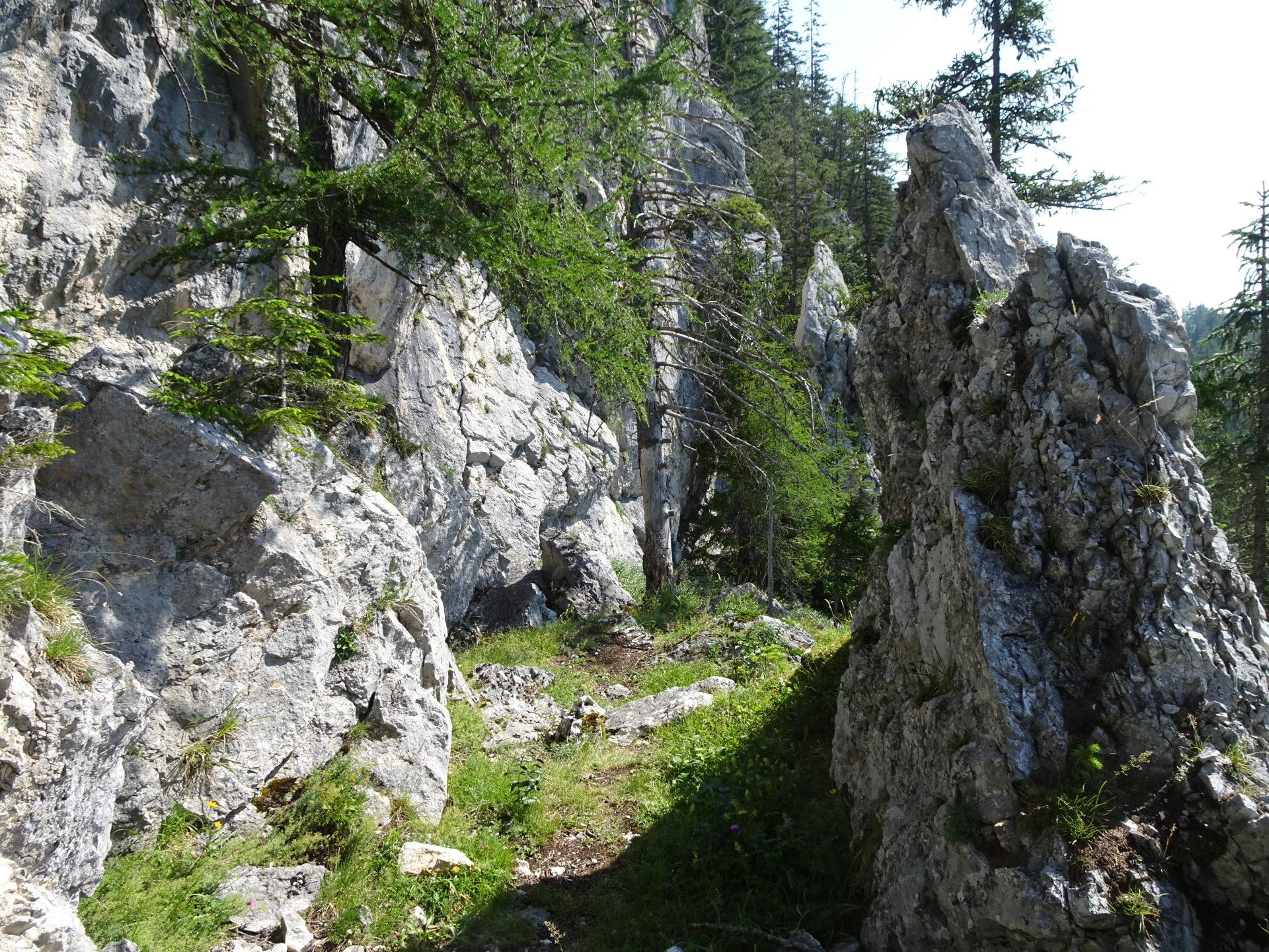
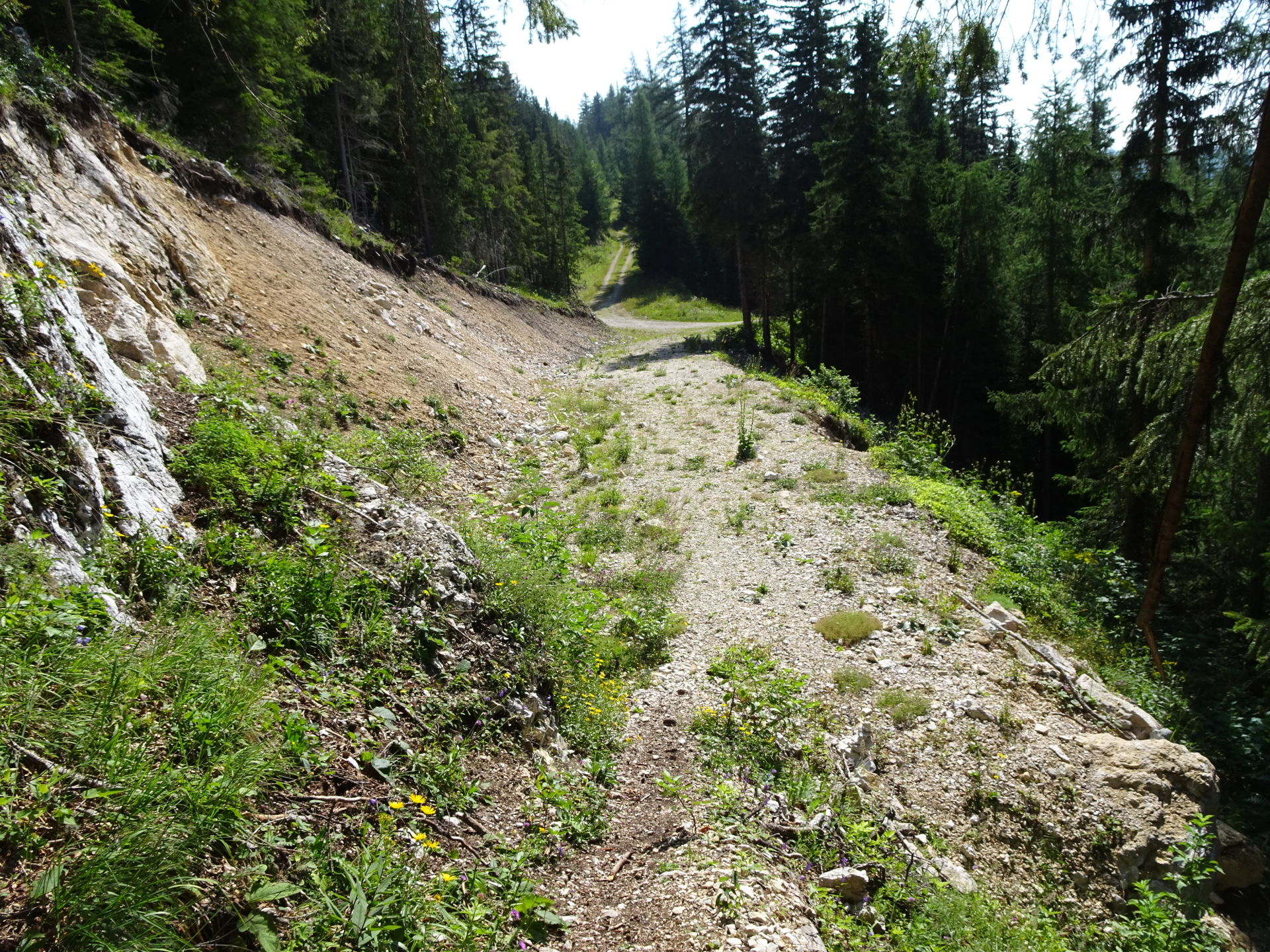
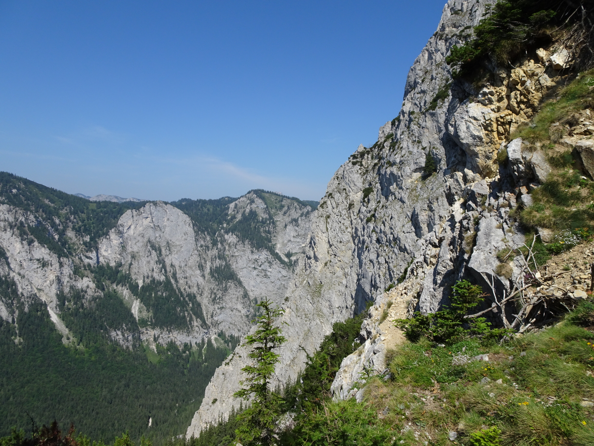
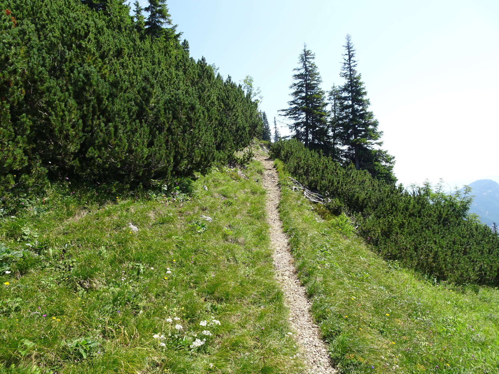
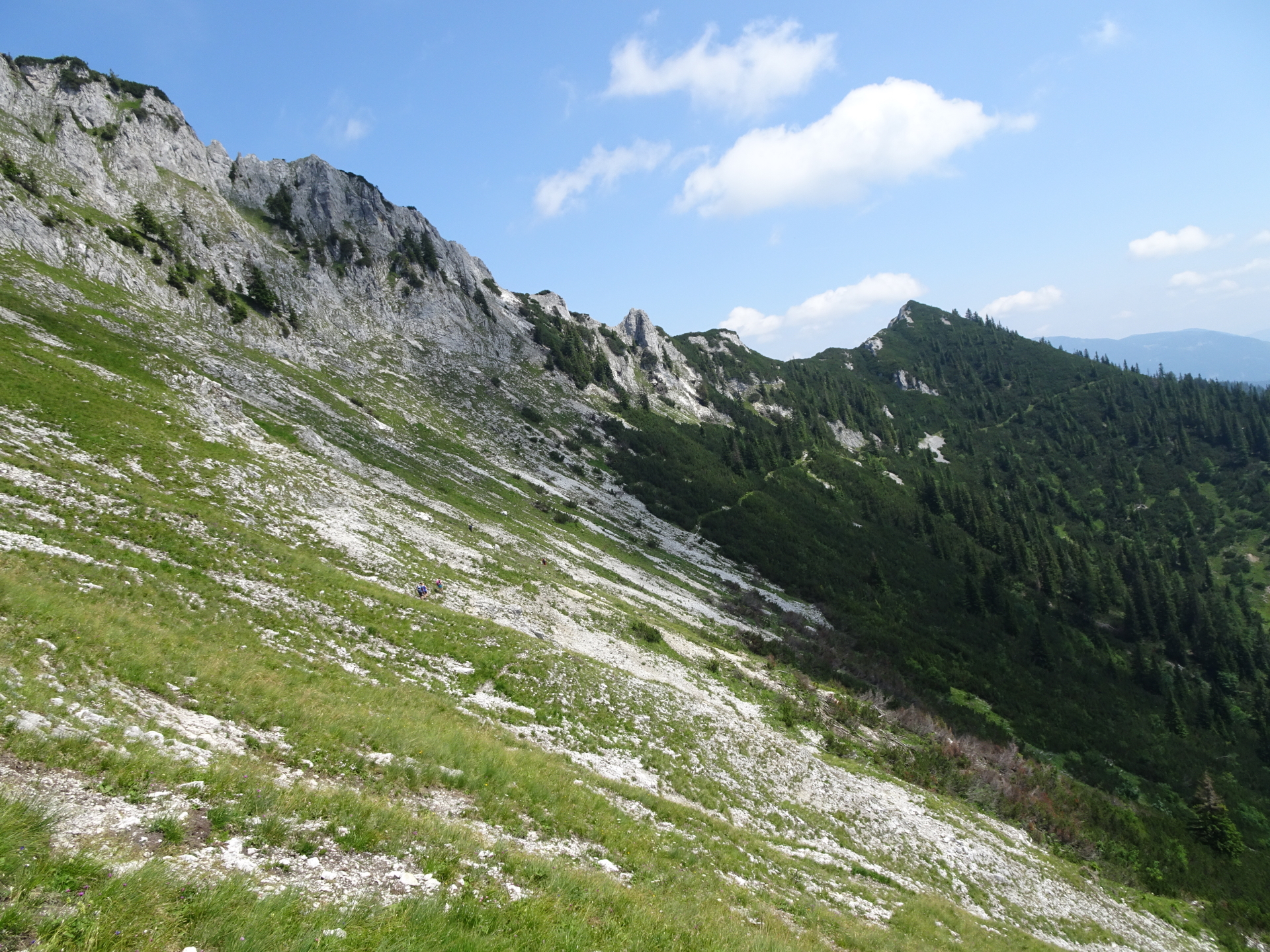
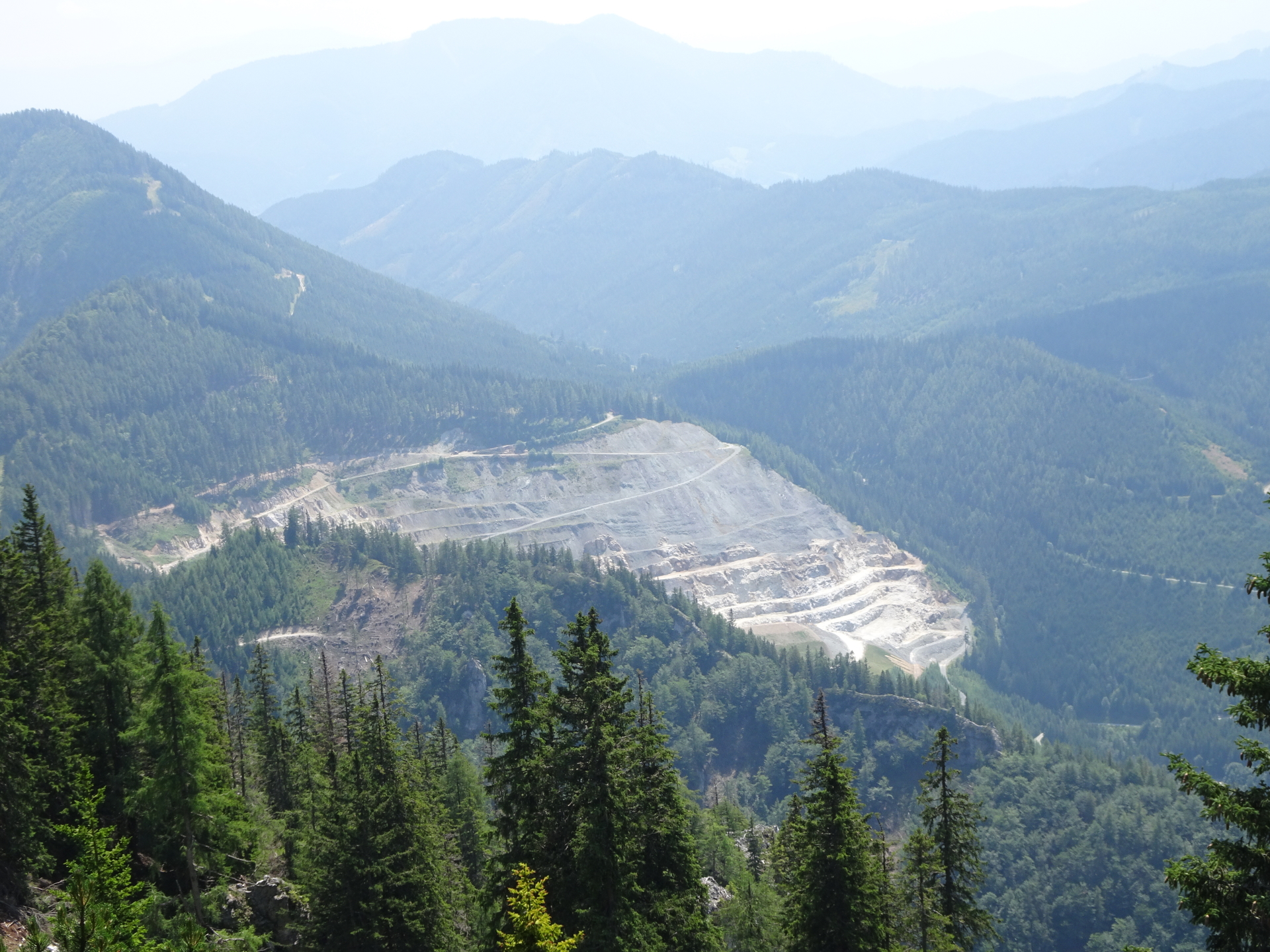
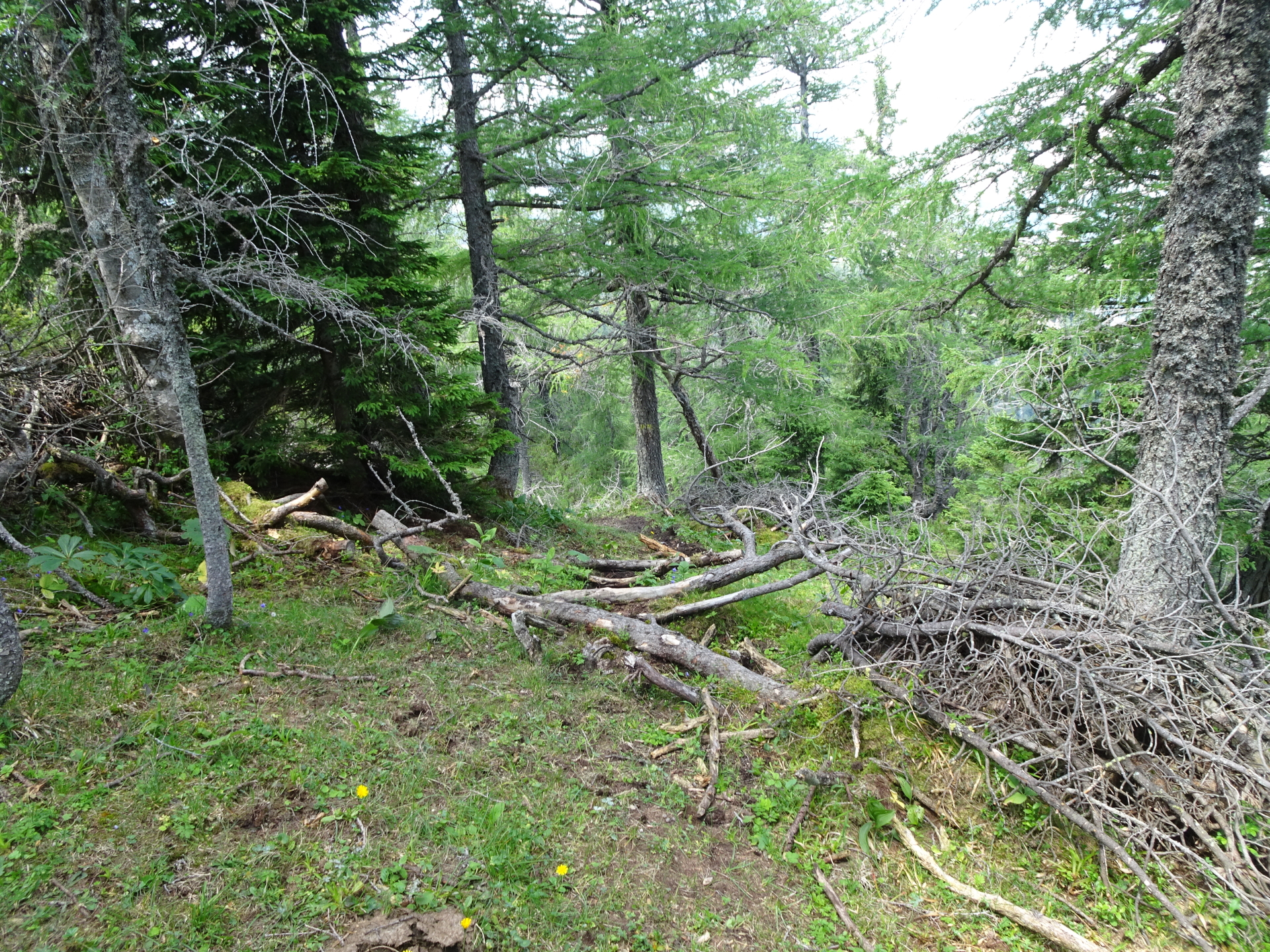
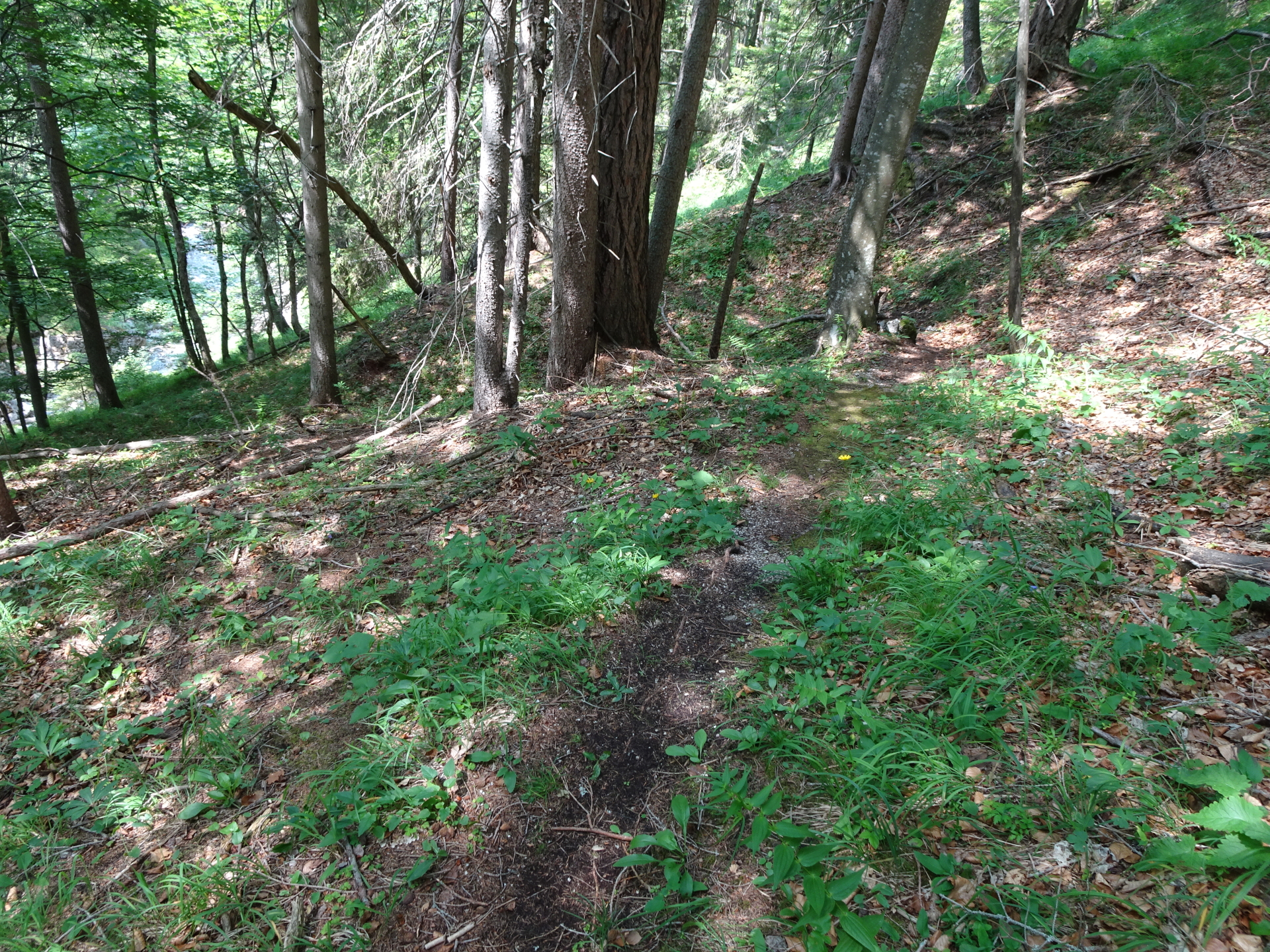
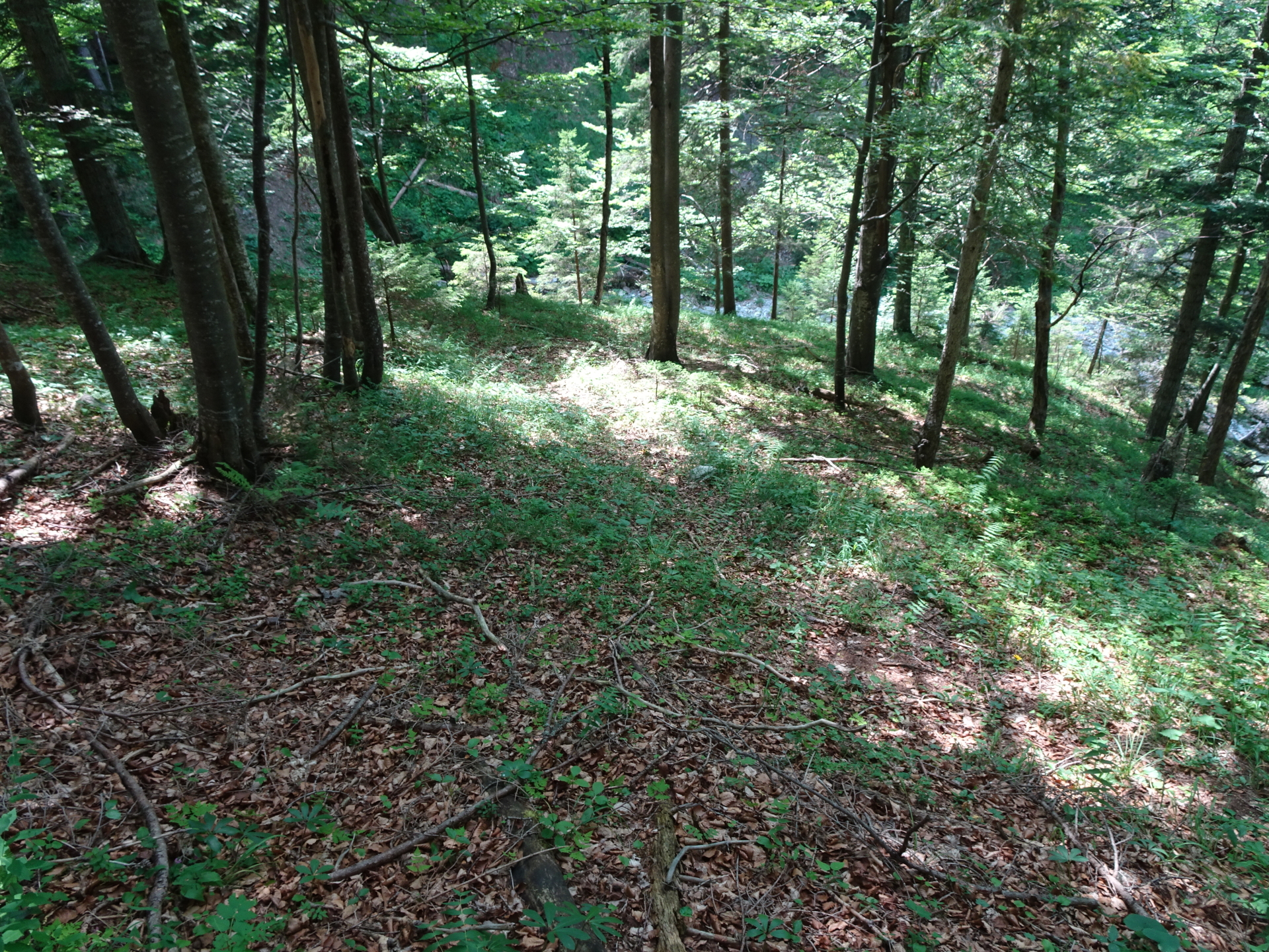
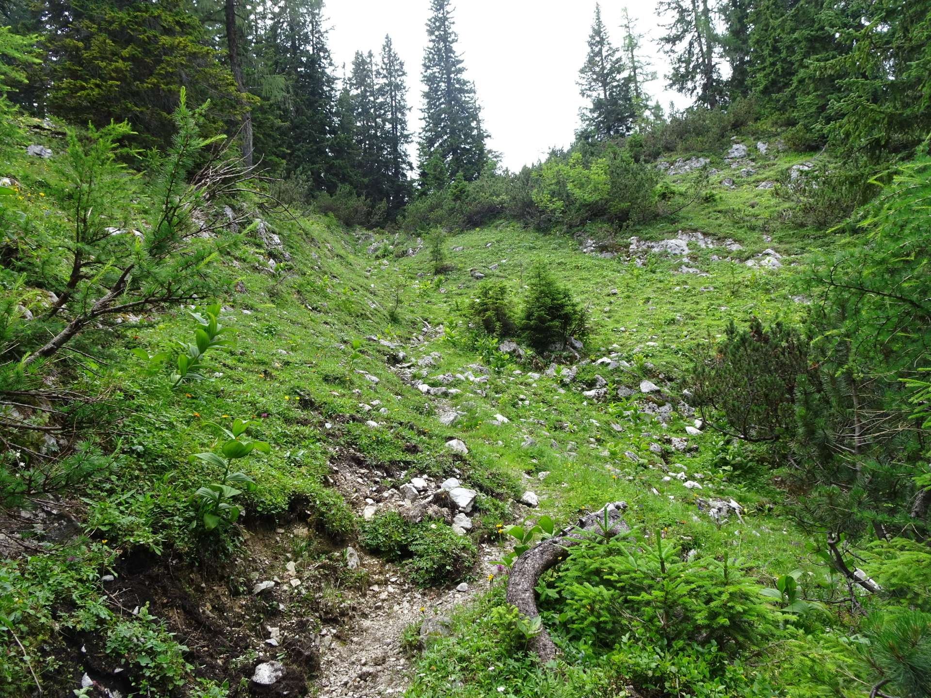
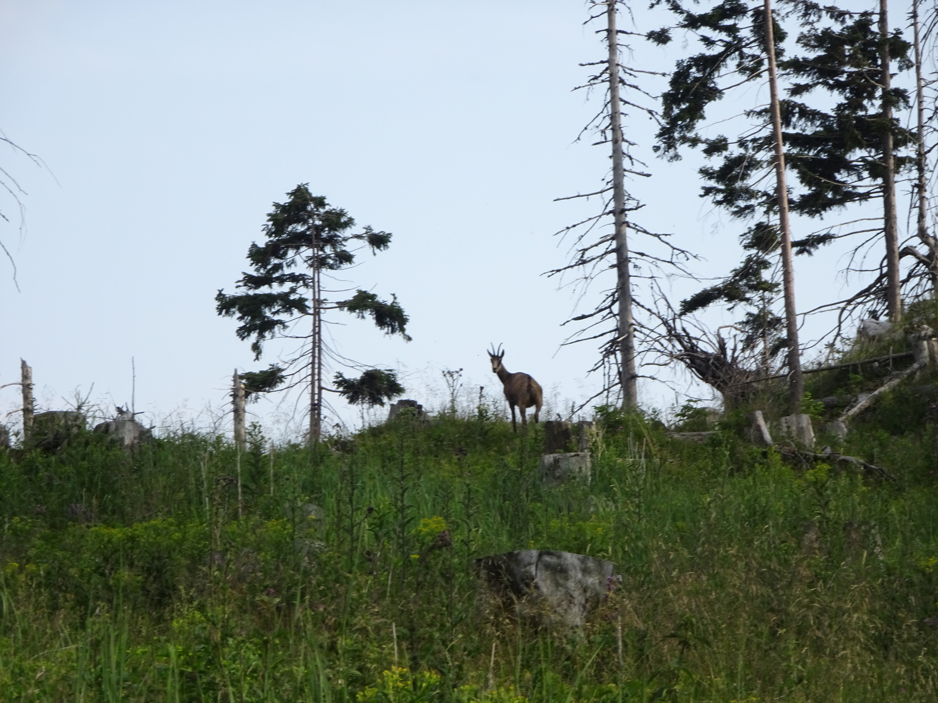
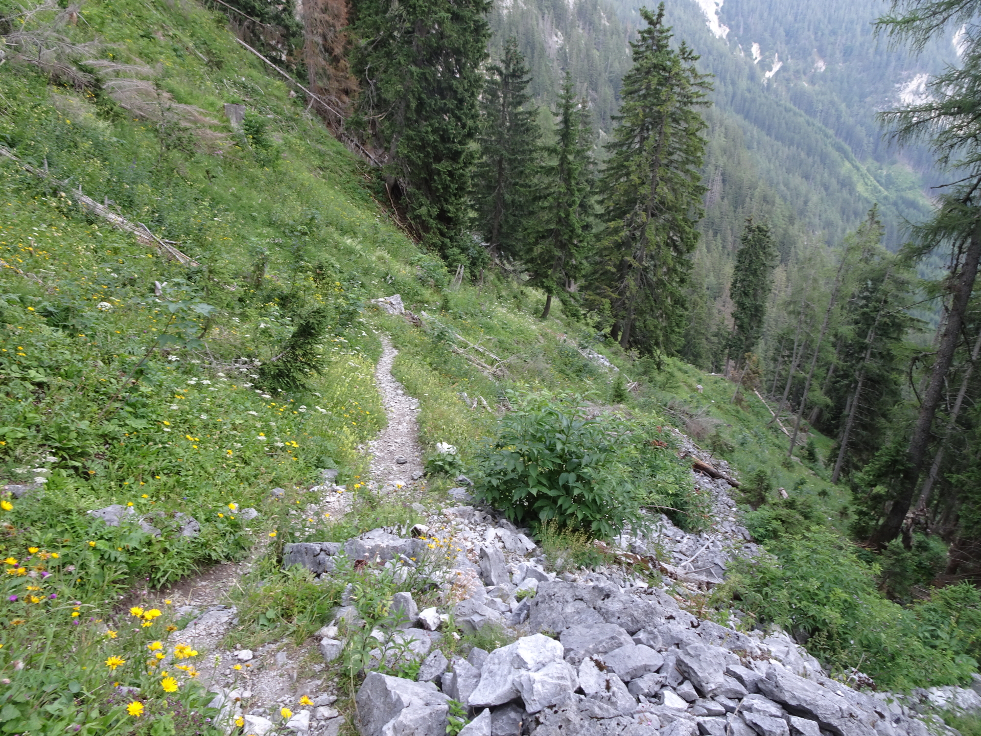
| 04:20 | From now on, the trail is unmarked and abandoned. It is still visible but not maintained and thus can become very tricky! A good sense of orientation and a sure foot is required! Turn right and follow the trail downwards. |
| 04:40 | Turn left and follow the trail westwards down. Please note that the trail is abandoned, not marked but leads through a tricky environment! |
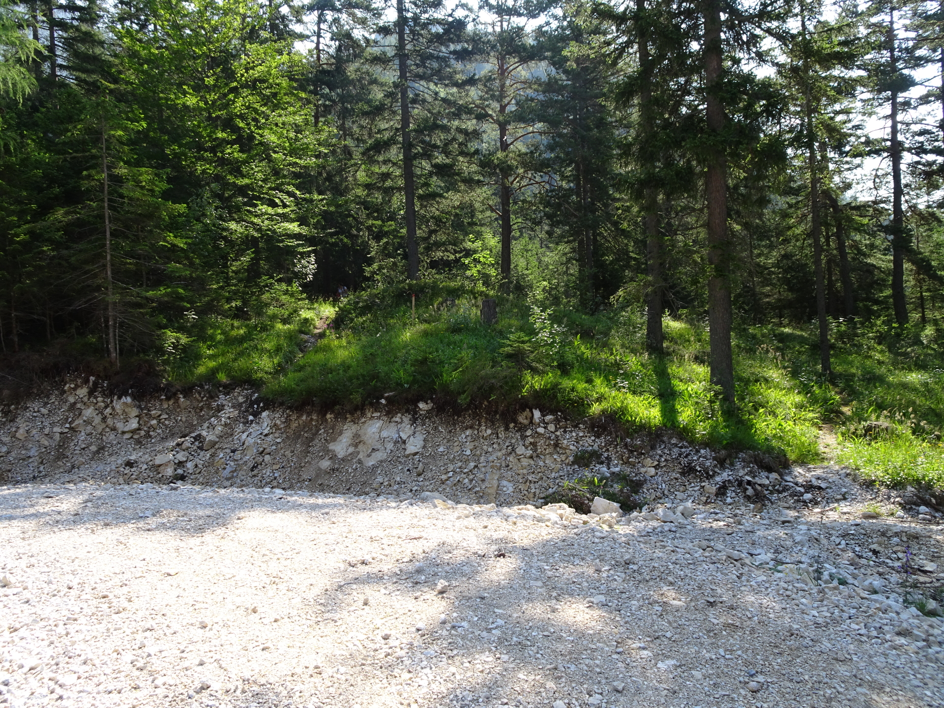
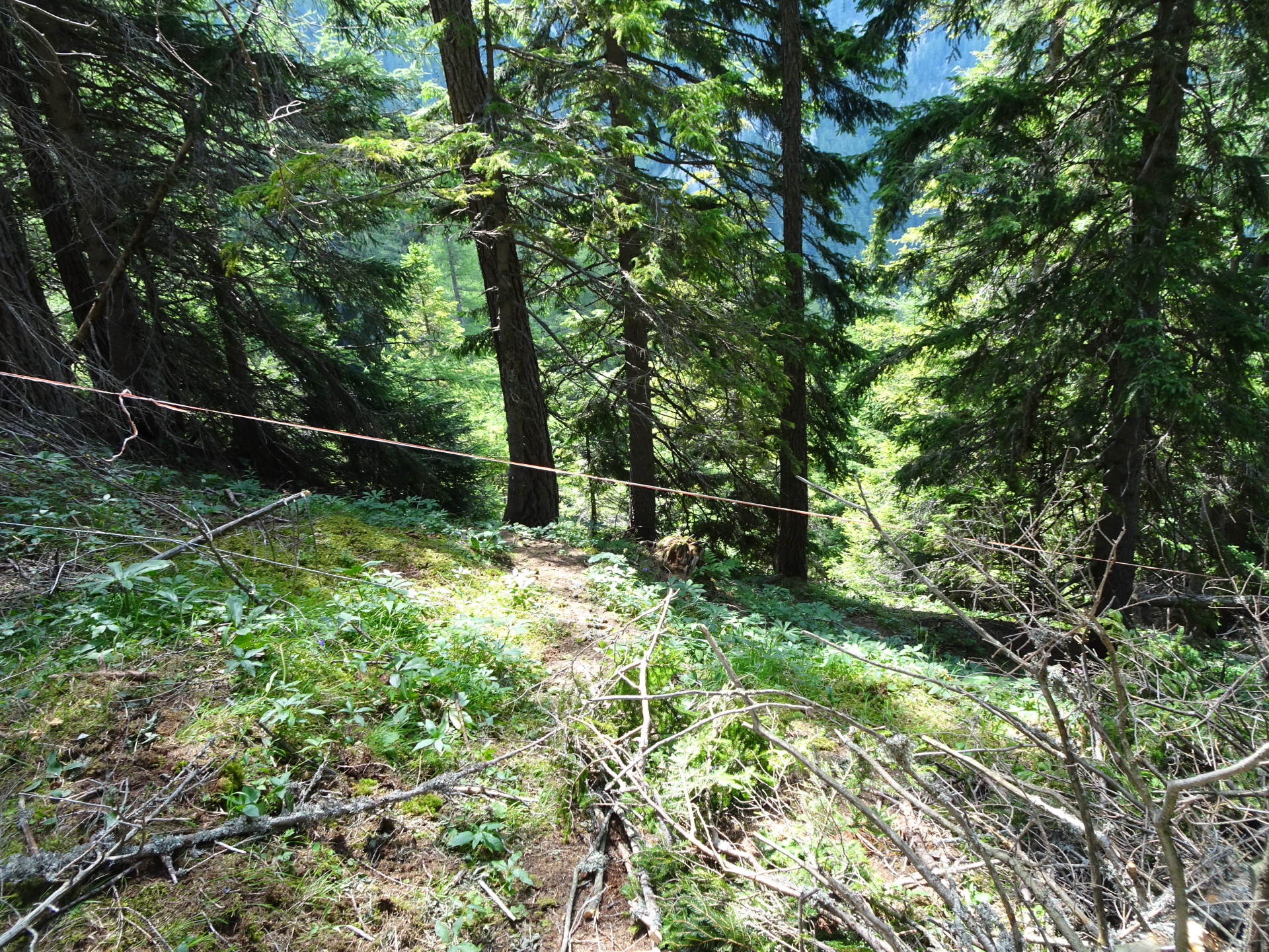
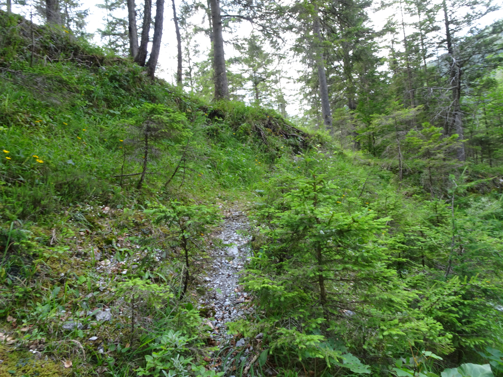
| 05:10 | Immediately leave the forest road, turn left and follow again the unmarked (but visible) trail downwards. |
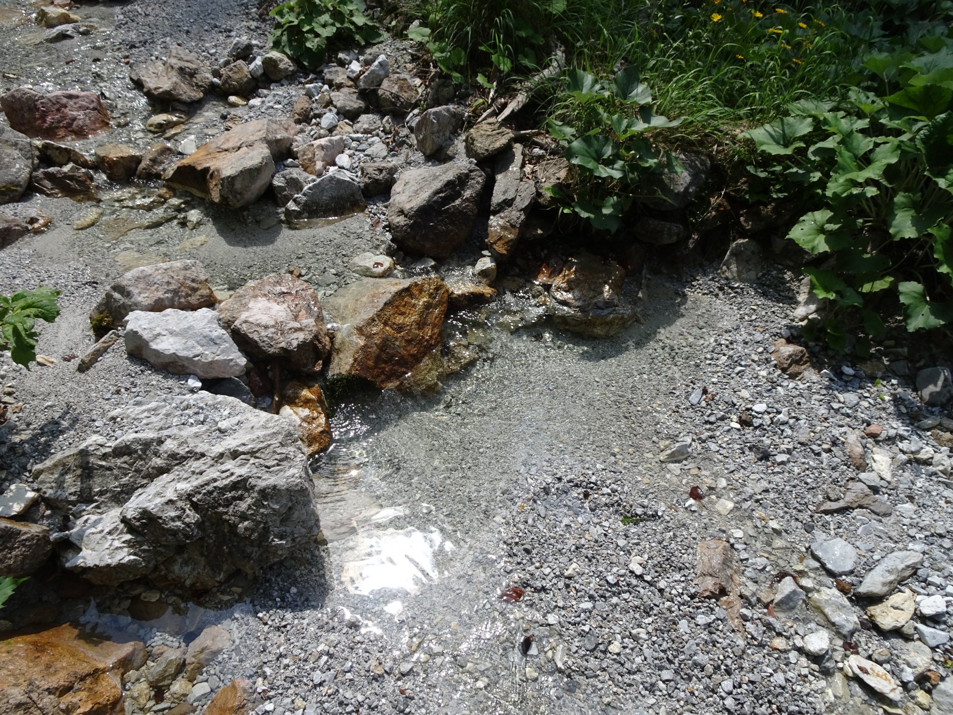
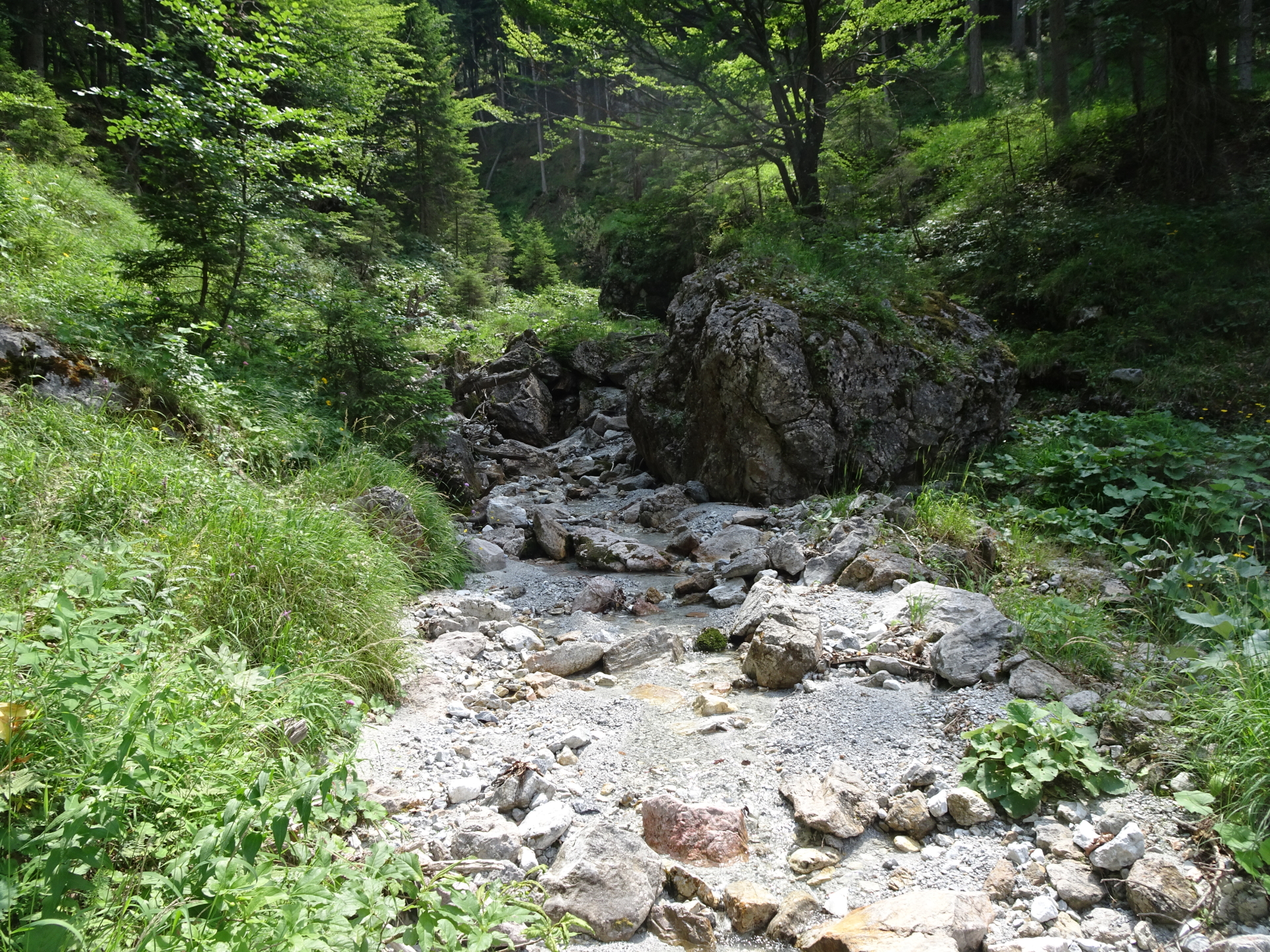
| 05:20 | Turn left, cross the river and follow the trail on the other side of the river. This trail is super hard to find. Make sure you cross the river, otherwise you will end up on a wrong road! |
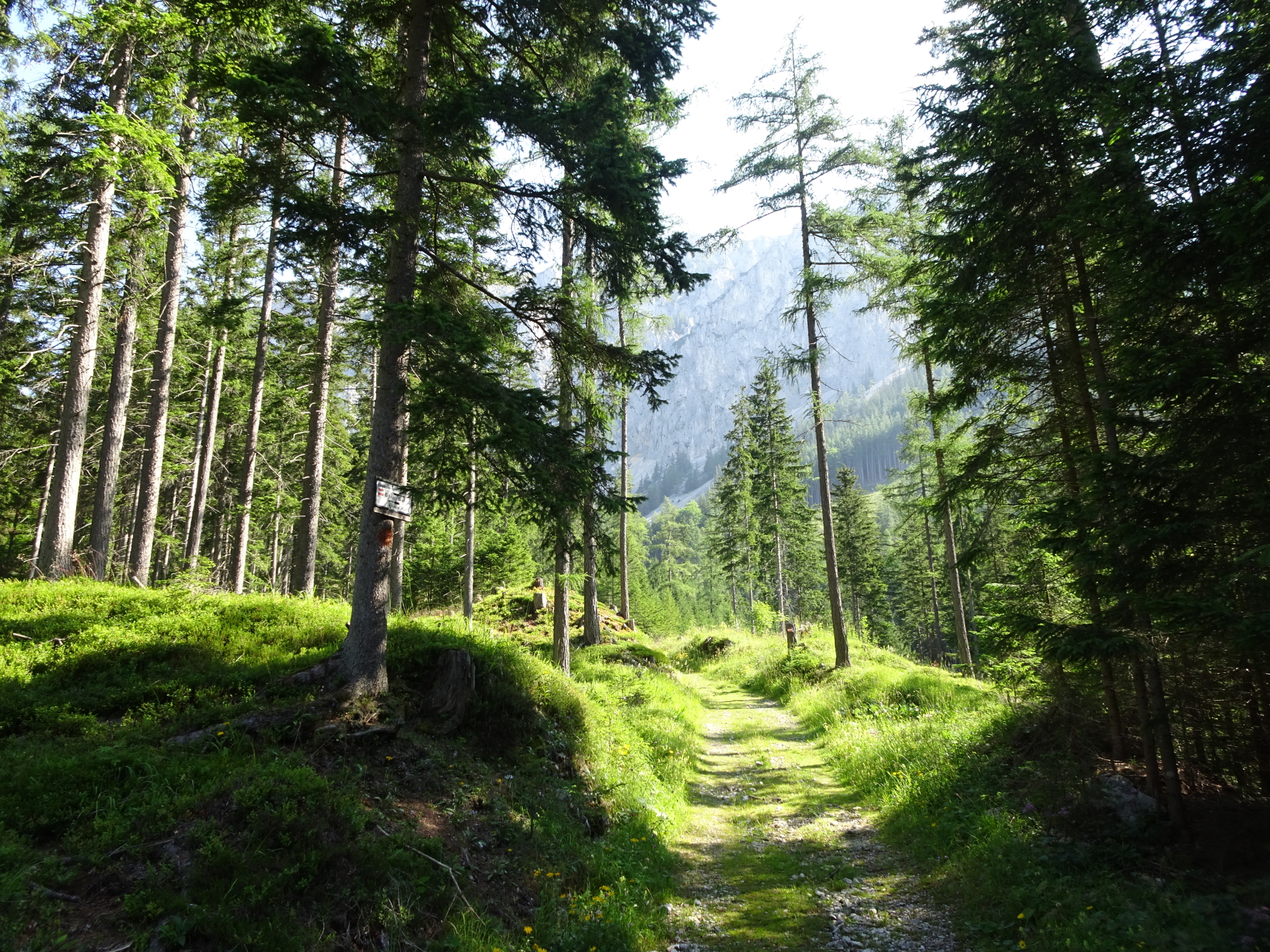
| 05:25 | When reaching the forest road, turn left and follow the Hainzleralmweg trail (red-white-red marking). |
| 05:40 | At the crossing, stay straight ahead and continue following the red-white-red marked hiking trail. |
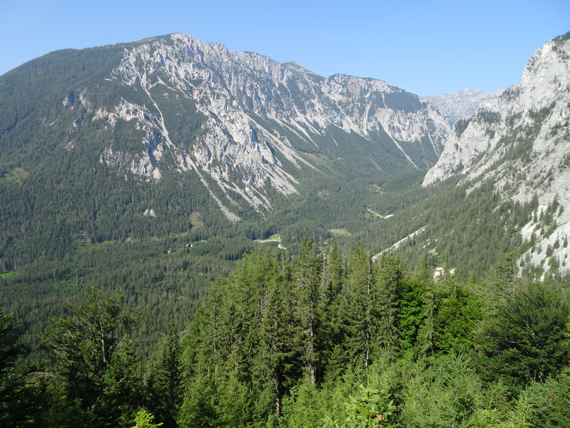
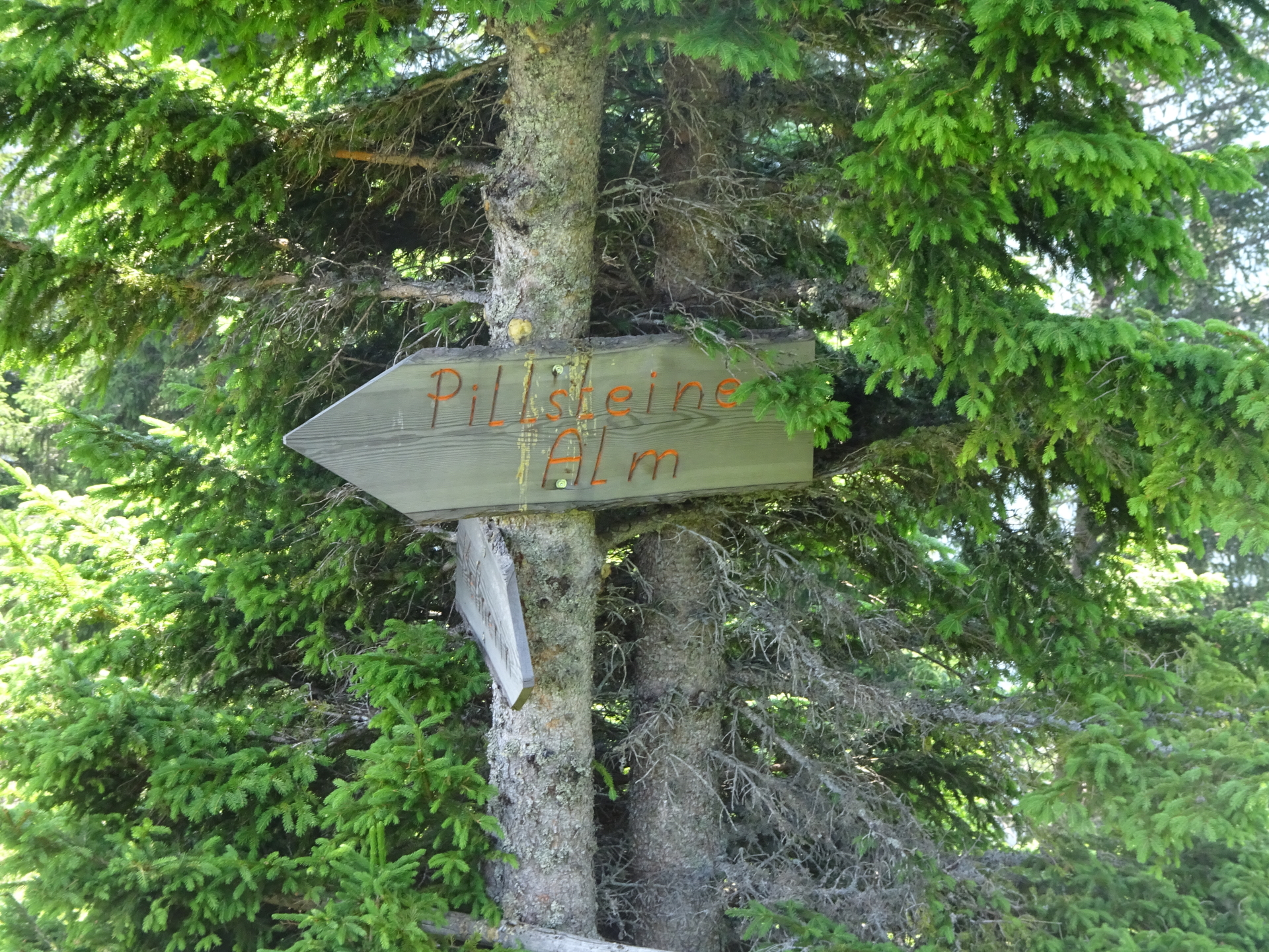
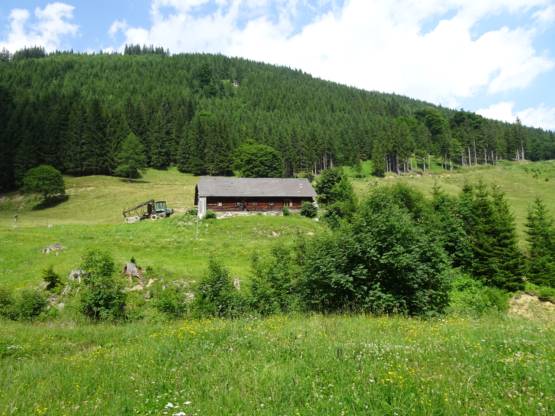
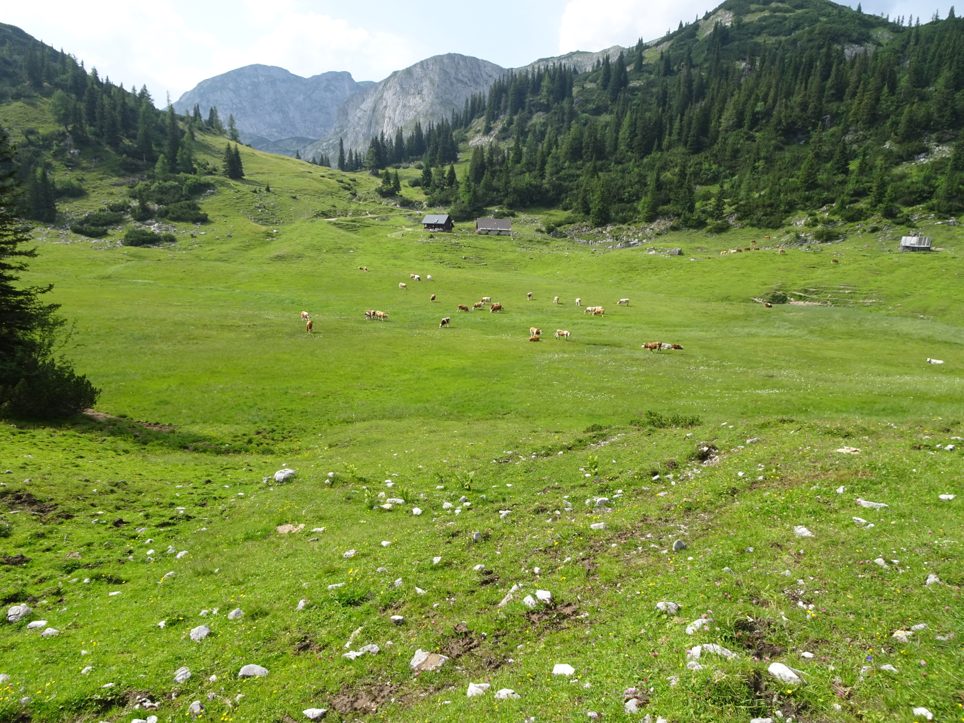
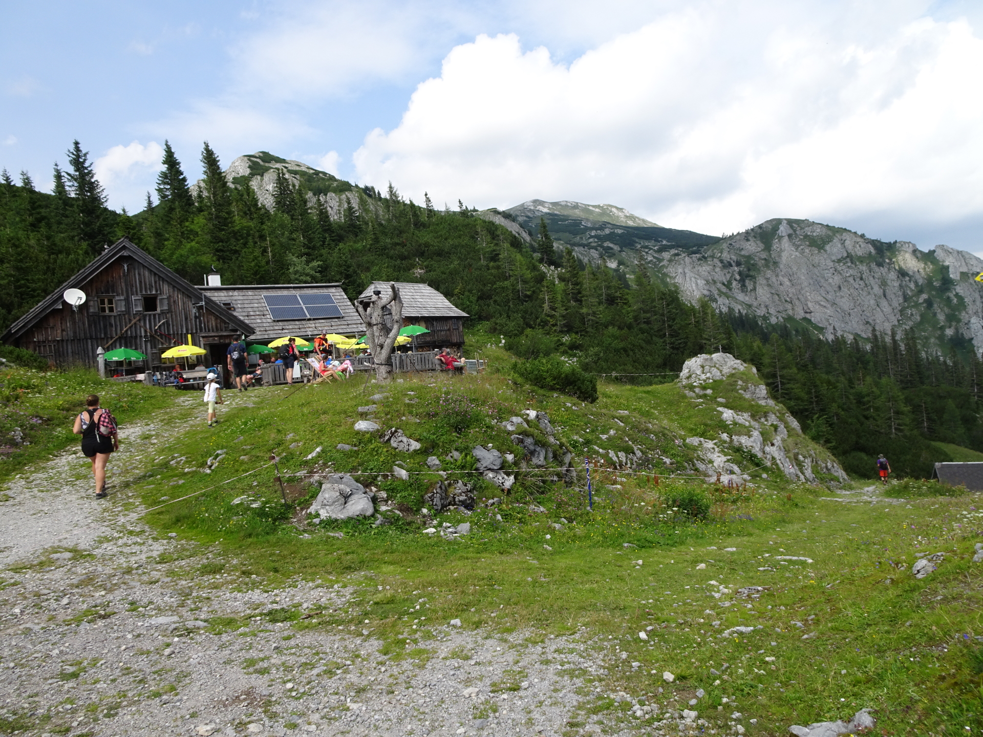
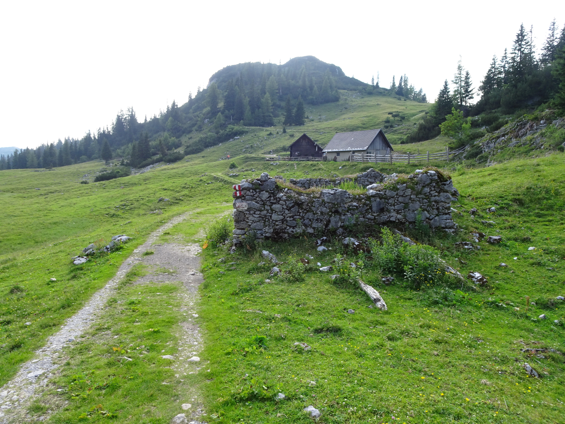
| 05:45 | Well deserved break ( ) at Hainzleralm. |
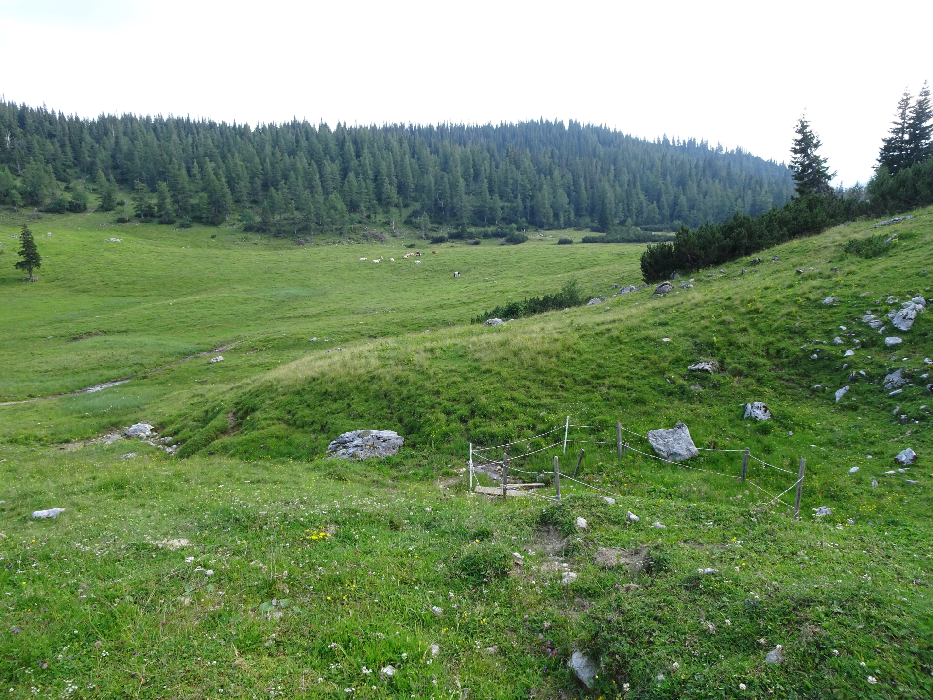
| 06:05 | Follow the forest road northeast (upwards). |
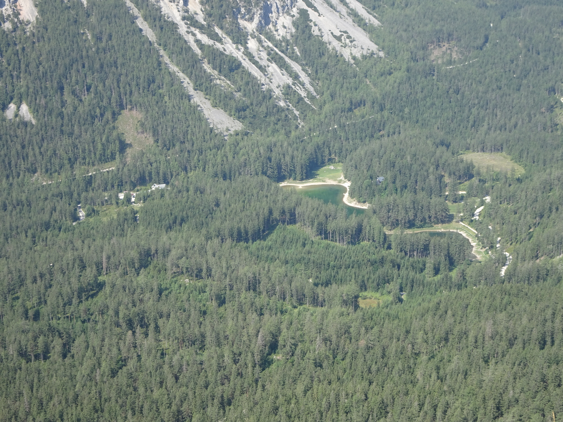
| 06:10 | At the crossing, turn right and follow the forest road up first to Joser Alm and then Josersee (lake). |
| 06:25 | At the crossing next to the lake, keep straight and follow the small (hard to see) trail up (northeastwards). |
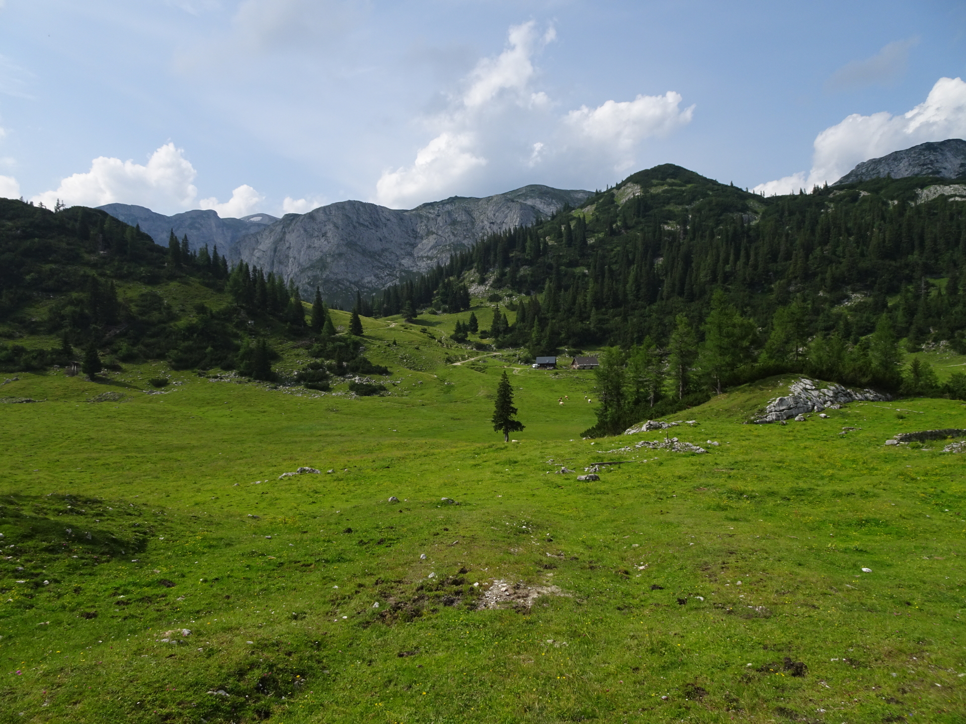
| 06:25 | At the crossing next to the lake, keep straight and follow the small (hard to see) trail up (northeastwards) which leads directly to Sackwiesenalm. |
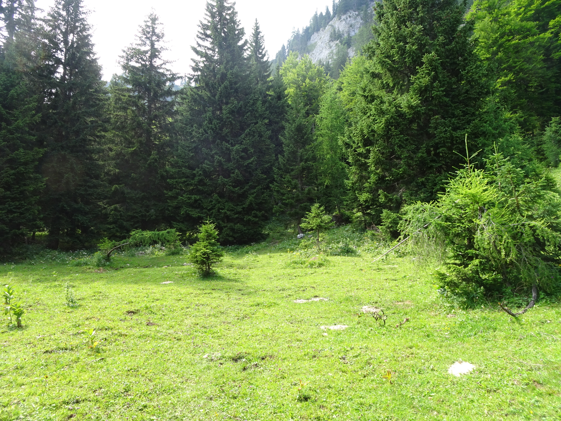
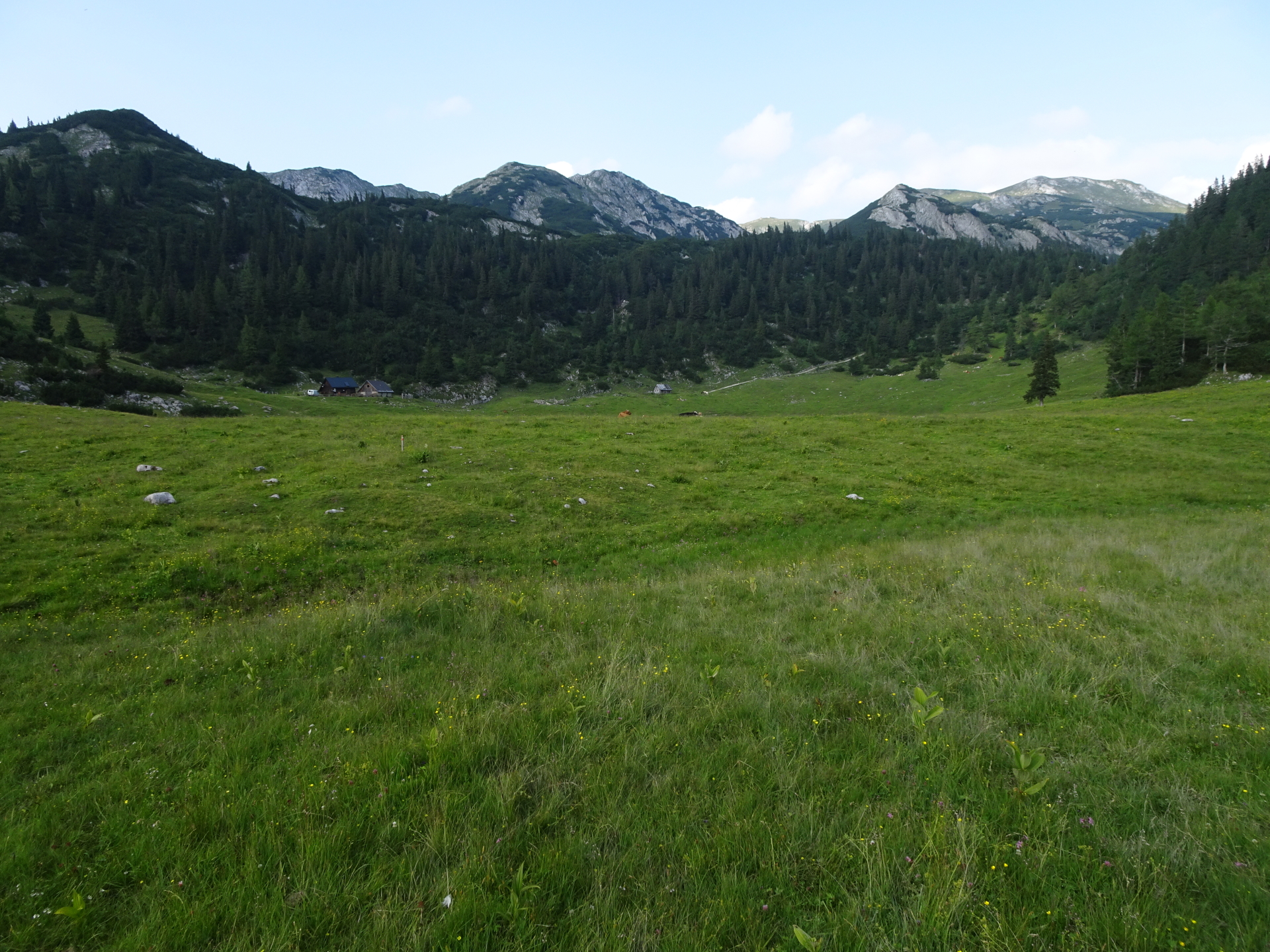
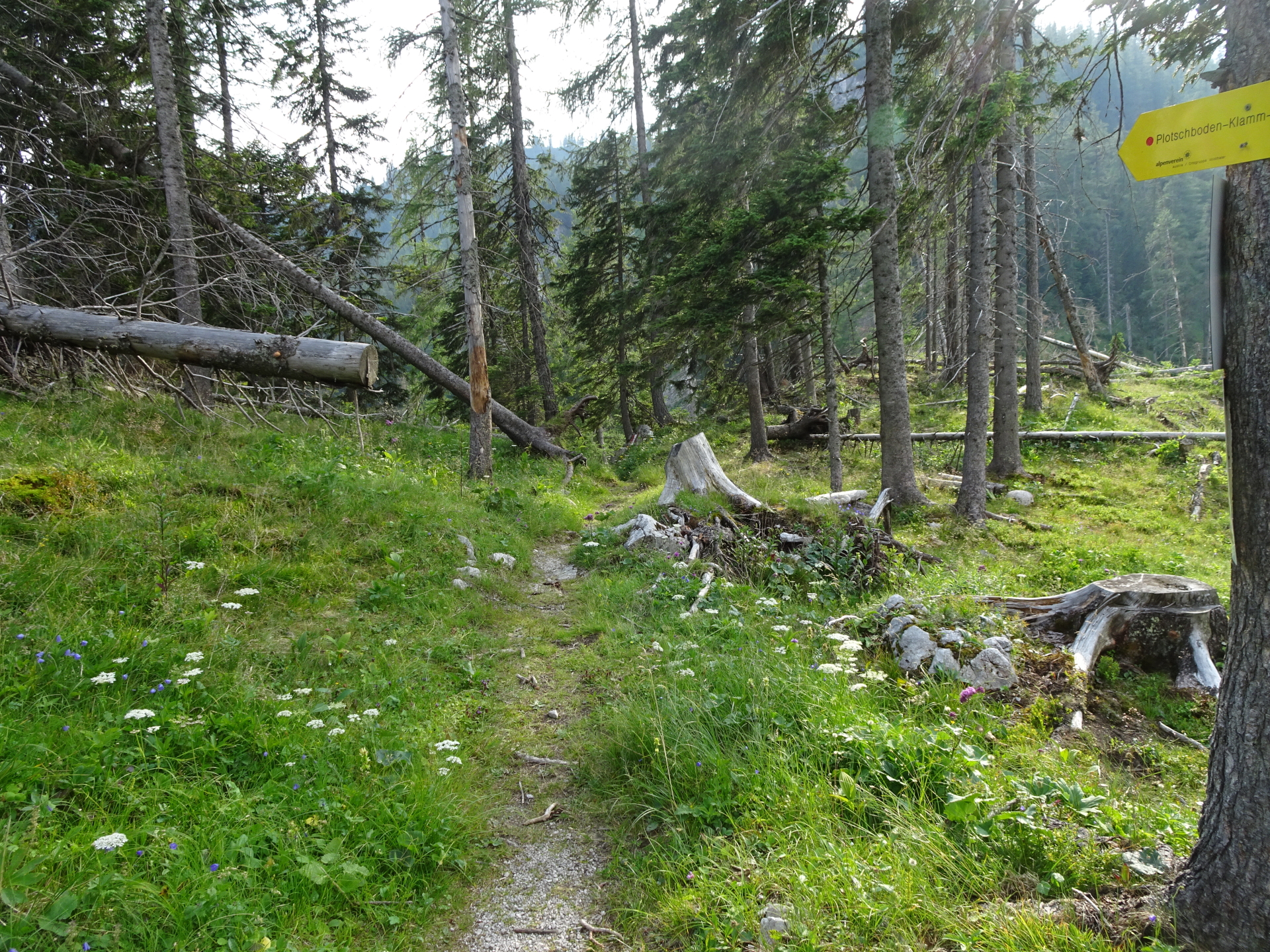
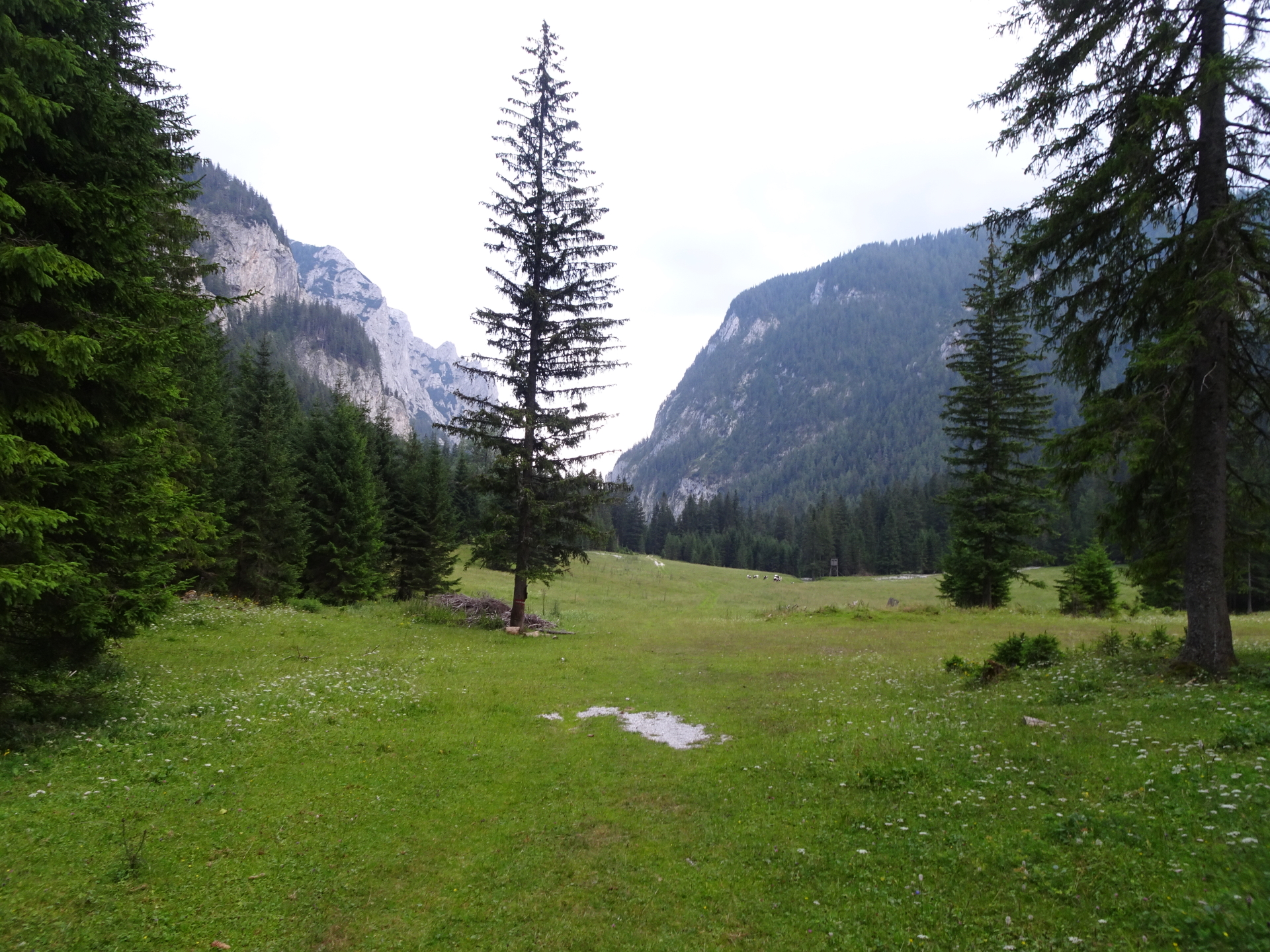
| 07:15 | At the begin of Sackwiesenalm, keep right and follow the trail leading towards Häuslalm. |
| 07:15 | At the begin of Sackwiesenalm, keep right and follow the trail leading towards Häuslalm. |
| 07:25 | Well deserved break ( ) at the Häuslalm. |
| 08:25 | Follow the trail westwards back towards Sackwiesenalm, this time stay on the road. |
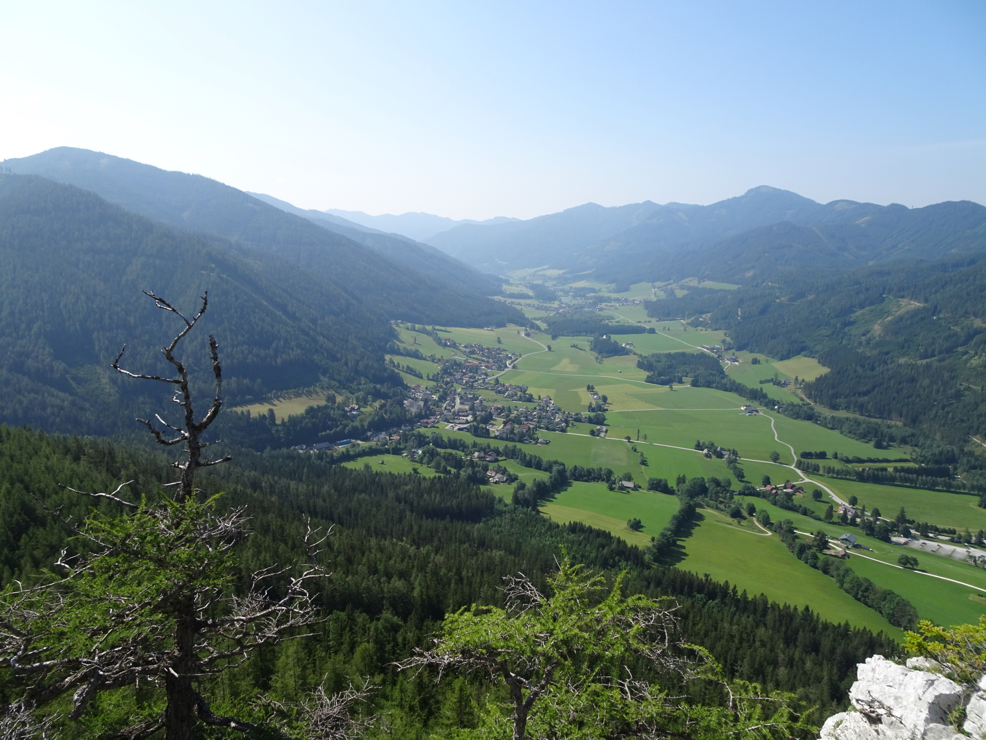
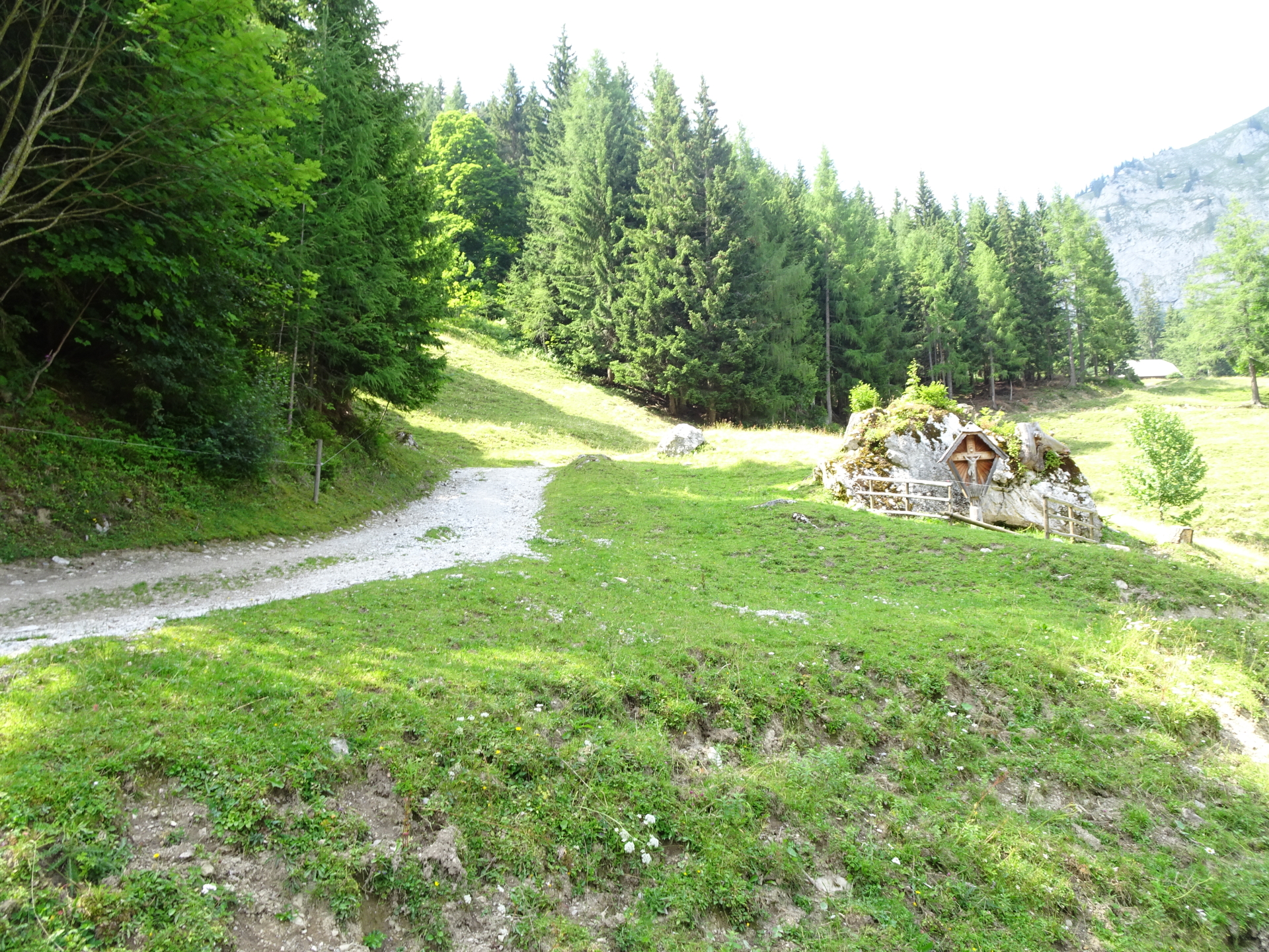
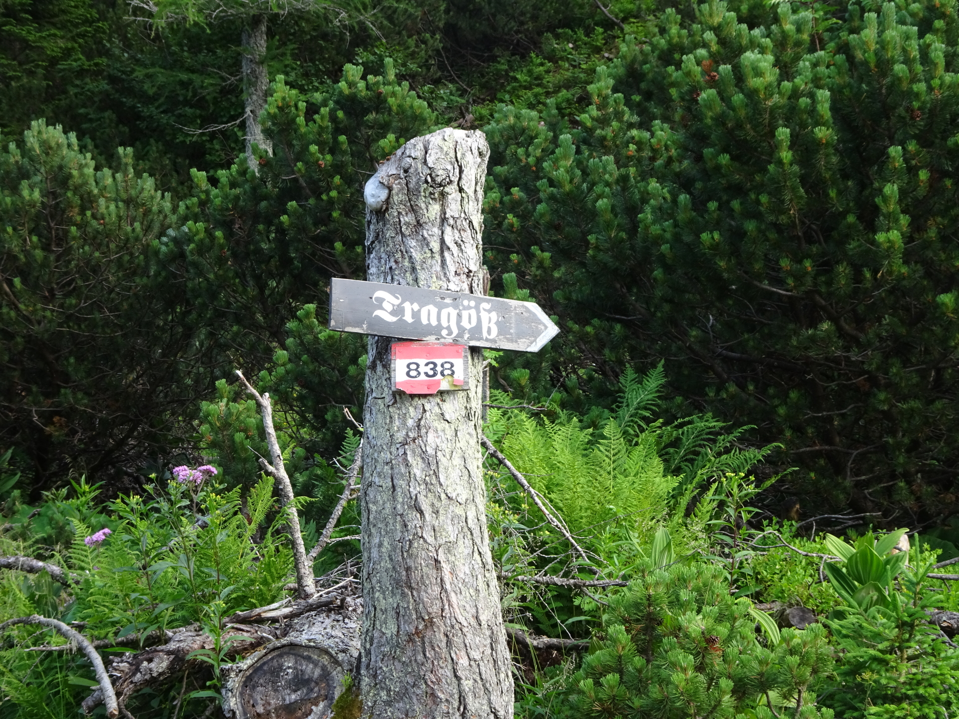
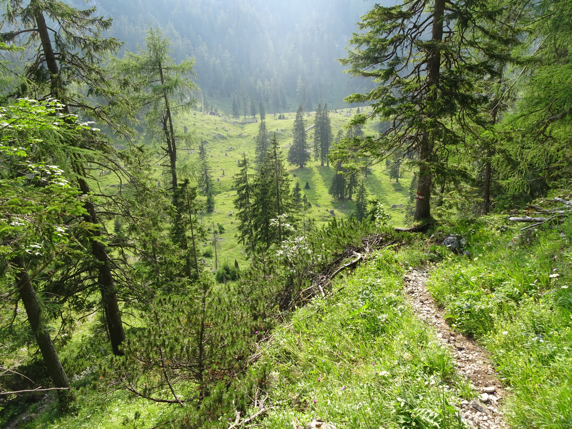
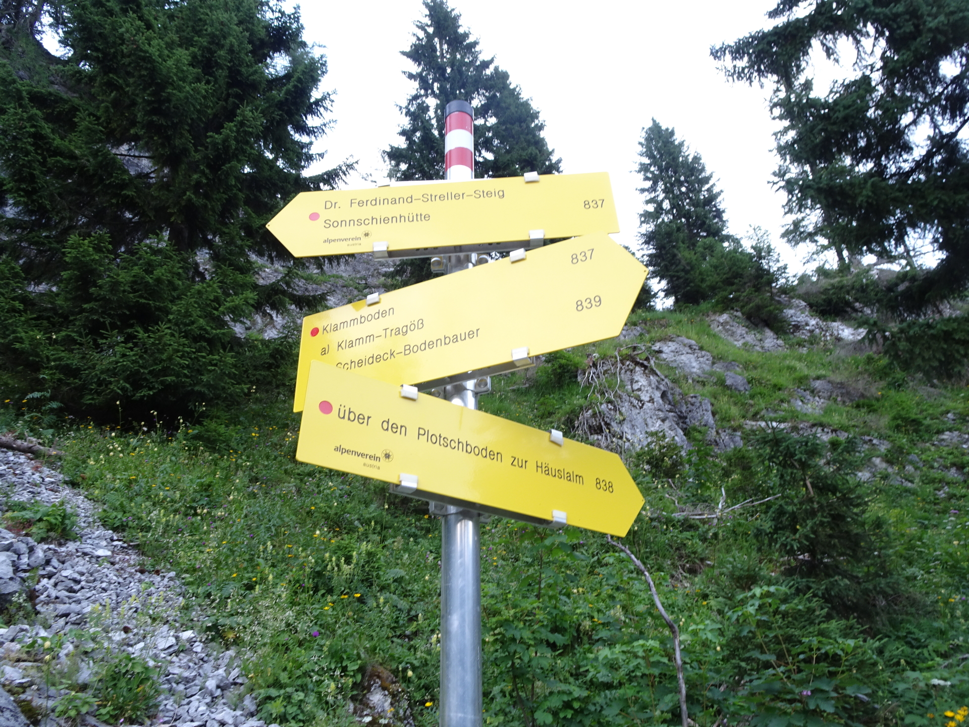
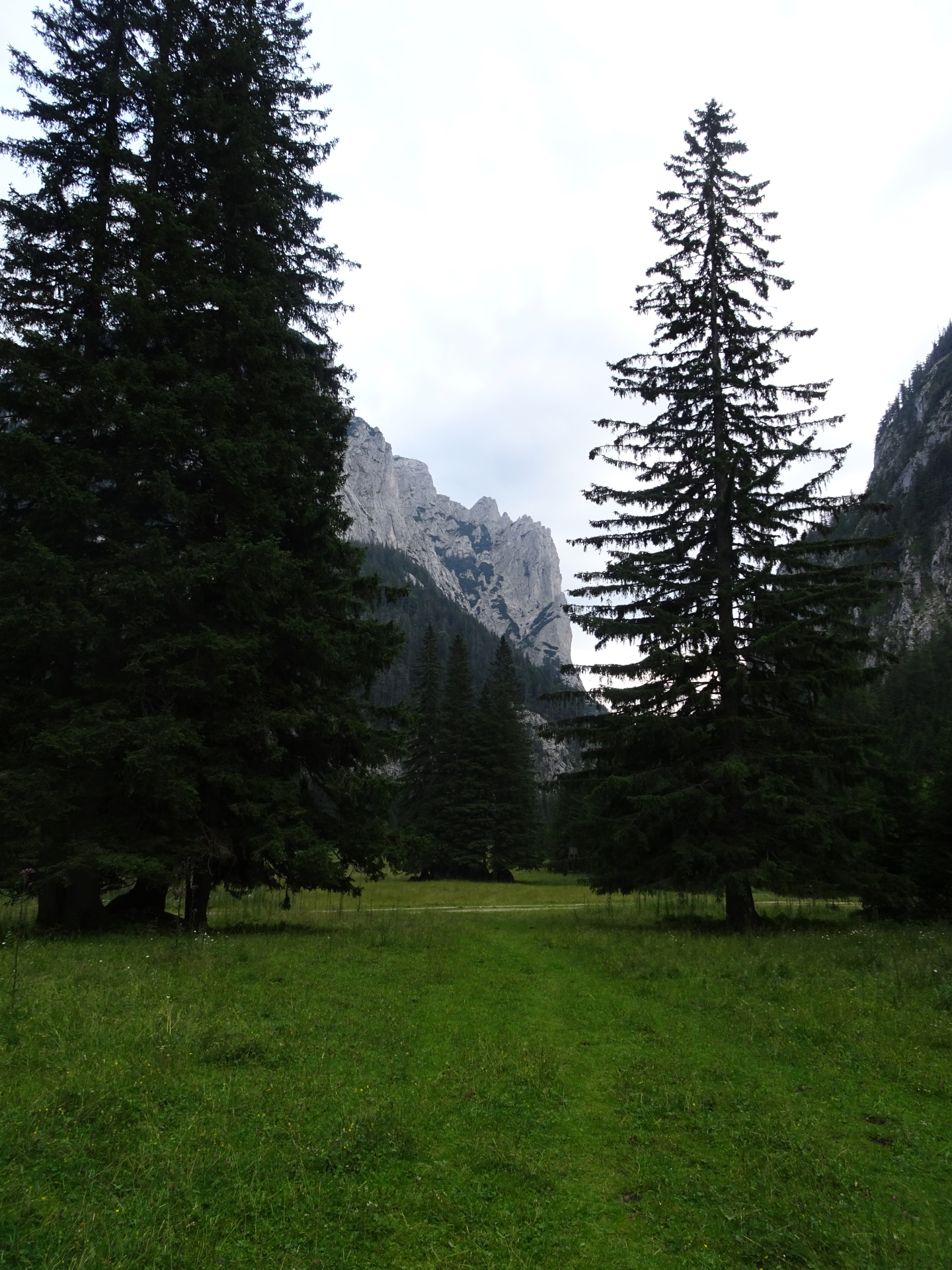
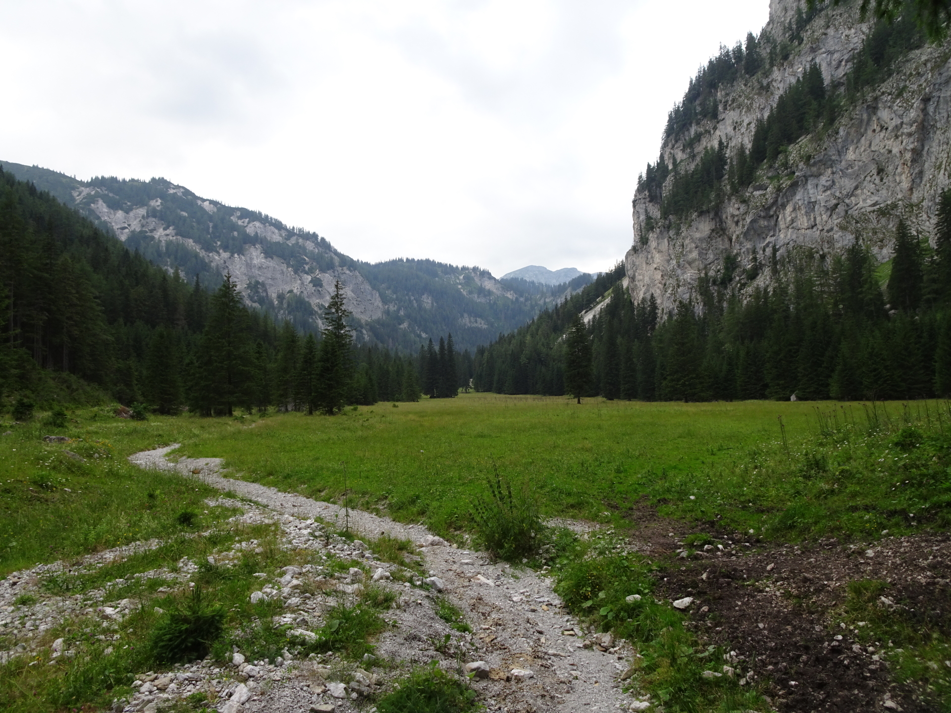
| 08:35 | Turn left at Sackwiesenalm and follow the trail through the mountain pasture southwards towards Tragöß (marked later as 838). |
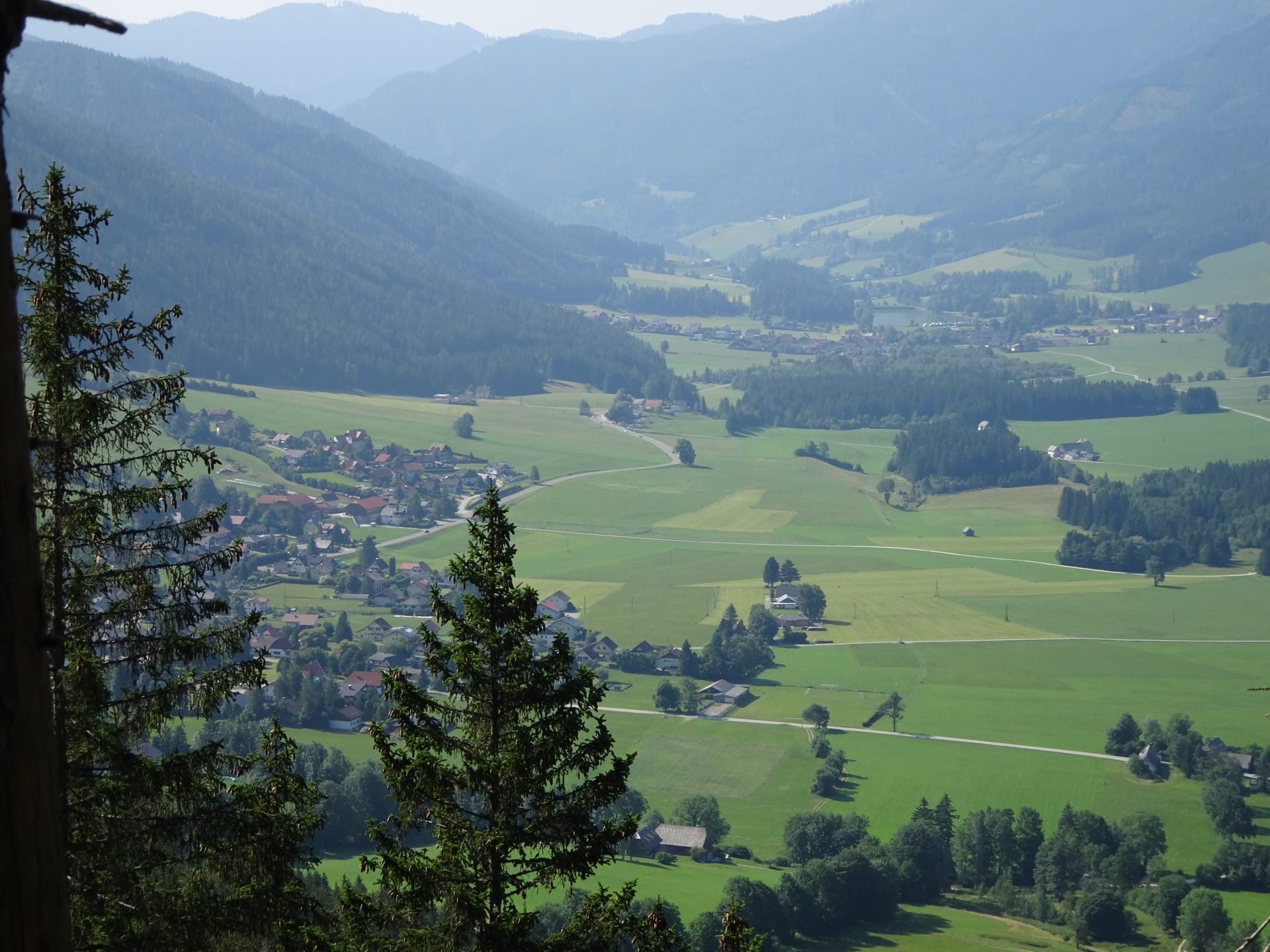
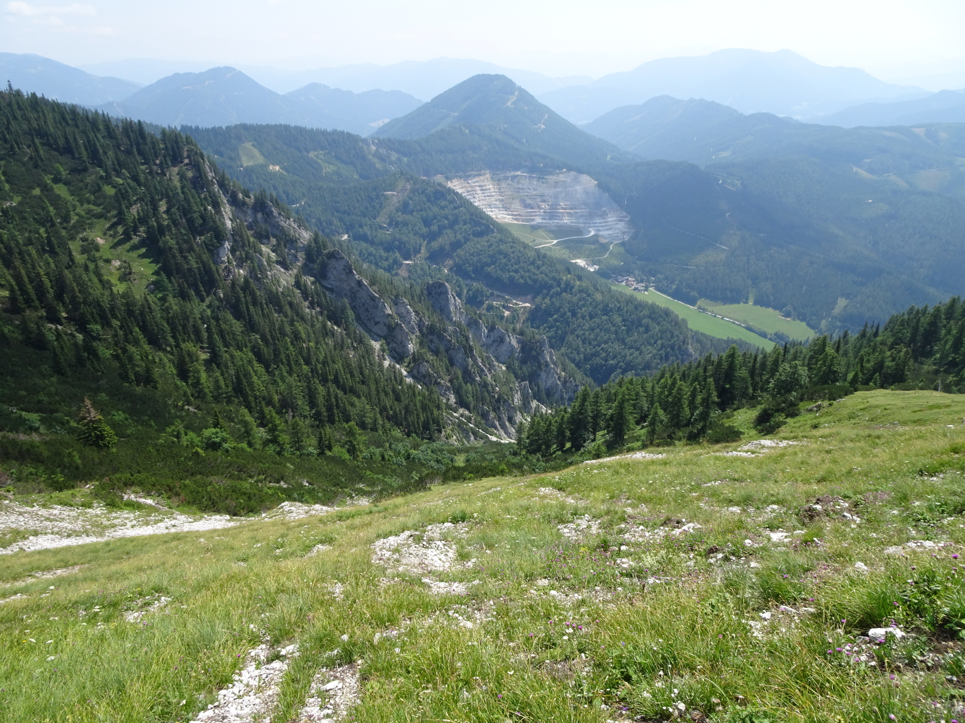
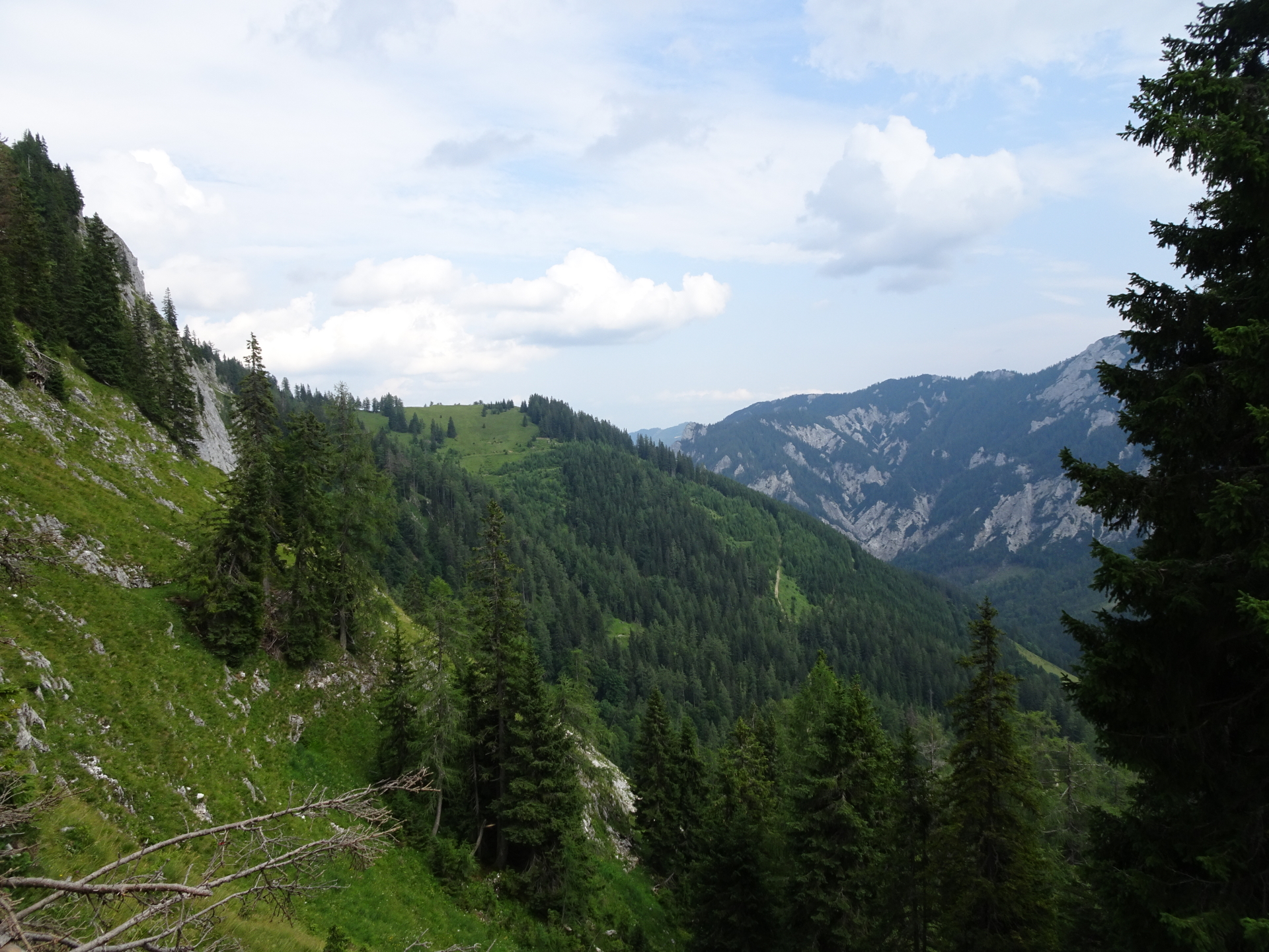
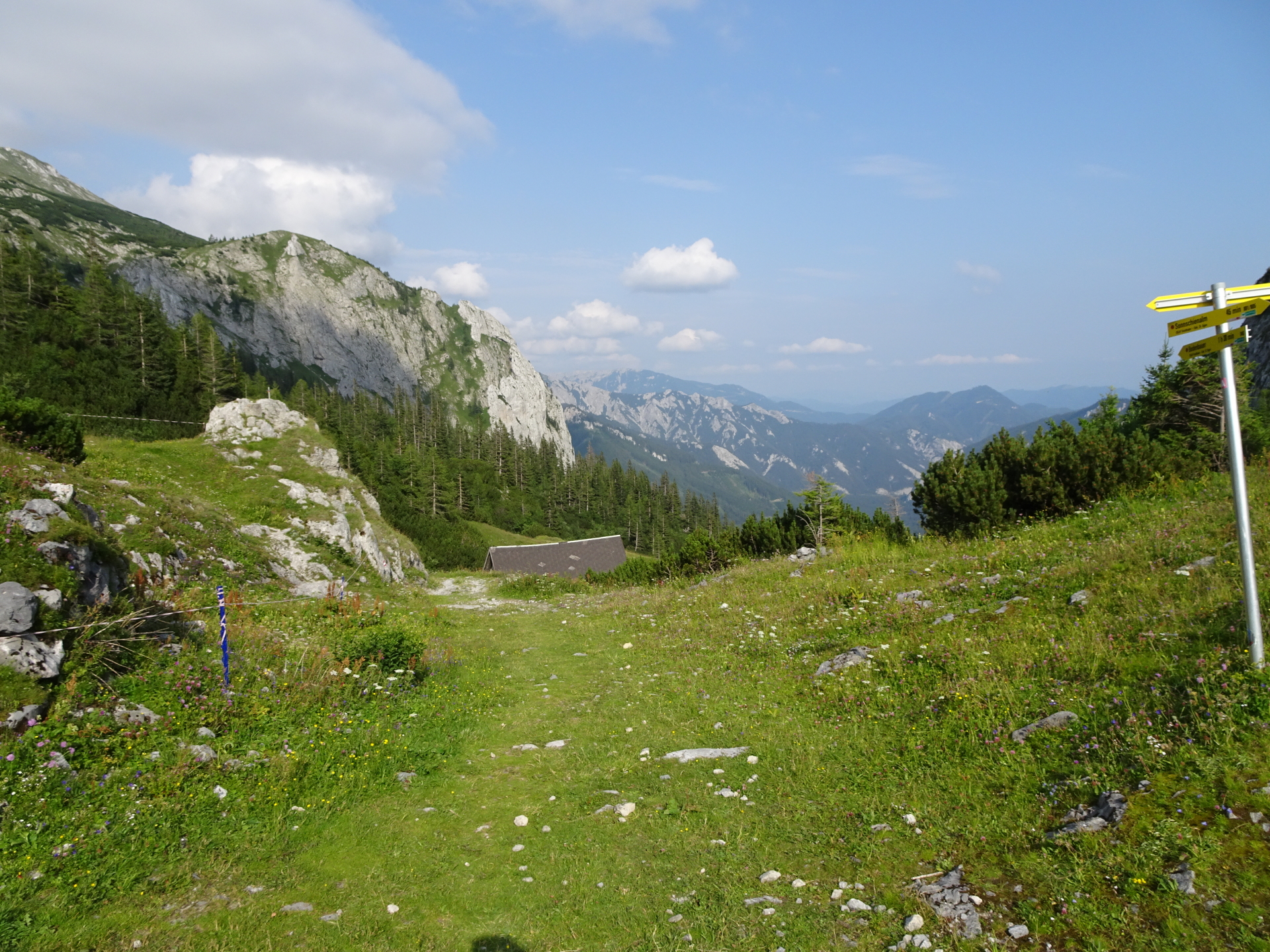
| 09:10 | Enjoy the amazing view from the viewing point at the ridge and continue descending southwards. At the crossing, turn left and follow the trail downwards towards Klammboden. |
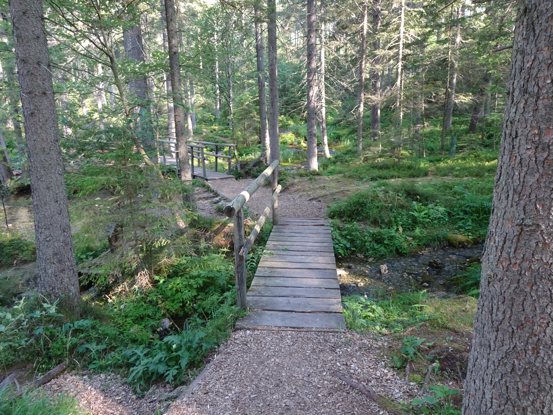
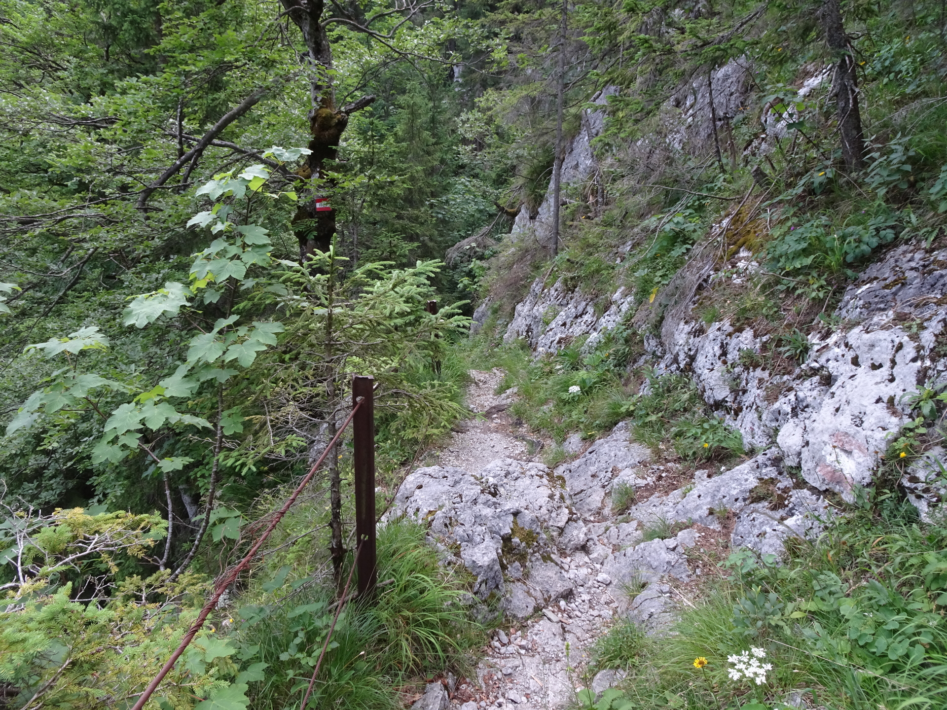
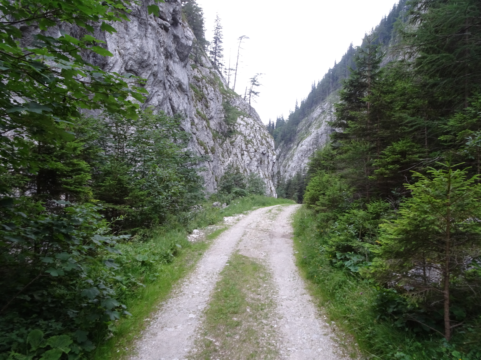
| 09:30 | Follow the trail through the two Klammböden and then the road towards Tragöß. |
| 10:20 | At the crossing Klammhöhe, follow the same trail back as when ascending. |
| 10:30 | At the crossing before the forest road, turn left and follow the trail back towards Tragöß. |
| 10:35 | At the crossing, turn right and follow the trail towards Grüner See. |
| 10:40 | At the crossing, turn left and follow the trail back to the parking. |
| 10:50 | Back at the parking, end of the tour. |
| Area: | Hochschwabgruppe, Styria, Austria | |
| Distance: | 27km | |
| Ascent: | 1741m (4h 50min) | |
| Descent: | 1740m (4h 10min) | |
| Highest Pt: | 1835m | |
| Lowest Pt: | 753m | |
| Duration: | 9h 30min (without breaks) 10h 50min (with breaks) |
|
| Stop/Rest: | Hainzleralm (1142m) Häuslalm (1521m) Sackwiesenlam (1457m) Gasthof Grüner See (777m) |
|
| Equipment: | Hiking shoes with good grip (on rock) Backpack with standard hiking equipment Food and plenty of water 2x “Gipfelbier” () Sun & Weather protection Camera GPS! |
| Download GPX | ||
| O | Tour at outdooractive.com |
At a glance
| Level | difficult |
| Technique | |
| Shape / Fitness | |
| Experience | |
| Scenery | |
| Best time in the year | |
|
Jan
Feb
Mar
Apr
May
Jun
Jul
Aug
Sep
Oct
Nov
Dec
|
|
Interesting background information
The lake’s unique blue-green color results from:
- the fact that clear water absorbs the red portions of light
- the lake itself is surrounded by mountains and therefore protected from wind and htus there are no waves on the surface
- the soil beneath is mostly chalk and thus no floating particles are set out into the water
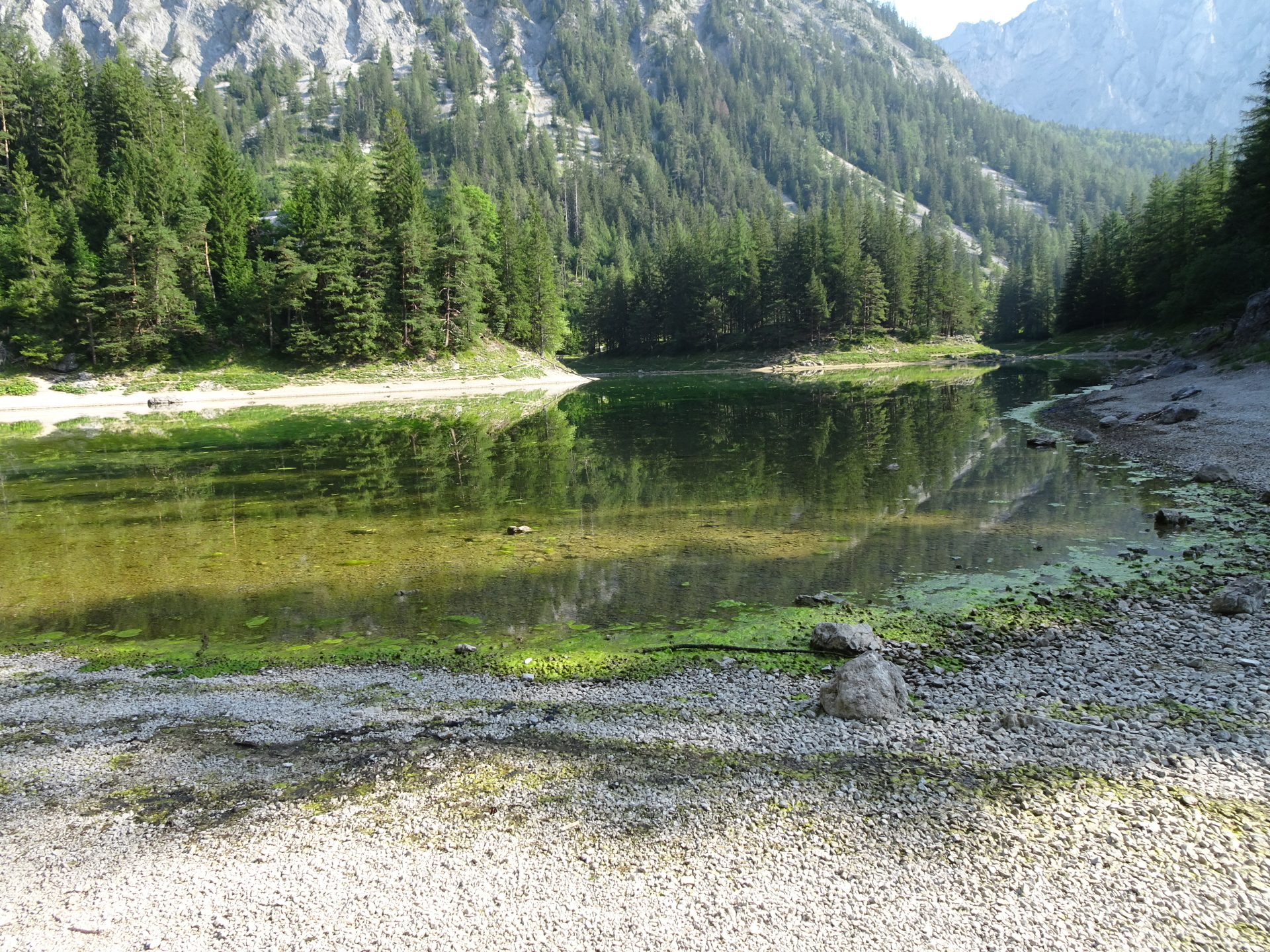
The lake fills up slowly with melt-water from the surrounding mountains and thus is very clear but also very cold (5-6°C). the water-level heavily depends on the season: It reaches its maximum level in early summer (around 10m) but nearly dries out in fall.
The current water-level is tracked on this website.


\" <span style=\"background: #FFE0CC; \"> ! </span>")

 and Teufelssteig\"")
 and Krumme Ries (I-)\"")
Leave a Reply