

Short but promising tour up to Stuhleck starting from Pfaffensattel
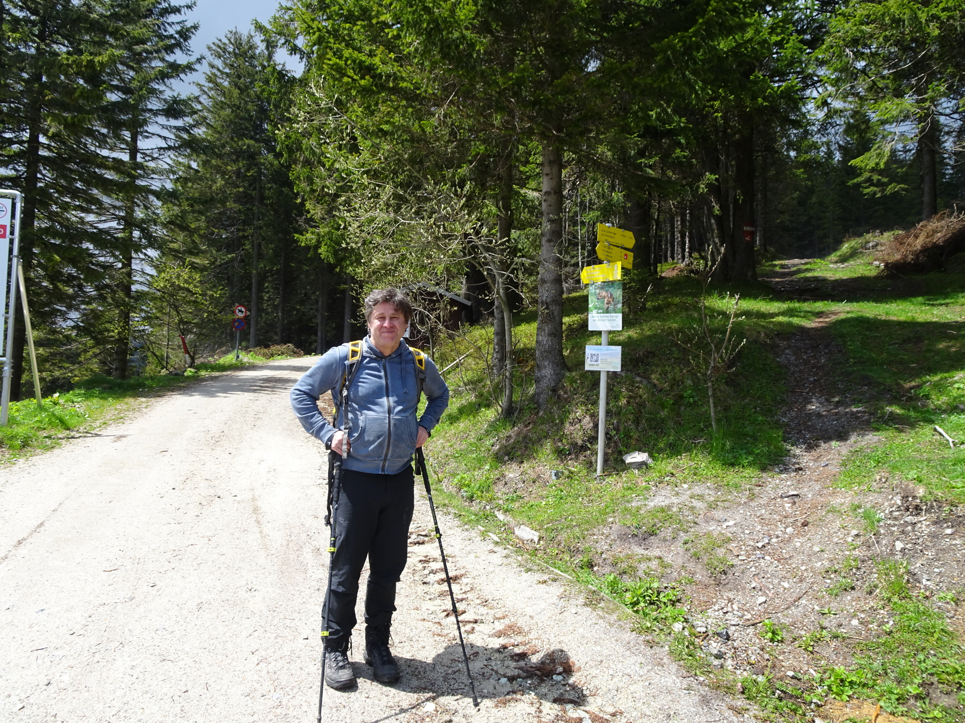
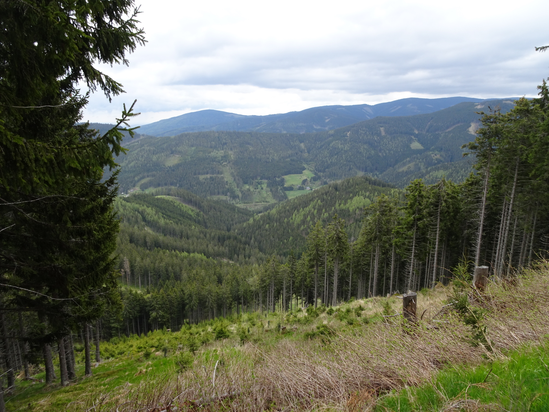
The tour starts at the parking Pfaffensattel (GPS: 47.570098, 15.813993) and follows the Alpannonia® trail towards Stuhleck (northwestwards). It follows the Alpannonia® in reverse direction up to the summit of Stuhleck. After a short break, it descends via a scenic trail down to Karl-Lechner-Haus and then follows forest roads back to the parking.
| The Alpannonia® long distance trail combines in up to 7 stages a tour from the eastern alps in Austria towards the “pannonian lowlands” in Hungary. The entire trail is 125 km long and 3.800 meters in ascent. It is normally done in 7 days, starting in Fischbach (AT) and ending in Köszeg (HU). For more information visit www.alpannonia.at. |
This tour is part of the Alpannonia® long distance trail. It covers the middle part of stage 1b (“Pretul” – “Feistritzsattel”).
Tour Description
| 00:00 | Start at the parking Pfaffensattel (GPS: 47.570098, 15.813993) and first follows the trail northwestwards (on the right hand-side next to the toll road). |
| 00:10 | At the crossing, stay straight ahead and follow the trail upwards (marked with the red Alpannonia® logo). |
| 00:13 | At the crossing, turn right, follow the street for a couple of meters and then turn left again (see red Alpannonia® logo). |
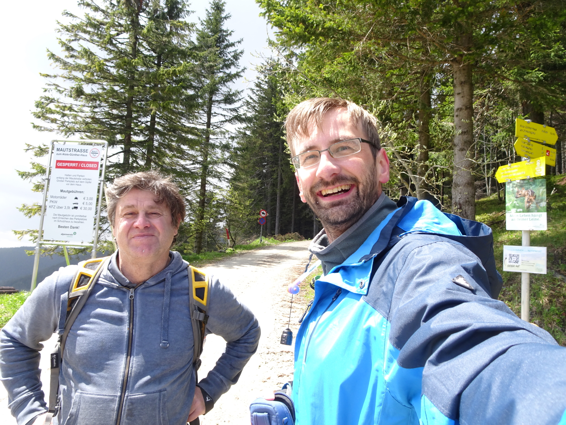
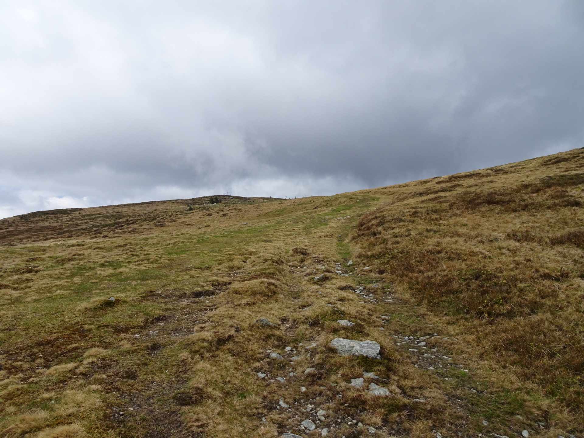
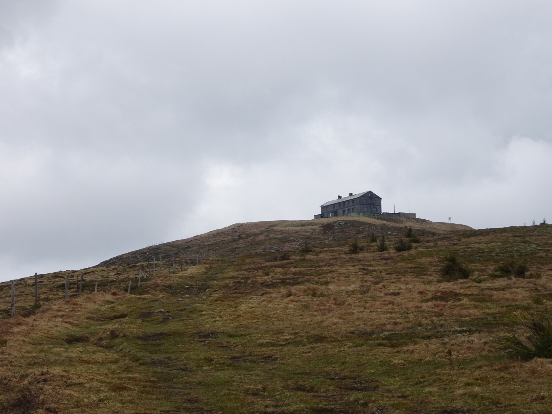
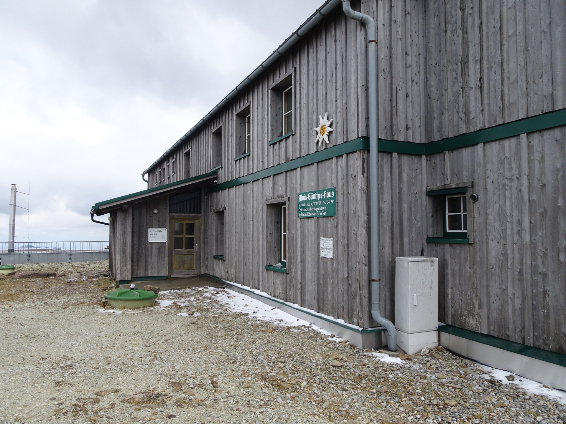
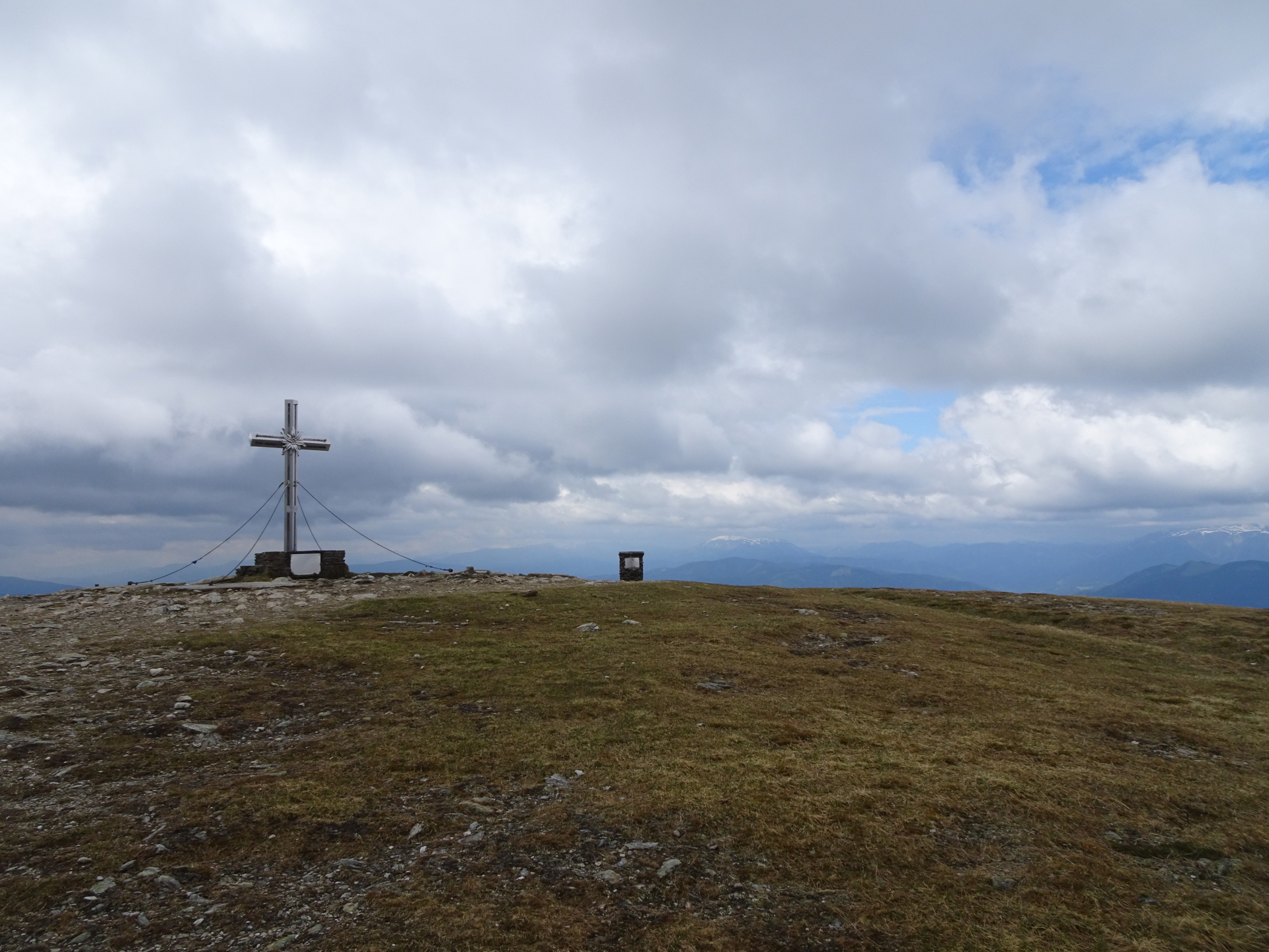
| 00:45 | Keep straight ahead and follow the trail up to Alois-Günther-Haus. |
| 01:00 | Well deserved break ( ) at Alois-Günther-Haus. |
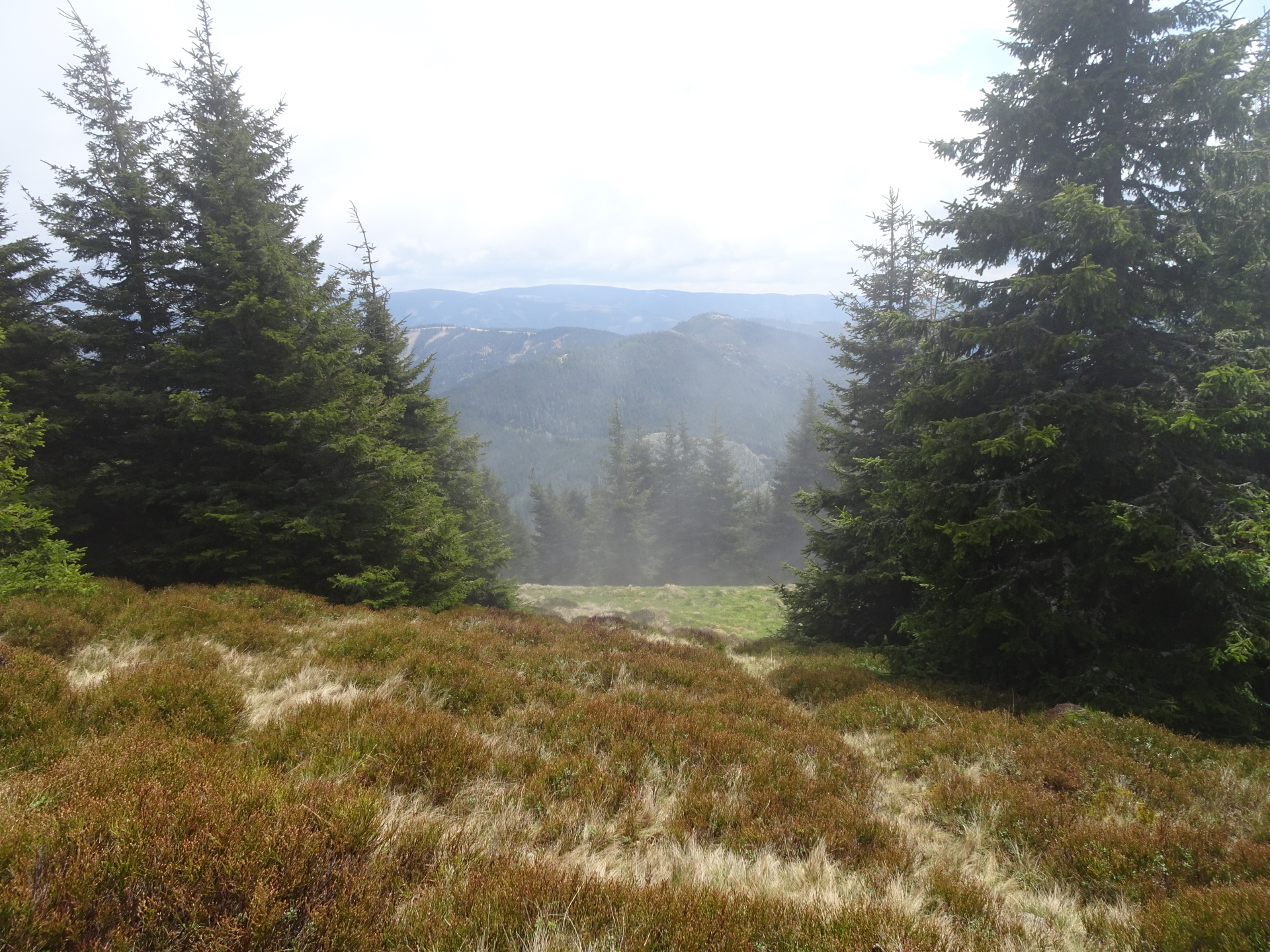
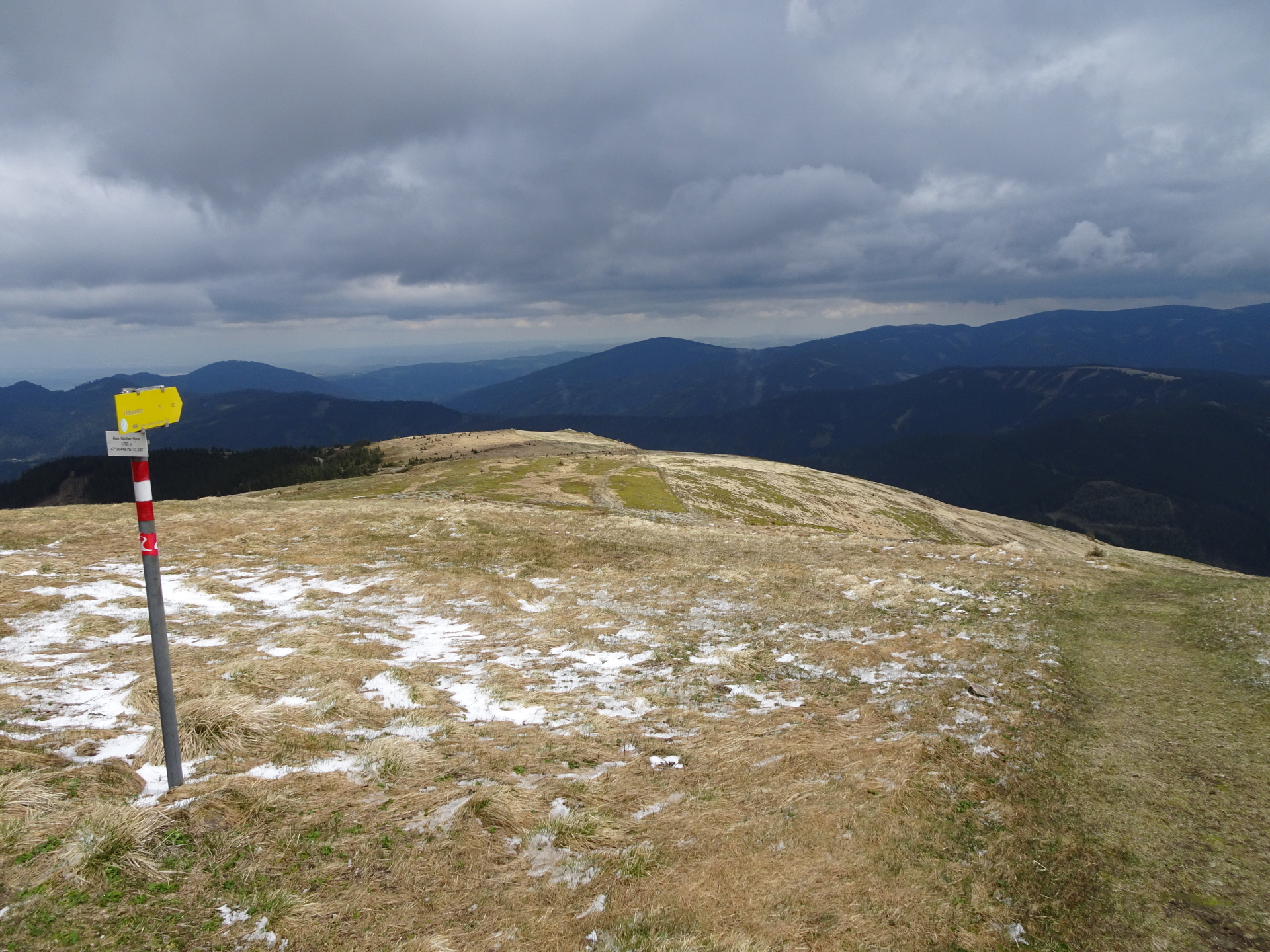
| 01:30 | At the crossing, keep straight ahead (into the meadow) and follow the trail (through the meadow – not easily visible, keep on the left hand-side of the fence). |
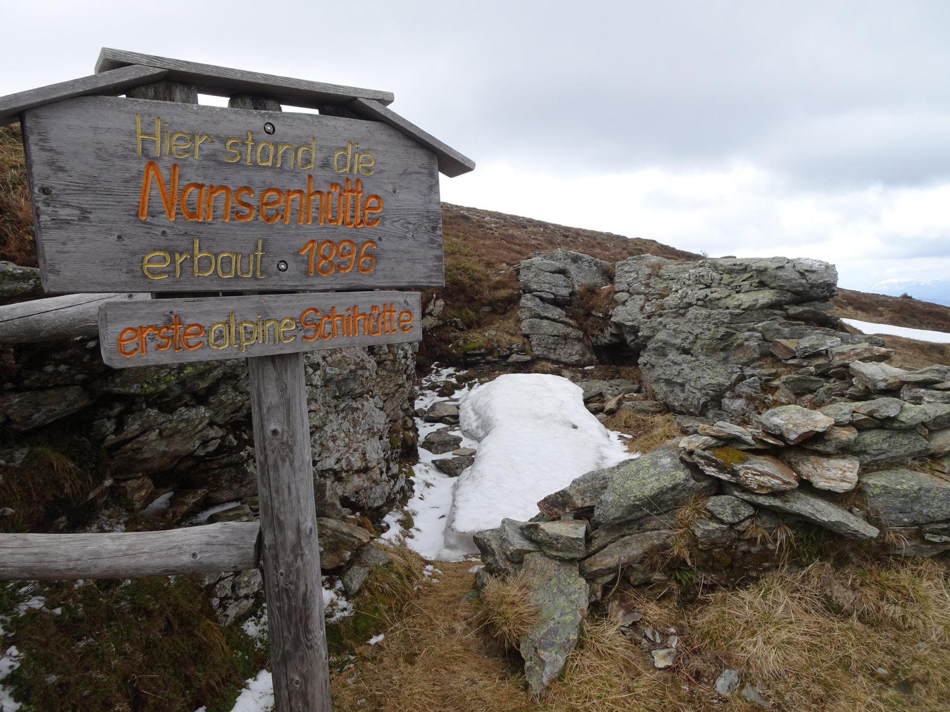
| 01:35 | At the ruin of Nansenhütte, turn right and follow the trail downwards. |
| 01:45 | At the crossing (building of the Vienna water supply), stay straight ahead and continue on the red-white-red marked trail downwards. |
| 01:55 | Cross the street and stay on the red-white-red marked trail downwards. |
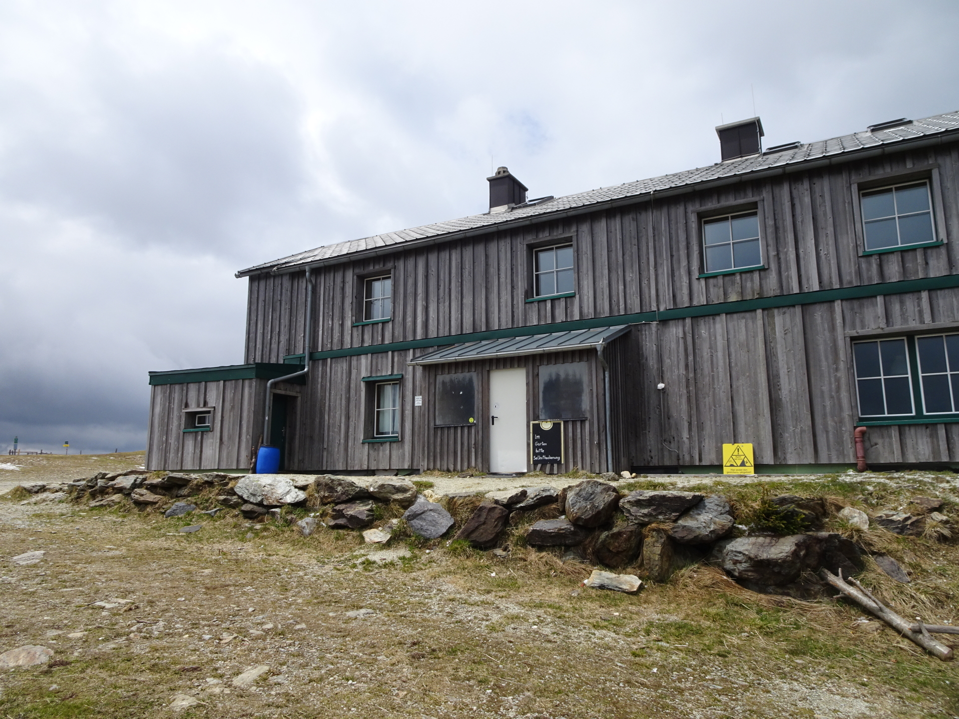
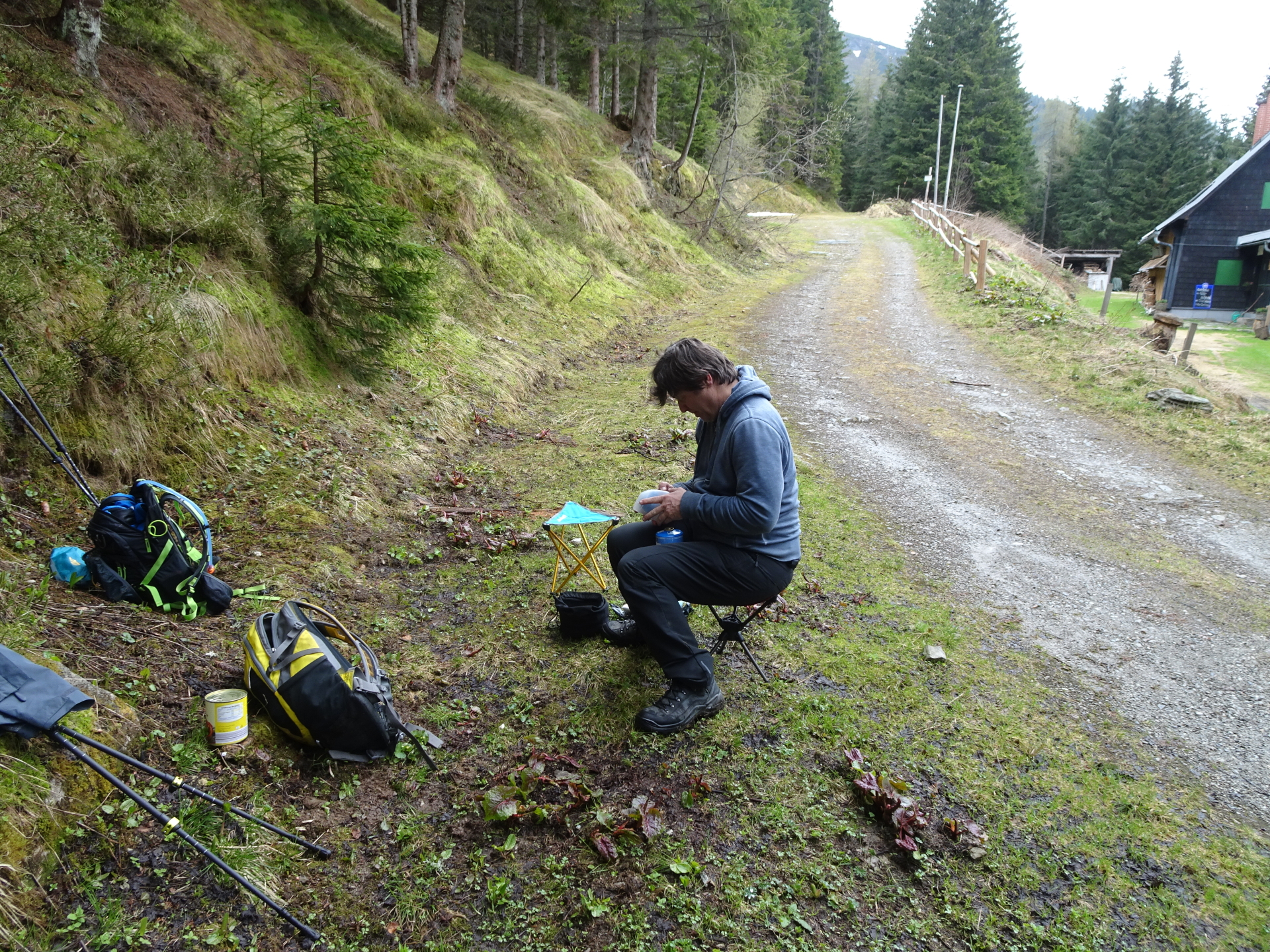
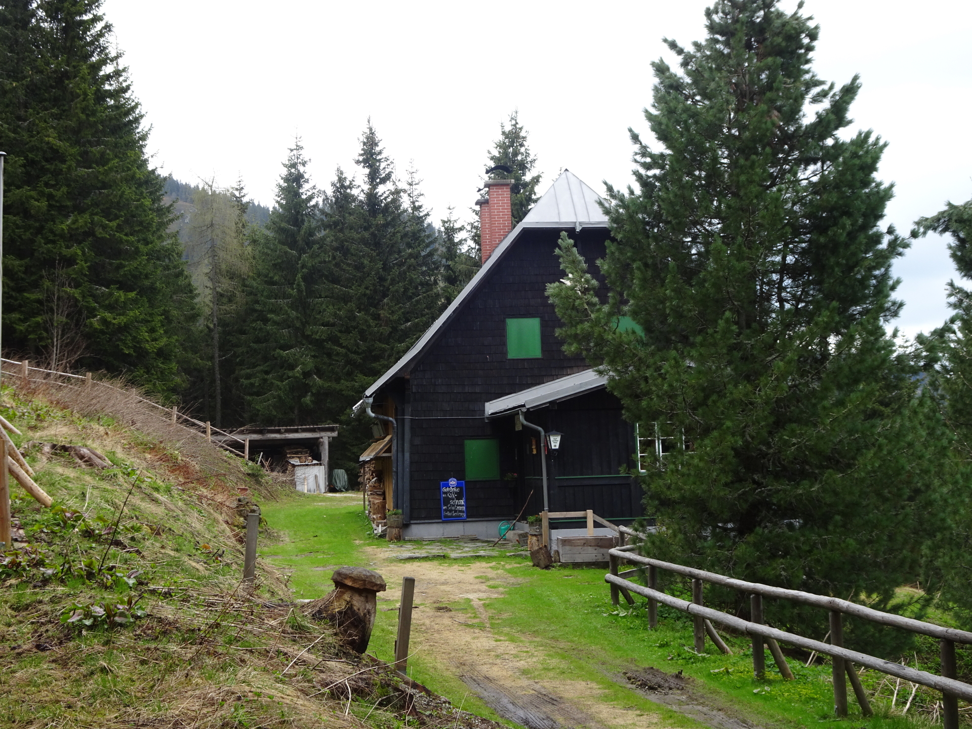
| 02:05 | Well deserved break () at the Karl-Lechner hut. |
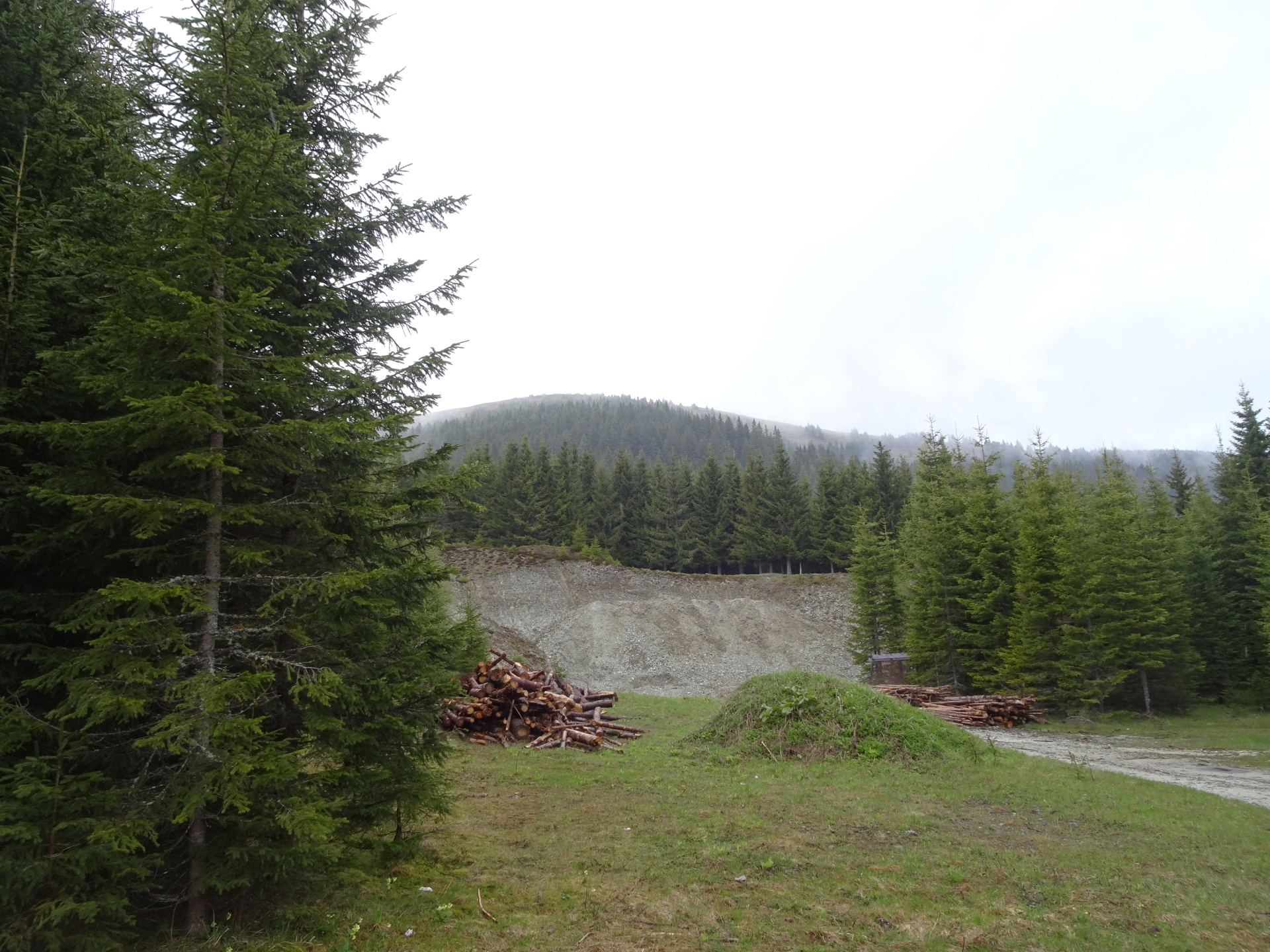
| 02:30 | Follow the forest street eastwards (keep right) and the red-white-red markings. |
| 02:45 | At the crossing, turn right (slightly upwards). |
| 03:00 | At the crossing, keep right again. |
| 03:02 | Back at the trail, turn left and follow the Alpannonia® trail back to the parking. |
| 03:10 | Back at the parking, end of the tour. |
At a glance
| Level | easy |
| Technique | |
| Shape / Fitness | |
| Experience | |
| Scenery | |
| Best time in the year | |
|
Jan
Feb
Mar
Apr
May
Jun
Jul
Aug
Sep
Oct
Nov
Dec
|
|
General Tour Data
| Area: | Fischbacher Alpen, Styria, Austria | |
| Distance: | 8km | |
| Ascent: | 498m (1h 10min) | |
| Descent: | 498m (1h 00min) | |
| Highest Pt: | 1782m | |
| Lowest Pt: | 1371m | |
| Duration: | 2h 20min (without breaks) 3h 10min (with breaks) |
|
| Stop/Rest: | Alois-Günther Haus (1778m) Karl-Lechner Haus (1449m) |
|
| Equipment: | Hiking shoes Shoe chains (“Grödeln”) in winter Backpack with standard hiking equipment Snacks and water Sun & Weather protection Camera |
| Download GPX | ||
| O | Tour at outdooractive.com |


: Mönichkirchen / Hochwechsel\"")
Leave a Reply