
Hike up to Geschriebenstein, the highest point of Burgenland, from Kőszeg
The tour starts at the city center of Kőszeg and first follows the trail up to the Óház-tető viewing platform. The tour then follows the trail westwards to the Vörös-kereszt crossing and then follows the trail towards Kopasz-Kendig and Kendig, allowing a nice view towards the pannonian lowland. The tour then passes by Hörmann-forrás rest area and finally ascends towards Geschriebenstein, where it crosses the border between Austria and Hungary.
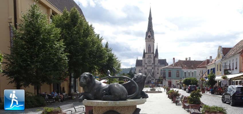
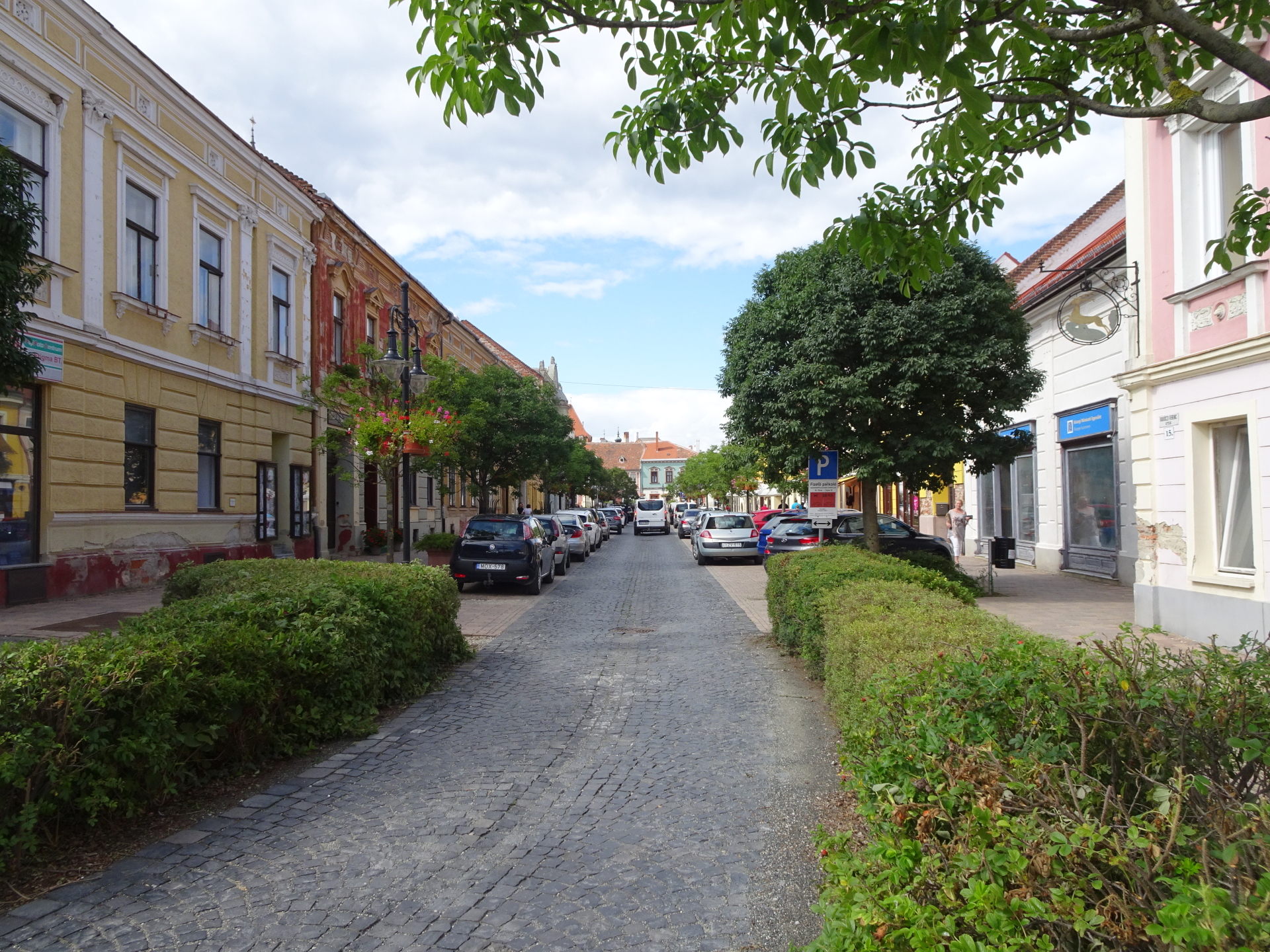
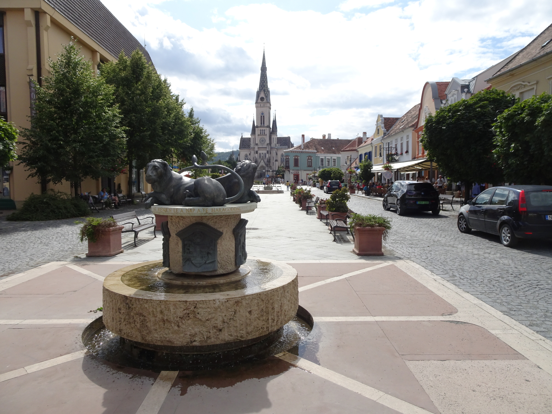
| 00:00 | The tour starts at the city center of Kőszeg castle (GPS: 47.388145, 16.542285) and first follows the pedestrian zone southwards. |
| 00:02 | At the end of the pedestrian zone, turn right into the Temető utca street and follow the street constantly straight ahead. |
| 00:15 | At the Szénsavas kút square, turn right into the Mermina utca and follow this street westwards (follow the red Alpannonia® markings). |
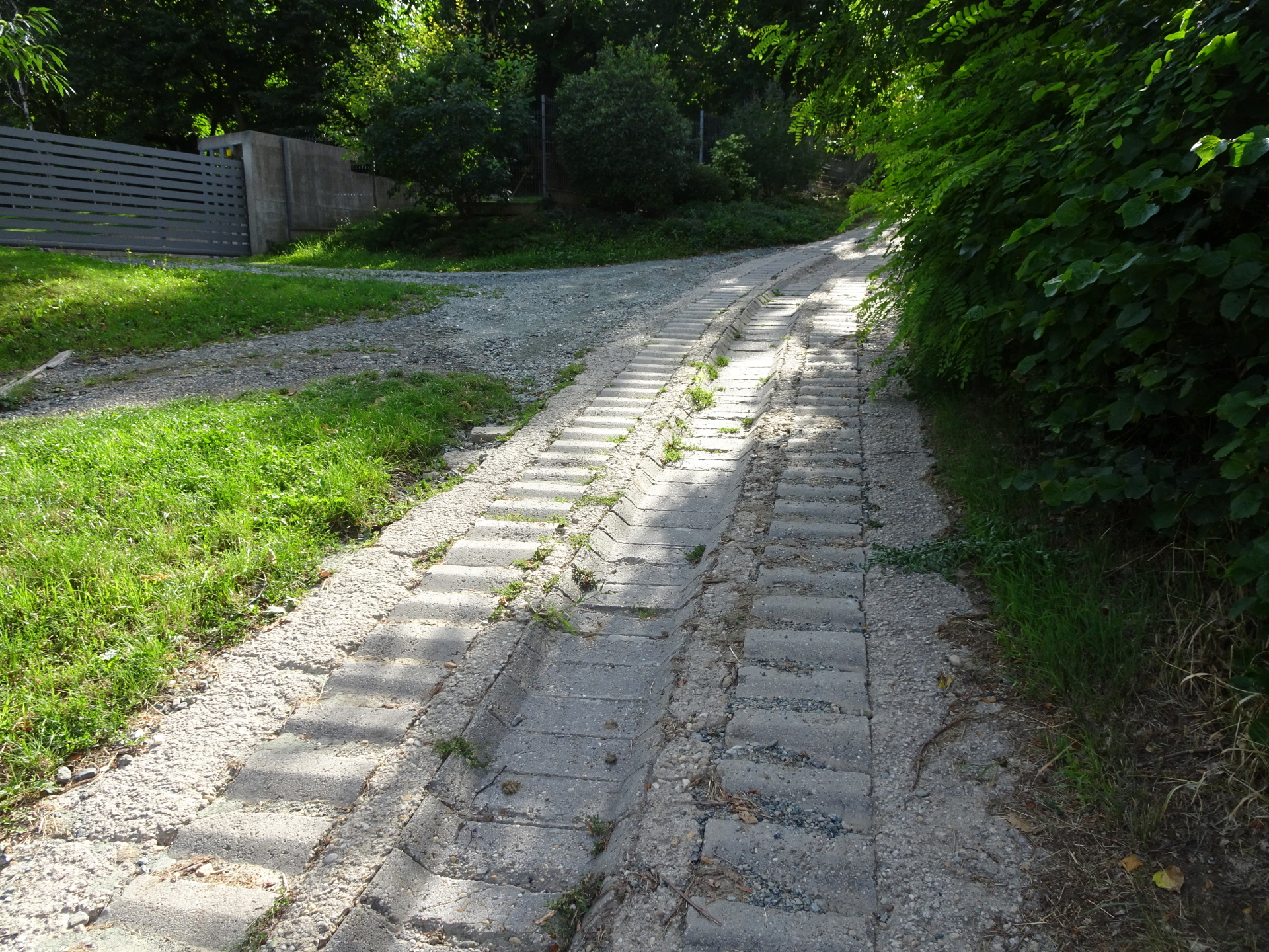
| 00:25 | At the end of the street, keep straight ahead and follow the trail up into the forest (always follow the red Alpannonia® markings). |
| 00:30 | After the stairs, turn left into the street, bypass the abandoned hotel (ruin) and then turn right again at the square. |
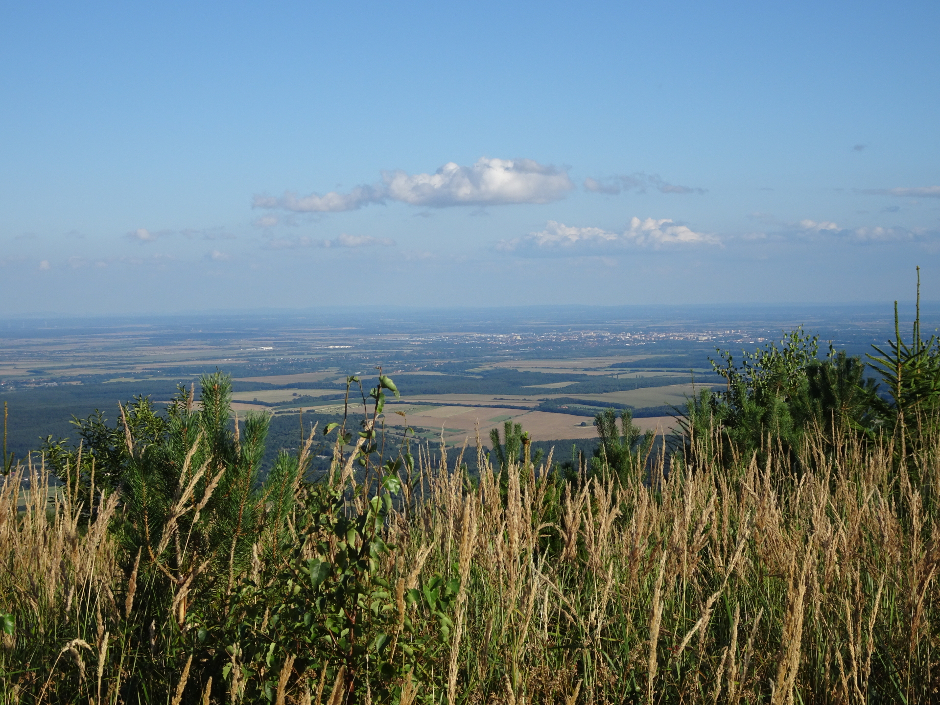
| 00:32 | At the square, cross the upper street and follow the trail through the meadow towards the street above. Turn right and follow the street. |
| 00:35 | Turn right and follow the street (marked with the Alpannonia® sign). |
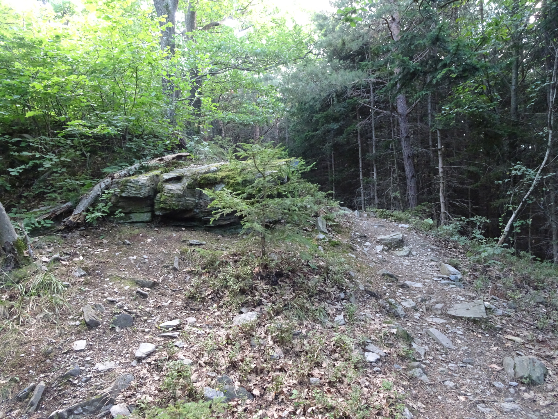
| 00:40 | Turn left and follow the hiking trail (part of the Alpannonia®) through the forest upwards towards Óház-tető. Always follow the red Alpannonia® markings! |
| 01:10 | At the crossing before Óház-tető, turn left and leave the Alpannonia® trail and follow the white-blue-white marked trail. Optionally, you can continue walking up towards the Óház-tető viewing platform which will be reached after a few meters. |
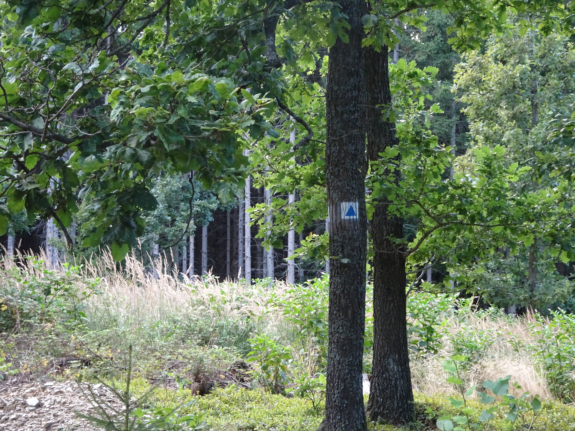
| 01:25 | At the Vörös-kereszt crossing and rest area, keep slightly left and follow the road (and later trail) southwards marked with a blue triangle. |
| 01:35 | Keep left and follow the trail marked with a blue triangle southwards. |
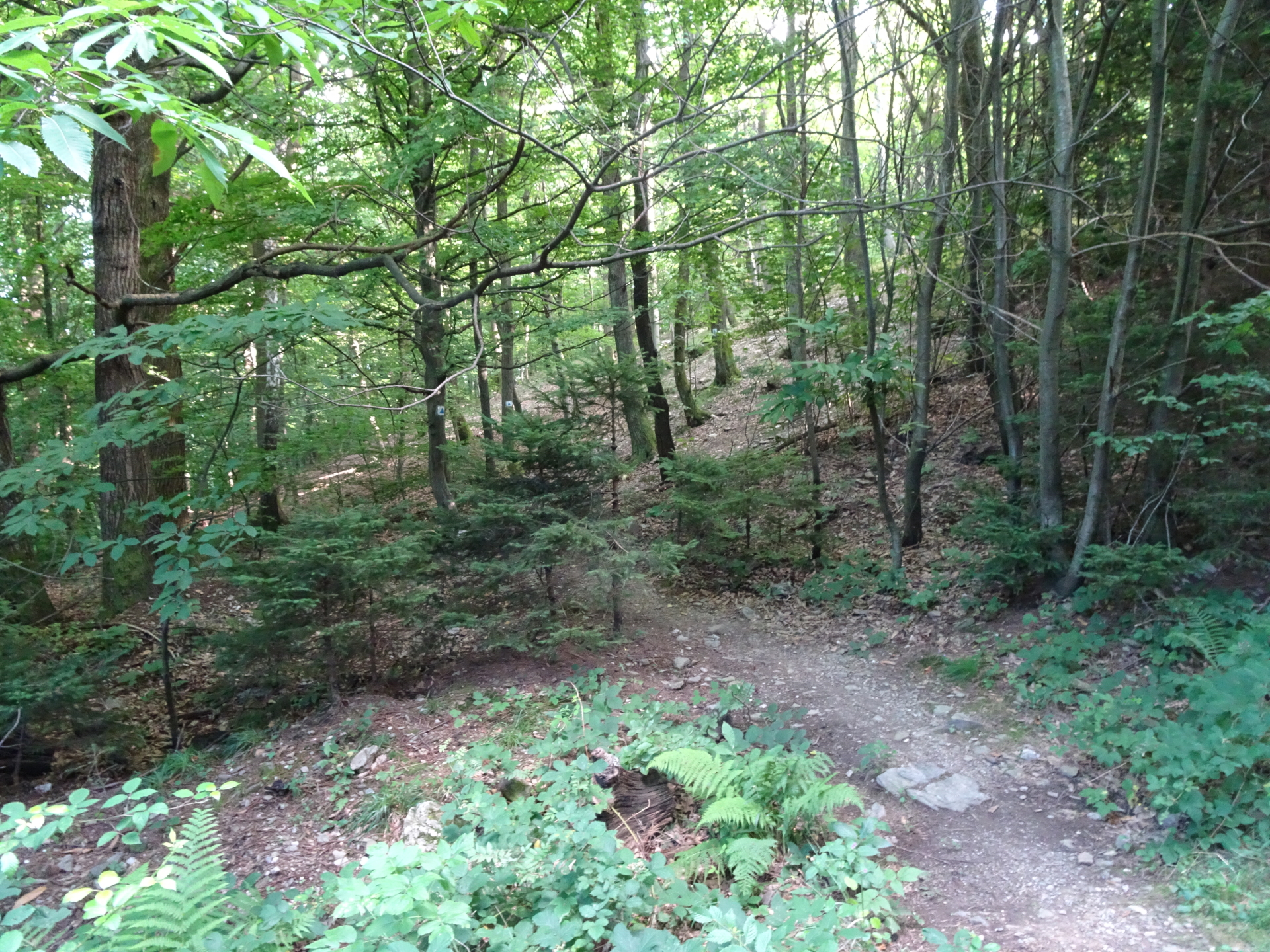
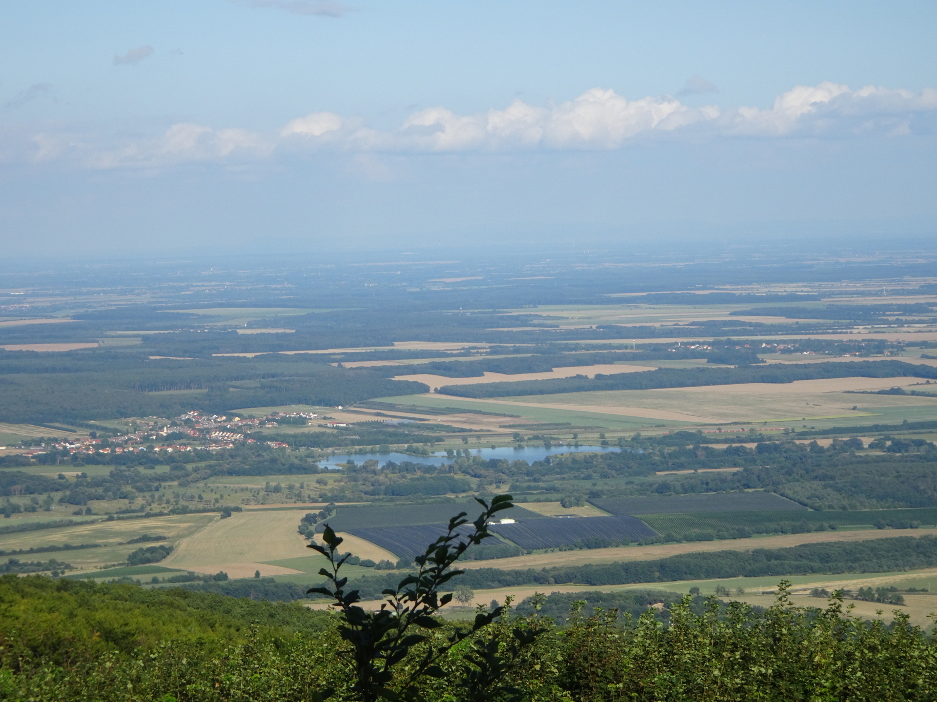
| 01:45 | Pass by Kopasz-Kendig and continue following the trail, allowing soon nice views towards the pannonian lowlands. |
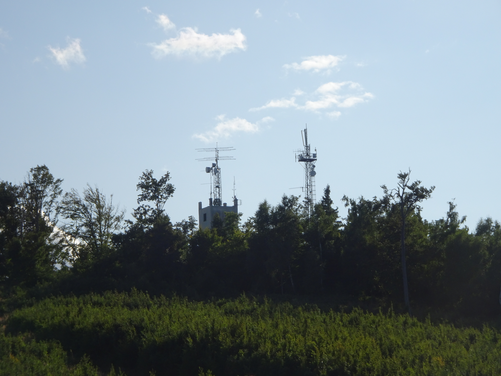
| 01:55 | Hike around the antenna and its building of Kendig. |
| 02:00 | Enjoy the stunning panoramic view from Kendig-eresz view point. Continue following the trail westwards and keep straight ahead. |
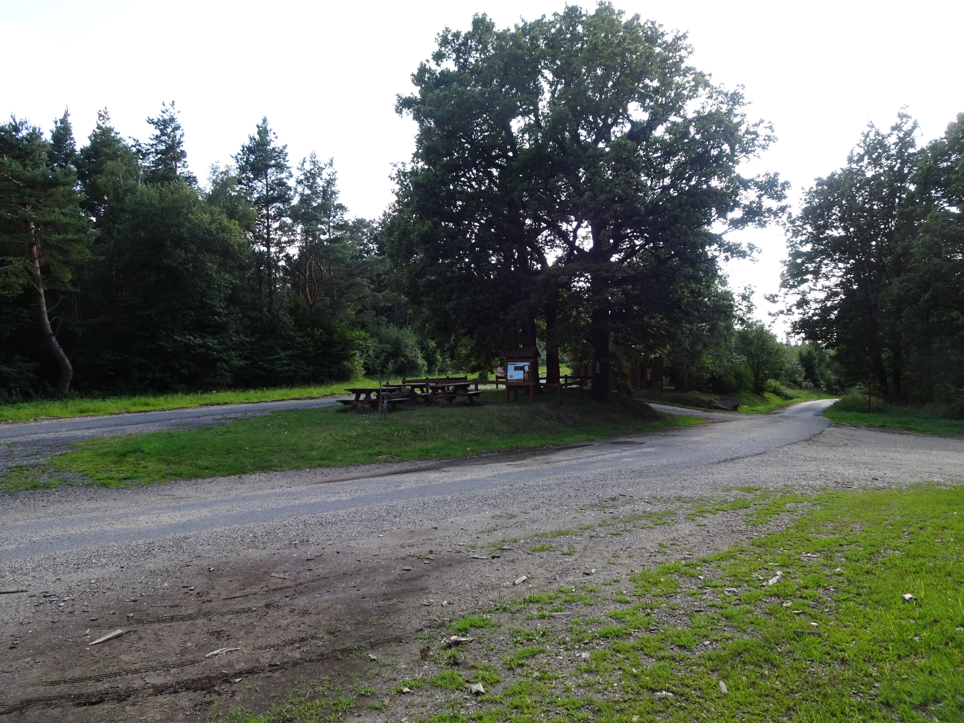
| 02:15 | At the parking, turn right and follow the street northwestwards to Hörmann-forrás. |
| 02:20 | At Hörmann-forrás crossing, turn left and follow again the Alpannonia® trail up to Geschriebenstein. |
| 02:48 | At the rest area, turn right and hike up a few meters till reaching the Austrian/Hungarian border at Geschriebenstein. |
| 02:50 | Well deserved break at Geschriebenstein. Climb up the stairs inside to access the viewing platform, allowing stunning panoramic view on the area (best enjoyed with a self-brought refreshment ). |
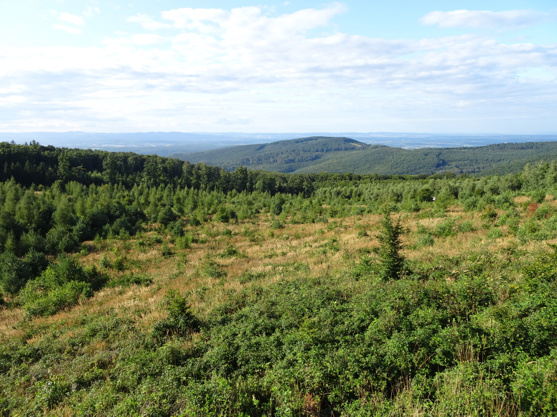
| 03:00 | Follow the forest road westwards to the pass of Geschriebenstein. |
| 03:20 | Arrive at the parking and bus station of the pass of Geschriebenstein. End of the tour. |
At a glance
| Level | easy |
| Technique | |
| Shape / Fitness | |
| Experience | |
| Scenery | |
| Best time in the year | |
|
Jan
Feb
Mar
Apr
May
Jun
Jul
Aug
Sep
Oct
Nov
Dec
|
|
General Tour Data
| Area: | Günser Gebirge, Austria & Hungary | |
| Distance: | 13,5km | |
| Ascent: | 610m (2h 05min) | |
| Descent: | 85m (0h 45min) | |
| Highest Pt: | 884m | |
| Lowest Pt: | 272m | |
| Duration: | 3h 10min (without breaks) 3h 20min (with breaks) |
|
| Stop/Rest: | Die Ranch (803m) | |
| Equipment: | Backpack with standard hiking equipment Comfortable hiking shoes Snacks, Food and enough water 1x Gipfelbier Sun & Weather protection Camera |
| Download GPX | ||
| O | Tour at outdooractive.com |
Interesting background information
The “Geschriebenstein” is the highest point in Burgenland and western Hungary.
The border between Austria and Hungary runs exactly through the middle of the viewing platform on the summit which was build in 1913 by the Austrians.
In 2001, the fall of the iron curtain finally allowed crossing the border here between Austria and Hungary.


Leave a Reply