
Stage 6 of the Alpannonia® long distance trail from “Geschriebenstein” to the city of “Kőszeg”
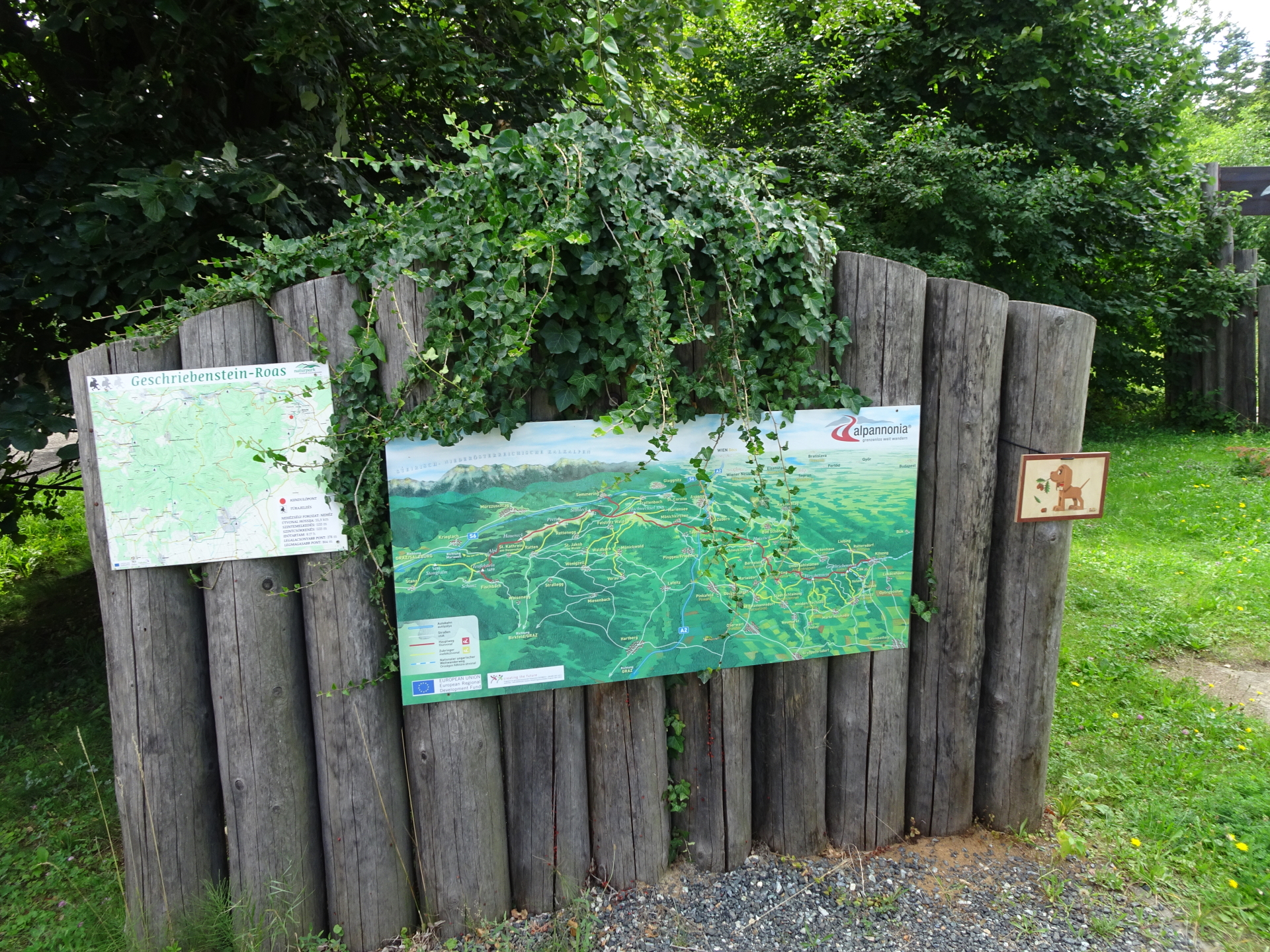
| The Alpannonia® long distance trail combines in 6 to 7 stages a tour from the eastern alps in Austria towards the “pannonian lowlands” in Hungary. The entire trail is 125 km long and 3.800 meters in ascent. It is normally done in 7 days, starting in Fischbach (AT) and ending in Kőszeg (HU). For more information visit www.alpannonia.at. |
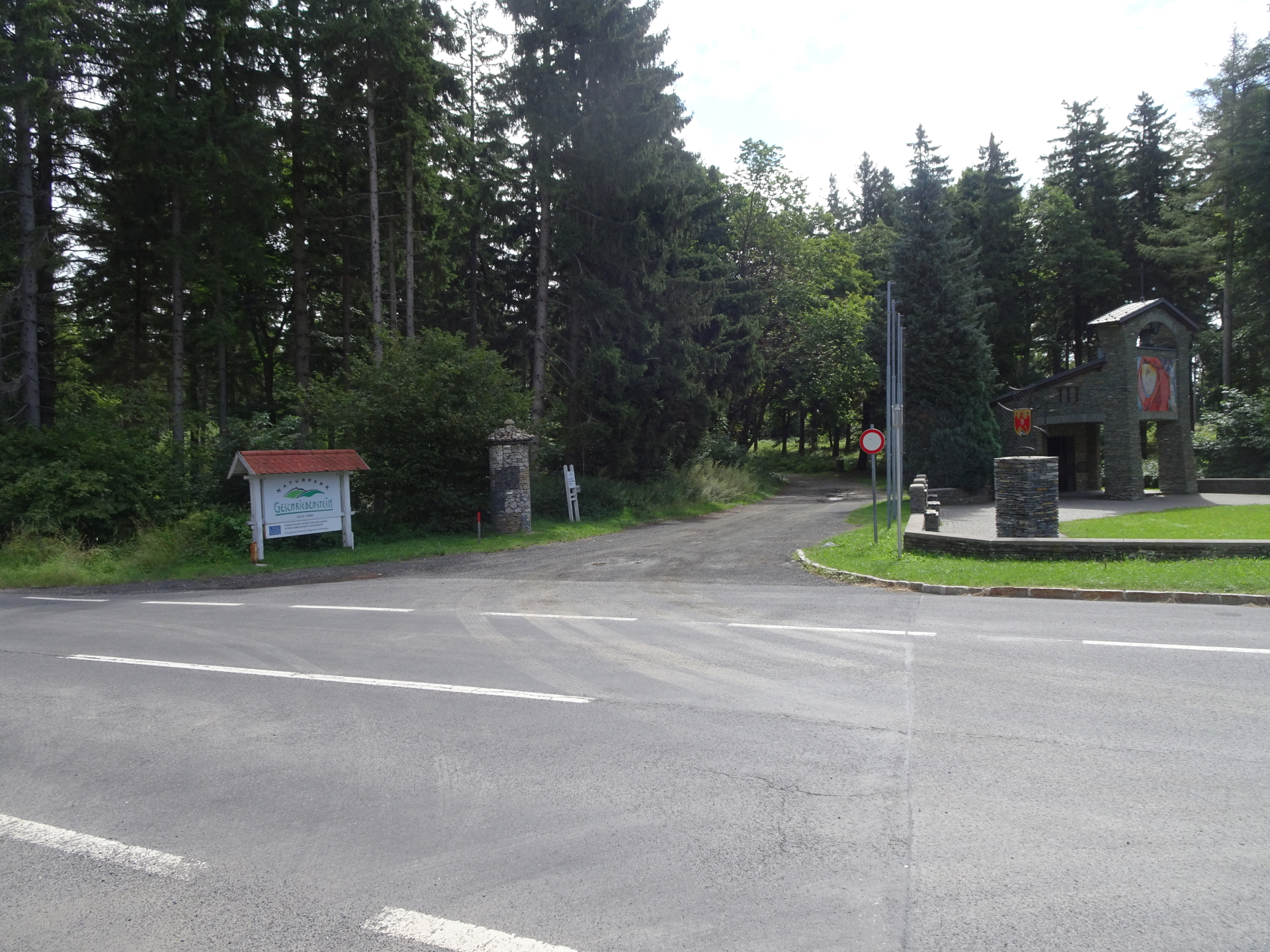
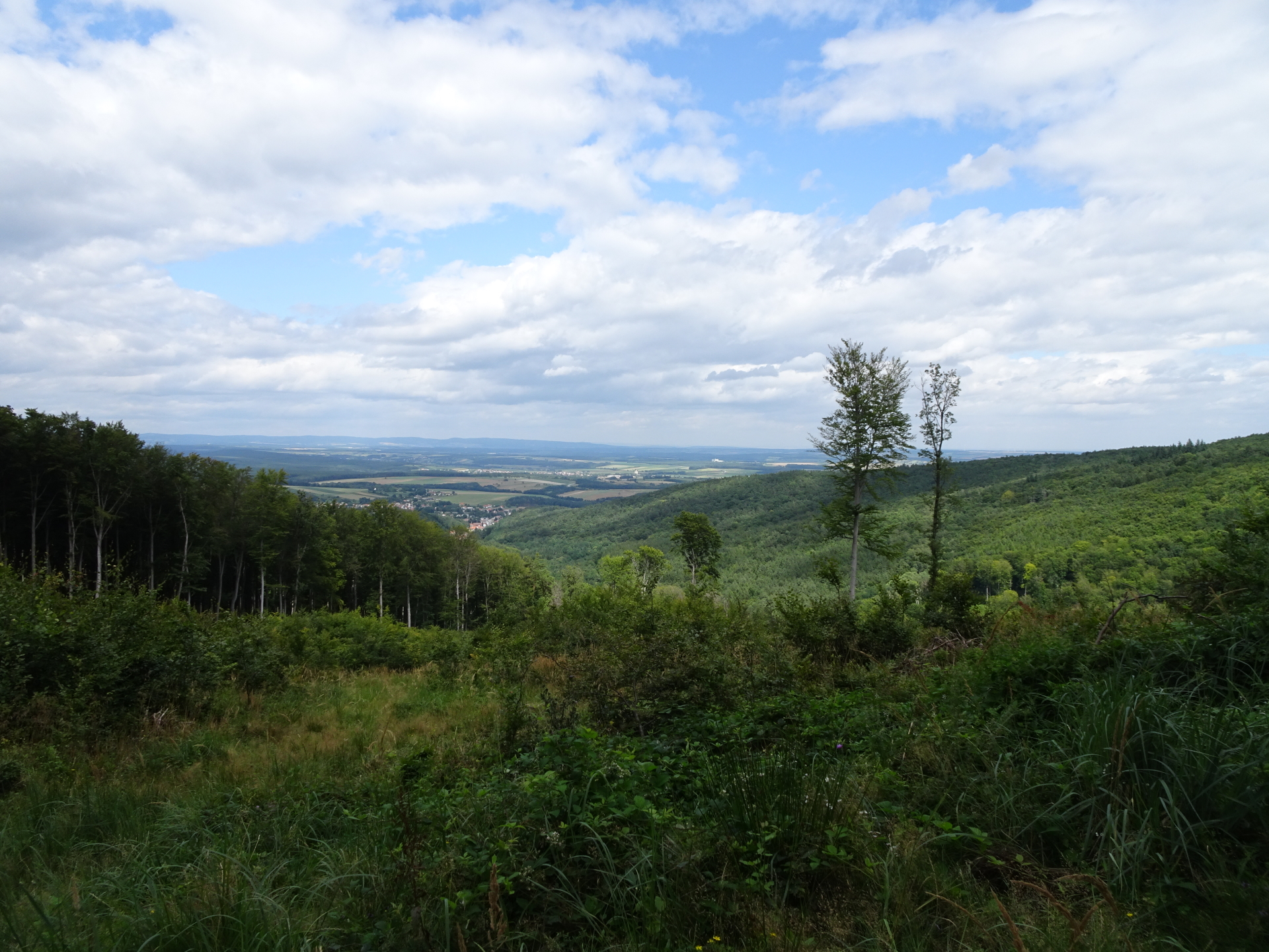
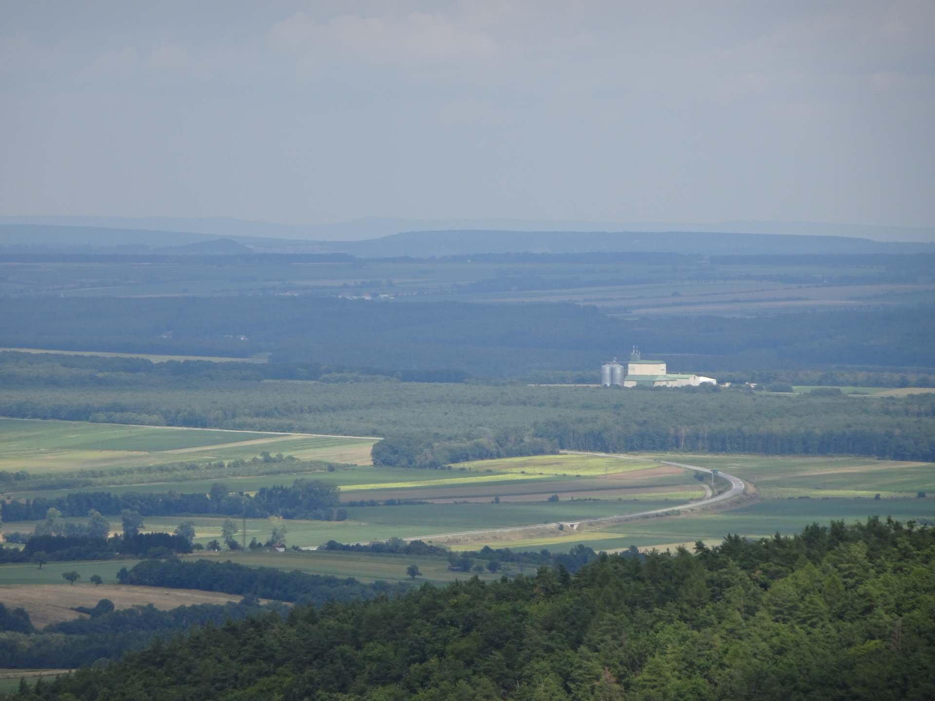
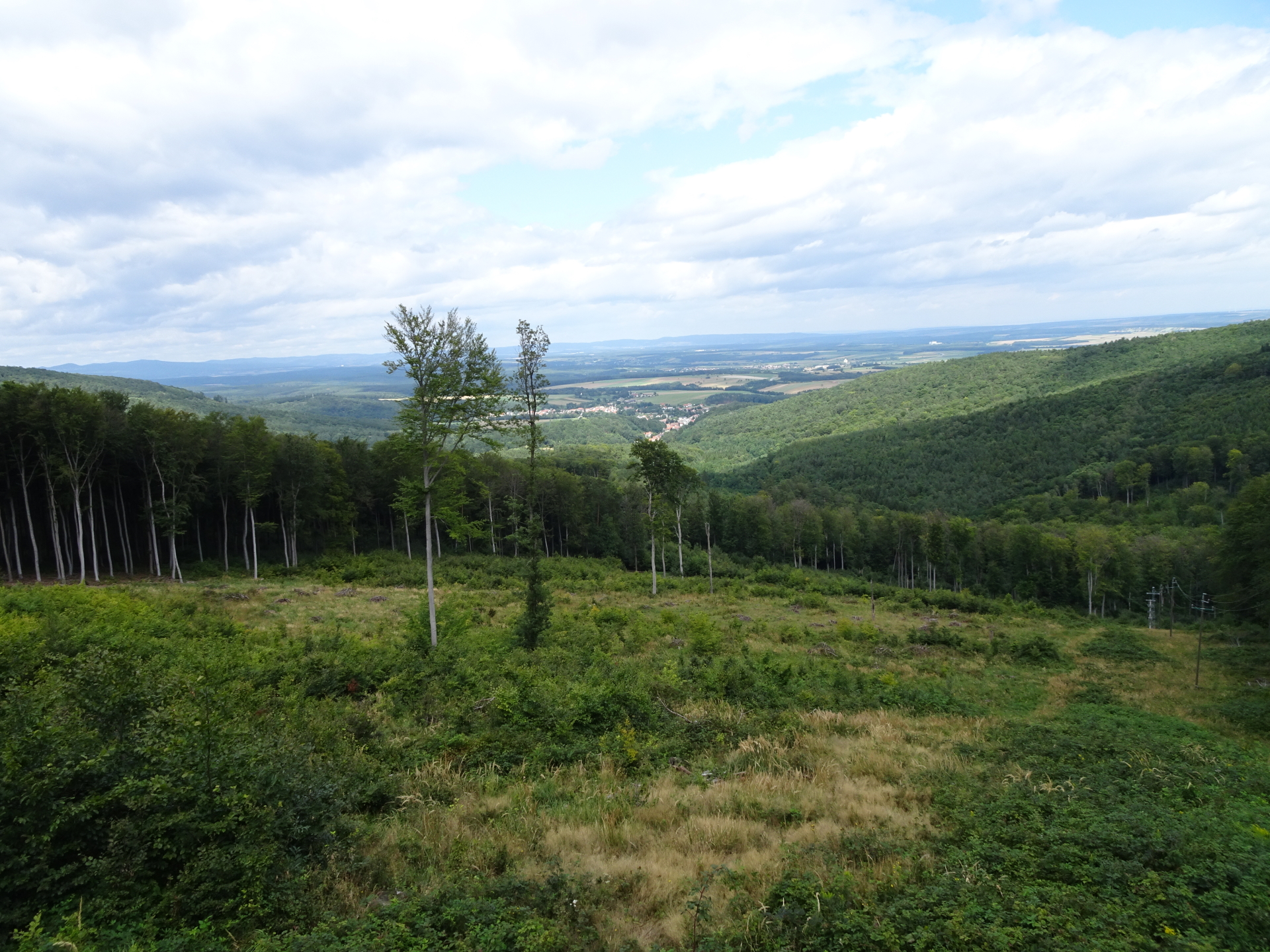
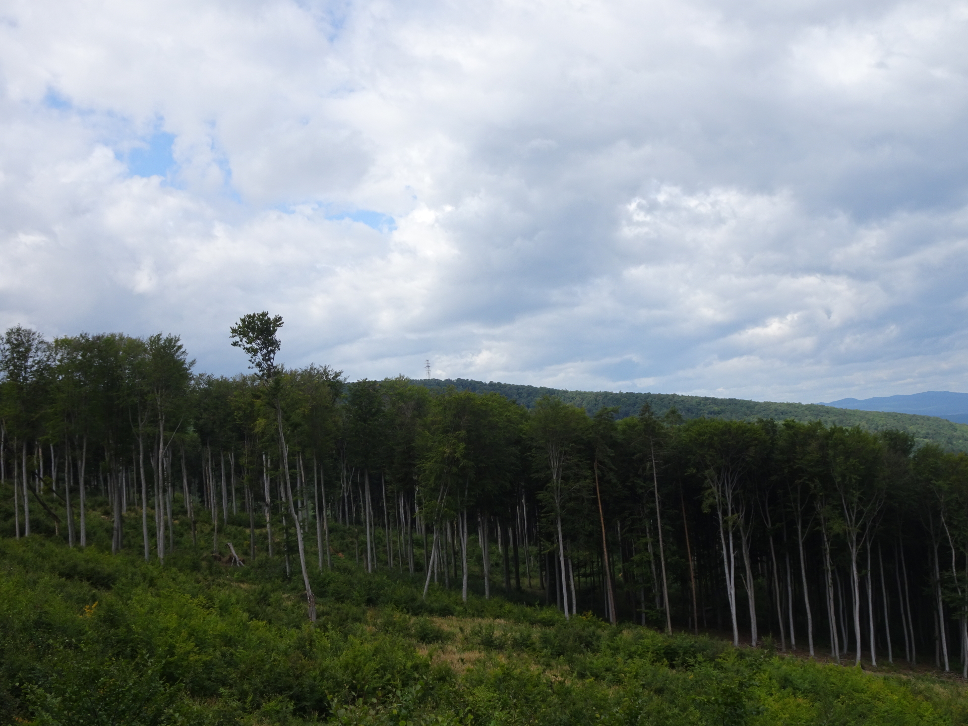
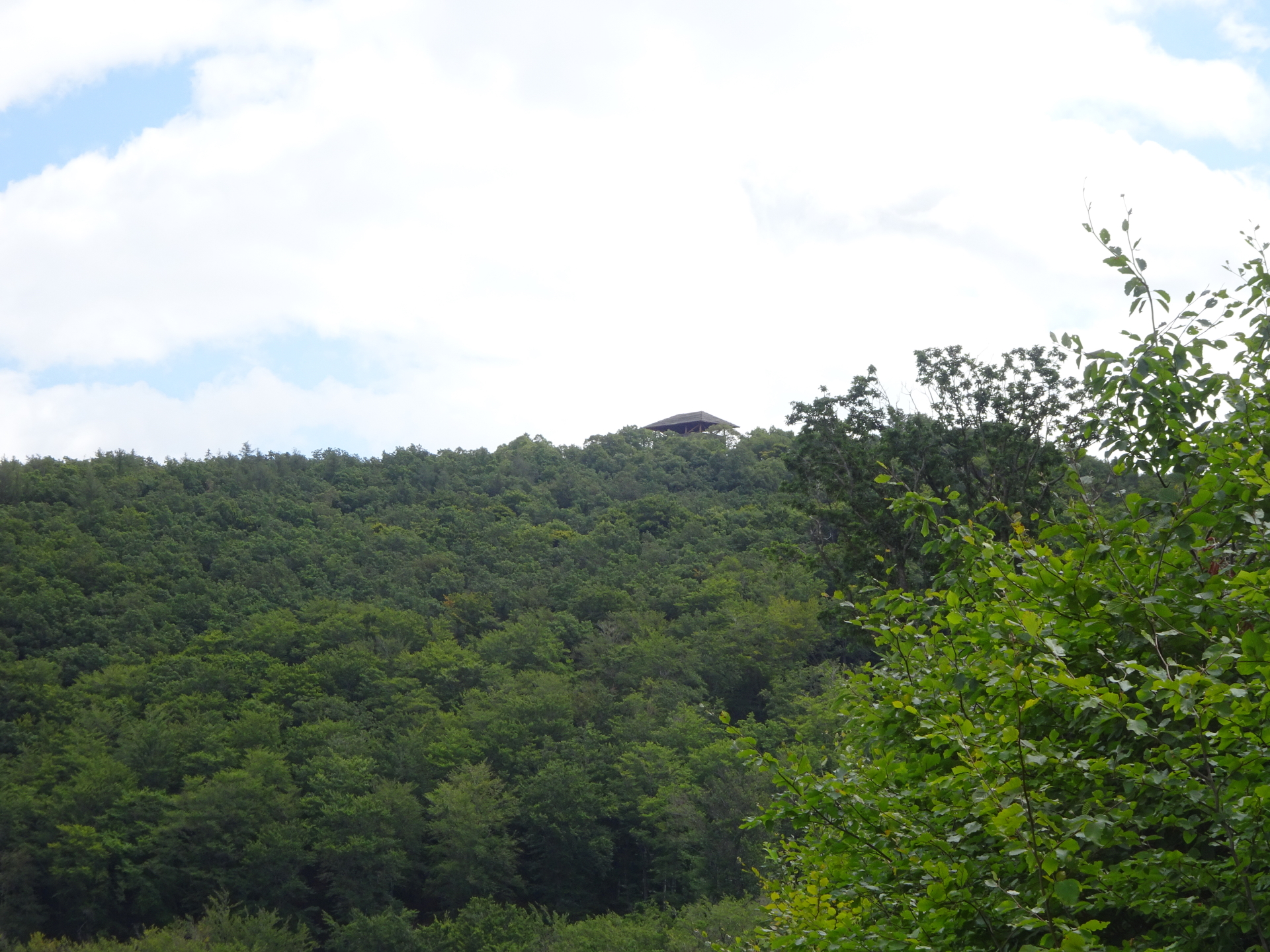
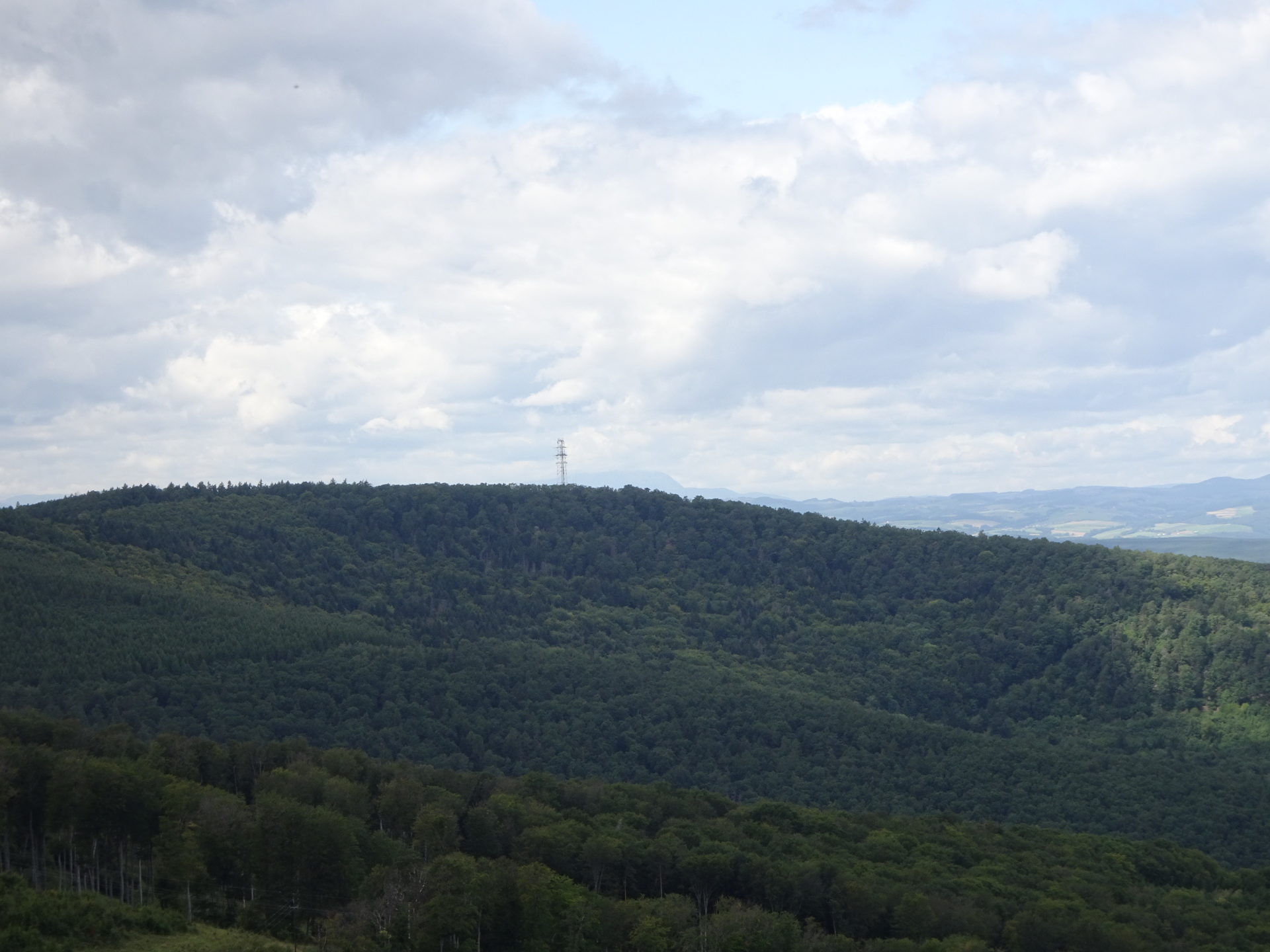
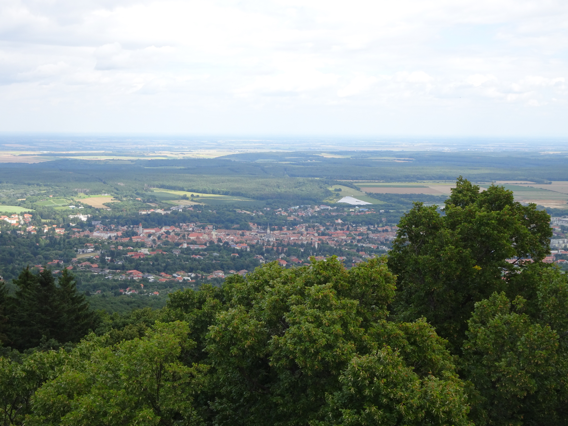
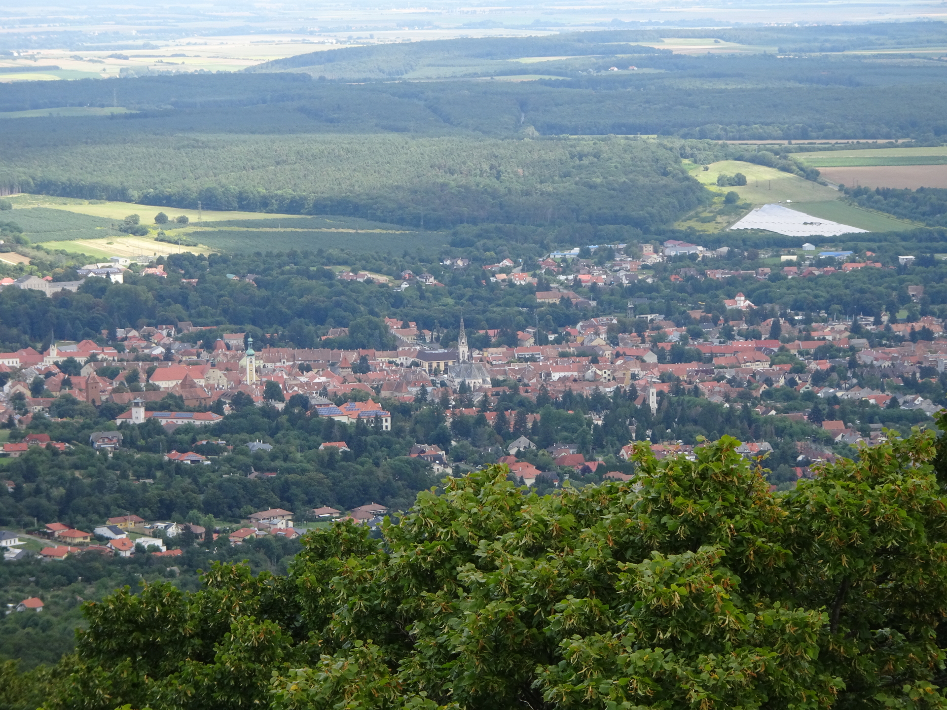
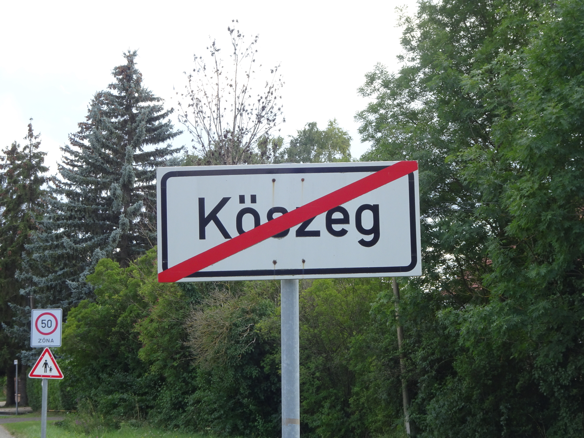
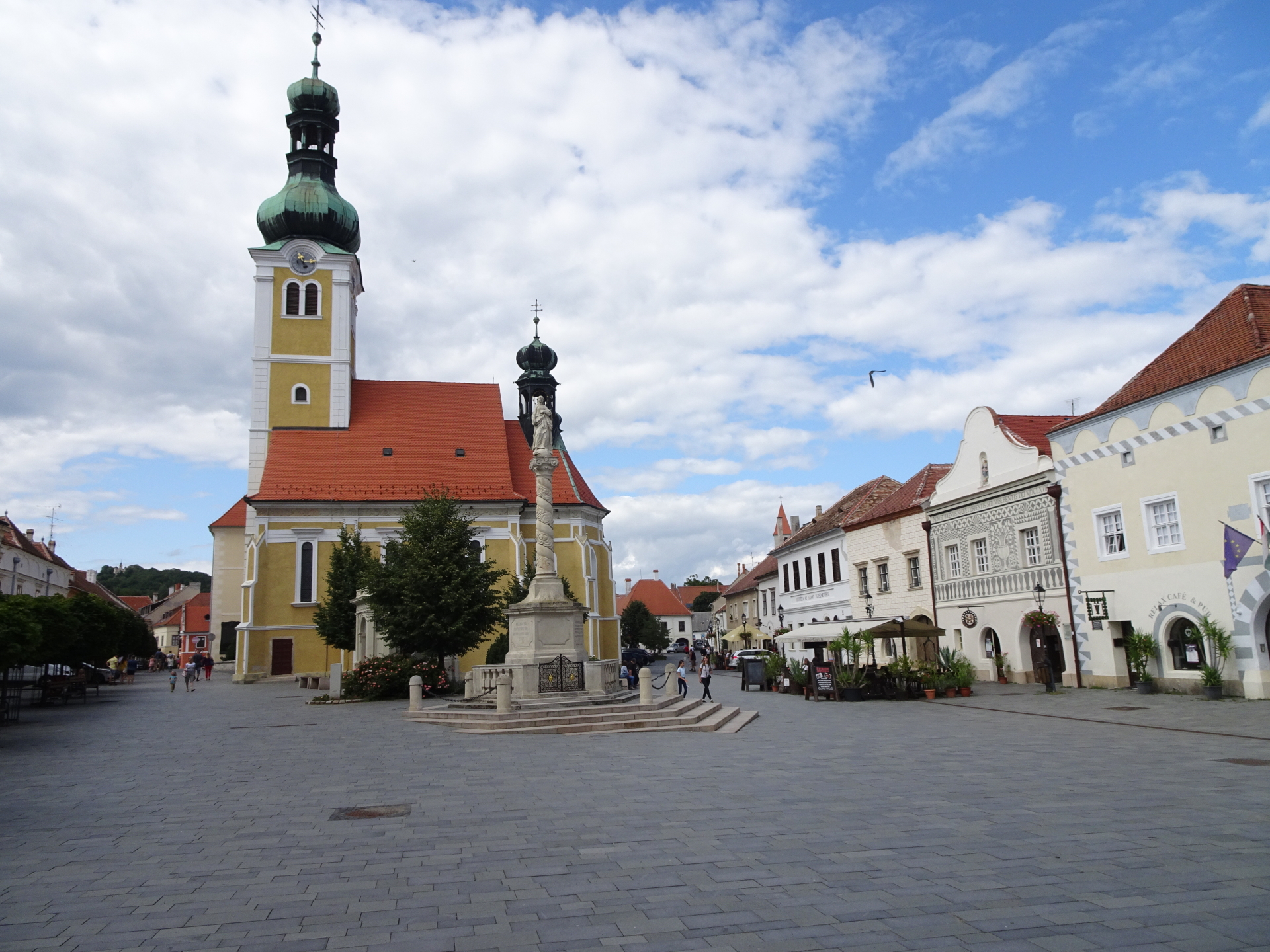
The tour starts at the pass of Geschriebenstein and first follows the marked trail up to the summit of Geschriebenstein, the highest peak of Burgenland which is also located at the border between Austria and Hungary. The tour then descends following the marked trail to the Hörmann-forrás water source, the Erdészeti múzeum and continues till ascending again to the viewing tower Óház-tető allowing a distance view towards the town of Kőszeg. The tour then finally descends towards the city center of Kőszeg, bypassing the Aradi vértanûk park with the official Alpannonia gate. The tour ends directly at the city center of Kőszeg at its main square.
Tour Description
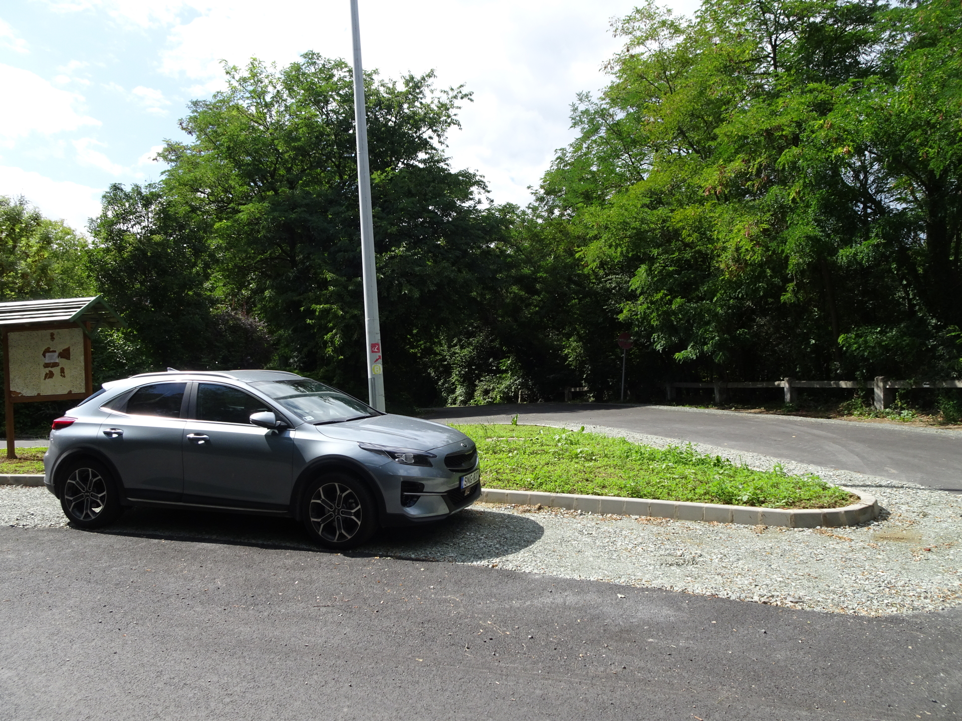
| 00:00 | The tour starts at the parking at the Geschriebenstein pass (GPS: 47.347928, 16.411724) and first follows the forest street estwards towards the top of Geschriebenstein. |
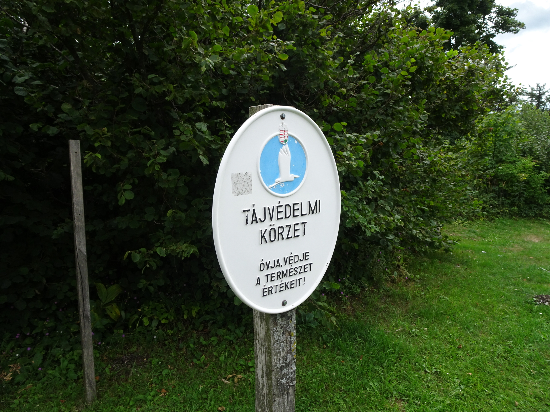
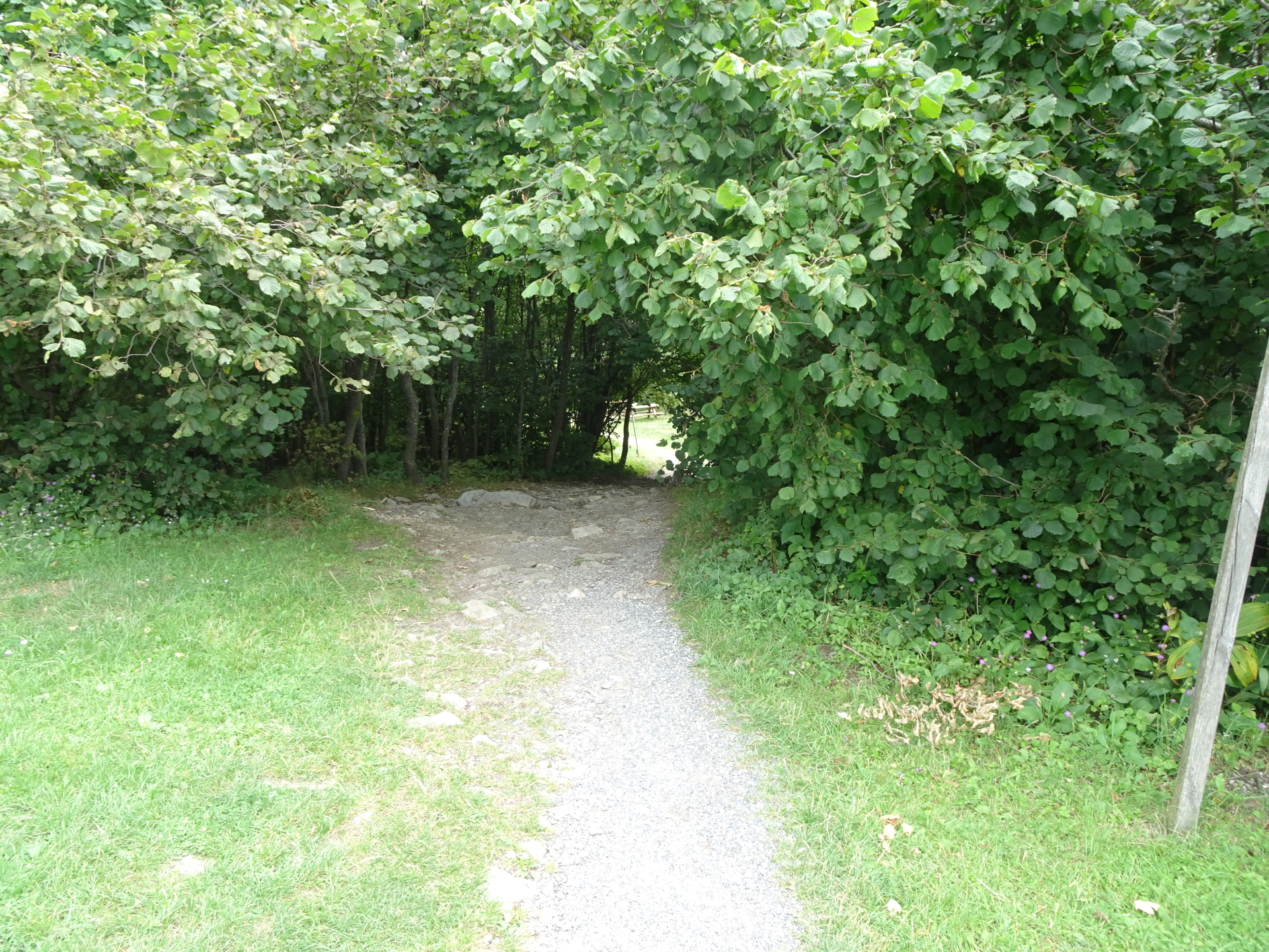
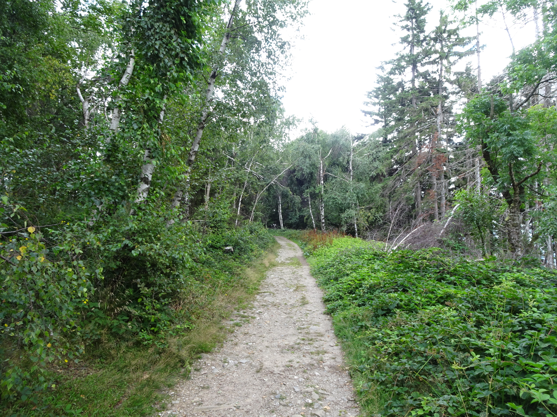
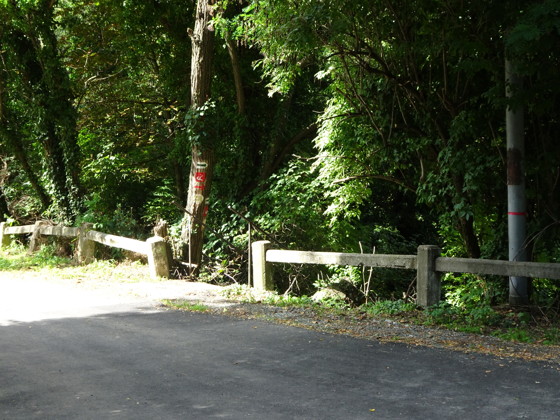
| 00:25 | Pass by the viewing platform at Geschriebenstein, cross the border to Hungary and follow the small trail through the bushes straight ahead. |
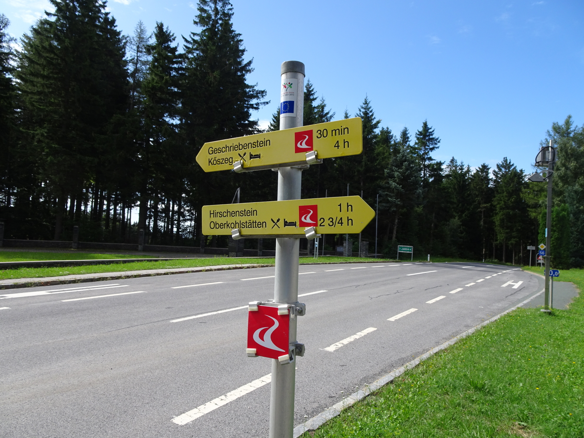
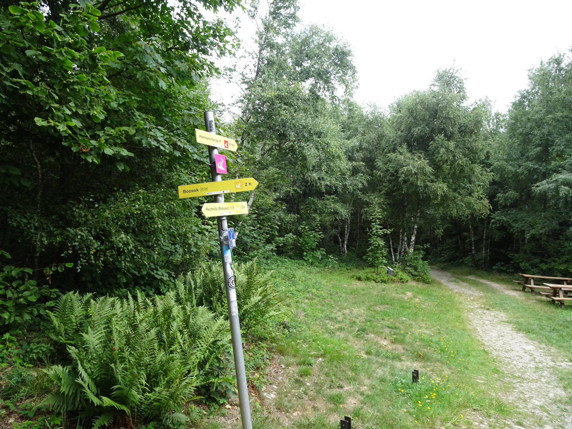
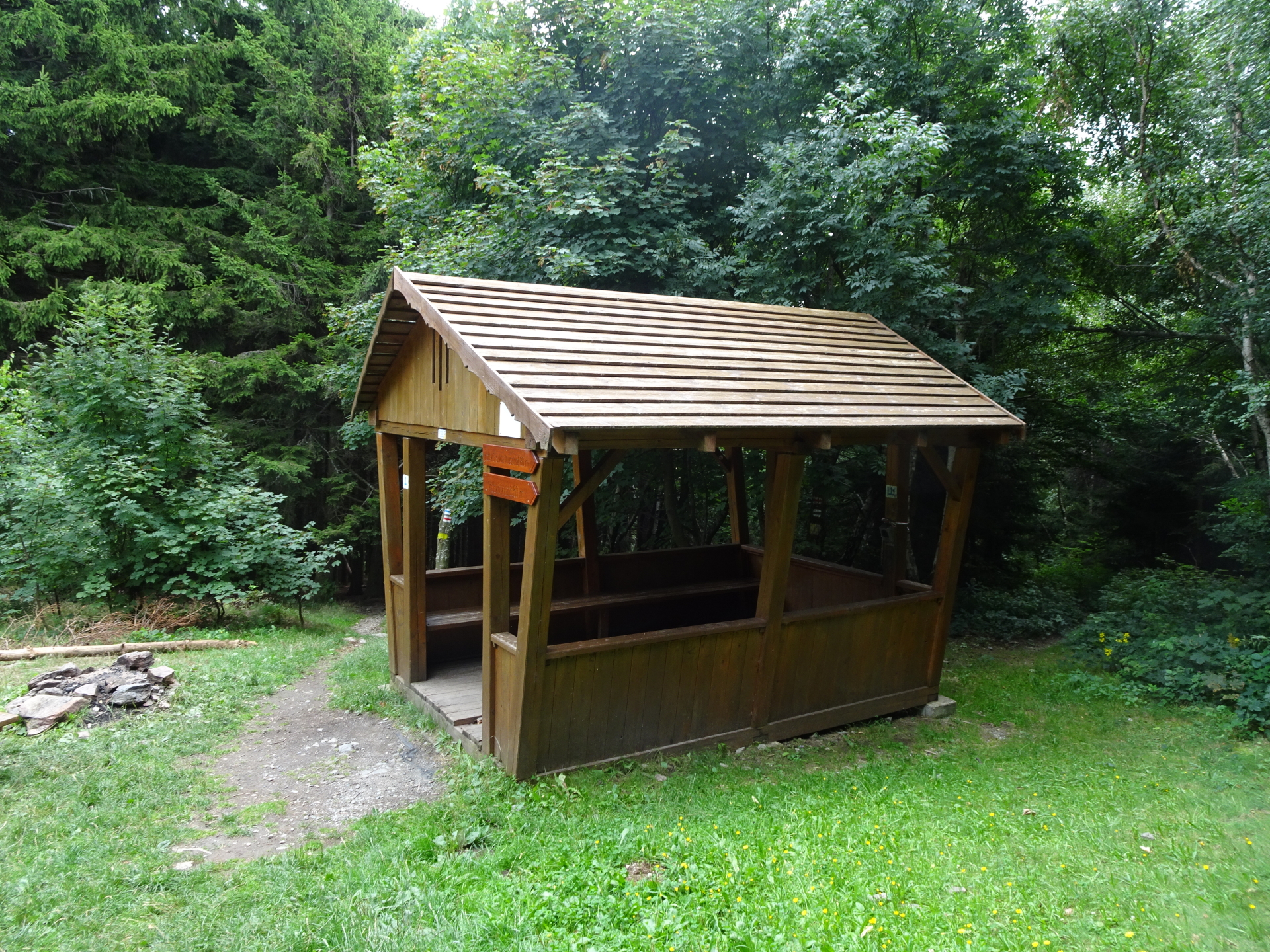
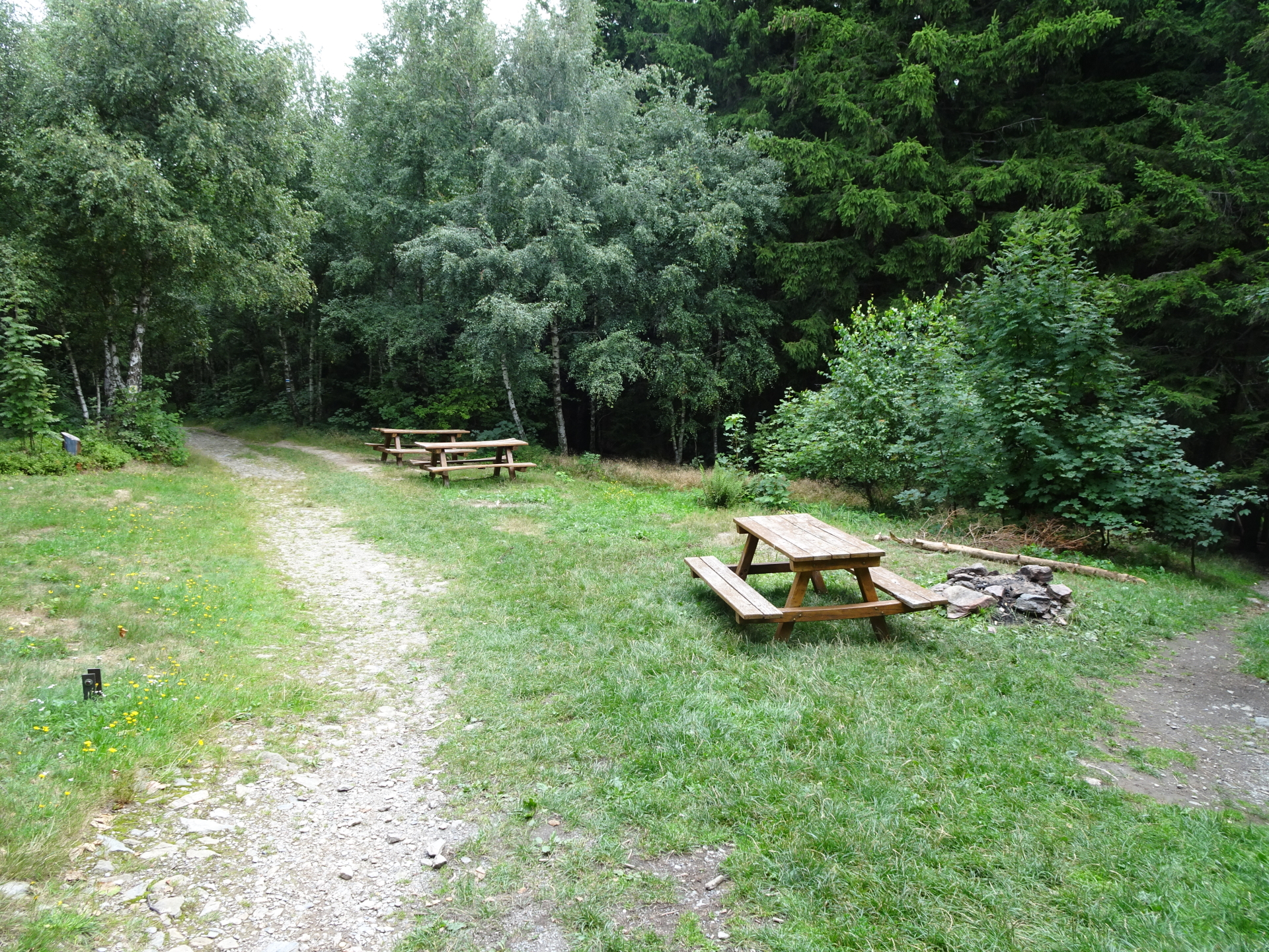
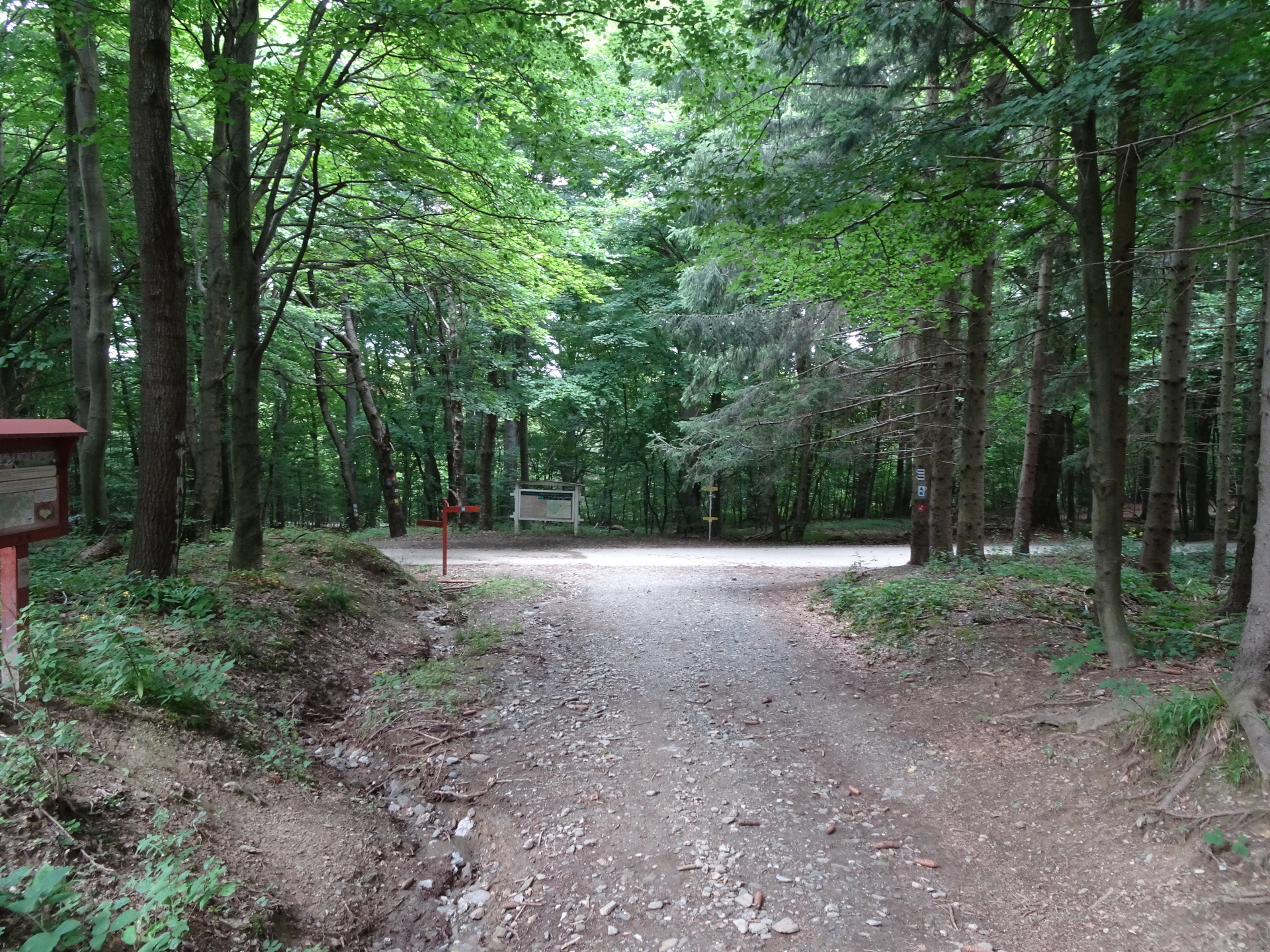
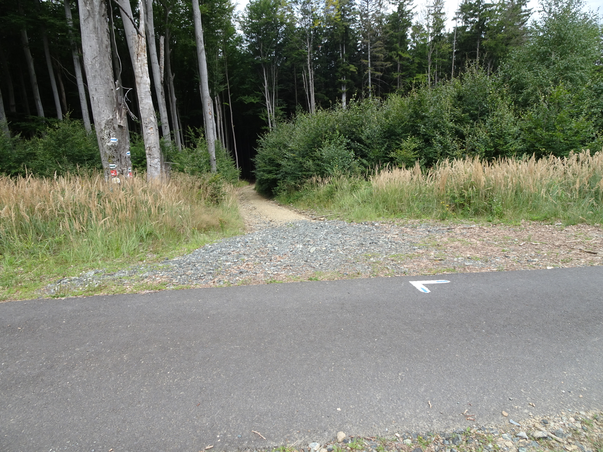
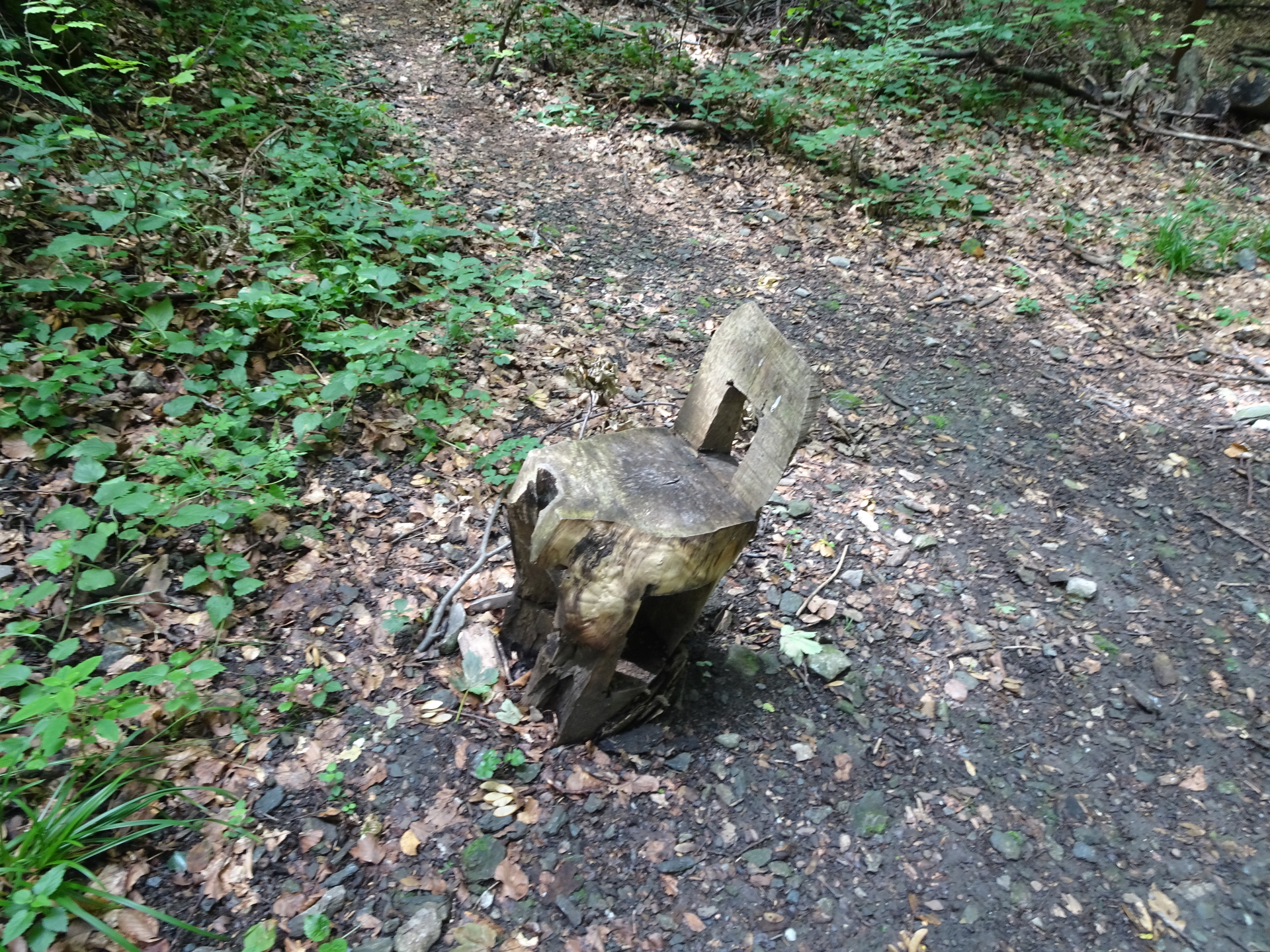
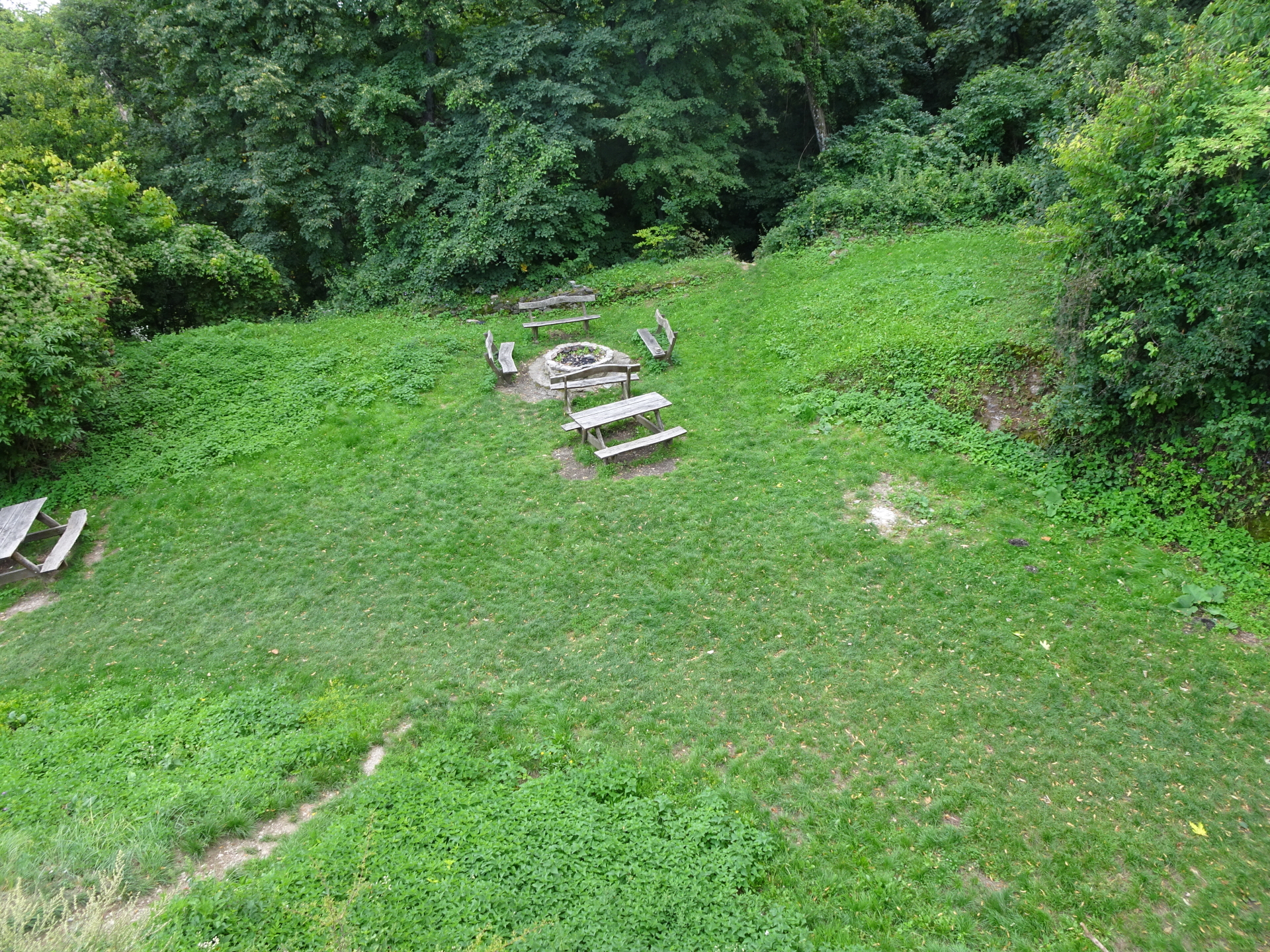
| 00:26 | At the rest area, turn left and follow the trail downwards to Hörmann-forrás (see signpost). |
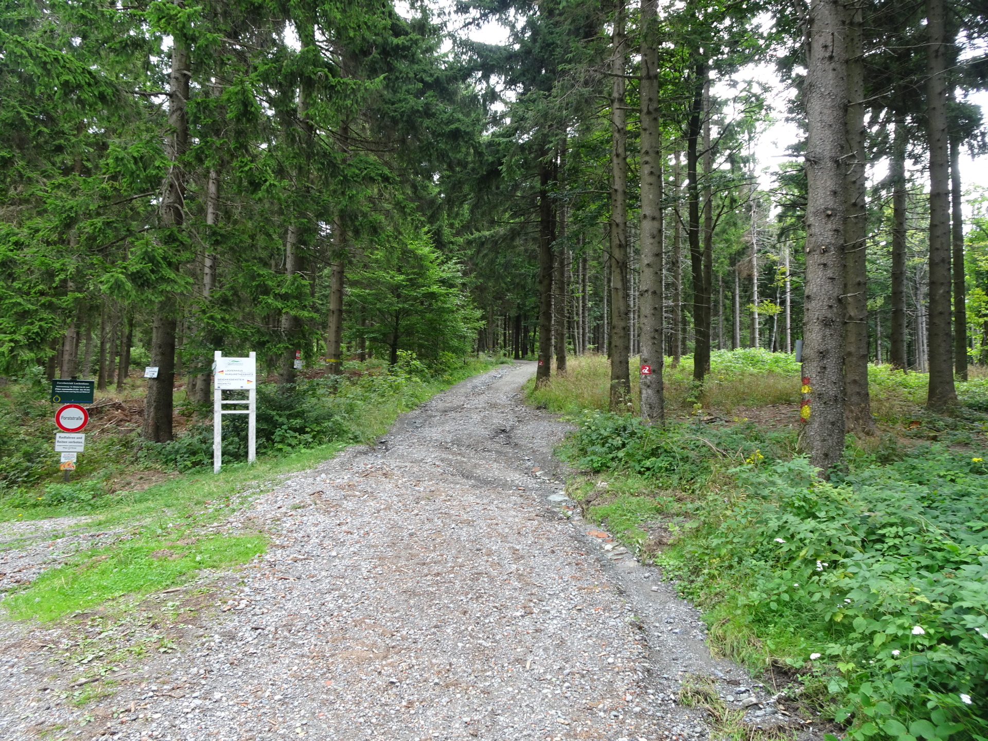
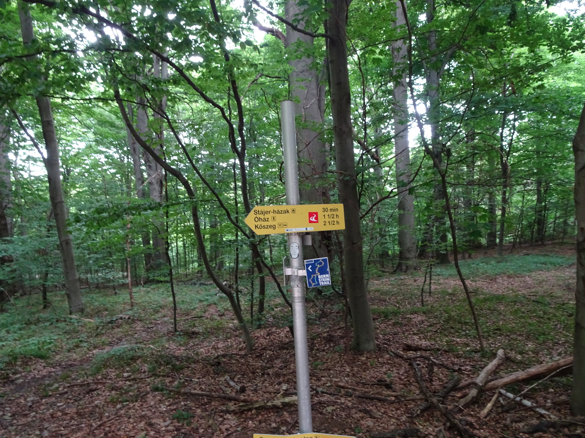
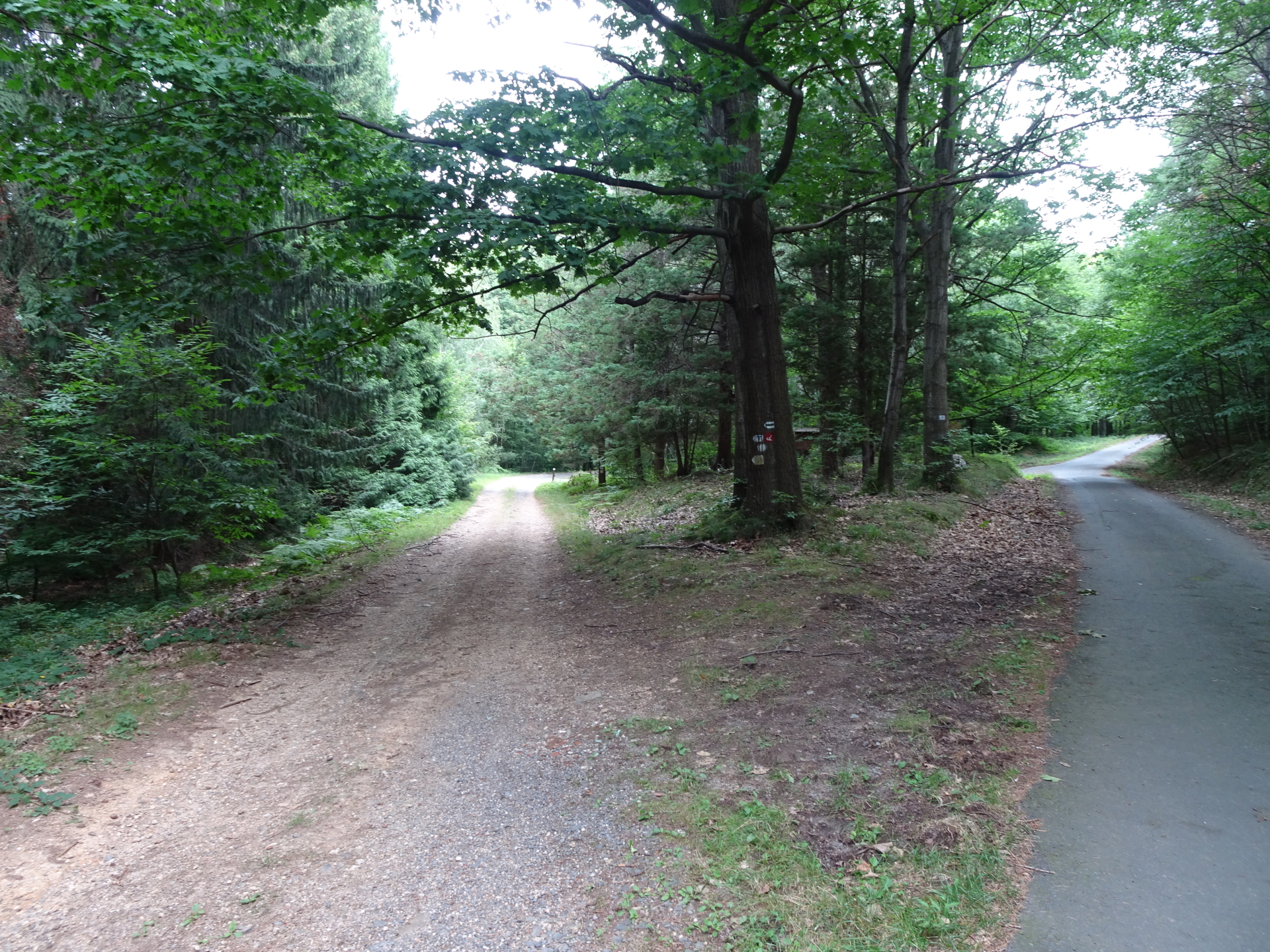
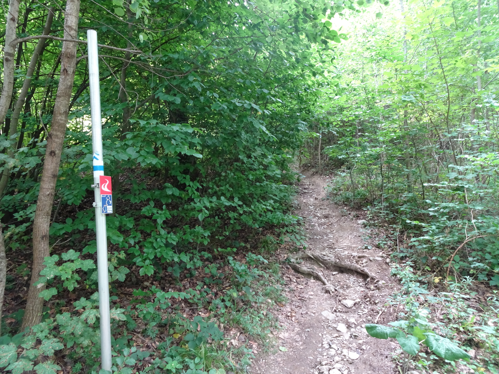
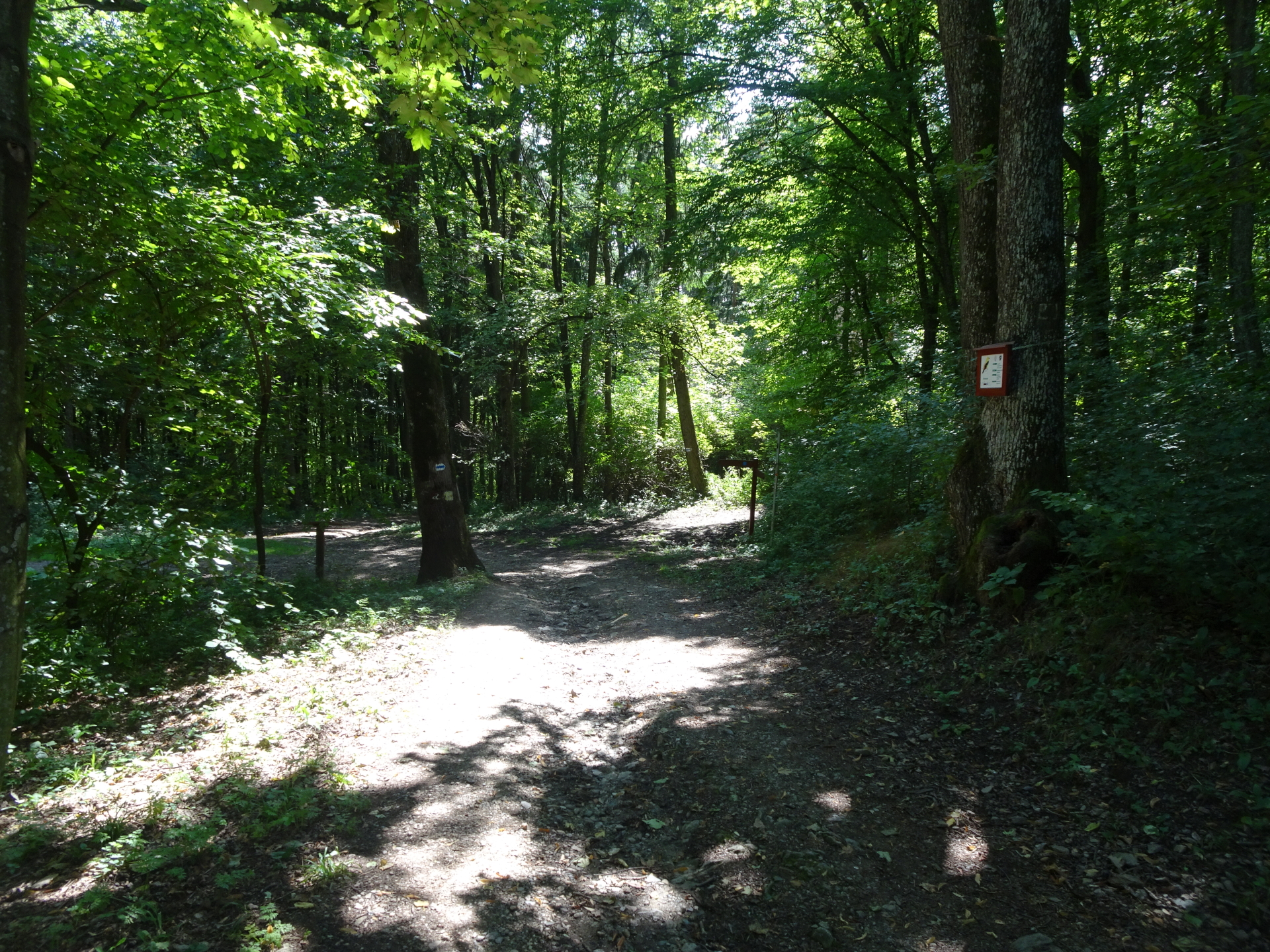
| 00:55 | Cross the street and pass by Hörmann-forrás rest area. Cross again the street and stay straight ahead on the marked trail towards Óház (follow the red Alpannonia® markings). |
| 01:07 | Cross the street and use the trail straight ahead. |
| 01:10 | At the crossing, turn right and follow the street eastwards. |
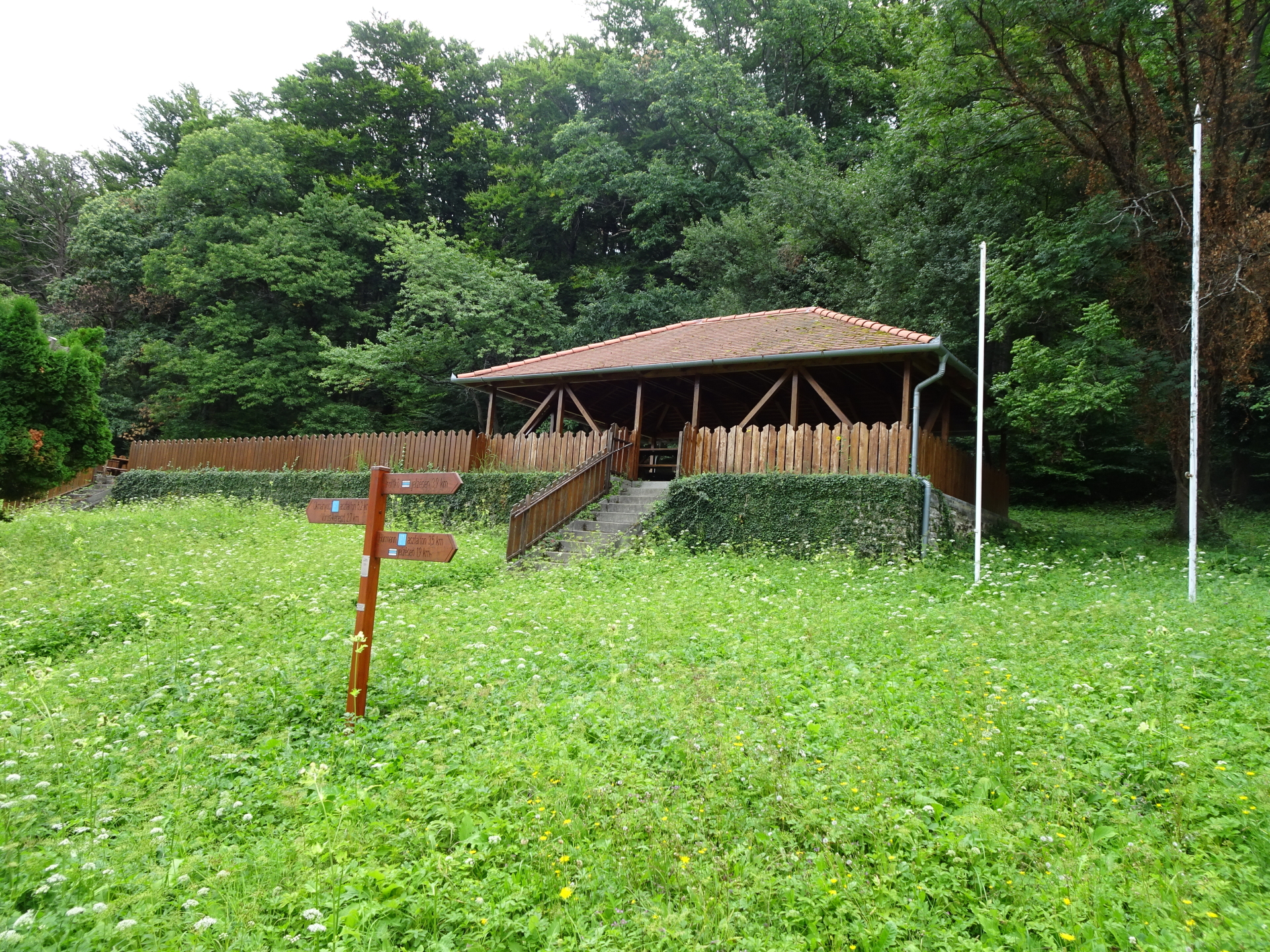
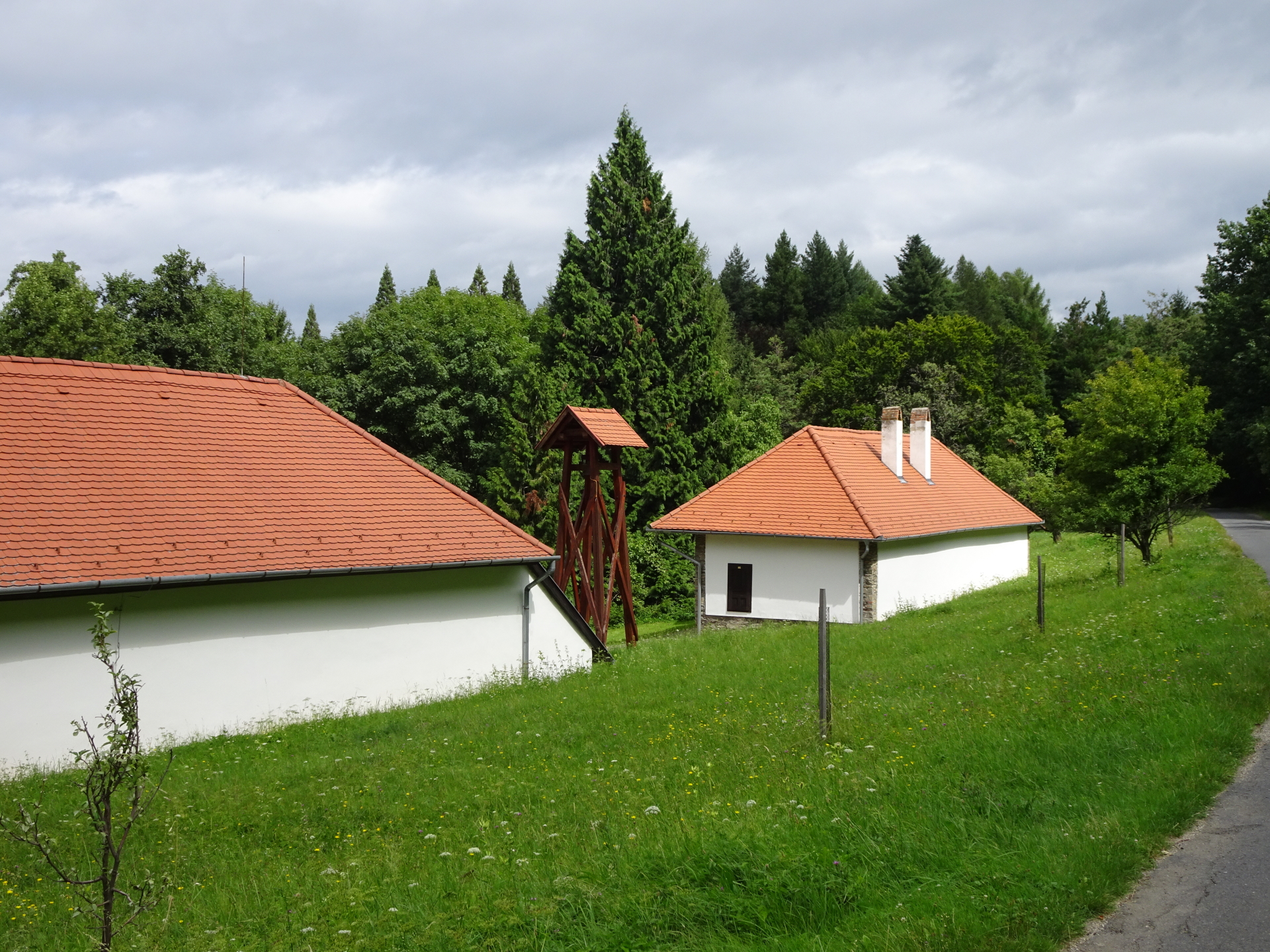
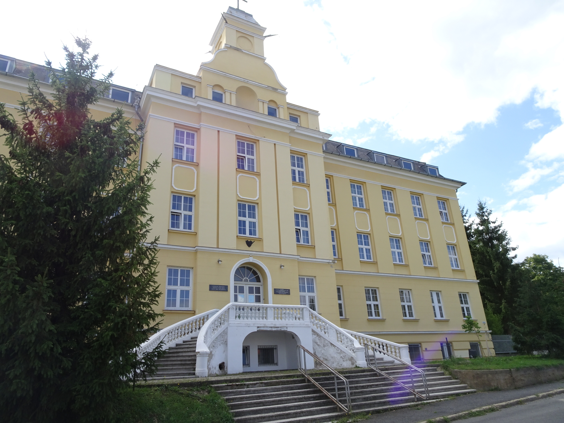
| 01:15 | Pass by the Erdészeti múzeum and continue following the street northeastwards. |
| 01:17 | At the crossing, turn left and follow the marked trail (see Alpannonia® markings!). |
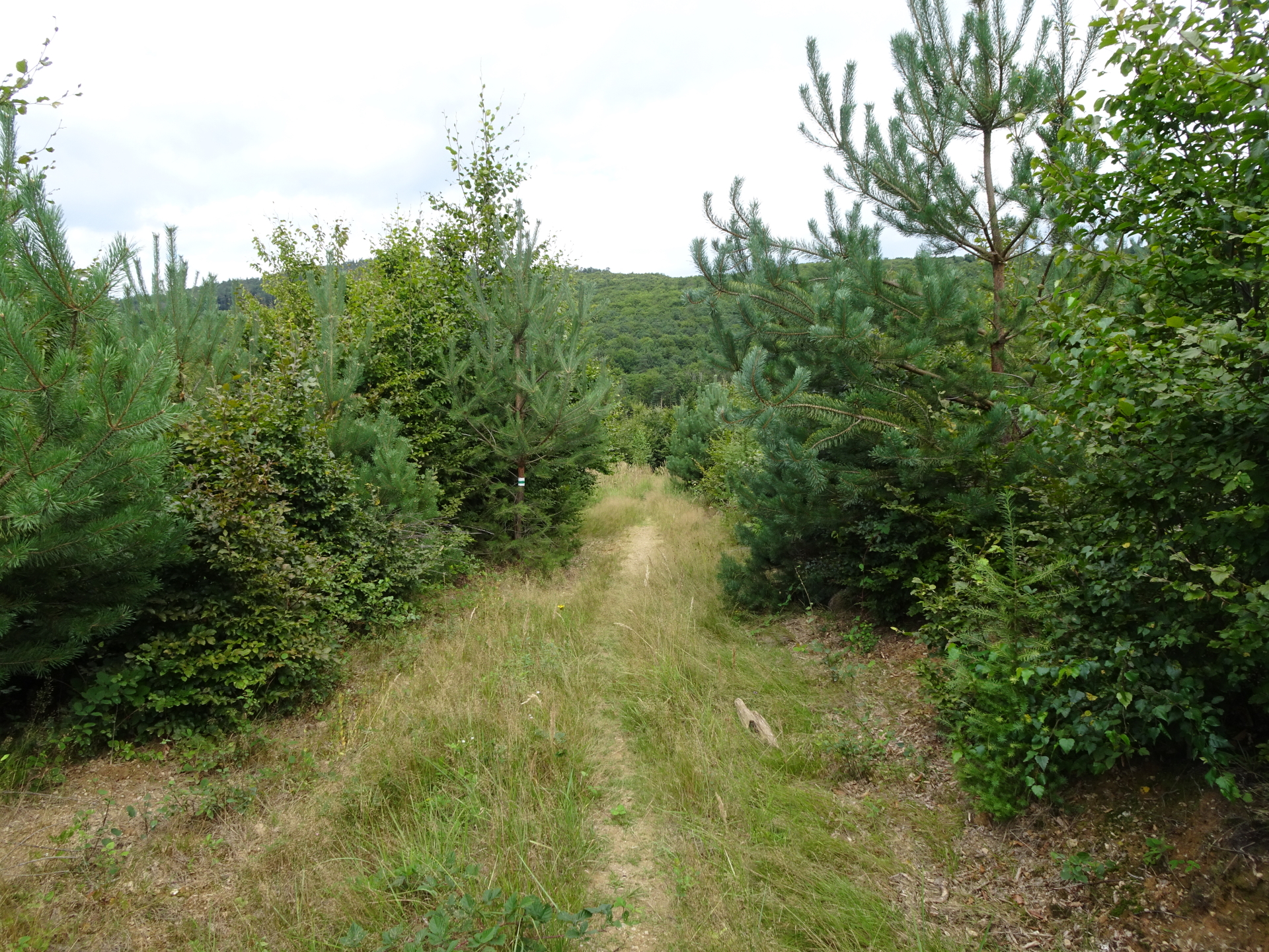
| 01:25 | At the crossing (U-turn), keep right and turn into the trail heading eastwards. |
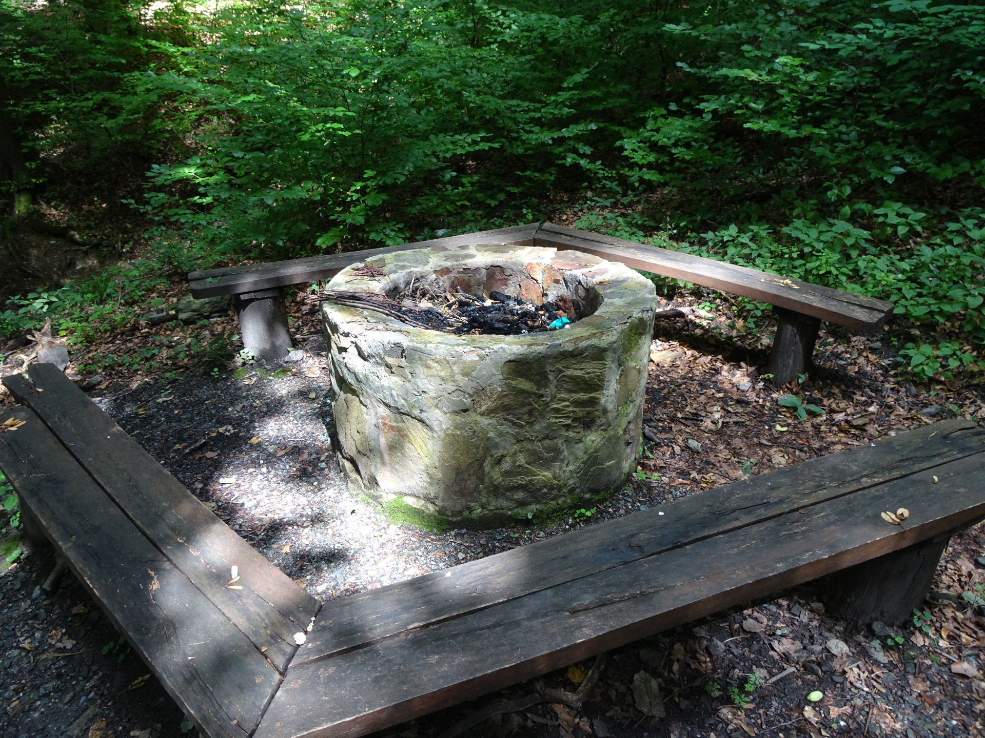
| 01:40 | At the crossing, turn left and follow the trail downwards to Szikla-forrás (follow Alpannonia® markings!). |
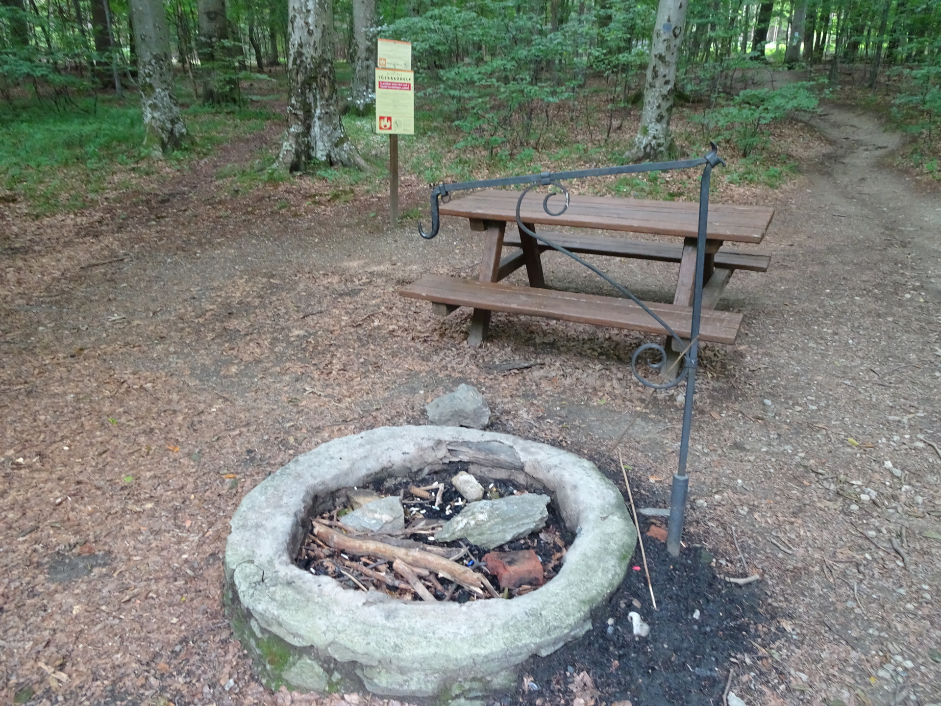
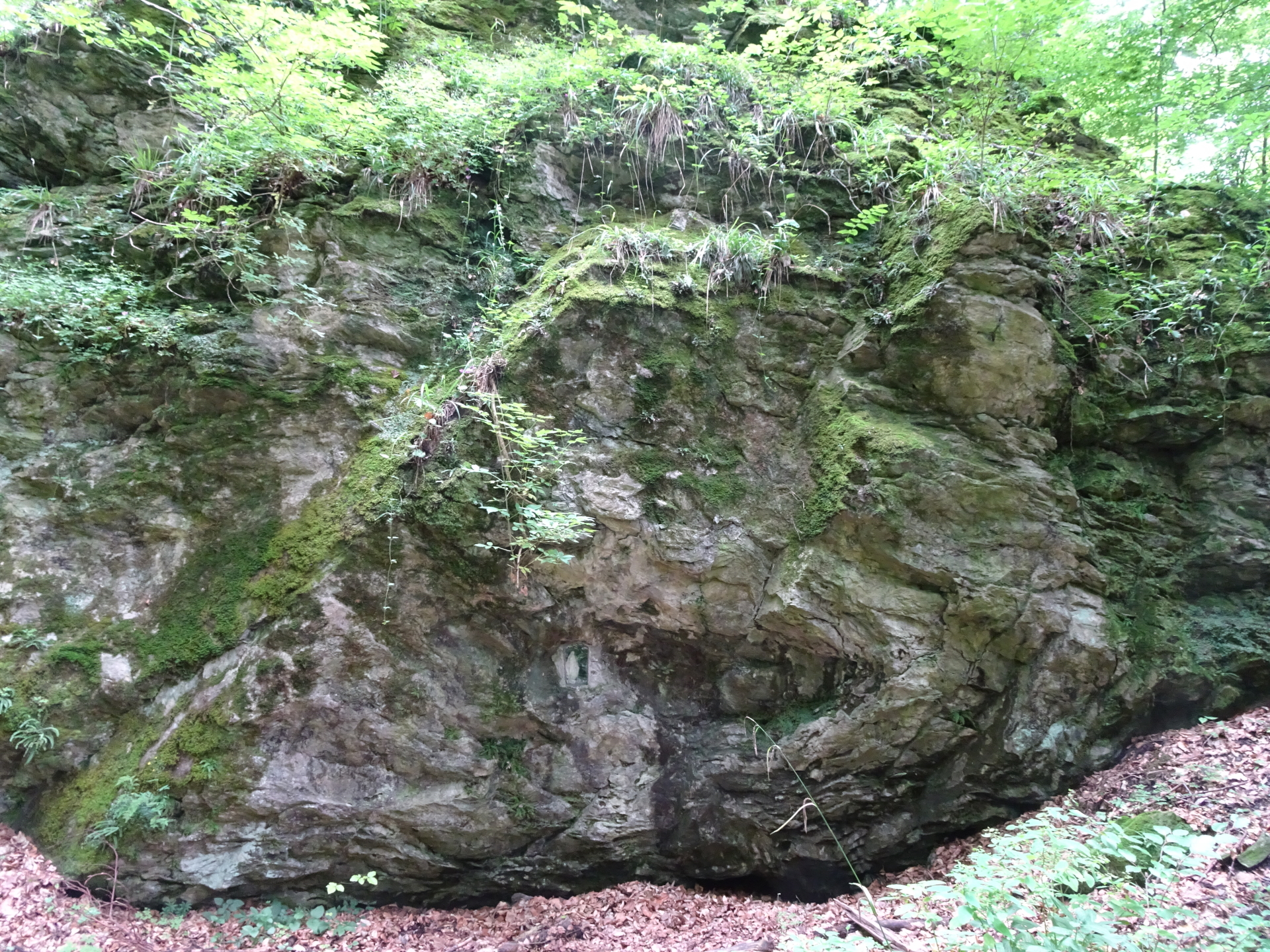
| 01:47 | Pass by the Szikla-forrás rest area and continue following the trail. |
| 01:50 | At the crossing, turn right and follow the trail northwards. |
| 02:00 | At the crossing of Zeiger-nyereg (and its rest area), keep right (use the forest road eastwards, see Alpannonia® markings!). |
| 02:20 | Turn right and follow the trail upwards towards the Óház-tető viewing platform. You can consider a 5-10 min detour towards Hétforrás by turning left and following the trail downwards and then back. |
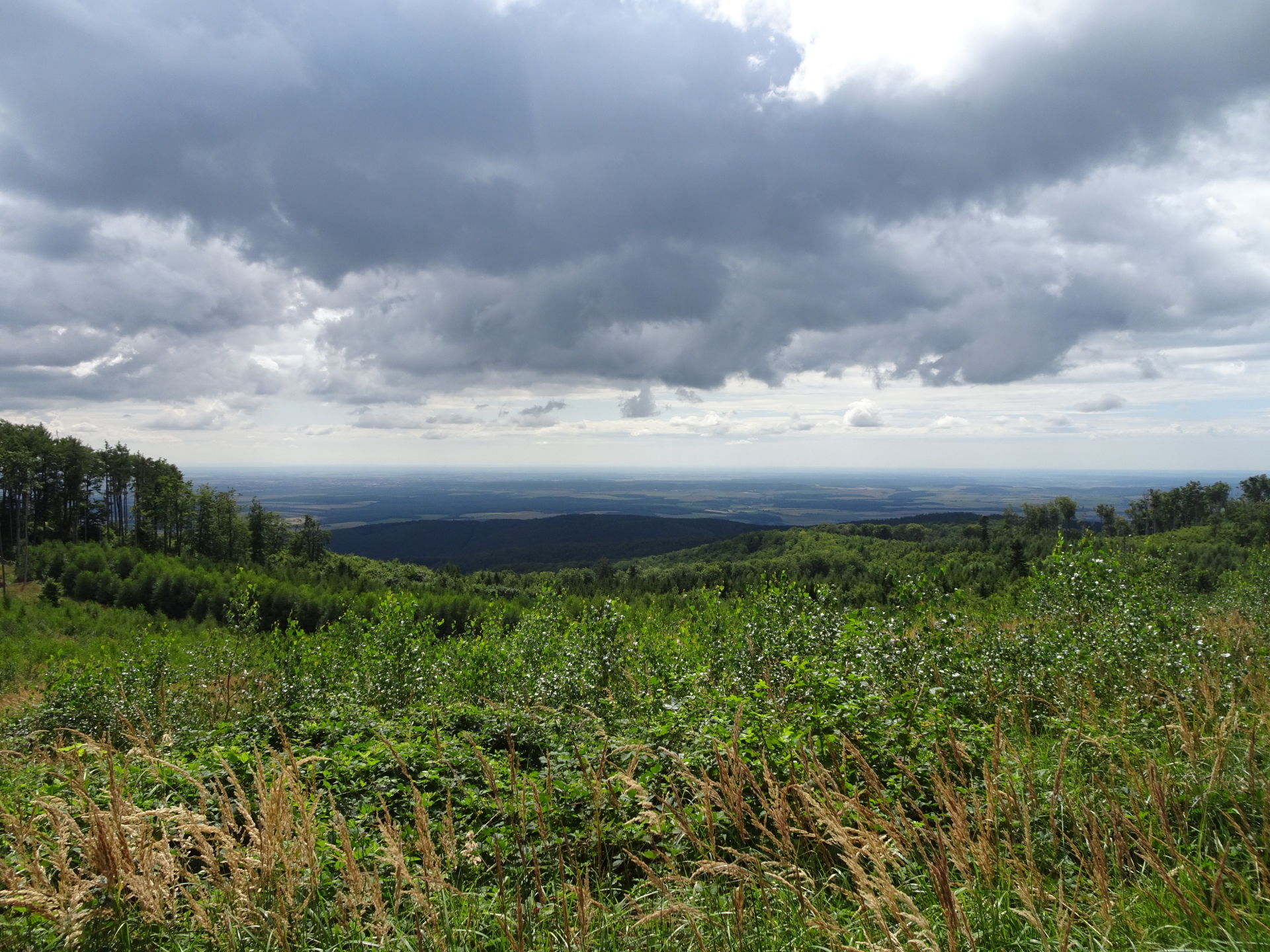
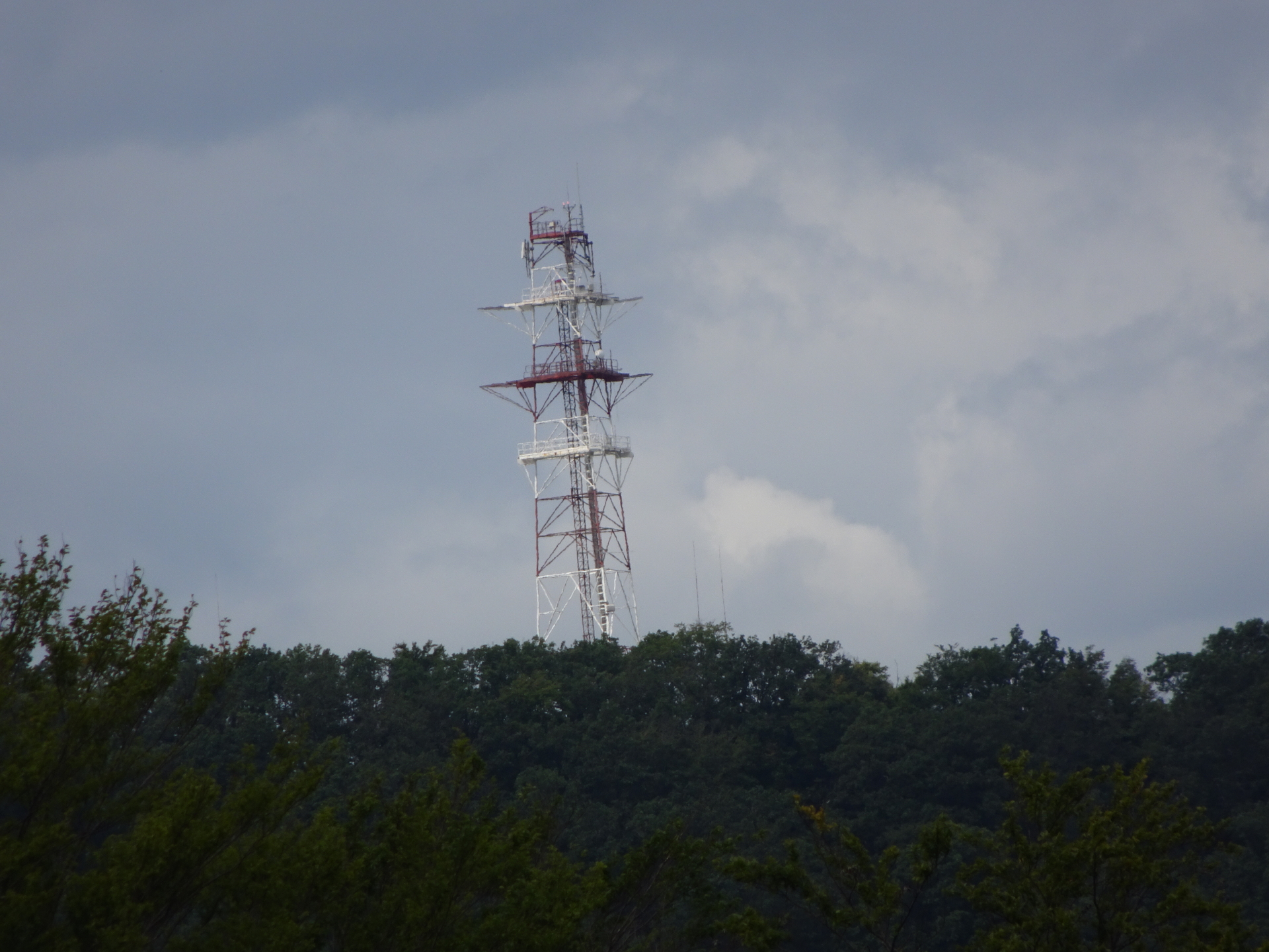
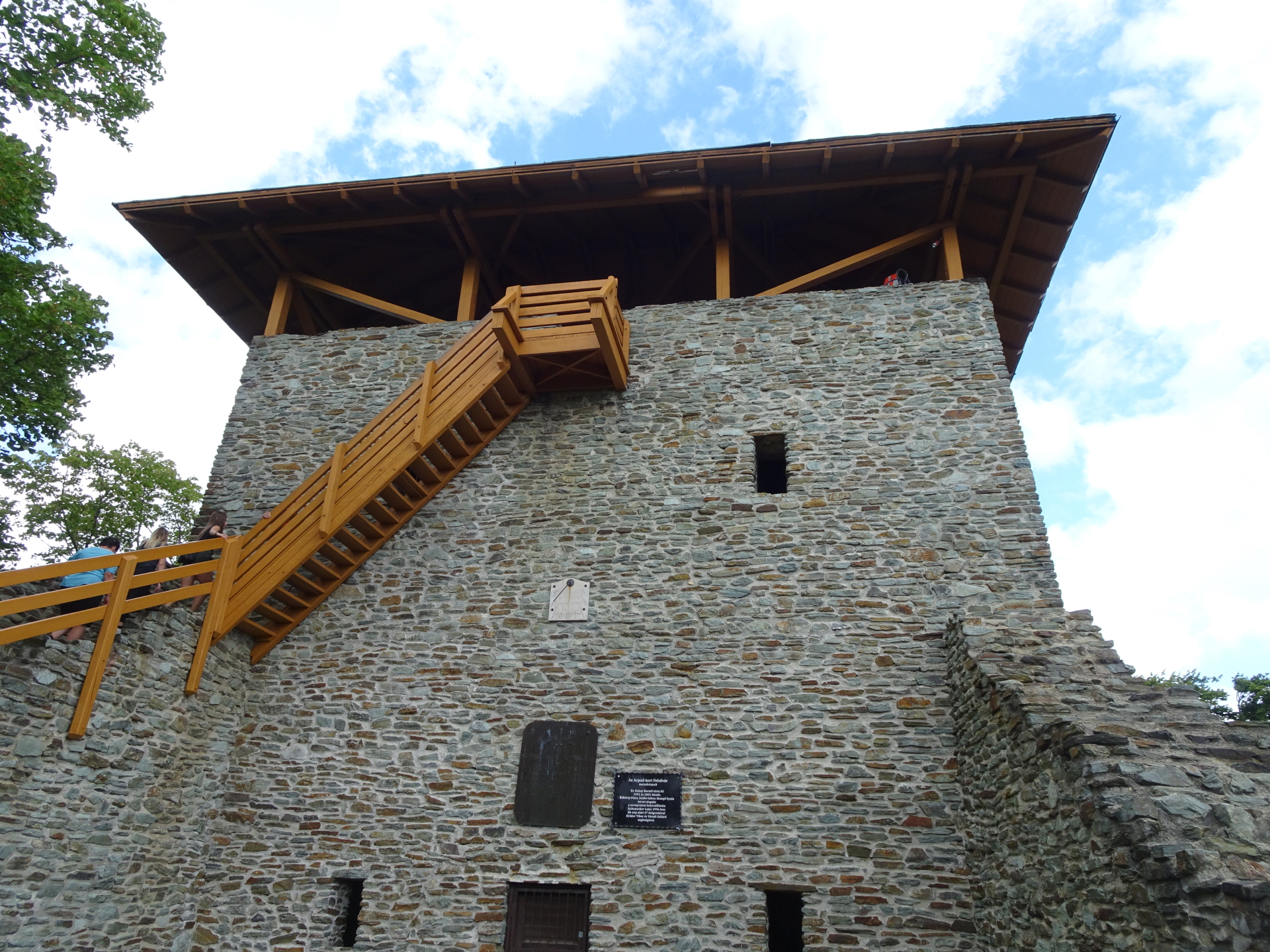
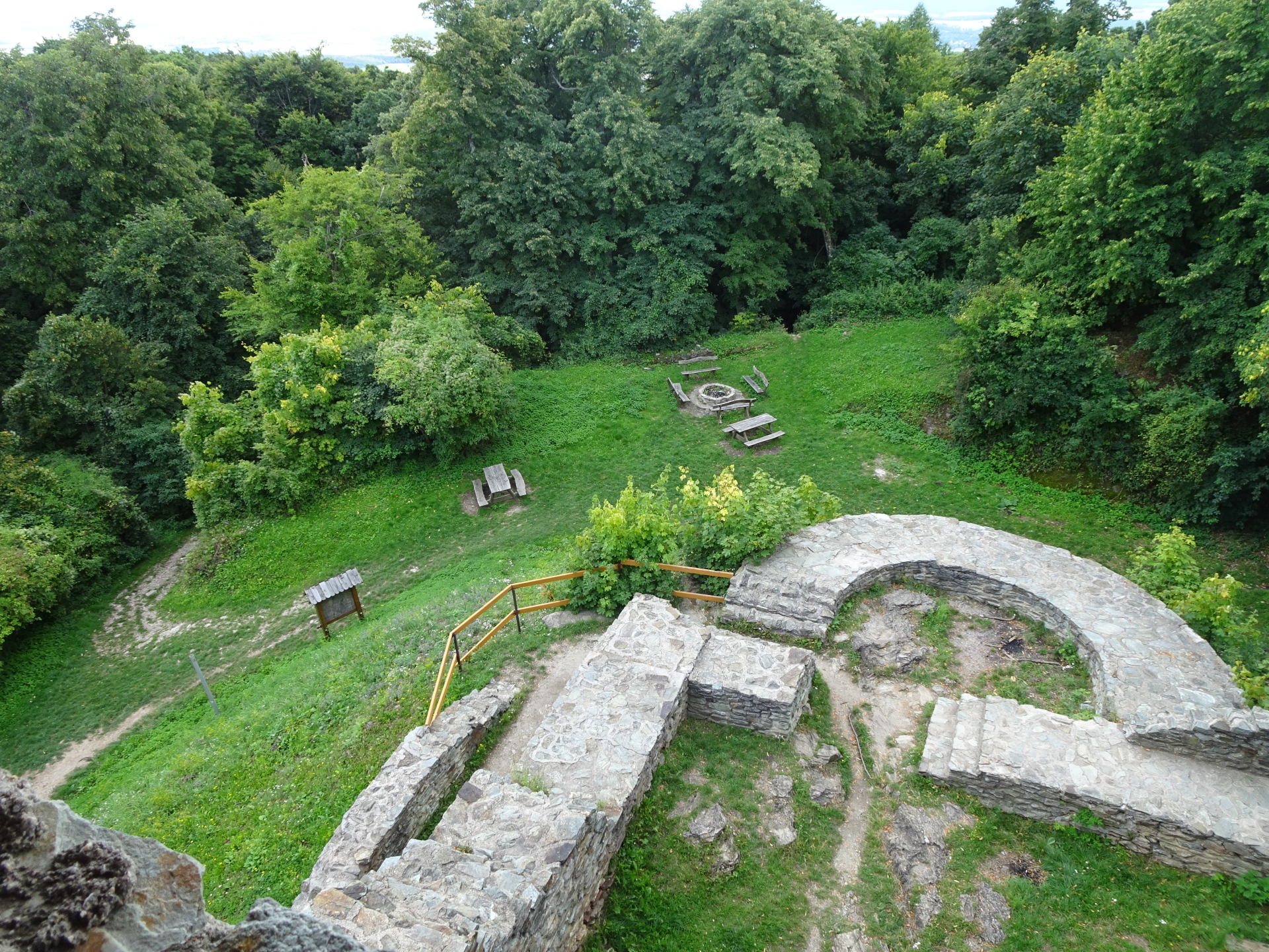
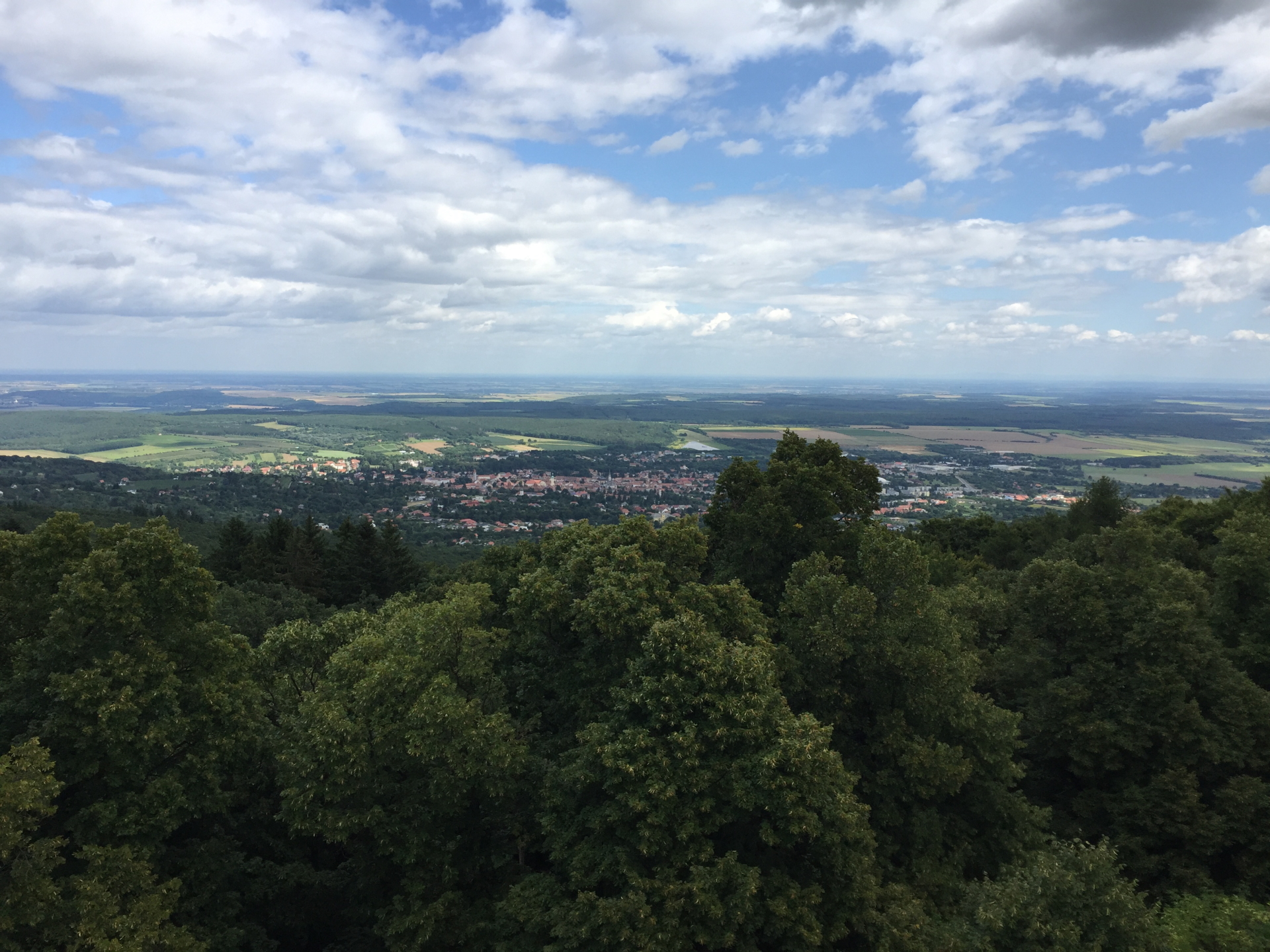
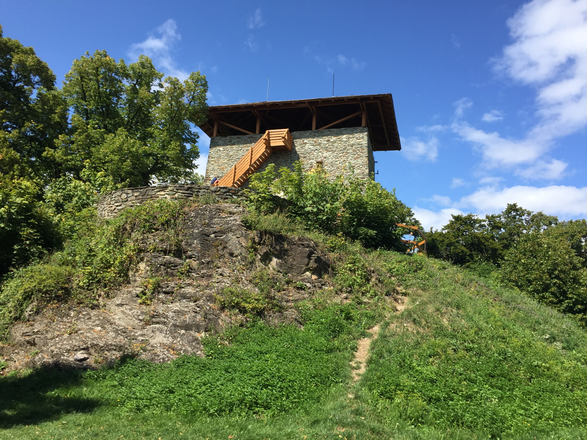
| 02:30 | Turn right and follow the steep trail up to the Óház-tető platform. Walk around the viewing platform and get up there using the wooden stairs. |
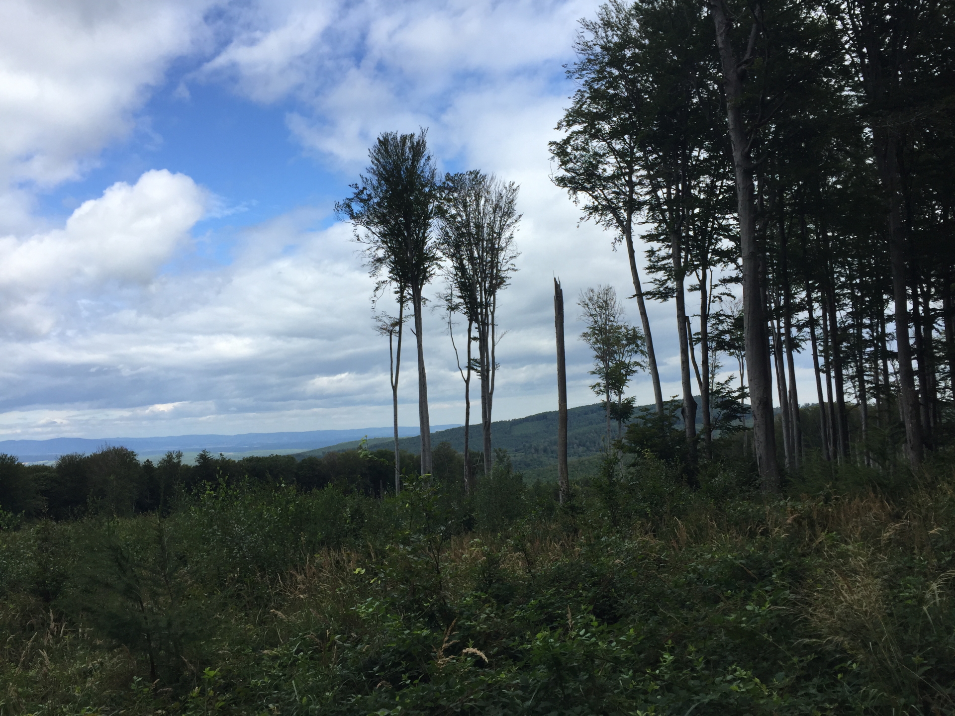
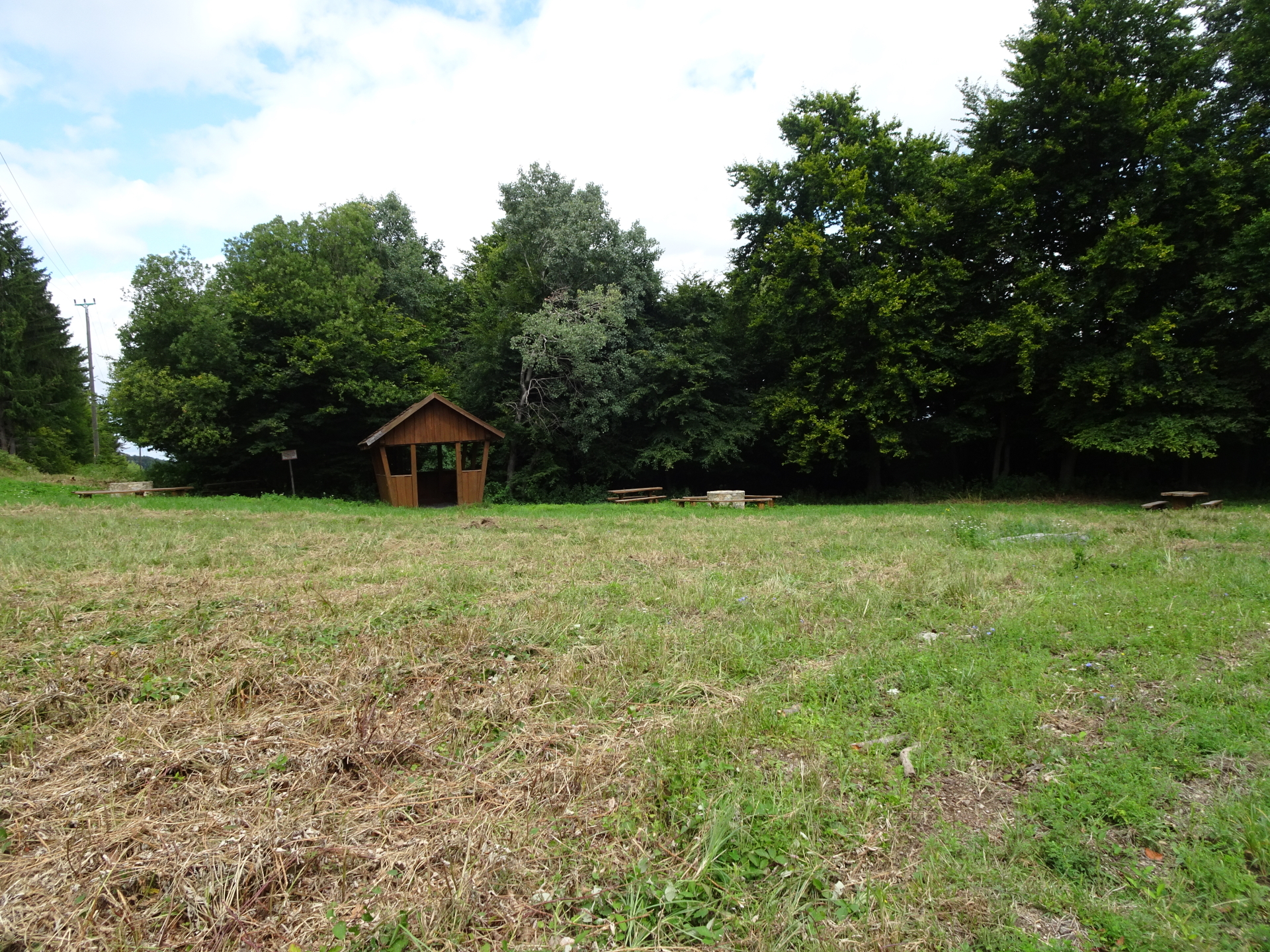
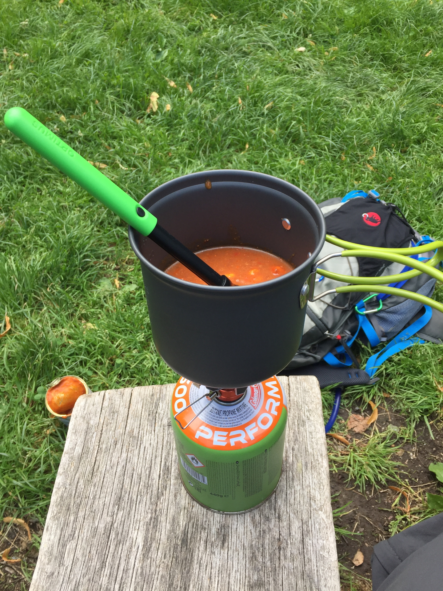
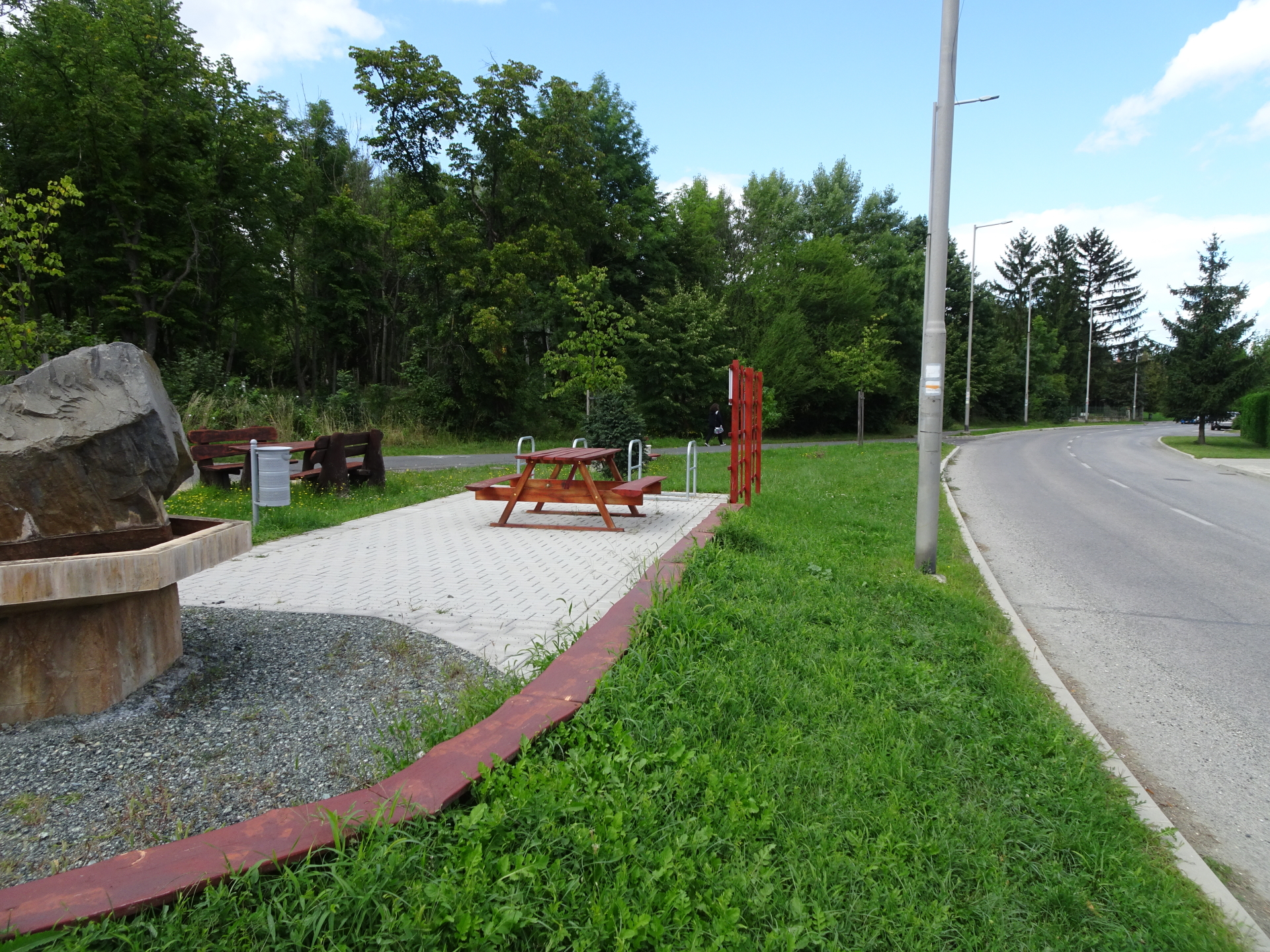
| 02:35 | Enjoy the view from the Óház-tető viewing platform. Consider a well-deserved break with self-brought refreshments ( ) at the rest area of Óház-tető. |
| 02:45 | Follow the trail southwards towards Kőszeg. |
| 02:47 | At the (first) crossing, turn left and follow the trail eastwards ( this one can easily be missed and is not well marked!). Follow the trail till reaching the city of Kőszeg. |
| 03:05 | Turn right into the street and again right at the very next crossing (use the upper road). |
| 03:15 | At the end of the road, turn left and hike down through the meadow and the square to the lower street. Turn left there and follow the street downwards. |
| 03:17 | At the U-turn, keep straight (turn left into the street), follow it for a few meters and then turn right and hike down via the stairs and then the trail through the forest. |
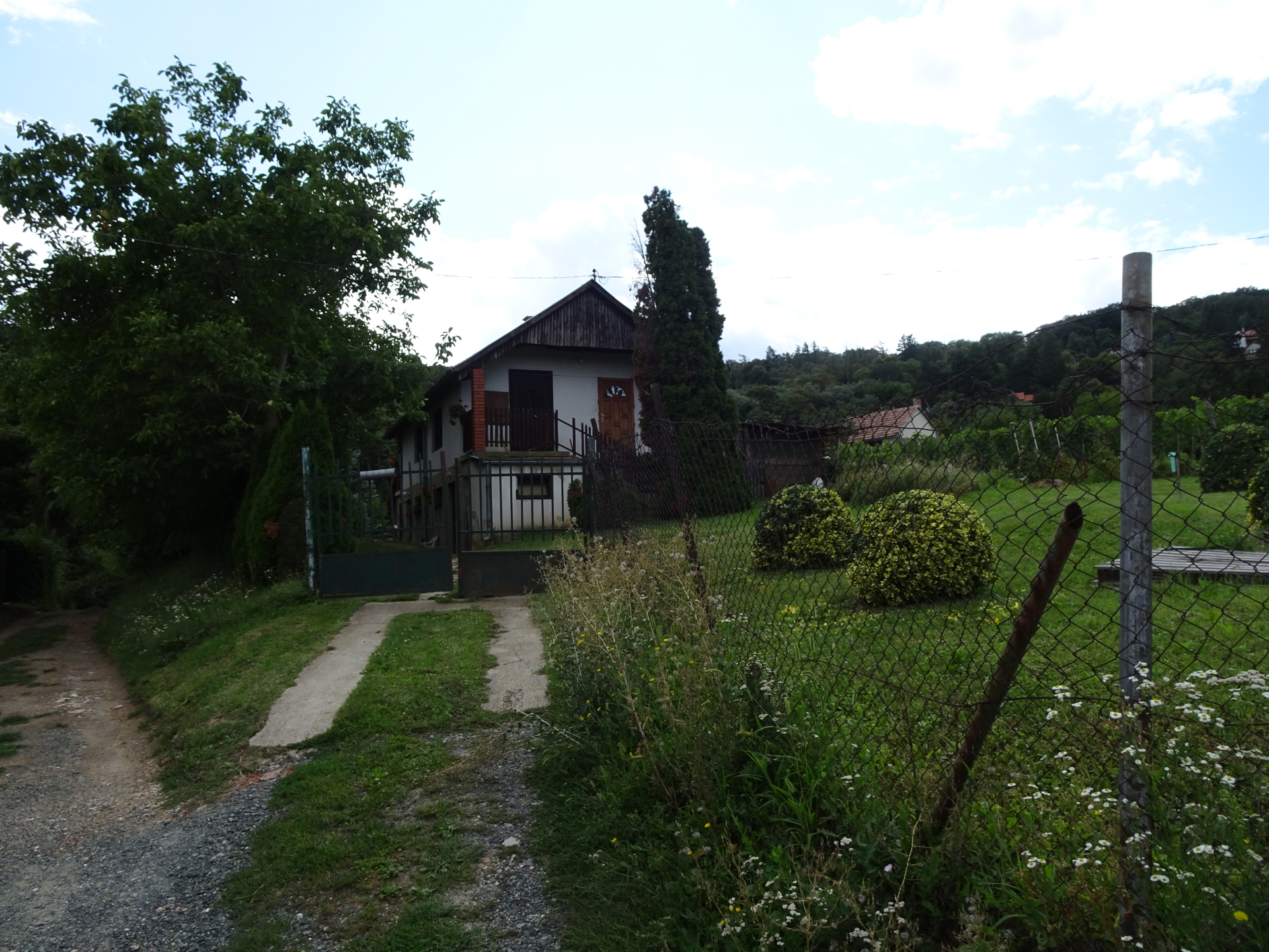
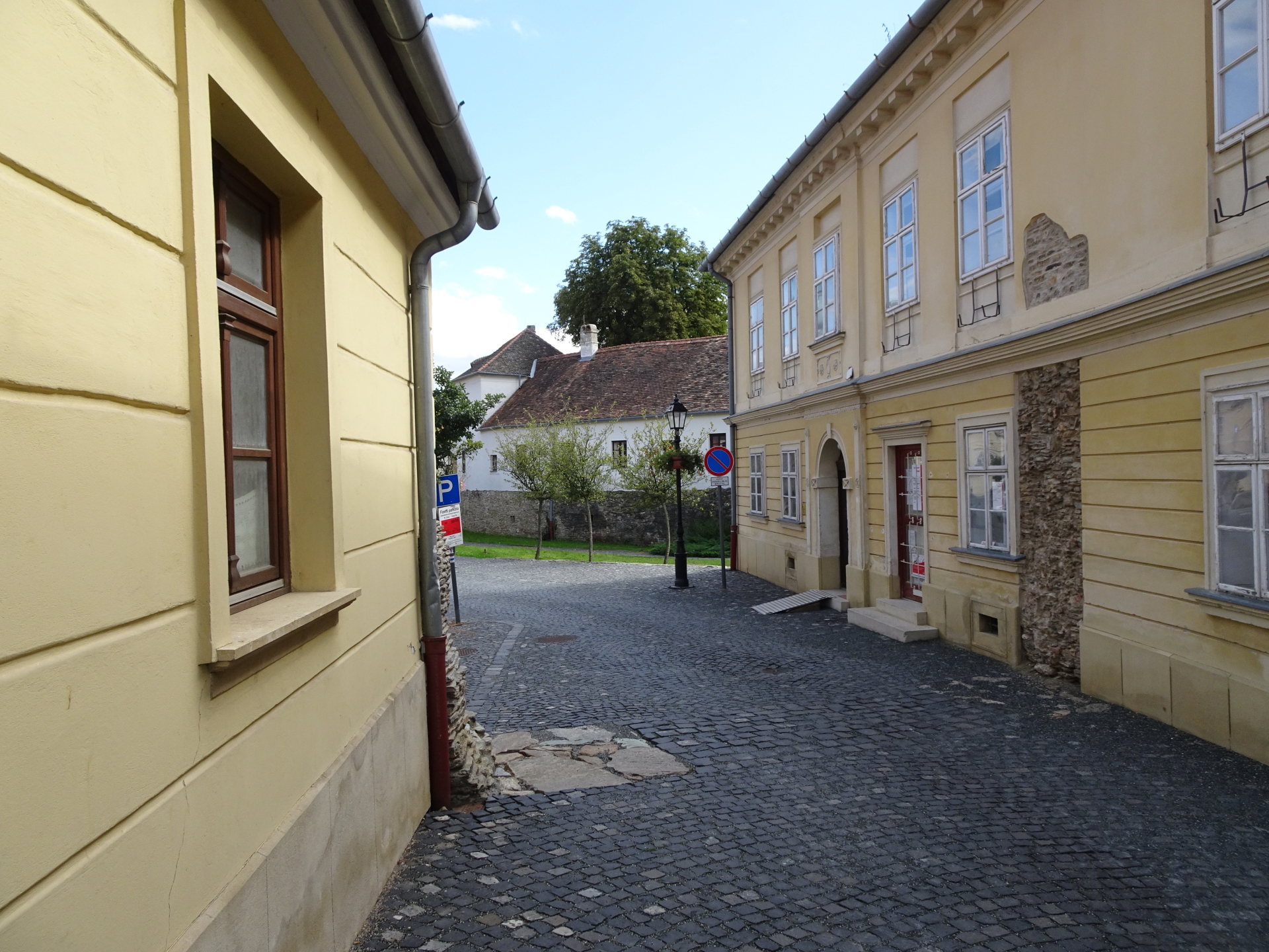
| 03:20 | Turn left into the trail and then keep straight ahead, following the street (Hermina utca) towards the center of Kőszeg. |
| 03:30 | At the end of the street, keep left and then turn left into the next street (Park utca). |
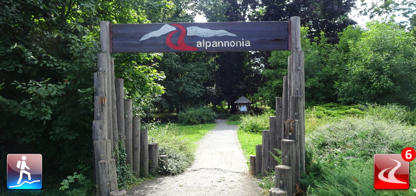
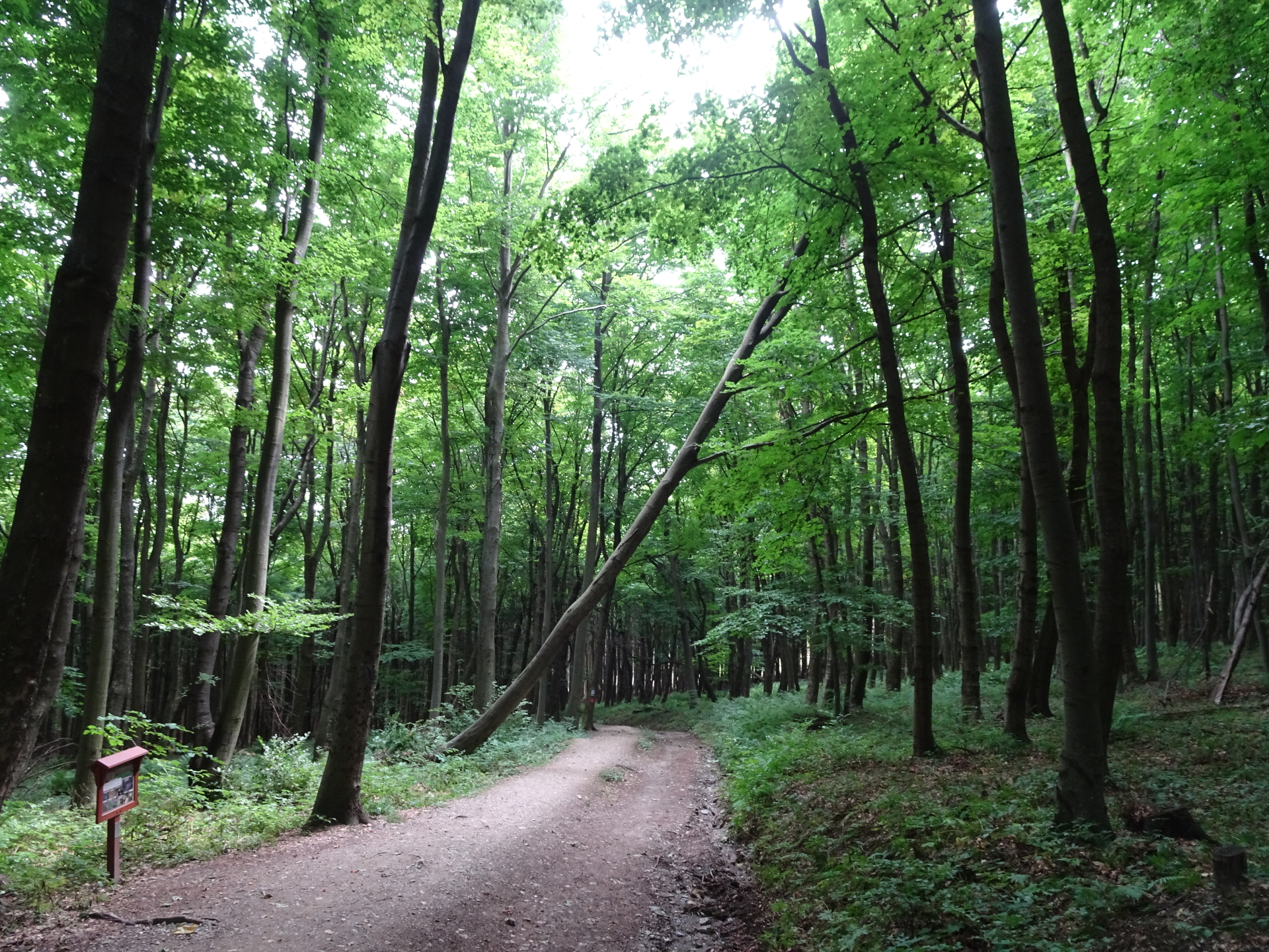
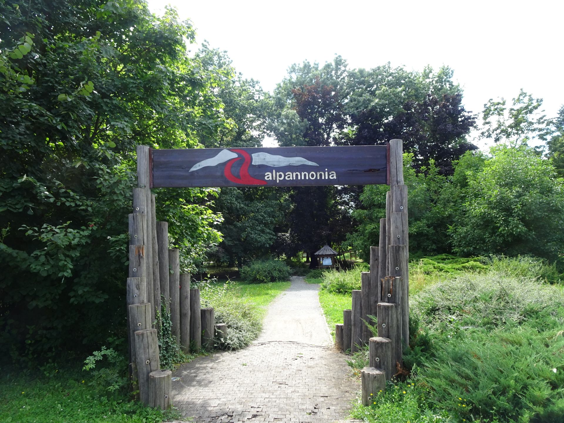
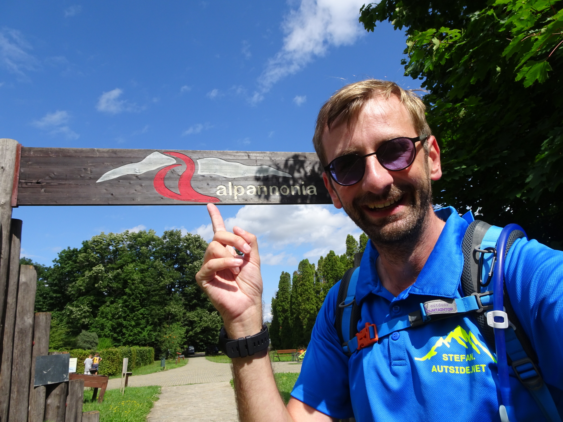
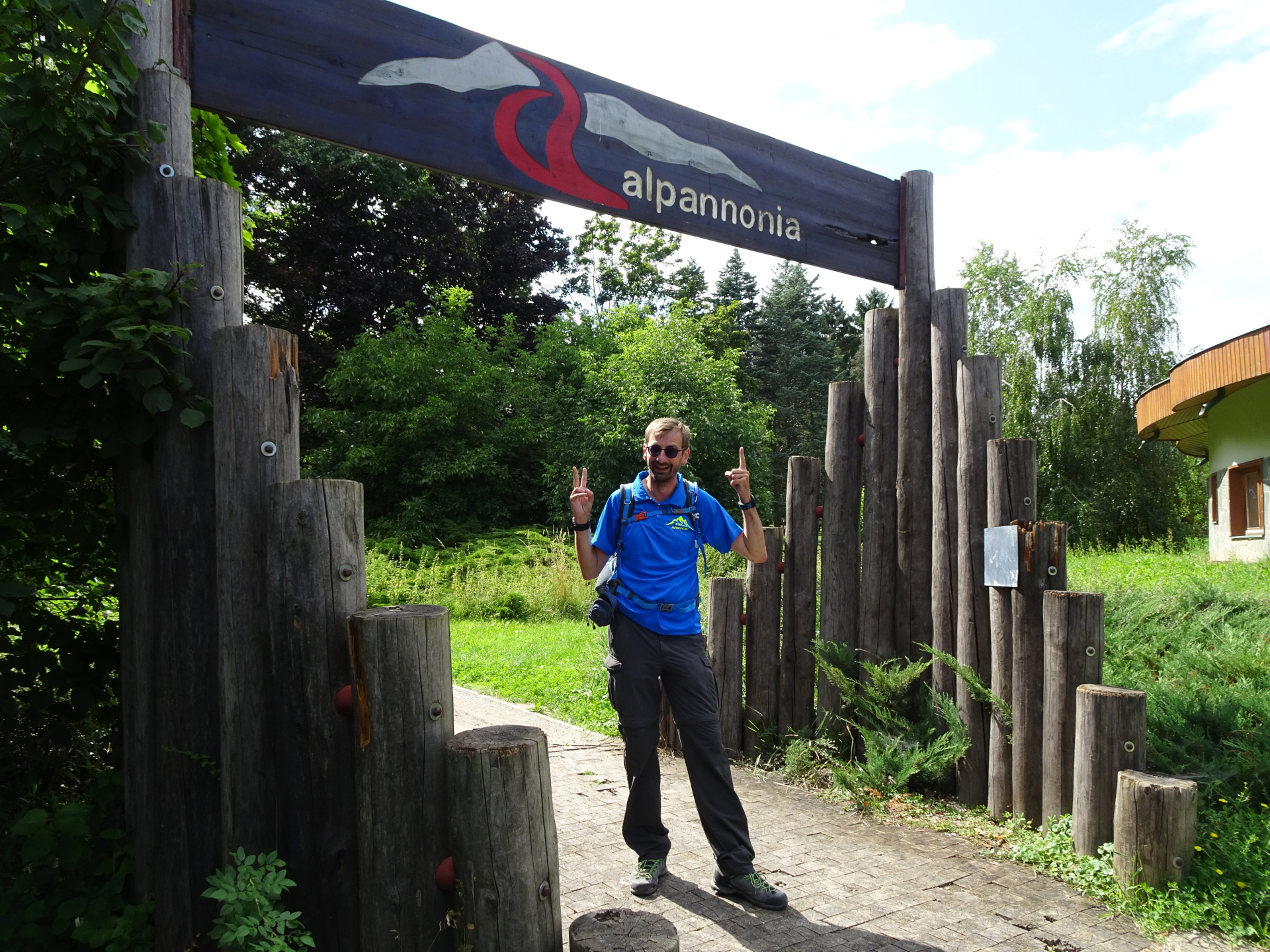
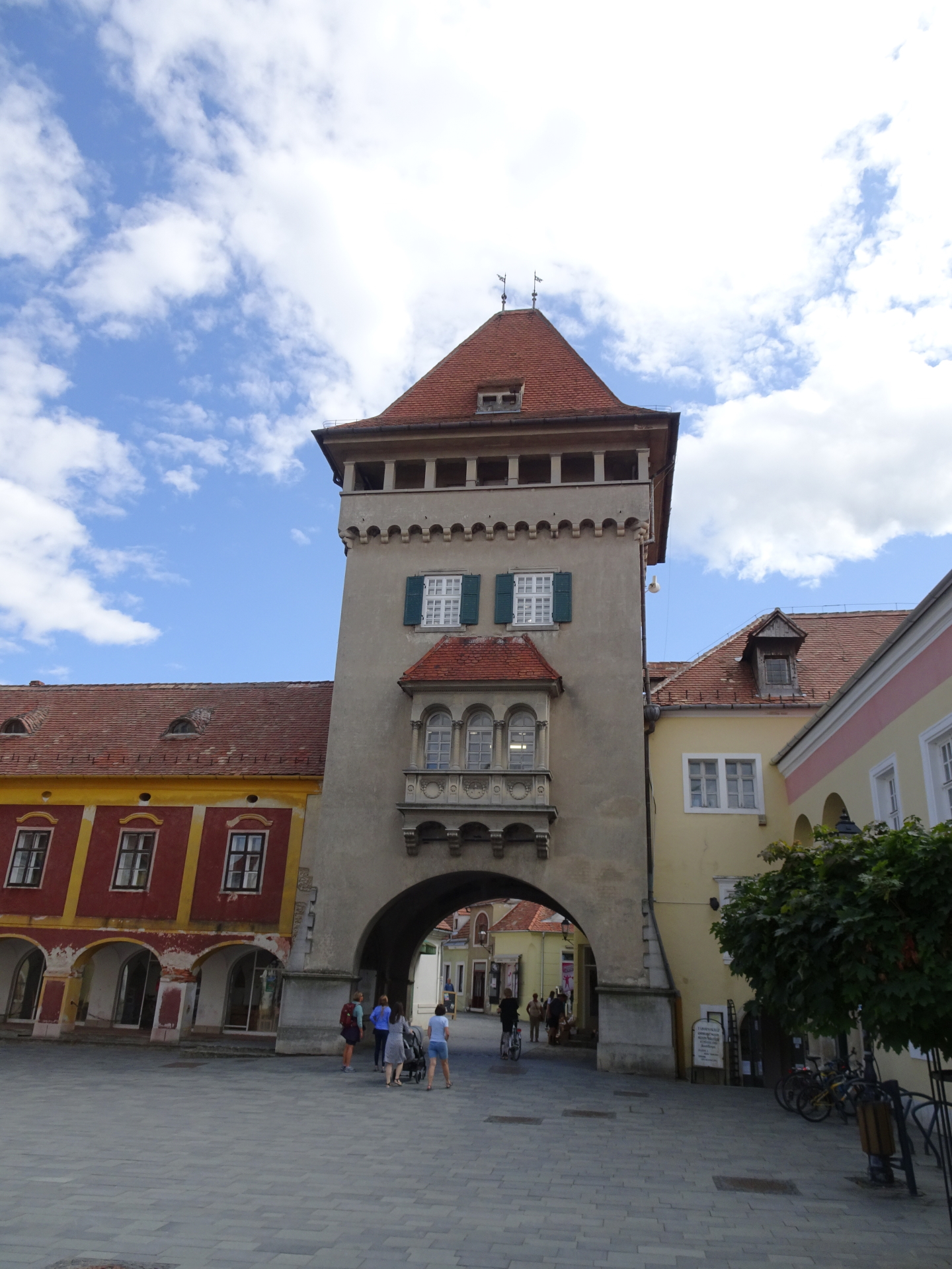
| 03:35 | Beware of the official Alpannonia® gate at the end of the street. Recap the impressions of the long distance hike and then turn right and follow the street Hunyadi János utca northeastwards to the city center. |
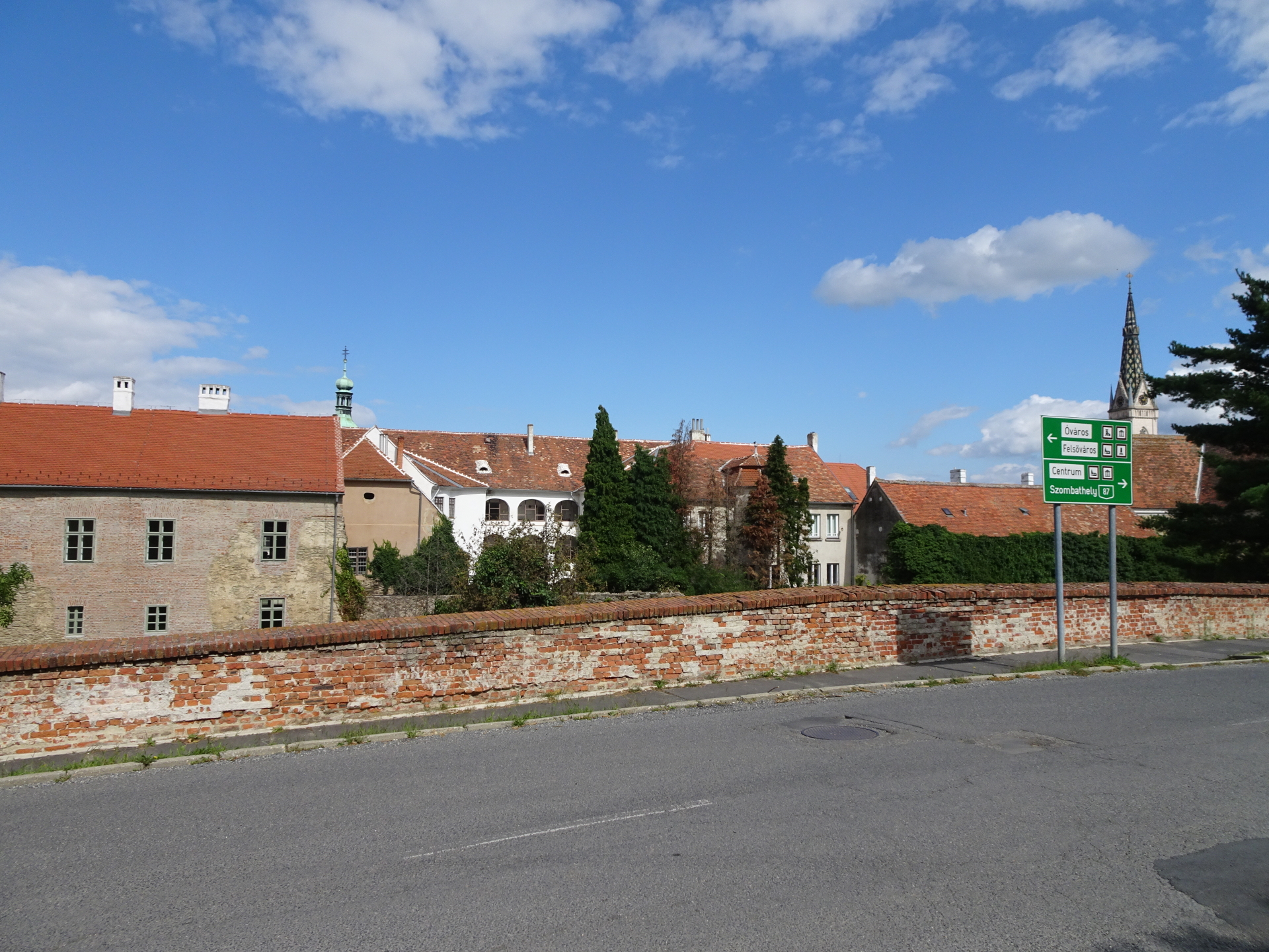
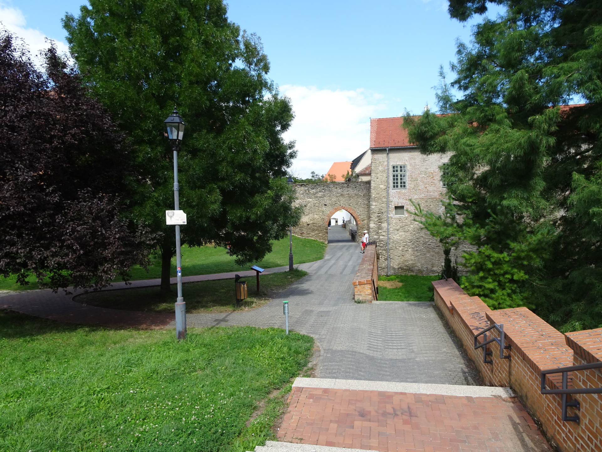
| 03:50 | Walk around (or through) the castle towards the city center. Turn right into the street after the castle which brings you directly to the city center. |
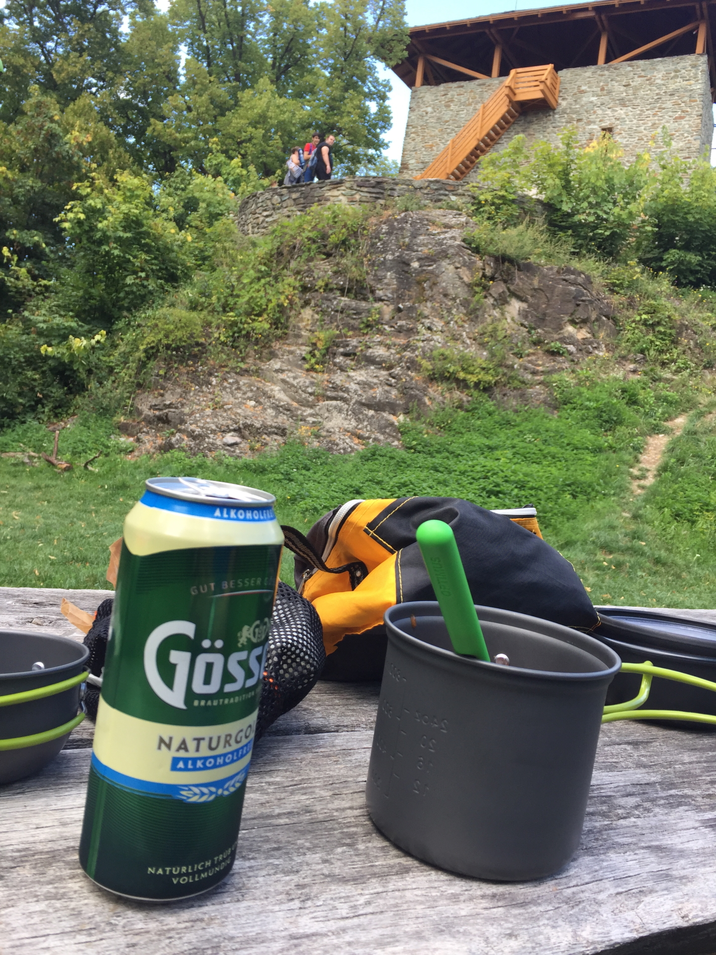
| 04:00 | Look for a nice place to enjoy the end of the hike ( ). End of the tour and end of Alpannonia® long distance trail. |
General Tour Data
| Area: | Günser Gebirge, Austria & Hungary | |
| Distance: | 16,5km | |
| Ascent: | 350m (1h 00min) | |
| Descent: | 771m (2h 30min) | |
| Highest Pt: | 884m | |
| Lowest Pt: | 275m | |
| Duration: | 3h 45min (without breaks) 4h 00min (with breaks) |
|
| Stop/Rest: | None on the way but plenty in Kőszeg | |
| Equipment: | Backpack with standard hiking equipment Comfortable hiking shoes Snacks, Food and enough water 1x Gipfelbier Sun & Weather protection Camera |
| Download GPX | ||
| O | Tour at outdooractive.com |
At a glance
| Level | easy-moderate |
| Technique | |
| Shape / Fitness | |
| Experience | |
| Scenery | |
| Best time in the year | |
|
Jan
Feb
Mar
Apr
May
Jun
Jul
Aug
Sep
Oct
Nov
Dec
|
|


Leave a Reply