
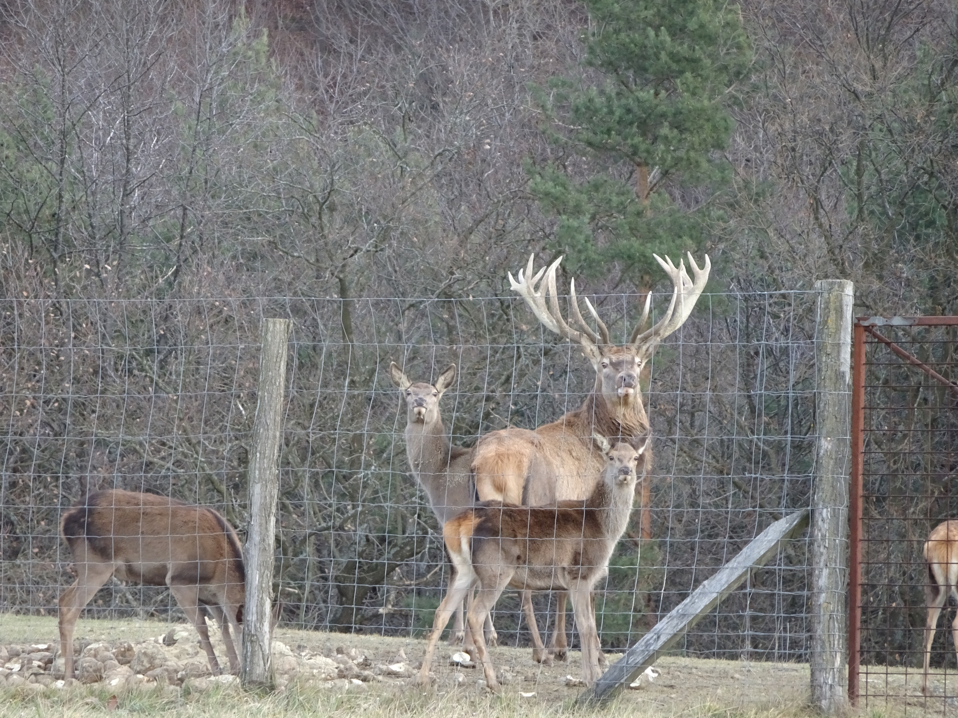
Hike up Geschriebenstein, the highest point of Burgenland, from Markt Neuhodis and then back to the Hirschenstein
The tour starts at the parking of the climbing park in Markt Neuhodis and first follows the trail along the forest road north till reaching the chine between Hischenstein and Geschriebenstein. The tour first turns right and now follows the Alpannonia® hiking trail eastwards, first into the saddle and then up to the Geschriebenstein which is the highest point of Burgenland. The tour then descents via the same route back but this time continues following the Alpannonia® hiking trail westwards till reaching the Großer Hirschenstein. An optional detour is then leading further westwards first heading towards the Kleiner Hirschenstein but then keeps left heading towards Stadtschlaining to access the Bremsberg. After reaching the Bremsberg, the tour heads back towards the Großer Hirschenstein and then follows the marked hiking trail down to Althodis. The tour then follows the road southwards that leads directly back to the parking in Markt Neuhodis.
Tour Description
Tour Description
| 00:00 | The tour starts at the parking of the climbing park in Markt Neuhodis (GPS: 47.305120, 16.396751) and first follows the blue marked hiking trail along the forest road northeastwards, bypassing the climbing park. |
| 00:10 | At the crossing, keep left and continue following the blue marked hiking trail. |
| 00:20 | At the crossing, turn left and follow the marked hiking trail. |
| 00:25 | At the crossing, turn right and continue following the marked hiking trail northwards. |
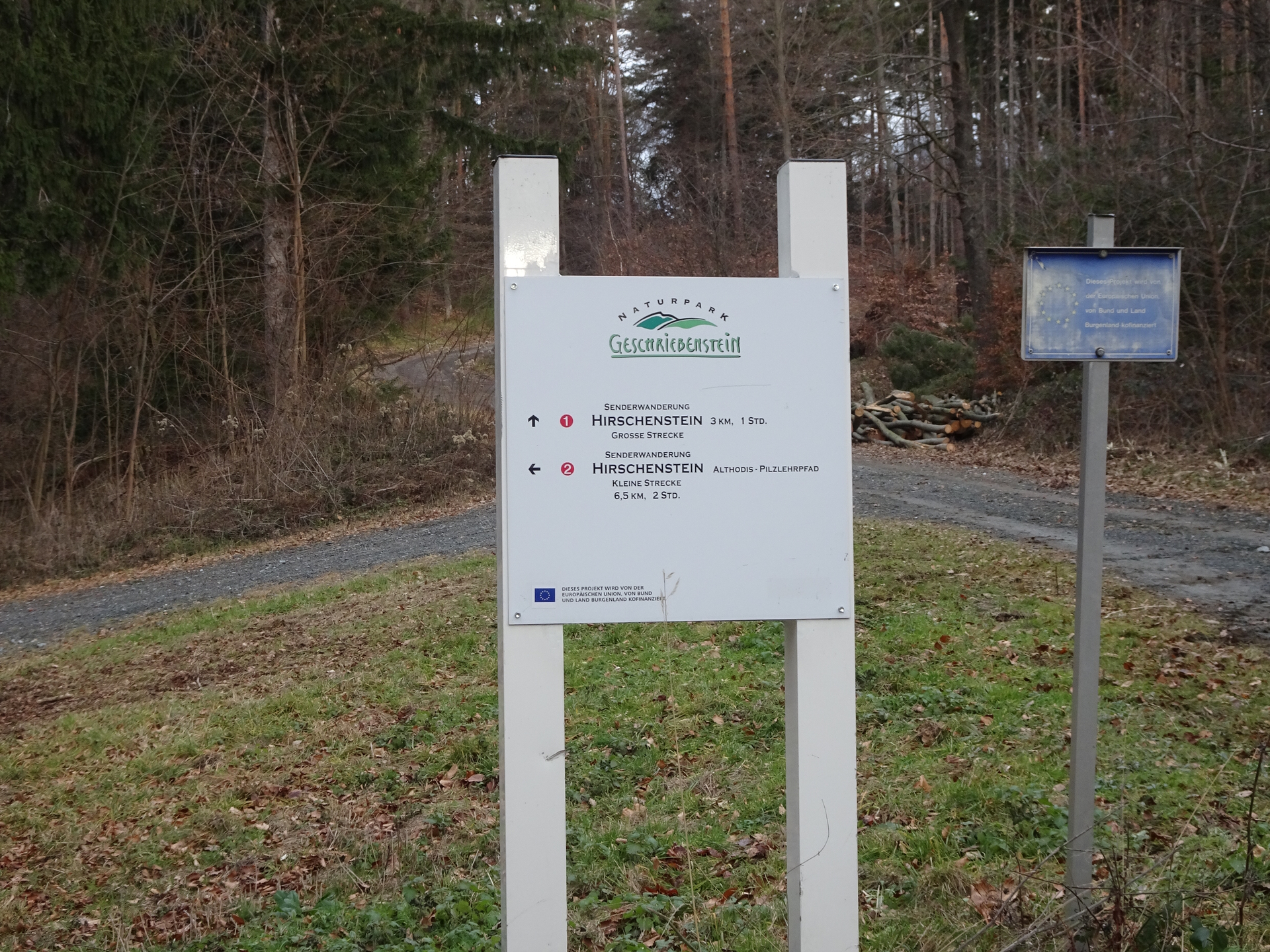
| 00:40 | At the crossing, stay straight and continue following the marked hiking trail (Hirschenstein / Große Strecke). |
| 00:50 | At the crossing, keep right and continue following the marked hiking trail (Hirschenstein / Große Strecke). |
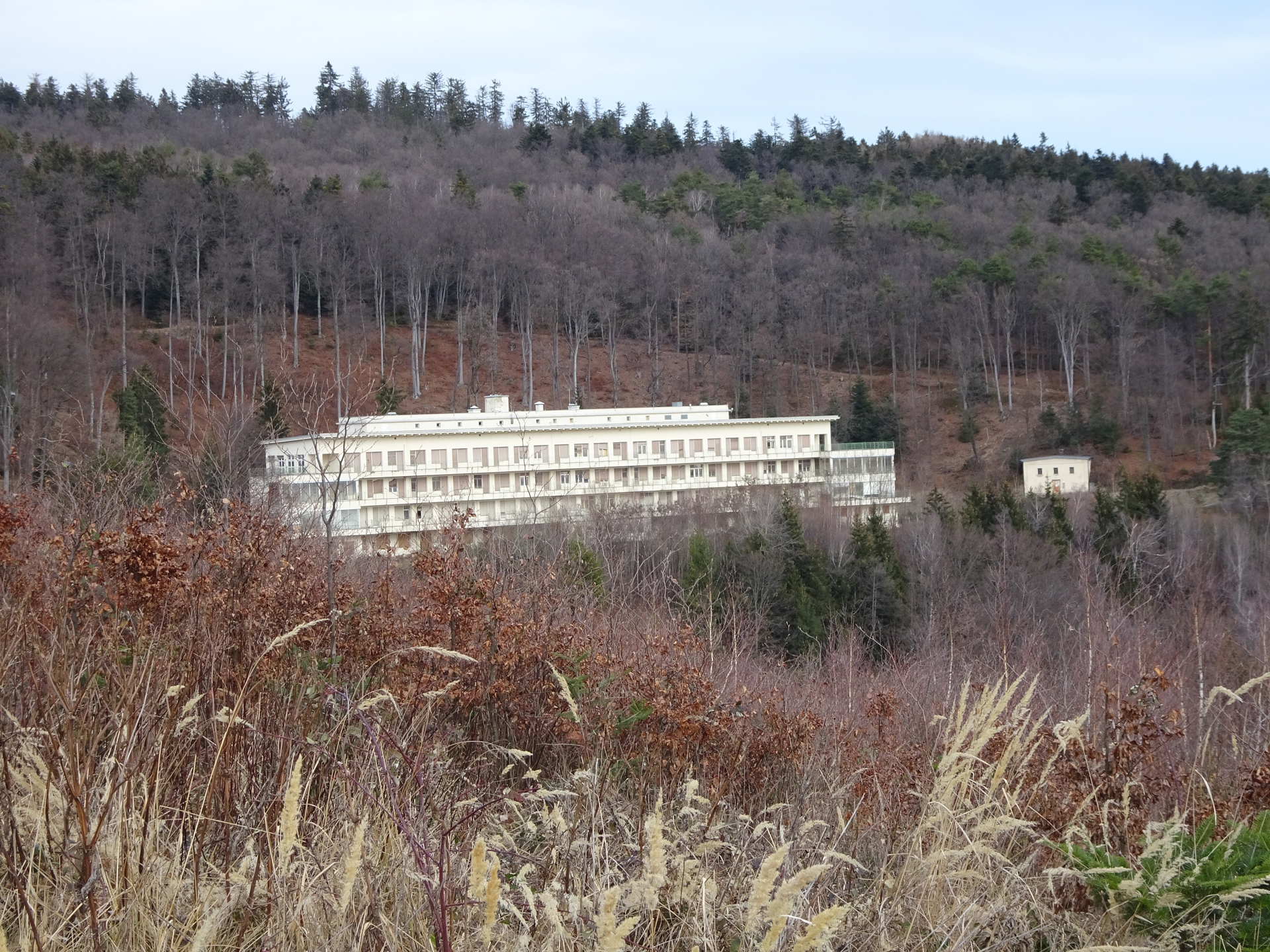
| 01:00 | Keep right ath the crossing and follow the forest road towards the former sanatorium. |
| 01:10 | At the crossing, do a U-turn and continue following the forest road towards Hirschenstein. |
| 01:15 | Keep right and continue following the hiking trail up. |
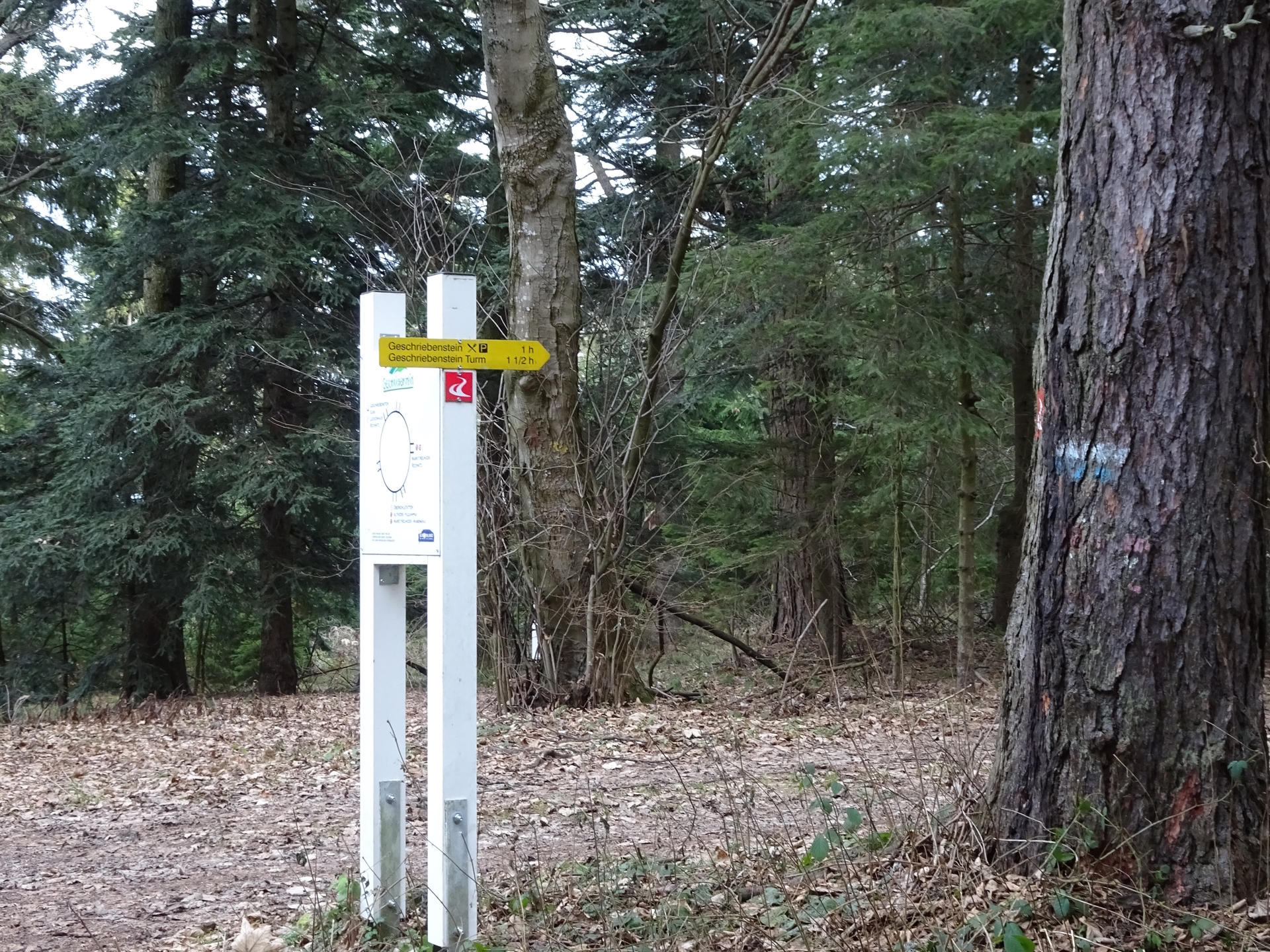
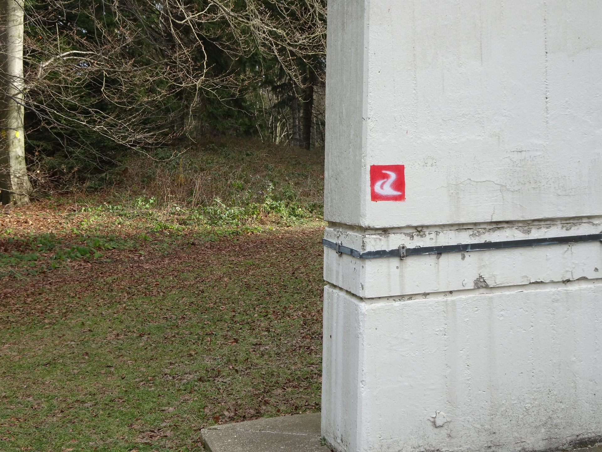
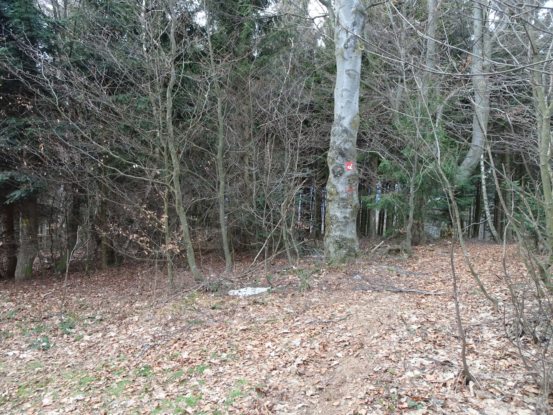
| 01:20 | At the crossing, turn right and follow the Alpannonia® trail eastwards. |
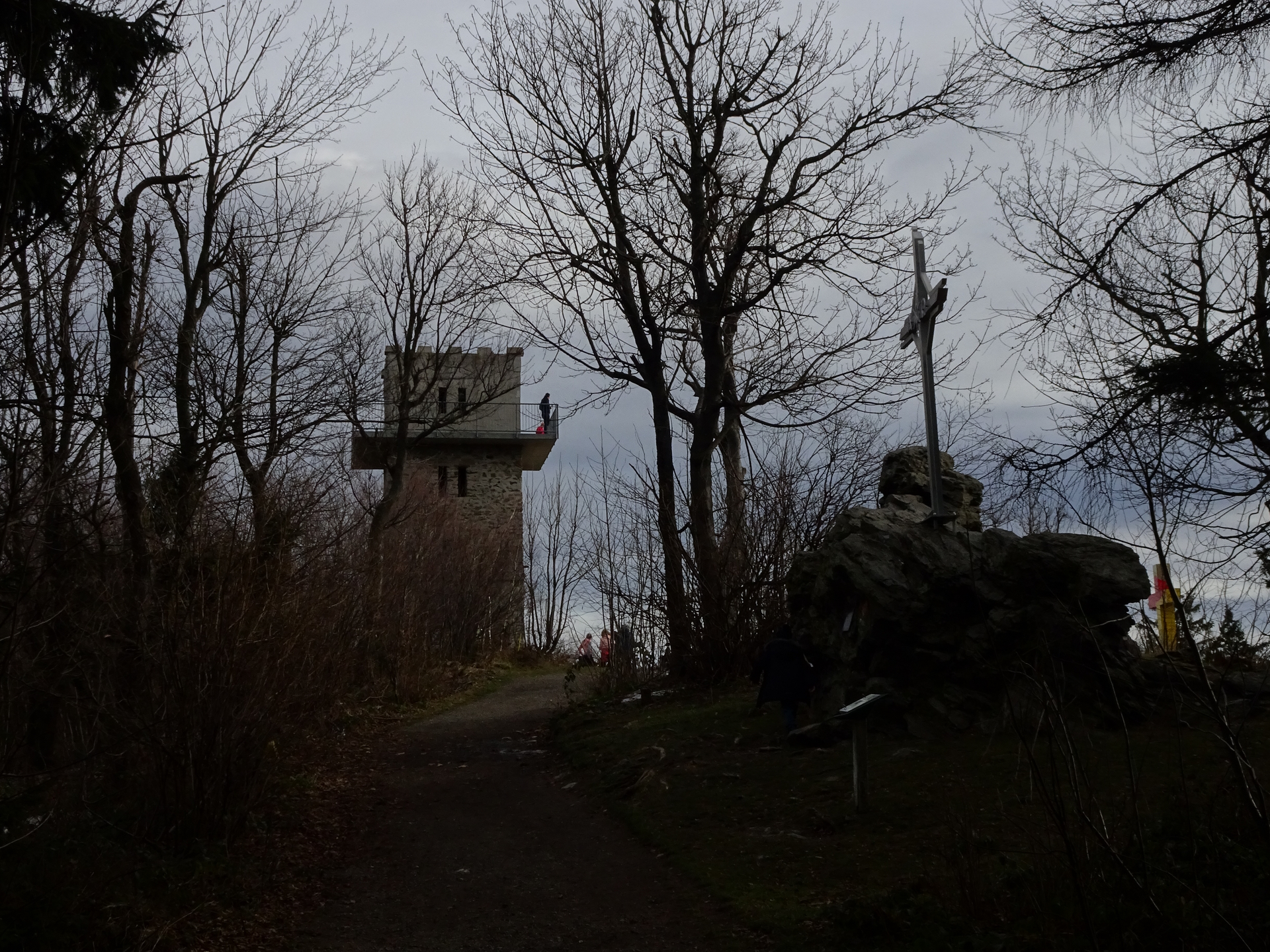
| 01:55 | At the saddle, cross the main street and continue following the Alpannonia® trail opposite the street eastwards up to Geschriebenstein (see signposts). |
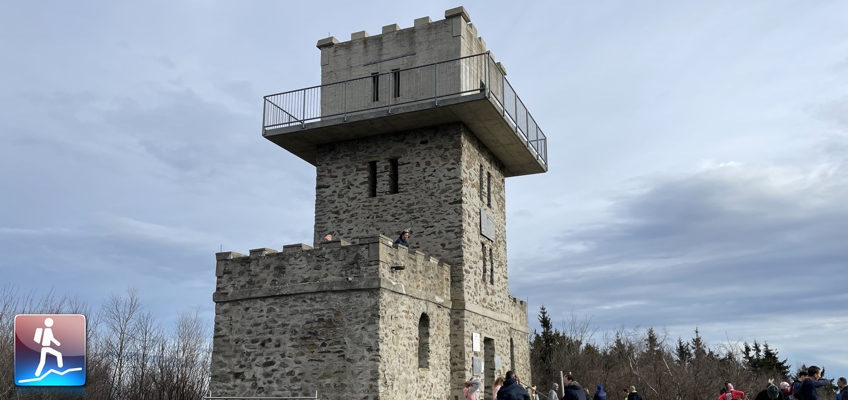
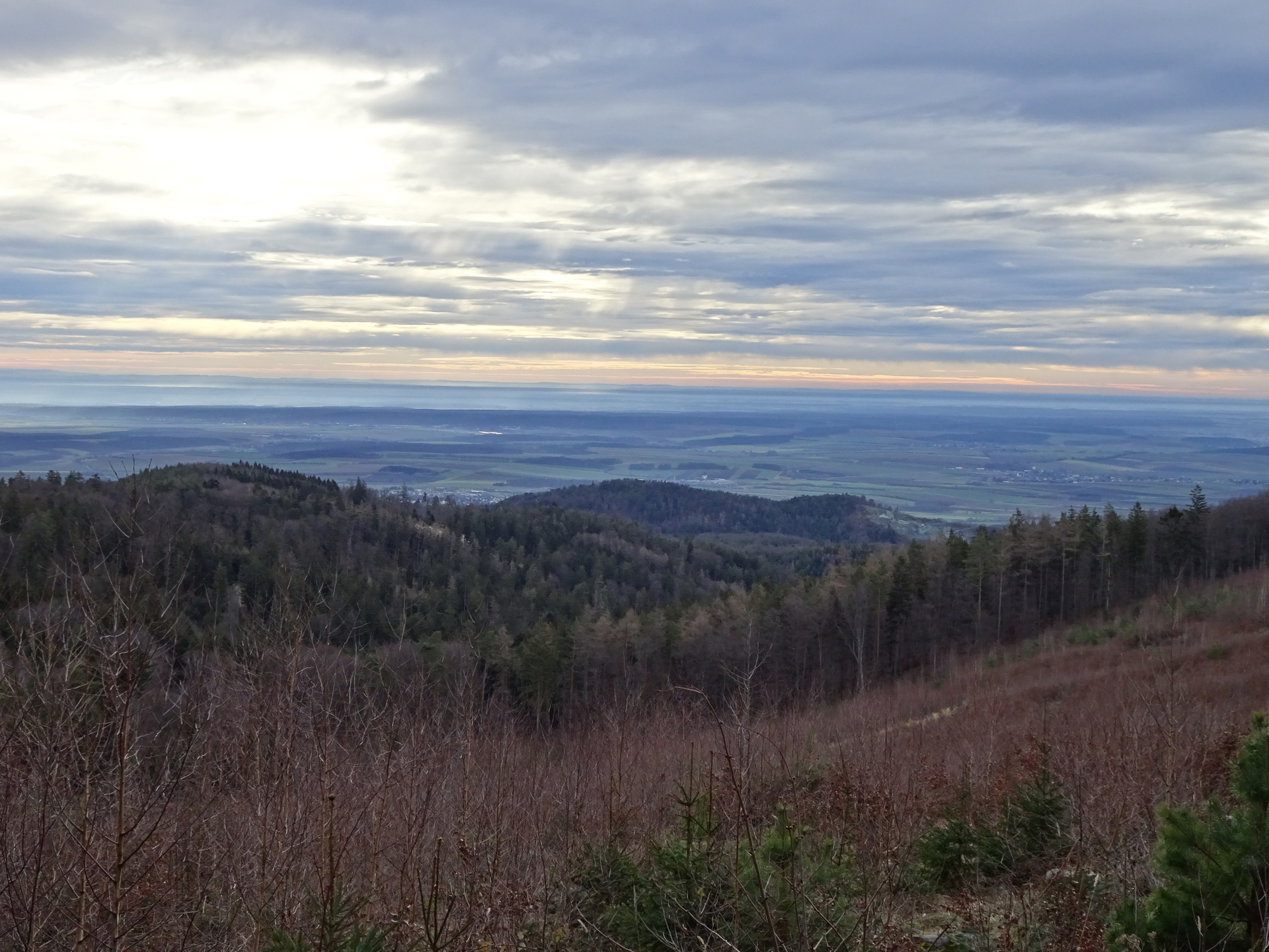
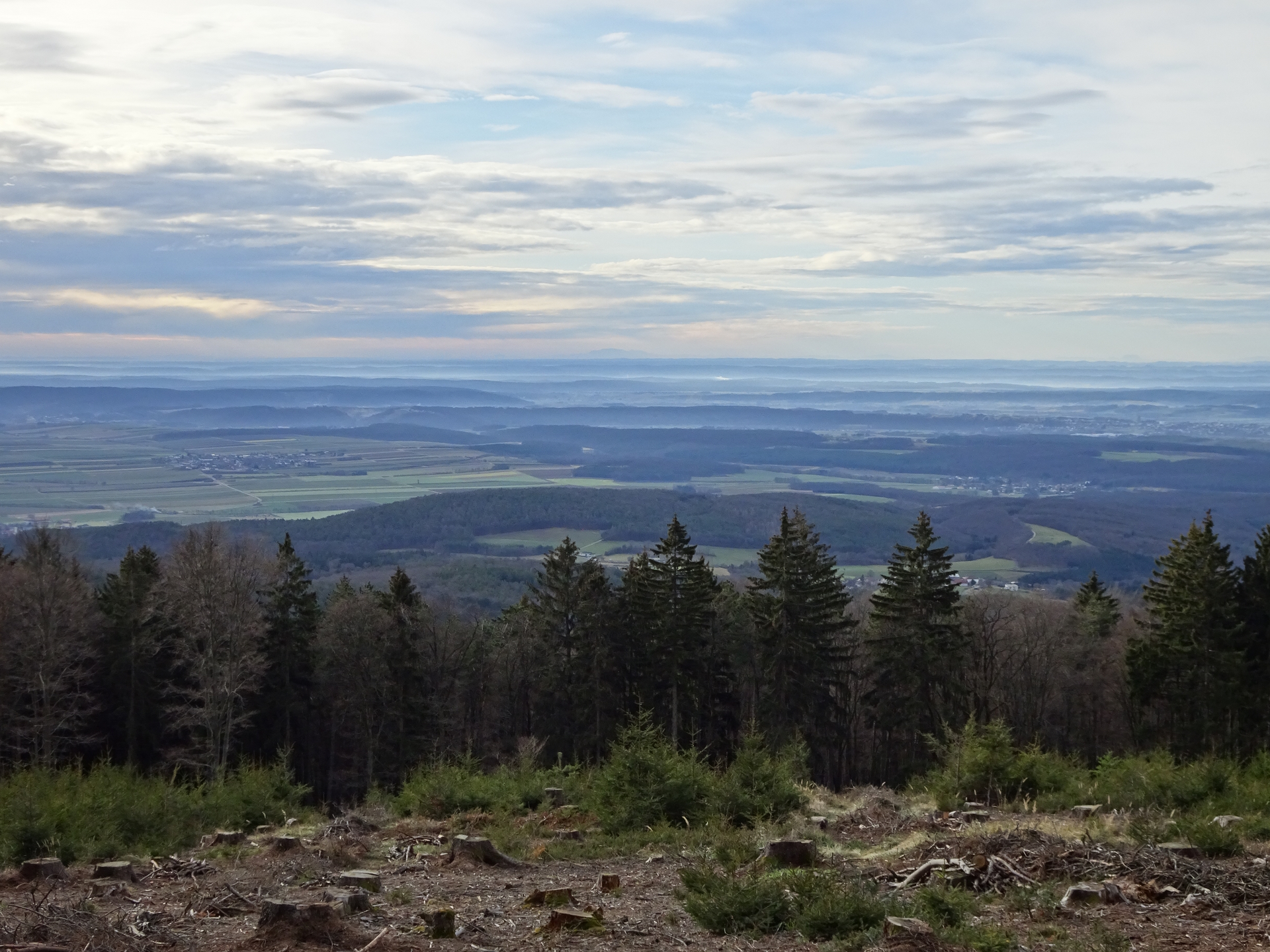
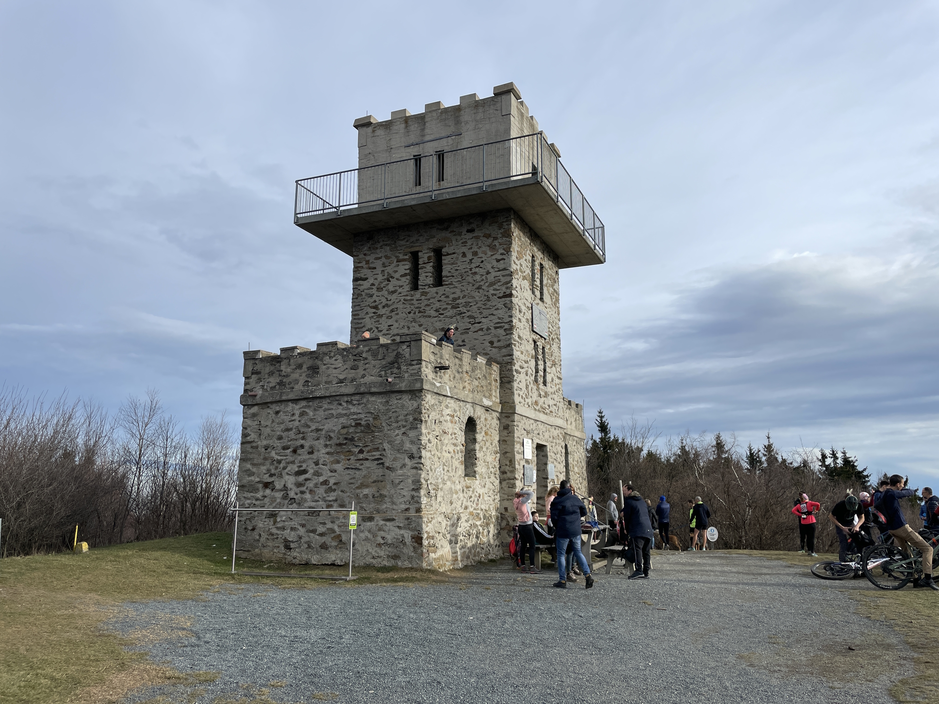
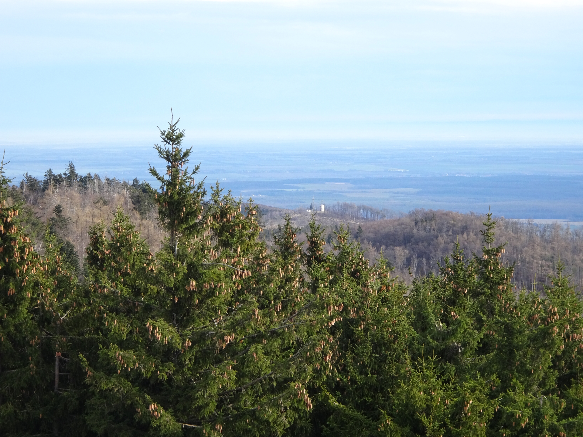
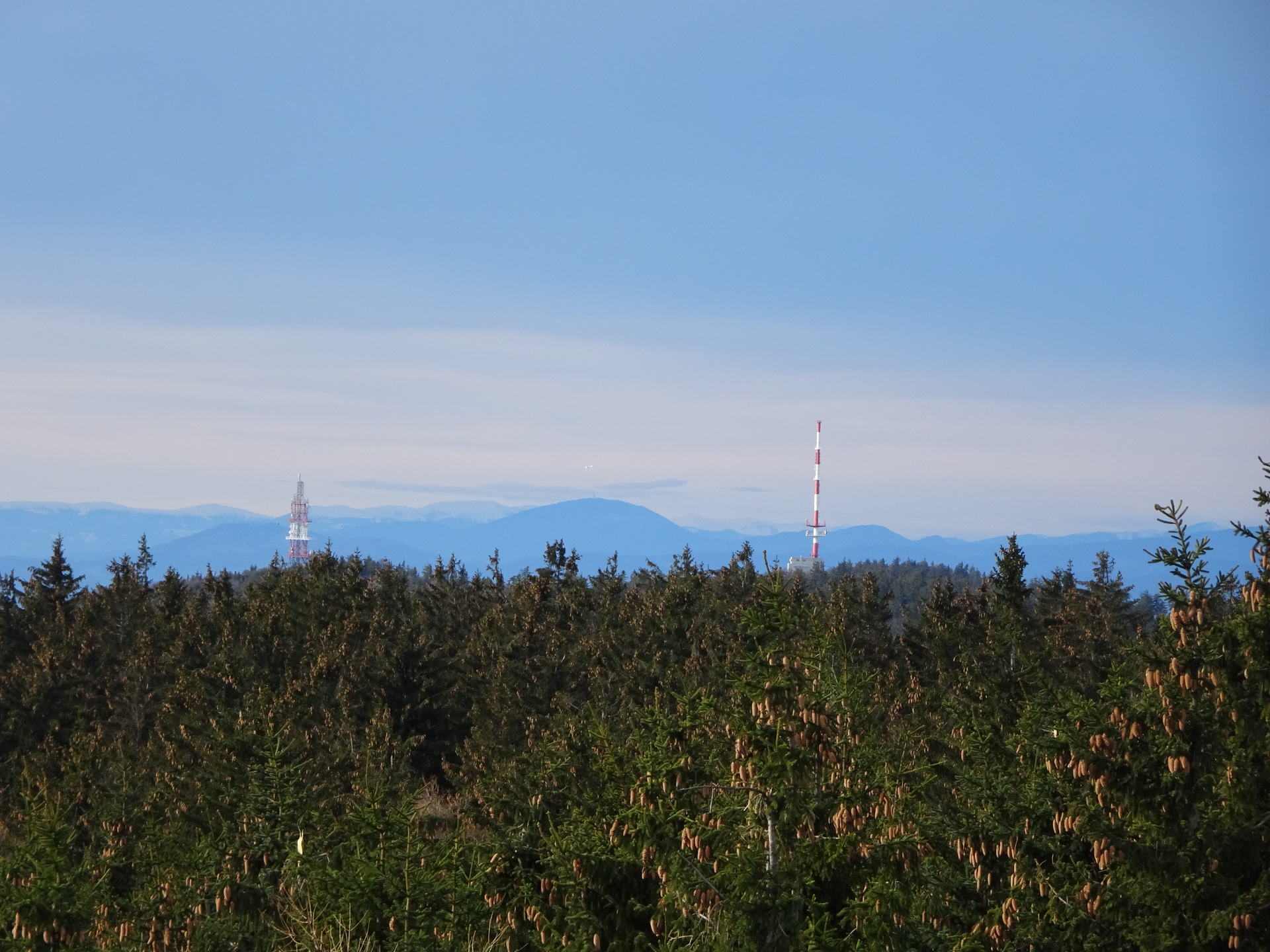
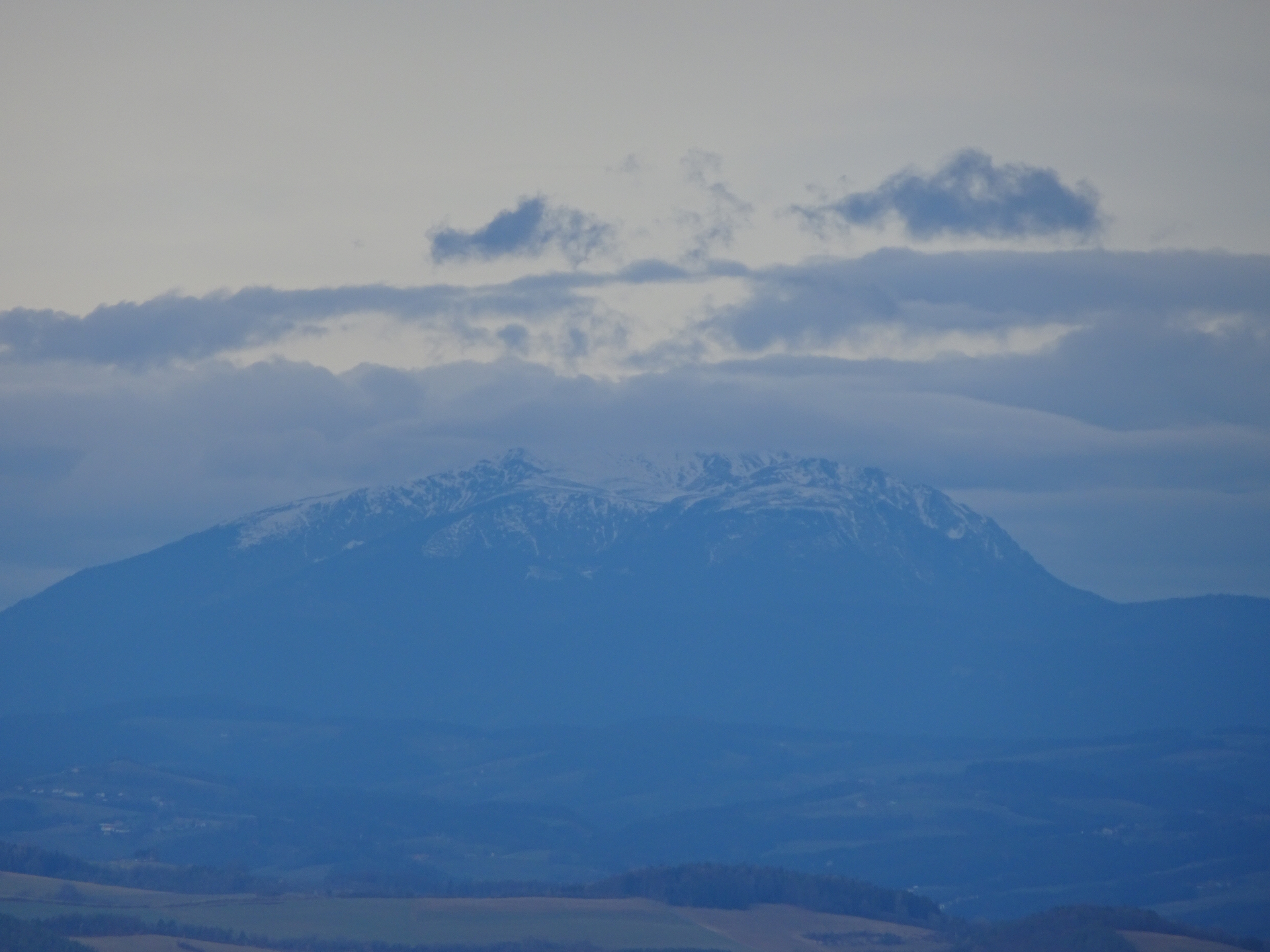
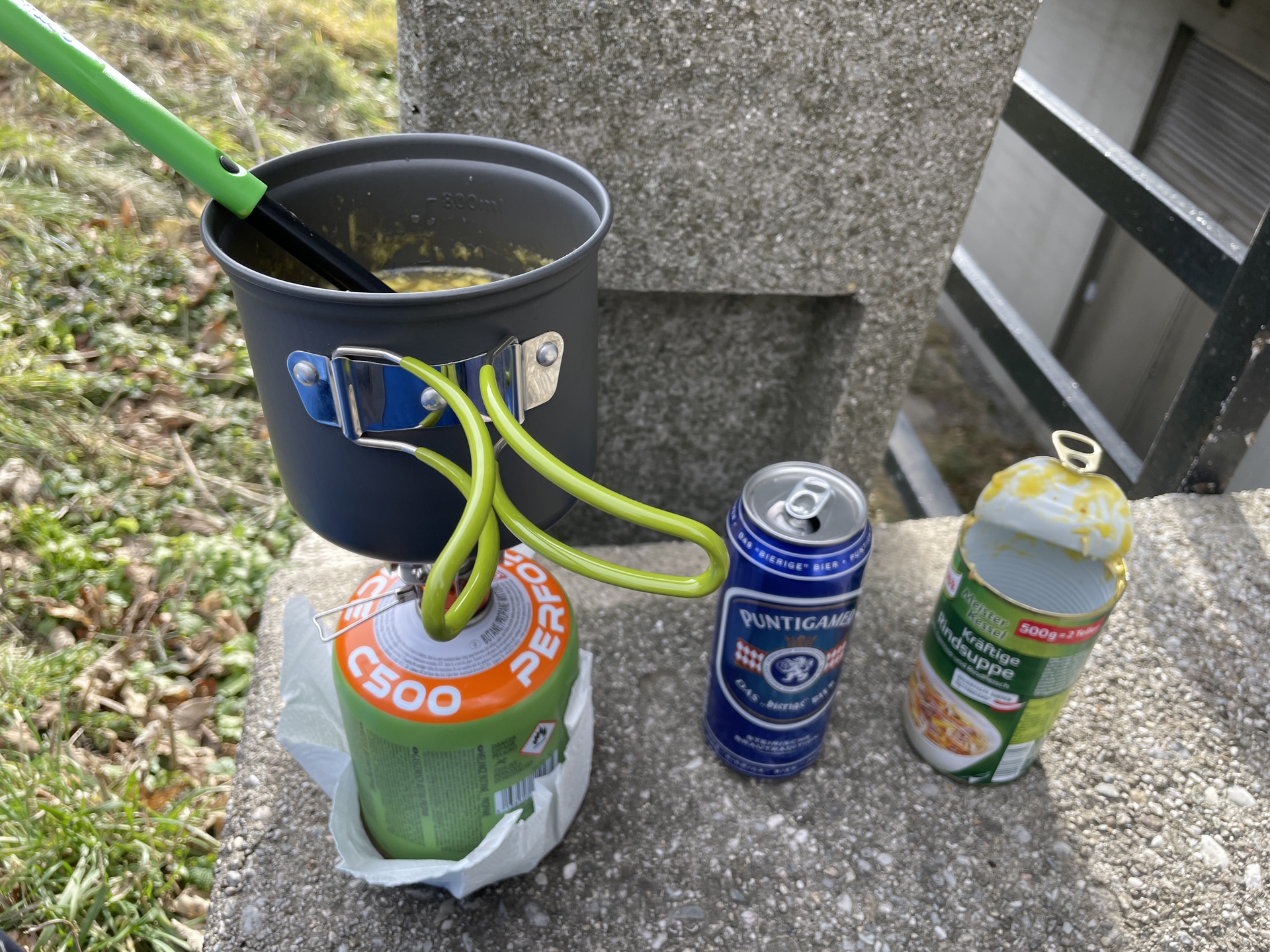
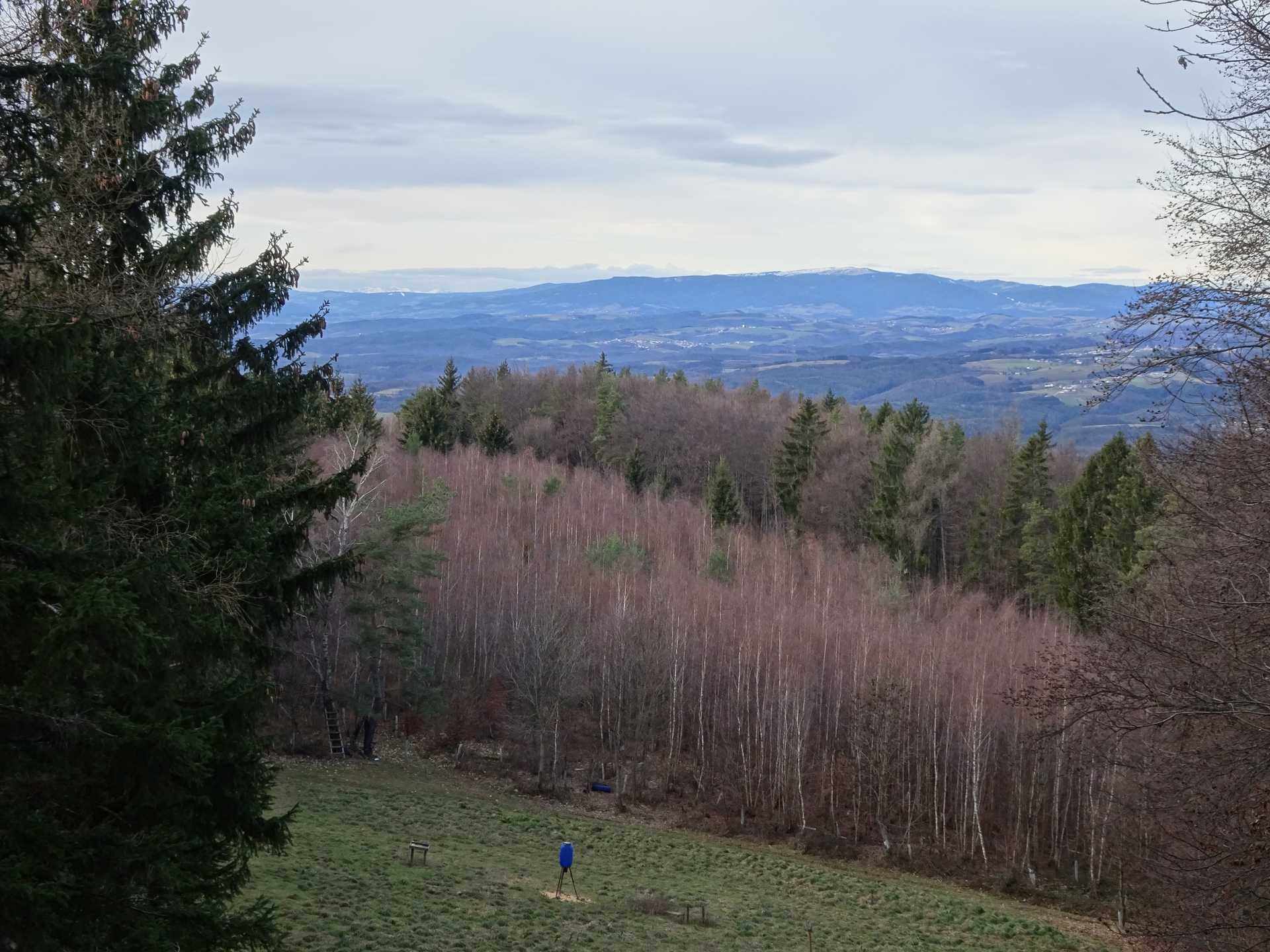
| 02:10 | Enter the viewing platform at Geschriebenstein and enjoy the view over the pannonian area till Rax/Schneeberg. Best enjoyed with self-brought refreshments (). |
| 02:25 | Hike back the same route as the ascent till the crossing between the hiking trail and the Alpannonia® trail (01:20). |
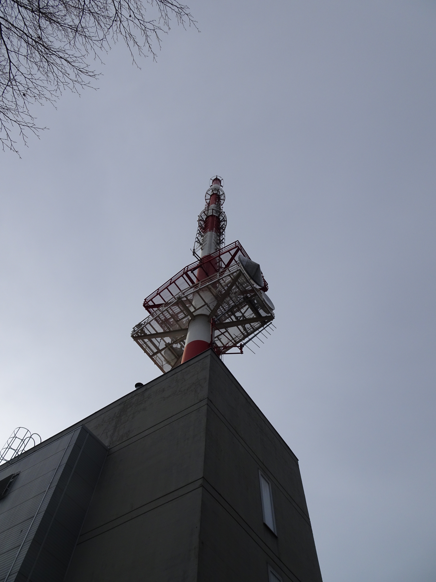
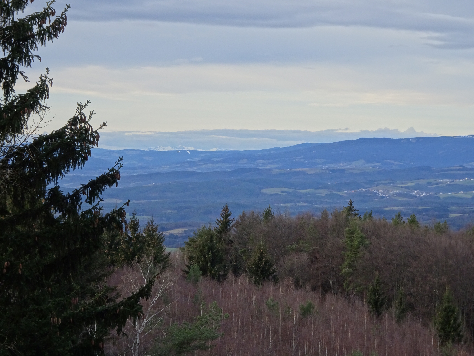
| 03:10 | At the crossing, keep straight (slightly left) and follow the Alpannonia® hiking trail westwards. Ascent through the forest up to the already visible antenna at Hirschenstein. |
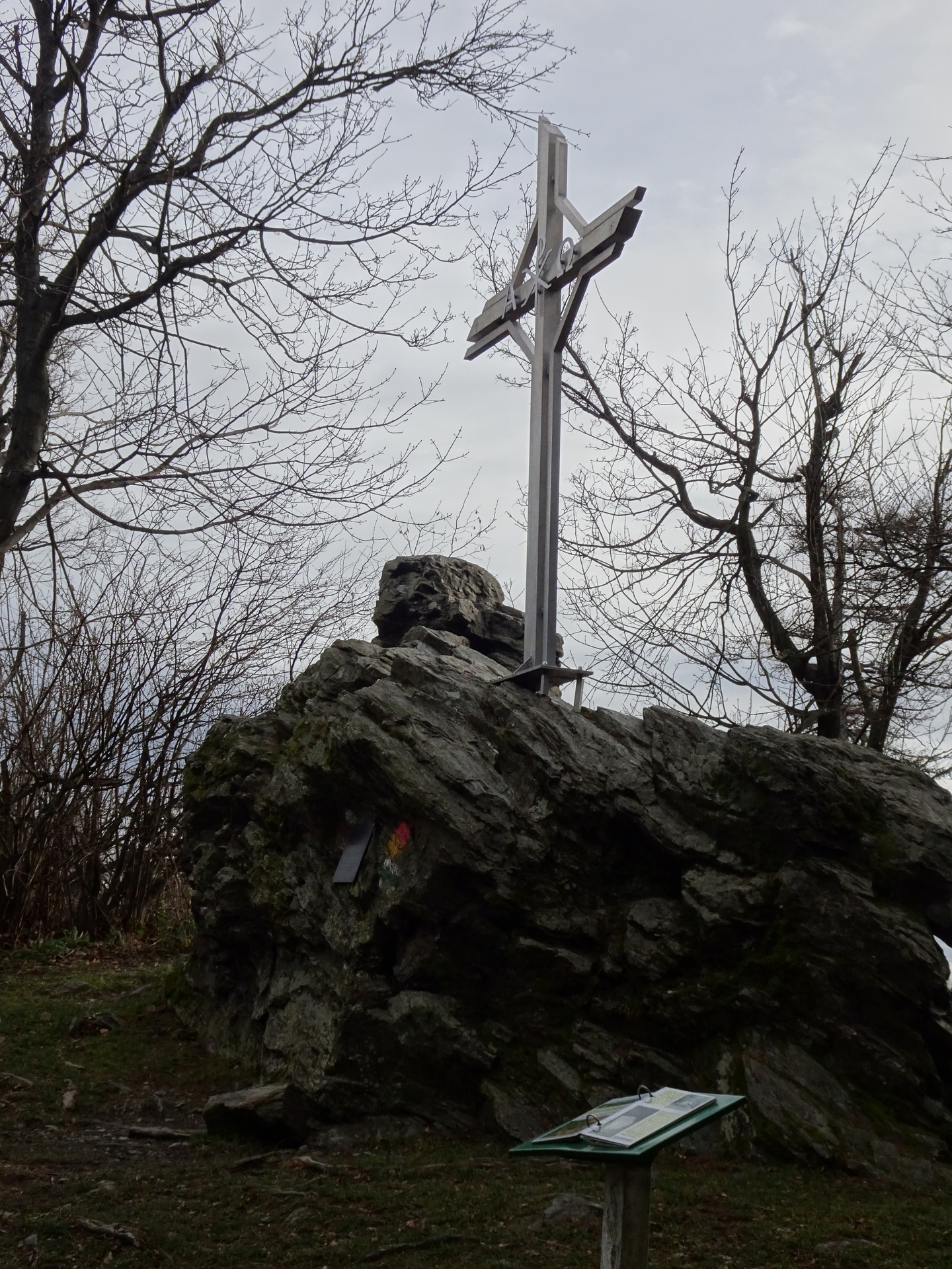
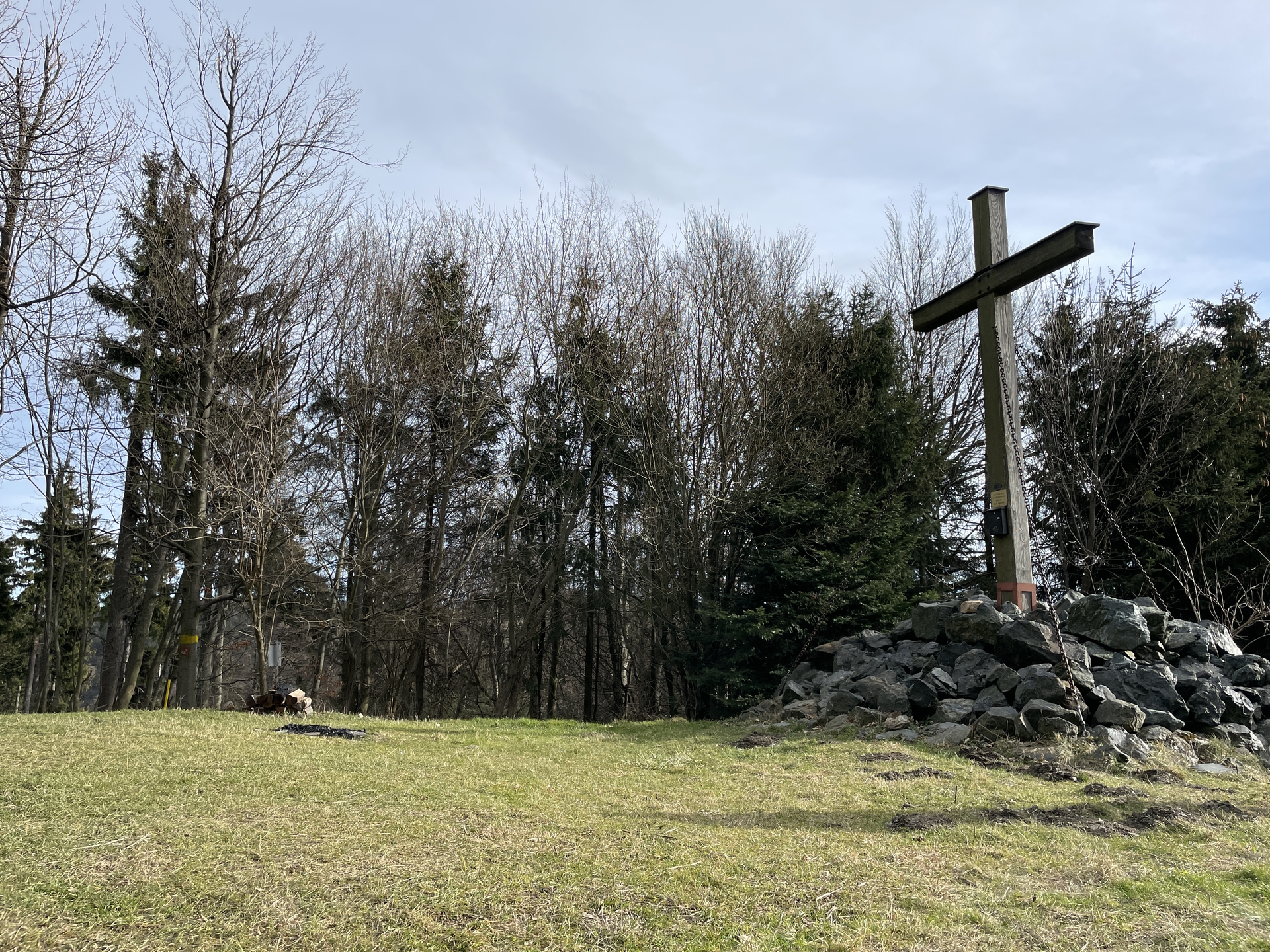
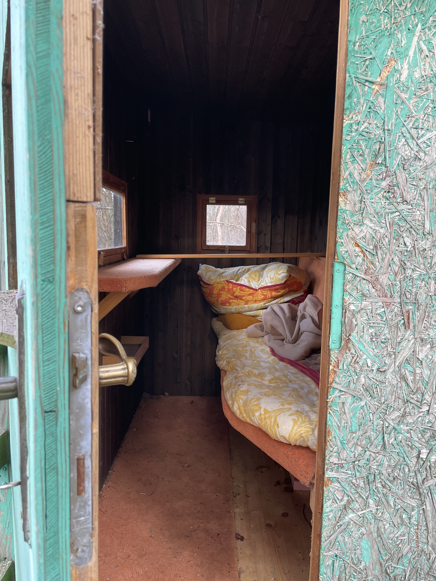
| 03:15 | Well deserved break () at the Großer Hirschenstein. There is no hut, so bring your own food! |
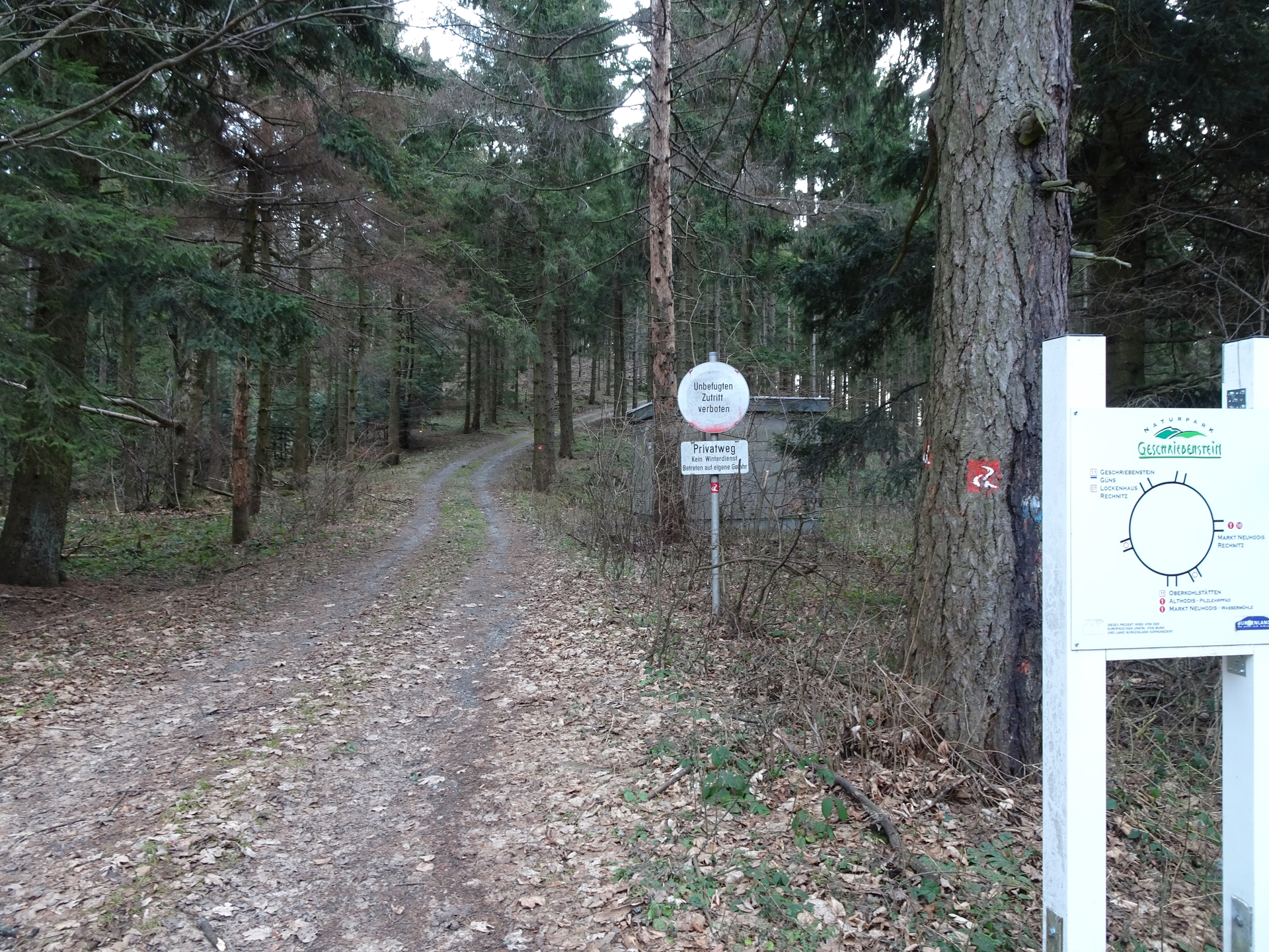
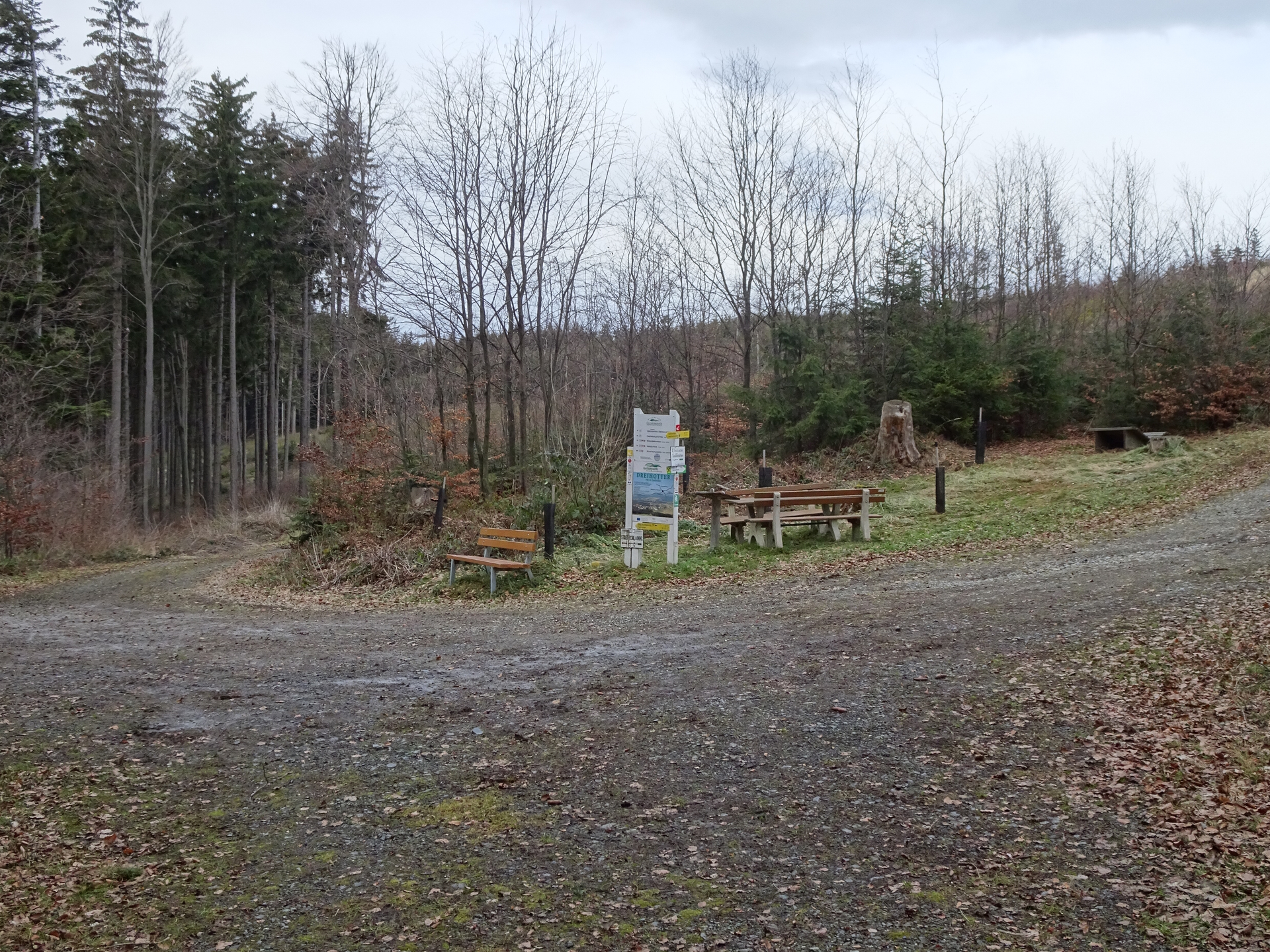
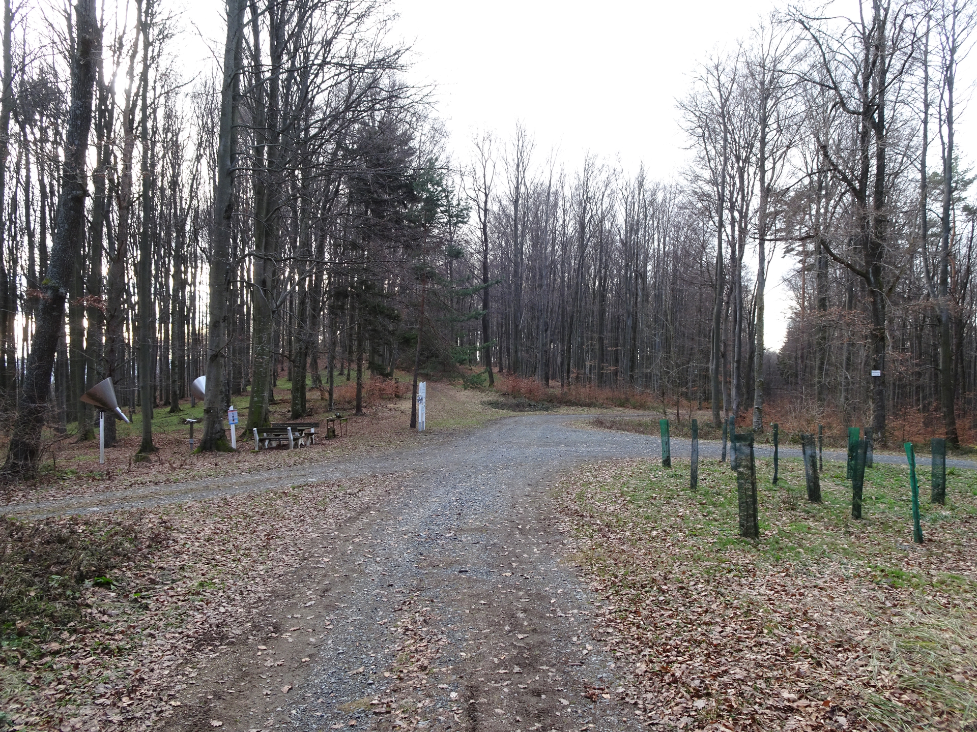
| 03:55* | Detour to Bremsberg (can be skipped): Continue following the Alpannonia® hiking trail westwards towards Stadtschlaining (see signpost). |
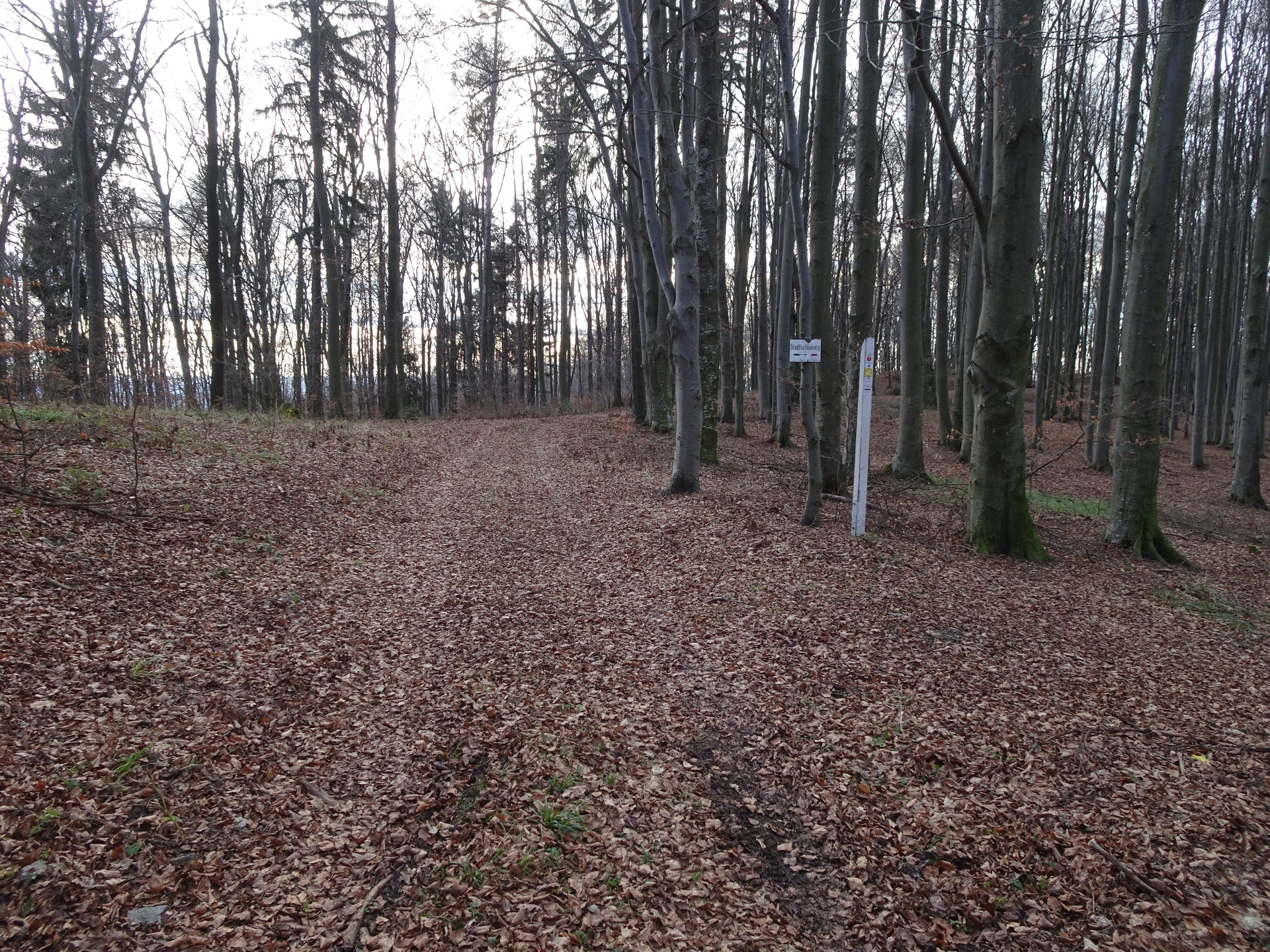
| 04:10* | At Dreihotter, keep left and follow the trail towards Stadschlaining (see signpost). |
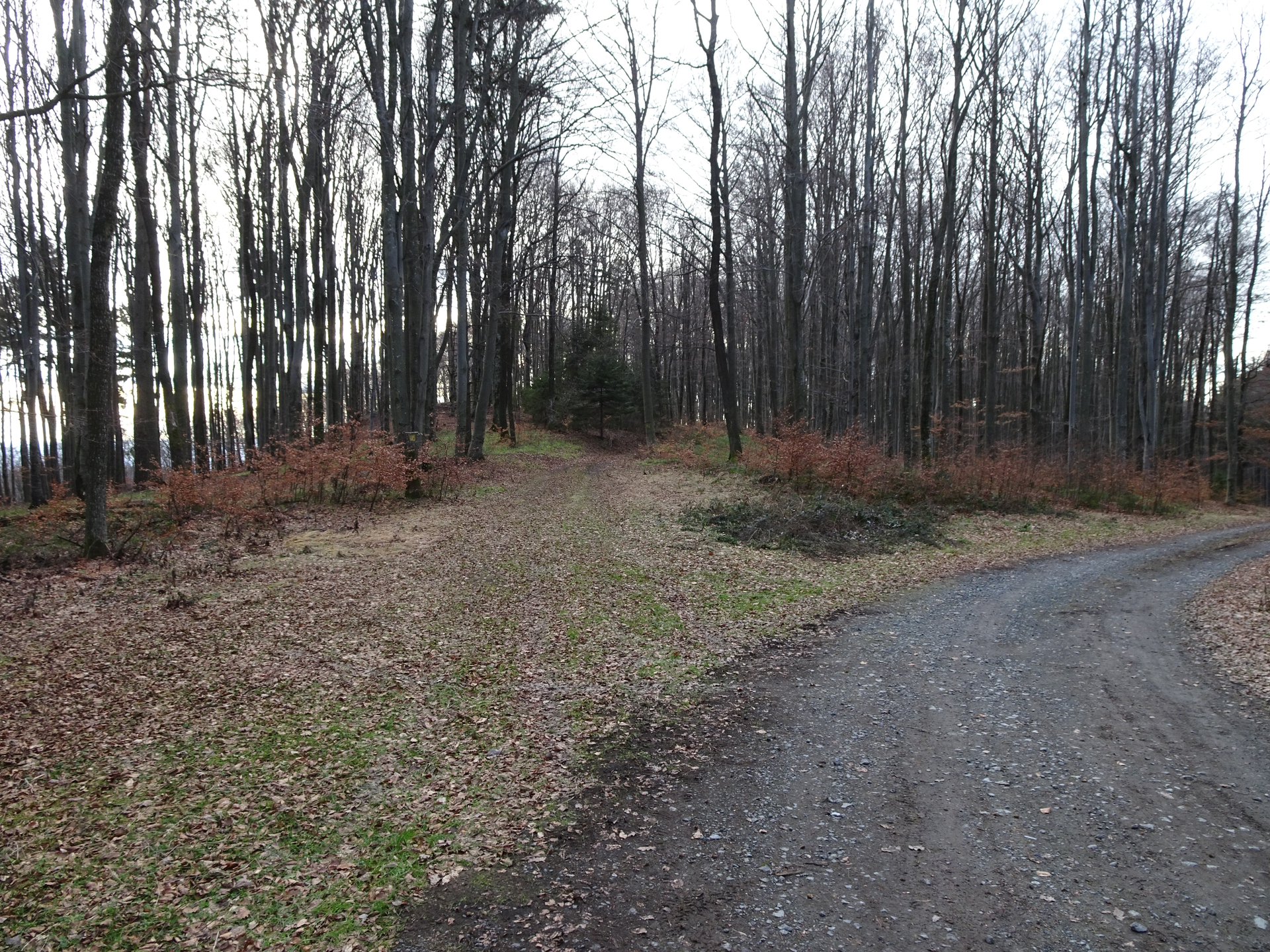
| 04:25* | At the crossing, keep left and follow the traces of a trail westwards. Do not follow the trail to Stadtschlaining anymore but keep on the unmarked trail till reaching the Bremsberg. |
| 04:30* | Enjoy the view from Bremsberg and then hike back the same way back to Hirschenstein. |
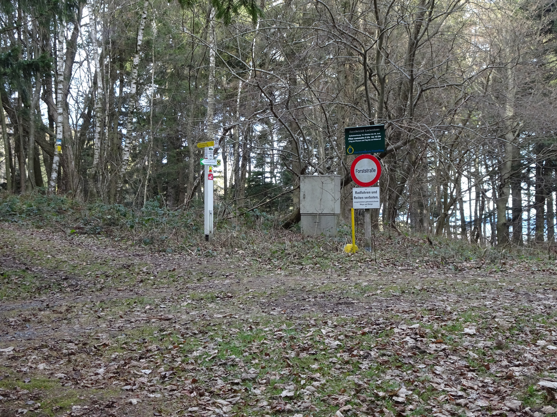
| 05:00 | End of detour: Just before the Hirschenstein, turn right (south) and follow the marked trail down to Althodis. |
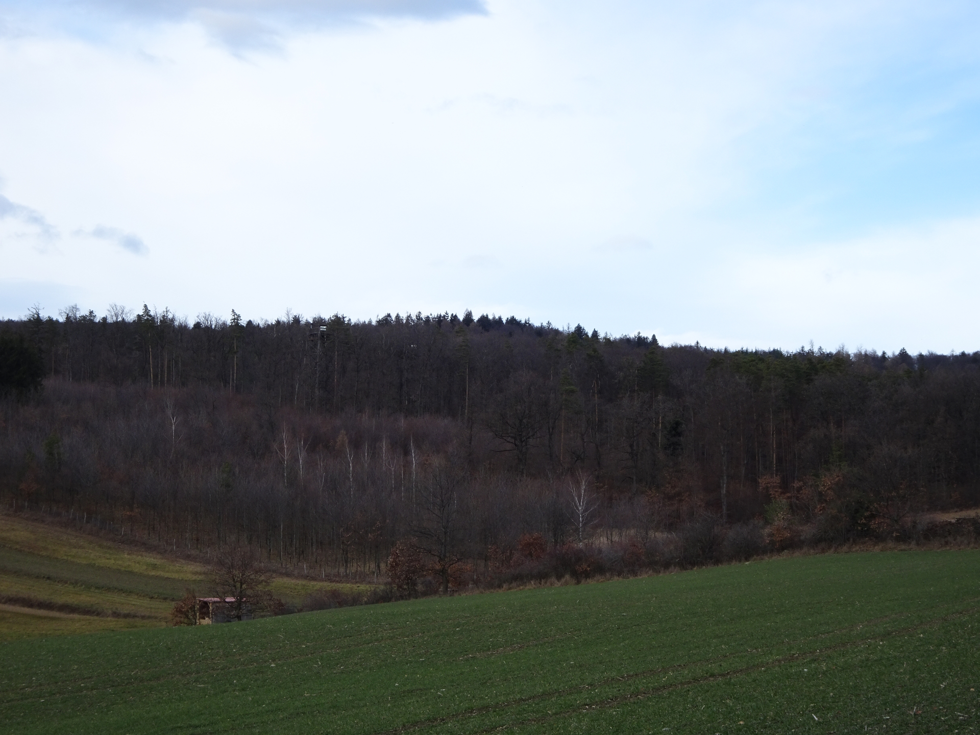
| 05:30 | Pass by the Baumwipfelweg and follow the street southwards to Althodis. |
| 05:45 | Bypass the church in Althodis and now follow the main street southwards to Markt Neuhodis. |
| 05:50 | Keep straight and continue following the main street (do not follow the marked hiking trail!). |
| 06:10 | Back at the parking in Markt Neuhodis, end of the tour. |
General Tour Data
| Area: | Günser Gebirge, Austria & Hungary | |
| Distance: | 27km | |
| Ascent: | 832m (1h 40min) | |
| Descent: | 875m (1h 25min) | |
| Highest Pt: | 884m | |
| Lowest Pt: | 341m | |
| Duration: | 5h 15min (without breaks) 6h 10min (with breaks) |
|
| Stop/Rest: | None, bring your own food! | |
| Equipment: | Backpack with standard hiking equipment Comfortable hiking shoes Snacks, Food and enough water 2x Gipfelbier Sun & Weather protection Camera |
| Download GPX | ||
| O | Tour at outdooractive.com |
At a glance
| Level | easy-moderate |
| Technique | |
| Shape / Fitness | |
| Experience | |
| Scenery | |
| Best time in the year | |
|
Jan
Feb
Mar
Apr
May
Jun
Jul
Aug
Sep
Oct
Nov
Dec
|
|
Interesting background information
The “Geschriebenstein” is the highest point in Burgenland and western Hungary.
The border between Austria and Hungary runs exactly through the middle of the viewing platform on the summit which was build in 1913 by the Austrians.
In 2001, the fall of the iron curtain finally allowed crossing the border here between Austria and Hungary.


Leave a Reply