
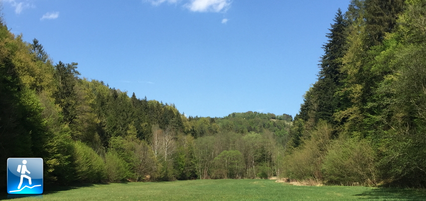
Easy but promising tour through the “Willersdorfer Schlucht” to the viewing platform at “Aschau”
The tour starts at the parking in Willersdorf (GPS: 47.372264, 16.194752), and first follows the paved street next to the Willersbach (river) to the entrance of the Willersdorfer Schlucht. The paved street becomes a gravel road which is followed north. In the gorge the trail crosses several time the river, either via bridges or easy fords. The tour then exists the gorge ascending towards the village of Aschau with its viewing platform, providing a stunning view over the area. The tour then uses various trails and gravel roads back to Willersdorf.
Tour Description
| 00:00 | Start at the parking Willersdorf (GPS: 47.372264, 16.194752) and follow the street upwards along the river |
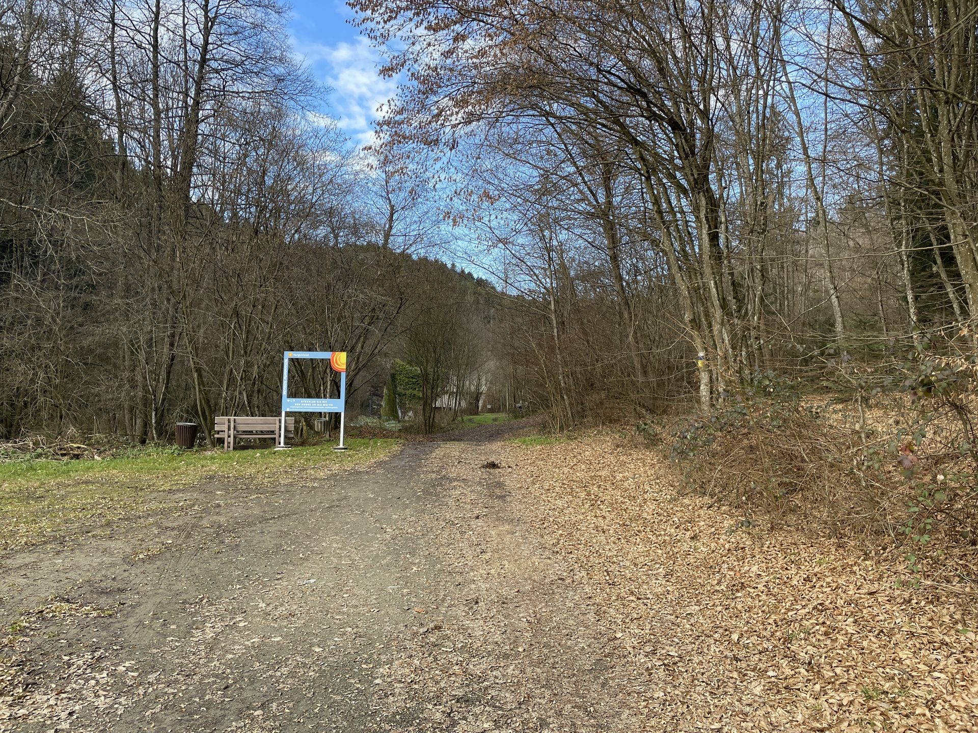
| 00:05 | The paved street becomes a closed gravel forest road. Follow the road north. |
| 00:15 | Entrance of the Willersdorfer Schlucht. |
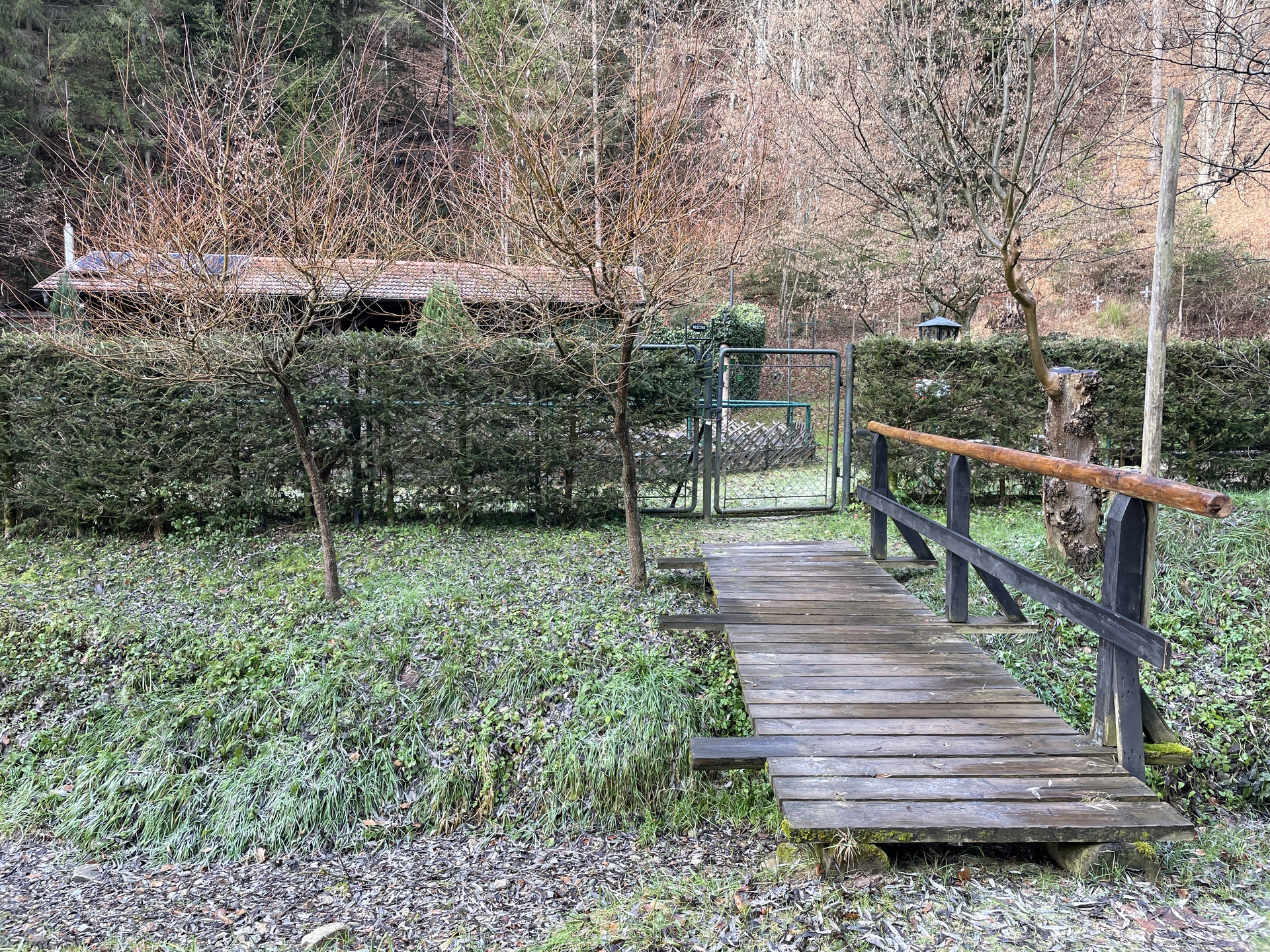
| 00:20 | Turn into the small trail via the bridge and follow the trail. It crosses several times the river. |
| 00:35 | At the crossing, turn right towards Aschau / Aussichtsturm. |
| 00:40 | At the crossing, turn left into the meadow and follow the trail through the meadow towards Wanderstützpunkt / Aschau Ort (to shorten the tour, keep right and follow the direct trail up to Aussichtsturm). |
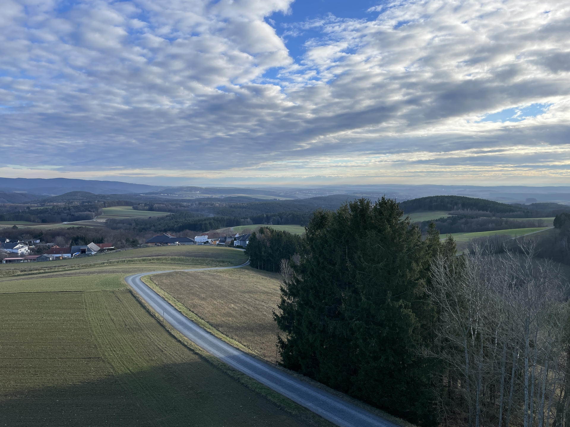
| 00:55 | After the sport arena, turn right and follow the street up to the village of Aschau. |
| 01:00 | Turn sharp right and follow the street towards the Aussichtsturm (viewing platform). |
| 01:10 | Climb up the viewing platform and enjoy the scenic view from there. Obviously best enjoyed with a self-brought refreshment (). |
| 01:15 | Continue following the street southeastwards. |
| 01:17 | At the first crossing, turn right and follow the hiking trail downwards. |
| 01:20 | At the lower crossing, turn left and continue following the hiking trail. |
| 01:22 | Keep right and follow the street for a few meters. |
| 01:25 | Before the water reservoir, turn left into the hiking trail and follow this trail alongside the forest. |
| 01:30 | Turn right and now follow the blue marked hiking trail through the forest heading back to Willersdorf. |
| 01:50 | Turn right into the street and follow the street westwards, bringing you directly back to Willersdorf and the parking. |
| 02:00 | Back at the parking, end of the tour. |
At a glance
| Level | easy |
| Technique | |
| Shape / Fitness | |
| Experience | |
| Scenery | |
| Best time in the year | |
|
Jan
Feb
Mar
Apr
May
Jun
Jul
Aug
Sep
Oct
Nov
Dec
|
|
General Tour Data
| Area: | Willersdorf, Burgenland, Austria | |
| Distance: | 11km | |
| Ascent: | 252m (0h 45min) | |
| Descent: | 272m (0h 25min) | |
| Highest Pt: | 601m | |
| Lowest Pt: | 384m | |
| Duration: | 1h 55min (without breaks) 2h 00min |
|
| Stop/Rest: | None (bring your own food!) | |
| Equipment: | Backpack with standard hiking equipment Snacks, Food and enough water 1x Gipfelbier () Sun & Weather protection Camera |
| Download GPX | ||
| O | Tour at outdooractive.com |


Leave a Reply