
Hike up Geschriebenstein, the highest point of Burgenland, from Lockenhaus and descend via the Margarethenwarte
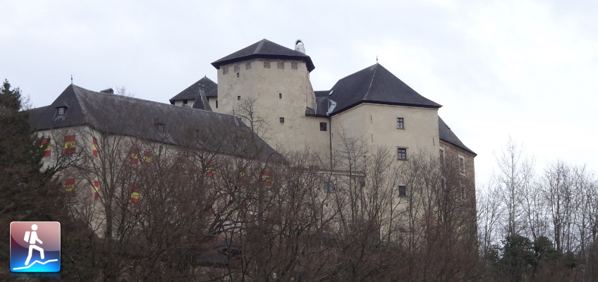
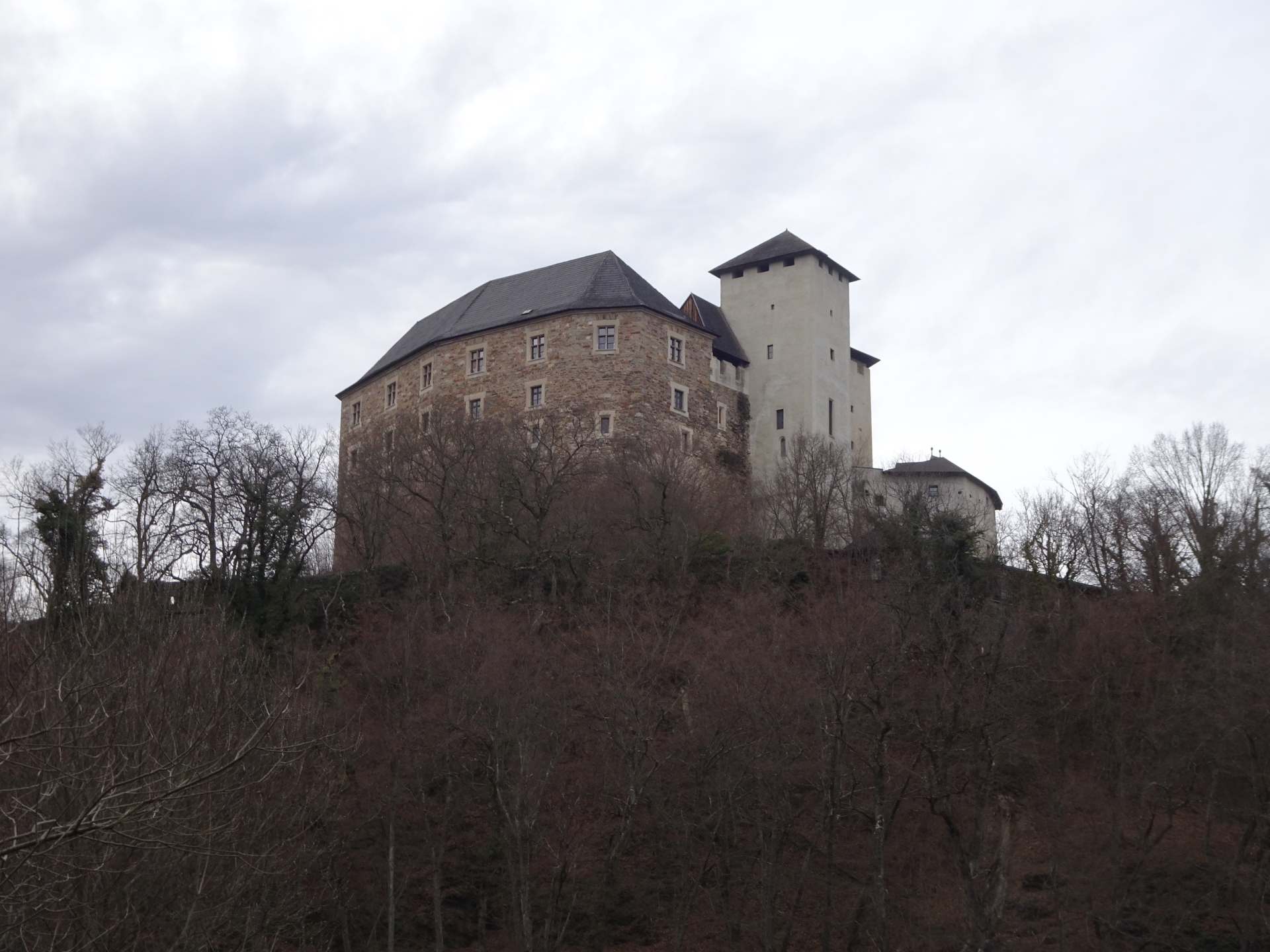
The tour starts at the castle Esterhazy in the city center of Lockenhaus and first follows the street B56 towards the start of the red-yellow marked hiking trail 07 up to Geschriebenstein, the highest point of Burgenland. The tour then descents via the same route back but detours then by following the unmarked trail towards Margarethenwarte which allows a promising view towards the Rax/Schneeberg group. The tour then further follows the white-red-white marked trail toward the fortress of Lockenhaus and then back to the parking.
Tour Description
Tour Description
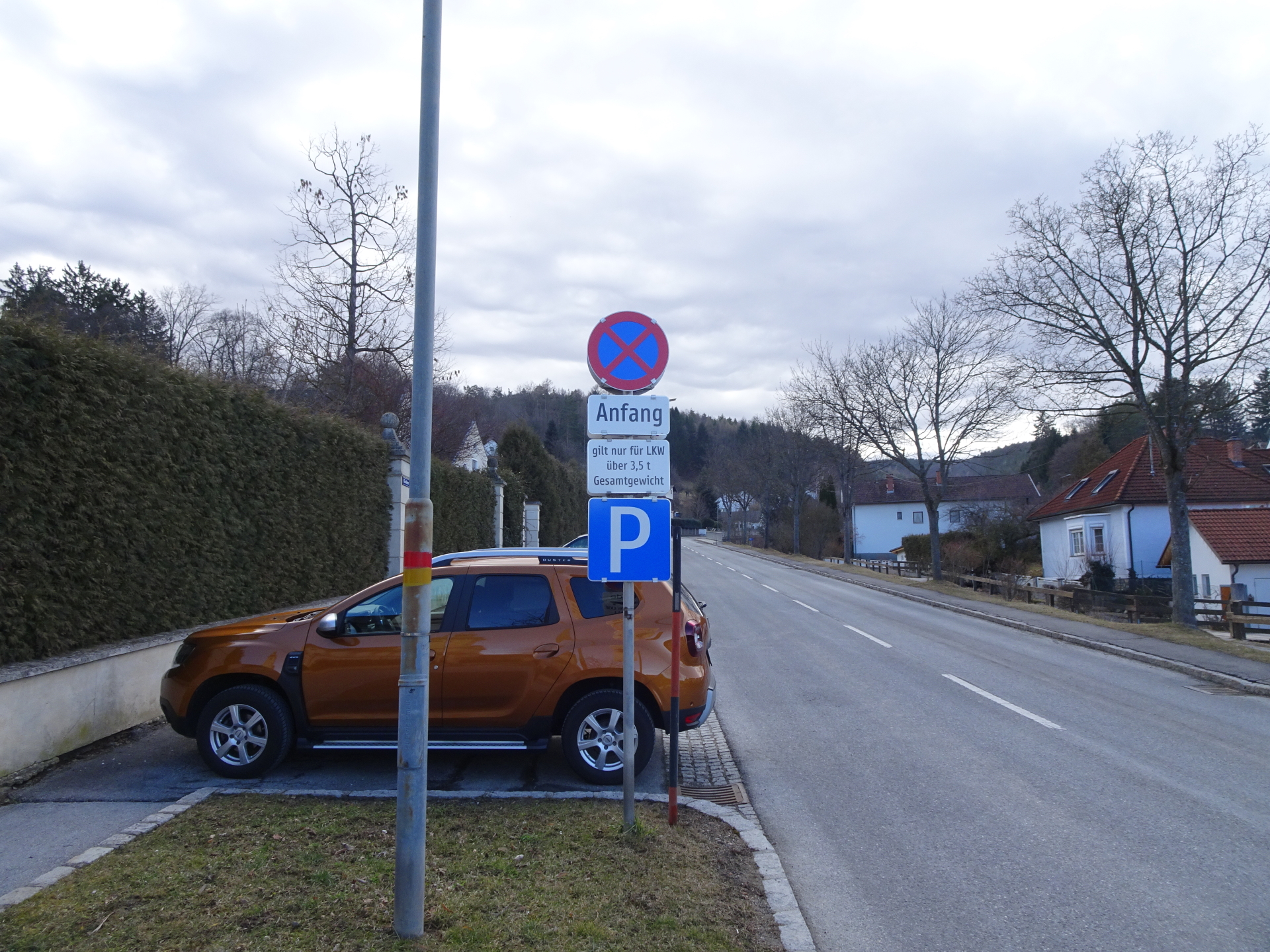
| 00:00 | The tour starts at the castle Esterhazy in the city center of Lockenhaus (GPS: 47.406064, 16.418647) and first follows the street B56 southwards (up). |
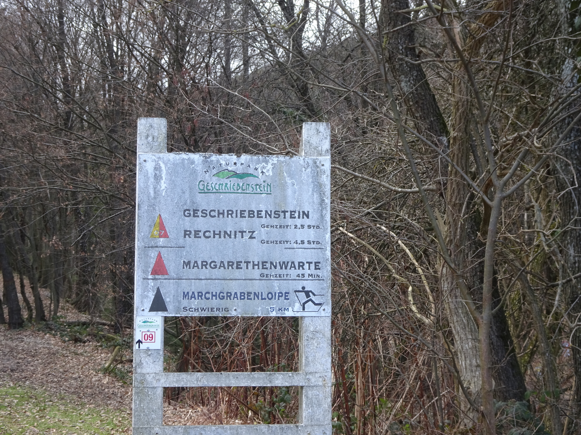
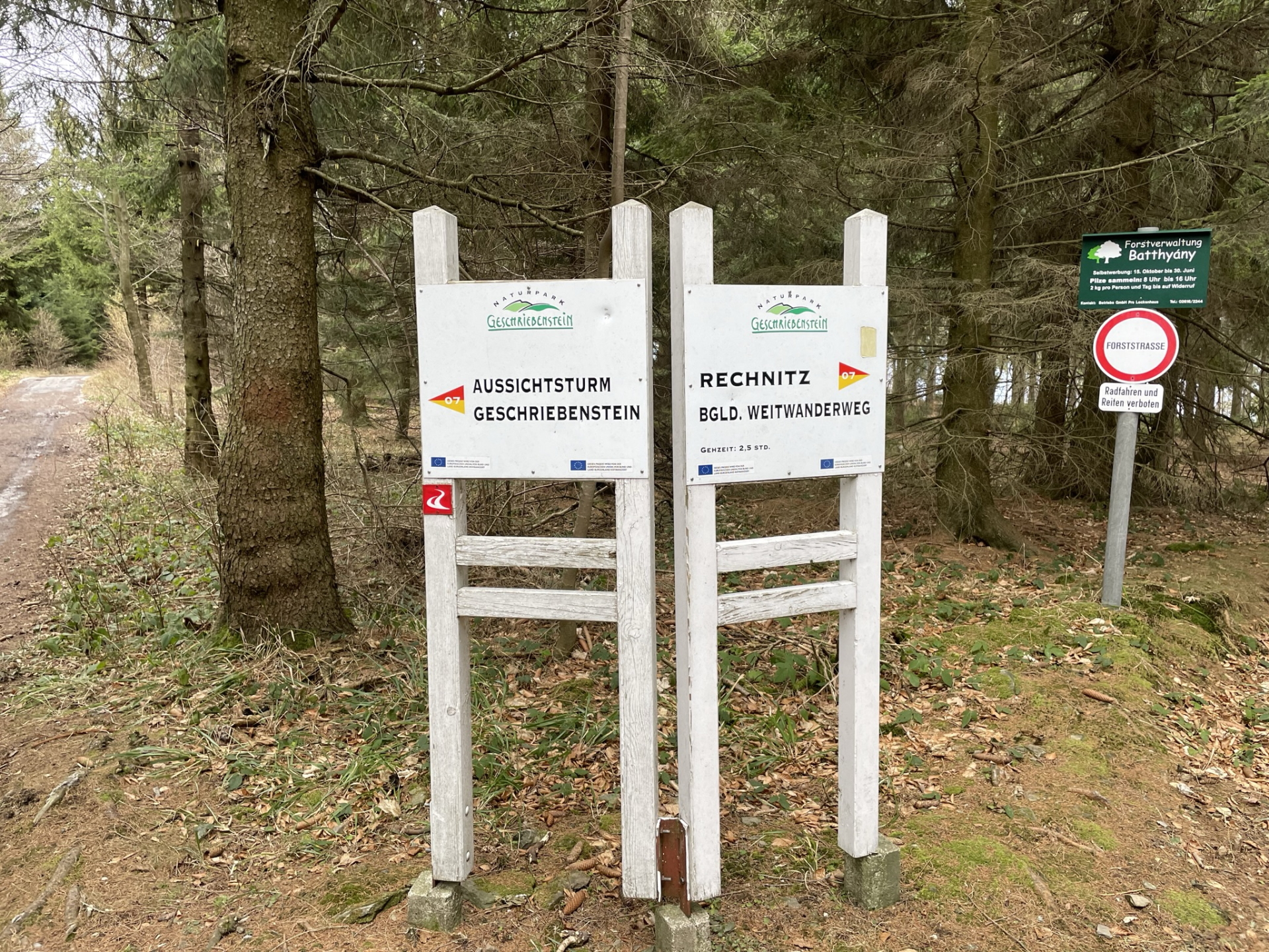
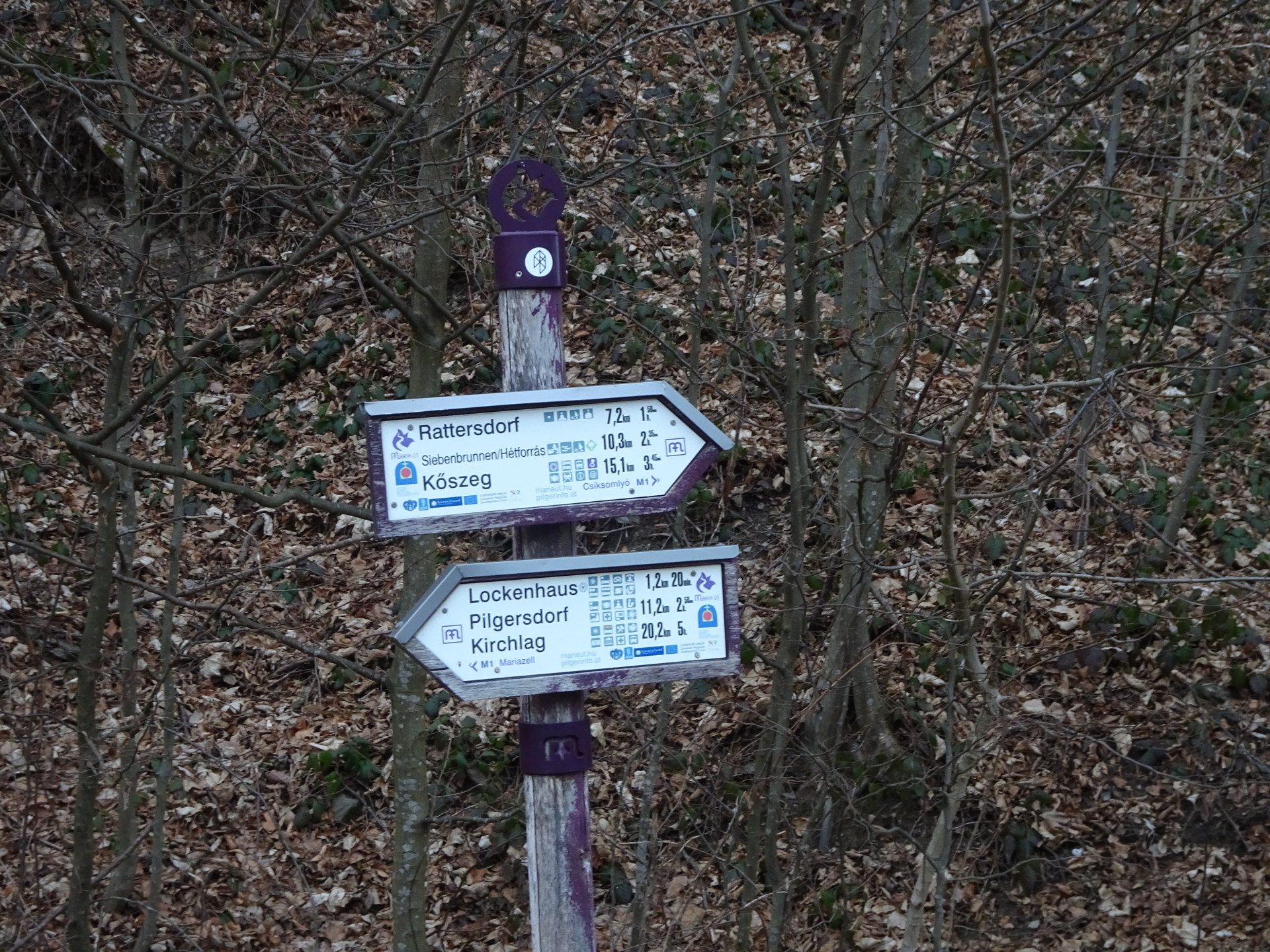
| 00:10 | At the U-turn of the street, stay straight ahead and follow the red-yellow marked hiking trail 07 towards Geschriebenstein (see signpost). |
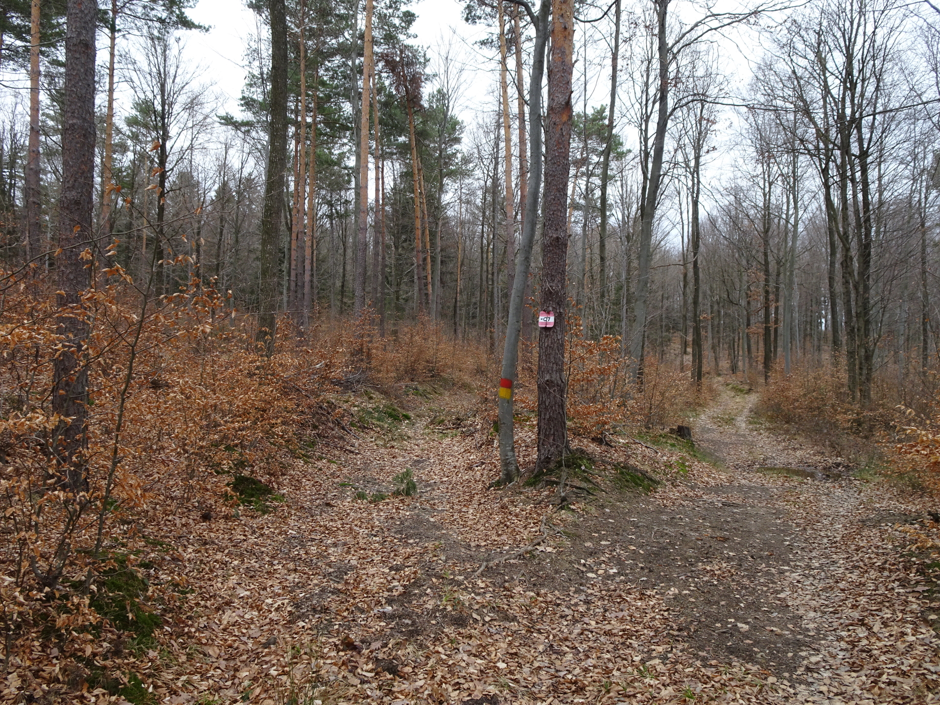
| 00:20 | At the crossing, keep right and continue following the red-yellow marked hiking trail 07 towards Geschriebenstein. |
| 00:25 | At the crossing, keep right and continue following the red-yellow marked hiking trail. |
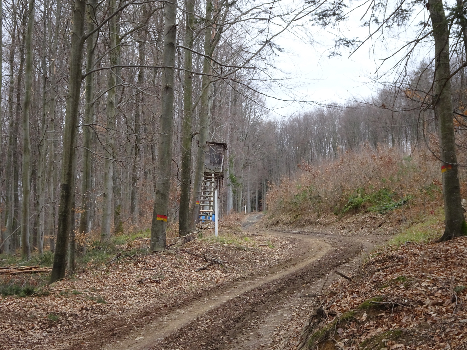
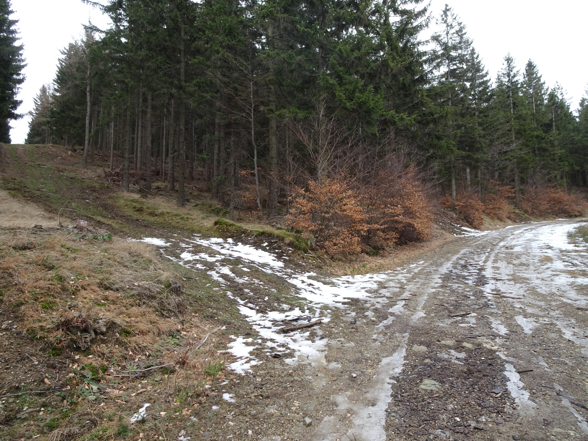
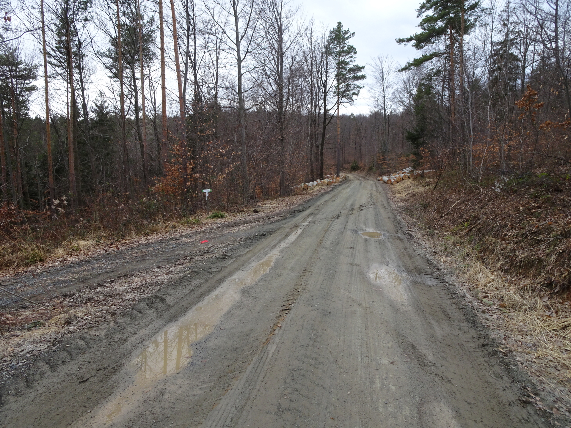
| 00:35 | At the crossing, stay straight ahead and continue following the red-yellow marked hiking trail / forest road. |
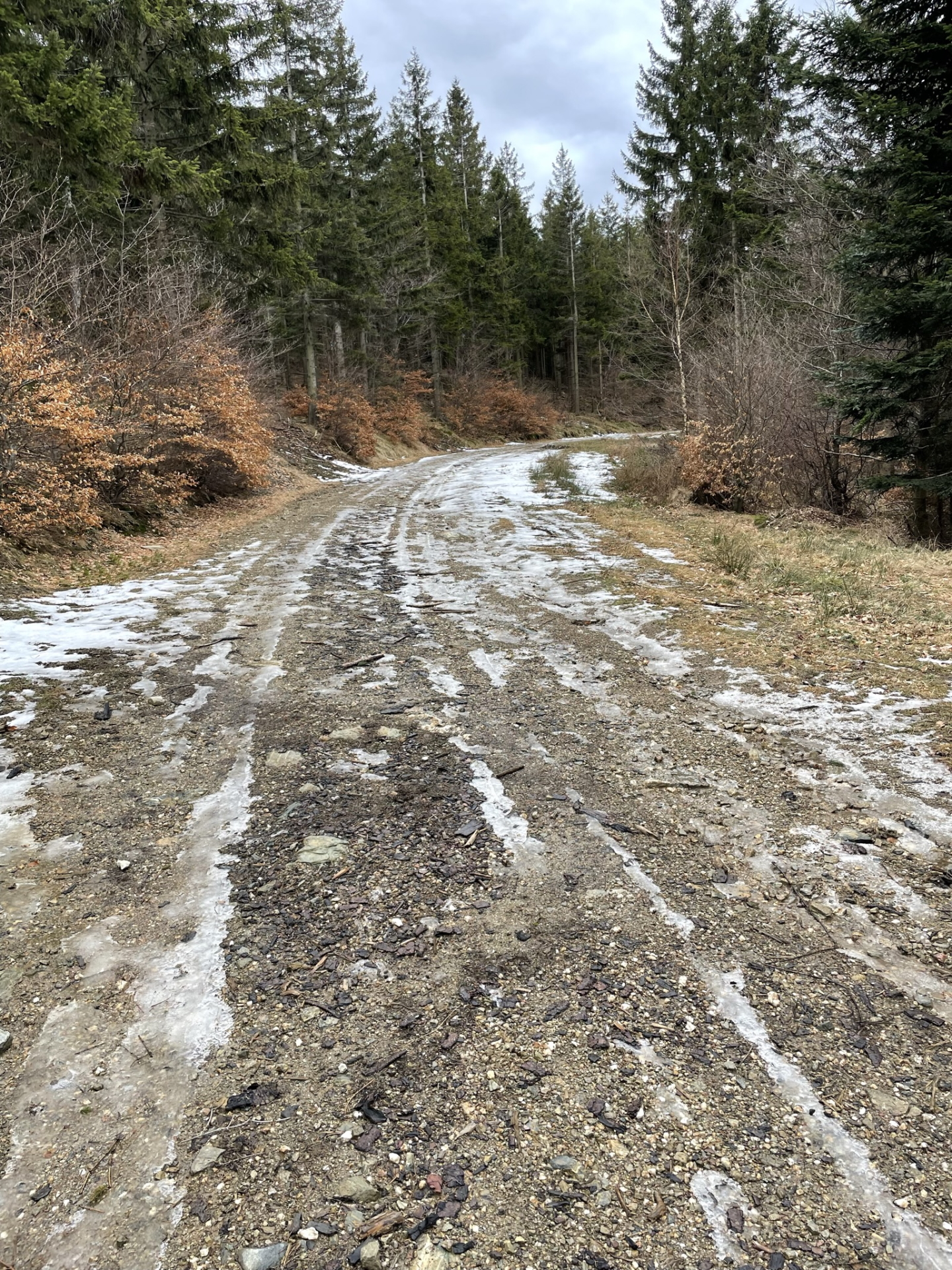
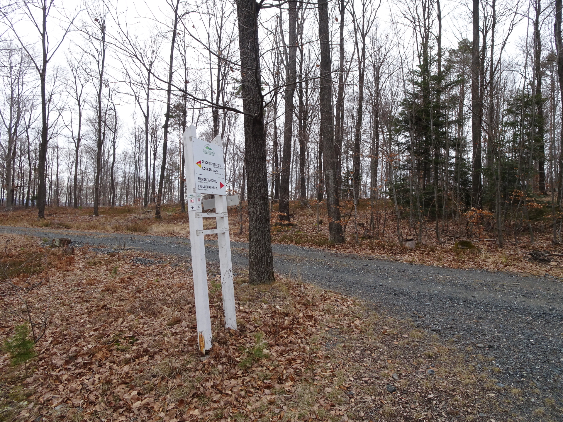
| 00:40 | At the crossing, keep left and turn into the small red-yellow marked hiking trail (leave the forest road). |
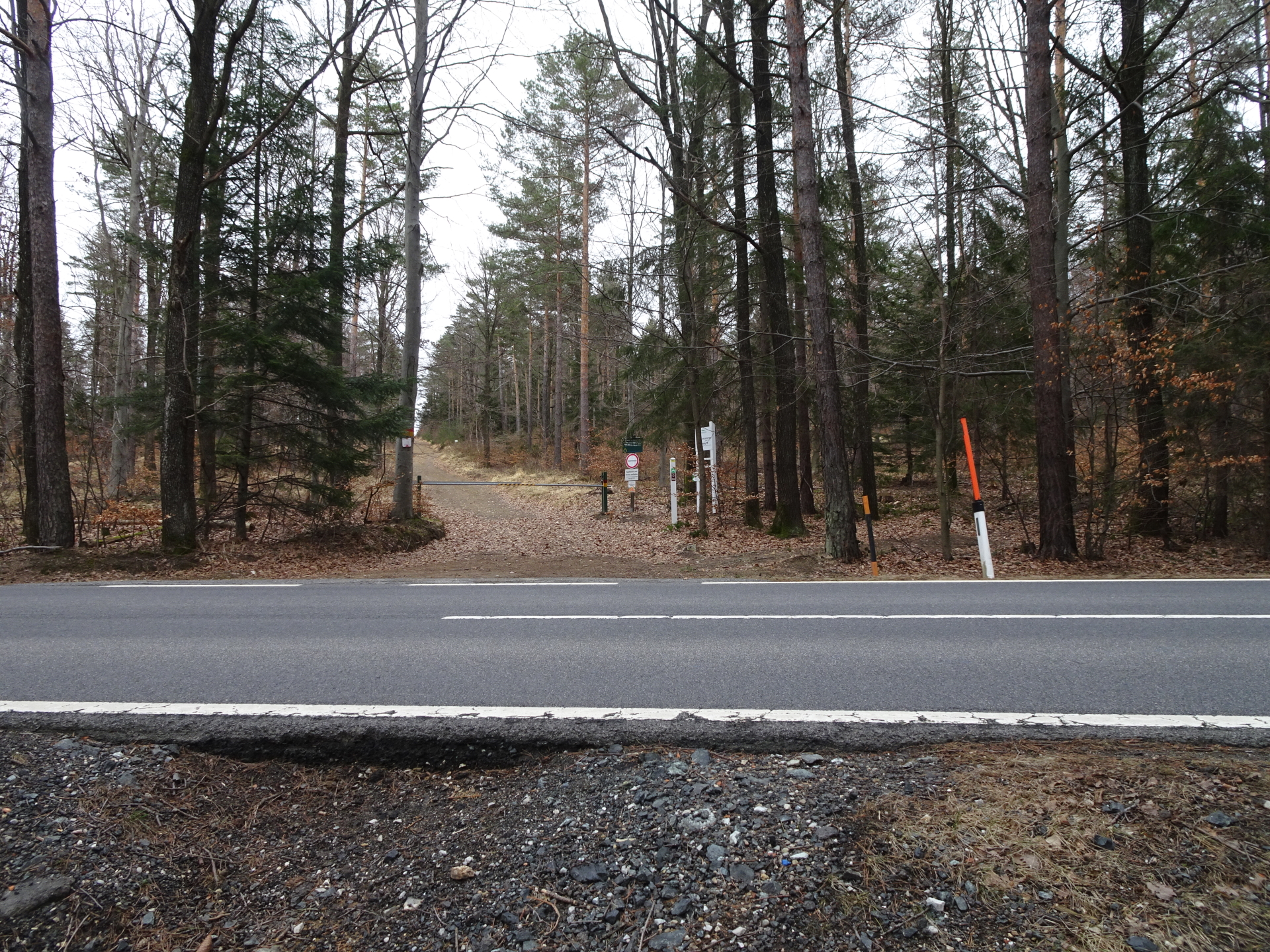
| 00:45 | Cross (keep straight ahead) the street (B56) and follow the red-yellow marked forest road eastwards. Keep straight at the first crossing. |
| 00:50 | At the crossing (Salzriegel), turn right and follow the red-yellow marked trail southwards (up). |
| 01:05 | At the crossing, first turn right and then left after some meters. Just follow the red-yellow arrows and trail markings. |
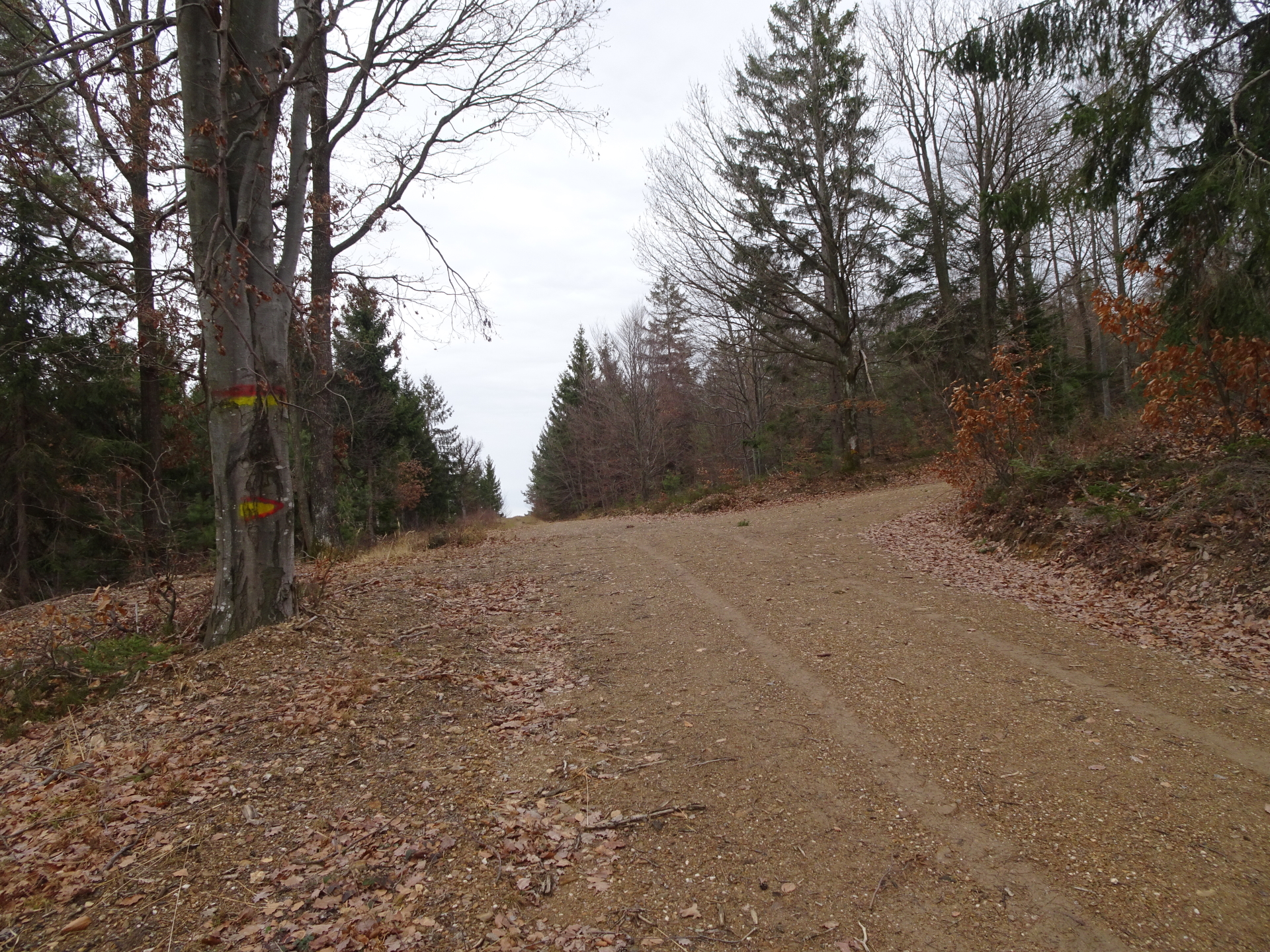
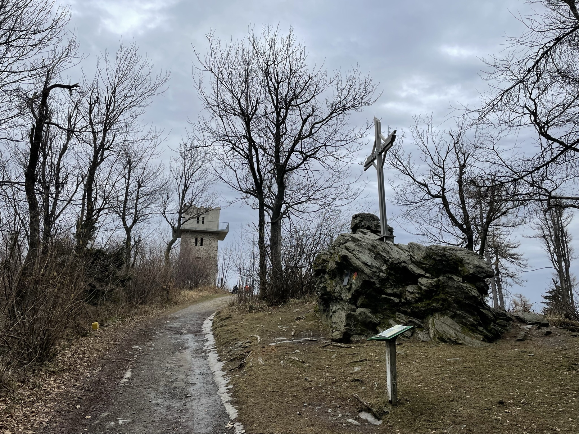
| 01:20 | Turn left and follow the steep trail up (the steepest passage of the entire trail). Then follow again the forest road southeastwards up to Geschriebenstein. |
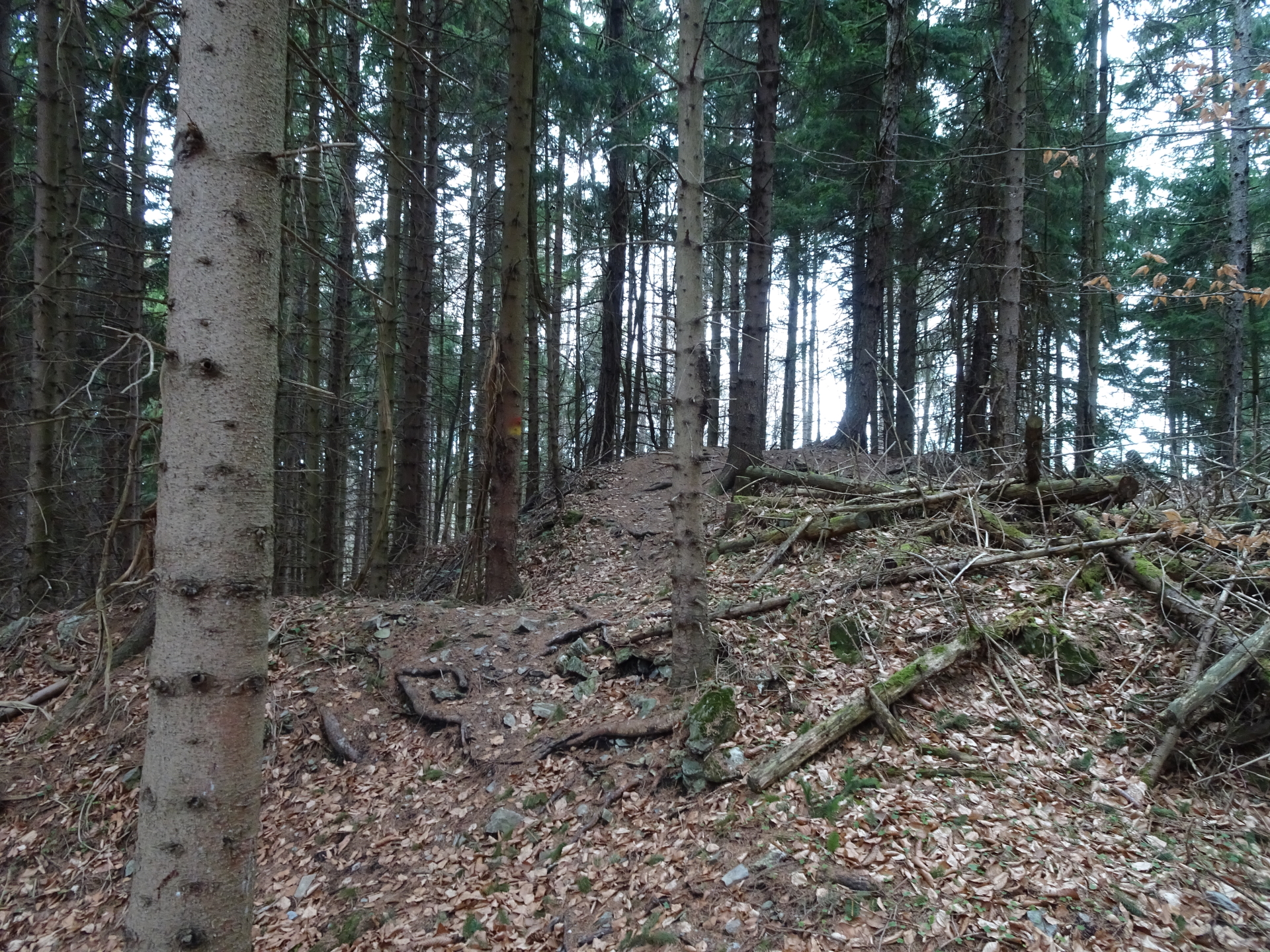
| 01:30 | At the crossing, U-turn left and follow the trail up to Geschriebenstein. |
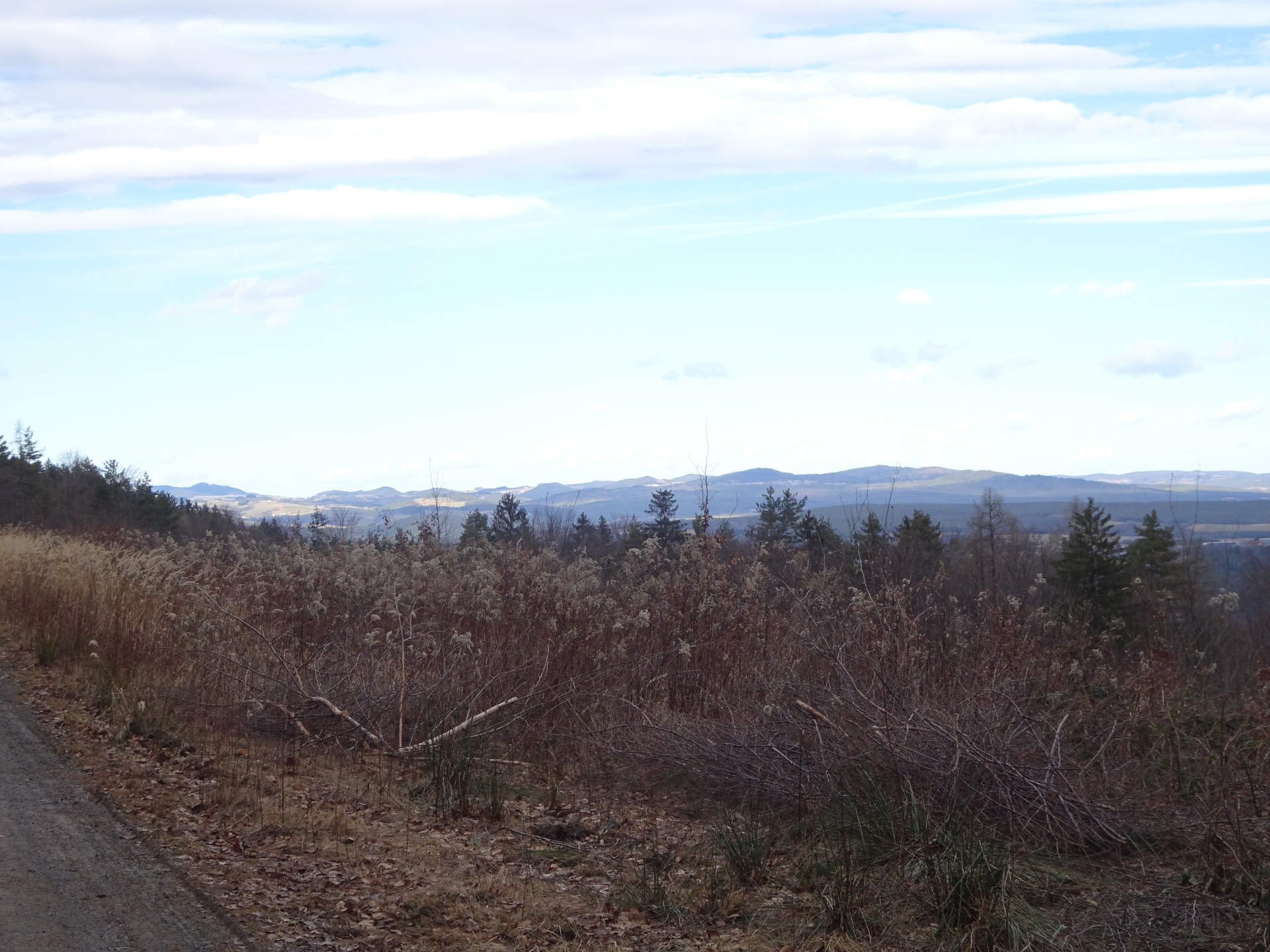
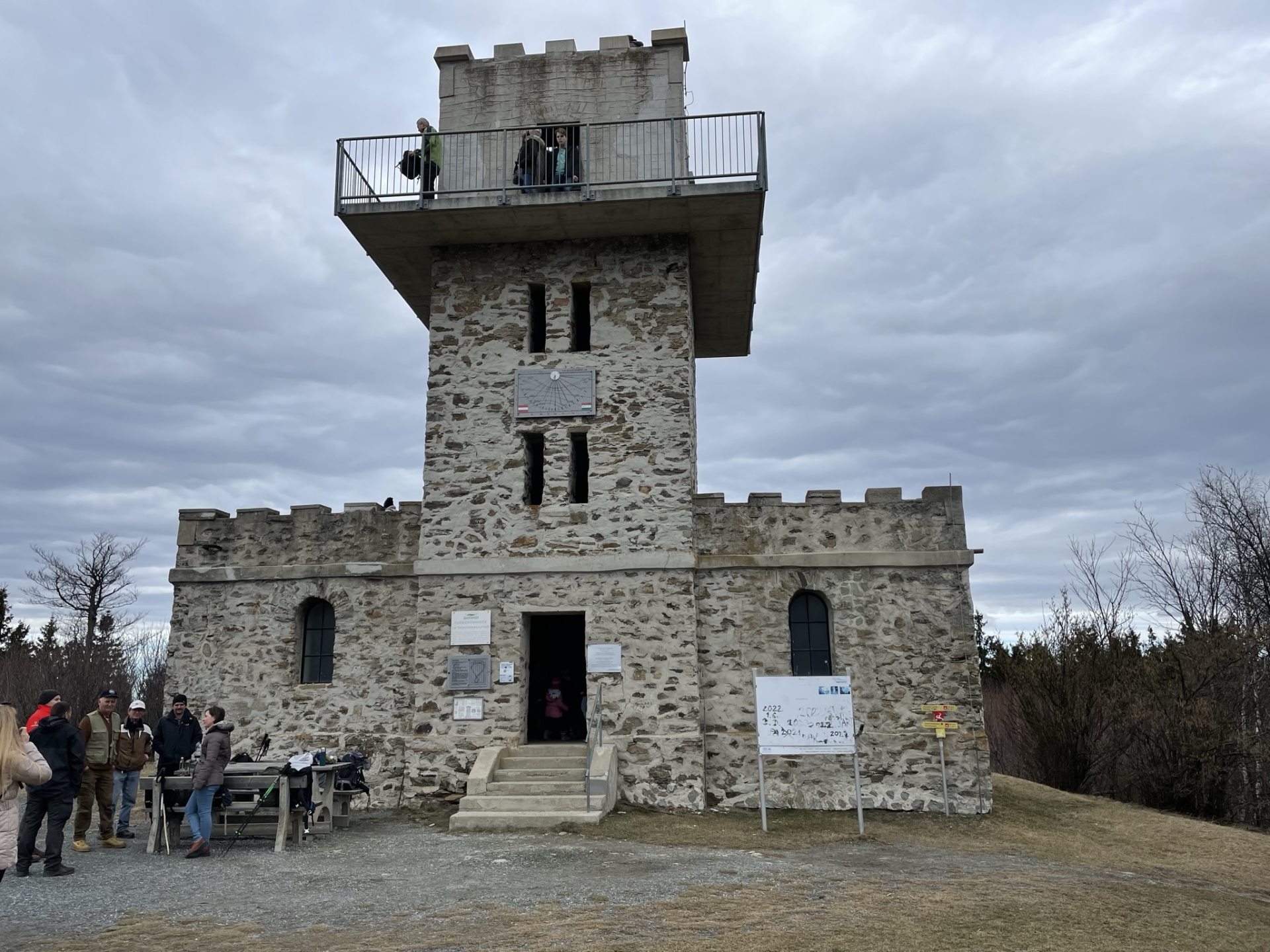
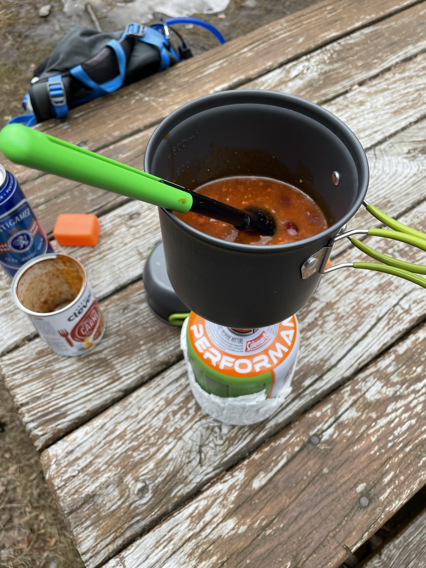
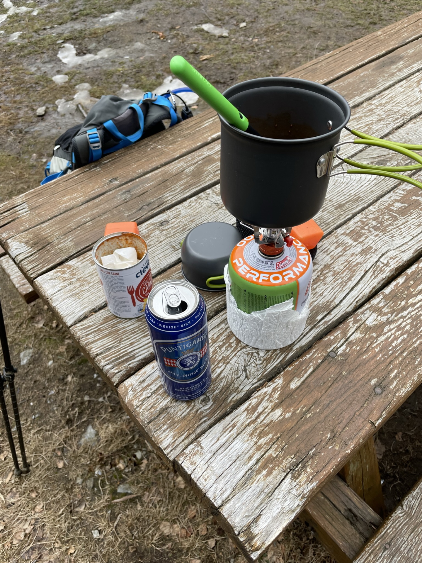
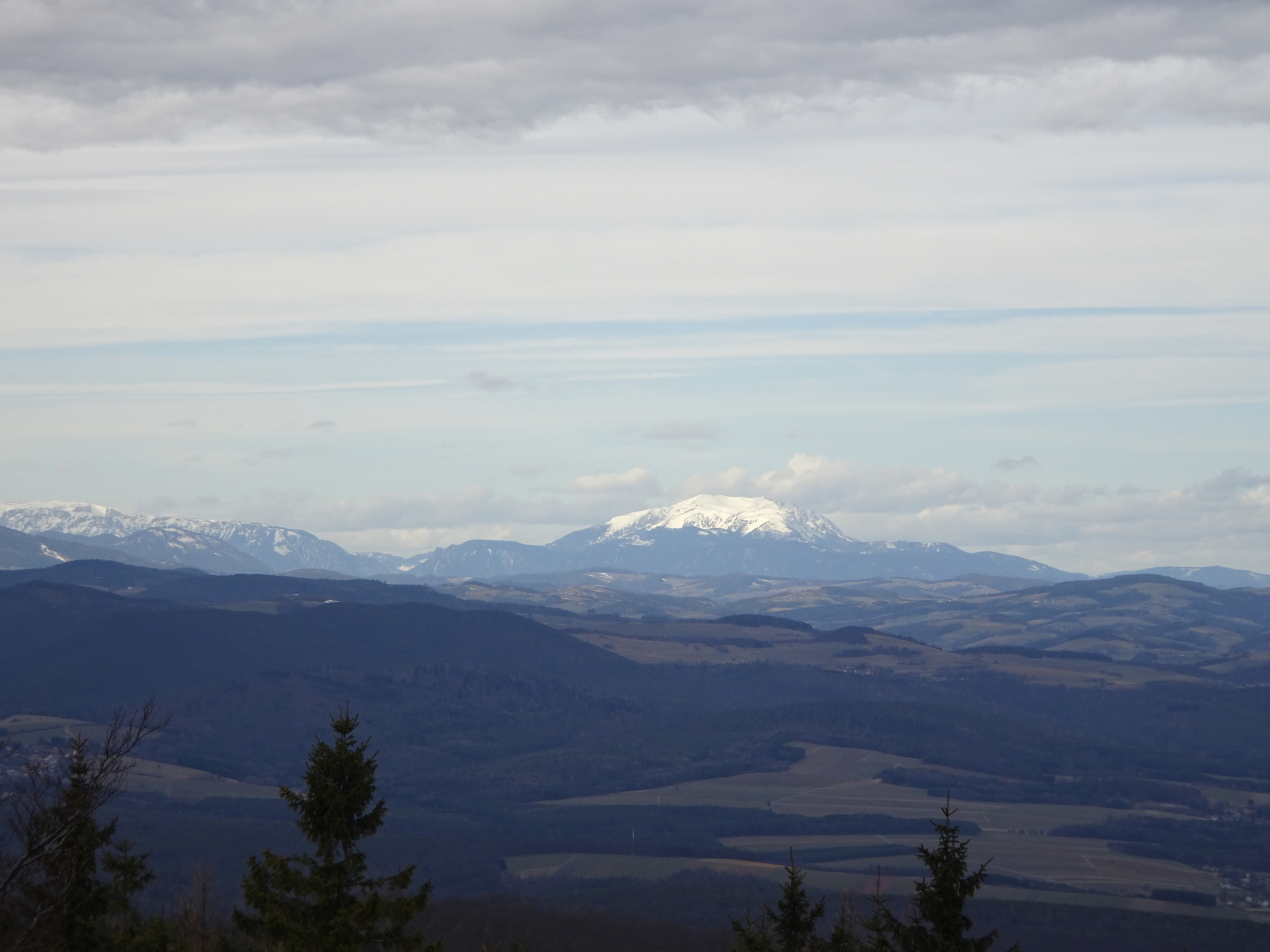
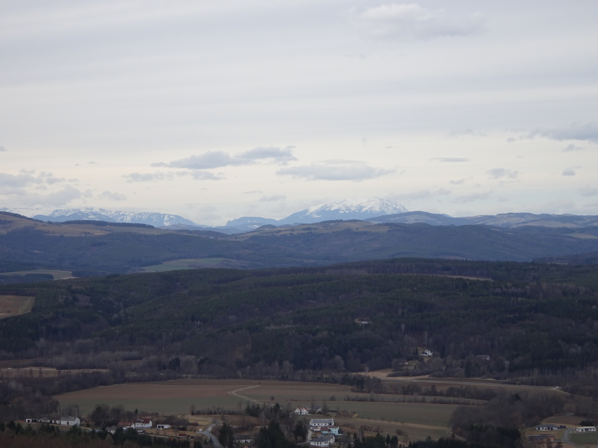
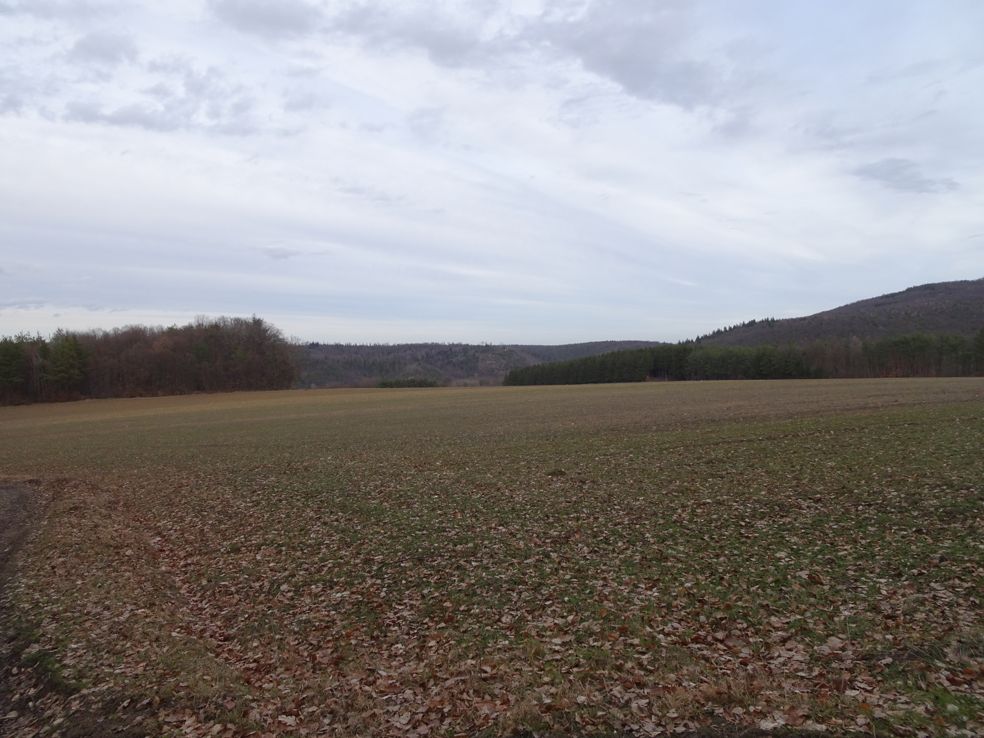
| 01:40 | Enter the viewing platform at Geschriebenstein and enjoy the view over the pannonian area till Rax/Schneeberg. Best enjoyed with self-brought refreshments (). |
| 02:10 | Hike back the same route as the ascent till the crossing of Salzriegel. |
| 02:20 | U-turn right and follow the route tack towards the crossing of Salzriegel. |
| 03:00 | At the crossing of Salzriegel, turn right and leave the red-yellow marked trail. |
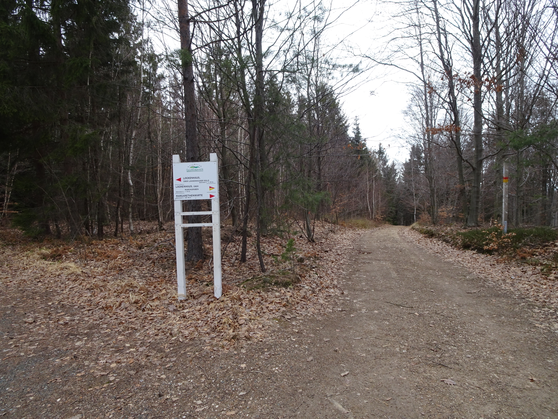
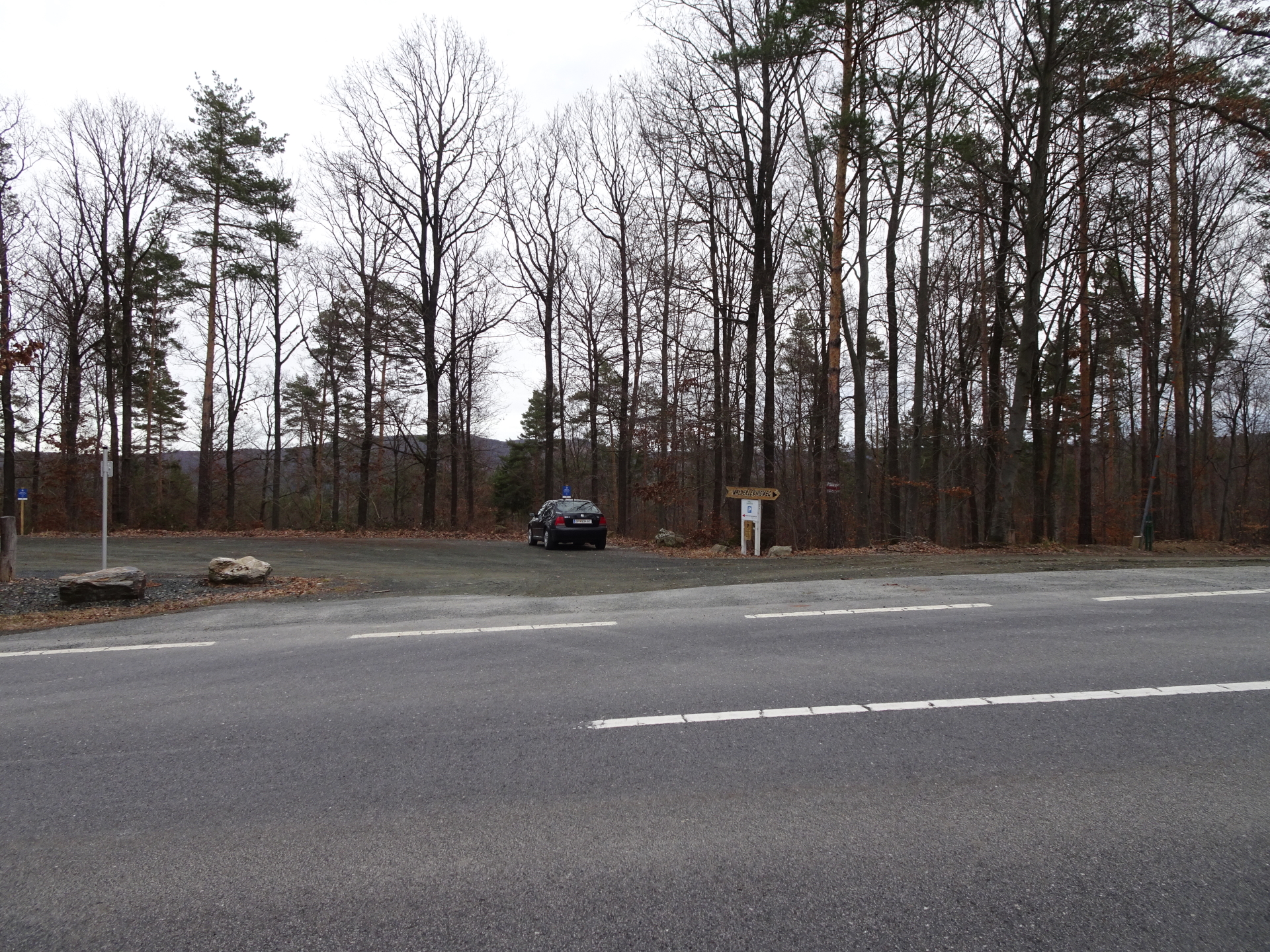
| 03:05 | At the end of the forest road, turn left and continue following the forest road northwards which automatically brings you to Margarethenwarte. |
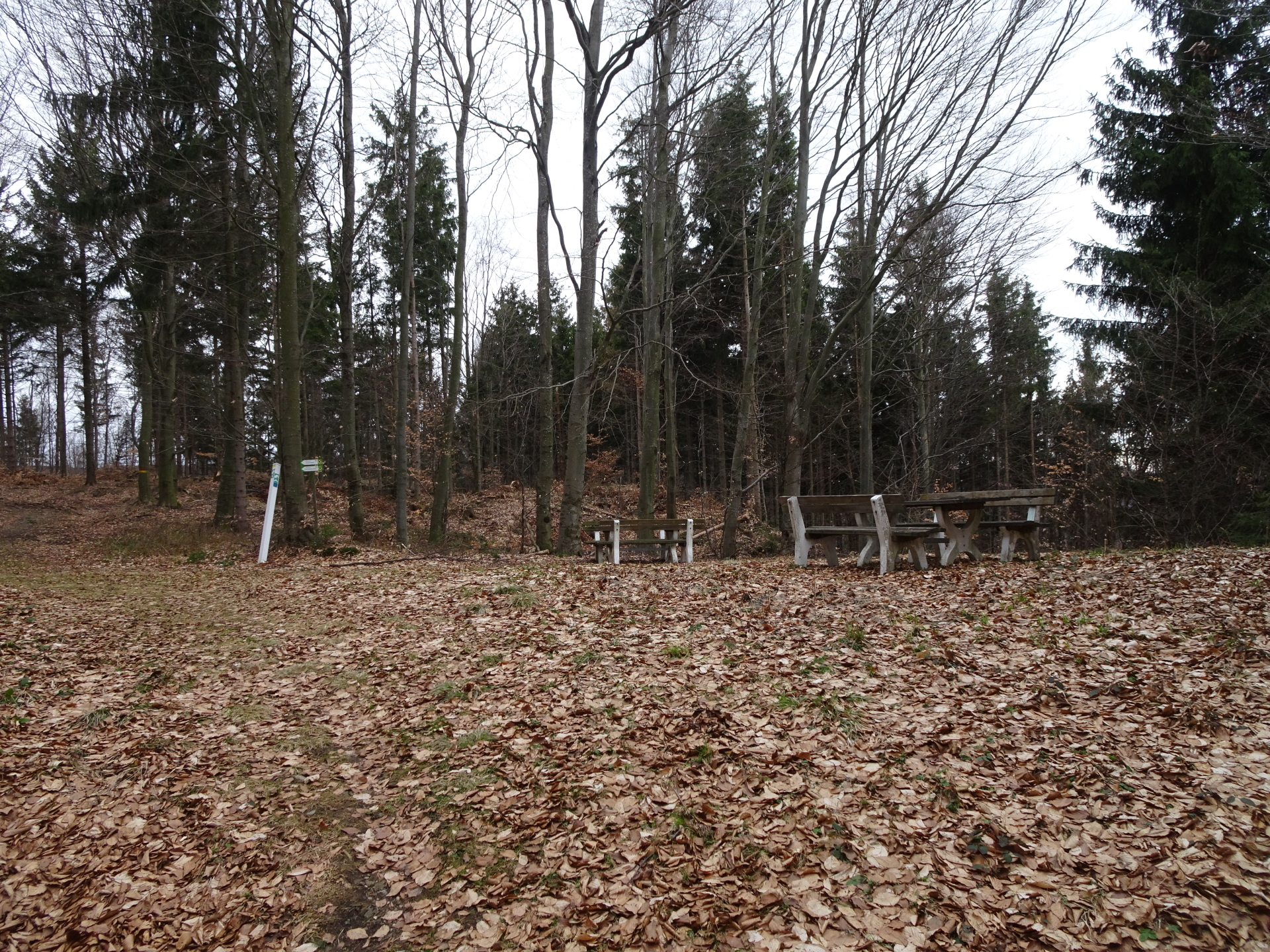
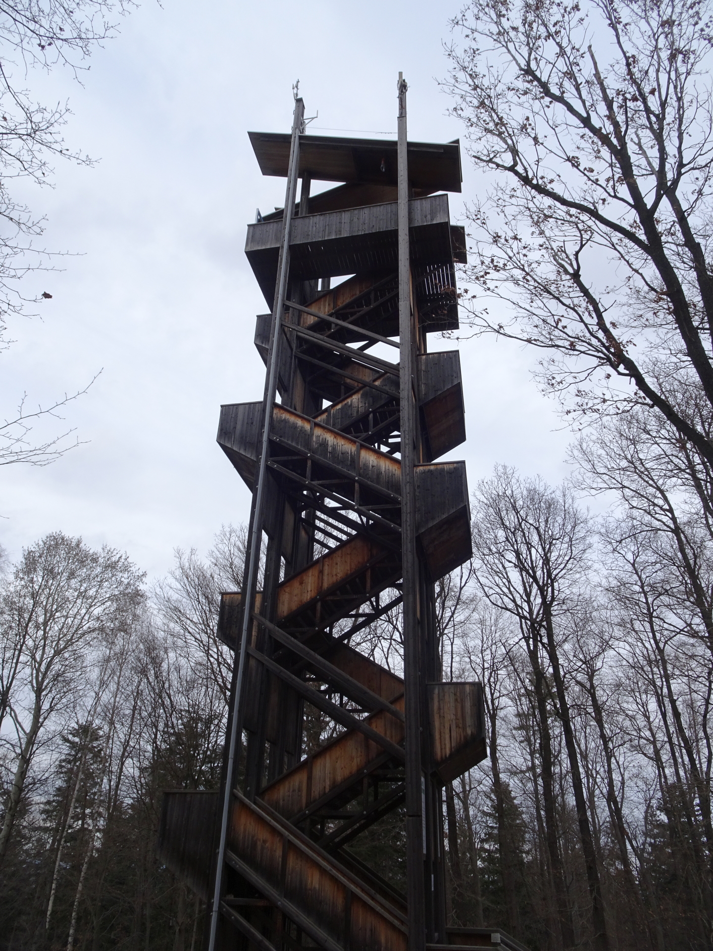
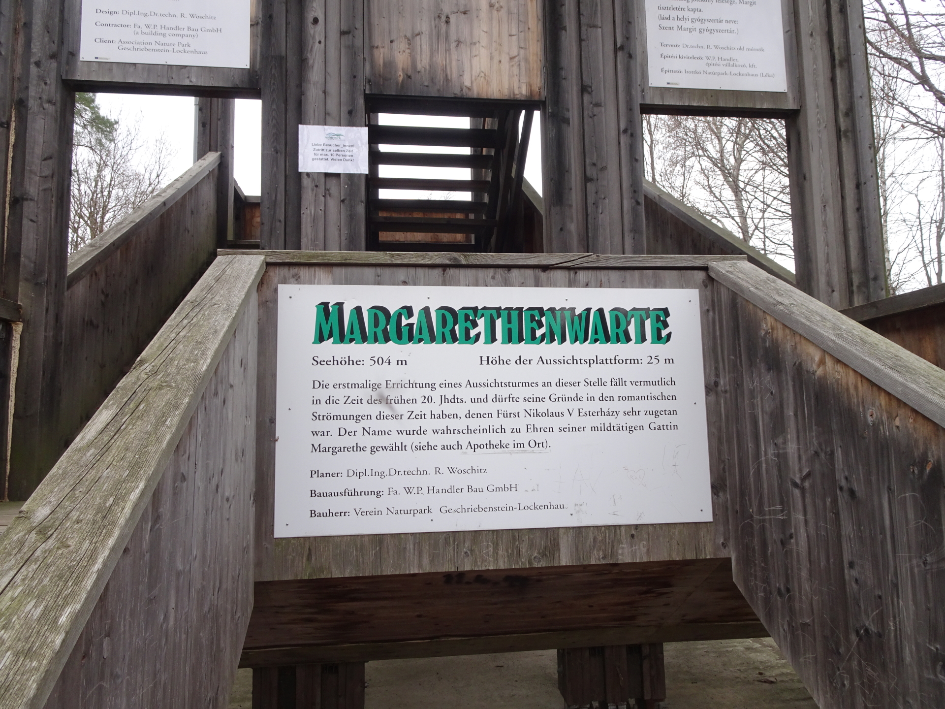
| 03:35 | At the parking Margarethenwarte, follow the trail (right hand-side) towards the viewing platform. |
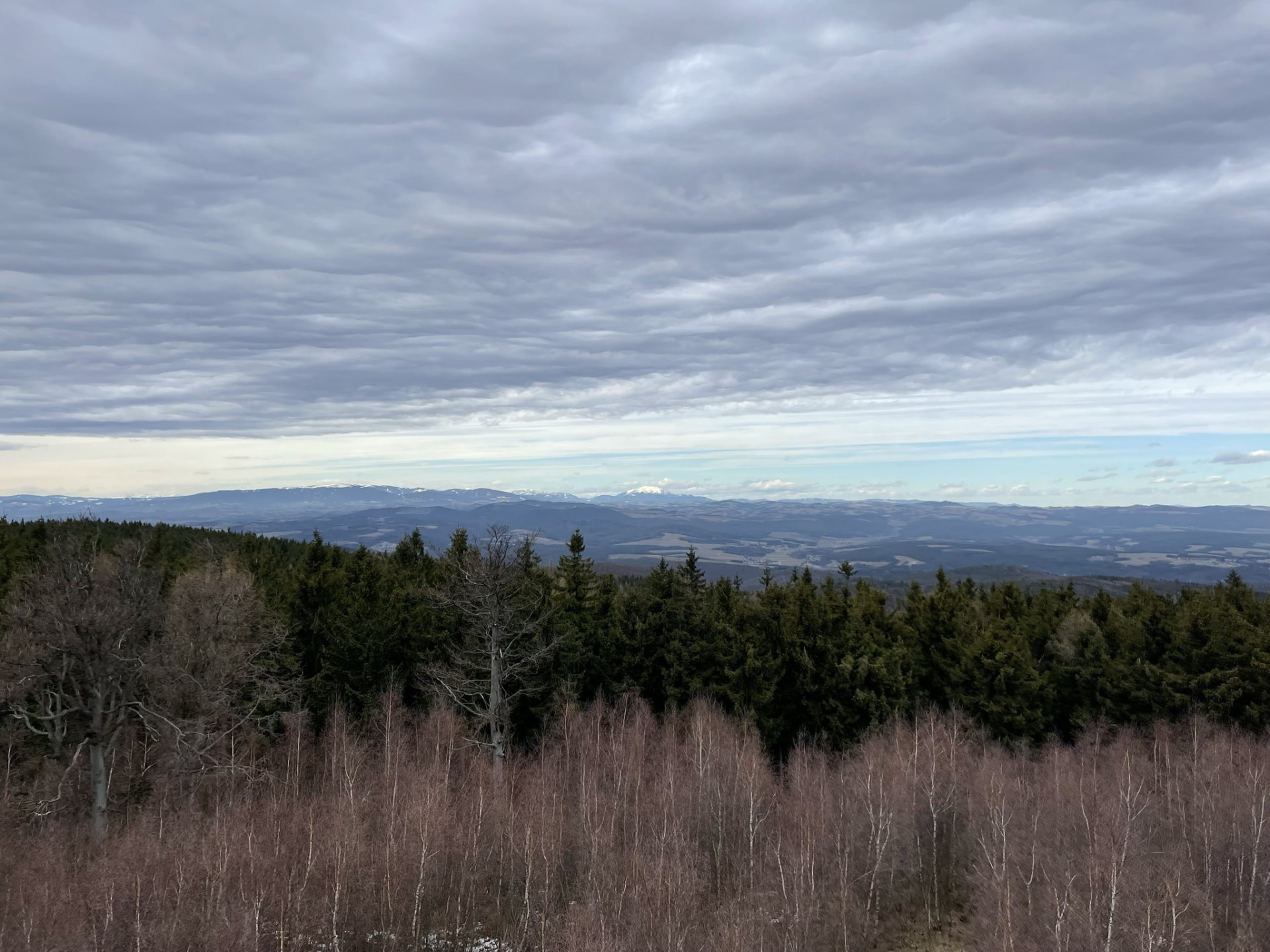
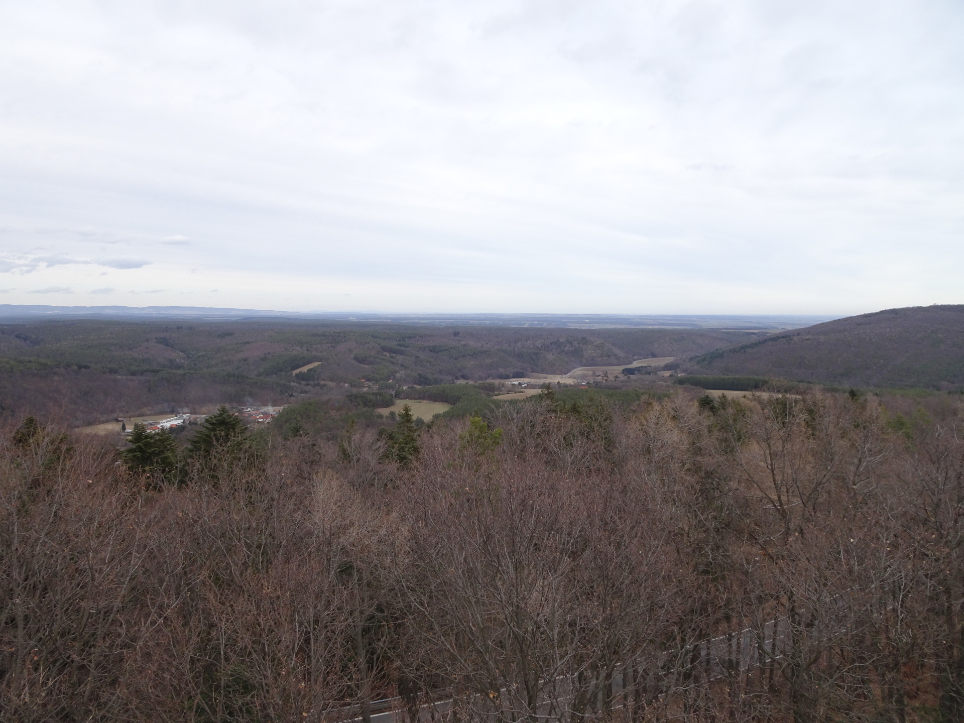
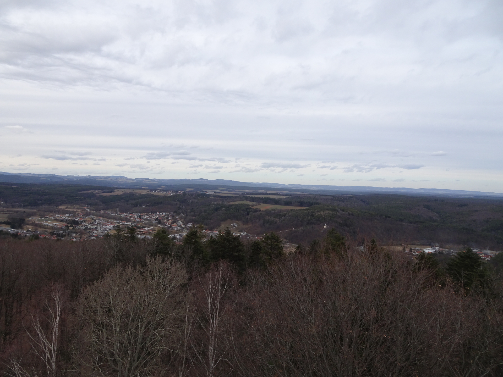
| 03:40 | Climb up the viewing platform and enjoy the stunning view from Margarethenwarte (best enjoyed with a self-brought refreshment ). |
| 03:55 | Hike back the same way back to the parking and a few meters more southwards. |
| 04:00 | U-turn left and follow the white-red-white marked hiking trail downwards (northeast) towards Lockenhaus (keep straight ahead at crossings several time). |
| 04:10 | At the clearing, keep left along the forest and then turn left into the white-red-white marked trail (trees are also marked with several yellow dots). |
| 04:15 | Do a U-turn and follow the lower forest road (white-red-white markings) towards Paulusbrunnen (see signpost). |
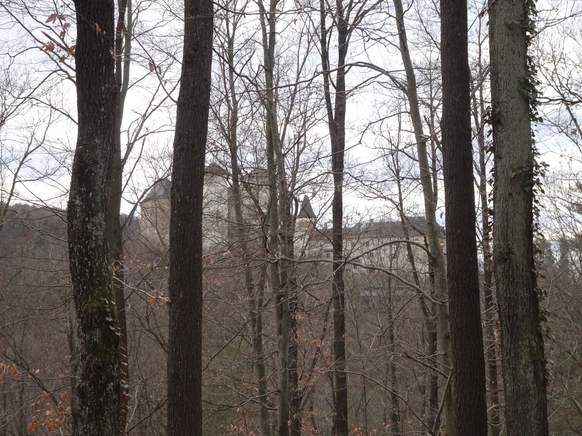
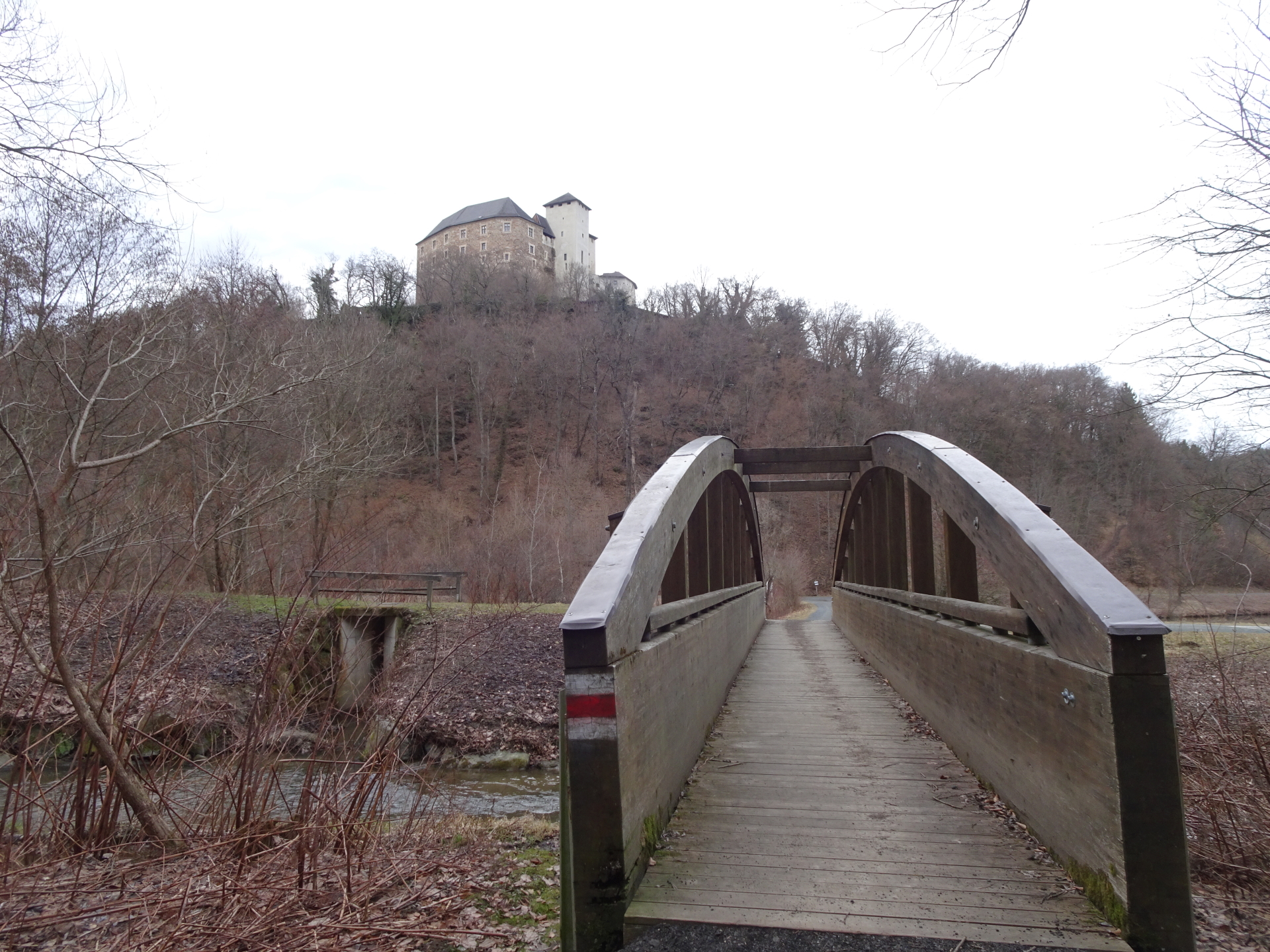
| 04:20 | At the Paulusbrunnen, cross the wooden bridge towards the fortress Lockenhaus and then turn left after the lakes and follow the trail/road back to Lockenhaus. |
| 04:30 | Hike around the football area and then cross the river on the bridge. Follow the road through the village back to the church and further towards the castle Esterhazy. |
| 04:40 | Back at the parking, end of the tour. |
General Tour Data
| Area: | Günser Gebirge, Austria & Hungary | |
| Distance: | 20km | |
| Ascent: | 564m (2h 05min) | |
| Descent: | 565m (1h 45min) | |
| Highest Pt: | 884m | |
| Lowest Pt: | 318m | |
| Duration: | 4h 00min (without breaks) 4h 40min (with breaks) |
|
| Stop/Rest: | None, bring your own food! | |
| Equipment: | Backpack with standard hiking equipment Comfortable hiking shoes Snacks, Food and enough water 1-2x Gipfelbier Sun & Weather protection Camera |
| Download GPX | ||
| O | Tour at outdooractive.com |
At a glance
| Level | easy-moderate |
| Technique | |
| Shape / Fitness | |
| Experience | |
| Scenery | |
| Best time in the year | |
|
Jan
Feb
Mar
Apr
May
Jun
Jul
Aug
Sep
Oct
Nov
Dec
|
|
Interesting background information
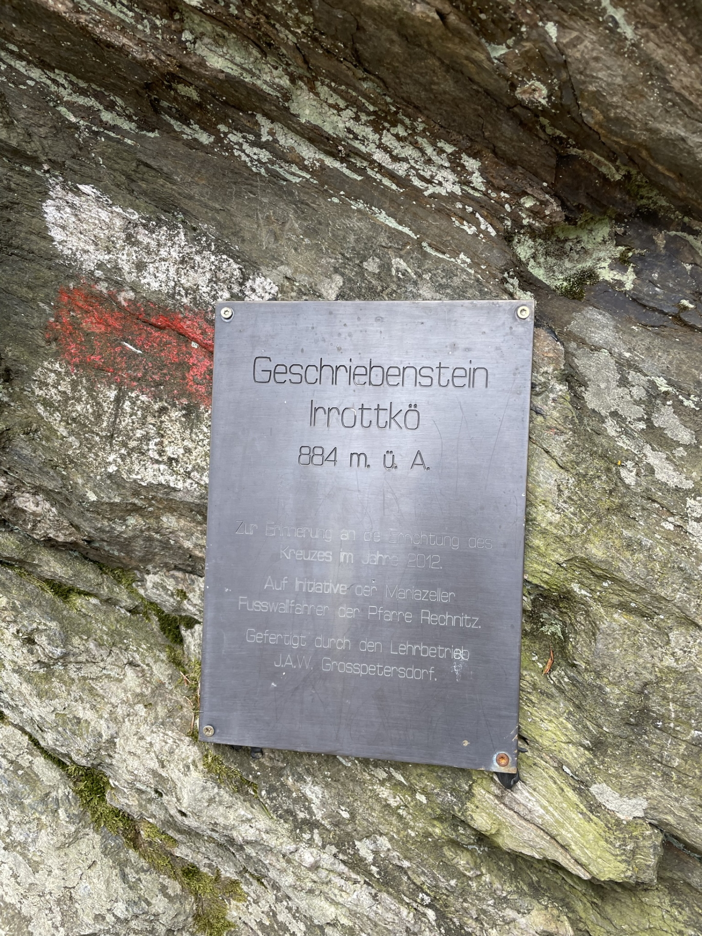
The “Geschriebenstein” is the highest point in Burgenland and western Hungary.
The border between Austria and Hungary runs exactly through the middle of the viewing platform on the summit which was build in 1913 by the Austrians.
In 2001, the fall of the iron curtain finally allowed crossing the border here between Austria and Hungary.
Tour Diary
2022-02-19 11:30
| Weather: | Cloudy | |
| Participants: | Stefan | |
| Activity: | Strava | |
| Garmin | ||
| On the route back, I detoured by hiking back the original route towards Lockenhaus (same as ascent) and then followed the markings towards Margarethenwarte just before reaching again the B56 road. |


Leave a Reply