
Stage 2b of the Alpannonia® long distance trail from “Hochwechsel” towards “Kranichberger Schwaig” (reverse direction) accessed from “Mariensee”
| The Alpannonia® long distance trail combines in up to 7 stages a tour from the eastern alps in Austria towards the “pannonian lowlands” in Hungary. The entire trail is 125 km long and 3.800 meters in ascent. It is normally done in 7 days, starting in Fischbach (AT) and ending in Köszeg (HU). For more information visit www.alpannonia.at. |
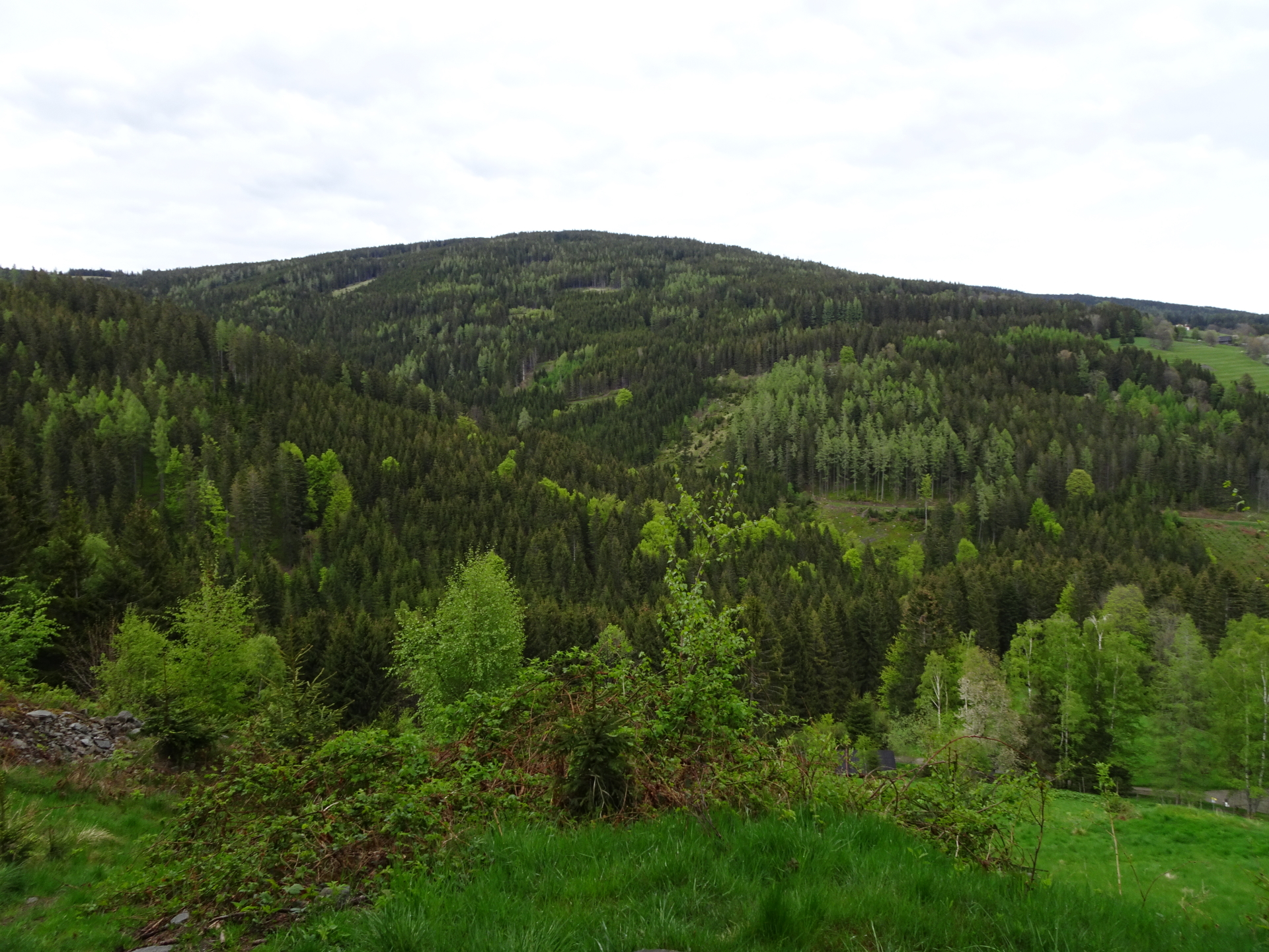
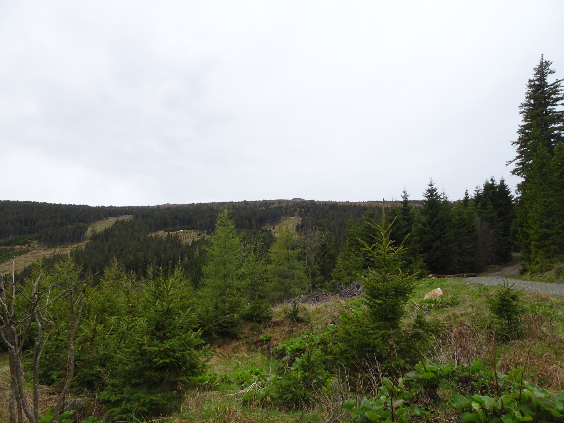
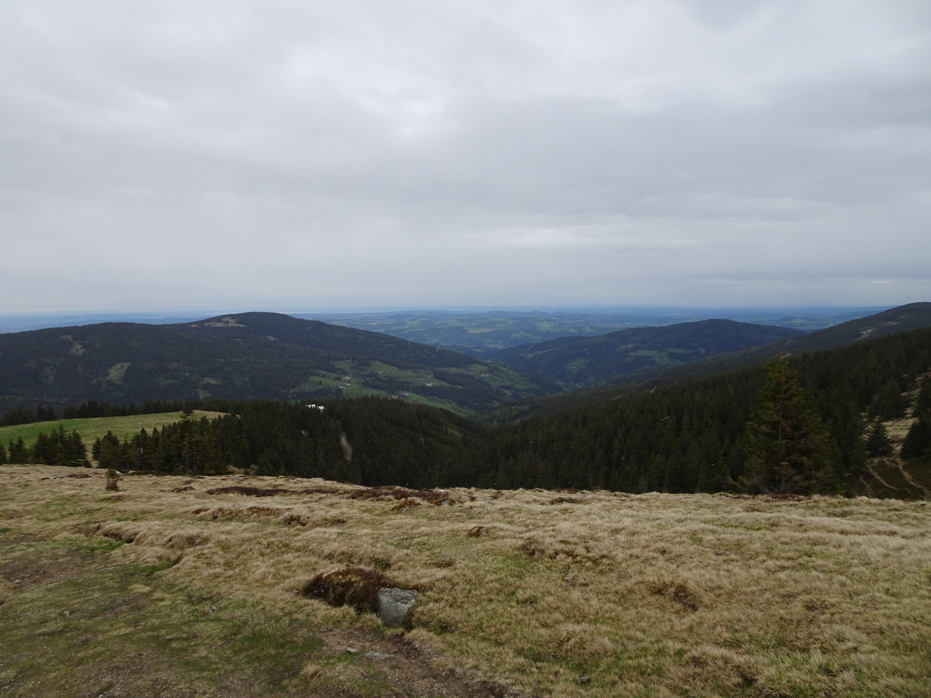
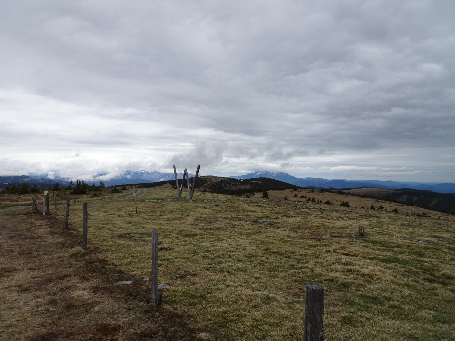
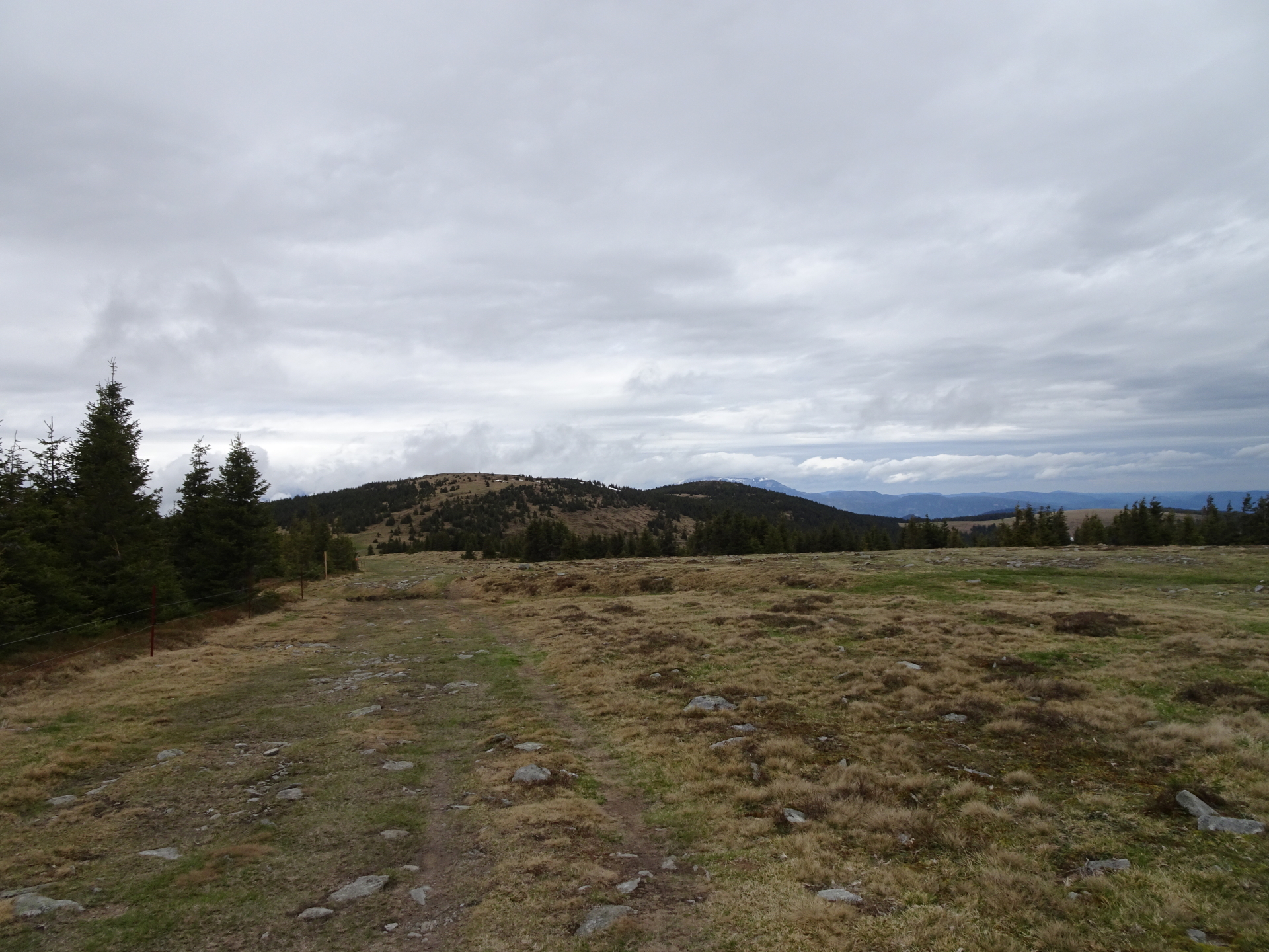
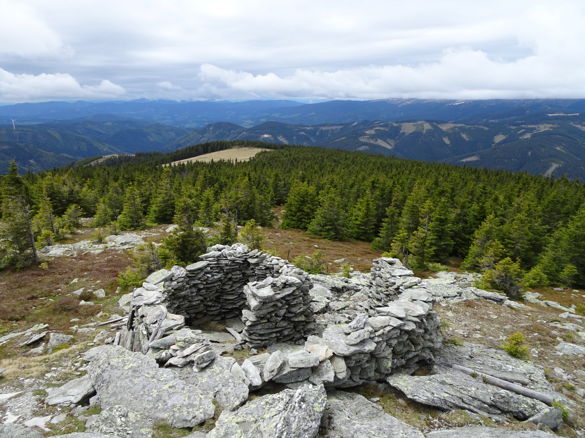
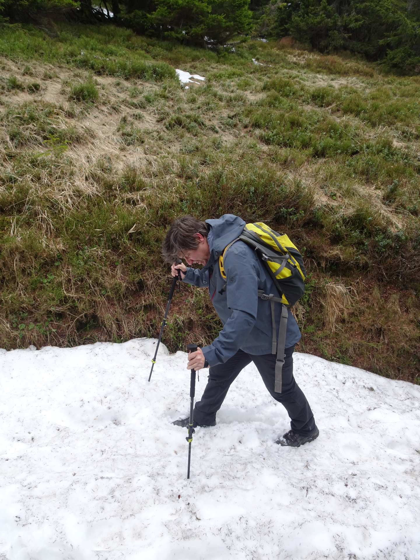
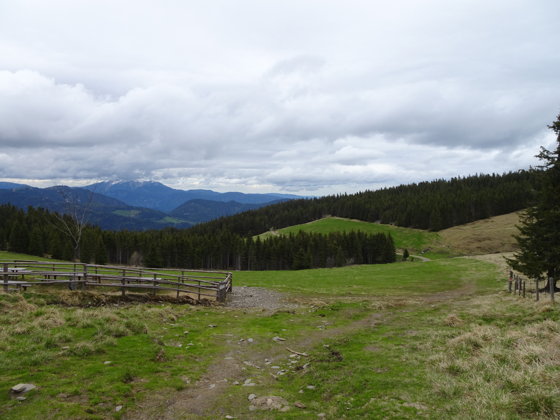
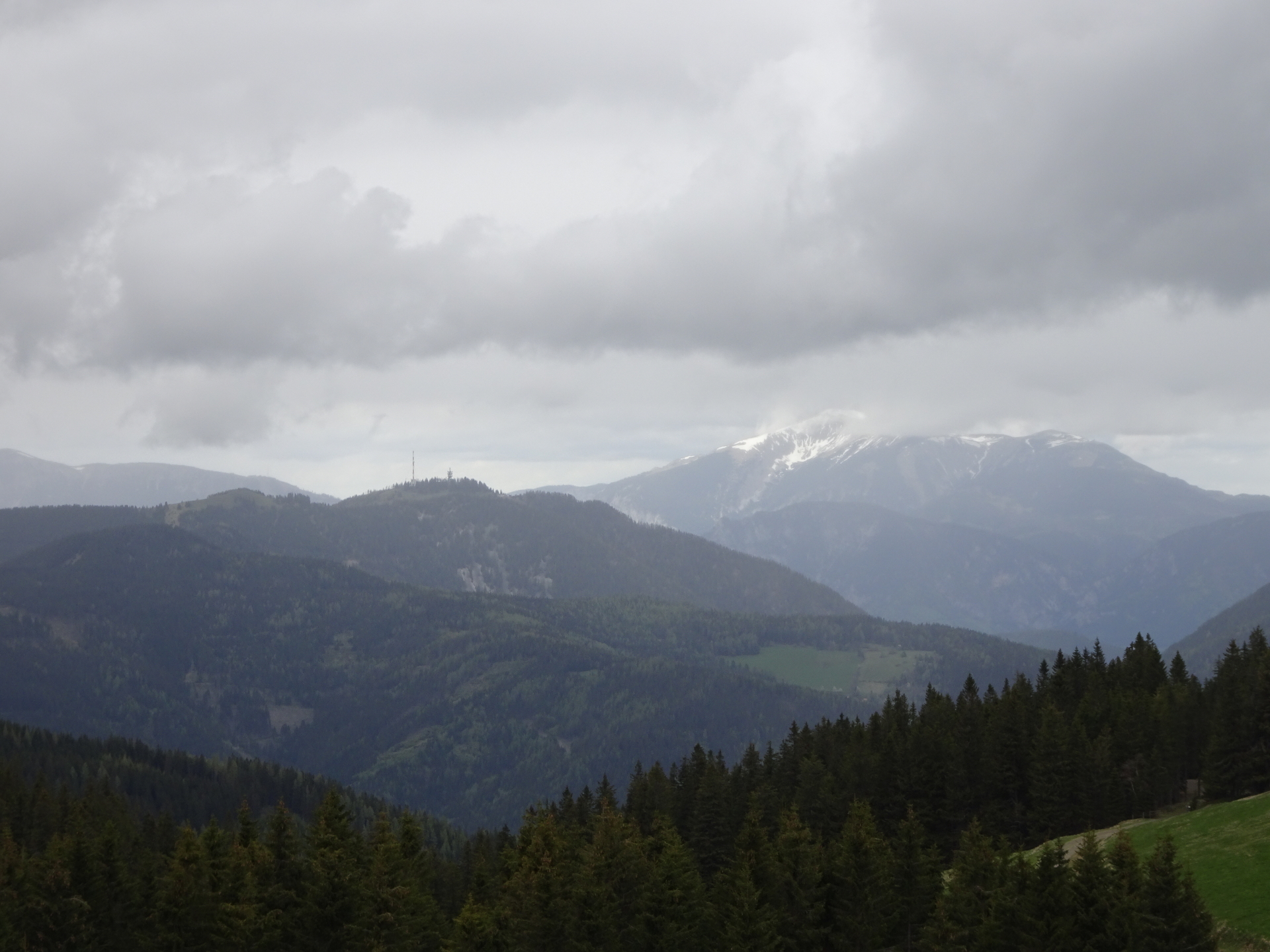
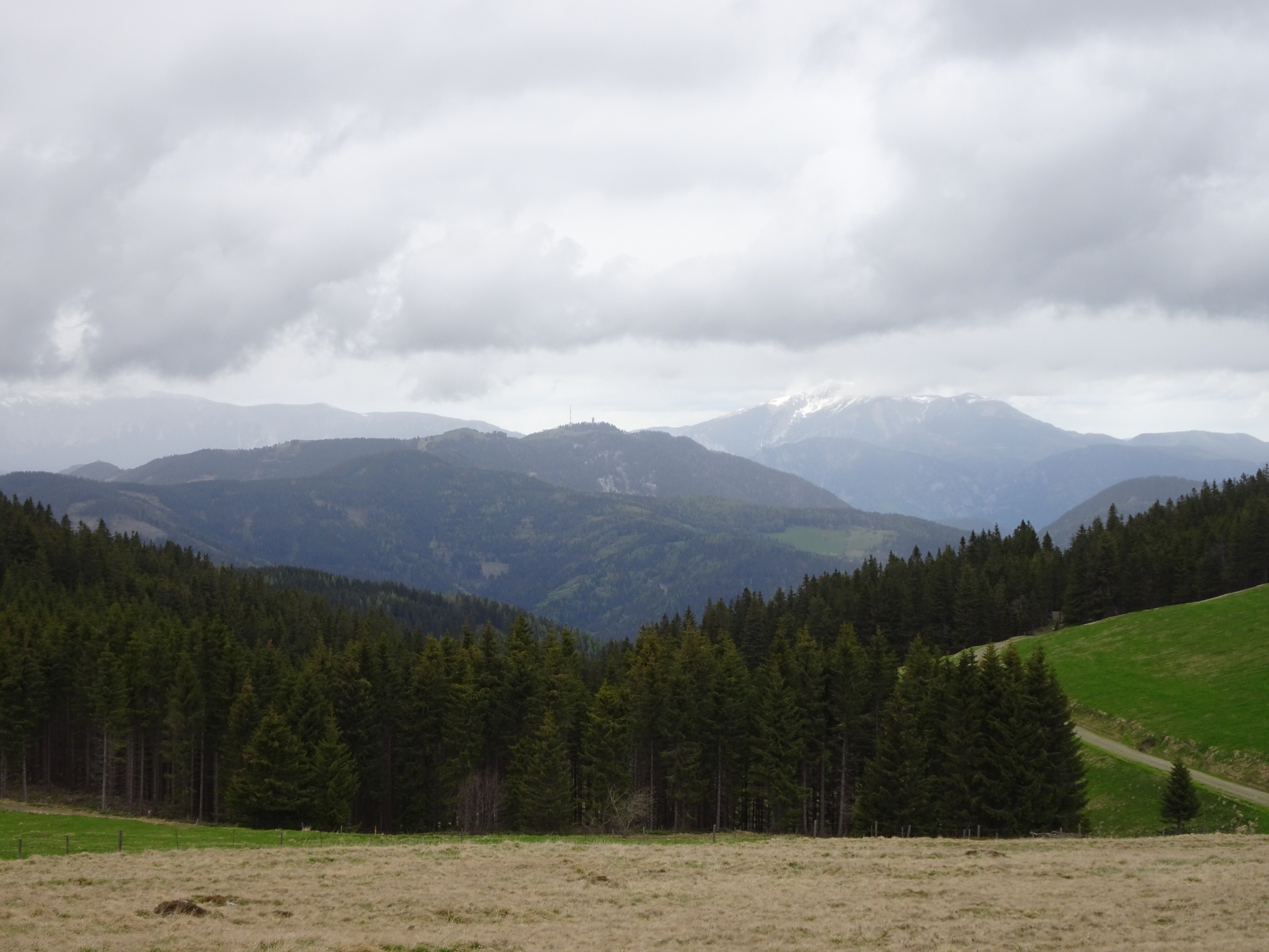
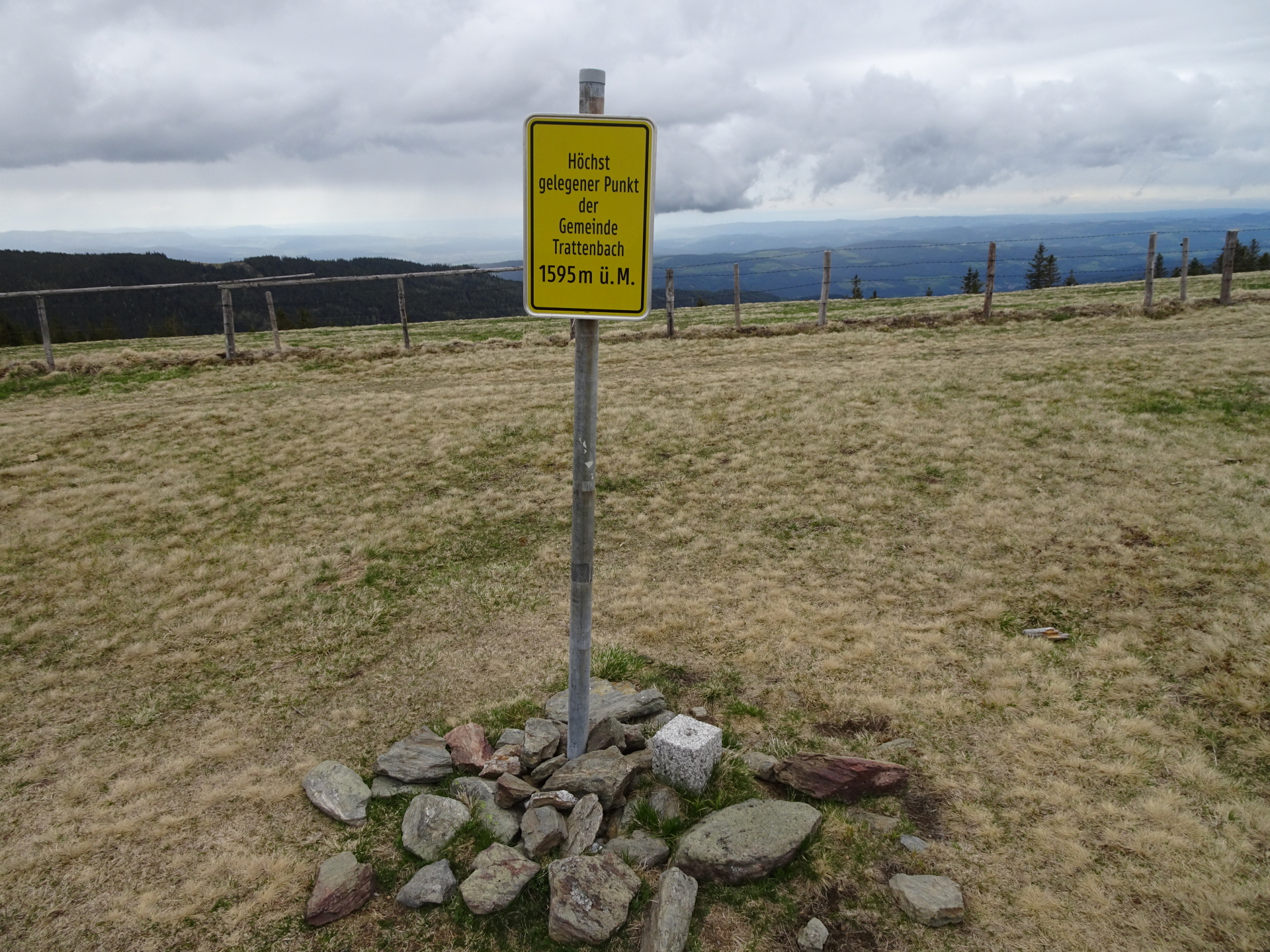
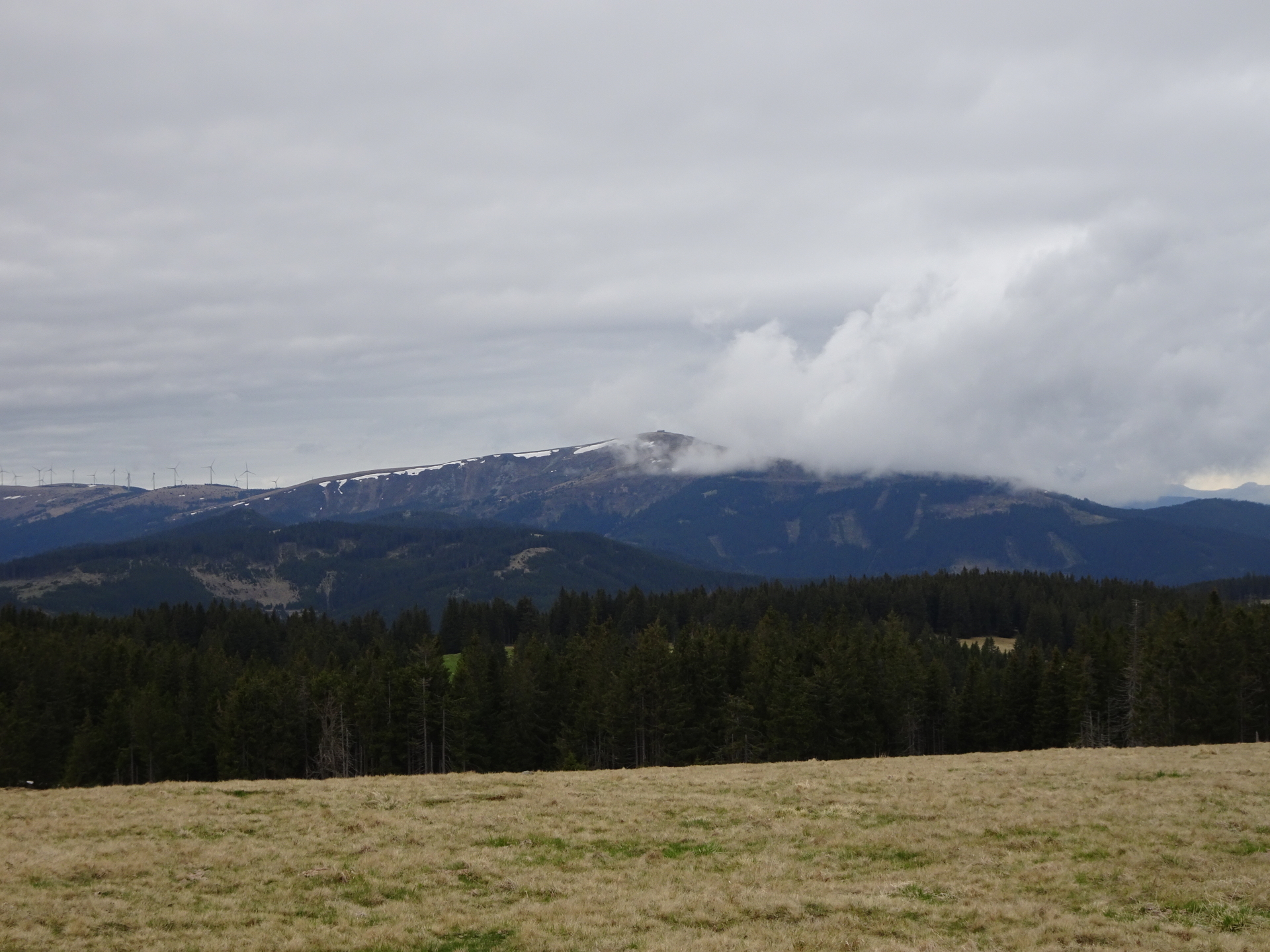
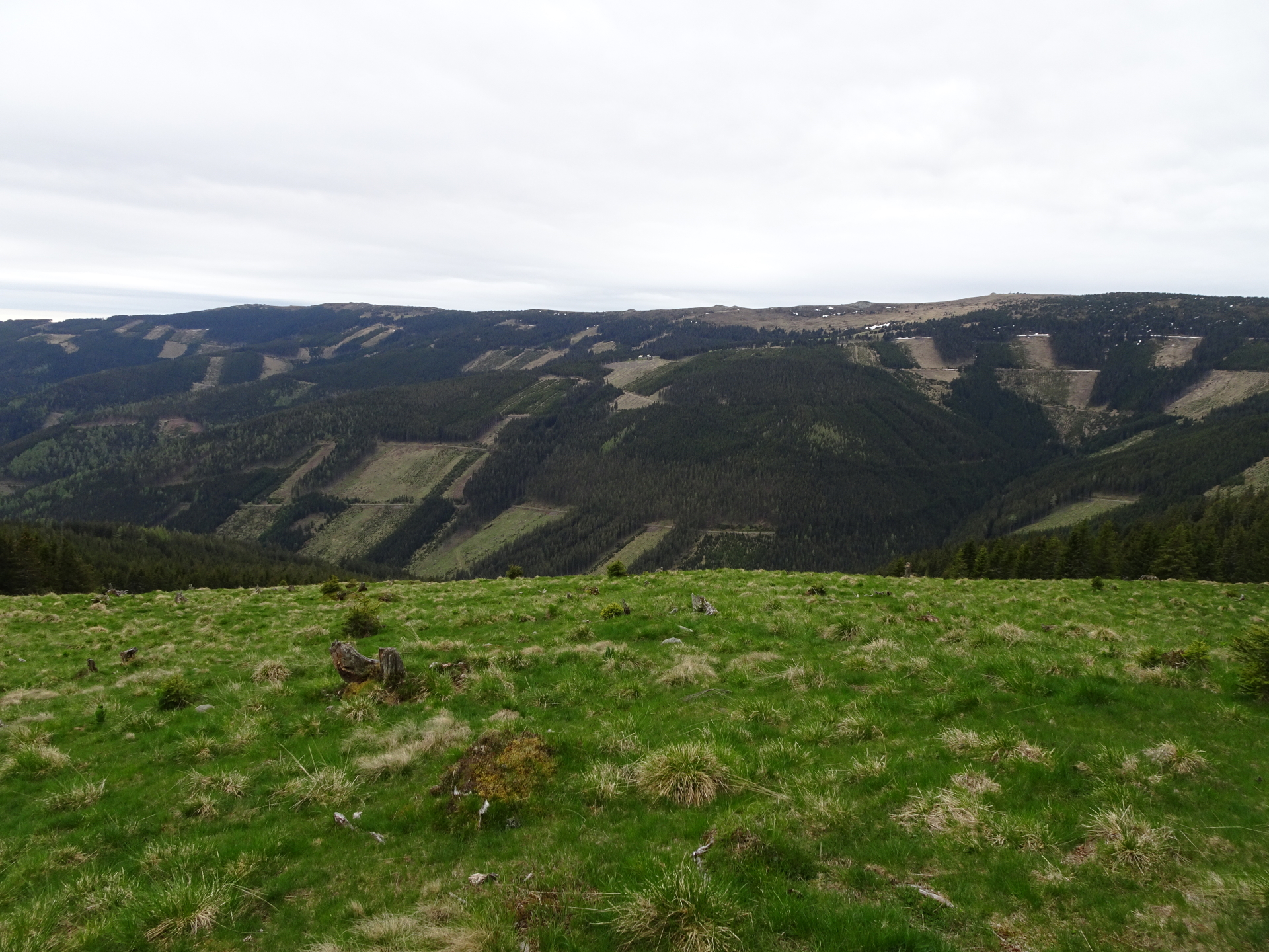
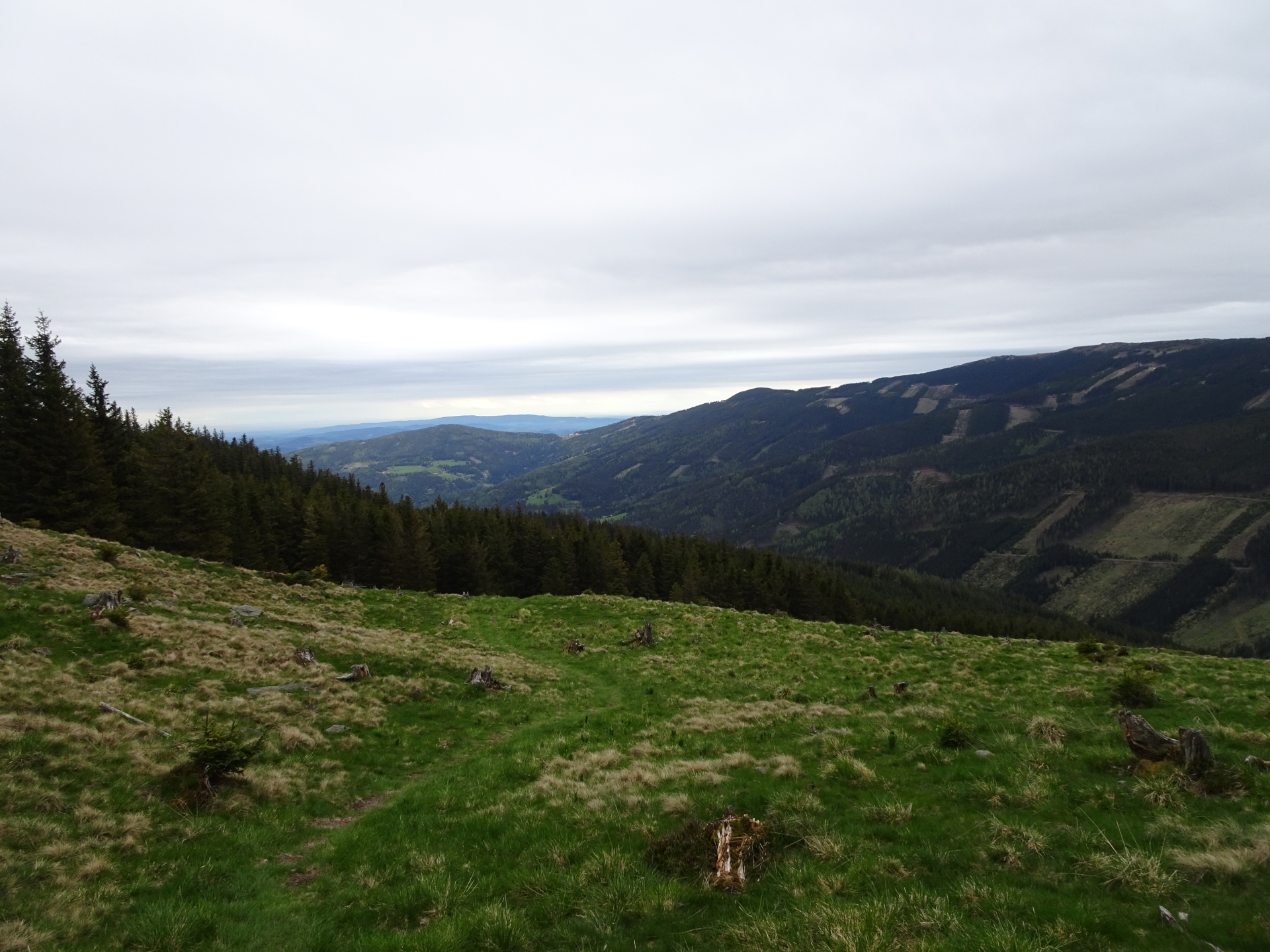
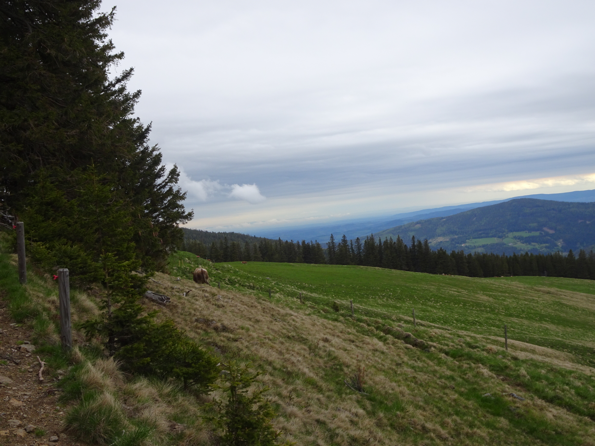
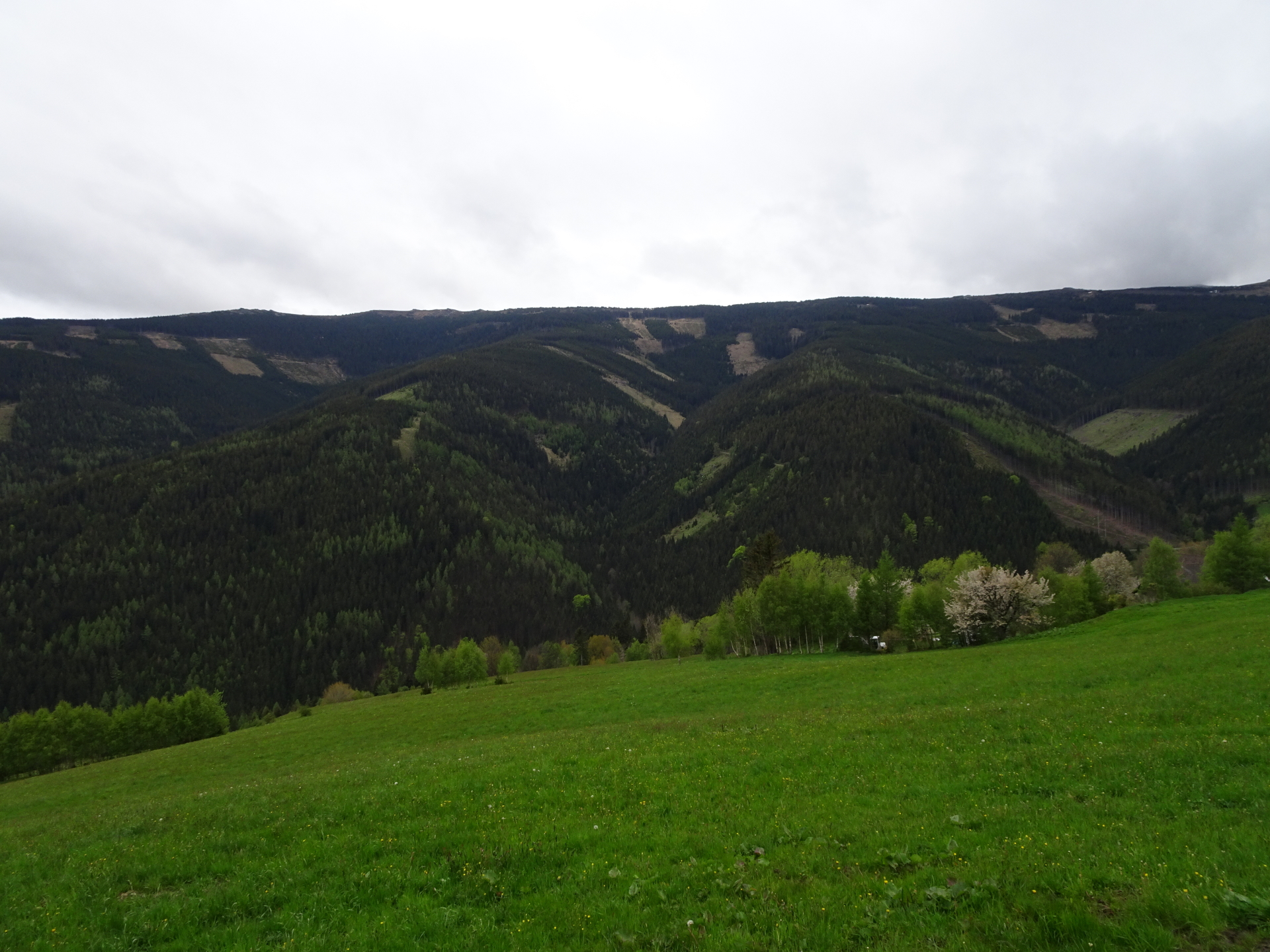
This tour uses the access from Mariensee, covers the Alpannonia® part from Hochwechsel towards Kranichberger Schwaig (reverse direction) and extends the part by doing a round-trip via the most beautiful alpine dairy (“Schwaig”) in this area. The tour starts at the parking Mariensee / Schindelsteig (GPS: 47.544824, 15.948004) and ascends Hochwechsel via the Schindelsteig. The trail first leads up towards the Marienseer Schwaig (1478m) and then continue to ascent till Hochwechsel (1743m, the hignest point of the tour). After a short break at the Wetterkoglerhaus, the tour then follows the official Alpannonia® trail towards Feistritzsattel / Kranichberger Schwaig. A small detour via the Umschussriegel (1720m) allows promising views of the area. The tour then descends towards the Dreiländereck and leads then to the Kranichberger Schwaig. Walking a few steps further leads towards the nice Bärenlacke pond. After a refreshment break at the Kranichberger Schwaig, the tour leaves the Alpannonia® trail and ascends to the Arabichl plateau (1595m). Continuing on the trail eastwards, the tour then leads to the next alpine dairy, the Feistritzer Schwaig. Continuing on the trail, the tour then passes the final alpne dairy, the Kampsteiner Schwaig. From there, the tour then descends back to the valley towards Mariensee.
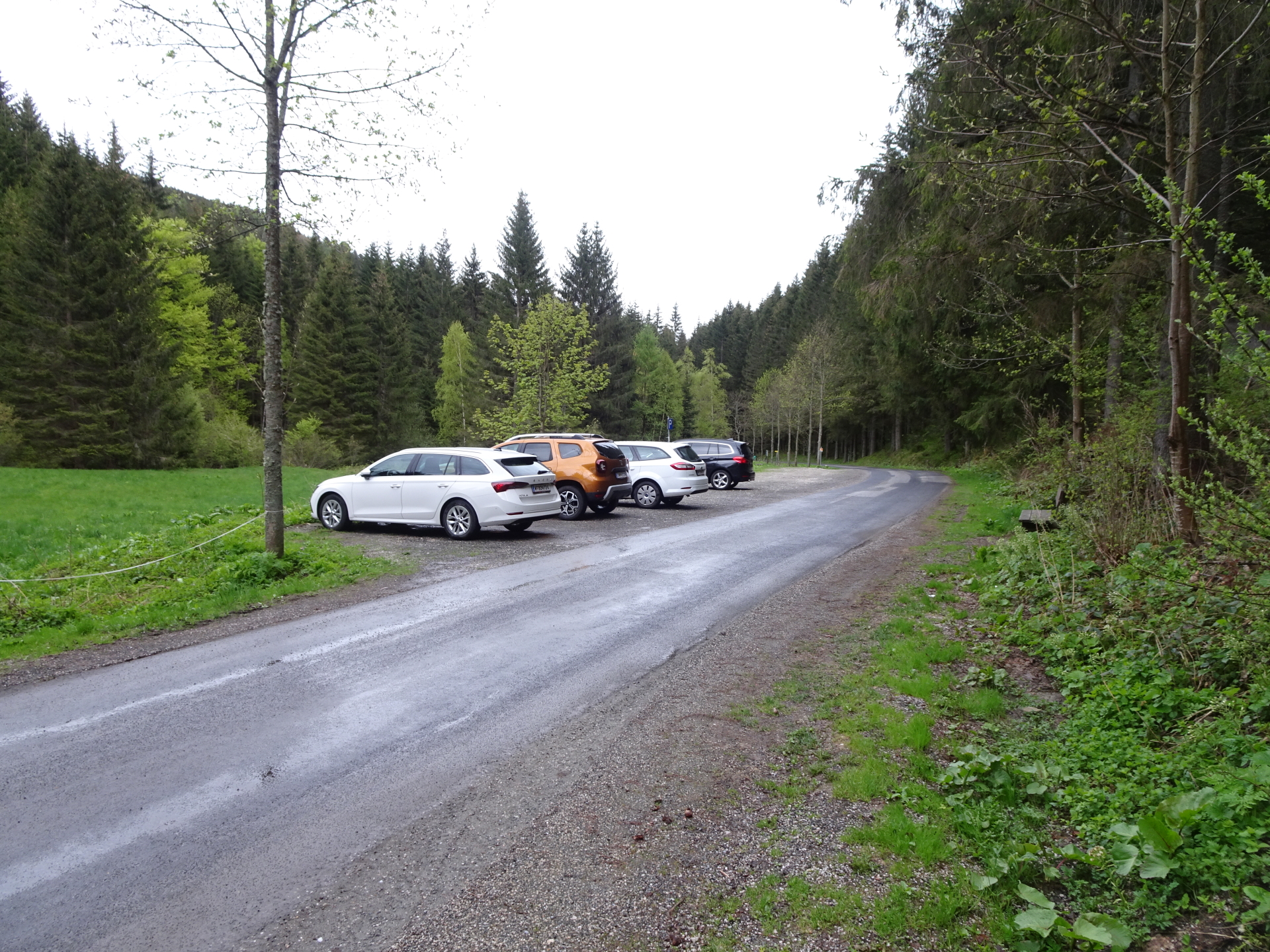
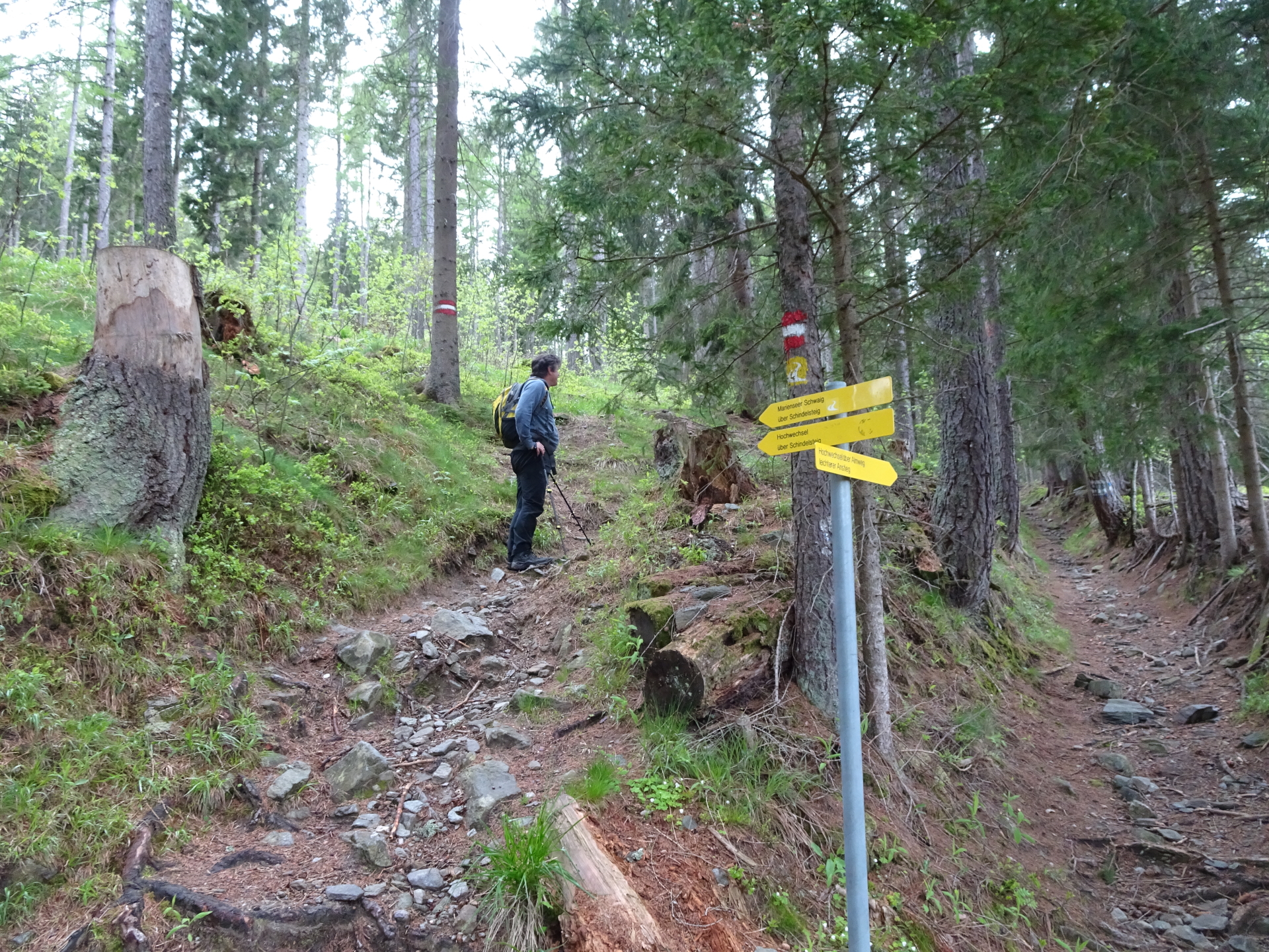
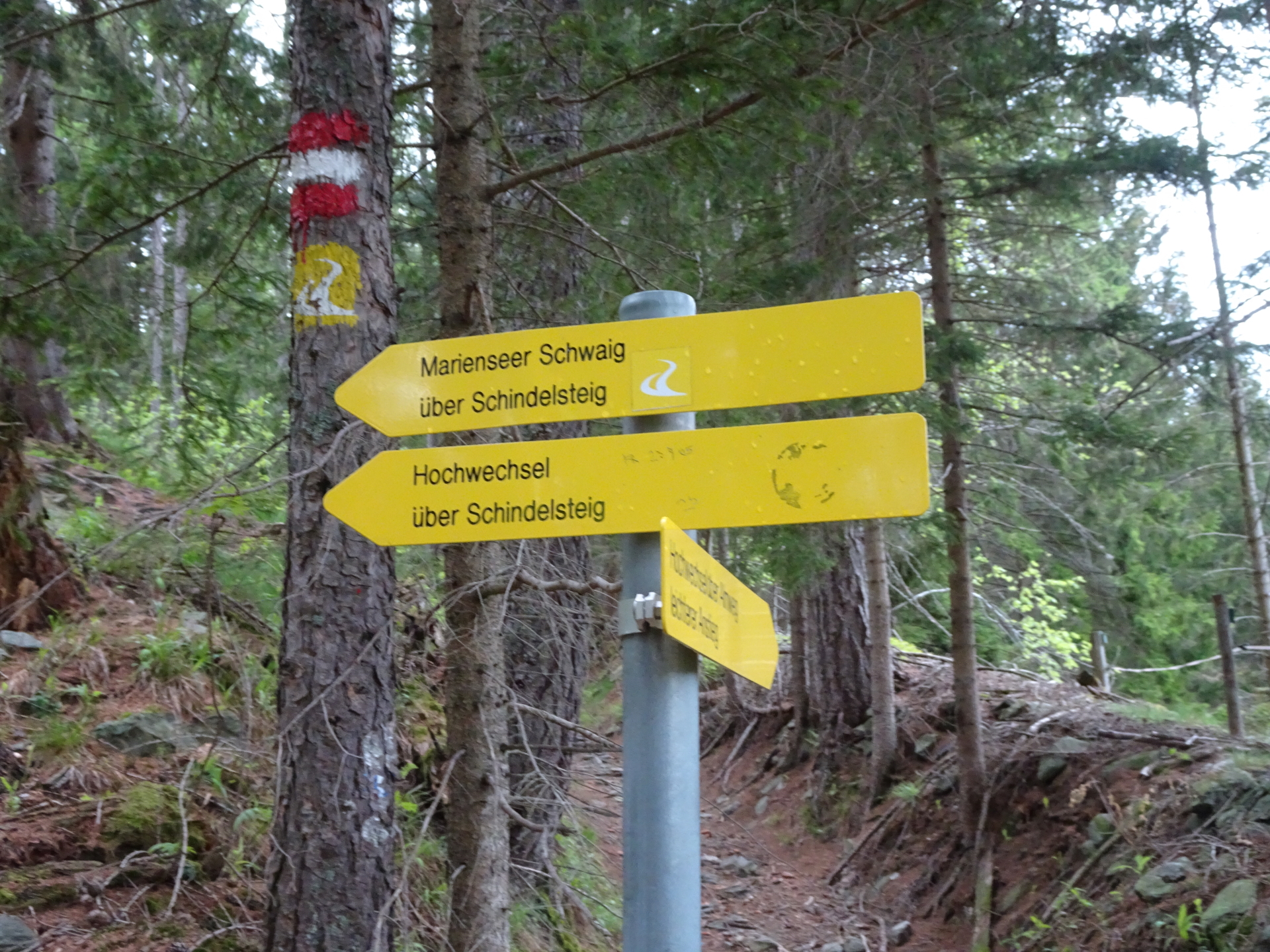
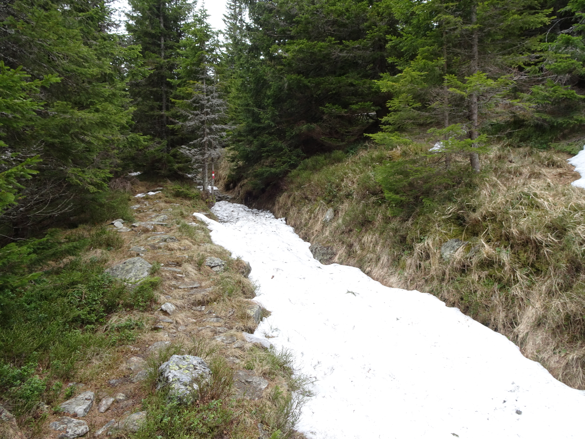
| 00:00 | The tour starts at the parking Mariensee/Schindelsteig (GPS: 47.544824, 15.948004) and follows the Schindelsteig (see signposts) southwestwards up towards Marienseer Schwaig. |
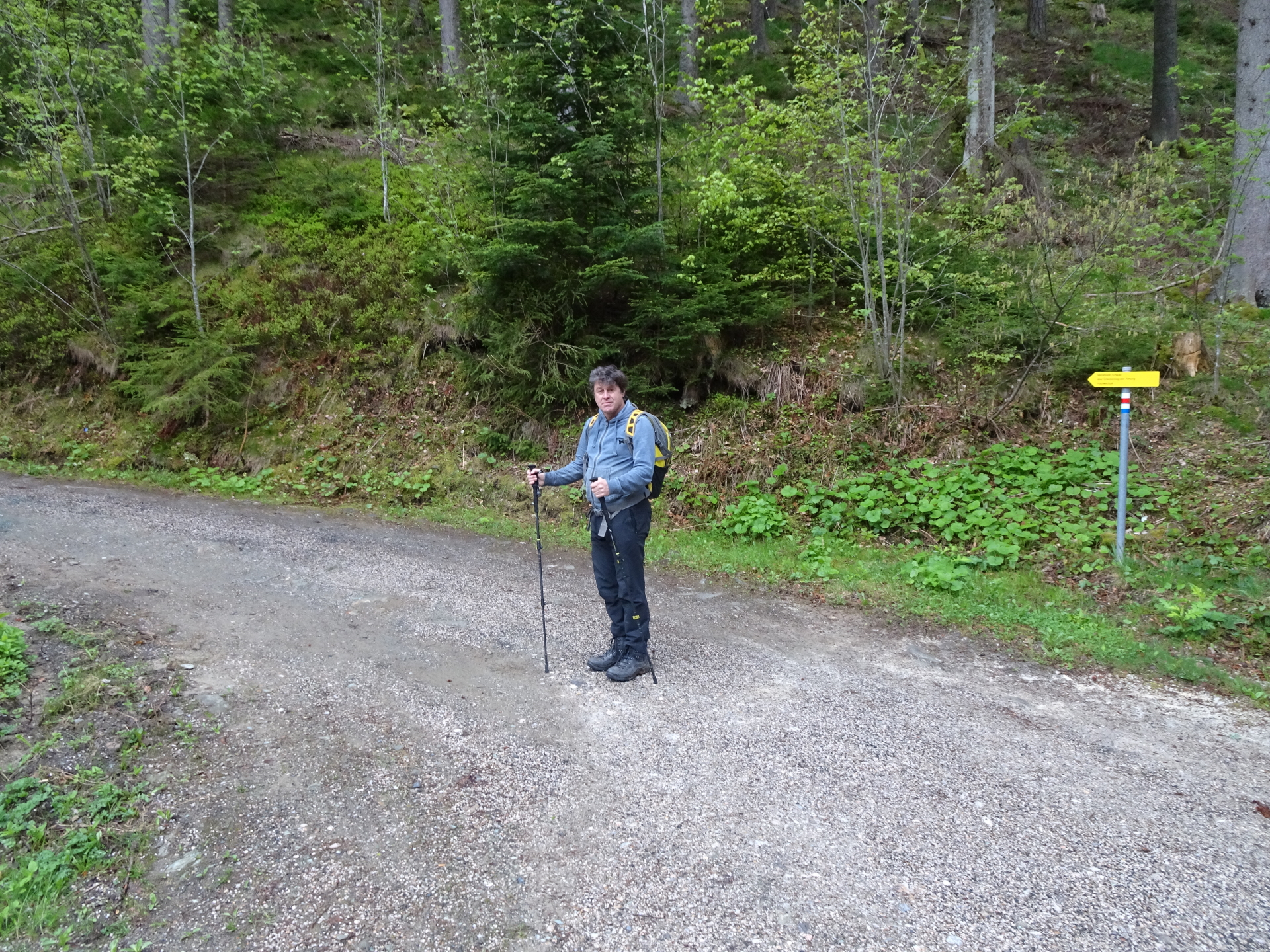
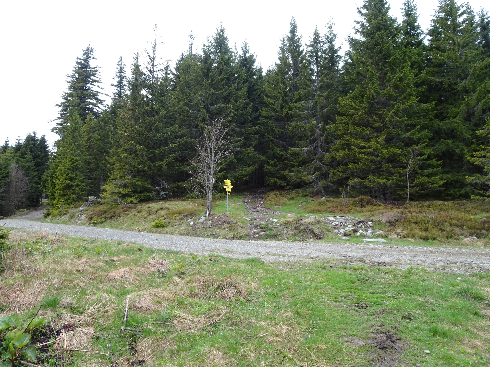
| 00:12 | At the crossing, turn left and follow the marked Schindelsteig (signpost “Marienseer Schwaig über Schindelsteig”). Cross the forest streets several times. |
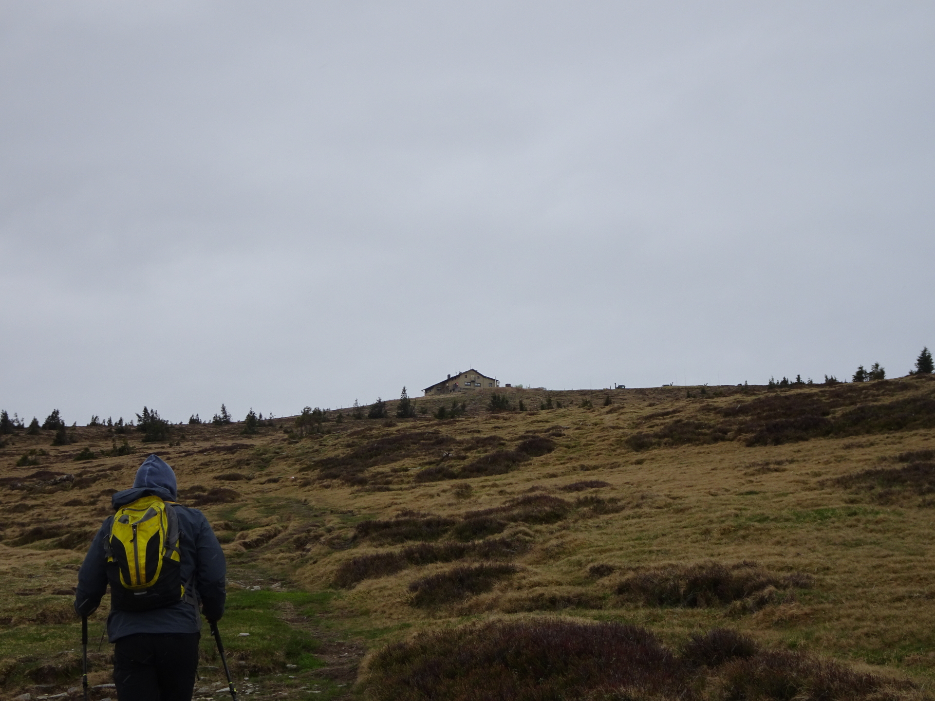
| 01:00 | Pass by the Marienseer Schwaig (you might consider a break and get some warm ) and follow the marked trail up to Hochwechsel. |
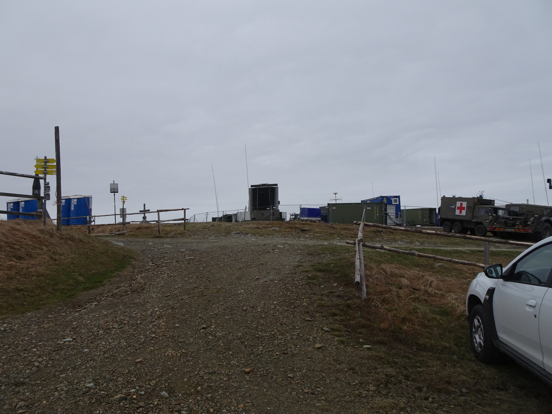
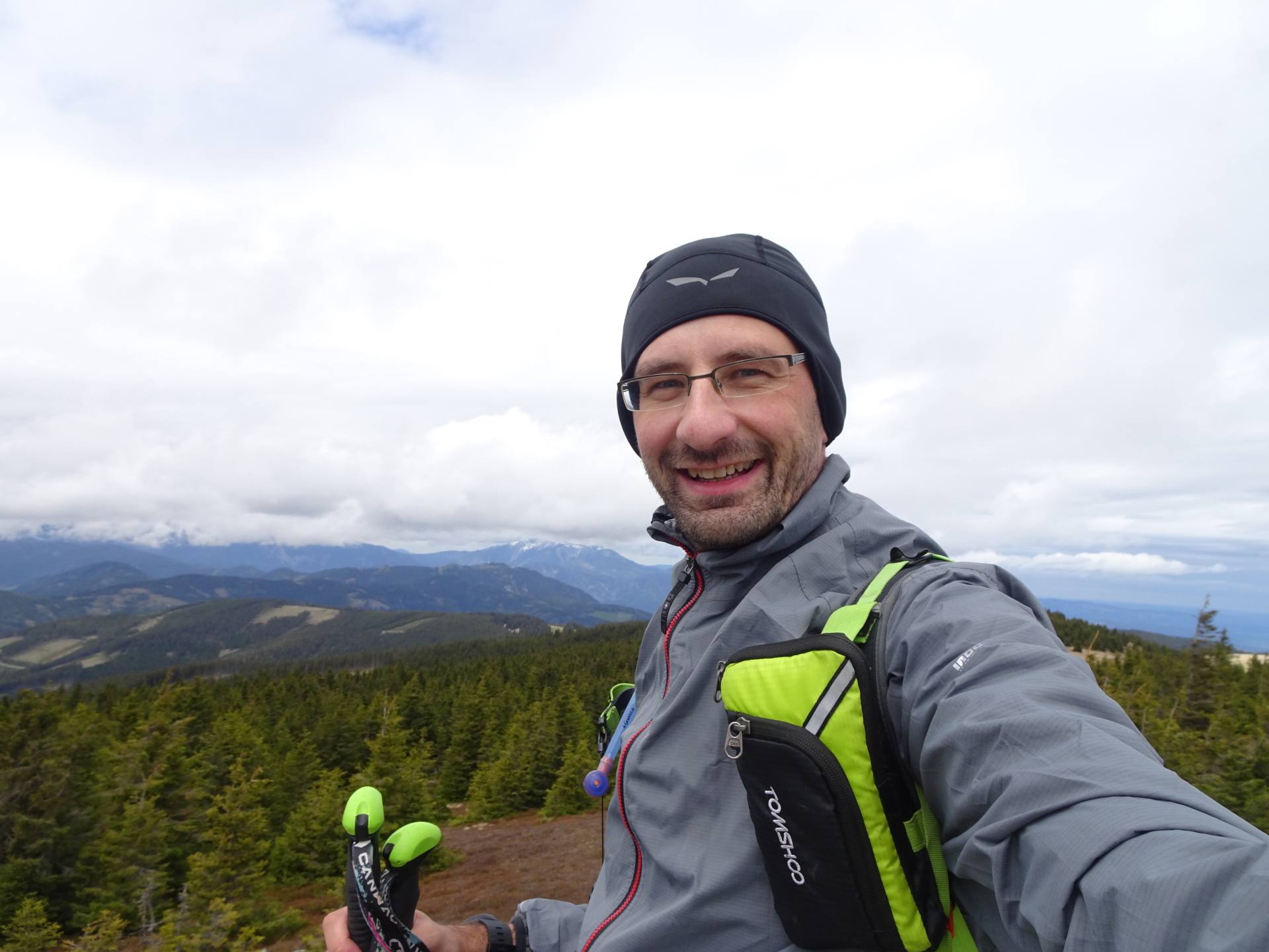
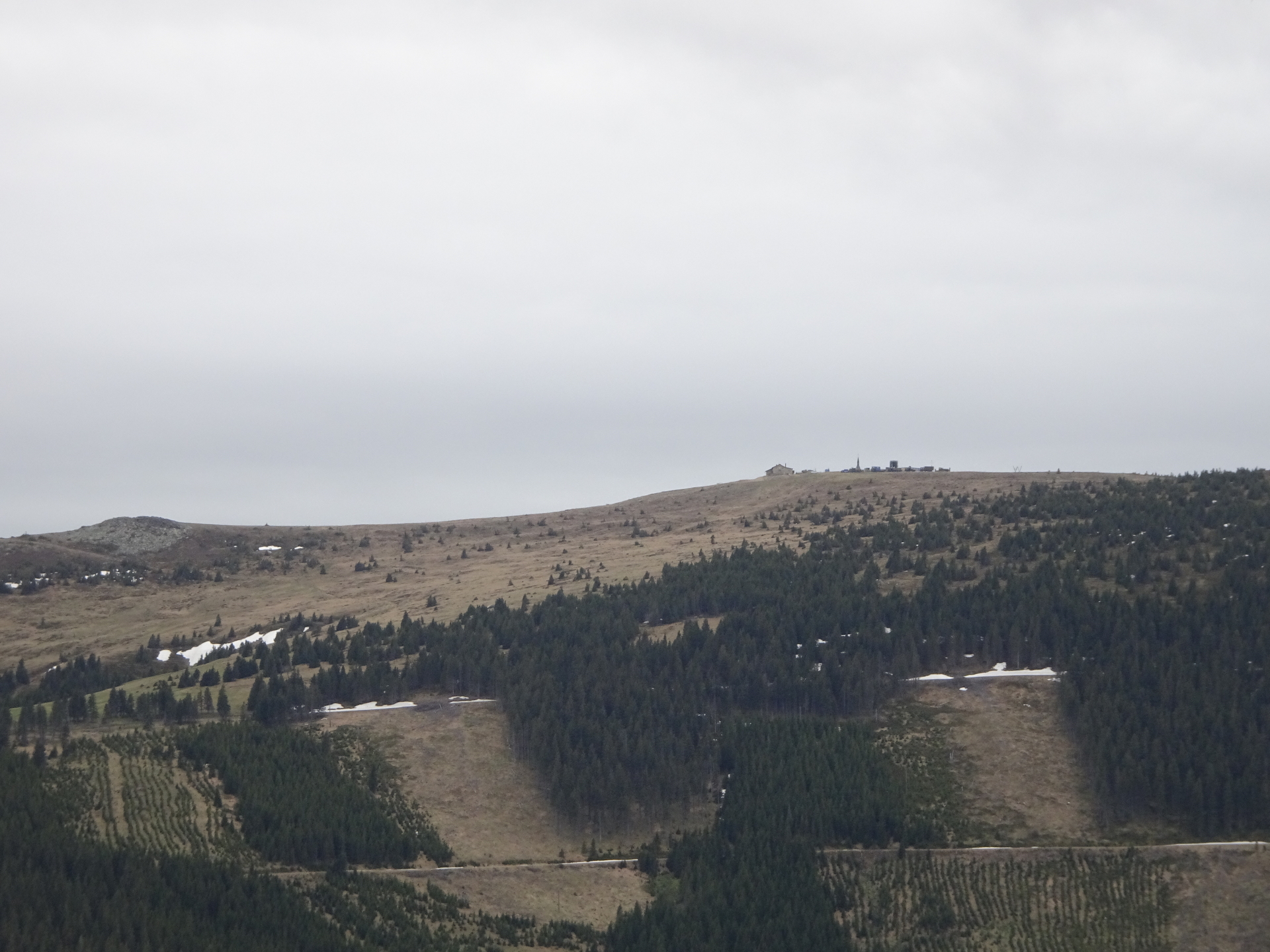
| 01:35 | Well-deserved break and some refreshments ( ) at the Wetterkoglerhaus at Hochwechsel. |
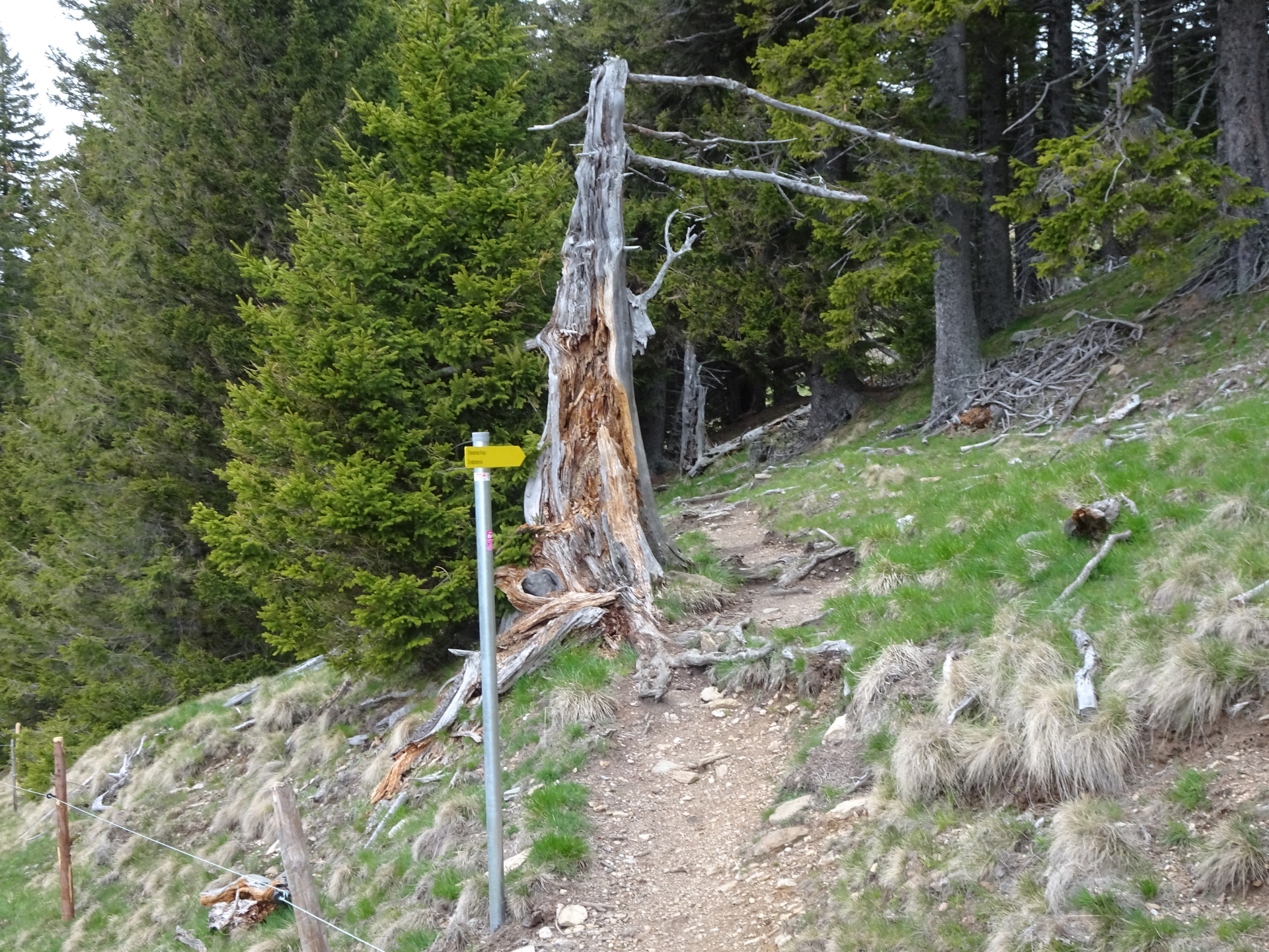
| 02:05 | Entering Alpannonia®: Follow the trail westwards towards Feistritzsattel (see signposts and the red alpannonia logo). |
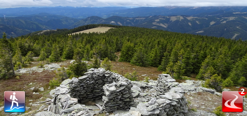
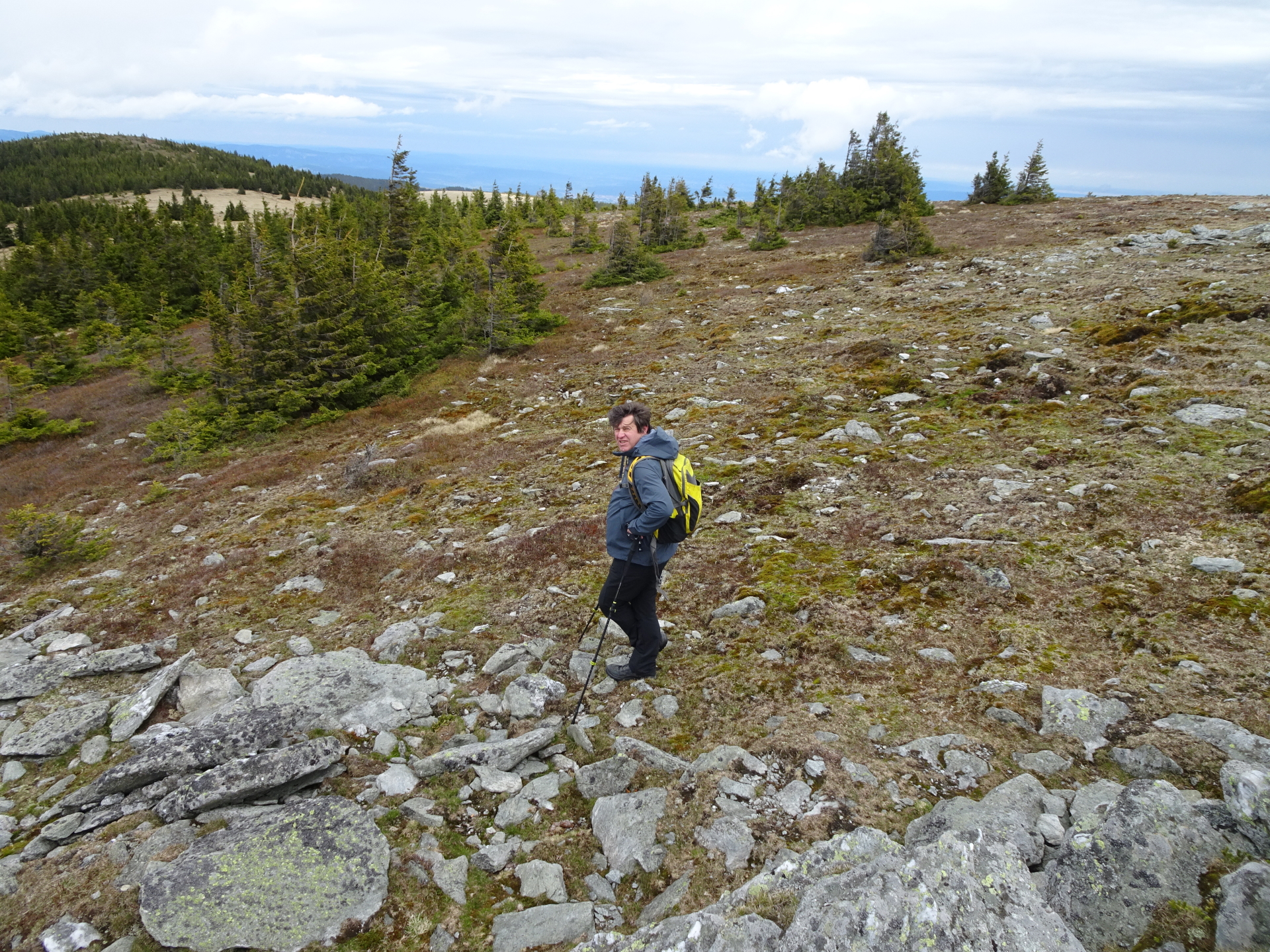
| 02:20 | Recommended detour: At the saddle, instead of following the signposts, keep straigth ahead and follow the small trail upwards towards Umschussriegel. |
| 02:25 | Enjoy the distance view from Umschussriegel (best enjoyed with a self-brought refreshment ). |
| 02:30 | Continue on the trail which automatically leads back towards the alpannonia trail. |
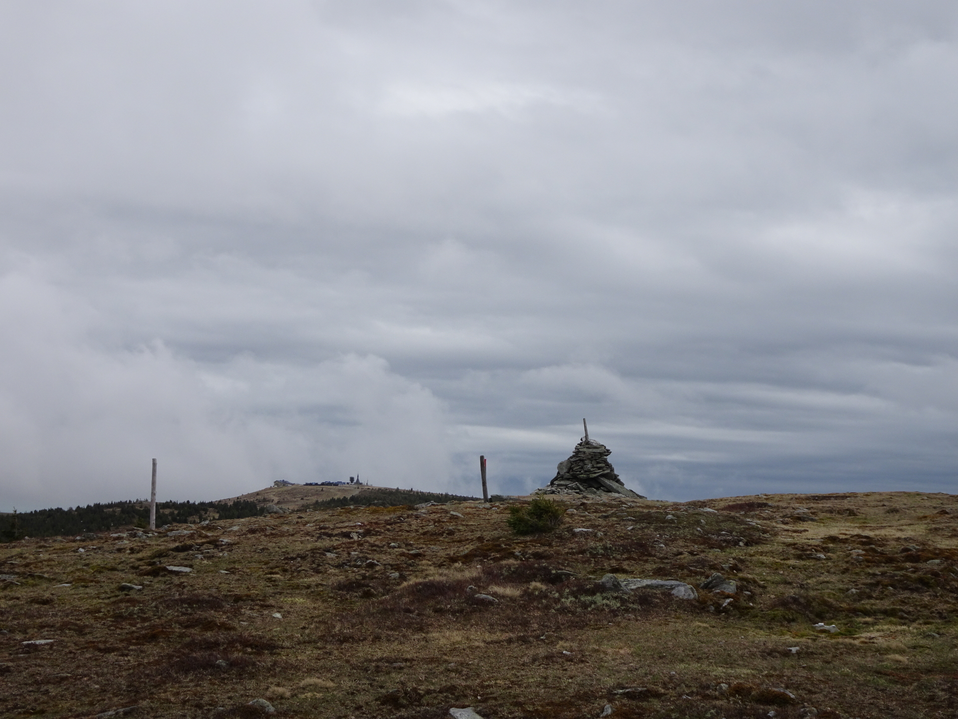
| 02:55 | At the Dreiländereck crossing, keep left and then straight ahead (follow the alpannonia logo) towards Kranichberger Schwaig. |
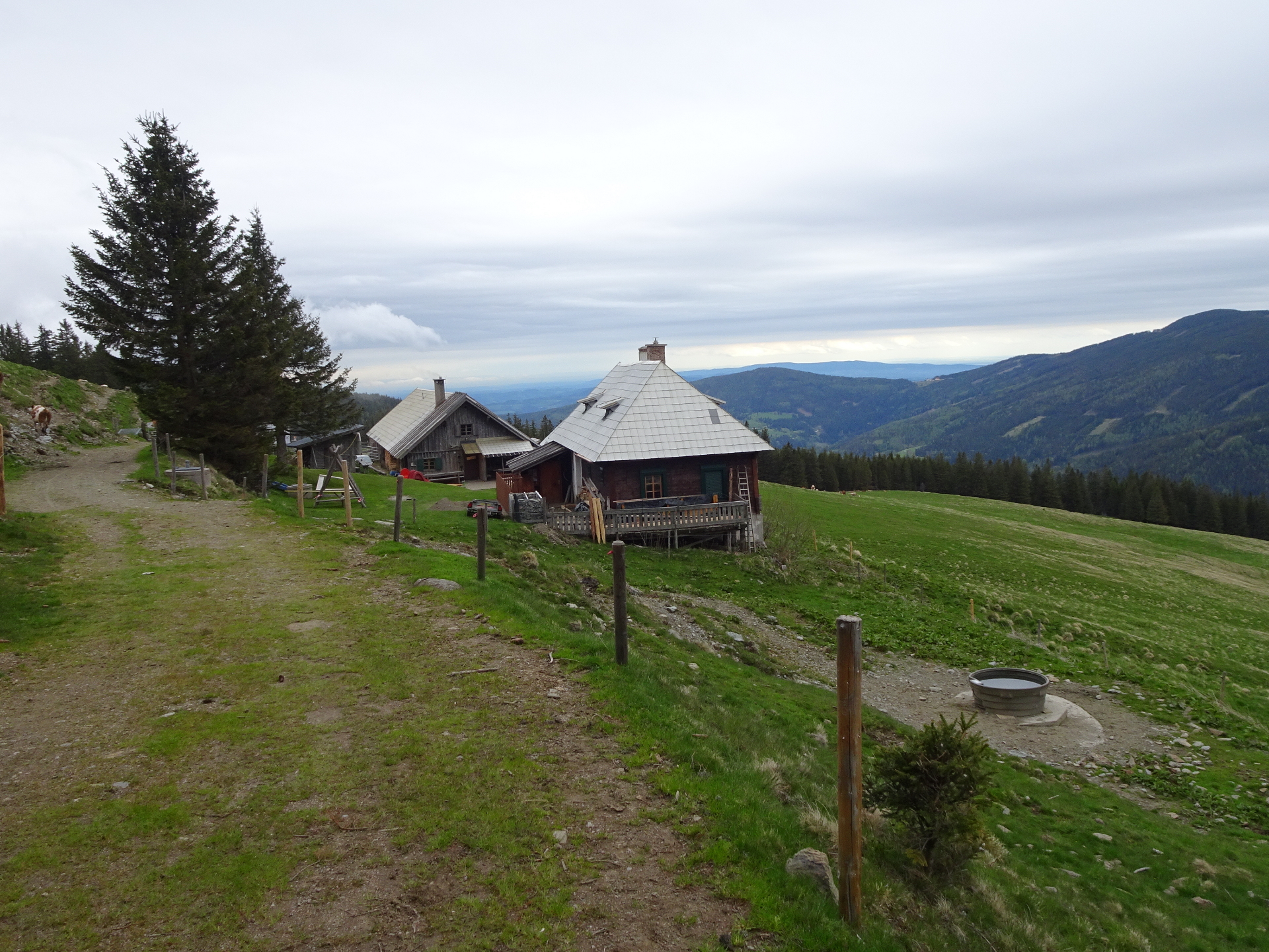
| 03:05 | Recommended detour: At Kranichberger Schwaig, turn left and follow the street westwards for a couple of meters. |
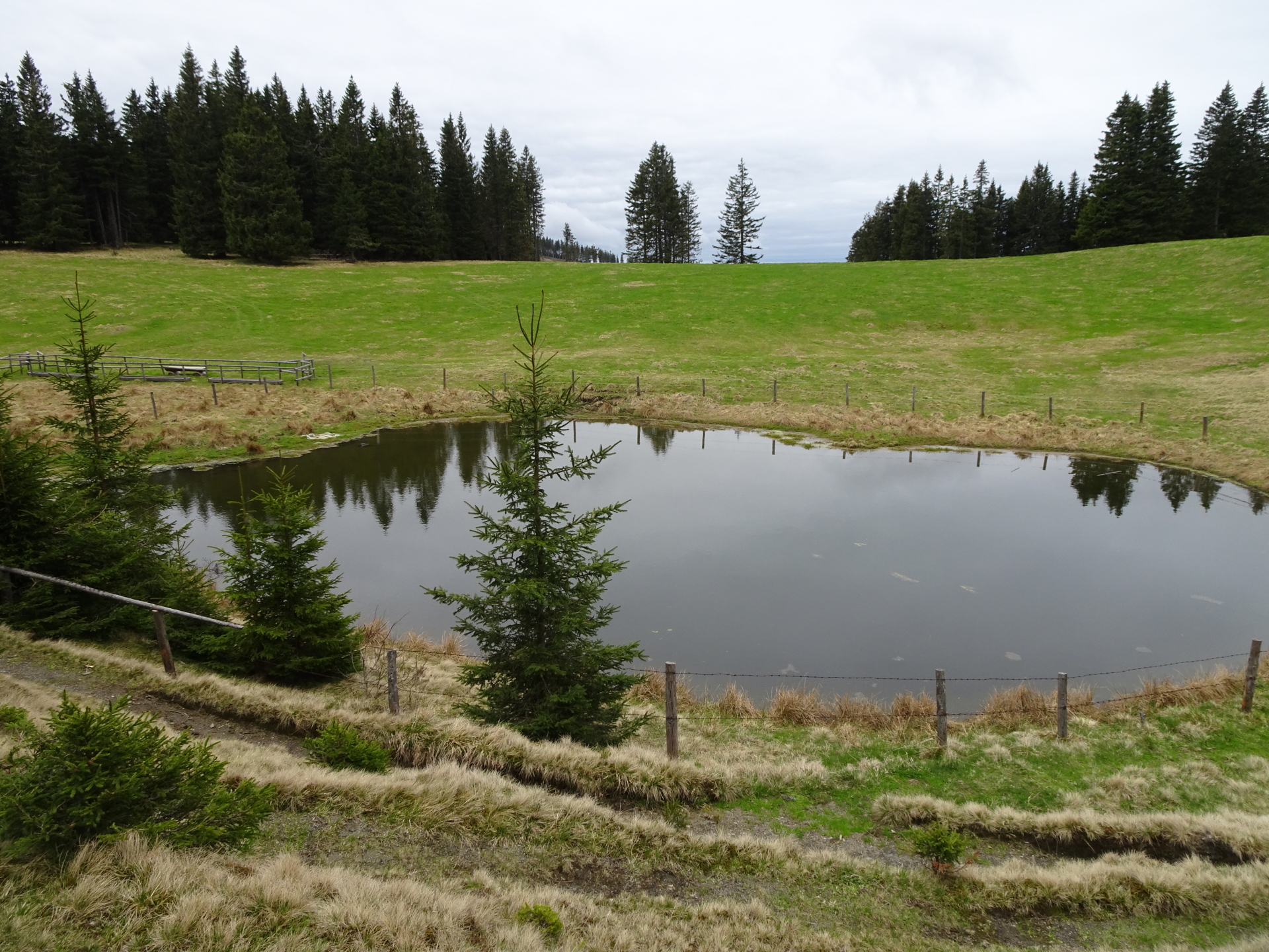
| 03:10 | Turn left into the small trail towards the Bärenlacke pond. After a short break, turn around and go back to Kranichberger Schwaig for a well deserved rest and refreshment ). |
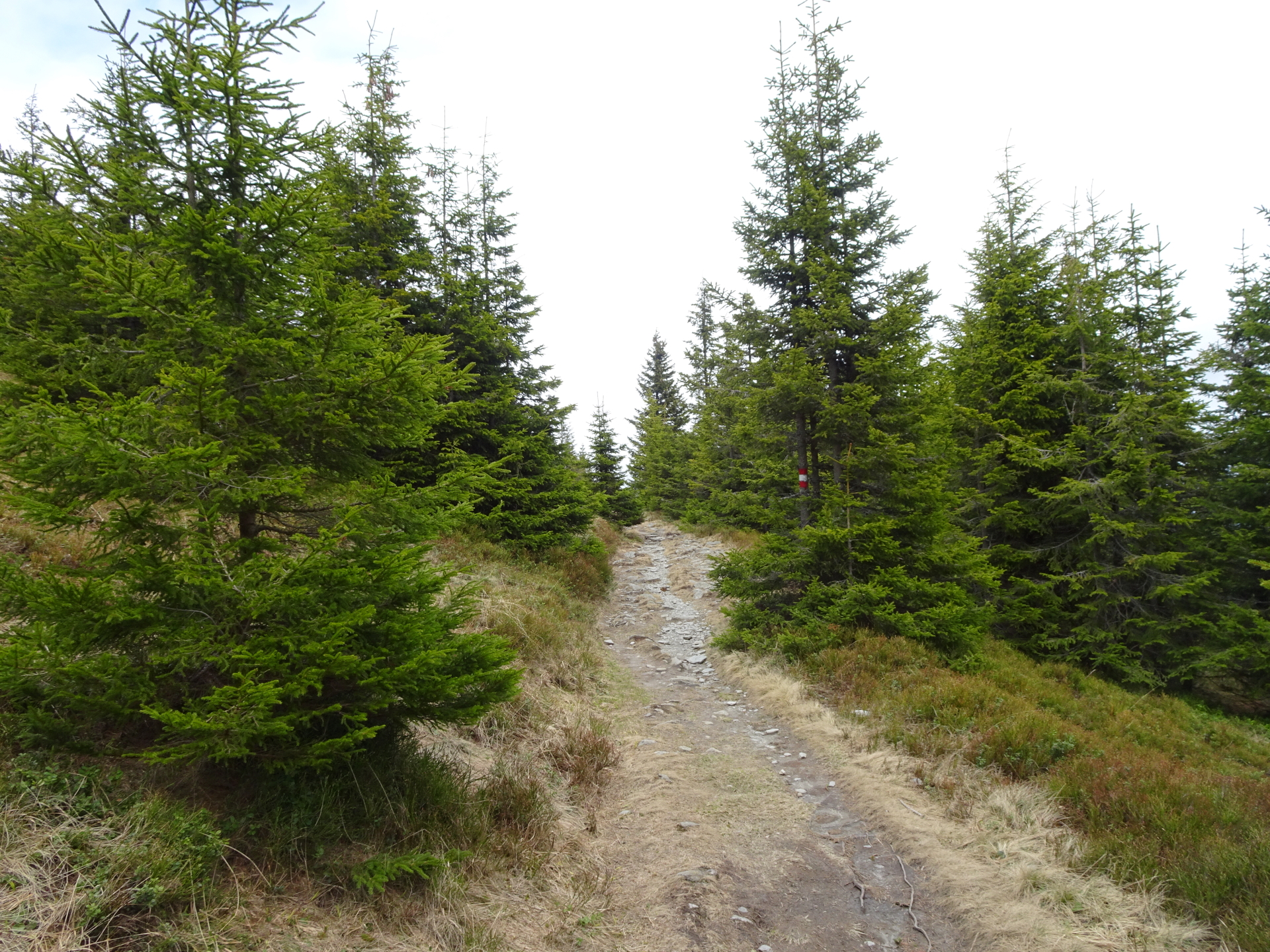
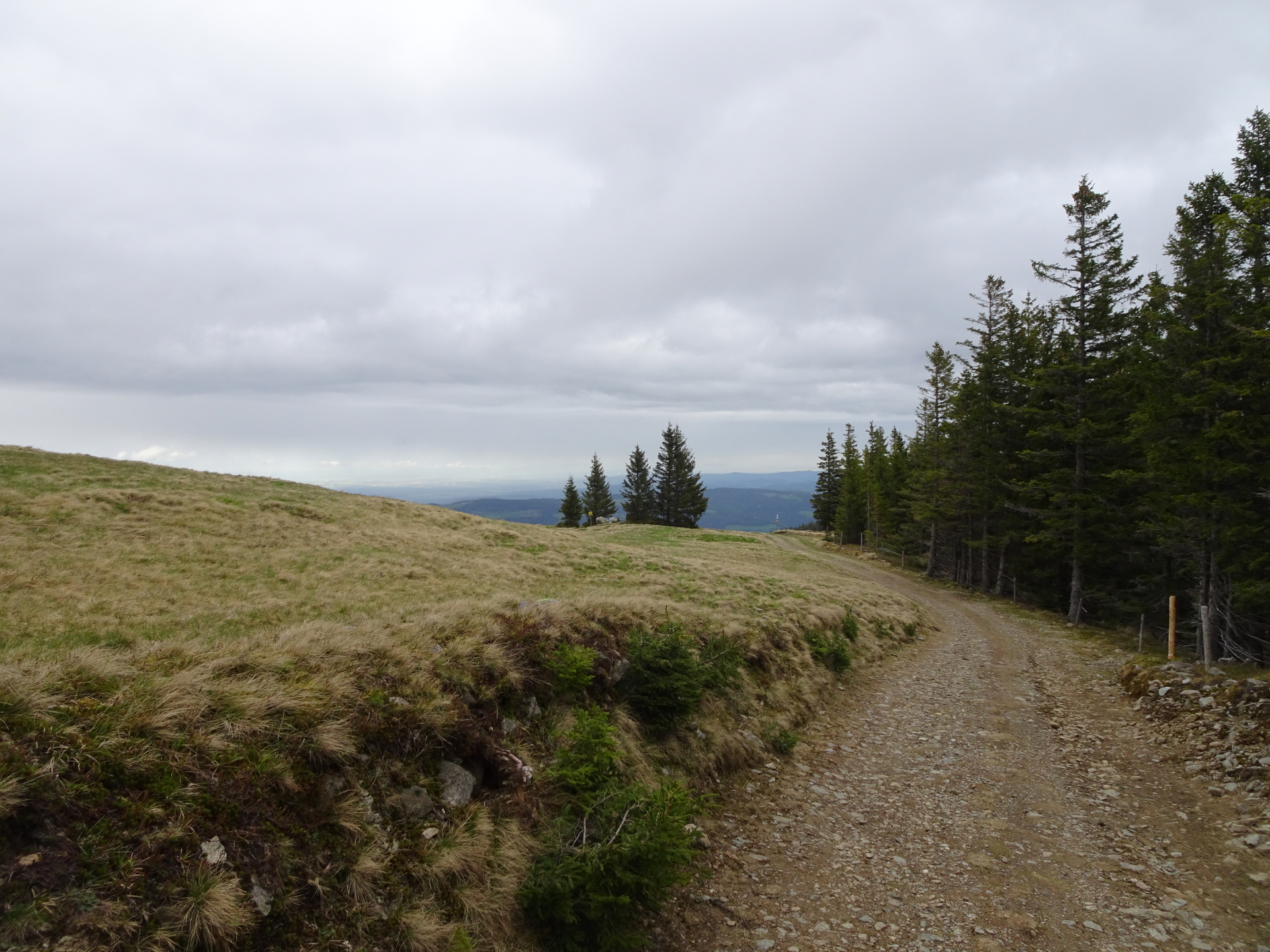
| 03:40 | Leaving Alpannonia®: Follow the trail eastwards towards Arabichl (in the beginning not clearly marked!). |
| 03:55 | At Arabichl, turn right and follow the trail eastwards. |
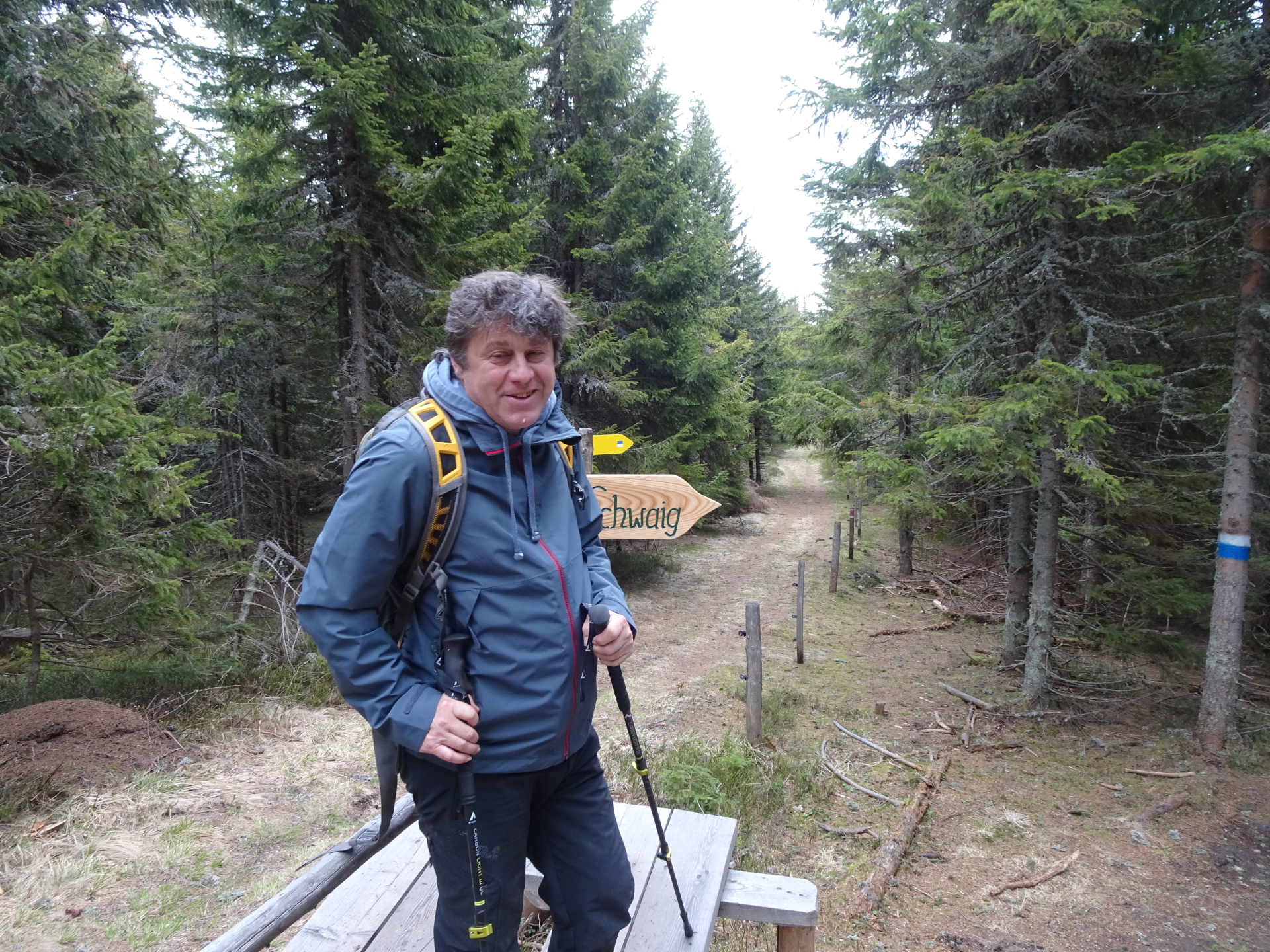
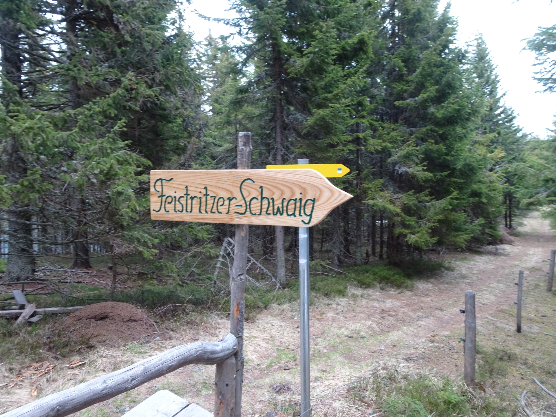
| 04:10 | At the crossing, turn right into the small trail towards Feistrizer Schwaig. |
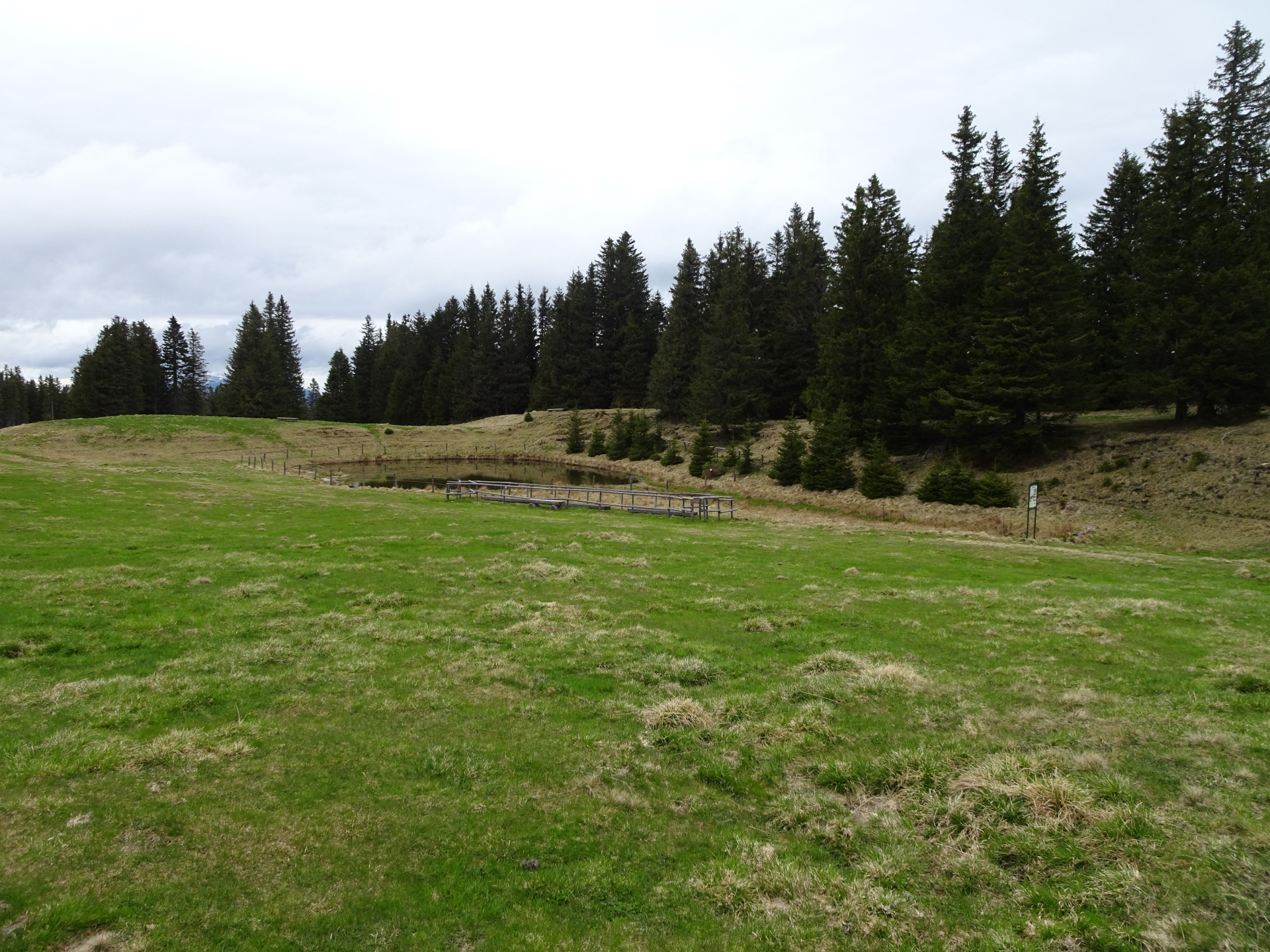
| 04:30 | Pass by Feistritzer Schwaig (you might consider a short break ) and keep right at the crossing. Follow the trail eastwards. |
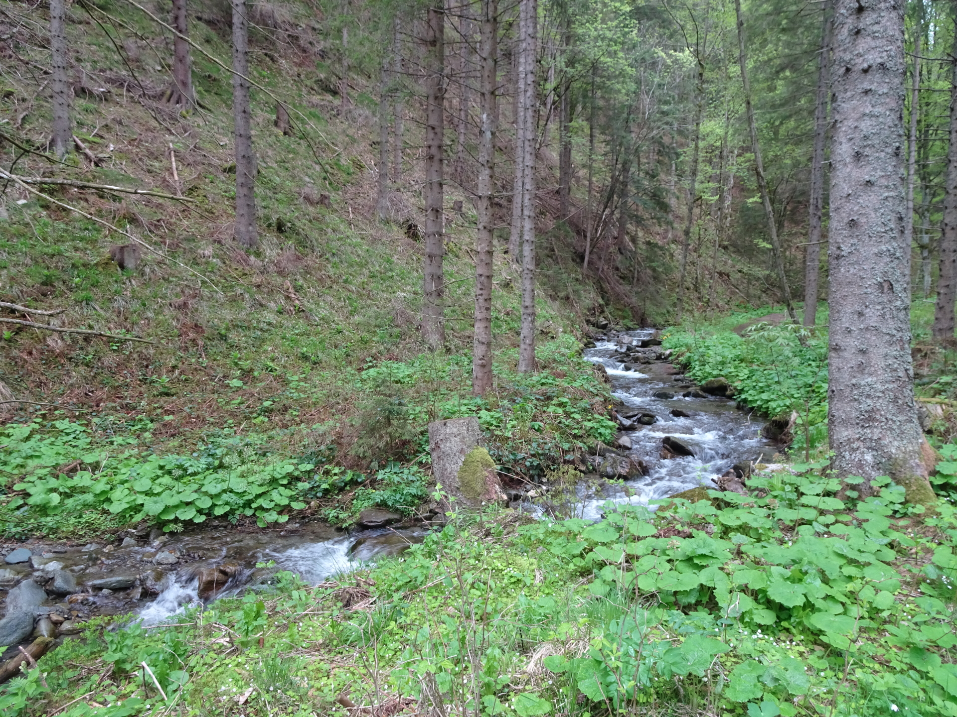
| 05:20 | Pass by Kampsteiner Schwaig and turn right. Follow the trail through the meadow (into the forest) downwards. Always keep southwards at the crossings. |
| 05:45 | At the crossing with the street, turn right and follow the street which leads back to the parking. At each crossing, always try to keep left (expect the 2nd crossing which is the entrance to a private home). |
| 06:15 | Back at the parking, end of the tour. |
At a glance
| Level | easy – moderate |
| Technique | |
| Shape / Fitness | |
| Experience | |
| Scenery | |
| Best time in the year | |
|
Jan
Feb
Mar
Apr
May
Jun
Jul
Aug
Sep
Oct
Nov
Dec
|
|
General Tour Data
| Area: | Hochwechsel, Lower Austria/Styria, Austria | |
| Distance: | 20km | |
| Ascent: | 966m (2h 30min) | |
| Descent: | 966m (2h 40min) | |
| Highest Pt: | 1743m | |
| Lowest Pt: | 984m | |
| Duration: | 5h 15min (without breaks) 6h 15min (with breaks) |
|
| Stop/Rest: |
Marienseer Schwaig (1478m) Wetterkoglerhaus (1743m) Kranichberger Schwaig (1534m) Feistritzer Schwaig (1438m) |
|
| Equipment: | Backpack with standard hiking equipment Comfortable hiking shoes Snacks, enough water Sun & Weather protection 1 Gipfelbier Camera |
| Download GPX | ||
| O | Tour at outdooractive.com |
Leave a Reply