
![]()
Hiking tour at the Austrian border up to the two highest points of Burgenland
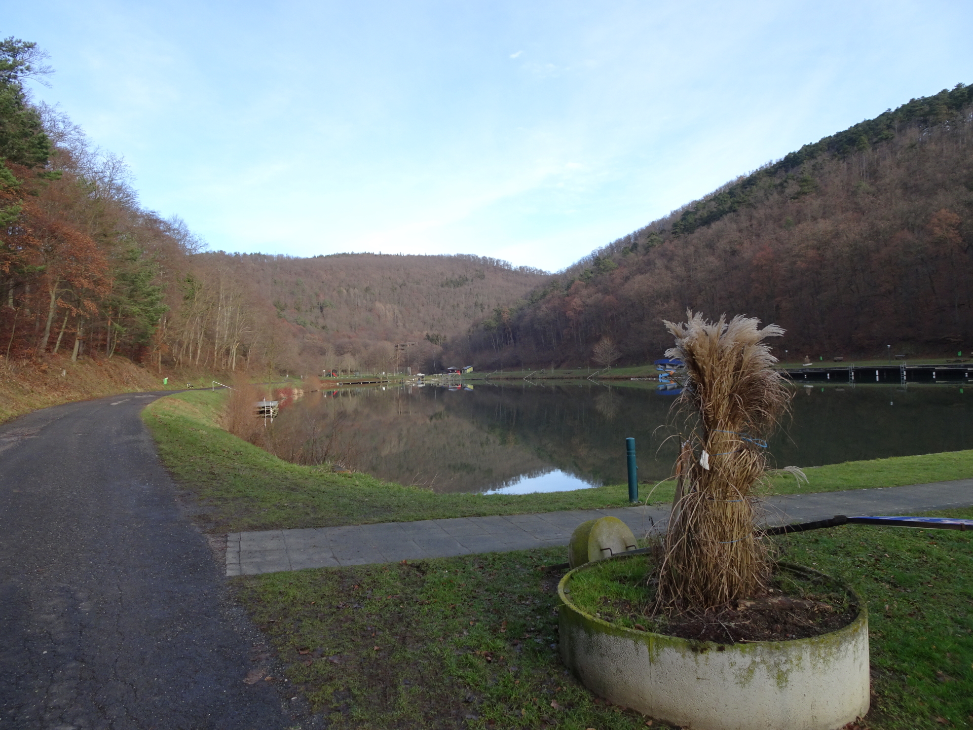
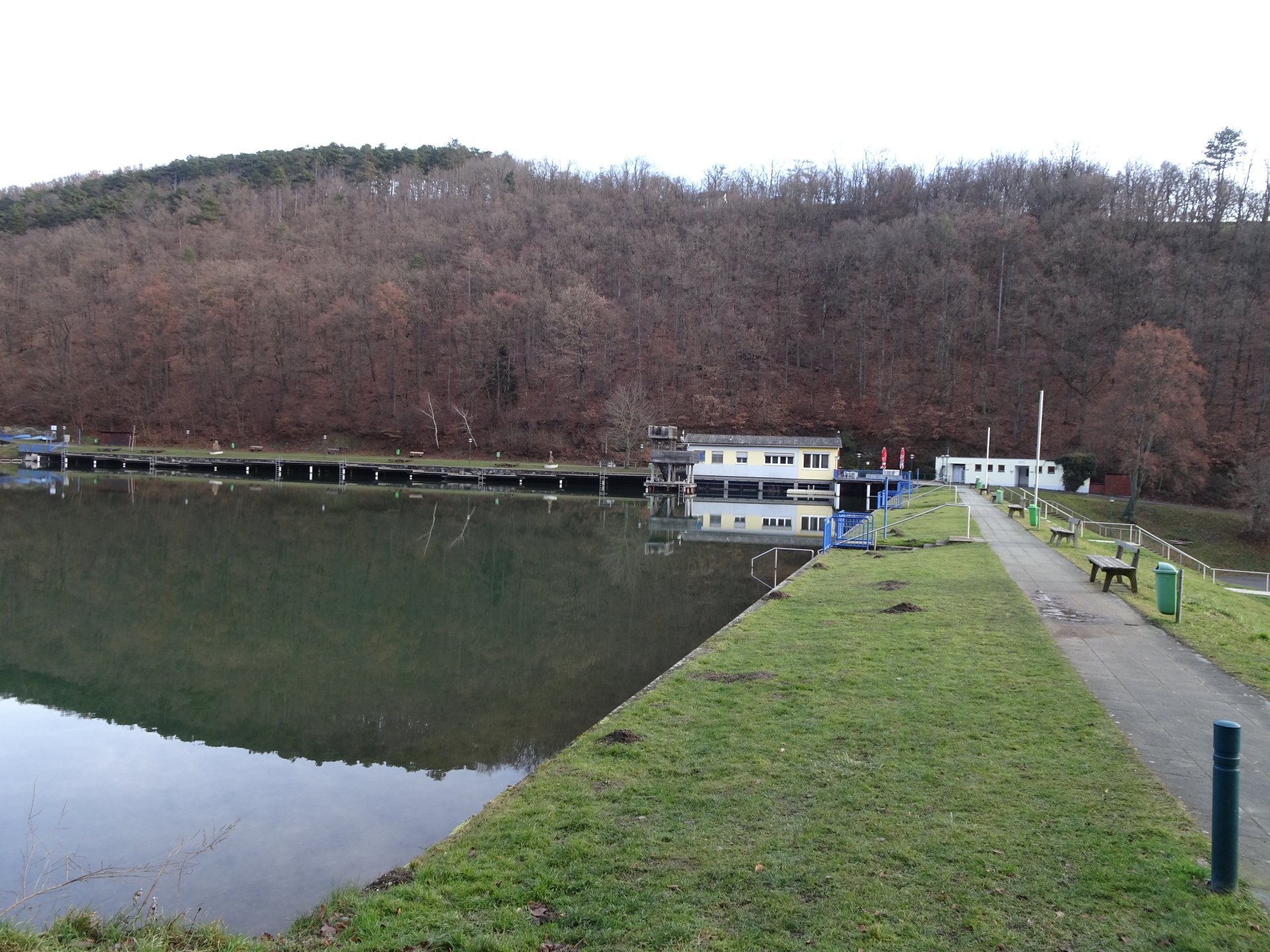
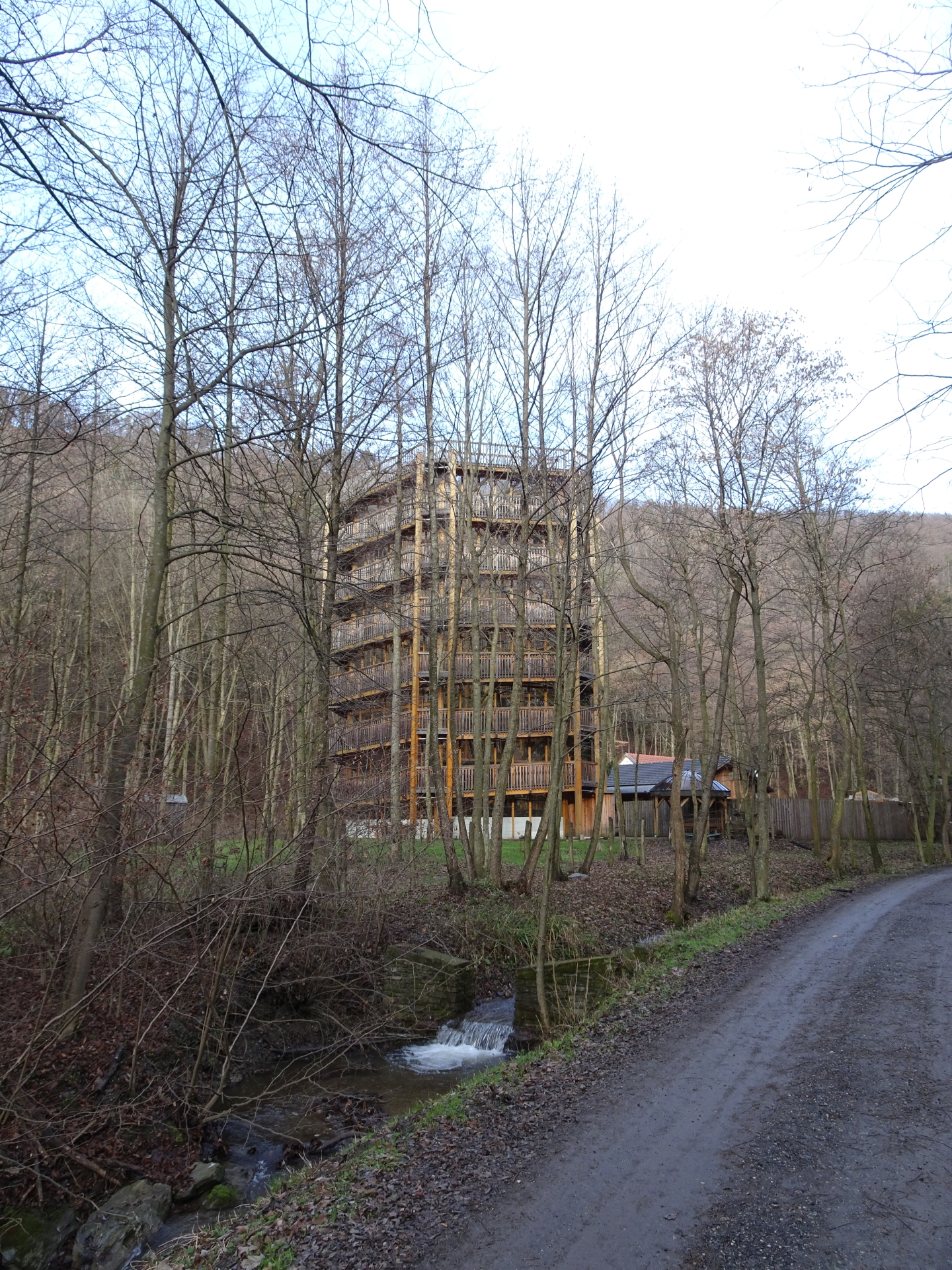
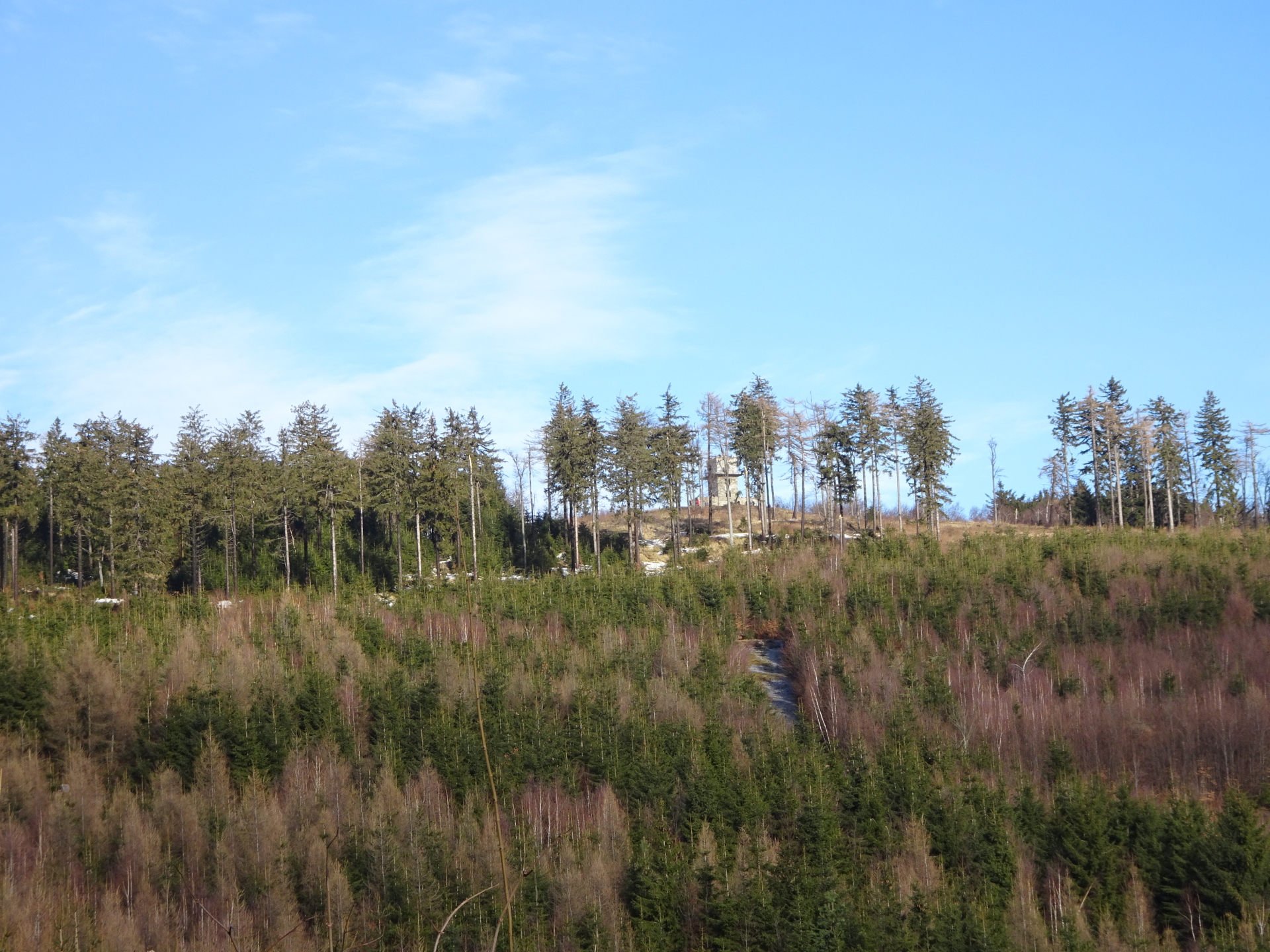
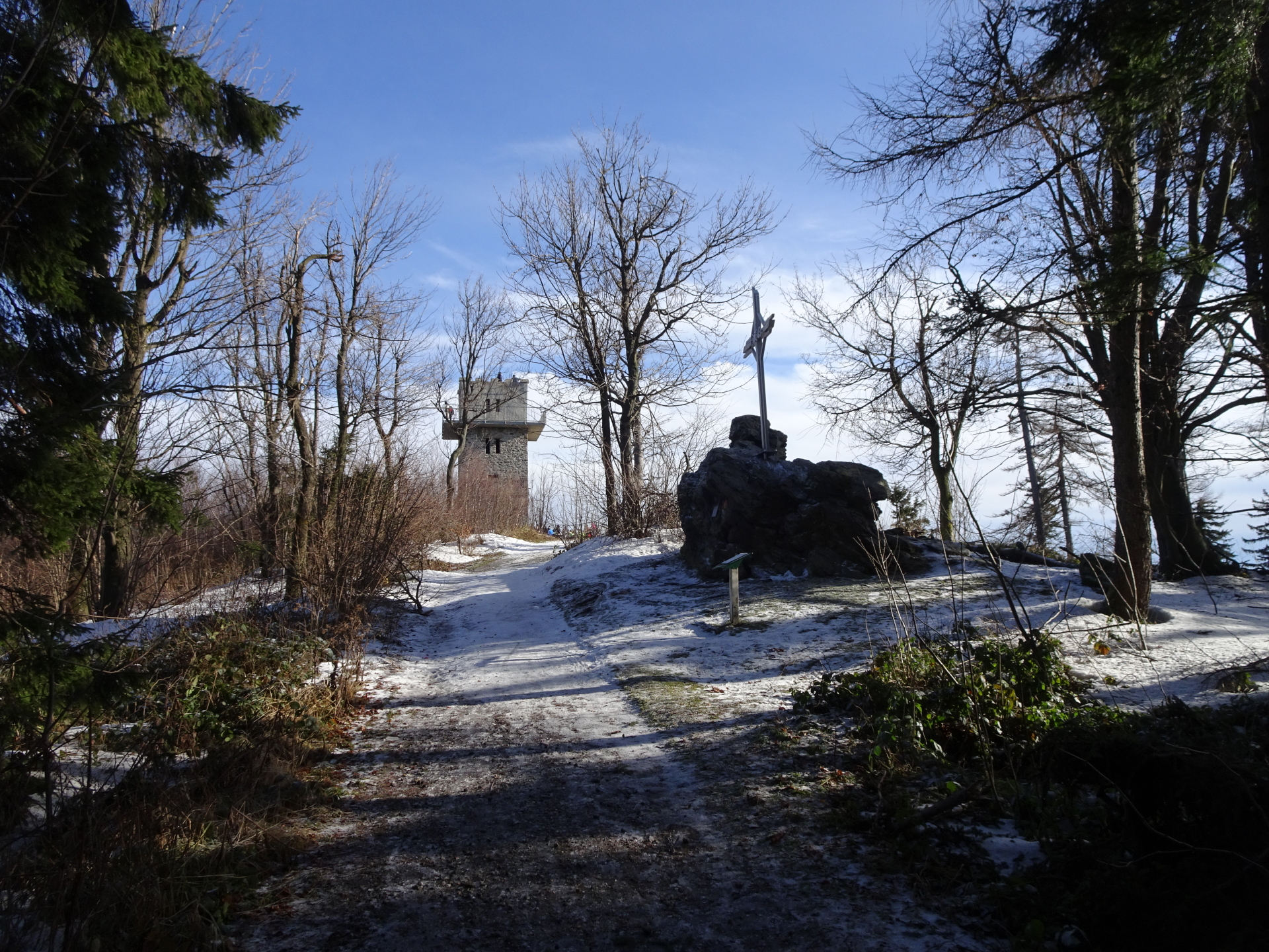
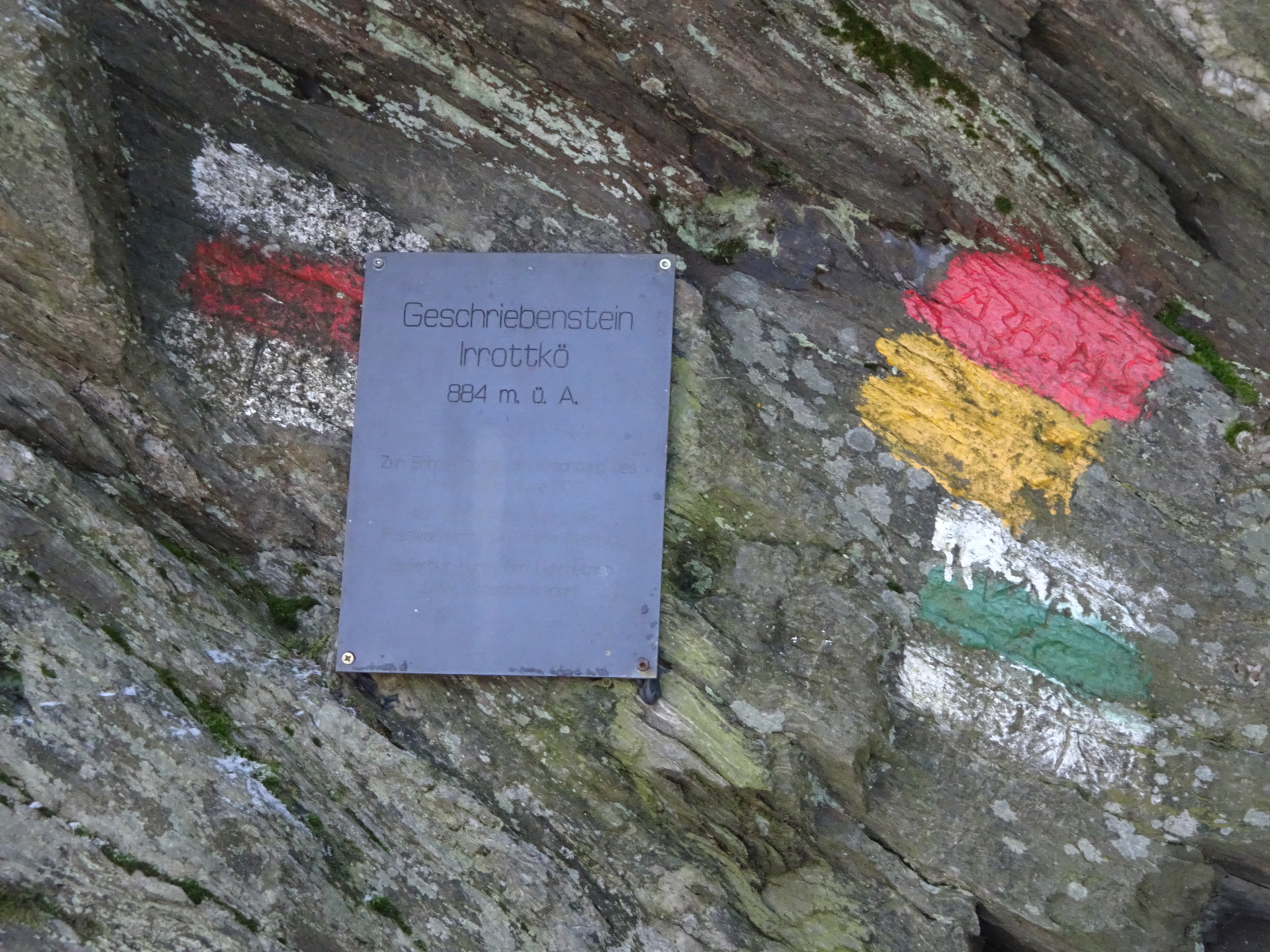
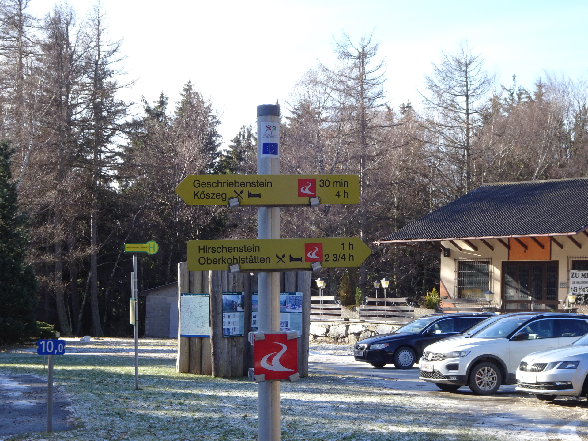
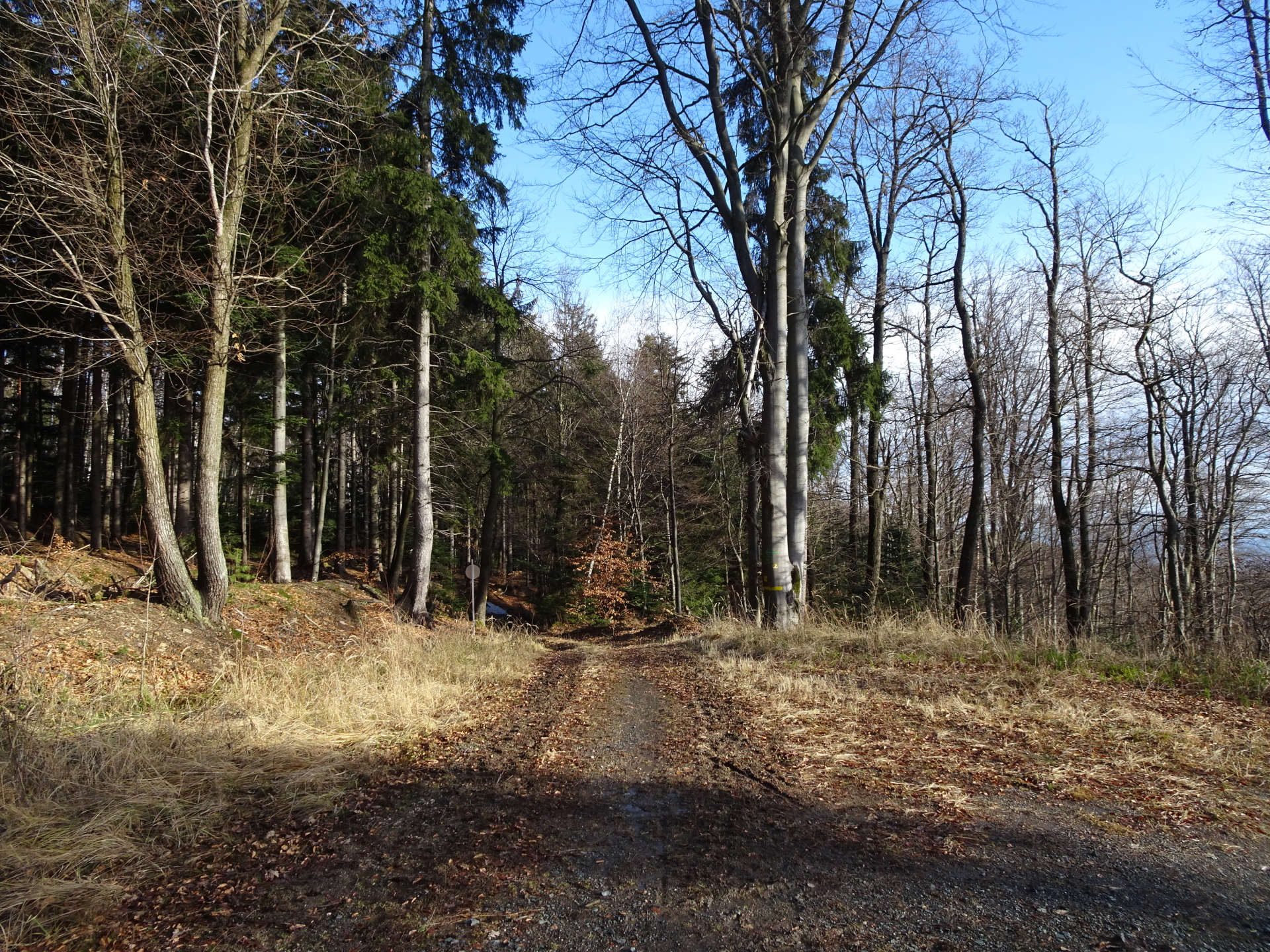
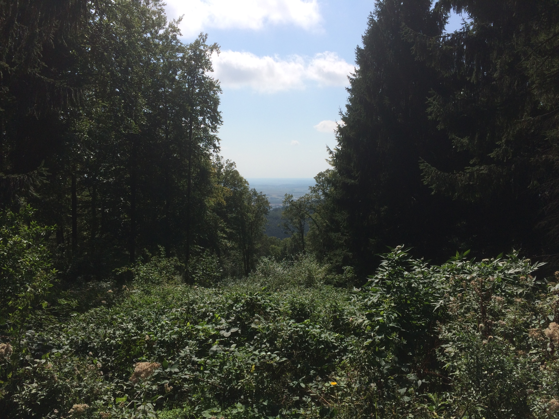
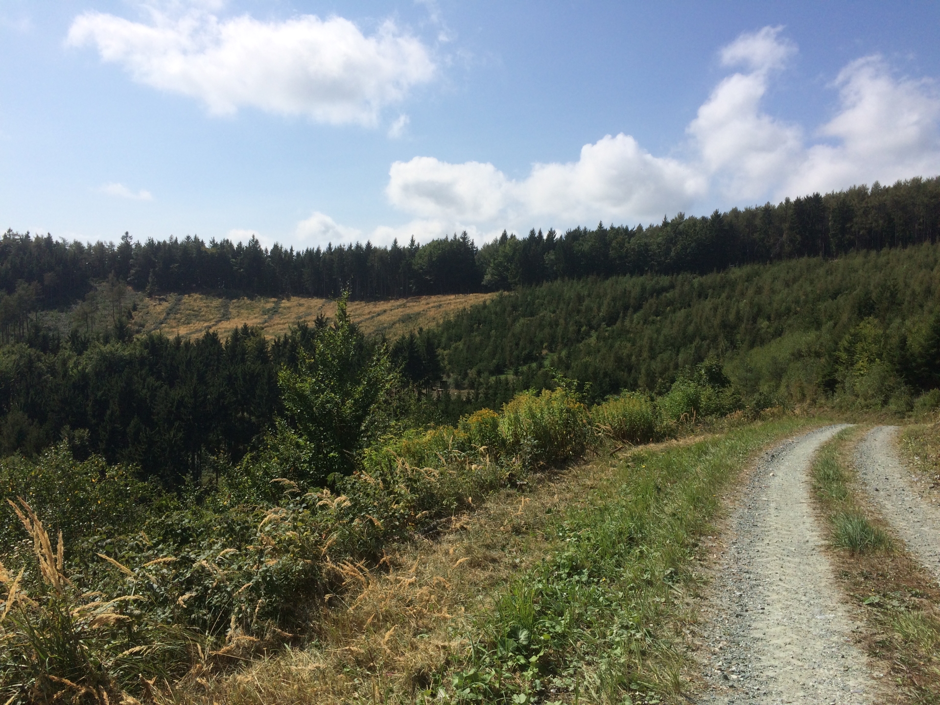
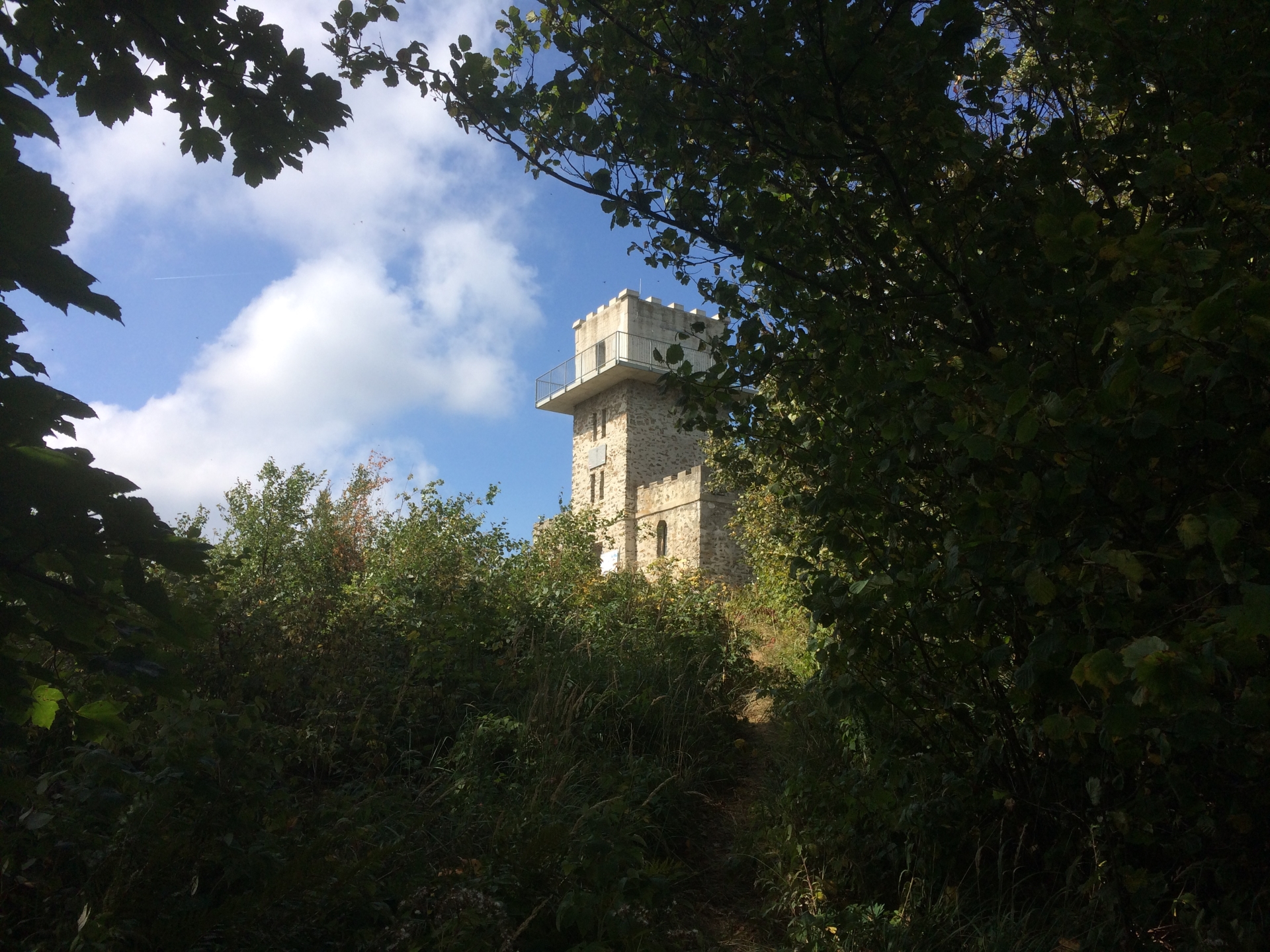
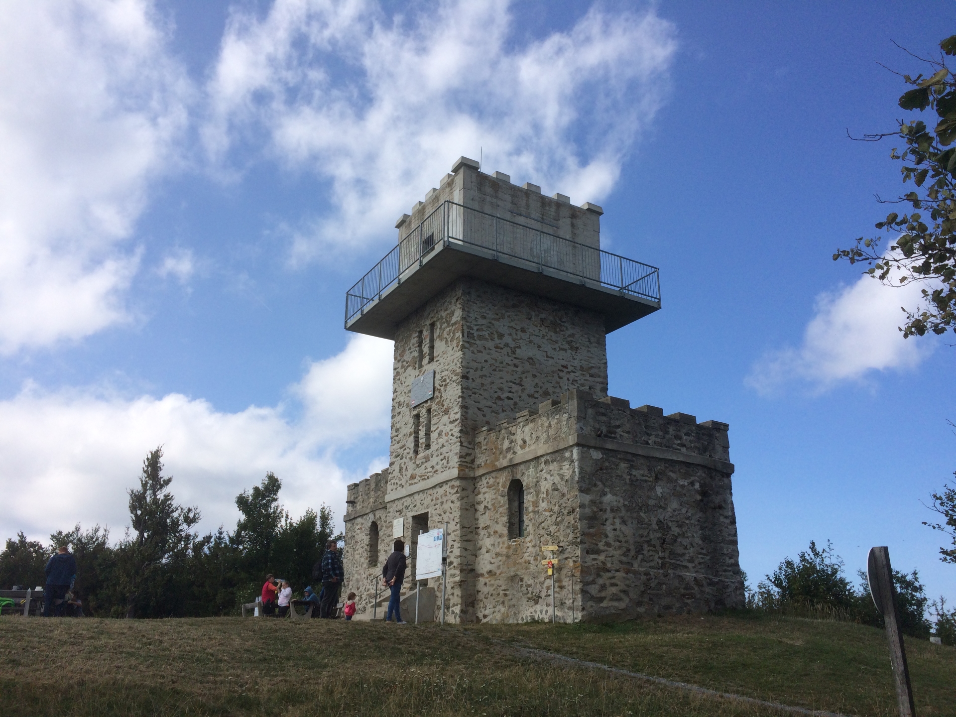
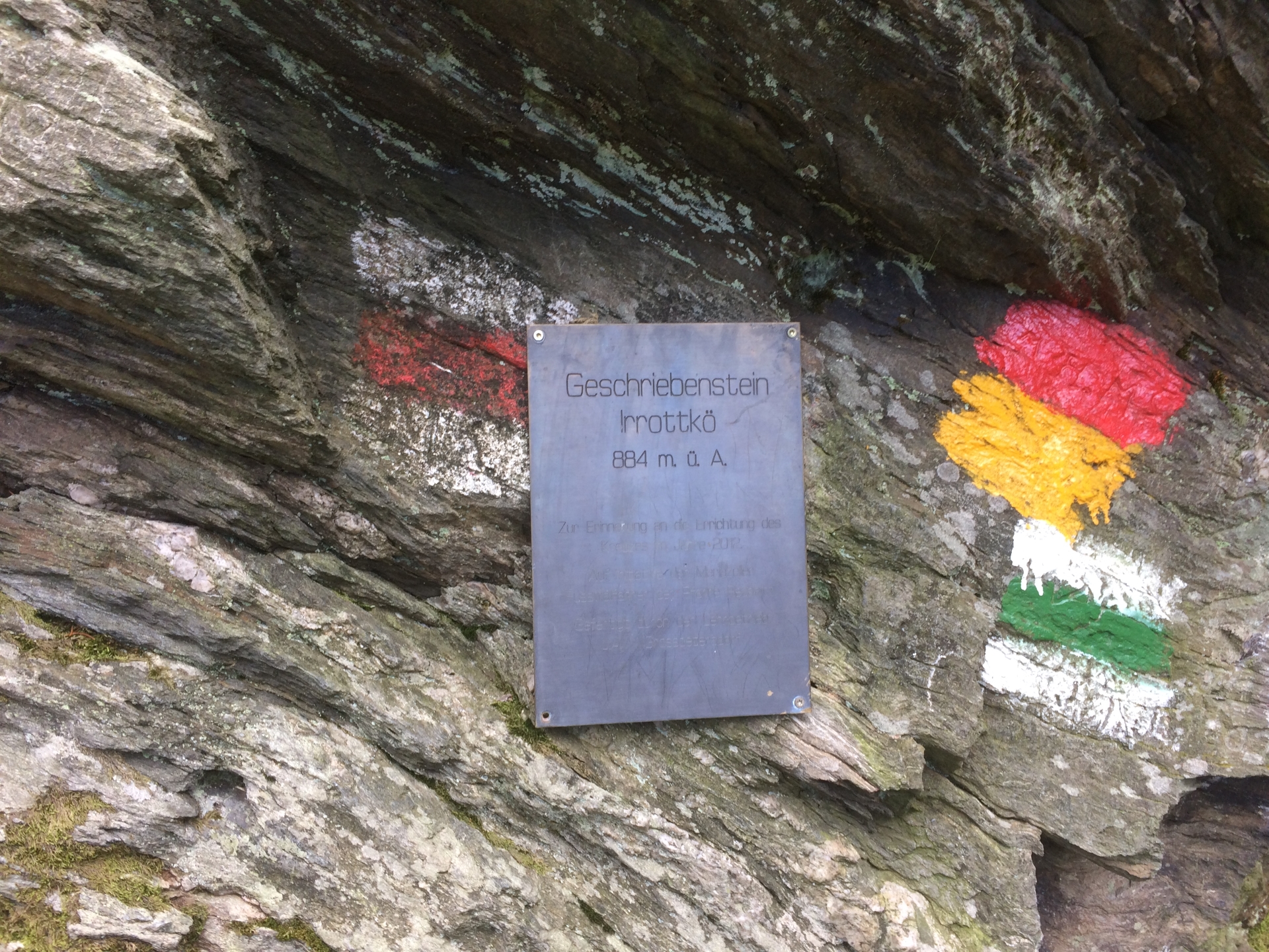
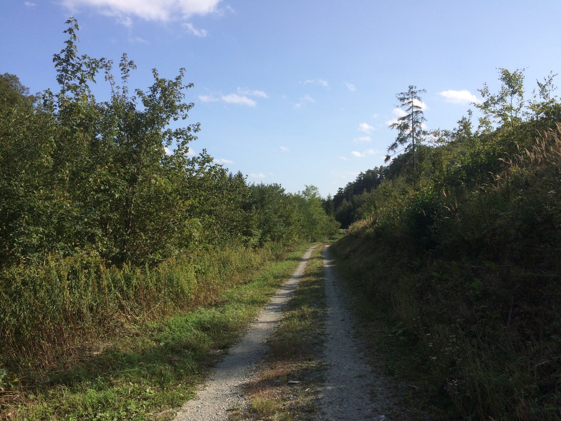
The tour starts at Rechnitz in Burgenland (either at a parking in the village or at the parking at the dam lake). After passing the dam lake, the trail first follows the river that feeds the dam lake. Hiking on broad and easy roads through the woods, the trail leads to the Austrian/Hungarian border. Following a smaller trail directly at the border (technically the trail is on the Hungarian side), the trail ends at the highest point in Austria, the “Geschriebenstein” (884m) with its unique viewing platform that looks like an old castle.
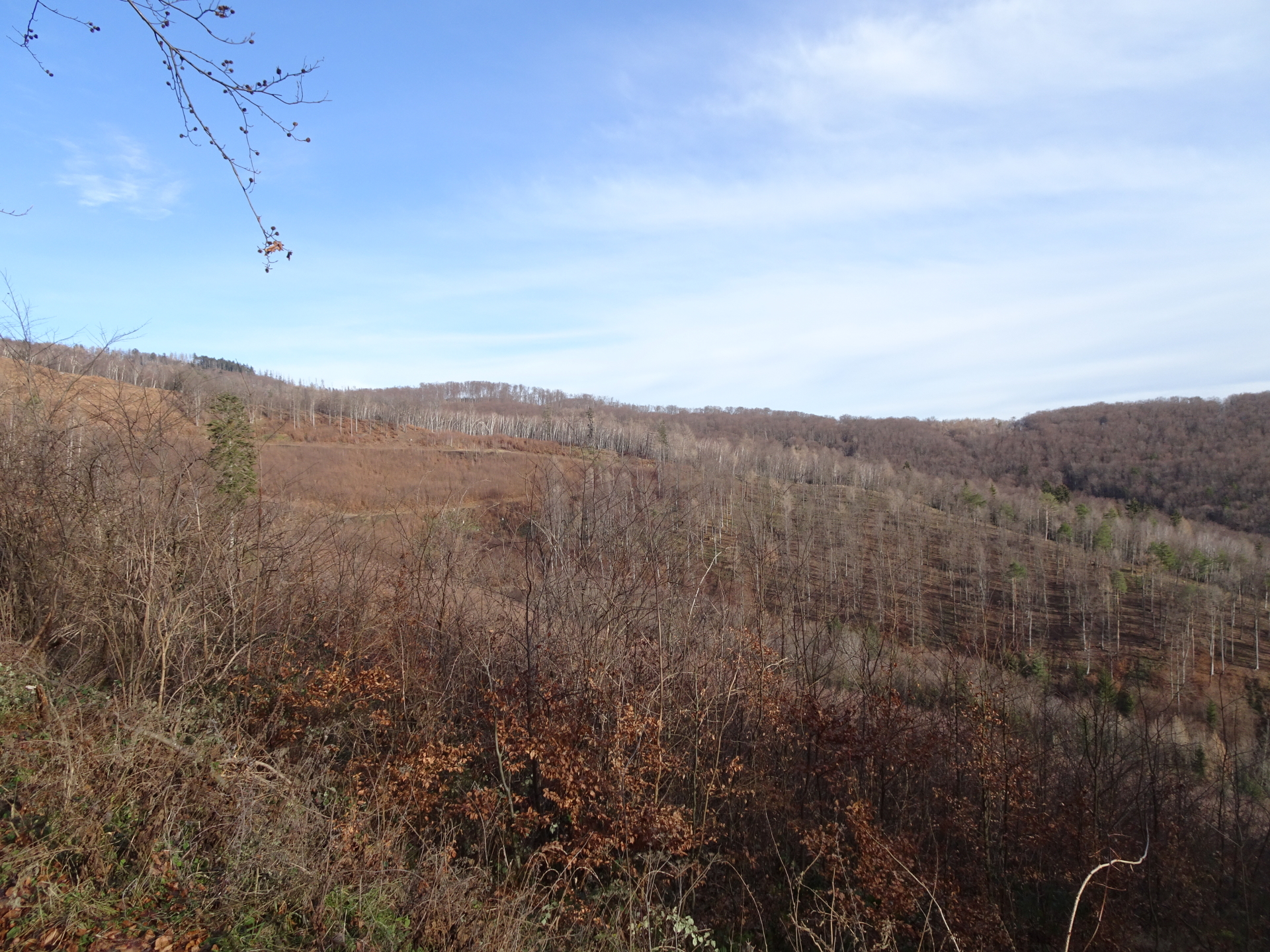
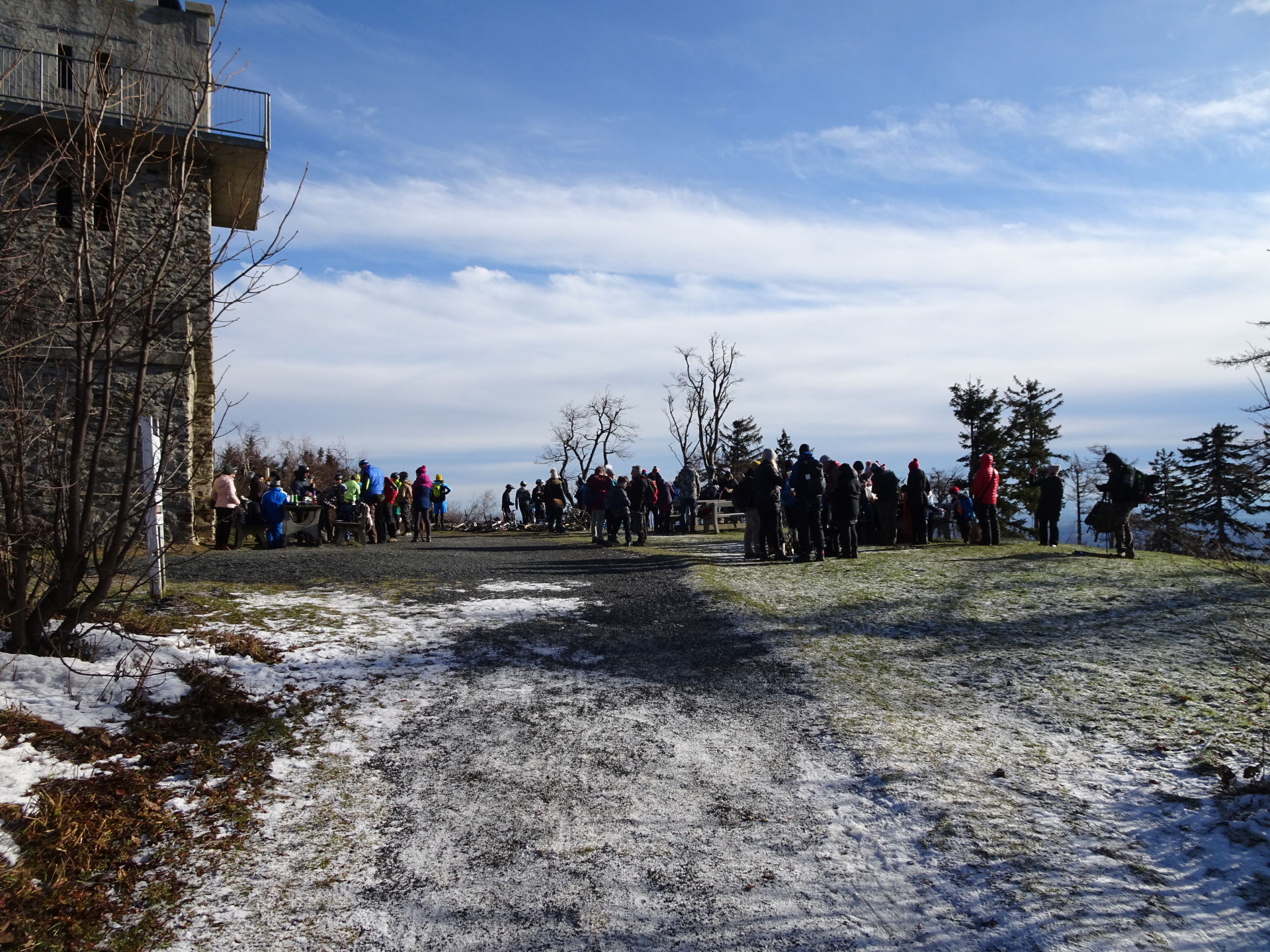
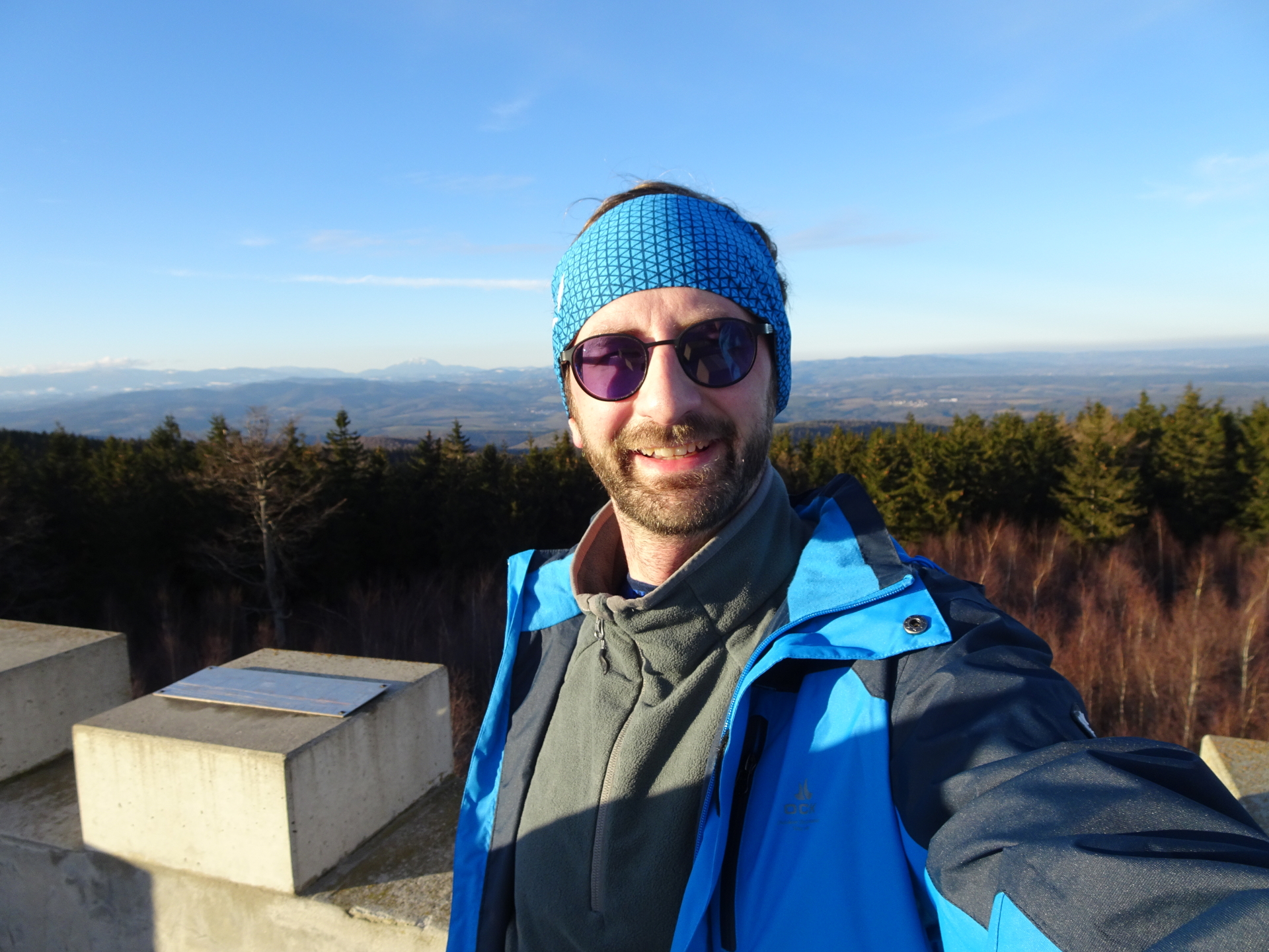
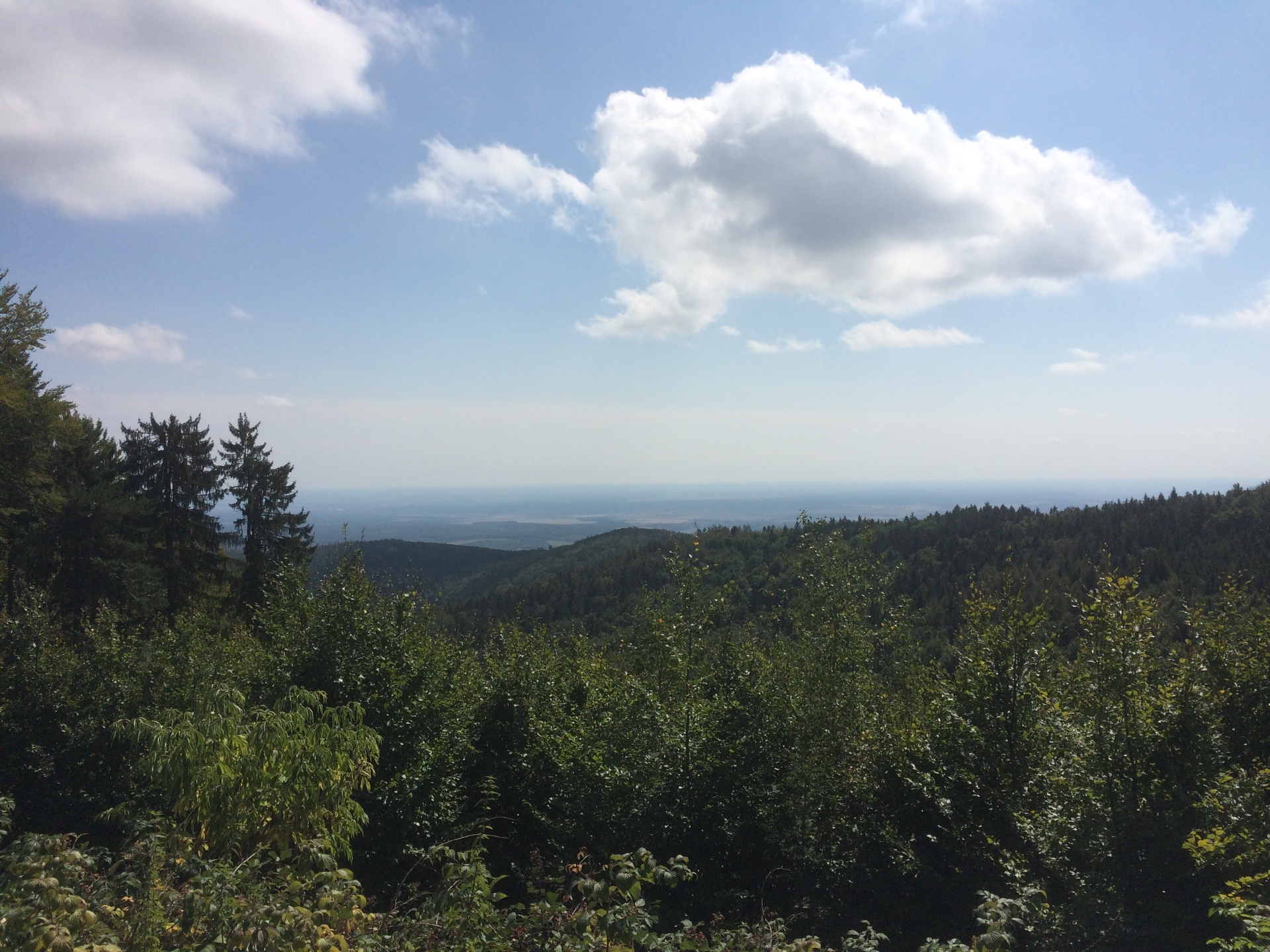
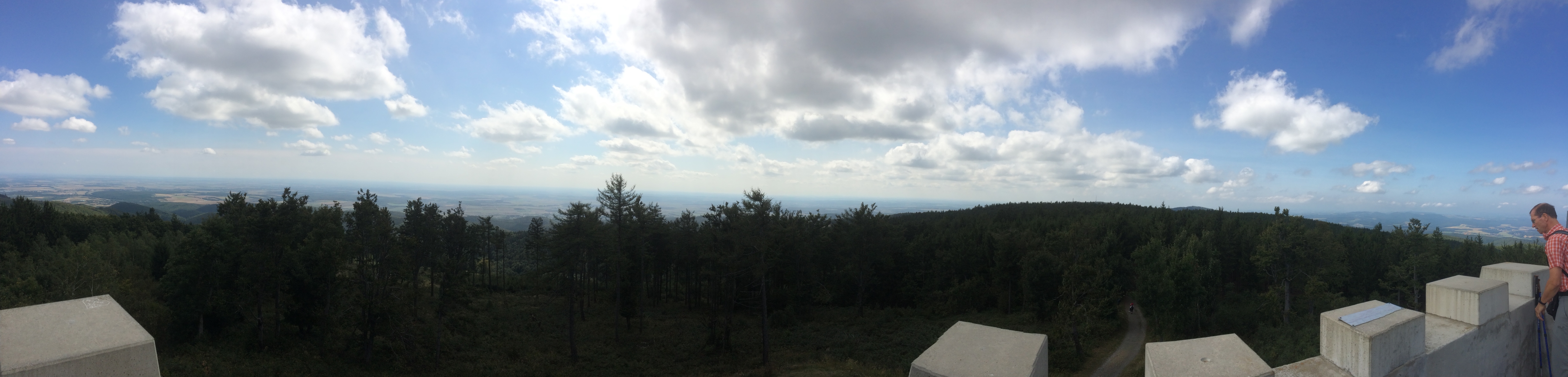
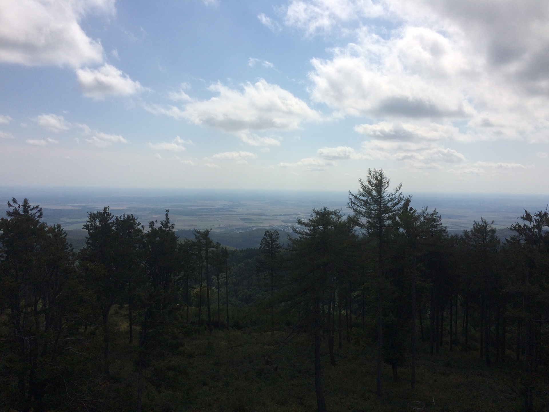
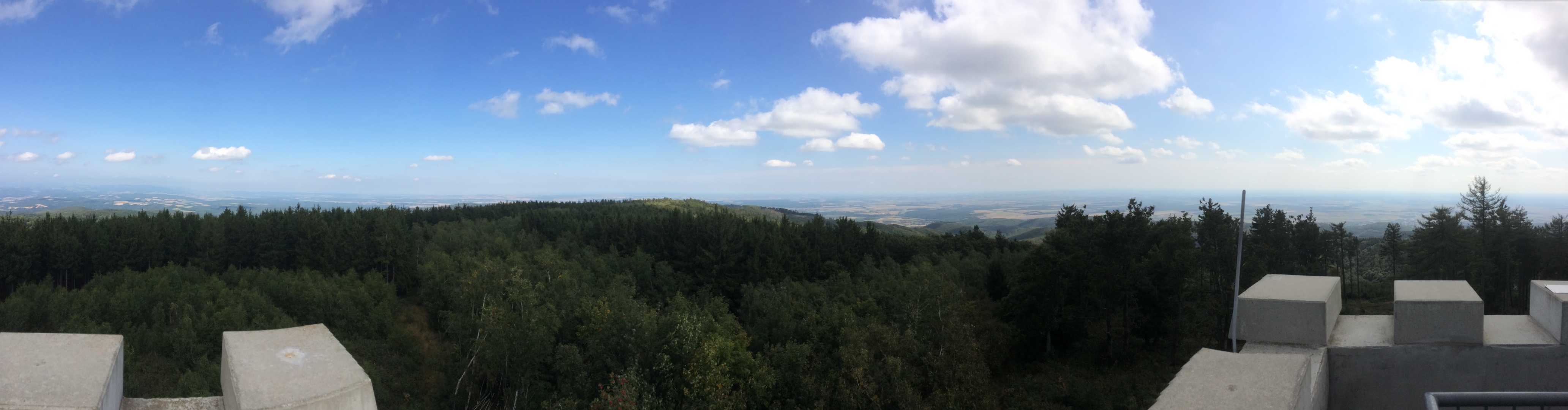
At the top, the viewing platform provides a fascinating surround view (free of charge) to Hungaria and Burgenland (Austria).
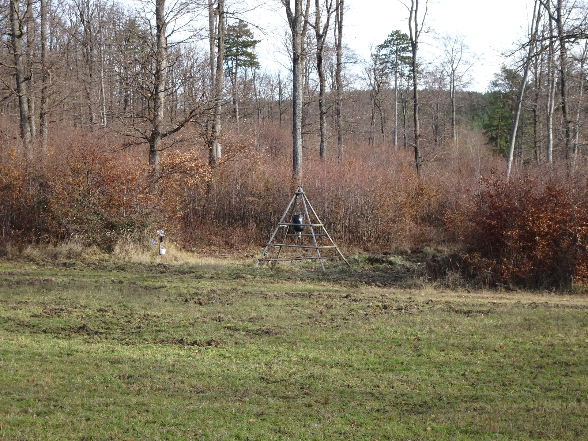
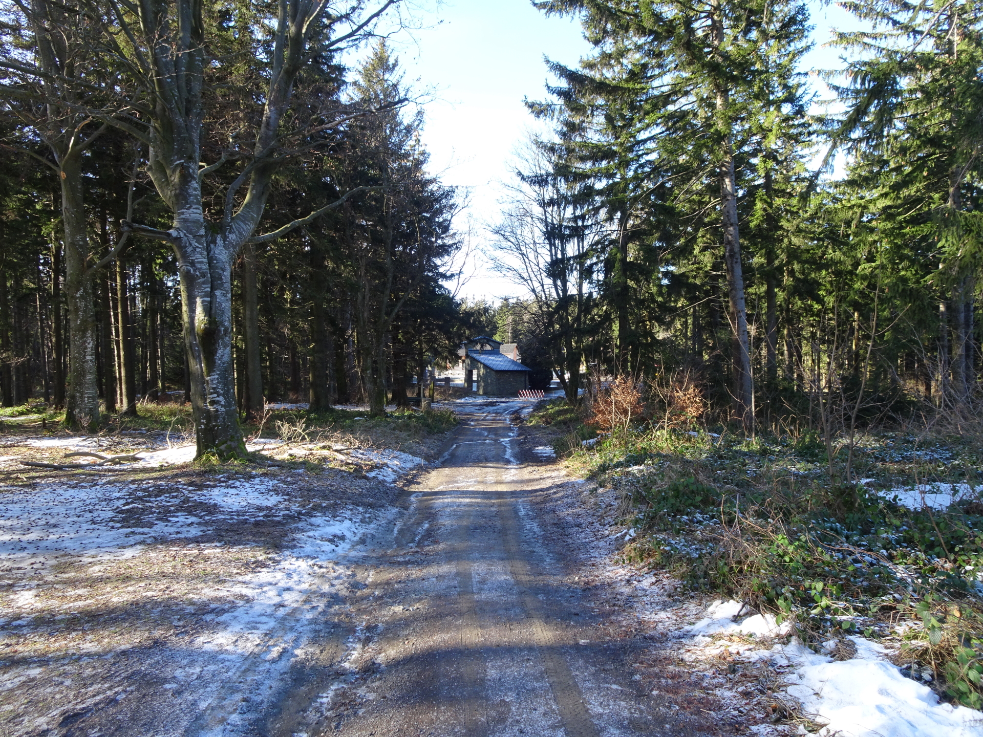
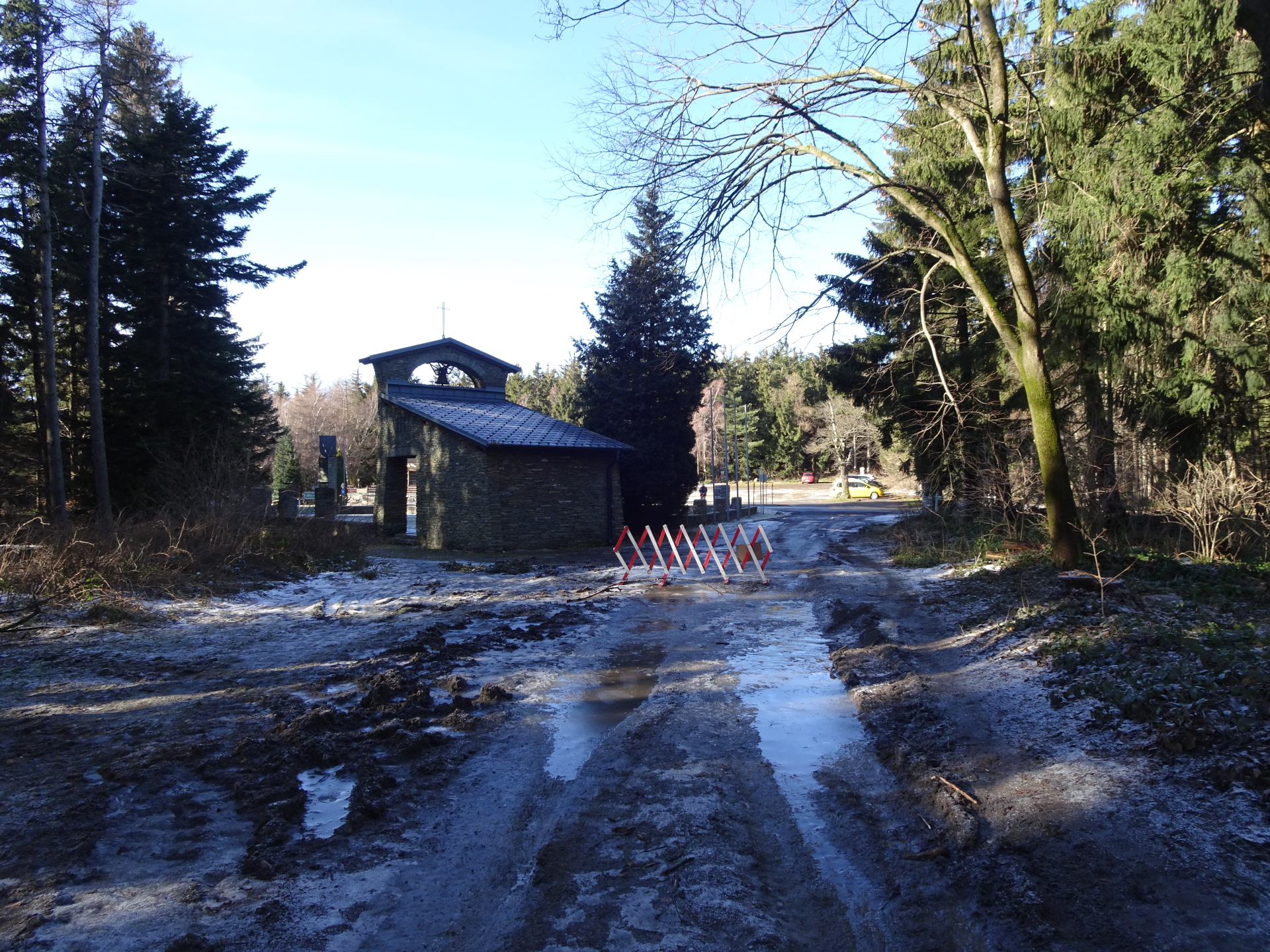
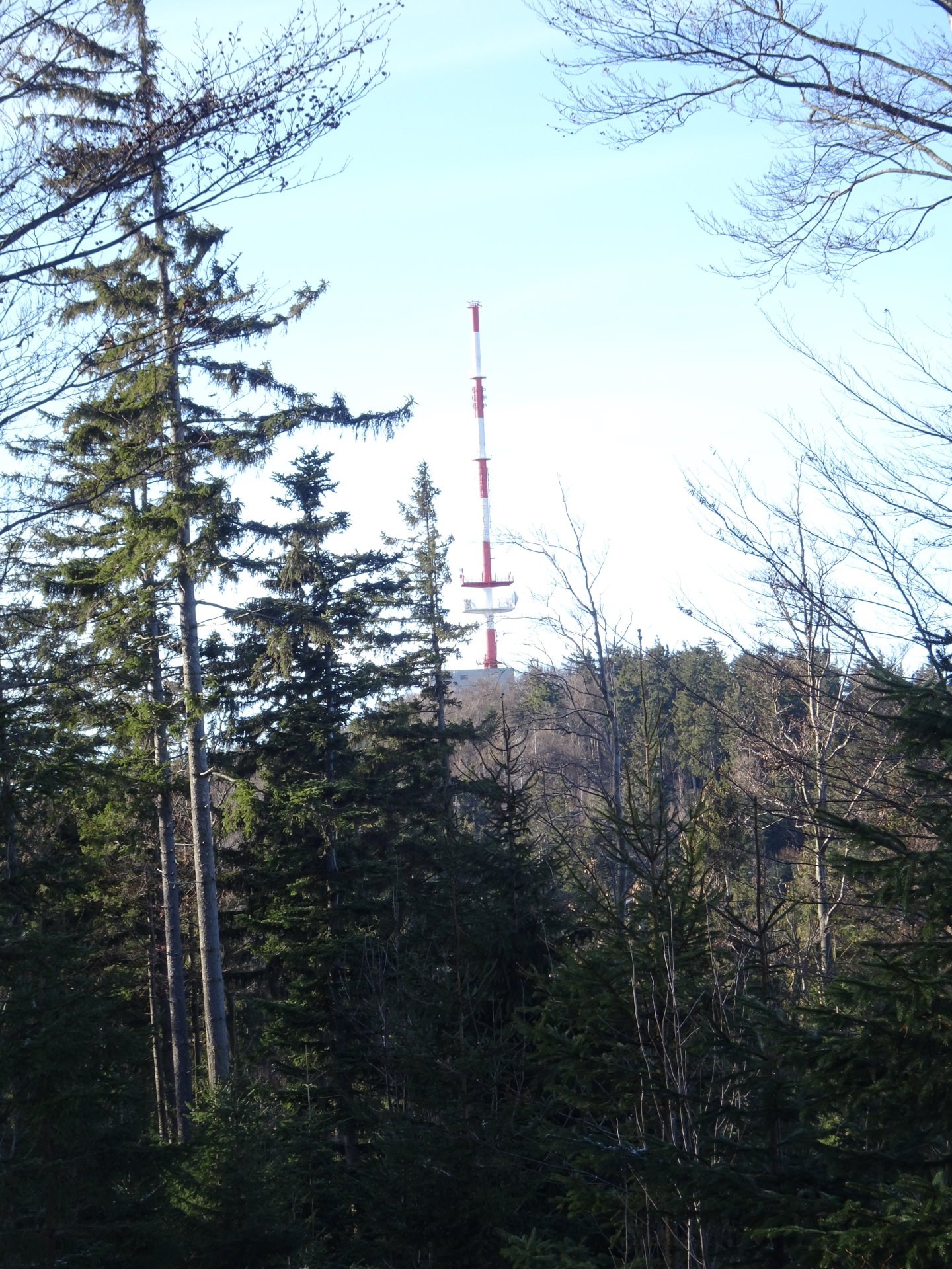
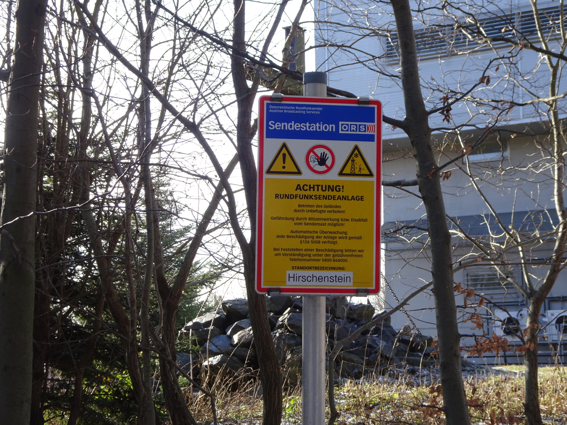
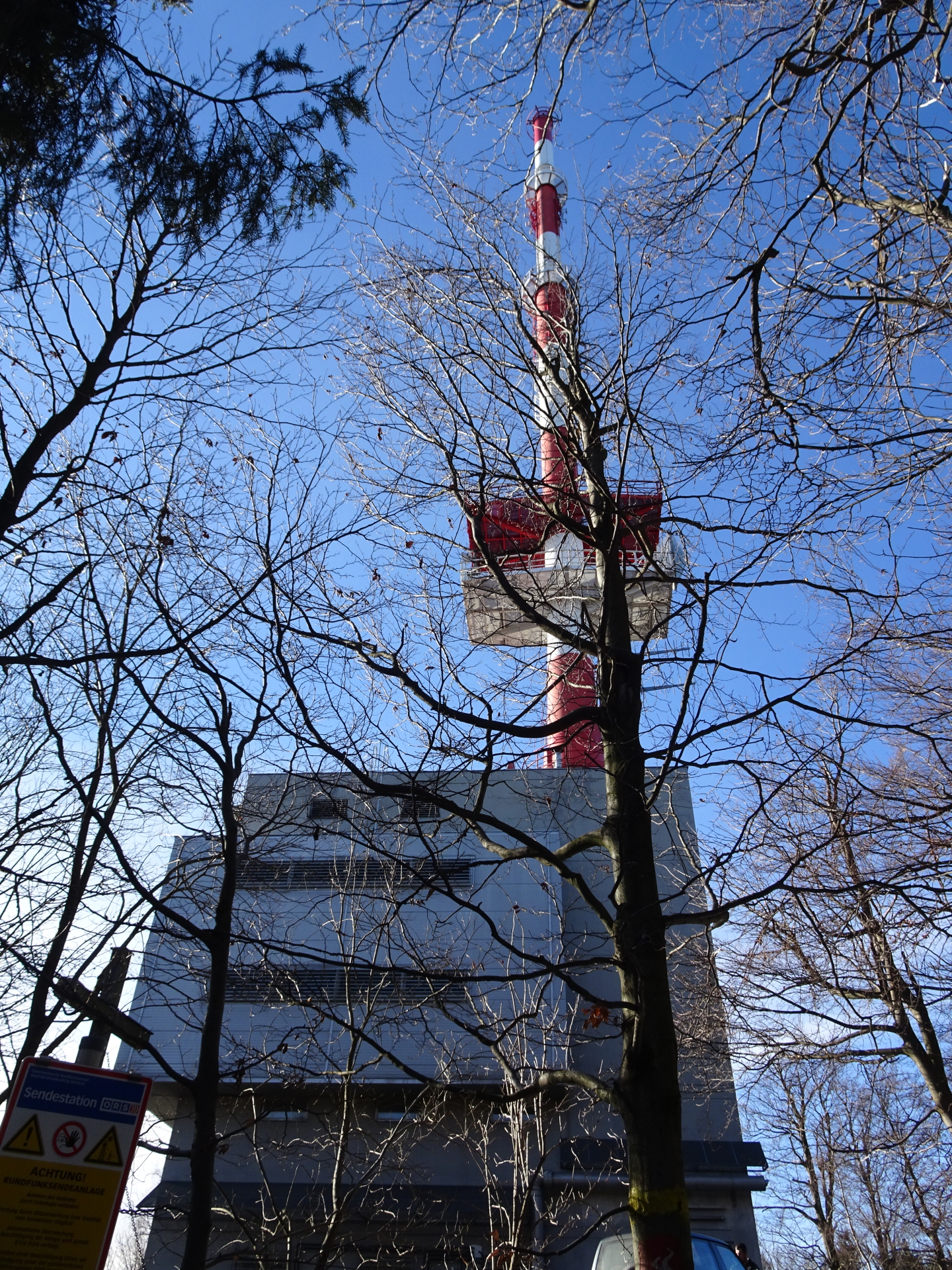
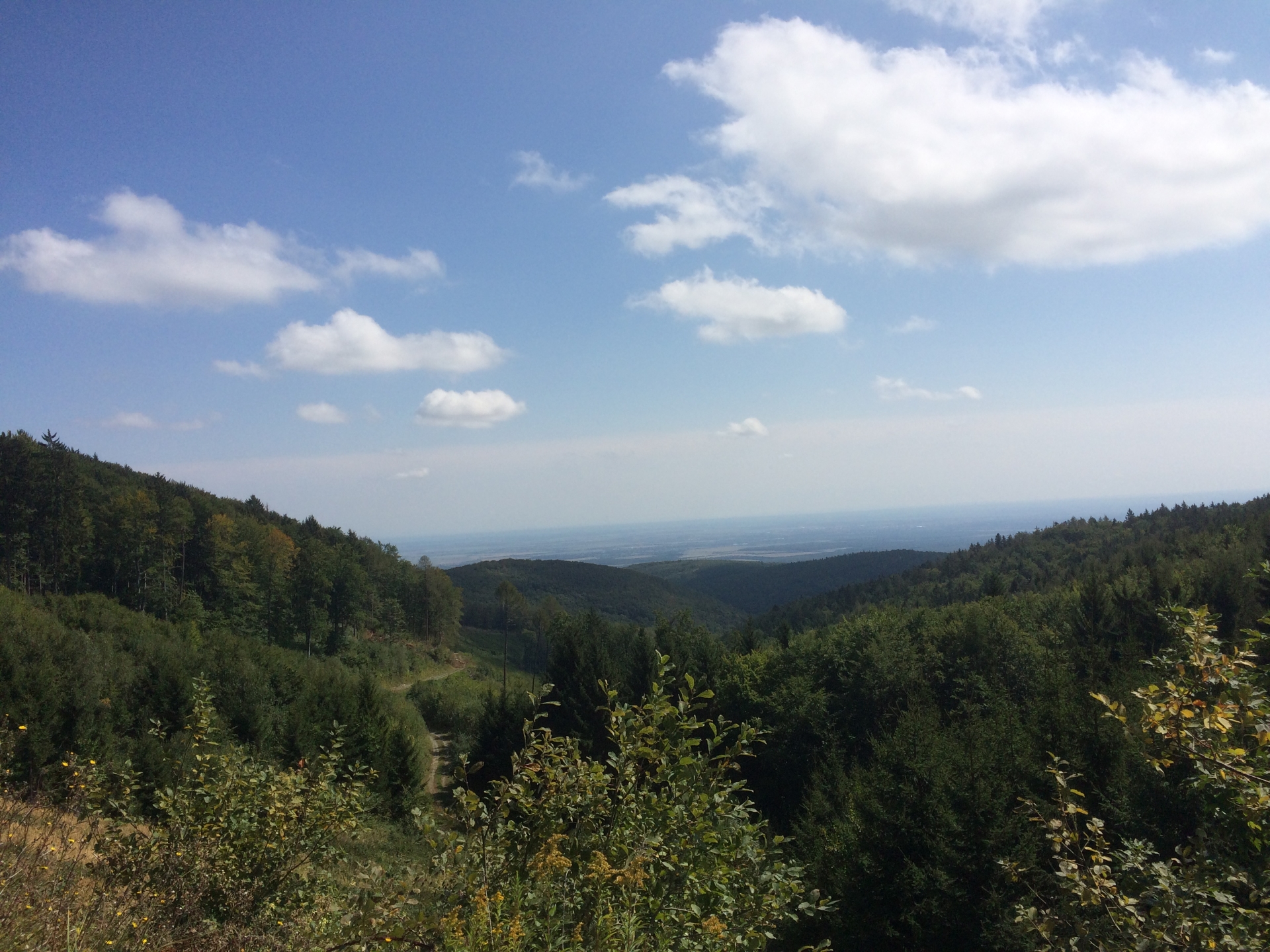
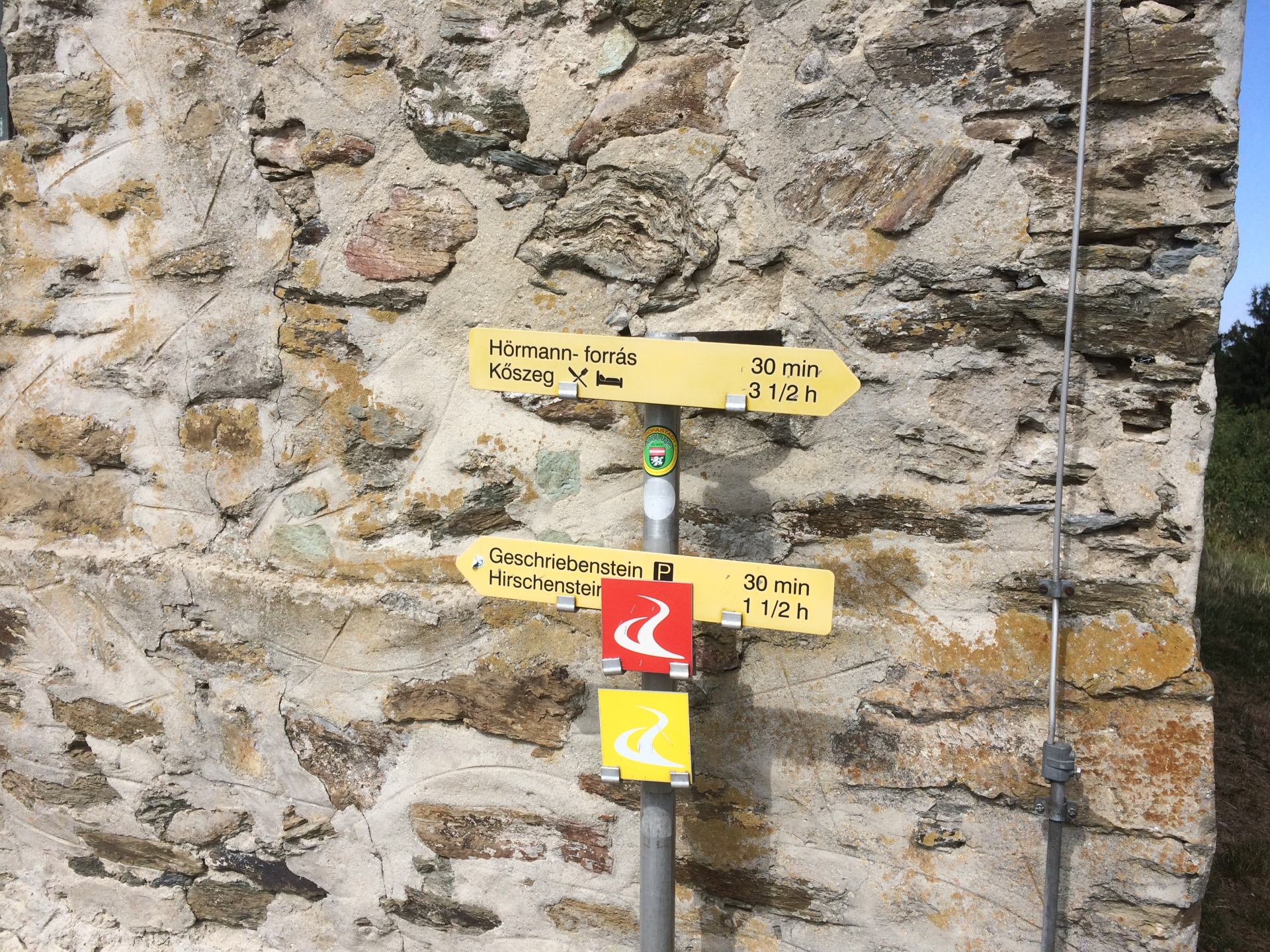
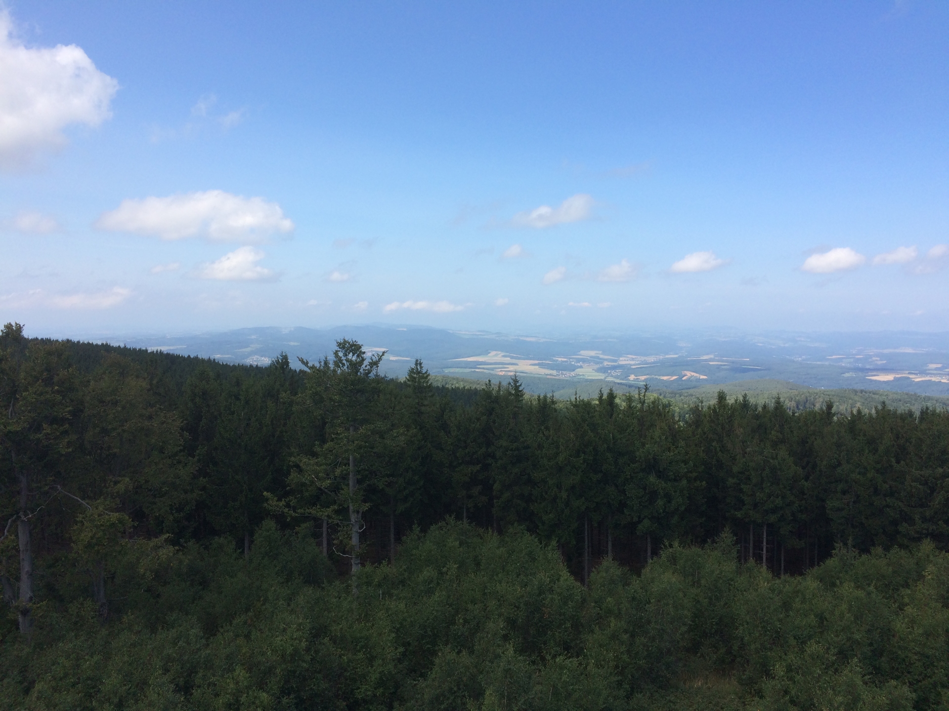
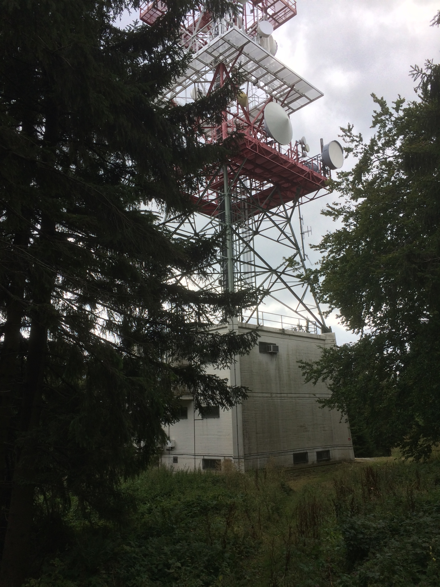
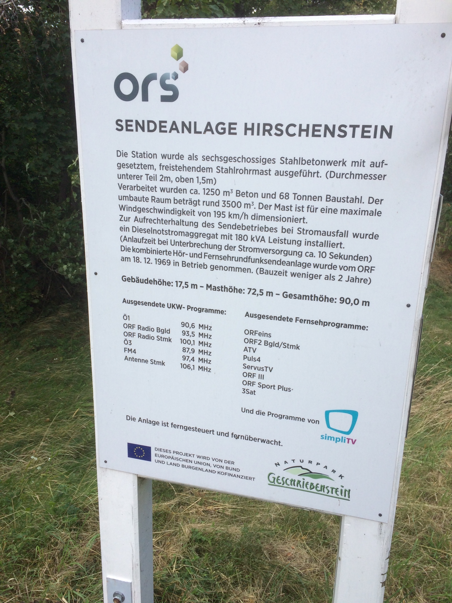
Following the trail to the west, the route crosses the main street with a restaurant and then continues through the woods to the second highest point of Burgenland: The “Hirschenstein” (862m) with its transmitter for radio and TV.
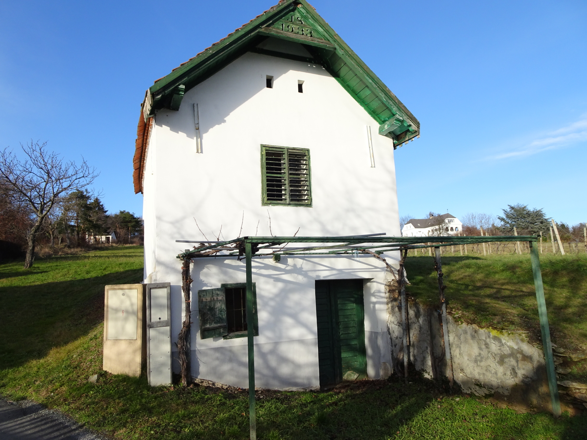
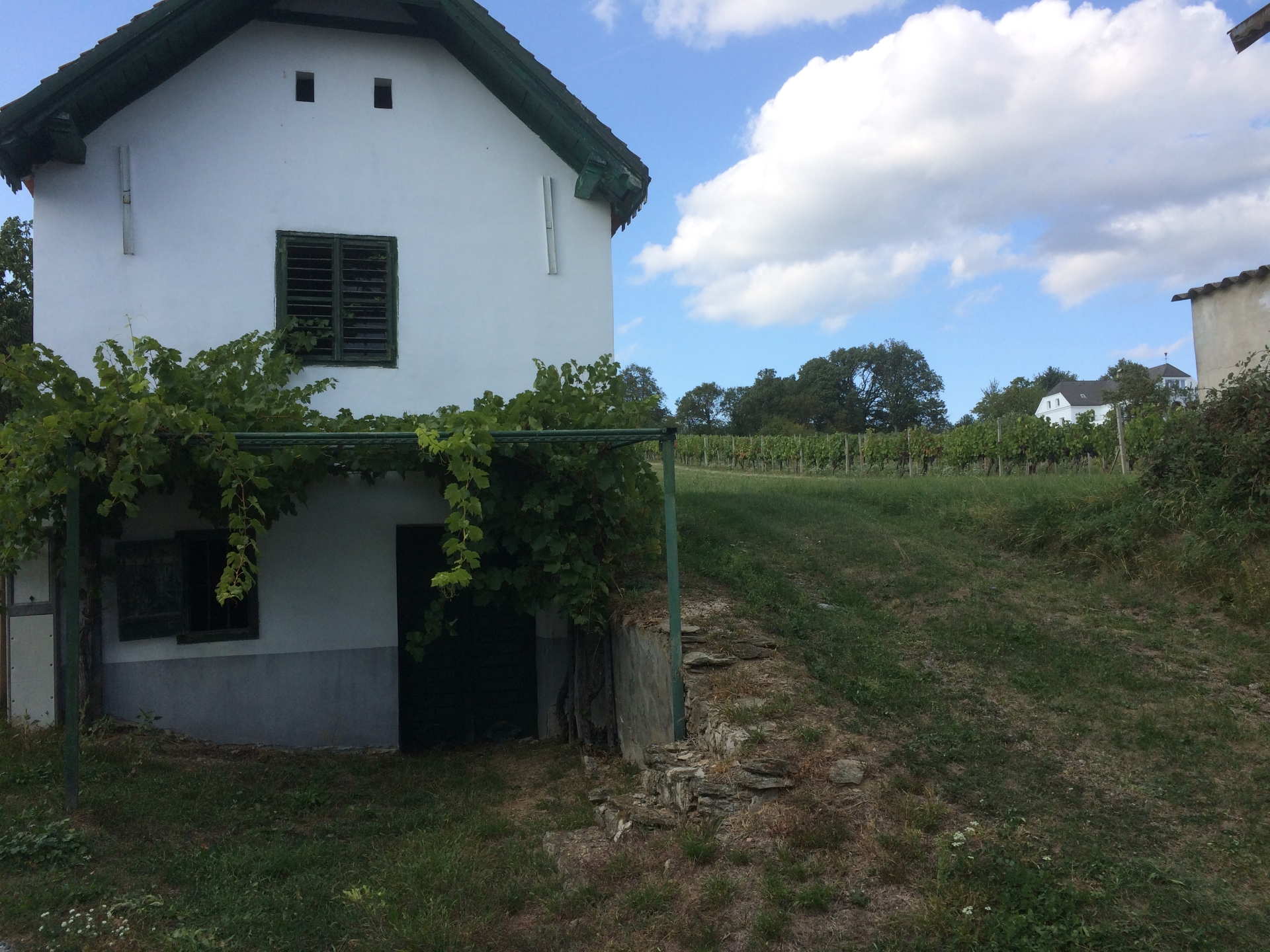
From there, the route descends via nice and easy trails back to Rechnitz, passing some vineyards and old-style farming houses.
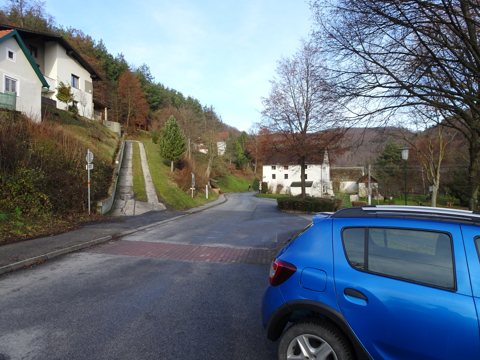
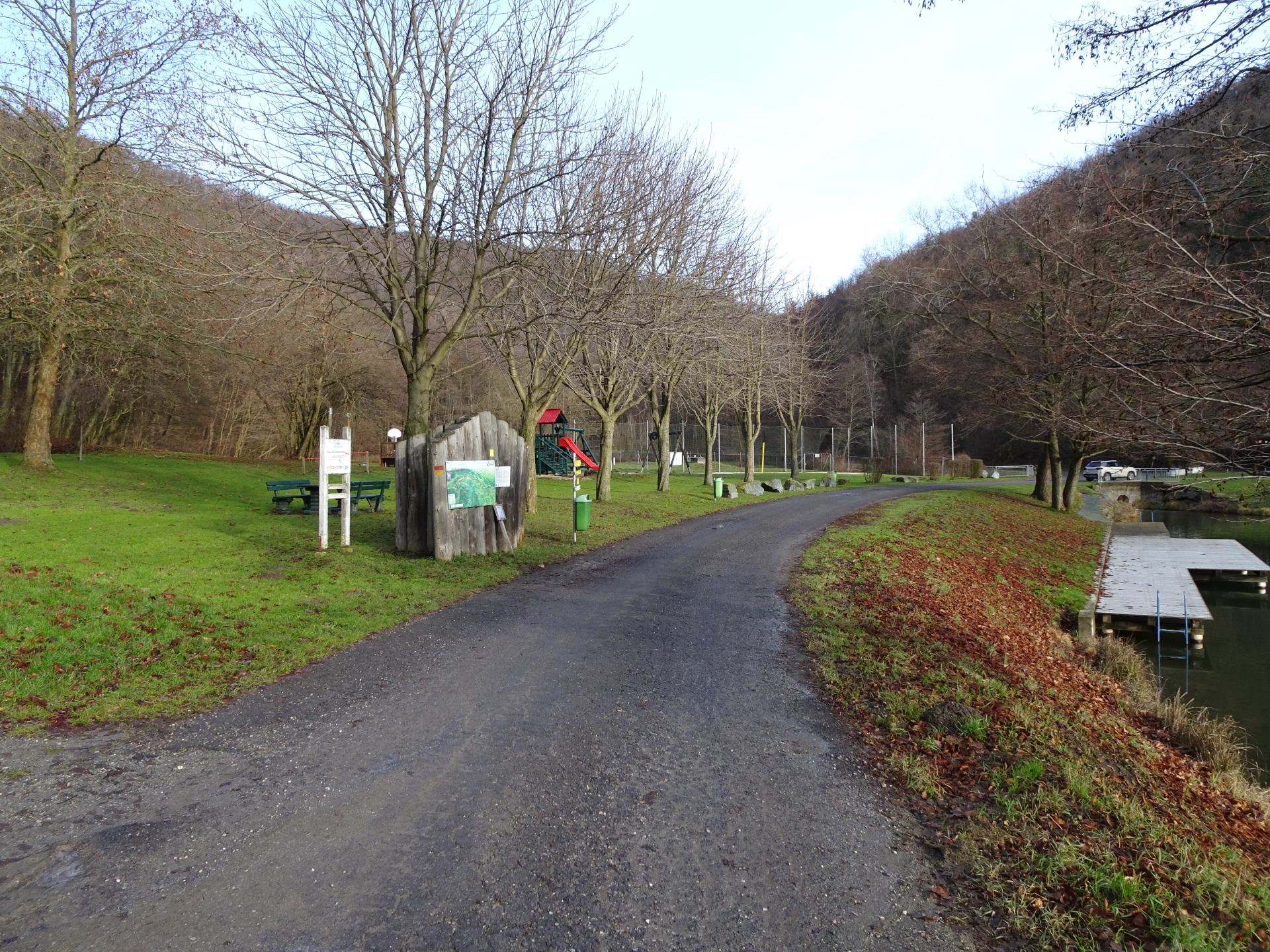
| 00:00 | Parking at the parking lot in the city center of Rechnitz (observe possible parking restrictions). |
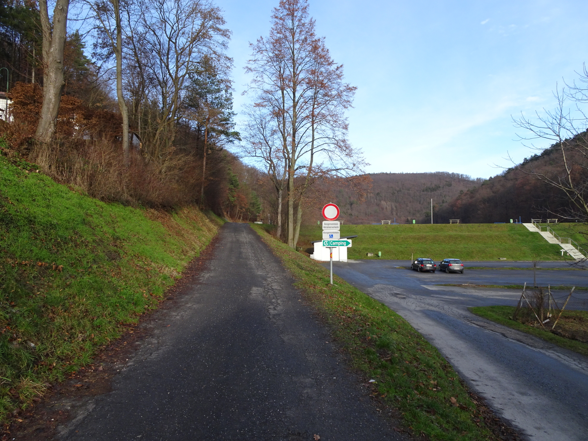
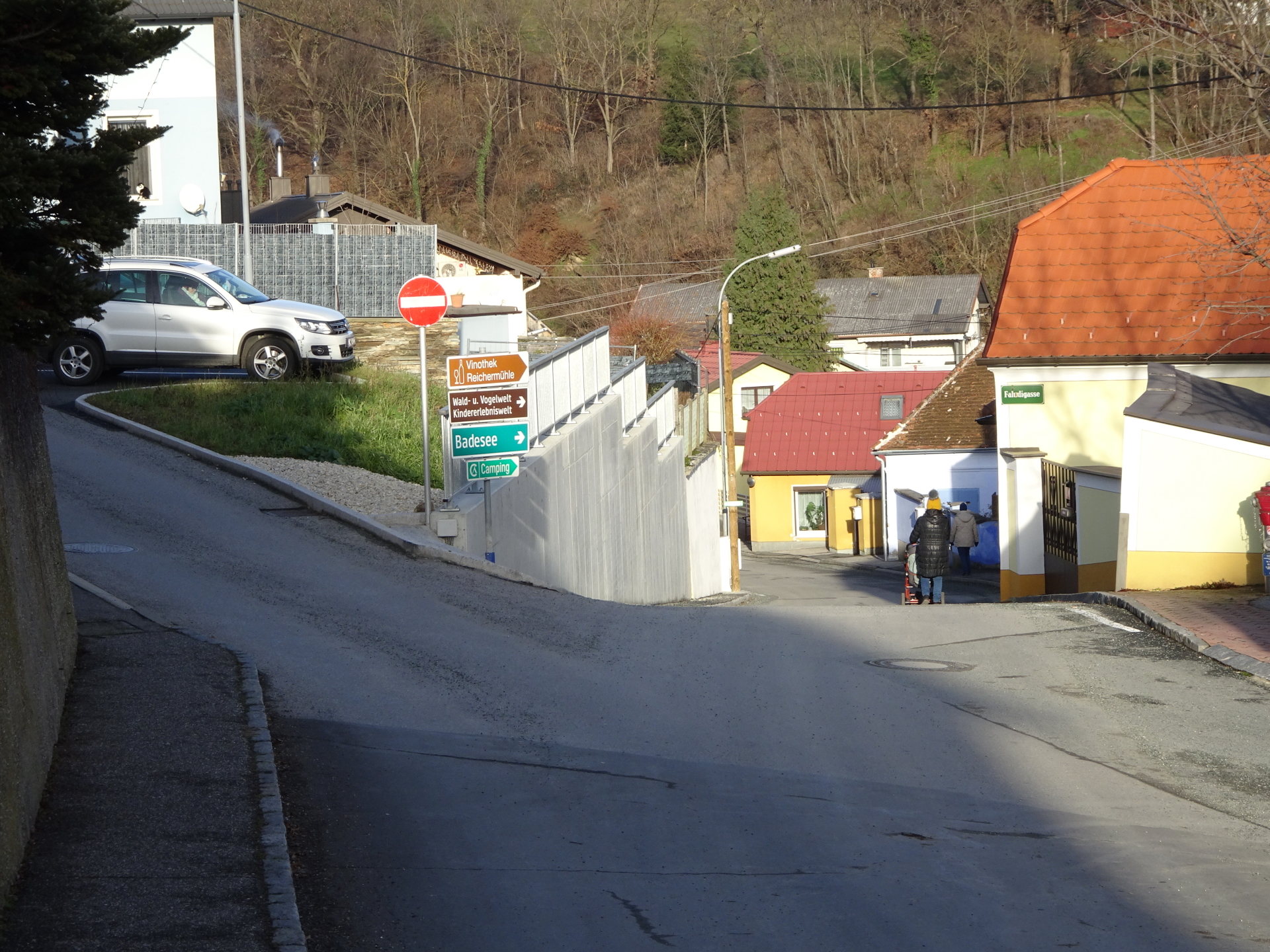
| 00:02 | Follow the street on the right side of the church downwards to the lake and its camping area (marked with a green sign “Badesee”). |
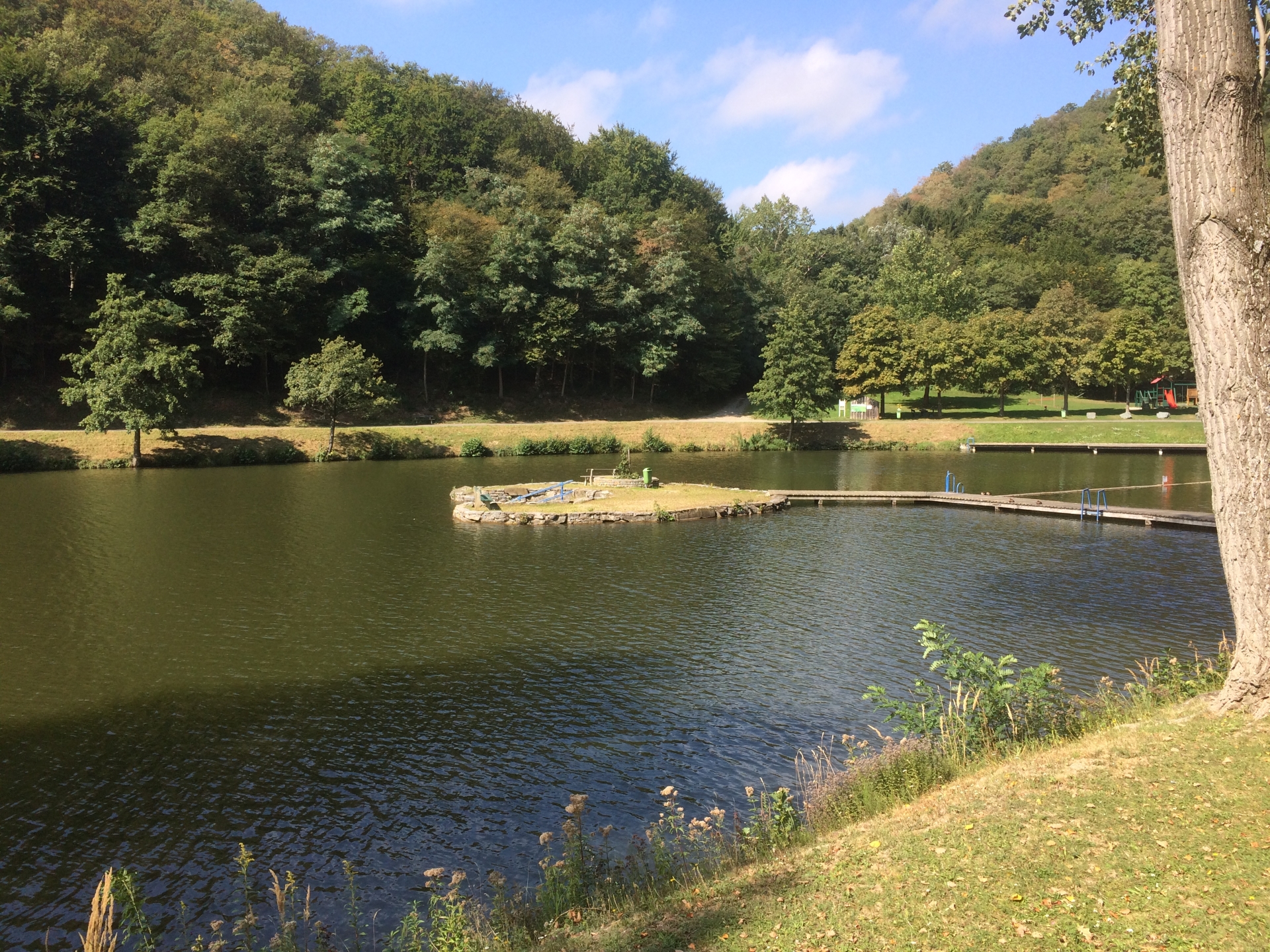
| 00:15 | Pass by the dam lake till you reach its end on the other side. |
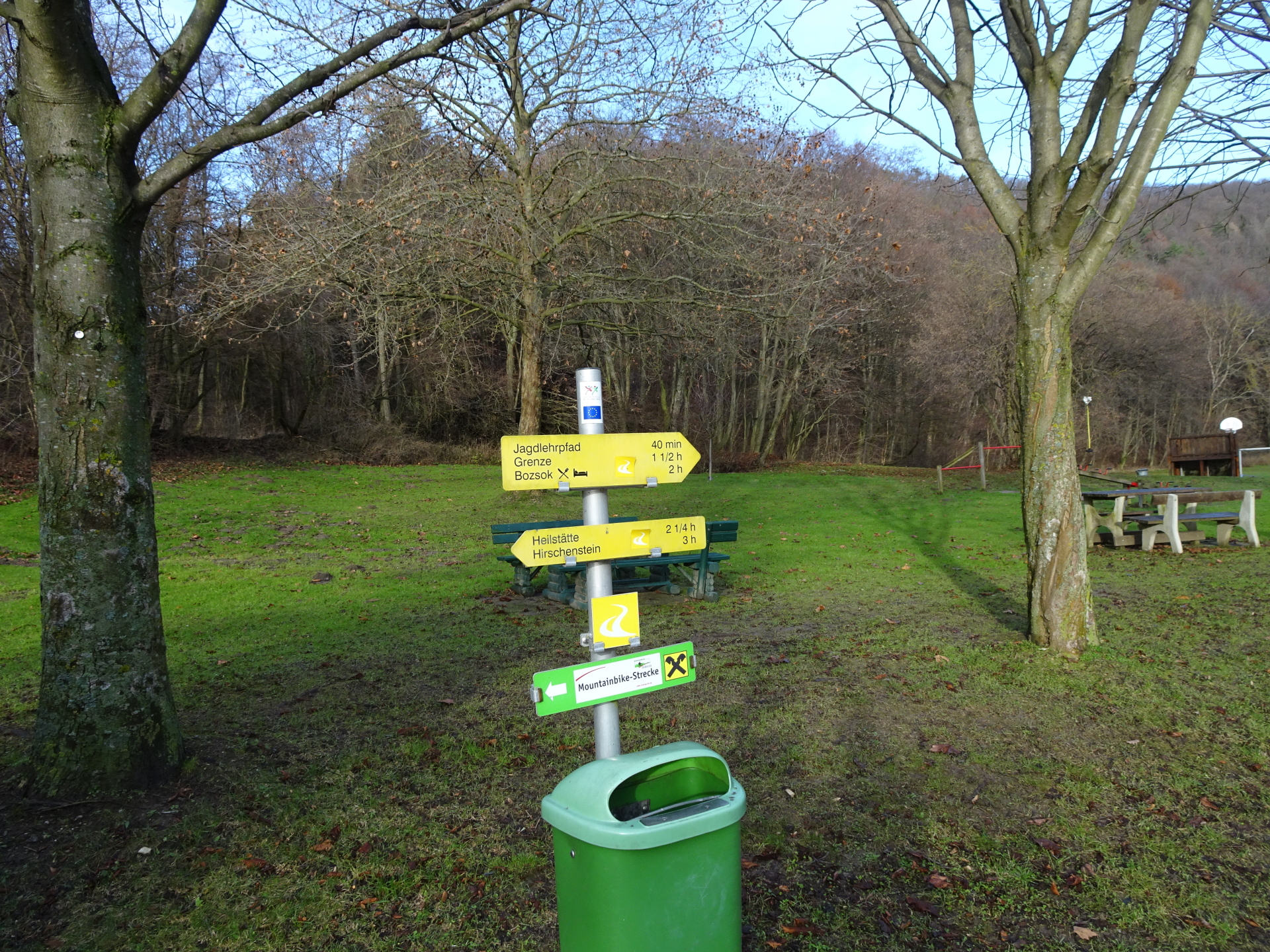
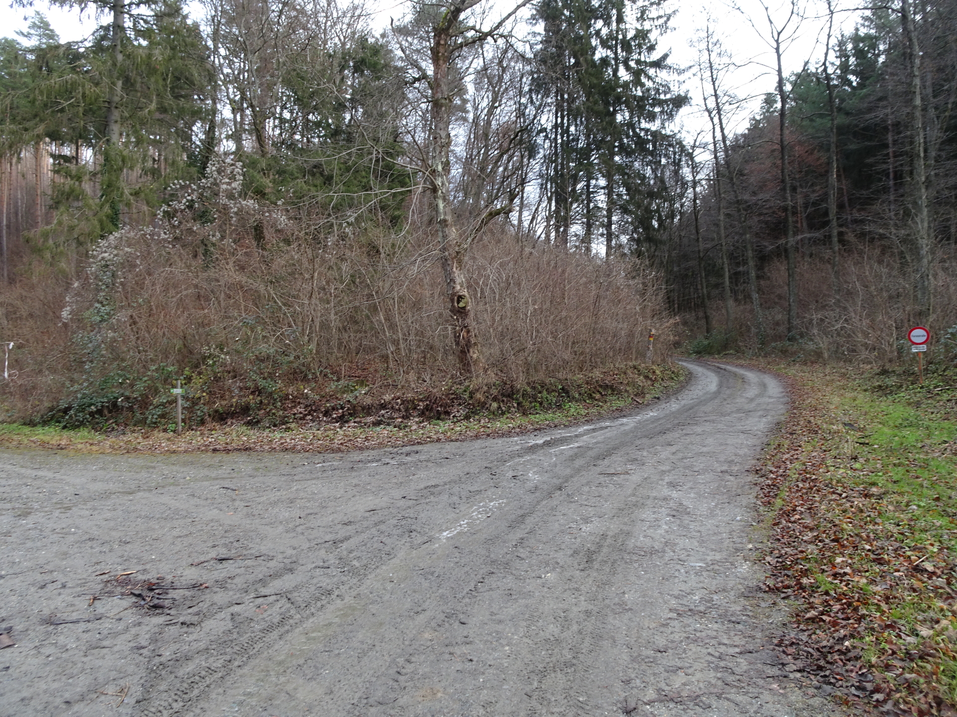
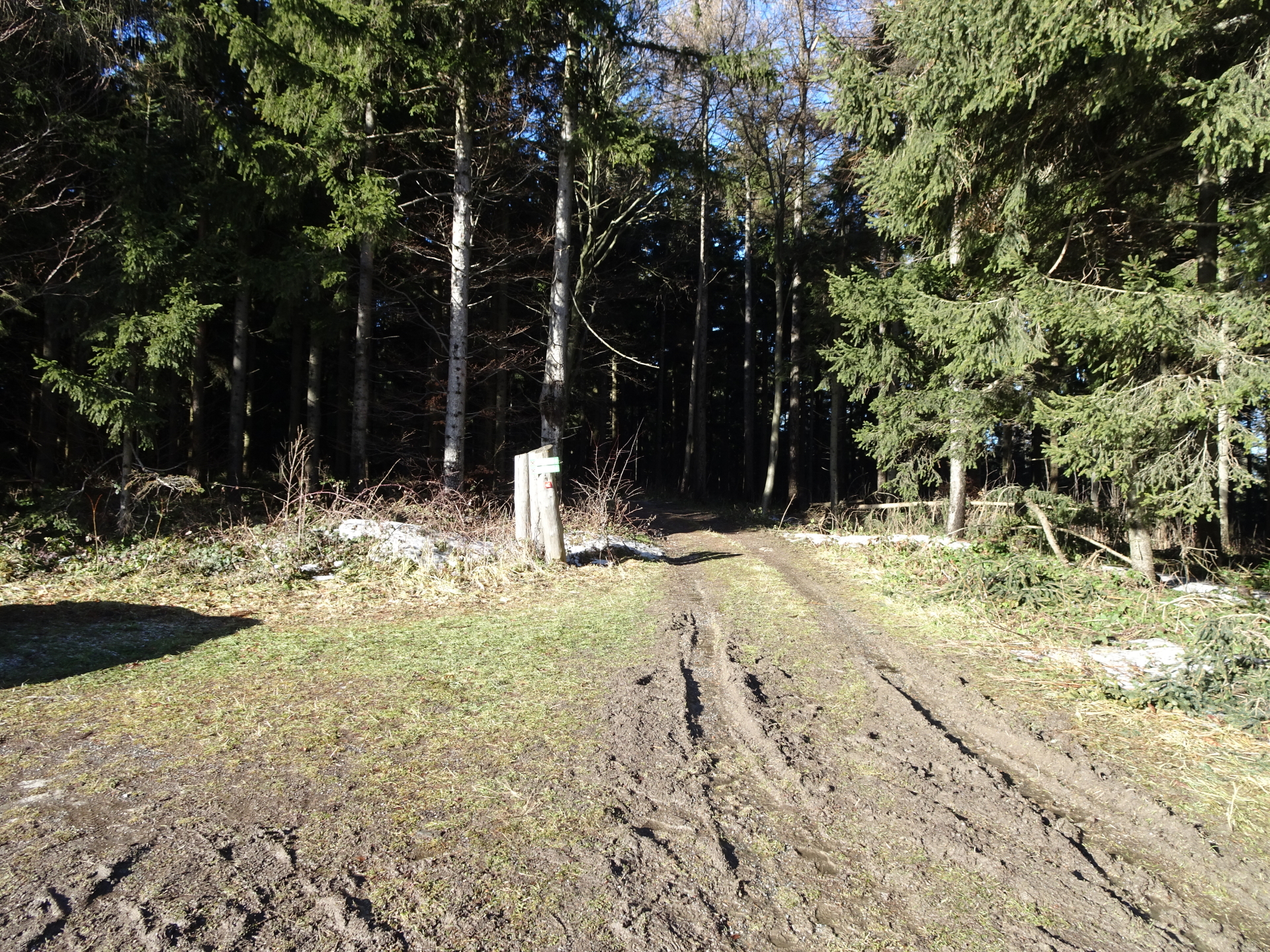
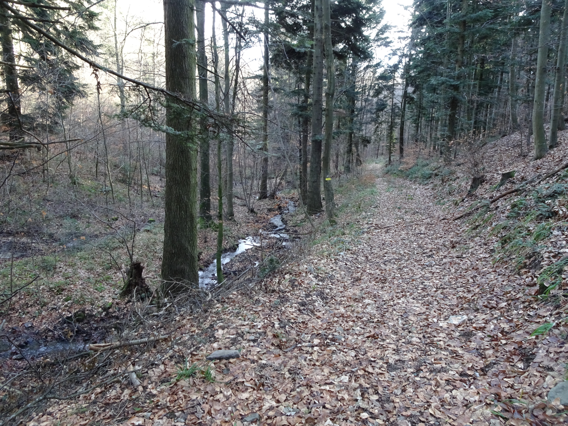
| 00:22 | Follow the trail next to the small river (on the right side of the river). |
| 00:24 | Follow the botanic trail on the right side. |
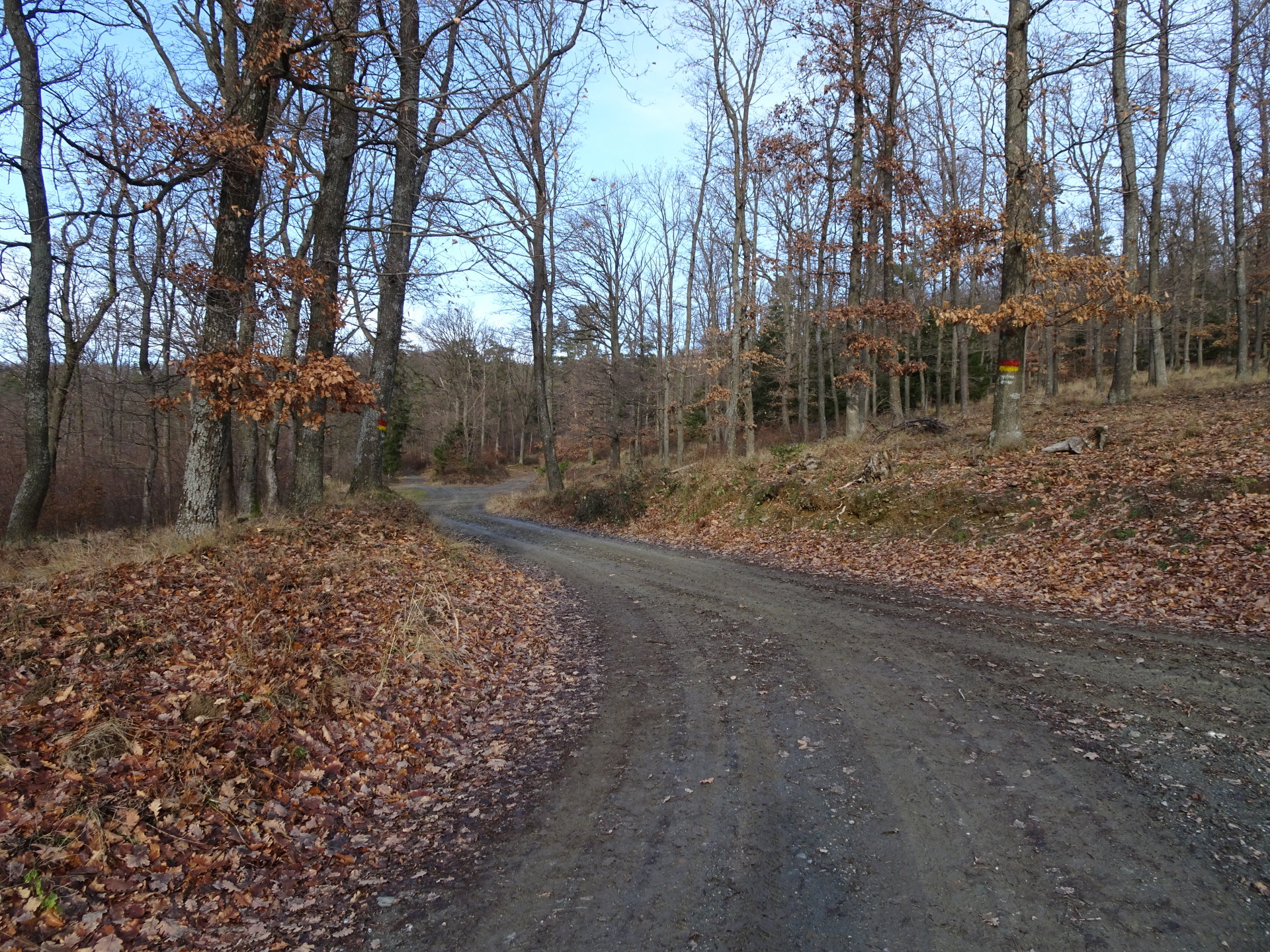
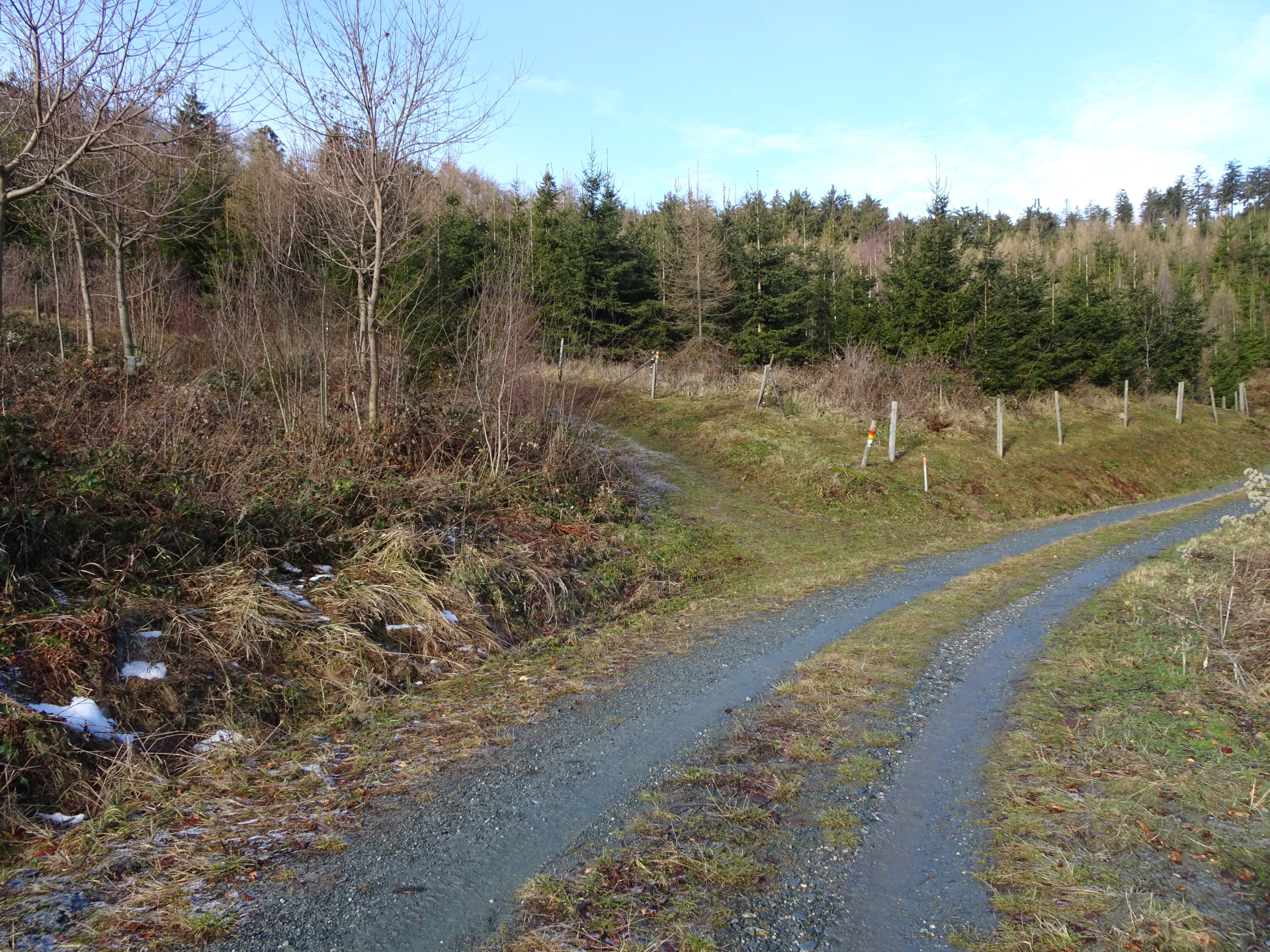
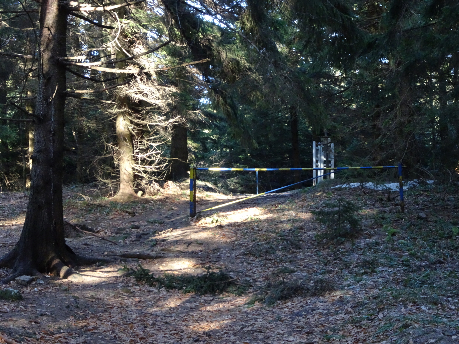
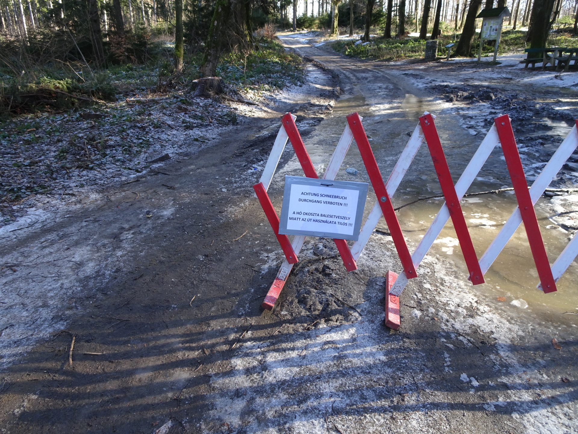
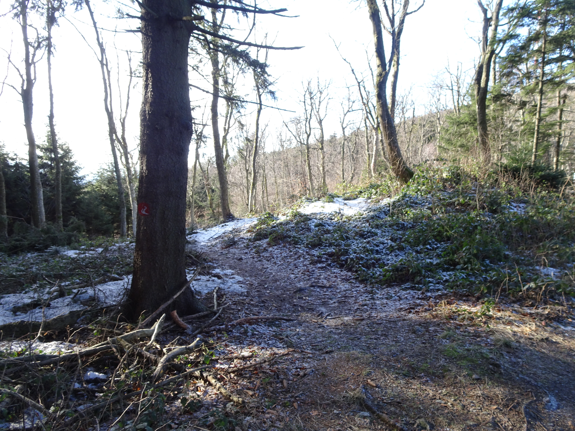
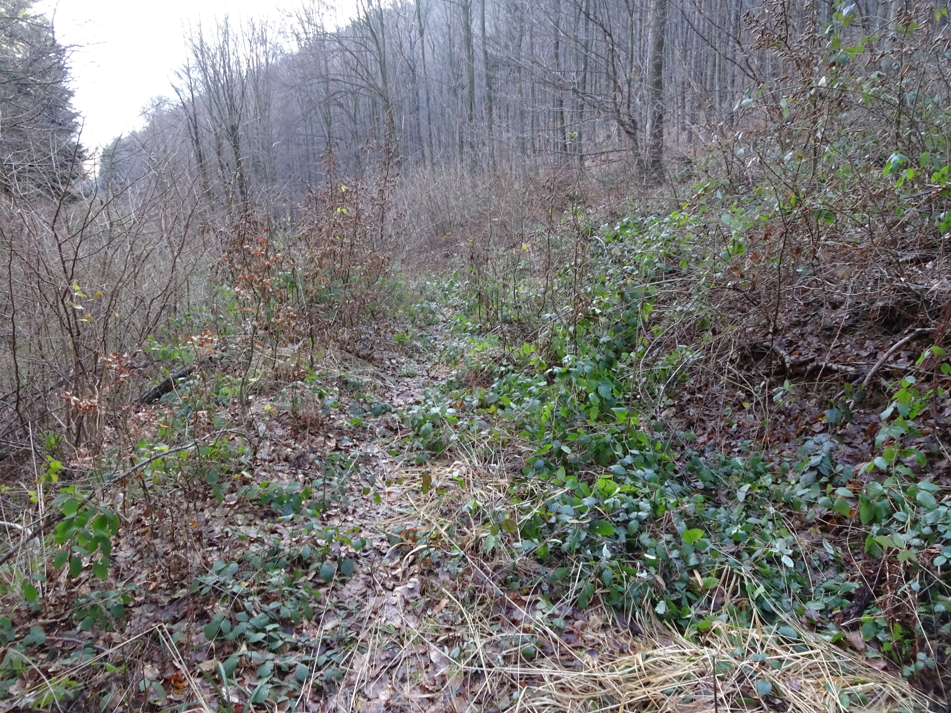
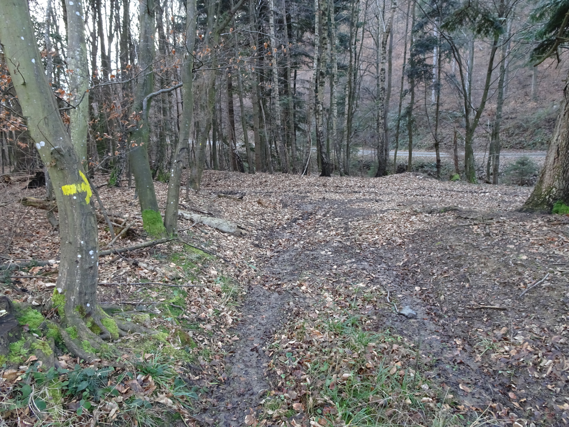
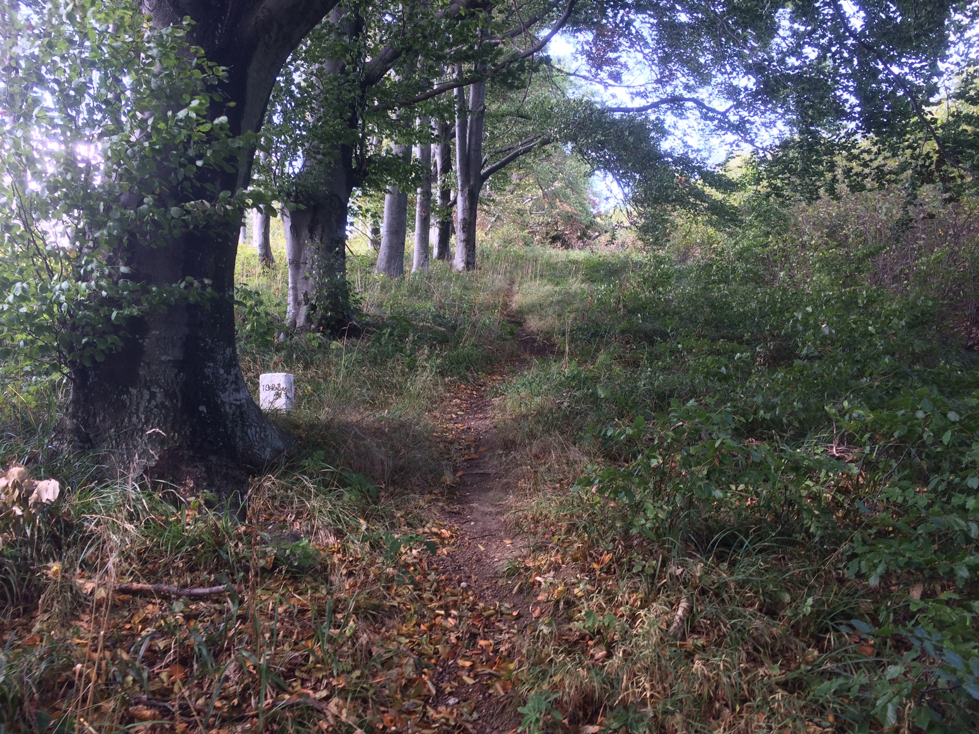
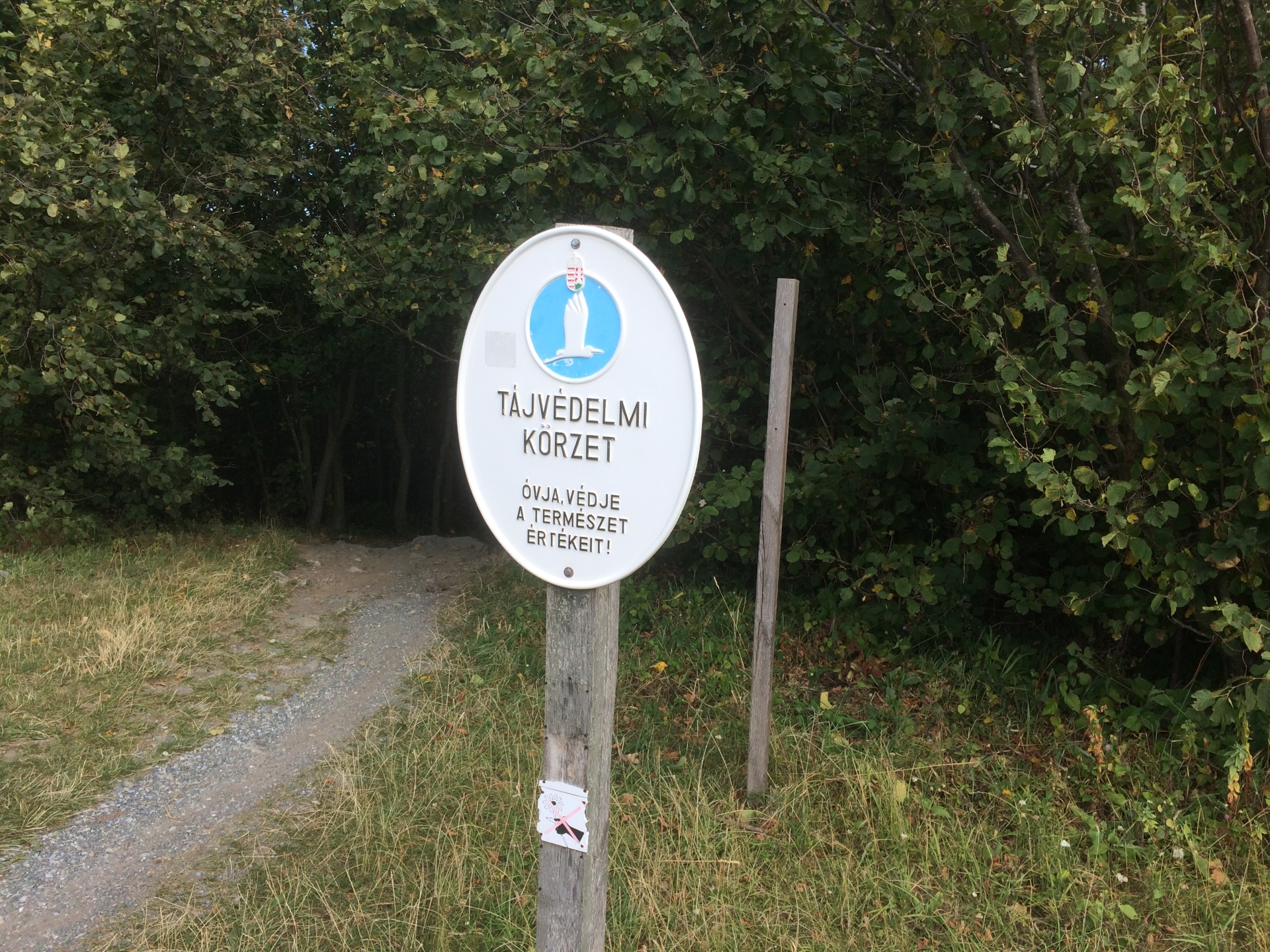
| 00:29 | Follow the trail towards the Austrian/Hungarian border. It is advised to have a map or a GPS device with you since the trail isn’t always marked. |
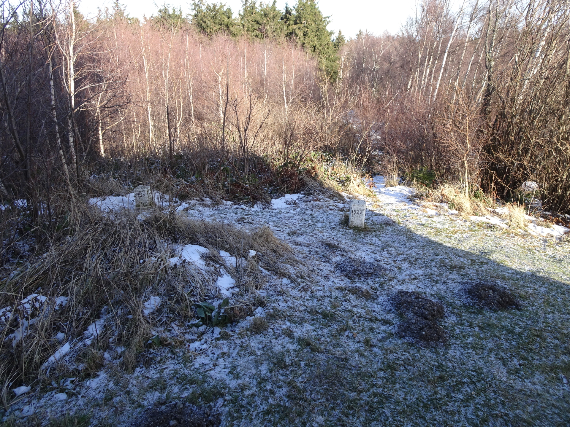
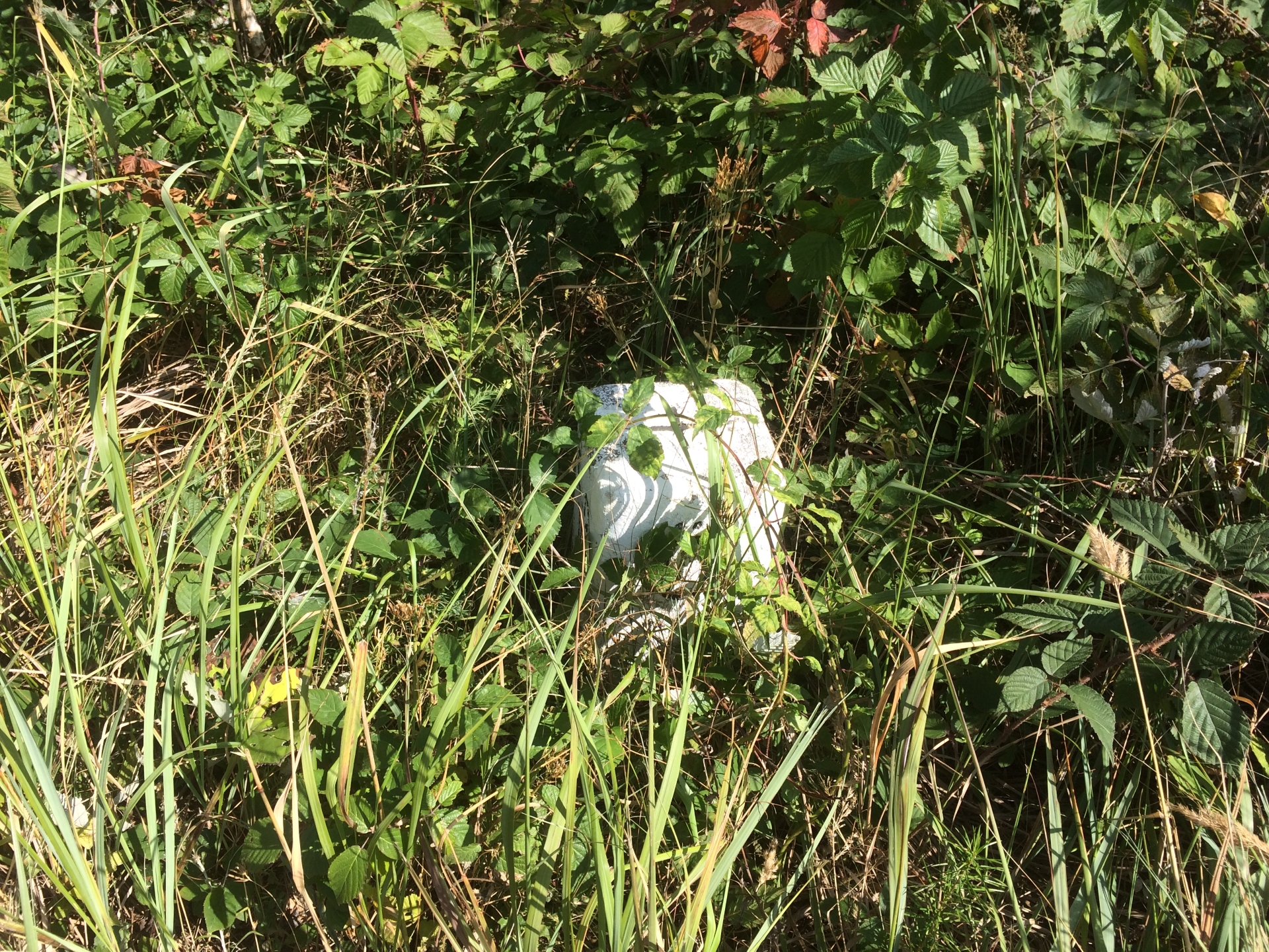
| 01:50 | The trail now runs along the Austrian/Hungarian border. You see the border marked with small white milestones. |
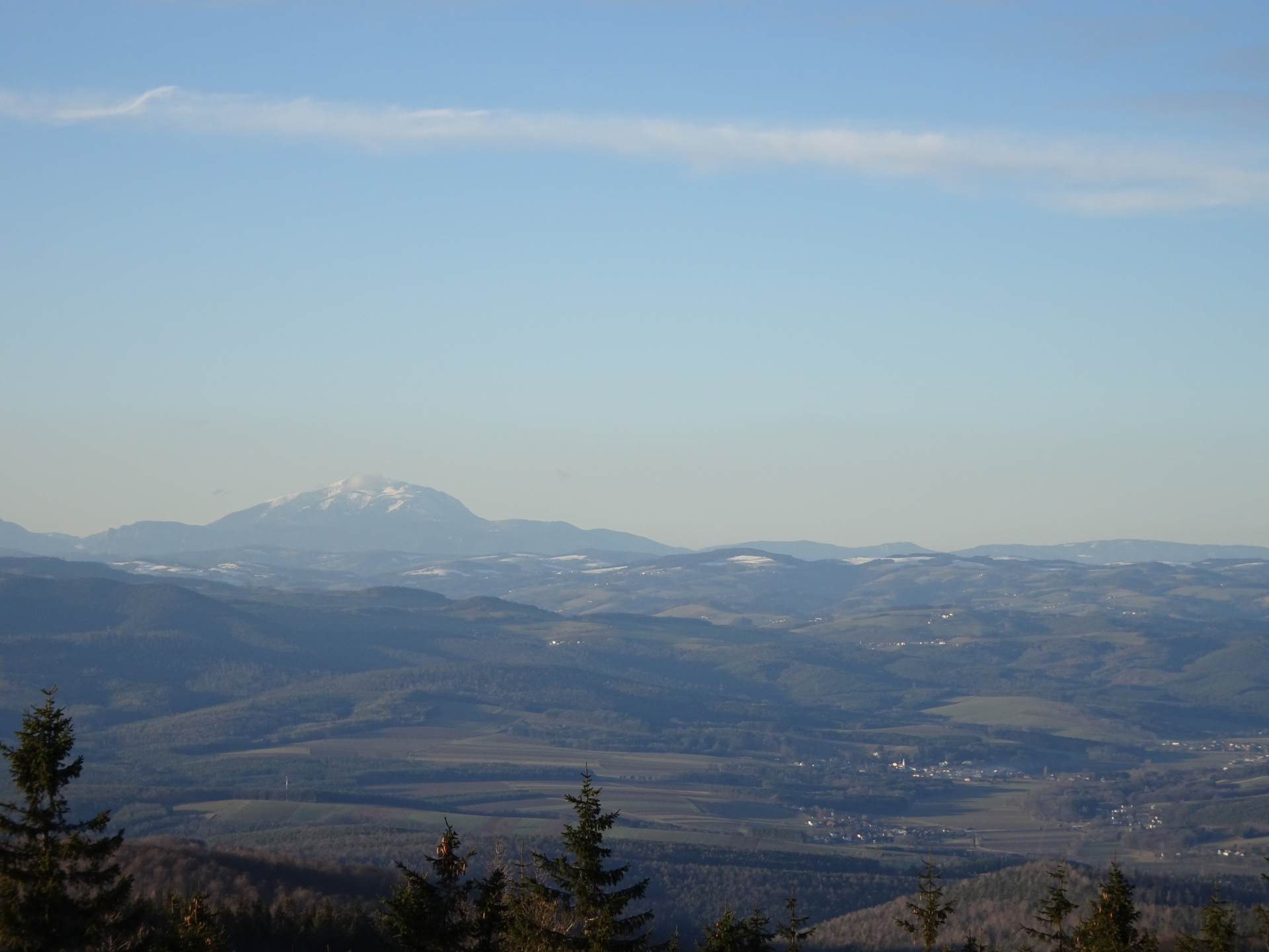
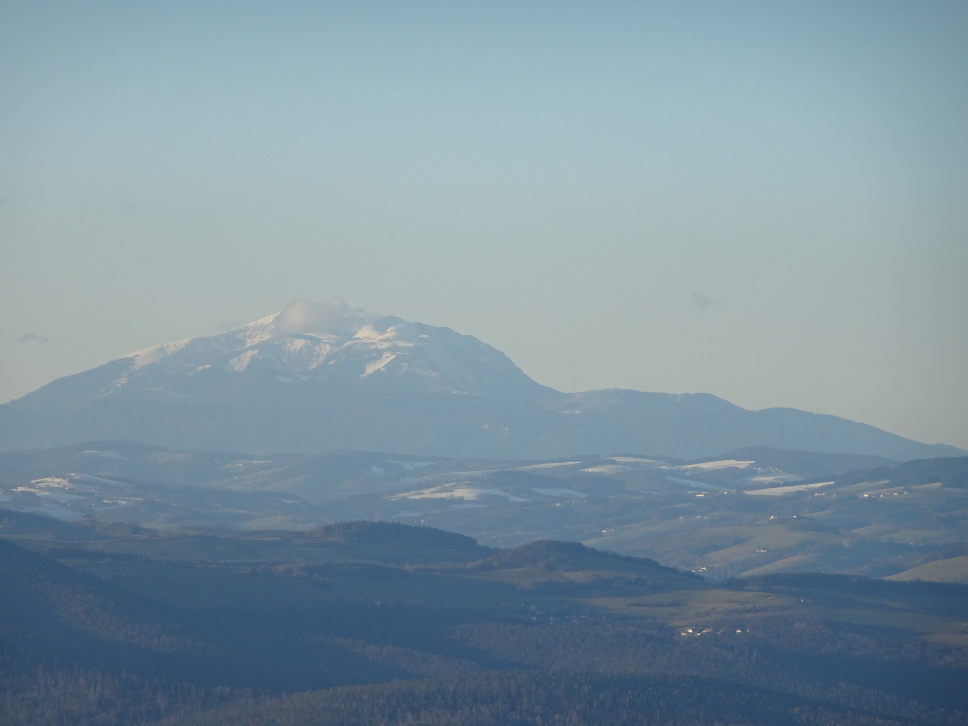
| 02:00 | Break and enjoy the view at the viewing platform on the Geschriebenstein. |
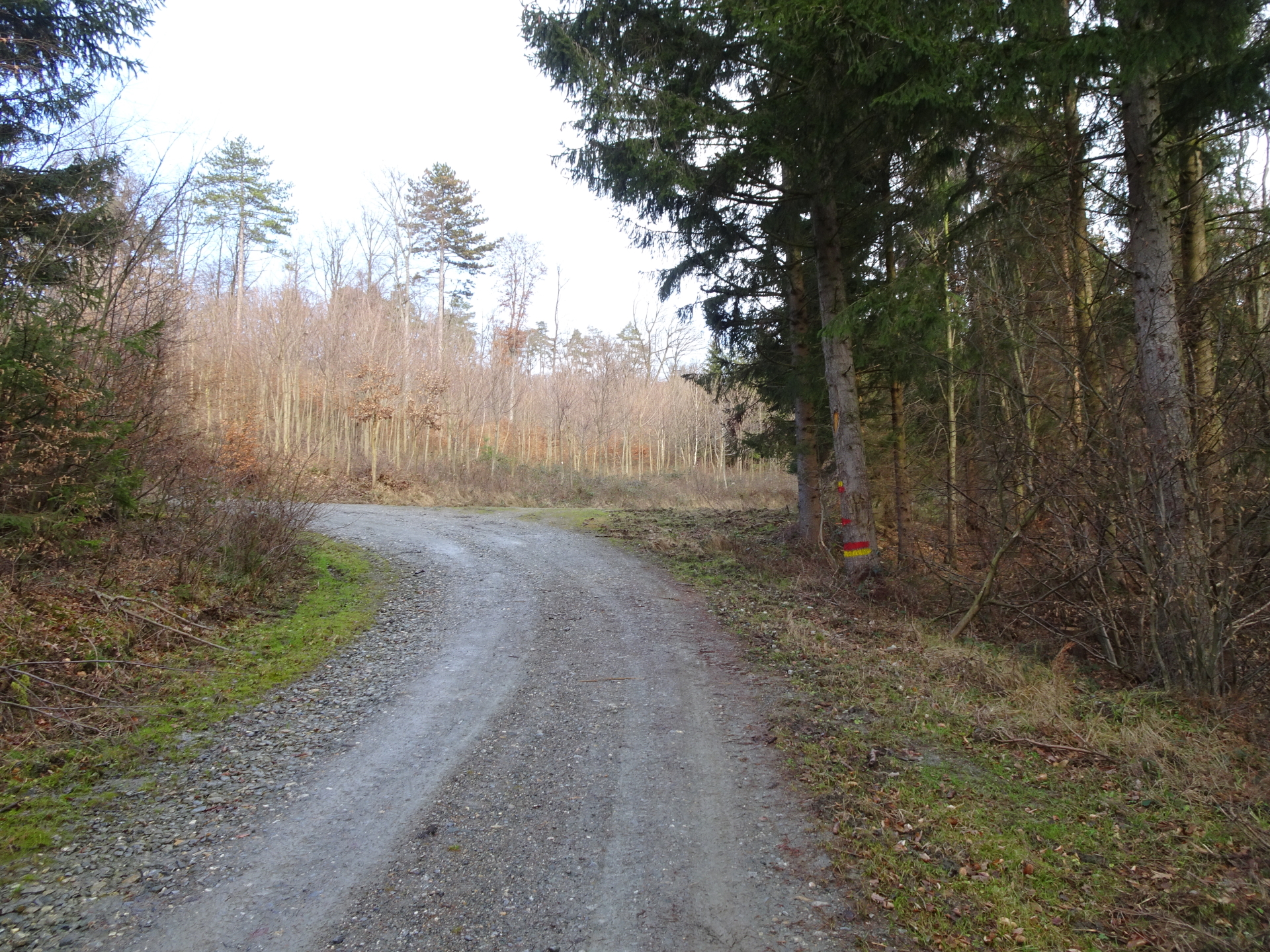
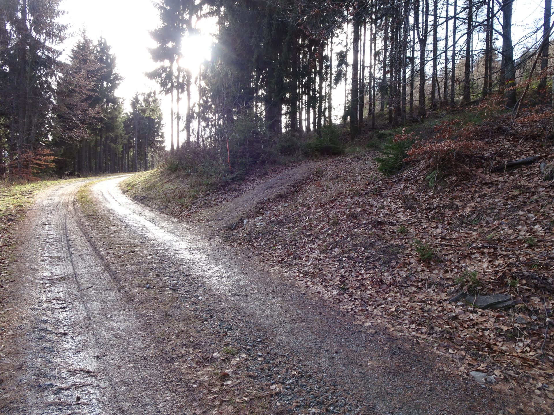
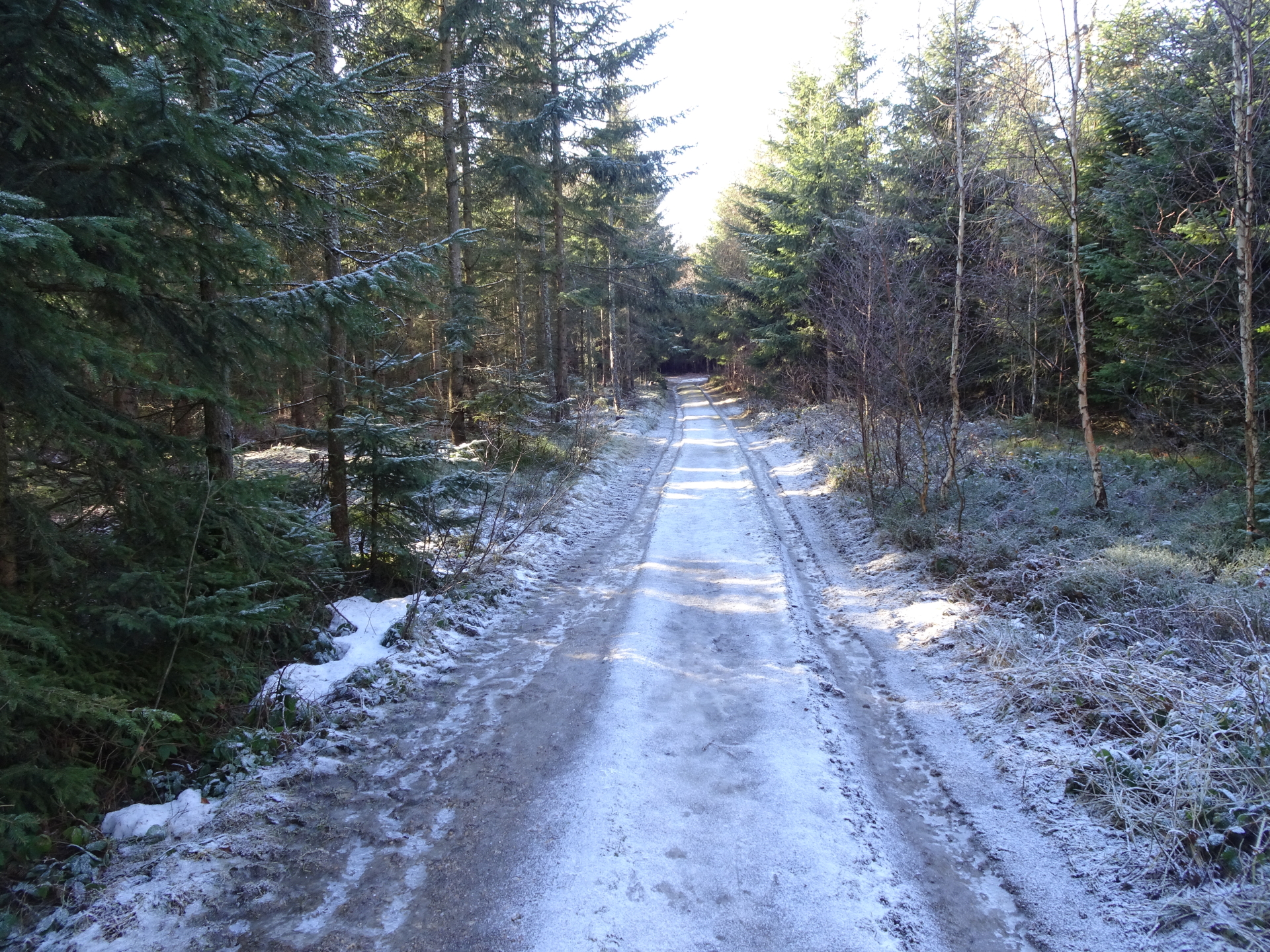
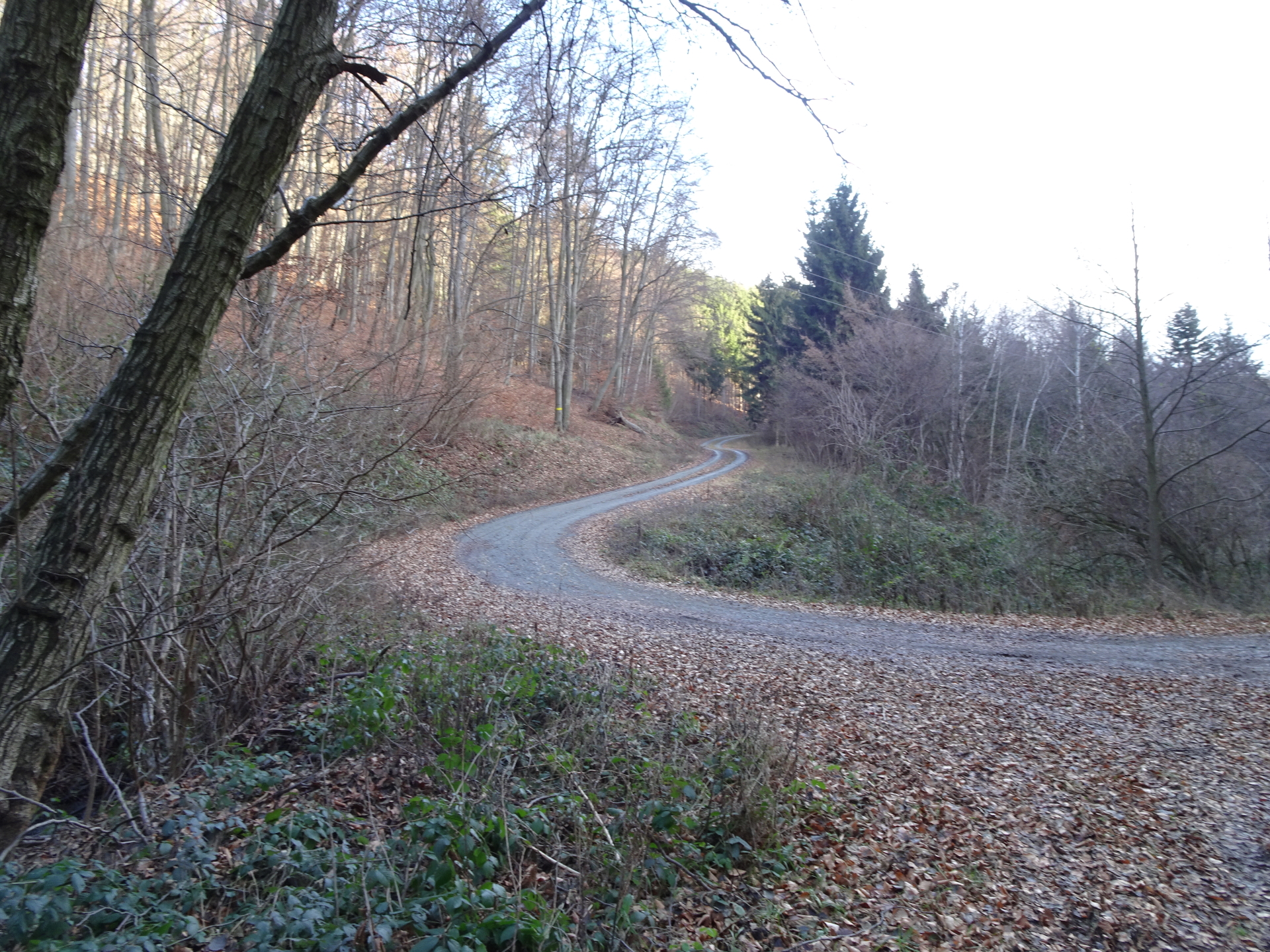
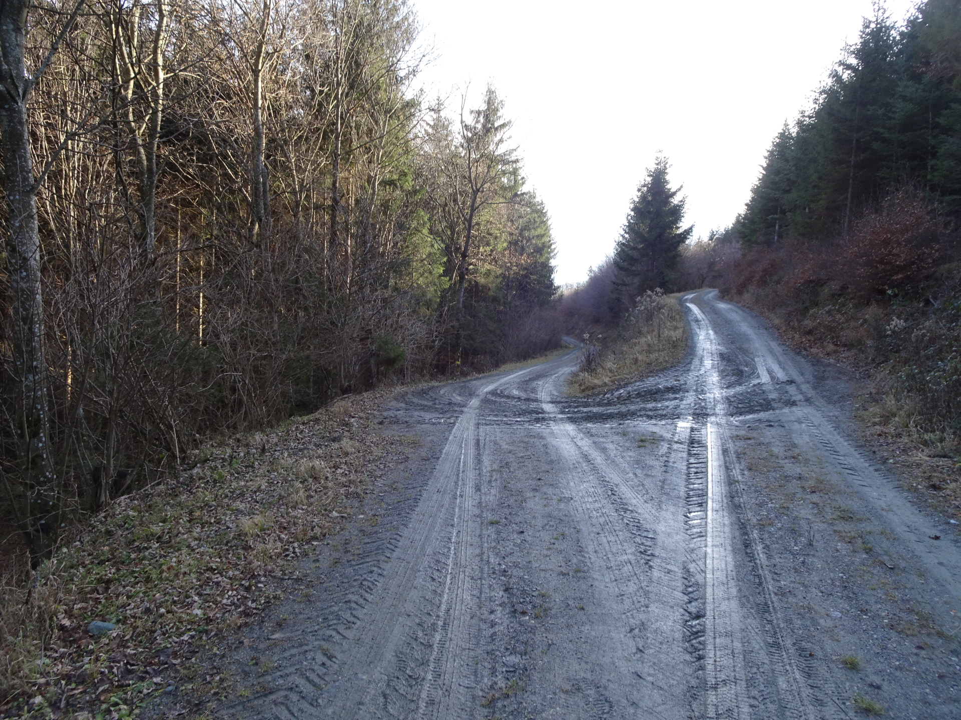
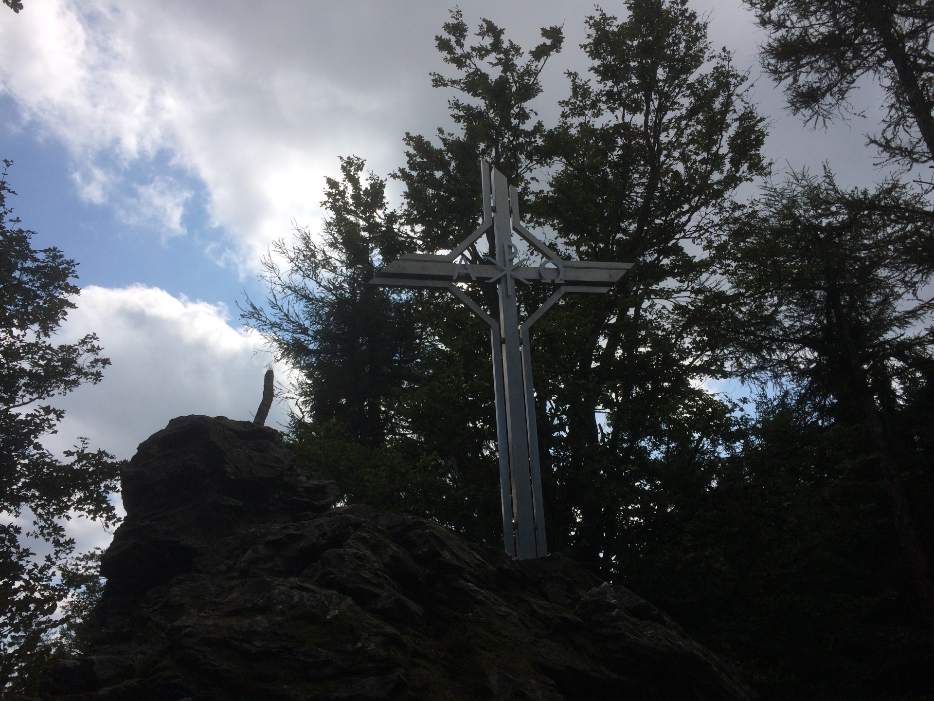
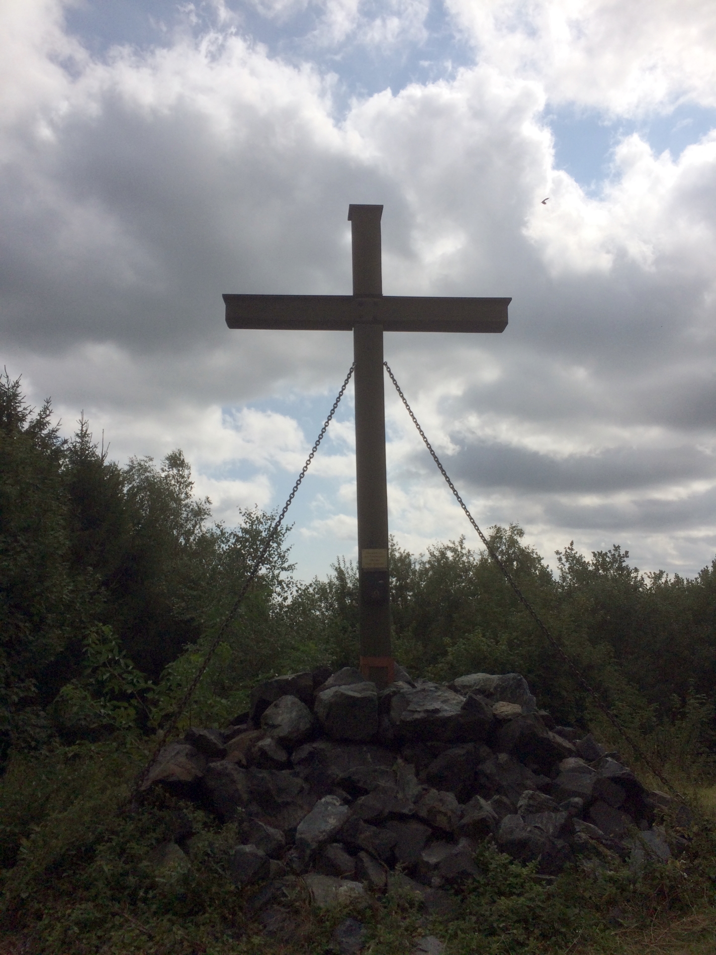
| 02:10 | Follow the wide trail (forest street) to the west. You will pass by the summit cross on your left hand side. |
| 02:25 | Cross the street to the only restaurant on the route: “The Ranch” (). |
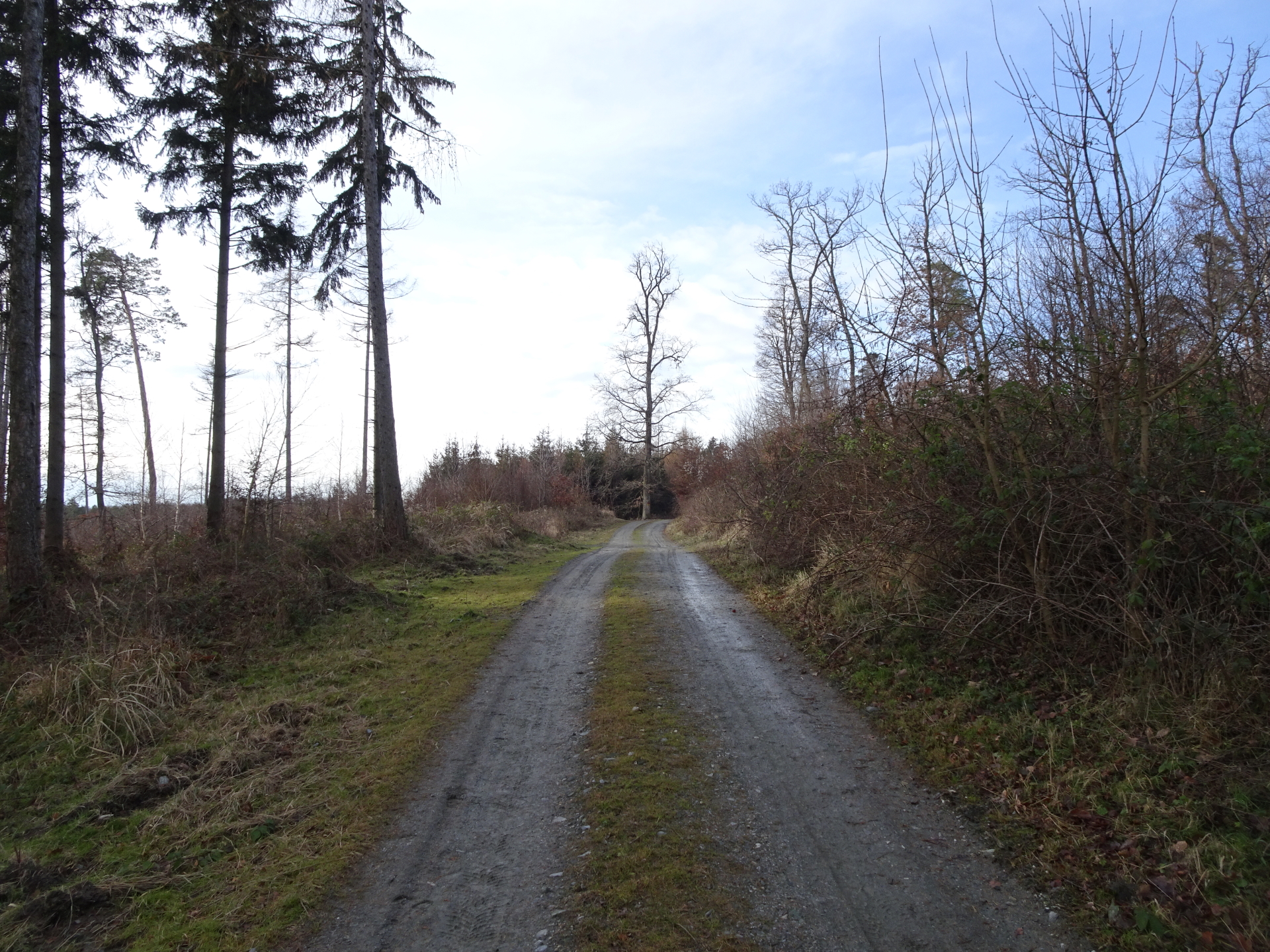
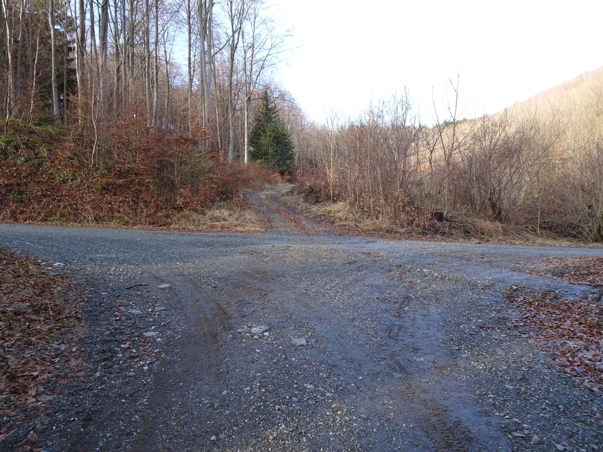
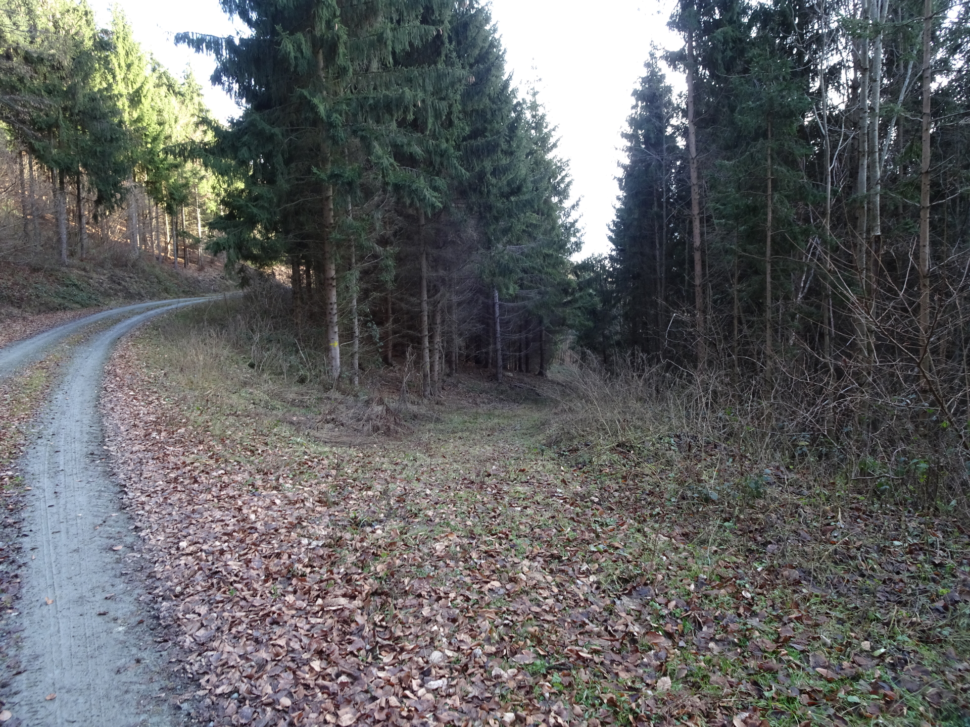
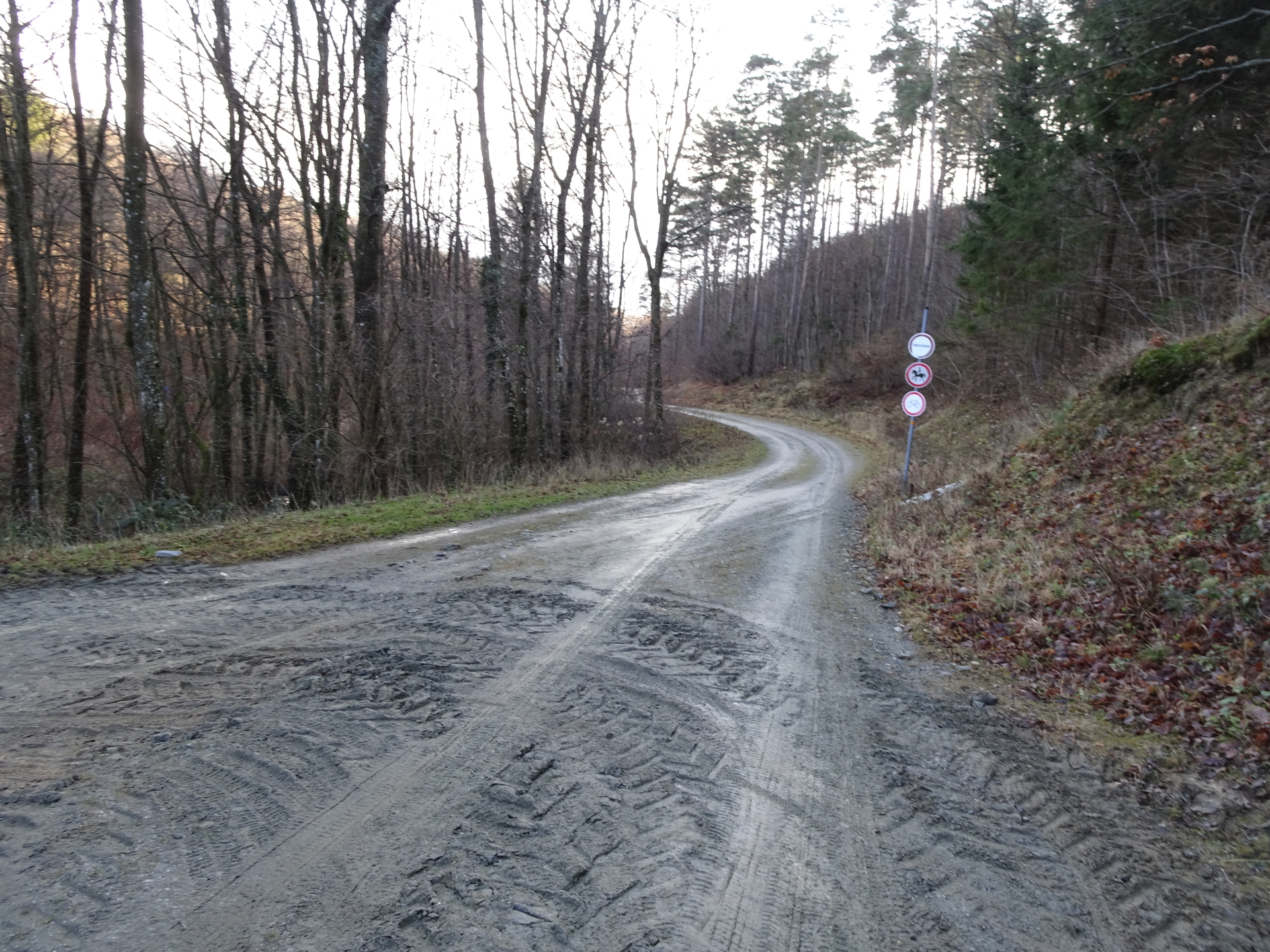
| 03:25 | Continue on the trail heading west through the woods. |
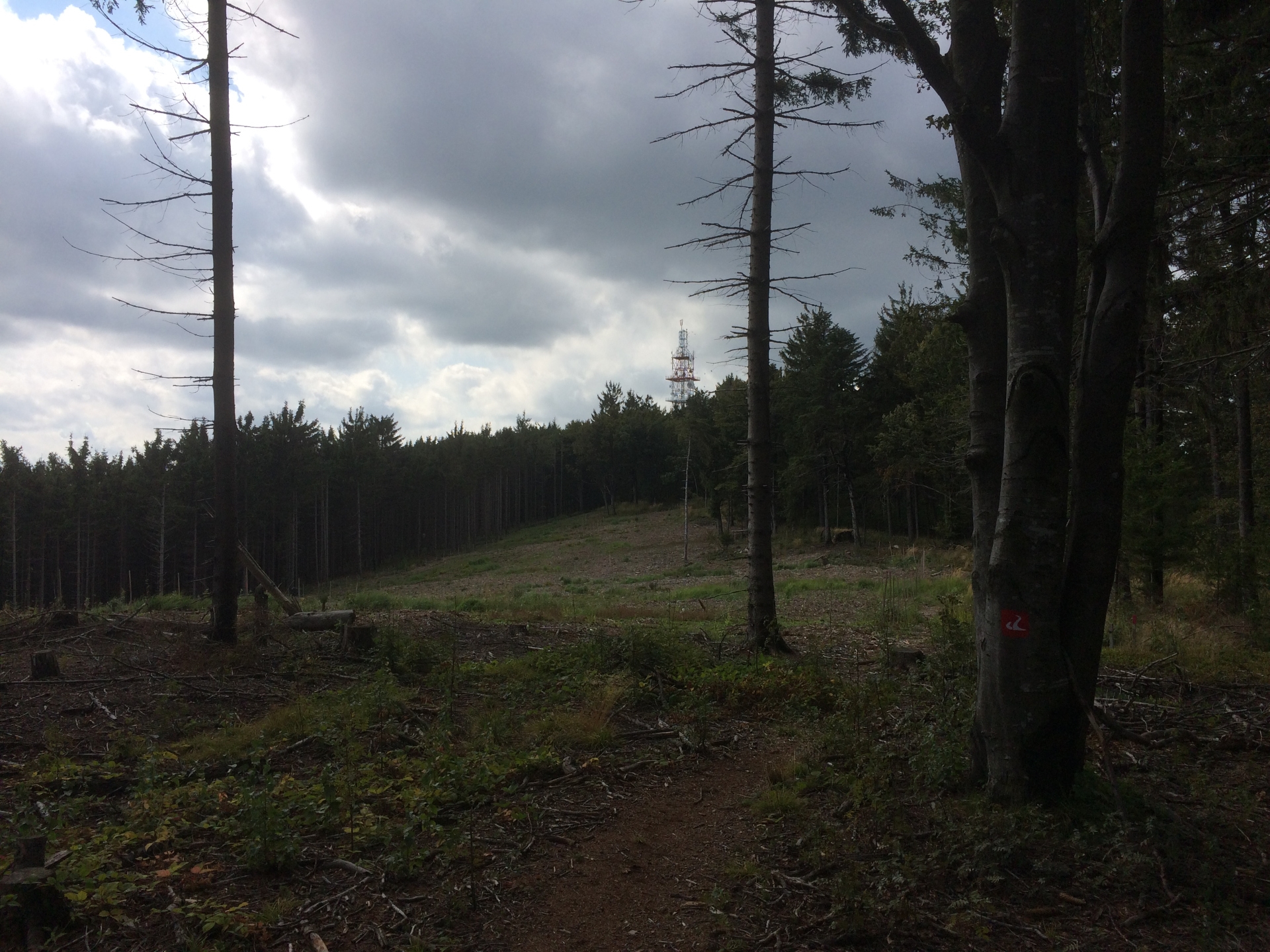
| 03:50 | Pass by some unmarked transmitter and continue walking on the trail towards Hirschenstein. |
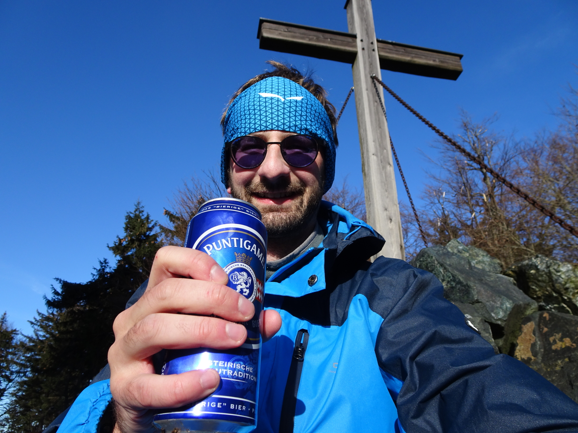
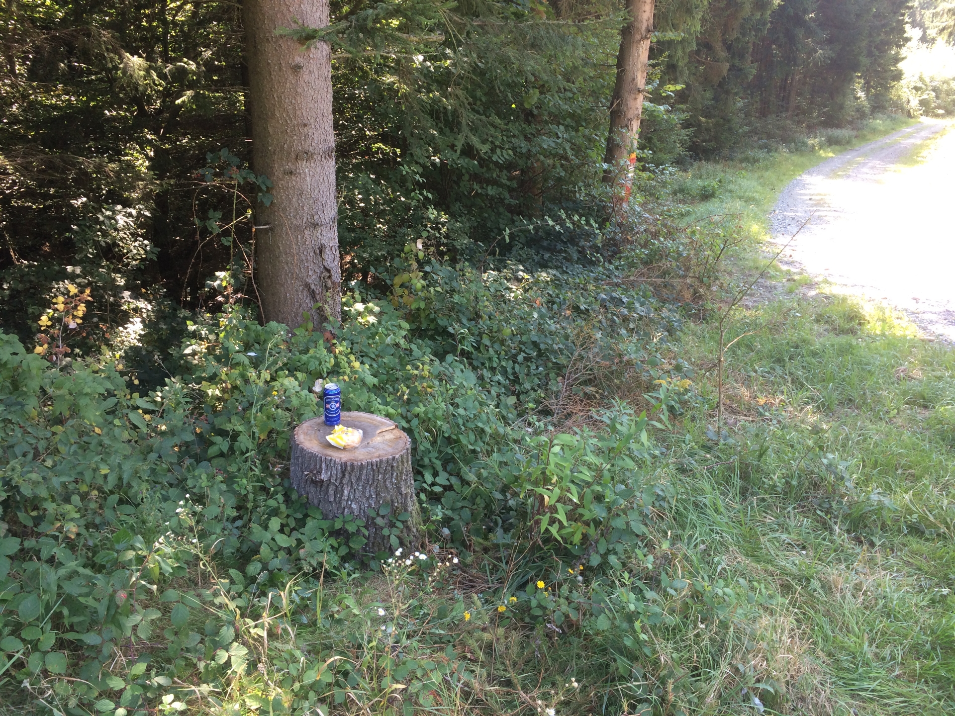
| 04:00 | Enjoy your self-brought beer () at Hirschenstein. The summit cross is on the left side next to the TV and radio transmitter. |
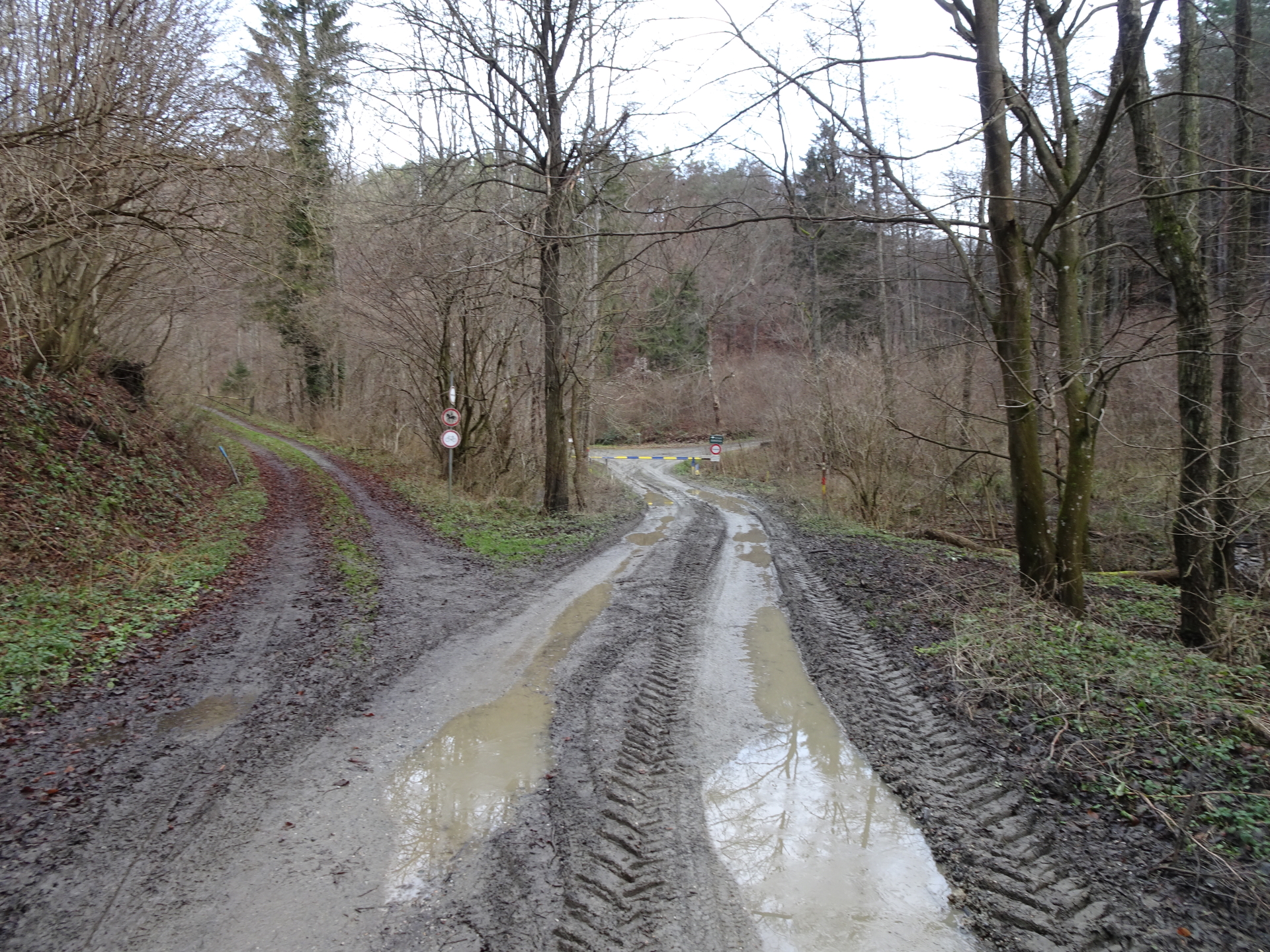
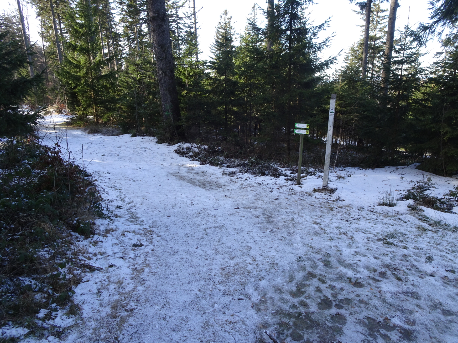
| 04:20 | Head back on the route till the first crossing. |
| 04:28 | At the corssing turn right and descend through the woods back to Rechnitz. |
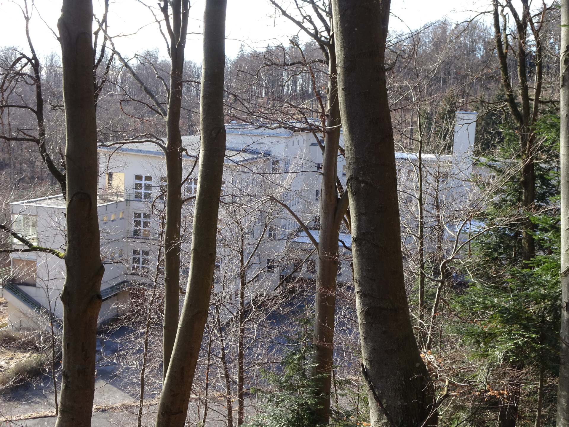
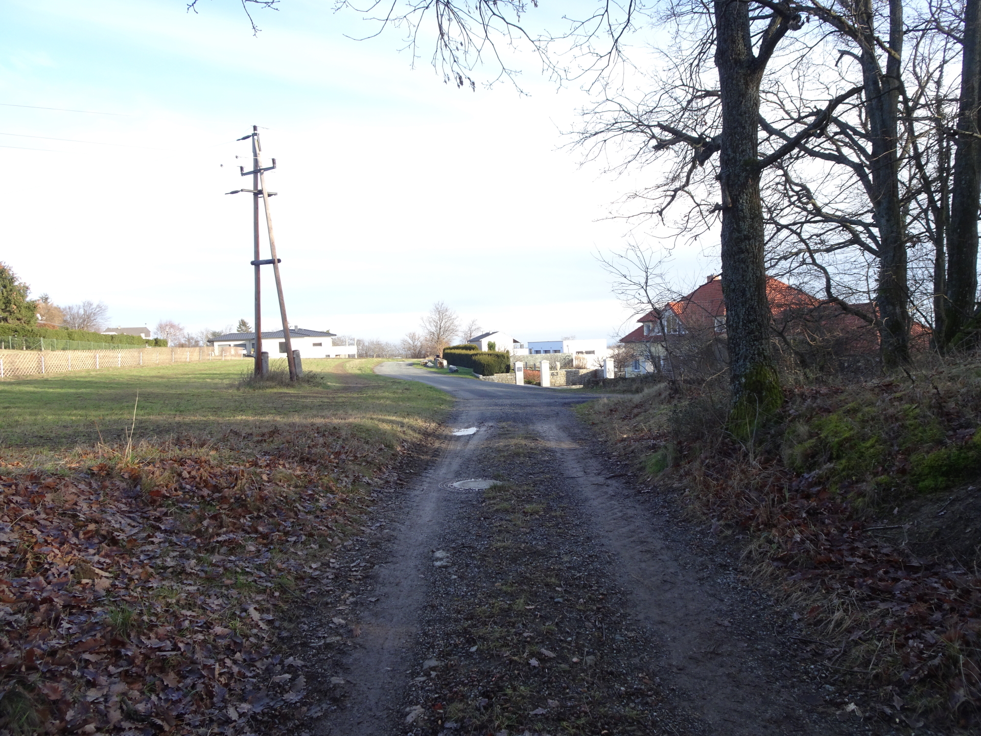
| 04:40 | Pass by the Nursing Home, cross the street and follow the trail downwards to Rechnitz. |
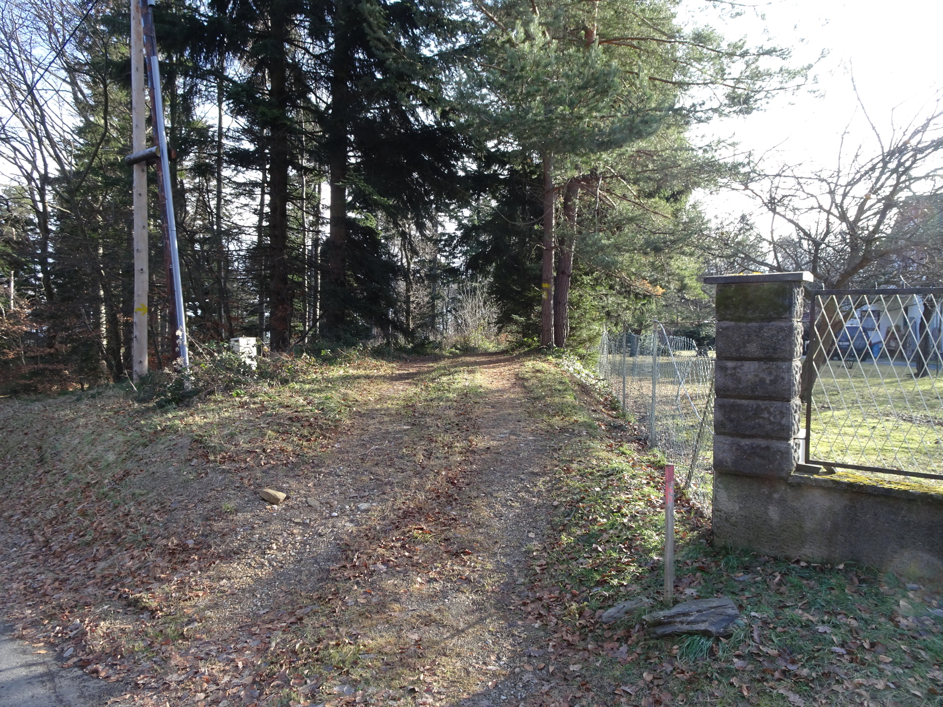
| 05:30 | At the crossing next to the water preparation, turn left and follow the u-turn. |
| 05:42 | Follow the street through the vineyards in Rechnitz till you end up on the main street. |
| 06:00 | Follow the main street till the car parking. |
At a glance
| Level | easy |
| Technique | |
| Shape / Fitness | |
| Experience | |
| Scenery | |
| Best time in the year | |
|
Jan
Feb
Mar
Apr
May
Jun
Jul
Aug
Sep
Oct
Nov
Dec
|
|
General Tour Data
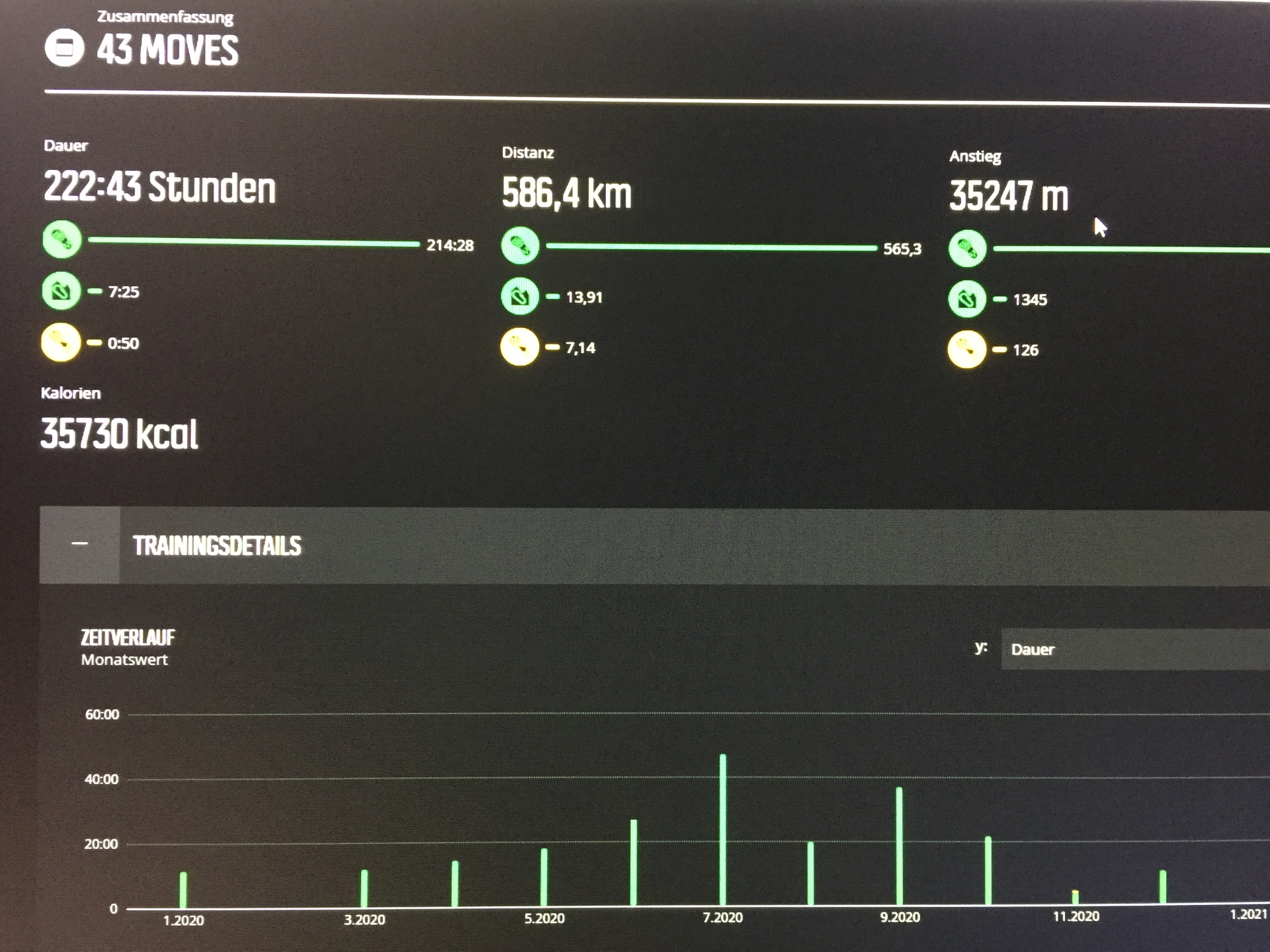
| Area: | Günser Gebirge, Burgenland, Austria | |
| Distance: | 21km | |
| Ascent: | 718m (2h 00min) | |
| Descent: | 711m (2h 00min) | |
| Highest Pt: | 884m | |
| Lowest Pt: | 340m | |
| Duration: | 4h 15min (without breaks) 6h 00min (with breaks) |
|
| Stop/Rest: | Die Ranch One of the Buschenschanks Rechnitz (you need to google which one is open) |
|
| Equipment: | Backpack with standard hiking equipment Snacks, Food and enough water Sun & Weather protection Camera |
| Download GPX | ||
| O | Tour at outdooractive.com |
Interesting background information
The “Geschriebenstein” is the highest point in Burgenland and western Hungary.
The border between Austria and Hungary runs exactly through the middle of the viewing platform on the summit which was build in 1913 by the Austrians.
In 2001, the fall of the iron curtain finally allowed crossing the border here between Austria and Hungary.


Leave a Reply