
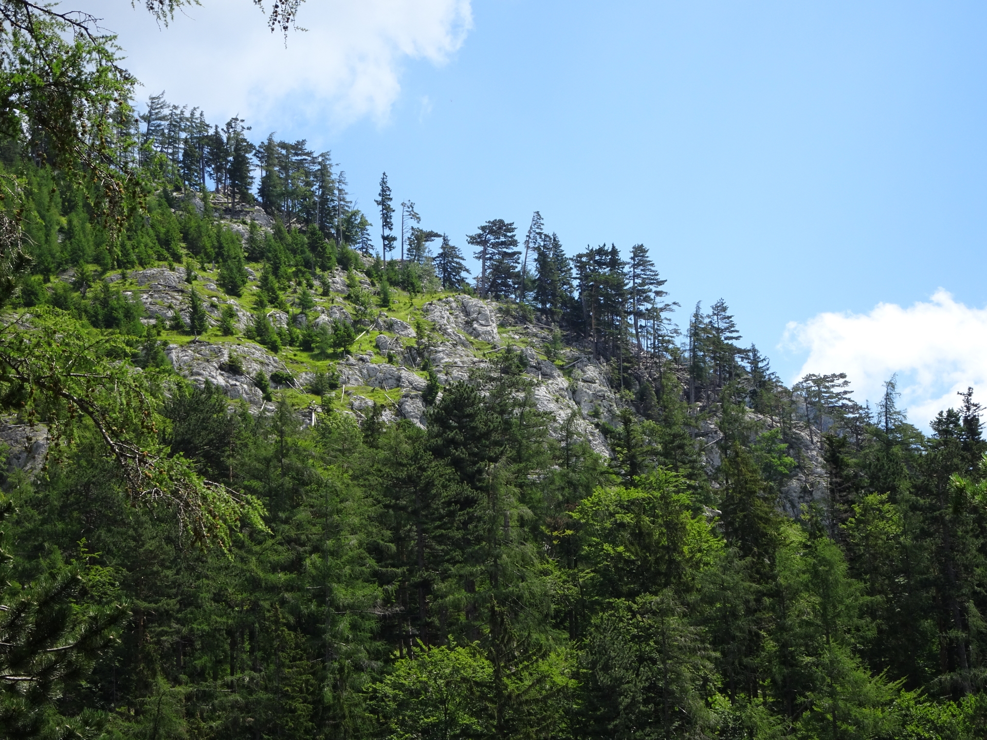
Tour through the “Weichtalklamm” gorge along and partly inside a small river
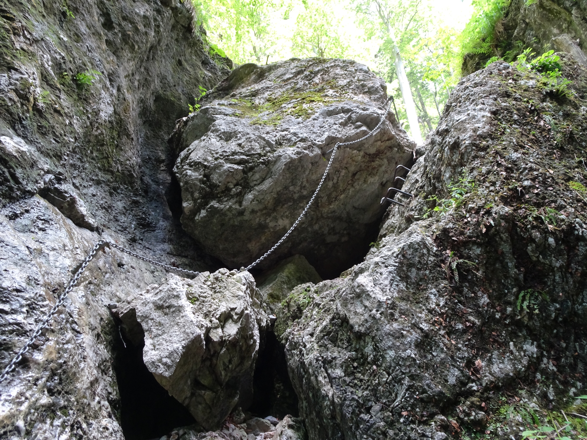
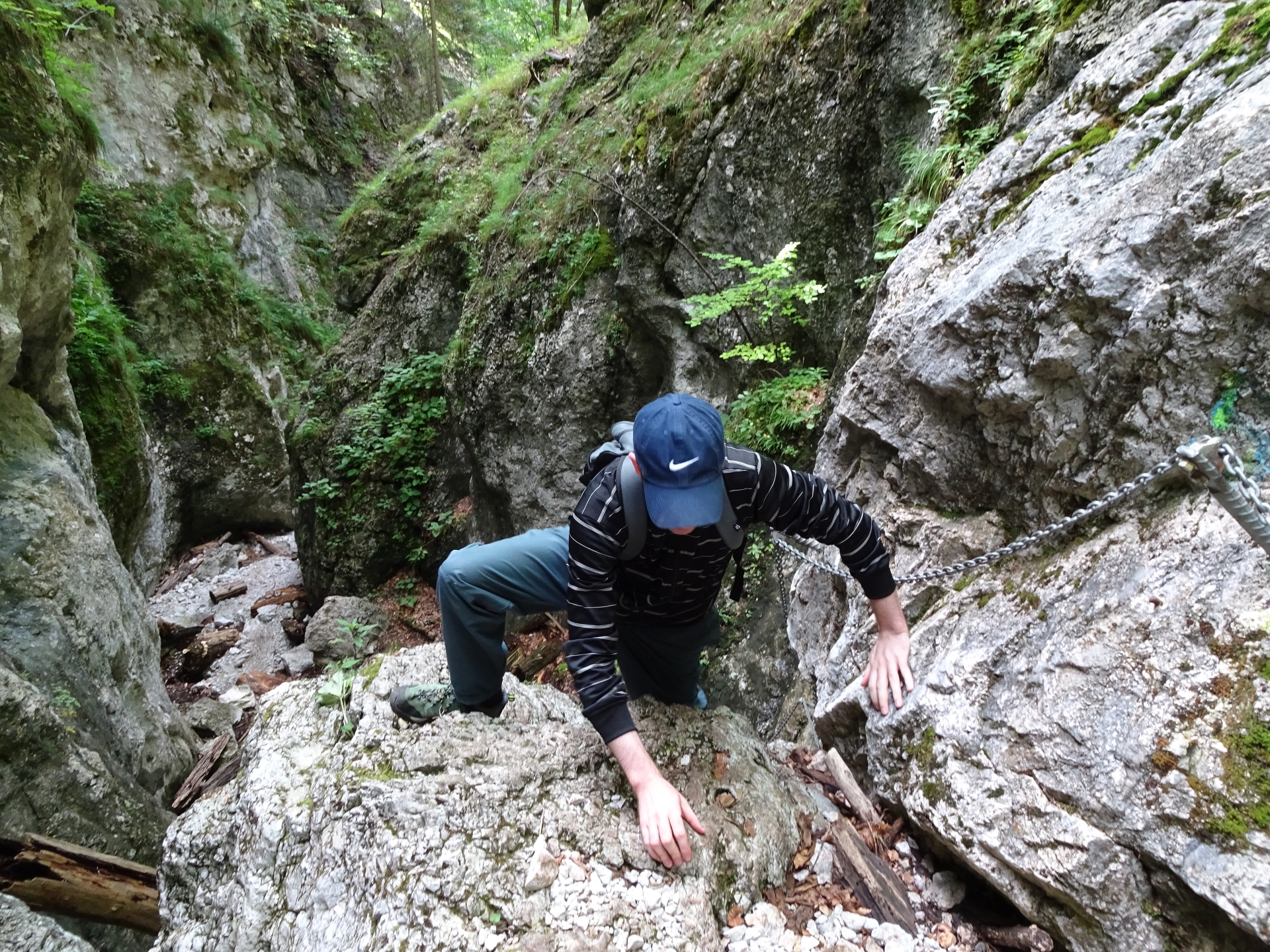
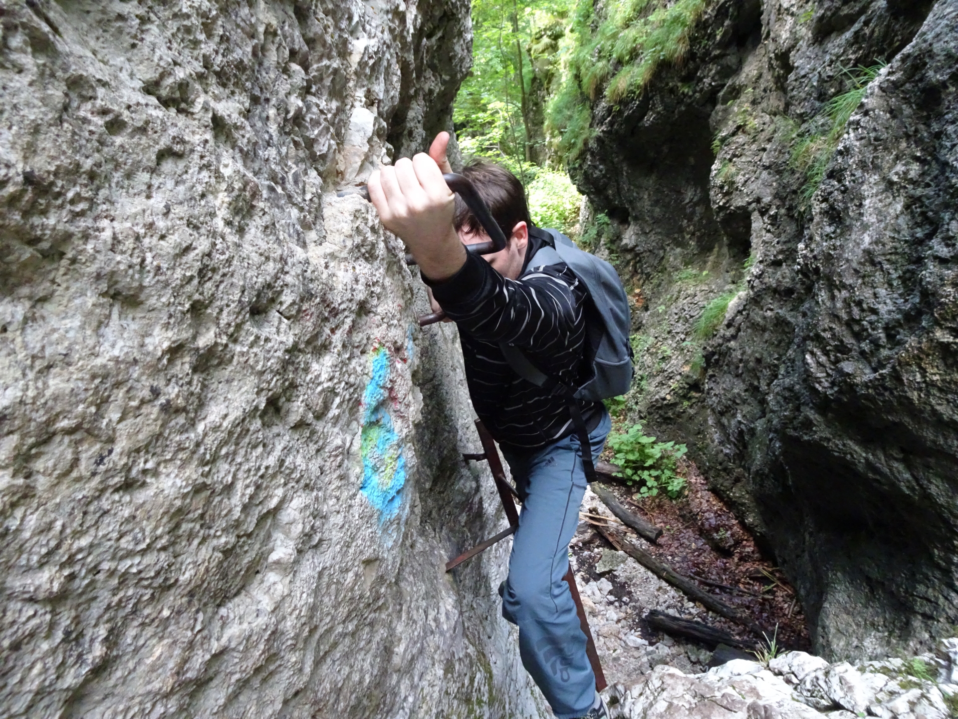
This tour leads through the exciting Weichtalklamm gorge along and partly in a small river. Optionally, the tour can be extended up to the Kienthalerhütte. The trail is a very easy via ferrata (difficulty level A) and thus offers various climbing aids (iron ladders, iron rungs, pegs, carved steps, chains). A via ferrata set however is not required – no cables are available but having a sure foot and no fear of heights helps a lot.
After reaching a small plateau at the end of the trail, the tour can either be extended by going up to the Kienthalerhütte or descending via the “Ferdinand-Mayr-Weg”.
Tour Description
| 00:00 | Start at the parking lot Weichtalhaus (GPS: 47.747267, 15.769400). The trail starts next to the Weichtalhaus. |
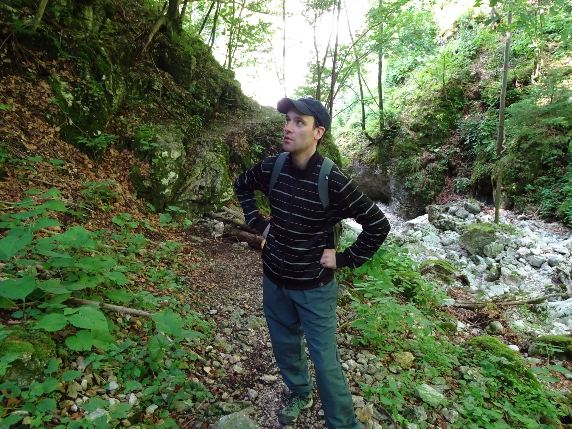
| 00:01 | Follow the trail (marked “white-red-white”) on the right handside parallel to the small river towards Kienthalerhütte. |
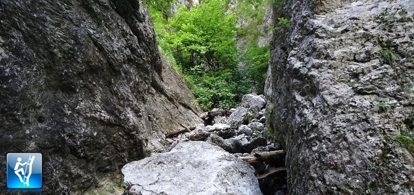
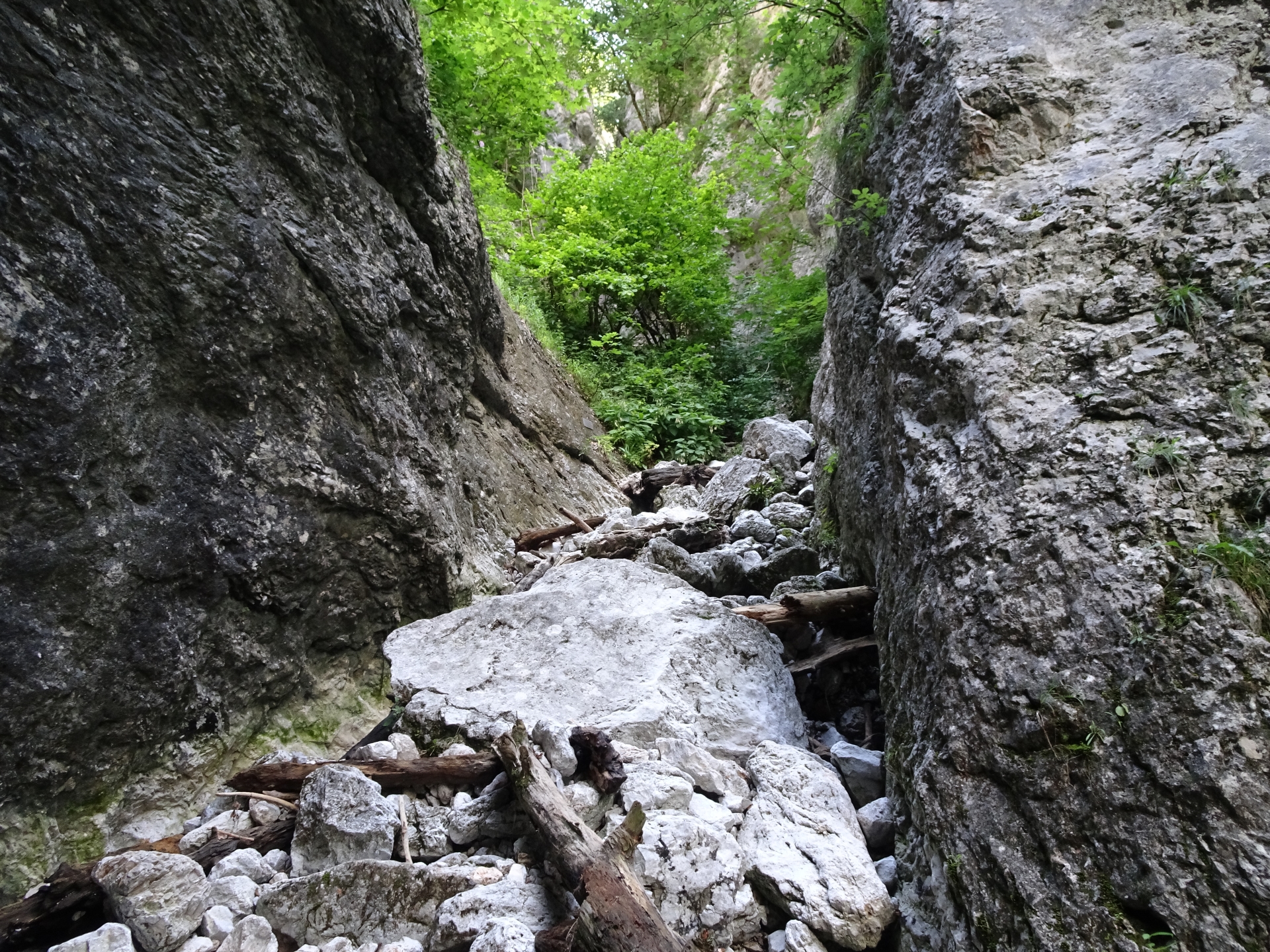
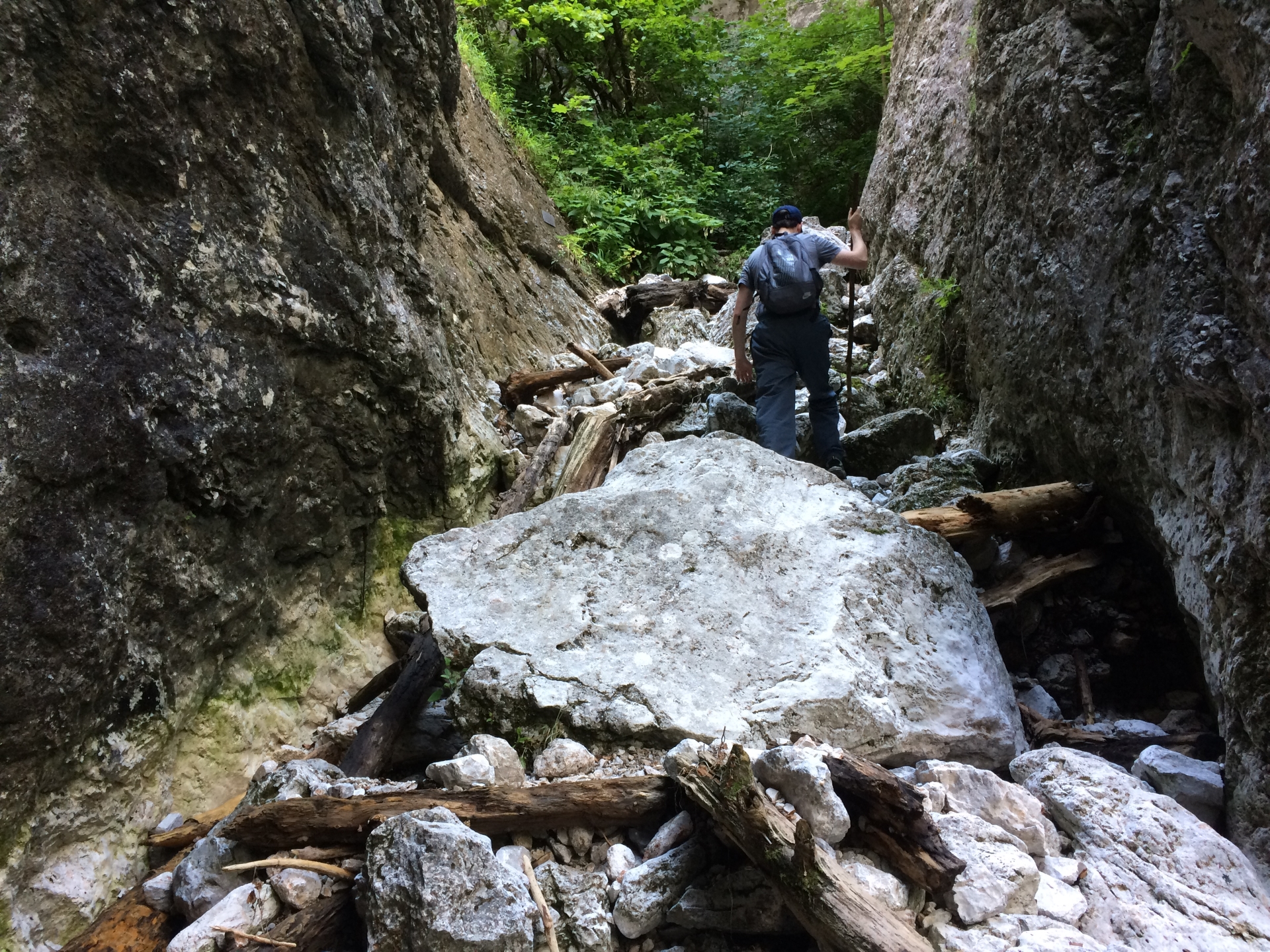
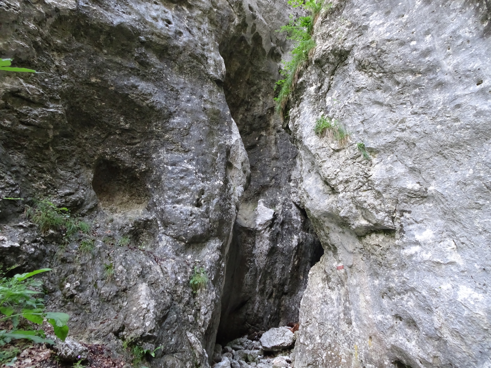
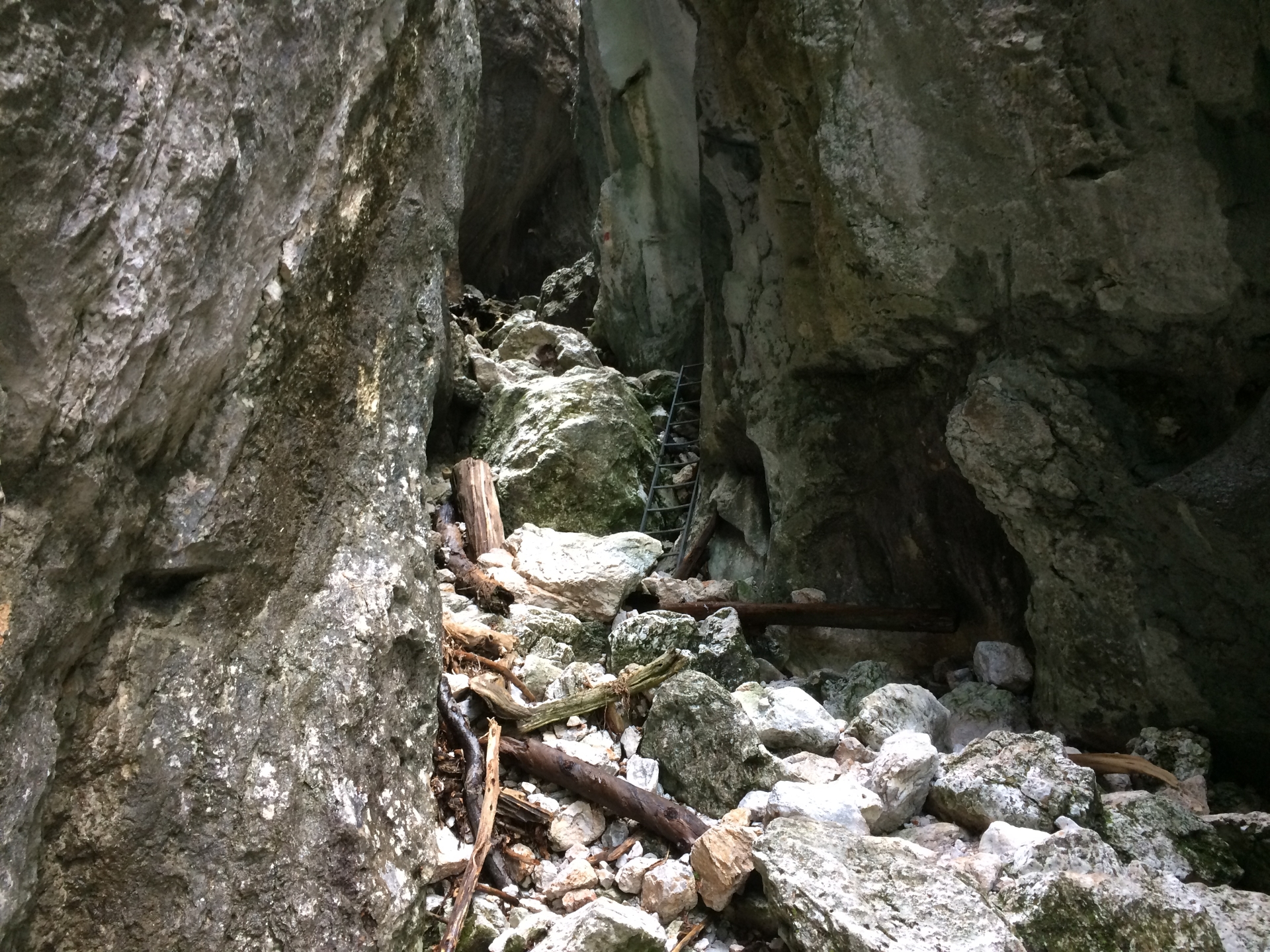
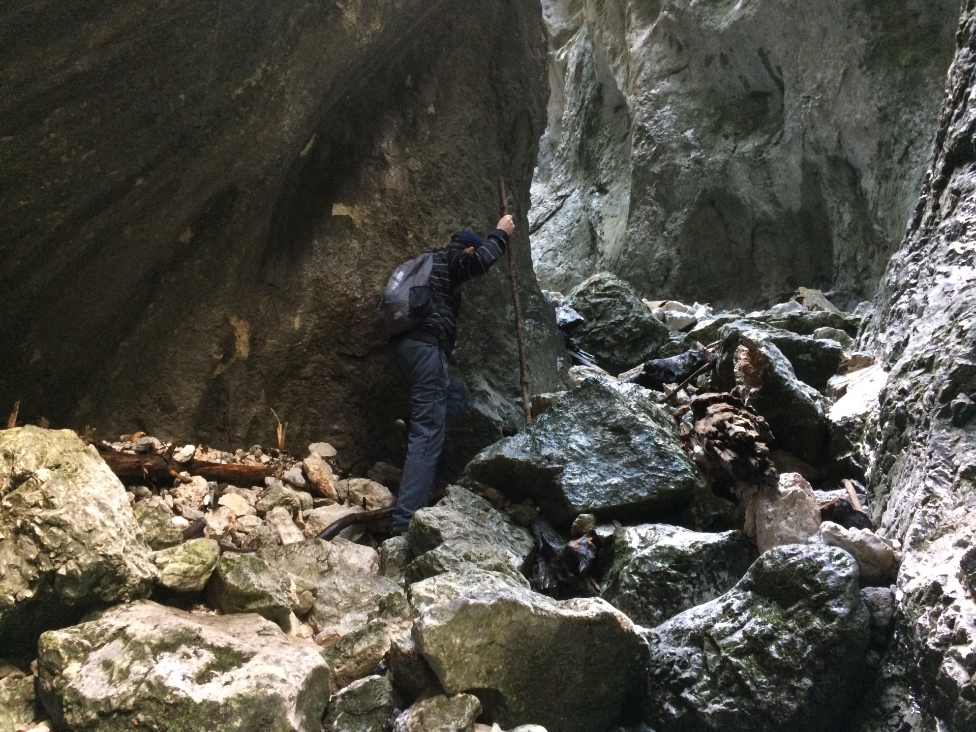
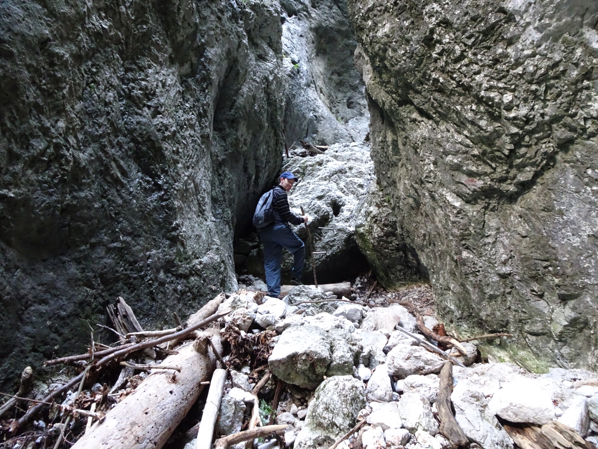
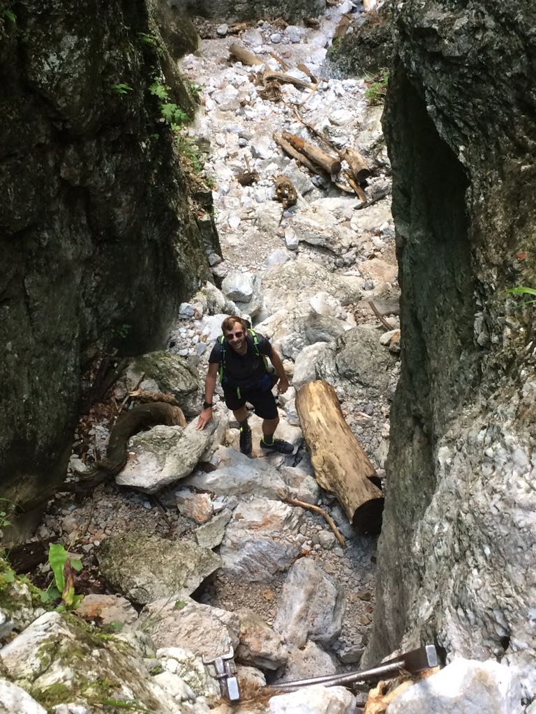
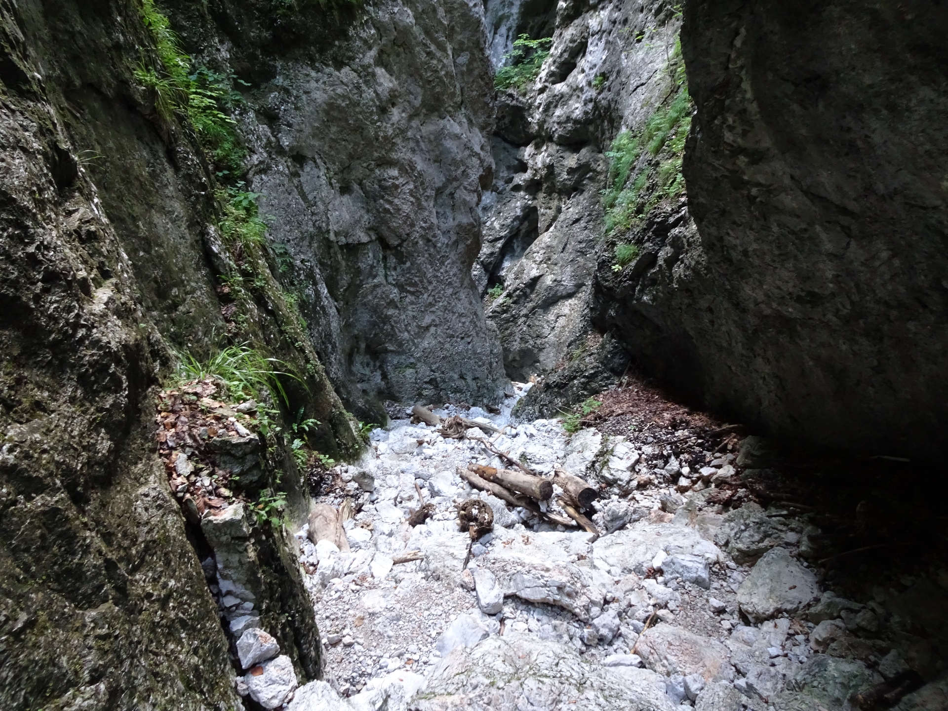
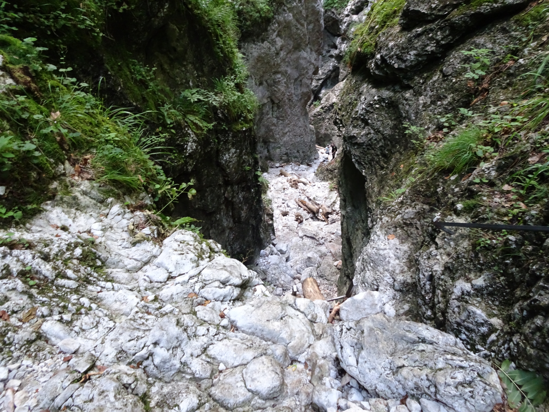
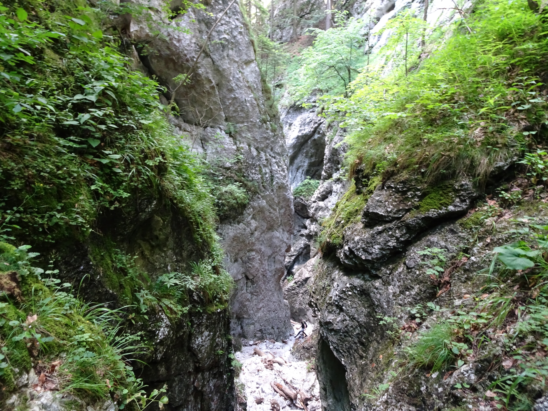
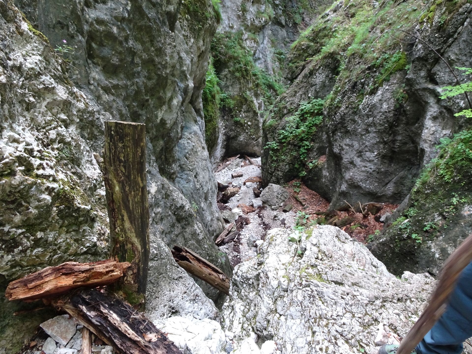
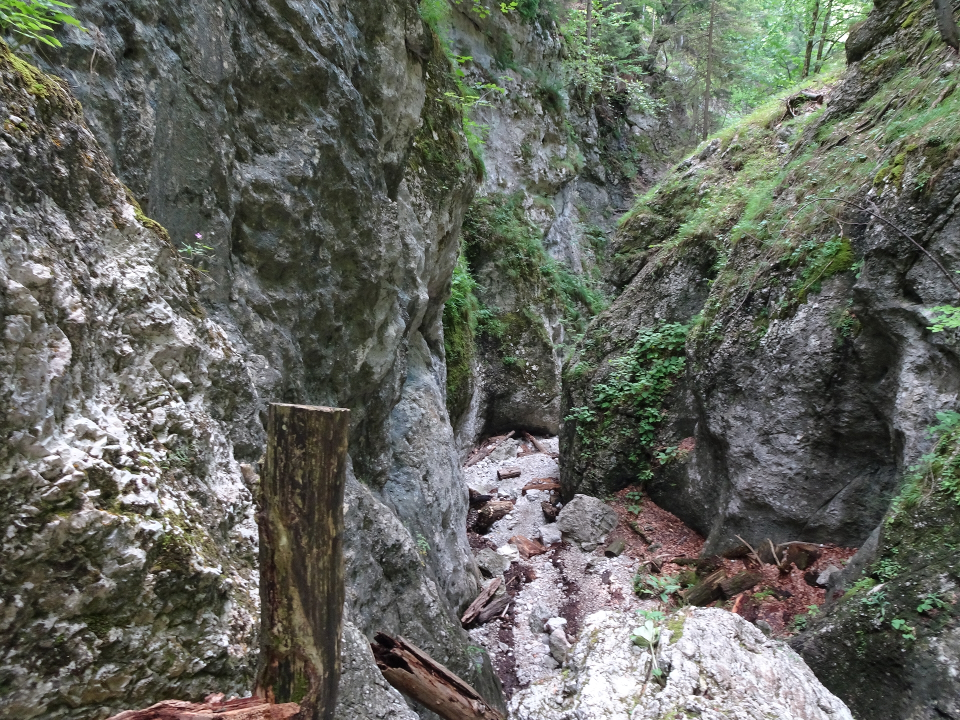
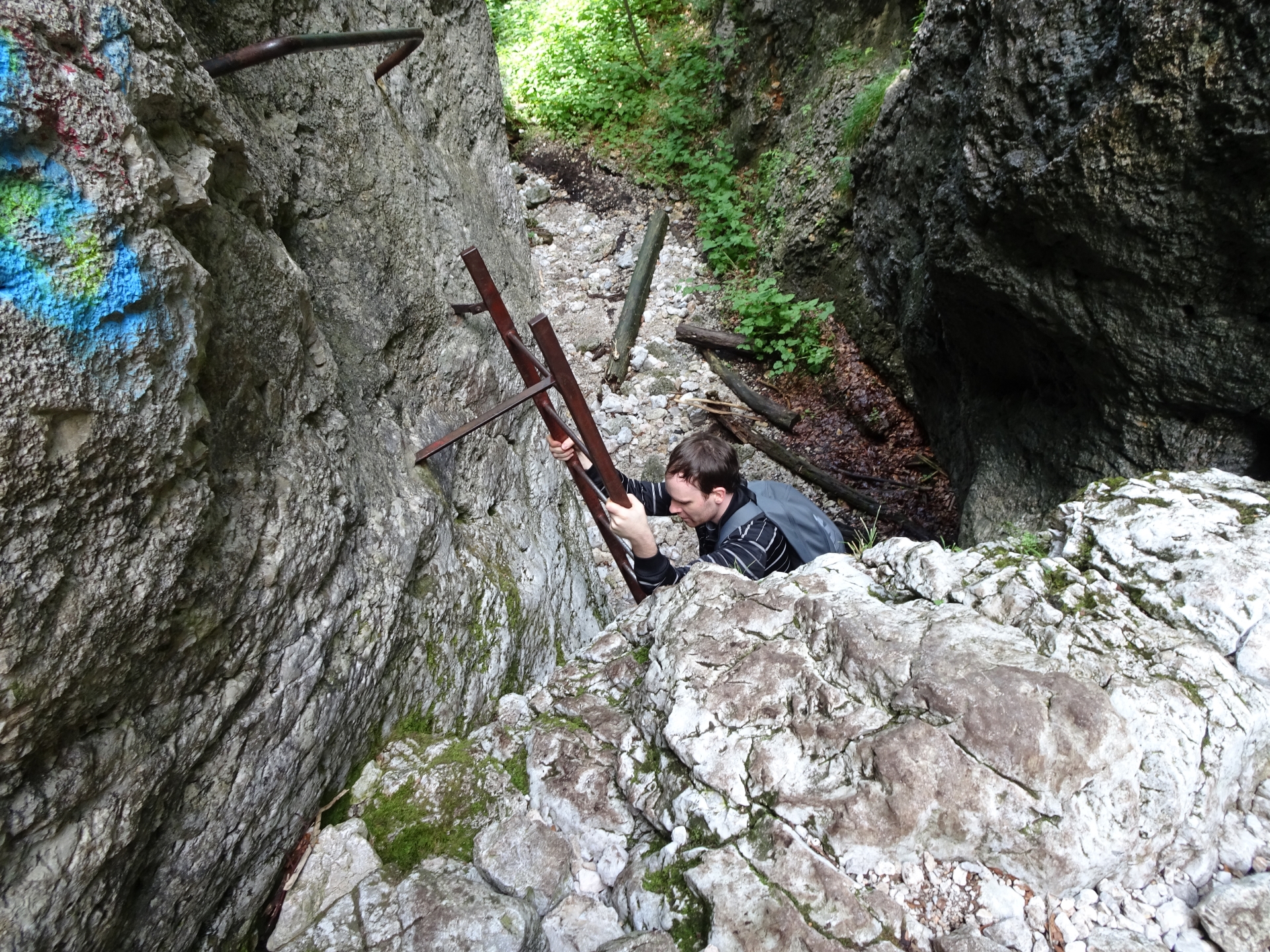
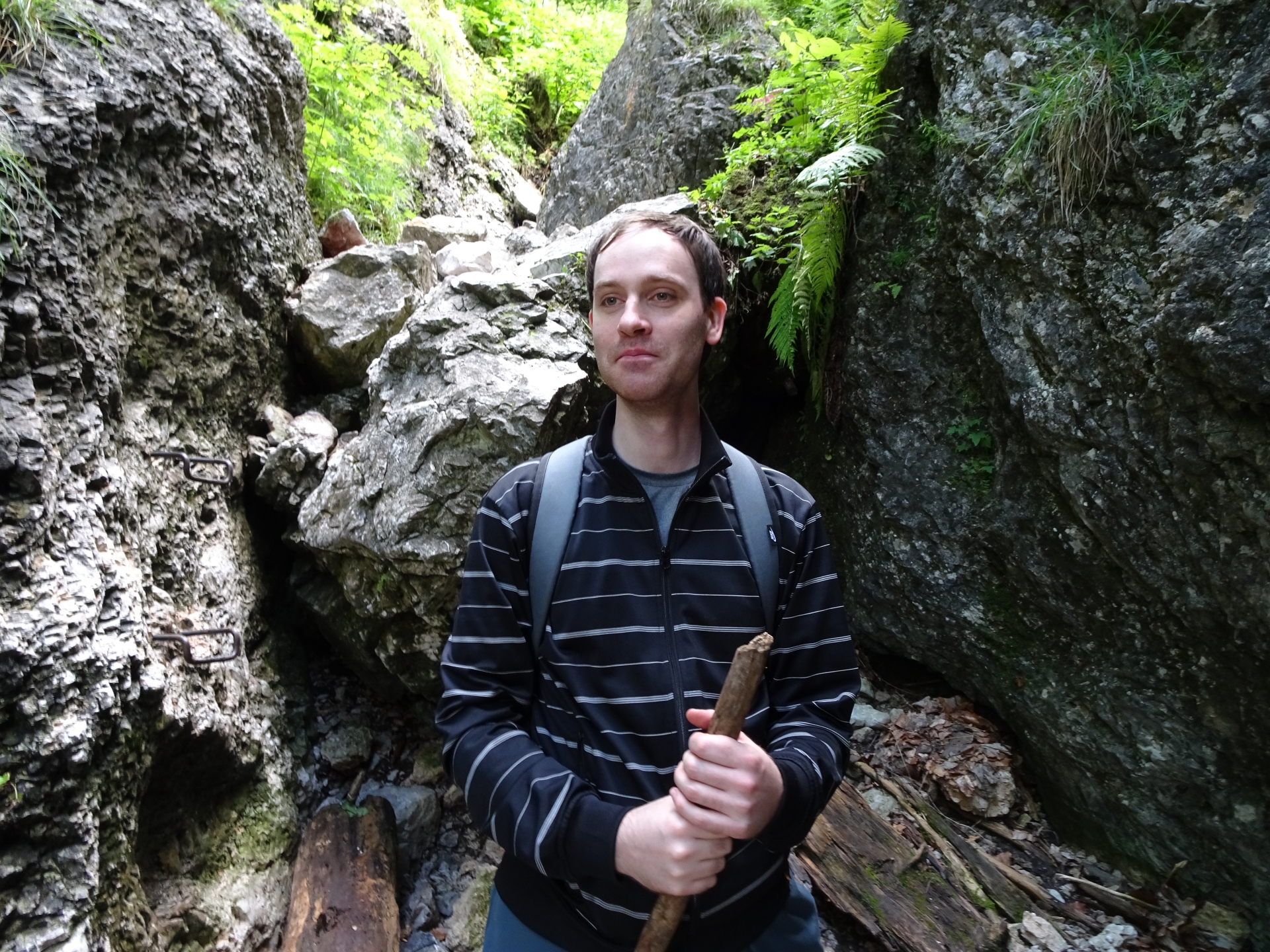
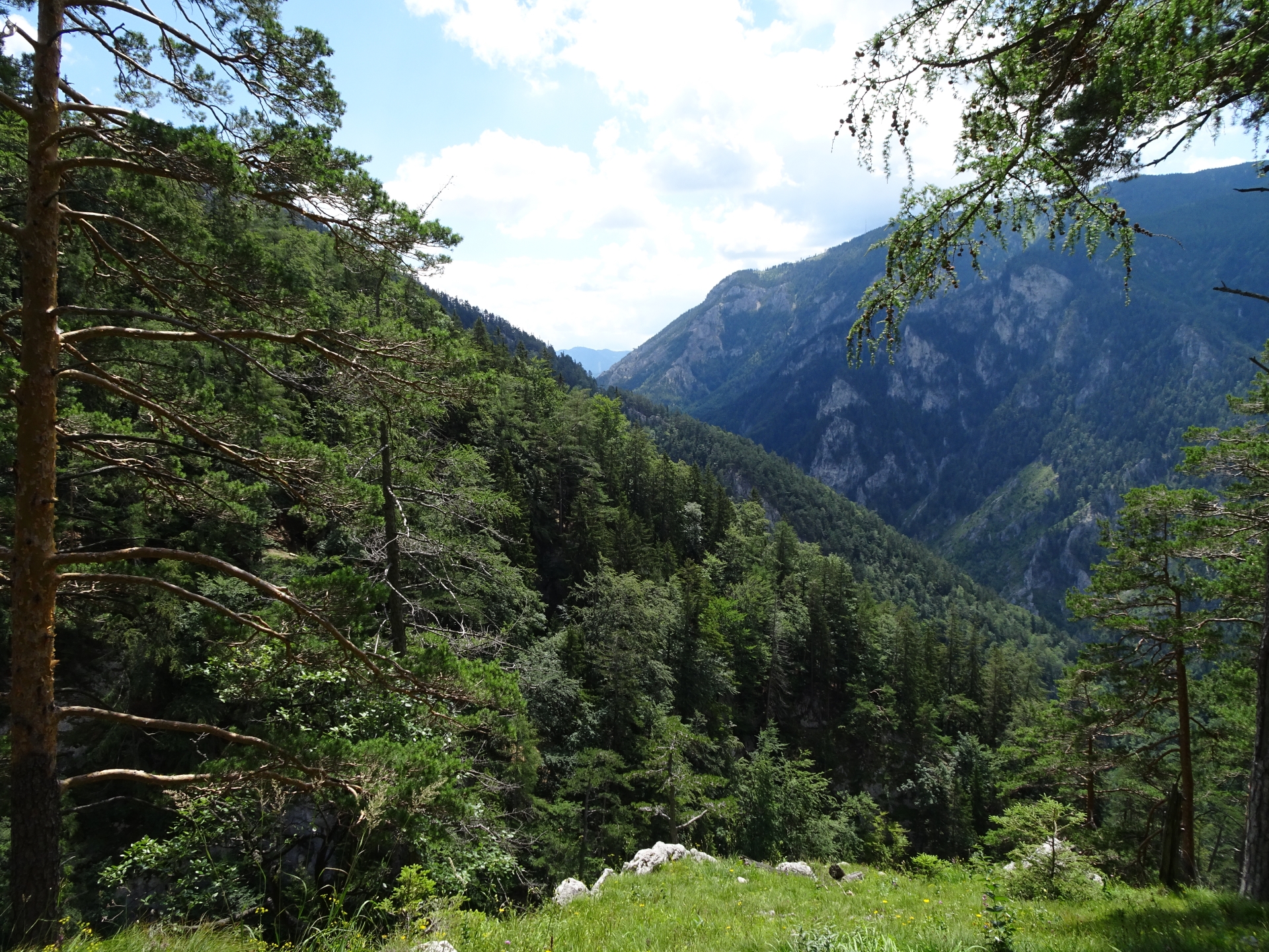
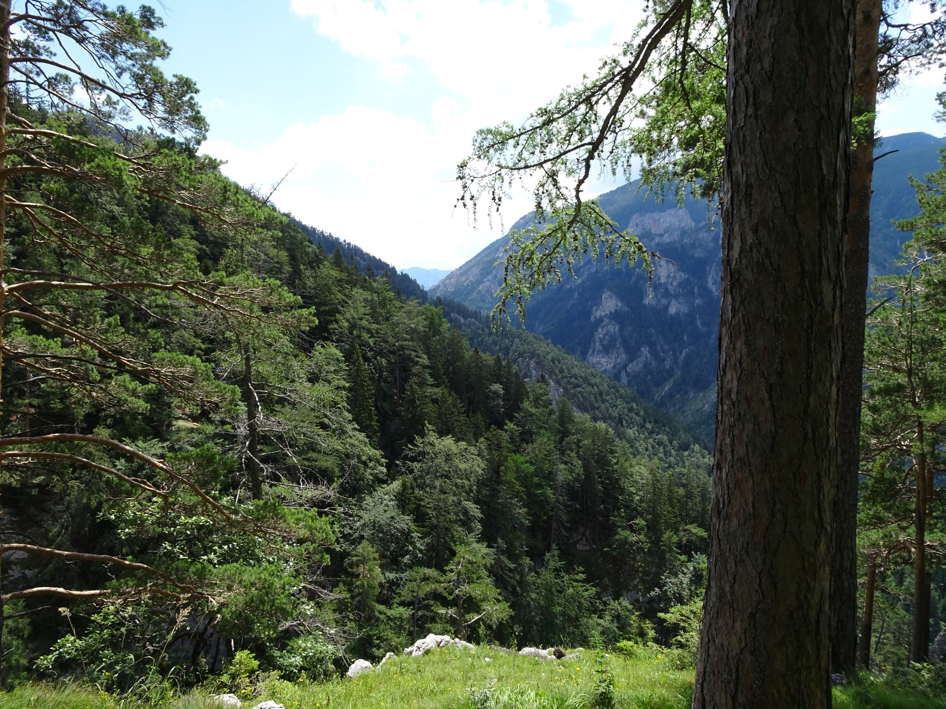
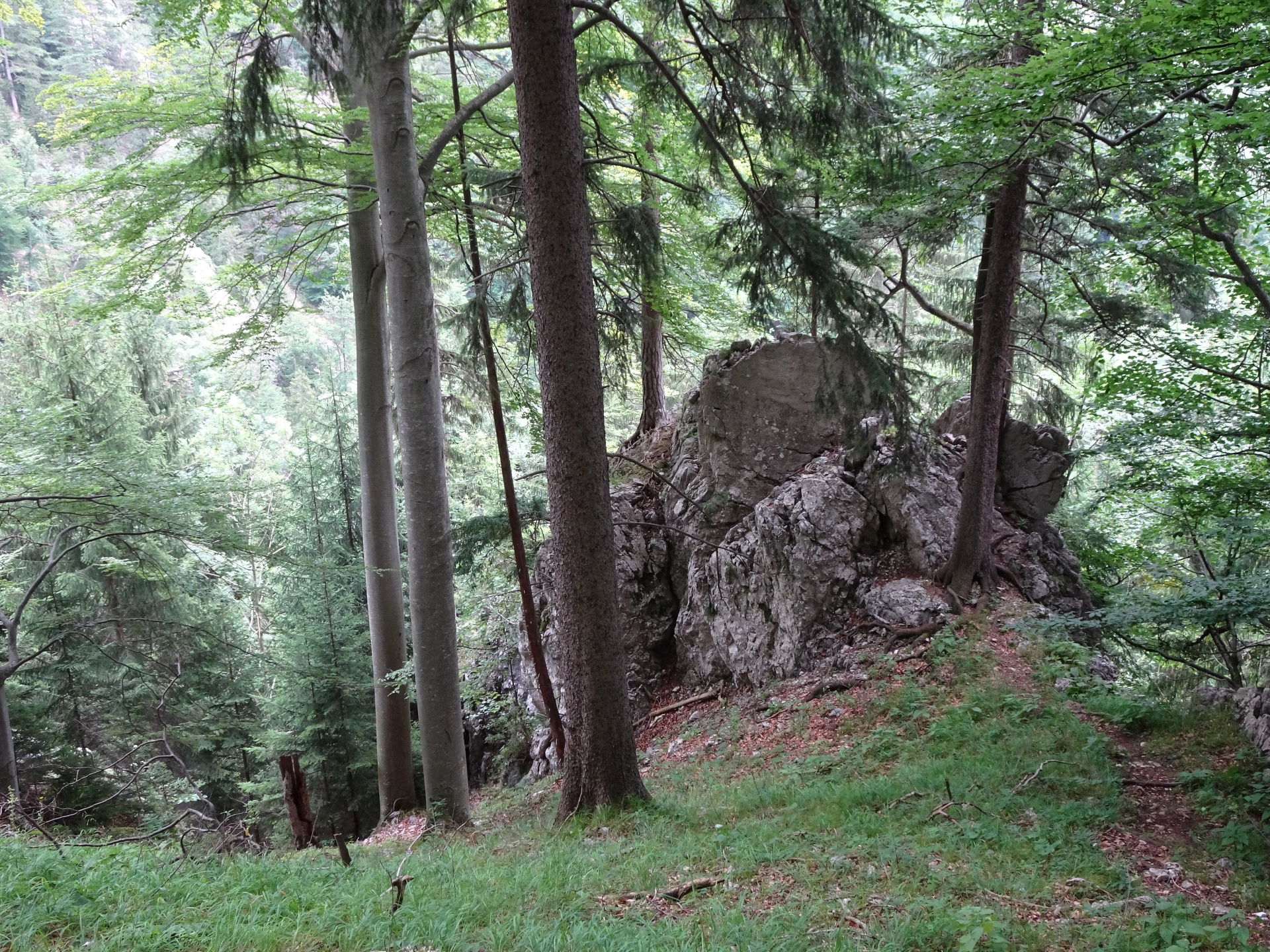
| 00:30 | Entrance to the gorge. Follow the path inside, partly supported by iron ladders or additional climbing aids (iron rungs, pegs, carved steps). |
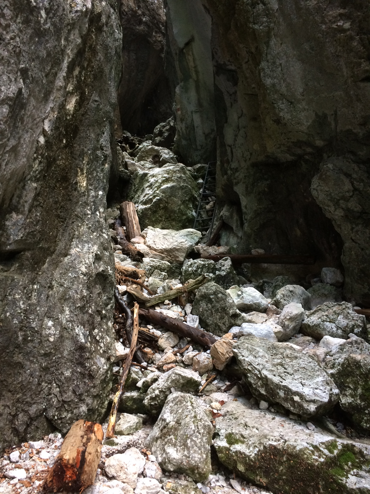
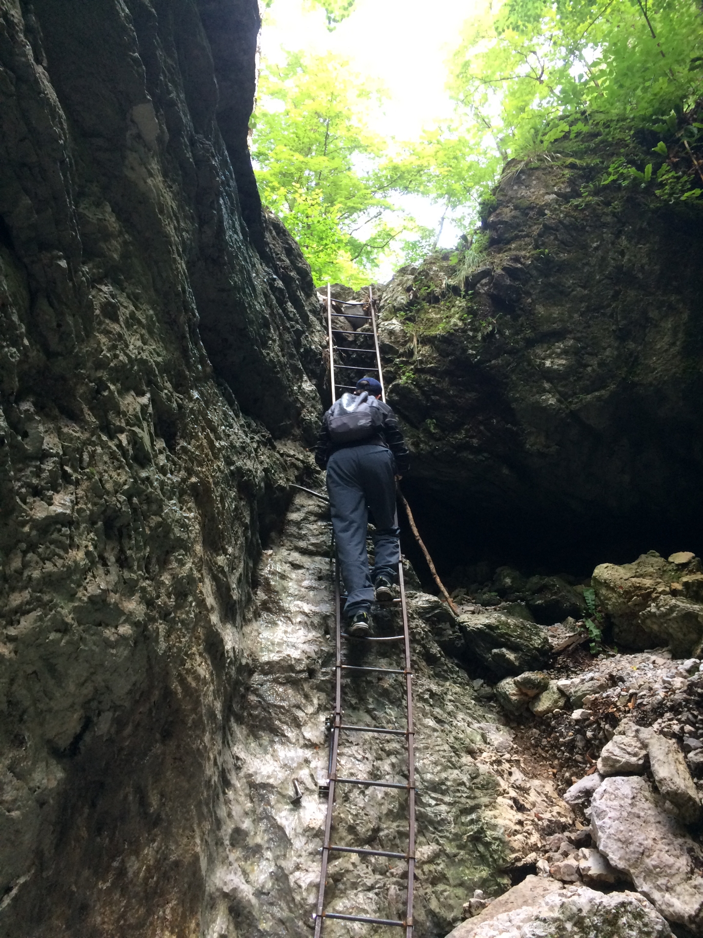
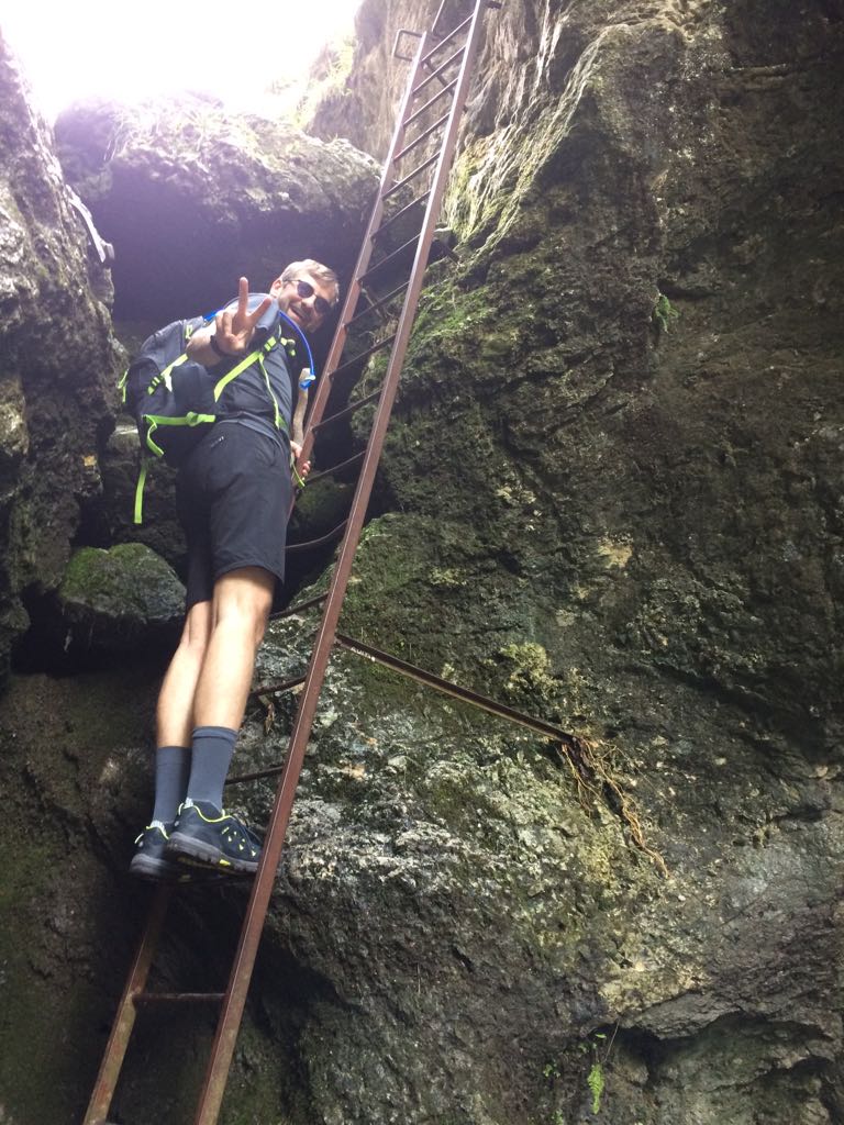
| 00:45 | Climb up the first longer iron ladder. |
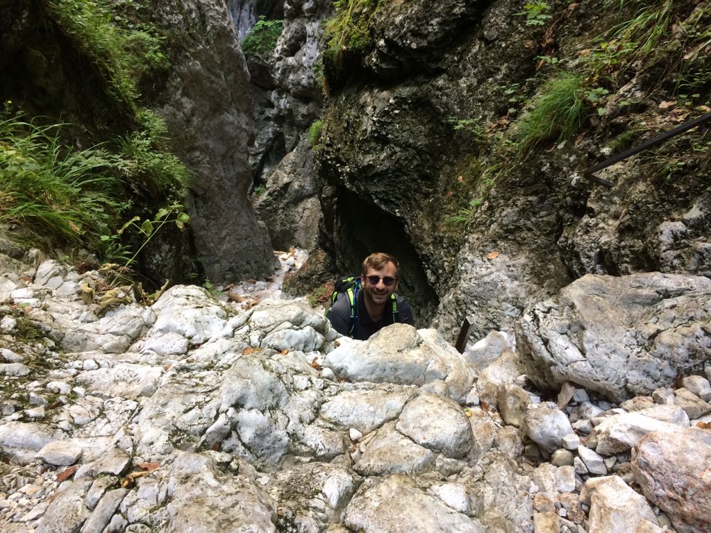
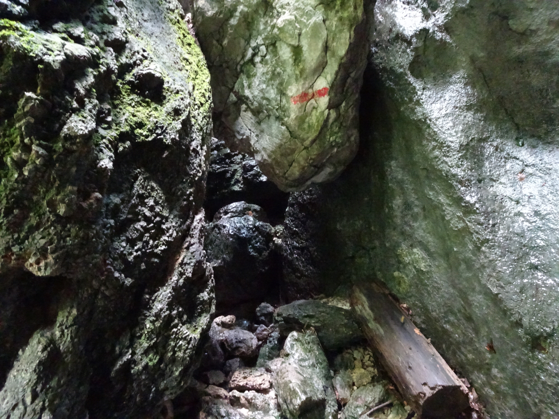
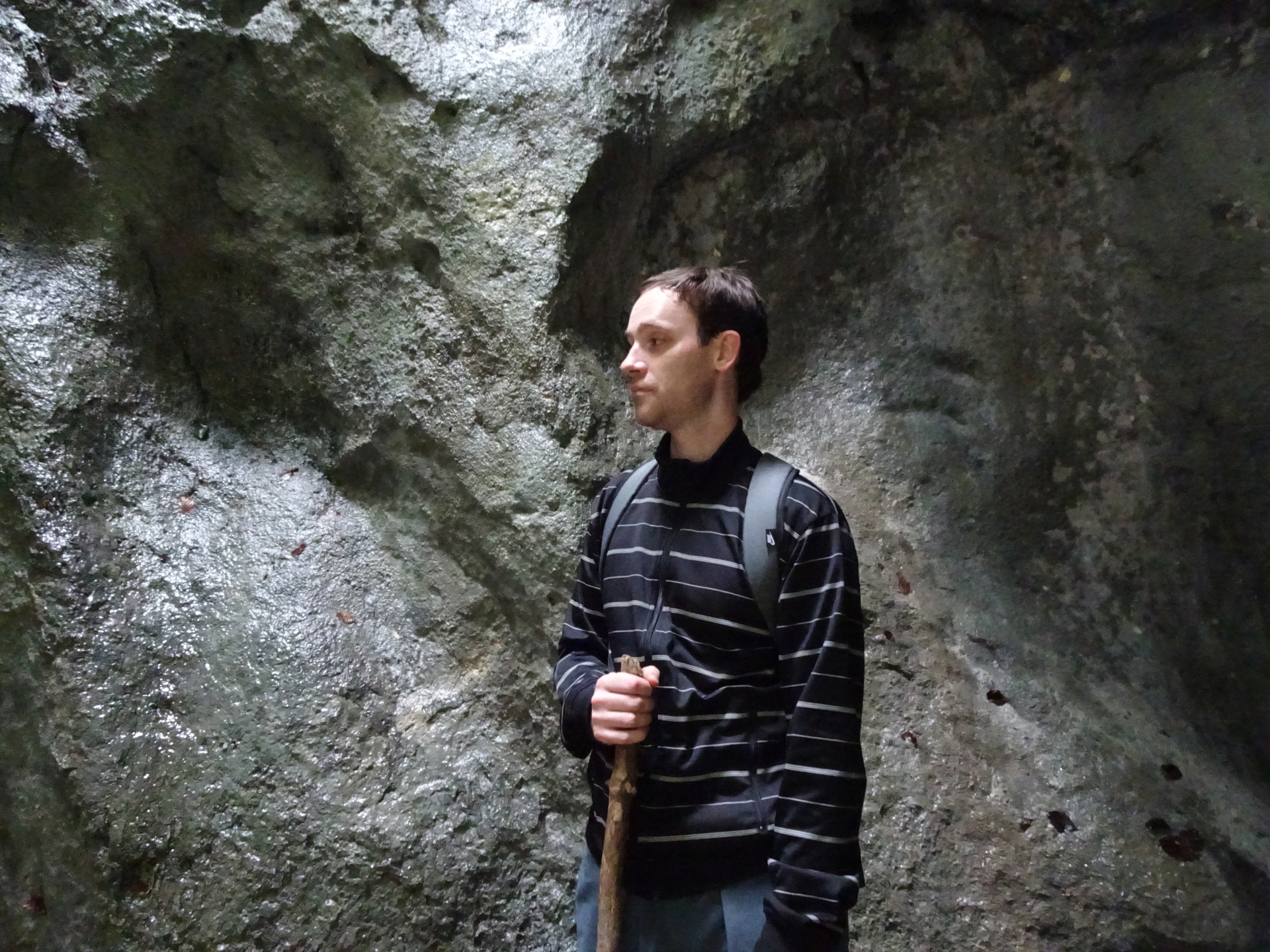
| 01:25 | Follow the trail into a small cave, partly directly in the small river (waterproof shoes strongly recommended!). |
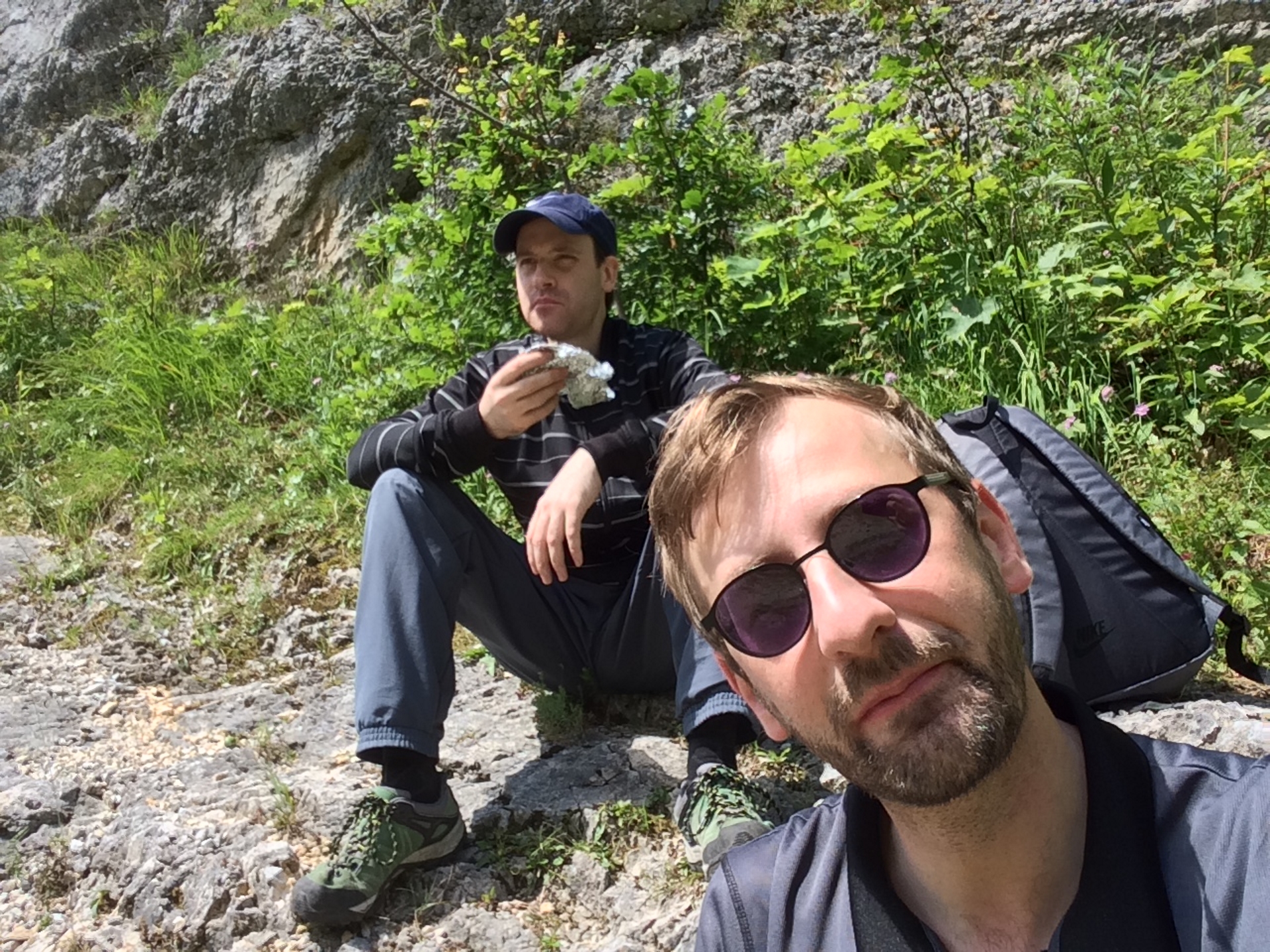
| 02:00 | End of the trail. The plateau is an ideal place for a break, enjoying self brought food and drinks (,). |
| 02:30 | Descend via the road downwards to the Ferdinand-Mayr-Weg. |
| 02:37 | Follow the small trail on the left handside through the forest (Ferdinand-Mayr-Weg). |
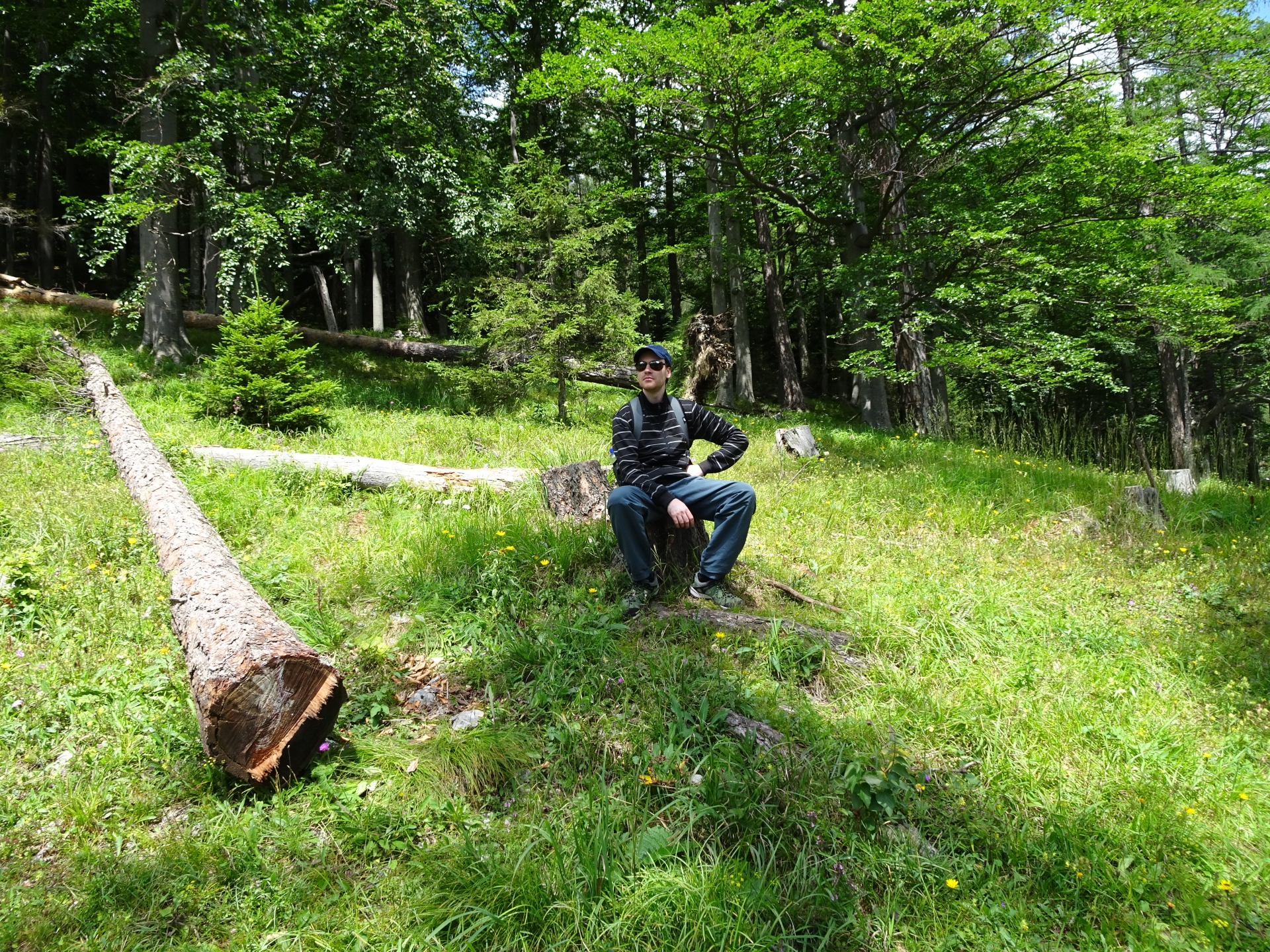
| 03:10 | A short break at the viewpoint. Ideal place to enjoy self brought snacks and drinks (). |
| 03:20 | Continue the tour on the trail till reaching the Weichtalhaus. |
| 04:15 | Back at the Weichtalhaus, an ideal place to have lunch, relax and recap (,). |
At a glance
| Level | easy |
| – Via Ferrata Category | A |
| Technique | |
| Shape / Fitness | |
| Experience | |
| Scenery | |
| Best time in the year | |
|
Jan
Feb
Mar
Apr
May
Jun
Jul
Aug
Sep
Oct
Nov
Dec
|
|
General Tour Data
| Area: | Rax/Schneeberg Group, Lower Austria, Austria | |
| Distance: | 6,5km | |
| Ascent: | 690m (2h 00min) | |
| Descent: | 690m (1h 15min) | |
| Highest Pt: | 1172m | |
| Lowest Pt: | 543m | |
| Duration: | 3h 30min (without breaks) 4h 15min (with breaks) |
|
| Stop/Rest: | Weichtalhaus (547m) Kienthaler Hütte (1380m) |
|
| Equipment: | Waterproof hiking shoes Backpack with standard hiking equipment Food and plenty of water 1-2x “Gipfelbier” () Sun & Weather protection Camera |
| Download GPX |
Tour Diary
| Tour Date: | 2018-07-13 09:45 | ||
| Weather: | Sunny | ||
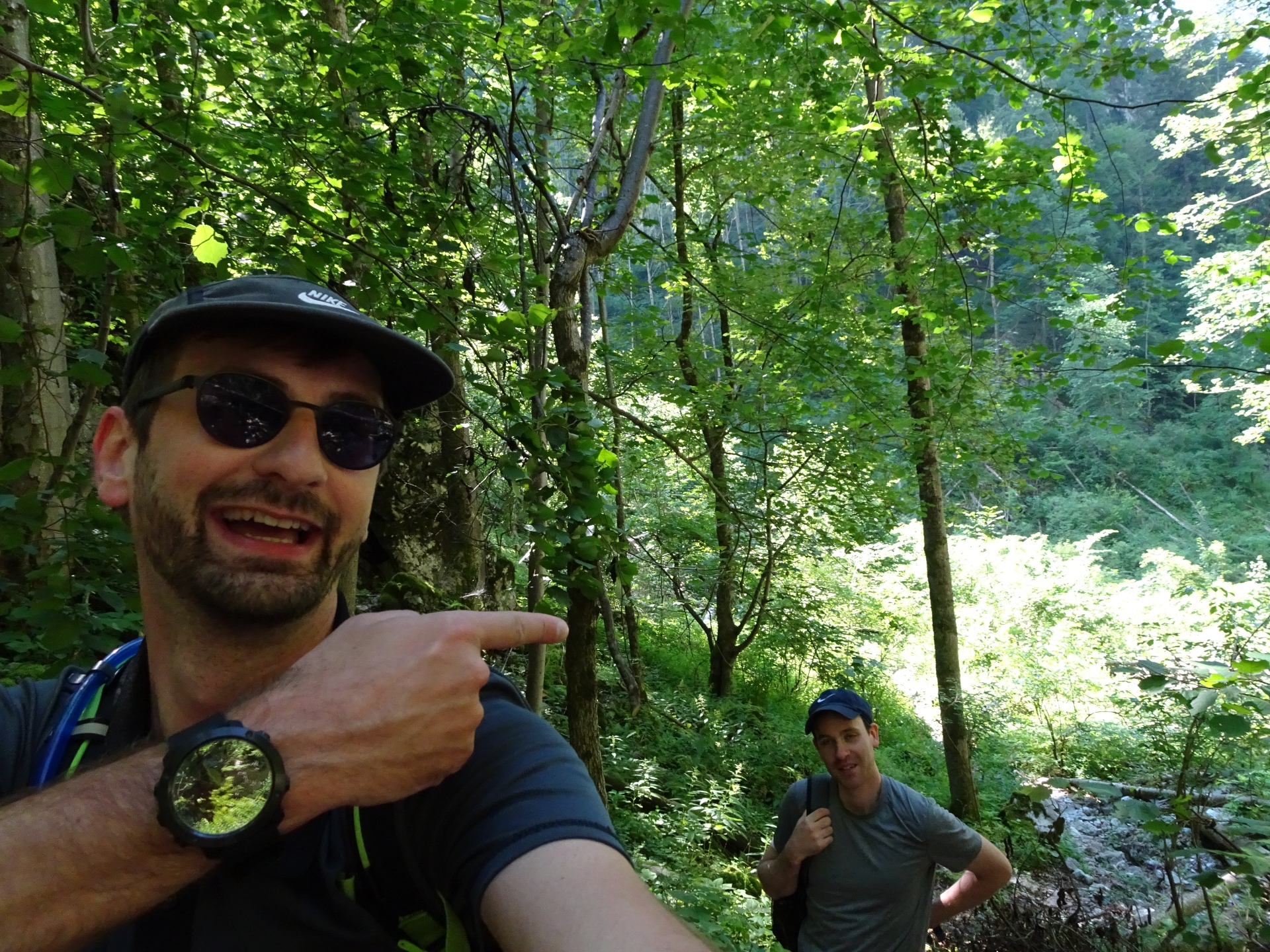
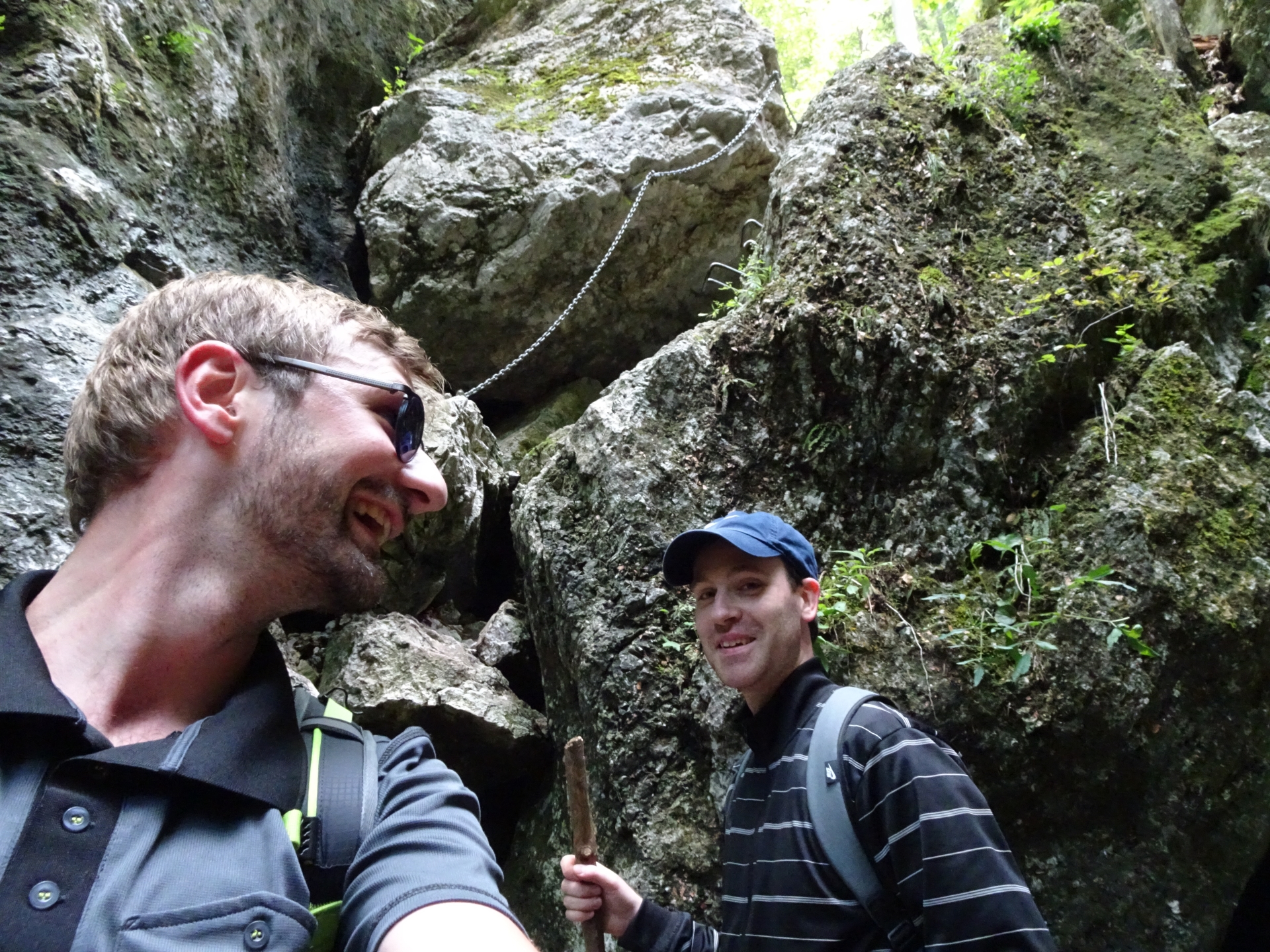
| Participants: | Stefan, Rene | ||
| Activity: | Suunto | ||
 & Turmstein (C)\"")
 and Schauerstein\"")
\" (Italy)")
\" (Croatia)")
Leave a Reply