
![]()
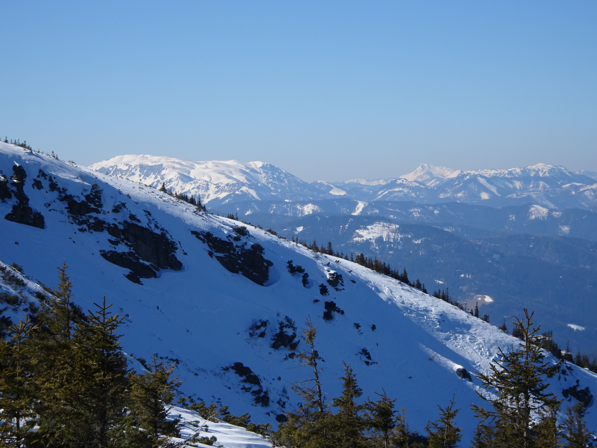
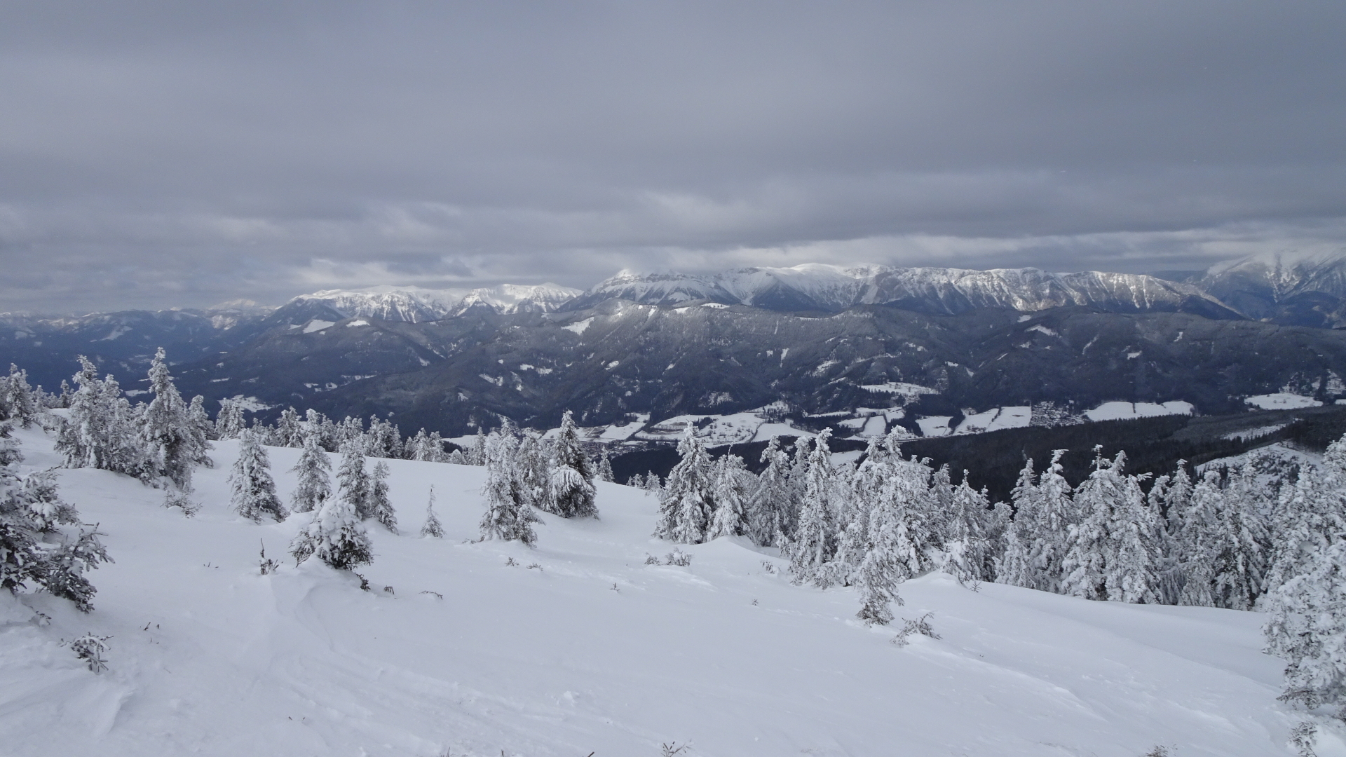
Promising ski tour up to Stuhleck via the “Kaltenbachgraben”
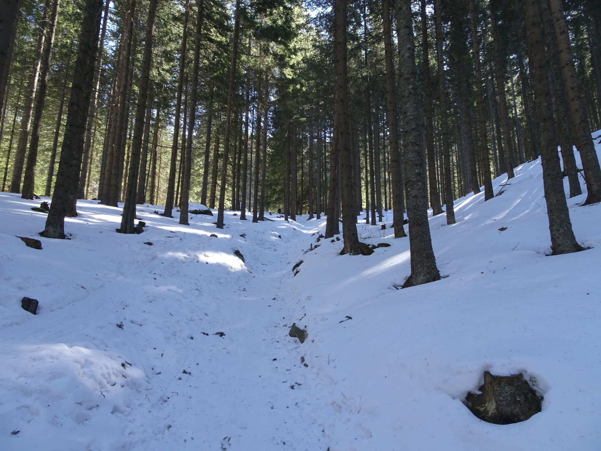
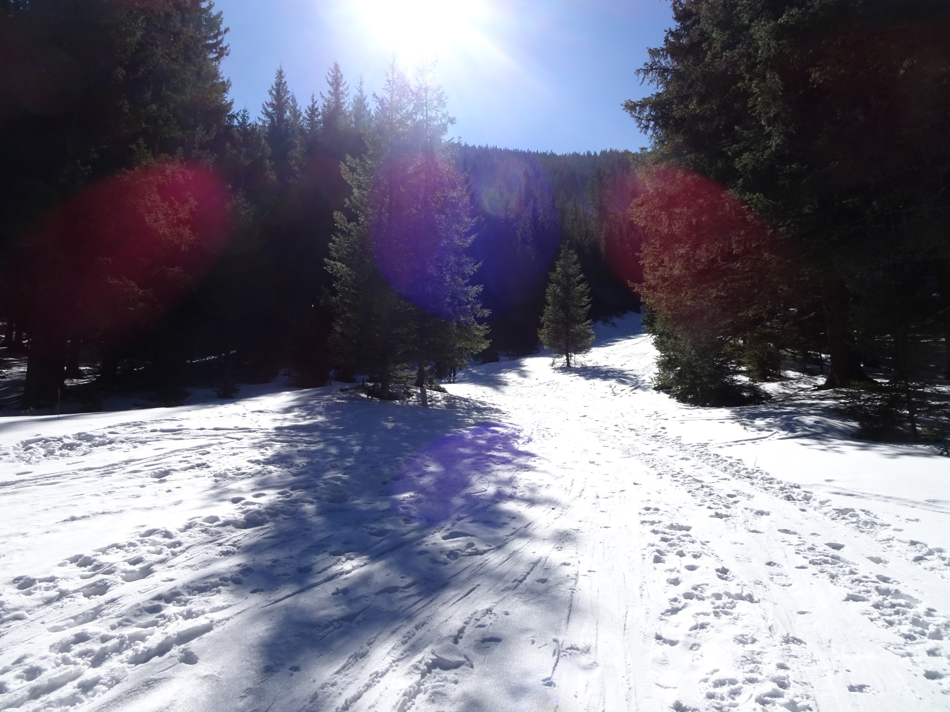
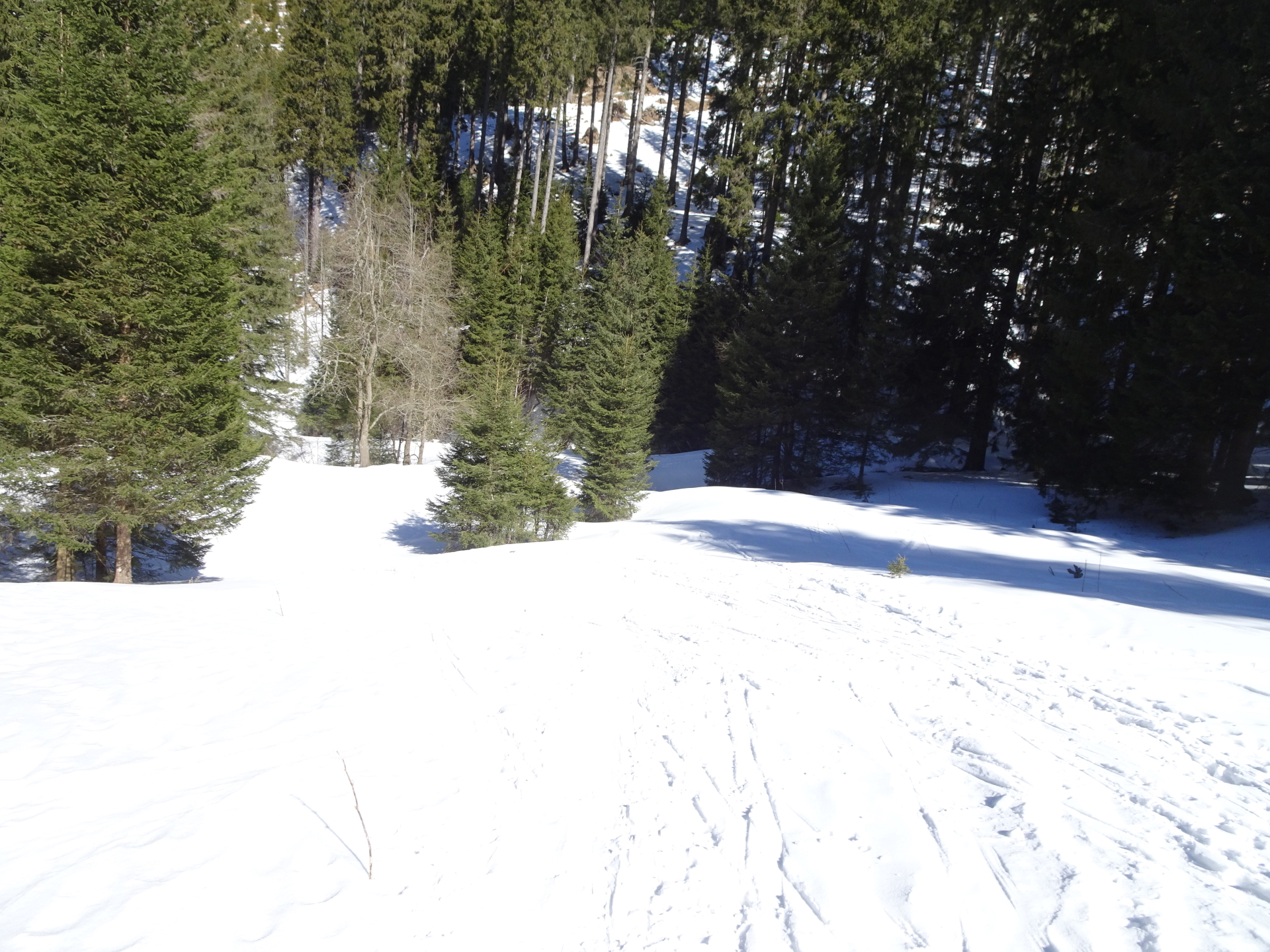
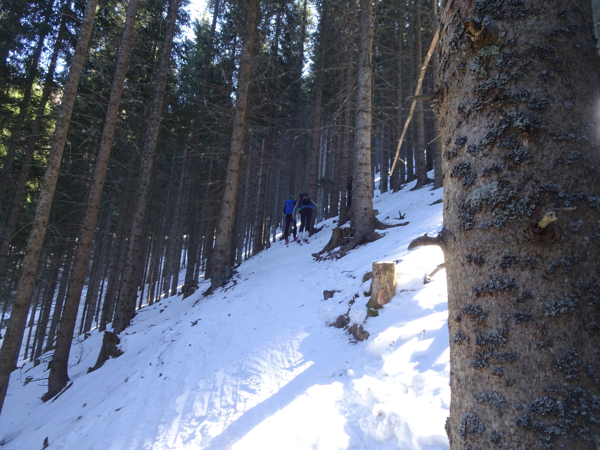
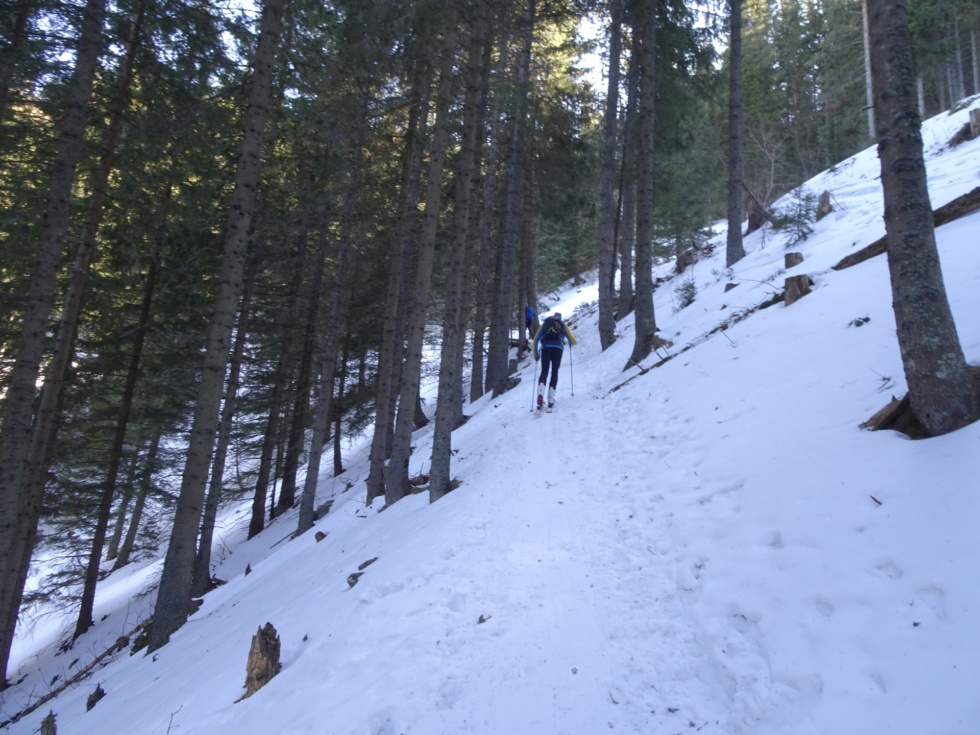
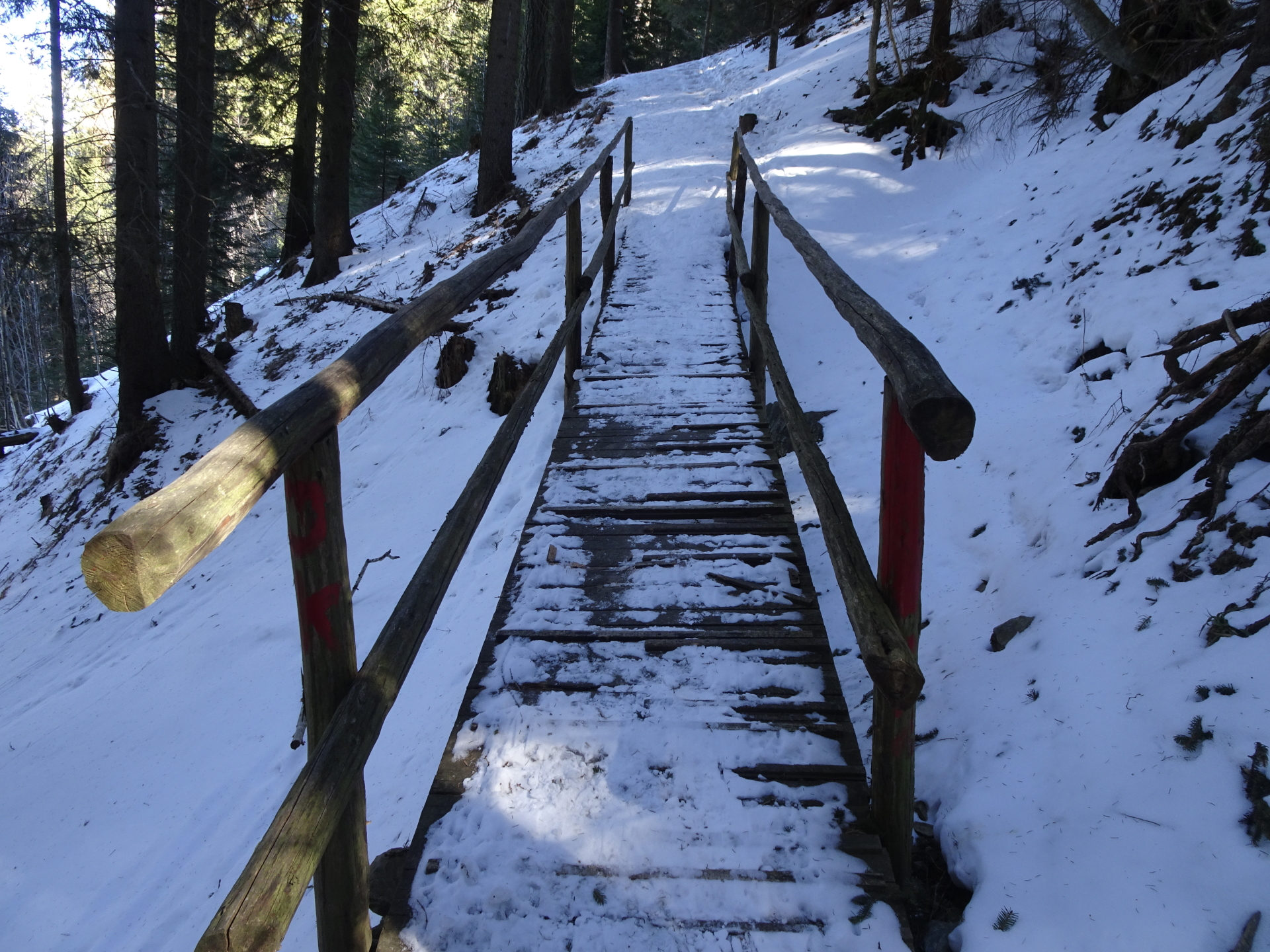
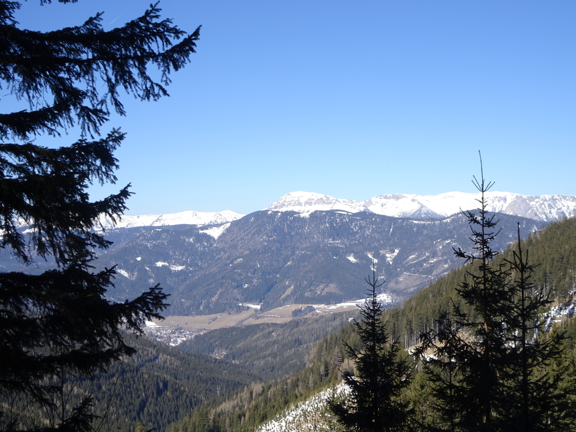
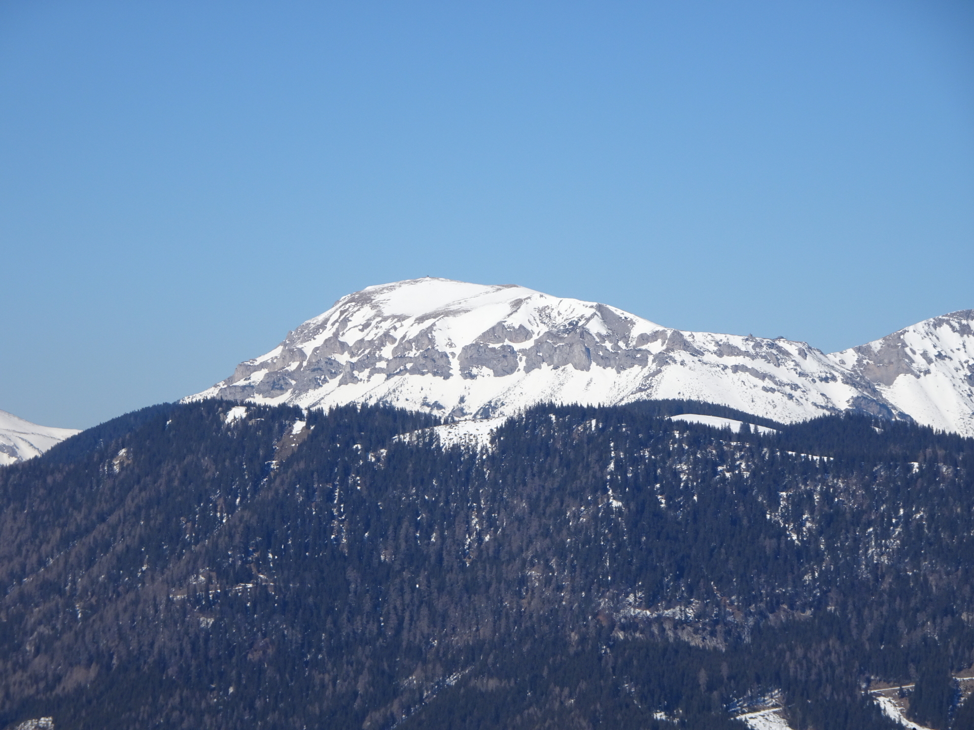
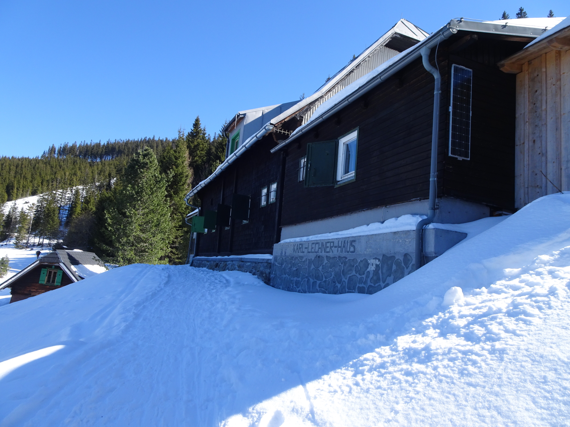
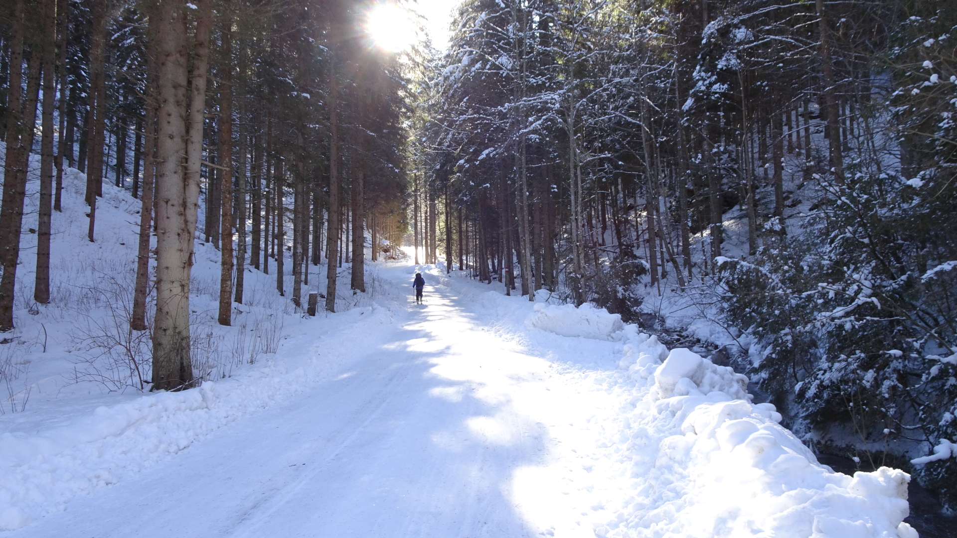
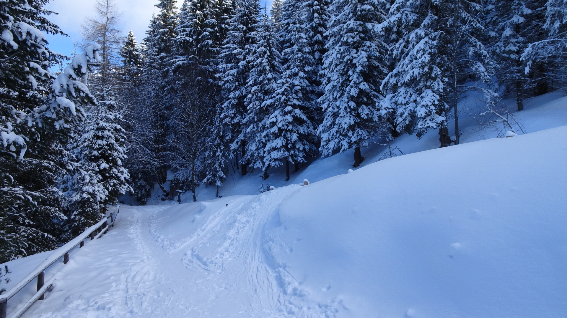
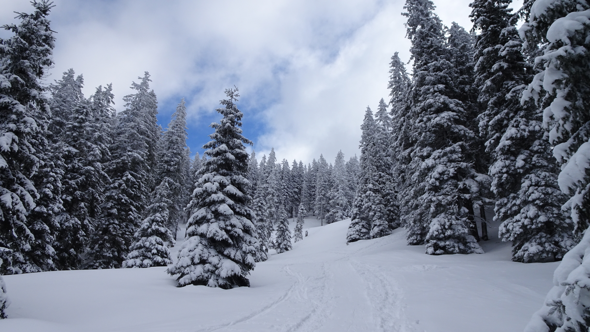
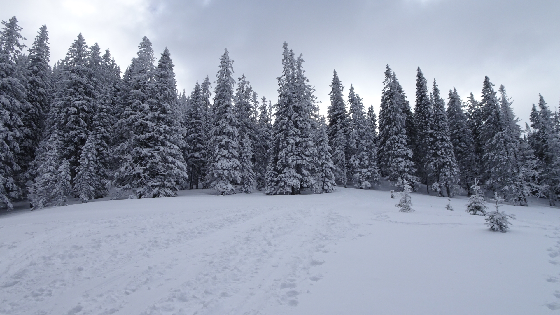
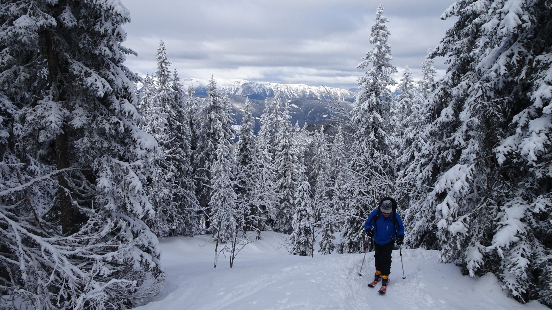
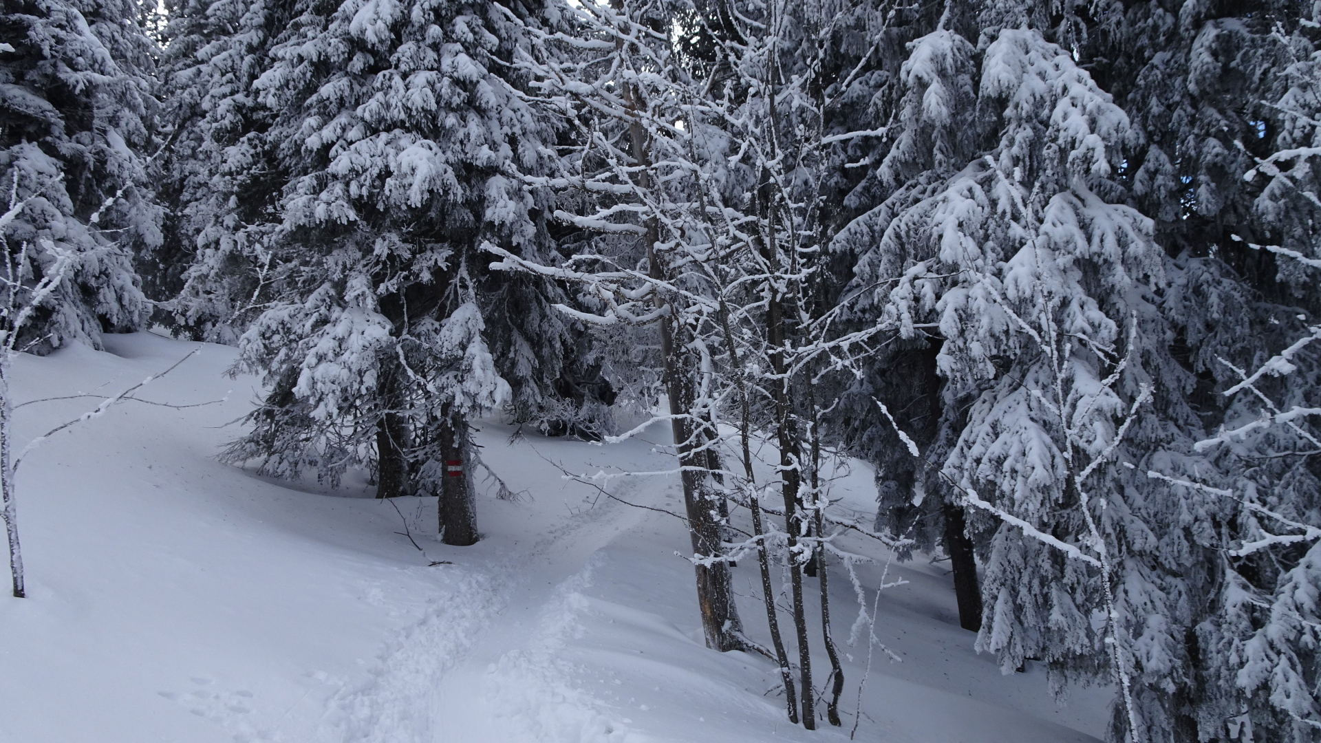
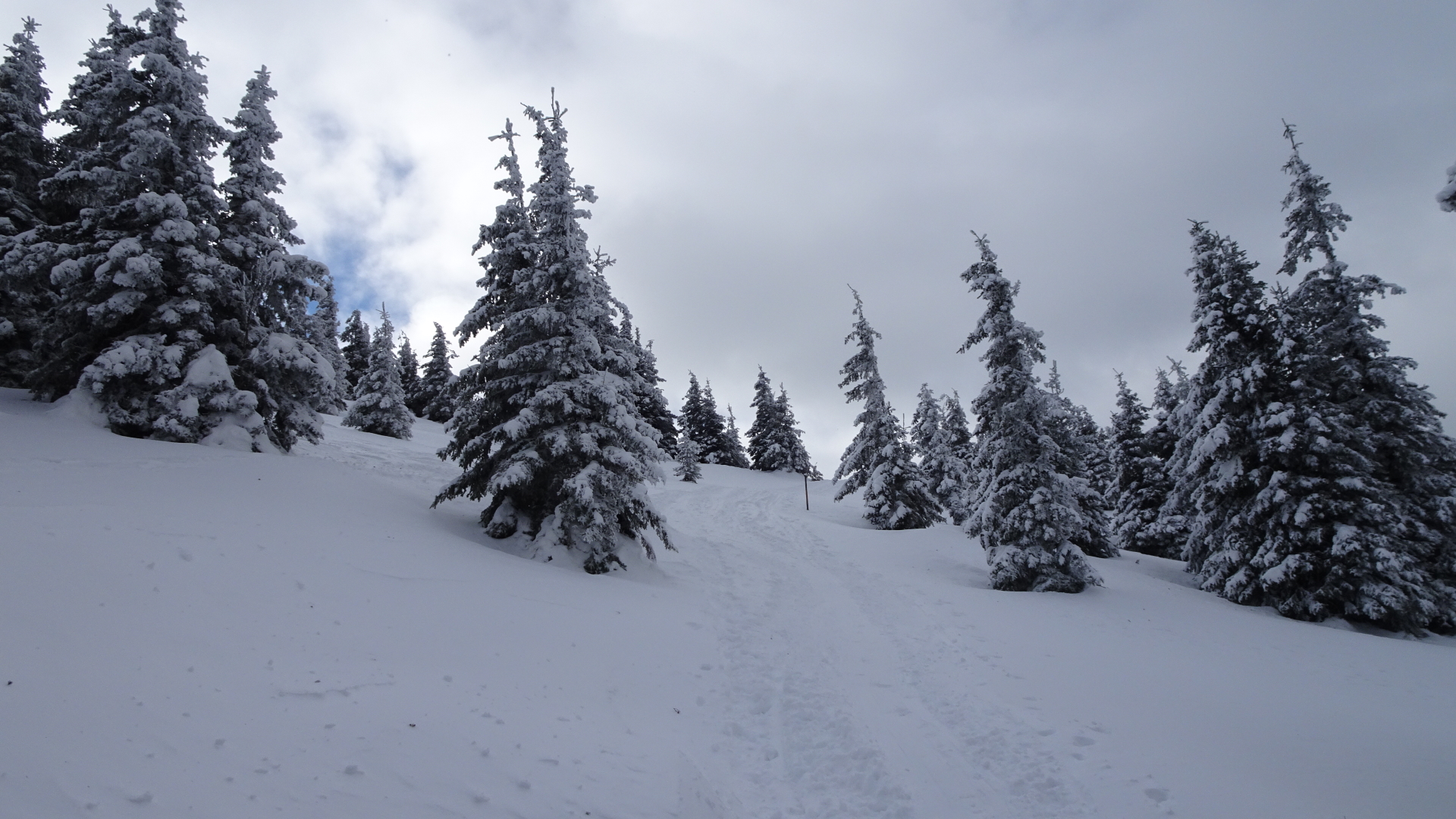
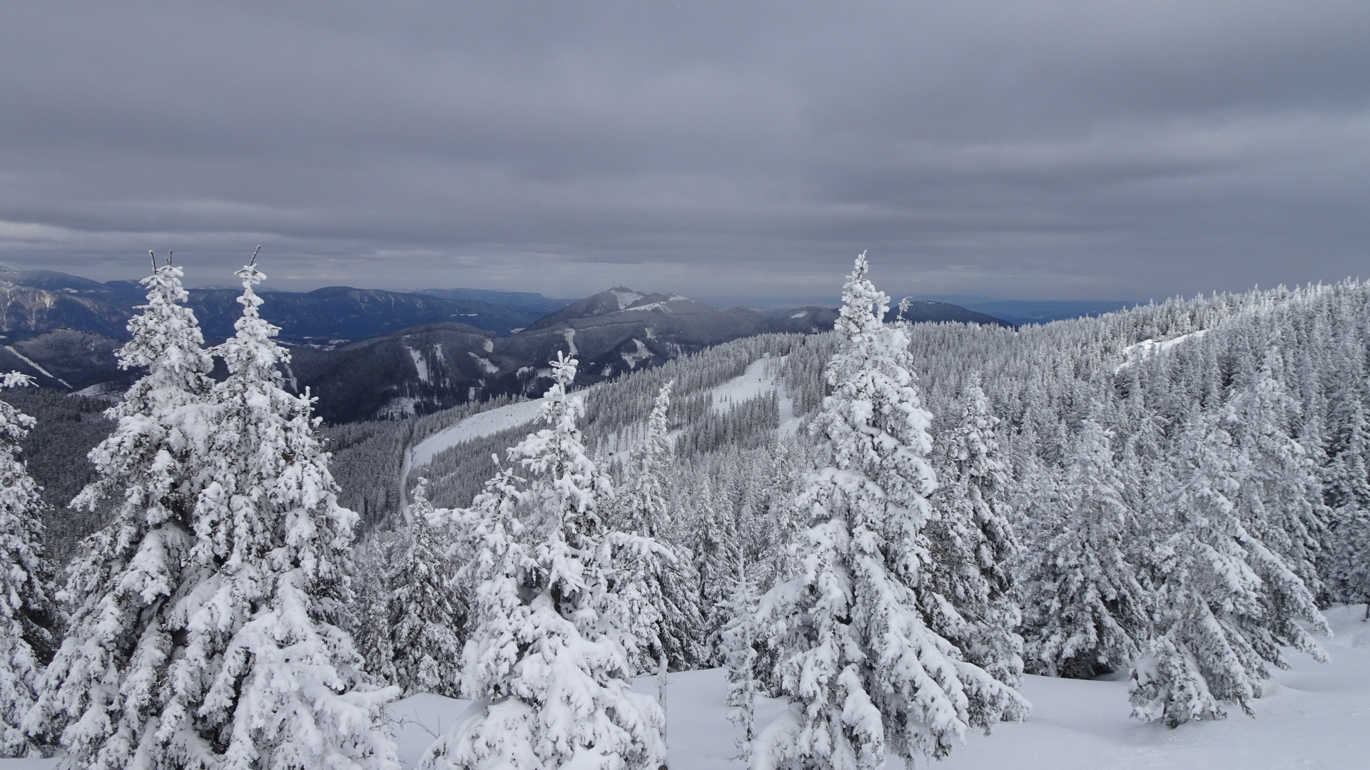
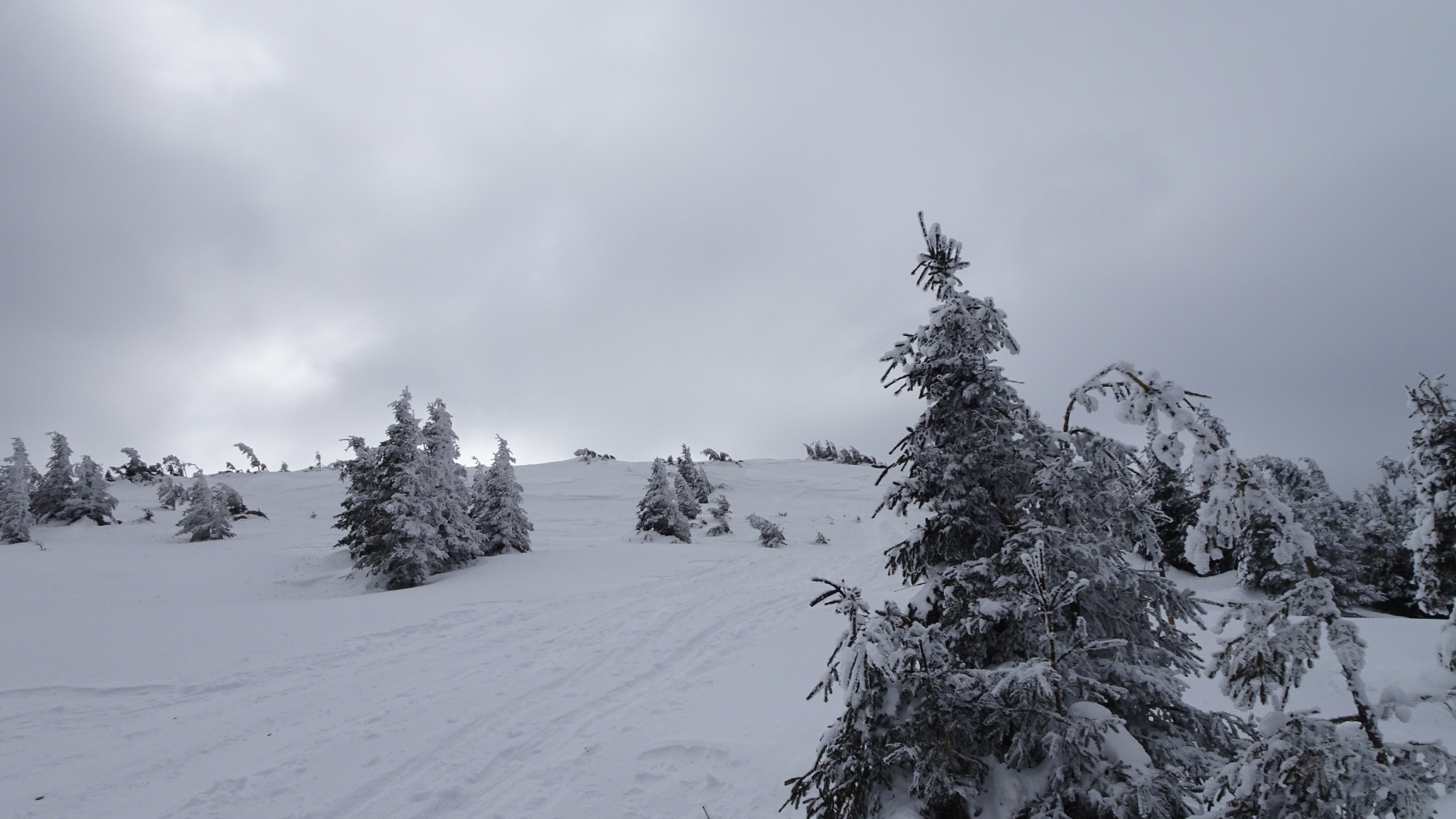
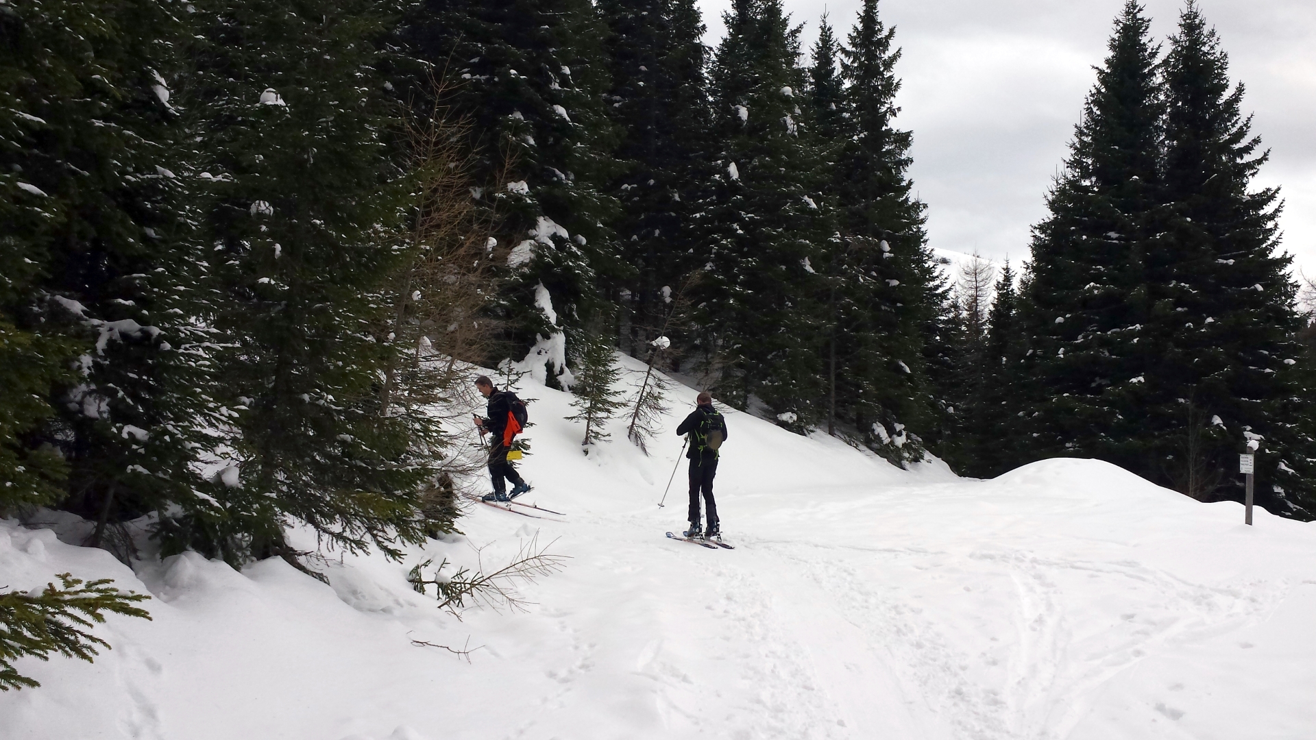
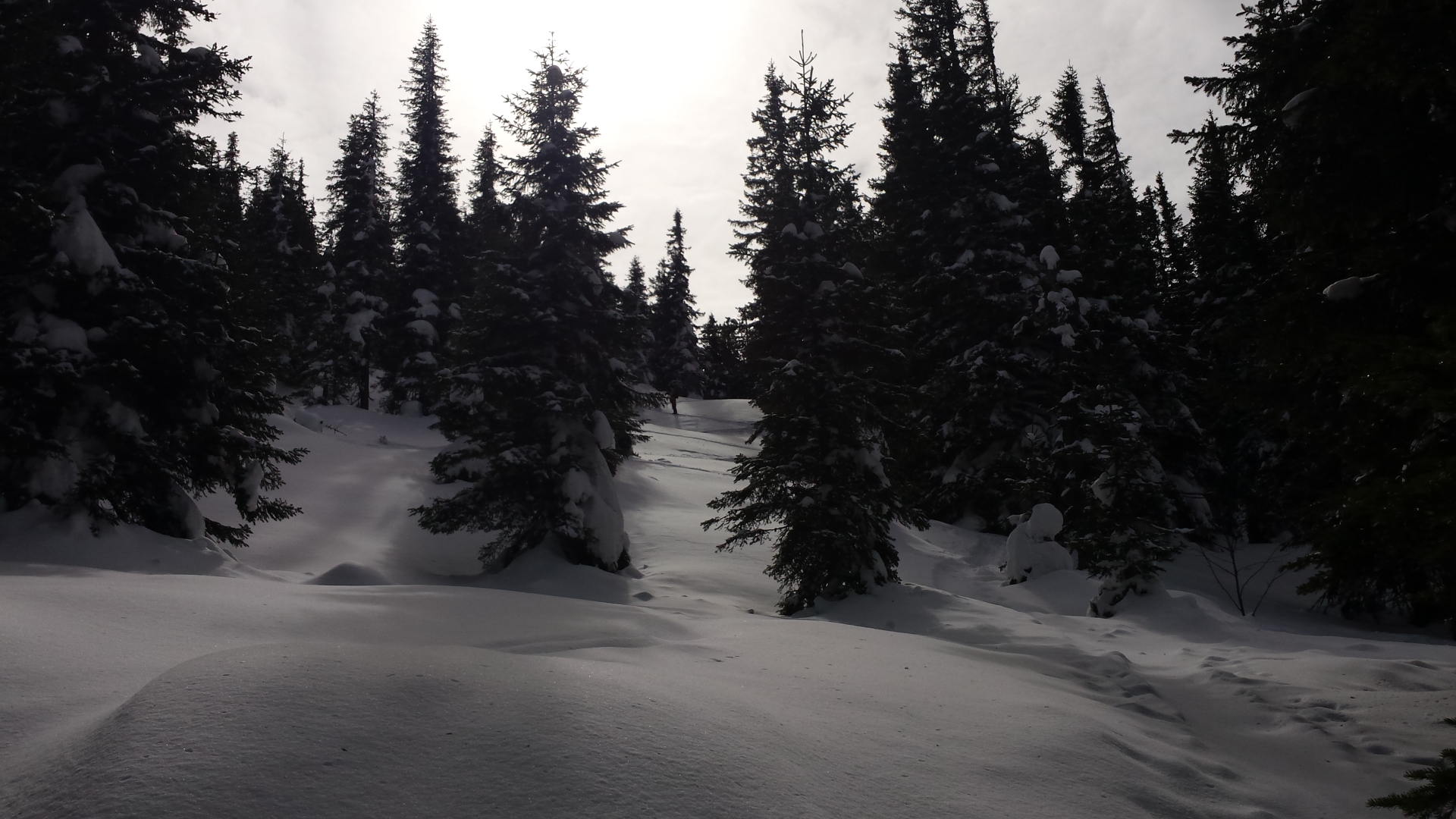
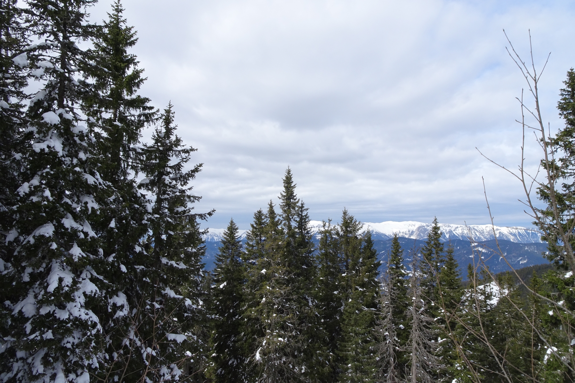
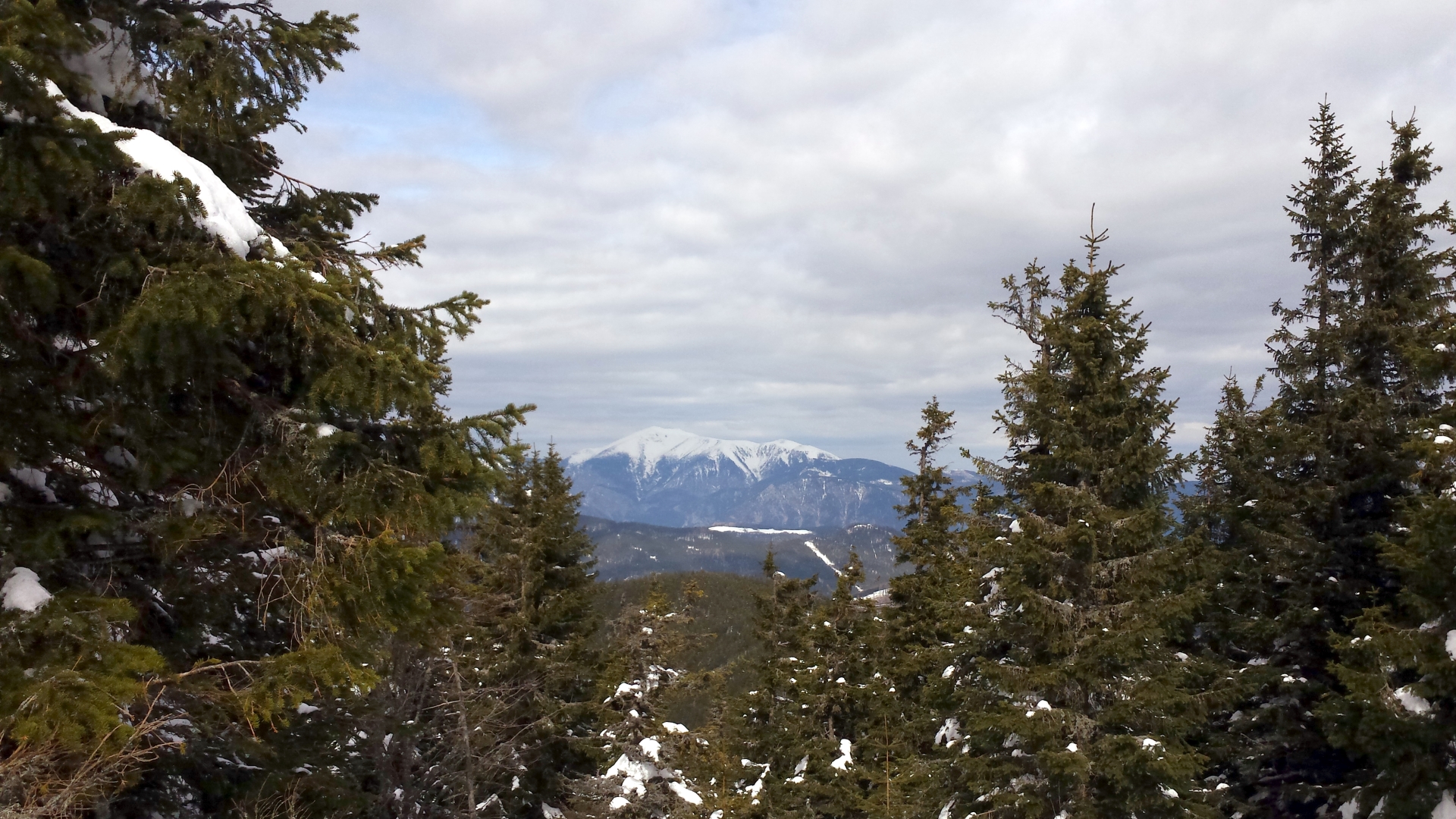
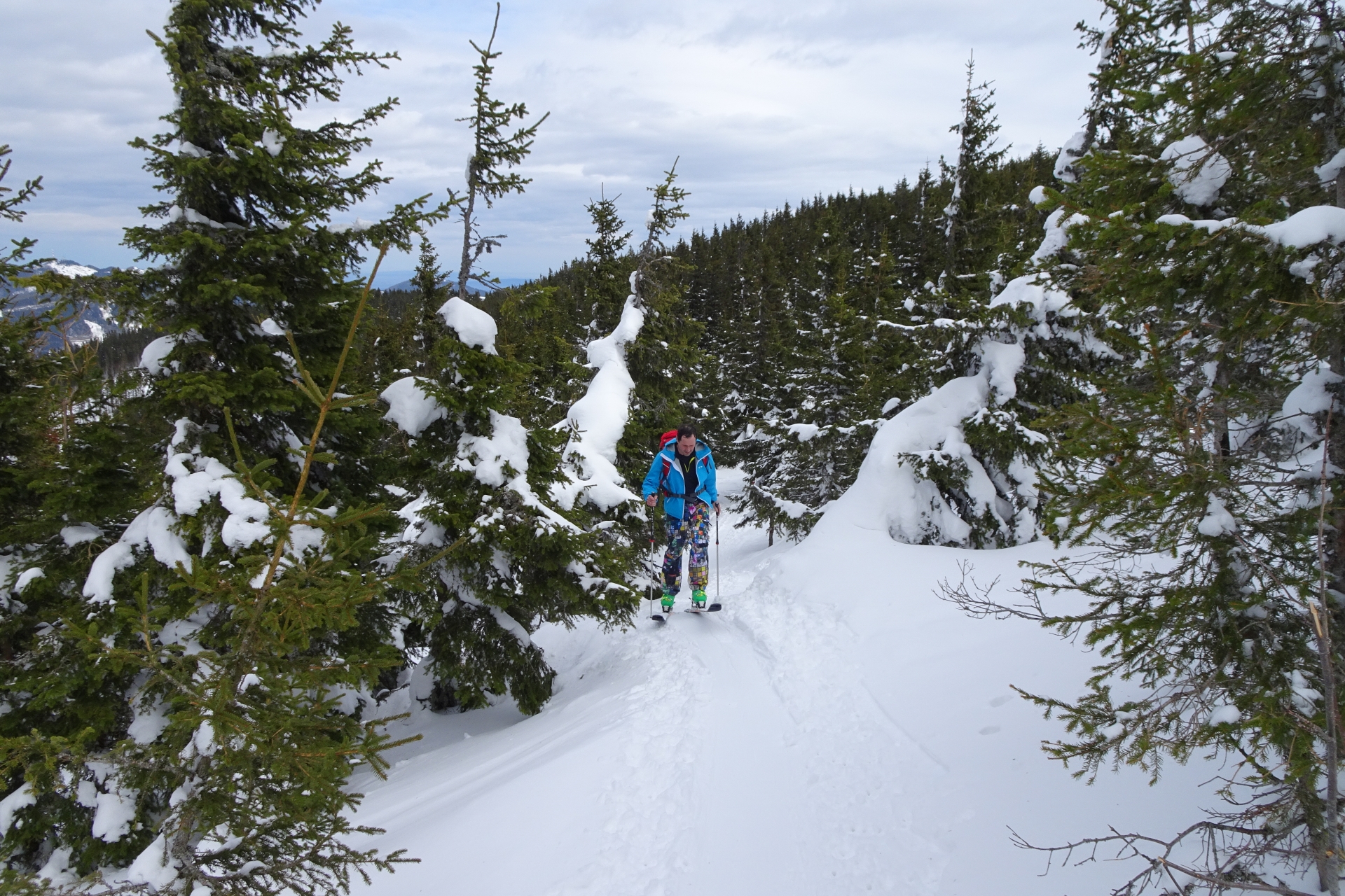
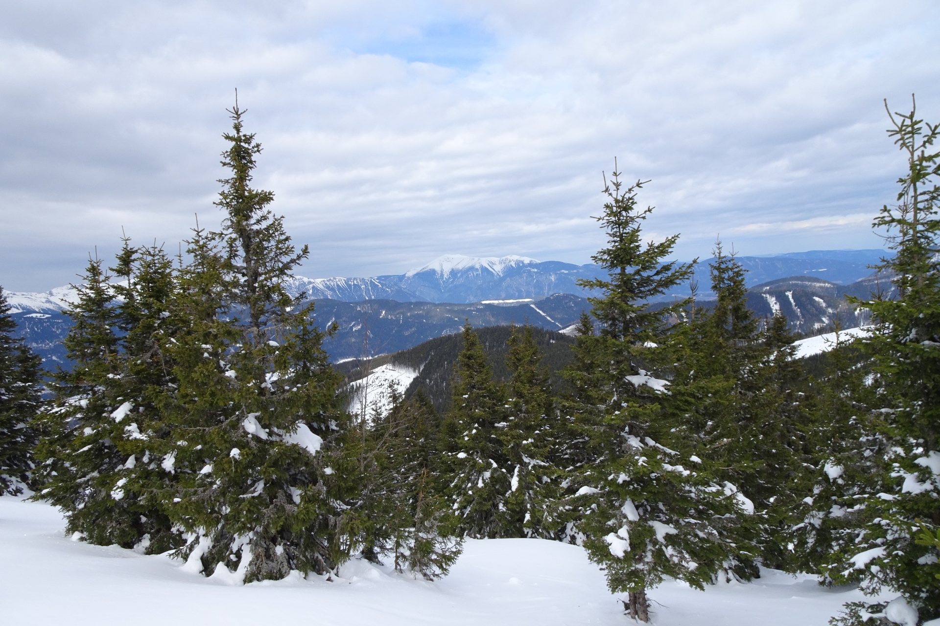
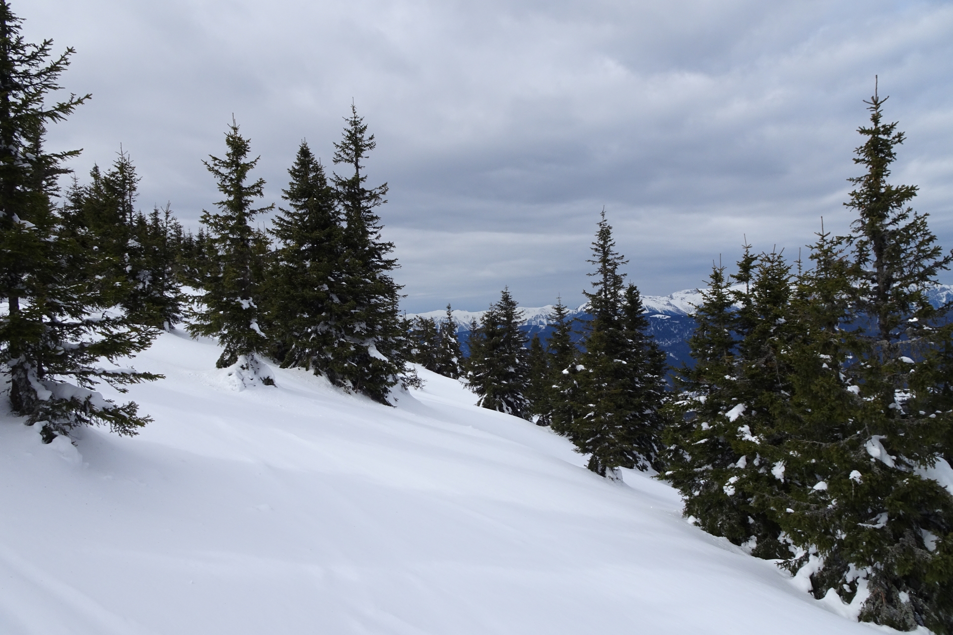
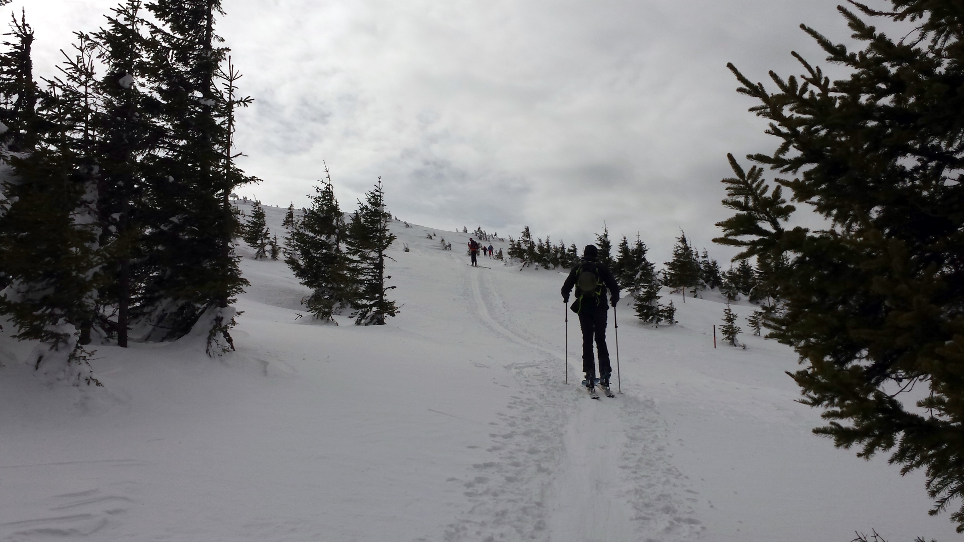
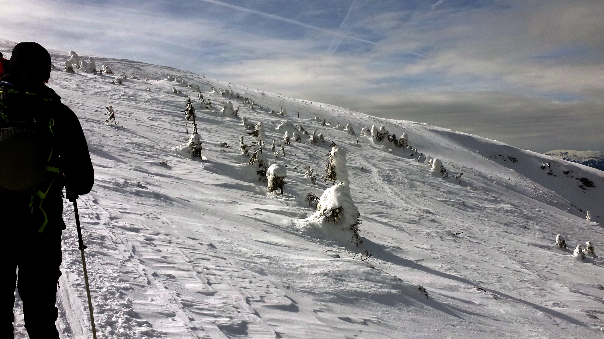
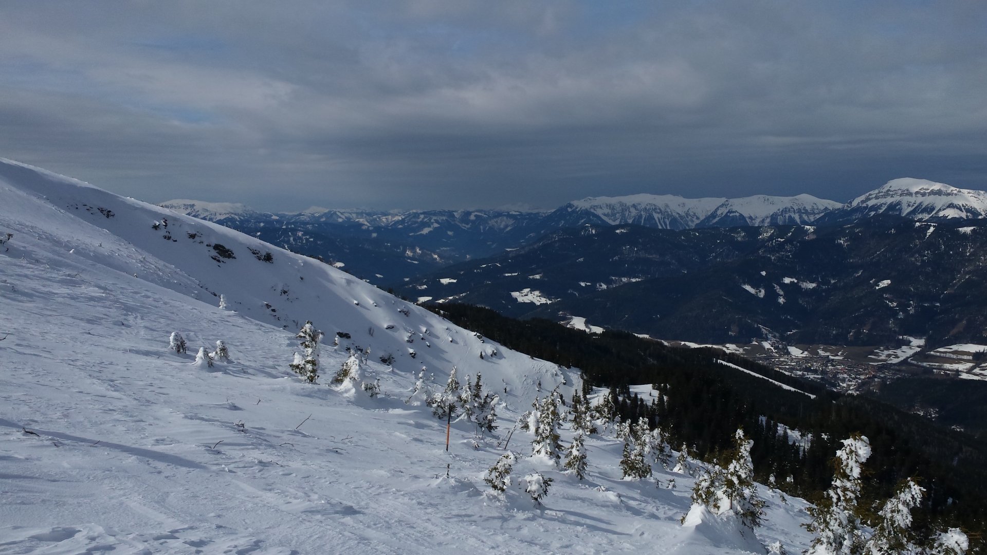
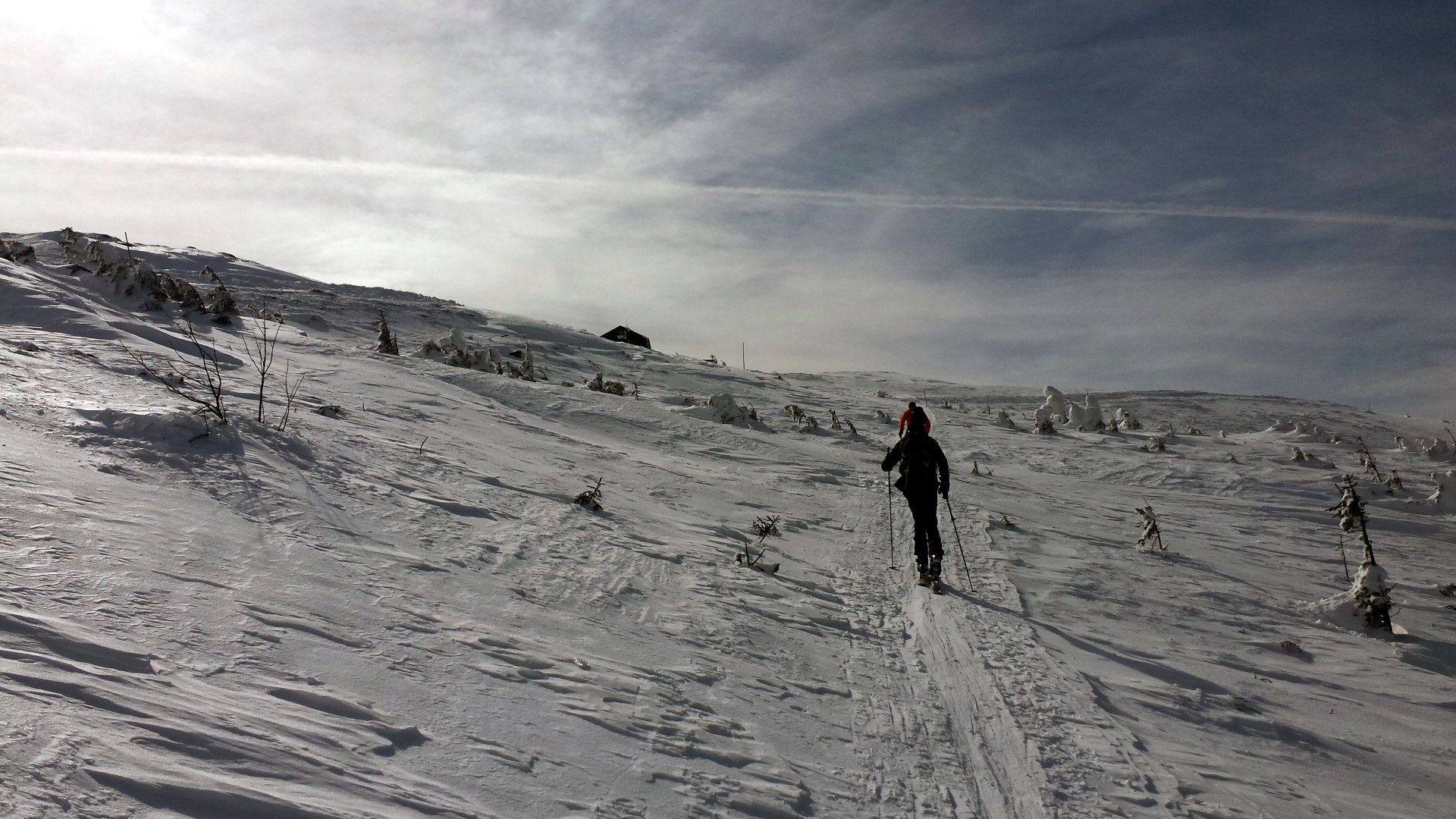
The tour starts at the lift station “Promibahn / Kaltenbach”, following the forest road (continuing the “Kaltenbachstraße”). After 2 km, the road crosses a small and steeper track through the forest. The track again crosses a street (at km 3.3), make sure you take the small trail on the right towards the “Karl-Lechner-Haus”. After a small break, the tour continues on a small trail towards the top of Stuhleck to the “Alois-Günther-Haus”. The descent is done on ski slopes, following the slope towards “Promibahn” (always keep right).
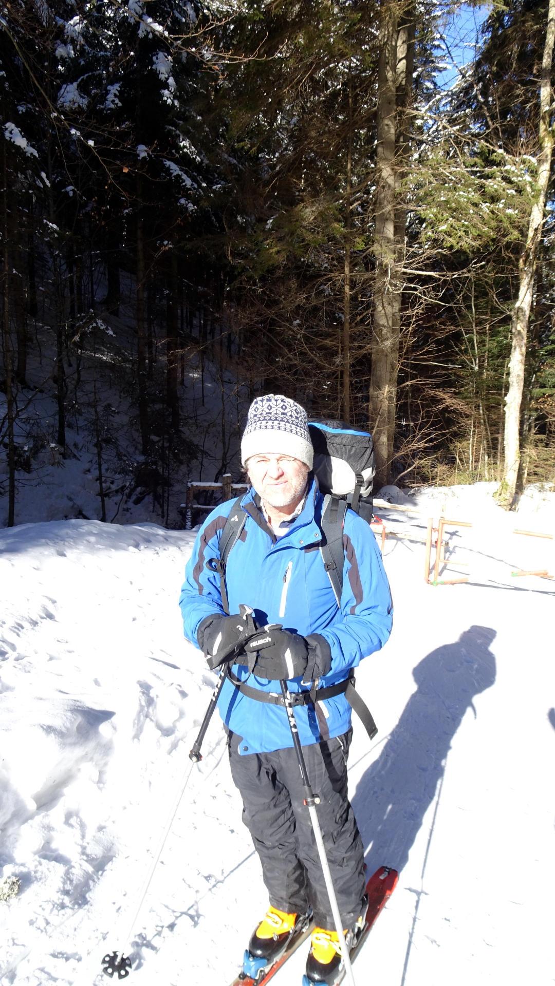
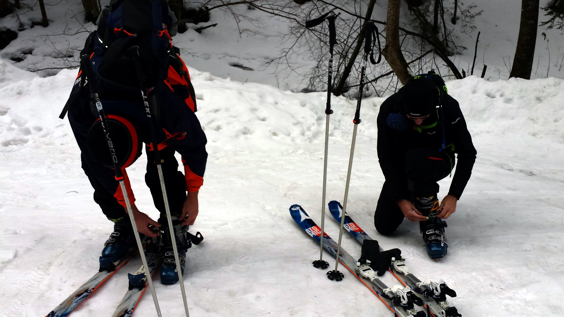
Tip: The entire ski touring equipment (ski + fur, shoes, sticks) can be rented at Schneesport Taberhofer at reasonable conditions.
Tour Description
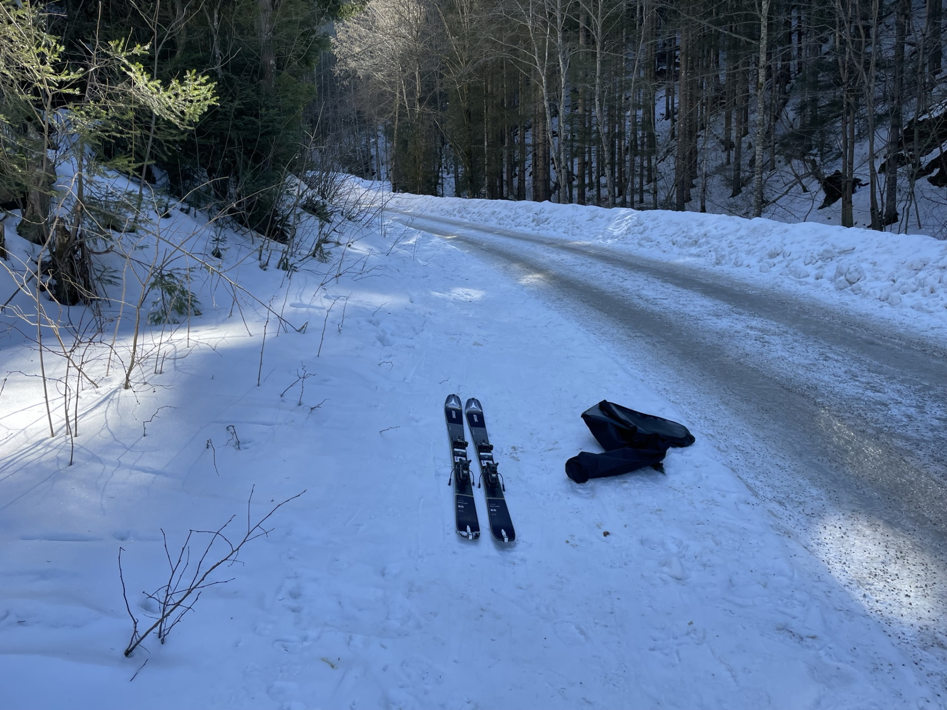
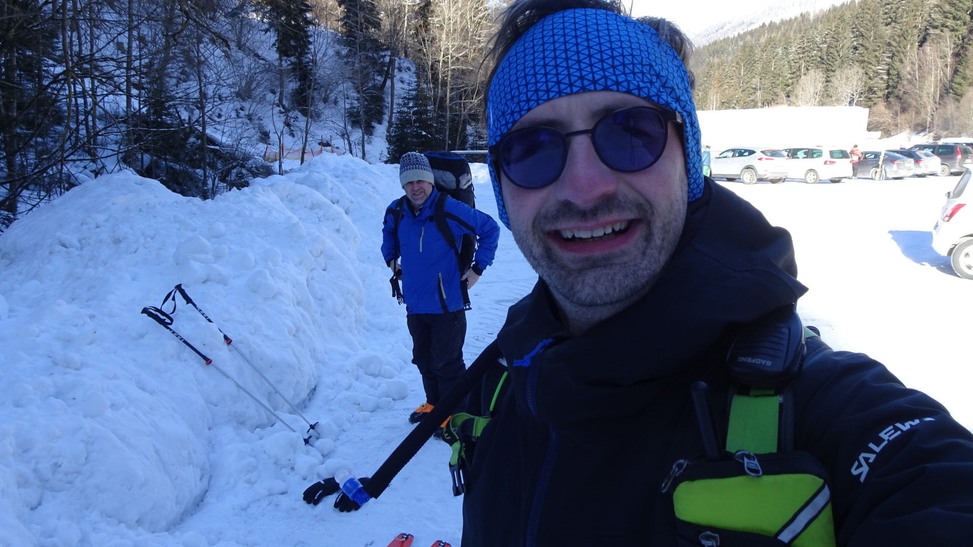
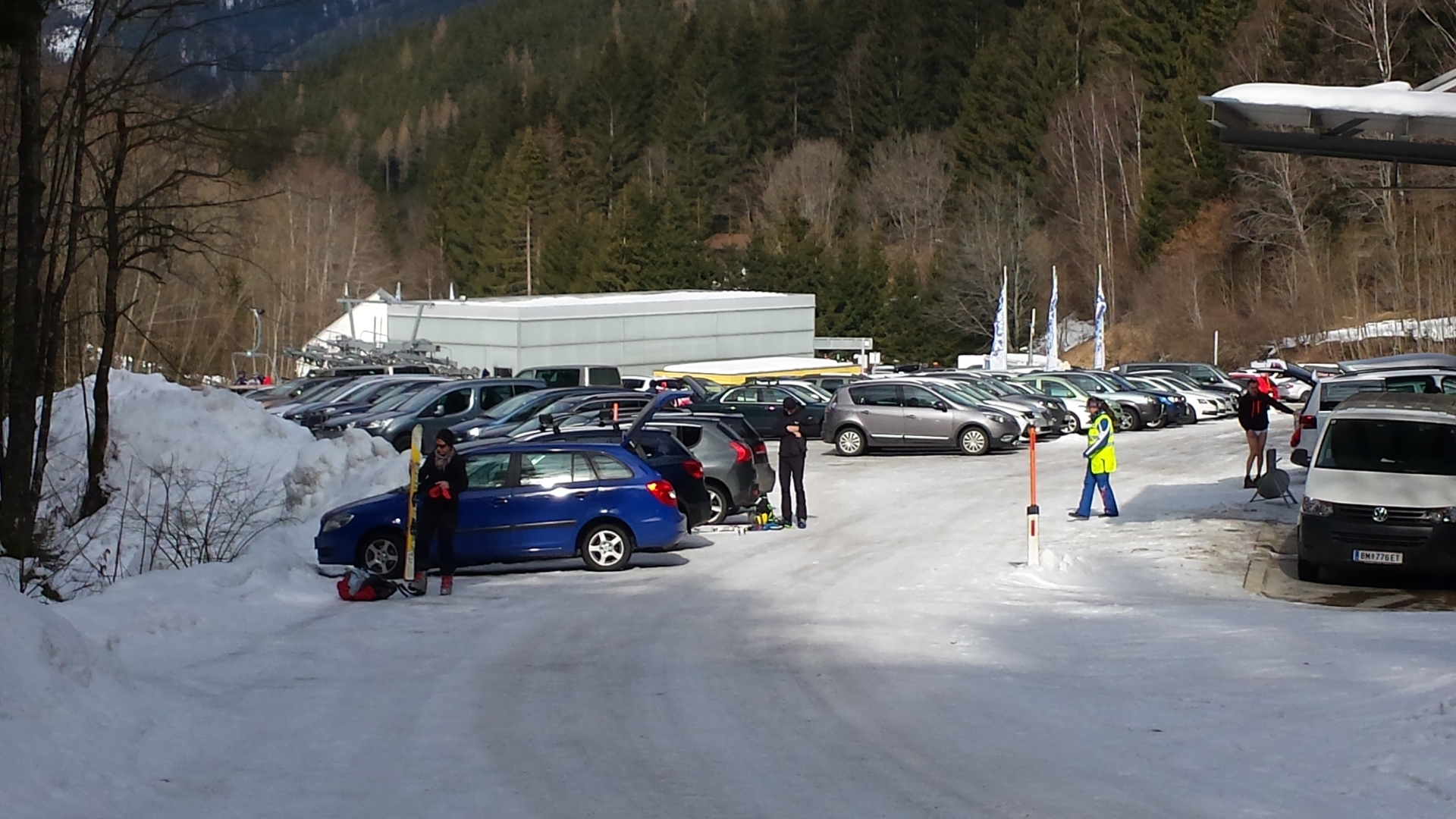
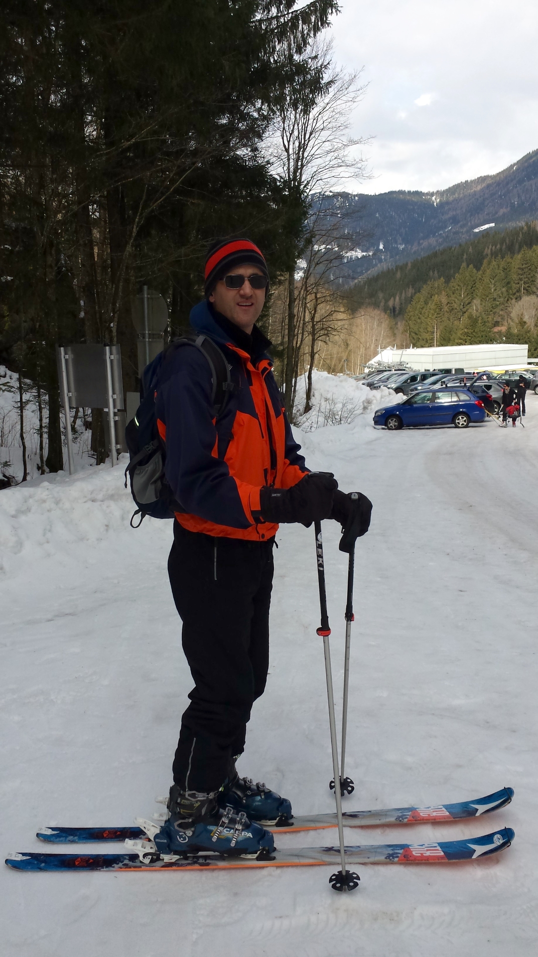
| 00:00 | Parking at the parking lot Stuhleck / Promibahn, Kaltenbach (ticket required!) |
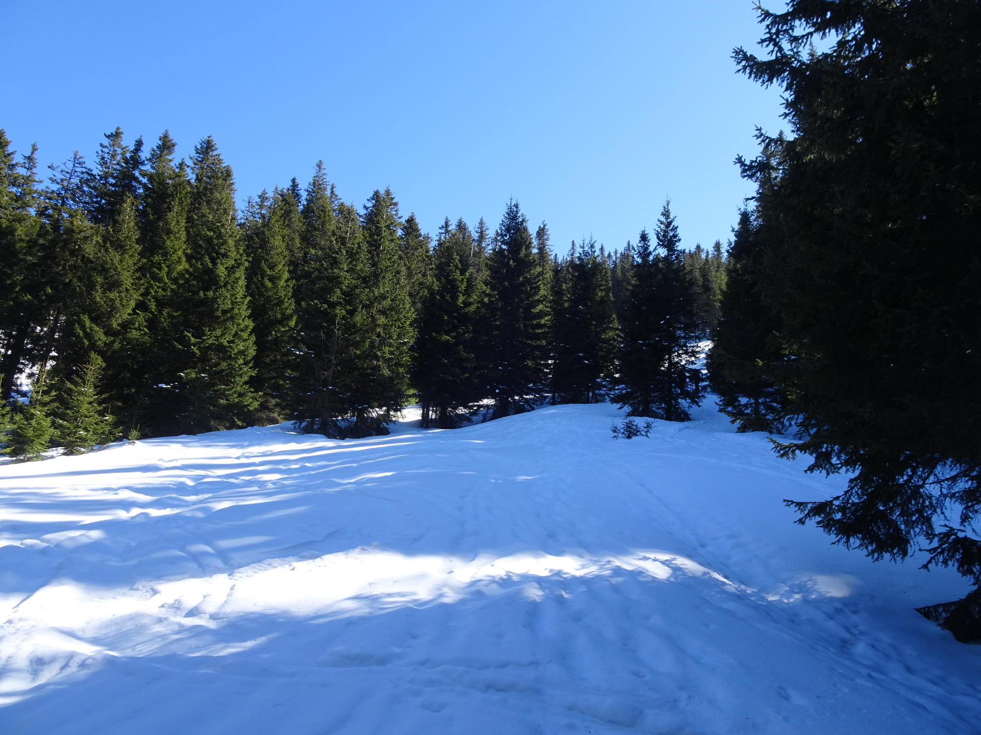
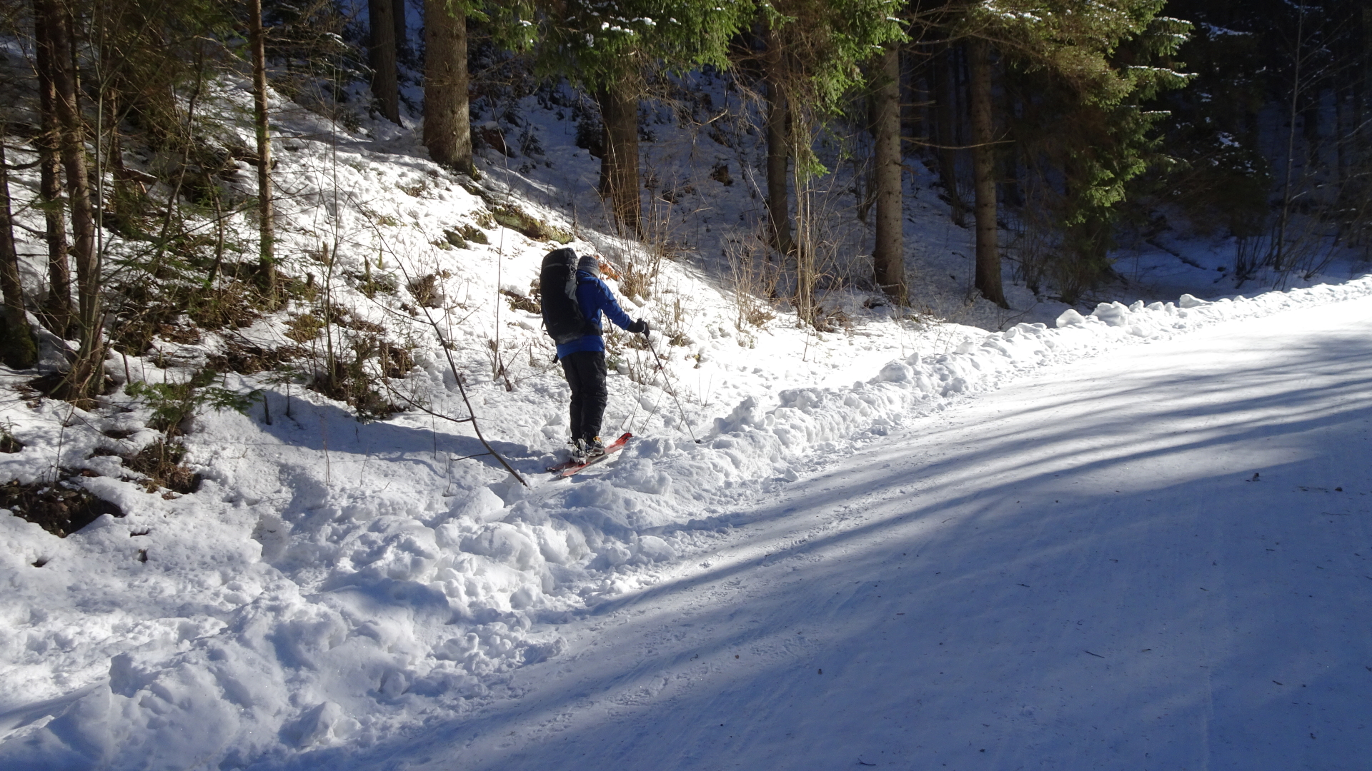
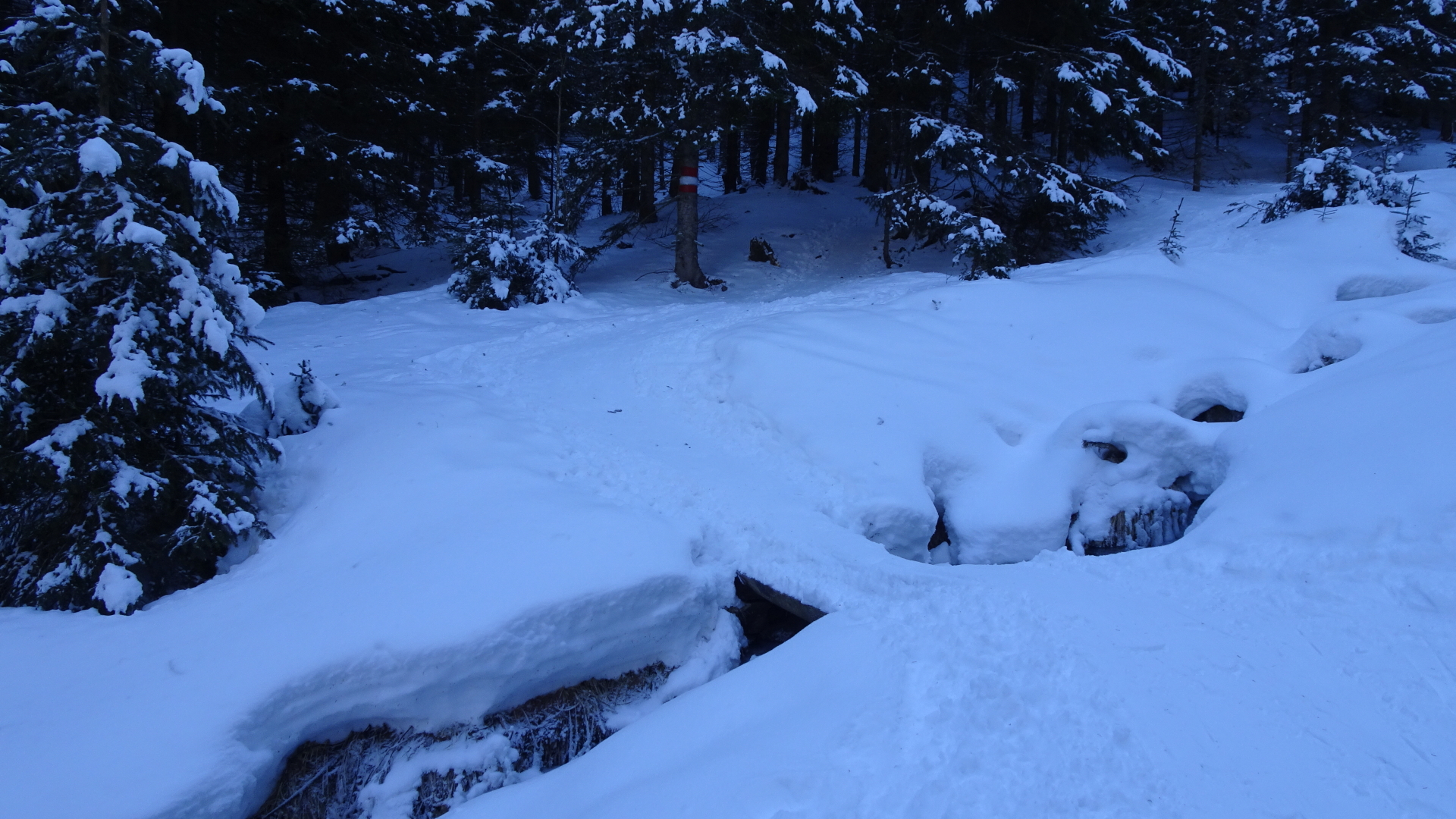
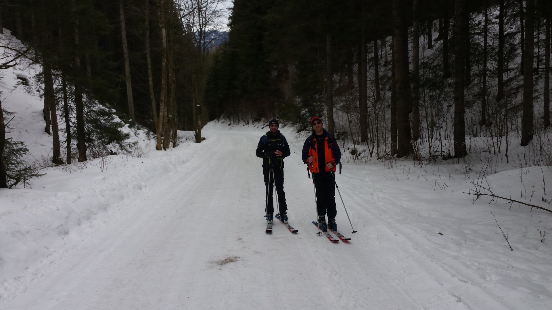
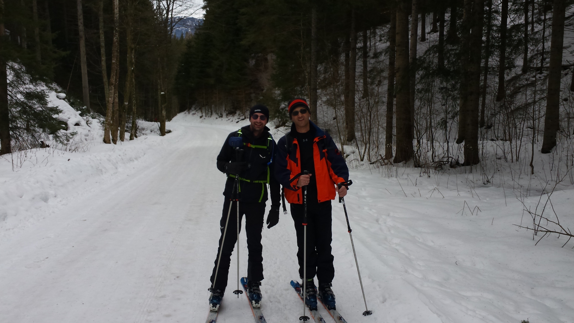
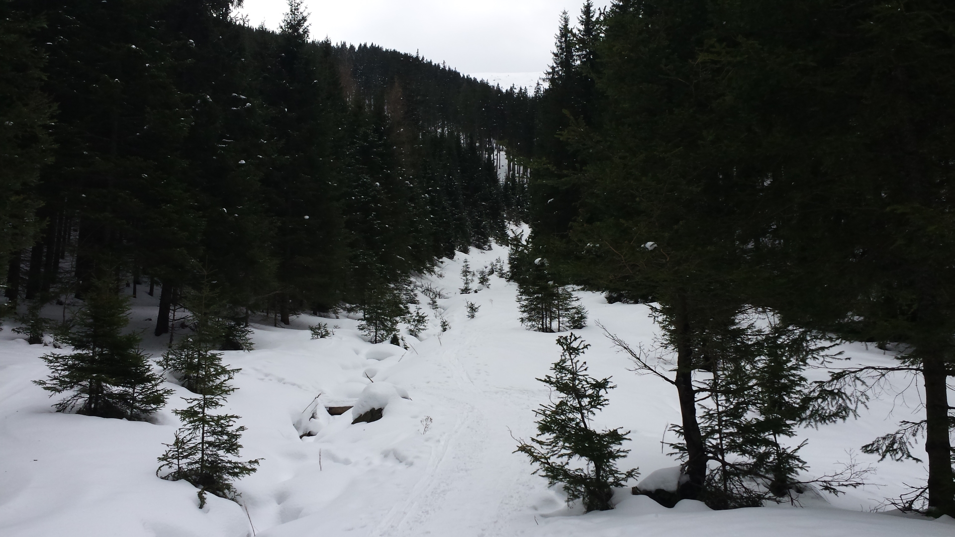
| 00:01 | Follow the forest road at the end of the street next to the river. |
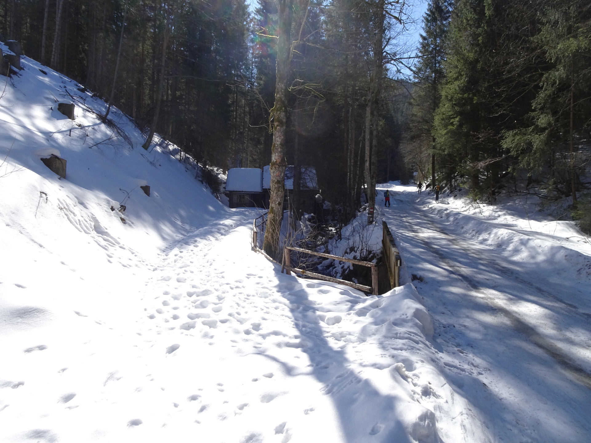
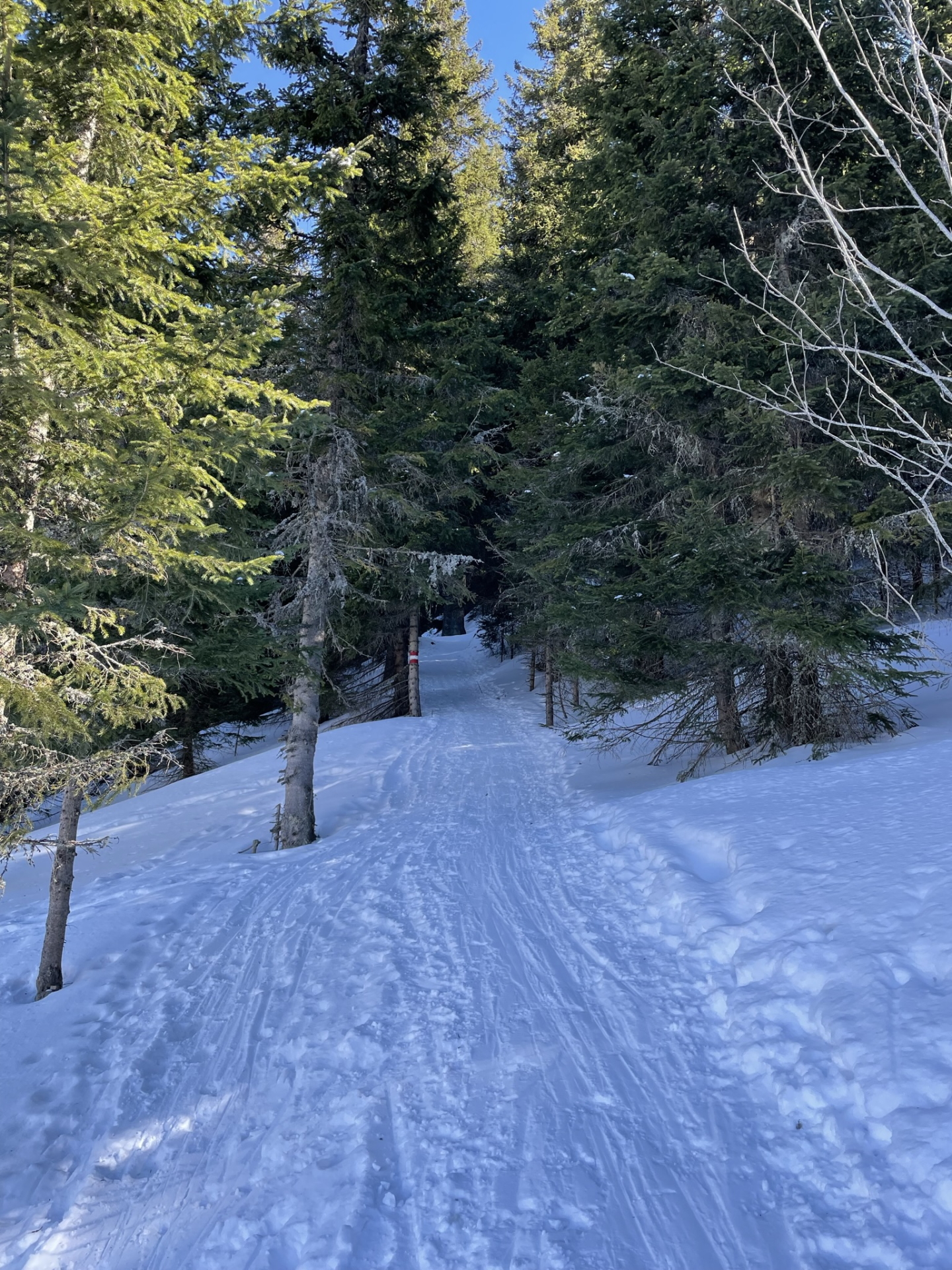
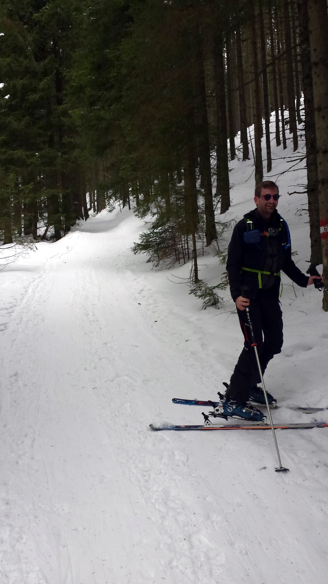
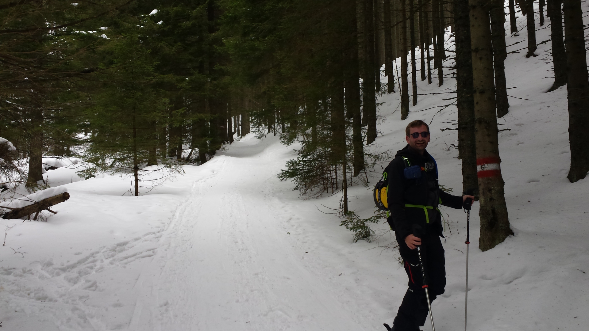
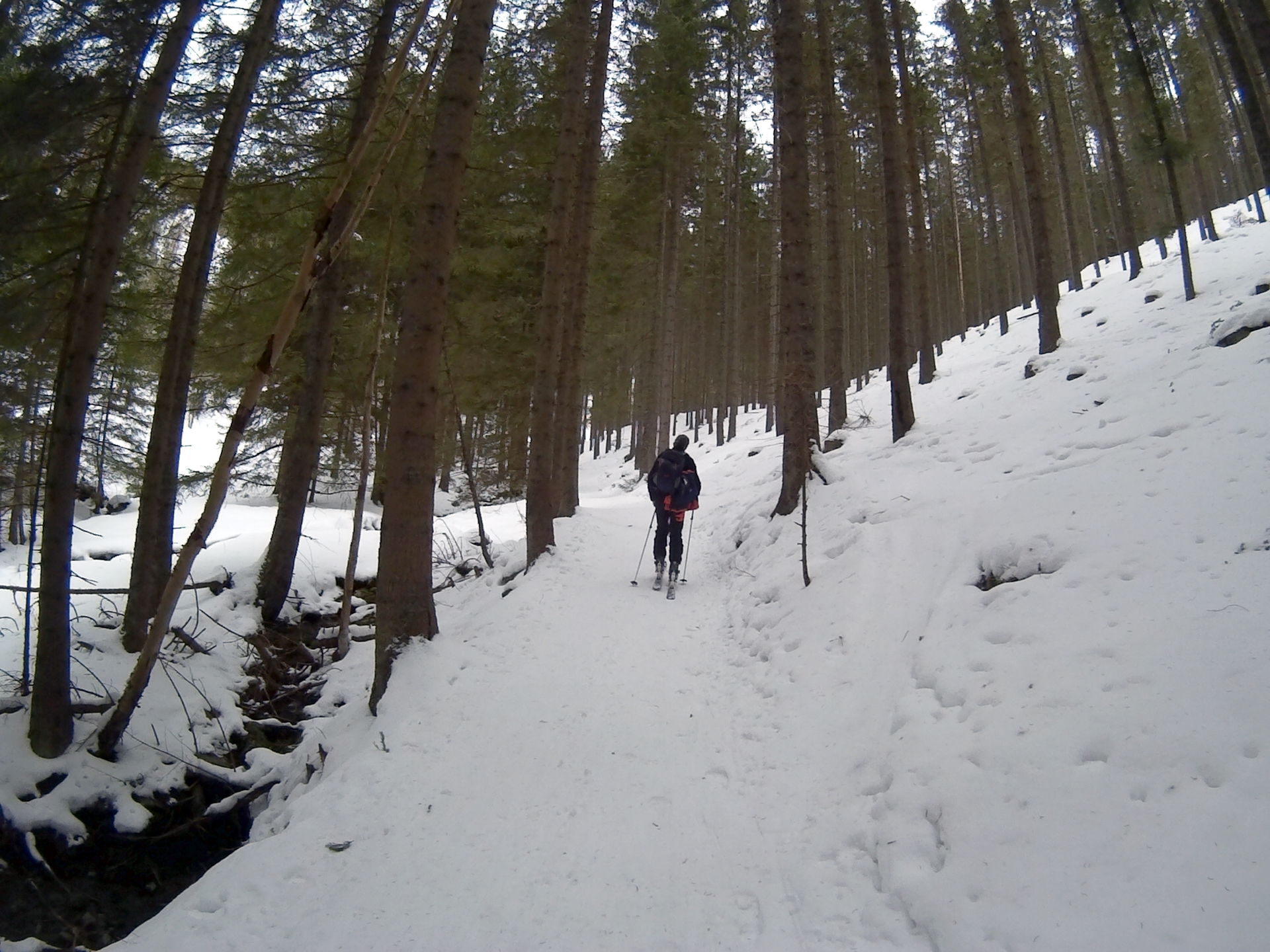
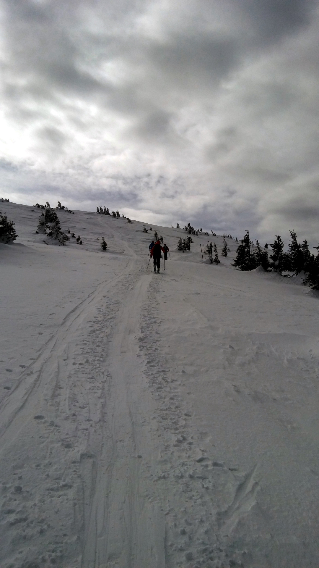
| 00:45 | At the U-Turn (km 2), turn into the small trail through the forest. |
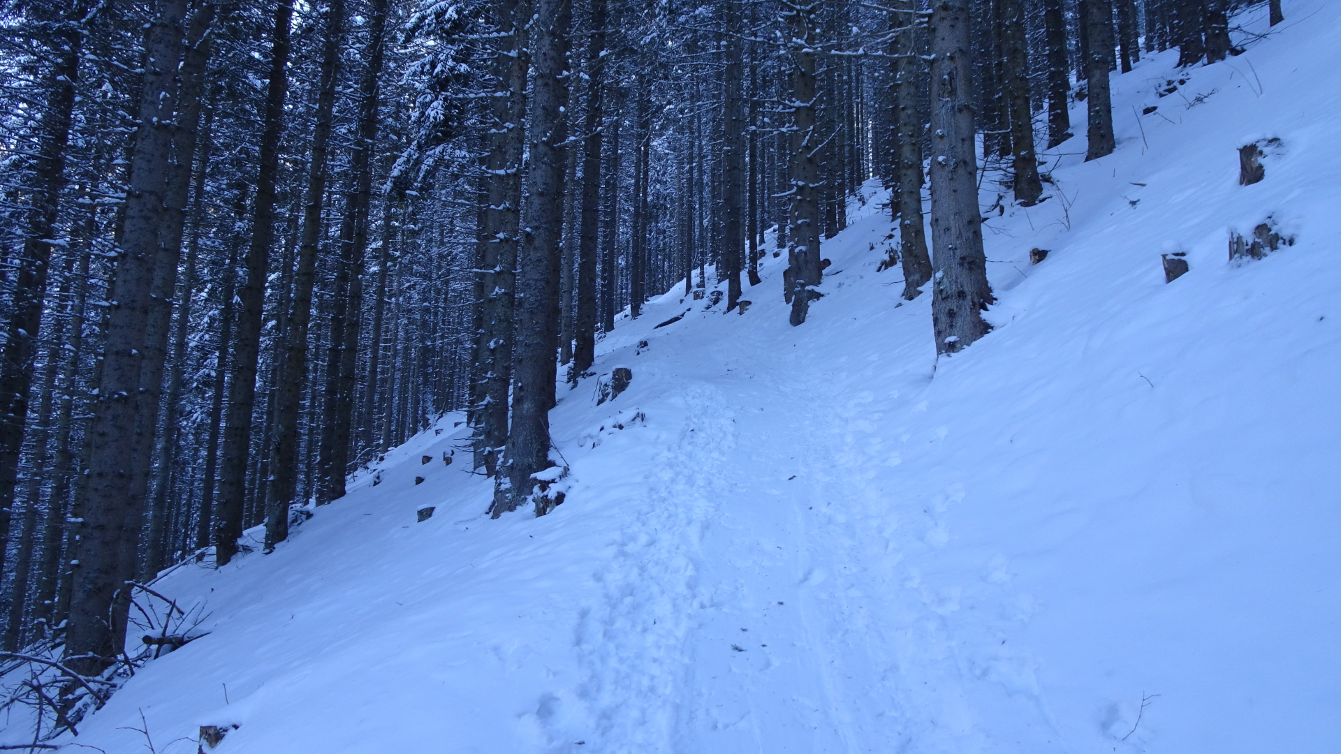
| 01:32 | The trail crosses a forest street and continues a few meters on the right handside (steep upwards). |
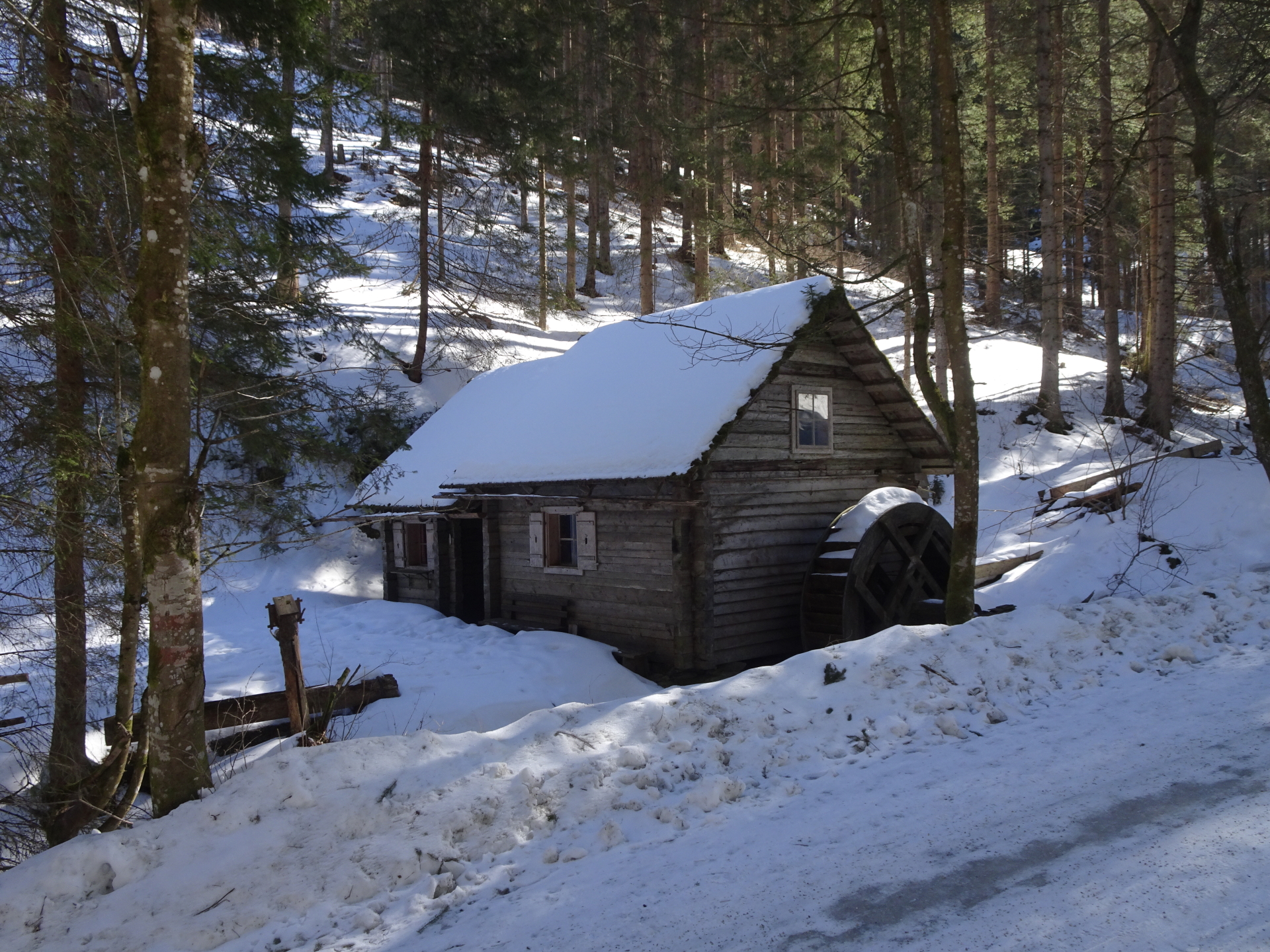
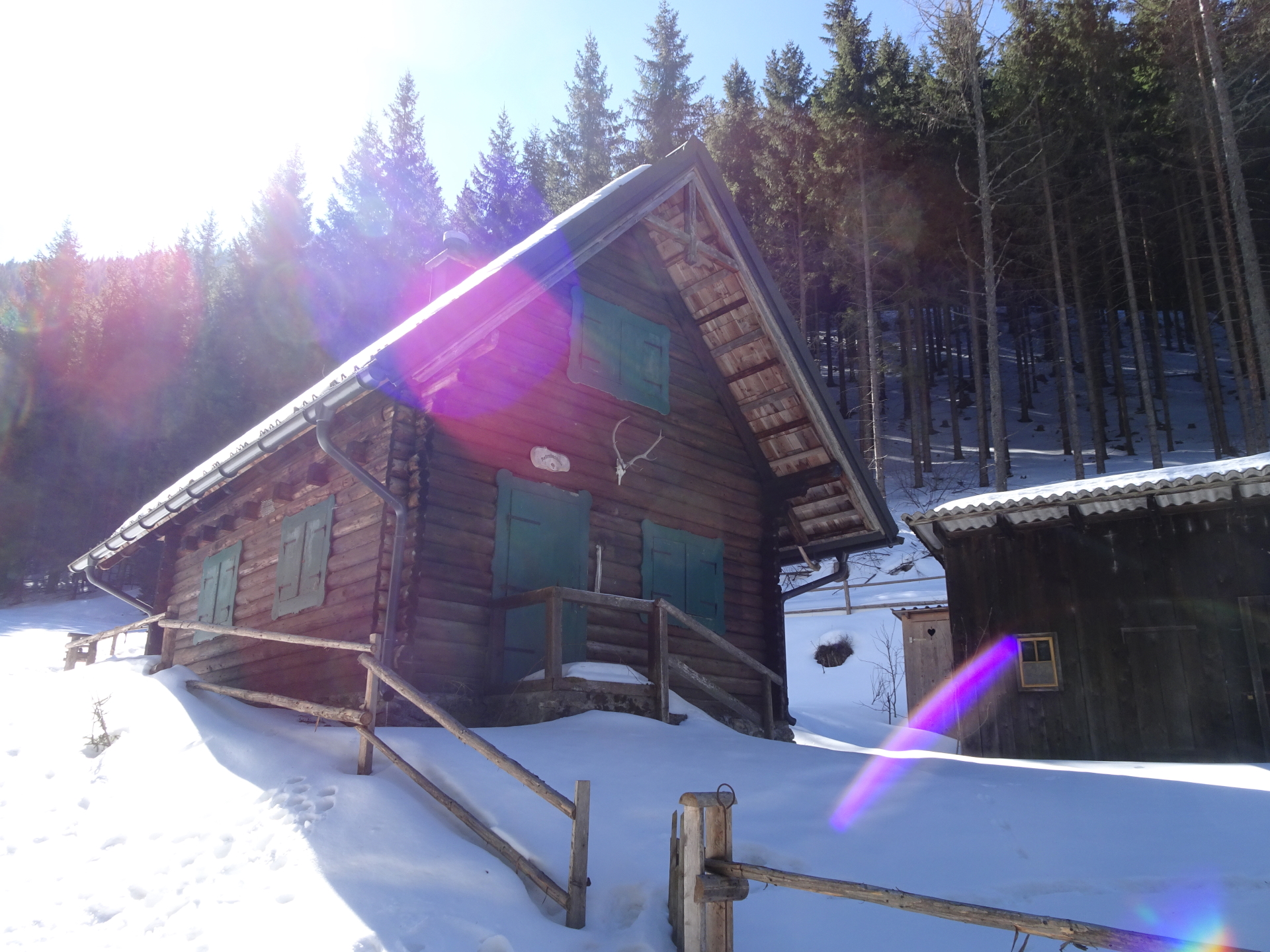
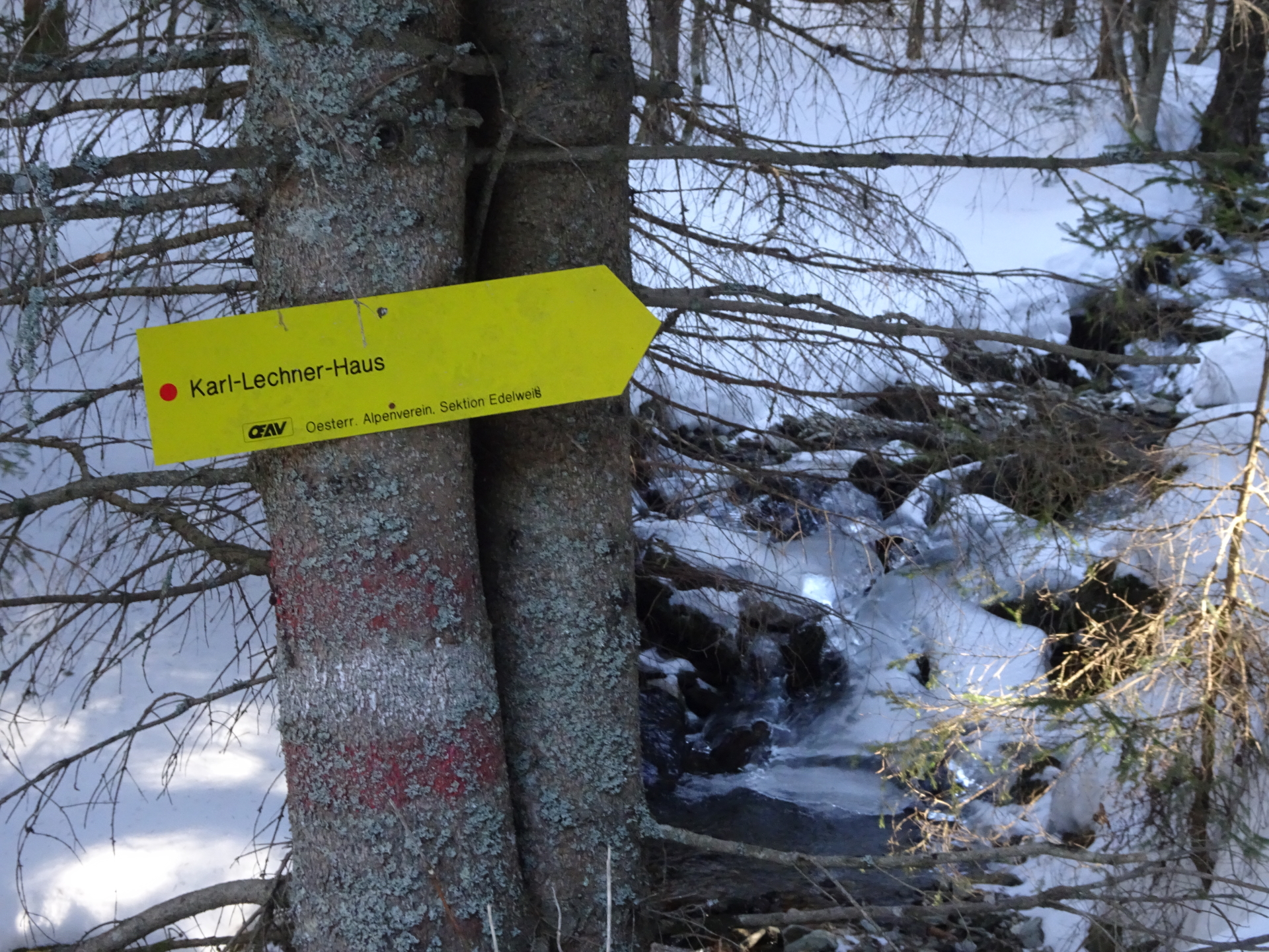
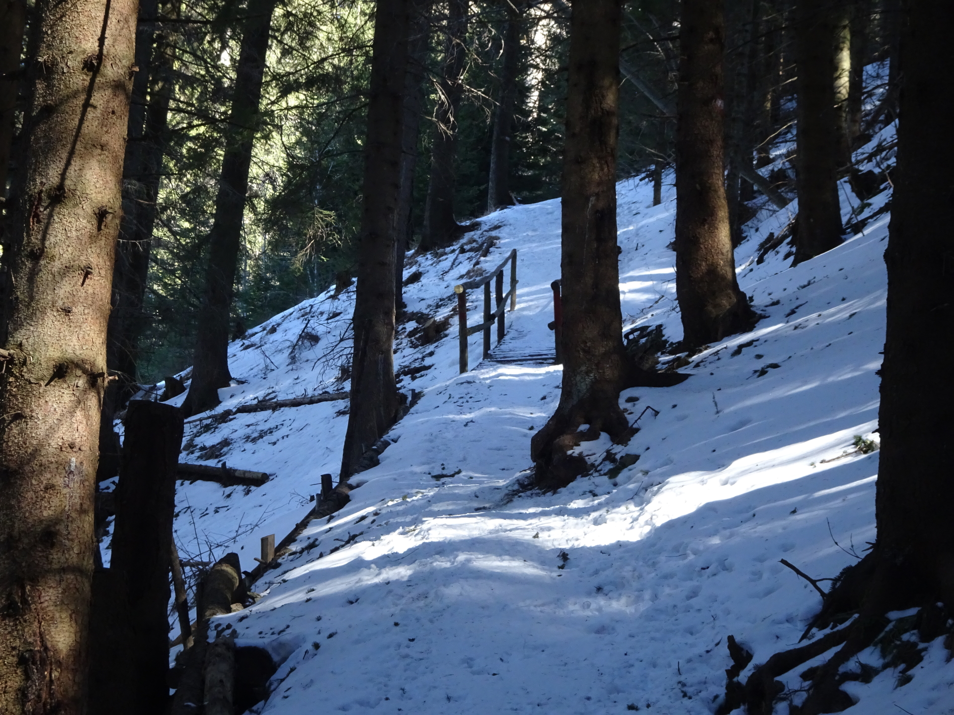
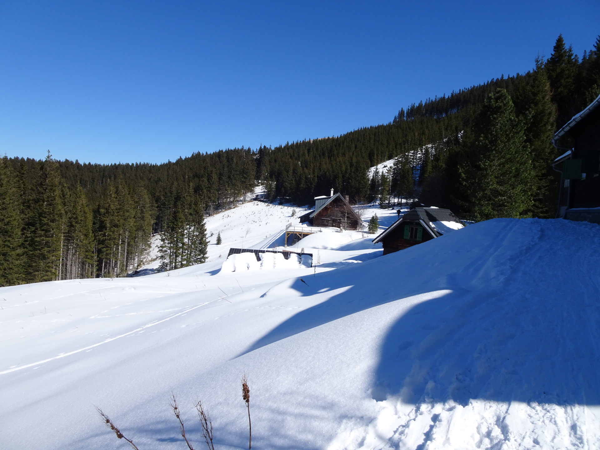
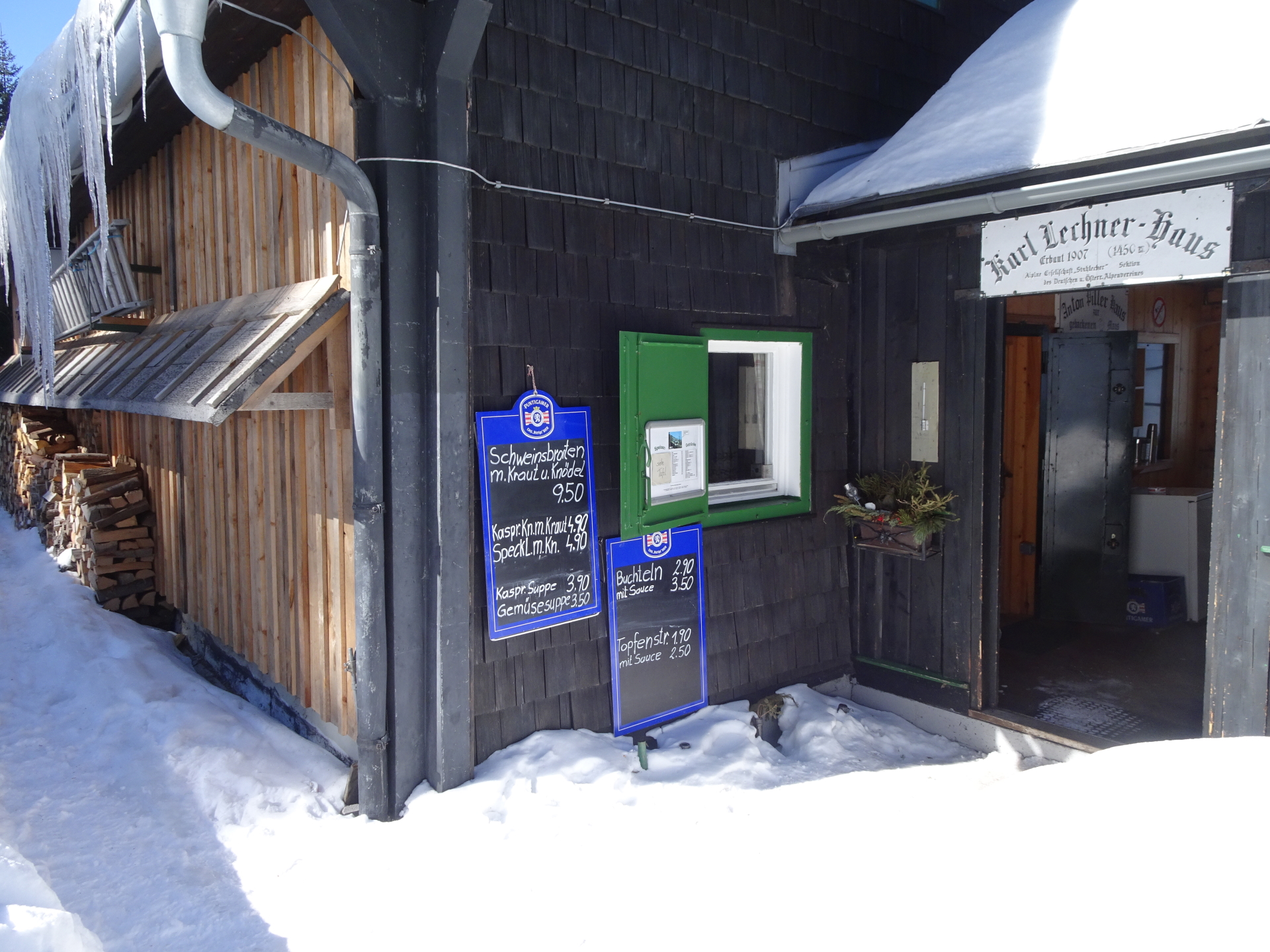
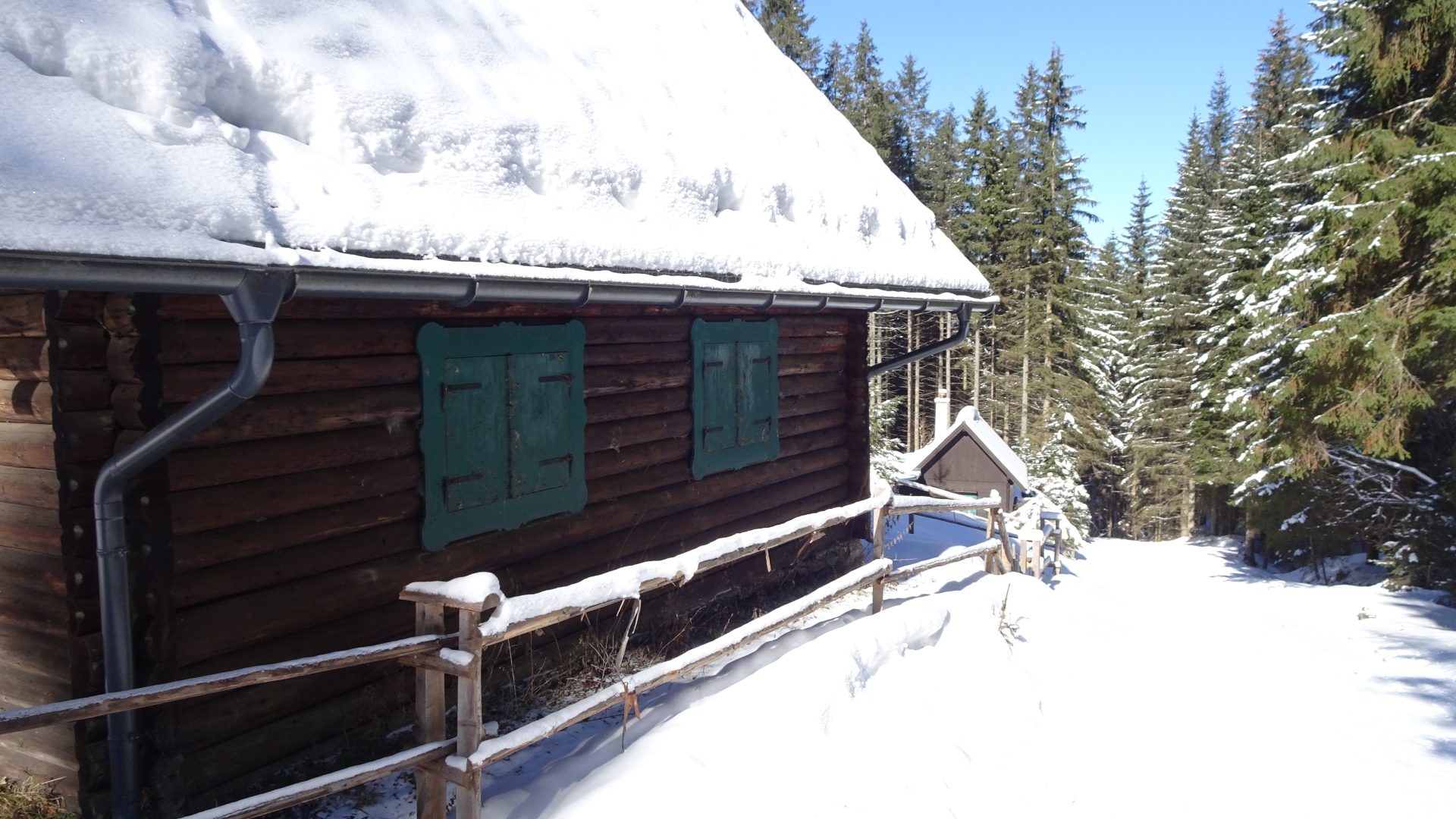
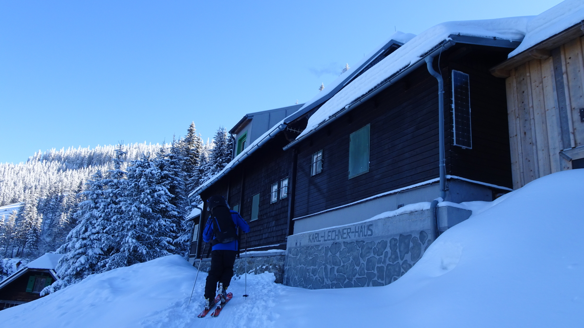
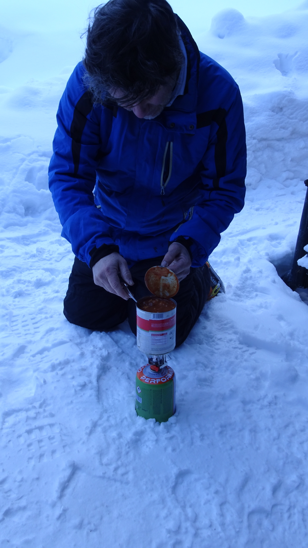
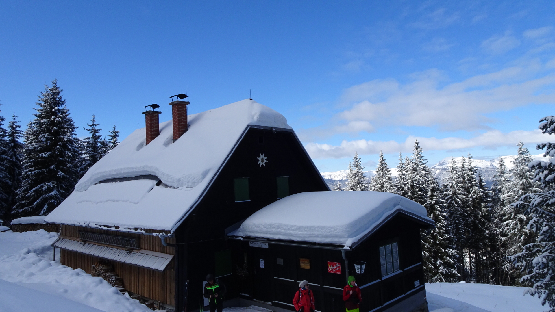
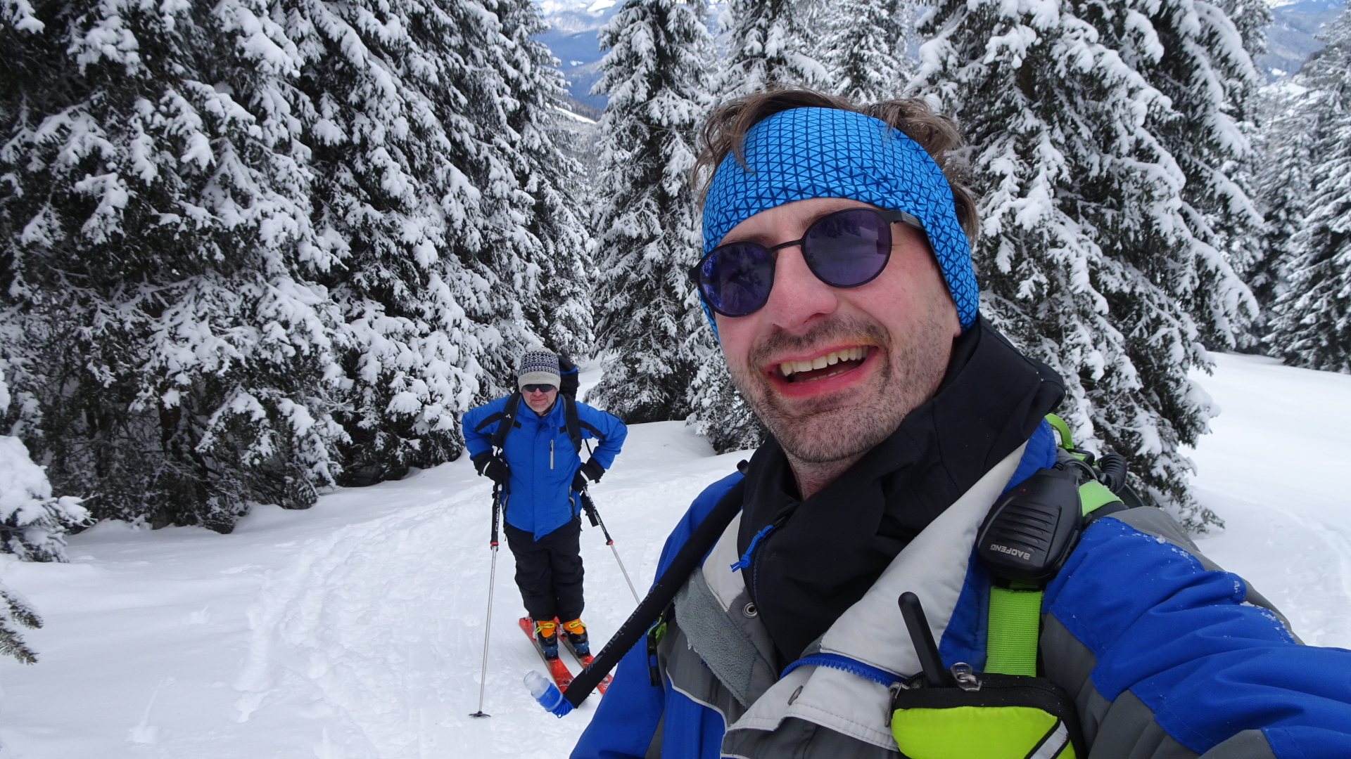
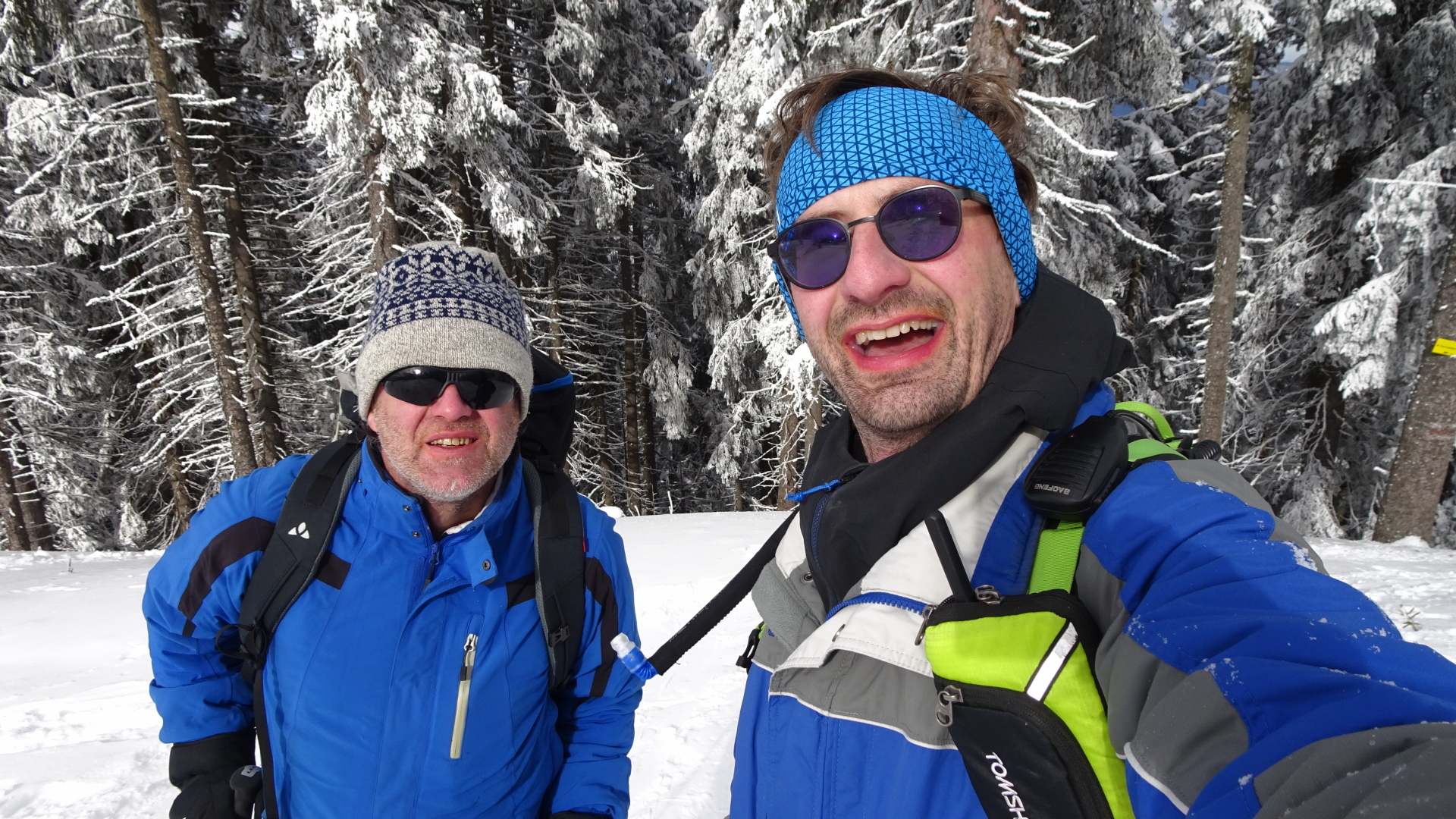
| 01:50 | Break at the Karl-Lechner-Haus (). |
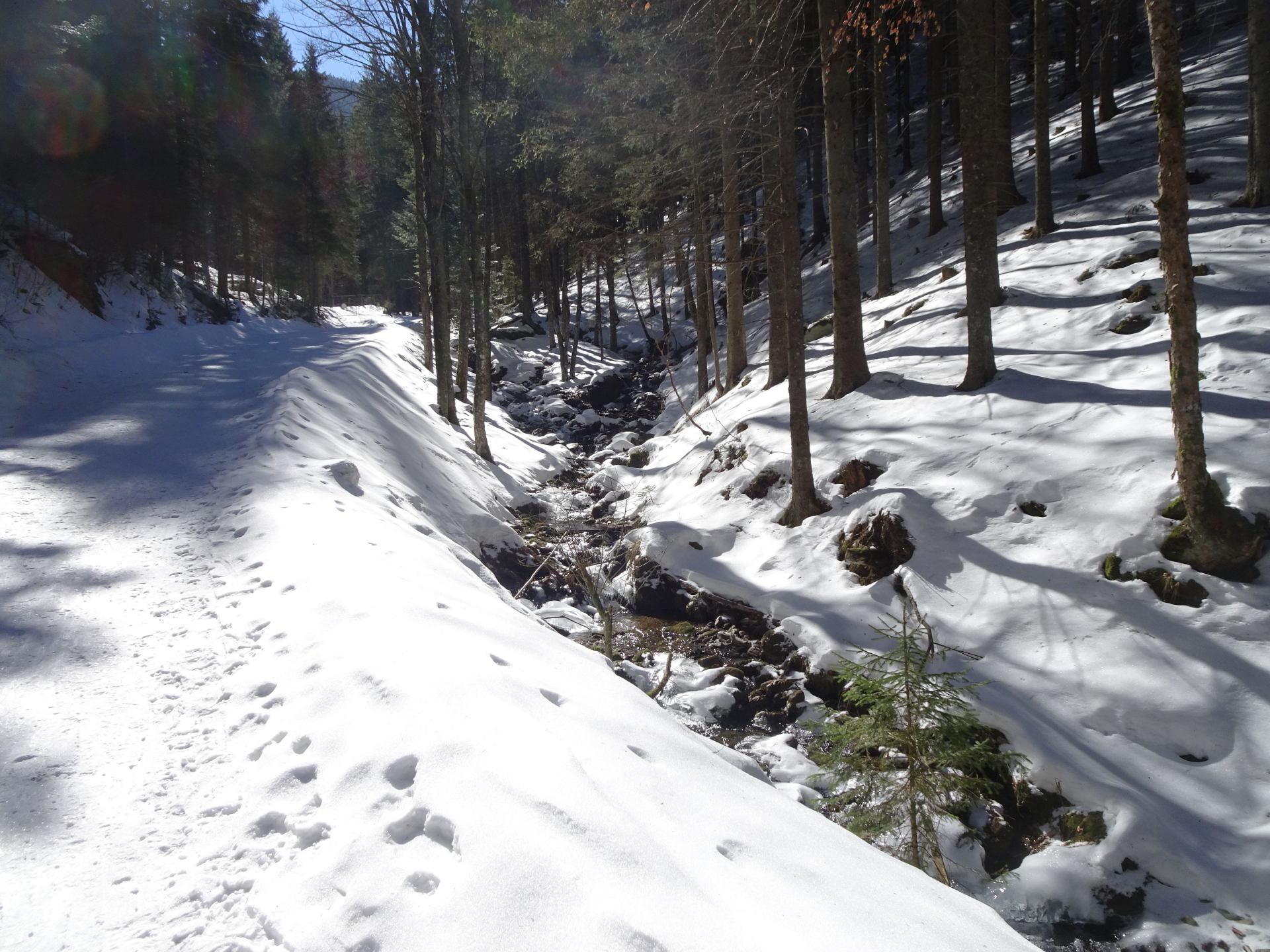
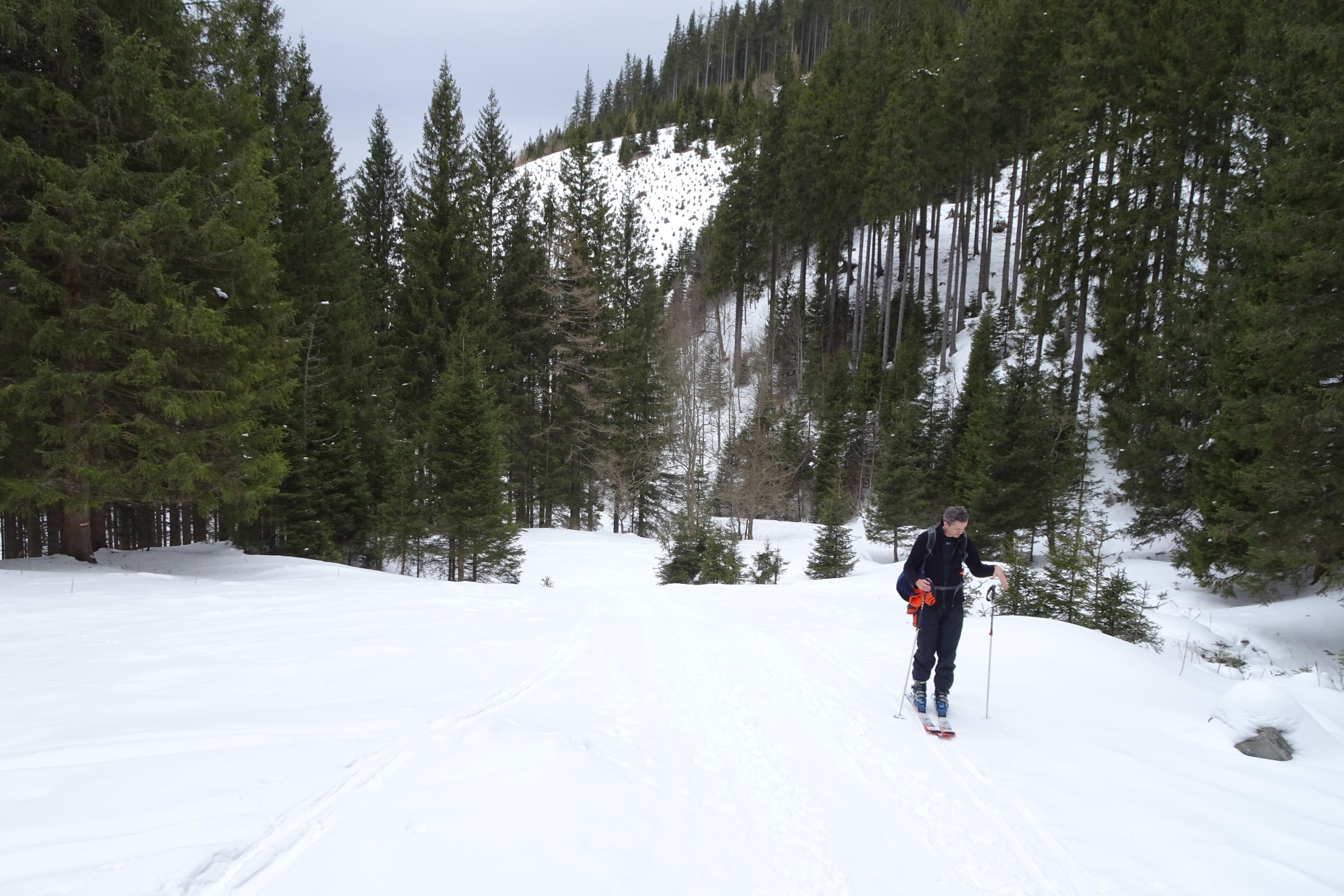
| 02:30 | After the break, follow the trail upwards (straight) behind the Karl-Lechner-Haus. |
| 02:55 | At the crossing, continue on the right trail. |
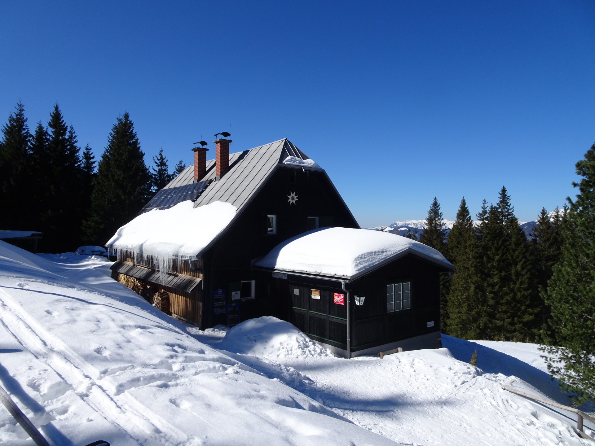
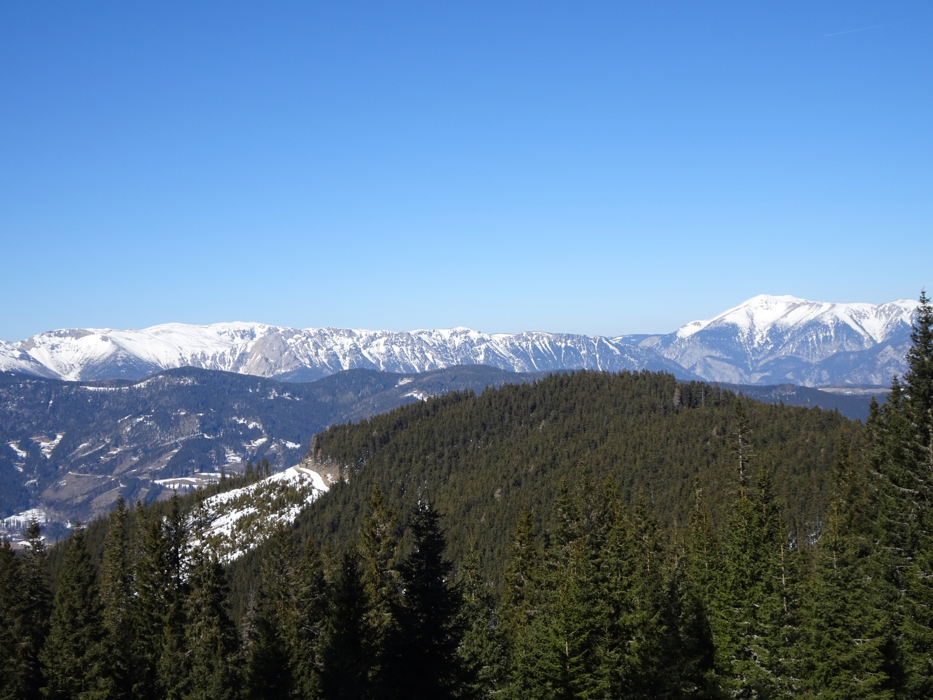
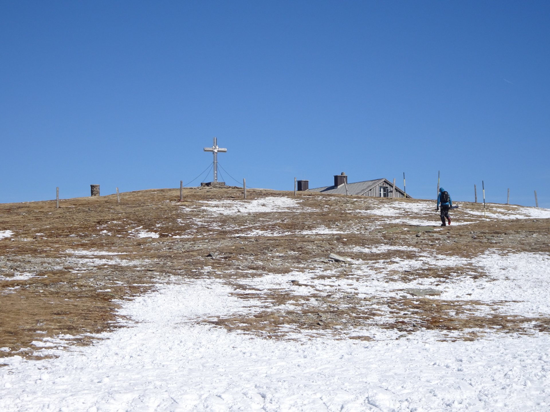
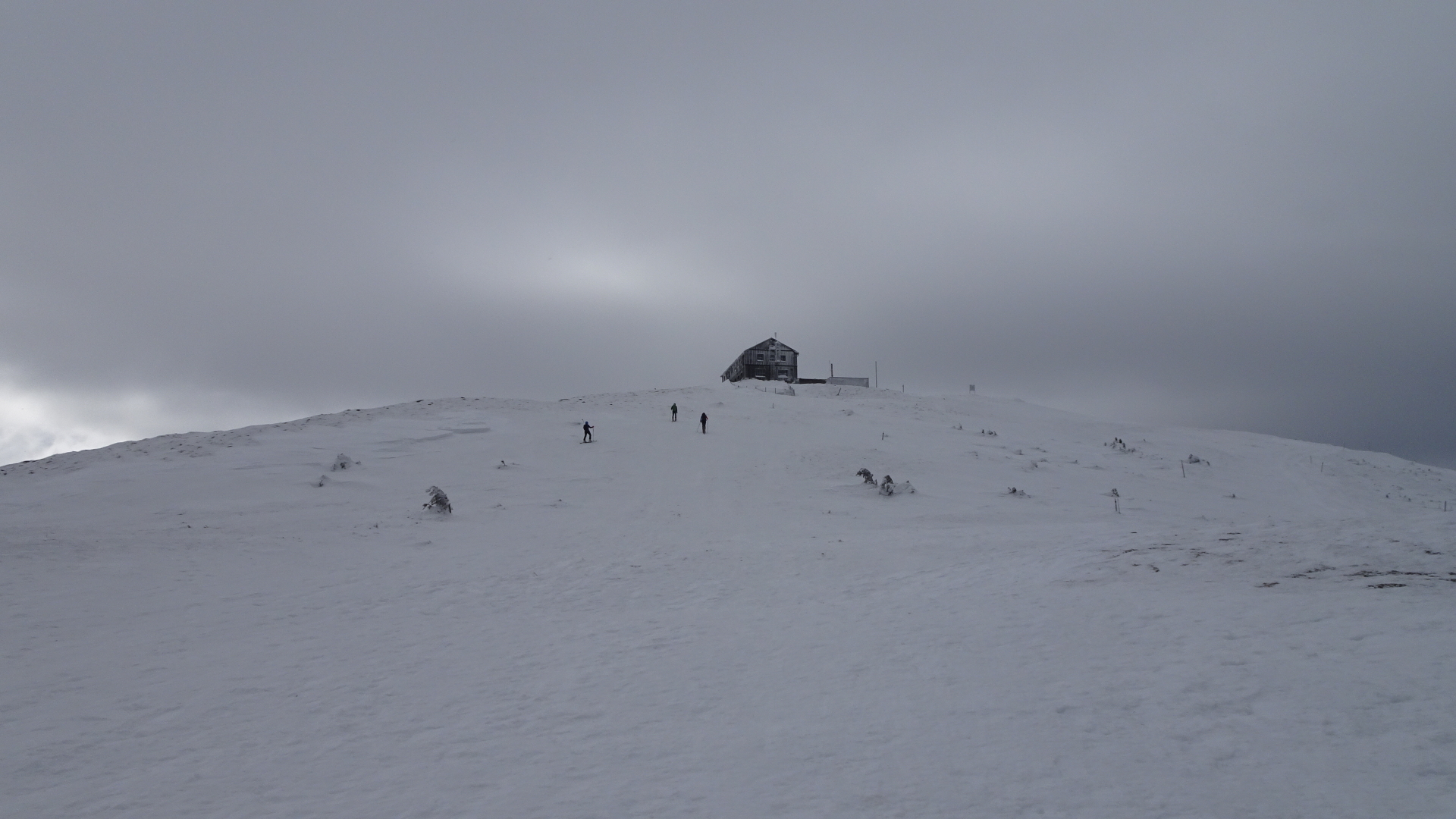
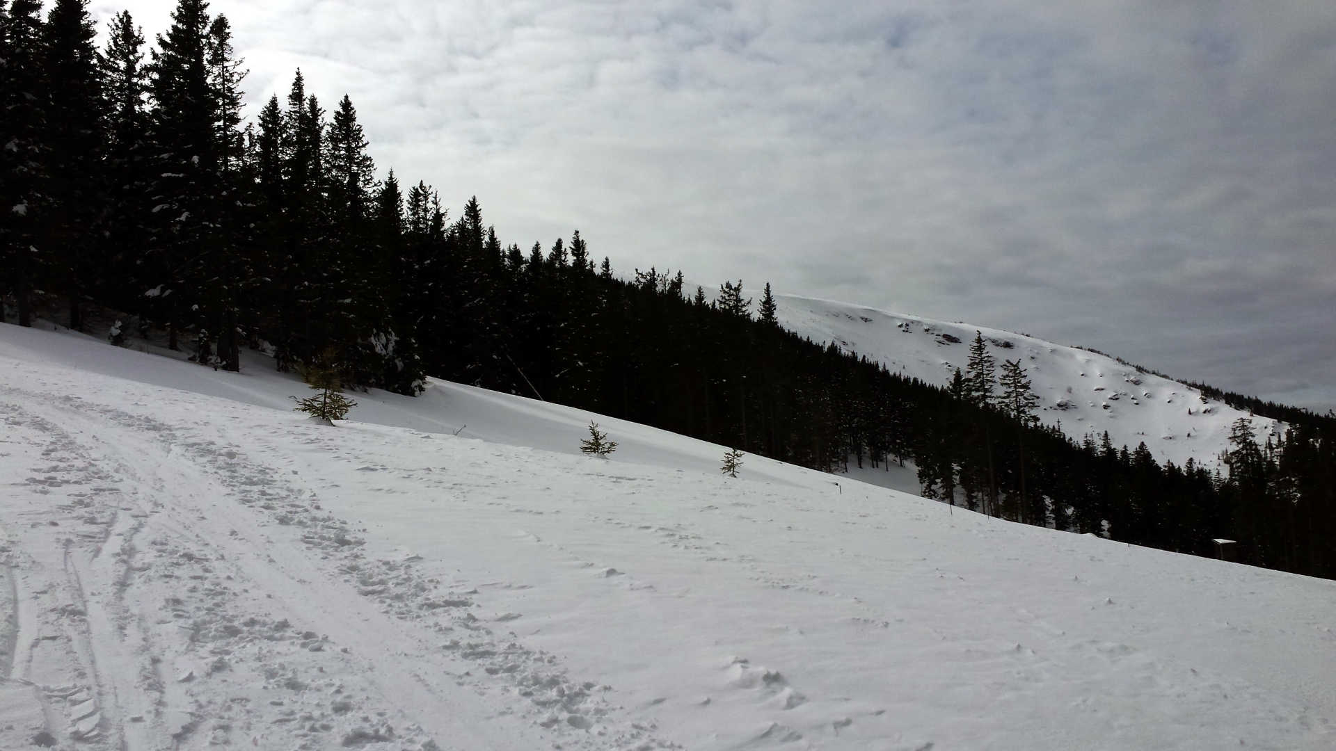
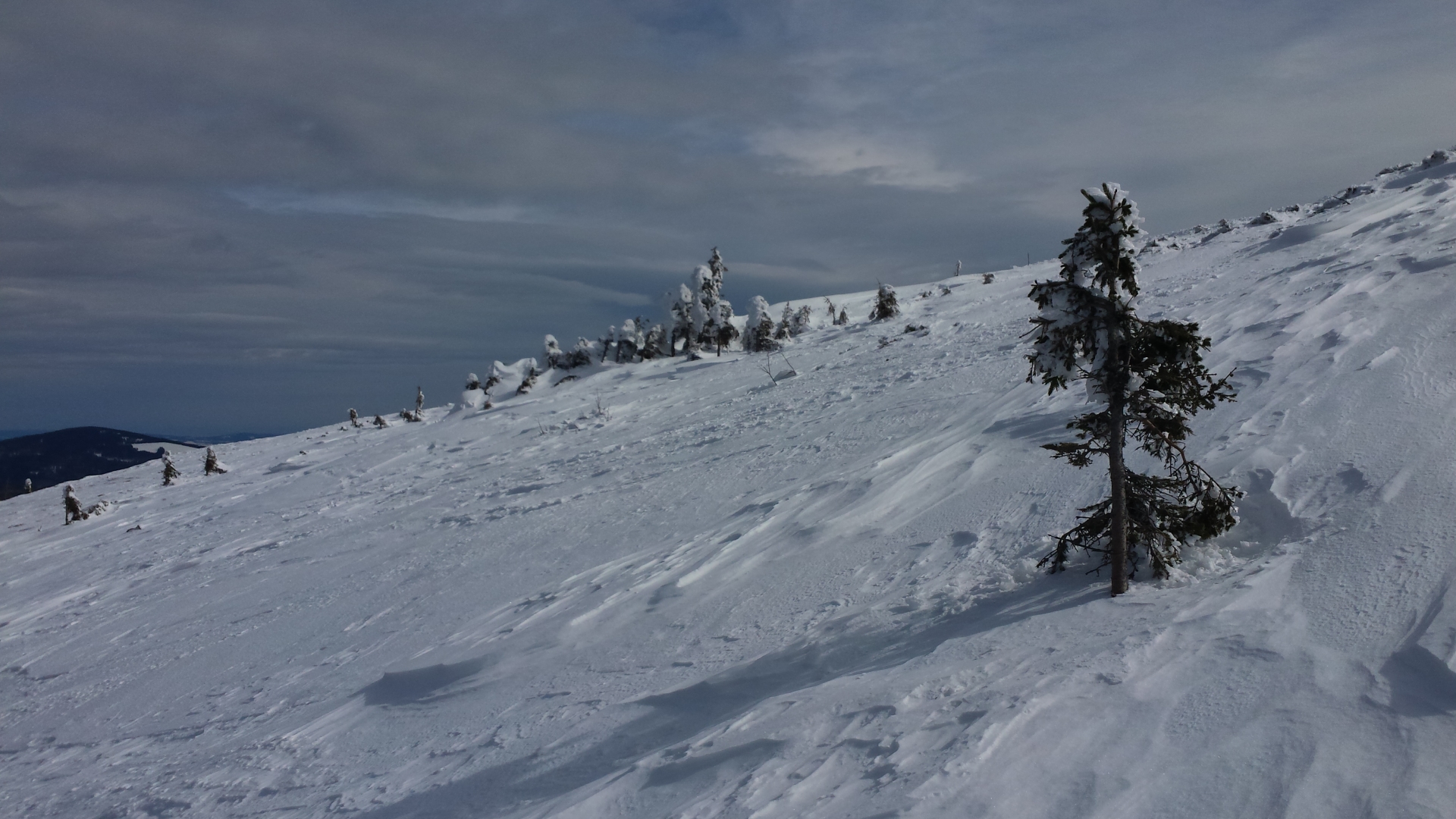
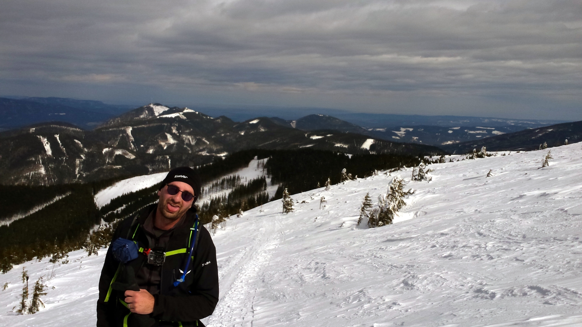
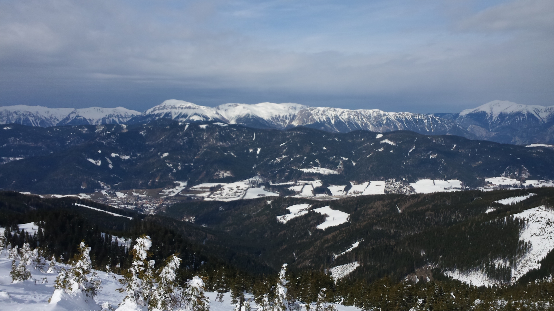
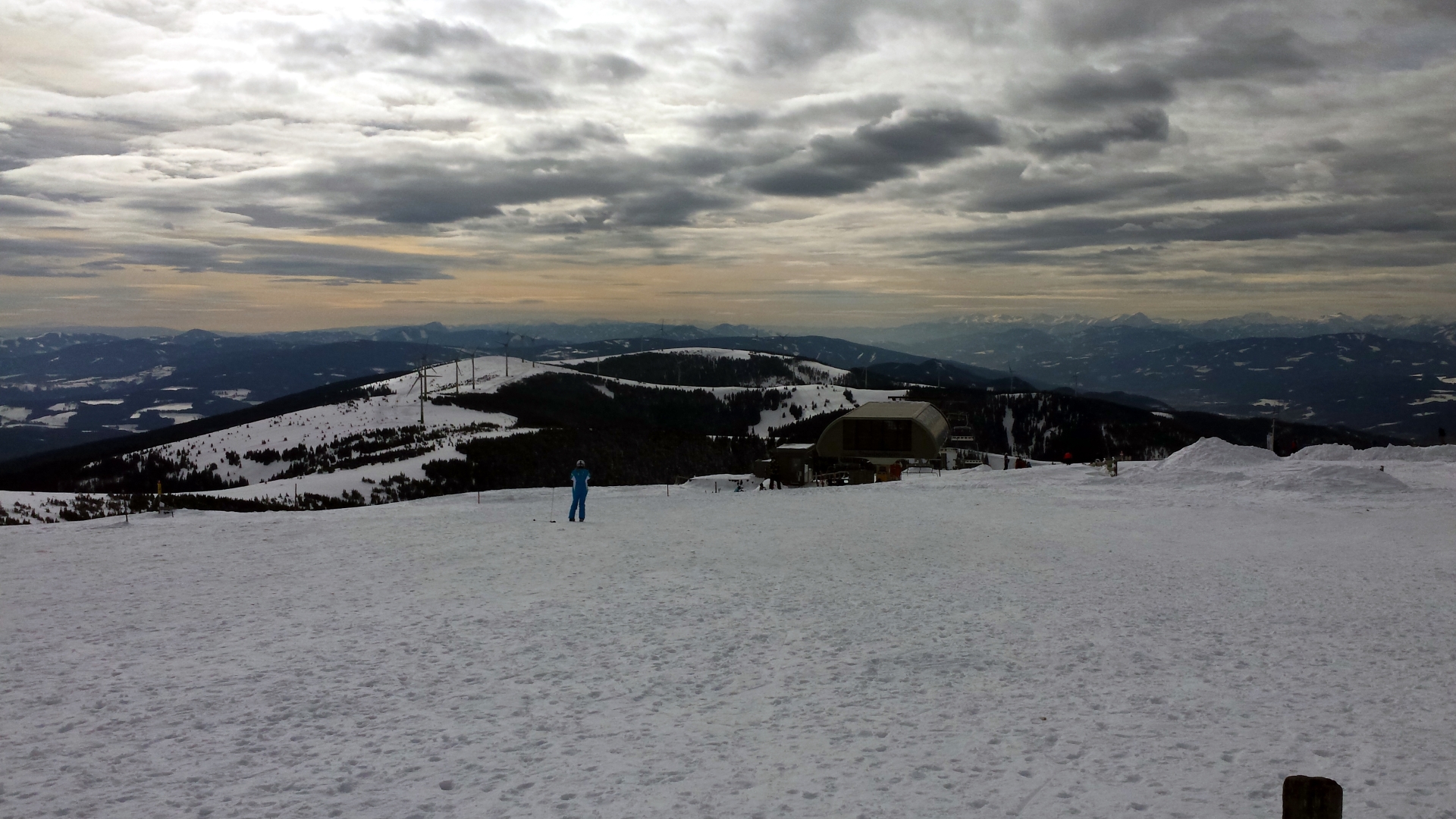
| 03:15 | The Alois-Günther-Haus is now visible. Follow the trail towards the hut and thus the highest point of the tour. |
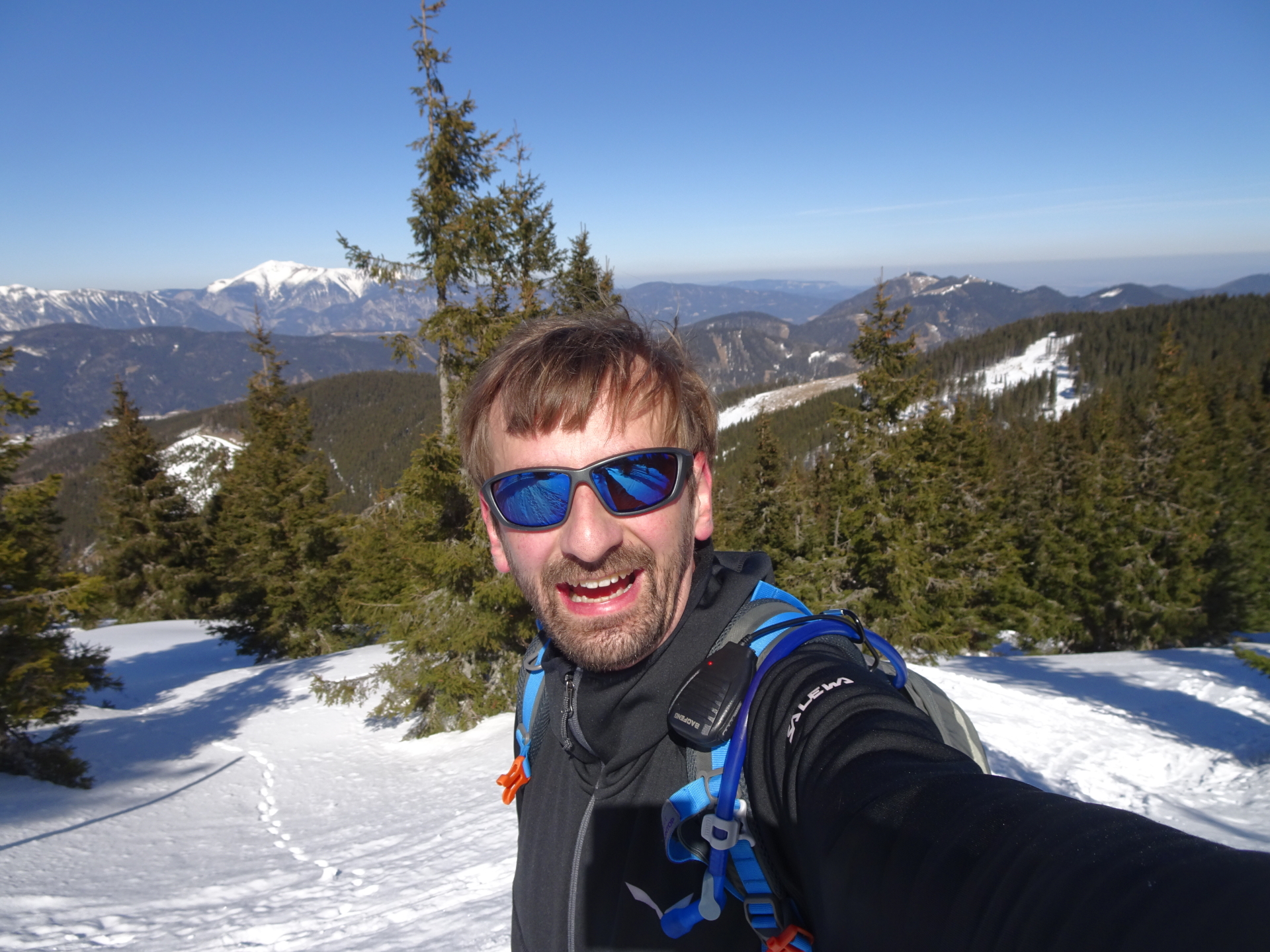
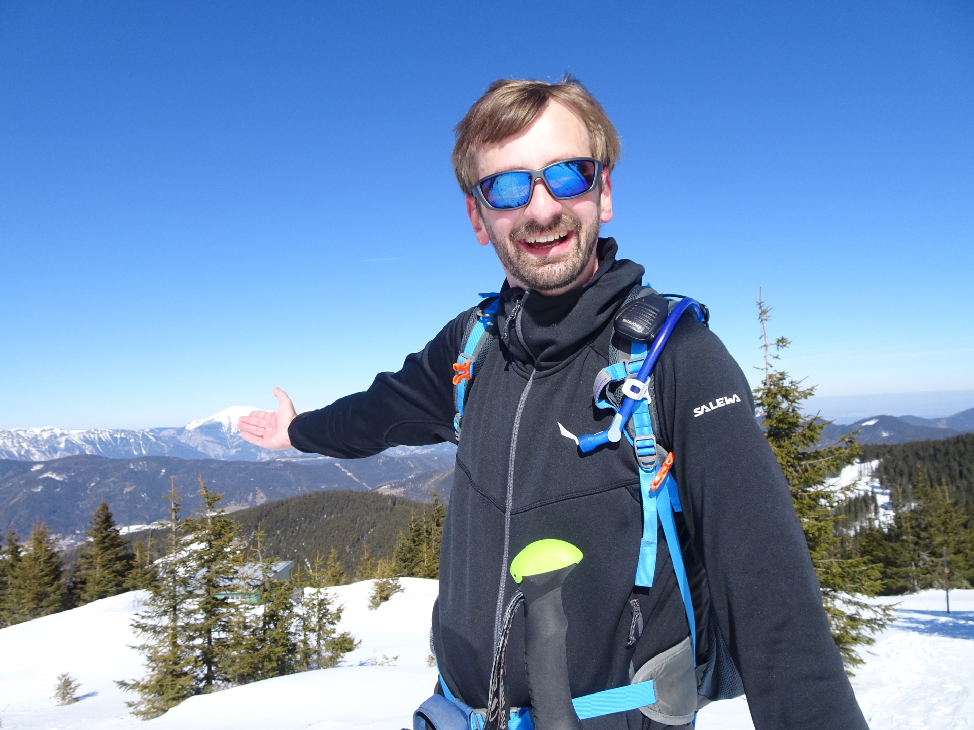
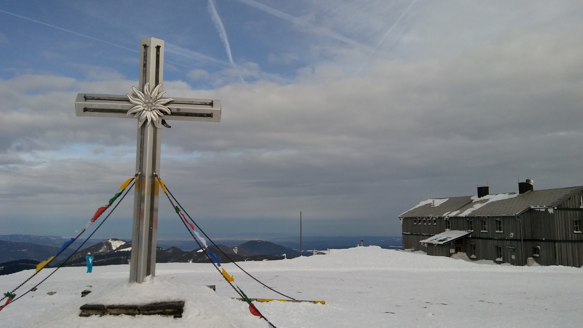
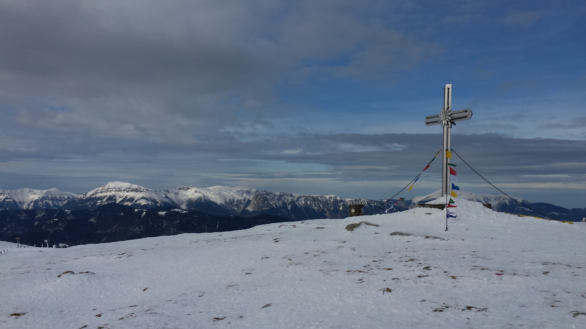
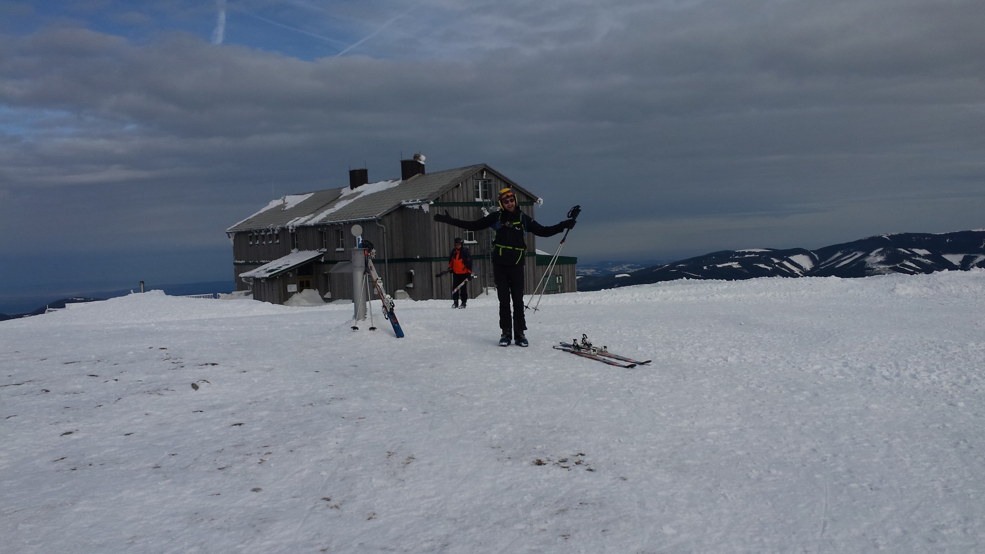
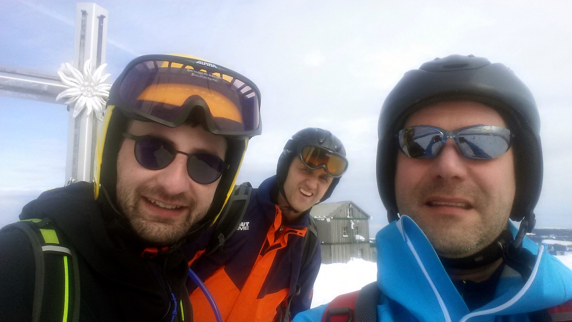
| 03:30 | Well deserved-break and lunch at Alois-Günther-Haus (). |
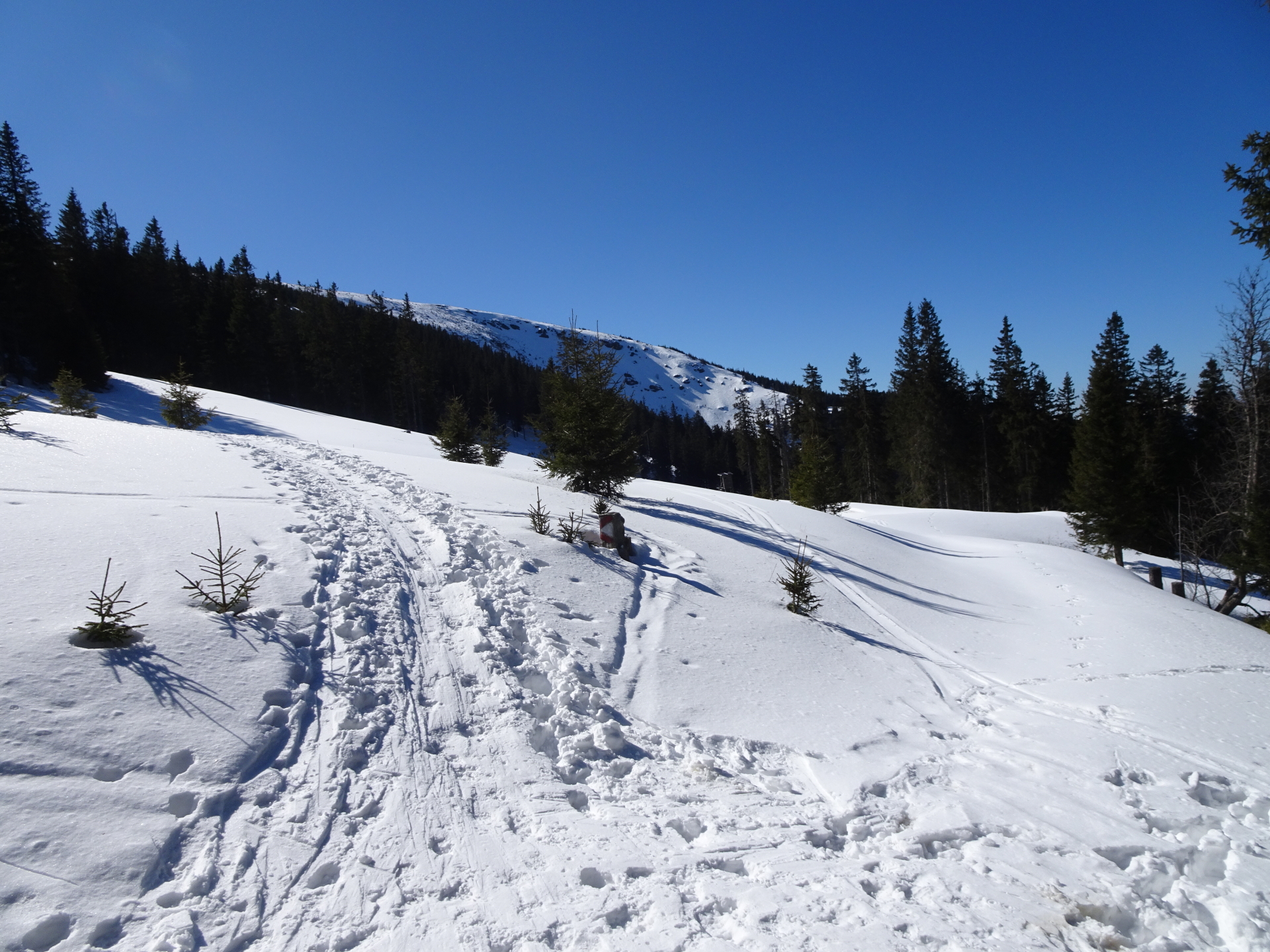
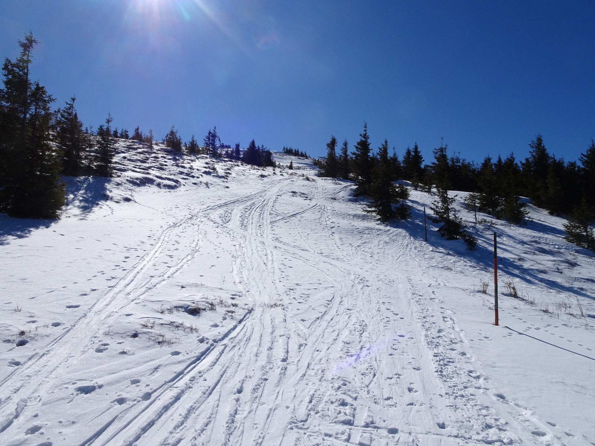
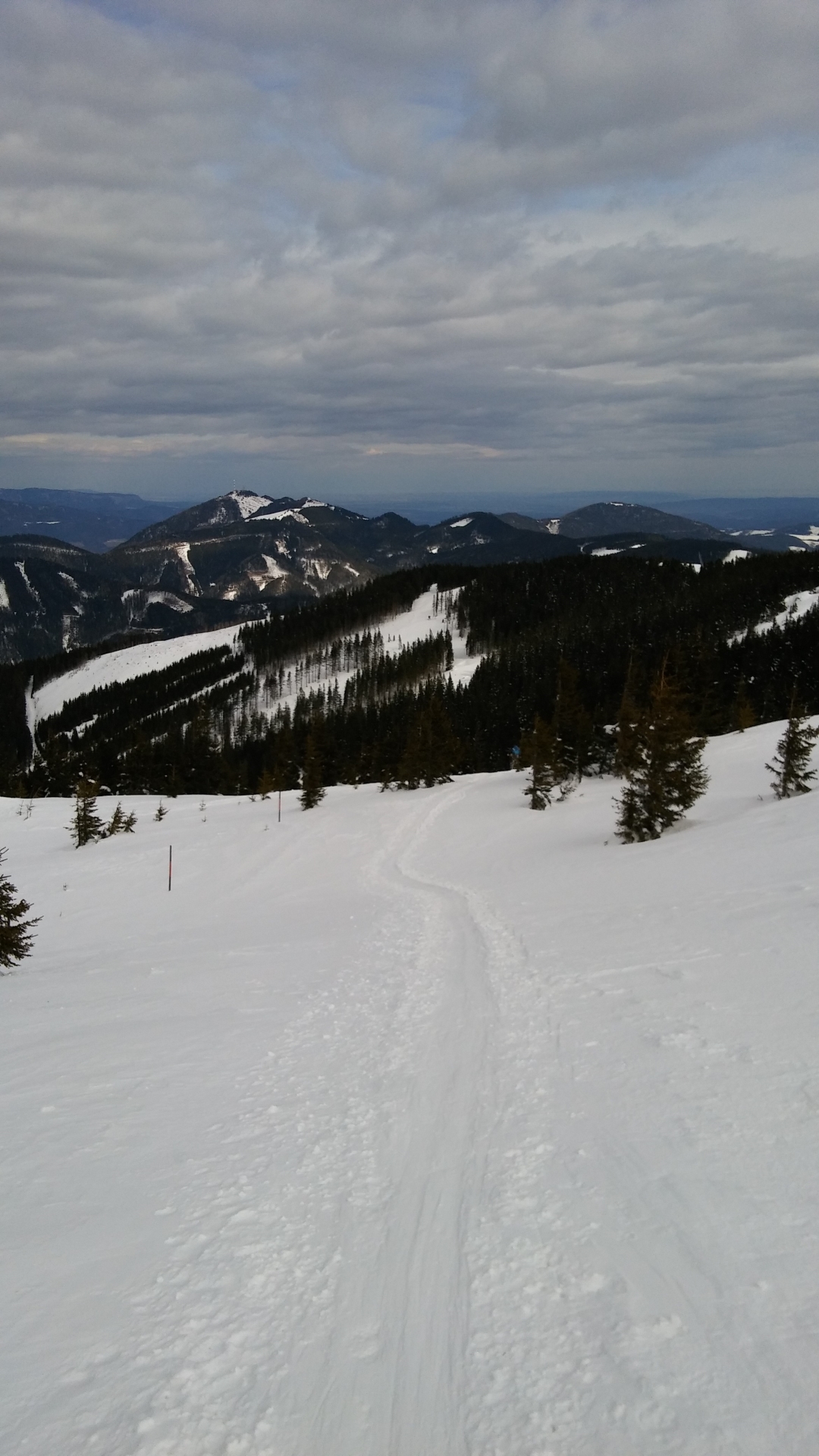
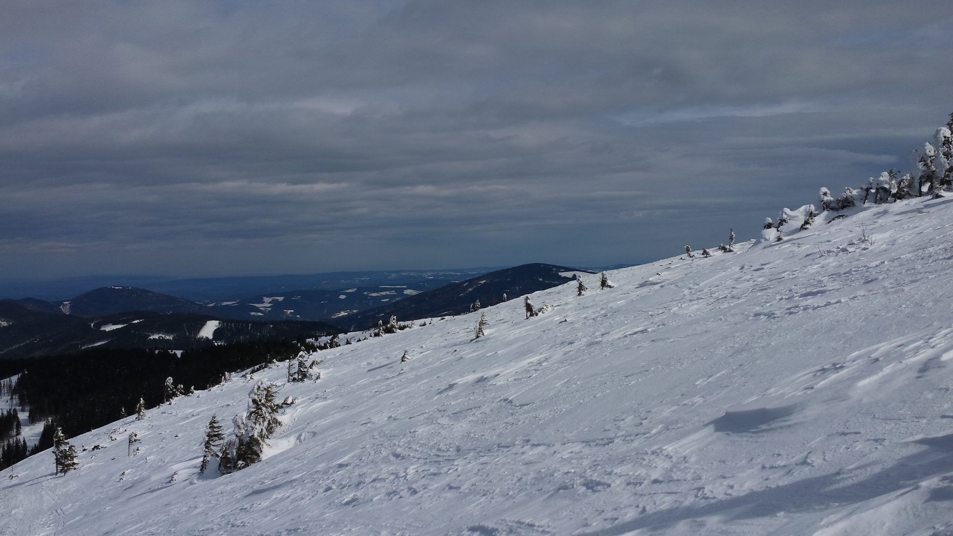
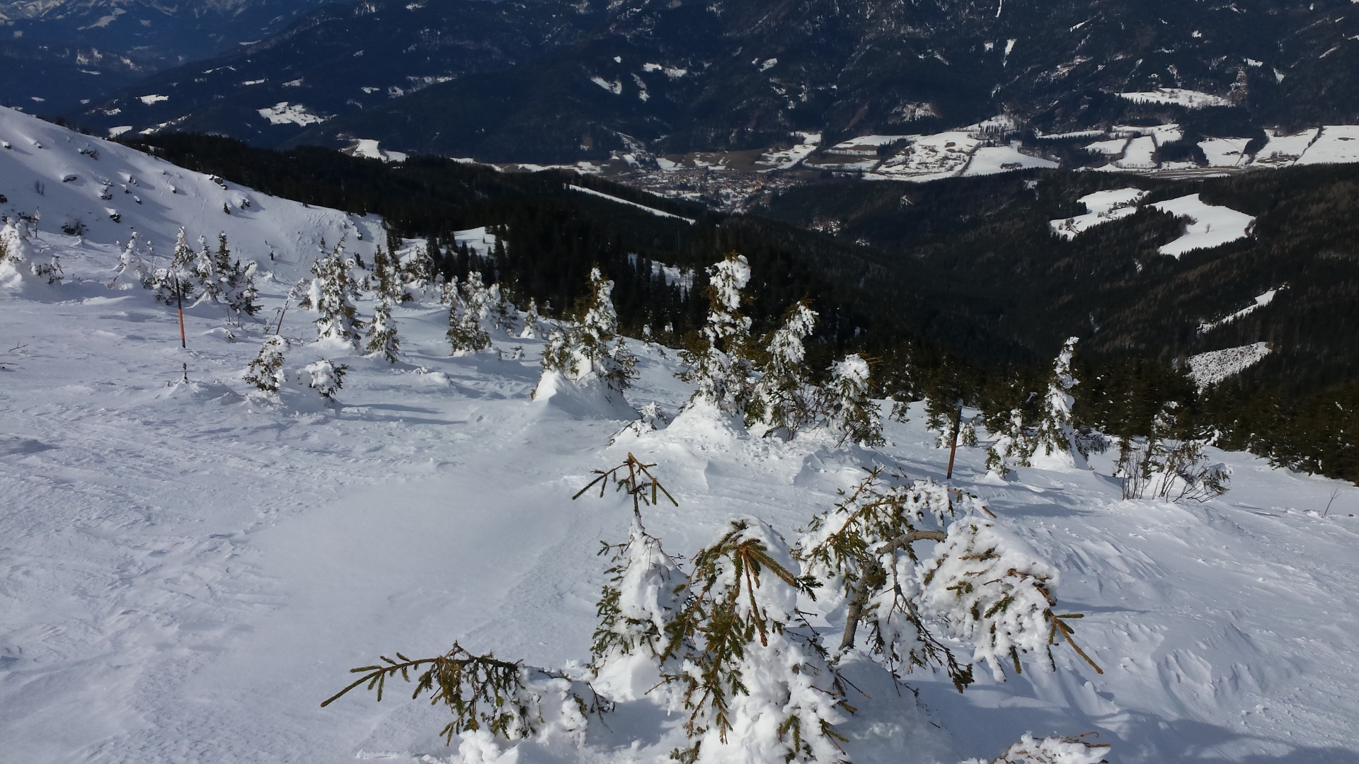
| 04:30 | Follow the trail towards the upper lift station and descend on the right-handside slope (blue slope |
| 04:39 | Pass by the W11 (hut) and follow the slope |
| 04:40 | Pass by the Schwaigerhütte and continue on the slope. |
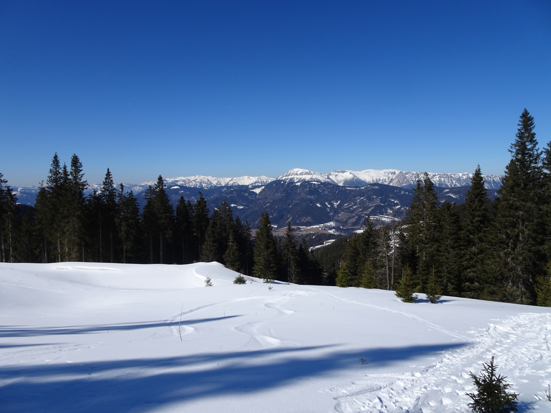
| 04:43 | At the crossing (next to the mountain station of the Promibahn), stay on the right handside slope |
| 04:44 | You can either take the red slope |
| 05:00 | You reach the bottom station of the Promibahn and the parking. This is also the end of the tour. |
At a glance
| Level | easy-moderate |
| Technique | |
| Shape / Fitness | |
| Experience | |
| Scenery | |
| Best time in the year | |
|
Jan
Feb
Mar
Apr
May
Jun
Jul
Aug
Sep
Oct
Nov
Dec
|
|
General Tour Data
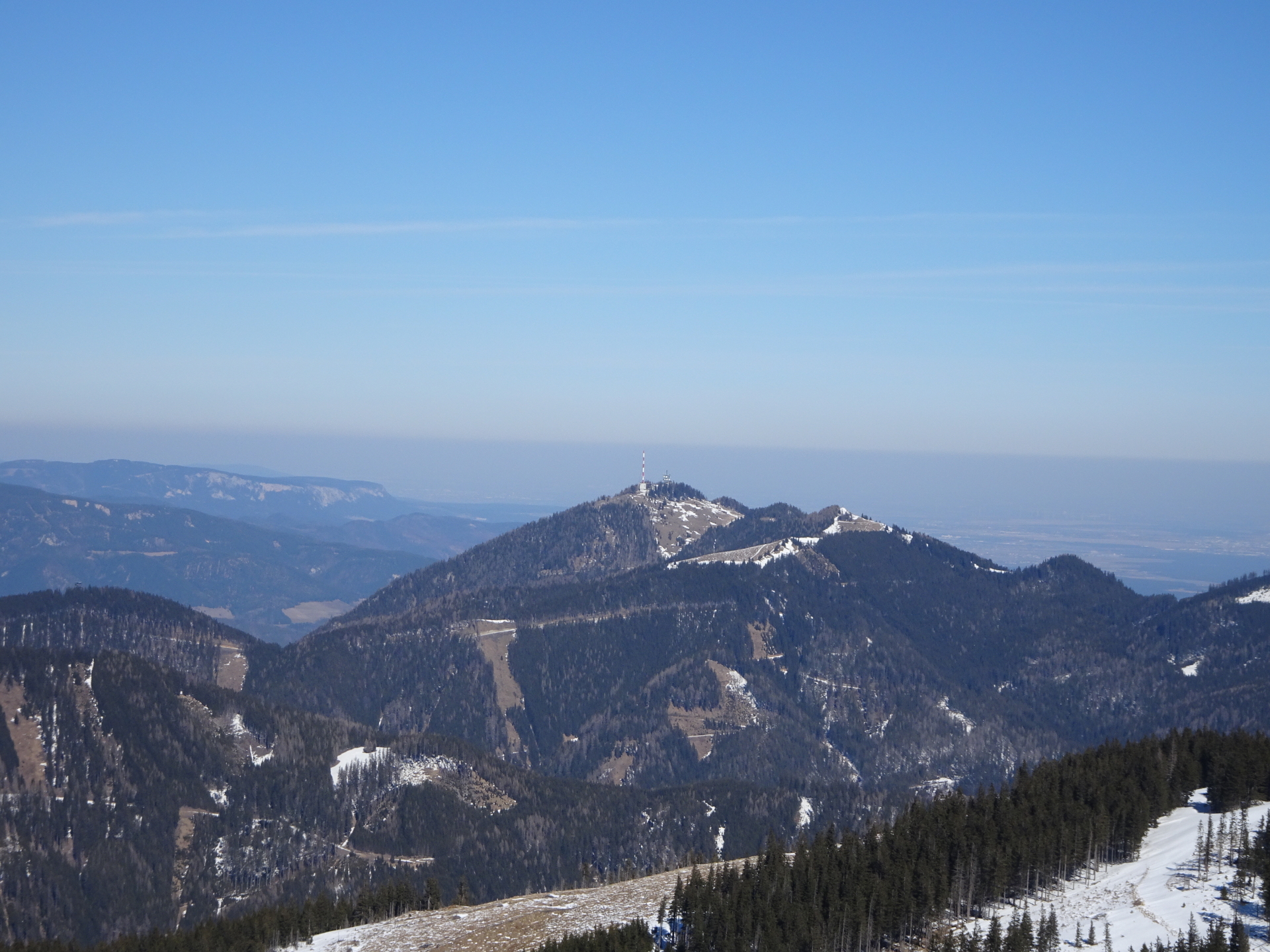
| Area: | Fischbacher Alpen, Styria, Austria | |
| Distance: | 10km | |
| Ascent: | 906m (2h 35min) | |
| Descent: | 907m (17min) | |
| Highest Pt: | 1782m | |
| Lowest Pt: | 868m | |
| Duration: | 3h 25min (without breaks) 6h 00min (with breaks) |
|
| Stop/Rest: | Karl-Lechner-Haus (1450m) Alois-Günther-Haus (1782m) W11 (1639m). Schwaigerhütte (1536m). Kaltenbachimbiss (872m) |
|
| Equipment: | Touring Skis + Equipment Backpack with standard equipment Snacks and water Sun & Weather protection Camera |
| Download GPX | ||
| O | Tour at outdooractive.com |
Tour Diary
2022-03-12 10:15
| Weather: | Sunny | |
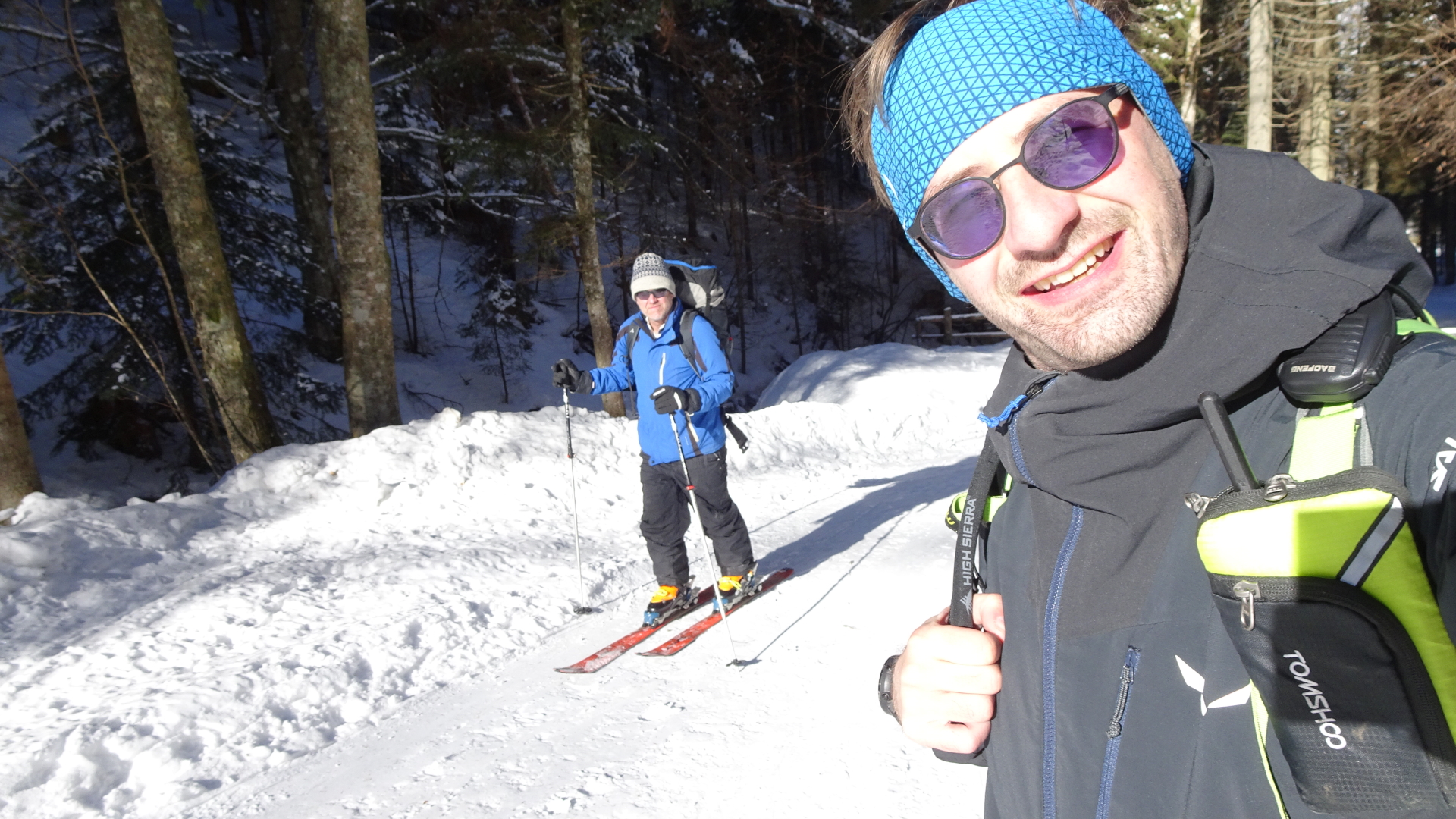
| Participants: | Stefan | |
| Activity: | Strava | |
| Garmin | ||
| Comment: | There was no snow anymore at the top. The last 30 meters, I could not use the skies anymore. Parking at the “Kaltenbachgraben” is no longer permitted by the operator of the cable cars! |


2021-02-13 09:40
| Weather: | sunny (cold) | |
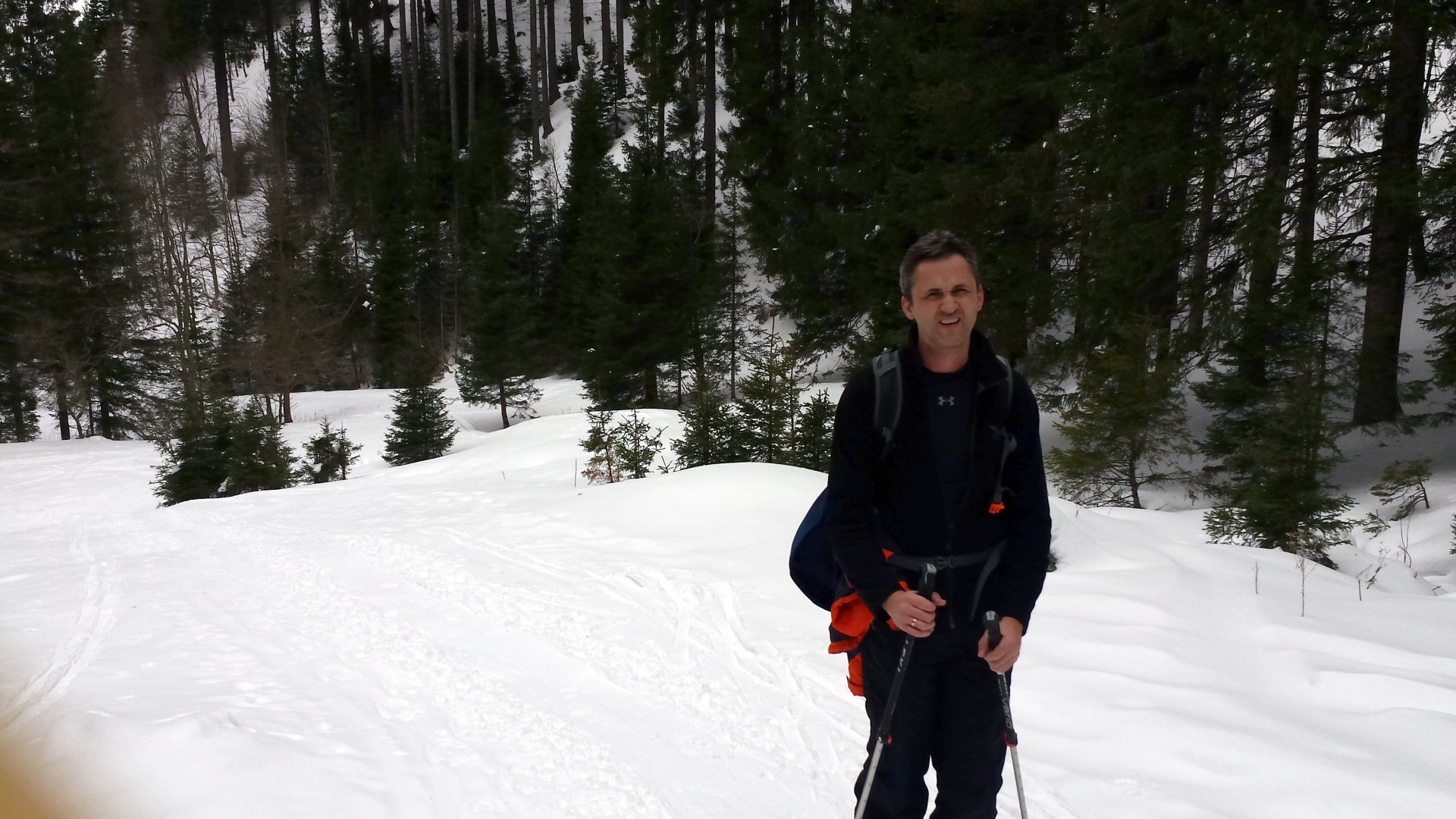
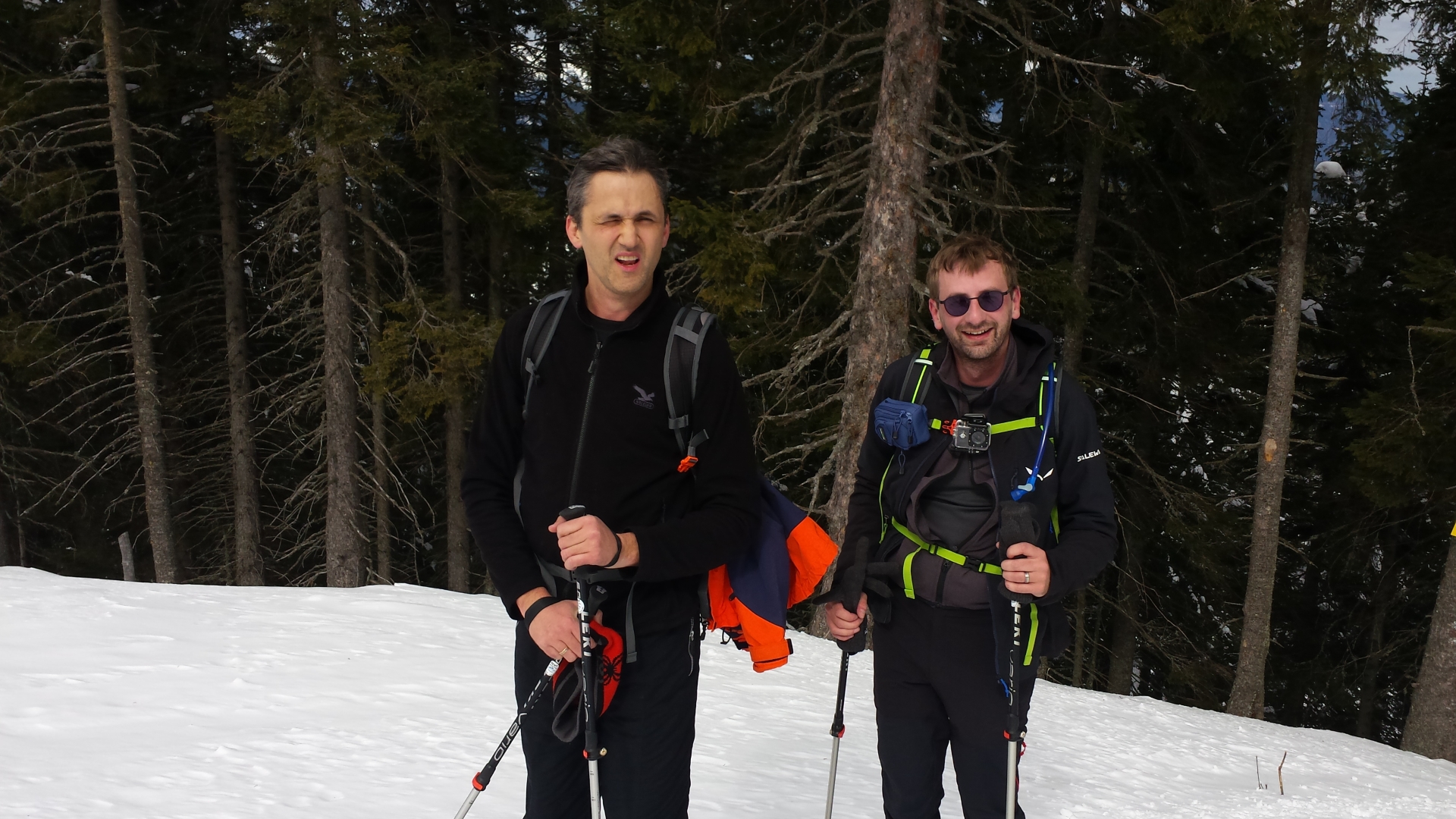
| Participants: | Stefan, Robert | |
| Activity: | Strava | |
| Comment: | Parking at the “Kaltenbachgraben” is no longer permitted by the operator of the cable cars! |


Leave a Reply