
Twenty-forth stage of the Nord-Süd-Weitwanderweg 05 starting from St. Katharina in der Wiel to Eibiswald via St. Oswald
 |
The North-South-Long-Distance trail (Nord-Süd-Weitwanderweg, also known as the “05”) starts in the north of Austria at Nebelstein and ends in the south of Austria at Eibiswald. The trail is ~500km long, ~18 000m in ascent and the same amount in descent. The trail was initiated by Carl Hermann and officially established on the 25th September 1970. The trail is separated into 3 parts:
It normally takes 3 weeks to complete the entire trail. |
The here presented tour is the twenty-forth stage of the Nord-Süd-Weitwanderweg 05 , starting from St. Katharina in der Wiel (Checkpoint) to the final destination Eibiswald (Checkpoint) via St. Oswald (Checkpoint).
The tour starts at the St. Katharina Stüberl and first heads back a few meters to official trail. Then the tour follows the official hiking trail down into a valley and then again up into the small village of Sankt Oswald (Checkpoint). The tour then follows mainly a tarmac road around the Buchenberg, as the original trail seems to be abandoned (markings are blacked out). At the Höchwirth Kapelle, the tour then rejoins the original trail and follows it down into the village of Eibiswald. The tour then continues to the final destination: the city center of Eibiswald (Checkpoint) to get the last stamp and complete the trail.
| Nord-Süd-Weitwanderweg 05 – Checkpoints | |
|
Transportation:
I’ve planned to accomplish this stage as the eight (and final) of an 8-day multi-day trip. As I stayed the night at the wonderful St. Katharina Stüberl, I was able to start the tour the next morning just after hiking back to the village border of St. Katharina in der Wiel a few meters.
The hike:
This hike was part of an 8-day multi-day trip. I have chosen to do this stage during a weekday due to the fact that it seemed to be extra hard to get a stamp in St. Oswald o. E.. My only hope was that some shop is open as the restaurants seemed all to be closed. In addition, i also planned to get my final stamp at the tourism office in Eibiswald, which is also open only during the week. It turned out however that the stamp is in a box in front of the office, thus accessible 24×7 .
Although I could have gone till Eibiswald the day before, I still decided for having a stay in St. Katharina in der Wiel because of the aforementioned reasons (I would not have been able to get the stamps at least in St. Oswald) but also because I wanted to conclude this long journey with a relaxing and easy final stage.
Thus, I started the tour after an excellent breakfast at 08:00 in the morning. As the owners of the Katharina Stüberl were on leave, the owner’s stepmom was taking over and she managed to find the deserved stamp while i had my breakfast. Very thankful I finally managed also this checkpoint (as the Brendlhütte was closed the day before) and I could start relaxed the final stage.
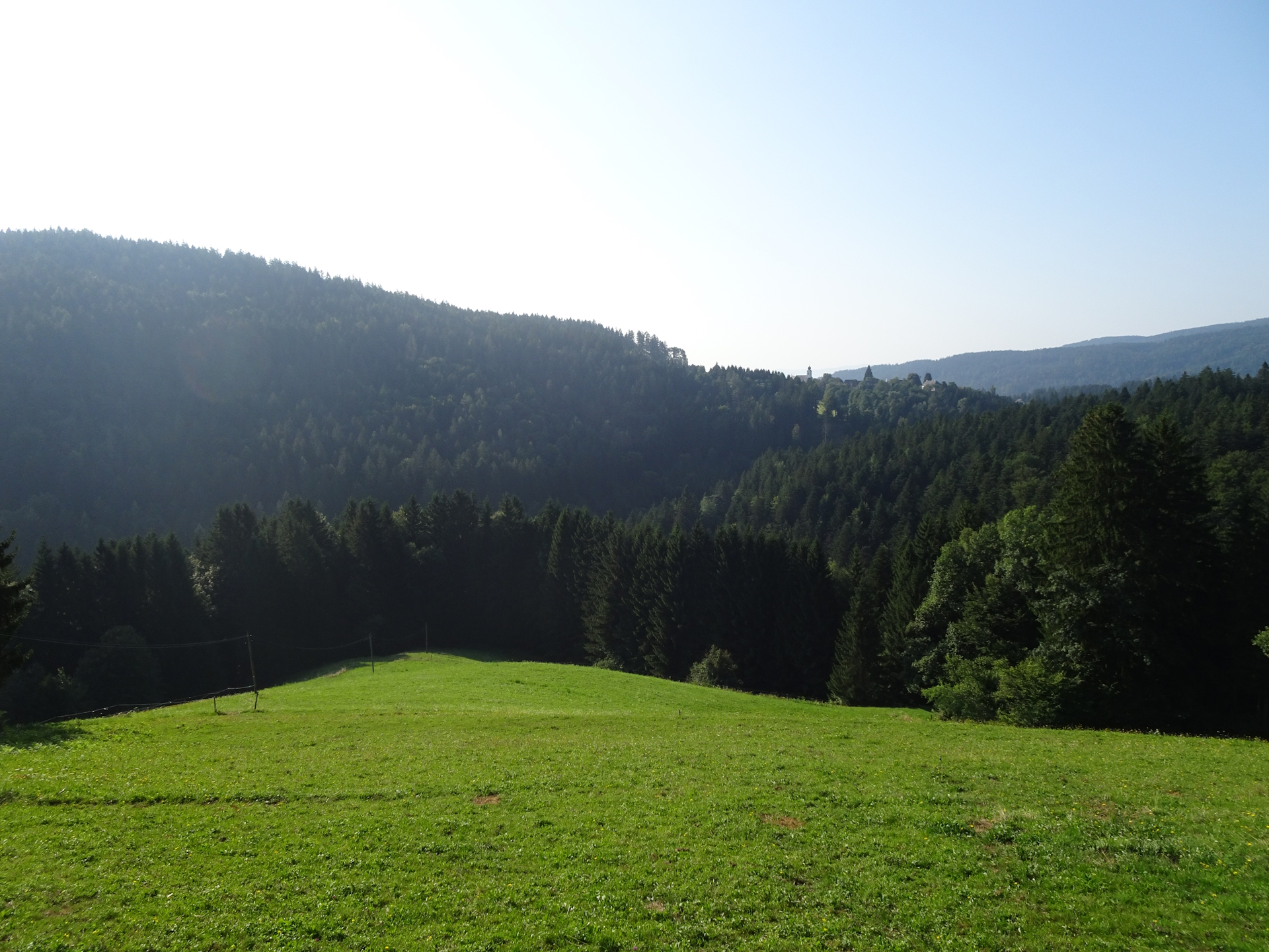
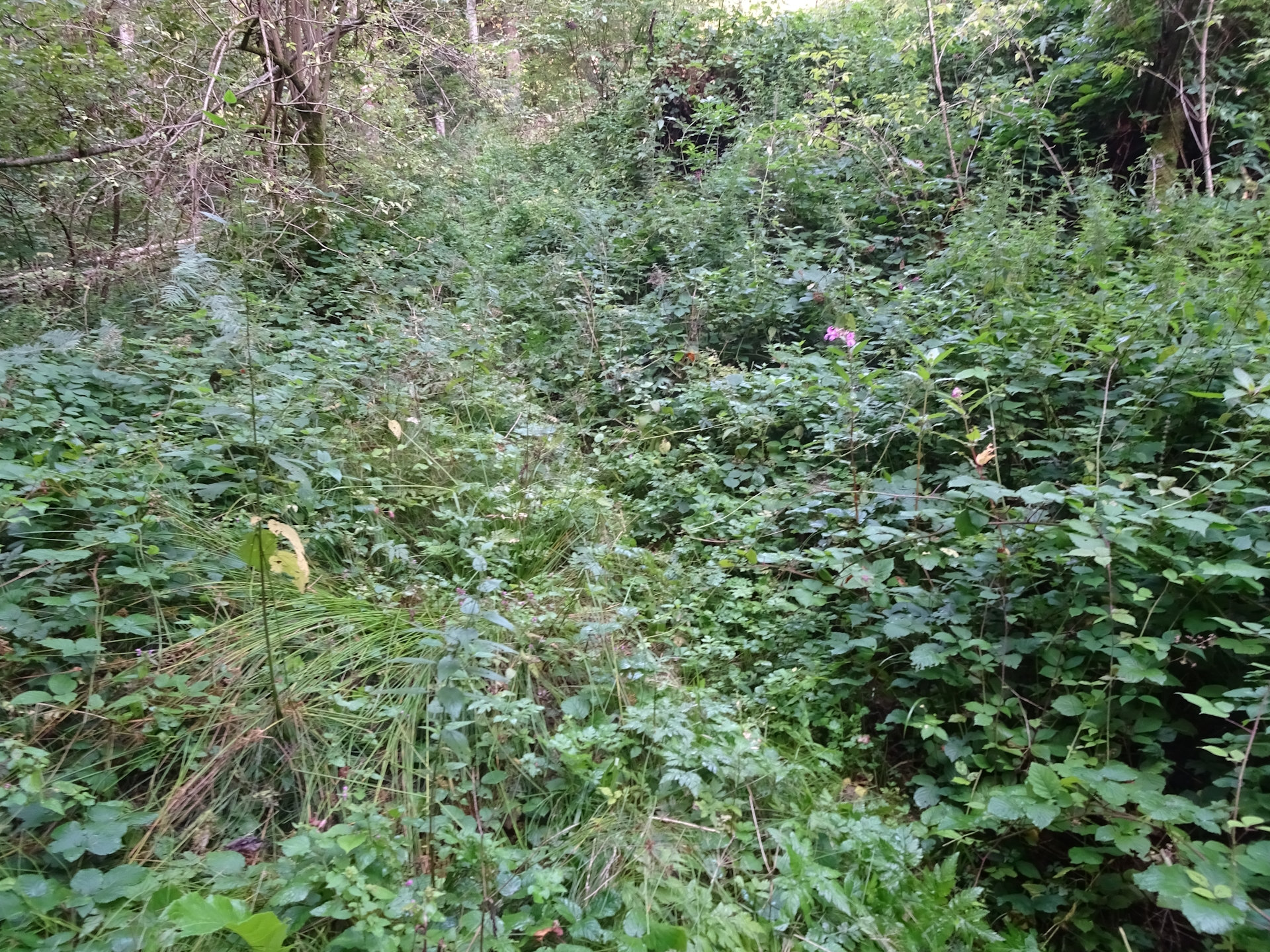
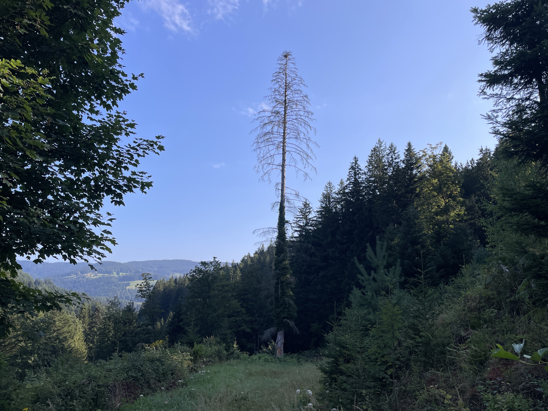
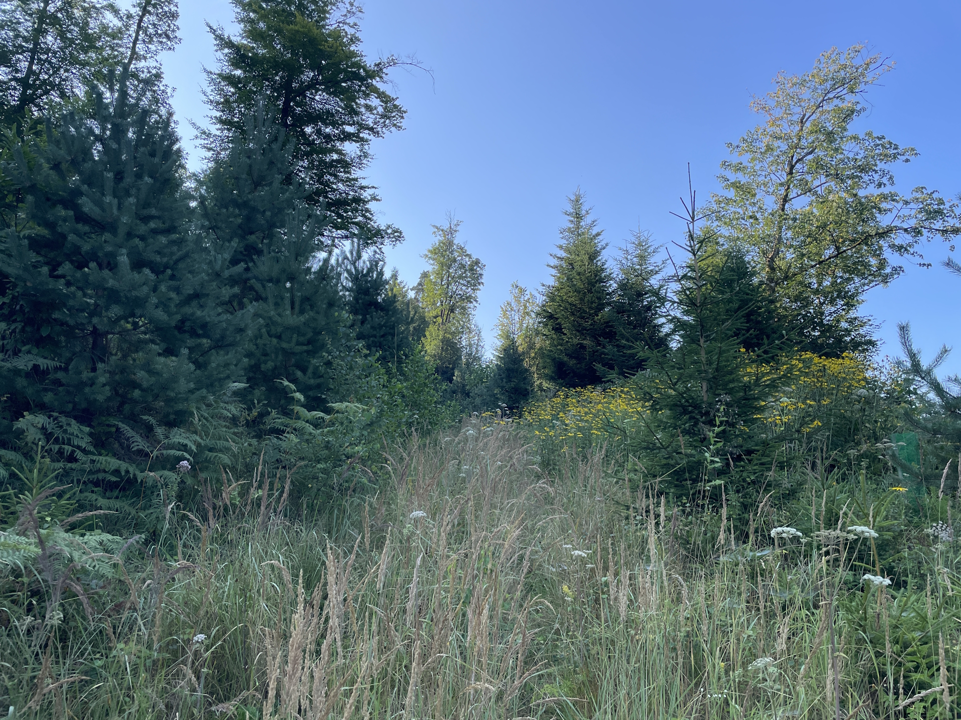
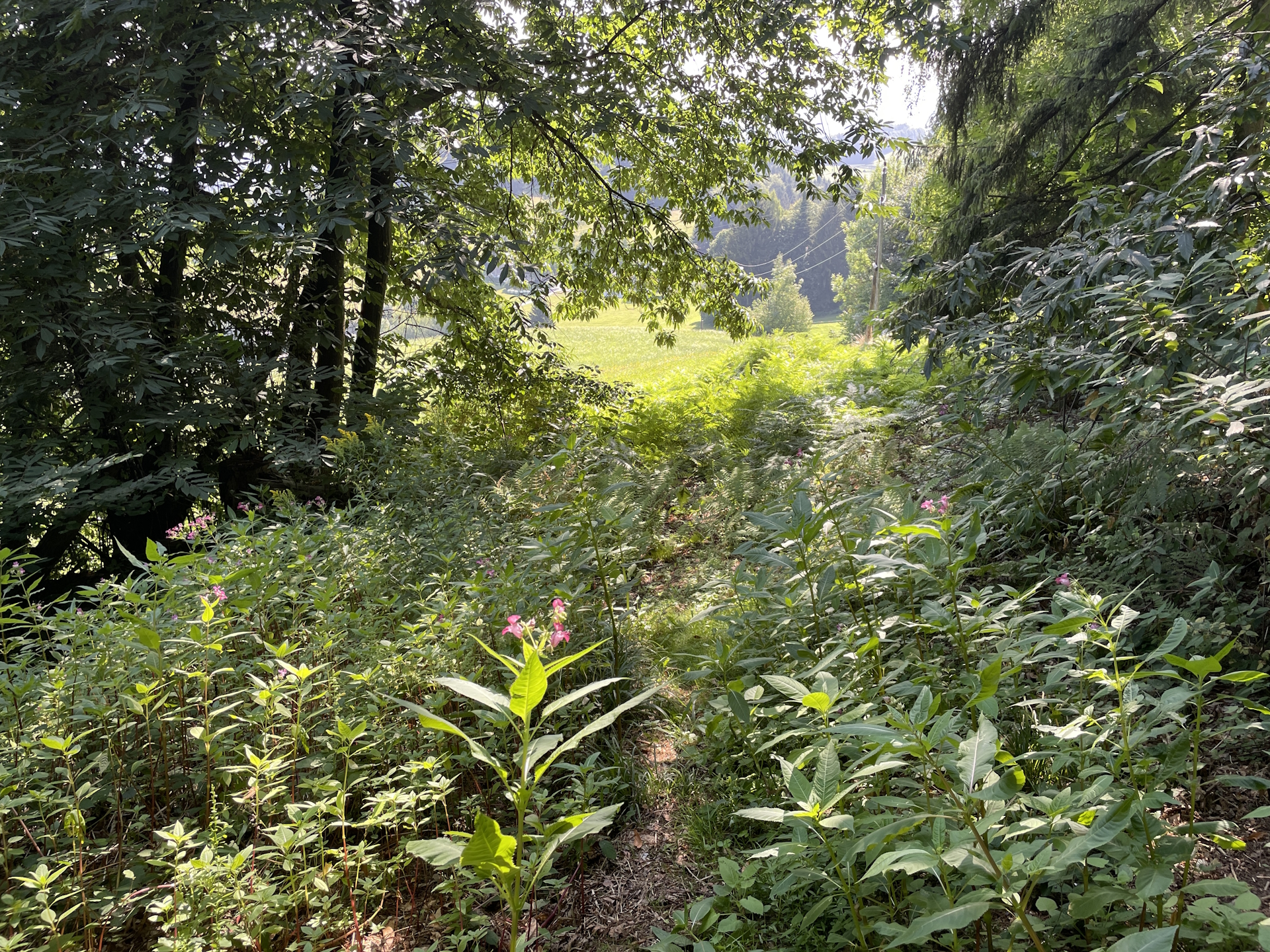
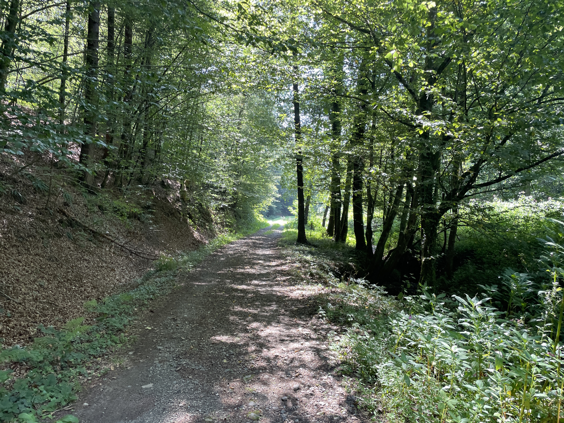
The tour itself is not specifically exciting, it first follows a trail through a forest, descends very steeply in a valley and then ascends moderate up into the small village of St. Oswald. The trail was most of the time heavily overgrown – and this was indeed the biggest challenge of the entire stage.
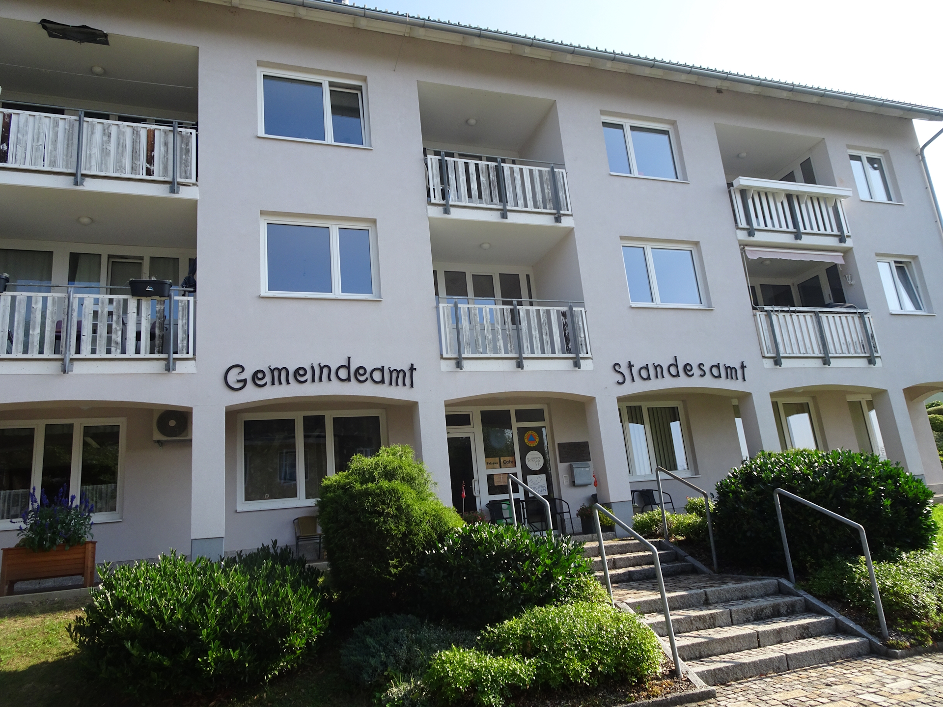
When I reached St. Oswald, I found everything closed. I expected that from my research in the Internet but I luckily run into a friendly resident who told me that there is a very small café (Bäckerei Graf) that is opened only in the mornings. And indeed, he accompanied me to the café. After having a nice talk and an excellent coffee, I was also able to get here my desired stamp and was able to continue the tour towards Eibiswald.
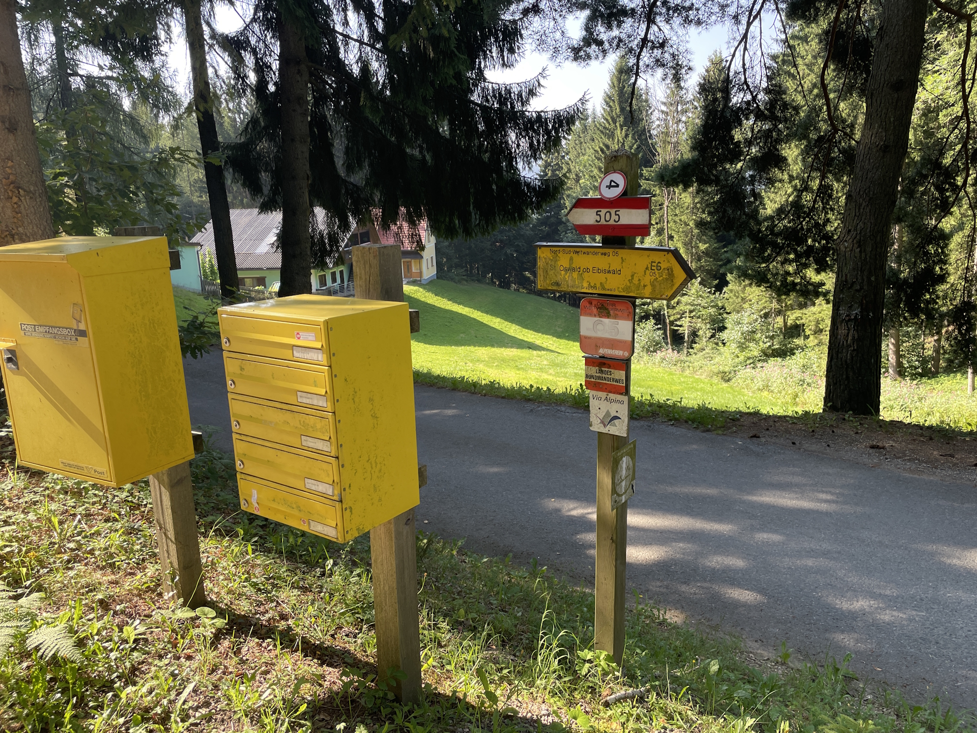
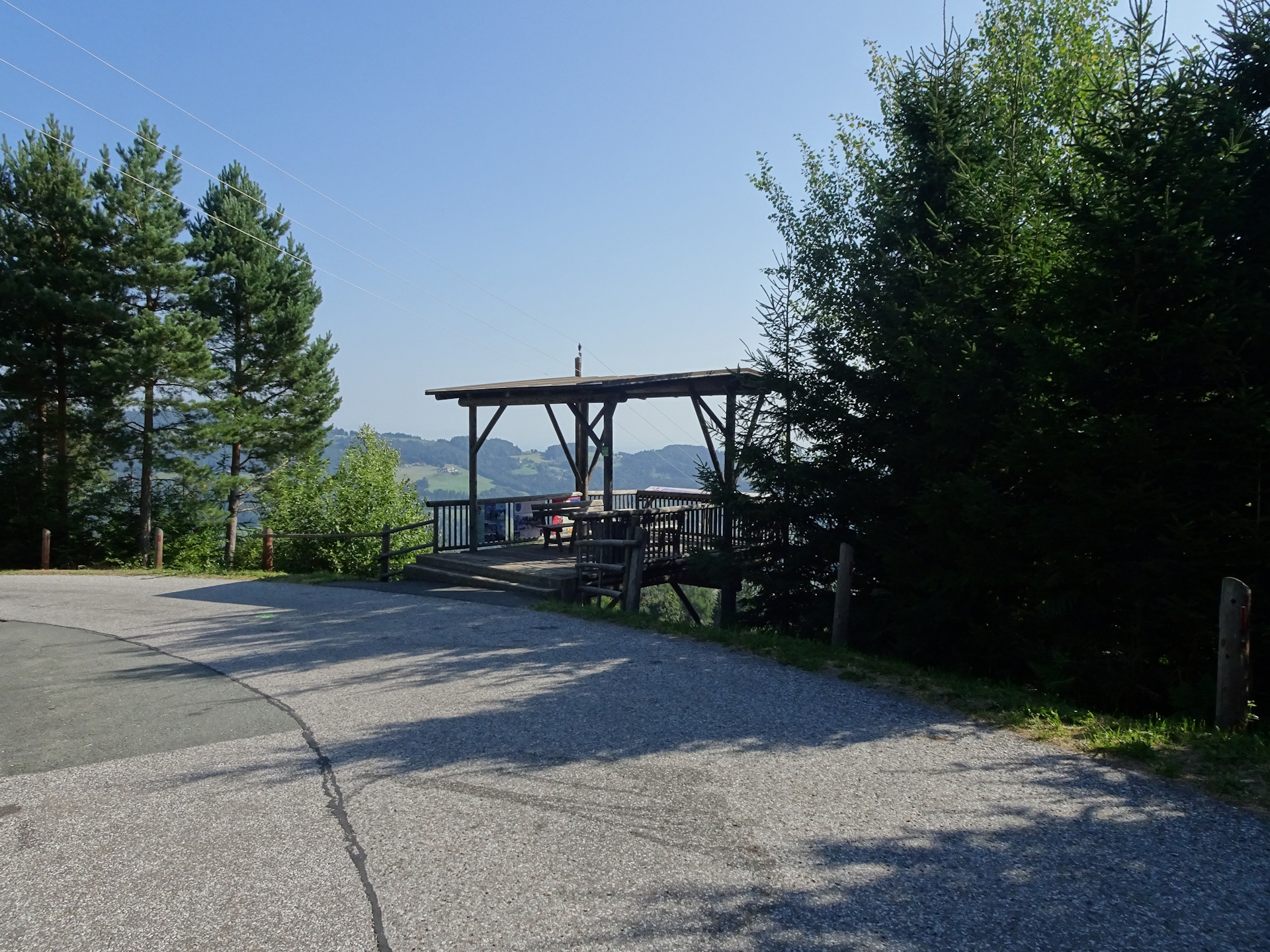
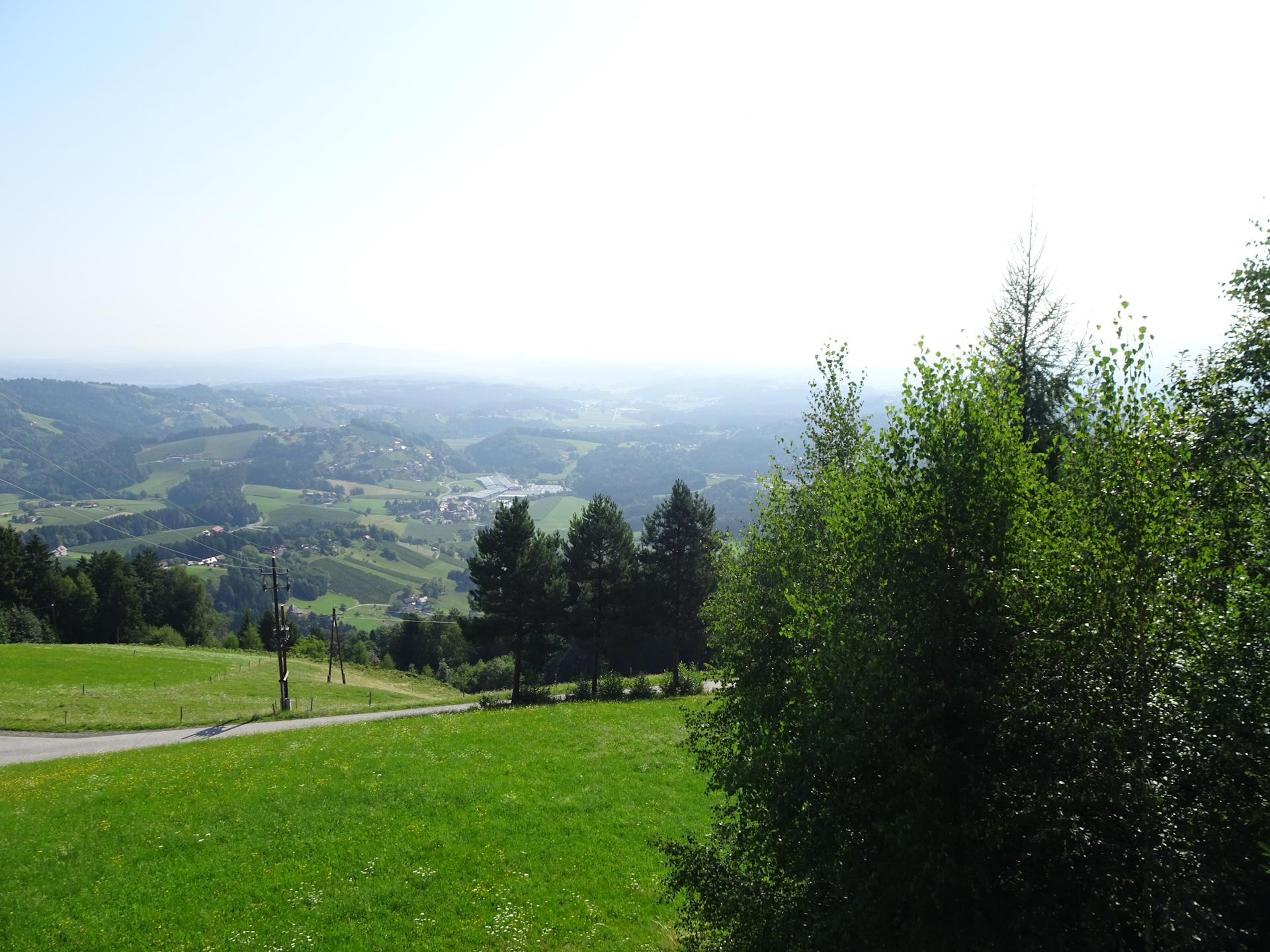
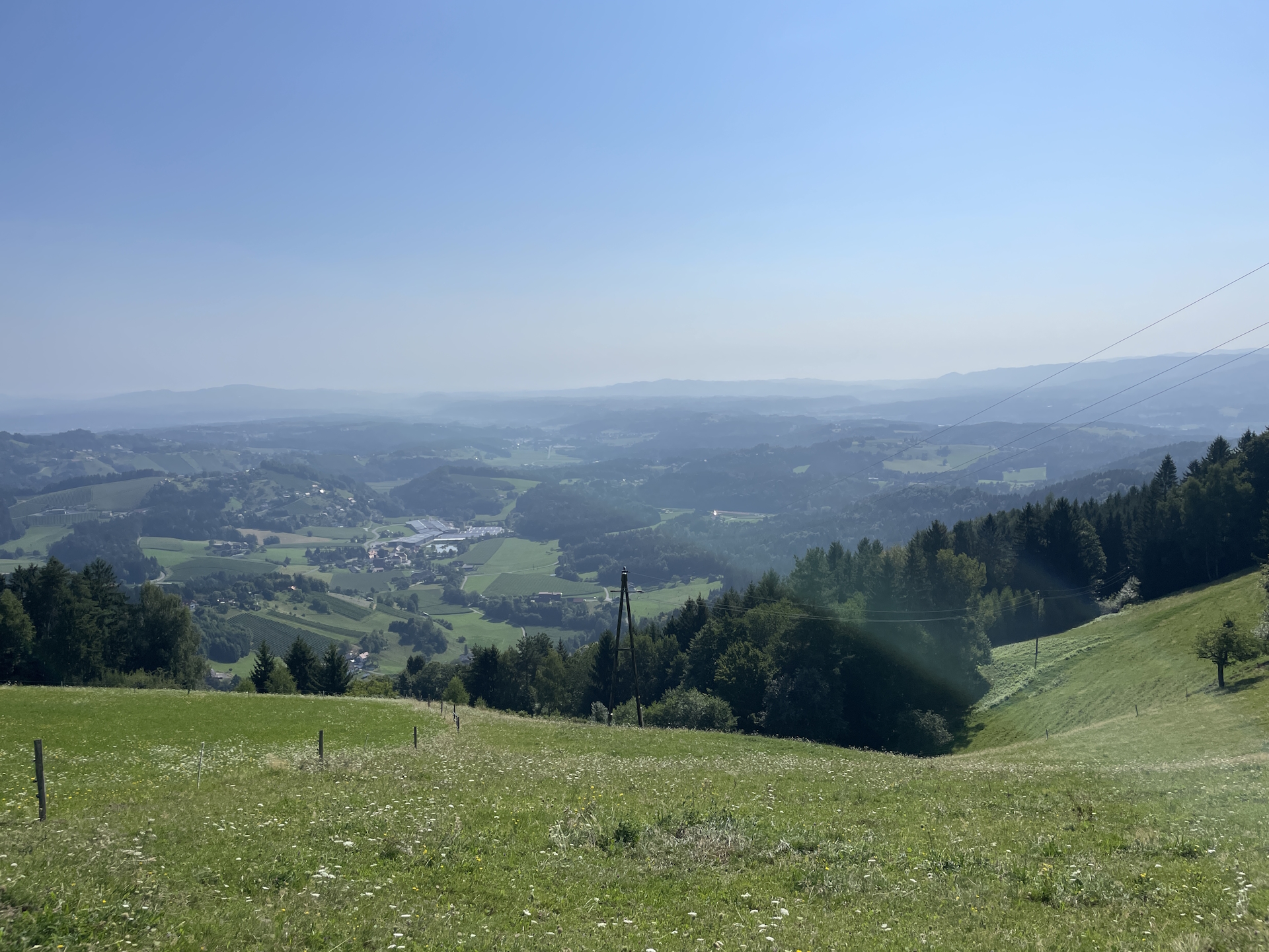
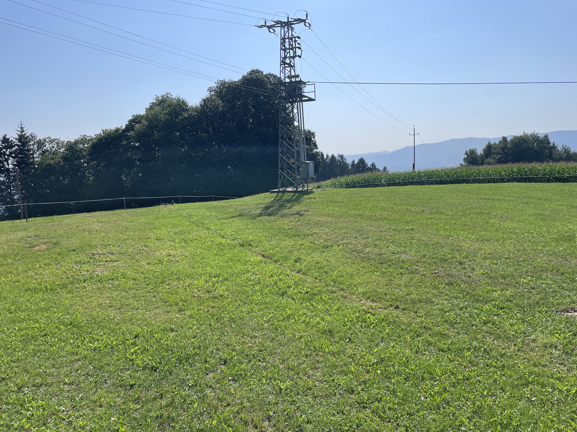
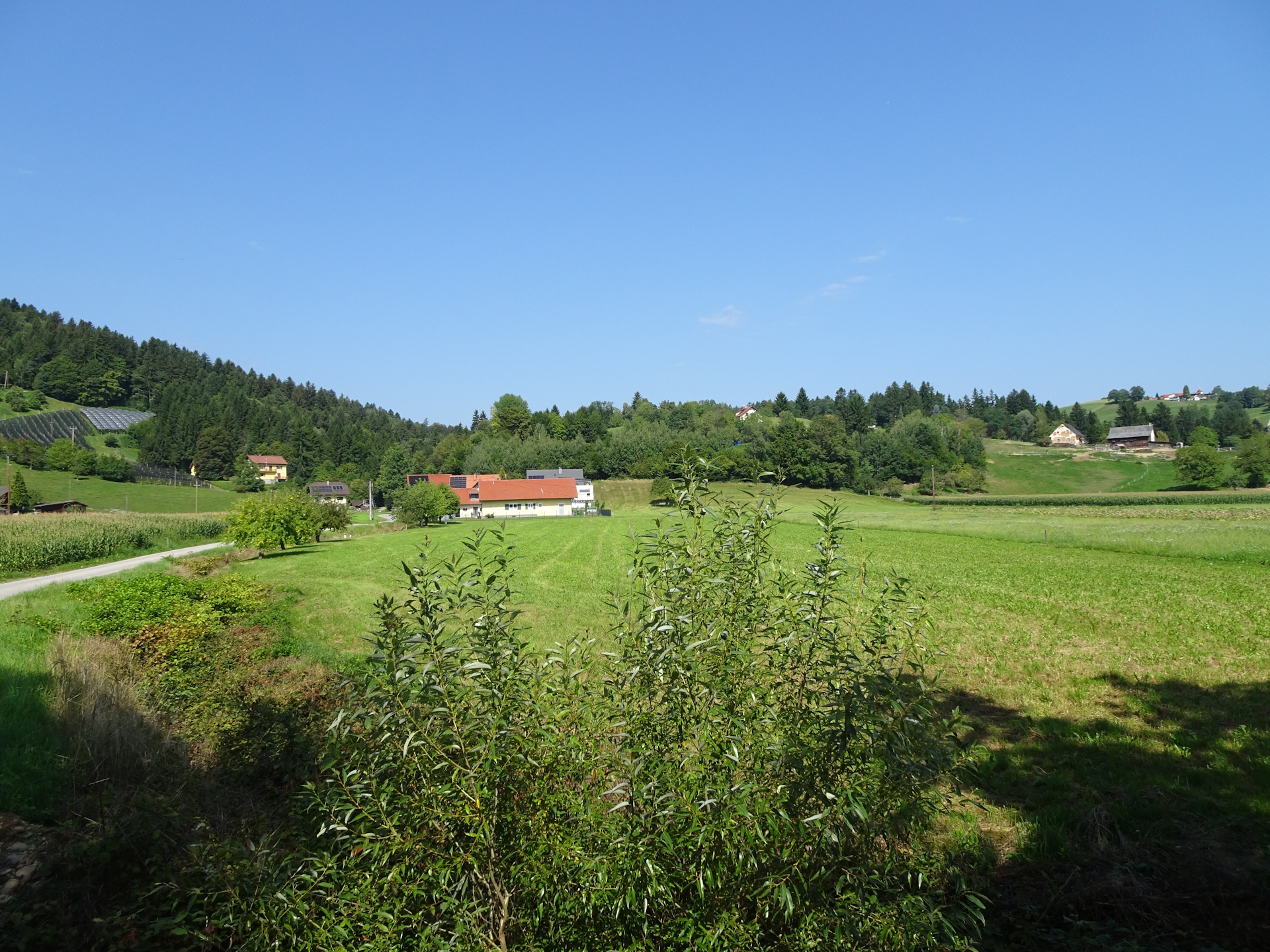
The tour mainly follows tarmac roads. At the city border, the plan showed a right turn but the signs told me otherwise. Still following the plan, I turned right but saw that all markings were blacked out (painted over). It seemed that the trail was abandoned, thus I returned back to the road and followed the road instead. Unfortunately there were no marking either, so I really was in doubt but when I reached the view point, I found again signposts and markings, indicating that I am indeed on the official trail – although it deviates from the plan.
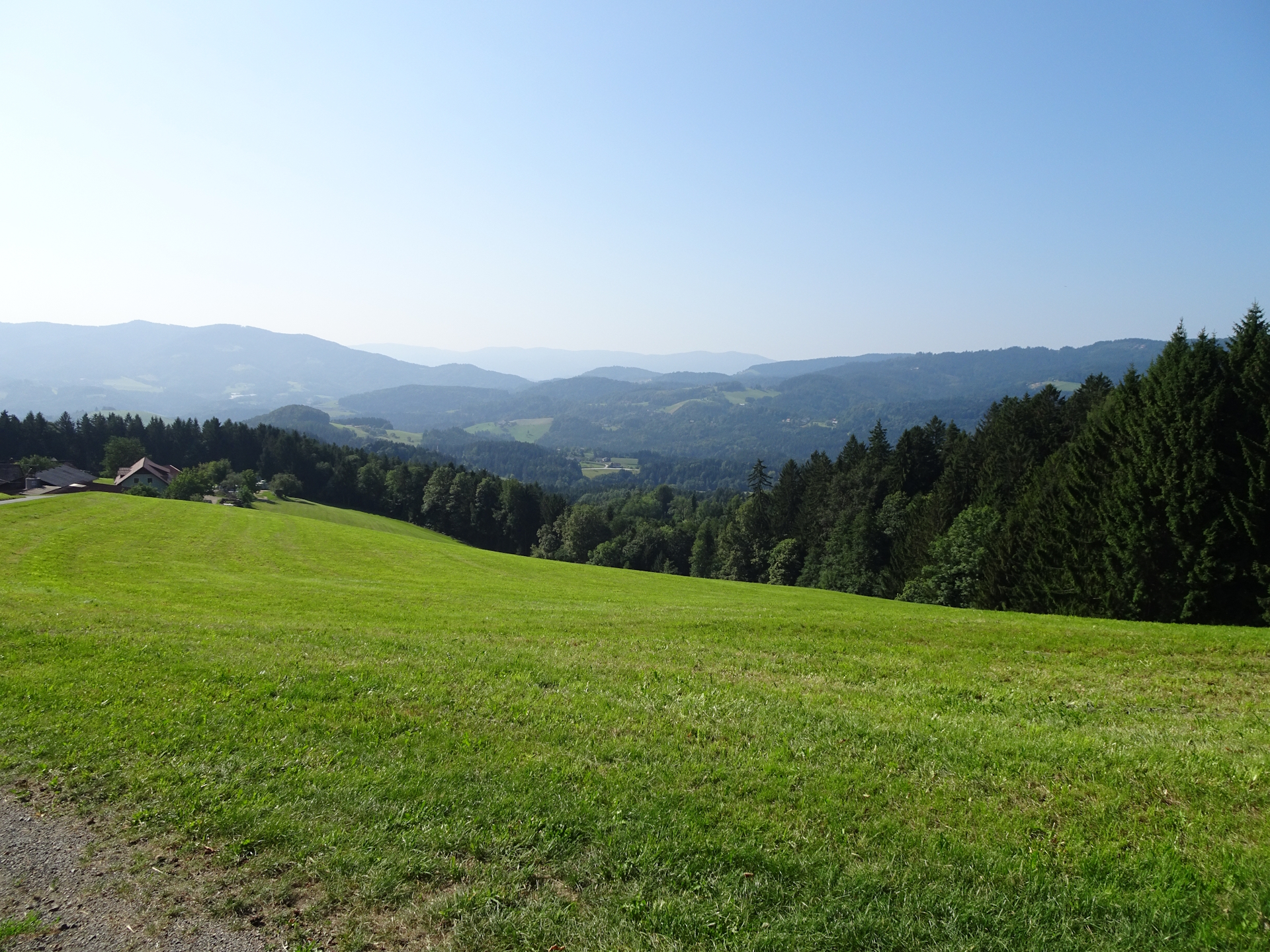
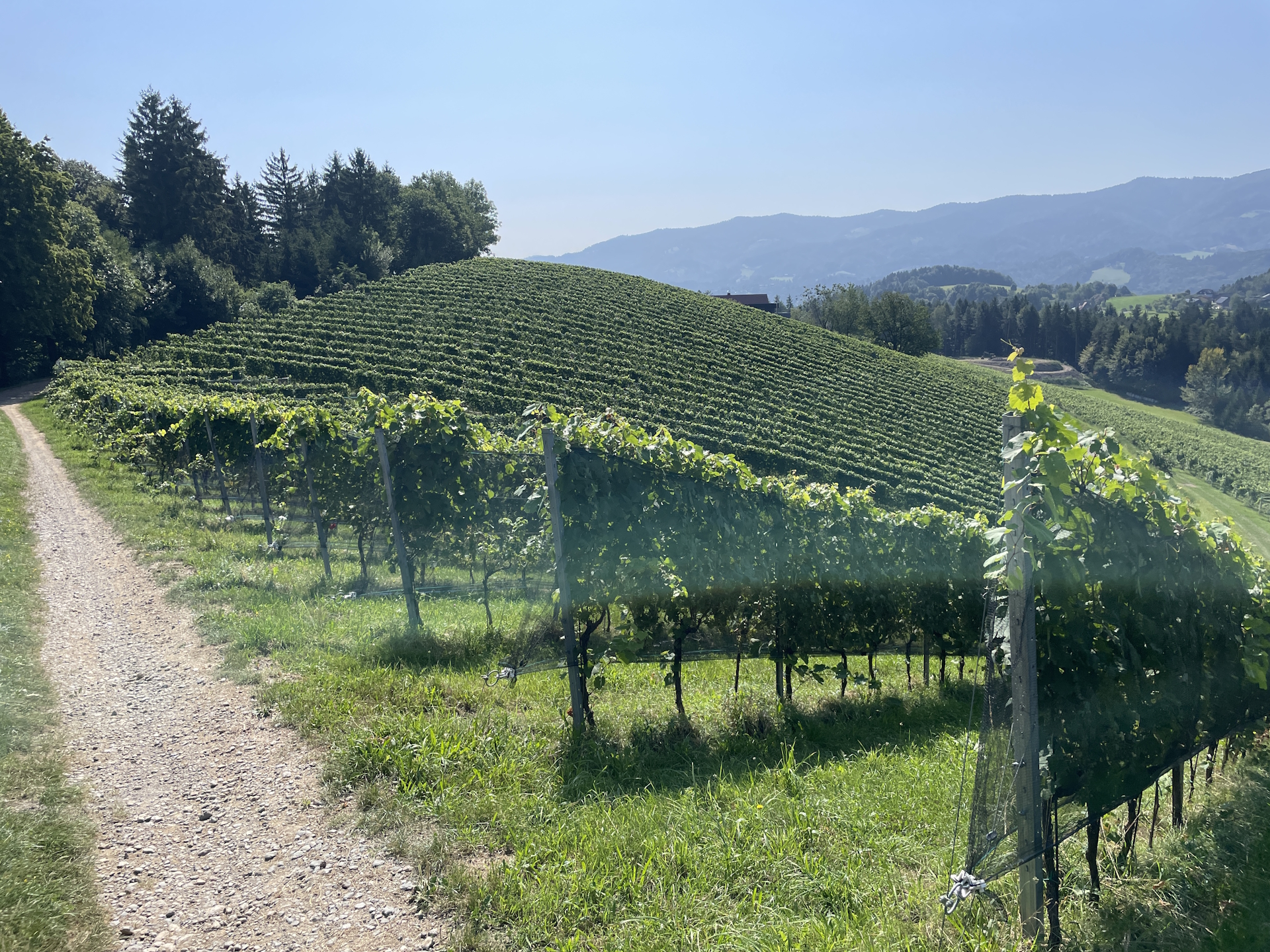
Anyway, I made it down to the Höchwirth Kapelle, the spot where the planned and the real trail merged again. Again, the markings here were really bad, just with GPS I found the way through the meadow (that was surrounded by a fence) and then the marked but again really overgrown trail. Once I made it through the forest, the remaining tour was following gravel roads through the vineyards, again through the forest and finally paved roads into the city of Eibiswald (Checkpoint).
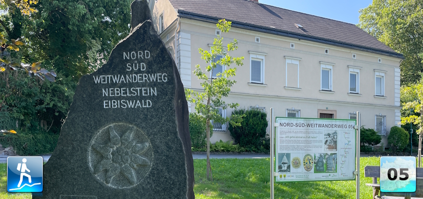
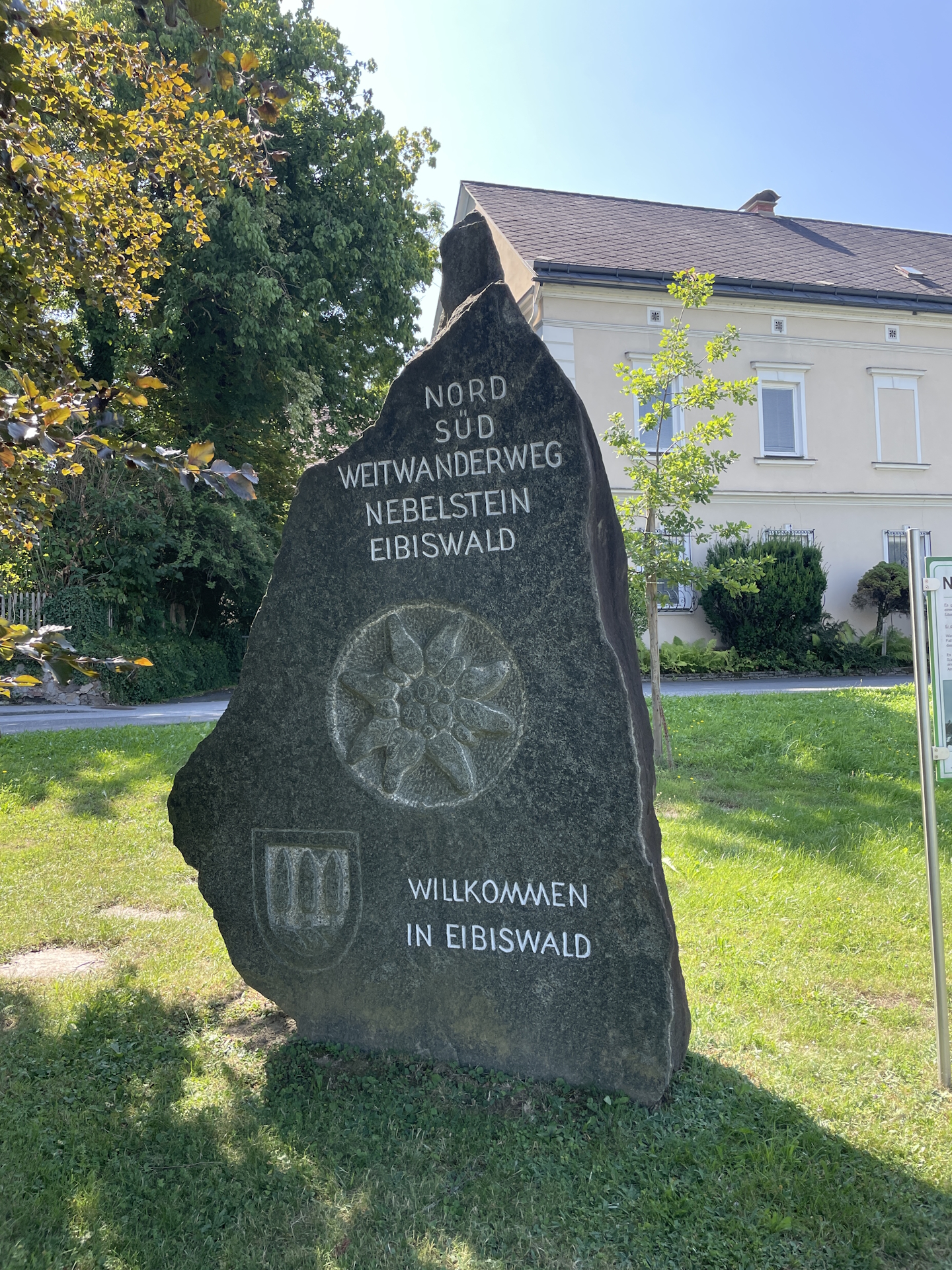
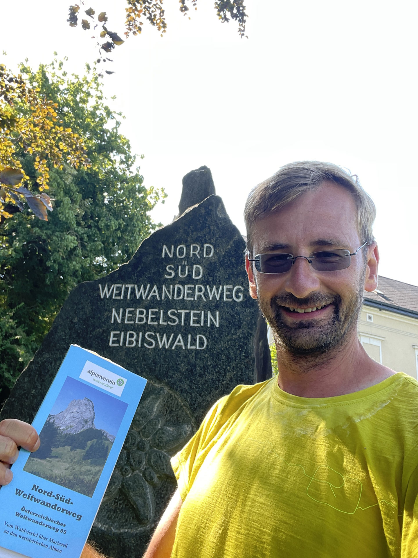
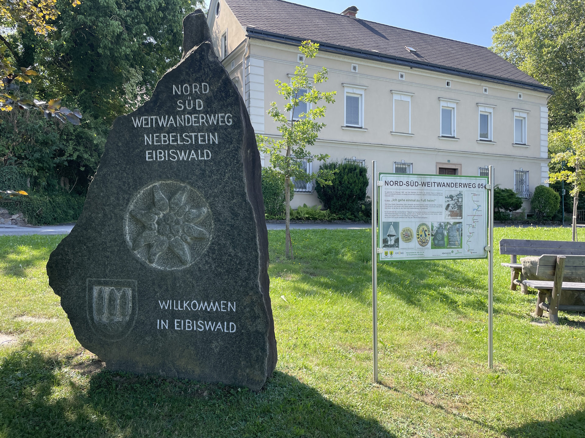
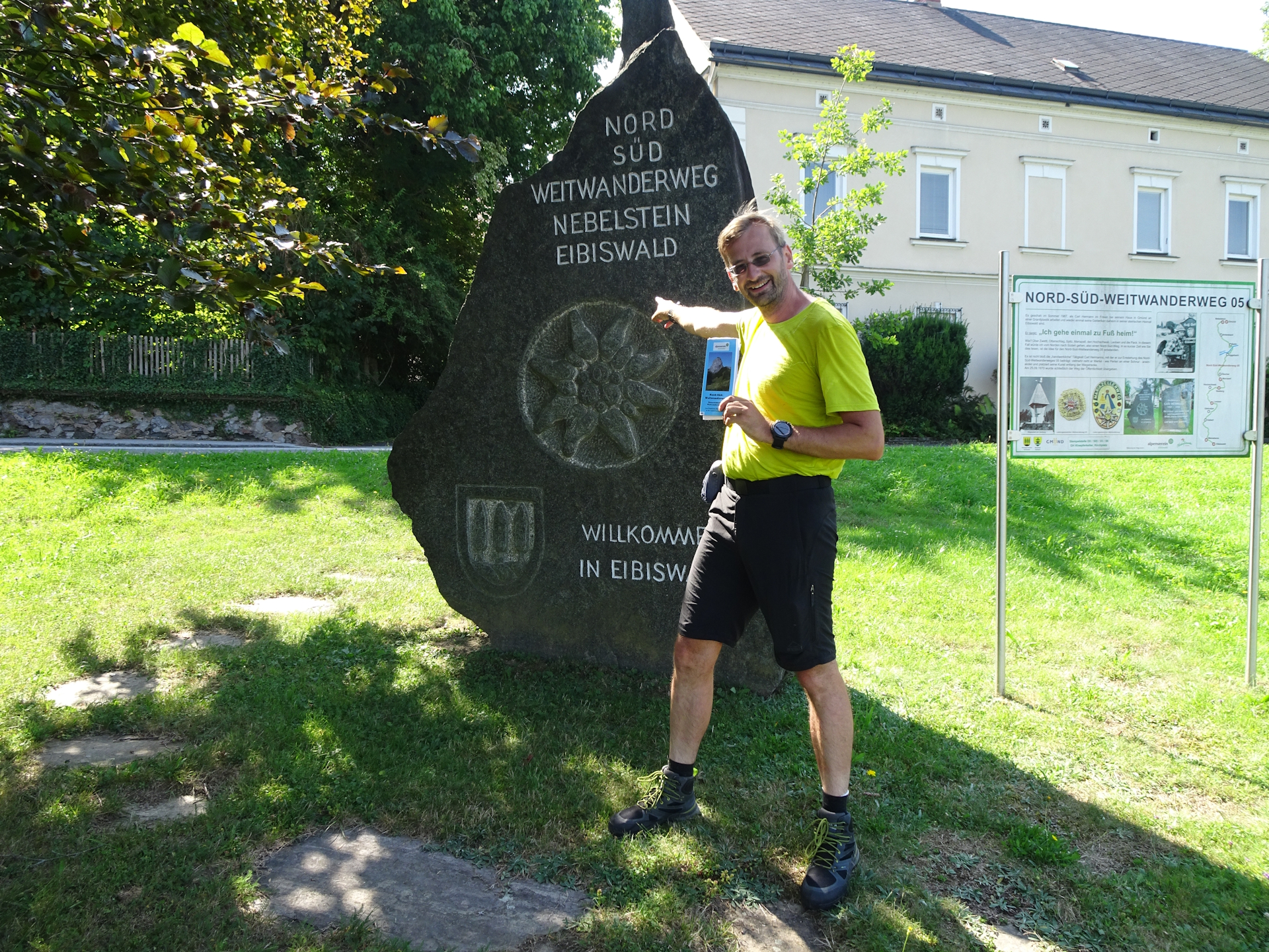
Right after entering Eibiswald, I ran into the memorial stone of the Nord-Süd-Weitwanderweg, indicating that I managed to reach the final destination. After making several pictures, sending it to my friends and being super excited, I continued walking into the city center with a big smile and a deep sense of relieve. Directly in the city center, I went to the tourism office and I found the stamp in a metal box next to the entrance. As my book was filled, I had to put the final stamp at the hard paper of the back cover and once it was stamped, I felt severely relaxed.
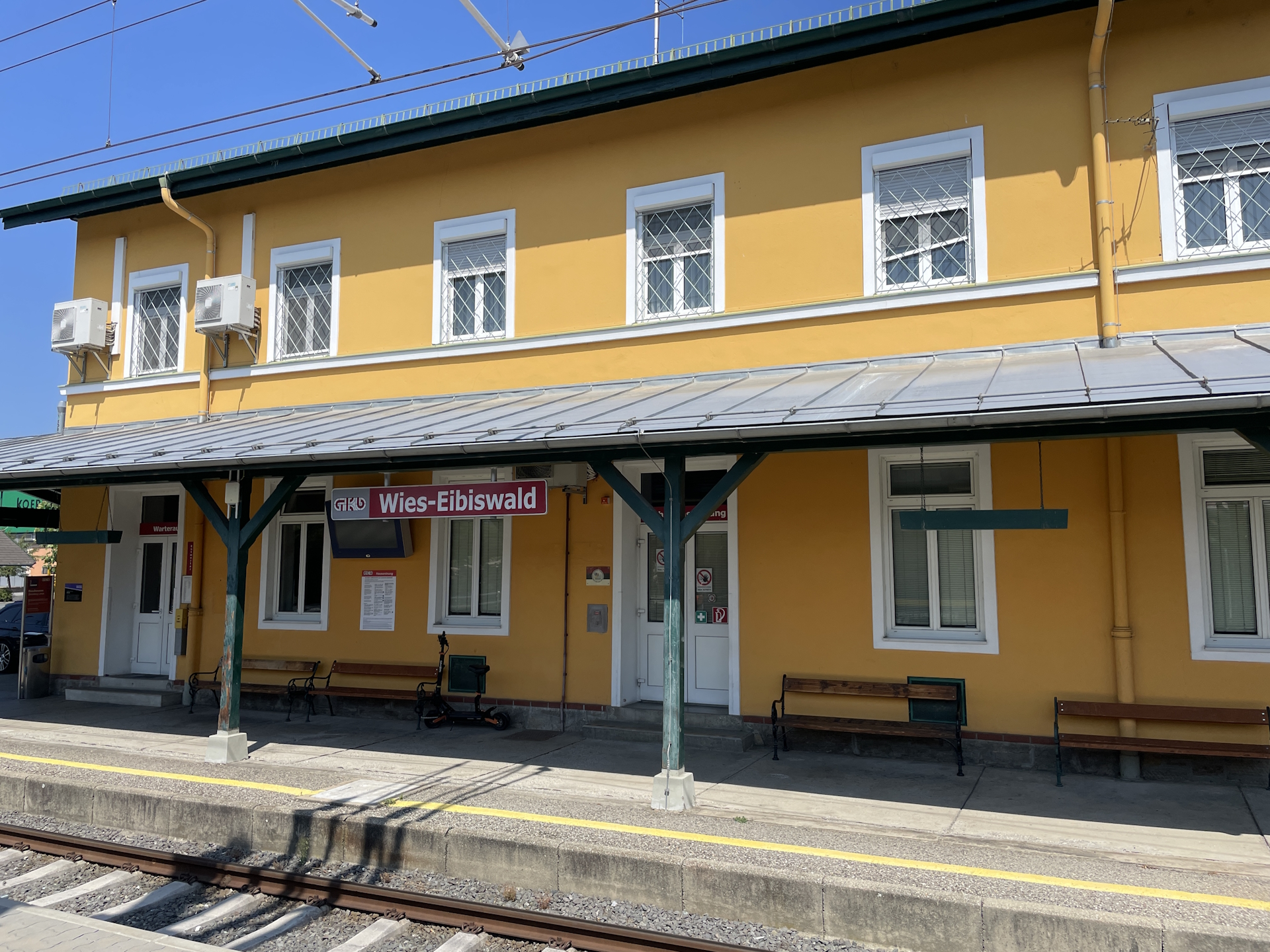
I head back to the city center and waited for the bus. While waiting for the bus and enjoying a beer that I bought at the local grocery store before, I finally got the idea of long-distance hiking. The sense of achievement is simply unique. At that time I still have not realized that I just completed a hike from the north of Austria till the south of Austria – by foot.
But now it was time to go home !
Summary:
The tour is easy and not too exciting. Only the descent down to the valley before St. Oswald is steep and requies a bit of attention. The biggest challenge were the severely overgrown trails and getting a stamp at St. Oswald – but I managed both!
| 00:00 | Start after a breakfast and getting your stamp from St. Katharina Stüberl. Head westwards following the main street till the first crossing. Then turn left into the official 05 trail southwards. |
| 00:05 | Follow the road towards the forest. The tarmac road will become a gravel road and later a trail. |
| 00:15 | Steeply descend into the valley. Markings are rare, thus just cross the meadow directly to its lower end. |
| 00:25 | After the meadow, follow the trail through the forest down to the road. |
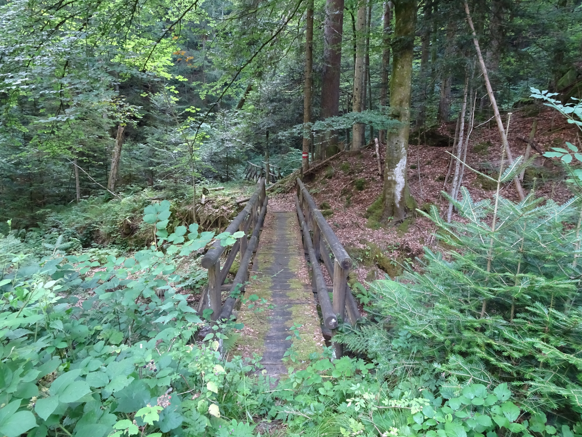
| 00:30 | When reaching the road, turn left and follow the road till its next curve. There, leave the road by keeping straight and turn into the overgrown but marked trail which crosses the river over a wooden bridge. Continue following this trail up southwards into St. Oswald. |
| 00:45 | In St. Oswald, turn left and follow the main road into the city center. |
| 00:50 | Have a break () at the former municipal office which now has a café. Don’t forget to get your stamp here! |
| 01:00 | Continue following the street for a few meters and turn left at the 2nd street (the last one before the main road). Follow this street northwards to the city boarder. |
| 01:10 | Keep straight and then right, continuing following the markings. |
| 01:15 | At the crossing in the forest, keep straight! The official plans will turn right here but the markings are overpainted and it seems the trail is abandoned. Follow the street eastwards instead. |
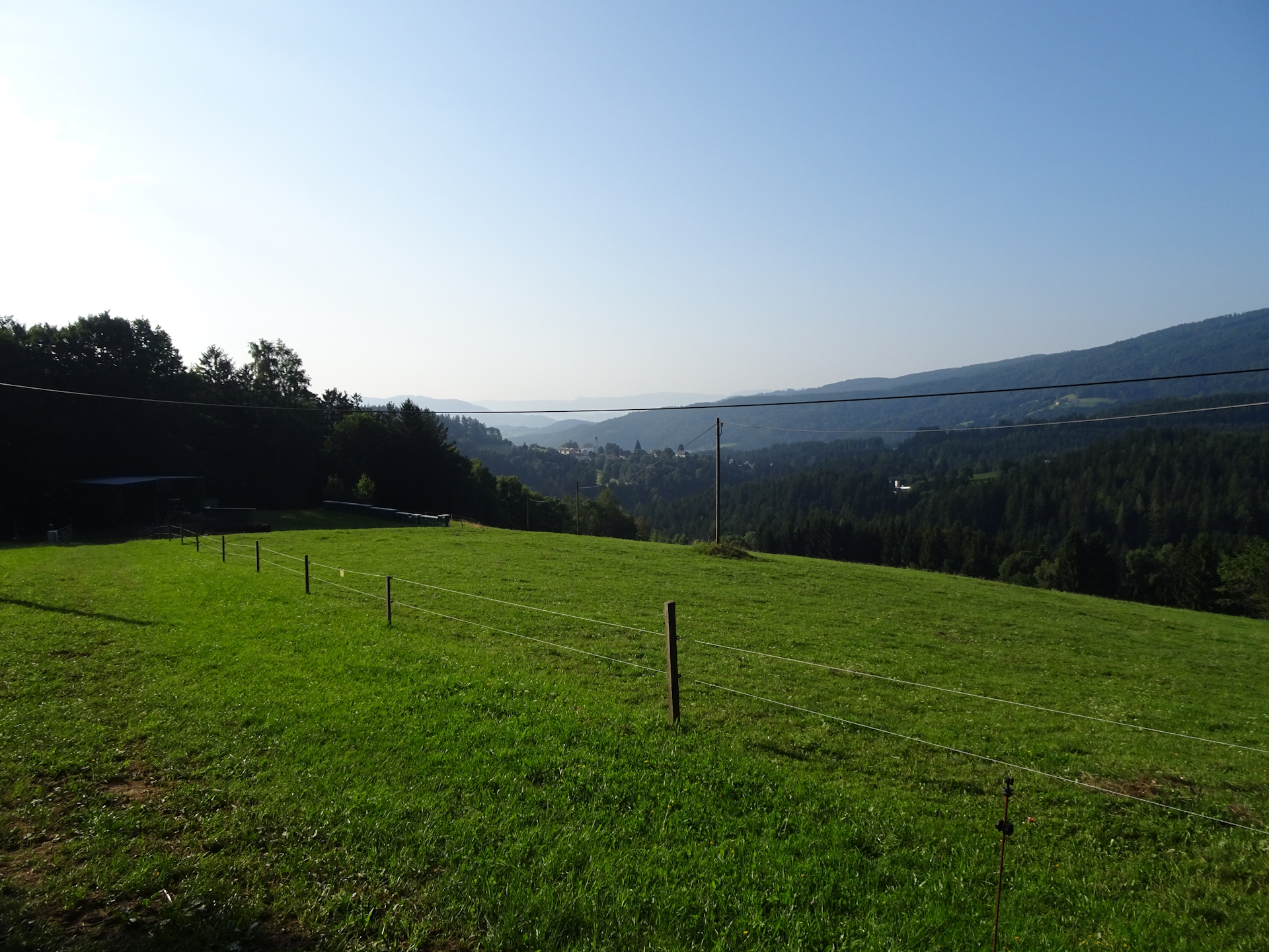
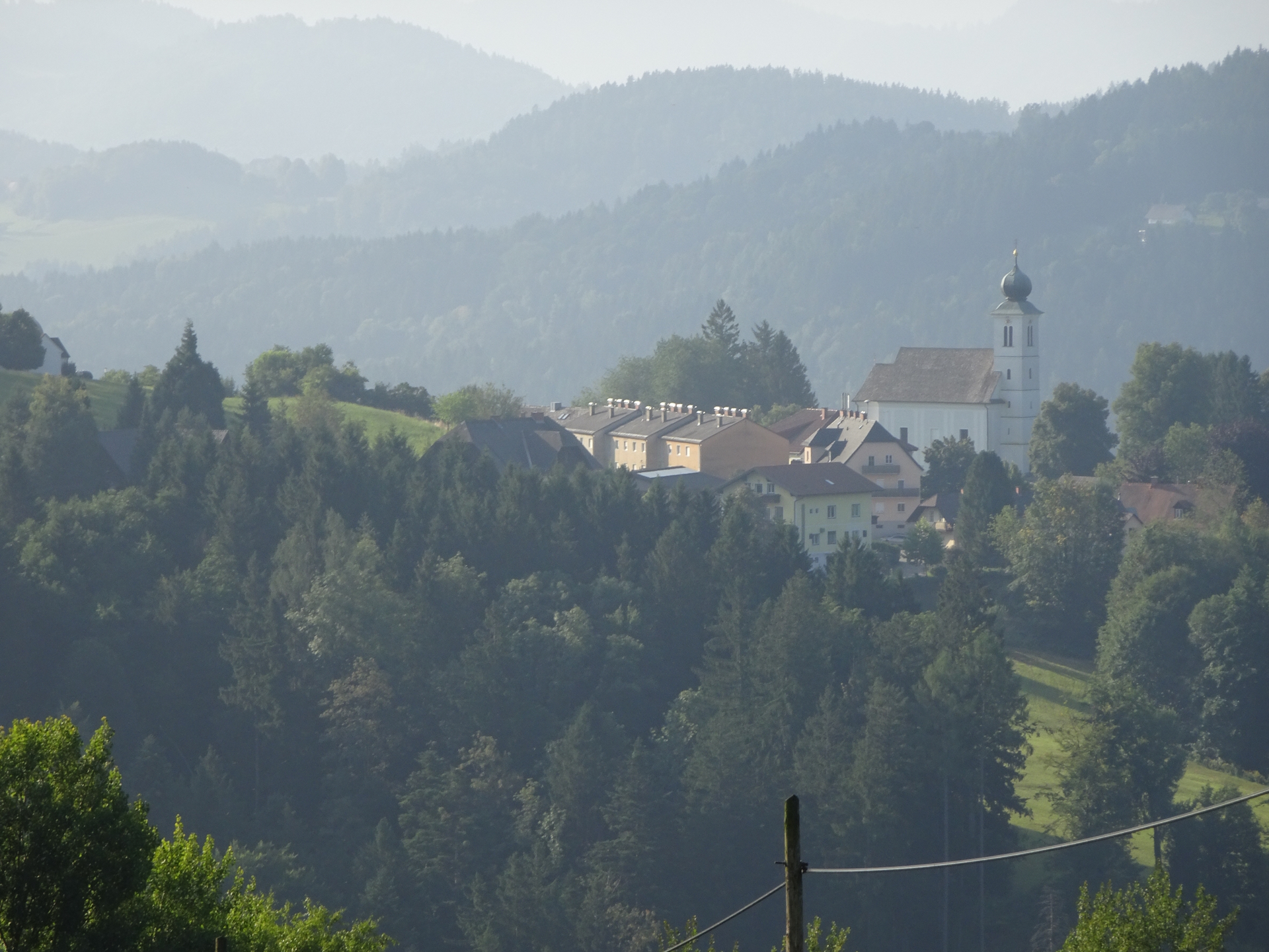
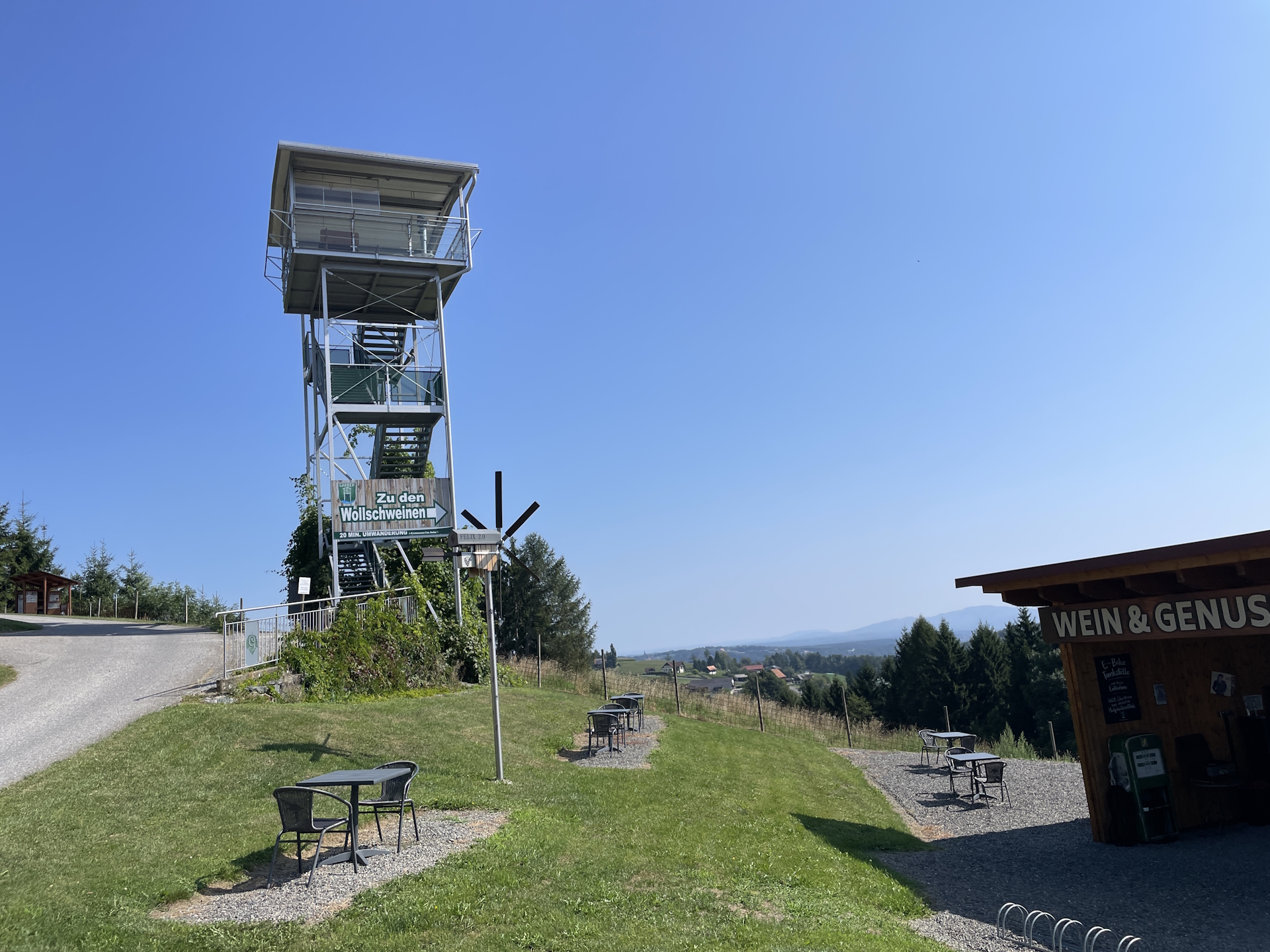
| 01:45 | Enjoy the view from the viewing platform towards Eibiswald. Then continue following the street downwards (doing a U-turn). Here you will find the first time again markings and signs indicating that you are on the official 05 trail. |
| 02:00 | Bypass the Höchwirth Kapelle and turn left. Do not follow the street but find your way through the meadow towards the forest. There are no markings till reaching the trail at the forest! Then follow the partly overgrown trail through the forest downwards. |
| 02:10 | Turn right into the street and follow the street eastwards. From now on the trail is marked properly again. |
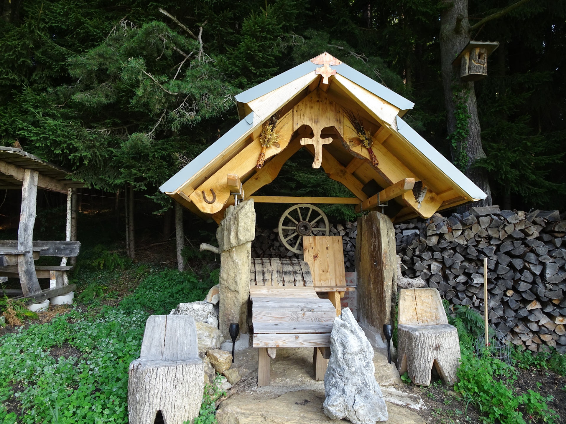
| 02:30 | Bypass Buschenschank Grabner (or consider having a break here) and continue following the street alongside the vineyard downwards. |
| 02:50 | Turn slightly left into the paved road and follow the road towards Eibiswald. |
| 03:00 | Cross the main street and celebrate success at the Carl-Hermann-Platz with the memorial stone of the Nord-Süd-Weitwanderweg . Then turn left and follow the small street into the city center. |
| 03:15 | Collect your last stamp at the tourism information center in the city center. You have now officially completed the long distance hiking trail! |
| Area: | South Styria, Styria, Austria | |
| Distance: | 14km | |
| Ascent: | 245m (0h 55min) | |
| Descent: | 745m (1h 45min) | |
| Highest Pt: | 898m | |
| Lowest Pt: | 367m | |
| Duration: | 3h 00min (without breaks) 3h 15min (with breaks) |
|
| Stop/Rest: | St. Katharina Stüberl (891m) Buschenschank Grabner (503m) |
|
| Equipment: | Backpack with standard hiking equipment Comfortable hiking shoes Snacks and enough water Sun & Weather protection Camera Overnight equipment for the hut: – light sleeping bag for huts – cash – shoes for the hut – toiletries |
| Download GPX | ||
| O | Tour at outdooractive.com |
At a glance
| Level | easy |
| Technique | |
| Shape / Fitness | |
| Experience | |
| Scenery | |
| Best time in the year | |
|
Jan
Feb
Mar
Apr
May
Jun
Jul
Aug
Sep
Oct
Nov
Dec
|
|

Leave a Reply