
Twenty-second stage of the Nord-Süd-Weitwanderweg 05 starting from Barbarahaus (Pack) towards Gösler Haus (Weinebene) via Hebalm
 |
The North-South-Long-Distance trail (Nord-Süd-Weitwanderweg, also known as the “05”) starts in the north of Austria at Nebelstein and ends in the south of Austria at Eibiswald. The trail is ~500km long, ~18 000m in ascent and the same amount in descent. The trail was initiated by Carl Hermann and officially established on the 25th September 1970. The trail is separated into 3 parts:
It normally takes 3 weeks to complete the entire trail. |
The here presented tour is the twenty-second stage of the Nord-Süd-Weitwanderweg 05 , starting from Barbarahaus (Checkpoint) towards the Gösler Haus at the Weinebene (Checkpoint).
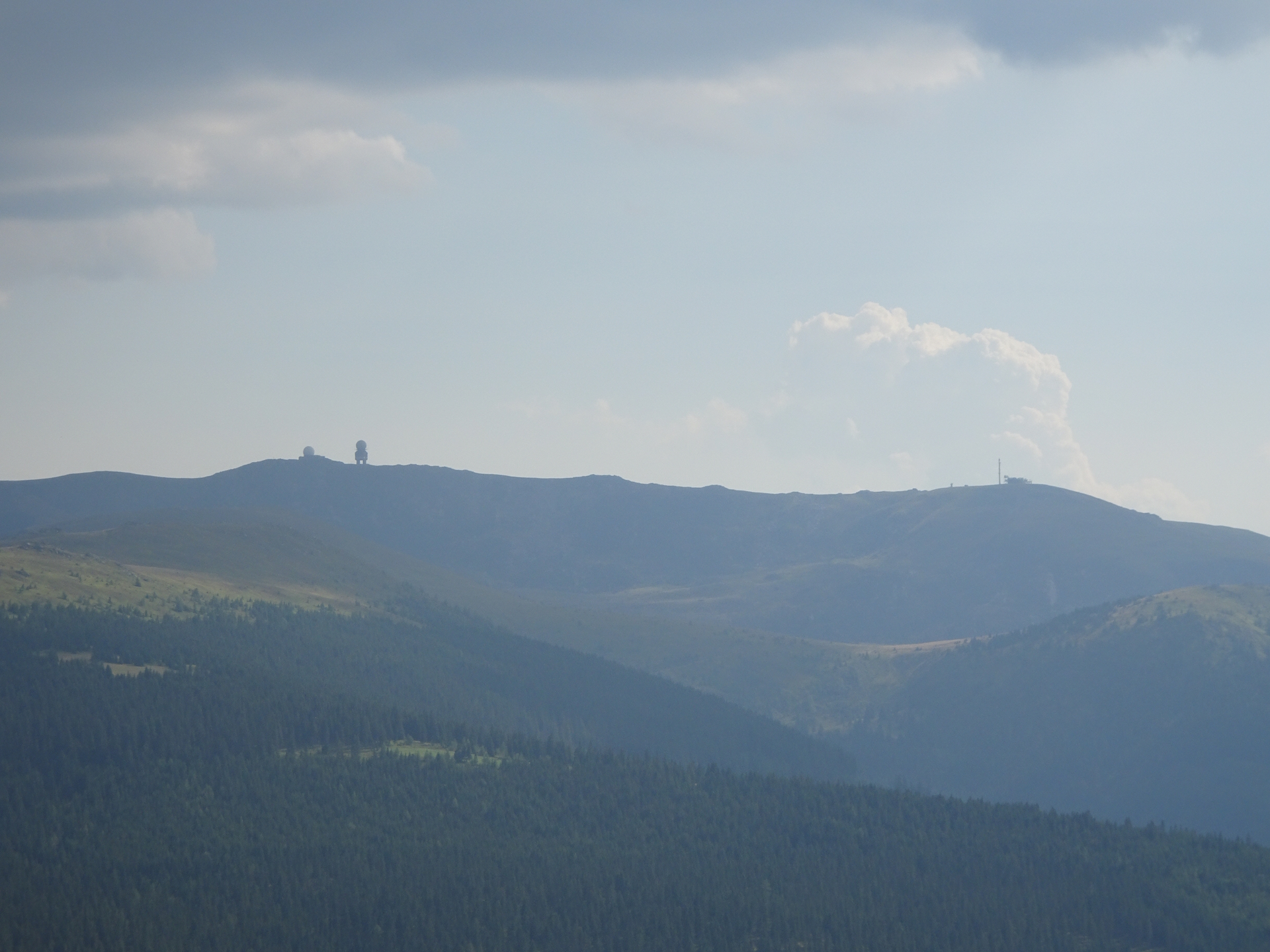
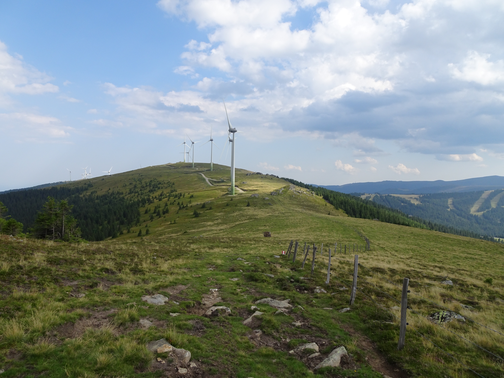
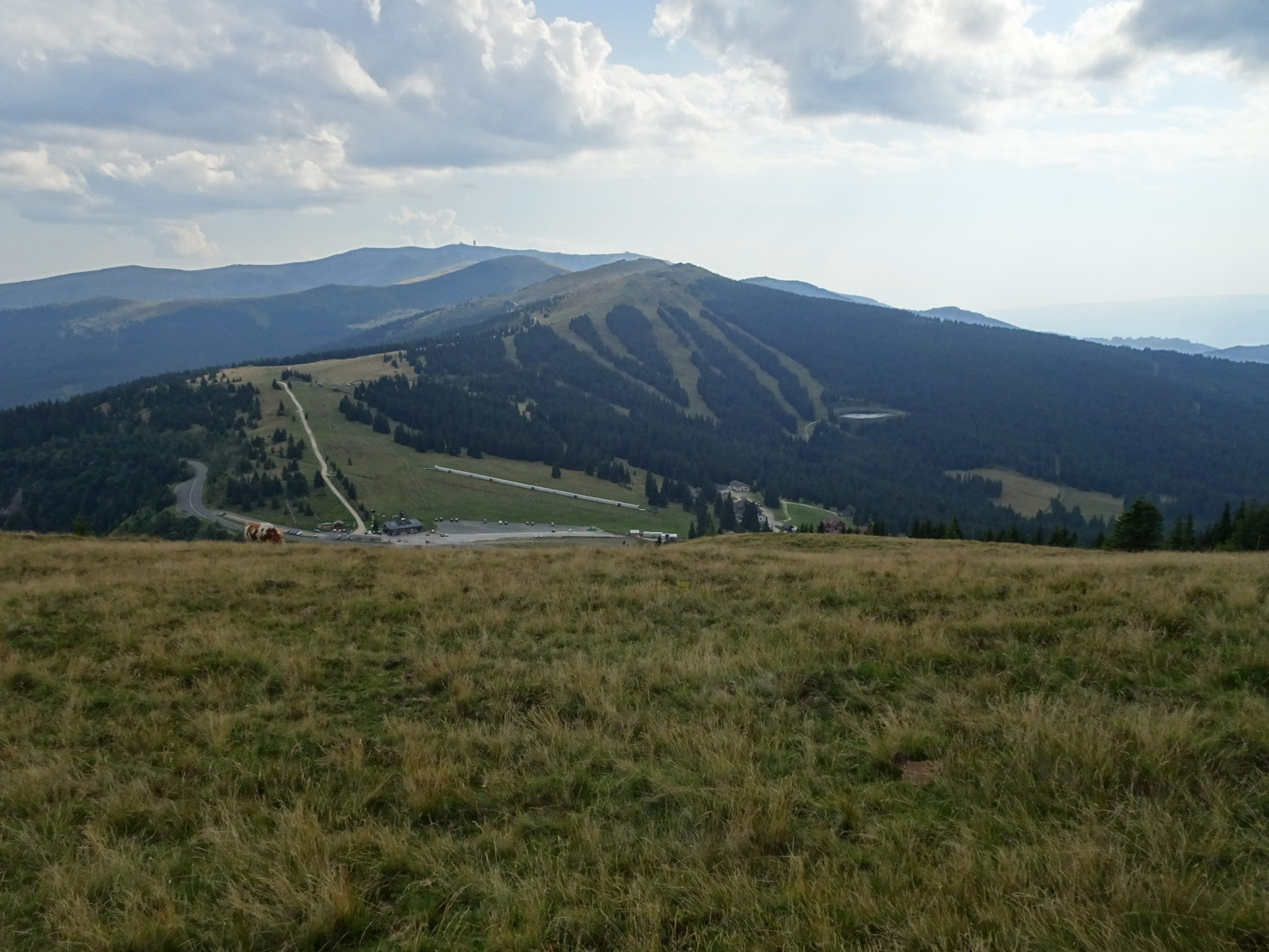
The tour starts at the Barbarahaus and follows the street down to Packsattel. From there the tour follows an easy forest road and later trail towards the Hebalm. After the Hebalm, the here presented alternative performs a small but recommended detour up to the Hebalmsee and then further to the Panoramablick, before it rejoins the official trail to See Eben and furhter into the Wildbachsattel. After this saddle, the last ascent is made up to Weberkogel, allowing the first sight towards the Koralpe with its radar station (next stage!). The tour follows here a scenic trail through an alpine pasture, passing by the wind generators of Handalm before it steeply descends down into the Weinebene saddle (Checkpoint). From there, it is only a few meters to the Gösler Hütte for staying overnight.
| Nord-Süd-Weitwanderweg 05 – Checkpoints | |
|
Transportation:
I’ve planned to accomplish this stage as the sixth of an 8-day multi-day trip. As I stayed the night at the Barbarahaus, I was able to directly start the tour the next morning.
The hike:
This hike was part of an 8-day multi-day trip. After a demanding (because extended) tour the day before, I was looking forward to an easy and more relaxing stage. After an excellent breakfast and again a nice talk to Manfred (tenant of the hut), I started relaxed at 09:00. I acquired the stamp from the box in front of the hut when leaving. Actually, the stamp is broken (certain pieces of the rubber are ripped out) but I hope it is sufficient enough to verify that I was here .
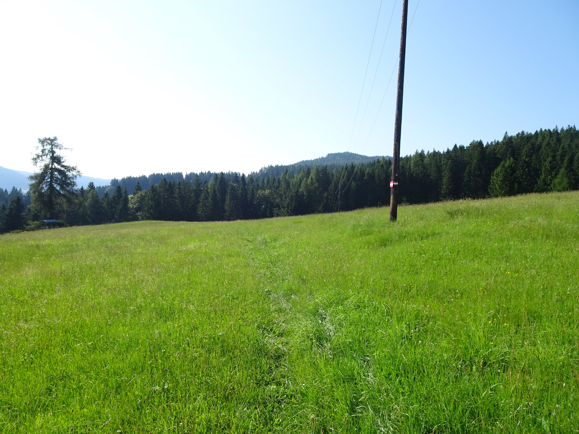
The first meters on the trail were easy but boring, just following the street from the hut down to the saddle of Packsattel. After crossing there the main street, the trail still continued to be easy but boring – a forest road with no view.
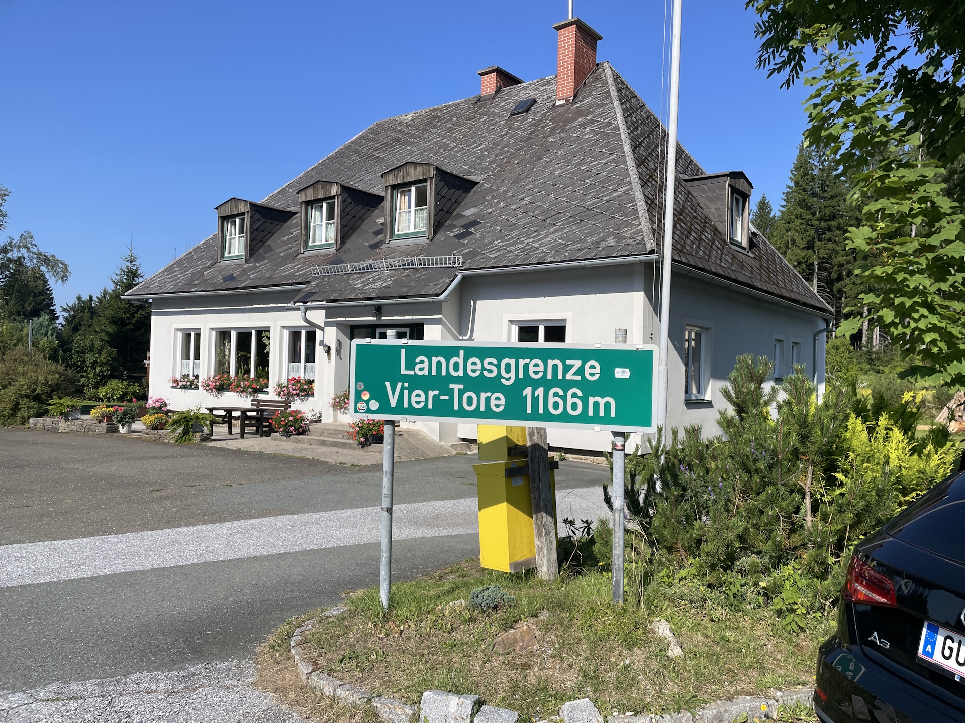
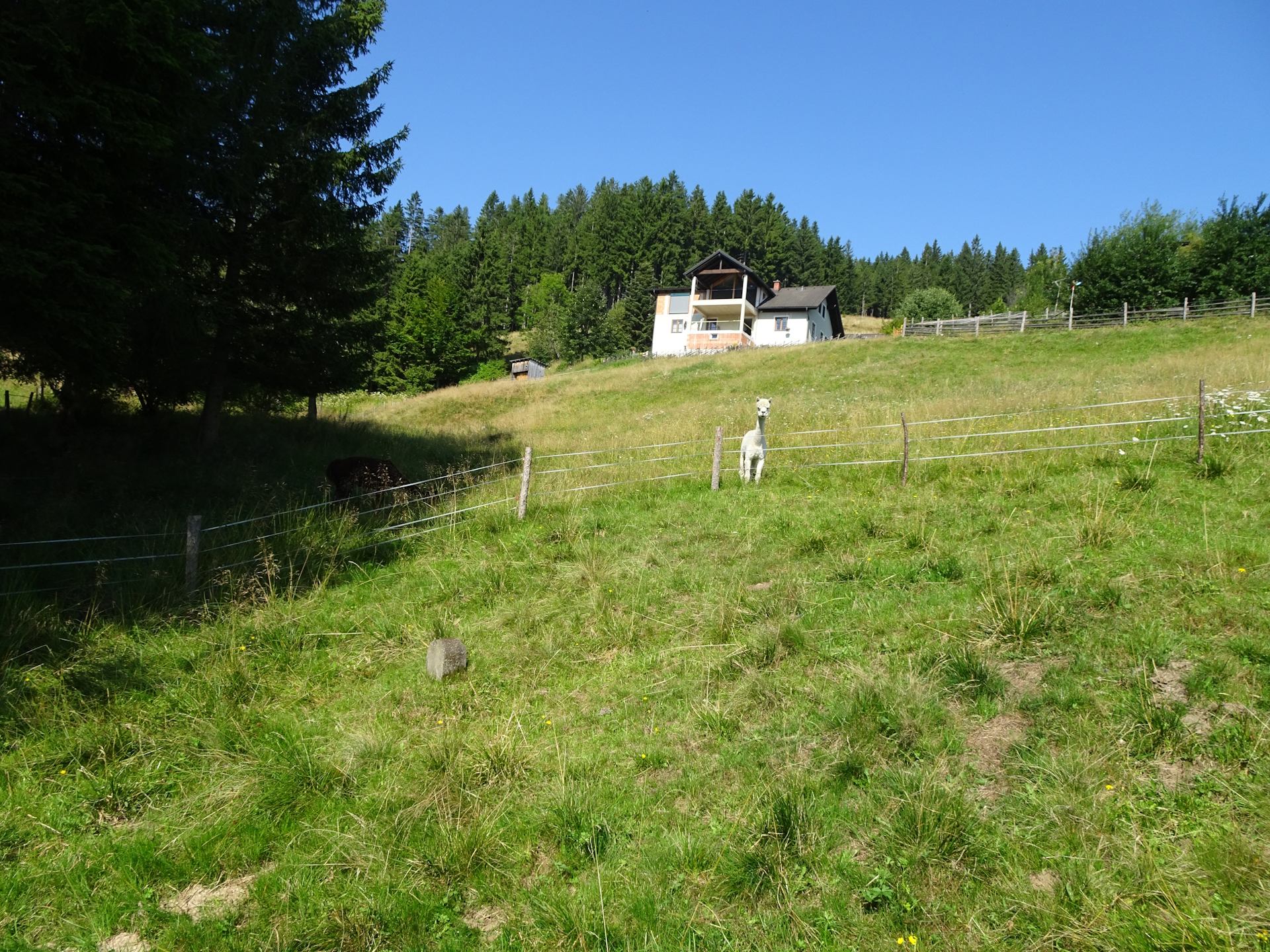
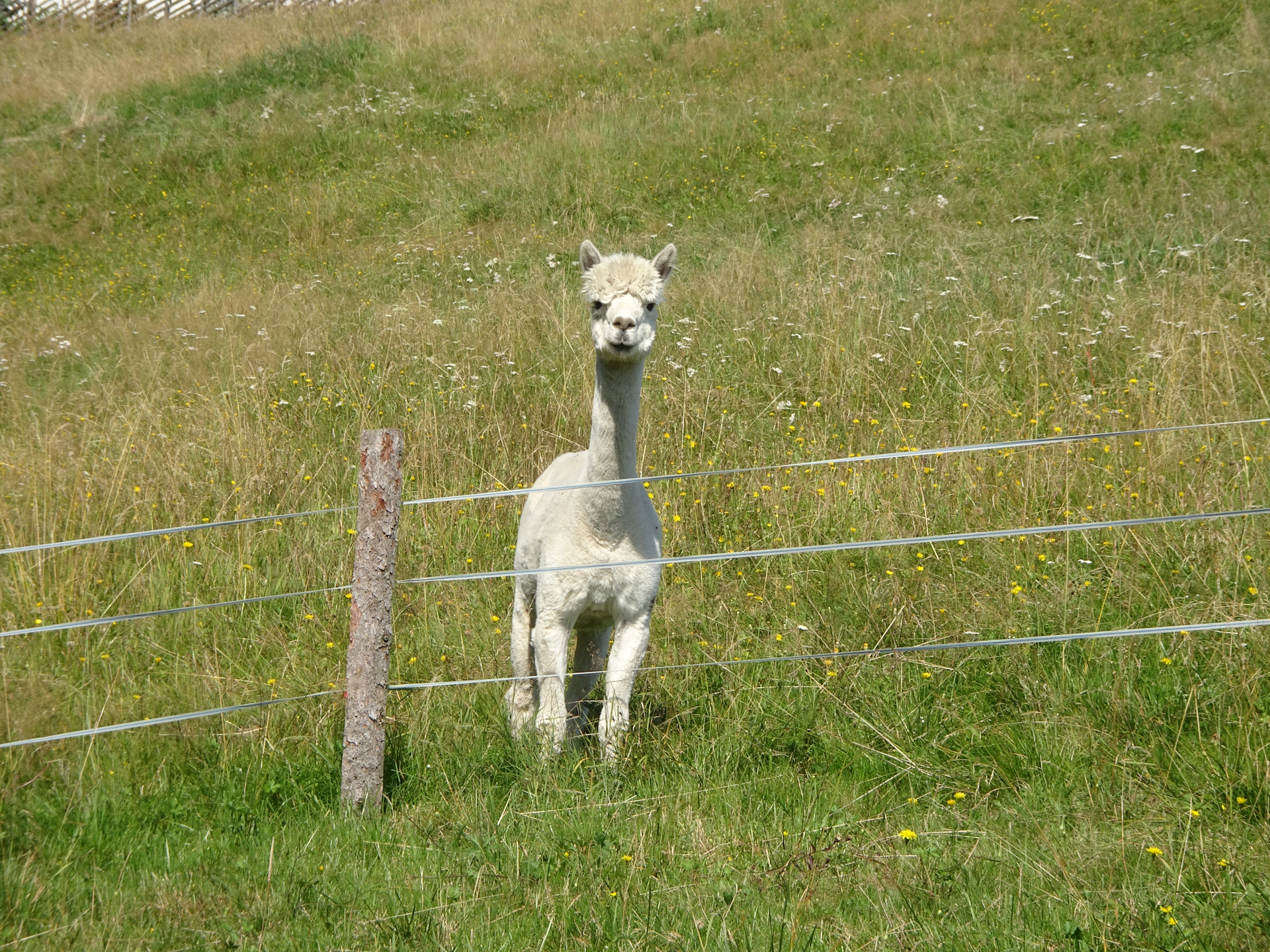
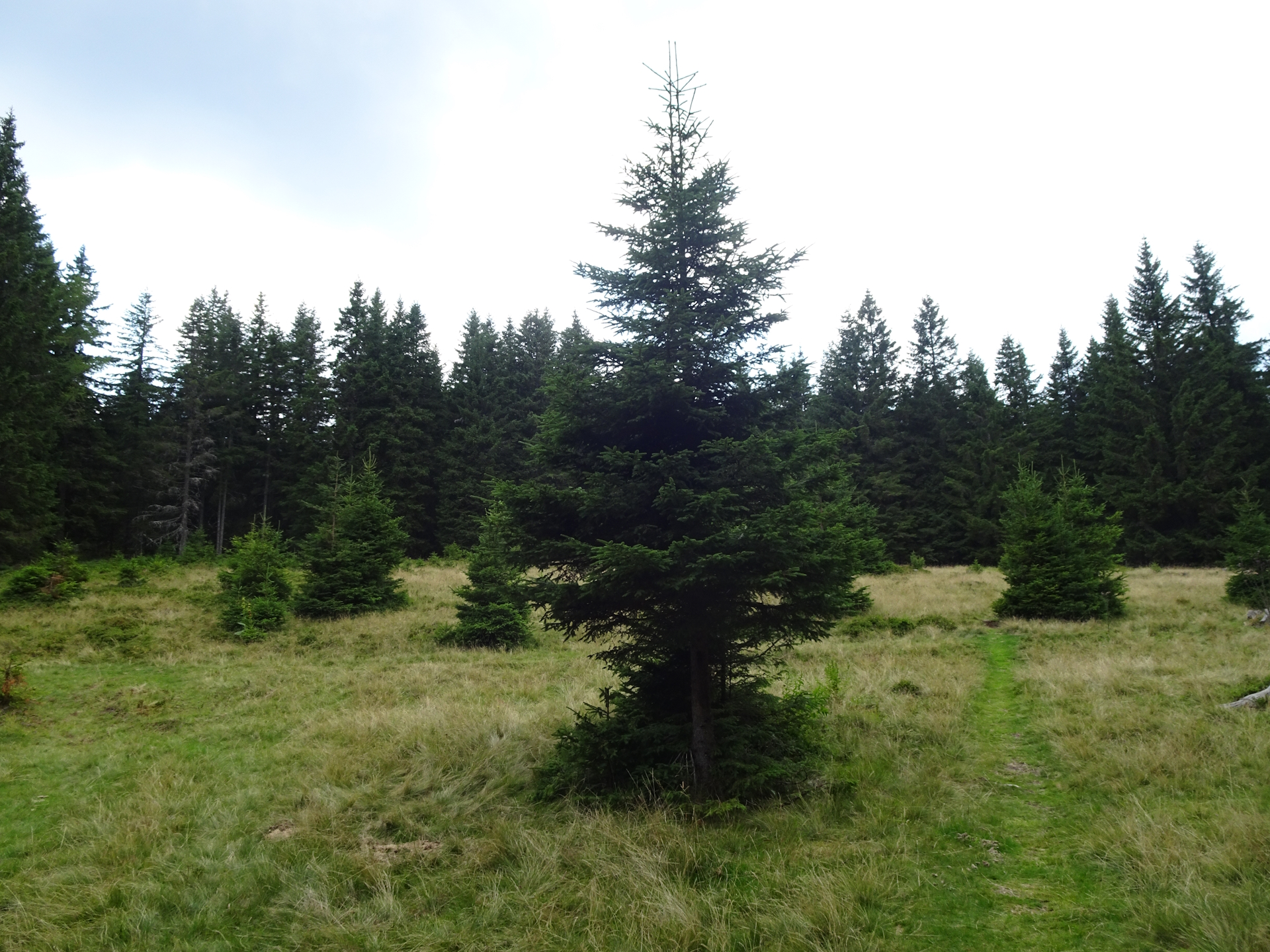
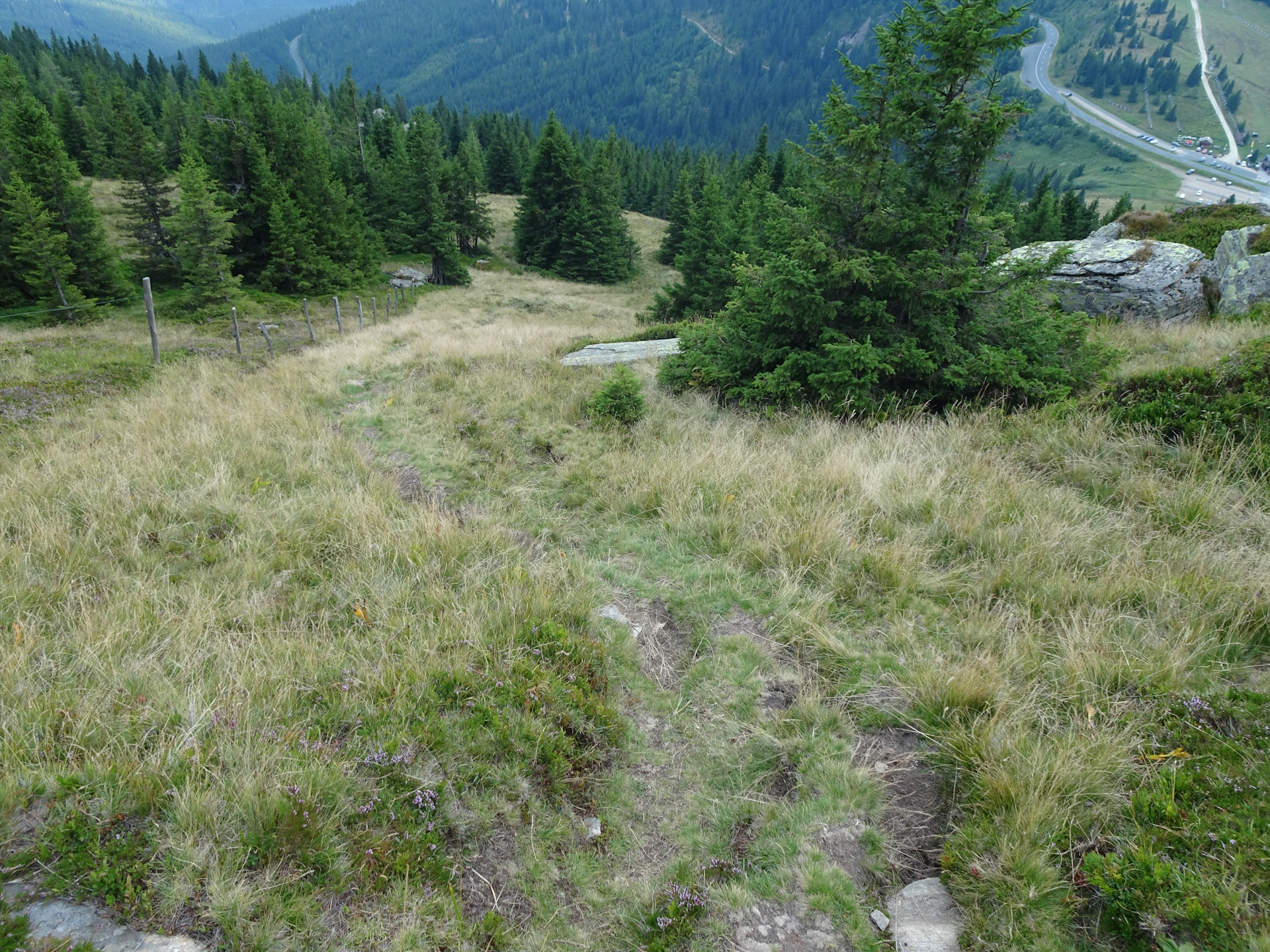
Everything changes when I left the forest behind me. I got surprised by a scenic view and a nice hike through a meadow, bypassing another Alpaca farm being observed by these nice and funny animals .
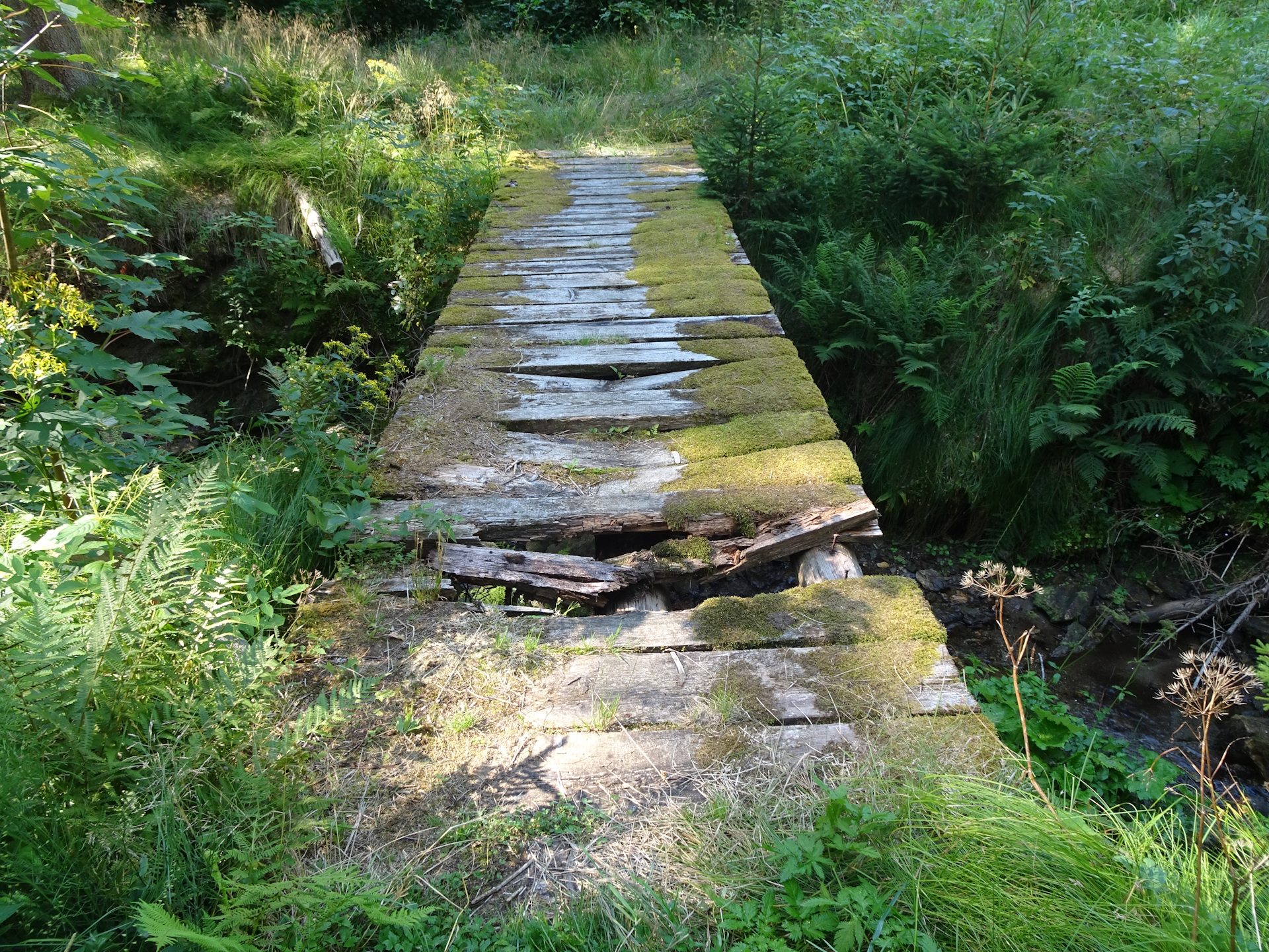
After the second farm, the tour again enters the forest, this time using a small trail down to the river. The bridge across the river is in a very dangerous state , extra caution is required when using the bridge! Again the trail leads through a forest, not difficult but not scenic as well.
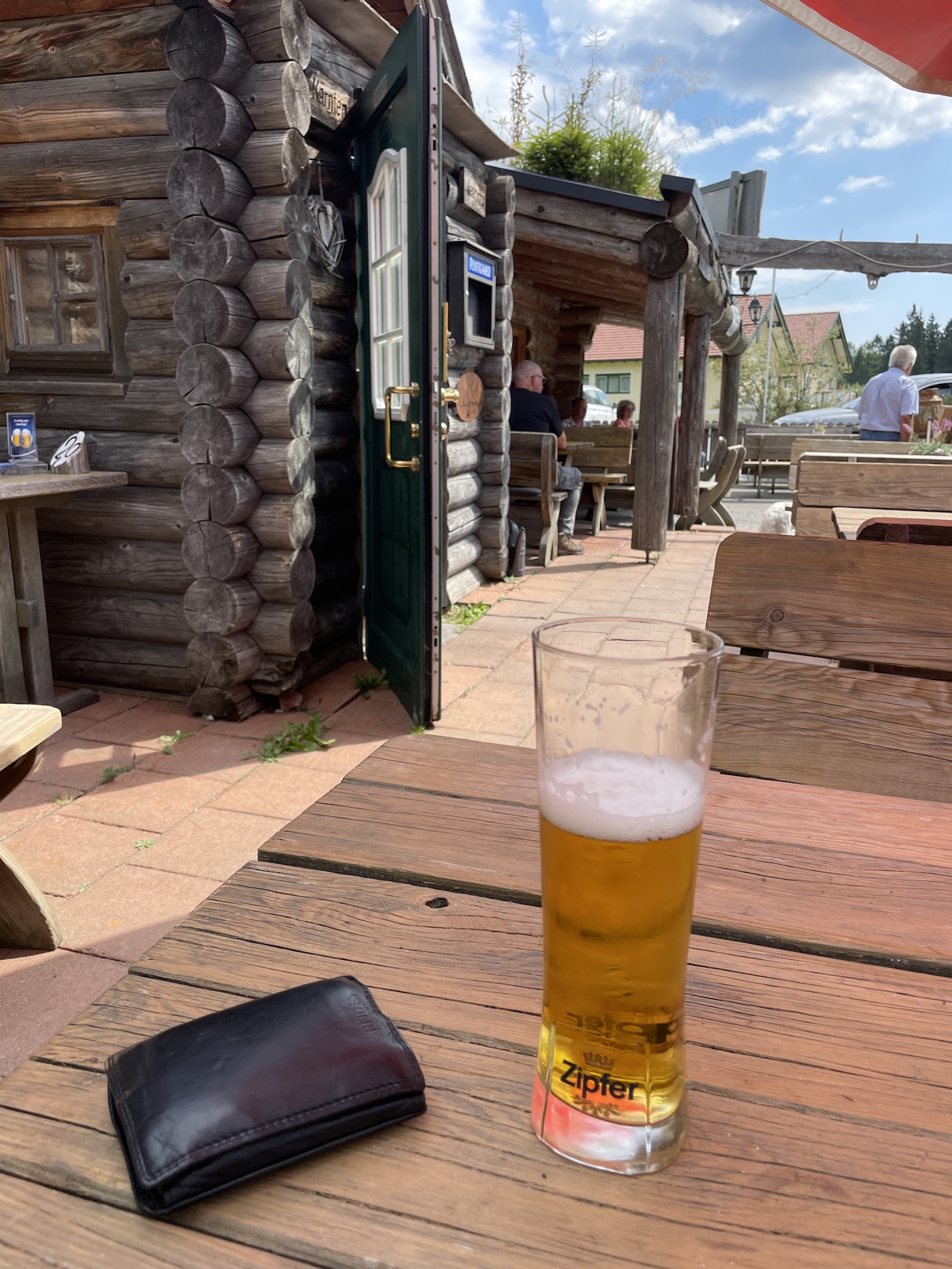
Once reaching the Hebalm at the Fichtenhof, I stopped for lunch at the Fichtenhof as this is the only restaurant on the trail. Although I was early, the kitchen was open and I had a good Schnitzel and one or two beers, followed by nice conversation of other guests being impressed by my project. Although it is an alternate checkpoint, I also got a stamp here. Actually the stamp is not at the hut itself but opposite the street, in a box at the big tree in front of the parking.
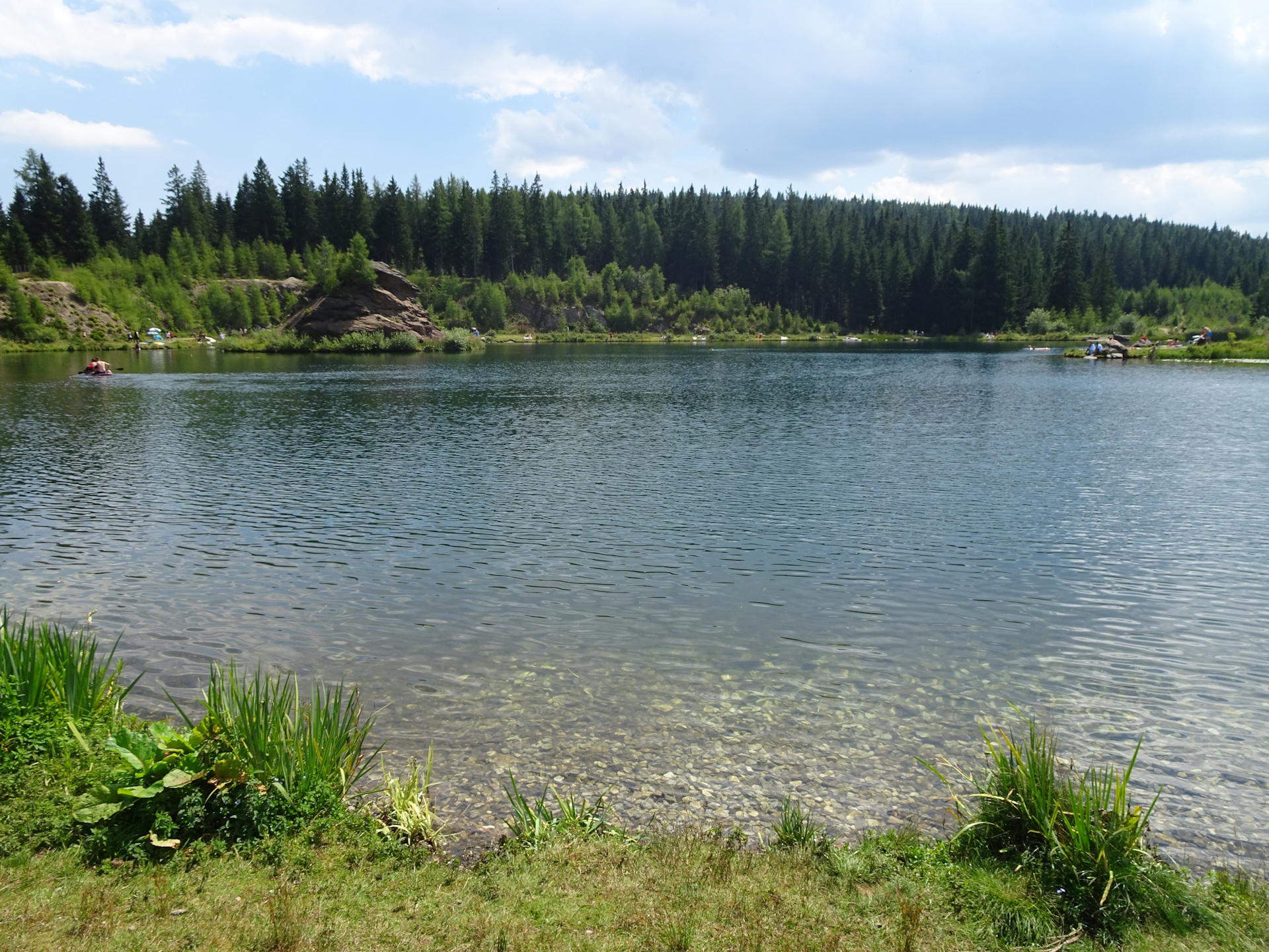
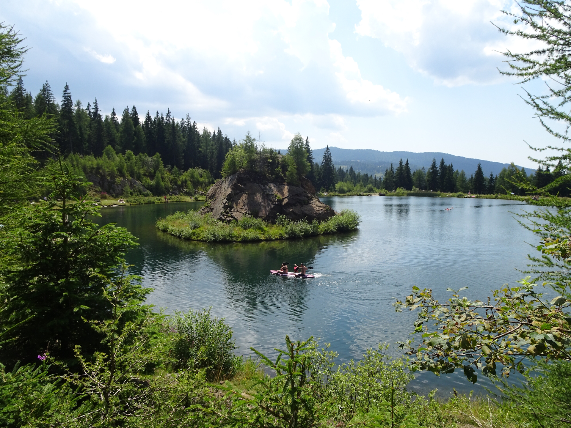
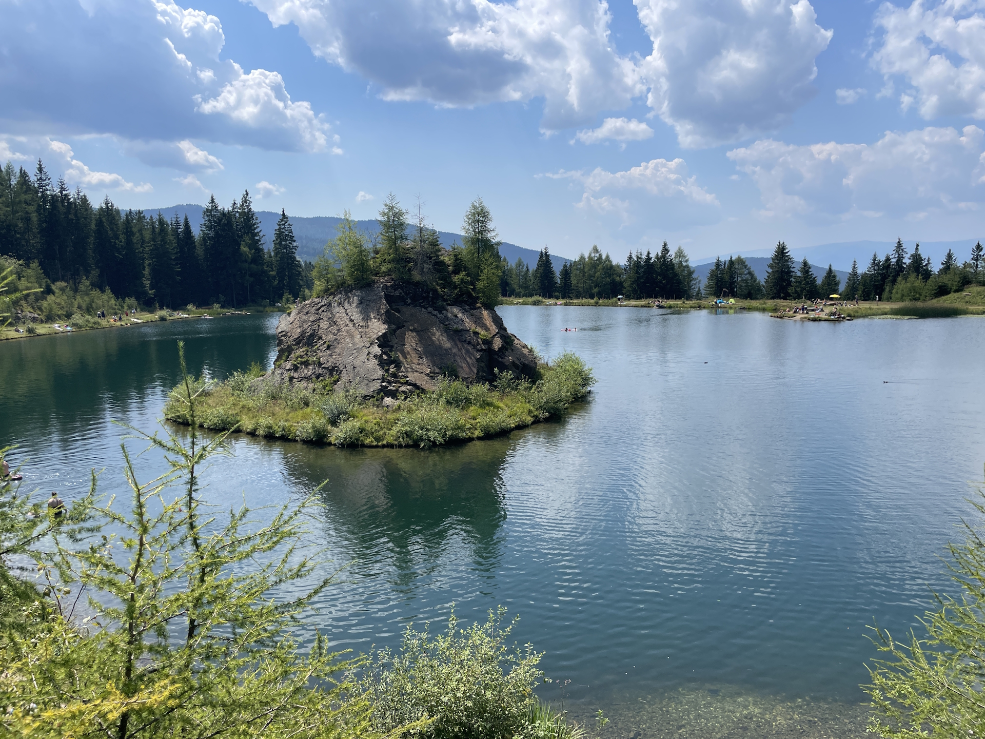
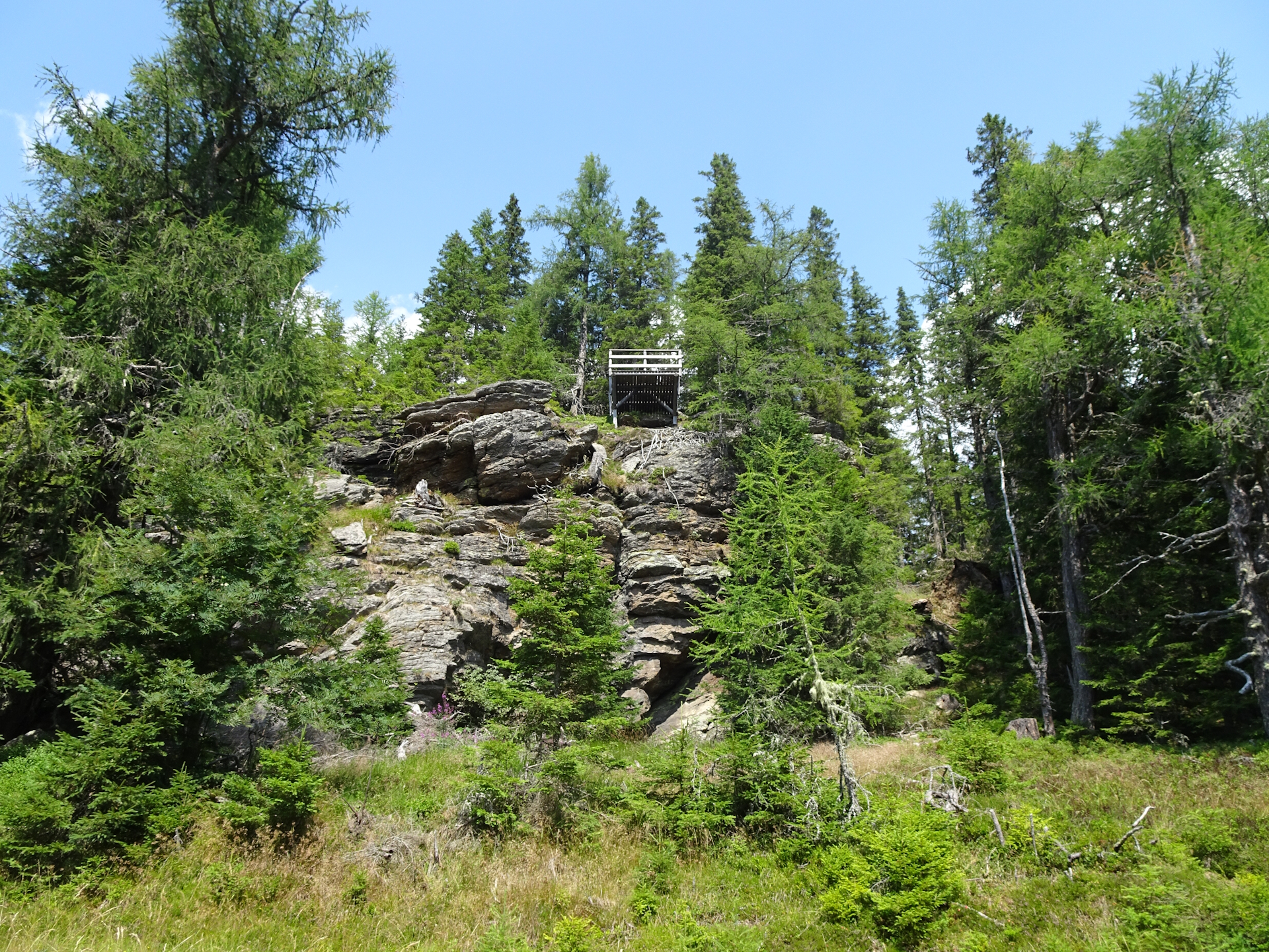
After my lunch I continued following the trail southwards towards See Eben. Although I planned the detour to the Panoramablick view point, I got notice by the signposts of the Hebalmsee lake. In addition, I noticed that the day got hotter and very humid and I started to get worried about the amount of water I had in my backpack. Therefore I decided to detour up to the Hebalmsee, have another beer there at the hut but also purchase water (which I got for free while buying a second beer ). The detour turned out to be an excellent idea, as the Hebalmsee is very beautiful and the trail above it is scenic. I followed the trail around the lake and then through the forest back to the official 05 trail and according to my planning further to the also very recommended Panoramablick.
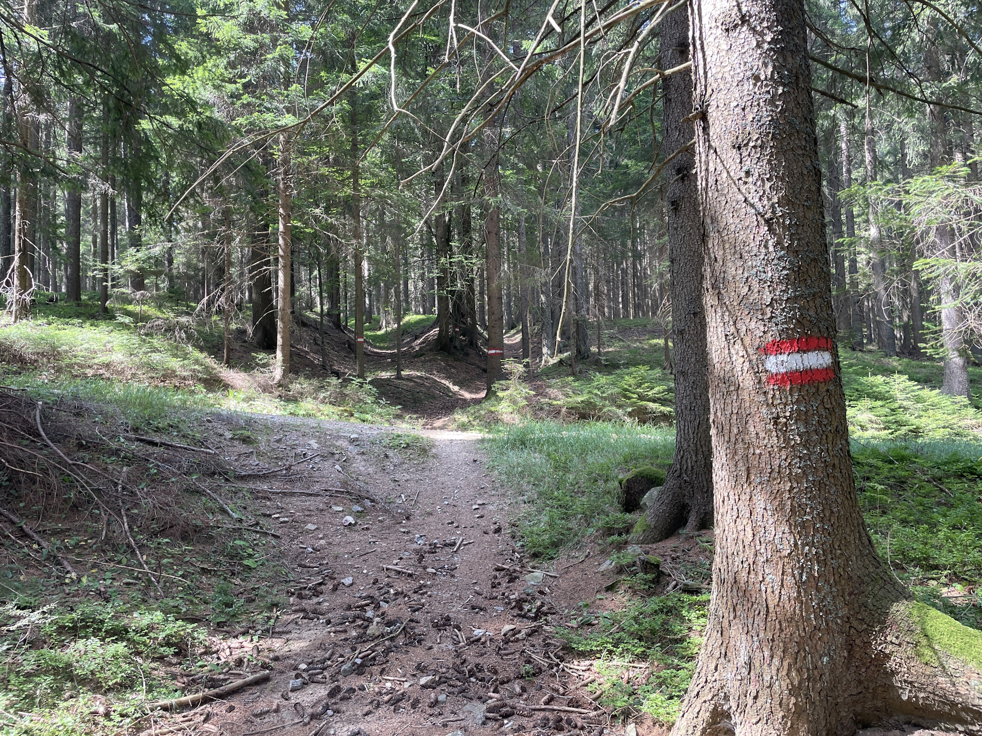
After a short break there, I then continued following the trail through the forest (giving a lot of shadow) to See Eben and further up and later down into the Wildbachsattel.
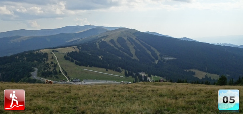
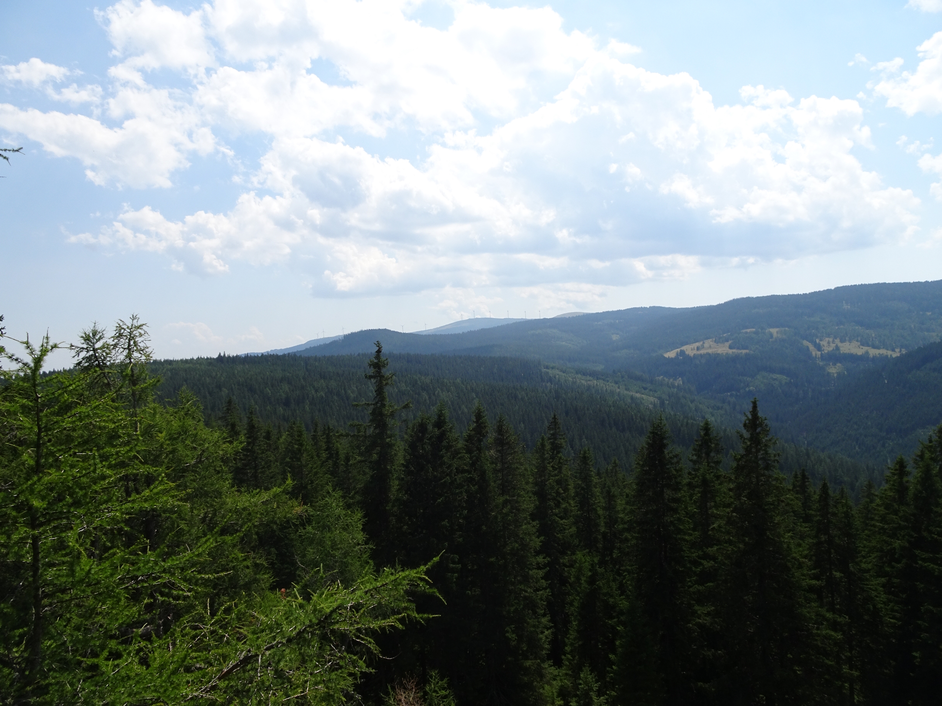
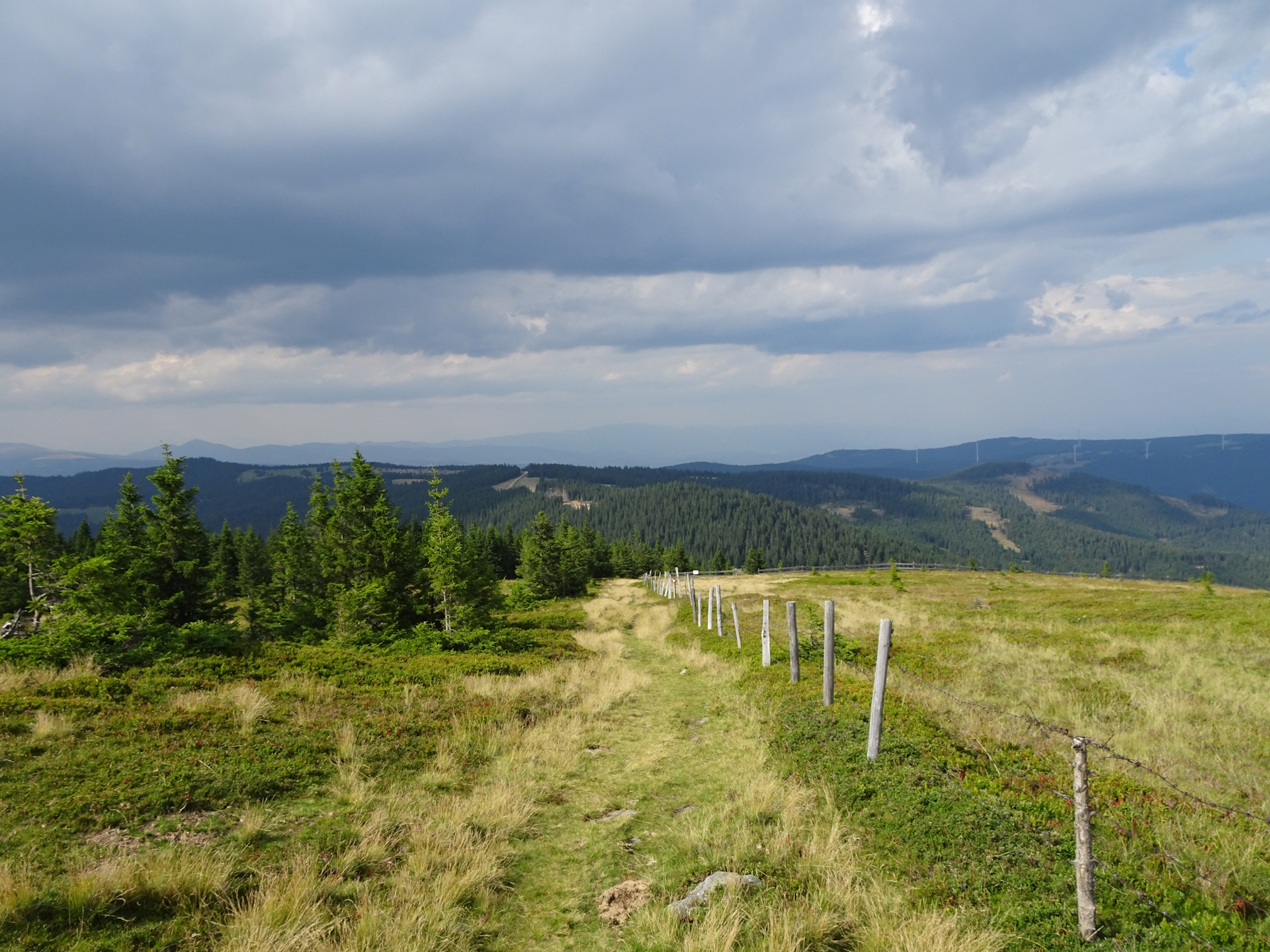
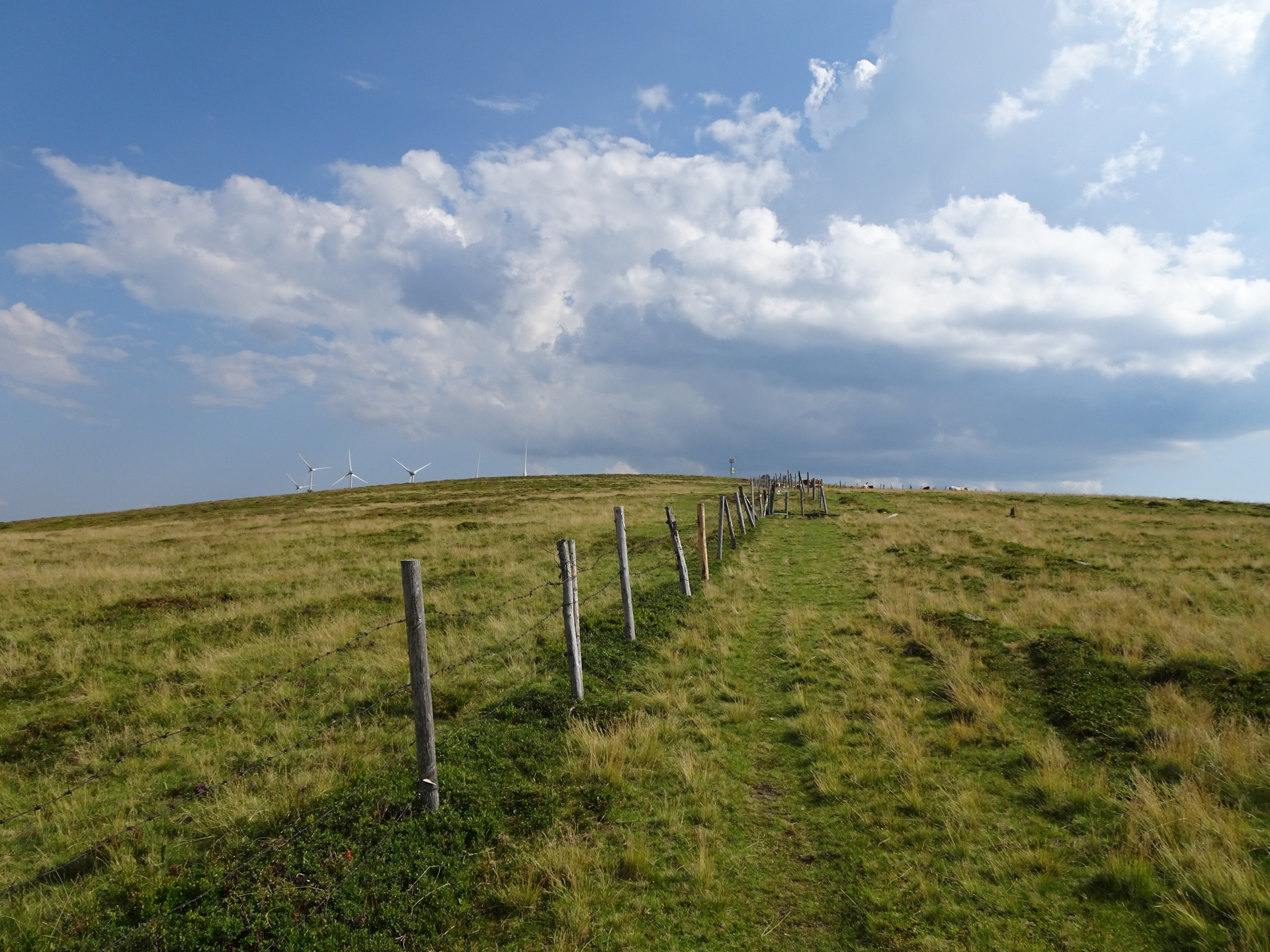
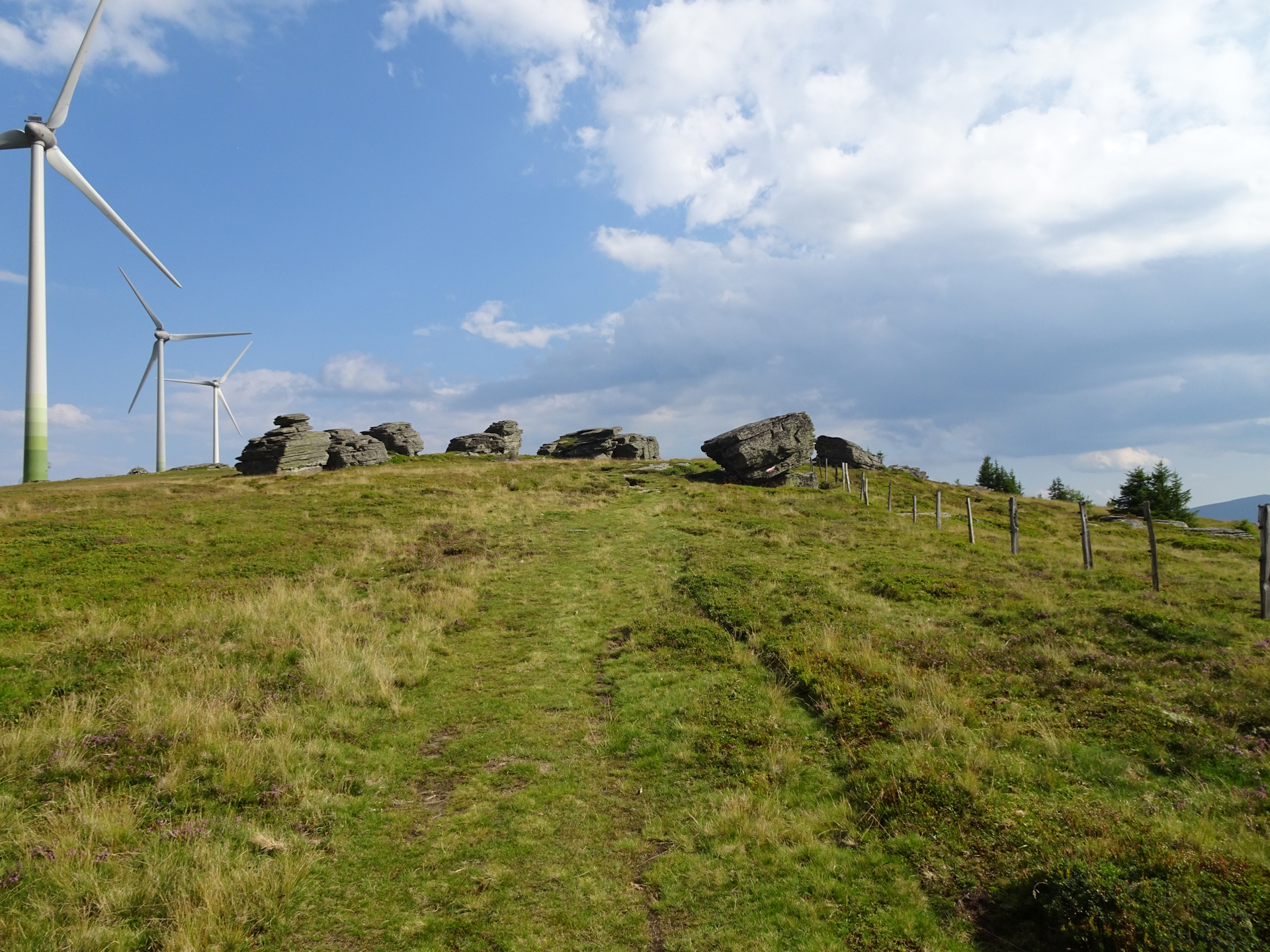
At the Wildbachsattel I noticed that the weather became instable, dark cloud came up and I heard already the first signs of a potential thunderstorm. Thus I rushed up to the Weberkogel, enjoying again a great view and seeing the first time the Koralpe. At that time I realized that the next day’s stage will be demanding once again. Anyway, as the dark clouds were coming closer and closer, I speeded up, bypassing the wind generators at Handalm before steeply descending down into the Weinebene.
Just when I arrived at the Weinebene (Checkpoint), it started to rain. Luckily, I was just at the Pauluskapelle (little church), so I was able to cover from the thunderstorm that lasted only for a few minutes.
Once the rain got lighter, I decided to quickly go down the few remaining meters to the Gösler Hütte, again with the luck that the minute I entered the building, it started to rain very hard!
After my check-in, I went for dinner accompanied by two beers. After finishing my dinner and due to the fact that I was really tired, I got my desired stamp and went into my room for a hot shower and a great sleep.
Summary:
The tour is not difficult and most of the time protected from sun because it is mainly following roads and trails through the forest. This also means that it is for sure not one of the most scenic ones. However, there are some highlights: The short detour up to the Hebalmsee and the Panoramablick are beautiful highlights. Also the last bit from the Weberkogel till the Weinebene is scenic and provides great view given good weather.
| 00:00 | Start after a breakfast from Barbarahaus on the official trail using the street southwards. Don’t forget to collect your stamp from the box in front of the hut and fill up your water supplies!!! |
| 00:05 | At the end of the street, turn left and follow the road down into the saddle. |
| 00:20 | At the Packsattel, cross the main street and continue following the marked trail using the forest road southeastwards on the other side. |
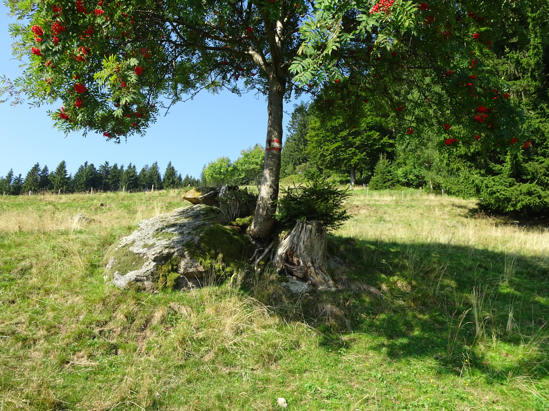
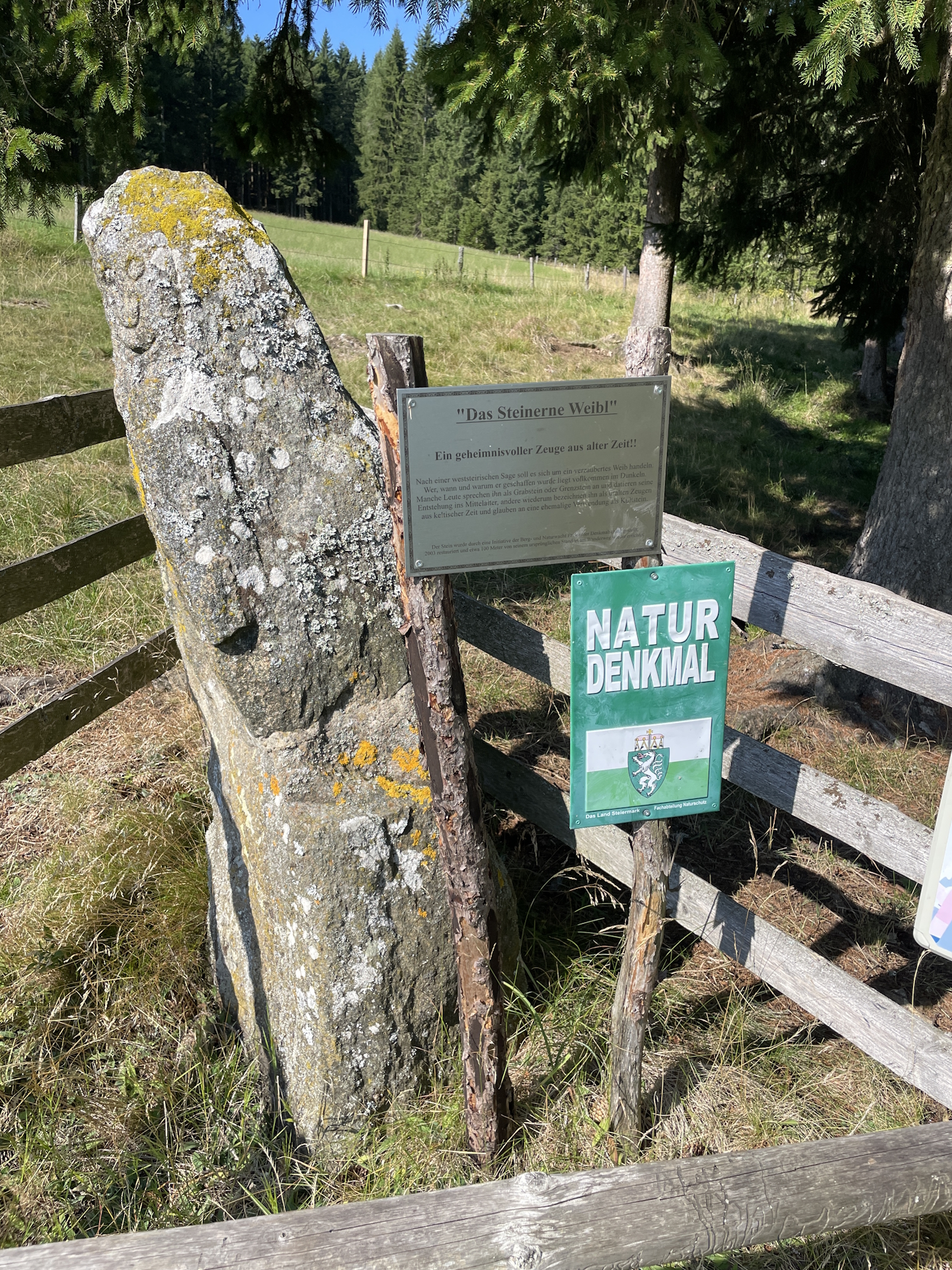
| 00:30 | Turn left into the trail (leave the forest road) and follow the marked trail into the meadow. Then turn right and follow the trail towards Steinernes Weibl. |
| 00:35 | Bypass the Steinernes Weibl memorial. Continue following the marked trail eastwards alongside the forest. Then cross the meadow (southwards) and head towards the farm. |
| 00:50 | Bypass the farm, cross the forest road (farm access) and descend into the forest on the other side. The trail is overgrown and can be easily overlooked. In addition, the trail leads down to a very dilapidated bridge. Take extra caution crossing this rotted wooden bridge! |
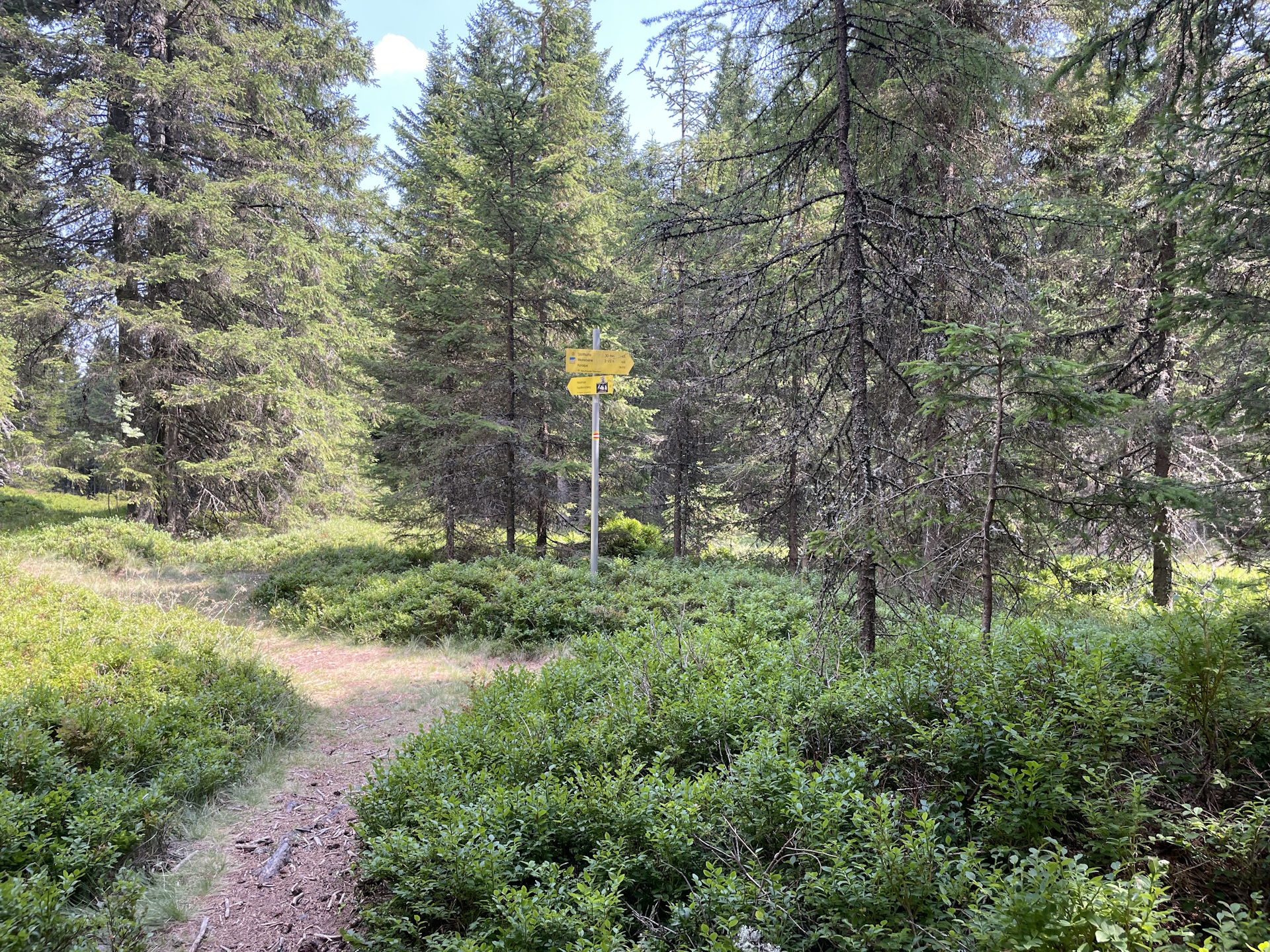
| 01:00 | At the crossing, keep slightly left and follow the trail towards Hebalm (see signposts). |
| 02:00 | Keep straight and follow the forest road southwards towards Hebalm. |
| 02:07 | At the crossing, turn left and follow the trail towards the Fichtenhof at Hebalm. |
| 02:10 | Well-deserved break at Fichtenhof / Gifthittn. |
| 03:50 | After the break, cross the street and continue following the trail through the parking. As the Fichtenhof / Gifthütte is the alternate checkpoint at Hebalm, you can get the stamp opposite the restaurant in the metal box mounted to the tree in front of the parking. |
| 04:10 | Recommended detour: At the crossing, turn left and follow the trail towards Hebalm See. |
| 04:13 | Keep straight and follow the direct route towards the lake. |
| 04:15 | Well-deserved break () at the Hebalm See restaurant. This is the last chance to also stock up your water supplies! |
| 04:25 | Follow the trail alongside the lake heading eastwards. Then keep right and follow the trail 505a southwards into the forest. |
| 04:40 | At the crossing, turn left and follow again the official 05 trail eastwards. |
| 04:45 | Recommended detour (easy to overlook): Turn sharp left into the unmarked but visible trail. Follow it a few meters till the forest road. Then turn sharp right and follow the forest road to the bigger crossing, exactly below the visible Panoramaausblick view point. |
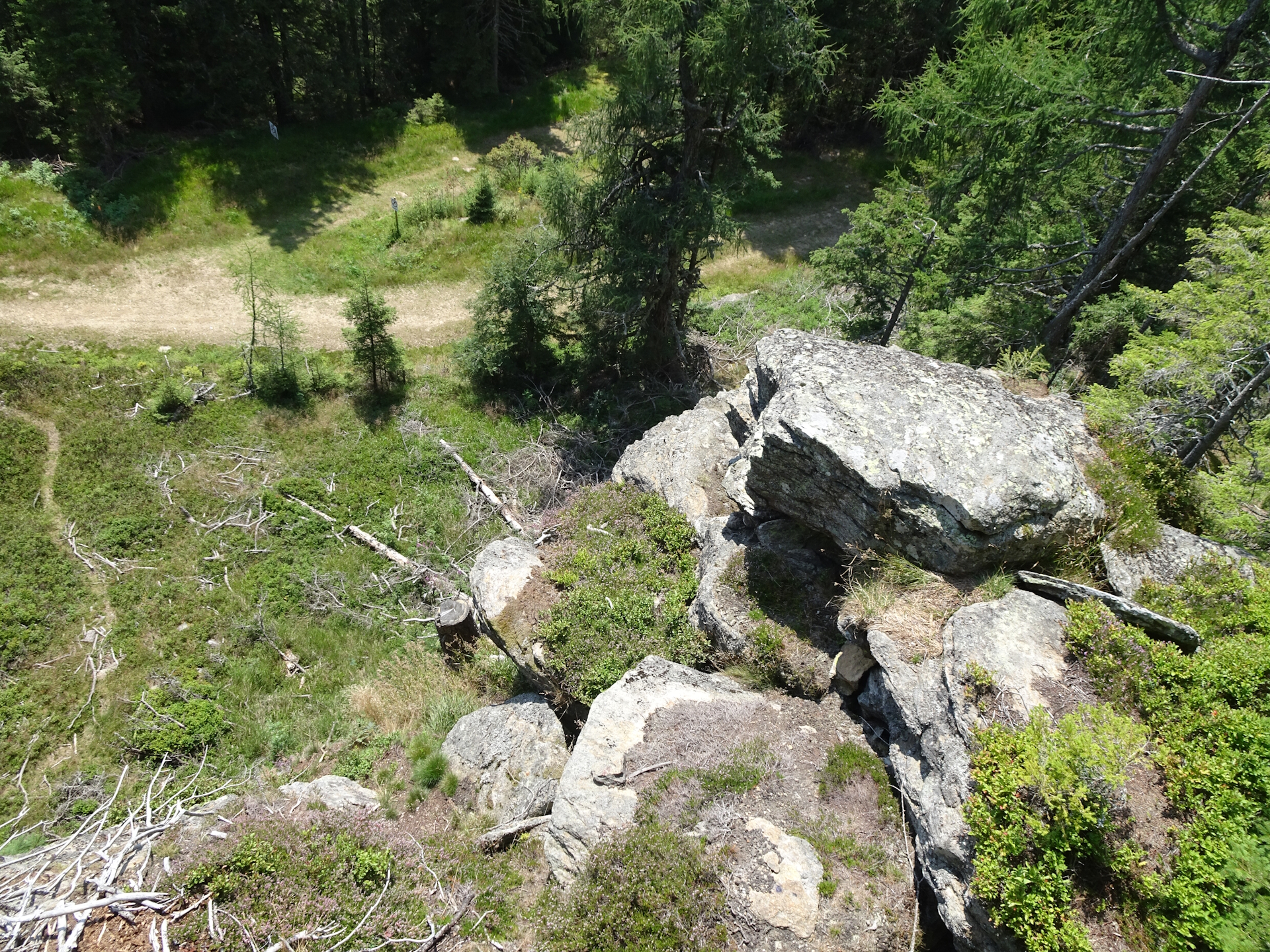
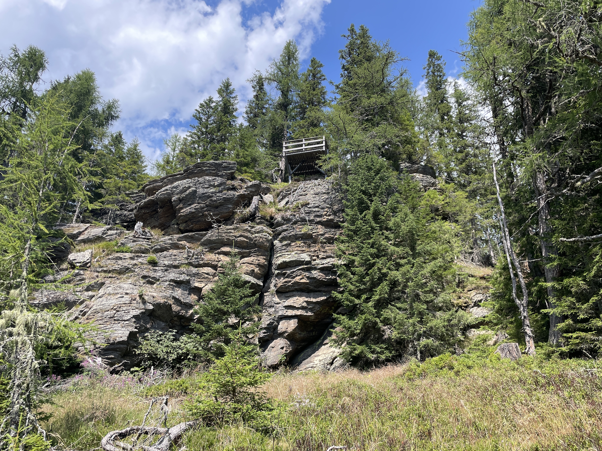
| 04:50 | At the crossing below the Panoramaausblick, turn sharp left and follow the forest road for a few meters. Then turn right and follow the trail leading directly up to the viewing platform. |
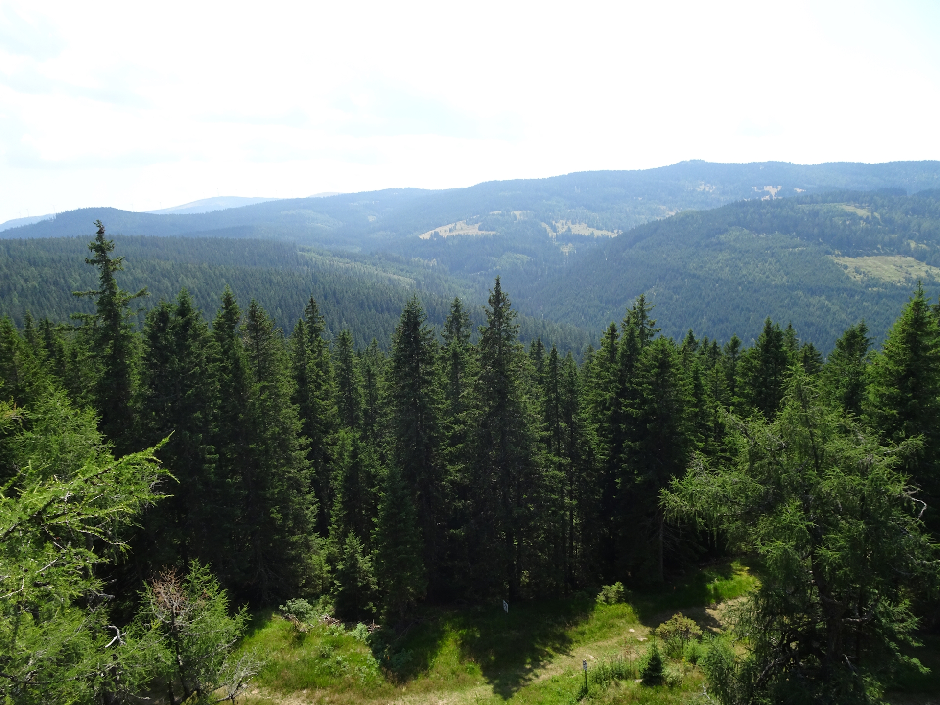
| 04:55 | Enjoy the view from the Panoramaausblick viewing platform. Then head back to the crossing below and this time continue following the forest road southeastwards which leads automatically back to the official 05 trail. |
| 05:10 | When back on the official trail, follow the forest road for a few meters and then turn slightly left into the trail. |
| 05:20 | Turn left and follow the marked trail eastwards. After a few meters, you will come to a crossing with a bench directly in the middle of the trail. |
| 05:25 | After a short break at the bench, turn right and then follow the marked trail southwards heading towards Weinebene (see signposts). |
| 05:45 | At the crossing in See Eben, keep right and follow the trail towards Wildbachsattel. |
| 05:50 | At the crossing at the clearing, keep left and follow the trail southwards. |
| 06:55 | At Wildbachsattel, keep straight and ascend straight up to Weberkogel. |
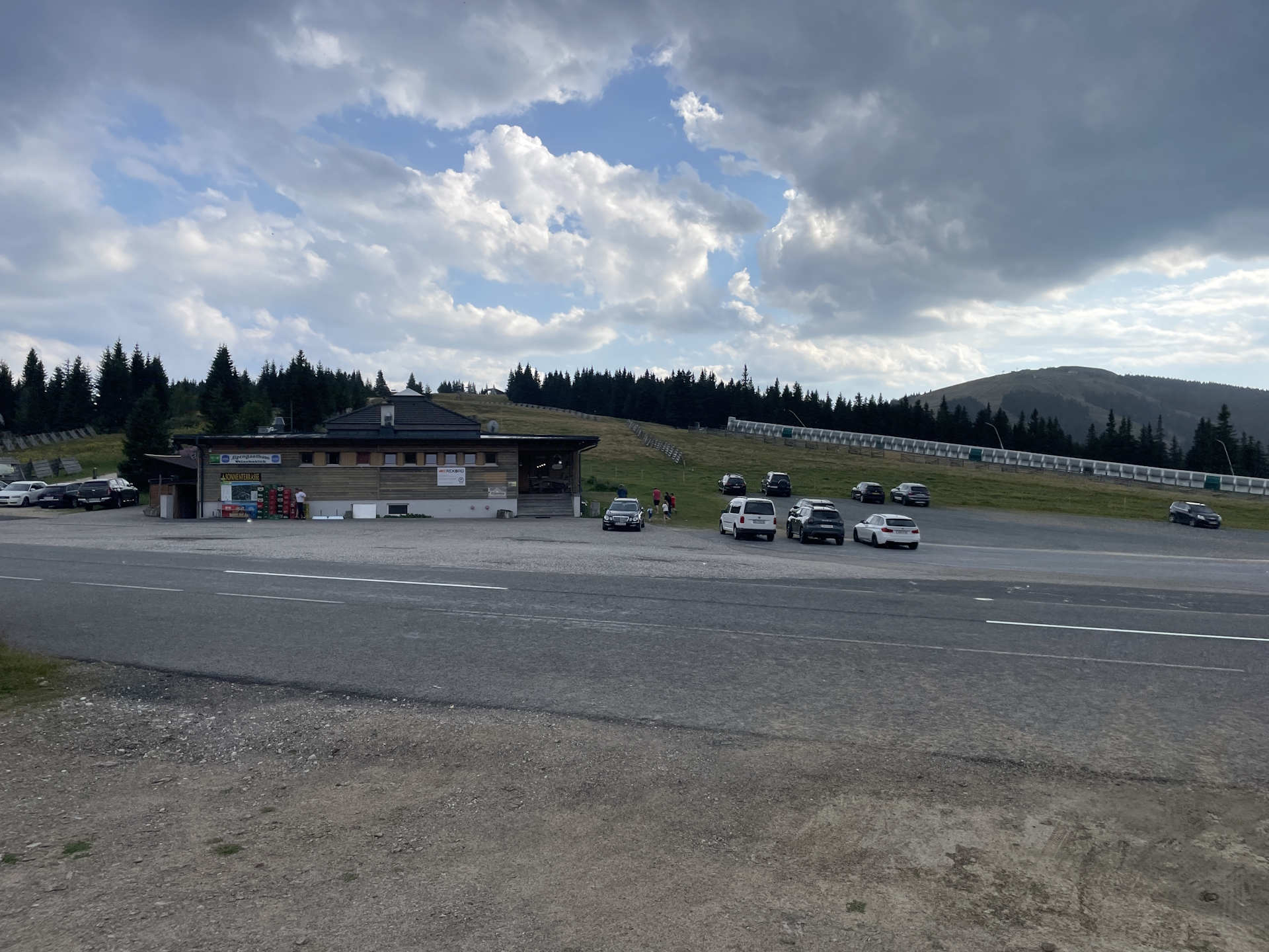
| 07:25 | Enjoy the view from Weberkogel where the first time you will see the Koralpe (next stage). Continue following the marked trail through the nice alpine pasture southwards heading towards the wind generators. Bypass the wind generators and then steeply descend into the Weinebene saddle (checkpoint). |
| 08:00 | Bypass the Pauluskapelle and continue following the trail towards the street. Cross the street and then turn right, following the trail through the meadow down to the already visible Gösler Hütte. |
| 08:10 | Check-in at Gösler Hütte for the night, enjoy a well-deserved dinner () and don’t forget to get your stamp . |
| Area: | Lavantaler Alpen, Styria & Carinthia, Austria | |
| Distance: | 22km | |
| Ascent: | 1026m (3h 25min) | |
| Descent: | 705m (1h 45min) | |
| Highest Pt: | 1831m | |
| Lowest Pt: | 1058m | |
| Duration: | 6h 20min (without breaks) 8h 10min (with breaks) |
|
| Stop/Rest: | Barbarahaus (1312m) Fichtenhof / Gifthütte (1295m) Hebalm See Buffet (1396m) Alpengasthof Weinofenblick (1668m) Gösler Hütte (1639m) |
|
| Equipment: | Backpack with standard hiking equipment Comfortable hiking shoes Snacks and plenty of water Sun & Weather protection Camera Overnight equipment for the hut: – light sleeping bag for huts – cash – shoes for the hut – toiletries |
| Download GPX | ||
| O | Tour at outdooractive.com |
At a glance
| Level | moderate |
| Technique | |
| Shape / Fitness | |
| Experience | |
| Scenery | |
| Best time in the year | |
|
Jan
Feb
Mar
Apr
May
Jun
Jul
Aug
Sep
Oct
Nov
Dec
|
|
Leave a Reply