
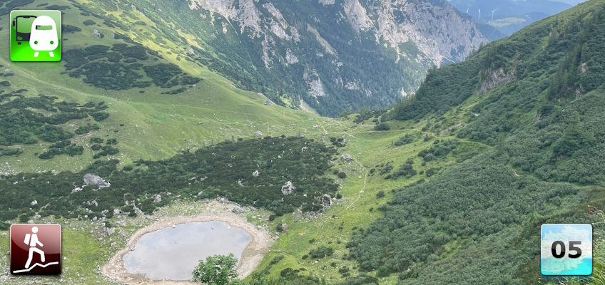
Fifteenth stage of the Nord-Süd-Weitwanderweg 05 starting from Präbichl towards Trofaiach via the Eisenerzer Reichenstein.
 |
The North-South-Long-Distance trail (Nord-Süd-Weitwanderweg, also known as the “05”) starts in the north of Austria at Nebelstein and ends in the south of Austria at Eibiswald. The trail is ~500km long, ~18 000m in ascent and the same amount in descent. The trail was initiated by Carl Hermann and officially established on the 25th September 1970. The trail is separated into 3 parts:
It normally takes 3 weeks to complete the entire trail. |
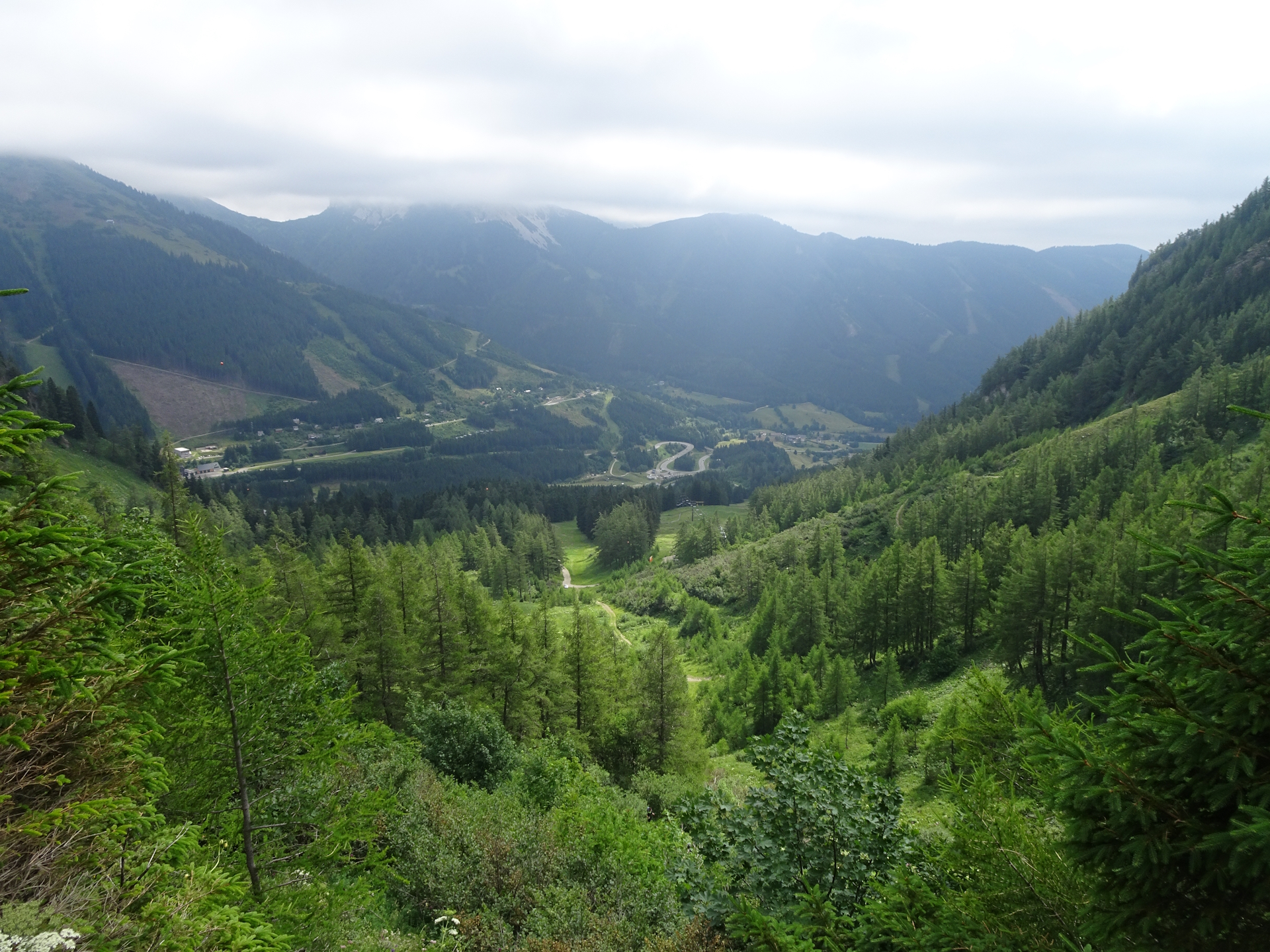
The here presented tour is a variant of the fifteenth stage of the Nord-Süd-Weitwanderweg 05 where the long hiking trail starts at Präbichl and ends in Trofaiach.
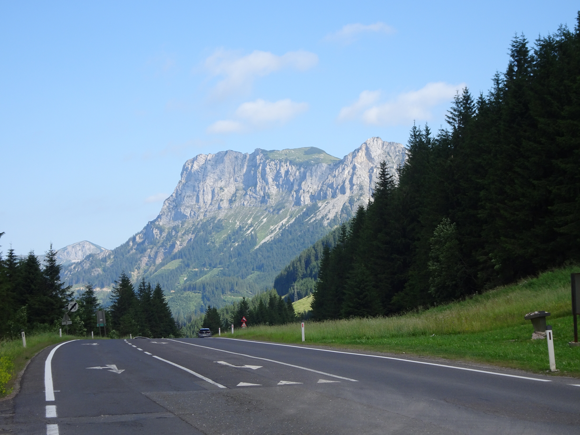
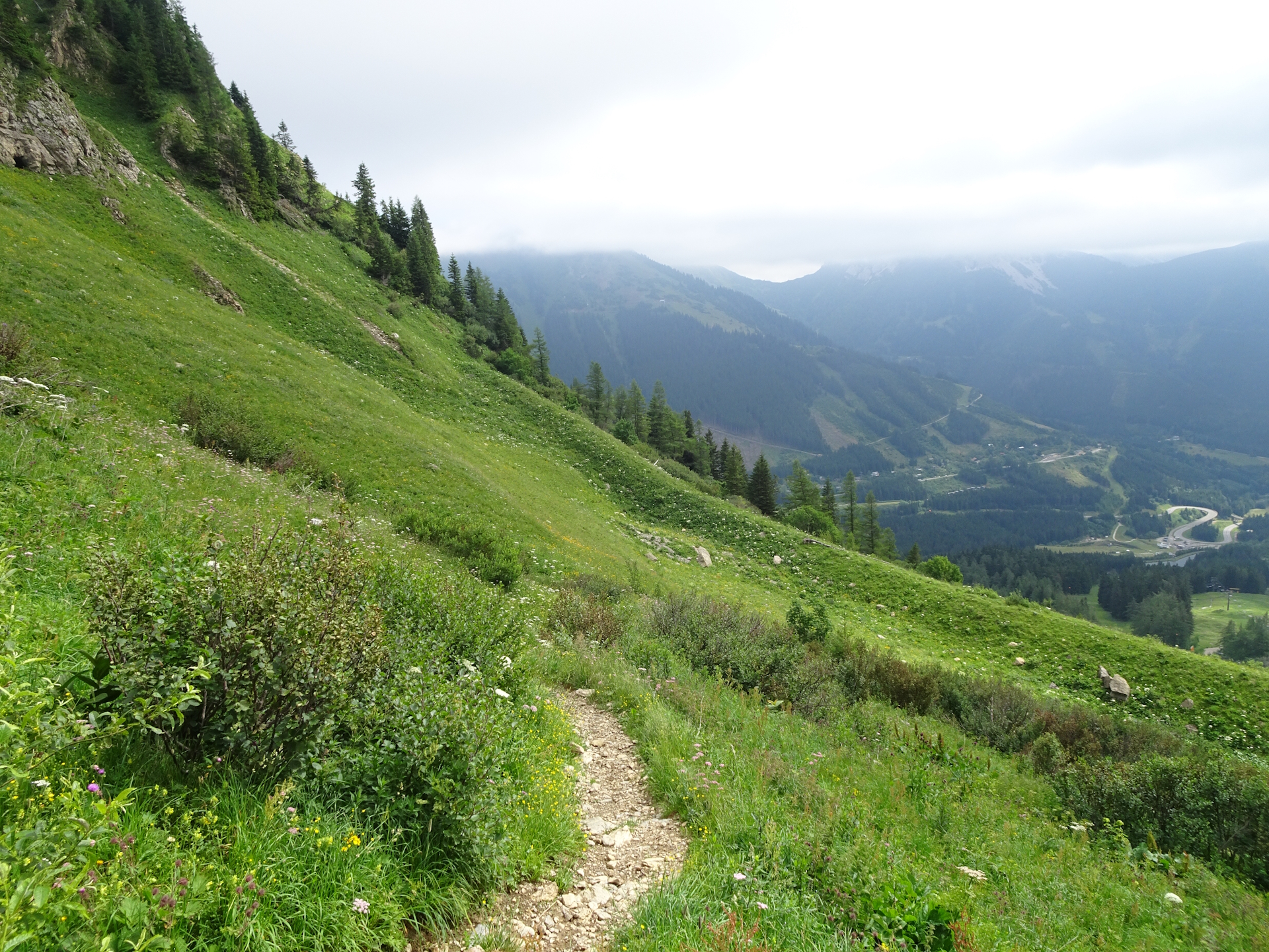
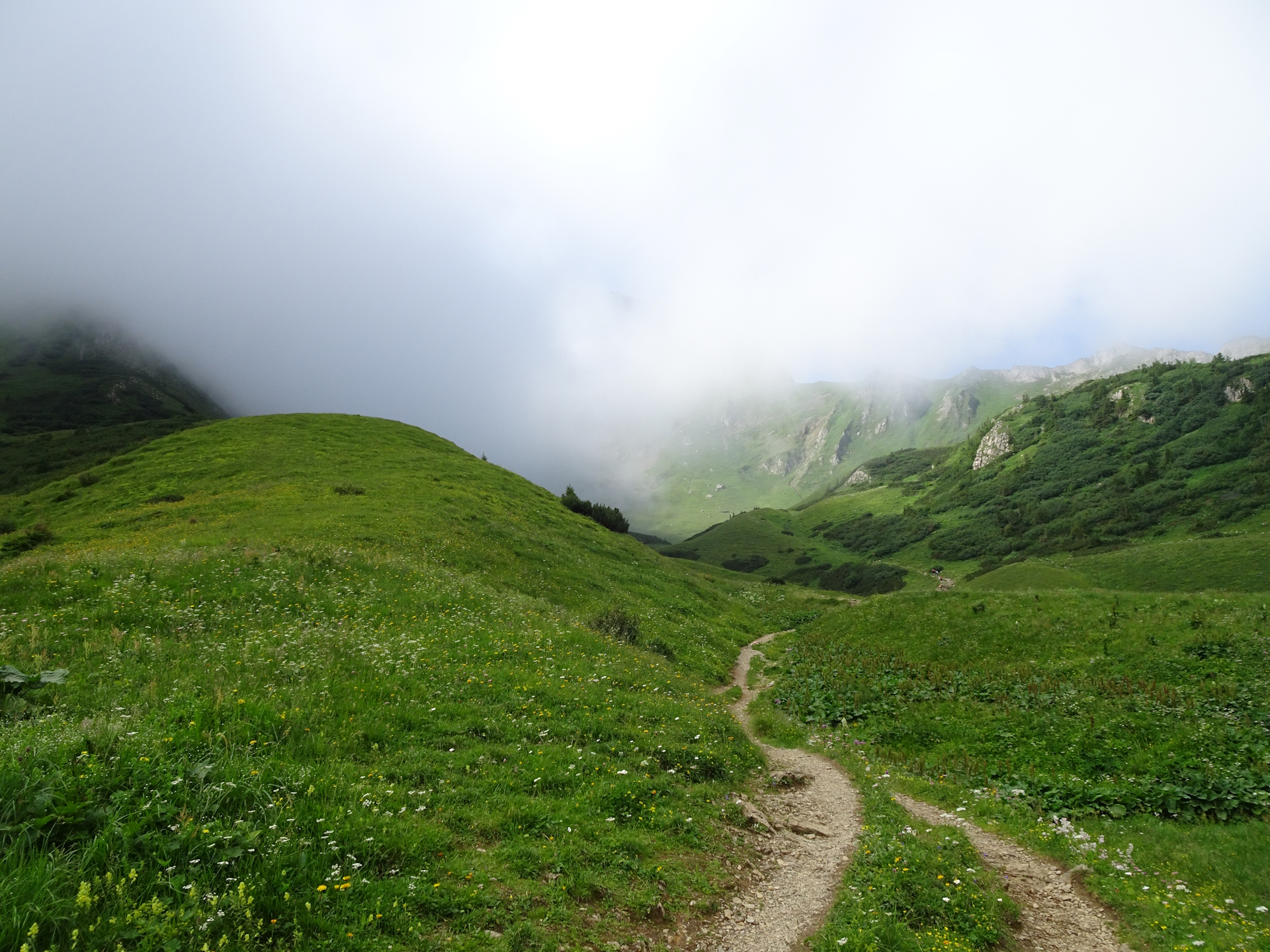
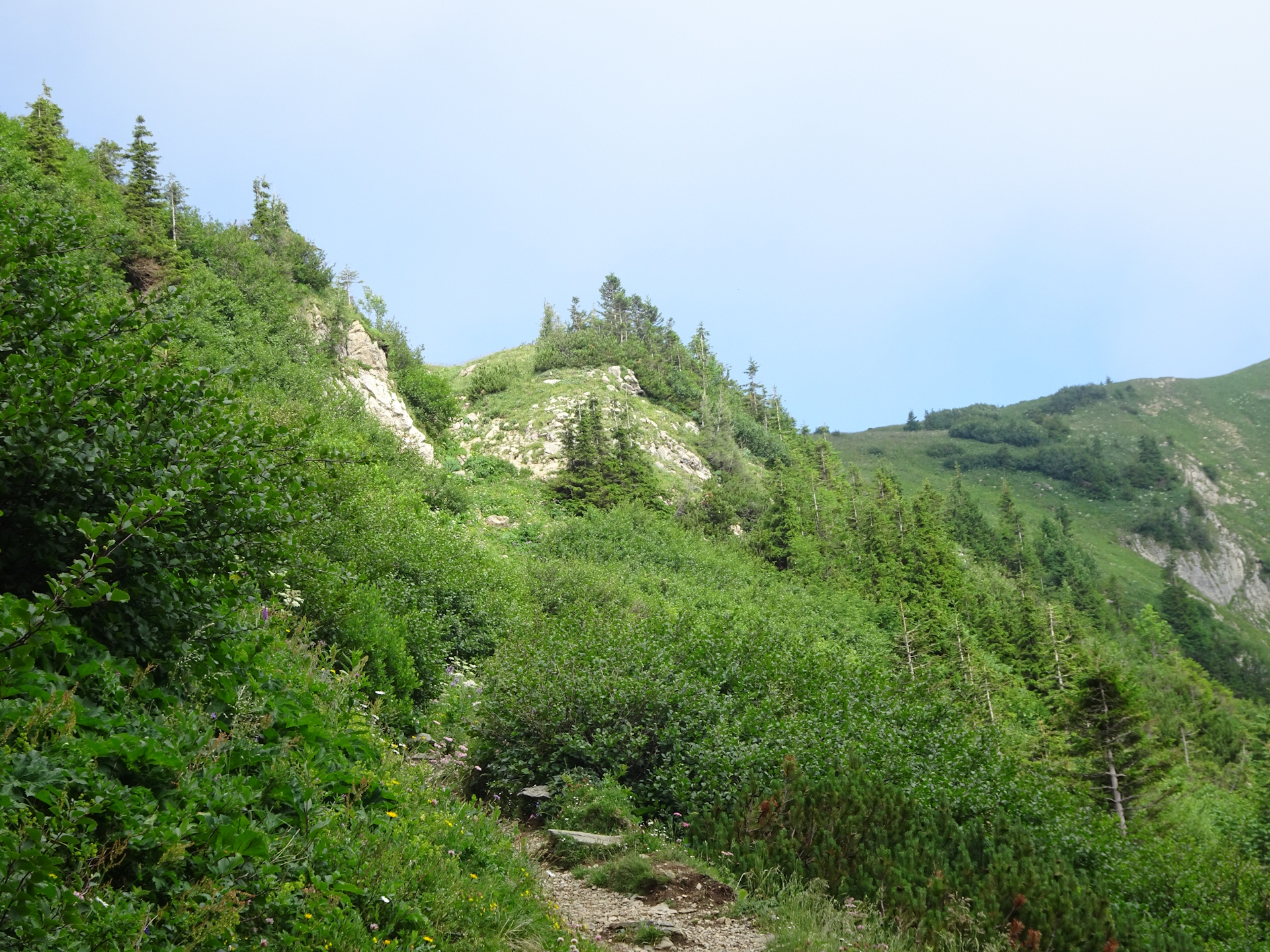
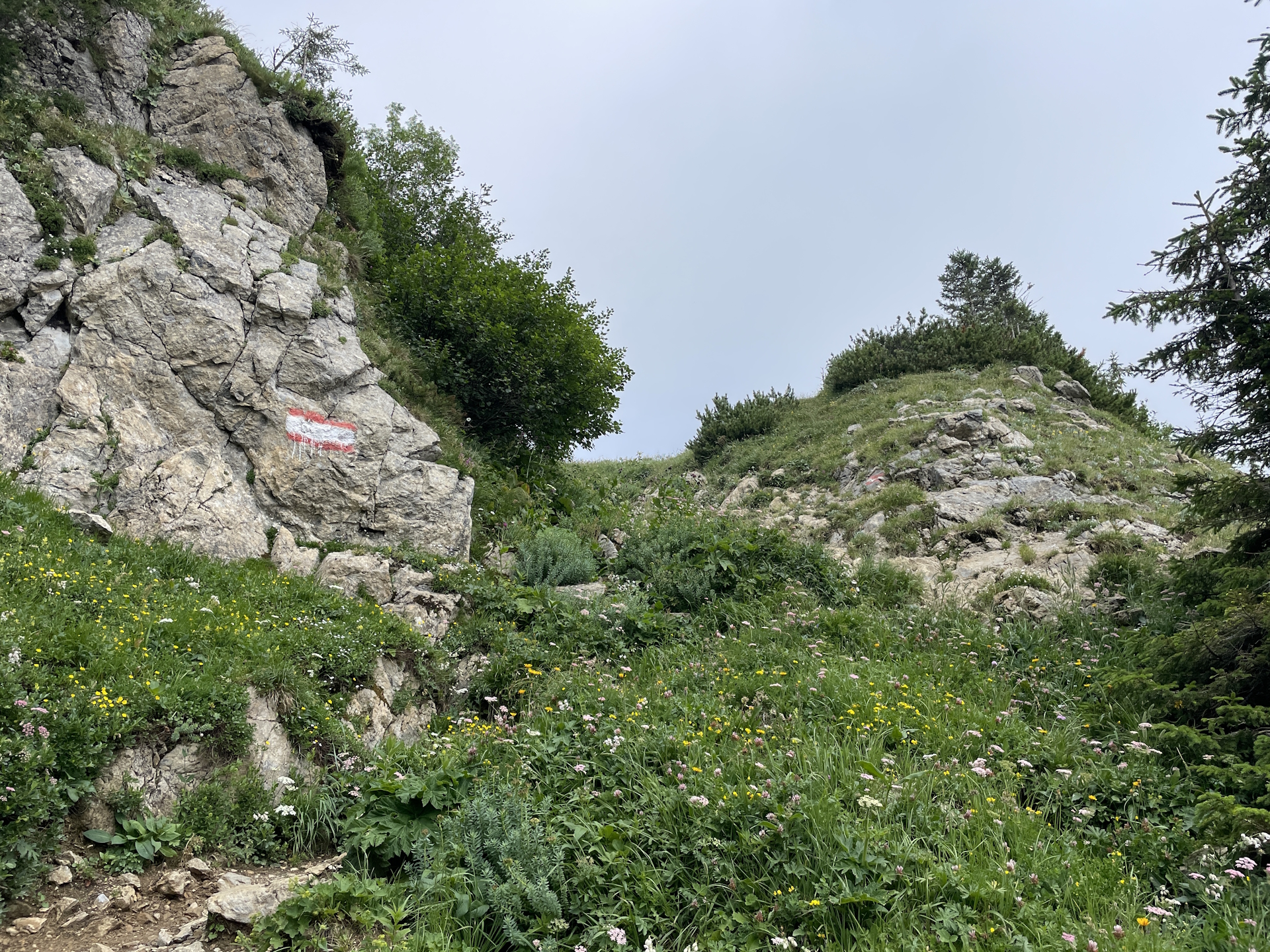
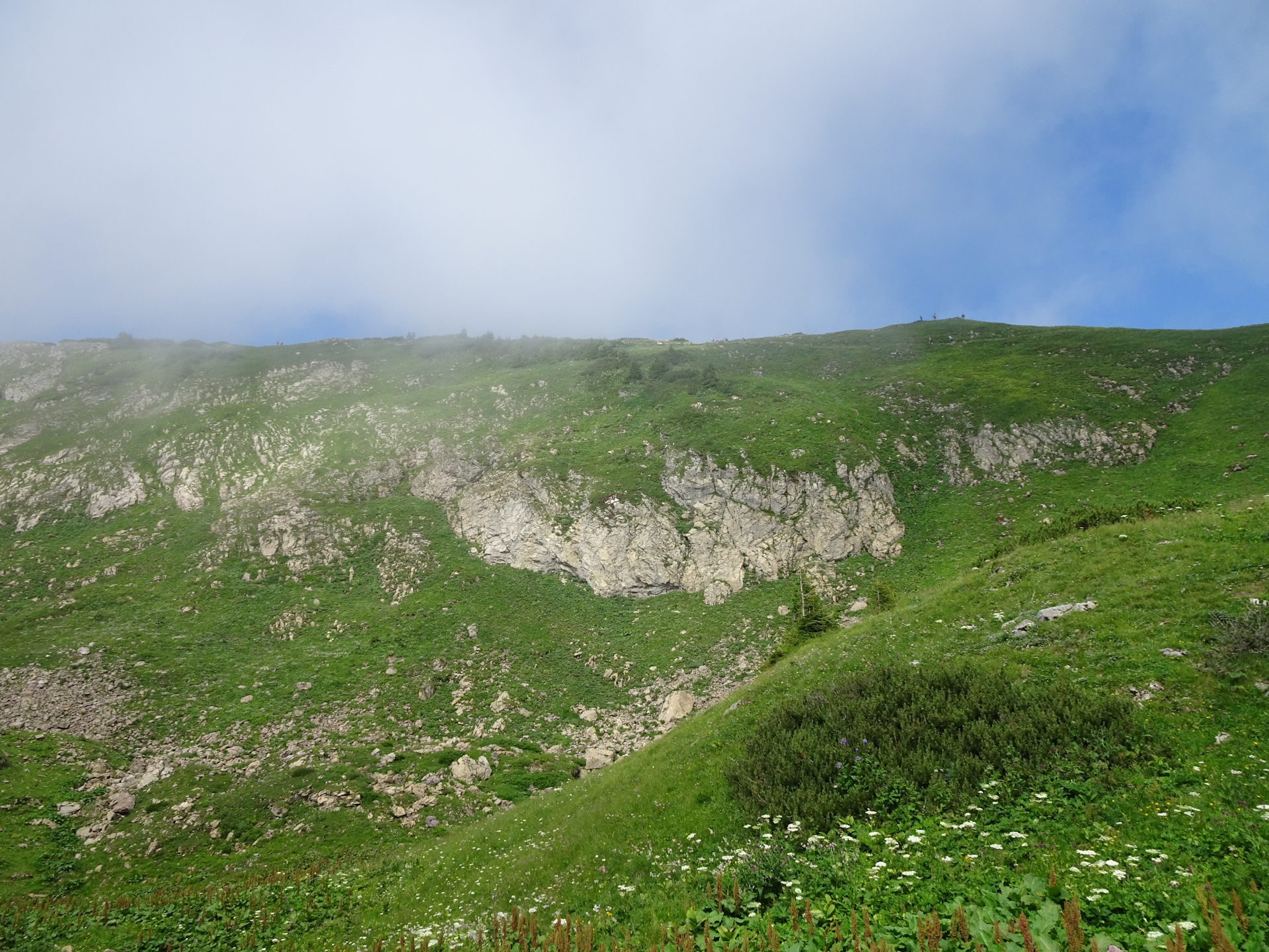
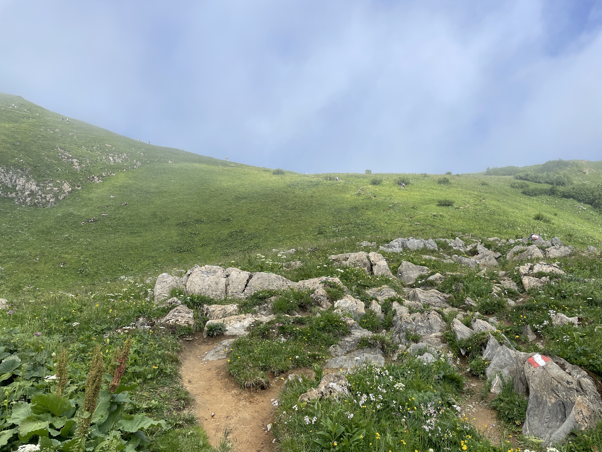
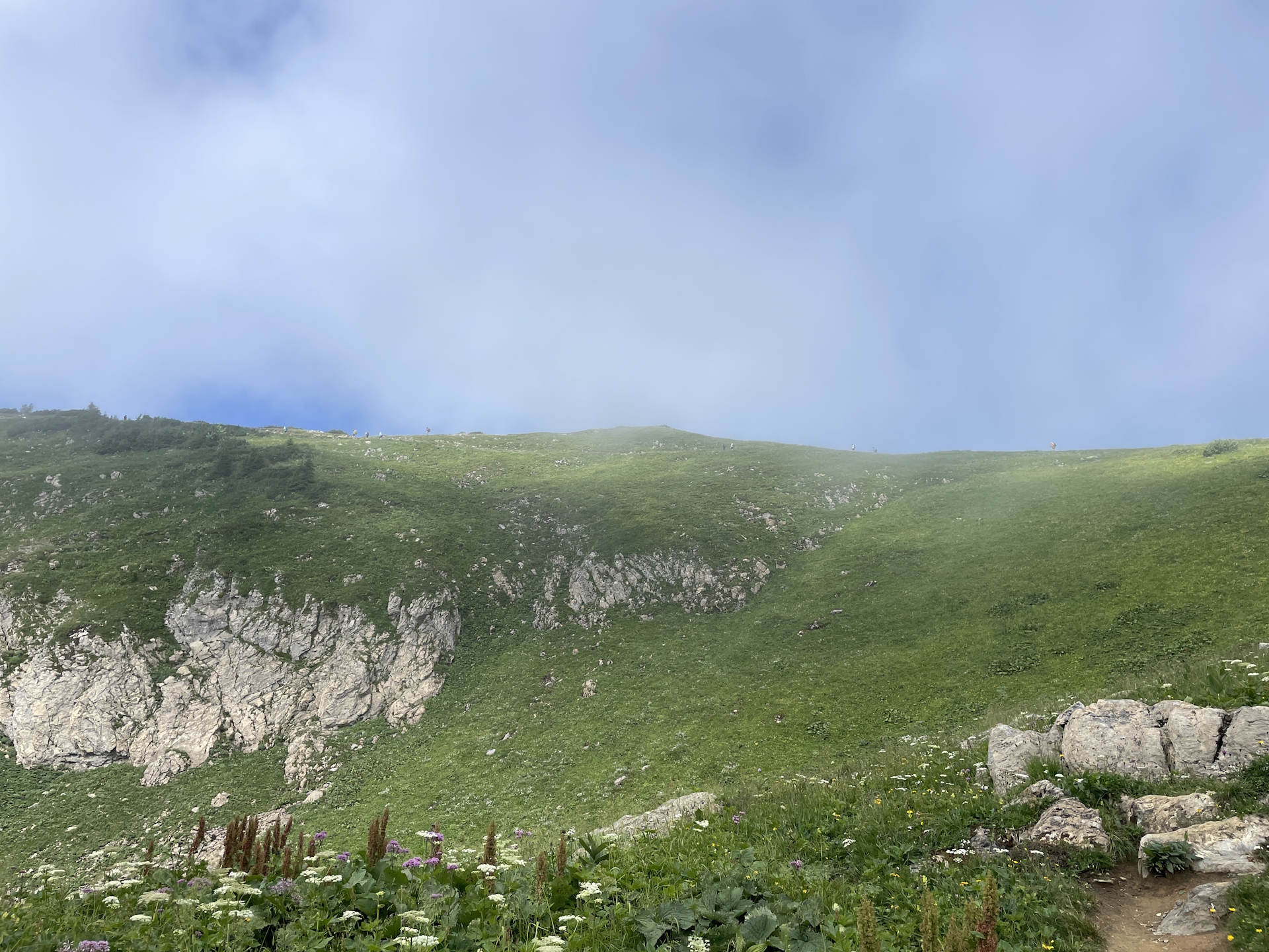
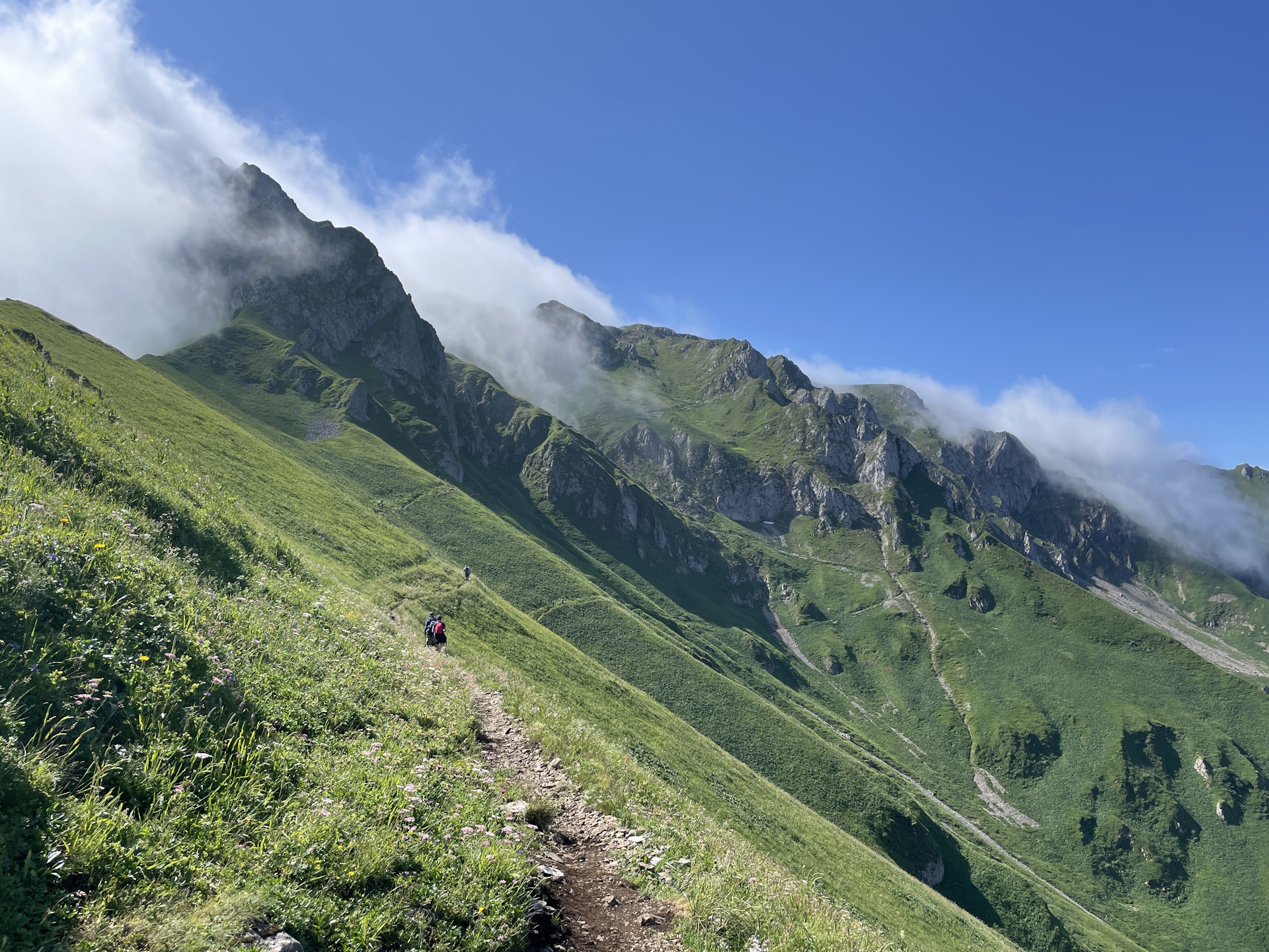
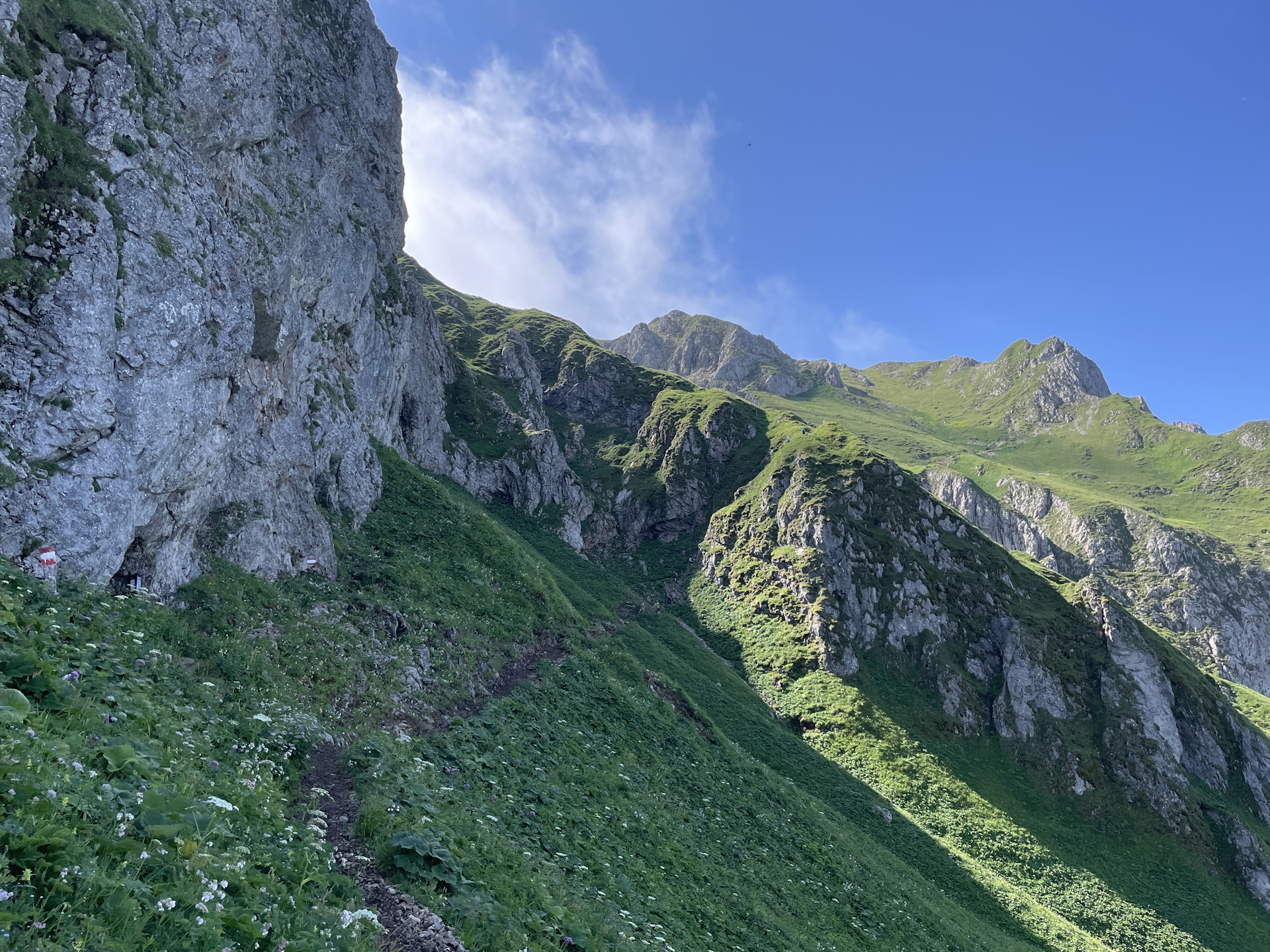
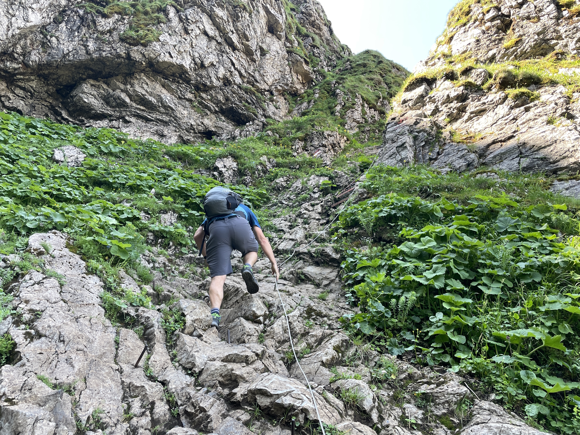
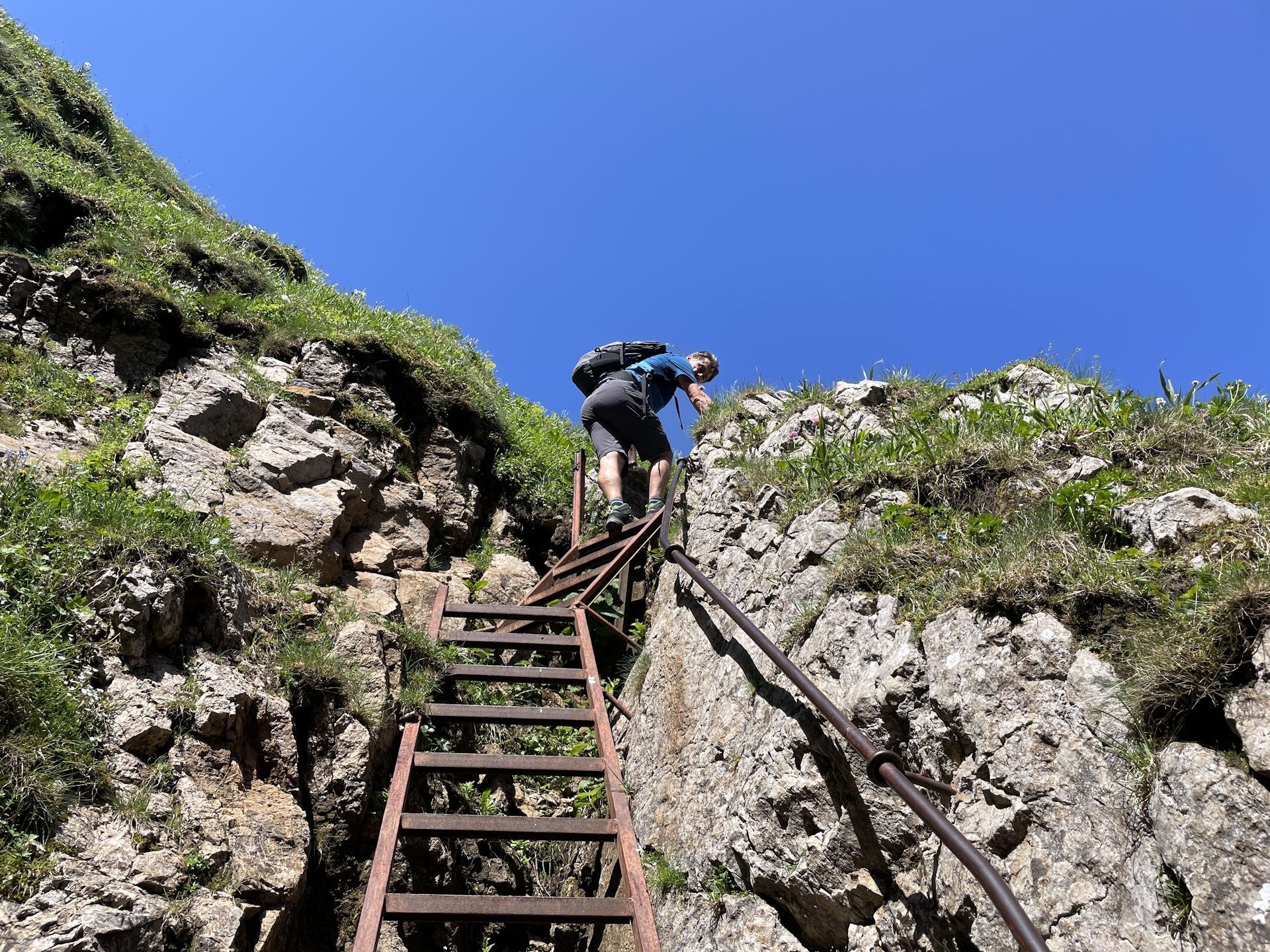
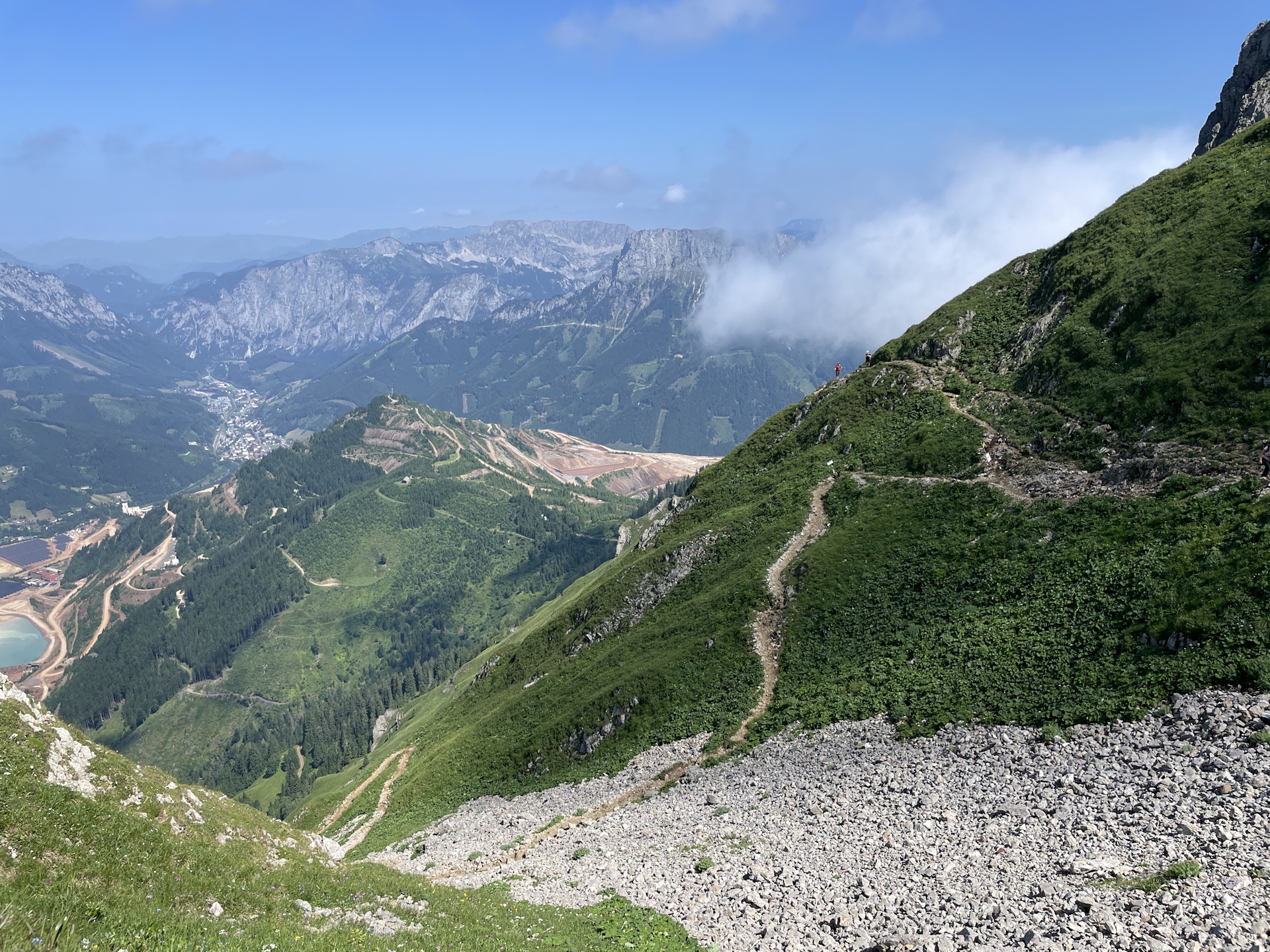
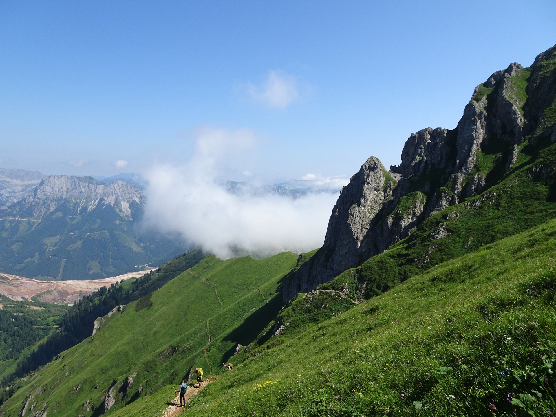
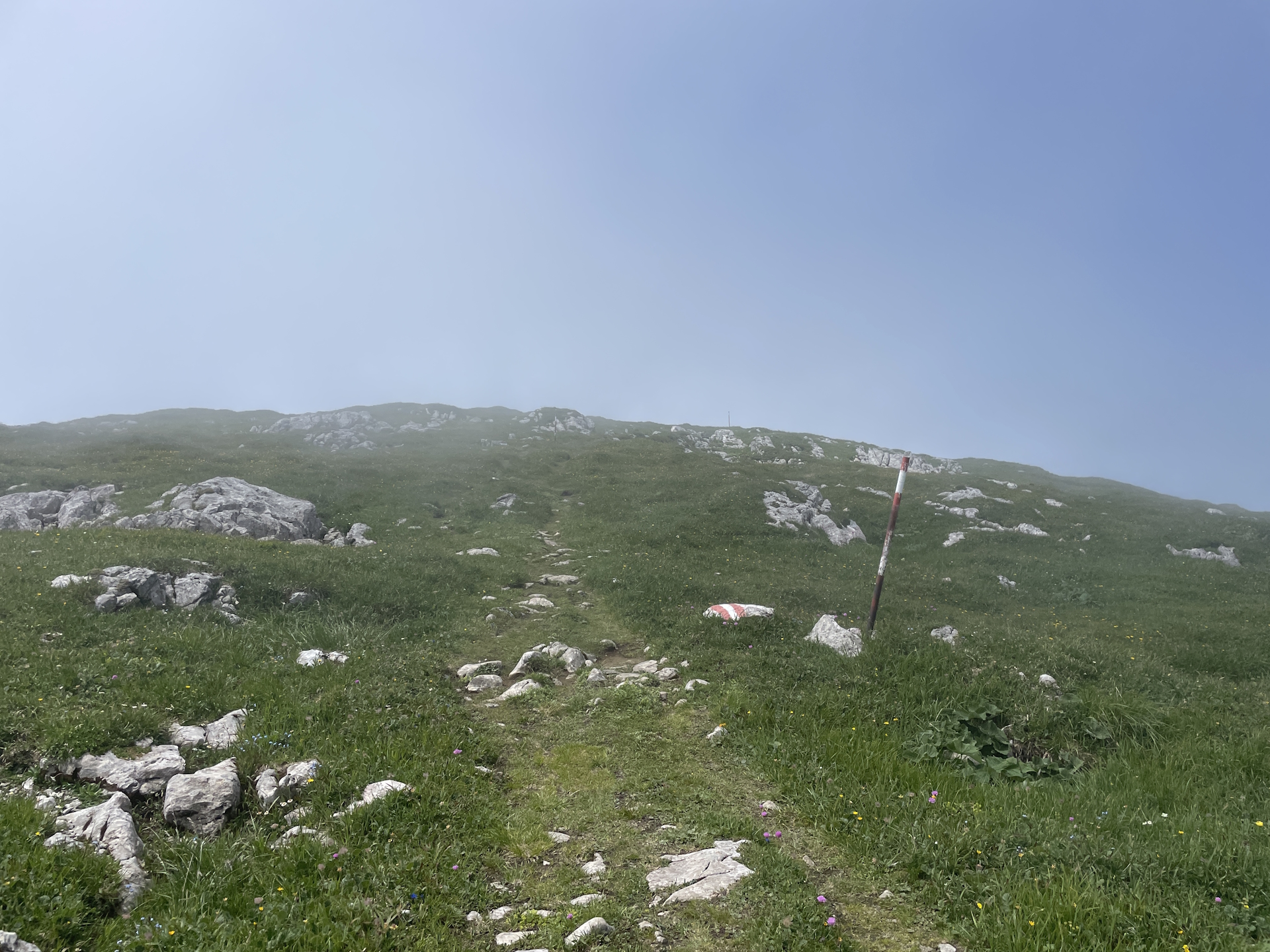
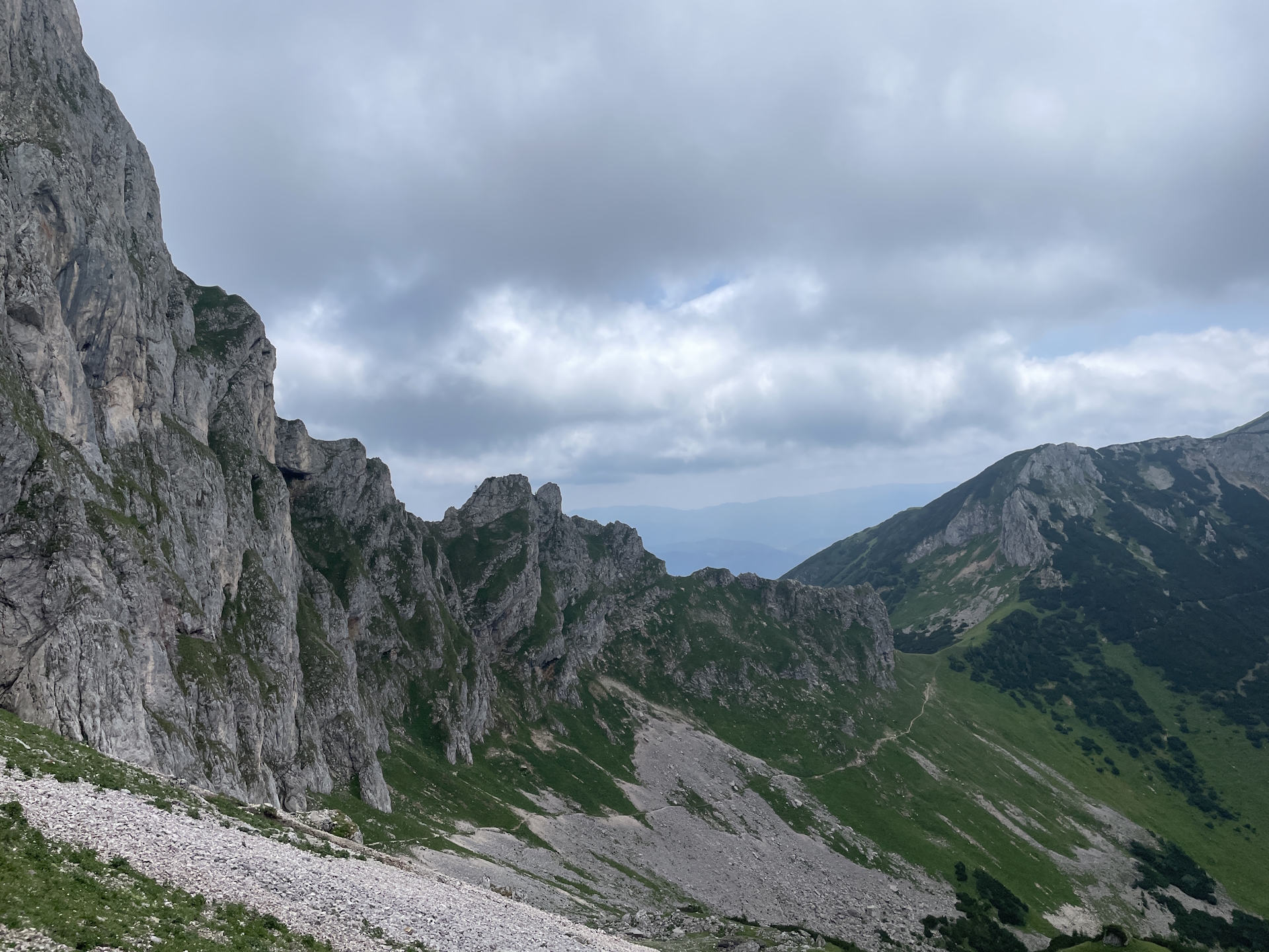
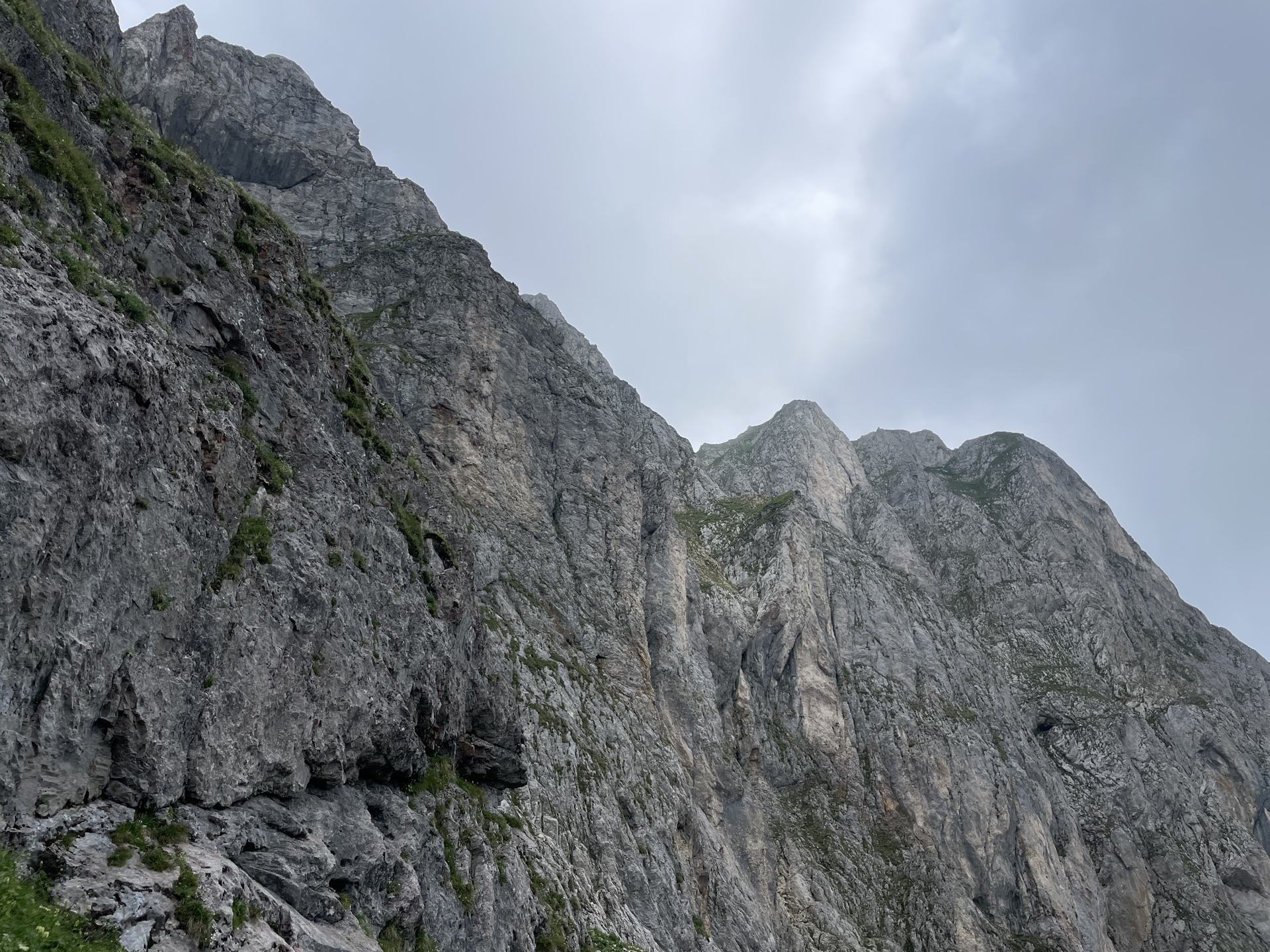
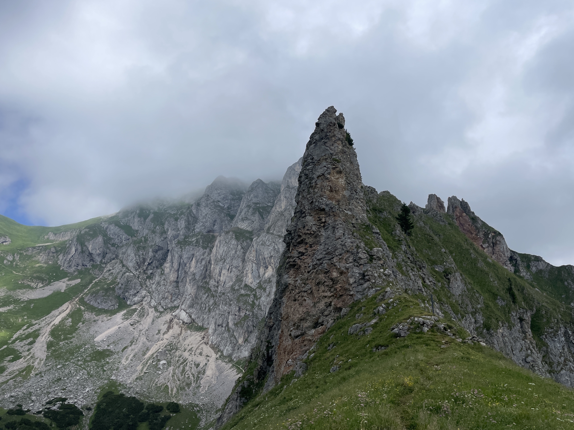
The tour starts at the bus station Präbichl Passhöhe and first follows the main road northwestwards to the top of the pass. Then the tour turns left into the official 05 trail. The tour first bypasses the Präbichlerhof and and then ascents fairly steeply to the saddle between the Rössel and Reichenstein. The tour then follows the Theklasteig. For those with a sure foot, it is recommended to use the alpine variant (keeping left) as this is the recommended tour for the ascent (there is a lot counter-traffic on the easier but longer route). The crux is an iron ladder that needs to be climbed and the trail is sometimes exposed but compensates with stunning views.
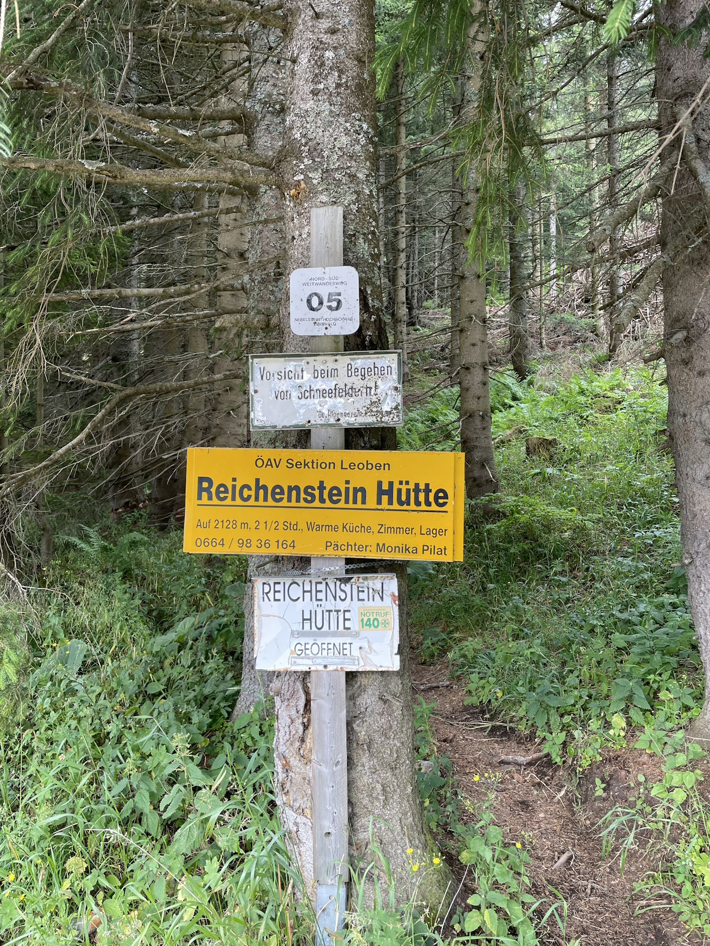
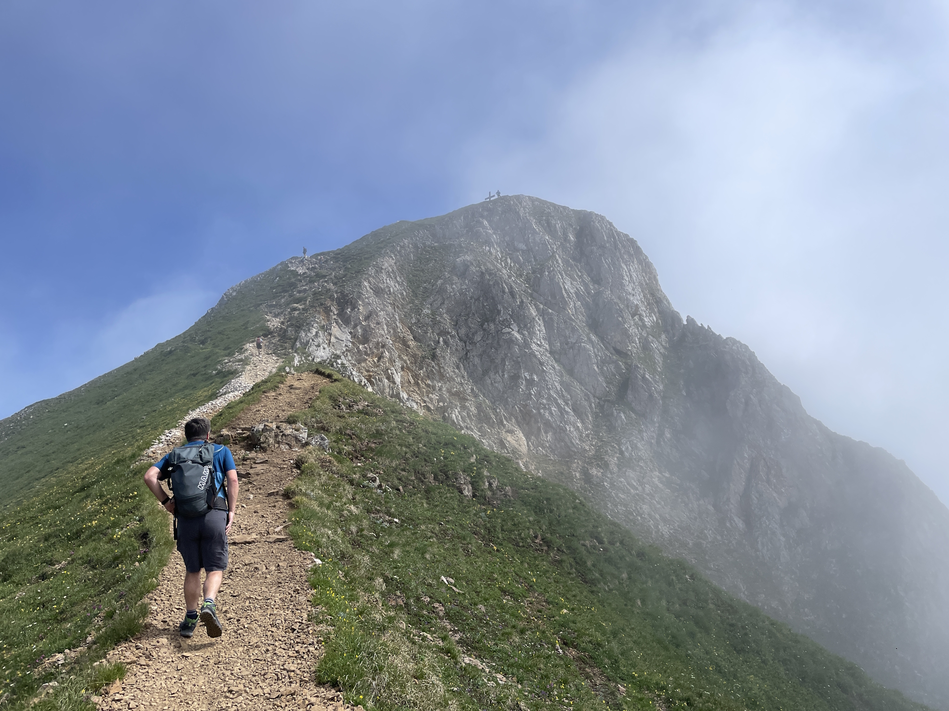
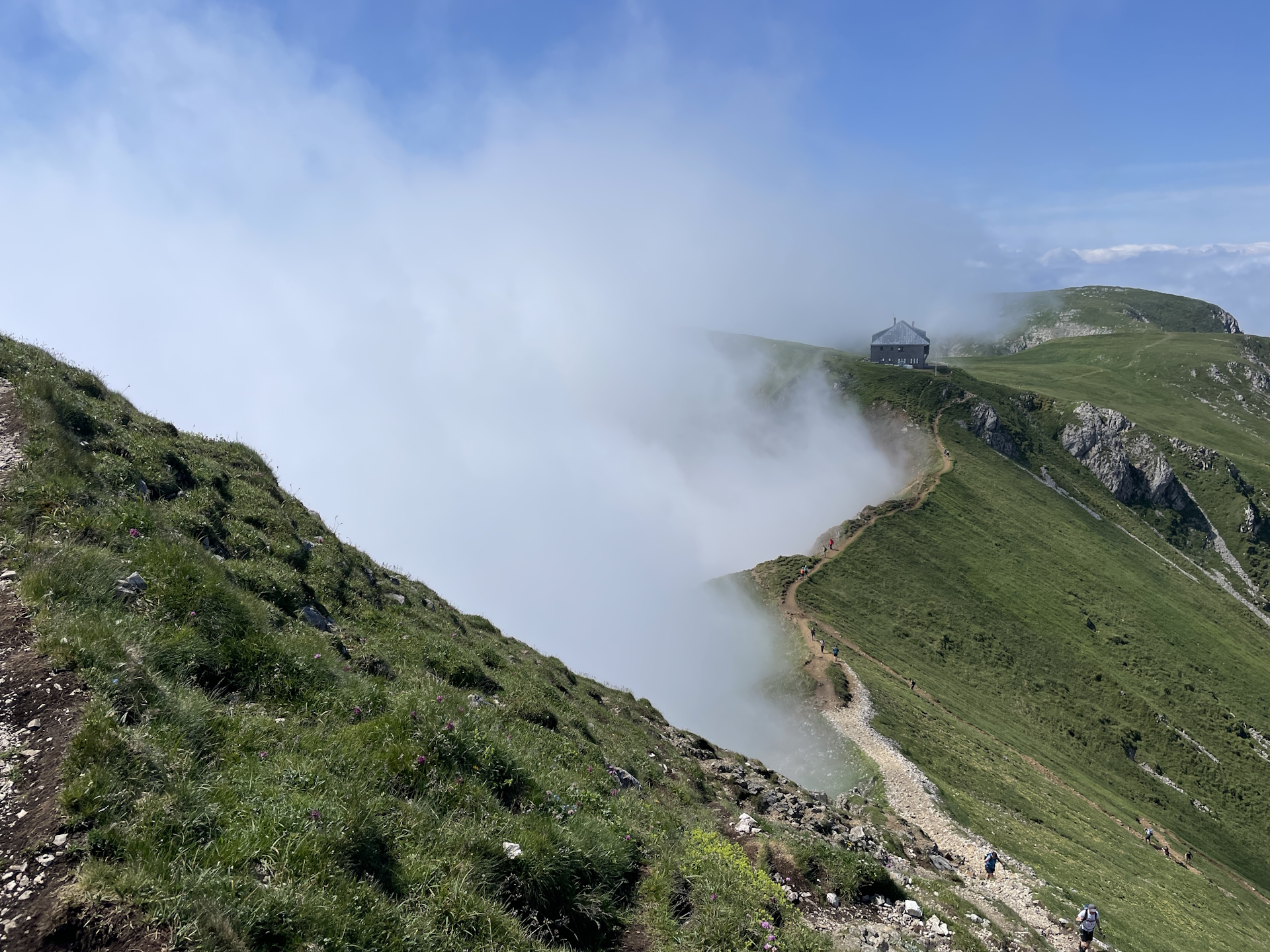
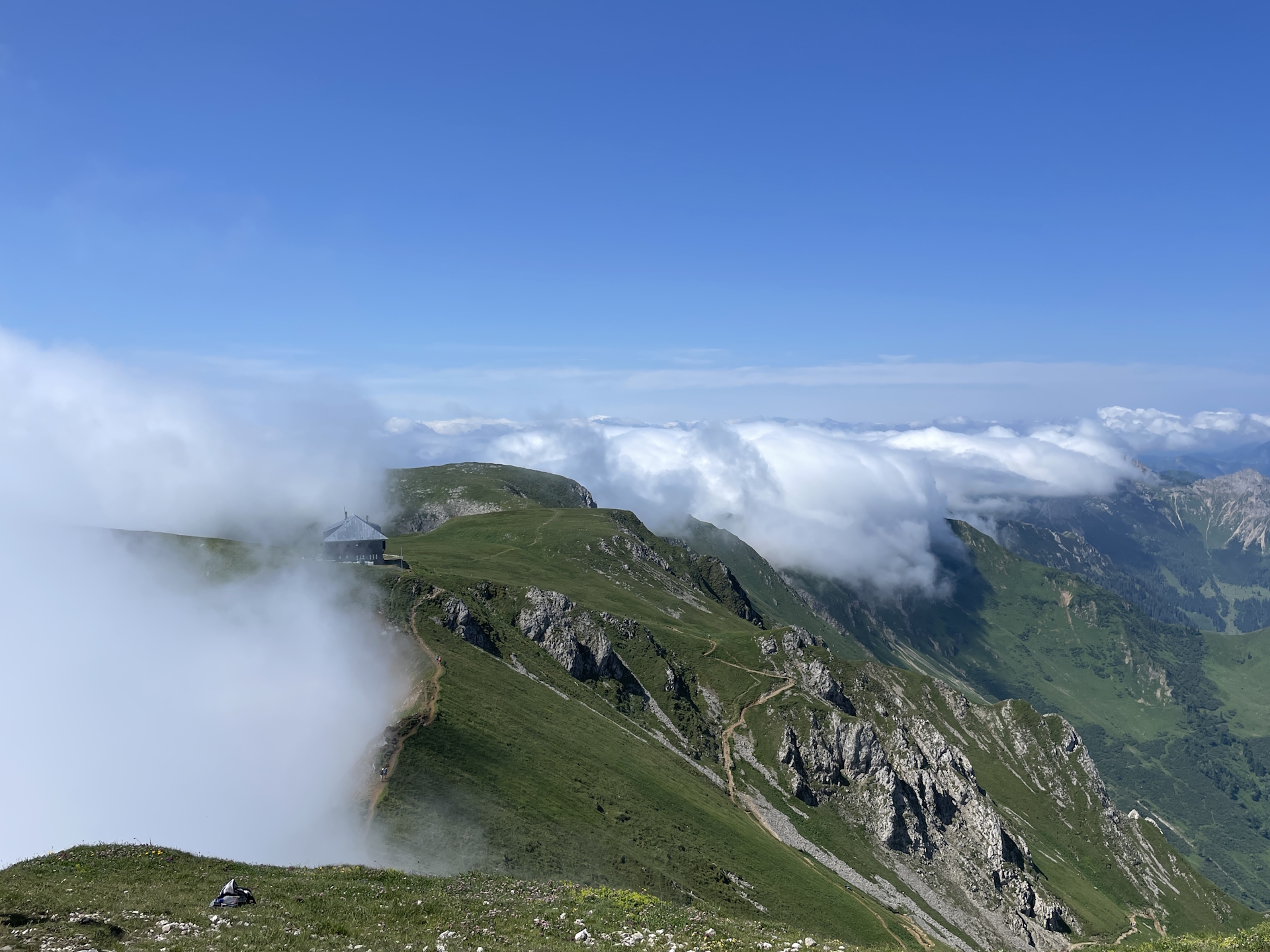
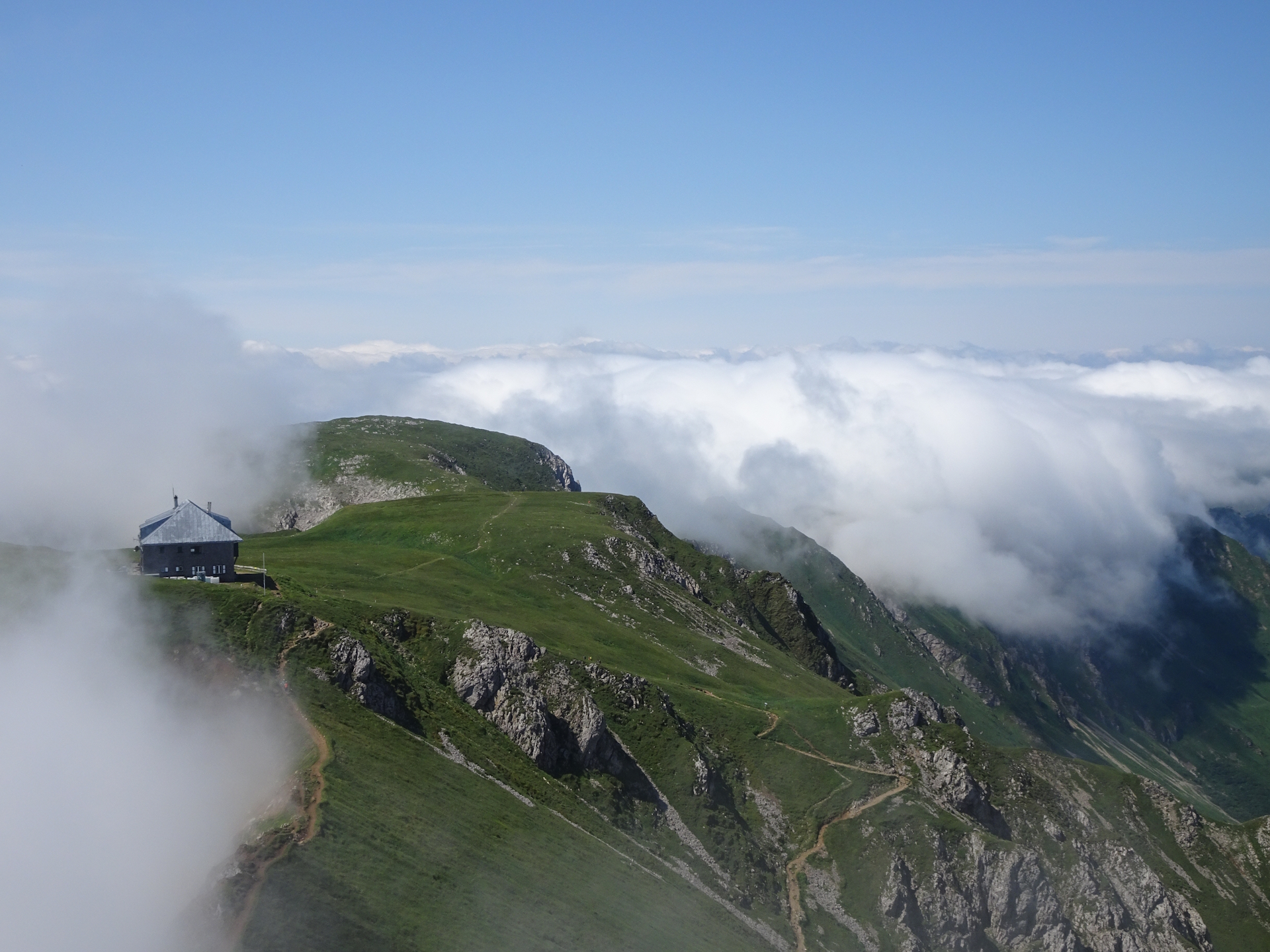
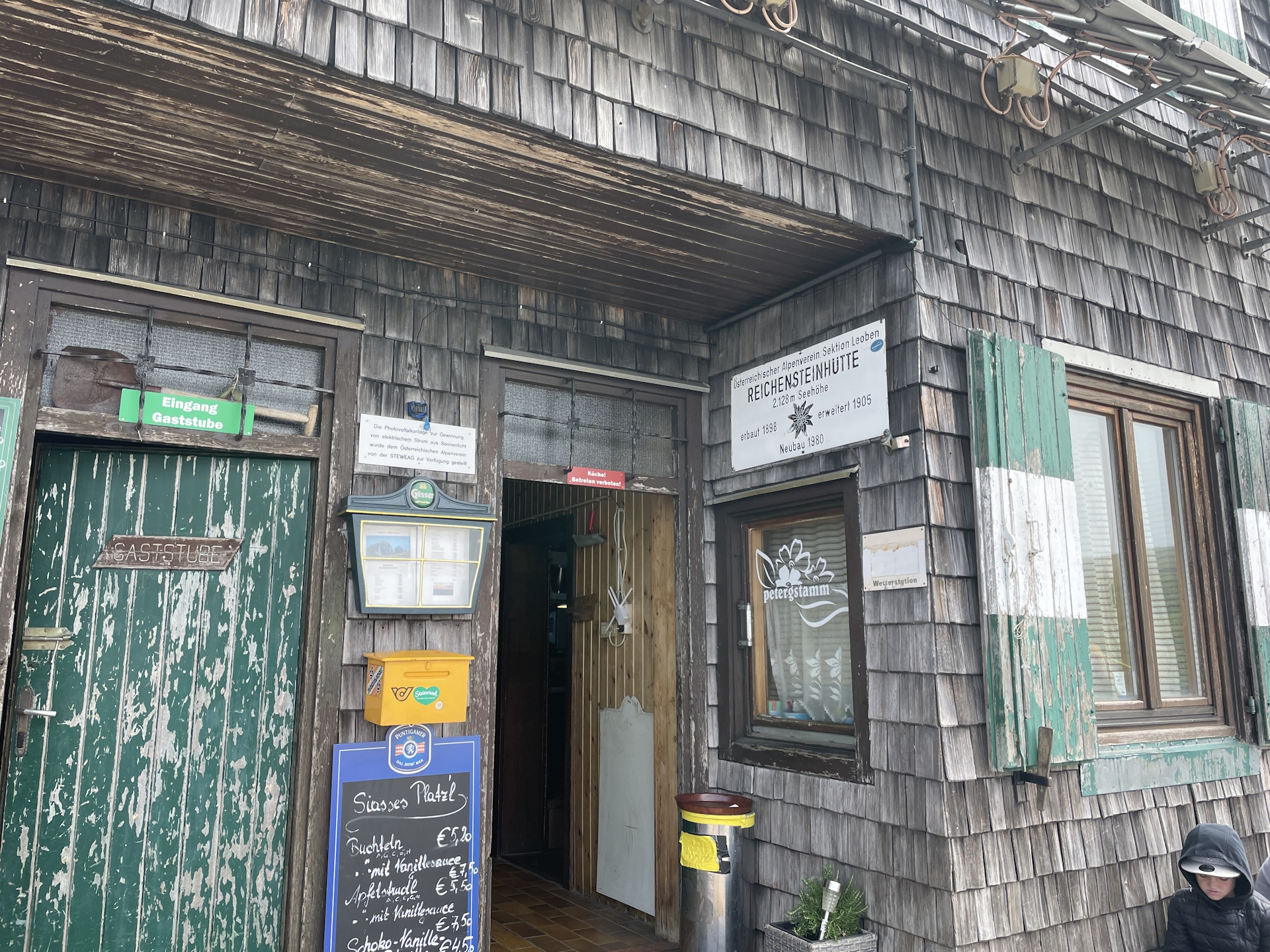
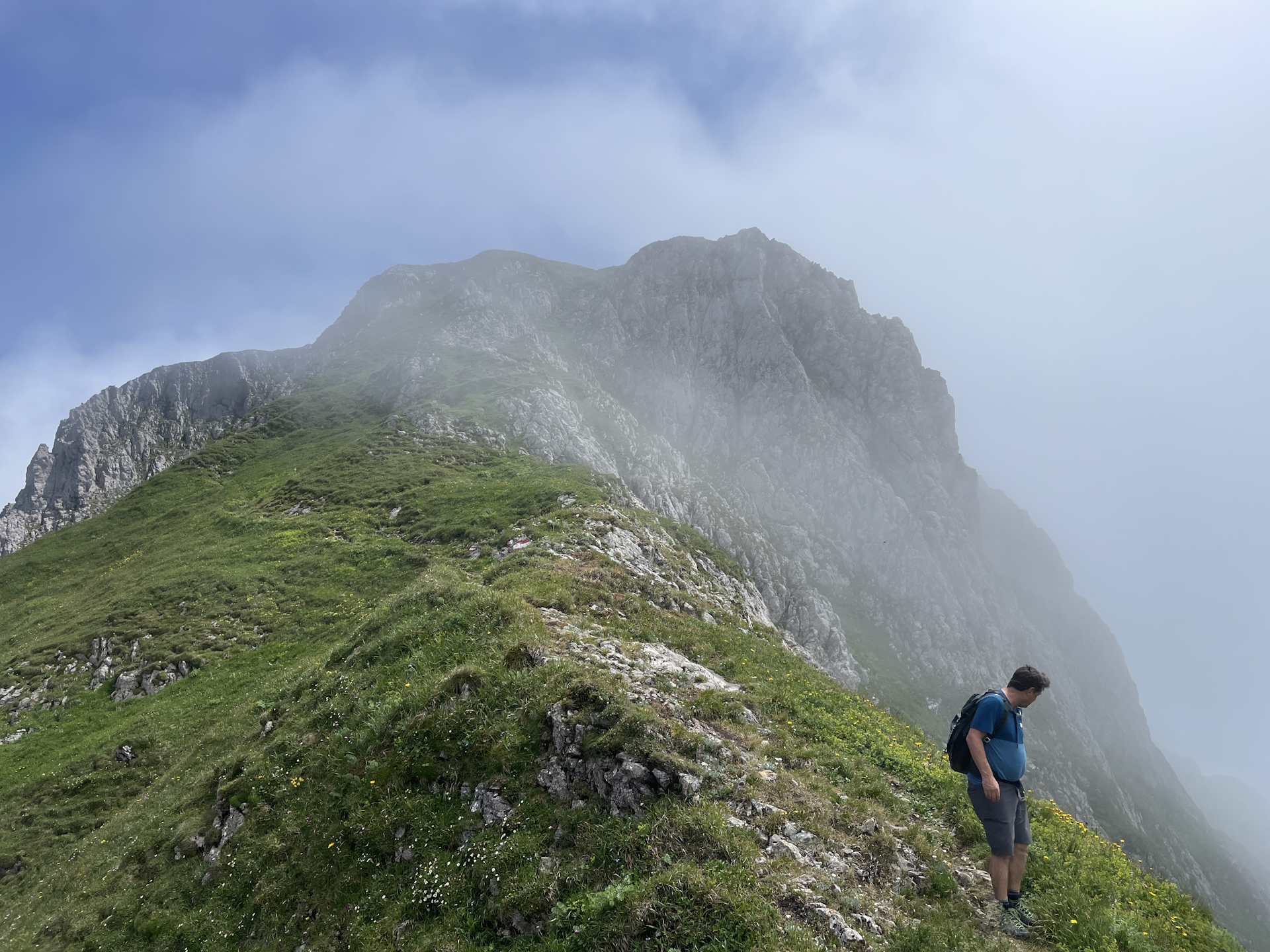
Once the tour reaches the Reichensteinhütte, a detour to the summit of Eisenerzer Reichenstein is strongly recommended.
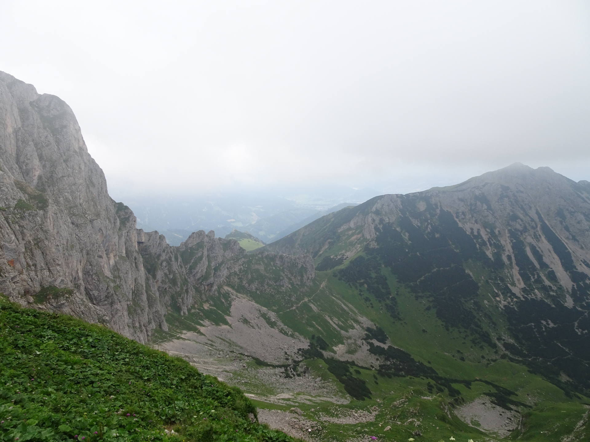
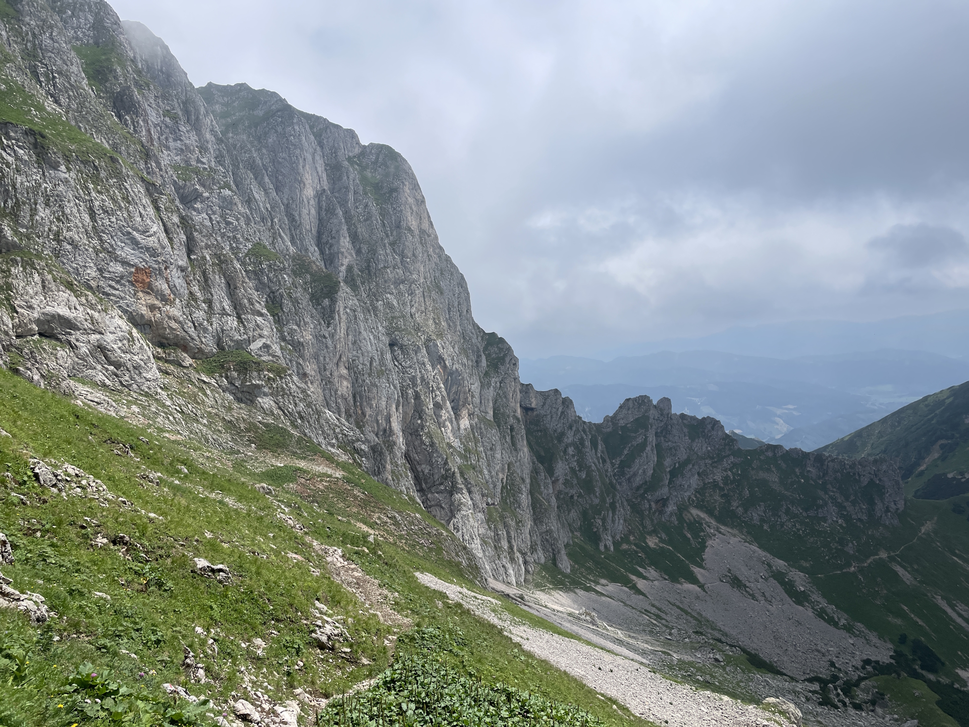
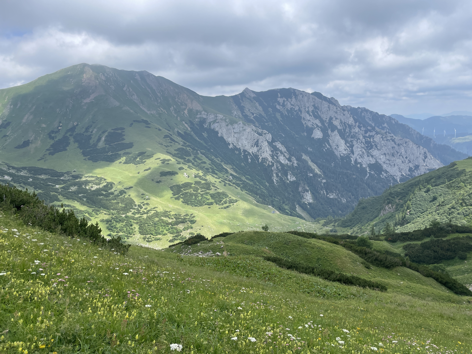
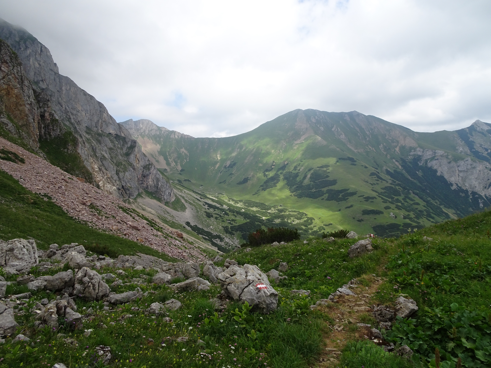
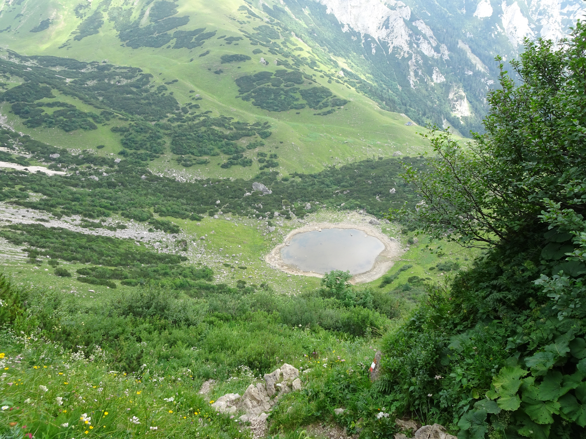
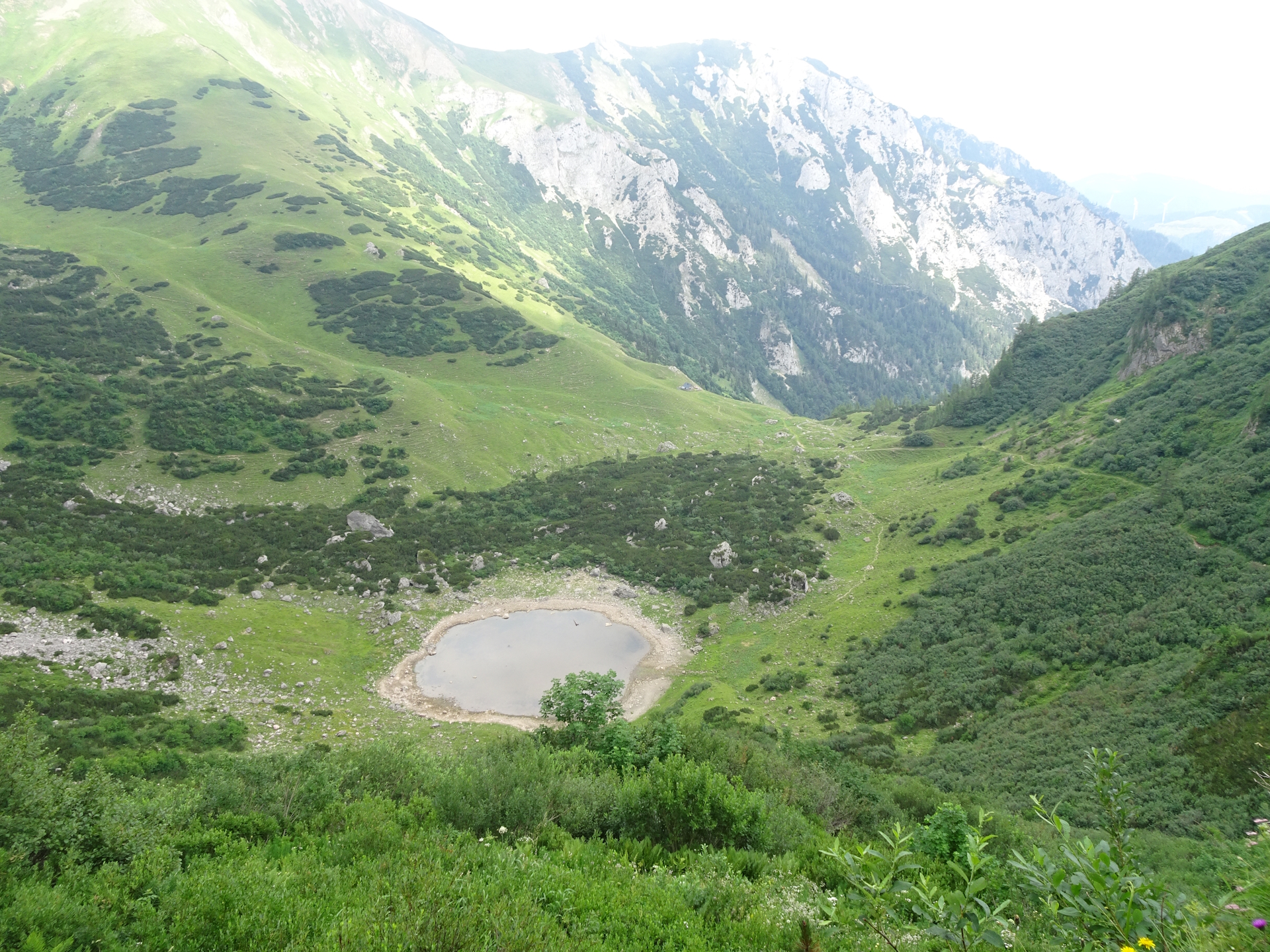
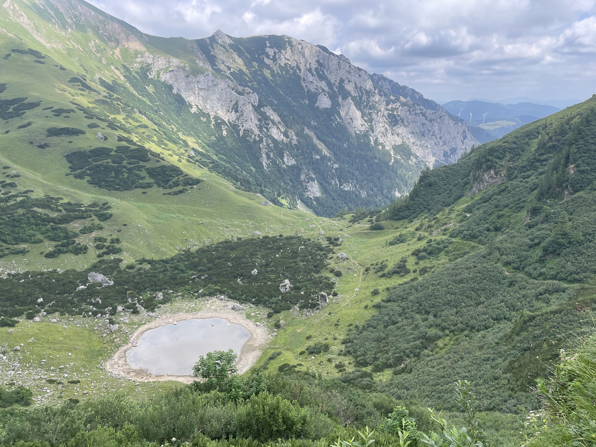
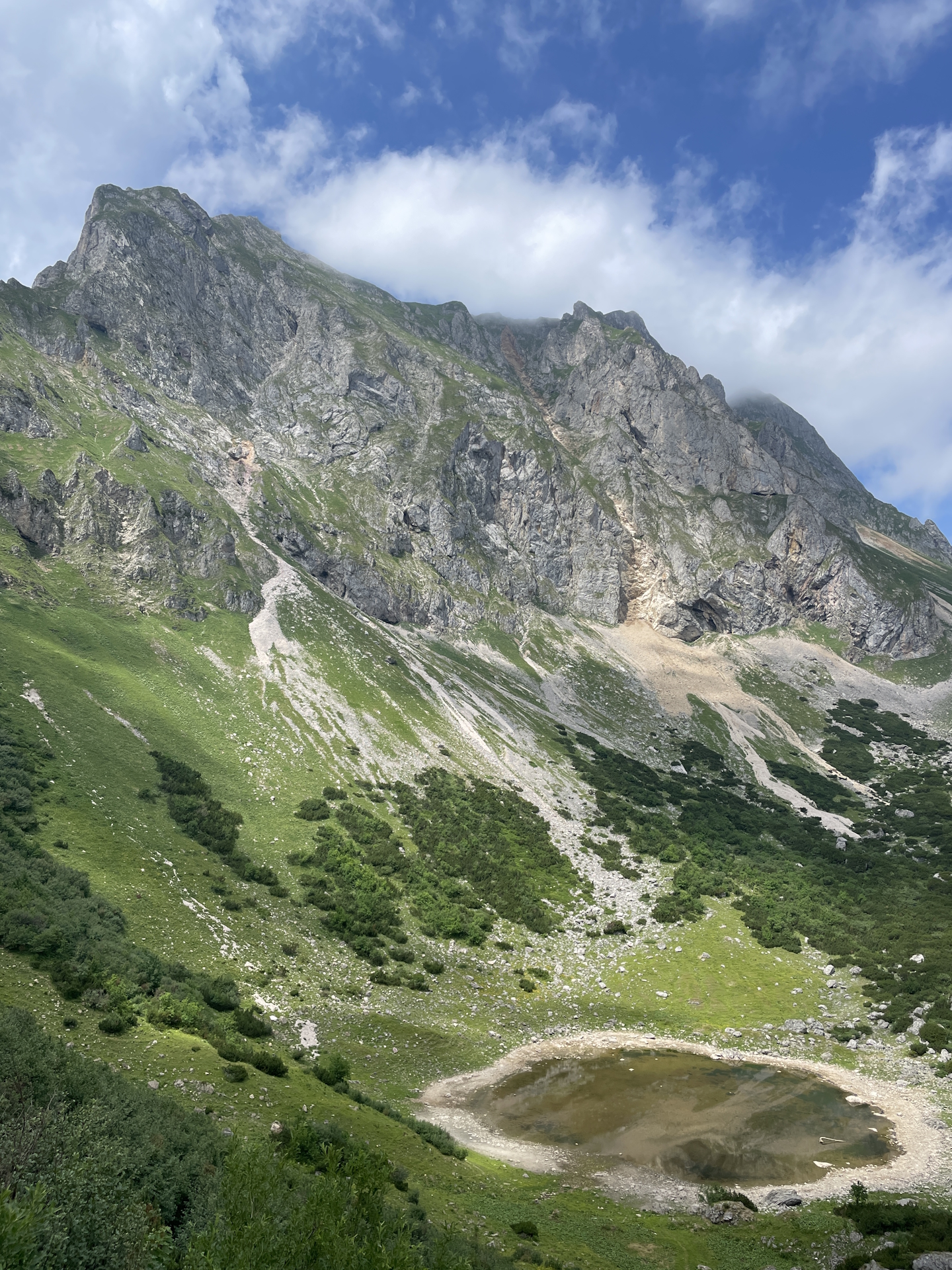
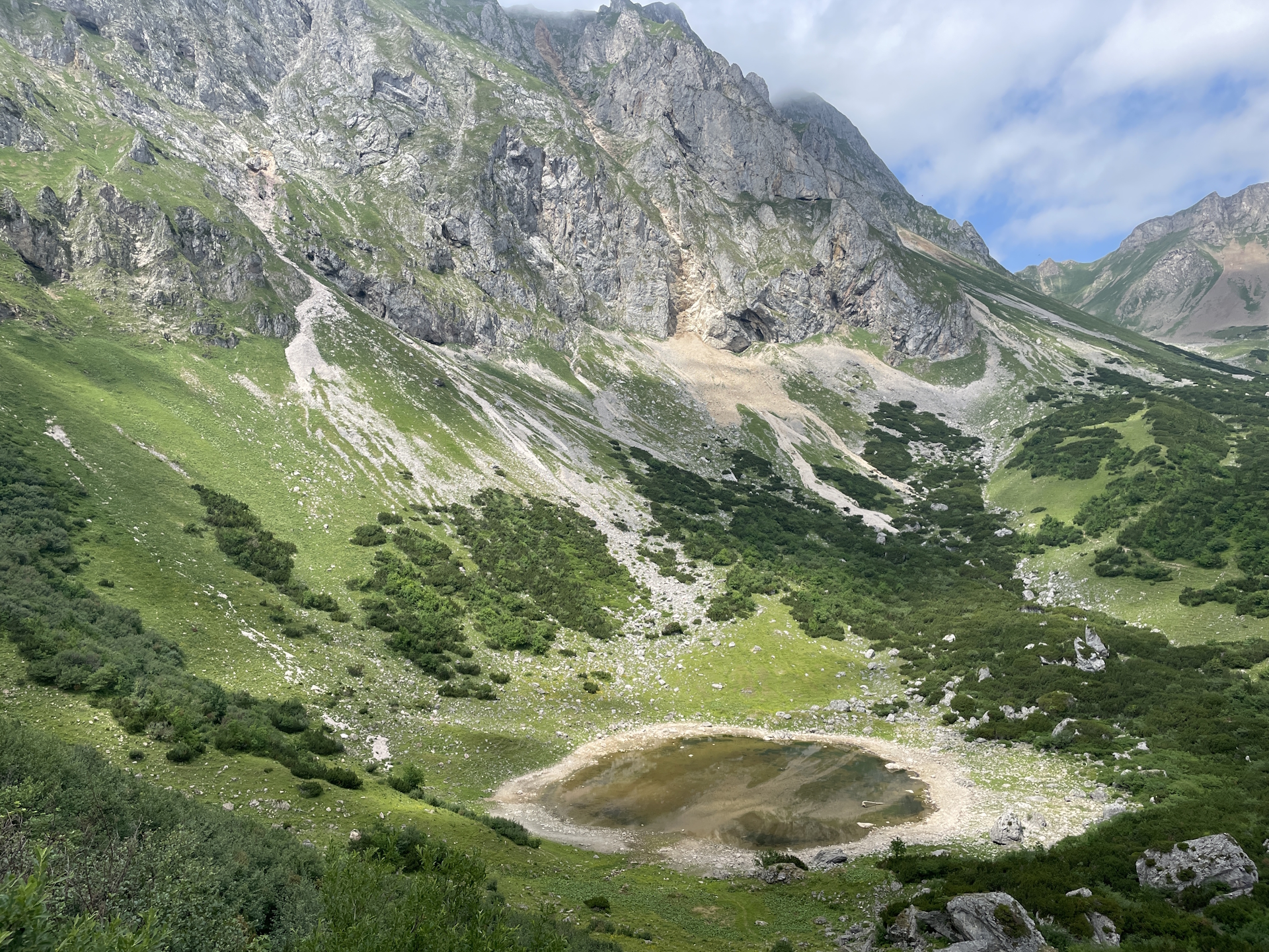
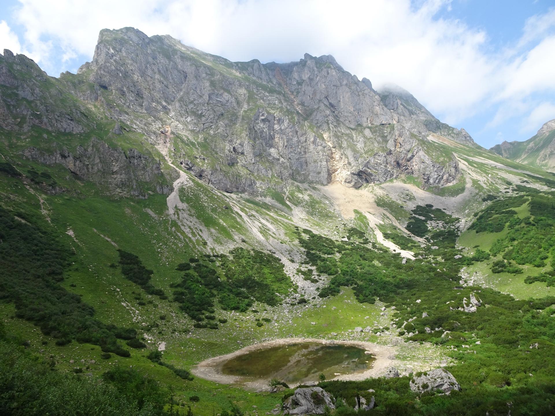
After a deserved break at the Reichensteinhütte (Checkpoint), the tour then follows the Theklasteig southwestwards towards Reichenhals. There the tour leaves the Theklasteig and descends fairly steep and sometimes on loose gravel but very scenic down to Krumphals and further to the Krumpenalm with is beautiful Krumpesee lake.
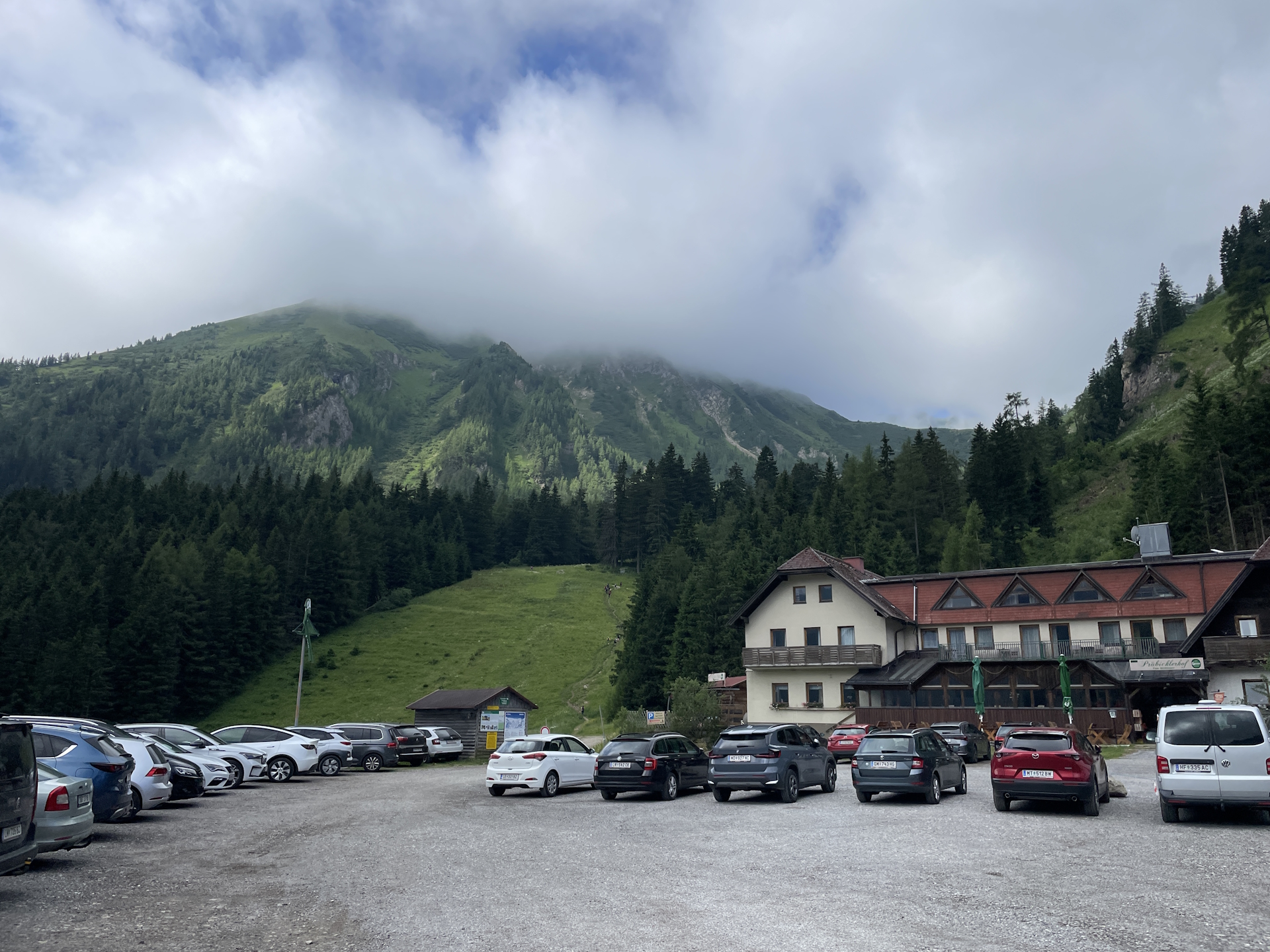
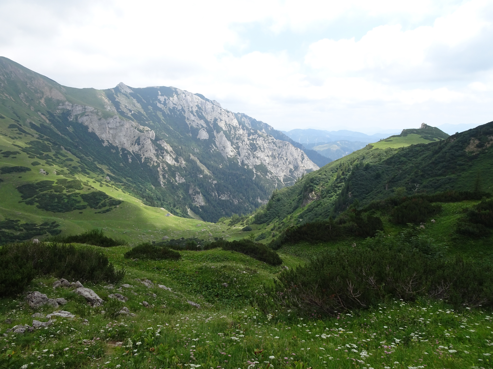
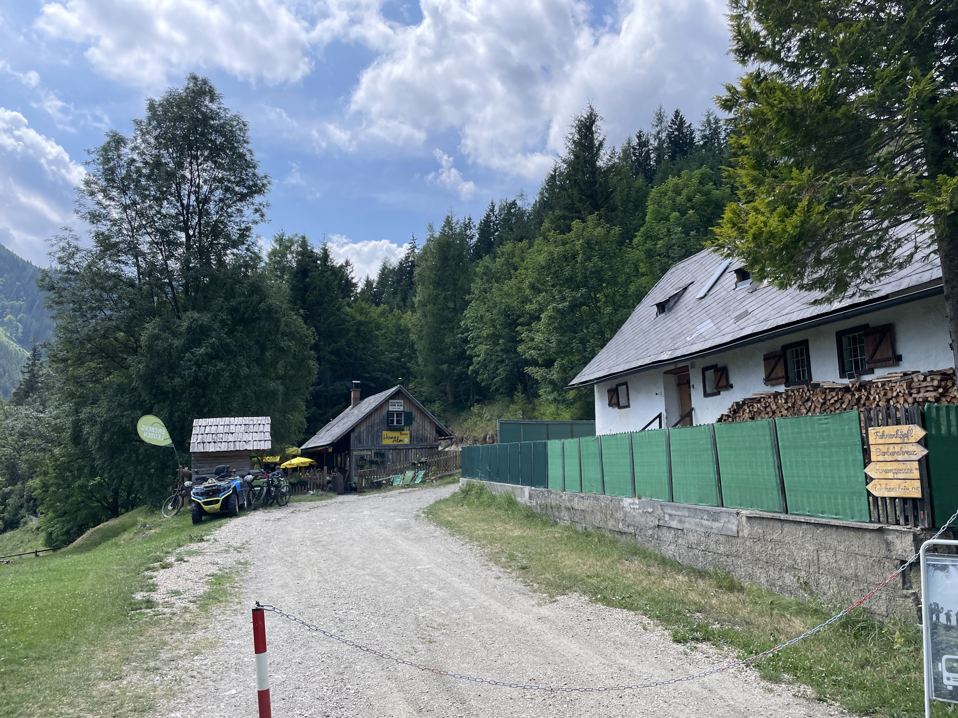
The tour then continues following easier trails down to the Hirnalm. From there the tour uses the road towards the north of Trofaiach (Checkpoint) where it ends at one of the bus stations.
| Nord-Süd-Weitwanderweg 05 – Checkpoints | |
|
Transportation:
I’ve planned to accomplish this stage as a single day-trip as both, the start and endpoint are very well reachable with public transportation.
To get to the starting point I used the following means of transportation:
- Railjet 131 from Wien Hauptbahnhof (06:17) Leoben Hauptbahnhof (08:19)
- Bus 820 from Leoben Hauptbahnhof (08:36) Präbichl Passhöhe (09:16)
On the way back, I used the following means of transportation:
- Bus 820 from Hafning in Trofaiach Schwabergweg (16:06) Leoben Hauptbahnhof (16:28)
- S 8 from Leoben Hauptbahnhof (16:41) Bruck/Mur Bahnhof (16:54)
- Railjet 372 from Bruck/Mur Bahnhof (17:03) Wien Hauptbahnhof (19:02)
The hike:
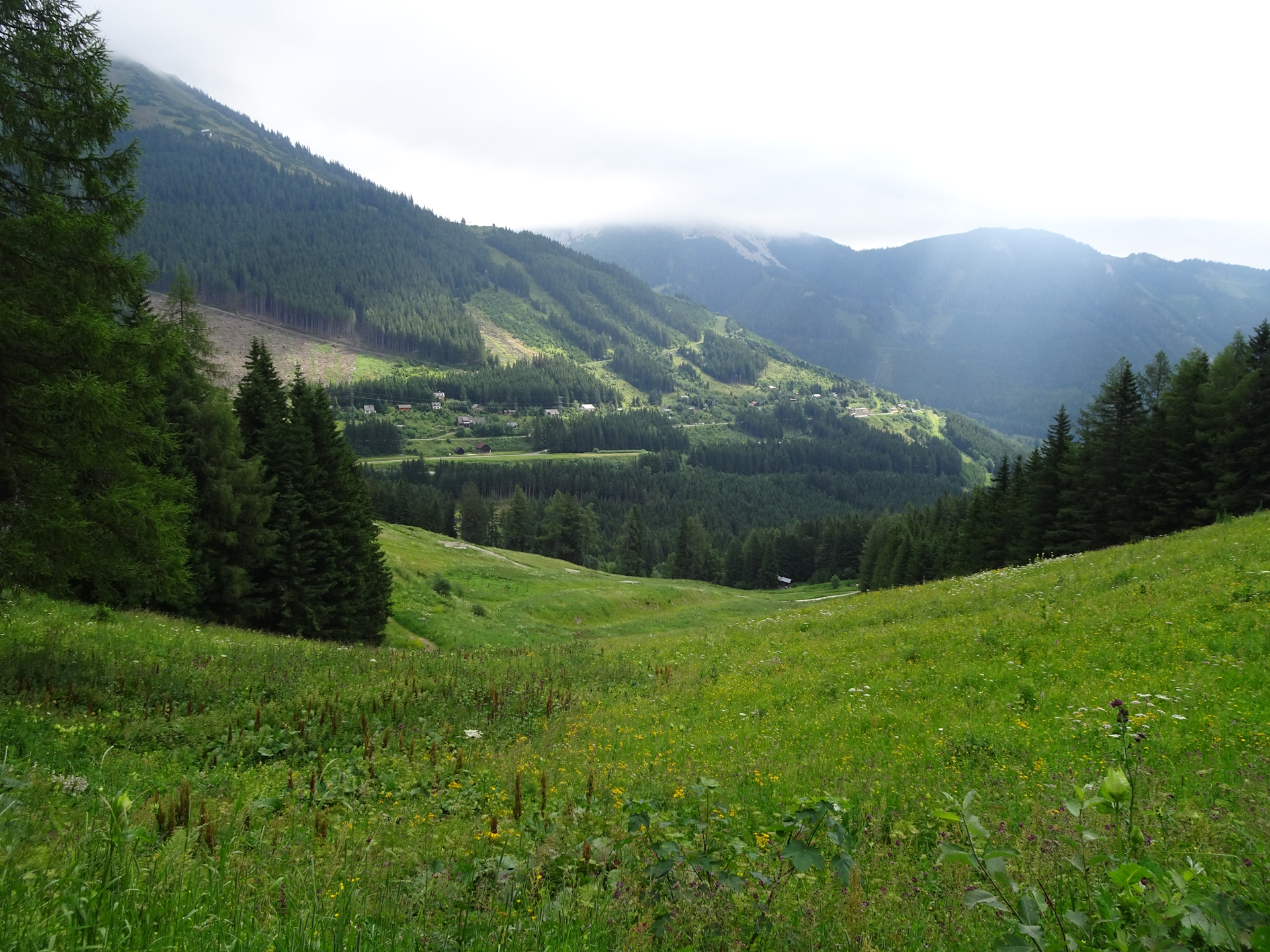
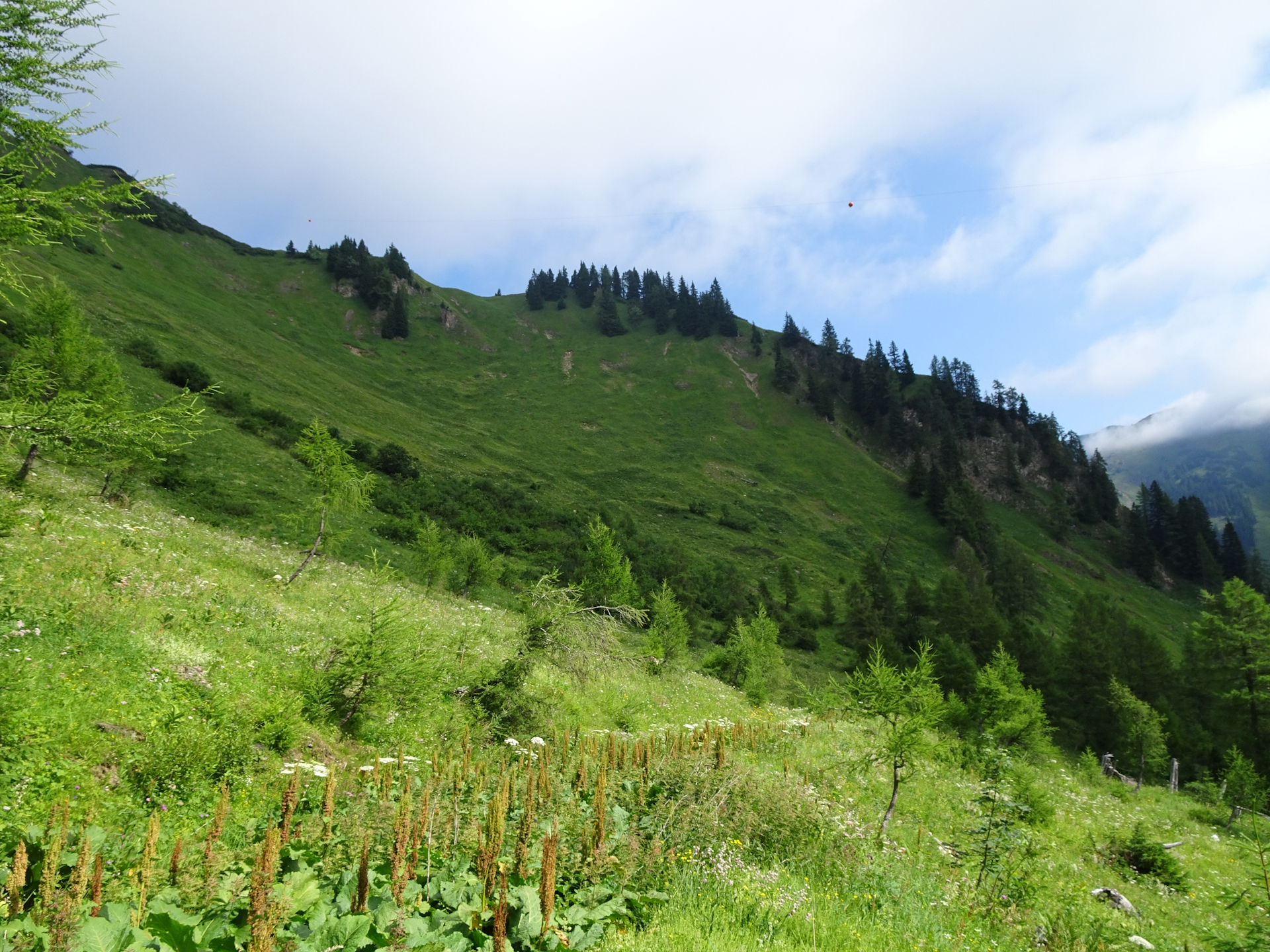
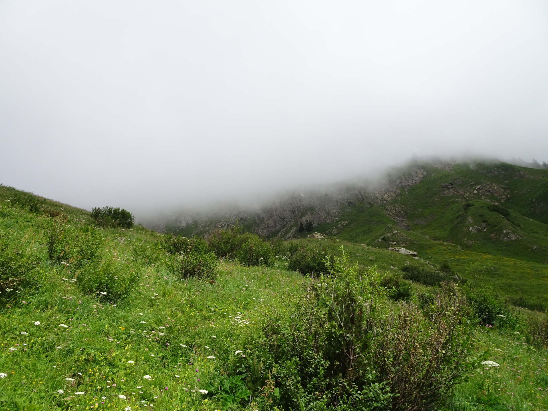
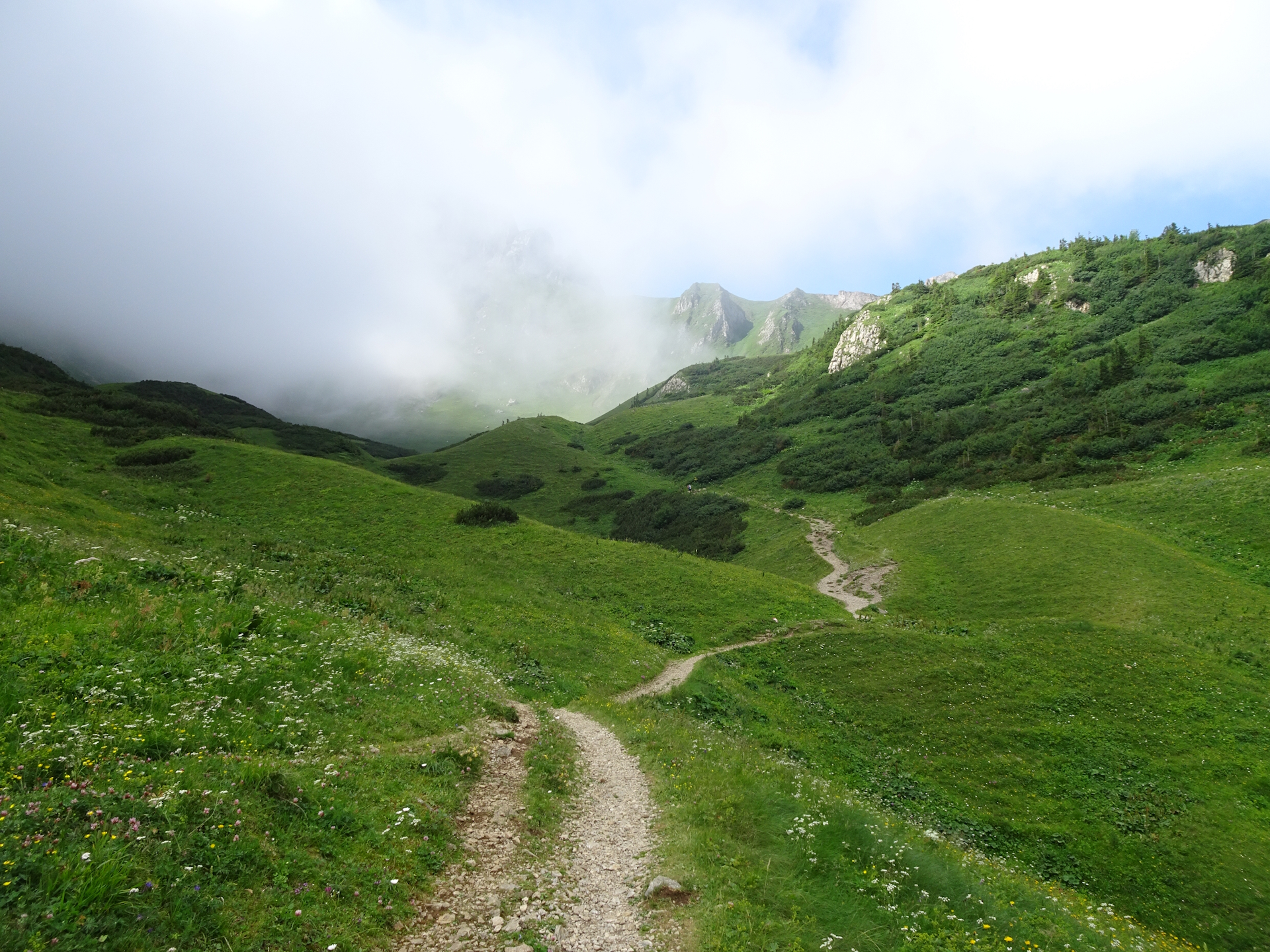
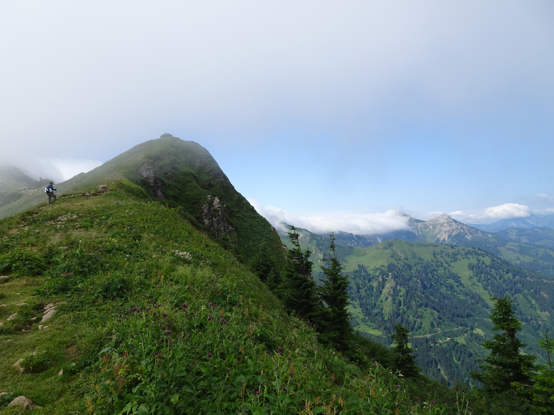
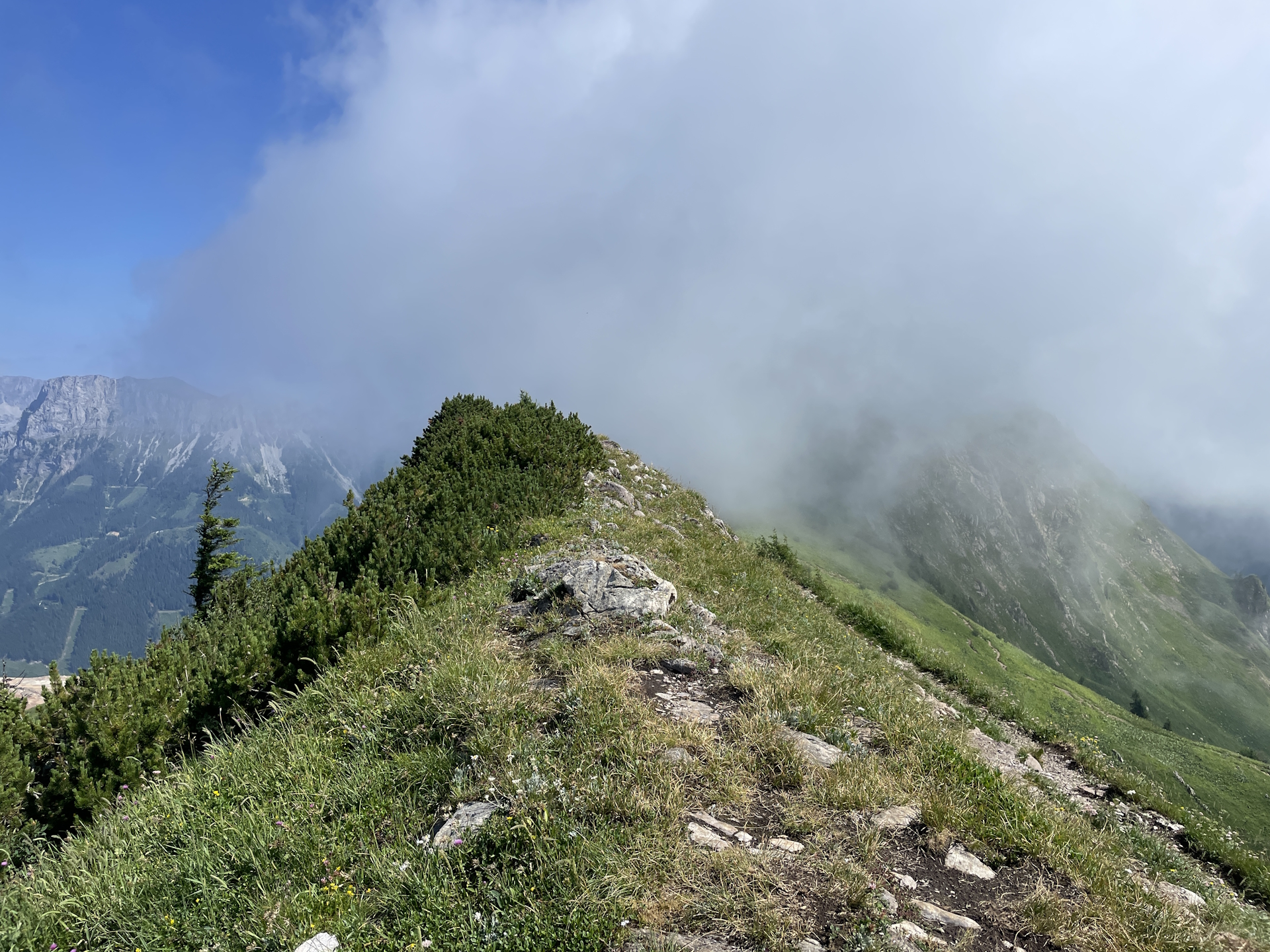
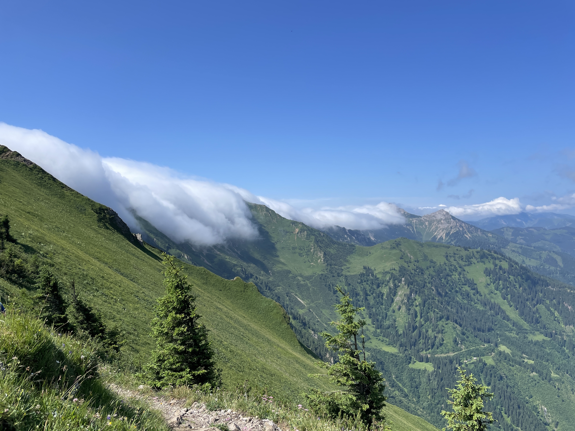
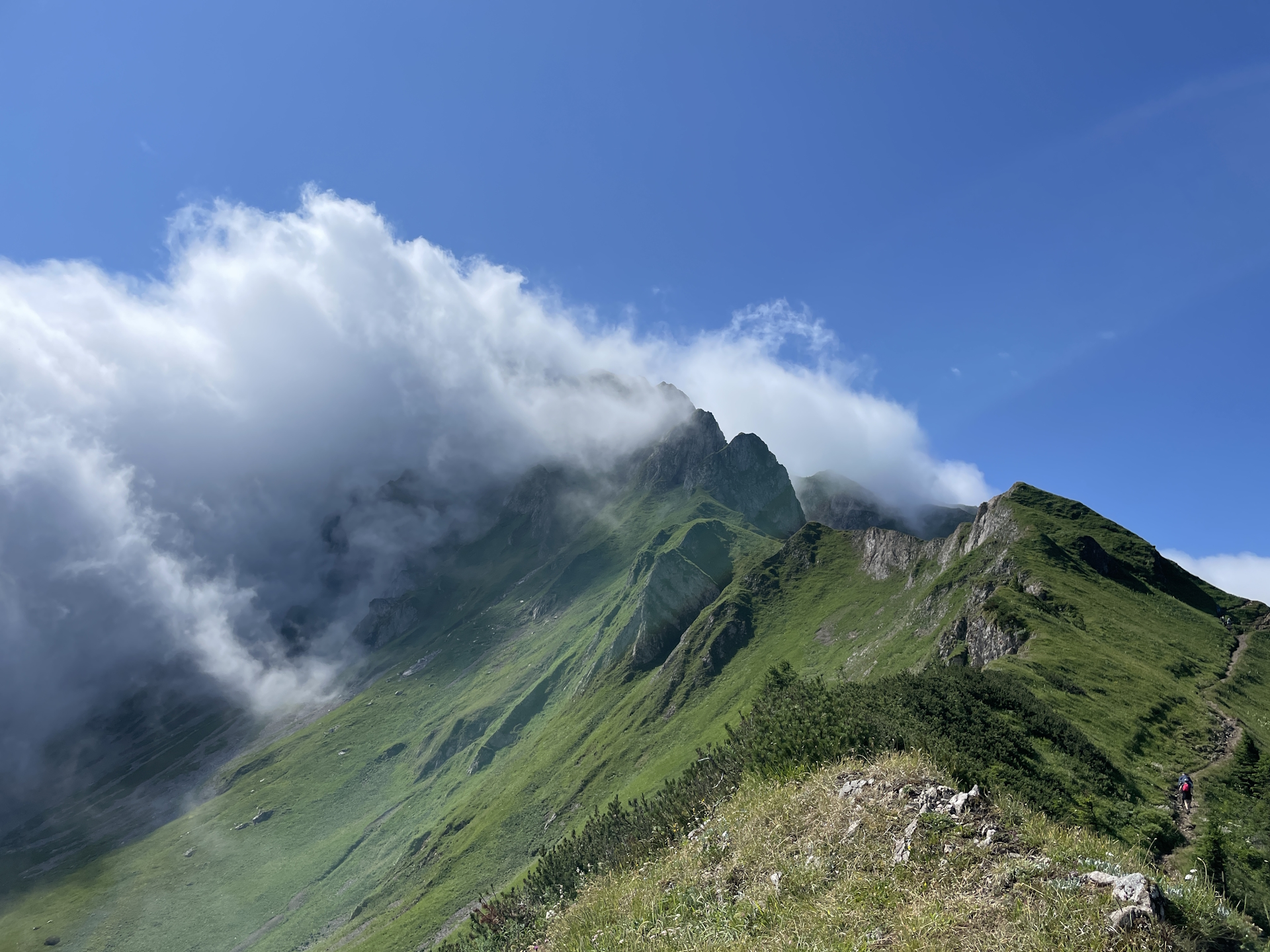
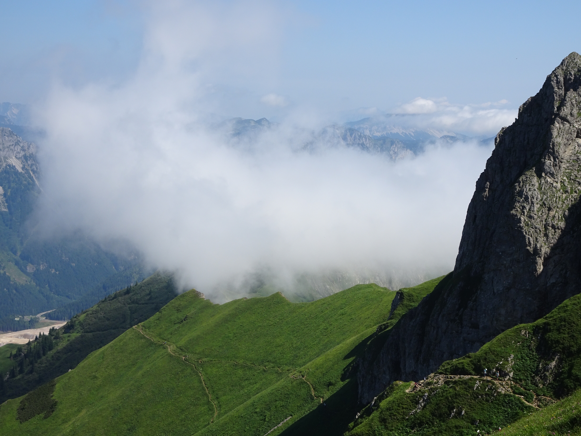
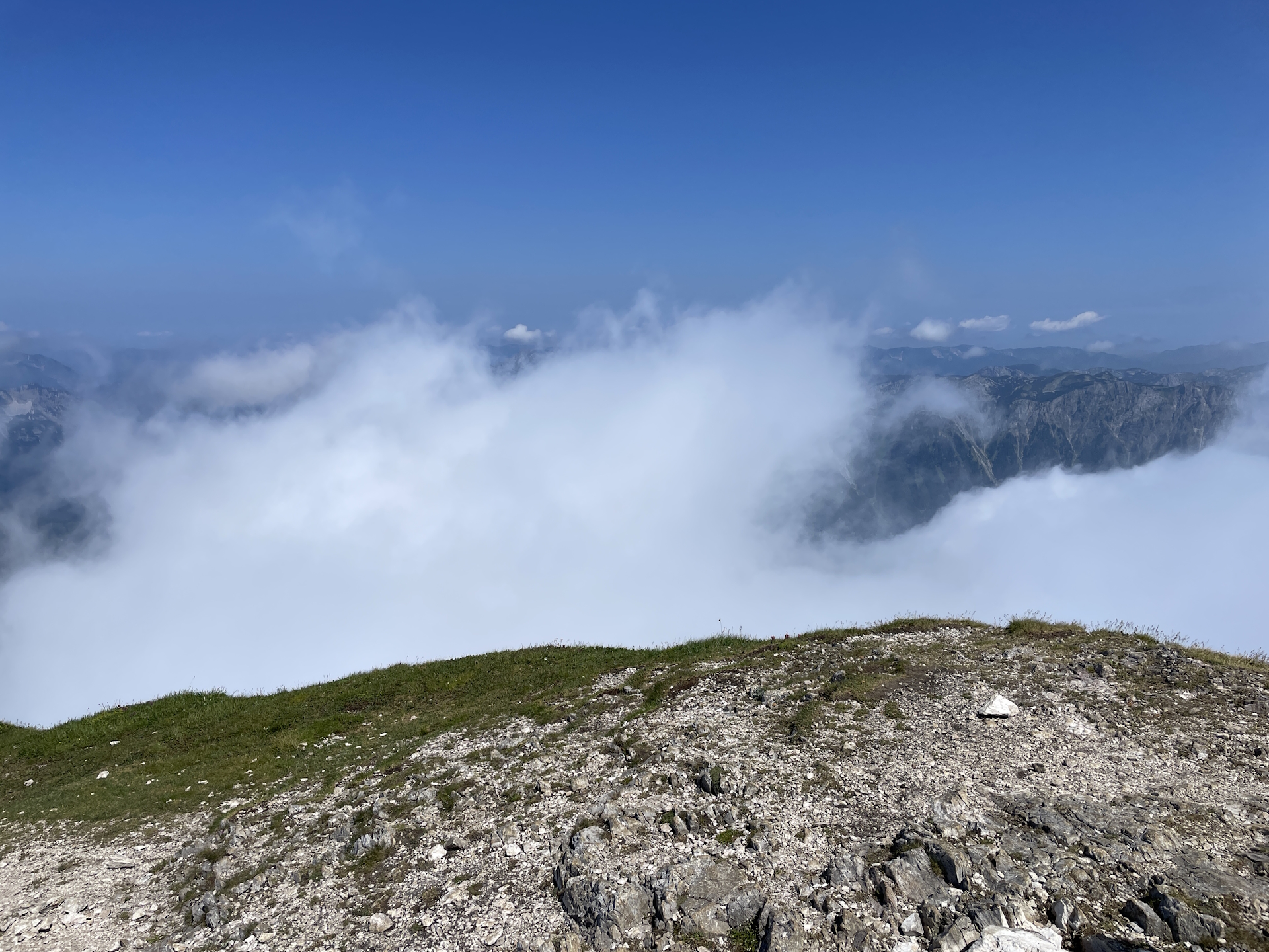
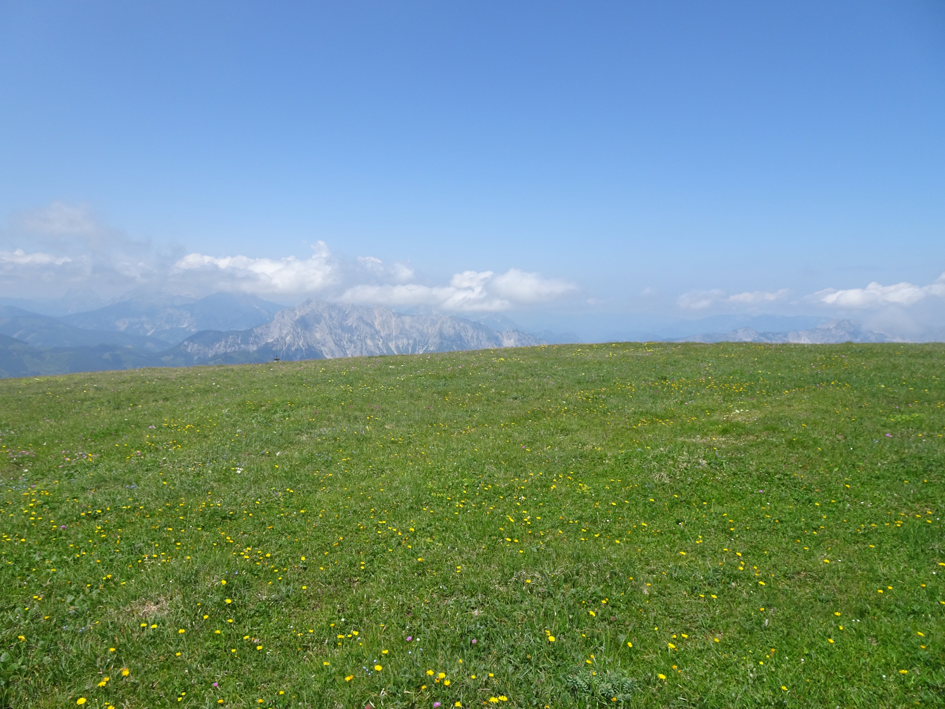
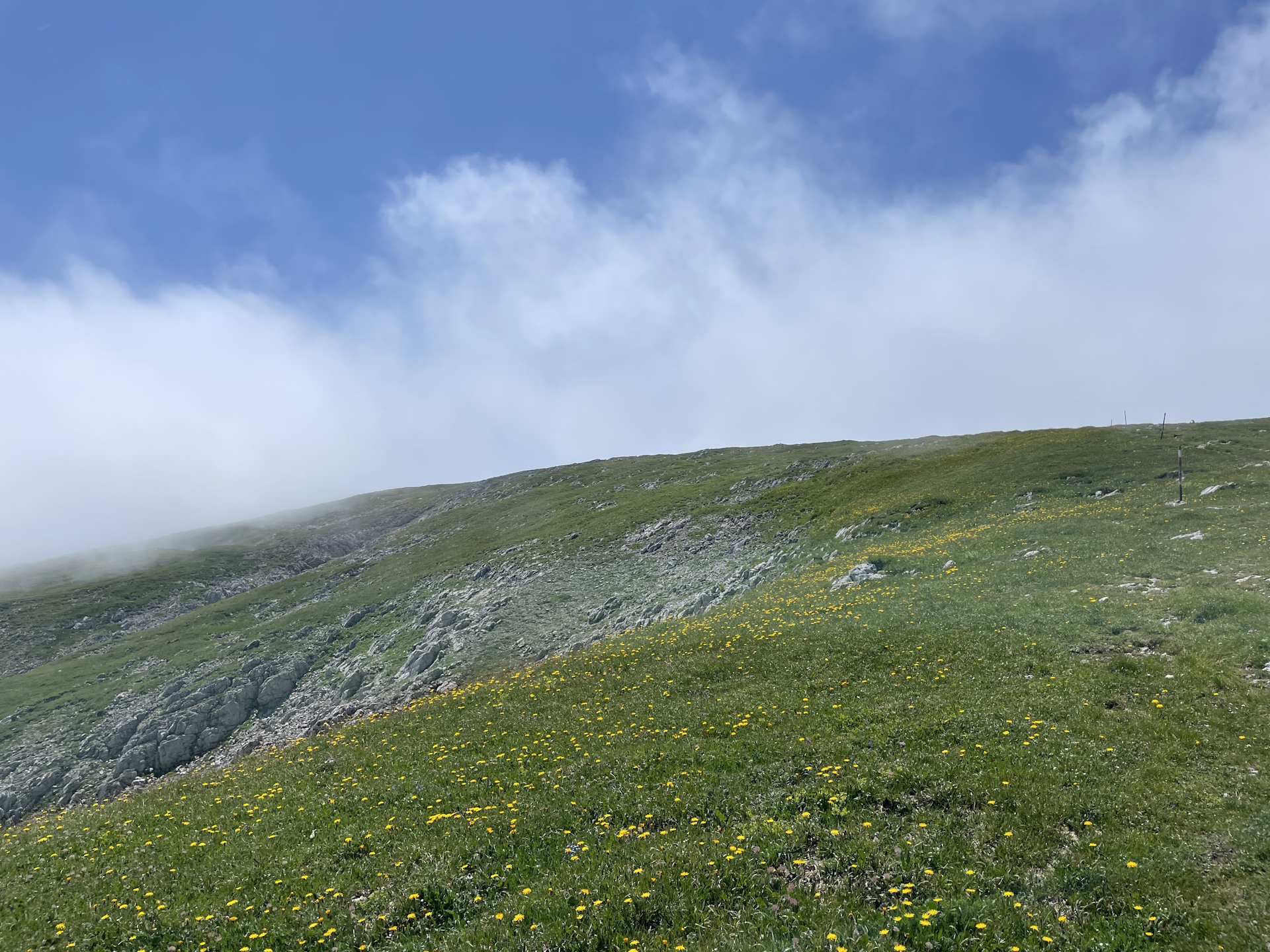
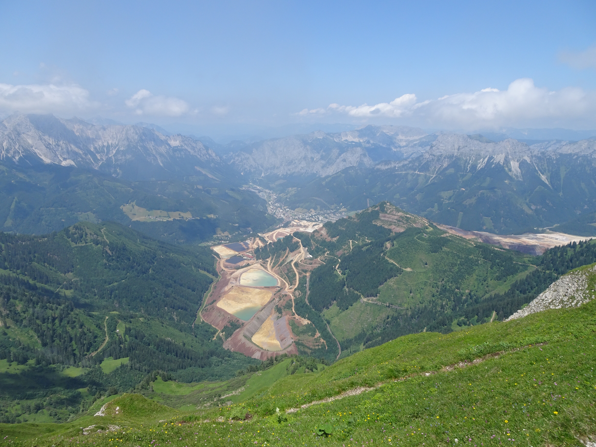
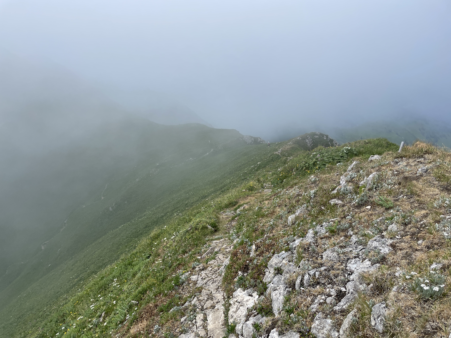
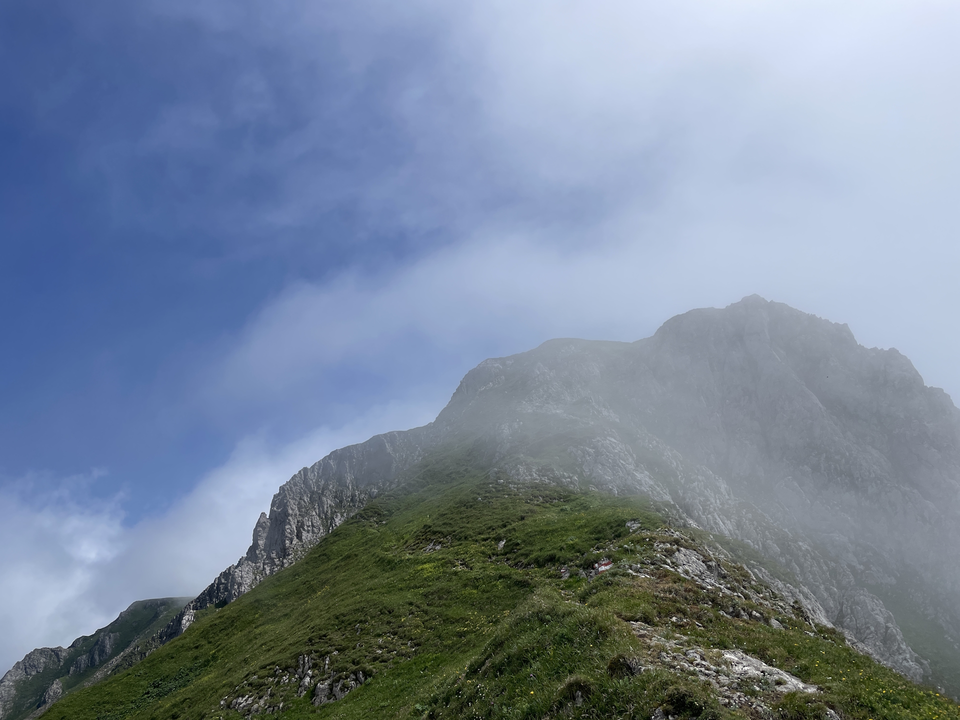
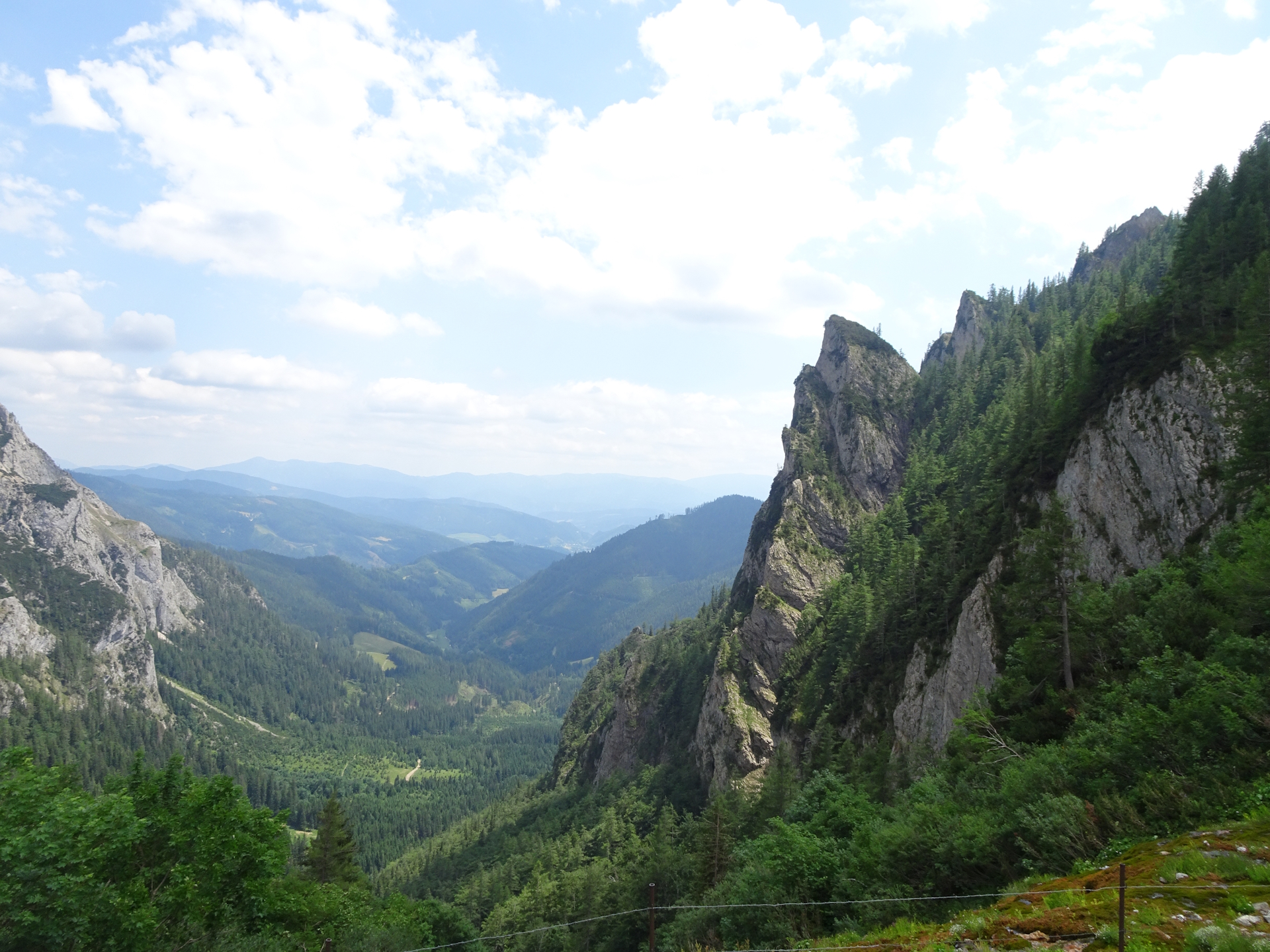
My friend Robert supported me on this stage, thus we did the hike on a Saturday morning. We left Vienna in reasonable time and also made it to the starting point in Präbichl in good time (09:16). The weather was cold and foggy but dry which was nice from the temperature but limited us a bit in sight. Nonetheless, the fog made the ridge very dramatic, as one side was crystal clear (perfect sight towards Eisenerz) but a wall of white on the other side. The hike itself is scenic, even if one side is covered in haze.
At the ridge we both decided to take the alpine variant, also driven by the fact that on this day the trail was crowded and we would have faced a lot of counter-traffic on the easier route, which is also exposed and very narrow. In fact, going up is always recommended to do using the upper (alpine) route and the crux – a short iron ladder – is a welcomed variety.
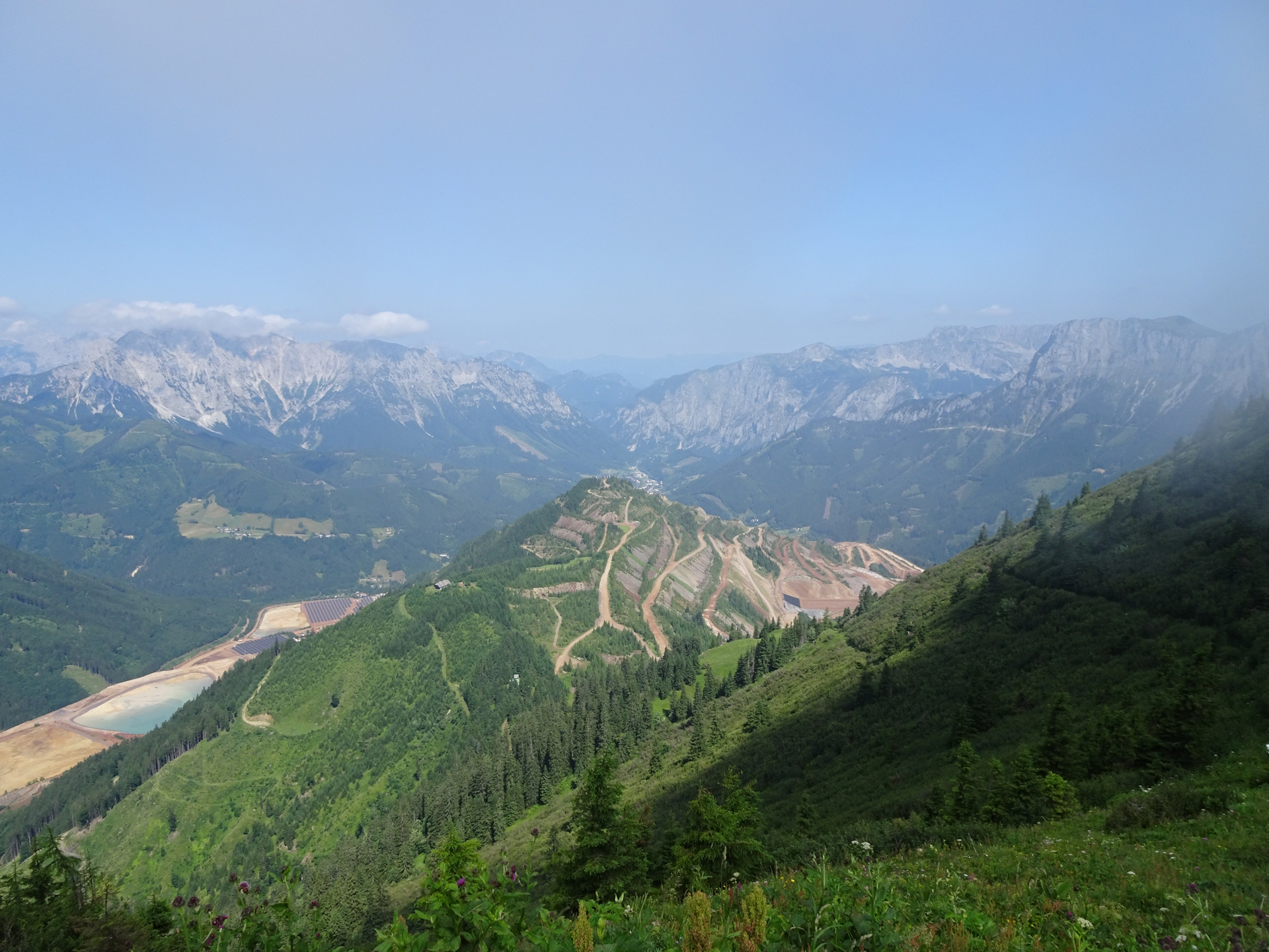
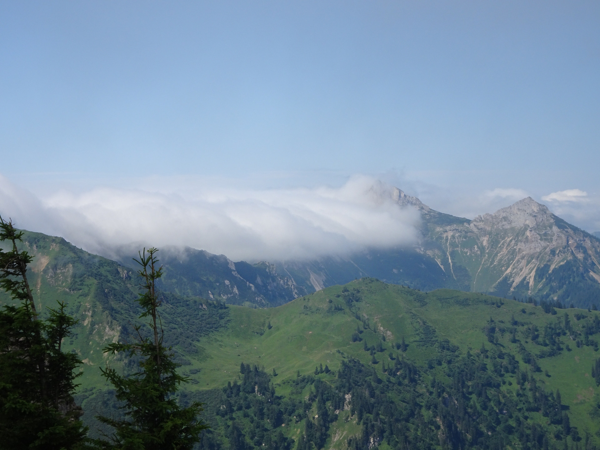
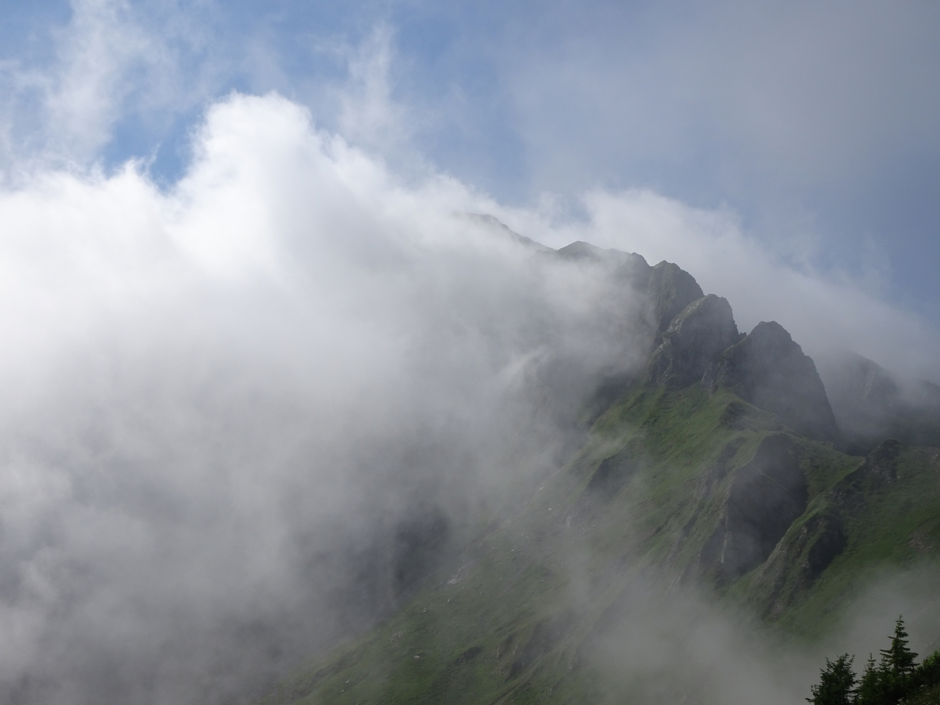
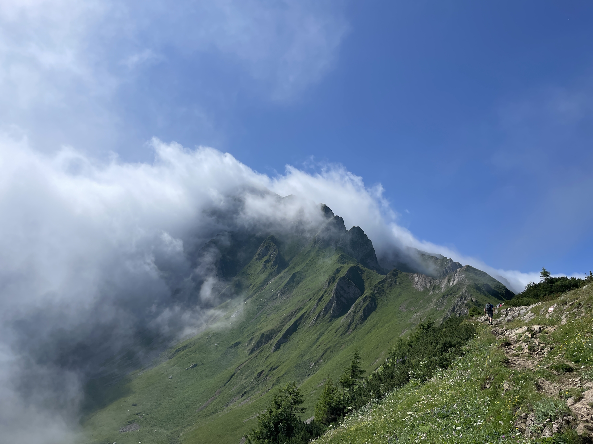
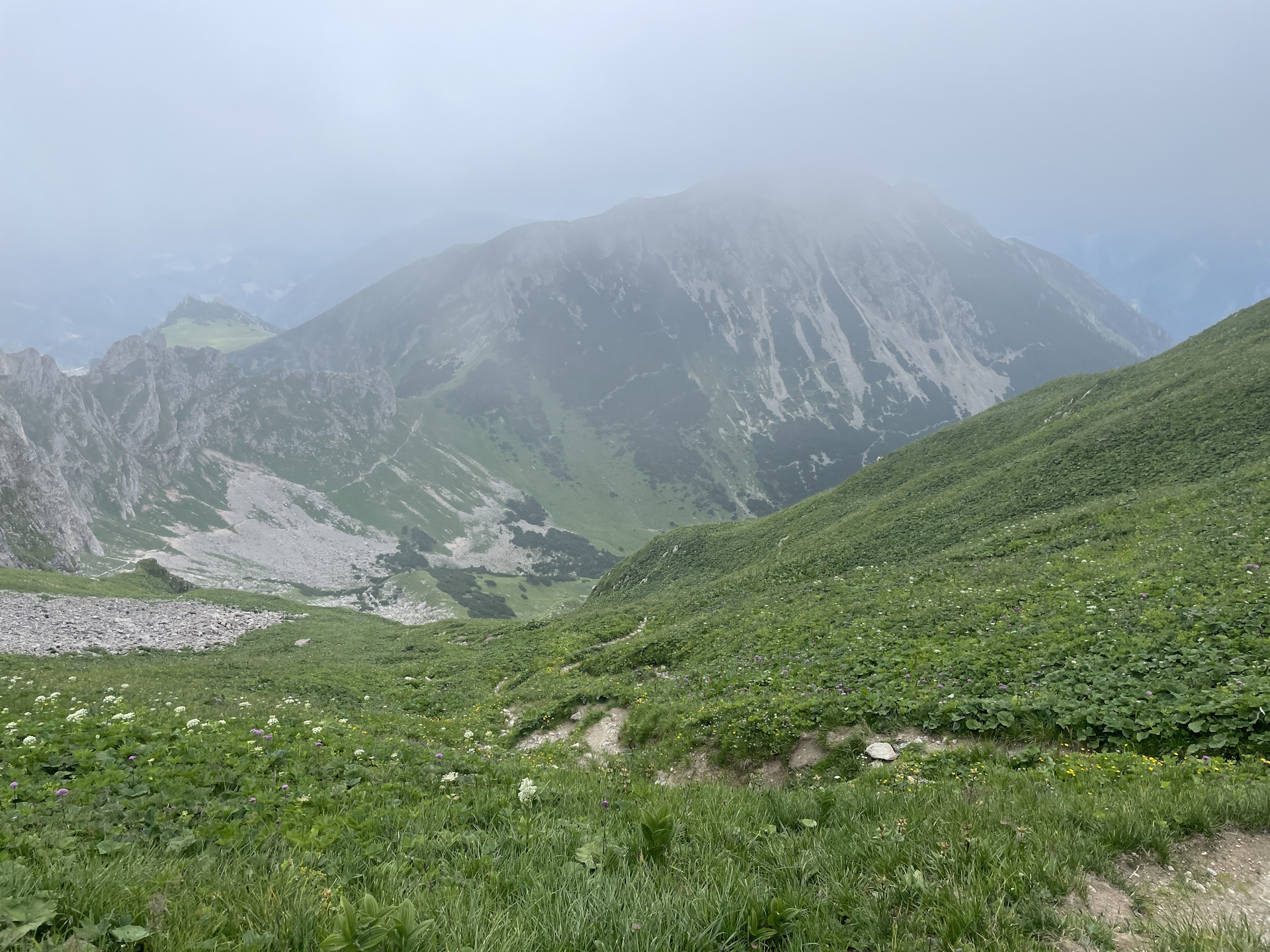
When we reached the Reichensteinhütte hut (Checkpoint), we decided to first go up to the summit before sitting down and also the view from there rewarded for the effort as the weather situation (one side clear, the other covered in fog) made the experience very dramatic.
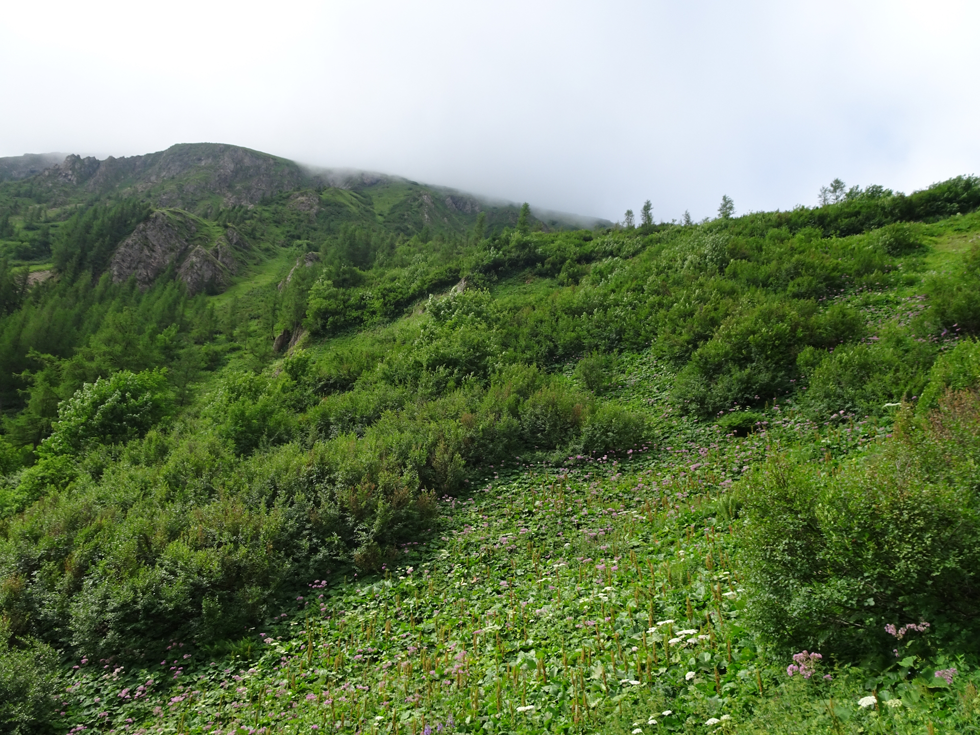
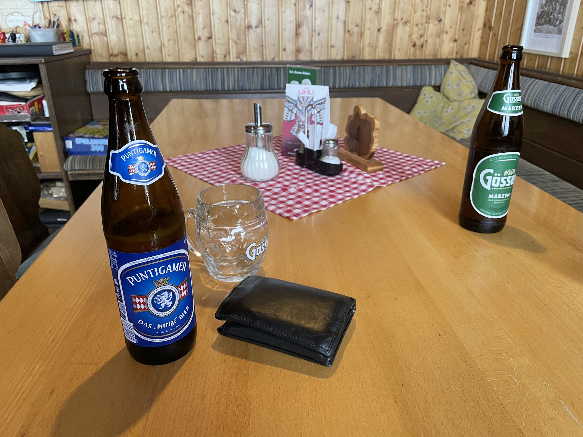
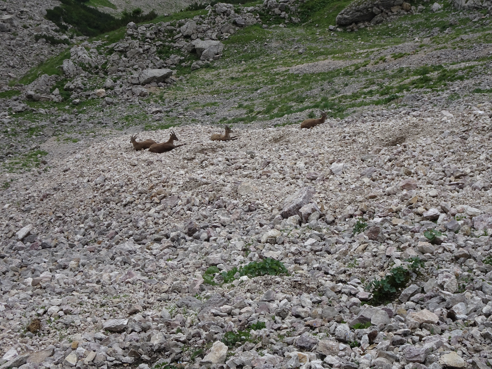
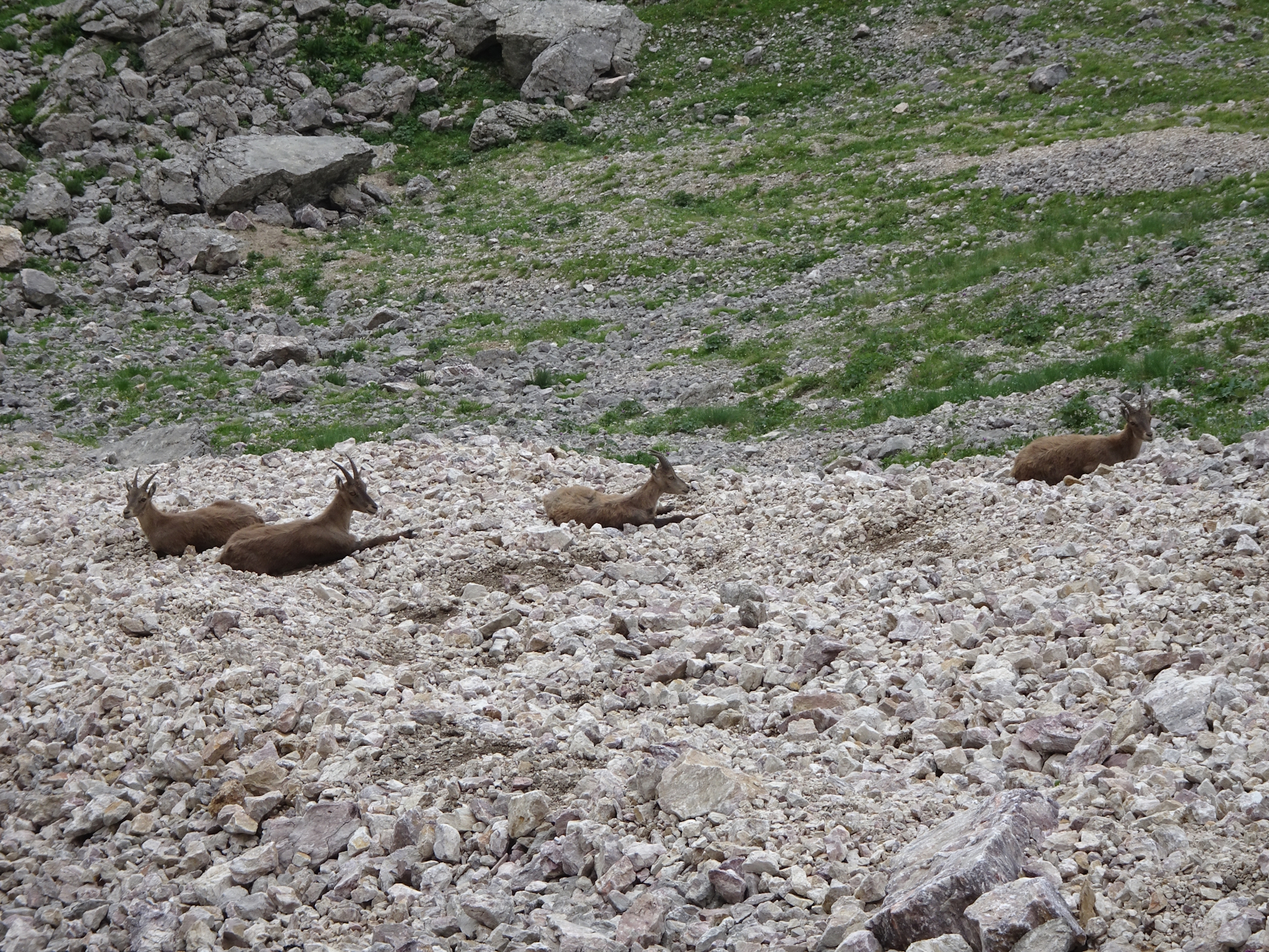
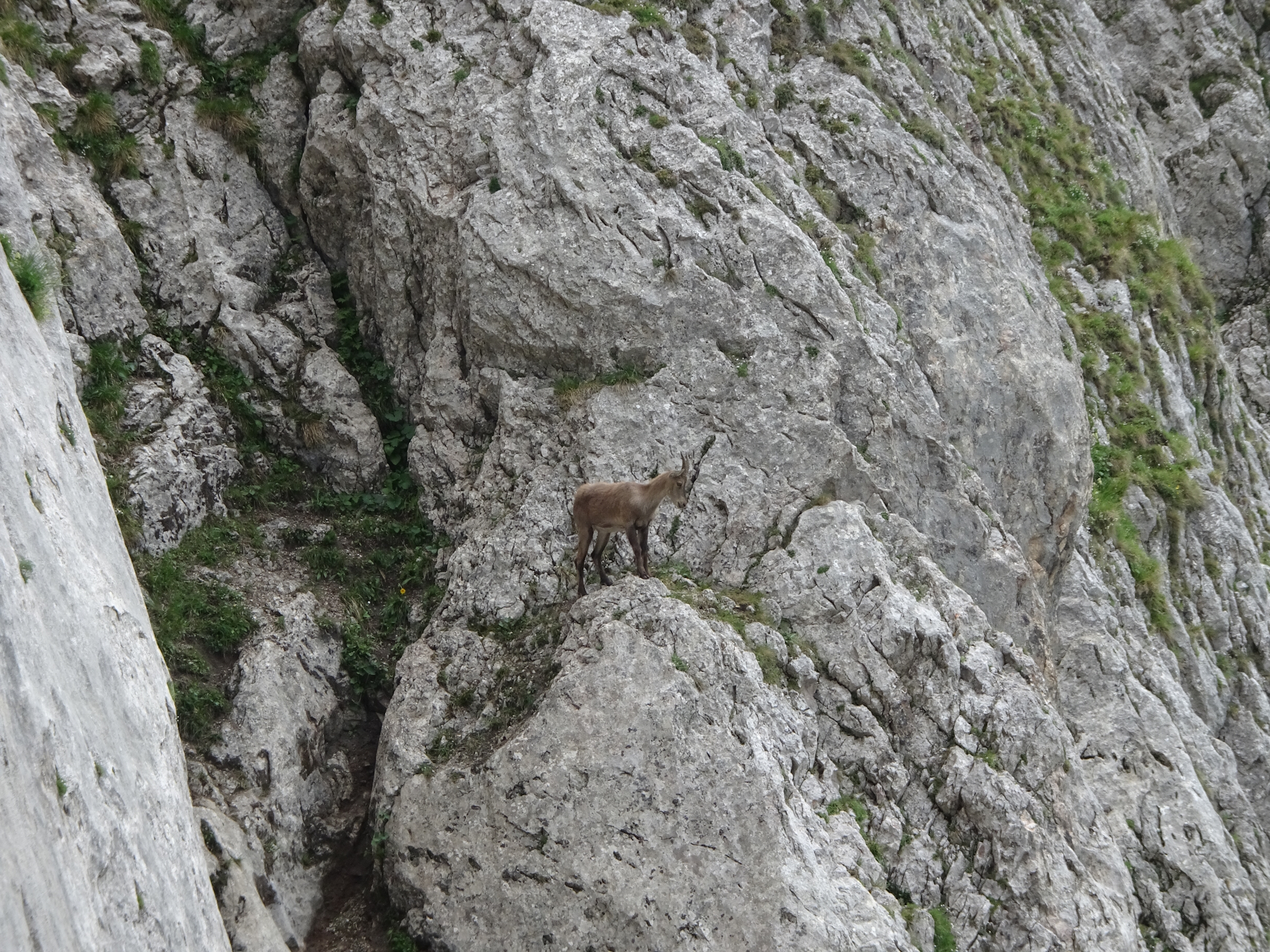
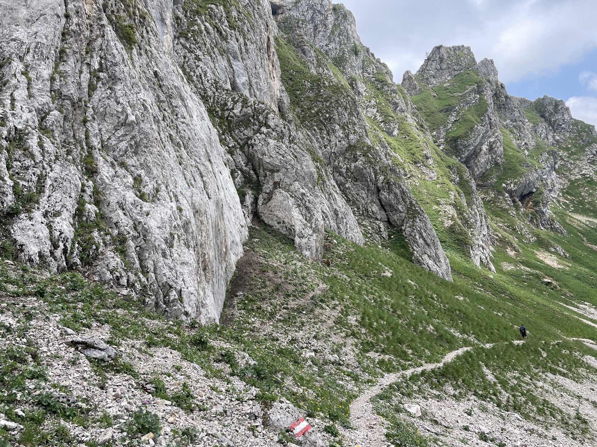
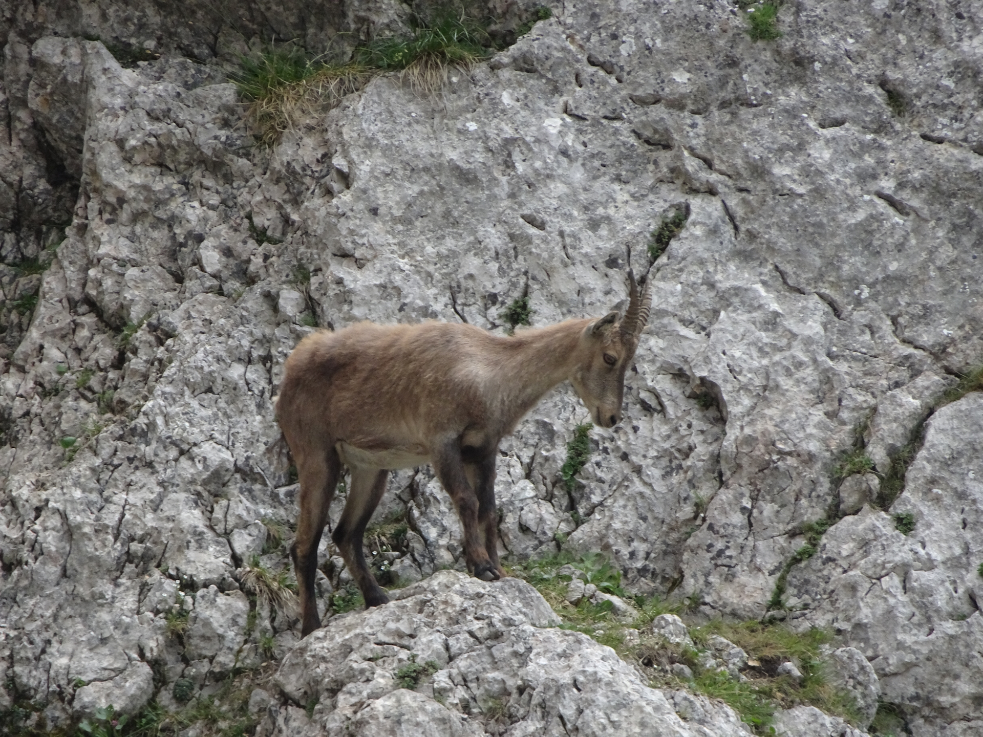
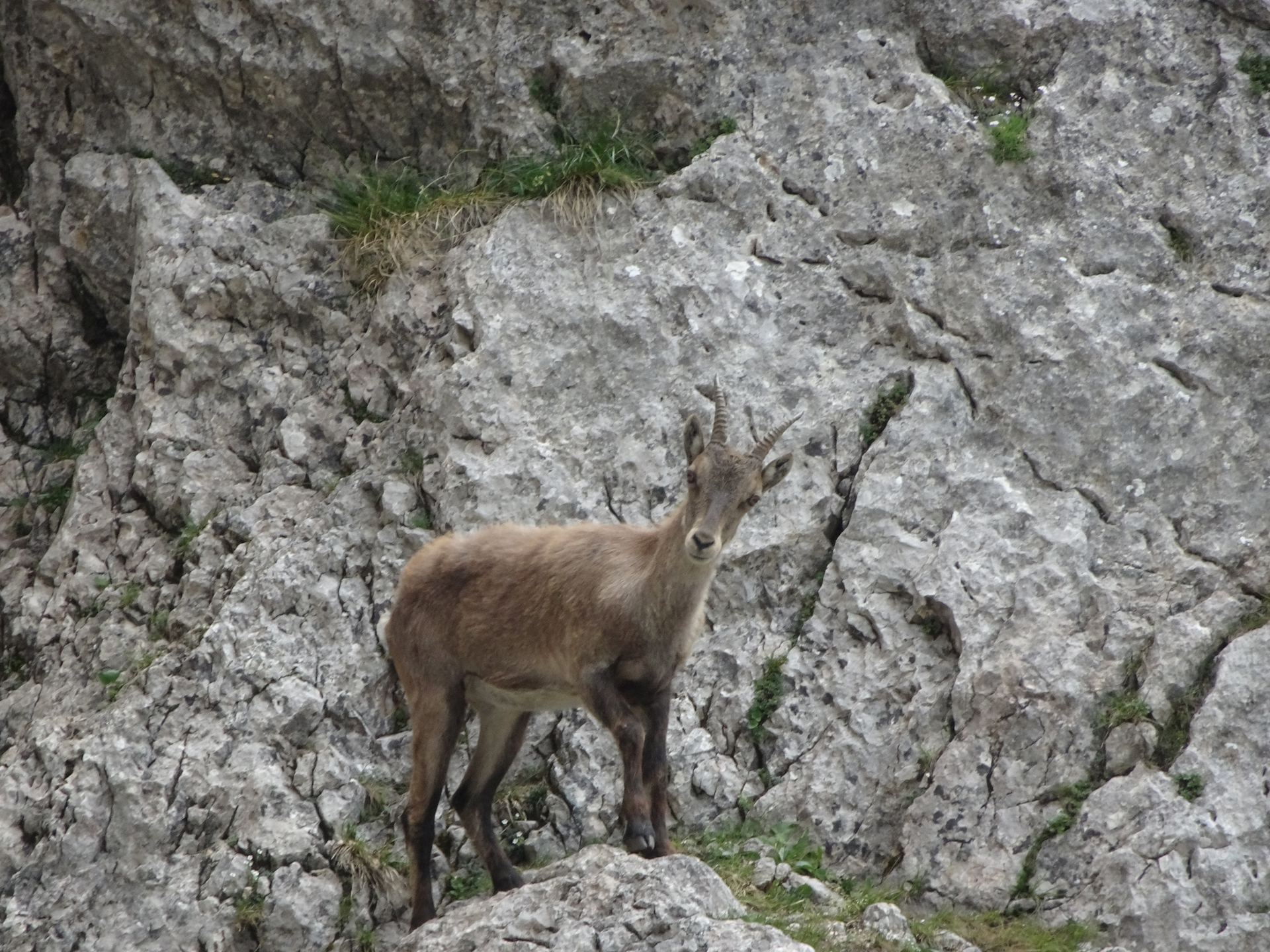
After a well-spent time in the hut having good lunch, one or two beers and getting the stamp we continued the trail and descended down, first to the Reichenhals. From there the tour became a bit tricky due to the loose gravel and its steepness and also the humid fog did not help either regarding good grip. However we managed and due to the fact that we were more or less the only ones doing this trail, we again got rewarded by meeting the real inhabitants… a flock of mountain-goats with their youngers.
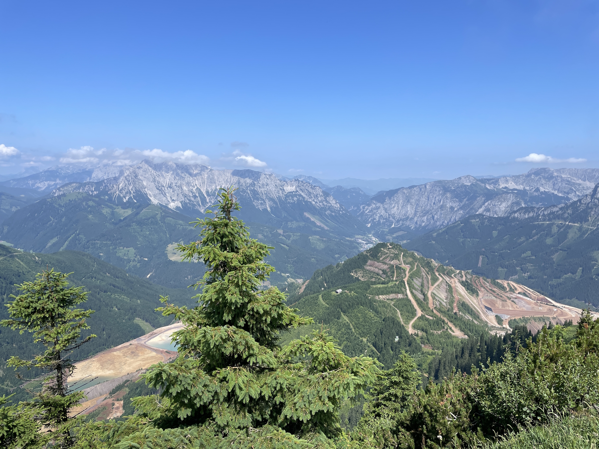
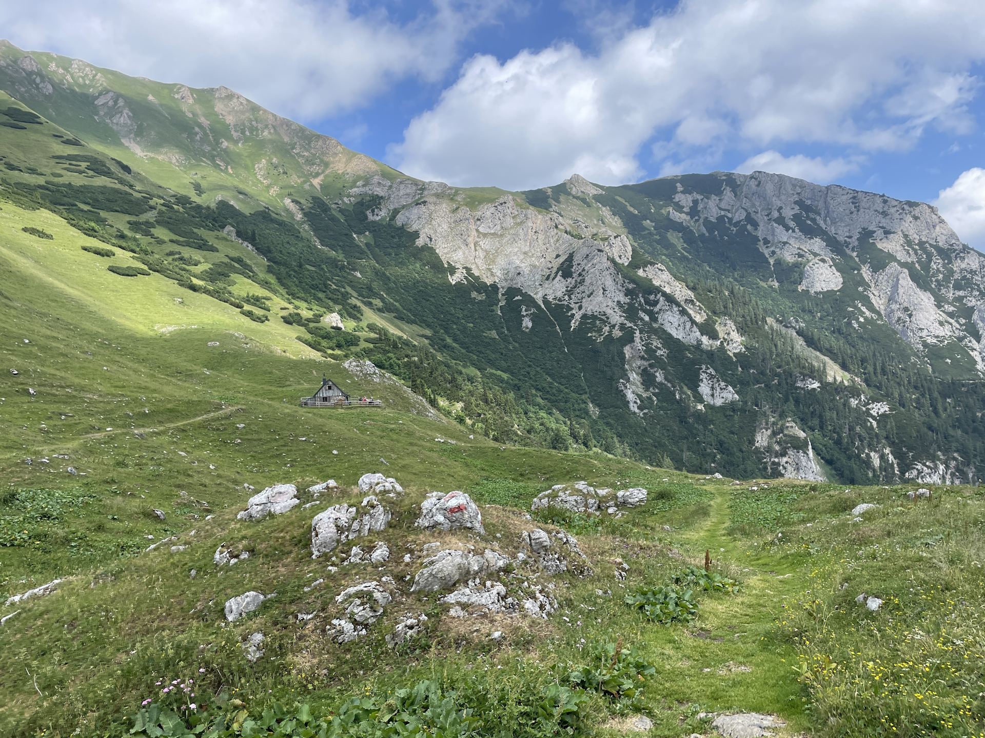
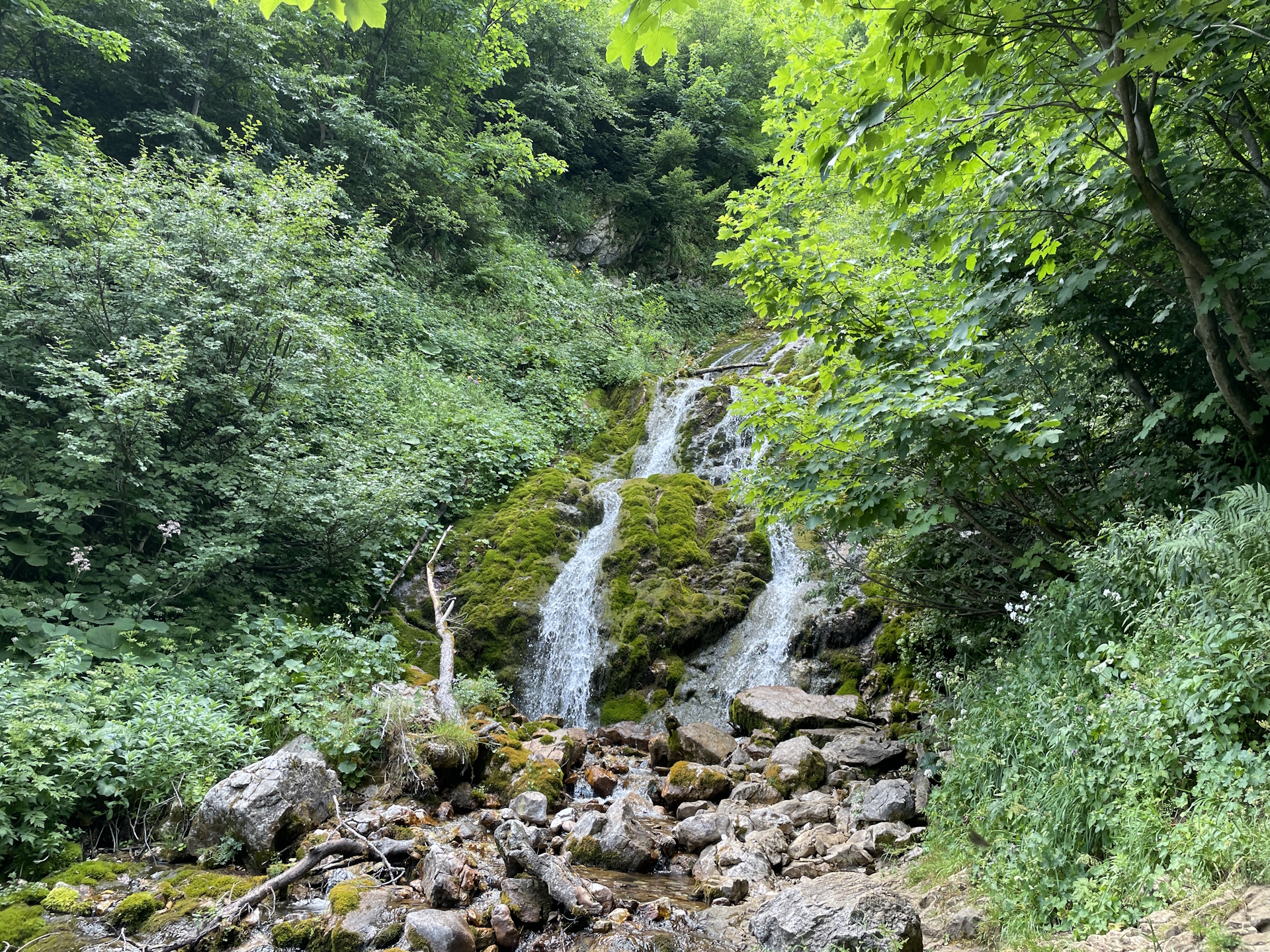
After passing the Krumphals, the trail again becomes extremely scenic. The view down to the beautiful Krumpsee lake surrounded by impressive mountains and the view down to the valley is simply stunning. Once at the Krumpalm, the trail gets a lot easier but still offers the highlight of the Krumpfall water fall. The remaining trail is easy but not too exciting anymore. Once passing the Hirnalm, the trail follows first a gravel road (which is occupied by those who use the car to access the Hirnalm) and later by a paved road into the city of Trofaiach (Checkpoint).
As it was Saturday and I’ve planned to continue anyway later during the week from here, we skipped collecting the stamp on this day.
Summary:
This stage is again very nice and scenic. However, the ascent up to the Reichensteinhütte as well as the descent from Reichenhals towards Krumpalm requires a sure foot due to its exposure, steepness and sometimes loose ground. A tour that I strongly recommend, even as a day-trip outside the long-distance trail.
| 00:00 | Start at the bus station Präbichl Passhöhe. Follow the main street northwestward to the highest point of the pass. |
| 00:05 | At the pass, turn sharply left (U-turn) and follow the road back towards Präbichlerhof. |
| 00:15 | Bypass the Präbichlerhof and continue following the marked trail southwards (following the ski slope). |
| 00:30 | At the end of the ski slope, keep right and continue ascending via the red-white-red marked trail. |
| 01:00 | At the crossing, turn right and ascent up towards the the ridge. |
| 01:10 | Turn left and follow the marked and very scenic trail towards Reichenstein. |
| 01:20 | At the crossing, keep left for the more exciting alpine tour. You can optionally keep right for the easier tour (but be aware of counter-traffic on crowded days!). |
| 01:45 | Recommended detour: At the crossing, keep left and follow the trail up to the mountain top (see signpost). |
| 01:55 | Enjoy the view from the summit of Eisenerzeer Reichenstein. |
| 02:00 | Descend on the visible trail directly to the Reichensteinhütte (Checkpoint) hut. |
| 02:05 | Well-deserved lunch break () at the Reichensteinhütte. Don’t forget to collect your stamp !. |
| 03:00 | Follow the Theklasteig southwards. |
| 03:20 | At Reichenhals, turn left and now descend fairly steep towards Krumpalm (see signposts). |
| 04:00 | While bypassing Krumphals, enjoy the amazing view down to the Krumpalm and the Krumpensee lake. Continue following the tail downwards towards the lake. |
| 04:30 | Bypass the lake and keep straight at the crossing. If the Krumpalmhütte is open, optionally consider having a short break () there! |
| 04:45 | Have a look at the impressive waterfall and then continue following the marked trail downwards. |
| 05:10 | At the crossing, perform a U-turn and continue following the forest road downwards. |
| 05:15 | Pass by the Hirnalm. If serviced, you might consider a short break () here before doing the remaining and boring hike to Trofaiach. |
| 05:30 | After a short break, continue following the gravel road southwards to Trofaiach. |
| 05:40 | The gravel road leads into a paved road. Continue following the paved road southwards. |
| 06:30 | At the city border of Trofaiach/Hafning, just before the main road, keep straight and pass through below the bridge of the main road. Keep straight till reaching the Vordernberger Straße. |
| 06:32 | Turn right into Vordernberger Straße, follow it a few meters till reaching the bus station. End of the tour. |
| Area: | Erzberg-Leoben, Styria, Austria | |
| Distance: | 19km | |
| Ascent: | 993m (2h 10min) | |
| Descent: | 1514m (3h 00min) | |
| Highest Pt: | 2165m | |
| Lowest Pt: | 683m | |
| Duration: | 5h 20min (without breaks) 6h 30min (with breaks) |
|
| Stop/Rest: | Präbichlerhof (1268m) Reichensteinhütte (2128m) Hirnalm (938m) |
|
| Equipment: | Backpack with standard hiking equipment Comfortable hiking shoes Snacks, and plenty of water Sun & Weather protection Camera |
| Download GPX | ||
| O | Tour at outdooractive.com |
At a glance
| Level | medium-difficult |
| Technique | |
| Shape / Fitness | |
| Experience | |
| Scenery | |
| Best time in the year | |
|
Jan
Feb
Mar
Apr
May
Jun
Jul
Aug
Sep
Oct
Nov
Dec
|
|
Leave a Reply