
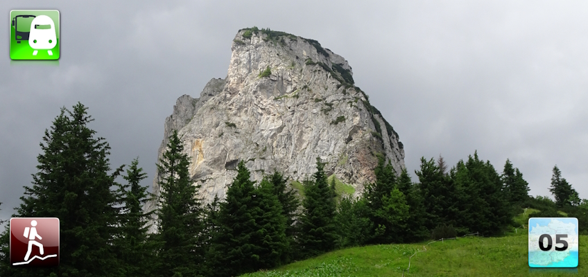
Fourteenth stage of the Nord-Süd-Weitwanderweg 05 starting from Sonnschienalm being accessed from Tragöß and then towards Präbichl.
 |
The North-South-Long-Distance trail (Nord-Süd-Weitwanderweg, also known as the “05”) starts in the north of Austria at Nebelstein and ends in the south of Austria at Eibiswald. The trail is ~500km long, ~18 000m in ascent and the same amount in descent. The trail was initiated by Carl Hermann and officially established on the 25th September 1970. The trail is separated into 3 parts:
It normally takes 3 weeks to complete the entire trail. |
The here presented tour is a variant of the fourteenth stage of the Nord-Süd-Weitwanderweg 05 where the long hiking trail starts at Sonnschienalm but being accessed from Tragöß.
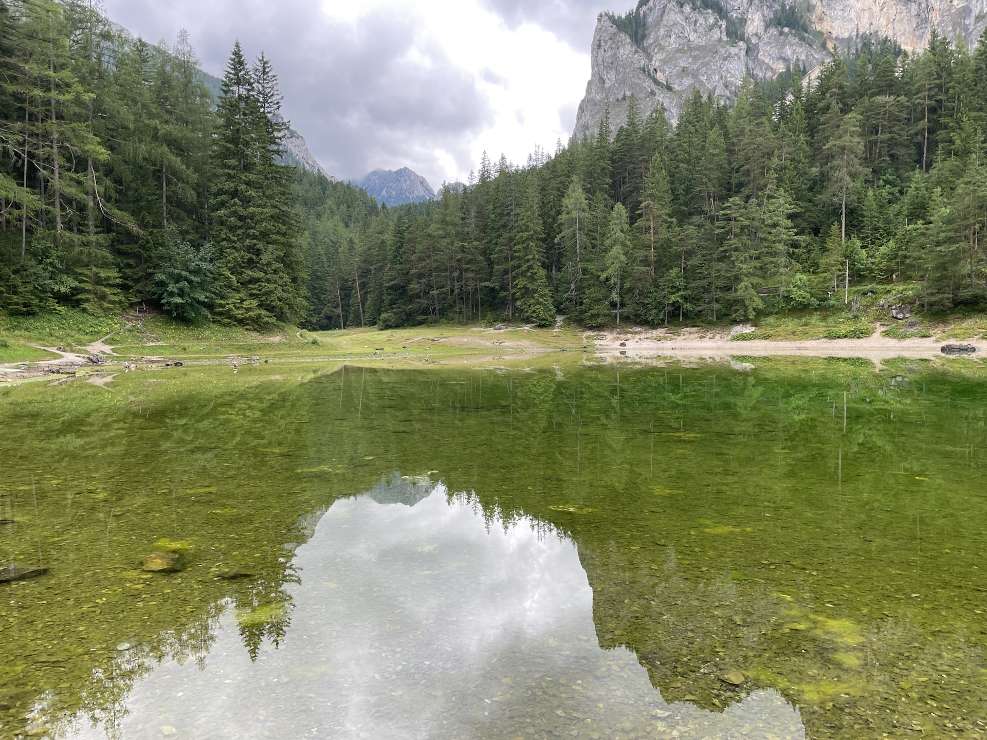
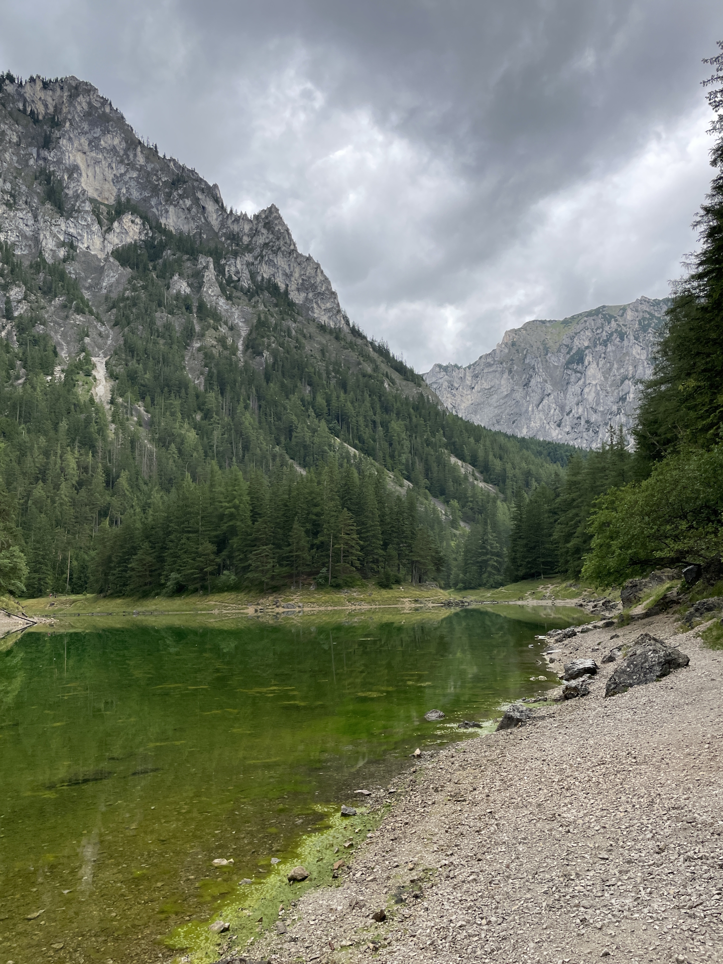
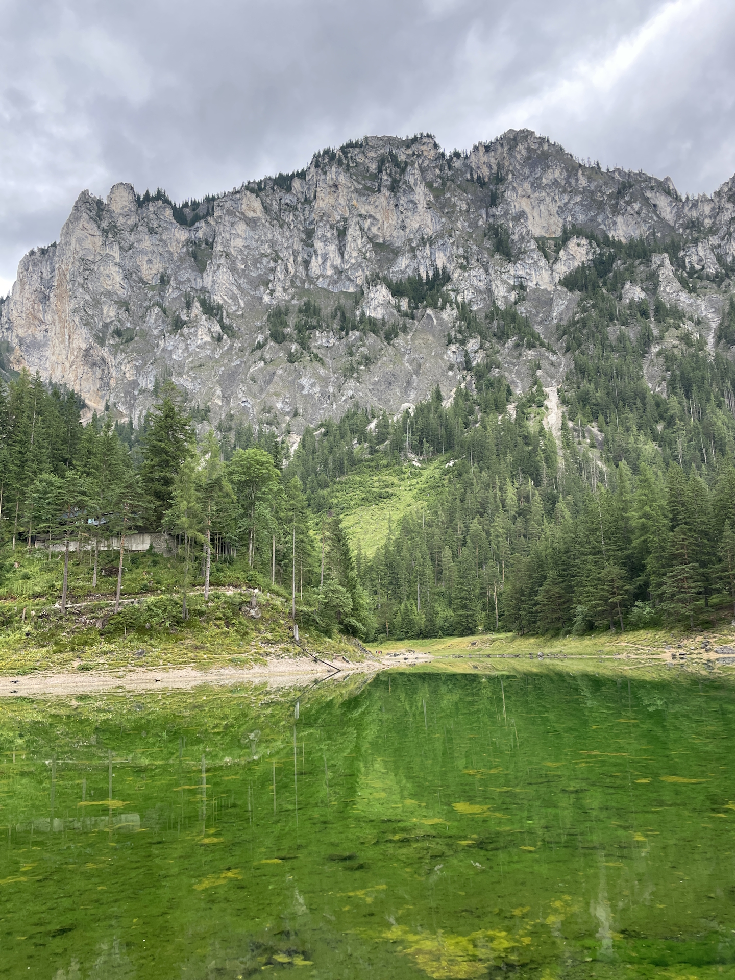
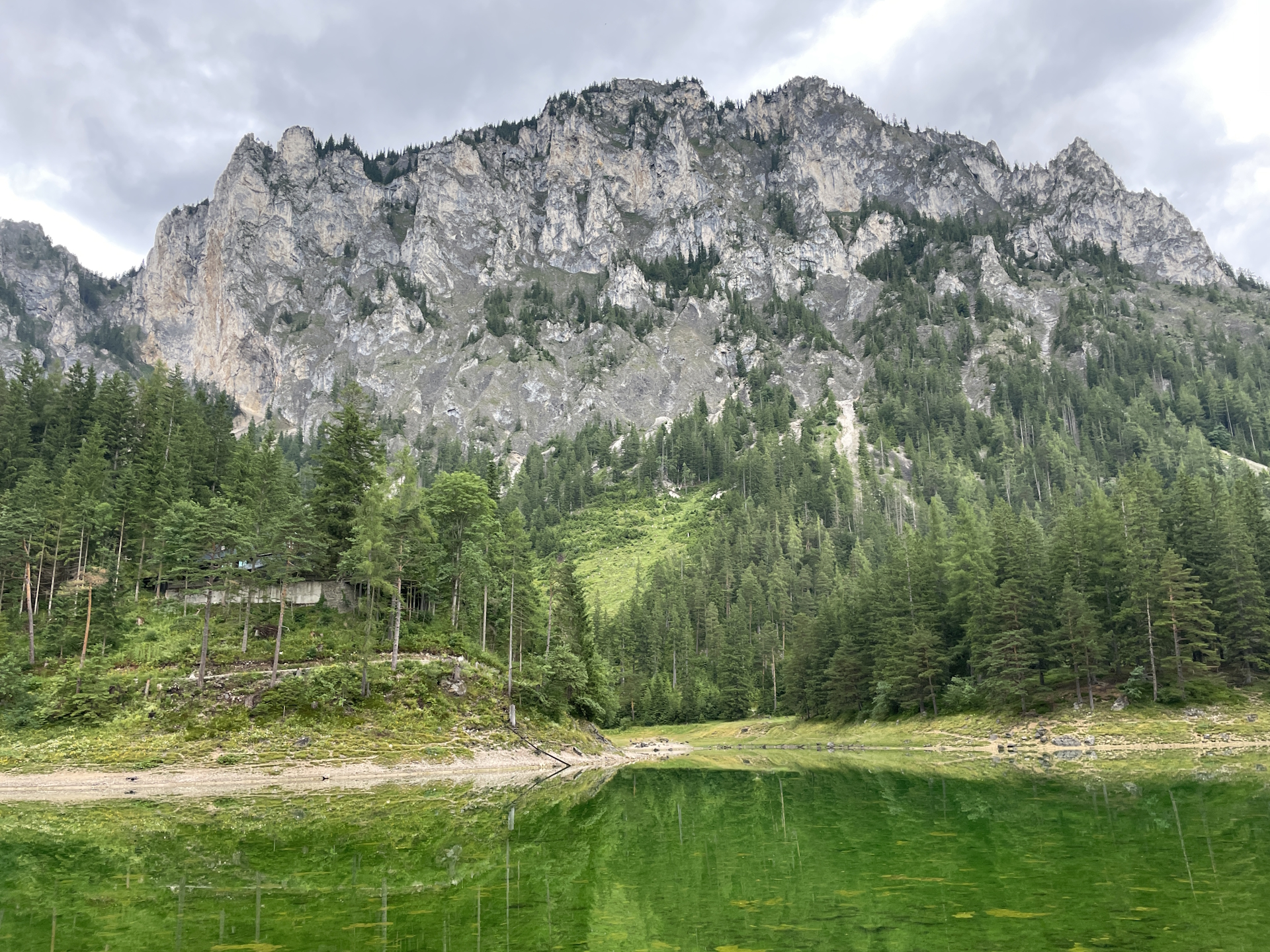
The tour starts at the bus station in Tragöß-Oberort Grüner See and first follows the Russenstraße bypassing the beautiful nature jewel Grüner See (green lake) up to the Sonnschienalm.
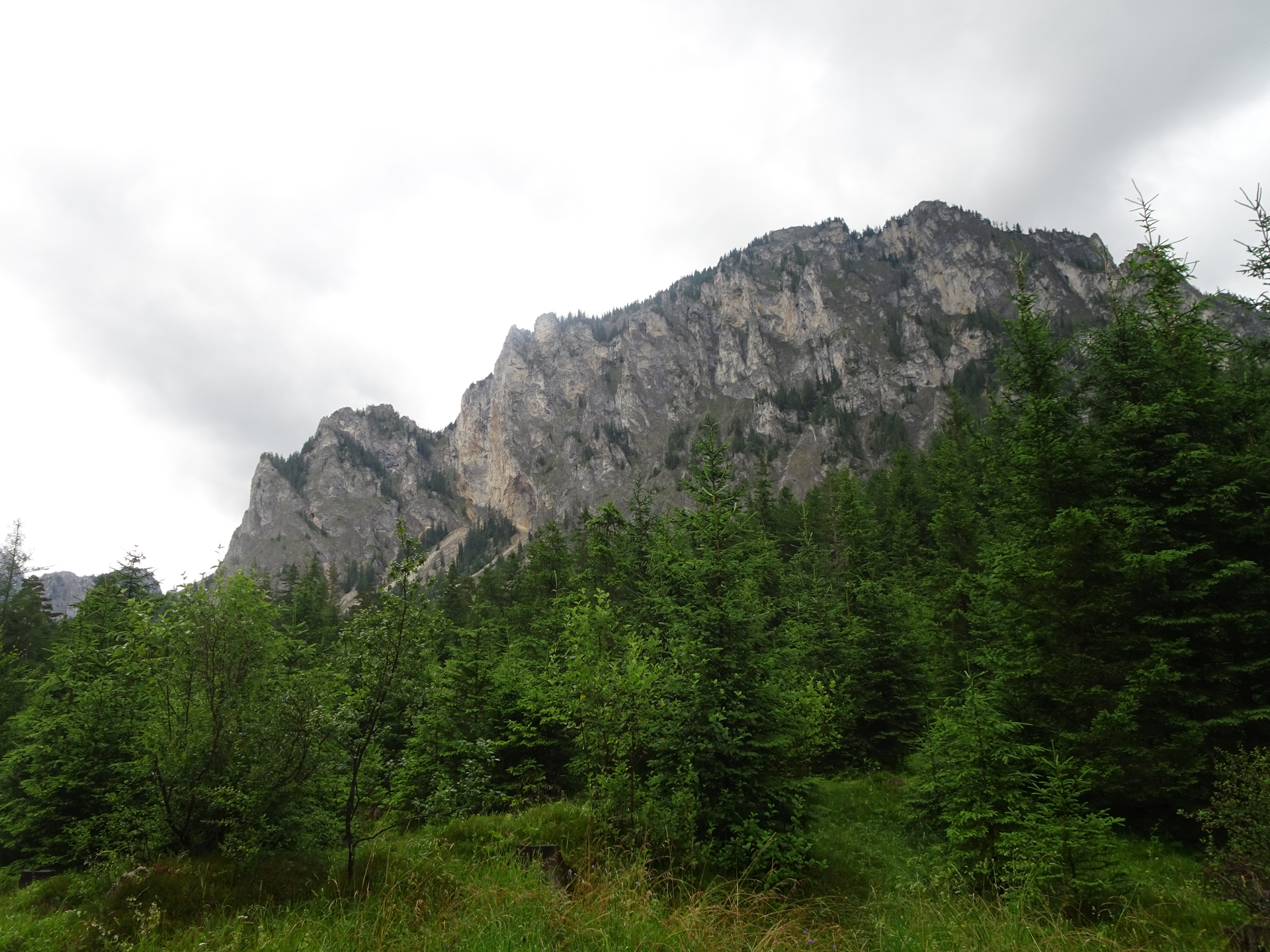
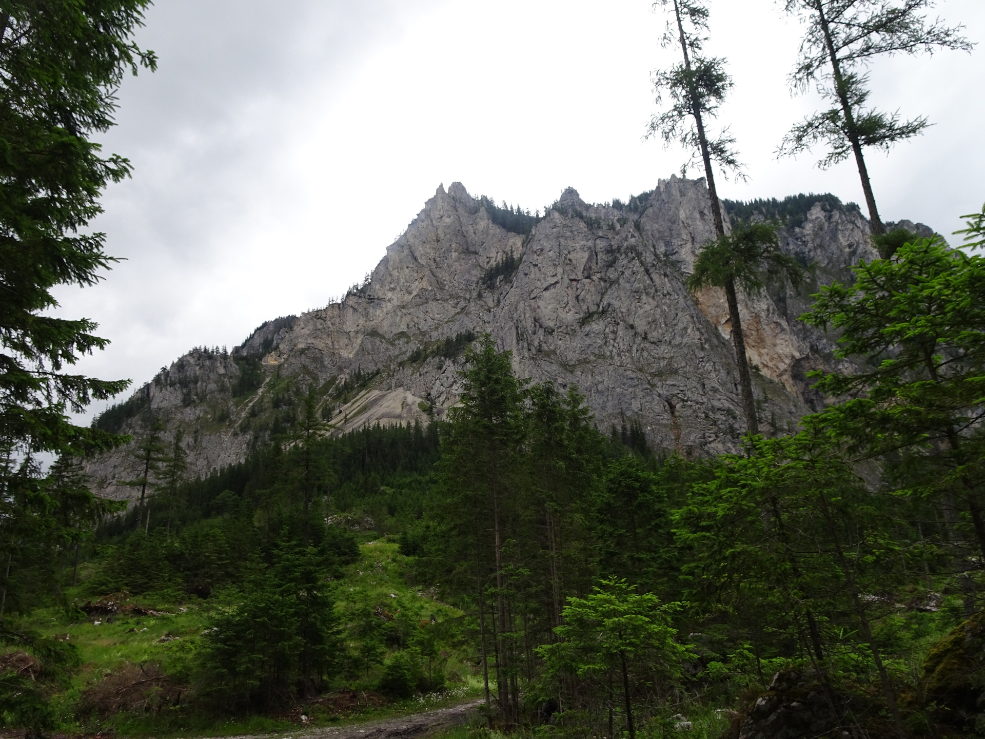
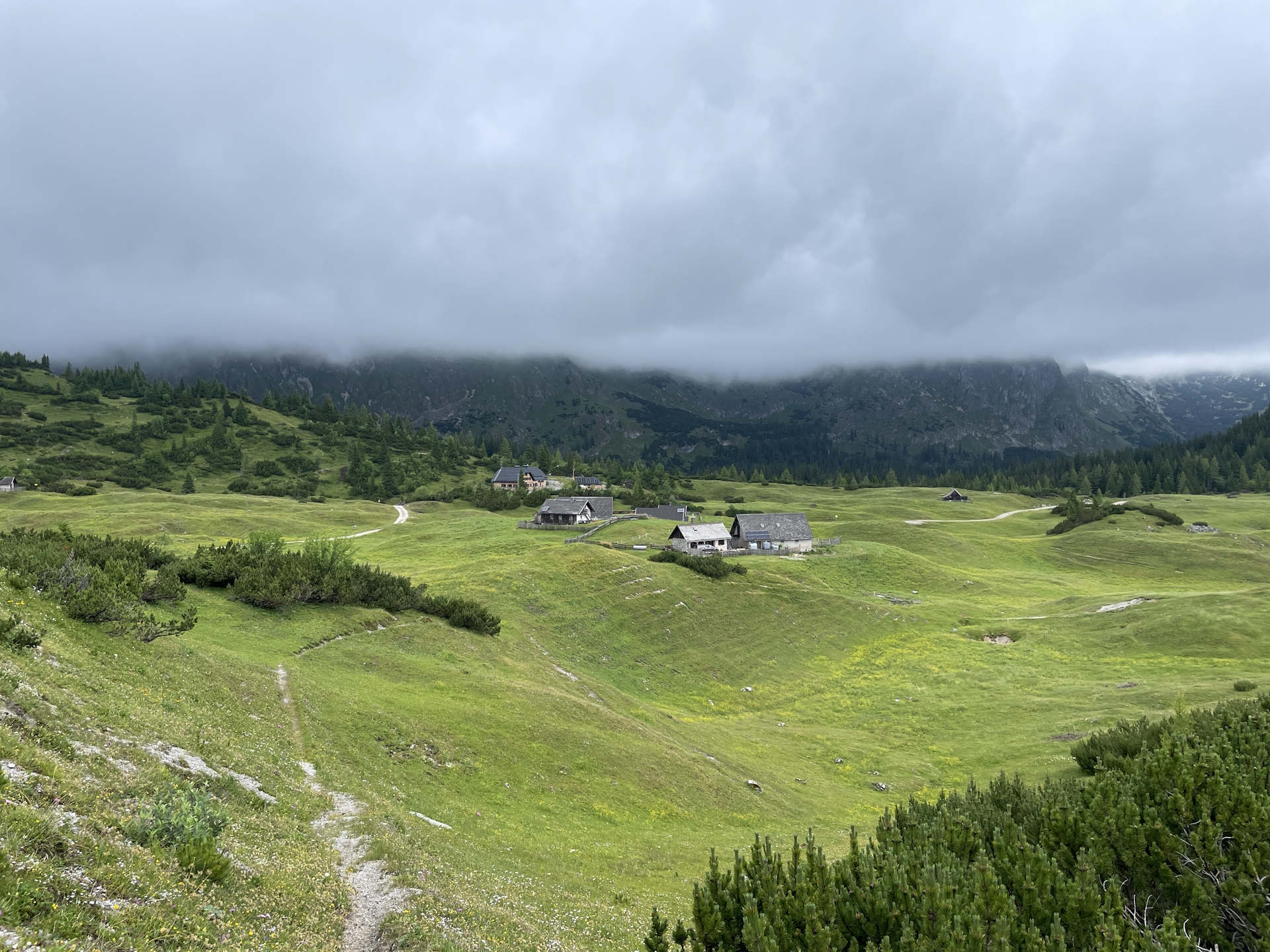
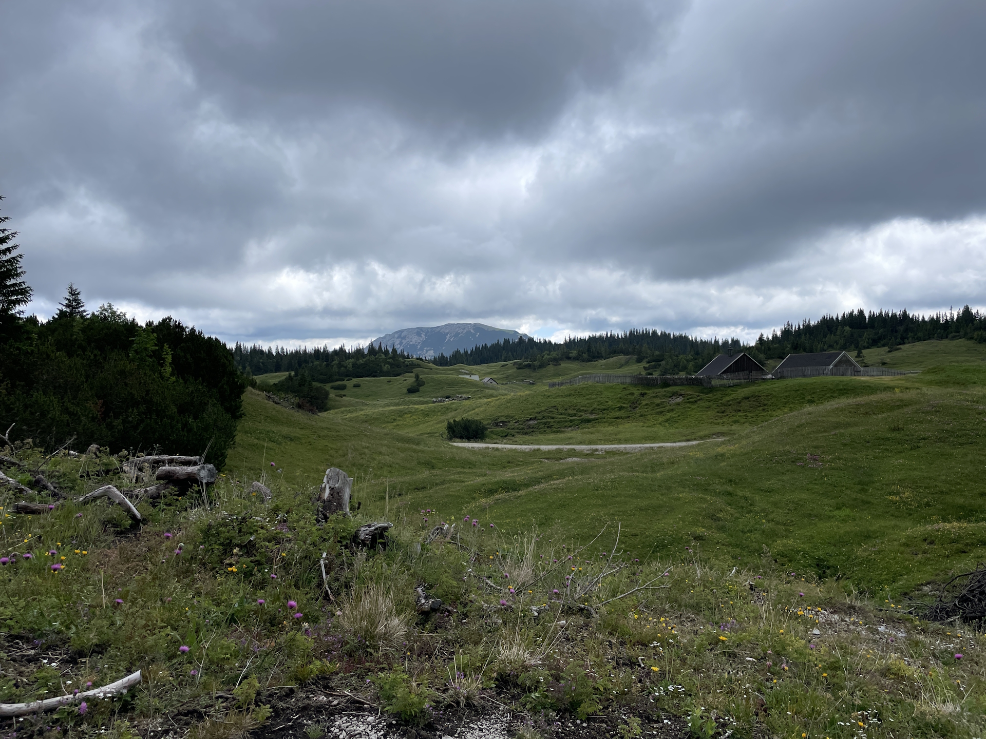
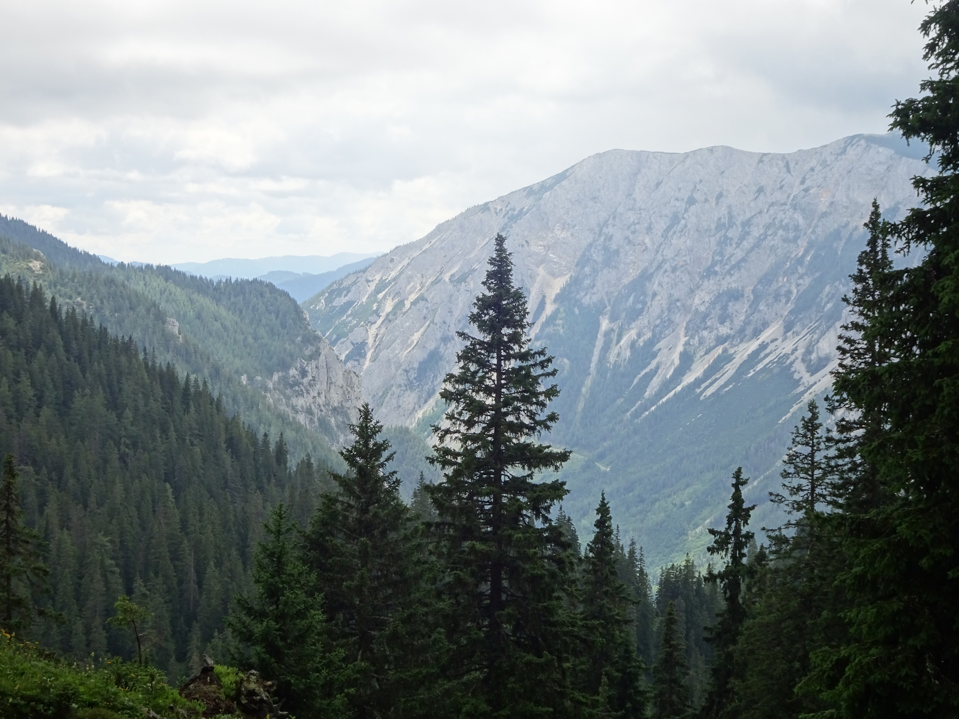
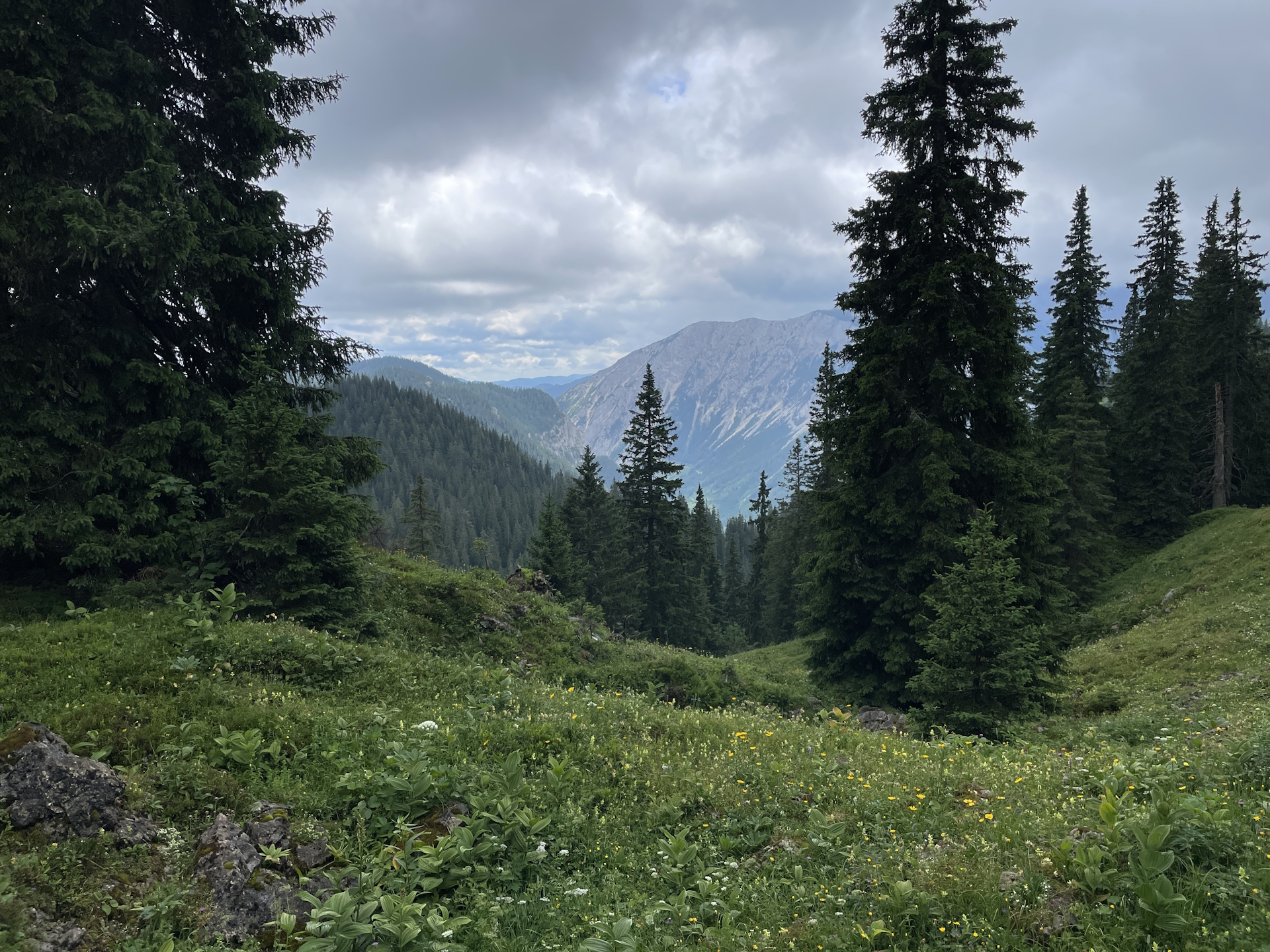
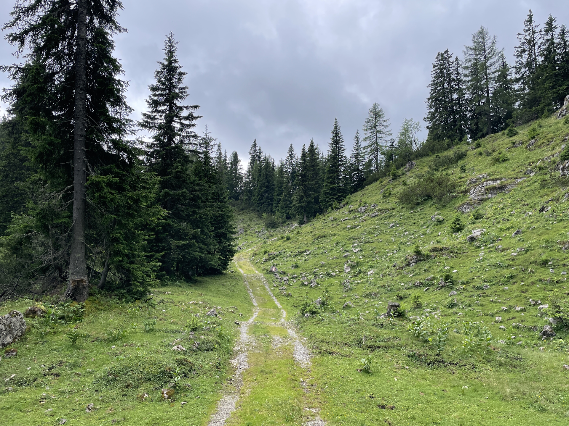
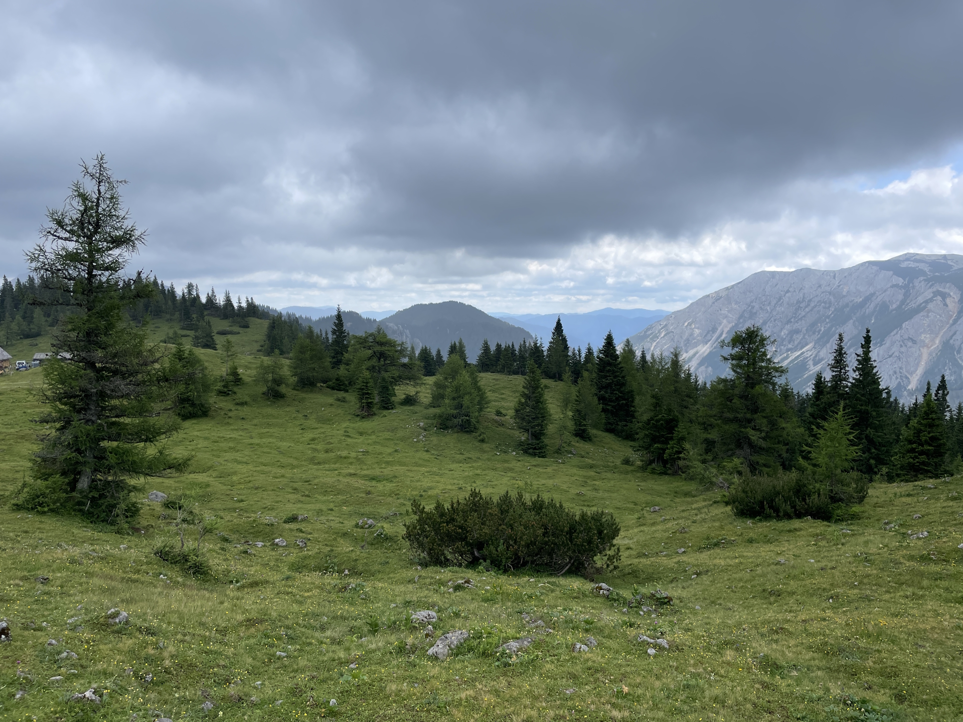
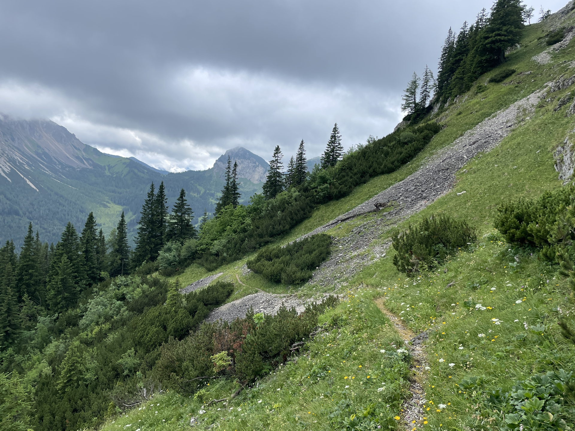
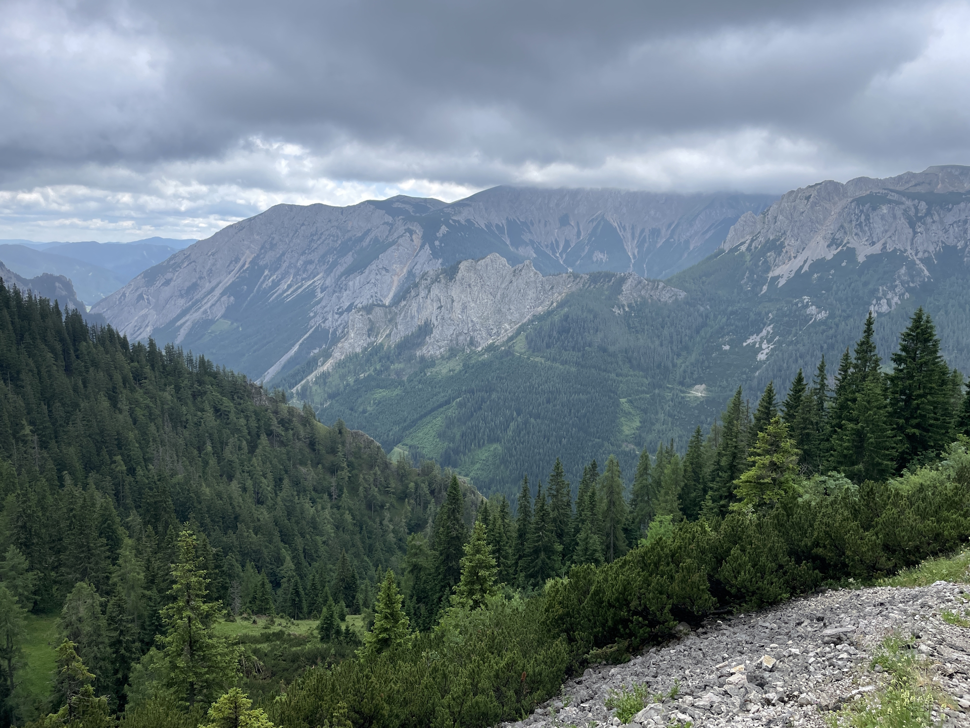
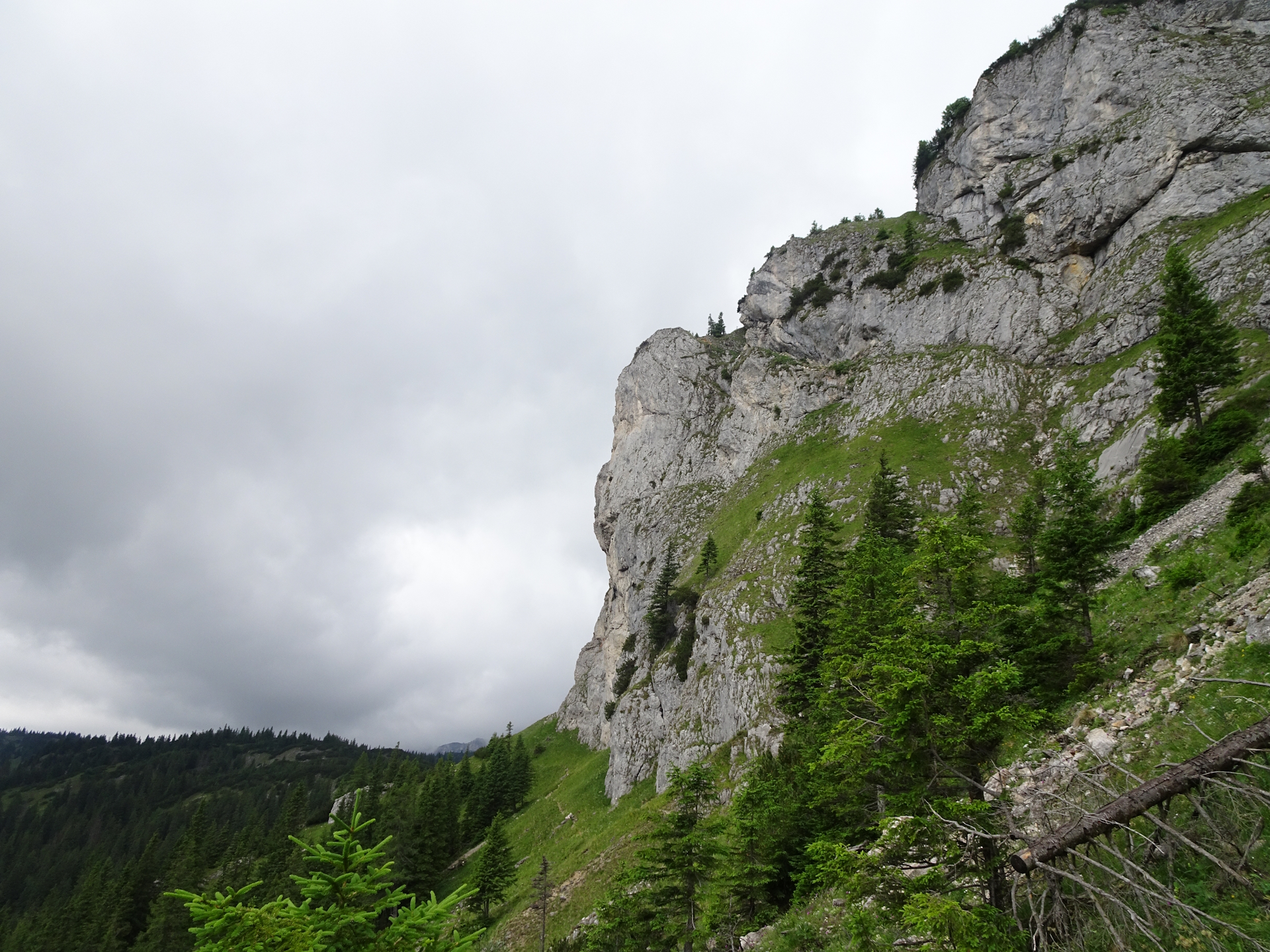
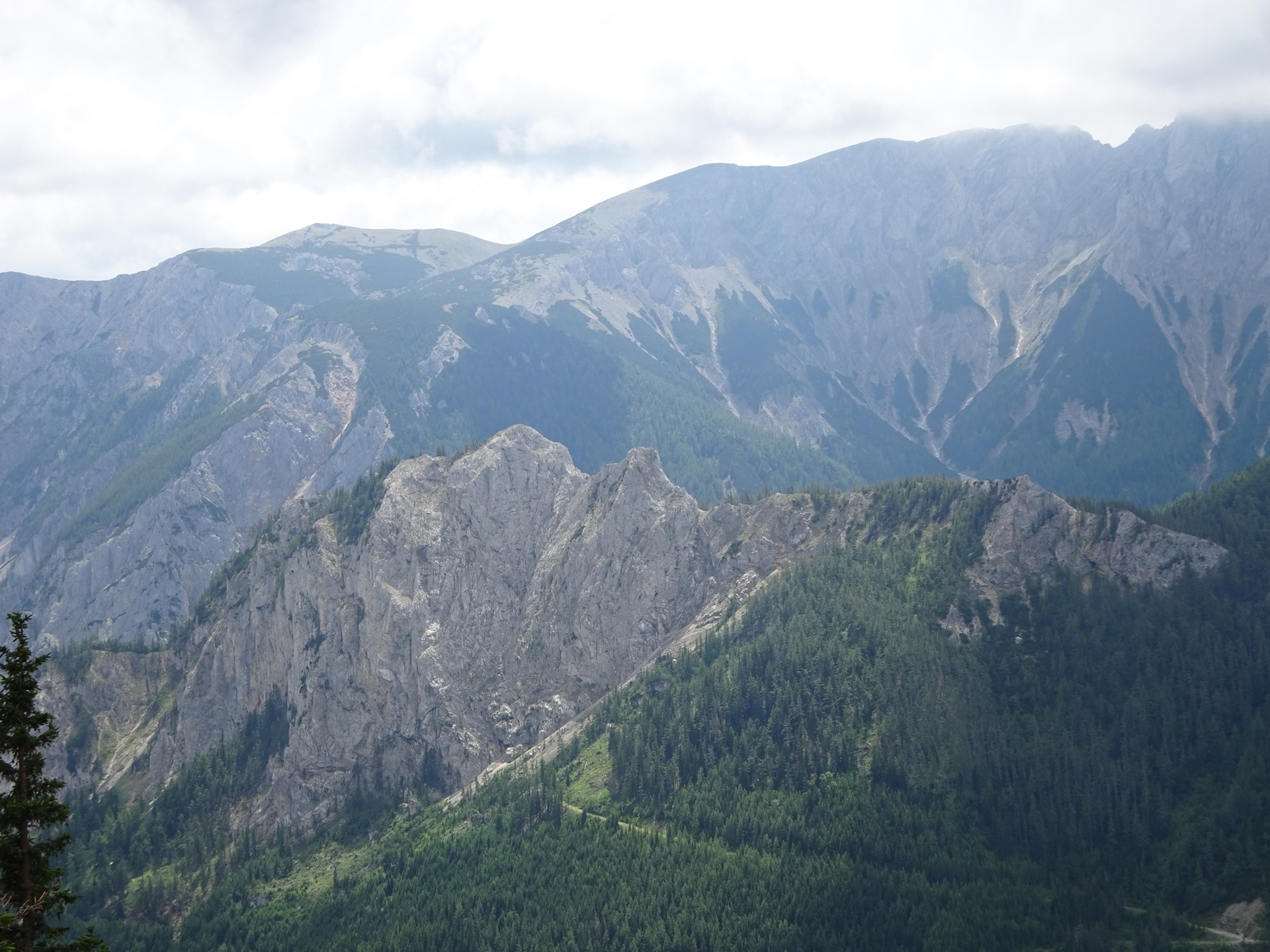
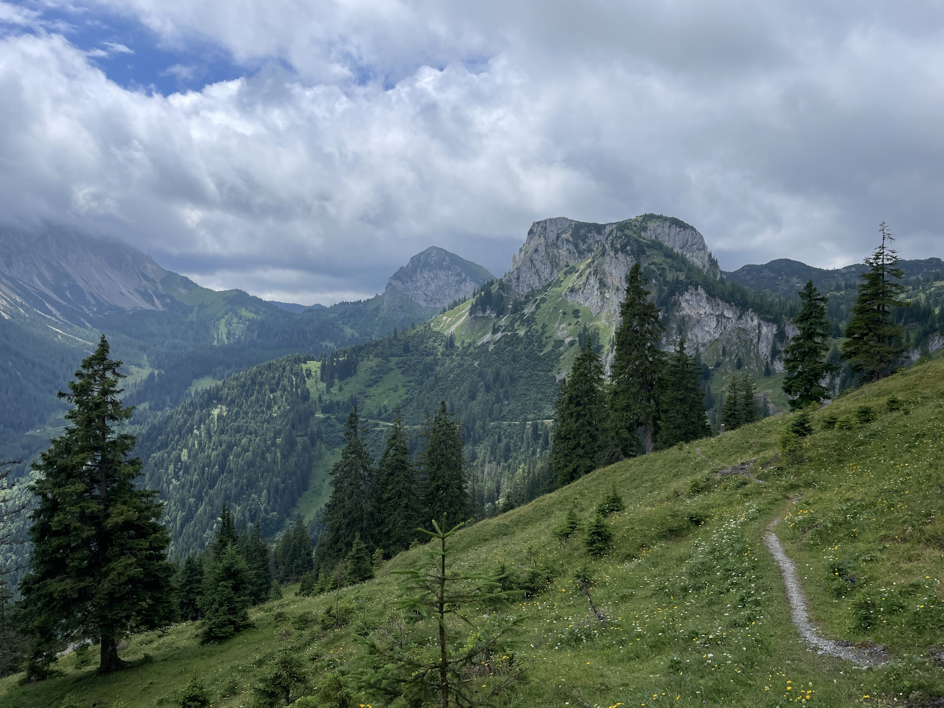
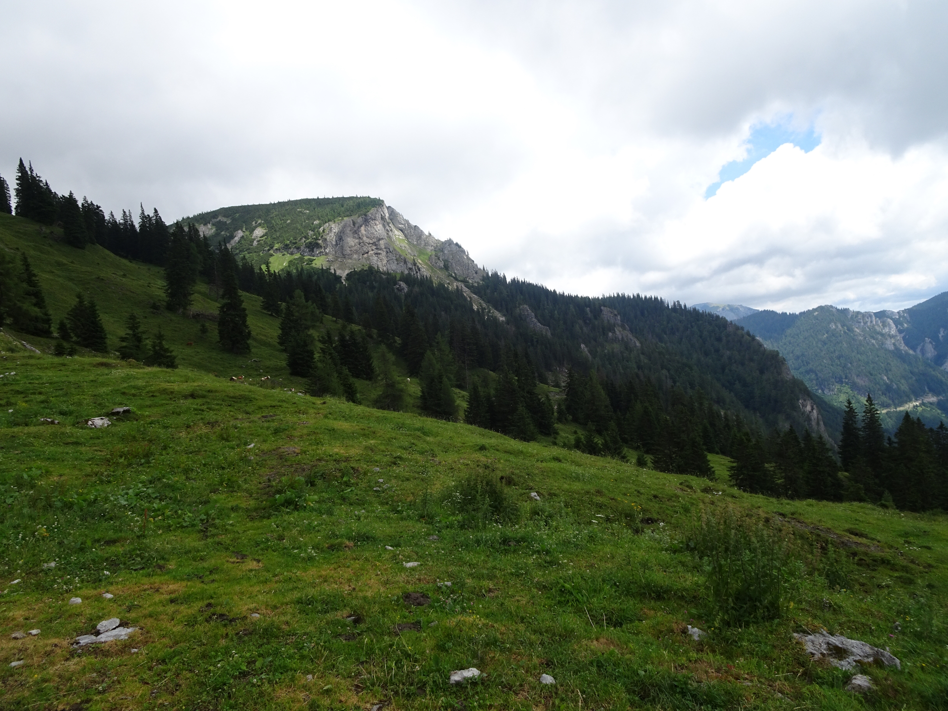
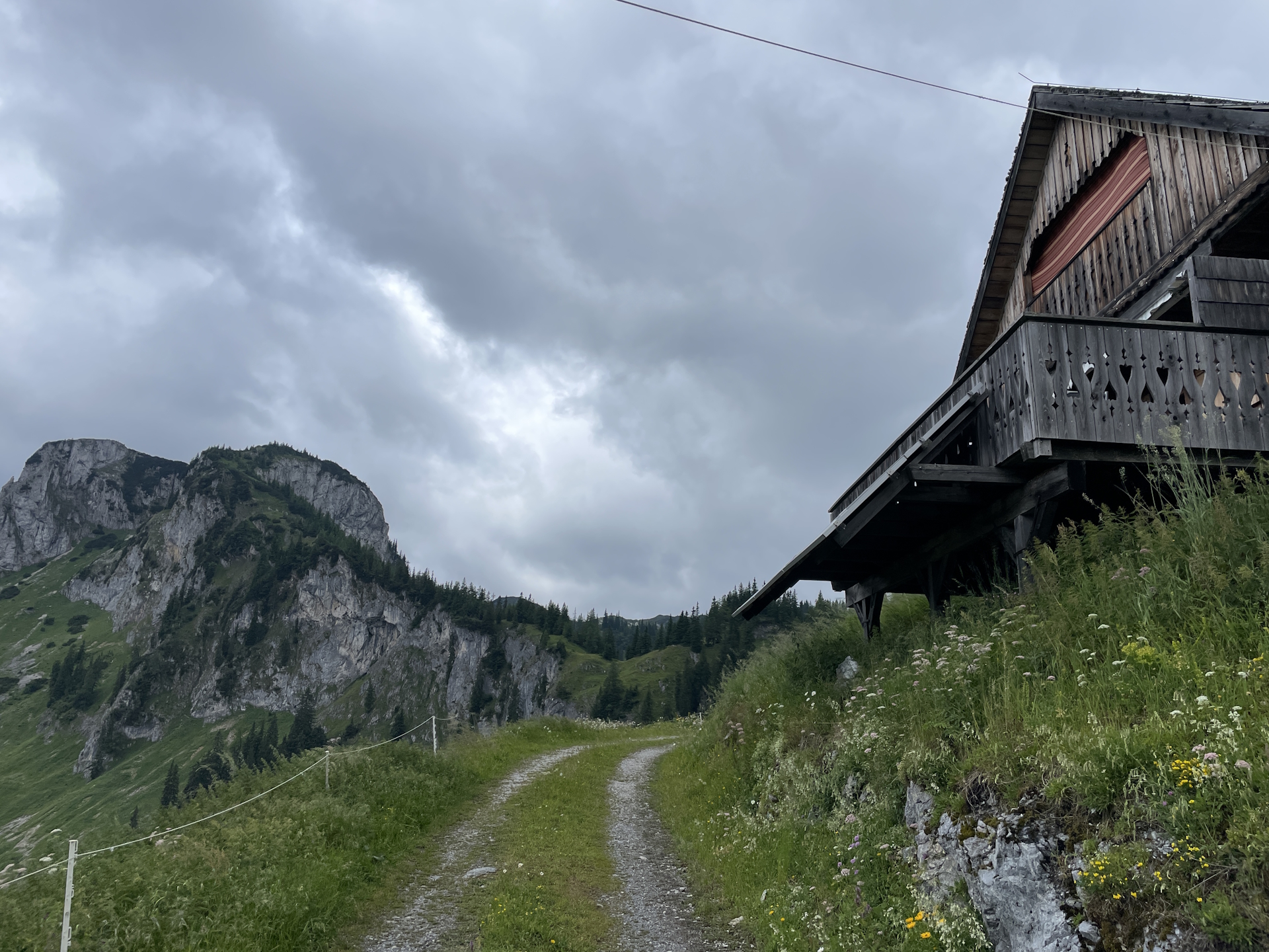
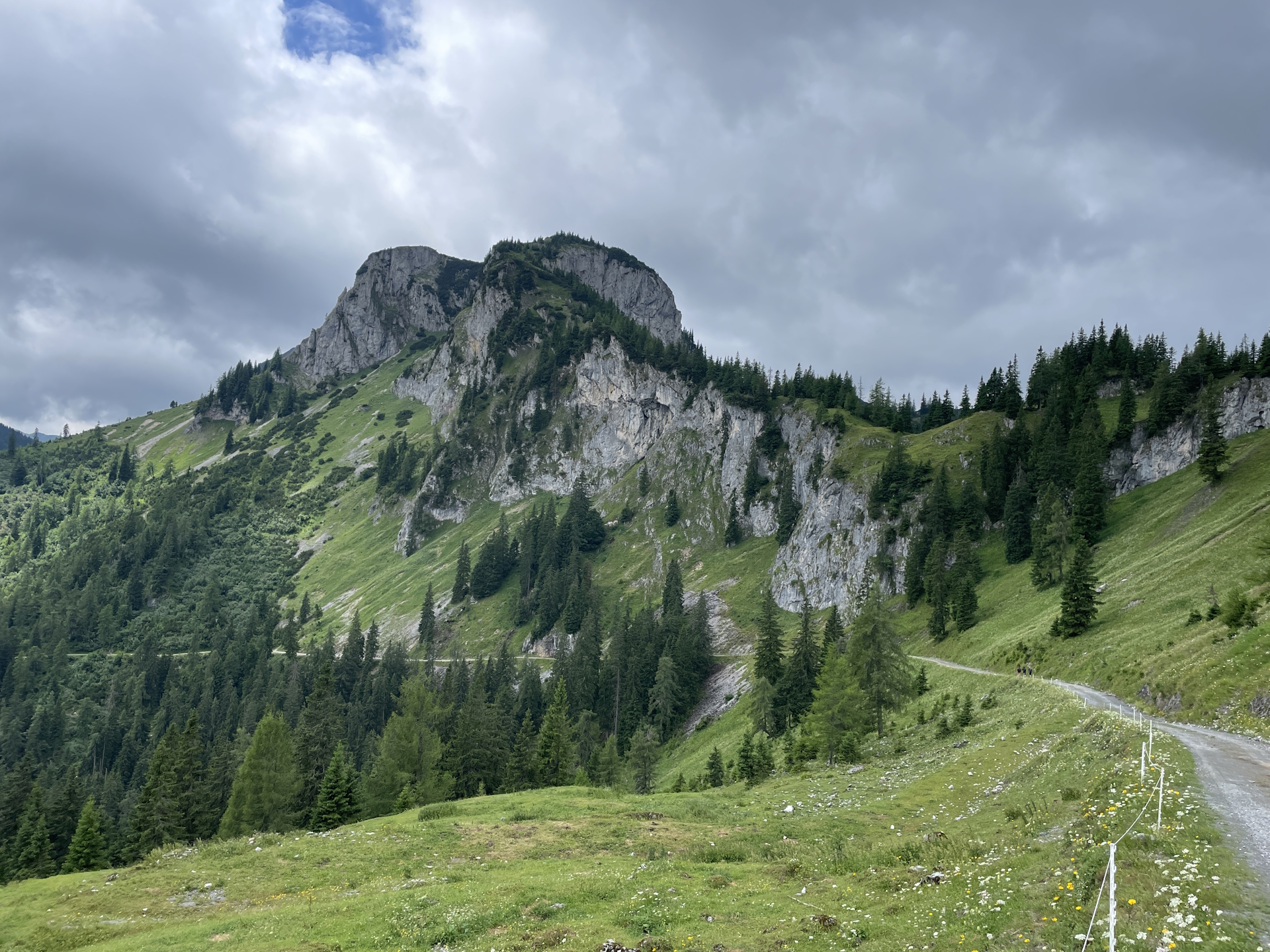
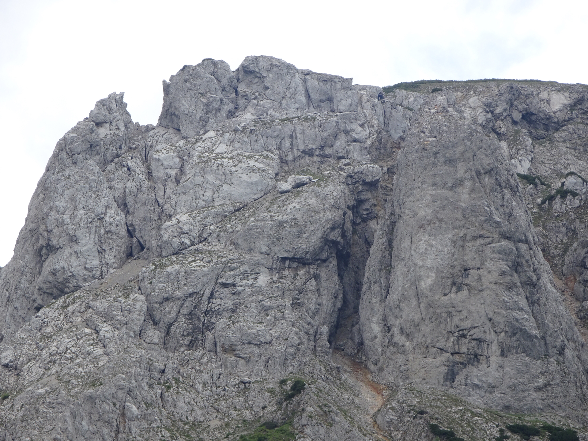
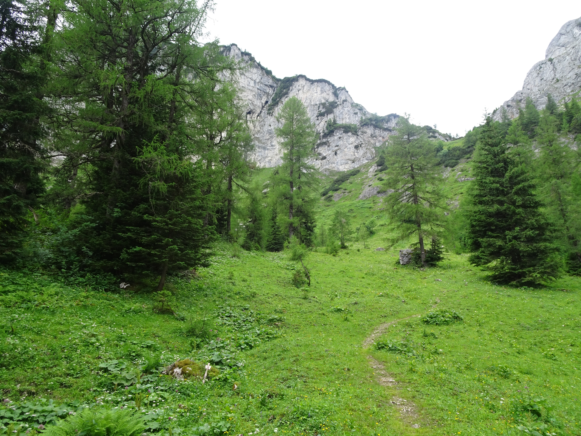
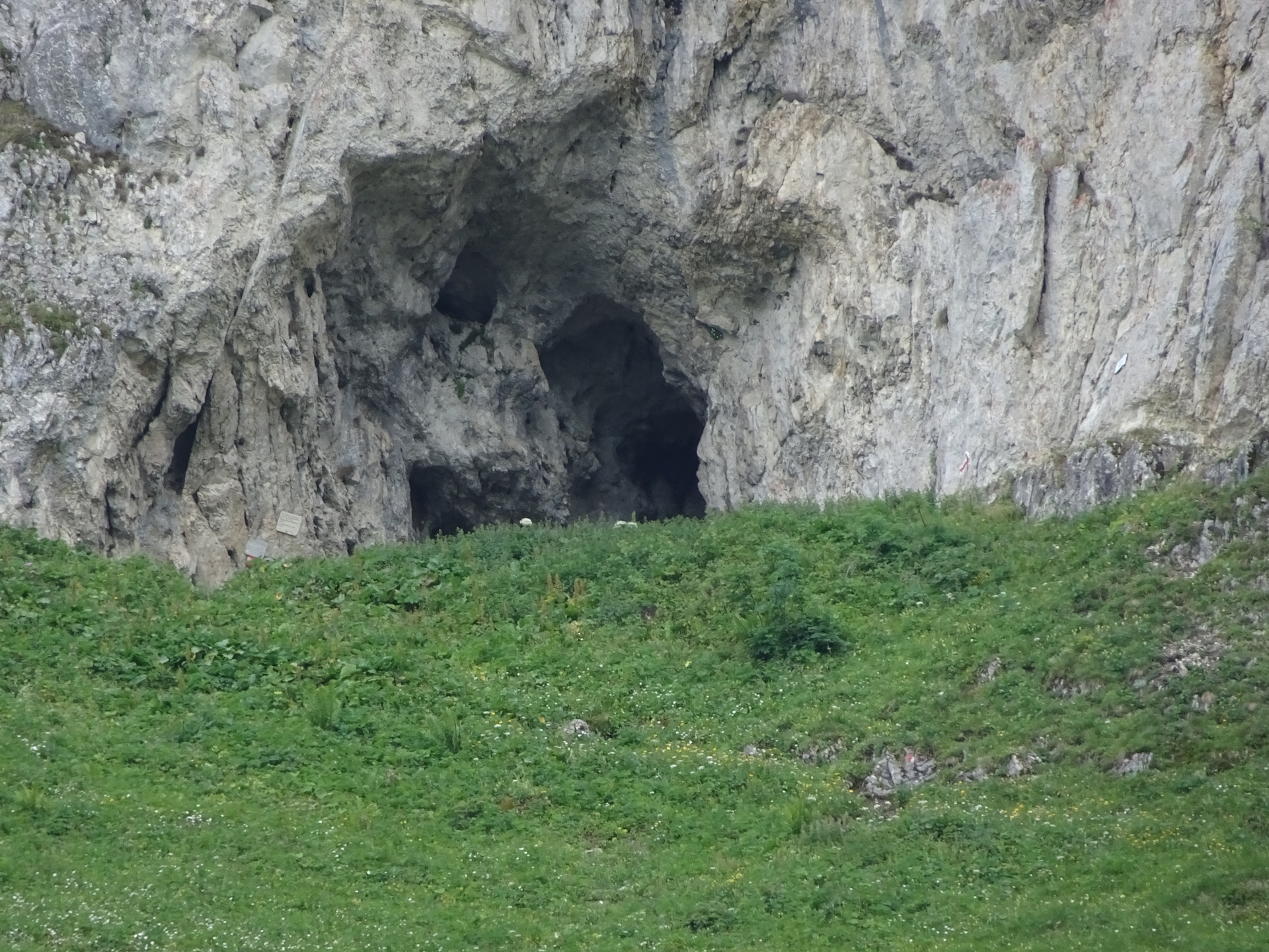
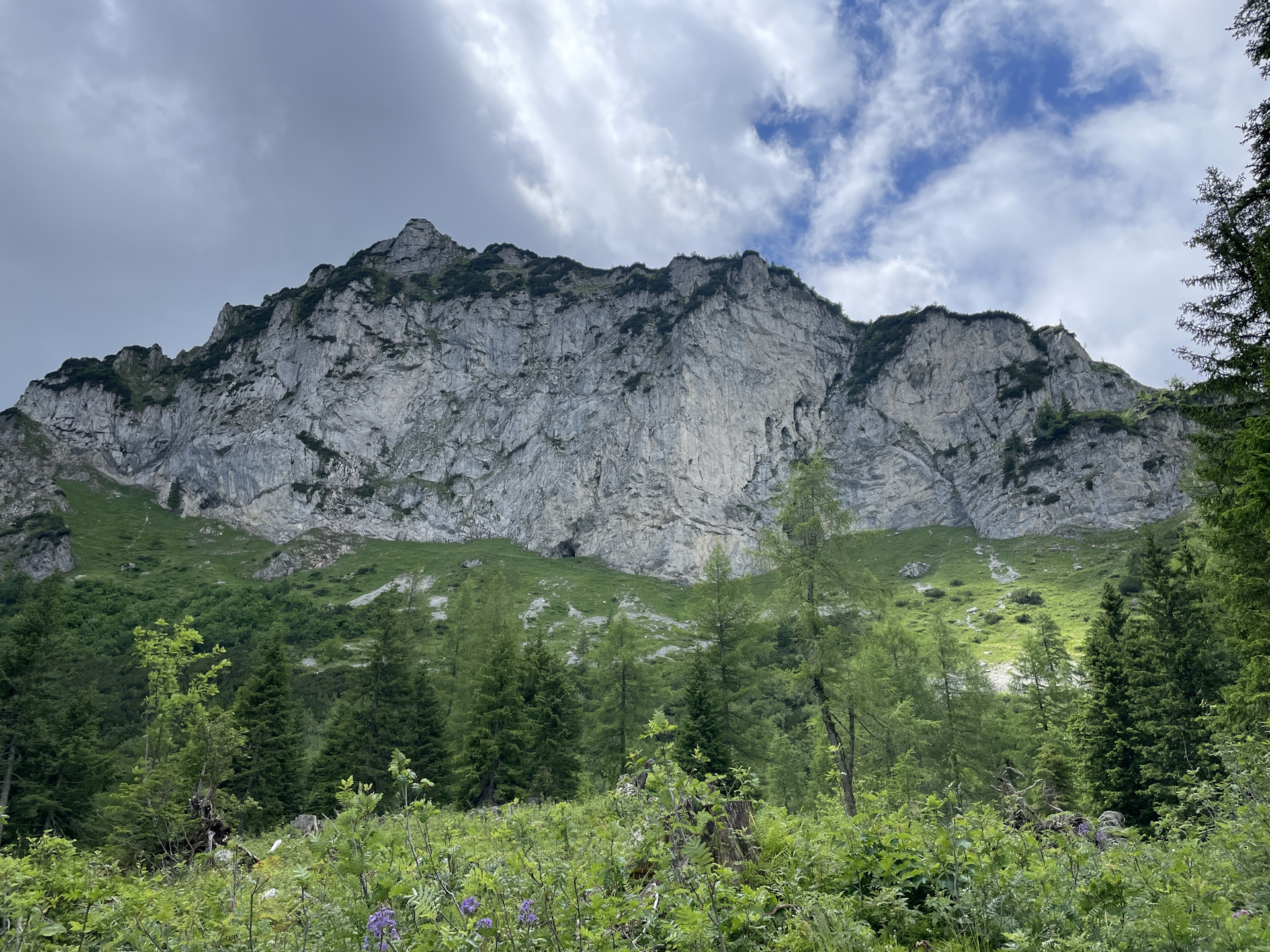
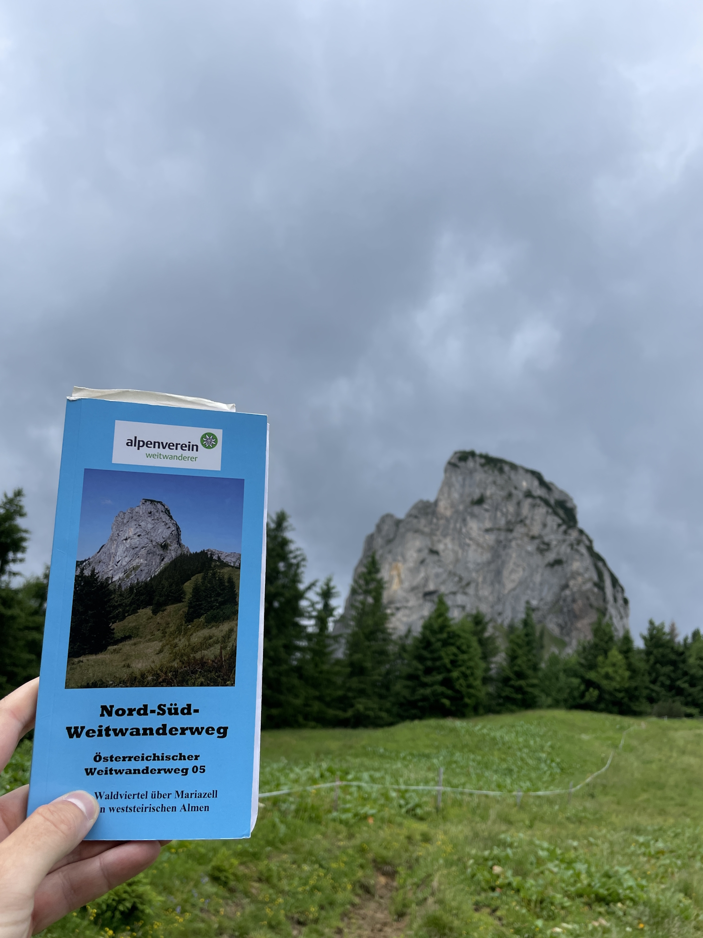
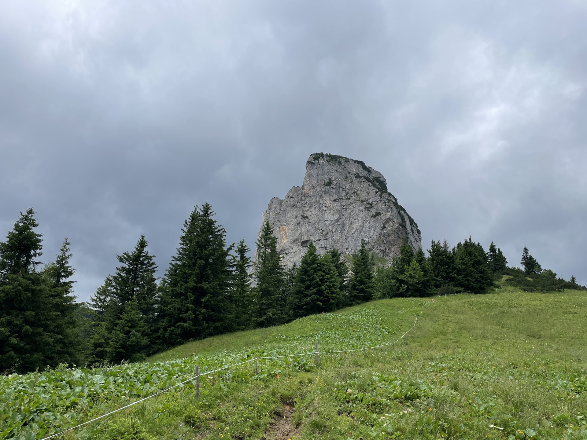
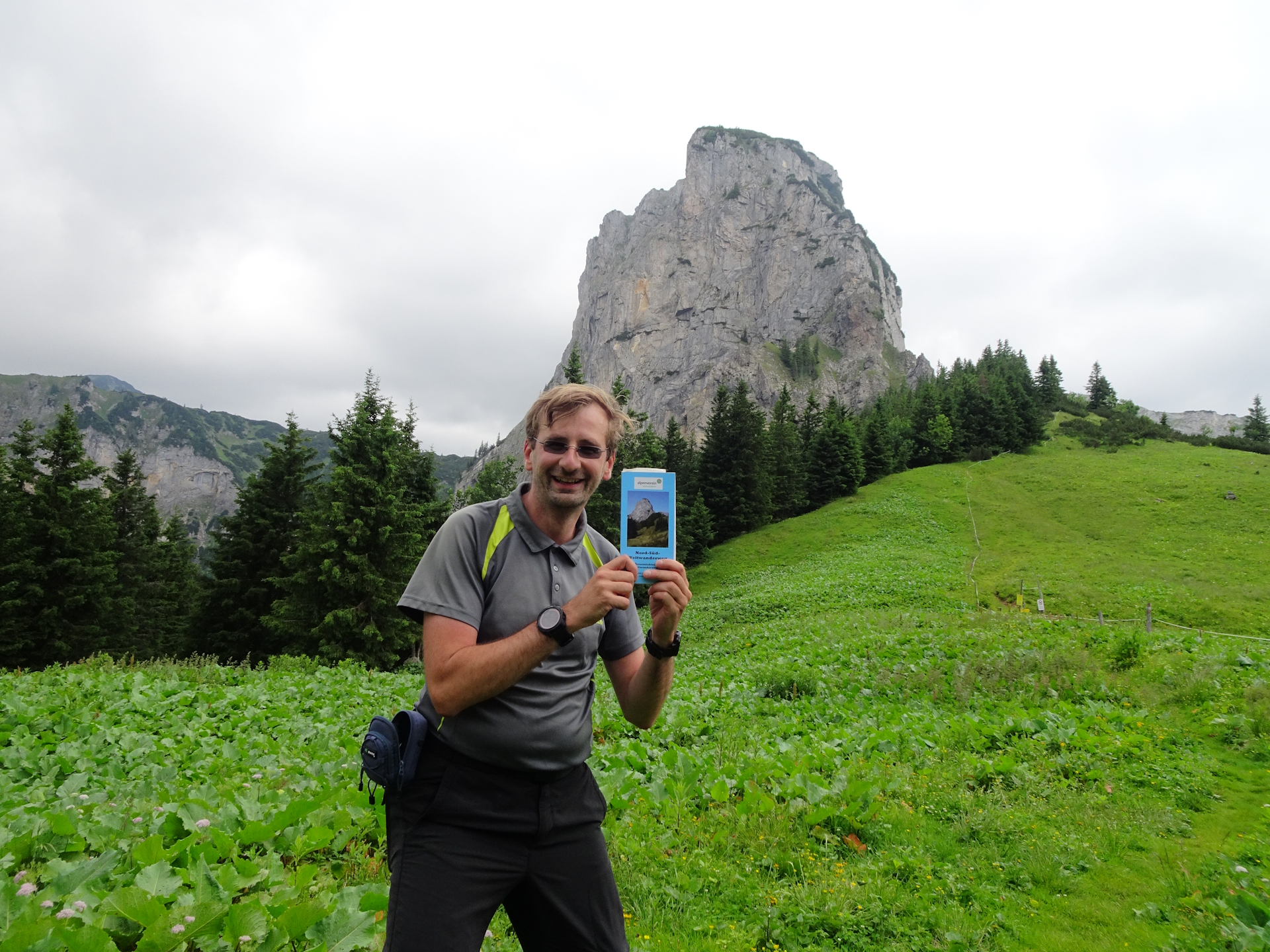
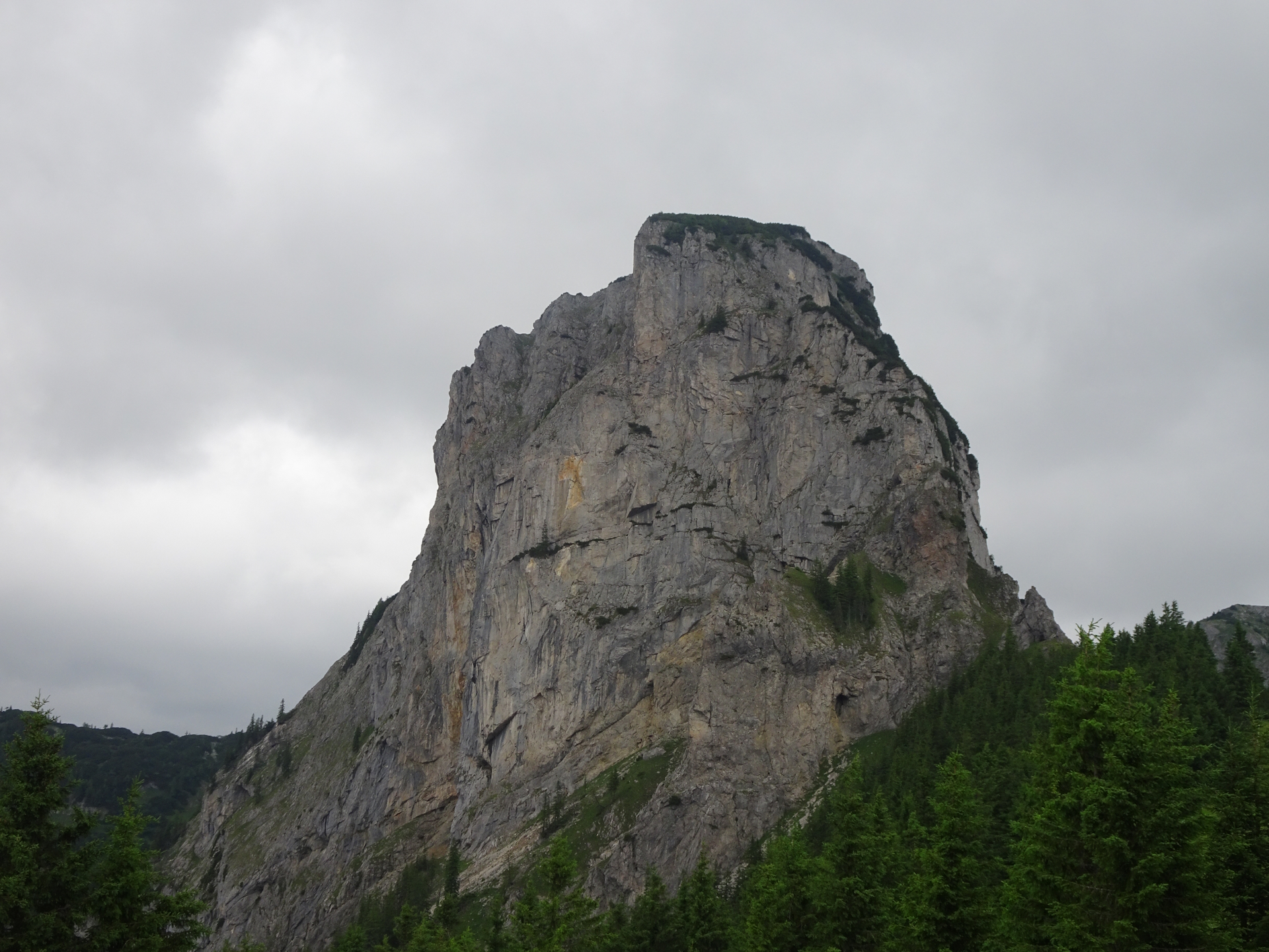
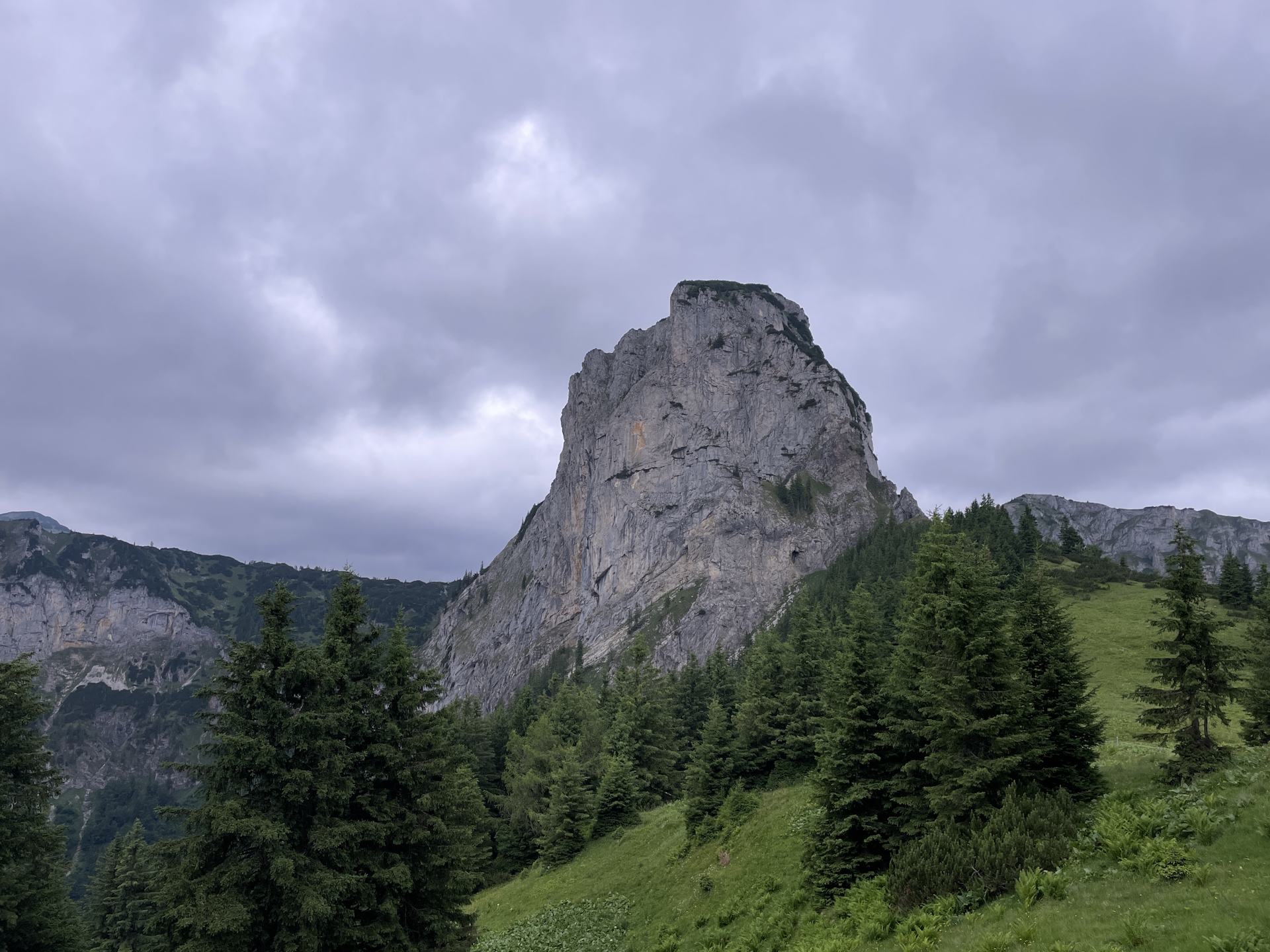
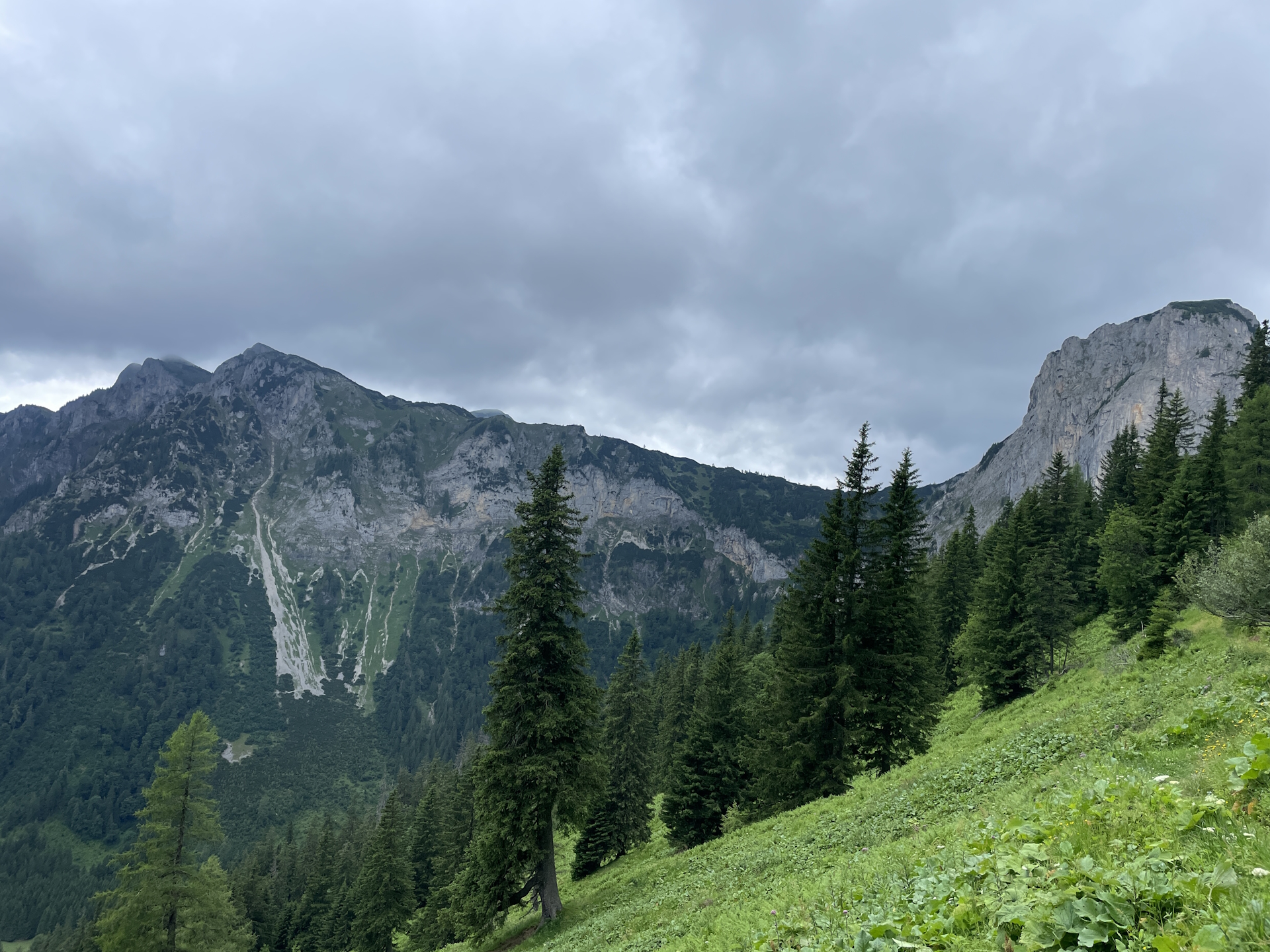
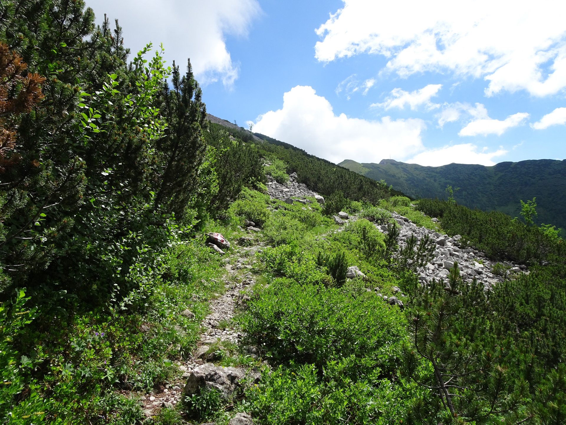
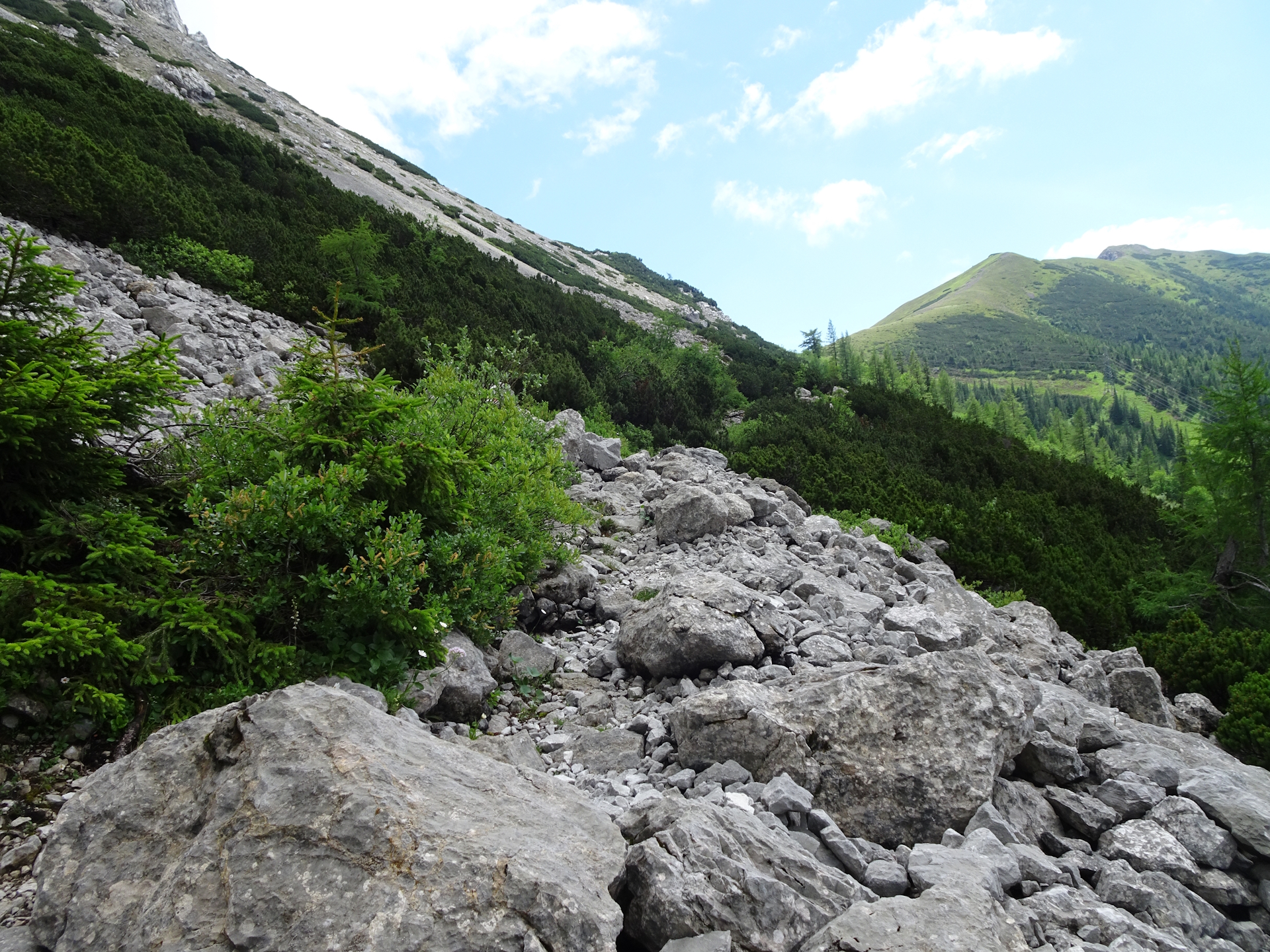
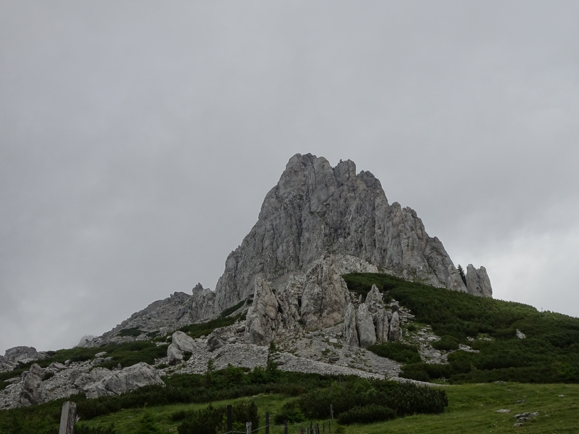
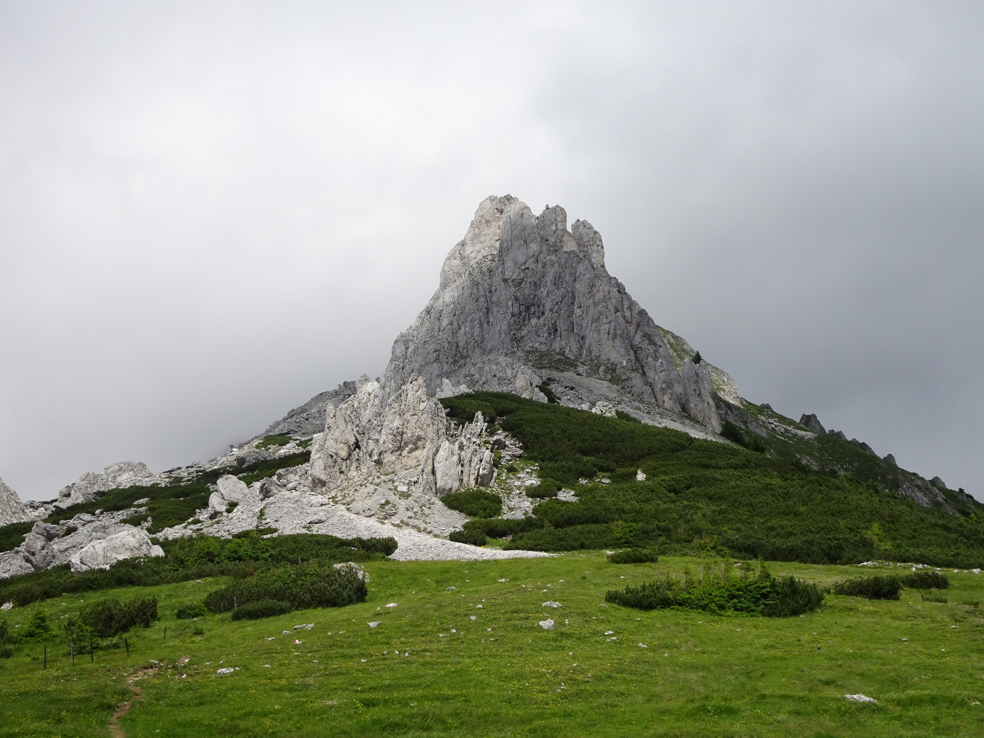
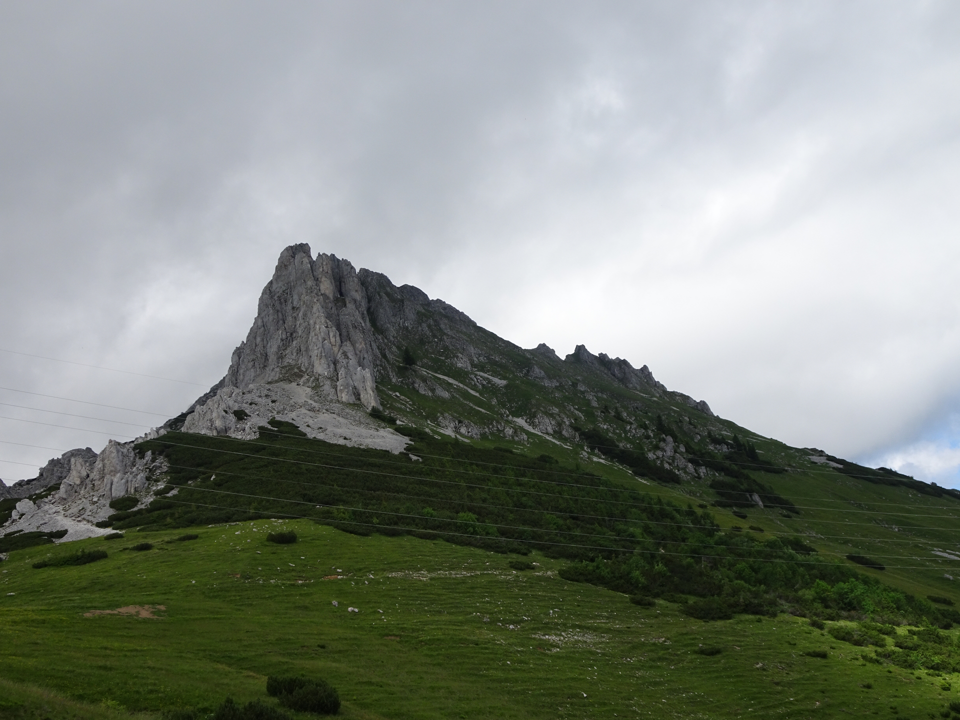
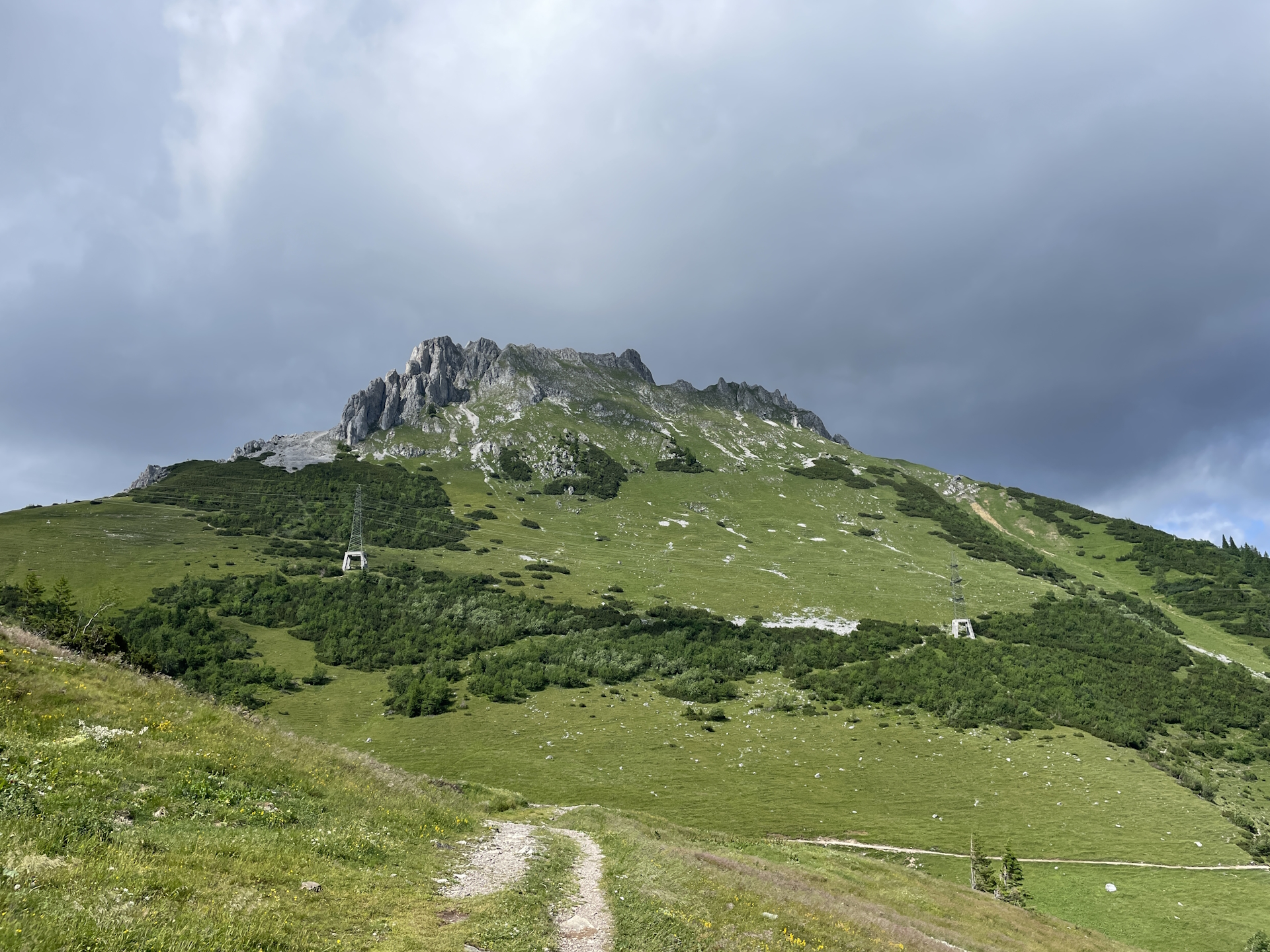
After a short break at the Sonnschienhütte (Checkpoint), the tour then follows the official 05 trail westwards. On the first few meters, the tour shares the trail with the Nordalpenweg 01 till Stoanbrunn. Here the 05 trail turns left and leaves the shared trail. The tour then follows the nice Dr. Koteksteig trail through forests and alpine pastures bypassing the Hörndlalm. The trail then gets a bit more demanding, bypassing the impressive Kulmstein on a narrow and exposed path that requires a sure foot. After mastering this crux, the tour then turns left and follows again the Dr. Koteksteig downwards to the Kulmalm. Here, the tour recently got rerouted due to danger of rockfalls and now follows the easy gravel road down to Neuwaldalm. Using a sharp turn right brings the tour back to the original route, heading up towards the iconic Frauenmauer with its unique walk-through cave (not part of this tour). Shortly before reaching the Frauenmauer, the tour then turns left again and follows the official trail to the Neuwaldeggsattel. This saddle offers an amazing view towards the Frauenmauer which is also seen on the cover page of the official guidance book.
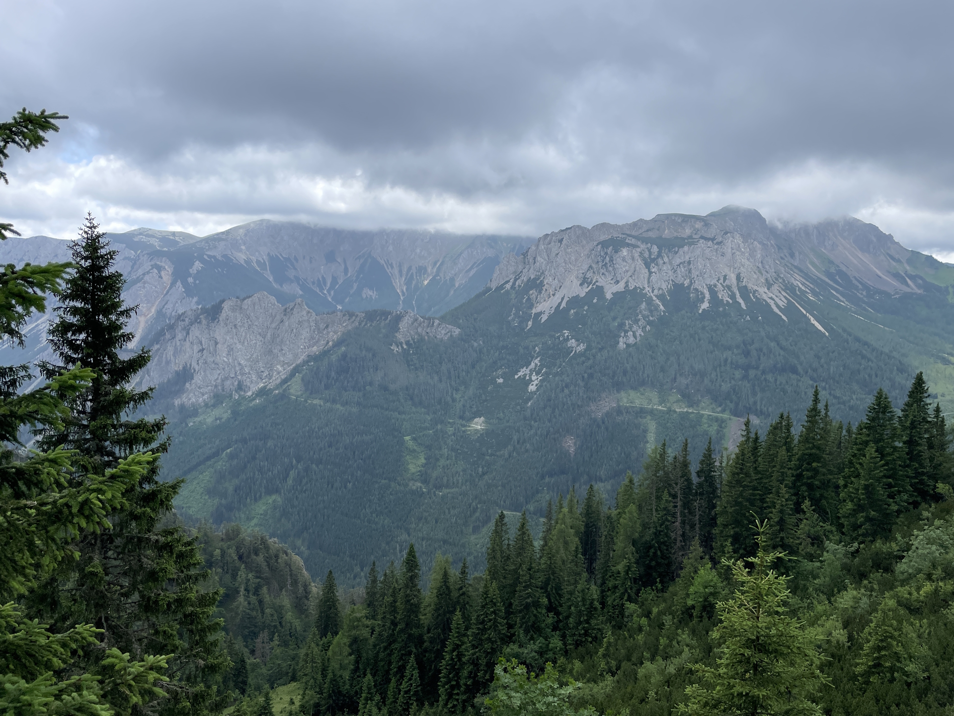
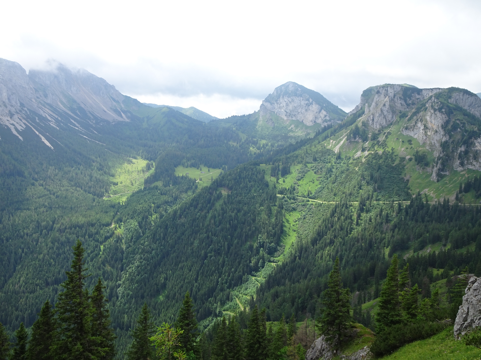
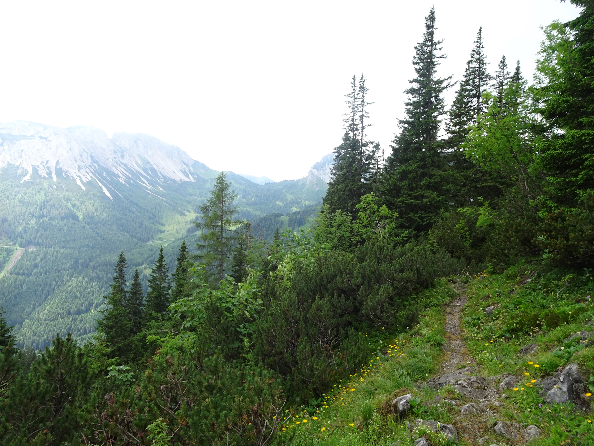
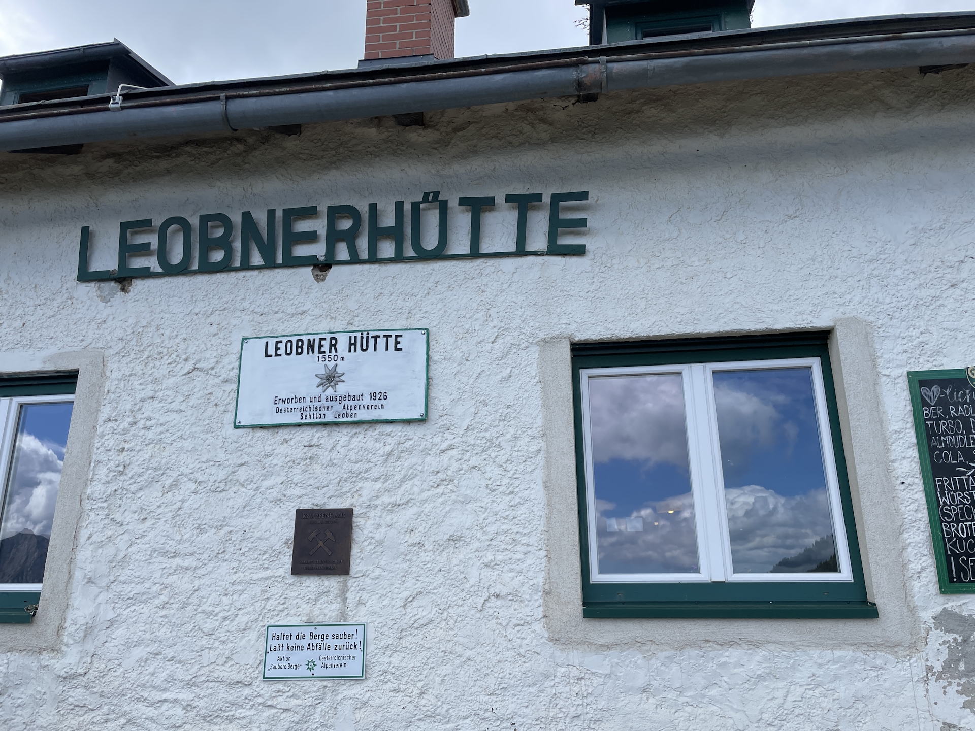
The route then follows the trail further southwards to the Hirscheggsattel and from there down to the Leobner Hütte (Checkpoint). After a well-deserved break, the tour follows the Knappensteig westwards down to the Präbichl pass where it ends at the bus station.
| Nord-Süd-Weitwanderweg 05 – Checkpoints | |
|
Transportation:
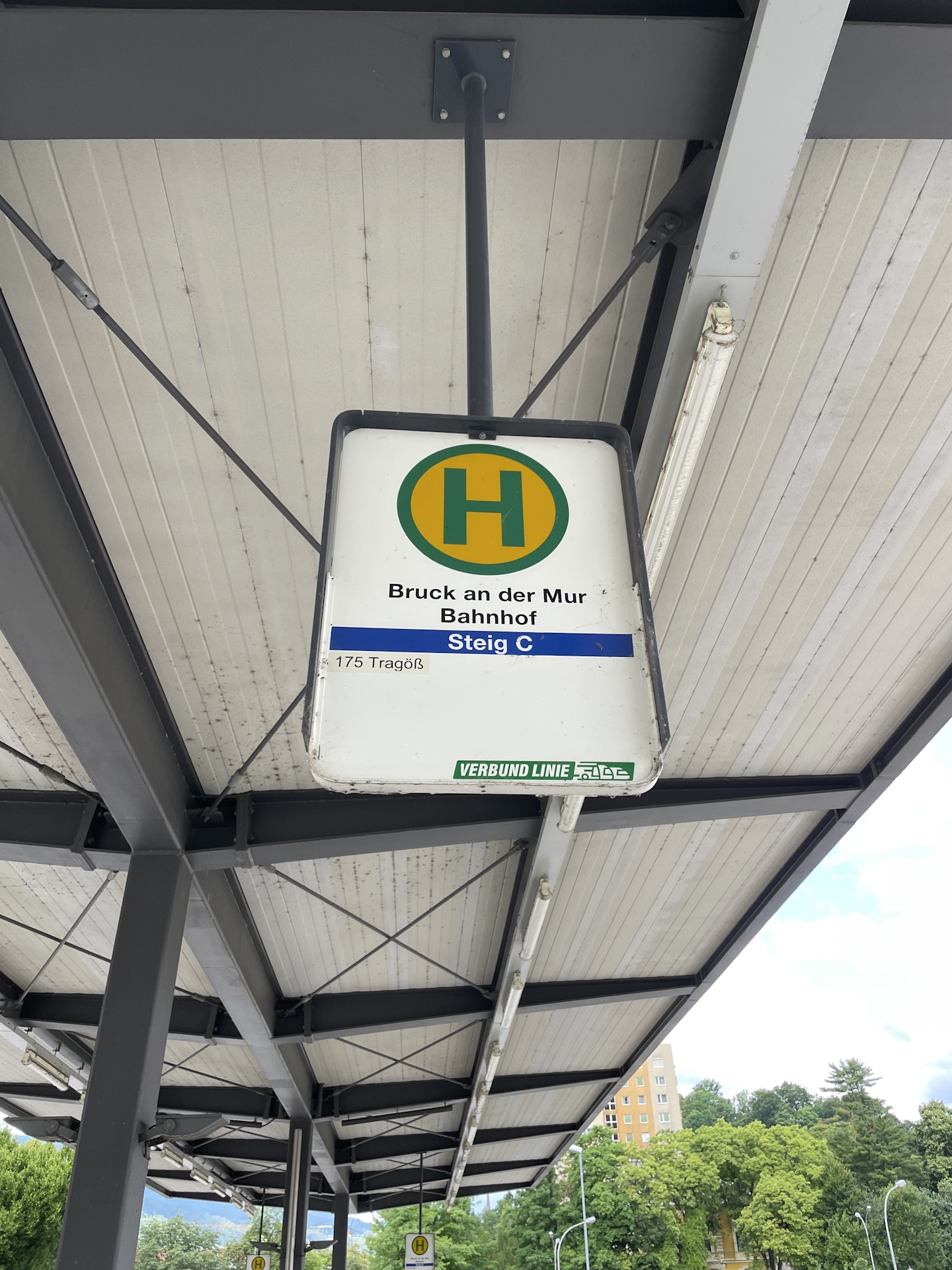
I’ve planned to accomplish this stage as a single day-trip. In order to access the Sonnschienhütte, I planned to start from Tragöß-Oberort Grüner See which has a good bus service and also take the bus back from Präbichl.
To get to the starting point I used the following means of transportation:
- Railjet 551 from Wien Hauptbahnhof (05:58) Bruck/Mur Bahnhof (07:56)
- Bus 175 from Bruck/Mur Bahnhof (08:10) Tragöß-Oberort Grüner See (08:50)
On the way back, I used the following means of transportation:
- Bus 820 from Präbichl Passhöhe (16:35) Leoben Hauptbahnhof (17:18)
- Railjet 630 from Leoben Hauptbahnhof (17:38) Wien Hauptbahnhof (19:44)
The hike:
I’ve started the hike on a Saturday morning. I had to leave Vienna very early to get the train and the bus, but that allowed me to be in good time (08:55) in Tragöß.
As I visited the Sonnschienhütte during my multi-day tip doing the Nordalpenweg 01 but left the 05 trail at Stoanbrunn (a few meters after the Sonnschienhütte), I decided to first go back to the Sonnschienhütte and then – after my lunch break – continue the official trail again from there till Präbichl.
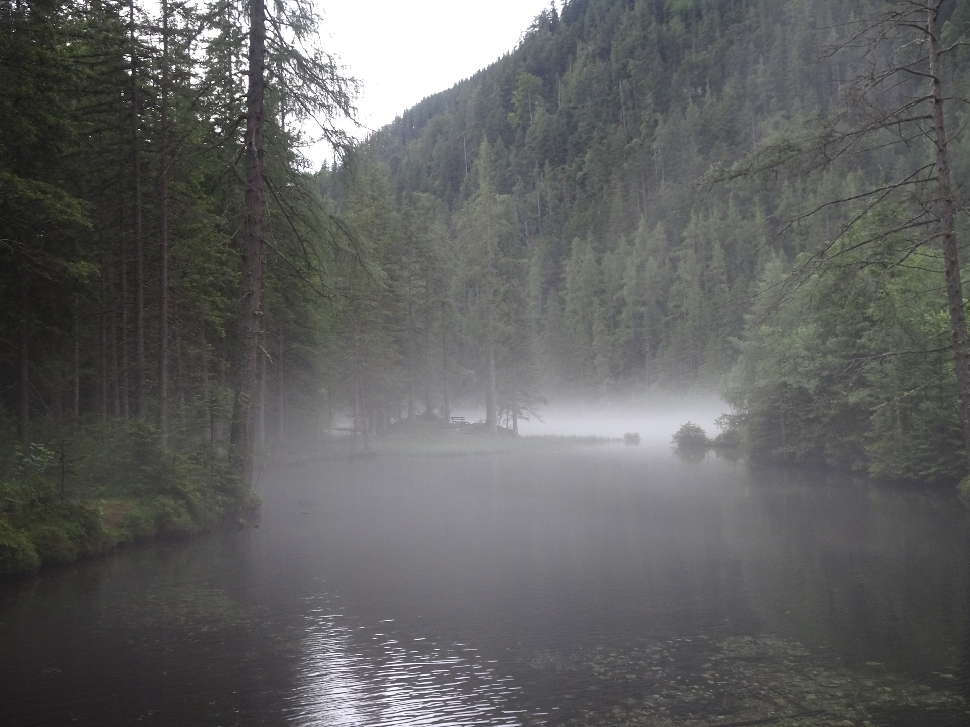
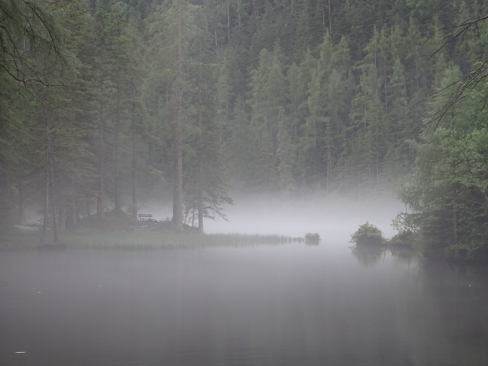
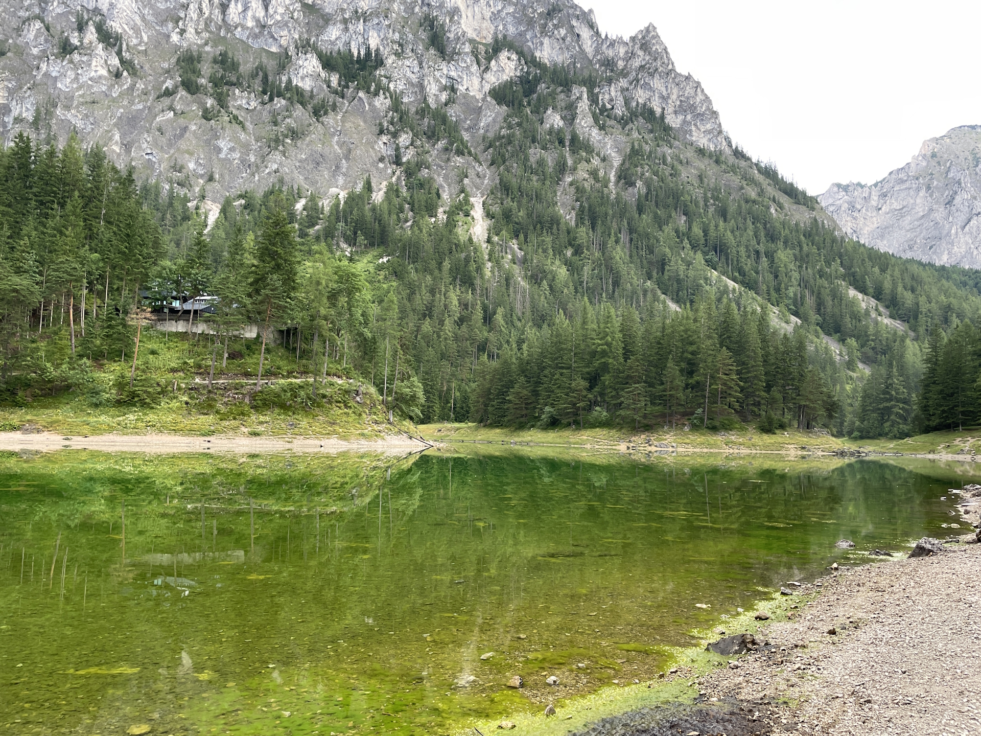
Starting early in the morning in Tragöß has its advantages. I found the two amazing lakes (Kreuzteich and Grüner See) covered in mystical haze which amplified the experience. The Grüner See is always worth a visit but unfortunately this year it had a very low level of water due to very few snow in winter.
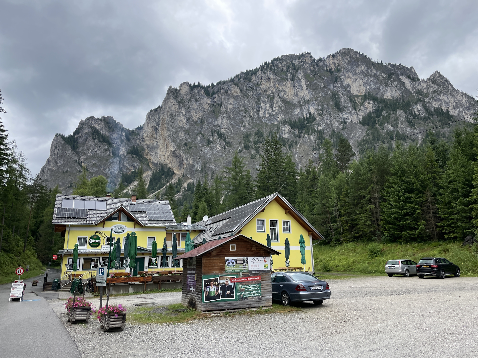
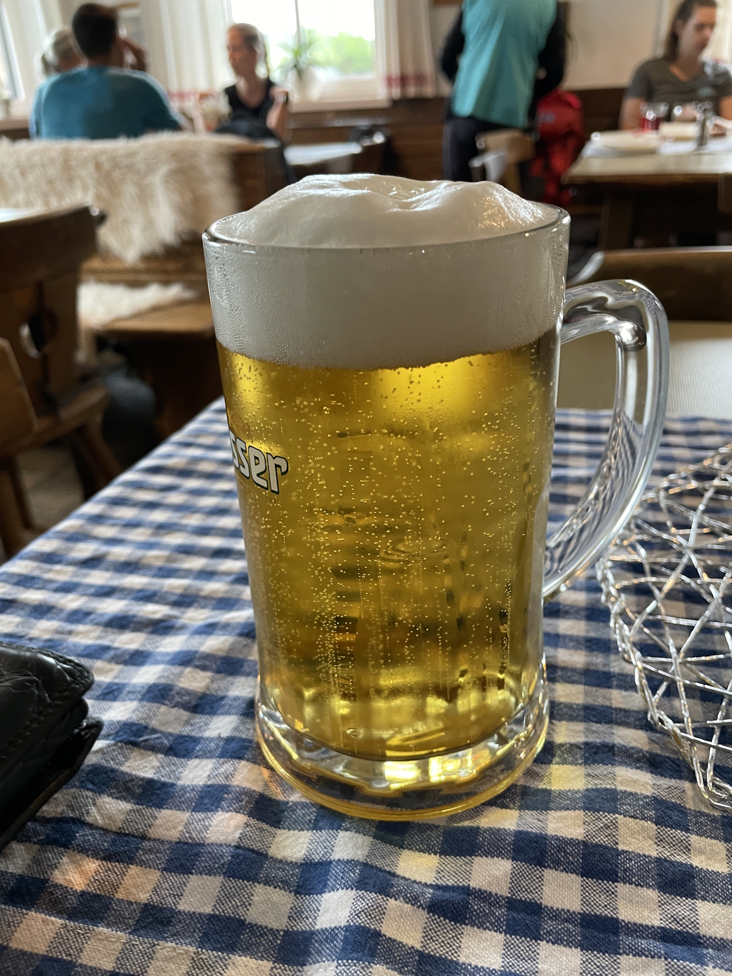
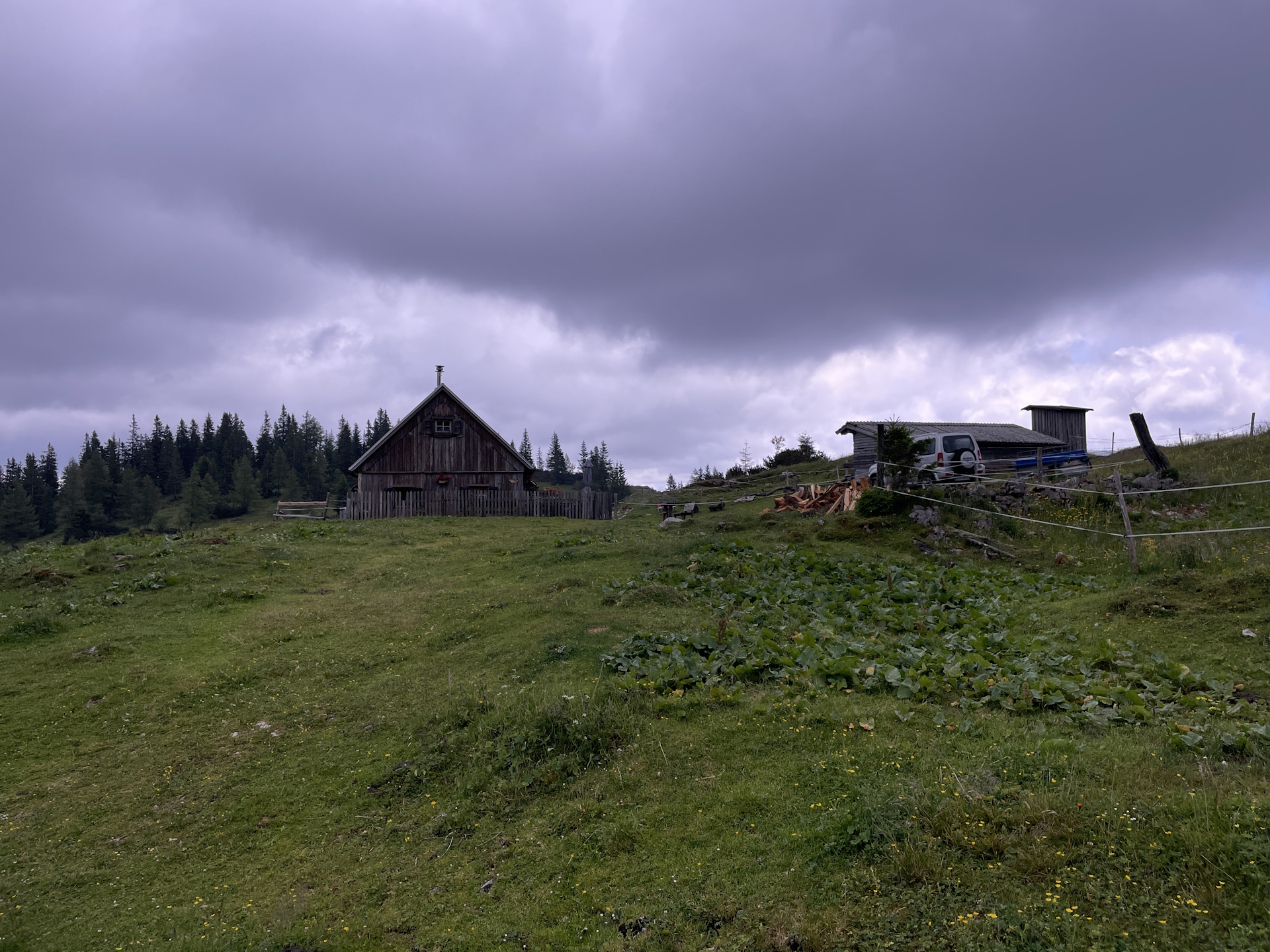
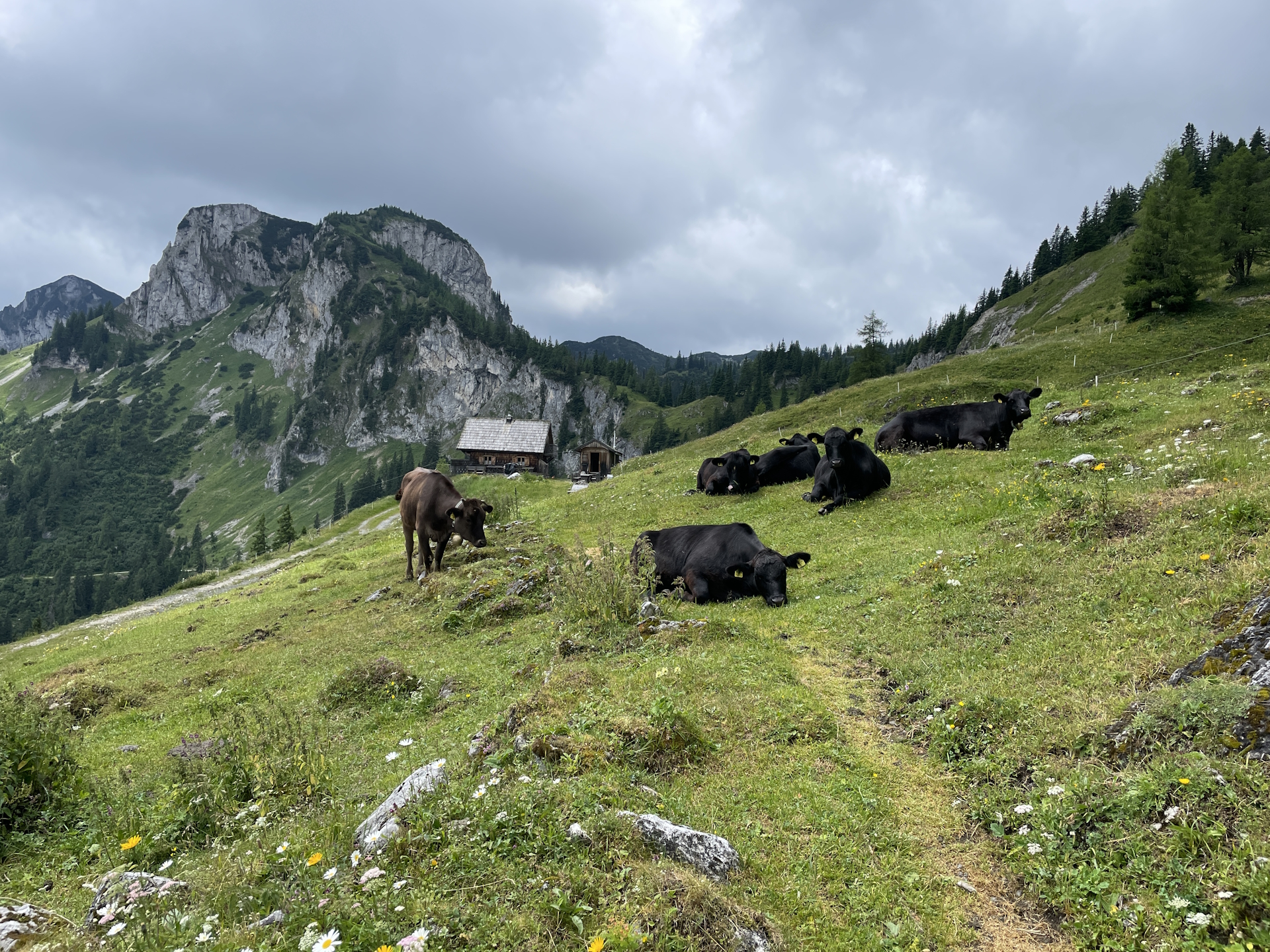
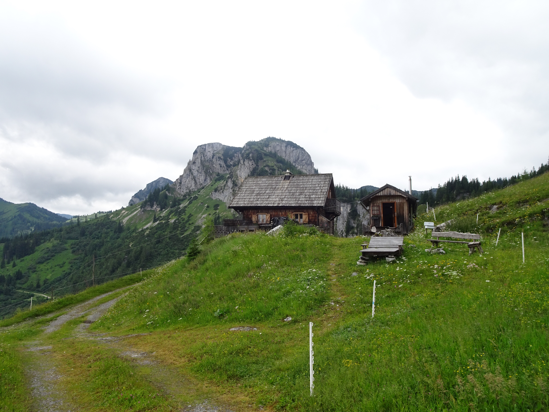
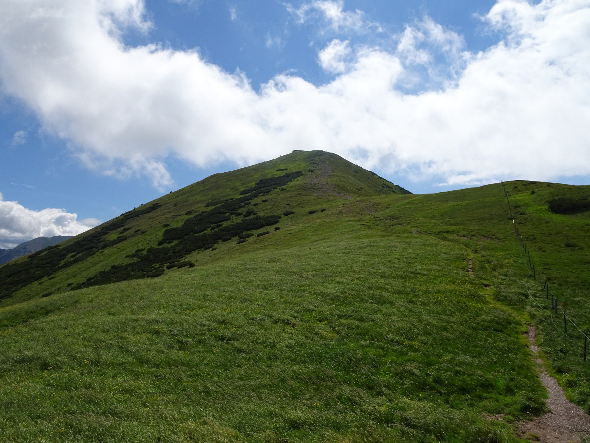
Following the Russenstraße is not too exciting but an easy and quick ascent. When reaching the mountain pasture of Sonnschienalm, the view is stunning and only a few meters further, the Sonnschienhütte invites for a comfortable lunch break. As I had collected my stamp from this Checkpoint already while staying overnight doing the 01 , I just had good lunch and one or two beers .
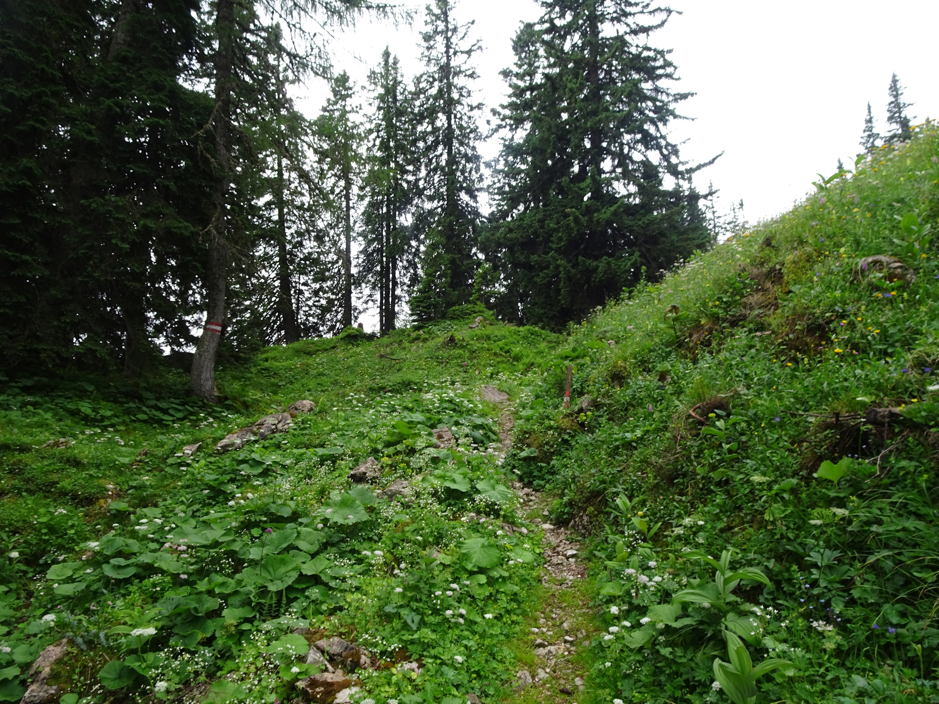
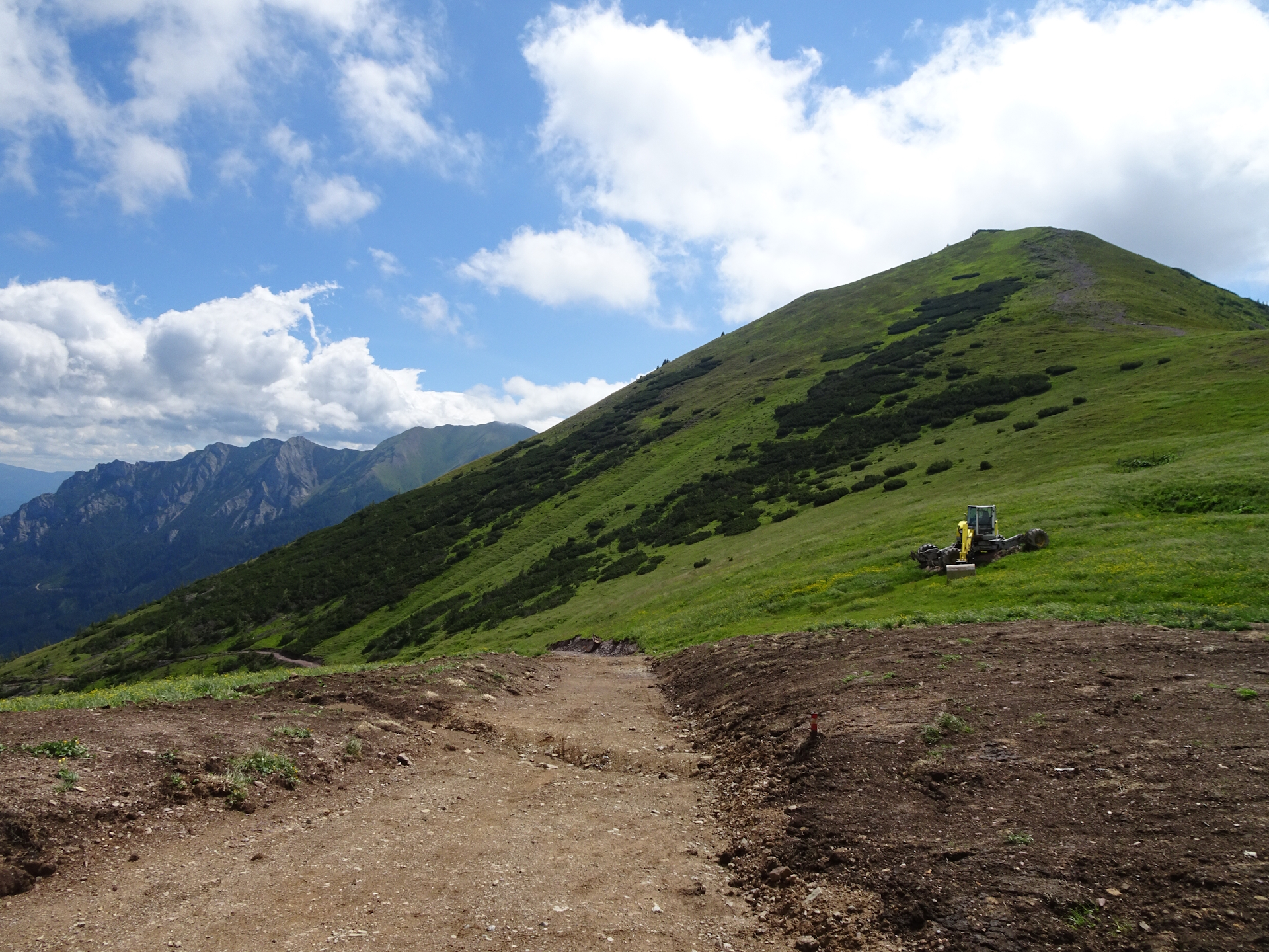
I then started my “official” hike on the 05 trail from the Sonnschienhütte first towards the Hörndlalm and then via the Dr. Koteksteig to the Kulmalm.
I found the further trail closed due to risk of rock falls but there were many and good markings indicating the new route to Neuwaldalm and then back heading towards Frauenmauer.
I visited the very impressive Frauenmauer cave (pass-through cave) last year, doing a guided tour, so I skipped that but I would strongly recommend considering doing this tour!
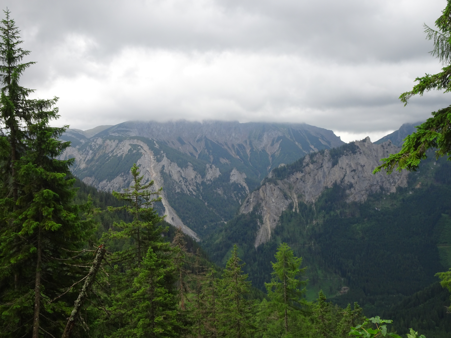
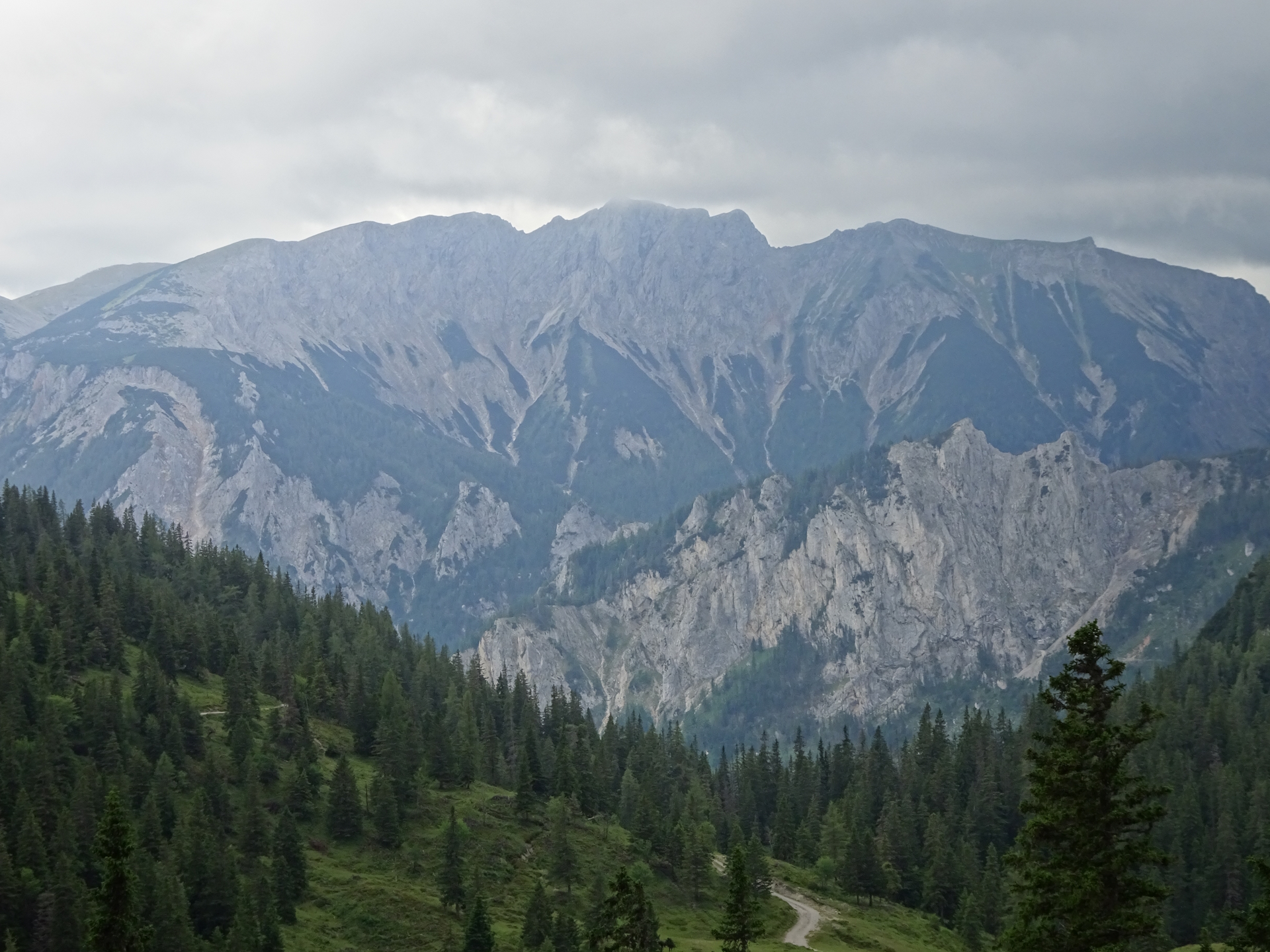
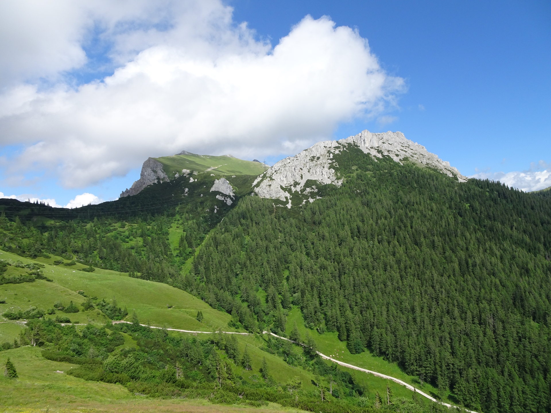
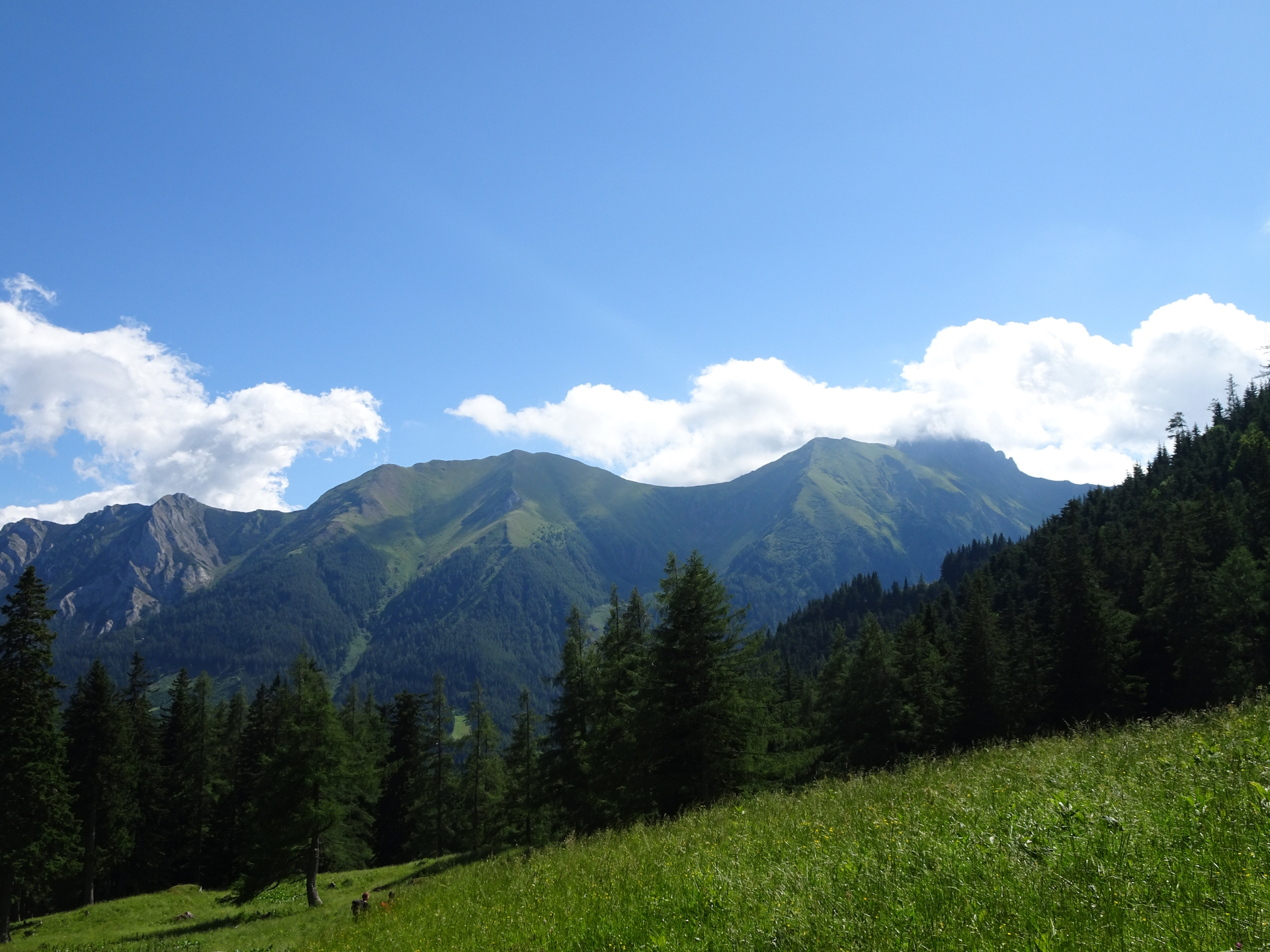
After hiking around the Frauenmauer, the trail becomes scenic. At the Neuwaldeggsattel, it is absolutely critical to turn around and look back to the Frauenmauer, because this is exactly the motif of the picture on the cover page of the official tour book.
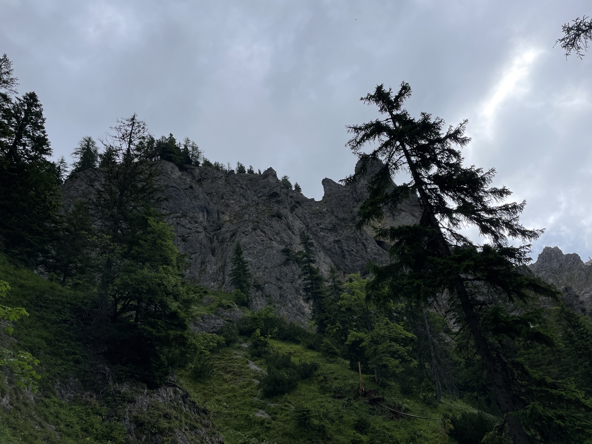
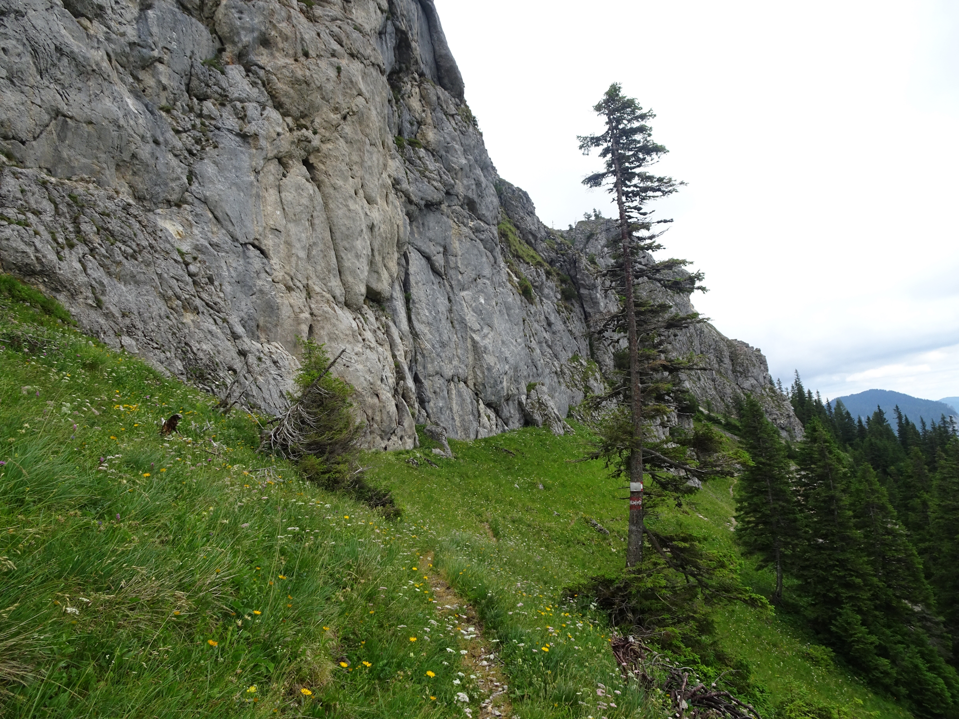
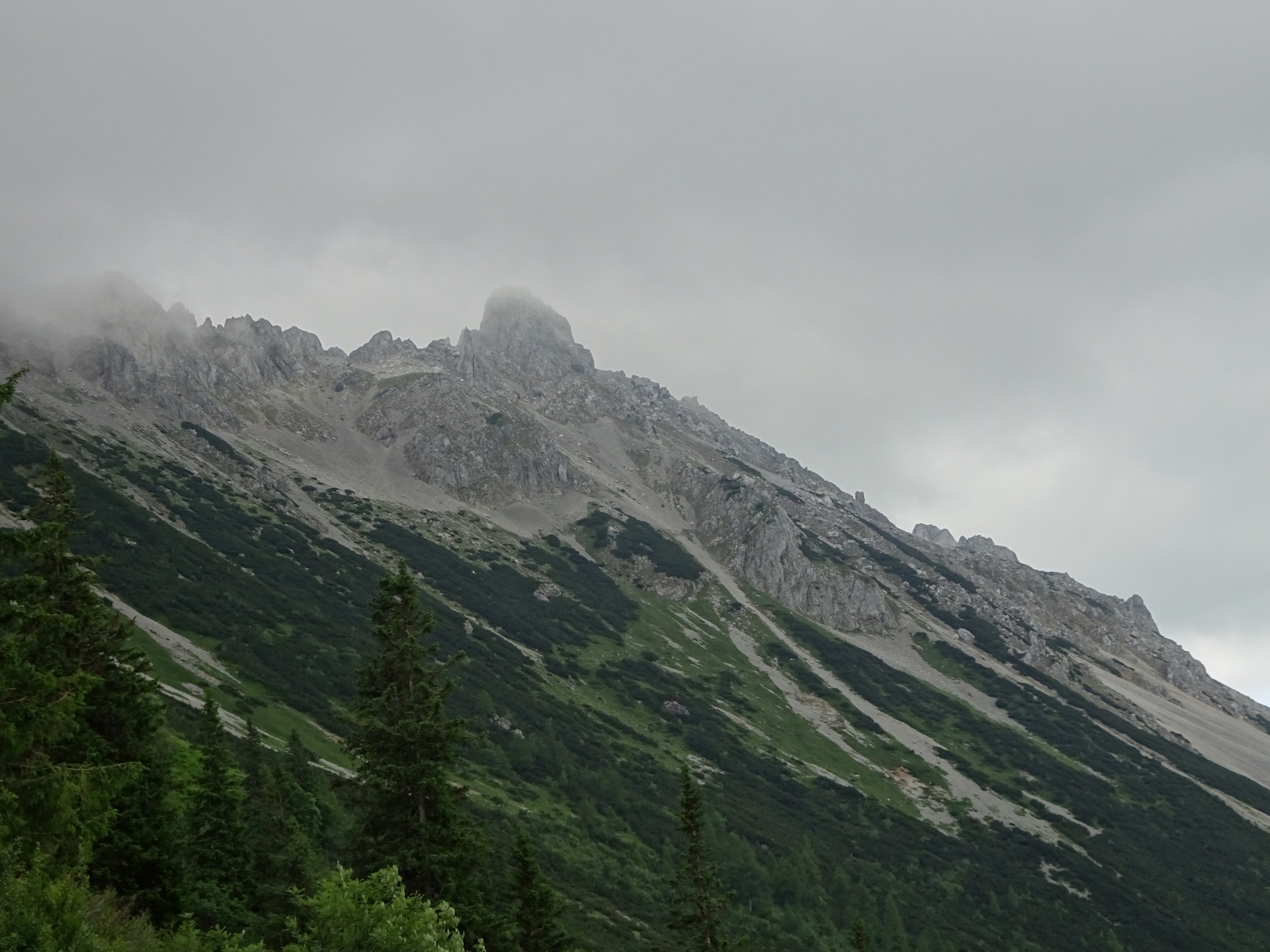
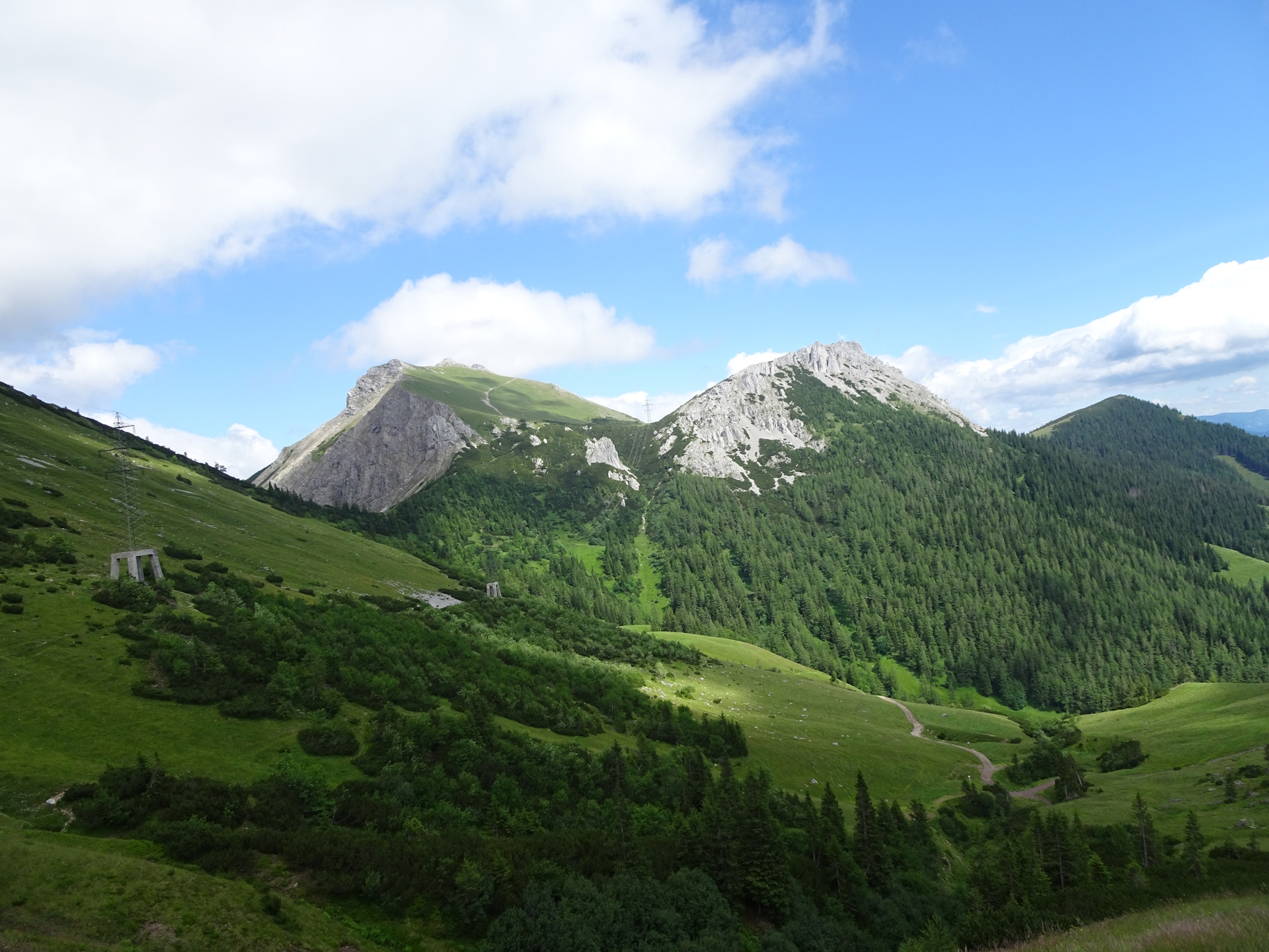
The trail then becomes narrow and partly a bit exposed. As it was raining the day before and no sunshine but clouds with light drops of rain, the trail was wet and tricky and required a bit extra caution.
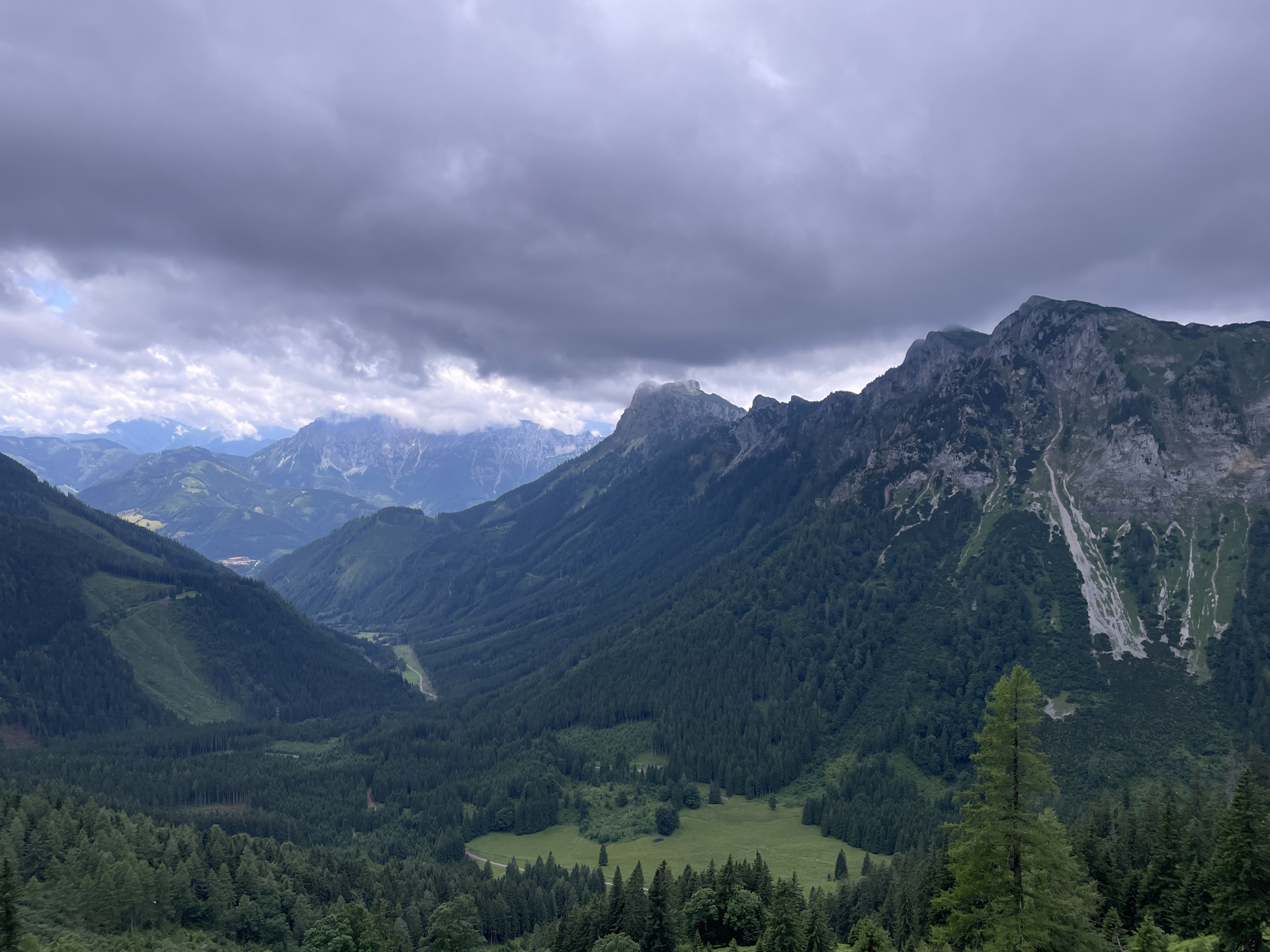
Initially I planed to visit the TAC Spitze, a 1h detour from Hirscheggsattel, but I found myself in really bad weather conditions, a combination of storm and fog. As the last part is a via ferrata and requires good conditions to be done safe, I decided to defer this summit for another time and continued descending to the Leobner Hütte. Having saved time, this allowed me to have two instead of one beers before continuing the tour towards Präbichl.
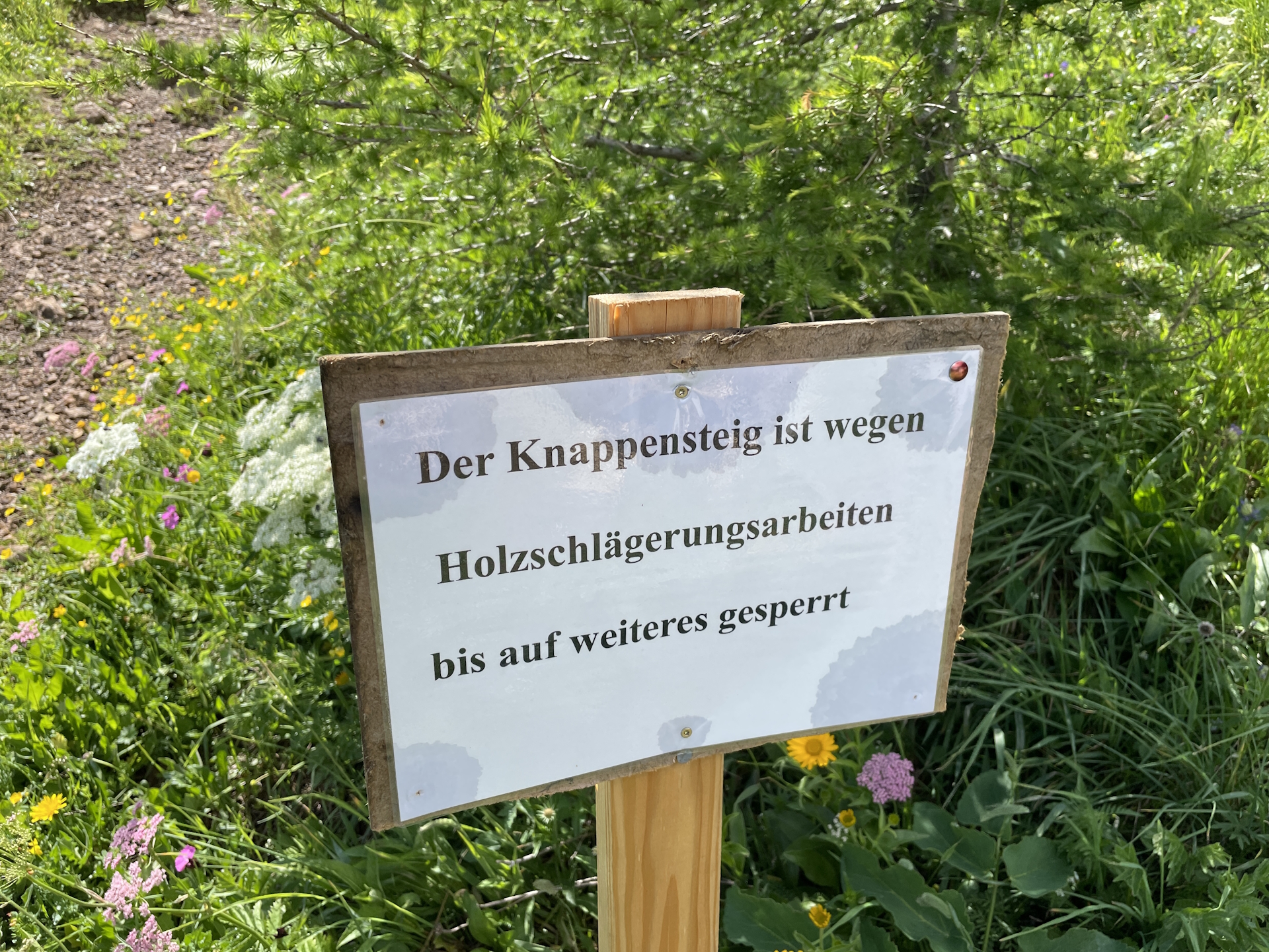
However, I experienced another setback, as the official trail via the Knappensteig was closed due to unsafe conditions (broken trees). I therefore had to do a slightly longer detour via the Handlgraben and had to speed up to catch the bus.
With running the last meters on the Laufstraße, I managed in time to be at the bus station (also thanks to the fact that the bus had a slight delay of 5 mins) .
Summary:
This stage is a very nice and scenic one. The highlight is for sure that you pass by at the photo motif of the official guide book – the Frauenmauer.
The only downside of the tour was the bad weather condition that prevented me to do my planned climb to the TAC Spitze. At least I have a good excuse to come back .
| 00:00 | Start at the bus station Tragöß-Oberort Grüner See. Follow the Seestraße first towards the information center and then further northwards. |
| 00:03 | Recommended detour: Turn left and follow the gravel road westwards. |
| 00:05 | Enjoy the amazing Kreuzteich. You can either follow the trail around it or head back and continue following the Seestraße. |
| 00:20 | Right after the Gasthof Grüner See, turn right and descend towards the scenic Grüner See. Depending on the water level, you need to do either the higher trail or being able to use the lower trail at the lake close by. Then head back to the Seestraße and continue following the trail northwards. |
| 00:35 | At the U-turn, keep straight and follow the marked trail through the forest (leave the road here). |
| 00:50 | Turn right into the gravel road and now follow the gravel road northwards. |
| 01:00 | At the crossing, keep straight and continue following the gravel road northwards. |
| 01:10 | Right after the parking (Jassing), turn right and follow the forest road (Russenstraße) upwards. |
| 01:25 | After crossing the bridge, you have the option to turn right and follow the steeper but shorter trail through the forest (shortcut). Once back at the road, continue following the road. |
| 01:50 | Bypass the Lawinengang and continue following the forest road. |
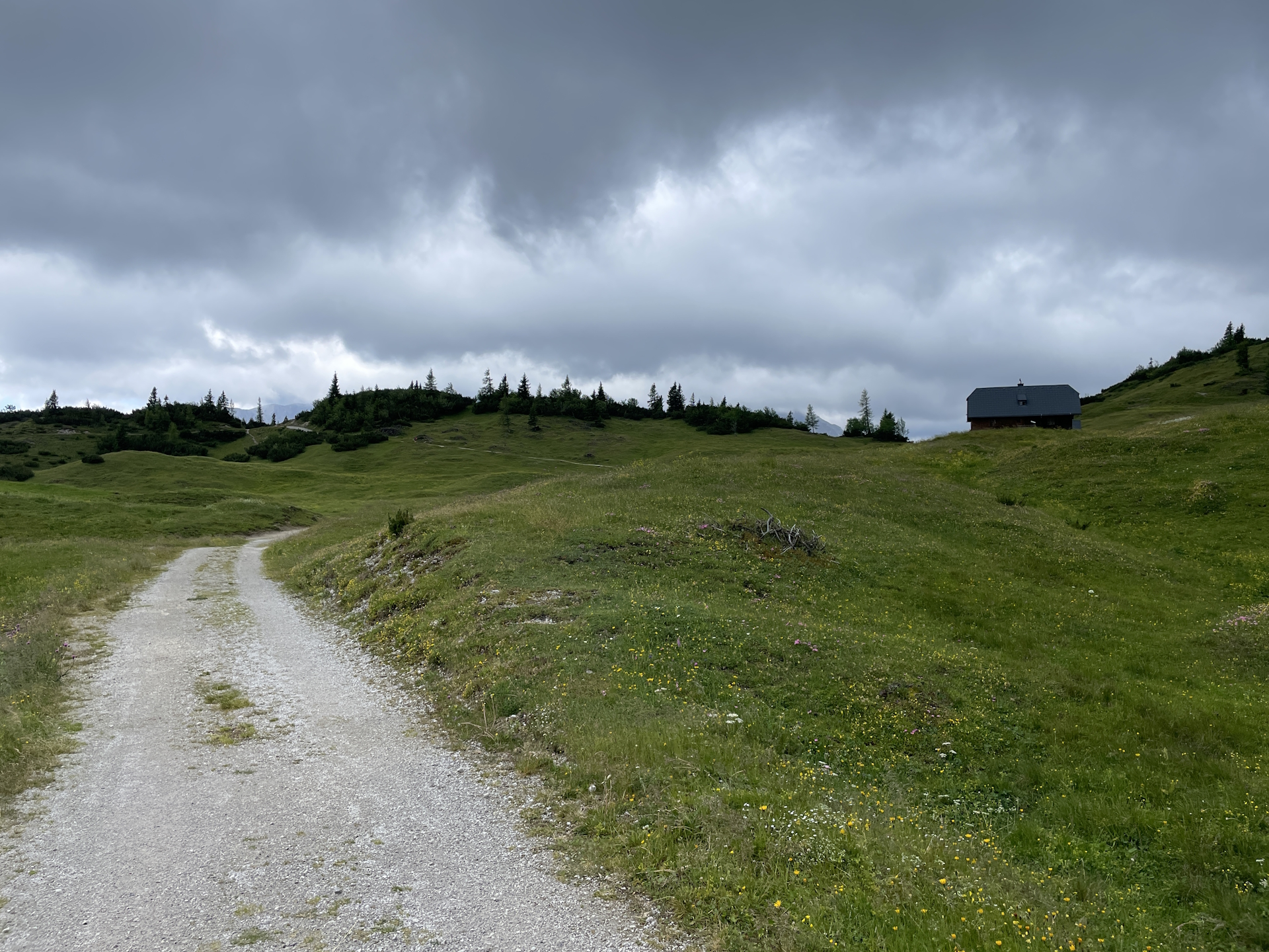
| 02:05 | Consider turning right and follow the pillars with the marking for another shortcut. Once back, enjoy the impressive view towards Sonnschienalm. Follow the gravel road to the already visible Sonnschienhütte. |
| 02:20 | Well-deserved lunch break () at the Sonnschienhütte. Don’t forget to collect your stamp ! |
| 03:00 | Official start of stage 14 of 05 : Head back on the Russenstraße westwards to the big crossing. |
| 03:05 | At the crossing, keep straight and follow the marked trail, shared between 01 and 05 . |
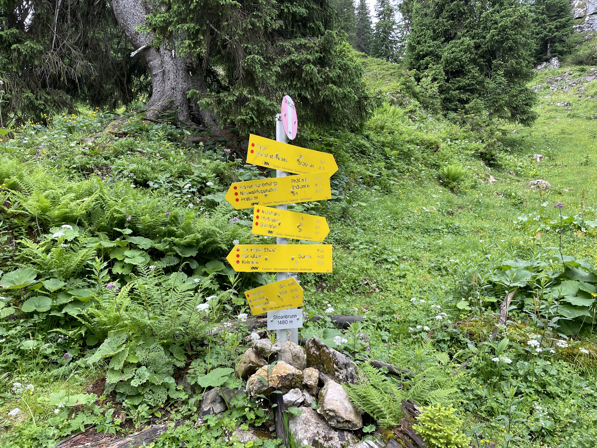
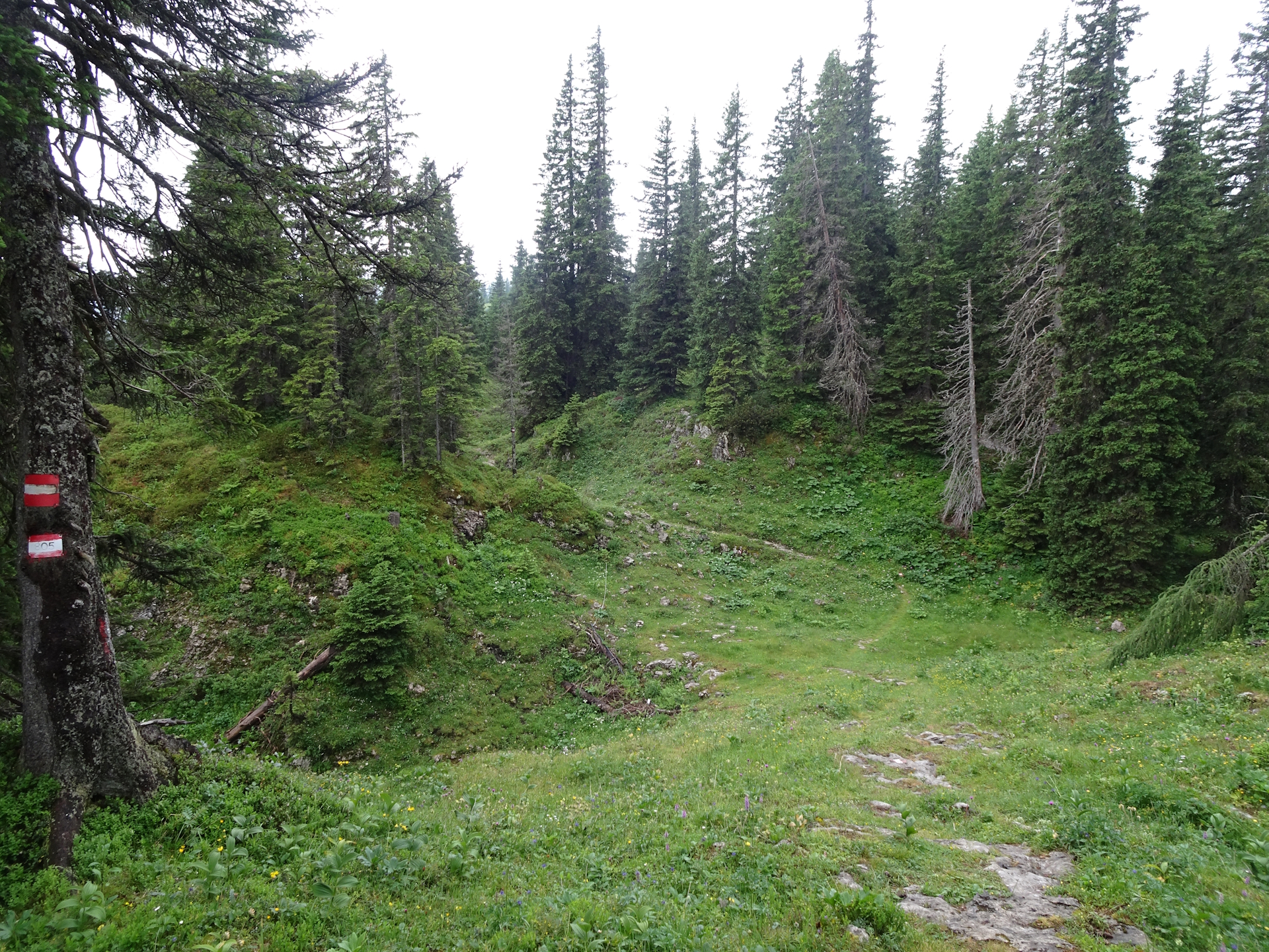
| 03:15 | At Stoanbrunn (end of the shared trail), turn left into the Dr. Koteksteig 805 (see signposts). |
| 03:30 | Keep left and pass by the Hörndlalm. Continue following the marked trail westwards. |
| 03:50 | Continue following the trail close (below) the impressive headwall of Kulmstein. Take extra care here as the trail is slightly exposed. |
| 04:10 | Pass by the Kulmalm (not serviced) and now use the gravel road. The trail got modified here (see warning signs) due to unsafe conditions, thus follow the gravel road instead! |
| 04:30 | At the crossing, turn sharp right and follow the gravel road towards Neuwaldalm. If serviced, you might consider a short break () here! Continue following the marked trail westwards heading towards the already visible Frauenmauer. |
| 04:45 | At the crossing, turn left and follow the marked trail 805 southwards. |
| 05:10 | At the Neuwwaldeggsattel, turn left and follow the trail towards Hirscheggsattel. But before, turn around and enjoy the amazing view towards Frauenmauer which is also the motif of the official tour booklet . This view is obviously best enjoyed with a self-brought refreshment ()! |
| 05:15 | Now continue following the trail on the left hand-side towards Hirscheggsattel. The trail becomes very narrow, exposed and requires extra-caution especially in wet conditions! |
| 06:00 | At the crossing of Hirscheggsattel, turn first right but then immediately follow the left trail downwards. |
| 06:20 | Well deserved break () at the Leobner Hütte (Checkpoint). Don’t forget to collect your stamp ! |
| 06:50 | Normally, you would now follow the Knappensteig trail westwards. The trail was closed during my attempt so the following timings are recorded doing the detour via Handlalm. Follow the gravel road down northeastwards. |
| 06:55 | At the crossing, keep right and continue following the gravel road downwards. |
| 07:05 | At the crossing, turn sharp right and follow the marked trail downwards into the ditch. |
| 07:20 | At the crossing, keep right and follow the upper marked trail southwestwards. The trail will then automatically lead into the Laufstraße. Follow the street westwards heading towards Präbichl. |
| 07:30 | Keep left shortcut via the small trail to the main road. The bus station is directly at the point where the shortcut meets the main road. |
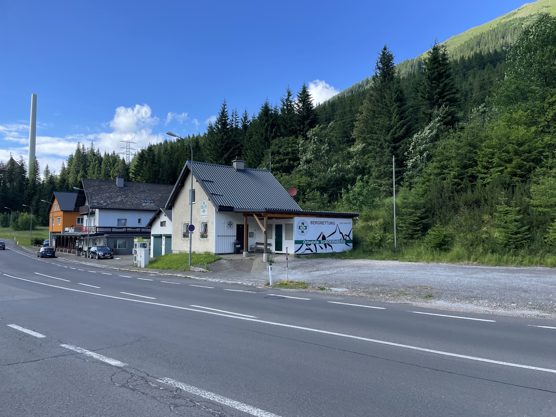
| 07:35 | Arrive at the bus station Präbichl Passhöhe, end of the tour. |
| Area: | Erzberg-Leoben, Styria, Austria | |
| Distance: | 10km + 16km total: 26km total |
|
| Ascent: | 836m (1h 35min) + 584m (1h 45min) total: 1420m (3h 20min) |
|
| Descent: | 92m (0h 20min) + 902m (1h 50min) total: 994m (2h 10min) |
|
| Highest Pt: | 1702m | |
| Lowest Pt: | 754m | |
| Duration: | 6h 25min (without breaks) 7h 35min (with breaks) |
|
| Stop/Rest: | Sonnschienhütte (1523m) Leobner Hütte (1582m) |
|
| Equipment: | Backpack with standard hiking equipment Comfortable hiking shoes Snacks, and plenty of water 1-2x Gipfelbier Sun & Weather protection Camera |
| Download GPX | ||
| O | Tour at outdooractive.com |
At a glance
| Level | medium-difficult |
| Technique | |
| Shape / Fitness | |
| Experience | |
| Scenery | |
| Best time in the year | |
|
Jan
Feb
Mar
Apr
May
Jun
Jul
Aug
Sep
Oct
Nov
Dec
|
|

Leave a Reply