
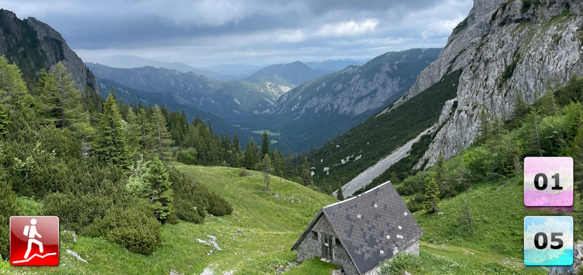
Either the eleventh stage of the Nordalpenweg 01 or the thirteenth stage of the Nord-Süd-Weitwanderweg 05 starting from the Voisthalerhütte to the Sonnschienhütte via the Schiestlhaus and Hochschwab.
 |
The Northern Alpine Long-Distance trail (Nordalpenweg, also known as the “01”) starts in the east of Austria in Perchtoldsdorf (city border of Vienna) and ends in the west of Austria in Bregenz / Bodensee. The trail is ~1000km long, more than 50 000m in ascent and the same amount in descent. The trail is known as the most spectacular long-distance trail through Austria and was officially established on the 22th June 1975. The trail is separated into 61 stages and has multiple variants. For example, the trail can be either started from the city border of Vienna (from Vienna to Bregenz) or from the Neusiedlersee to the Bodensee (lake to lake). In addition, the trail offers multiple alpine variants and even climbs up to the Zugspitze, the highest summit of Germany. It normally takes 9 weeks to complete the entire trail. |
 |
The North-South-Long-Distance trail (Nord-Süd-Weitwanderweg, also known as the “05”) starts in the north of Austria at Nebelstein and ends in the south of Austria at Eibiswald. The trail is ~500km long, ~18 000m in ascent and the same amount in descent. The trail was initiated by Carl Hermann and officially established on the 25th September 1970. The trail is separated into 3 parts:
It normally takes 3 weeks to complete the entire trail. |
The here presented tour is the eleventh stage of the Nordalpenweg 01 .
The here presented tour is also the thirteenth stage of the Nord-Süd-Weitwanderweg 05 .
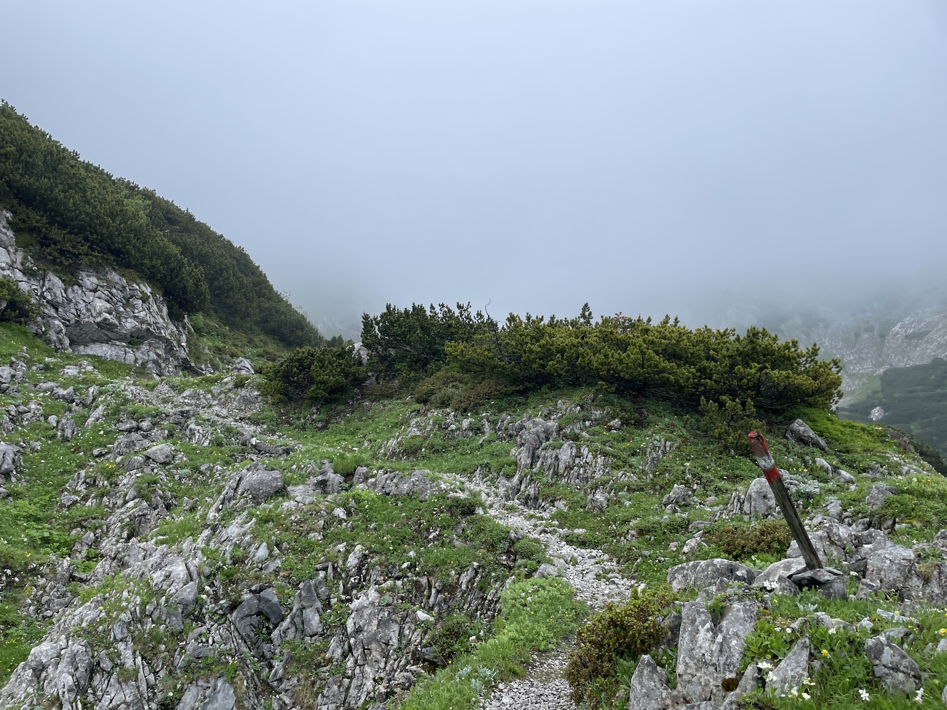
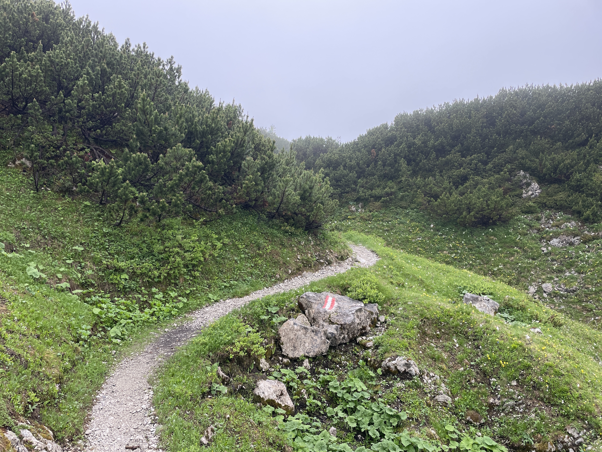
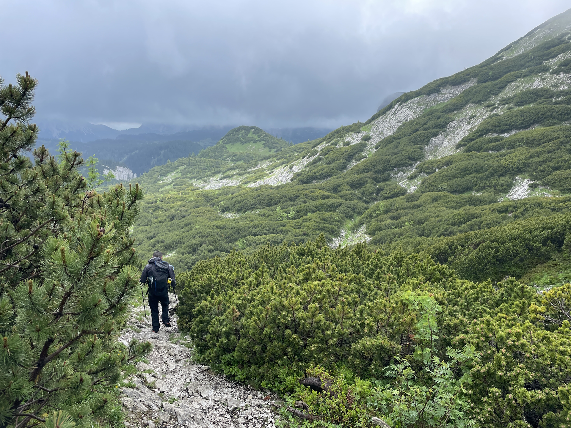
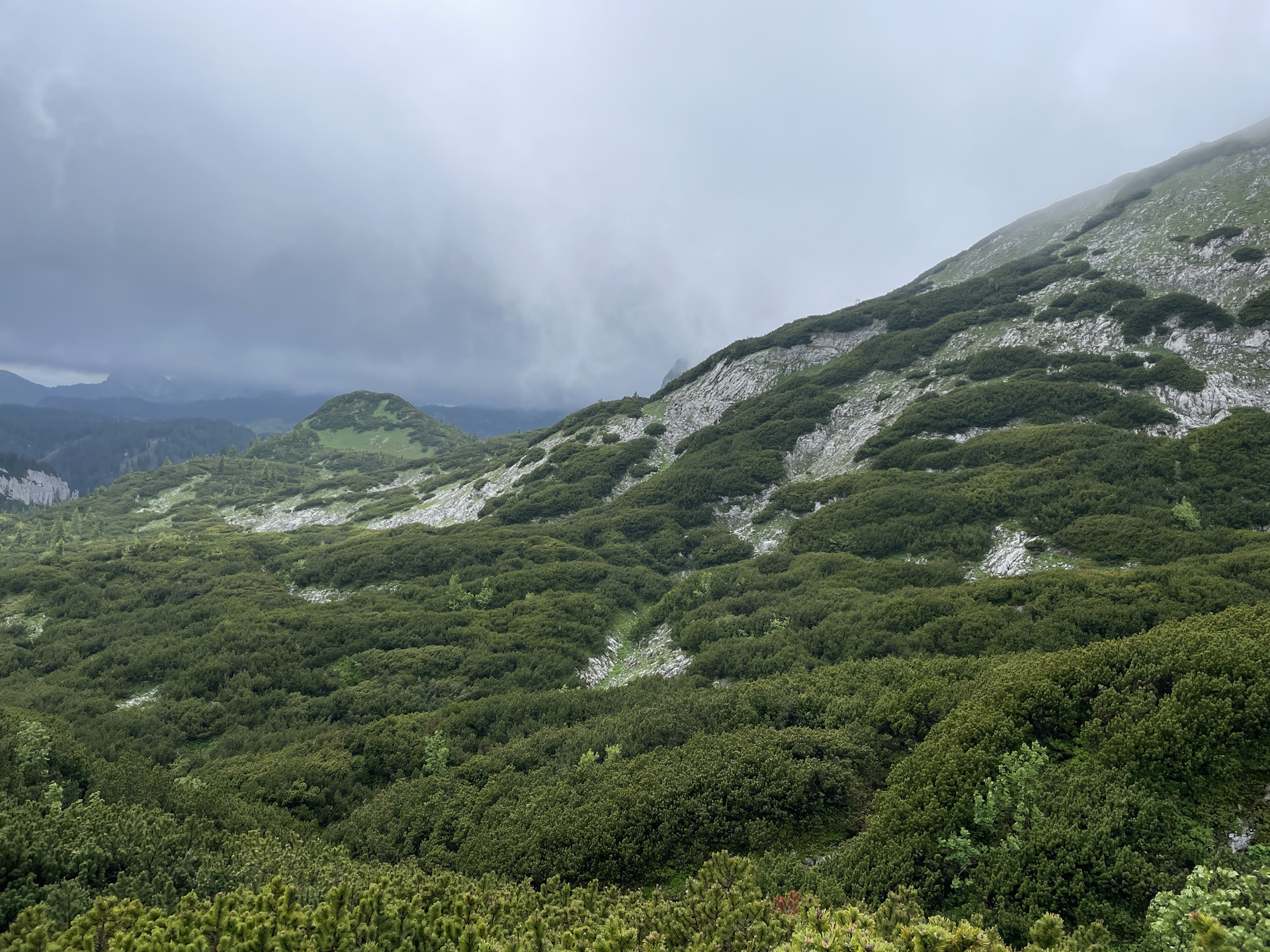
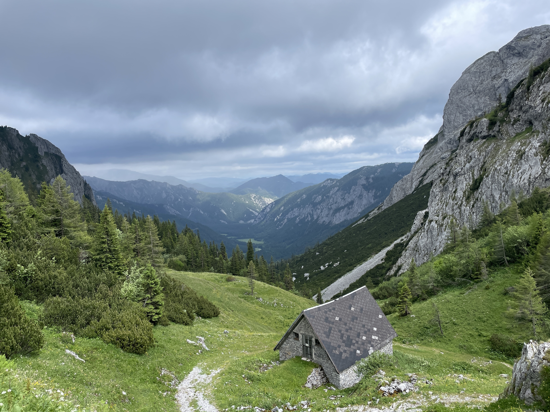
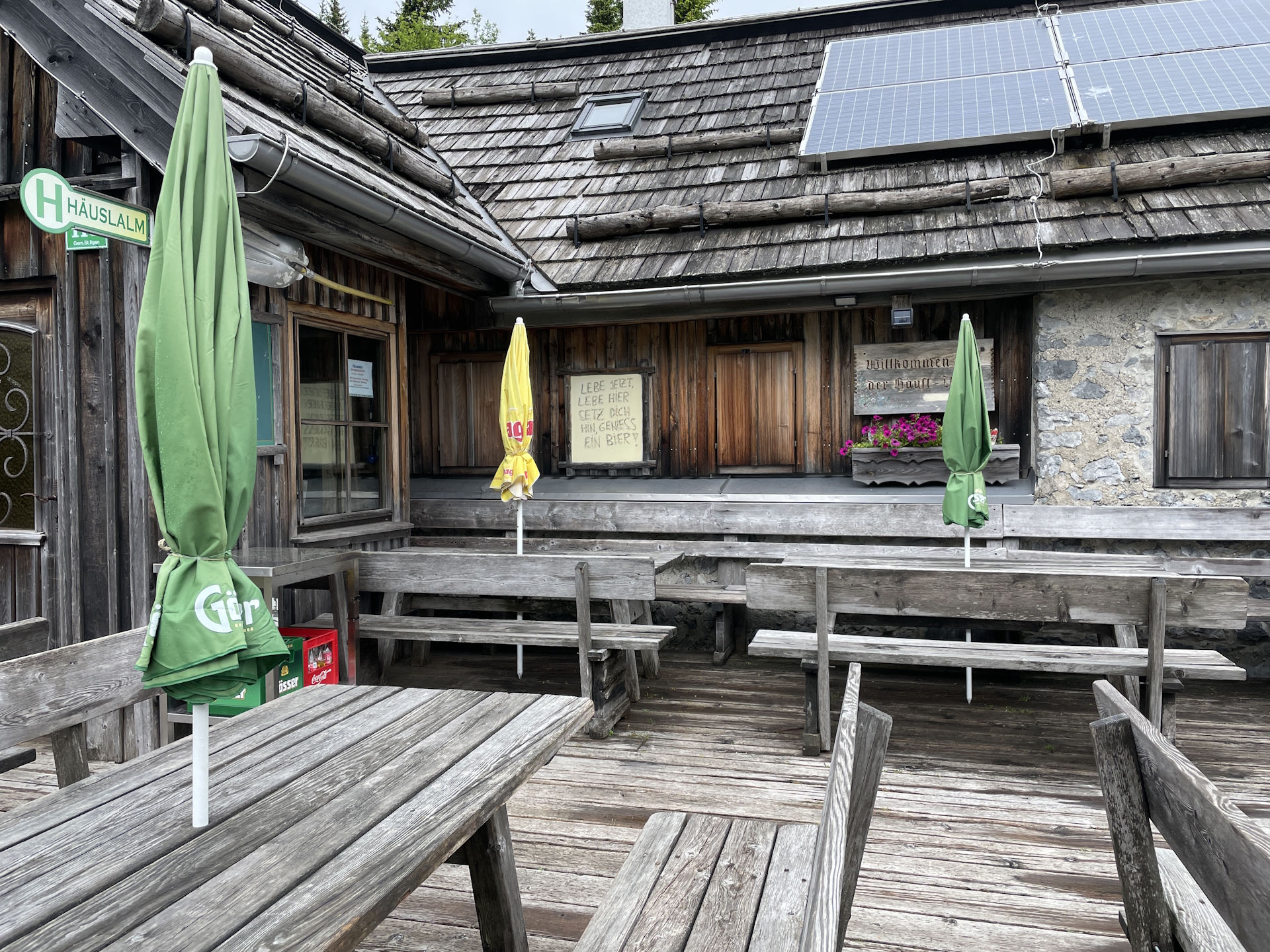
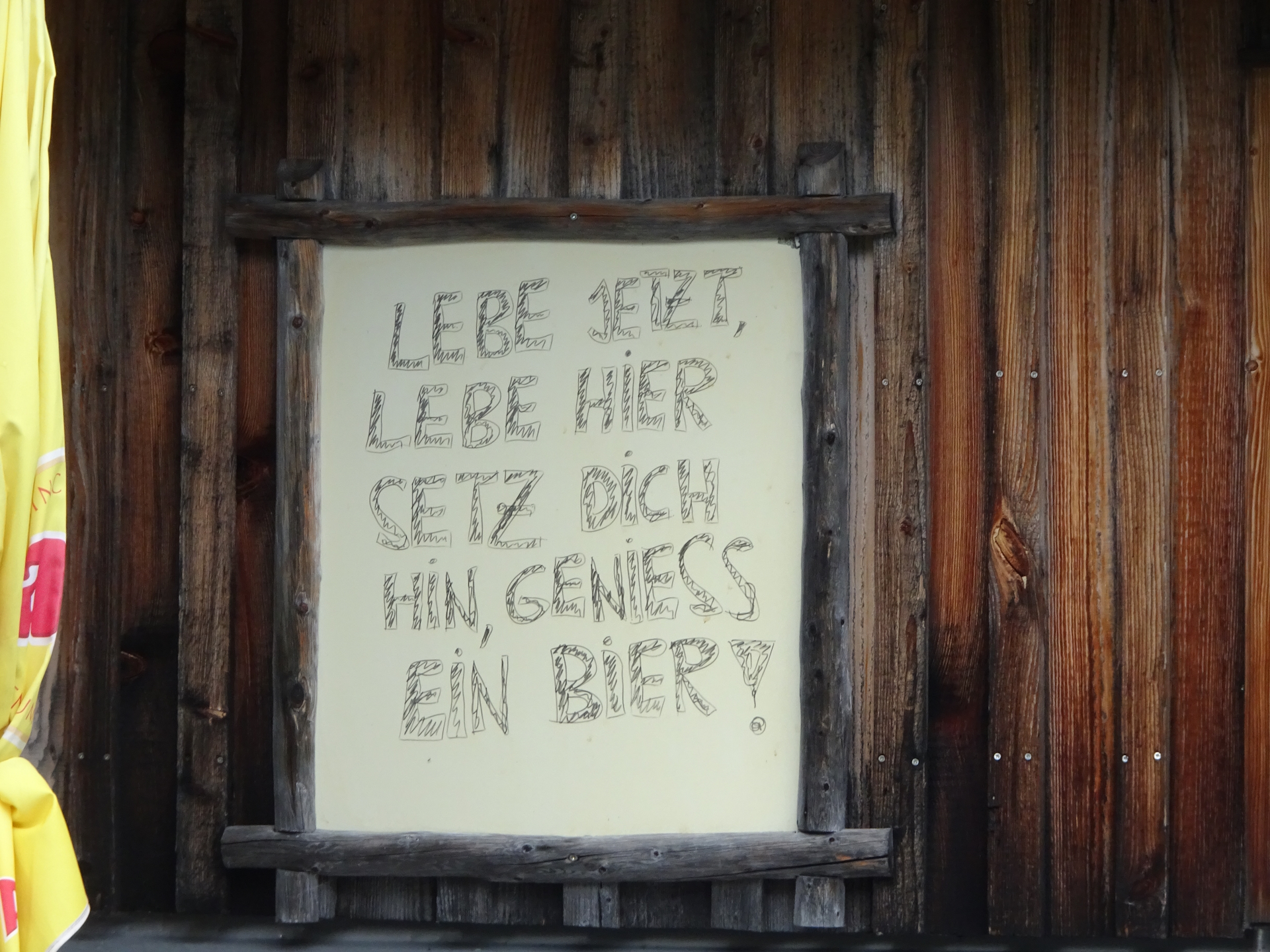
The tour starts after a sleepover in the Voisthalerhütte (Checkpoint) and follows the official 01 05 trail through the Obere Dullwitz before steeply ascending via the Graf-Meran Steig up to the Schiestlhaus (Checkpoint). The tour then follows the trail up to the summit of Hochschwab and then crosses the entire plateau on a scenic trail, bypassing the Fleischer-Biwak. At the Rauchsattel the tour turns left and continues following the trail southwestwards till the end of the plateau and then descends to the Häuslalm. From there the tour follows the trail westwards, first bypassing the Sackwiesenalm, then the Sackwiesensee till finally reaching the Sonnschienalm. The tour ends at the Sonnschienhütte (Checkpoint) for the next overnight stay.
| Nordalpenweg 01 | Nord-Süd-Weitwanderweg 05 – Checkpoints | |
|
Transportation:
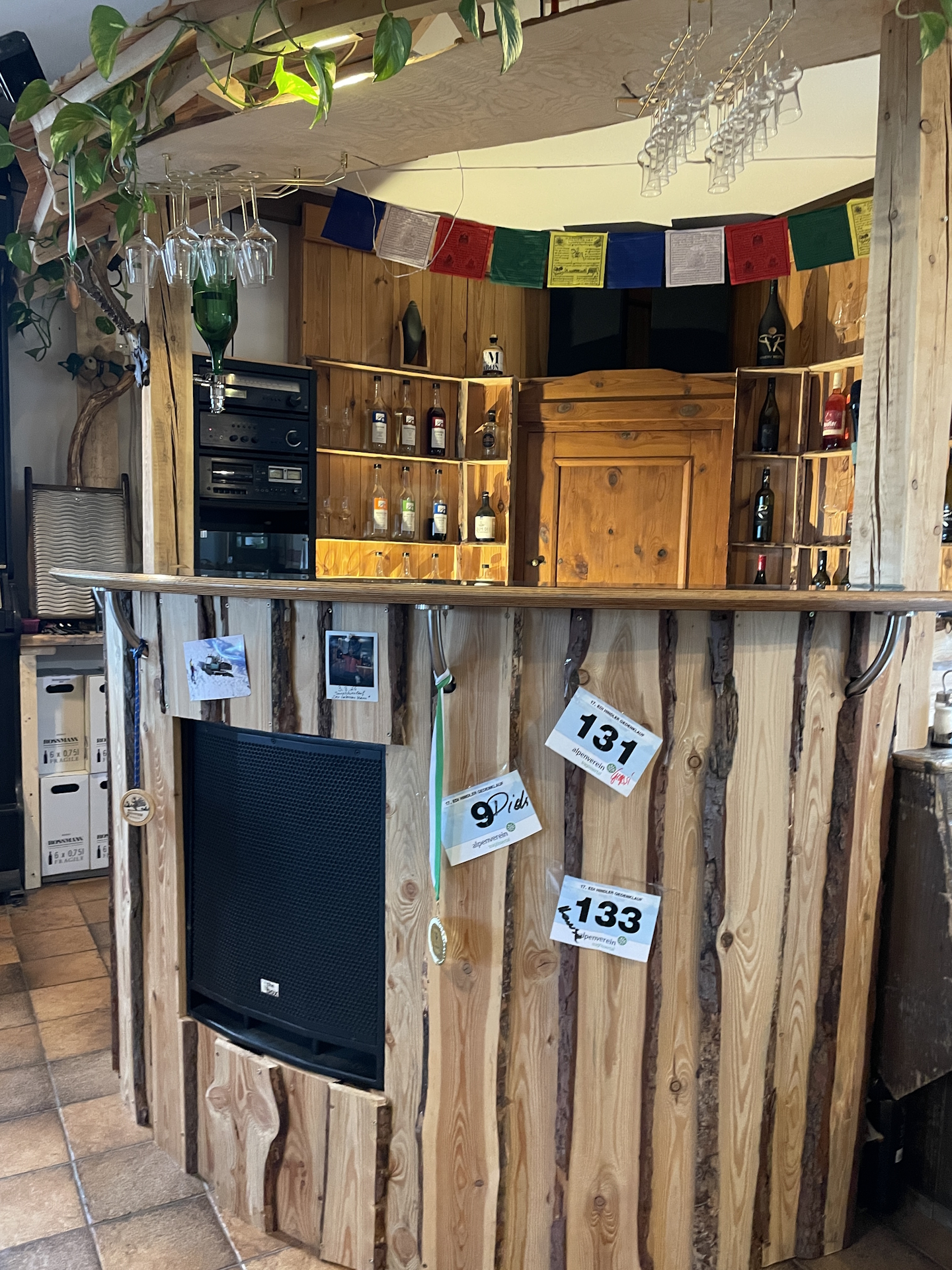
This tour is part of a multi day-trip. Robert and me had a pleasant overnight stay in the Voisthalerhütte hut and continued our trip from there on the 01 .
The hike:
Unfortunately, the weather forecast was right and it started to rain over night after a couple of very hot days. Although the rain was light in the morning, Robert and me had a hard time to decide if and when we should start the tour. Thus we first had an extended breakfast and after talking to the personnel working in the hut, we decided to give it a try – at least till the Schiestlhaus and then reassess the situation.
Finally, we started the hike later in the morning (08:45), when the rain stopped for a few minutes. And as expected, the first meters were cold but at least there were only a few drops of rain.
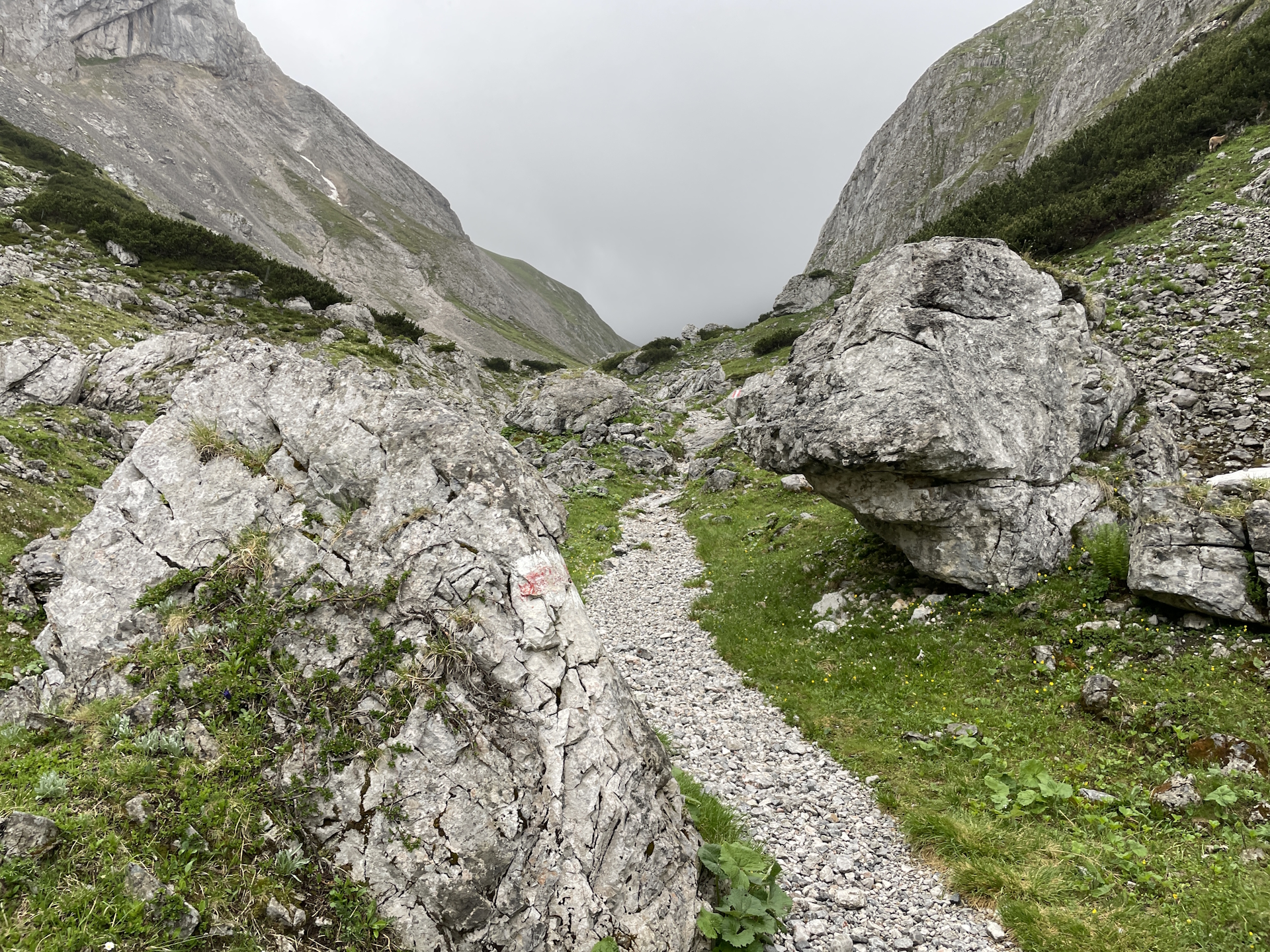
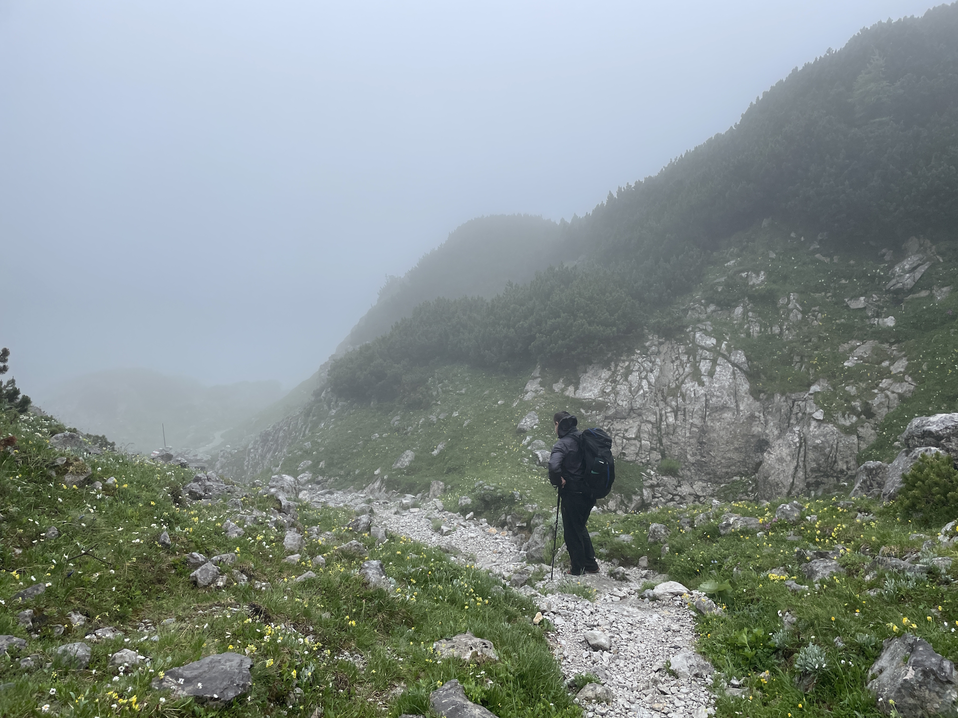
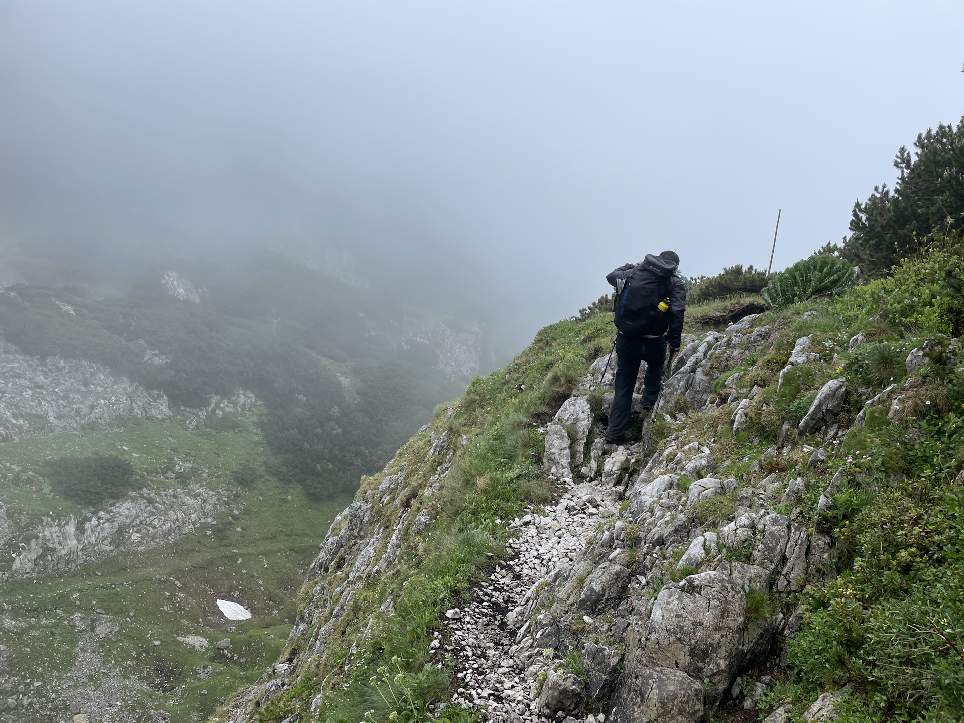
When we reached the Graf-Meran Steig, the weather was still okay, although we could see that the entire Hochschwab plateau was covered in fog. Fog became worse on the way to Schiestlhaus but thanks to the good markings and our GPS we managed even with seeing not 5 meters to make it to the hut.
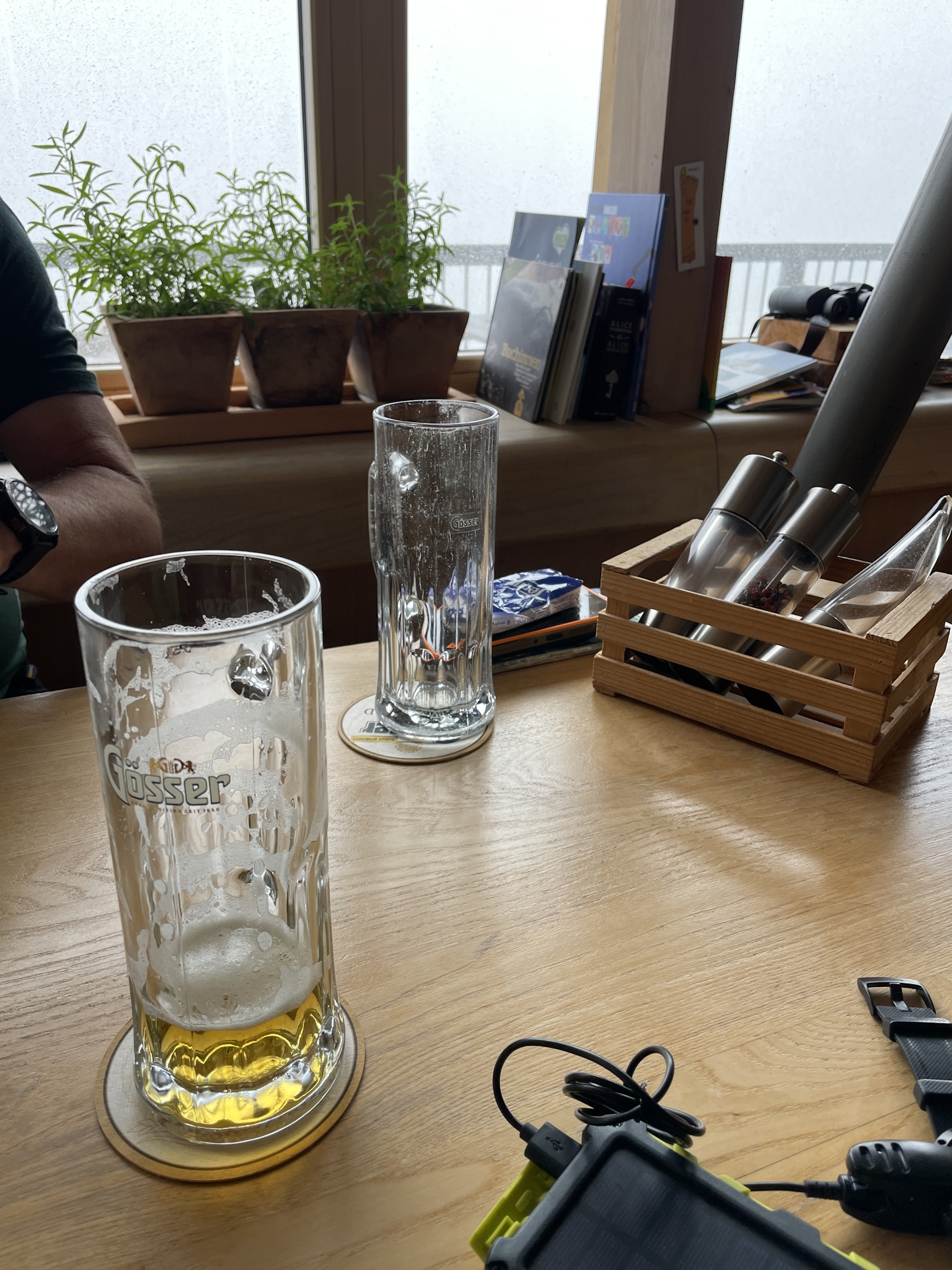
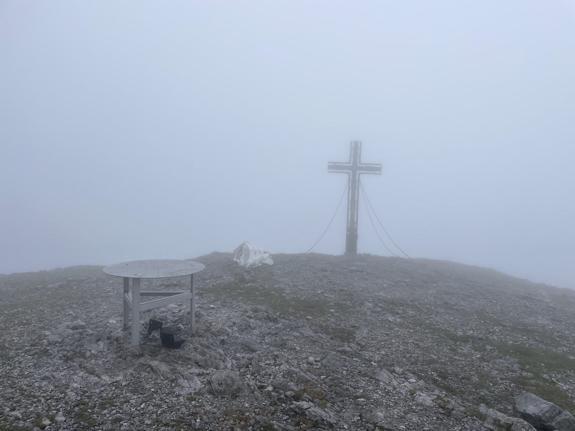
Robert and me then decided to have an extended break at the Schiestlhaus (Checkpoint), having a soup, some lunch, a few beers and collecting the stamp . Although it was still very foggy, the view got a bit better and thus we decided to give it a try. Once we left the hut, we noticed that in addition to the fog, there was strong wind. No view and cold wind resulted in no stop at the summit, just a quick picture with the summit cross in fog before immediately continuing the tour. While walking across the plateau, the wind blew cold and partly icy rain drops into our faces. Because I was wearing glasses, I had a hard time to see the trail thus Robert took the lead.
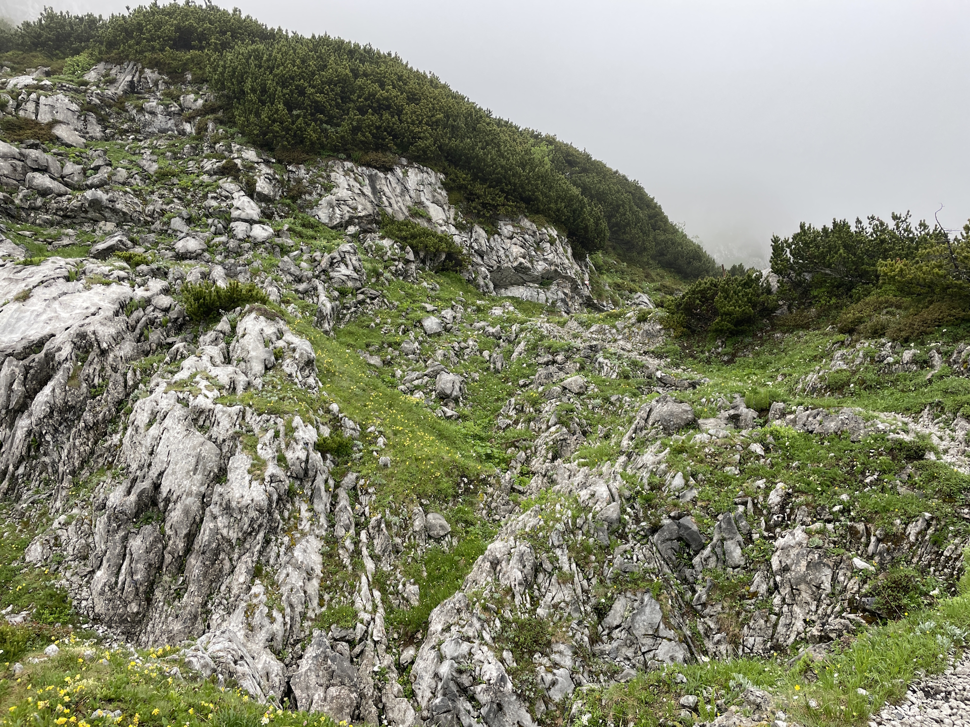
While walking on the plateau, I remembered the documentary about the 7 students in 1988 who got lost exactly at this part of the trail ending in a big tragedy of only 2 of them surviving. Yes, mountains can be dangerous, even if the trail is very easy! But luckily we did have 3 GPS devices and no snow so the trail was always visible, although the view was sometimes less than 3 meters.
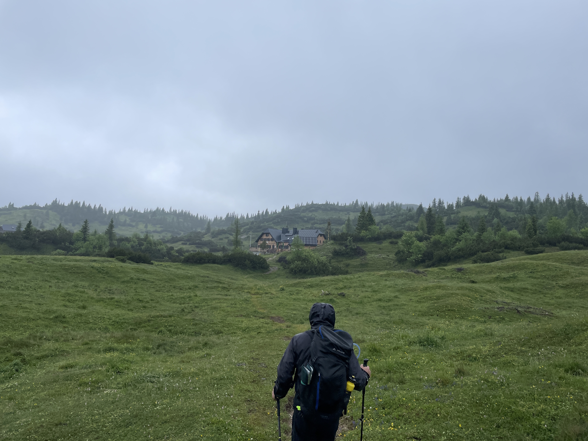
Finally, when we managed to reach the other side of the plateau, it cleared up a bit and while descending to the Häuslalm, we even had sunshine for a few moments.
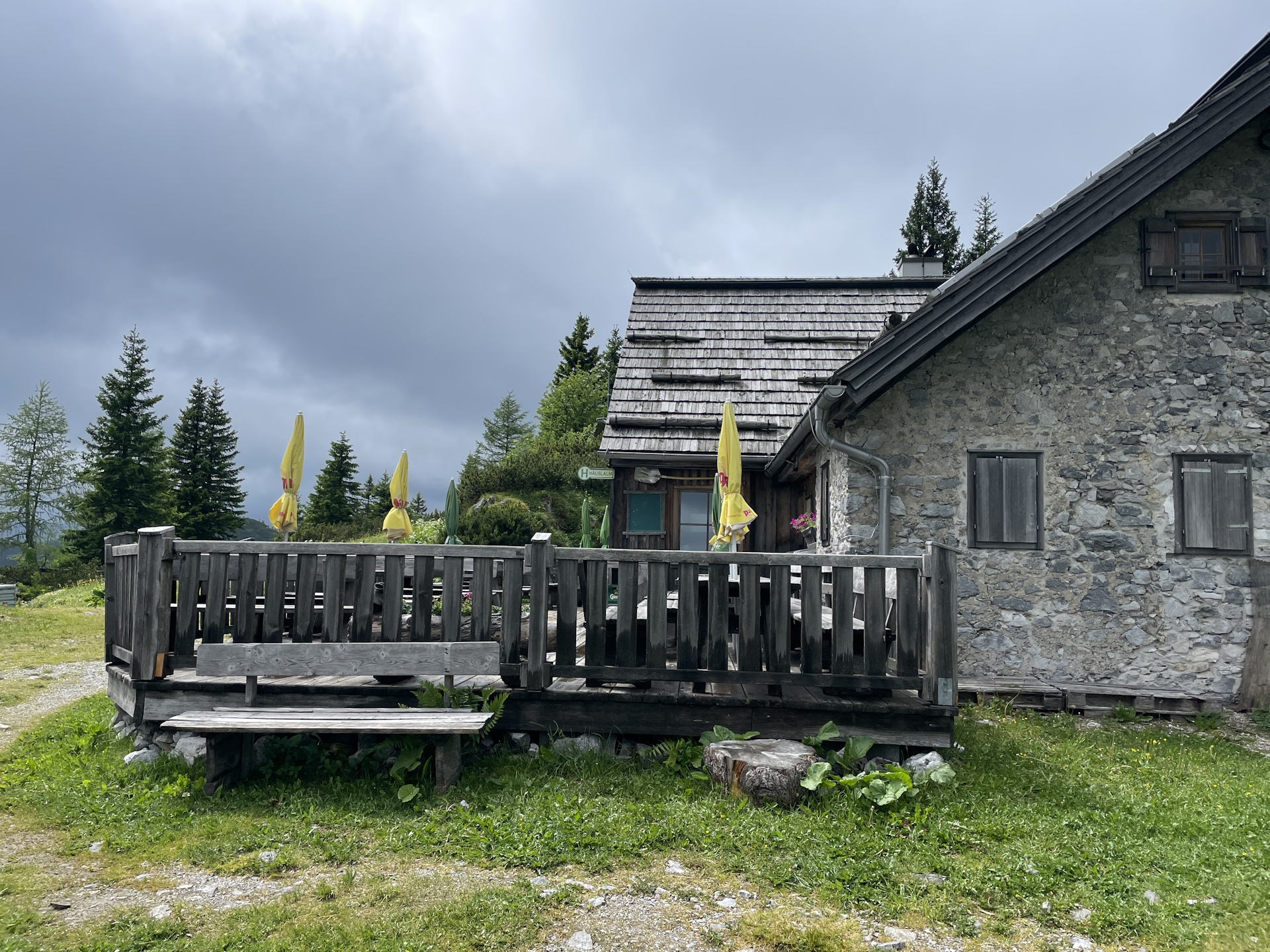
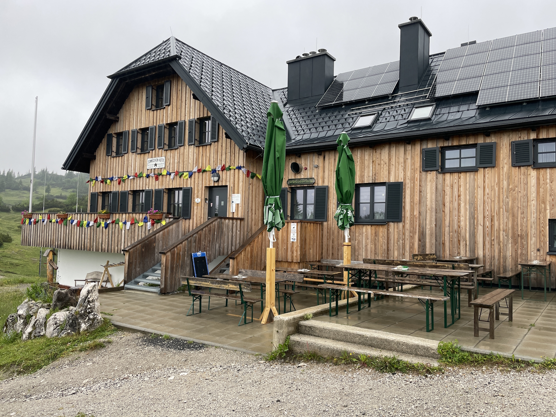
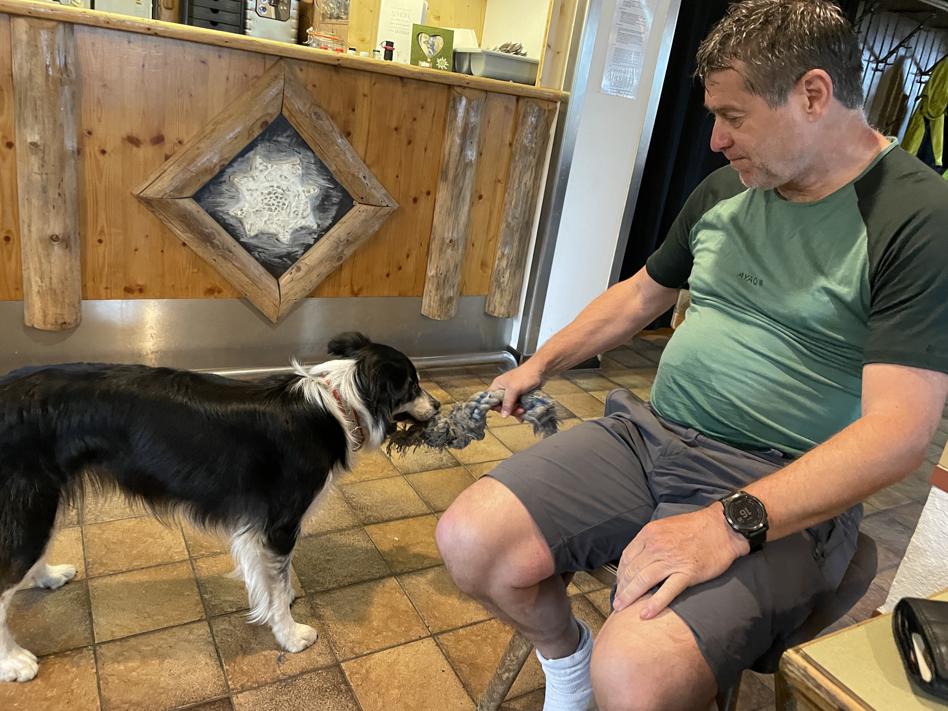
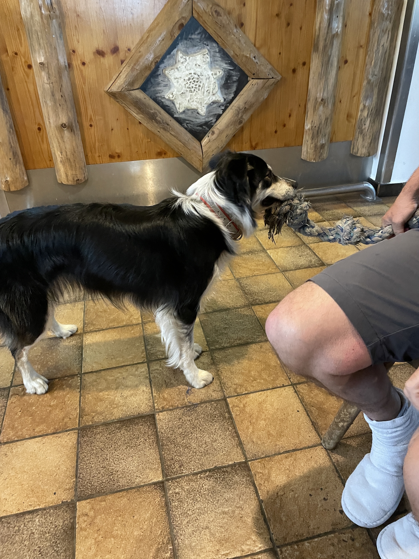
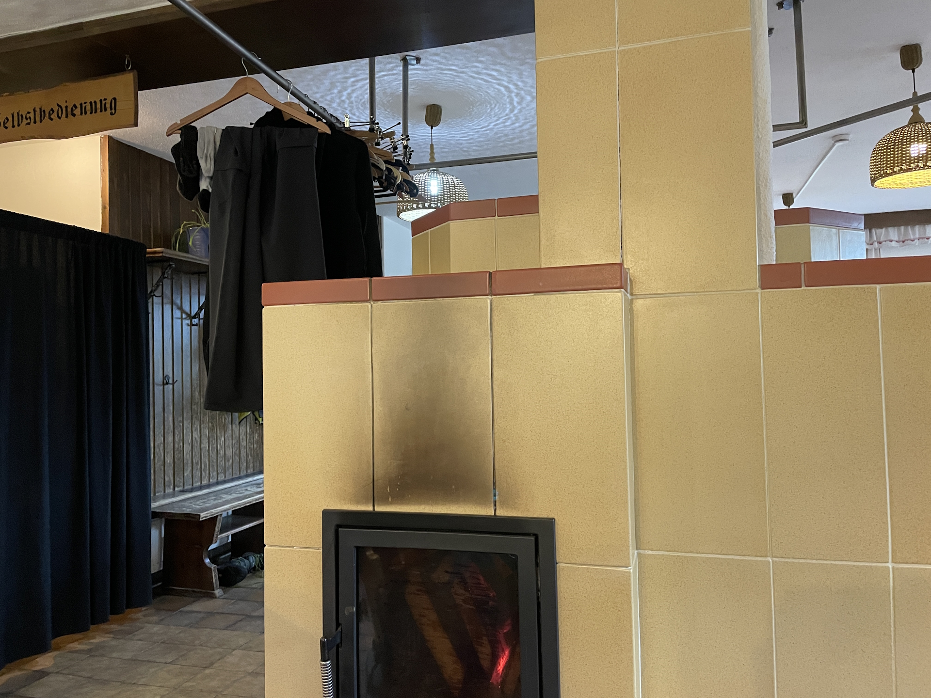
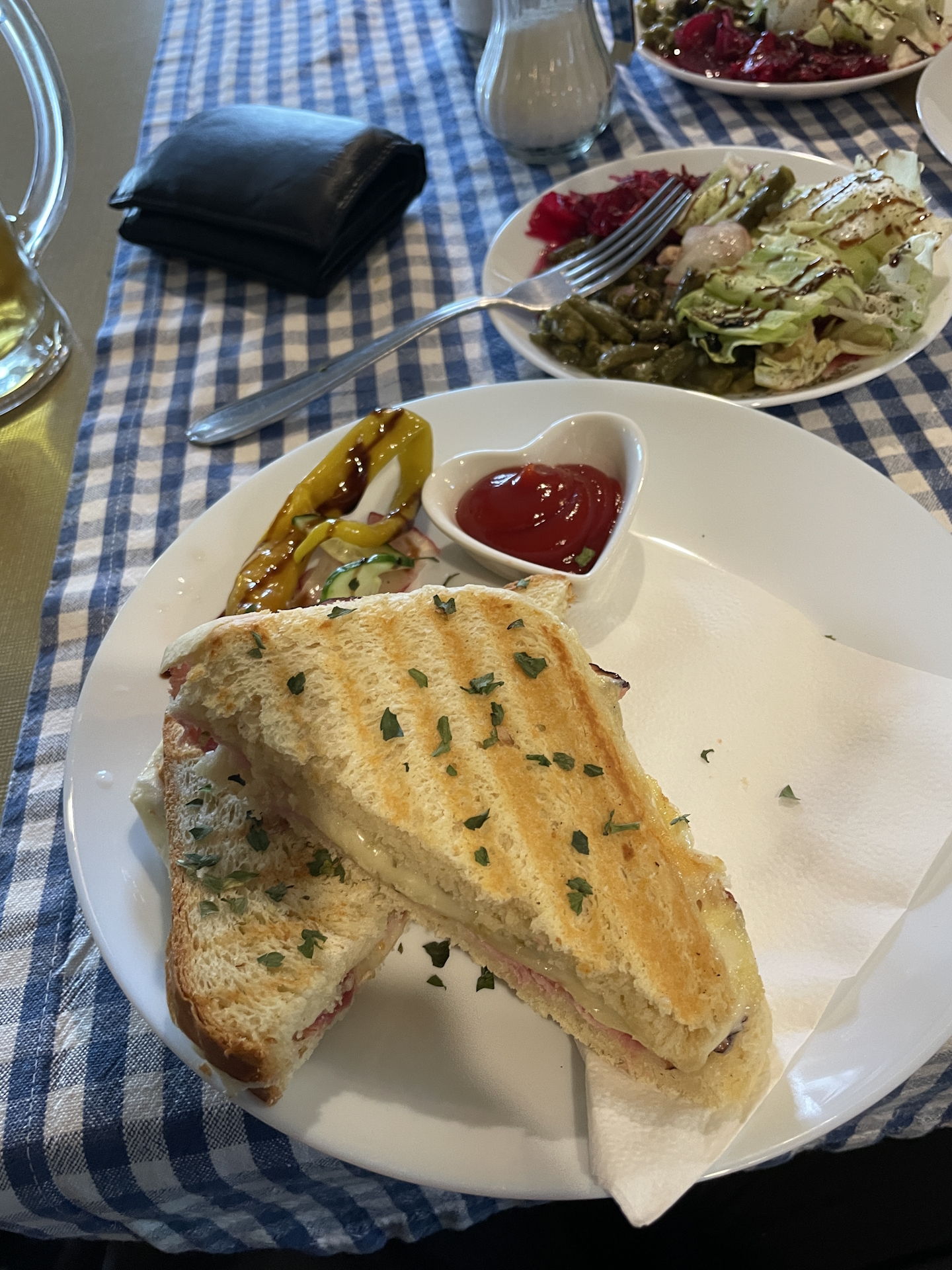
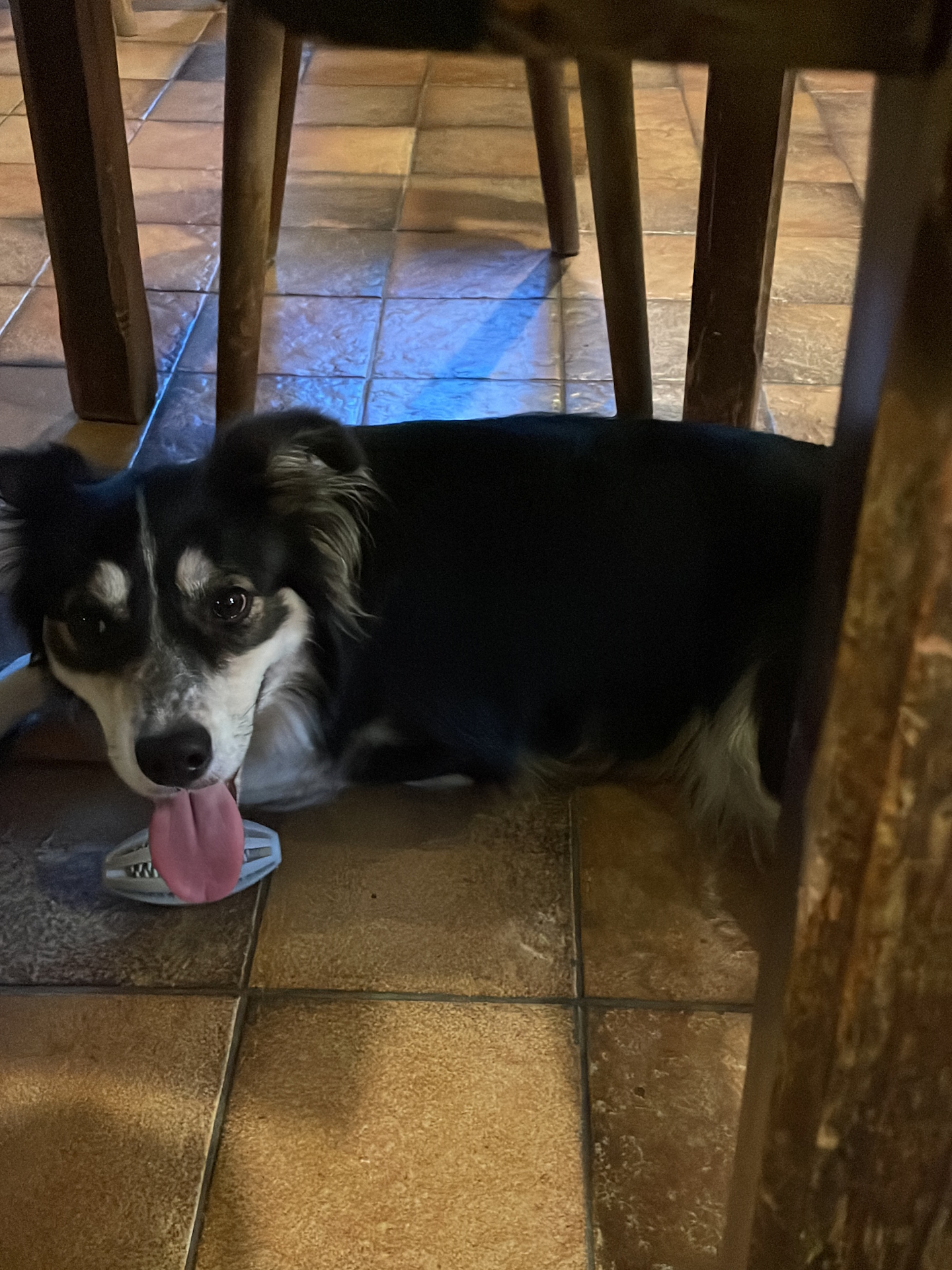
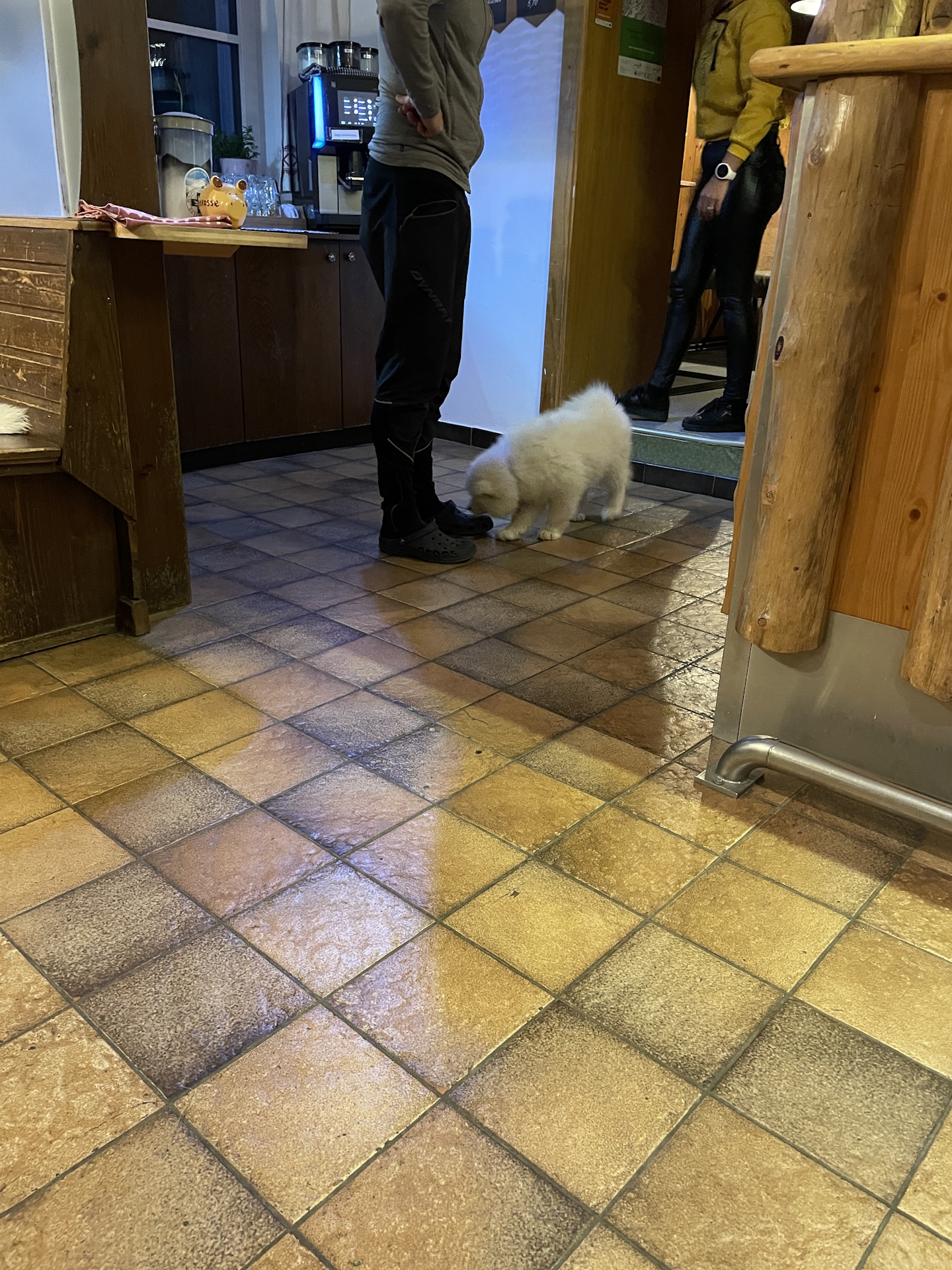
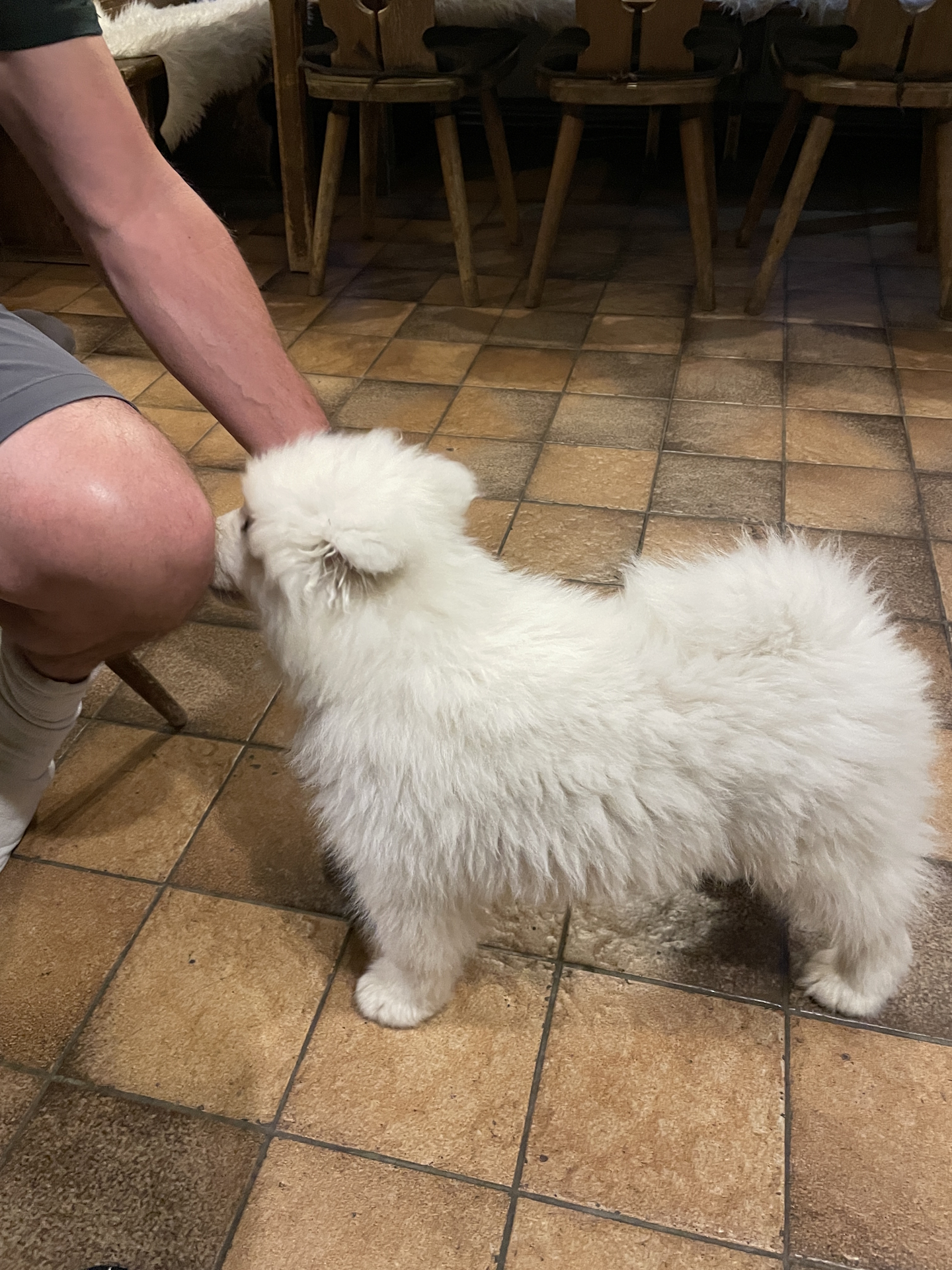
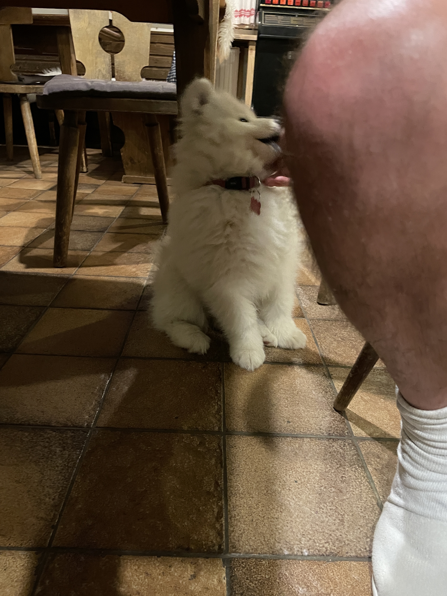
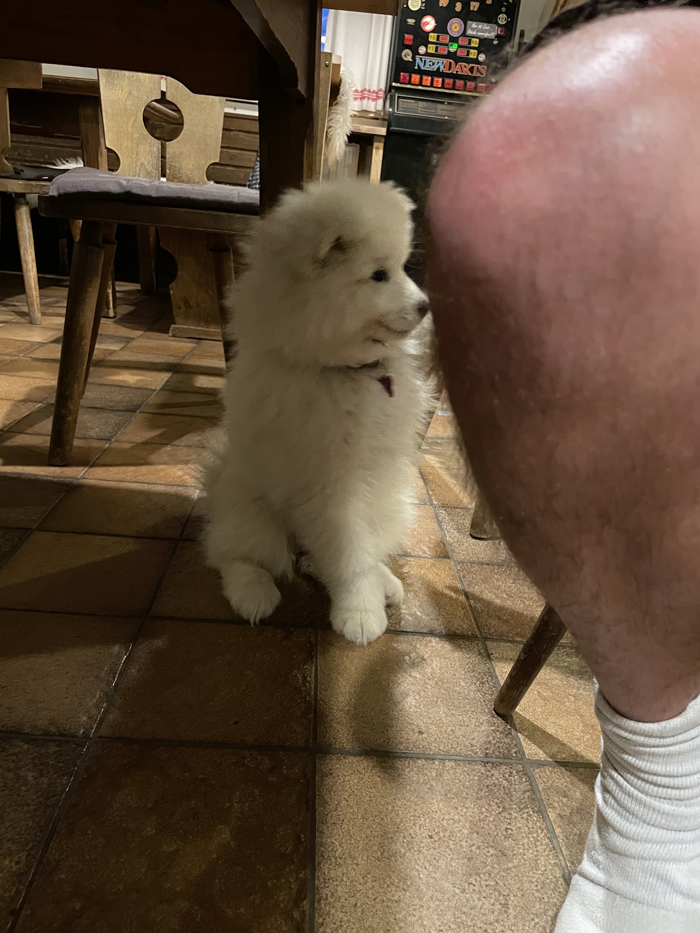
For the remaining tour, we decided to stay on the forest road (skipping the Sackwiesensee) as it started raining again. Totally wet and suffering under the cold temperatures, we finally reached the Sonnschienhütte. We were immediately welcomed by the nice personnel and their young dogs and after changing into dry clothes and sitting next to the fireplace, we could enjoy an excellent dinner. After warming up and the dinner, I was also able to collect the desired stamp . The remaining evening we spent playing with the two little and cute dogs while having one or two beers before we finally went to bed.
Summary:
From the past, I know that this is a very scenic and promising stage! However, due to the very bad weather with strong wind, rain and dense fog, the stage was this time not pleasant at all. Bad luck .
| 00:00 | Start at Voisthalerhütte. If not yet done, get a stamp there while having a coffee/breakfast . Then follow the trail westwards towards Hochschwab (see signposts). |
| 00:05 | At the crossing, keep straight and continue following the trail westwards. |
| 00:30 | Turn right into the Graf-Meran Steig and hike up to Schiestlhaus (see signposts). |
| 01:40 | Well-deserved break () at Schiestlhaus. Don’t forget to collect your stamp . |
| 03:25 | Follow the trail southwards up to the already visible peak of Hochschwab. |
| 03:45 | Enjoy the view from the Hochschwab summit and then continue on the trail westwards. |
| 04:00 | At the Fleischer-Biwak, keep straight and continue following the marked trail westwards! |
| 04:30 | At the Rauchsattel, keep left and continue following the trail southwestwards. |
| 05:15 | Keep straight and descend downwards through the arolla pines. |
| 06:10 | Bypass the Häuslalm hut and then turn right. Now follow the gravel road westwards. |
| 06:15 | Stay on the gravel road and bypass the Sackwiesenalm hut. Continue following the gravel road westwards. |
| 06:25 | Turn slightly right and follow the marked trail downwards to Sackwiesensee. You might consider staying on the gravel road when having bad weather. |
| 06:40 | Leave the gravel road by turning left into the marked trail. Follow the trail through the forest westwards. |
| 07:00 | Cross the gravel road and continue on the trail on its opposite side. Keep following the trail through the alpine pasture towards the already visible Sonnschienhütte. |
| 07:05 | Arriving at the Sonnschienhütte. Check-in for the night, get some dinner () and the desired stamp . |
At a glance
| Level | medium |
| Technique | |
| Shape / Fitness | |
| Experience | |
| Scenery | |
| Best time in the year | |
|
Jan
Feb
Mar
Apr
May
Jun
Jul
Aug
Sep
Oct
Nov
Dec
|
|
| Area: | Hochsteiermark, Styria, Austria | |
| Distance: | 16km | |
| Ascent: | 1177m (2h 50min) | |
| Descent: | 1277m (2h 30min) | |
| Highest Pt: | 2277m | |
| Lowest Pt: | 1423m | |
| Duration: | 5:20 (without breaks) 7:05 (with breaks) |
|
| Stop/Rest: | Voisthalerhütte (1653m) Schiestlhaus (2154m) Häuslalm (1526m) Sonnschienhütte (1519m) |
|
| Equipment: | Backpack with standard hiking equipment Comfortable hiking shoes Snacks, and plenty of water Sun & Weather protection Camera Overnight equipment for the hut – light sleeping bag for huts – cash – shoes for the hut |
| Download GPX | ||
| O | Tour at outdooractive.com |
Leave a Reply