
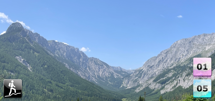
Either the tenth stage of the Nordalpenweg 01 or the twelfth stage of the Nord-Süd-Weitwanderweg 05 starting at the Graf-Meran Haus at the Hohe Veitsch to the Voisthalerhütte via Seewiesen.
 |
The Northern Alpine Long-Distance trail (Nordalpenweg, also known as the “01”) starts in the east of Austria in Perchtoldsdorf (city border of Vienna) and ends in the west of Austria in Bregenz / Bodensee. The trail is ~1000km long, more than 50 000m in ascent and the same amount in descent. The trail is known as the most spectacular long-distance trail through Austria and was officially established on the 22th June 1975. The trail is separated into 61 stages and has multiple variants. For example, the trail can be either started from the city border of Vienna (from Vienna to Bregenz) or from the Neusiedlersee to the Bodensee (lake to lake). In addition, the trail offers multiple alpine variants and even climbs up to the Zugspitze, the highest summit of Germany. It normally takes 9 weeks to complete the entire trail. |
 |
The North-South-Long-Distance trail (Nord-Süd-Weitwanderweg, also known as the “05”) starts in the north of Austria at Nebelstein and ends in the south of Austria at Eibiswald. The trail is ~500km long, ~18 000m in ascent and the same amount in descent. The trail was initiated by Carl Hermann and officially established on the 25th September 1970. The trail is separated into 3 parts:
It normally takes 3 weeks to complete the entire trail. |
The here presented tour is the tenth stage of the Nordalpenweg 01 .
The here presented tour is also the twelfth stage of the Nord-Süd-Weitwanderweg 05 .
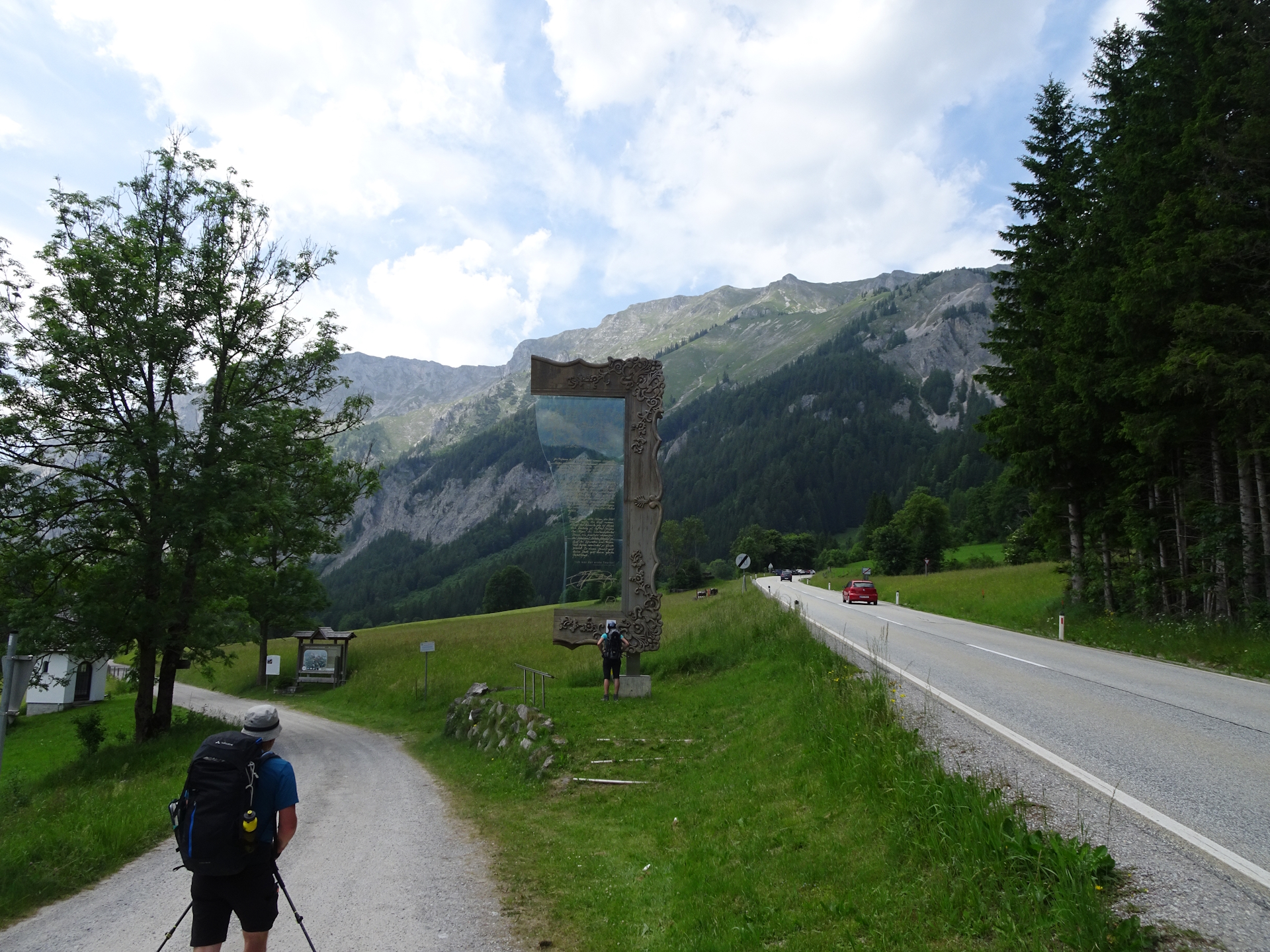
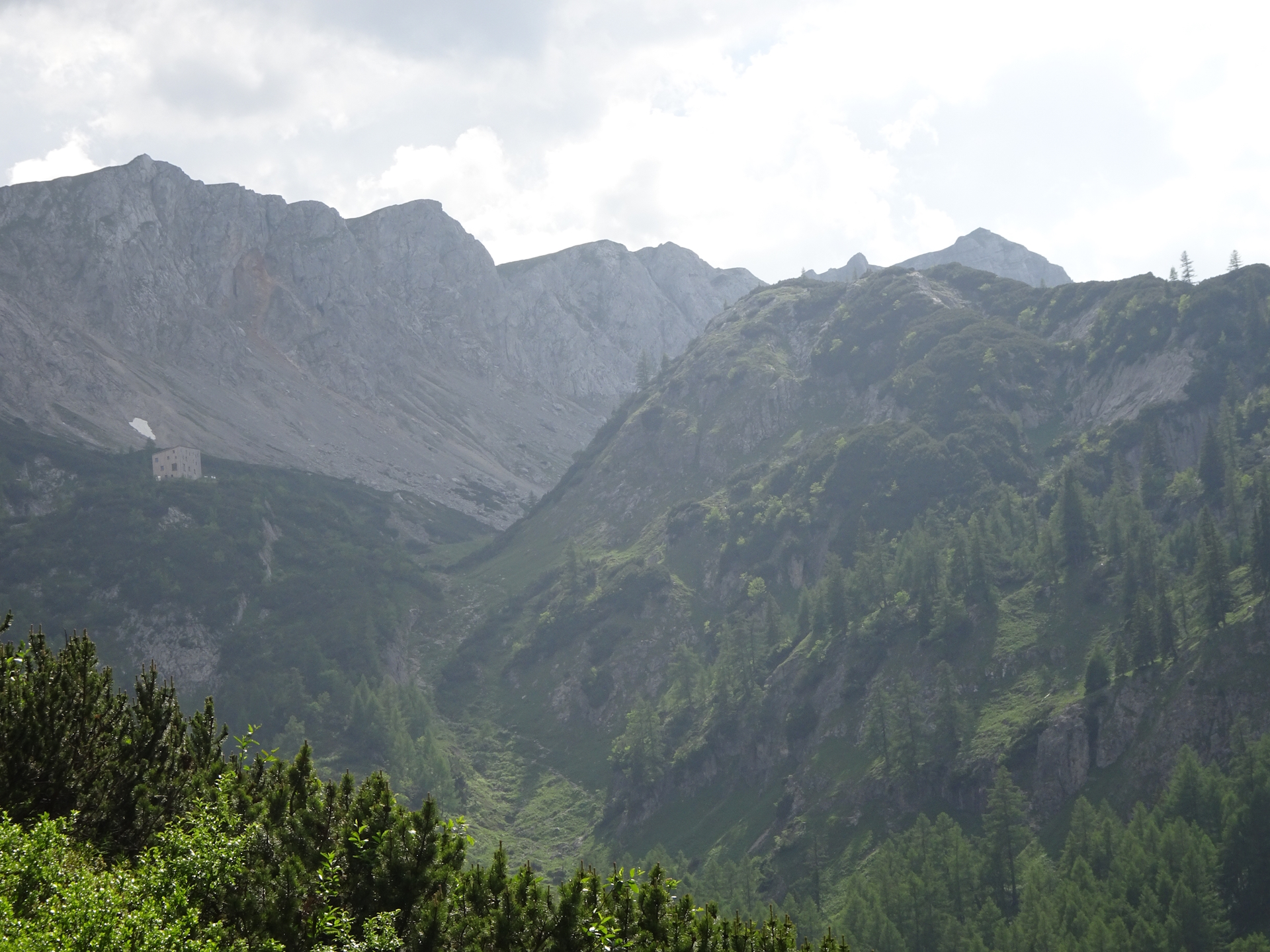
The tour starts after a sleepover in the Graf-Meran Haus (Checkpoint) and follows the official 01 05 trail via the Teufelssteig down to the Rotsohlalm and then further into the village of Seewiesen (Checkpoint). The tour then follows the scenic trail through the valley of Seetal till the next overnight stay at the Voisthalerhütte (Checkpoint).
| Nordalpenweg 01 | Nord-Süd-Weitwanderweg 05 – Checkpoints | |
|
Transportation:
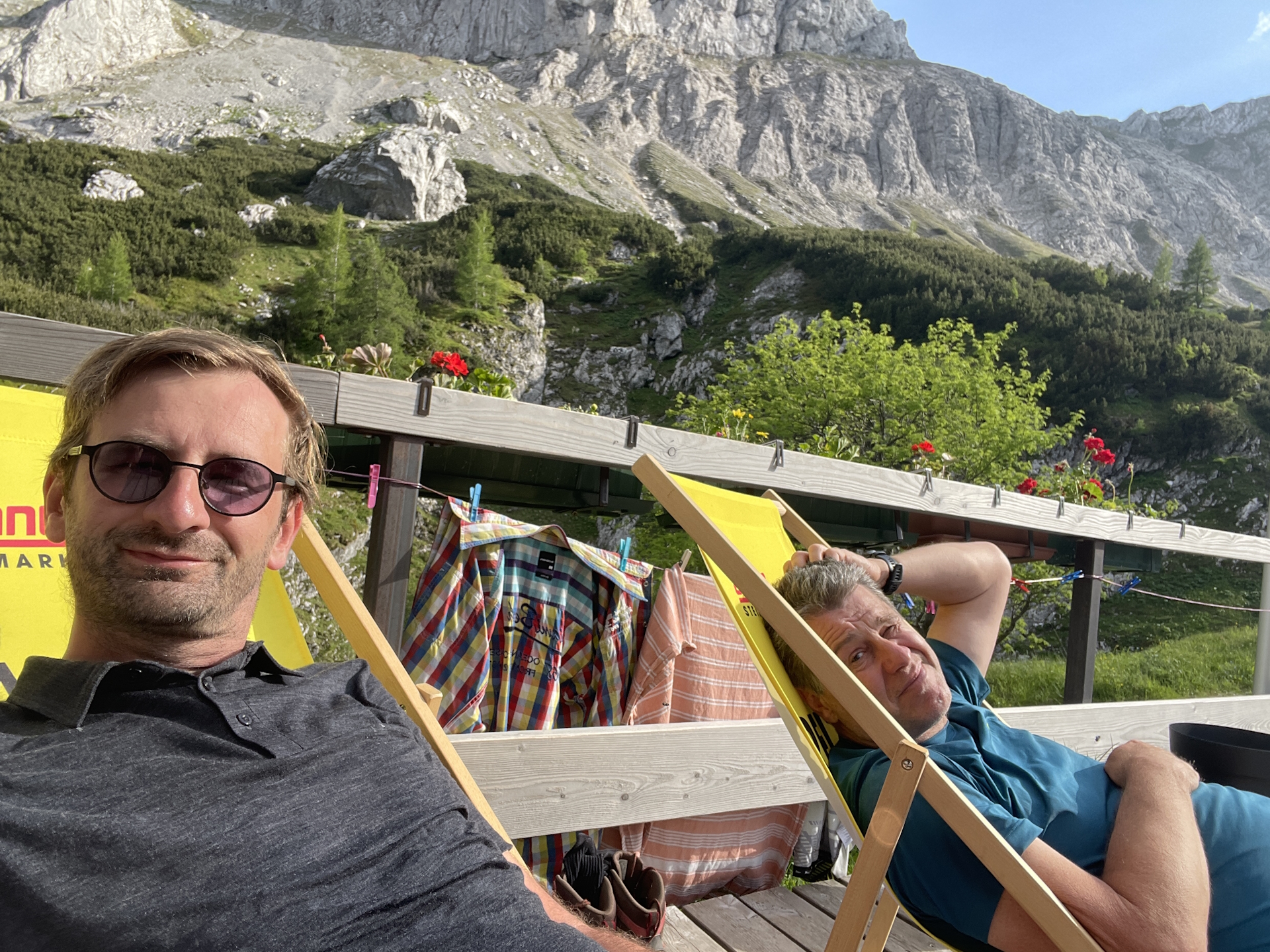
This tour is part of a multi day-trip. As I have visited the Graf-Meran Haus a few days before coming from Niederalpl when doing the 05 , I stayed this time overnight in the hut as Robert and me continued our trip on the 01 .
The hike:
Robert and me decided to start the hike early in the morning (07:45), right after having breakfast at the hut. The forecast was extremely hot weather with potential rain or thunderstorm in the afternoon and unfortunately, the first part was right.
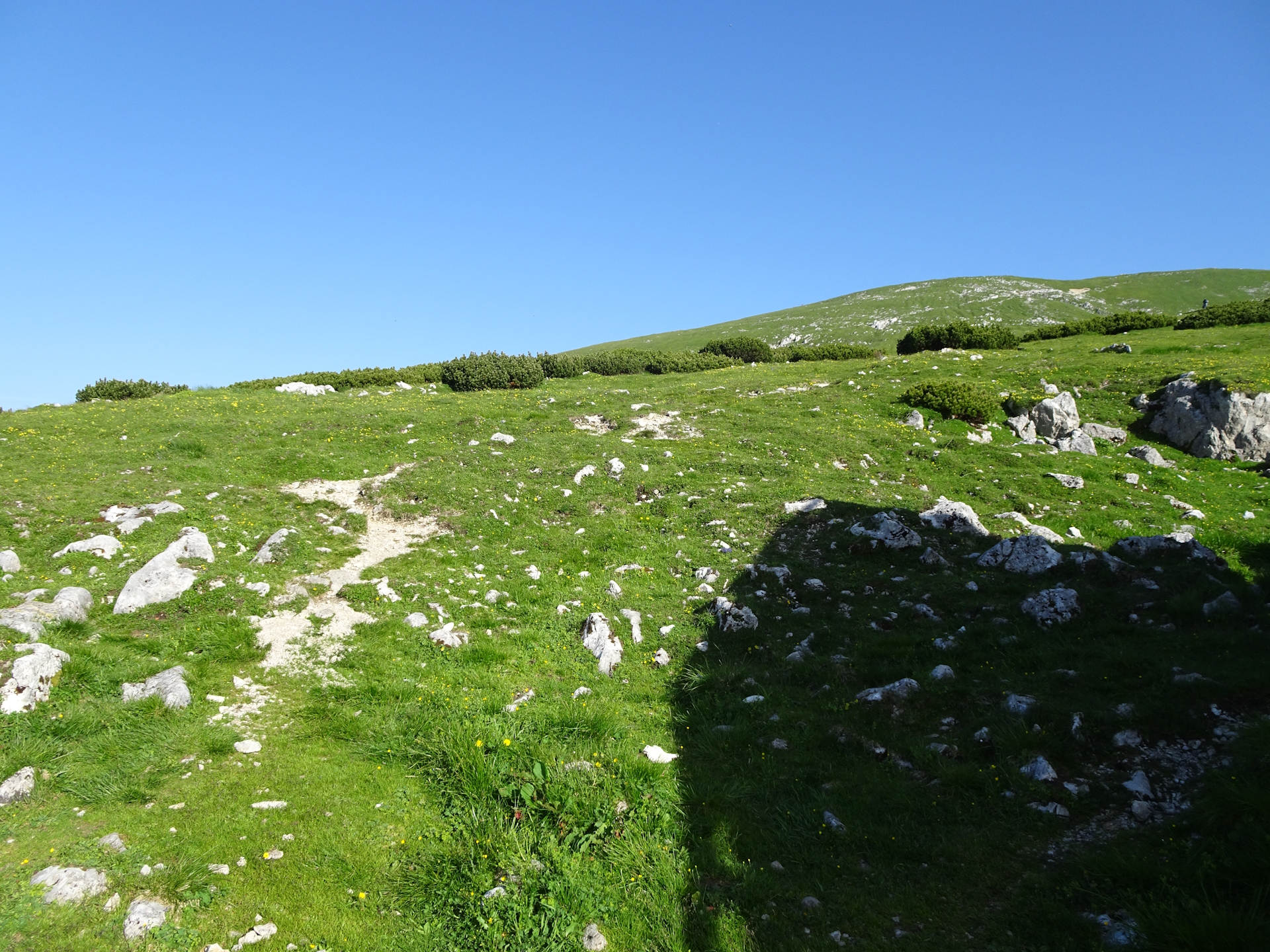
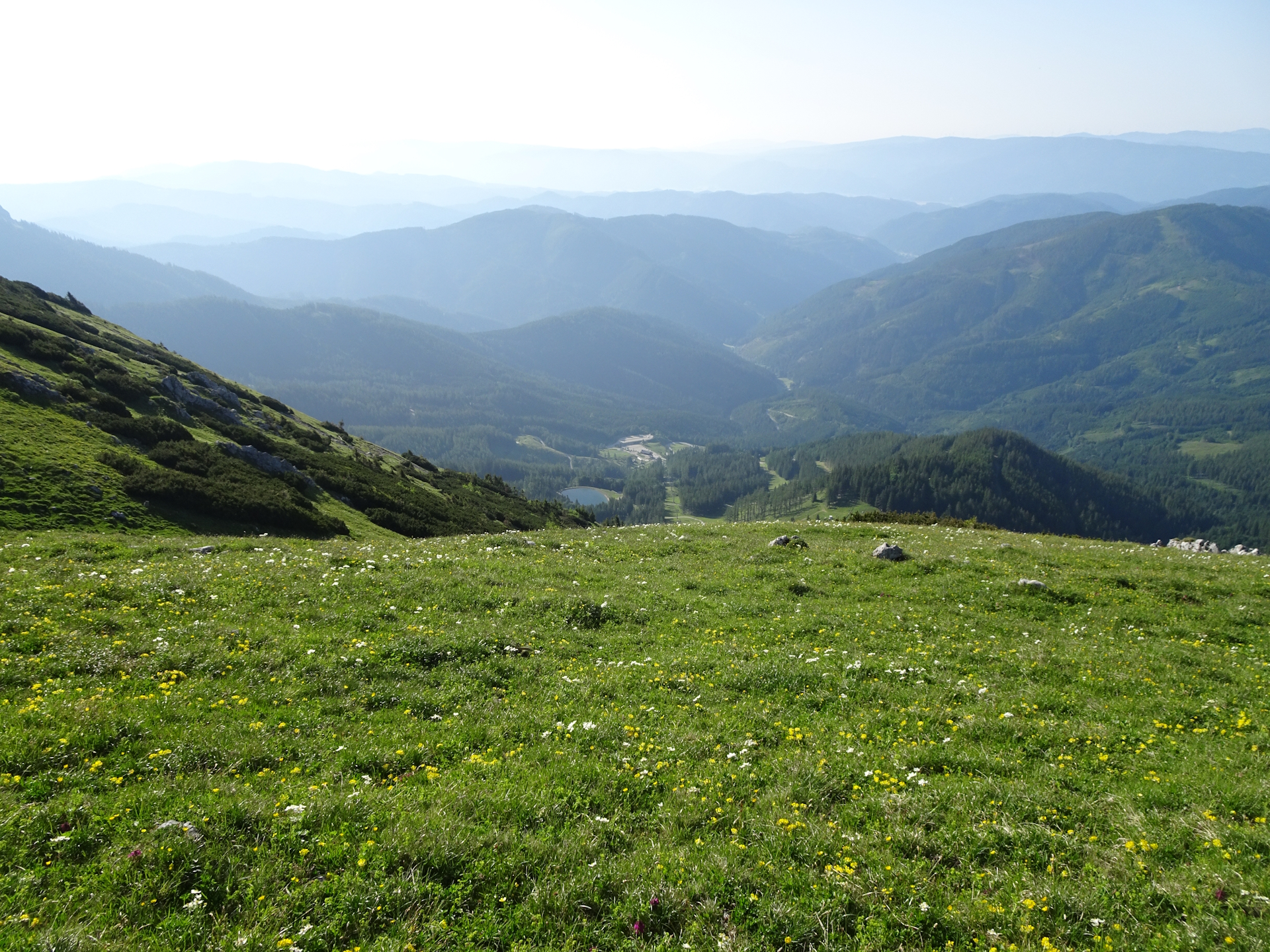
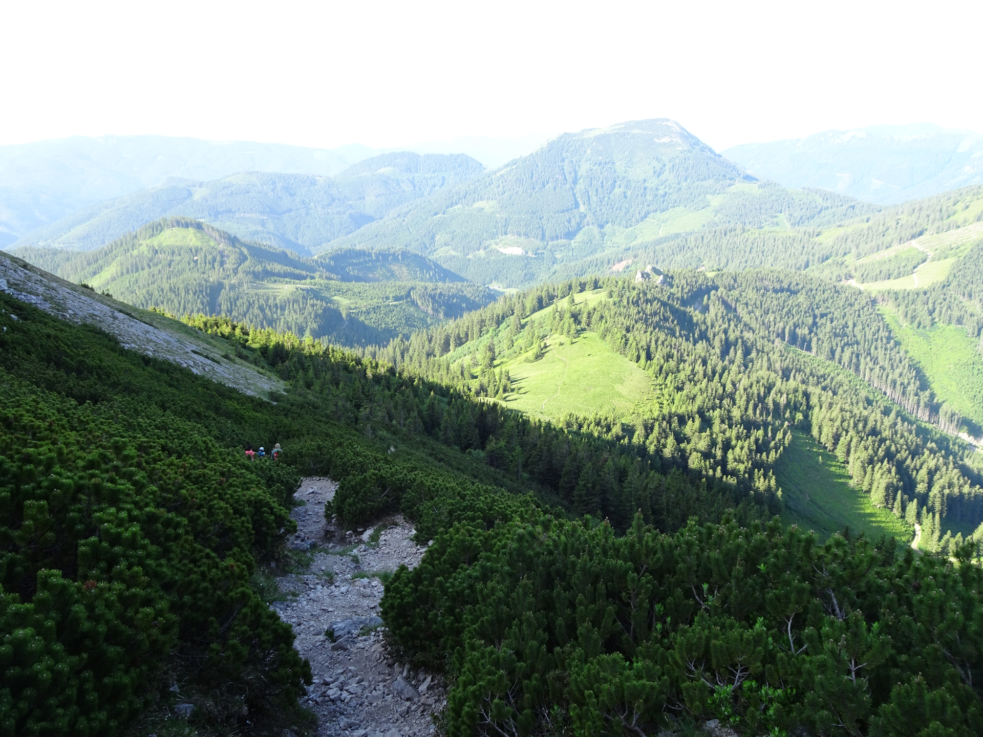
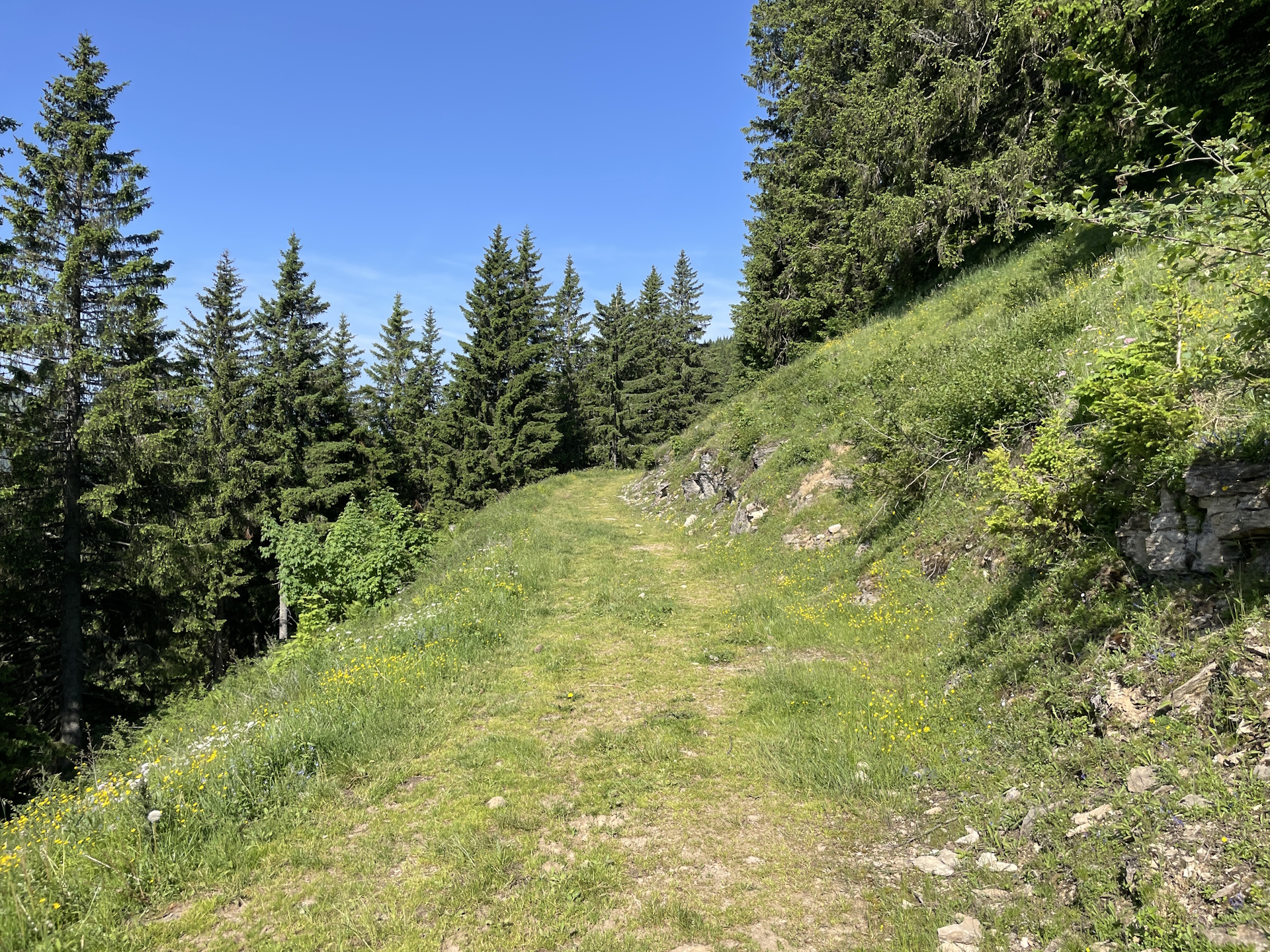
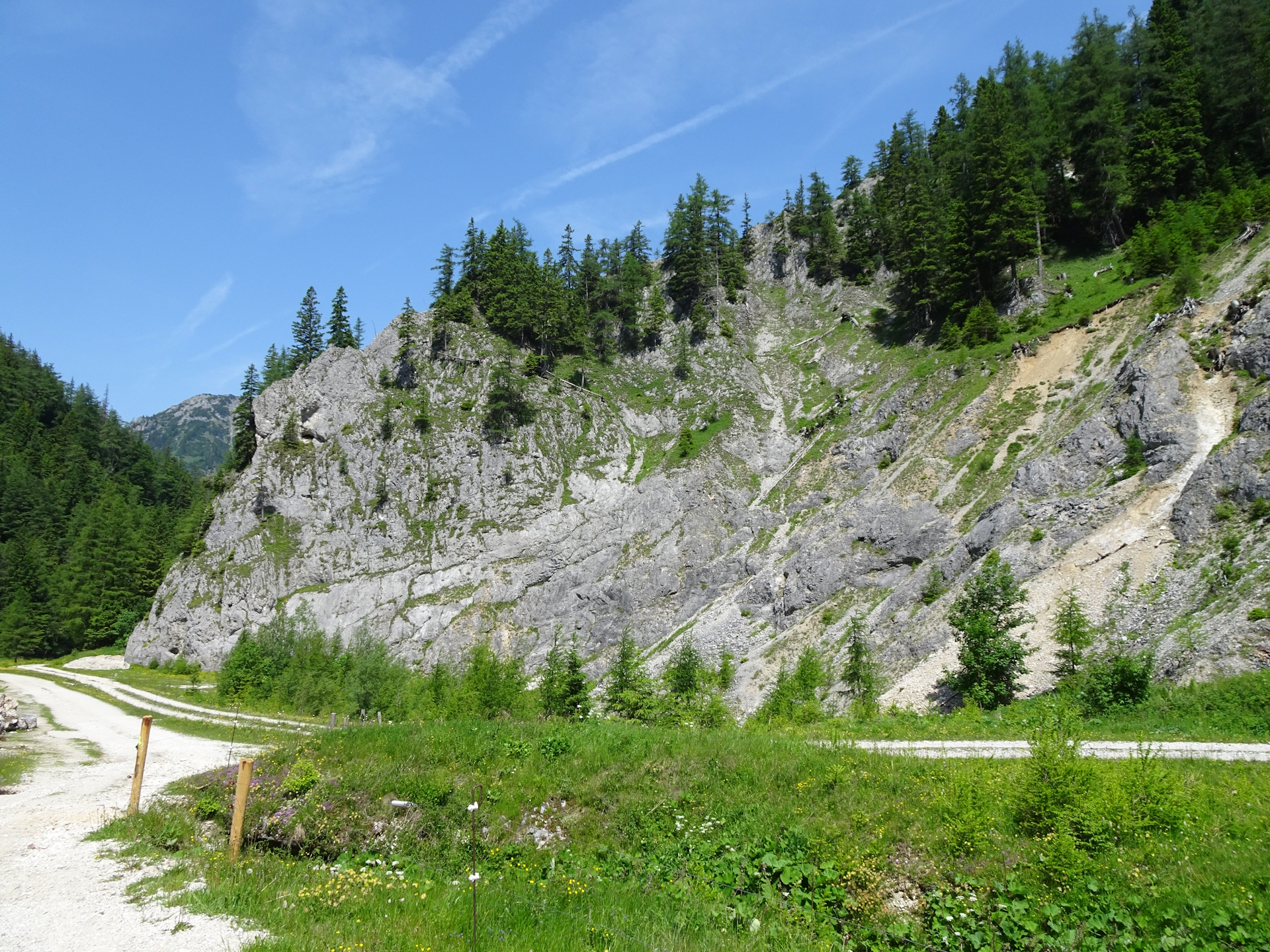
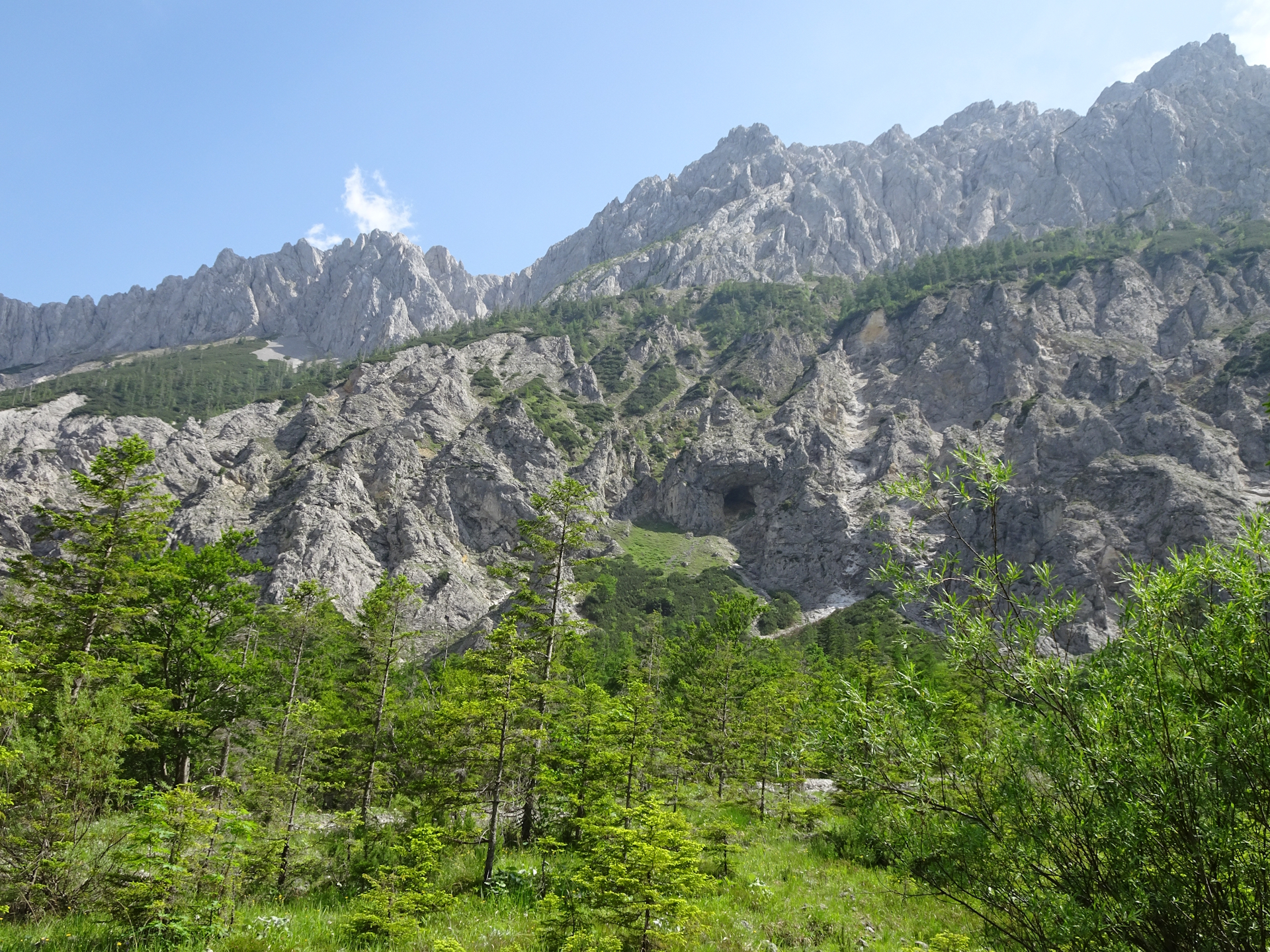
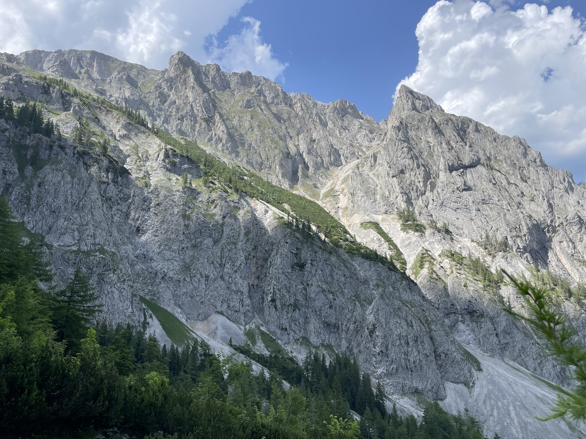
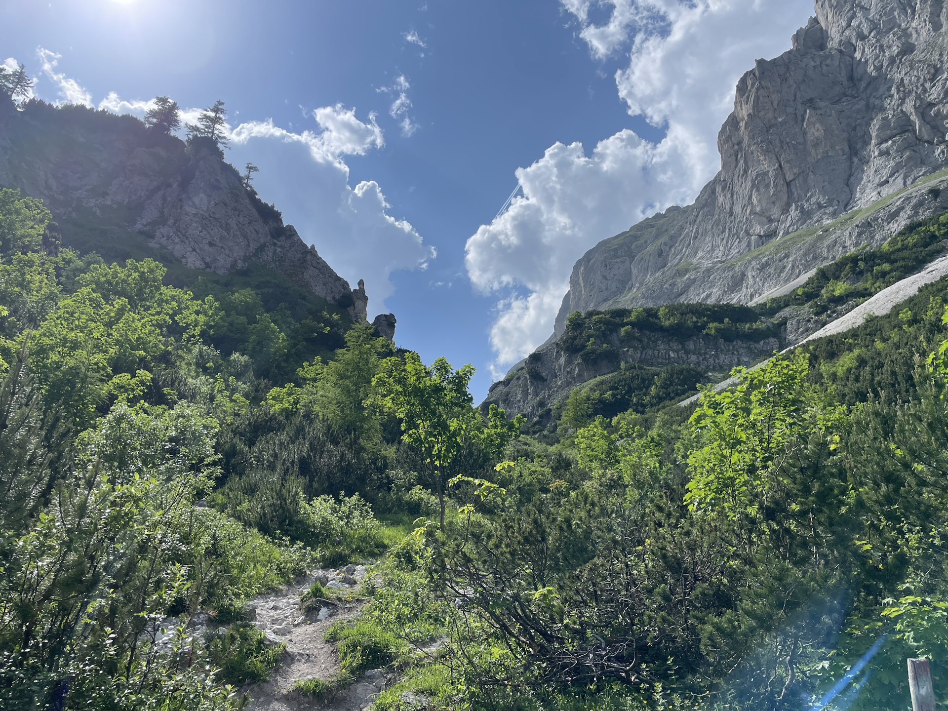
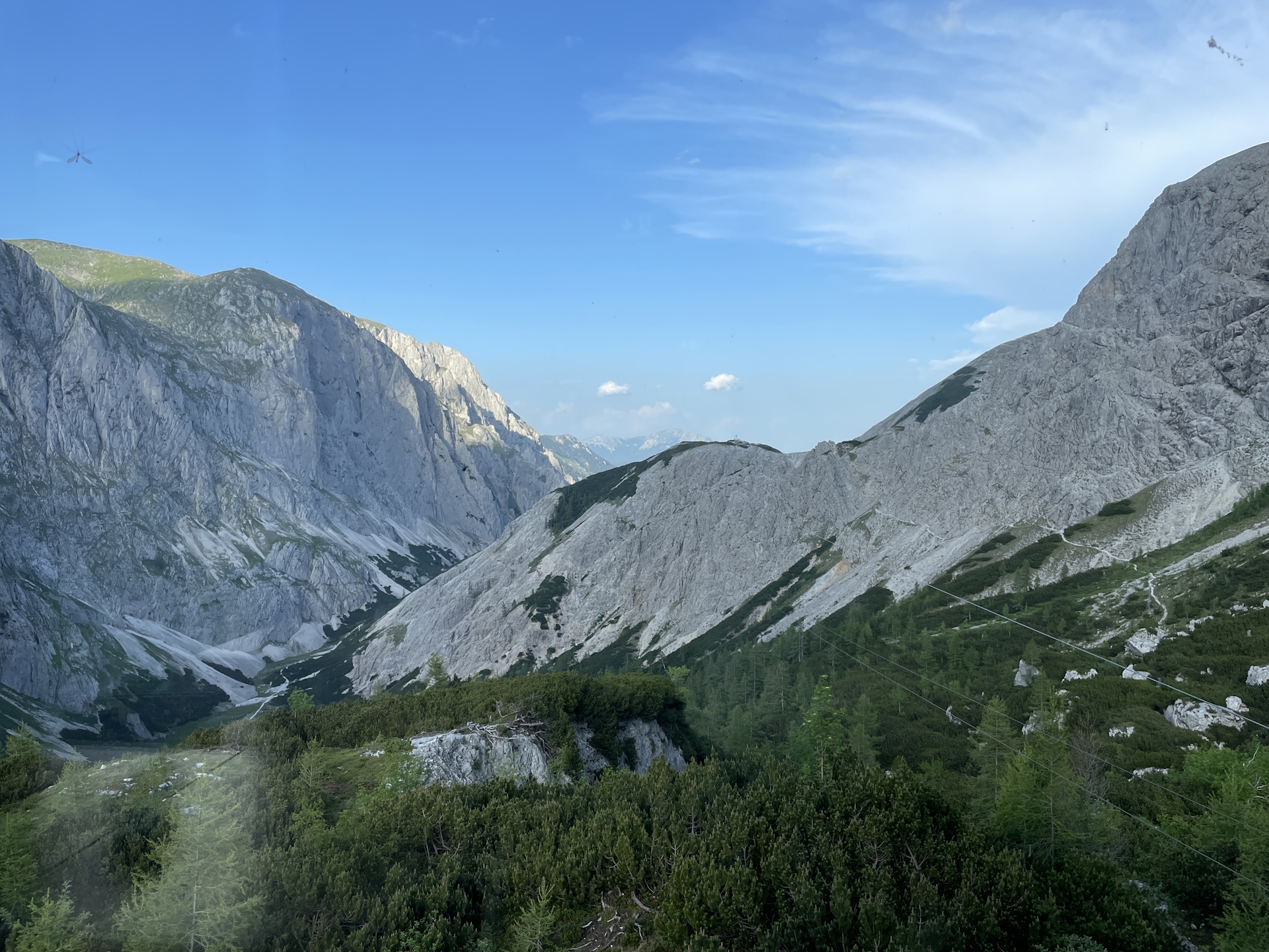
During checkout, I collected the stamp for both trails. The first part, from the hut towards the steep part of Teufelssteig is scenic. Also, at the edge before entering the steep part, the view is once again stunning. However, then the trail becomes steep and slippery. Although the view is still great, all our concentration was needed to hike down towards Rotsohlalm in a safe manner.
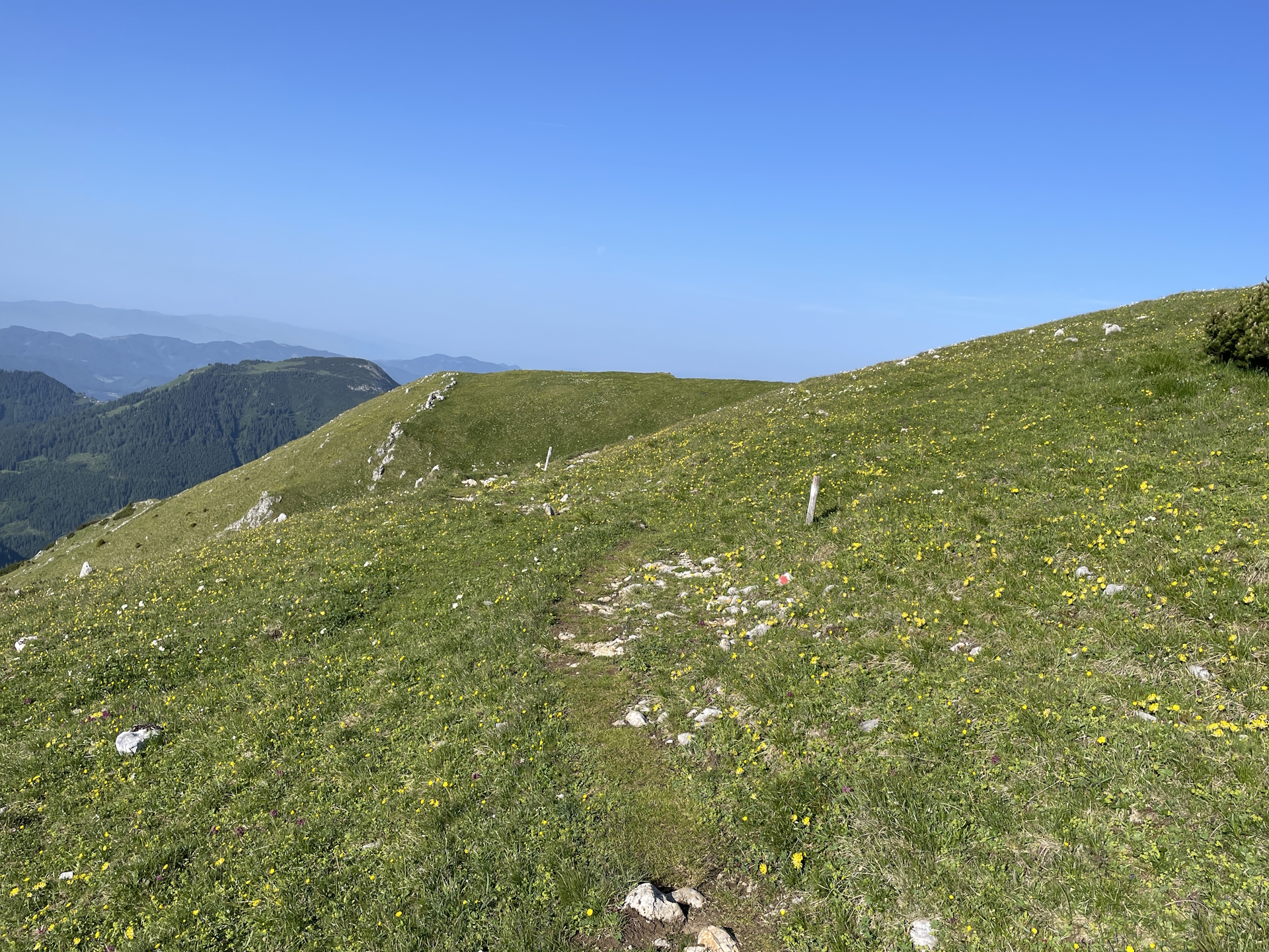
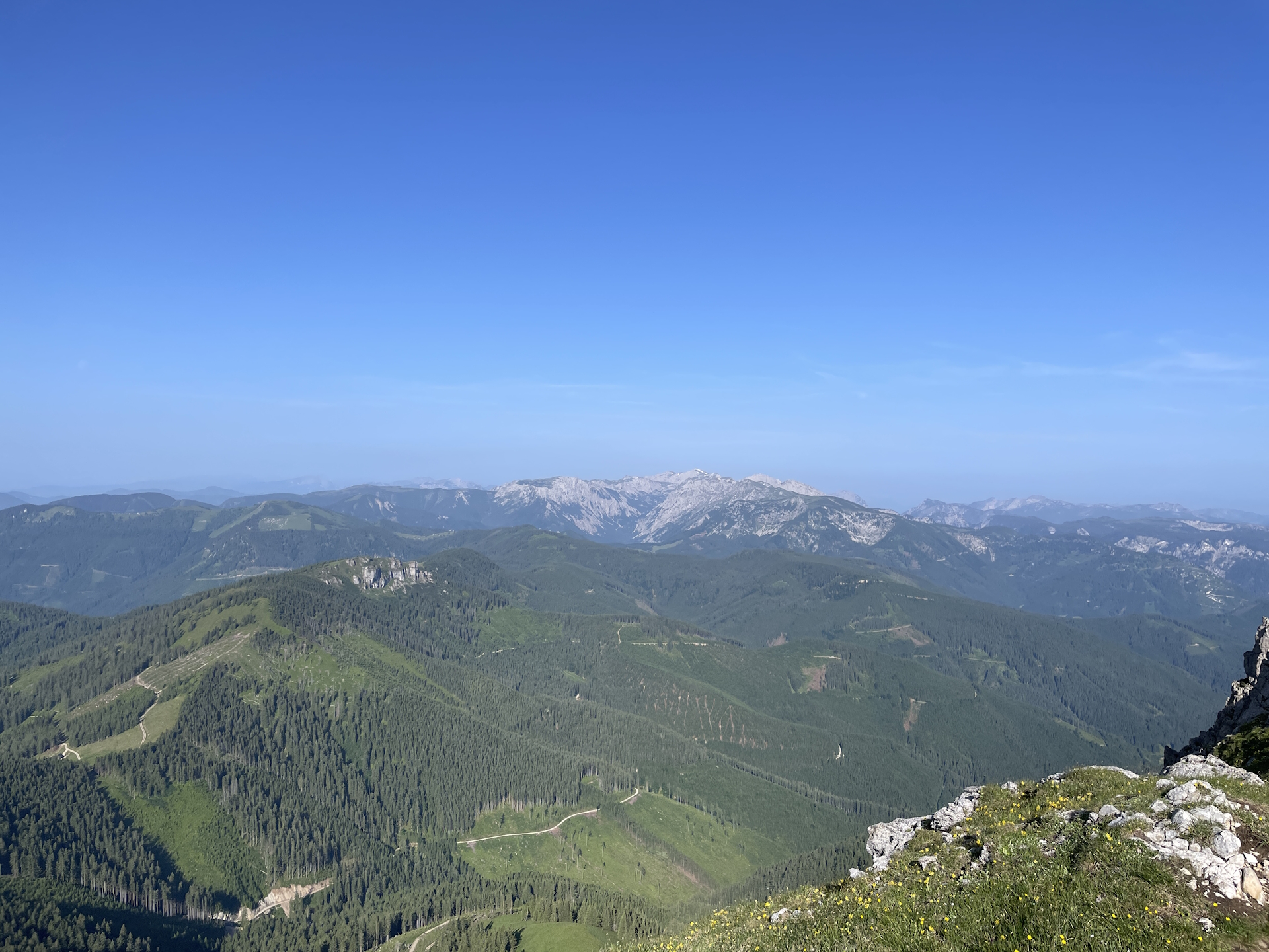
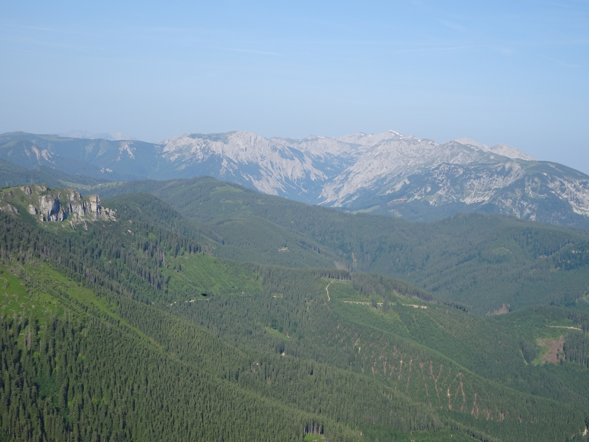
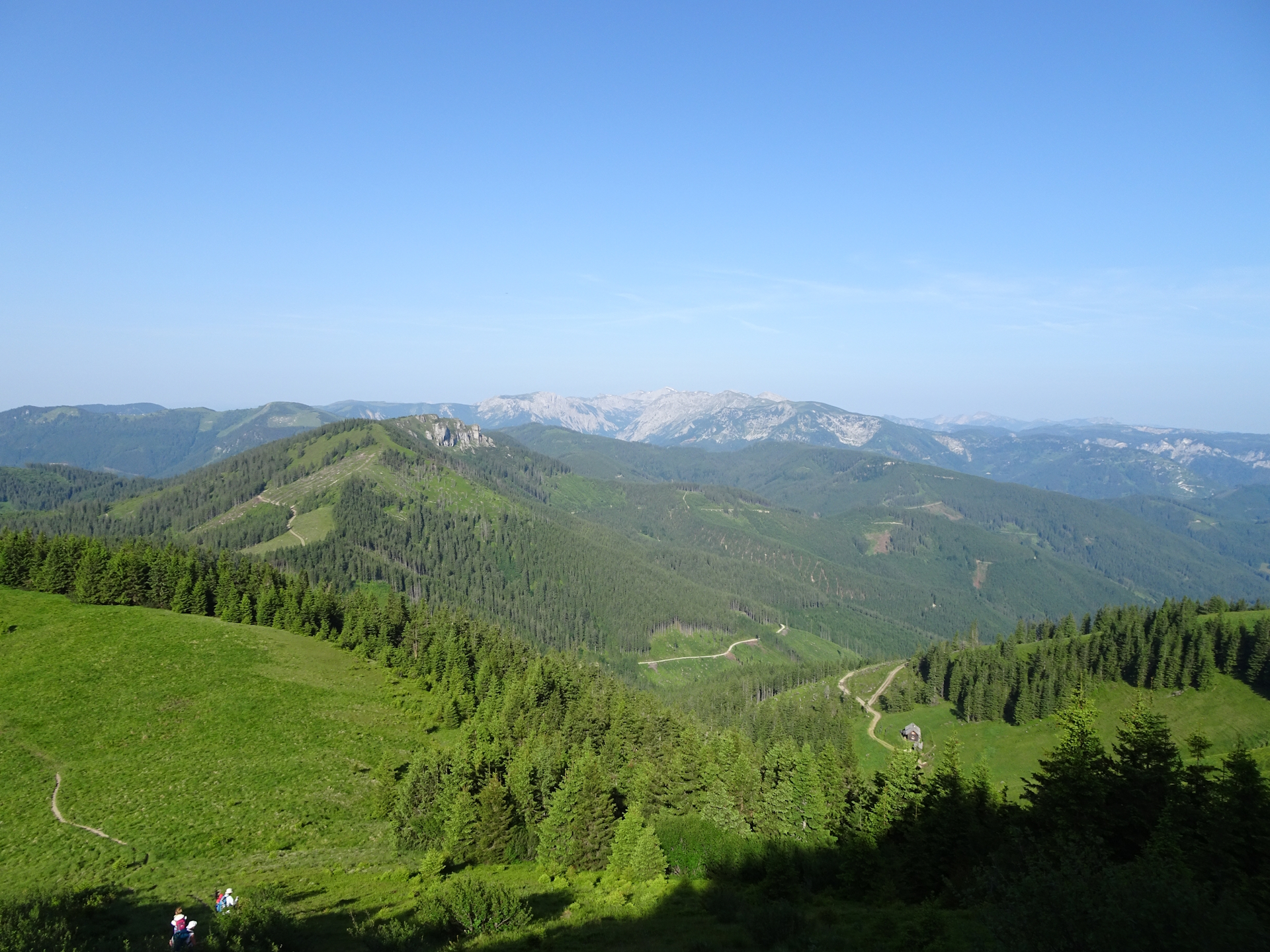
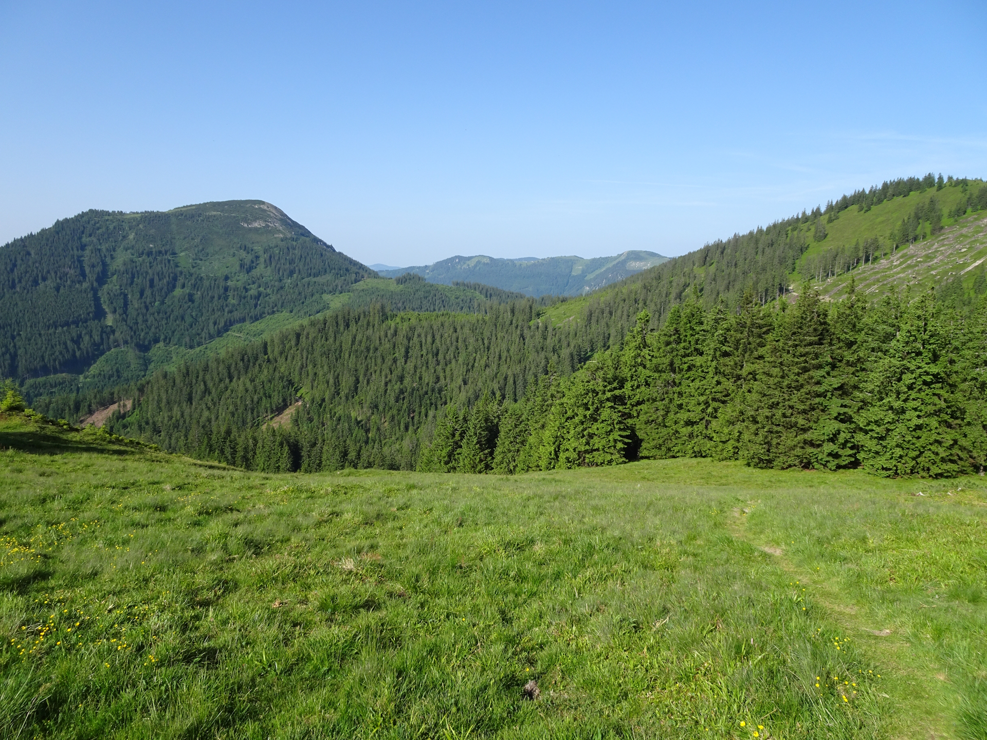
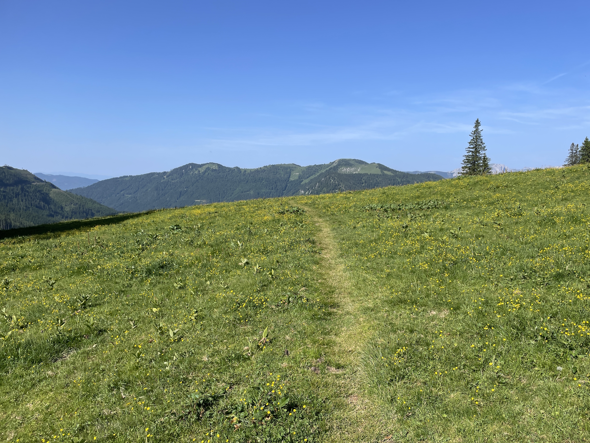
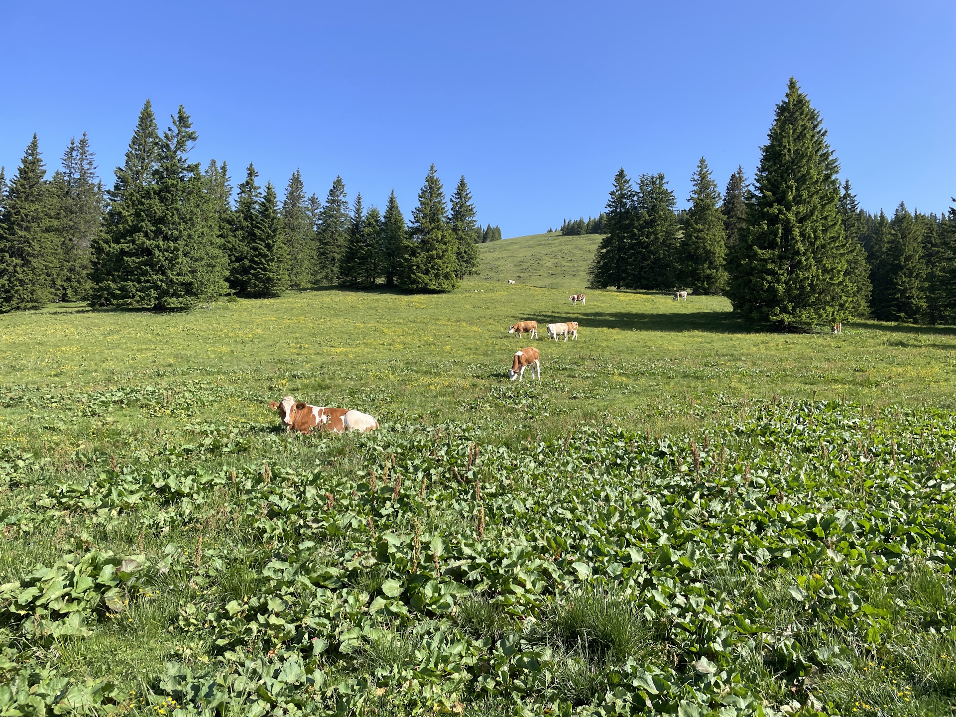
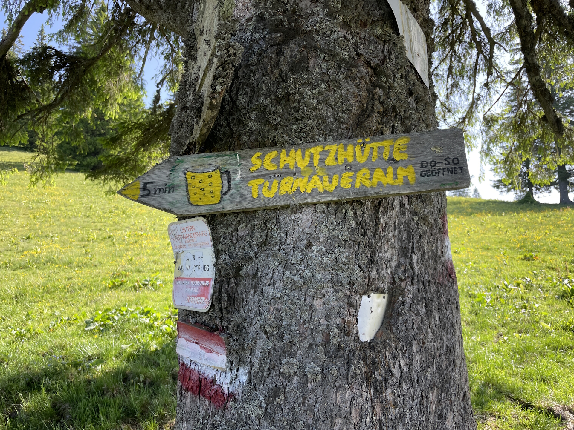
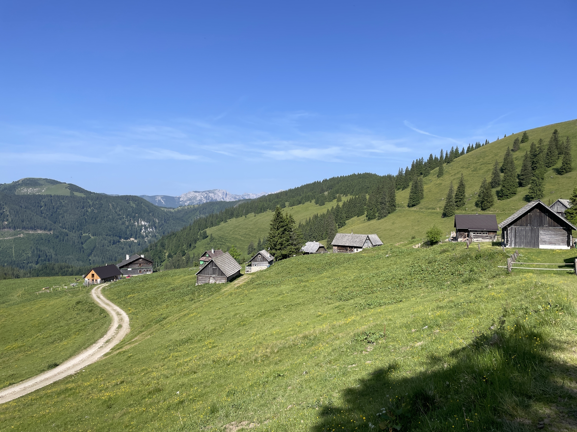
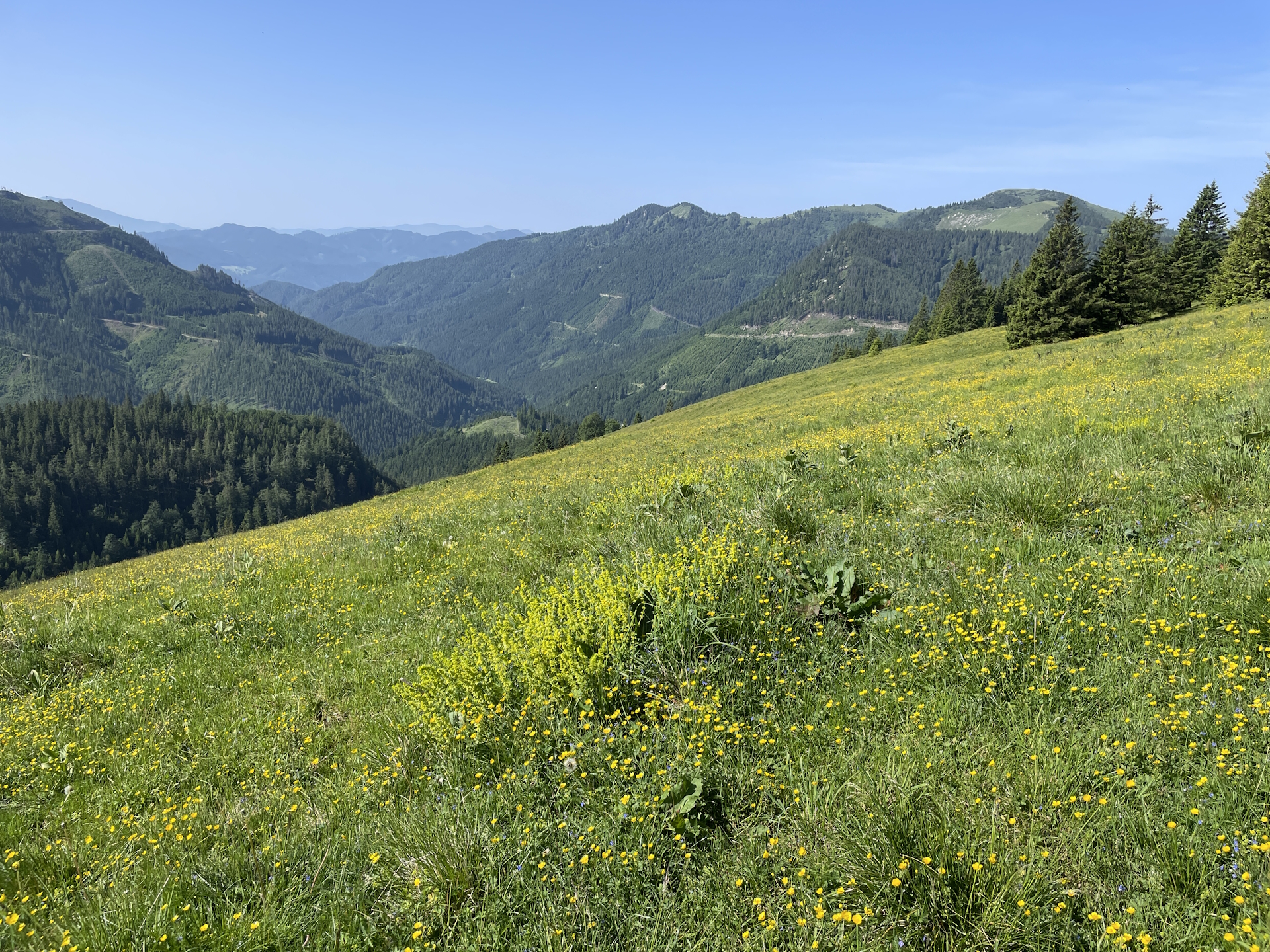
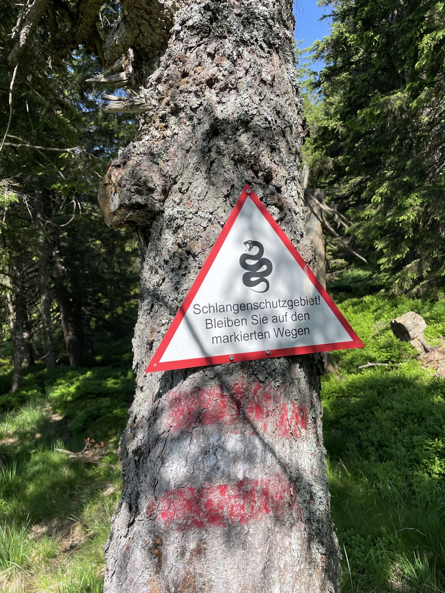
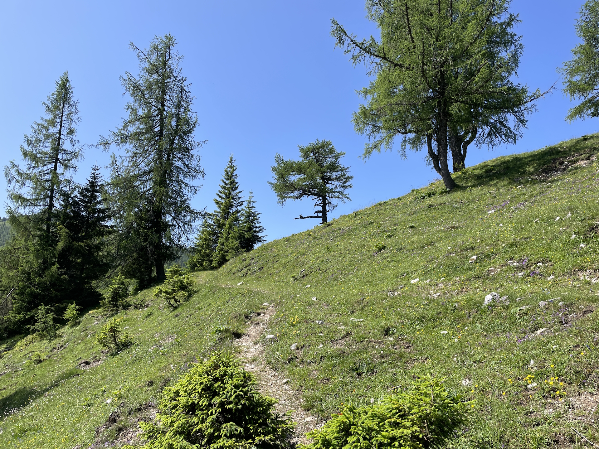
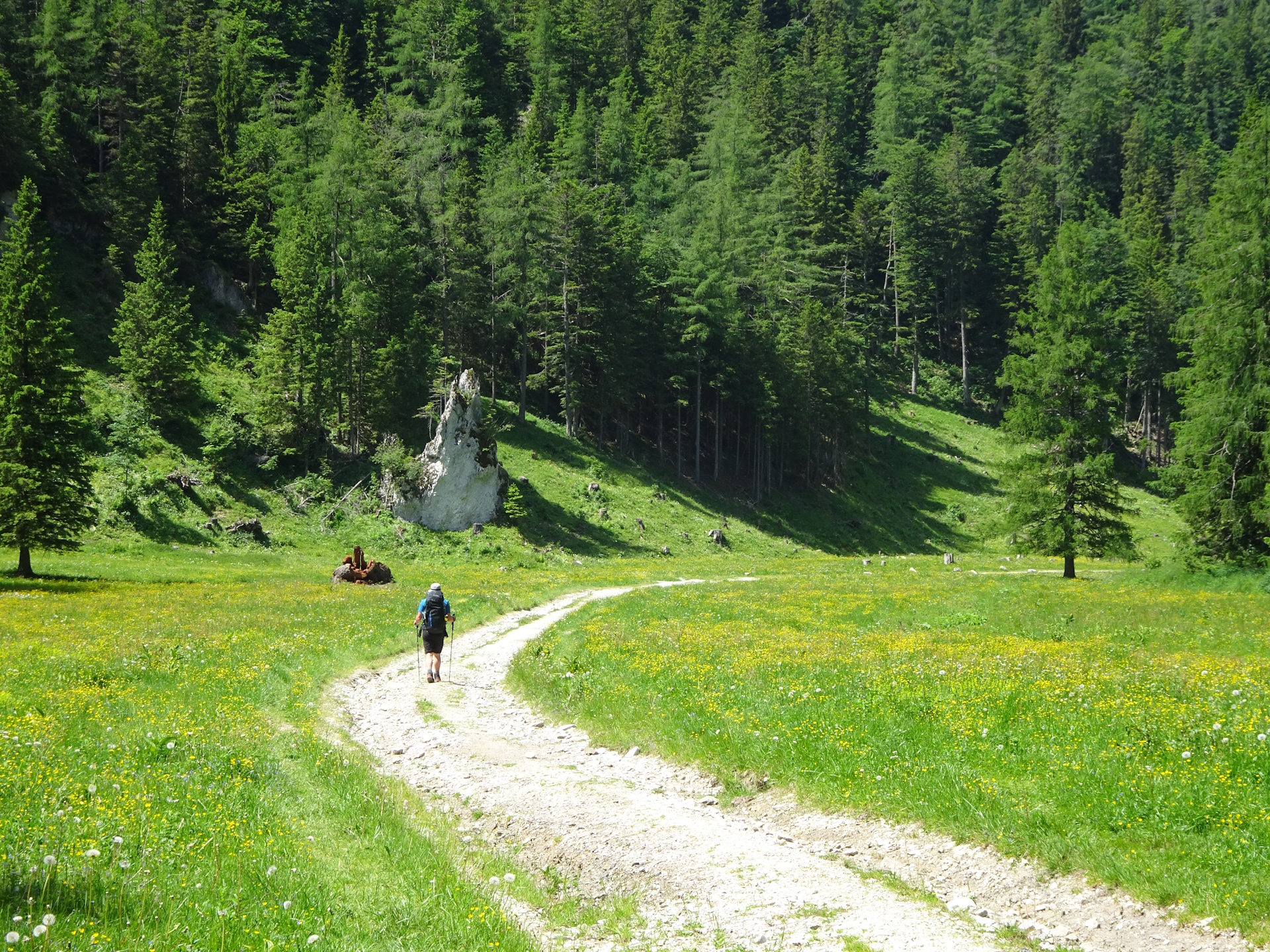
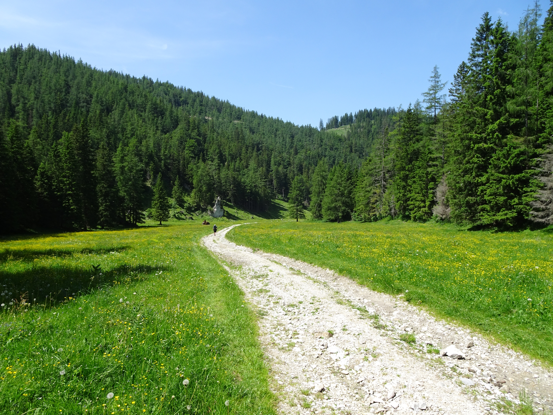
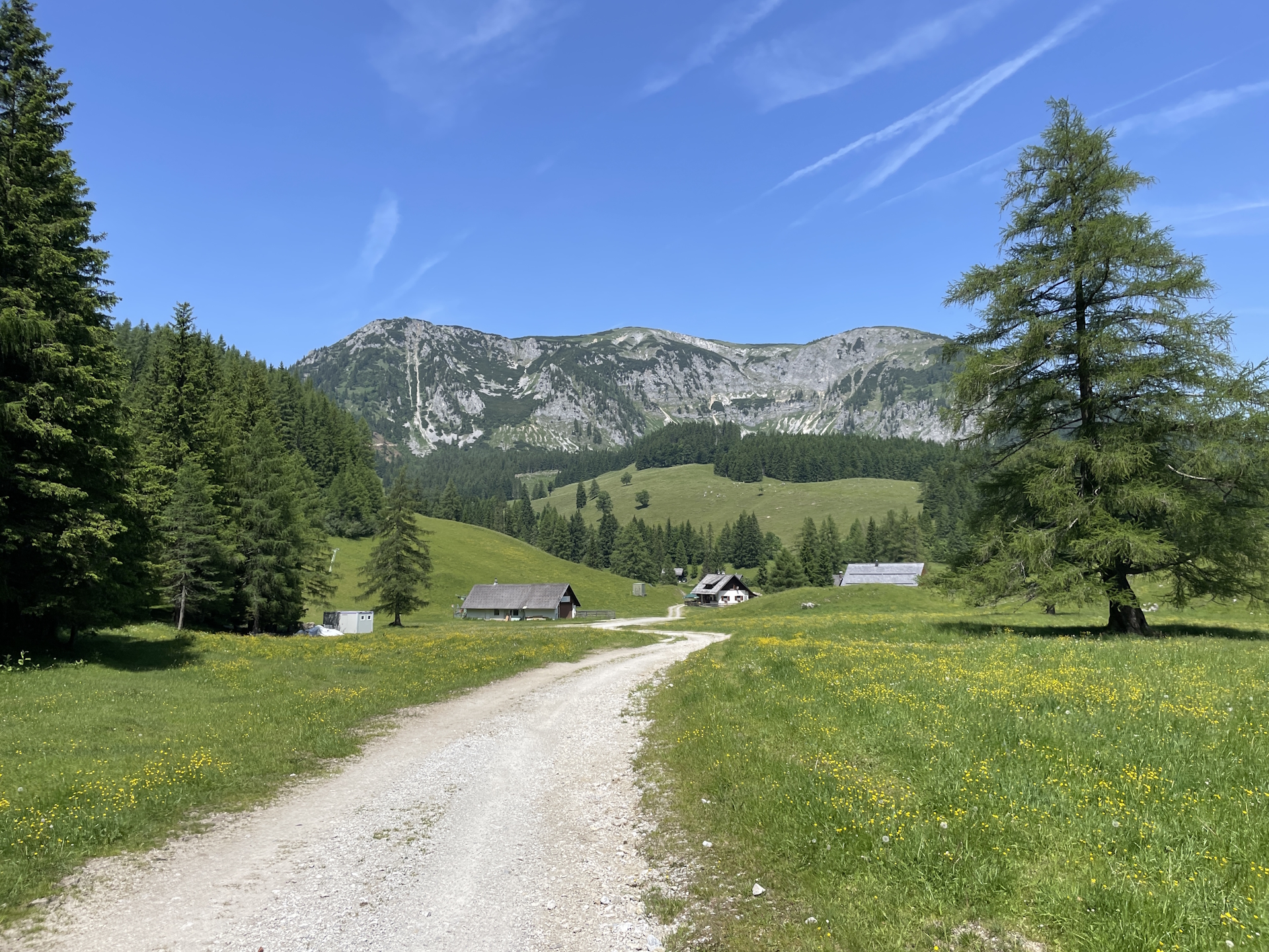
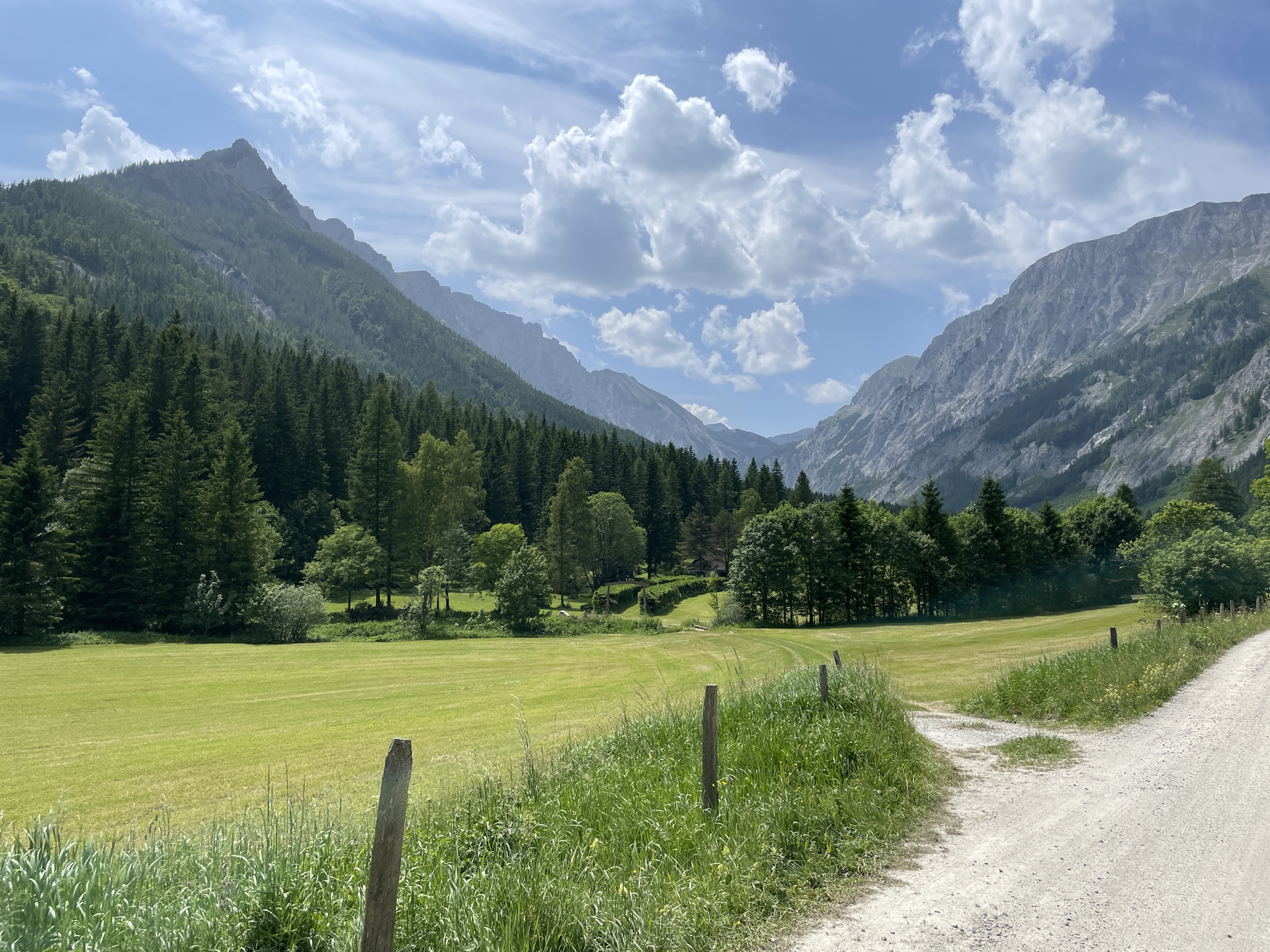
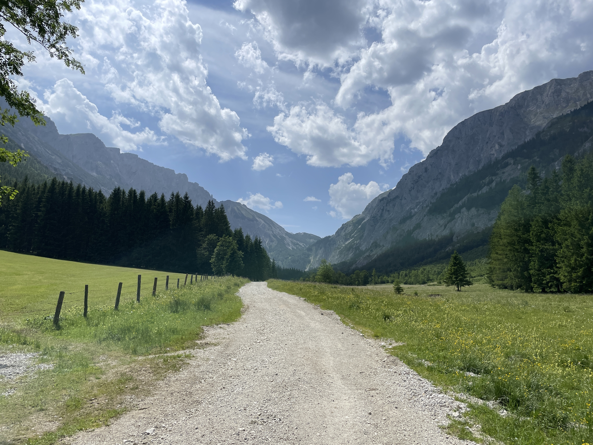
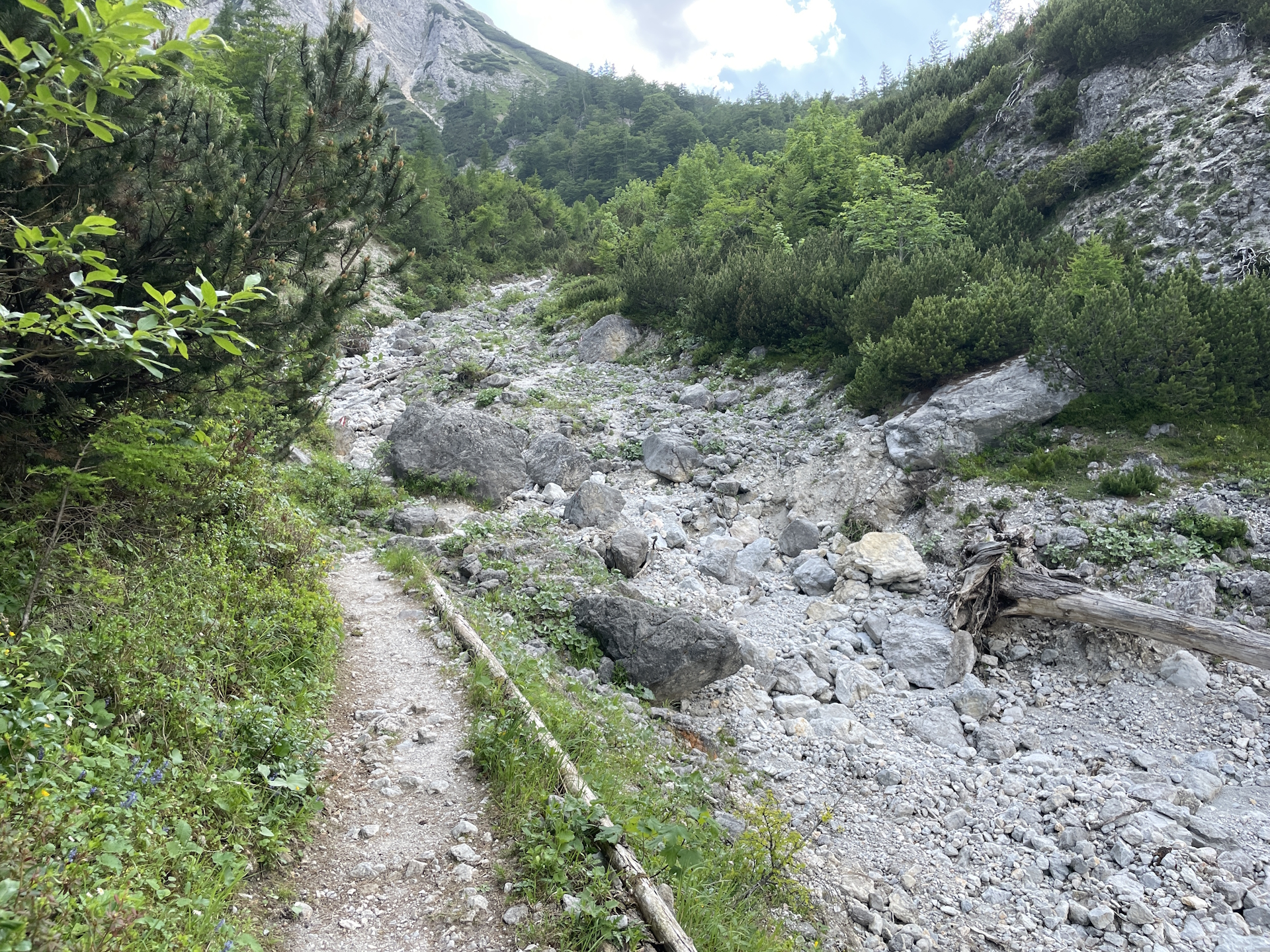
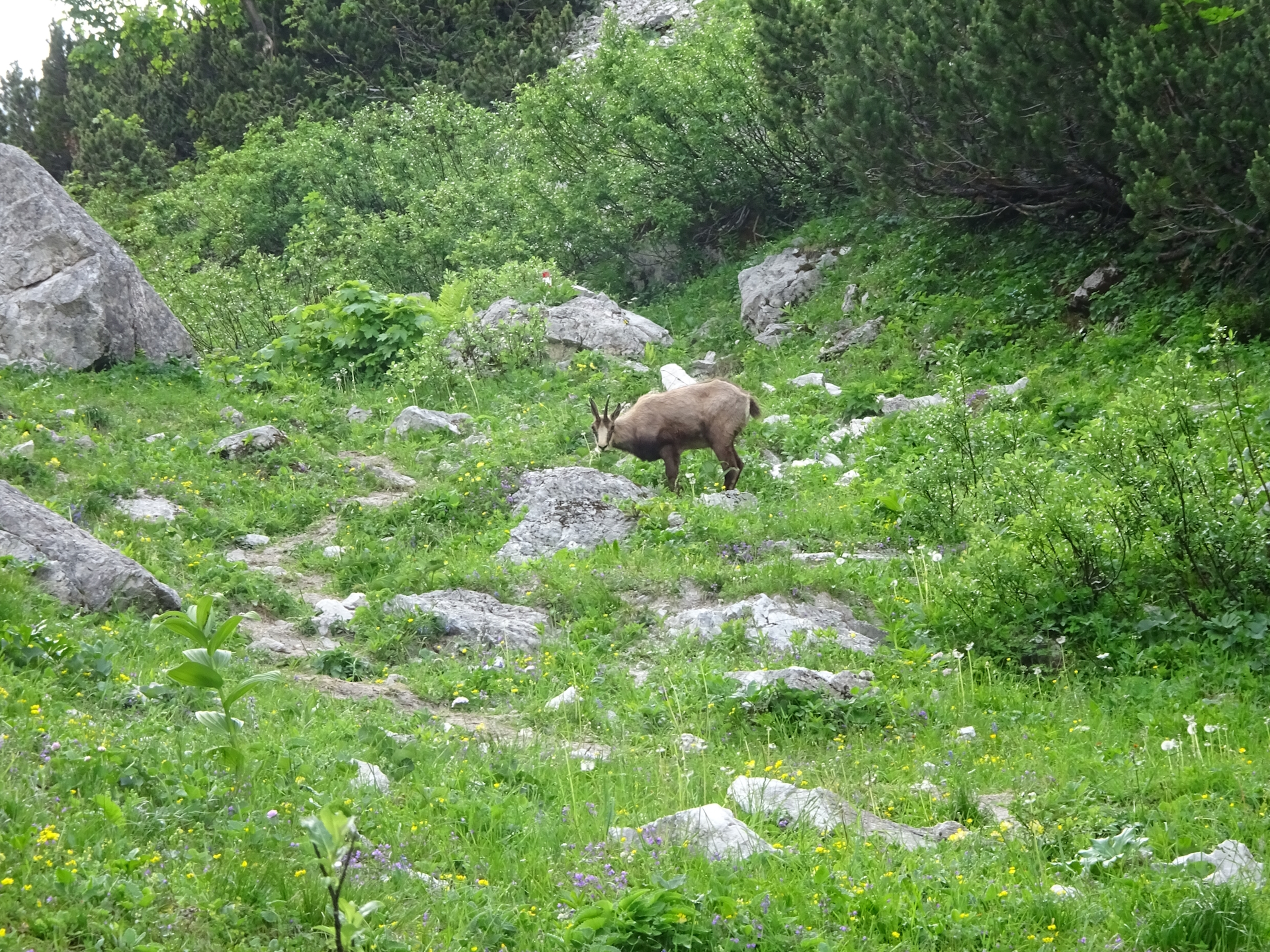
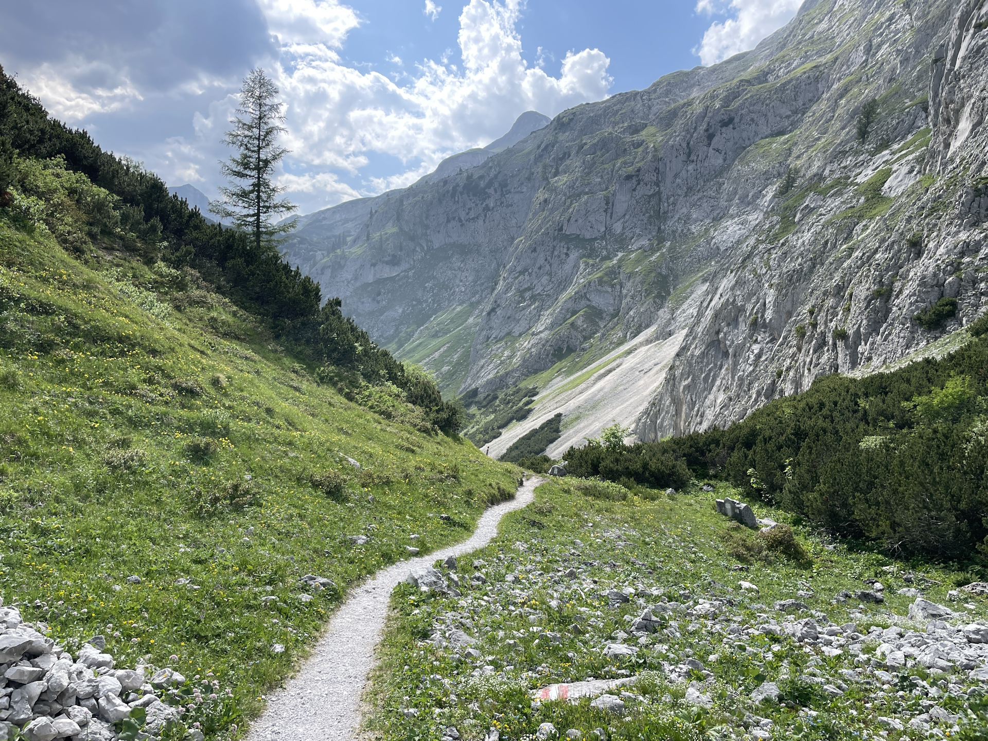
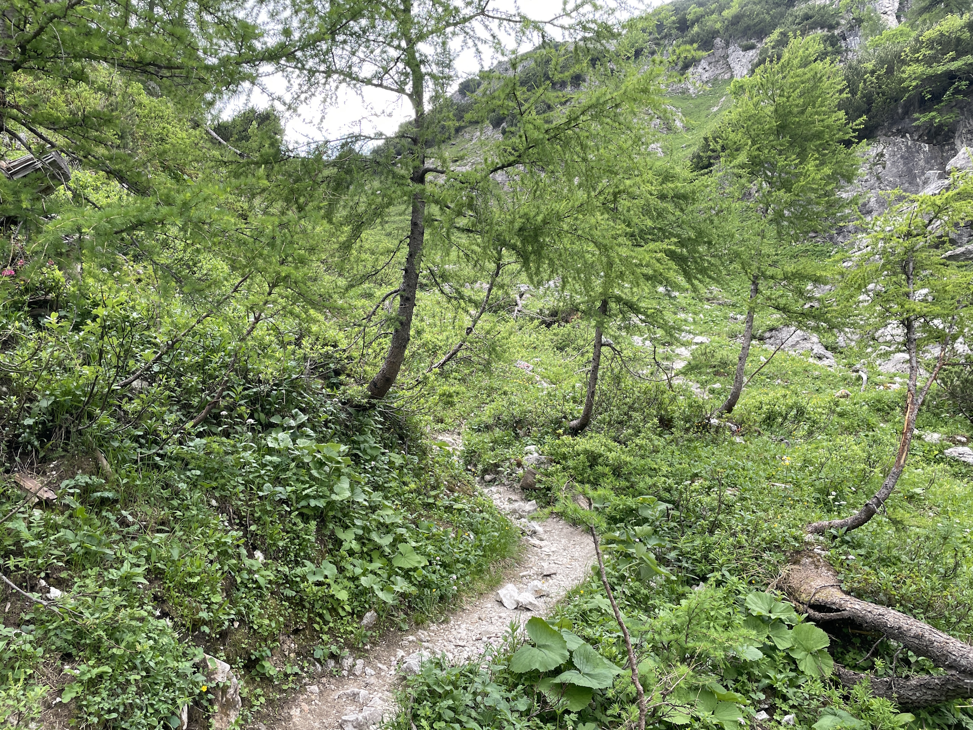
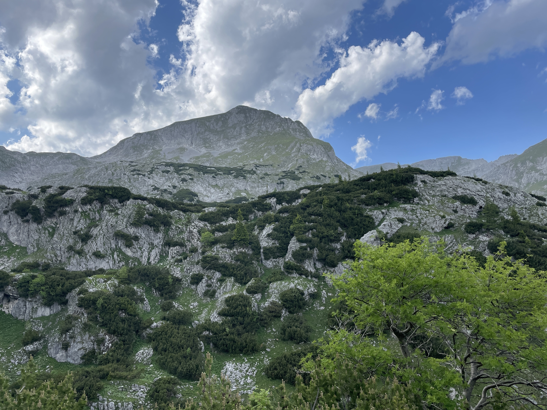
Other than a few days ago, this time we did not stop at Rotsohlalm (it was simply to early) and continued then our hike eastwards towards Seewiesen. Starting at Rotsohlalm, the trail is very easy and follows most of the time gravel roads through the forest. The trail once more becomes scenic when reaching the Turnauer Alm, although it became very warm due to sun exposure. After passing this beautiful alpine pasture, the route once again leads through the forest. Several signs are warning to keep on the marked trail only since the trail leads through a snake resort. Although we watched carefully, neither Robert nor me saw any snake, except the ones on the sign .
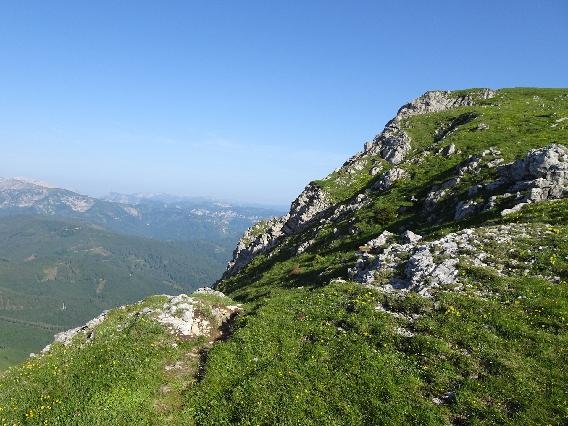
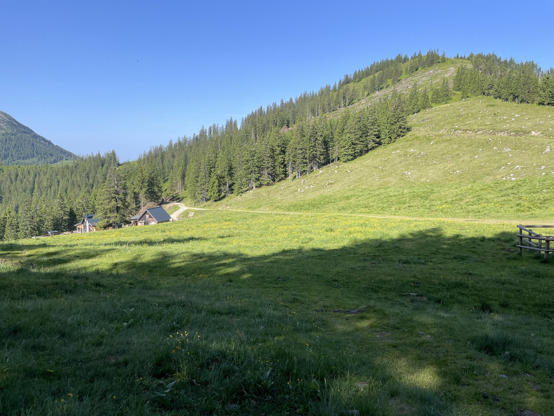
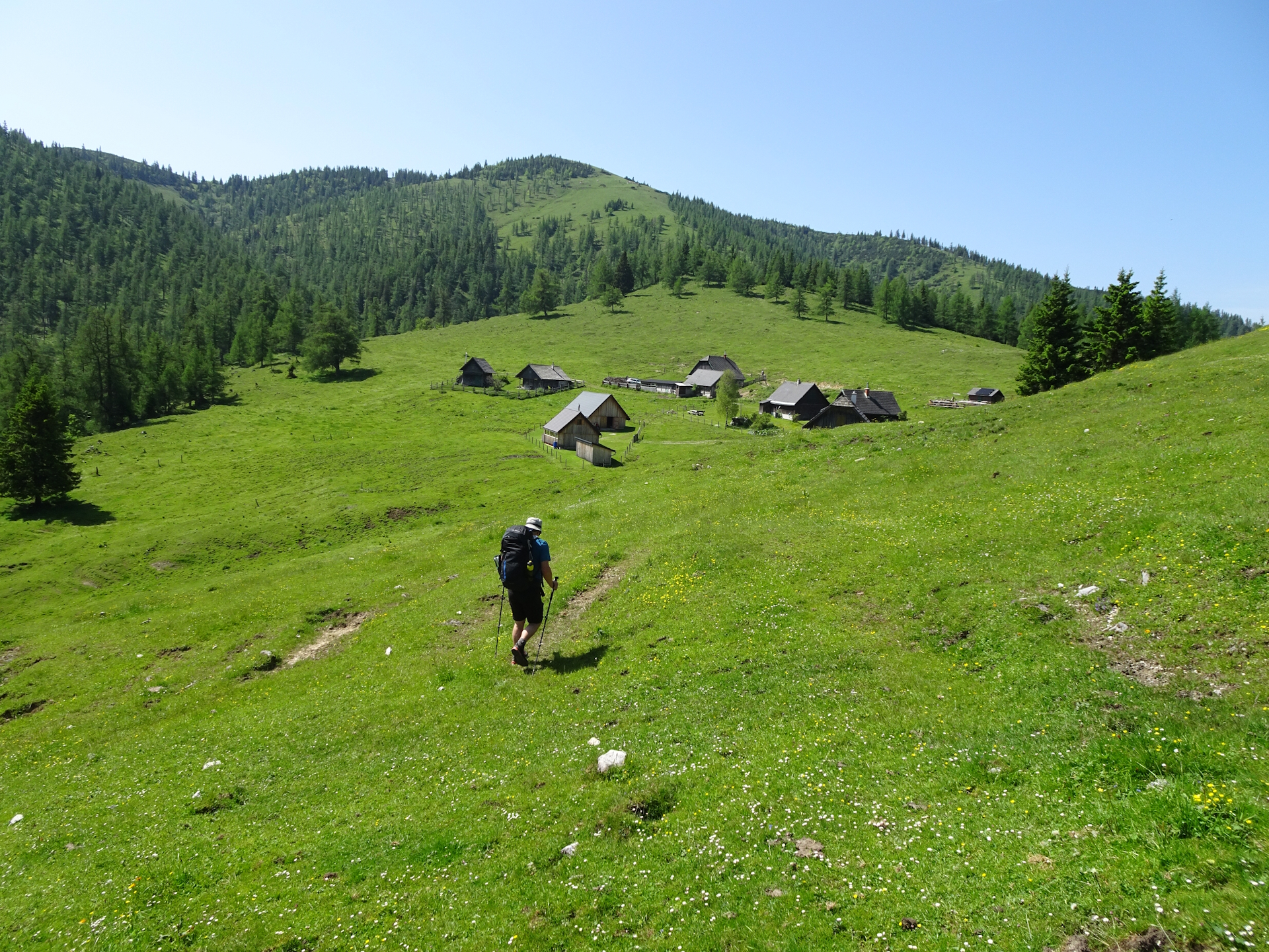
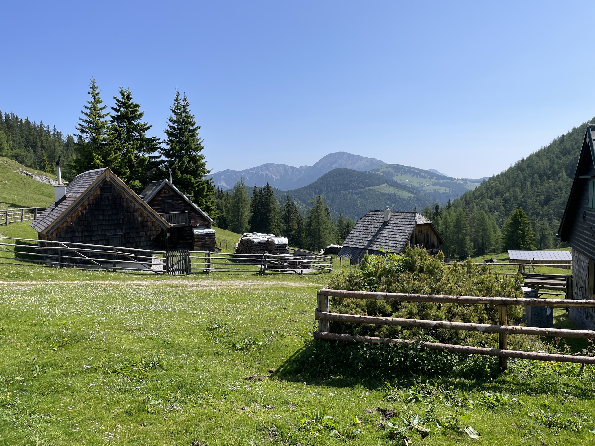
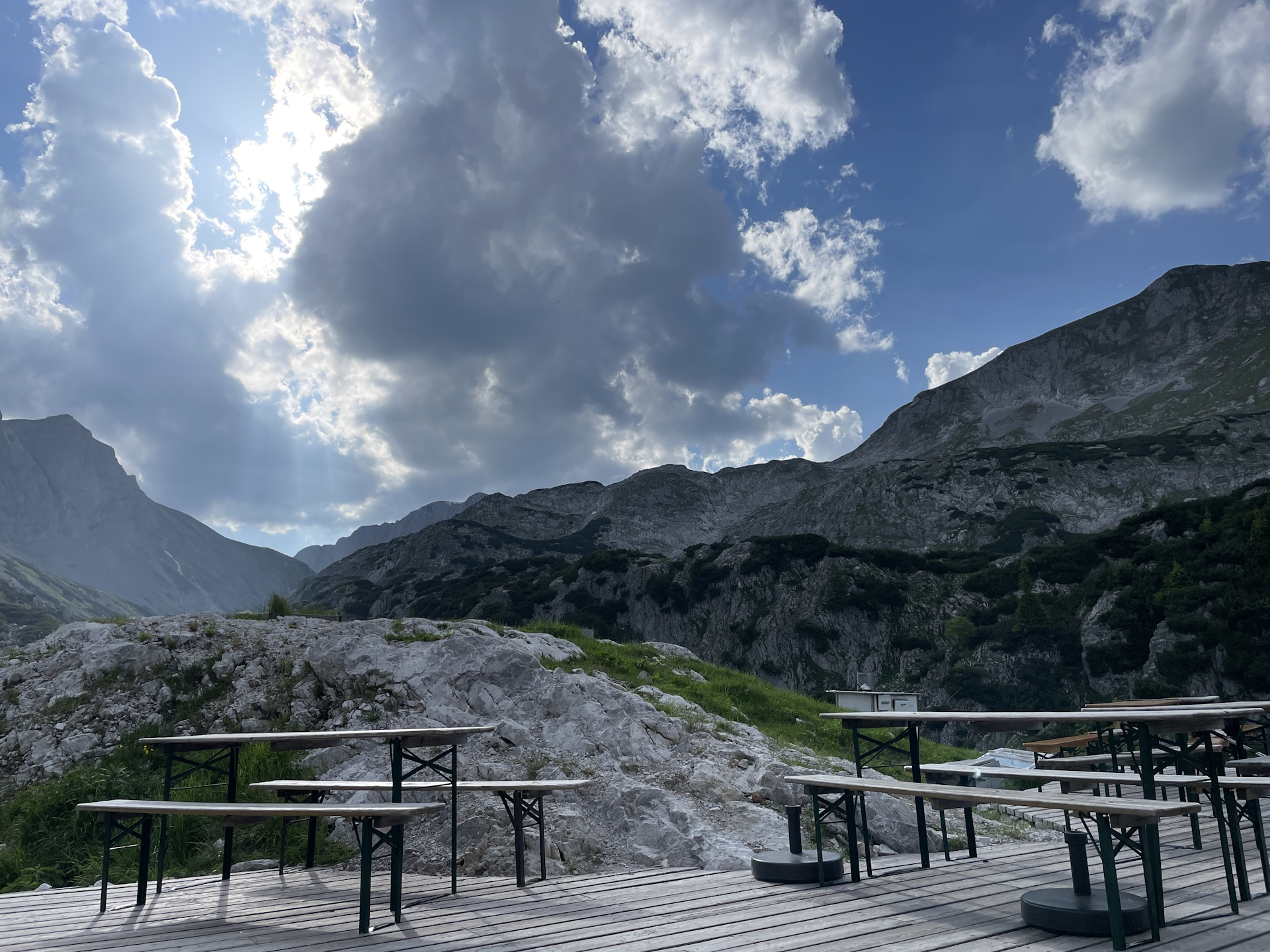
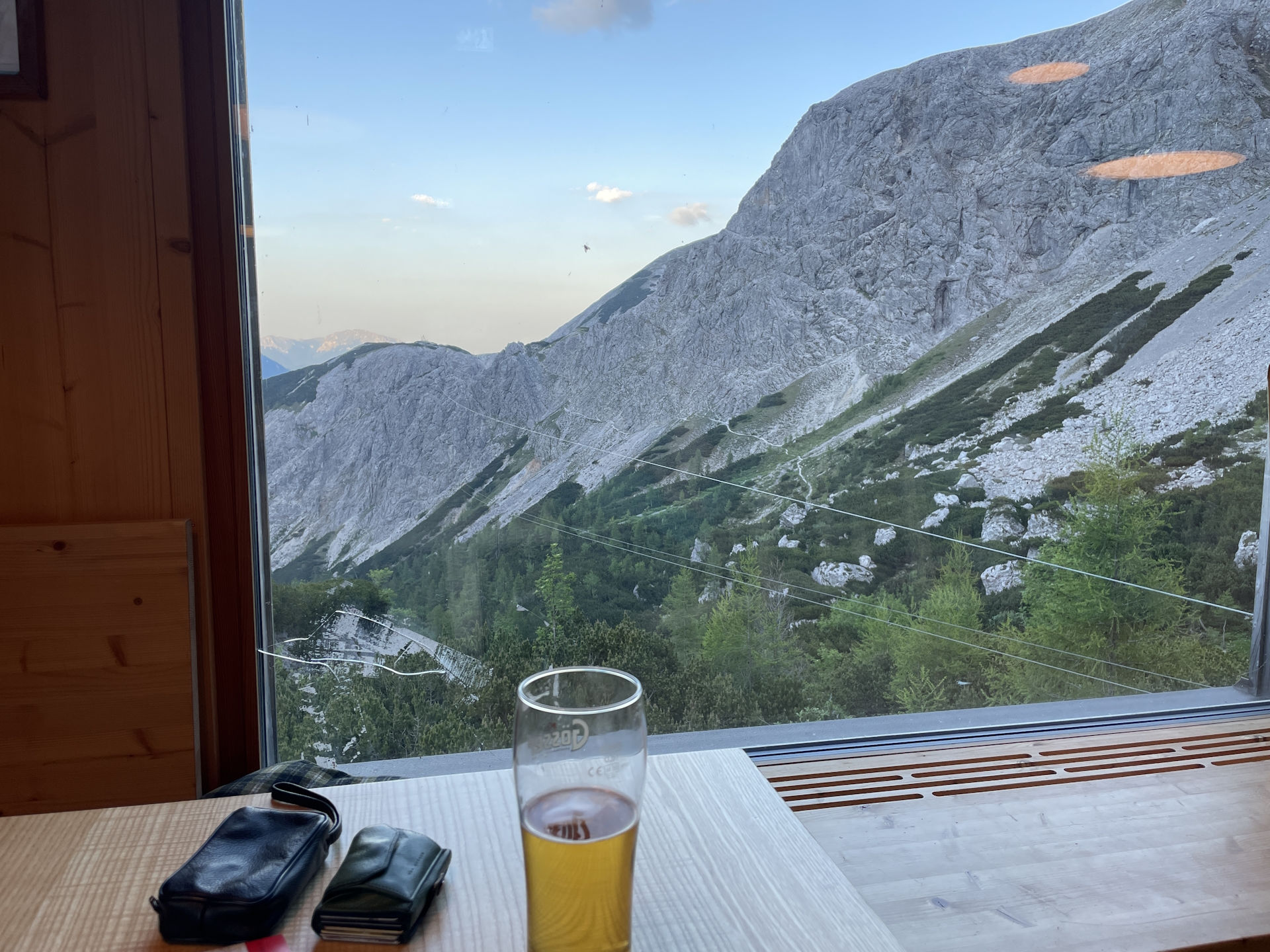
Shortly before the Göriacher Alm, the trail vanishes a bit, but with some logic and basic navigation skills one can make the way to the already visible huts at the Göriacher Alm. One of the hut is serving simple food and beverages and due to the very hot day, Robert and me decided for a well-deserved break at the hut for one or two cool beers.
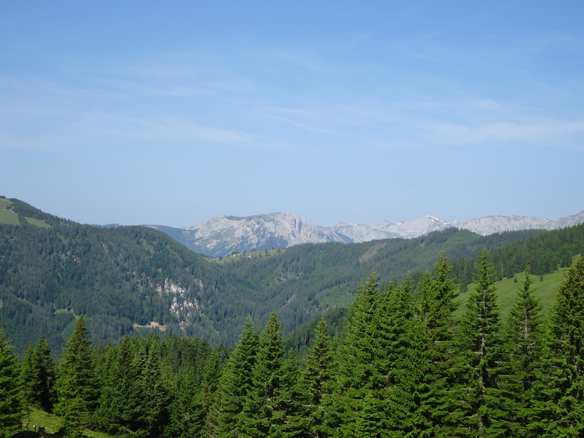
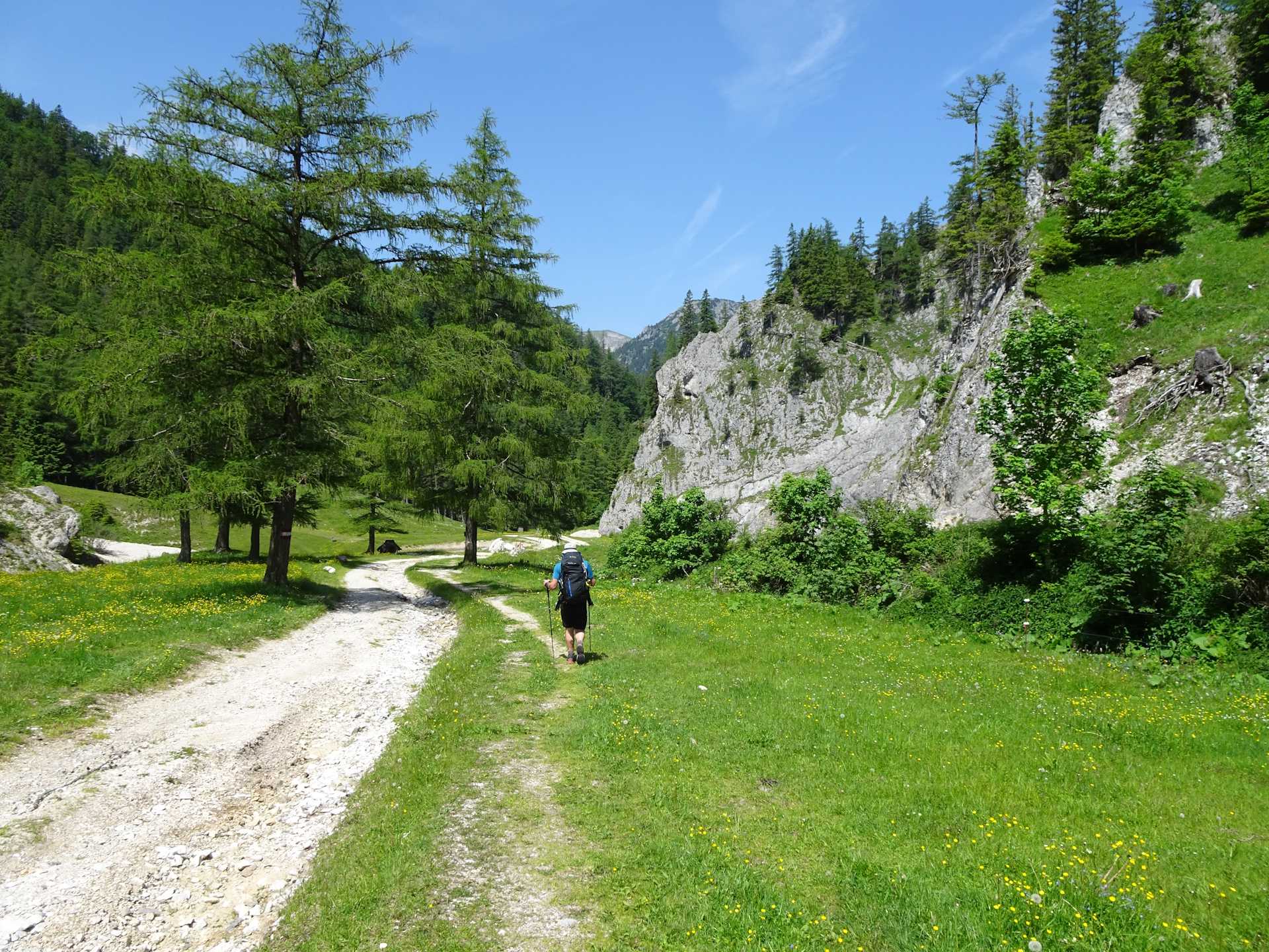
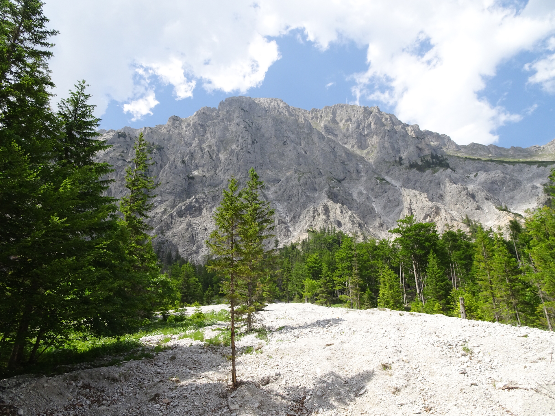
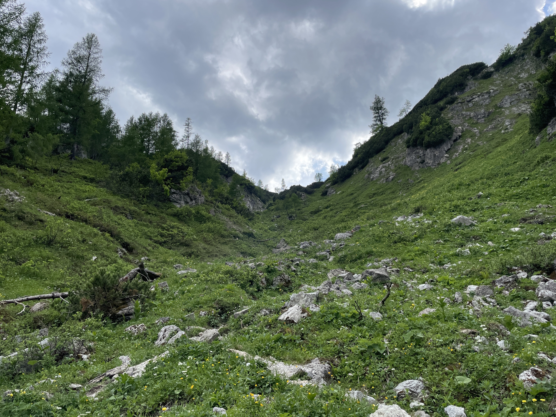
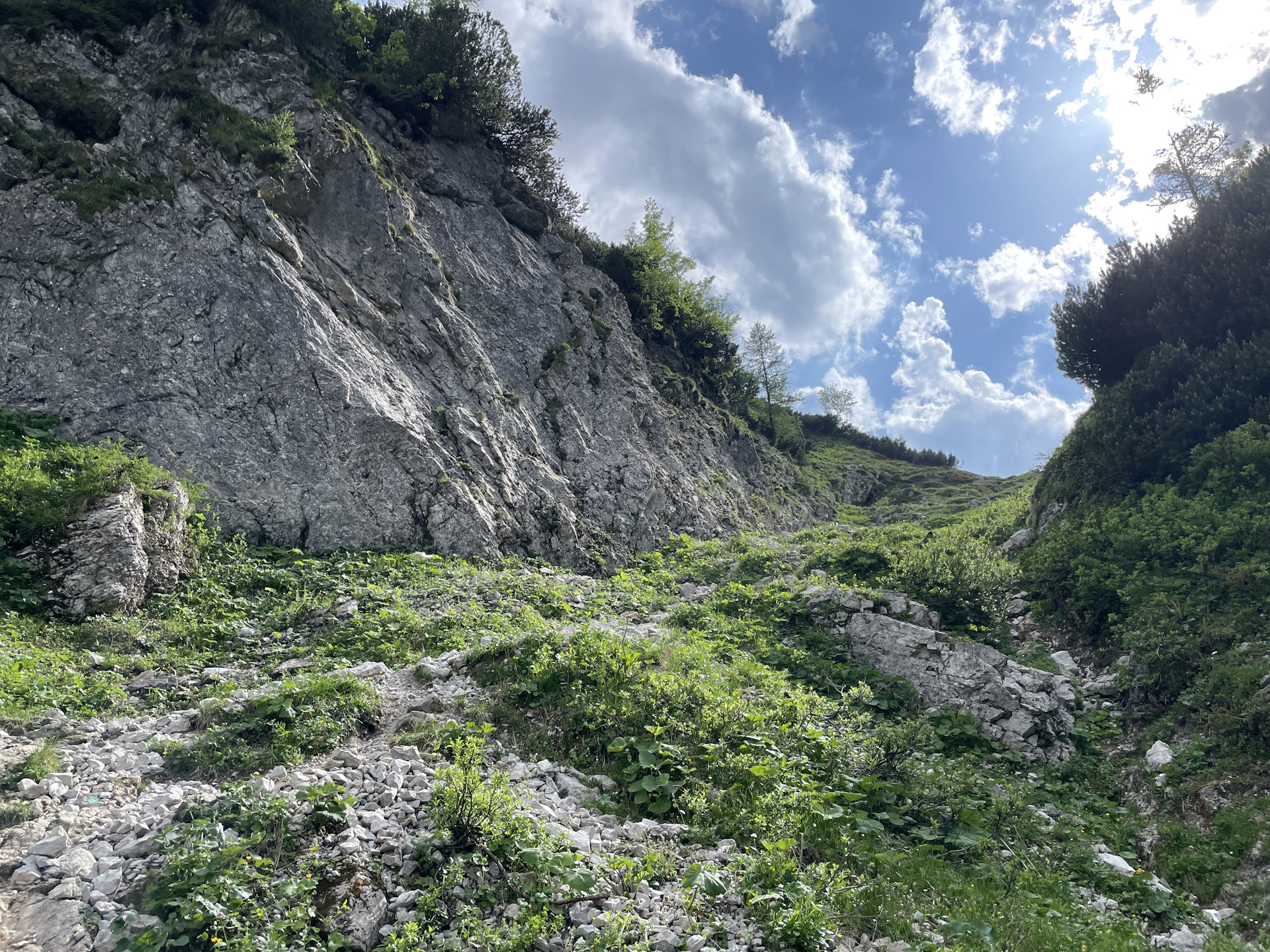
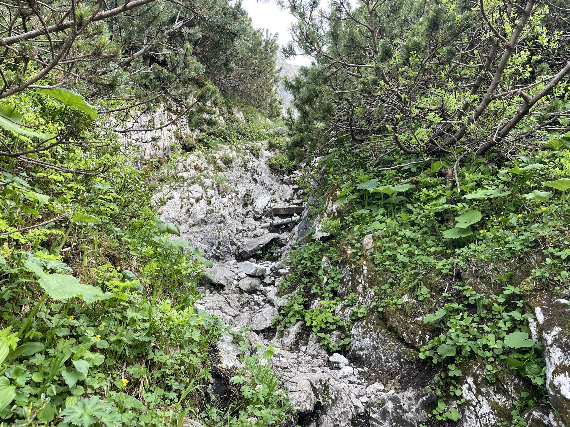
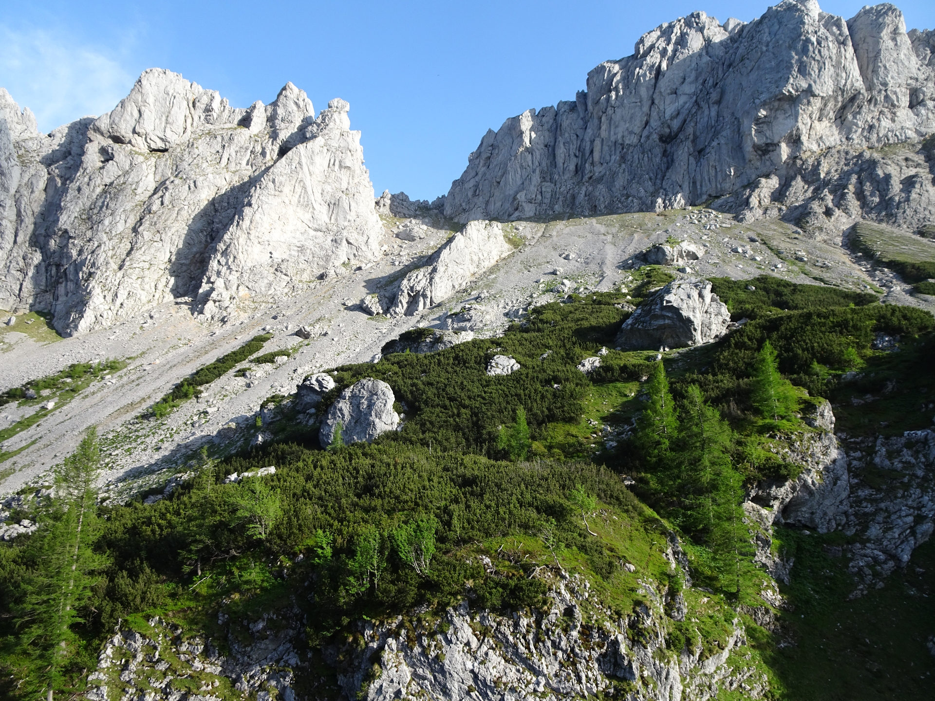
We continued then the tour by follow the trail down to Seebergalm. The last bit is again exposed to sun and it became very demanding as temperature became really hot but also humid. This got amplified by the fact that after the Seebergalm, there is another ascent up to the Seebergsattel (saddle). From there, finally the tour follows a trail through the forest but is partly very steep and requires once again full concentration.
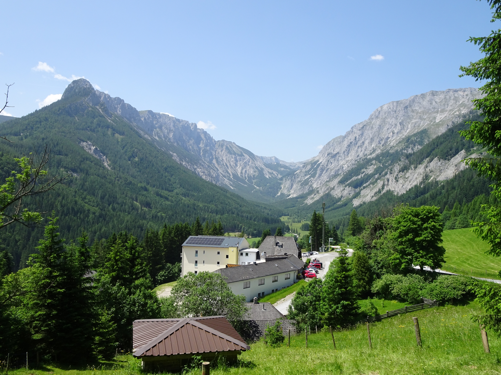
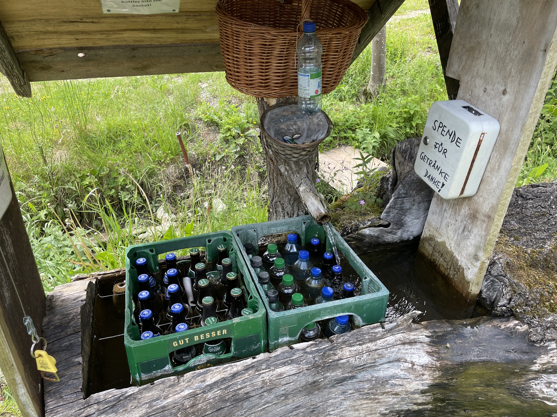
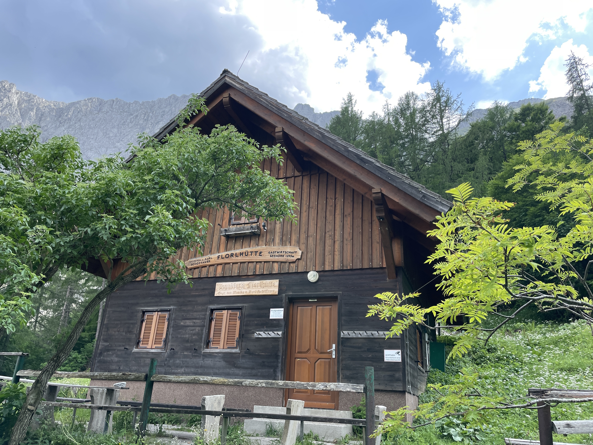
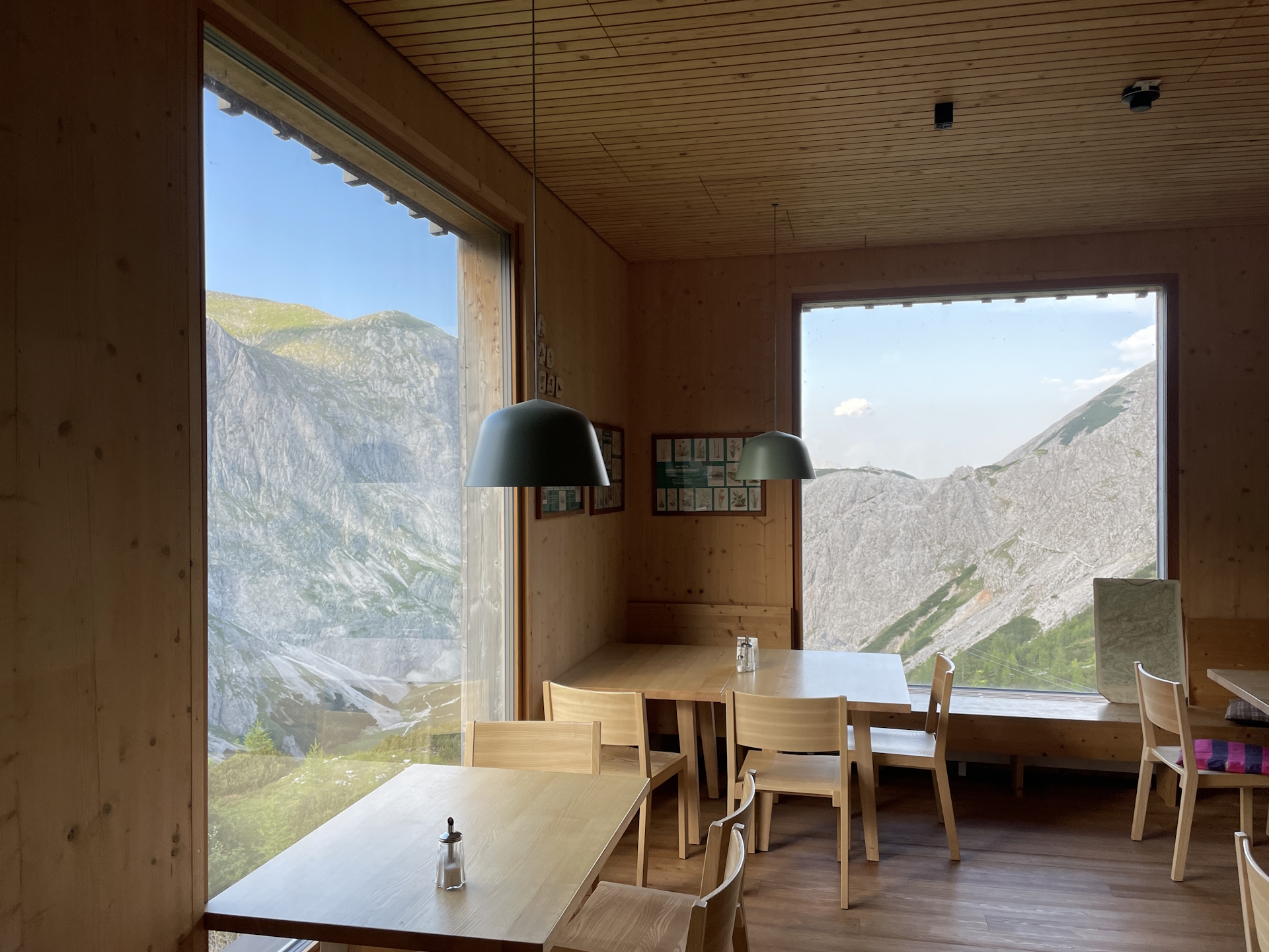
We arrived at Seewiesen (Checkpoint) fairly exhausted, thus the lunch-break at Alpengasthof Schuster came right in time. In addition to a nice Schnitzel with one or two cold beers, we also collected the desired stamp here.
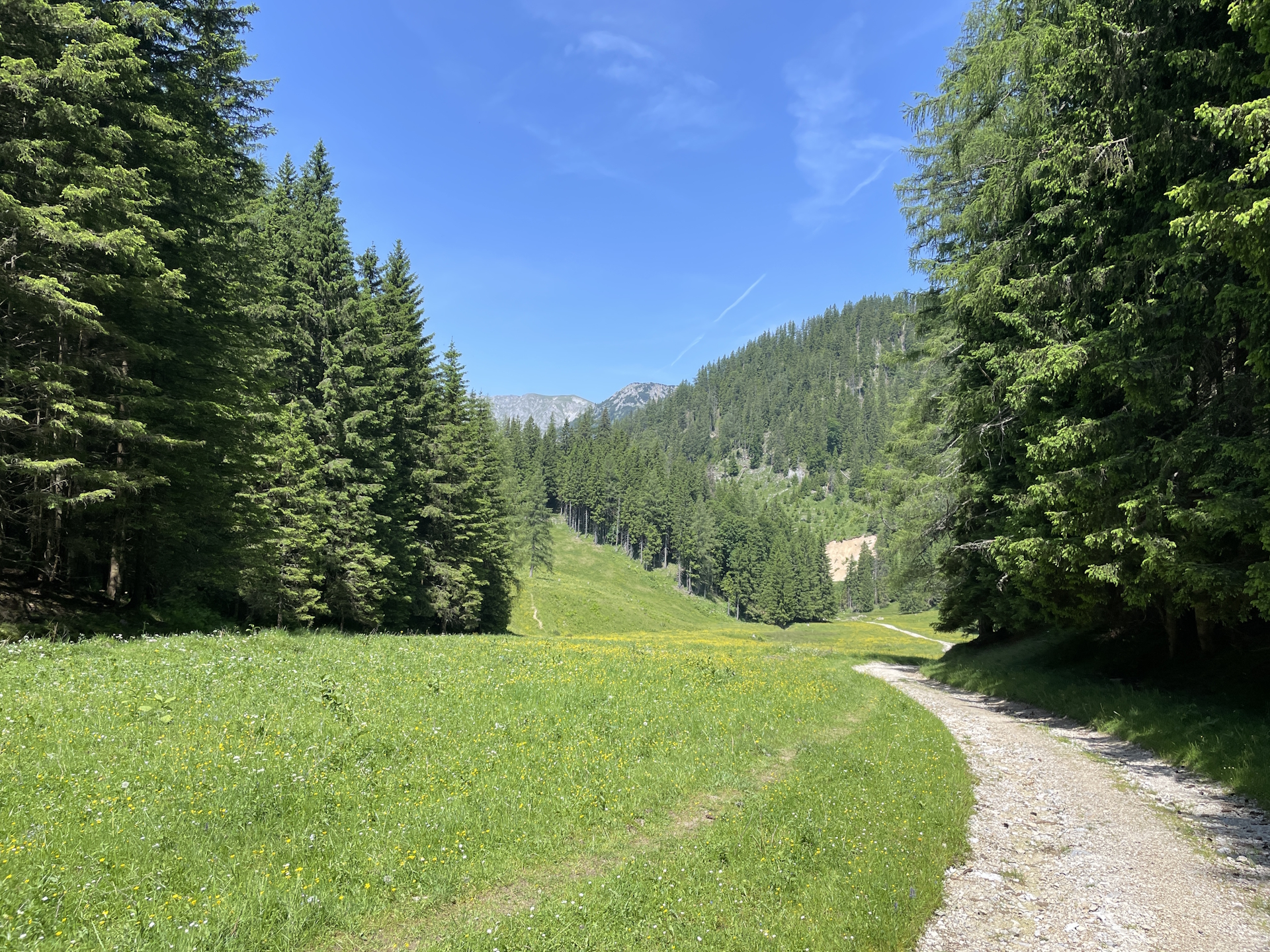
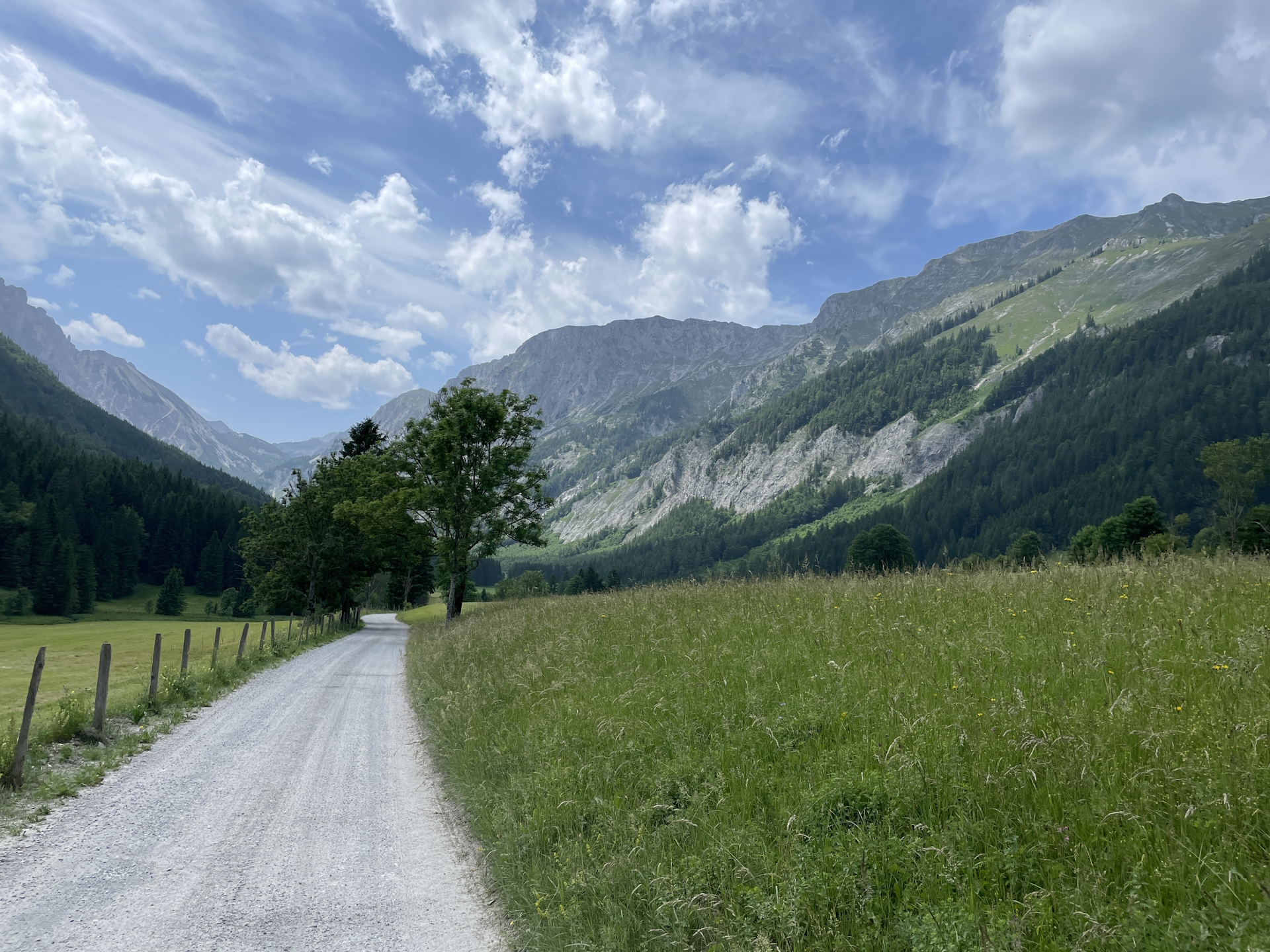
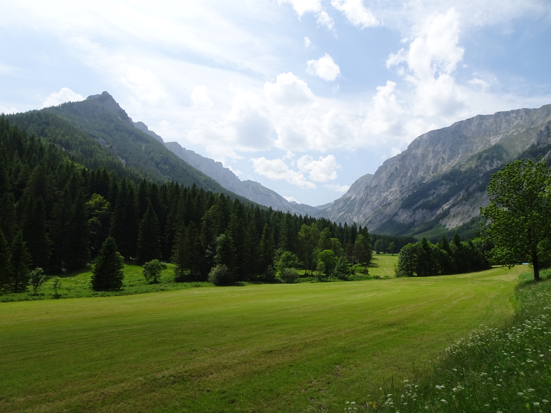
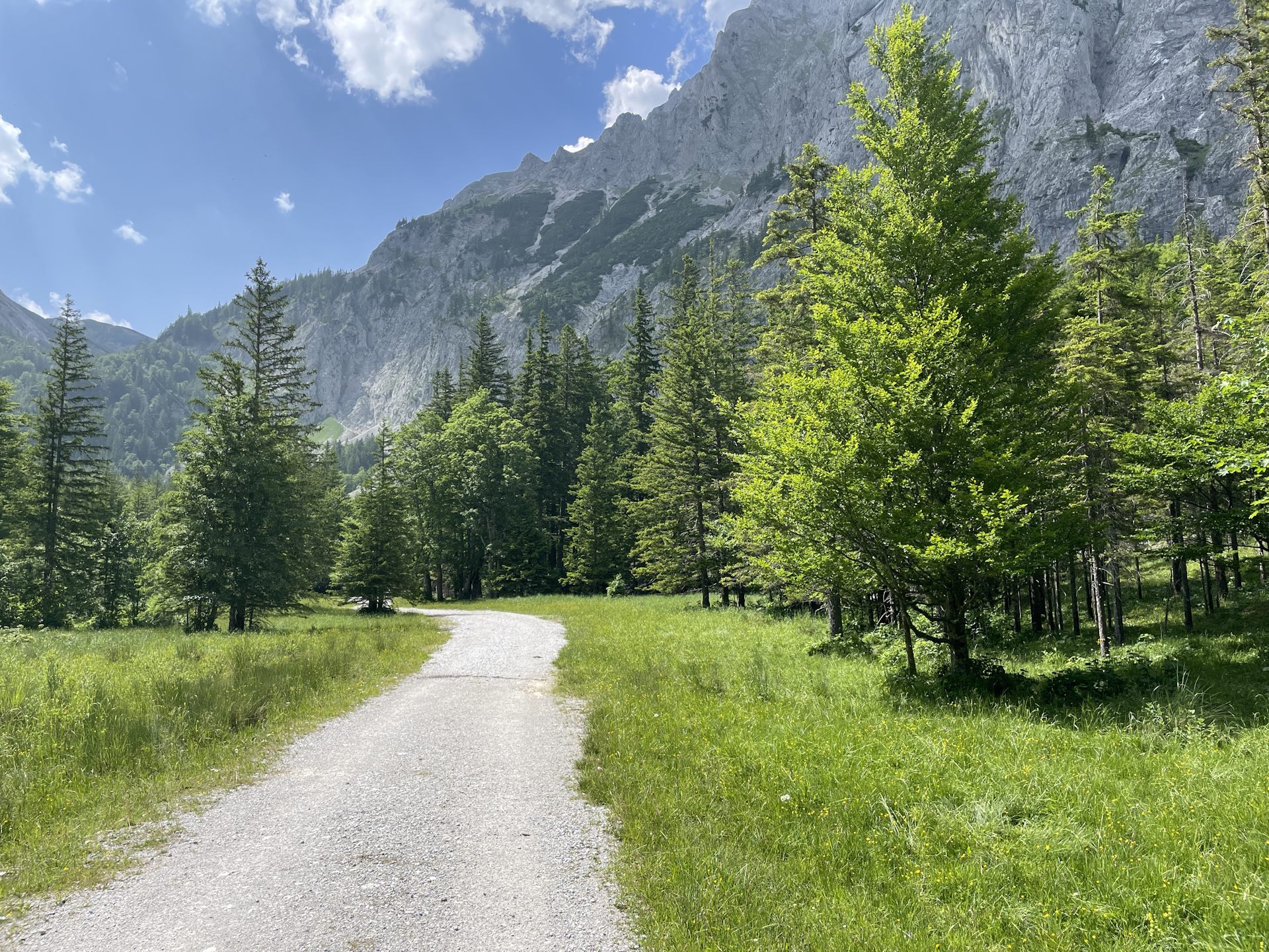
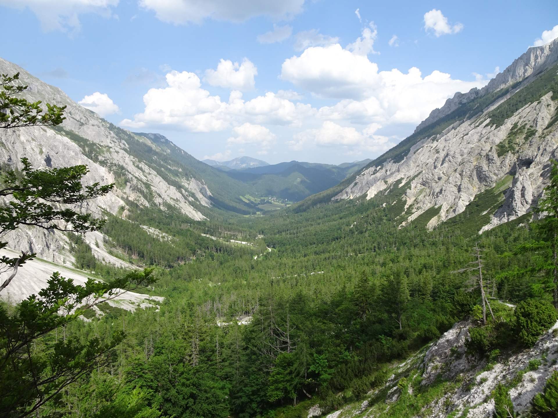
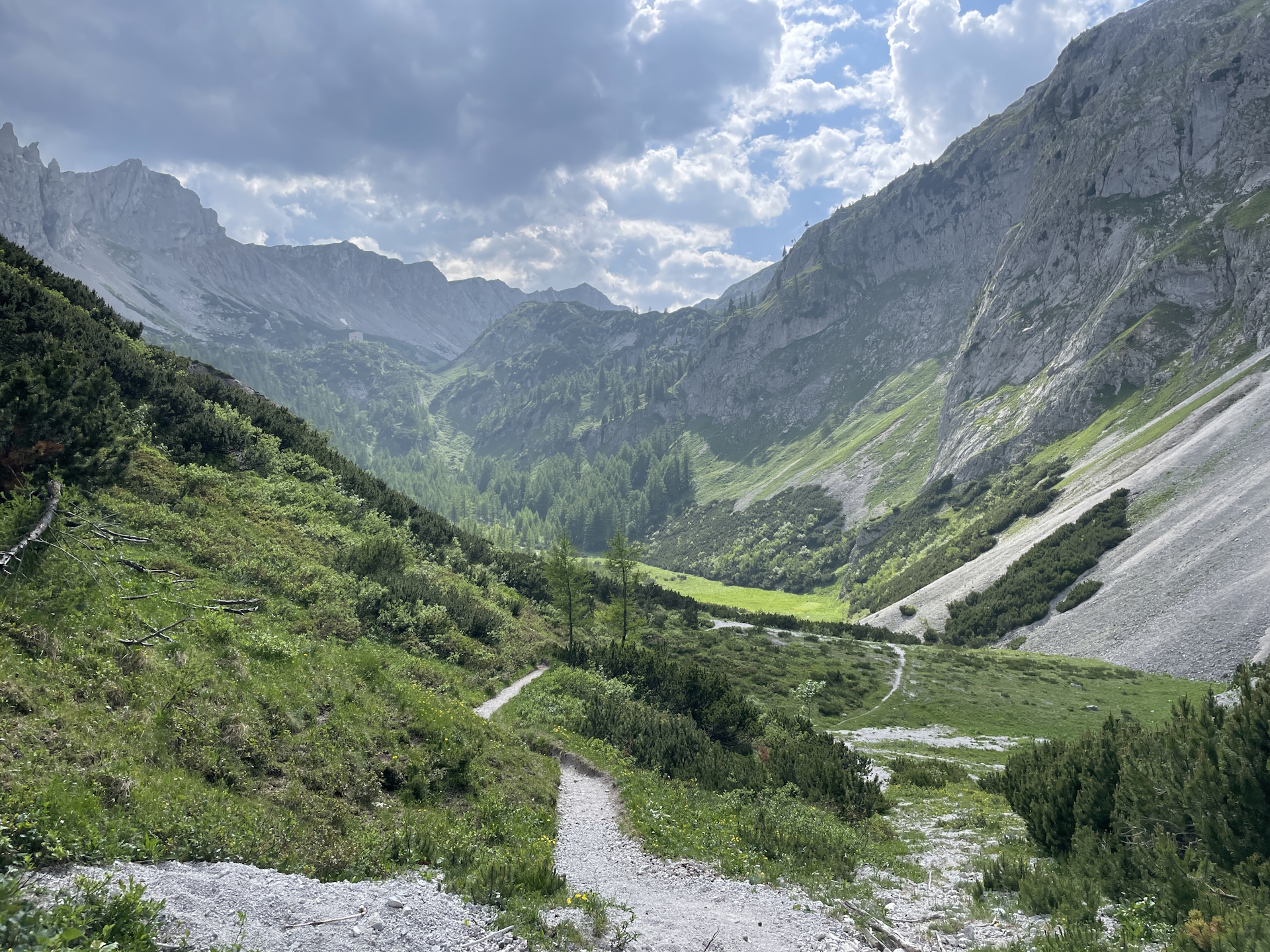
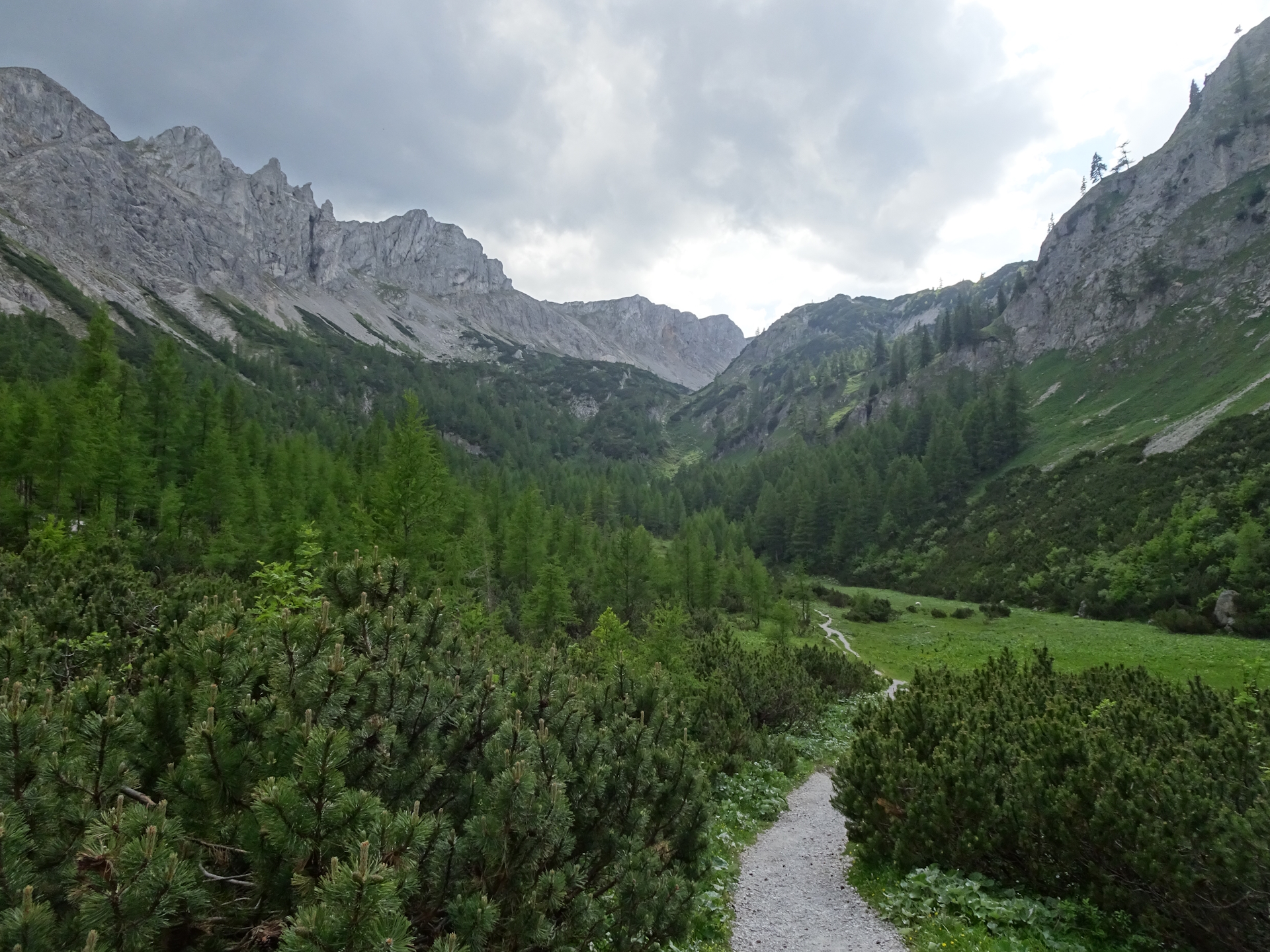
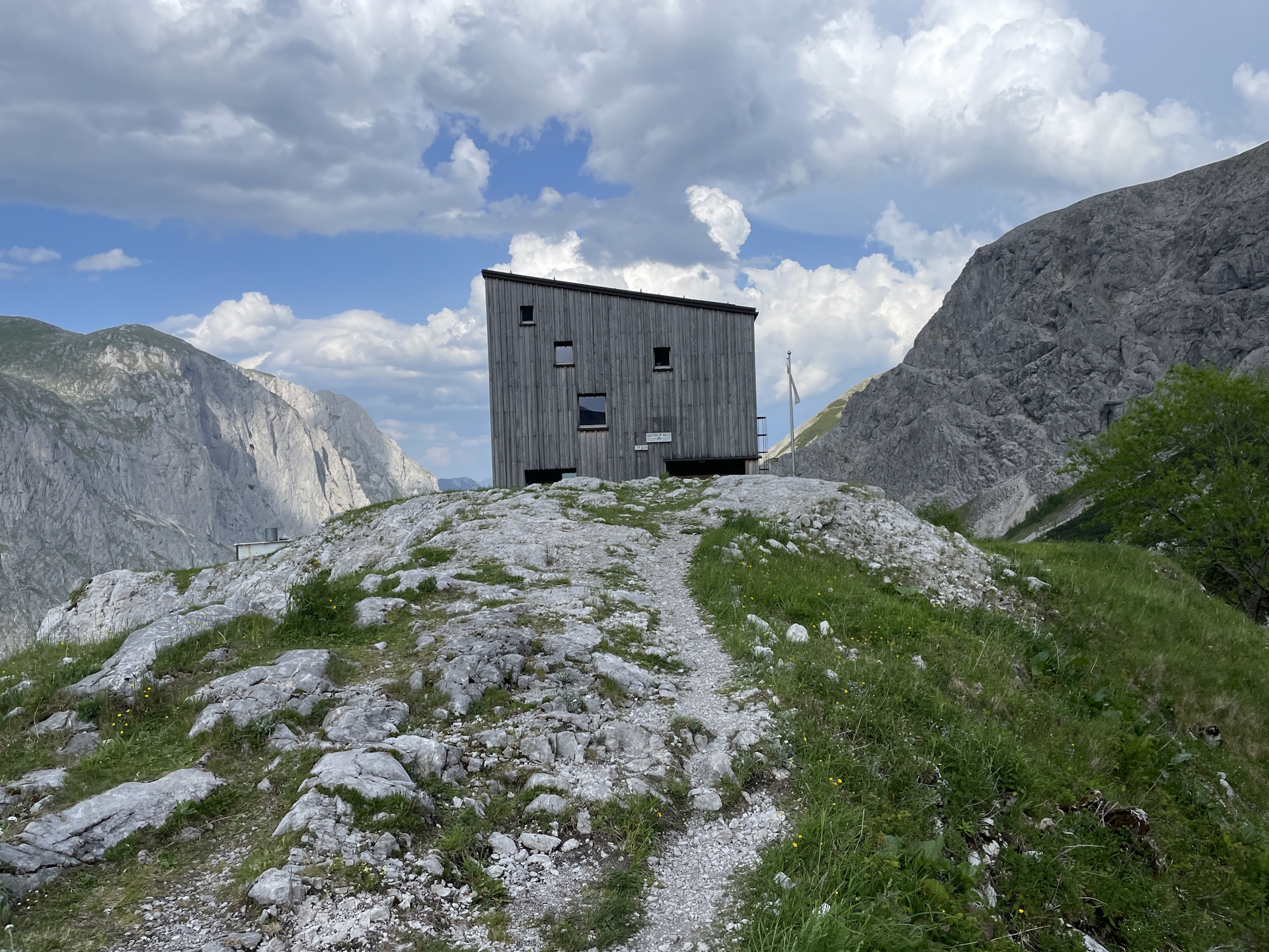
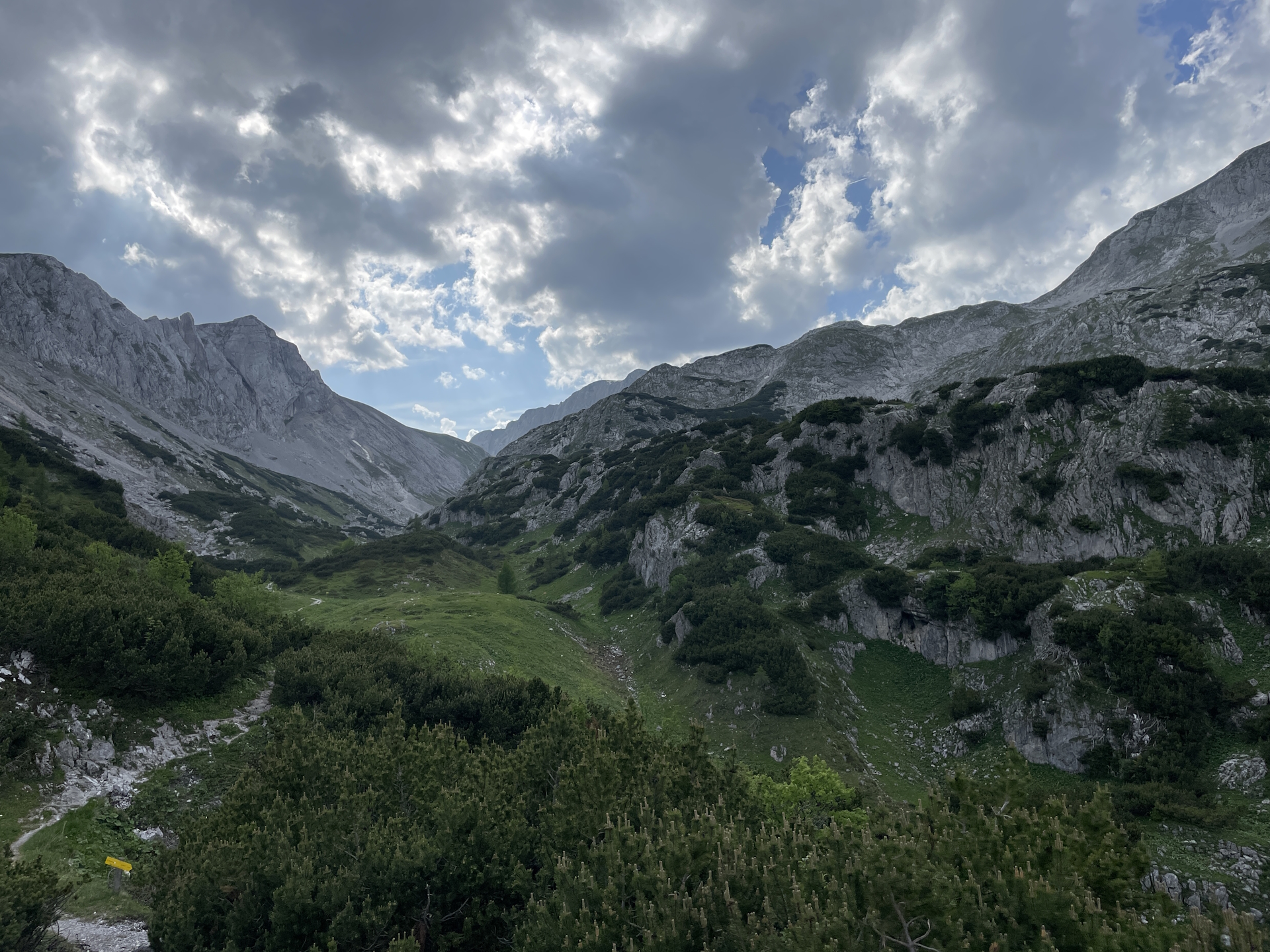
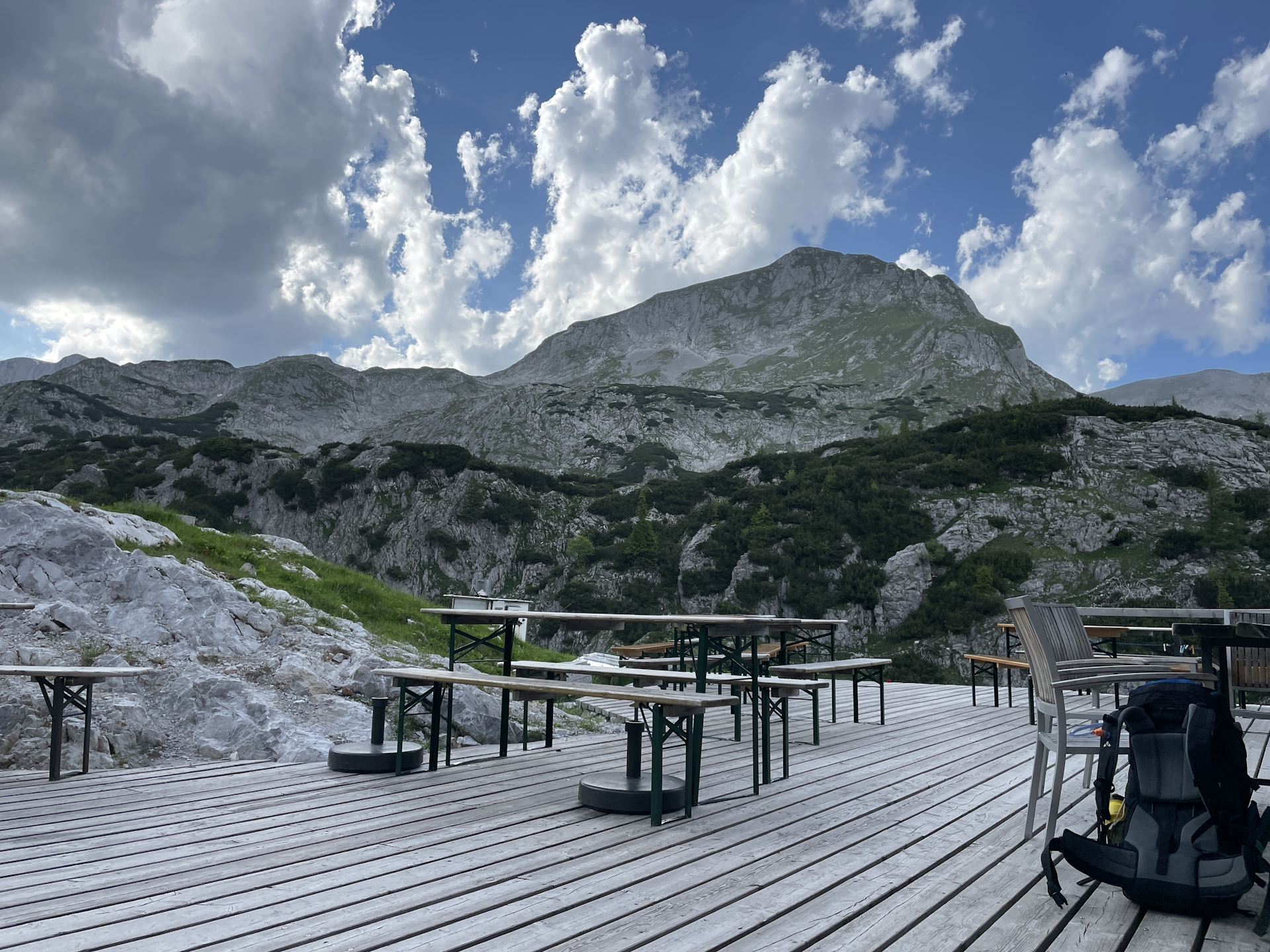
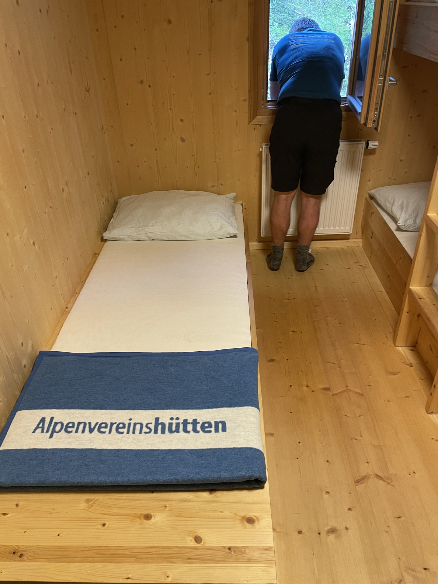
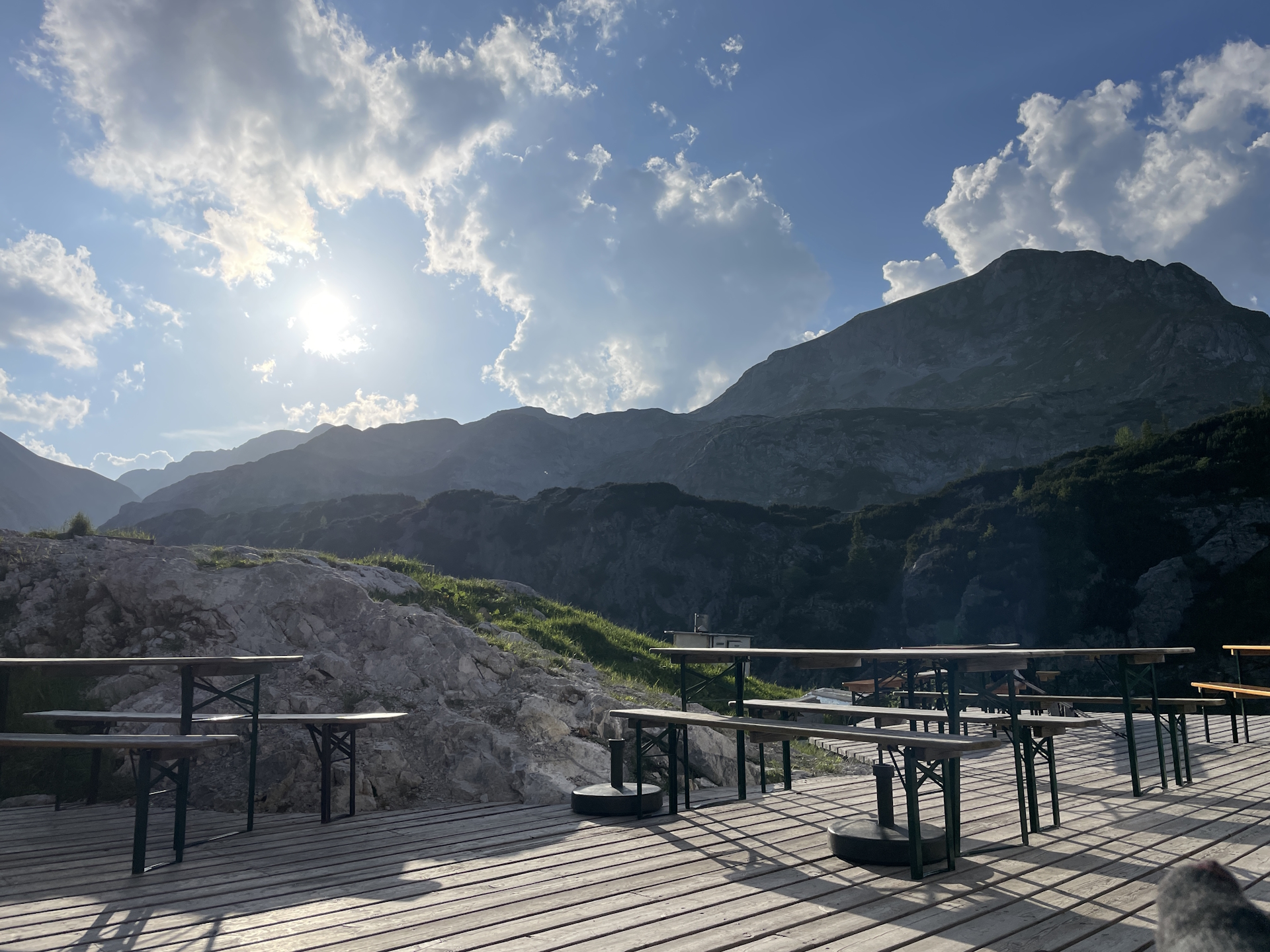
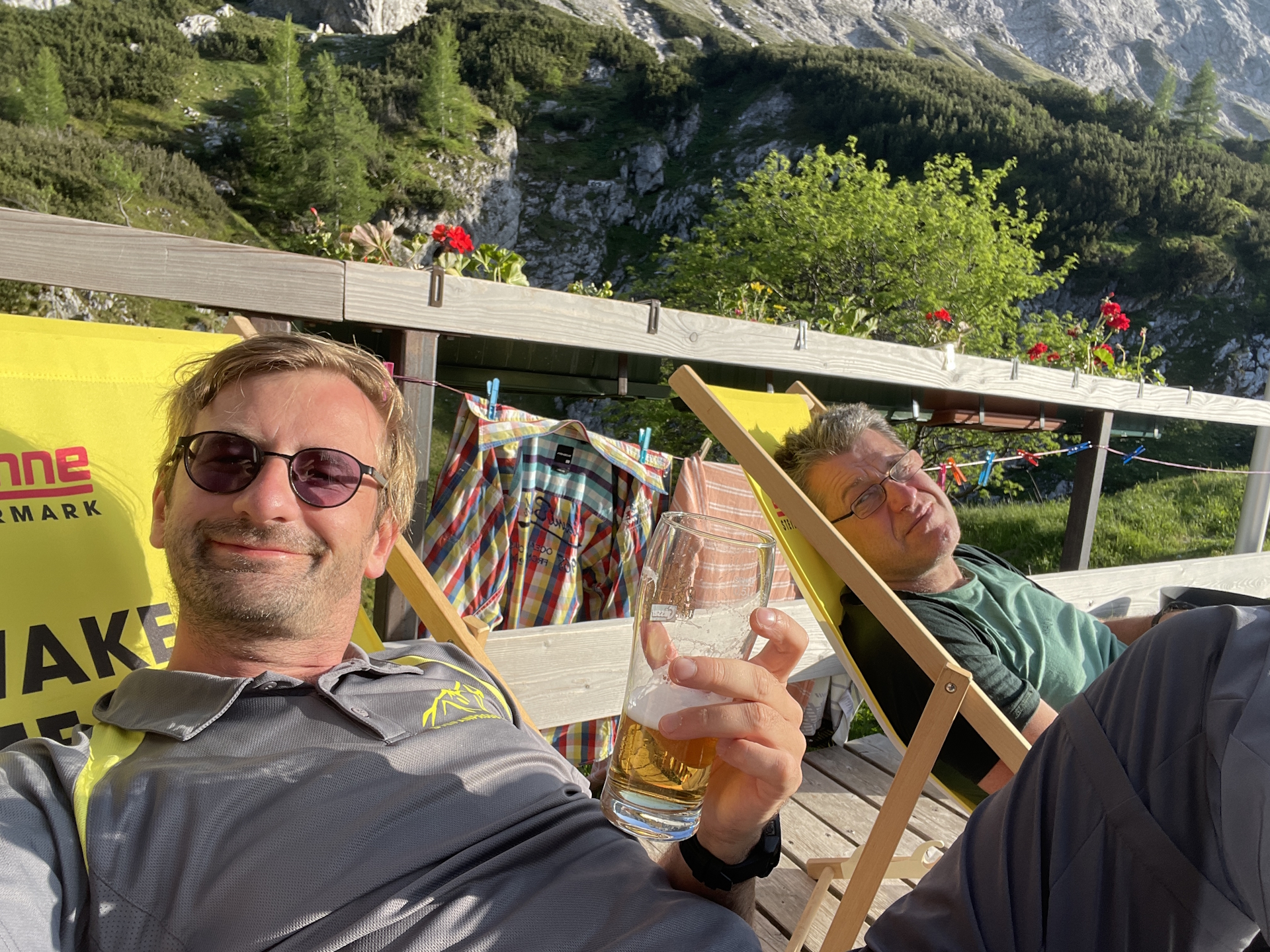
After the break, we hiked through the village of Seewiesen and then on the trail through the valley of Seetal – again very much exposed to sun on a day with very hot temperatures. At the end of the valley, the trail now ascends again through the Böser Wald (evil forest), but this time it was welcomed and not considered evil at all . The tour then bypasses the Franzosenkreuz and then follows again a trail through the valley towards the already visible Voisthalerhütte (Checkpoint). The hut however is not directly accessible and requires to first bypass it on its right hand-side and then ascend fairly steep up. Just a few meters before the hut, both my Suunto watch as well as I were drained all energy. With last remaining power and the great support of Robert, I managed to reach the hut. Once there – man – I think I had never ever a more delicious beer! . And while having a second one, I also collected my desired stamp .
Summary:
In principle, this is a very scenic and promising stage! However, due to the hot temperatures combined with high humidity, the stage turned out – at least for me – to be very demanding. Thanks to the good infrastructure (many huts on the way), the stage was doable though.
| 00:00 | Start at Graf-Meran Haus. If not yet done, get a stamp there while having a coffee/breakfast . Then follow the trail towards Rotsohlalm (see signposts). |
| 00:10 | Enjoy the view from the edge and then carefully descend via the now steep and sometimes slippery (loose gravel) trail. |
| 00:55 | At the Nikolokreuz, keep slightly left and follow the gravel road above the Rotsohlalm hut southwestwards. |
| 01:00 | Keep right at the crossing and follow the upper forest road. |
| 01:15 | Leave the forest road by turning right and follow the red-white-red marked trail. |
| 01:25 | At the Turnauer Alm, keep right and continue following the red-white-red marked trail. |
| 02:05 | Turn right and follow the gravel road. Respect the warning signs indicating that you’re entering the snake protection resort and thus stay on the marked trails only! |
| 02:10 | At the crossing, turn right and continue following the gravel road westwards. |
| 02:15 | At the crossing, keep left and continue following the red-white-red marked forest road. |
| 02:35 | Turn right and ascend following the red-white-red marked trail through the forest. |
| 02:40 | At the Göriacher Alm find your way through the alpine pasture. Use the already visible huts as reference point. The furthest on the left is serving food and drinks! |
| 02:50 | Well deserved break () at Göriacher Alm. |
| 03:20 | Head back northwards to the crossing and then turn left. Follow the gravel road southwestwards towards Seewiesen (see signposts). |
| 03:30 | Turn right into the trail (shortcut) and follow the marked trail downwards. |
| 03:40 | U-turn into the gravel road and follow it northwestwards (downwards). |
| 04:10 | At Seebergalm, turn left and follow the marked road westwards ascending up to Seebergsattel. |
| 04:25 | At Seebergsattel, bypass the farm, keep straight and then turn left. Then follow the red-white-red marked trail through the forest down to Seewiesen. |
| 04:30 | At the crossing (end of the trail), first turn right and then turn left. Follow now the partly steep trail down to Seewiesen. |
| 04:50 | In Seewiesen at the end of the trail and in front of Alpengasthof Schuster, keep right and take a well-deserved break () there. Also don’t forget your stamp ! |
| 06:25 | After your break, head back and now follow the small street downwards into the center of Seewiesen. |
| 06:30 | At the crossing (next to the water well), turn right and follow the road westwards. Cross the main road and follow the gravel road westwards on the opposite street side. |
| 07:25 | At the rest area before the valley station of the cable car, turn left into the red-white-red marked trail. This trail will lead up directly to Voisthalerhütte. |
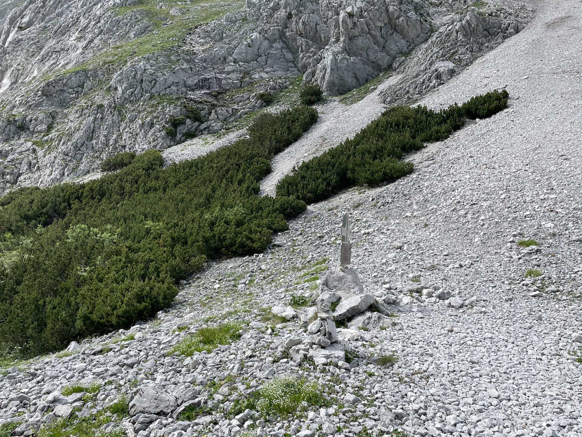
| 08:40 | Bypass the Franzosenkreuz and keep straight, descending slightly into the valley. Continuing following the trail westwards. |
| 08:55 | Final ascent: Follow the trail through the Voisthalergasse. |
| 09:15 | Keep left and follow the small and steep trail up to Voisthalerhütte (some easy climbing is required). |
| 09:24 | At the crossing, keep left and follow the trail heading directly to the Voisthalerhütte. |
| 09:25 | Arriving at the Voisthalerhütte. Check-in for the night, get some dinner () and the desired stamp . |
| Area: | Hochsteiermark, Styria, Austria | |
| Distance: | 23km | |
| Ascent: | 1058m (3h 20min) | |
| Descent: | 1242m (3h 00min) | |
| Highest Pt: | 1839m | |
| Lowest Pt: | 926m | |
| Duration: | 7:20 (without breaks) 9:25 (with breaks) |
|
| Stop/Rest: | Graf-Meran Haus (1835m) Rotsohlalm (1417m) Schutzhütte Turnauer Alm (1385m) Stroblhütte Göriacher Alm (1429m) Alpengasthof Schuster (993m) Voisthalerhütte (1653m) |
|
| Equipment: | Backpack with standard hiking equipment Comfortable hiking shoes Snacks, and plenty of water Sun & Weather protection Camera Overnight equipment for the hut – light sleeping bag for huts – cash – shoes for the hut |
| Download GPX | ||
| O | Tour at outdooractive.com |
At a glance
| Level | difficult |
| Technique | |
| Shape / Fitness | |
| Experience | |
| Scenery | |
| Best time in the year | |
|
Jan
Feb
Mar
Apr
May
Jun
Jul
Aug
Sep
Oct
Nov
Dec
|
|
Leave a Reply