
Tenth stage of the Nord-Süd-Weitwanderweg 05 starting from St. Sebastian/Mariazell via Mooshuben and to Niederalpl with a recommended detour up to Tonion.
 |
The North-South-Long-Distance trail (Nord-Süd-Weitwanderweg, also known as the “05”) starts in the north of Austria at Nebelstein and ends in the south of Austria at Eibiswald. The trail is ~500km long, ~18 000m in ascent and the same amount in descent. The trail was initiated by Carl Hermann and officially established on the 25th September 1970. The trail is separated into 3 parts:
It normally takes 3 weeks to complete the entire trail. |
The here presented tour is the tenth stage of the Nord-Süd-Weitwanderweg 05 with a very recommended detour up to the Tonion summit.
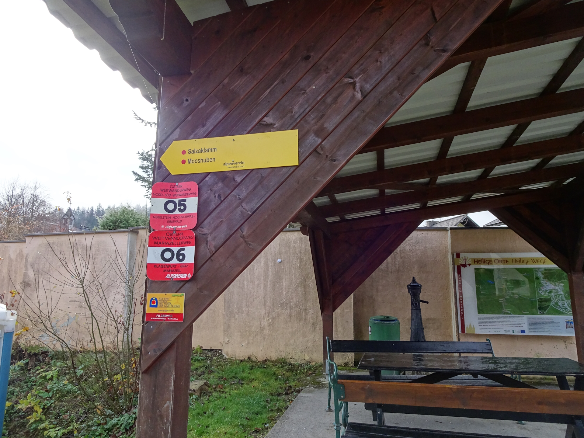
The tour starts at the train station in St. Sebastian and follows the official 05 trail into the center of Mariazell (Checkpoint). The tour then follows the winding road southwards before turning into a small street that leads towards Mooshuben (Checkpoint).
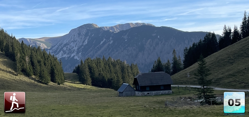
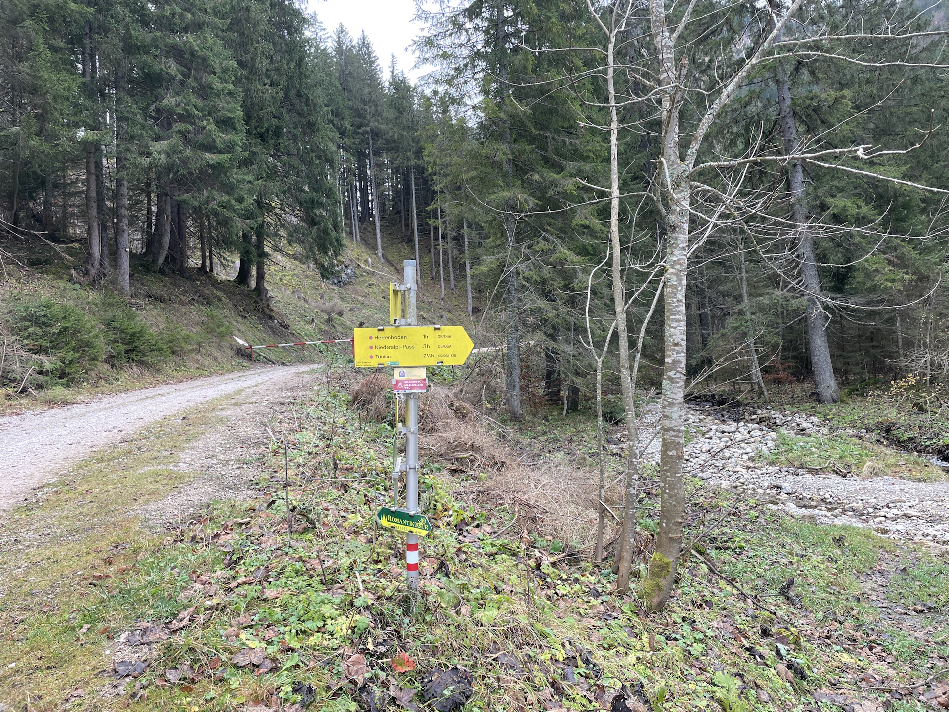
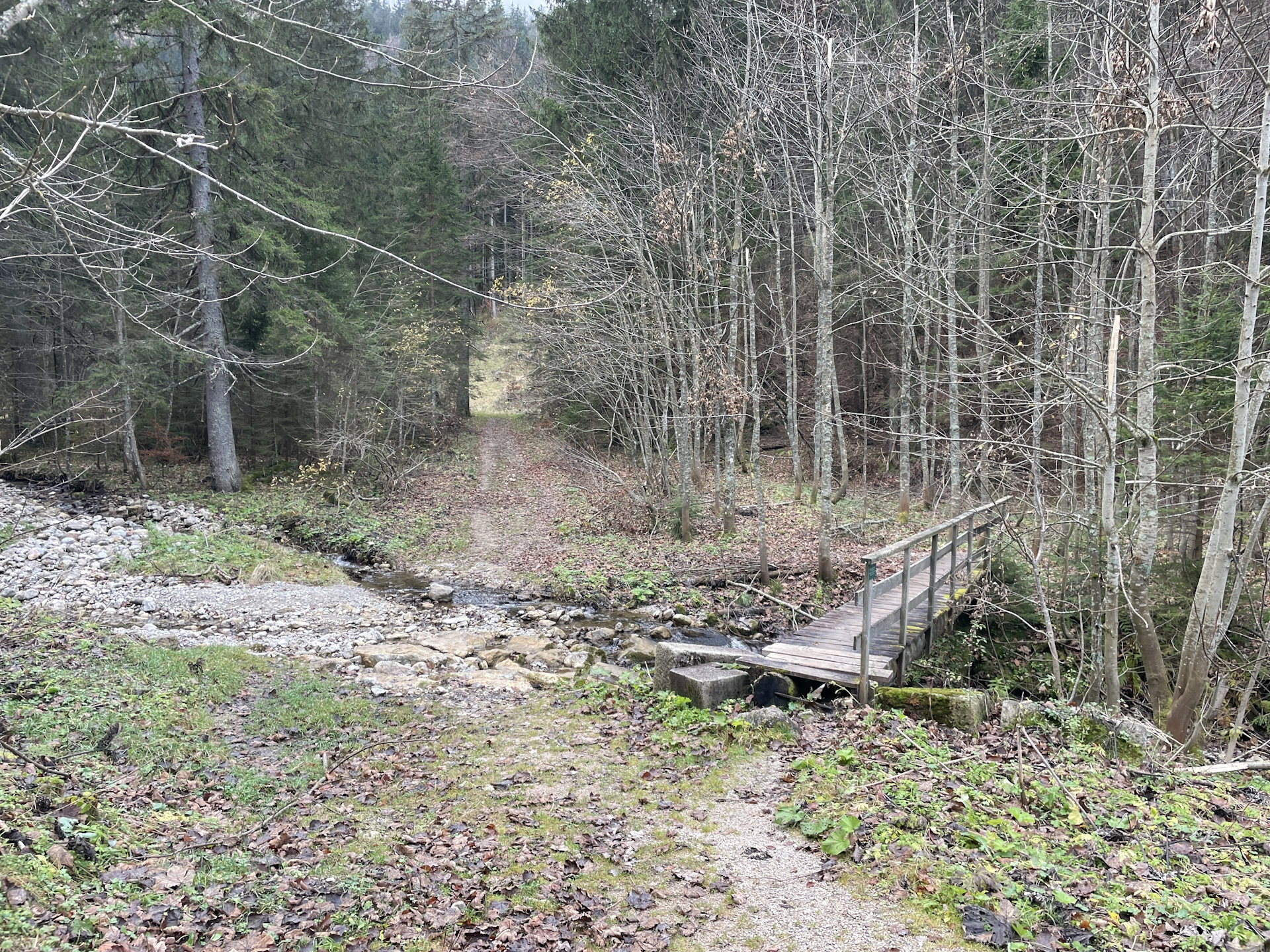
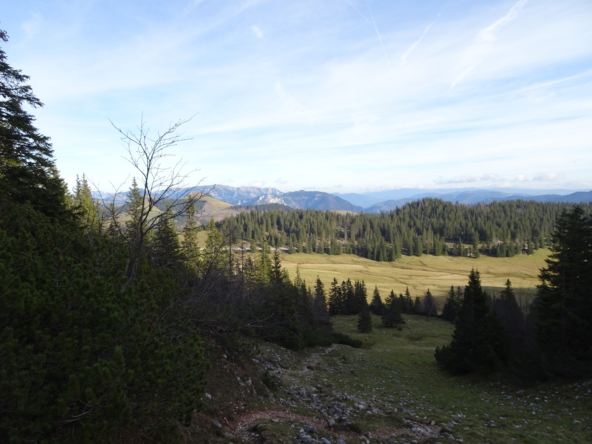
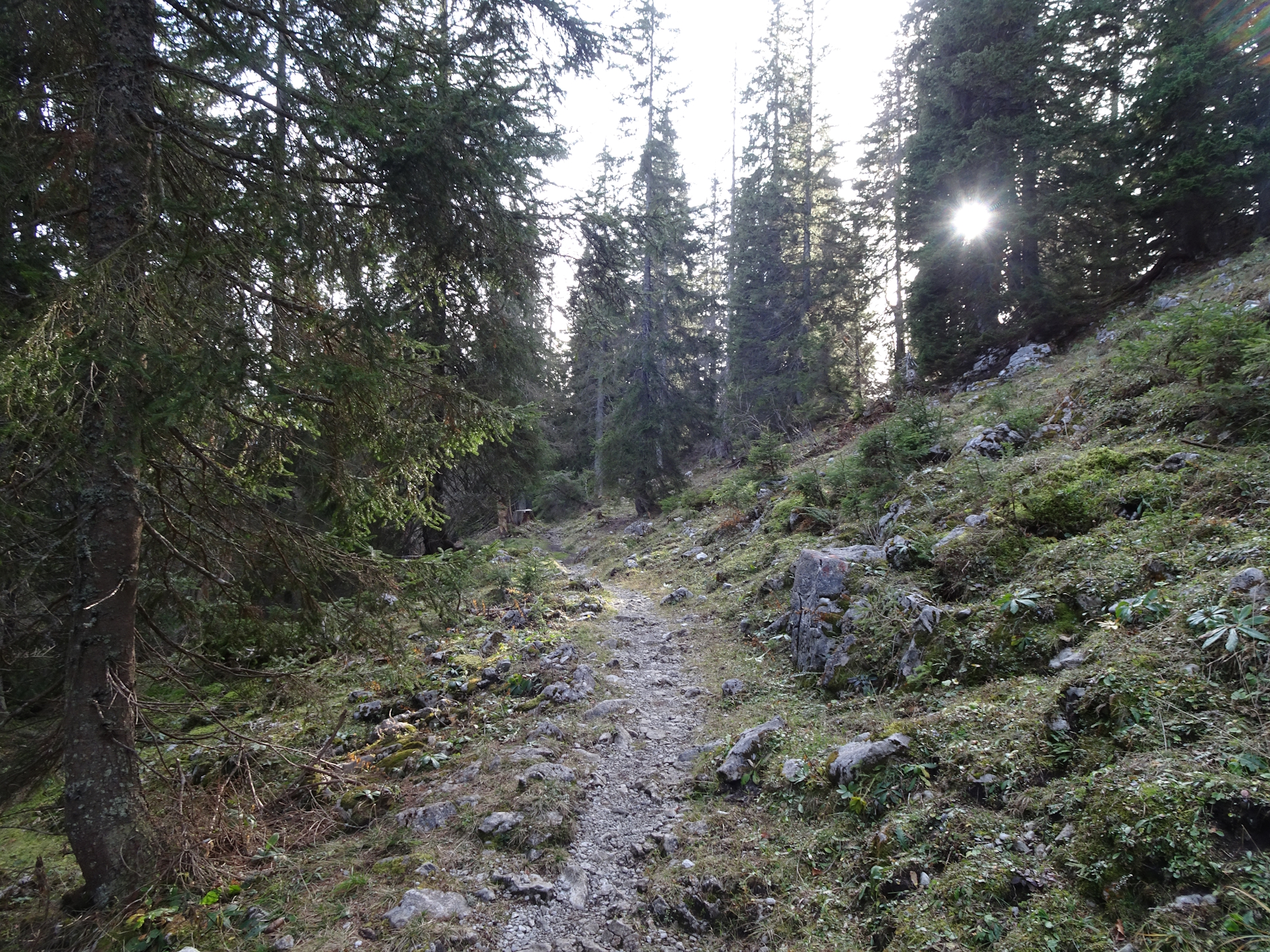
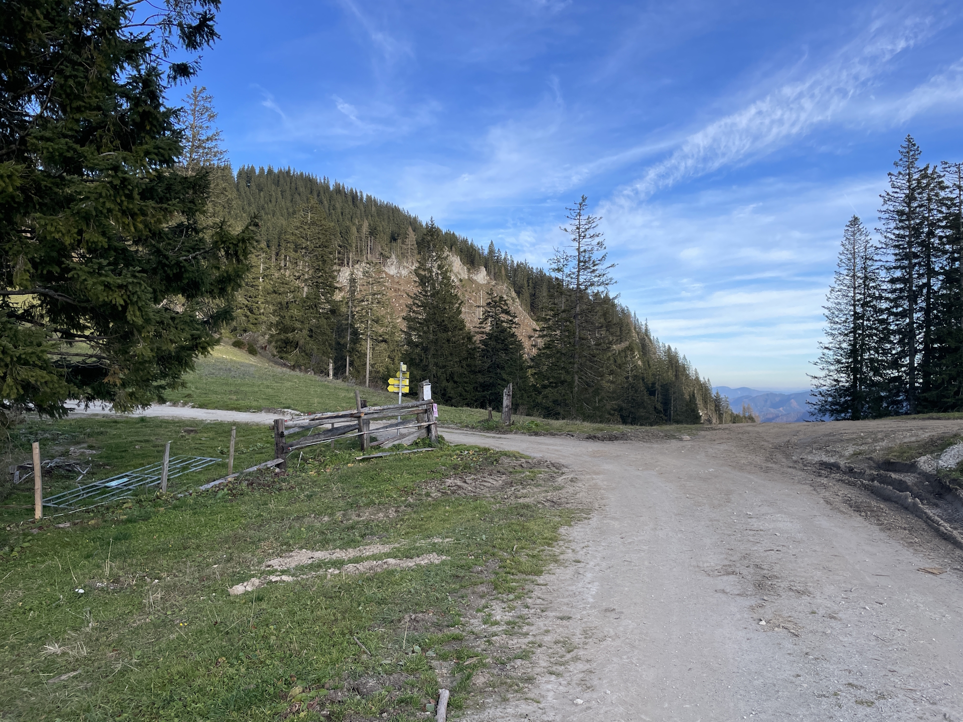
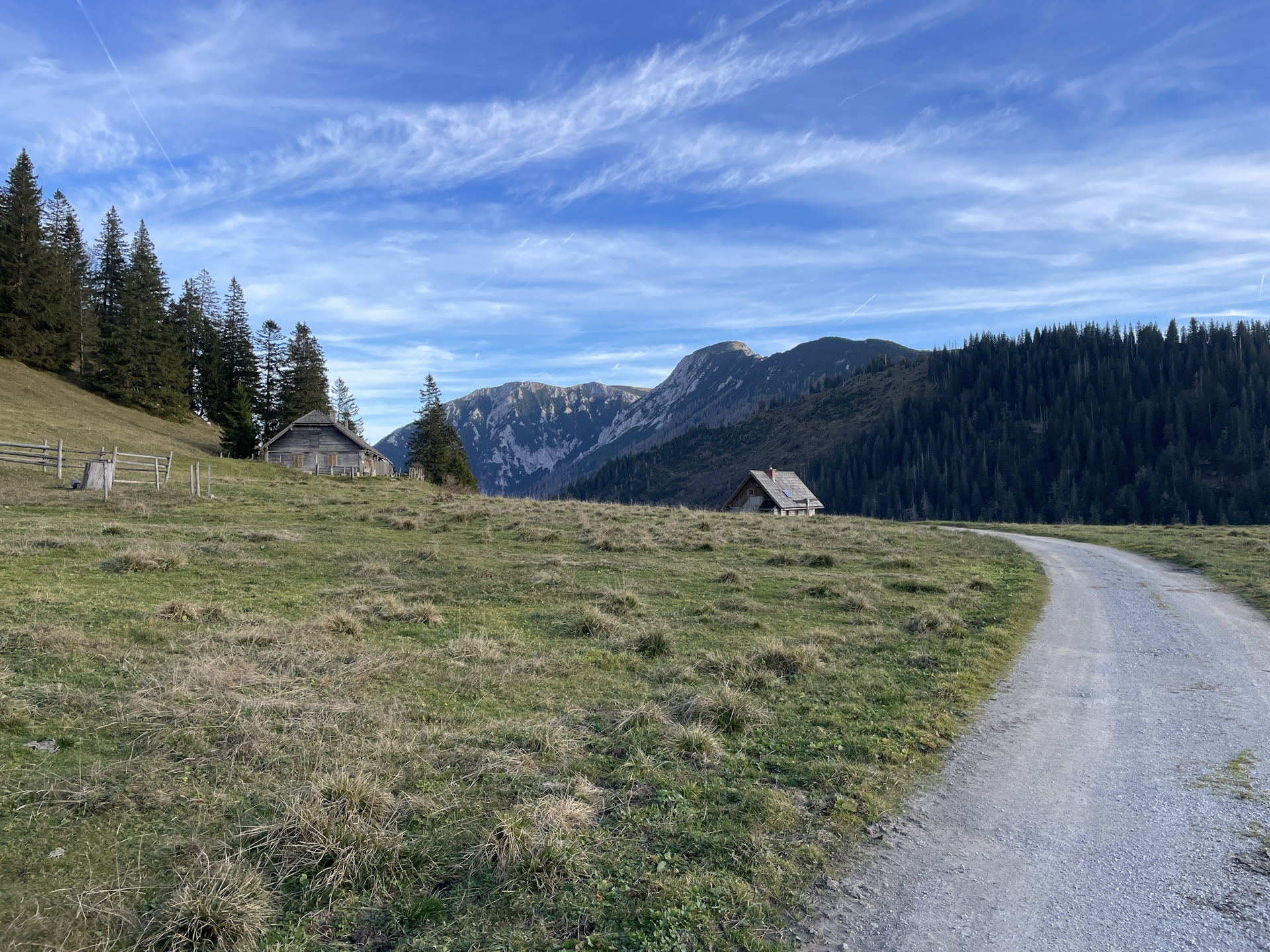
The tour then continues following the paved road towards Schöneben which eventually becomes a gravel road. At Schöneben, the tour then ascents up to Herrenboden via a nice trail through the forest.
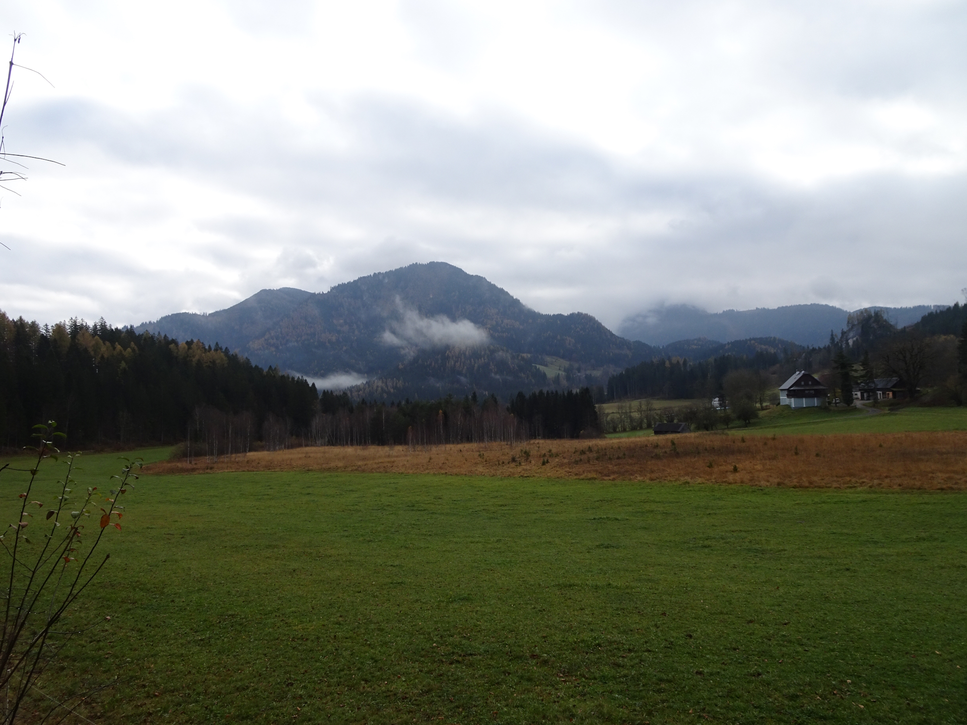
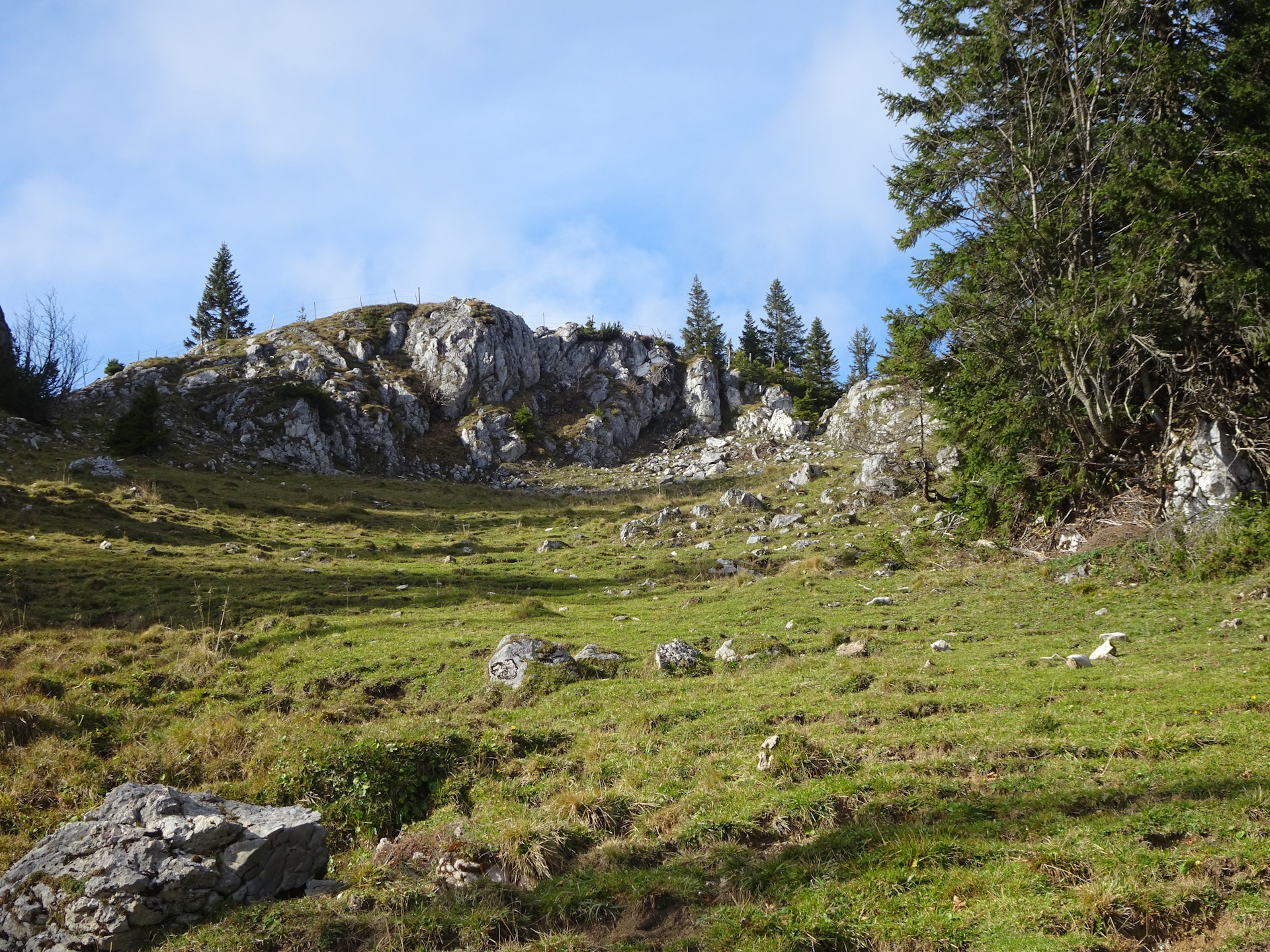
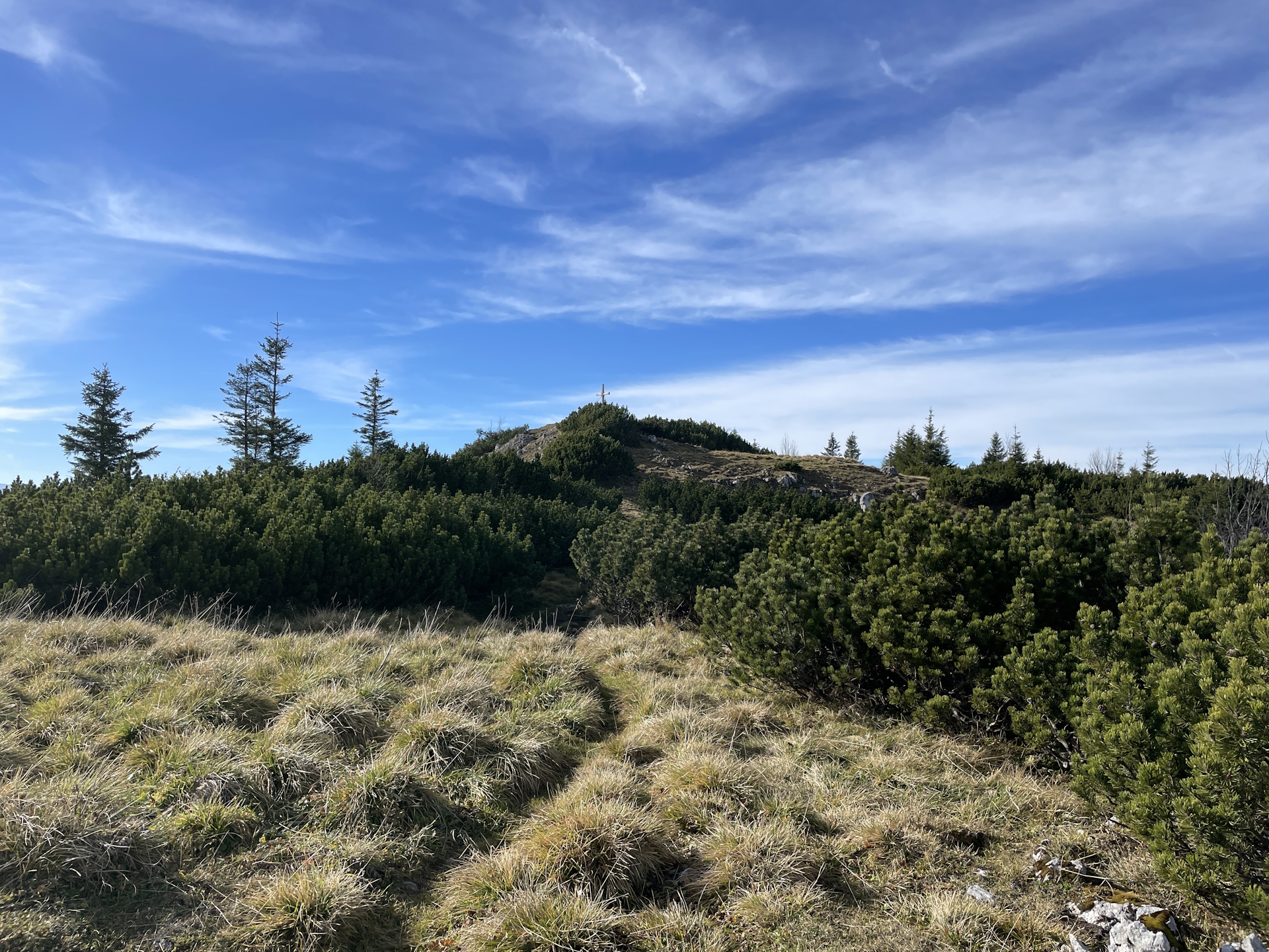
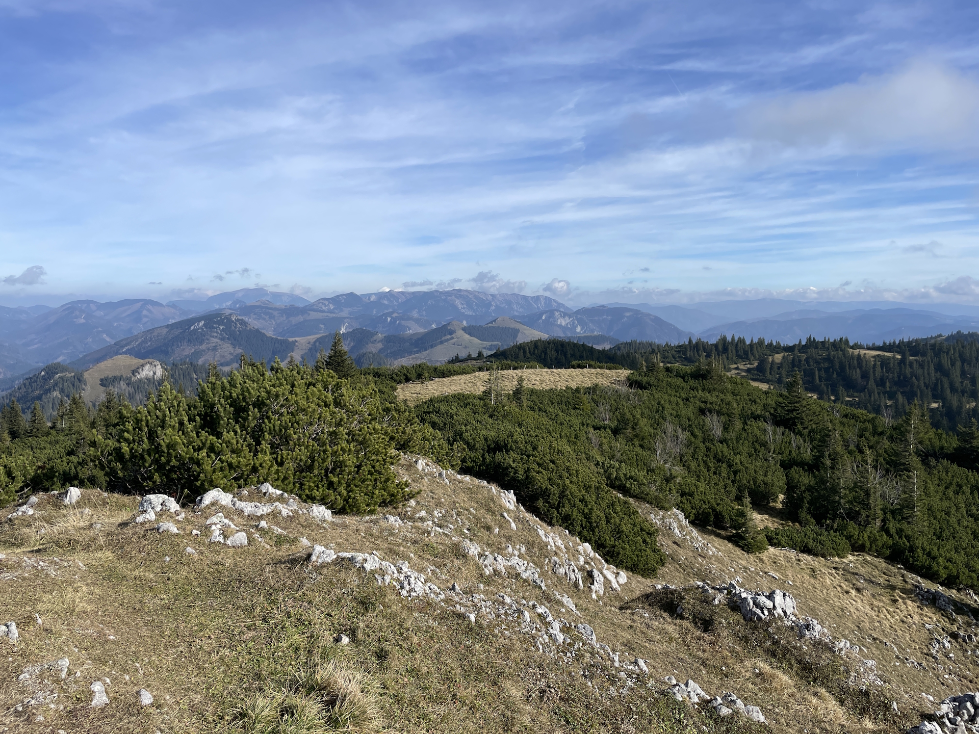
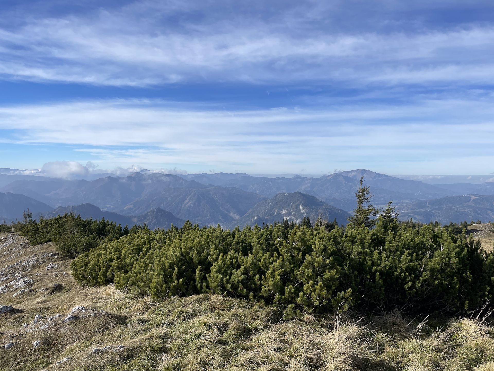
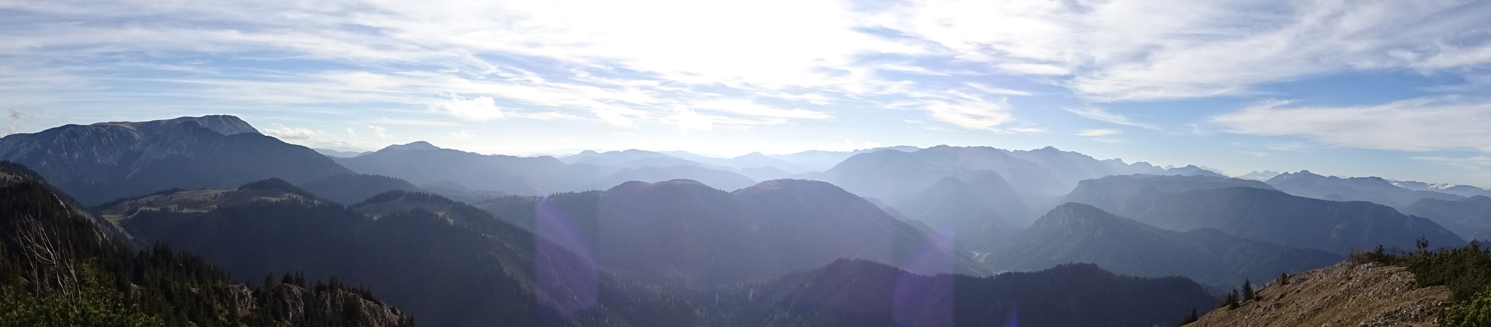
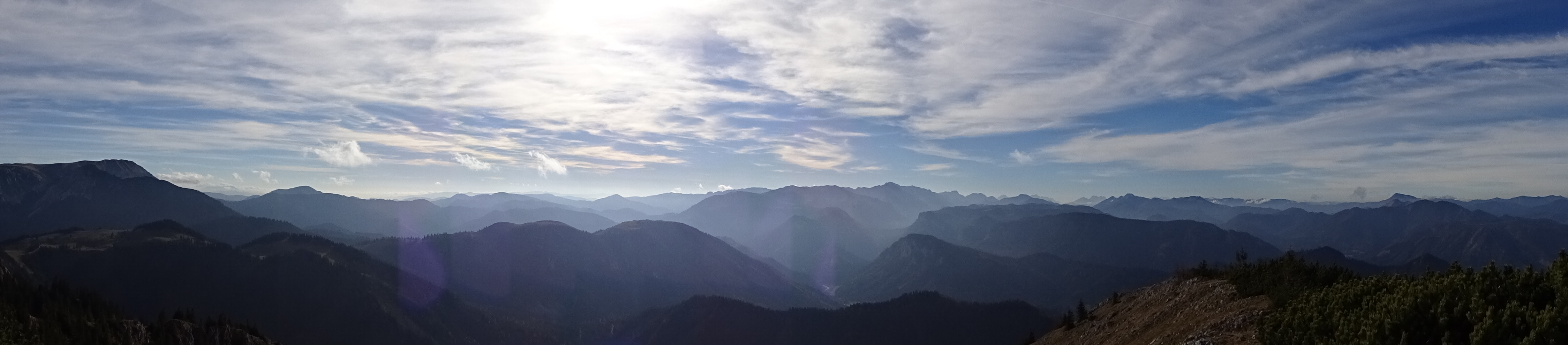
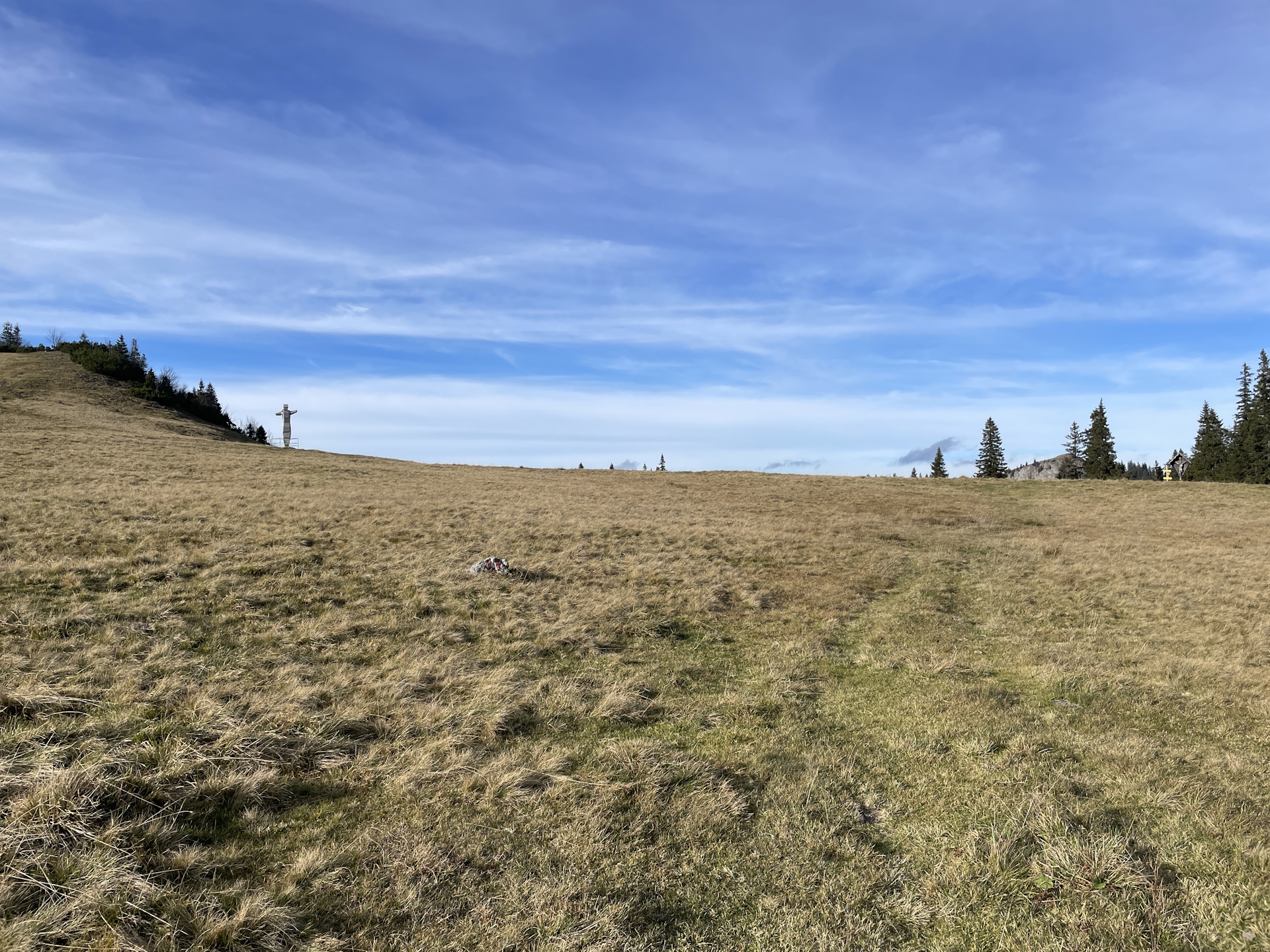
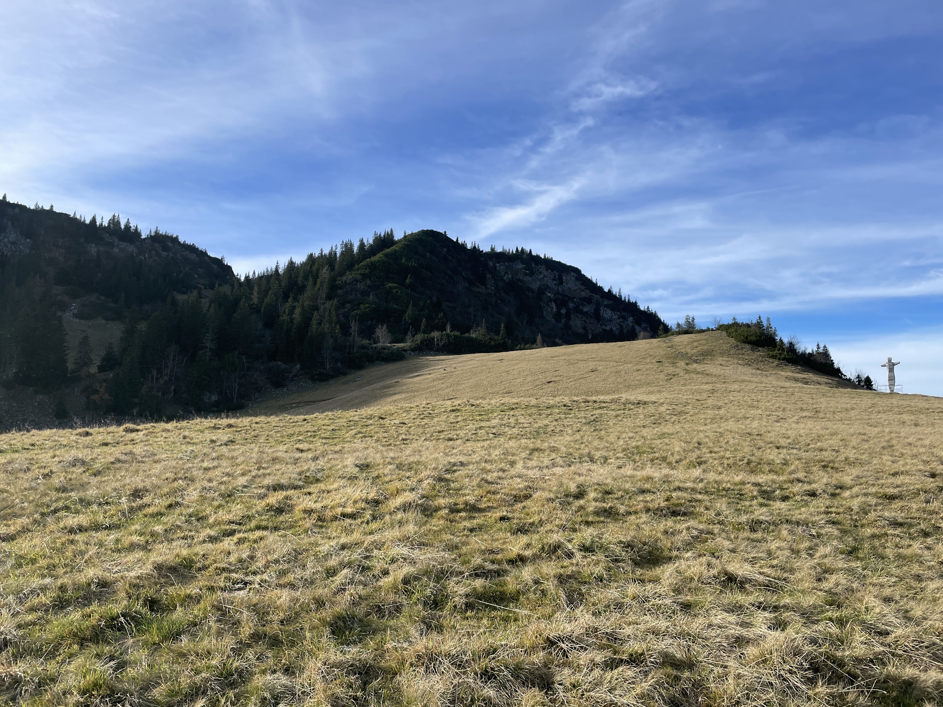
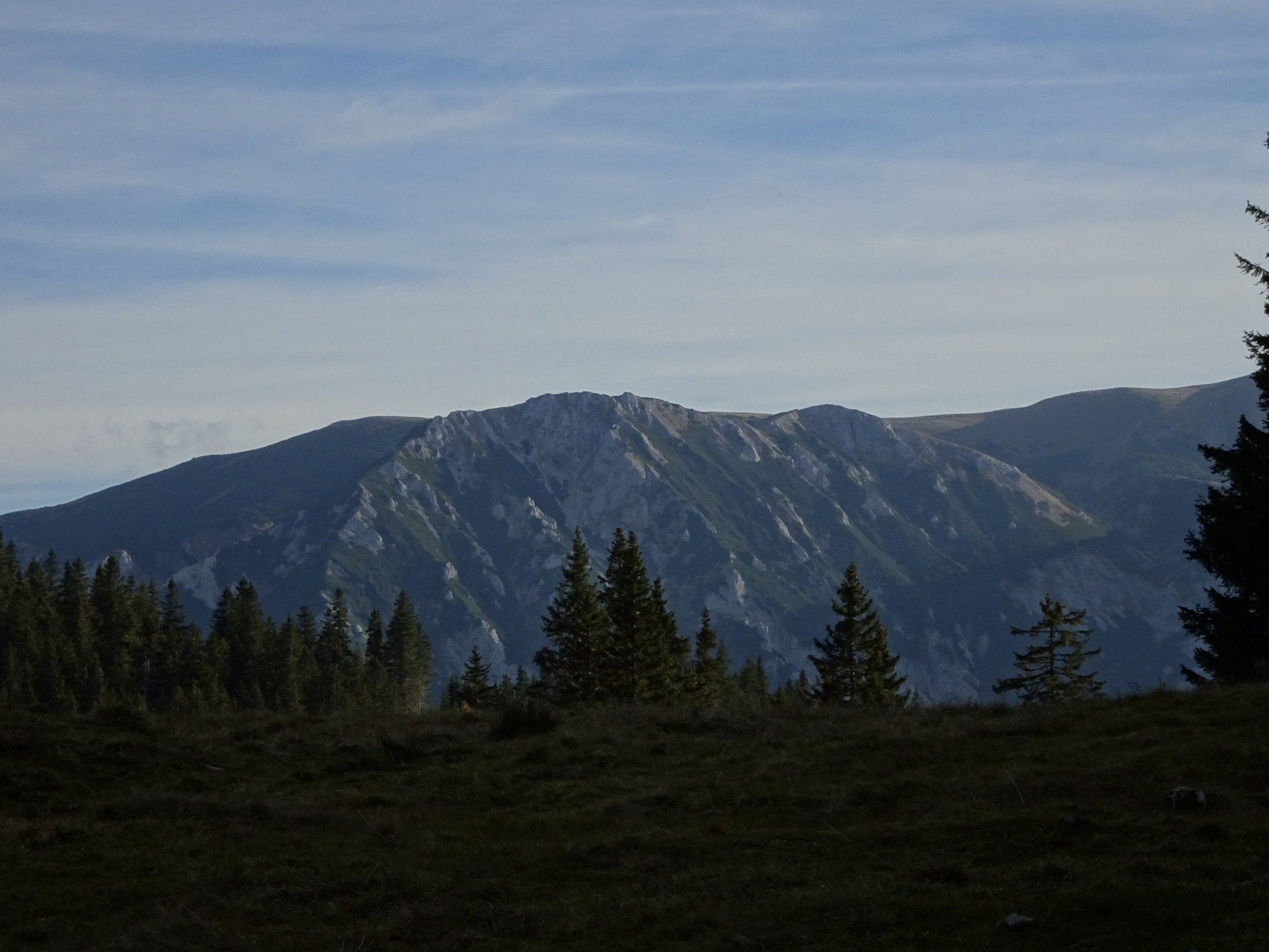
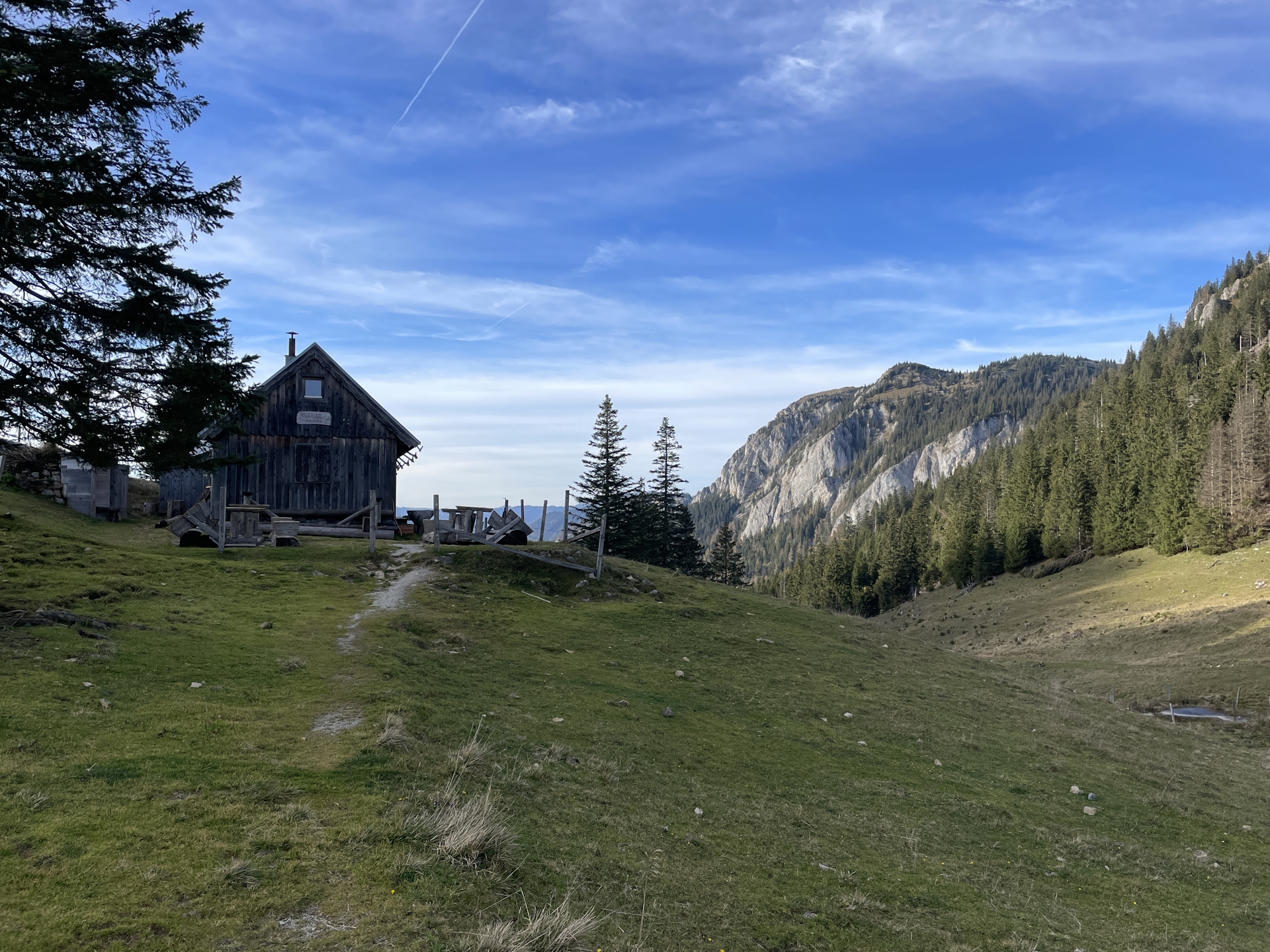
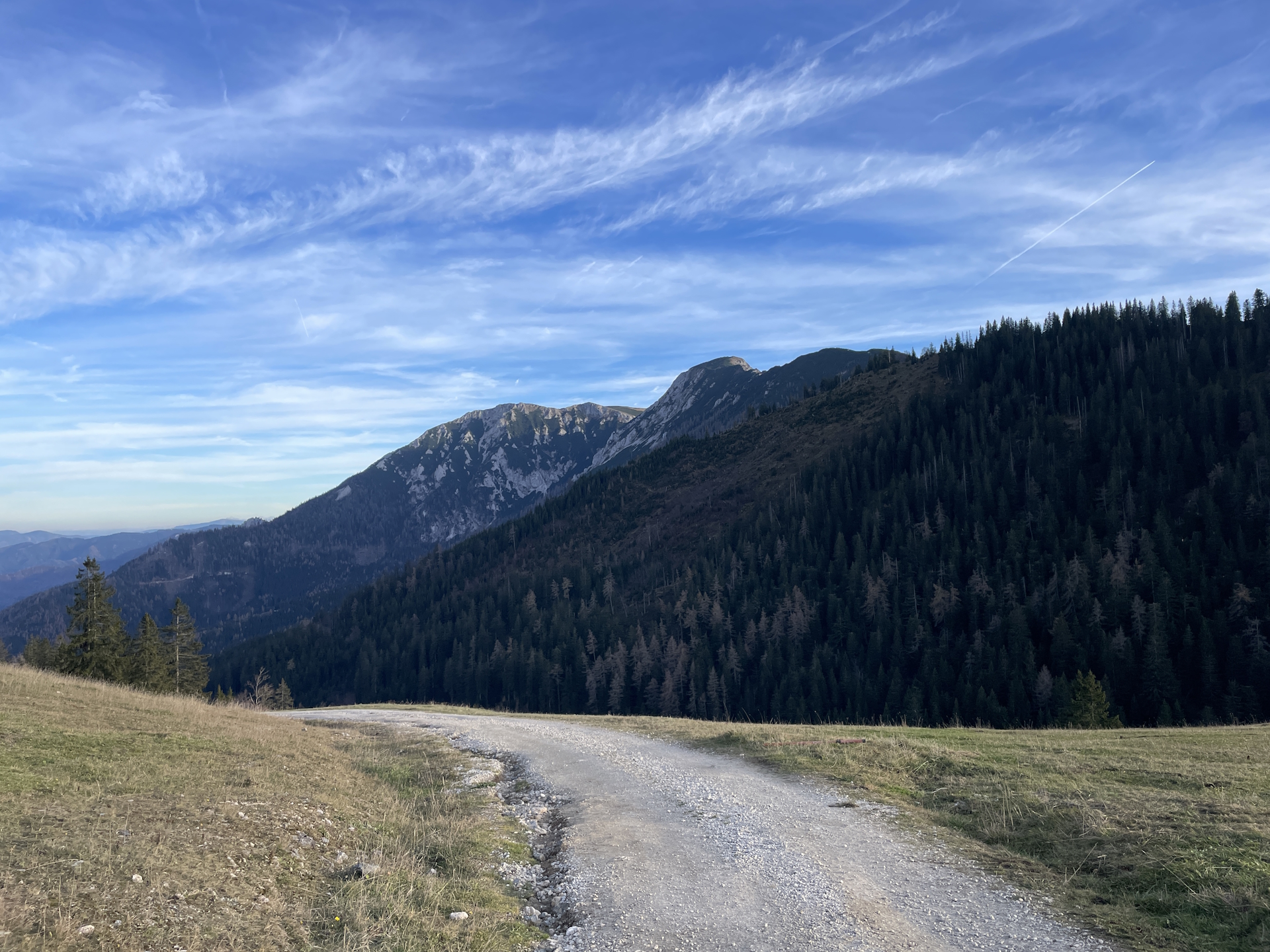
Turning right at Herrenboden and following the marked trail leads up to the summit of Tonion. This optional but very recommended detour will provide stunning views towards the area, looking back to Mariazell but also to Hohe Veitsch, thus providing insides on what to expect on the next stage(s).
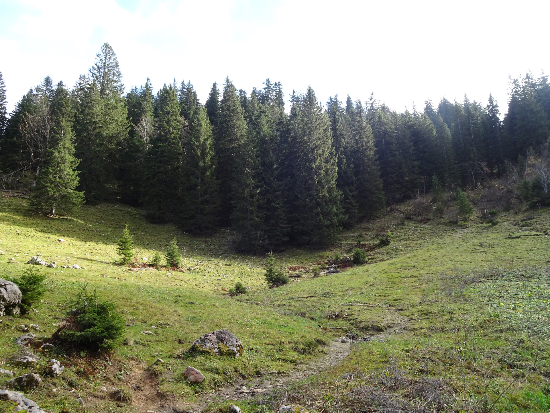
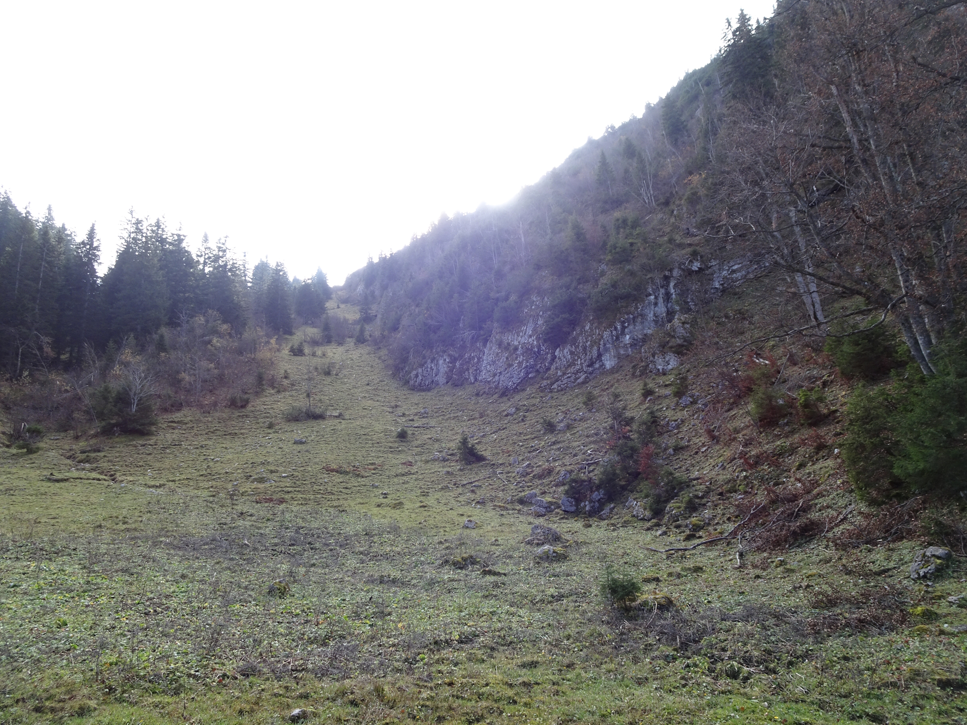
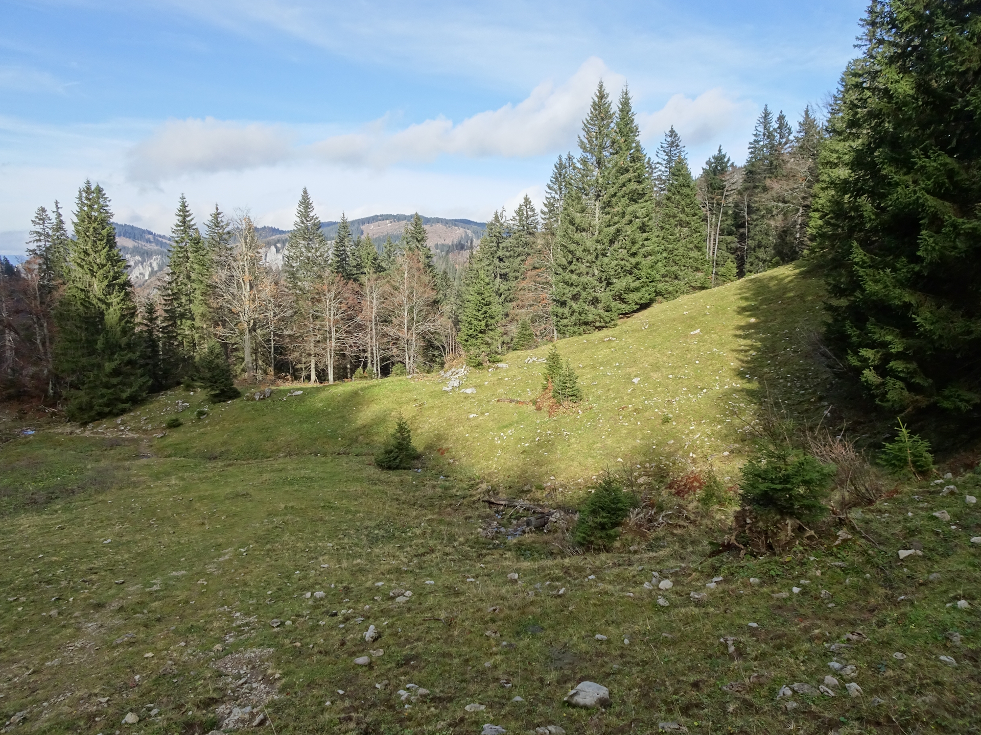
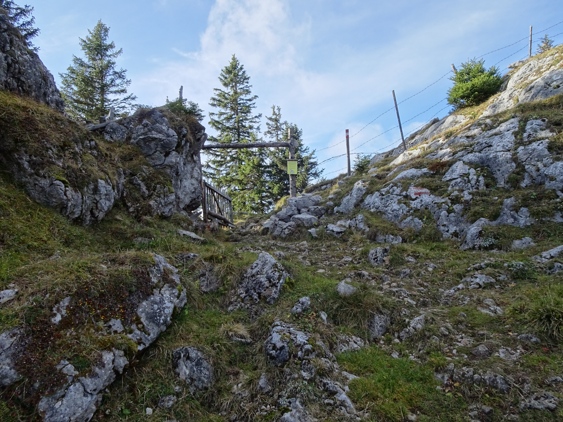
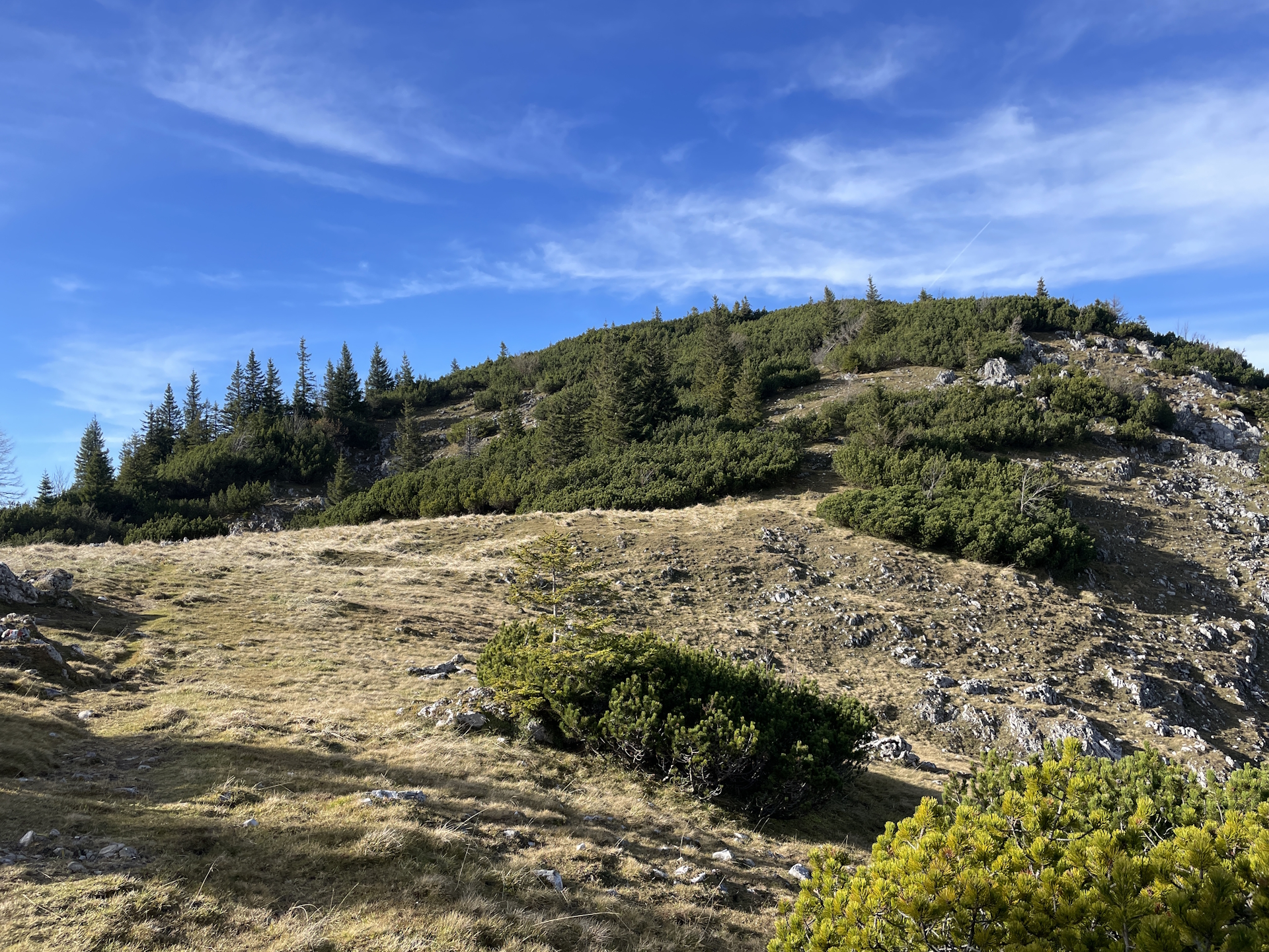
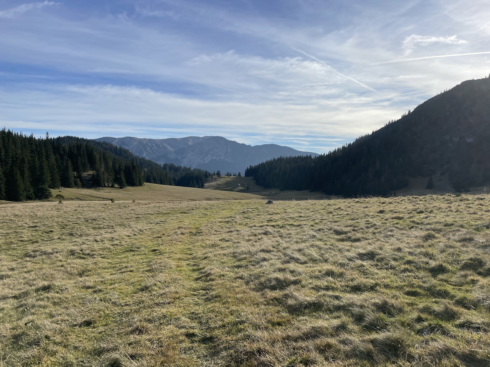
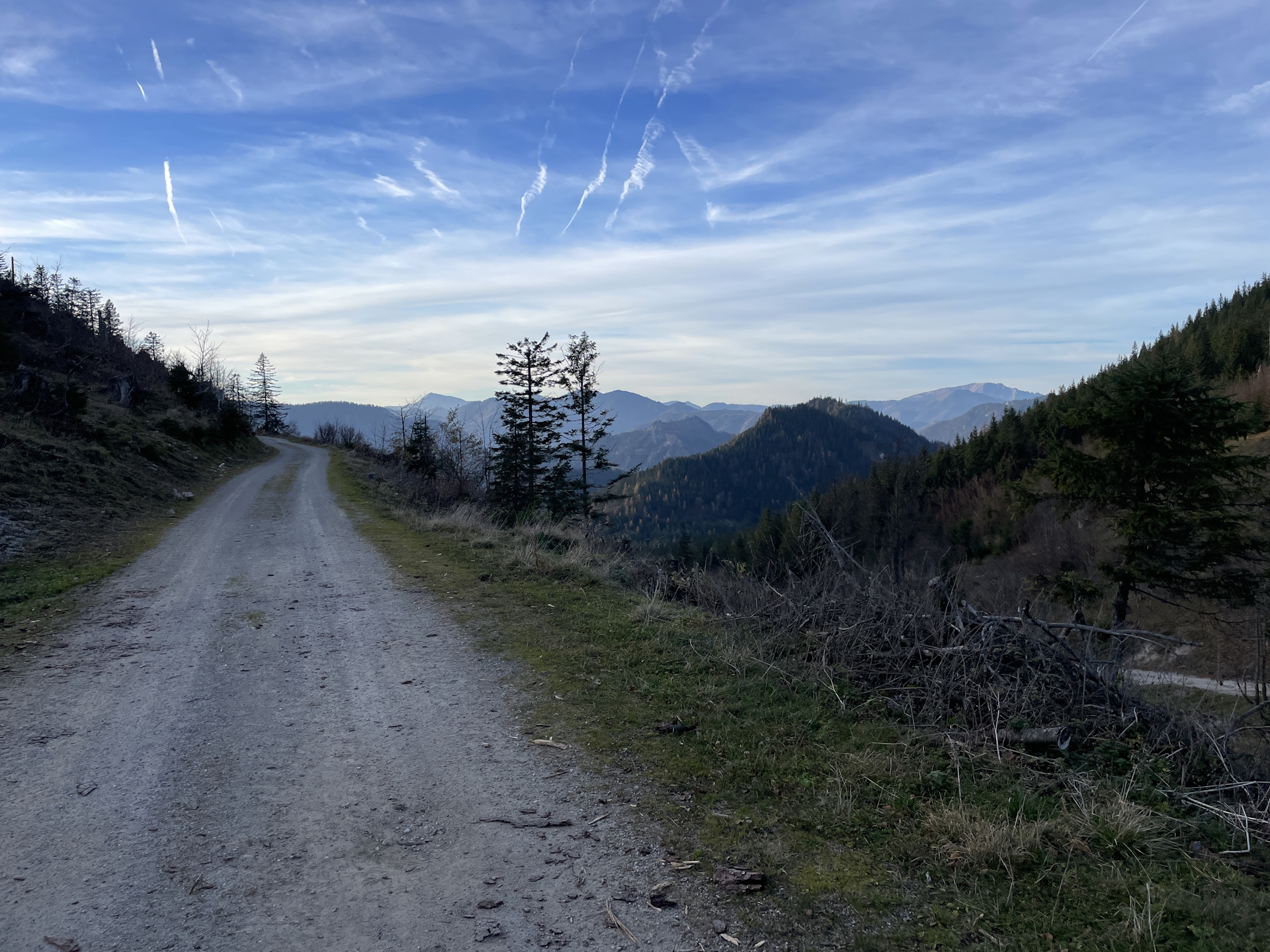
After enjoying the amazing view from Tonion, the tour leads back to Herrenboden and continues following the official 05 trail southwards. The nice combination of trails through the alpine pasture, forests and meadows constantly provides scenic views. The tour then finally ends at the saddle of Niederalpl (Checkpoint).
| Nord-Süd-Weitwanderweg 05 – Checkpoints | |
|
Transportation:
I’ve planned to accomplish this stage as a single day-trip. I drove with my car and parked it at the destination in Niederalpl (at the big parking) and then used the bus from there to get to the start point in St. Sebastian/Mariazell. To have the car parked at the destination allows for breaks and enjoy the trip without needing to rush.
After parking the car at the saddle in Niederalpl, I used the following means of transport:
- Bus 189 from Niederalpl Passhöhe (08:19) Mariazell Bahnhof (08:53)
The hike:
I’ve started the hike on a weekday morning (Thursday, 09:00) although I had to catch the bus at Niederalpl. Doing the hike during the week allows to get a stamp in Mariazell at the tourism office .
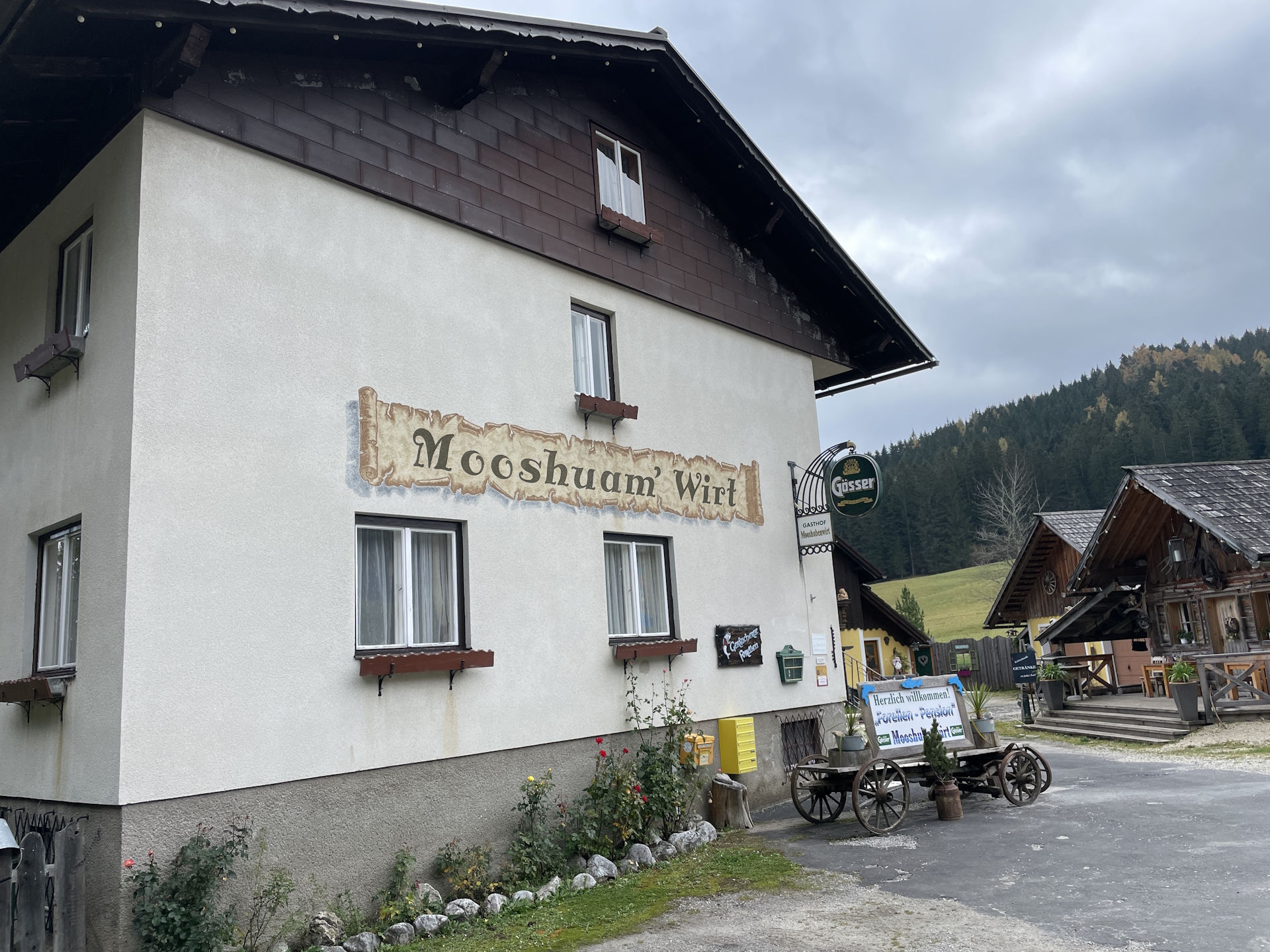
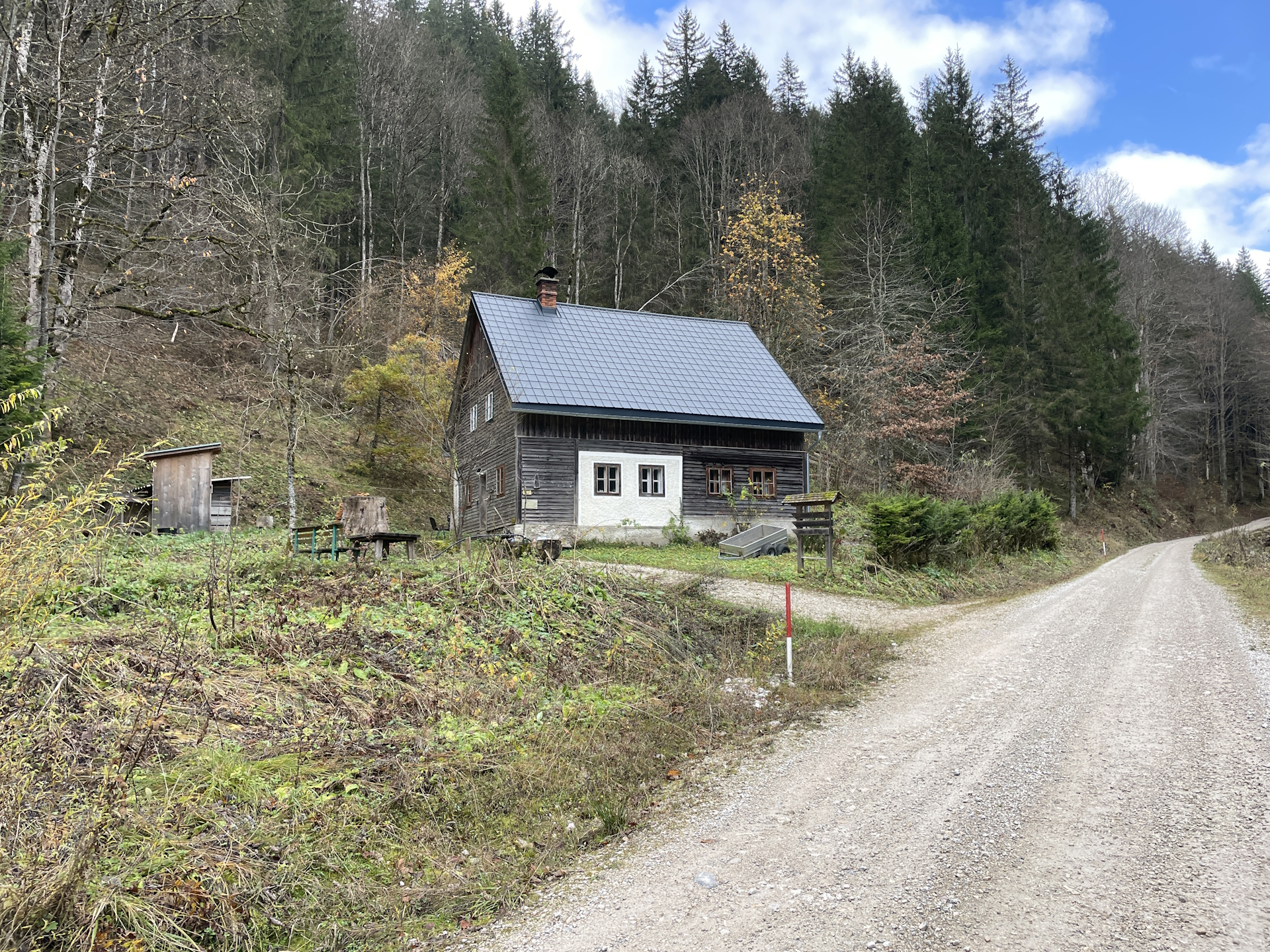
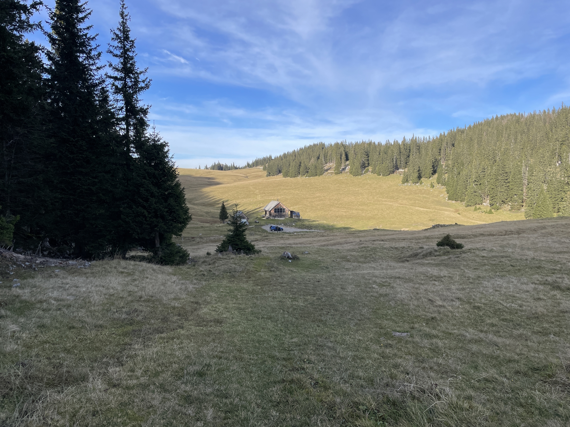
From the homepage of Mooshubenwirt (Checkpoint), it was unclear when and if the restaurant is open but it claimed to be open till the 31st October. Unfortunately, it became obvious that there will be no service at Niederalpl as the only remaining restaurant announced at their homepage that they closed due to personnel issues.
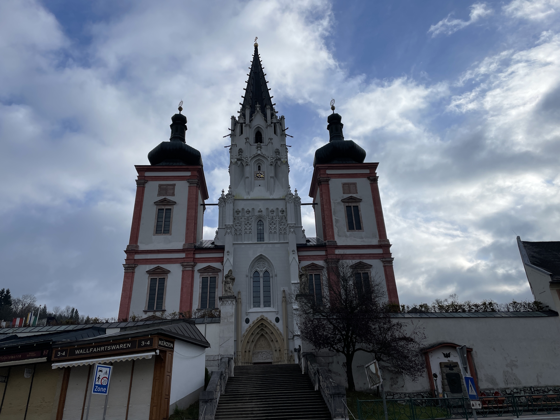
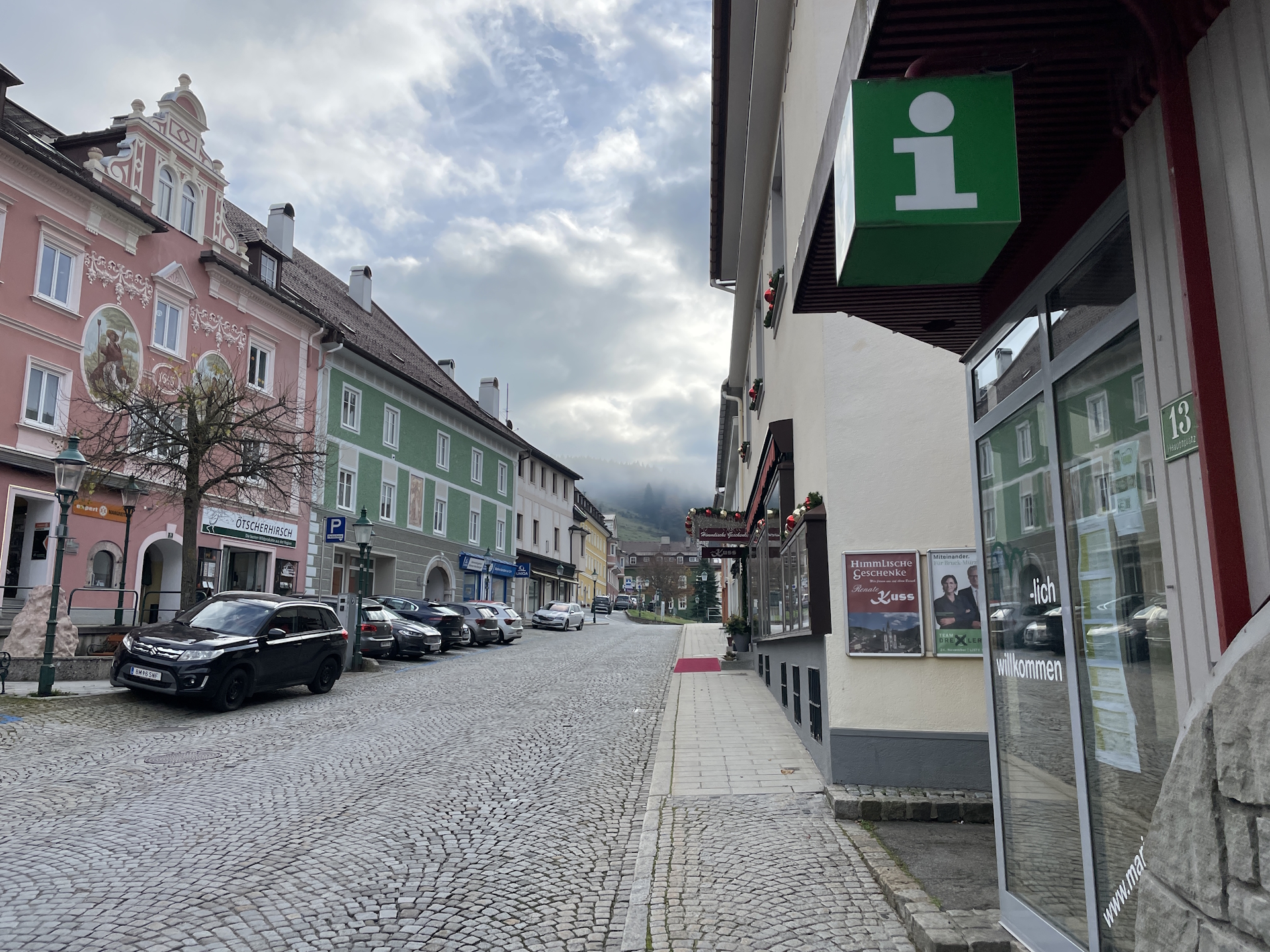
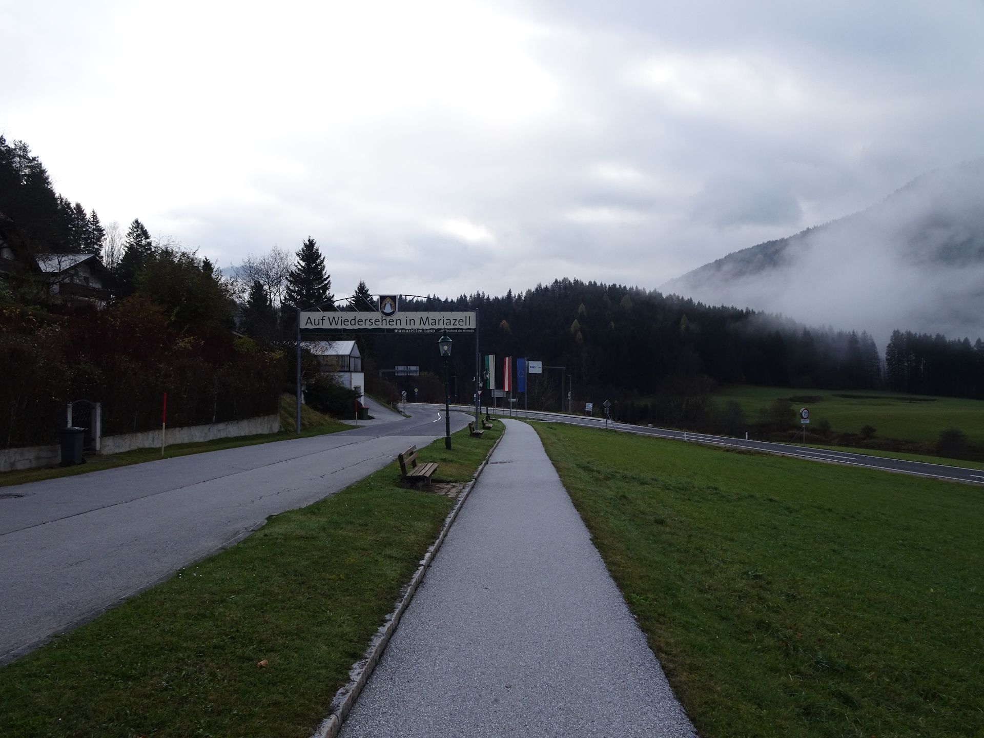
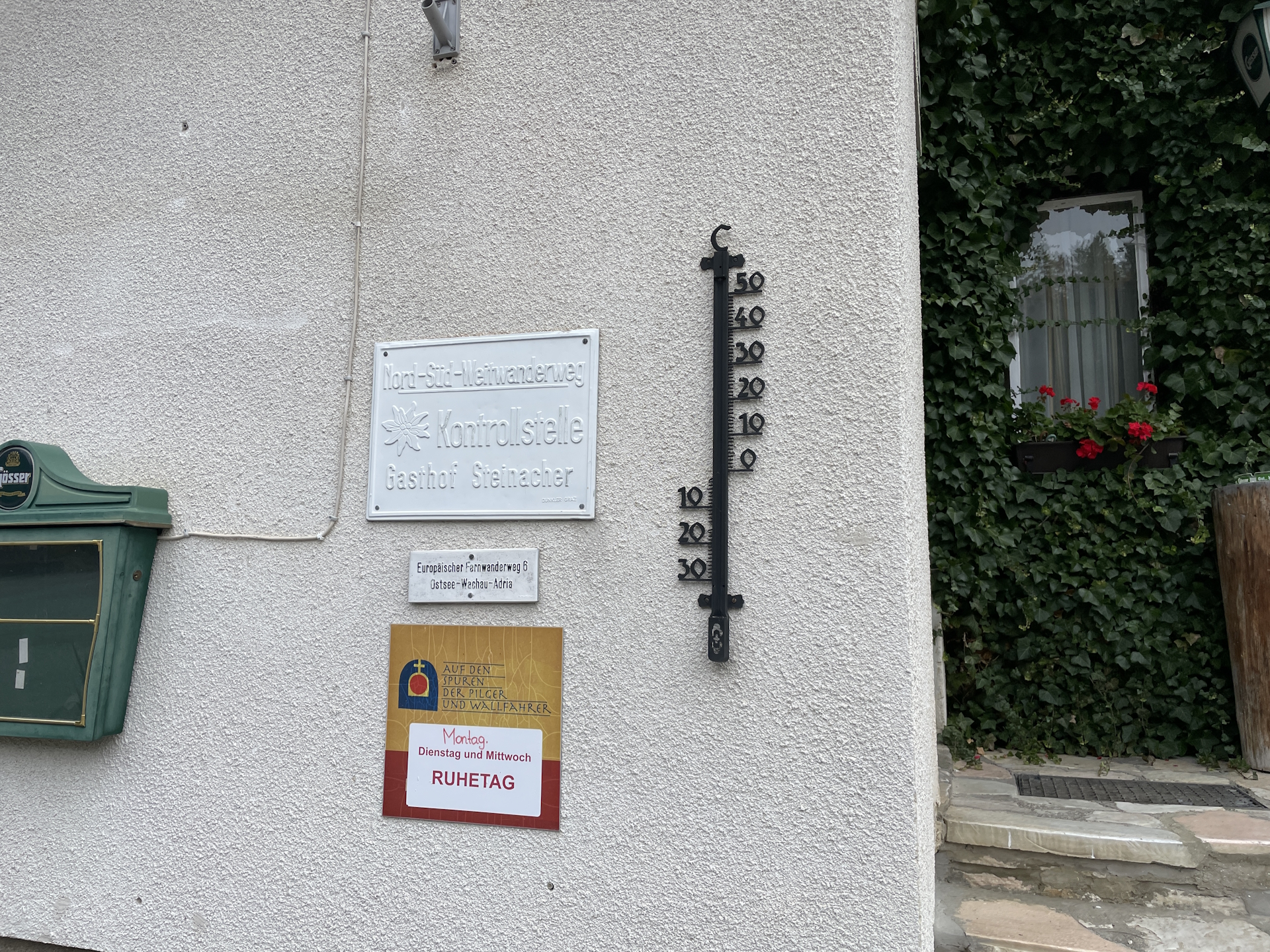
Anyway, I’ve started the tour in the morning at the train station in St. Sebastian where I ended my previous stage. Due to the unclear situation of Mooshubenwirt, I stopped by at the local grocery store Billa to get supplies for the day and finally head off, first into the center of Mariazell. Right, after the main square, I collected my additional stamp at the tourism office and then followed the trail through Mariazell.
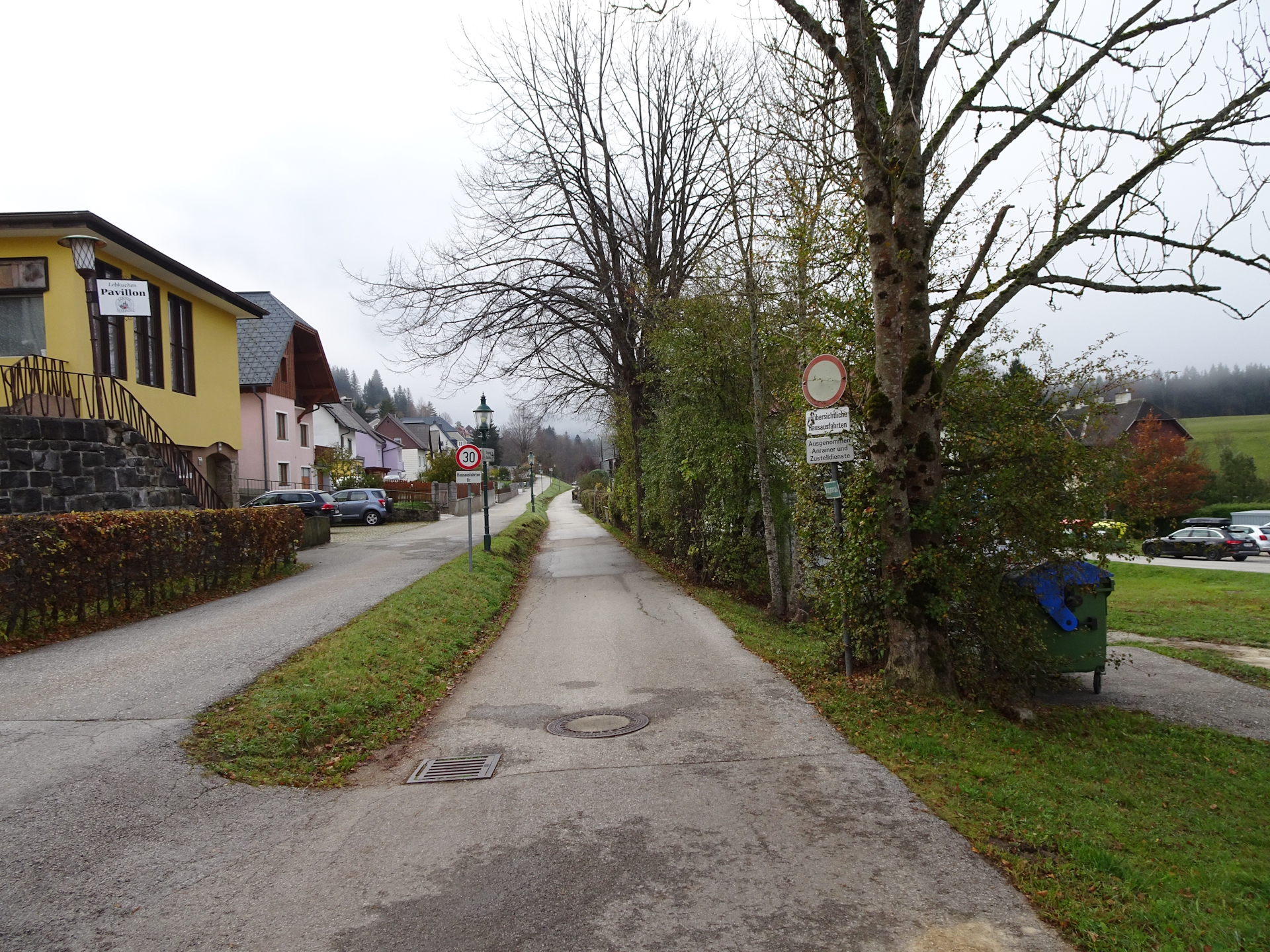
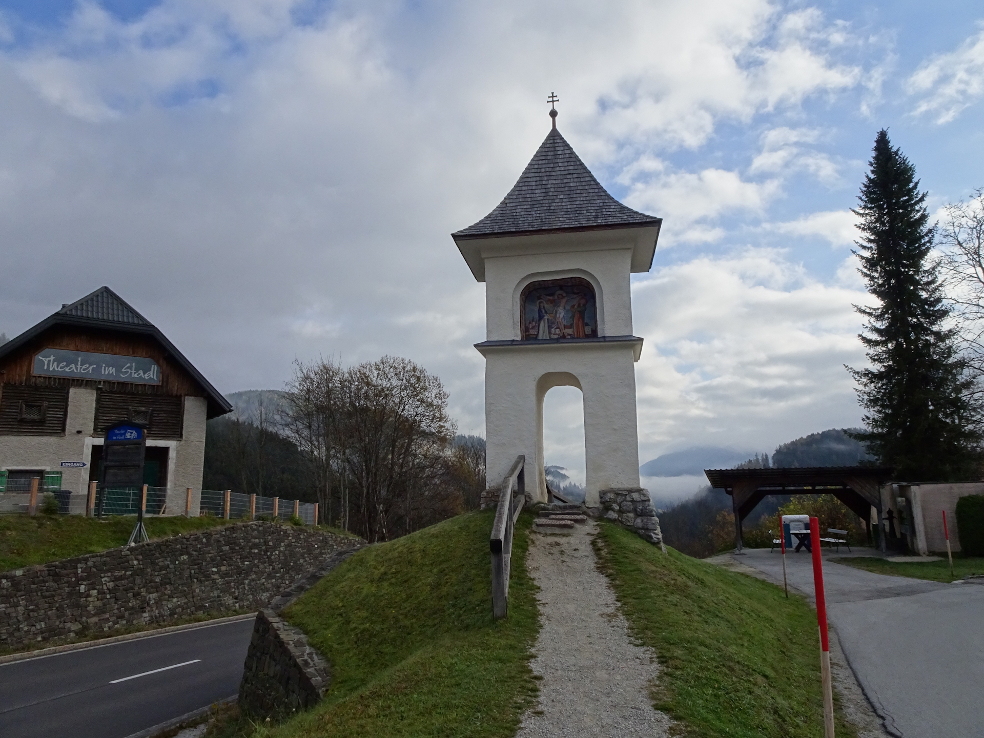
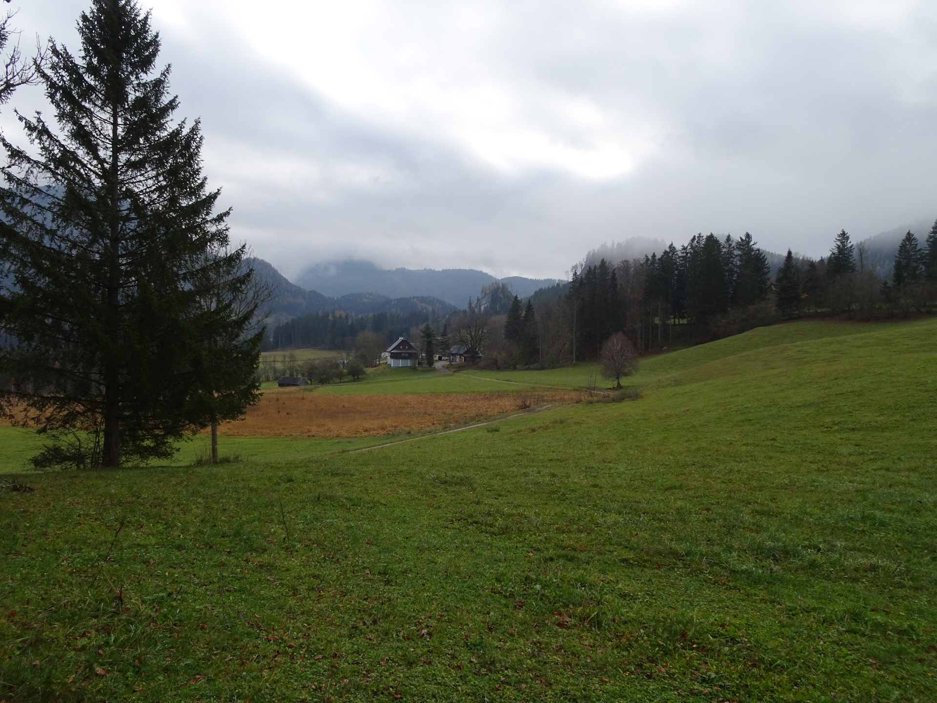
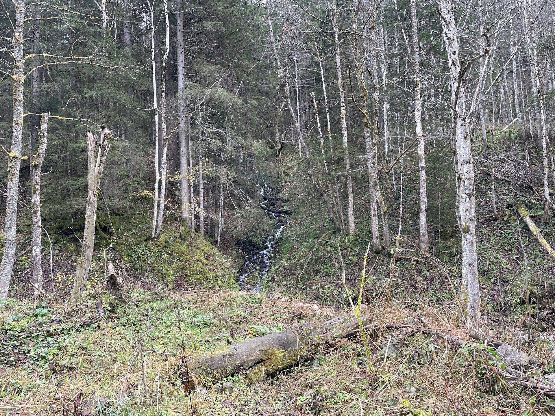
When leaving Mariazell, the trail uses the main street (winded road) which is a bit unfortunate. After a few meters the trail however turns into a smaller road towards Mooshuben and now becomes nice and easy to hike.
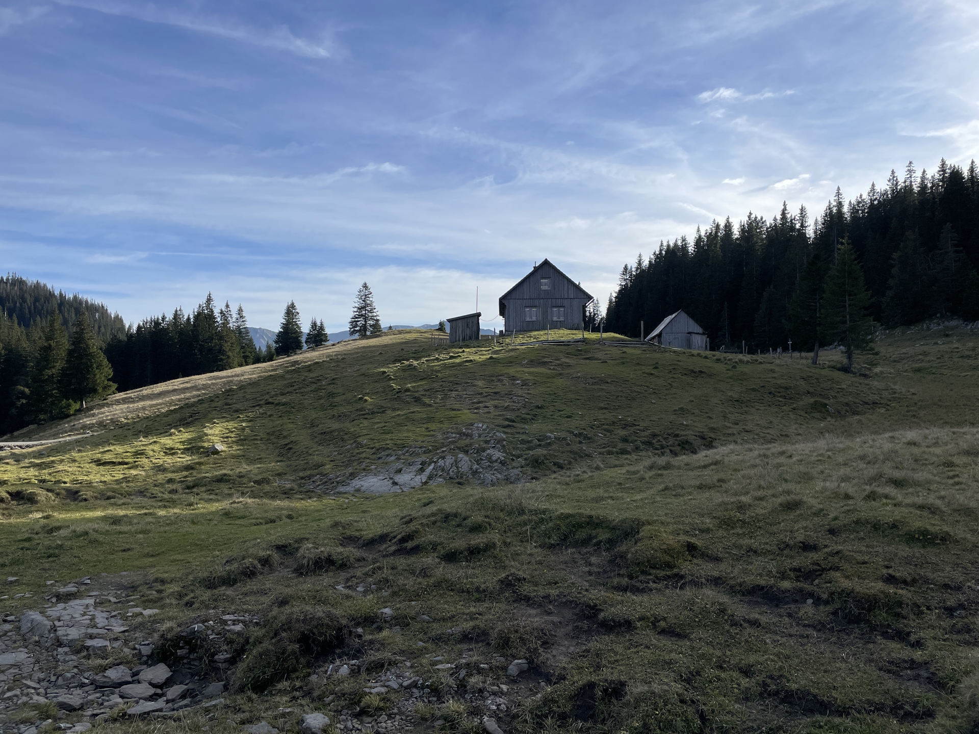
I found the Mooshubenwirt closed but they do have a vending machine for cold drinks there. In addition, I found the checkpoint stamp at the terrace in front of the main entrance. So while having my beer, I was also able to check-in .
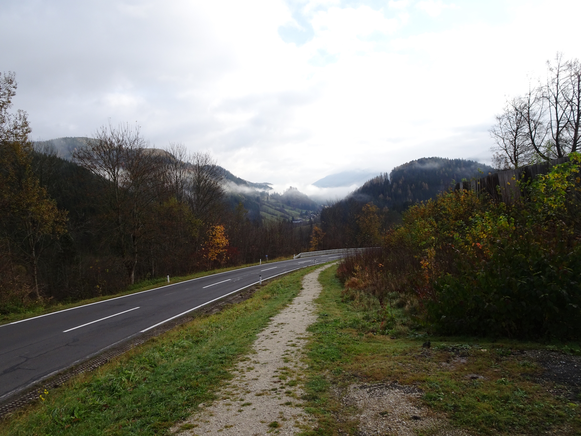
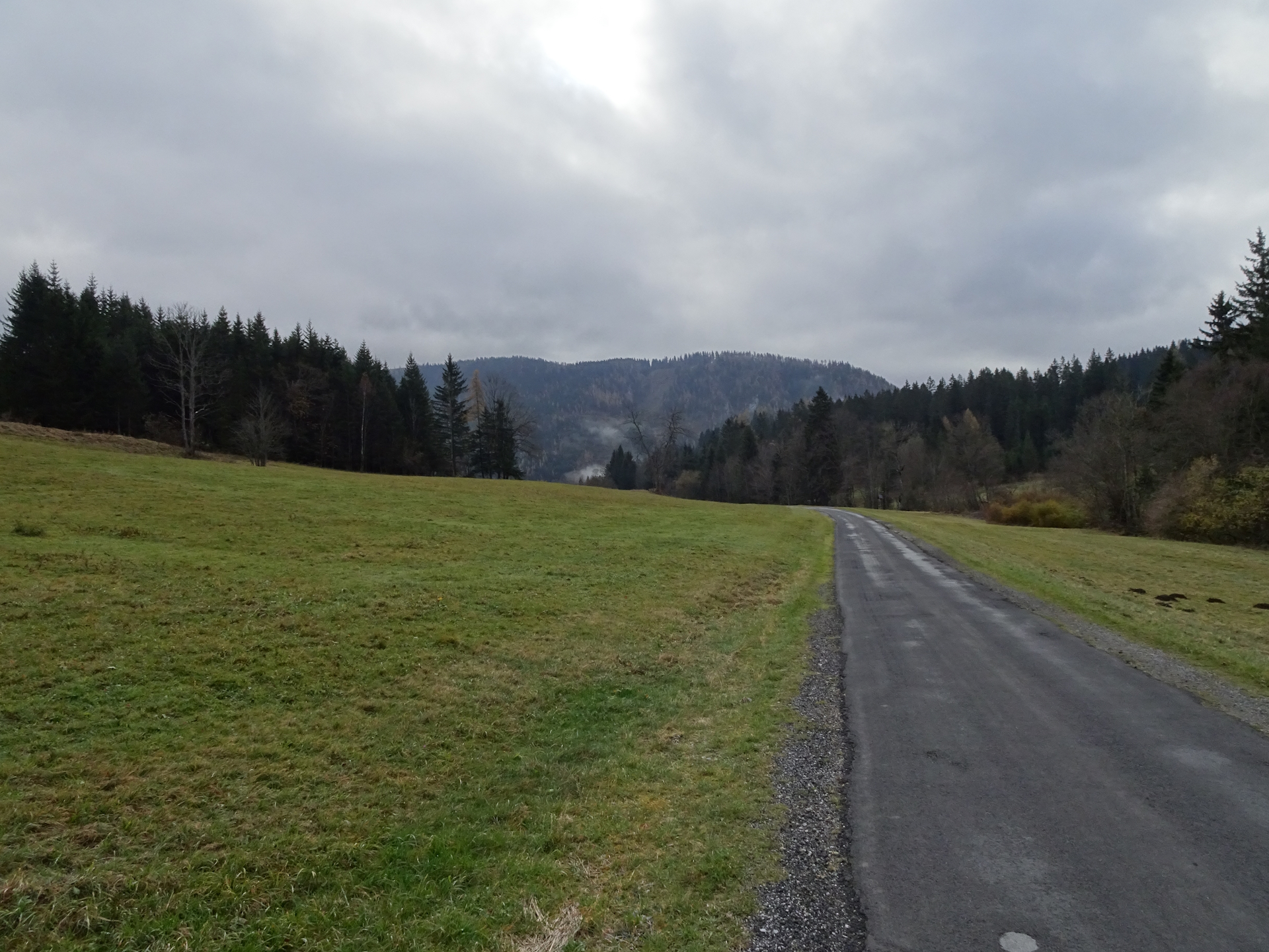
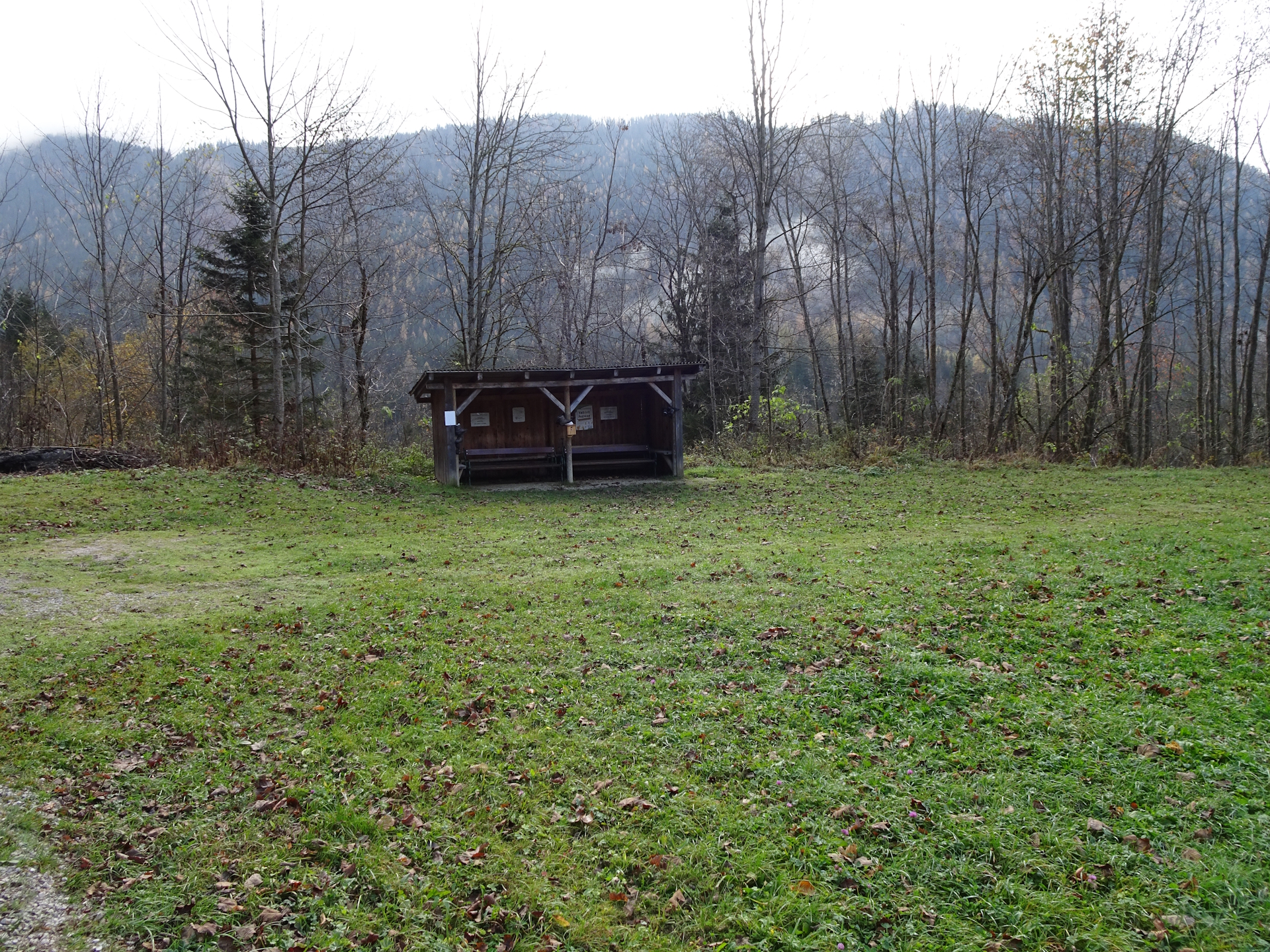
The trail then continues following a paved road heading towards Schöneben. On several occasions (rest areas) I found a little stamp that could qualify as checkpoint stamp as well. It is part of the 7 Punkte Weg and there is a stage for Mooshubenwirt.
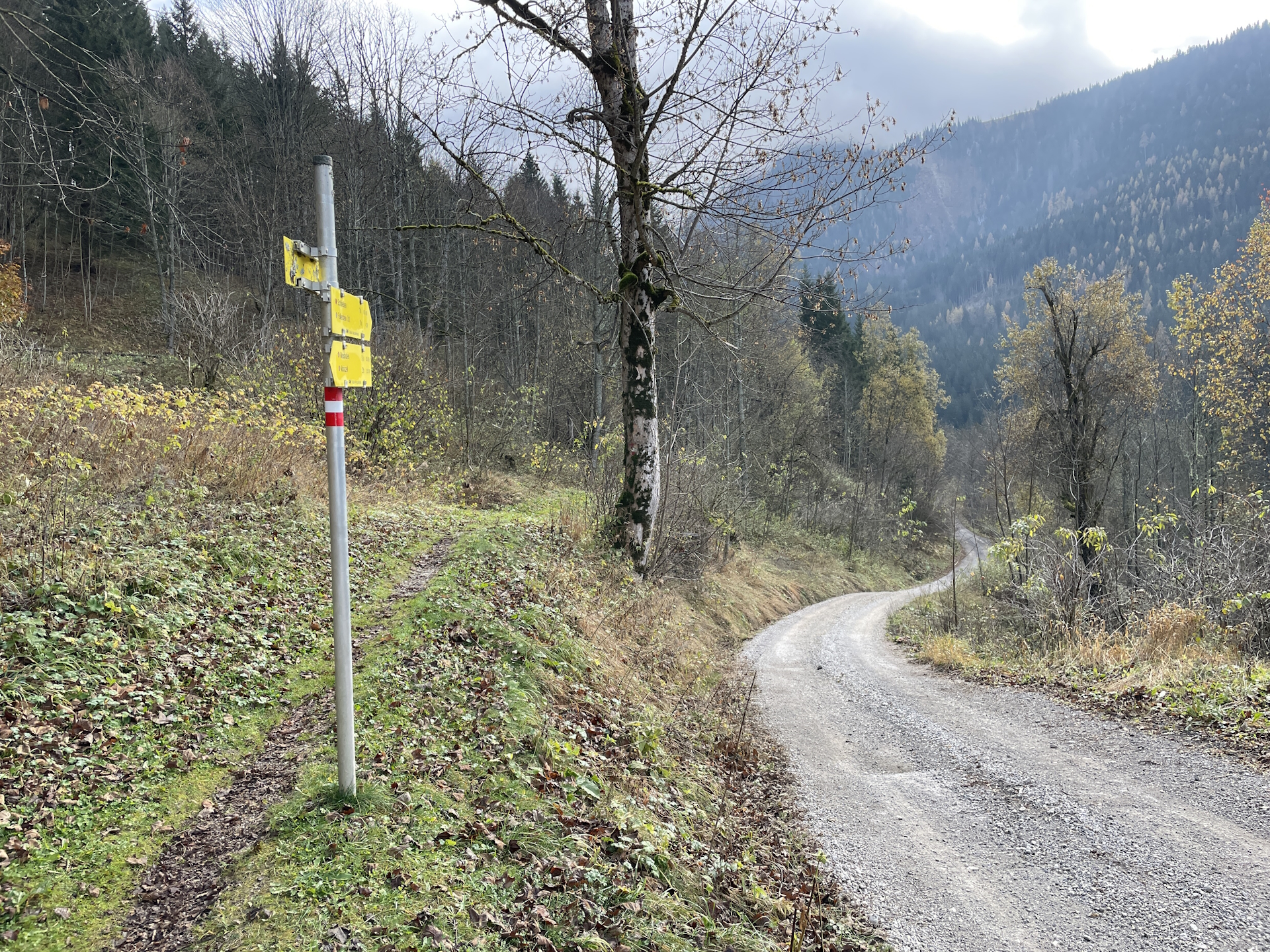
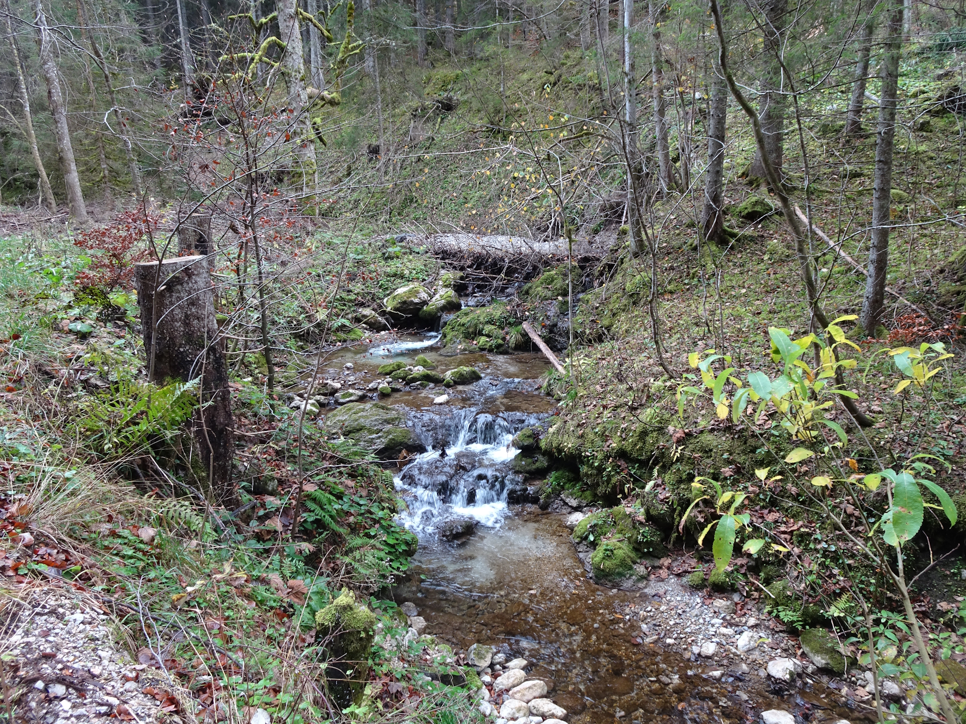
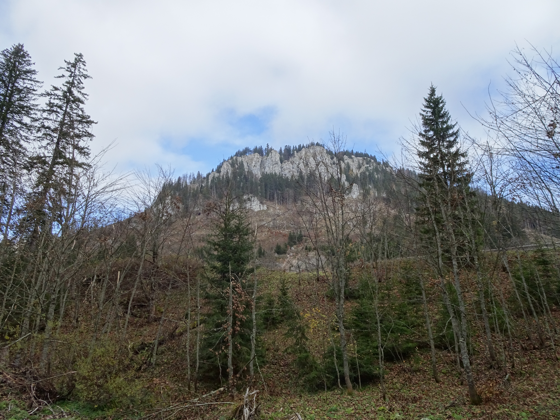
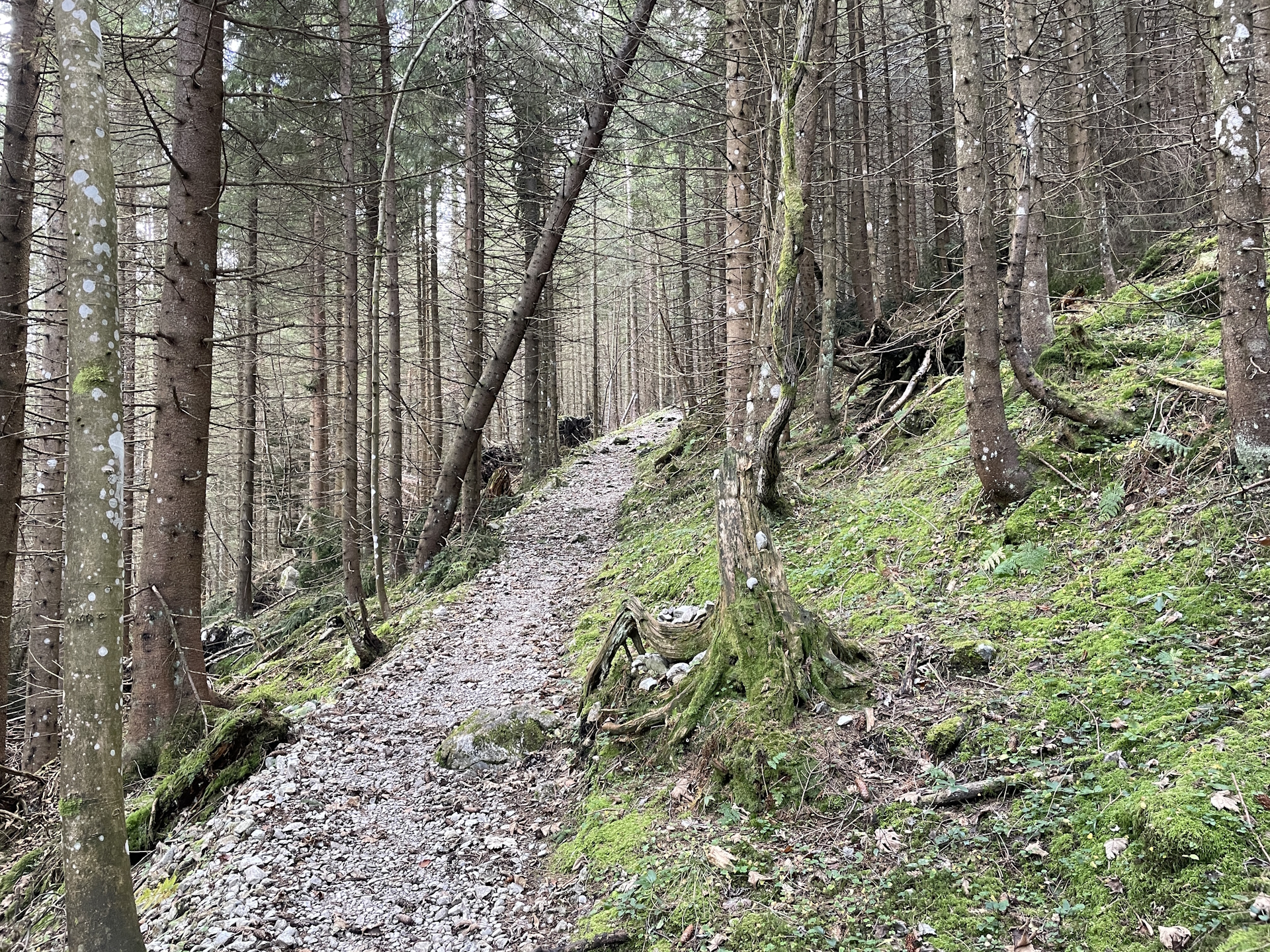
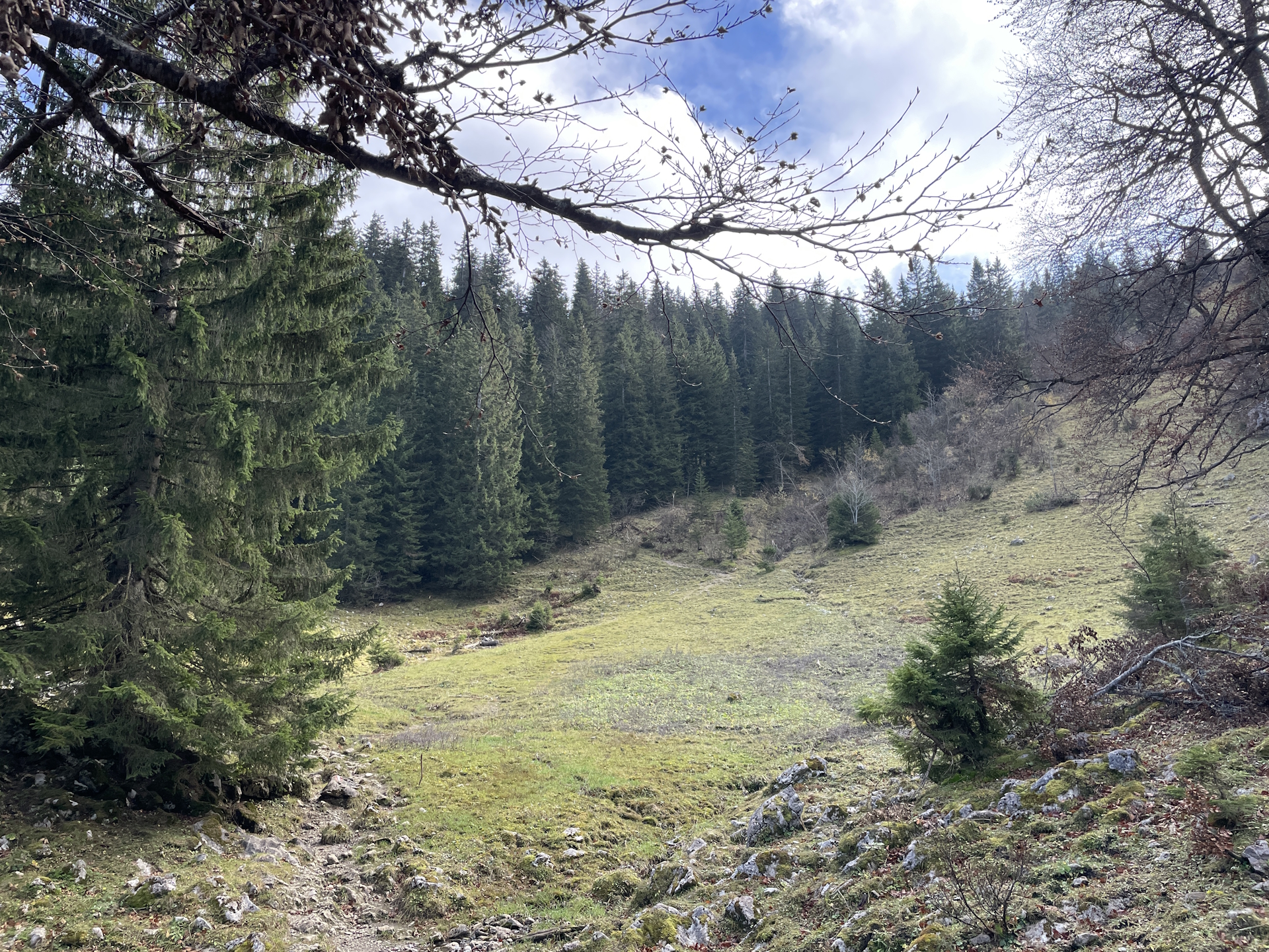
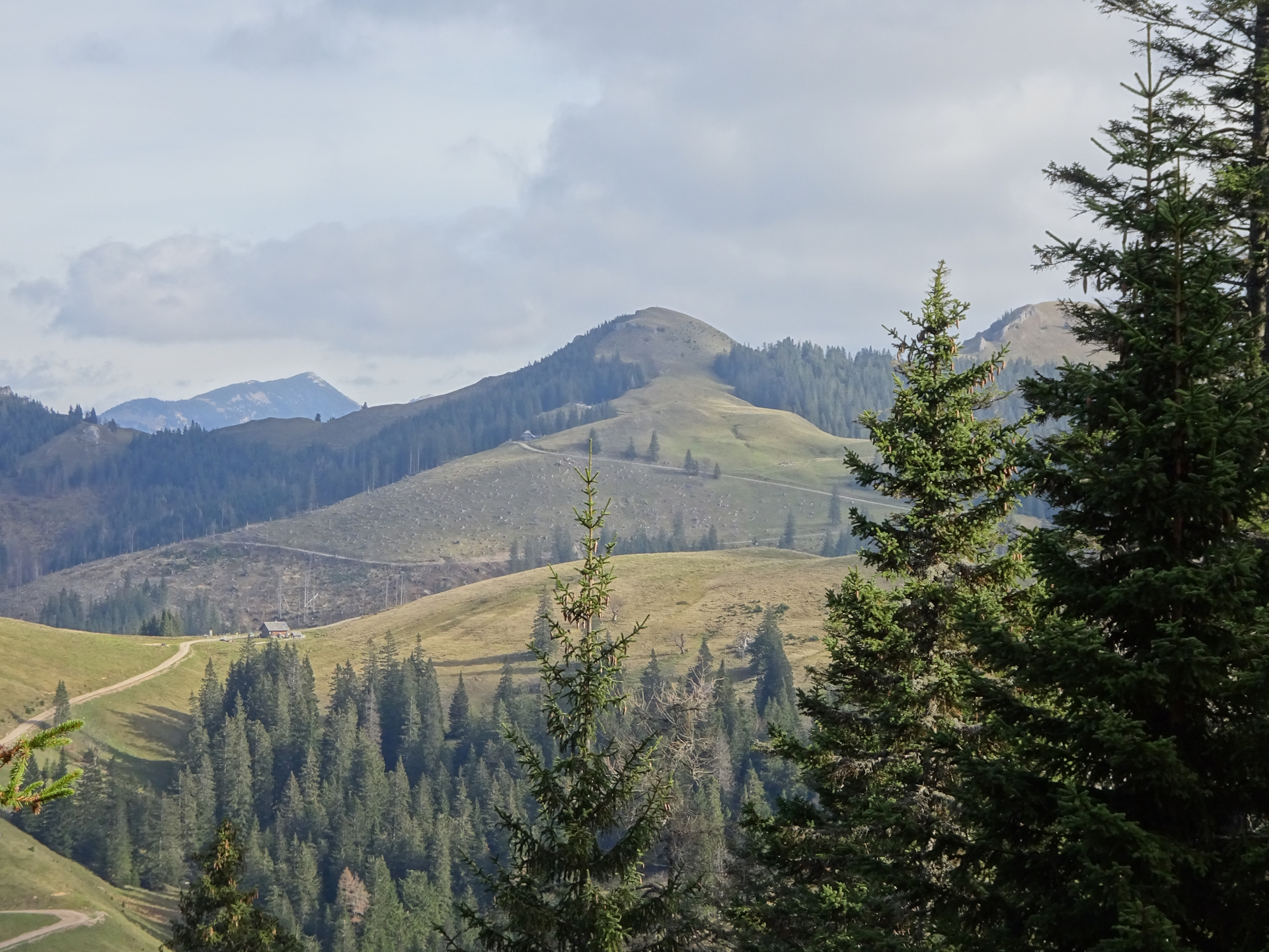
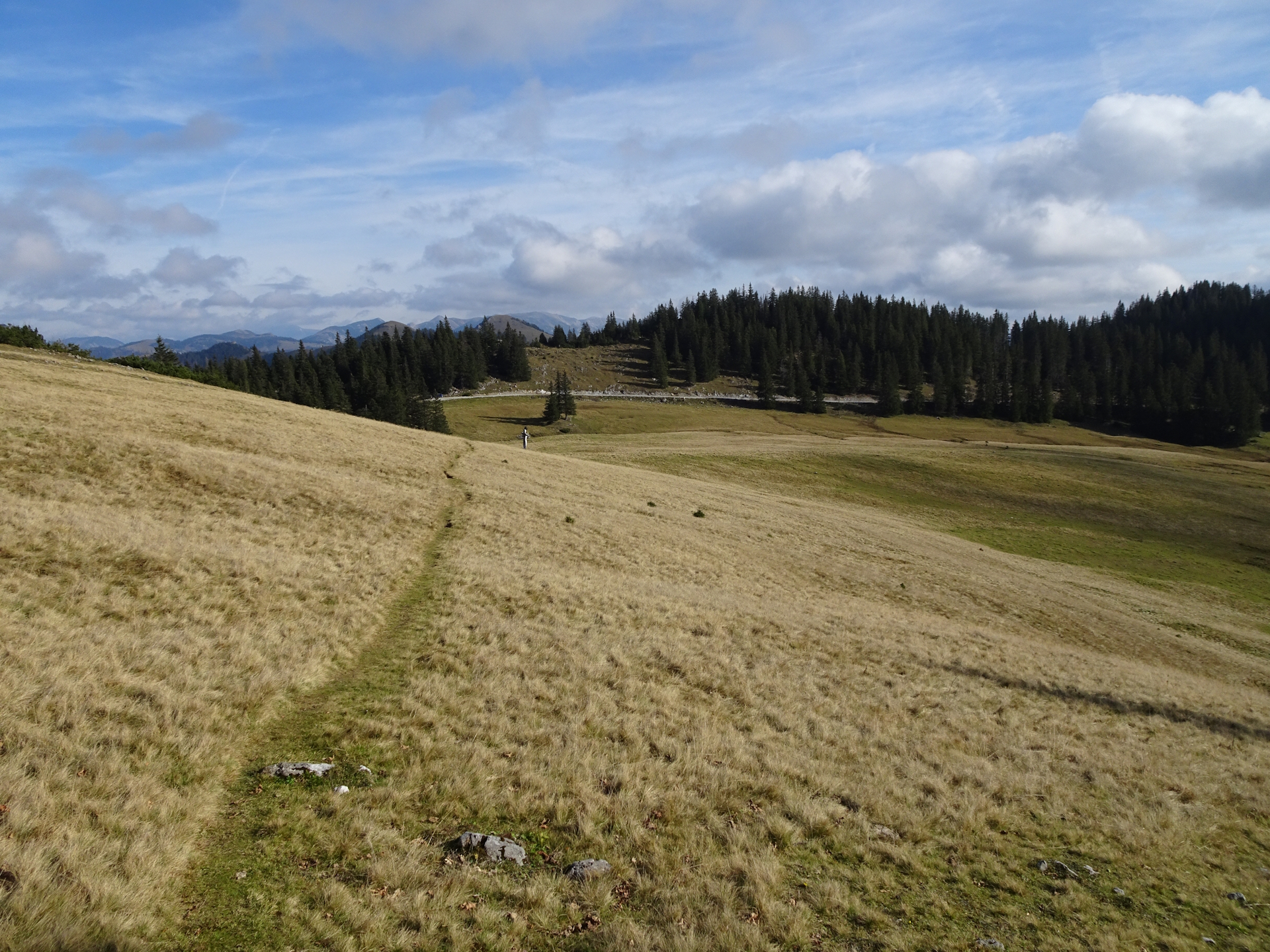
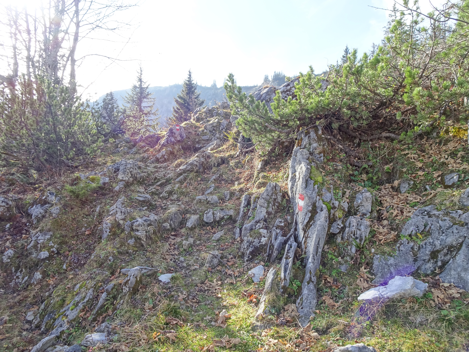
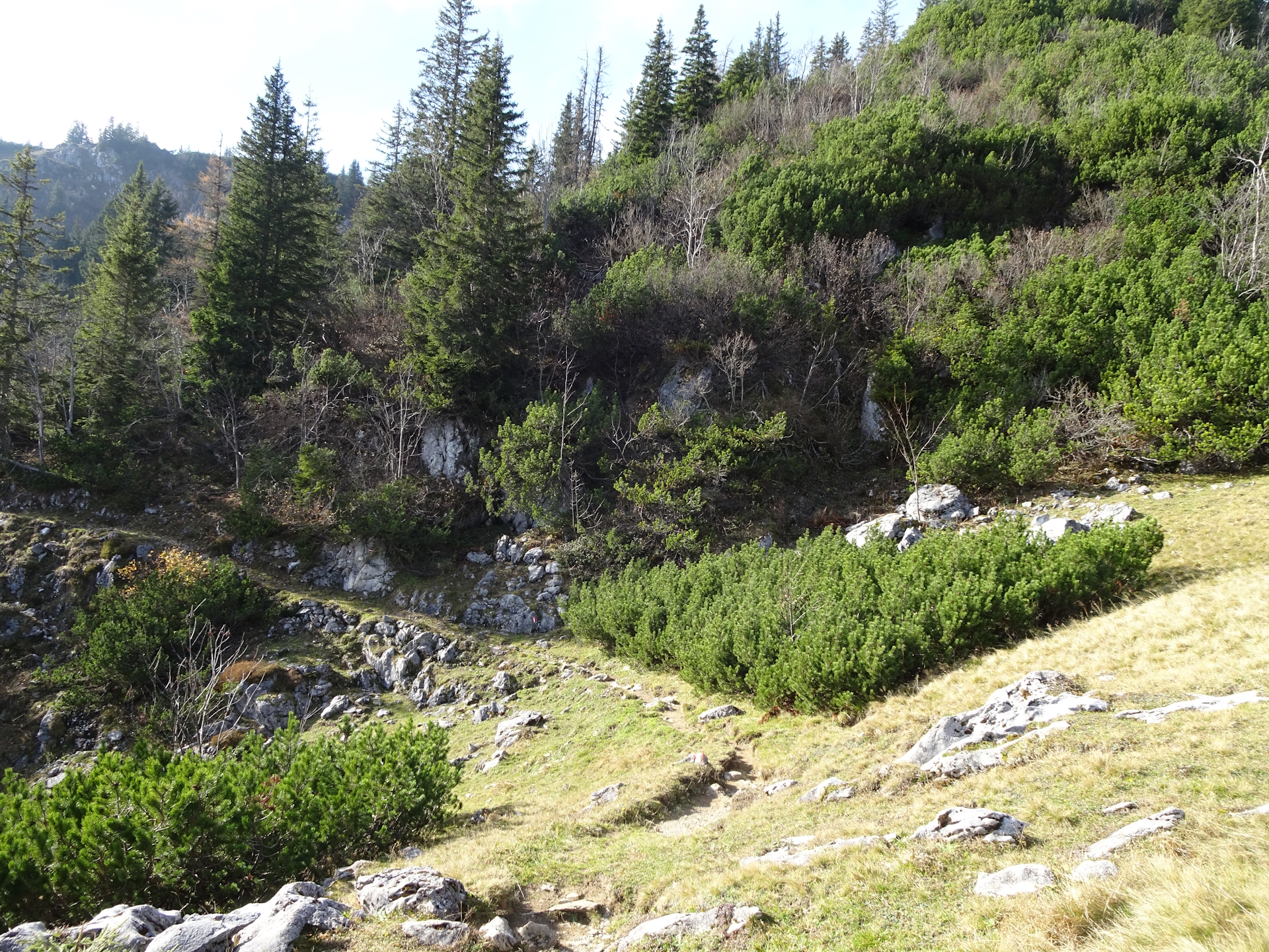
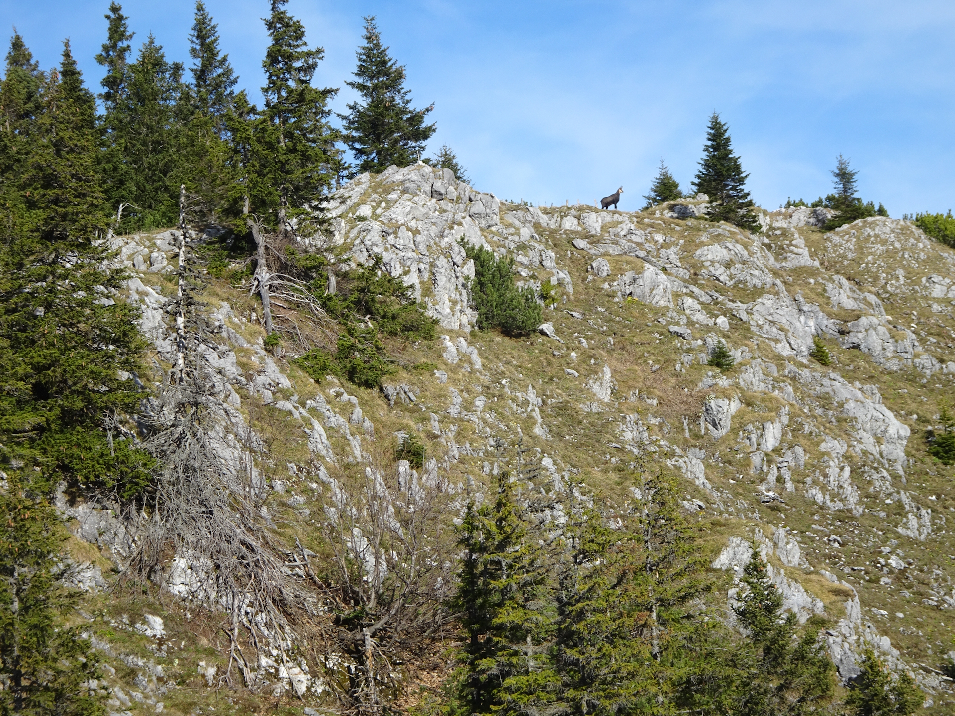
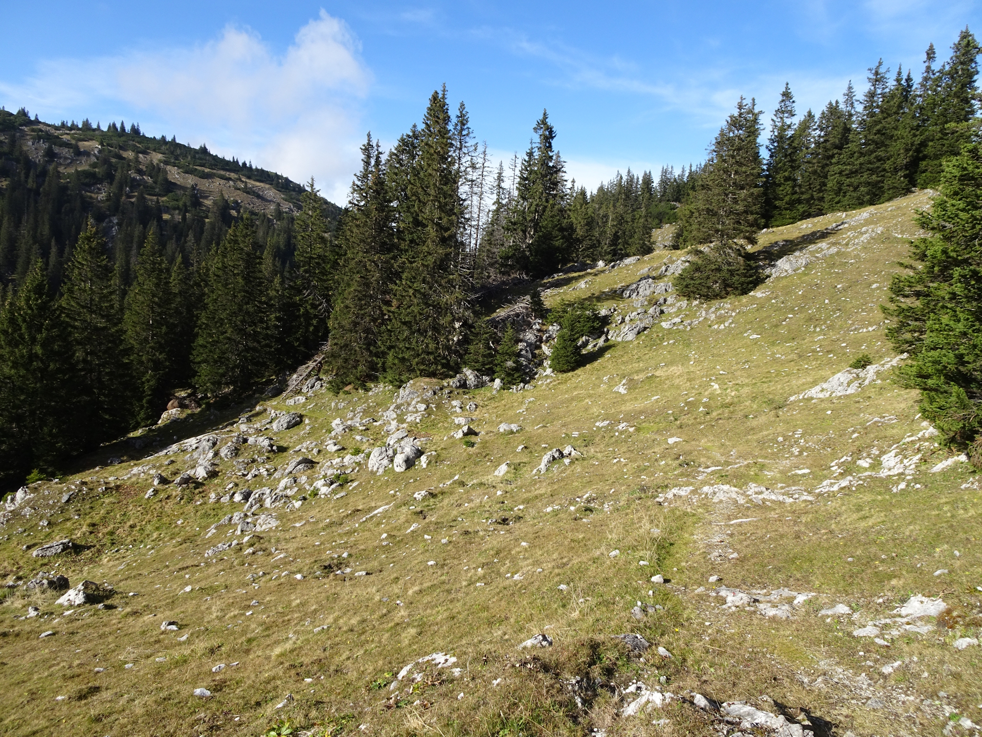
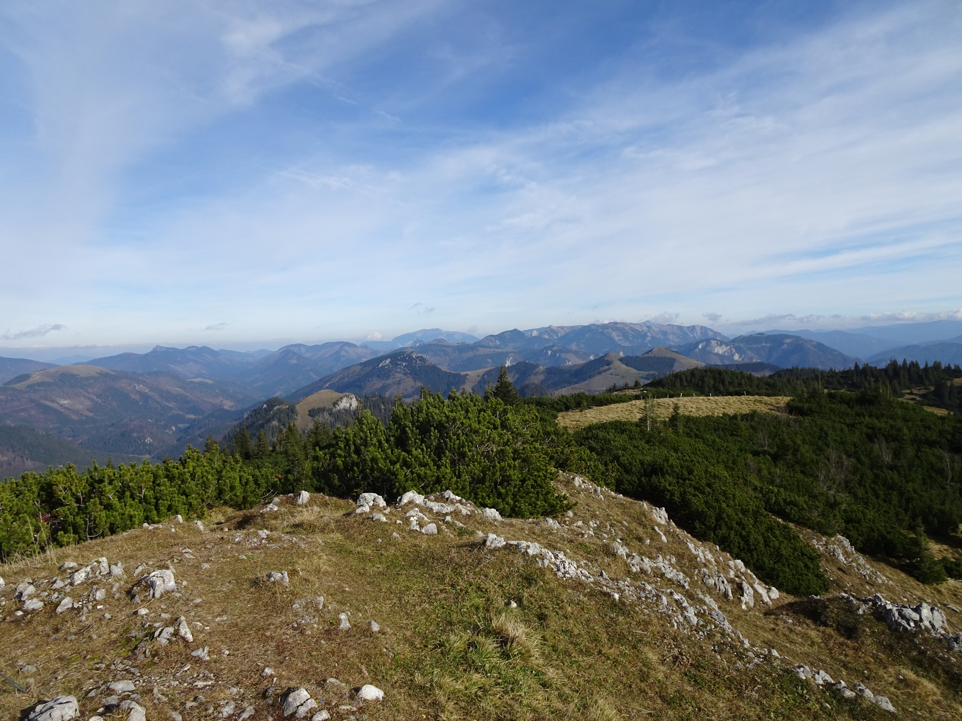
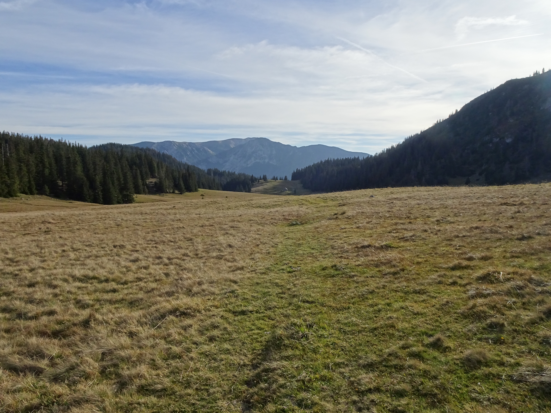
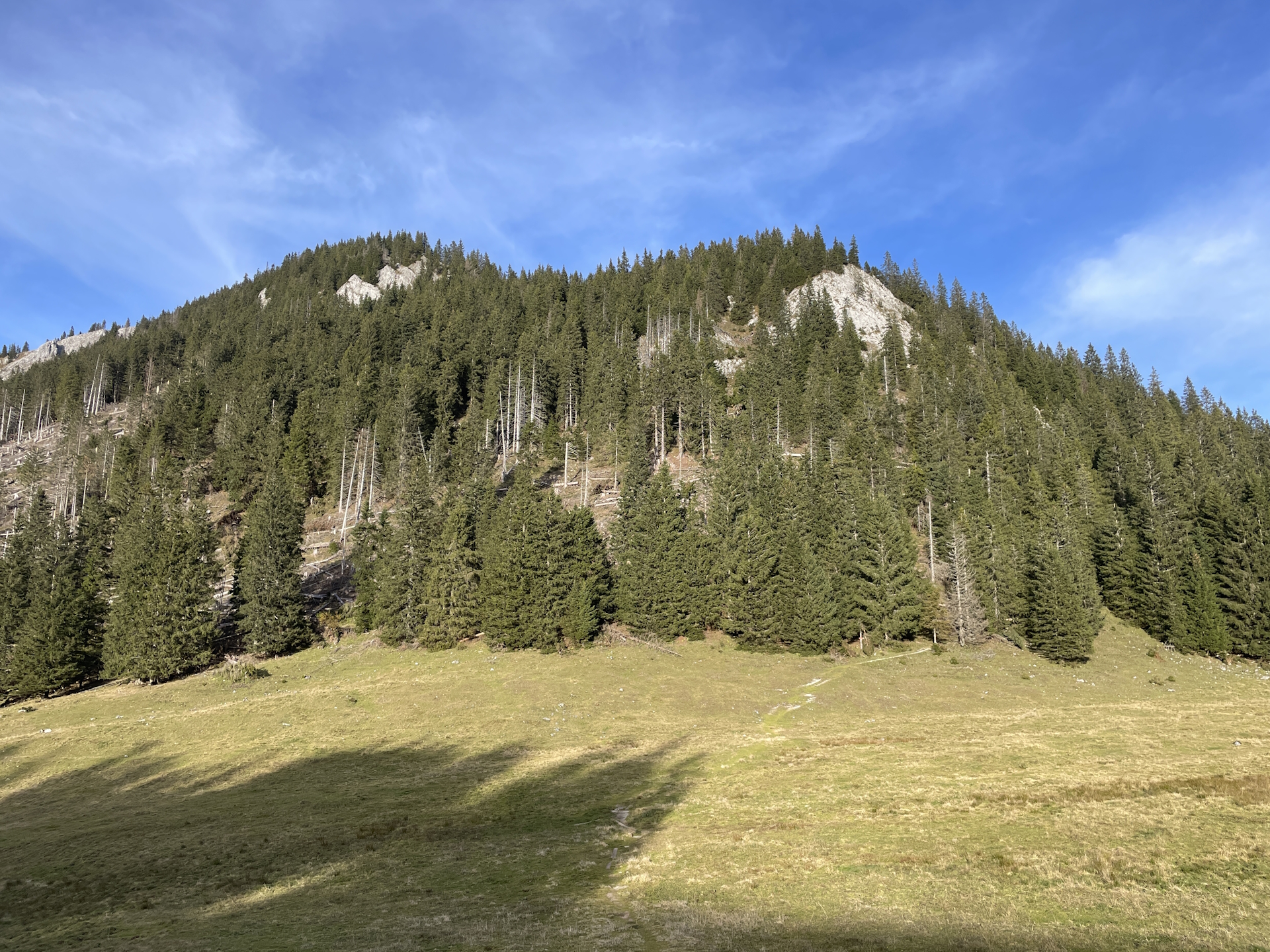
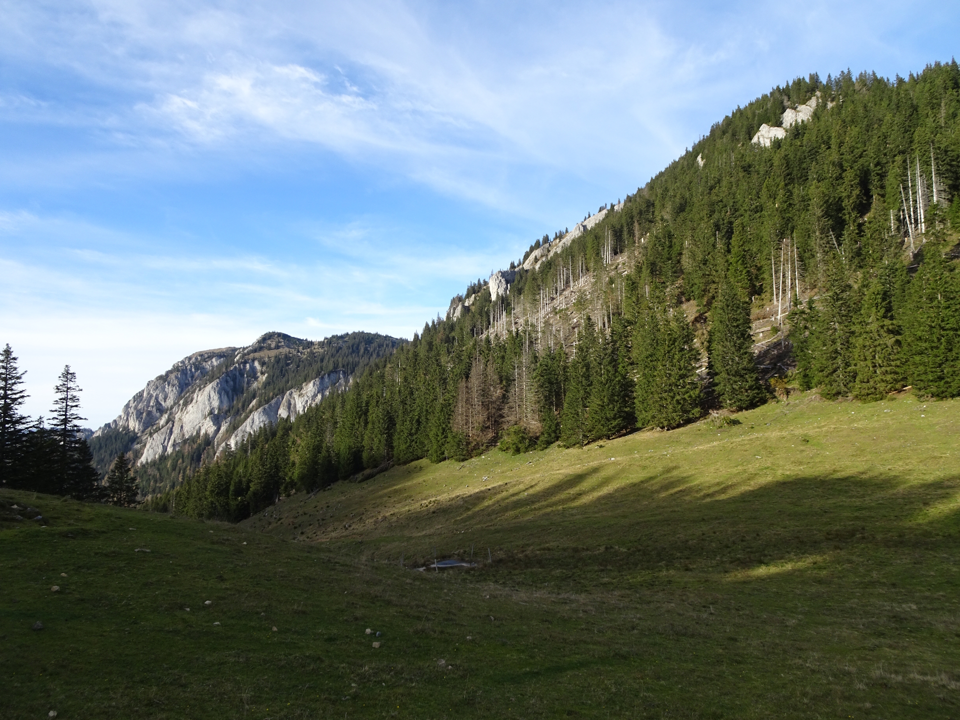
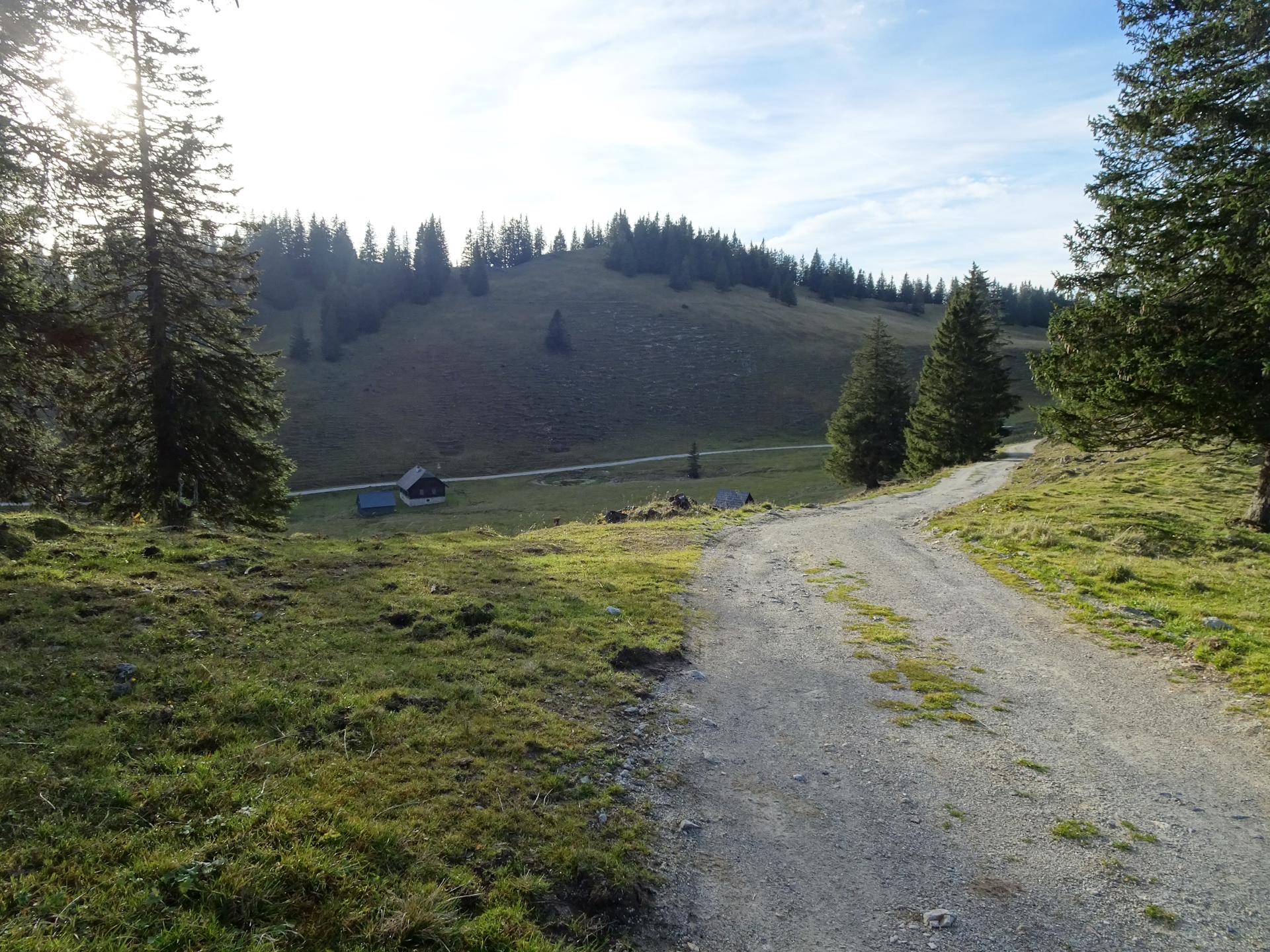
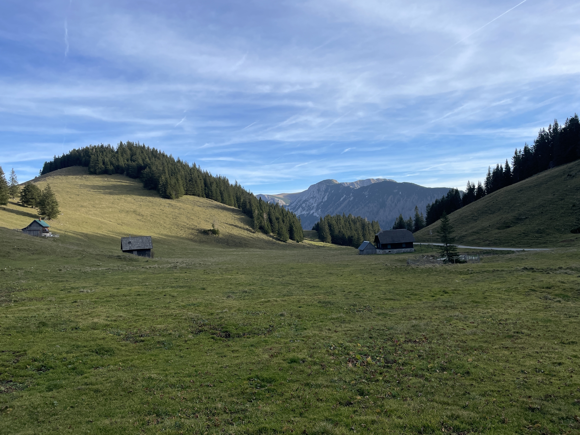
The trail towards Schöneben is not exciting but easy to hike. At Schöneben, the trail then leaves the gravel road and becomes more and more exciting. Especially the view when reaching Herrenboden is amazing.
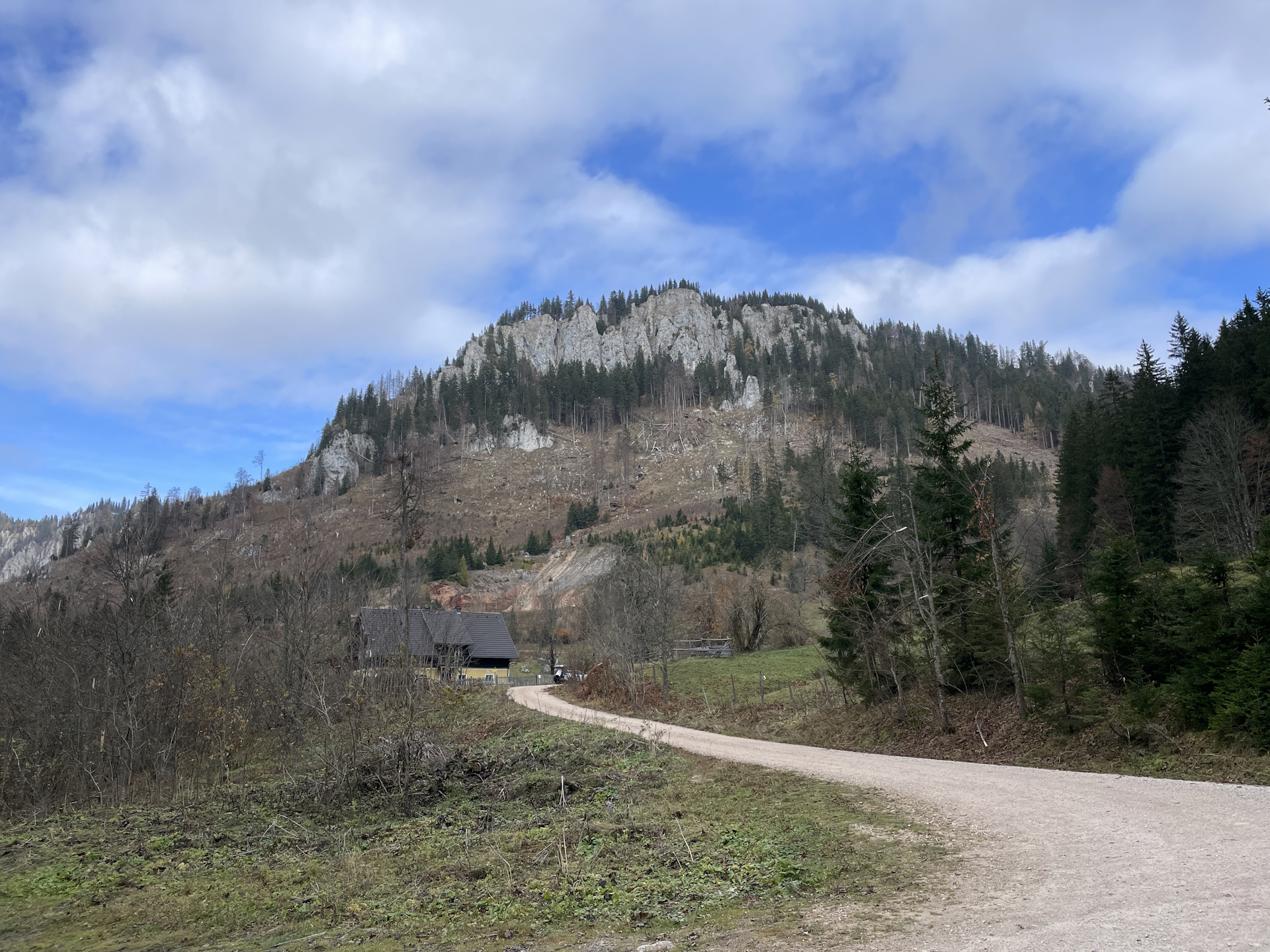
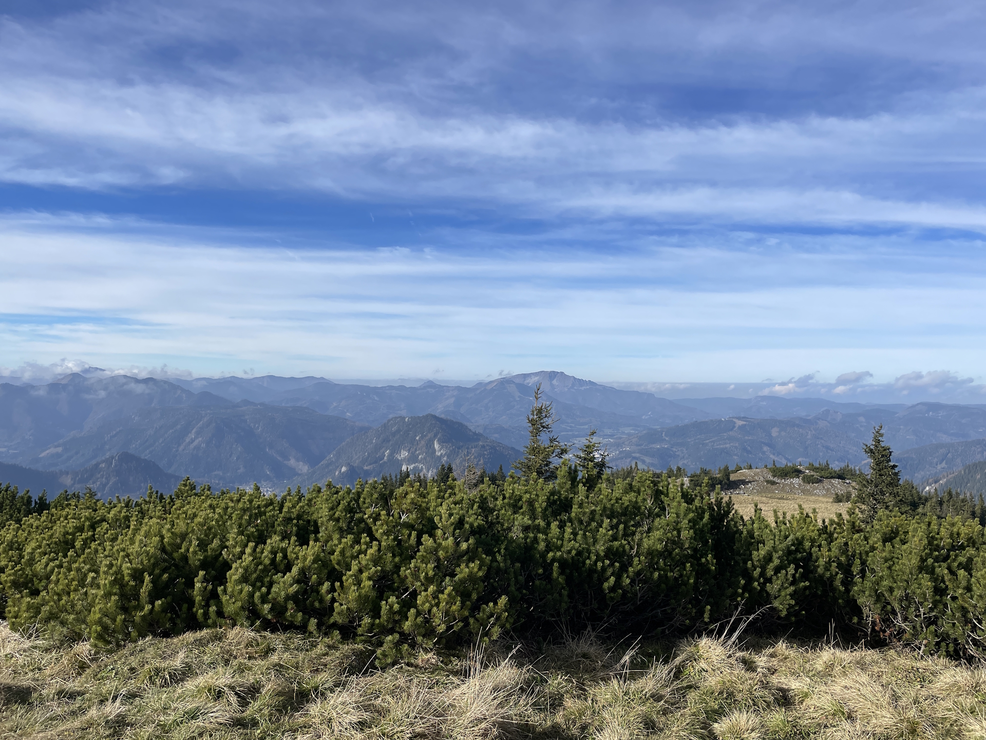
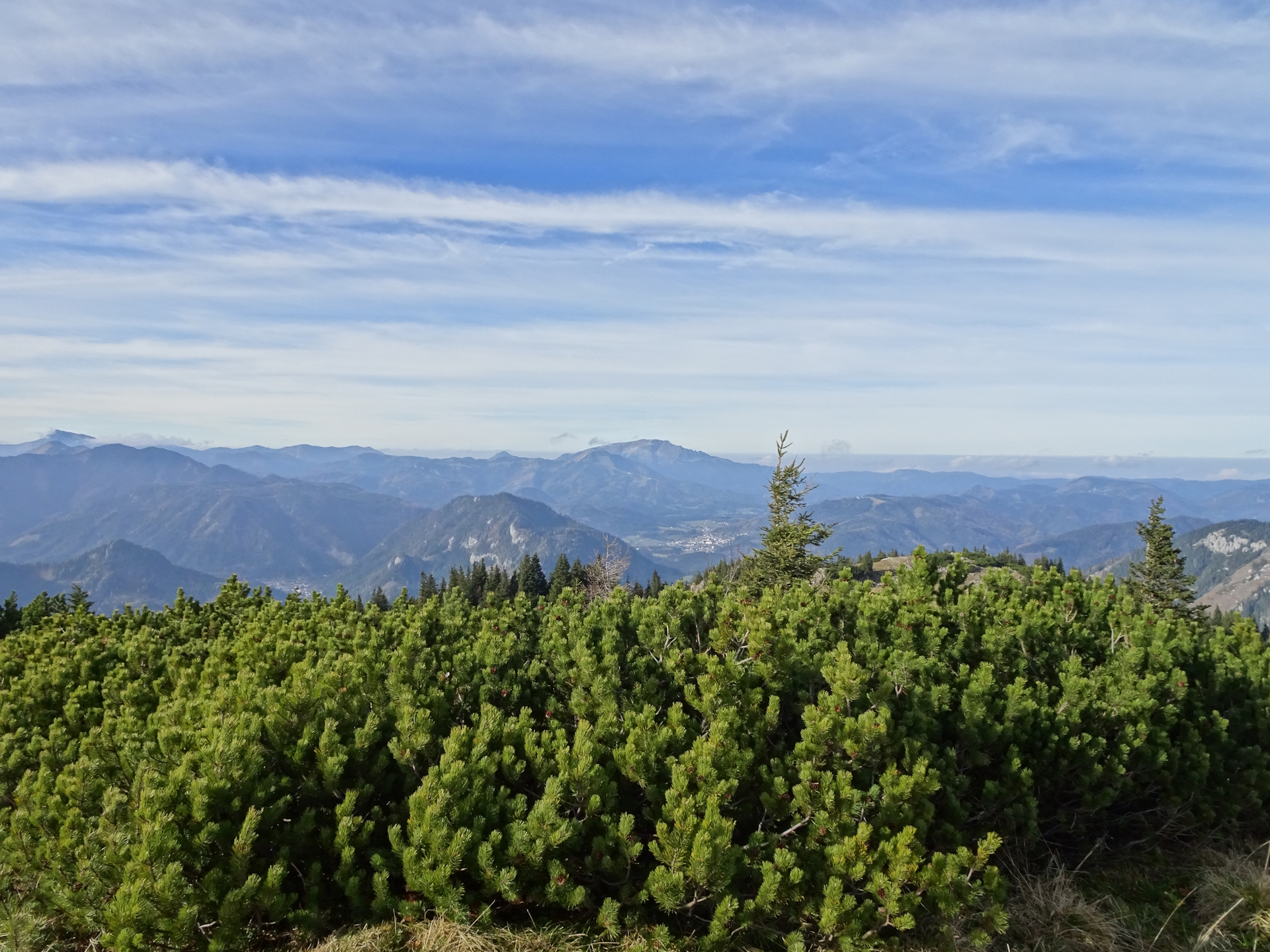
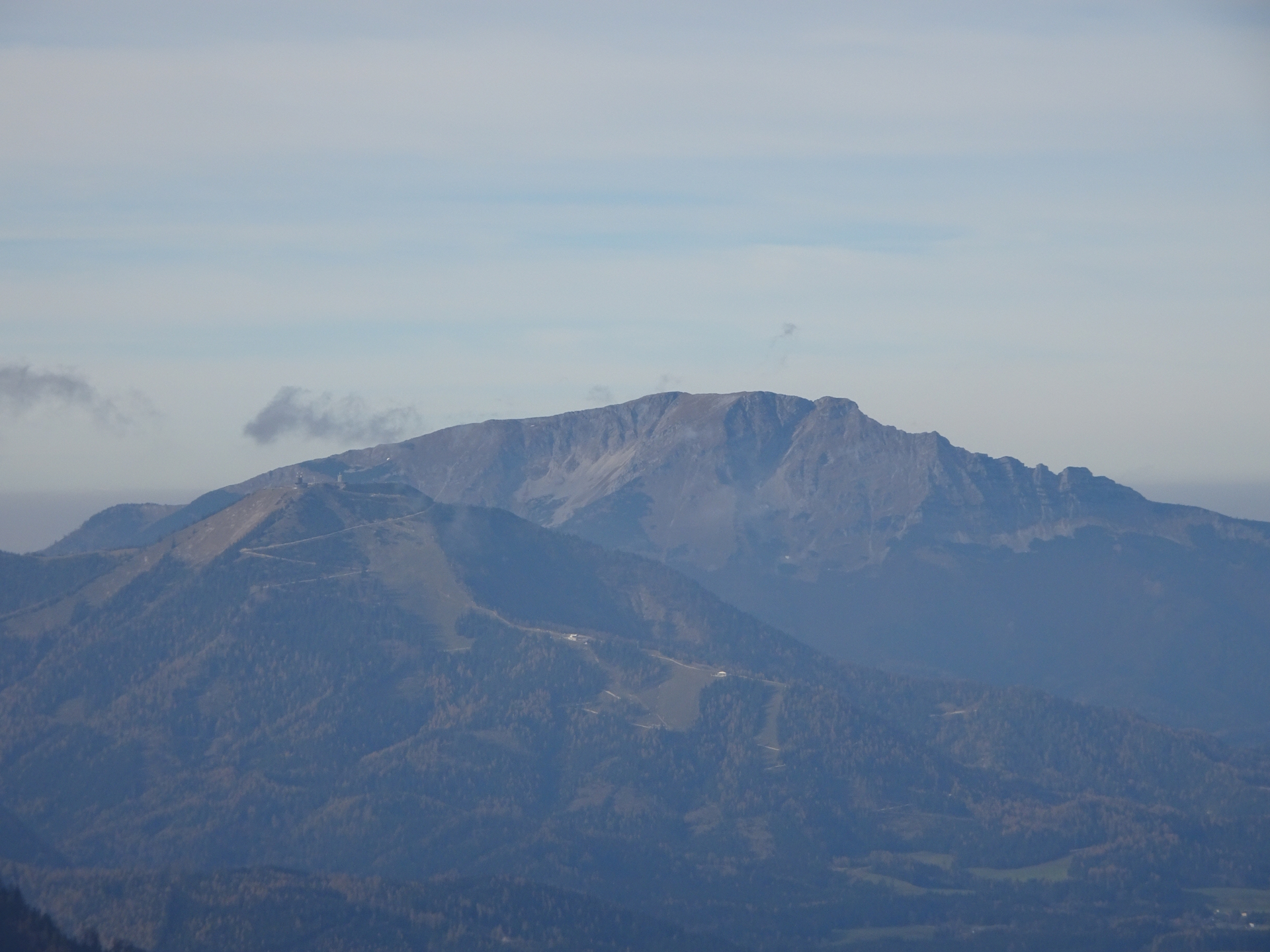
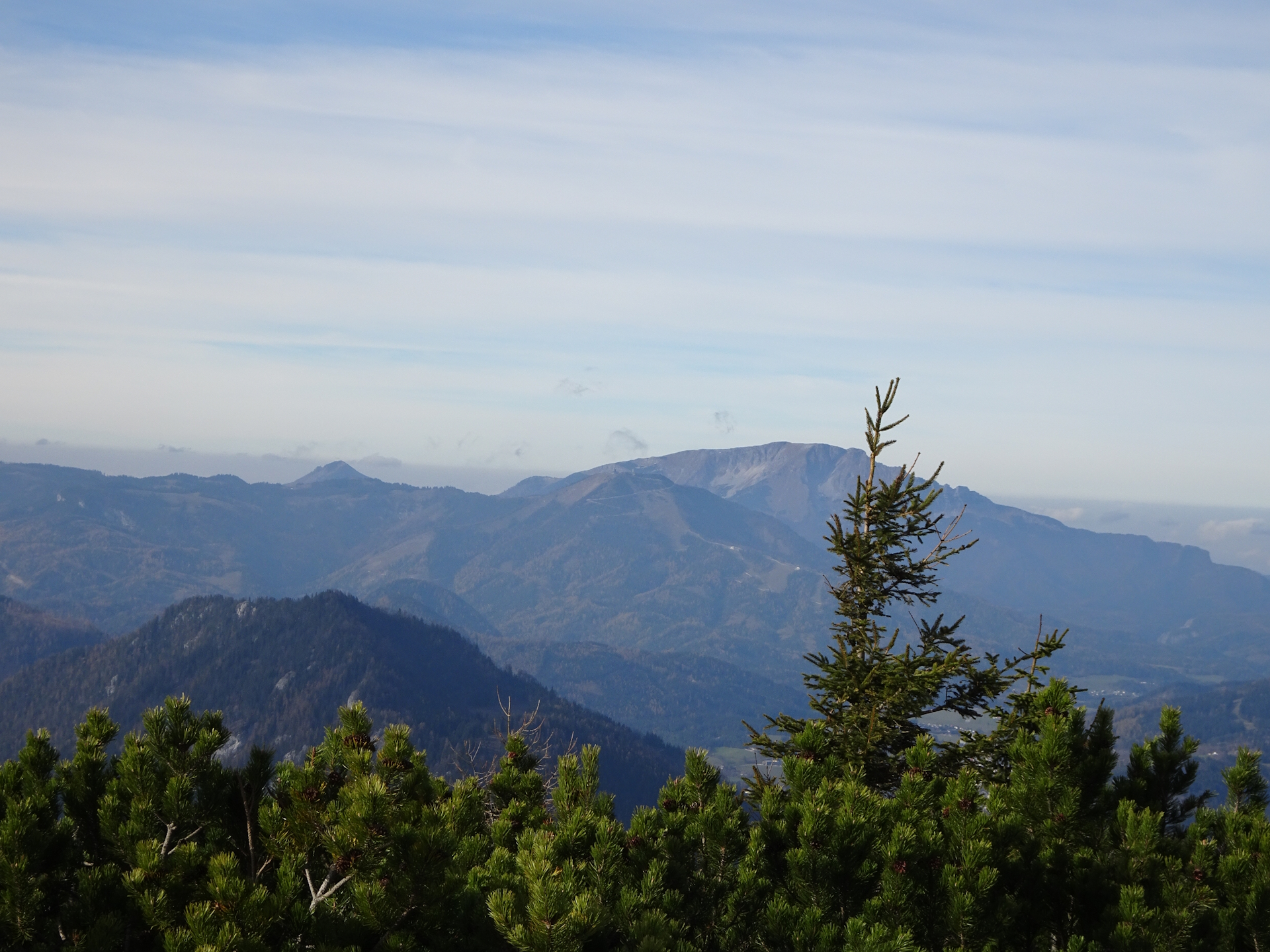
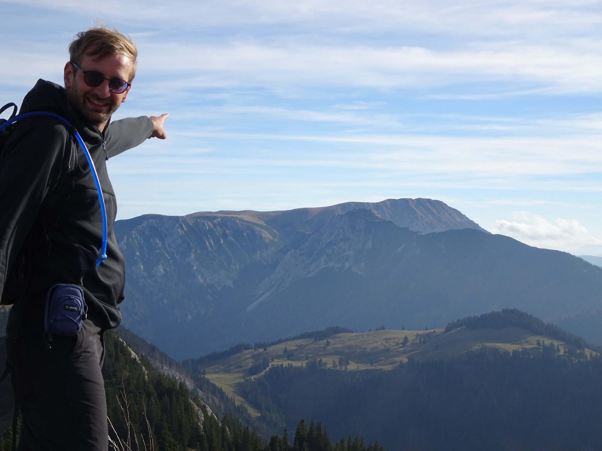
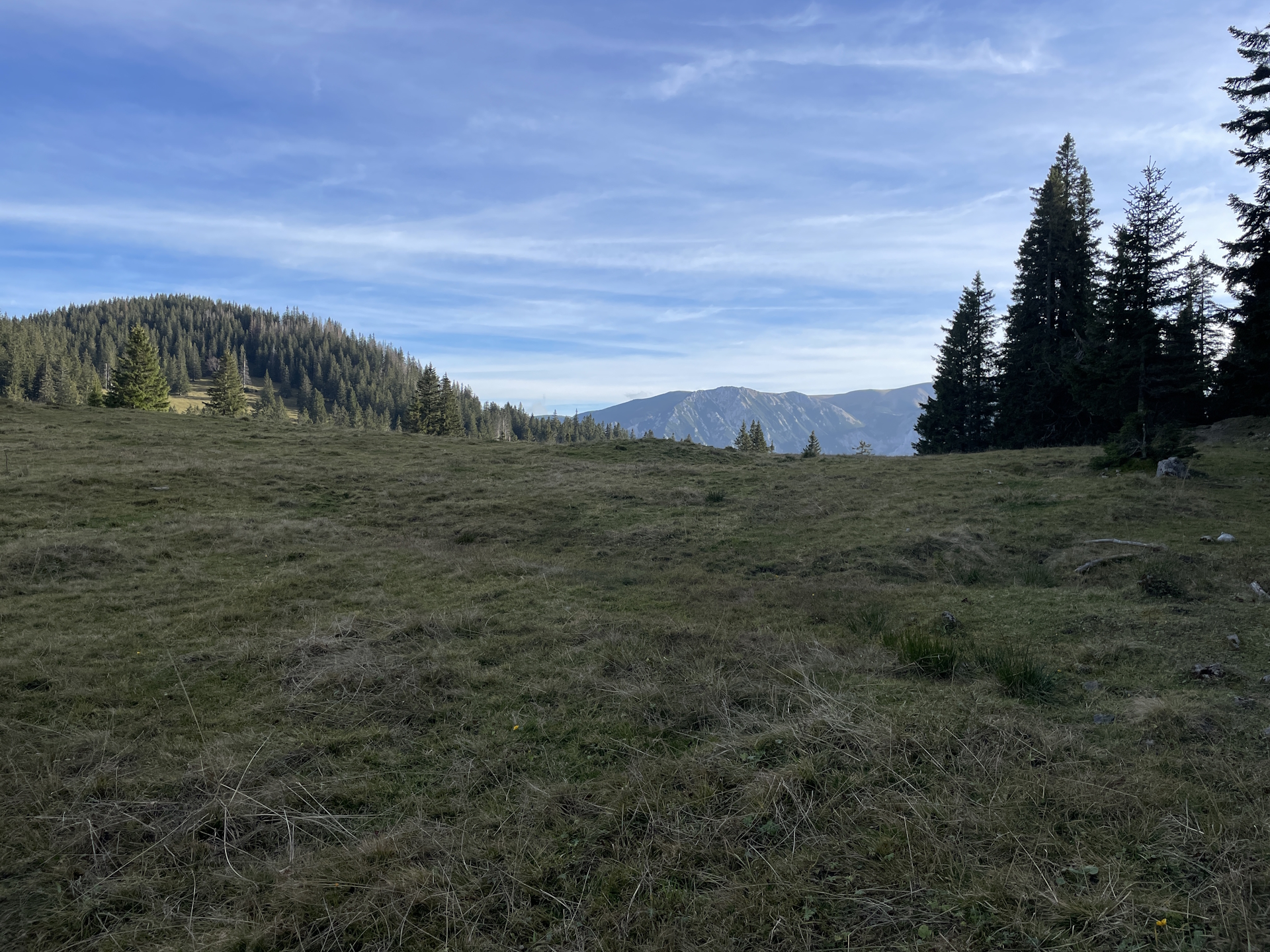
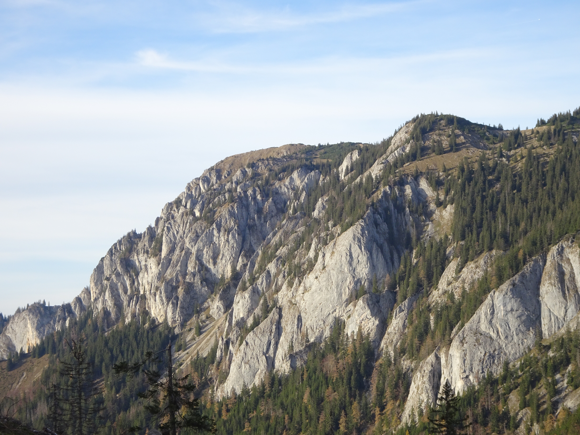
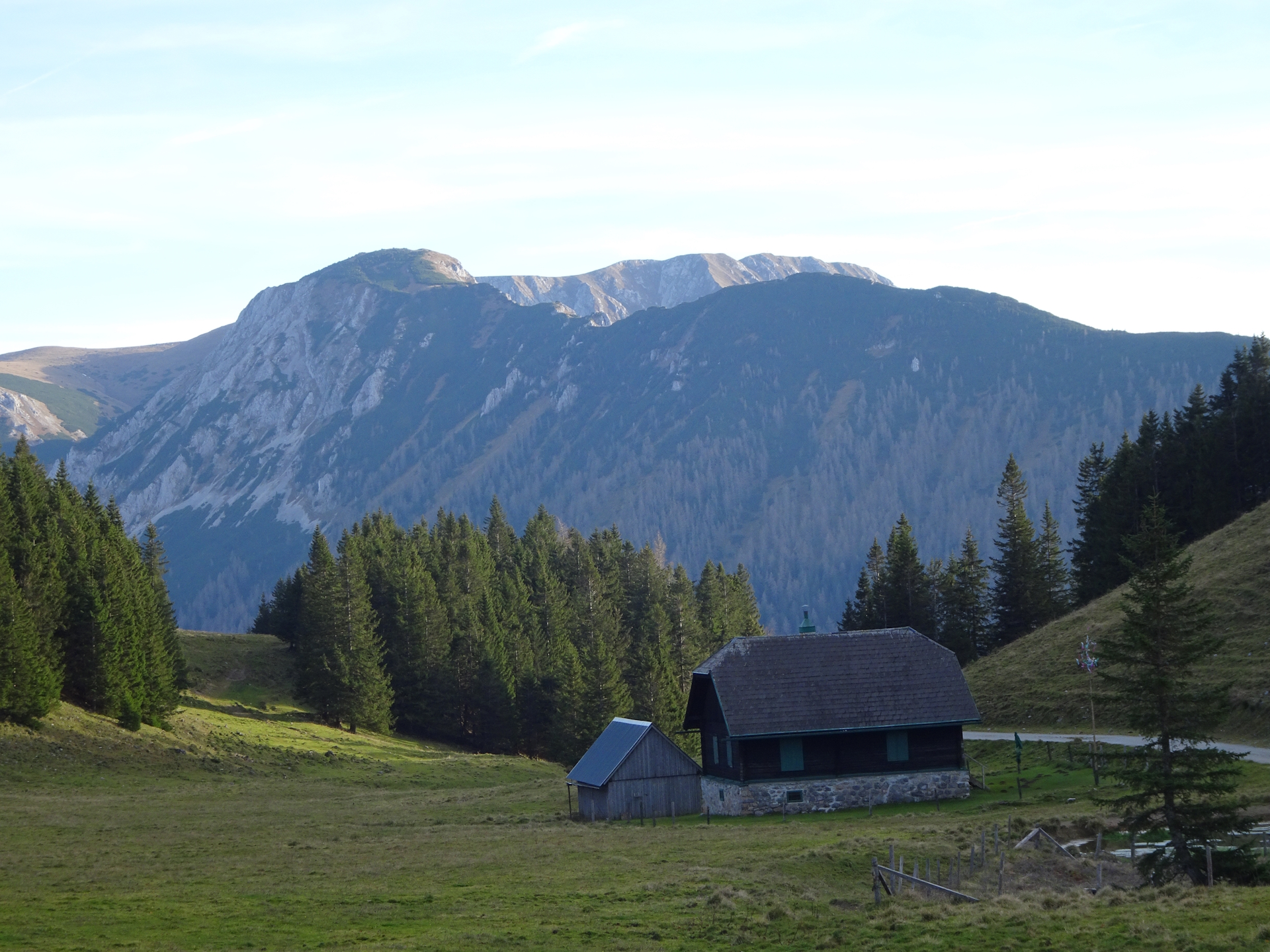
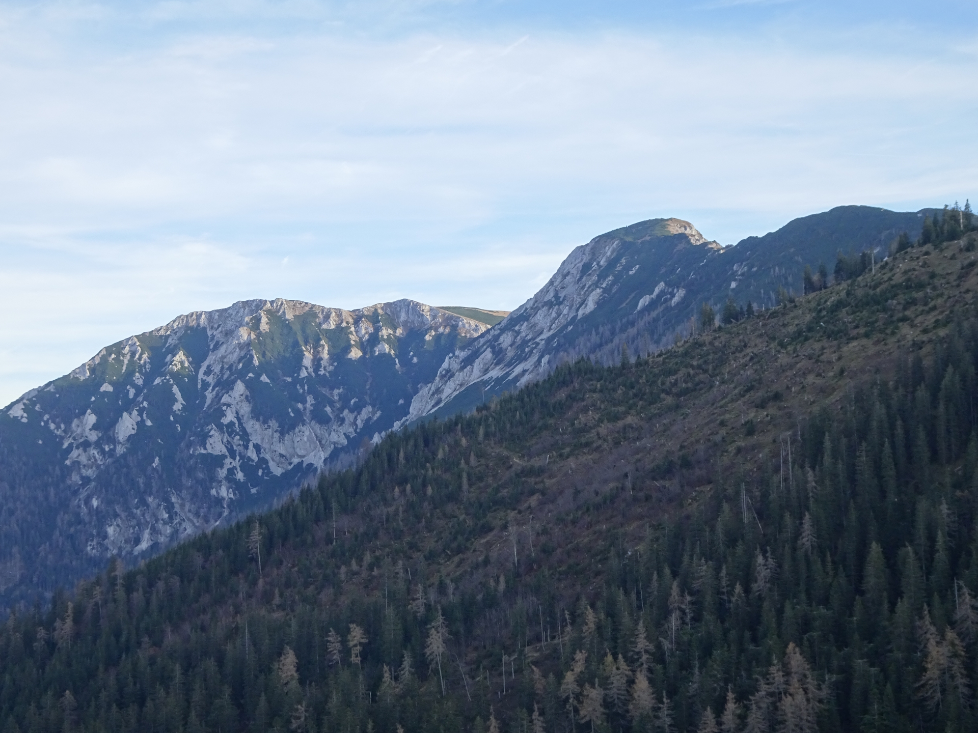
As I know the area from previous hikes and I had time, I decided for a highly recommended detour: Turn right and follow the trail up to Tonion. The extra meters in ascent and kilometers in distance are forgotten once you stay at the summit. My personal opinion is that the Tonion has one of the most rewarding scenic views in this area. From its summit you can see back to Mariazell, the Gemeindealpe and Ötscher but also you see what is coming next: the Hohe Veitsch. Thus, from here you can really grasp an idea of the previous and next stage.
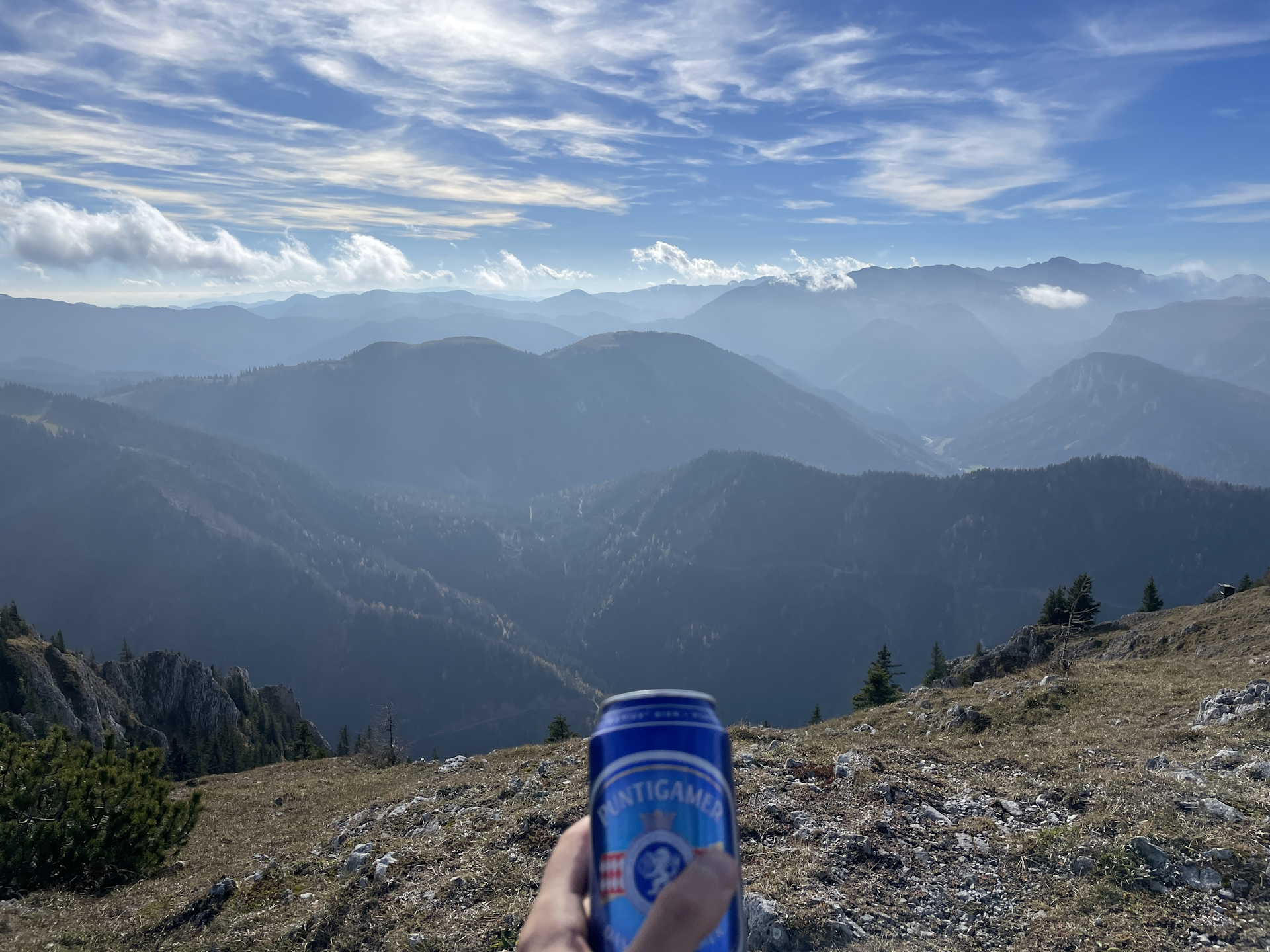
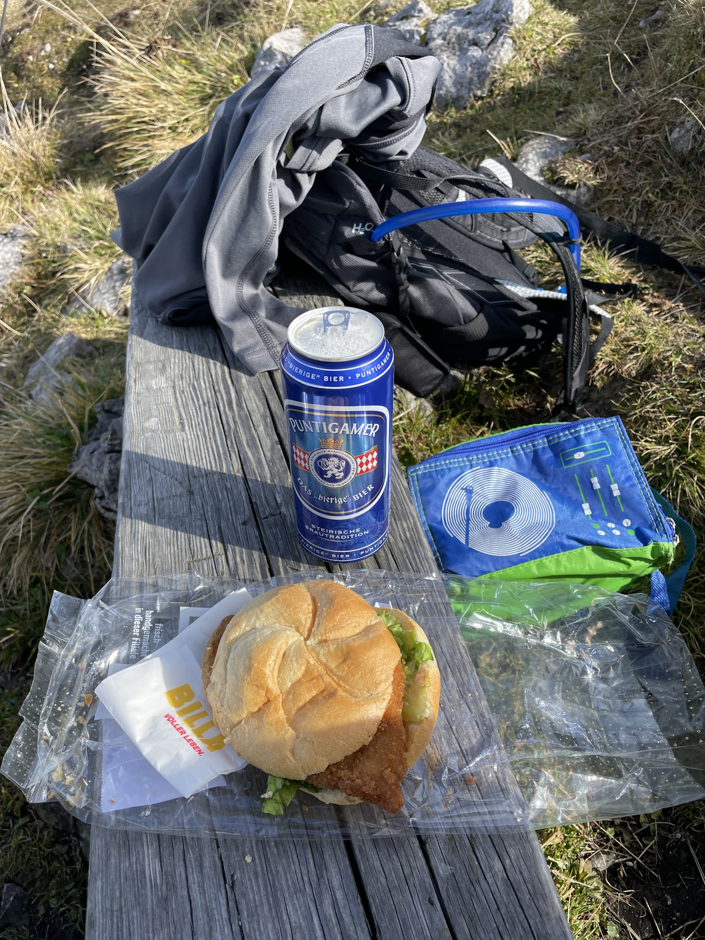
As I knew about the situation of closed restaurants, I had a proper lunch in my backpack and used the opportunity to enjoy this meal at the summit. Again, a unique experience!
After having my lunch and one or two self-brought beers, I returned to Herrenboden and continued my way following again the official trail to Niederalpl.
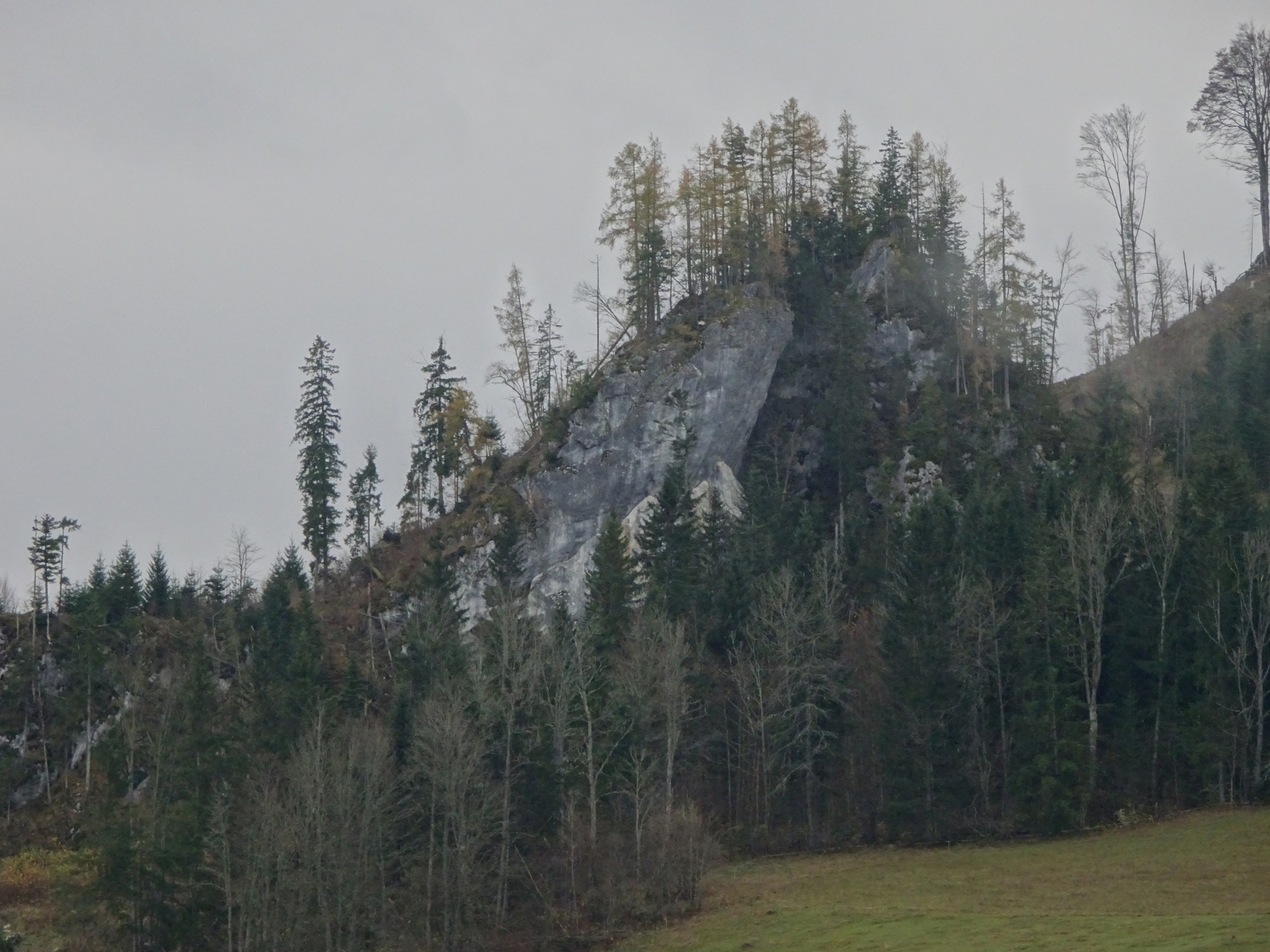
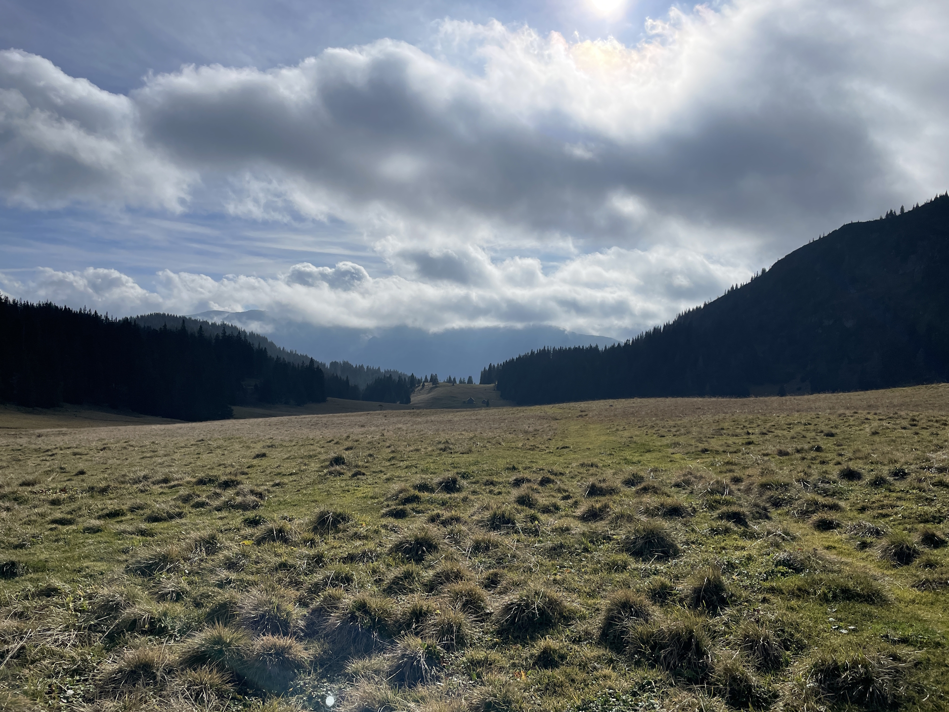
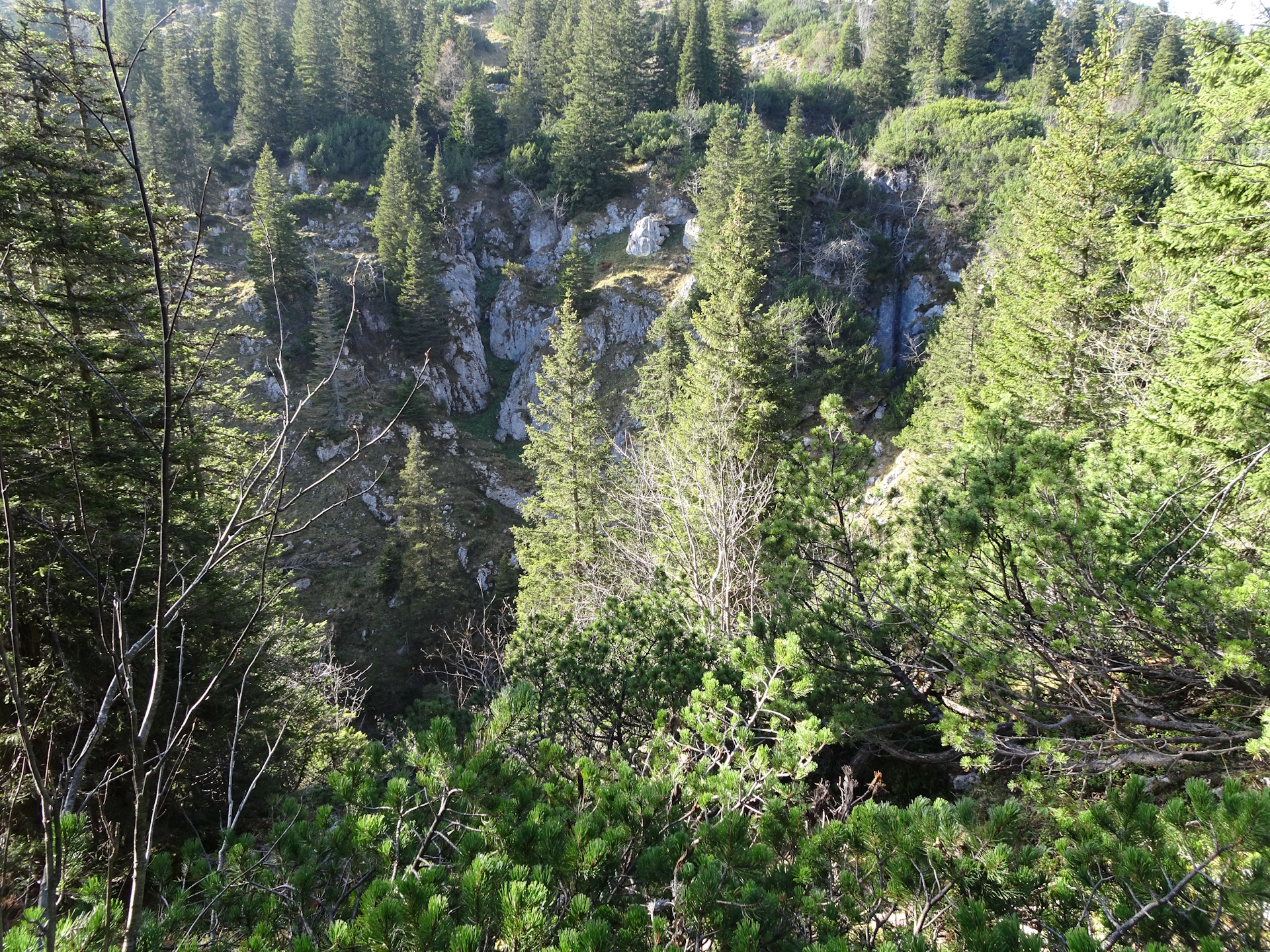
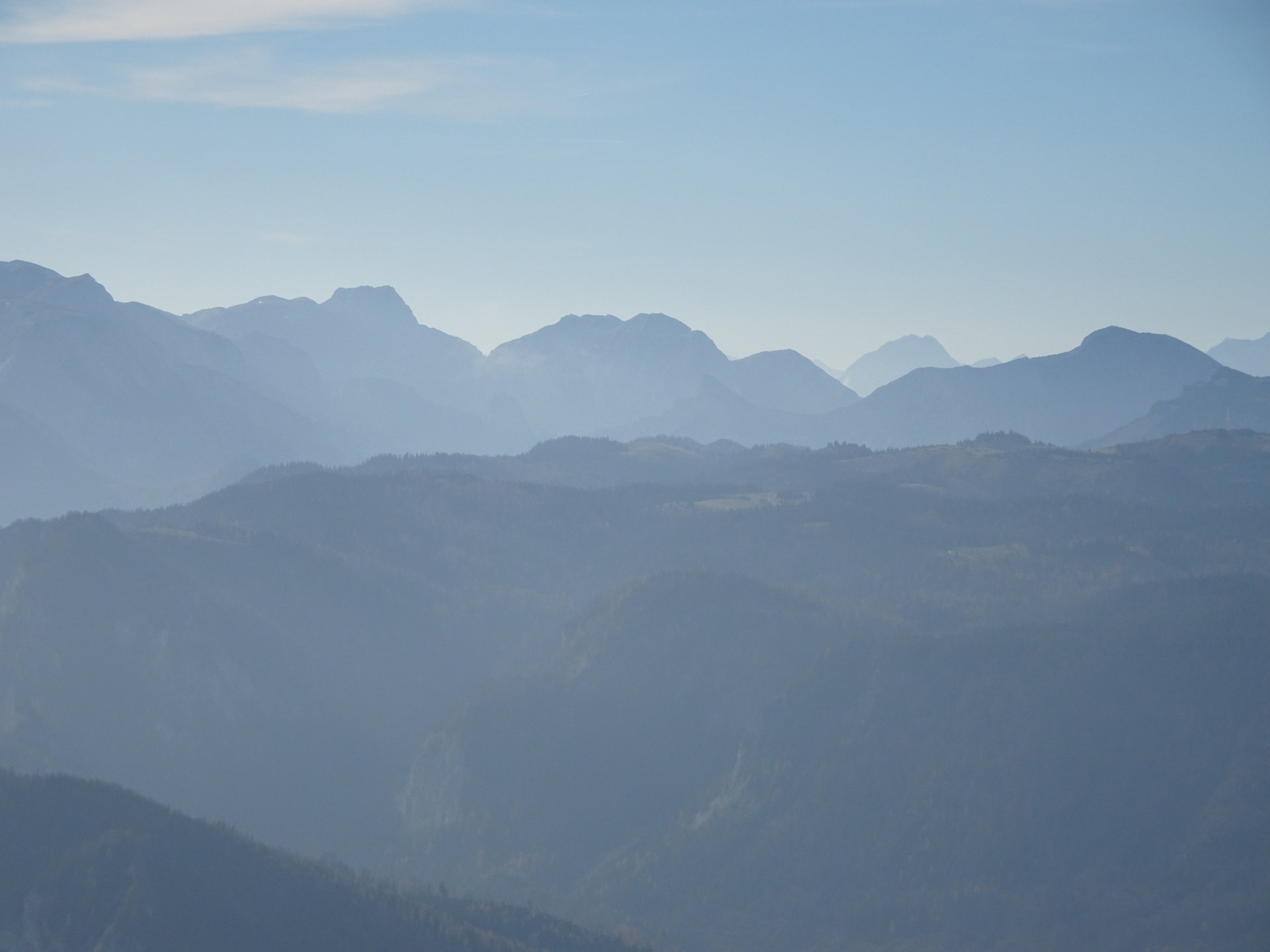
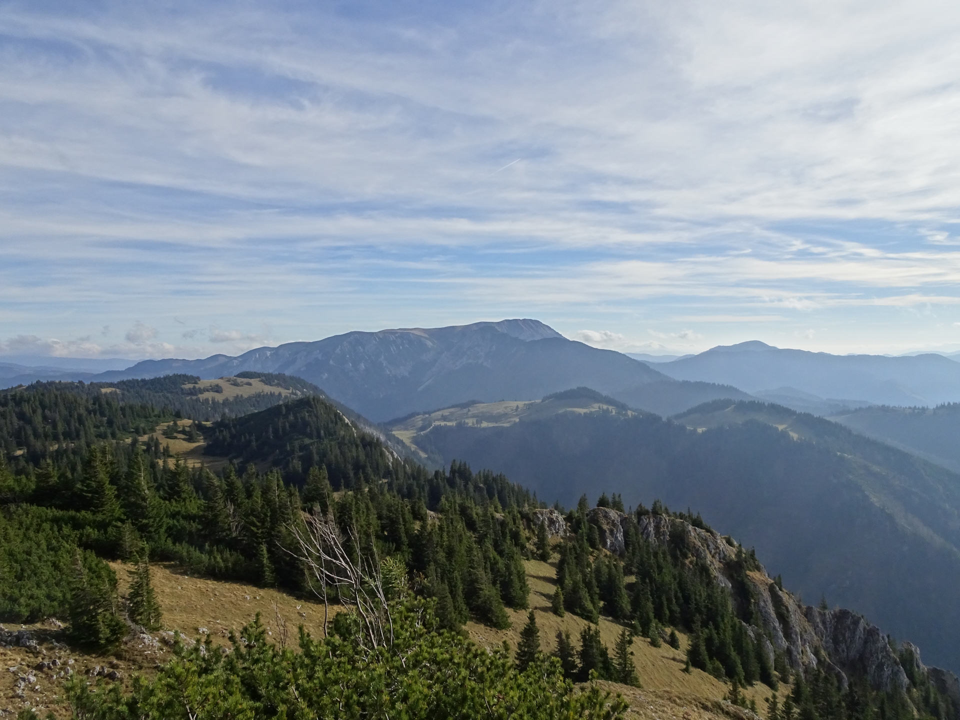
The trail itself is very scenic, always allows views towards the Hohe Veitsch and the very impressive Wildkamm (also a very recommended tour!), but also leads through beautiful mountain pastures.
On a few occasions I found myself confronted with the results of the snowstorm a few weeks ago, resulting in trees blocking the trail. However, most of them were already sort of handled and unlike my tour towards Lackenhof, I never got into a dangerous situation.
When I arrived at Niederalpl, I tried to see if someone is around at the Plodererhof. Unfortunately, it seemed that I missed the owner for a few minutes, just saw her driving away with her car. But as it will turn out on my next stage, I was still able to get my stamp .
As my car was parking at the saddle, I just called it a day and drove home.
Summary:
I personally liked this stage very much. I accept the fact that at the beginning – from Mariazell to Schöneben – it is a bit boring. But starting from there the trail just becomes more and more exciting. And doing the highly recommended detour up to Tonion was making my day. The weather turned out to be very nice, the autumn colors amplified the experience, and so did the self-cooked meal.
The way back to Niederalpl from Herrenboden also excites with amazing views on the surrounding area.
| 00:00 | Start at the train station Mariazell / St. Sebastian. Follow the marked trail southeastwards alongside the ancient rail track. |
| 00:15 | Cross the main street, bypass the gas station and follow then the small road into city center. Just head towards the visible big church of Mariazell. |
| 00:20 | Bypass the big church. Turn right and collect a stamp at the tourist office. Continue following the street eastwards through the city of Mariazell. |
| 00:30 | At the city border, turn left and follow the main street eastwards. |
| 00:40 | At the Luckertes Kreuz, cross the street and follow the trail next to the street downwards (heading east). The trail will several time meet the street again. |
| 00:50 | At the crossing, turn right and follow the smaller street (entry way towards the houses). At the end of the entry way, keep left and follow the trail through the forest towards Mooshuben. |
| 01:15 | Turn right and now follow the small street southwards to Mooshuben. |
| 01:30 | Well-deserved break () at Mooshubenwirt. Don’t forget to get your stamp ! |
| 01:35 | After Mooshubenwirt, keep left and continue following the paved road southwards towards Schöneben. |
| 01:55 | At the crossing right after the rest area, keep right and continue following the gravel road towards Schöneben. |
| 02:00 | At the crossing, turn left and follow the Freigrabenweg eastwards. Stay on the gravel road till Schöneben. |
| 02:40 | At Schöneben, turn right into the small trail (bridge over the river) and follow the trail up to Herenboden. |
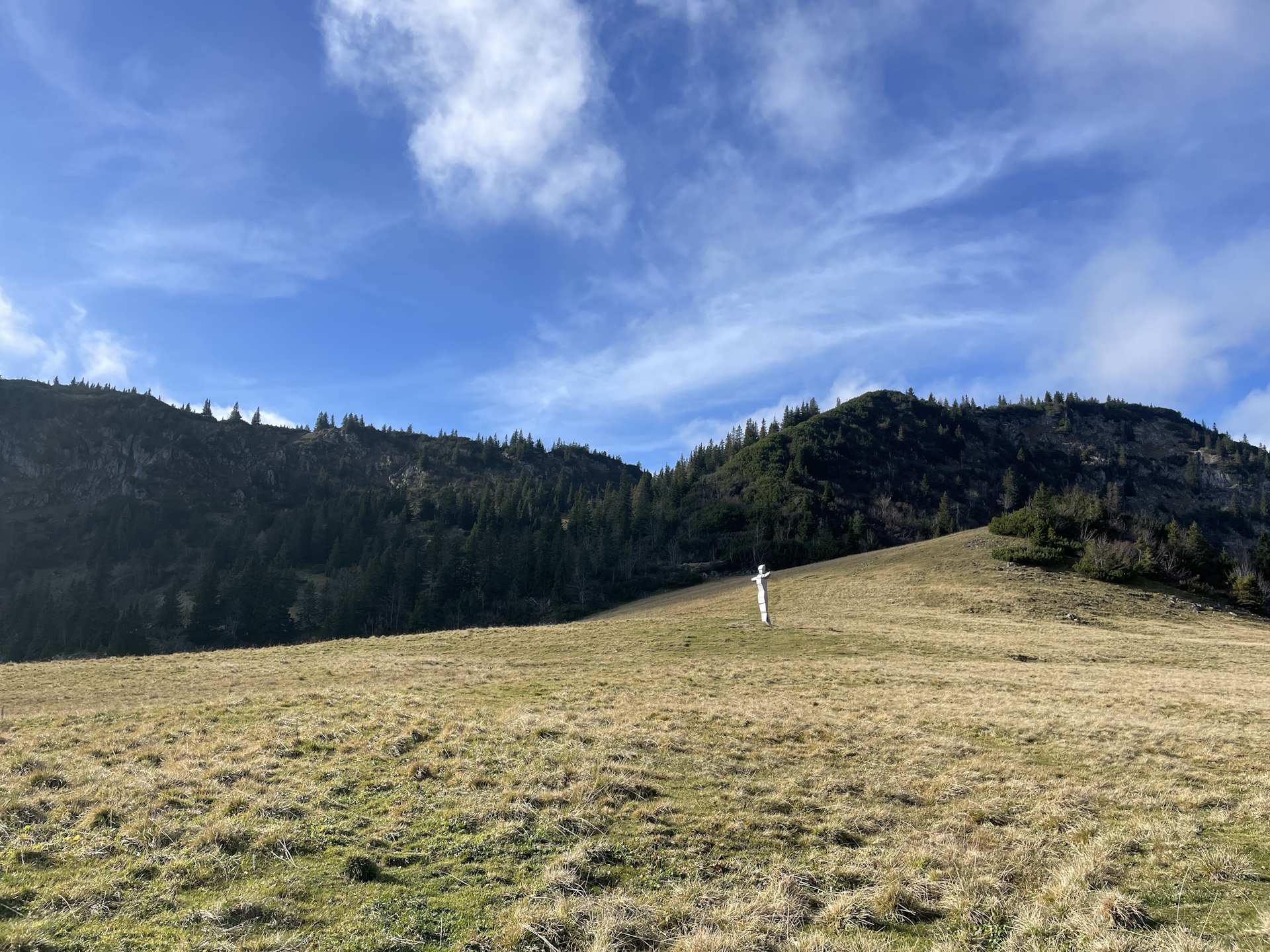
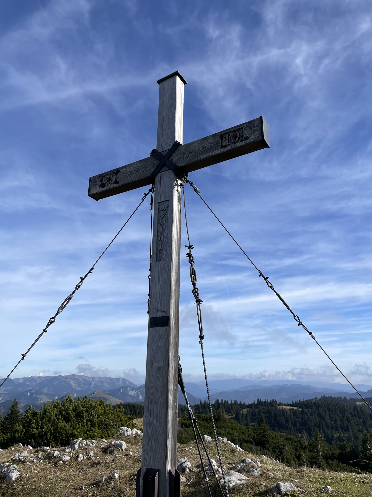
| 03:30 | Recommended detour: At the statue of Herrenboden, turn left and follow the red-white-red marked trail westwards. The trail will lead directly to the summit of Tonion. |
| 04:15 | Well deserved break with self brought supplies () at the summit of Tonion. Enjoy the stunning view from there! |
| 04:45 | Follow the trail back to Herrenboden. Use the same trail as for the ascent. |
| 05:25 | At the statue of Herrenboden, turn right and continue following trail 05 southwards. |
| 05:40 | At the crossing, keep straight (slightly left) and follow the trail alongside the forest southwards. |
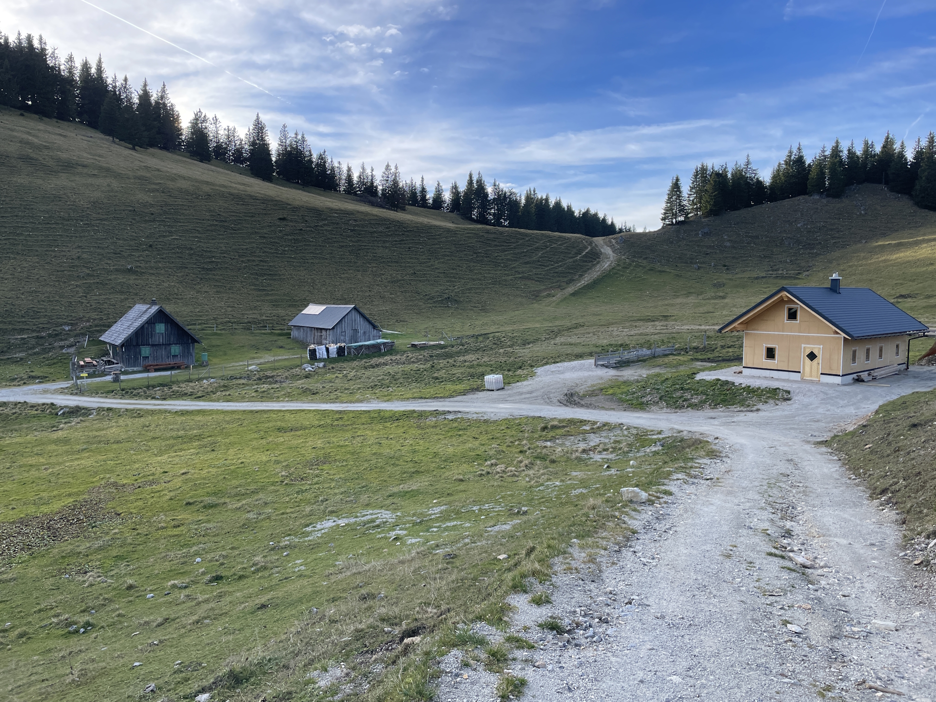
| 06:00 | Keep left and now follow the gravel road first south and then westwards (slightly up). The gravel road will lead first to Weißalm and then further to Wetterl. |
| 06:25 | At Wetterl, use the southern trail towards Niederalpl. You might shortcut taking the more steep route up towards the visible ski lift – or take the easier gravel road around it. |
| 06:30 | Bypass the Wetterinalm Sennhütte (you might consider a break here if open in summer) and follow the gravel road eastwards. |
| 06:40 | Turn sharp right and follow the marked trail down, first through the forest and then through the ski slope to Niederalpl. |
| 06:45 | Back at Niederalpl. Try to get a stamp from Berggasthof Plodererhof, potentially combined with a well-deserved refreshment (). End of the tour. |
| Area: | Hochsteiermark, Styria, Austria | |
| Distance: | 26km | |
| Ascent: | 1231m (3h 40min) | |
| Descent: | 864m (2h 20min) | |
| Highest Pt: | 1698m | |
| Lowest Pt: | 782m | |
| Duration: | 6h 20min (without breaks) 6h 50min (with breaks) |
|
| Stop/Rest: | Mariazeller Jagasaftl (851m) Mooshubenwirt (897m) Plodererhof (1221m) |
|
| Equipment: | Backpack with standard hiking equipment Comfortable hiking shoes Food , and plenty (!) of water 1-2x Gipfelbier Sun & Weather protection Camera |
| Download GPX | ||
| O | Tour at outdooractive.com |
At a glance
| Level | medium-difficult |
| Technique | |
| Shape / Fitness | |
| Experience | |
| Scenery | |
| Best time in the year | |
|
Jan
Feb
Mar
Apr
May
Jun
Jul
Aug
Sep
Oct
Nov
Dec
|
|

Leave a Reply