
Forth stage of the Nord-Süd-Weitwanderweg 05 starting from Ottenschlag via Elsenreith, Trandorf and Jauerling to Spitz an der Donau.
 |
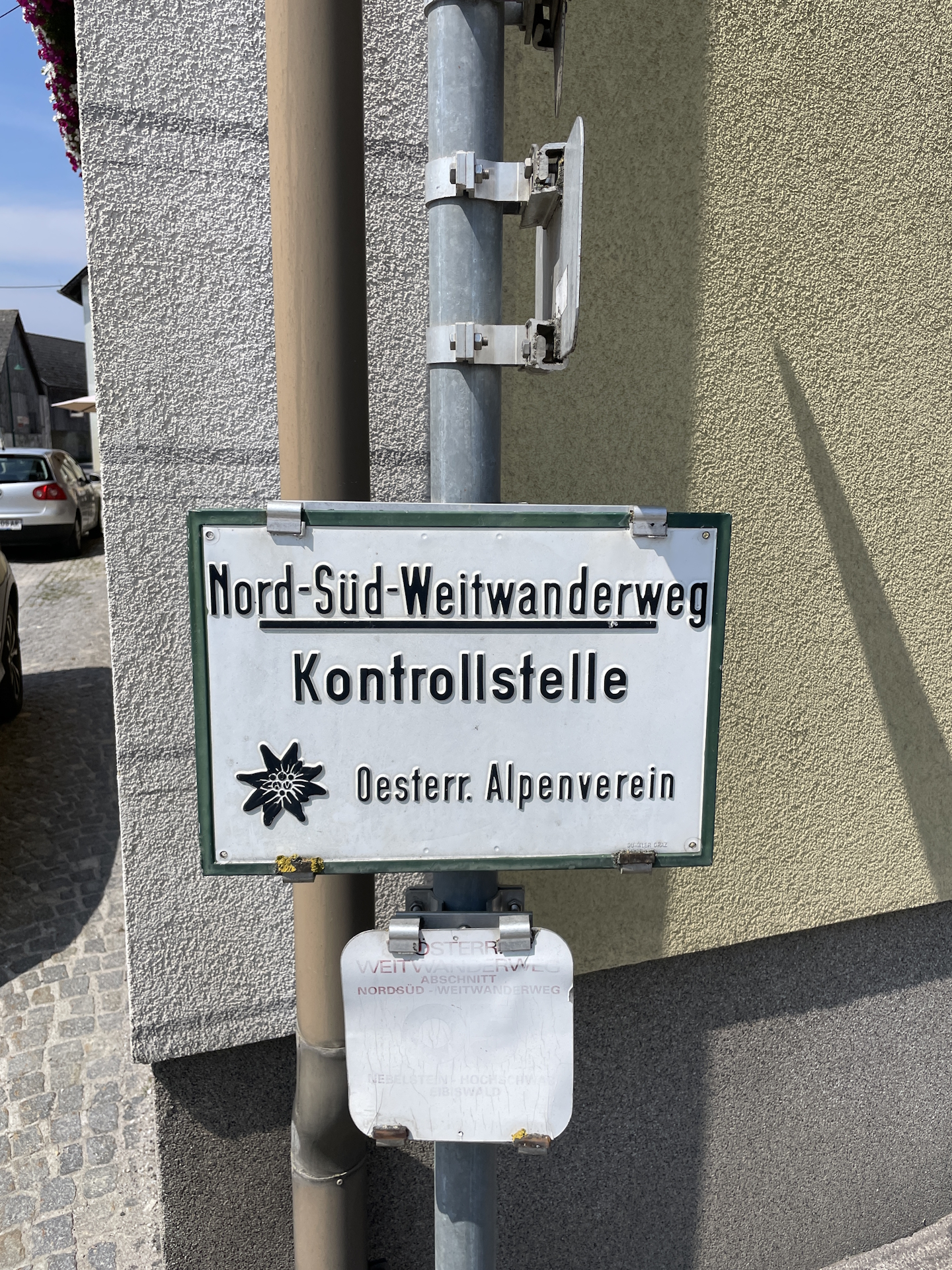
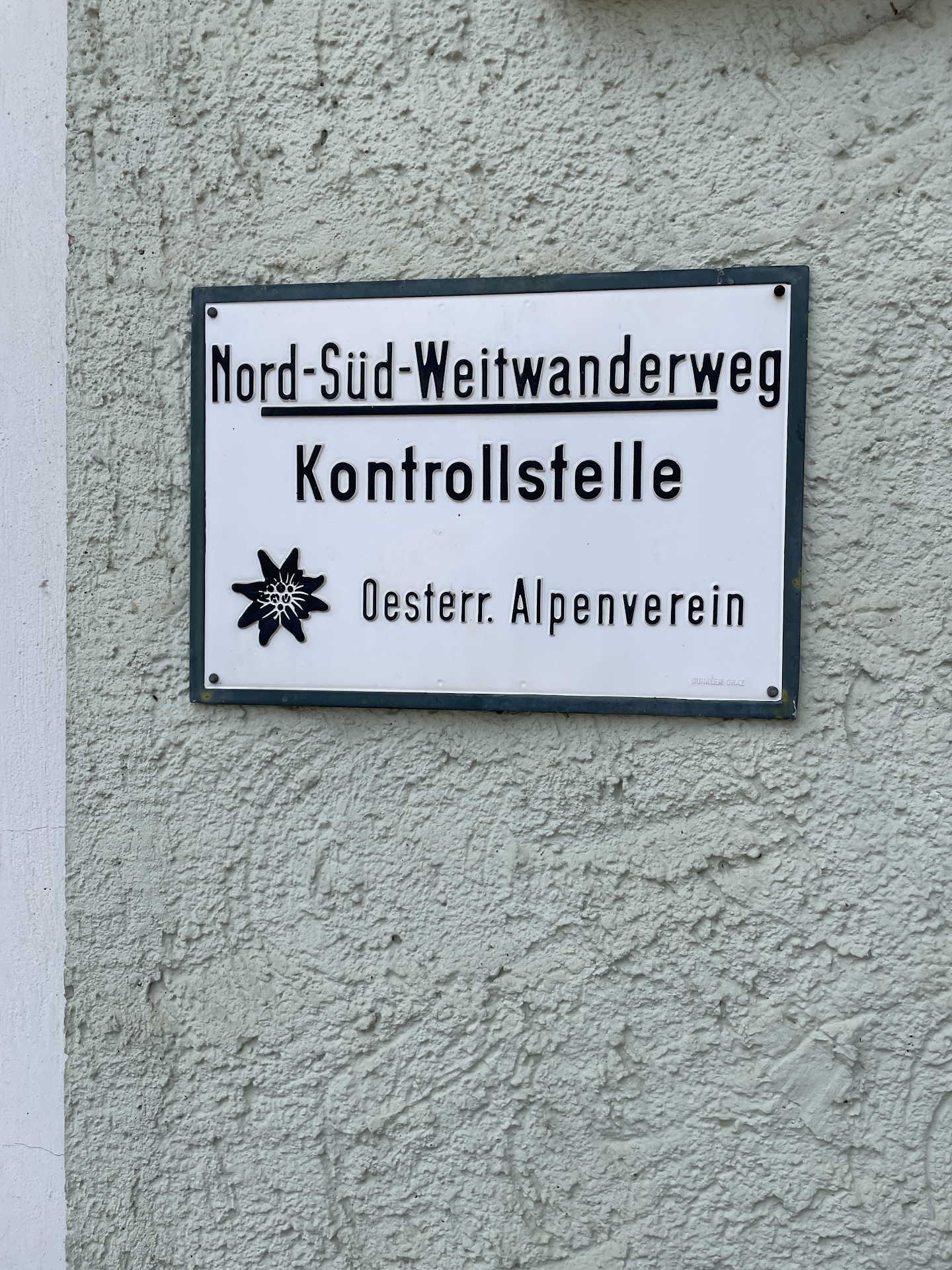
The North-South-Long-Distance trail (Nord-Süd-Weitwanderweg, also known as the “05”) starts in the north of Austria at Nebelstein and ends in the south of Austria at Eibiswald. The trail is ~500km long, ~18 000m in ascent and the same amount in descent. The trail was initiated by Carl Hermann and officially established on the 25th September 1970. The trail is separated into 3 parts:
It normally takes 3 weeks to complete the entire trail. |
The here presented tour is the forth stage of the Nord-Süd-Weitwanderweg 05 .
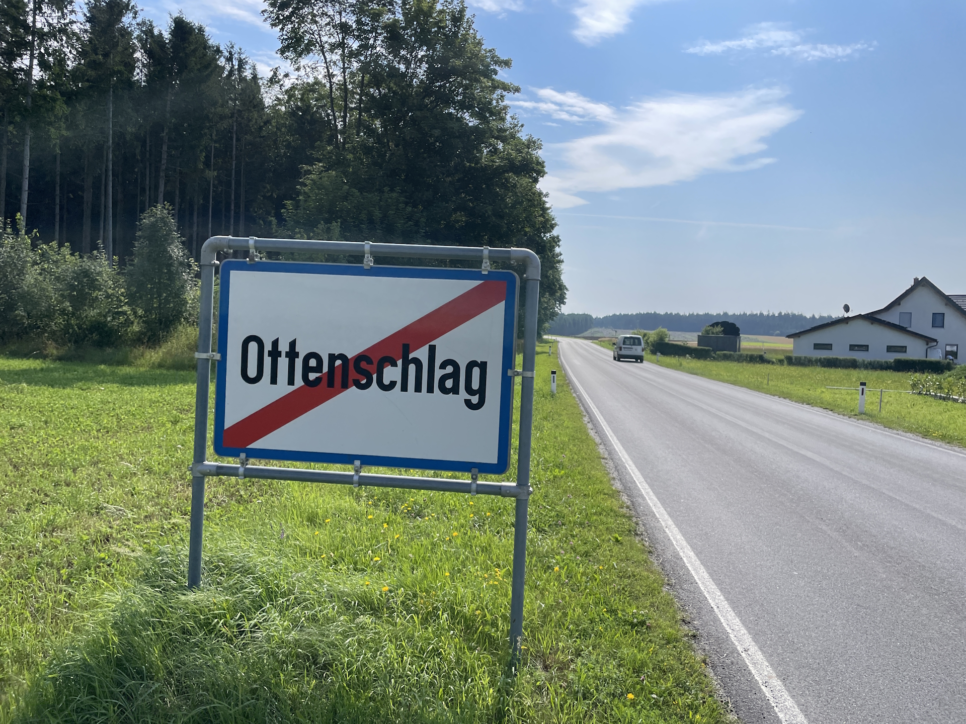
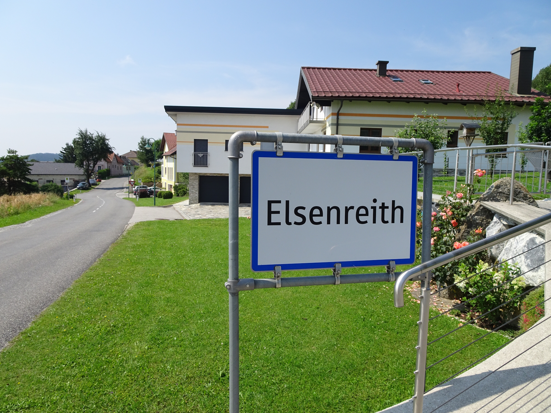
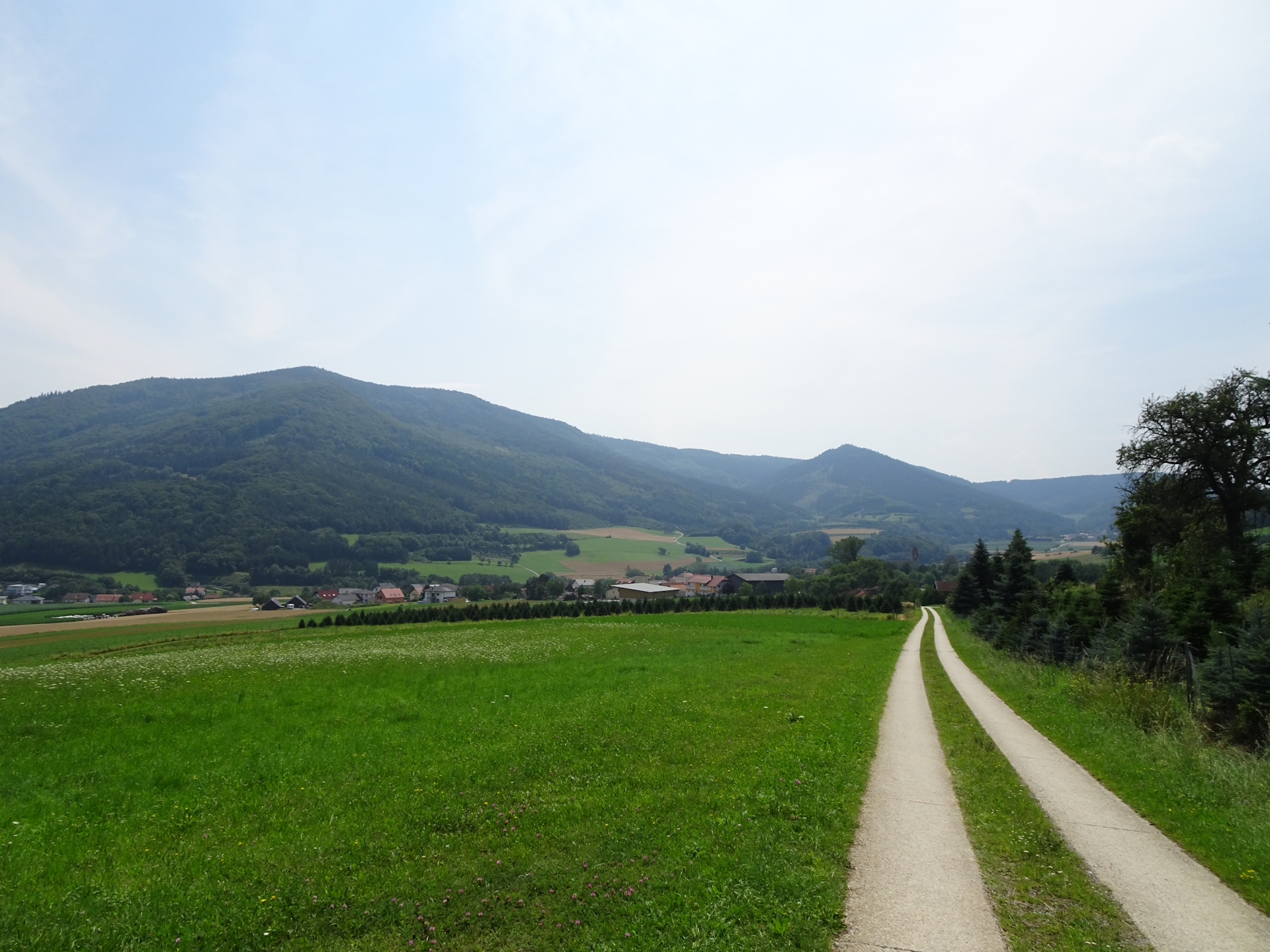
The tour starts at the bus station Ottenschlag Oberer Markt (Checkpoint) and first follows the main road B217 southeastwards through the center. A few meters afterwards, the tour then turns left and follows the L78 to the city border. The tour then uses a small paved roads heading towards the small villages of Pleßberg, Ernst, and Felles. The tour then turns southwards and again uses a combination of paved roads and short but welcomed forest and gravel roads till reaching the village of Elsenreith (Checkpoint).
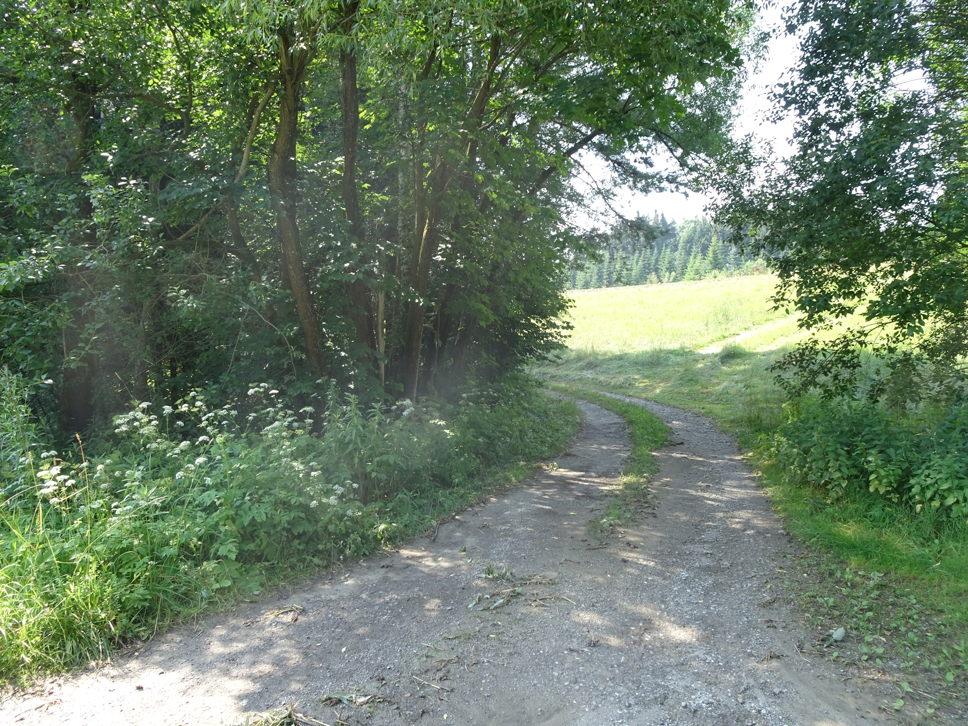
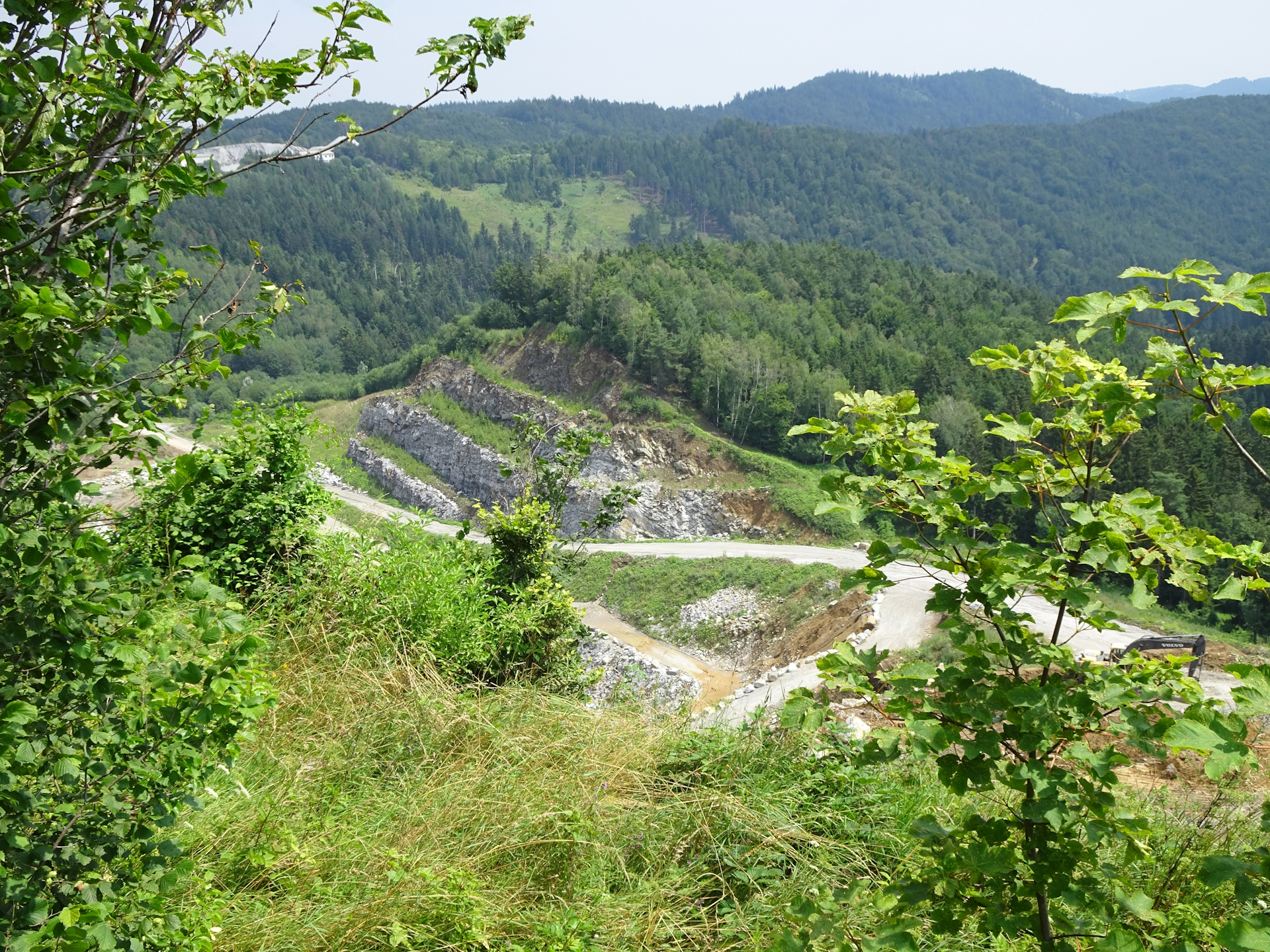
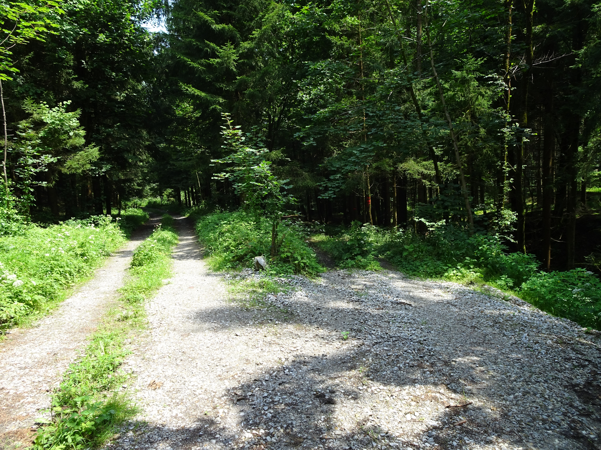
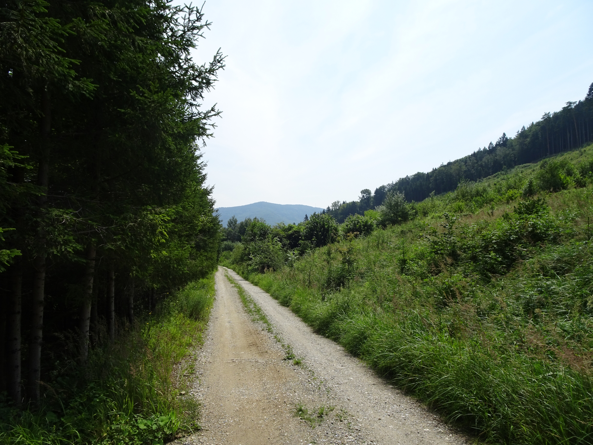
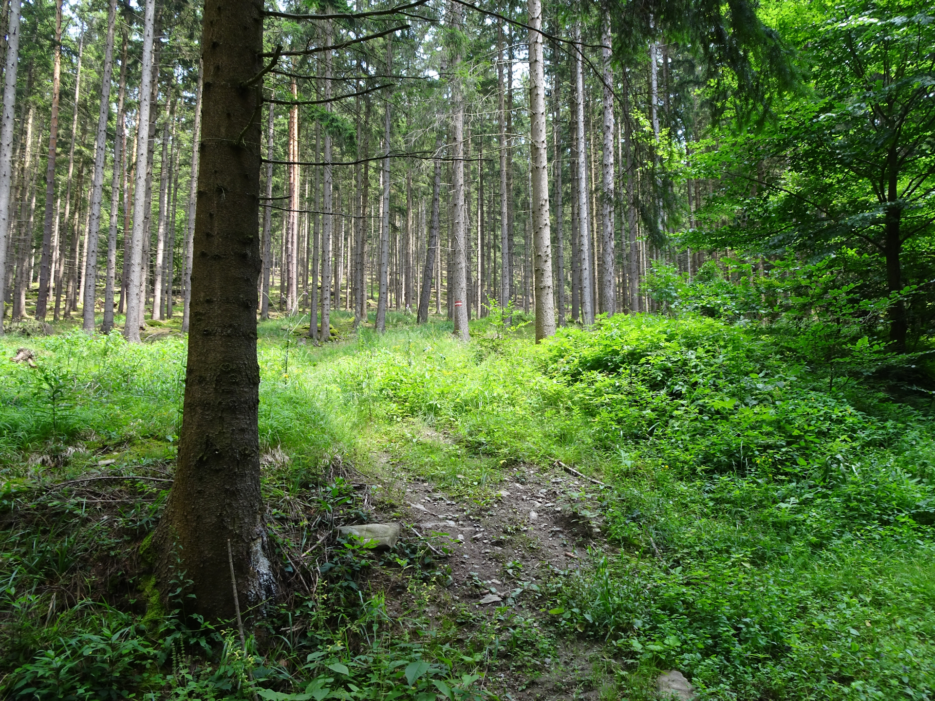
The tour then again follows paved roads southwards before finally turning eastwards into the forest and following gravel roads through the forest towards Trandorf (alternate Checkpoint), before following again a paved road till Zeining.
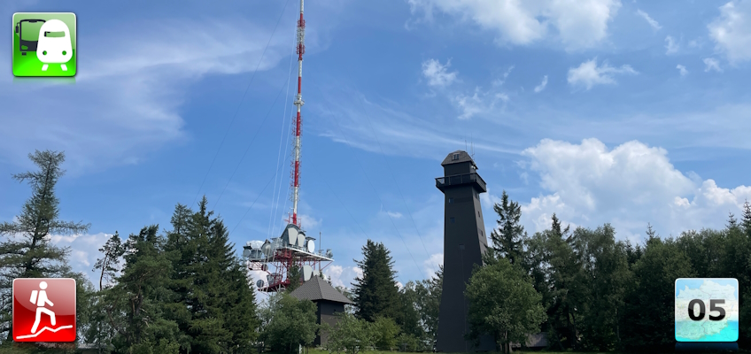
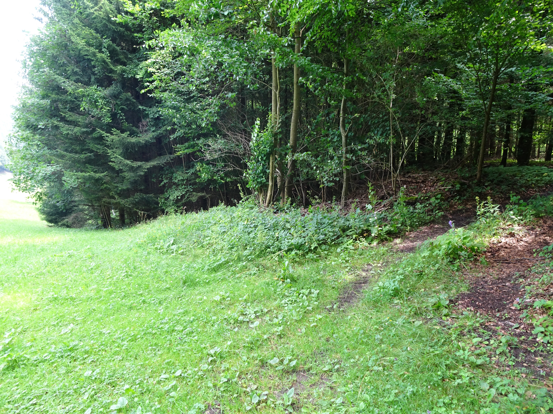
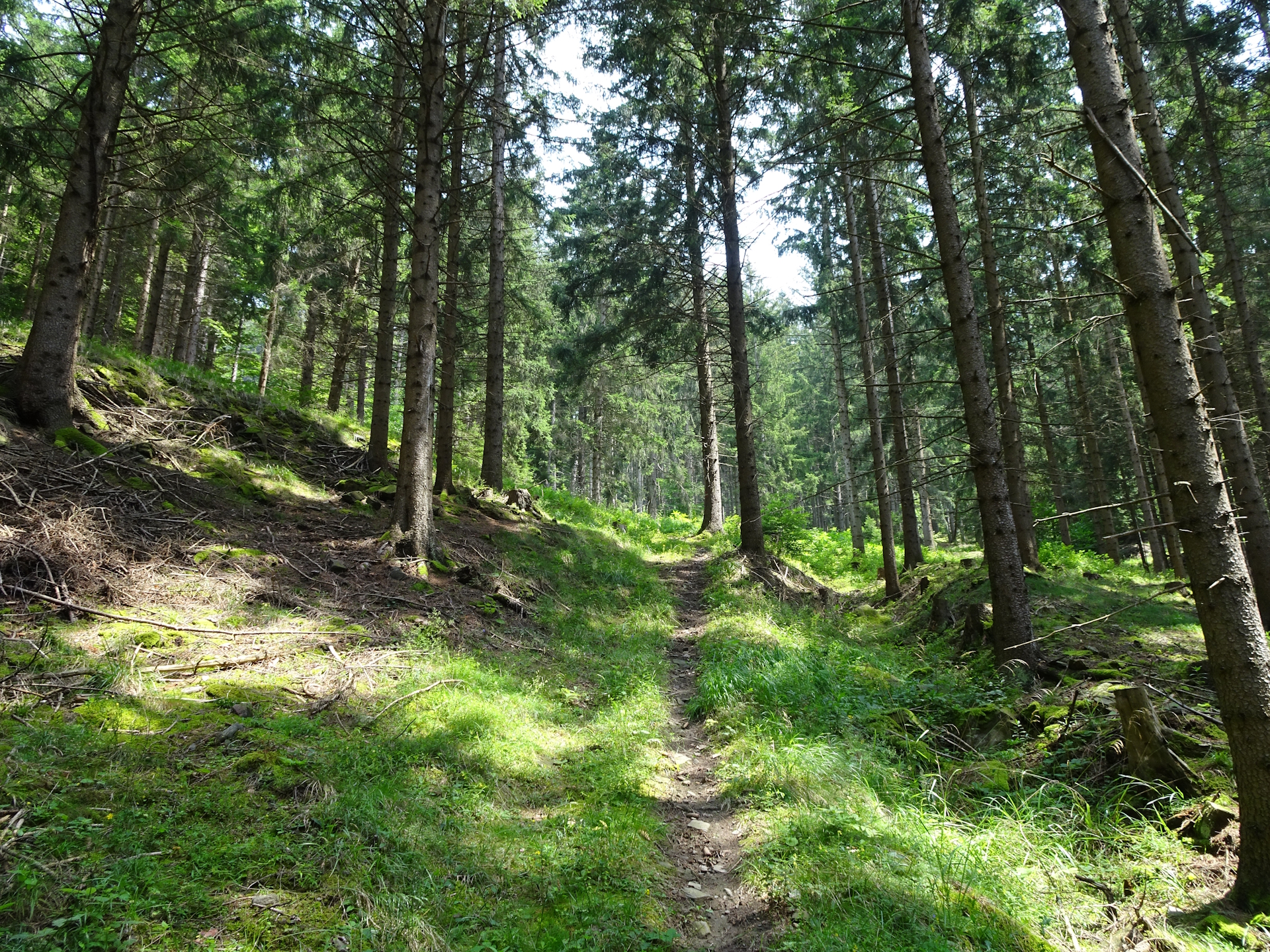
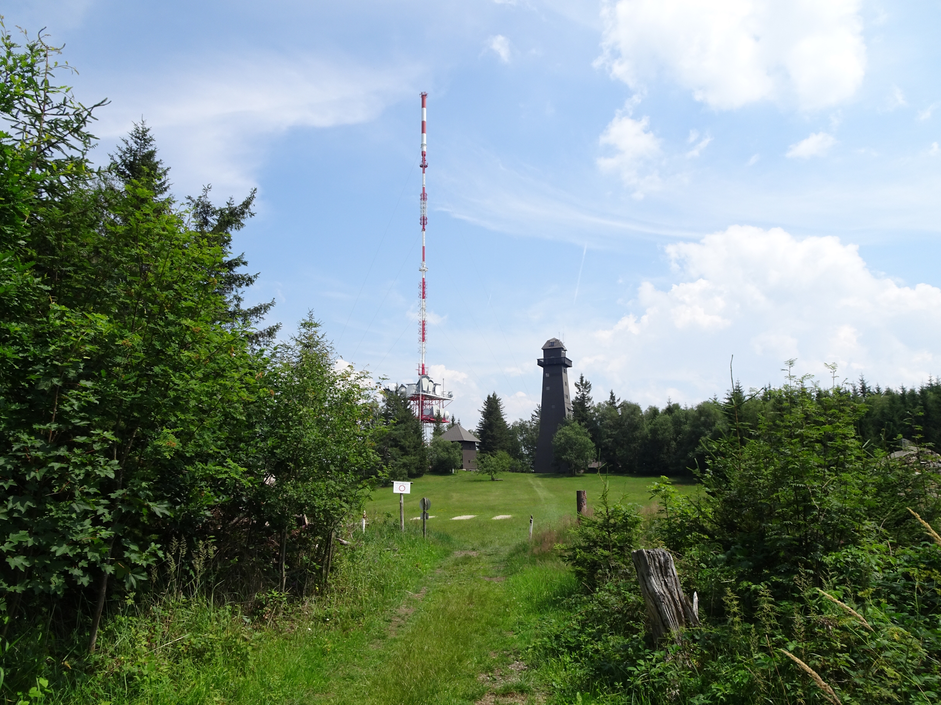
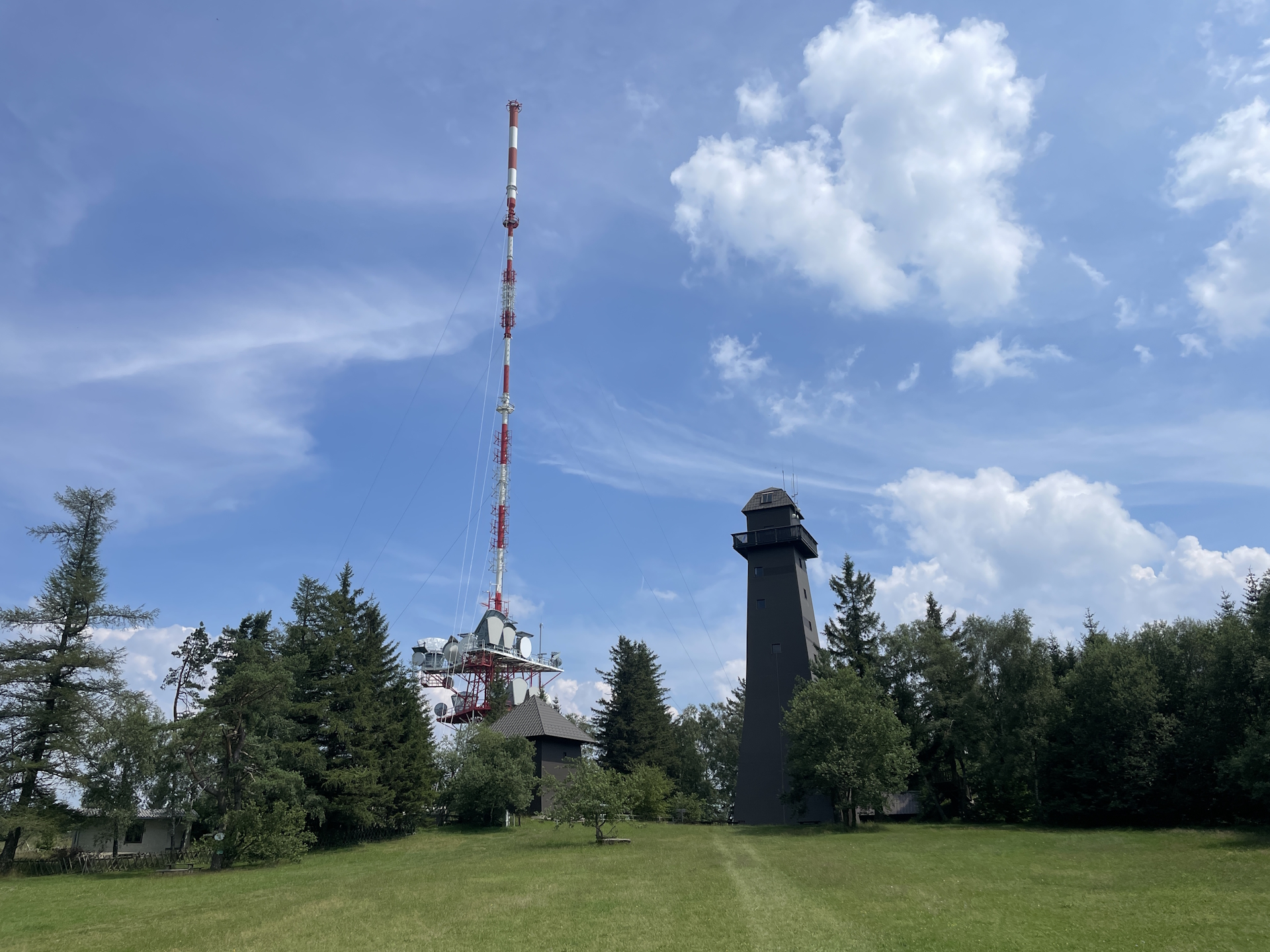
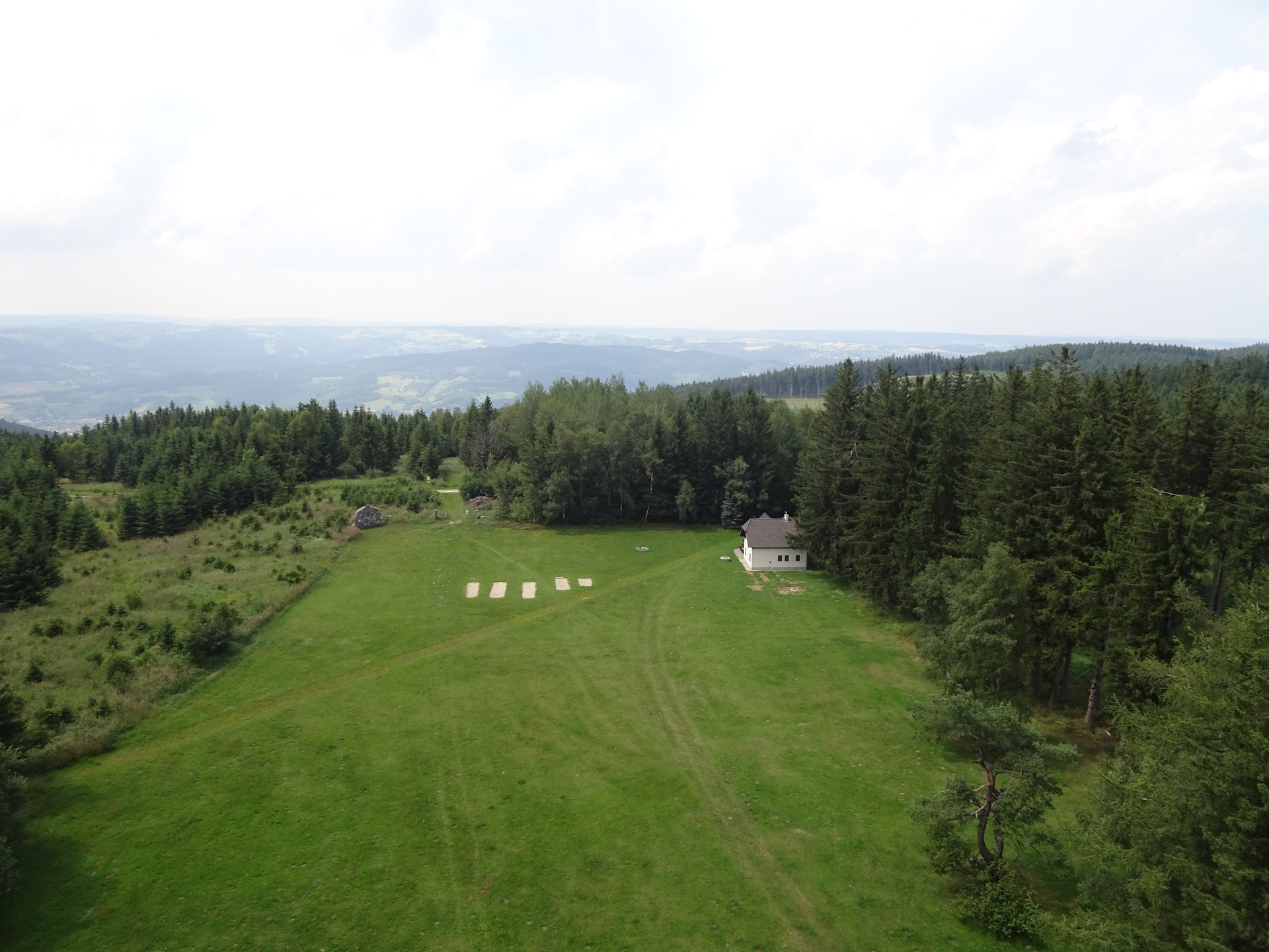
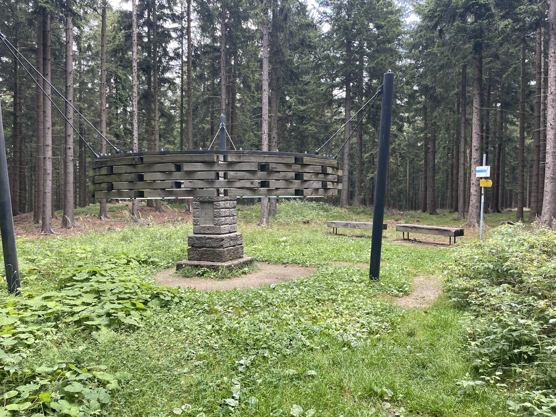
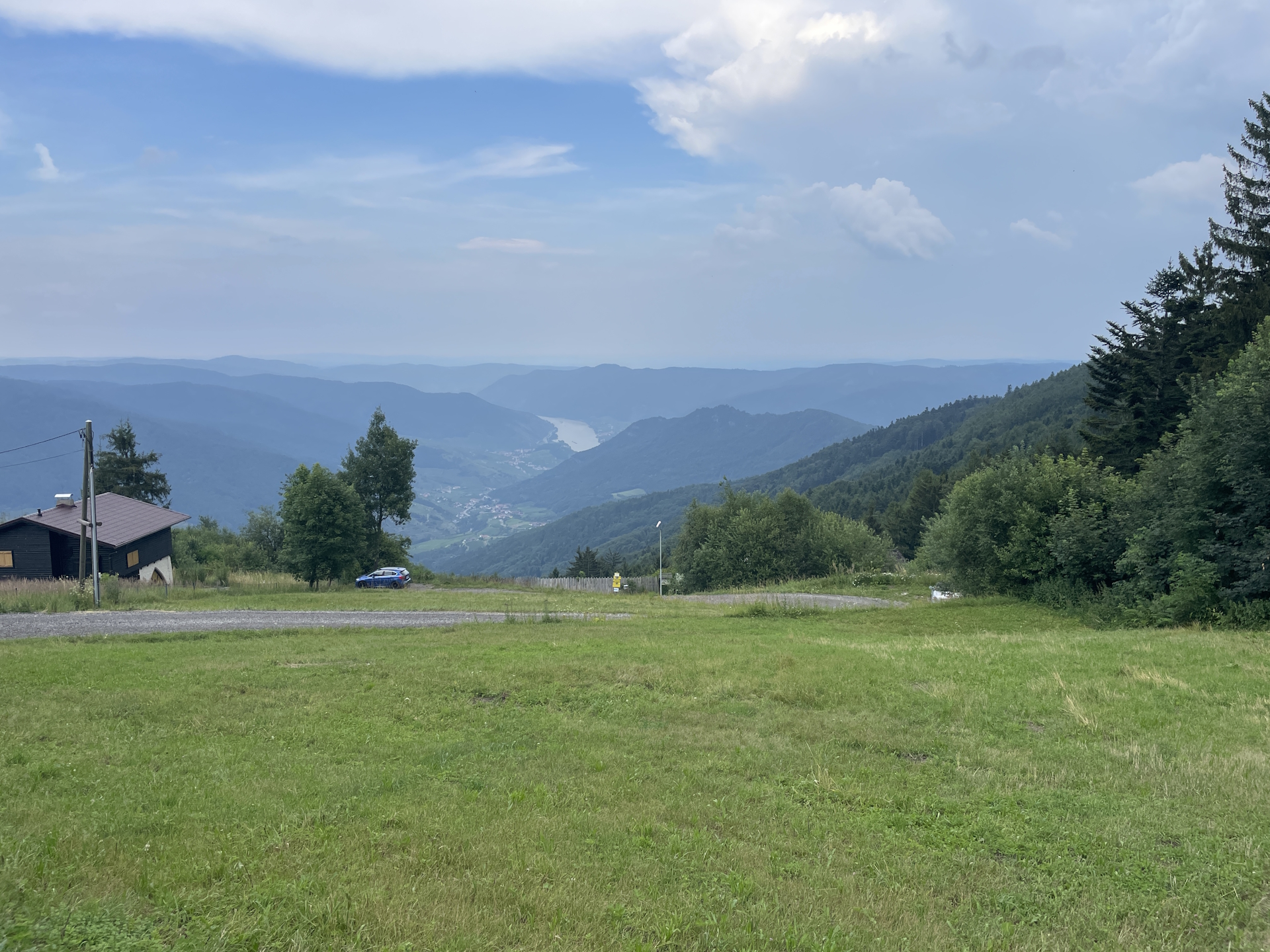
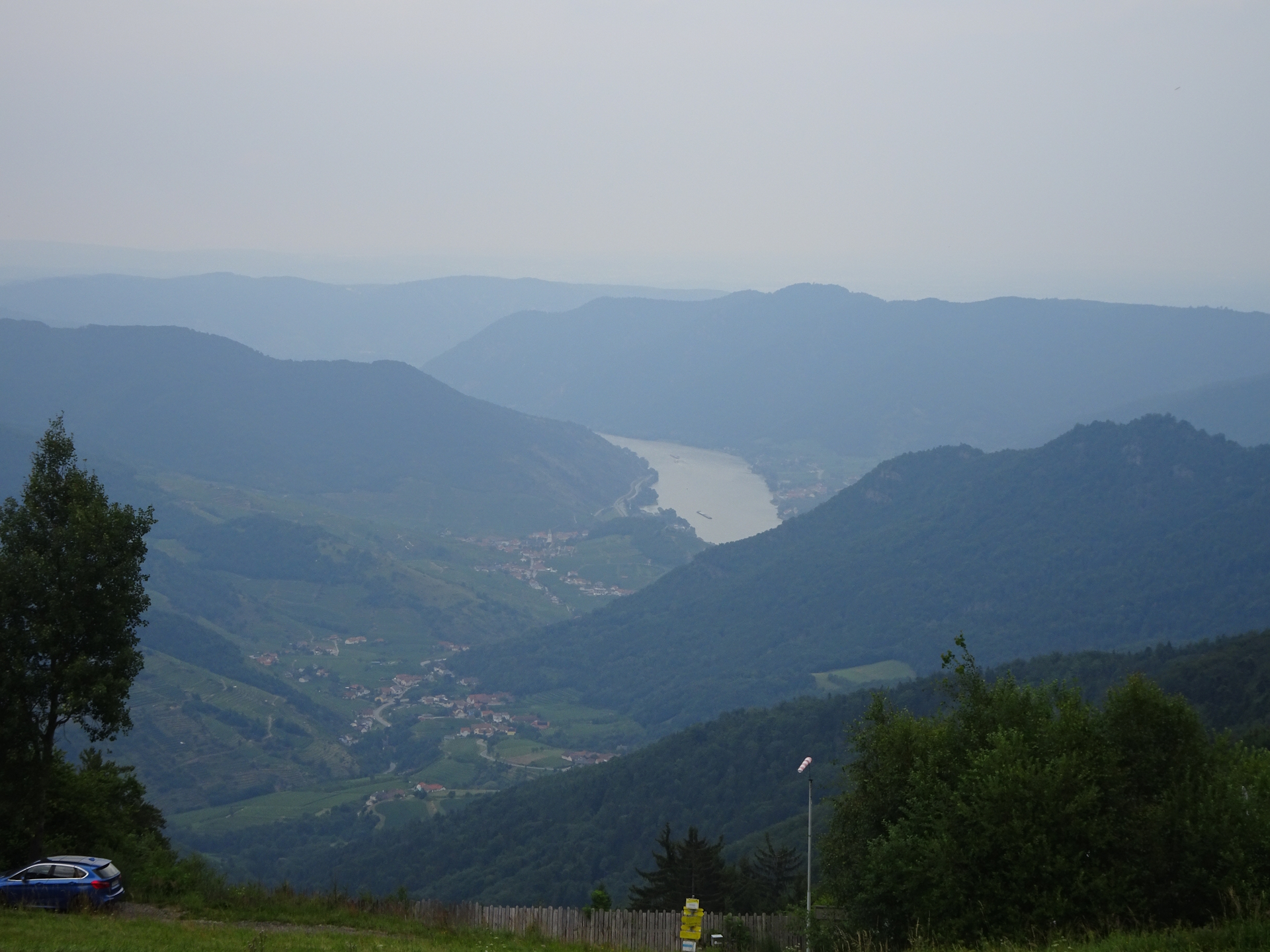
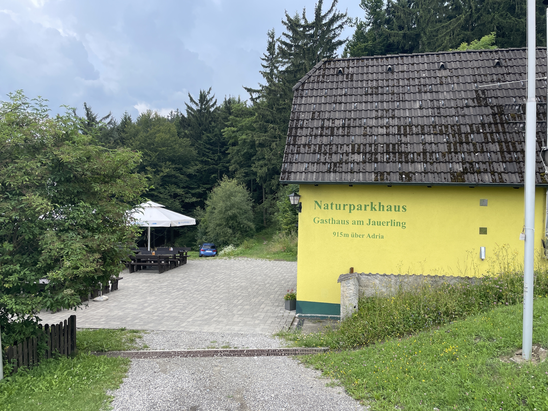
Finally, the tour now leaves paved roads and becomes enjoyable by hiking up through the forest to Jauerling and the impressive viewing platform (Checkpoint). After enjoying a well-deserved break at the Jauerling hut and climbing up the tower, the tour then follows nice hiking trails downwards to Spitz an der Donau, first passing by the Naturparkhaus (nice view towards the Danube river) and then descending down on a small trail through the forest towards the city center of Spitz an der Donau (Checkpoint).
| Nord-Süd-Weitwanderweg 05 – Checkpoints | |
|
Transportation:
I’ve planned to accomplish this stage as a single day-trip because of good public transport connections. I left early in Vienna (07:15 at Wien Westbahnhof) and arrived in Ottenschlag at 9:40. Also the bus service from Spitz an der Donau operates well and allows a quick travel back to Vienna.
I did the tour on a Friday to ensure that the restaurants for collecting the stamps are open. Other than indicated, the Café in Trandorf was closed, but luckily I collected my stamp already in Elsenreith.
The hike:
I’ve started the hike on a weekday (Friday) late in the morning (~ 10:00) as public transportation service allowed me a convenient arrival from Vienna. That would have allowed to collect the stamp at the municipal office in Ottenschlag, however, I had the stamp already from my previous trip so I directly started my hike towards Elsenreith.
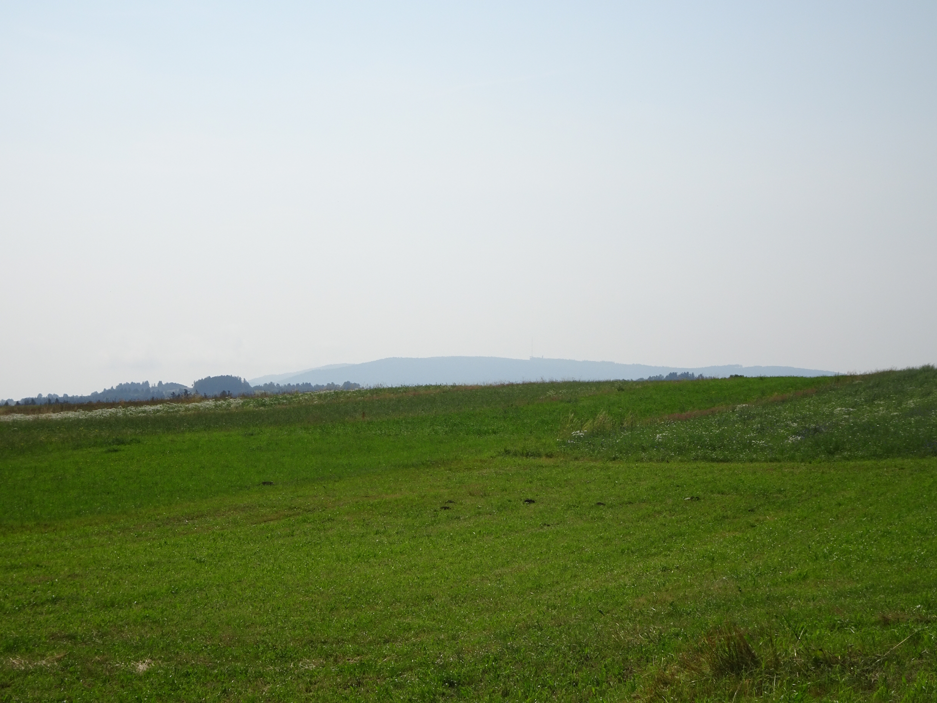
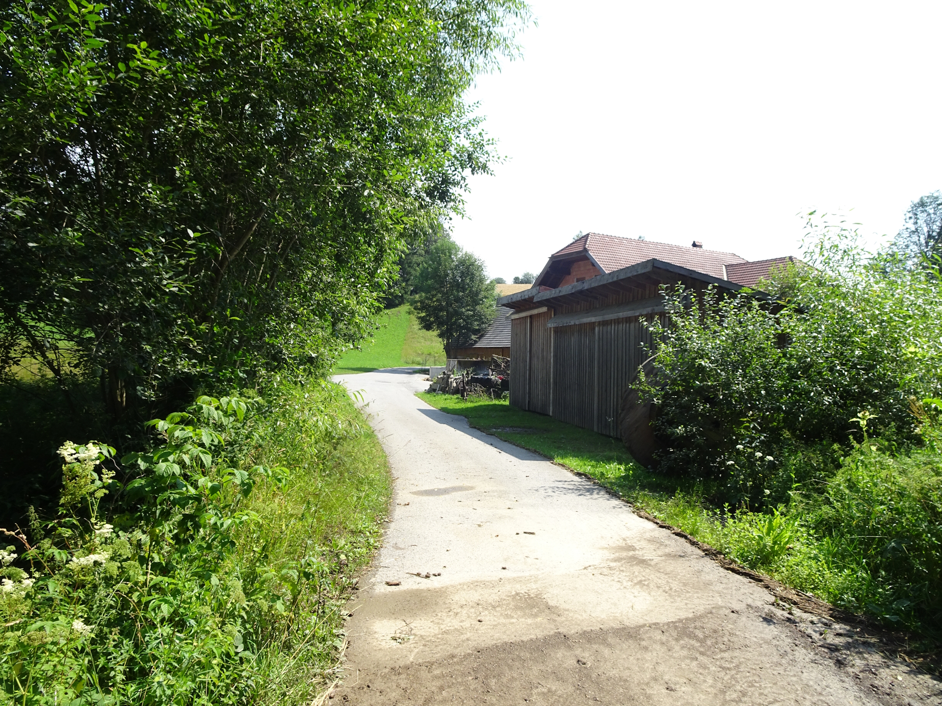
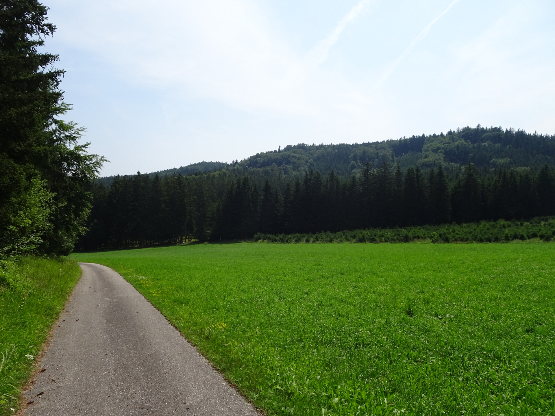
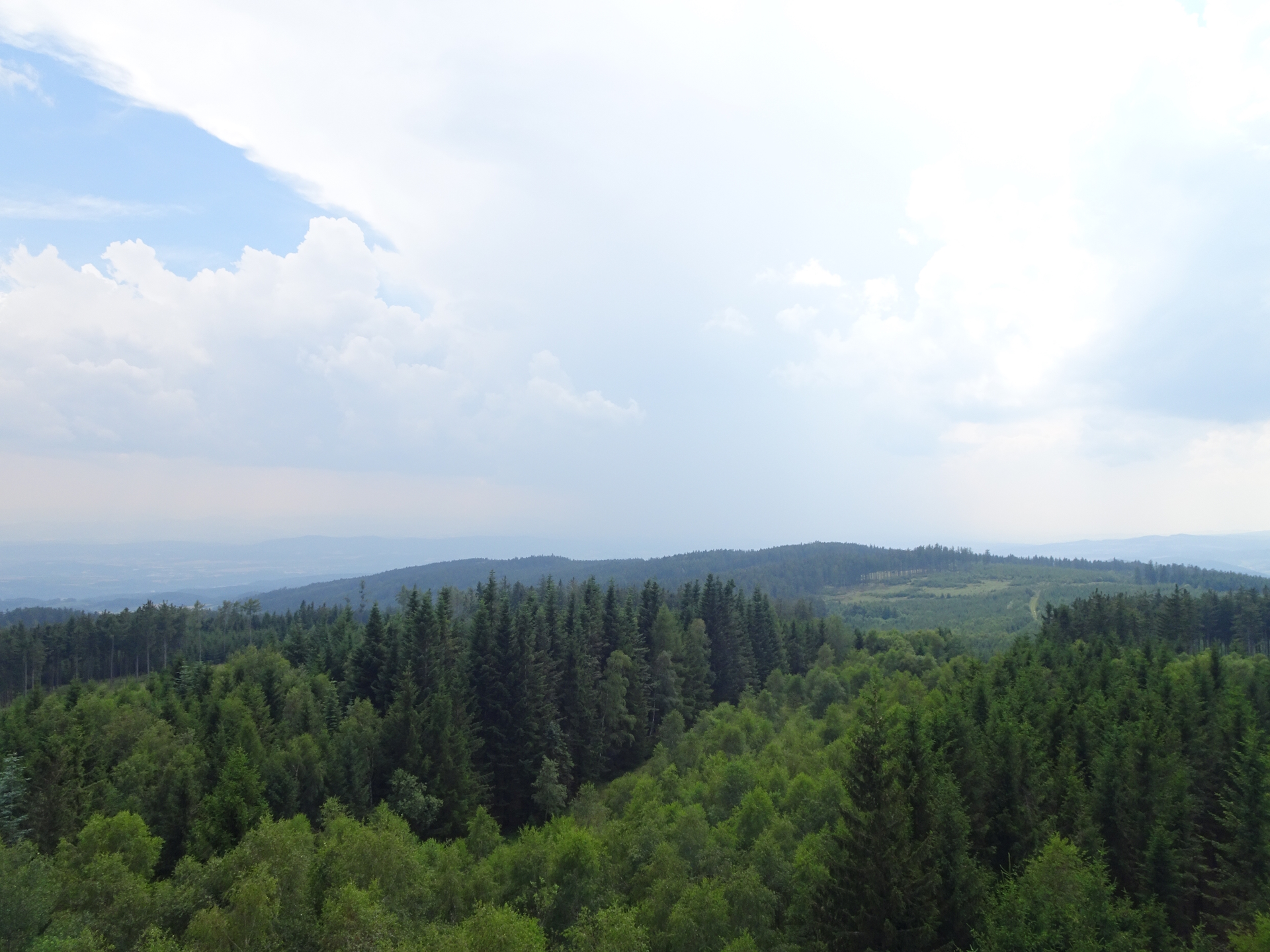
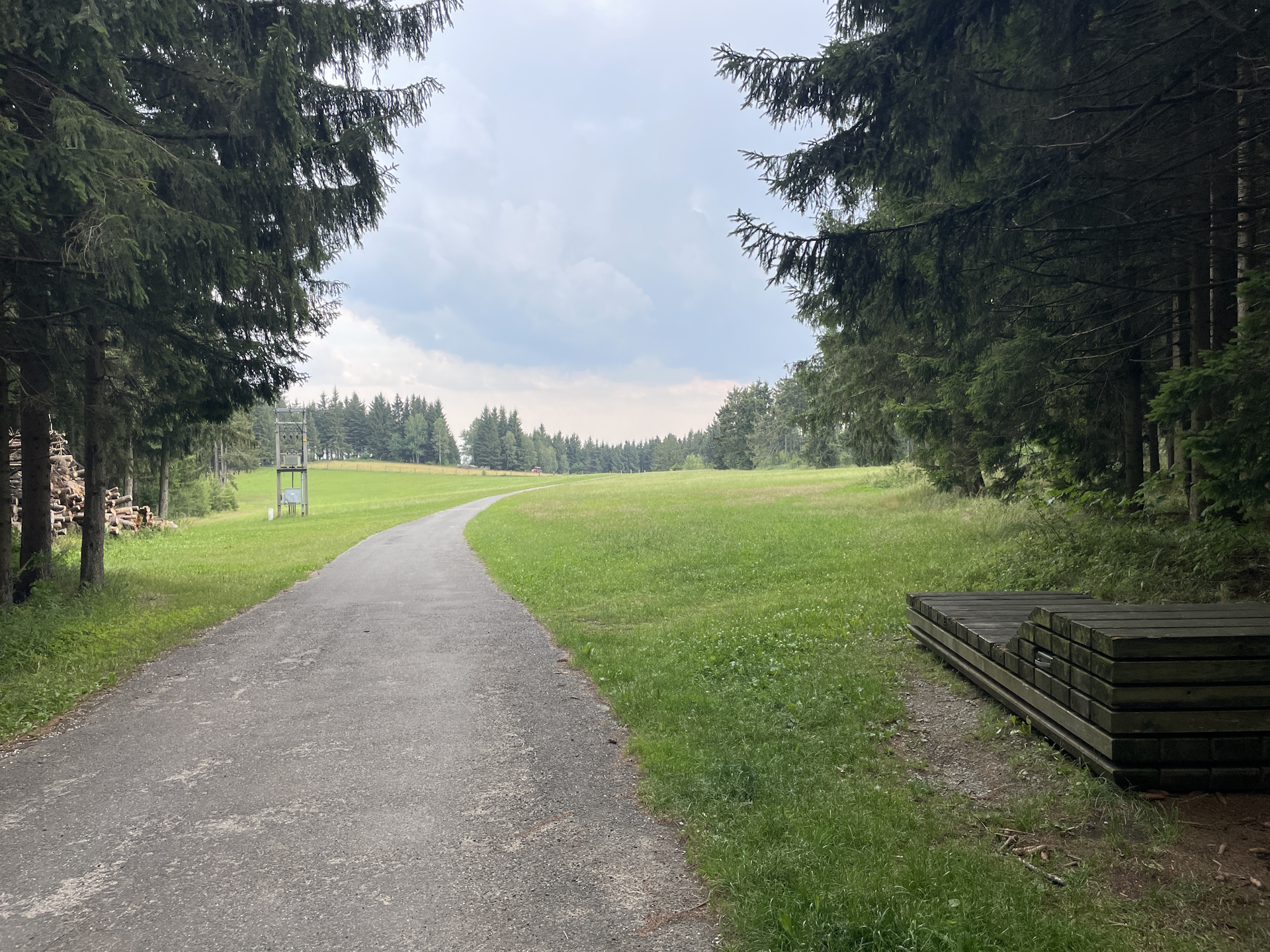
Similar (or to be precise “even worse”) to the previous stage, the hike is mainly done on tarmac roads and exposed to sun, sometimes even on occupied main roads. I had the bad luck of very hot and humid weather which made this hike even more demanding. Again, similar to the previous stage, this stage was not really enjoyable. The only bright spot was the hike up to Jauerling and further to Spitz after passing Zeining, as the view from Jauerling and further the trail downwards compensates a bit the strains.
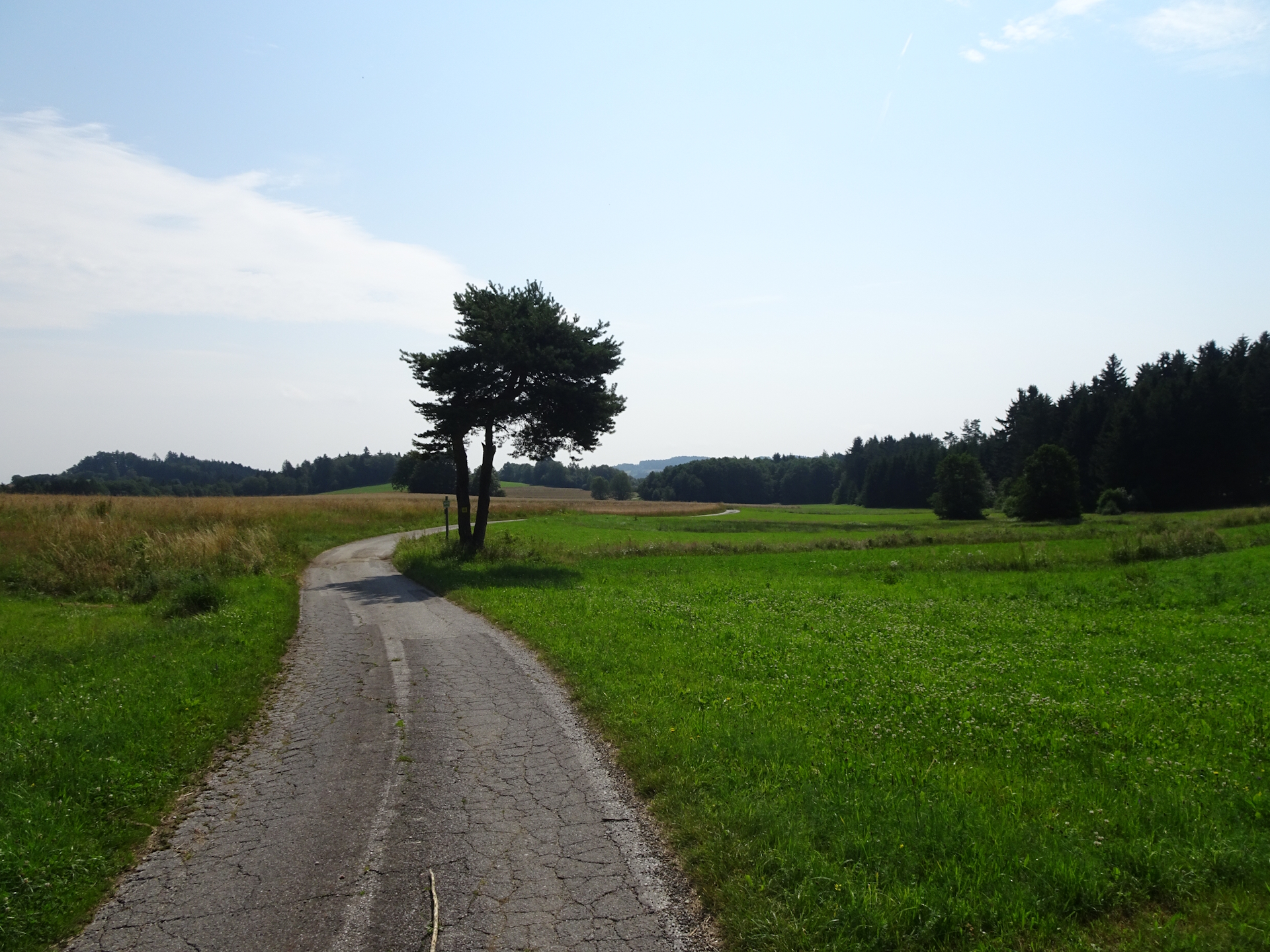
The first part from Ottenschlag towards Elsenreith is solely done on silent tarmac roads with rarely shadow. Thus it is a good idea to start early in the morning before it gets really hot.
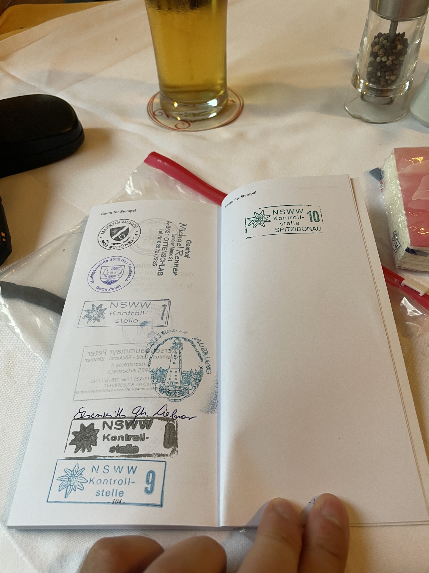
I reached Elsenreith at 11:20. Luckily the kitchen in Gasthaus Liebner was already open, so I took the advantage of getting a tasty Goulash soup with a cold refreshing beer (or two) and also got the first stamp of this tour. Since I was the only guest at that time, I also had a very nice conversation with the owners, sharing some stories of fellow hikers on the trail. After saying good-bye and being thankful for the great service, I continued my hike to Trandorf.
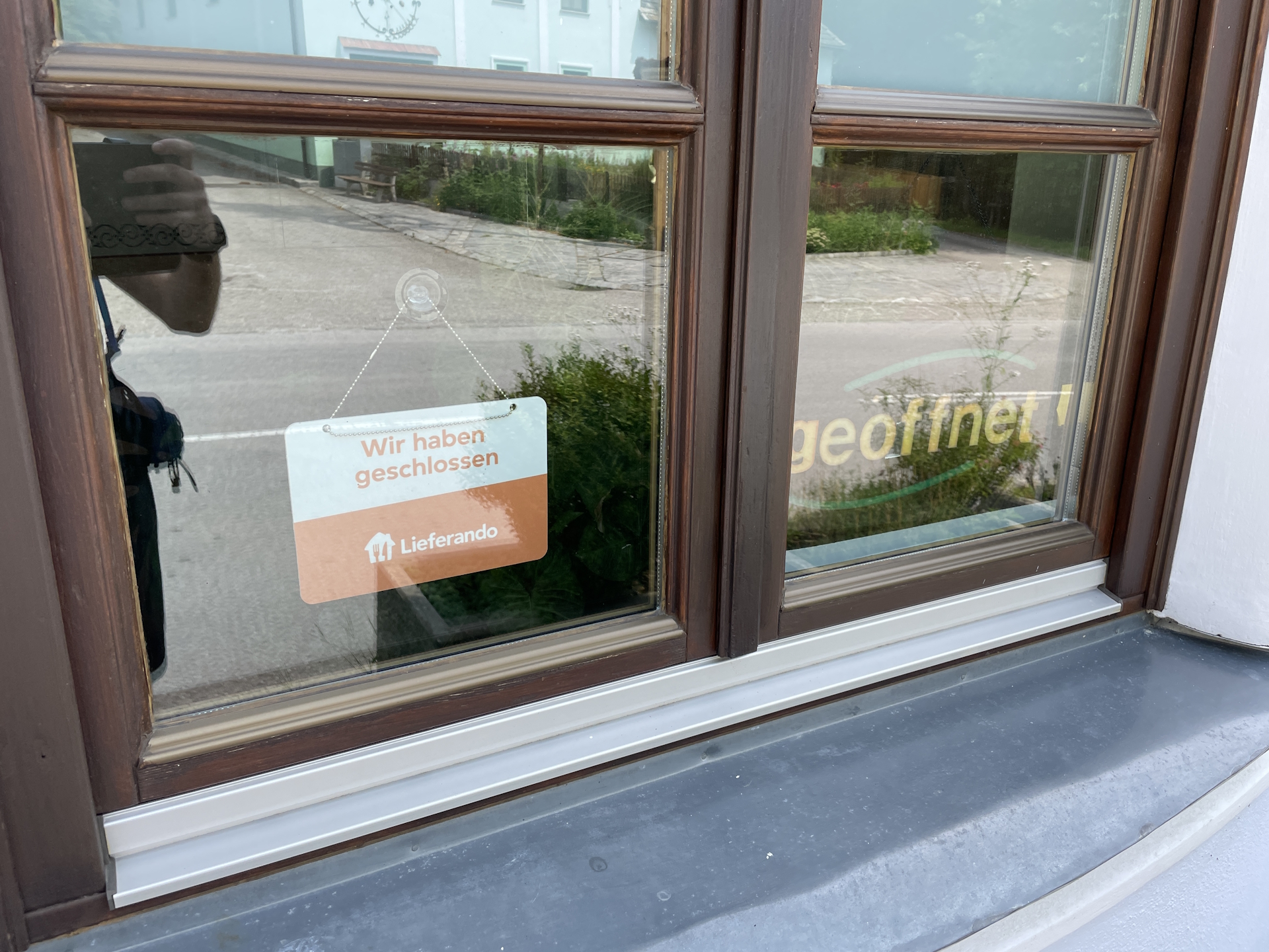
Although optional, I tried to get the stamp of the alternate checkpoint in Trandorf but failed. In fact, there is only a single place where a stamp can be obtained, namely the Café Tratscherl which was closed. As I got stamp 8 already in Elsenreith, I did not waste time and continued my hike, again on exhausting, sun exposed tarmac roads.
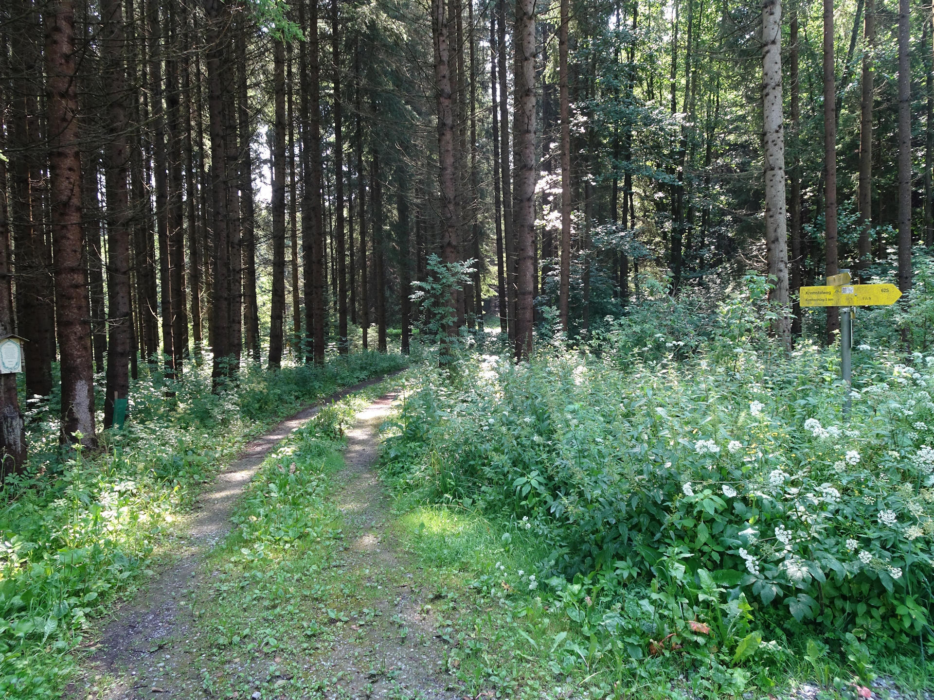
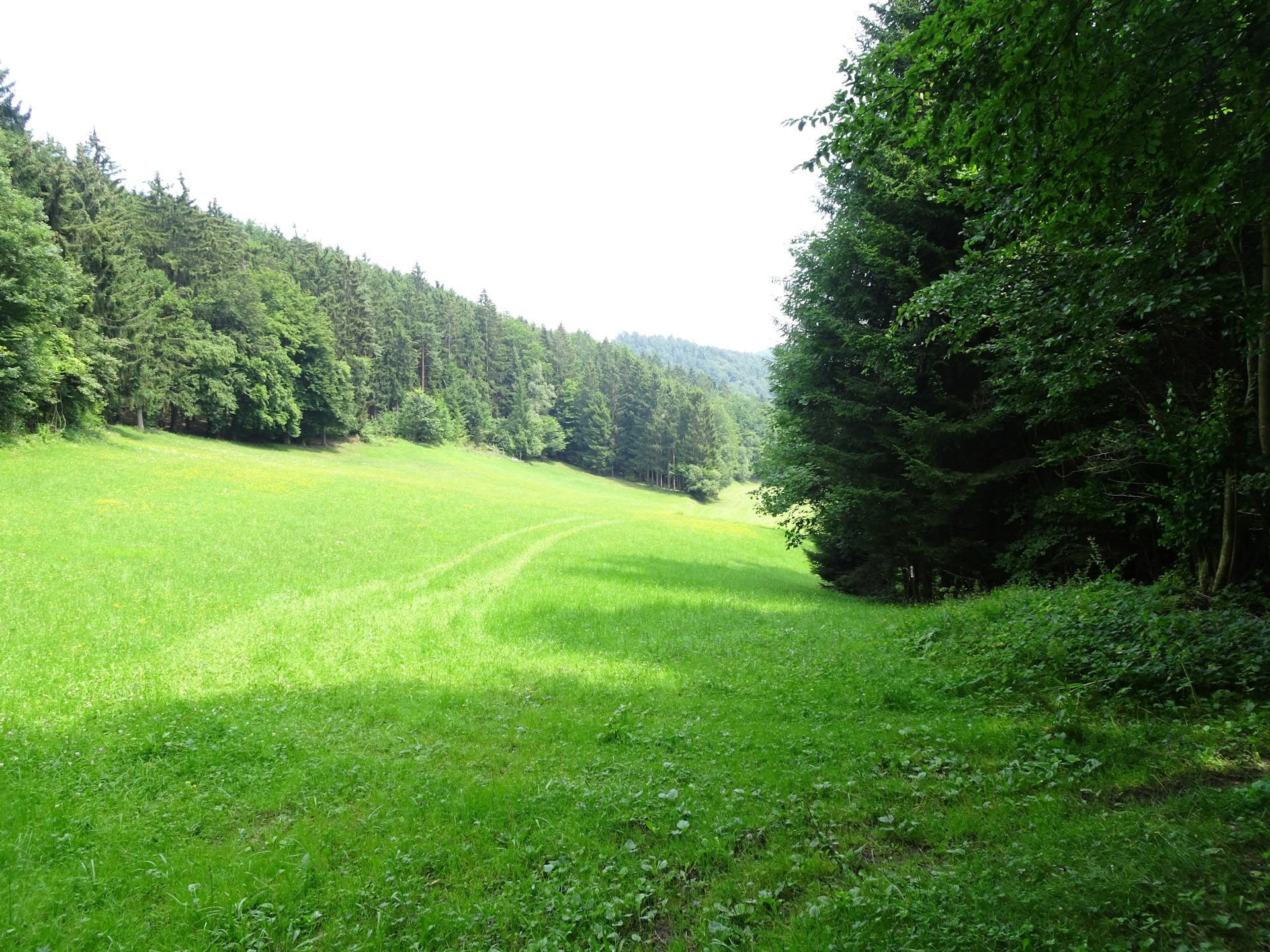
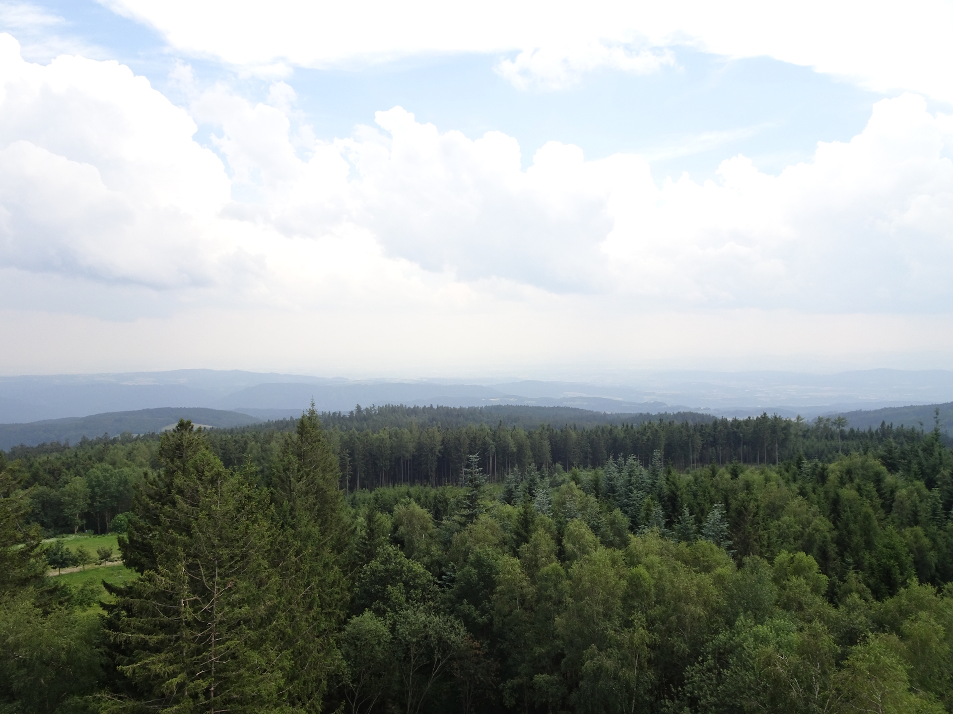
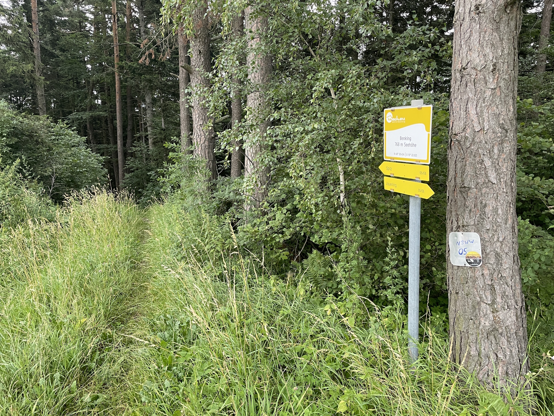
After leaving Zeining the trail became much better. Finally I was hiking through a forest with shadow and moderate temperatures up to Jauerling (Checkpoint).
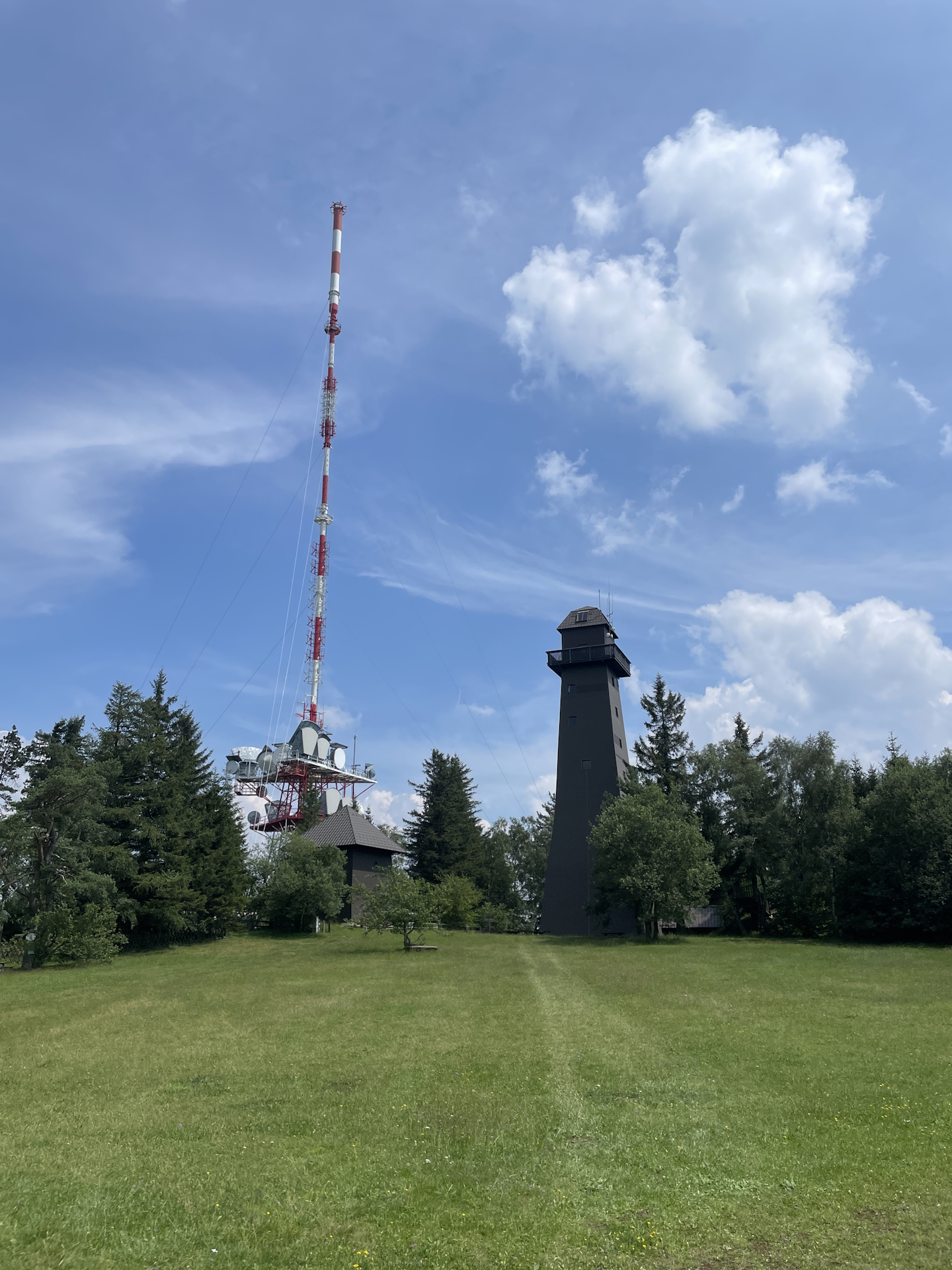
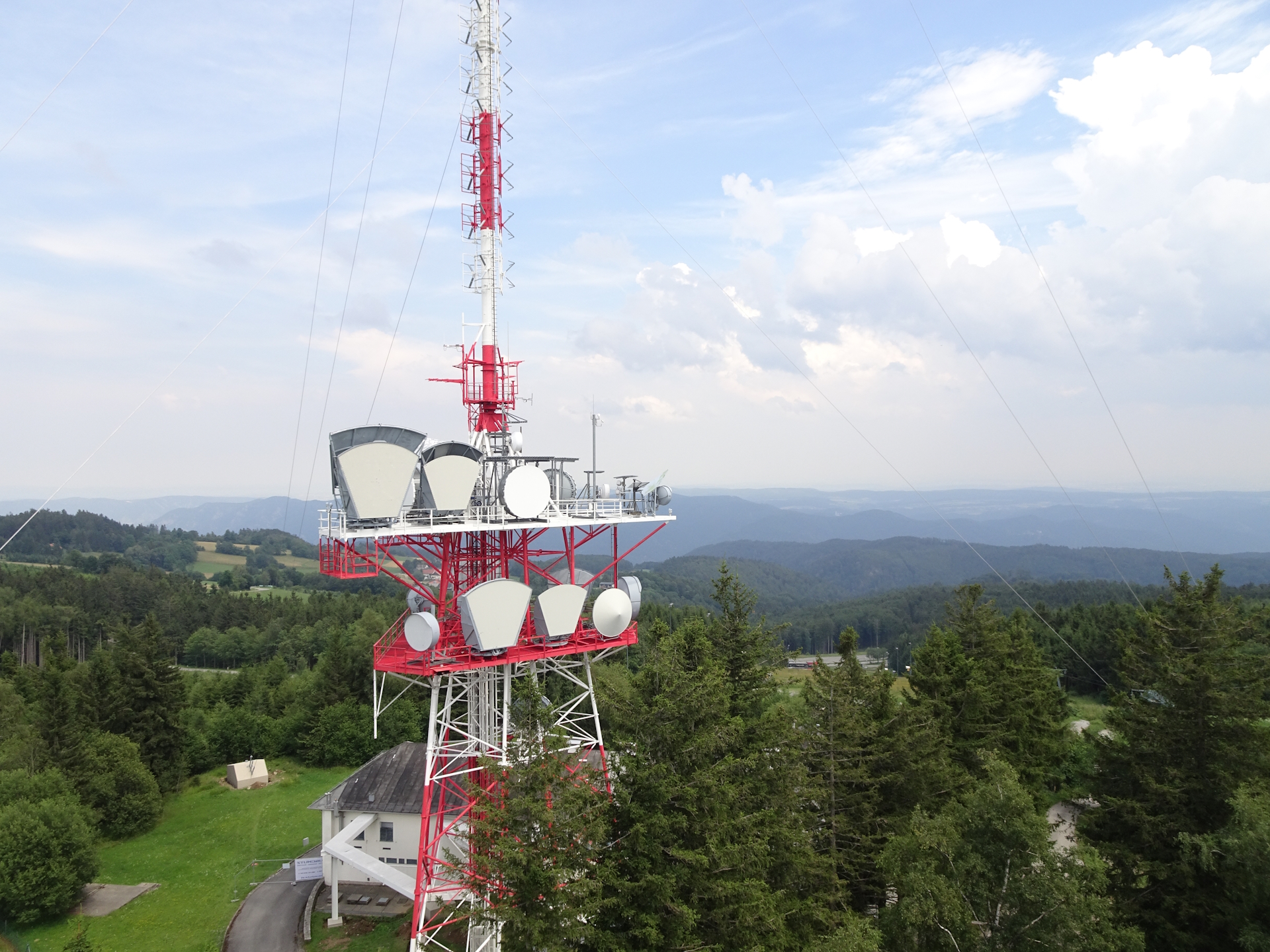
Since I arrived in good time at the Burgstockwiese with its viewing platform on top of the tower, I purchased a ticket and climbed up the tower to enjoy an amazing view from up there. However, I also recognized upcoming thunderstorms, thus after having a quick cold beer and collecting the stamp , I hurried up to get to Spitz an der Donau.
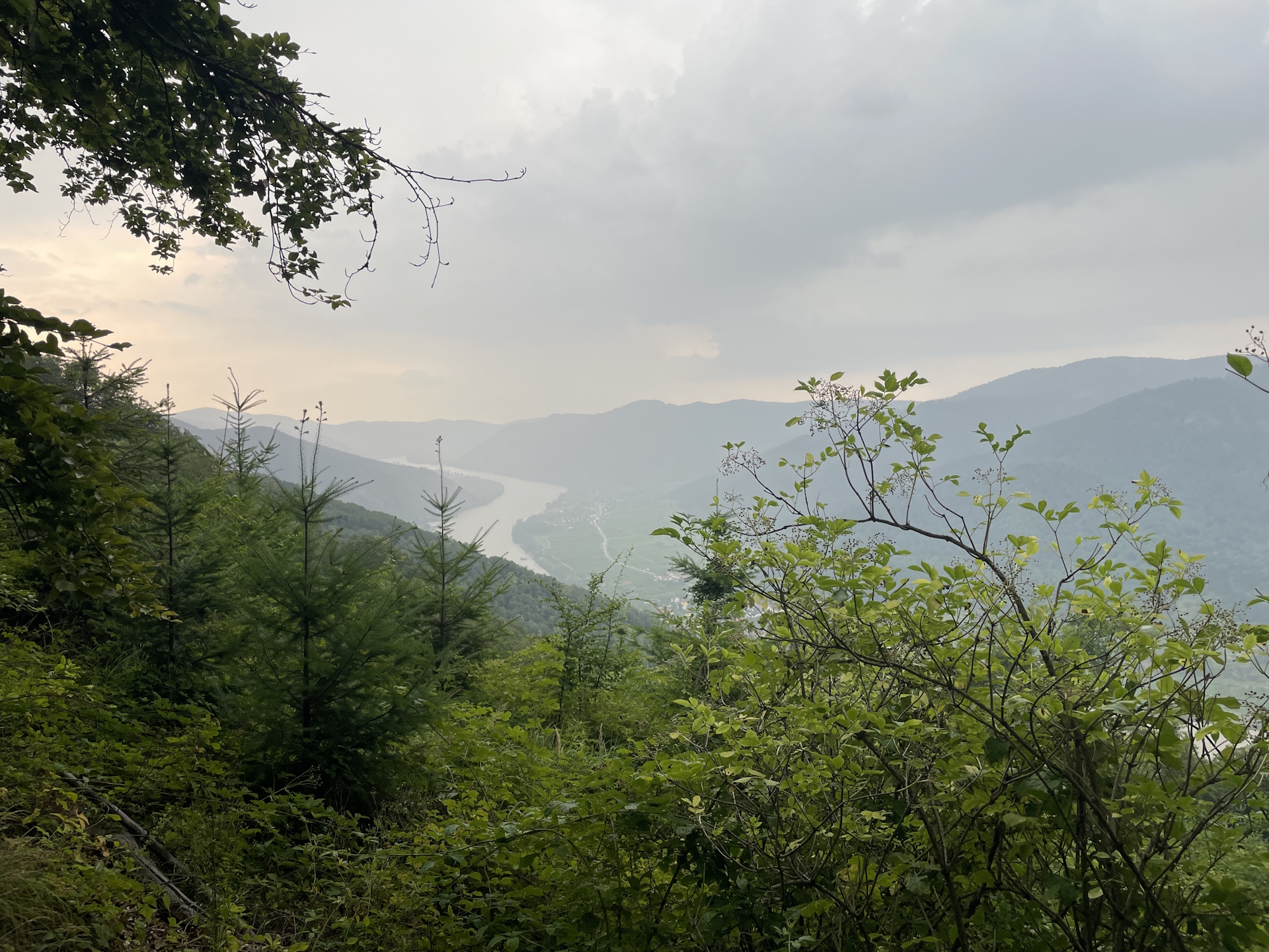
Because of approaching thunderstorms, I’ve skipped the planned break at the Naturparkhaus (but still took my time to have a glimpse towards the Danube) and continued descending down on the trail to Spitz an der Donau.
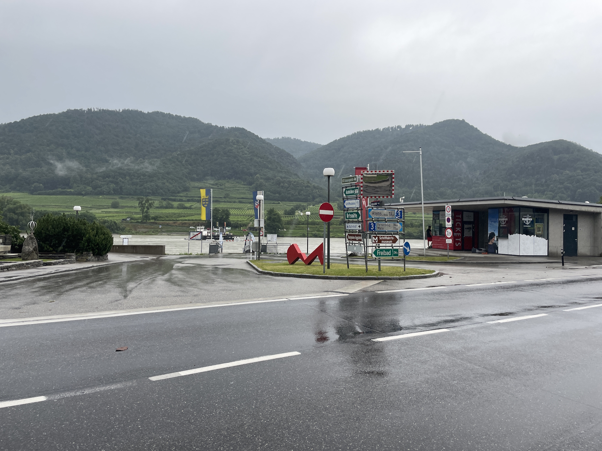
Shortly before arriving Spitz an der Donau, the first drops of rain were falling down, thus I also skipped the planned detour to the Hinterhaus ruin. But because of recent bad weather, the I was forced to do a small detour because the trail was closed down due to dangerous trail conditions.
I still managed to reach Gasthof Goldenes Schiff in time. At the moment I sat down, thunderstorm and heavy rain started. Since the Goldenes Schiff is anyway an official checkpoint, I used my time wisely, had dinner and collected my stamp .
After a delicious dinner and some more beer, I went to the ferry station from where the bus service starts back to Krems and then via train back to Vienna.
| 00:00 | Start at the bus station in Ottenschlag in the city center. Head eastwards following the main road. If not yet done, acquire the stamp at the municipal office. |
| 00:05 | At the crossing (before the bank99), keep left and now follow the smaller street till the city border of Ottenschlag. |
| 00:10 | Turn right into the small street and follow the street southeastwards towards Pleßberg. |
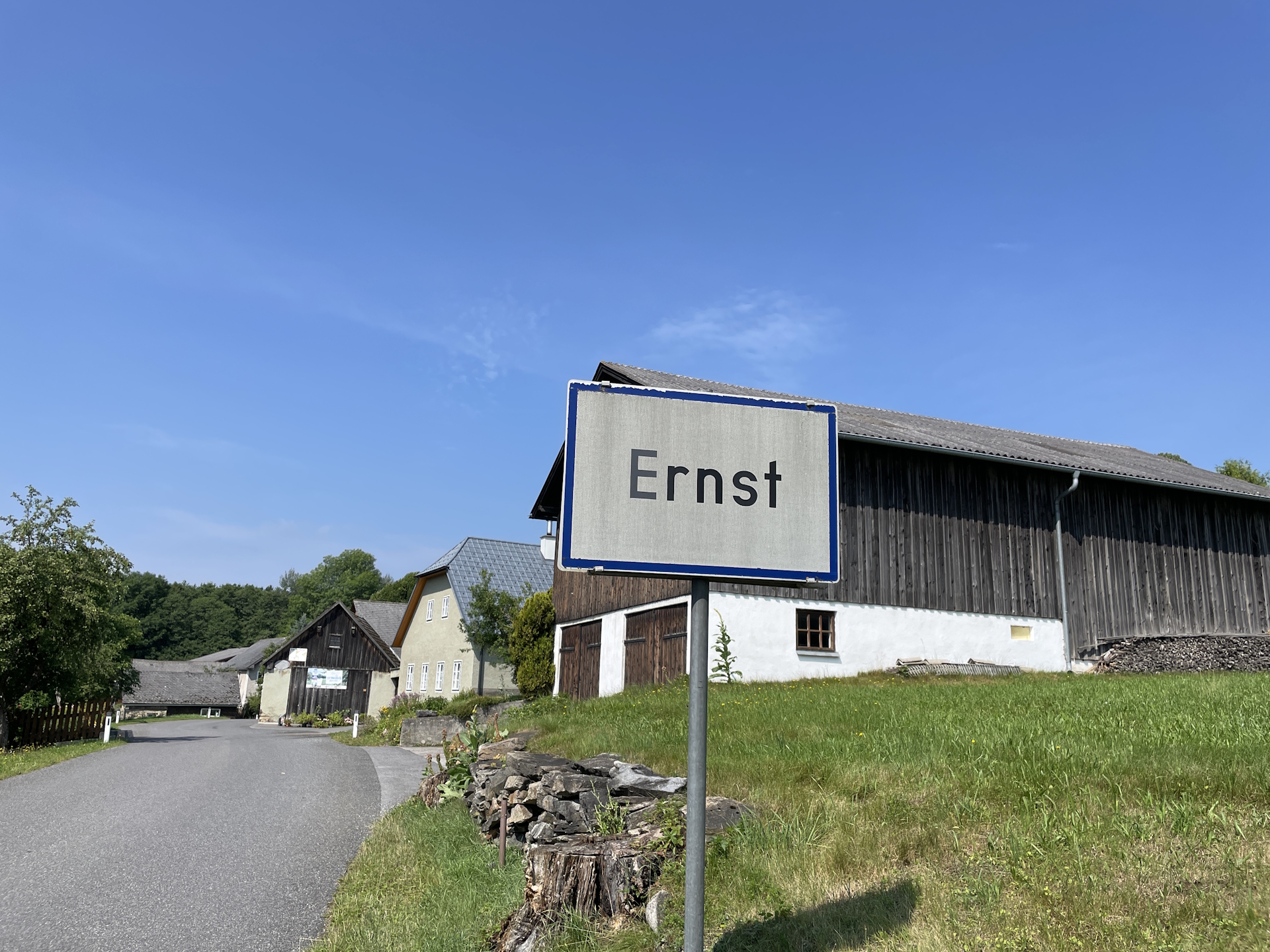
| 00:25 | At Pleßberg, turn left and follow the street eastwards towards Ernst. |
| 00:40 | In Ernst, keep slightly left and follow the street eastwards to Felles. |
| 0:50 | At the crossing, turn right, follow the street through Felles and turn right after leaving Felles. |
| 00:55 | At the end of the street, turn right and then follow the left forest road southwards. |
| 01:00 | Keep straight 2x and now follow the trail through the forest southwards. |
| 01:05 | Turn right into the road L7185 and follow the road southwards to Elsenreith. |
| 01:20 | When entering Elsenreith, keep right and follow the main road into the center of Elsenreith. |
| 01:21 | Well deserved break at Gasthaus Liebner. Don’t forget to collect your stamp ! |
| 01:50 | Continue following the main road westwards. At the end of Elsenreith, turn left and follow the road southwestwards. |
| 02:15 | At the Alter Grenzstein, turn left into the forest road and follow the forest road eastwards towards Trandorf. |
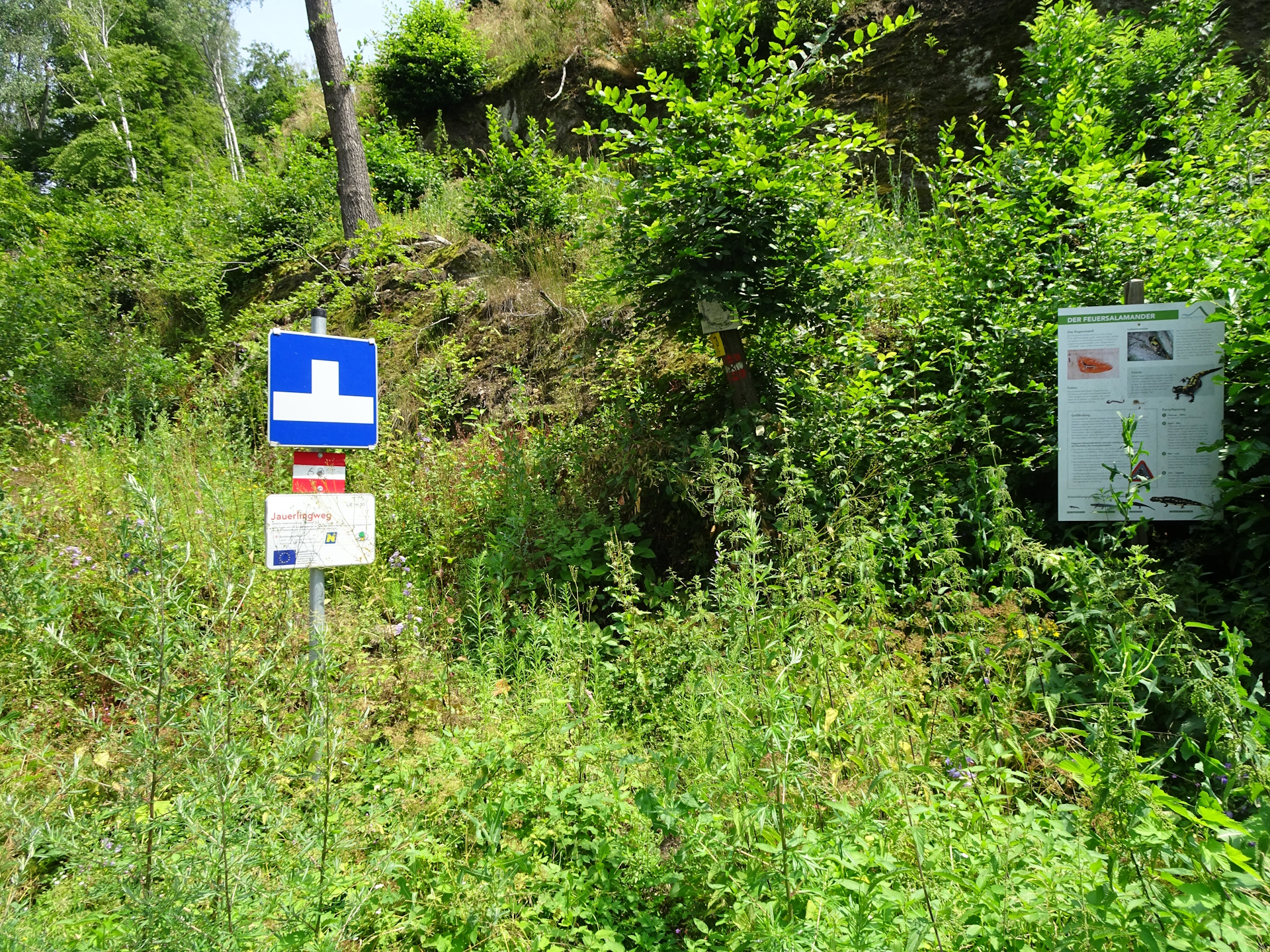
| 02:55 | At the center in Trandorf, turn right and follow the main street southwards towards Zeinig. The alternate checkpoint (Café Tratscherl) is opposite the crossing . |
| 03:15 | Leave the main street by turning left and follow the road into the center of Zeining. |
| 03:17 | Turn left into the smaller road and follow the road eastwards. The road leads first into a gravel road and then into a forest road. Following the markings (red-white-red) leads directly up to Jauerling. |
| 04:20 | Keep straight and head towards the already visible antenna and the tower with the viewing platform. |
| 04:21 | Well-deserved break () at Jausenstation Jauerling. Don’t forget to collect your stamp and consider climbing up the tower and its viewing platform. |
| 04:40 | Head back through the meadow and then turn right following again the marked trail towards Spitz. |
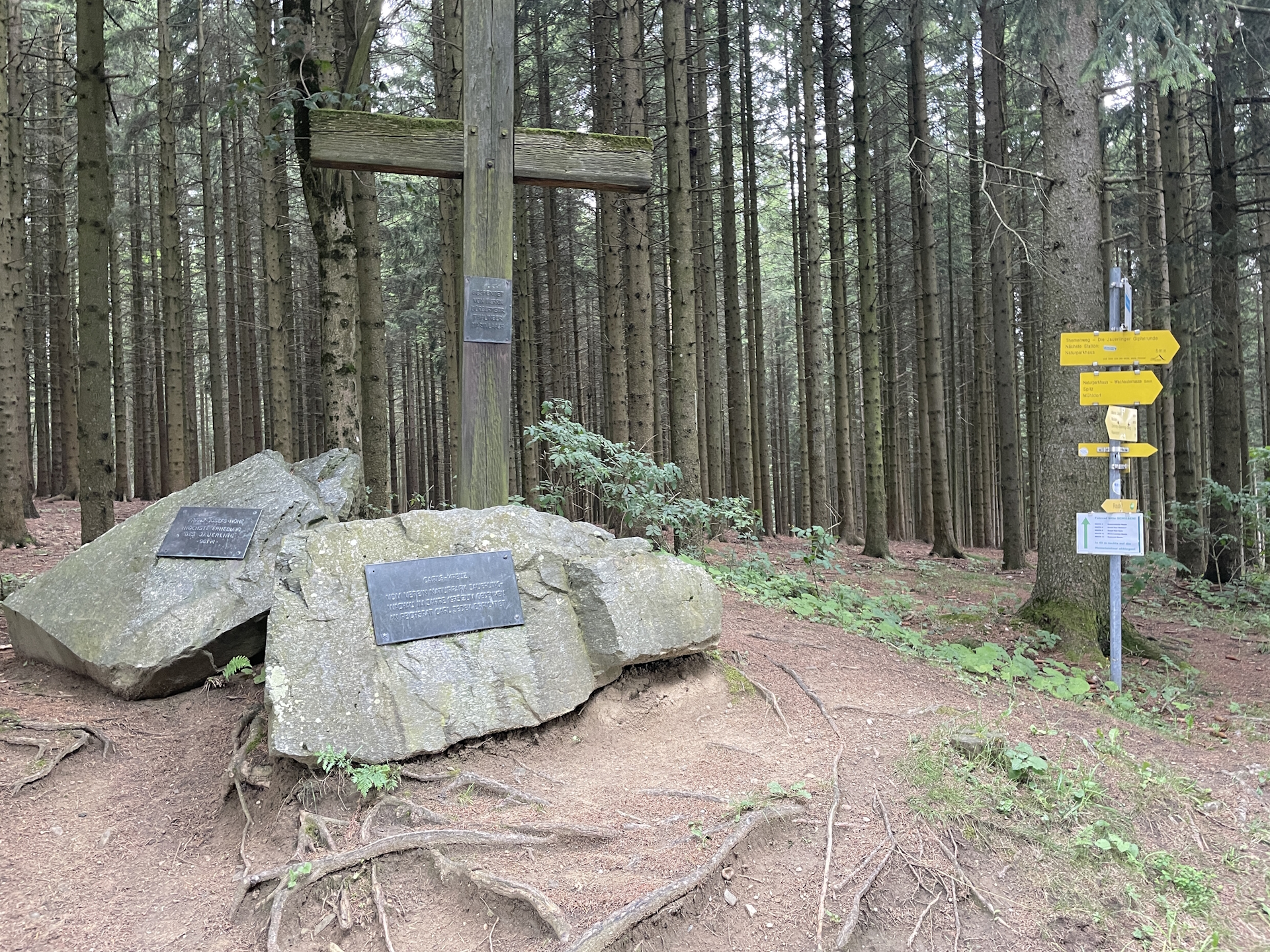
| 04:45 | Easy to miss: Turn left BEFORE the street and follow the small trail passing by directly the Jauerling summit. Continue following the trail till reaching again the street. |
| 04:55 | At Carls Kreuz, turn left into the street. Follow the street for a few meters and then turn right towards the already visible Naturparkhaus. If not done at Jauerling, you can stop for a break and get your stamp here as well. |
| 05:00 | Enjoy the view towards the Danube and follow the marked trail eastwards. |
| 05:45 | Keep straight, leave the street and now descend on the trail through the forest to Spitz an der Donau. |
| 06:35 | In Spitz, turn right into the street and follow it towards the Danube. Before the roundabout, turn left and follow the small road towards Gasthof Goldenes Schiff. |
| 06:45 | Well deserved break () at Gasthof Goldenes Schiff. Collect your final stamp before heading a bit further northeastwards to the bus station located next to the ferry station. End of the tour. |
General Tour Data
| Area: | Waldviertel, Lower Austria, Austria | |
| Distance: | 30km | |
| Ascent: | 719m (2h 15min) | |
| Descent: | 1353m (3h 40min) | |
| Highest Pt: | 960m | |
| Lowest Pt: | 203m | |
| Duration: | 5h 55min (without breaks) 6h 45min (with breaks) |
|
| Stop/Rest: | Gasthof Renner (Ottenschlag, 844m) Gasthaus Liebner (Elsenreith, 794m) Café Tratscherl (Trandorf, 445m) Jausenstation Ausichtswarte Jauerling (Jauerling, 960m) Naturpark Gasthaus (Jauerling, 906m) Gasthof Goldenes Schiff (Spitz an der Donau, 203m) |
|
| Equipment: | Backpack with standard hiking equipment Comfortable hiking shoes Snacks, Food and plenty (!) of water Sun & Weather protection Camera |
| Download GPX | ||
| O | Tour at outdooractive.com |
At a glance
| Level | moderate |
| Technique | |
| Shape / Fitness | |
| Experience | |
| Scenery | |
| Best time in the year | |
|
Jan
Feb
Mar
Apr
May
Jun
Jul
Aug
Sep
Oct
Nov
Dec
|
|
Leave a Reply