
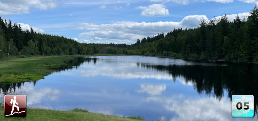
Second stage of the Nord-Süd-Weitwanderweg 05 starting from Karlstift via Liebenau and Arbesbach to Altmelon.
 |
The North-South-Long-Distance trail (Nord-Süd-Weitwanderweg, also known as the “05”) starts in the north of Austria at Nebelstein and ends in the south of Austria at Eibiswald. The trail is ~500km long, ~18 000m in ascent and the same amount in descent. The trail was initiated by Carl Hermann and officially established on the 25th September 1970. The trail is separated into 3 parts:
It normally takes 3 weeks to complete the entire trail. |
The here presented tour is the second stage of the Nord-Süd-Weitwanderweg 05 .
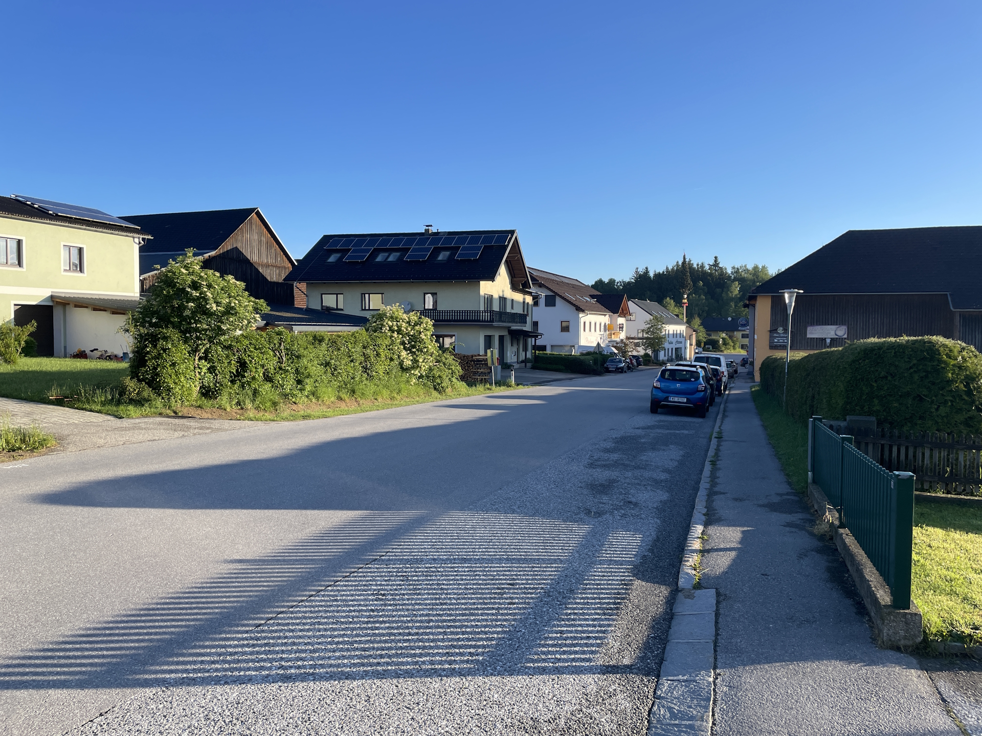
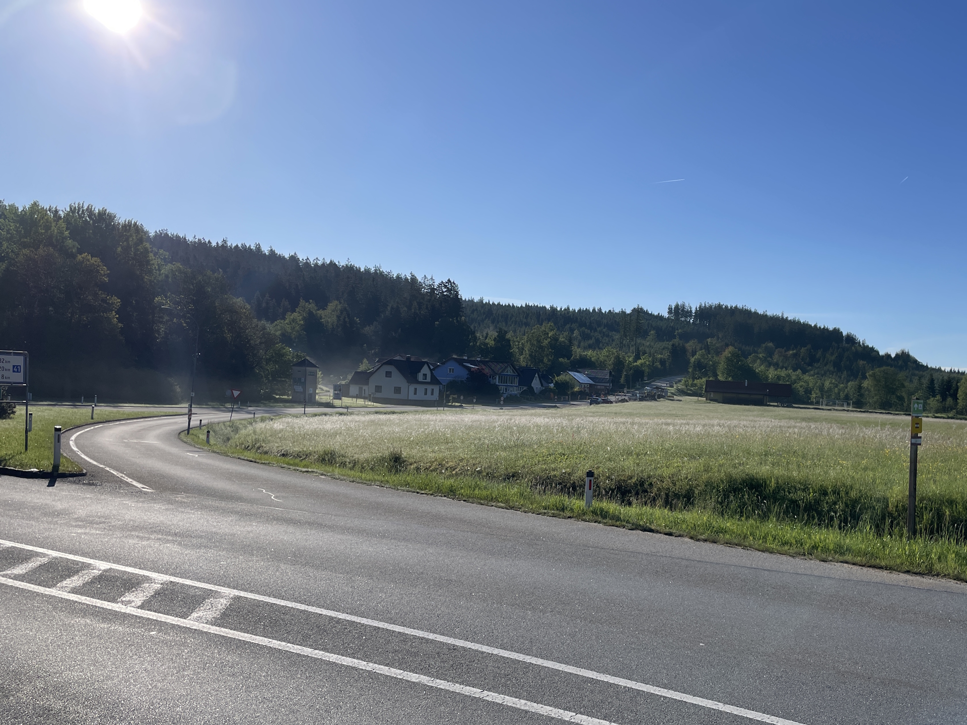
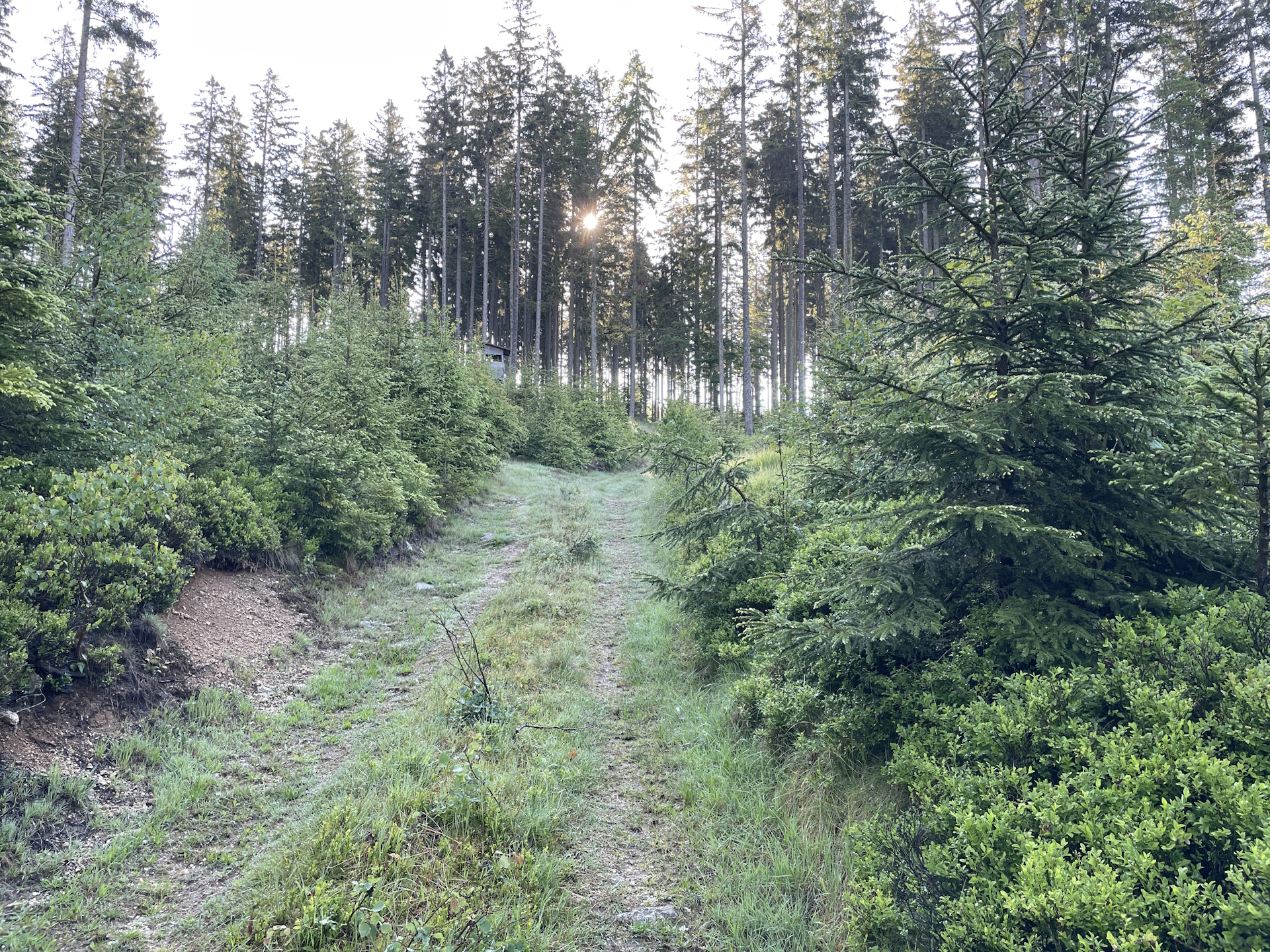
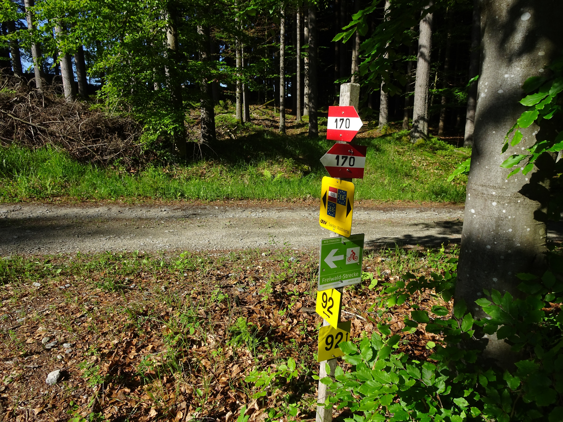
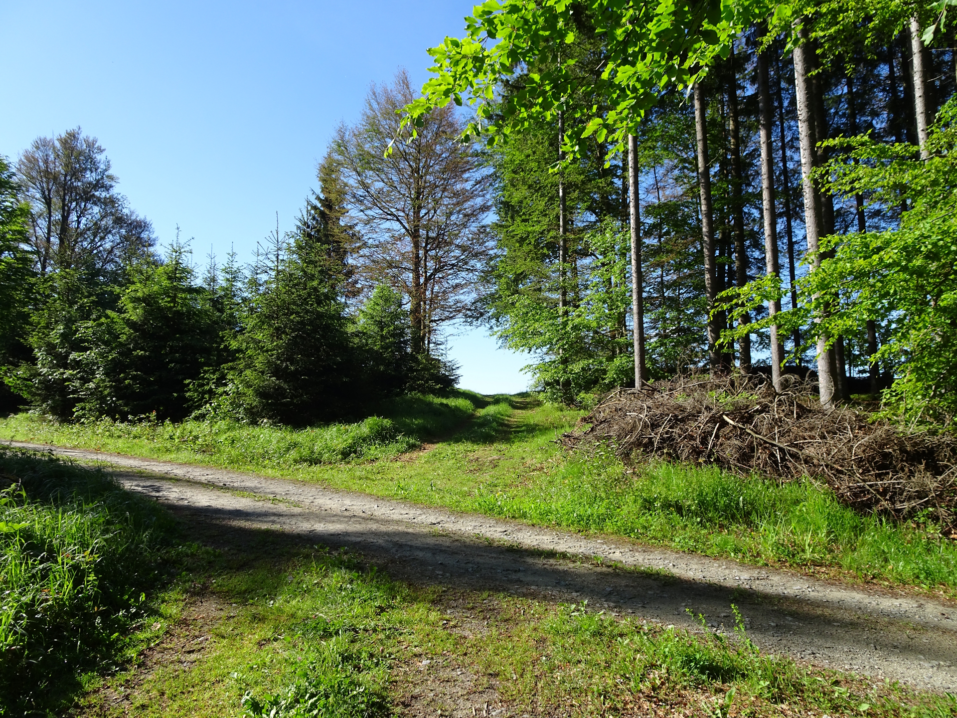
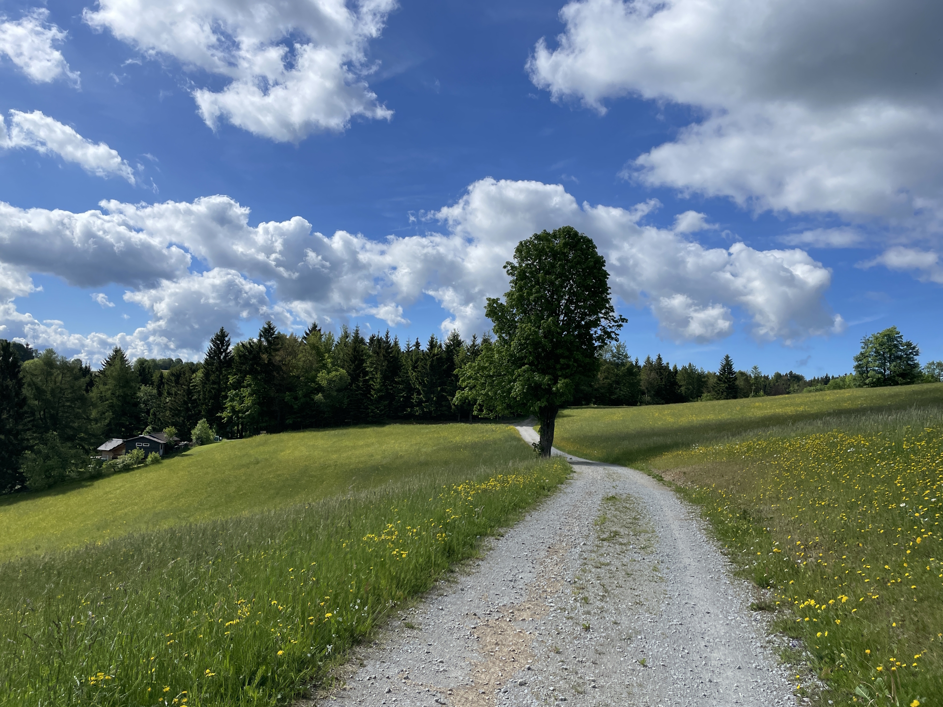
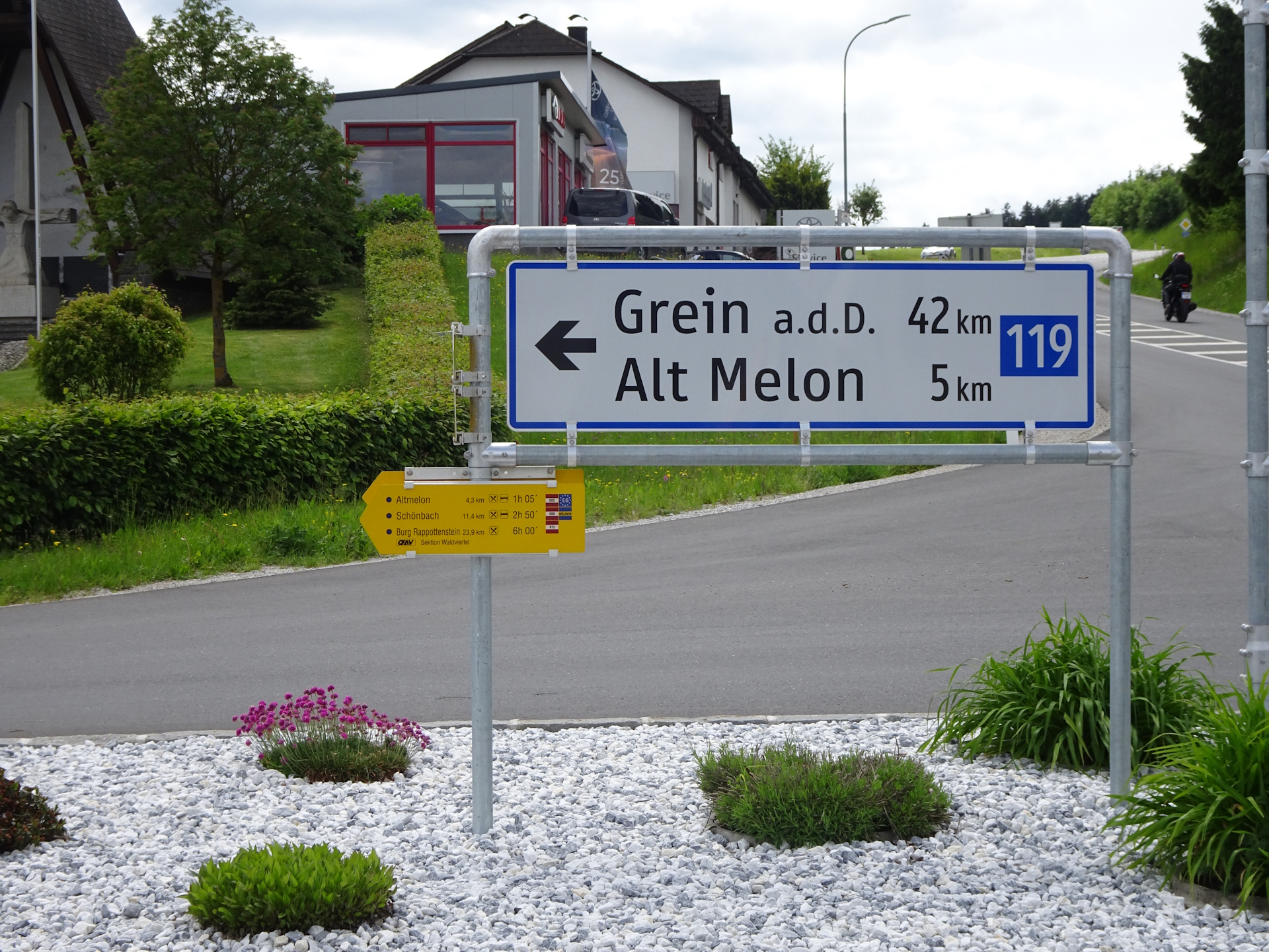
The tour starts at the bus station Karlstift (Checkpoint) and first follows the main road eastwards B38 towards its crossing. Right after the crossing, the tour then uses a smaller street that leads into a forest road and then uses mainly trails and gravel roads through the forest towards Liebenau (Checkpoint).
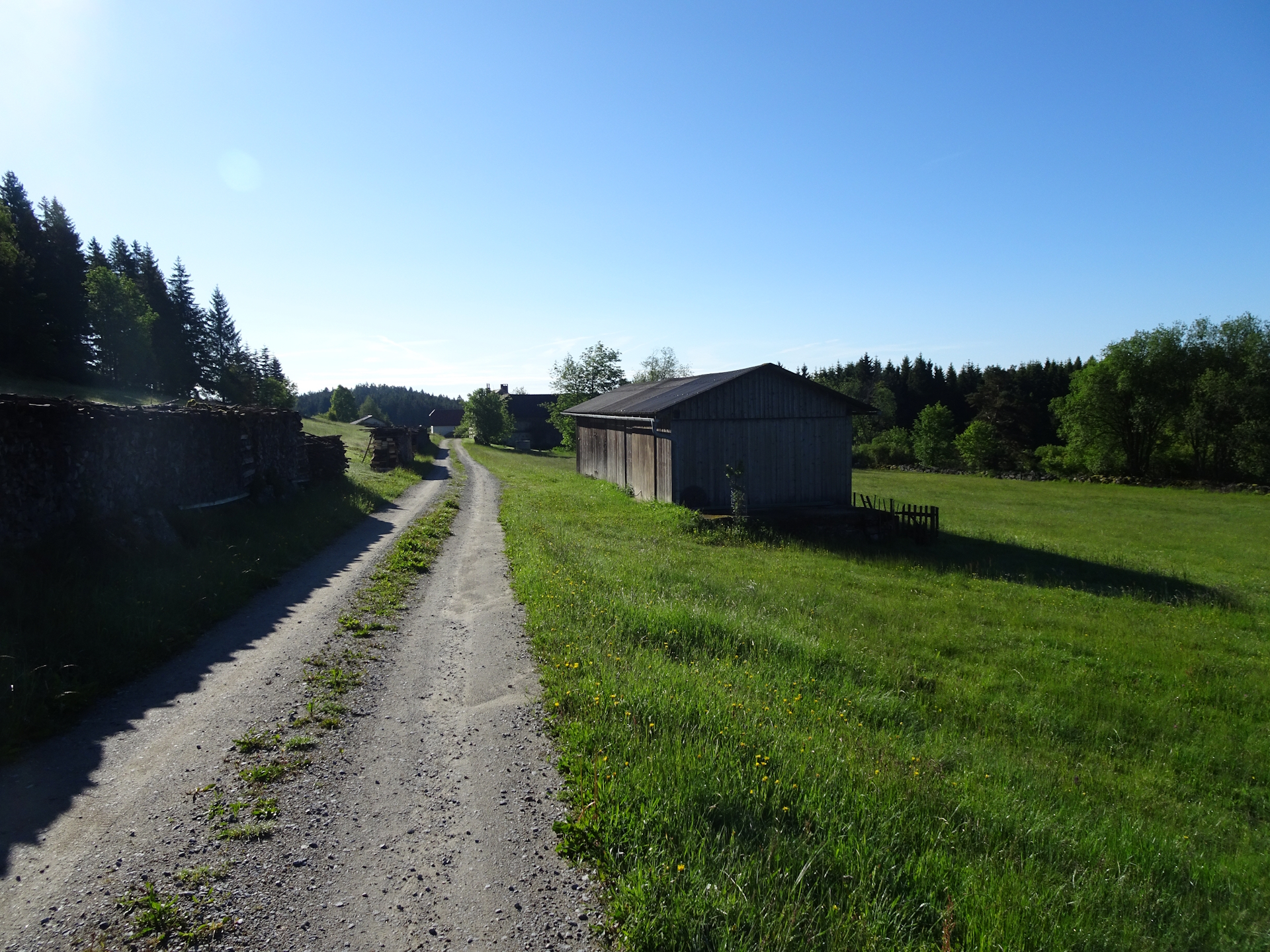
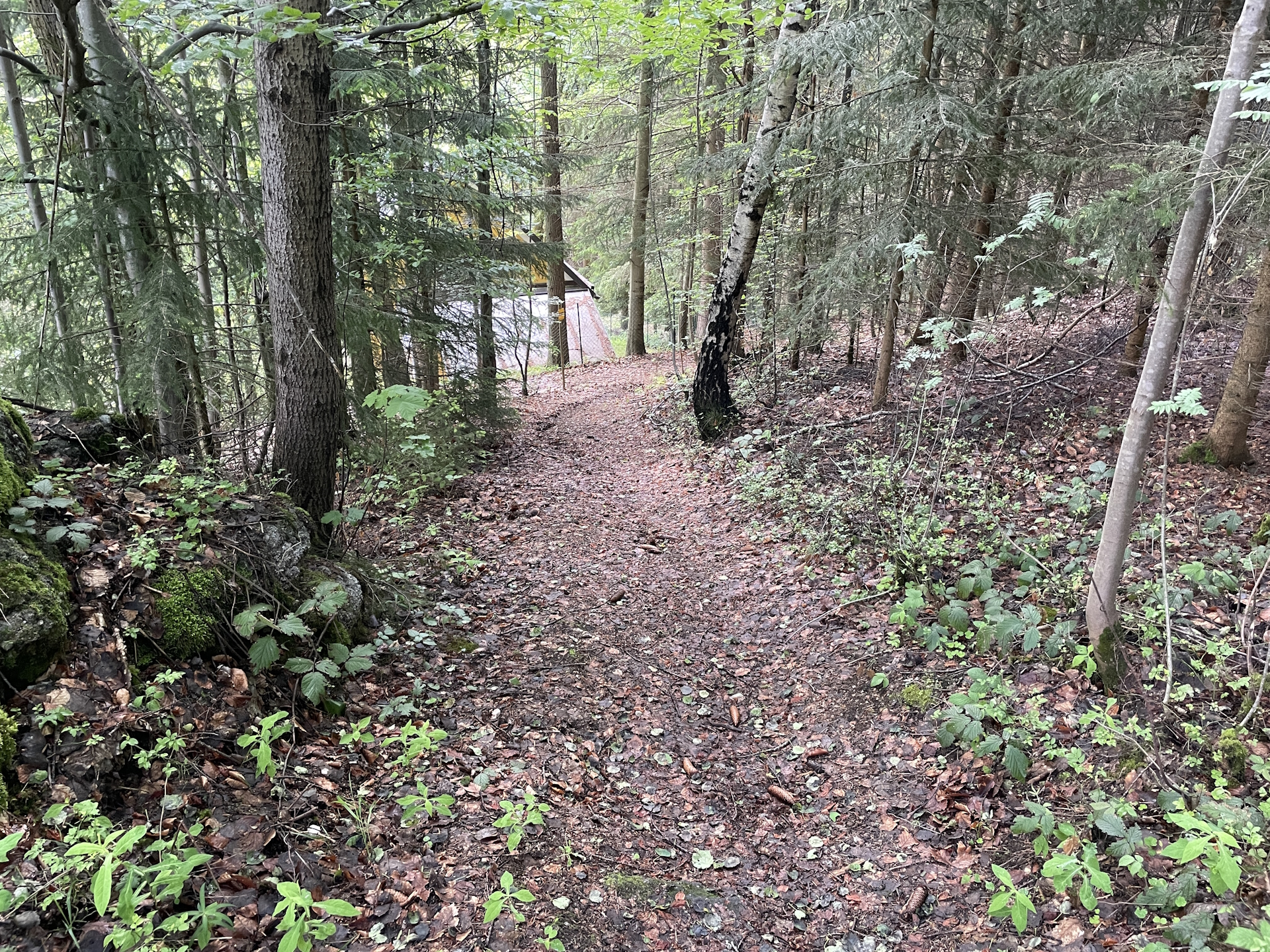
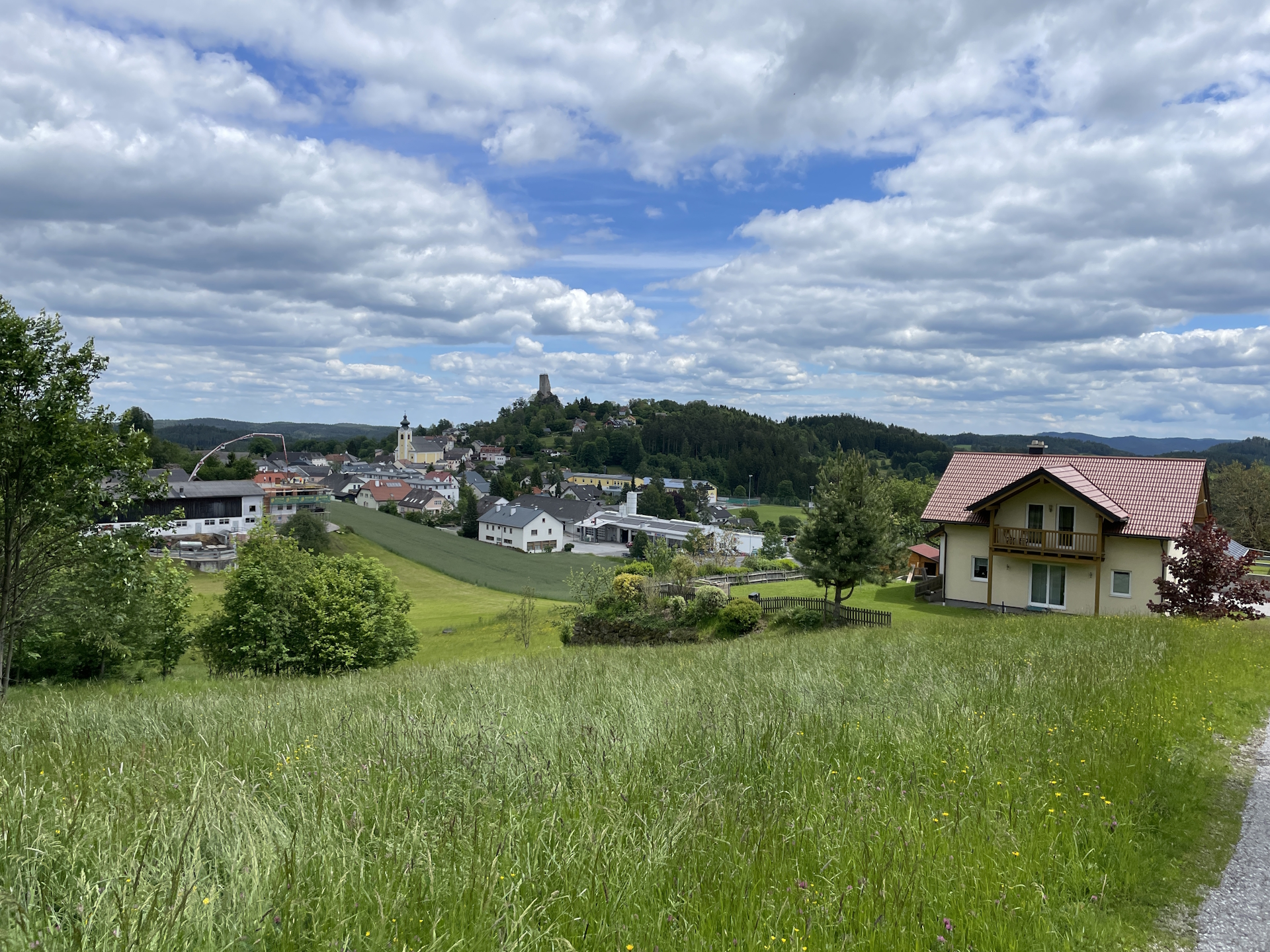
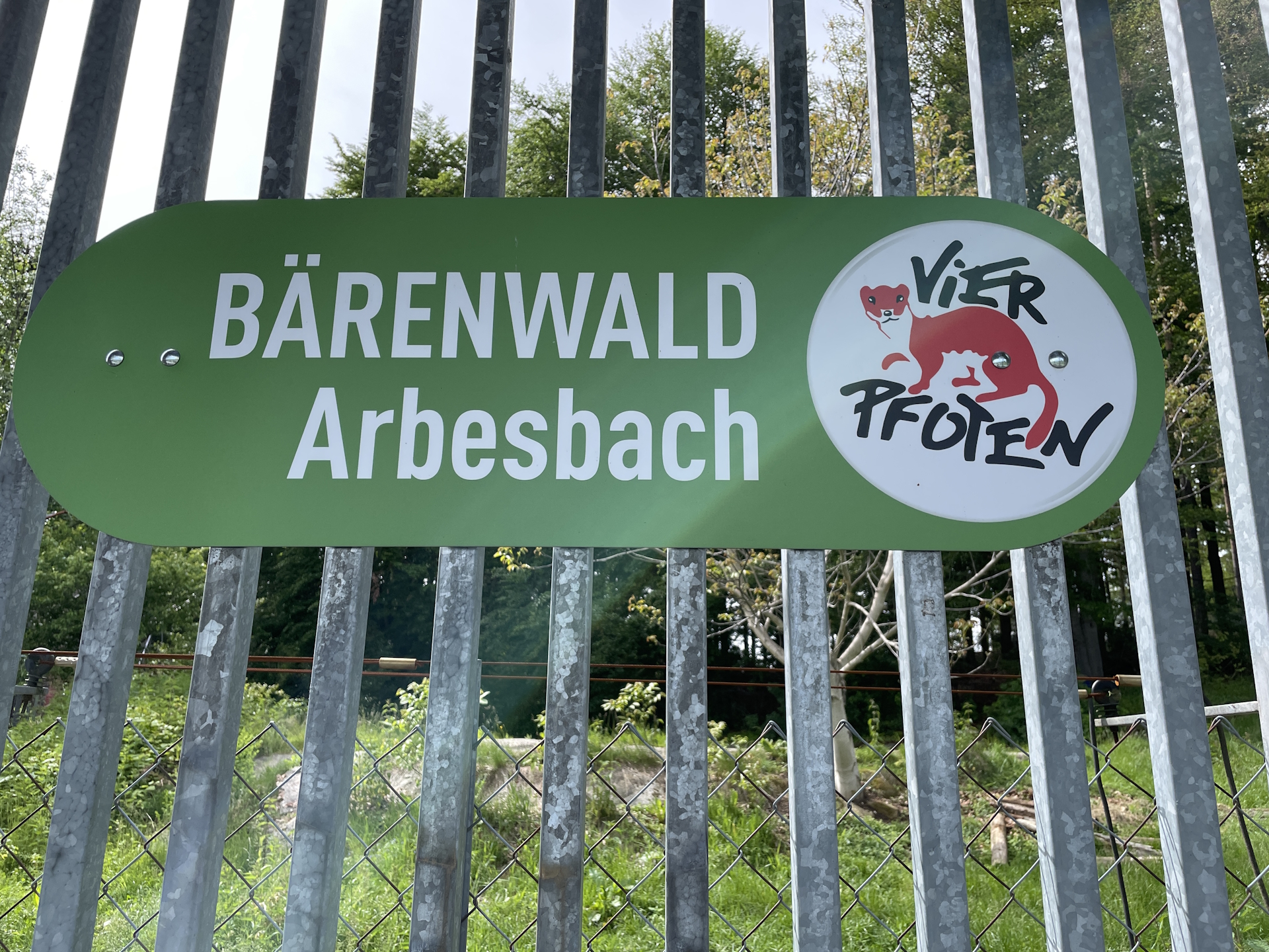
From there the tour uses mainly paved roads towards Geierschlag and further to the iconic Rubner Teich (pond). After a short break at the pond, the tour then leads around and continues heading westwards on forest roads towards the Lehrmüller Mauer and further to Arbesbach (Checkpoint). Here, a detour to the impressive Bärenpark (bear sanctuary) is recommended to observe closely bears that were rescued from human keepings. The tour then continues following mainly gravel roads towards Altmelon (Checkpoint).
| Nord-Süd-Weitwanderweg 05 – Checkpoints | |
|
Transportation:
As I’ve planned a single day-trip to accomplish this stage, I used my car to drive to the destination Altmelon and parked it there next to the school. From there bus service is provided during school days to reach Karlstift:
- Bus 735 from Altmelon Ortsmitte (06:19) Arbesbach Ortsmitte (06:24)
- Bus 736 from Arbesbach Ortsmitte (06:30) Groß Gerungs Hauptplatz (06:43)
- Bus 736 from Groß Gerungs Hauptplatz (06:43) Karlstift B38/Abzw. Ort (07:07)
Having the car parked at the destination allows for detours and breaks, not having pressure to catch public transportation.
The hike:
I started the hike on a weekday (Wednesday) early in the morning (7:00). Doing the stage during the week allows for two important things: (1) the bus to get from Altmelon to Karlstift is operating only during school days (not on the weekend!), and (2) stamps can be collected at the municipal offices, thus not being dependent on opening hours of restaurants.
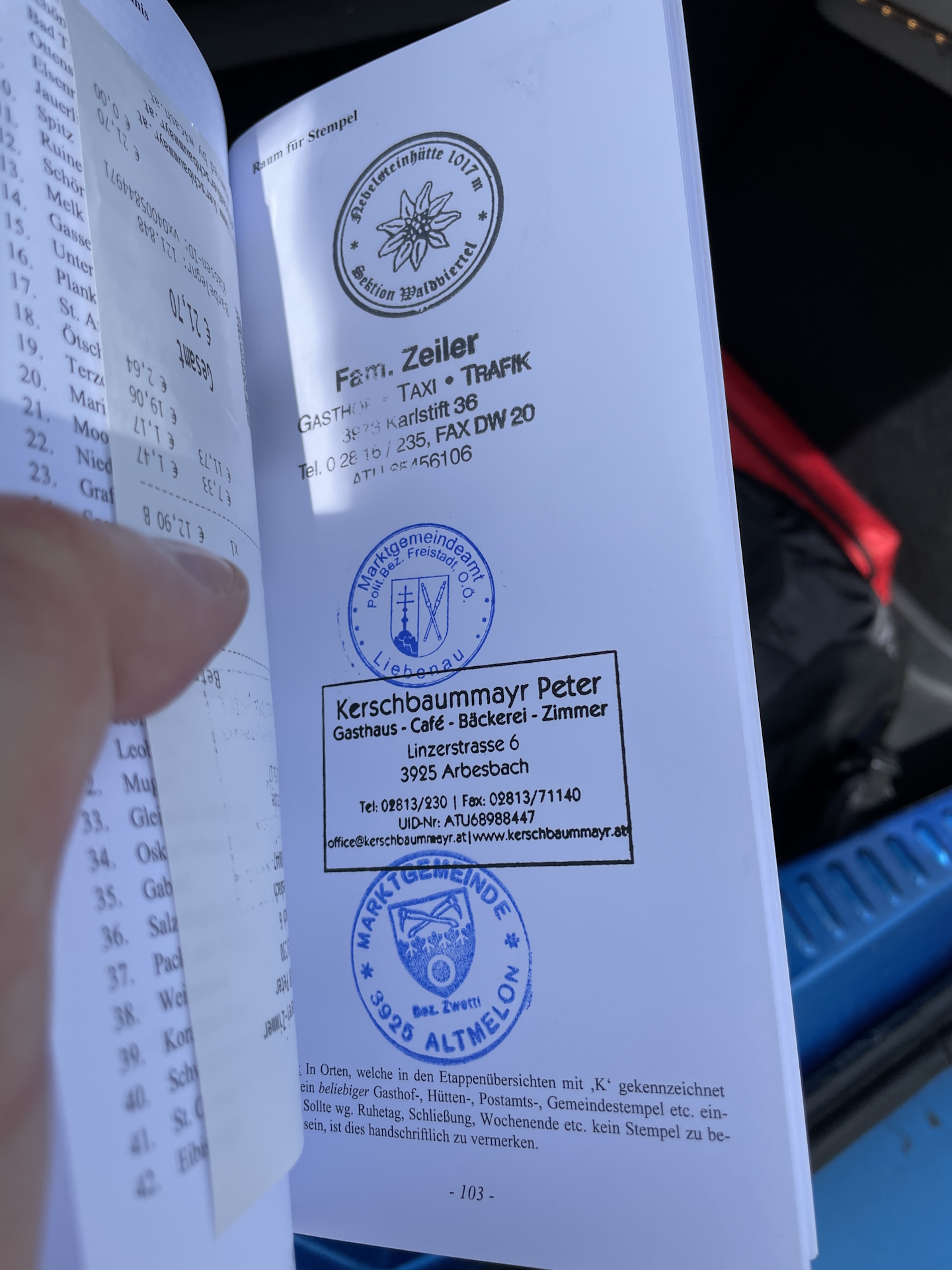
If not done in the previous stage, the first stamp can be acquired at the restaurant Zeiler in Karlstift having a morning coffee before starting the tour. I had the stamp already from the previous stage so I’ve used the time and started directly the tour towards Liebenau.
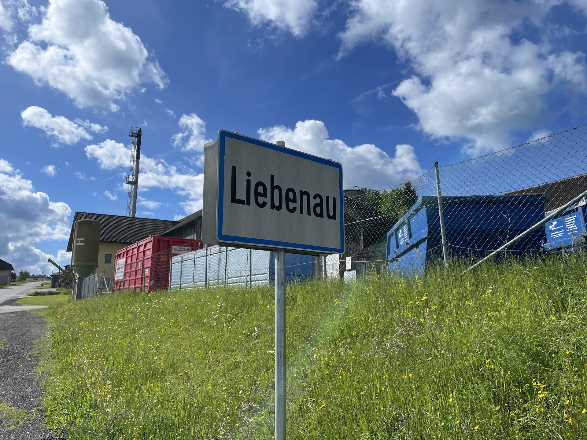
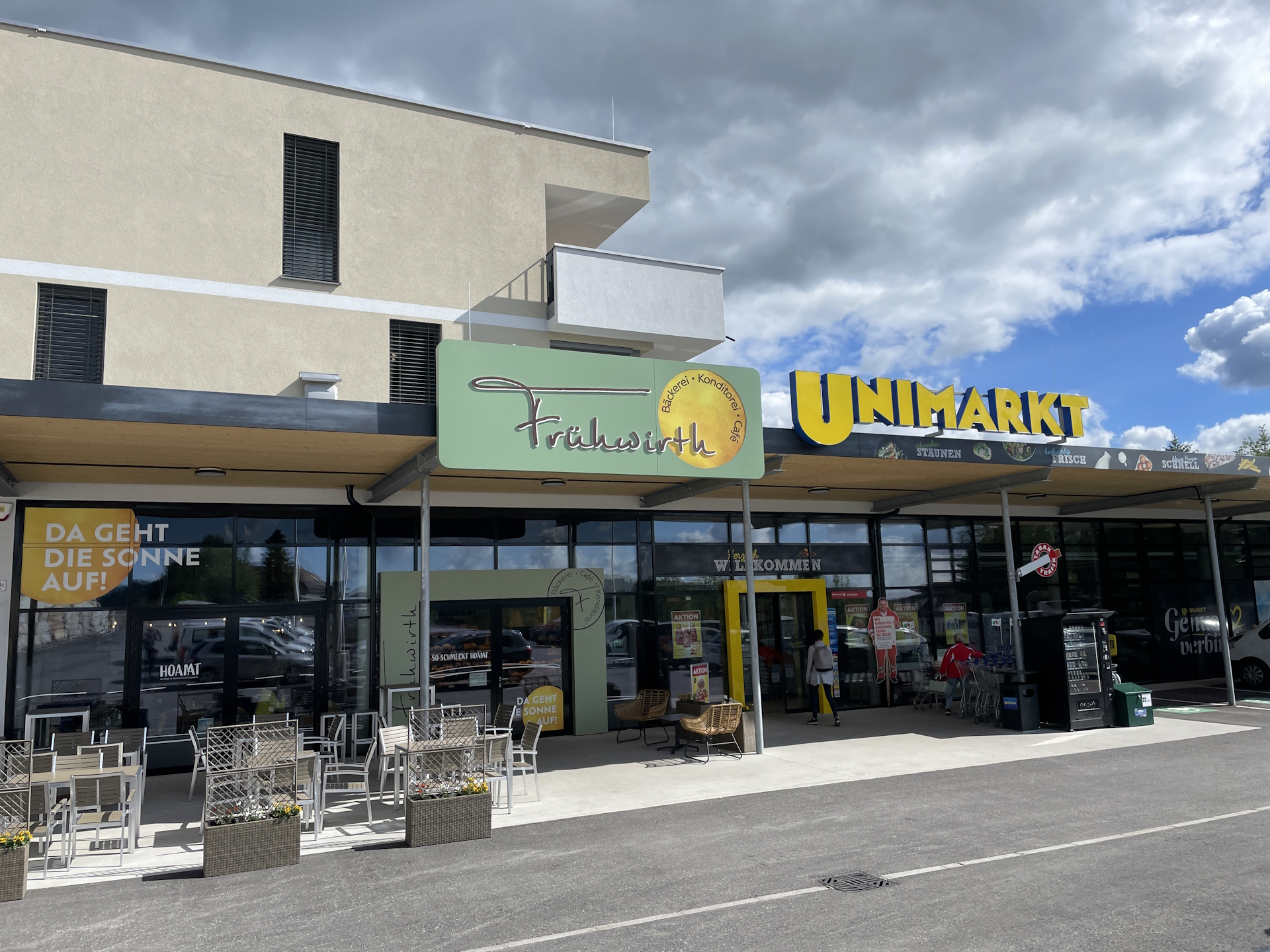
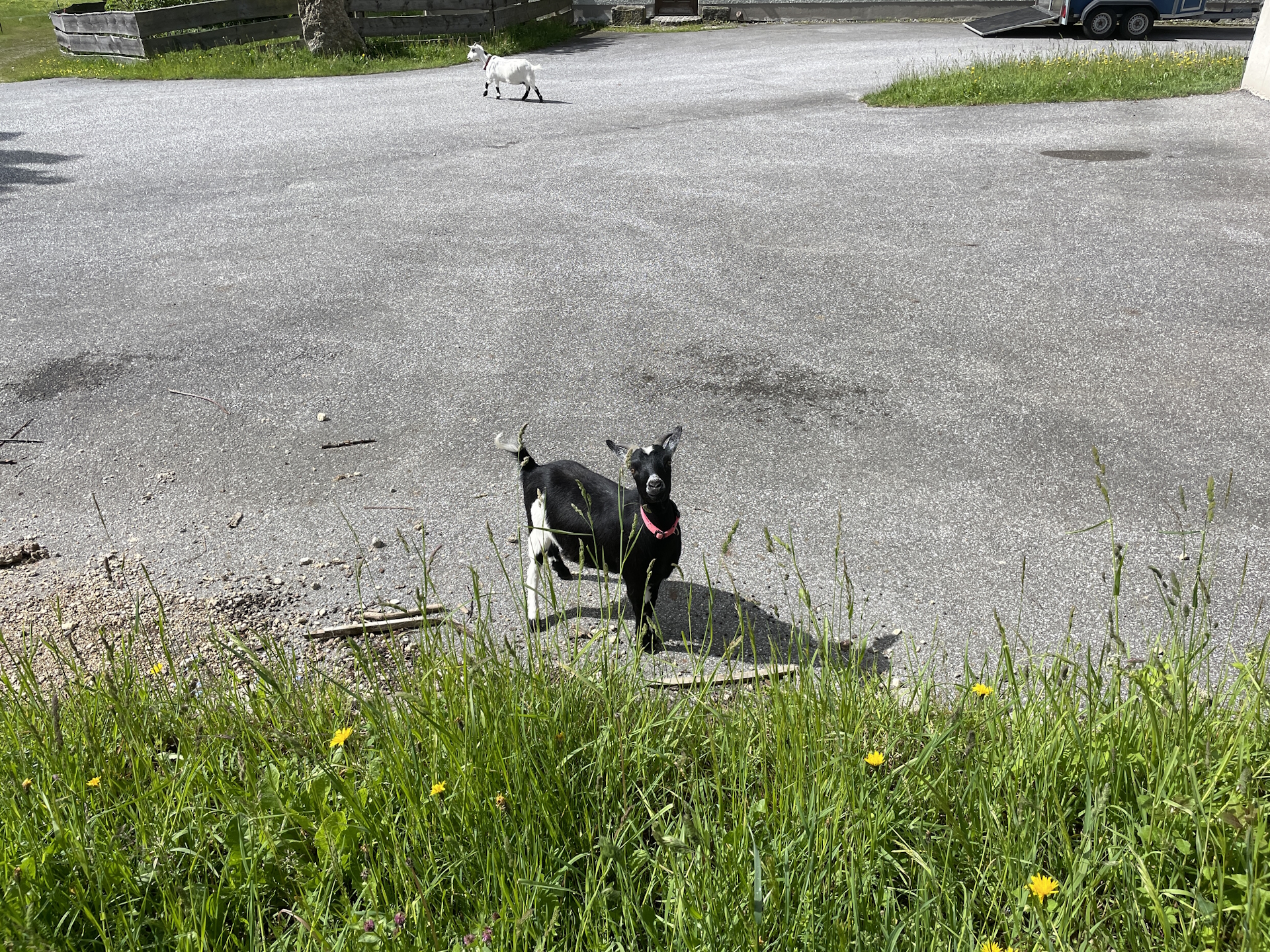
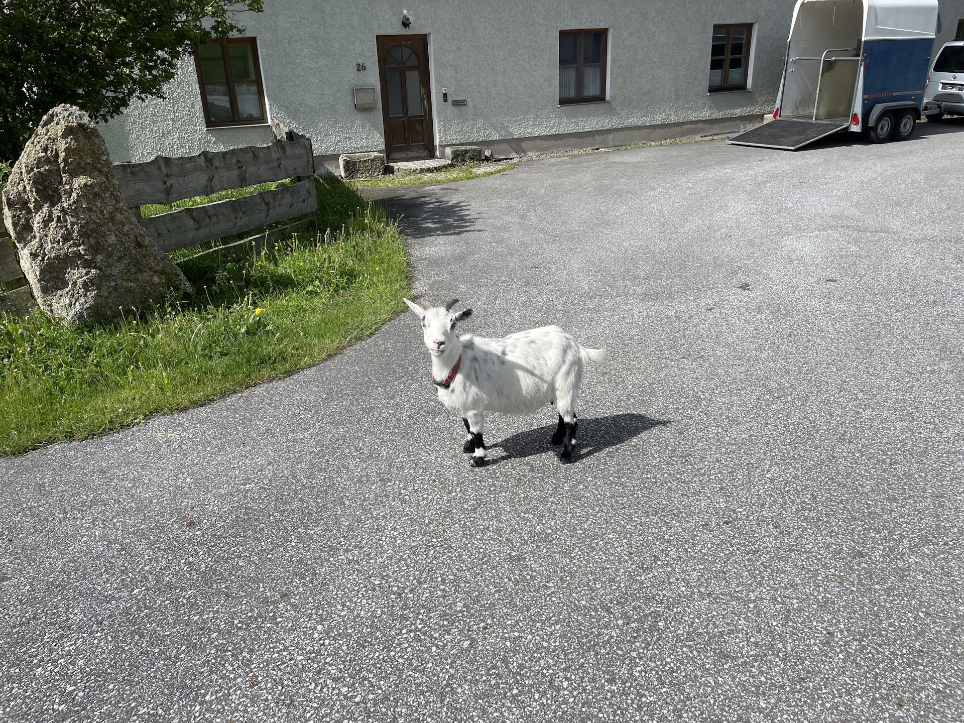
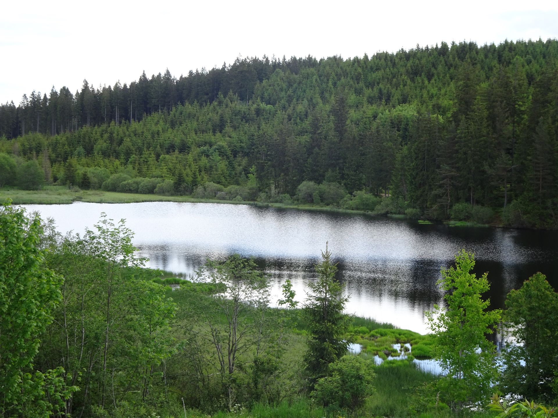
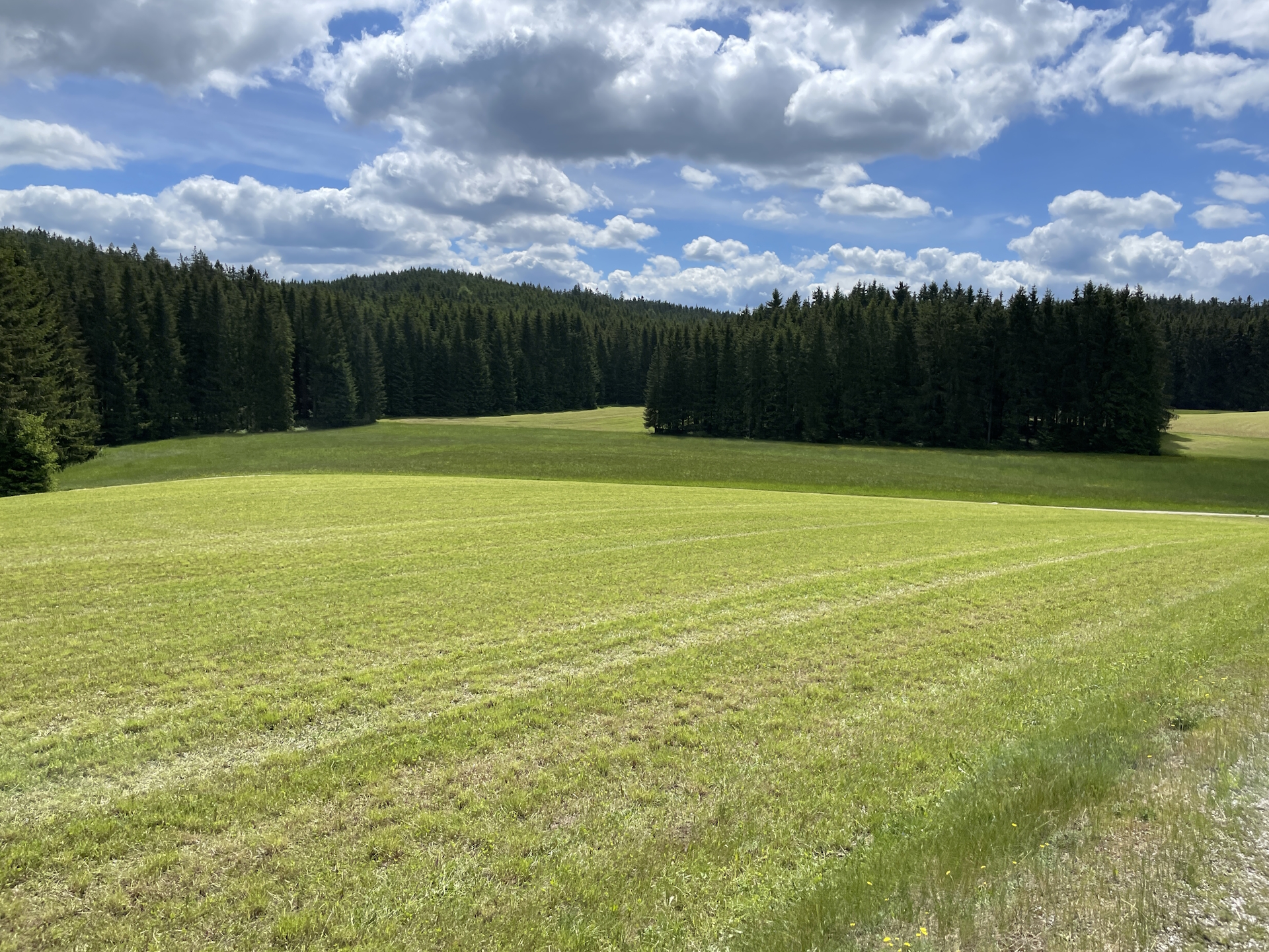
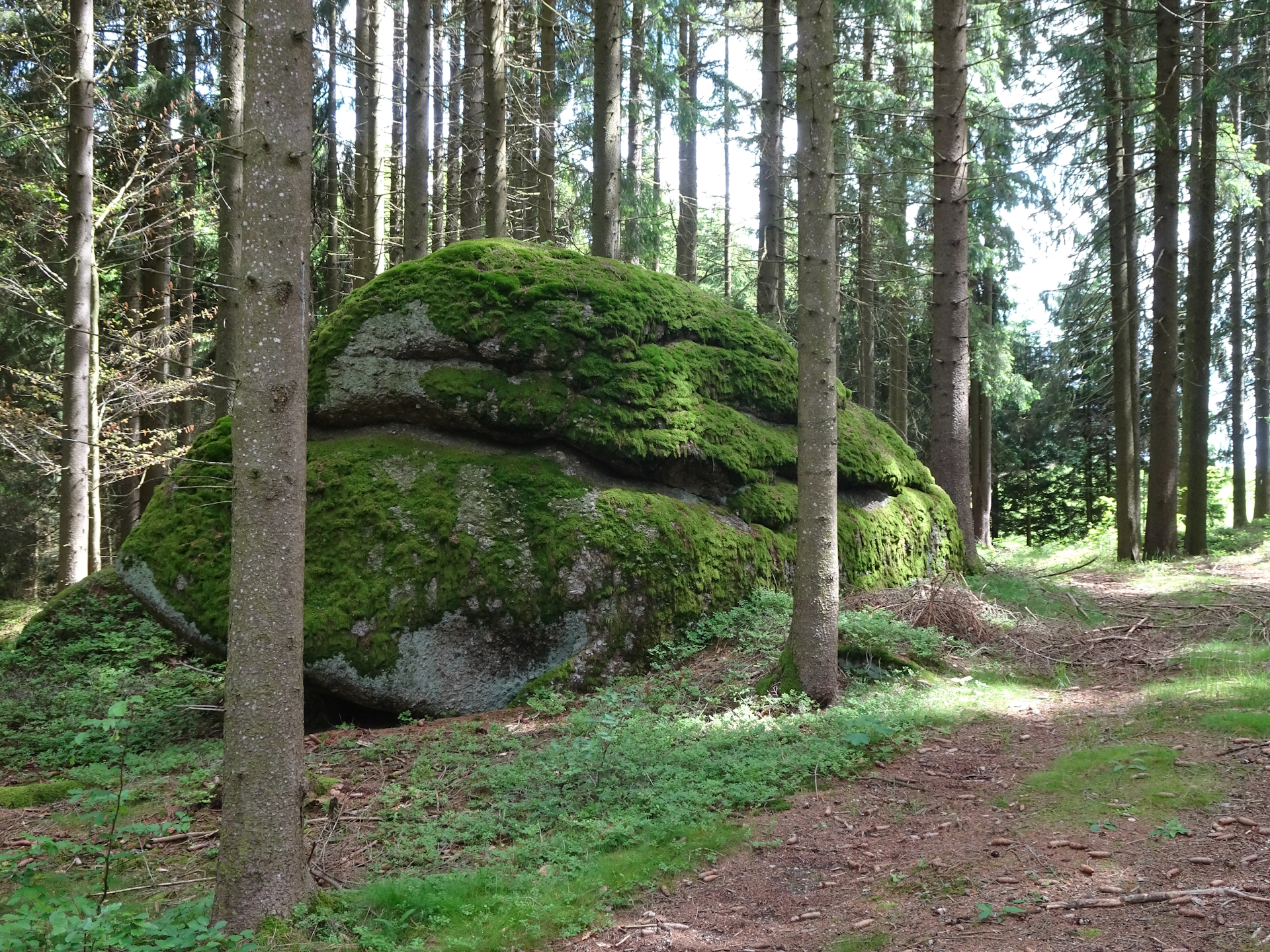
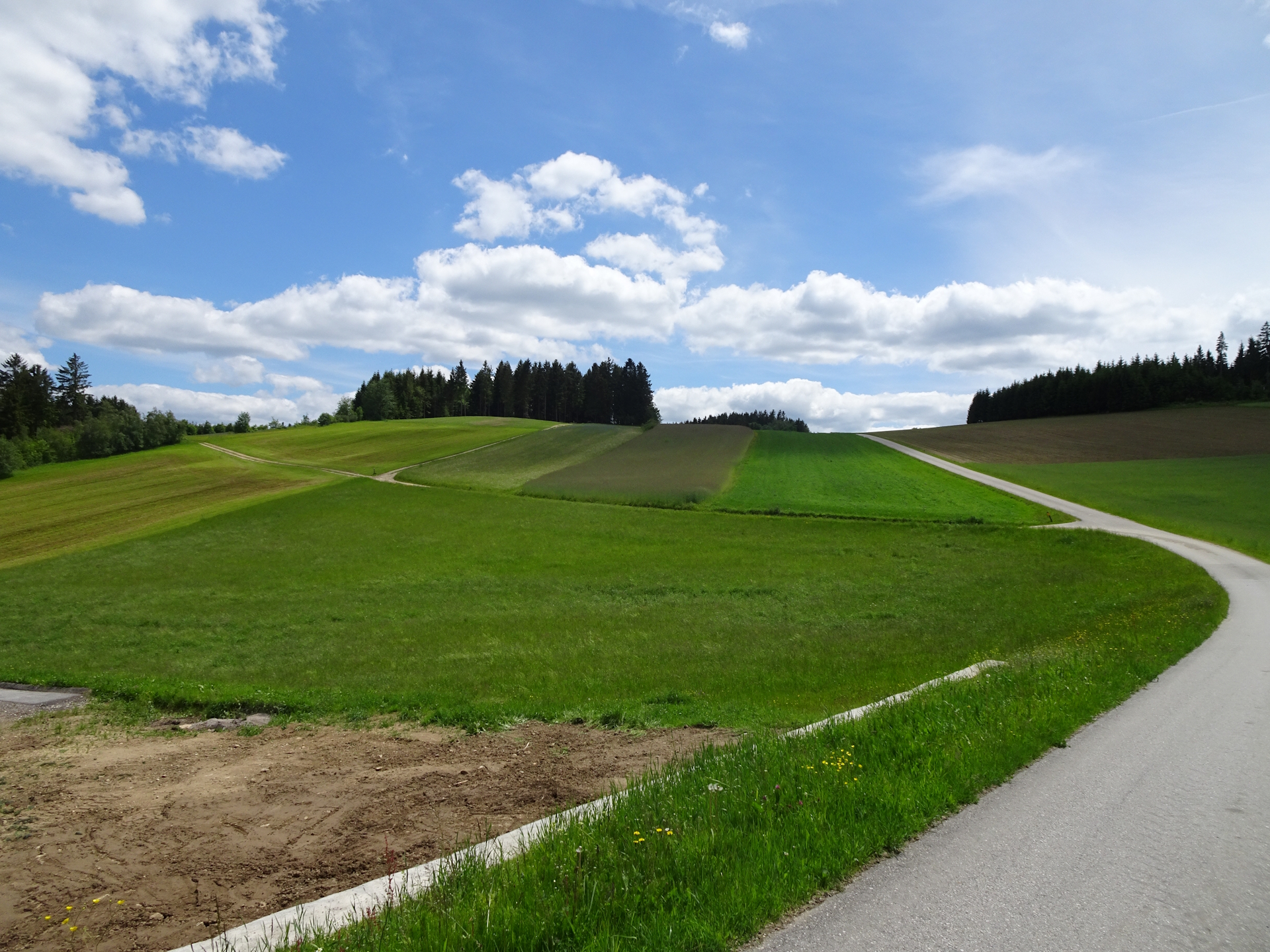
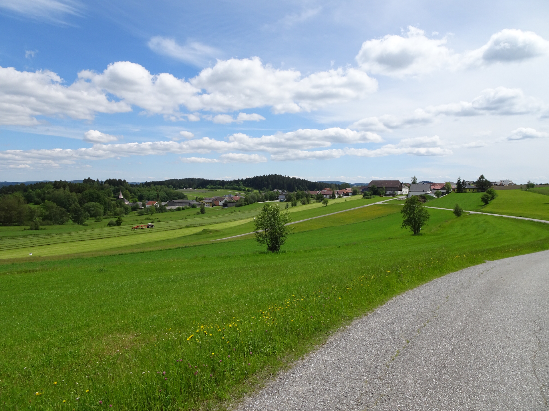
I personally liked the trail from Karlstift to Liebenau through the amazing and green forests, mainly on gravel forest roads or silent tarmac roads. Because I’ve started early, I reached Liebenau still in the morning (around 9:00), allowing me to get the stamp quick and without consumption at the municipal office. After a quick stock-up at the local grocery store, I continued the tour heading towards Arbesbach.
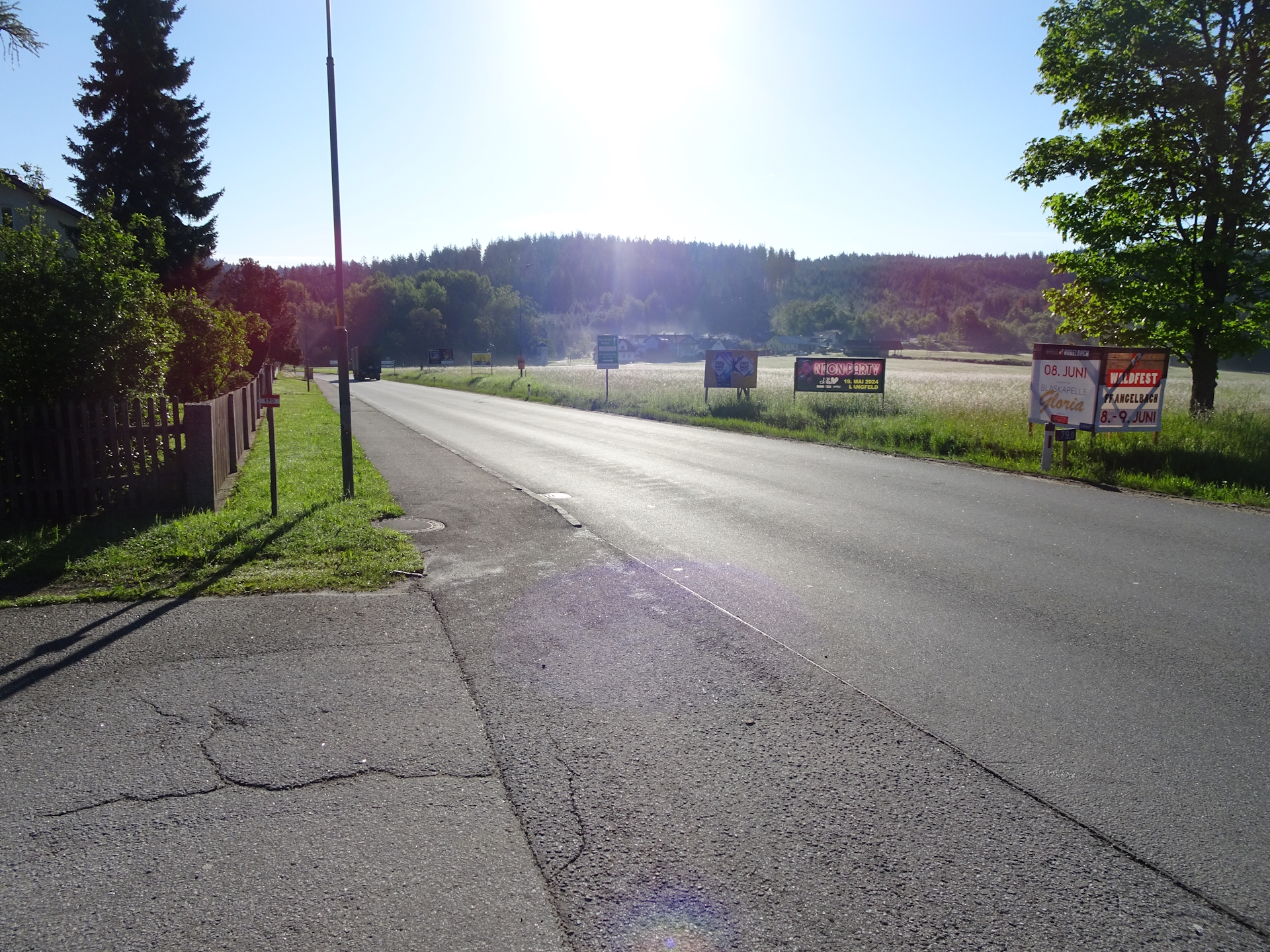
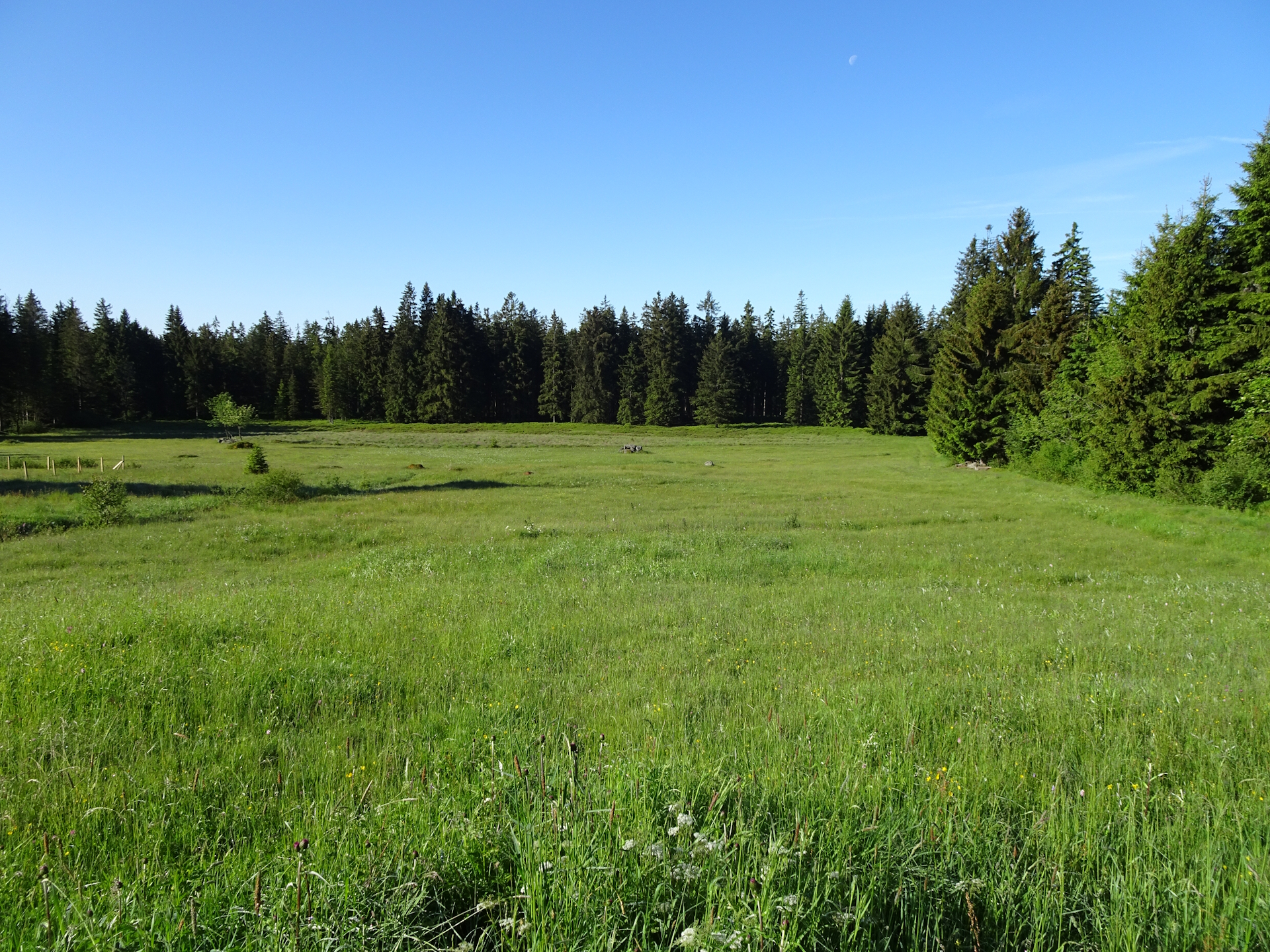
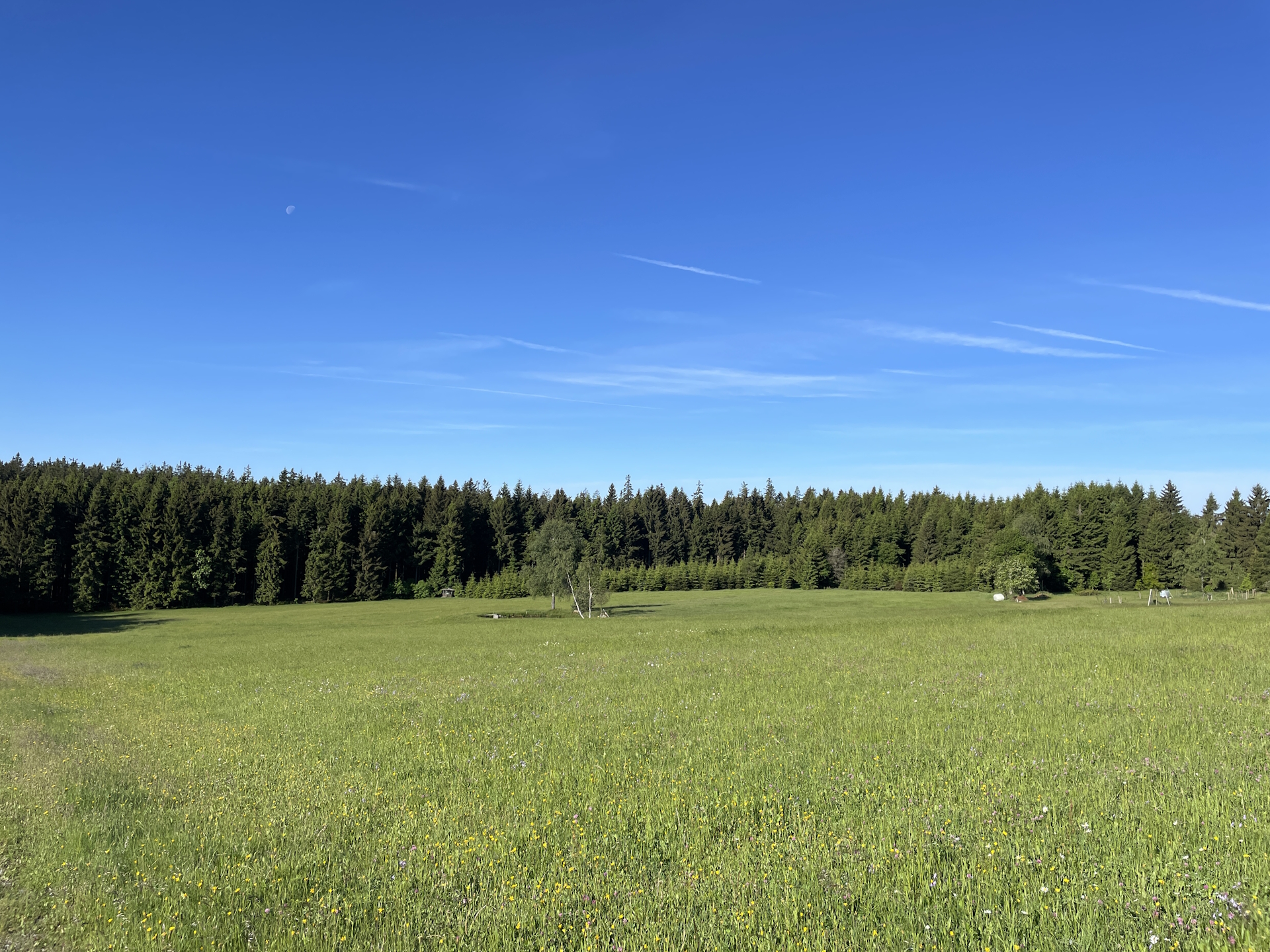
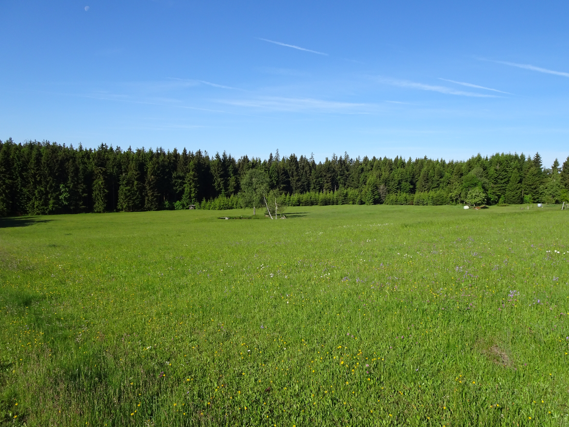
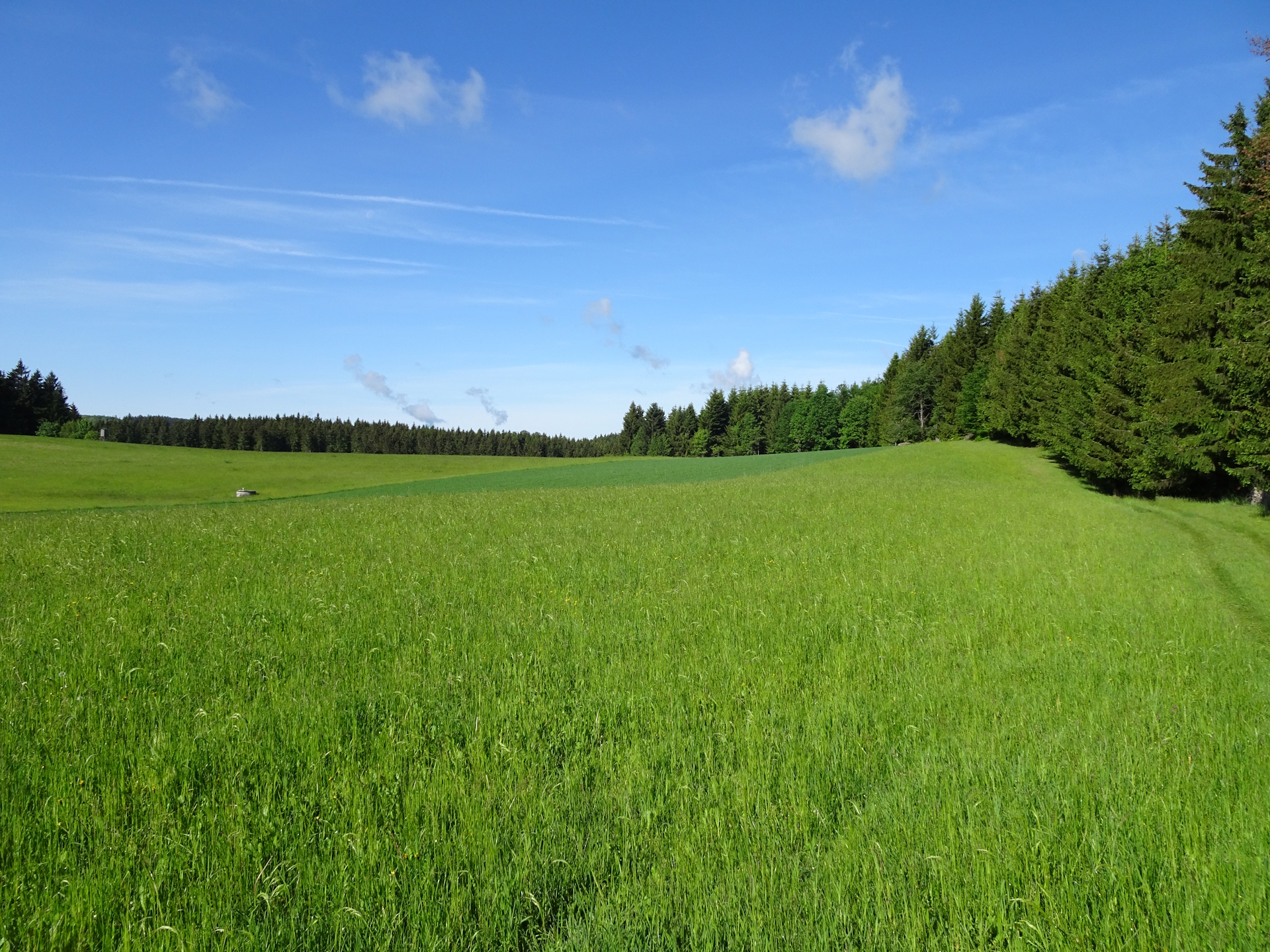
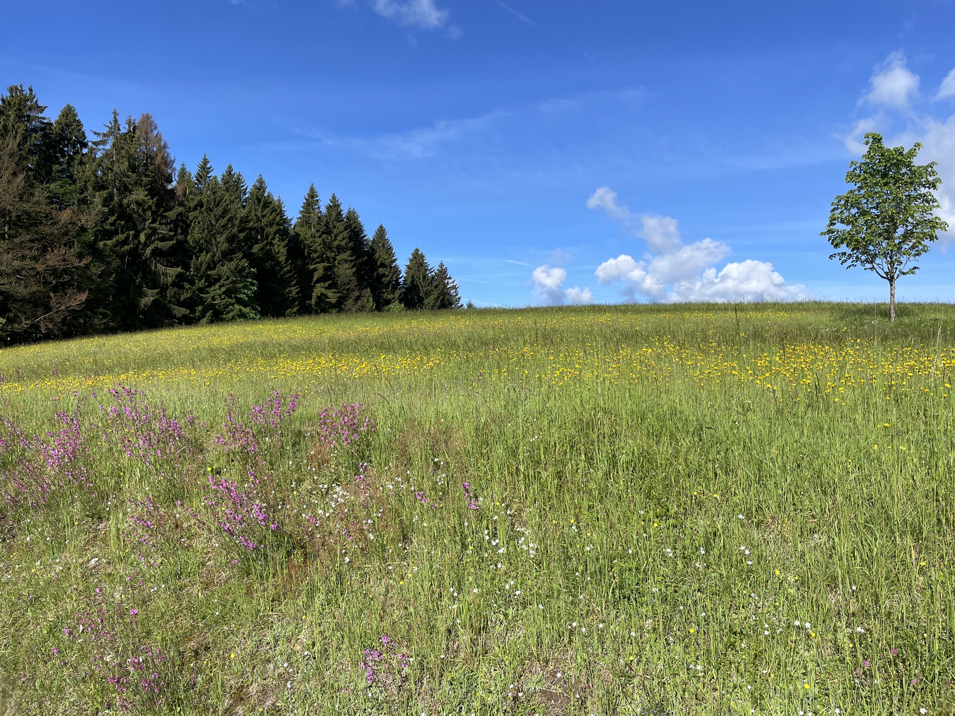
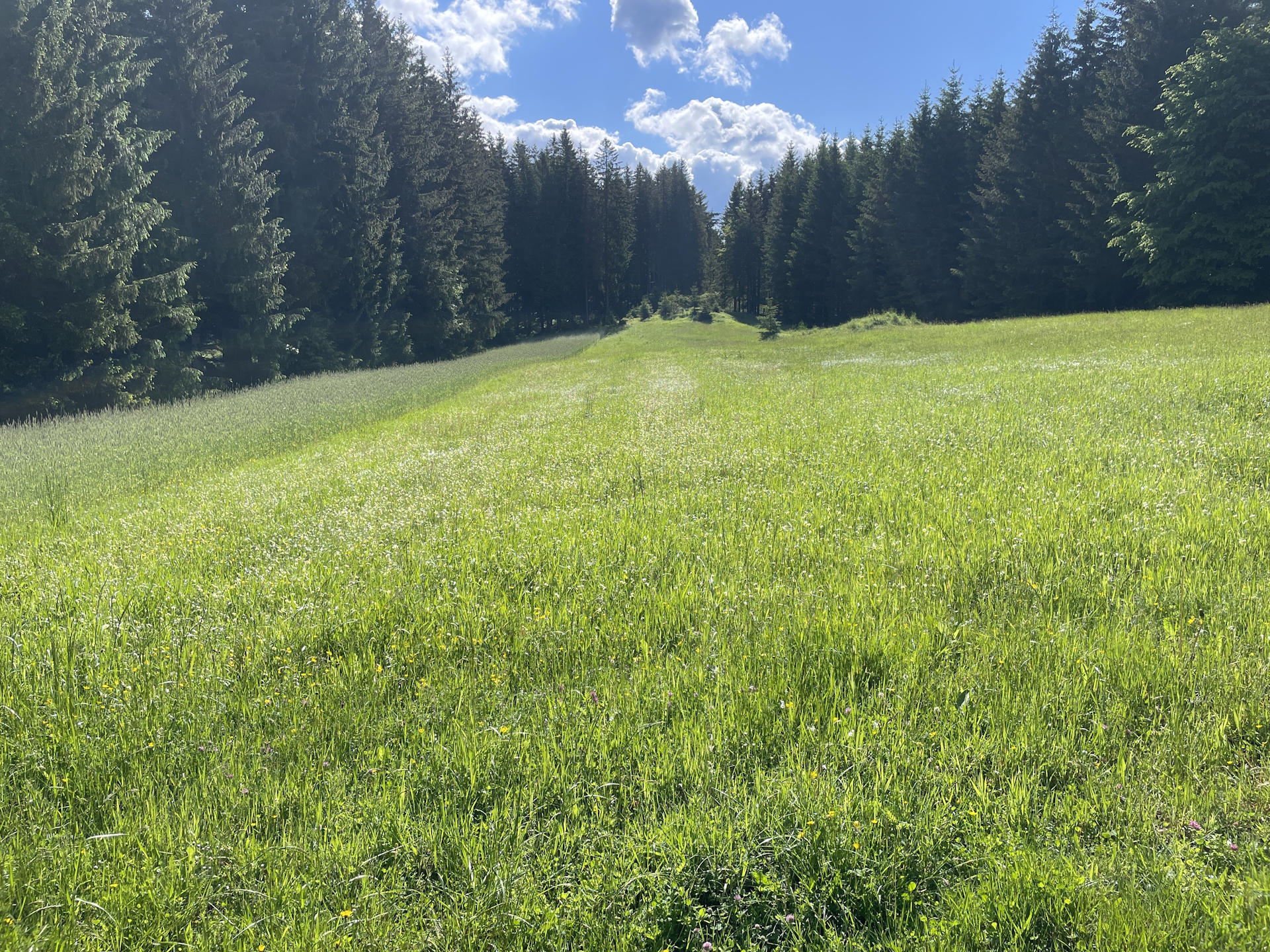
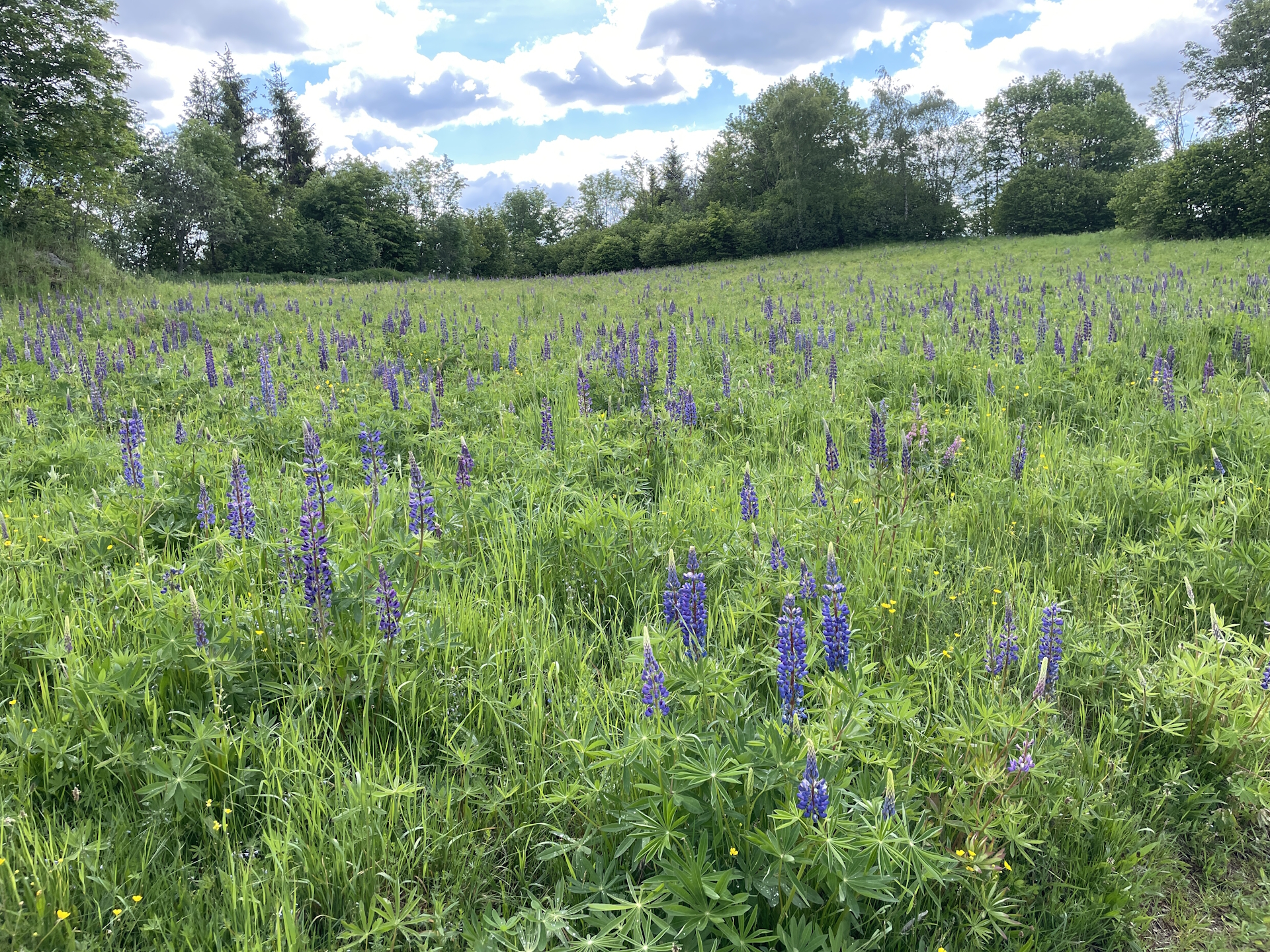
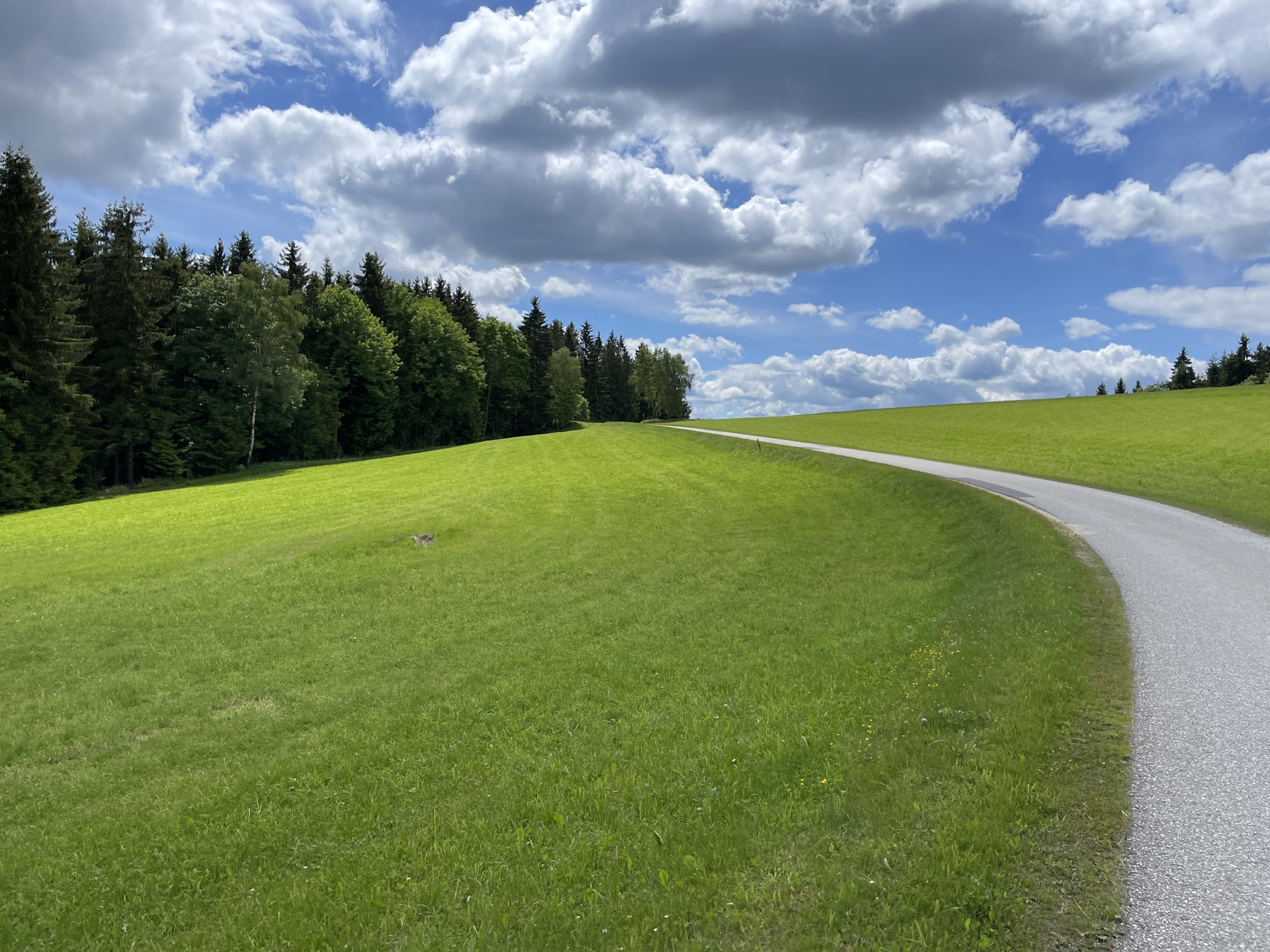
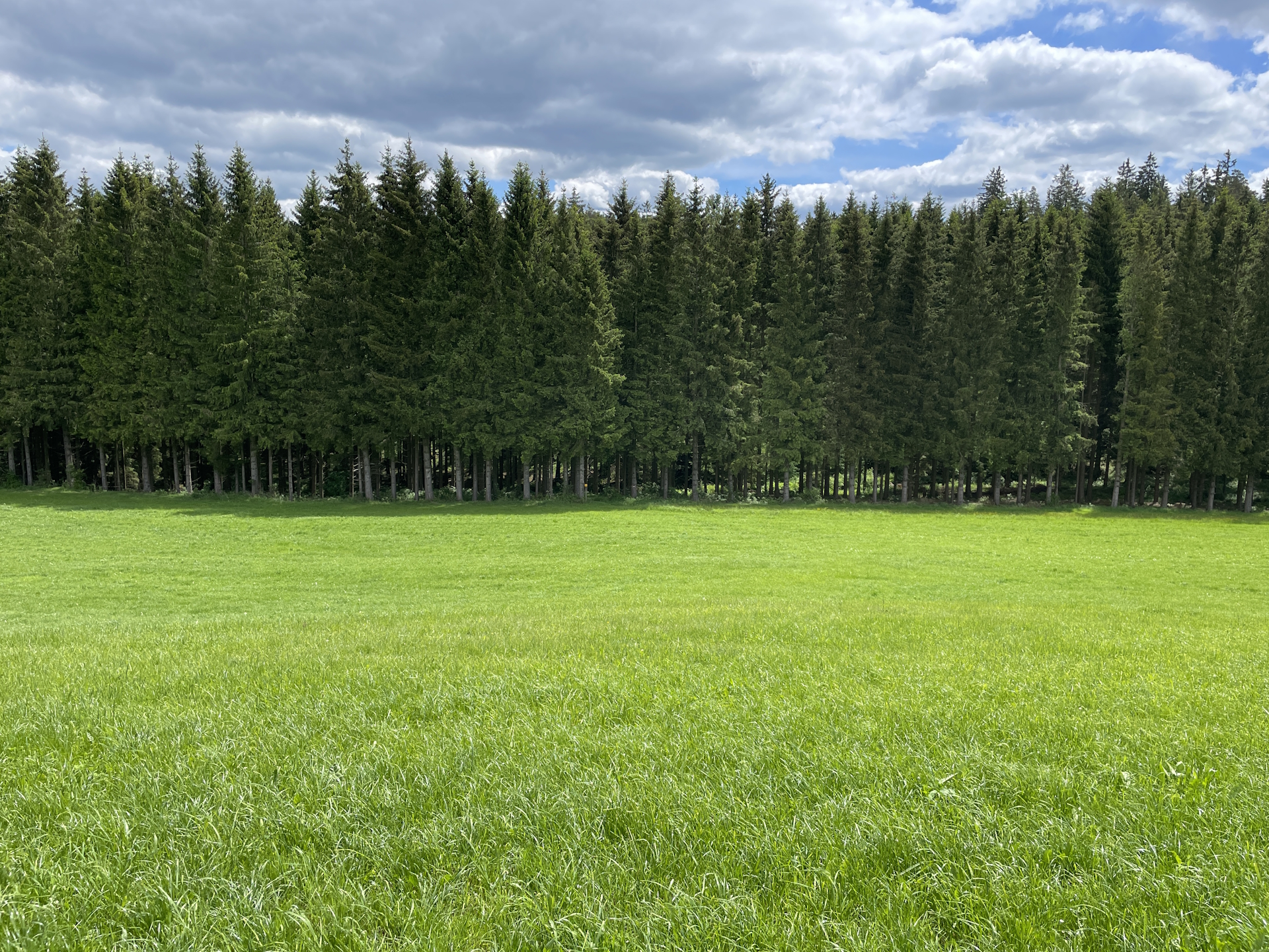
Again the trail used mainly silent gravel or paved roads with the exception of walking twice on the fairly occupied L576 with no sidewalk. The trail leads this time mainly through green and beautiful meadows, which is exposed to sun, thus an early hike is advantageous to avoid heat.
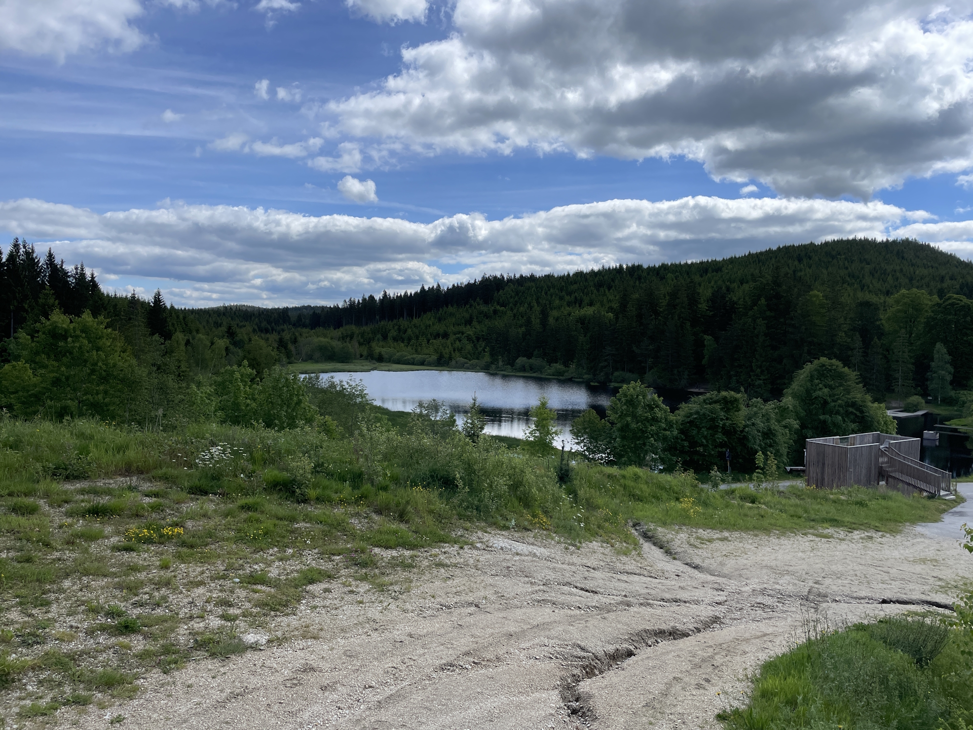
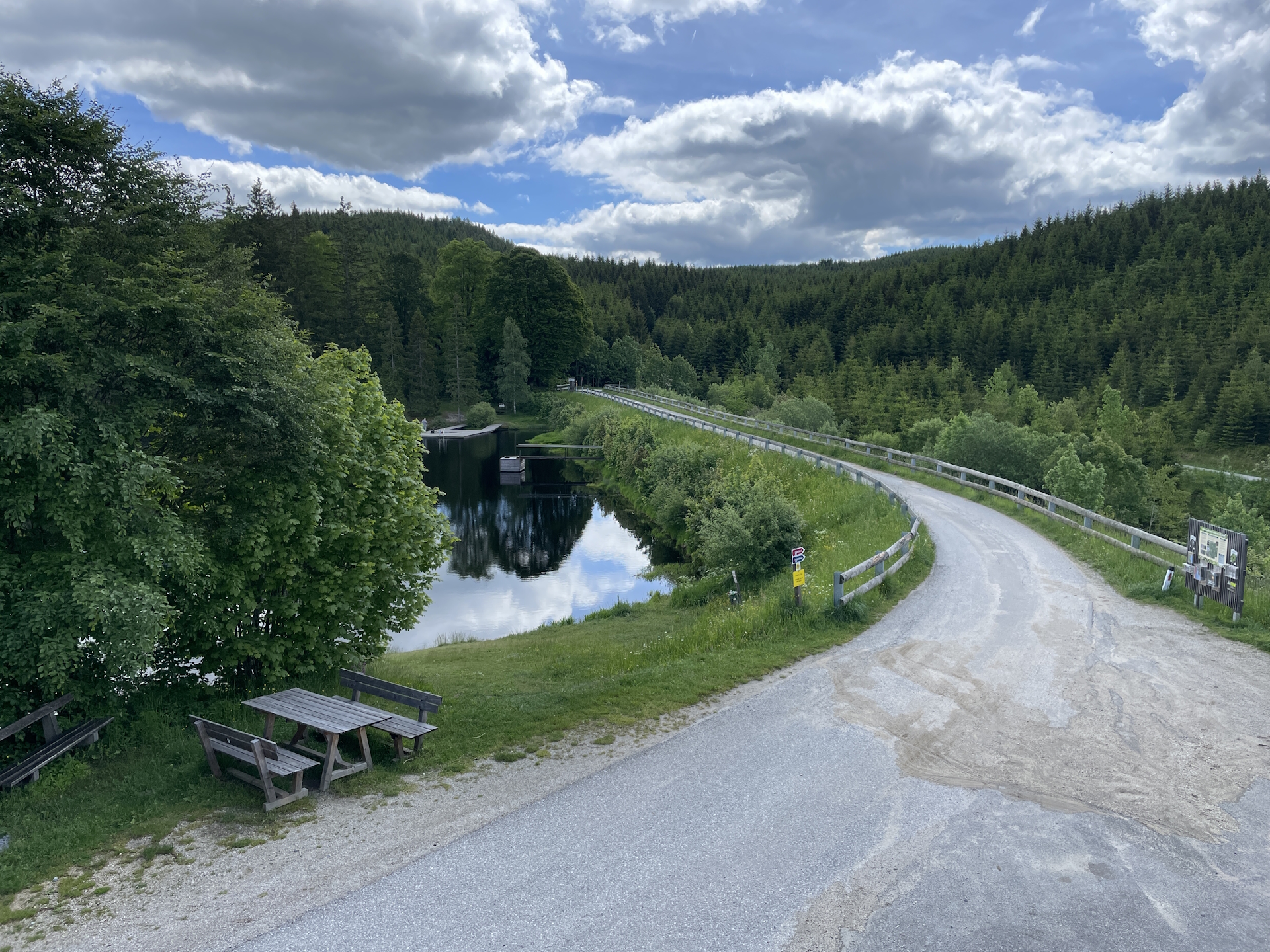
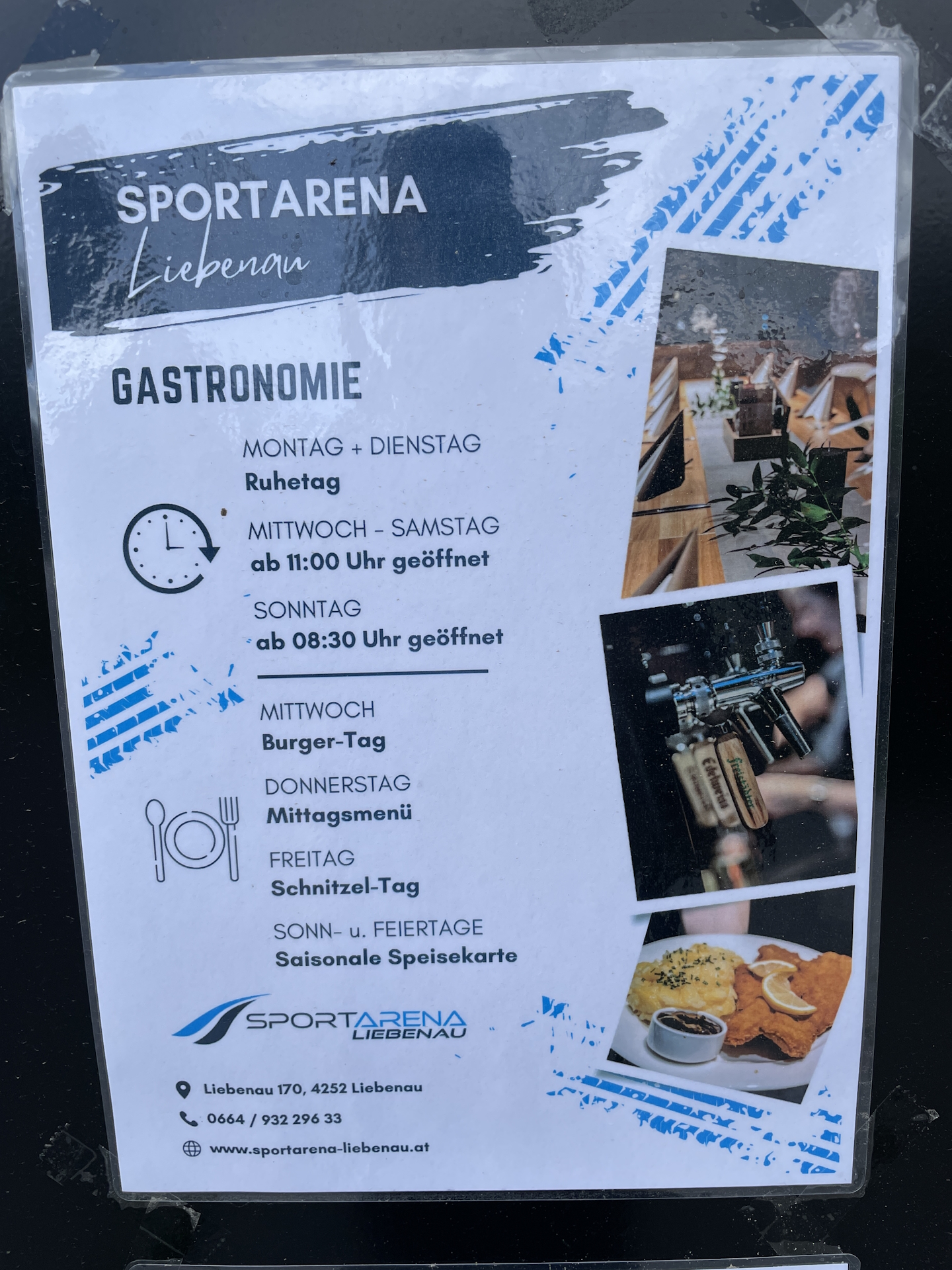
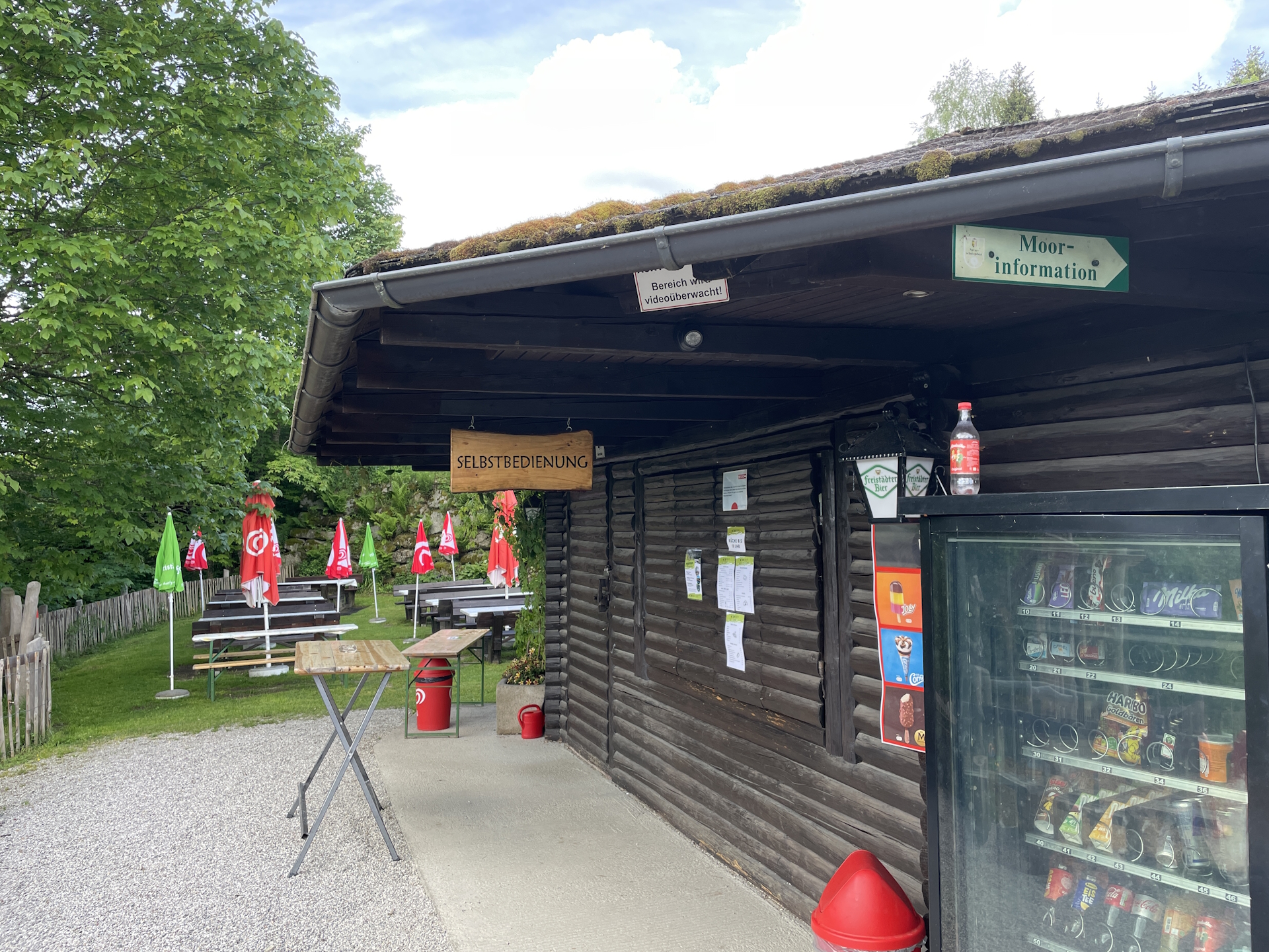
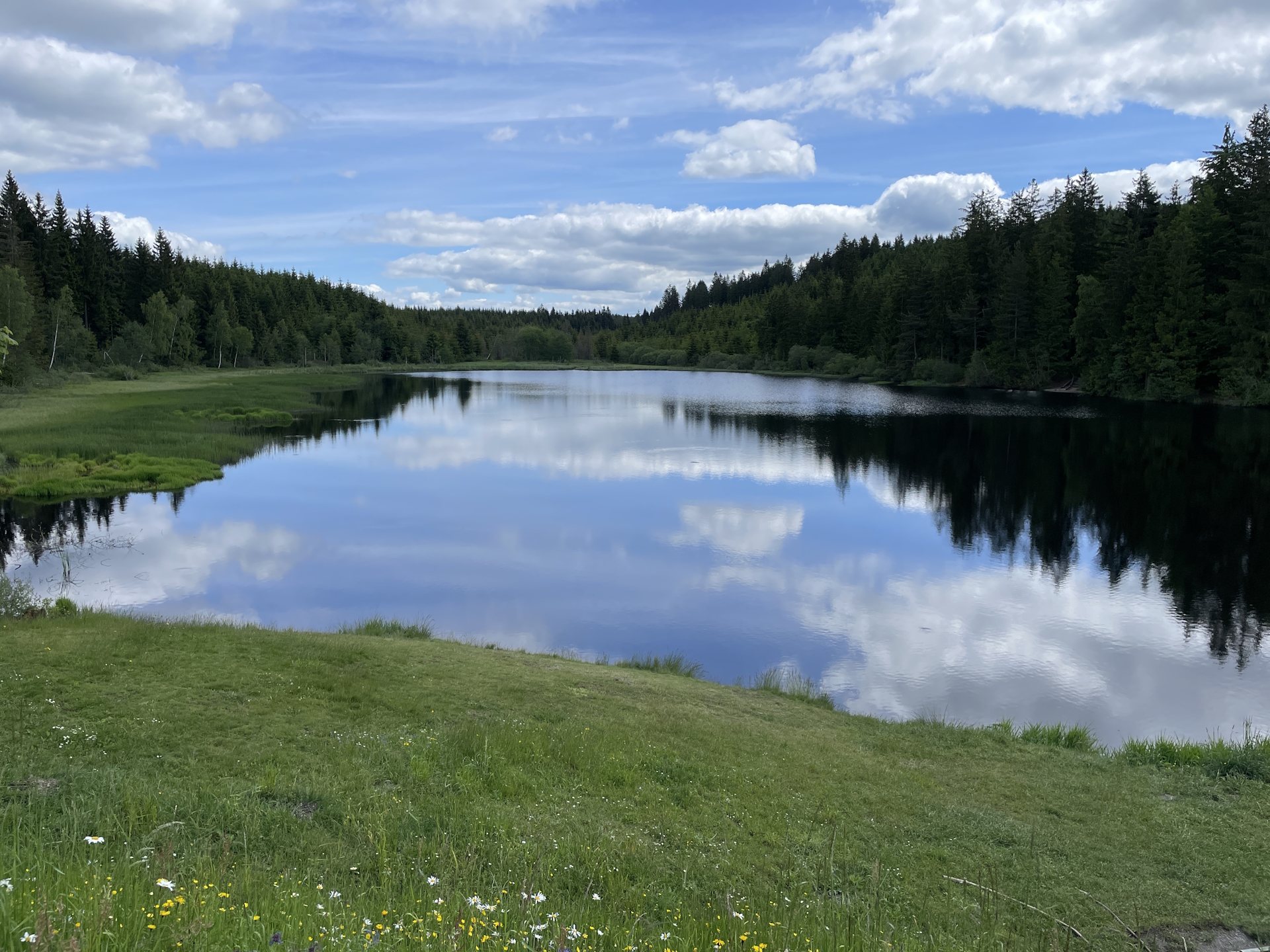
For me the highlight was reaching the beautiful Rubner Teich lake with its inviting rest area. There is a bistro which was not open yet but also a vending machine for cold drinks which I took advantage of.
Again it traded off being early as I was alone and could really enjoy the silence looking at the beautiful lake before continuing the tour towards Arbesbach, this time mainly through the forest.
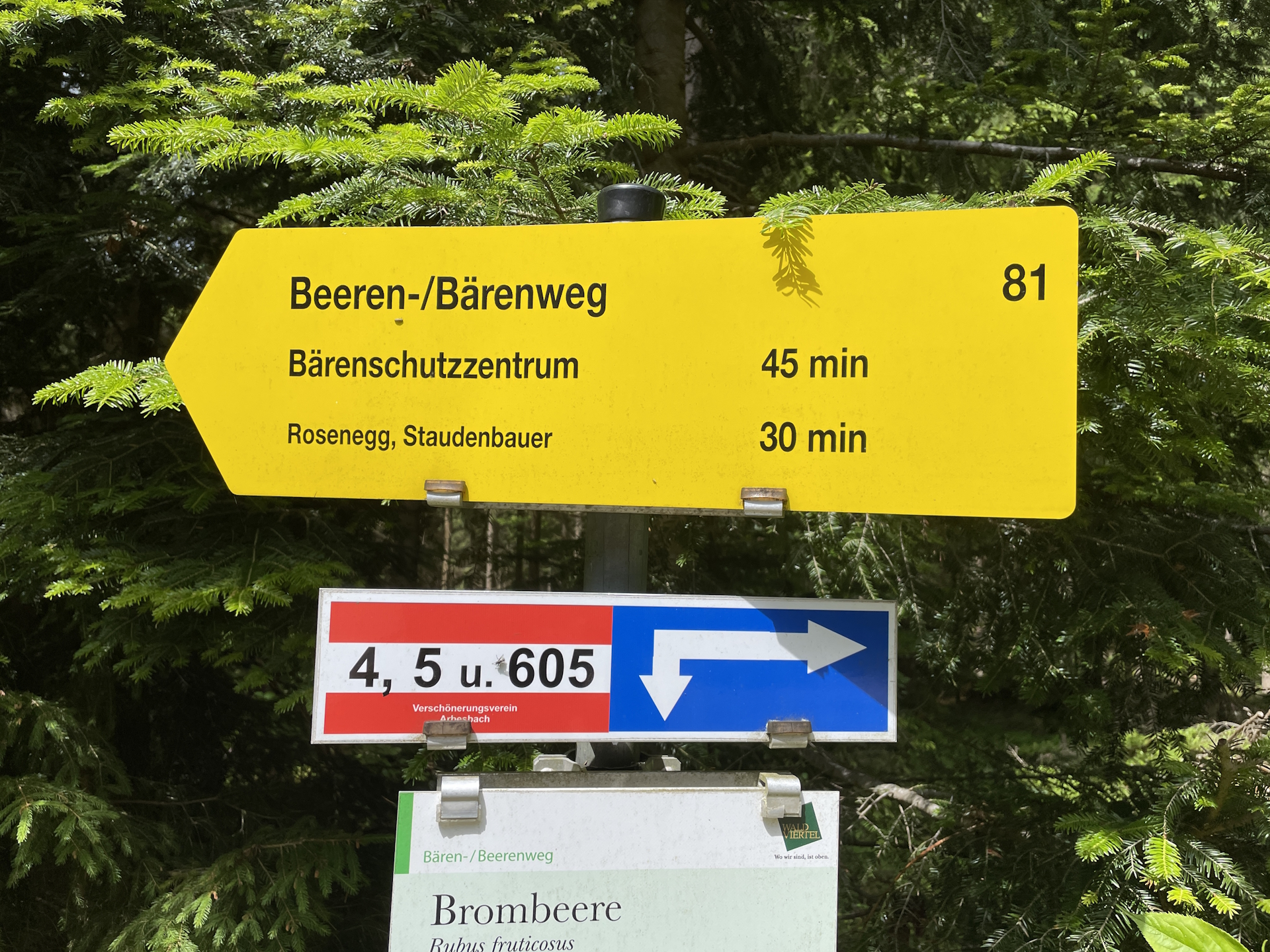
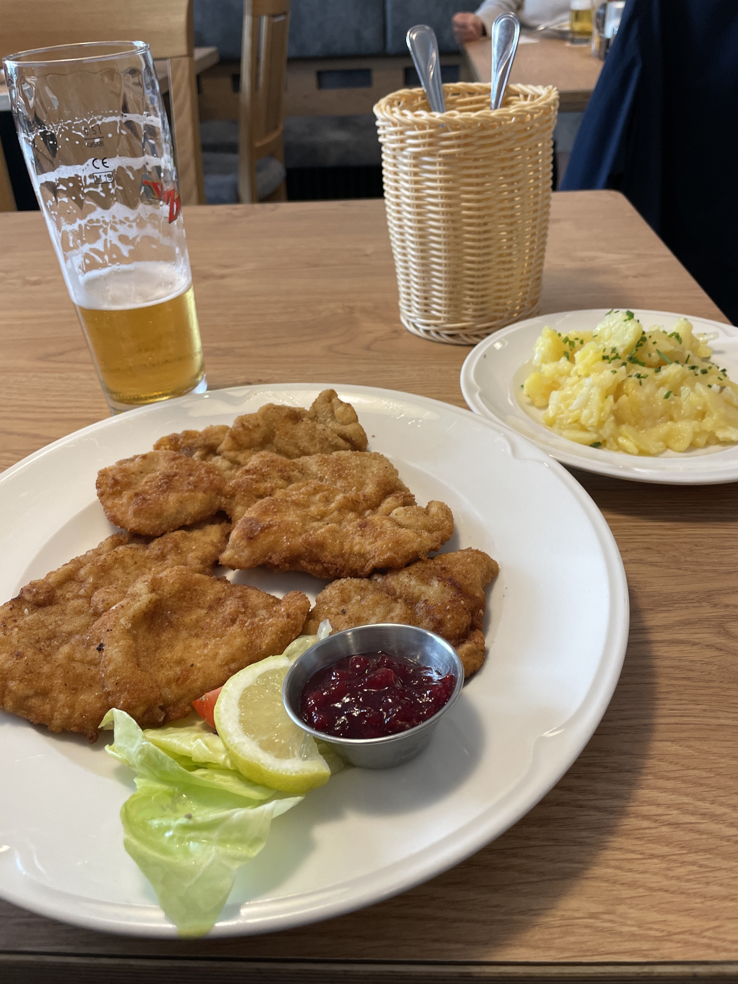
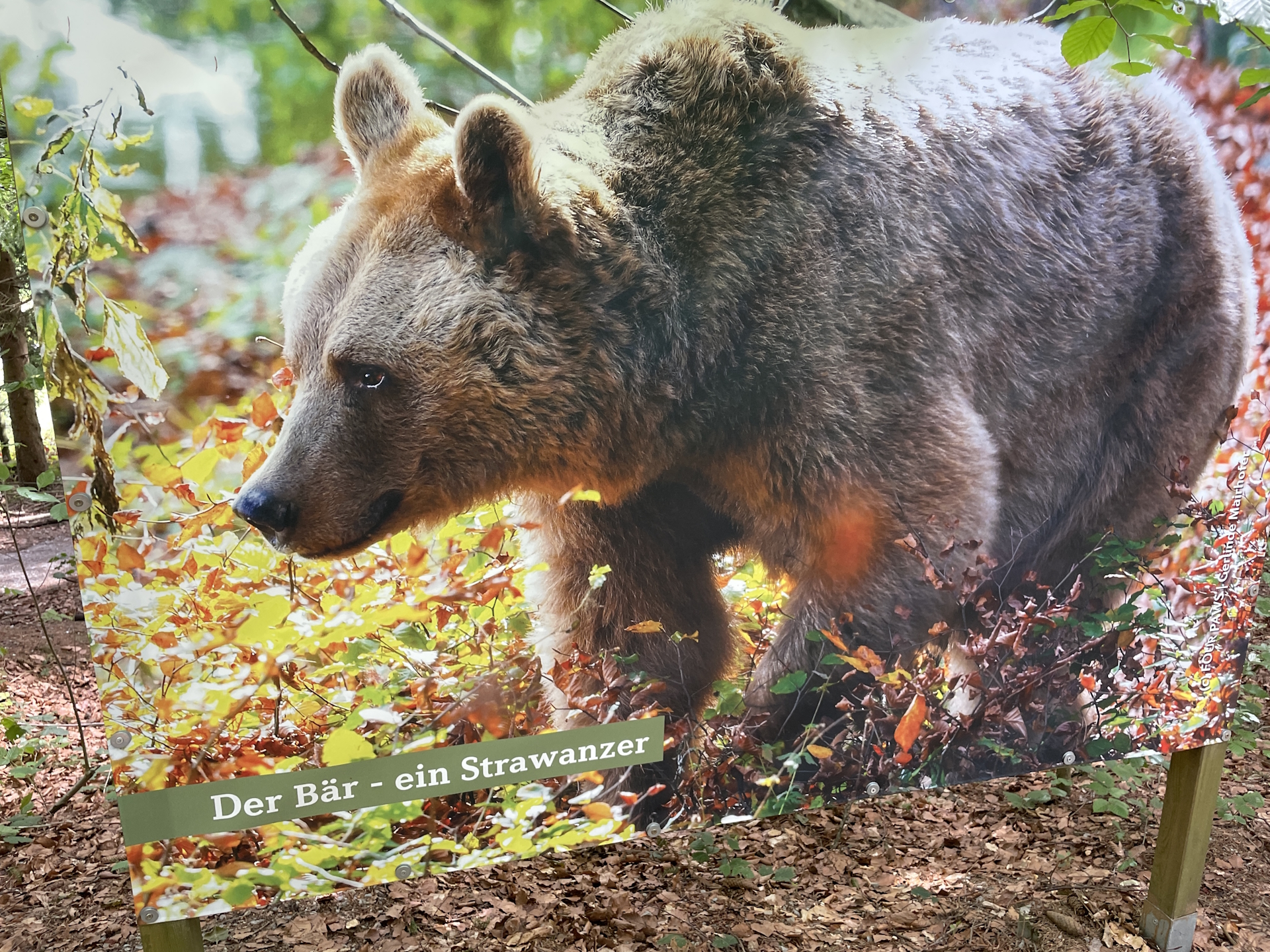
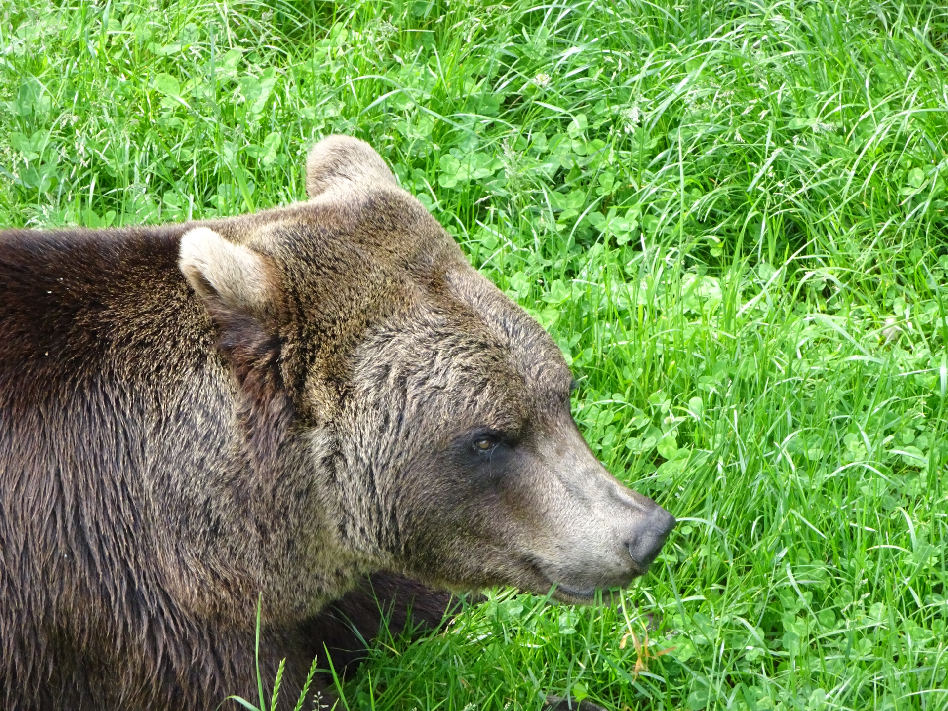
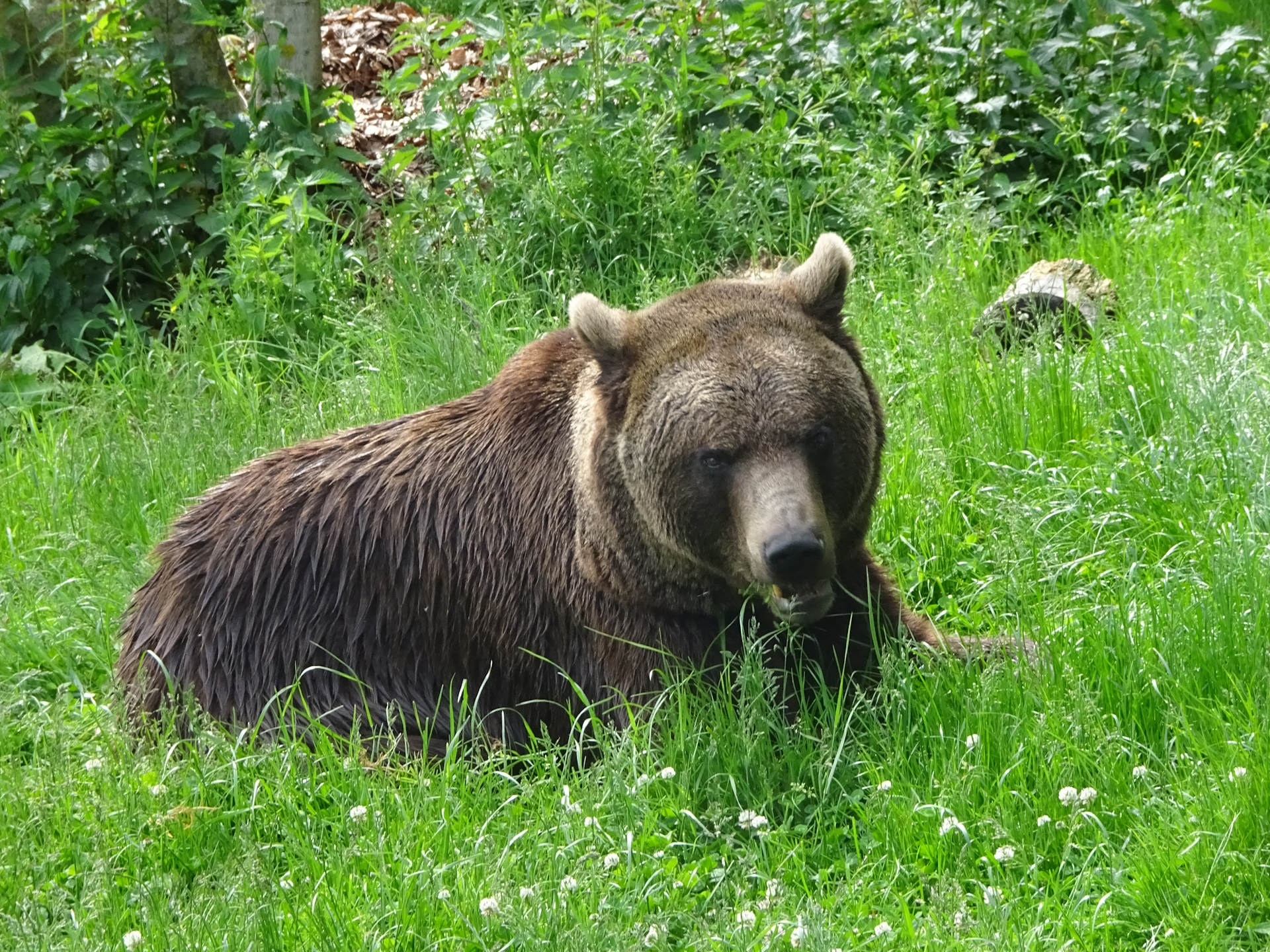
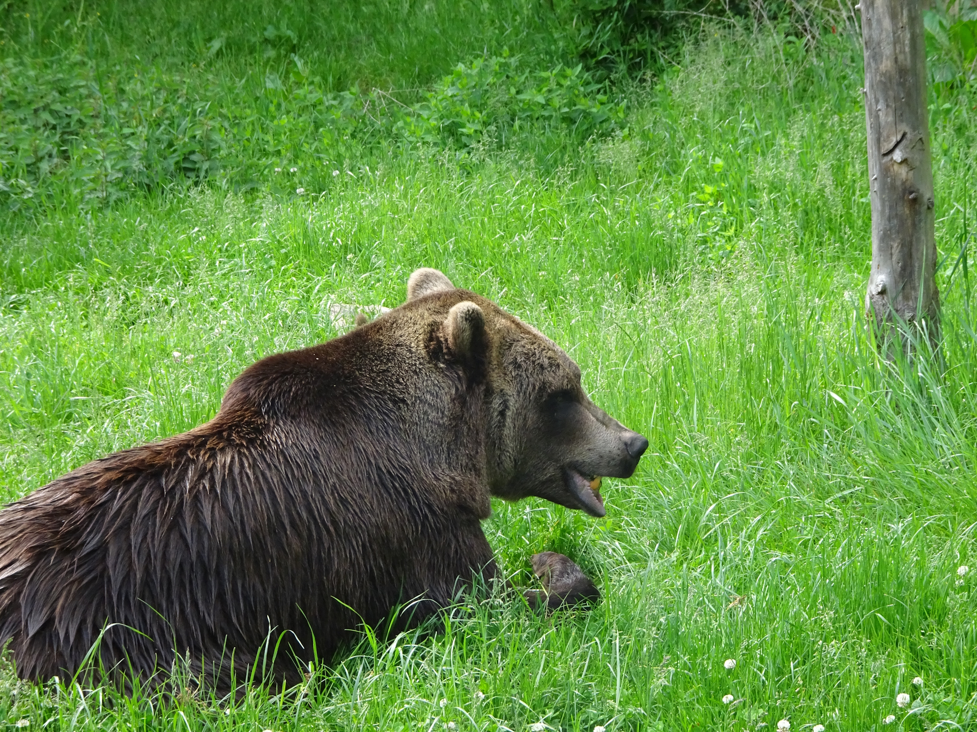
On the trail, I’ve noticed the sign Bärenweg which attracted my attention. Being badly prepared, I was not aware of this unique attraction requiring just a small detour. I therefore continued on the 05 trail to Arbesbach, having lunch at the restaurant Kerschbaummayr and also acquiring my next stamp .
During lunch I researched the Bärenschutzzentrum Arbesbach (bear sanctuary) and immediately regretted that I have skipped that. But knowing that my car is close, I decided to give it a visit on the way back home.
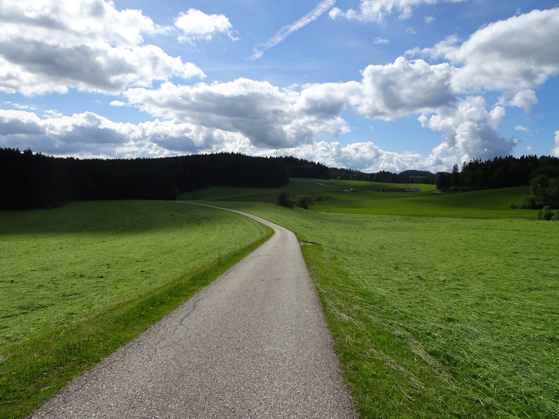
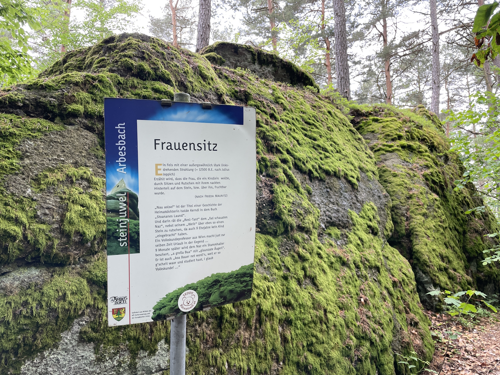
After my lunch in Arbesbach, I made a small detour towards the castle and the Frauensitz rock, before going back and continue the hike on the 05 trail to Altmelon. The trail to Altmelon is not too exciting, mainly on gravel or paved roads through meadows with no highlights.
After I’ve reached Altmelon, I’ve acquired my last stamp on this stage at the municipal office which has very generous opening hours (Mon – Thu till 17:00).
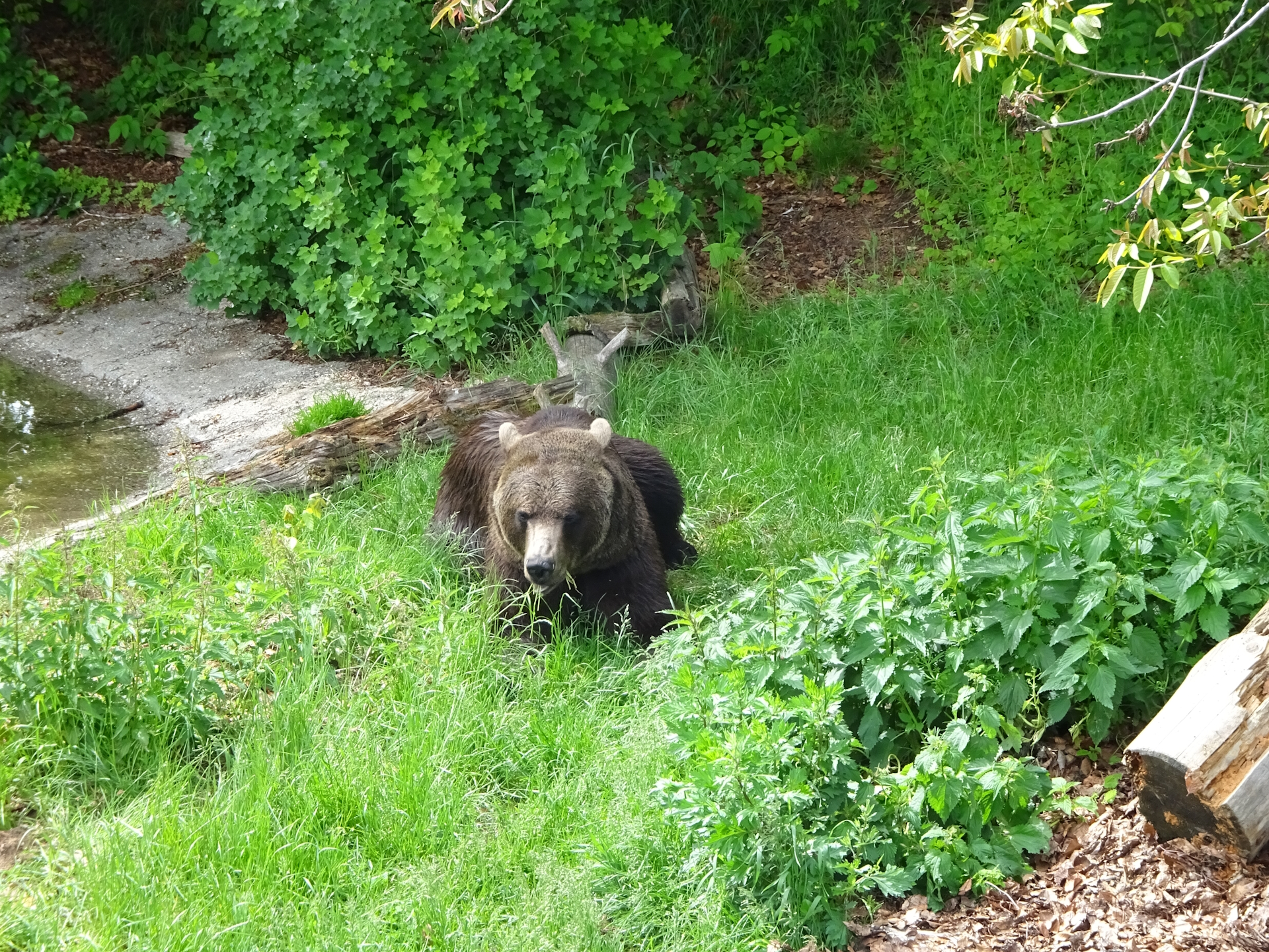
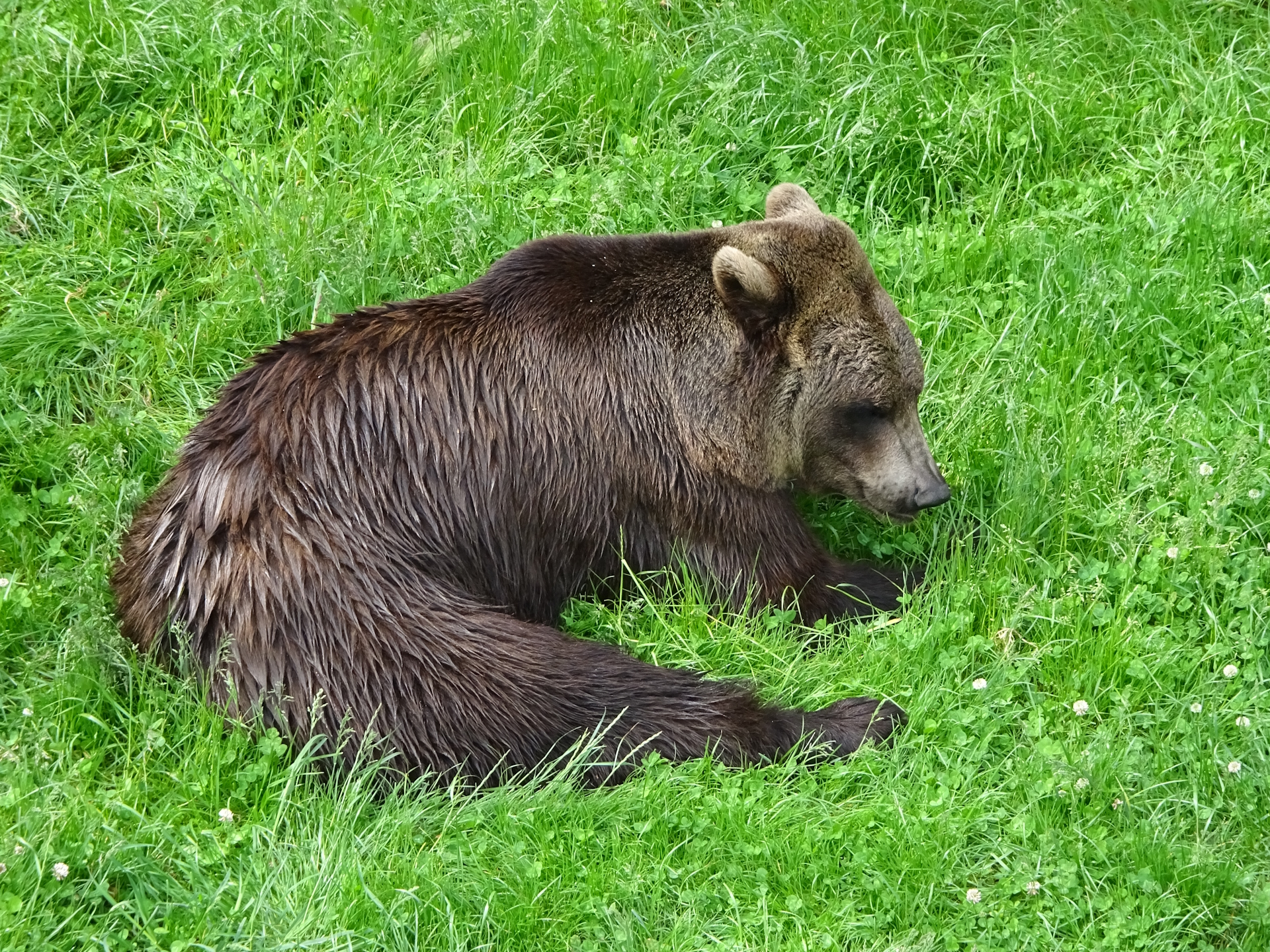
When I’ve reached my car, I drove back to Arbesbach and did an enjoyable and very recommended visit of the bear sanctuary which I would highly recommend to do as a detour on the trail from Liebenau to Arbesbach.
Another thing to consider is acquiring a Niederösterreich Card, as it would cover the entrance fee for this attraction as well as many other attractions on future stages.
| 00:00 | Start at the bus station in Karlstift next to Gasthaus Zeiler. If not yet done, acquire the stamp there while having a morning coffee (). Head eastwards towards the big T-crossing. |
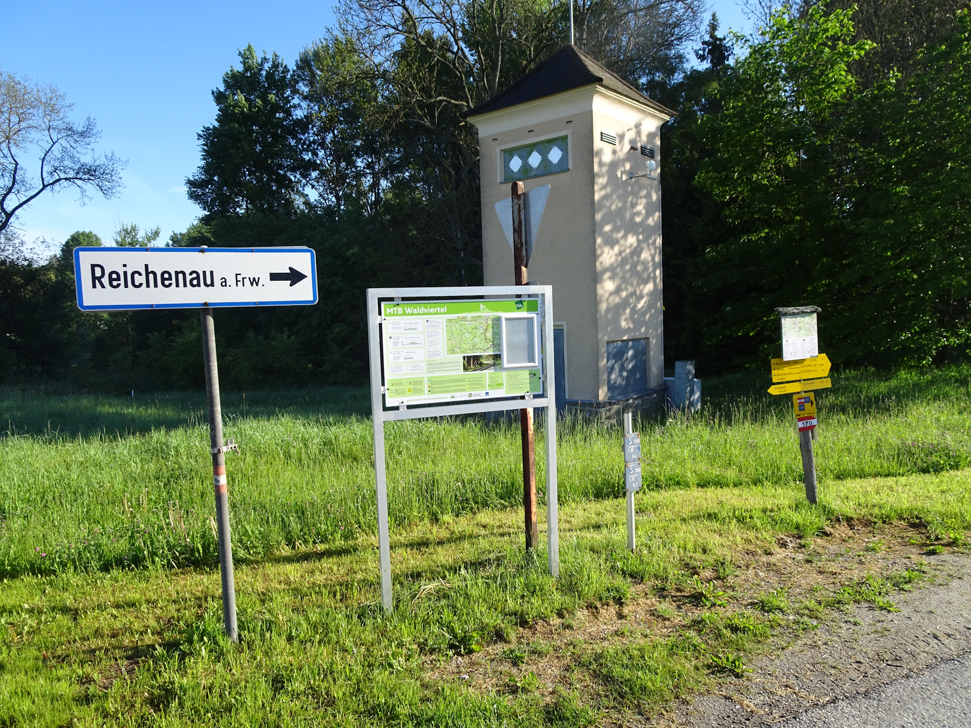
| 00:10 | At the crossing, turn right into the main street B38and follow the street for a few meters. At the first possibility, turn left into the small street towards Reichenau (see signpost). |
| 00:11 | Leave the street, keep straight and now ascend via the forest trail. Follow the marked trail 05 till reaching a small settlement. |
| 00:40 | Right after the settlement, turn right into the paved road and head downwards towards Liebenau. |
| 00:55 | Cross the main road B38 and follow the trail straight ahead southwards. The trail turns left after few meters. |
| 01:15 | At the crossing, keep left and continue following the marked trail southwards. |
| 02:00 | Follow the road into the center of Liebenau. Turn right after the school (and before the church) to access the municipal office in Liebenau. Acquire the next stamp . Head back to the crossing next to the school and continue on the trail southwards. |
| 02:10 | You might consider a stock-up of your resources at the local grocery store (Unimarkt). |
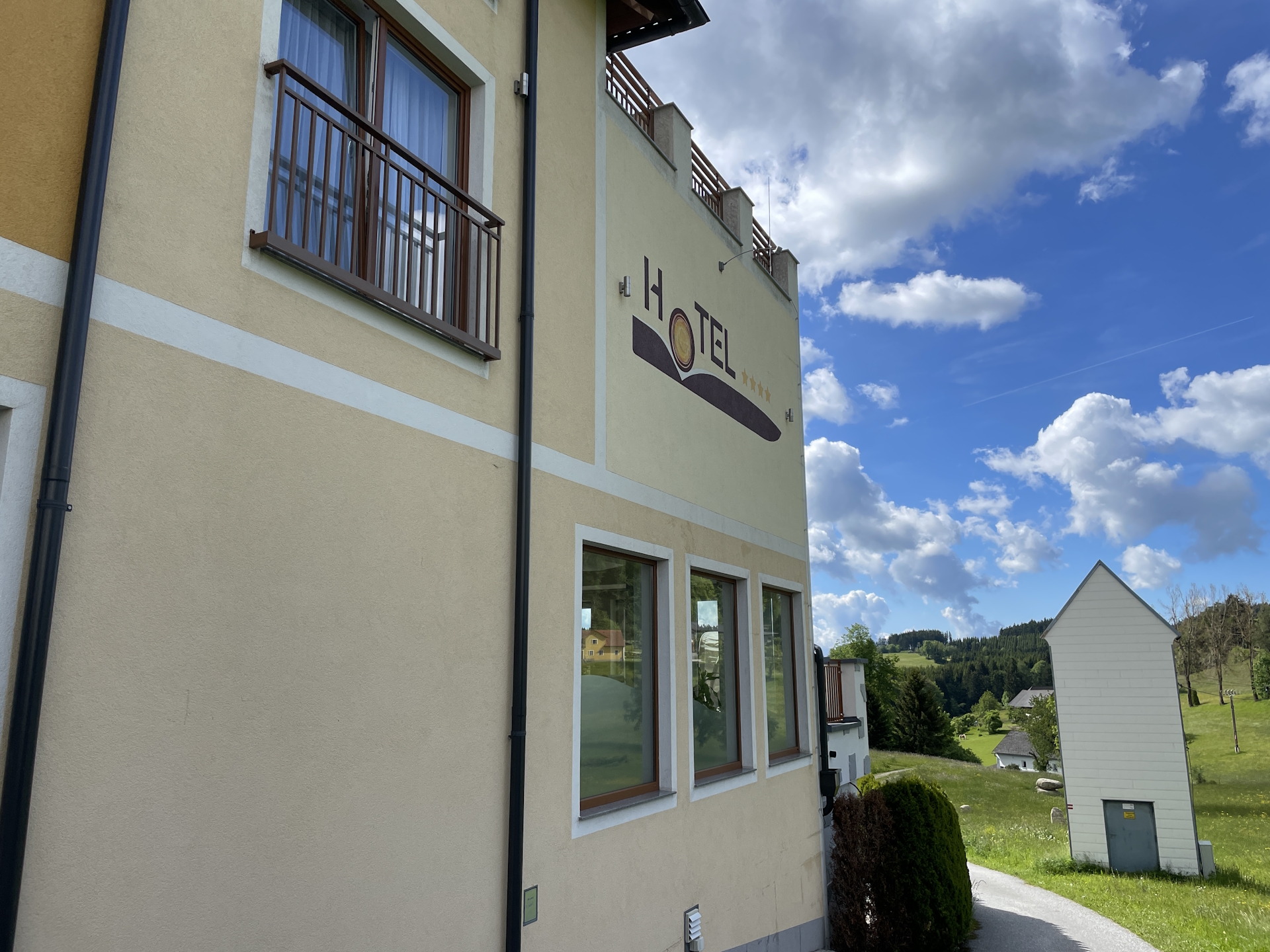
| 02:15 | Continue following the trail southwards. Cross the main road once again, bypass Hotel Rockenschaub and continue following the trail southwards. |
| 02:25 | At the end of the road, slightly turn left and follow the trail around the farm into the forest. |
| 02:30 | Turn right into the street, follow it for a few meters and immediately turn left. Follow the trail through the meadow southwards. |
| 02:45 | At the crossing, turn left, follow the main road L567 for a few meters and just before the forest, at the first possibility, turn right into the paved small road. Follow the road towards another house. A few meters before the house, turn left and now follow the marked trail towards and through the forest southwards. |
| 03:00 | Turn right, follow the main street again for a few meters and turn left at the first possibility (just before reaching the houses). Make sure you take the trail BEFORE the houses, not the street heading towards the houses. Now follow the trail up leading into the settlement of Geierschlag. |
| 03:15 | At Geierschlag, cross the street and continue following the trail. |
| 03:30 | Enjoy the amazing Rubner Teich pond. Obviously best enjoyed with a self-brought or purchased refreshment (). |
| 03:35 | Continue following the trail around the pond. Turn left and follow again the marked trail (gravel road) eastwards. |
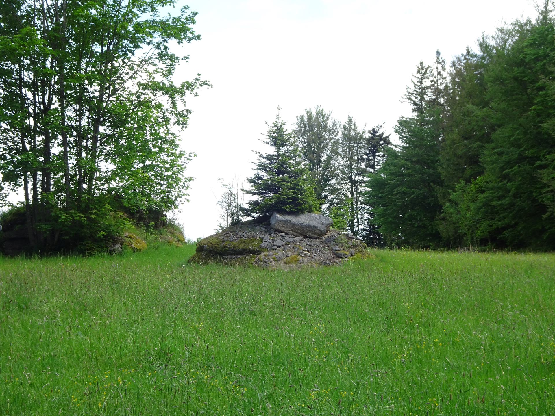
| 03:50 | Optional detour (10 min): Just before reaching the meadow, turn left and follow the trail towards the Lechmüller Mauer viewpoint (reached after a few meters). Use the same way back. |
| 04:00 | Continue the tour following trail 05 eastwards on the paved road through the beautiful meadows. |
| 04:20 | At the crossing, perform a sharp U-turn and continue following the marked trail 05 eastwards. |
| 04:50 | Just before the Rammelhof farm, turn right and follow the marked trail eastwards back into the forest. |
| 05:10 | At the crossing, consider doing a detour to visit the Bärenschutzzentrum (+1 hour). Just continue following the signposts. After visiting the bear sanctuary, head back using the same trail and continue the tour. The following timings are NOT considering the detour. In case you opted for the recommended detour, add 1:00 to the timings! |
| 05:20 | When reaching Arbesbach, turn left and follow the main road into the city center. |
| 05:50 | Well-deserved break () at Gasthaus Kerschbaummayer. Do not forget to collect your stamp . |
| 06:20 | Optional detour: Continue following the street eastwards heading towards the castle. Just before the castle, follow the signposts to the Frauensitz cliff. Head back through all of Arbesbach. |
| 06:45 | Just before the city border (after bypassing the car repair shop), turn left and follow the main road towards Altmelon. At the first possibility (after a few meters) turn right and follow the marked trail heading to Altmelon. |
| 06:50 | A few meters after leaving Arbesbach, turn left and then right and follow the trail 05. |
| 07:15 | At the Schindleck farm, turn left and follow the trail southwards heading to Altmelon. |
| 07:30 | Right after entering the village of Altmelon, turn left and follow the trail into the center. |
| 07:35 | Turn right and follow the main road southwards back to the school (parking). Make sure you acquire the last stamp for this tour at the municipal office in Altmelon. |
General Tour Data
| Area: | Wald- & Mühlviertel, Lower Austria, Austria | |
| Distance: | 33km (direct) 40km (with visiting the bear sanctuary) |
|
| Ascent: | 694m (2h 50min) | |
| Descent: | 759m (3h 00min) | |
| Highest Pt: | 992m | |
| Lowest Pt: | 826m | |
| Duration: | 7h 00min (without breaks) 7h 35min (with breaks) +1:00 if visiting the bear sanctuary |
|
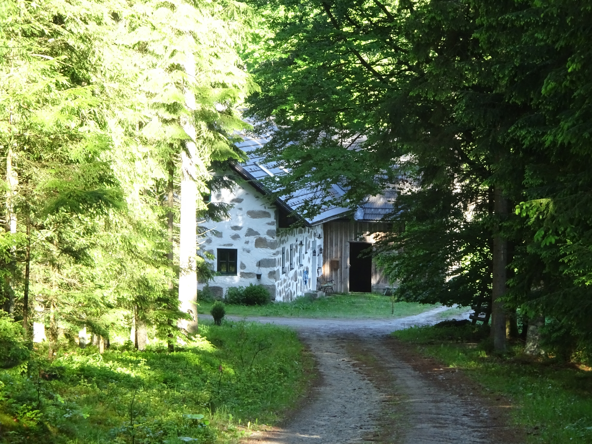
| Stop/Rest: | Gasthof Zeiler (Karlstift, 920m) Hotel Rockenschaub (Liebenau, 963m) Restaurant Kolm (Arbesbach, Bärenschutzpark, 905m) Gasthof Kerschbaummayr (Arbesbach, 852m) Gasthaus Josef Höfinger (Arbesbach, 849m) Kirchenwirt Lichtenwallner (Altmelon, 903m) |
|
| Equipment: | Backpack with standard hiking equipment Comfortable hiking shoes Snacks, Food and plenty of water 1x Gipfelbier Sun & Weather protection Camera |
| Download GPX | ||
| O | Tour at outdooractive.com |
At a glance
| Level | moderate-difficult |
| Technique | |
| Shape / Fitness | |
| Experience | |
| Scenery | |
| Best time in the year | |
|
Jan
Feb
Mar
Apr
May
Jun
Jul
Aug
Sep
Oct
Nov
Dec
|
|
Interesting background information
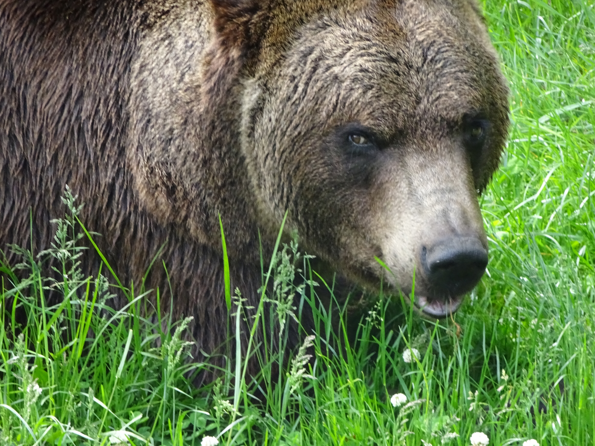
The BEAR SANCTUARY Arbesbach is located in the northeast of Austria and is one of several wild animal projects by the international animal welfare organization FOUR PAWS. The sanctuary offers brown bears from bad keeping conditions an animal-friendly home since 1998.
At present, four brown bears live on a total area of 21,000 square meters. Since they lost their shyness towards humans, they can be observed closely.
The entrance fee (13 €) is included in the Niederösterreich Card.

Leave a Reply