
Round-trip tour starting from Karlstift to the official start point of the Nord-Süd-Weitwanderweg 05 at Nebelstein and back on the 05 to Karlstift.
 |
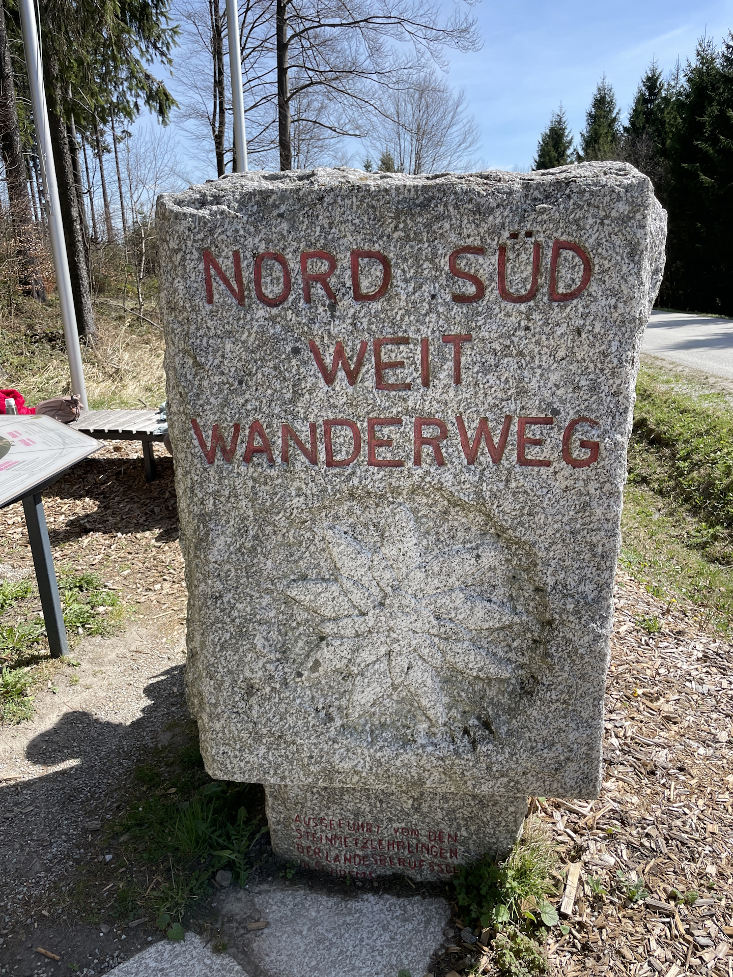
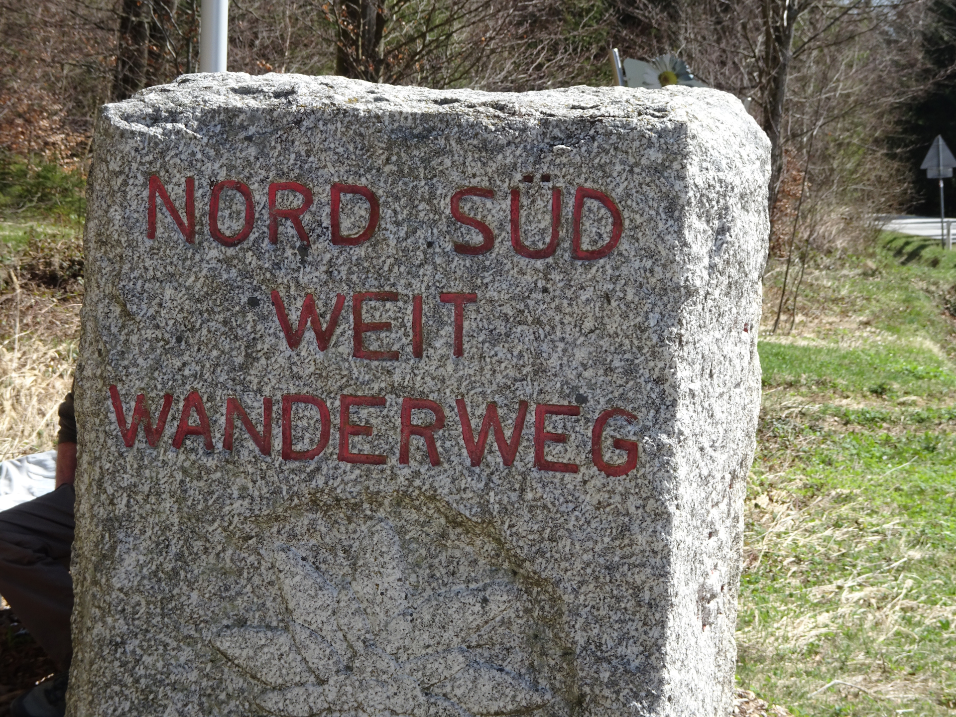
The North-South-Long-Distance trail (Nord-Süd-Weitwanderweg, also known as the “05”) starts in the north of Austria at Nebelstein and ends in the south of Austria at Eibiswald. The trail is ~500km long, ~18 000m in ascent and the same amount in descent. The trail was initiated by Carl Hermann and officially established on the 25th September 1970. The trail is separated into 3 parts:
It normally takes 3 weeks to complete the entire trail. |
The here presented tour is part of the Nord-Süd-Weitwanderweg 05 , whereas the tour starts at the parking in Karlstift and first uses a hiking trail through the Czech Republic to the official starting point of the 05 .
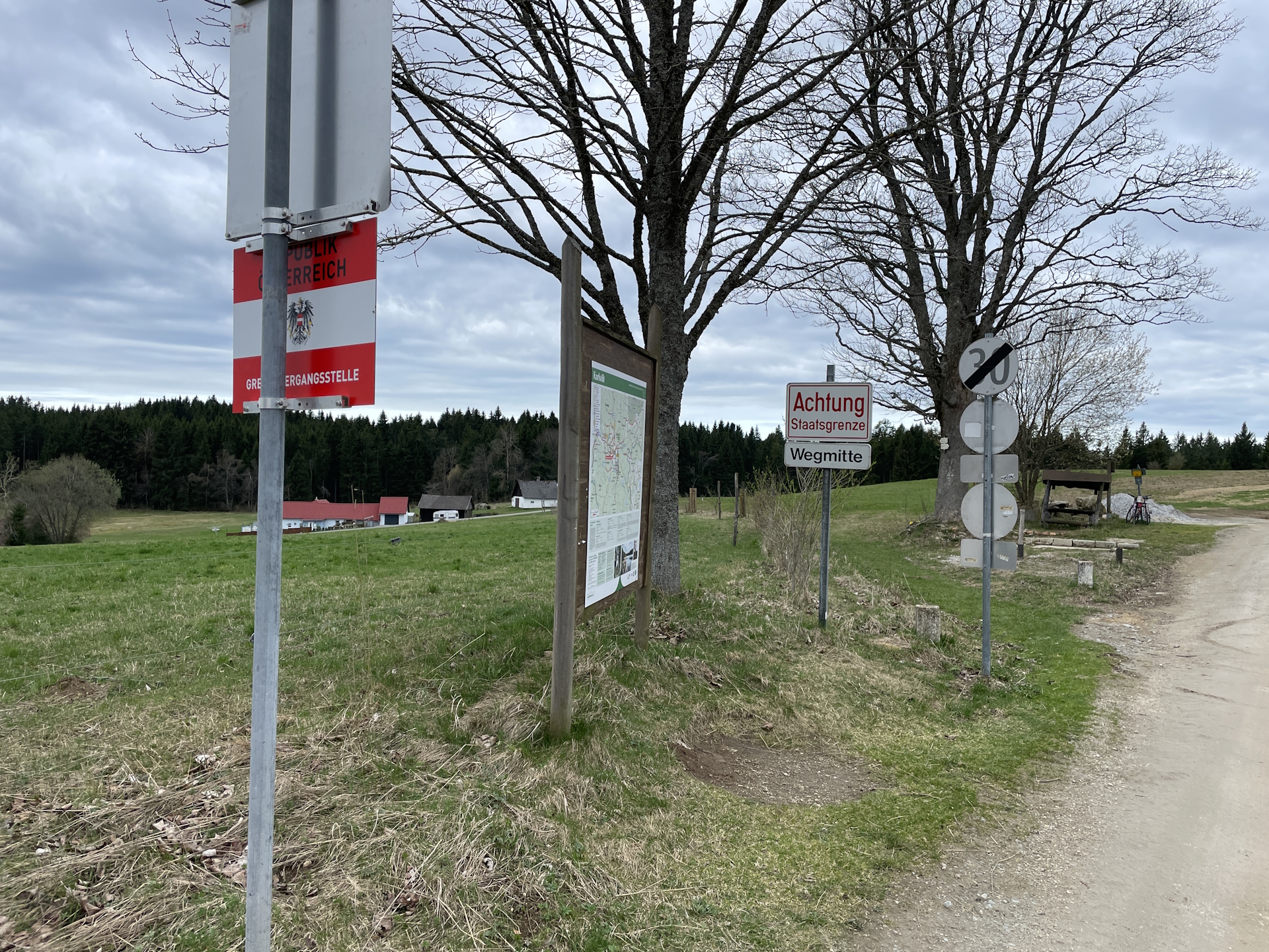
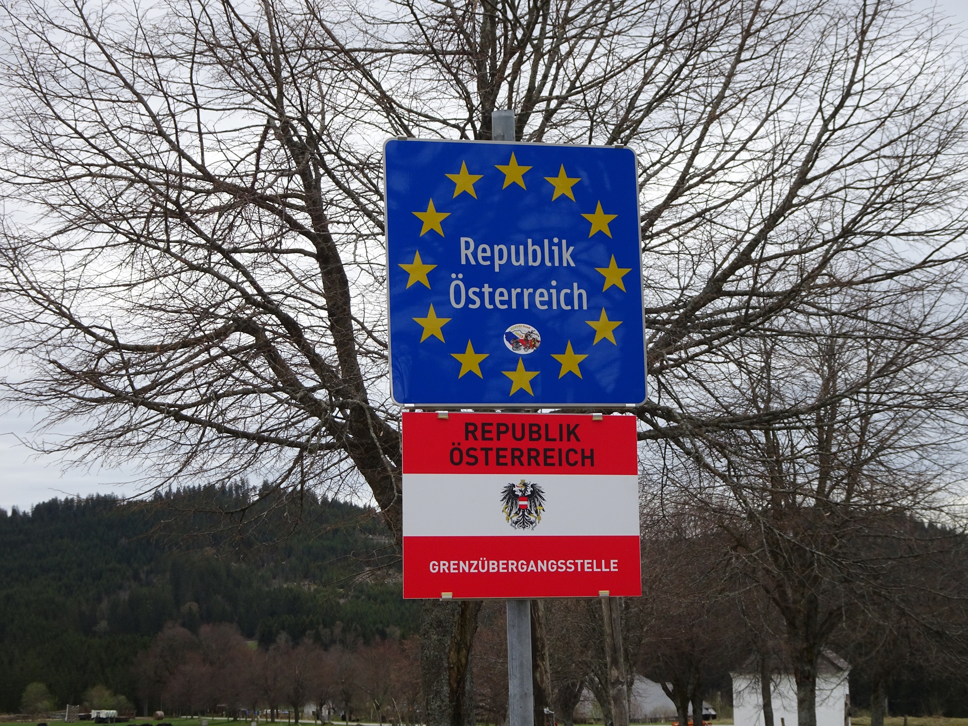
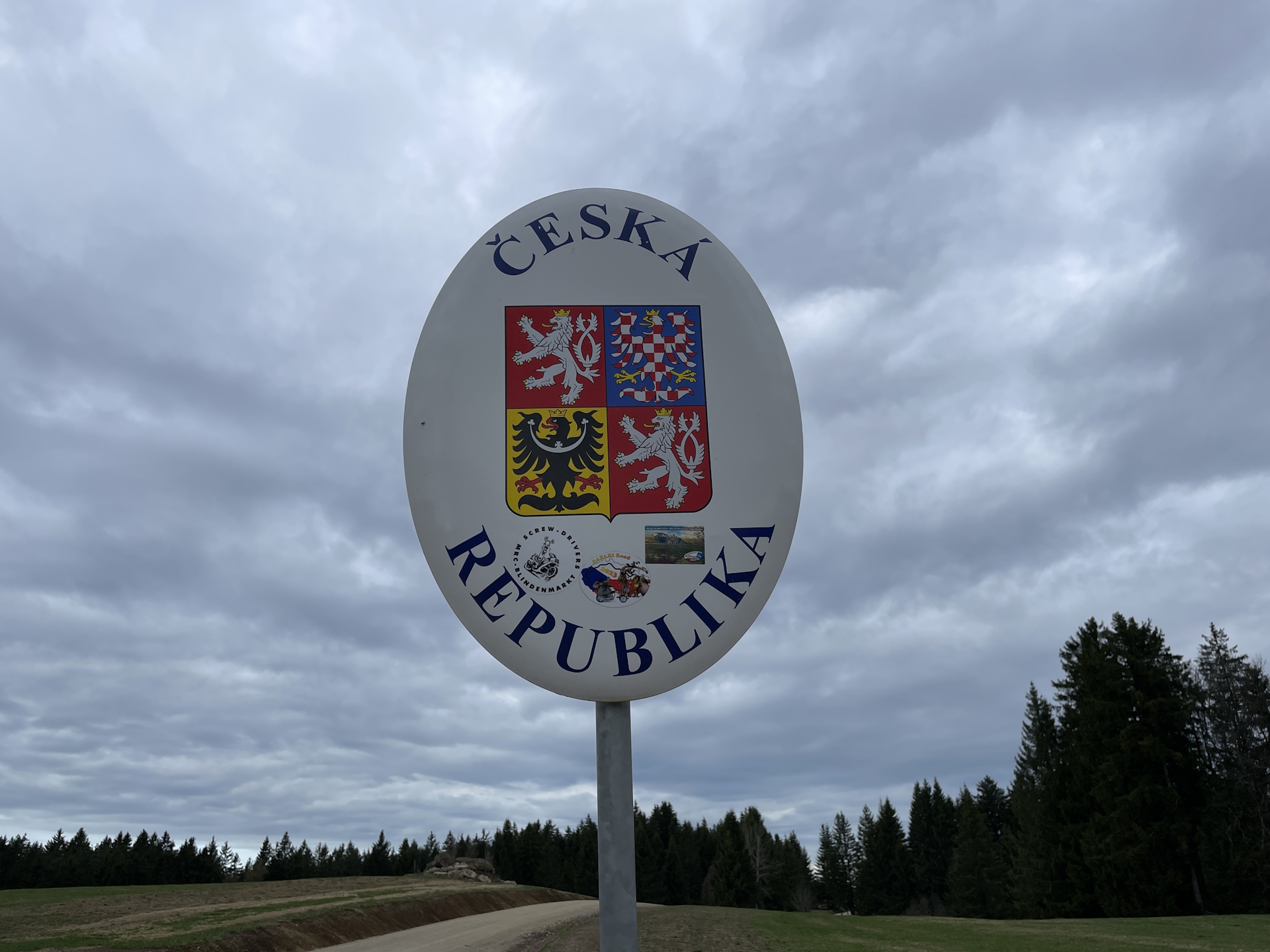
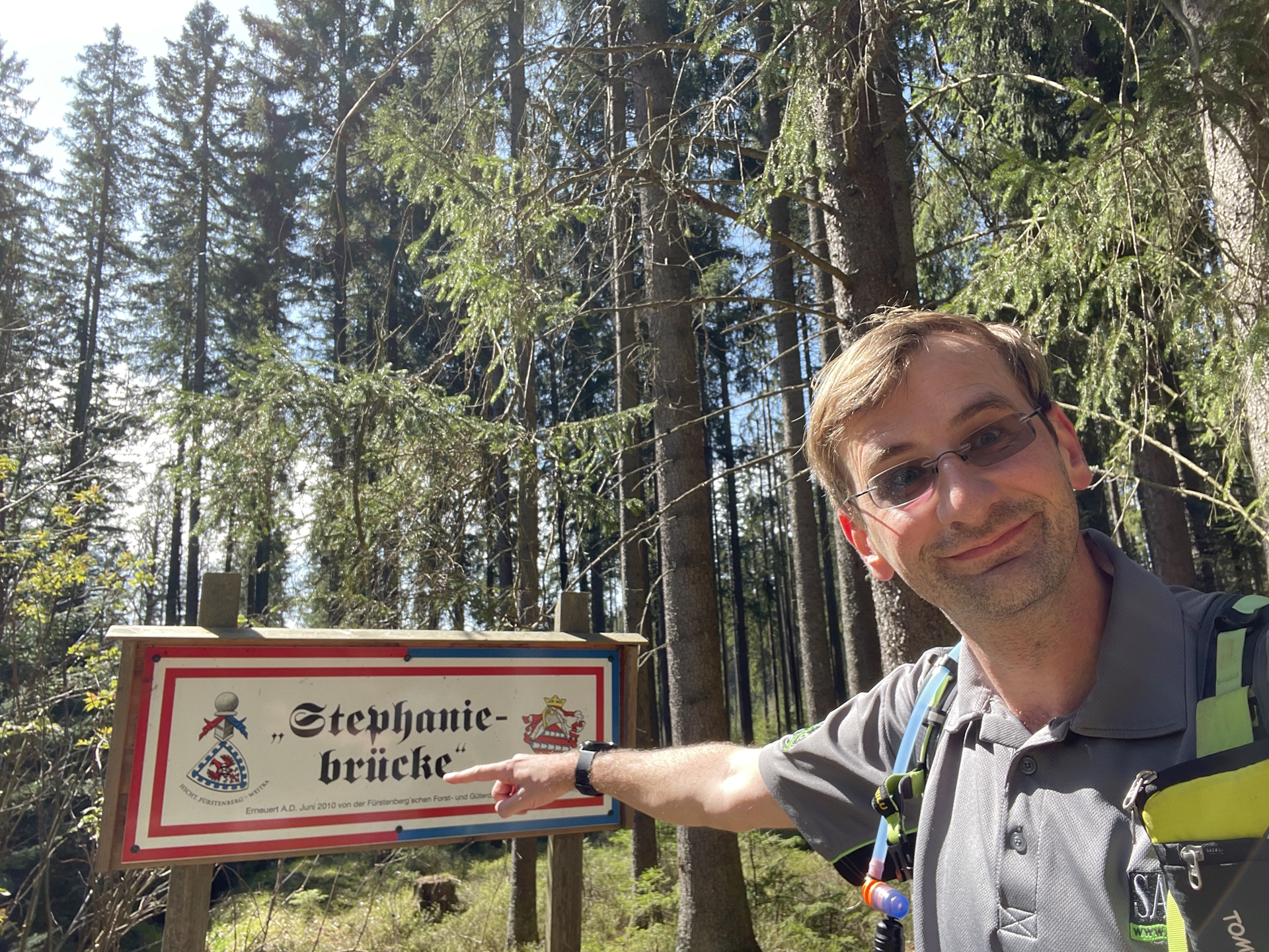
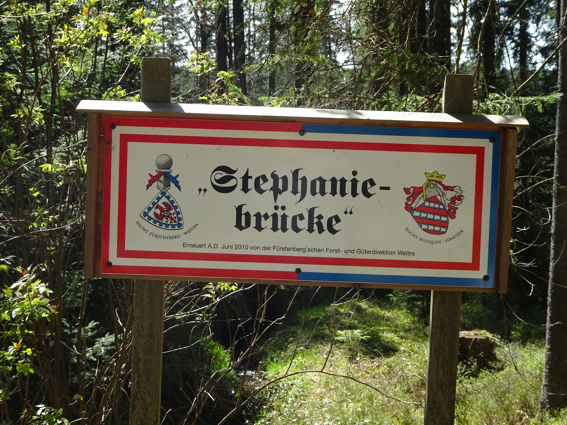
The tour first follows the trail E6 westwards through the village of Karlstift, bypasses the Dreifaligkeitskappelle and further through Stadlberg till reaching the Czech border. After crossing the border, the tour follows the trail VIA-CZE-208, bypassing Pastvina and then heading north following the Nordwaldklammweg. After the Stribne Hute (rest area), the tour keeps straight and follows the trail along the border northwards. Shortly before the Stephaniebrücke, the tour leaves the official marked trail, keeps straight and crosses the border to Austria at the Stephaniebrücke. From there, the tour then follows the trail eastwards, bypassing the Schwarzauer Hof till reaching the Nebelstein.
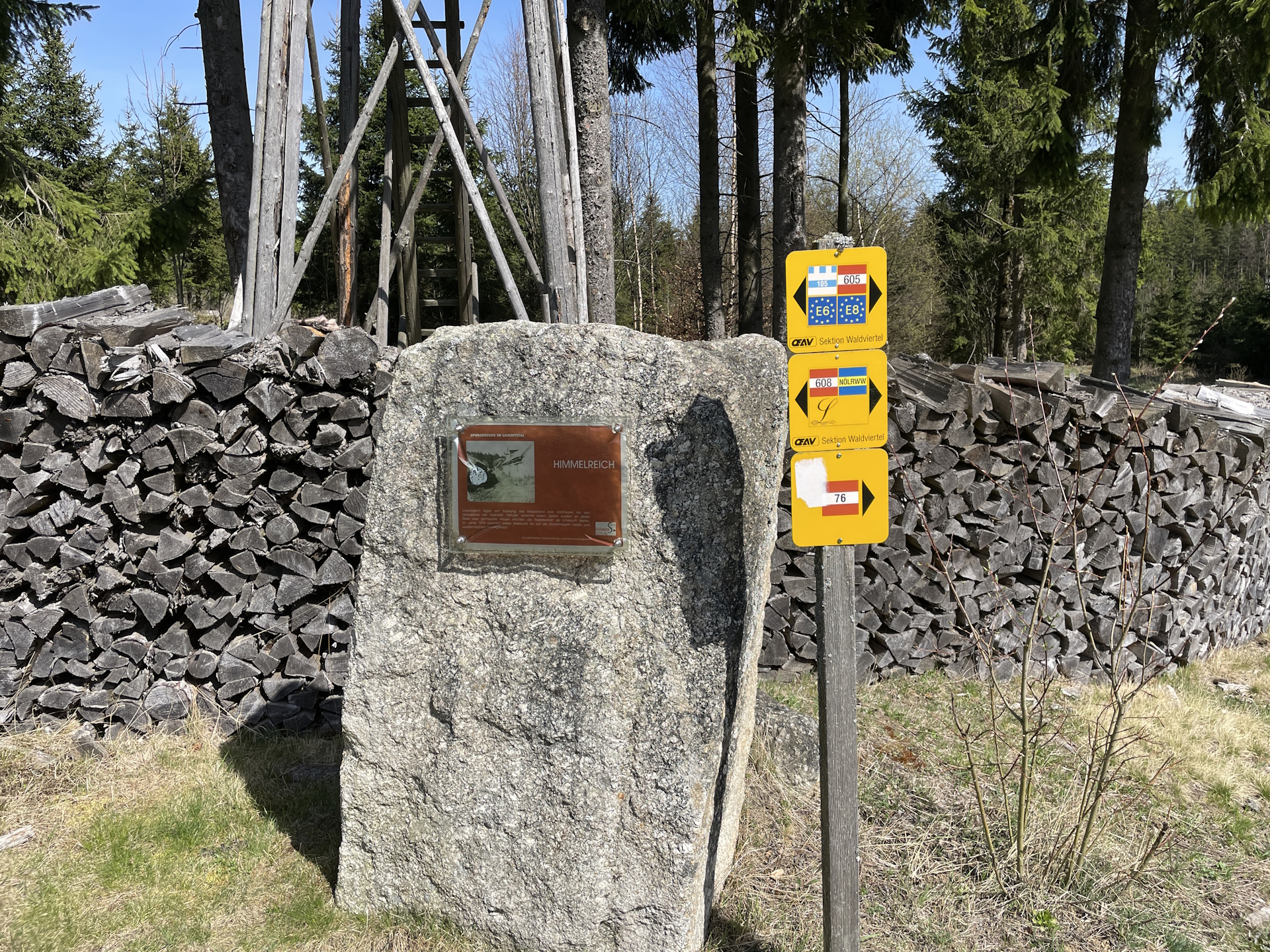
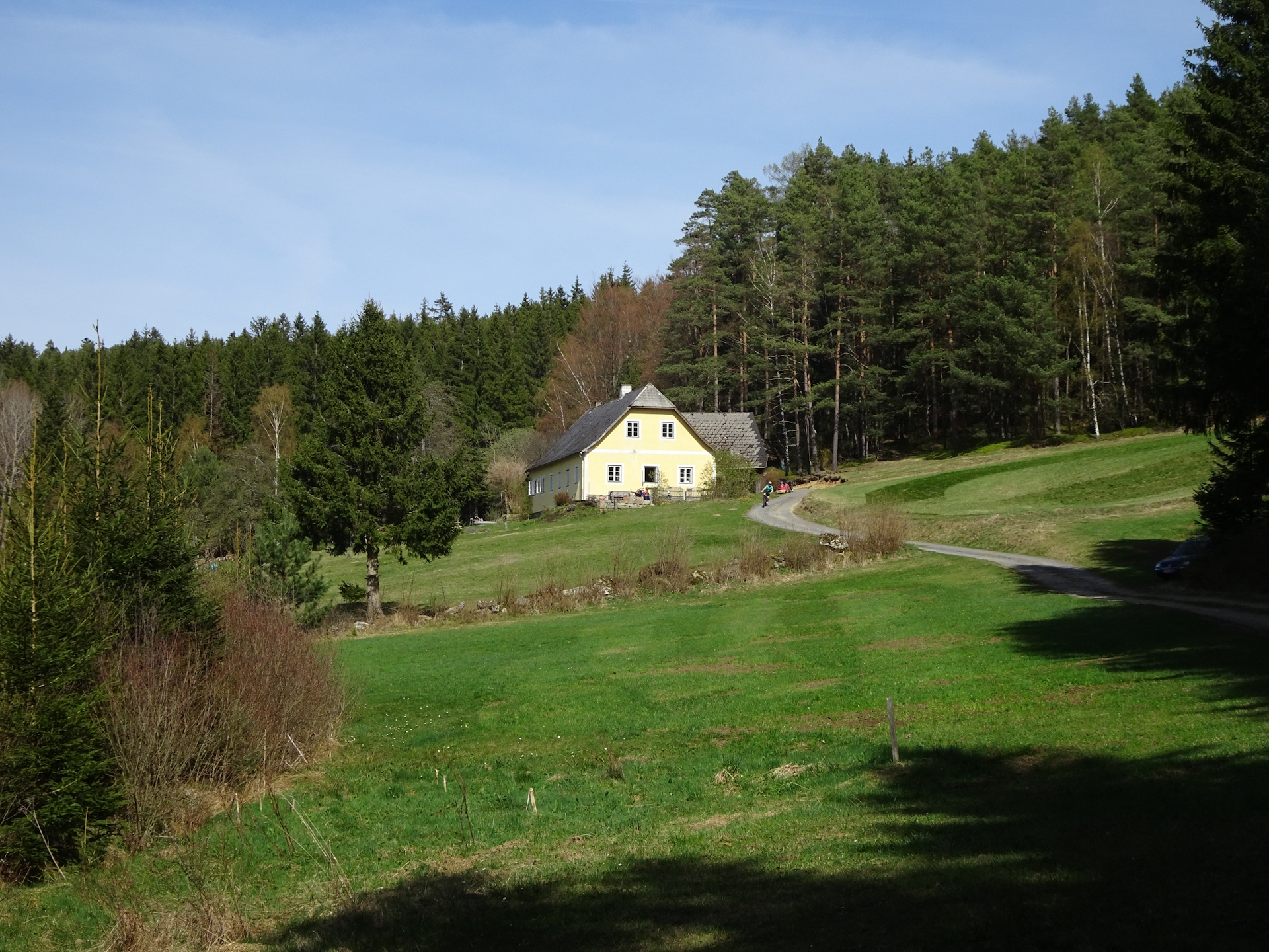
After a well-deserved break at the Nebelsteinhütte (Checkpoint), the tour now follows the official Nord-Süd-Weitwanderweg 05 southwards, bypassing the Himmelreich and Althütten and then following the trail through the beautiful forest back to Karlstift (Checkpoint).
| Nord-Süd-Weitwanderweg 05 – Checkpoints | |
|
Transportation:
I personally found it difficult to reach the Nebelsteinhütte via public transportation, especially on weekends when the hut is open (Friday might be the only possibility, however the earliest convenient bus arrives there in the afternoon and ONLY during school days!). Thus I’ve decided to hike the first stage in a single-day trip, starting from and ending at Karlstift for which I used my car to reach the destination.
The hike:
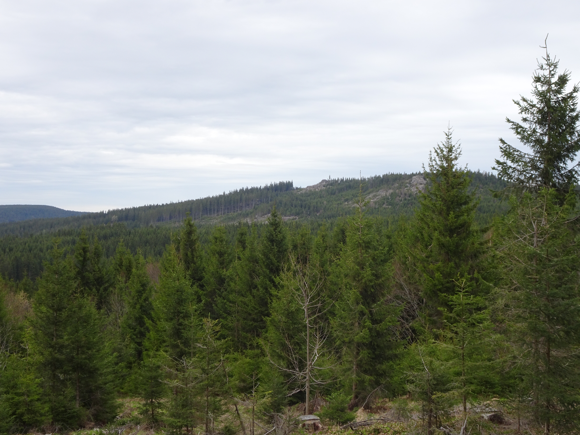
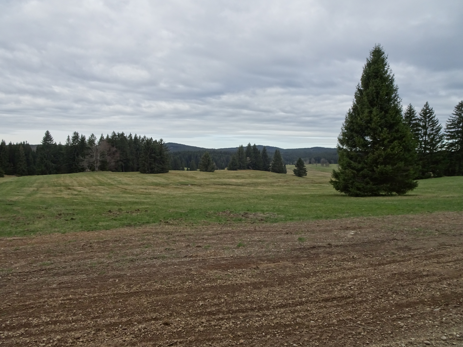
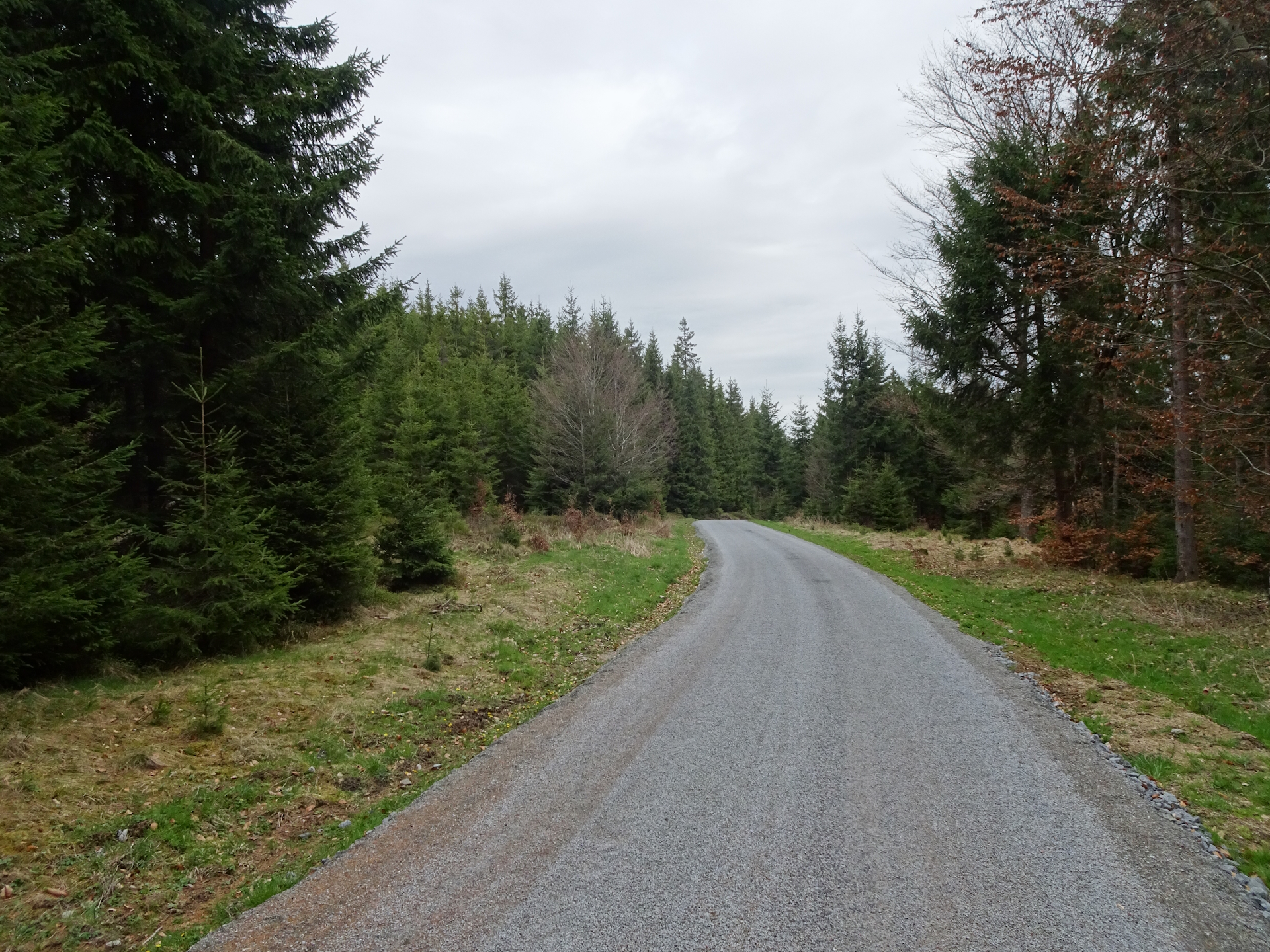
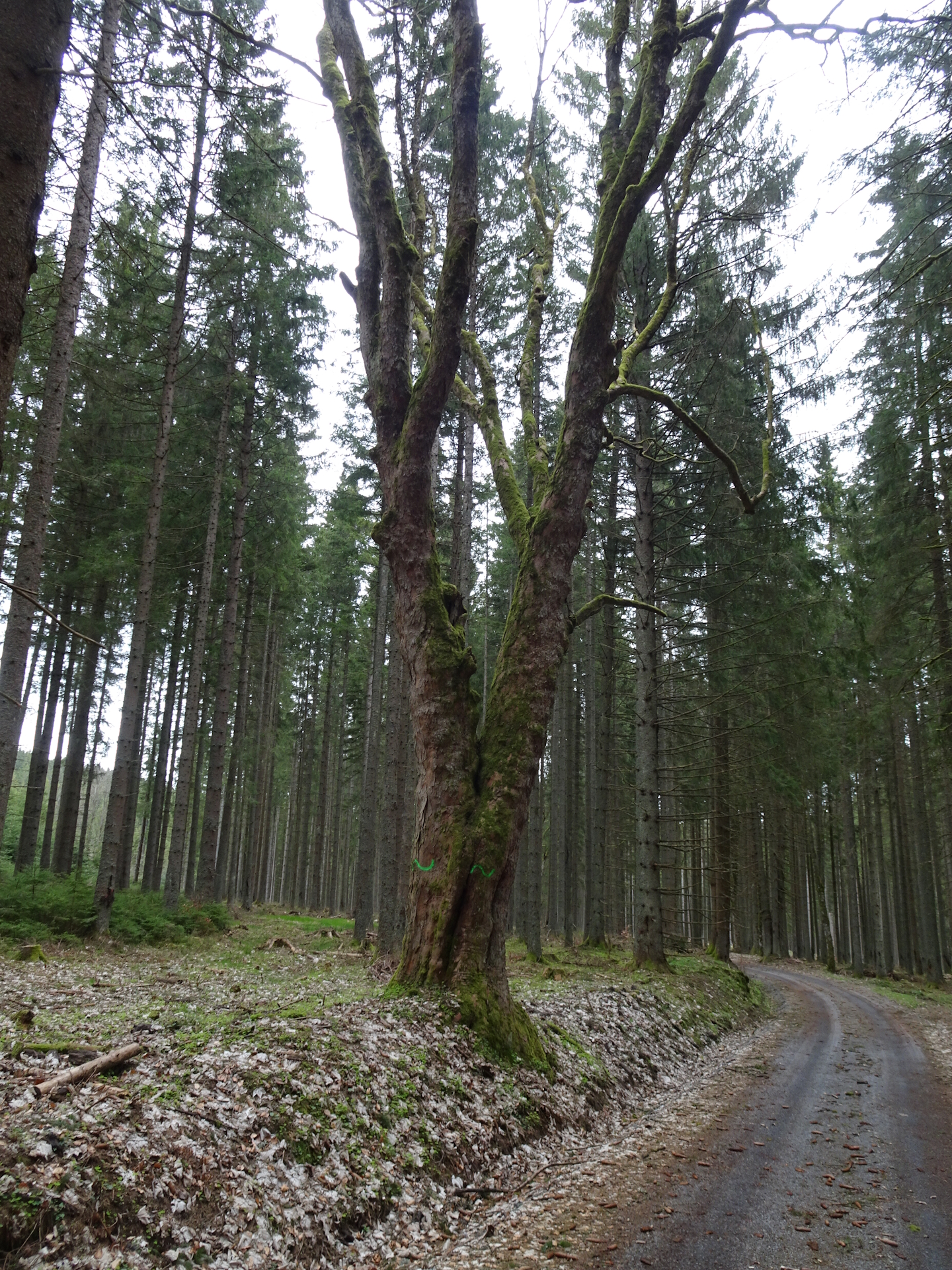
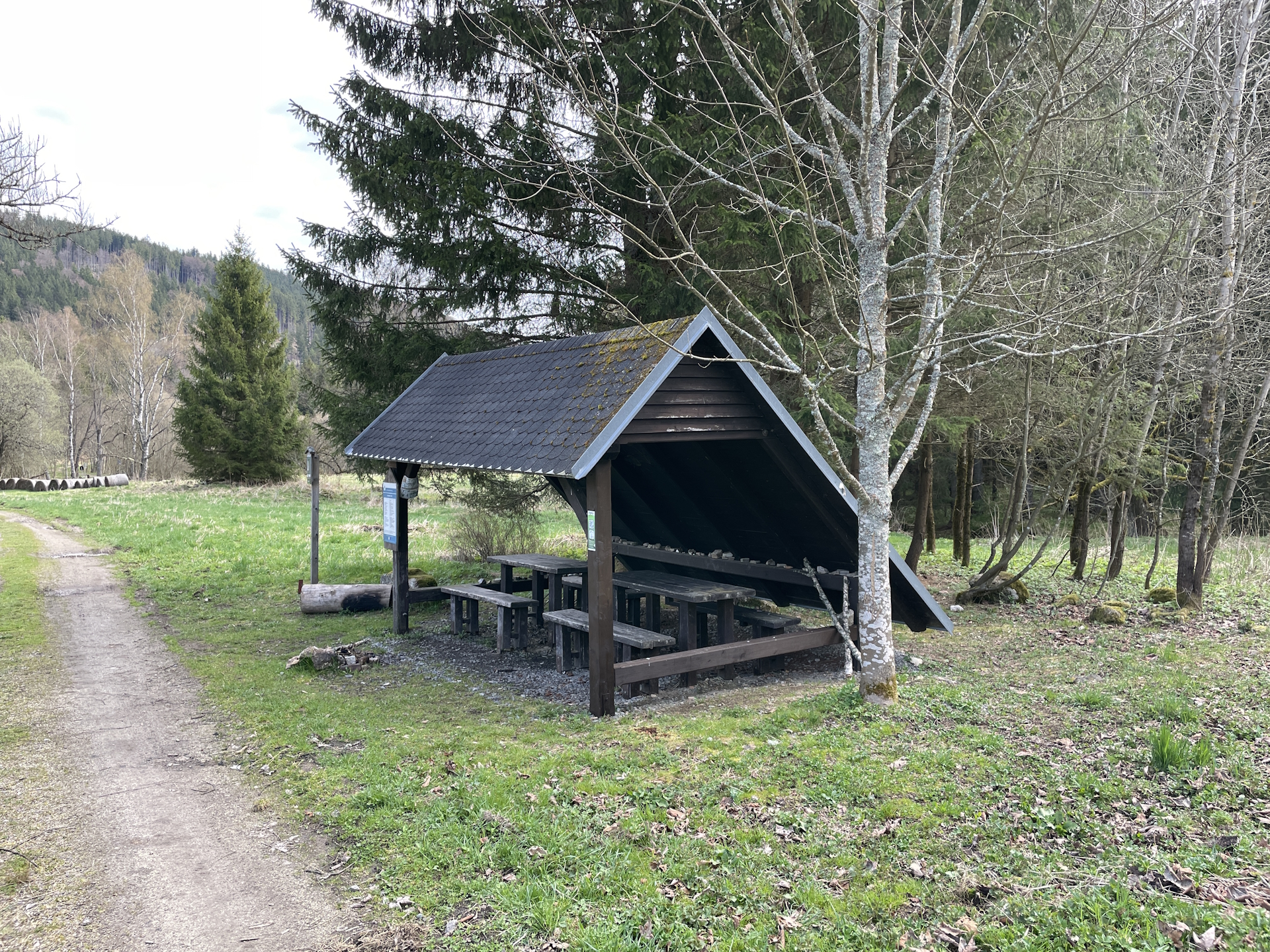
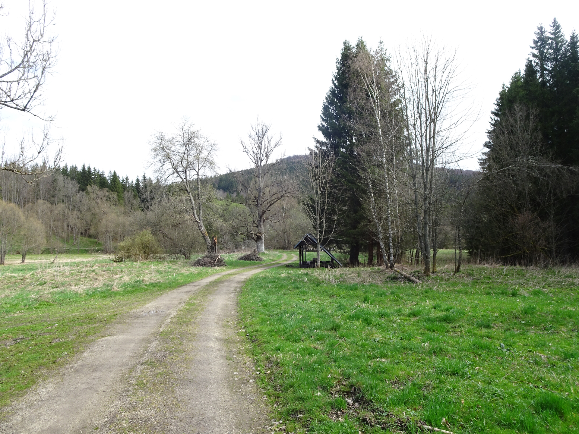
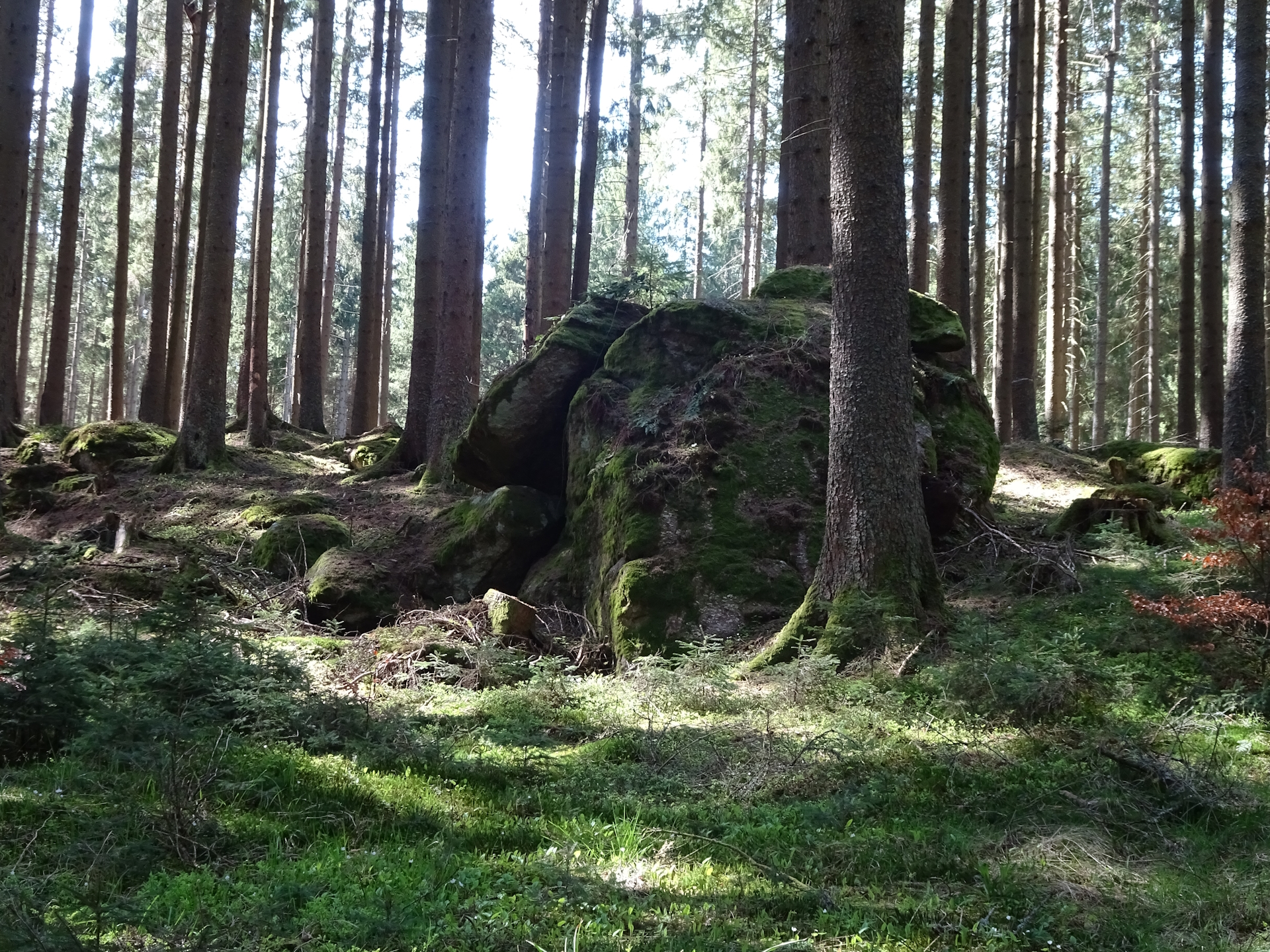
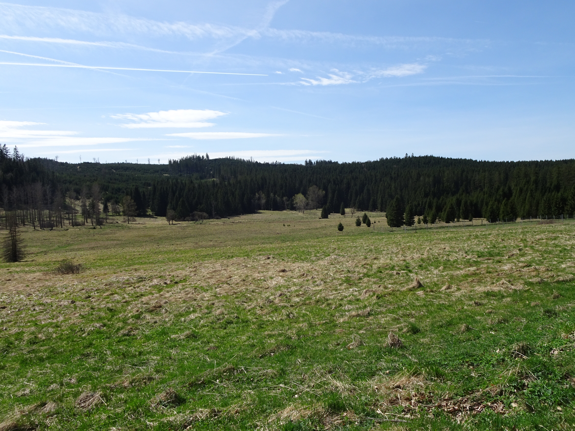
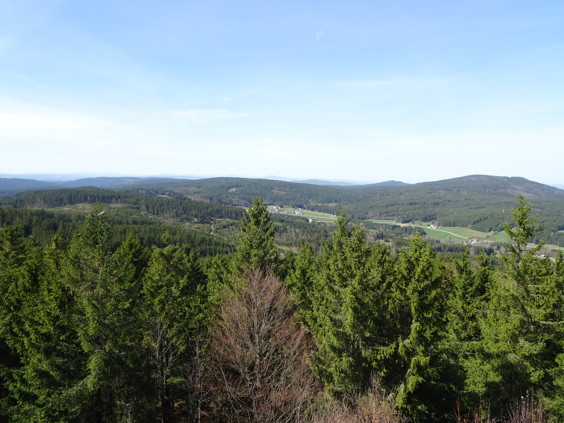
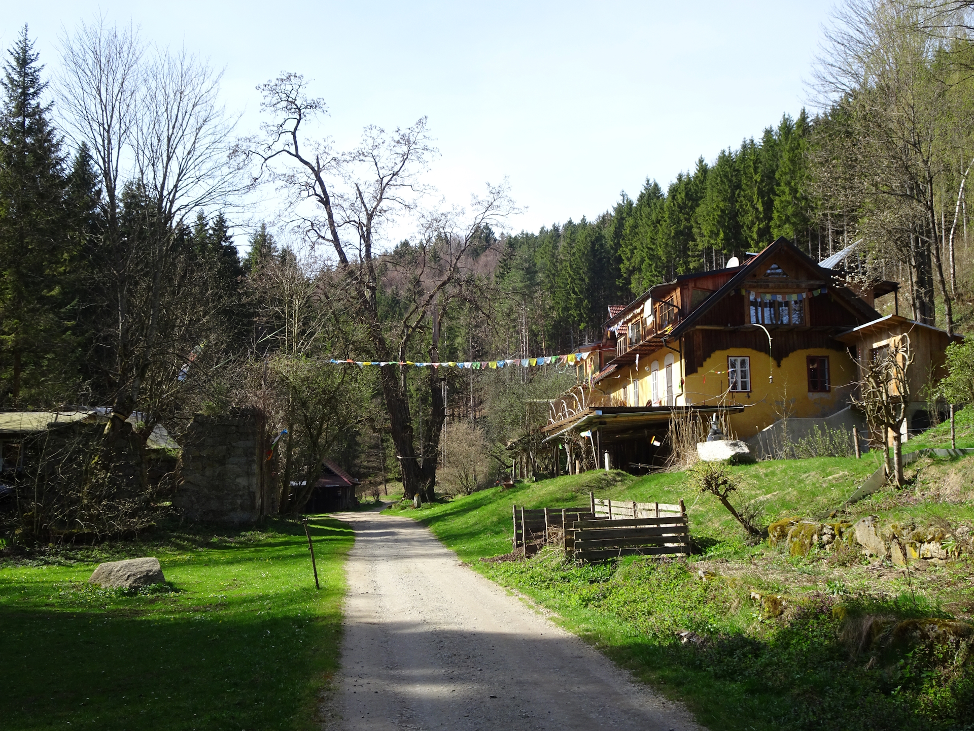
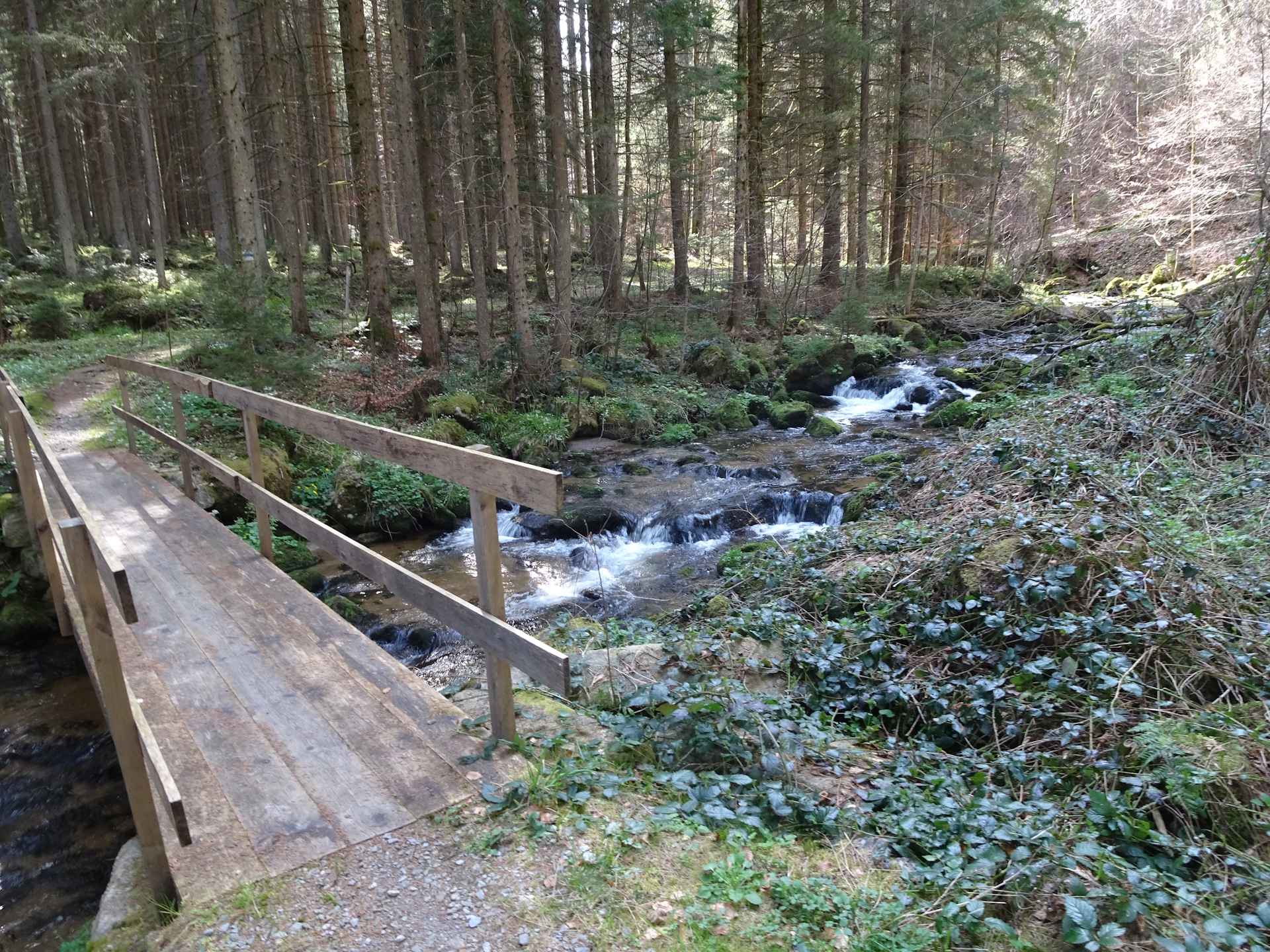
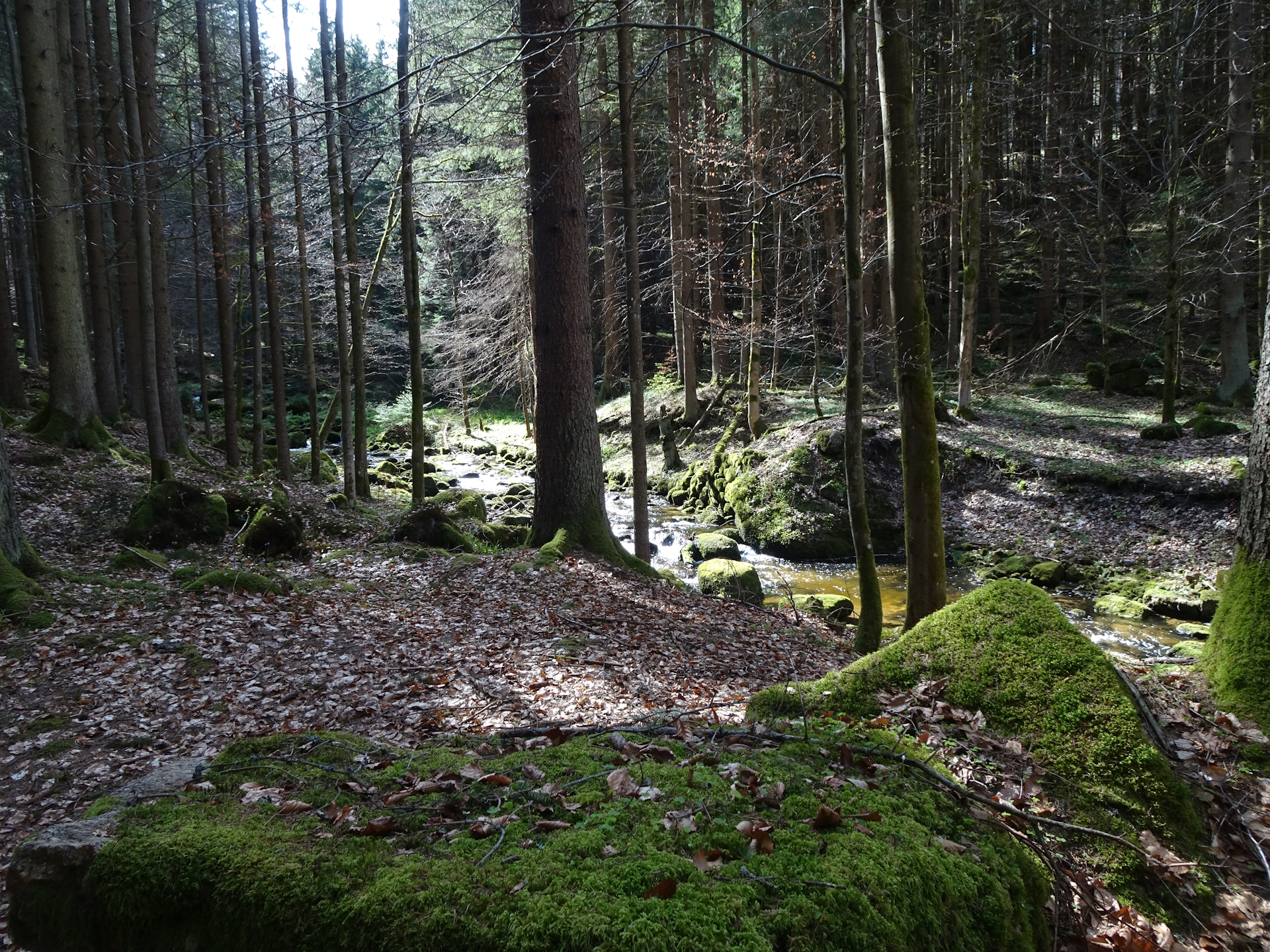
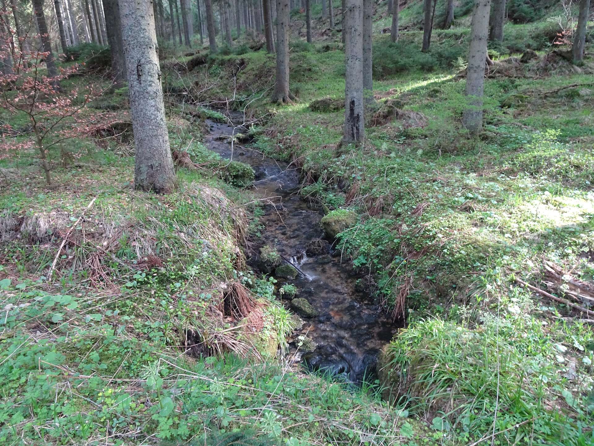
I started the hike in good time on a Saturday in the morning (8:00). To avoid boredom, I’ve decided to plan for a round-trip, reaching the Nebelstein from Karlstift over the Czech Republic. The trail till the border is okay, not challenging but not too exiting. I personally liked the trail through the Czech forest (a lot of green) on a paved road but only for hikers. One of the highlights is the nice rest area (Stribne Hute), a small shelter spending shadow and a comfortable bench. The trail continues nicely through the forest till reaching the Stephaniebrücke, at the border between Czech and Austria. The remaining trail till reaching the Nebelsteinhütte is mostly on dirt road and very exposed to sun. From time to time cars are passing by, causing in addition to the heat a lot of dust.
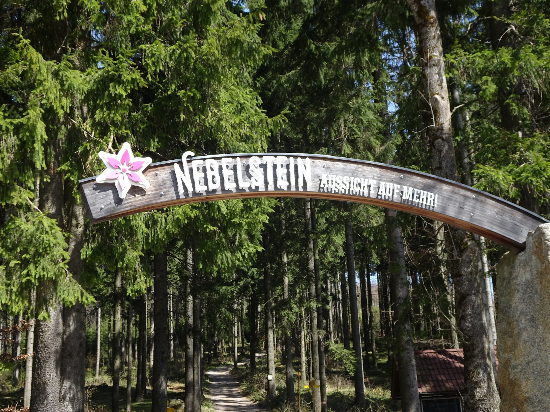
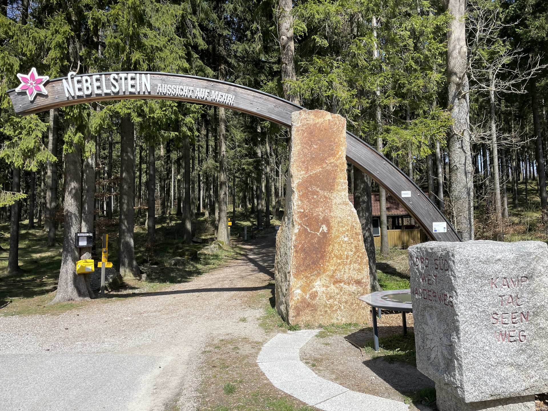
When finally reaching the wooden arch of Nebelstein, things are improving a lot. The ascent to the hut is again in forest (shadow) and the Nebelsteinhütte invites with very delicious food and refreshing cold drinks .
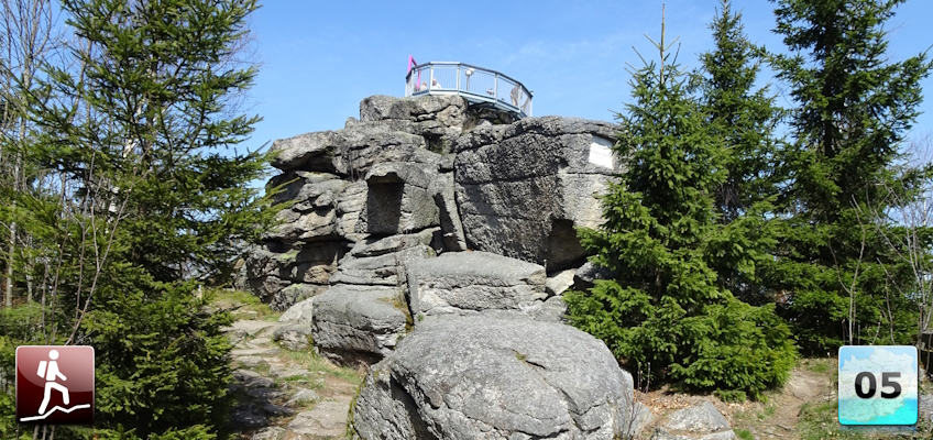
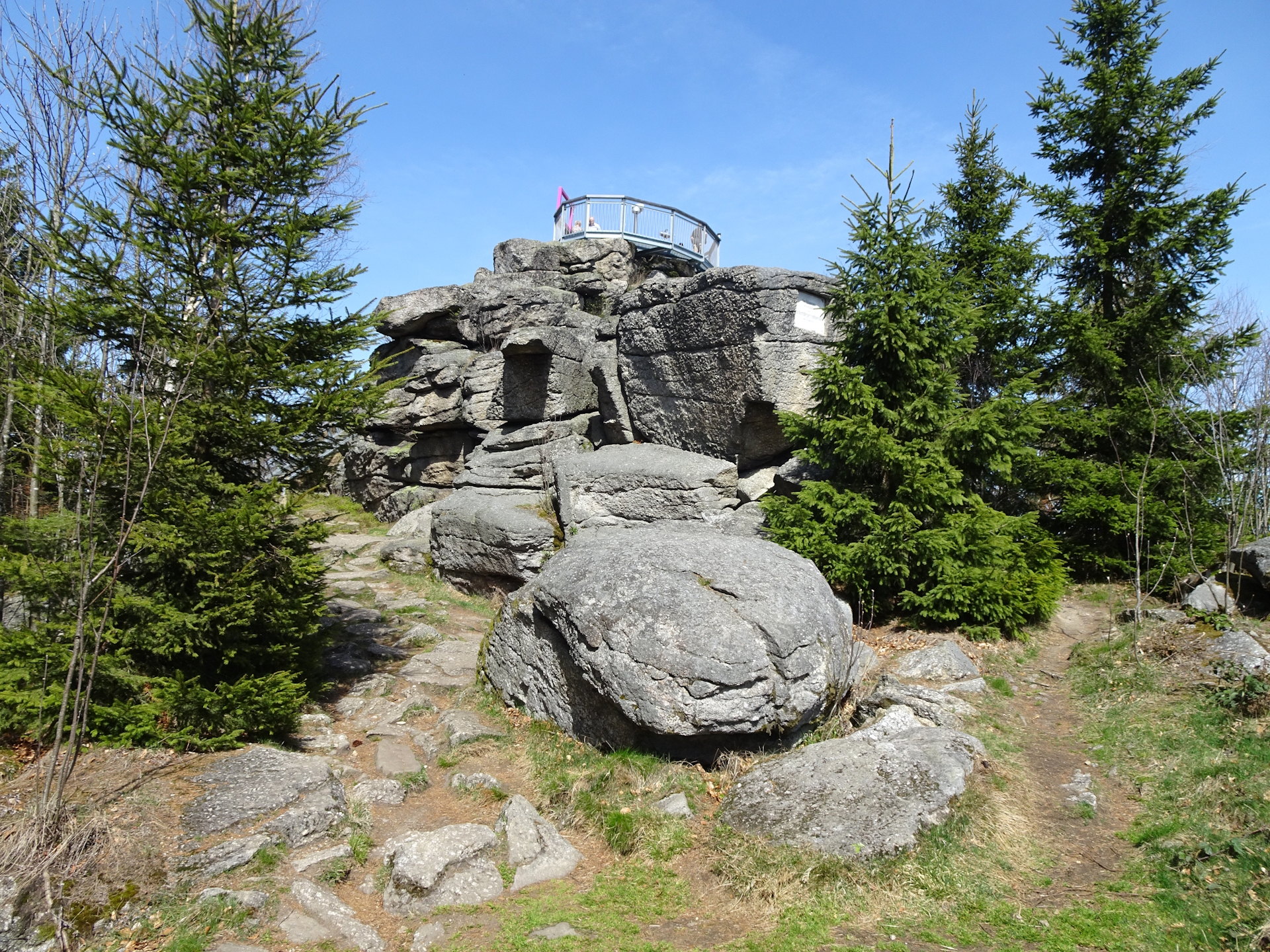
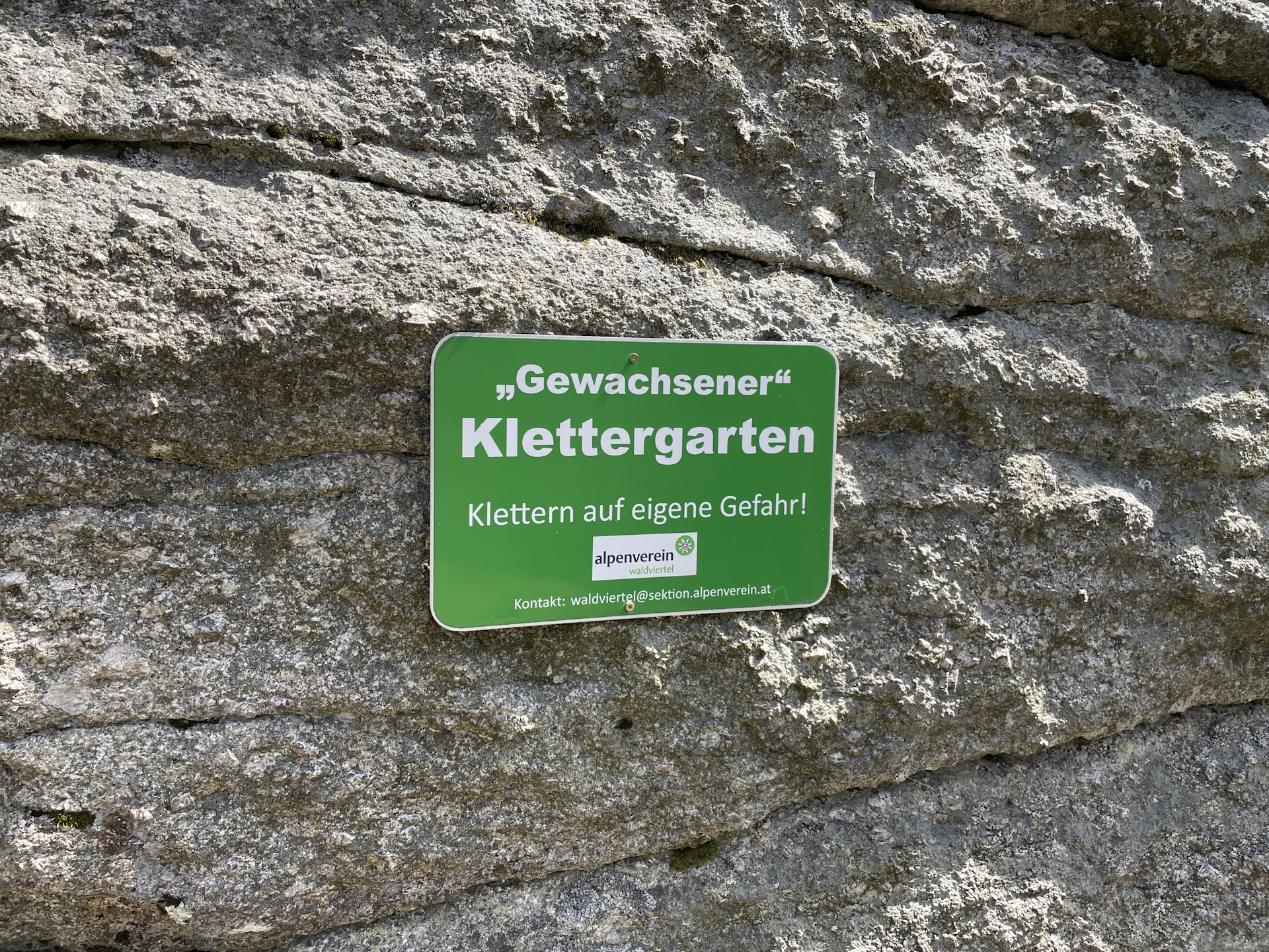
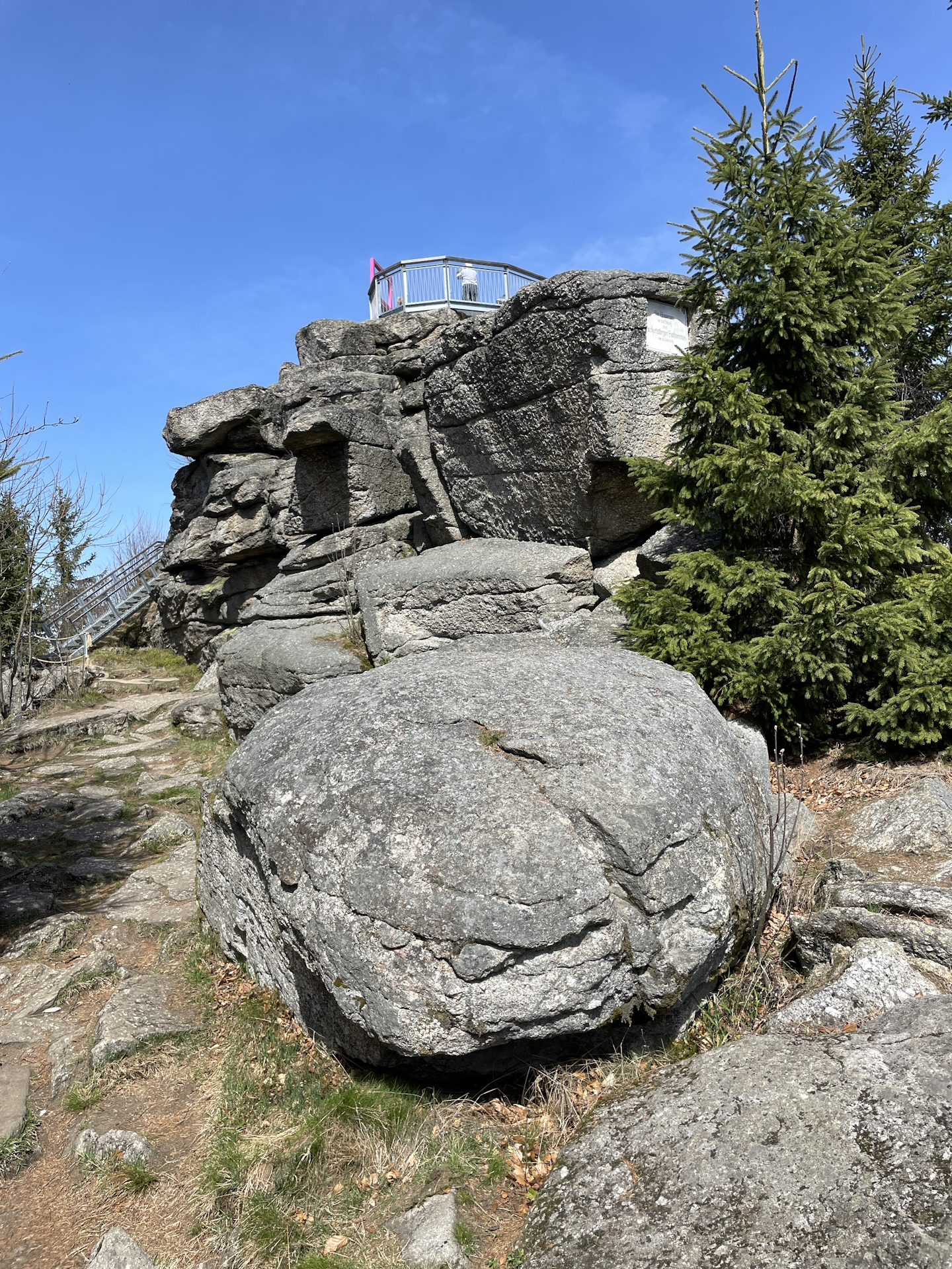
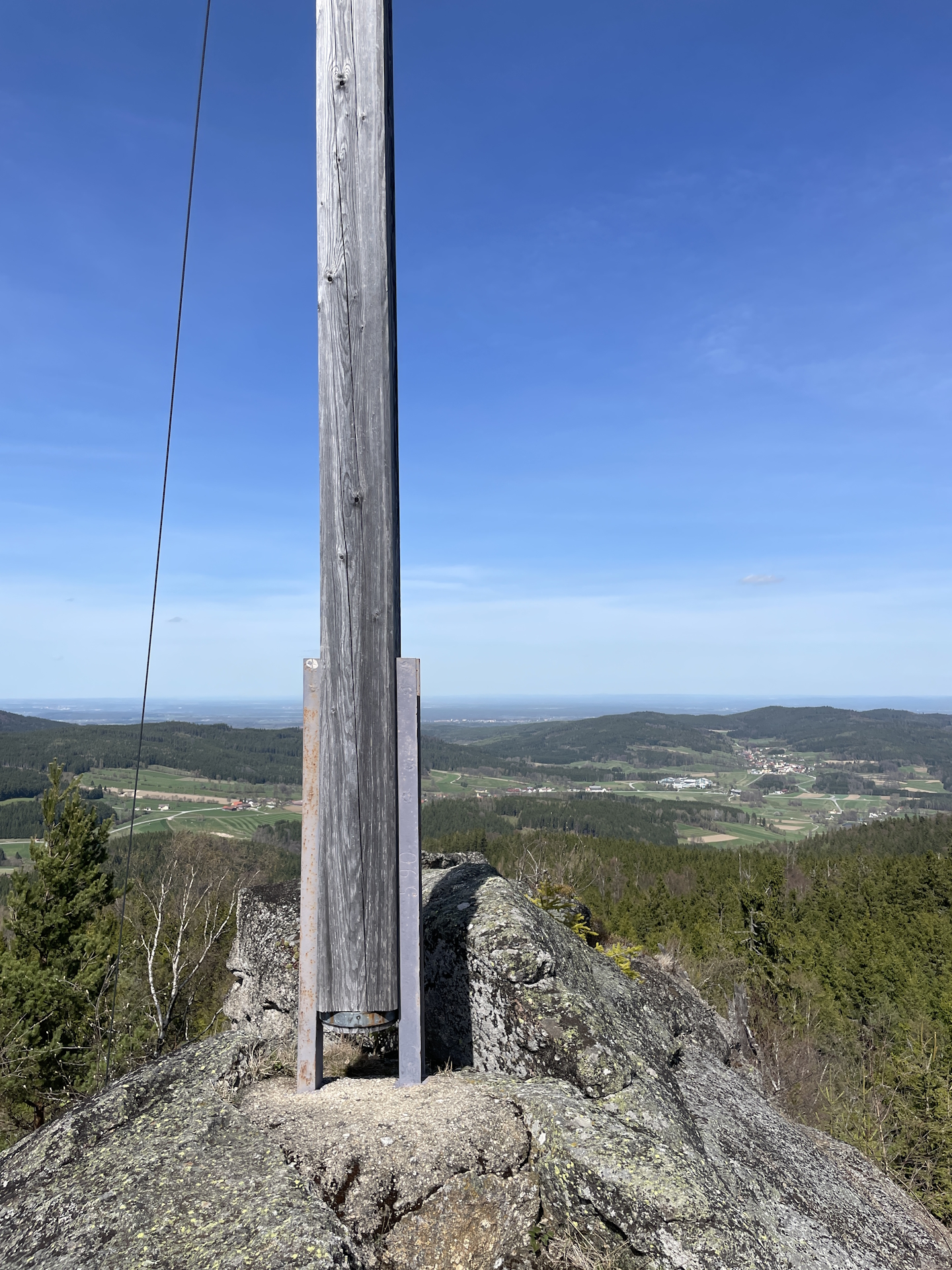
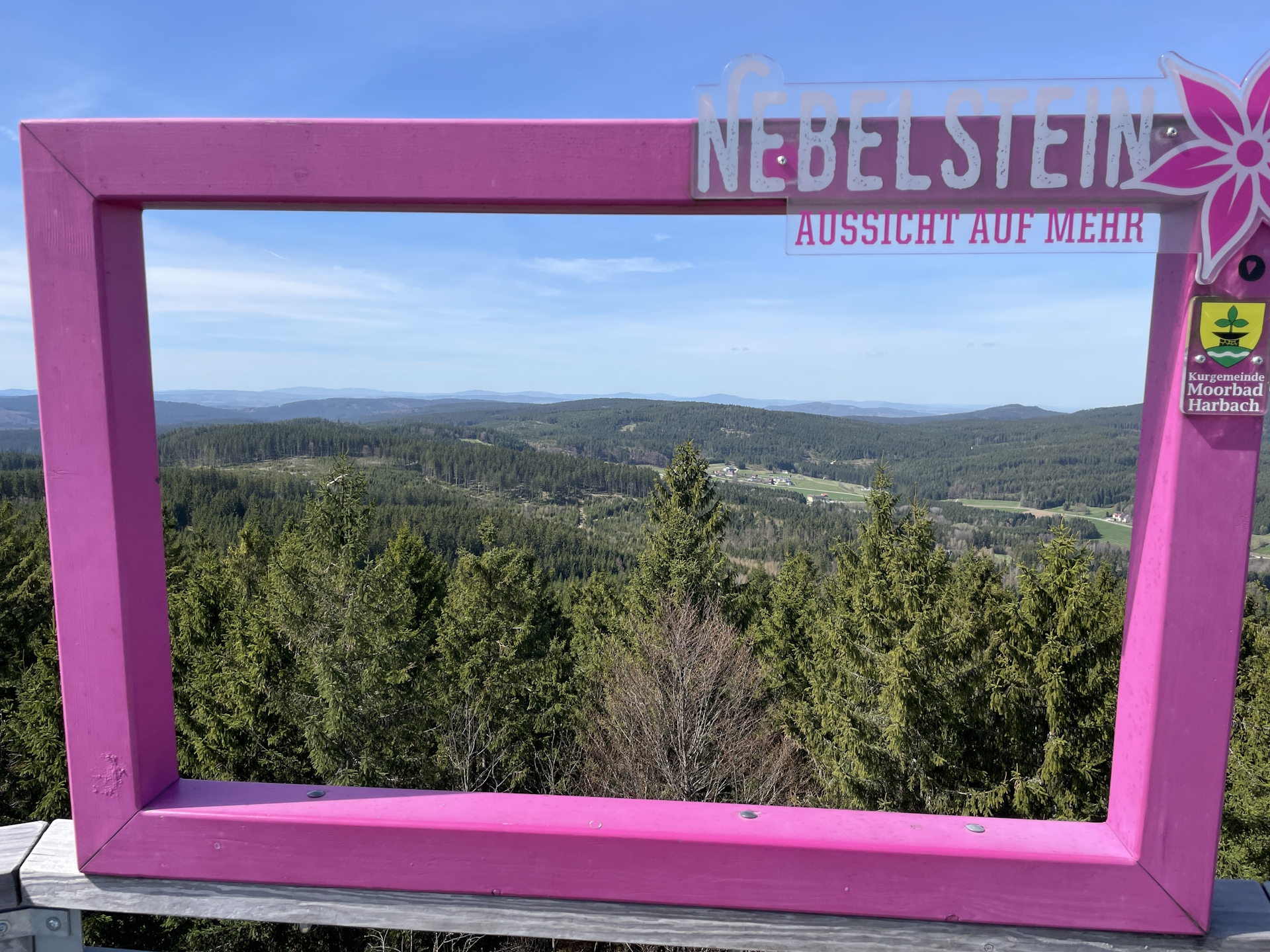
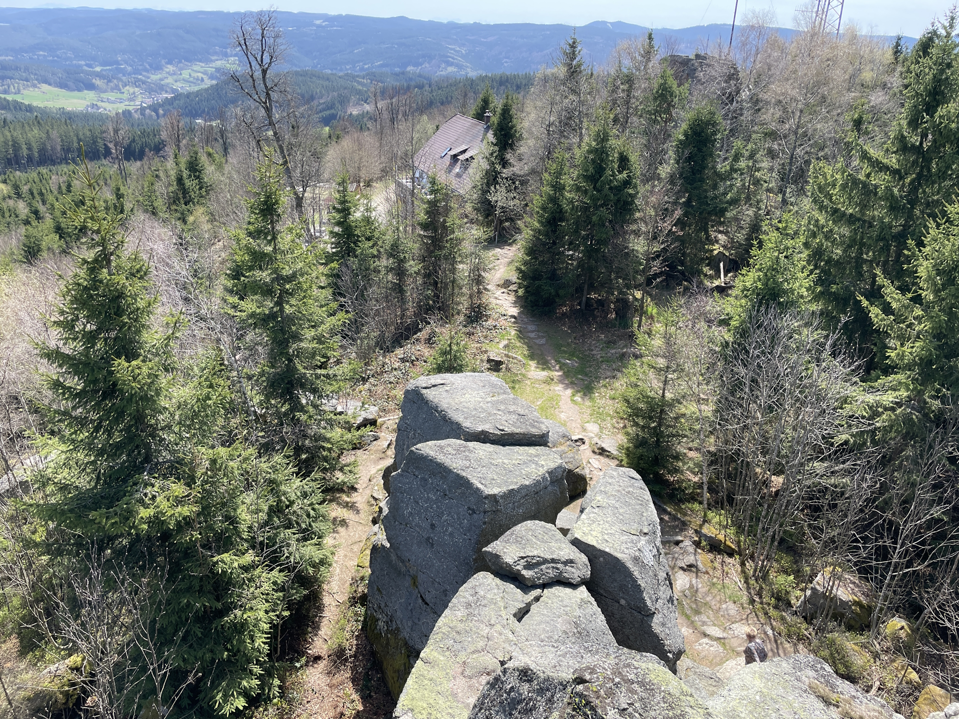
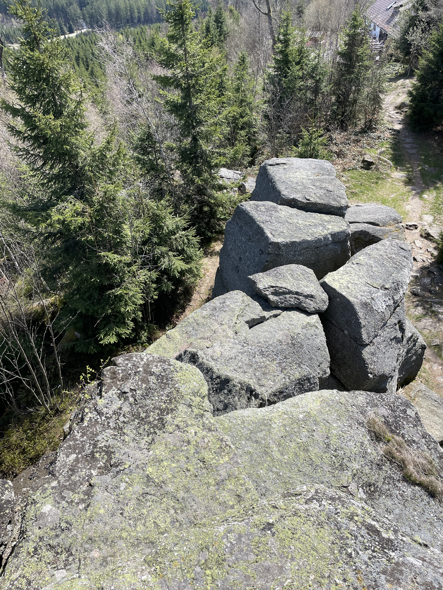
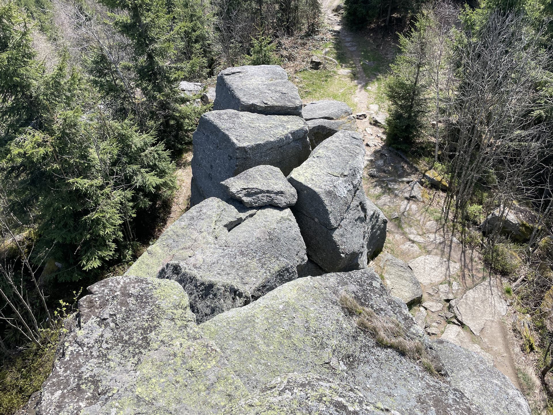
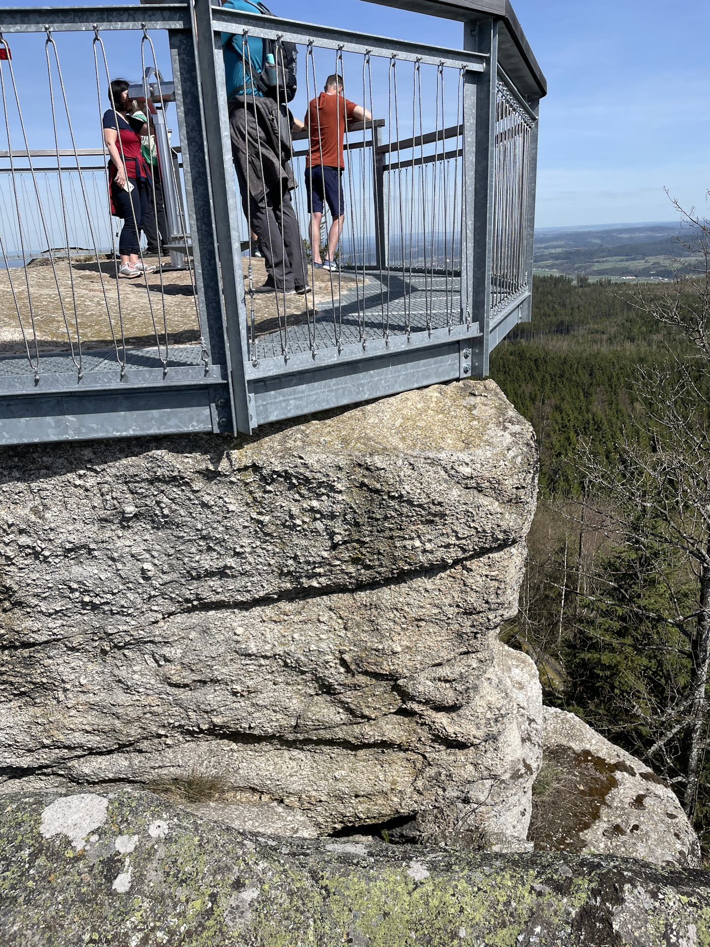
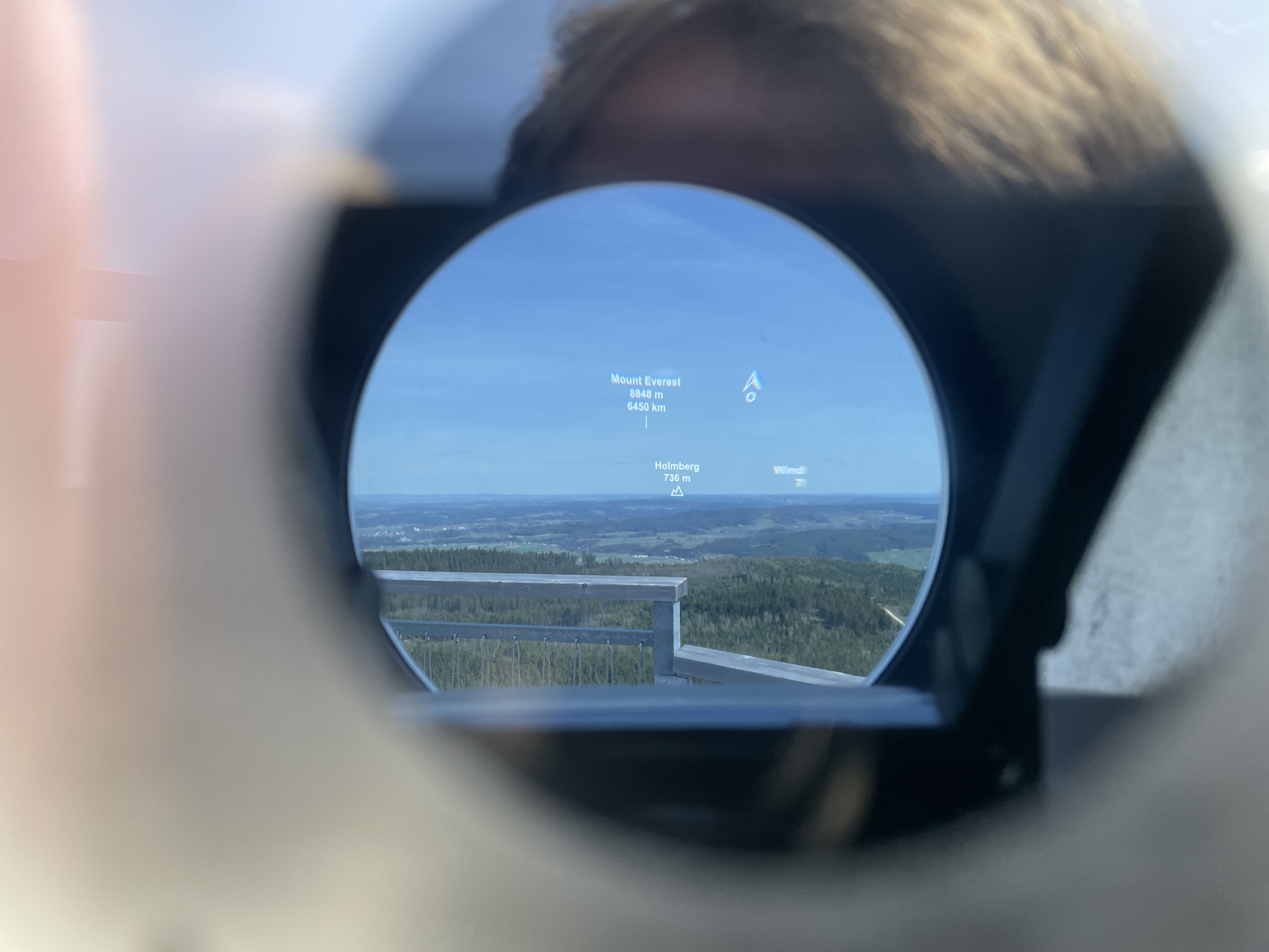
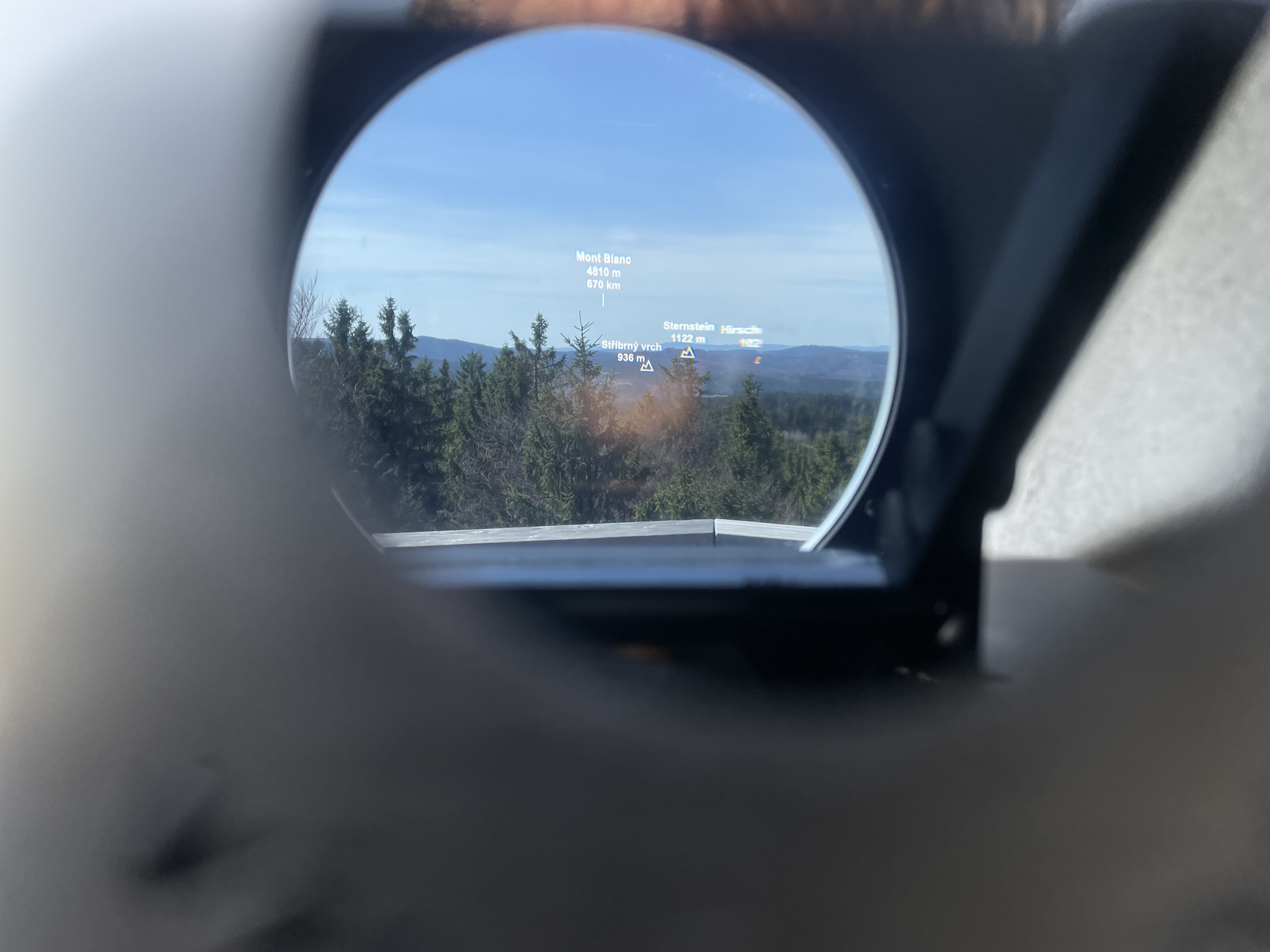
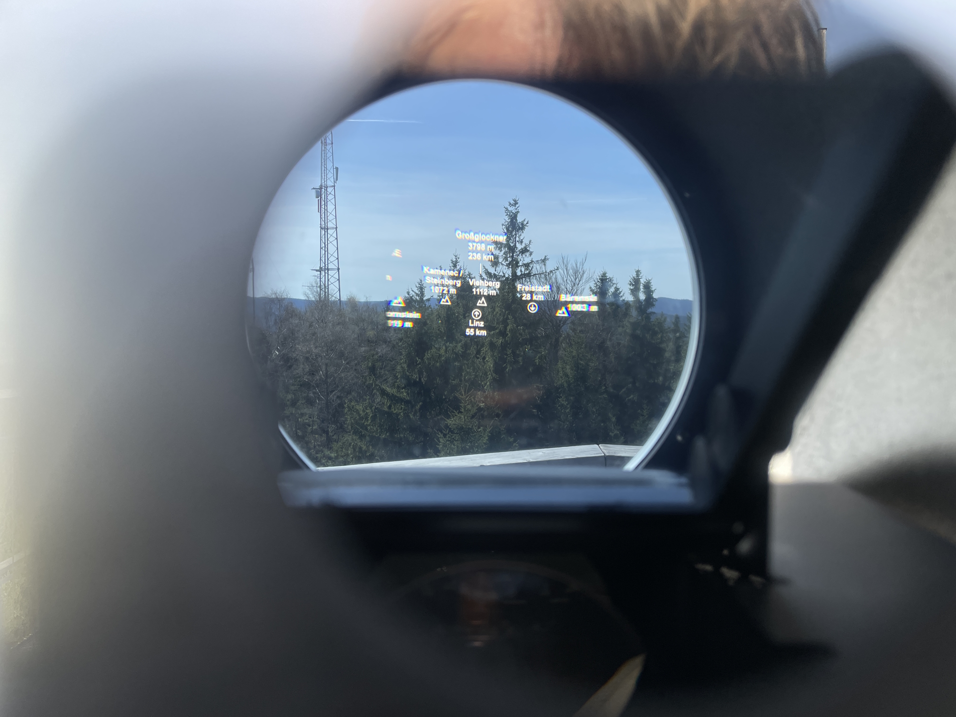
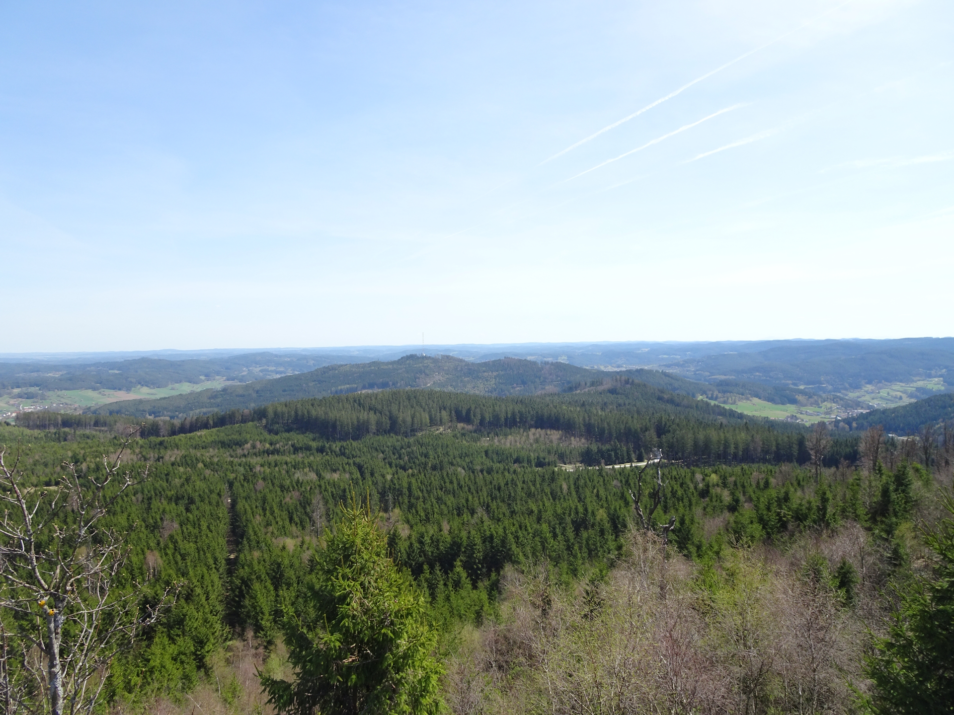
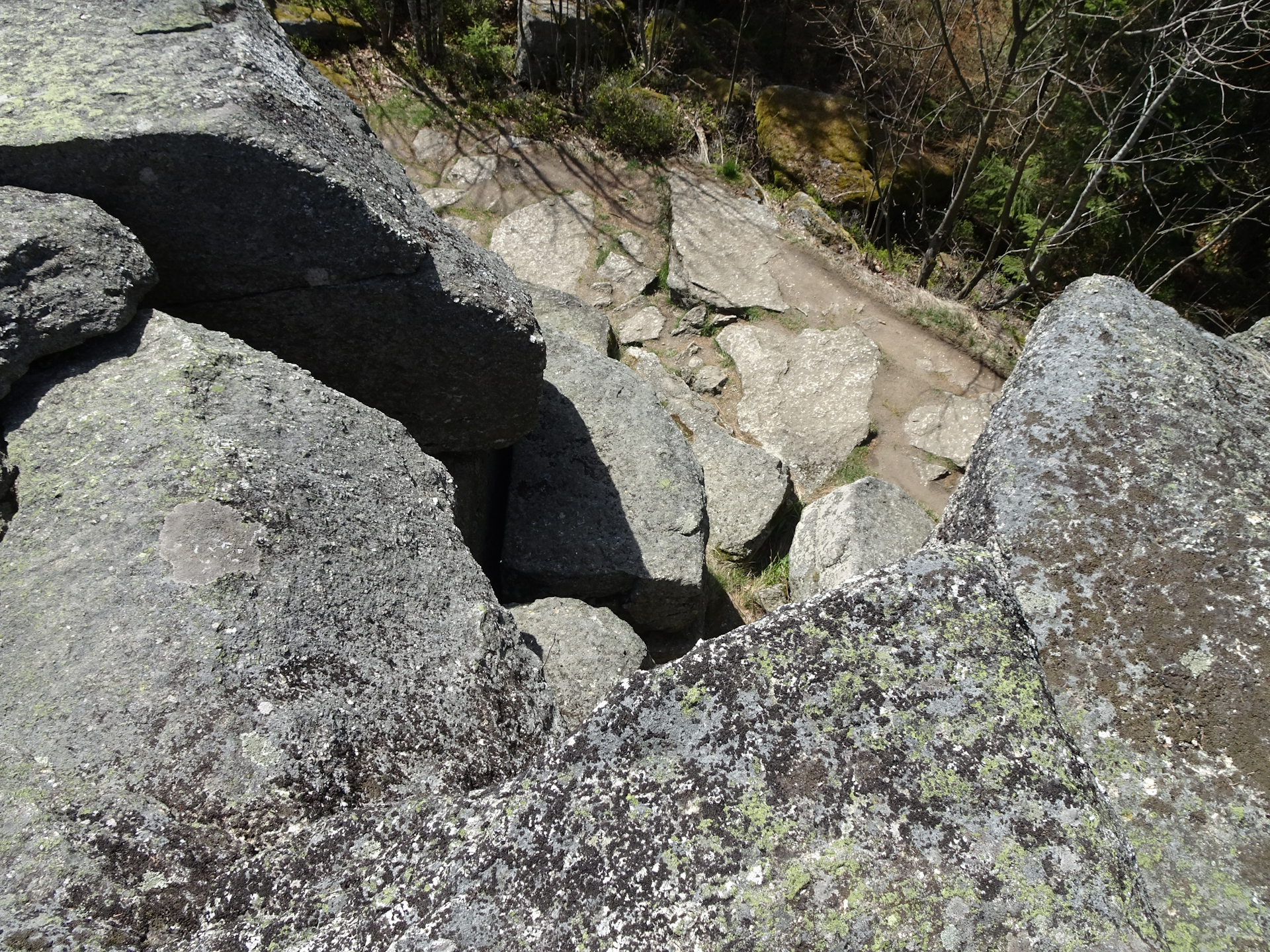
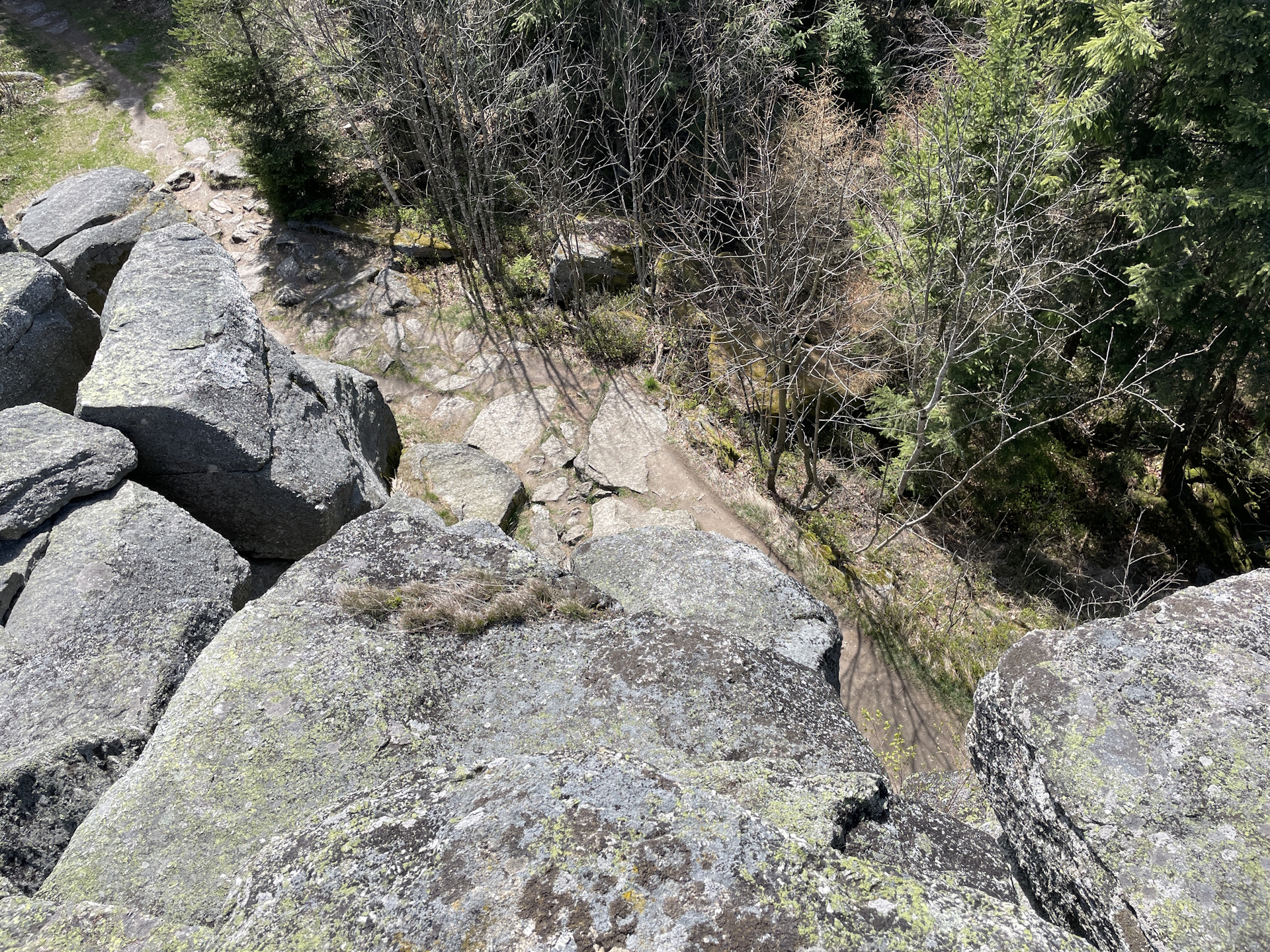
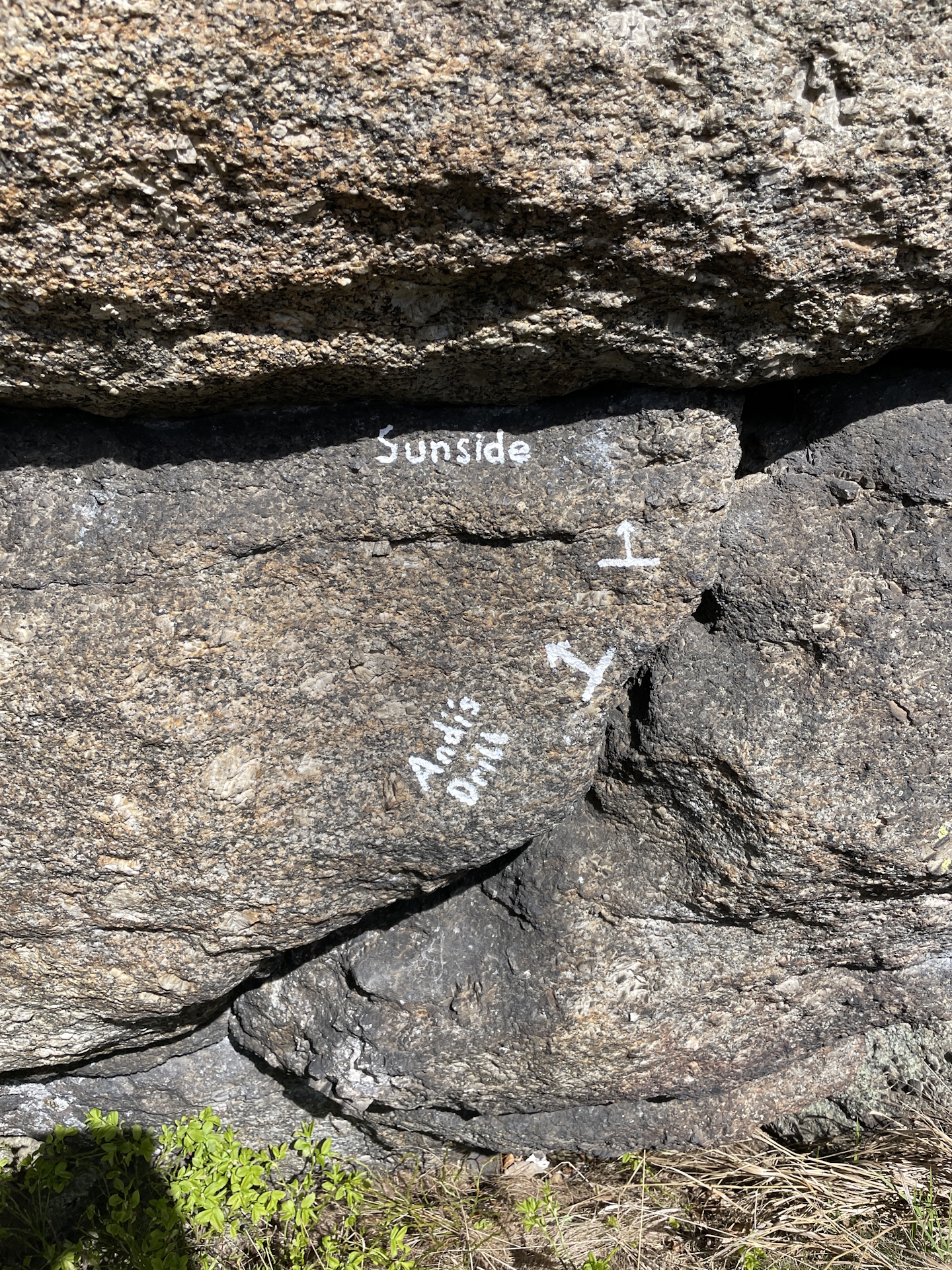
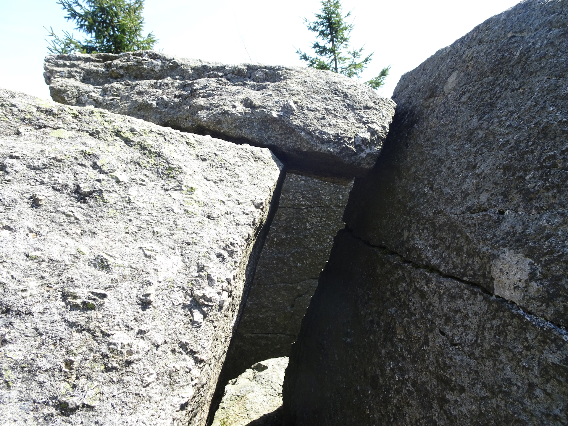
After a deserved break and getting my first stamp , I’ve decided to continue and visit the viewing platform of Nebelstein and discovered that the entire area is a bouldering park. I could not resist and took the “direttissima” by using an easier bolder up to the platform. The platform itself offers a nice view and thanks to electronic aids in the telescope, you can even see “Mount Everest” .
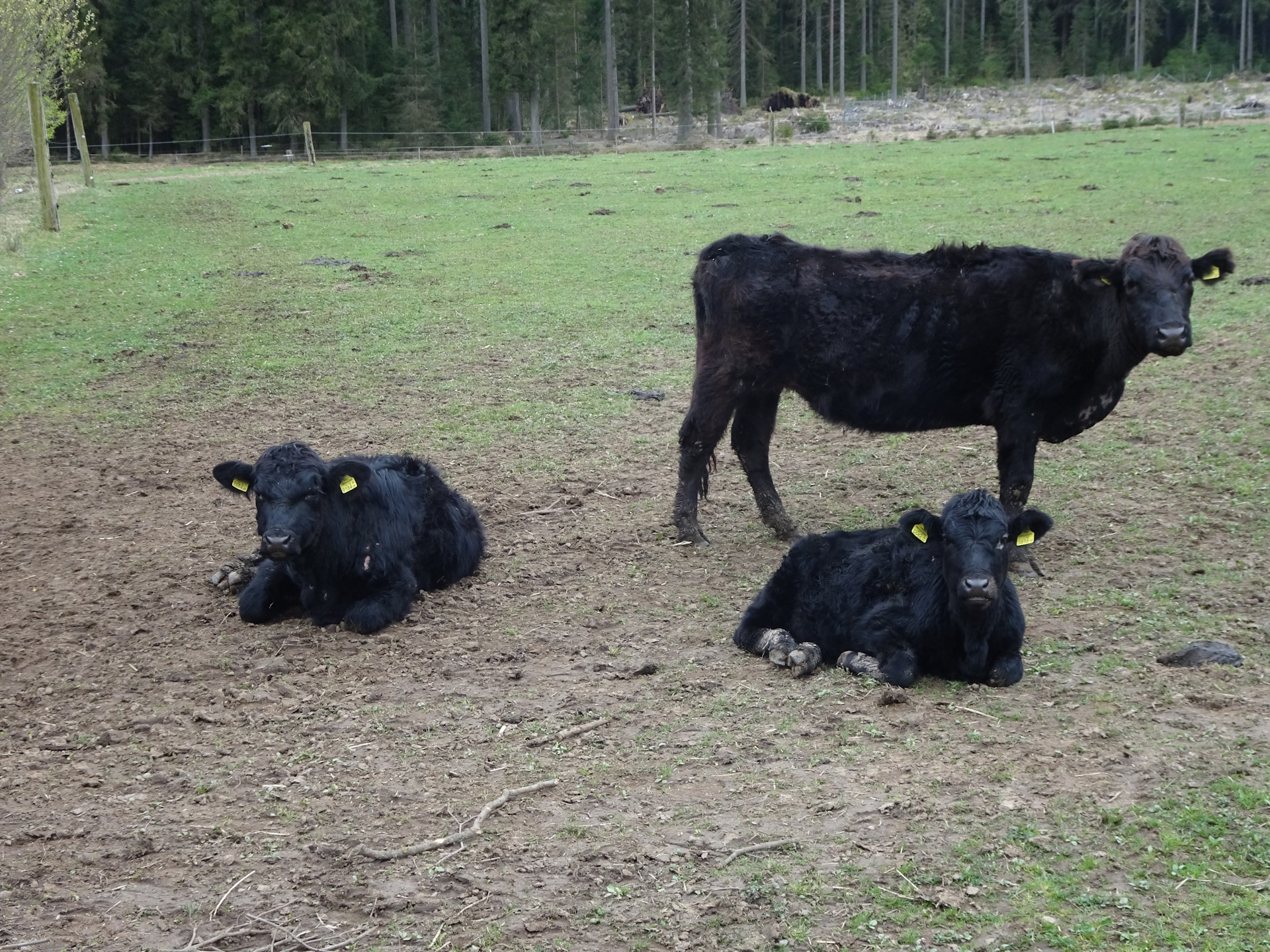
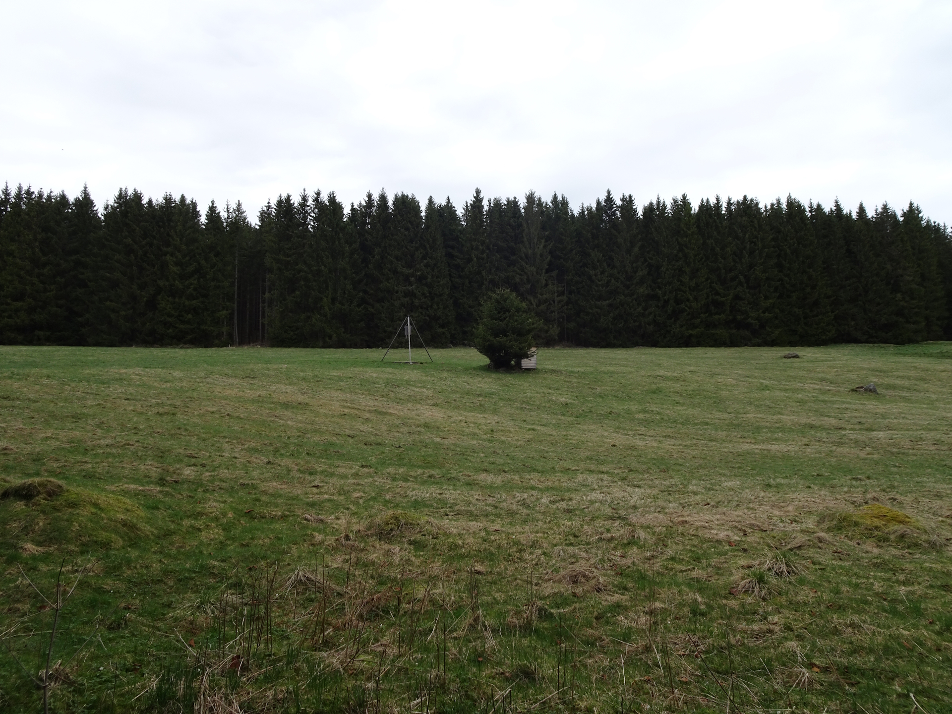
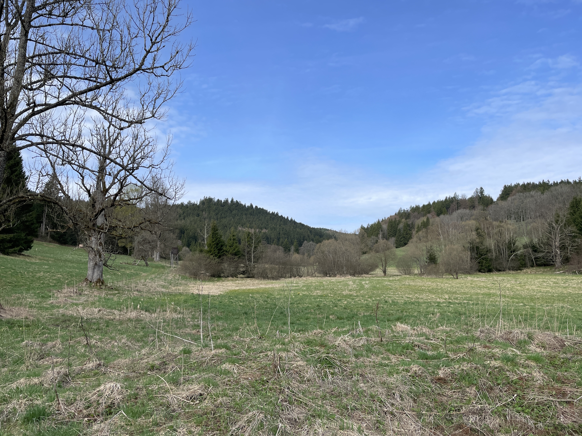
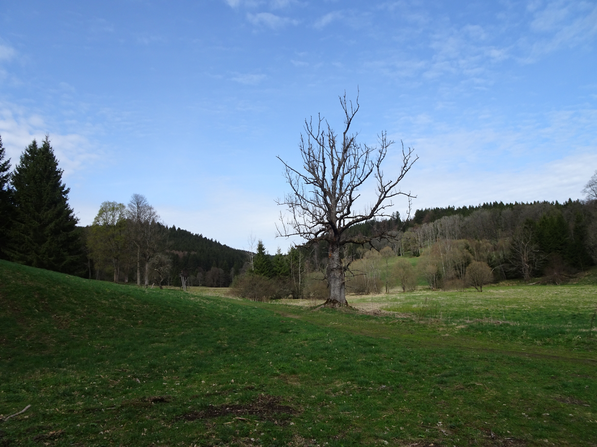
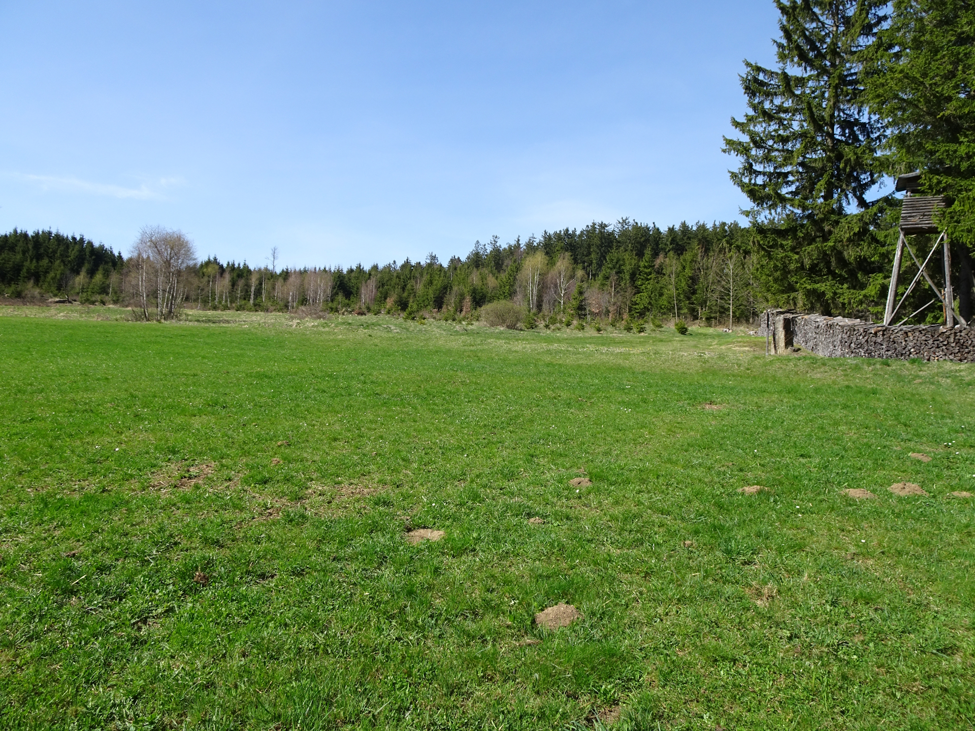
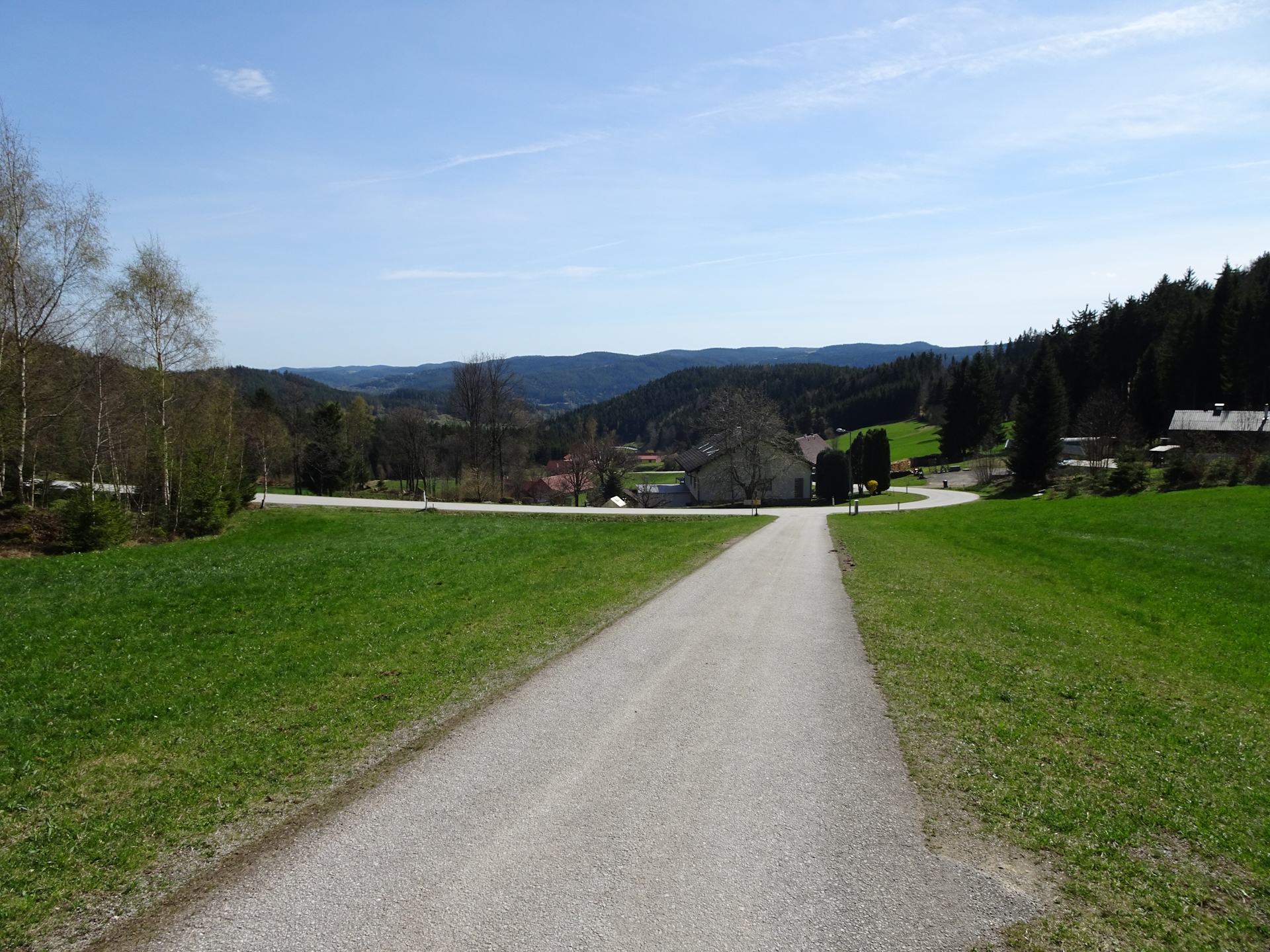
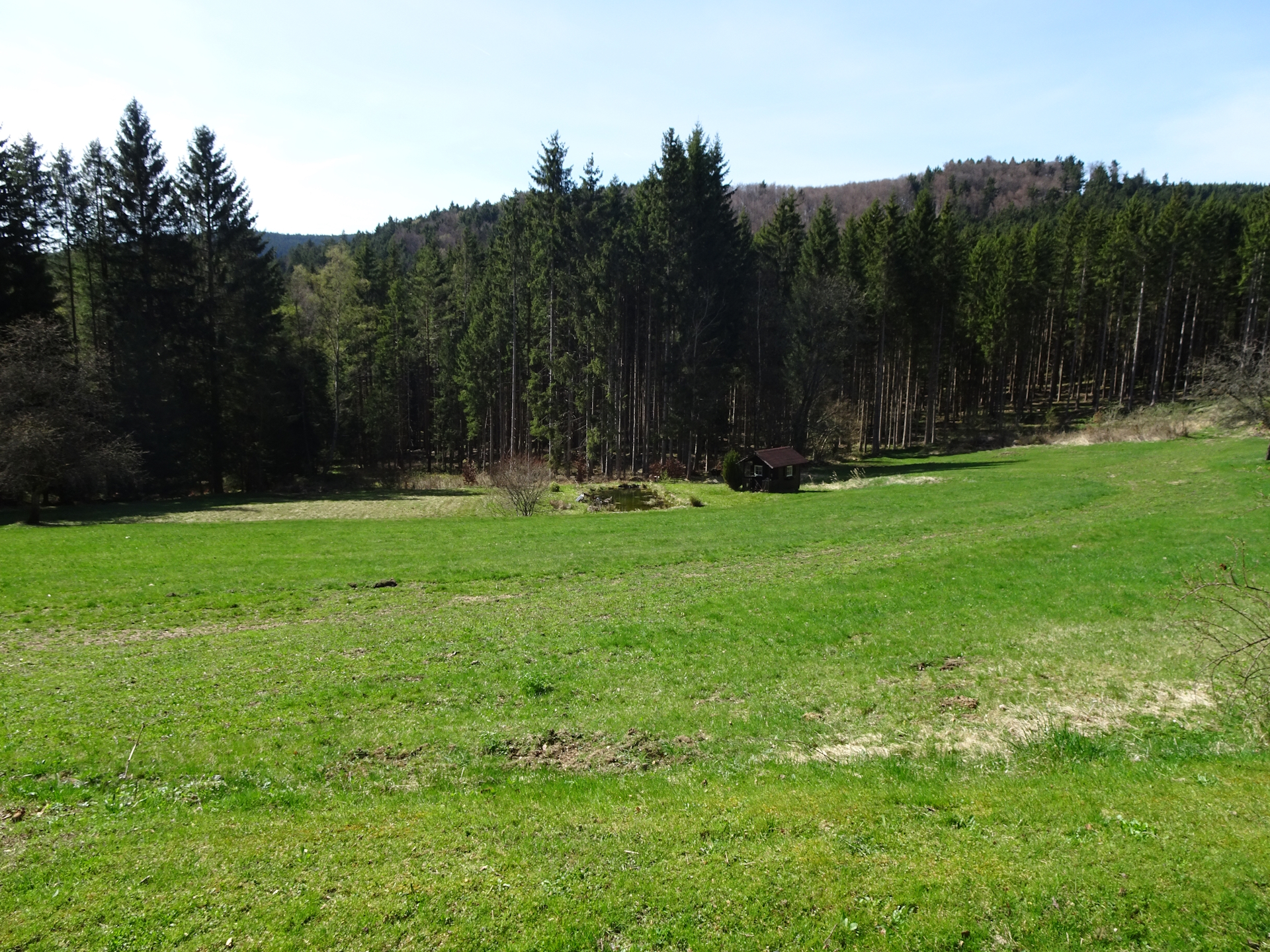
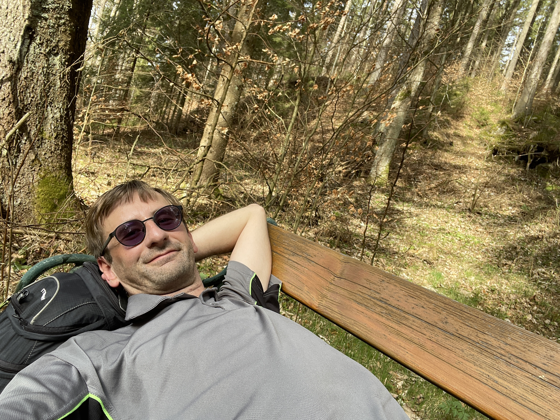
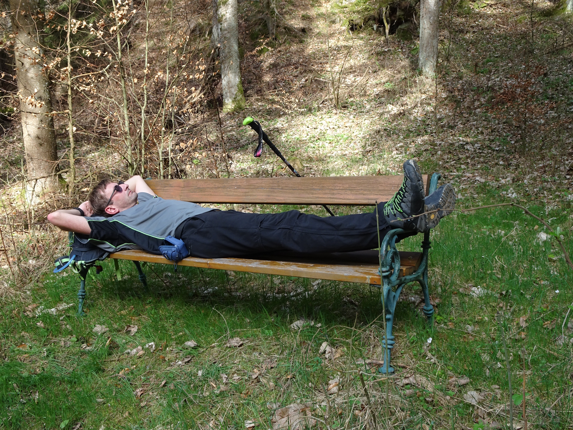
The rest of the tour is fairly easy and mostly in descent. Except for a few exceptions, the trail mainly uses trails through the forest or meadows and also offers from time to time nice benches that invites for a quick and deserved rest. The way back to Karlstift thus was easy, even after a long hike.
Back in Karlstift, I did another break for dinner at the restaurant Zeiler, getting my 2nd stamp , before I drove back home.
| 00:00 | Start at the parking in Karlstift at the bus station next to Gasthaus Zeiler. Head westwards bypassing the restaurant Zeiler. |
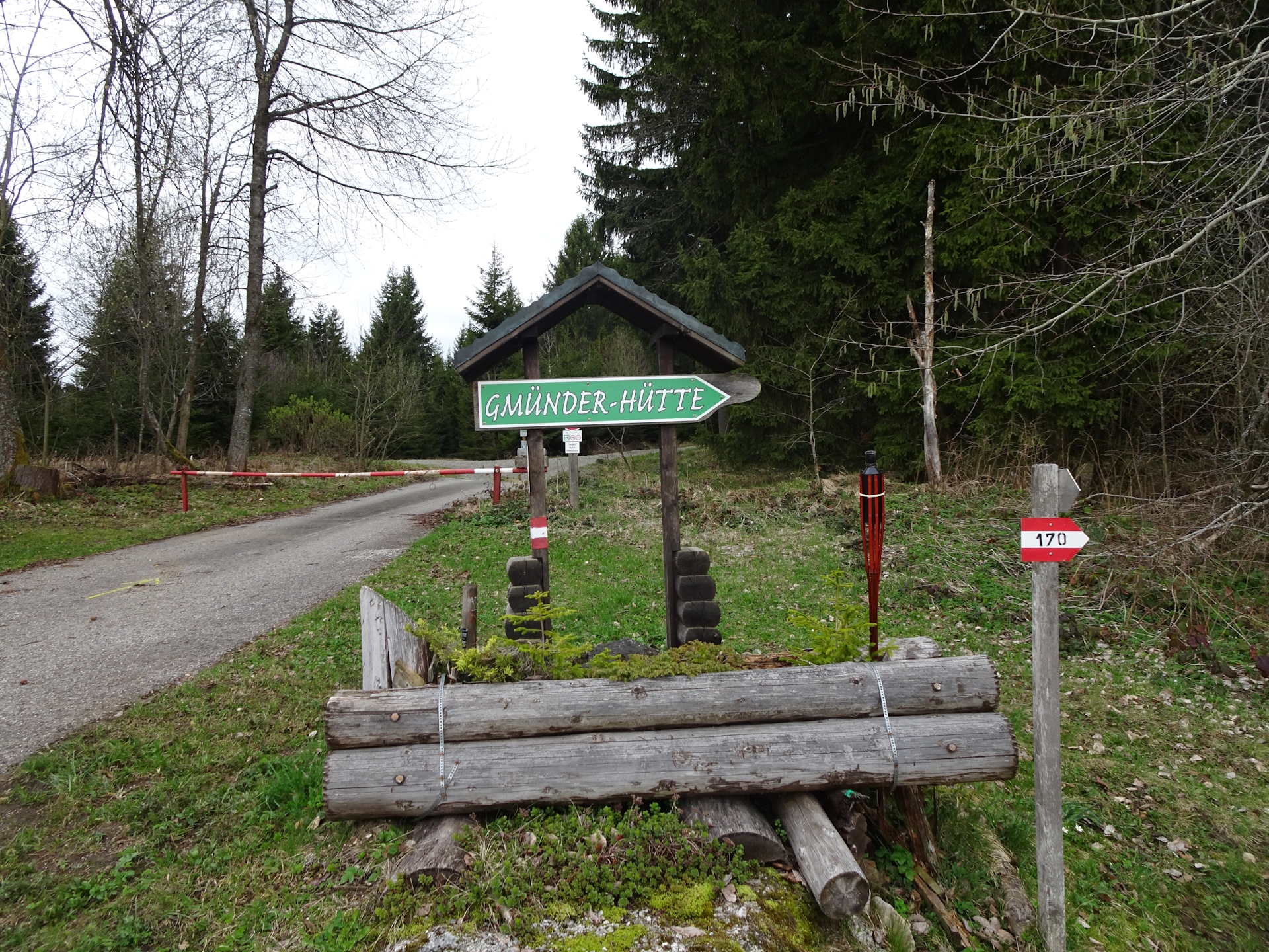
| 00:01 | Right after Gasthaus Zeiler, turn right and follow the street towards the church and then further westwards towards Gmünderhütte. |
| 00:07 | Pass by the Gmünderhütte. After the barrier, keep straight and follow the forest road westwards. |
| 00:15 | Pass by the Dreifaltigkeitskapelle and keep straight following the Nordwaldkammweg. |
| 00:20 | At the crossing, keep straight and follow the trail downwards (do not follow the forest road). |
| 00:25 | At the crossing, first turn left into the forest road and then immediately right. Follow the road westwards towards the border. |
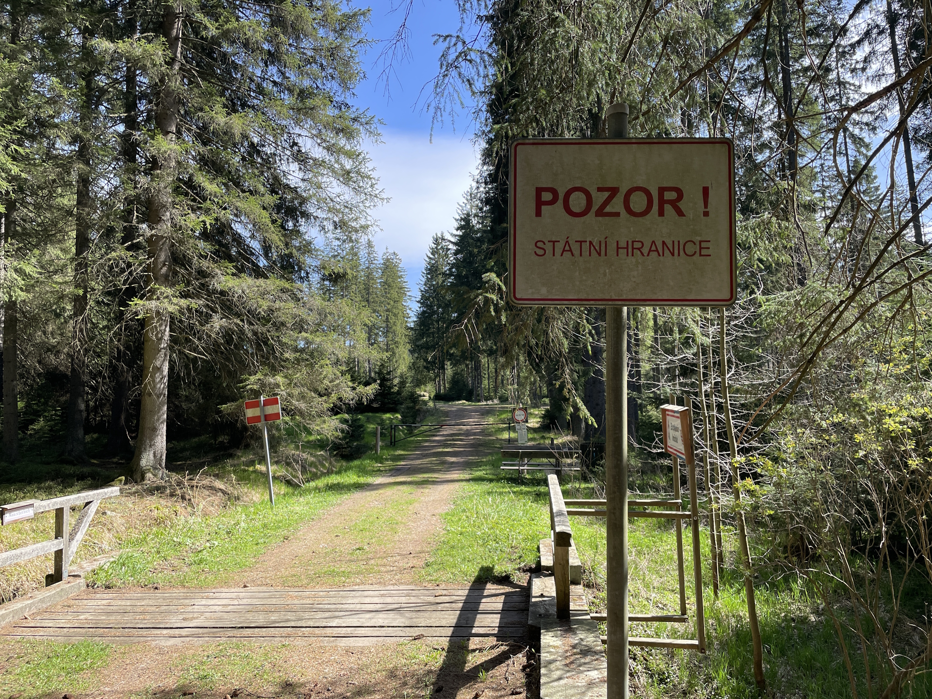
| 00:40 | Cross the Czech border and keep following the road northwestwards. |
| 00:50 | At the crossing, keep right and follow the marked trail VIA-CZE-208 northwards. |
| 01:45 | Enjoy a self-brought refreshment () during a short break at the Stribne Hute rest area. |
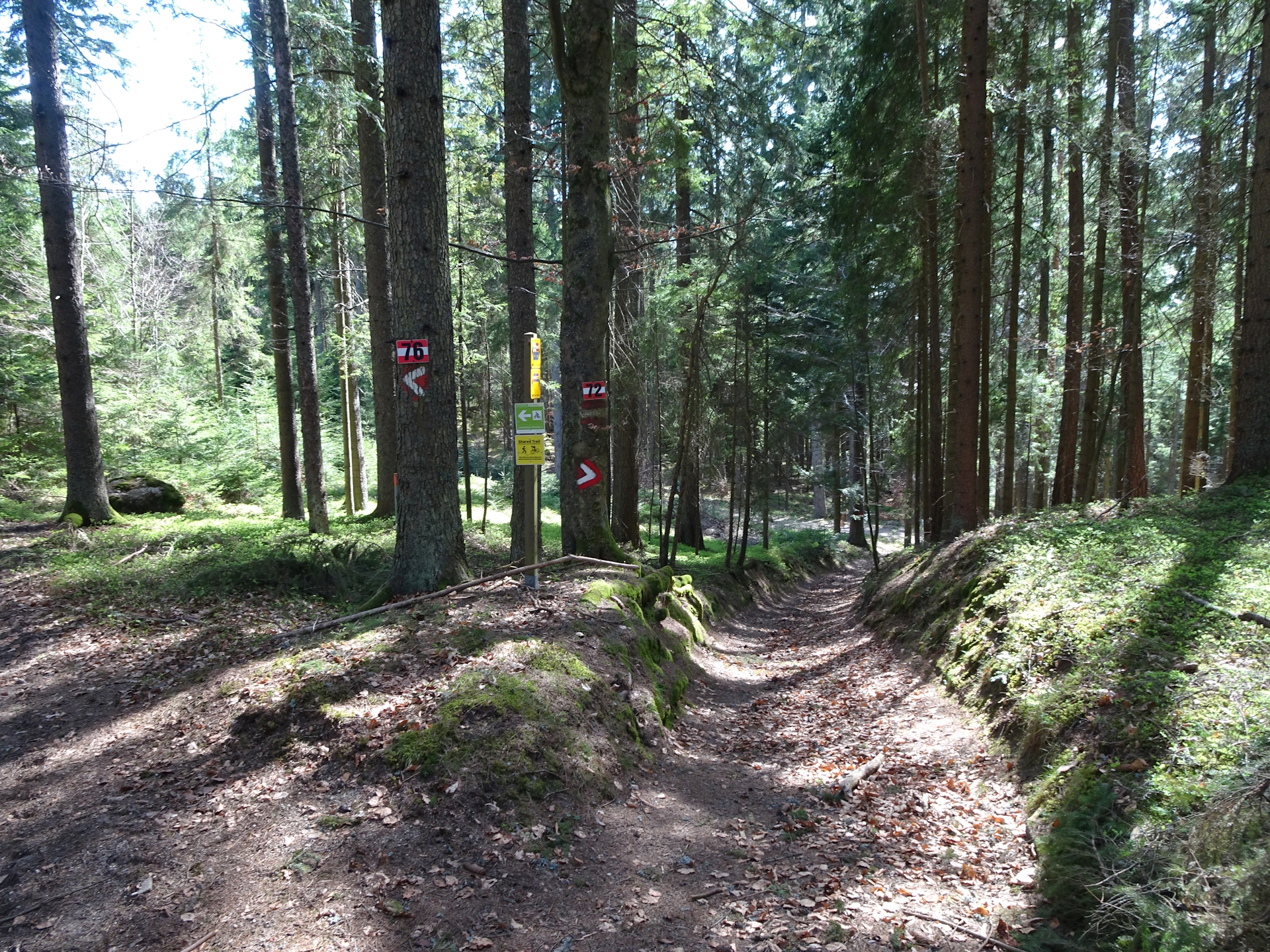
| 01:55 | A few meters after the rest area, at the crossing, keep right and follow the red-marked trail northwards. This trail can be easily overlooked, thus pay attention as the blue marked trail will head to a different direction. |
| 02:40 | At the crossing, leave the red-marked trail and keep straight, following the V14 trail up to the Stephaniebrücke. |
| 02:55 | At the crossing, turn right and follow the trail for a few meters towards the visible Stephaniebrücke at the border between Czech and Austria. After a short break, continue following the forest road eastwards towards Schwarzauer Hof. |
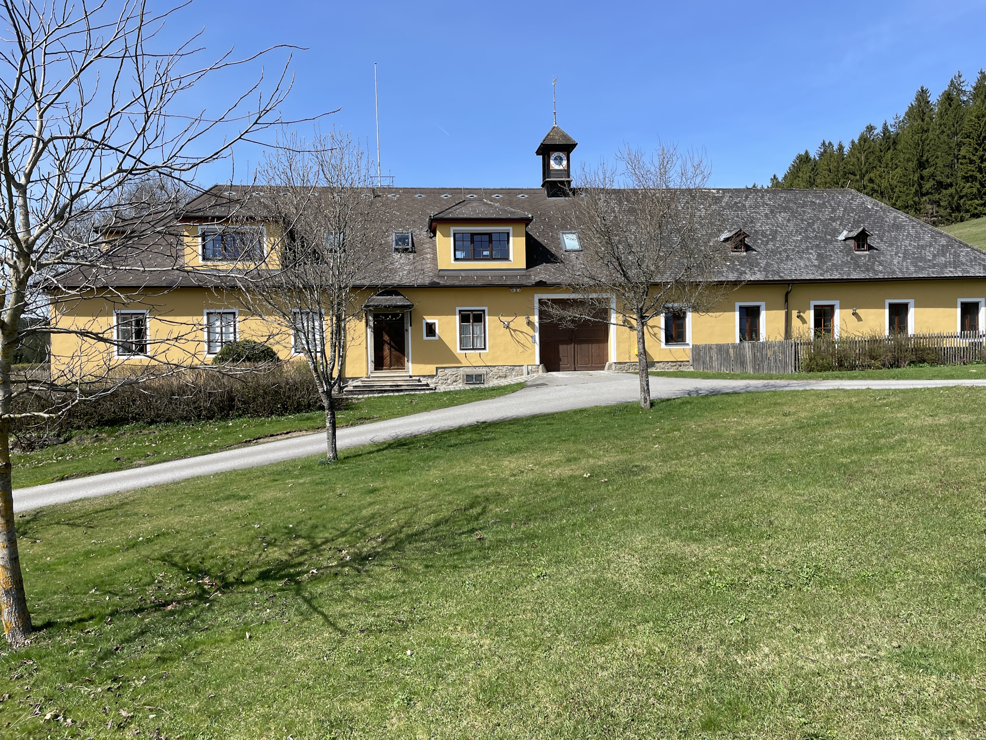
| 03:20 | Bypass the Schwarzauer Hof and follow the road eastwards for a few meters. At the next crossing, keep straight (slightly right) and continue following the dirt road L8295 eastwards till reaching the wooden arch of Nebelstein. |
| 03:50 | At the arch, turn left and follow the marked trail up to Nebelstein. |
| 04:00 | Well-deserved break () at the Nebelsteinhütte. Do not forget to collect your first stamp . |
| 05:00 | Continue following the trail northwards heading up to the viewing platform at the Nebelstein summit. Enjoy the view from there and consider some easy boulders. |
| 05:30 | Official start of the 05 . Follow the trail back to the Nebelsteinhütte and further back to the street. |
| 05:35 | Turn left into the street, follow it for a few meters and then turn right, following the small hiking trail southwards. Pass by the beautiful Himmelreich meadow and continue following the path till reaching the road again. |
| 05:45 | Follow the road southwards to Almhütten. At the first possibility, turn right and continue following the marked trail southwards. |
| 06:25 | At the crossing, keep right and follow the trail 05 southwestwards. |
| 06:40 | Follow the street for a few meters but keep straight and continue following the marked trail 05. |
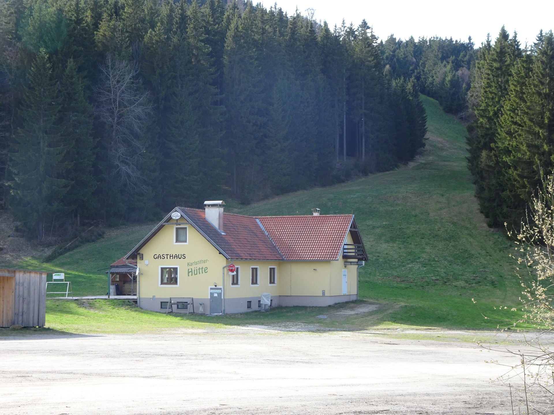
| 08:05 | When reaching the ski area of Karlstift, keep left and follow the road back to the main road. Turn left and follow the road back to the parking. |
| 08:15 | Well-deserved break () at Gasthaus Zeiler. Do not forget to collect your second stamp . End of the tour. |
General Tour Data
| Area: | Waldviertel, Lower Austria, Austria | |
| Distance: | 33km | |
| Ascent: | 836m (3h 45min) | |
| Descent: | 868m 2h 55min) | |
| Highest Pt: | 1023m | |
| Lowest Pt: | 657m | |
| Duration: | 7h 00min (without breaks) 8h 15min (with breaks) |
|
| Stop/Rest: | Nebelsteinhütte (998) Gasthof Zeiler (920m) |
|
| Equipment: | Backpack with standard hiking equipment Comfortable hiking shoes Snacks, Food and plenty of water 1x Gipfelbier Sun & Weather protection Camera |
| Download GPX | ||
| O | Tour at outdooractive.com |
At a glance
| Level | moderate-difficult |
| Technique | |
| Shape / Fitness | |
| Experience | |
| Scenery | |
| Best time in the year | |
|
Jan
Feb
Mar
Apr
May
Jun
Jul
Aug
Sep
Oct
Nov
Dec
|
|
Leave a Reply