
Twenty-third stage of the Nord-Süd-Weitwanderweg 05 starting from Gösler Haus (Weinebene) towards St. Katharina in der Wiel via Koralpe
 |
The North-South-Long-Distance trail (Nord-Süd-Weitwanderweg, also known as the “05”) starts in the north of Austria at Nebelstein and ends in the south of Austria at Eibiswald. The trail is ~500km long, ~18 000m in ascent and the same amount in descent. The trail was initiated by Carl Hermann and officially established on the 25th September 1970. The trail is separated into 3 parts:
It normally takes 3 weeks to complete the entire trail. |
The here presented tour is the twenty-third stage of the Nord-Süd-Weitwanderweg 05 , starting from Gösler Haus at the Weinebene (Checkpoint) towards St. Katharina in der Wiel (Checkpoint) via the Koralpe (Checkpoint).
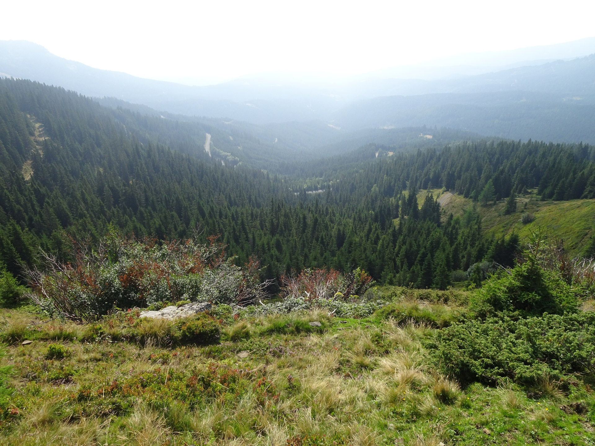
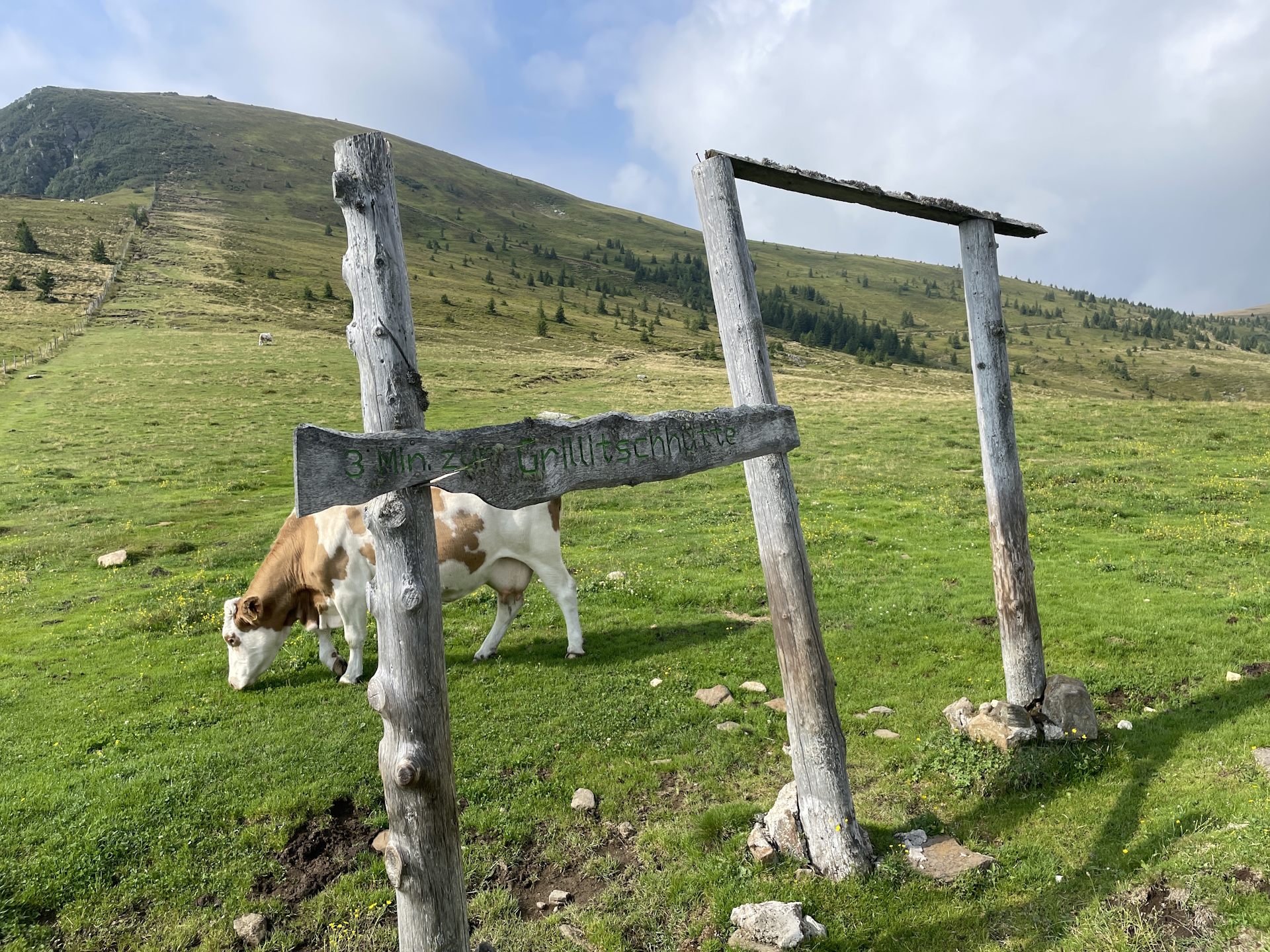
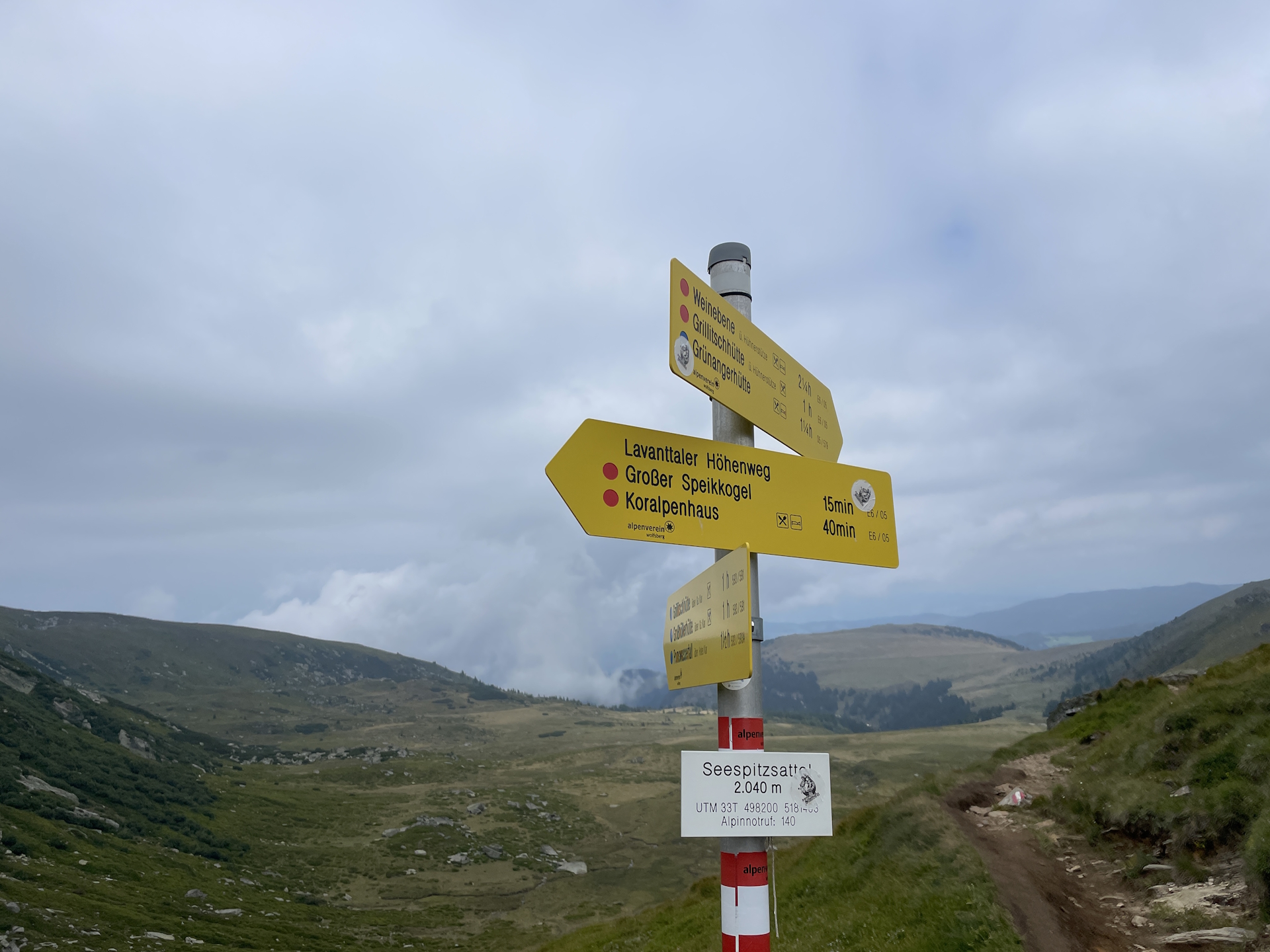
The tour starts at the Gösler Haus and first heads back to the Weinebene. From there the tour follows the official hiking trail towards the Großer Speikkogel, first bypassing the Weinofen and then heading towards the border between Styria and Carinthia. The tour then follows the trail along the border up to Hphnerstütze and then further to the Großer Speikkogel with the big radar station at the top. The tour then descends down to the Koralpenhaus (Checkpoint). After a well-deserved break, the tour heads back, bypassing the Großer Speikkogel and descending nicely and scenic down to the Brendlhütte (Checkpoint). The tour then continues easily through the forest to the small village of St. Katharina in der Wiel (Checkpoint) for the last overnight stay at the St. Katharina Stüberl, a former school that was converted to a small but lovely hotel.
| Nord-Süd-Weitwanderweg 05 – Checkpoints | |
|
Transportation:
I’ve planned to accomplish this stage as the seventh of an 8-day multi-day trip. As I stayed the night at the Gösler Haus, I was able to start the tour the next morning just after hiking back to the Weinebene a few meters.
The hike:
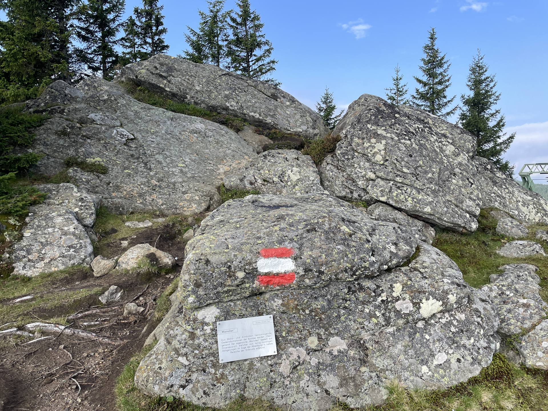
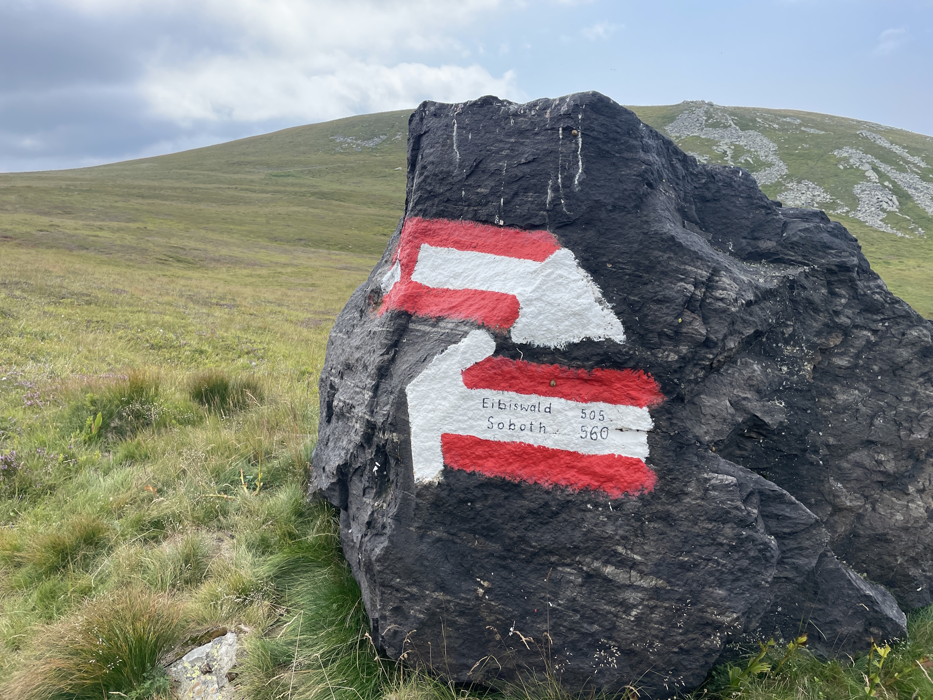
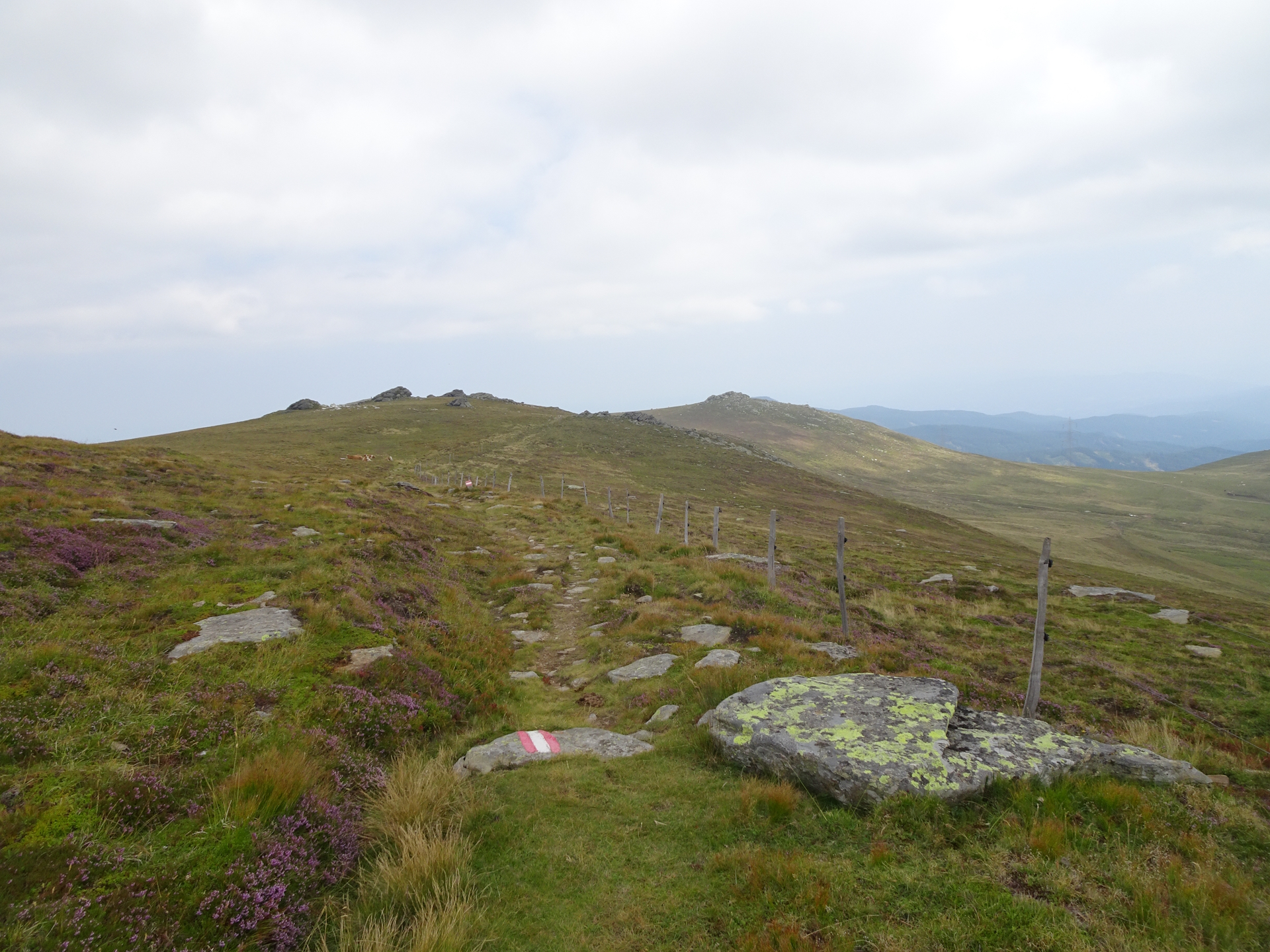
This hike was part of an 8-day multi-day trip. As the previous stage was not too demanding and also this stage seemed to be moderate, I started relaxed after my breakfast at 08:45. While paying for the accommodation, I acquired the stamp at the Gösler Haus and then departed from the hut back to the saddle of Weinebene alongside the ski slope. Once back at the saddle, I continued following the official trail southwards first up to Weinofen. At Weinofen, I first missed the trail and went the wrong direction but after a few meters, I recognized my mistake: ignore the signpost and keep right there!
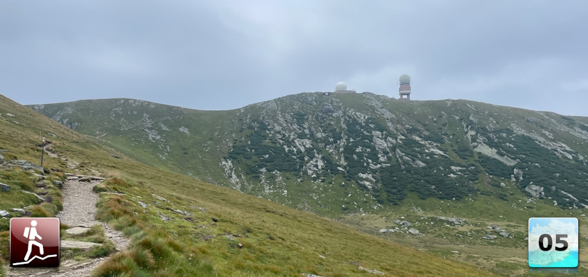
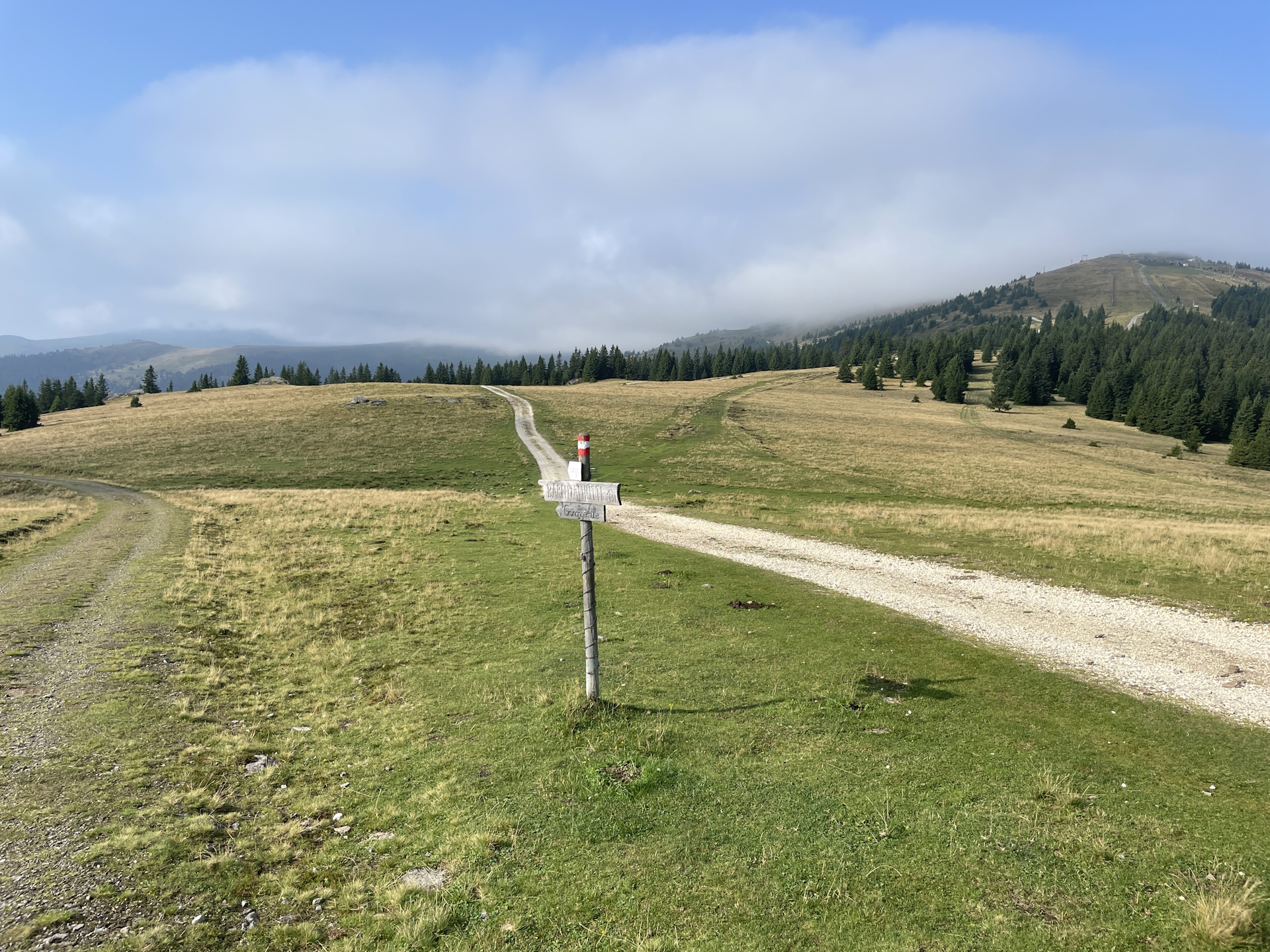
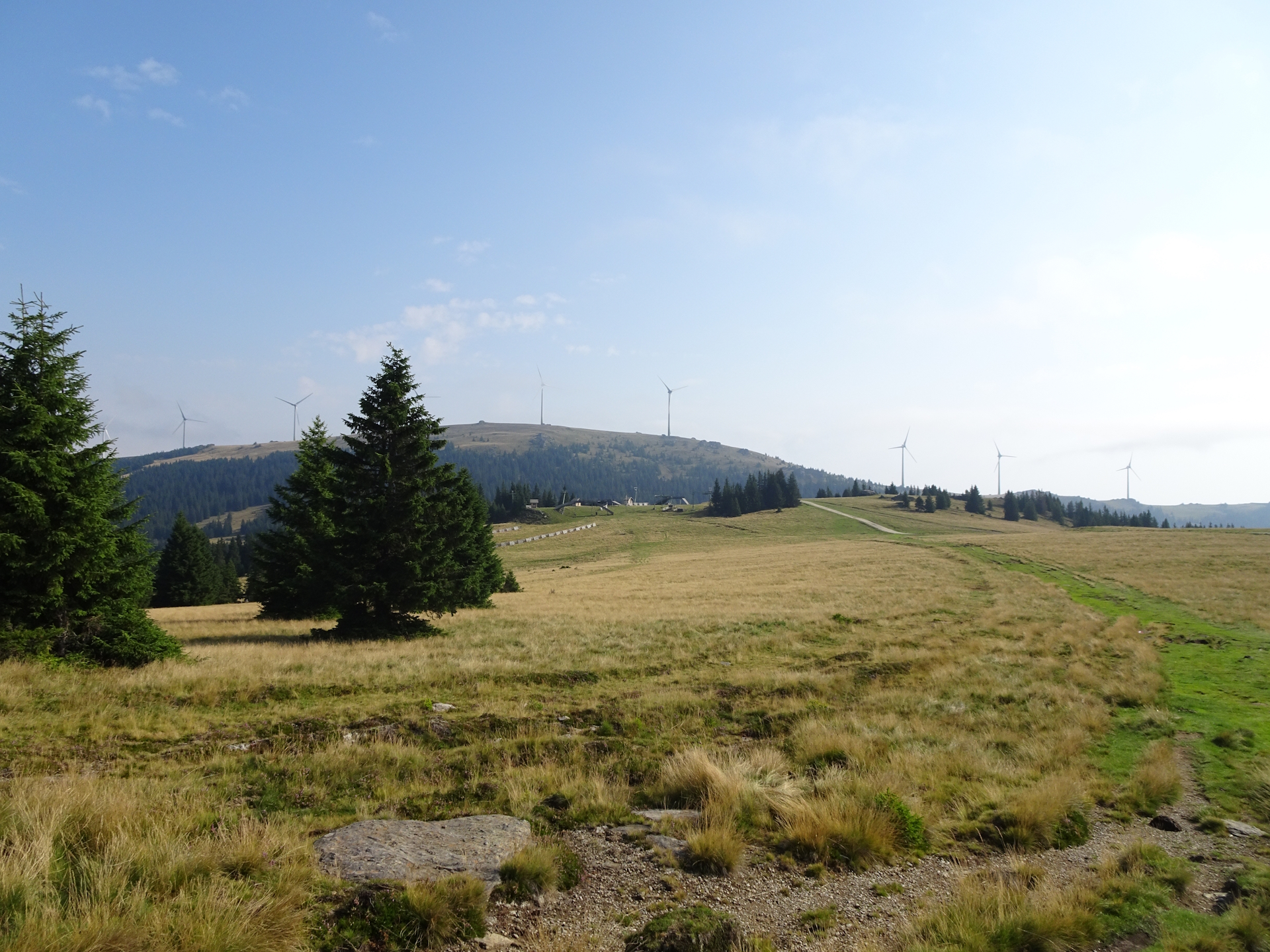
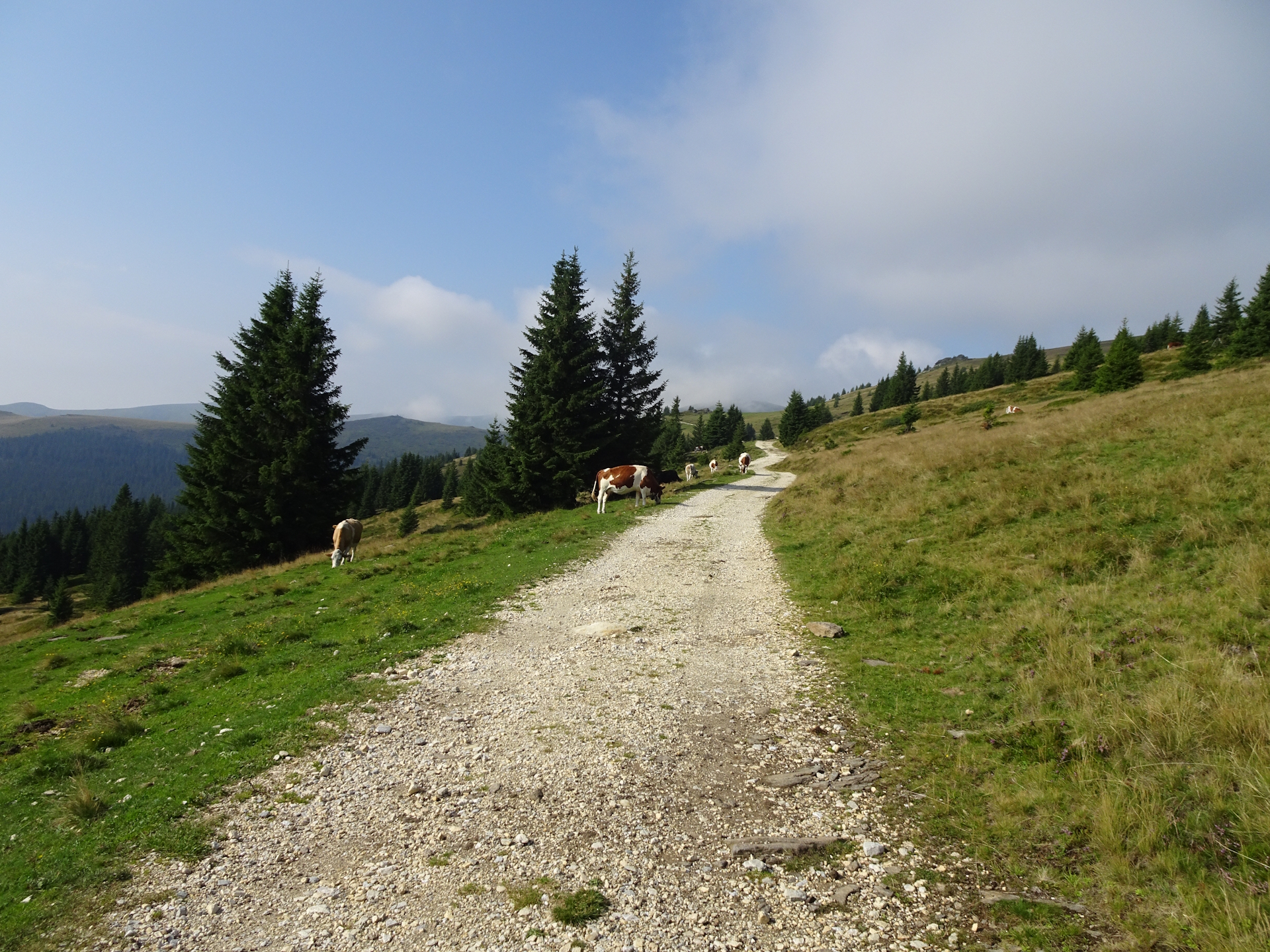
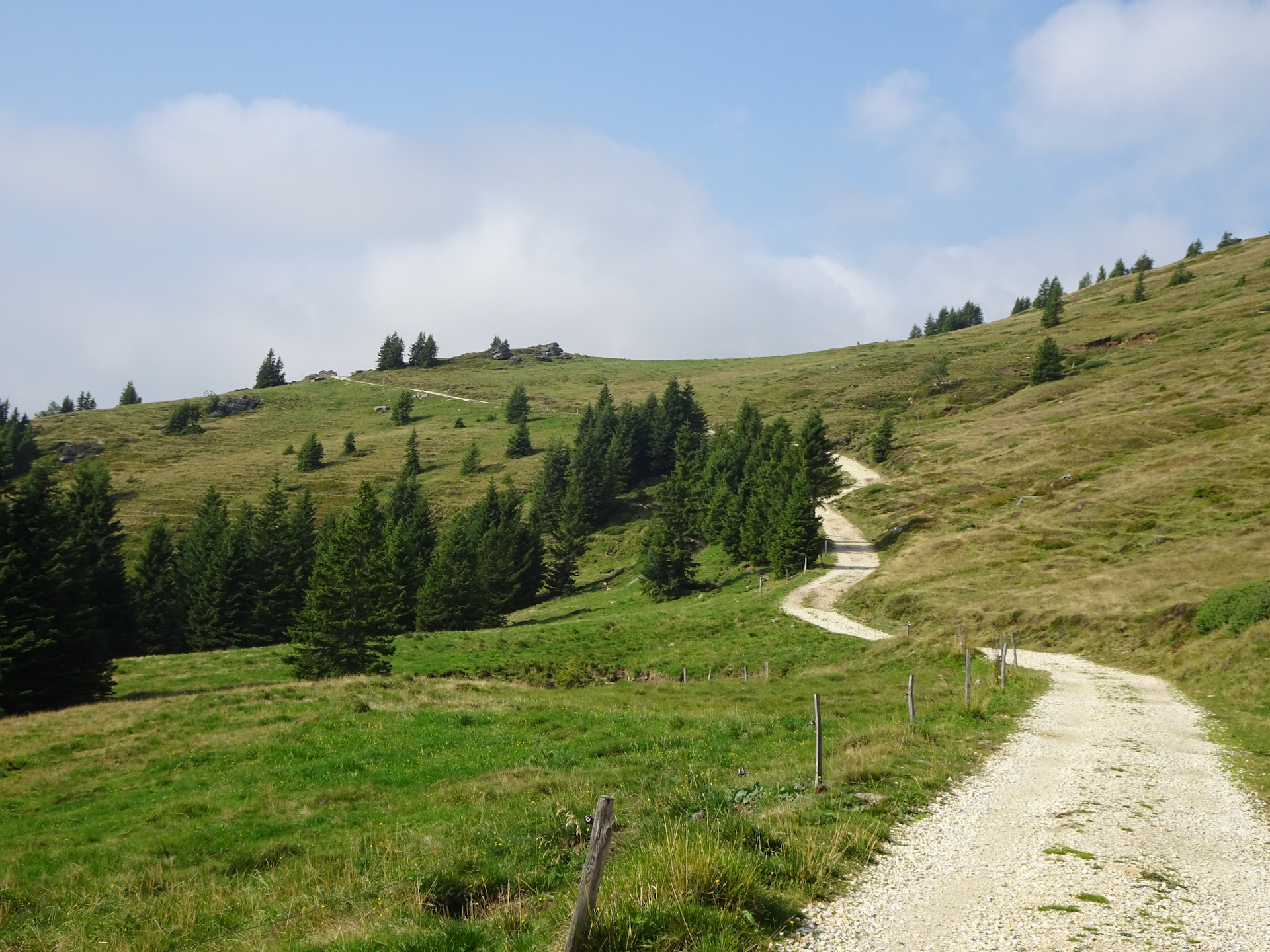
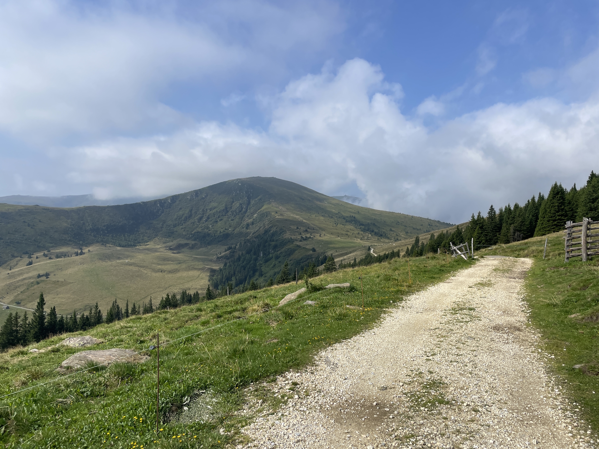
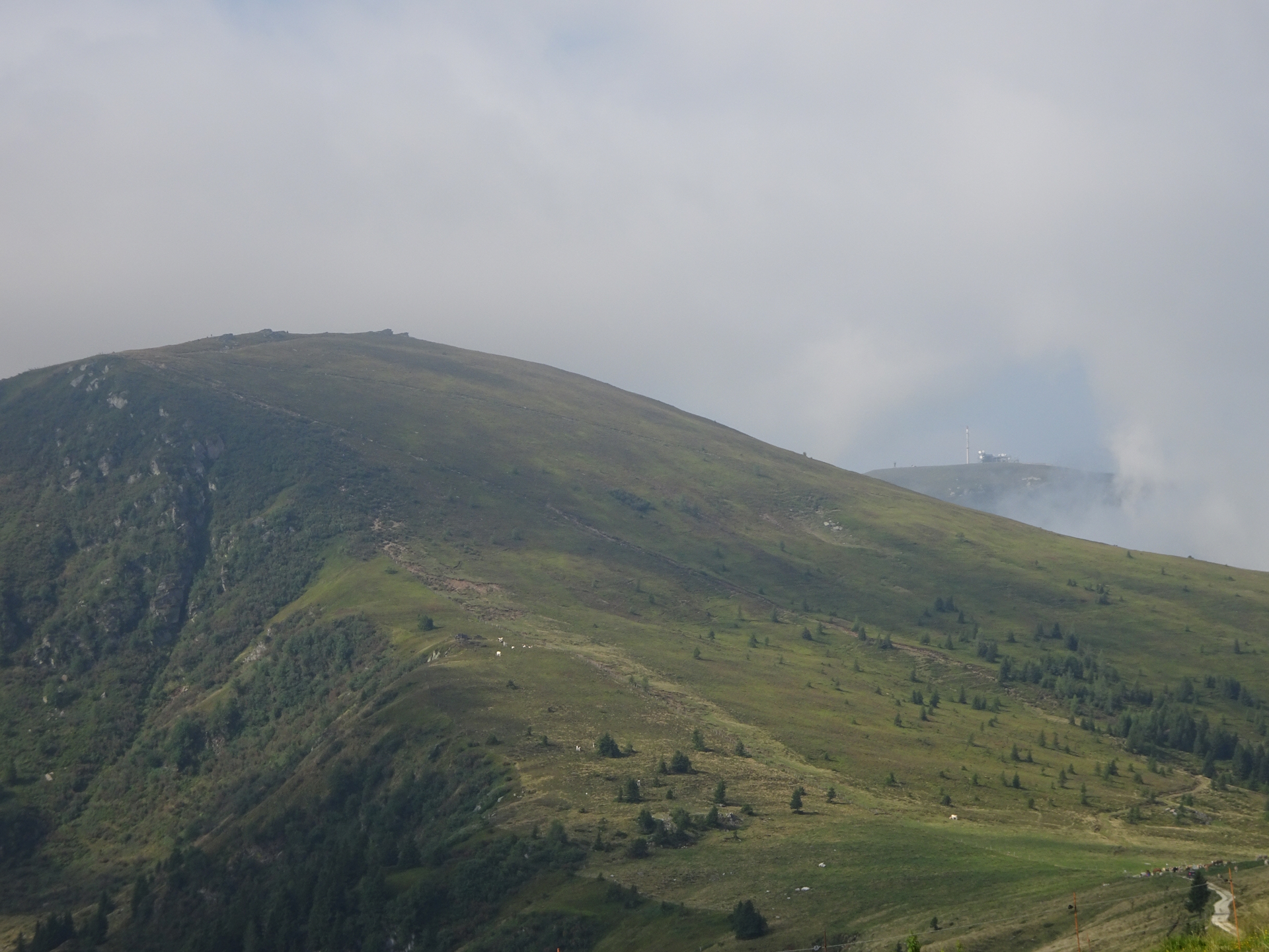
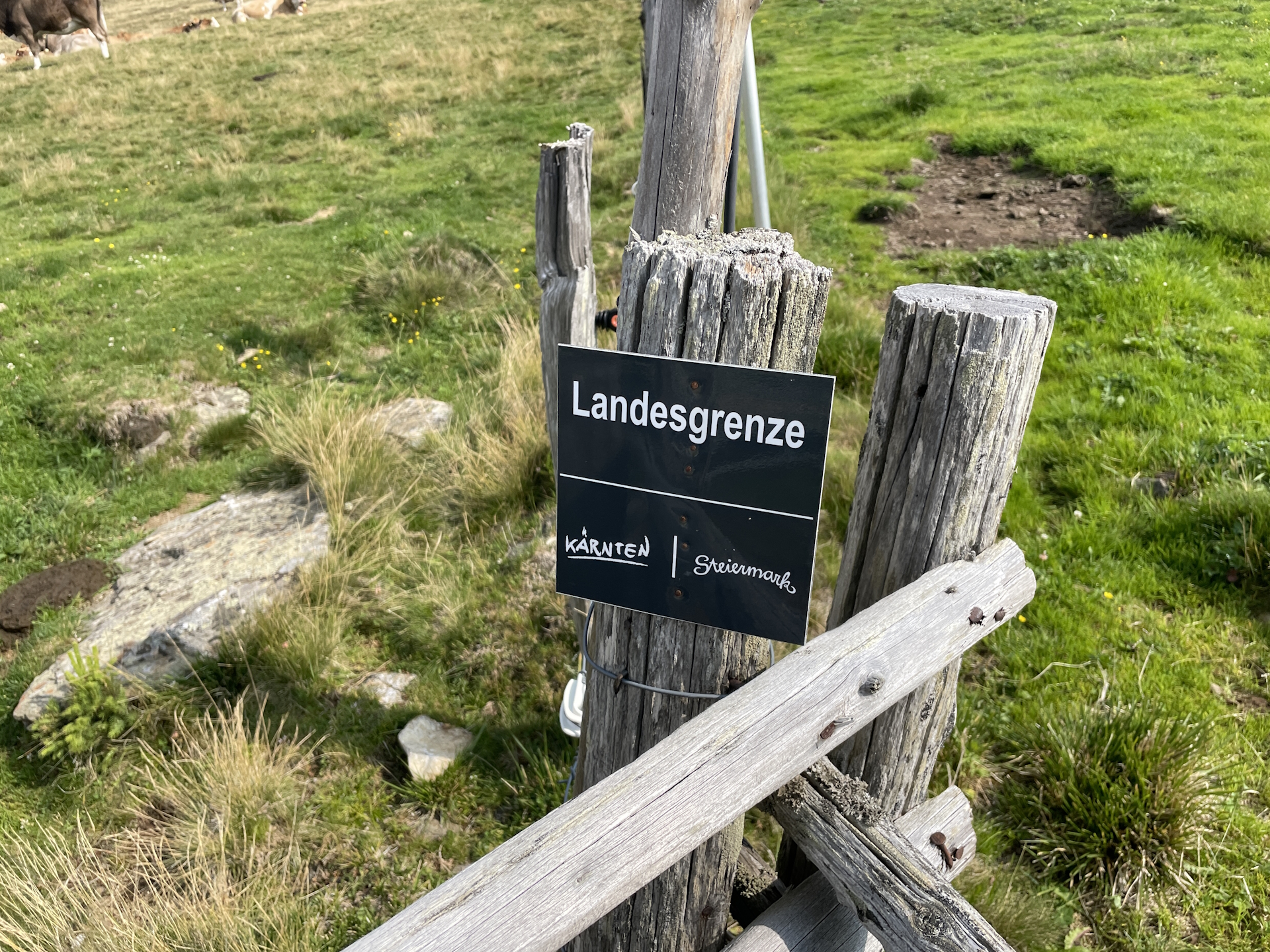
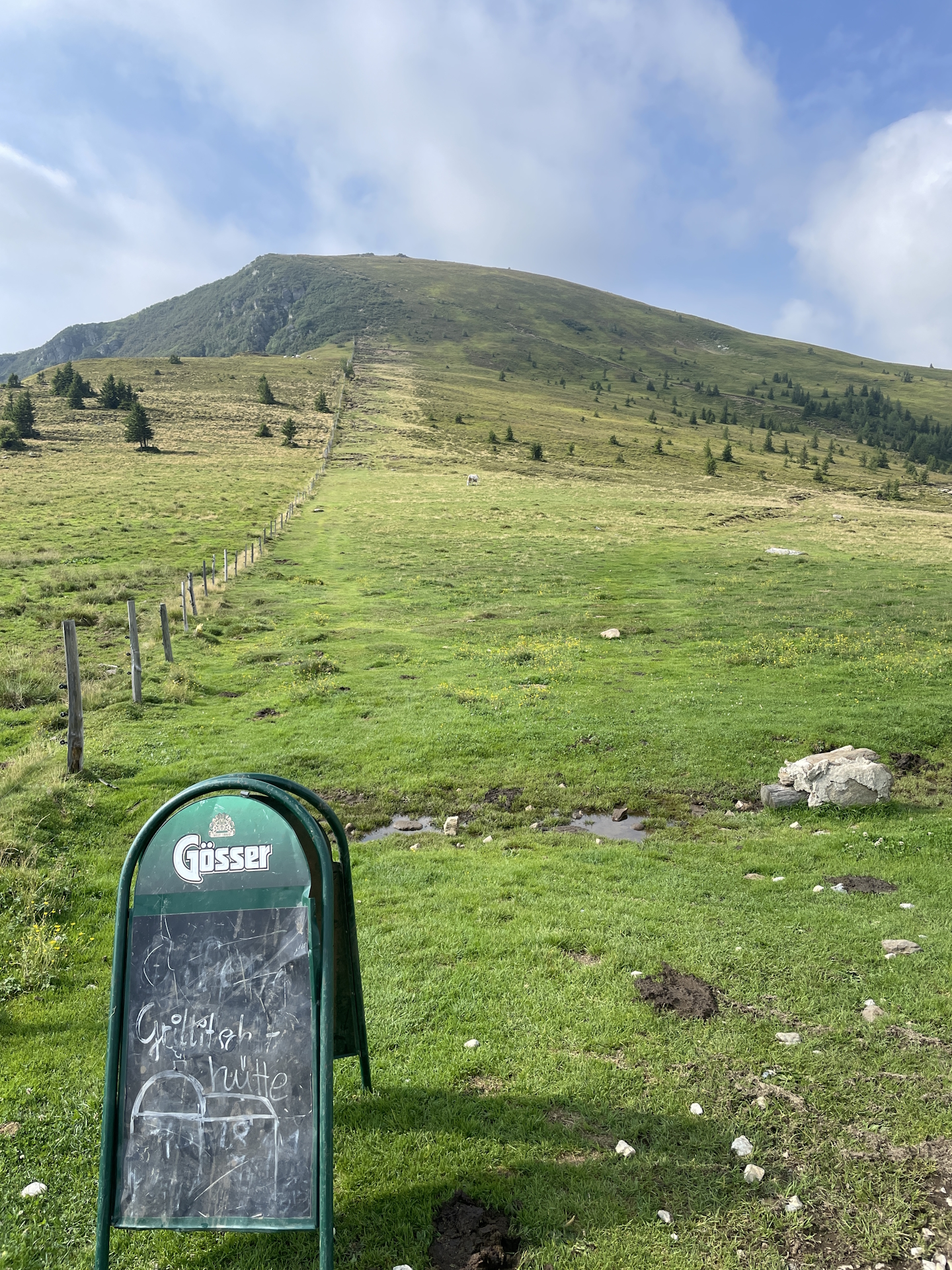
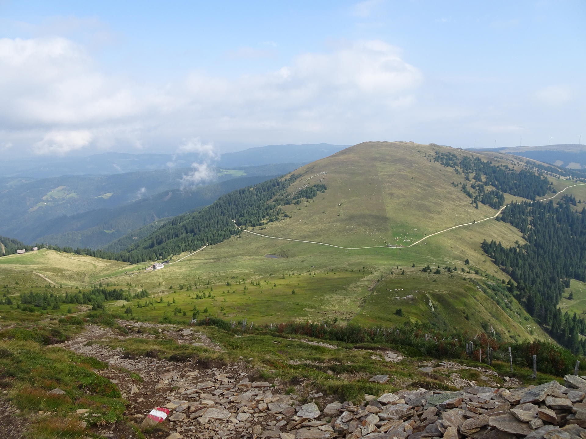
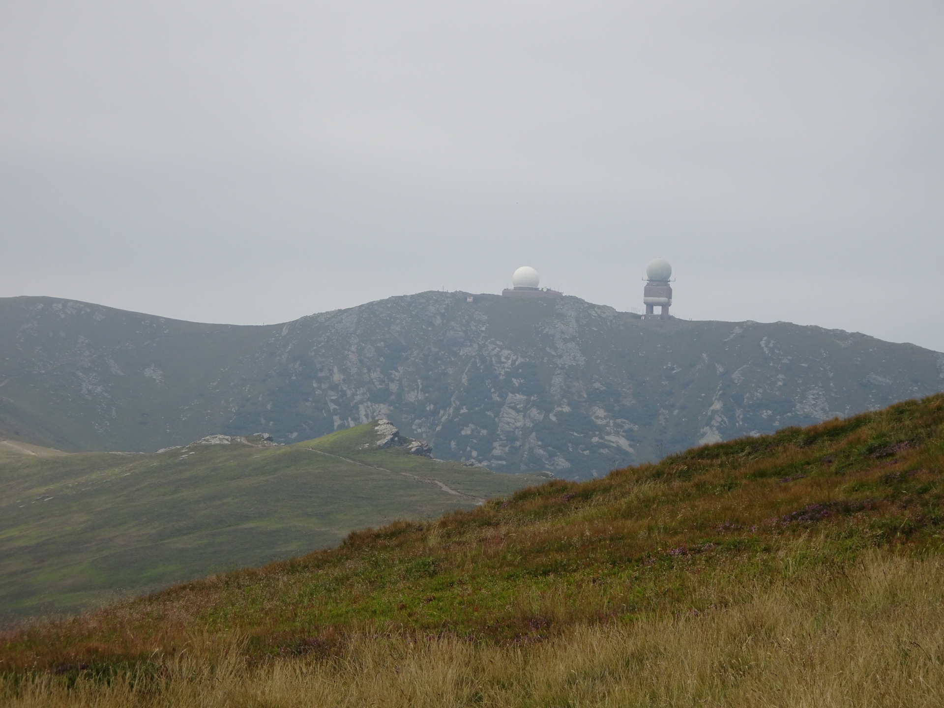
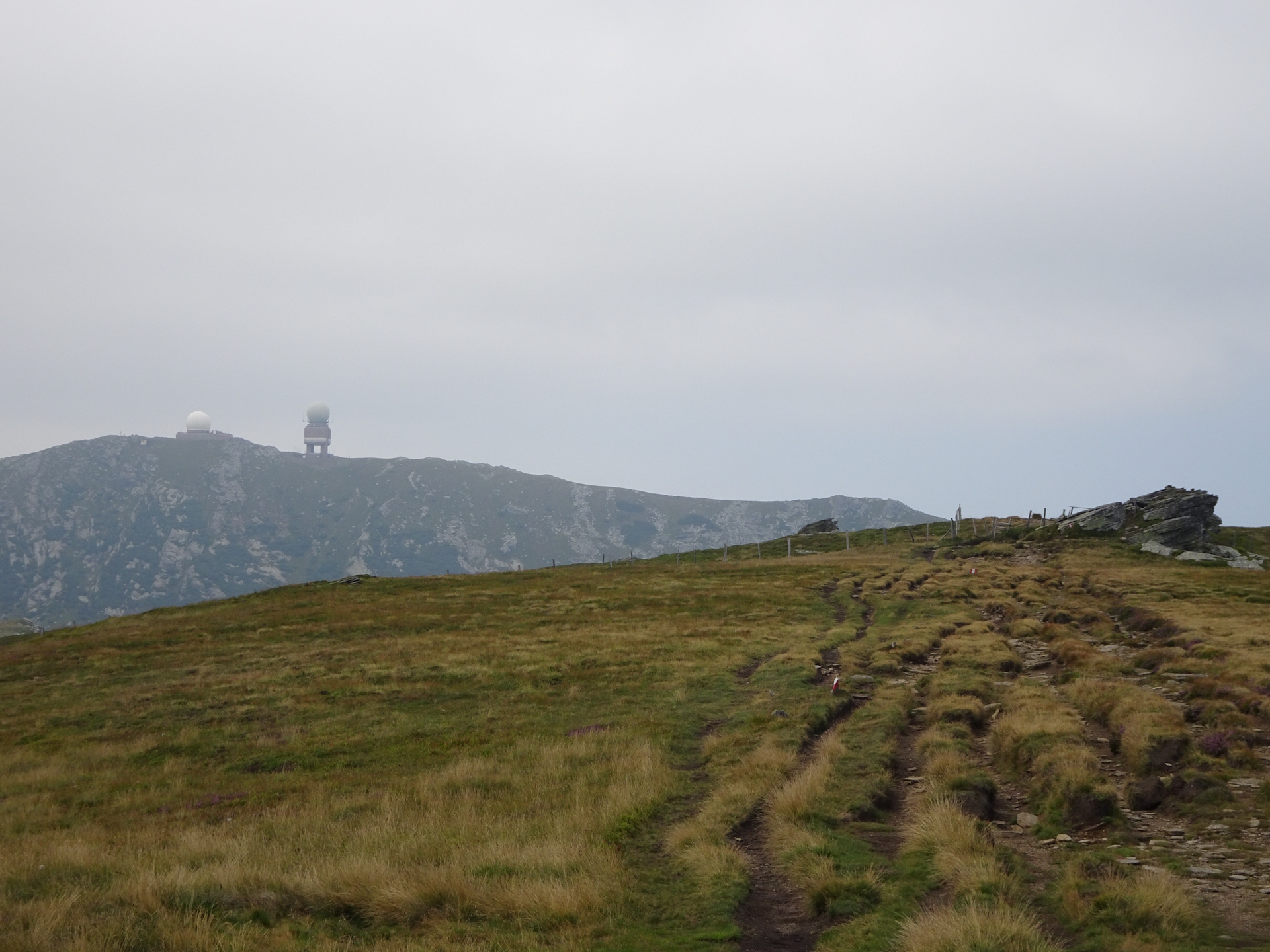
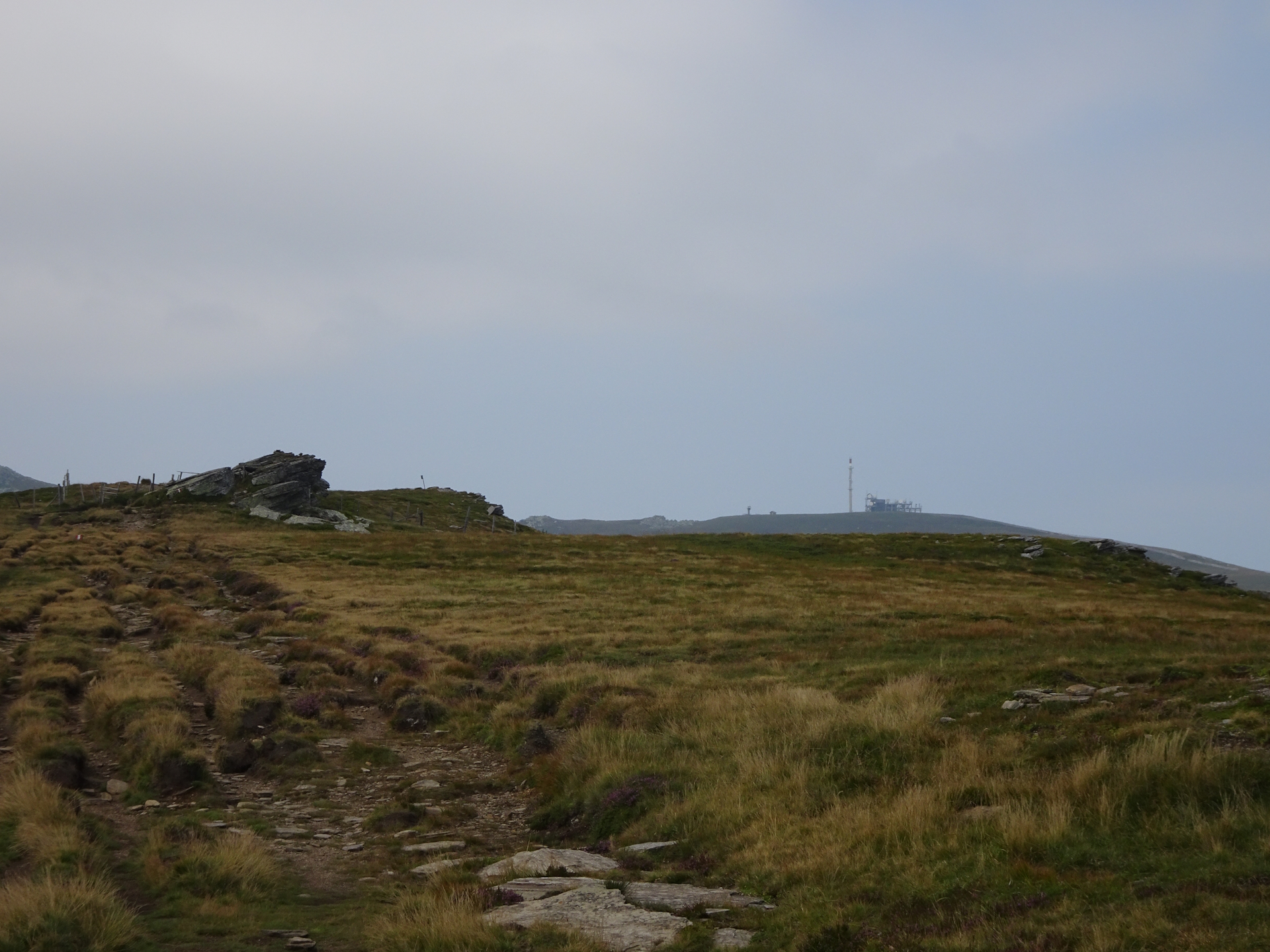
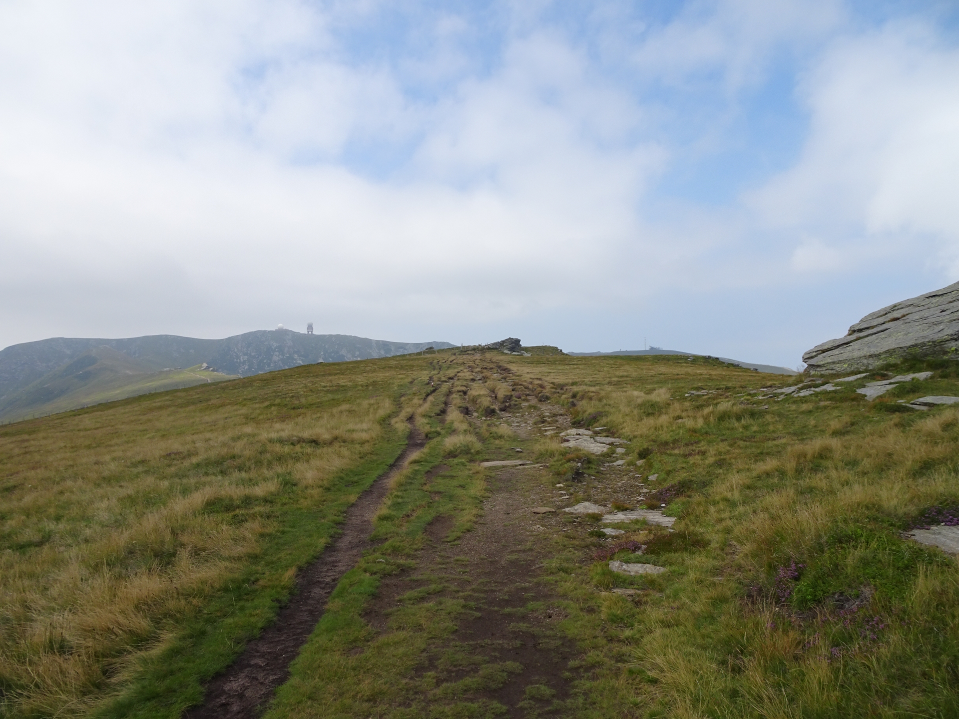
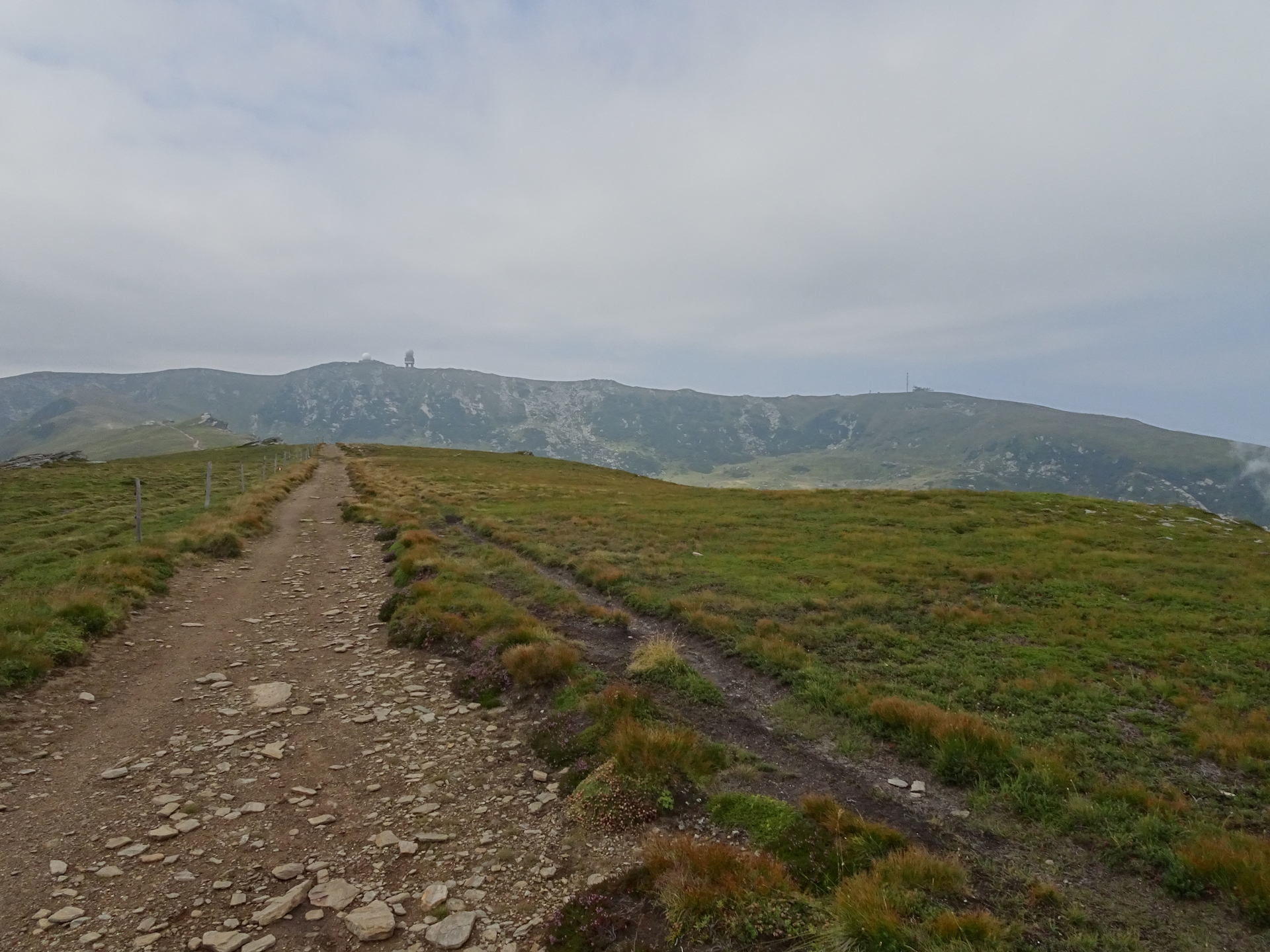
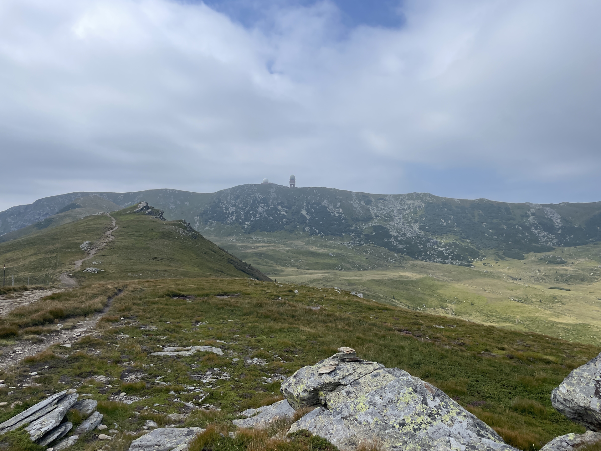
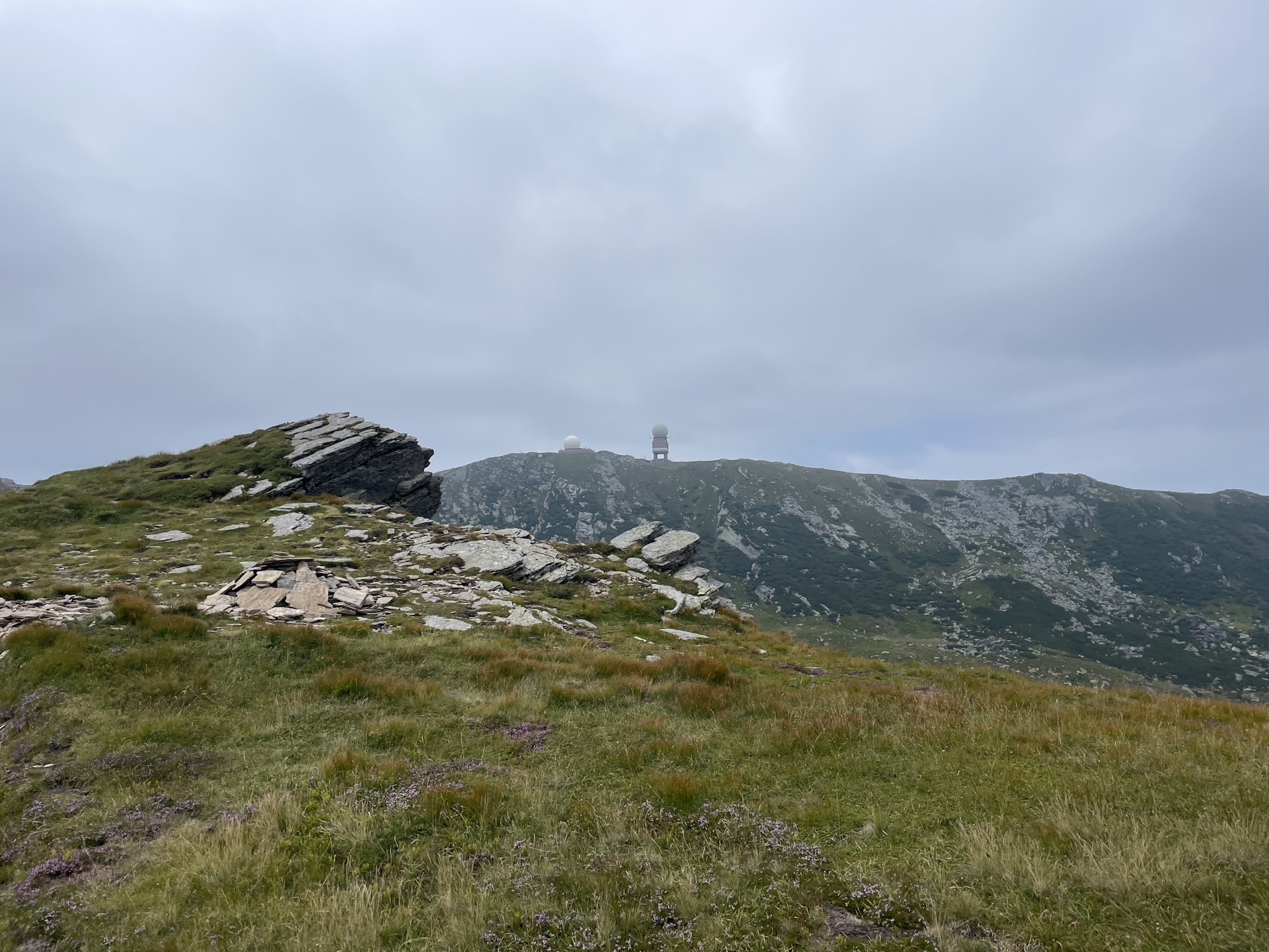
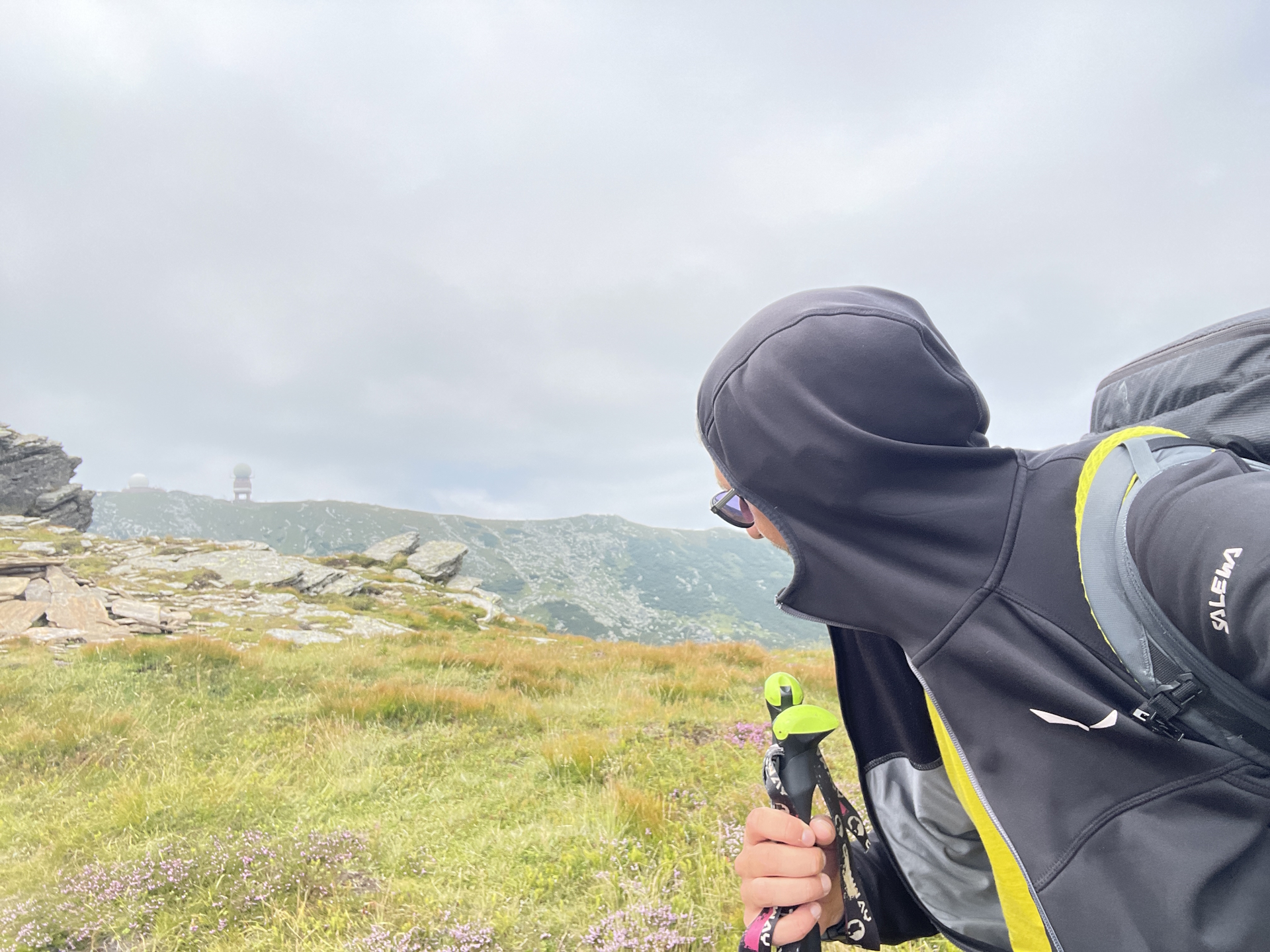
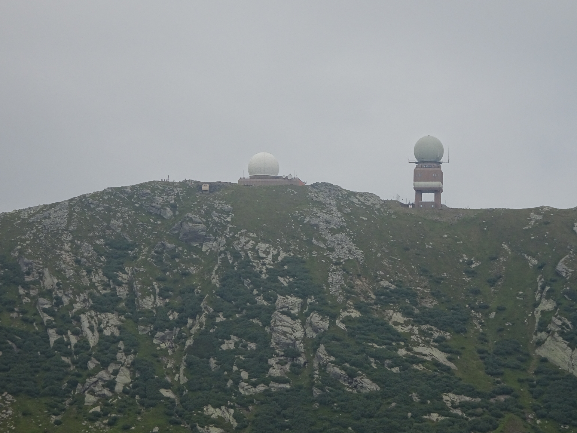
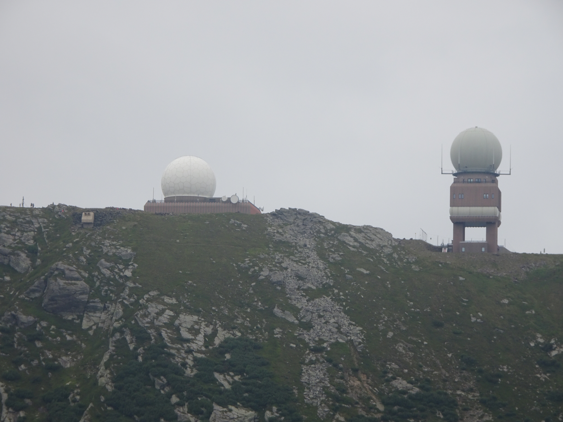
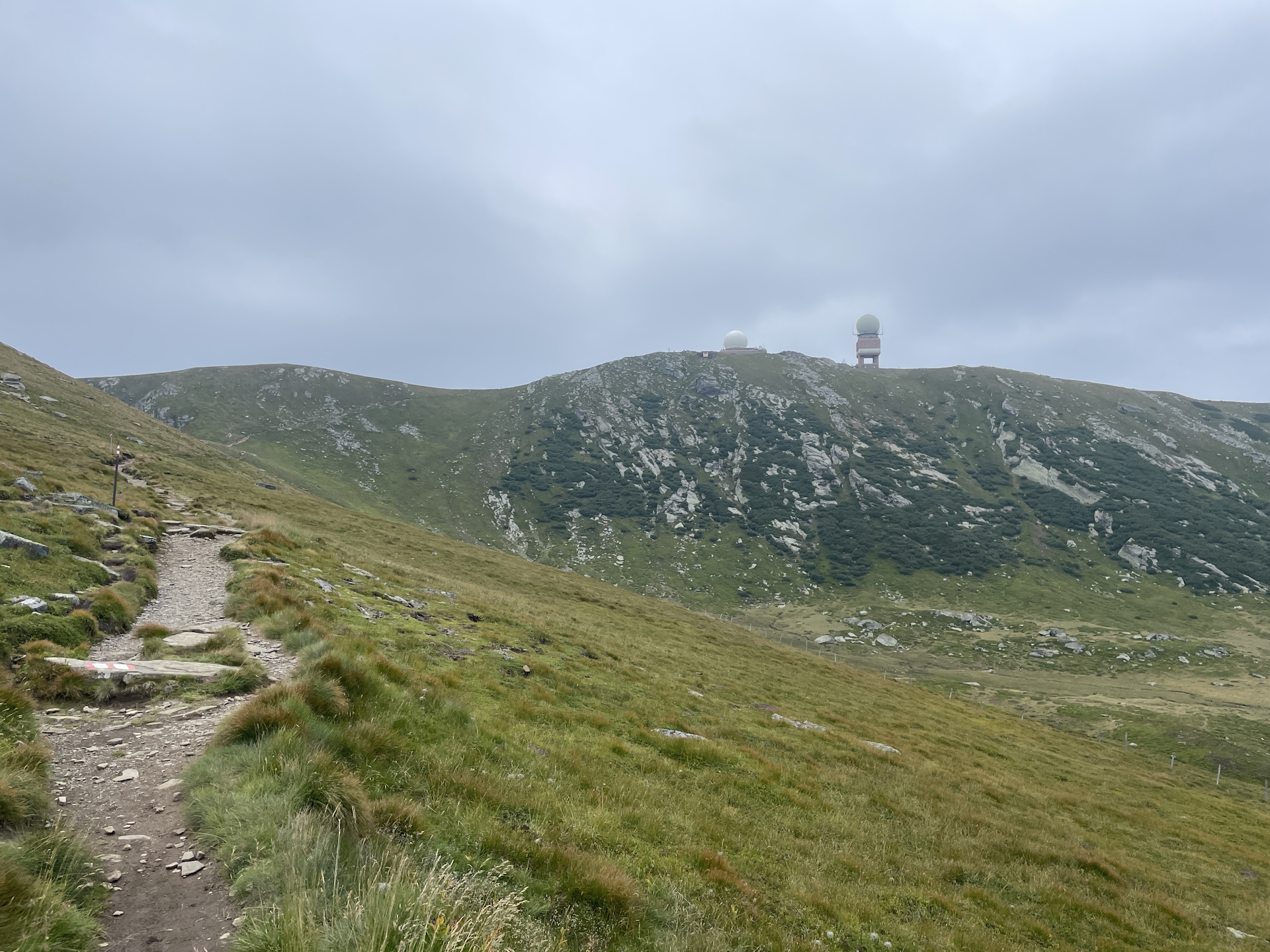
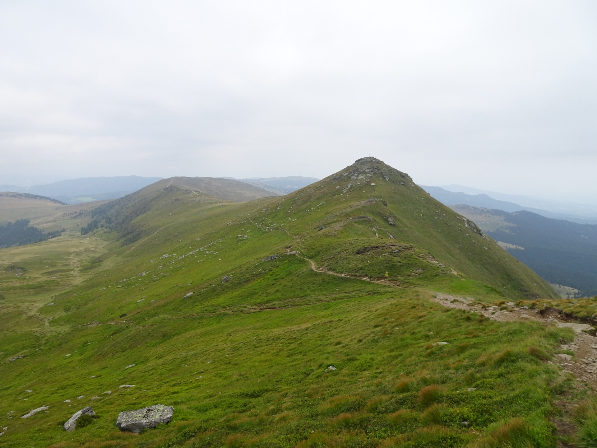
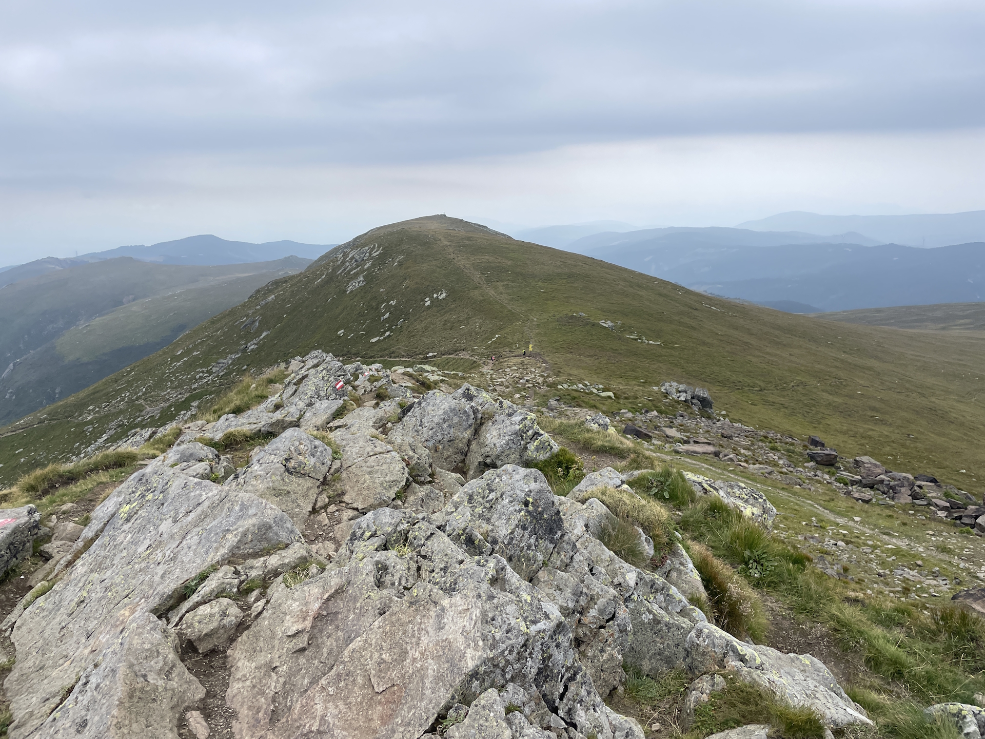
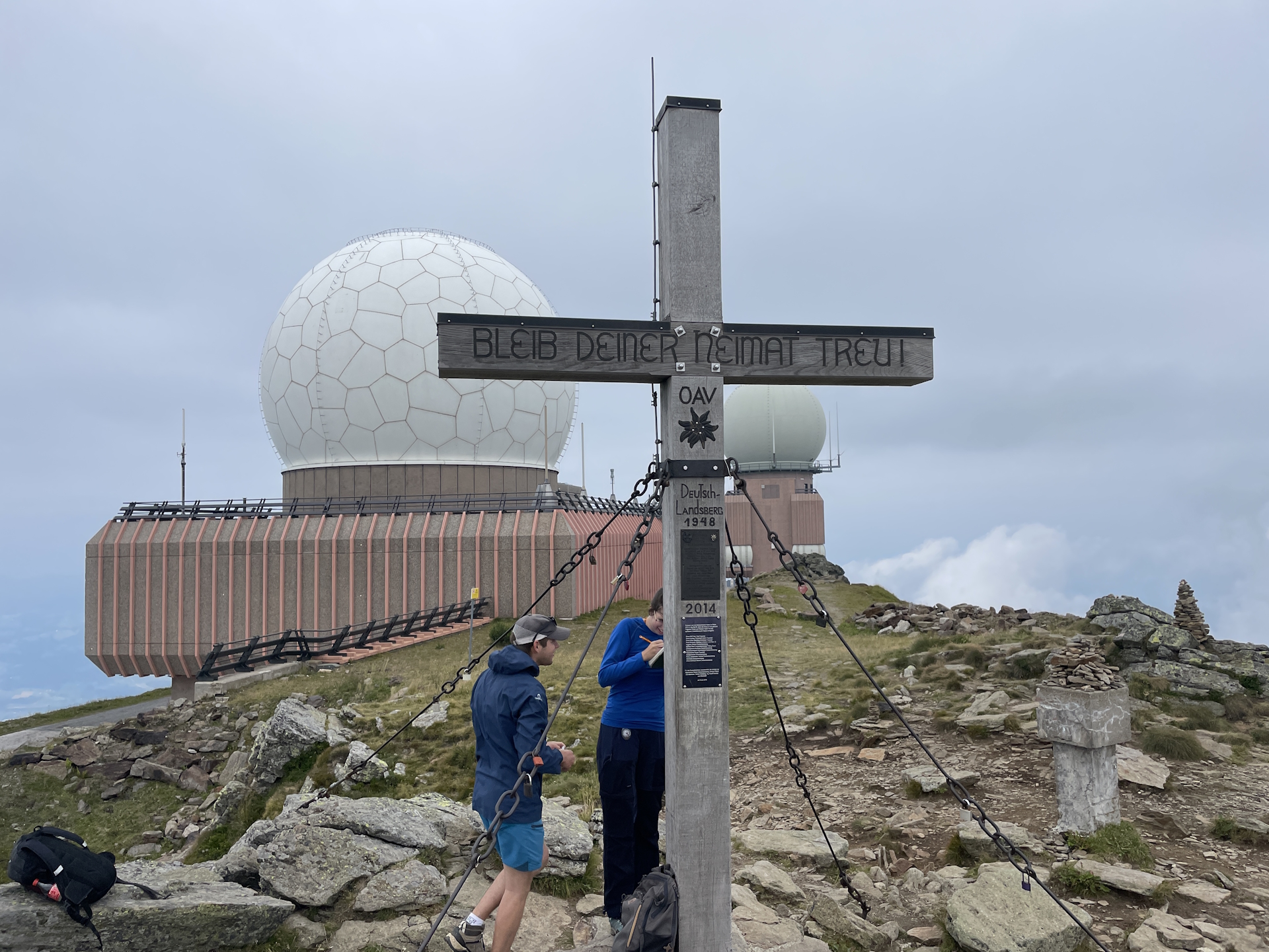
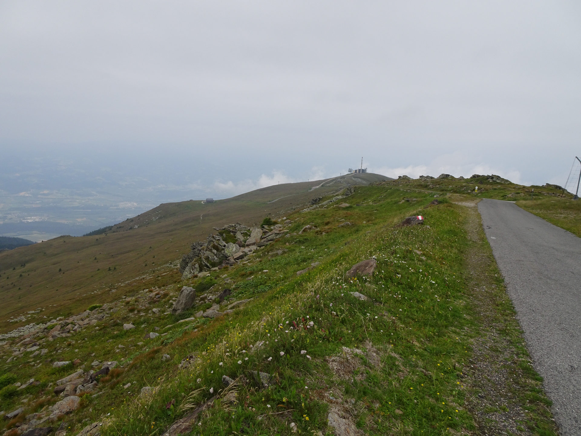
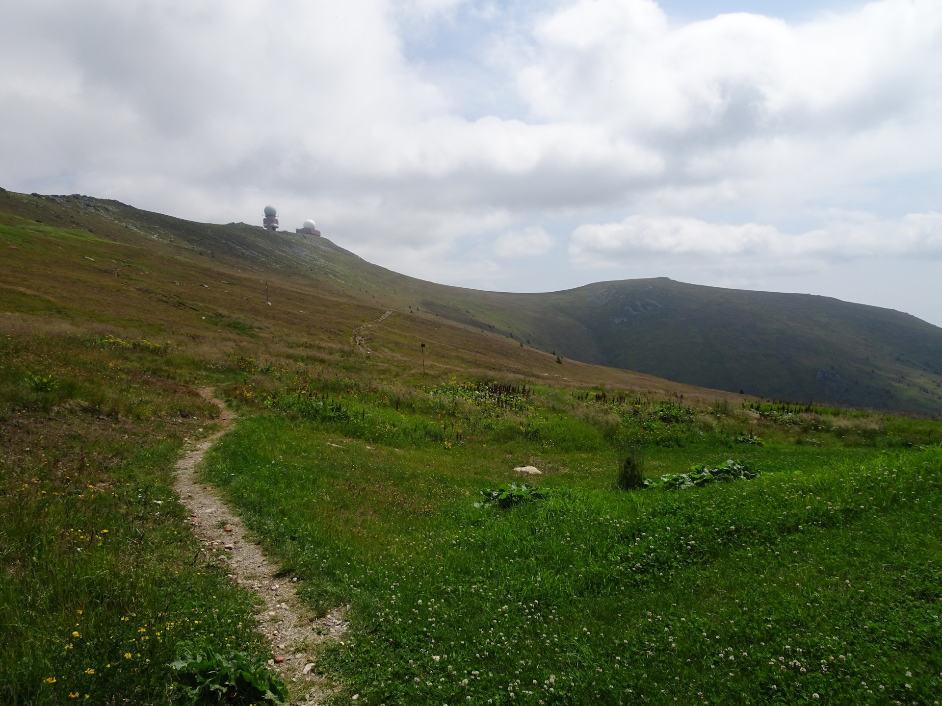
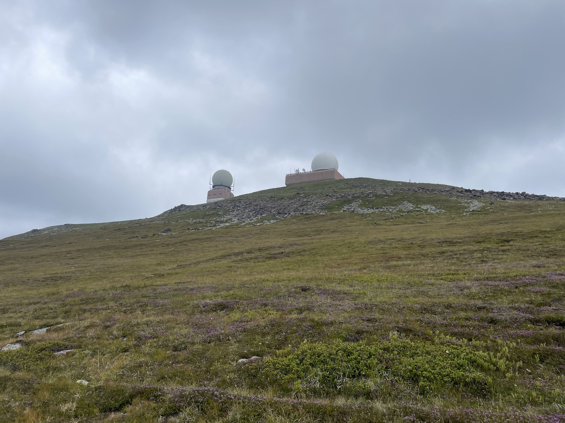
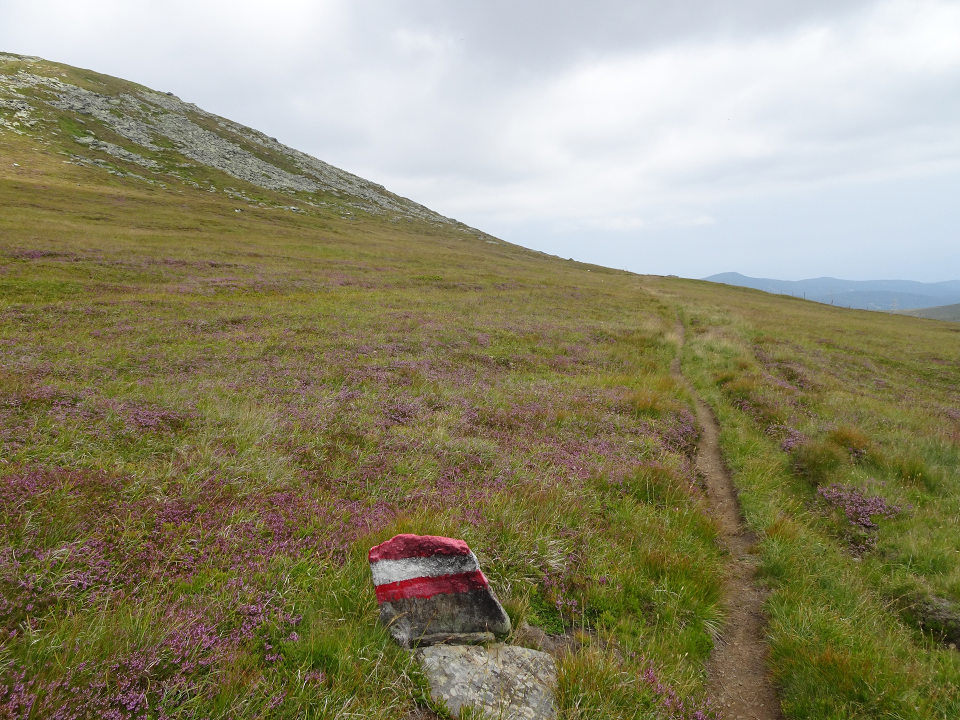
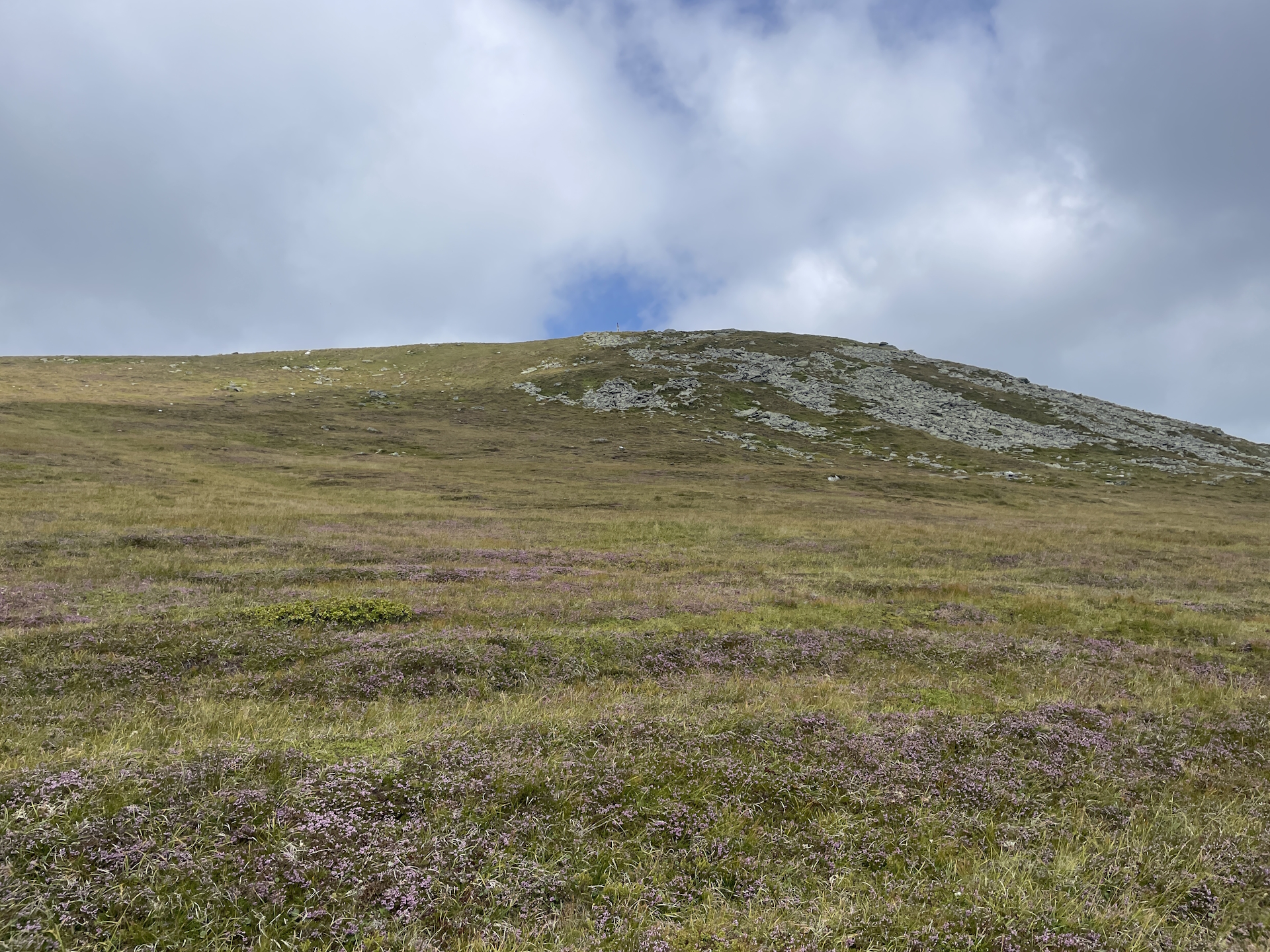
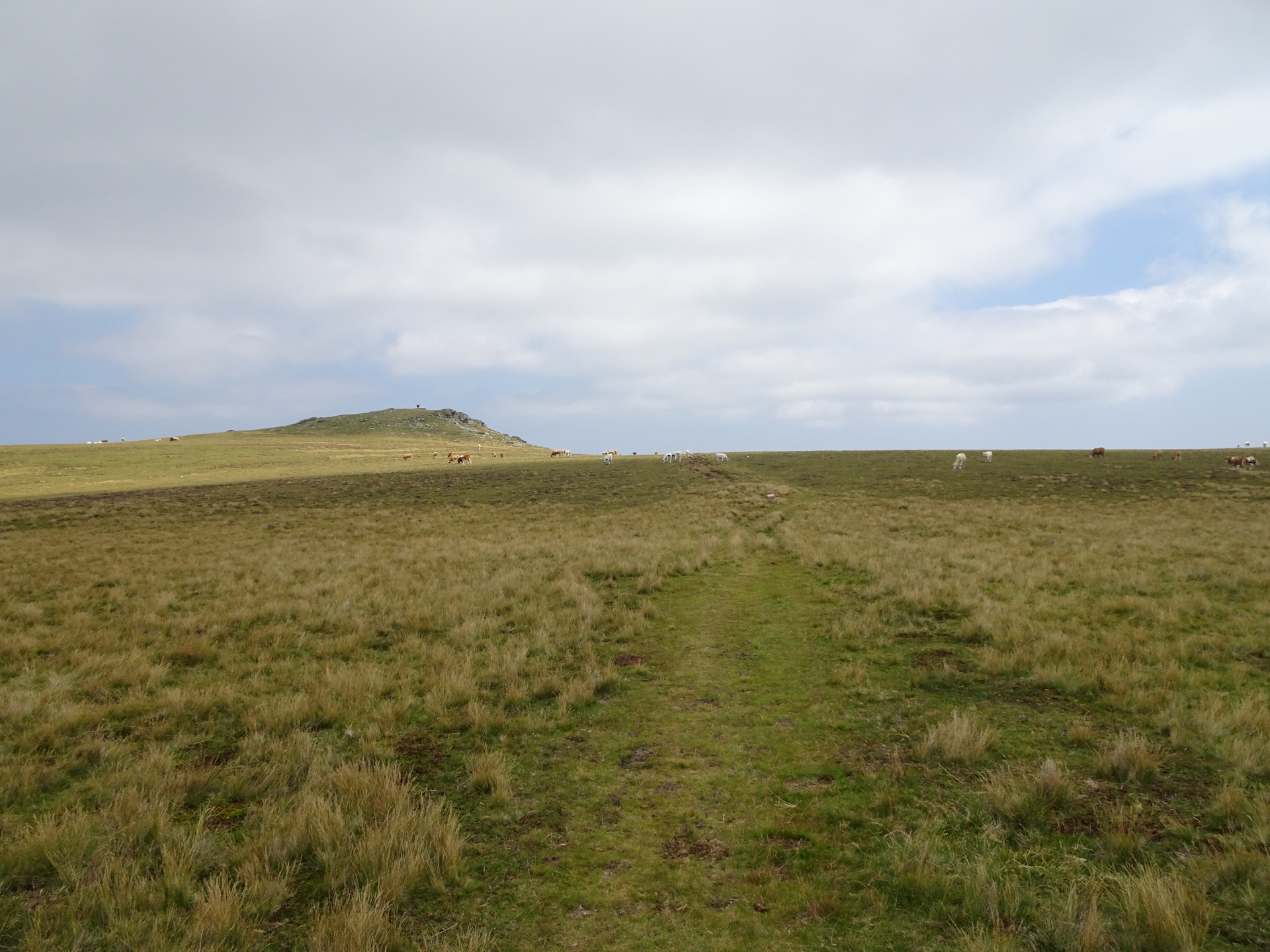
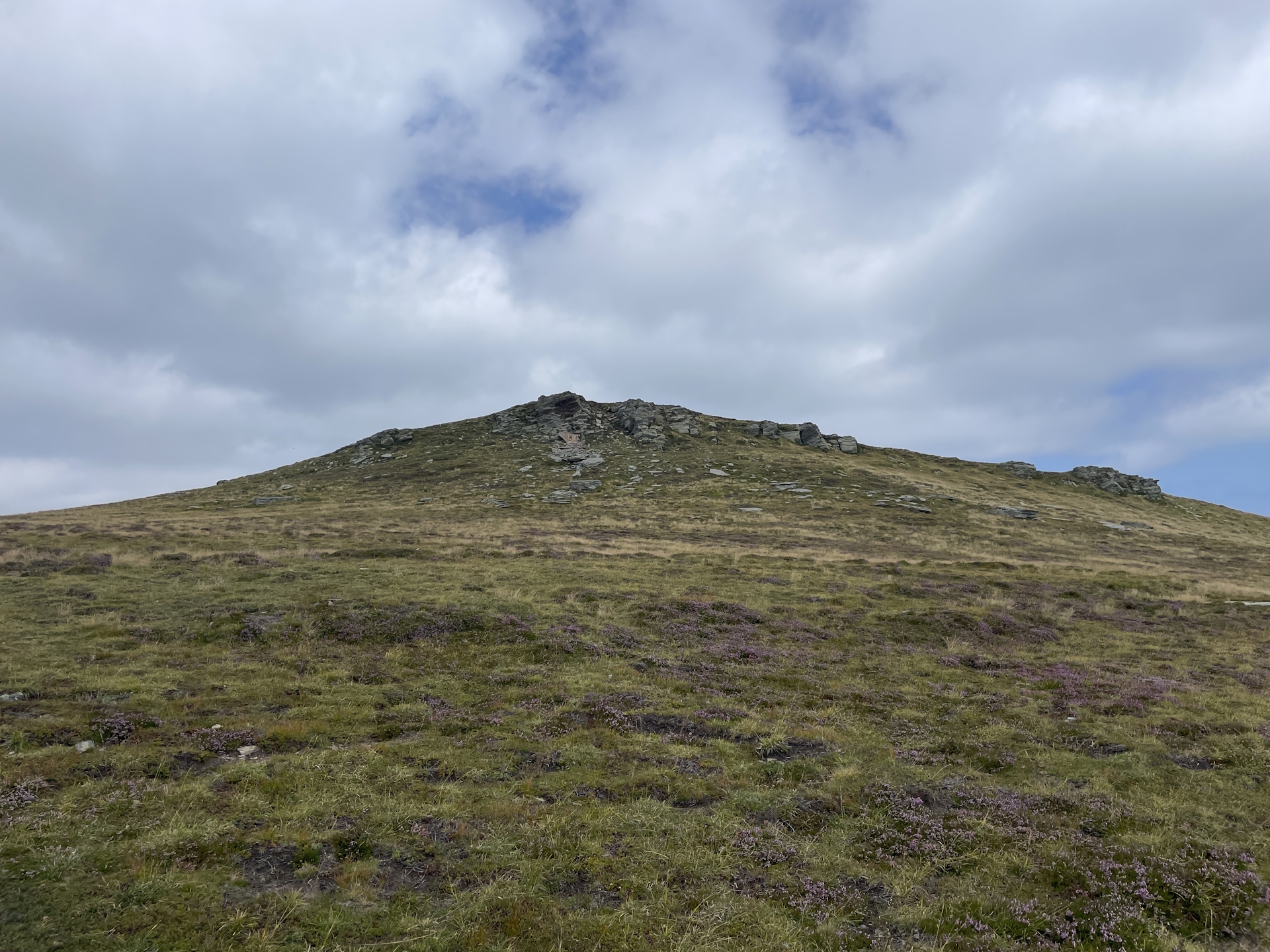
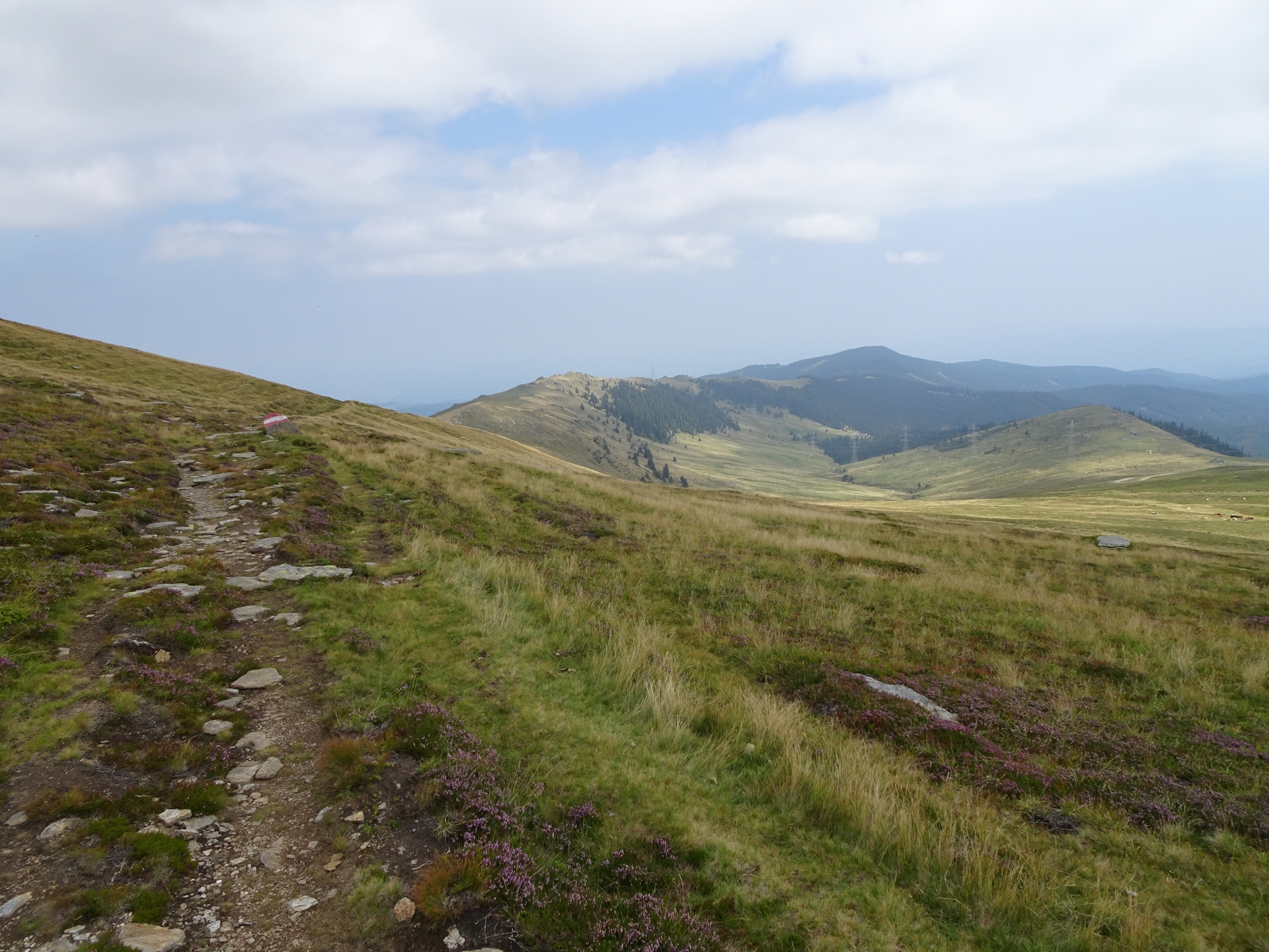
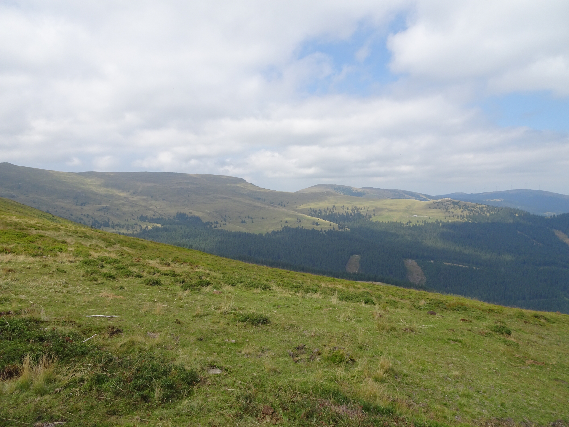
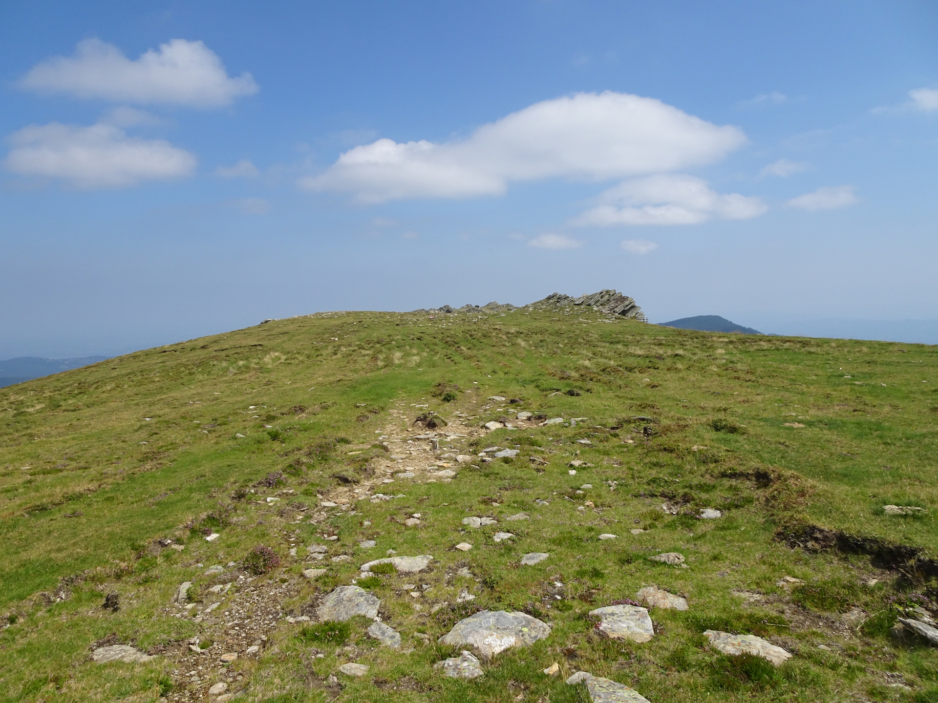
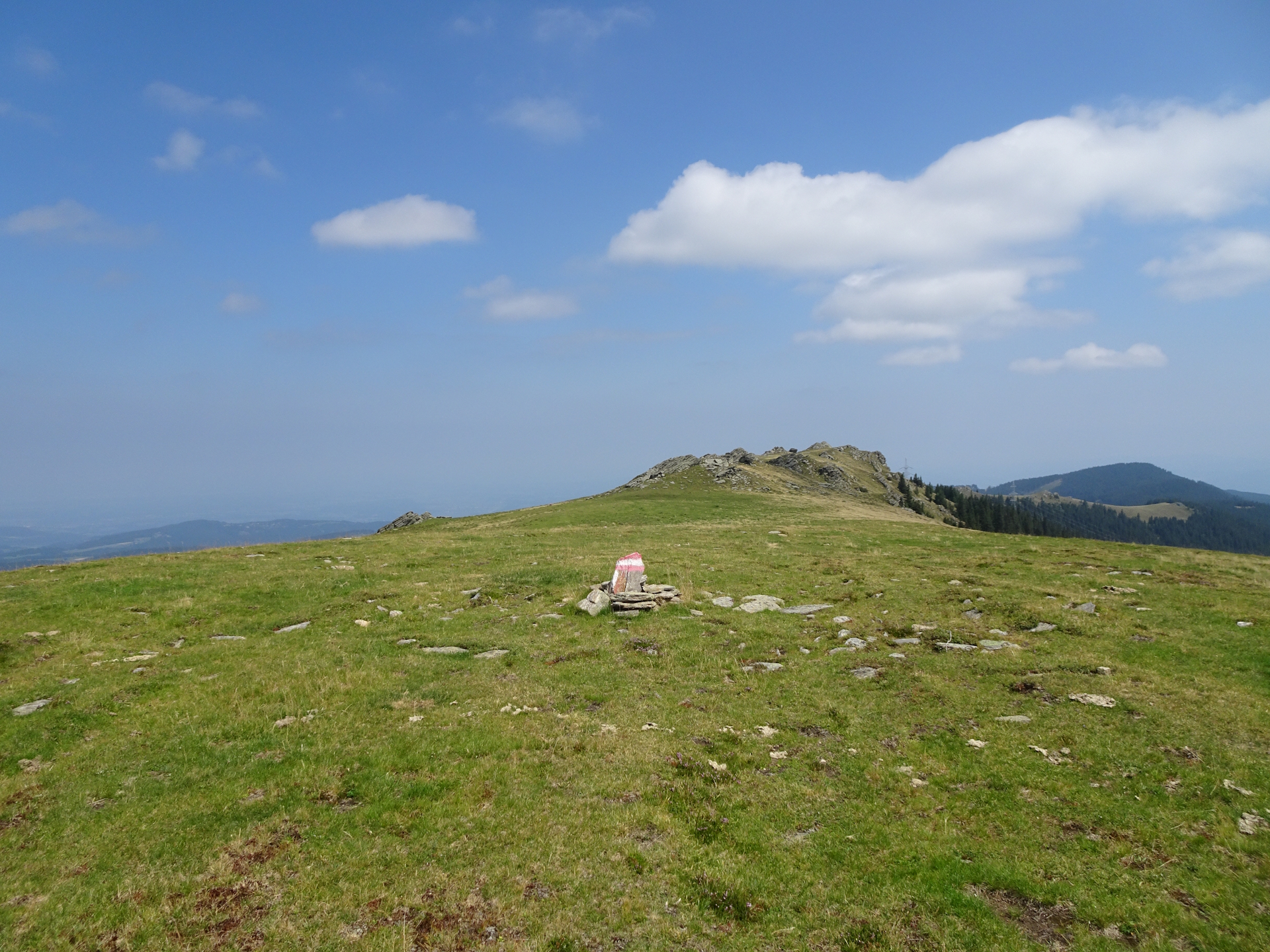
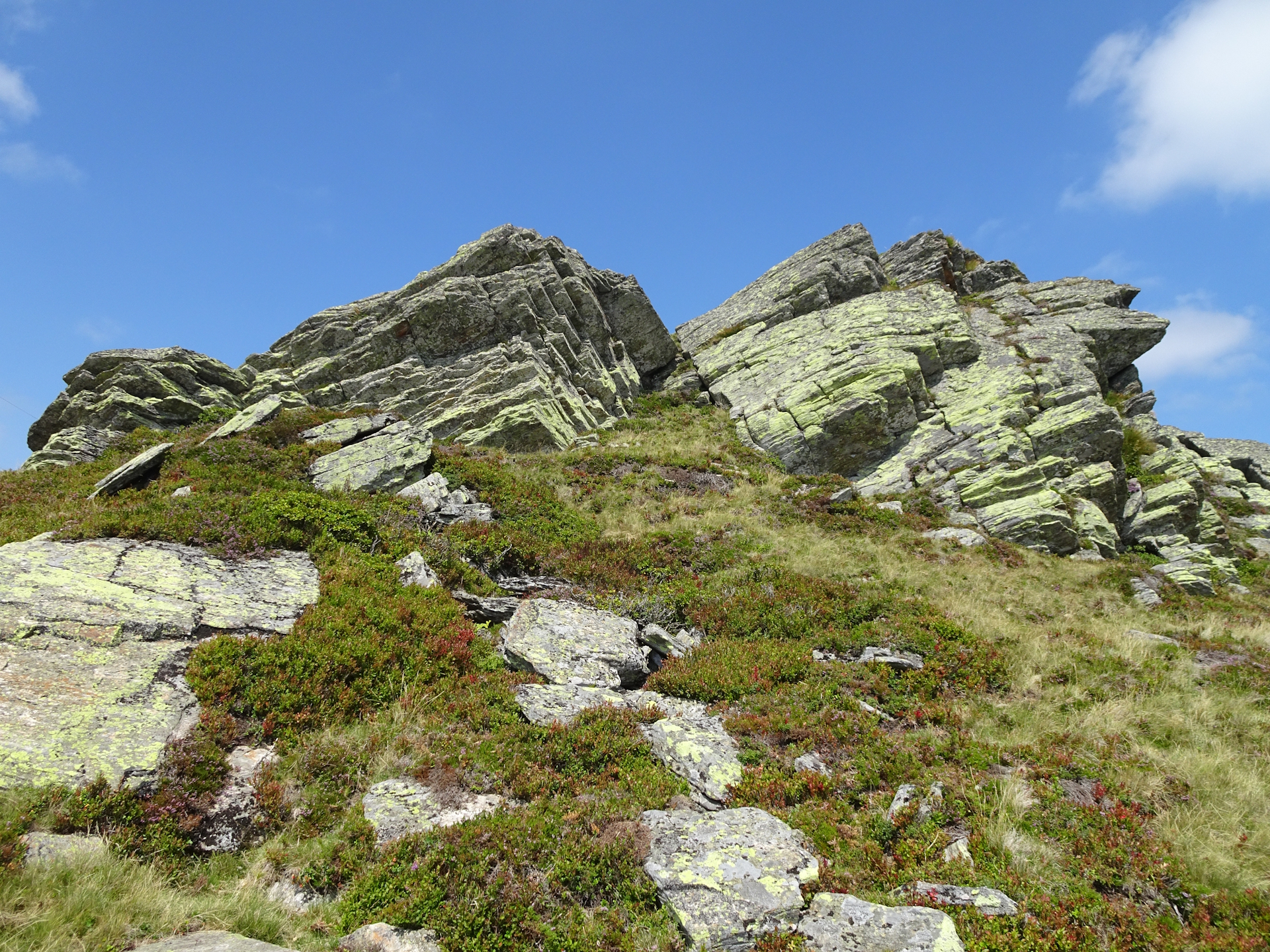
The trail then mainly follows a gravel road through a scenic alpine pasture which is in winter a ski resort. Unfortunately, I had cloudy weather but rarely it opened up and I was able to see the Koralpe radar station thus getting an idea about today’s challenge. The trail leads on an easy and comfortable gravel road around the Moschkogel towards a saddle at the border between Styria and Carinthia. Here the tour turns left and follows a steep trail up to the top if Hühnerstütze. Once there, the major difficulties of the entire tour are accomplished. The trail from Hühnerstütze towards Großer Speikkogel is fairly easy, constantly with the gigantic radar station in sight. The last meters up to the Großer Speikkogel (after passing by the Seespitz) are again a bit steeper and demanding but not comparable to the ascent to Hühnerstütze.
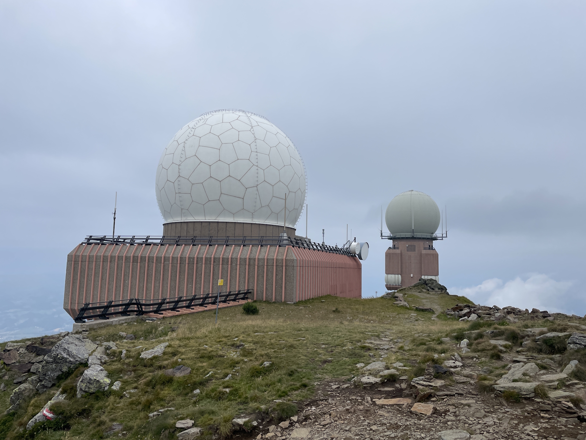
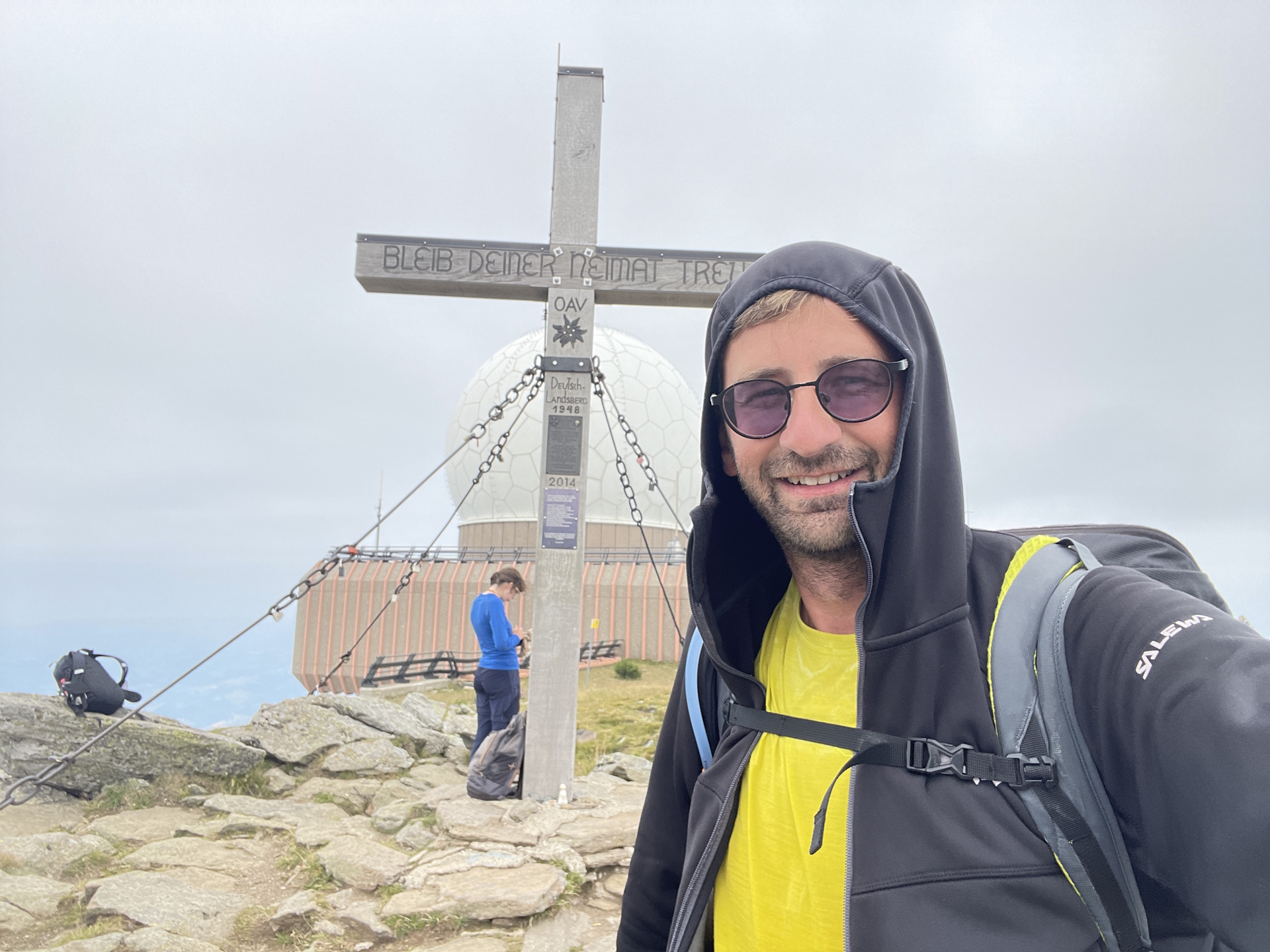
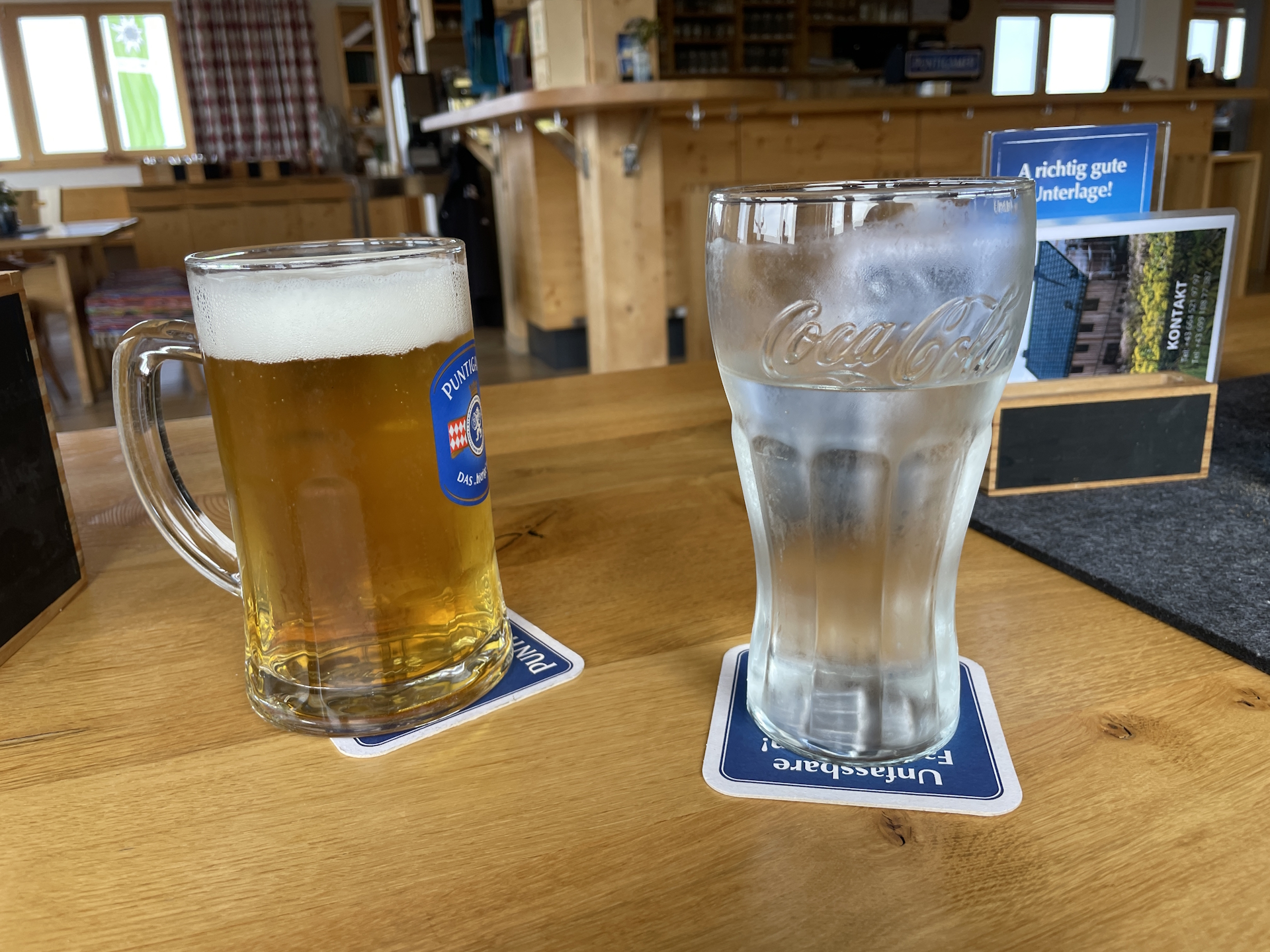
I personally found the summit of Großer Speikkogel very interesting, just because it is so close to the gigantic radar station. However, due to bad weather I was not really able to enjoy as it was very windy and due to fog the sight was limited. Thus I did not spend a lot of time at the summit and decided to continue the tour very quickly down to the Koralpenhaus for having good lunch.
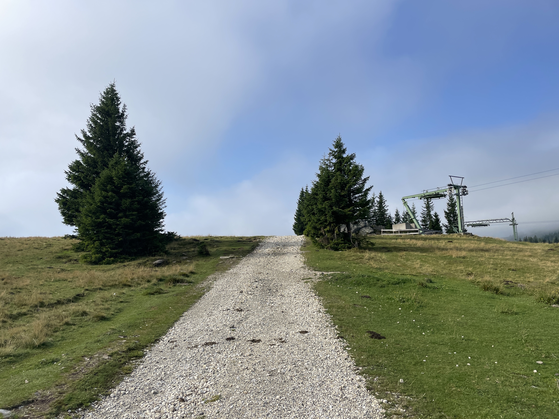
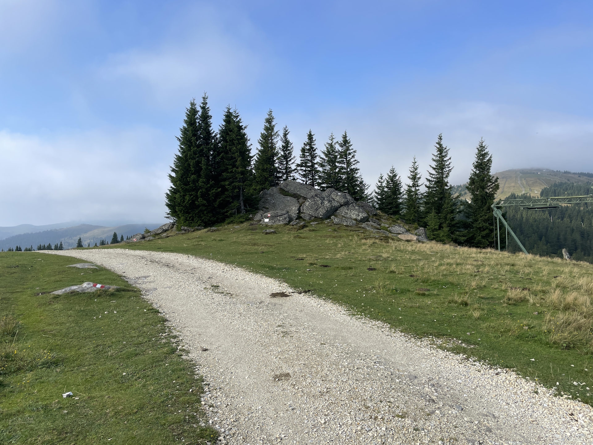
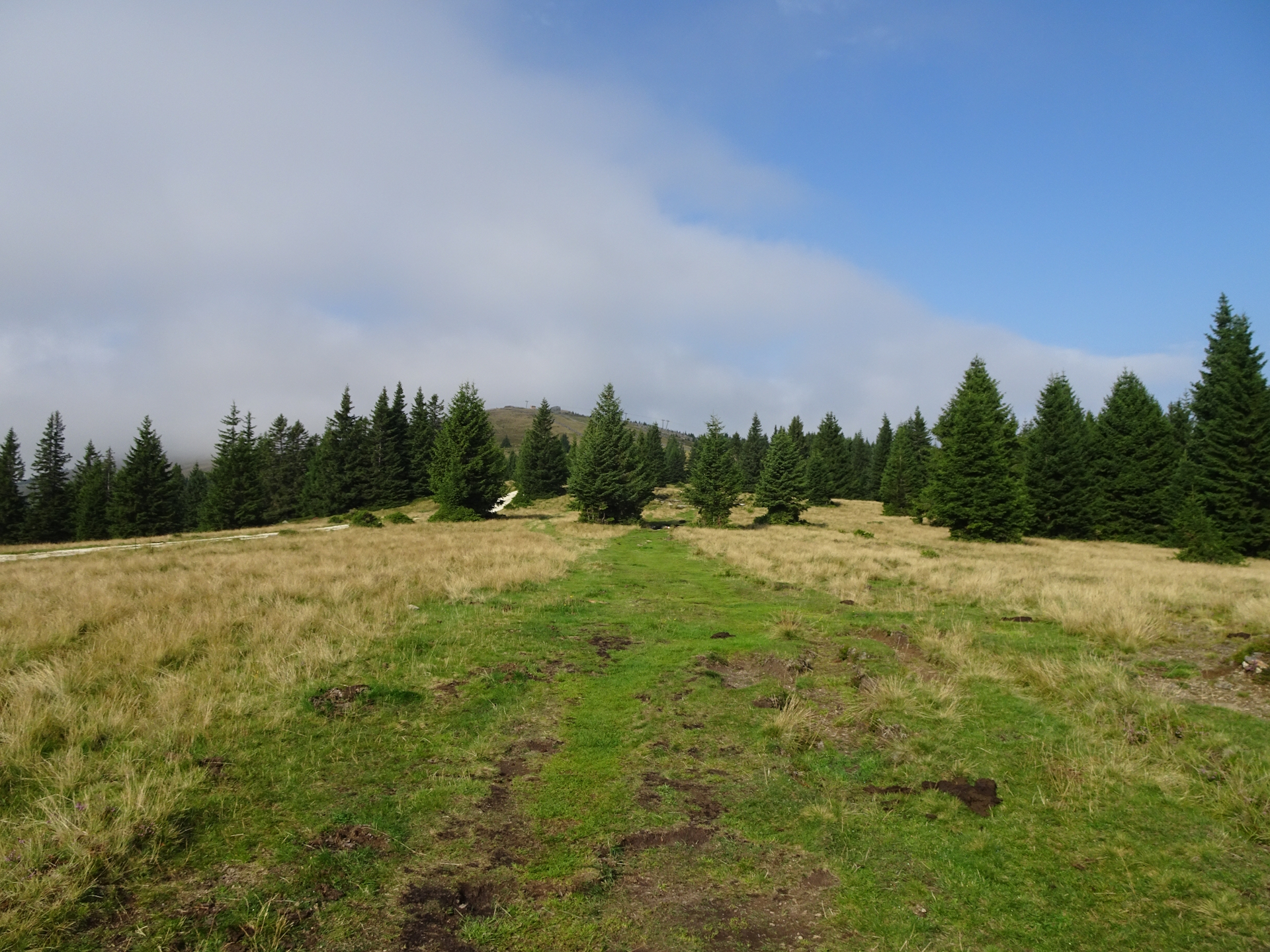
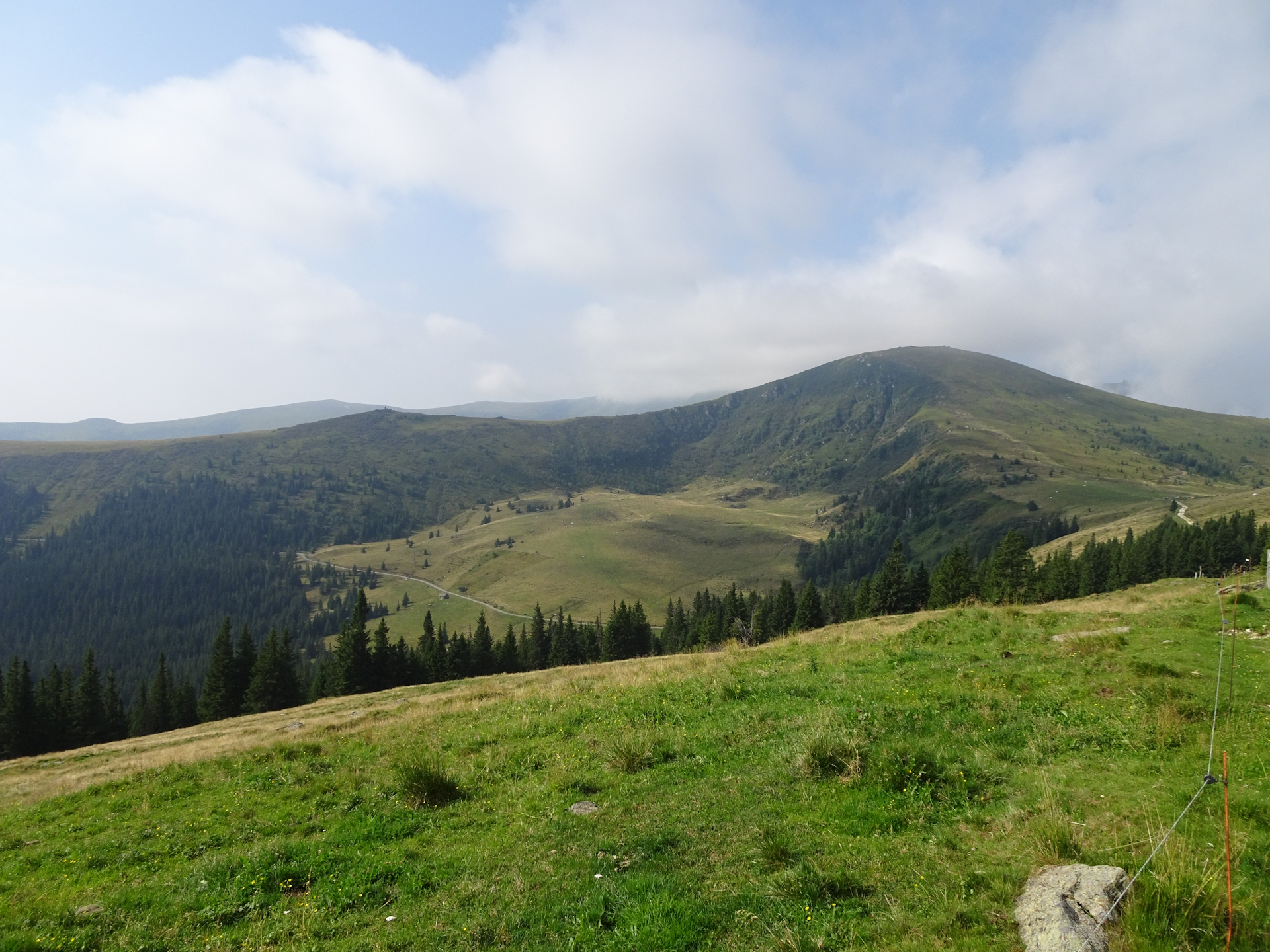
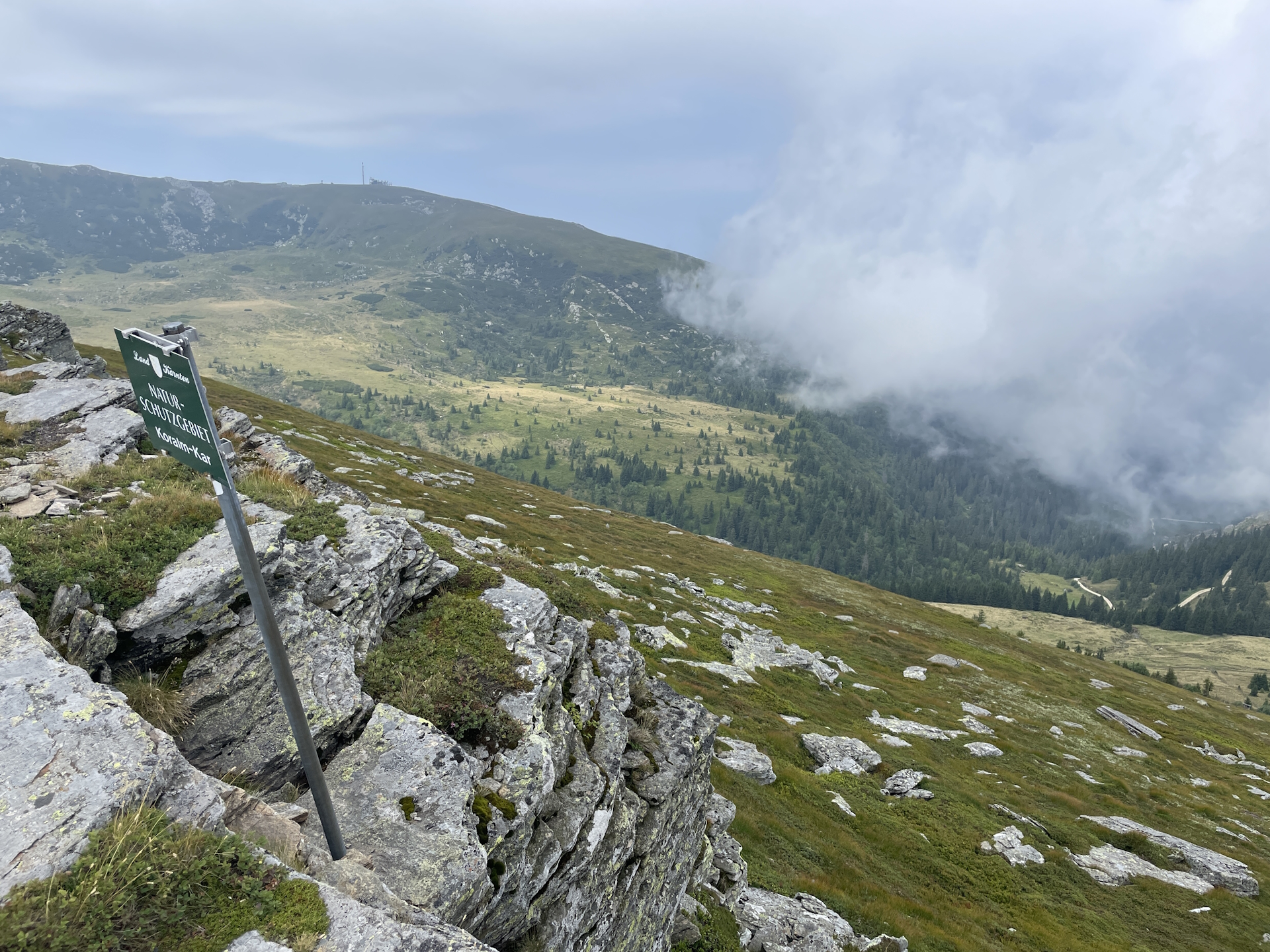
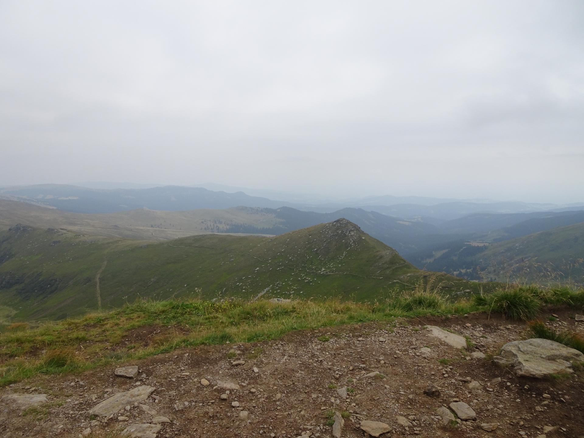
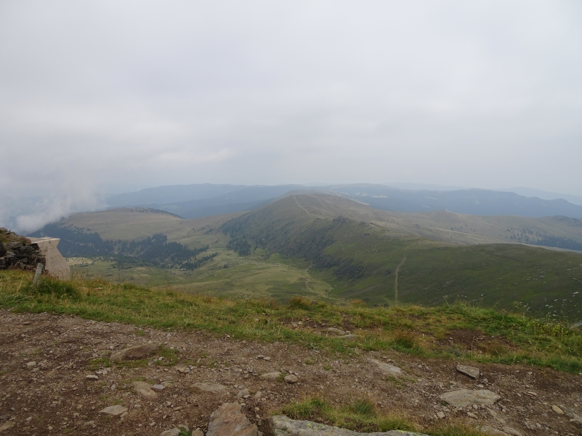
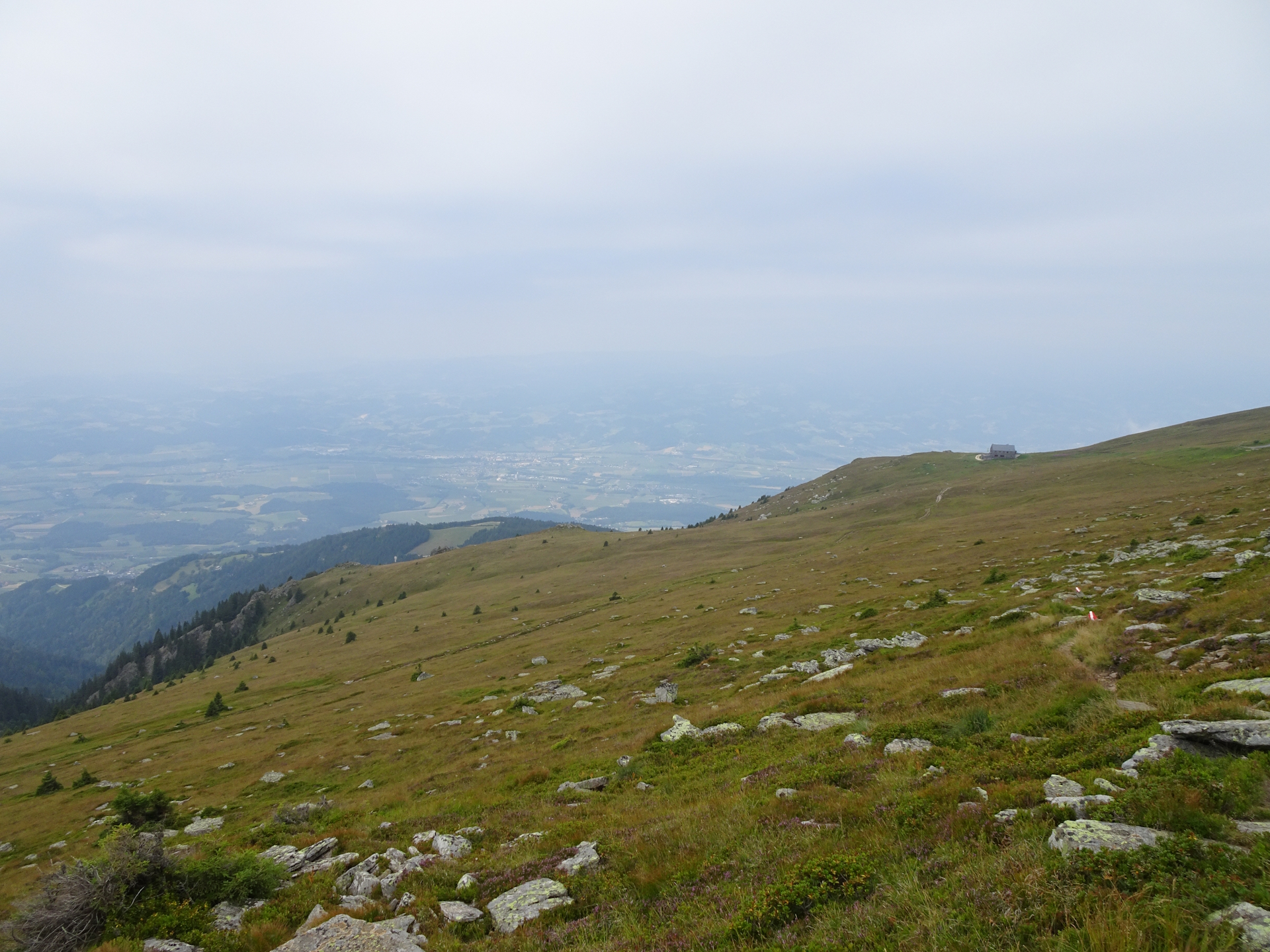
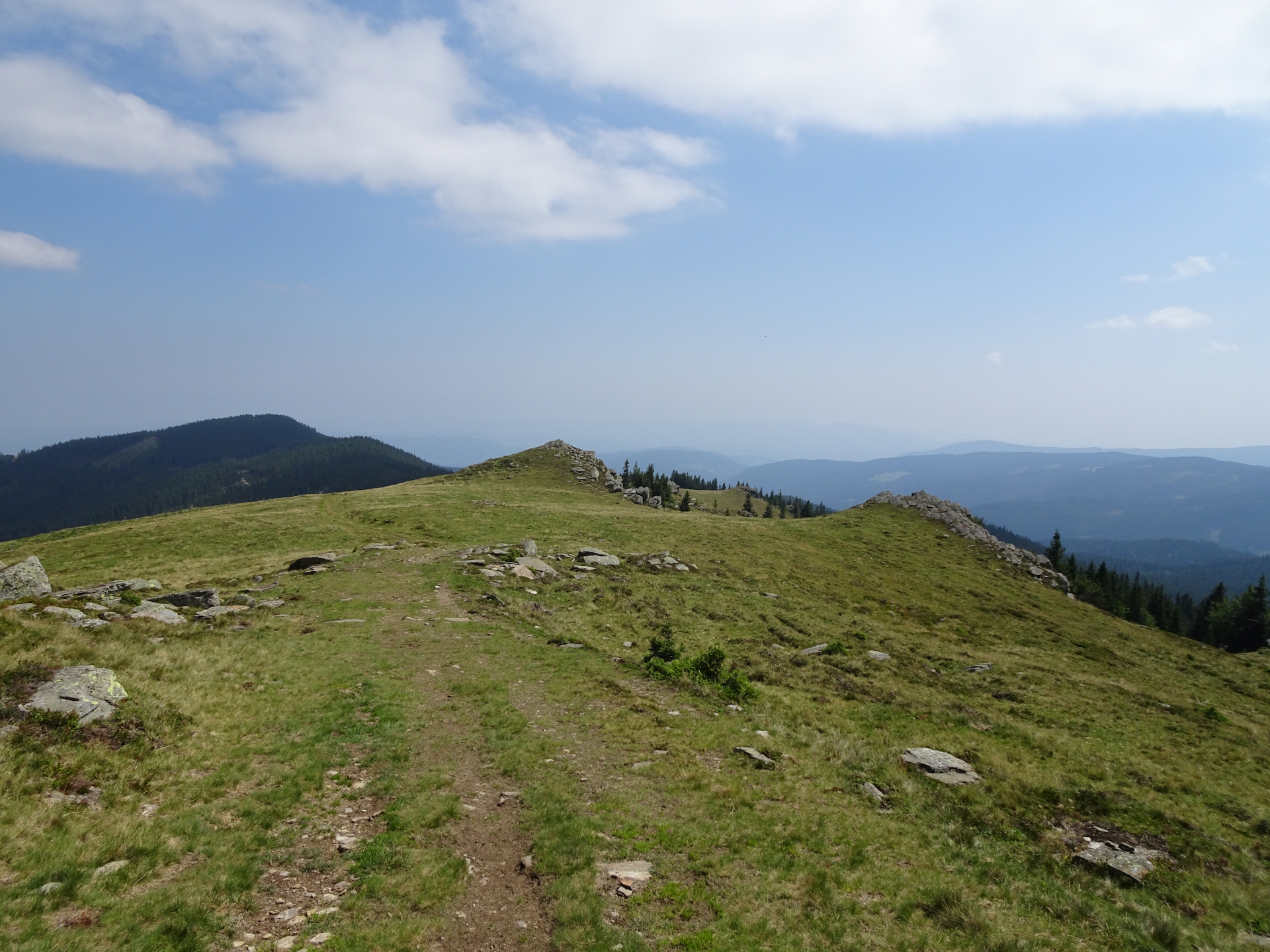
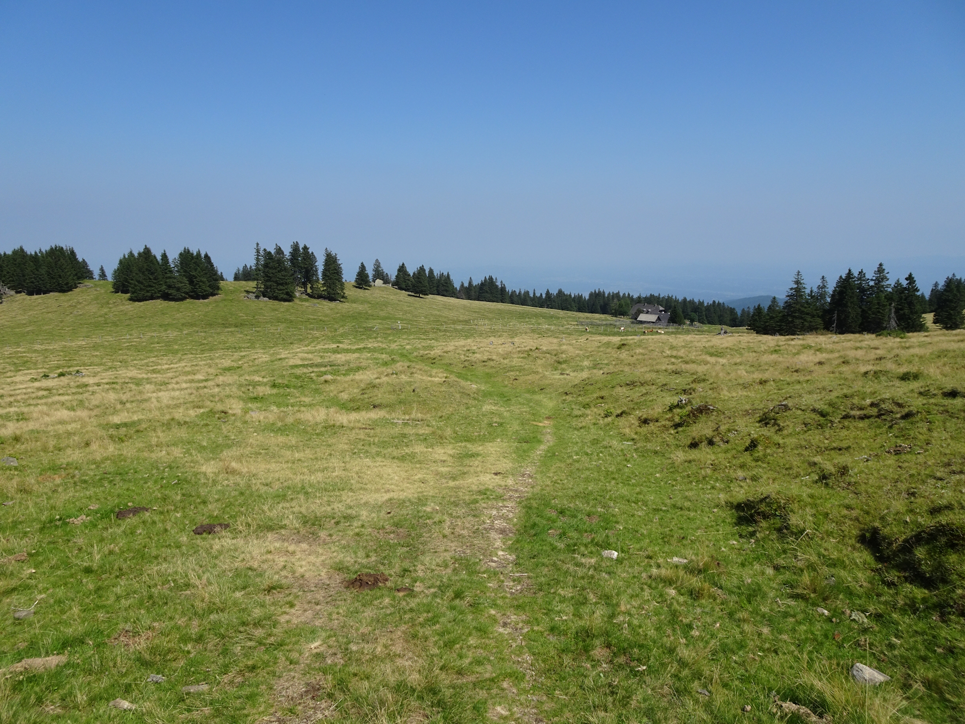
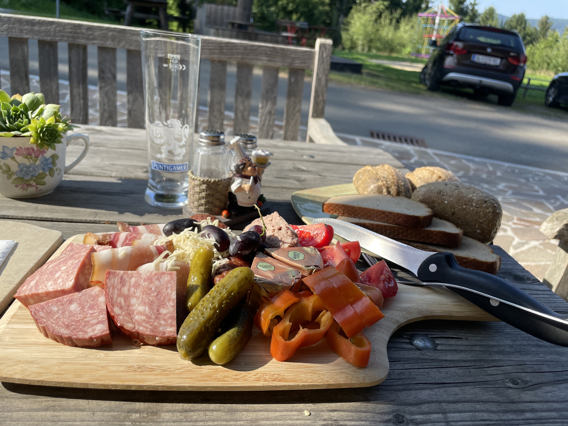
While having lunch, the weather got better and when I left the Koralpenhaus, there was a good mixture of sun and clouds, so not too hot and not too cold. The route mainly leads through the Koralpe alpine pasture, relatively easy and also sometimes scenic. Once the trail enters the forest, the route then gets a bit boring – but always easy .
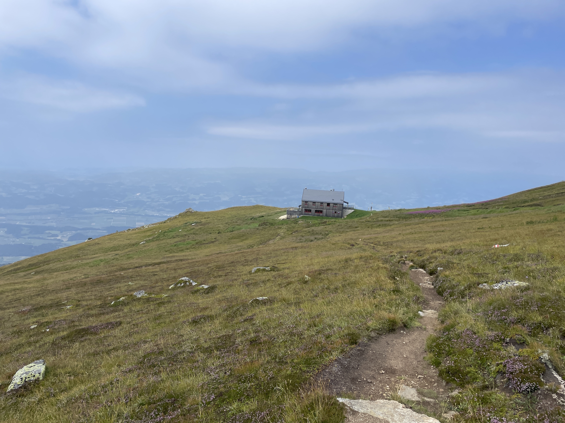
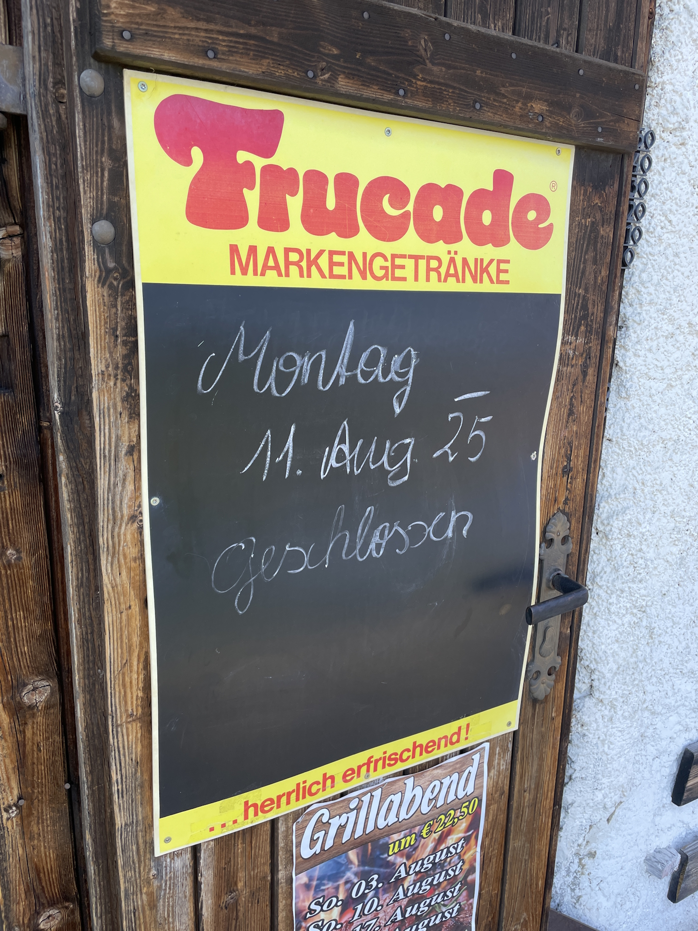
The biggest disappointment was the closed Brendlhütte. Although supposed to be opened according their website, I found the hut closed with a remark that exactly on that day, the tenants decided to not open. I got a bit worried as this hut is a checkpoint and I was not able to acquire a stamp. Luckily there is an alternate checkpoint in St. Katharina (my planned overnight stay), so I put my hope to get the stamp there. However, I had to skip my planned beer here and had to continue my hike without a break down to St. Katharina in der Wiel.
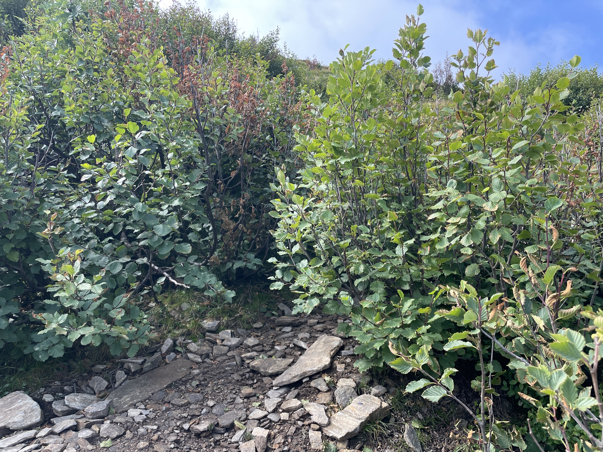
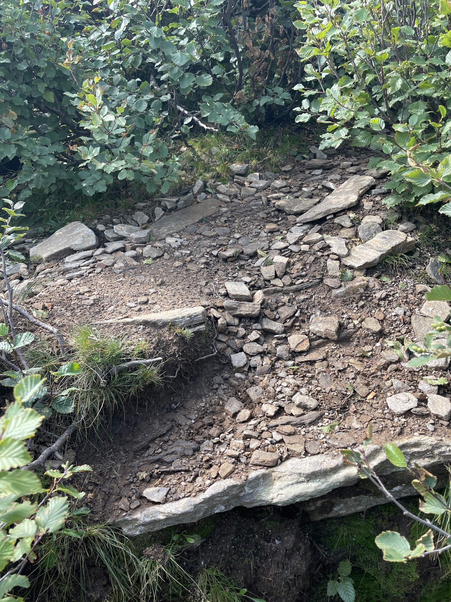
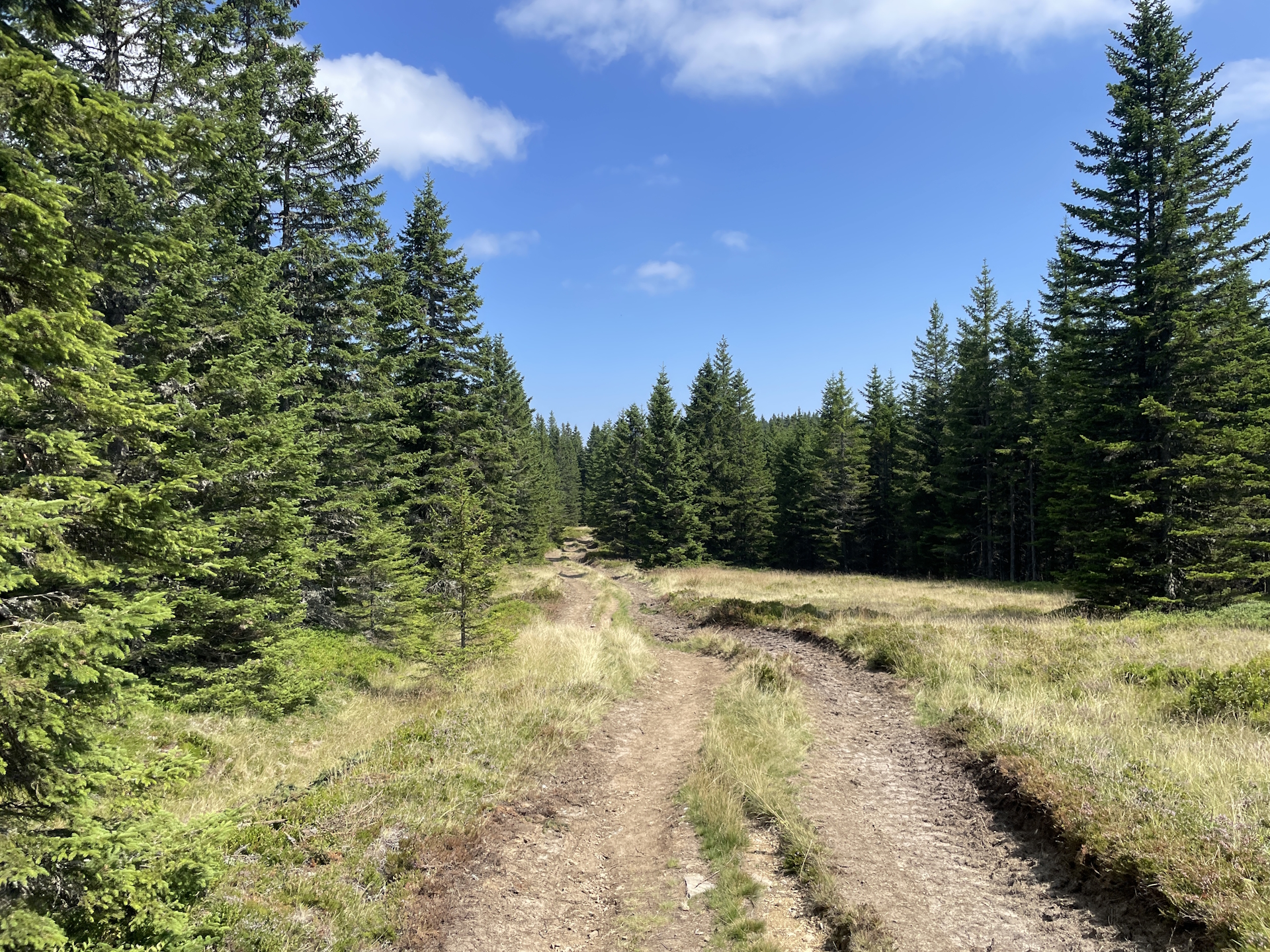
Again, the trail mainly followed trails through the forest, sometimes also a bit overgrown but easy to hike. The trail felt this time very long but I think mainly because I had to skip my planned break at the Brendlhütte.
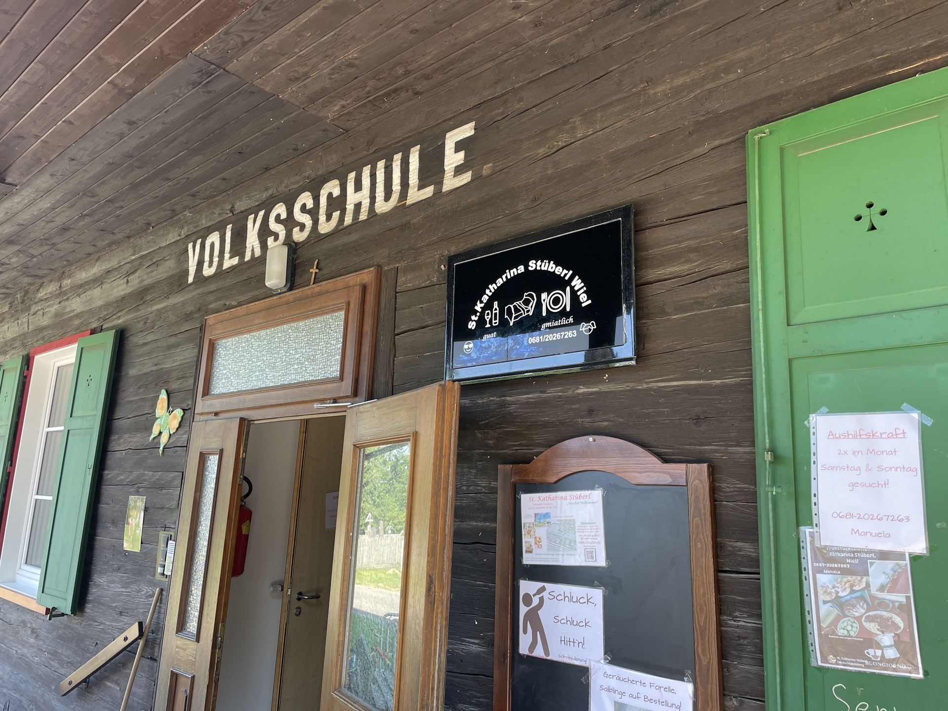
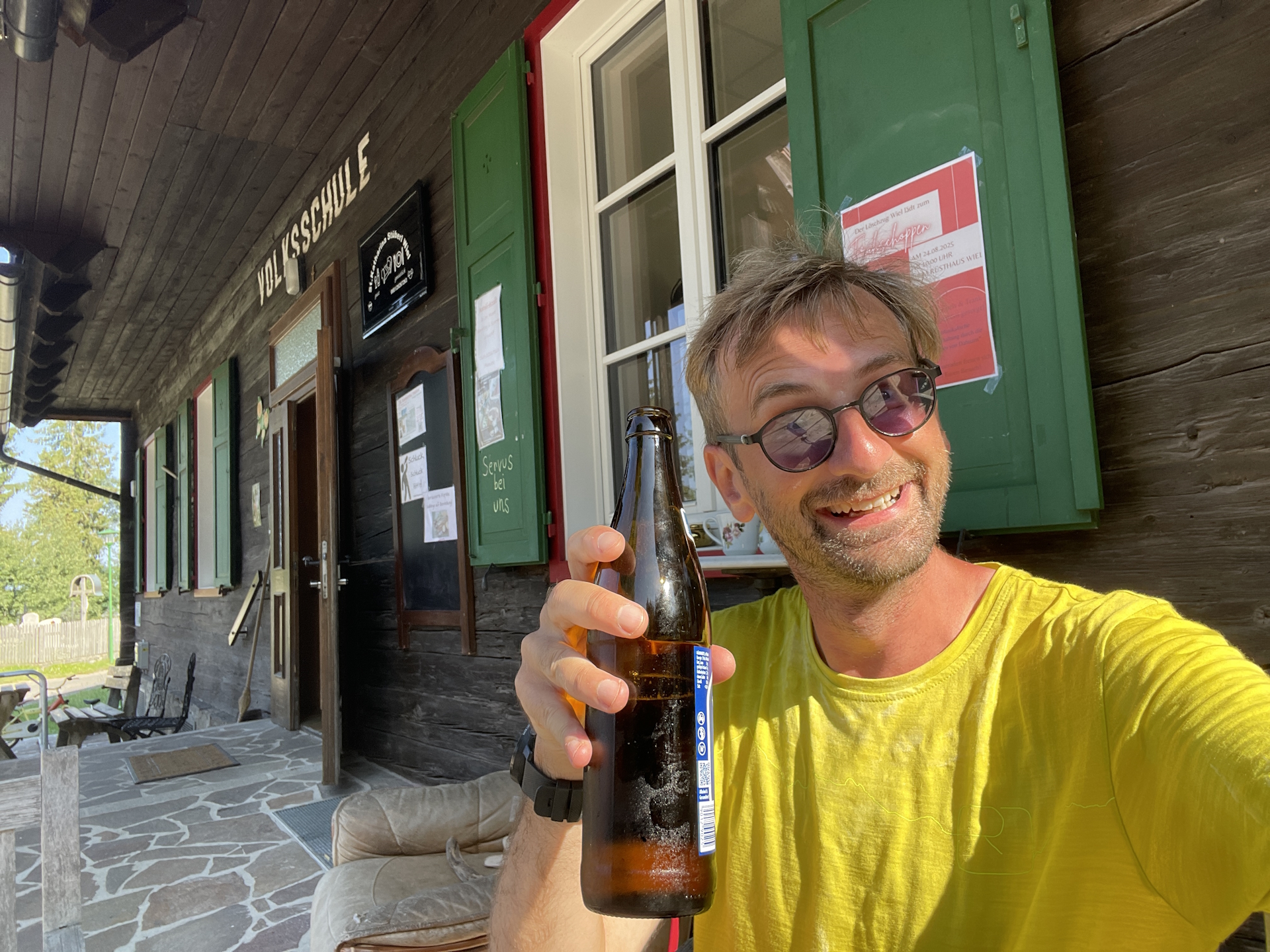
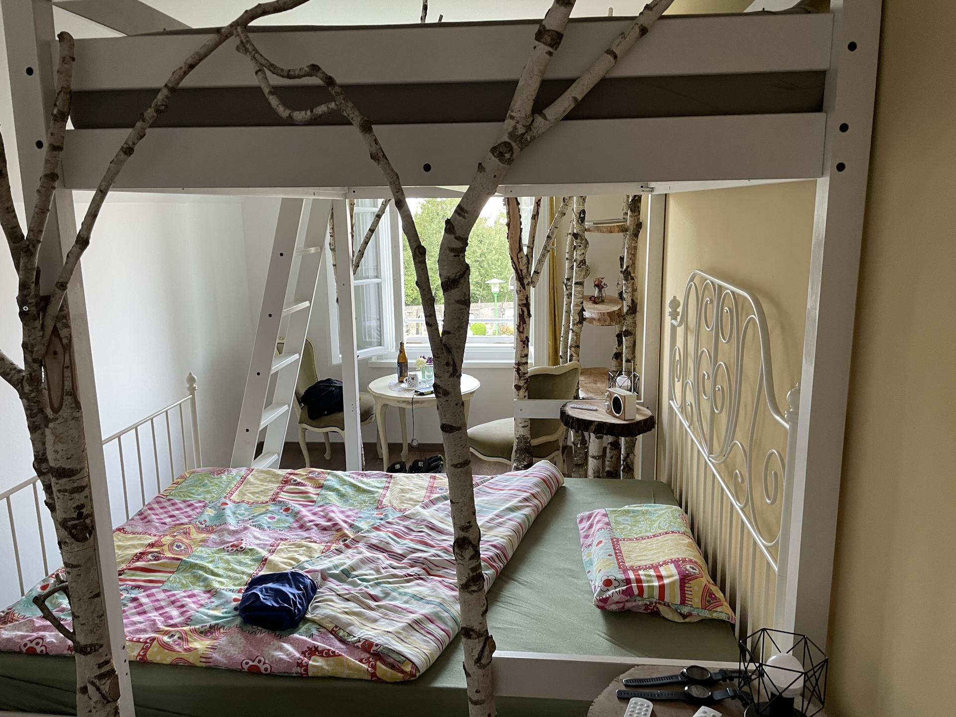
When I finally arrived in St. Katharina, I run into the next challenge. Although I booked my overnight stay, I was first unable to find the location. The building at the address looked like a school, so initially I was passing by. It turned out however that the former school is actually the St. Katharina Stüberl and even more, a super nice location to stay. I got spoiled with a delicious dinner, some beers and then was brought to a super nicely decorated room, having an excellent sleep.
Because the owners were gone for leave, the owner’s stepmom took over. Initially she did not know about any stamp but luckily, the next day we figured it out and I also got my wanted stamp .
Summary:
The tour is most of the time easy and scenic. Only the ascent to Hühnerstütze and the last meters up to Großer Speikkogel are steep and require some attention. I had a bit of bad luck with the weather as it was cloudy, windy, and clouds restricting the view. All this made the experience not as nice as it could have been. And obviously, the biggest disappointment hit me when I had to accept that the Brendlhütte is closed, despite the information from the Internet. But all this got compensated by the nice stay at St. Katharina Stüberl, having excellent food and super nice service.
| 00:00 | Start after a breakfast and getting your stamp from Gösler Hütte. Head eastwards back up to the Weinebene saddle (via the ski slope). |
| 00:10 | Turn right and now follow the official 05 trail southwards up to Weinofen. |
| 00:15 | Pass by Weinofen and then keep right. The only signpost there points to the wrong direction (left). Turn right however and follow the barely visible markings at the bottom on the gravel road’s right hand-side. |
| 01:00 | At the border between Styria and Carinthia right at the saddle, turn left and follow the steep trail up to the summit of Hühnerstütze. The trail becomes less and less marked and you have to find your way through the bushes before arriving the plateau. |
| 01:30 | At the plateau, turn right and follow the trail southwestwards to the summit of Hühnerstütze. |
| 01:40 | Bypass the summit of Hühnerstütze and continue following the trail southwards. |
| 01:50 | At the crossing, keep straight and follow the trail southwards. |
| 02:10 | Now ascend steeply up towards the already close Großer Speikkogel. After the steep ascent, keep straight and follow the markings up to the summit cross. |
| 02:25 | Enjoy the view from the summit of Großer Speikkogel, just in front of the gigantic radar station. |
| 02:30 | Bypass the radar station and then follow the street westwards for a few meters. |
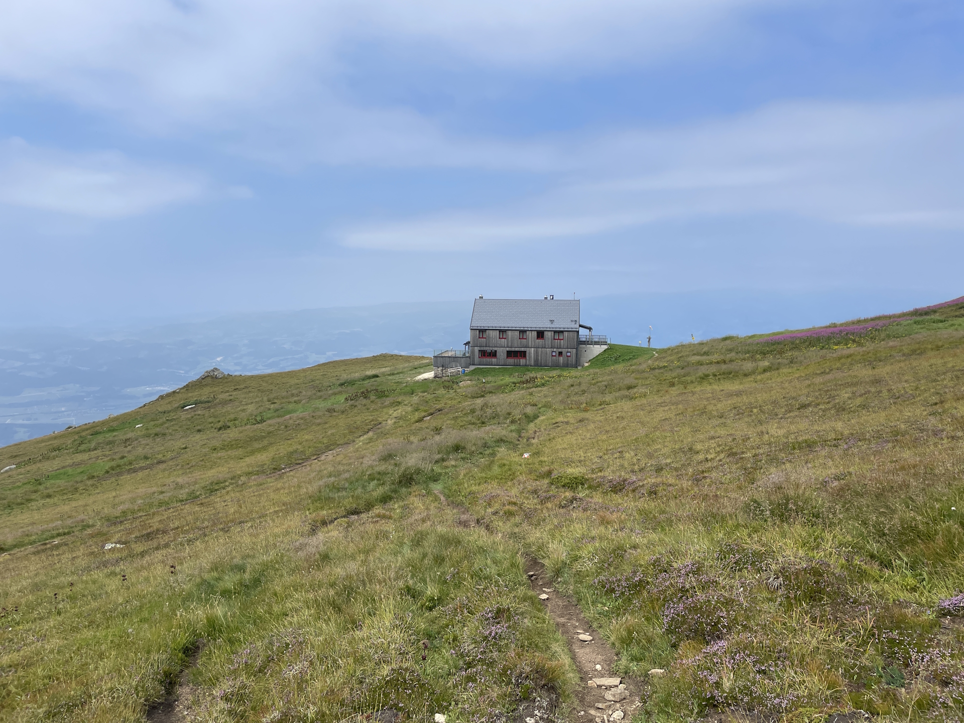
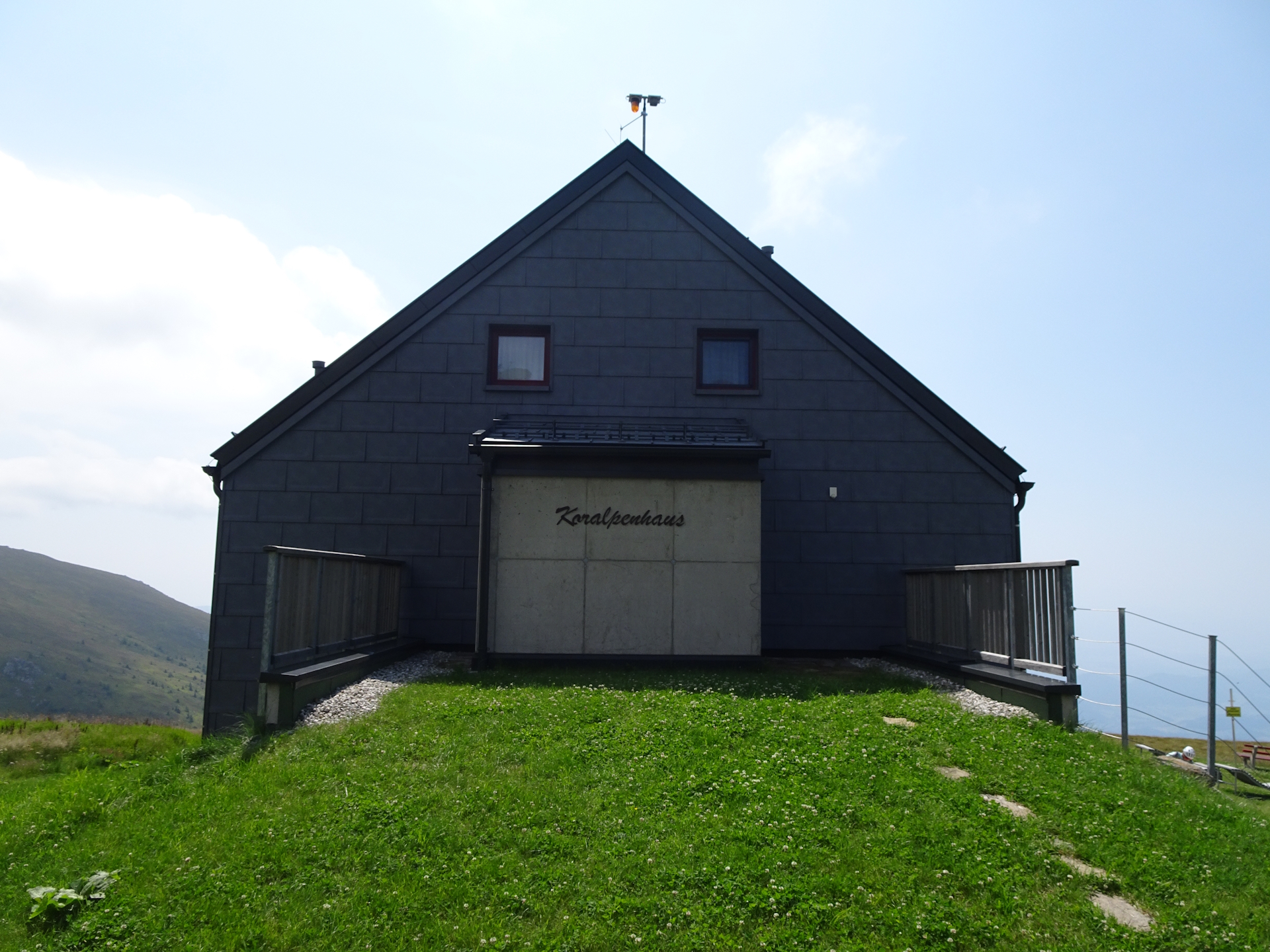
| 02:35 | A few meters after the second radar station, turn left into the small but marked trail heading down to the already visible Koralpenhaus. |
| 02:50 | Well-deserved lunch () at Koralpenhaus. |
| 04:00 | After the break, head back a few meters but keep right this time, following the trail eastwards below the Großer Speikkogel towards Eibiswald. |
| 04:20 | At the crossing, keep straight and follow the trail towards Eibiswald. |
| 04:40 | At the crossing, keep left and continue following the trail eastwards. |
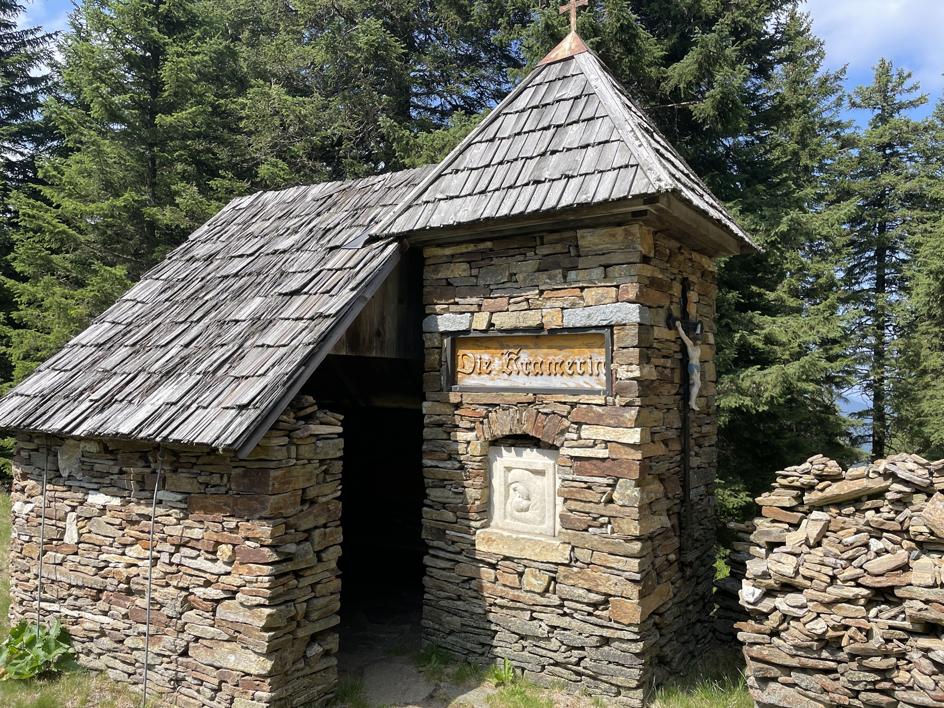
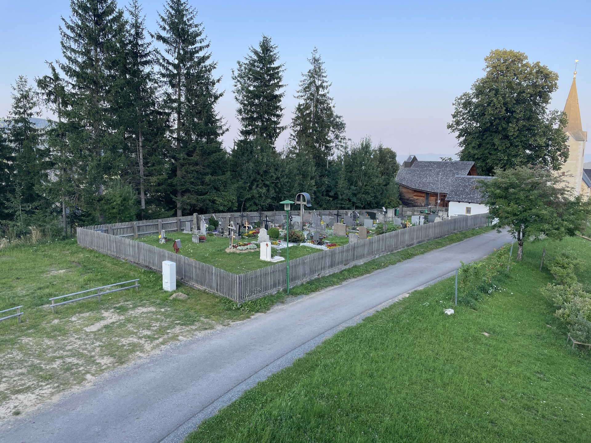
| 05:50 | Bypass the little chapel of Die Kramerin and continue following the trail through the forest eastwards. |
| 06:10 | Well-deserved break () at Brendlhütte. Don’t forget to collect your stamp ! |
| 06:30 | Follow the gravel road southwards towards Eibiswald. |
| 06:35 | Leave the forest road by keeping straight and follow now the trail through the forest southwards. The trail will cross the forest road several times but is very well marked. |
| 07:10 | Bypass Jägerwirt and turn left into the gravel road. Now follow the gravel road eastwards. |
| 07:20 | Turn right (leave the forest road) and follow the marked trail through the forest southwards. |
| 07:25 | Turn left into the forest road and follow it eastwards. |
| 07:45 | Turn sharp right and follow the gravel road for a few meters downwards. |
| 07:50 | Turn right into the trail and follow the trail eastwards. |
| 08:00 | Turn left and follow the street into the small village of St. Katharina in der Wiel. Keep straight and head towards the church. |
| 08:05 | Check-in at St. Katharina Stüberl for the overnight stay. Enjoy a well-deserved dinner () and don’t forget to get your stamp if not acquired at Brendlhütte. |
| Area: | Lavantaler Alpen, Styria & Carinthia, Austria | |
| Distance: | 27km | |
| Ascent: | 688m (2h 10min) | |
| Descent: | 1407m (3h 45min) | |
| Highest Pt: | 2140m | |
| Lowest Pt: | 891m | |
| Duration: | 6h 35min (without breaks) 8h 05min (with breaks) |
|
| Stop/Rest: | Gösler Hütte (1639m) Koralpenhaus (1966m) Brendlhütte (1566m) St. Katharina Stüberl (891m) |
|
| Equipment: | Backpack with standard hiking equipment Comfortable hiking shoes Snacks and plenty of water Sun & Weather protection Camera Overnight equipment for the hut: – light sleeping bag for huts – cash – shoes for the hut – toiletries |
| Download GPX | ||
| O | Tour at outdooractive.com |
At a glance
| Level | moderate-difficult |
| Technique | |
| Shape / Fitness | |
| Experience | |
| Scenery | |
| Best time in the year | |
|
Jan
Feb
Mar
Apr
May
Jun
Jul
Aug
Sep
Oct
Nov
Dec
|
|
Leave a Reply