
Twenty-first stage of the Nord-Süd-Weitwanderweg 05 starting from Salzstiegelhaus towards Barbarahaus (Pack) via an optional detour to Speikkogel, Ameringkogel and Größenberg
 |
The North-South-Long-Distance trail (Nord-Süd-Weitwanderweg, also known as the “05”) starts in the north of Austria at Nebelstein and ends in the south of Austria at Eibiswald. The trail is ~500km long, ~18 000m in ascent and the same amount in descent. The trail was initiated by Carl Hermann and officially established on the 25th September 1970. The trail is separated into 3 parts:
It normally takes 3 weeks to complete the entire trail. |
The here presented tour is an alternative to the twenty-first stage of the Nord-Süd-Weitwanderweg 05 , starting from Salzstiegelhaus (Checkpoint) towards the Barbarahaus at the Pack (Checkpoint). The direct way would be easy (18km, < 500m ascent), missing a couple of scenic summits, thus the here presented alternative detours up to the summits of Speikkogel, Weißenstein, Ameringkogel and Größenberg and then back. This alternative makes the tour however long and demanding but rewards with unique scenic views. Obviously, the alternative only makes sense having good weather with clear view!
Once back at the Speikkogel, the tour descends down into the Peterersattel and follows the official trail towards the Bernsteinhütte and then further to the Barbarahaus (Checkpoint) for staying overnight.
| Nord-Süd-Weitwanderweg 05 – Checkpoints | |
|
Transportation:
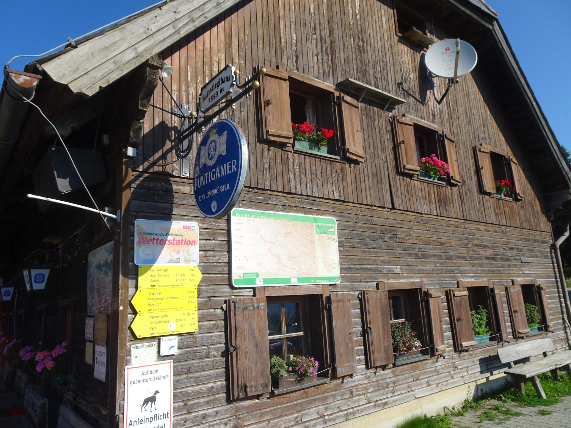
I’ve planned to accomplish this stage as the fifth of an 8-day multi-day trip. As I stayed the night at the Salzstiegelhaus, I was able to directly start the tour the next morning.
The hike:
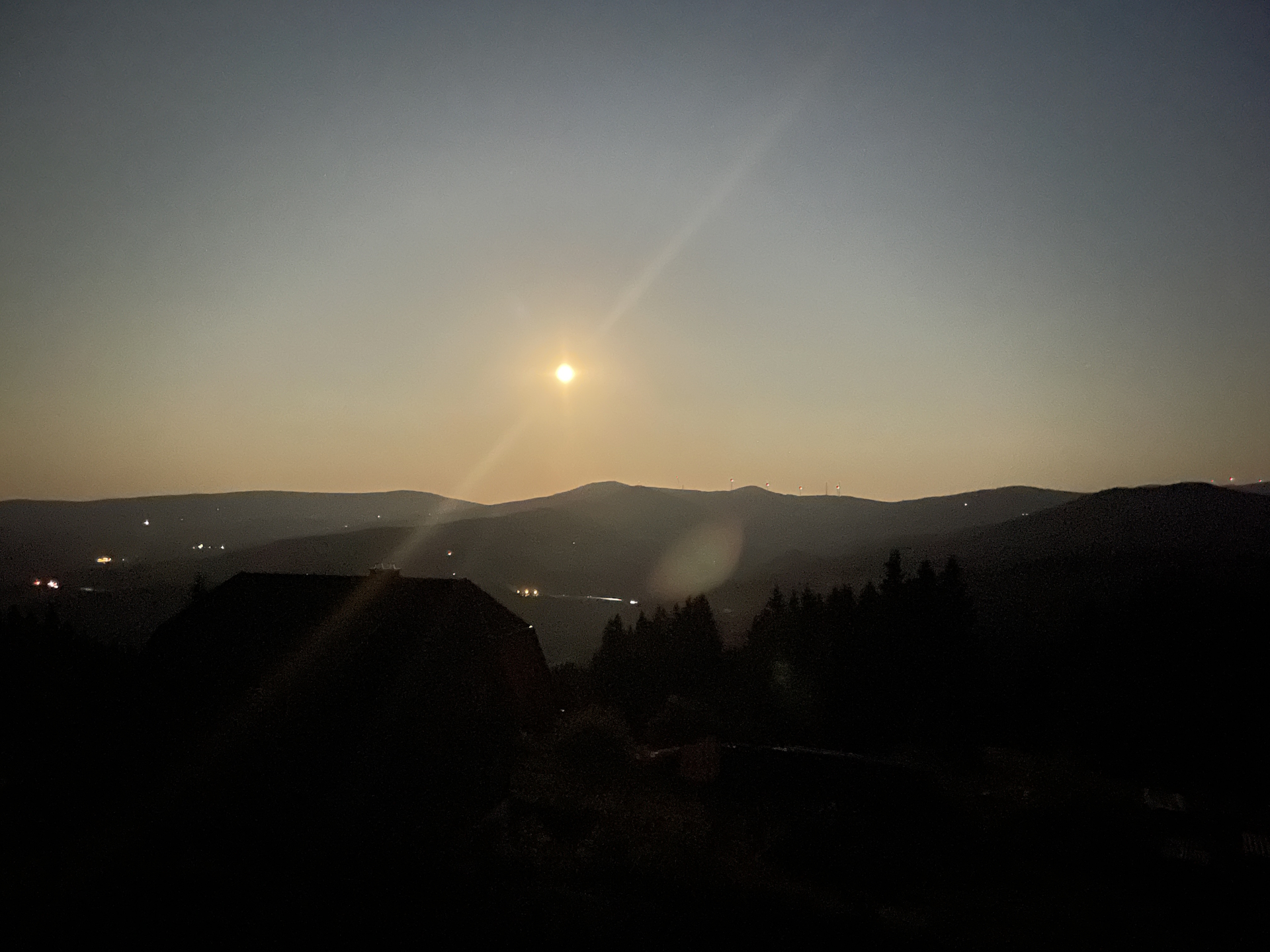
This hike was part of an 8-day multi-day trip. After a fairly easy tour the day before, I got a bit bored by the fact that the official stage would be short and easy again. Thus – without originally planned – I decided during the breakfast at the Salzstiegelhaus, to detour till Größenberg. The idea came as I have planned for years to do the ski tour from Salzstiegelhaus to Ameringkogel which I tried several times but was never able to do it (beyond Speikkogel because of the lack of snow. As I failed several time to do it in winter and due to the fact that the weather was sunny and super clear, I decided for this “add-on”.
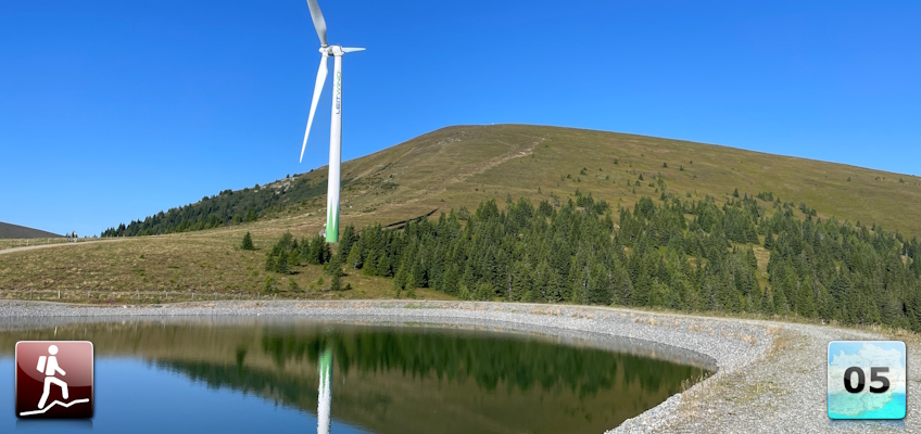
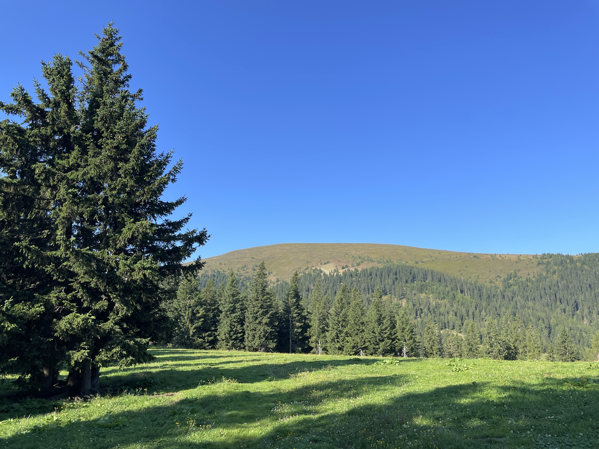
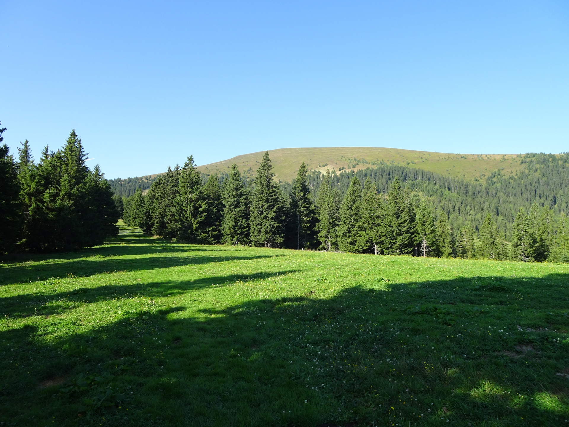
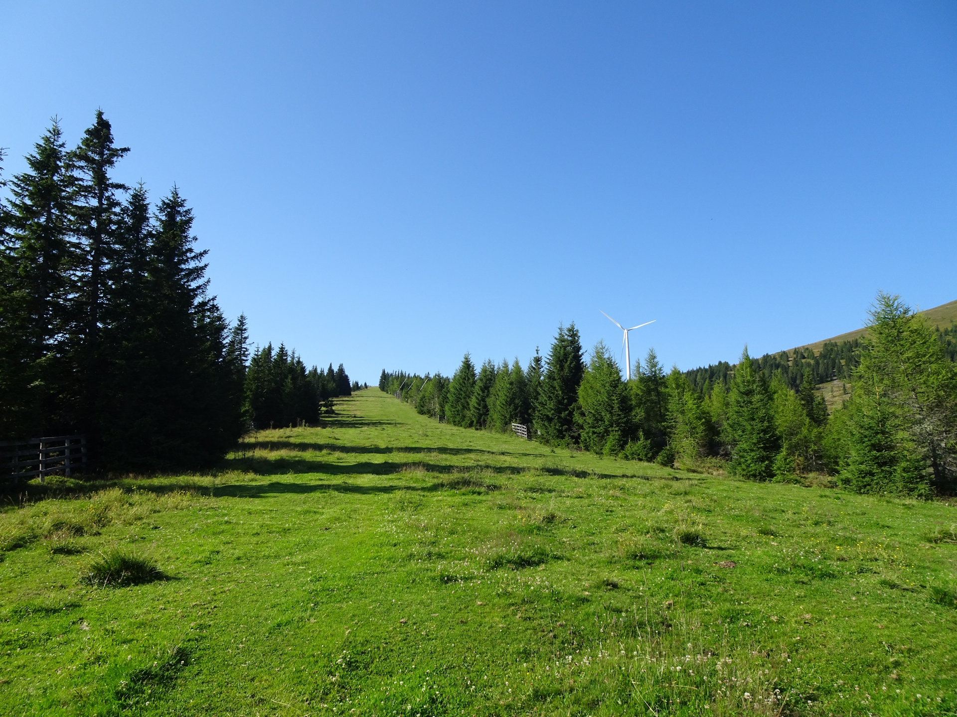
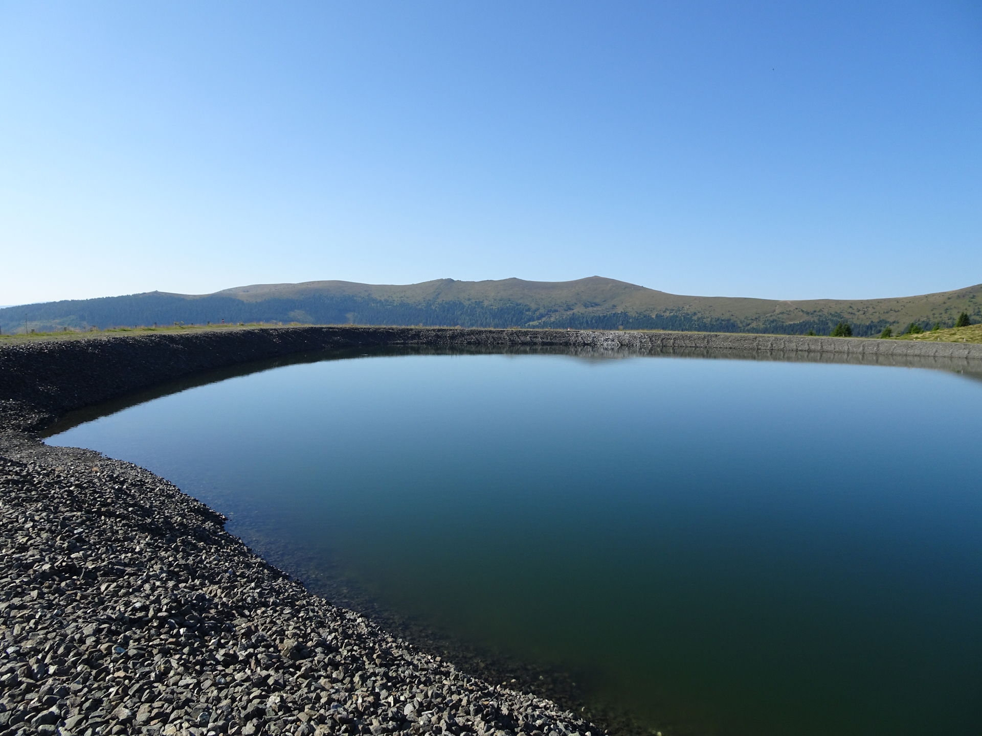
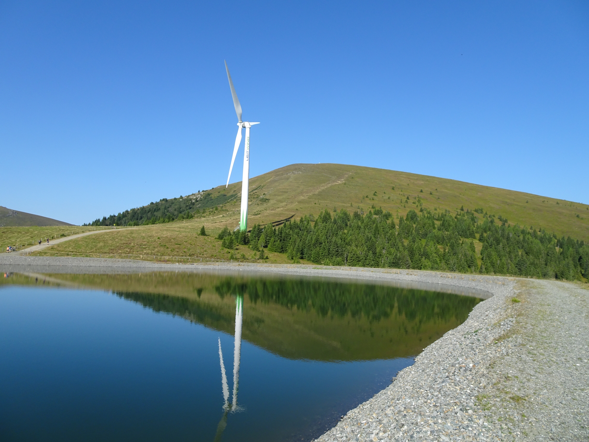
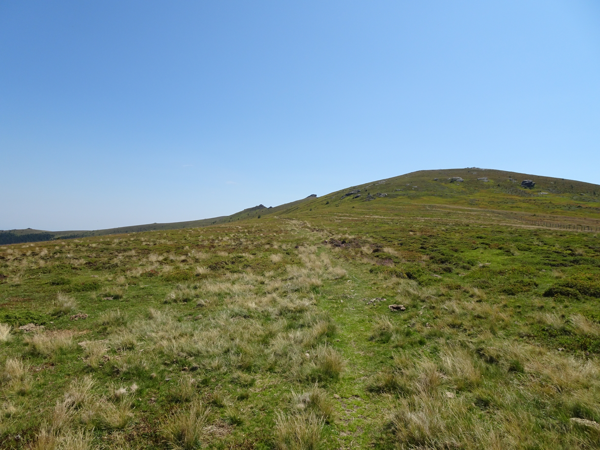
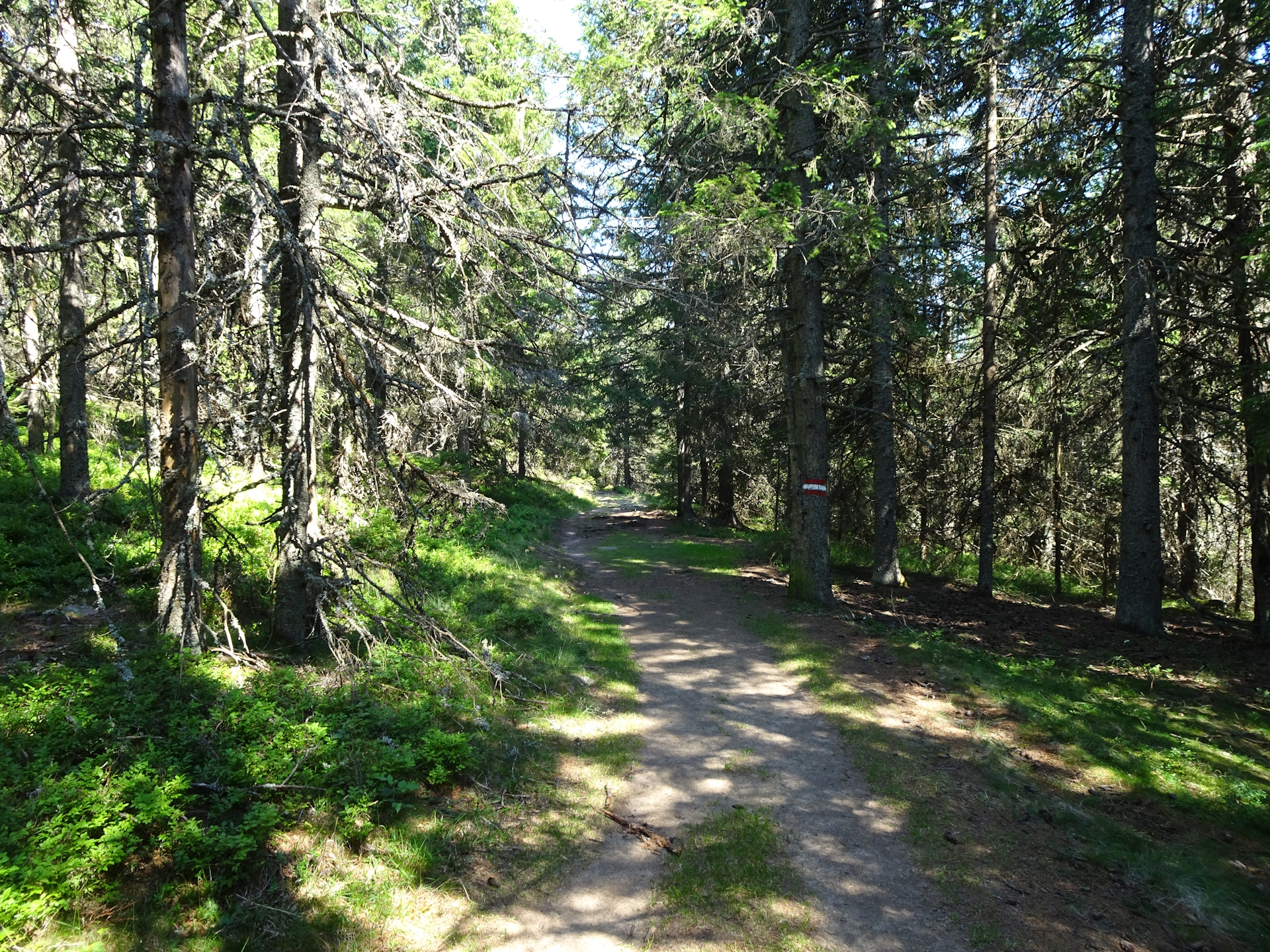
After the breakfast and getting my stamp , I started early the day (to avoid the heat) following the official trail alongside the ski slope up to the water reservoir with the windmill.
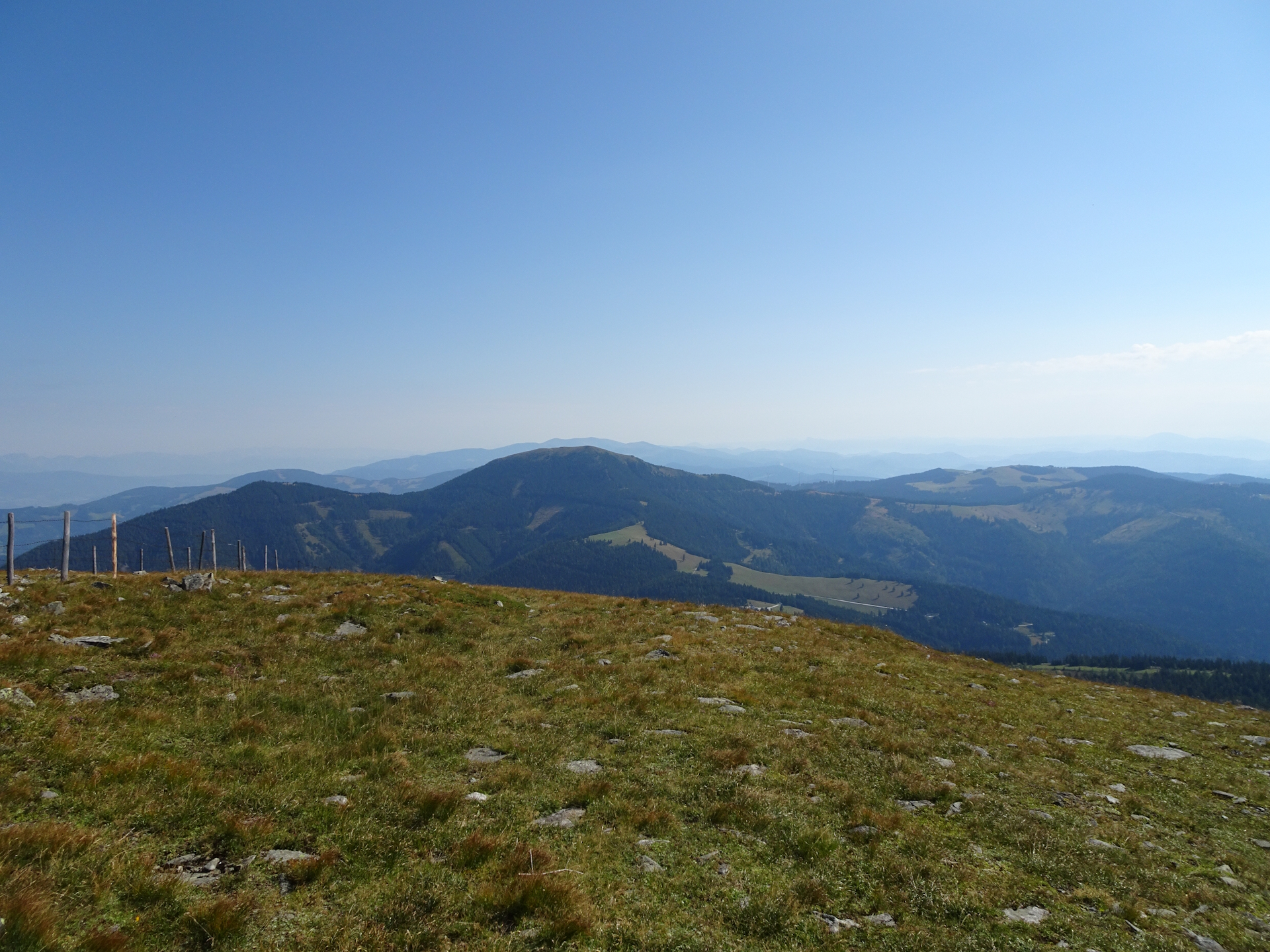
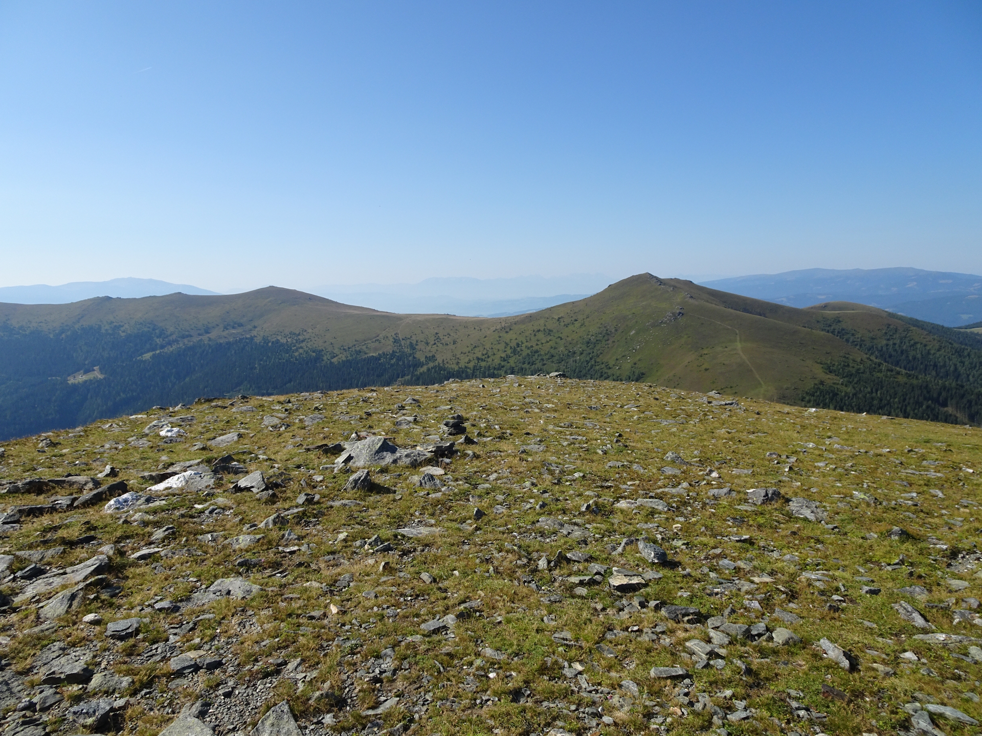
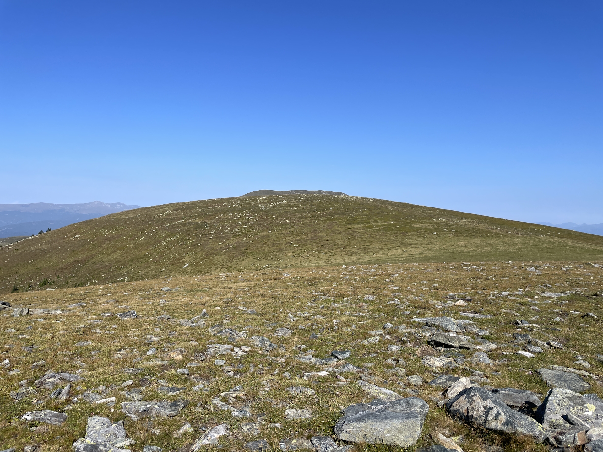
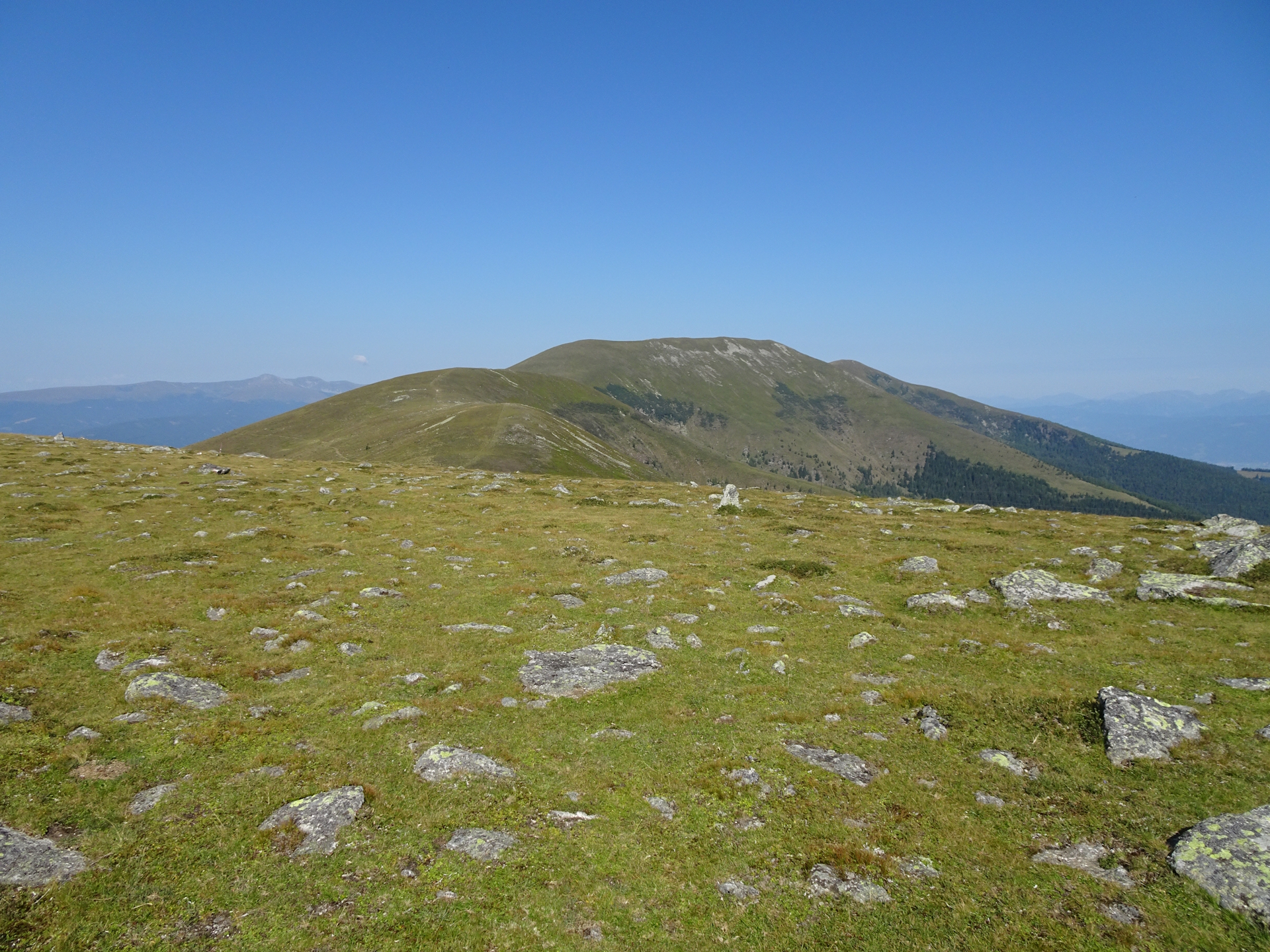
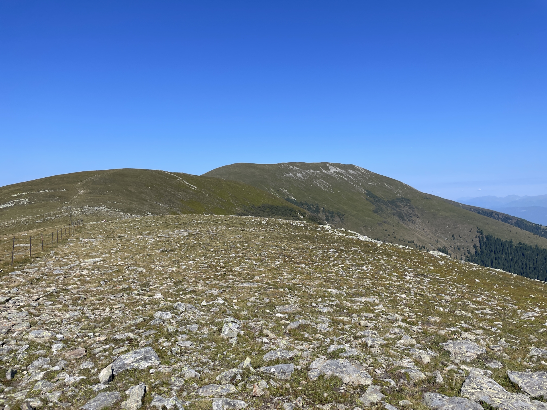
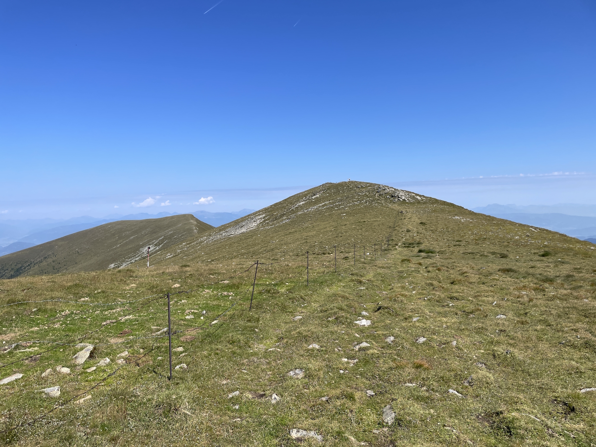
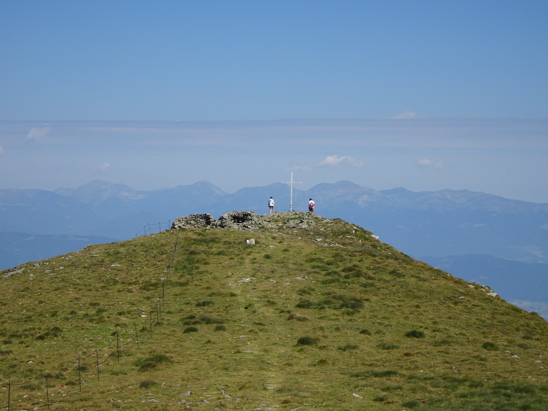
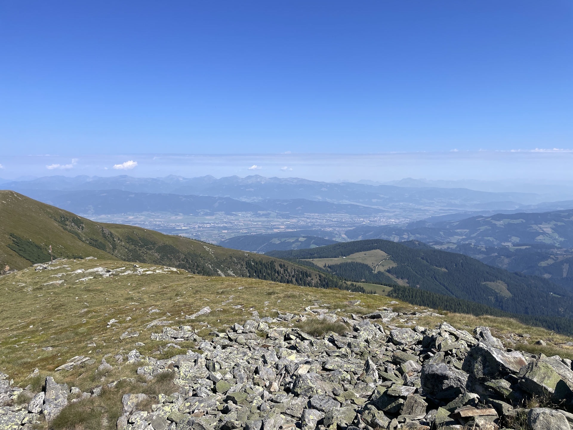
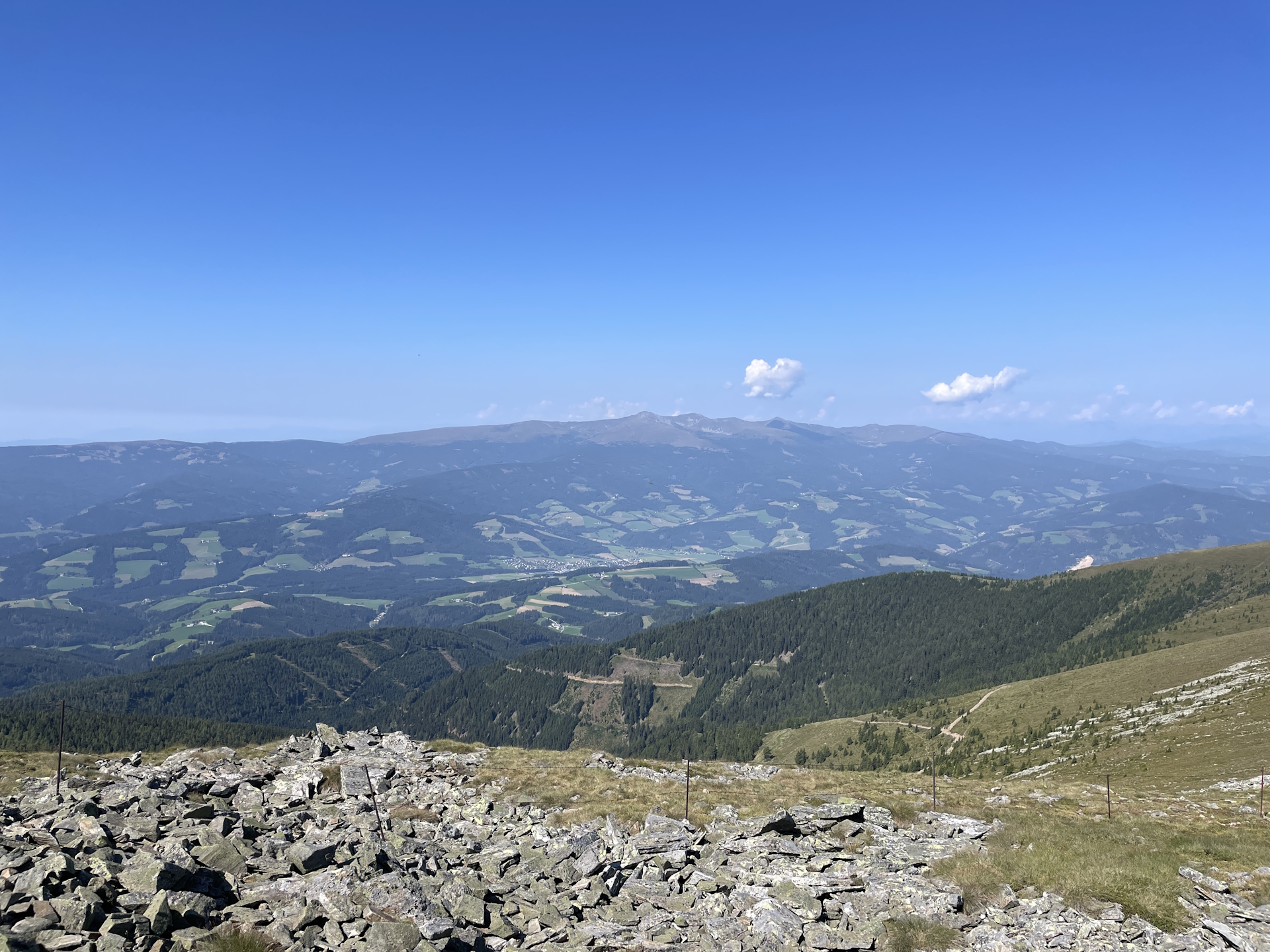
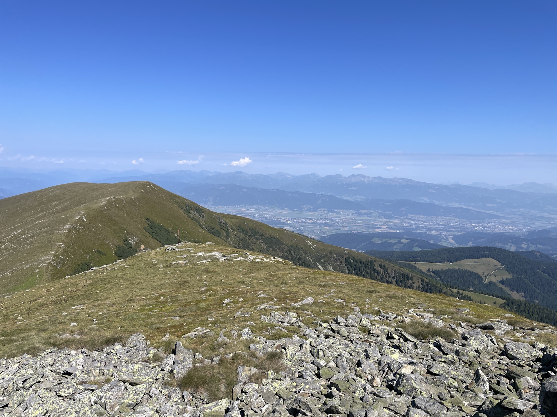
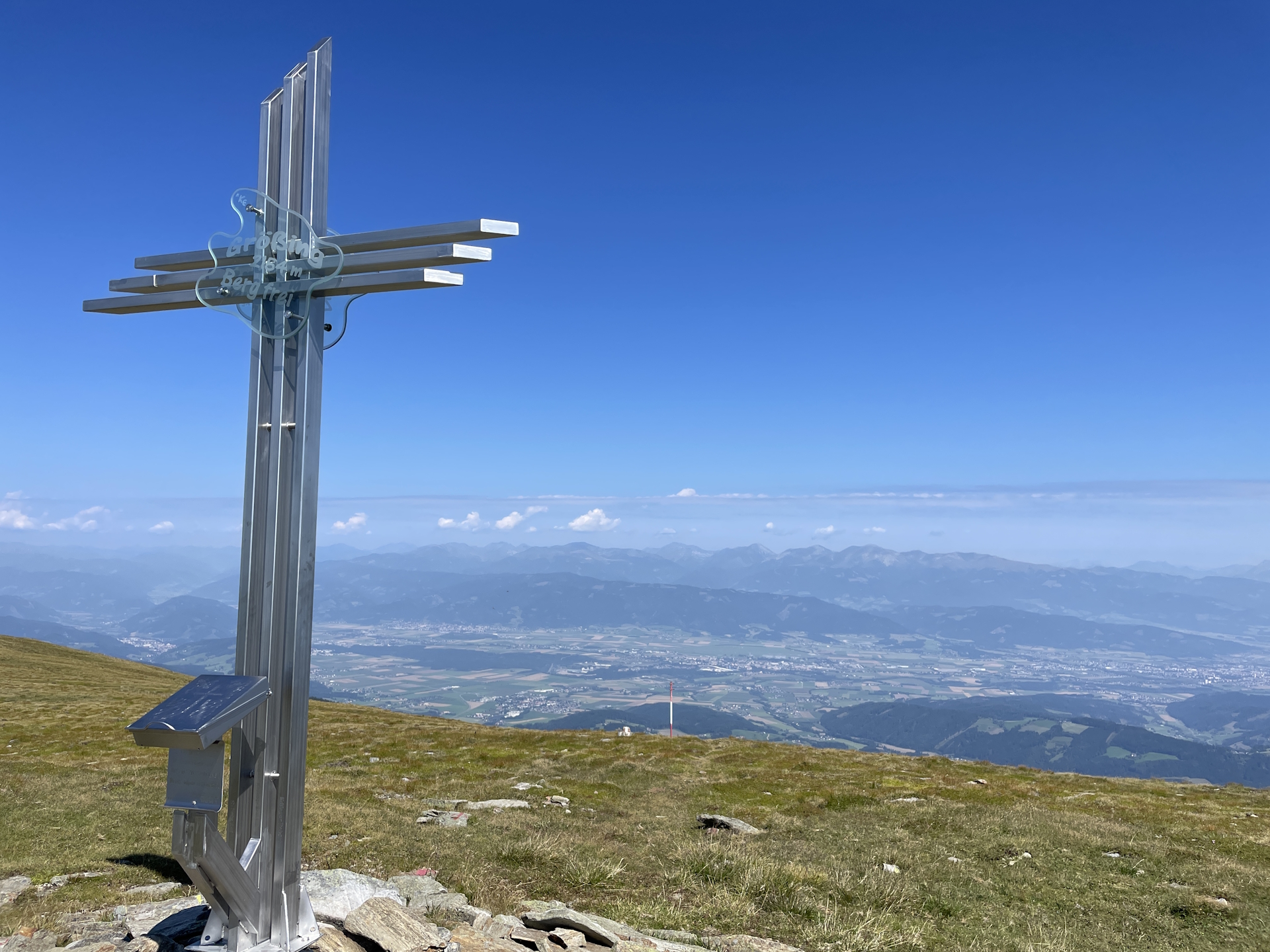
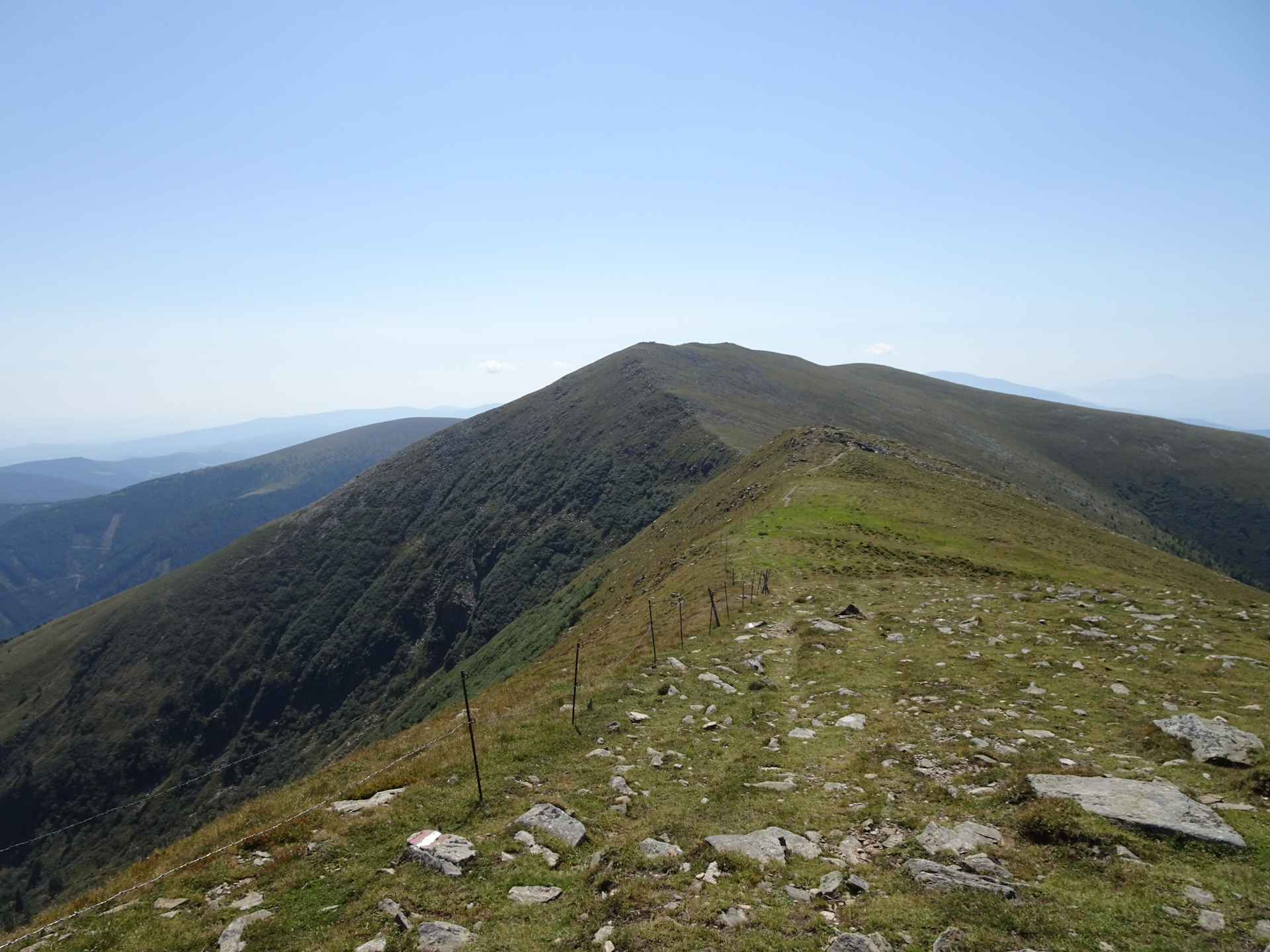
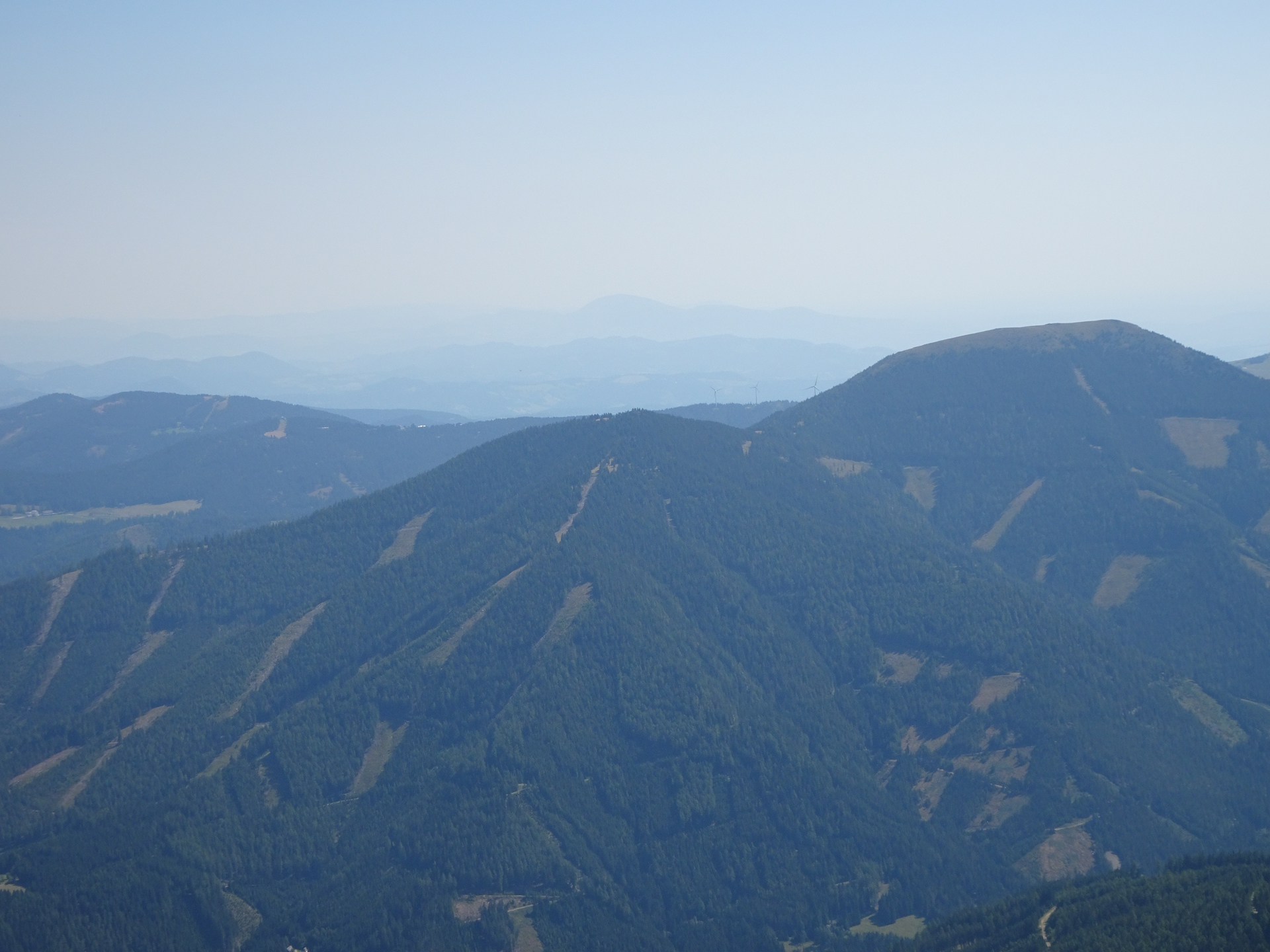
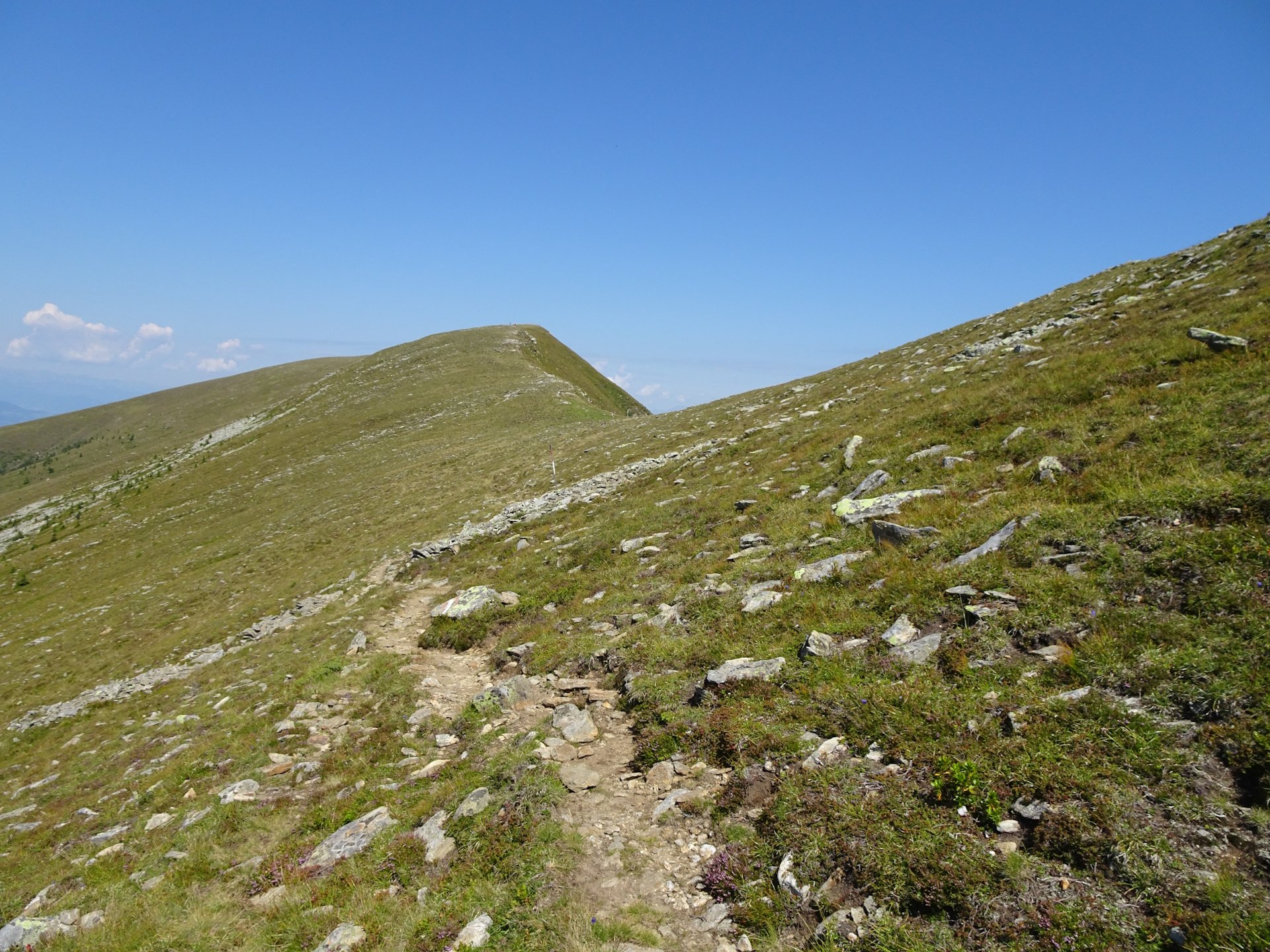
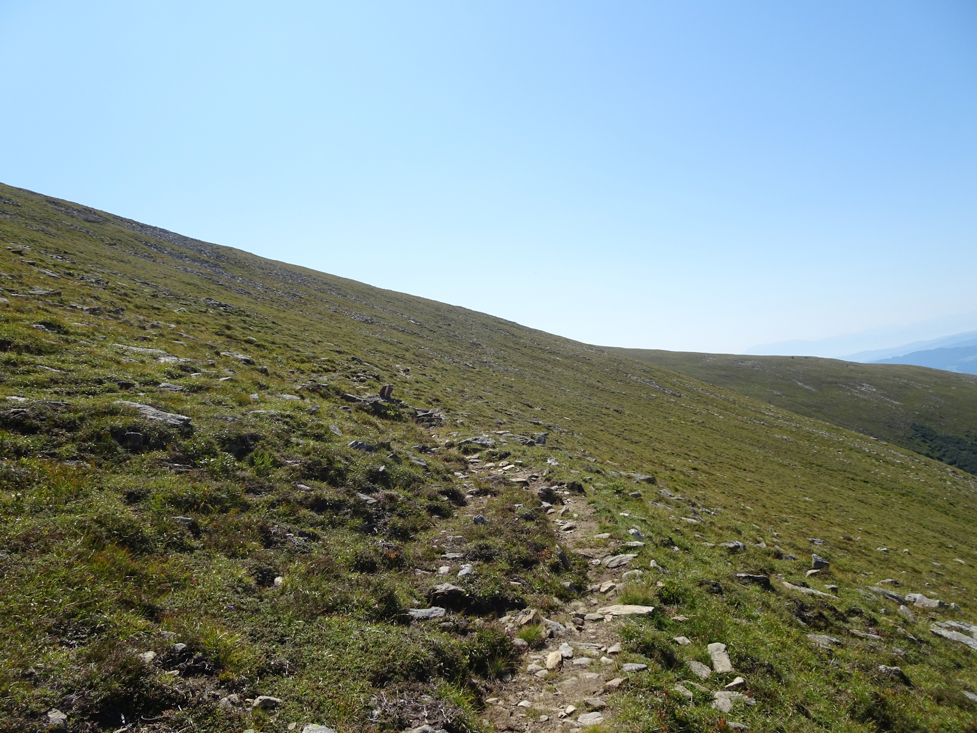
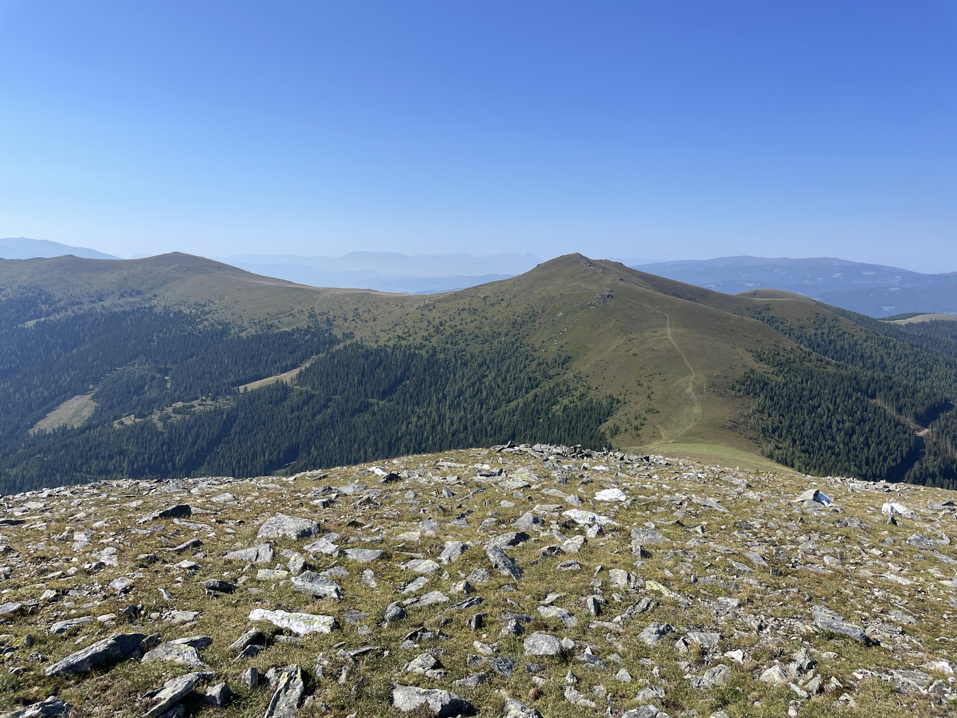
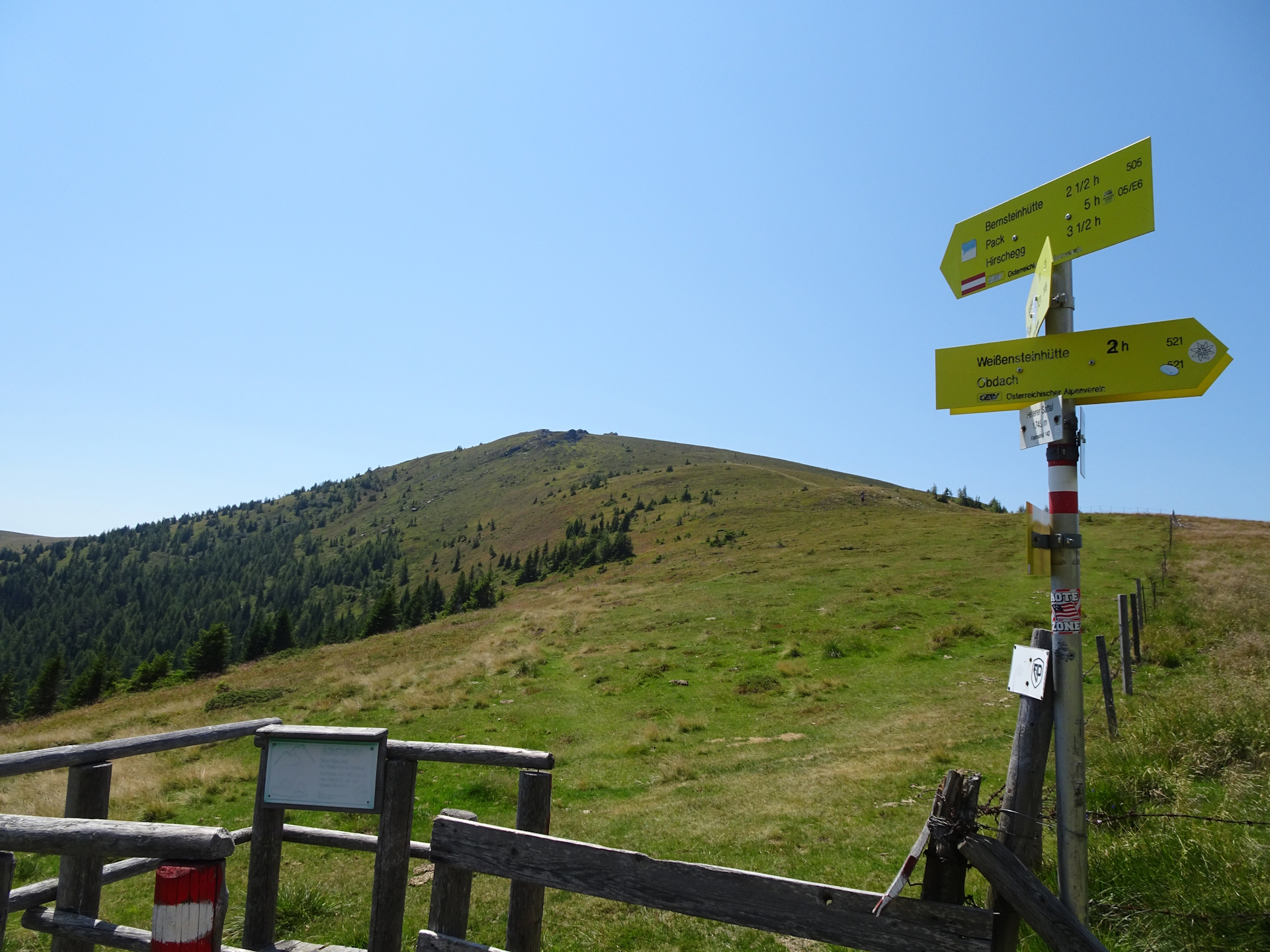
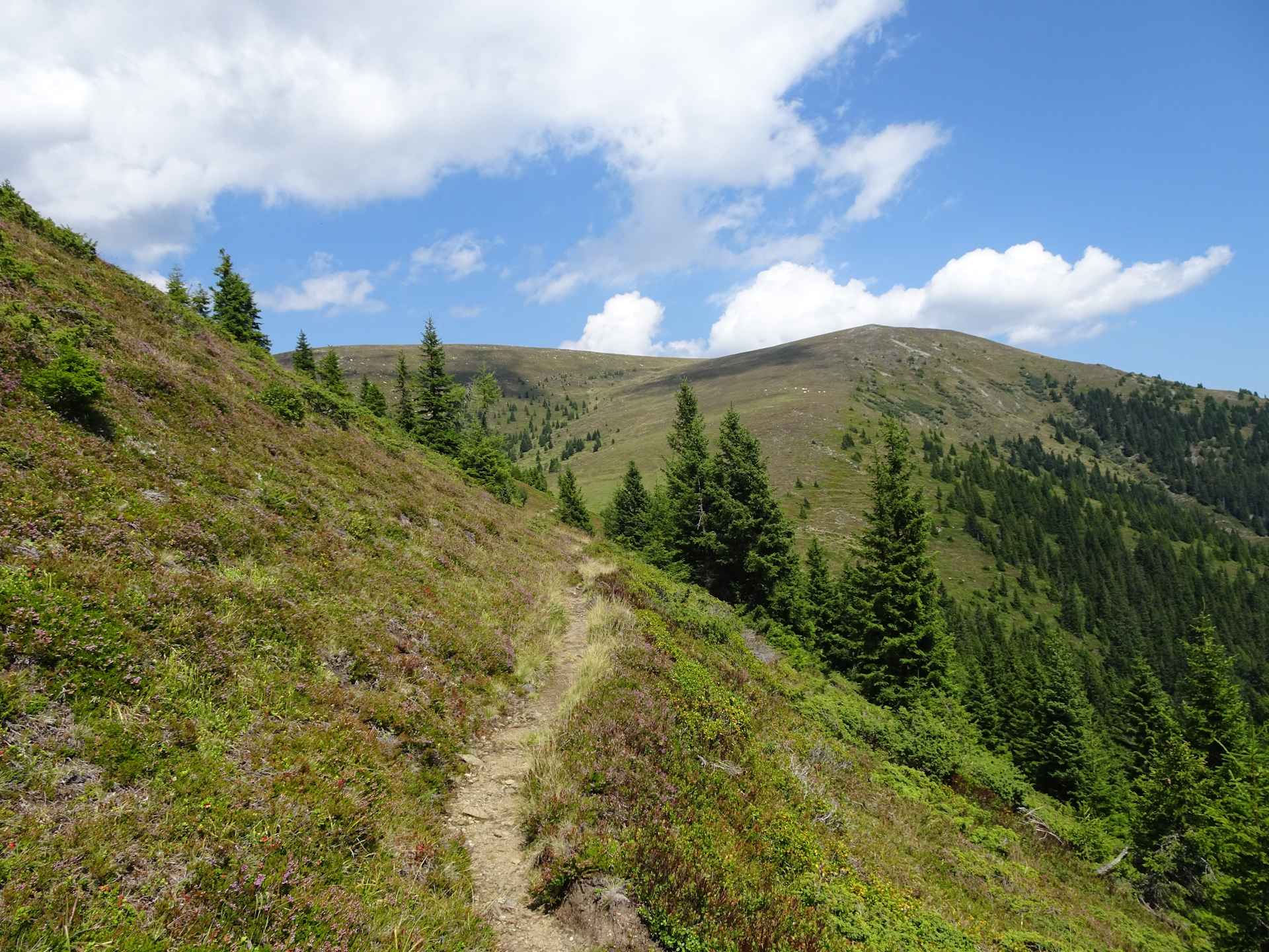
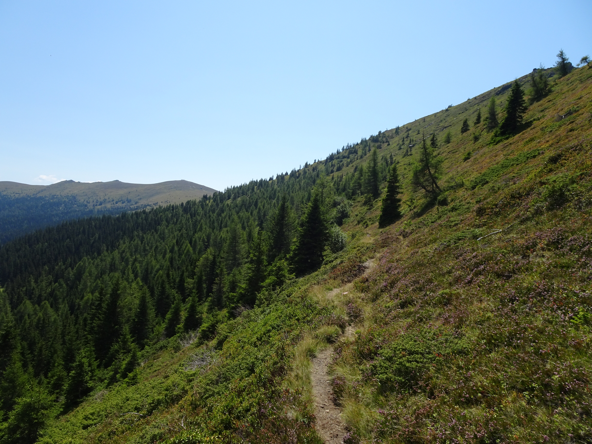
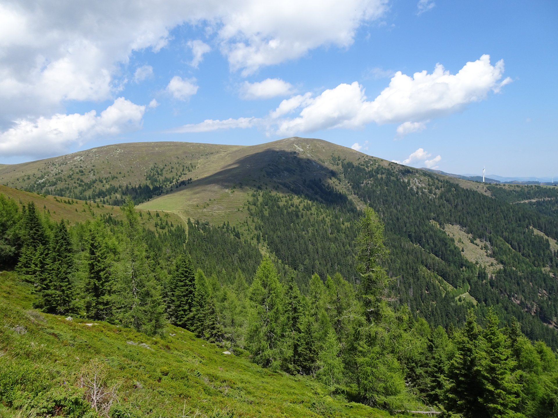
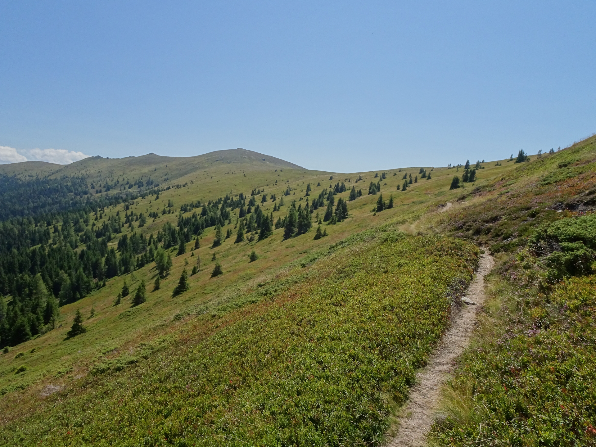
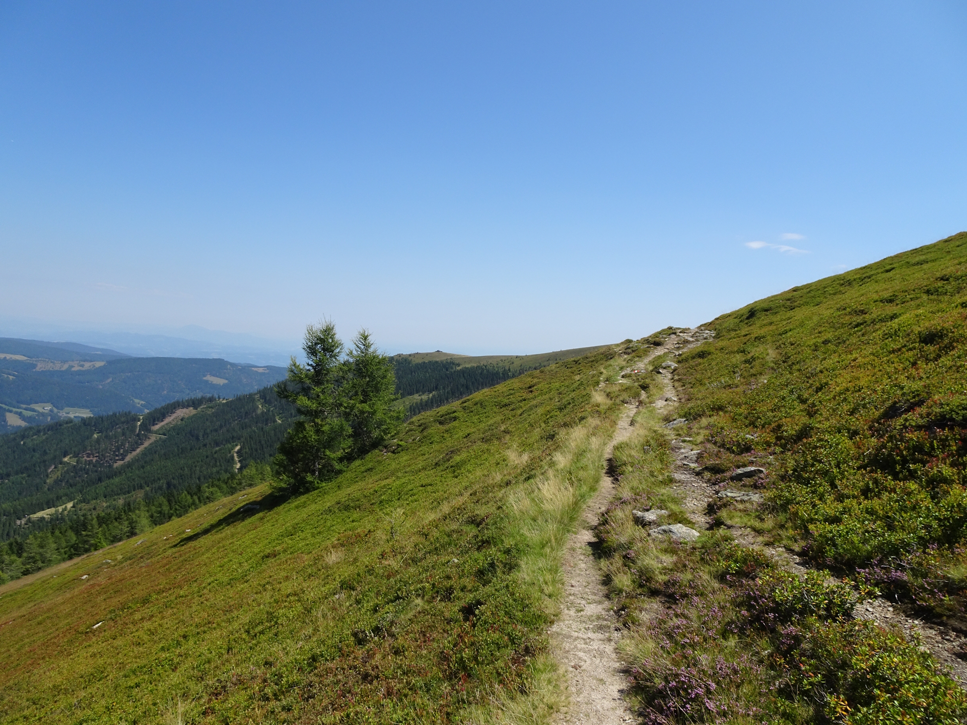
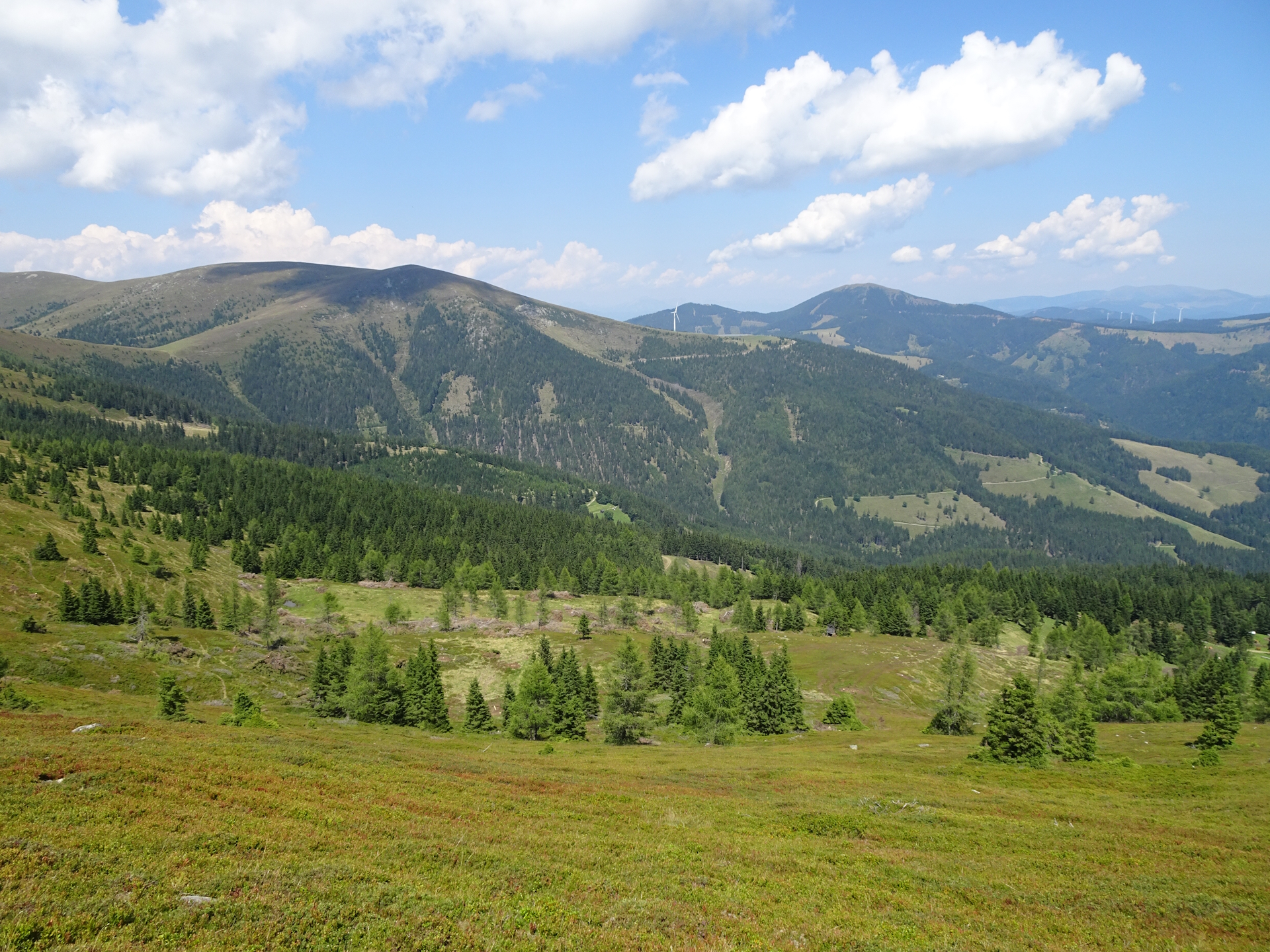
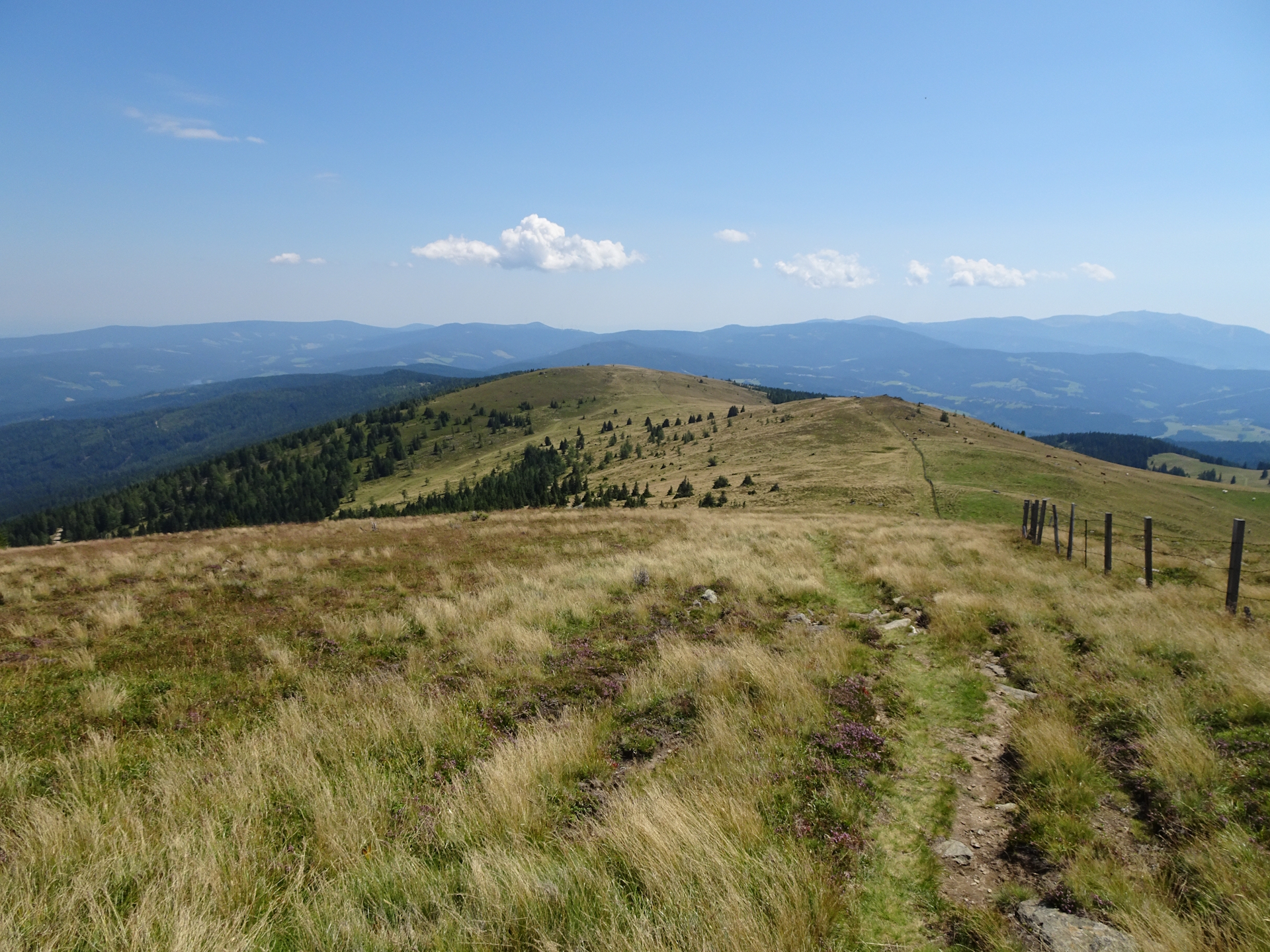
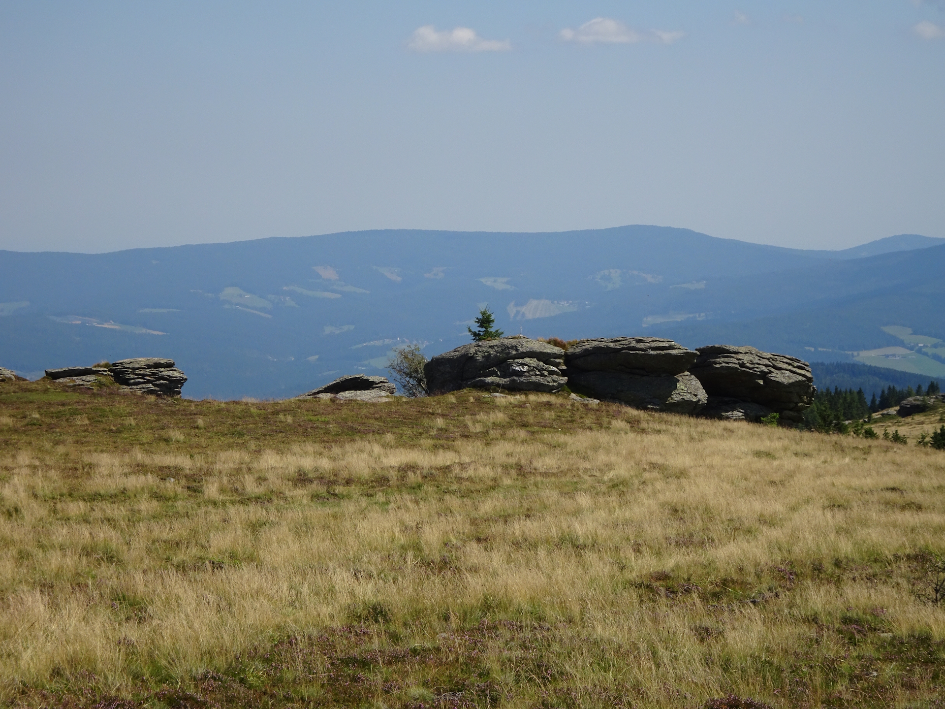
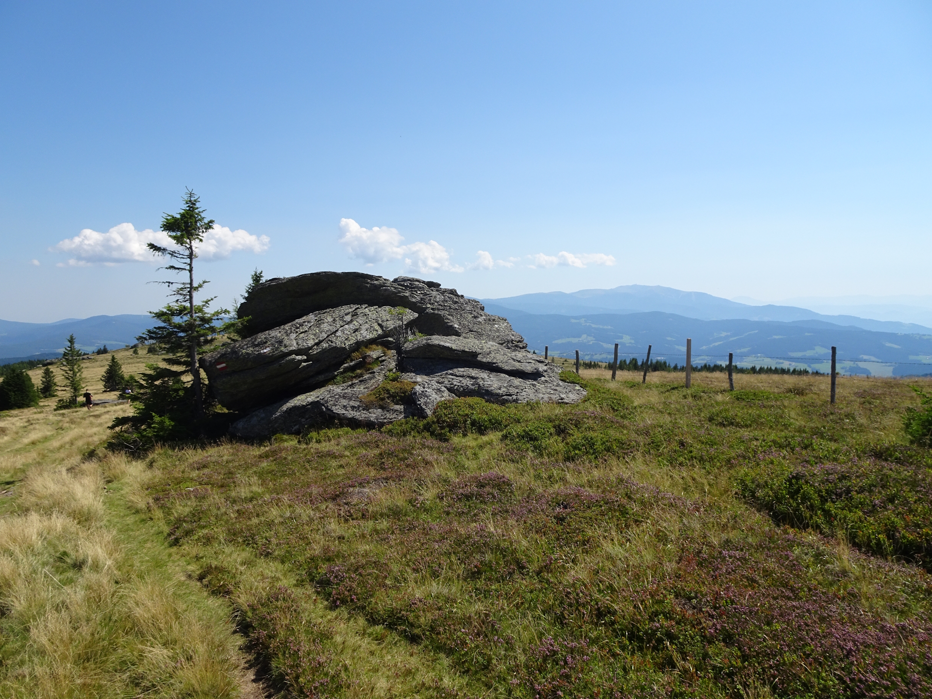
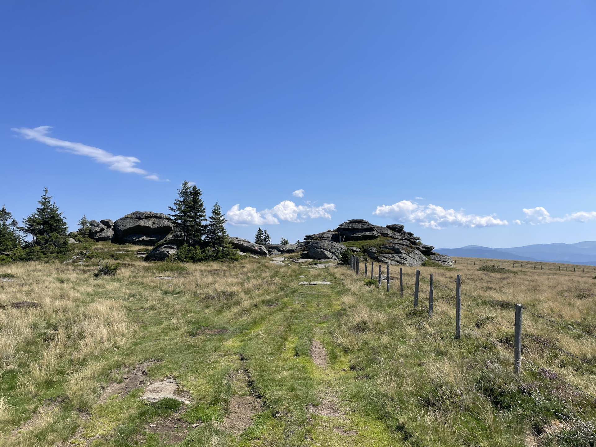
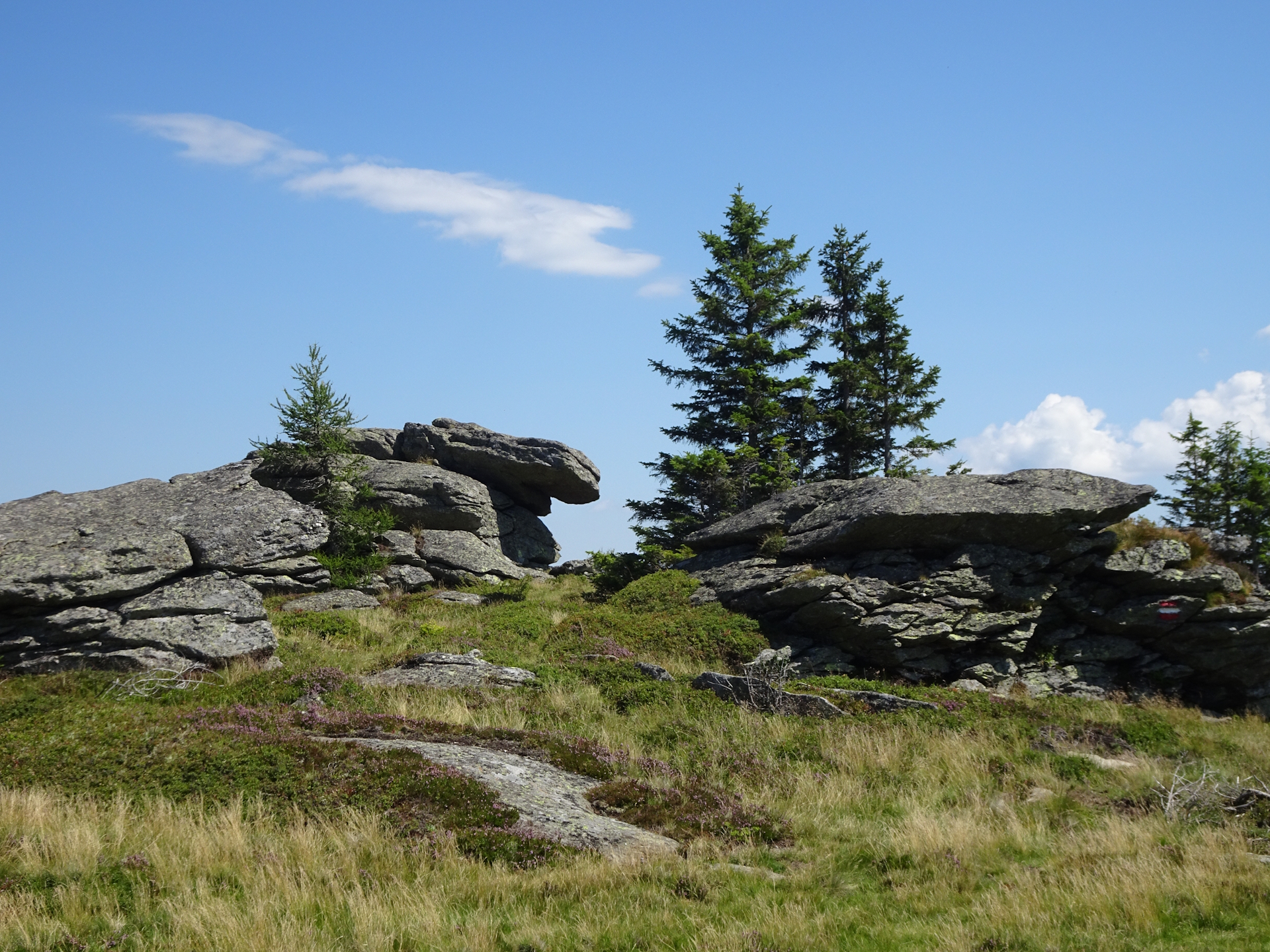
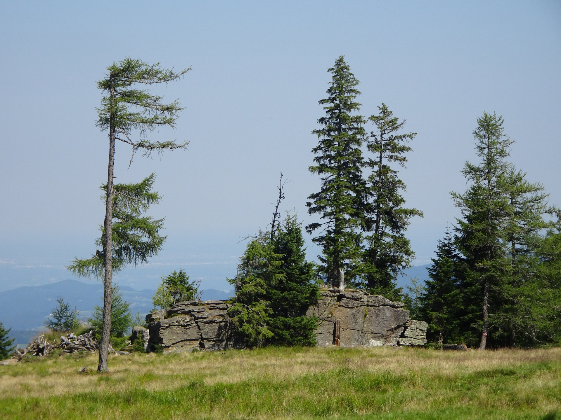
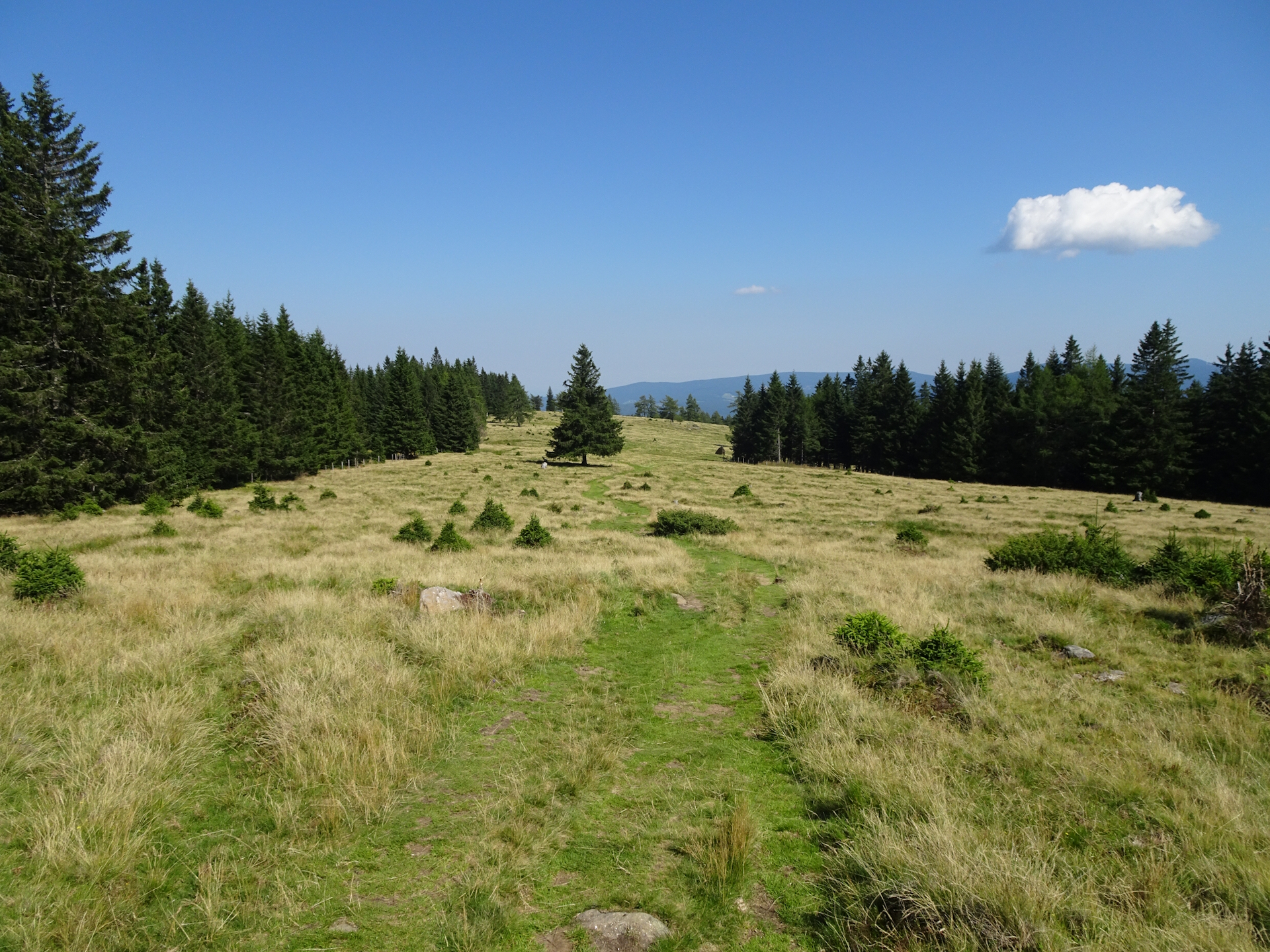
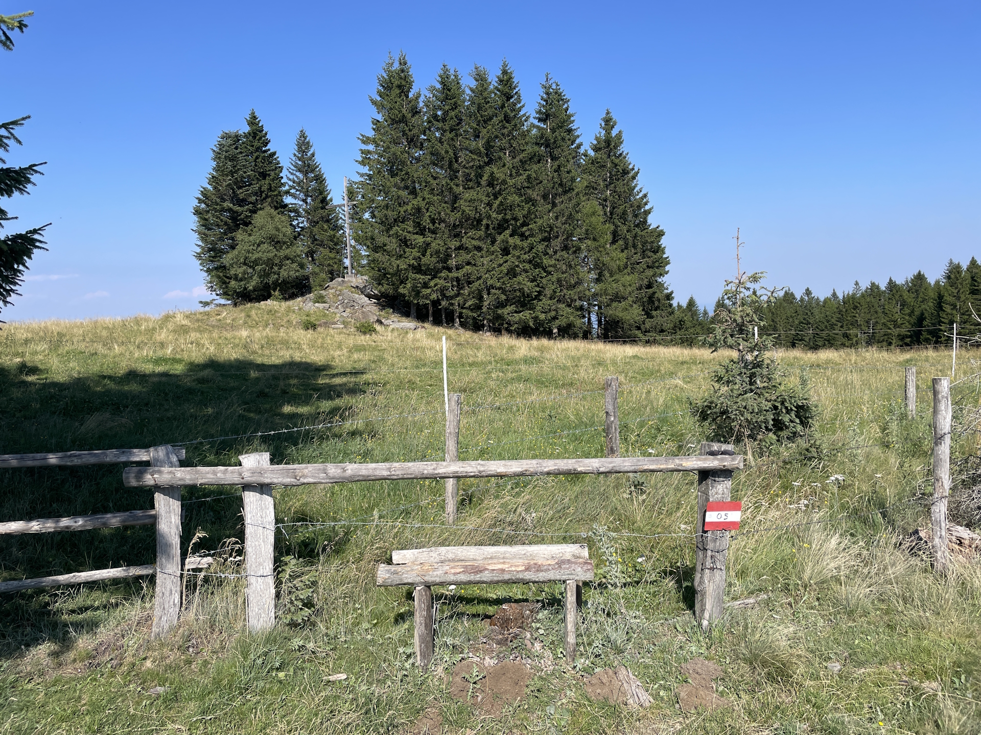
From there, the 05 trail would turn left into the Peterer Sattel around the Speikkogel. I however decided to not turn left and hike up the relatively steep trail to the summit of Speikkogel. After enjoying the amazing view, I continued following the very scenic trail westwards, first to Hofalmkogel, then to Weißenstein, then to the scenic Ameringkogel and finally to the Größenberg. Each of the summits is beautiful and offers an amazing view, whereas the Speikkogel and Ameringkogel turned out to be hotspots and thus crowded. When I arrived at Größenberg, I was alone at the summit for several minutes – a very enjoyable experience!
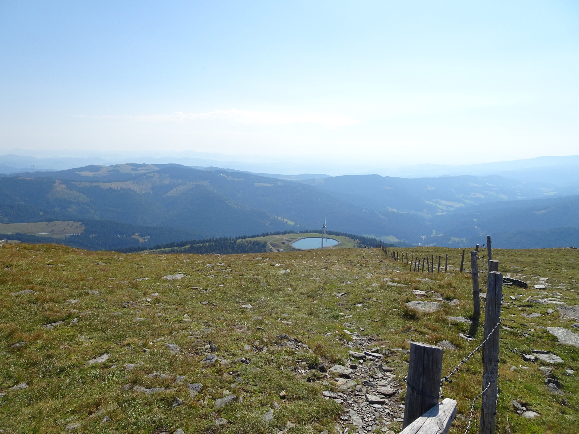
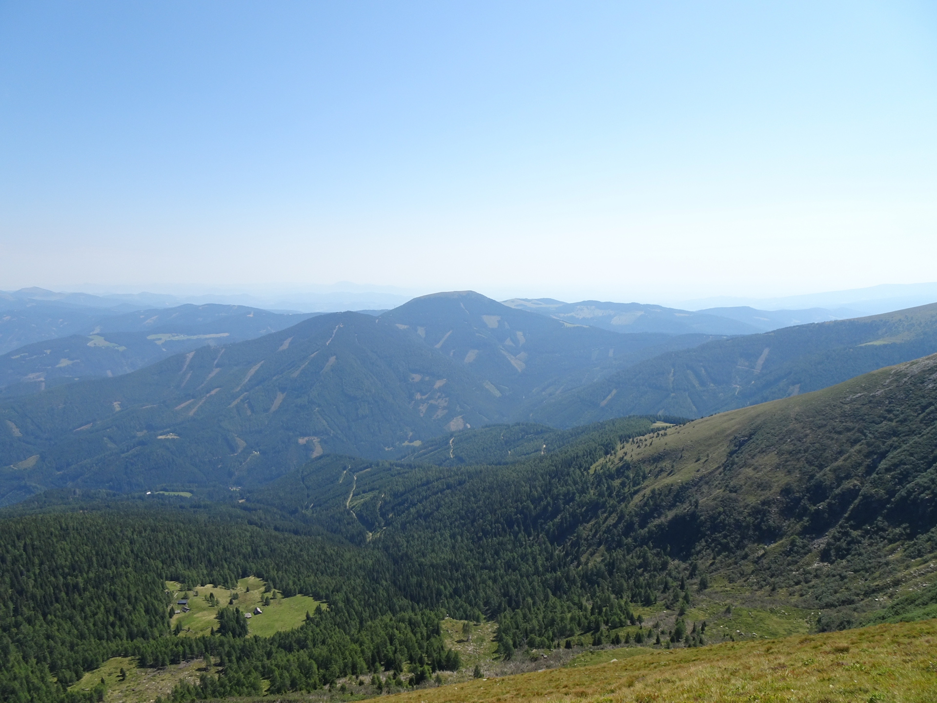
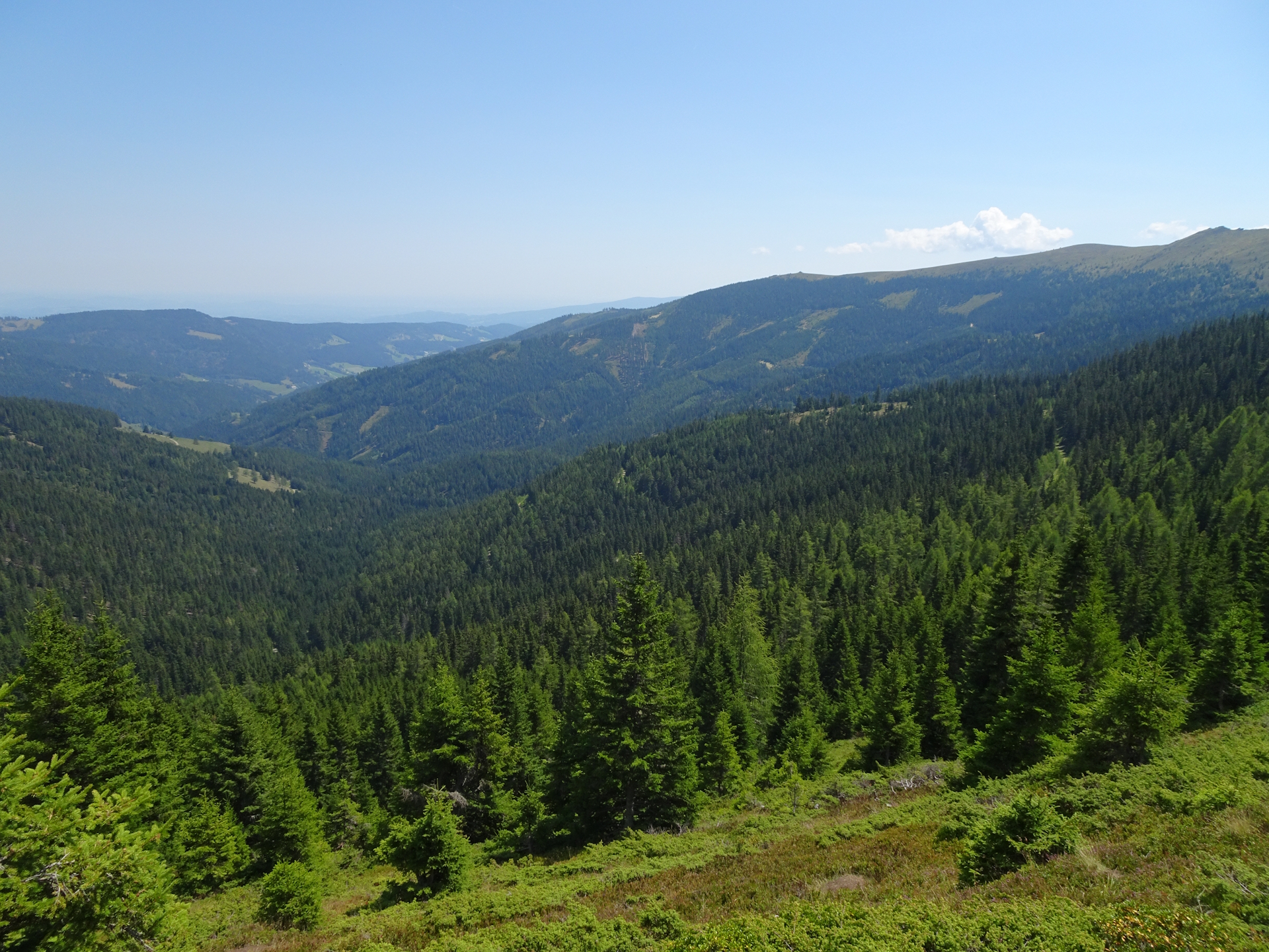
After enjoying the summit, I had to go back to Speikkogel. Luckily I saw a shortcut around Ameringkogel on its western side, thus saving a few meters in ascent . Once back at the Speikkogel, I decided to take the direct route down into the Peterersattel (visible from the summit) where I rejoined the official 05 trail. From there I now followed the official trail around the Petererkogel towards the Bernsteinhütte.
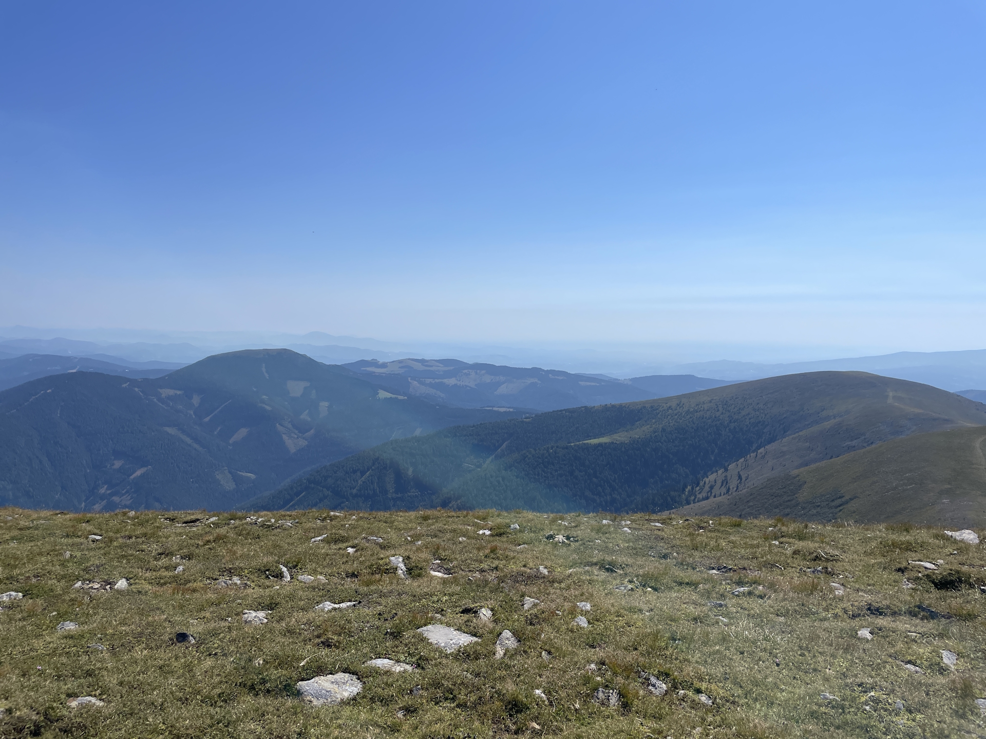
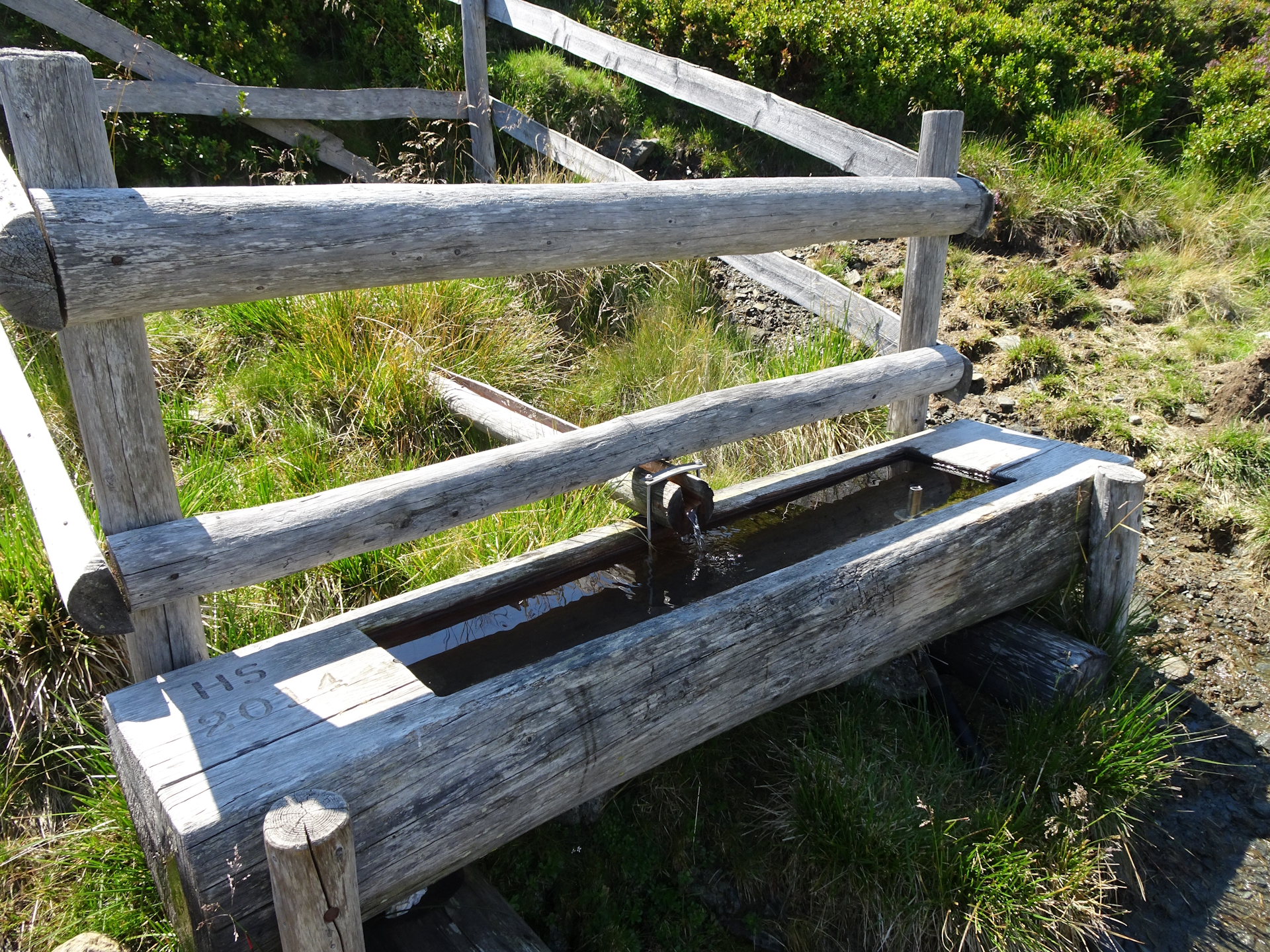
The trail turned out to be extremely exposed to sun – no shadow and even worse no source of water. Again, I noticed that my water resources might get low and unfortunately, again, I run out of water approx. 45 min before the Bernsteinhütte.
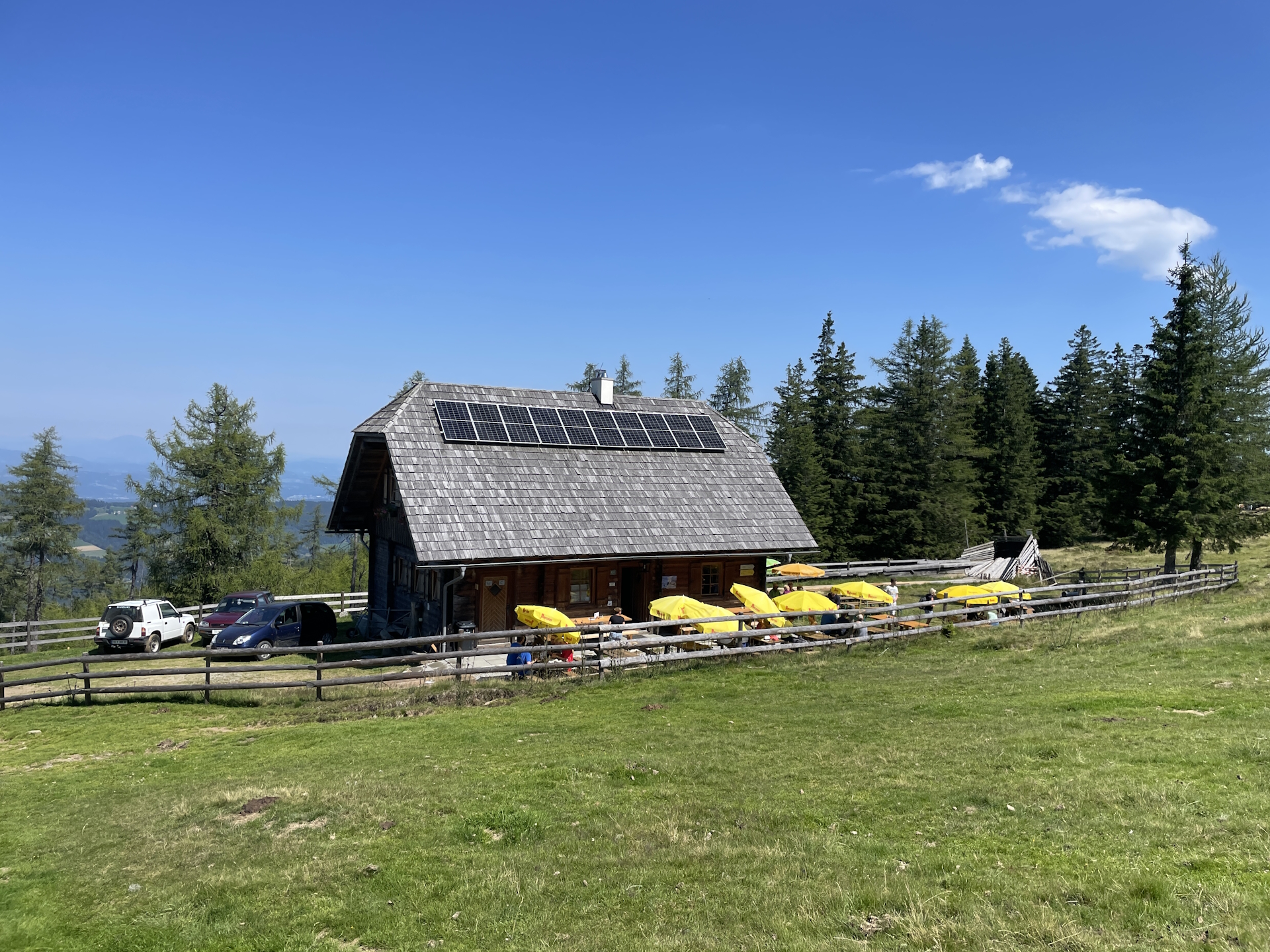
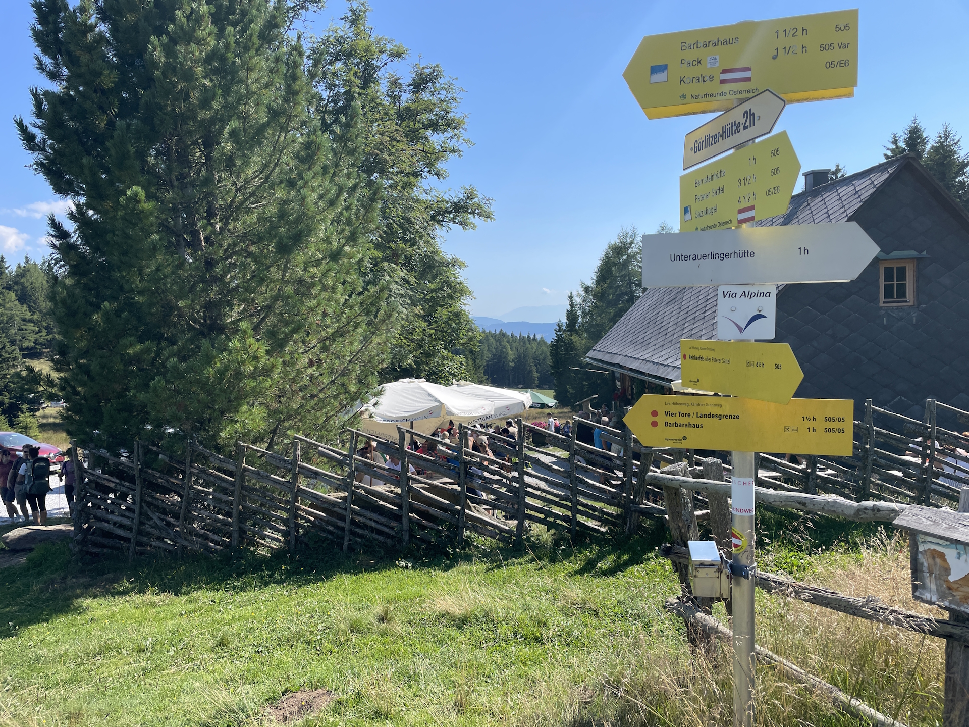
Anyway, very thirsty I made it to the Bernsteinhütte and was able to rehydrate having two glasses of water and two or three cold beers next to my lunch. I was also able to refill my water bottle at the hut – just in case…
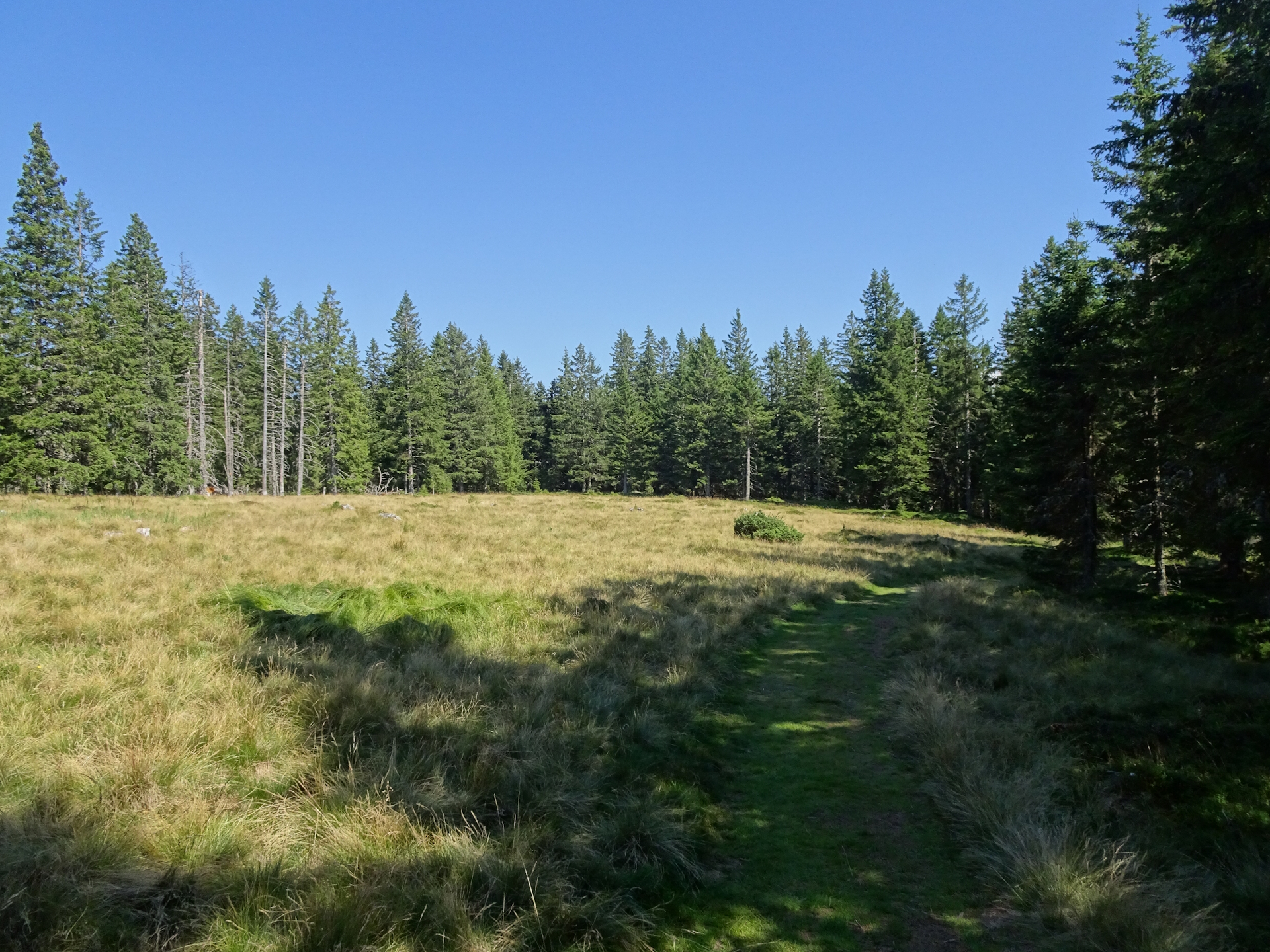
The remaining tour however turned out to be an easy hike, first through the forest and then through a nice meadow to the Knödelhütte. Because this hut was overcrowded and I had anyway a nice stay at the Bernsteinhütte, I decided to continue the tour without another break – just following the easy gravel road southwards. The only annoying part were the many cars coming from the Knödelhütte raising a lot of dust when they passed by. Luckily, the tour sometimes uses shortcuts through the forest and the last meters to the Barbarahaus are anyway on a nice and small trail through the forest.
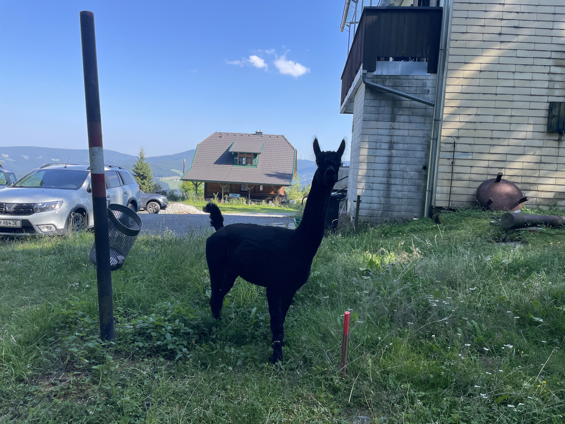
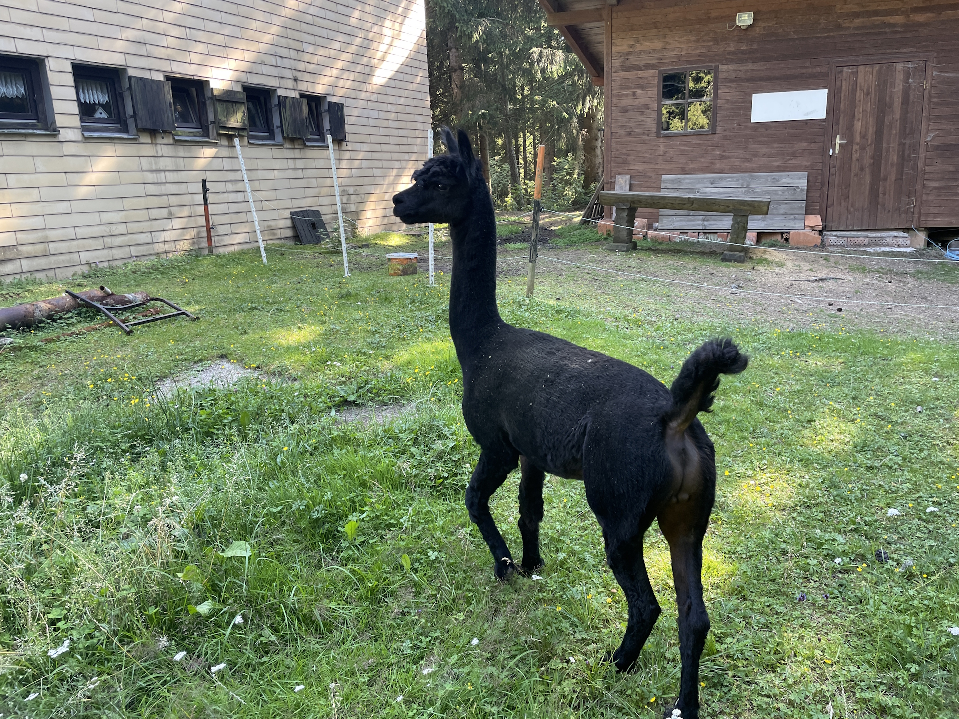
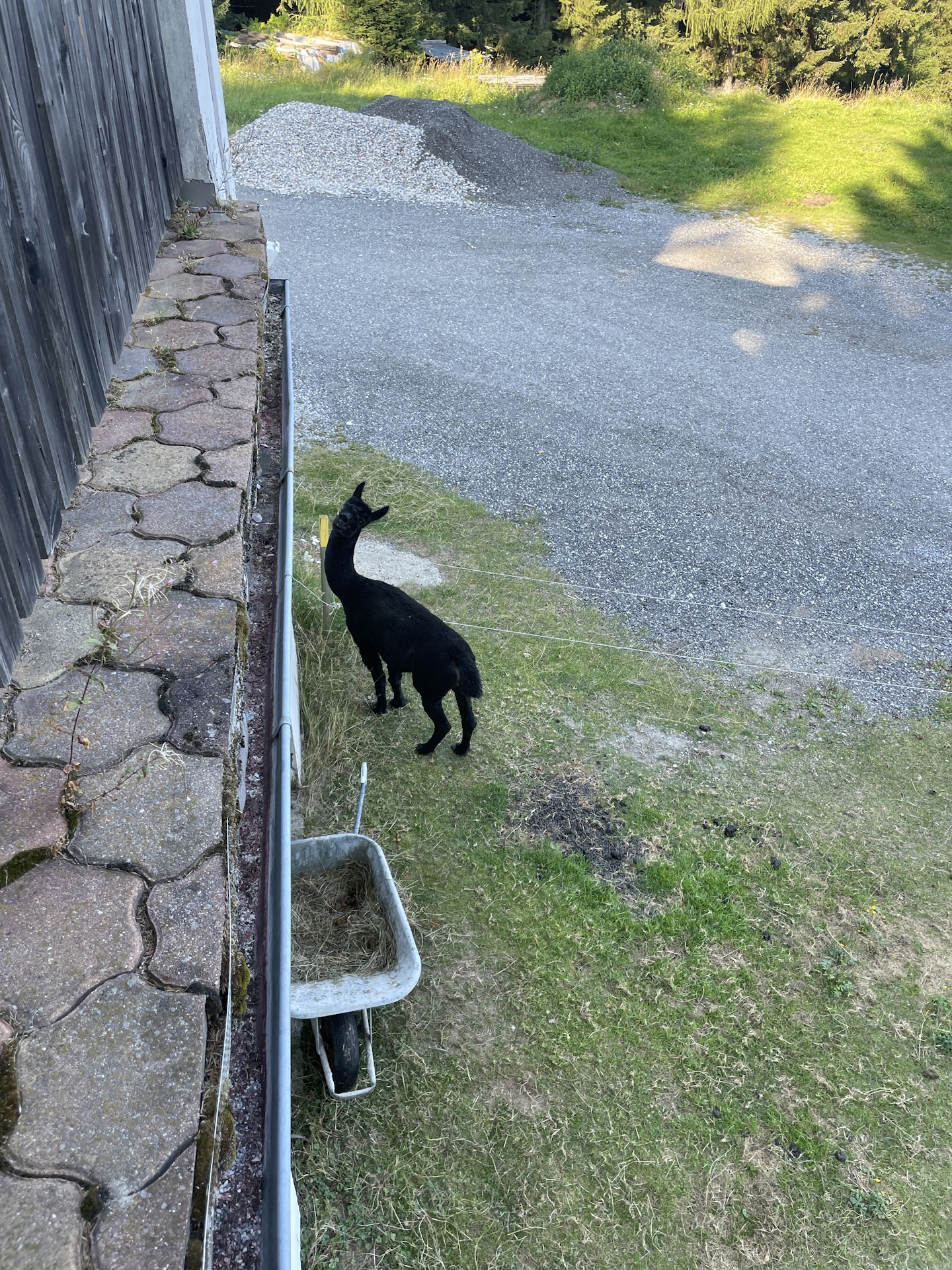
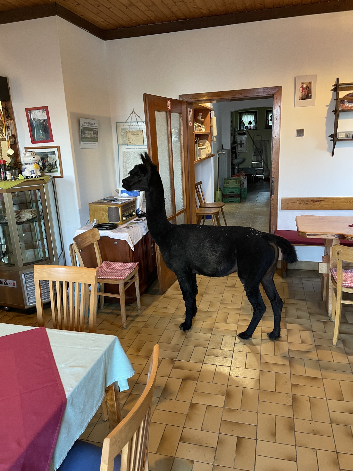
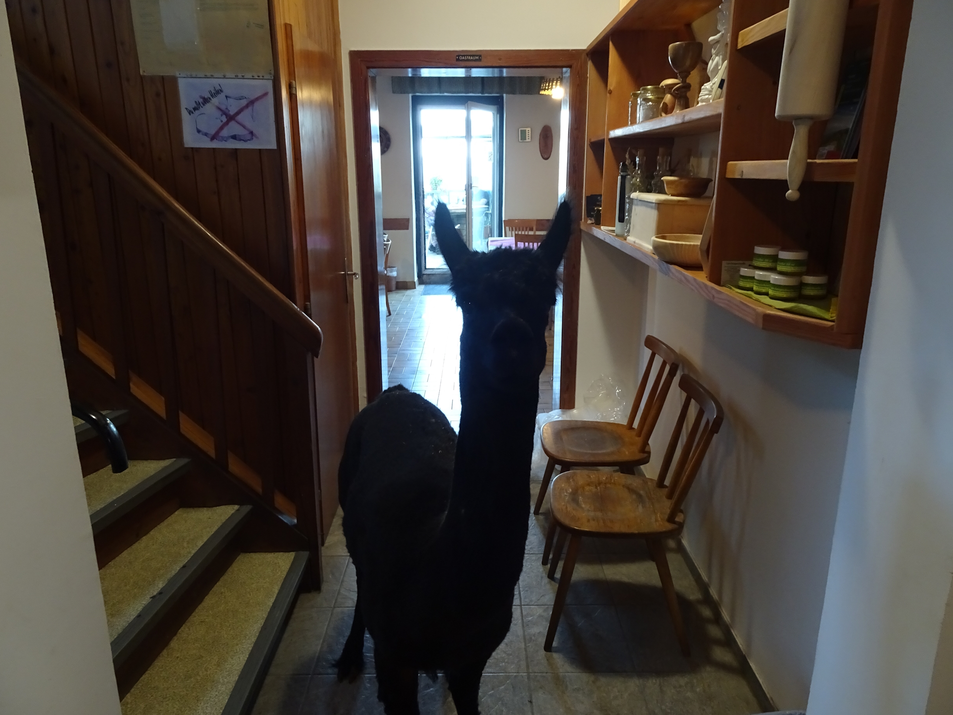
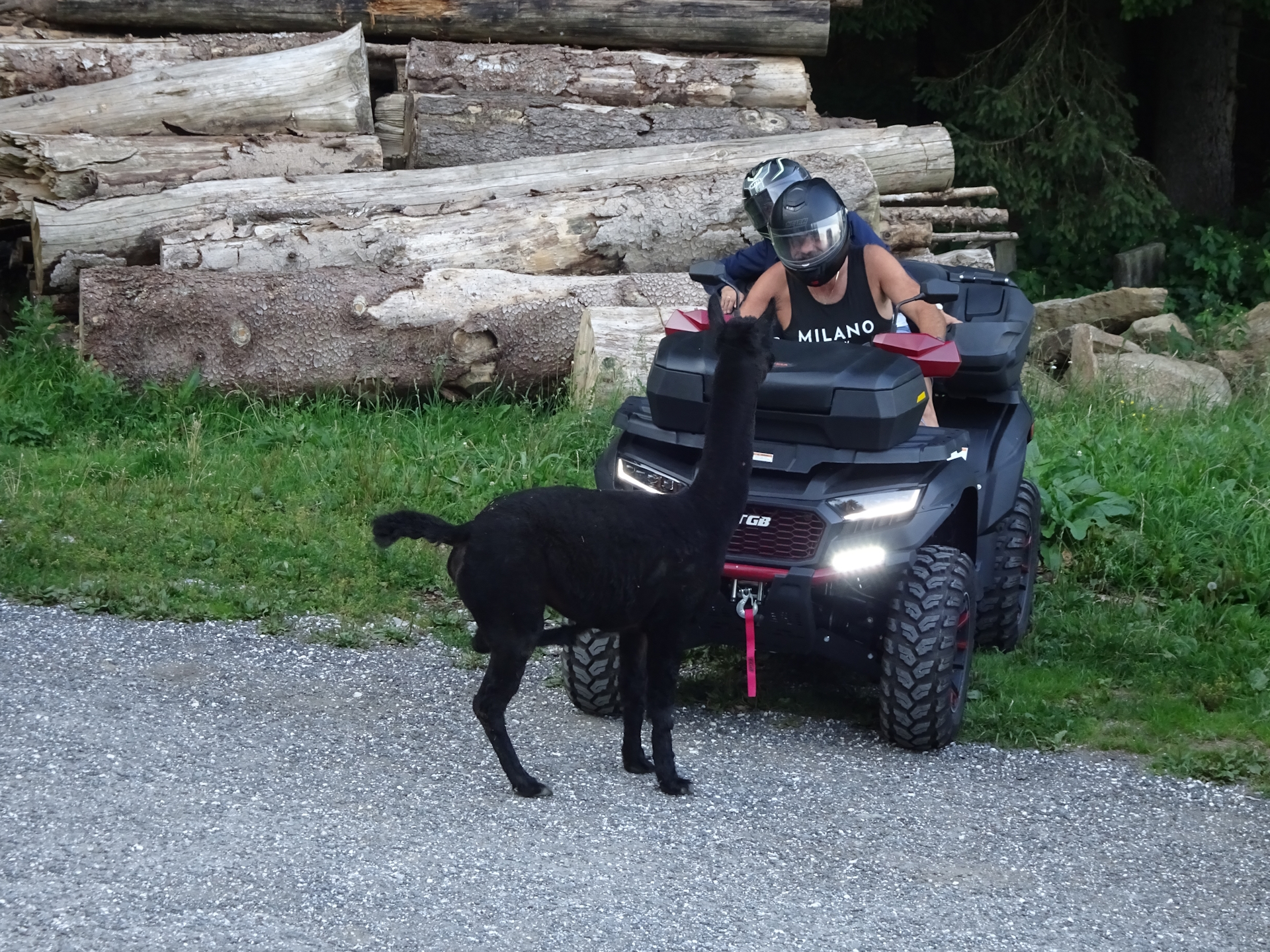
Finally, I arrived in good time at the Barbarahaus (Checkpoint). I was immediately welcomed by Baron – the black Alpaca and the hut’s pet. Baron is very curious and not at the slightest shy.
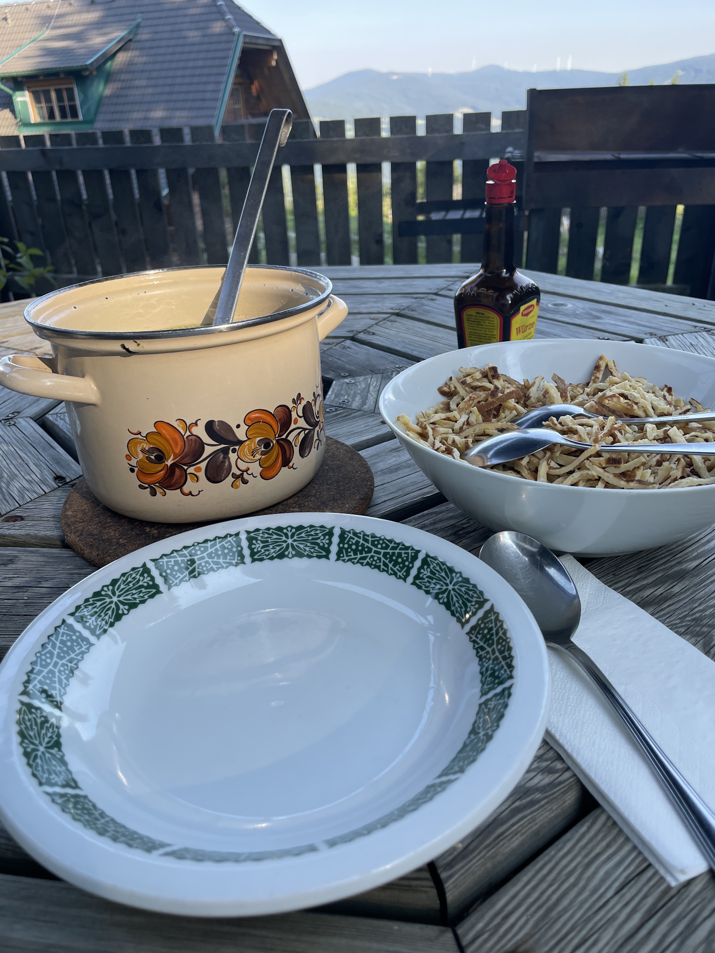
Also the tenants of the hut provided me with a very pleasant experience. Both of them were super friendly and I had a very nice chat. Although not expected (the hut does not provide kitchen service), I was also asked to have dinner together with the tenants – very tasty and a big portions.
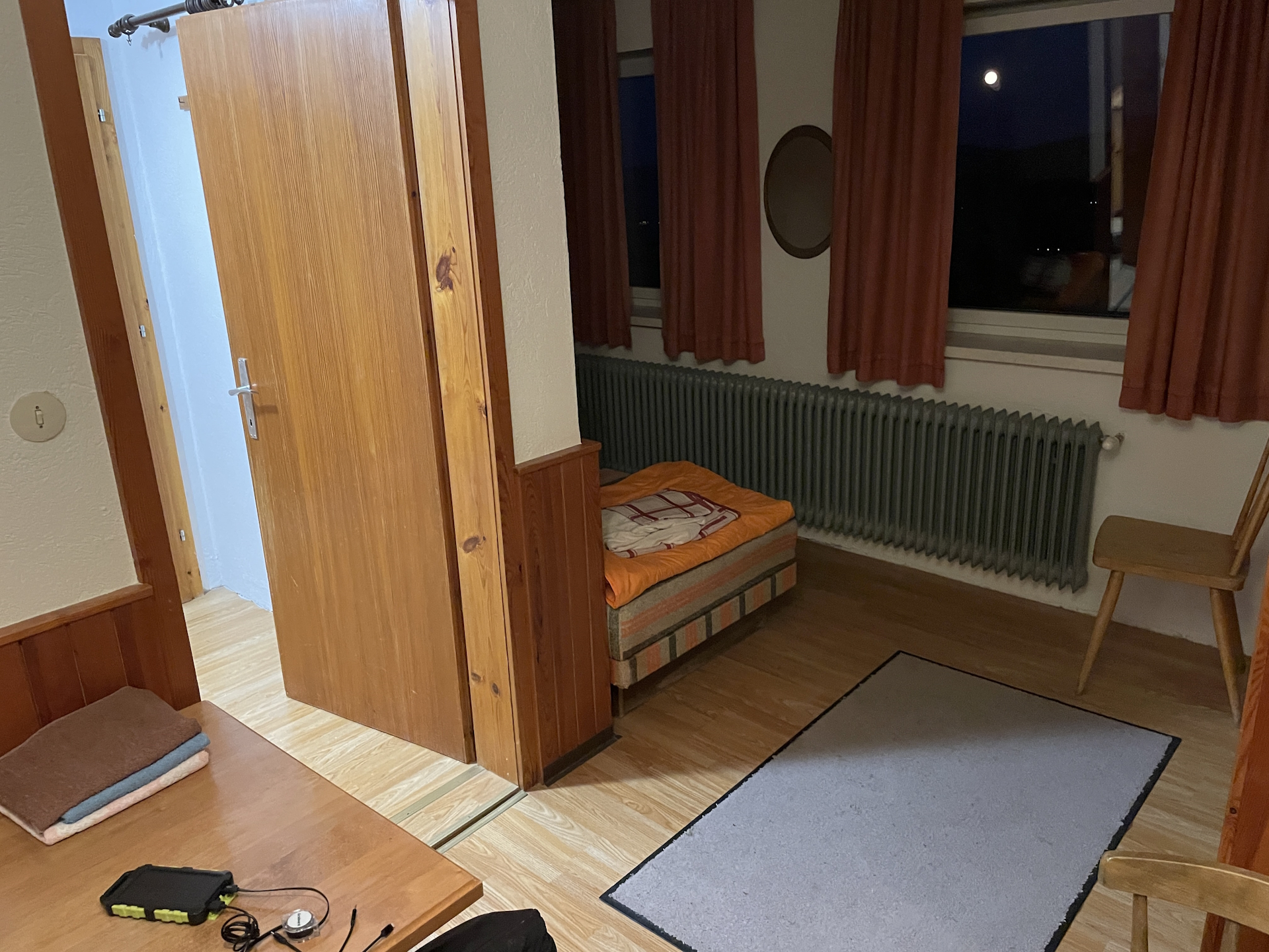
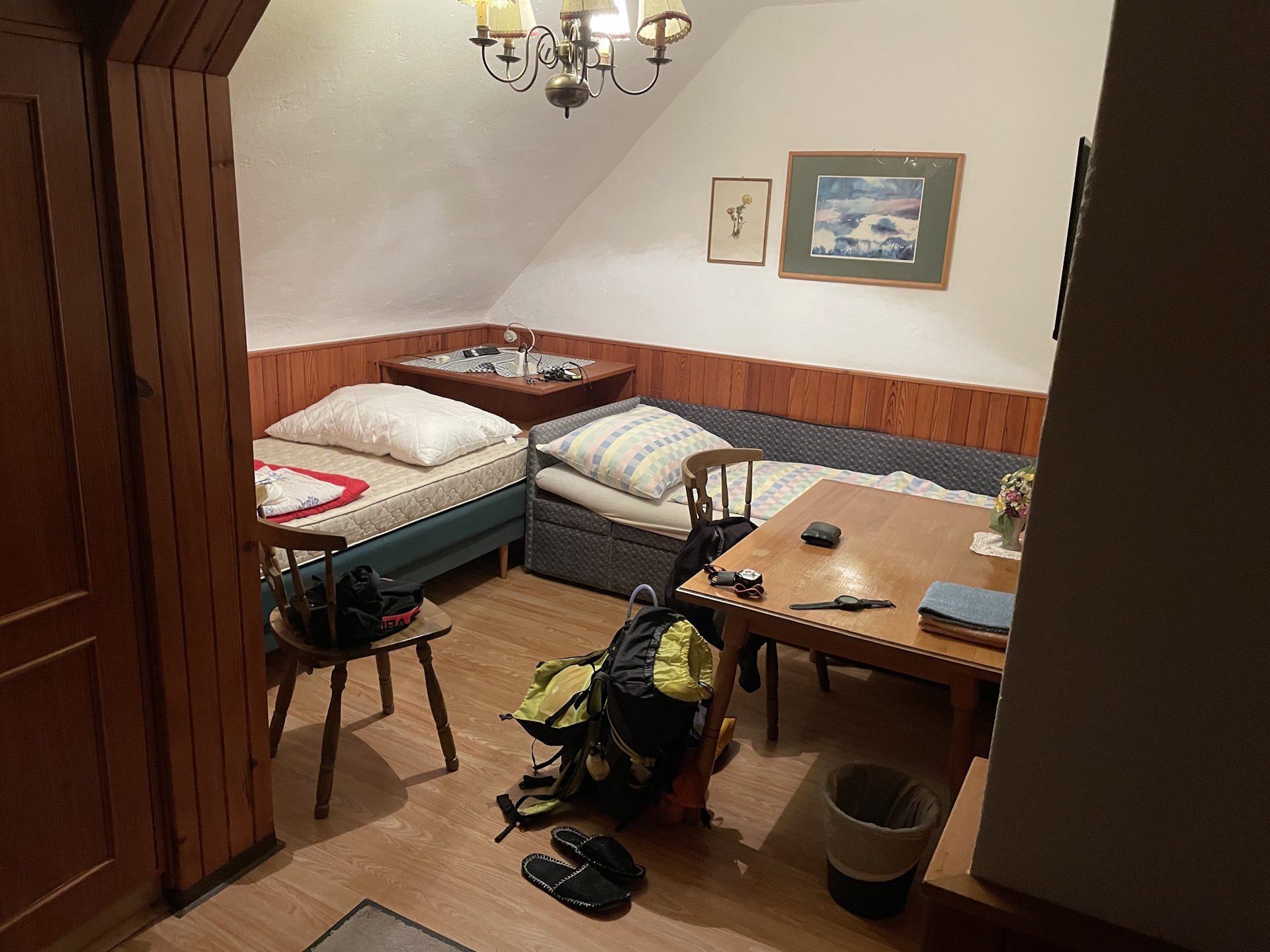
After a nice chat, some beers, a schnaps and a nice conversation with Manfred, I finally went upstairs into the extremely nice room, having a warm shower and a great sleep afterwards.
Summary:
Doing the stage as described in the official tour book, the trail would be easy, short and without any difficulties. However, the detour via the summits of Speikkogel, Weißenstein, Ameringkogel and Größenberg makes the tour demanding but rewarding since the view from each of these summits is simply amazing.
However, obviously the detour only make sense when having great weather with a good distance view.
| 00:00 | Start after a breakfast from Salzstiegelhaus on the official trail heading southwards. Don’t forget to collect your stamp and fill up your water supplies!!! |
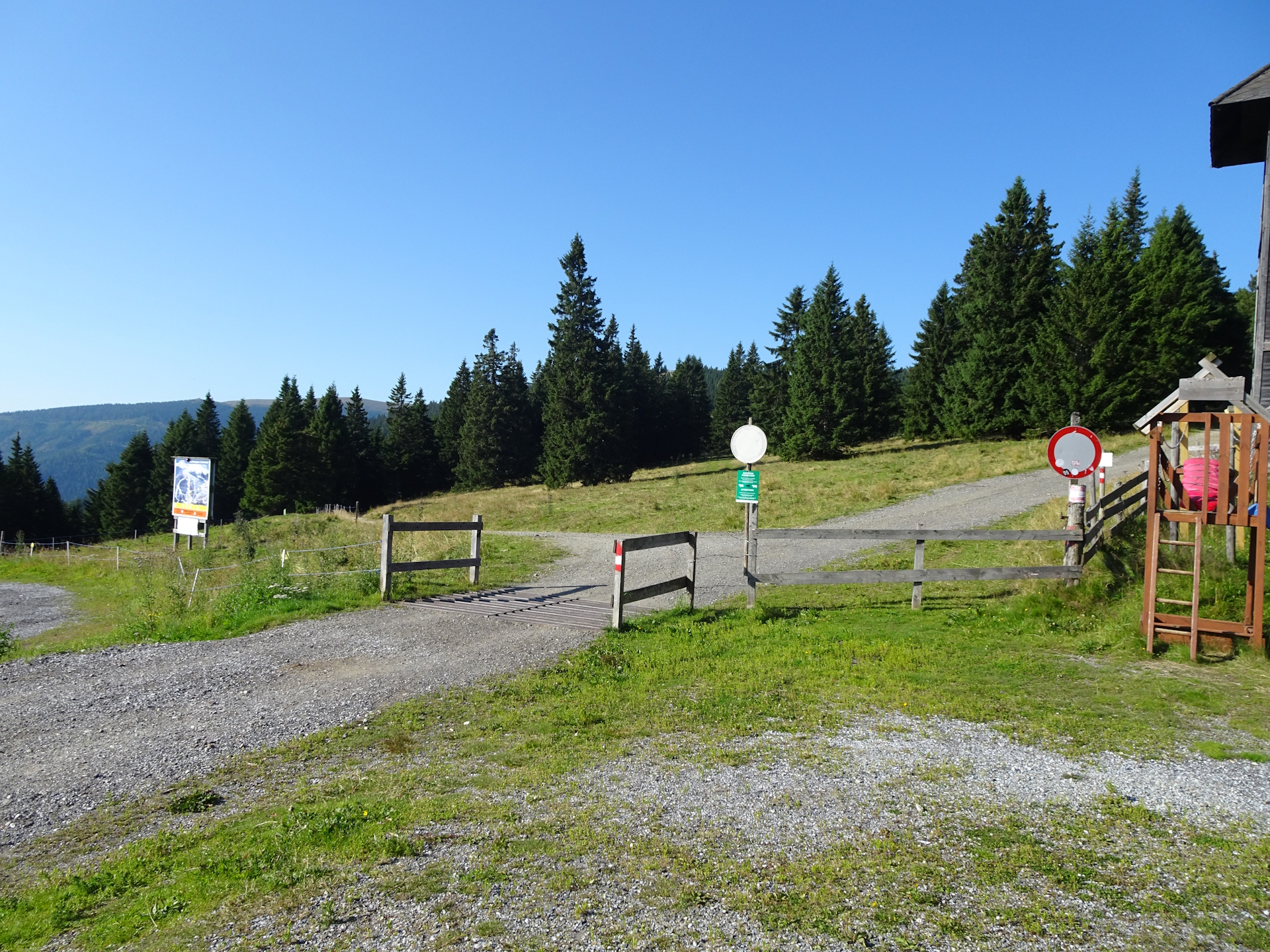
| 00:02 | Keep right and follow the marked trail southwestwards. |
| 00:10 | At the barrier, keep left and continue the marked trail alongside the ski slope southwards towards the already visible wind generator. |
| 00:25 | At the wind generator, hike around the water reservoir (pond) heading towards the upper wind generator. |
| 00:30 | Recommended detour: Leave the official 05 trail and keep straight (the official trail would turn left here). Hike up directly to the summit of Speikkogel. |
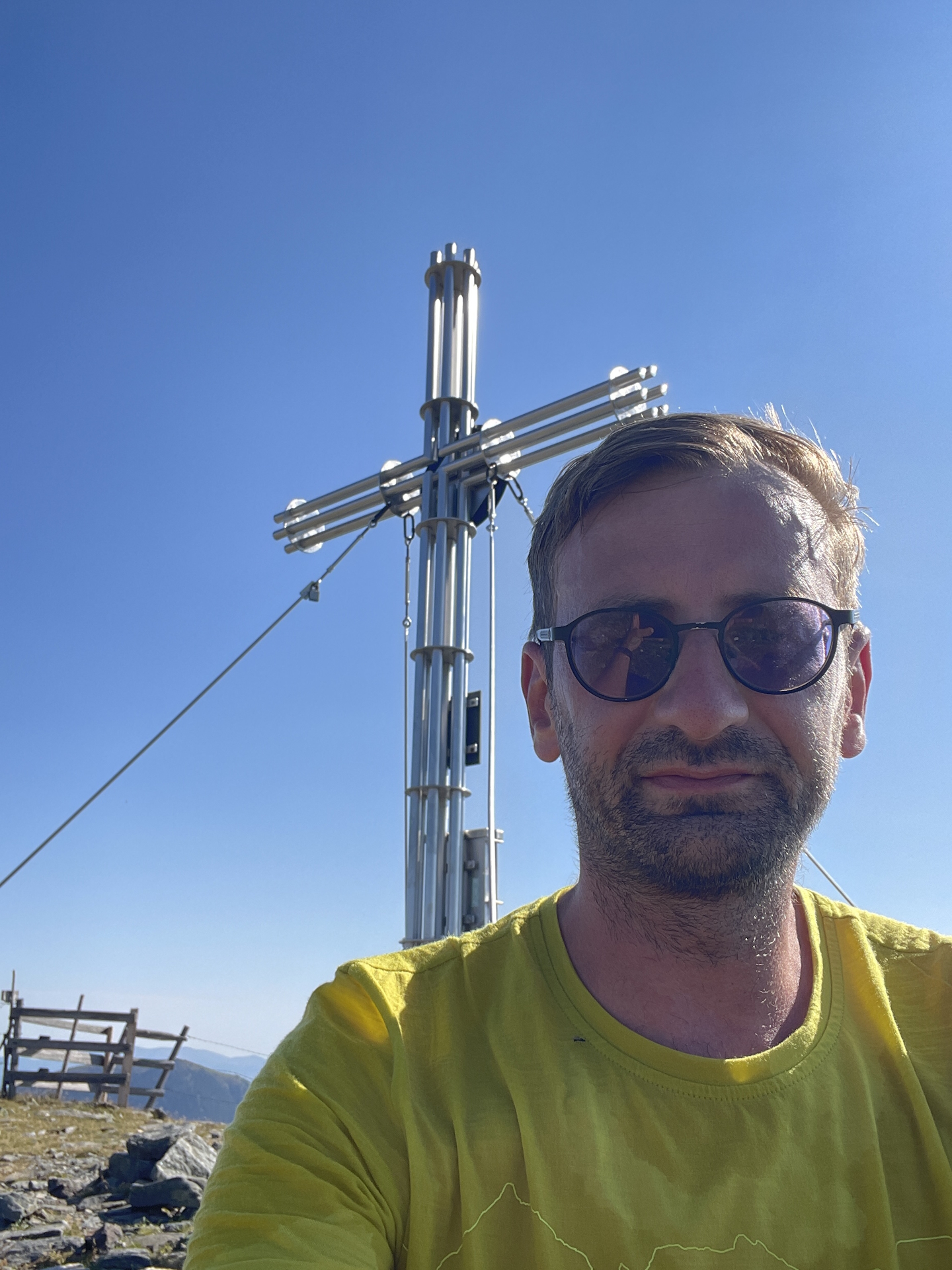
| 00:55 | Enjoy the view from the summit cross of Speikkogel. |
| 01:00 | Enjoy the view from the summit cross of Speikkogel. |
| 01:05 | Head back northwards (turn right at the cross) towards the hiking trail. Then turn left into the trail 520 and follow it westwards. |
| 01:20 | At the crossing, keep right and follow the trail up to Hofalmkogel / Weißenstein. |
| 01:40 | Pass over the Hofalmkogel and continue following the trail towards Weißenstein. |
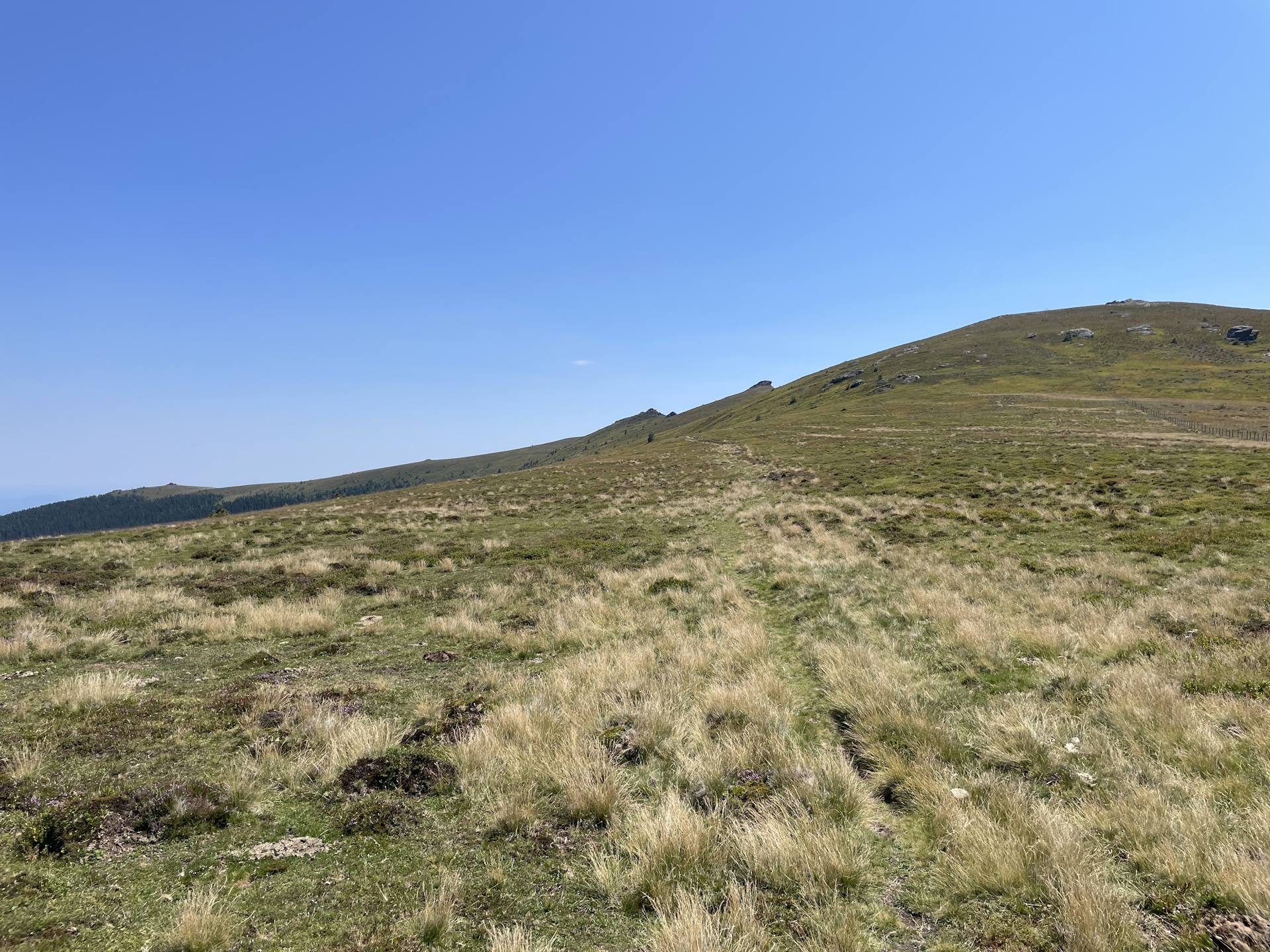
| 02:00 | At Weißenstein, turn right and follow the trail northwards up to Ameringkogel. |
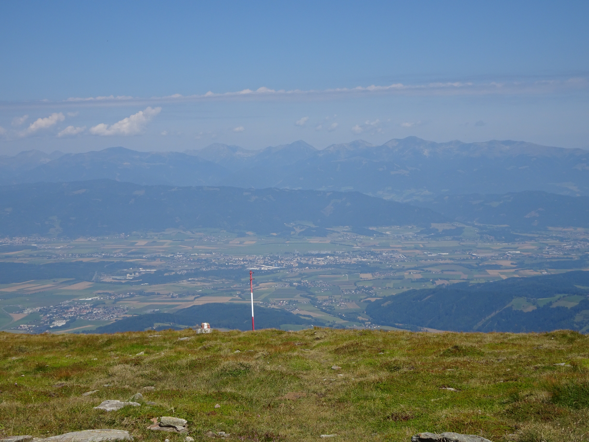
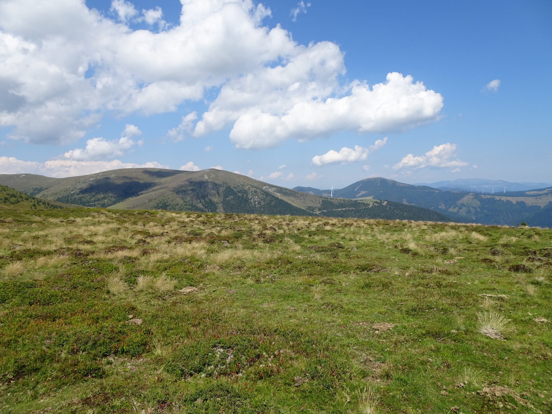
| 02:15 | Enjoy the amazing view from Ameringkogel (if not too crowded) and then descend northwestwards down into the saddle and up again towards Größenberg. |
| 02:35 | Enjoy the amazing distance view from Größenberg. |
| 02:40 | Head back into the saddle. In the saddle, keep right this time and follow the trail around the Ameringkogel. The trail will lead directly to Weißenstein. |
| 03:10 | Back at Weißenstein, follow the same trail back to Speikkogel as used for the ascent. |
| 04:00 | At the summit cross of Speikkogel, turn right and follow the traces of a trail downwards into the already visible Peternsattel and the crossing there. |
| 04:15 | At the crossing of Peternsattel, keep slightly left and follow the official and scenic trail southwards to Bernsteinhütte (see signposts). |
| 04:40 | At the crossing, keep left and follow the trail eastwards towards Bernsteinhütte. |
| 05:00 | At the crossing, keep straight (slightly right) and continue following the trail towards Bernsteinhütte via the Hirschegger Alm. |
| 05:25 | Keep straight and follow the trail southeastwards. In case you’re running low on water, you might consider a detour to the Görlitzer Hütte (then turn left here), although the Bernsteinhütte is not so far away anymore. |
| 05:55 | When reaching the alpine pasture, turn left into the trail that leads directly to the already visible Bernsteinhütte. |
| 06:00 | Well deserved break () at Bernsteinhütte. |
| 06:35 | Follow the trail southwards back to the official 05 trail. Follow the trail towards Barbarahaus (Pack) through the forest. |
| 07:10 | Bypass the Knödelhütte and now follow the gravel road eastwards. You might consider an additional break (). |
| 07:40 | At the crossing, keep straight and continue following the gravel road towards Barbarahaus. |
| 07:50 | Turn left into the trail towards Barbarahütte (see signpost). |
| 08:00 | Arriving at Barbarahütte. Check in for your overnight stay, rehydrate (), get your stamp () and enjoy the pleasant experience at this hut with the lovely tenants. |
At a glance
| Level | moderate-difficult |
| Technique | |
| Shape / Fitness | |
| Experience | |
| Scenery | |
| Best time in the year | |
|
Jan
Feb
Mar
Apr
May
Jun
Jul
Aug
Sep
Oct
Nov
Dec
|
|
| Area: | Lavantaler Alpen, Styria, Austria | |
| Distance: | 30km (Extended) 19km (short)* |
|
| Ascent: | 1150m (3h 25min) 425m (short)* |
|
| Descent: | 1382m (3h 15min) 657m (short)* |
|
| Highest Pt: | 2187m 1879m (short)* |
|
| Lowest Pt: | 1275m | |
| Duration: | 7h 20min (without breaks) 8h 00min (with breaks) 3h 50min (short)* |
|
| Stop/Rest: | Salzstiegelhaus (1553m) Saureishütte# (1646m) Görlitzer Hütte# (1619m) Bernsteinhütte (1560m) Knödelhütte (1414m) Barbarahaus (1312m) |
|
| Equipment: | Backpack with standard hiking equipment Comfortable hiking shoes Snacks and plenty of water Sun & Weather protection Camera Overnight equipment for the hut: – light sleeping bag for huts – cash – shoes for the hut – toiletries |
|
| Remarks: | * Refers to the direct tour without the summits # Requires a detour! |
| Download GPX Download GPX (direct, short tour) |
||
| O | Tour at outdooractive.com |
Leave a Reply