
Twentieth stage of the Nord-Süd-Weitwanderweg 05 starting from Oskar Schauer Sattelhaus towards Salzstiegelhaus via Gaberl, Altes Almhaus and Rappoldkogel
 |
The North-South-Long-Distance trail (Nord-Süd-Weitwanderweg, also known as the “05”) starts in the north of Austria at Nebelstein and ends in the south of Austria at Eibiswald. The trail is ~500km long, ~18 000m in ascent and the same amount in descent. The trail was initiated by Carl Hermann and officially established on the 25th September 1970. The trail is separated into 3 parts:
It normally takes 3 weeks to complete the entire trail. |
The here presented tour is the twentieth stage of the Nord-Süd-Weitwanderweg 05 , starting from Oskar Schauer Sattelhaus (Checkpoint) first up to the Stierkreuz and then around the Scherzberg to the Gaberlhaus (Checkpoint). After a well-deserved break the tour then continues to the Altes Almhaus and doing a recommended detour up to the scenic summit of Rappoldkogel. After a steep descend, the tour follows an easy gravel road to the Salzstiegelhaus (CheckPoint) for having dinner and staying overnight.
| Nord-Süd-Weitwanderweg 05 – Checkpoints | |
|
Transportation:
I’ve planned to accomplish this stage as the forth of an 8-day multi-day trip. As I stayed the night at the wonderful Oskar Schauer Sattelhaus, I was able to directly start the tour the next morning.
The hike:
This hike was part of an 8-day multi-day trip. After having an extremely demanding tour the day before which got compensated by an outstanding experience staying at Oskar Schauer Sattelhaus, I started this stage very relaxed and after having an excellent breakfast. Right after the breakfast, I was able to fill up my water supplies and also get the desired stamp . To be honest, it was not easy to say goodbye to the very friendly staff of the Sattelhaus and I will definitely come back!
However, the weather forecast indicated again a hot day and it should be proven to be correct again, thus I tried to make advantage of the cool morning hours and left the hut at 09:00.
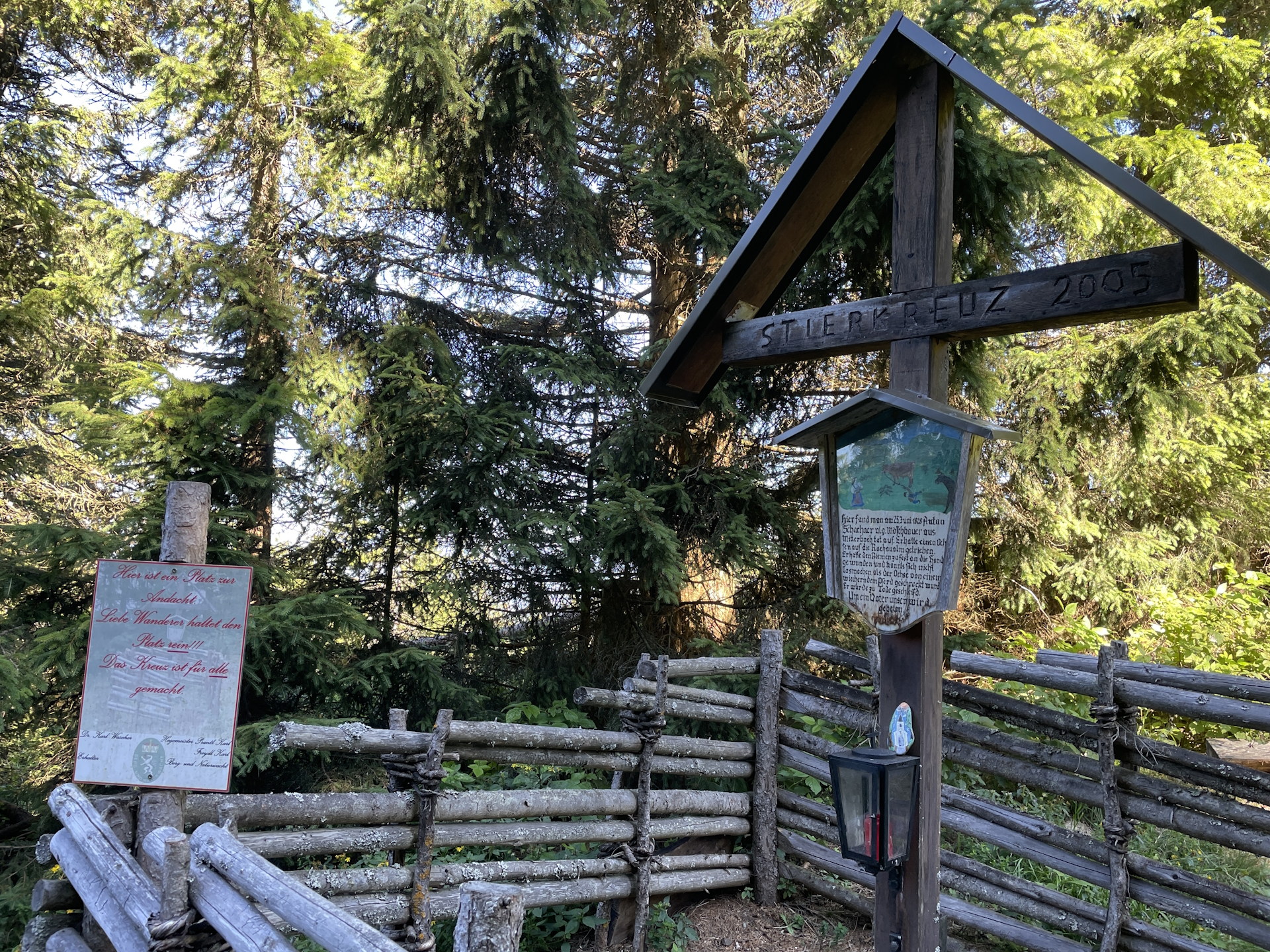
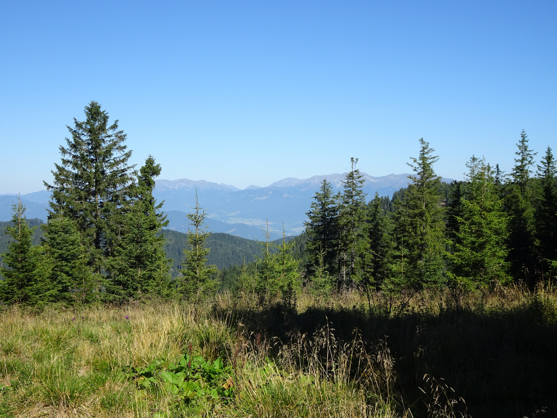
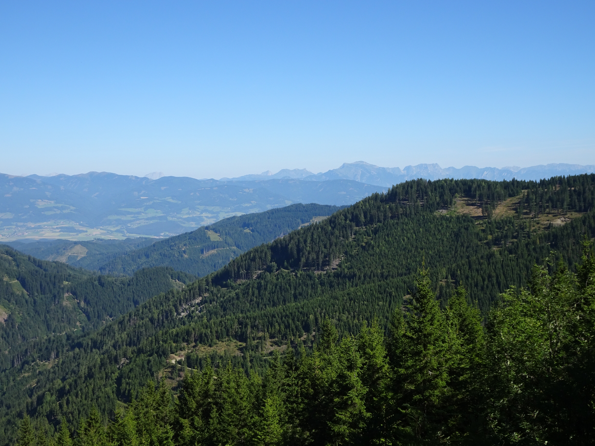
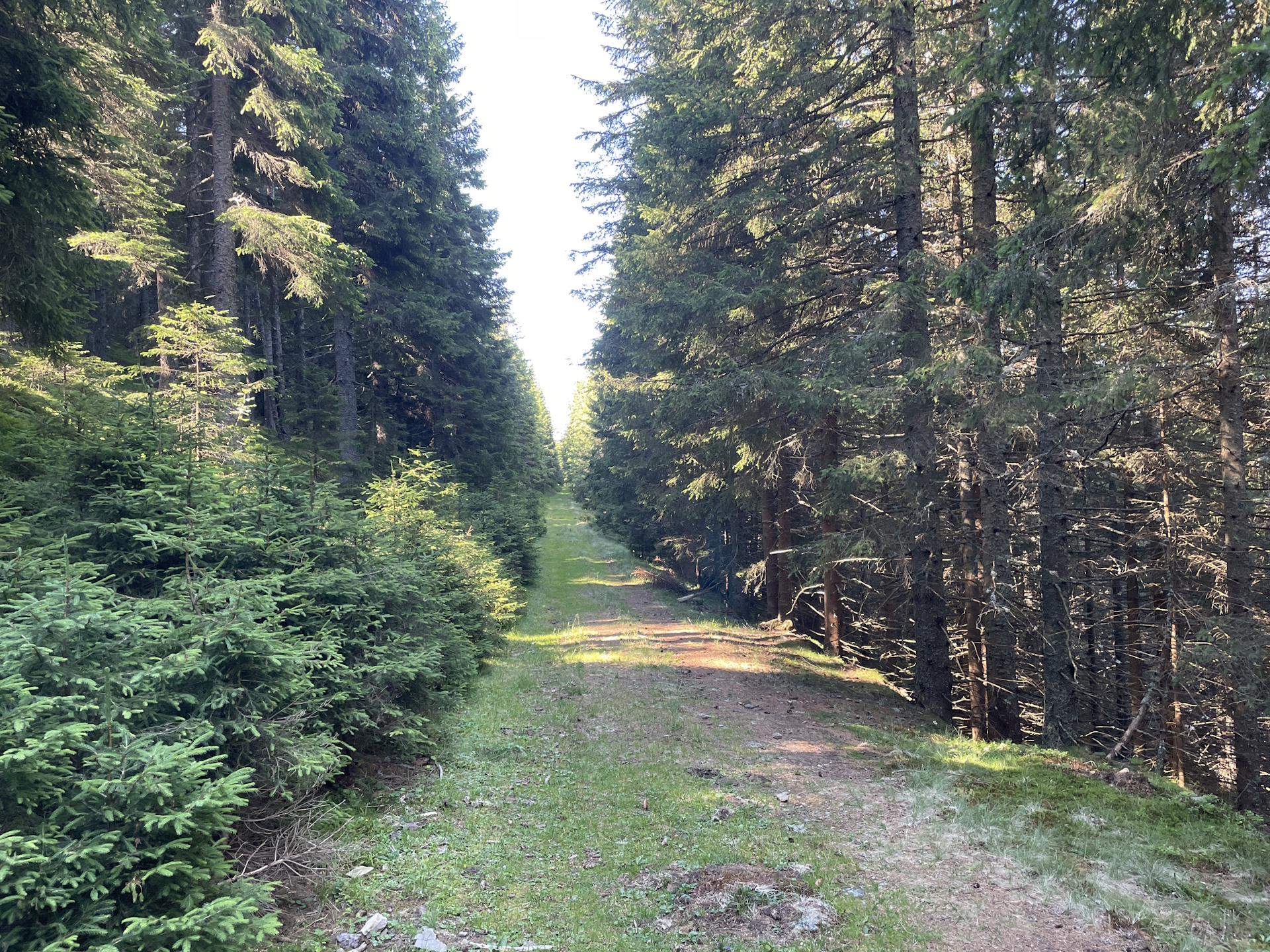
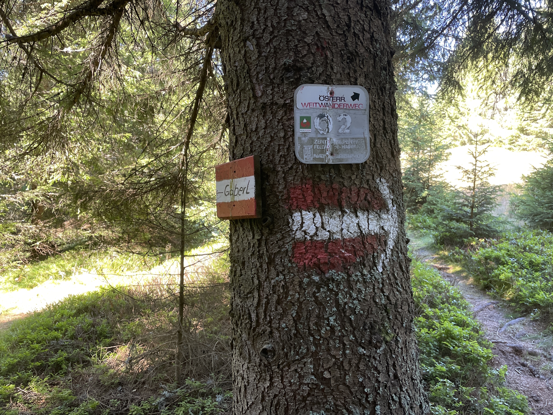
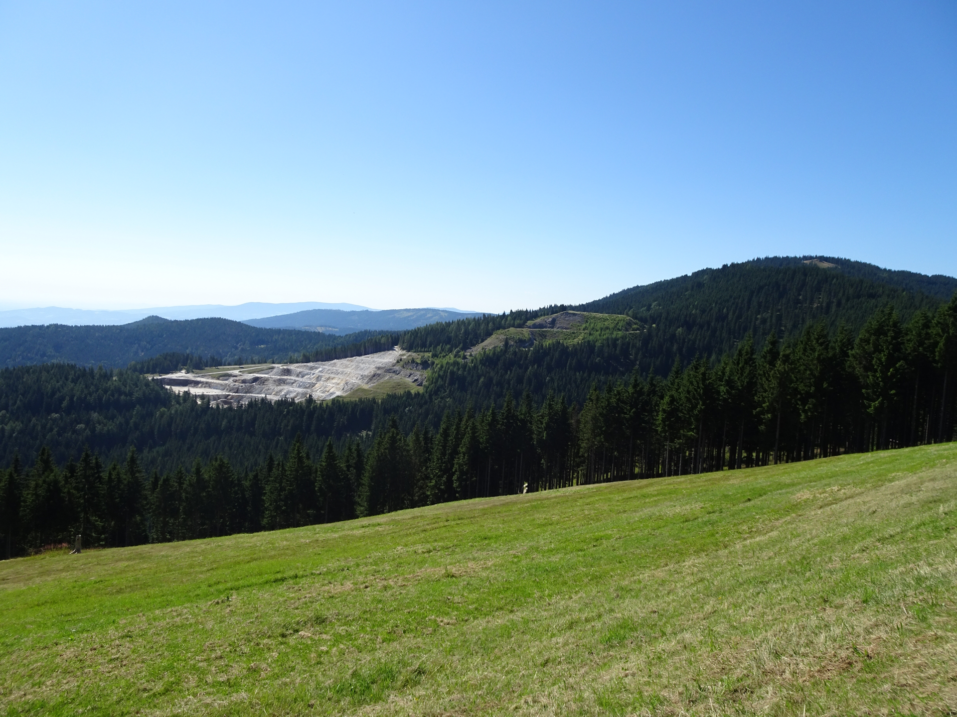
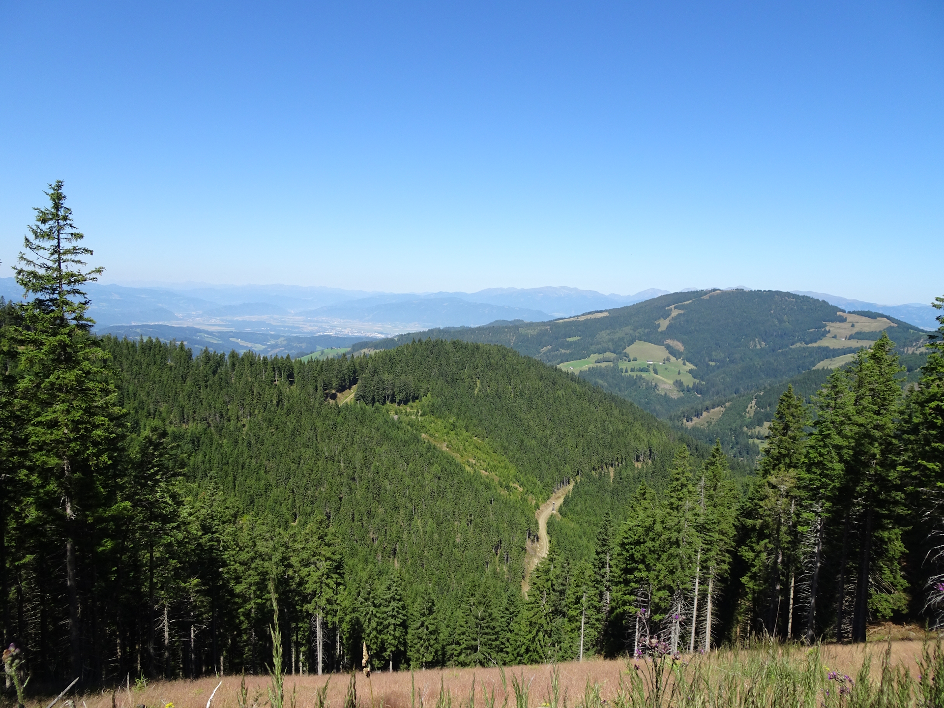
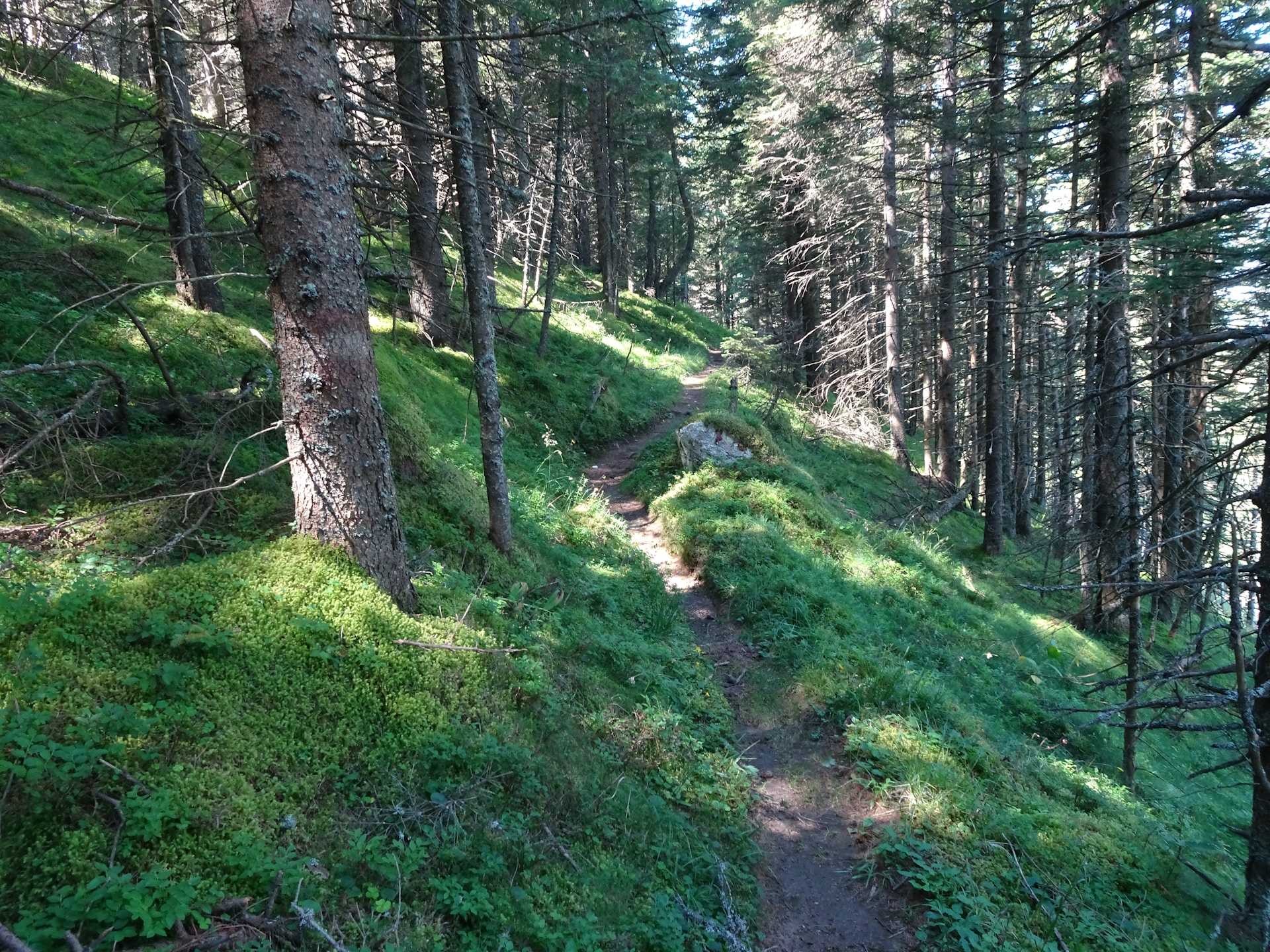
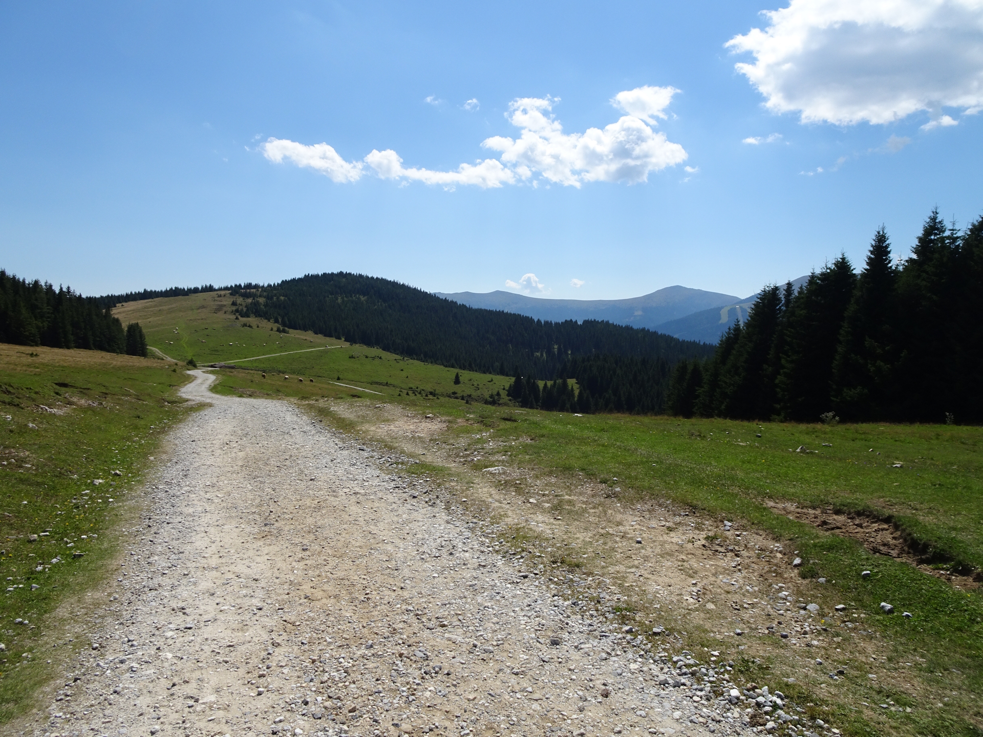
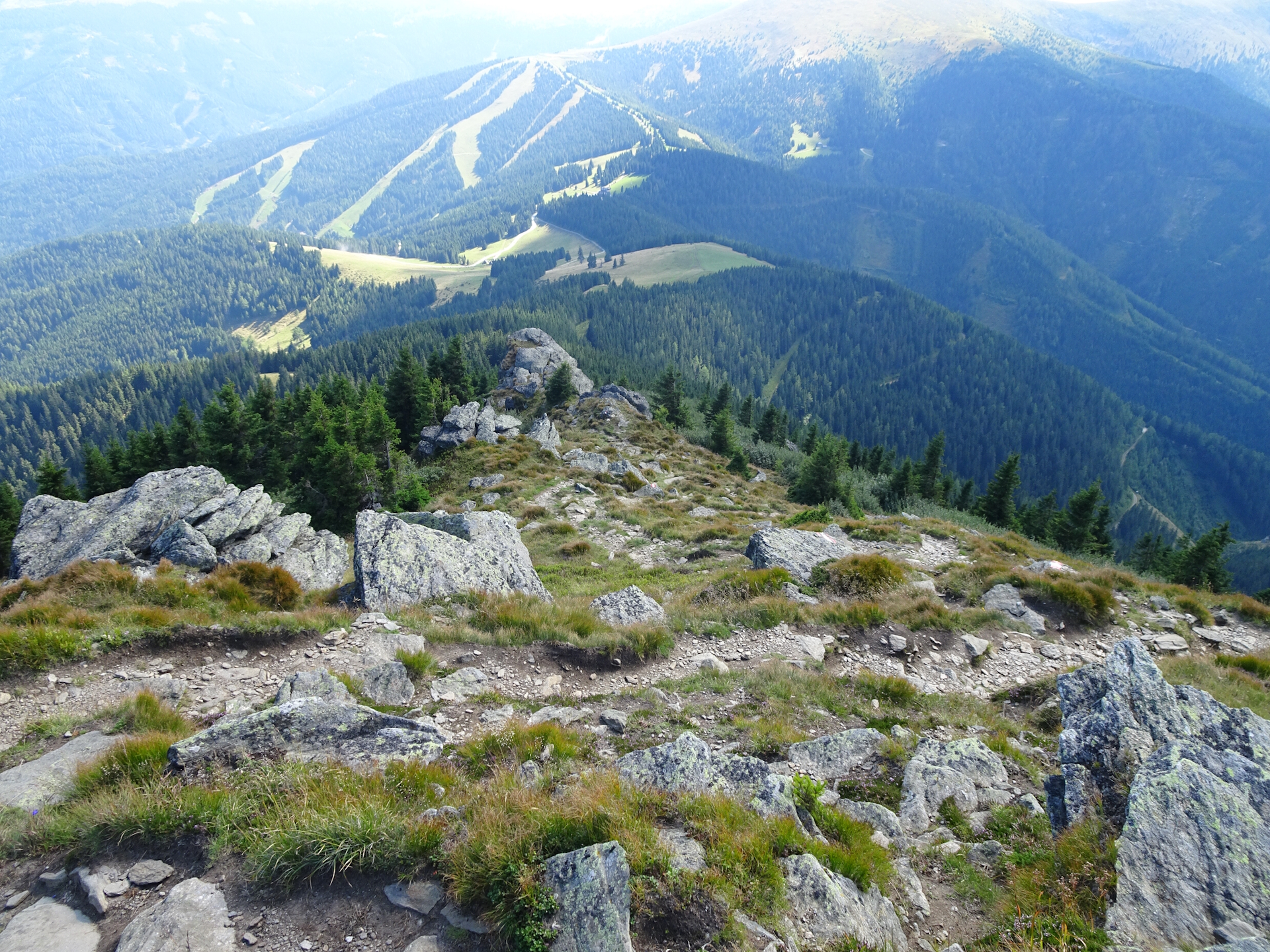
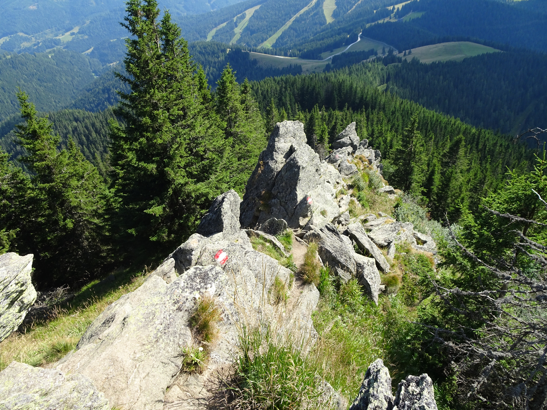
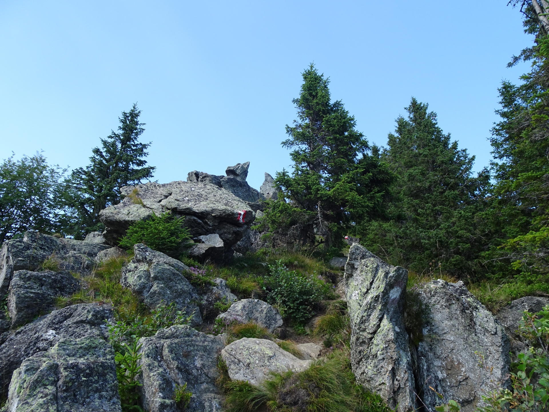
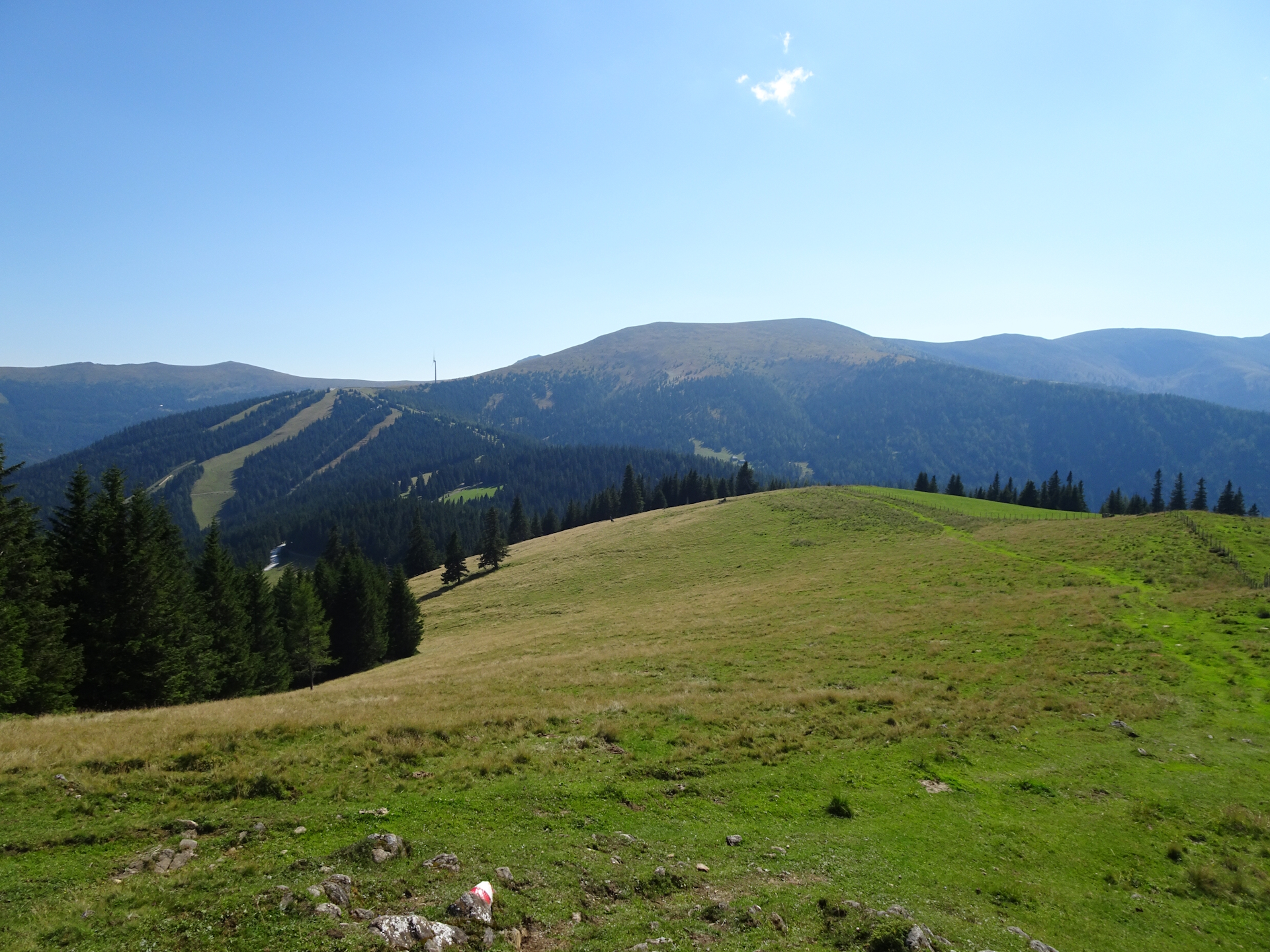
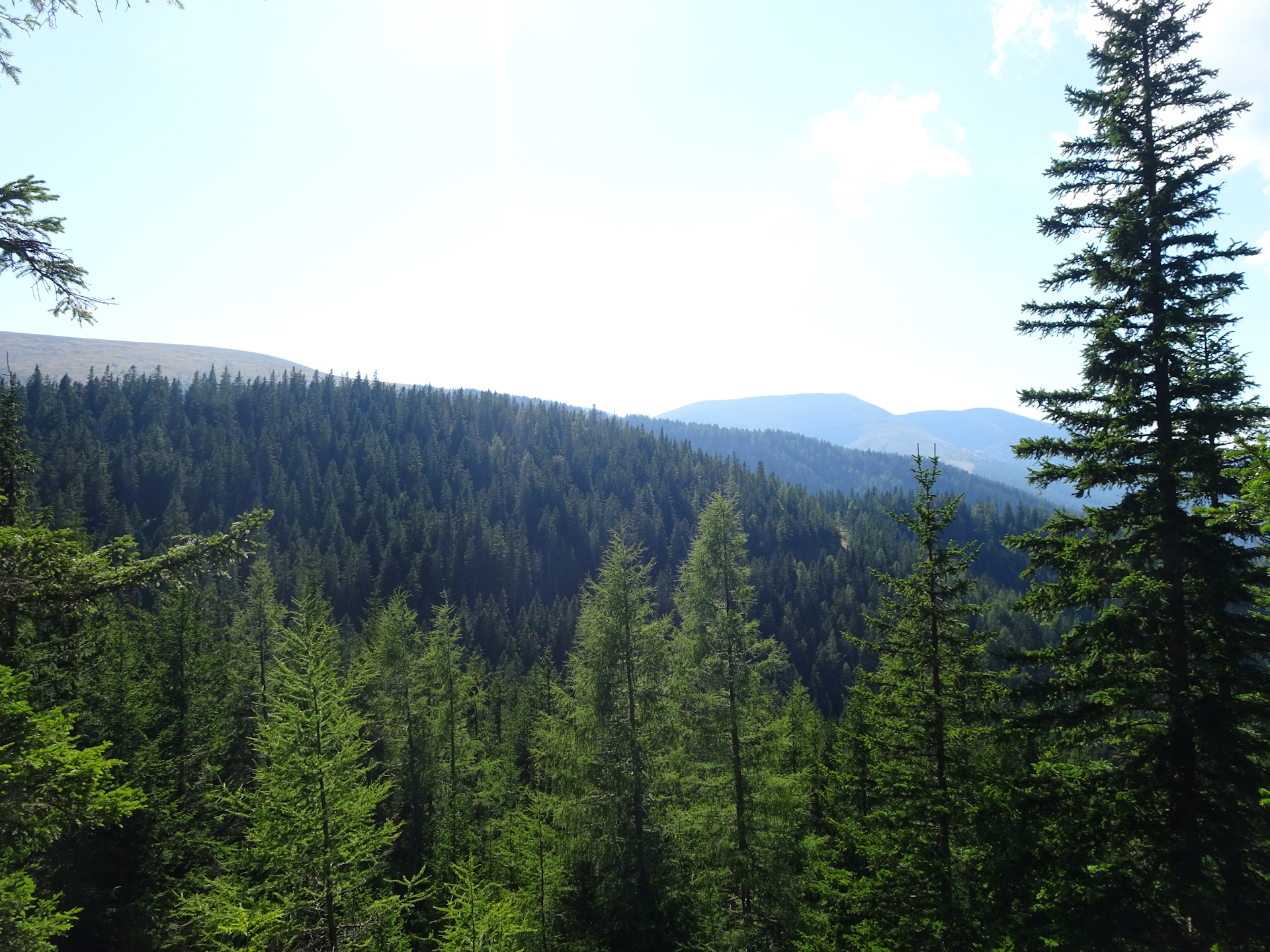
The first ascent up to the Stierkreuz is an easy walk along first a forest road and later an easy and nice trail through the forest. At Stierkreuz, the tour continues following a very comfortable trail through the forest. A few meters before the Tumeralm, the shared route between Zentralalpenweg 02 and Nord-Süd-Weitwanderweg 05 ends and the tour continues following the trail through the forest towards Gaberl. The trail is never difficult but I found it sometimes overgrown. Once I passed the clearing of Scherzberg, the tour followed again an easy gravel road and then an easy trail through the forest.
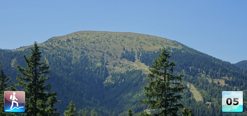
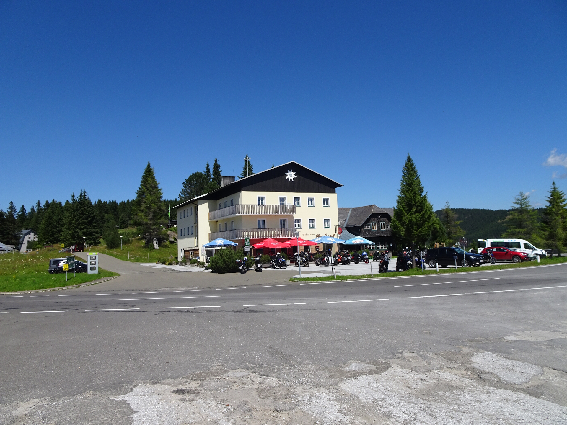
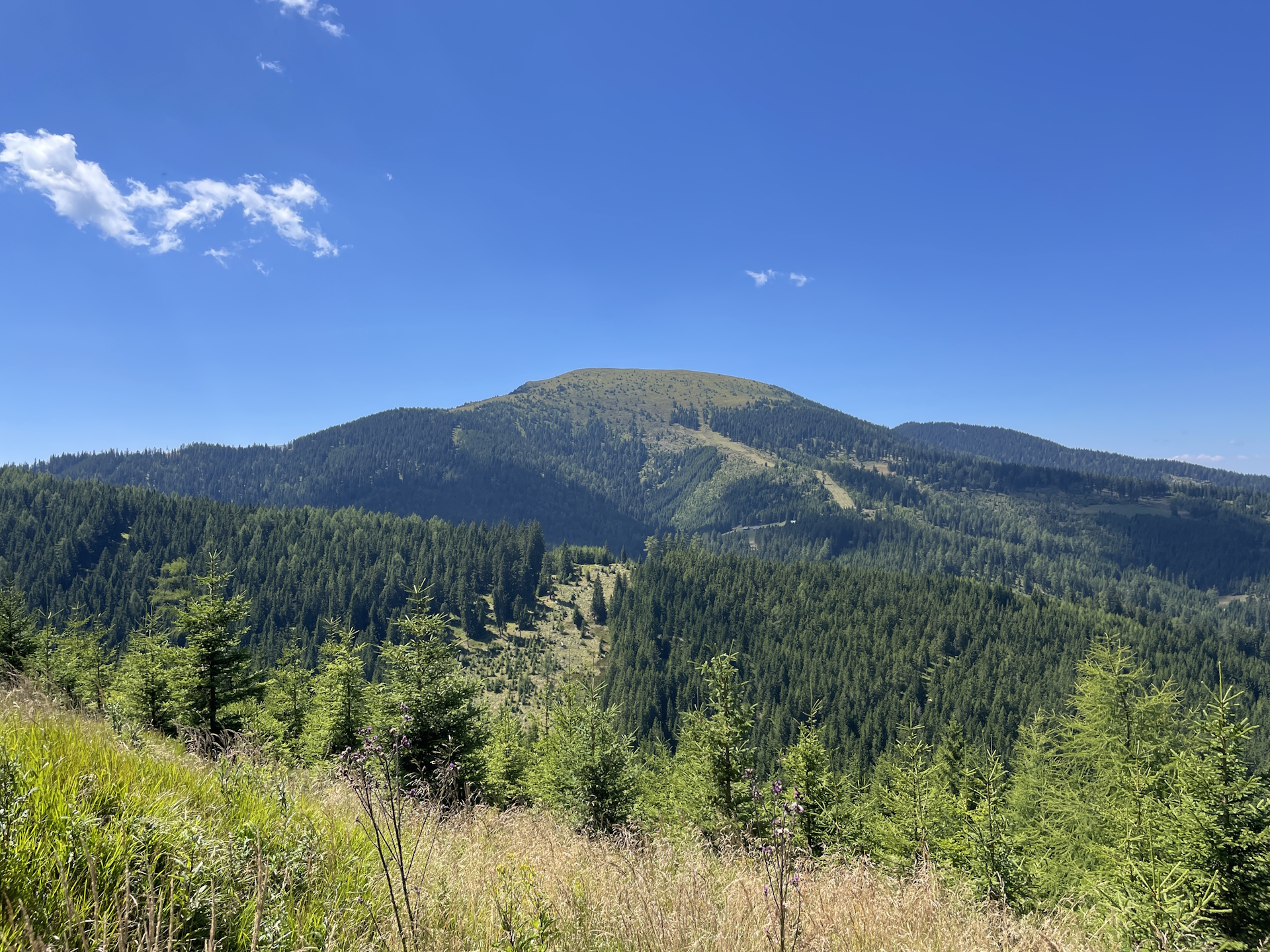
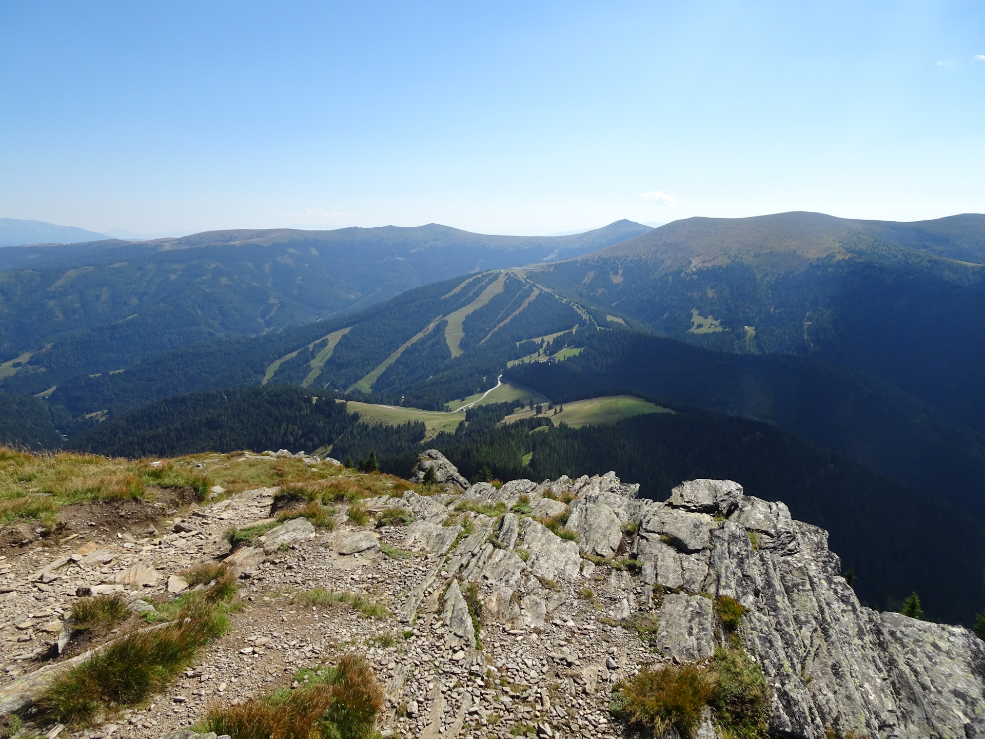
Just before reaching the Gaberl, I decided to detour up to the summit of Plankogel, hoping to have a good view from there. Actually, it turned out that was a fail, only a steep and sun exposed hike up to a summit with some houses but no view. I then followed the trail down to the Gaberl (Checkpoint), trying to get my stamp first at the Dr. Otto-Koren-Hütte (not serviced), then at the closed Sportgasthof Lipp and finally succeeded at the Gaberlhaus.
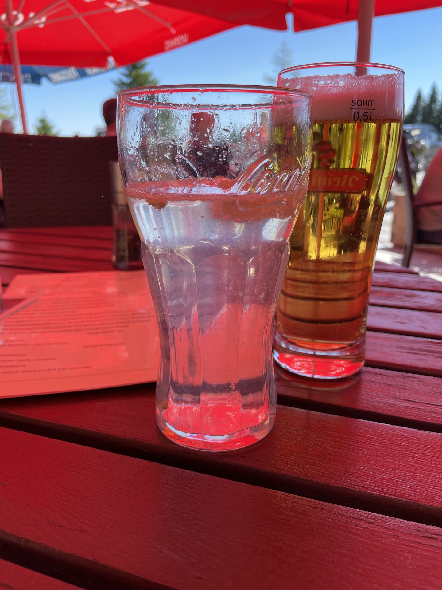
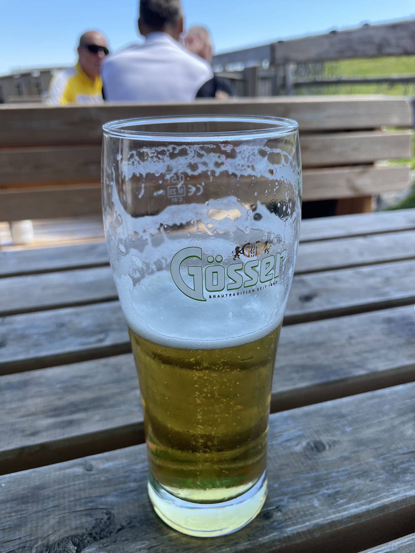
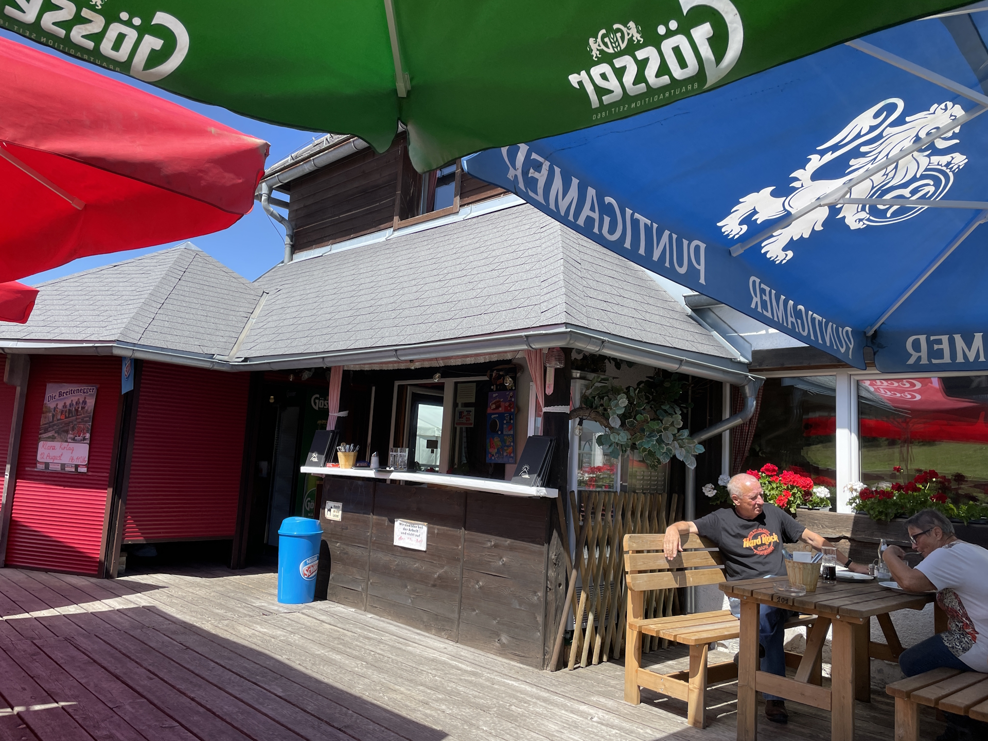
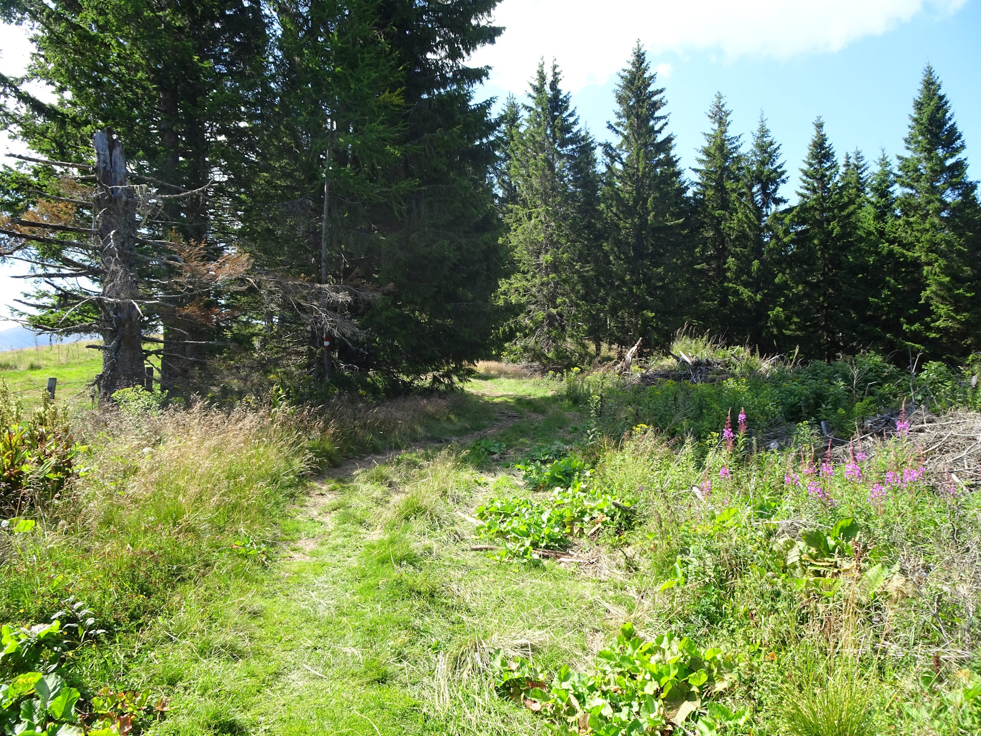
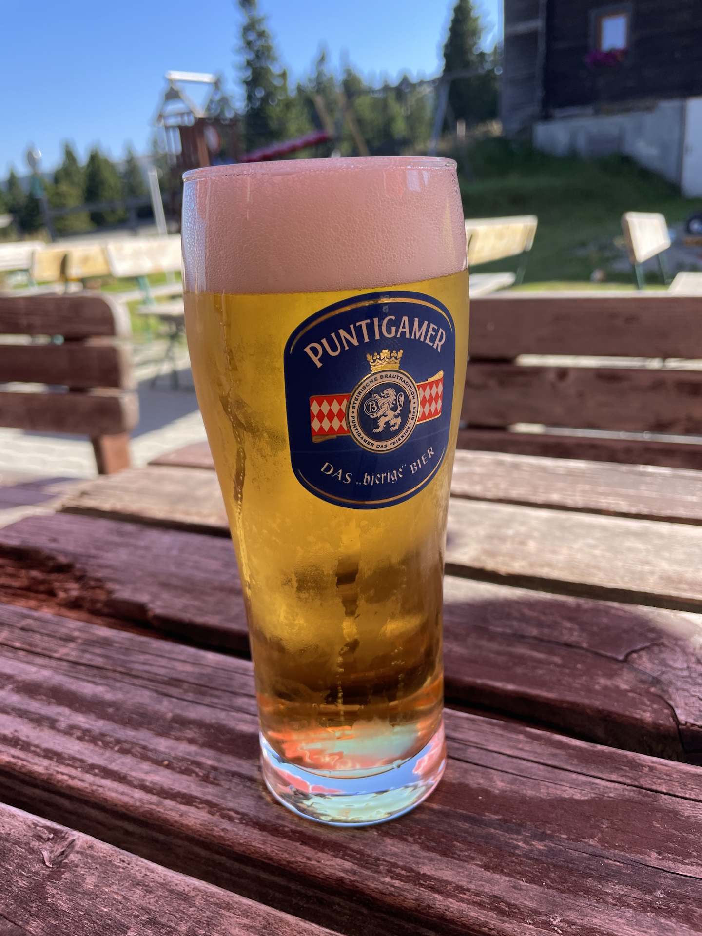
After having lunch, an excellent cold Soda-Zitrone followed by one or two cold beers (it was an extremely hot day indeed!), I got my stamp and then continued my tour southwards towards the Altes Almhaus. After passing by the huge parking, the tour now follows again a nice trail through the forest which made the hot weather more bearable.
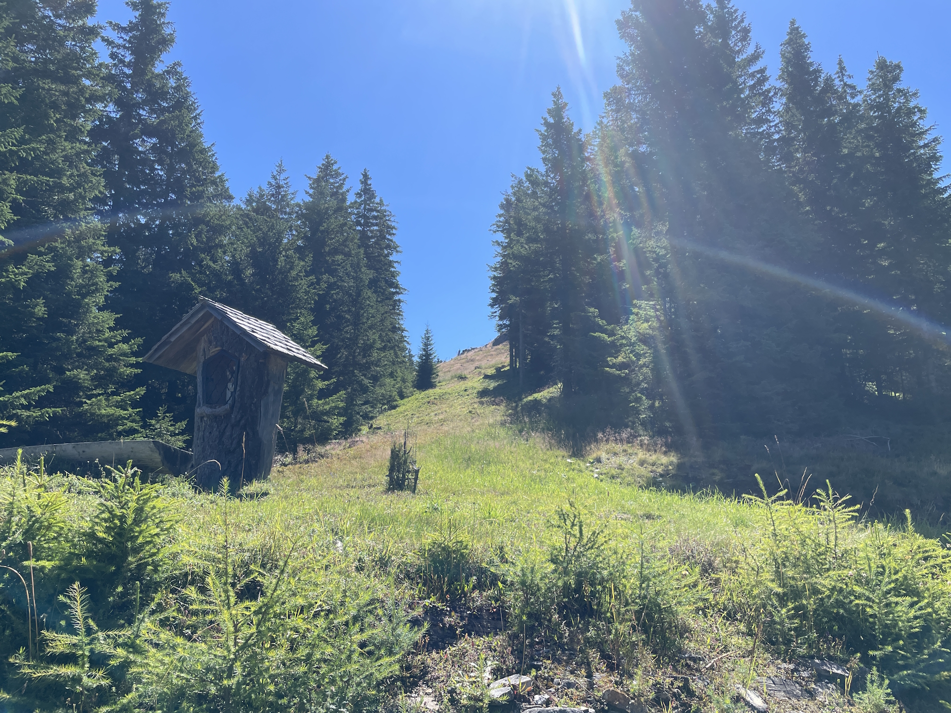
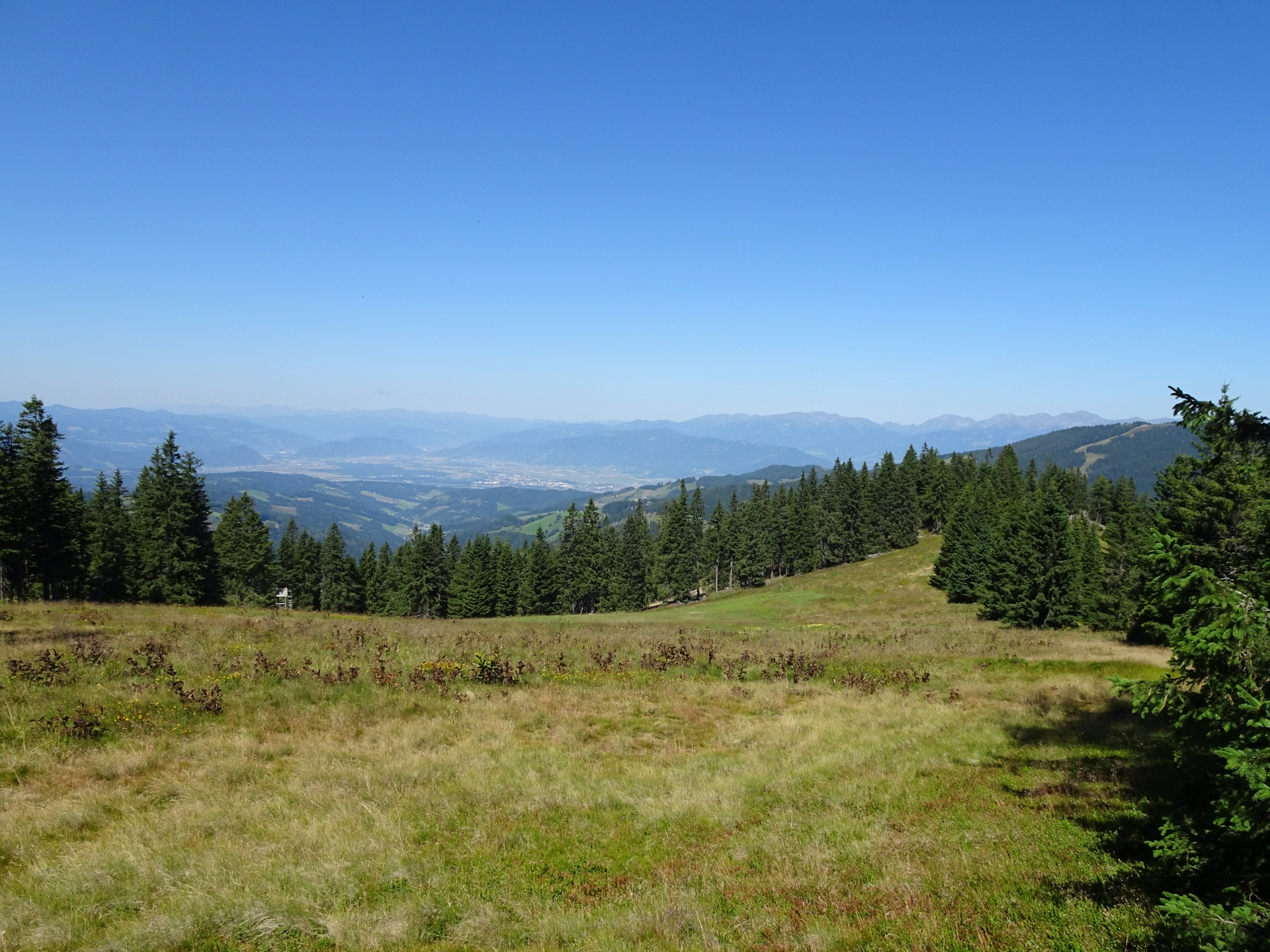
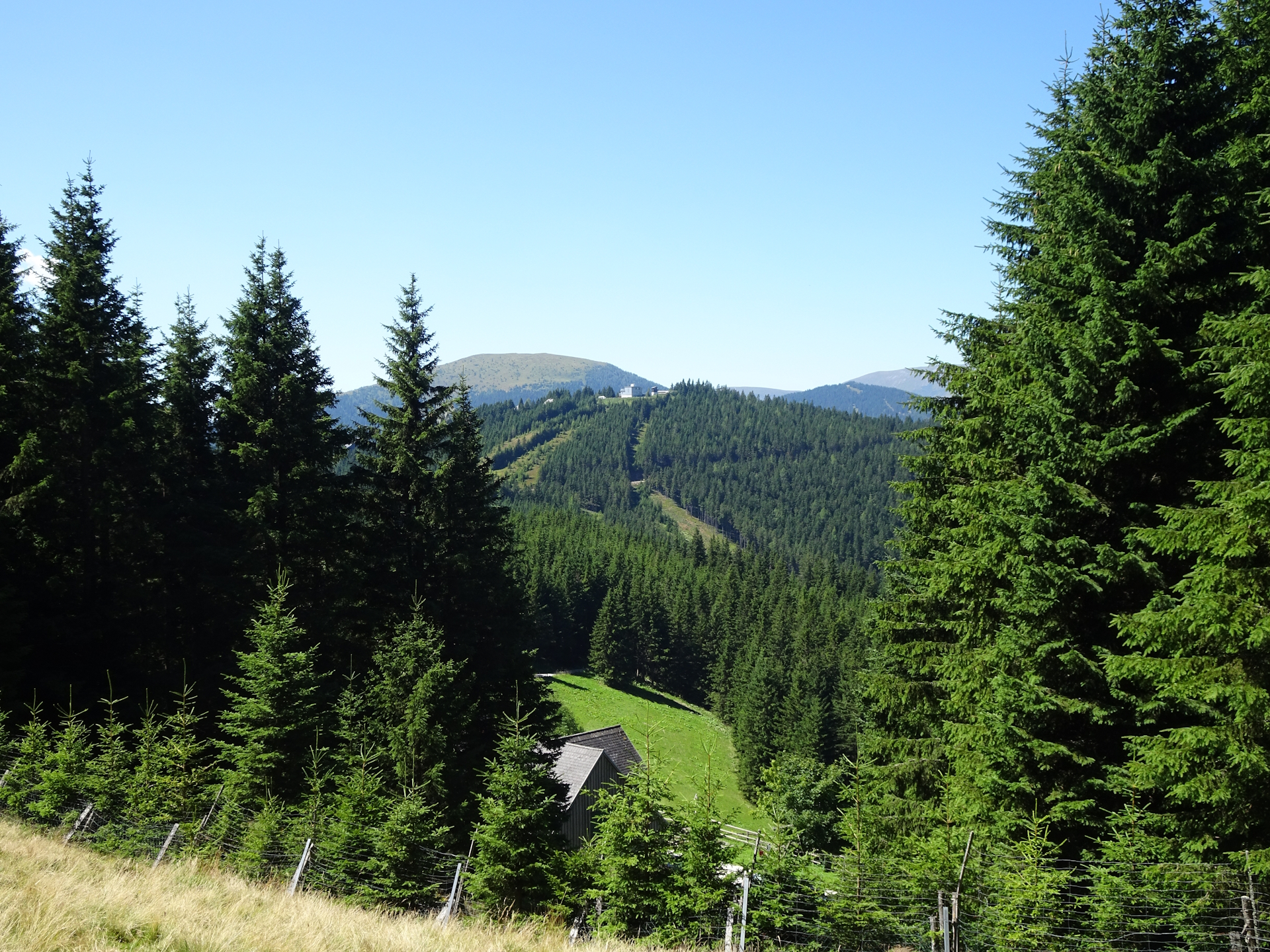
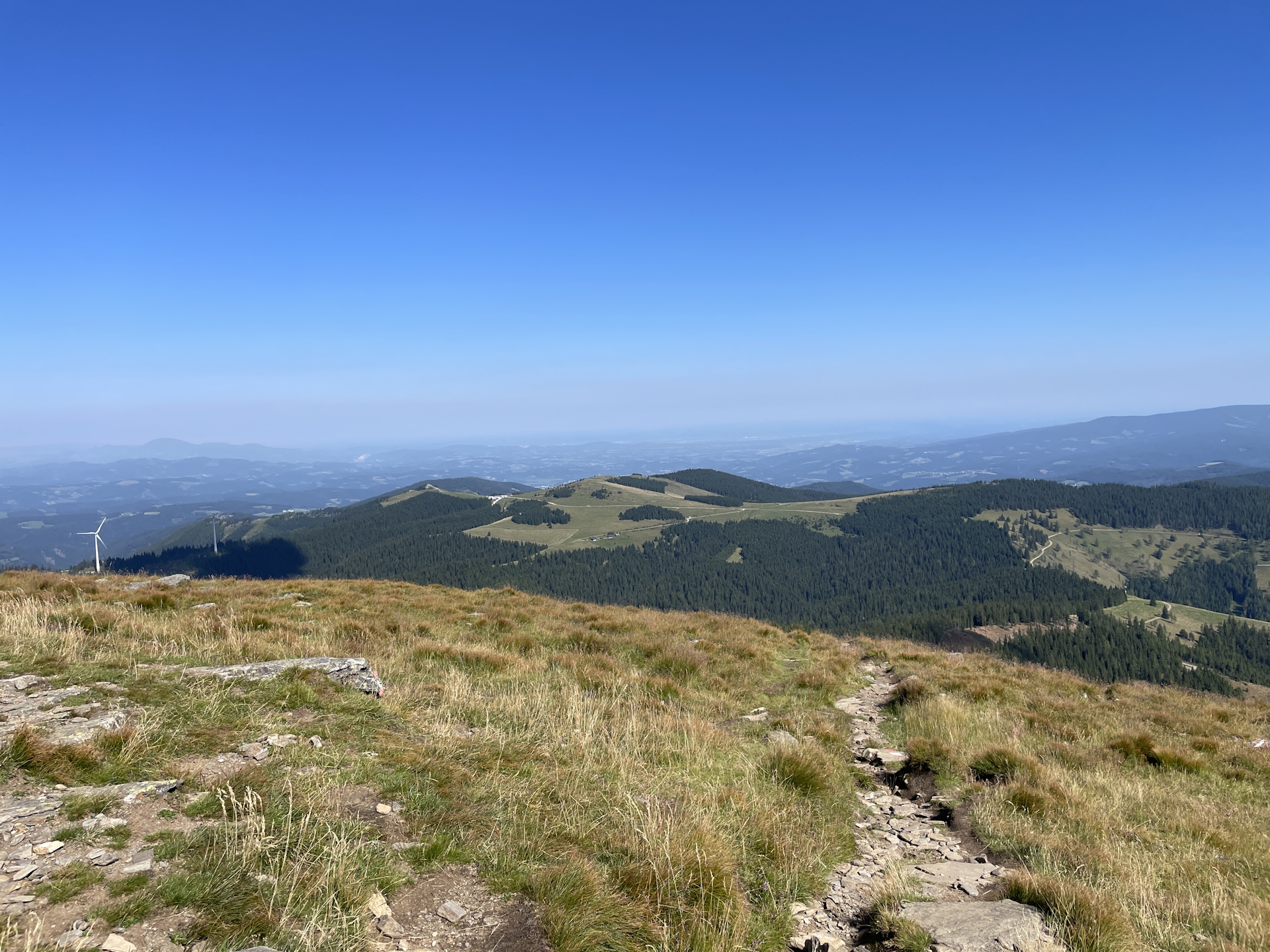
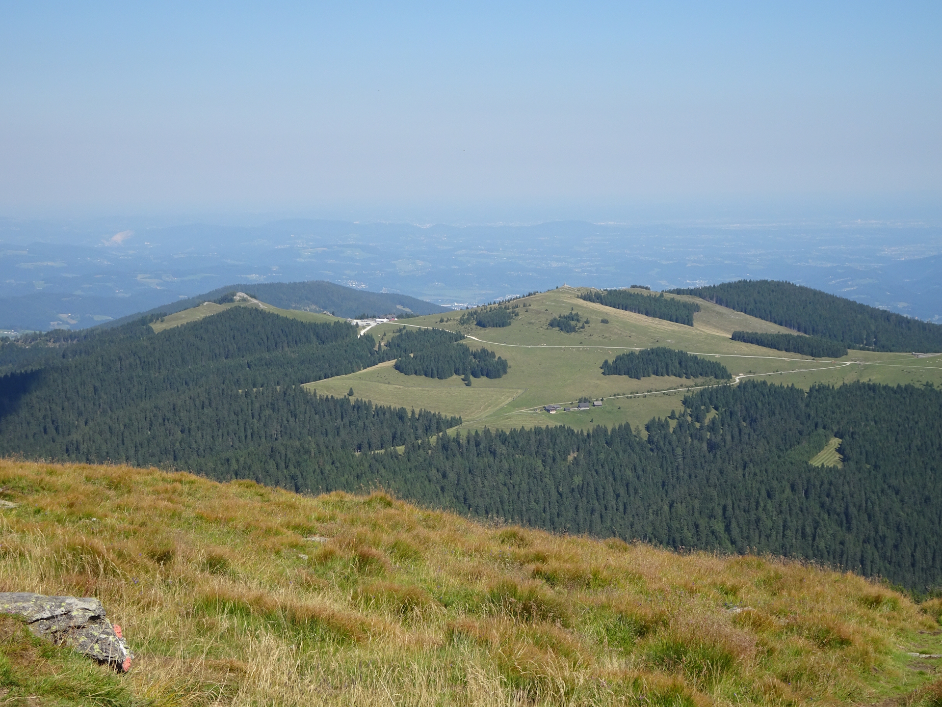
The trail ends at the Altes Almhaus and from there the route now follows a scenic but sun exposed trail westwards towards Rappoldkogel. Because I knew that I have to walk now a long time in direct sun and because it was an extremely hot day, I once more decided to have one or two cold drinks (beer) at the Altes Almhaus before I continued my hike.
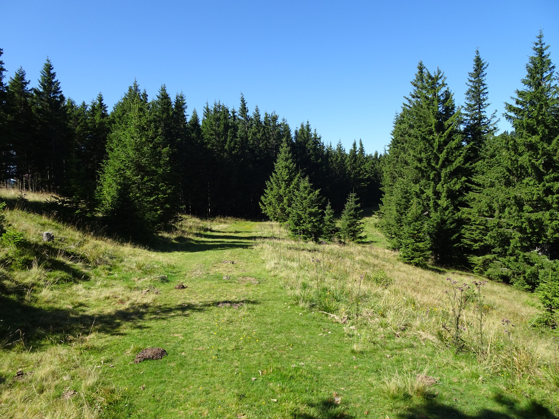
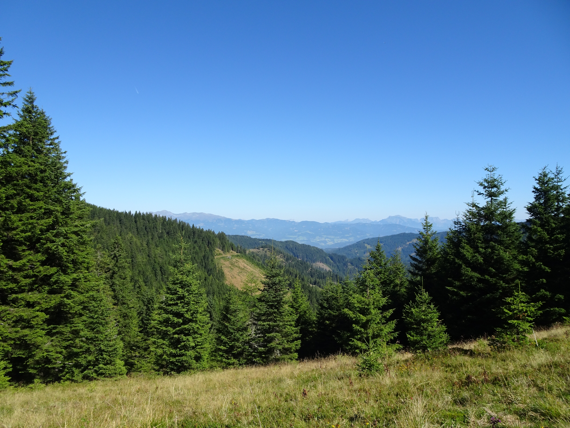
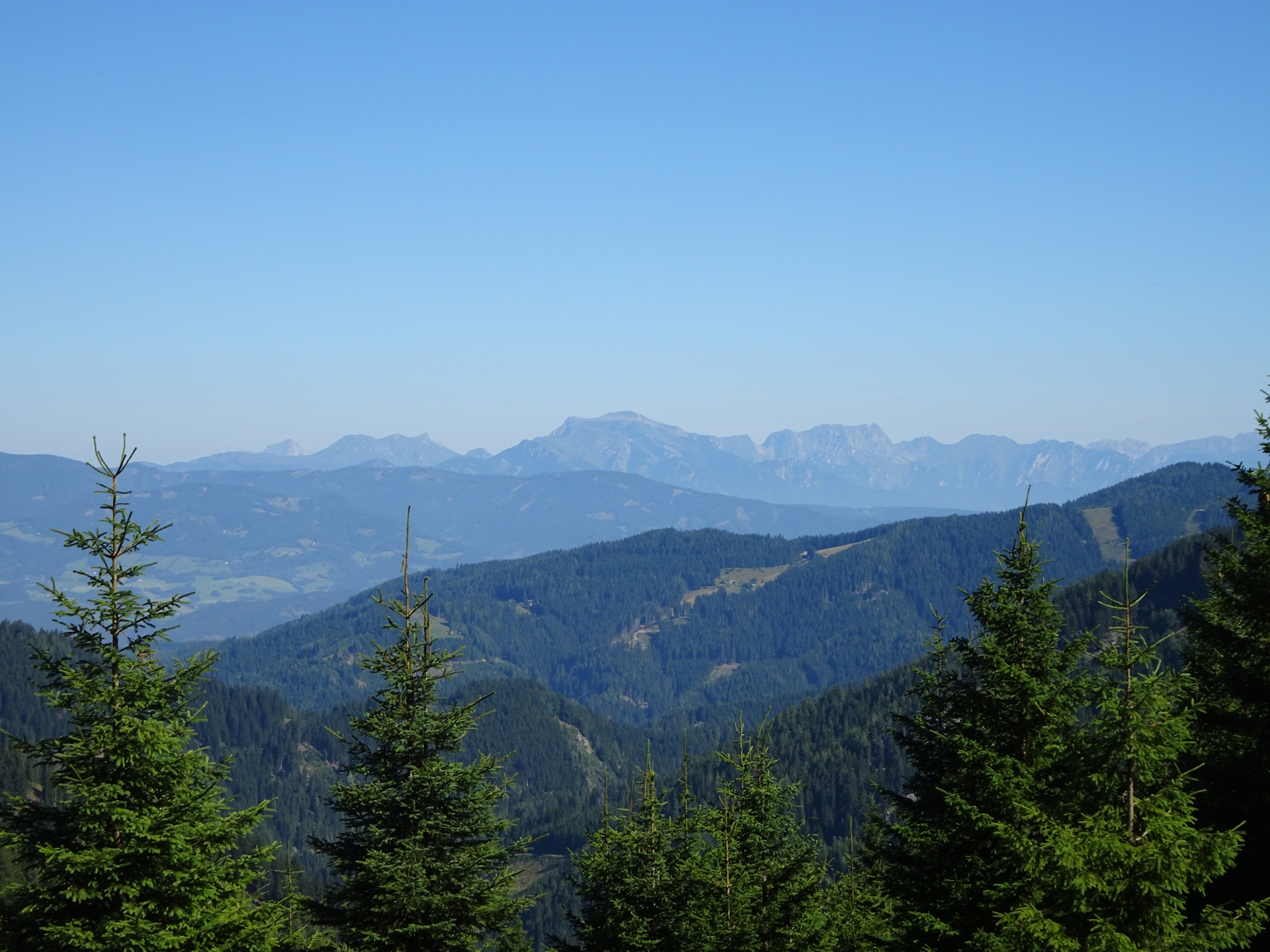
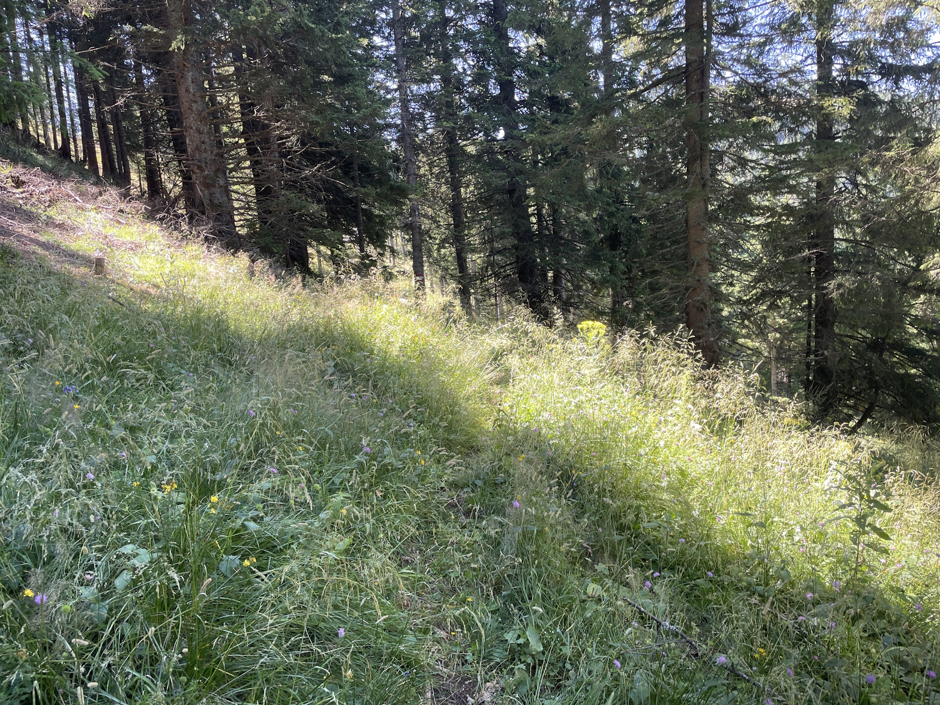
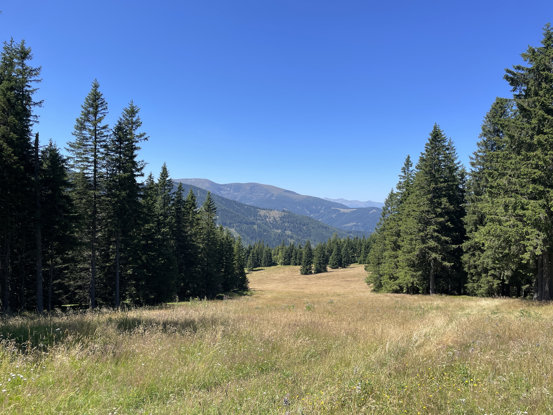
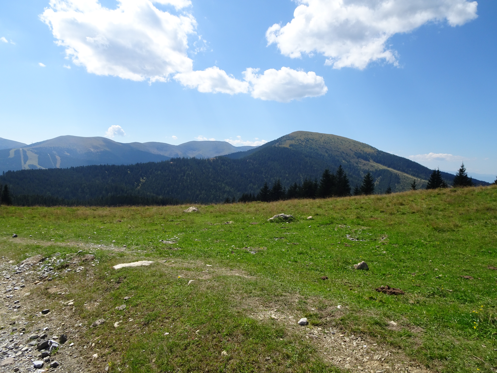
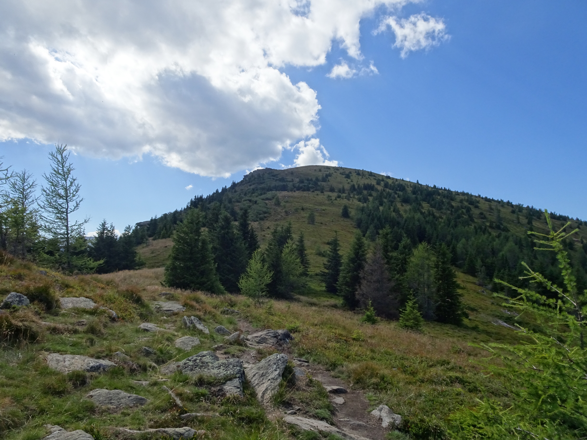
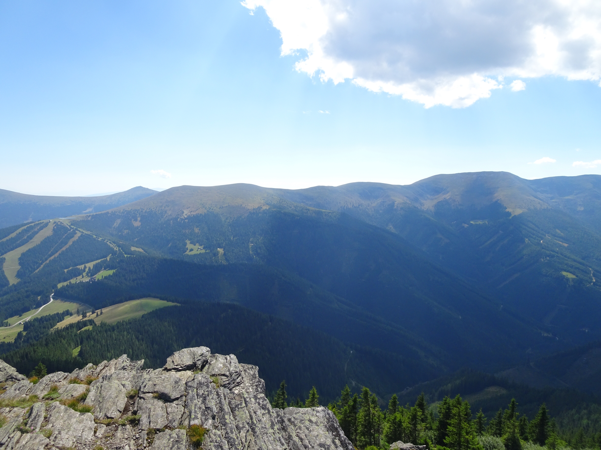
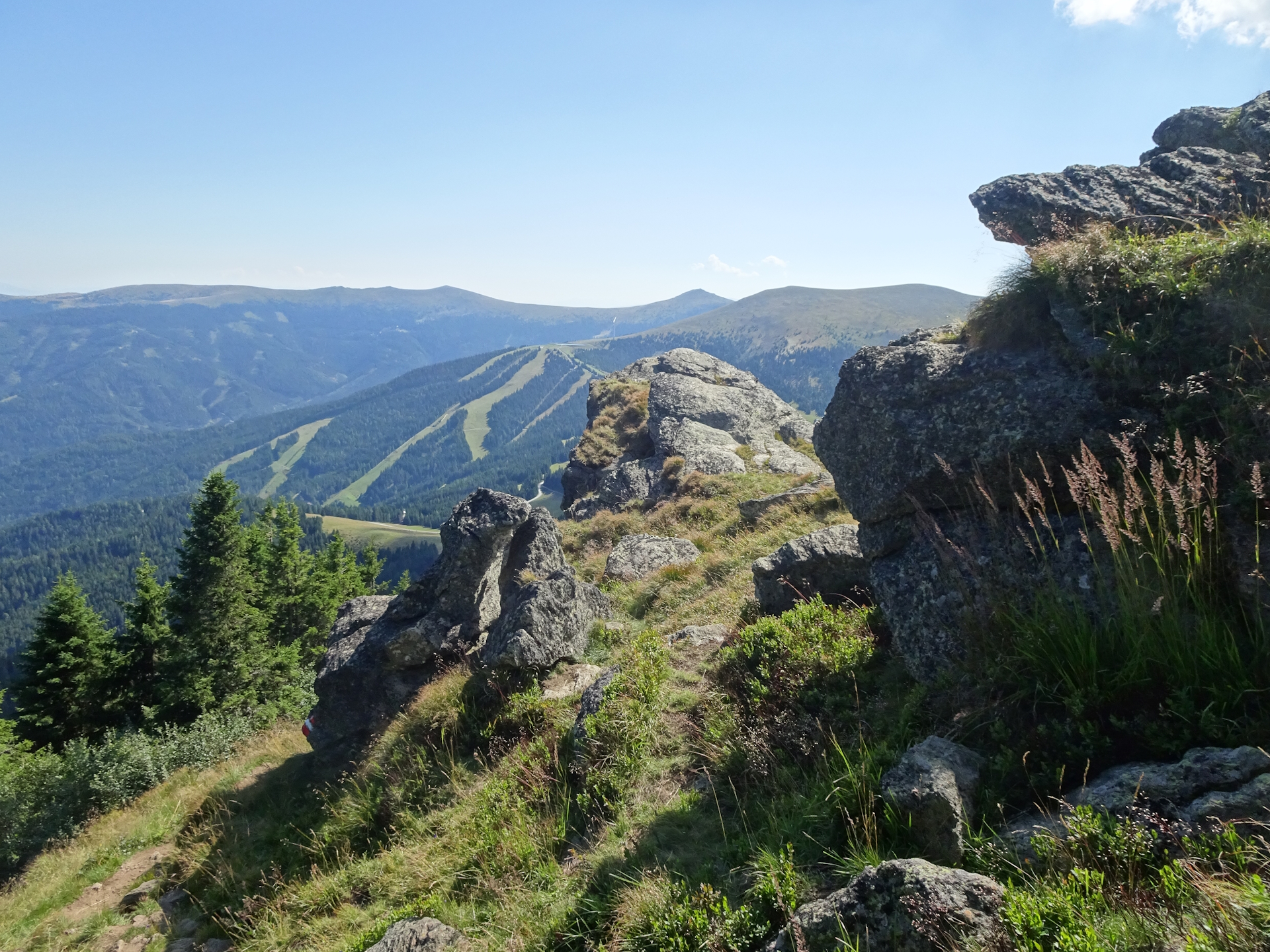
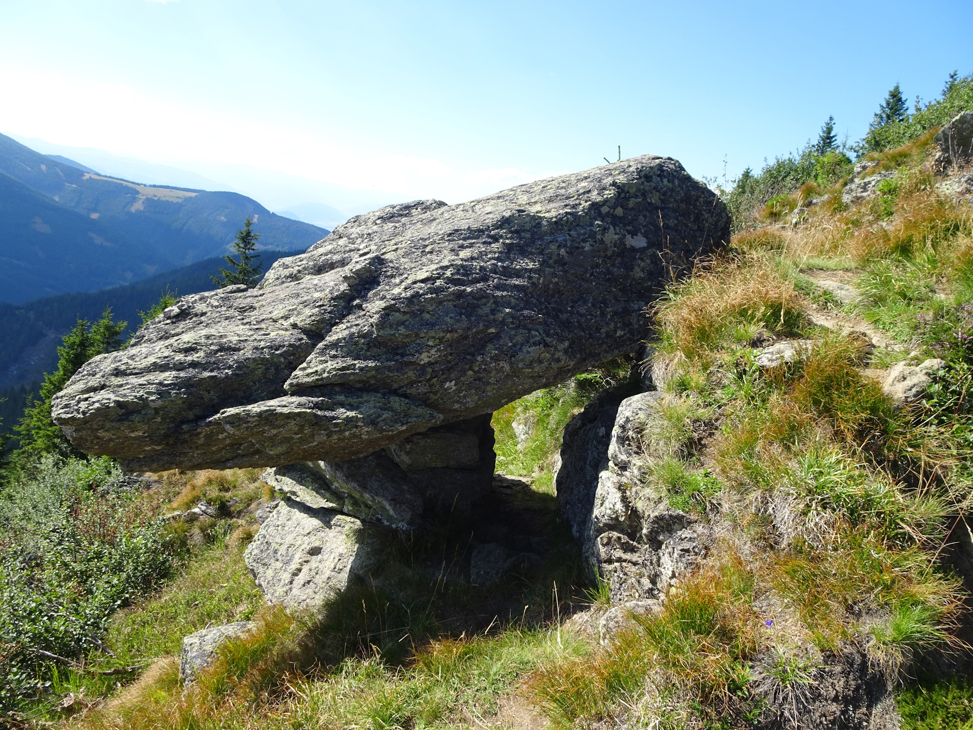
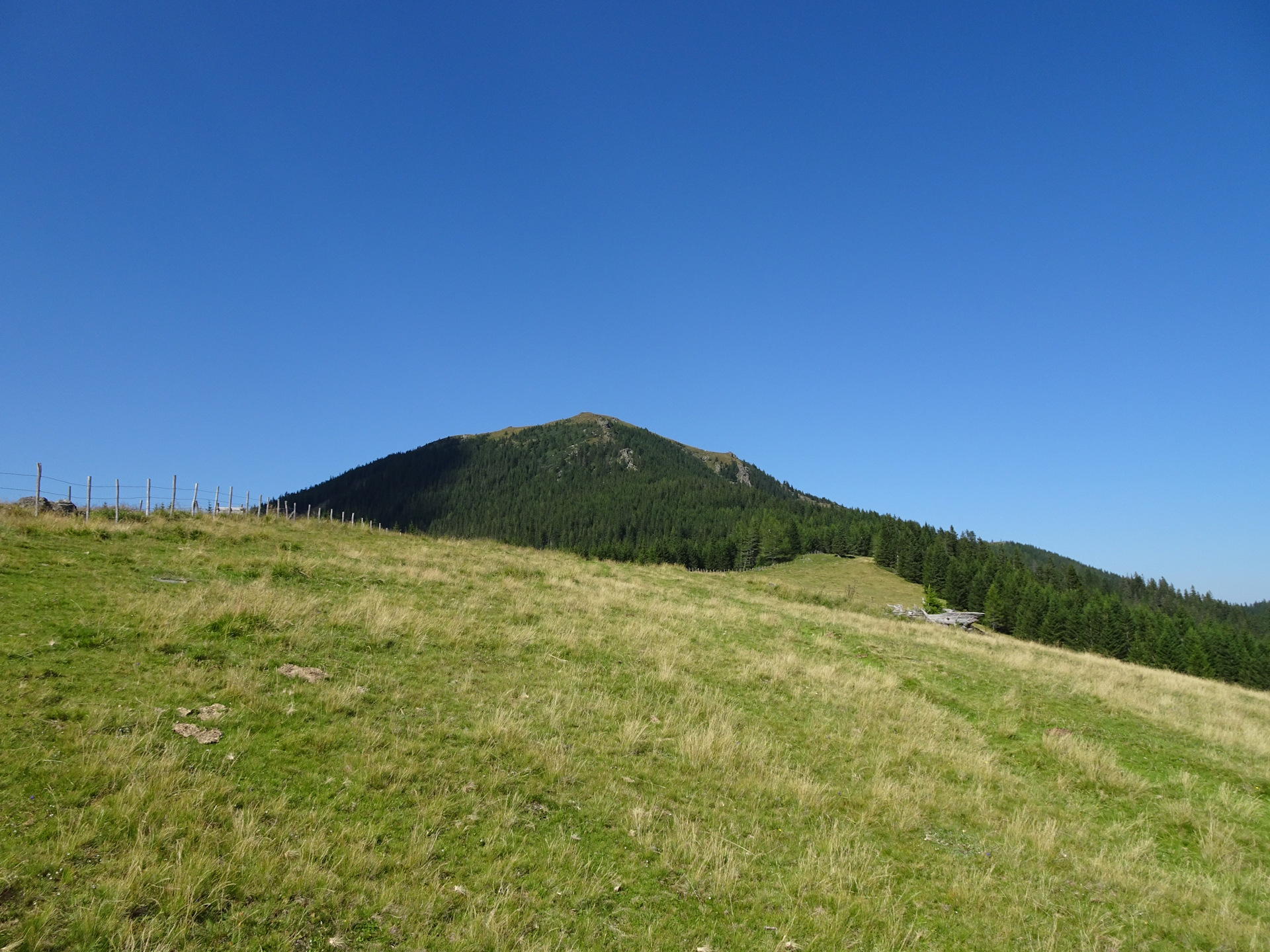
The tour first follows a trail through a wonderful mountain pasture (but with no shadow) before it finally descends into a forest. At the end of the forest (in a saddle), I decided to take the alternative alpine route 505b, which leads up to the summit of Rappoldkogel. Although longer and much more demanding, I can strongly recommend doing this alternative as the view from the summit of Rappoldkogel is simply stunning!
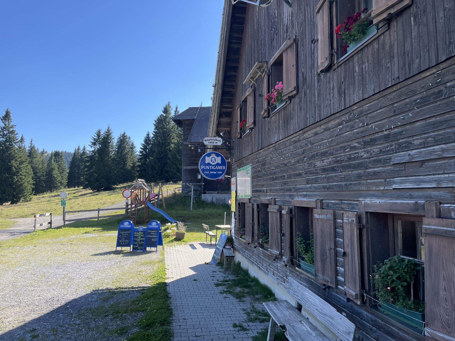
After a short break at the summit enjoying the amazing view, I descended towards Hirschegger Sattel and the Salzstiegelhaus. The descent is fairly steep and requires attention. The crux requires some easy climbing (UIAA I), a sure foot and not being afraid of heights – but it can also be bypassed over much easier Normalweg. I still decided for the climbing route and I really enjoyed it . Once mastered, the trail leads back to the normal 05 trail and then on easy terrain following mainly a gravel road down to Hirschegger Sattel. Once I reached the saddle, I simply had to cross the street and I arrived at the Salzstiegelhaus (Checkpoint) for my next overnight stay.
Summary:
Again a trail with no major difficulties as long as one does not opt for the alpine route over the Rappoldkogel. However, I strongly recommend to go for the alpine variant as the view from Rappoldkogel is simply stunning! The trail itself is not very long, thus also relaxing after the monstrous tour the day before!
| 00:00 | Start after a great breakfast from Oskar Schauer Sattelhaus northwestwards. Don’t forget to collect your stamp and fill up your water supplies. |
| 00:02 | At the crossing, turn left and follow the official trail 05 westwards. |
| 00:30 | At Stierkreuz, turn left and follow the official trail southwestwards through the forest. |
| 01:10 | At the crossing after the clearing, leave the shared 02 / 05 trail and keep left towards Gaberl (see signpost). |
| 01:25 | Turn right into the forest road and follow it southwards. |
| 01:35 | Keep right and follow the trail southwards through the forest. |
| 02:05 | Bypass the clearing with the view up to Scherzberg and continue following the forest road southwards for a few meters. |
| 02:07 | Turn right and now follow the trail through the forest above the forest road. |
| 02:45 | Turn right and follow the small trail till Gaberl, first bypassing the wooden house. |
| 03:00 | Well deserved break () at Gaberlhaus. Don’t forget to get your stamp here! |
| 04:00 | Cross the street and continue following the trail first through the big parking southwards towards Altes Almhaus (see signposts). |
| 04:05 | At the end of the parking, turn right into the trail next to the gravel road. Follow the trail southwards till Altes Almhaus. |
| 04:45 | Well-deserved break () at Altes Almhaus. Enjoy the beautiful atmosphere! |
| 05:45 | Optional detour: You might consider going directly southwards to the visible Wölkerkogel summit. At the summit, turn right and descend back to the official 05 trail. OR: Follow the easy gravel road southwestwards around the Wölkerkogel. |
| 06:00 | At the crossing, keep right and follow the marked trail southwestwards down into the forest. |
| 06:10 | Recommended detour: At the crossing in the saddle, keep slightly right and follow the trail 505b above the fence westwards to Rappoldkogel. The trail becomes more and more steep but you will be rewarded with an amazing view from the summit of Rappoldkogel. |
| 06:55 | Enjoy the amazing panorama view from the summit of Rappoldkogel. |
| 07:00 | At the summit of Rappoldkogel, turn left and descent steeply southwards. |
| 07:05 | Depending on your skill, you might either choose the easier Normalweg (turn left) or descent steep with easy rock climbing via the alpine variant (keep straight). The alpine variant requires a sure foot and dry conditions! |
| 07:30 | Keep straight and follow again the 05 trail southwards. |
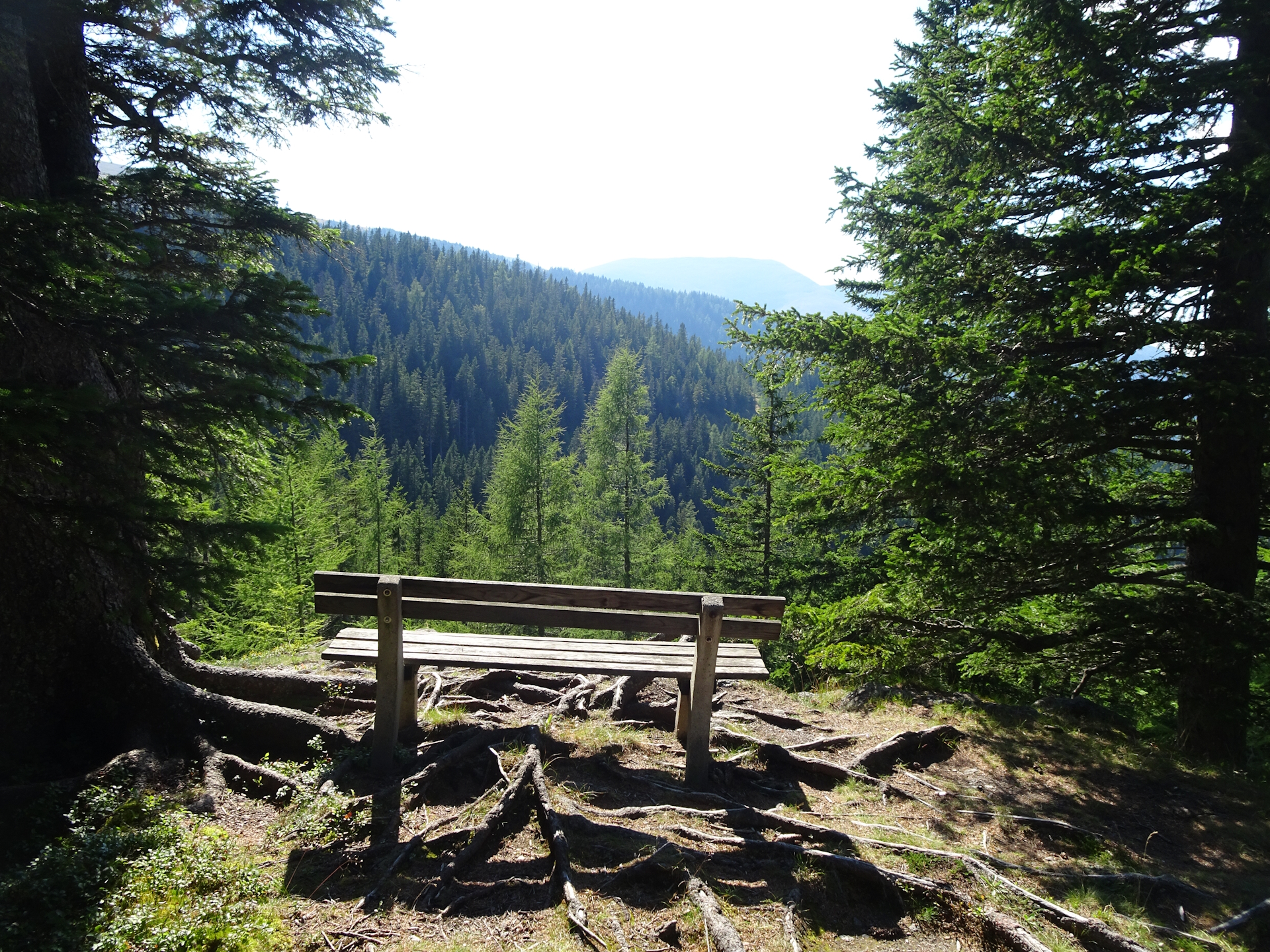
| 07:32 | Consider a short break to enjoy the view from the rest area on your right hand-side. Then continue the tour southwards. |
| 07:35 | Cross the street and head to the Salzstiegelhaus opposite the street. Well-deserved dinner () at Salzstiegelhaus. Check in for the night, acquire your stamp and have a good rest. End of the tour. |
| Area: | Lavantaler Alpen, Styria, Austria | |
| Distance: | 22km | |
| Ascent: | 903m (2h 45min) | |
| Descent: | 750m (2h 10min) | |
| Highest Pt: | 1928m | |
| Lowest Pt: | 1391m | |
| Duration: | 5h 30min (without breaks) 7h 35min (with breaks) |
|
| Stop/Rest: | Oskar Schauer Sattelhaus (1392m) Gaberl Haus (1547m) Altes Almhaus (1649m) Salzstiegelhaus (1553m) |
|
| Equipment: | Backpack with standard hiking equipment Comfortable hiking shoes Snacks and plenty of water Sun & Weather protection Camera Overnight equipment for the hut: – light sleeping bag for huts – cash – shoes for the hut – toiletries |
| Download GPX | ||
| O | Tour at outdooractive.com |
At a glance
| Level | easy-moderate |
| Technique | |
| Shape / Fitness | |
| Experience | |
| Scenery | |
| Best time in the year | |
|
Jan
Feb
Mar
Apr
May
Jun
Jul
Aug
Sep
Oct
Nov
Dec
|
|

Leave a Reply