
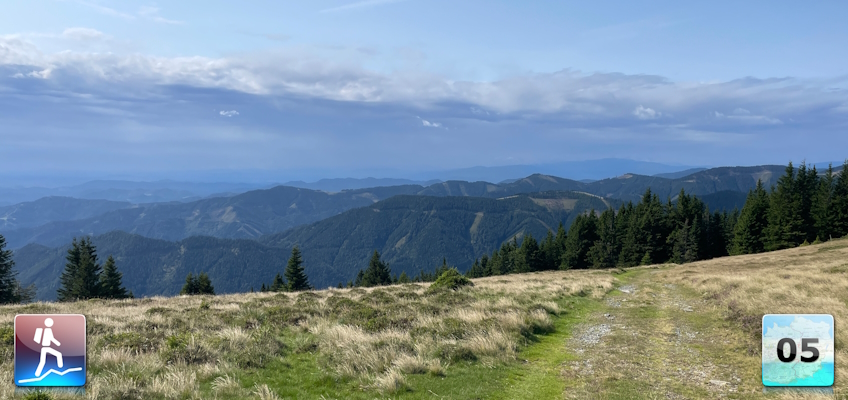
Eighteenth stage of the Nord-Süd-Weitwanderweg 05 starting from the Mugelschutzhaus towards the Fensteralm and Plotscherbauer
 |
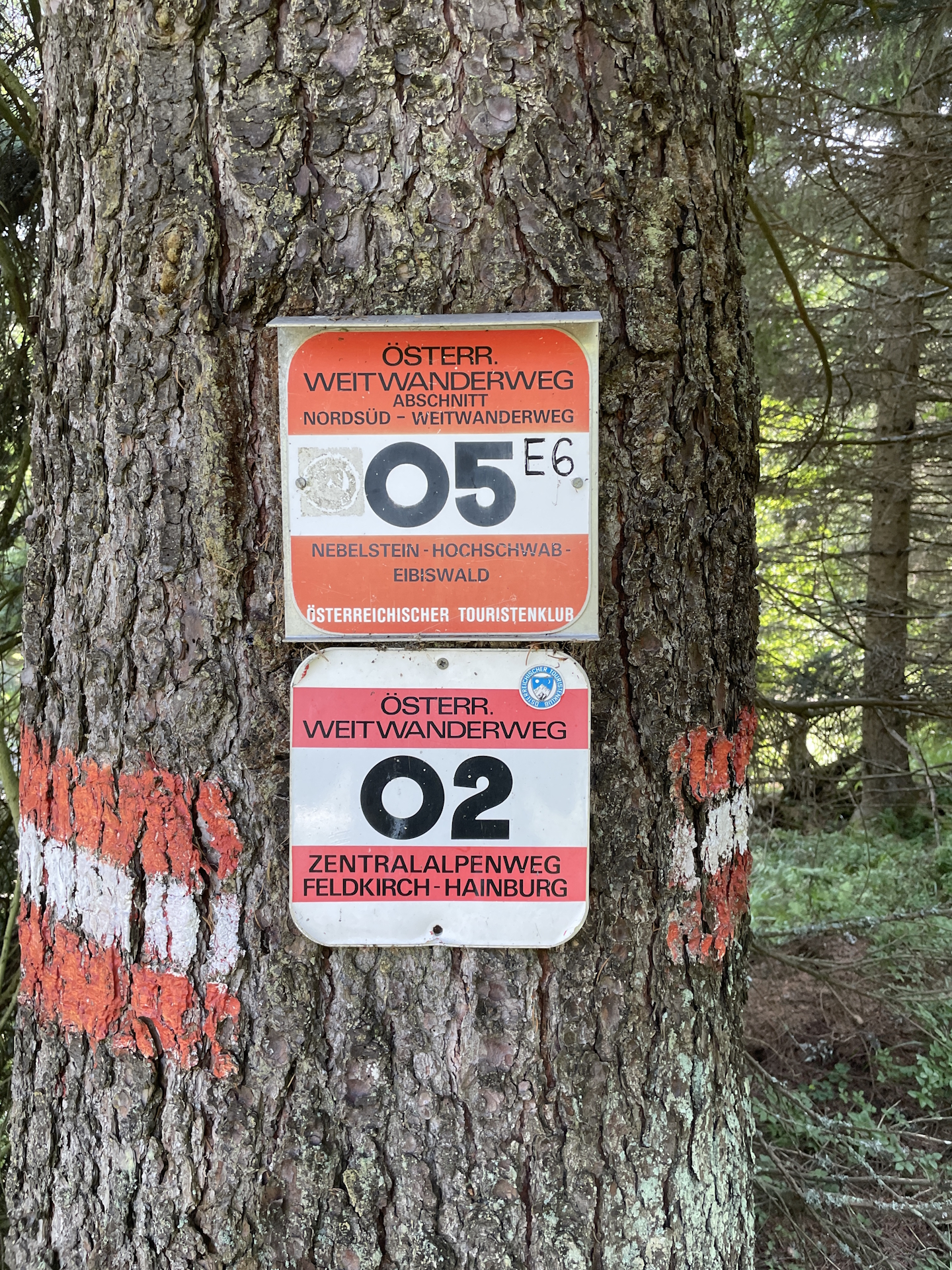
The North-South-Long-Distance trail (Nord-Süd-Weitwanderweg, also known as the “05”) starts in the north of Austria at Nebelstein and ends in the south of Austria at Eibiswald. The trail is ~500km long, ~18 000m in ascent and the same amount in descent. The trail was initiated by Carl Hermann and officially established on the 25th September 1970. The trail is separated into 3 parts:
It normally takes 3 weeks to complete the entire trail. |
The here presented tour is a required variant of the eighteenth stage of the Nord-Süd-Weitwanderweg 05 , where the stage starts after a overnight stay at the Mugelschutzhaus and then follows the official trail just before the ascent to Fensteralm before it detours to Plotscherbauer for the next overnight stay.
The detour to Plotscherbauer is necessary due to the closure of the Gleinalmschutzhaus and therefore no other possibility to stay overnight!
The tour starts from the Mugelschutzhaus and immediately follows the the official 05 trail eastwards and further southwards down to the Trasattel. The tour then ascends at the opposite site again up to the Hochalpe between the Herrenkogel and the Wetterkogel. there the tour then follows an easy gravel road downwards to the Hochalm where it turns left and then descends to the former Almwirt.
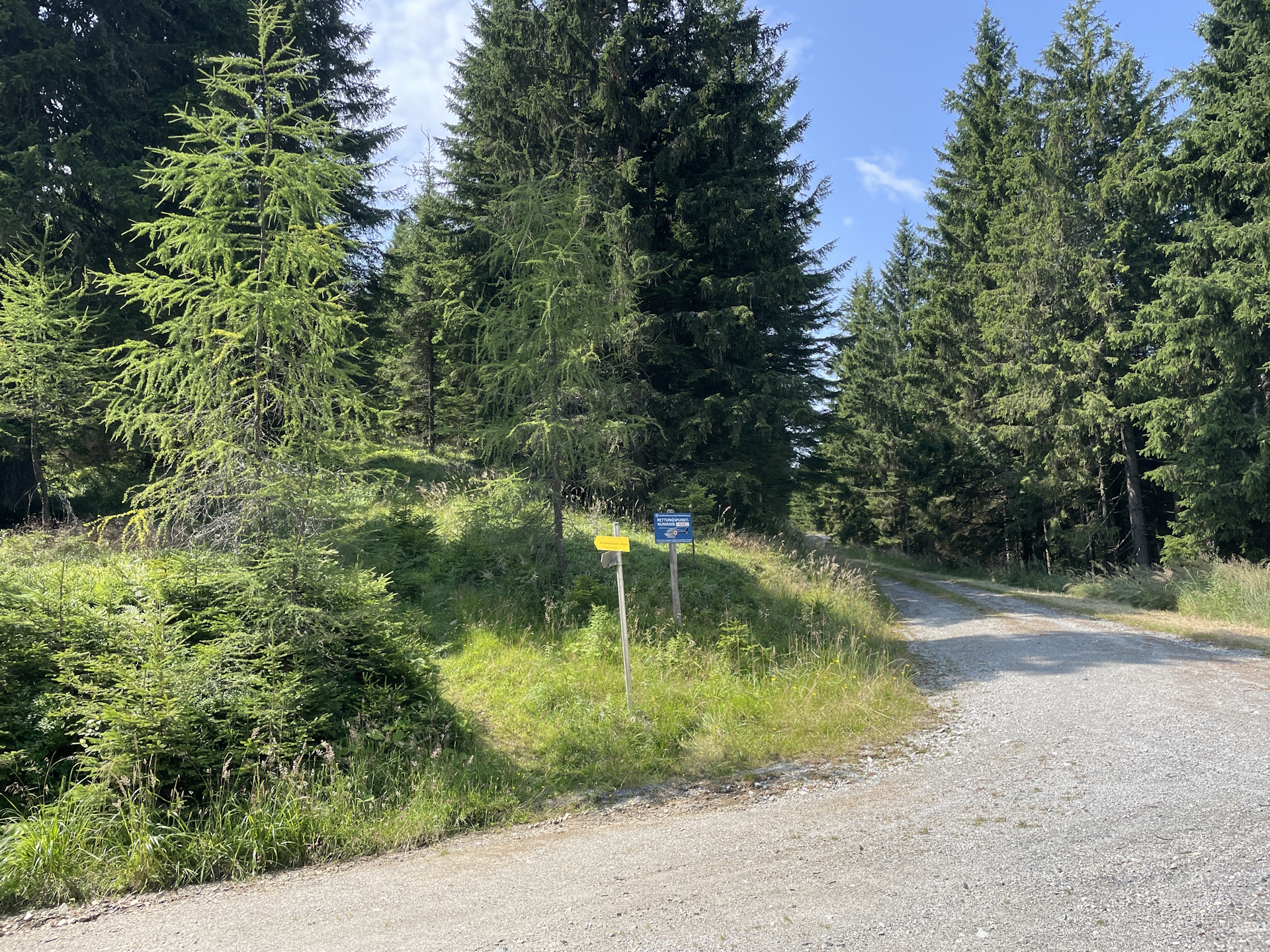
Here the tour follows the gravel road (it seems that the original trail is no longer maintained and the markings are now following the gravel road) southwestwards, up to the Pöllasattel. Now the tour ascends through high gras and rarely visible up to Wurzegg and further bypassing Pöllakogel. From here the tour follows a gravel road into a saddle below the Fensteralm, whereas due to the new road the junction to the hiking trail is very easy to miss!
At the crossing, the tour now detours southwards using the trail 534, leading directly down to the Plotscherbauer for having dinner and staying overnight.
| Nord-Süd-Weitwanderweg 05 – Checkpoints | |
|
Transportation:
I’ve planned to accomplish this stage as the second of an 8-day multi-day trip. As I stayed the night at the Mugelschutzhaus, I was able to directly start the tour the next morning.
The hike:
This hike was part of an 8-day multi-day trip. Initially, I planned to start at the Mugelschutzhaus and stay overnight at the Gleinalmschutzhaus – just as recommended in the official guide. Luckily (!!!), when doing the reservation at the Mugelschutzhaus, I got informed that the Gleinalmschutzhaus is closed. The originally and recommended tour would have been more than 27km and 1750m in ascent without ANY hut in-between (no food, no water). Making the stage till the next hut (Sattelhaus) would have resulted in a total of approx. 40km distance and 2000m ascent… – with a lighter daypack no problem but having the heavy backpack, no fun!
I therefore replanned and decided for a detour to stay overnight at Plotscherbauer. Luckily, I was able to reach the very friendly owners and indeed, I was told that they have at their attic some mattress for staying overnight.
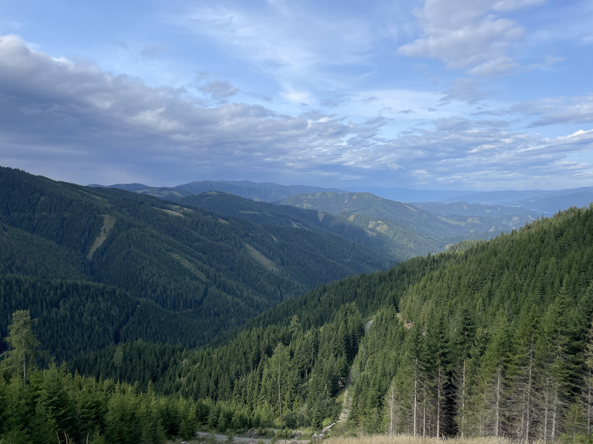
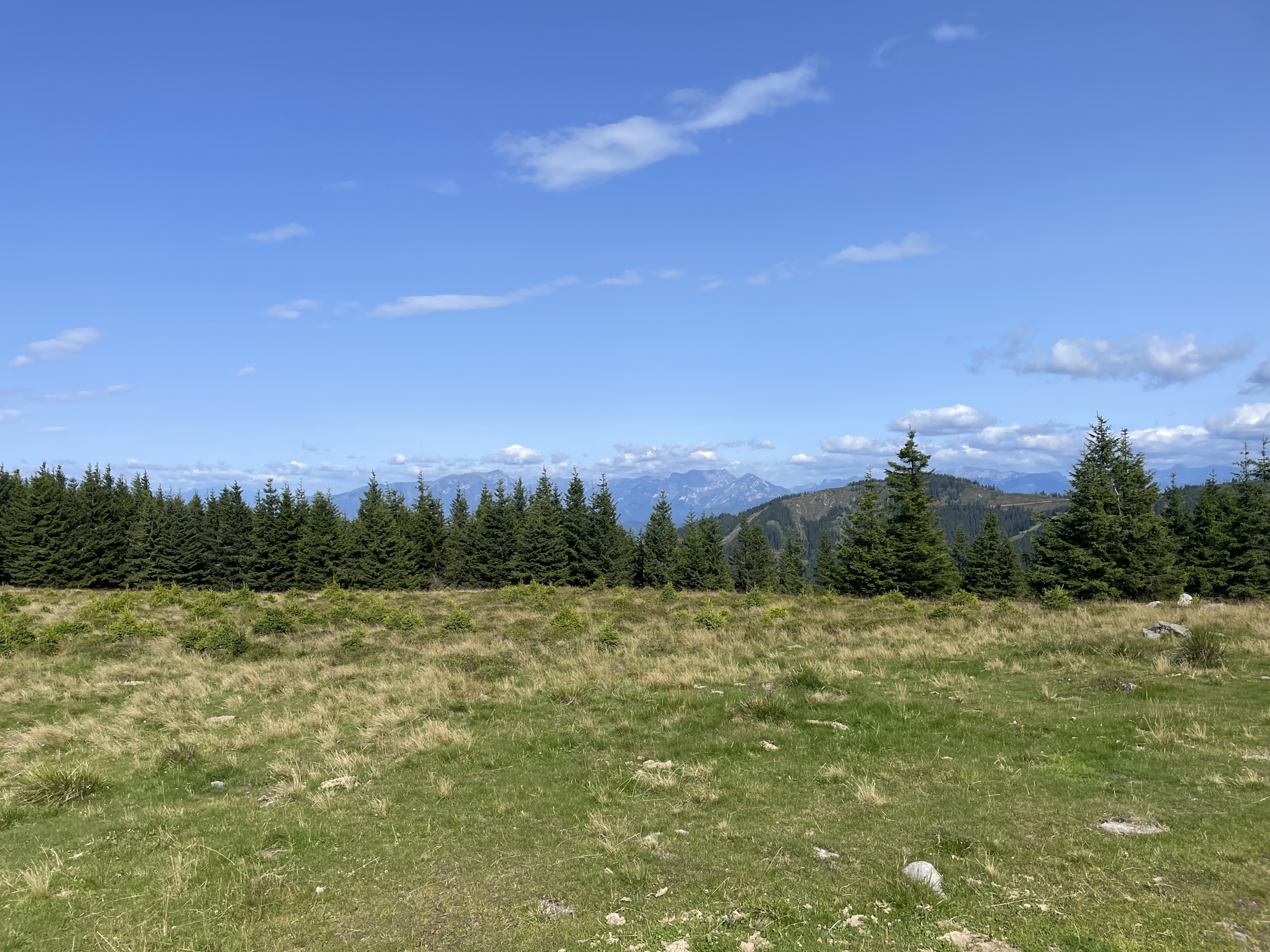
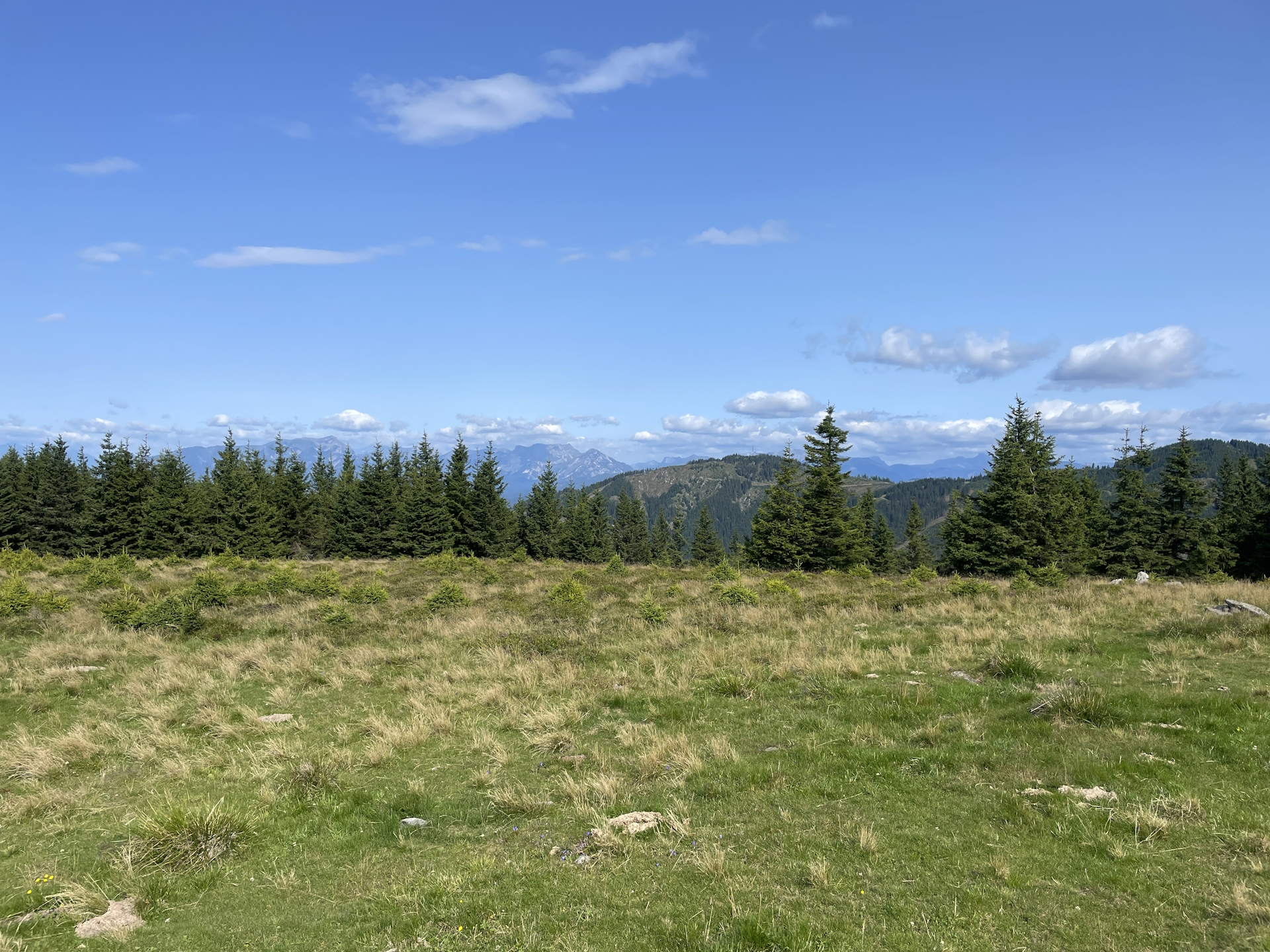
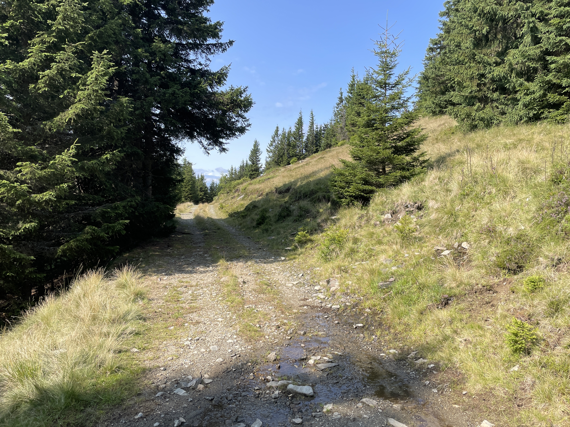
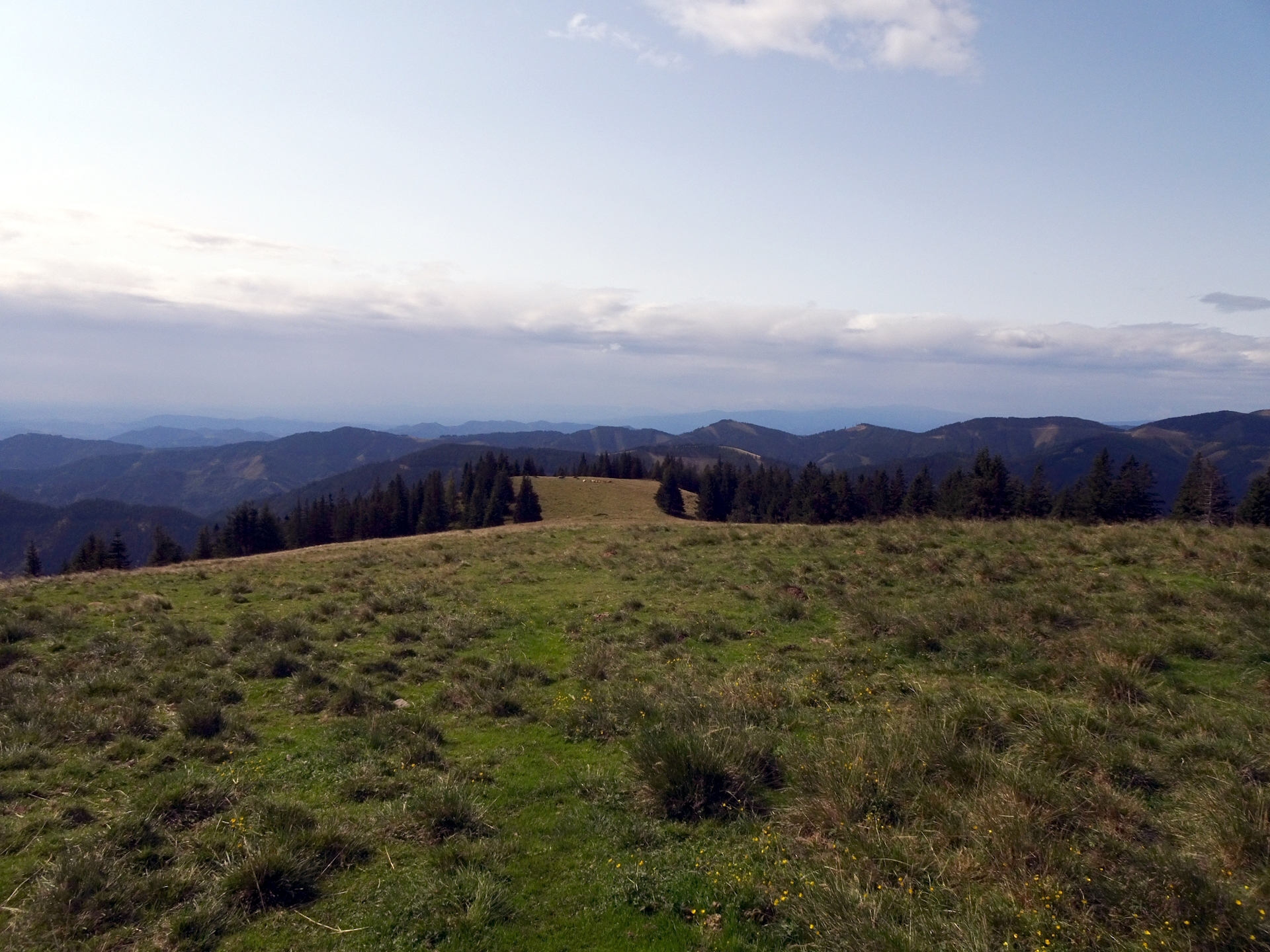
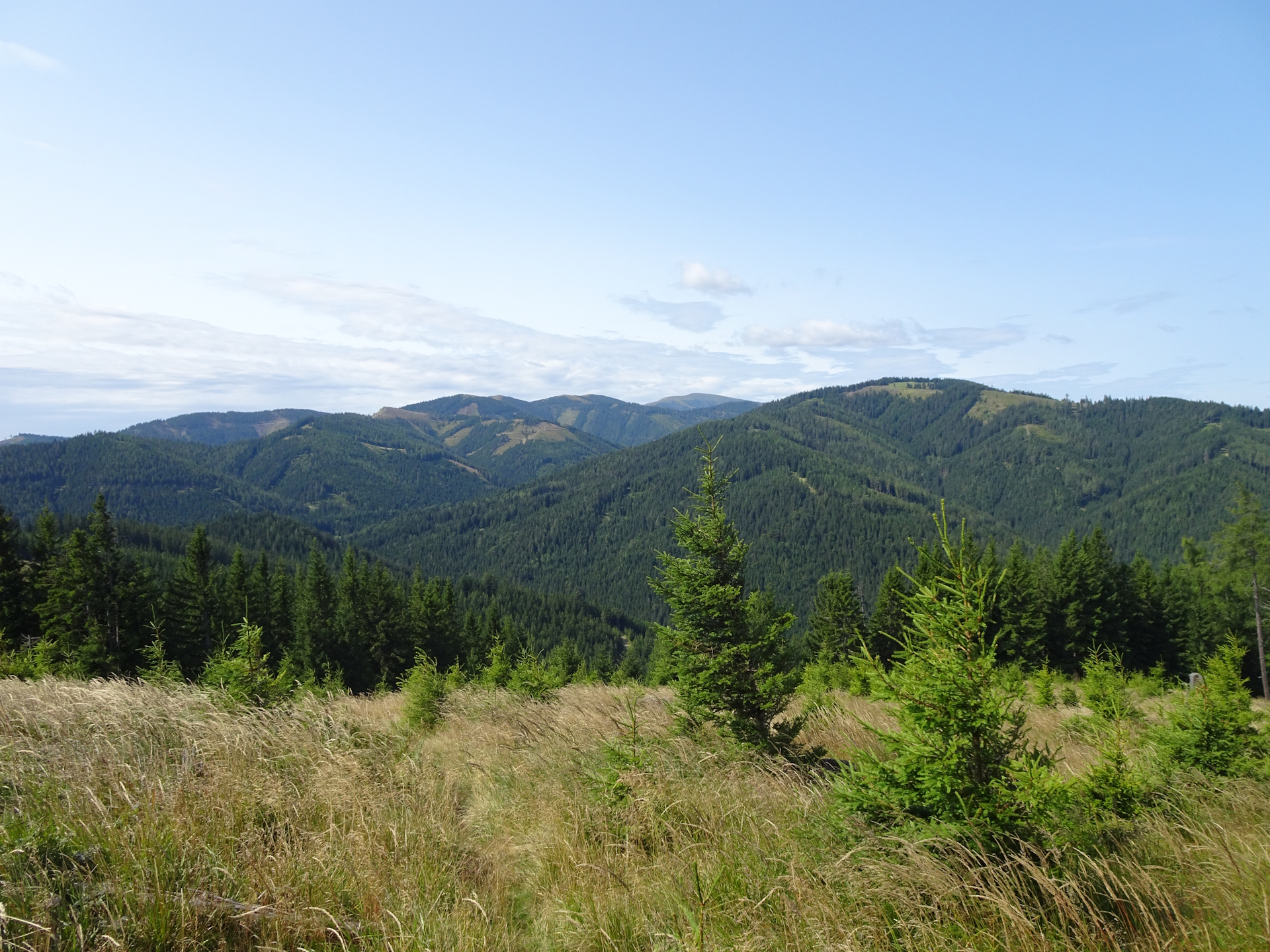
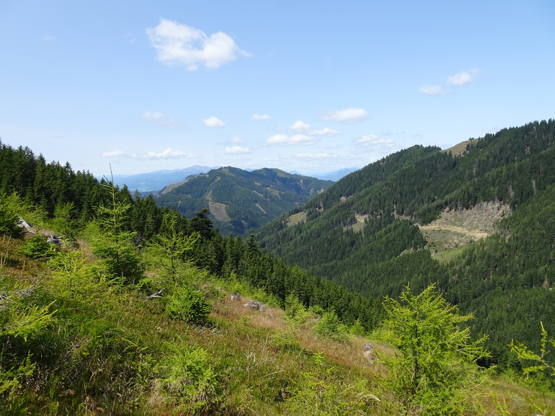
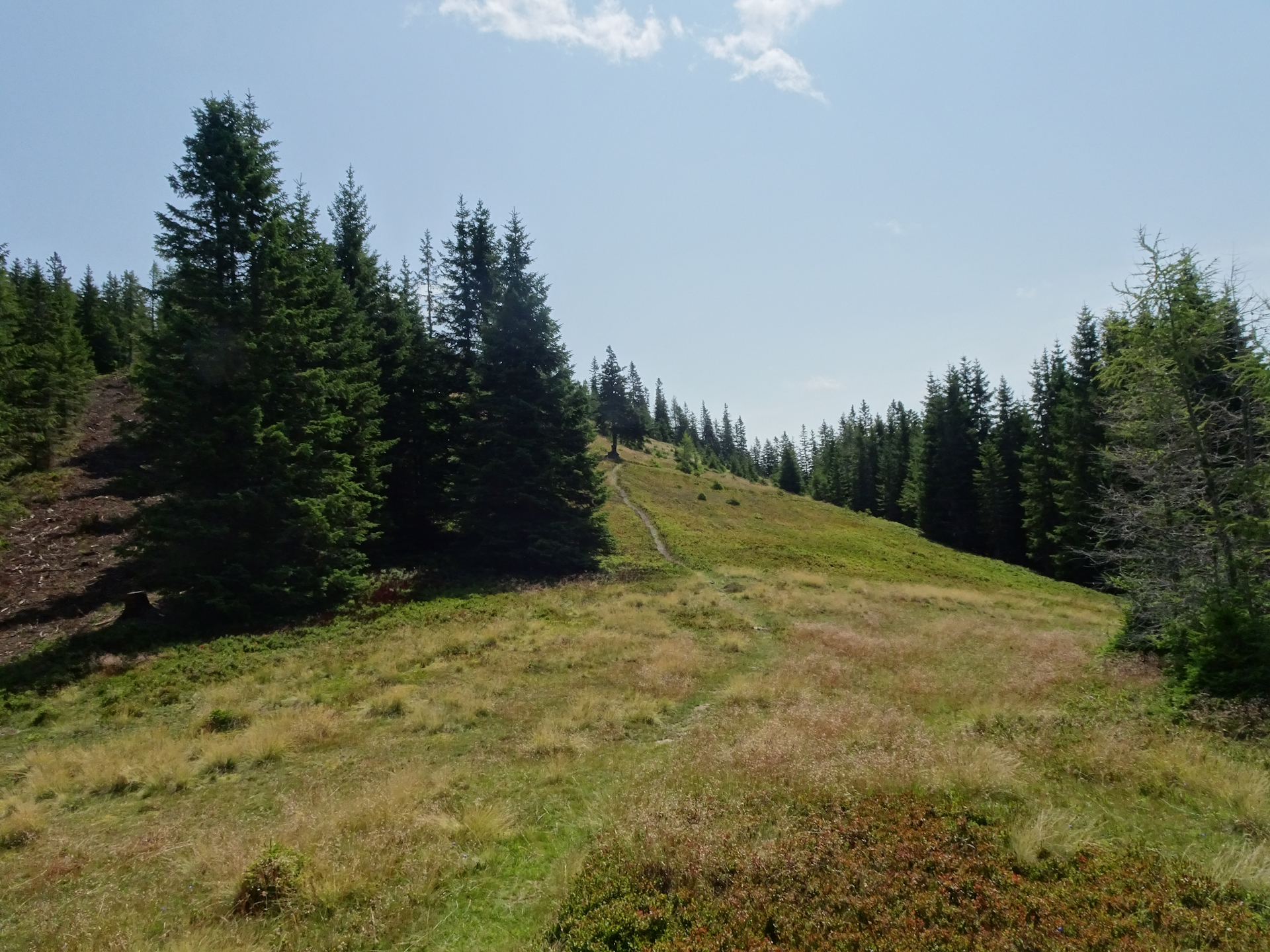
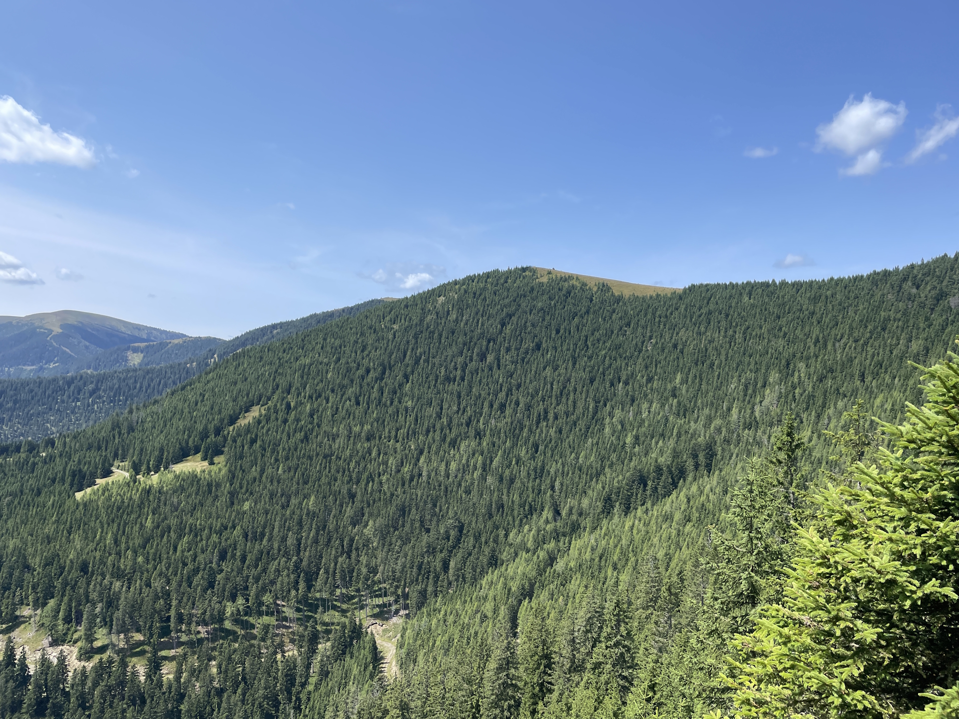
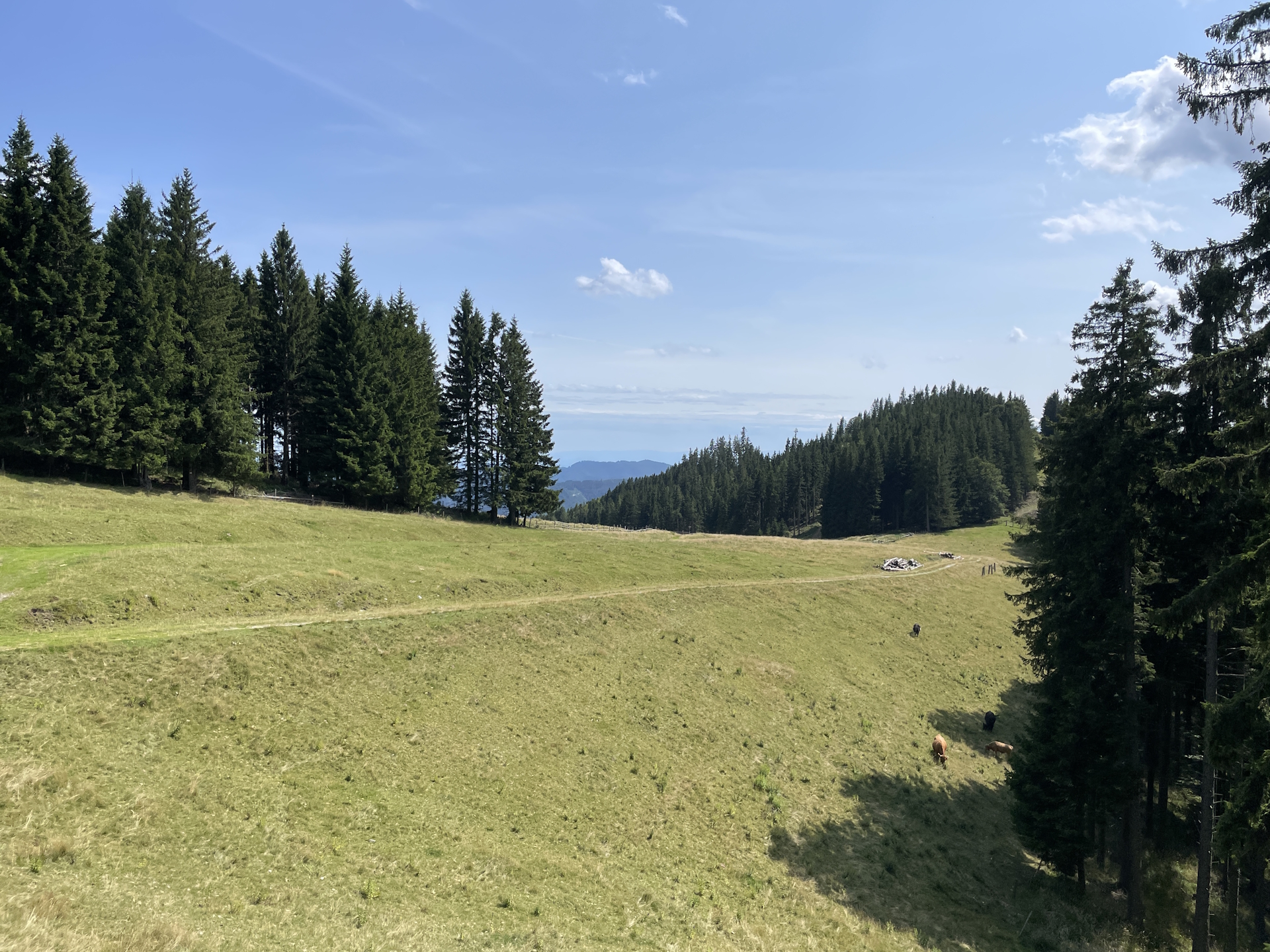
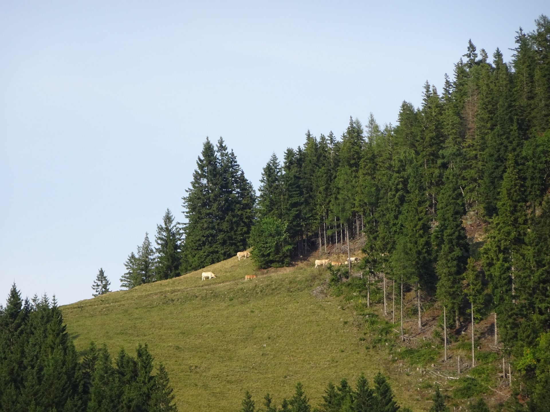
I started the tour after having an awesome breakfast at the Mugelschutzhaus and collected my stamp . The tenants also provided me with some snacks for the tour . The tour itself first follows an easy and very well-marked gravel road while providing scenic views in multiple directions. Only the descent into the Trasattel is steep and requires some attention. After the descent, the tour then ascends again up to the Hochalpe, again very well marked.
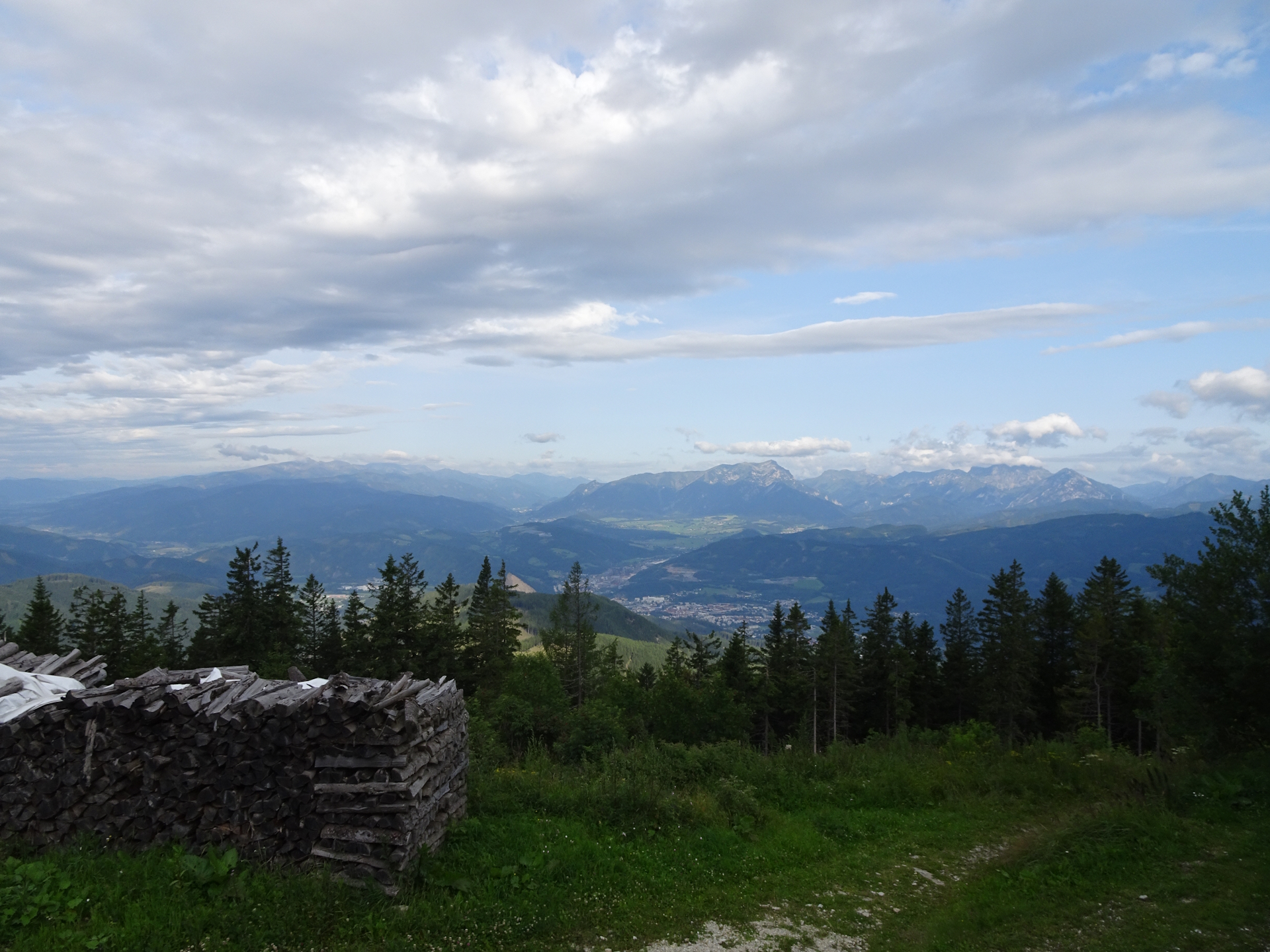
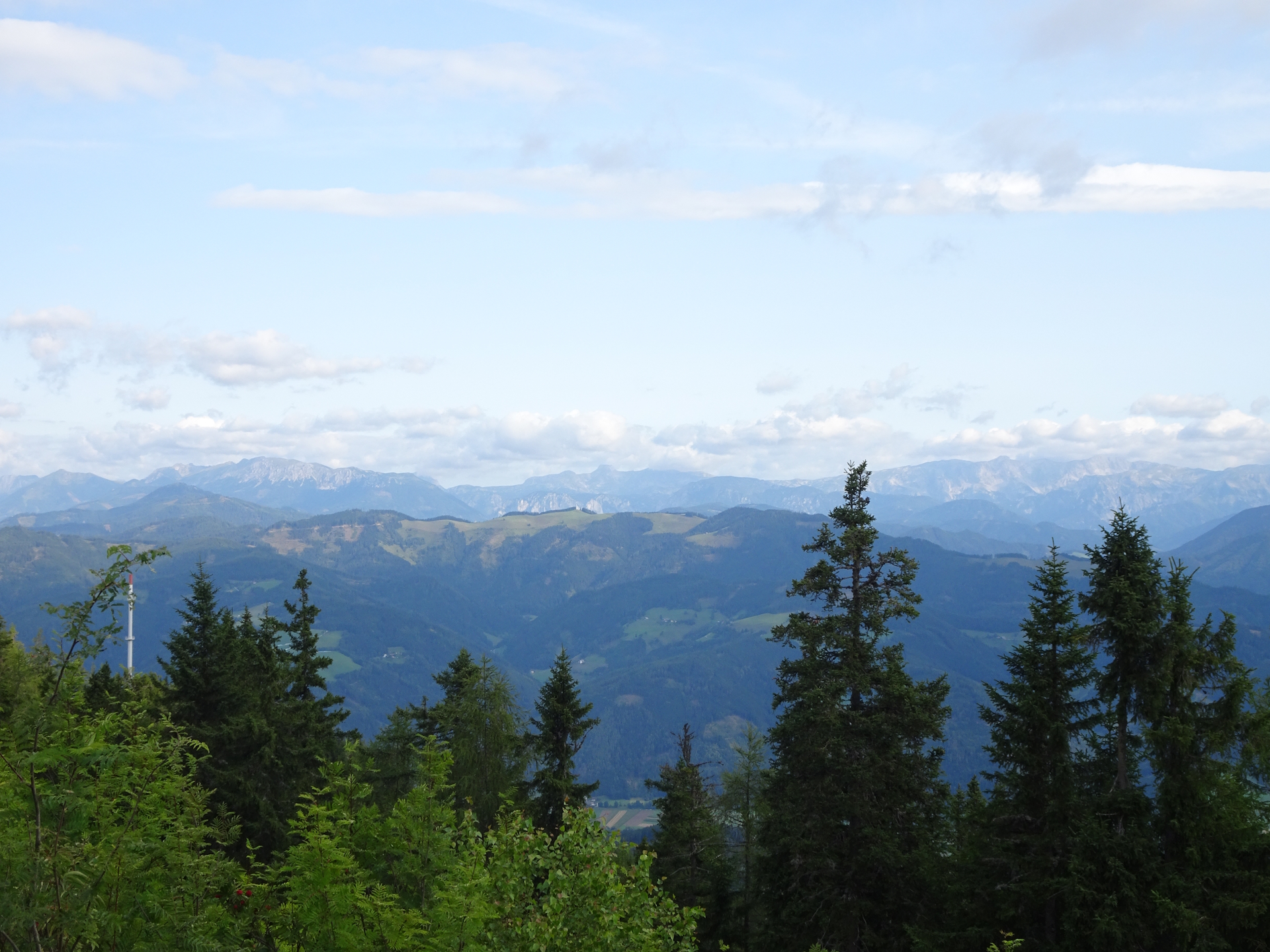
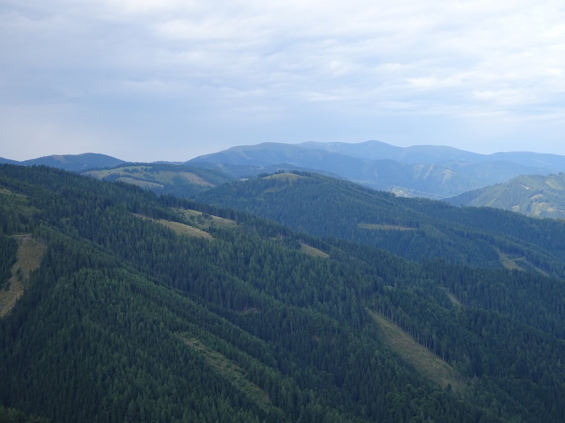
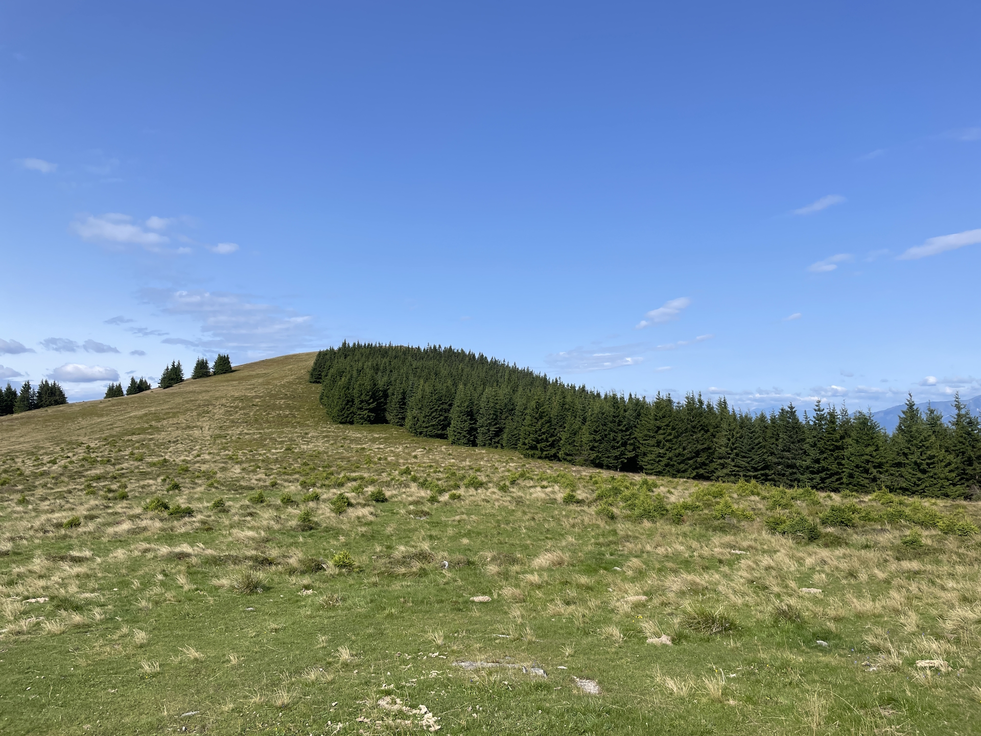
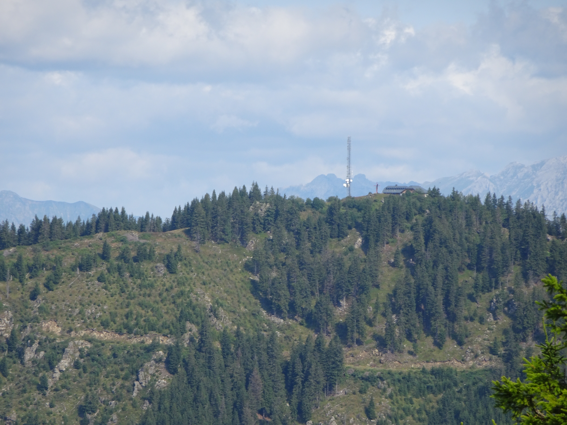
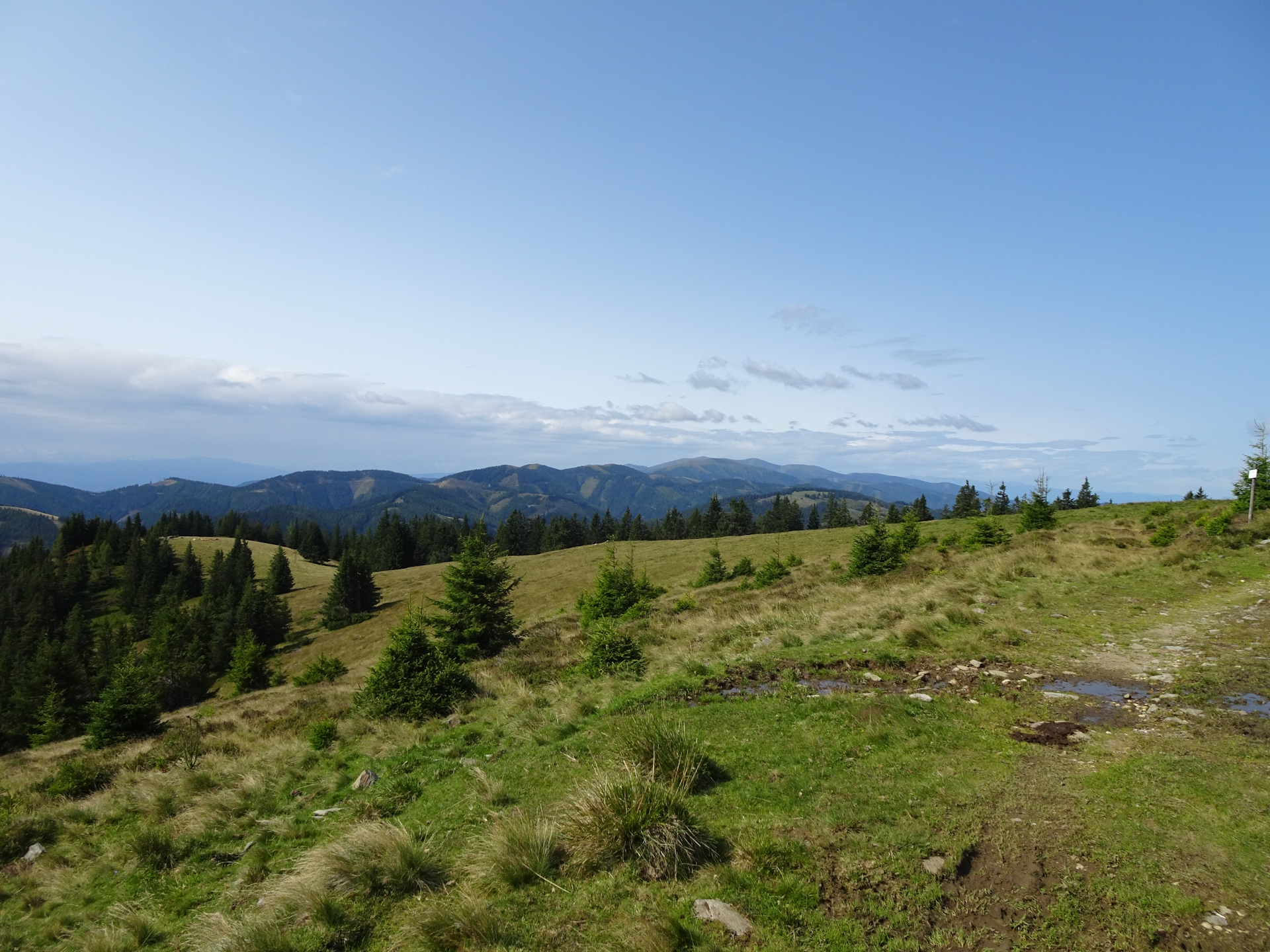
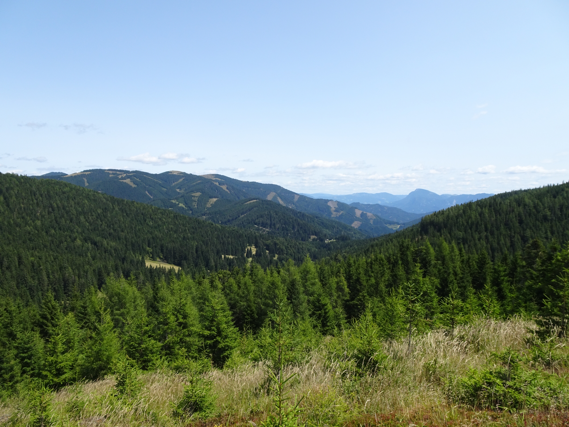
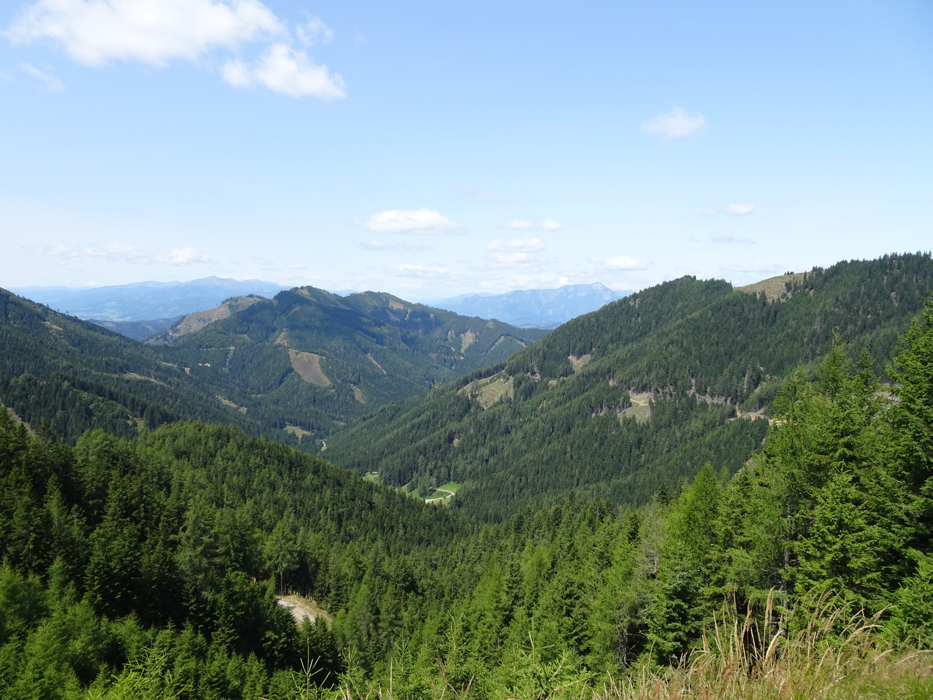
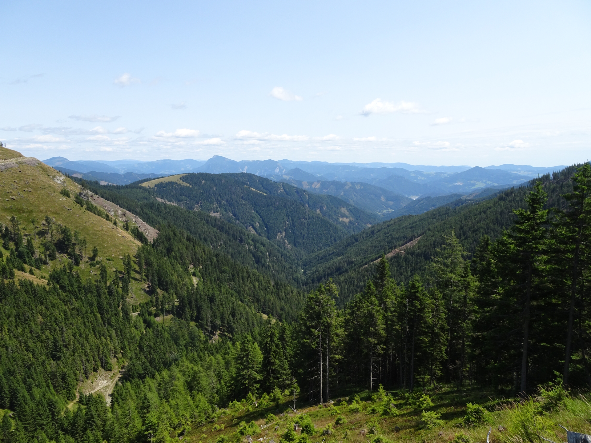
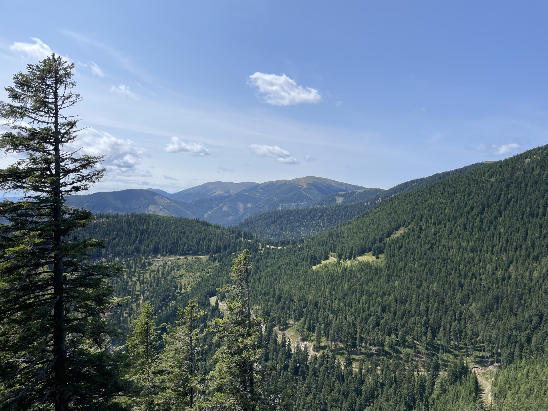
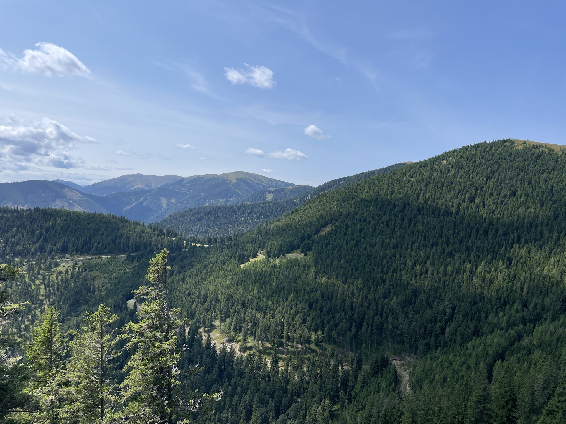
At the very scenic Hochalpe the tour then merges with the Zentralalpenweg 02 and follows the joined trail towards the Hochalm, again offering impressive distance views on the surrounding mountains. From there, the tour also allows an amazing view back to Mugel and the Mugelschutzhaus.
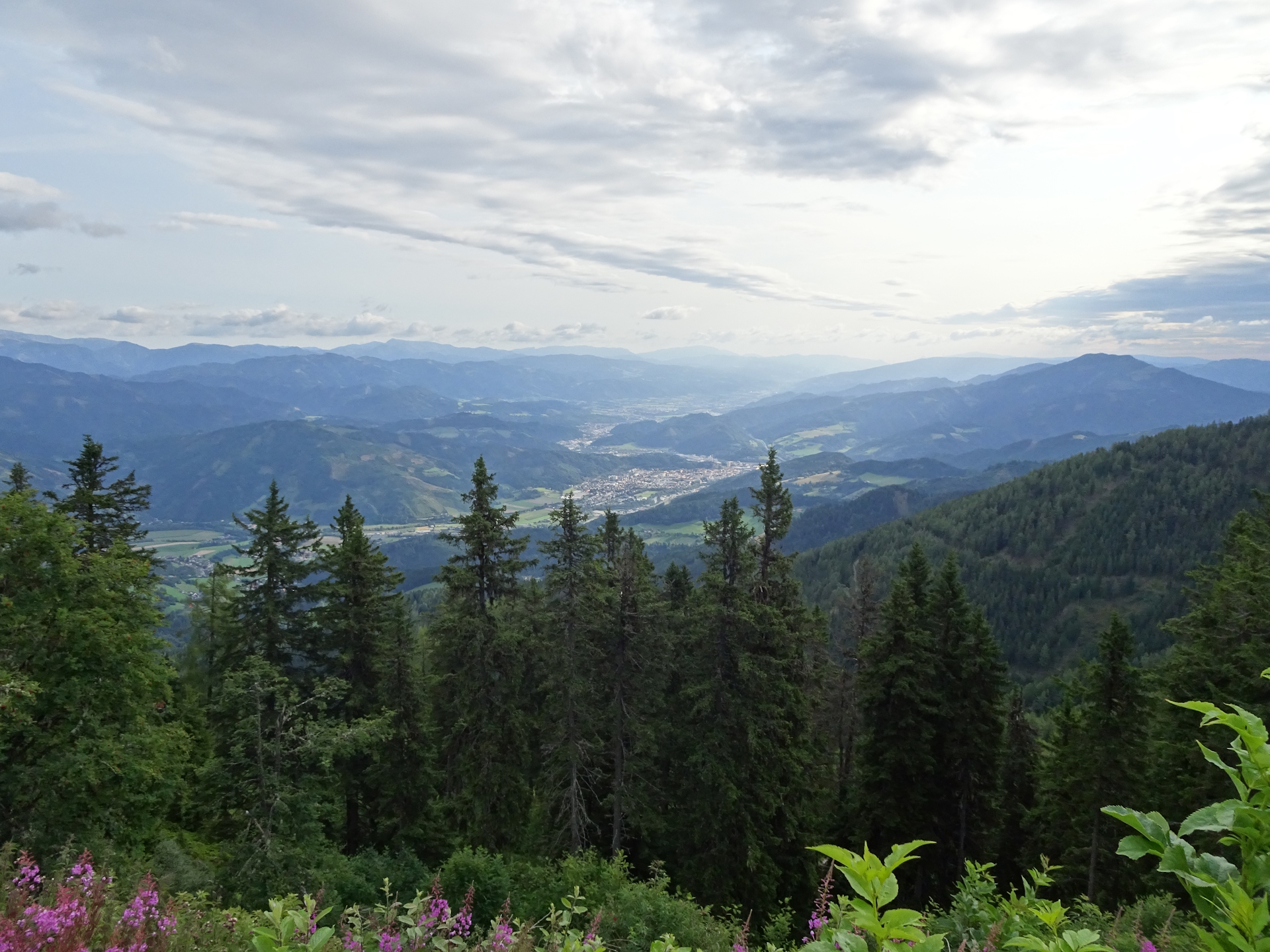
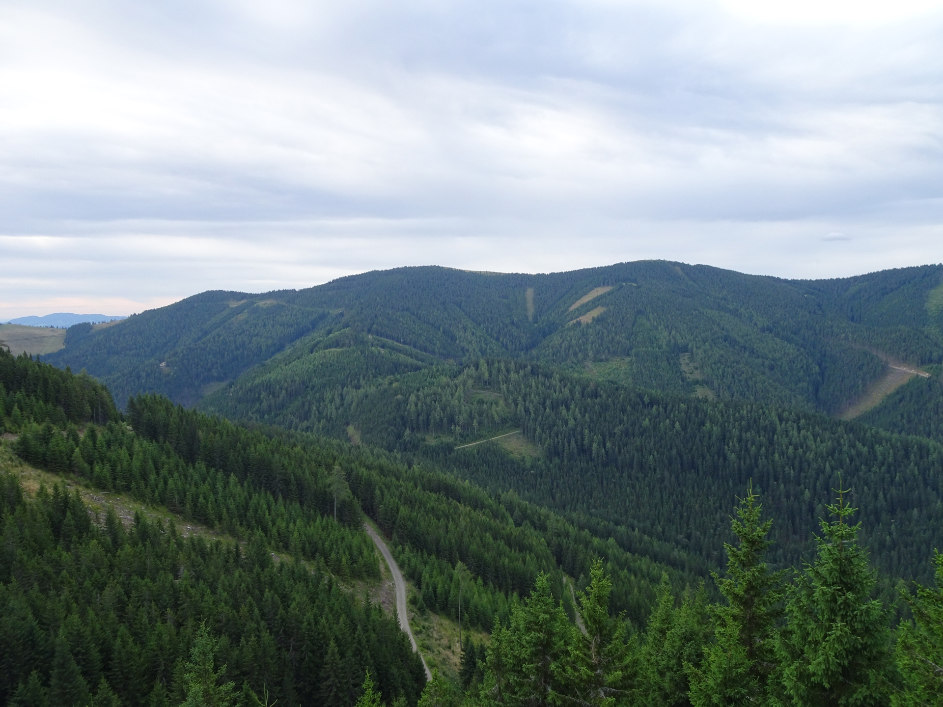
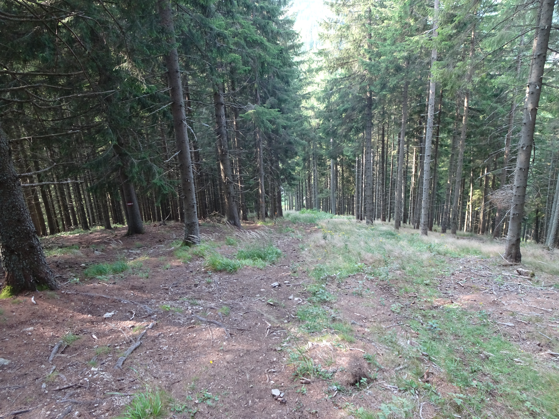
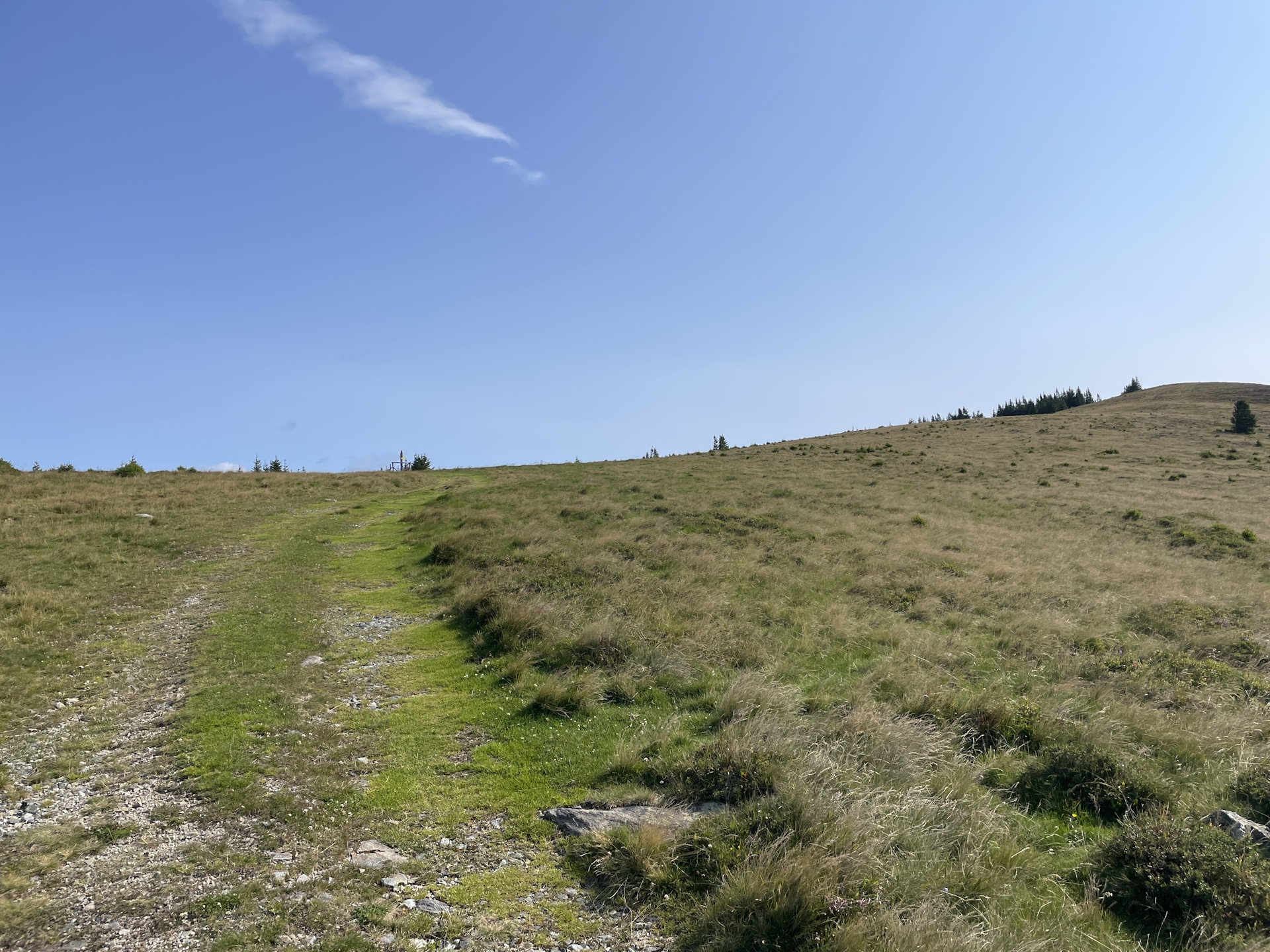
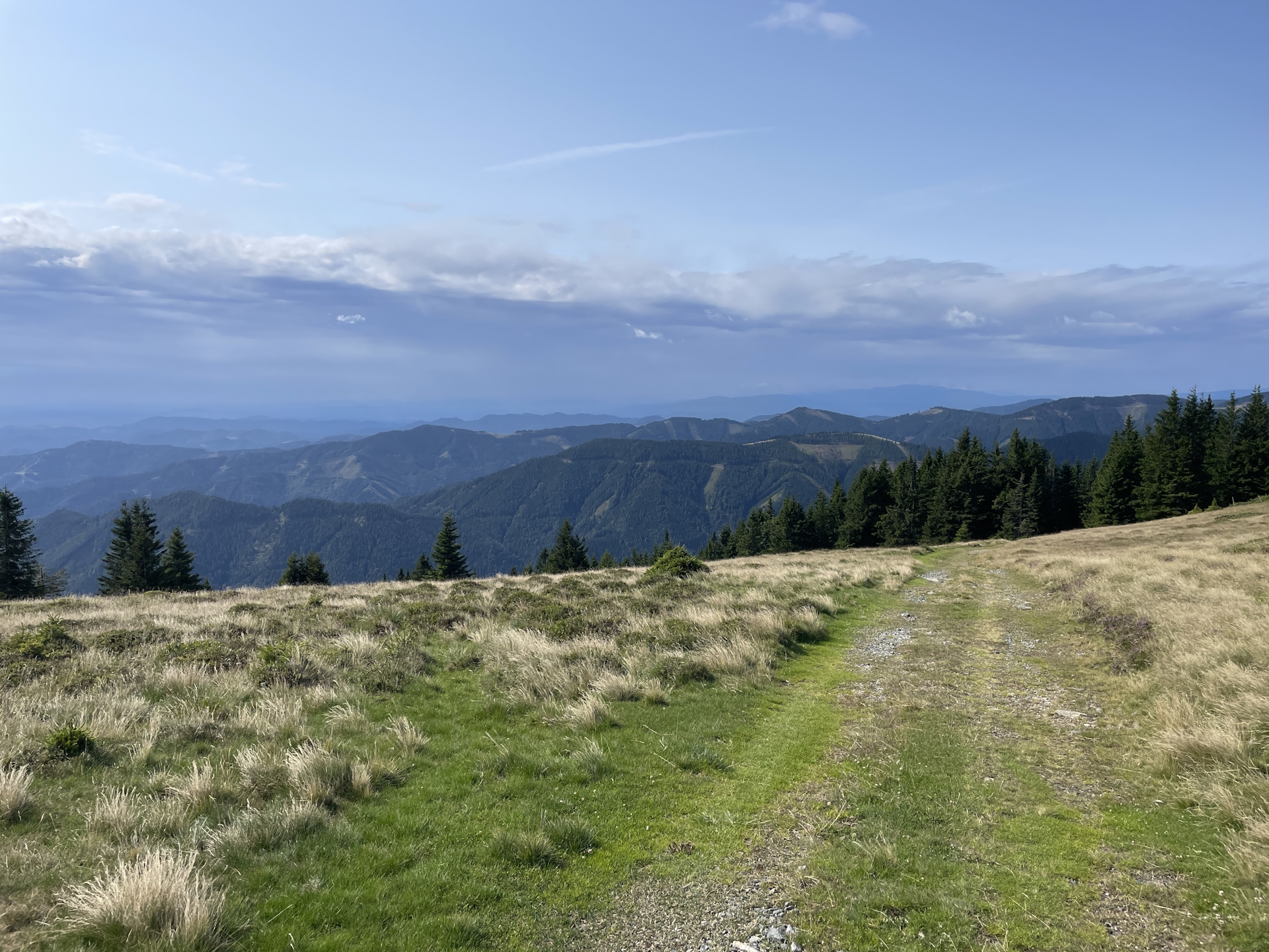
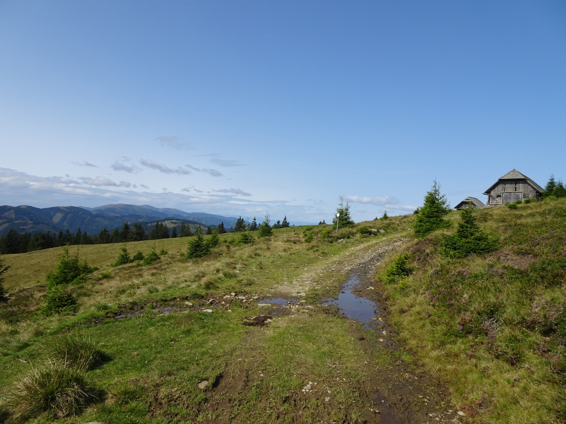
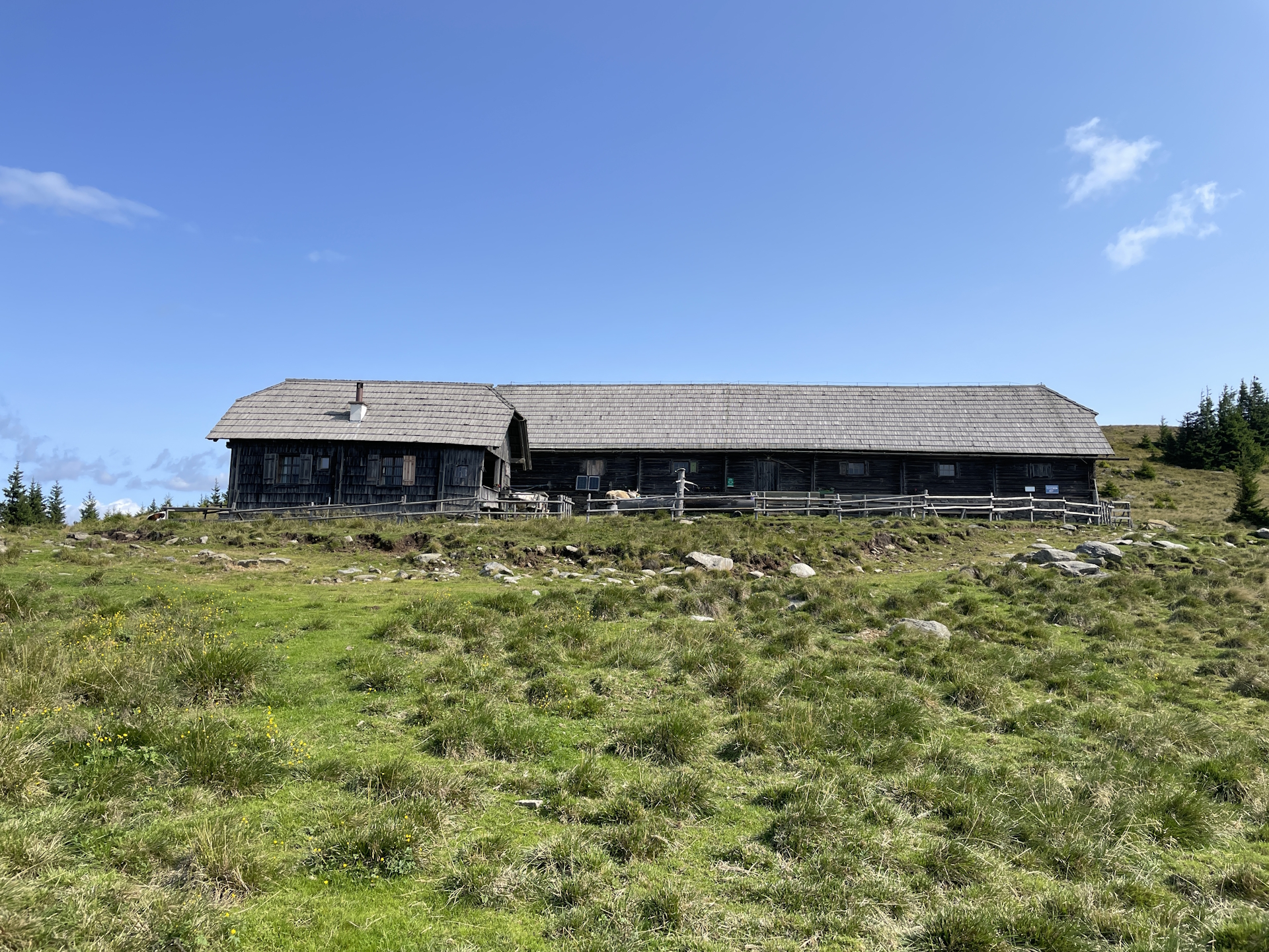
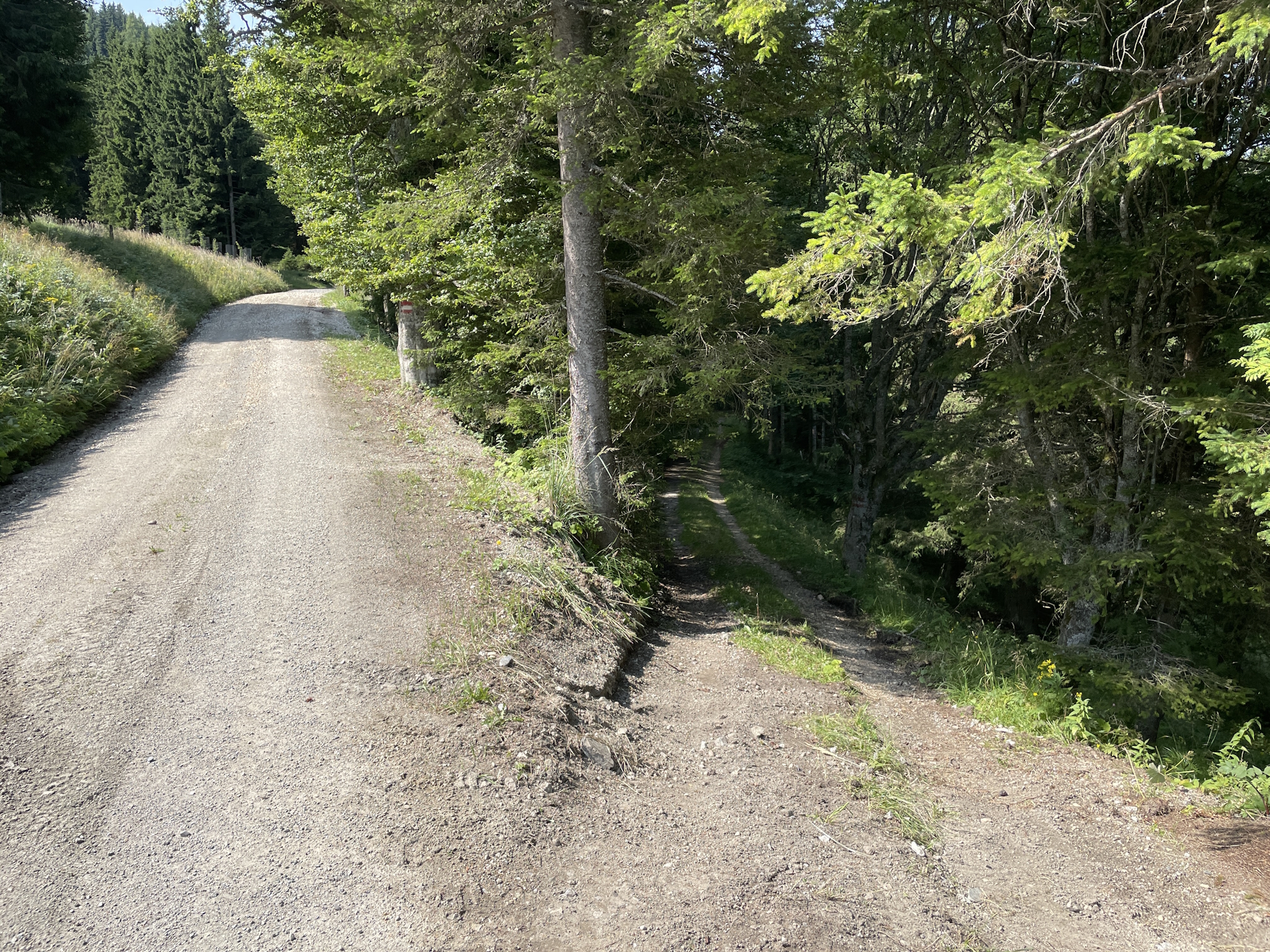
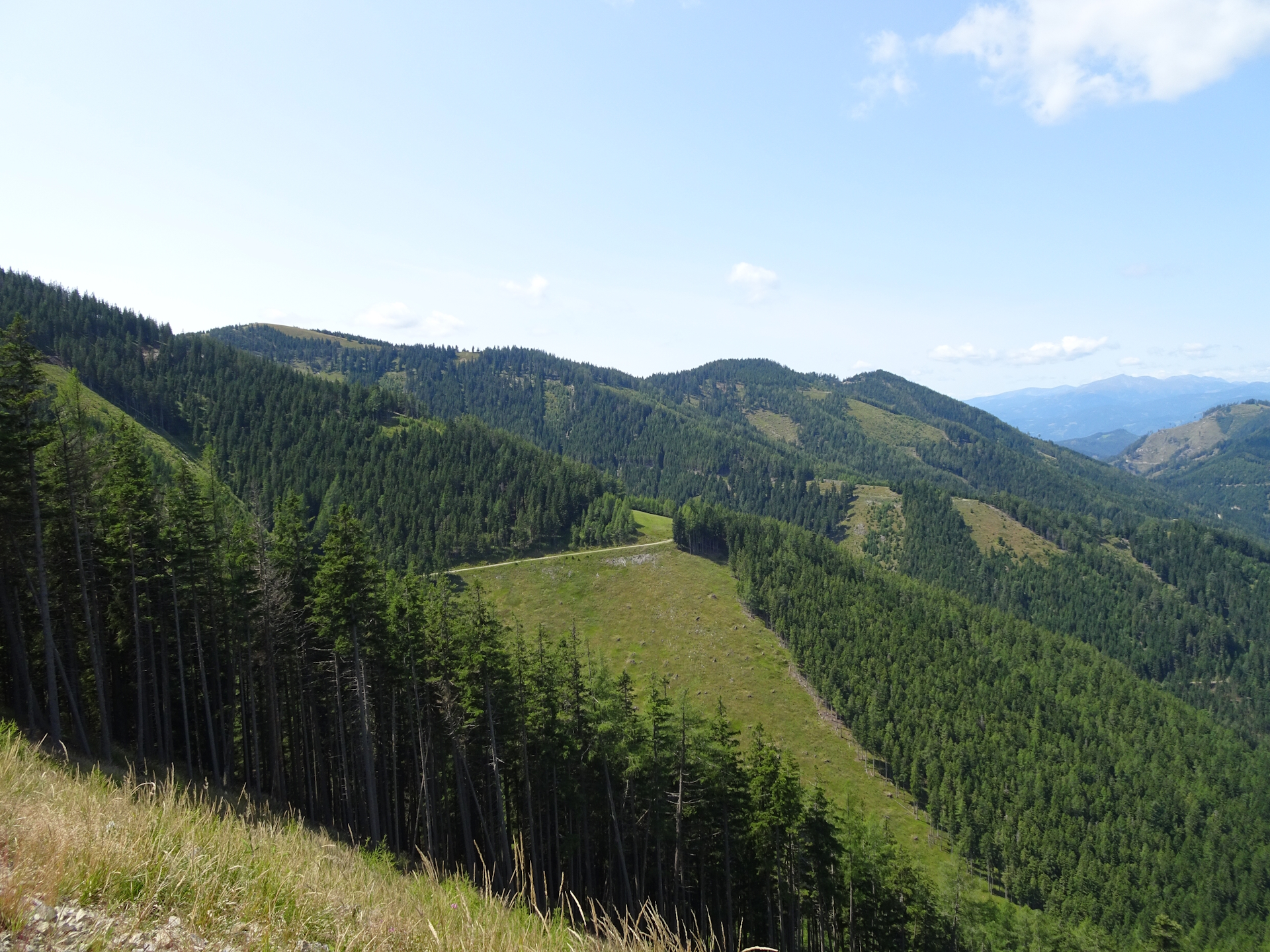
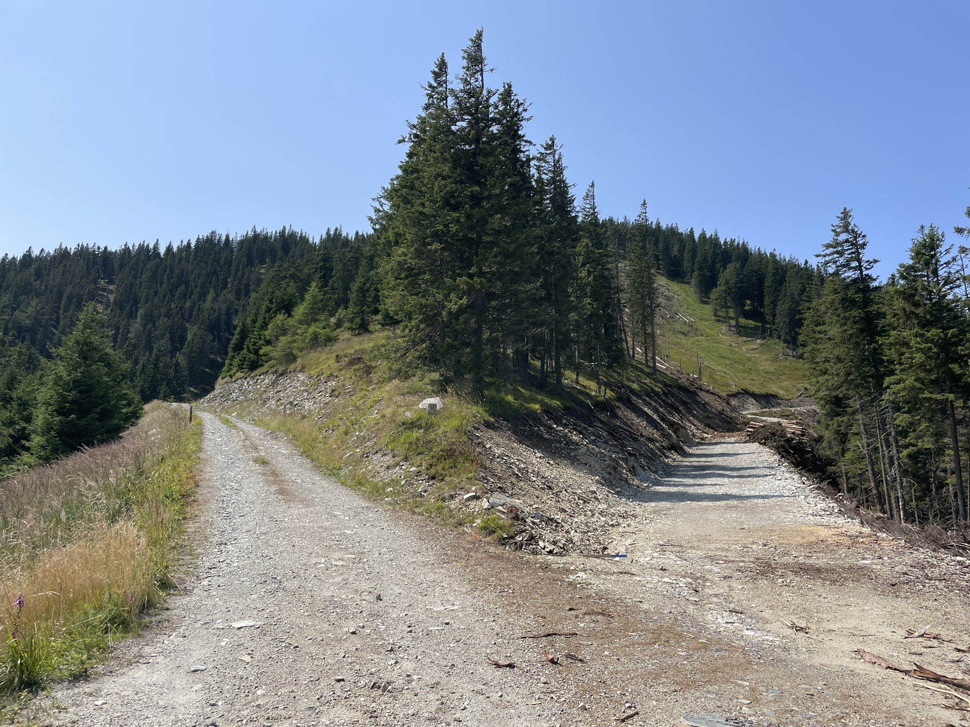
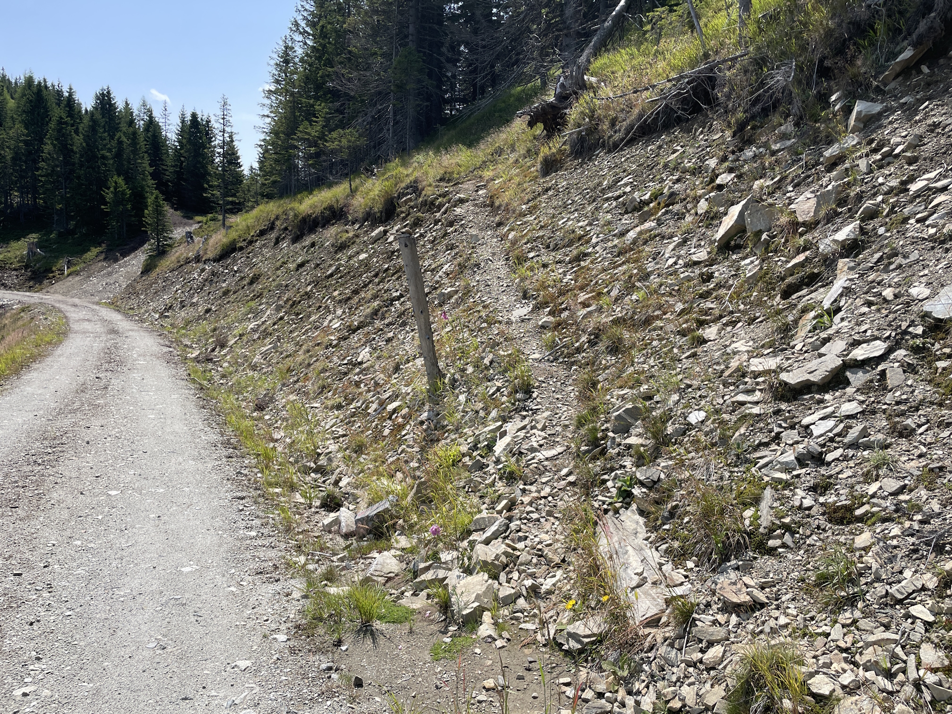
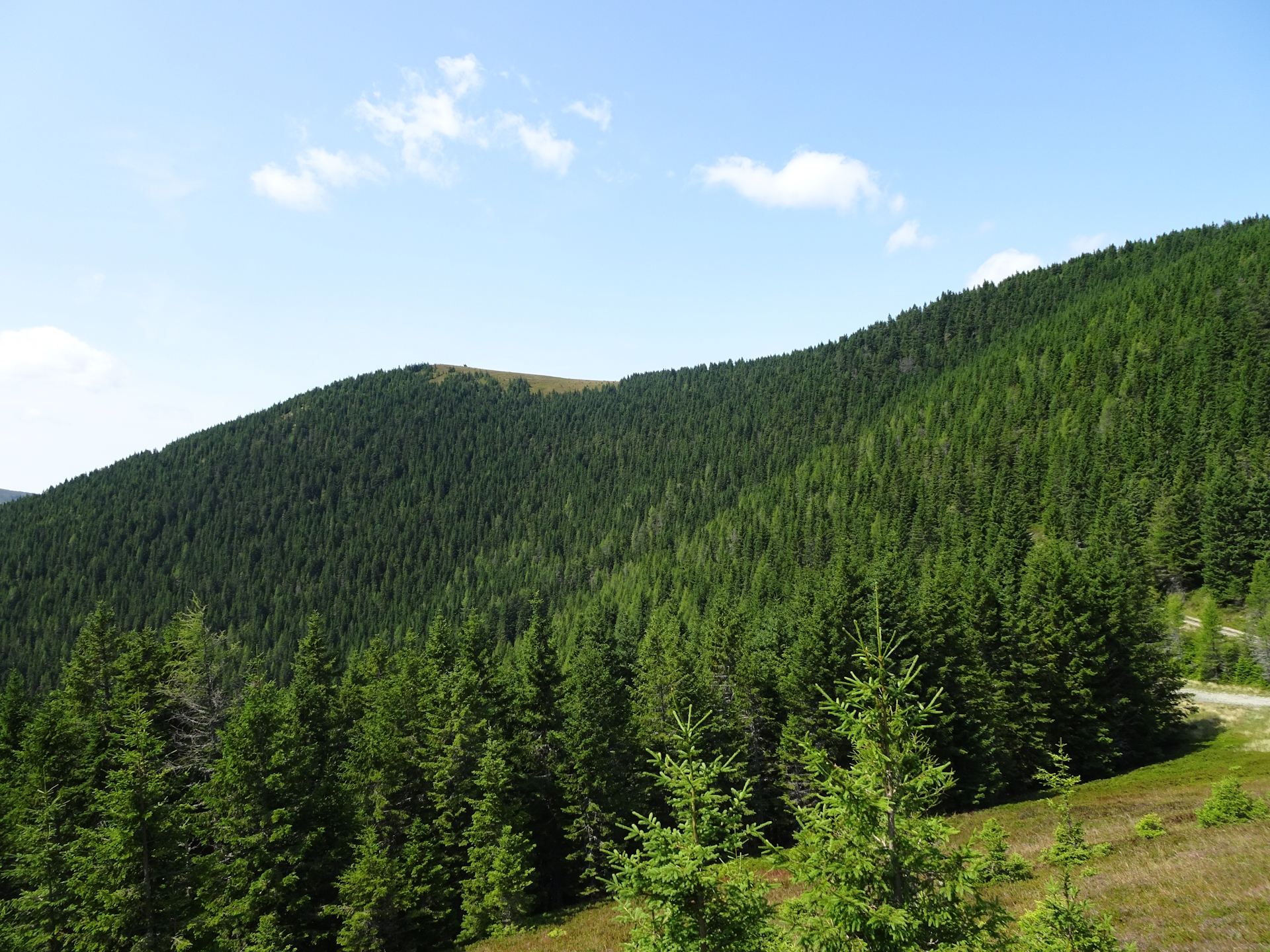
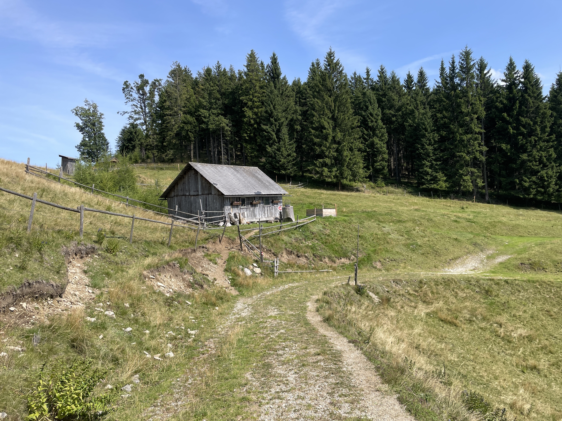
At the Hochalm, the tour turns left and follows the meadow downwards – unfortunately with no markings and potentially easy to overlook! The tour descends till the former Almwirt which is no longer serviced. From there the tour now follows a gravel road through the forest. Although the map indicates to follow a trail through the meadow and alongside the river, it seems that this trail is no longer maintained. Markings were removed and you find yourself very quickly at a dead-end. I found my way through the forest back to the gravel road, all markings are now following the gravel road and it turns out to be an easy hike up to the Pöllasattel.
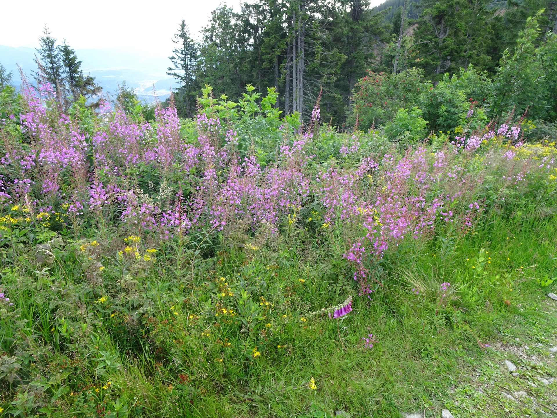
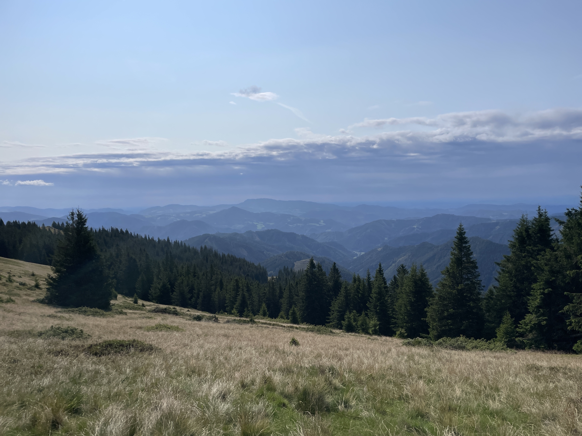
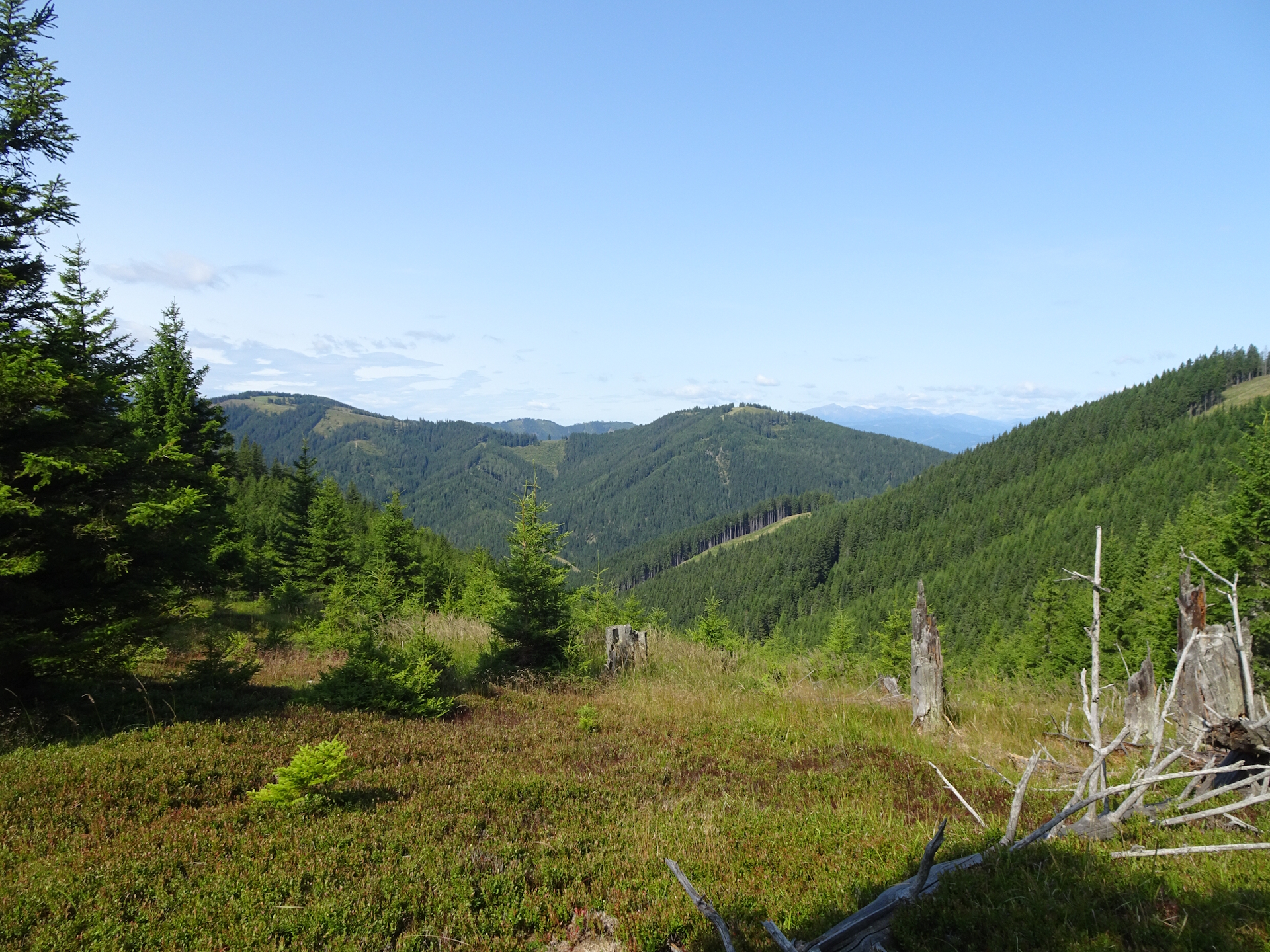
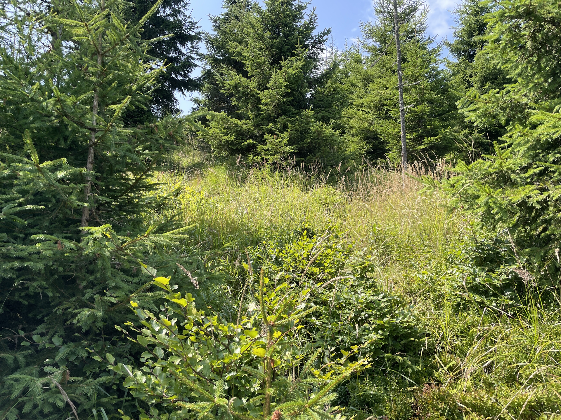
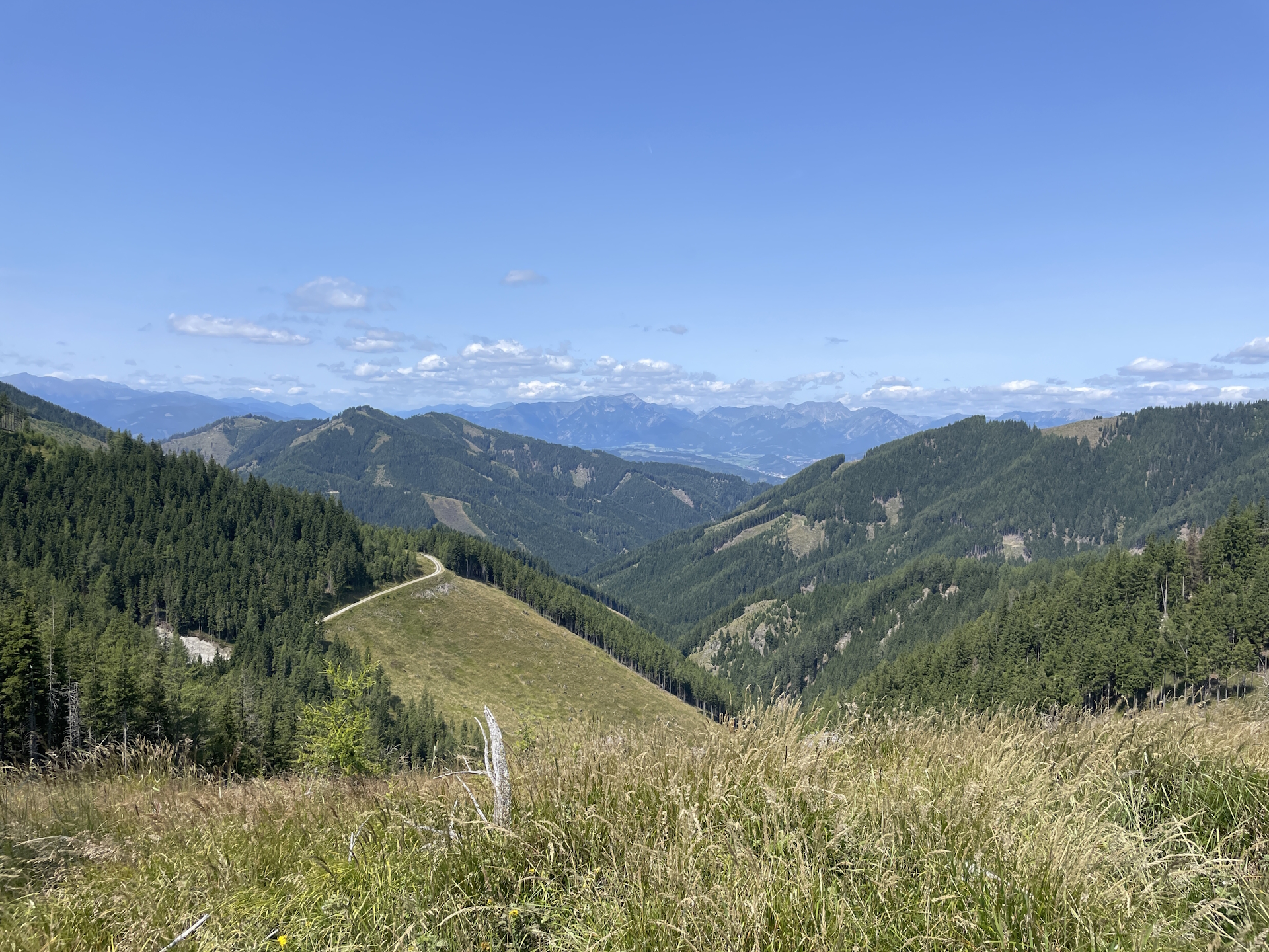
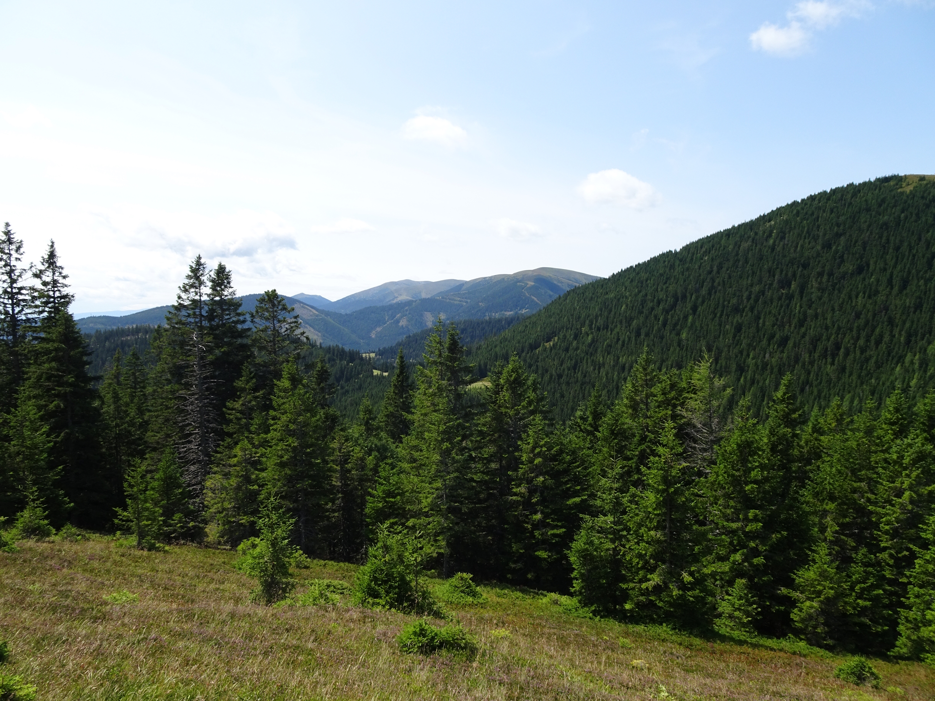
I did a short break at the Pöllasattel and enjoyed my provided snack from the Mugelschutzhaus before following the small trail up to Wurzegg and further to Fensteralm. The trail became heavily overgrown and it required some common-sense to make it through till finally reaching again a gravel road.
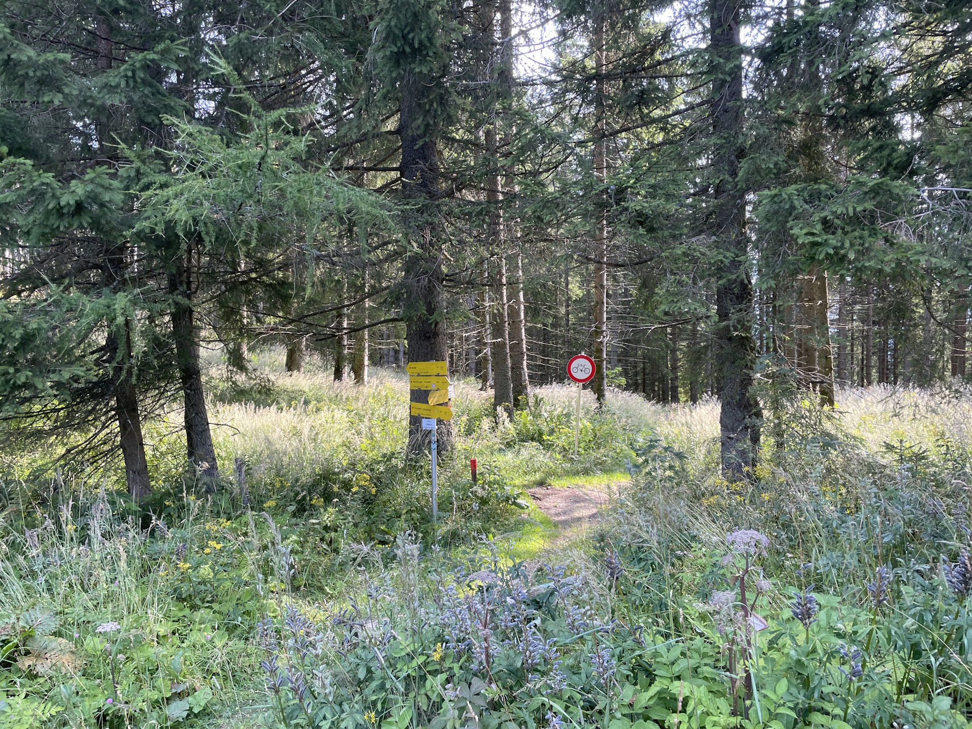
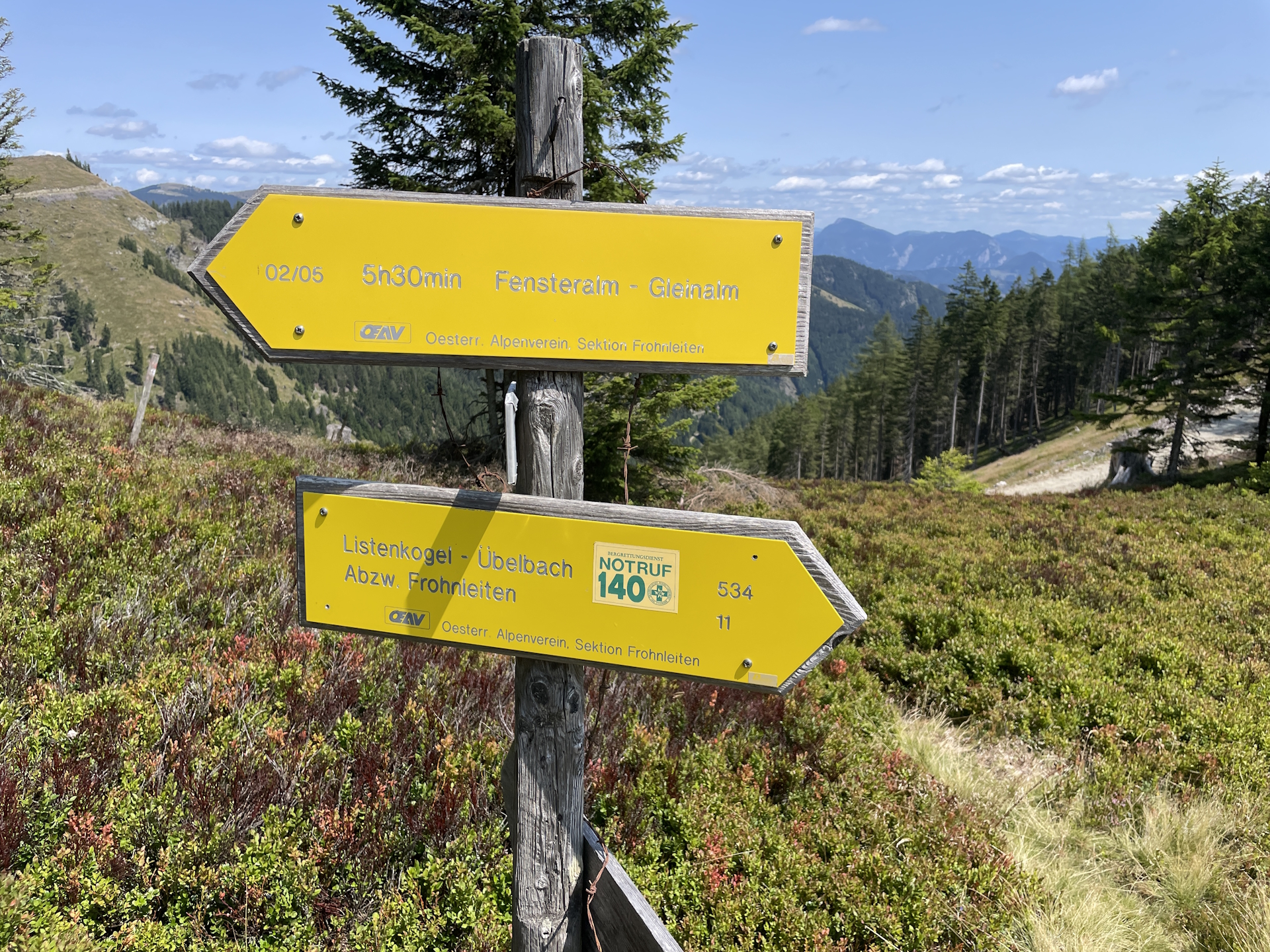
The gravel road seemed very new, was wide and easy to hike on. However, the junction just before the saddle below the Fensteralm was no longer visible and only because my GPS told me, I found the crossing! Hopefully they will fix the markings here soon again.
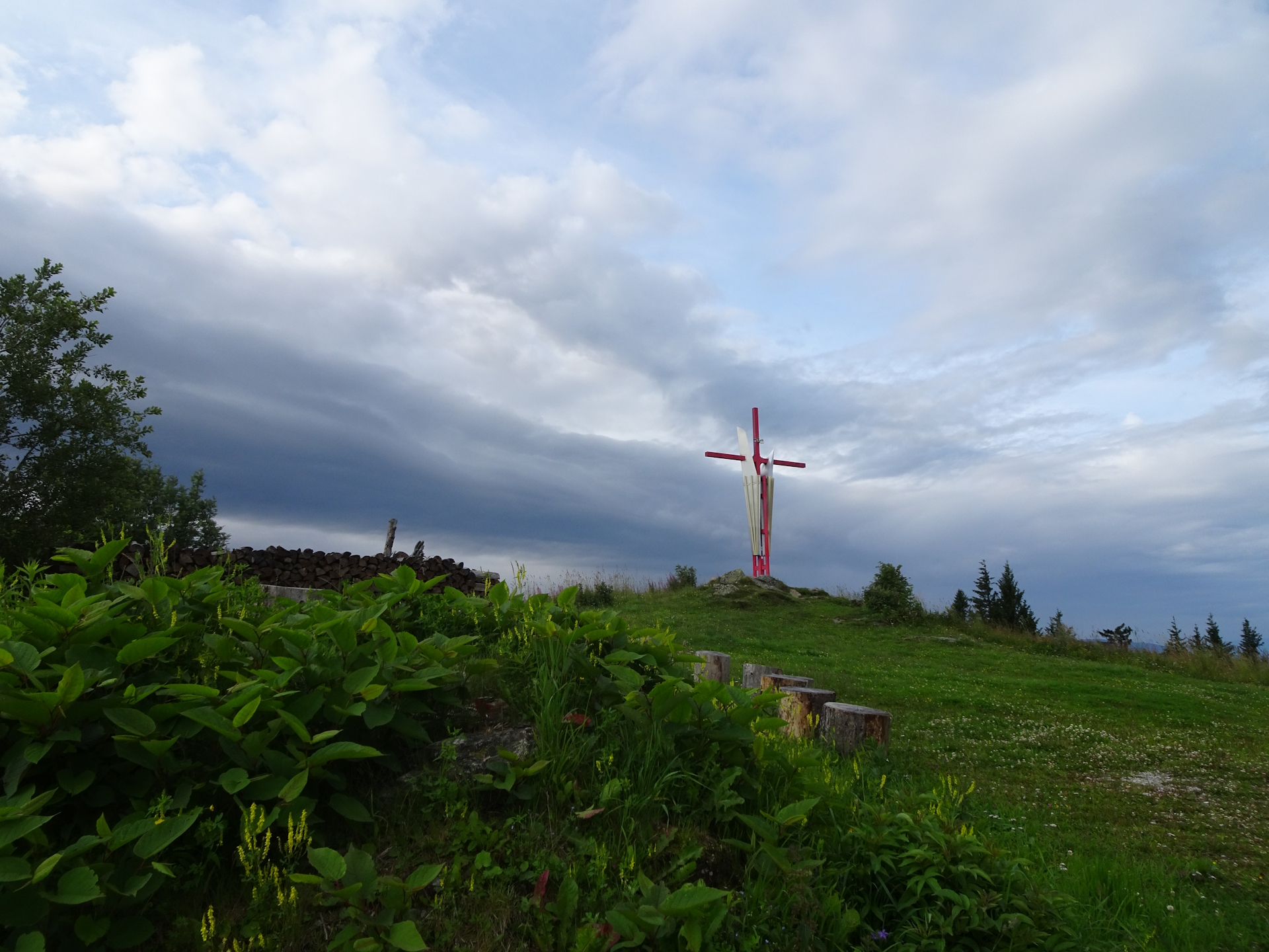
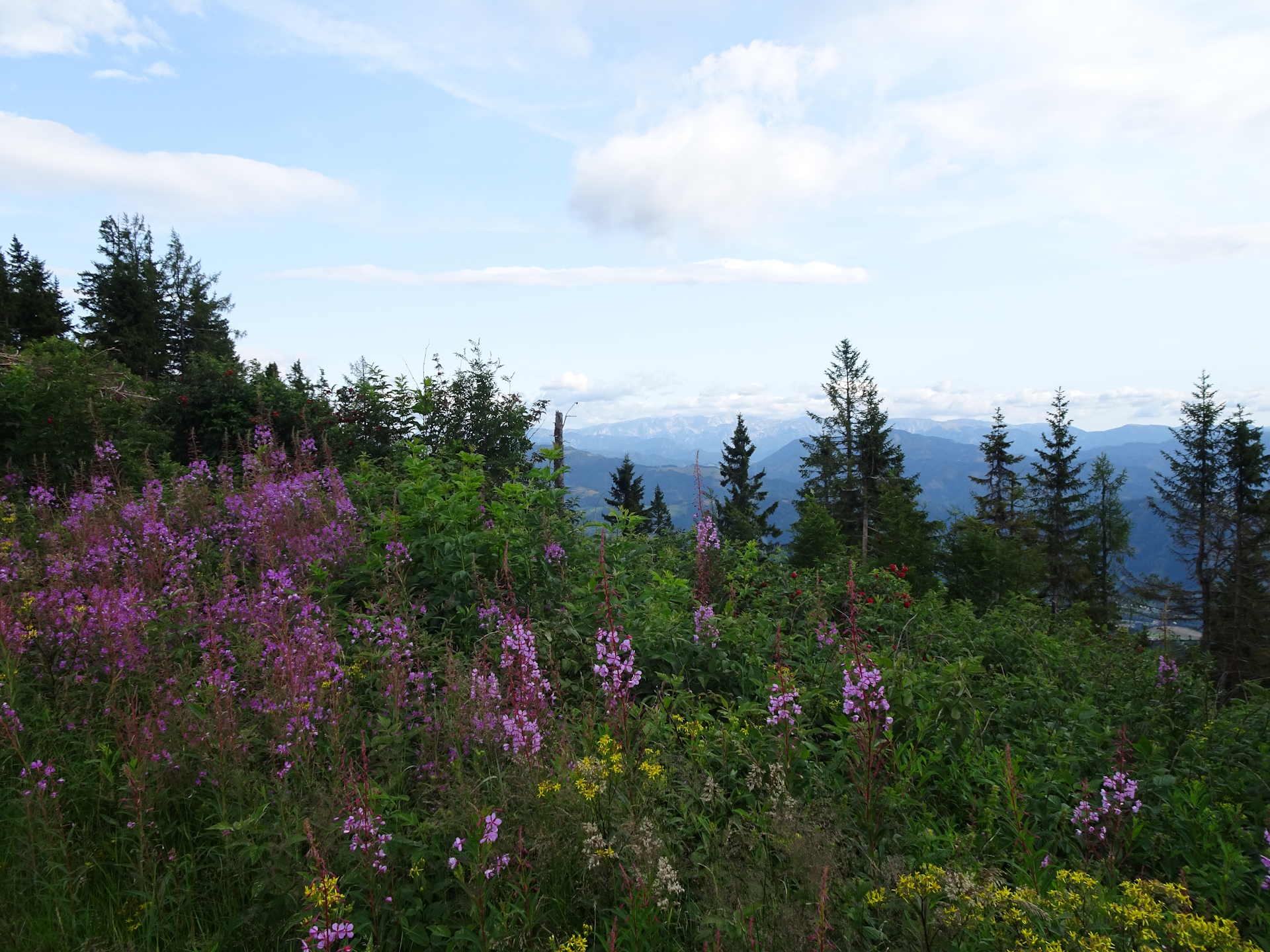
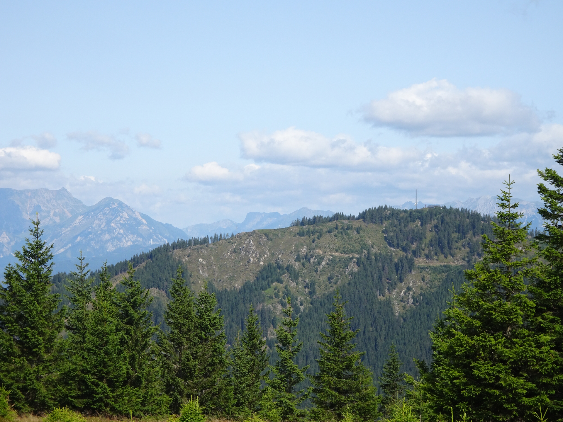
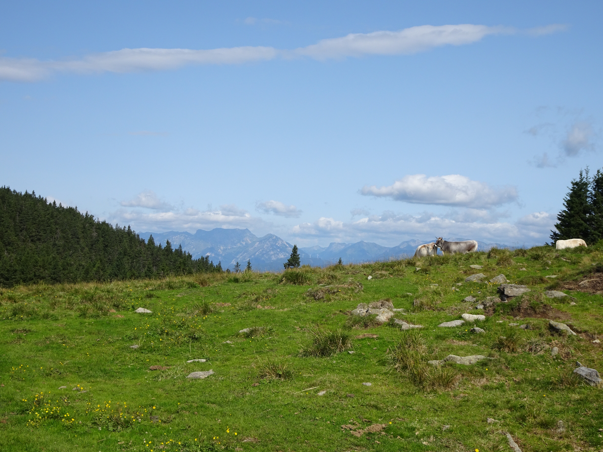
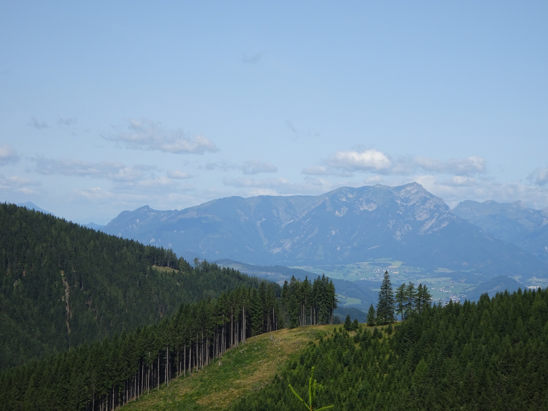
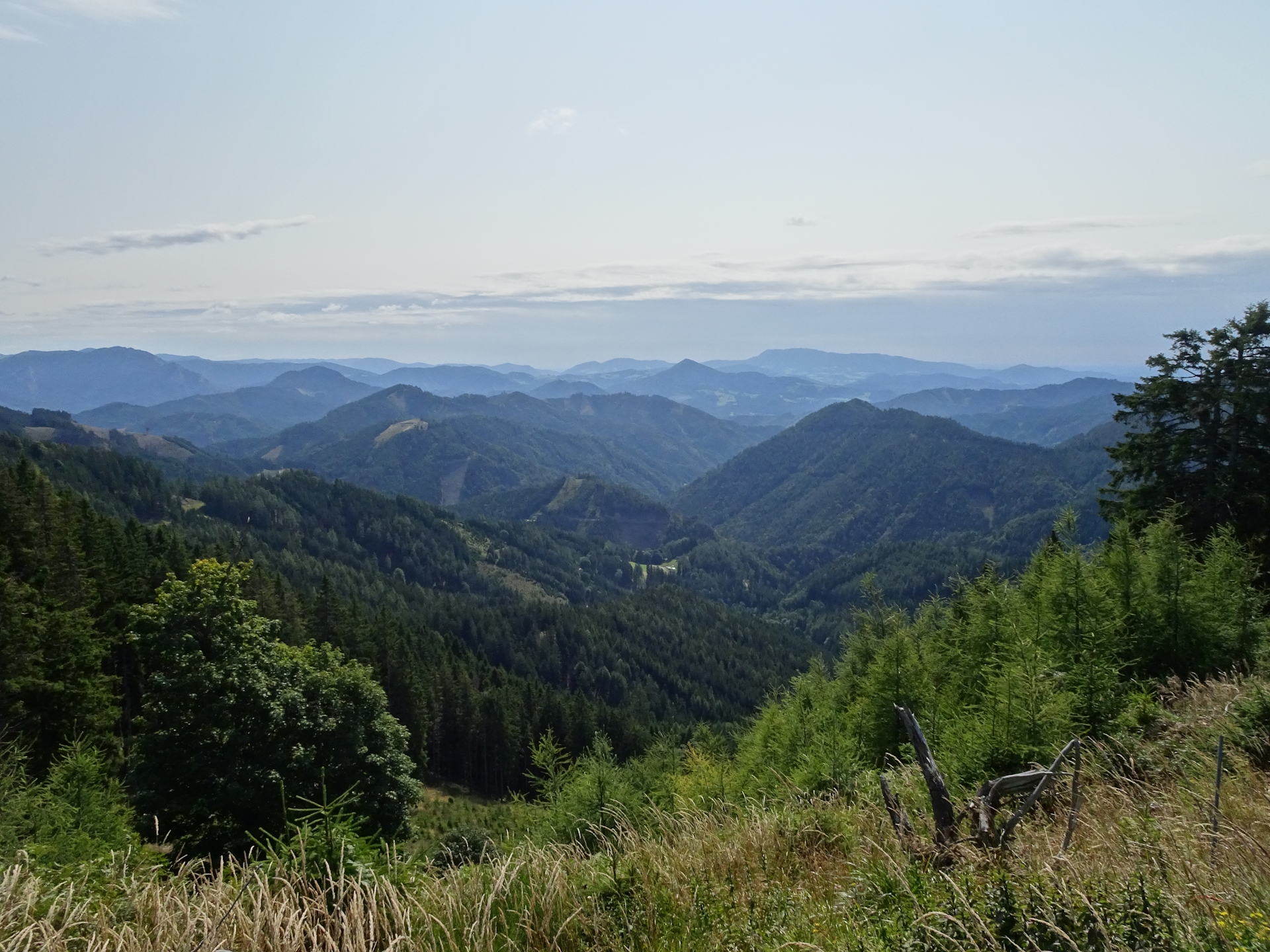
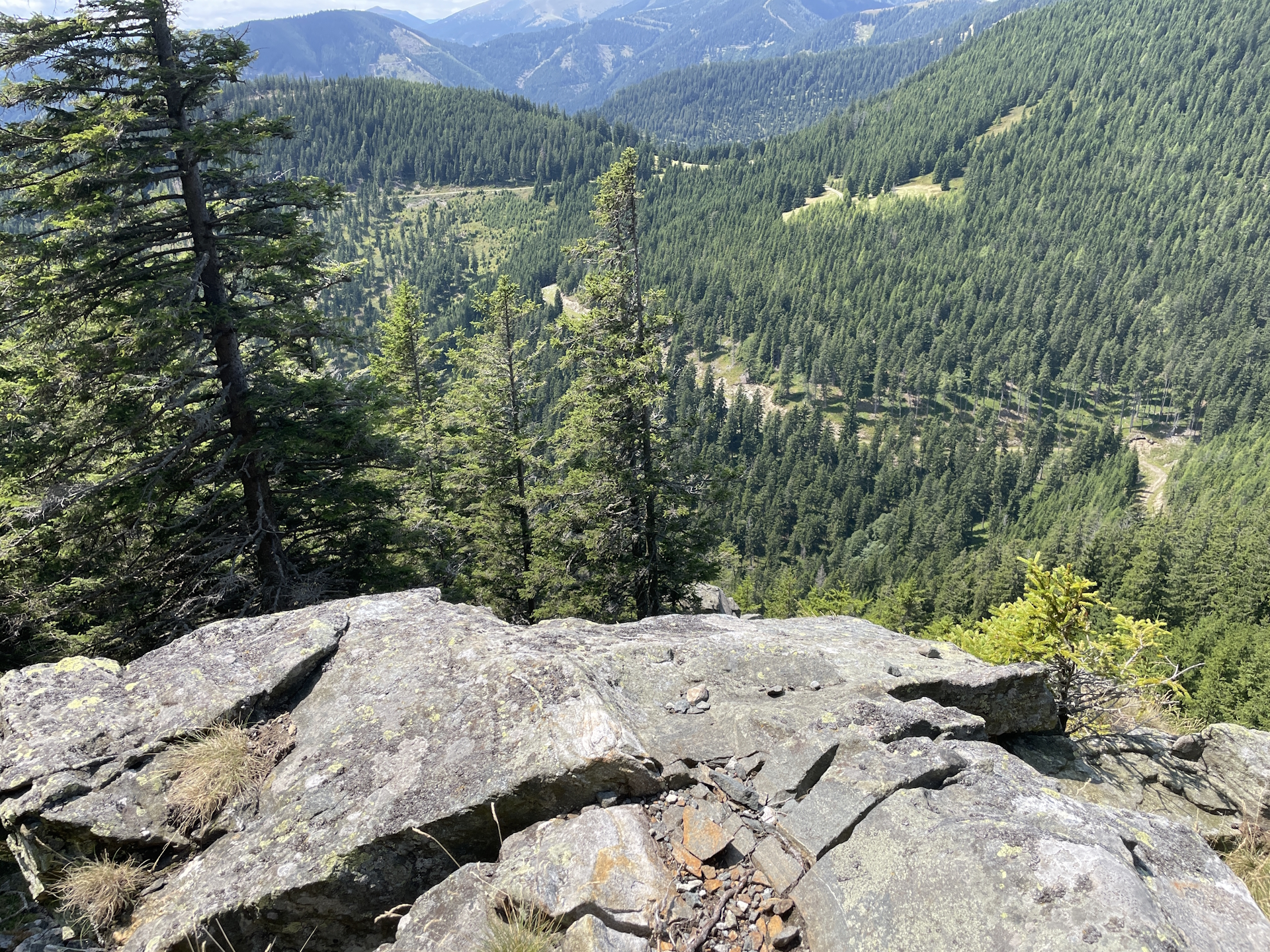
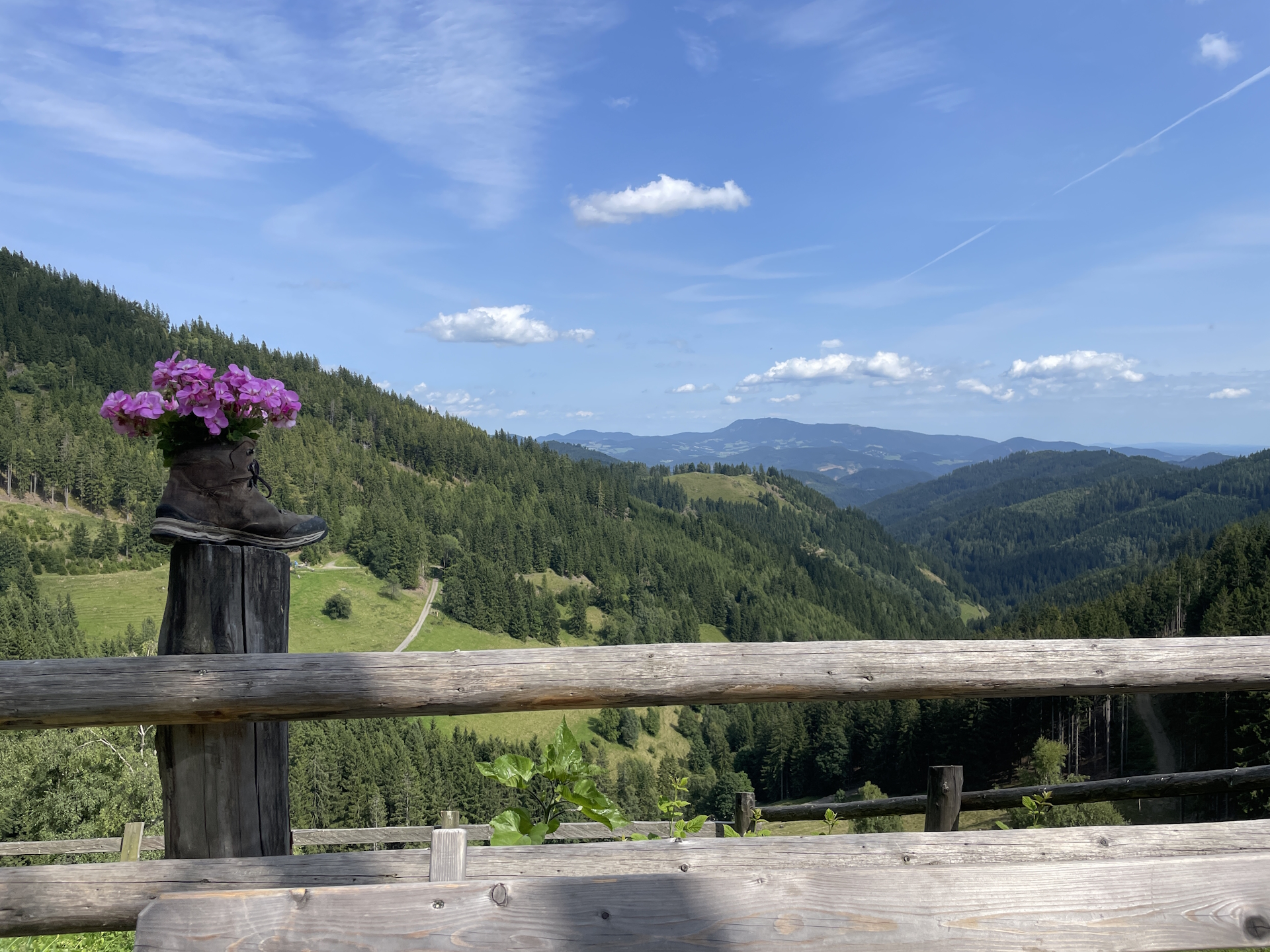
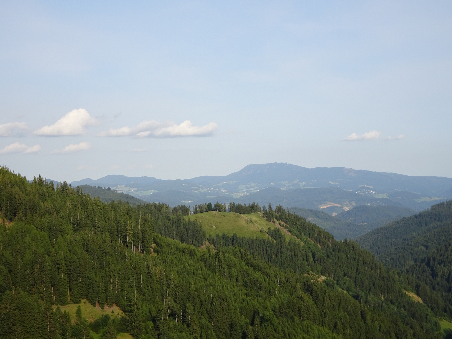
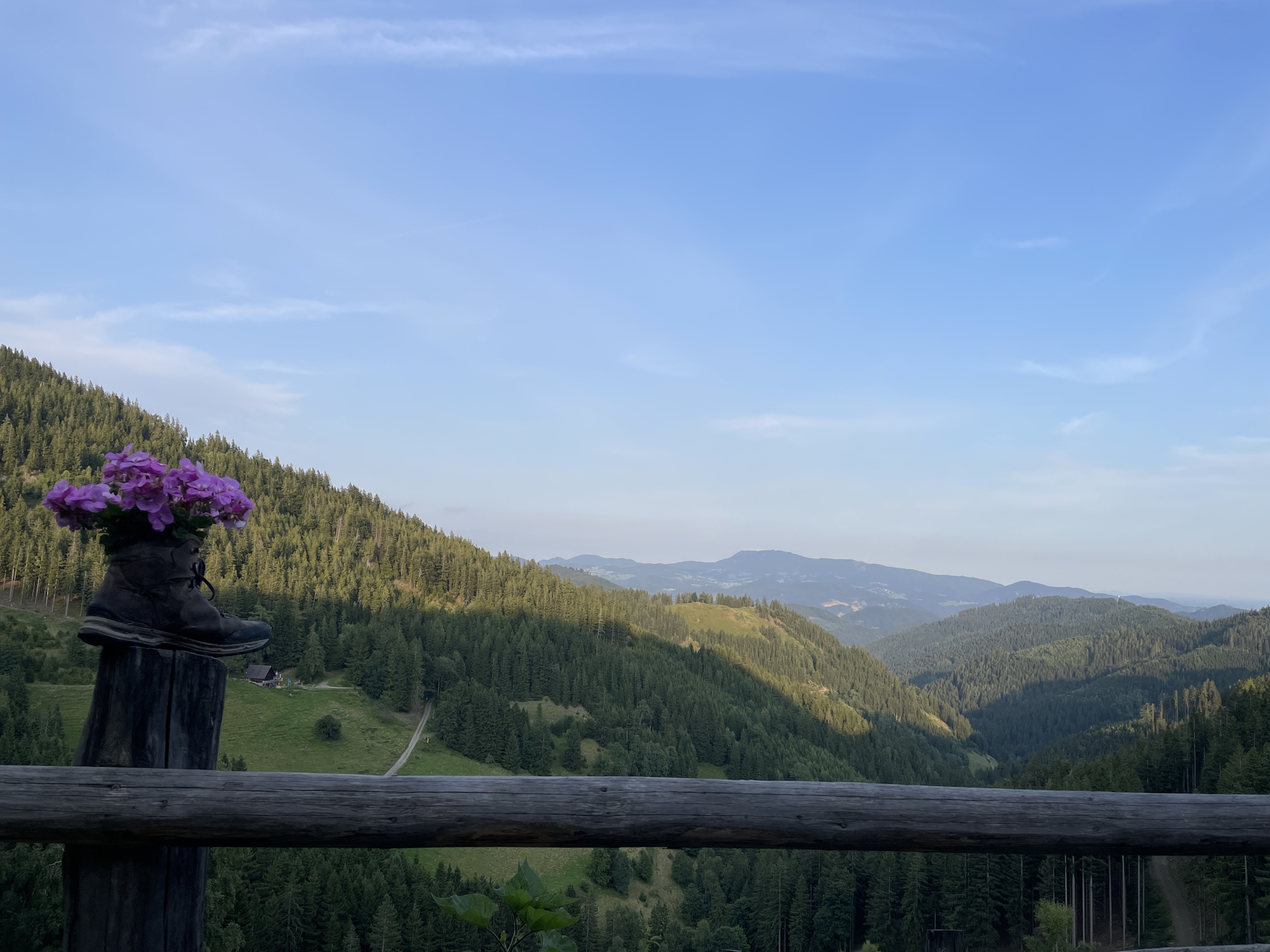
Once in the saddle, I had to leave the official … trail and I followed now the 534 trail down to Plotscherbauer. The trail itself is again very scenic. After the initial ascent, it offers a scenic view on top of a rock towards the Fensteralm and the Speikkogel, and I became aware of what demanding tour I will have to do the next day! Anyway, the view was so great that I decided to have another break here, enjoying the sun and the view.
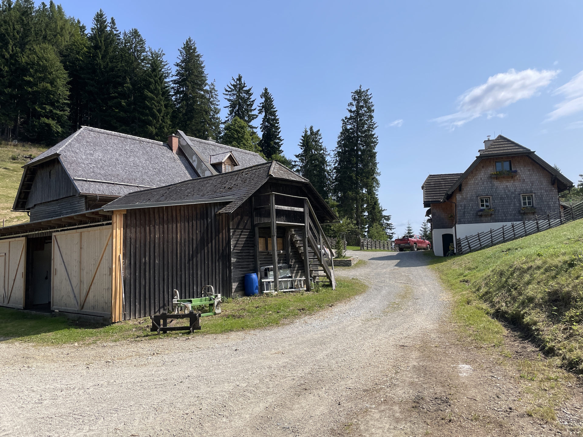
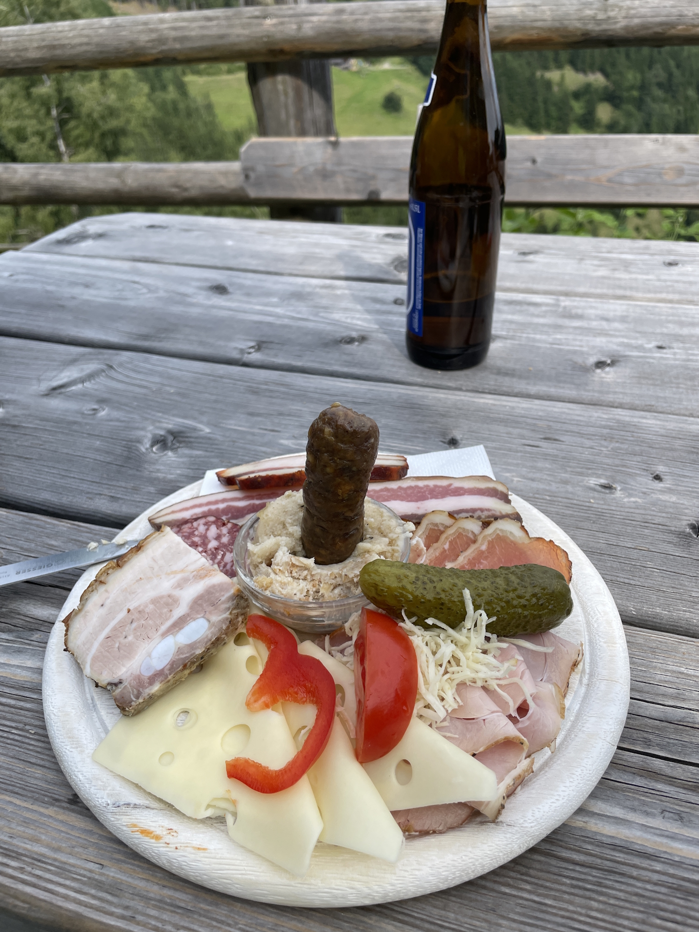
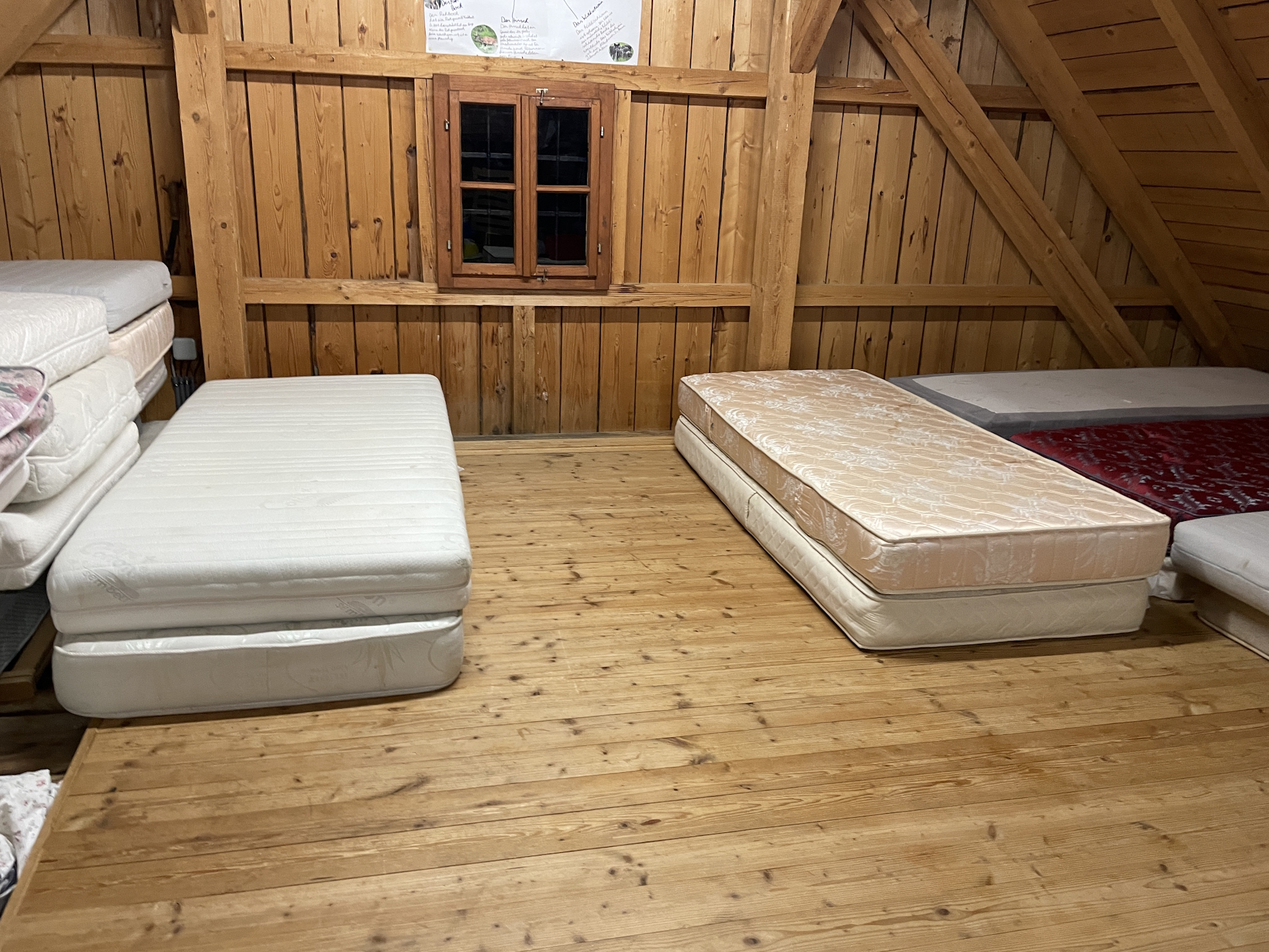
The rest of the trail is relatively easy, there are one or two exposed points that require attention. Finally I arrived at Plotscherbauer, famous for the very tasty Brettljause (a must try!!!). After having an excellent dinner and a few beers, some nice conversation with the locals playing cards till the hut closed, I went up to the attic and had an excellent sleep (turned out I was the only guest staying overnight).
Summary:
Overall, a fairly easy and again very scenic stage! Because of the wired situation of the Gleinalmschutzhaus, I had to spend an extra day doing a detour down to Plotscherbauer but got rewarded with again, an excellent dinner and a very good sleep.
| 00:00 | Start after a great breakfast from the Mugelschutzhaus. Follow the red-white-red marked trail eastwards. |
| 00:10 | At the crossing, keep right and now follow the marked trail southwards. |
| 00:15 | Turn left and follow the gravel road eastwards. |
| 00:25 | Leave the gravel road and follow the marked trail southwards. The trail now becomes steep and descends down to the Trasattel. |
| 00:40 | At the Trasattel, follow the trail straight ahead and ascend again up towards Hochalm (see signposts). |
| 01:20 | At the Hochalpe, keep straight ahead and now follow the joined trail ( 02 / 05 ) using the gravel road southwards. |
| 01:40 | At the Hochalm (hut), turn left into the non-visible and unmarked trail downwards. Just follow the alpine pasture southwards! Once reaching the forest, the trail becomes visible and there are again markings. |
| 02:30 | At the Almwirt, keep straight (slightly right) and now follow the gravel road southwestwards. Stay on the gravel road as the former trail (on the right hand-side) seems no longer being maintained and will lead to a dead-end. |
| 03:05 | Well-deserved break () at the Pöllasattel. There is a little rest area (bench) a few meters below, next to the graveyard of the unknown solider. |
| 03:25 | From the Pöllasattel, follow the trail towards Fensteralm (see signposts). The trail is potentially overgrown and requires some basic navigation skills. |
| 03:45 | Turn right into the scenic gravel road and now follow the gravel road southwards. |
| 03:55 | At the crossing, turn right and continue following the marked gravel road southwards. |
| 04:05 | Turn left and continue following the gravel road. Markings are rare here! |
| 04:15 | Easy to overlook: Turn right before the saddle, hike up the very small trail up to the forest towards into the saddle with its crossing. |
| 04:20 | At the crossing, leave the official trail and keep straight. Follow the trail 534 towards Listenkogel / Übelbach (see signposts)! |
| 04:30 | Well-deserved break from the rocks on the trail. You might climb down a few meters to fully enjoy the view from the plateau. |
| 05:30 | Continue following the marked trail down towards Übelbach. |
| 06:30 | At the farm, follow the visible arrow and turn right. Now follow the trail southwards which will bring you directly to the Plotscherbauer. |
| 06:40 | Arrival at Plotscherbauer. Check-in for the night, enjoy the amazing Brettljause as dinner ()! End of the tour. |
At a glance
| Level | easy-medium |
| Technique | |
| Shape / Fitness | |
| Experience | |
| Scenery | |
| Best time in the year | |
|
Jan
Feb
Mar
Apr
May
Jun
Jul
Aug
Sep
Oct
Nov
Dec
|
|
| Area: | Erzberg-Leoben, Styria, Austria | |
| Distance: | 19km | |
| Ascent: | 786m (2h 25min) | |
| Descent: | 1250m (2h 40min) | |
| Highest Pt: | 1630m | |
| Lowest Pt: | 1147m | |
| Duration: | 5h 20min (without breaks) 6h 40min (with breaks) |
|
| Stop/Rest: | Mugelschutzhaus (1630m) Plotscherbauer 0664 73296500 (1147m) |
|
| Equipment: | Backpack with standard hiking equipment Comfortable hiking shoes Snacks and plenty (!) of water Sun & Weather protection Camera Overnight equipment for the hut: – light sleeping bag for huts – cash – shoes for the hut – toiletries |
|
| Warning: | There are no serviced huts in between! Make sure you have something to eat and enough water with you! |
| Download GPX | ||
| O | Tour at outdooractive.com |
Leave a Reply